
Tags
Baltimore, engineering, FILTRATION, Gunpowder Falls, Hiking, HISTORY, Public Works, water history
Nice day for a hike thru Cromwell Valley Park. Always like listening to these guys speak on the history. Learn something new every time. The volunteers here are a great group of people who deserve a lot more credit than they get.
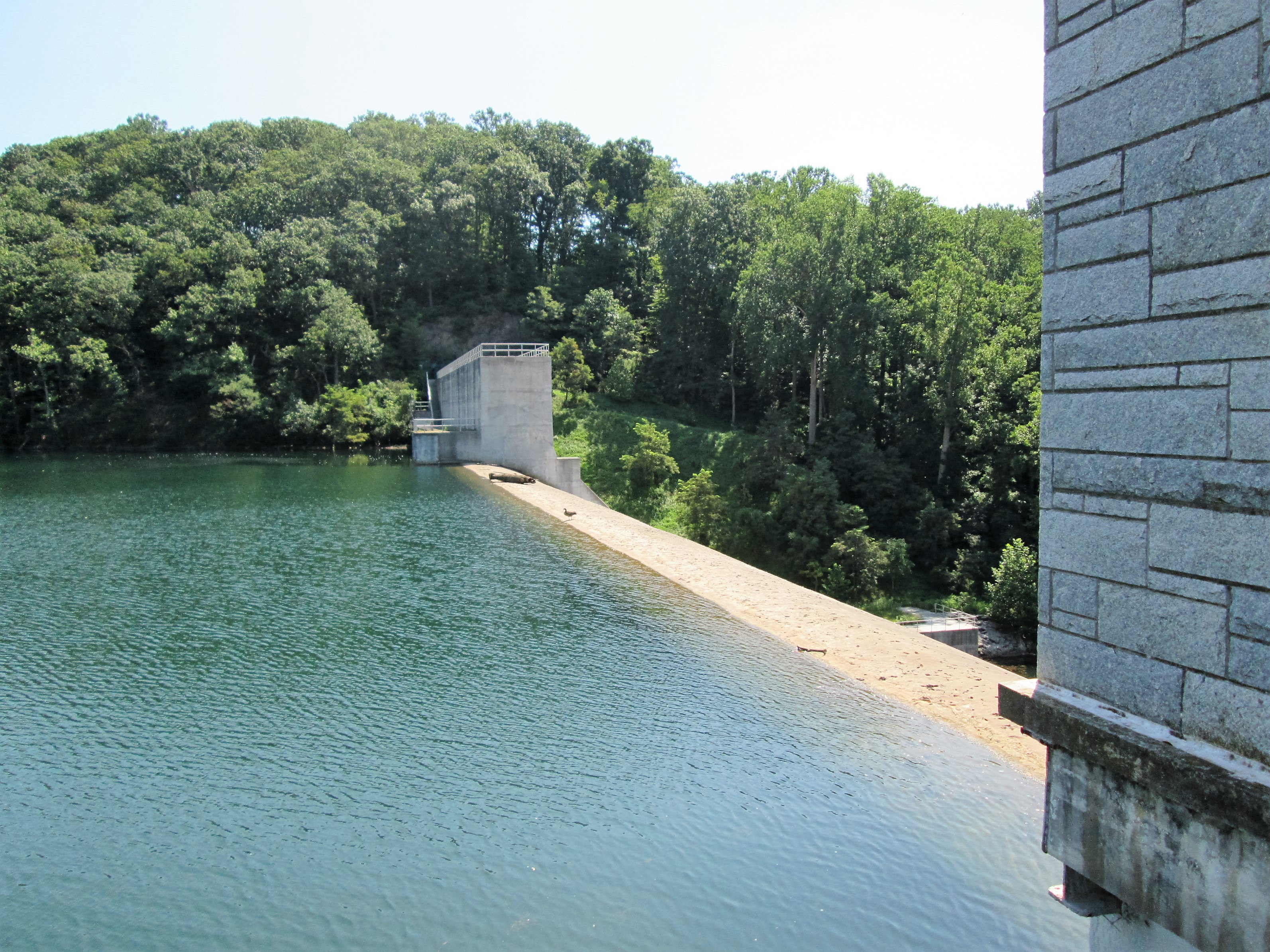
View from the observation deck on top of the dam. Water level is dropping again.
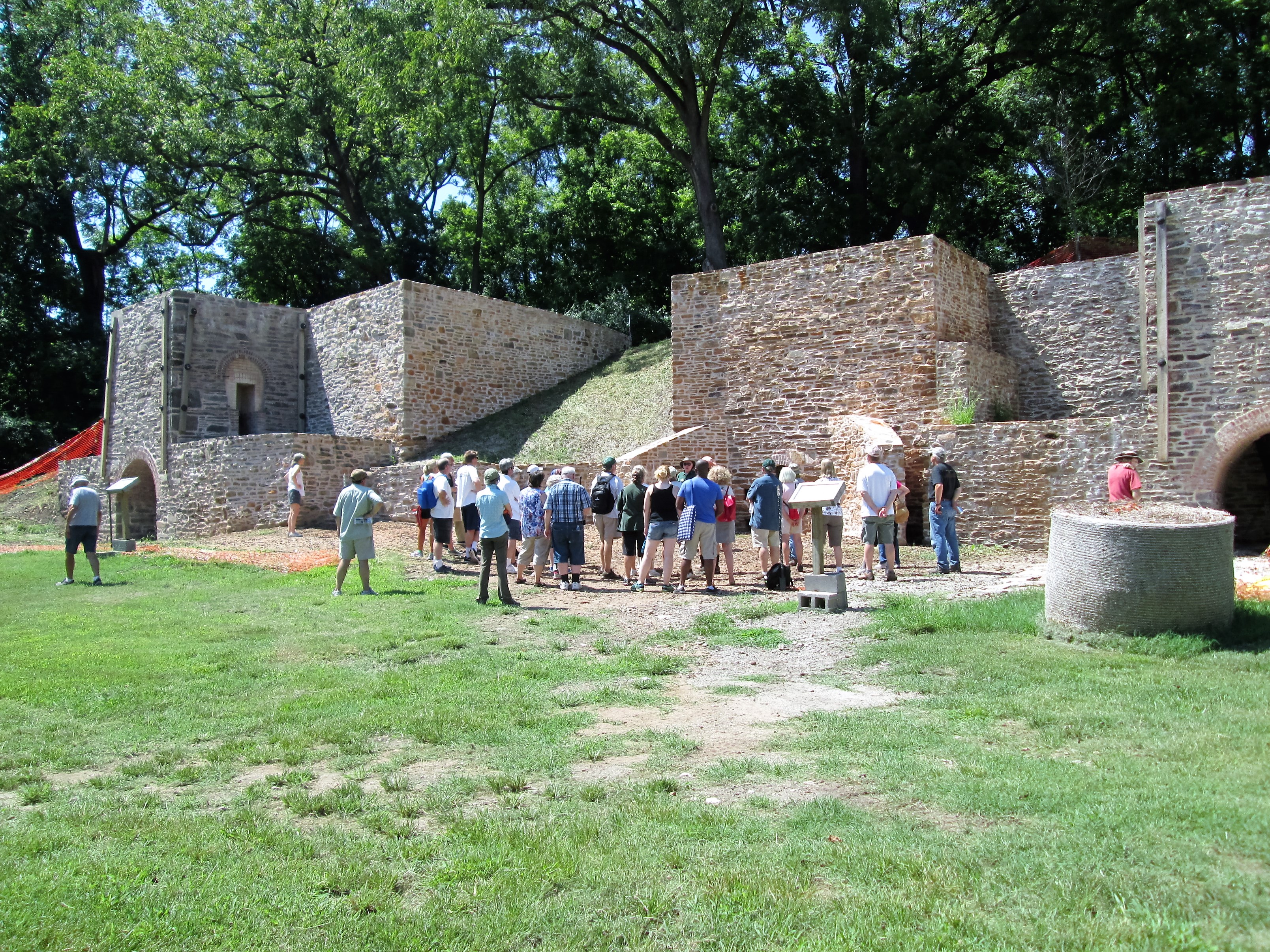
First stop was the restored lime kilns. Big difference since 2006. Nice turnout for a history talk.
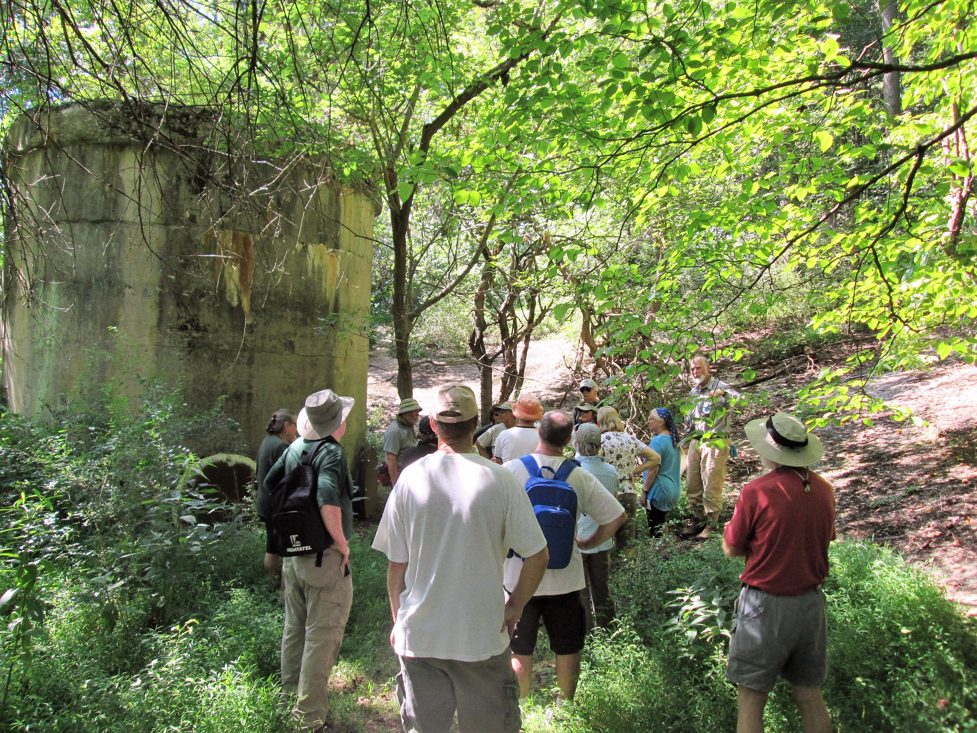
The balancing reservoir. See last post for when it was still in use…

The balancing reservoir is plainly visible on a shaded relief map. Taking away all of the trees makes it easier to spot these kind of hidden features. This effect is achieved using a technology called LiDAR, which can accurately measure surface elevation. Here’s a sample of the area around the balancing reservoir. Notice how well defined the old dam is!

Wow! That is amazing! I don’t see the surge shaft but I know it is in that well defined area at 9 o’clock. The slopes around it are concrete. Do you have a larger view? From the shaft to the dam? A friend of mine was just discussing holes in the woods that he found. I investigated and assumed that they were sink holes – caused by breaks in the below tunnel, where water washed in creating the holes years ago. I thought that if the holes were in a direct path from the shaft to the dam, my assumptions would be correct. We were going to wait until all the foliage died off so we could stand at each hole and map out the path! With this, we wouldn’t have to guess at the path. Thanks for posting this. If you get a chance to email me I’d appreciate it. rep5355@msn.com
Is it ok to share this image with my friend?
Ronald, by all means please feel free to share. For attribution: I retrieved the image from the State of Maryland’s open topography server, and annotated it myself. http://imap.maryland.gov/Pages/lidar.aspx
Thanks!
To answer your questions, I will make a larger view and post it here. I think that you’re probably right about those holes up and down the line from the shaft.
The shaft isn’t obviously visible in this graphic because part of the production of one of these “bare earth” models is subtracting trees and structures to produce a surface. If you look really closely, you can see a point on the ground where the shaft is that appears too flat. This is where someone erased the shaft and leveled the surface digitally. The shaft is right in the middle of the the roughly D shaped indent on the west side of the old reservoir. ground slopes around the shaft are smoother, probably graded by humans.
Yes, it is a concrete apron surrounding the surge shaft. The dam also has a concrete covering on it, facing towards the shaft.
Thanks
Cool! Would that serve to prevent erosion when water would be flowing in or out of the standpipe rapidly? Historically, what would have caused a rapid change in the surface of the balancing pool?
I forget off the top of my head but I think the concrete was added to the slopes because the ground wasn’t all hard clay like they thought it was going to be. A rapid change would be caused by the sudden shutting down of the pumps at Montebello. When Holtwood Dam had a power failure (the pump station received power from them in the 1920s) a water hammer of such great magnitude raised the concrete slab that the pump motors were on (paraphrased). What kept a steady level was the head pressure in Loch Raven and use at the Montebello plant. When either one fluctuated, the level in the balancing reservoir increased/decreased accordingly.