I have been asked numerous questions and for information on what is the procedure for the water plant, in dealing with drought scenarios? All new bosses asking. There are a lot of procedures that will need to be followed, so I will be updating the information I have collected over the years, all the different ways to keep Baltimore drinking water flowing. To be brief, when the reservoir at Loch Raven gets below an elevation of 235′, a decision will need to be made – Open gates at Prettyboy Dam, start low lift pumps, and/or introduce water from the Susquehanna River. Right now the 3 reservoirs are only about 1-2′ below normal. In most cases, when Prettyboy and Loch Raven drop, the pumps from the Susquehanna are used instead of our Low Lift Pumps. Here is a brief history:
1869 – 1870 – The City suffers a severe drought in the summers. It was concluded that the Jones’ Falls water supply was not sufficient for the future. After an investigation for a future water source, it was decided the source would be the Gunpowder Falls. Noting that due to the severe drought of this past year (1869), Engineers Curran and Martin went to the Great Gunpowder Falls to gauge its flow. In twenty-four hours, one hundred and sixty four million plus gallons flowed, which is twenty times more than the present supply. Following the drought was a heavy rain in October, during the farmers’ plowing of their fields. The runoff caused Druid Lake to be too muddy for the consumer. It was not fit for use for twenty-six days.
1872 – Notwithstanding the confident assertions and opinions of the advocates of the Jones’ Falls supply that there would be no want of water at any time after its introduction, in the severe drought of 1872 it became apparent that unless the Gunpowder was resorted to, Baltimore would encounter the risk of a water famine in every dry summer.
1877 – The temporary supply pumps (on the Gunpowder) were needed this year due to a drought.
1896 – Long drought.
1900 – There was a drought condition during the year. This was the first recorded drought during the use of Loch Raven water. The drought was referred to when the water consumption exceeded the total flow of the Gunpowder River. “An unusually severe drought occurred and the city escaped a water famine by the narrowest margin”
1910 – Worst drought, only 418 million gallons left in reserve storage, depleted 1.06 billion gallons of reserve storage. The year 1910 recorded the second drought since the City began using Loch Raven water as a water source.
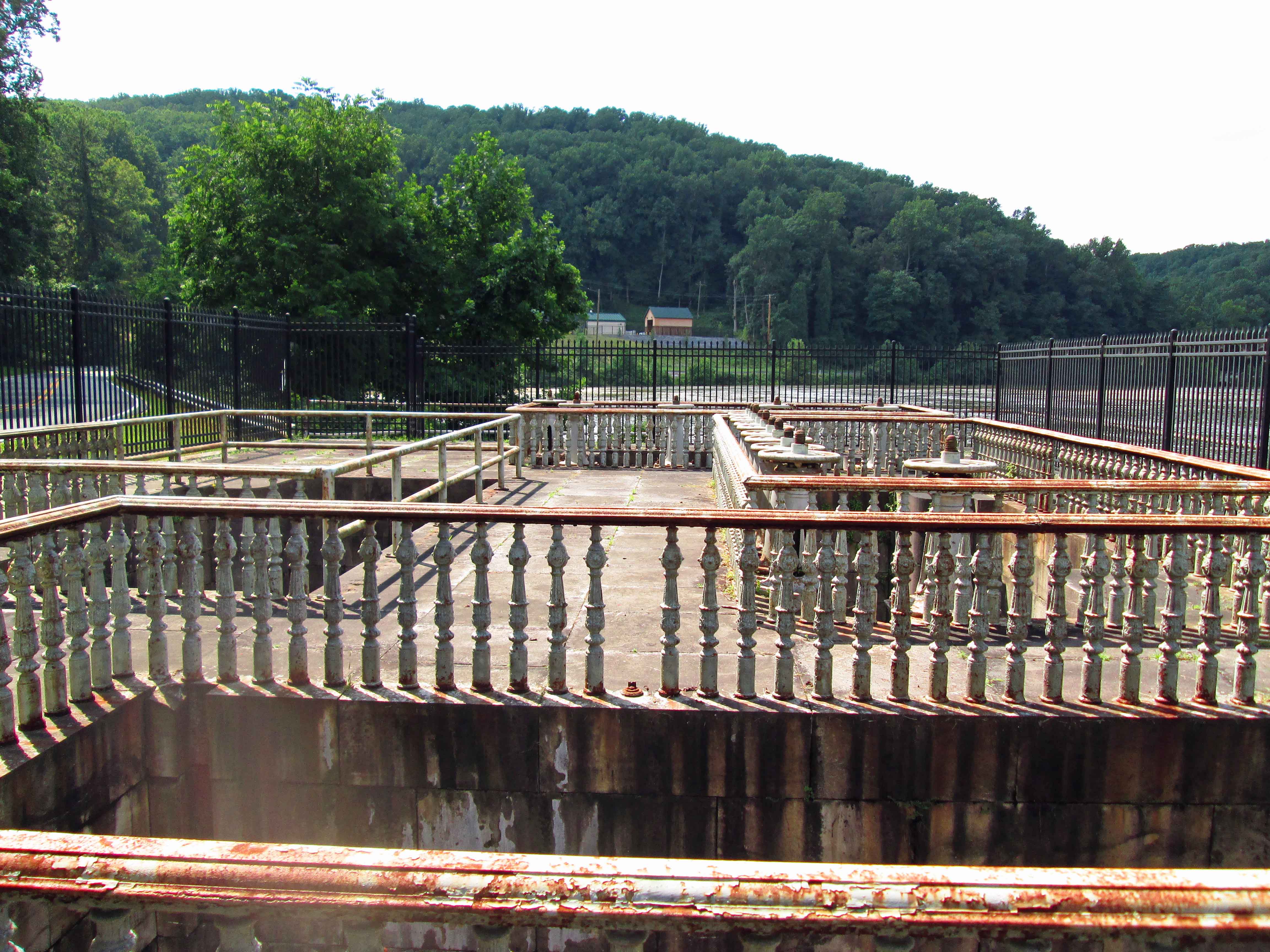
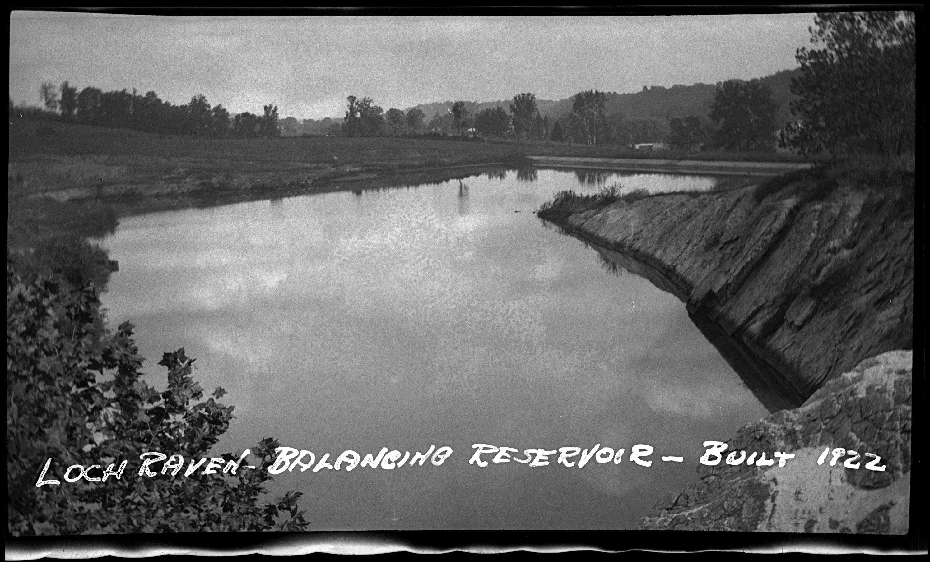
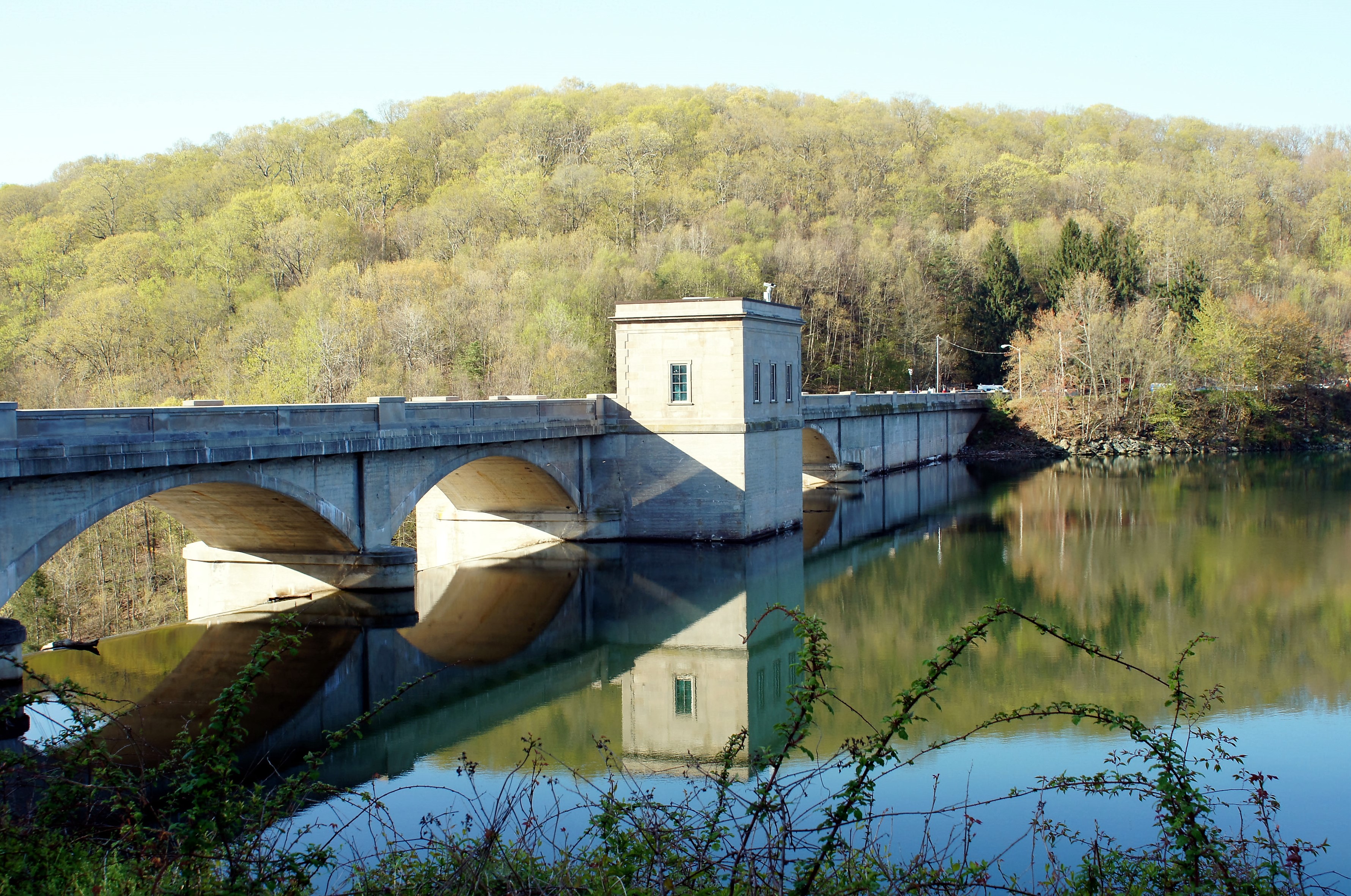
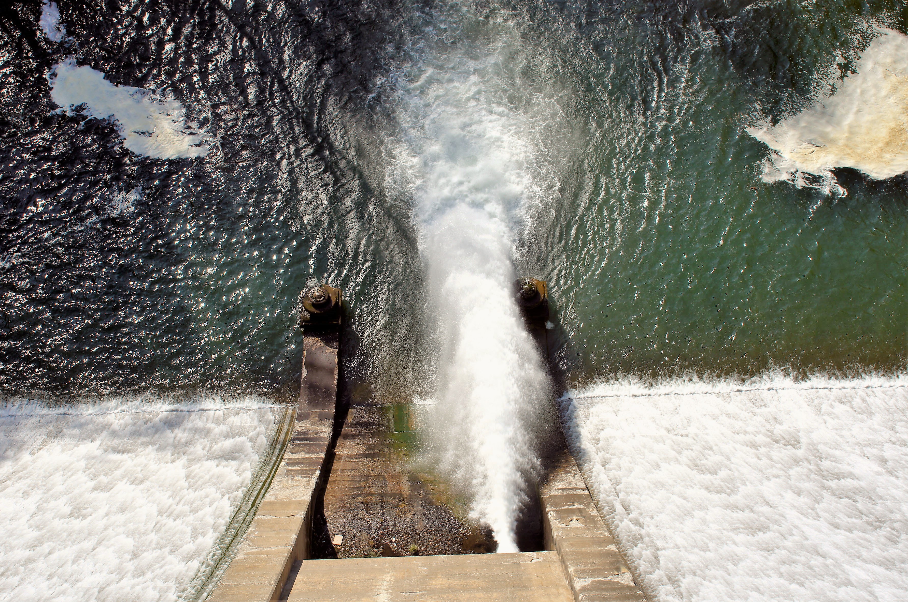
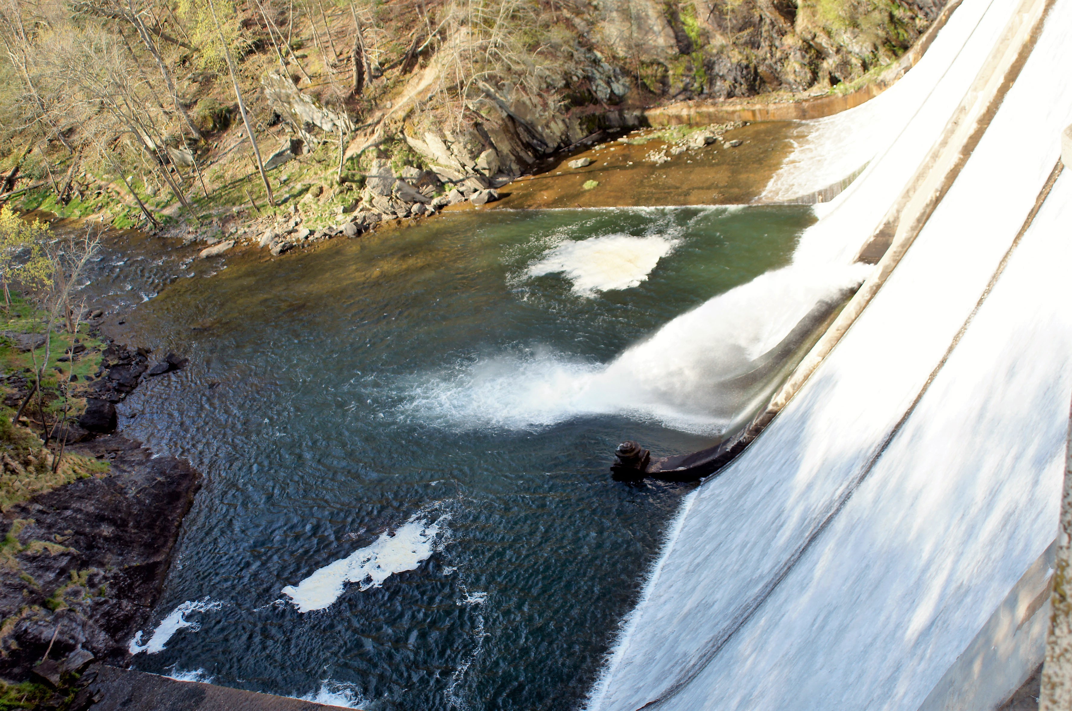
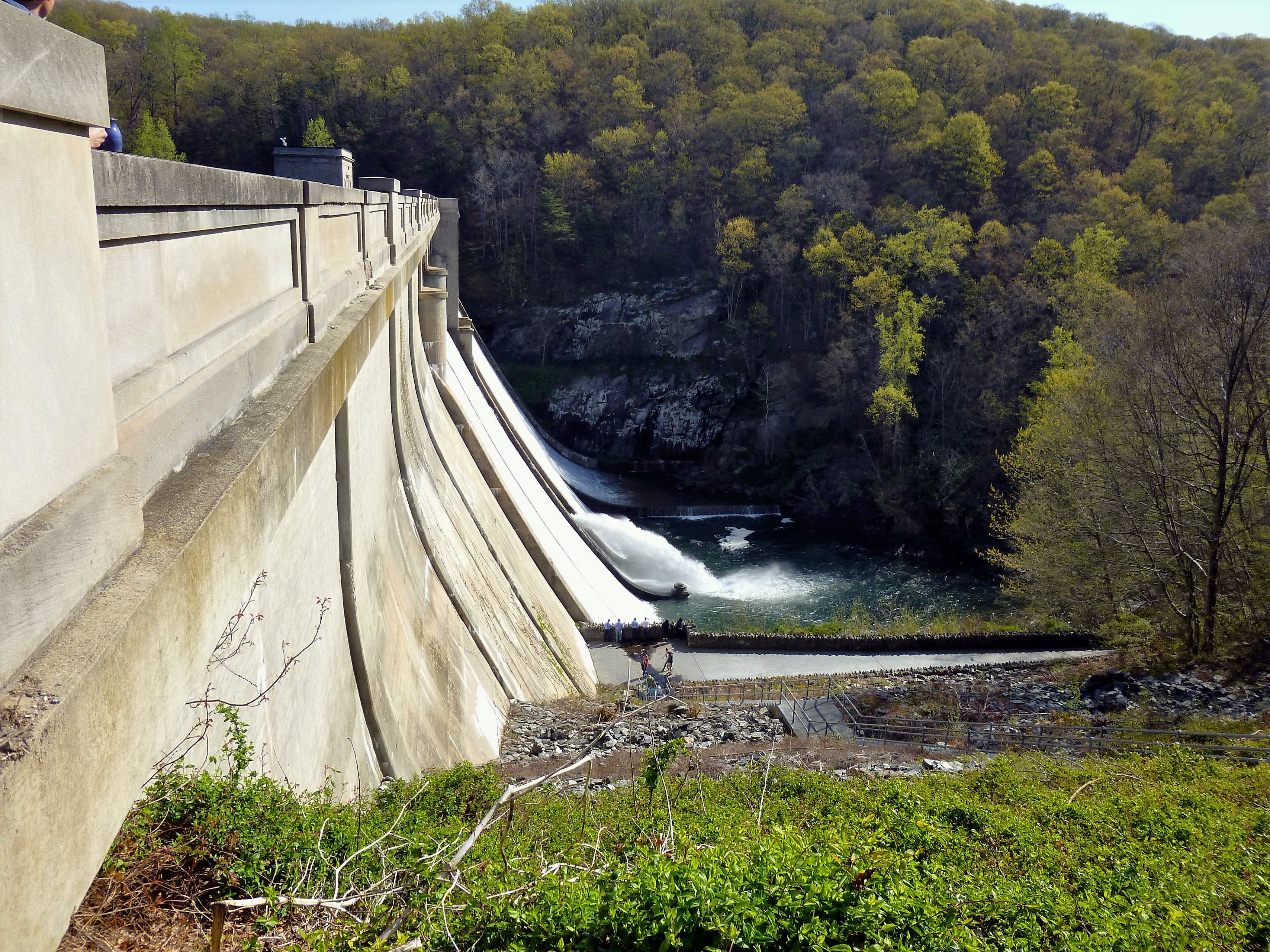
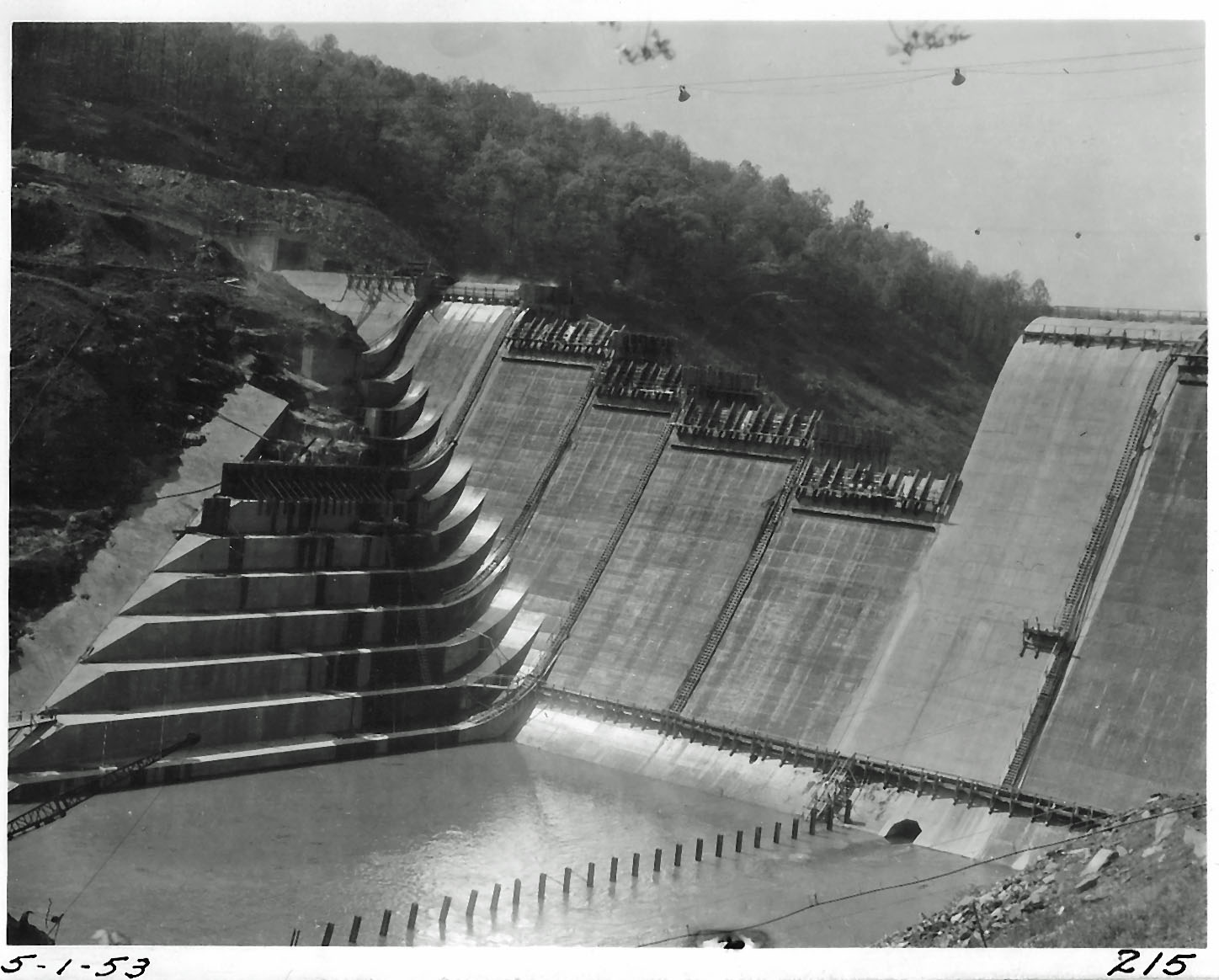
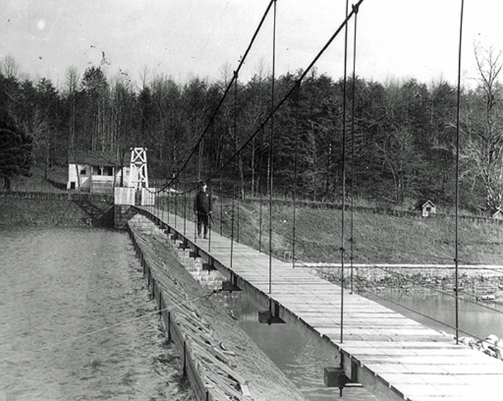
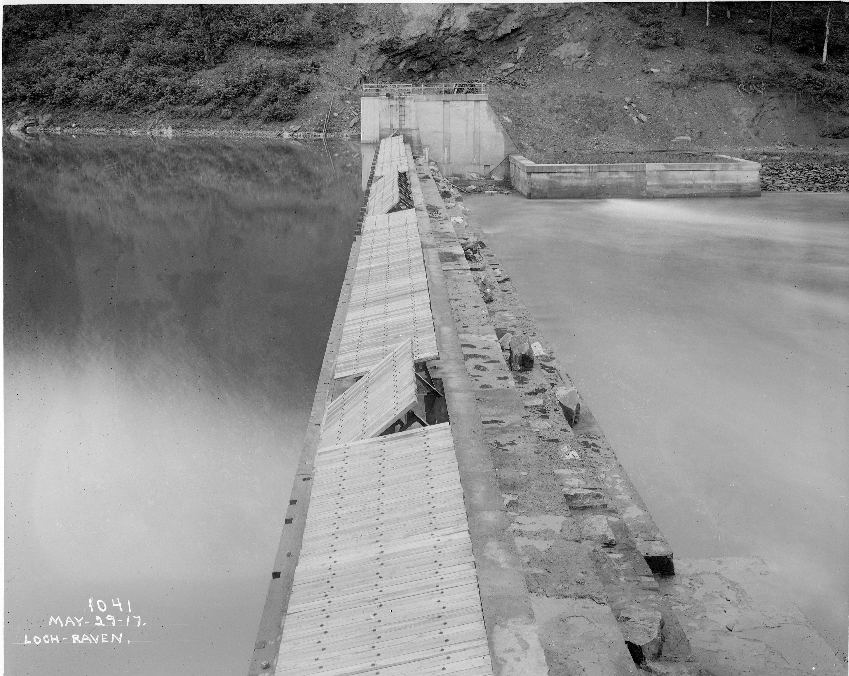
1911 – Due to drought, wooden flash boards were placed at the dam at Loch Raven and at the Waste Weirs at Lake Montebello and Lake Clifton in order to increase the storage capacity at each location by three to six feet in depth. (This is prior to the new dam being built in 1915)


The top photo shows the baffle boards on the original 1881 dam. The second photo shows that up until 1917 they still used the boards, this time on the second dam.
1914 – Recorded the third drought since the City began using Loch Raven. The average daily water consumption for the year 1914 was 72.677 million gallons. It was estimated the total population supplied was 593,000.
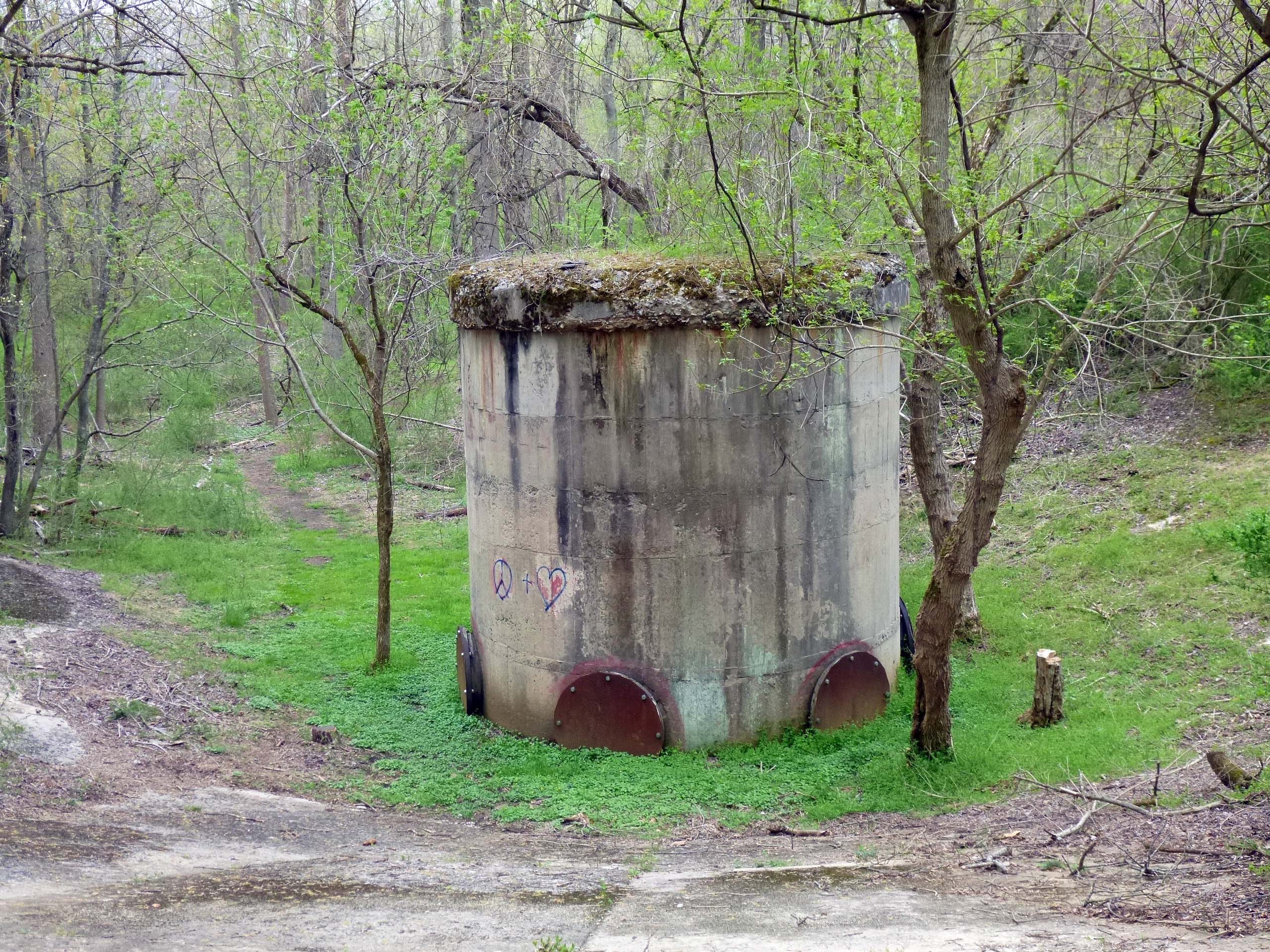
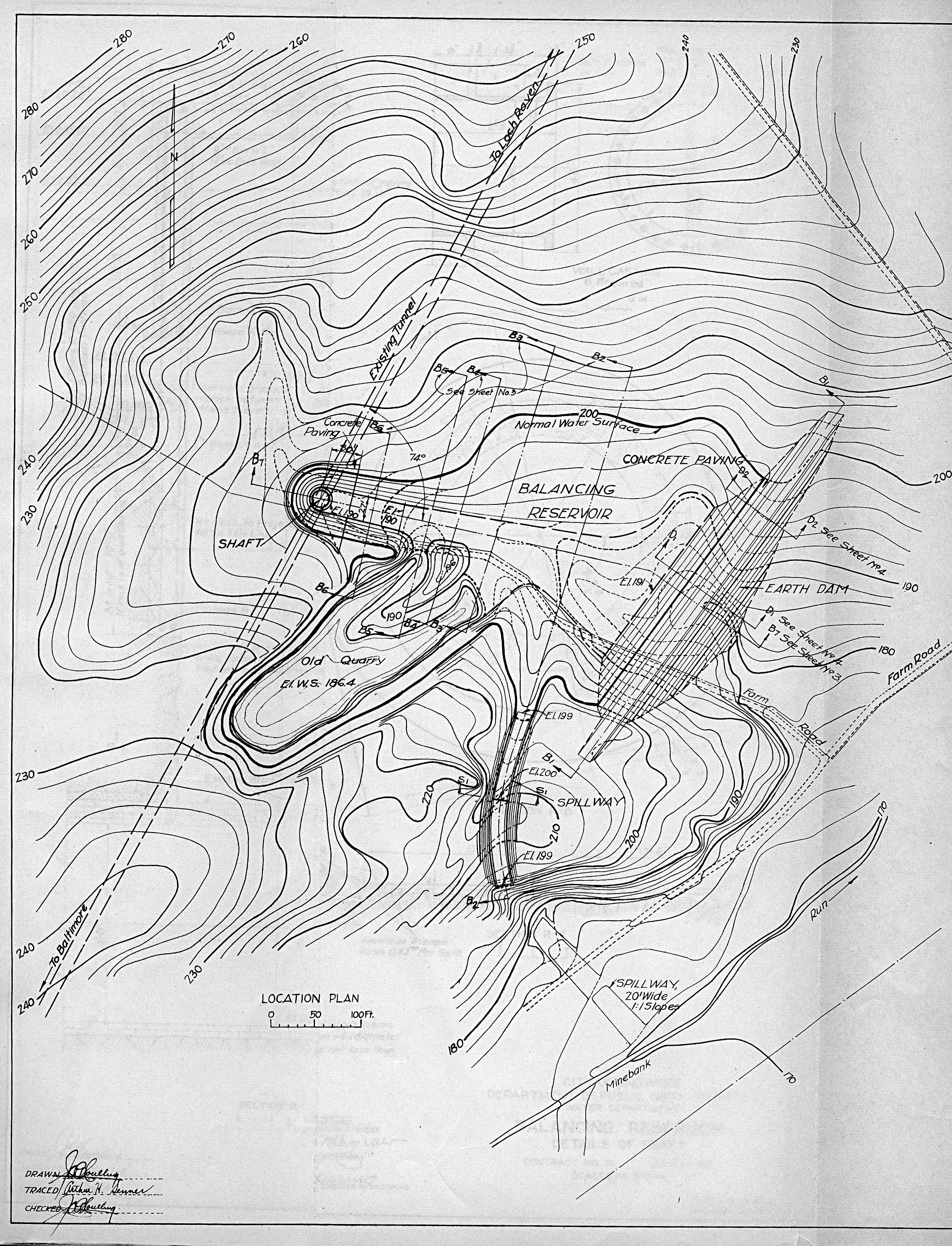
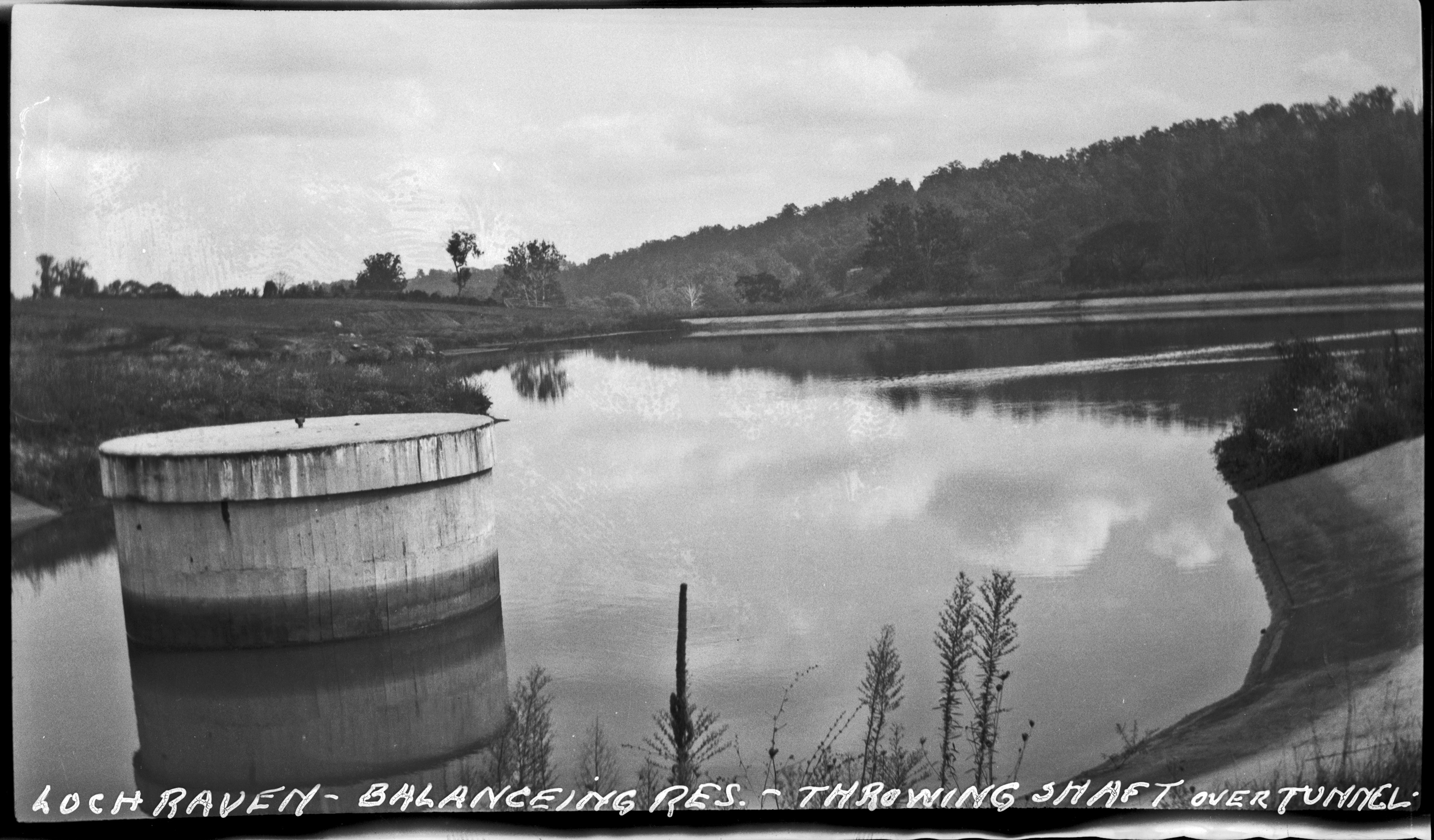
1929 – 1930 – There was a long continued drought this year with occasional spells of unusually hot weather. The lack of rainfall had actually begun in 1929. As of December 31, the Loch Raven Dam was at an elevation of 227.2 feet A.M.T. (Normal is 240’) The typhoid death rate had risen to 3.3 per 100,000. Because the typhoid death rate was rising in most of the eastern states, it was concluded that the prolonged drought was the contributing factor. As a result of the long drought, low flow of the Gunpowder River, and the depletion of the Loch Raven Reservoir, the Water Department decided to reclaim the water used for washing filters. It was estimated that 2,000,000 gallons of water could be saved each day. The water was pumped from the washwater reservoir and pumped into the raw water supply tunnel through the surge tank. (This building is still there, covered in overgrowth, pumps having been removed years ago).
1931 – The drought continued through the year 1931. As of December 31, 1931 the water level at the Loch Raven Dam was 15.5 feet below the crest which is 2.7 feet lower than at the beginning of the year.
1932 – The drought which started in July 1930 and continued through the entire year of 1931 came to an end in 1932. By May 14, 1932 the water finally ran over the crest of the dam at Loch Raven; and, on May 15 the water restrictions on the public were removed. On May 14 when the water started overflowing the crest at the dam, the preparation plans to use an emergency water supply and filtration plant at Avalon was discontinued. At Montebello, the emergency pump that was used to recycle washwater by discharging the washwater back into the raw water tunnel was discontinued when the water flowed over the dam.
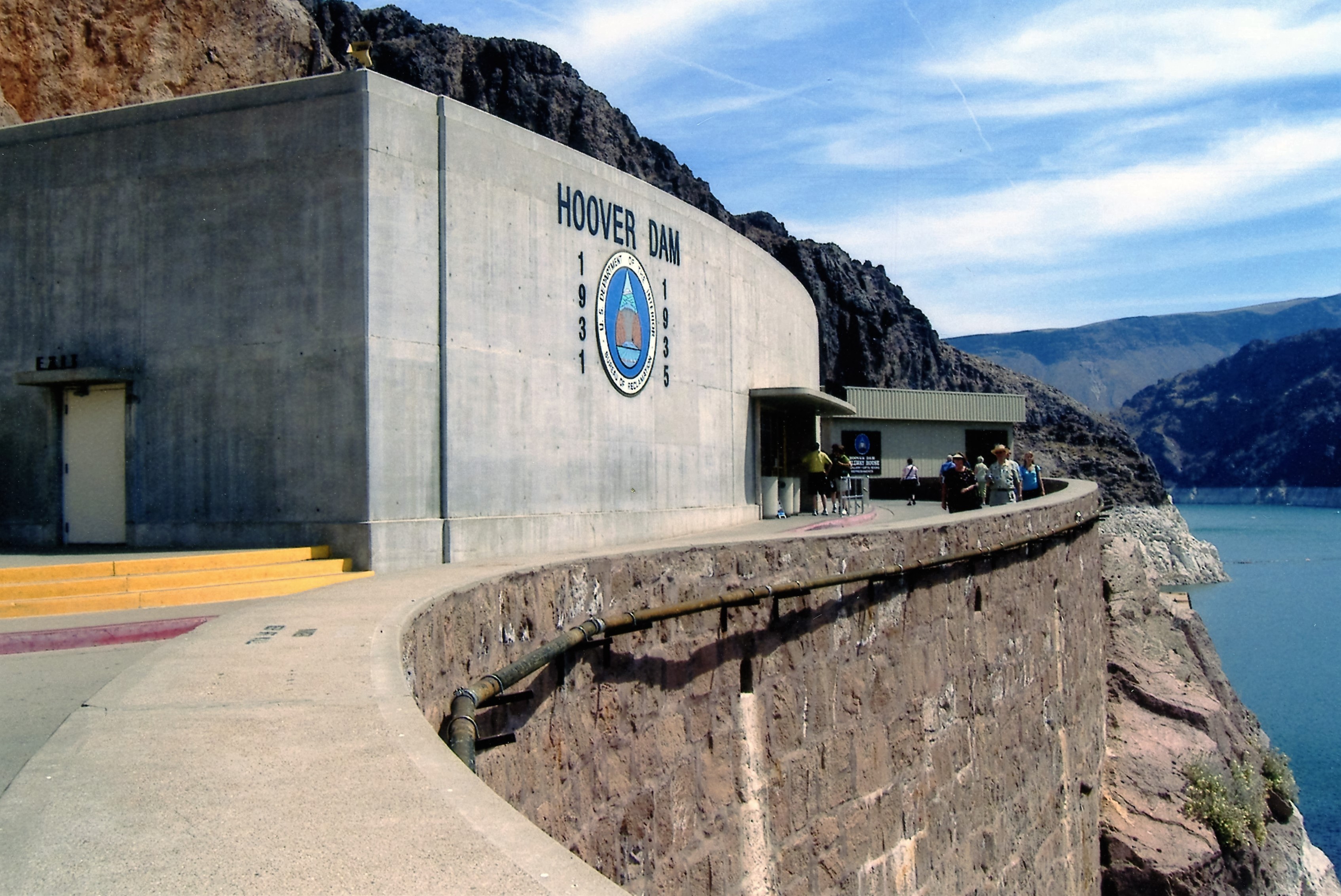
1941 – There was a prolonged drought which caused a great drop in the Loch Raven Reservoir. It was then necessary to open the valve at the Prettyboy Reservoir (Dam crest elevation 520’). This was the first time that it was necessary to open the valve at Prettyboy to supply water to Loch Raven. The Prettyboy Reservoir construction had been completed in 1933. The valves remained opened until the spring rains came in 1942. Water quality improved from Prettyboy because of the aeration affect while the water traveled downstream.
1943 – In addition to the water consumption by the war industrial activity and the general population, there was a drought condition throughout summer and fall which in effect set a new daily water consumption record of 165.19 million gallons.
1955 – 1956 – The drought that began in December 1955 ended in February 1956. Liberty Dam (Dam crest elevation 420’) did not relieve effects of the two year drought. Mayor asks for study on scientific rain making.
1965 – By the end of the year, the combined water storage of the three reservoirs was at 36.8% of full capacity. This serious deficiency led to the decision to activate the Susquehanna line as soon as the Susquehanna project was completed. The dedication of the completed Susquehanna project was being scheduled for January 28, 1966.

Prettyboy drought in 1965.
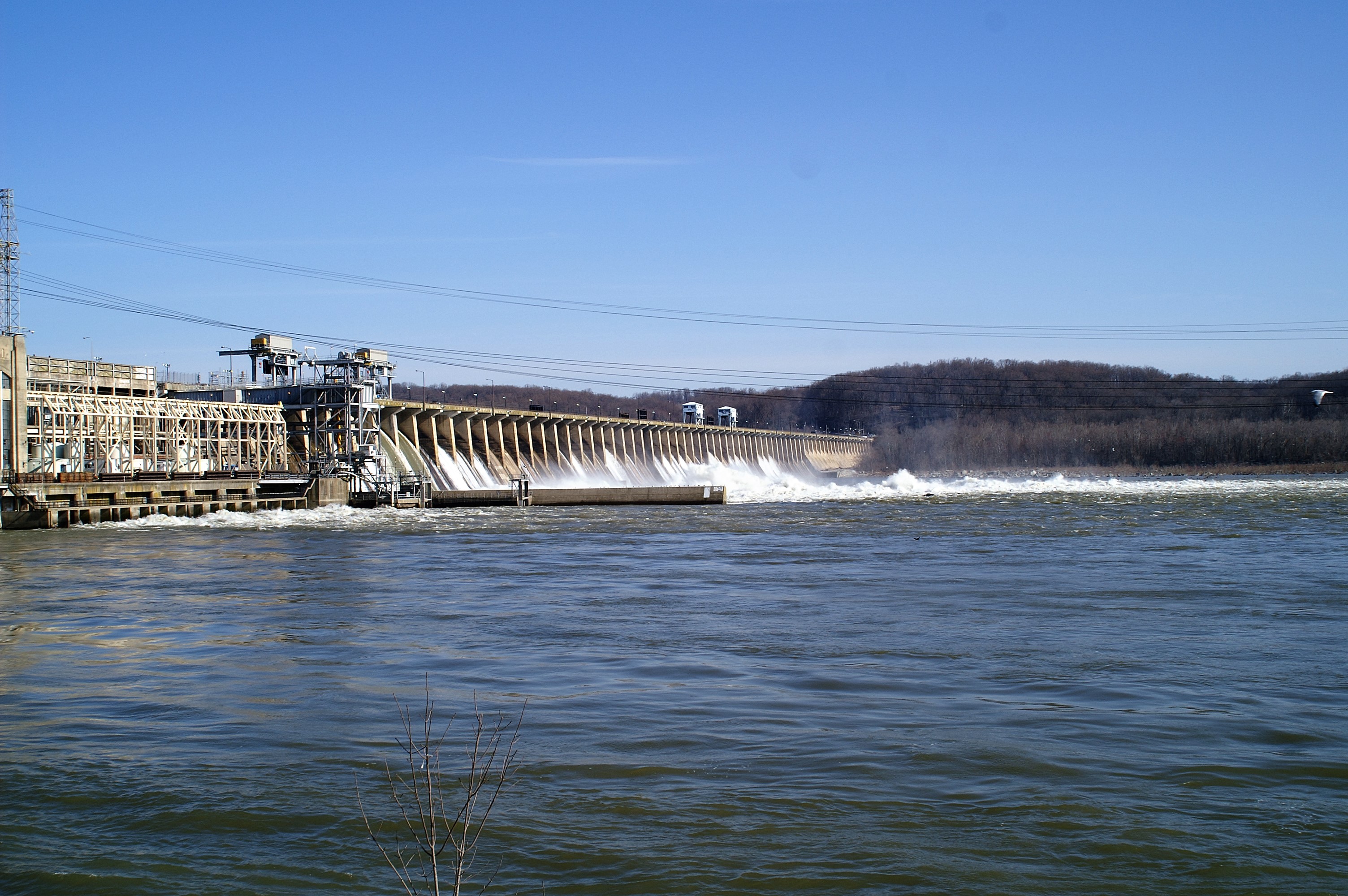
1966 – Due to the continuing drought conditions, it became necessary by August 1966 to supply water to a part of Harford County via Winter’s Run. The water supply was accomplished by installing an emergency connection to the Susquehanna pipe line; and installing a meter and control valve set to discharge 1 MGD to Winter’s Run. The temporary connection was activated on August 5, 1966 through August 15, 1966. The temporary connection was then dismantled. Because of the low water level in Loch Raven, the low lift pumps at the Montebello Raw Water Distribution Center were operated from January 1, 1966 until February 21, 1966. On January 28, 1966, the Deer Creek Pumping Station was dedicated by Mayor Theodore R. McKeldin. By June 30, due to the drought conditions and water use, the raw water reservoirs were as follows: Liberty – 14.75 feet below crest; Loch Raven Reservoir – 7.2 feet below crest; and, Prettyboy Reservoir – 29.27 feet below crest. On March 28, 1966 the Bureau of Water Supply initiated the Montebello Plants to begin withdrawing 158 MGD of Susquehanna water via Deer Creek Pumping Station in an attempt to halt the decline and firm up the raw water reserves of the Gunpowder and Patapsco. By March 30, 1966 the Philadelphia Electric Company had opened the control gates at the Conowingo dam thereby dropping the water level; and, thereafter the Montebello Plants were restricted to withdrawing only 112 MGD from Susquehanna. On May 25, 1966 the elevation at Loch Raven reached 236.9 feet and pumpage from Susquehanna ceased. On June 10, 1966 one 56 MGD pump at Deer Creek Pumping Station was reactivated when the Loch Raven Reservoir dropped to elevation 234.75 feet. The water level continued to decline at Loch Raven and a second pump at Deer Creek Pumping Station went online on June 22, 1966. On November 16, the Susquehanna water was shut off because the water hardness had reached 200 ppm and the customers had been complaining about the quality of the water. On December 20, 1966 the Montebello Plants began blending 50 MGD of Susquehanna water with Loch Raven water.

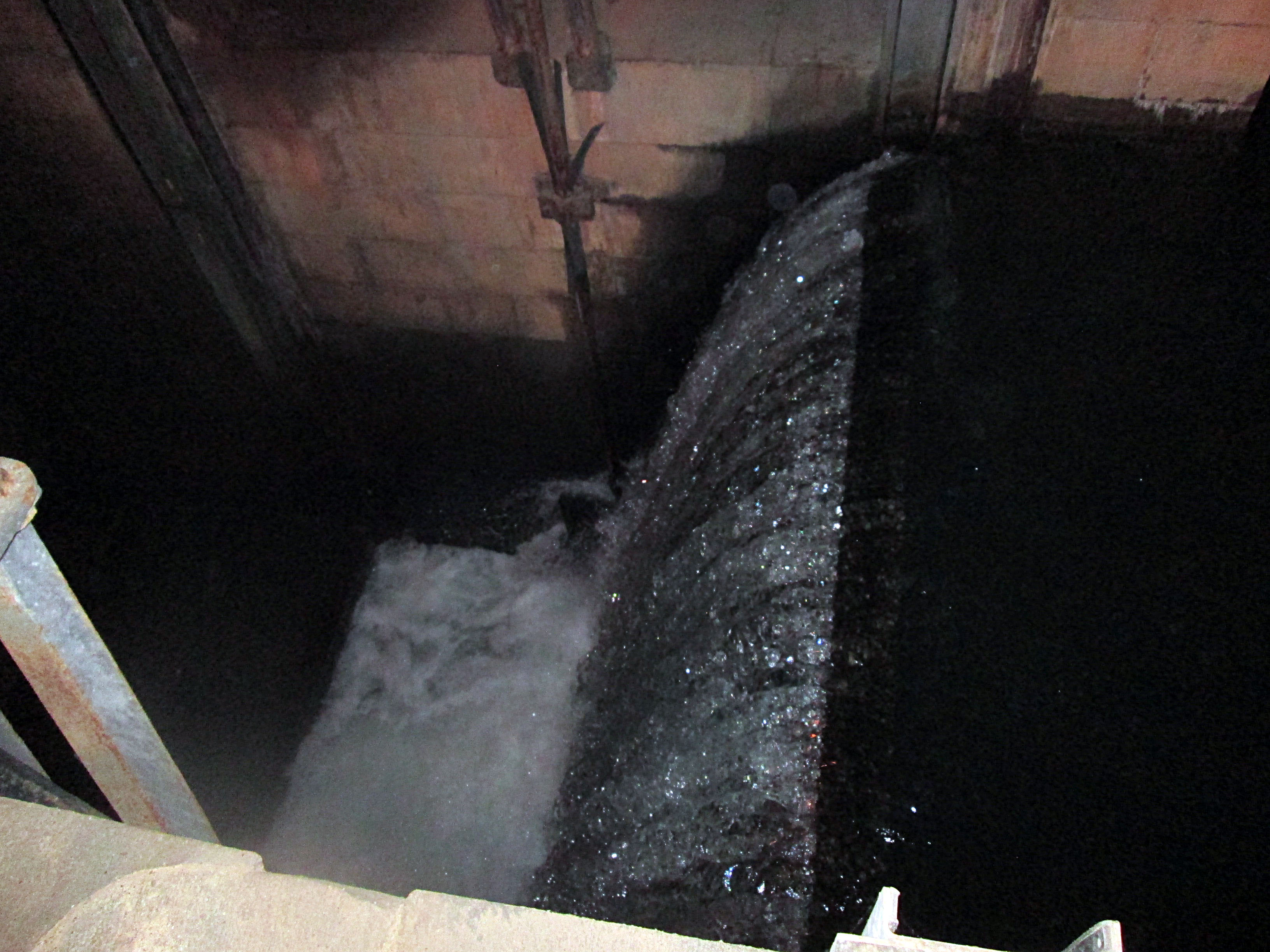
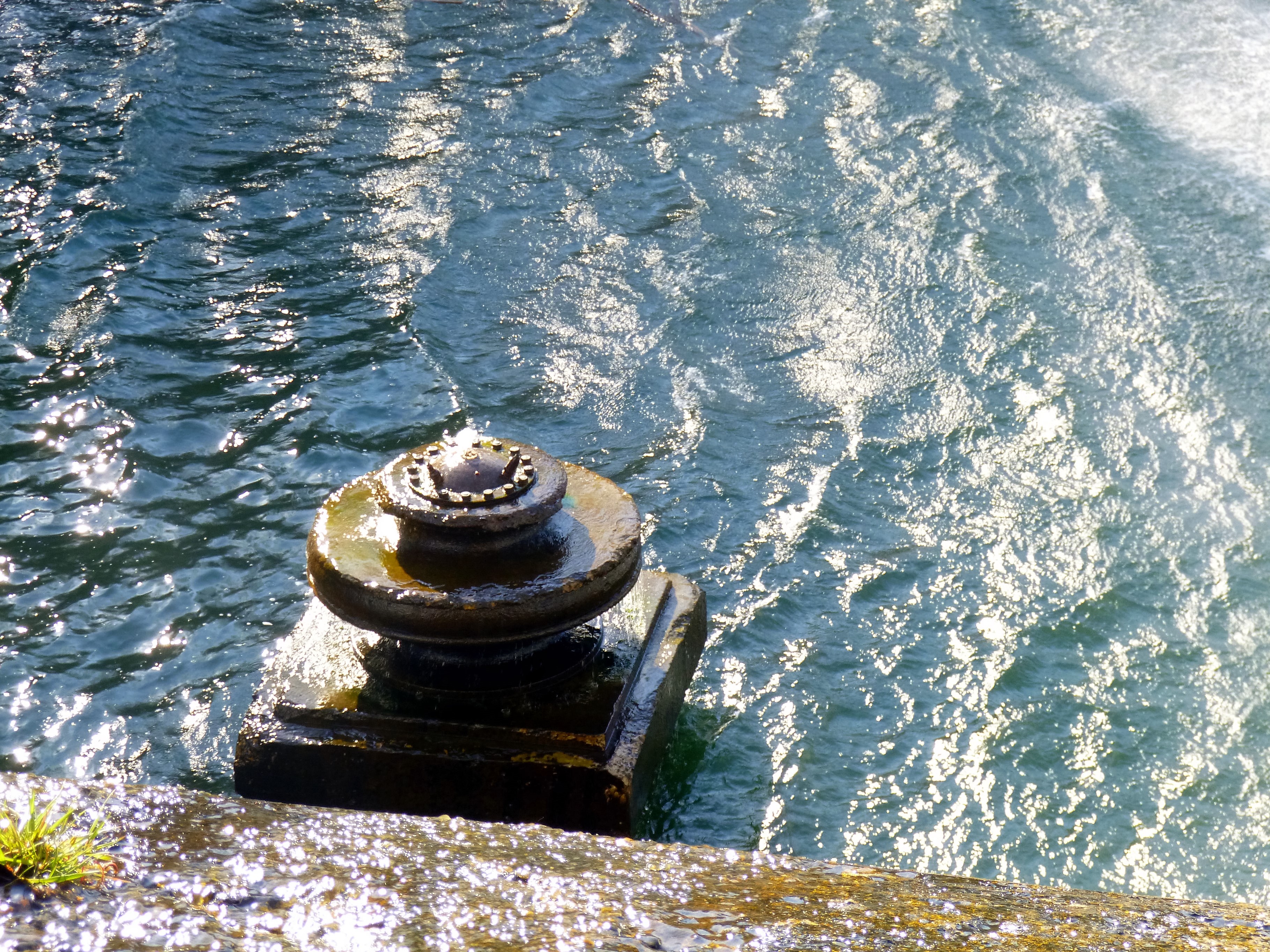
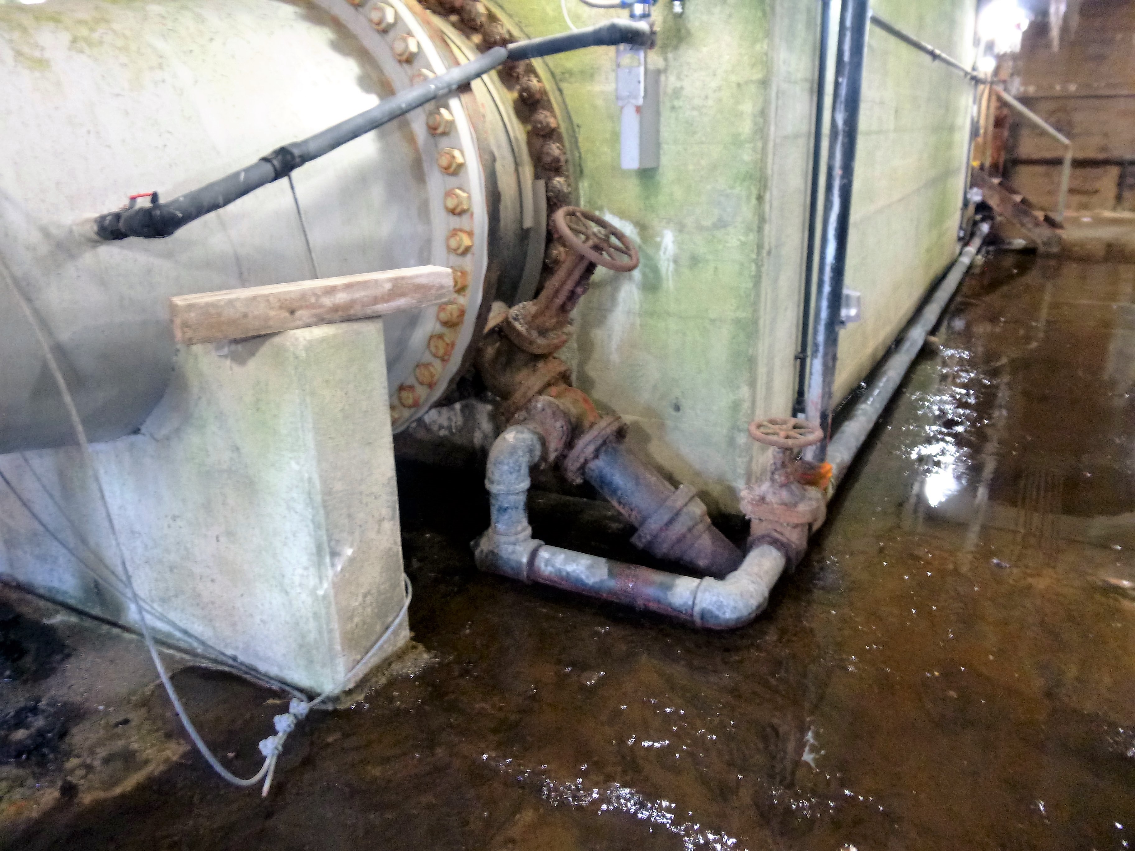
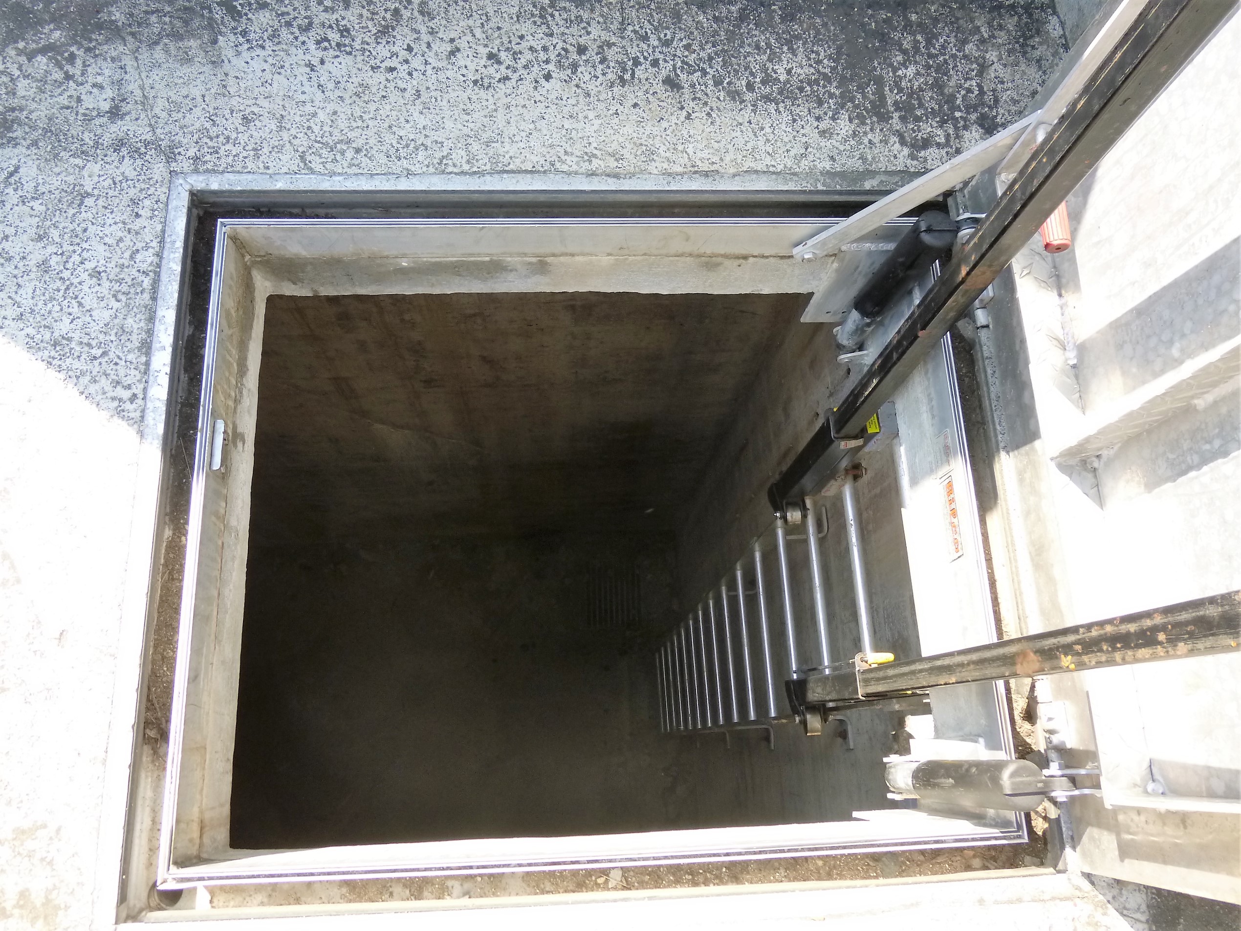
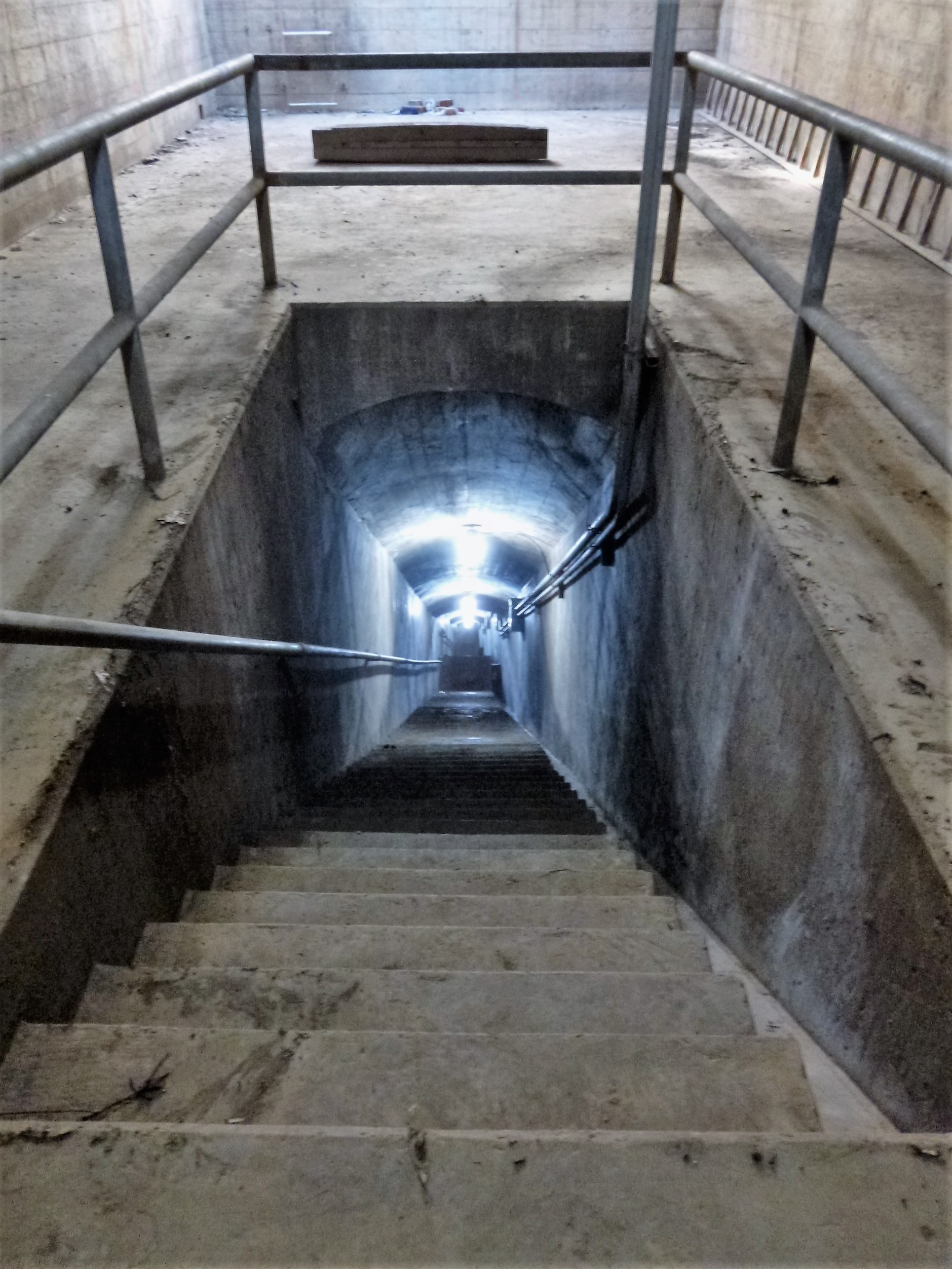
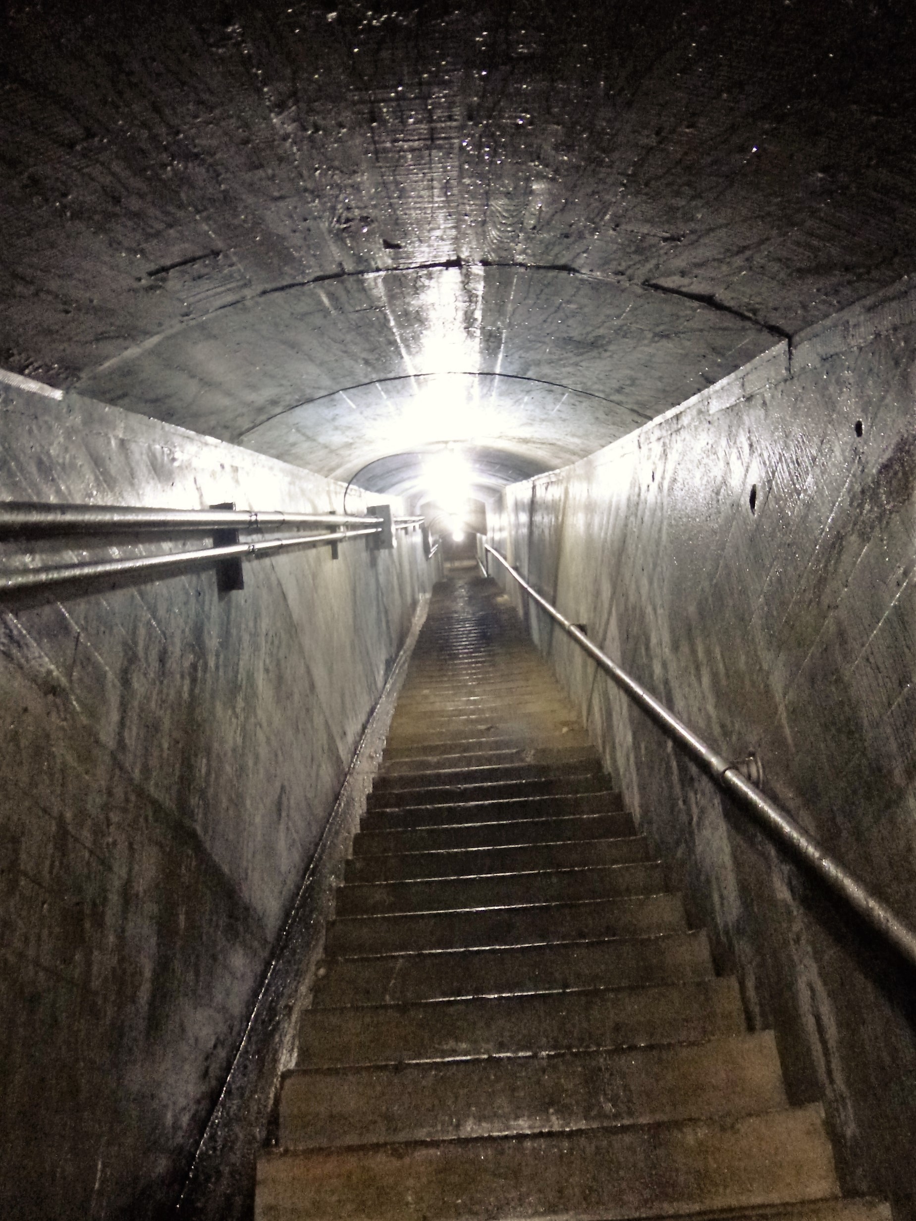
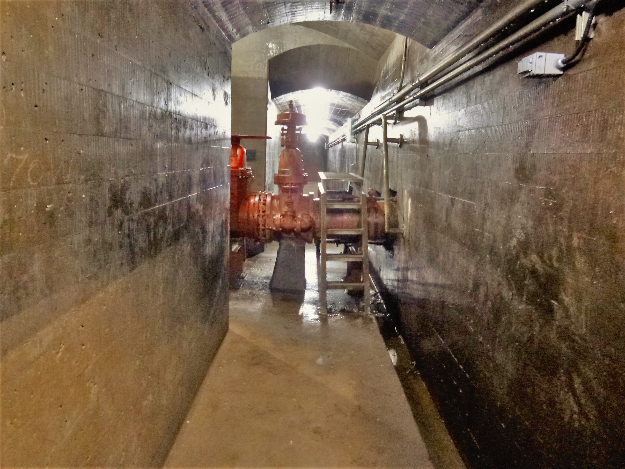
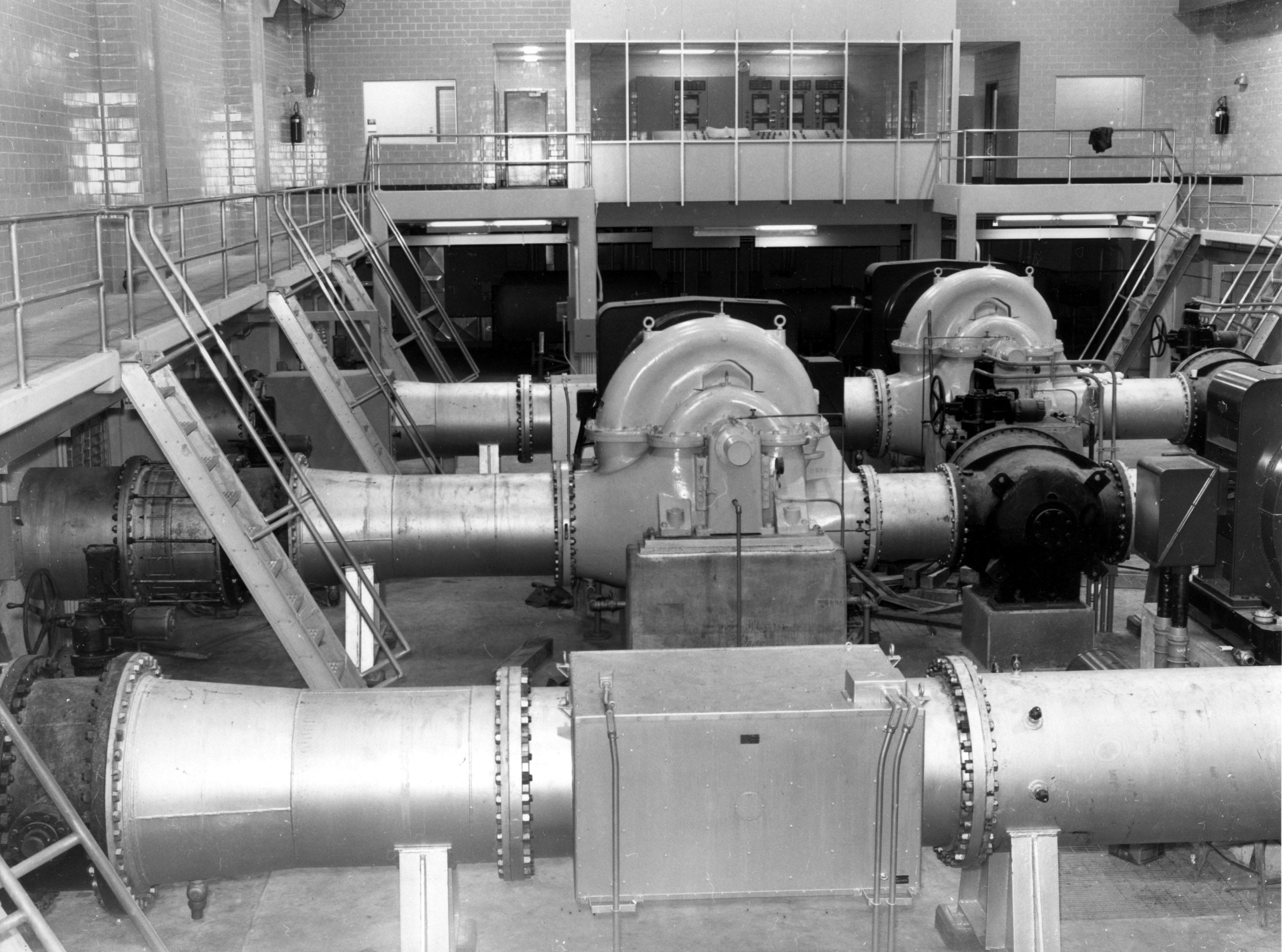
The low lift pumps suction well.

A section of the Susquehanna pipe line – 36 miles from the river to Baltimore.

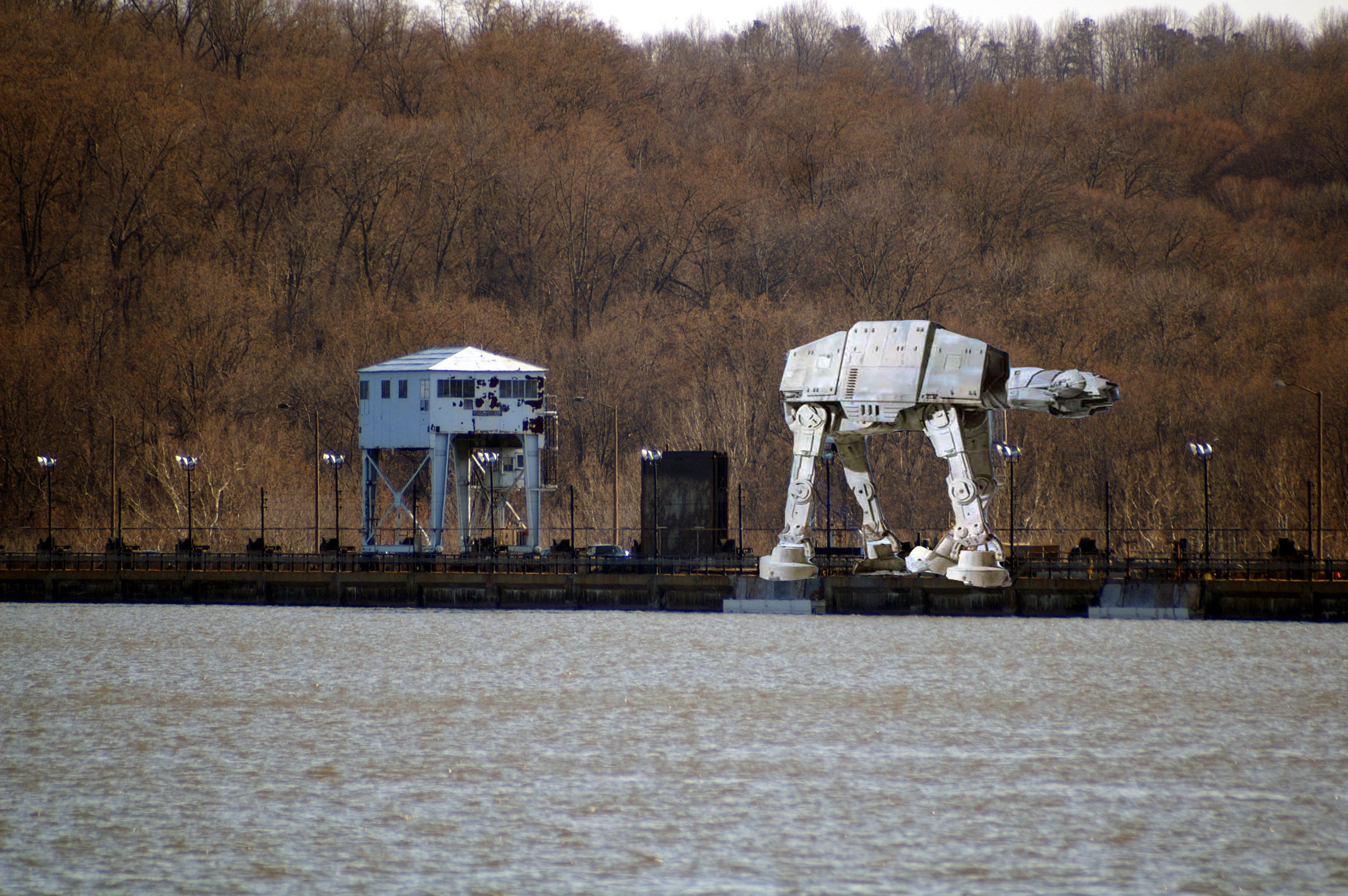
The intake structure on the Susquehanna River.

The pumps at Deer Creek. Because of the variation in the elevation of the pipe line, the water will not flow by gravity, so pumps are used.
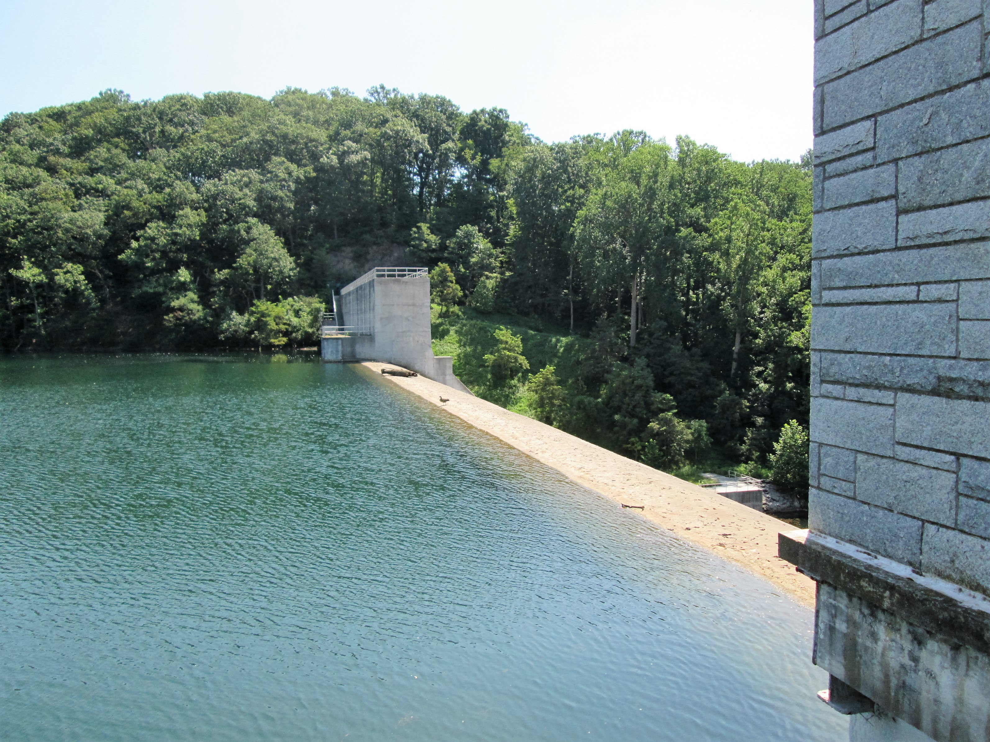
1968 – On May 30, 1968 all three raw water reservoirs were at overflow elevation for the first time since 1961.
2001 – 2002 – There was a drought during the year. The drop in elevations which had begun in August/September of 2001 continued through the year. Water Management tried to maintain Loch Raven at a certain level once the drought became official. Susquehanna water was required to be blended with the Loch Raven water until the drought was over. By the end of December all three raw water reservoirs were at the following elevations: Loch Raven Reservoir was at about full capacity; Prettyboy Reservoir was down by about 25 feet below full capacity or about 1.5 feet below 50% full; and, Liberty Reservoir was down by about 22.5 feet below full capacity or about 1 foot below 50% full.

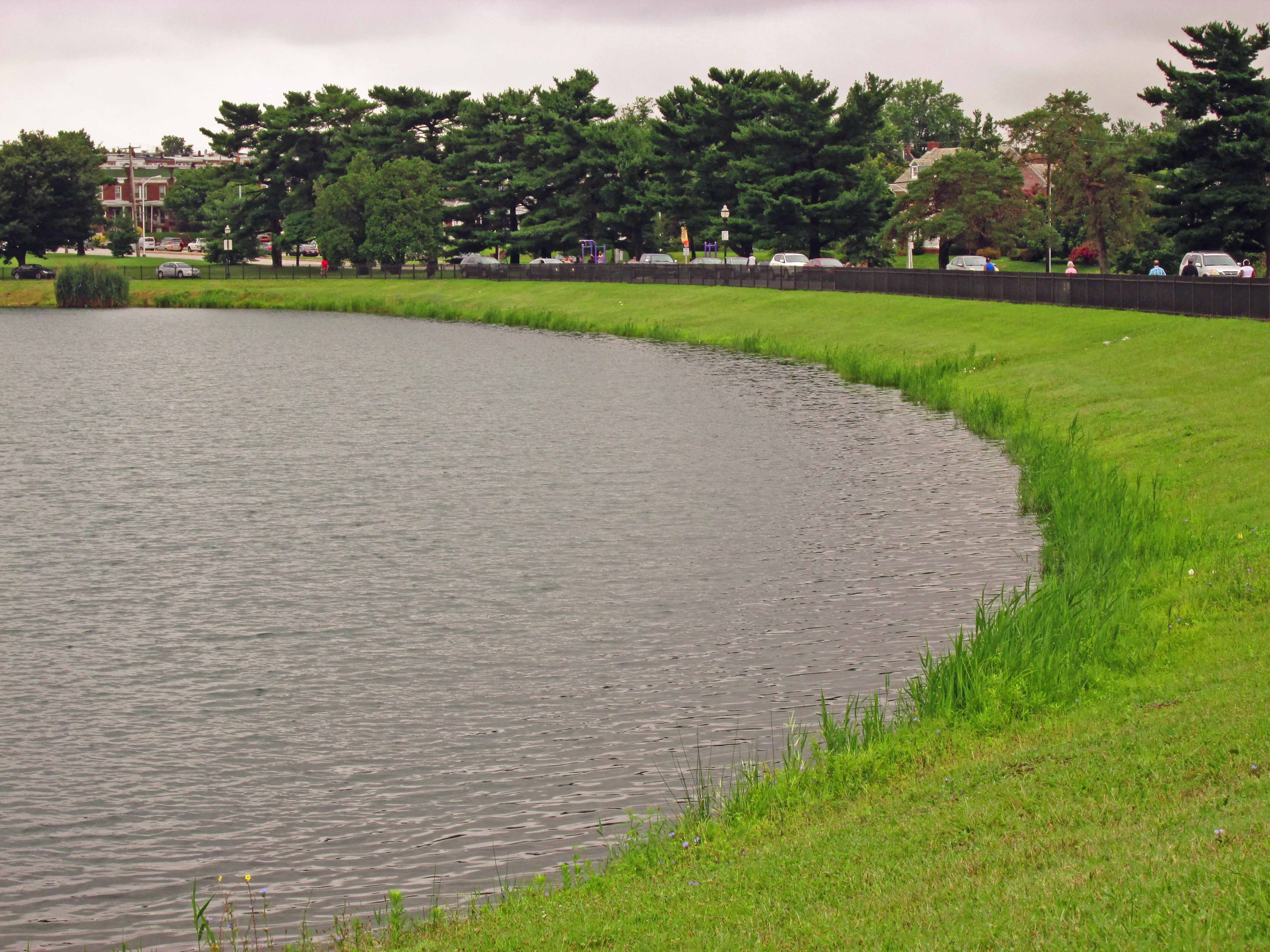
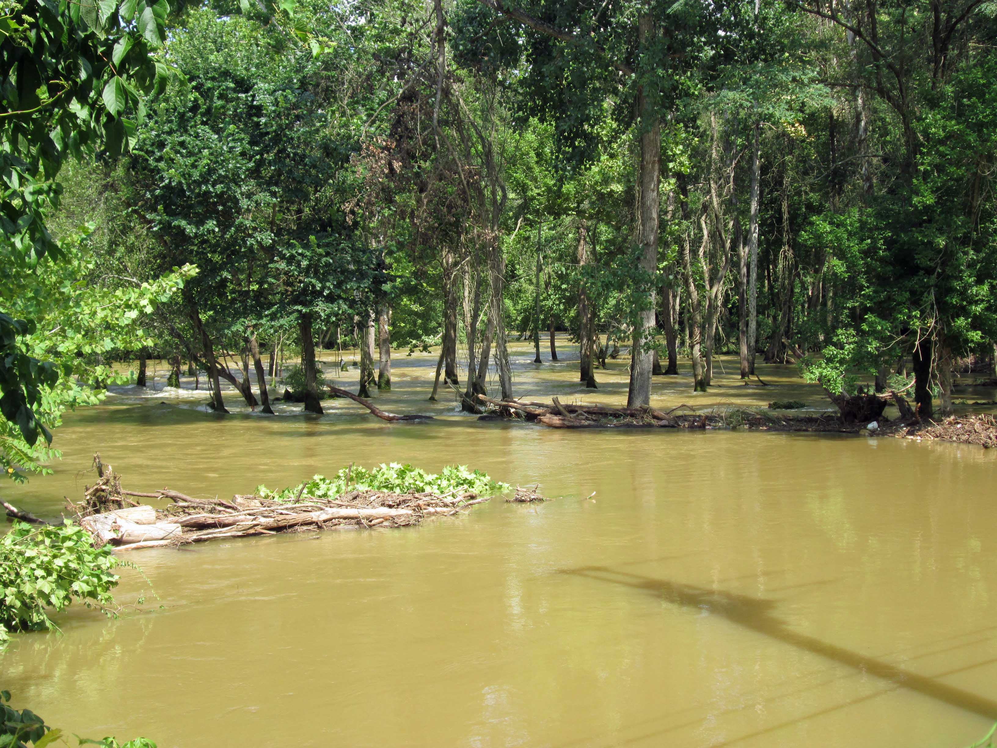
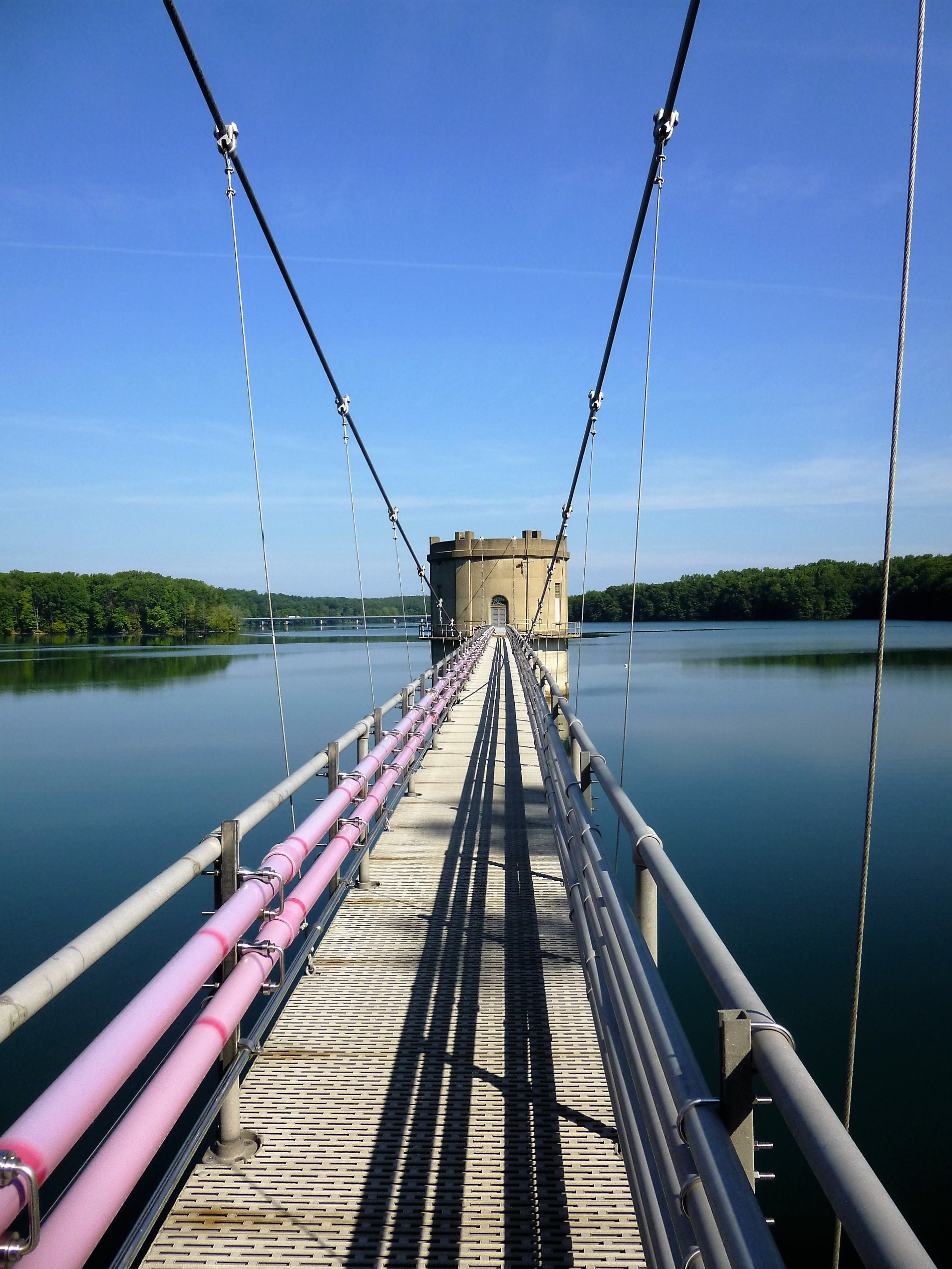
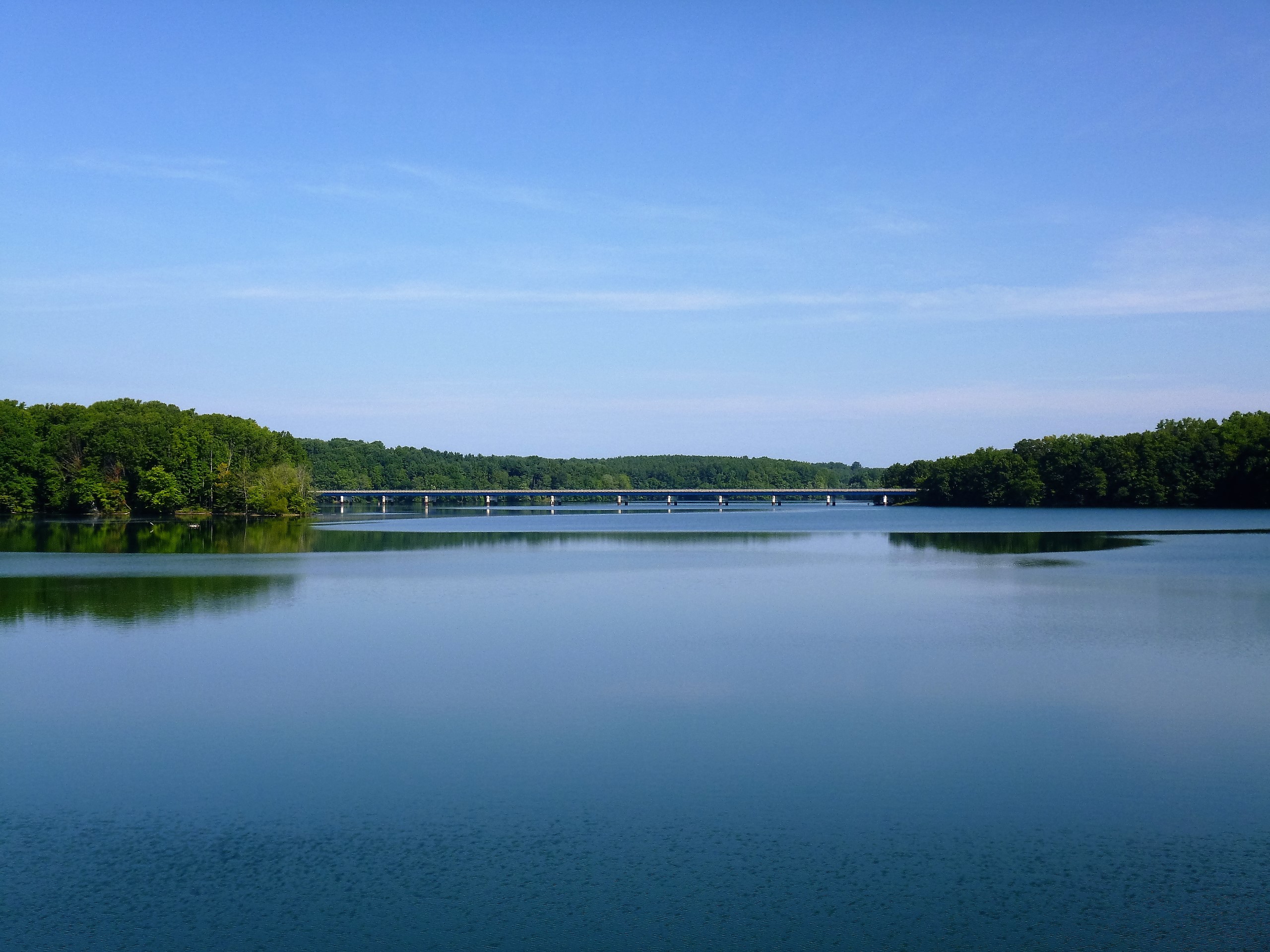
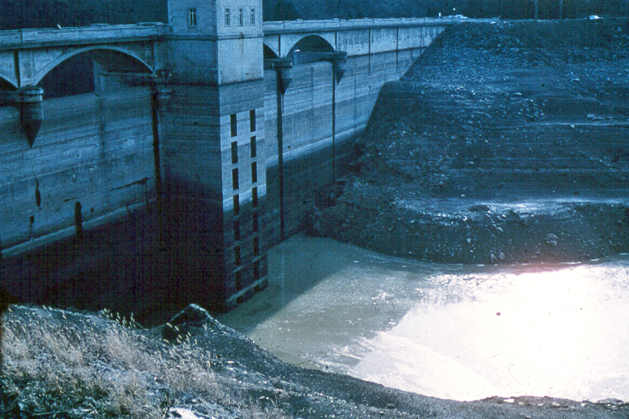
Loch Raven in 2002

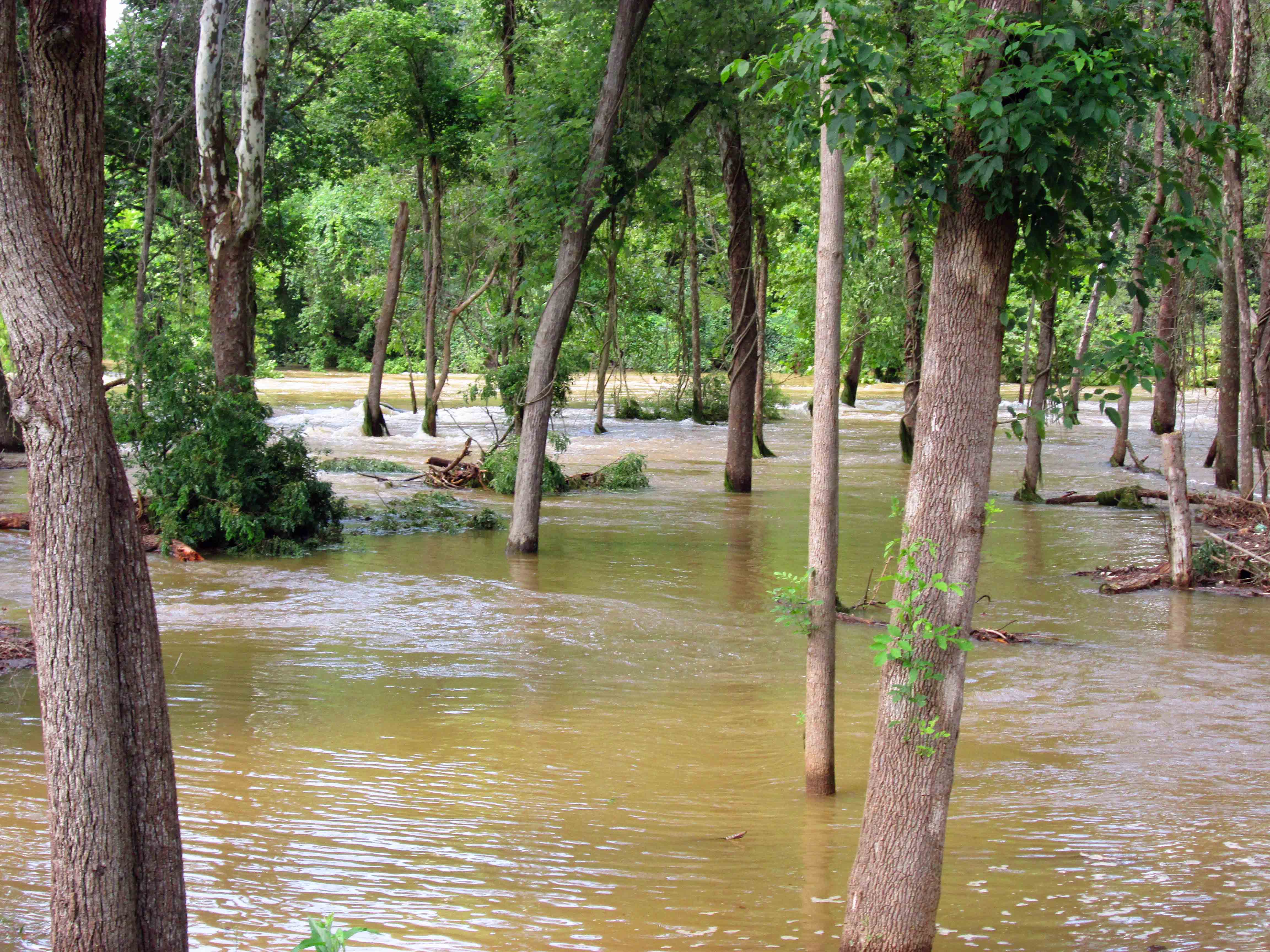
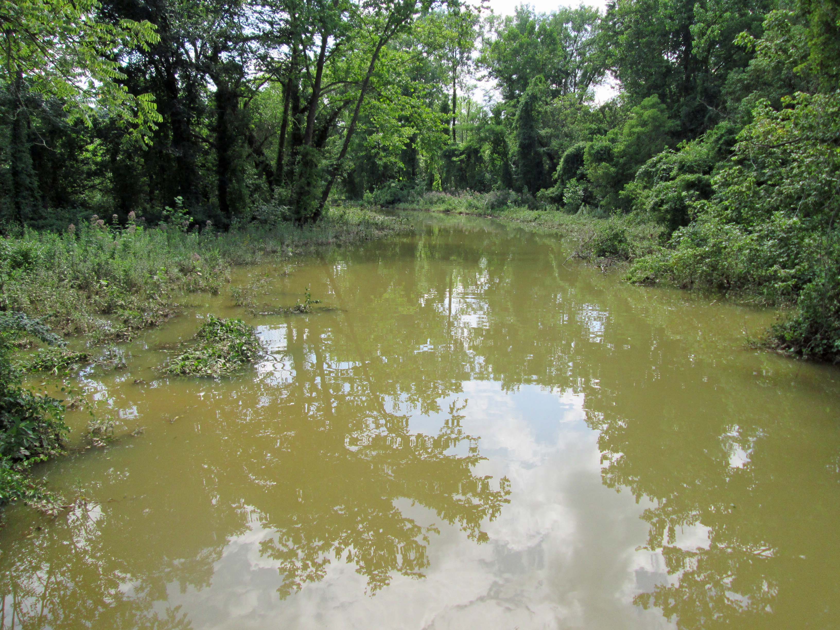
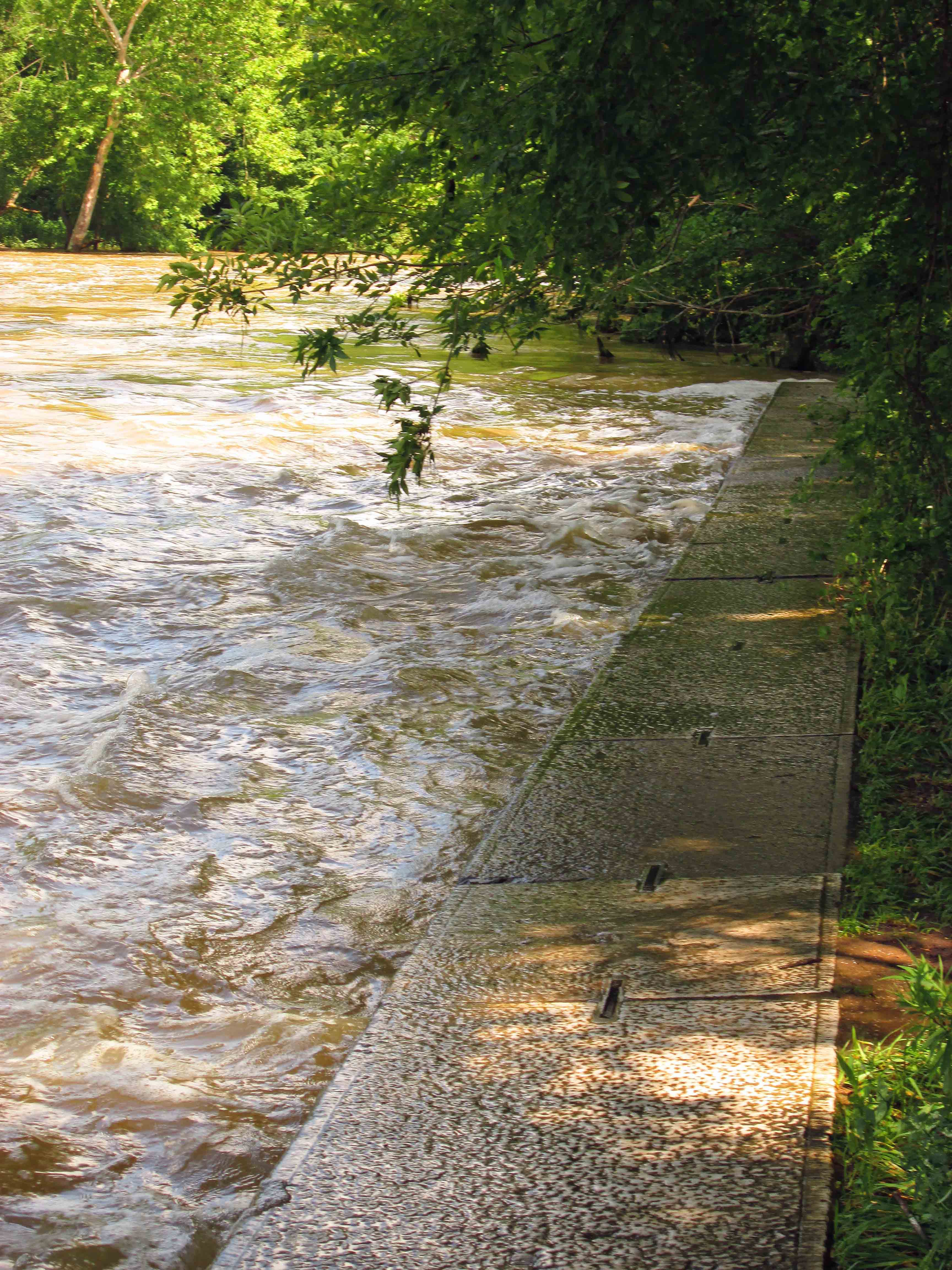
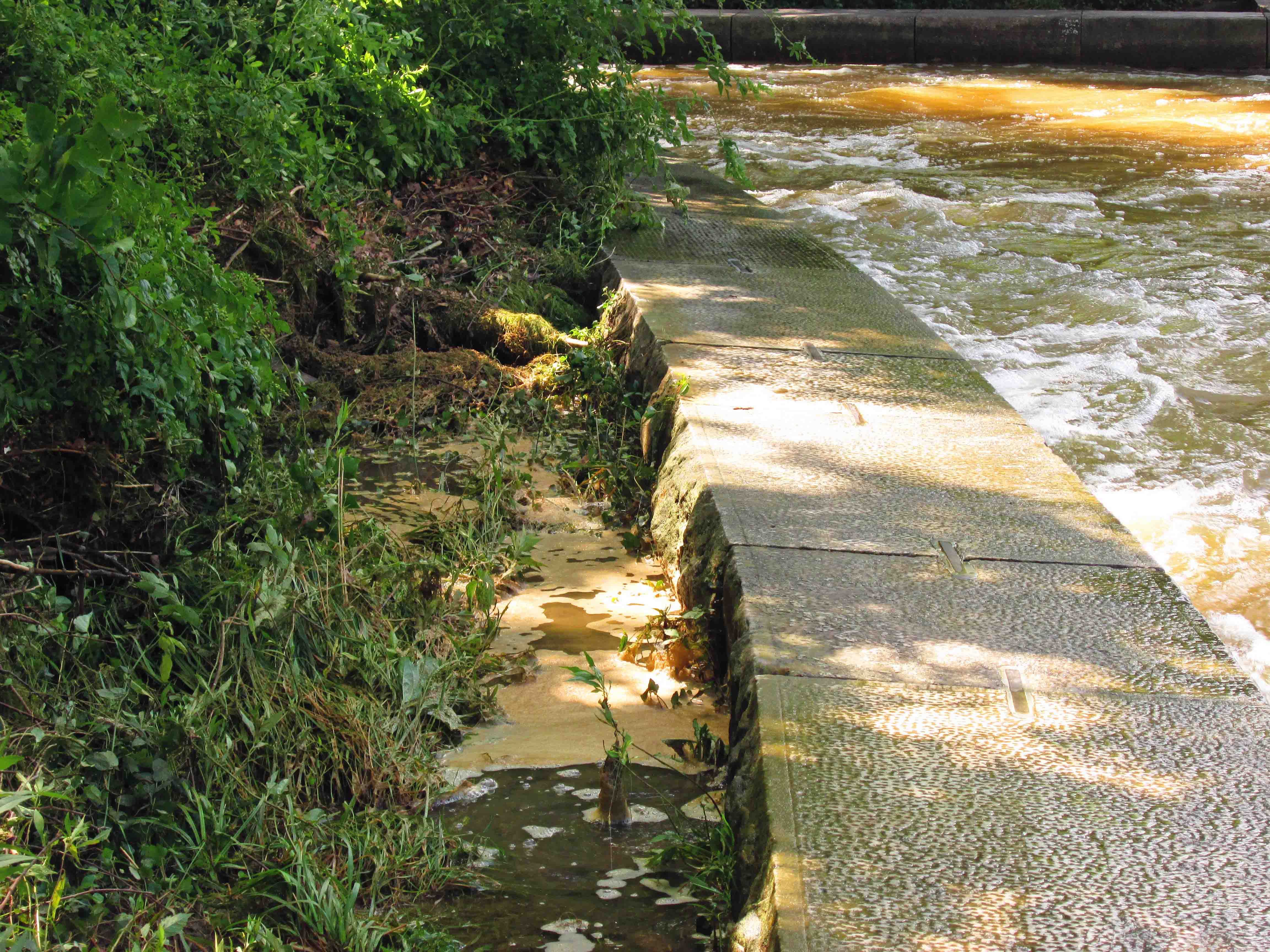
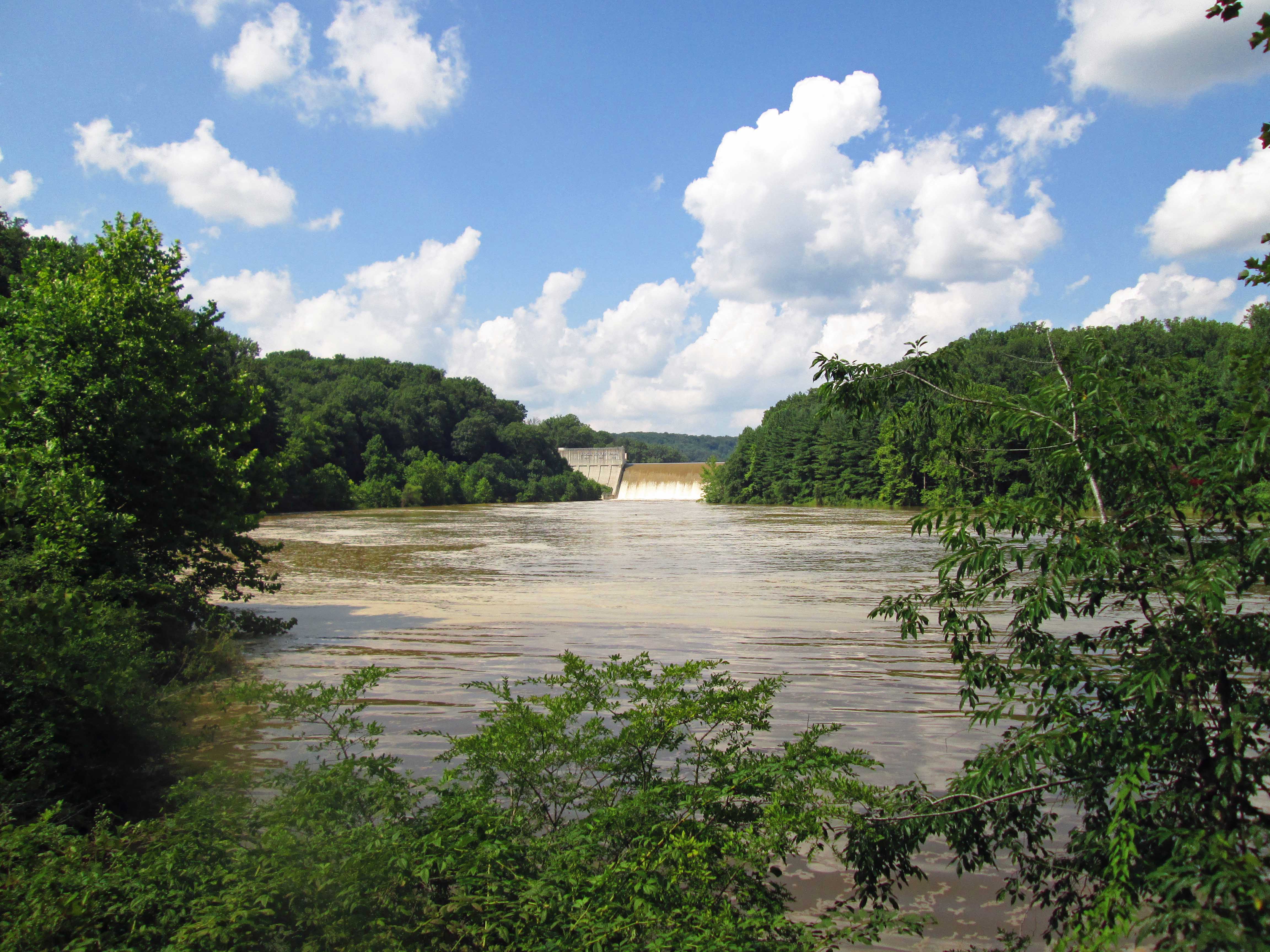
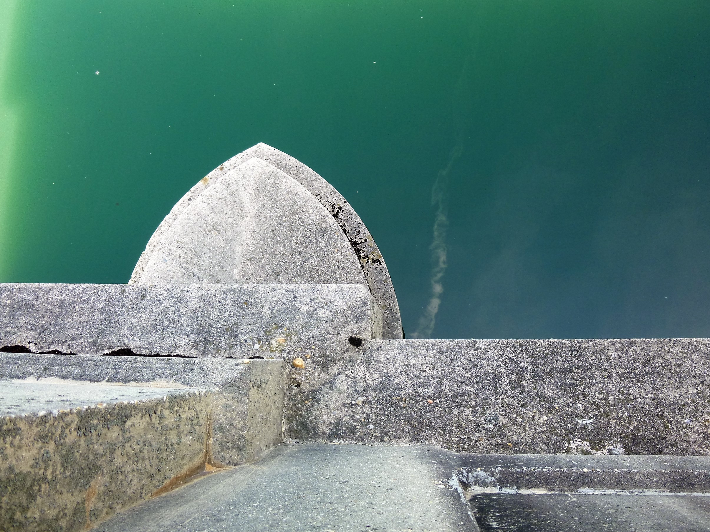
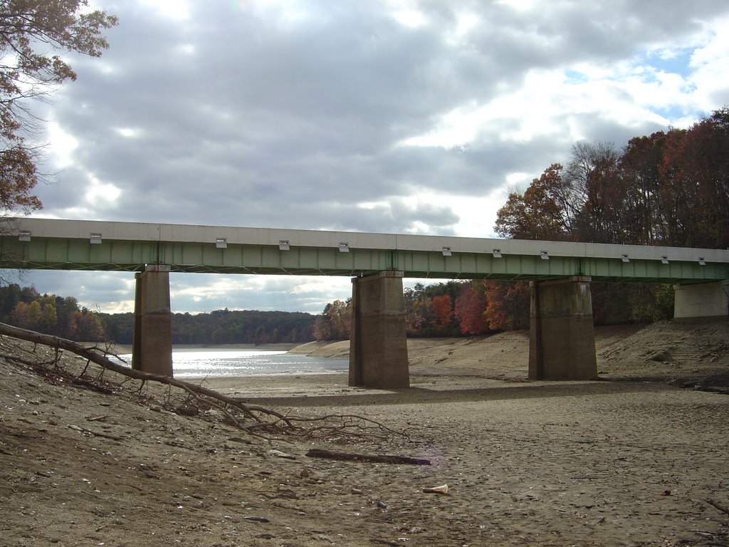
Prettyboy in 2002
2007 – Low accumulation of snow during the year and the lack of rain during summer/fall created a strain on the reservoirs towards the end of the year, creating a drought scenario. The Loch Raven Reservoir dropped below full capacity by the end of June, and by the beginning of December was at an elevation of 233.8 feet, about 6.2 feet below full capacity or about 1.3 feet above 75% full. Water Management at this time was trying to balance the elevations between Loch Raven and Prettyboy so that Loch Raven would not overflow while Prettyboy remained significantly low, should the groundwater increased the raw water levels, as had happened in 2002. The Prettyboy Reservoir dropped below full capacity by the end of May and continued dropping for months. By the beginning of December, Prettyboy Reservoir was at an elevation of 497.3 feet, about 23 feet below full capacity or about 0.8 feet above 50% full. The Liberty Reservoir dropped below full capacity by the end of May and continued dropping for the remainder of the year. By the beginning of December, Liberty Reservoir was at an elevation of 407.08 feet, about 13 feet below full capacity or about 3 feet below 75% full. On December 11, 2007 it was planned by Water Management to open the Susquehanna line to relieve the dwindling raw water reservoir levels. The opening of the Susquehanna line was delayed due to the Director’s health and eventual death, which also delayed notification to the public of a pending drought situation and the planned opening of the Susquehanna line. Days later after the death of the Director, the public was notified of the pending drought situation and the Susquehanna water line would be opened on December 18, 2007, first to flush the line of brackish water before blending with Loch Raven raw water.
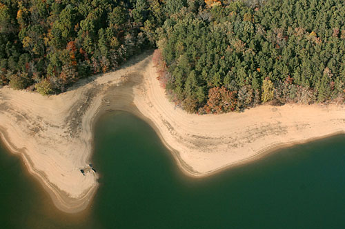
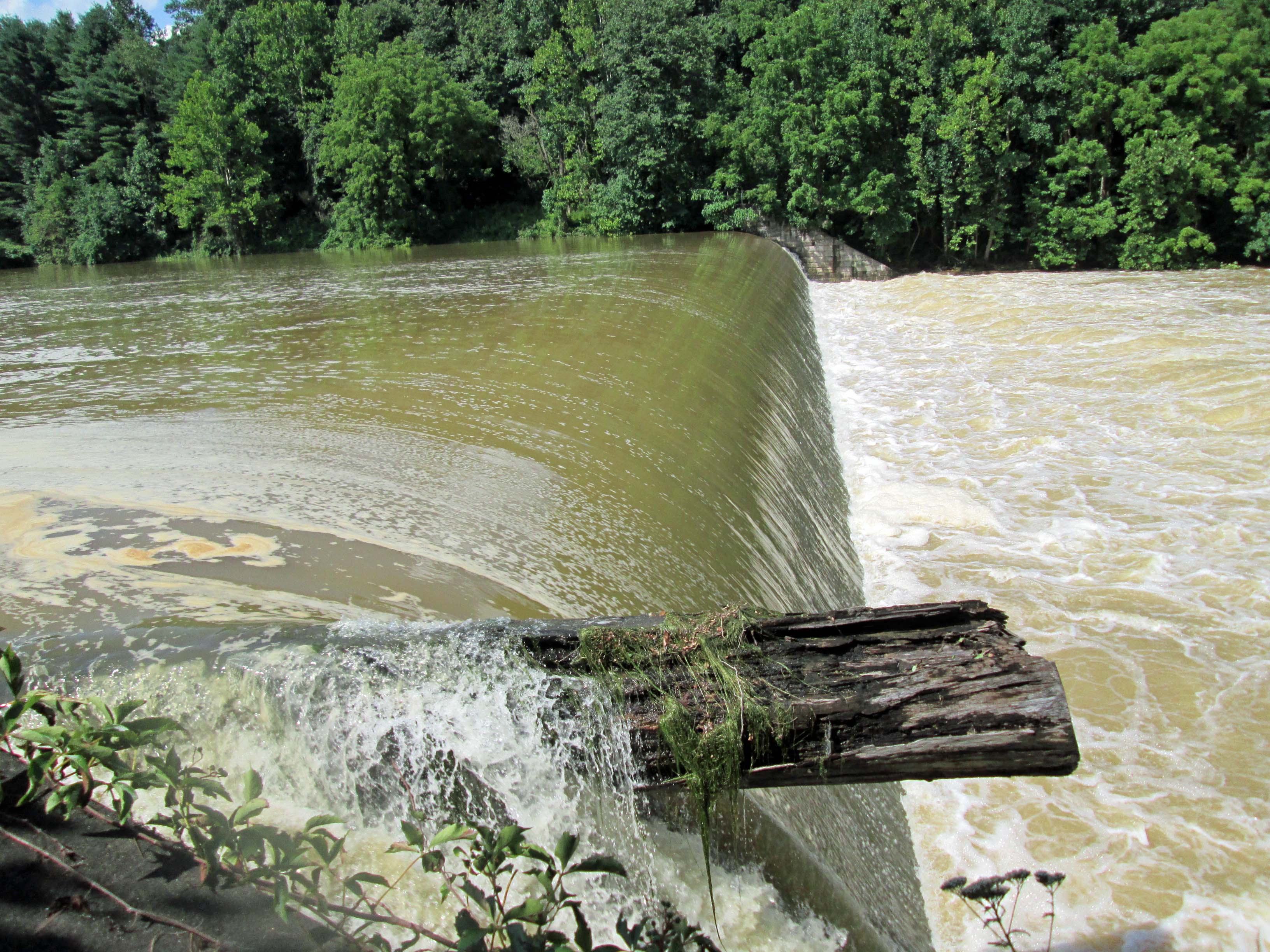
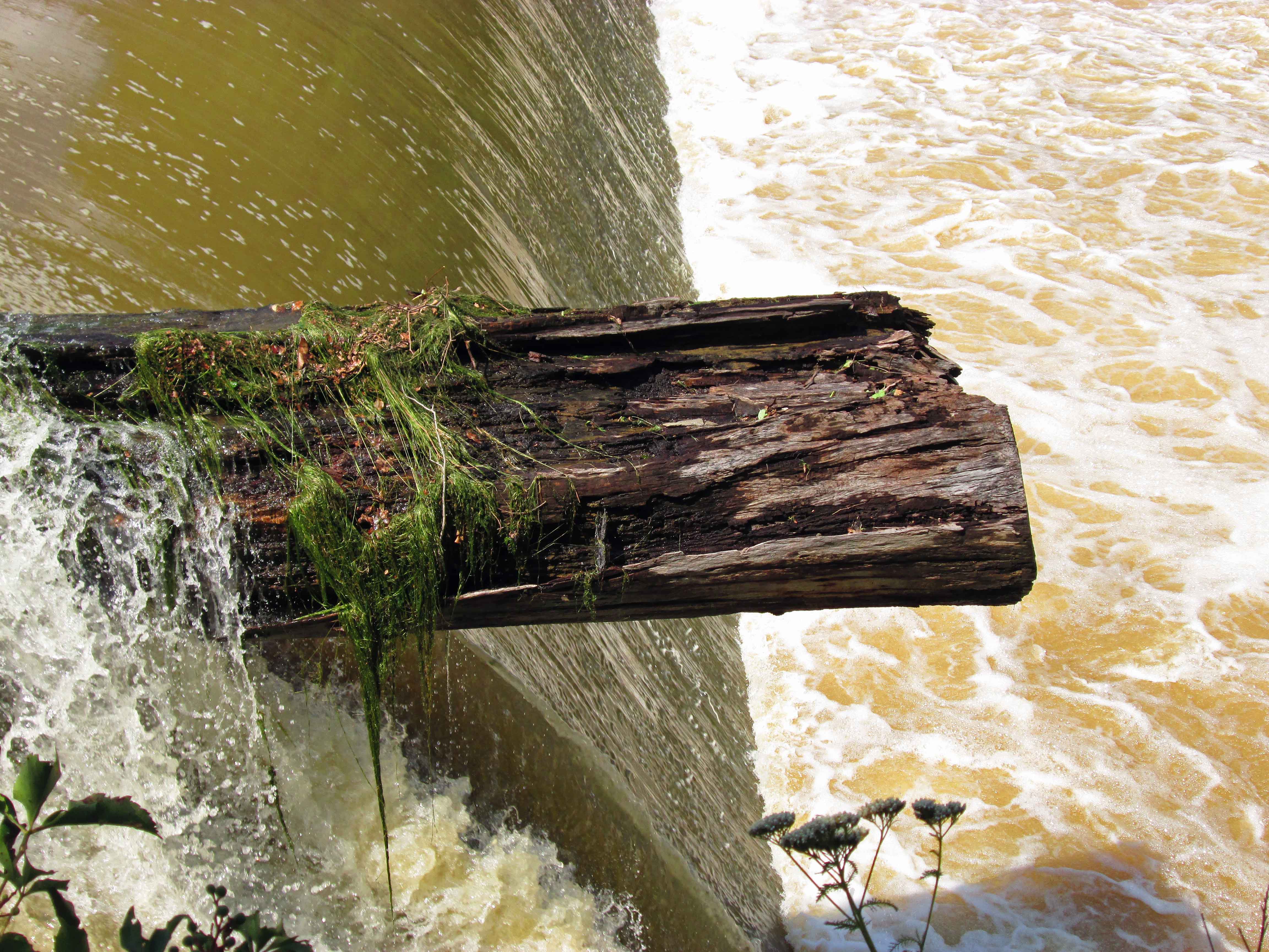
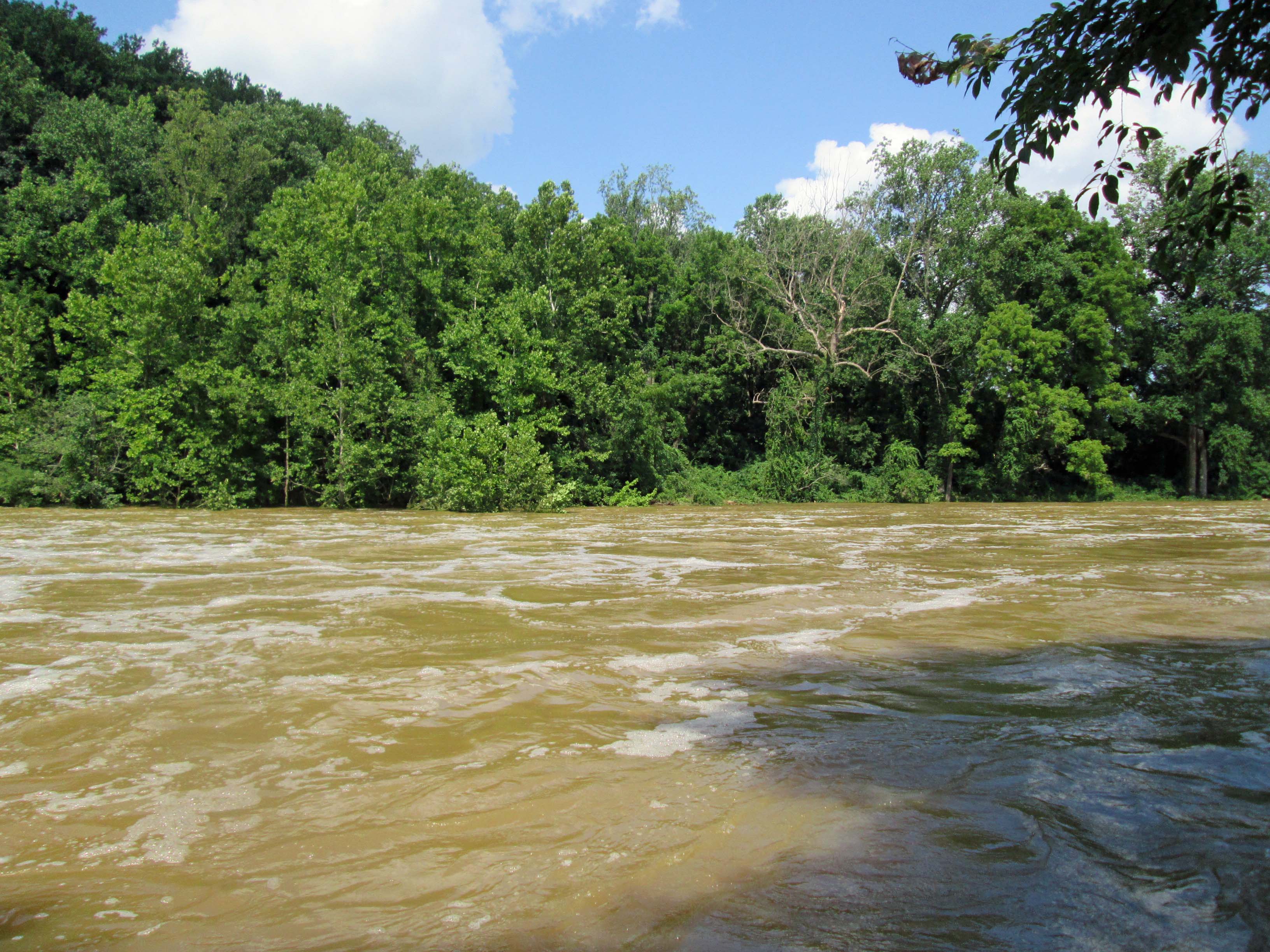
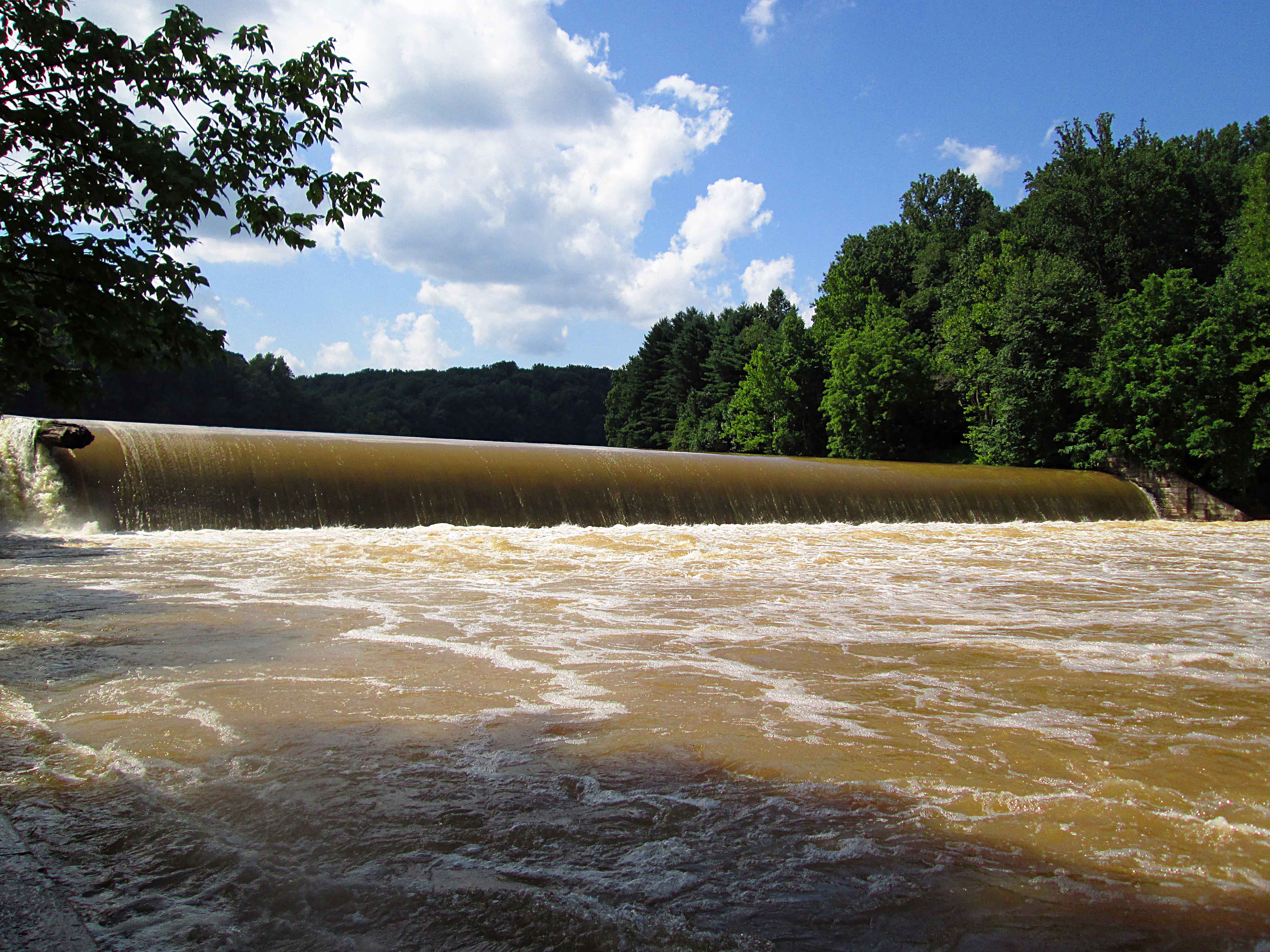
Prettyboy in 2007

Prettyboy in 2007
Note – some of these photos come from the dPW collection, some from people sending to me and some downloaded from US Geological.