• About
  • History Writings

Water and Me

Water and Me

Category Archives: HISTORY

(Un)Haunted Road Trip

08 Monday Mar 2021

Posted by Ronald Parks in Cemetery, Covered Bridge, Eastern Shore, engineering, HISTORY, Road Trips

≈ 1 Comment

Tags

Bay, cell tower, Cemetery, Ghost, hanging tree, Haunted, historical markers, peach blossom, skipjack, Tilghman

During winter lock-down, I have been able to catch up on a lot of reading. I have always enjoyed local history books. Read quite a few of Baltimore’s History while living up there, so now I read a lot of Eastern Shore History. Right now I am reading The Rivers of the Eastern Shore while also reading The Lord’s Oysters. I mention places to Kathy that are in the books and she says, well, let’s go check them out. For this outing I referred to Haunted Eastern Shore.

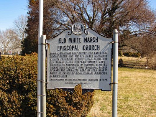
First stop on the list was the White Marsh Cemetery, also known as the Hole in the Wall Cemetery. I guess a doorway could also be called a hole?

This cemetery is quite visible from Rte. 50 heading west from Trappe. Right hand side. Here is the historical marker.

A couple notable haunted stories about this place are that the wife, Hanna, of the Reverend Maynadier of this church took ill and died. People knew she wanted to be buried with her favorite (expensive) ring and she was. The night after her burial two grave robbers dug her up and tried to pull the ring off her finger with no luck. The one robber pulled out his pocket knife and as he was trying to cut her finger off, she awoke from a coma and screamed – scaring them off. She made it home where she recovered. Supposedly you can see her roaming around the cemetery. We did not. It may have been too windy. She is buried with her husband.

Another story is that of Robert Morris whose fate is described in the last paragraph of his burial stone/marker: A salute from the cannon of a ship, the wad fracturing his arm, was the means by which he departed July 12, 1750. Someone on the ship was to fire the cannon at the Captains signal – finger to nose. But a fly landed on his nose and when he shooed it off with his finger…well, you get the picture!

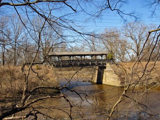
Next stop on our trip was Koon’s Easton Toyota about 3 miles north on Rte. 50. The Peach Blossom Creek Covered Bridge is another one of those places you see heading to and fro on Rte. 50. We tried once before to seek out a route to this bridge but ended up on private property and stopped.

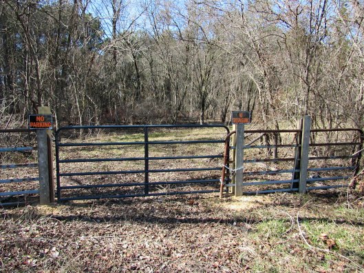
I decided to go into the dealership and ask permission to park in their lot and try to find a way through the marsh/woods. They said we could park there but didn’t think it was possible to get thru the marsh. One of the guys suggested walking up to the St. Michaels bypass and look for a path. That was a little too far to go so we headed behind the store and was stopped by the marsh, headed north to an opening and headed through the woods to a clearing and to the bridge.

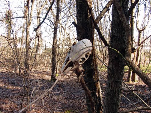
Spirits but no ghost.

Finally to the bridge. Looking back at Koon’s and no, we would not have made it through the marsh.

We didn’t see this going in, but this is where we came out next to Rte. 50.

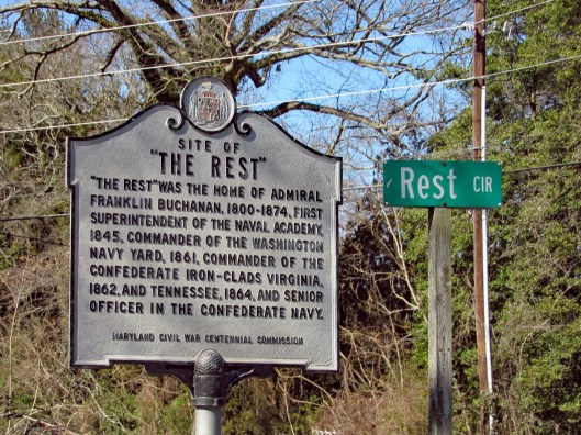
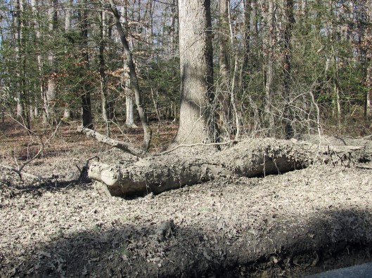
Next stop on our trip was to the Tunis Mills Hanging Tree on Miles River Rd. This is near an area called “The Rest”. Wonder how long this sign will stay up?

This is what the tree is supposed to look like. Lots of people were hung here. Not sure whom, but a lot. You are supposed to sit in your car under the tree, motor off and listen for the faint screams of those hung! I couldn’t wait!!

Well, this is what the tree looks like now! And over on the side of the road is the hanging limb.

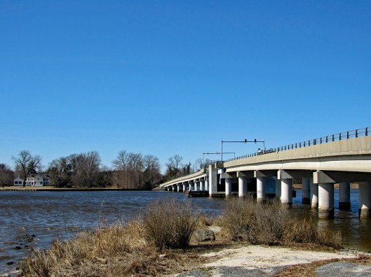
Leave there, disappointed I must add, and head back over the Miles River draw bridge. Pull off the road onto a dirt road.

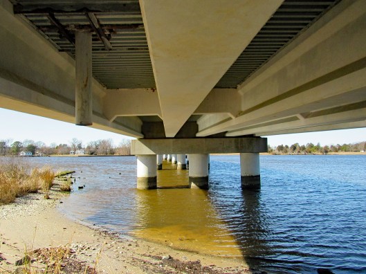
And of course I had to climb under the bridge.

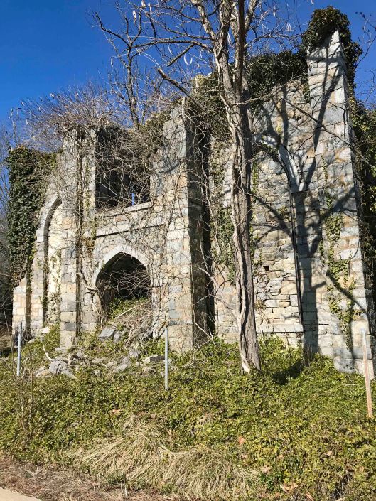
Kathy took this photo of an old church just over the bridge.

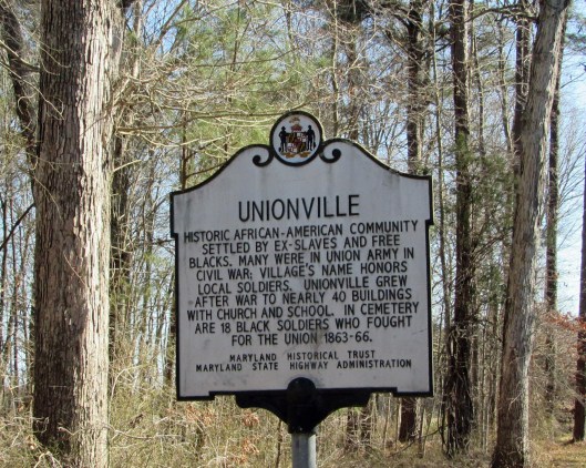
Unionville Historical marker – self explanatory.

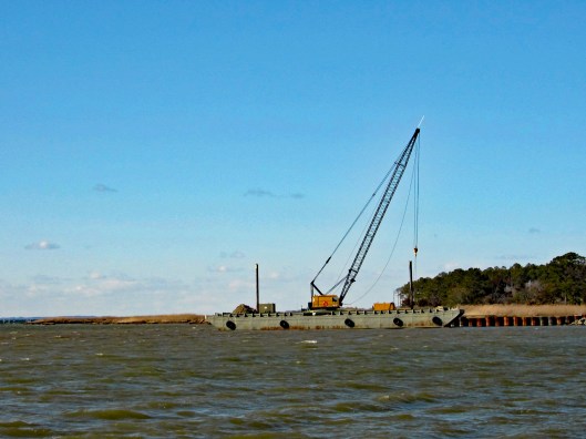
Decided then to head to Tilghman Island and St. Michaels. Checked out the Lowes Wharf. Tide is out.

Looks like they are installing a new bulkhead or something.

Follow the road through St. Michaels to where you cannot go any further. I was hoping we could but the road is closed at the entrance to Black Walnut Point.

There is a naval lab here also.

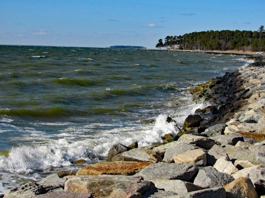
The shoreline at the parking lot.

A public dock up the road.

With swans trying to do some synchronized swimming.

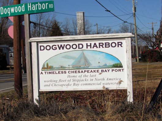
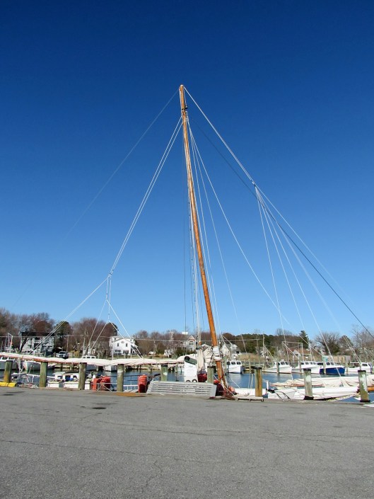
By this time of the day it was getting rather windy and chilly. Only a couple more stops (We gave up on the ghost hunting). This is an interesting sign. I thought Deal Island was home for the skipjacks.

Interesting info… https://en.wikipedia.org/wiki/Rebecca_T._Ruark

Roadside attraction.

And another. Anyone know what this is? We do and it was surprising.

Most telephone poles had Valentine hearts throughout TI.

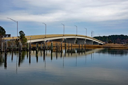
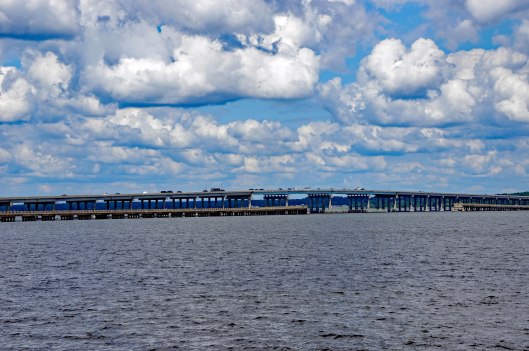
Finally heading home and a quick stop at the TI Drawbridge. Constructed in 1934, it is Maryland’s only overhead counterweight bascule span and one of only fifteen moveable bridges throughout the state road network. This type of bridge a heel trunion rolling lift bridge with a counterweight suspended above the roadway was constructed at the Knapps Narrows site because of its ease and speed of operation. The bridge opened approximately 12,000 times a year, more often than most East Coast bridges.

Another wonderful road trip with so much seen and appreciated!! Always an adventure with Kathy. No ghost but lots of sights.

Rev N.J. Tilghman

01 Sunday Mar 2020

Posted by Ronald Parks in Cemetery, Eastern Shore, HISTORY

≈ 1 Comment

Tags

Cemetery, Eastern Shore, HISTORY, Research, Snow Hill, Tilghman

If the truth be told, I do miss doing historical research. So, when something of interest comes along, I will see what I can find out. Don’t get me wrong, I love being retired and enjoy doing the things that Kathy and I do. I really don’t have much time for writing and research. So when I can combine research and field trips, well, that makes retirement so much better!

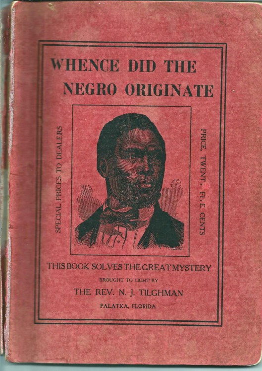
The other day someone passed along to me a booklet: Whence Did The Negro Originate. by NJ Tilghman. My first reaction was – Are you kidding me??

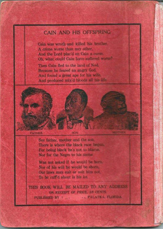
Rear Cover

There are a lot of Tilghman’s down here on the Eastern Shore, but this one says he is from Palatka Florida. Time to do some research on this very odd booklet. Here is the full title page:

Interesting about the above is that the Publisher has been cut off the page (and erased off the rear cover). Without going into a lot of detail about the book I will say this – This guy was crazy! The Readers Digest version: Adam and Eve had Cain and Abel. Cain kills Abel and is cast out into the wilderness where he takes up a wife…Wait!! Adam and Eve had no daughters?? So who became Cain’s wife?? Well according to the Reverend and his “reliable information” Cain married an Orangoutang (his spelling) or Gorilla. He goes on to prove his point which makes absolutely no sense.

Then the question of “What about the Great Flood”? You know, where Noah takes a few million species of animals in a boat? Notes: The N in NJ Tilgman stands for Noah. Also, Tilghman had a son who it appears built a boat that was called Noah’s Ark. So, the booklet goes on to say that “…But Negroes, offspring of Cain and the ape, were not pure men, but unclean and must be preserved in the Ark with the unclean beasts.”

After some more research I found out that Tilghman was originally from the Eastern Shore and is buried at a cemetery in Snow Hill. Kathy suggested a road trip to find it. Looking at the Findagrave website we found it. So off we went.

We placed his little booklet on his headstone. I wonder if after meeting God he “rolled in his grave” as they say??

Here is his Death Certificate. I had to contact the person who posted the grave info to ask about the cause of death. I could not make it out. She said it was “Exhaustion due to Prostatitis, Contributory – Enlarged Prostrate.

Why do obituaries always say nice things about people? His actually glorifies him, 8 years after he wrote this pamphlet. Here are some excerpts: Rev. Noah J. Tilghman (1828-1918), one of the best known and most highly esteemed citizens of Palatka…He was an earnest student of the Bible, and put into daily practice its great lessons of mortality and spirituality. He lived the life of practical Christianity, treating all men honestly and honorably, and so closely following “the golden rule” in his every act and endeavor as to make his example one worthy of emulation. Unbelievable!

A little further research found this information about this spiritual giant!

Source:State Archives of Florida: Series S12, Volume 01, Box 46 Description: Death warrant signed by Governor William S. Jennings. Date: January 16, 1901 Creator: Jennings, William Sherman, 1863-1920 Warrants Florida Boom and Progressive Era (1890-1926) General Note: On December 21, 1901, Governor William S. Jennings signed a death warrant listing Noah J. Tilghman as the man to be hanged. Tilghman’s name had been mistakenly written on the warrant. The death warrant was supposed to be issued for J. B. Brown, an African-American man wrongfully convicted of murdering white railroad engineer Harry E. Wesson. After the debacle with the death warrant, Brown was sentenced to life in prison. In 1913, Brown was exonerated. Tilghman wrote the Governor a few times about this.

After this we decided to roam around Snow Hill. There was some sort of Oyster Festival going on. We went into the Antique Toy store which was fun. Then to a really nice art studio with a wonderful artist named Nancy.

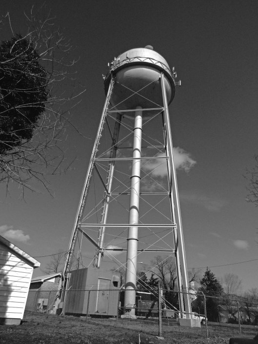
Water tower

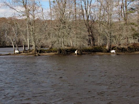
Grabbed some lunch at the Down Under carry-out, headed back to Byrd Park, ate and looked for the Goats of Goat Island.

The yellow tag says UMES 1995

A really nice combo road trip and research kind of day!

Blackwater Refuge to Hoopers Island

28 Tuesday Jan 2020

Posted by Ronald Parks in Eastern Shore, HISTORY, kayaking, nature, Road Trips

≈ Leave a comment

Tags

blackwater, bridges, Cemetery, deer, Eagles, egret, fishing, heron, Hoopers, kayaking, longhouse, photography, Tubman

This was a really nice road trip. A little over-cast but nice. The first time we visited BWR a couple years ago, we followed the not too smart, smart phone that directed us to the middle of a swamp and then to Crappo. Another time we traveled to Cambridge and then south to the Refuge. This time we decided to take the scenic back roads. I saw on a map that there were a couple kayak put-in spots so we thought we’d check them out.

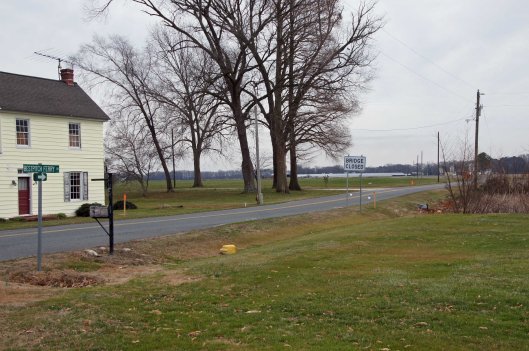
We took Rte 50 to Vienna and headed south on Rte 192. On the map was Bestpitch Ferry Rd., showing a launch. What wasn’t on the map was this sign:

When you see a “Bridge Closed” sign, you should heed it! Na! We thought this was the bridge they were talking about. It wasn’t.

Electric wire fishermen.

The road started to get a little hairy and we could see where it had been washed out in places. Then we came upon this.

On the other side of the barrier a wood, one lane bridge. Looks alright to me.

The kayak launch site is across the river, to the left. In the photo below it looks like a launch that has flooded out over the years.

Time to turn around. Bridge blocked, road falling apart and now a fire.

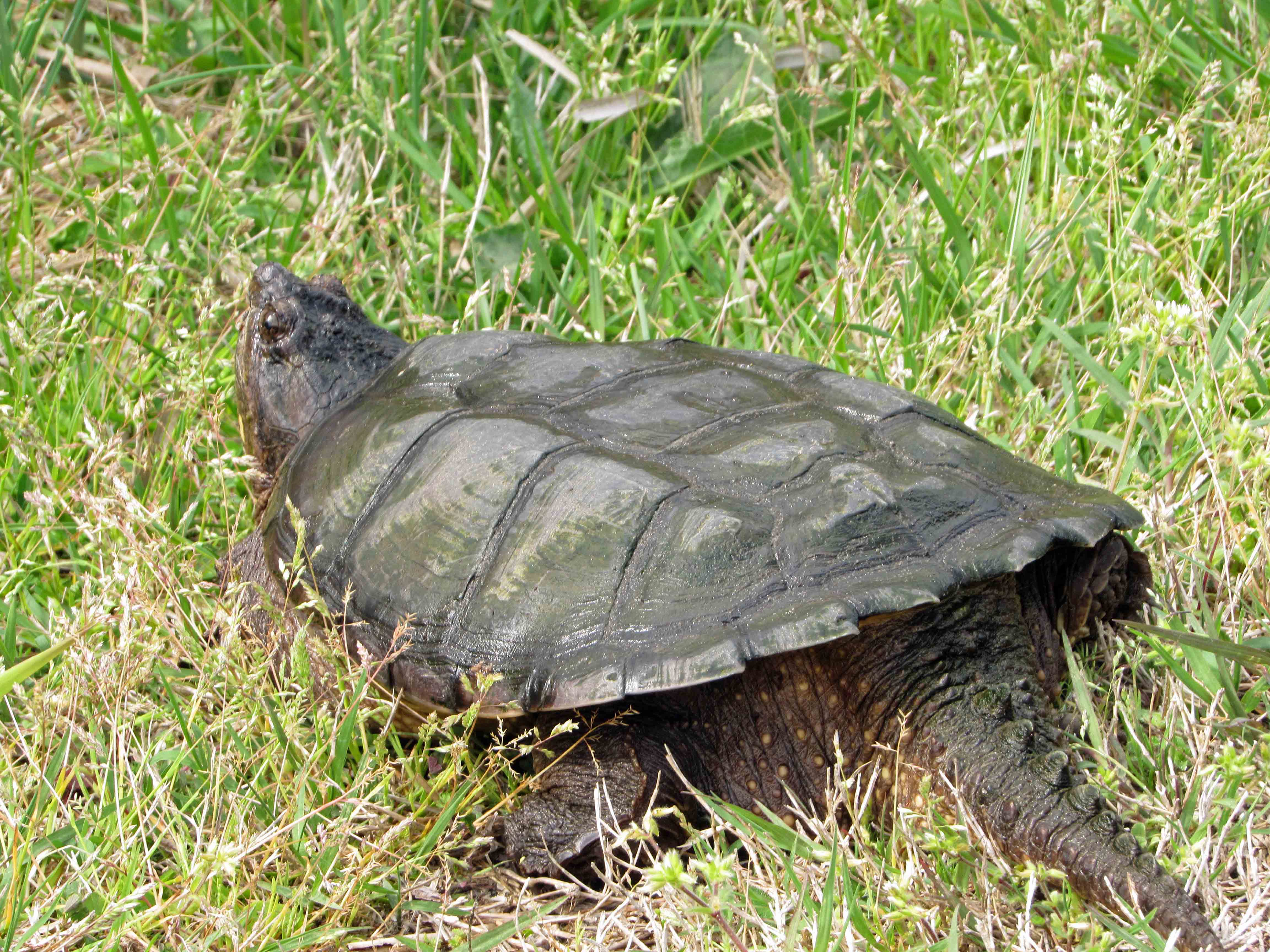
We make it thru the danger and head back to Decoursey Bridge Rd to Bucktown. On the way we came across this little, unafraid of the truck fellow.

Glad we had the detour. Some nice places to visit.

Harriet Tubman Underground Rail Road.

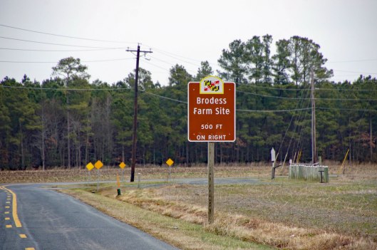
The Brodess Farm is where it was said HT was born. Other accounts say her mother and herself were brought (bought) here after she was born.

There is no trace of the original farm house, although this one is there. Private property, keep out.

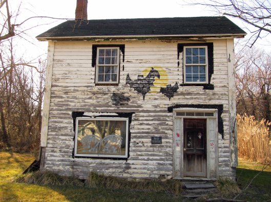
Heading down Greenbriar Rd to Maple Dam Rd, we came across this house. It was unmarked but looking at a couple history pamphlets, we found that this was the Nause-Waiwash Longhouse. It was an abandoned church before the Indians took it over. It looks a lot nicer in the brochure.

Moving along towards the refuge, we spot our first of many eagles. (We lost count at 9-10).

This guy was hanging out on the way to the visitor center.

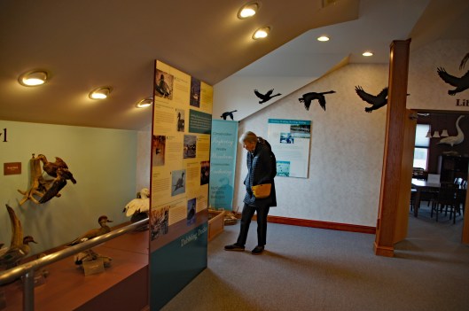
Kathy checking out the displays.

We leave the visitor center and head to the main entrance of the Wildlife Drive. Stopping to eat lunch at the observation deck. On the left of the road there is the Marsh Edge Trail and that was closed due to nesting eagles.

Here are some shots from the refuge.

One of Kathy’s pics. Nice!
I see you!
Me and my shadow
Another nice Kathy pic!

Leaving the refuge it was time to head to Hoopers Island. Rte 335. Heading down Hoopers Island road we came across this church. Originally the “Tubman Chapel”, it moved across the street. St. Mary Star of the Sea.

First bridge onto the islands is at Tyler Cove, Fishing Creek.

Taken from boat ramp.

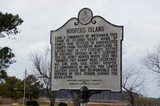
Another historical marker.

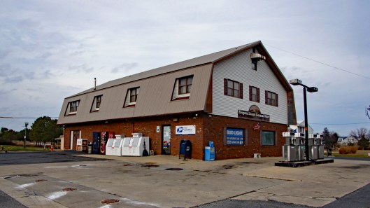
And another General Store

Behind here is a cemetery, which brings me to WHY we wanted to visit Hoopers Island. We want to see all this before it is completely submerged. There is a great video on the sinking of this island. You should watch it – High Tide in Dorchester – https://www.bayjournal.com/films

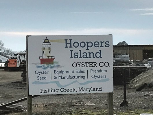
Lots of fishing and sea life down here. Hard to believe it was mostly farms at one tome.

We headed south to the middle island. There are 3 islands, probably more at one time.

Roads flood in high tides and storms
Fishermen returning

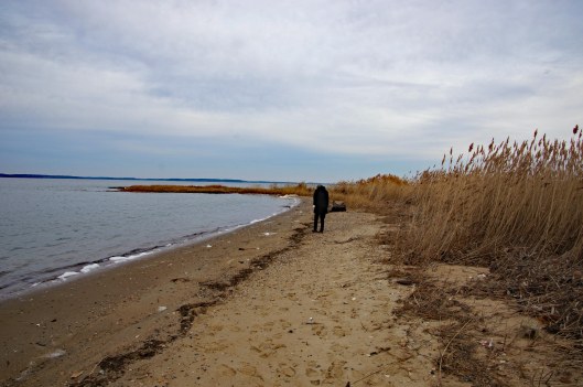
Pulled off the side to see what we could see – some sea glass, shells and debris.

Looks like 3 adults and one juvenile. Even with a 300mm lens, they were too far off.

Adult brought food to him.

Our map. the lower island has no access.

Great day and so grateful that Kathy likes going on these eight hour adventures with me. For too long I did all this kind of stuff by myself.

Paul Leifer Trail

16 Thursday Jan 2020

Posted by Ronald Parks in Hiking, HISTORY, nature, Trails

≈ Leave a comment

Tags

canals, Conservancy, cypress swamp, Furnace Town, Geocache, Hiking, nature, Snow Hill, State Parks, Trails

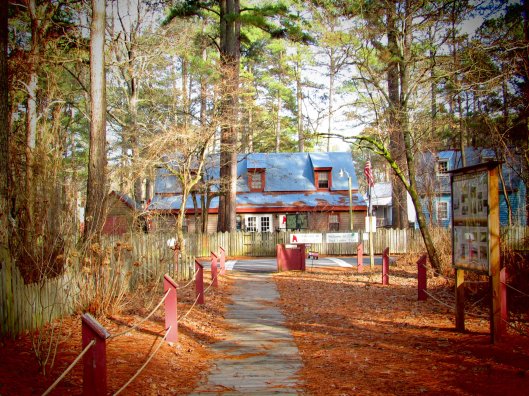
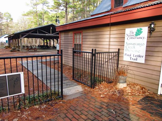
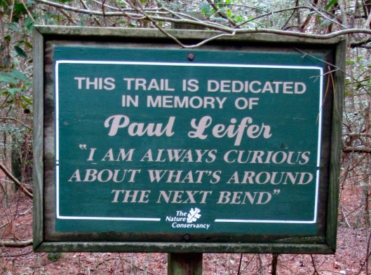
In my last blog, First Hike 2020, I spoke of looking for the Paul Leifer Trail at Furnace Town and how we thought the only access was from the gift shop, which closed in October. Well I sent an email to Furnace Town asking about access to the trail and they told us to go through the gate and then head to the trail, so we did.

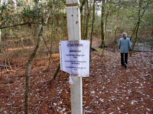
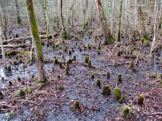
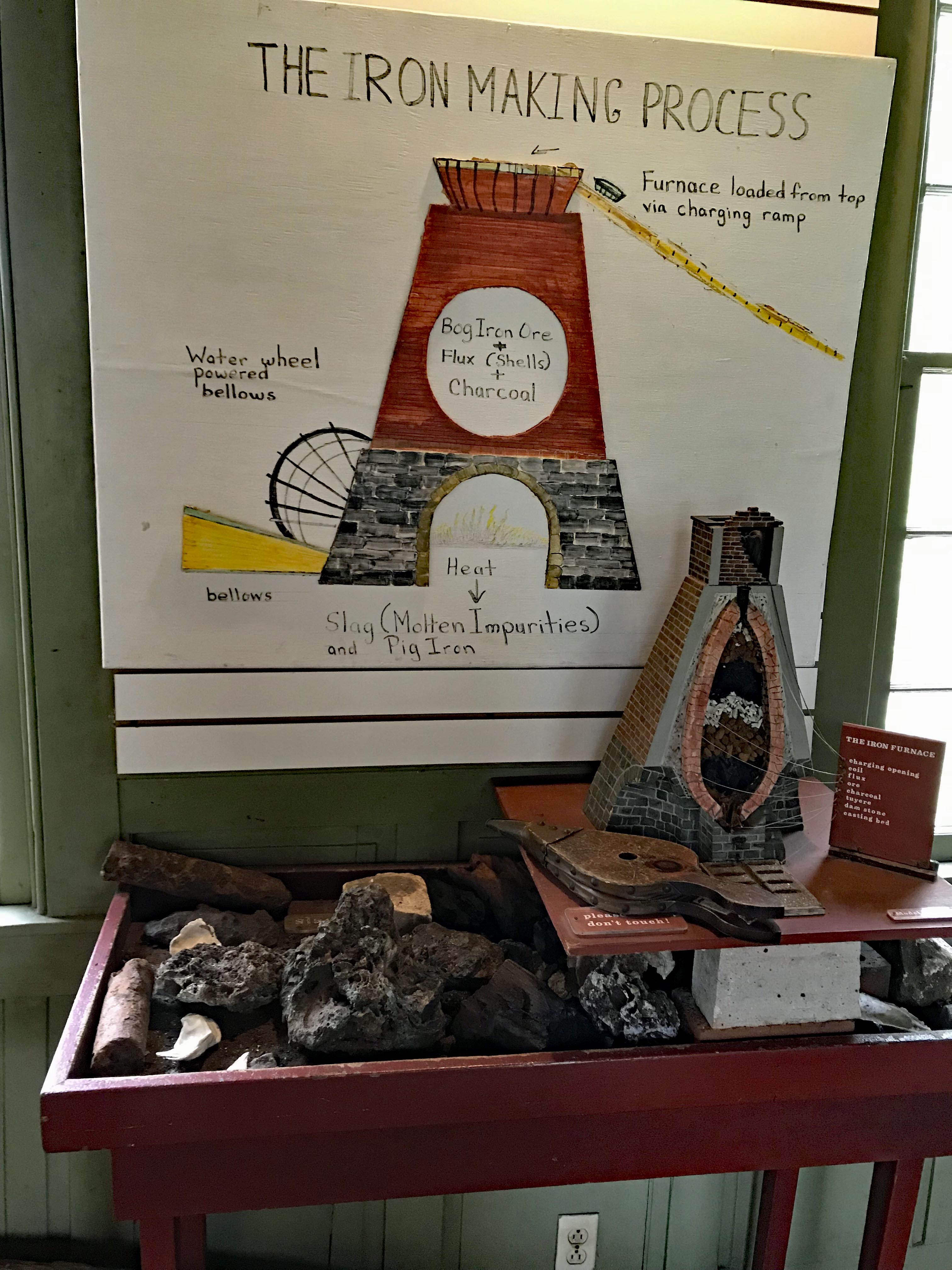
Through the gate and head to the right, where you will see the Iron Furnace. Go to the left and there is an information board with a map and cautions that the boardwalks are very slippery.

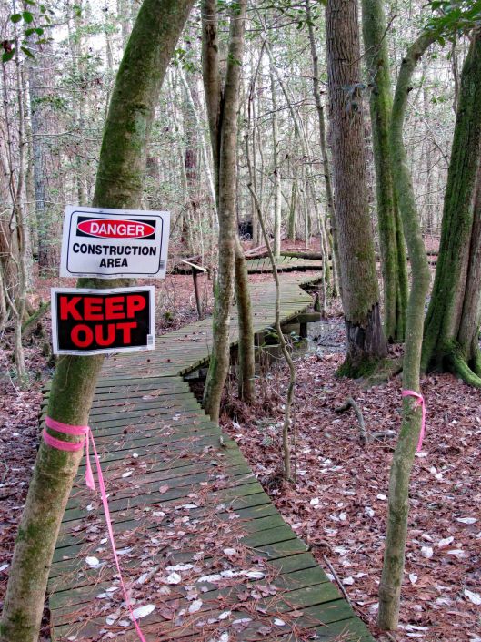
Some interesting signage and some not so interesting!

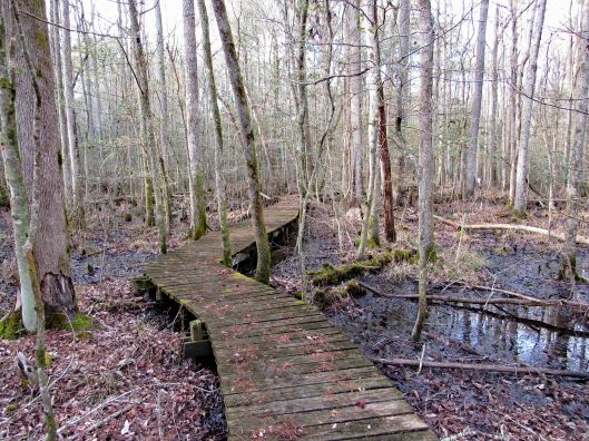
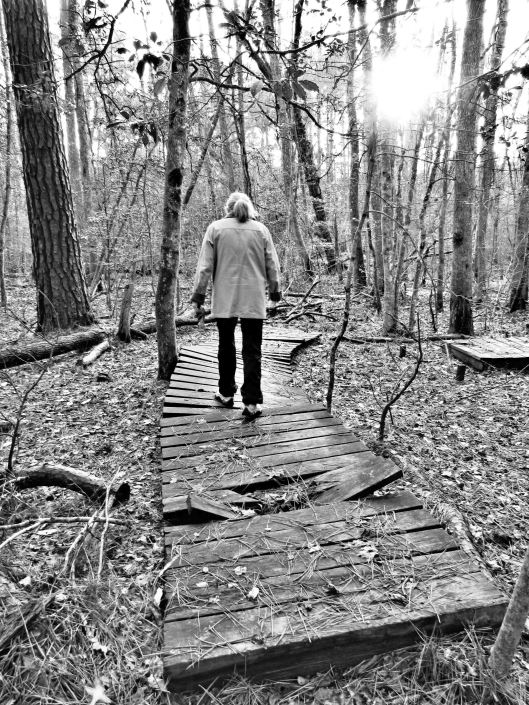
The boardwalks were not only very slick, some were falling apart.

Molly didn’t mind and she did a lot better on this hike.

Some of the sights along our hike. It was very quiet here.

Crabby
A favorite sight of mine!
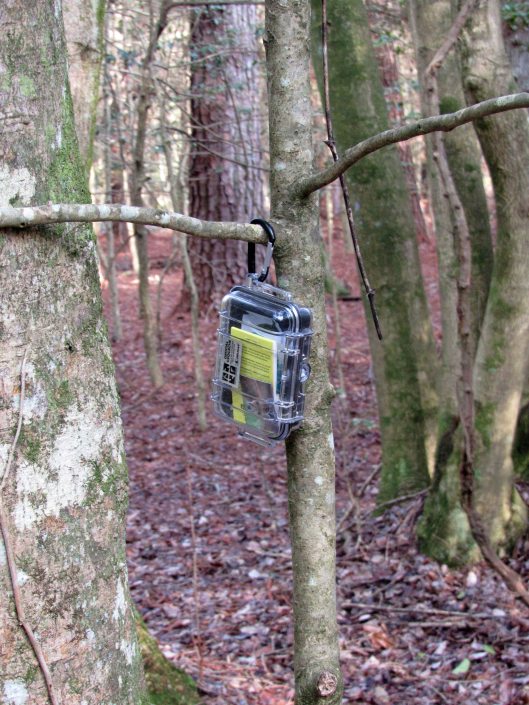
2nd Geocache in as many weeks.
Happy-Happy-Happy

Heading back out after about 1-1/2 hour hike. A couple shots in the ‘town’.

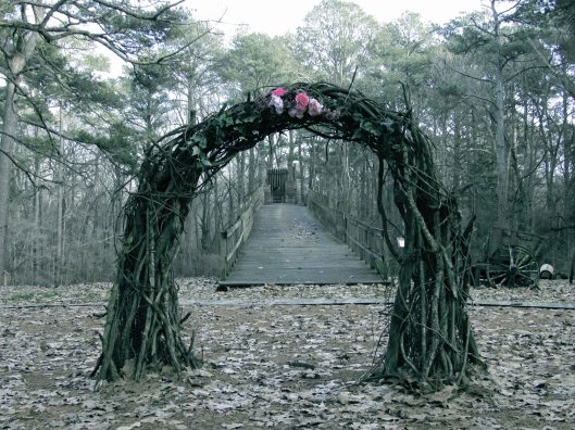
Wedding arch? Or sacrificial temple at the top?
Nice pic from Kathy.

Our hike, via All trails: Under a mile but very adventurous!

But the best sign was this one…

Life is full of next bends!! Thanks God for pointing the way to each and every bend, not that I am always paying attention to where you are pointing…

Handsell

24 Saturday Aug 2019

Posted by Ronald Parks in Eastern Shore, HISTORY, kayaking, Museum

≈ Leave a comment

Tags

choptank, Handsell, HISTORY, Indian artifacts, Museum, Nanticoke

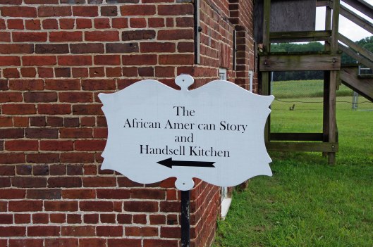
Headed out this morning to go to a Delmarva artifacts display in Cambridge, at the Dorchester Heritage Museum. Some guy spent a lifetime collecting Indian arrowheads and other tools. 6,000 or so of them. Between Salisbury and Cambridge is Vienna, on the Nanticoke River. There are a couple places I would really like to kayak in that area, so I detoured off onto Rte. 331 in hopes of finding a boat launch somewhere on that side of the river. Kathy and I try to stay away from large open areas of water. We prefer the small creeks and rivers. To follow the river I turned off 331 and onto Indiantown Road. Soon I crossed over the creek I was looking for. It is called Chicone and there was nowhere to park or launch by this little bridge. I continued on and came across this sign…

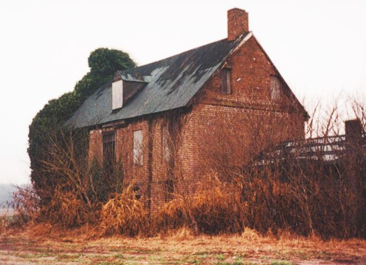
As good as place as any to turn around. Looked over and saw this building…

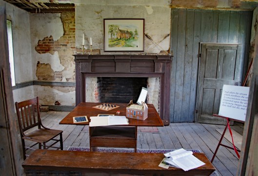
There was a car parked there so I thought I would check it out. Met a man named John Lewis, from Baltimore. (He works at Baltimore Magazine – small world!) He is on the Board of Trustees to preserve and restore this building. He filled me in on a lot of information and instead of me getting it all wrong trying to remember what he said, check out the history here: http://www.restorehandsell.org We had a very interesting talk. Here are some more photos of the structure.

As I said, I was actually looking for a place to launch a couple of kayaks and mentioned that to John. He pointed to the woods and told me to head that way. So I did. Had to cross thru an RC Airplane field. They like to buzz the plane right overhead and cut the engine off so you have to look up to see if you are about to get whacked! (Whacked! Man, I thought I left that lingo back in Baltimore!)

Thought these were beehives, but not so sure.

And then the water. Small area and will probably be easier to get to in the fall.

Headed back and had this view. Beautiful day.

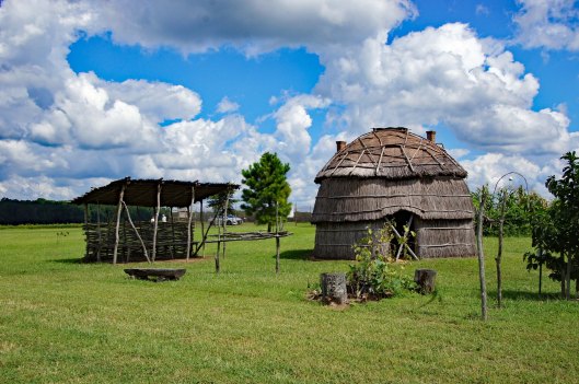
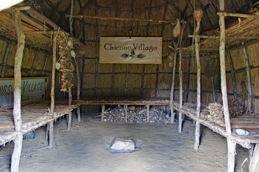
There is an Indian Lodge on the property.

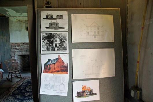
These two photographs are from the National Historic Register. What it looked like before restoration work started.

After quite a while there I headed to the artifacts show. It was ok. I wished the objects would have been labelled, but still some nice pieces.

Heritage Museum
Owners initials I guess.

Left Cambridge and headed to Trappe, to the Unicorn Bookstore. Great old book store. Below is the bridge over the Choptank River. The smaller bridge in front was a drawbridge, now a fishing pier. How many people remember getting held up for what seemed like hours when heading to Ocean City and the drawbridge was up!

Just a cute doggie photo of Molly cause people like to look at doggie photos more than history photos!!

Thanks for looking! Sorry Kathy didn’t make this trip with me…

Cambridge Md. & Harriet Tubman

25 Saturday May 2019

Posted by Ronald Parks in Eastern Shore, HISTORY, National Parks

≈ 6 Comments

Tags

Mural, Museum, nature, Road Trip, Tour, Tubman

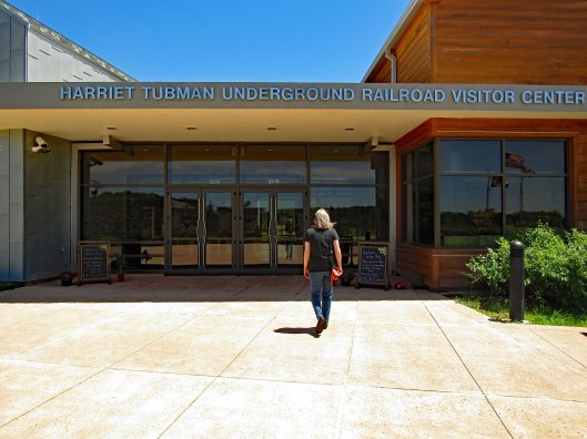
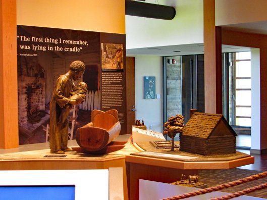
Road Trip to Cambridge to visit the Harriet Tubman Underground Railroad Visitor Center which is about 8 miles out of Cambridge. This property was donated by the National Park Service.

A lot of visual displays and history.

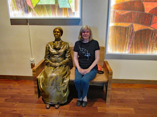
Kathy chillin…

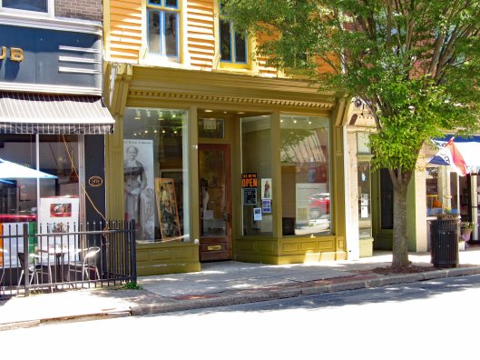
From there we headed to downtown Cambridge, to the Harriet Tubman Museum.

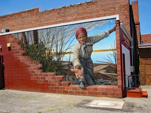
And of course the Viral Internet mural (3 year old reaching out to the 3D artwork).

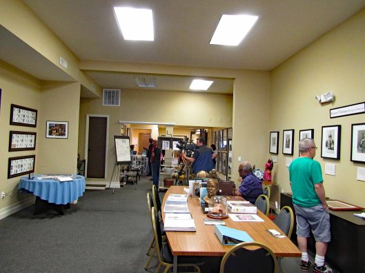
Inside a guy was filming one of the volunteers in an oral history presentation. We watched a video of Tubman’s life. Very informative.

I liked the fearless shirt.

Another mural outside depicting life in Cambridge.

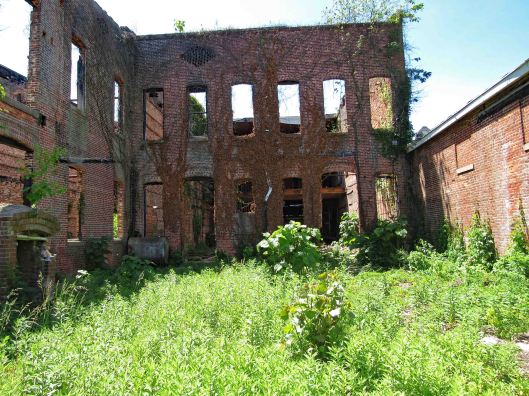
Burnt out Western Auto

Rear view.

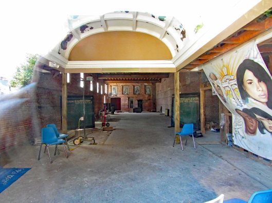
In the alley across the street.

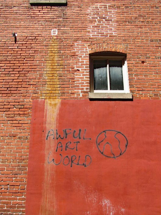
The inside of the building the graffiti is written on.

Headed to the river to find a place to eat. Crab dealer and processor. Kathy framing out a photo for me. Crab meat shot up in price – $30/lb.

Decided to eat here. The crab soup was terrible! More like cabbage and warm water soup. Kathy’s cream of crab was good. Rest of meal good.
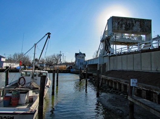
Sitting outside to eat. a beautiful day.

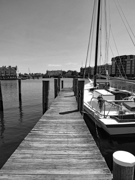
Stopped traffic and raised the bridge for this little boat.

A great day in Cambridge! If you ever get down here, do yourself a favor and visit the museums and UGRR concerning Tubman. Lots of history people just aren’t aware of. Also, we did this trip on the day that the Treasury Secretary decided not to put Tubman on the $20 bill.

Nassawango Iron Furnace

22 Monday Apr 2019

Posted by Ronald Parks in Hiking, HISTORY

≈ Leave a comment

Tags

Hiking, HISTORY, Living History, Nassawango, nature, photography, Printing, Weaving

Sunday has become Kathy and my day of rest time, but since neither of us can sit still for too long – Road Trip! Called the people at Furnace Town and they are open with free admission for Easter.

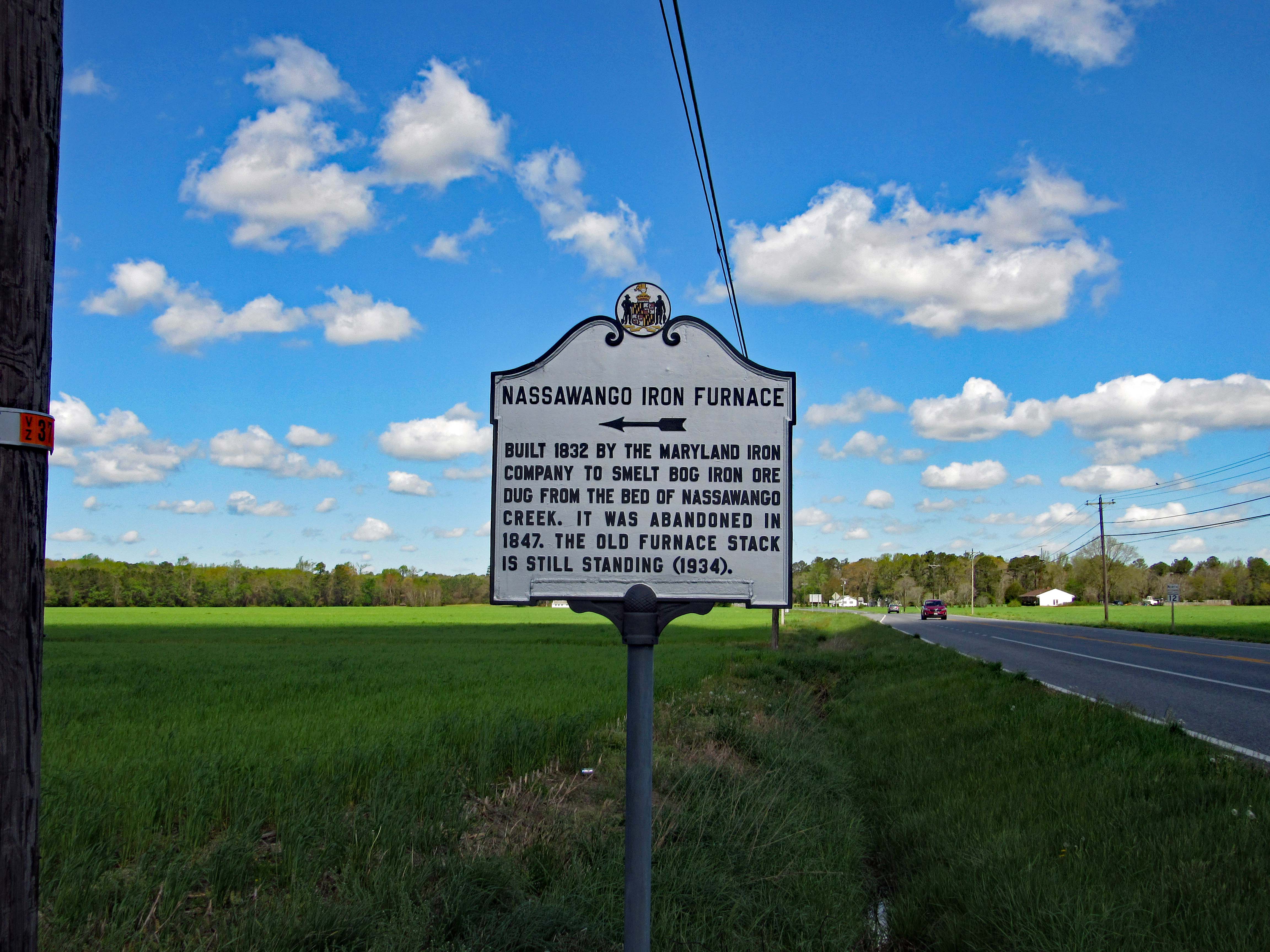
Here is the History Marker on Rte. 12. 

Two other times we were here it was closed and I had previously posted photos of the visitor center, so I will spare the repetition. The area is about 300 acres, a Living History Village with an old iron furnace and remnants of the town that use to be there, along with some buildings moved there from other locations.

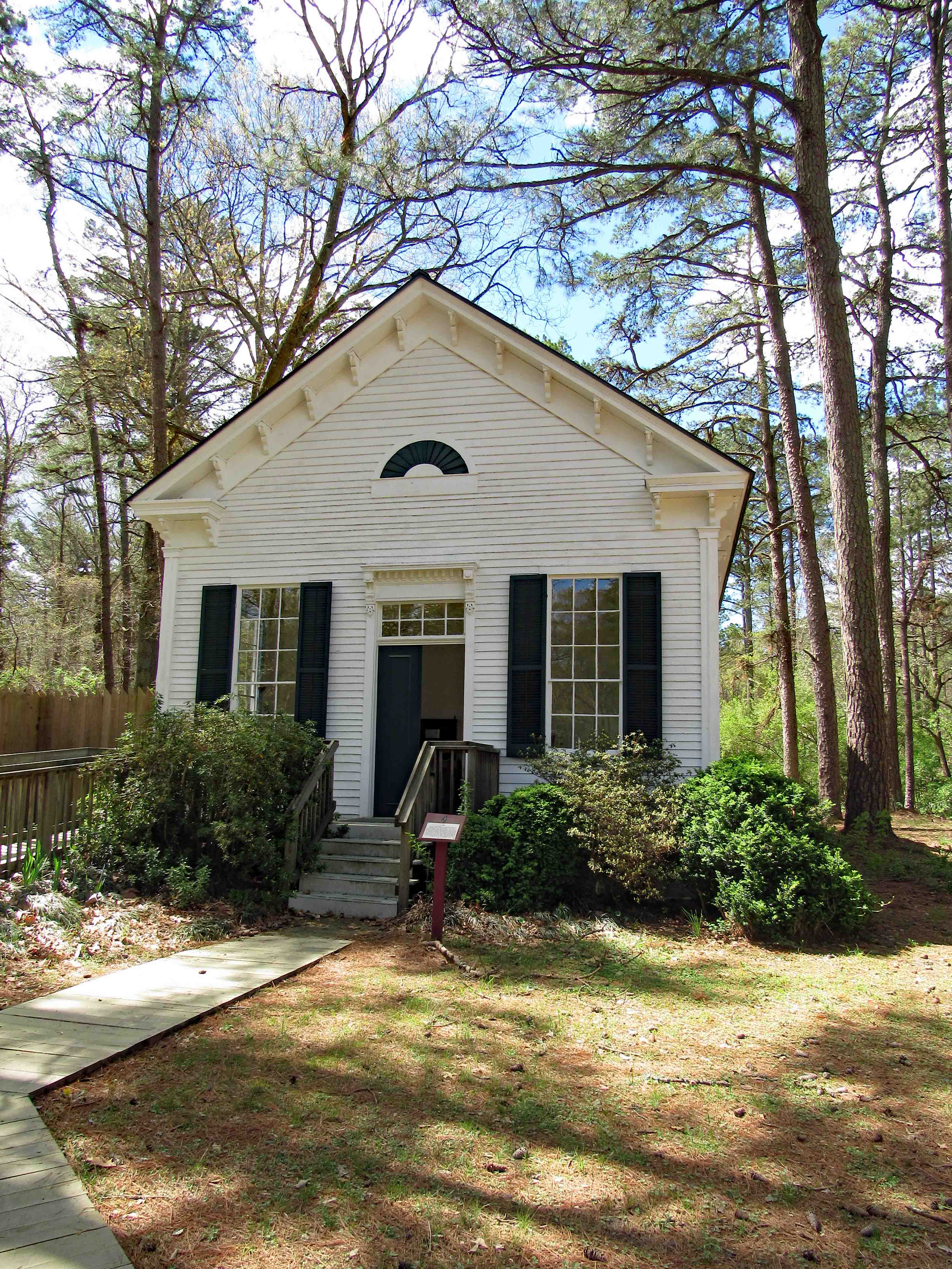
Before hiking over to the furnace itself we were treated to a nice talk and history lesson by Jessica, the director of the Village and Visitor Center. Then onto the various buildings. Being Easter Sunday our first stop was the church.

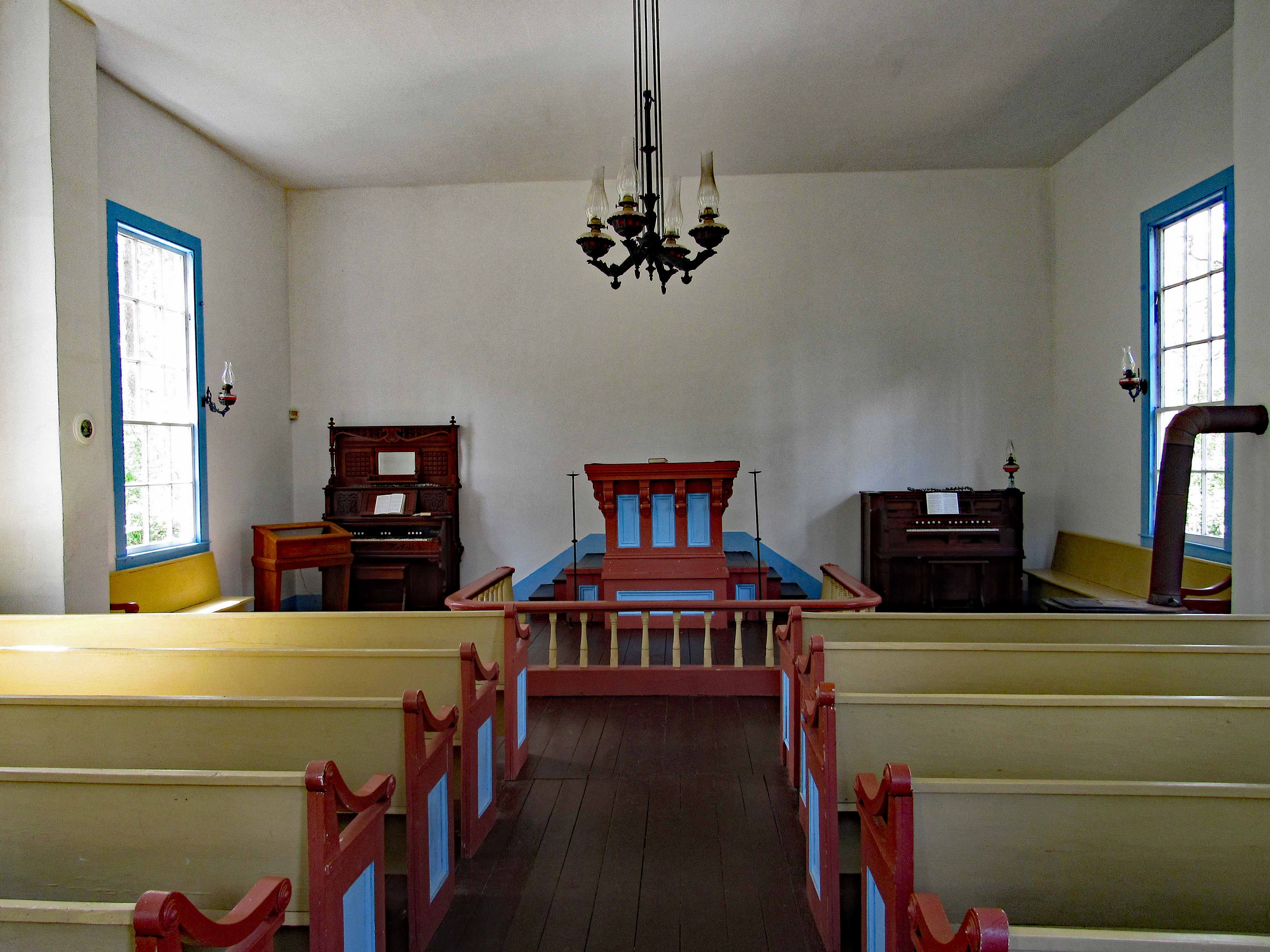
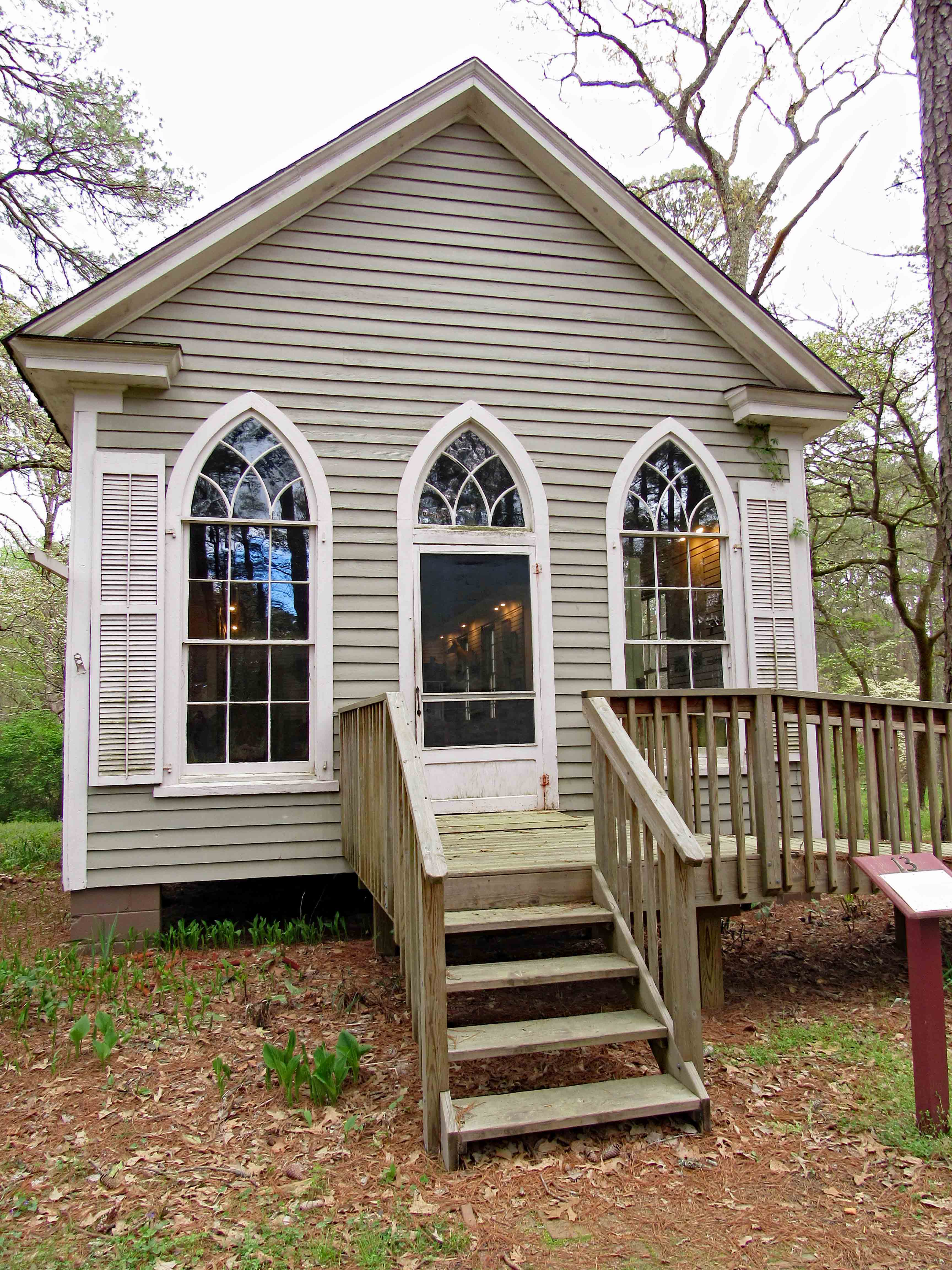
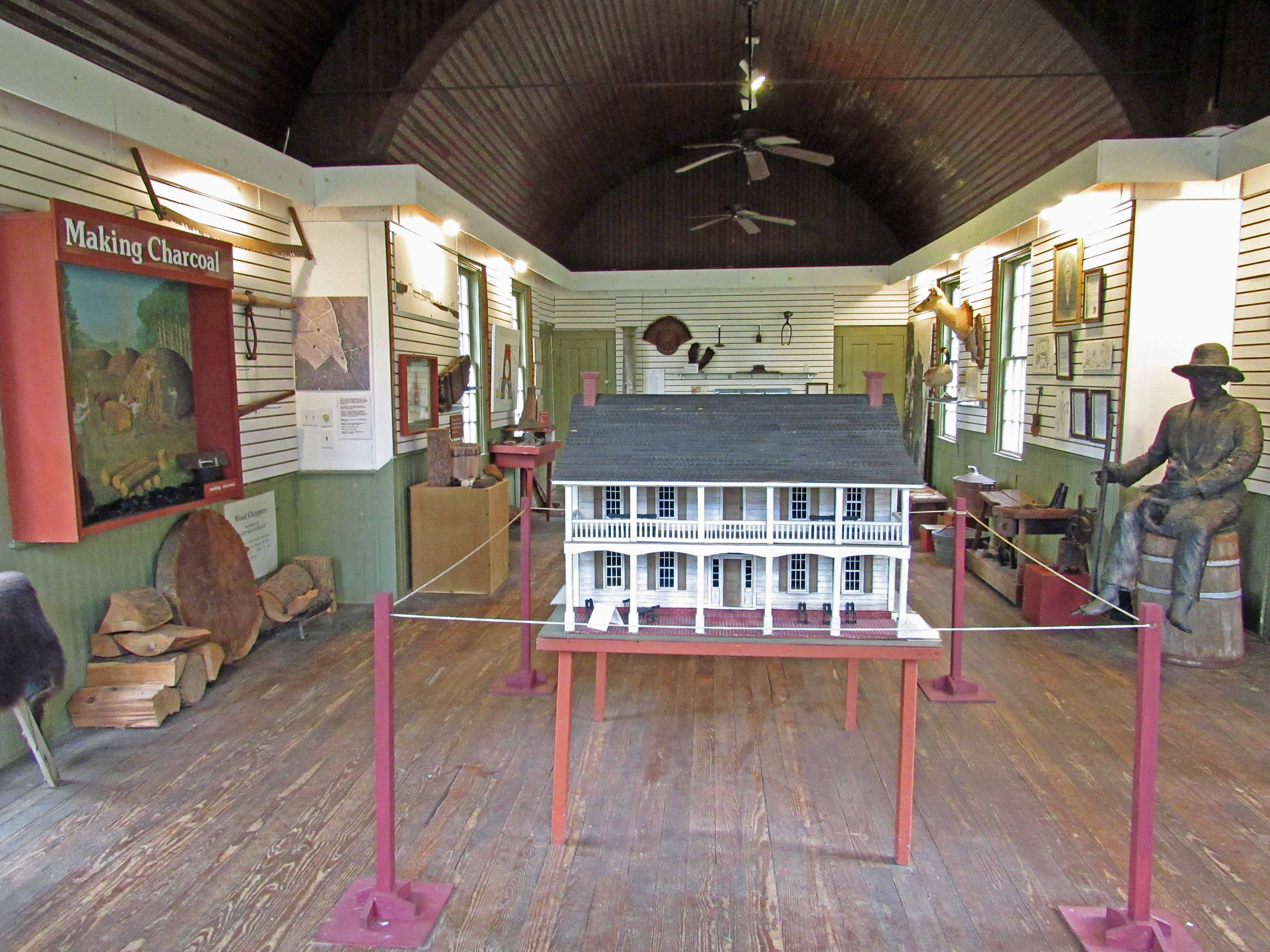
It was a very simple time back then but I am sure life was somewhat rough. The church was built in 1874 and then relocated to the Village in 1980. Here is an interior view.

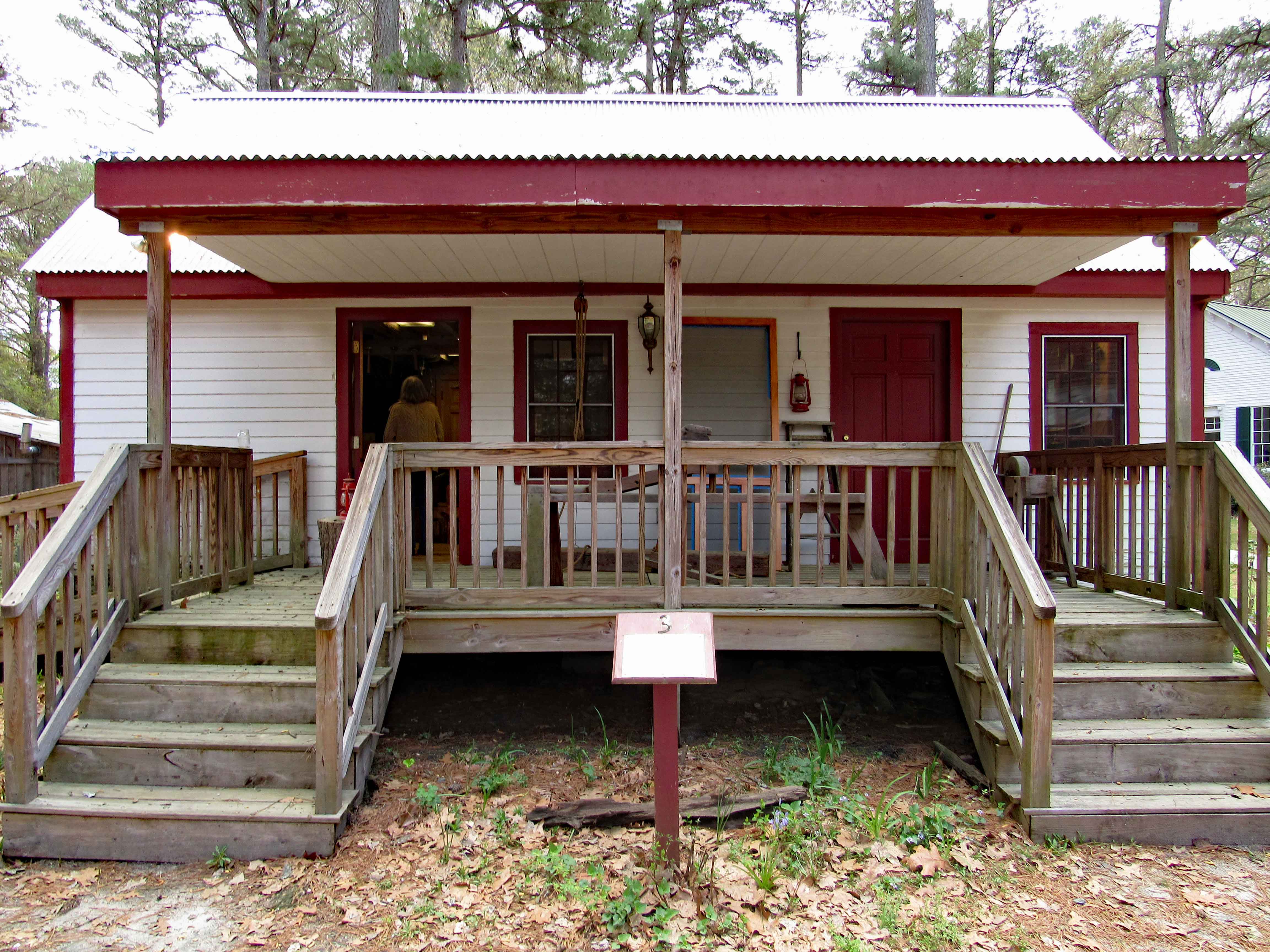
Next stop was the wood shop. 

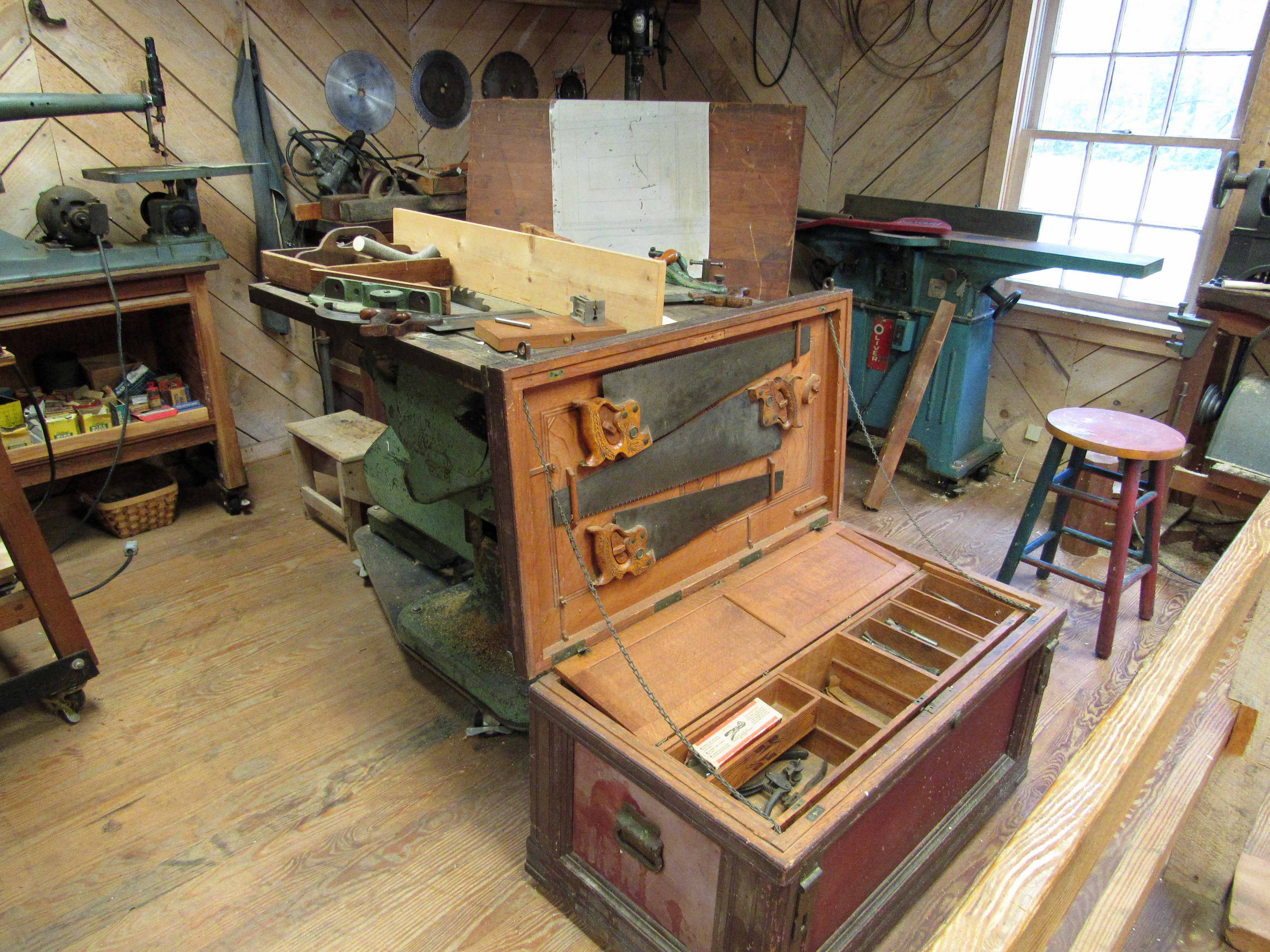
And the interior view.

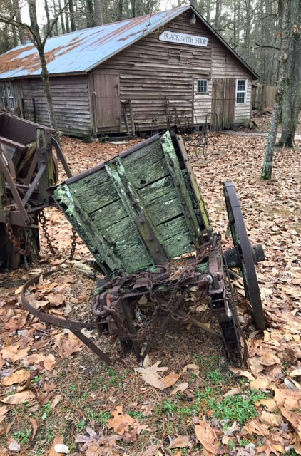
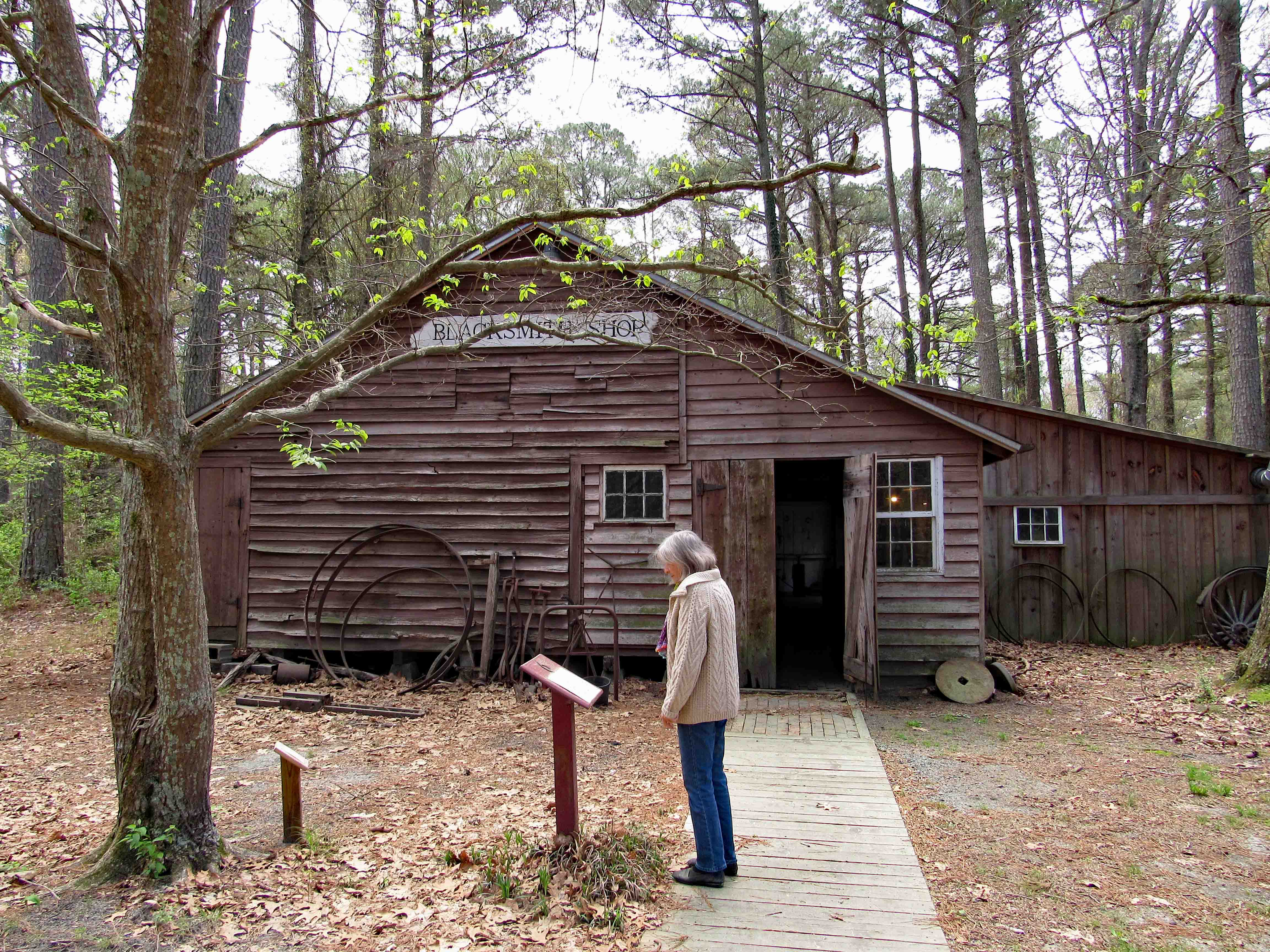
On to the next building – The Blacksmith’s Shop.

For those who don’t know, a Living History Village has demonstrations and classes on the various trades back then. Here you can learn all about being a blacksmith. The work they do here is scattered throughout the area and some for sale in the visitor center.

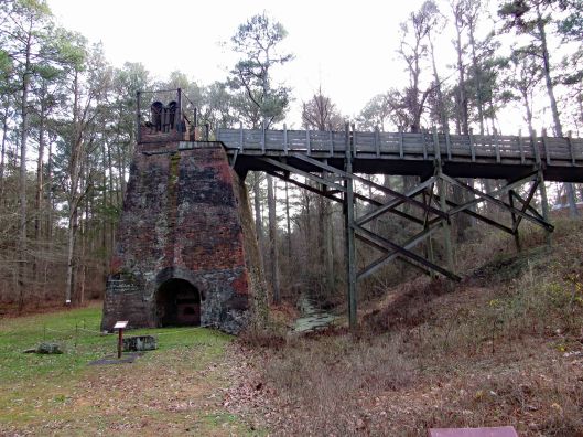
Now to where I’ve been waiting to go – the Furnace.

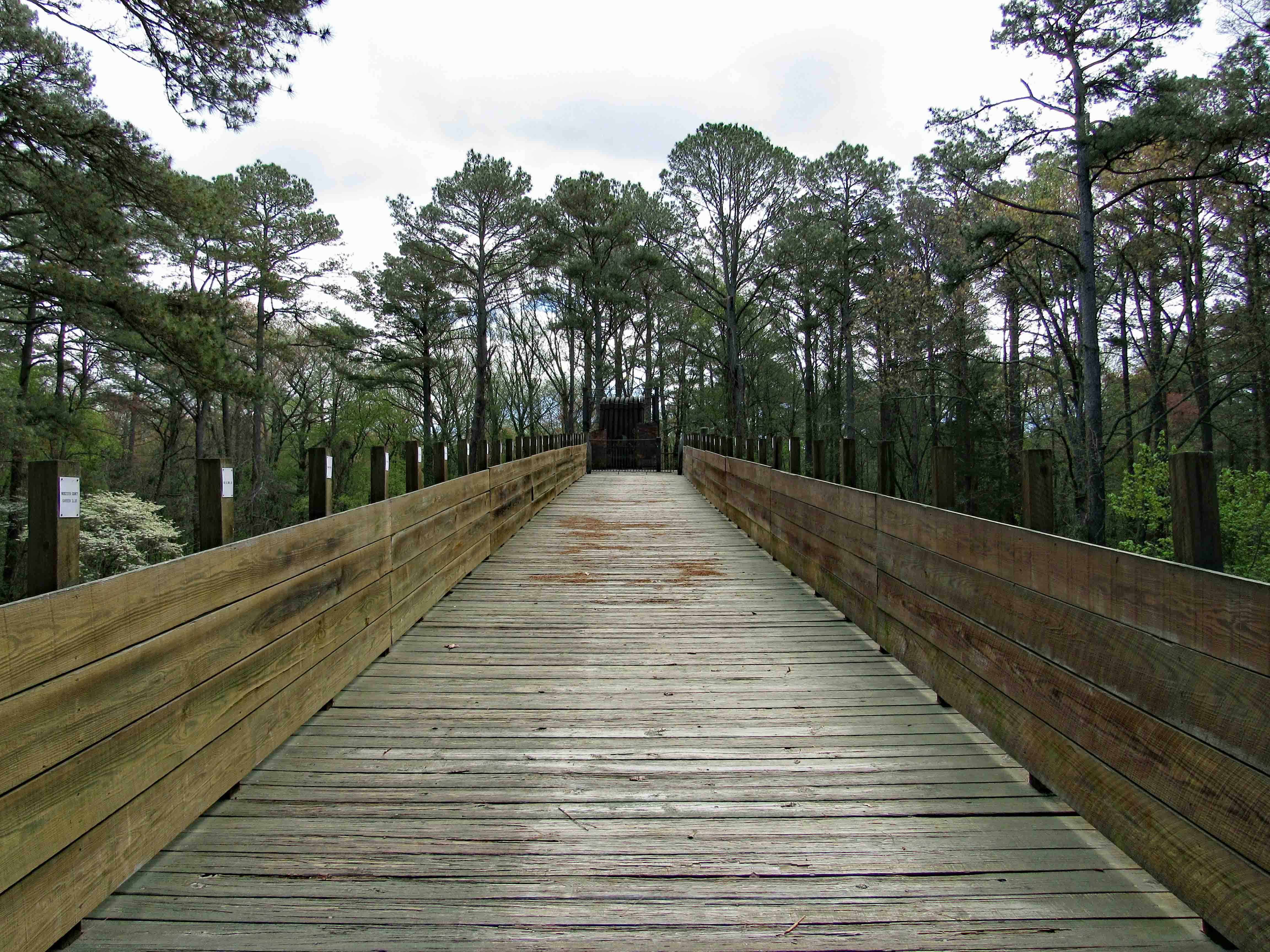
View heading up the ramp. The white placards on the post are names of the donors who contributed to the rebuilding.

The mill race underneath.

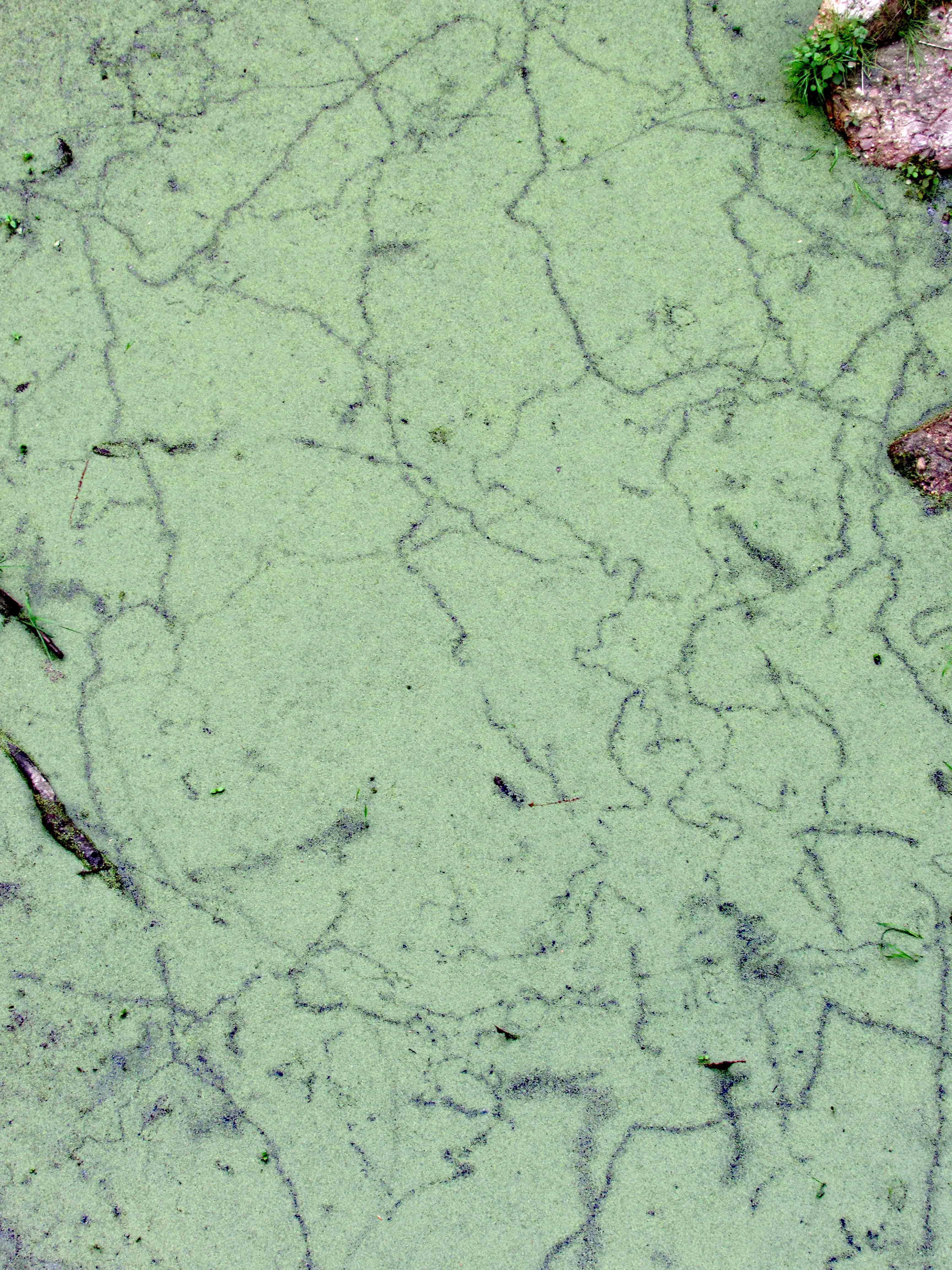
A close-up of the water.

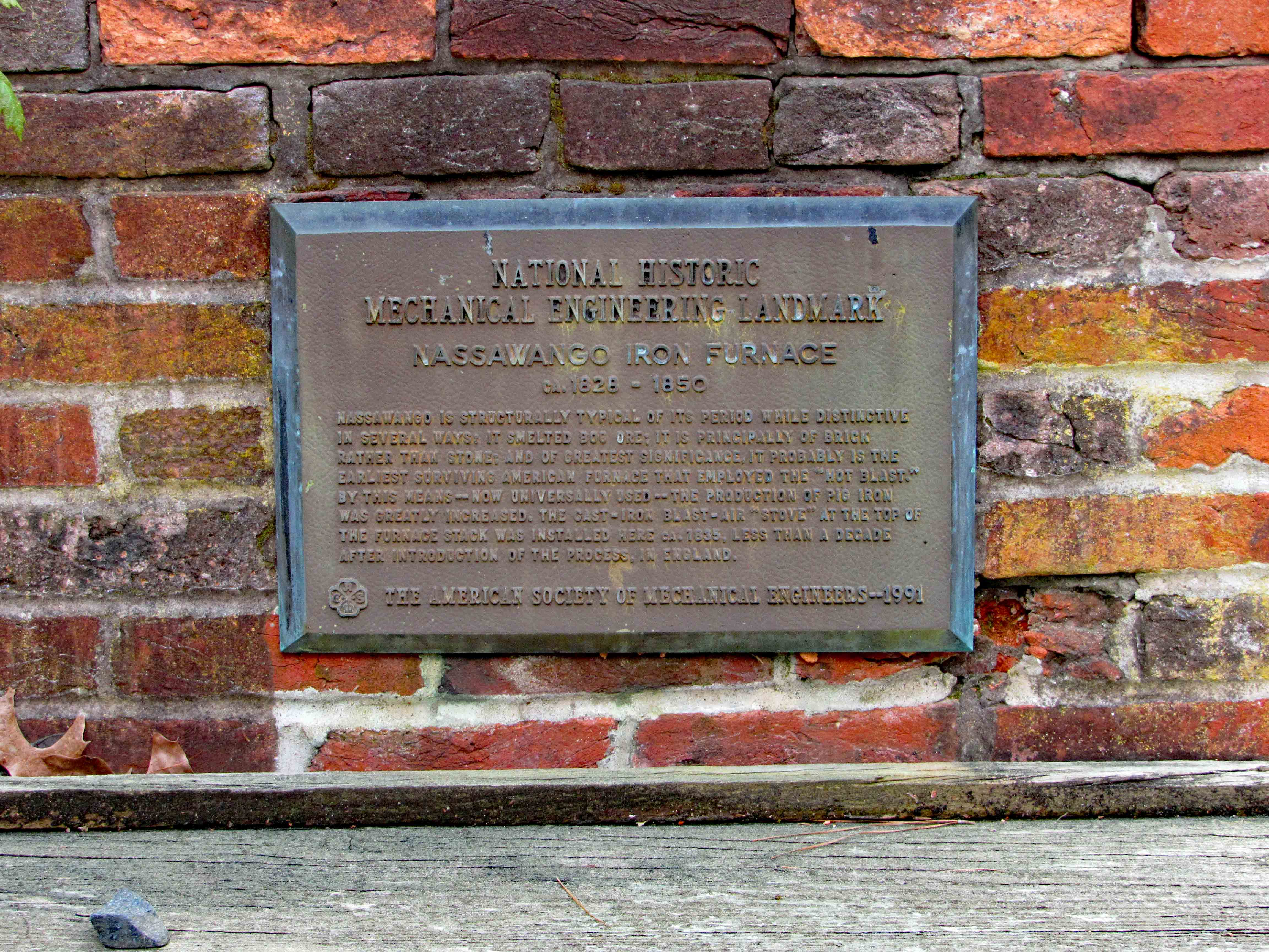
Historical plague.

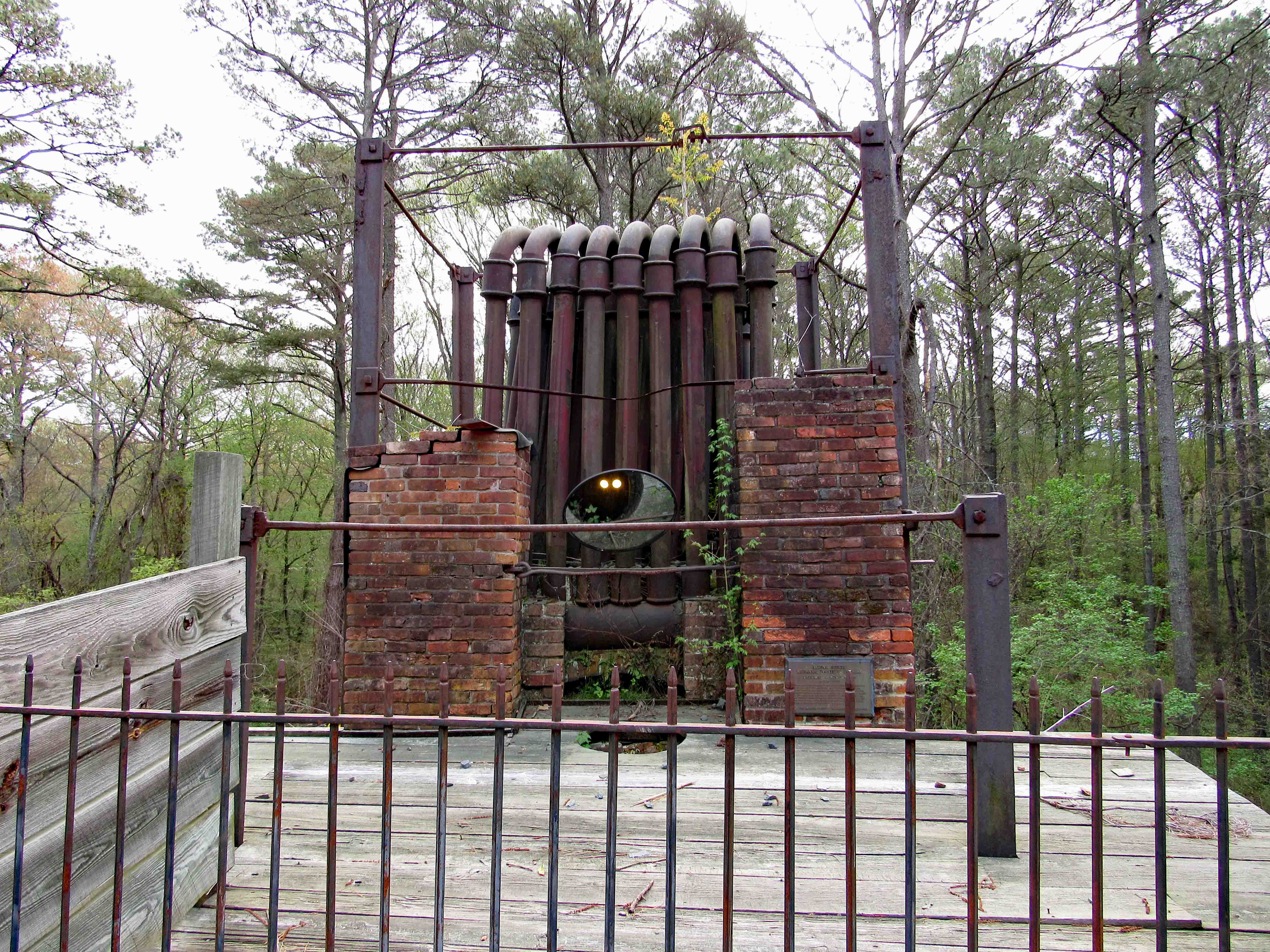
The furnace with a mirror to see downwards from the top.

Underneath.

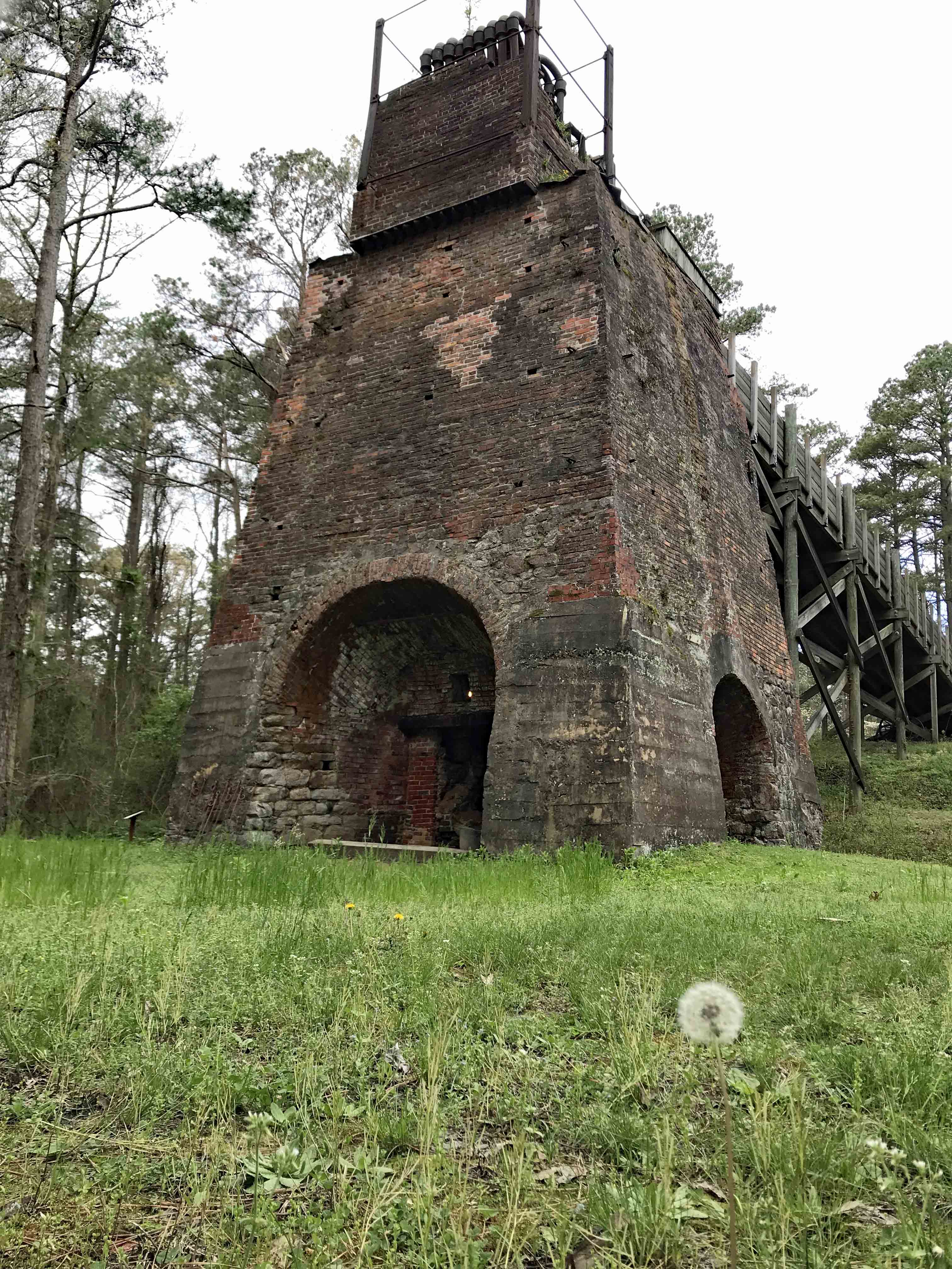
Side view. Kathy’s photo with a Dandelion.

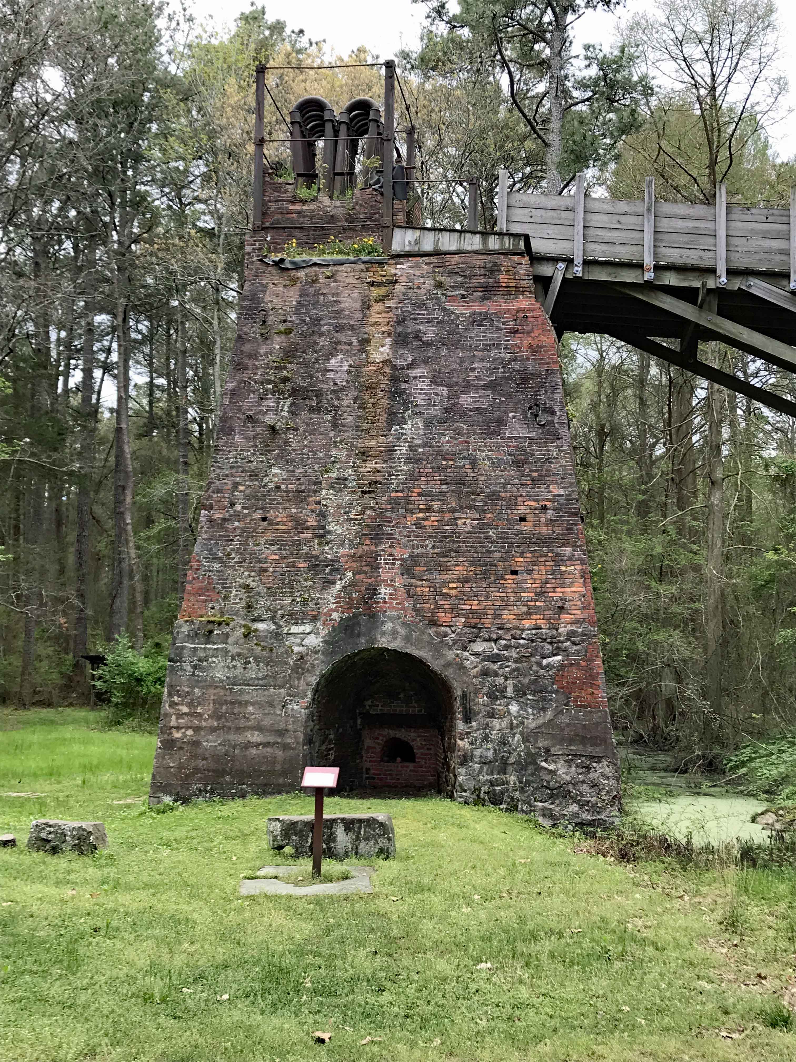
Different view.

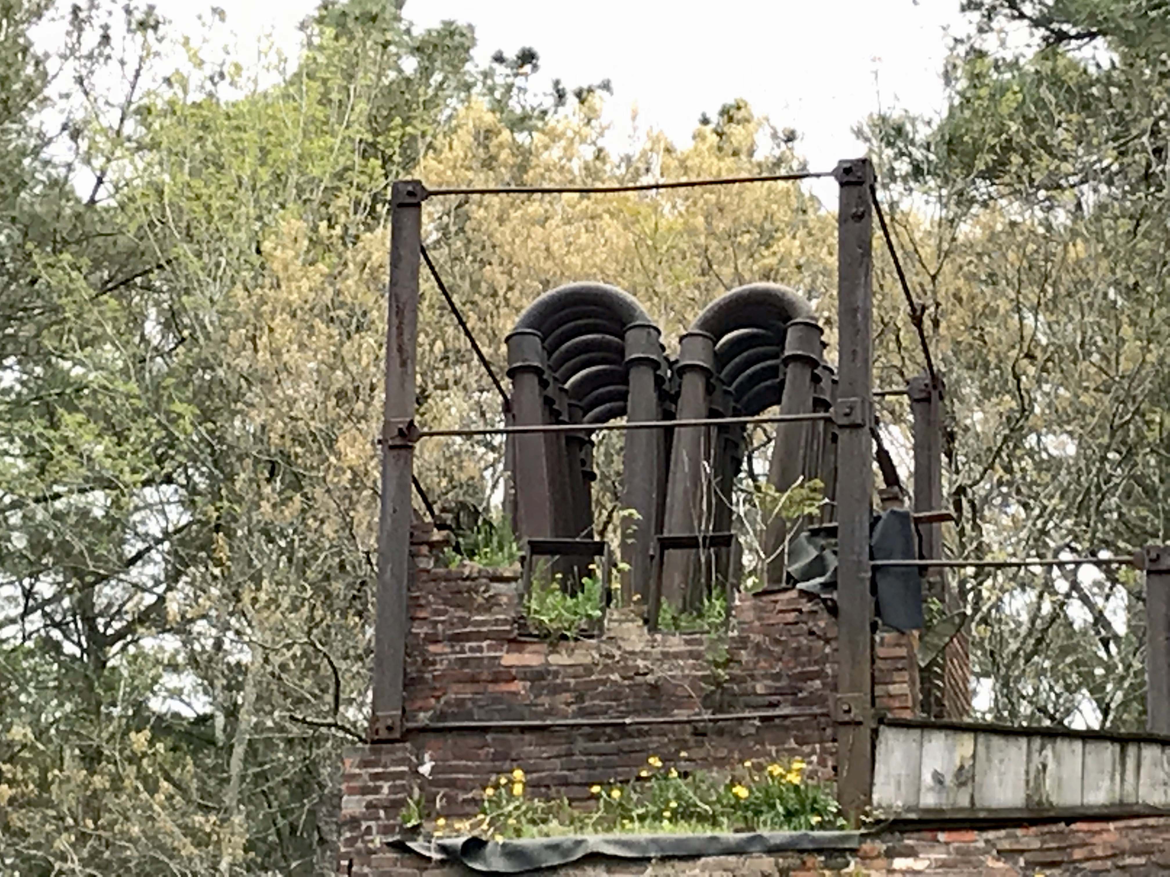
And another.

While down the bottom of the furnace, by the mill race, Kathy ran into this guy.

Moving on, here is the interior of the Weave House.

The Museum Building looks more like a church to me.

A replica of a building that is no longer there.

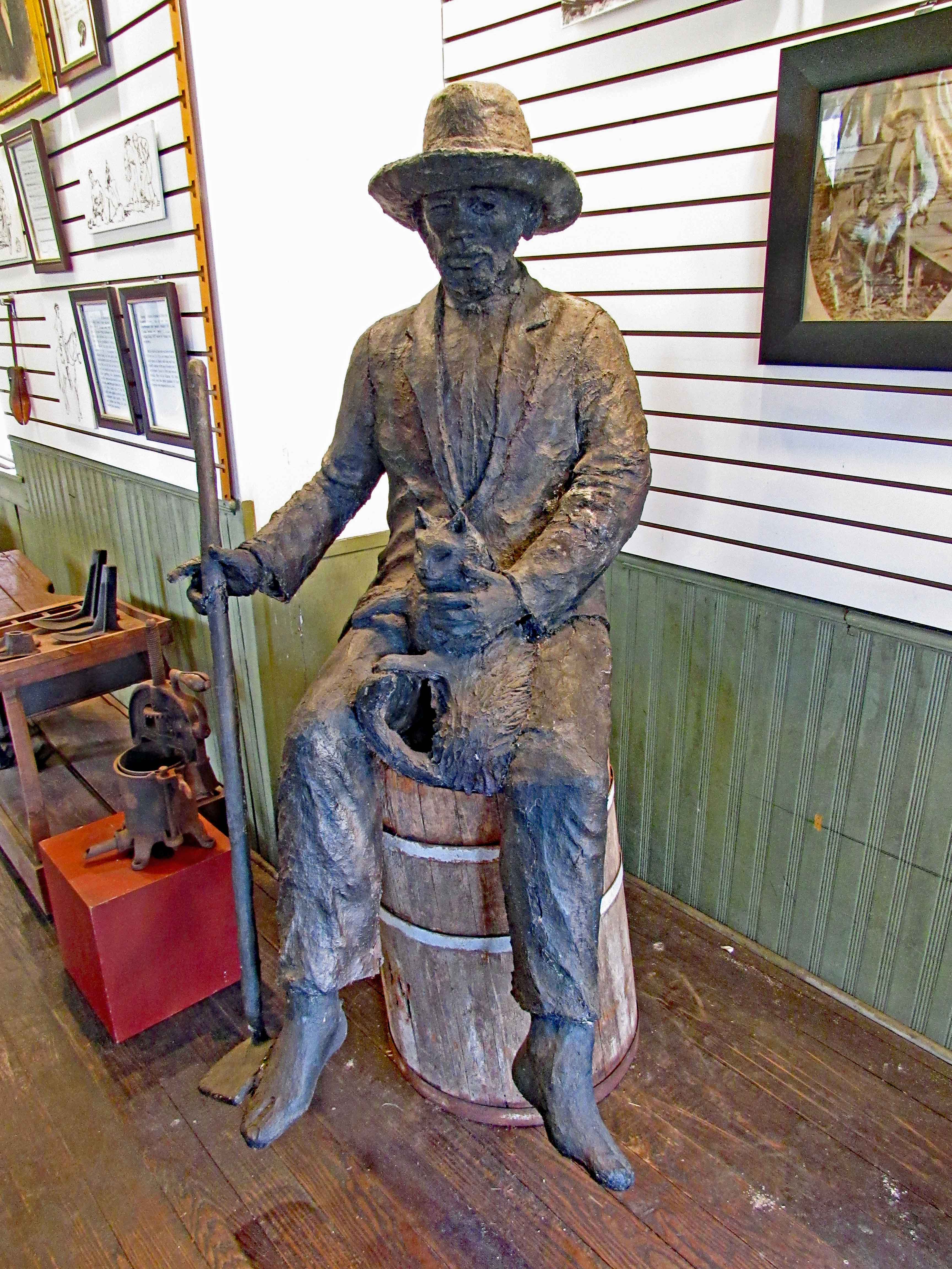
Then there is this guy.

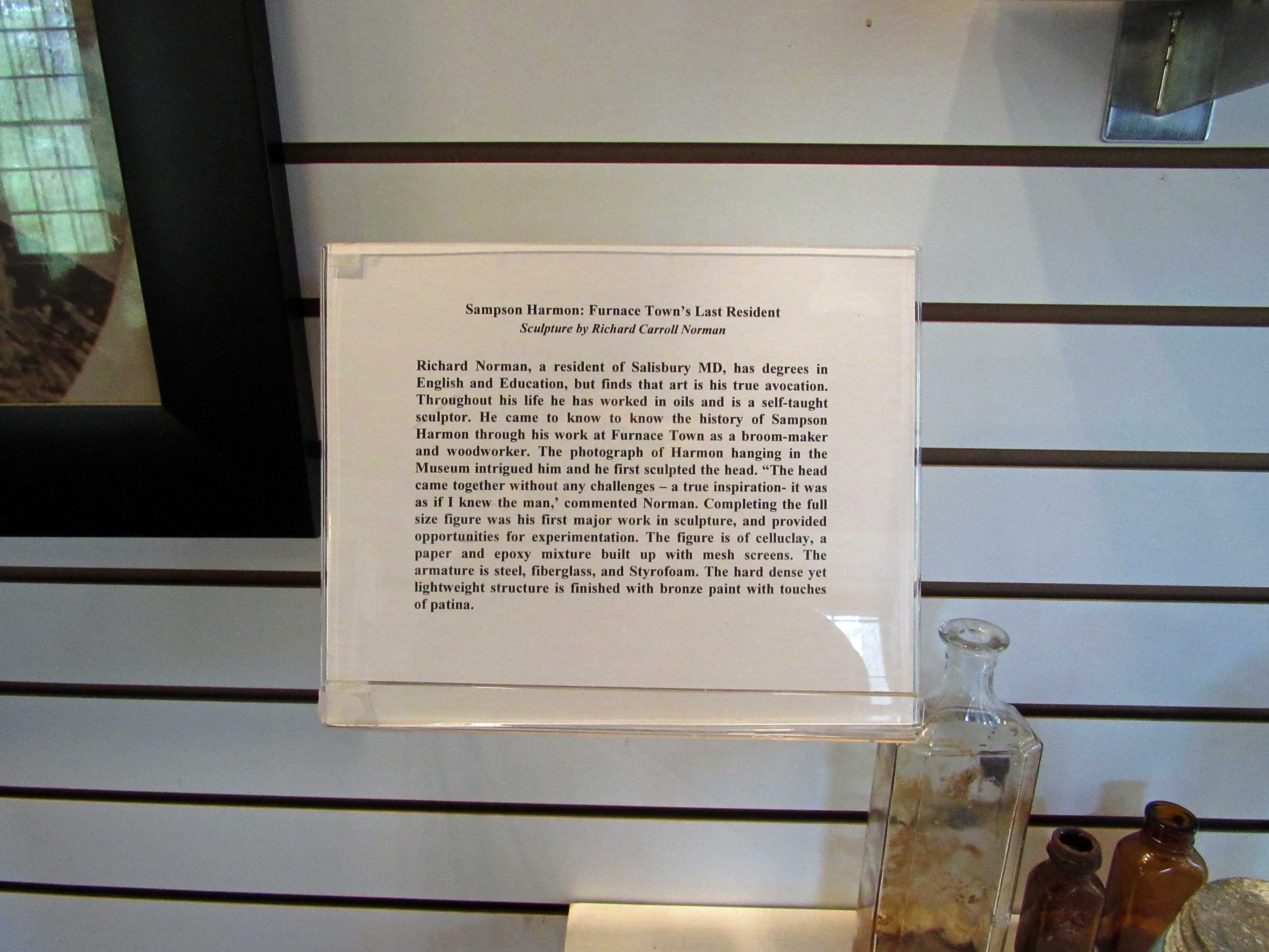
And who he was…

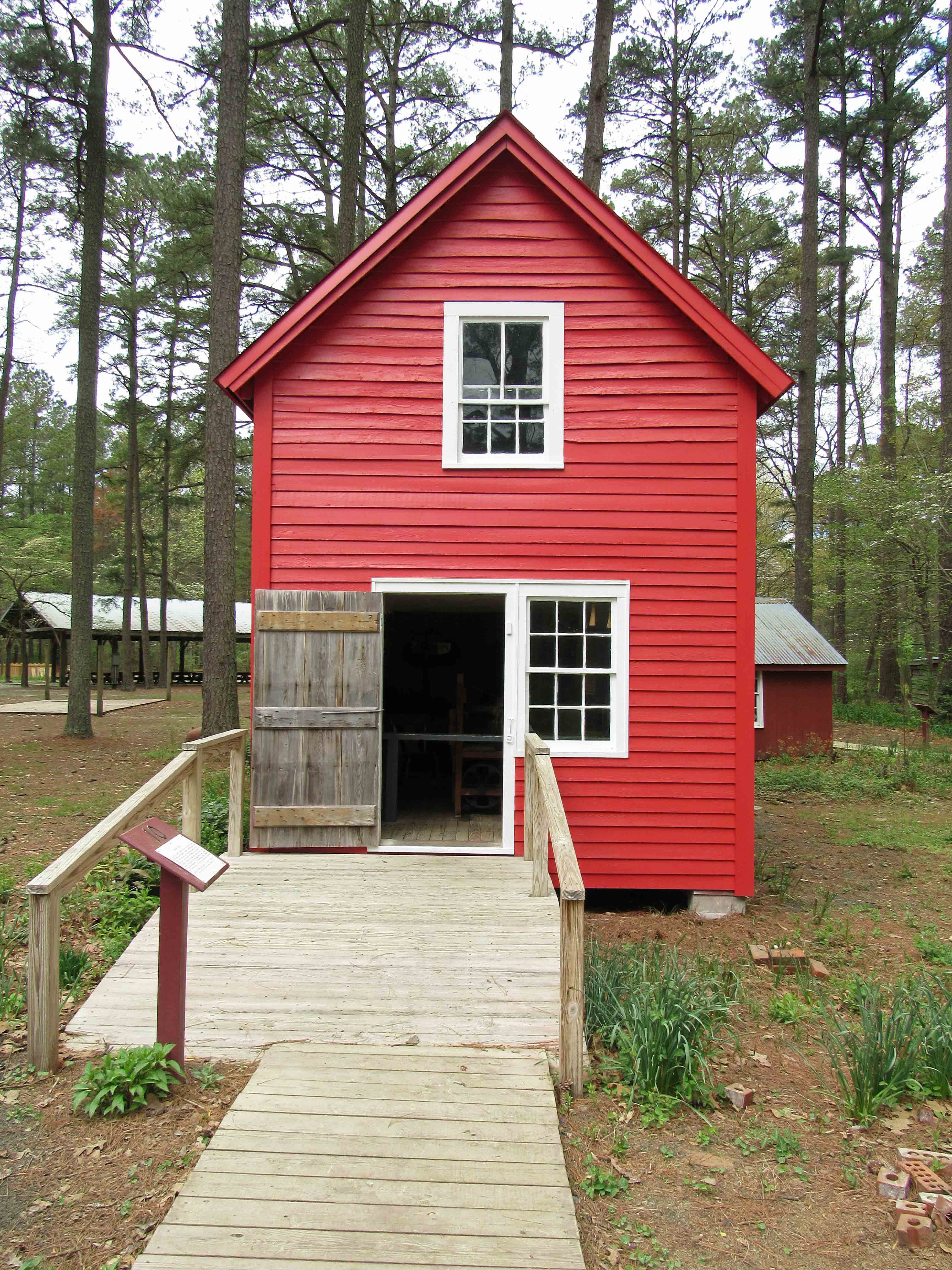
The Broom House.

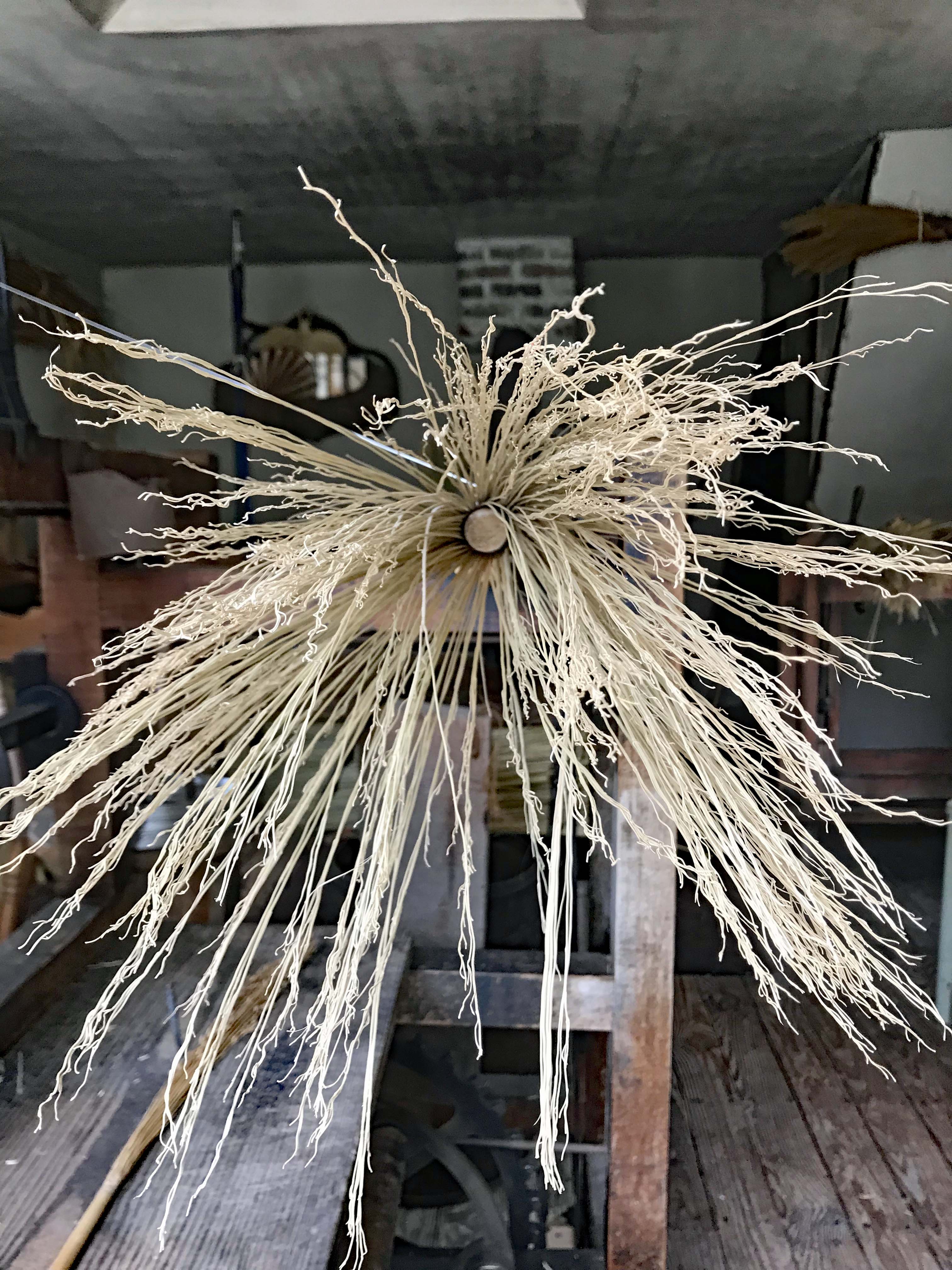
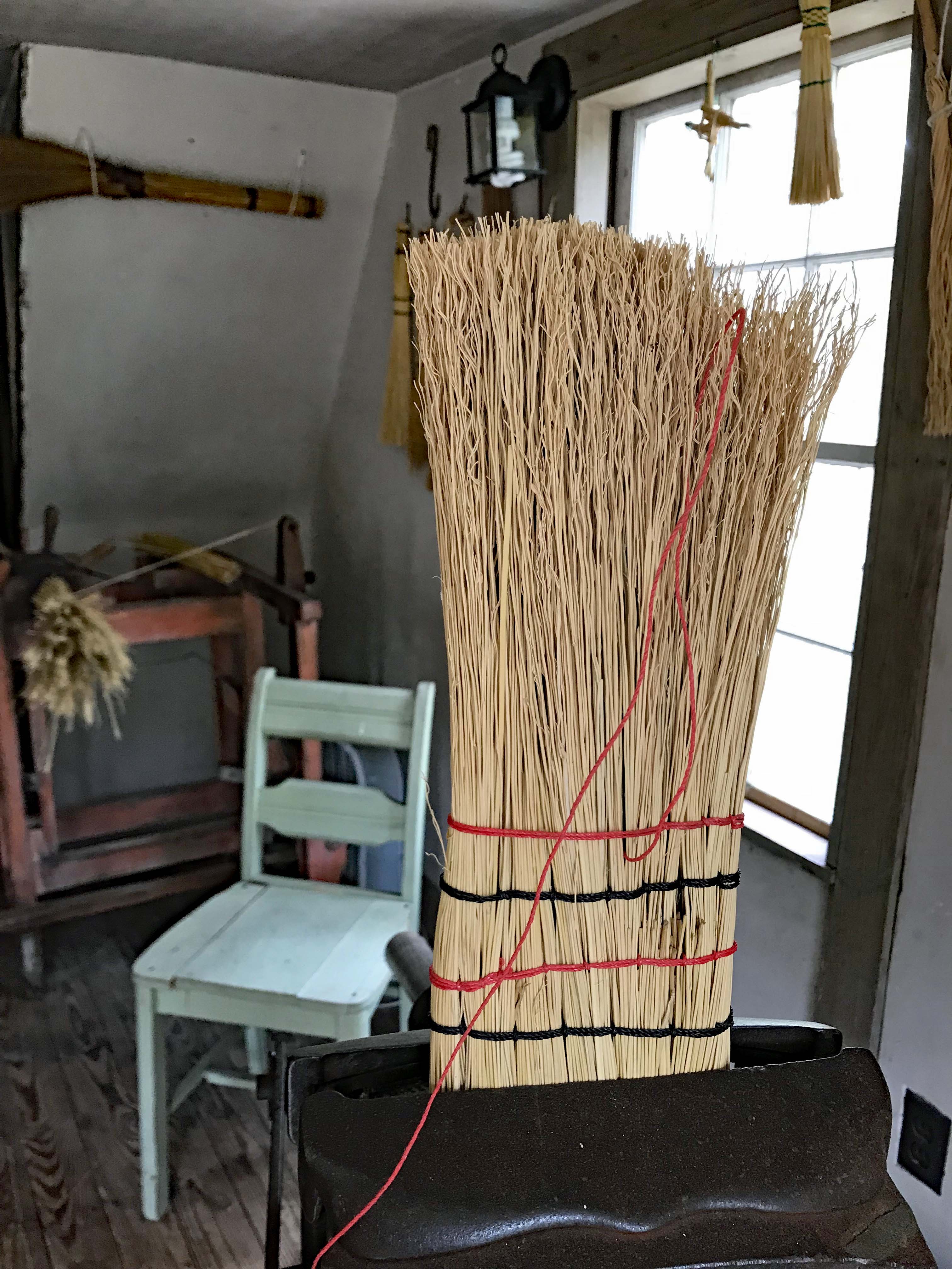
And what they made.

Almost finished.

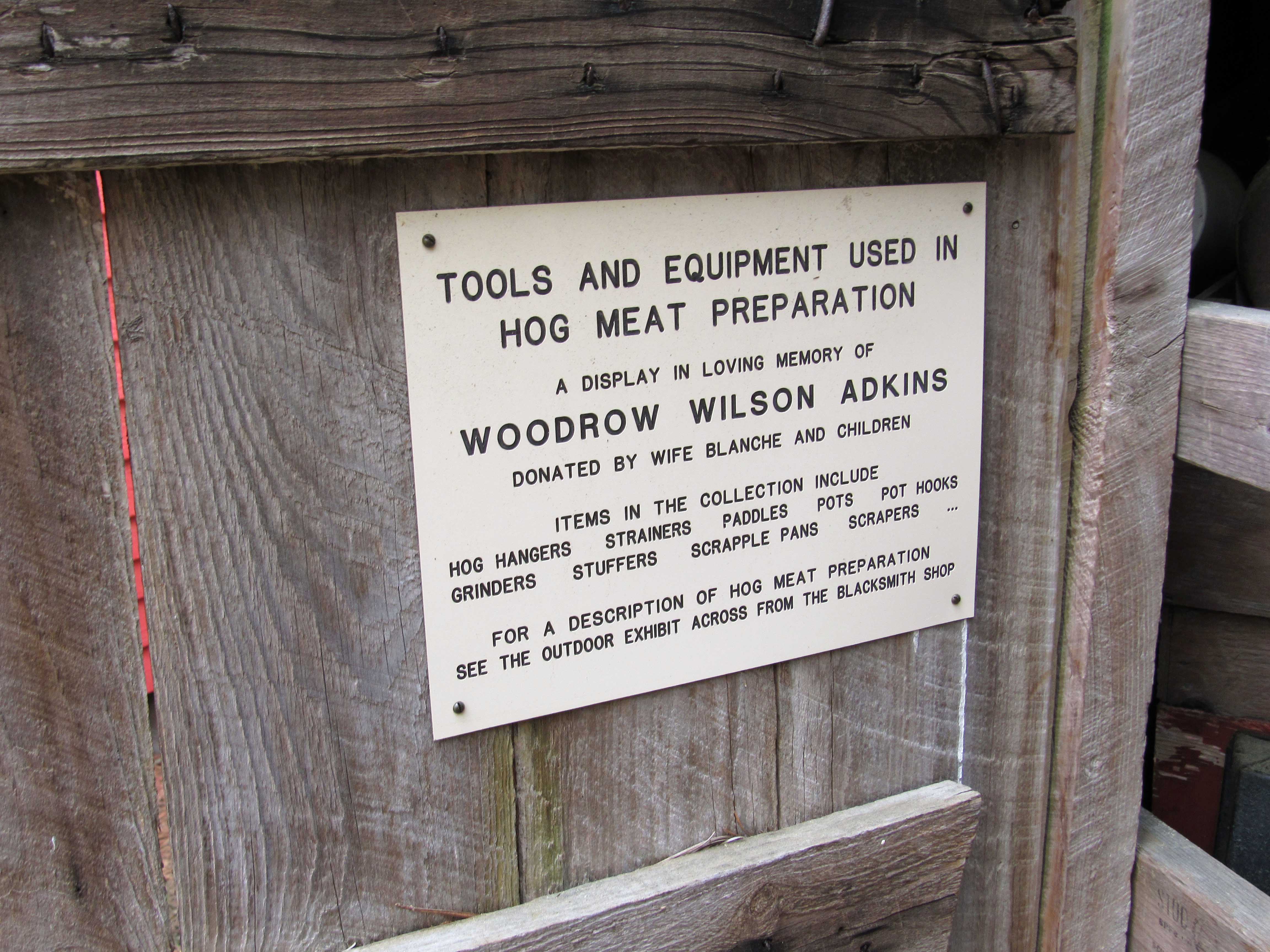
Tools of the trade for hogs.

Sign.

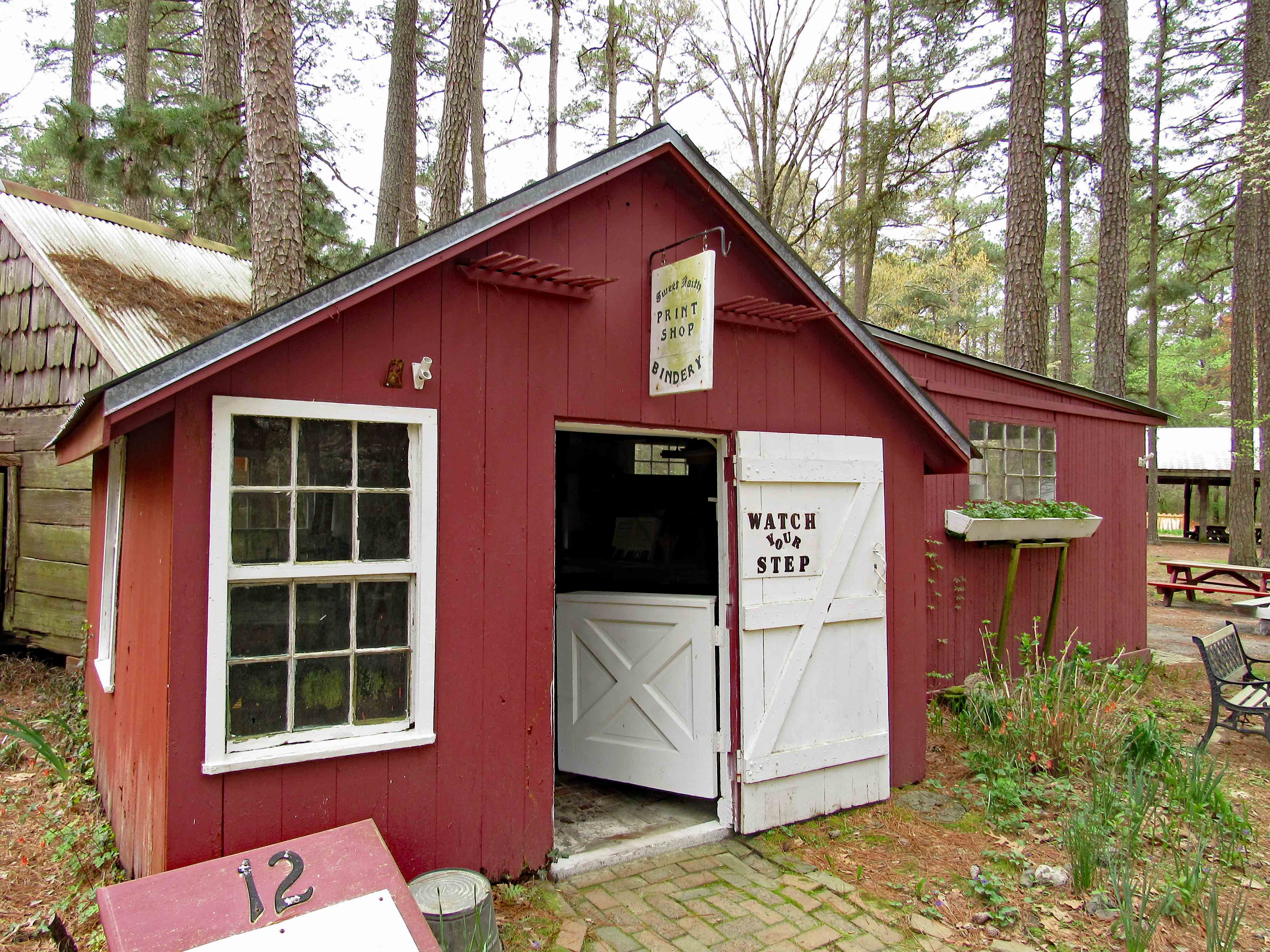
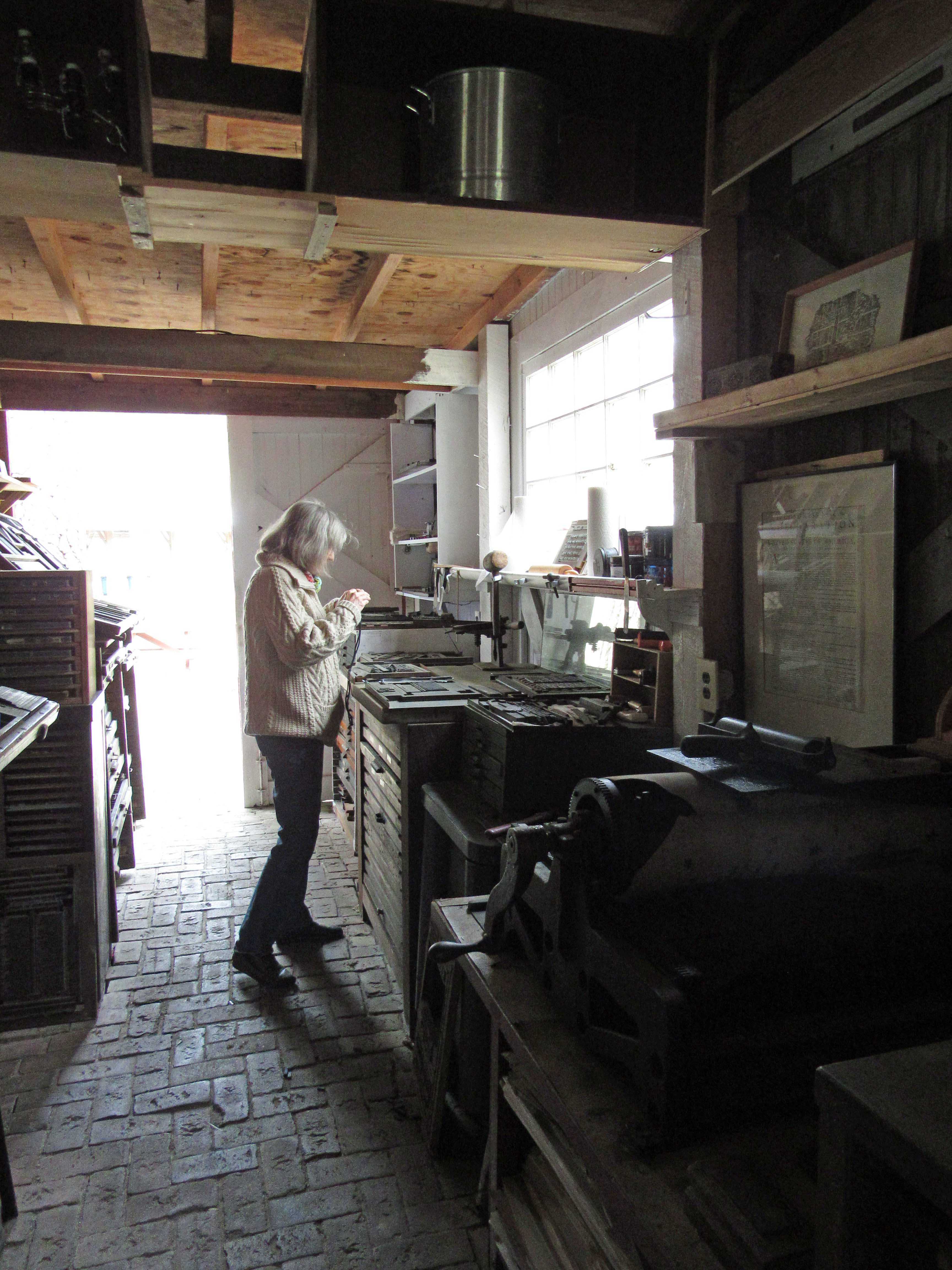
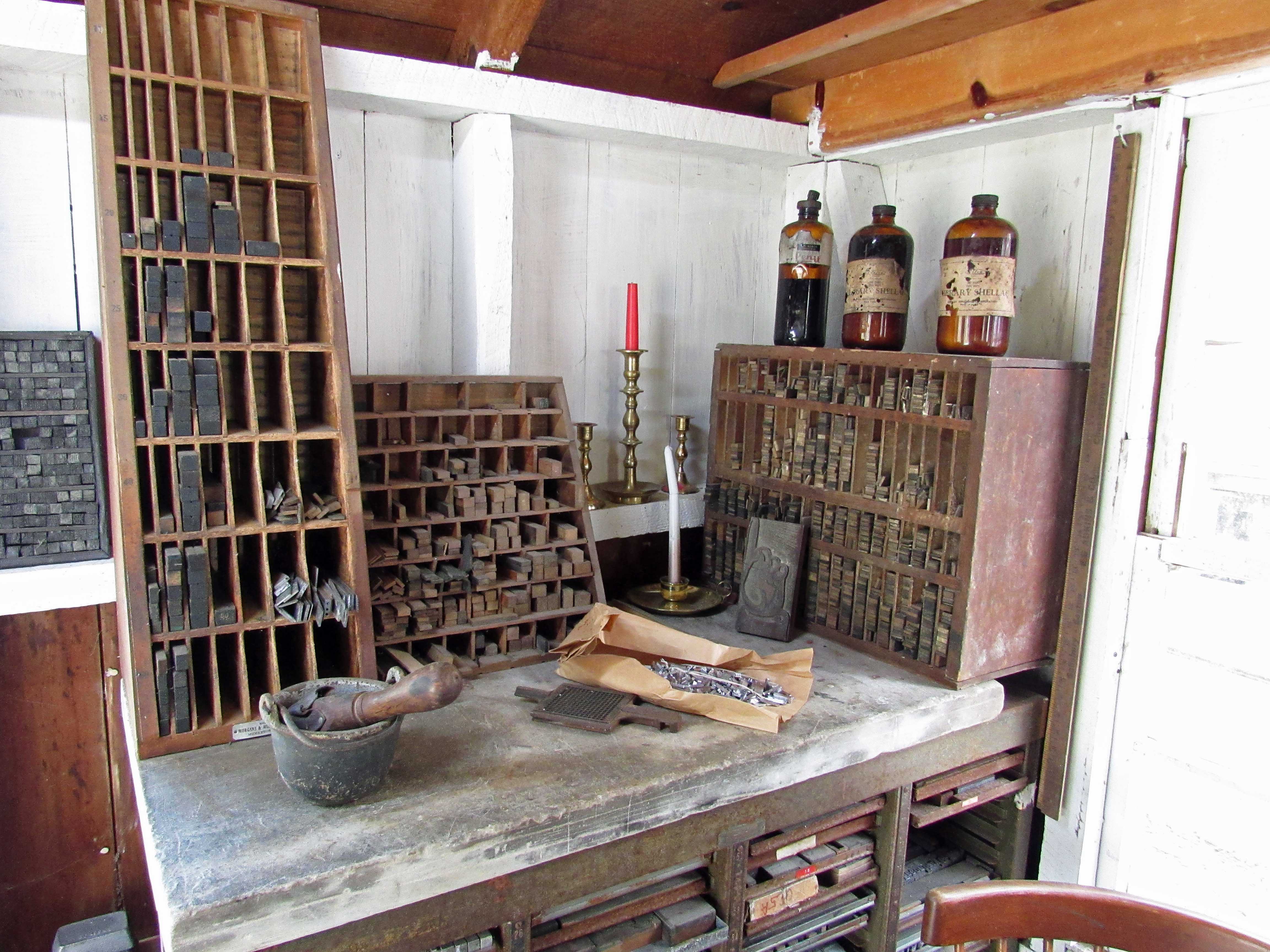
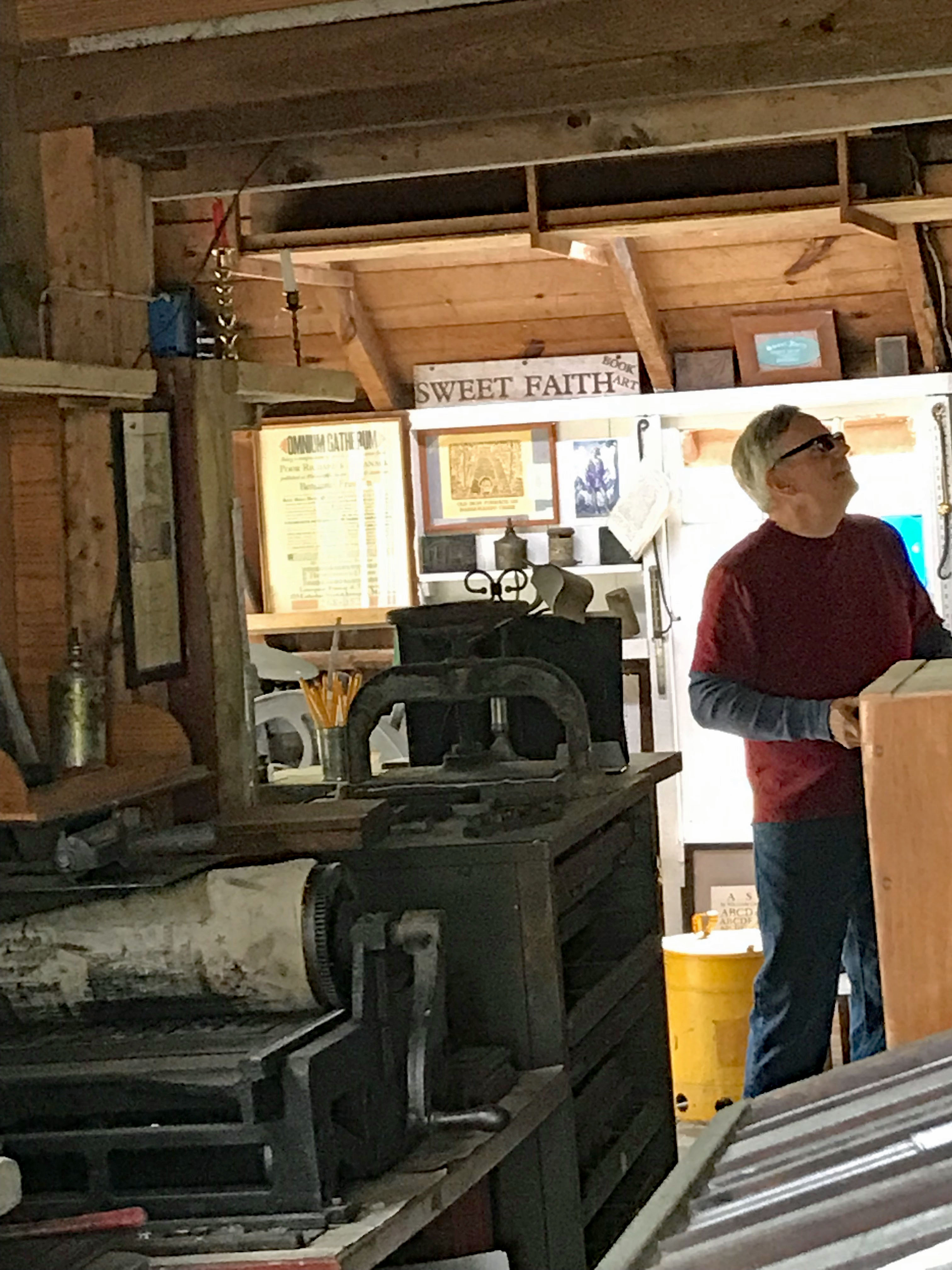
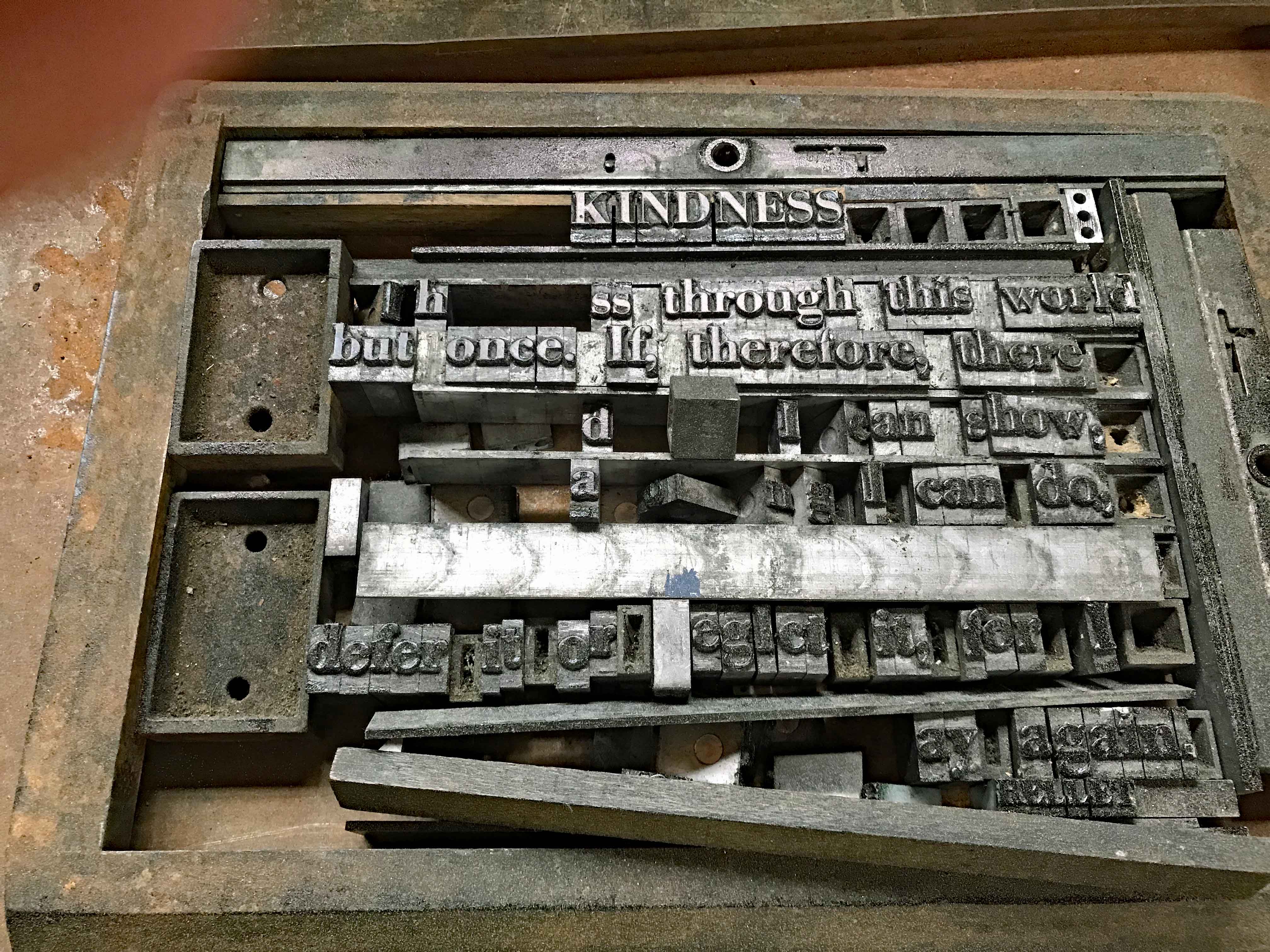
Next was one of my favorites – Print shop.

Kathy checking it out.

Tools of the trade.

Me checking it out.

Some of the things they print up.

And.

And… it looks like some pieces are missing from this one.

Ye Olde Out House.

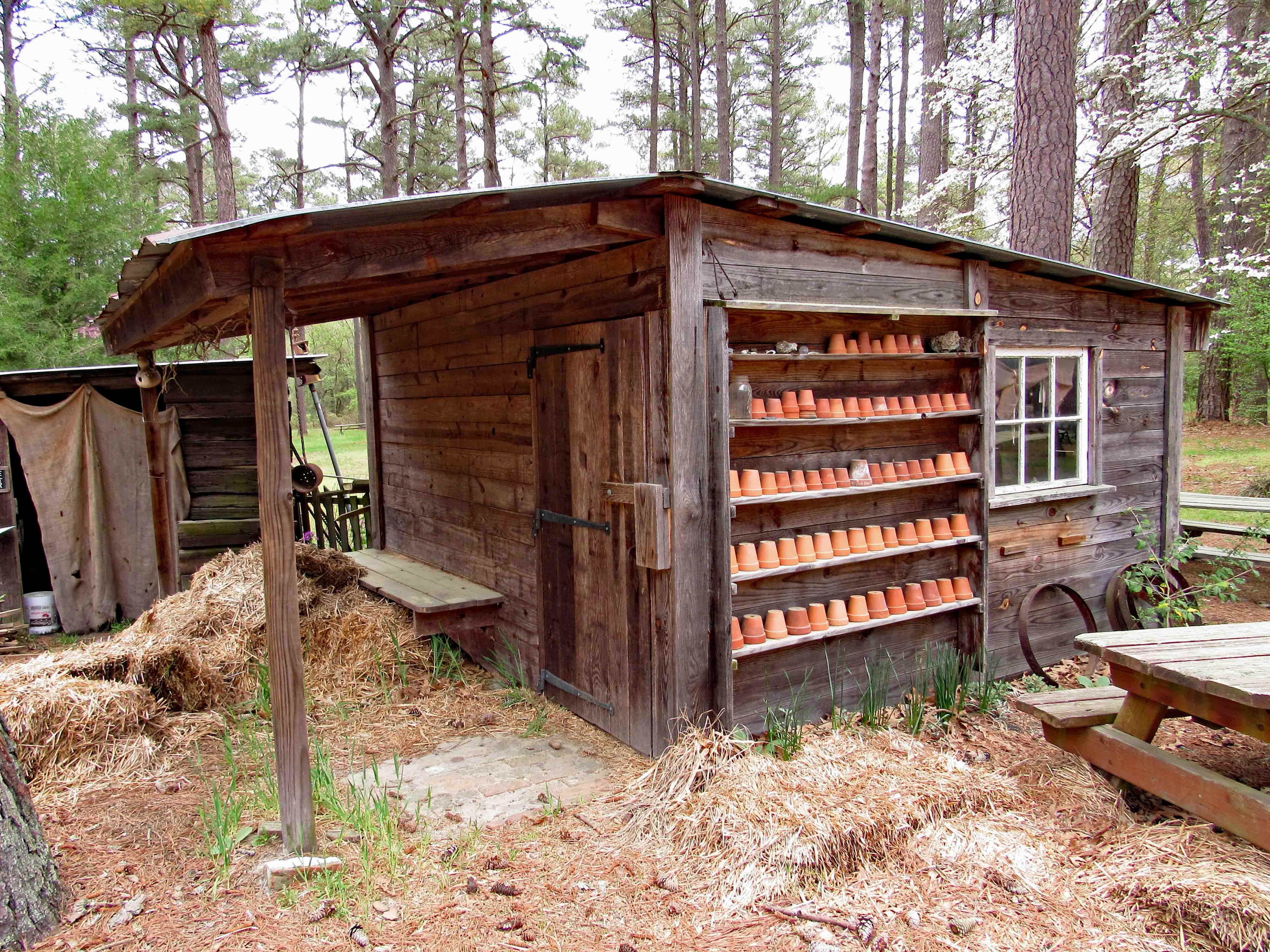
Gardener’s Shed.

One room school house. Built in 1869 near Whiton Md. Closed in 1931, moved to Snow Hill in 1959, then to the village in 2015.

Simple, basic education.

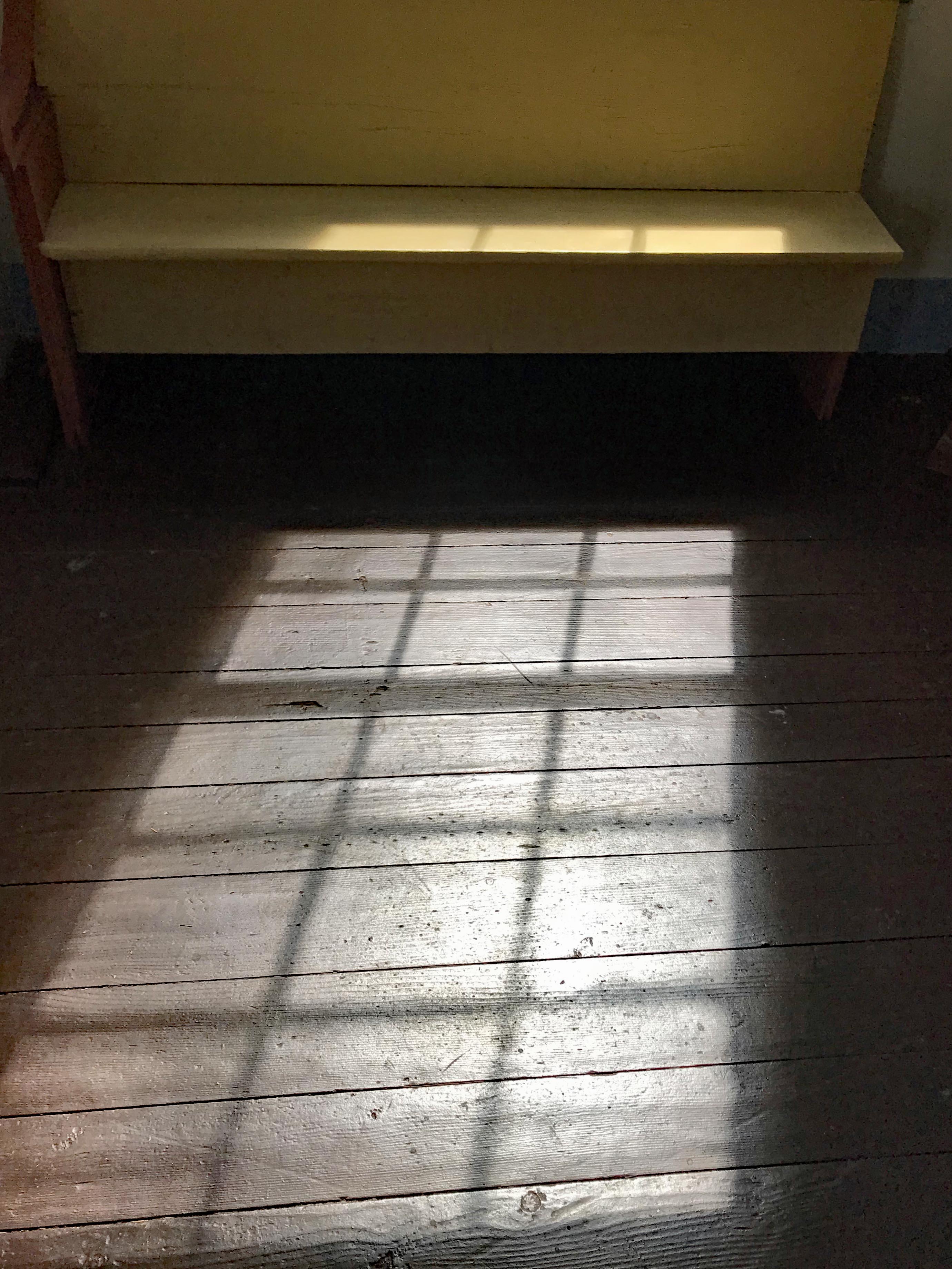
A shadow of a less complicated time.

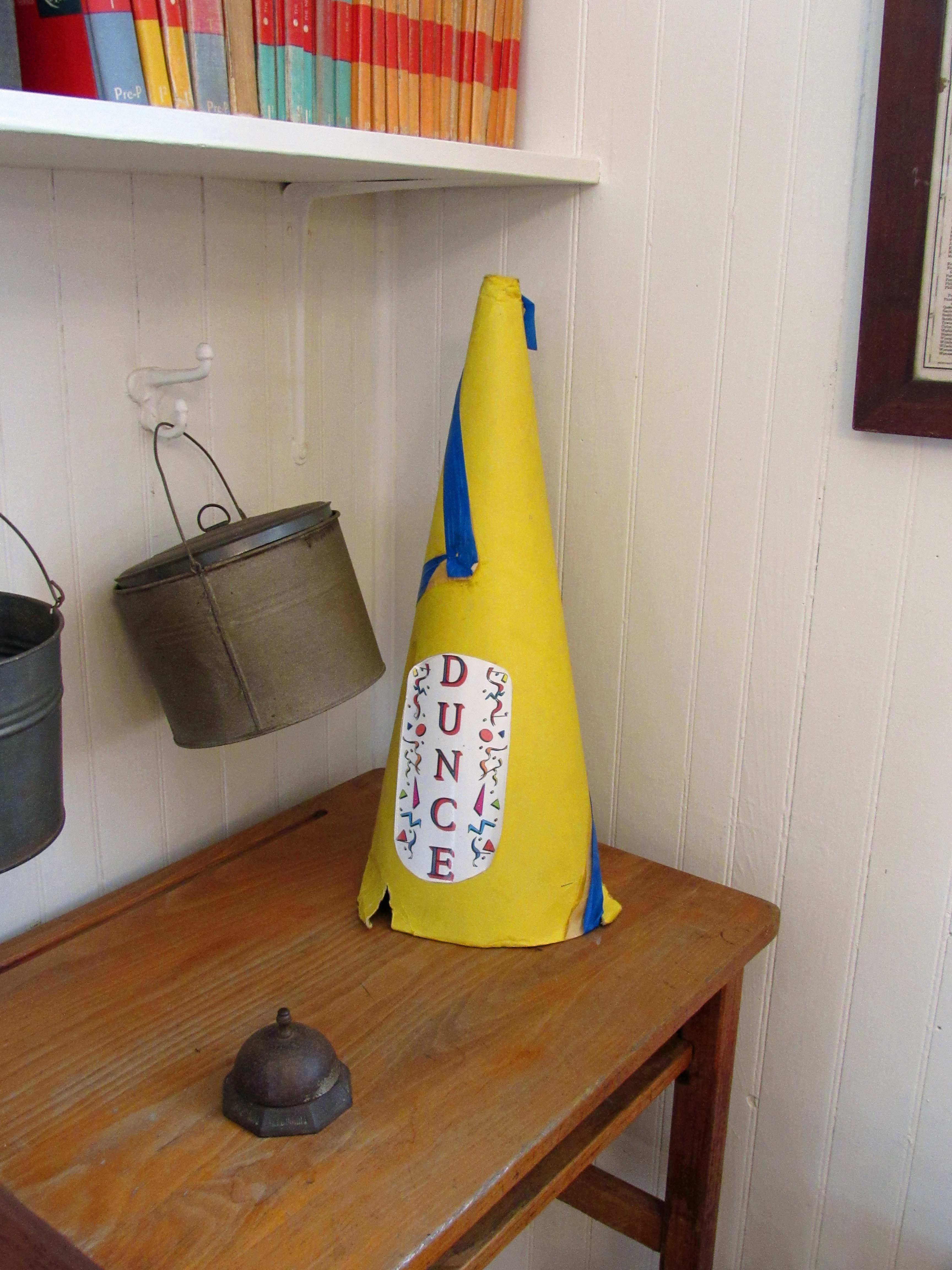
But surely still having its fair share of misfits.

This sculpture would be a great idea to be done for the lime kilns at Cromwell Valley Park. If I was more artistic, I would build it.

From here we headed to Chincoteague for some lunch on the beach.

And then a nature loop ride through the preserve.

Another great adventure! Thanks God.

The Unknowns

20 Thursday Dec 2018

Posted by Ronald Parks in Archives, HISTORY, water history

≈ 5 Comments

Tags

Baltimore, Dams, engineering, FILTRATION, glass plate negatives, Gunpowder Falls, Hampden Reservoir, HISTORY, Lake Ashburton, Lake Clifton, Lake Montebello, Loch Raven, Public Works, water history

As I continue my final countdown to retirement, which started 7 years ago, I have been placing all of my historical research of Baltimore’s Water Supply History onto the City’s intranet and an external hard drive, so that the person that takes my place, Andy, will be able to access the records easier. While moving the electronic files around, I have been coming across photographs marked as ‘Unknowns’, of which some still are, but others, that over the years, I have been able to figure out.

Reflecting back to my early years of doing research, it comes to mind that there has been quite a few people who have helped me along the way…

One such person was Martha, from the Historical Society of Baltimore County. After I cleaned out a room to make way for the new engineers, unbeknownst to me, one of those engineers gave some of our Glass Plate Negatives to Martha. These were over sized negatives that she used a photographic enlarger to make prints out of. At this time I had begun my research, haphazardly I must add! She brought back the negatives with accompanying photographs. Here is one:

From this print I was able to determine that one of my unknowns was a different view of this site – the building of the Montebello Lake Gate House between 1875-1880. Here is the GPN that I found:

For the next couple of years Martha and I would butt heads on how I was doing my documenting/research and that is ok, we all have our opinions. Mostly we butted heads on her grandfather’s house at Montebello. She wants to save it, I would like to see it torn down. I have another blog on here about that.

Sometimes people help with a simple suggestion. I think it was Chris from Facebook who told me this next photo was of the Cross Keys Gate House on Falls Road. Which it turned out to be. The wood structure, which was a storage shed for alum, no longer exists. Soon after this I was invited to a Historical Preservation meeting on designating this as a historical building.

Bill, also from FB helped me with his suggestion on how to restore/fix some of these old photographs by using a simple tool in Photoshop Elements called the Spot Healing Brush Tool. Below is an example, before:

And after.

As can be seen, these photos did not have any markings on them, but by comparing the men in the photos to others, I was able to determine when and where these were taken. Below, one of my favorites, only because the man reminds me of Seth Bullock, was an unknown.

Matching him to another I found, that this was during the building of the diversion sewer around the then being built Lake Ashburton.

This next unknown didn’t really make much sense to me until I found one that was marked from the internet.

Looking close at the one below (Source, Special Collections MdHS) I was able to figure out that the above one is of the Hampden Reservoir.

These next few I had no clue about when I first found them years ago. After lots of research and inquiries from downtown and the public I was able to note that this is of Lake Clifton and its Gate House.

And this one, just marked as unknown, I needed to look at from a different perspective – imagine the front of the building instead of the rear – it is the high service engine house (noted in another blog).

Sometimes the numbers on a GPN helps me figure out what is going on. This one, well not much going on but I was later able to figure out that one of the Water Engineers took this photograph. It was to be the future location of the 1912-1915 site for the new Loch Raven Dam.

Again, a date and a number identifies this one as being part of the collection for the construction of Lake Ashburton. Another tell-tale sign is the engineer’s office in the background, which other photographs have been found, already labelled.
What appears to be a still, which I wouldn’t doubt and that I previously wrote about there being: The Stills At Avalon. Turns out to be where Montebello made there own liquid alum.
Originally marked as unknown and the fact that at the time it was found, I just couldn’t wrap my head around the fact that there was one dam built on top of another at Loch Raven. But this is what is going on here. Sometimes I would mark the photos as unknown if there was no date on them.

A favorite that went along with the above is this one. I knew what the drawing is of, just didn’t know the circumstances of the room. Turns out to be the photographers work shed on site.

This next one, after reading the Annual Reports, turns out to be of City employees searching for 2 boys that supposedly drowned in a quarry. The bodies were not recovered.

This next one is from a collection, another of which I asked the FB public to help me with, but no one knew, is of an ice floe. From the date I am thinking along the Gunpowder Falls? I was hoping someone would recognize the building.

This one, from 1909, I never figured out. I sure would like to find it and see what is at the top of the stairs! 1909 suggests Lake Ashburton. But where??

A few other people who have helped me along the way – Ed Papenfuse, retired State Archivist. Kurt Kocher, DPW Public Information Spokesperson. Rudy Chow, Director of Public Works who gave me permission to continue my research. Tim Bradin, my old boss who let me buy an expensive scanner with City money. All the City employees who kept an eye out for historical stuff just laying around or in the dumpster (received an 1875 drawing that was found in the recycle bin down town). I also thank the Baltimore City Archives, the Baltimore Historical Society, who have always shown an interest in my work, the Historical Society of Baltimore County, the new and old acquaintances I made on FaceBook  and many others. And thanks to Kathy who will listen to my excitement of a new historical find, smiling and wondering what the hell am I talking about, but still encourages me to continue on.

Wow, all those thank yous makes it sound like I am leaving or going somewhere! I am! I am retiring and moving to the Eastern Shore in the next couple weeks – but I will be back!

Some Favorites Before I Go

29 Thursday Nov 2018

Posted by Ronald Parks in Archives, Baltimore, HISTORY, Writing

≈ 9 Comments

Tags

Baltimore, Dams, engineering, glass plate negatives, Gunpowder Falls, HISTORY, Loch Raven, Public Works, Research, Warren, water history, writing

My time is winding down, working for the City of Baltimore, so I thought I would share some favorite photographs from my research and my time here…

This photograph is the one that started my writing. I guess it was sometime in the late 1970s that I started keeping journals of my life. Not sure why, but I did. Some were just in the form of letters that I later copied into an electronic file of my life, that I later turned into my auto-biography. This photo though started my writing on Baltimore’s Water Supply History, which was preceded by Building the Gunpowder Falls – Montebello Tunnel 1935 – 1940.

I have written about this photograph in an earlier blog post on October 20, 2017. Here are the introductory pages from my book that explains it:

Sometime in the late 1980s, renovations began in an old storage section of Plant II at the Montebello Filters on Hillen Road, in Baltimore City. This storage room was to be converted into an office area for the newly hired Water Treatment Engineers. Resident engineers were nothing new to the filtration plant, but somewhere in time, Plant Managers, Maintenance Supervisors and Bureau Chiefs had replaced them. Therefore, the addition of engineers to the staff became a momentous occasion, sparing no expenses to build them a new office and to make them feel welcomed.

It was just by coincidence that the storage area slated for renovation housed a majority of the records from the previous engineers, along with hundreds of glass plate negatives and photographic lanternslides. The maintenance supervisor of that time just saw boxes of junk and gave instructions to throw it all away. Thinking that the information in these boxes looked interesting, I told the laborers working on the project to take all this ‘junk’ and put in a room on the second floor. This second floor storage area actually did house a bunch of junk and a few years later, when I needed extra storage space, I went over and started cleaning out this room.

While sorting through the boxes, trying to decide what was worth keeping, I decided to keep it all, that I would just go ahead and straighten it out, putting it on shelves. It was while going through the material that I realized what a treasure trove of information was there: old blue prints, engineers’ logs, personal journals, water contracts dating back to the early 1900s, deeds to lands obtained by the city through the courts (along with the judge’s personal journal, dating back to the 1880s), early photographs and so much more. After I had sorted it all out the best I could, I left it alone for quite a few years.

In 2005, Richard Vann, one of the newly hired engineers, received instructions to put together a history of the water department; mostly just listing all the water contracts and what work was done for each one. However, Richard, being a very thorough individual, started listing everything, from who the mayor was to what the inspector’s names were on the jobs. He put this information in chronological order but found that there were gaps in his work, that years were missing from the little bit of records that he had. I then showed him the books and information that I had found years earlier and he started to enter this information into his time line.

In 2006, my boss asked me to assist Richard in what he was doing. We were having electrical problems at the time and I was to work with him to put together a diagram showing all the electrical work done over the years. In the 26 plus years that I have worked here, there has always been a construction project going on, but no one has ever put together an ‘as built’ drawing of the electrical system. So I set up shop adjacent to Richard’s office and via email, he sent me the information that he had. While reading the chronology, I remembered that I had seen additional information, even photos, of things Richard had written about, packed away in the second floor storage area. I decided to go back through all those shelves and boxes of history and see what I could match up to what he had listed.

When I came upon the glass plate negatives, I decided to have some of them processed and turned into photos. This became an expensive proposition so I decided to learn how to do this on my own. My boss gave me permission to buy the equipment I needed, which was no more than a scanner capable of scanning 8” x 10” negatives and Lantern Slides, software to invert the negatives into a positive and a good printer.

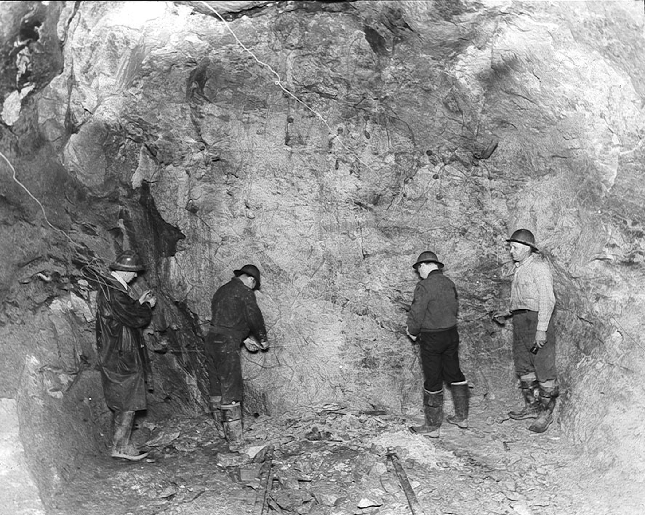
While working with one of the lanternslides, I noticed something odd, that in a tunnel, where workers were excavating, there were train tracks that came to a dead end under what looked like a giant boulder. This particular slide came from a box from around 1938, so I asked Richard if he had any information on an event of that year that was of interest. Sure enough, he showed me the Annual Report covering the year 1938 where it was reported that an explosion had occurred in the building of the Gunpowder-Montebello Tunnel.

This notation in the report was only about a half a paragraph long, nothing more than a blurb, so I decided to investigate it further. Searching through all those records that were about to be thrown away 20 years ago, stumbling across filing cabinets that had been stored at the Ashburton Filtration Plant (Home of the Water Engineers in the late 1950s), and researching the archives of the local newspapers, I was able to piece together the story below.

(Note: Upon further research, I found that the picture above was not from the tunnel explosion, but rather a progress photo from 1938 of the heading  being loaded and wired for blasting. Unfortunately, the tunnel explosion photos are missing from the collection.)

I would like to take this time to thank Richard Vann, Water Systems Engineer, for pointing me in the direction to find this information. His chronology alone could fill a book.

This next photo, from 1921, inspired me to start writing young adult fiction. When the City was buying up all the properties around the Gunpowder Falls, with the intent to raise the dam from an elevation 188′ to 270′ (settled on el 240′) many families and businesses were displaced. To me this is a sad photograph. The woman and her 3 children, who are renters, being displaced for a damn dam. (Not sure if this house was in the 270′ or 240′ flood lands, in either case, the City would still take to enlarge its watershed). 

Here is the opening to a book I have yet to finish. Hopefully some day. Not yet edited for correctness..

The Children of Warren
“Jennifer, wake up. We have to go.”
“No! I don’t wanna!”
“Come on, you know what today is! You don’t want them to flood us out, do you?”
With that, Jennifer sits up in her bed and looks at her mother, eyes wide open and says, “They couldn’t do that! You wouldn’t let them, would you mom?”
Her mom pulls her close, reassuringly, and tells her, “Honey, if I had my way, they wouldn’t be allowed to flood us out at all, but it ain’t up to me. So come on, get up and get yourself dressed.”
With that, Jennifer pulls herself to the side of the bed and when her feet touch the cold dirt floor she shrieks in disgust, “Mom! Why’d they take the floor out? Why couldn’t they wait until we were gone!”
“Honey, we’ve been over this a hundred times” her mother says, trying not to sound irritated at the constant questioning of ‘why’. “You know your father and me had to sell off what we could before the City took it from us.”
“But I loved our floors mommy. Daddy worked so hard making them pretty for us.”
“I know honey” her mom says, reminiscing about better days in Warren…

I showed this initial writing to a friend and explained the story (kids go back to the town before it is flooded and get caught in the flood…) and they told me there was already a movie about this kind of event, called “In Dreams” with Robert Downey Jr. Ha!

Back River 100+ Years

11 Wednesday Jul 2018

Posted by Ronald Parks in Archives, Baltimore, HISTORY, Sewage History

≈ Leave a comment

Tags

Back River, Baltimore, engineering, FILTRATION, Public Works, Research, sewage, Sewage History

I went to the Back River Waste Water Treatment Plant the other day. I was looking for some surplus bricks and also to turn in a security gate swipe card that was given to me many years ago. Since I had not been there in a few years, I thought I would give myself a tour. It sure has changed with all the new construction. A lot of the older buildings are gone, replaced by new Clean Water Regulations. Last I heard it was over a billion dollars in upgrades!

Here is an aerial view of the plant. Red numbers correspond to the photographs. I tried to match up some of the older photos I have with what remains, not yet demolished.

This next drawing (thanks engineering) labels the buildings.

Here is a photo of just outside the gate, when the plant was first built, showing homes for sale. I had previously posted another blog back in March 2016 of the Eastern Ave entrance.

And here is an older aerial, showing a race track on the property.

Once through the gate and past the admin building on the right was this building. (#1) This was where I first started collecting and documenting the water and sewerage archives.

This is what is there now.

Across from here was a really smelly tank (#2). The drawing calls them the Primary Clarifiers.

Around the corner use to be this.

This is all that is left of the Trickling Filters.

The Waste Pickle Liquor Facility!?

A close up view (#4)

The sludge Storage lagoon, according to the drawing. A worker there said they were sludge storage tanks that are no longer being used.

Let’s see what is up top (#5). It is covered over.

I tried to do some research in the one building by the smokestack years ago. I even volunteered to clean the mess up and document everything, but after a few years of asking and getting no response, I said forget it. There are a lot of the early sewer contracts on the 3rd floor. (#6)

The building to the left was the Vacuum Filter Building as shown below from the 1930s. 

Next was a real lagoon of sorts. Just another dumping ground. (#7)


Then onto this – the Elutriation Tanks (can’t pronounce it, so I can’t explain it!!) It didn’t smell as bad as the first tank though.

I ran into a worker and asked where does all this flow into the river at, so he showed me. (#9) All the years of coming down here, this was the first time I saw this.

The sewage gently cascading down the steps to an opening that dumps into the river (as if sewerage can be called “gently cascading”!)

Past the trees and out into the river. (#10)

If anyone wants to fish near here, believe me, you don’t want to.

Here is what was the plant effluent when the plant was first built. Wooden Pipes.

They moved this discharge point over a bit, replacing the wood with steel.

Here is the view from the side, of the new concrete and steel structure.

With a close up. There were quite a few osprey in the area.

Next was the filtration building. (#11)

And how the original one looked when it was first being built.

Getting ready to head out and saw these stairs! 

Ooops wait! Wrong photo (Although I did travel to Mexico and saw the ruins years ago) (#12)

Not sure what these were but it still has water flowing through it.

As can be seen on the above drawing there are a couple notations concerning Bethlehem Steel. With that plant closed down, I wonder where these pipe go and the purpose of the buildings?

Nice day at wastewater. PS – I never did find the bricks I was looking for. Ending up going to the Loading Dock and buying them!

← Older posts

Blogroll

  • Flouride Action Network
  • lulu
  • My Book
  • WordPress.com
  • WordPress.org

Recent Posts

  • In Search of The Skipjack Ada Mae
  • Trap Pond Kayak
  • Pusey Trail and Cemeteries
  • Chandler Tract (White Trail) 4 3 21
  • Oyster Fritters, Antiques, a Hike (and a bad sign)

Blog at WordPress.com.

  • Follow Following
    • Water and Me
    • Join 226 other followers
    • Already have a WordPress.com account? Log in now.
    • Water and Me
    • Customize
    • Follow Following
    • Sign up
    • Log in
    • Report this content
    • View site in Reader
    • Manage subscriptions
    • Collapse this bar
 

Loading Comments...