Tags
boating, bridges, Cape Lookout, Dismal Swamp, Fog, LSD50, North Carolina, shells, Shrimp, SpaceX, Sunset, Swansboro, Tern
Another great road trip to North Carolina. Kathy already there for a week before I headed down to pick her up. I was to stay a week also but the weather took a turn for the worse and we came back a couple days early.
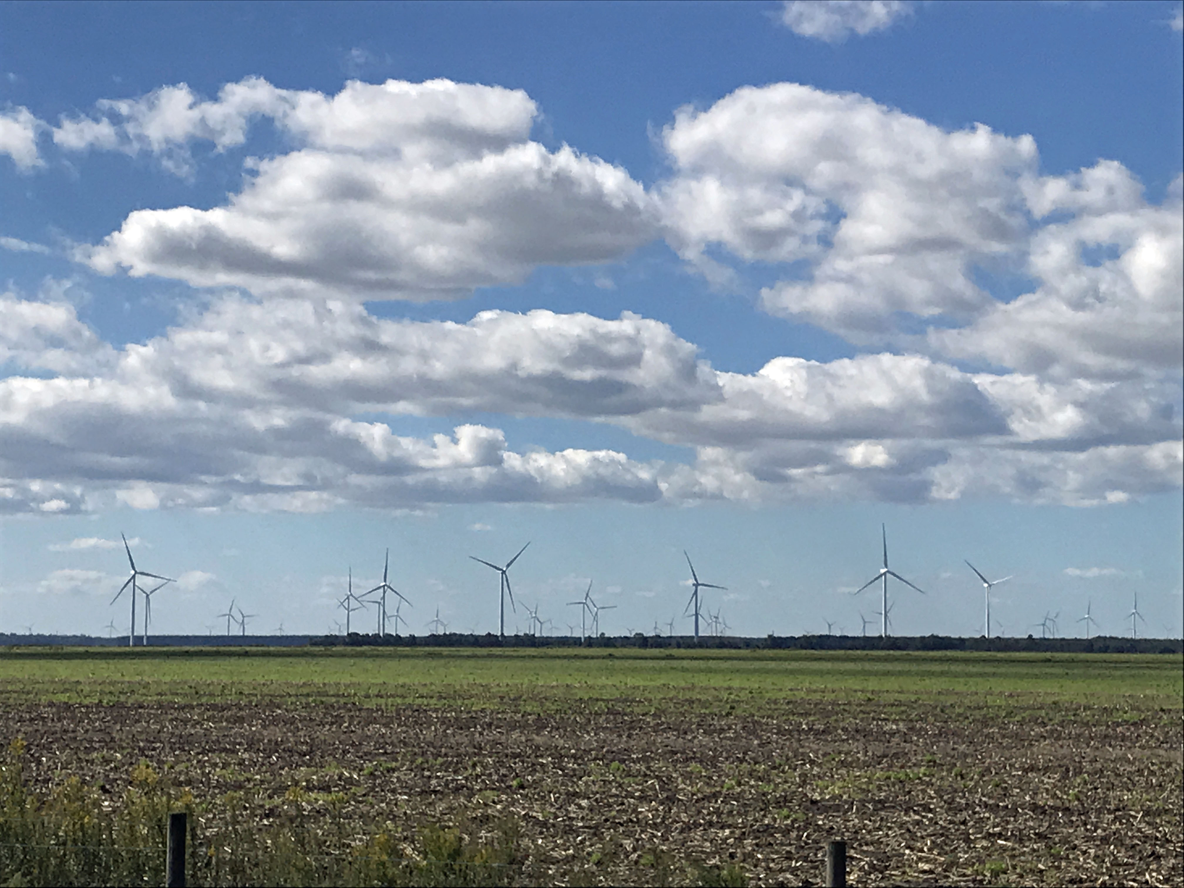
It was very foggy when I left Salisbury, Md. to head south. The fog did not dissipate until well after Edenton. I missed the windmill farm, but Kathy got a photo of it.
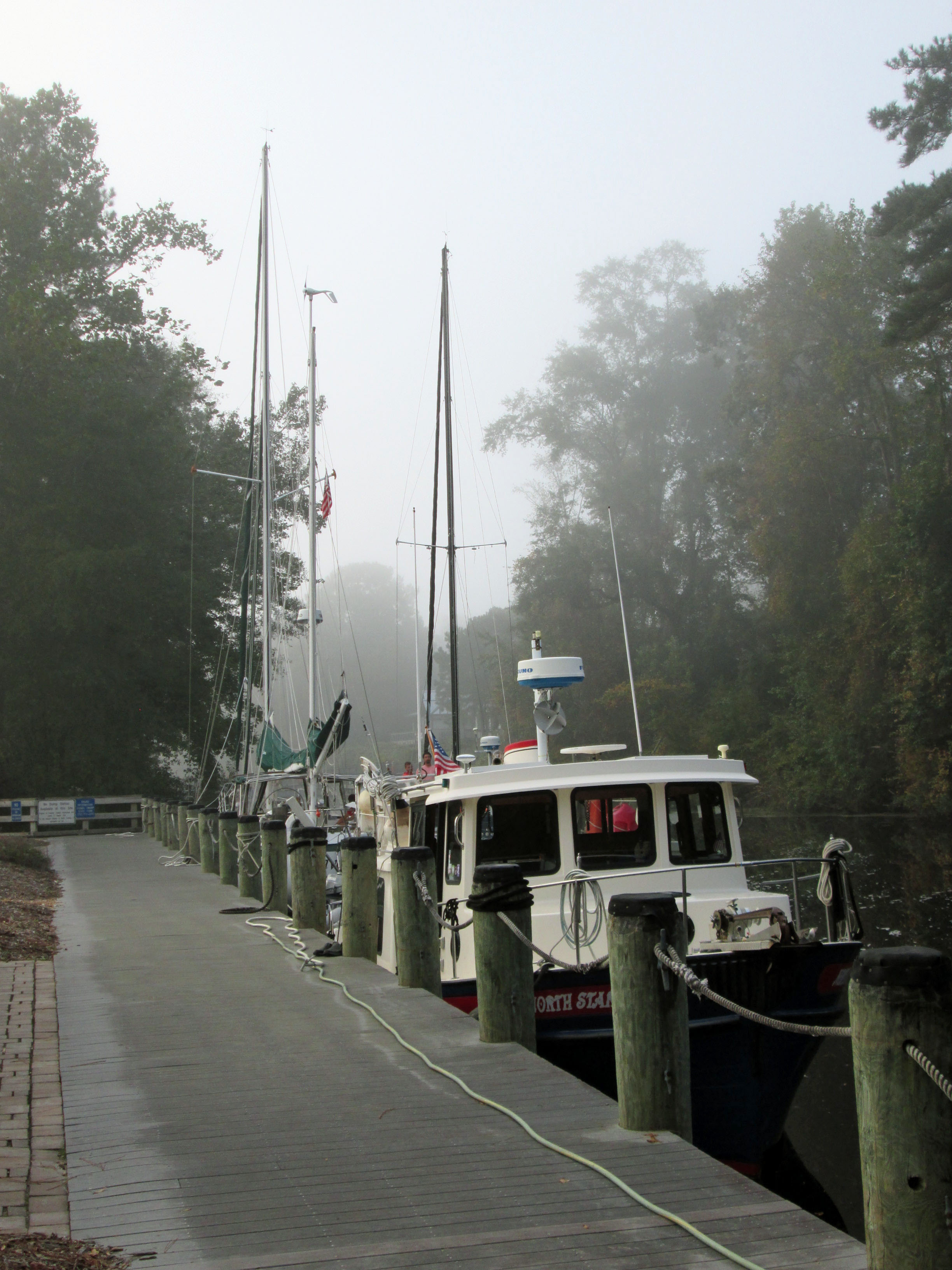
One of my favorite stops is at the Dismal Swamp. About 1/2 way there.
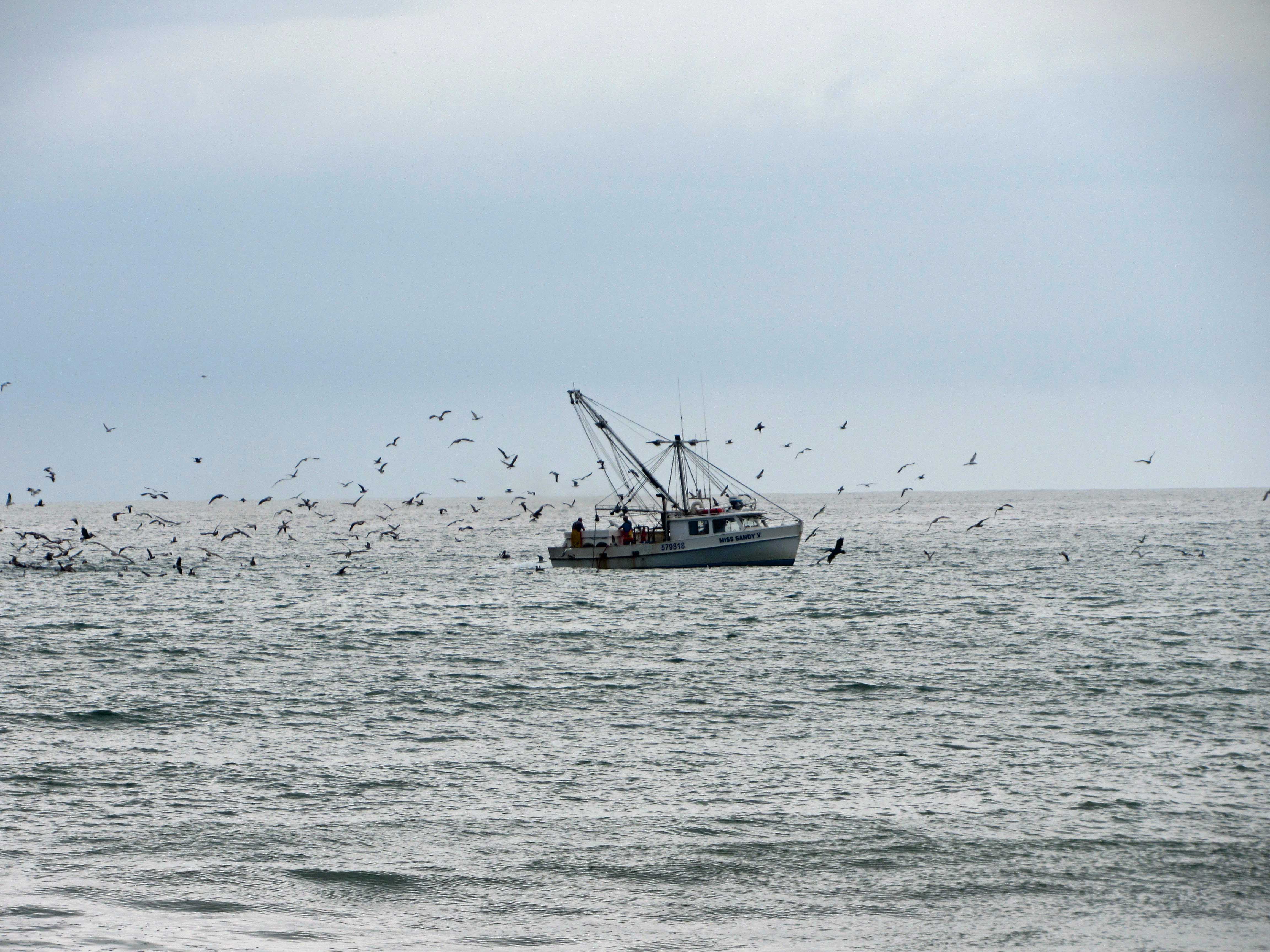
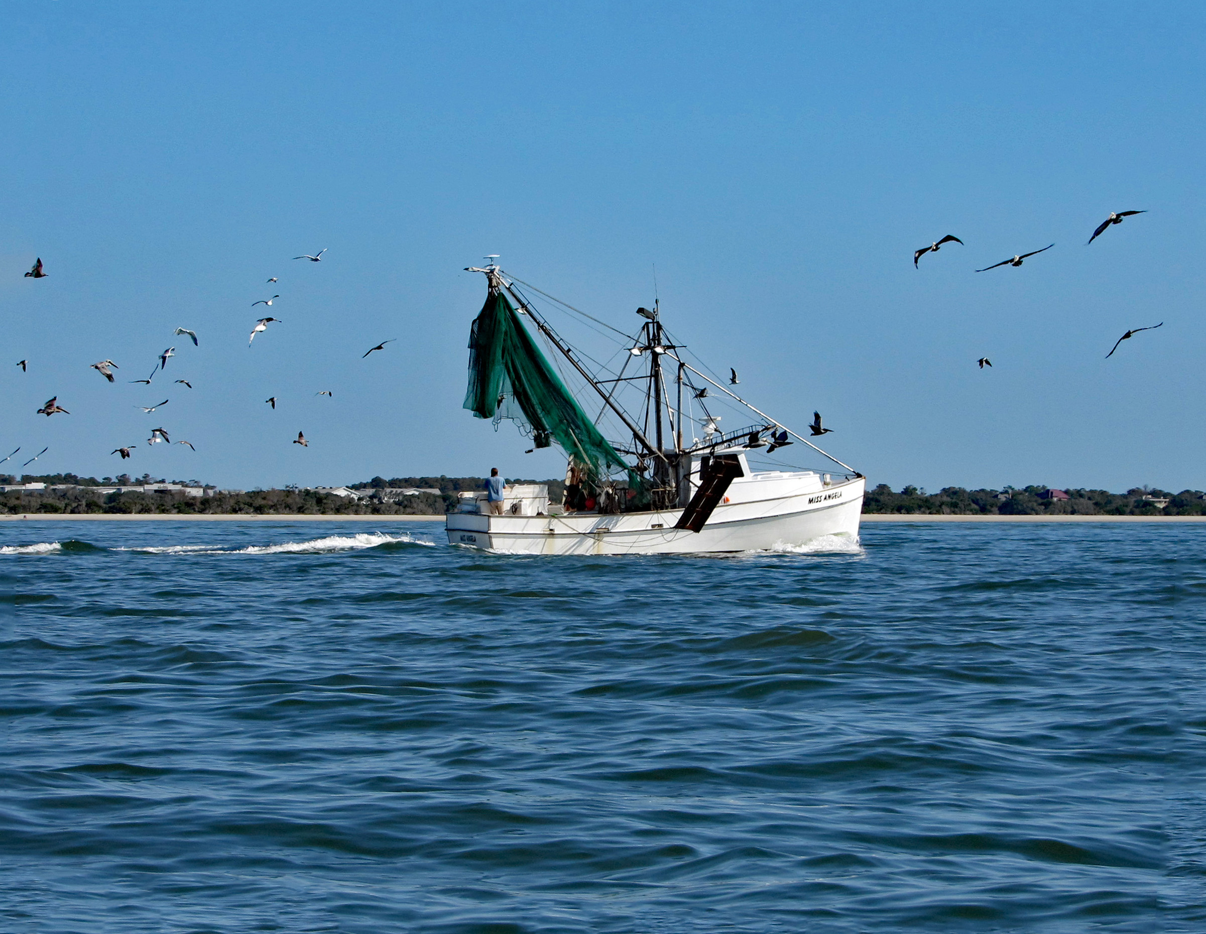
Arrived at Indian Beach, N.C. and we took a walk. Shrimp boat.
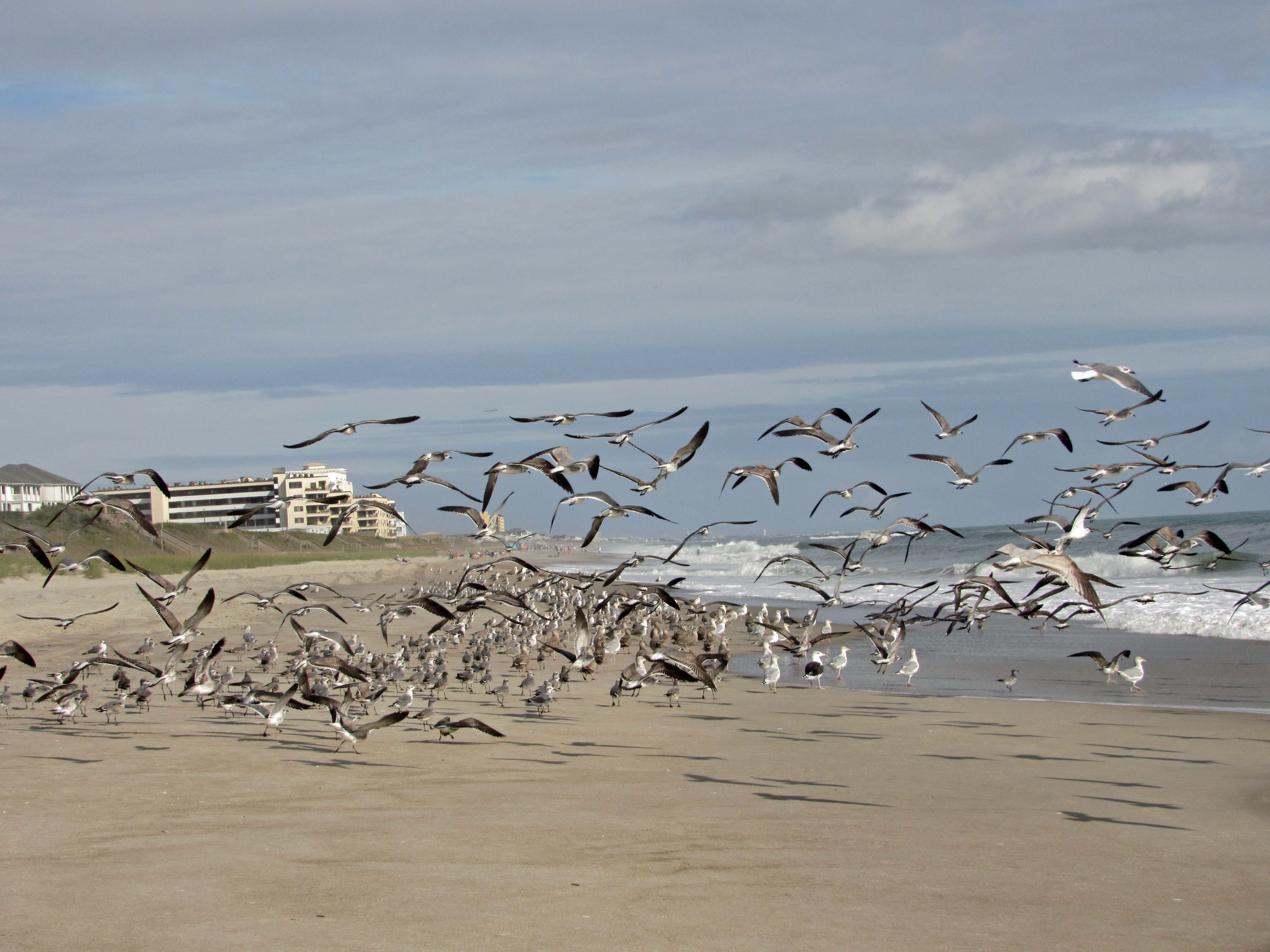
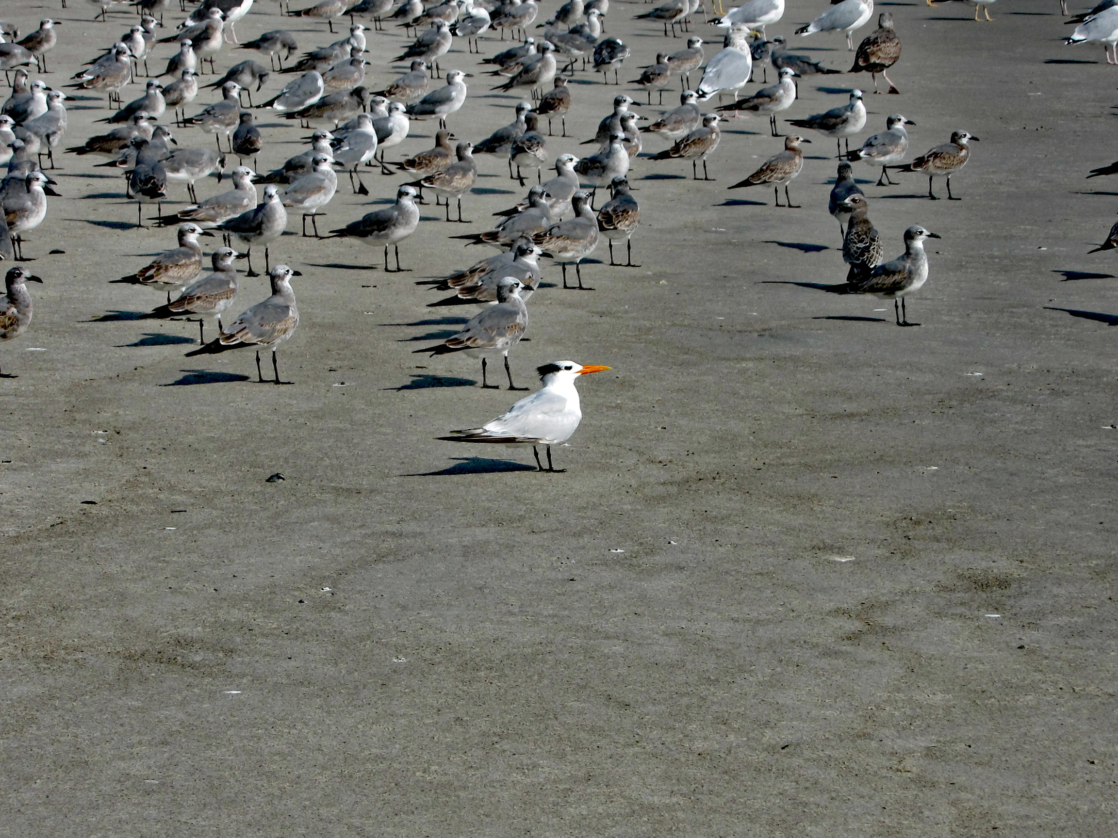
The seagulls here are unlike the ones in Maryland that will hover over you waiting for food.
A Royal Tern
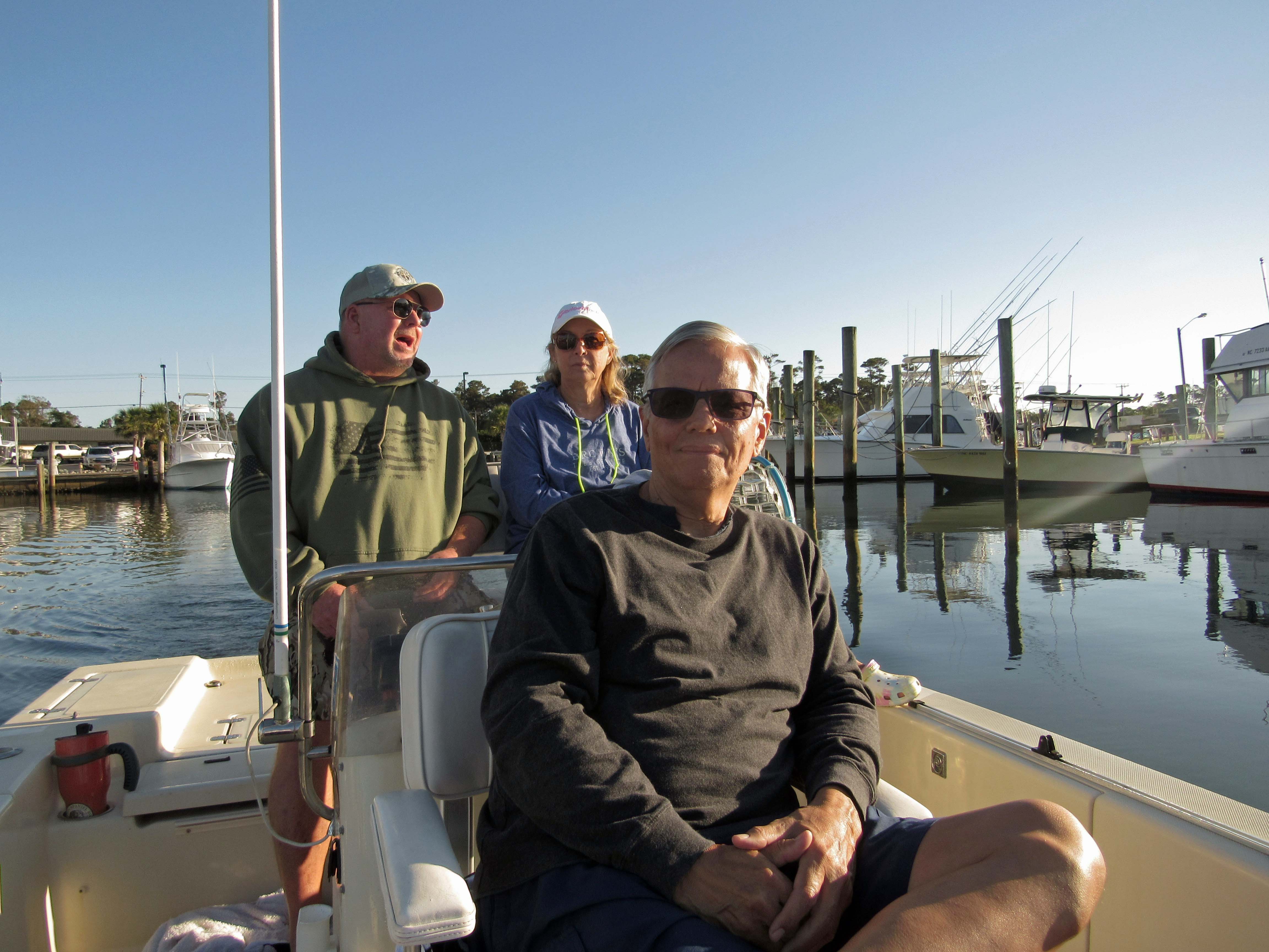
The next day John came down to take us out on their boat. That was very nice of him. With all this Covid stuff going on, we hardly see each other.
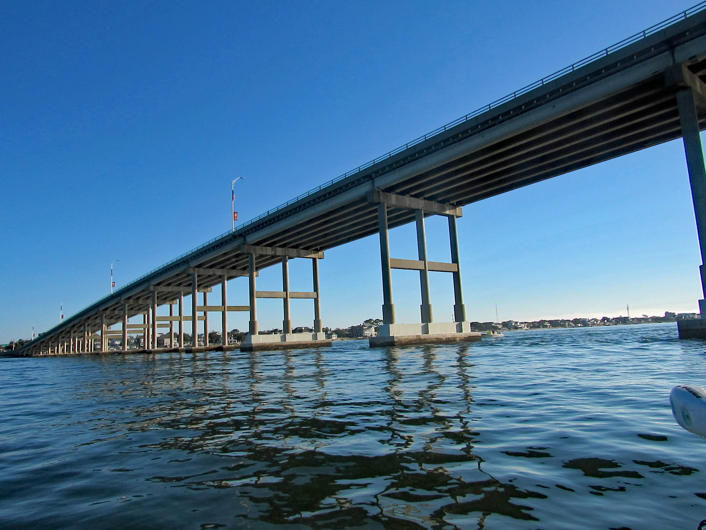
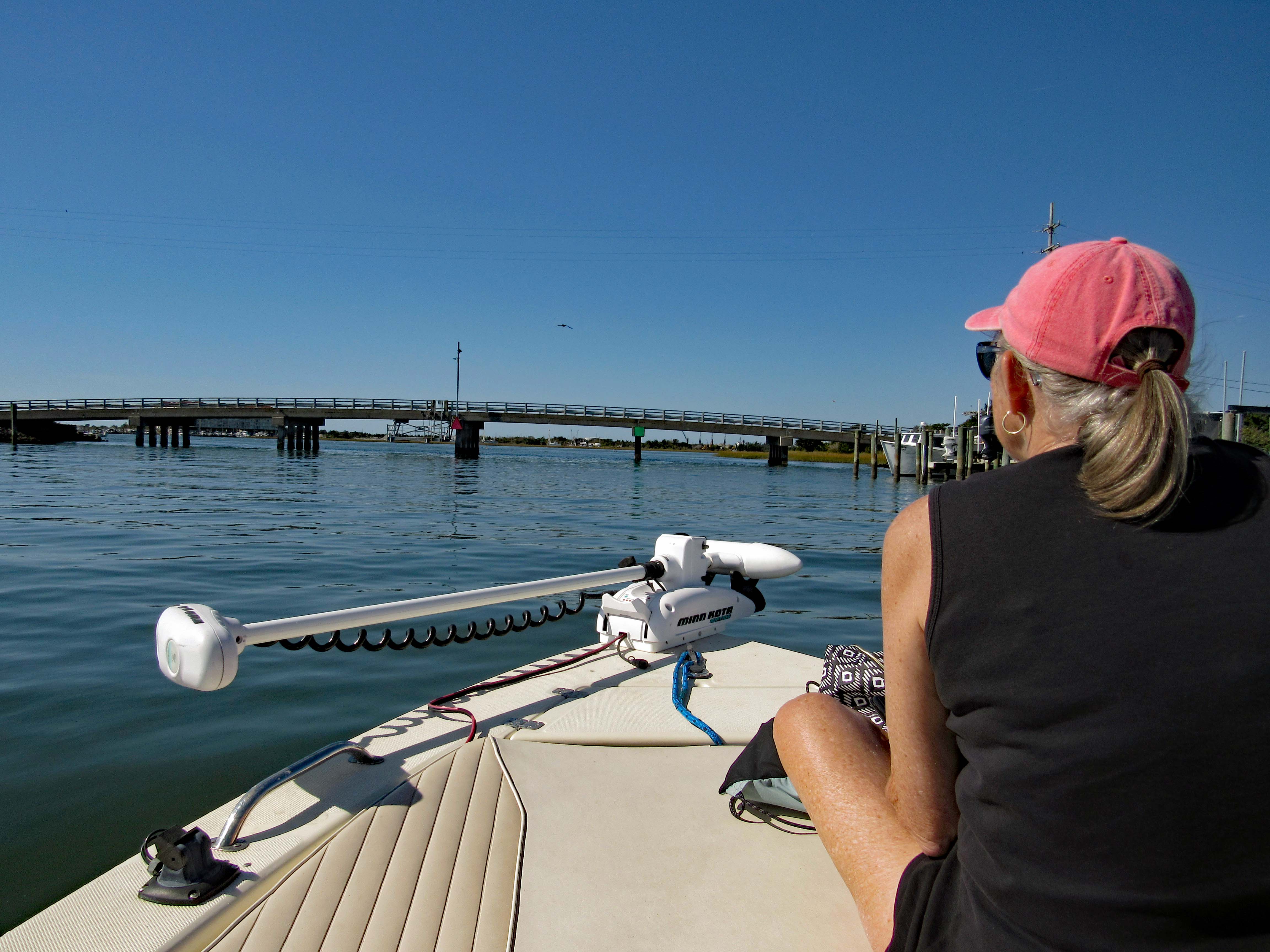
Heading under the Atlantic Bridge Causeway.
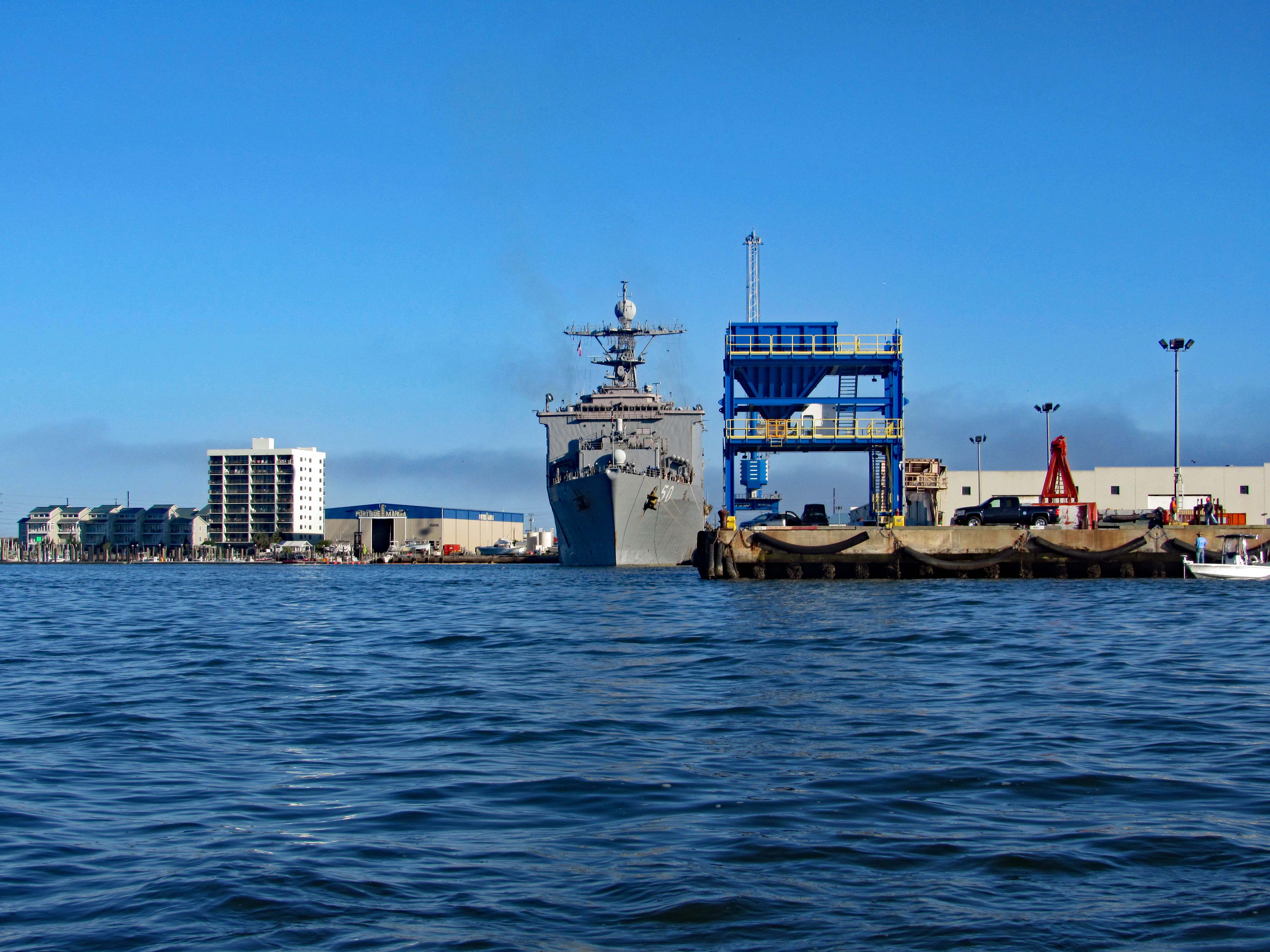
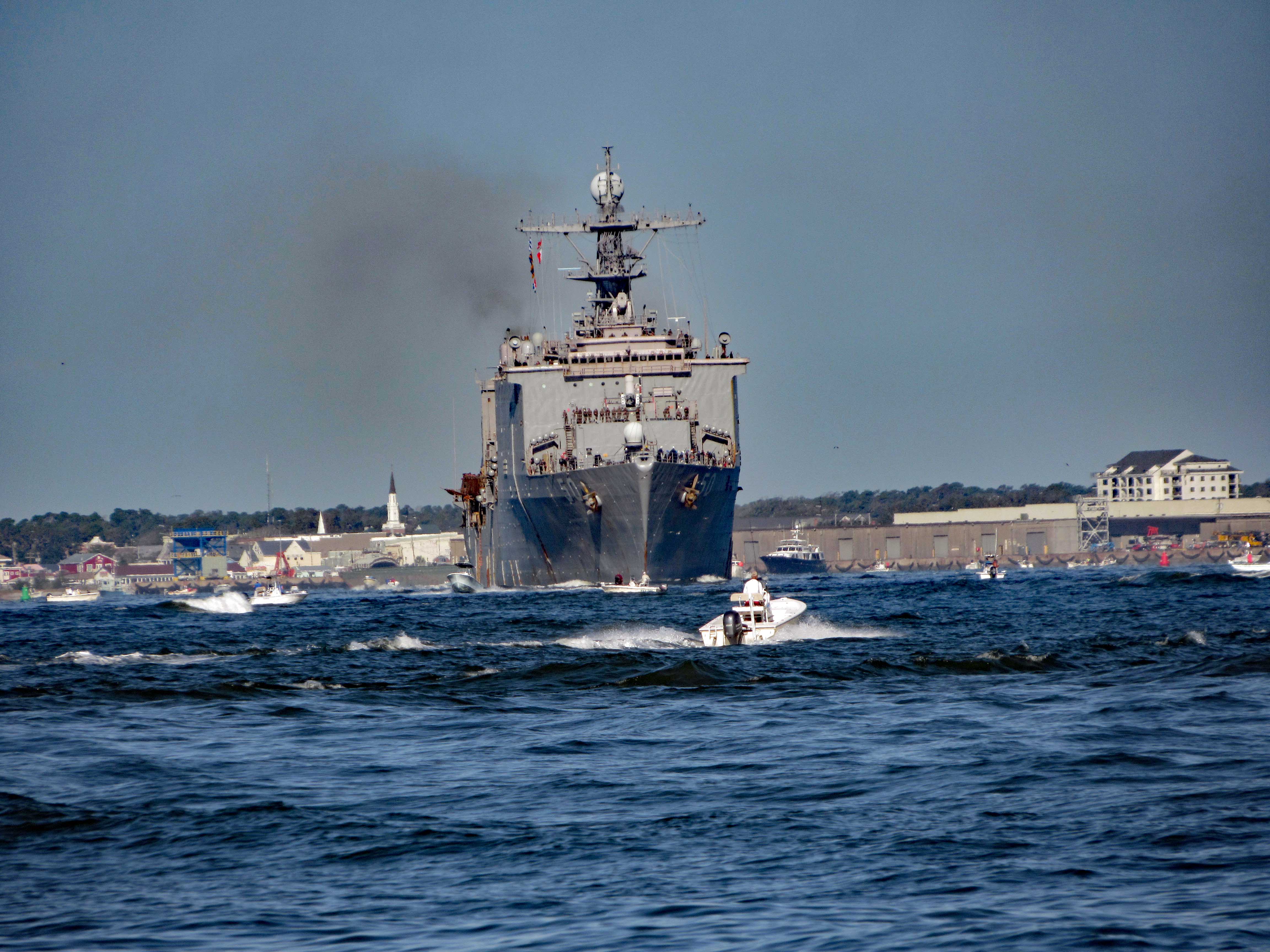
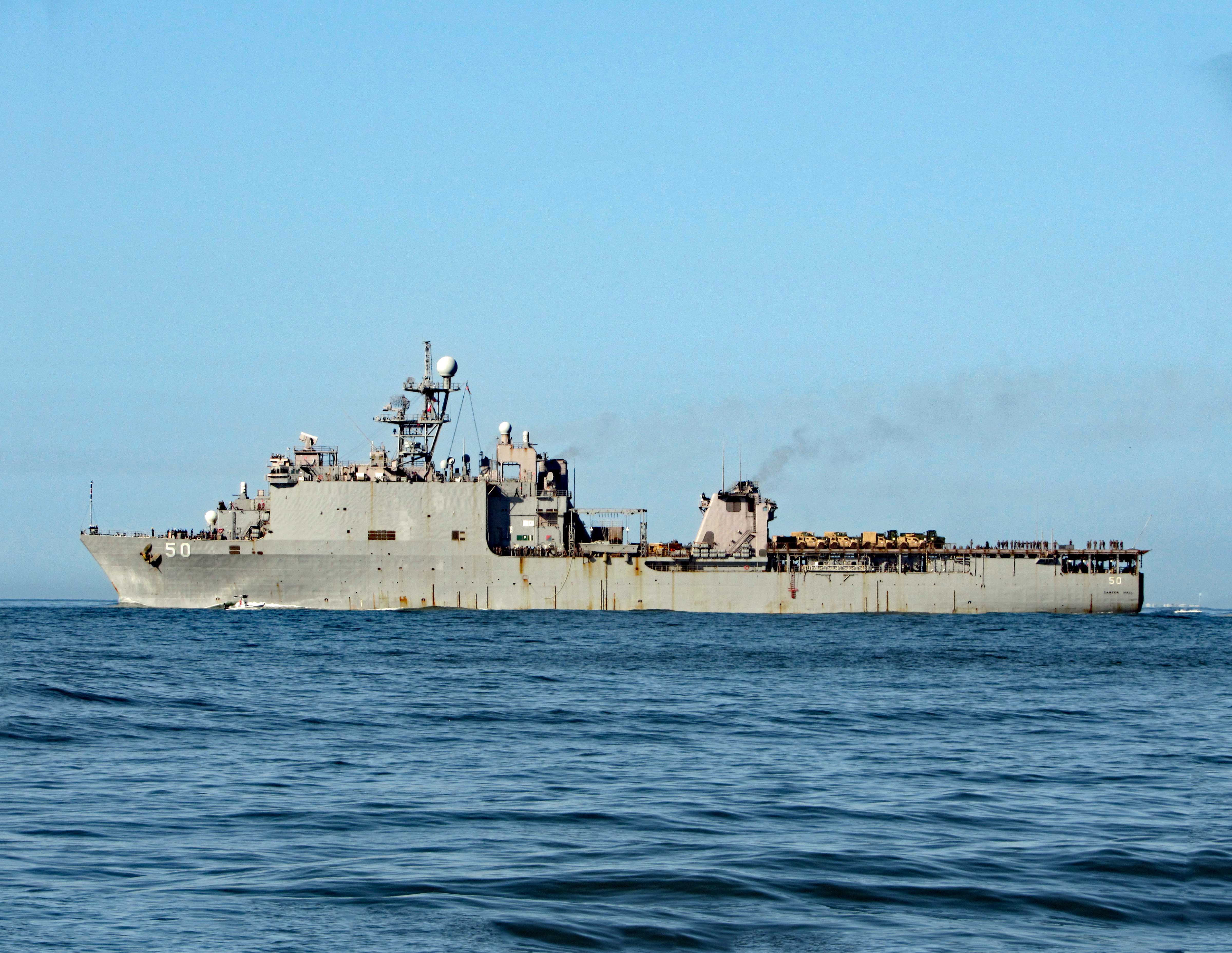
Easing past Sugarloaf Island, headed towards the N.C. Port. Docked there for the time being is the USS 50 (LSD-50), Carter Hall. Landing Ship Dock.
Here she is a little while later pulling out of port.
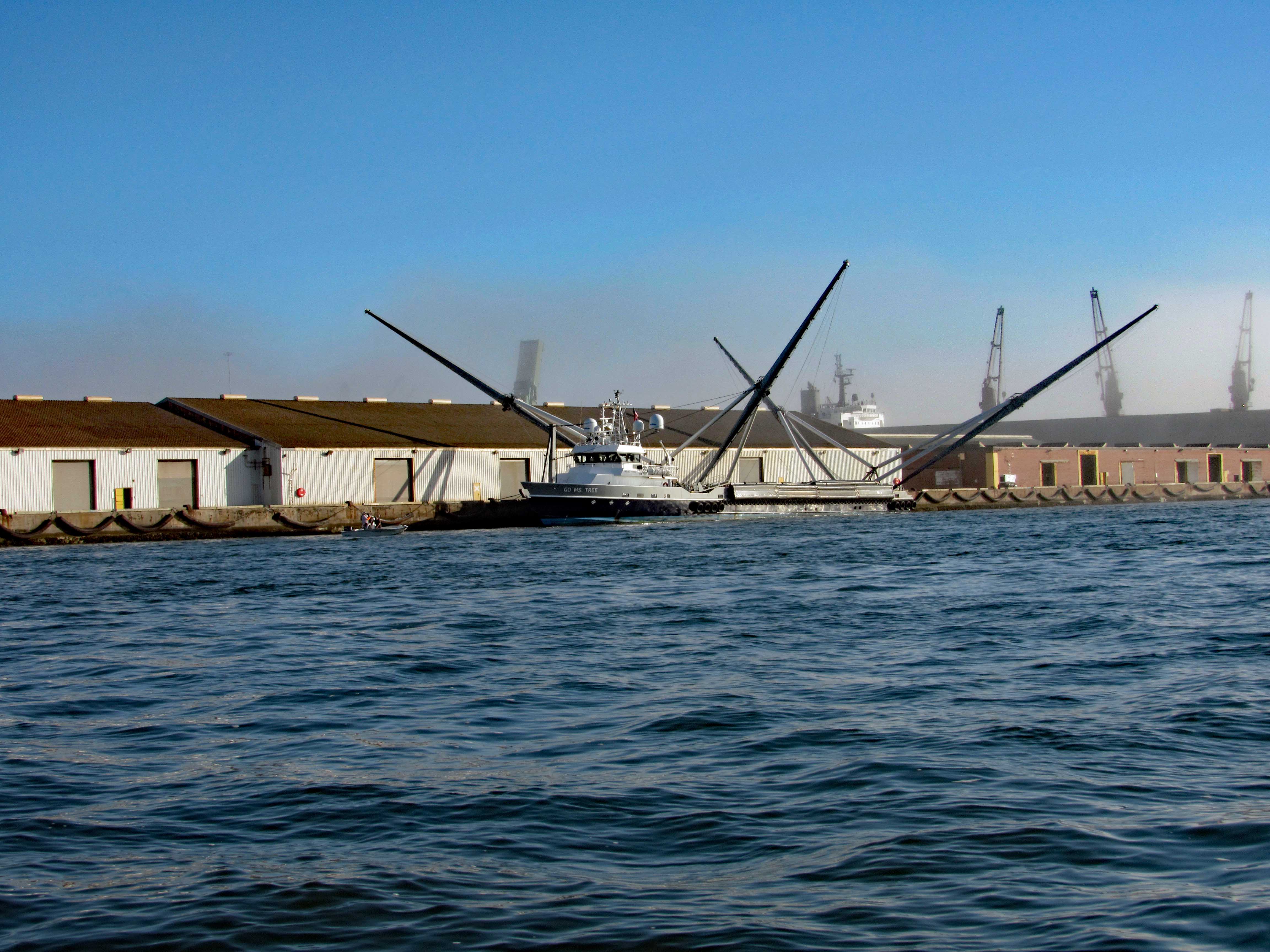
Not far from her is this interesting vessel – Go Ms Tree. Formerly named Mr. Steven. GO Ms. Tree – often shortened to Ms. Tree – is a fast, highly maneuverable vessel that was chartered by SpaceX in 2017 to support their fairing recovery program. The ship has been heavily modified by SpaceX so that it now has a large net structure designed to catch fairing halves as they descend. The name ‘Ms. Tree’ is a pun of the word ‘Mystery’. (from SpaceX website)
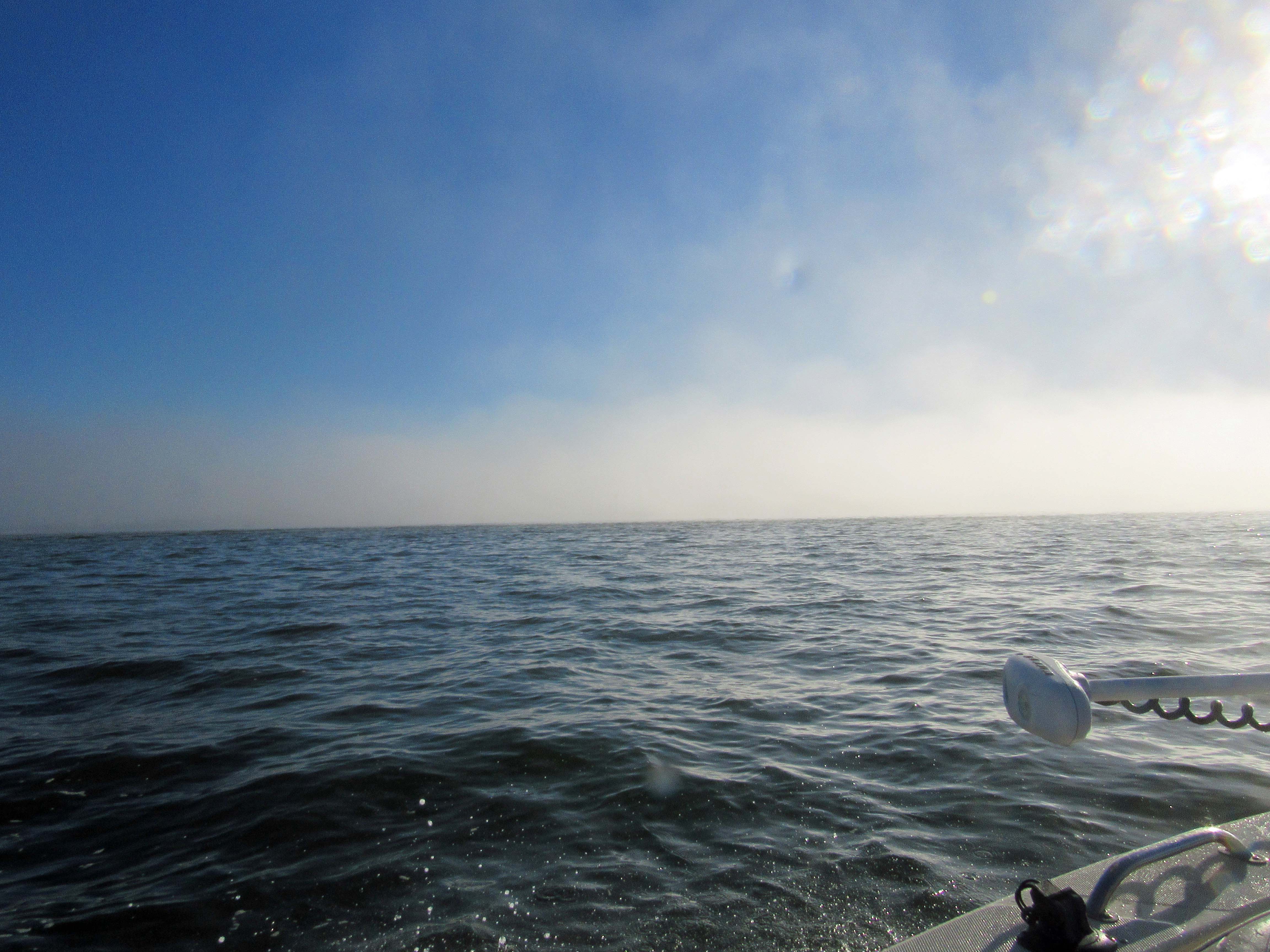
Pass this area of the port and ran smack dab into a fog bank.
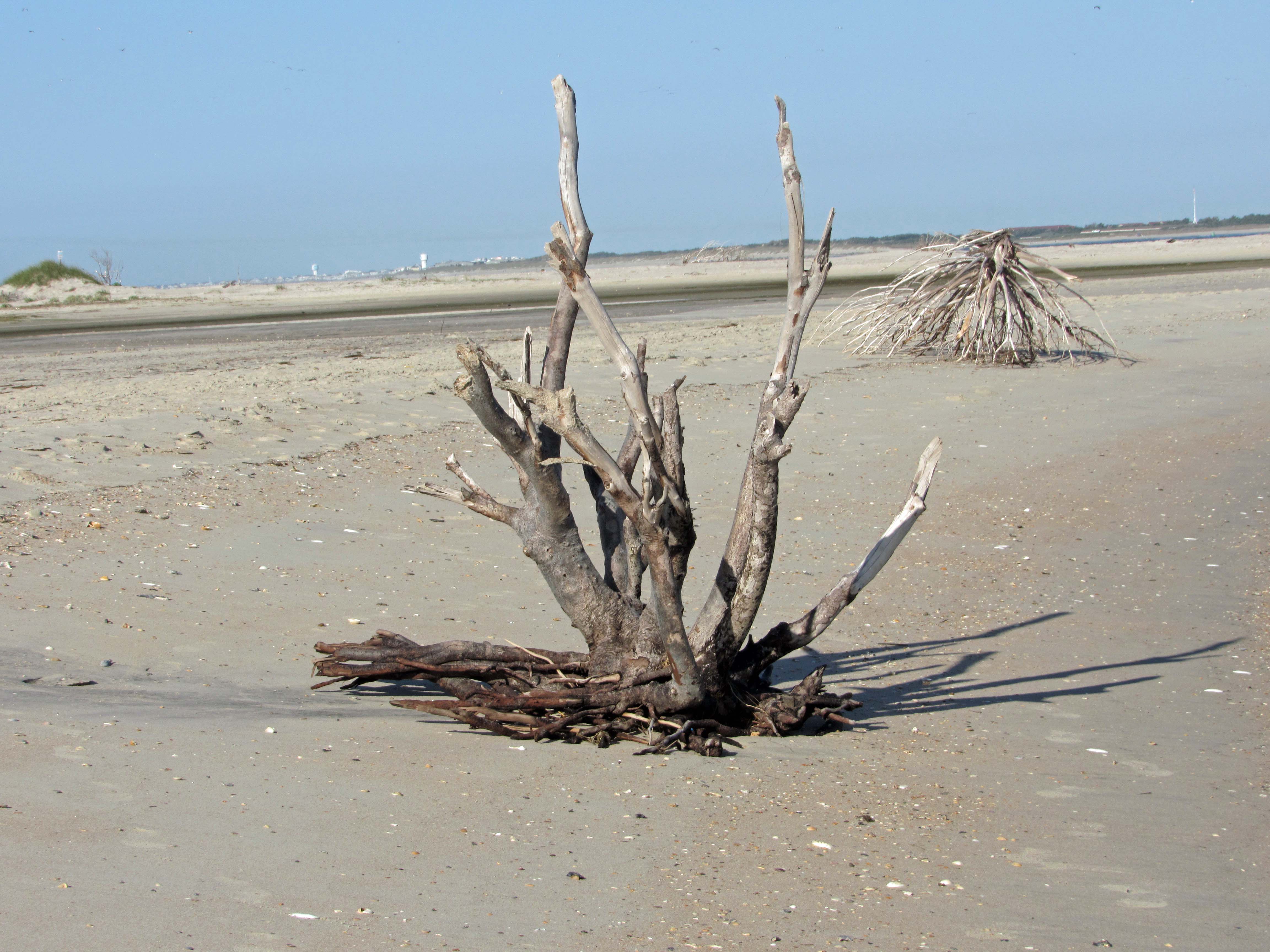
Made it through there and we all, except John, got off onto Shackleford Banks.
Nice driftwood.
My shot of Kathy and Gail, from up on a dune.
Kathy stepped on a couple Hermit Crabs.
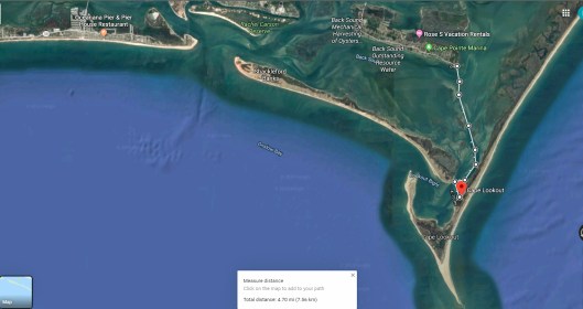
Left Shackleford and headed over to Beaufort. You need to swing around Rachel Carson Island. Shrimp boats everywhere.
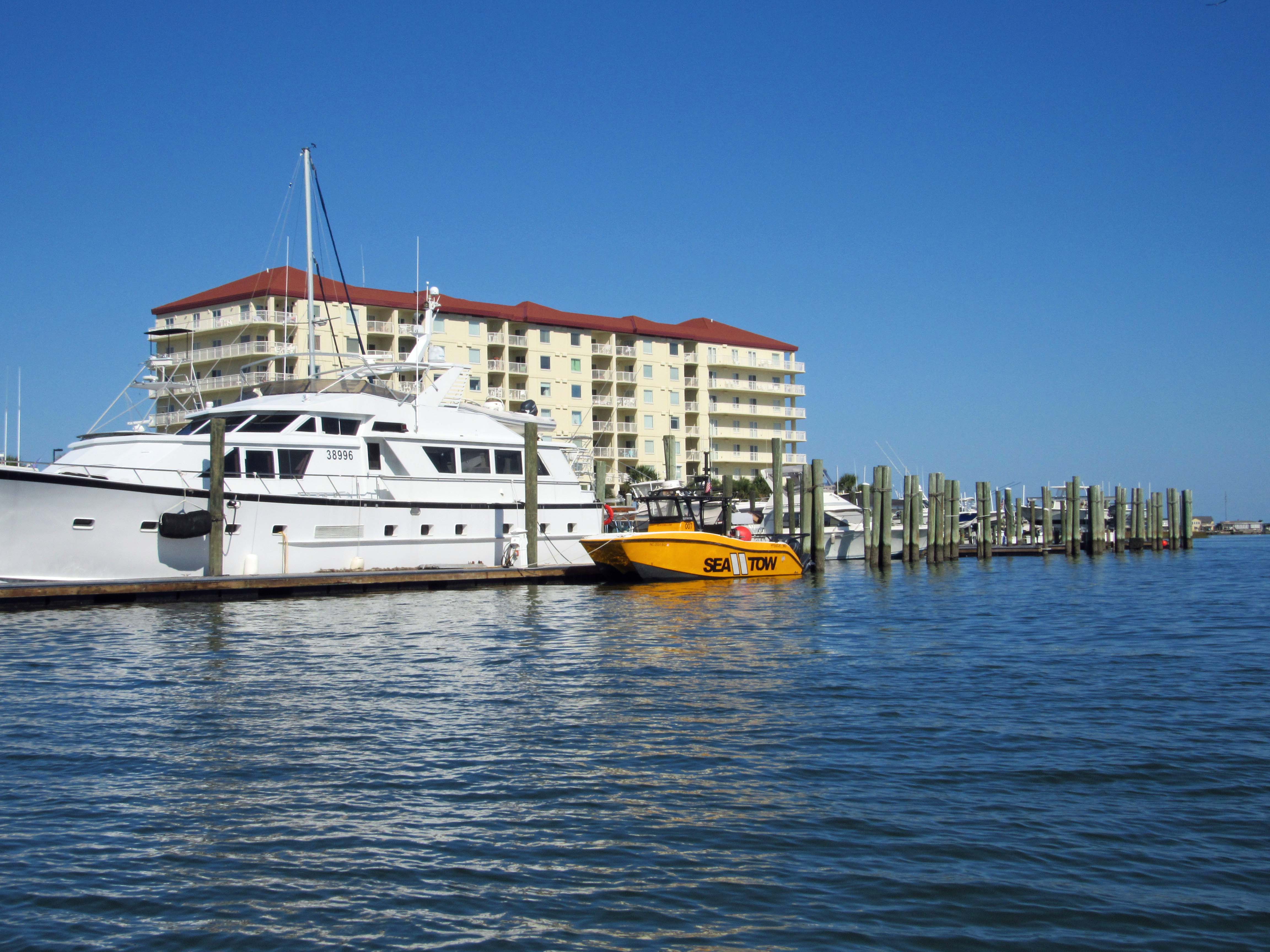
Sea Tow is like AAA of the water.
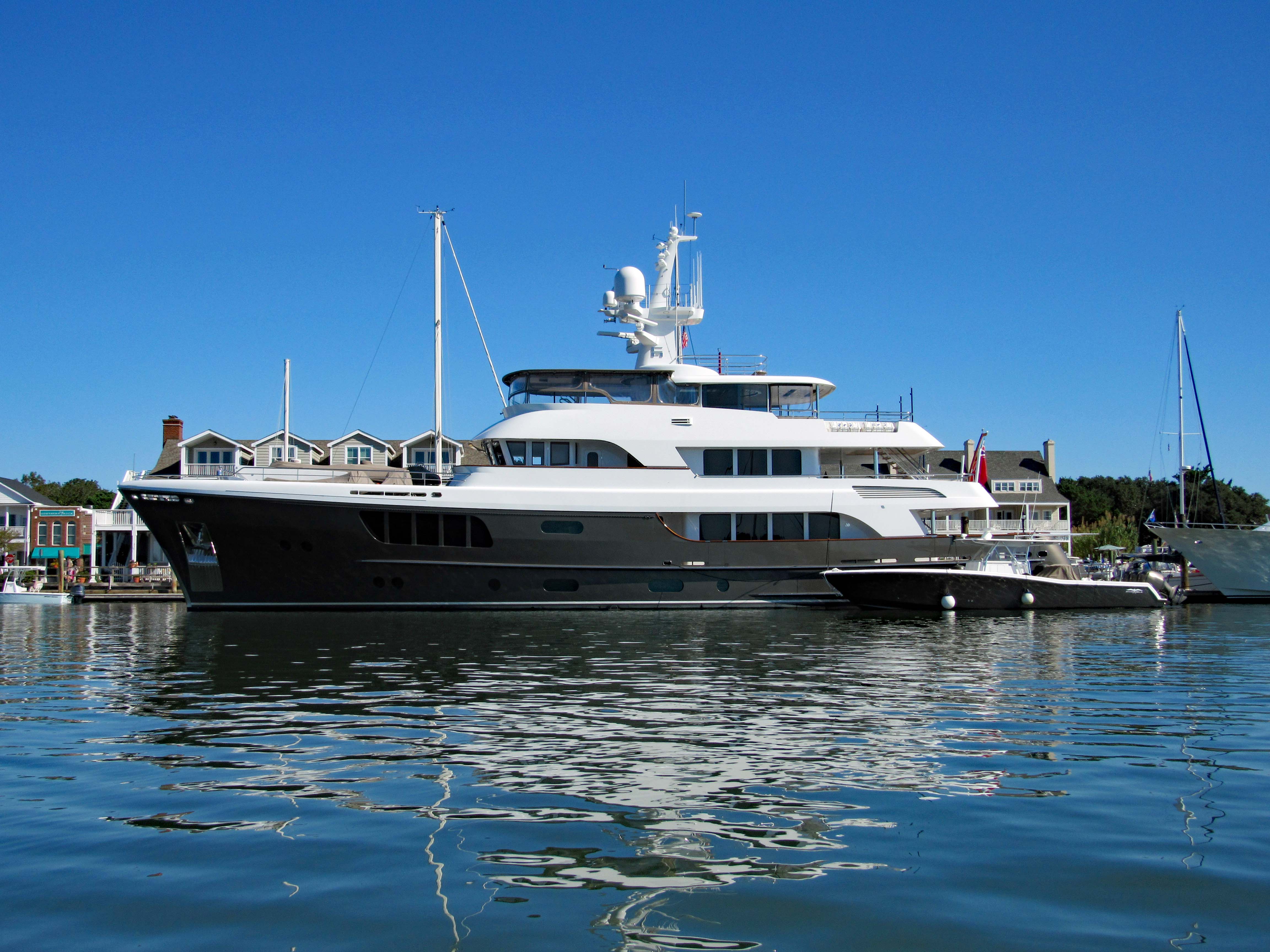
The CaryAli. Wow! A steel and aluminum ship. Built by Alloy Yachts in 2013. For just $25m she can be yours.
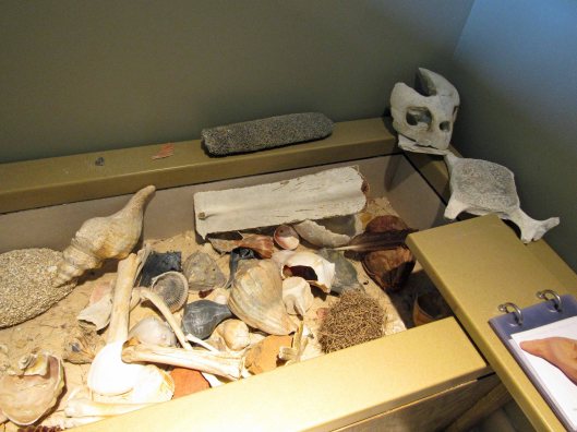
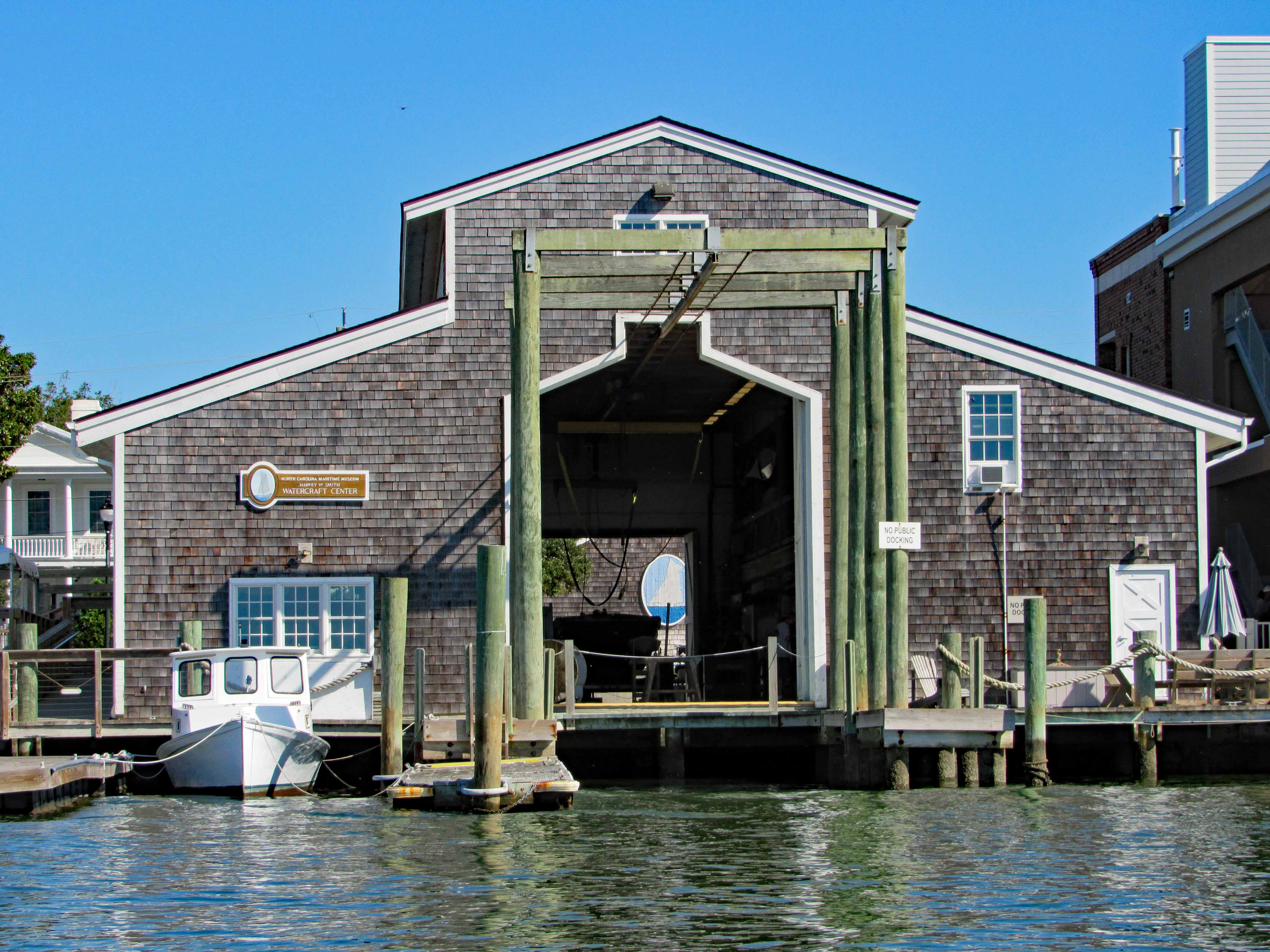
Looking through the Watercraft Center at a ship painted on a wall…
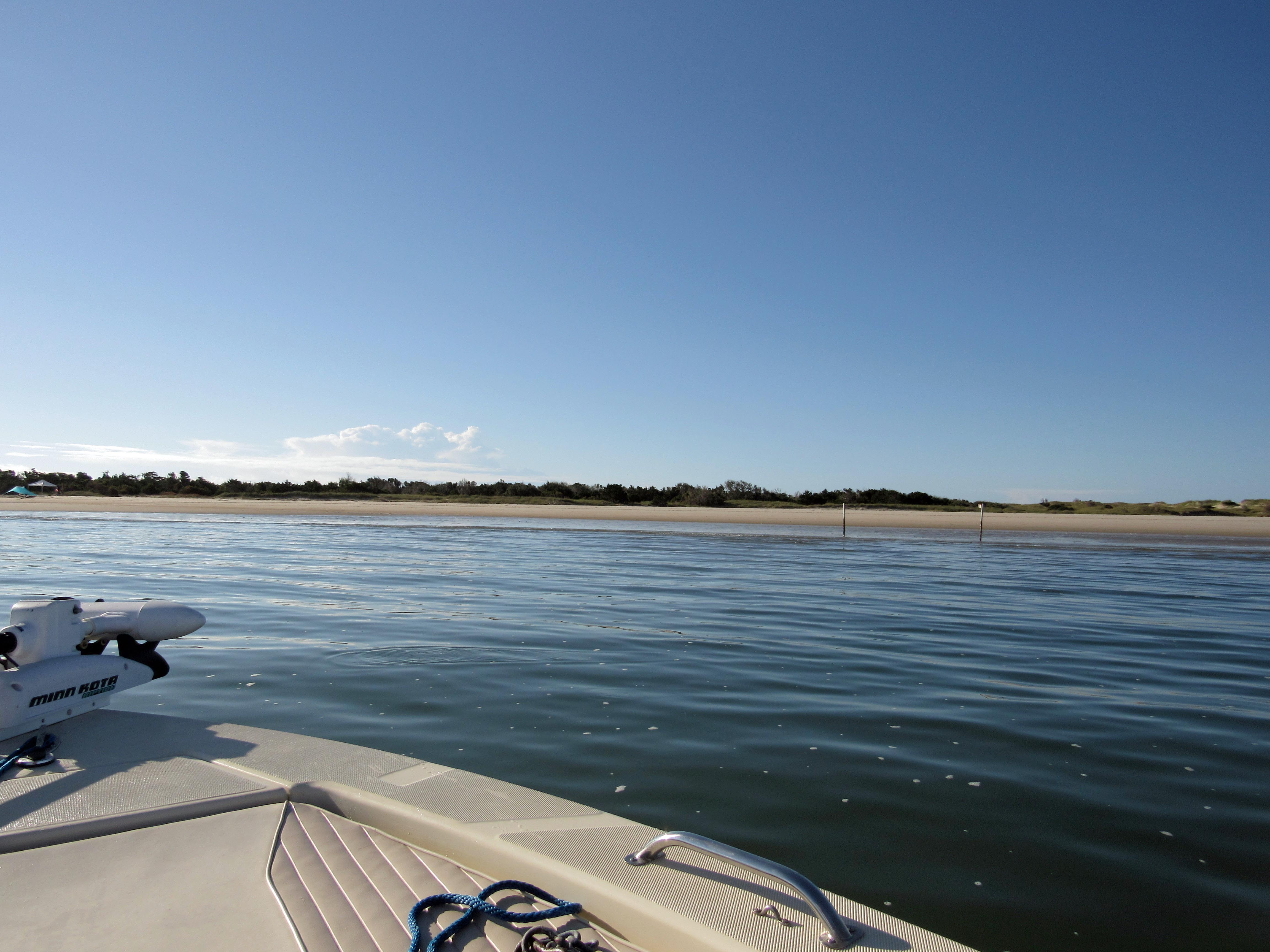
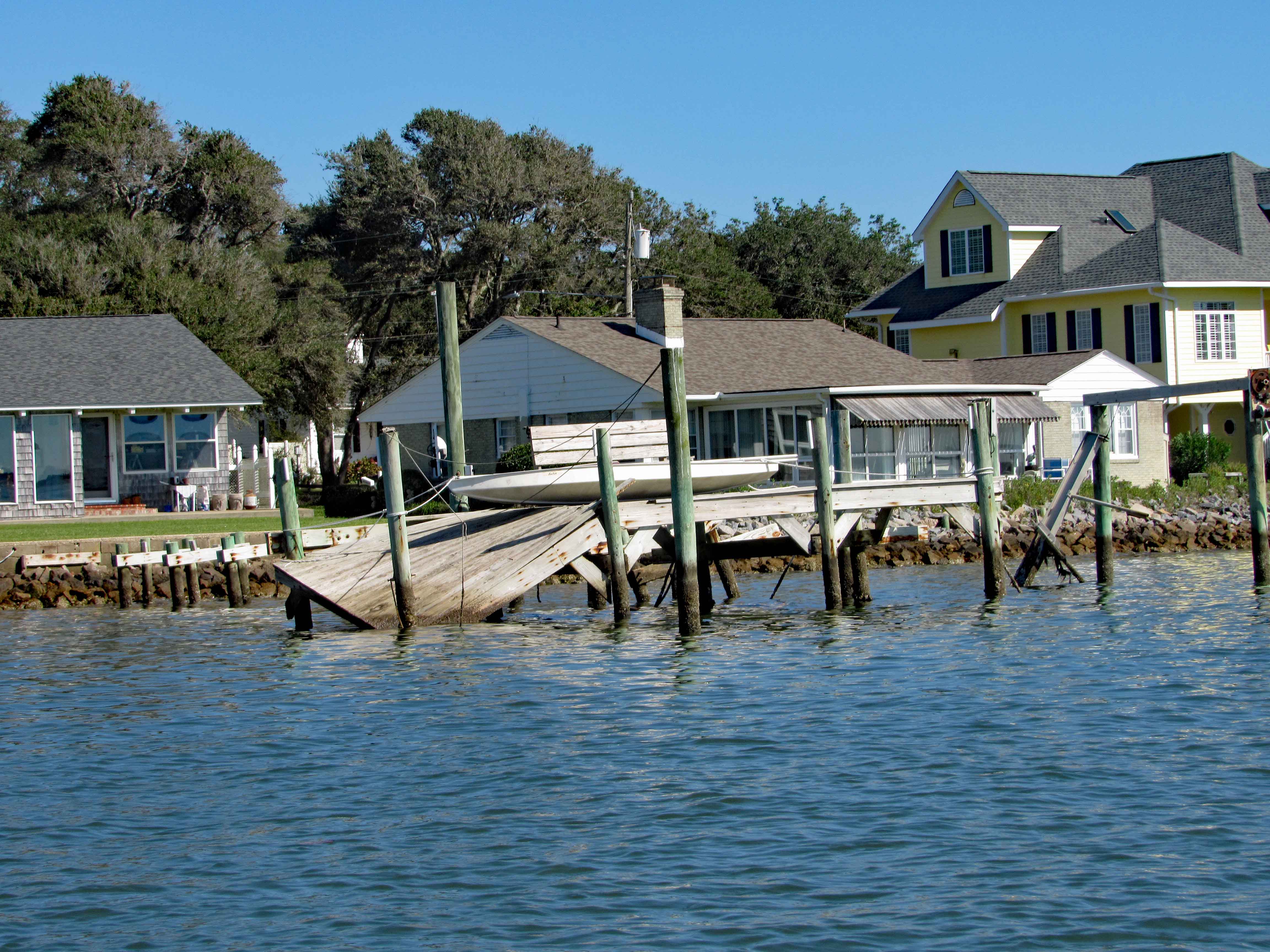
Went up Taylor Creek for a bit, looking at all the boats and quaint little houses. Turned around and headed to Pivers Island Road.
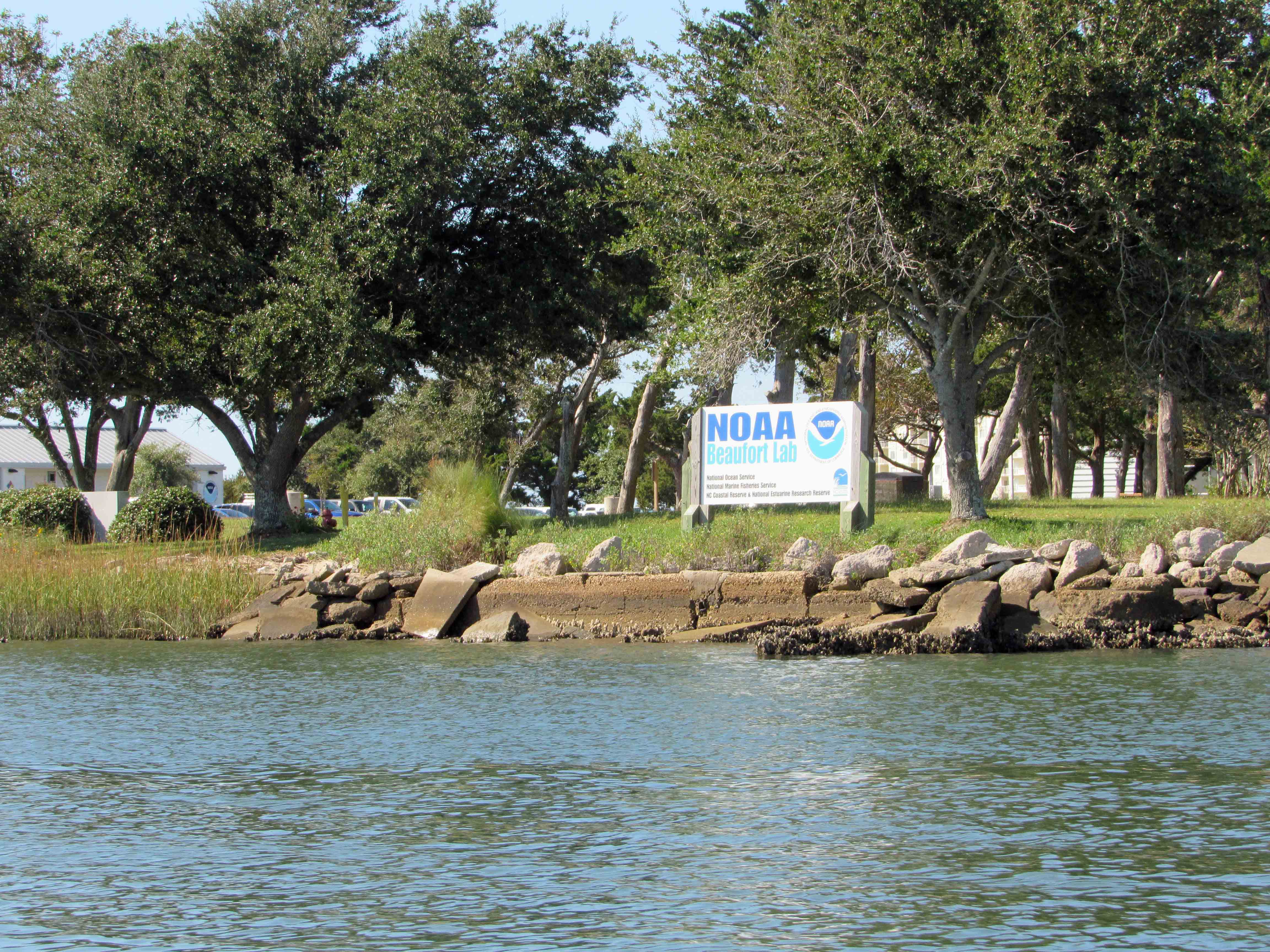
We made it under the bridge but then the water started getting shallow so we headed back to the Beaufort Channel and then towards Bogue Sound. Passing NOAA on the way. There are a lot of colleges and government research centers down here.
I guess it makes a good kayak launch?
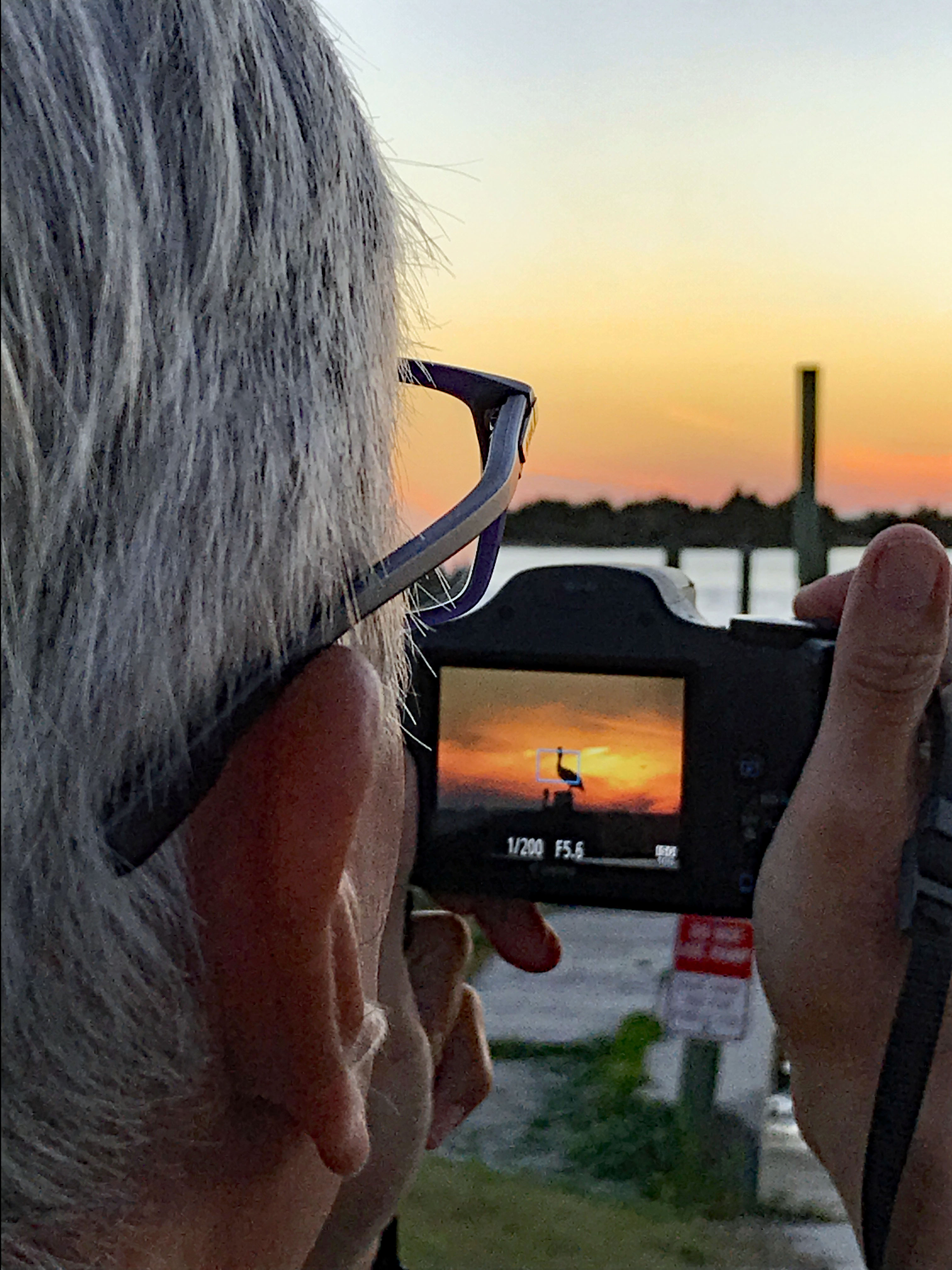
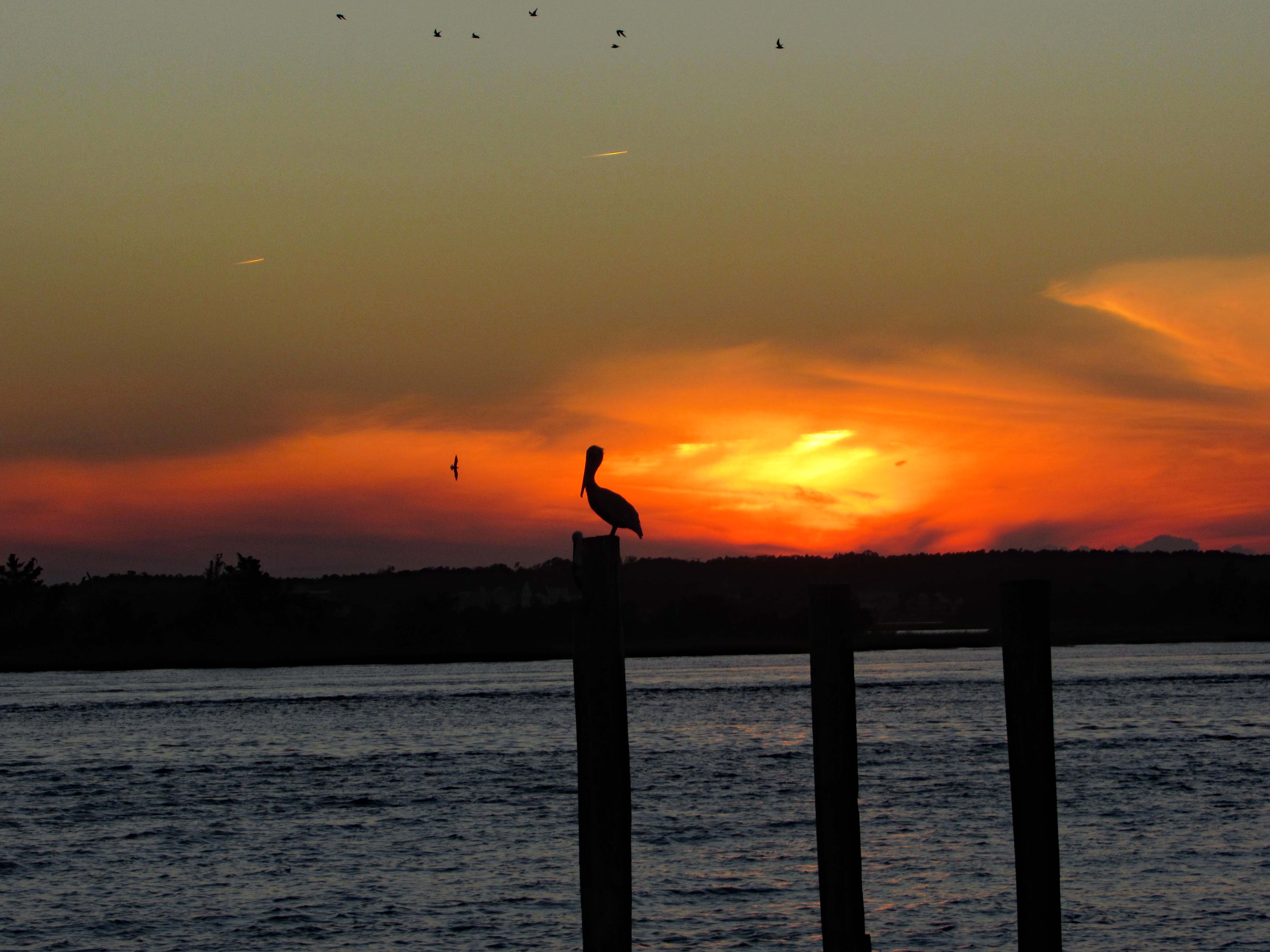
After John and Gail left, to go back home, Kathy and I went over to Swansboro to find a nice place to watch the sunset. Saturday night and the town was packed! So we left and the sun was heading west fast, so I pulled over at Dudley’s Marina on Rte. 24 and Kathy took a photo of me taking a photo of the pelican sunset.
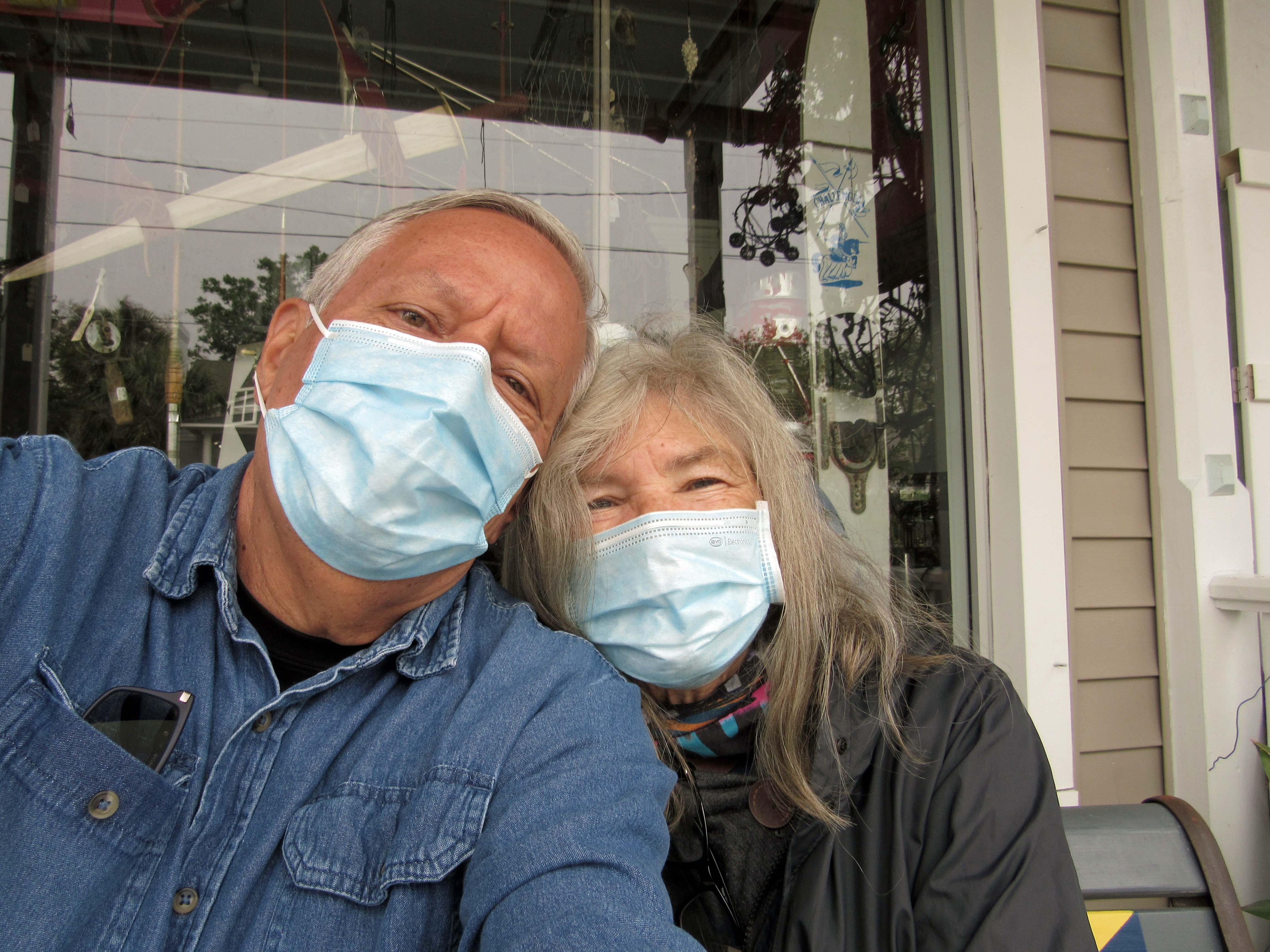
The ‘New Norm’ I hope not for too much longer. The next day we went back to Swansboro to look around
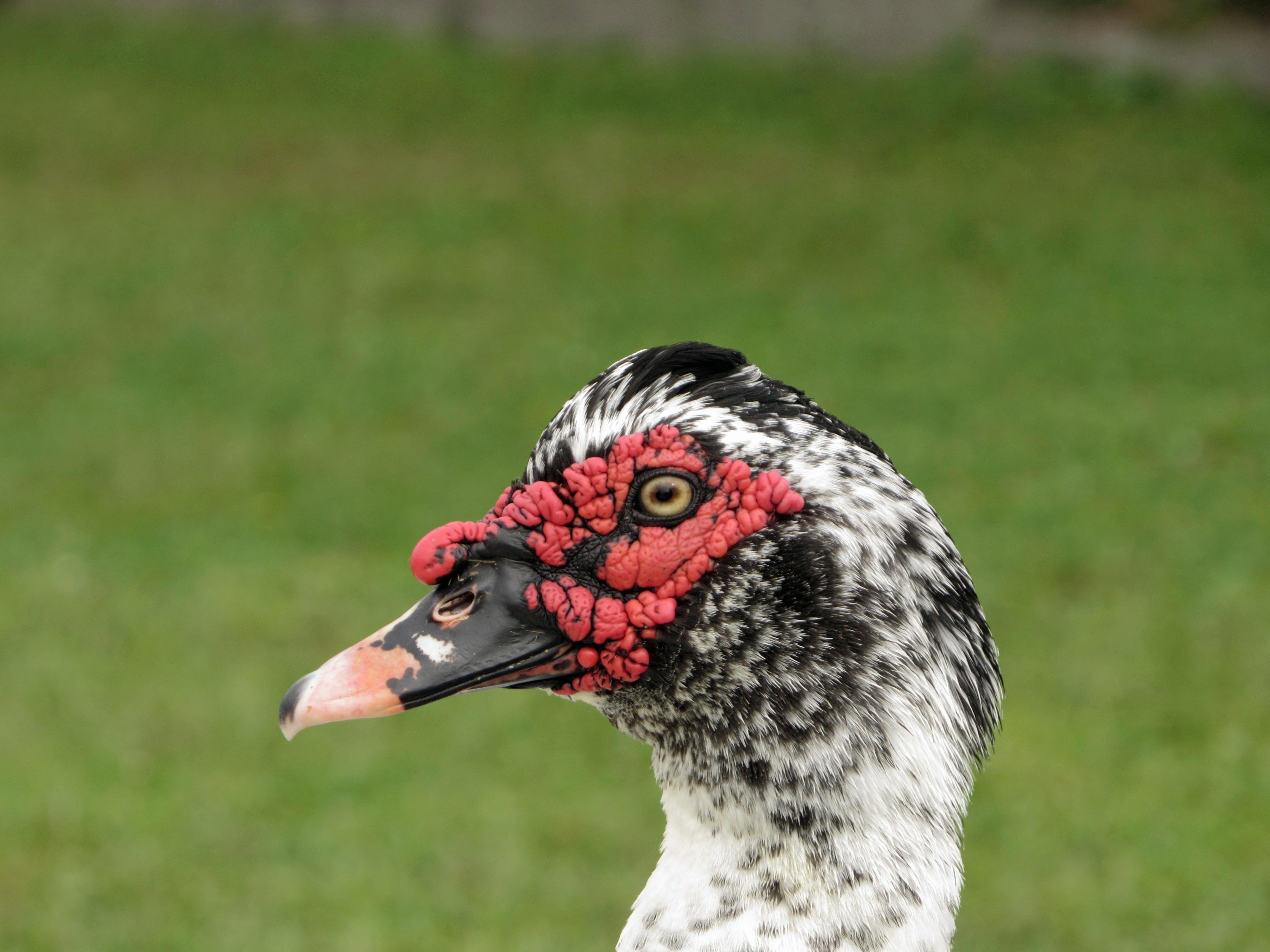
Domestic Muscovy Duck.
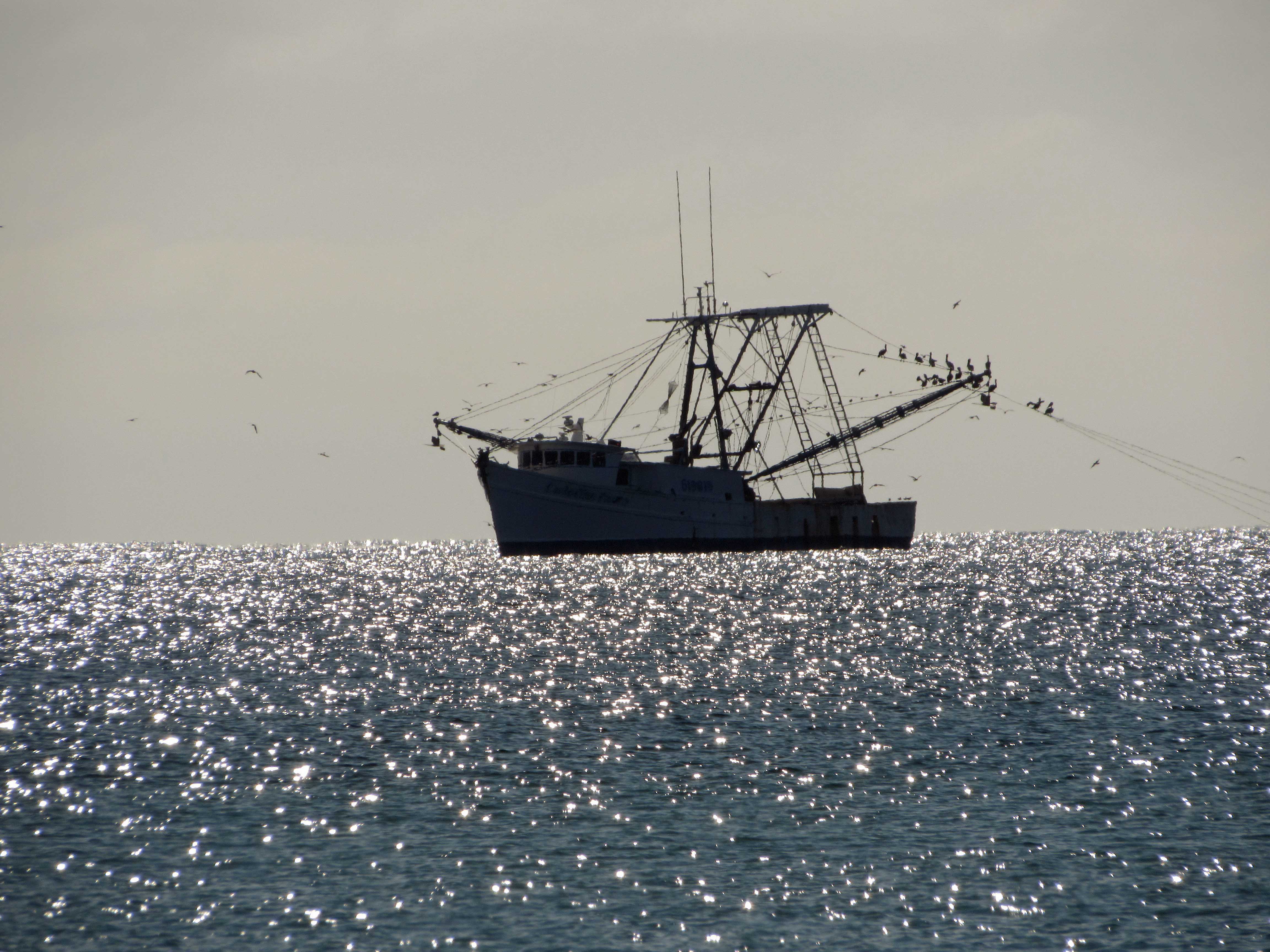
Another shrimp boat. Shrimp burgers from the food truck were huge, along with their oyster burgers and soft crab sandwiches.
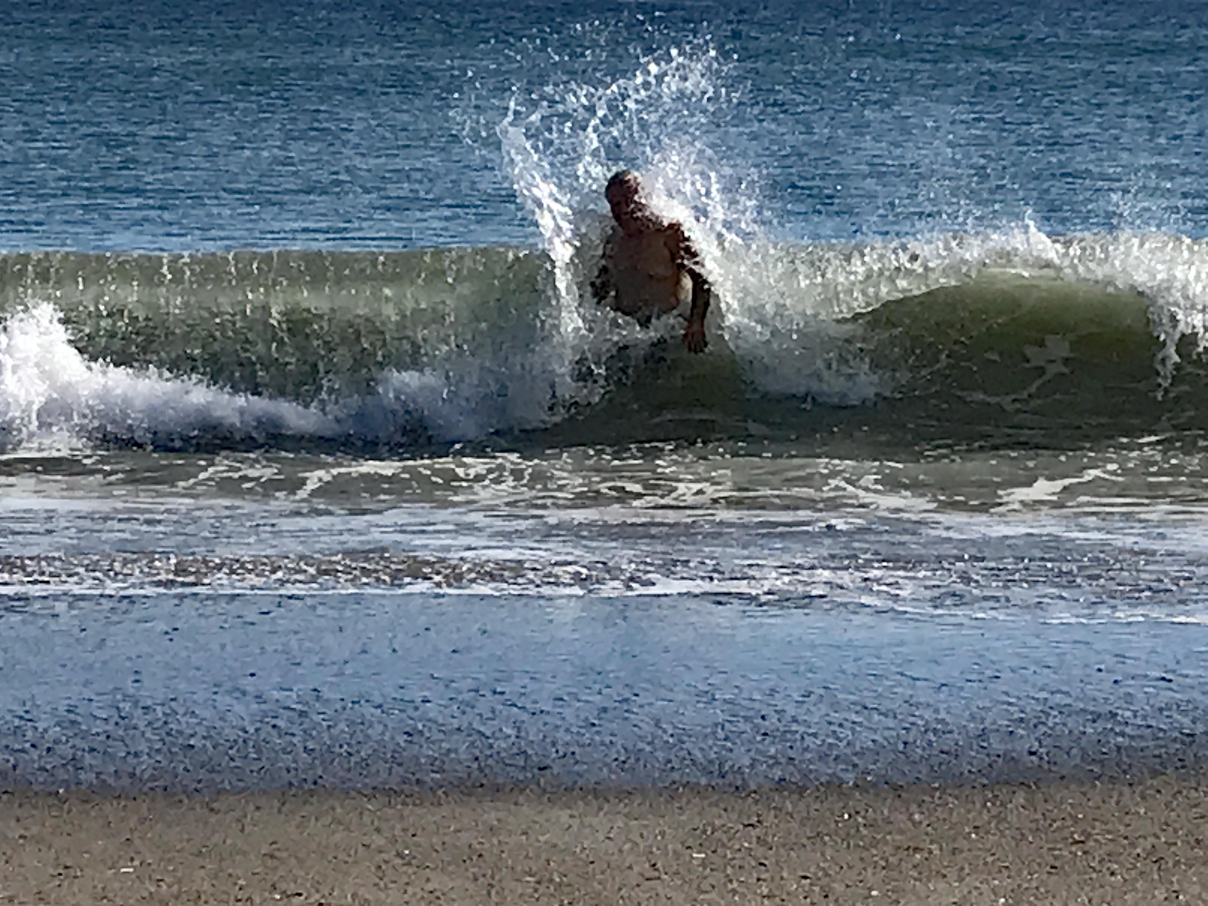
Love the water – when it isn’t freezing. Or knocking me on my butt!
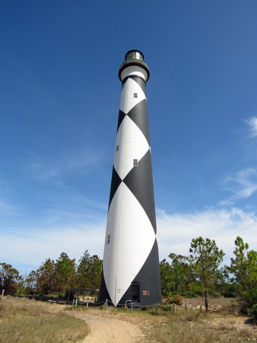
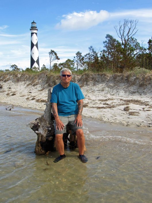
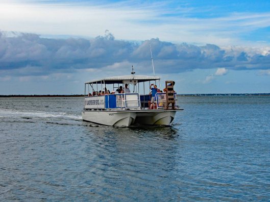
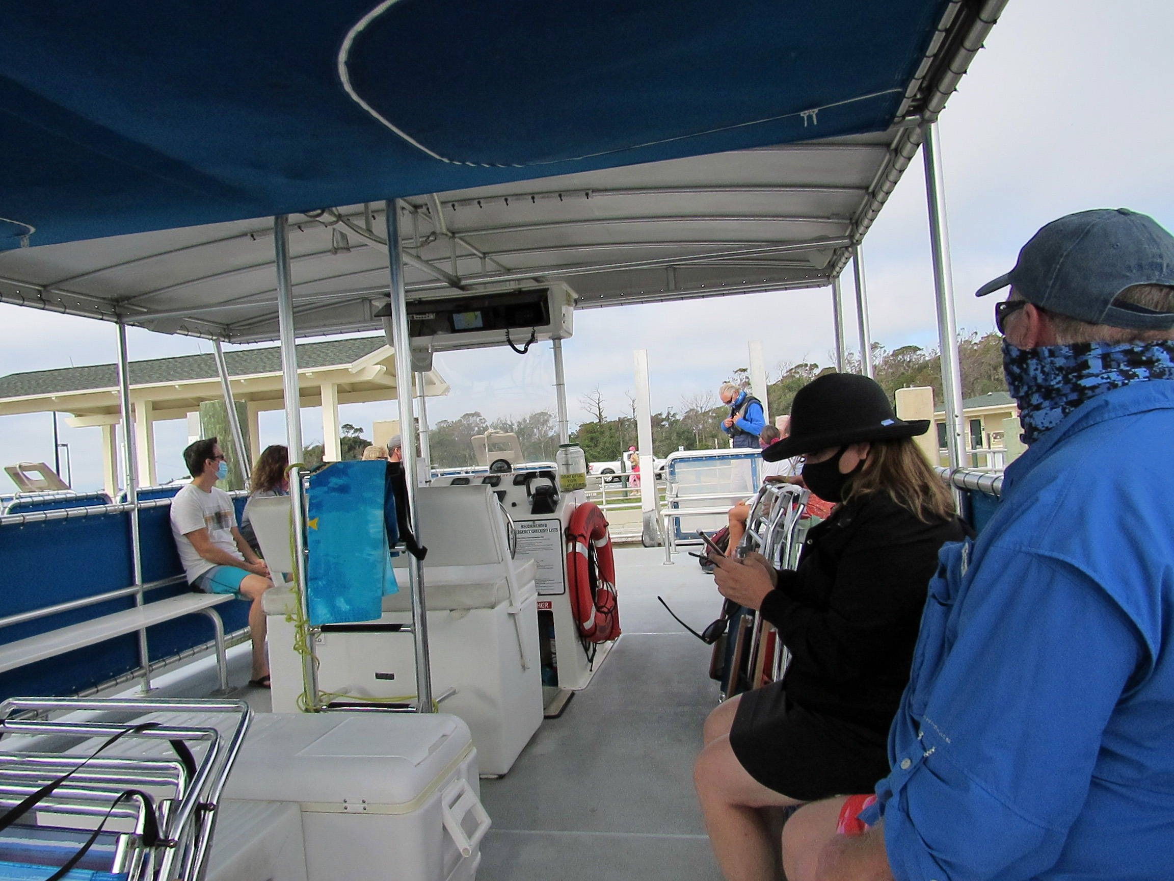
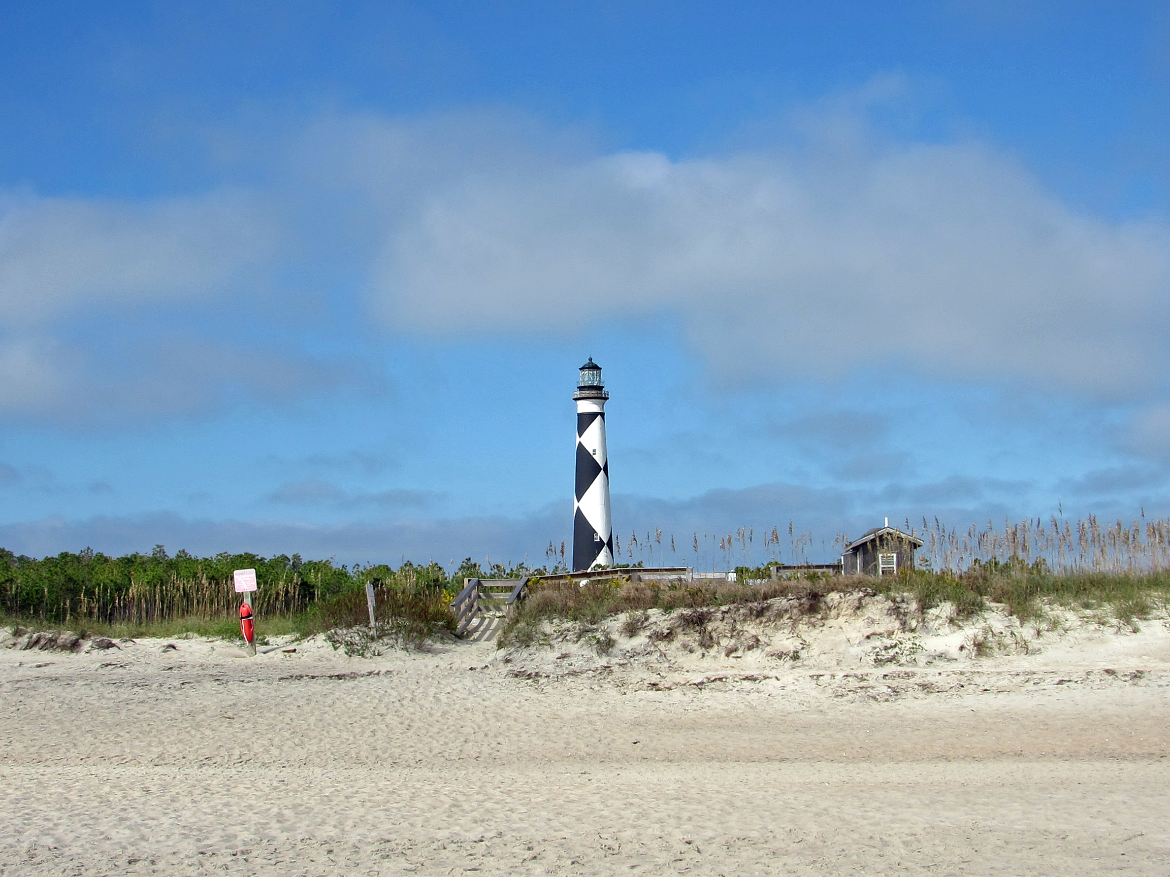
Our next adventure was to Cape Lookout Lighthouse, via a tour boat, where everyone was practicing social distancing, for the most part.
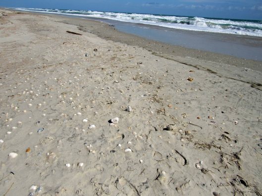
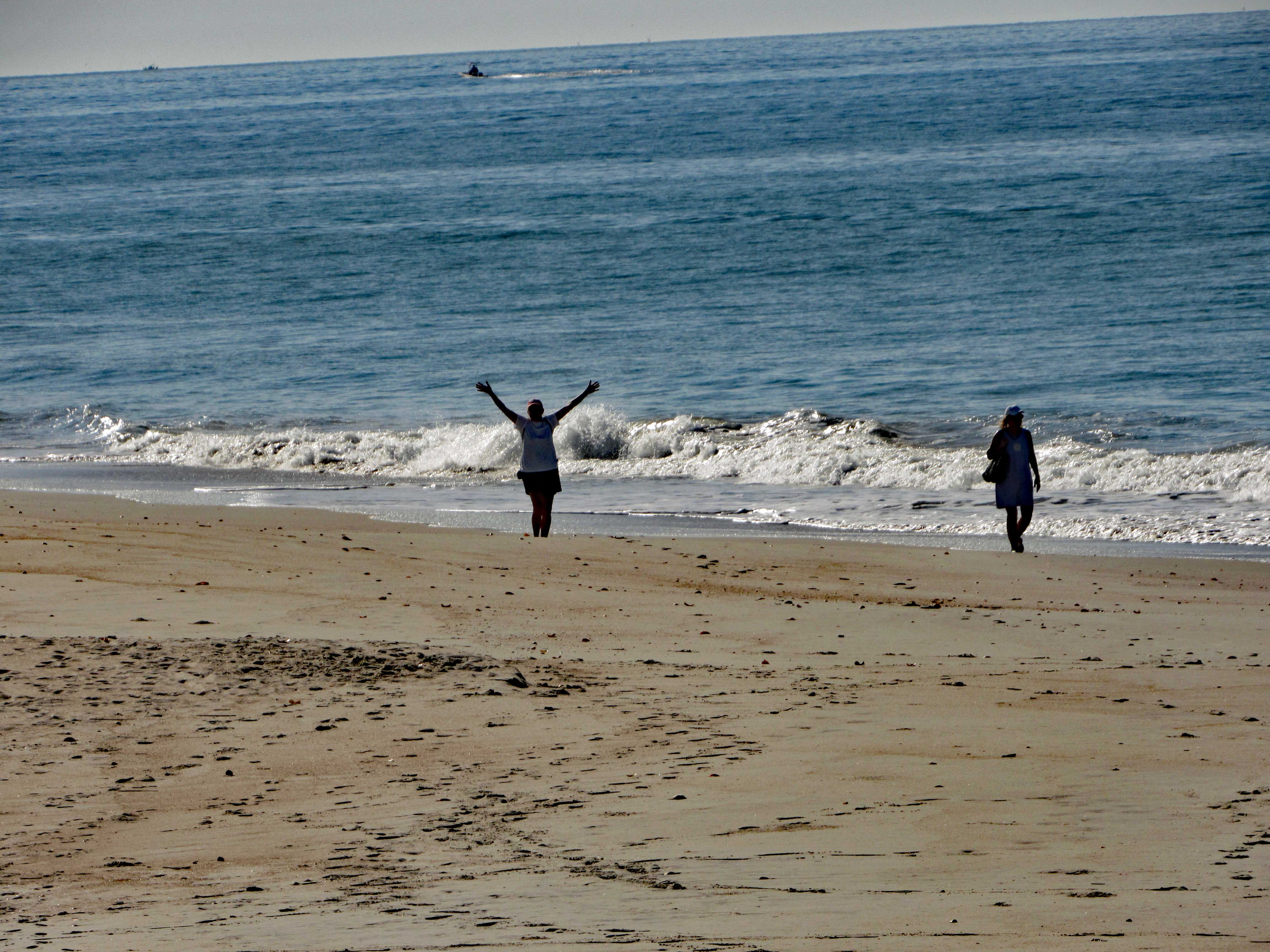
We cut over to the beach, hoping to find some 1/2 way decent shells. No luck.
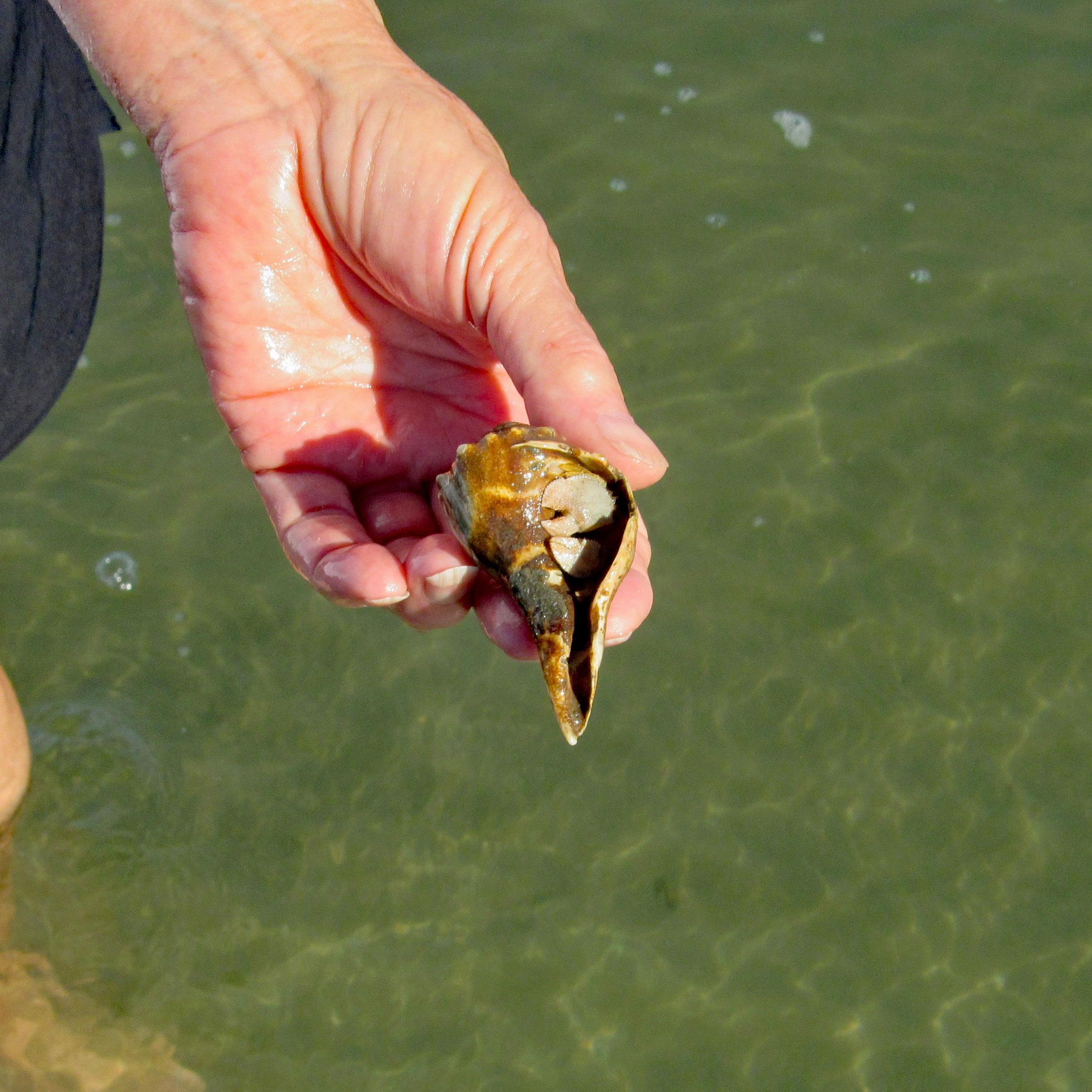
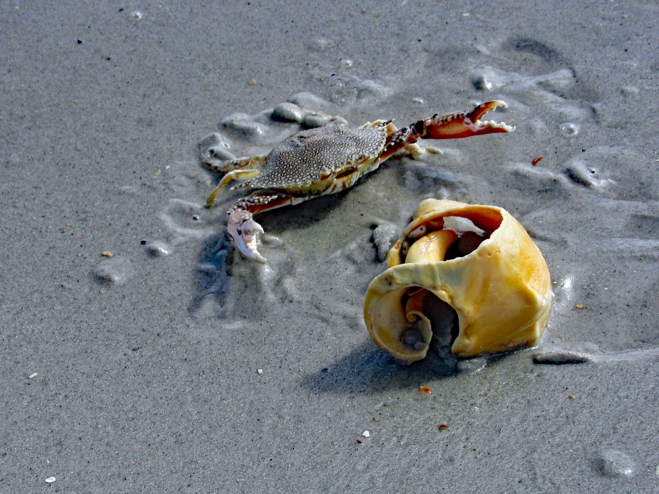
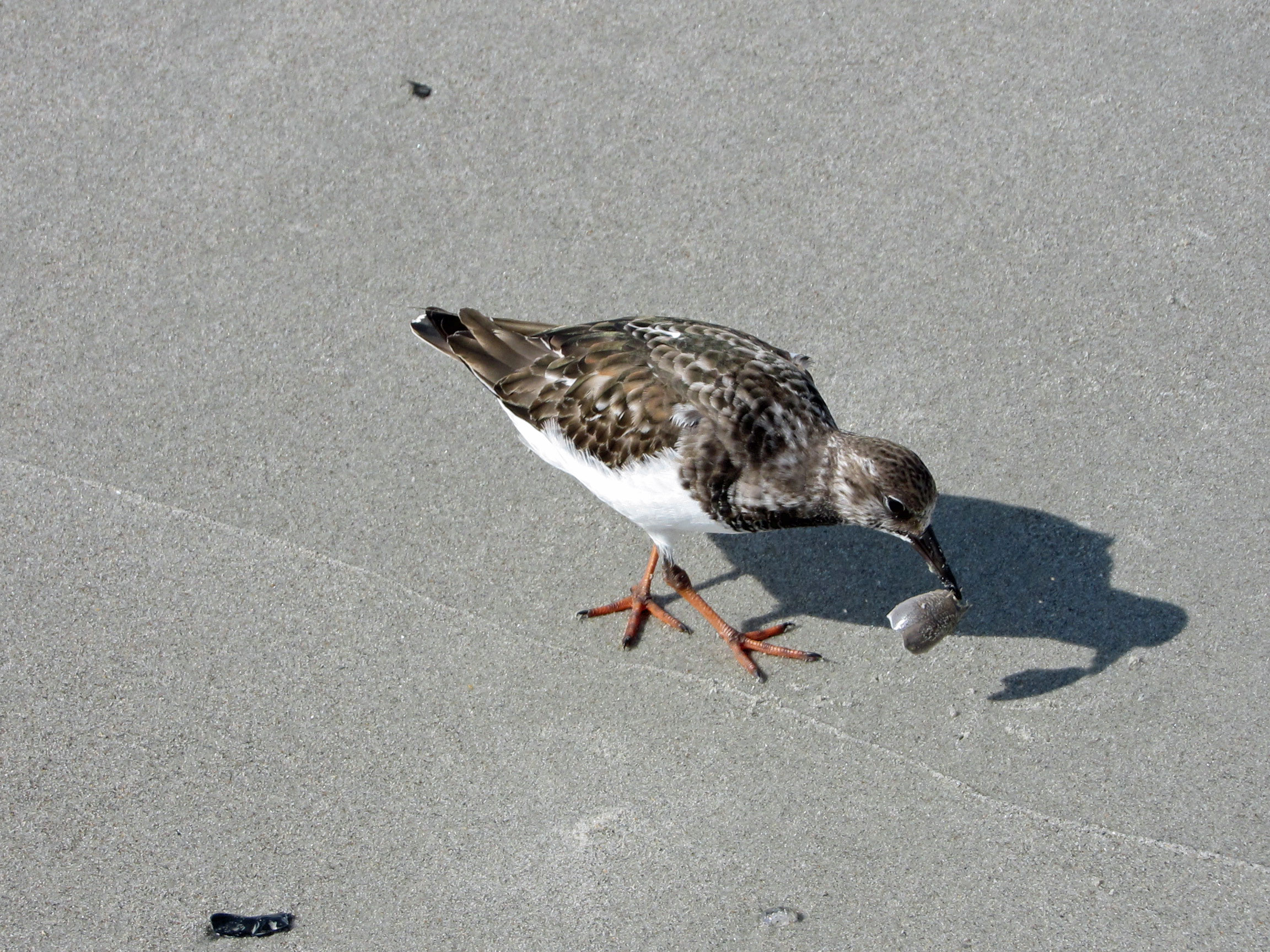
Even some of the better shells were being fought over. This guy wasn’t giving up his shell find.
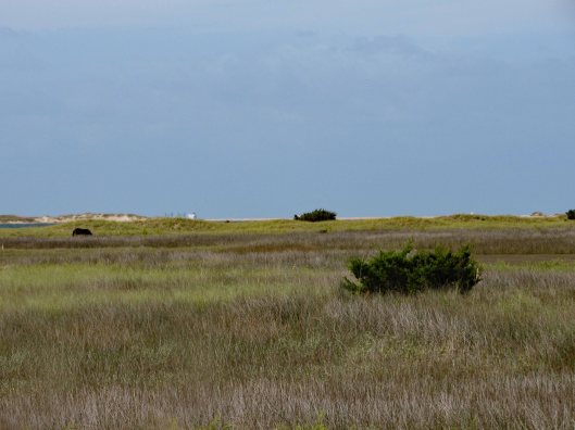
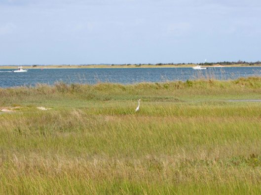
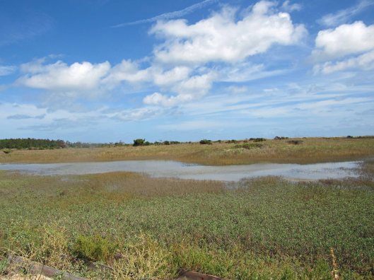
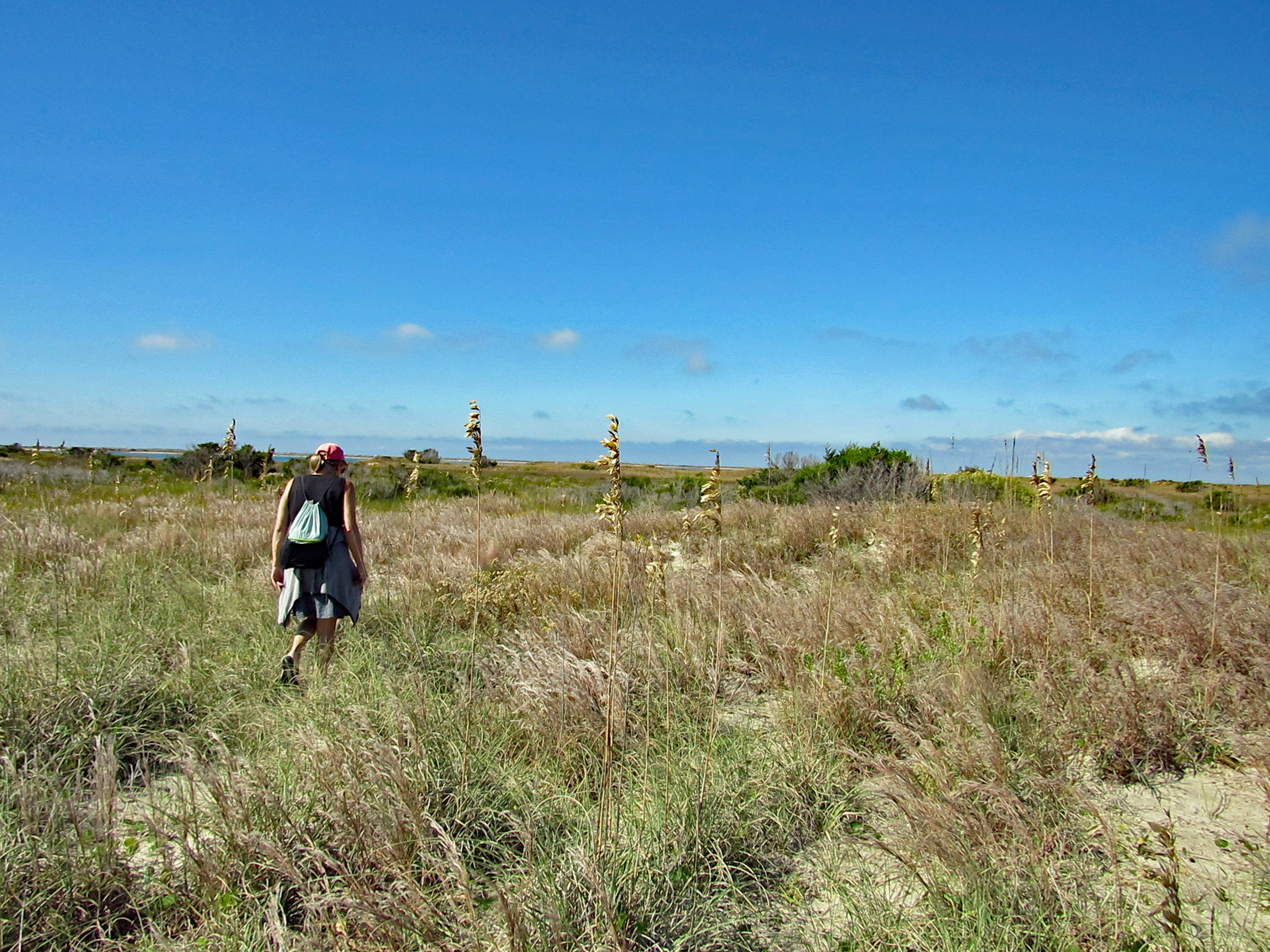
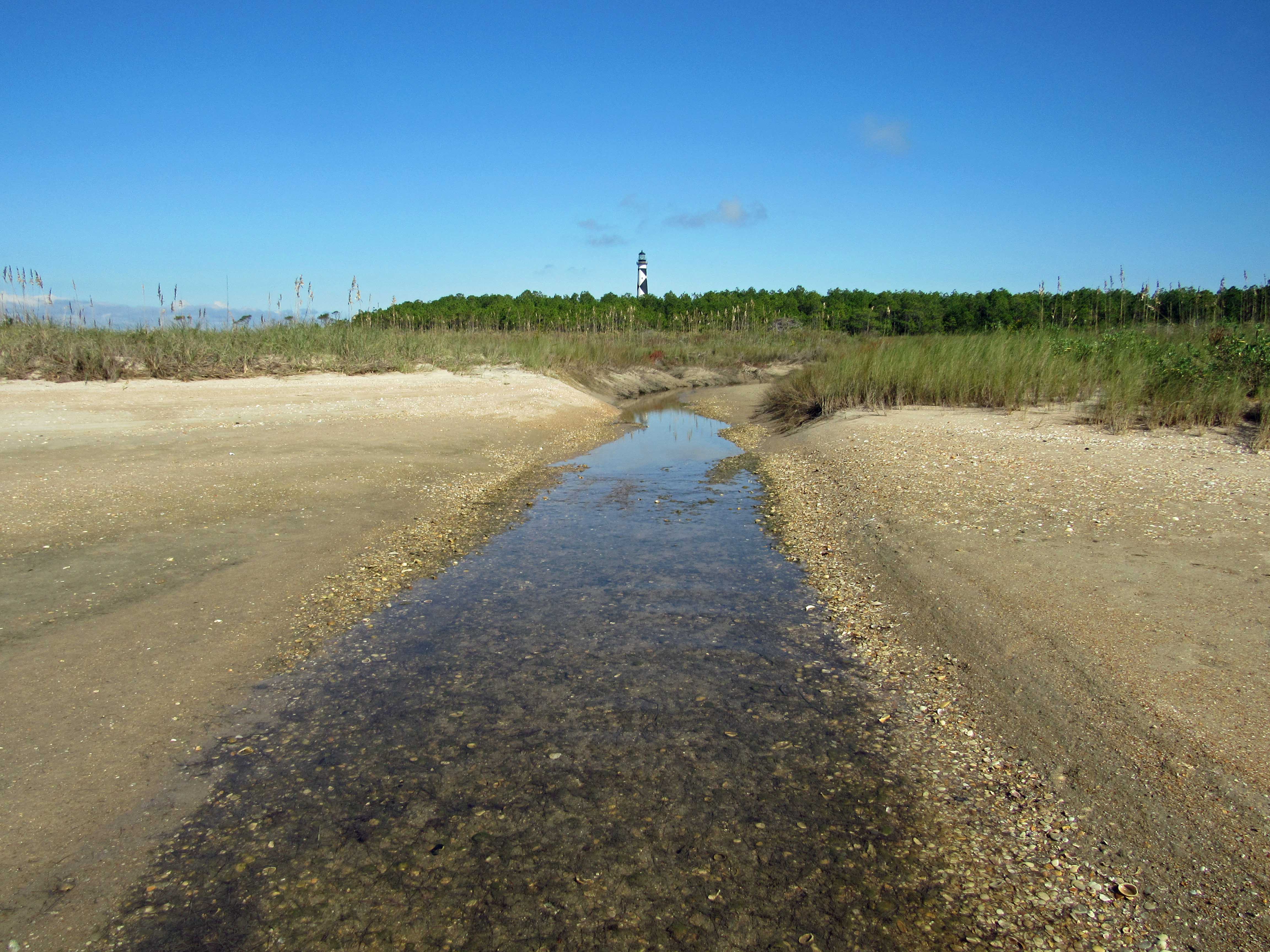
We leave the ocean side of the isle and head over to Wreck Point. Trudging through the dunes and marsh.
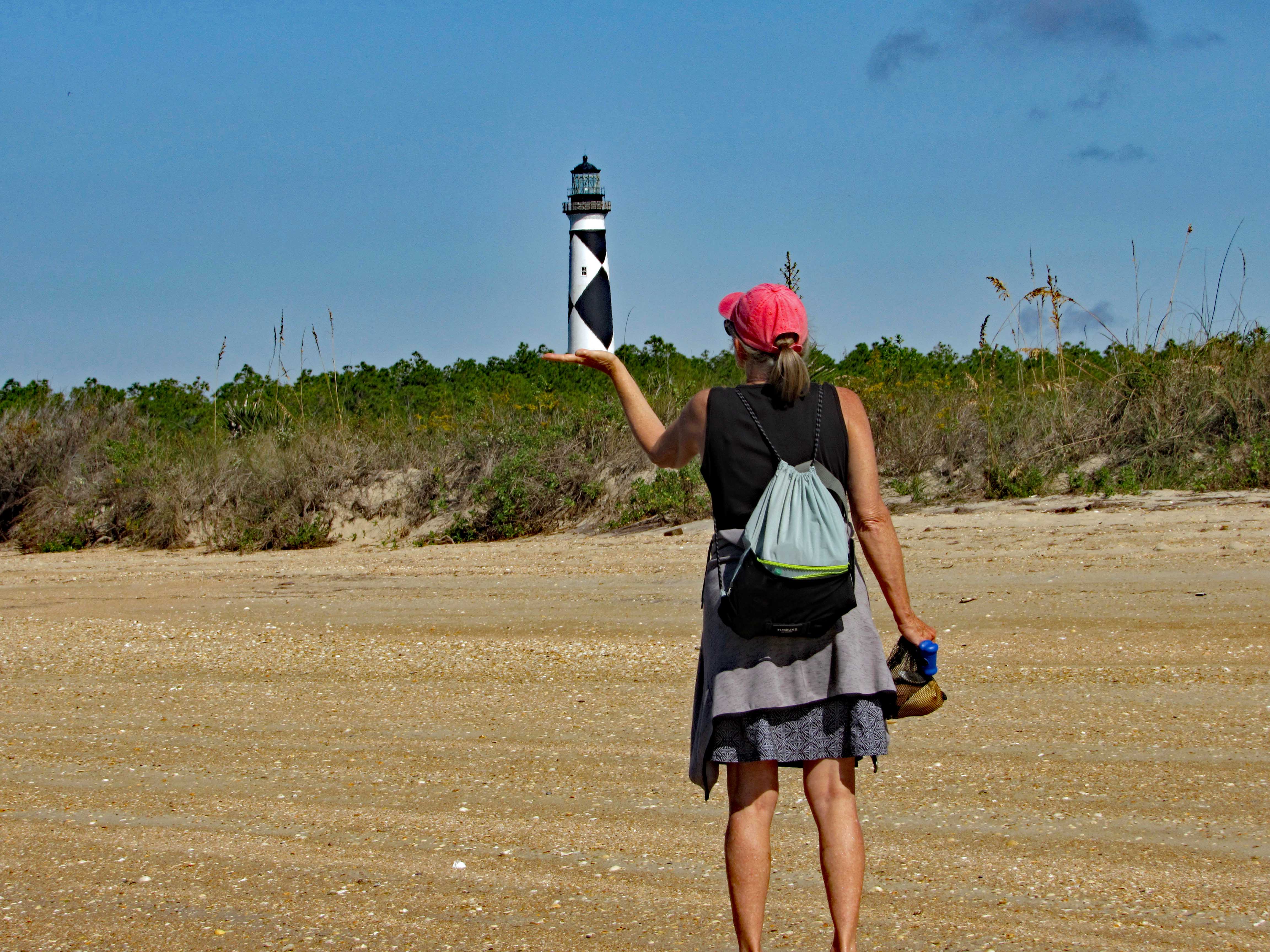
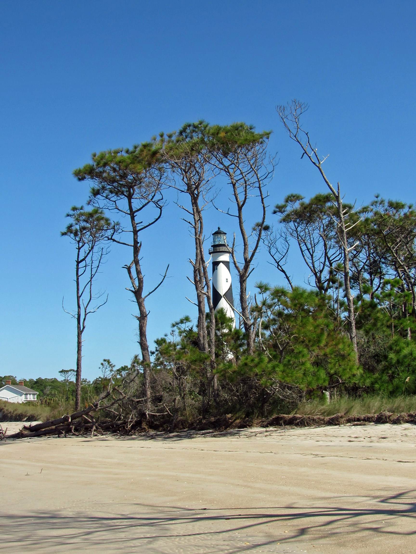
Balancing the Light.
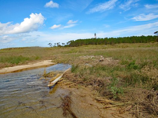
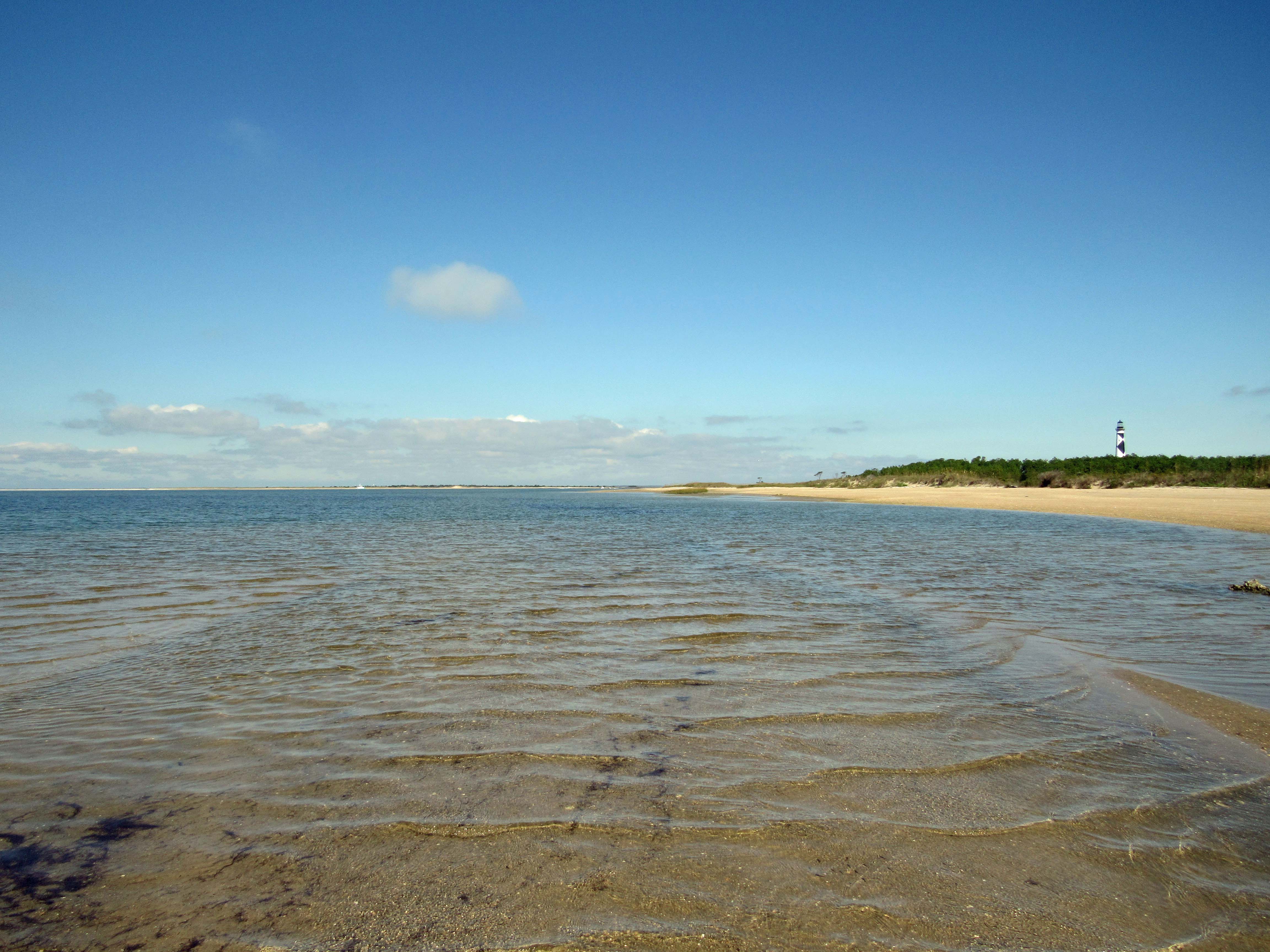
Heading back towards the lighthouse.

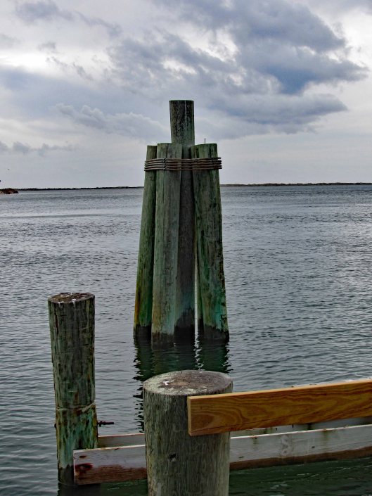
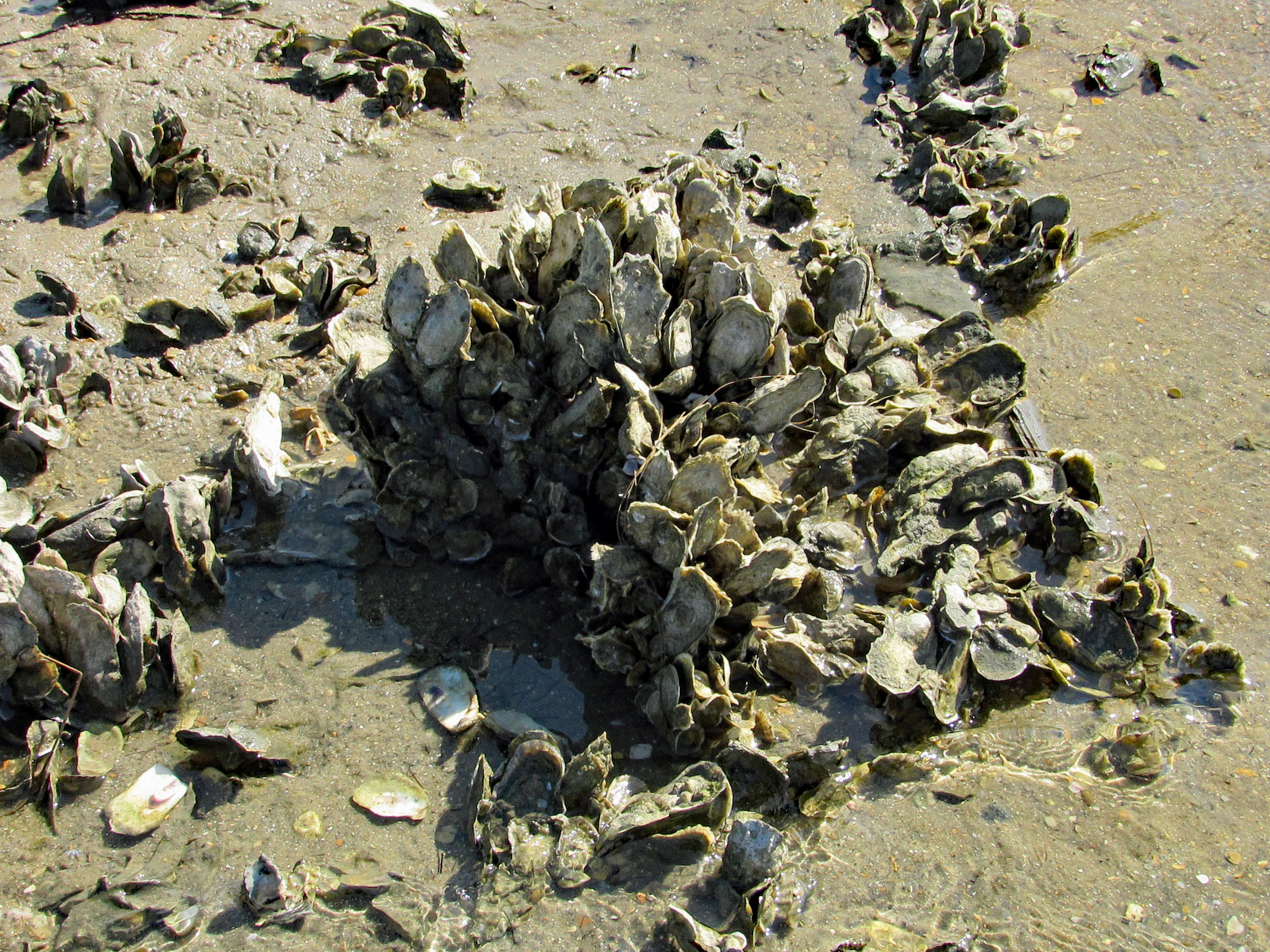
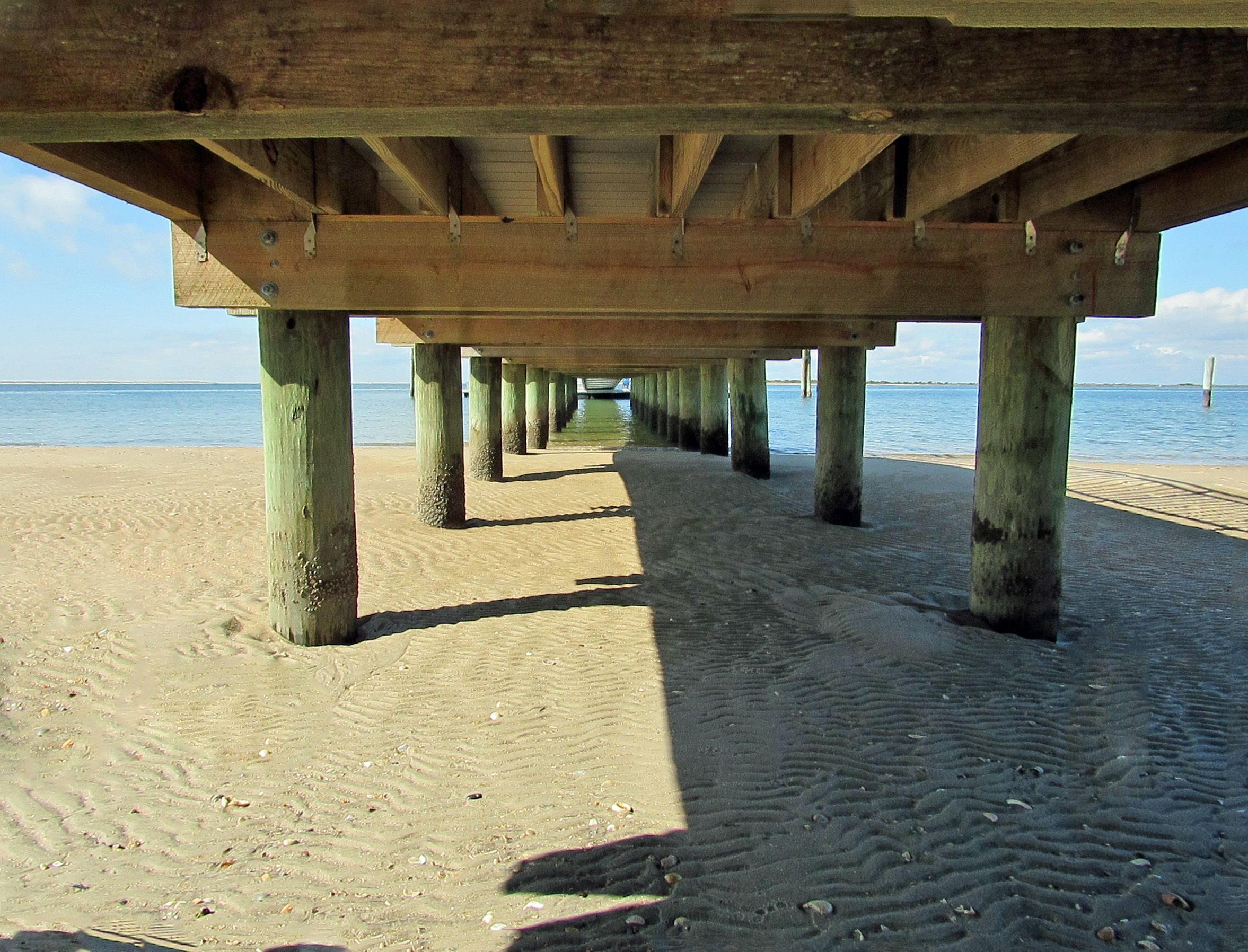
Checking out under the dock…
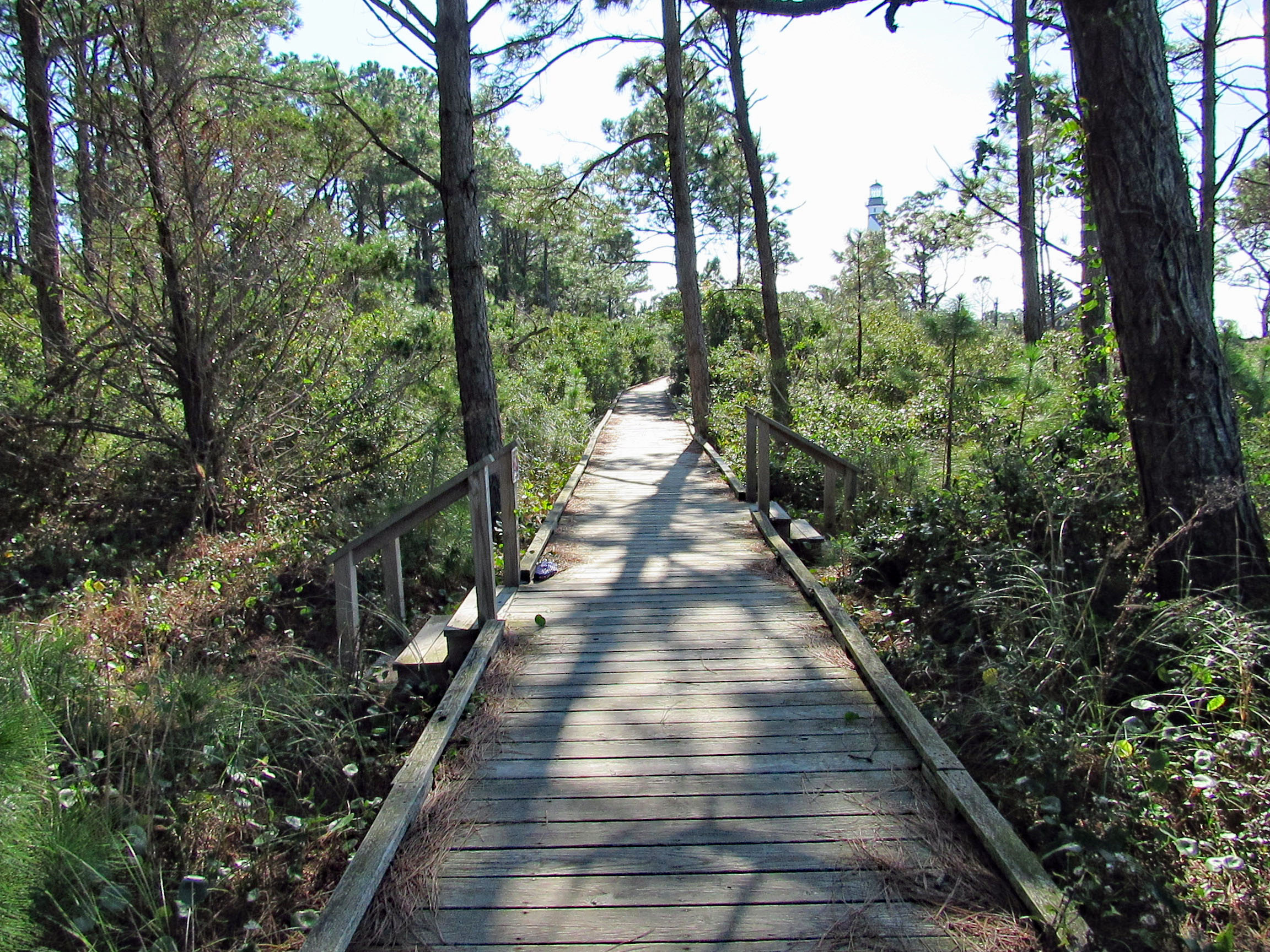
Boardwalk to the lighthouse area.
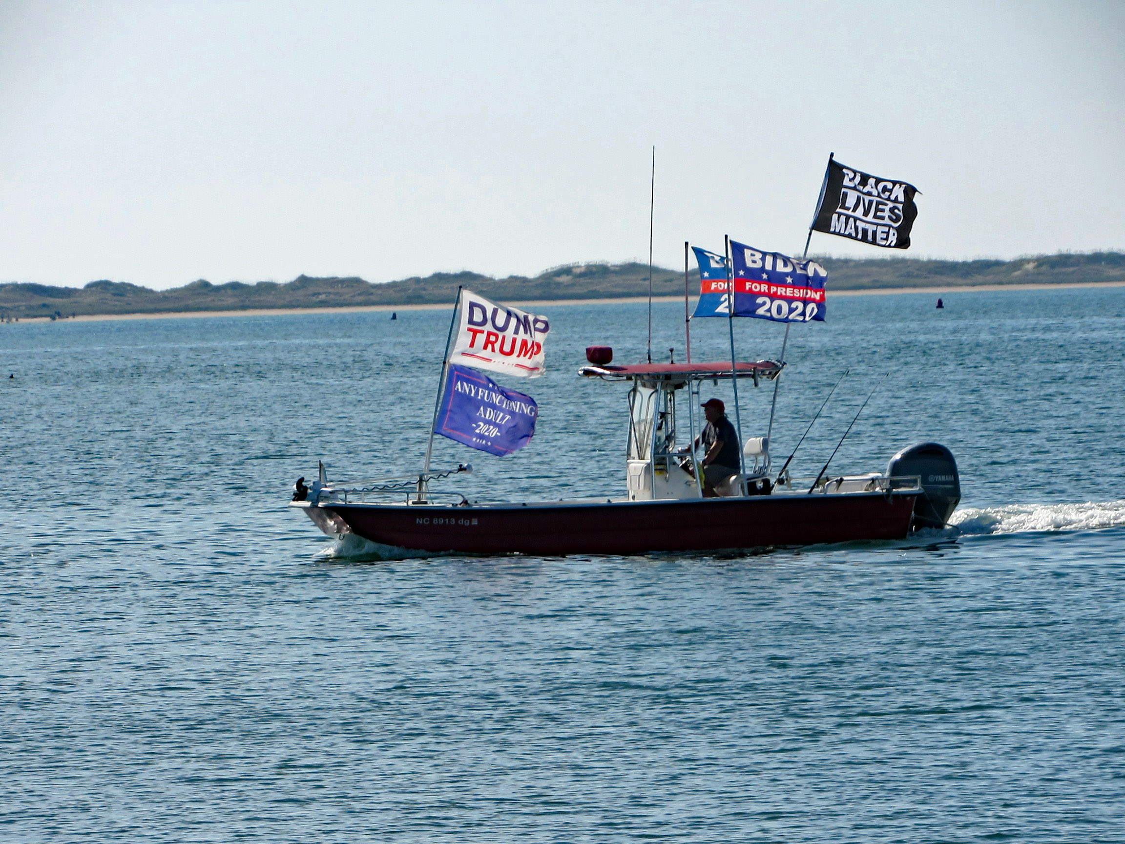
This guy was going close to shore and other boats blasting his horn and making all kinds of noises.
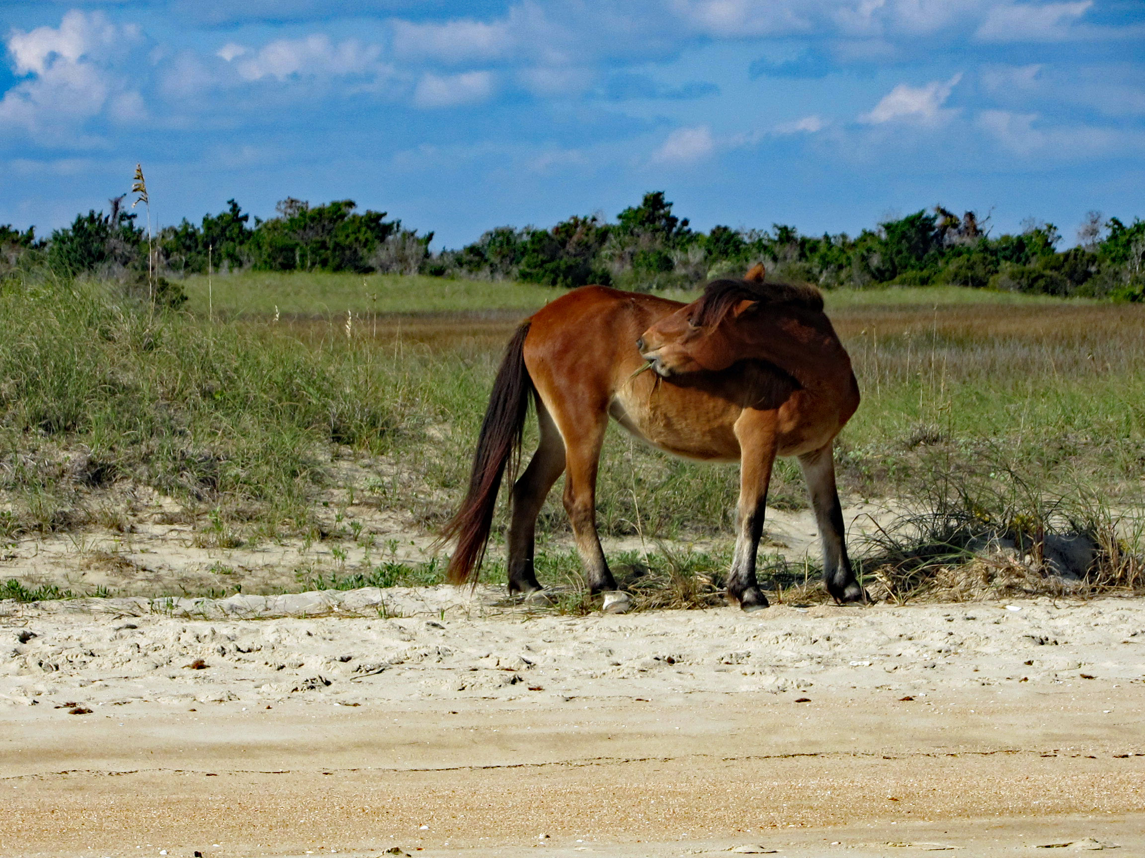
On the way back, on Shackleford Island. Scratching an itch with his food.
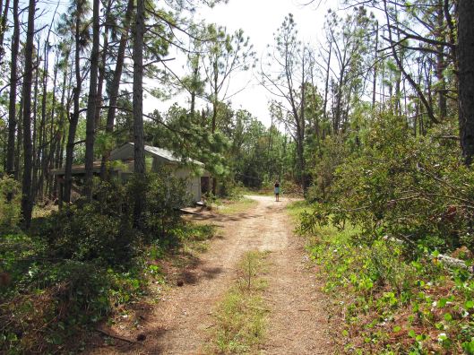
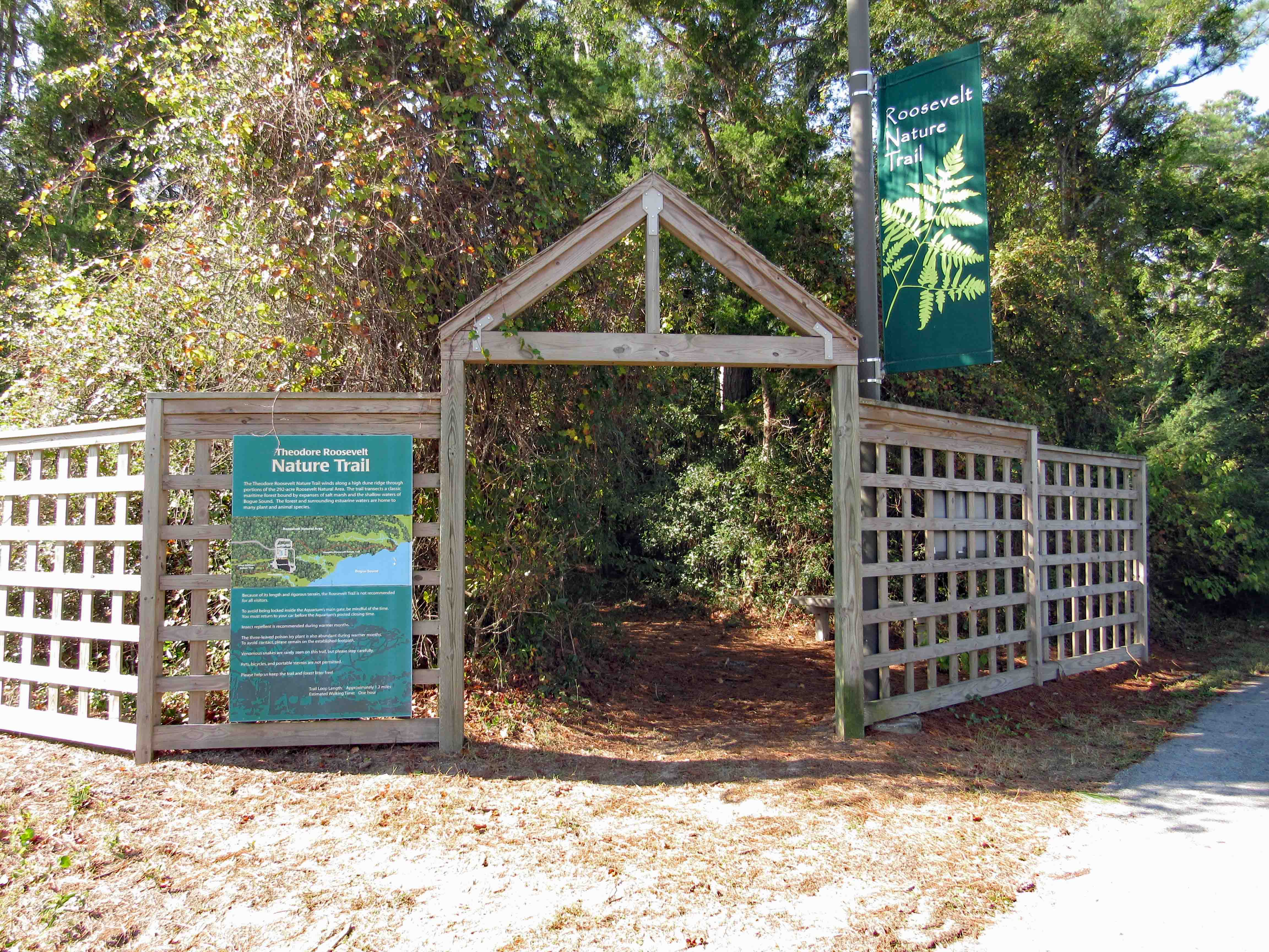
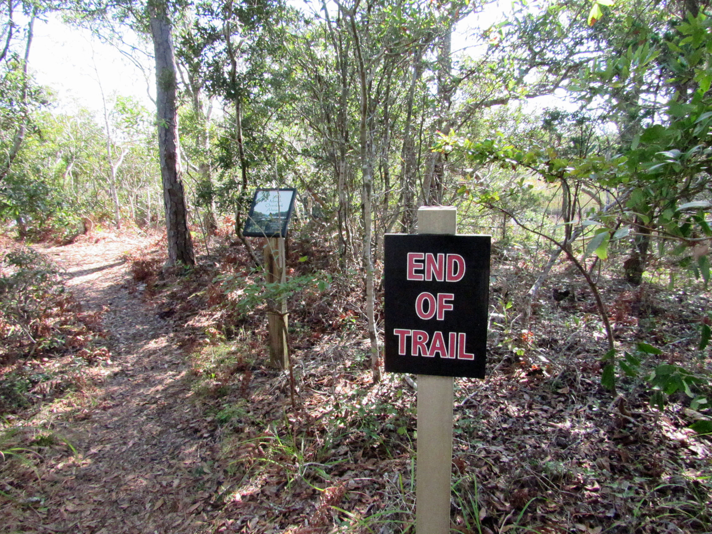
Another day, another adventure. Off to the side of the Pine Knoll Shores Aquarium is a nice little hiking trail. About 1.2 miles.
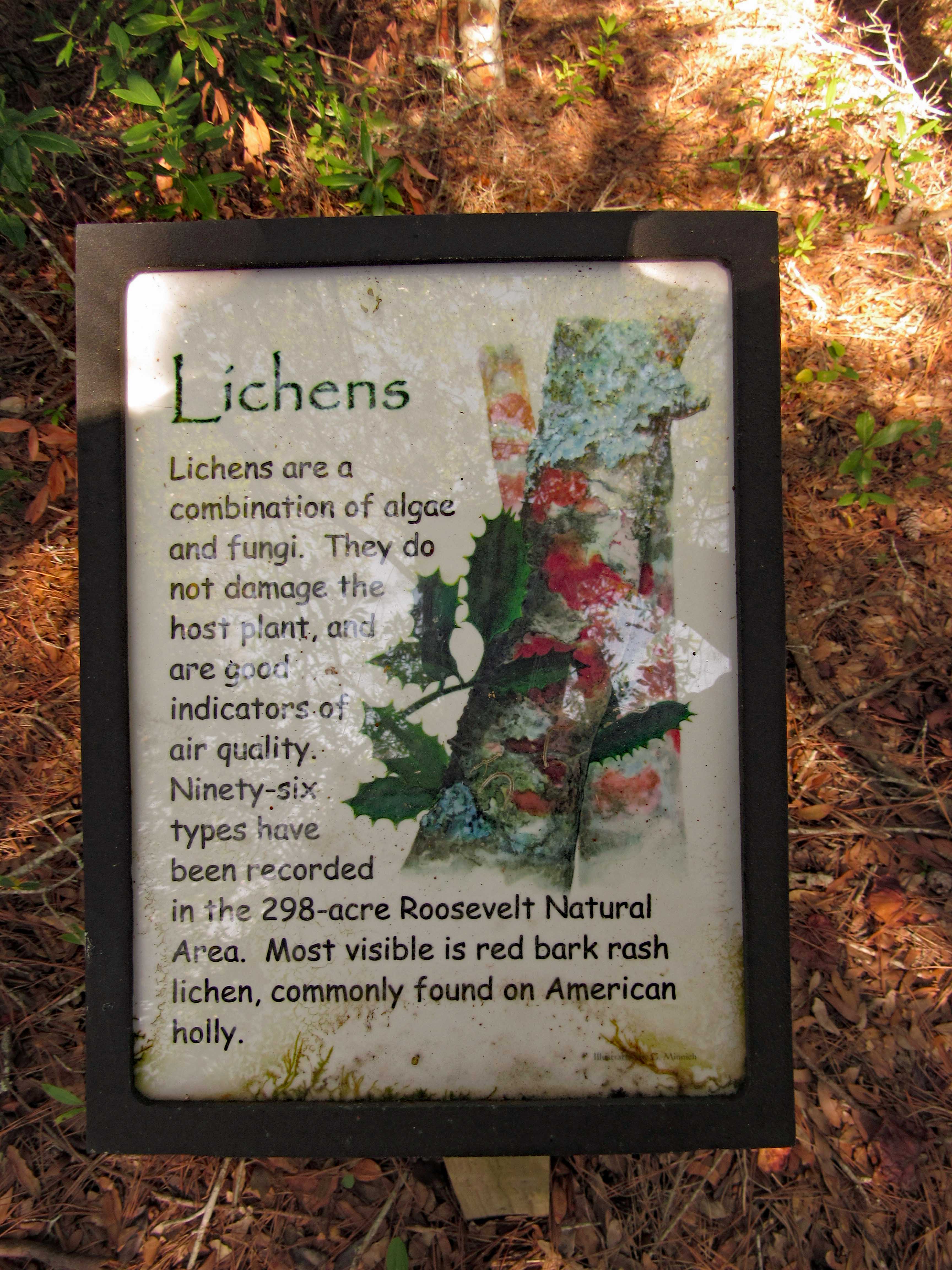
We thought this coloration was the tree itself (Holly)
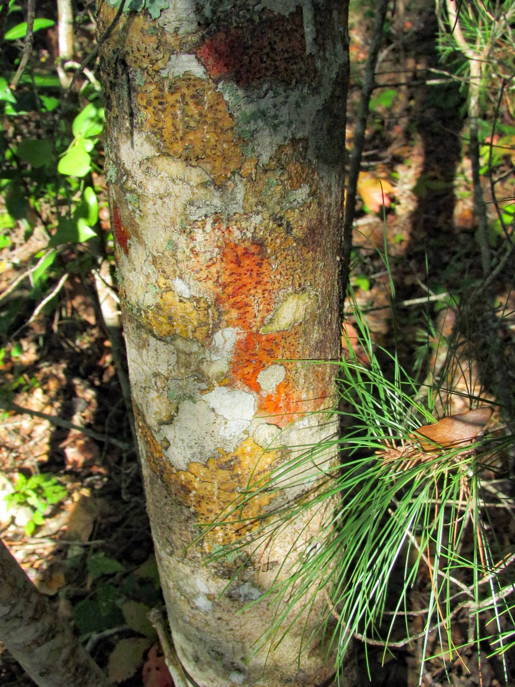
But it is lichen. Nice info signs along the trail.
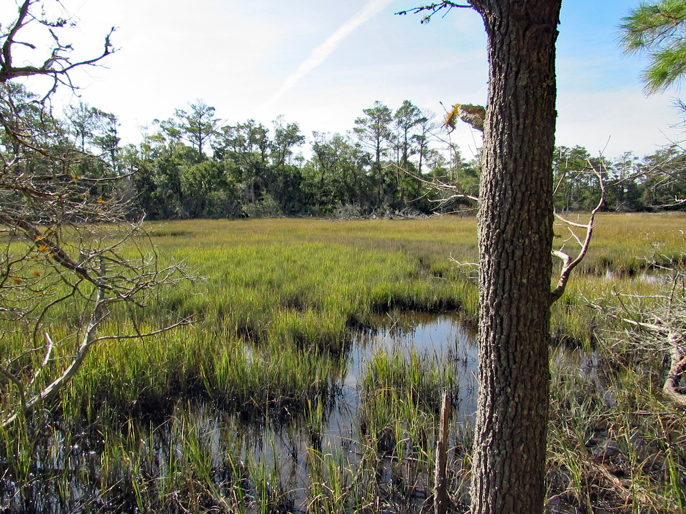
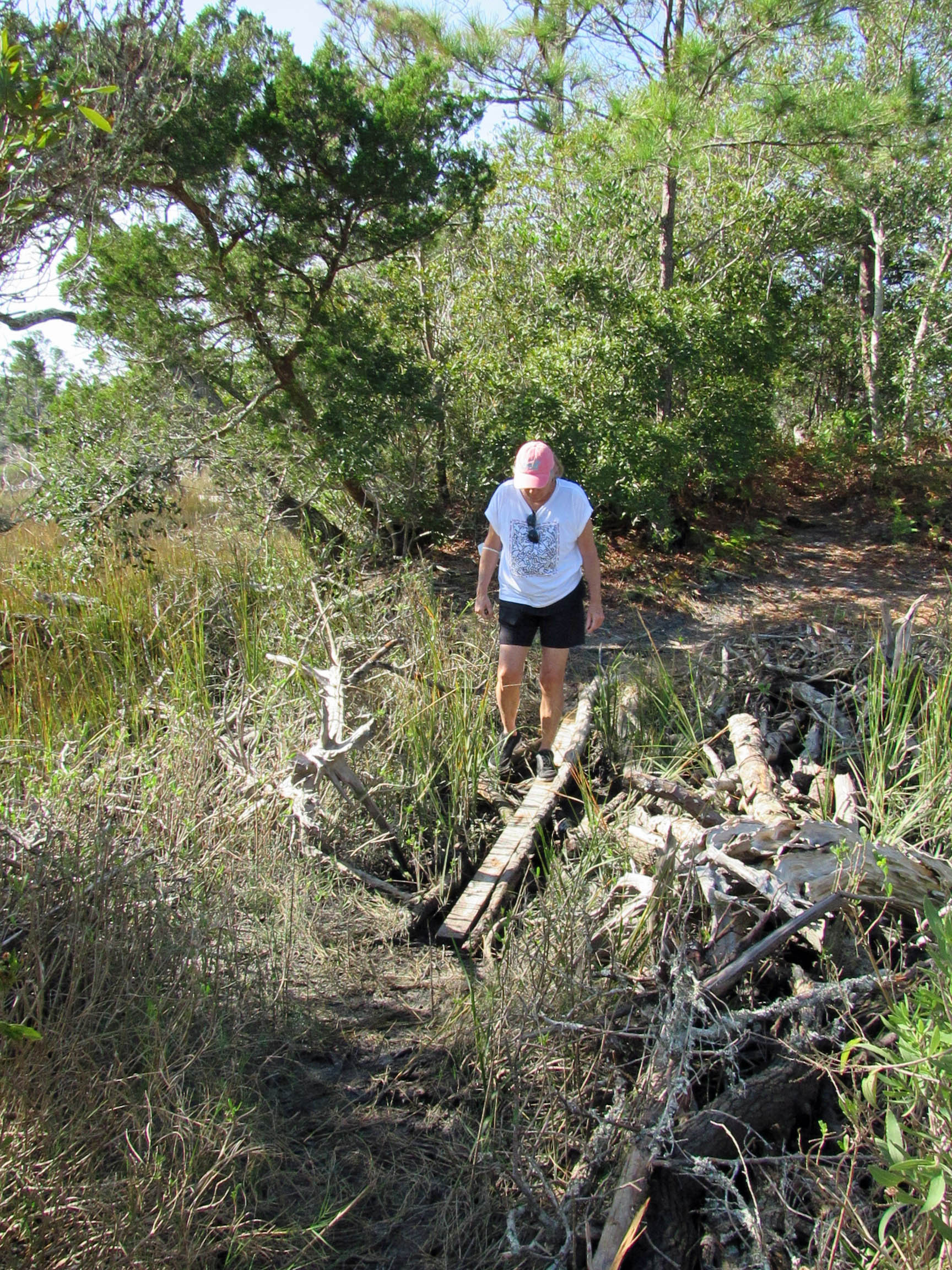
One side of the trail is a marsh. The other side is the Bogue Sound.
Sign in front says End of Trail. Sign behind it says Last Marsh Overlook Ahead?
Foot bridge to the end.
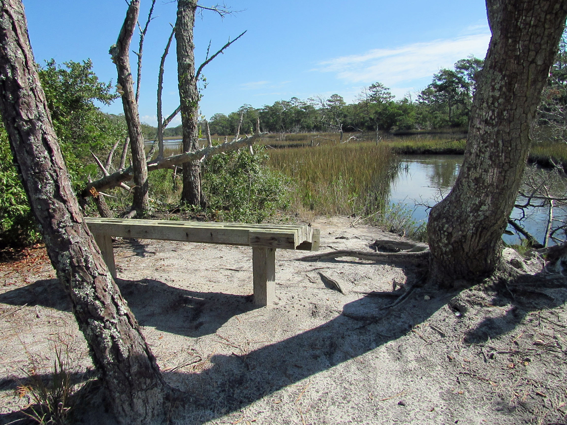
And at the end, a nice bench to rest on.
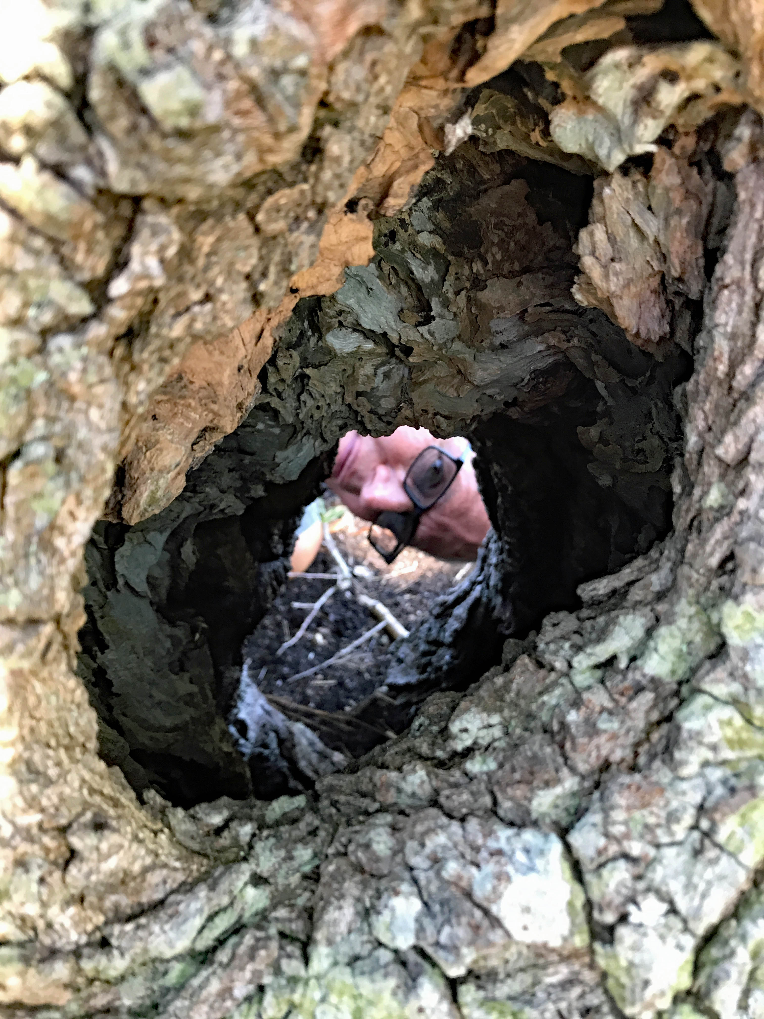
Who Dat? Go ahead Ron, stick your head in there..
To the beach one last time.
Another nice vacation, thanks to John and Gail.