Headed to Baltimore from Salisbury about 9am. For whatever reason there was a back-up on the Bay Bridge. Got to the cruise terminal about noon. Everyone at the terminal was very nice. Lots of people instructing you to have all your documents ready – Cruise ticket, passport, ID. The Vision of the Seas, Royal Caribbean.
Our cabin was ready at 1pm which wasn’t bad. Exterior with view and this is what we could see.
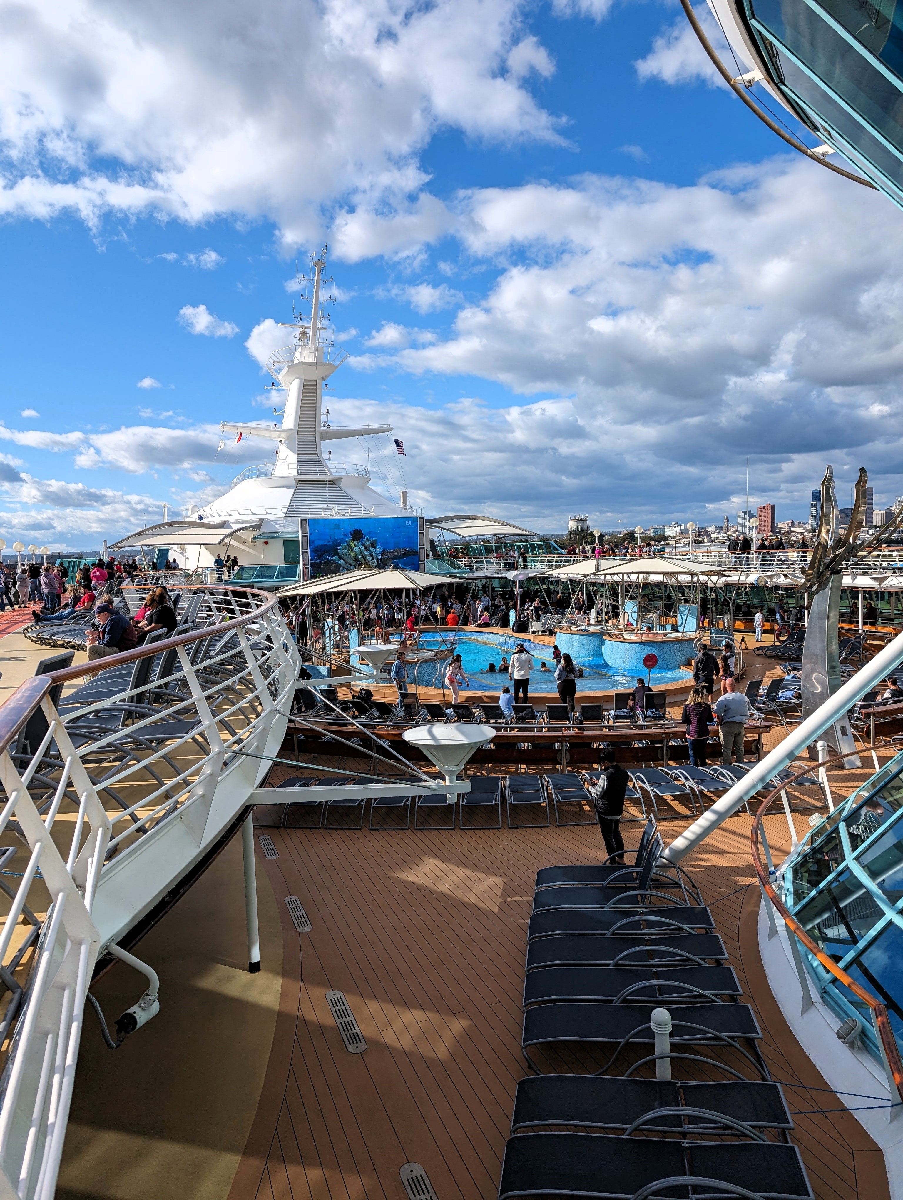
Roamed around the deck. People already in the pool.
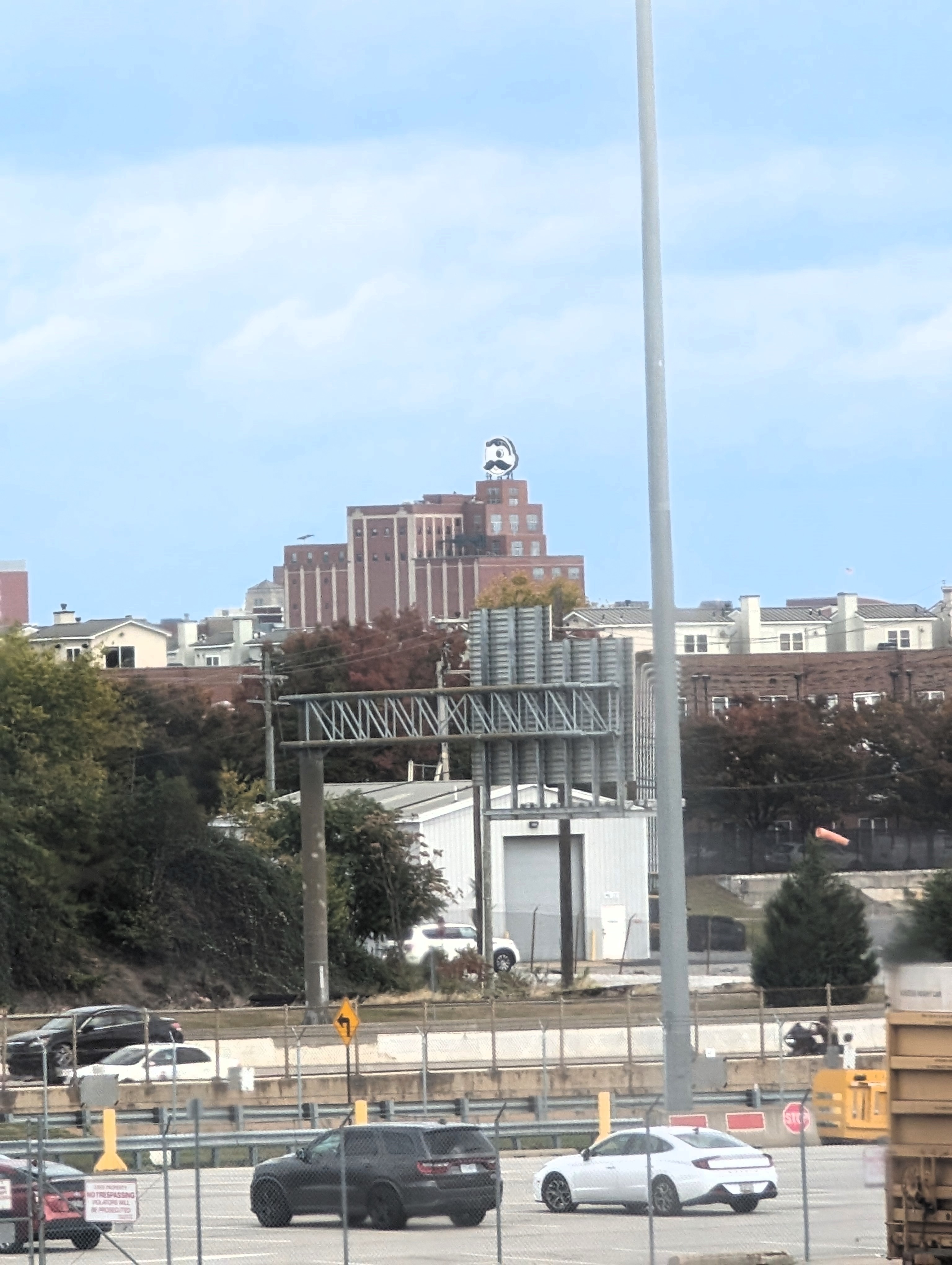
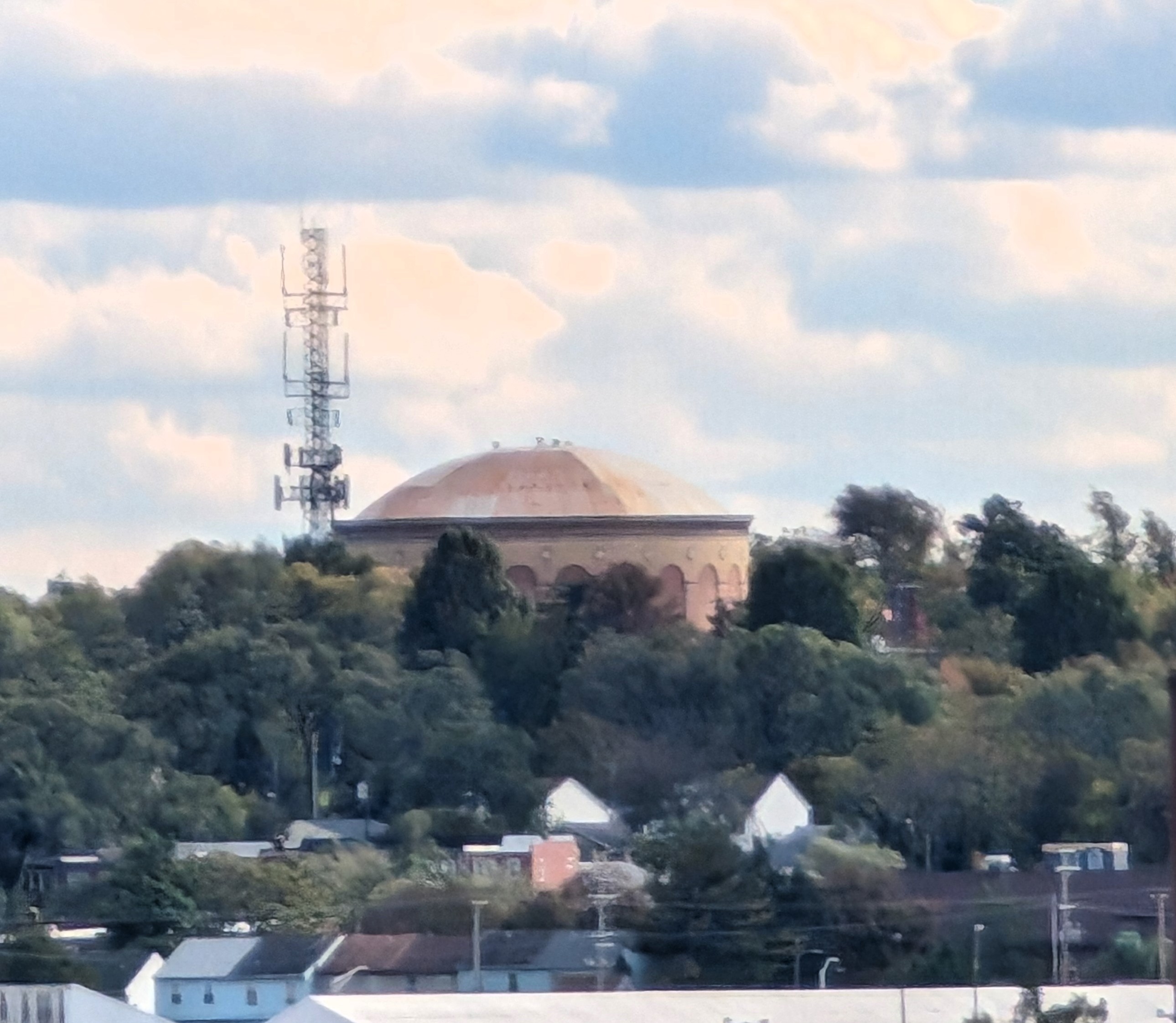
Went to the Windjammer Buffet and ate. We were a little late leaving port. It appeared that someone left the ship in an ambulance. Headed out and saw the Curtis Bay Water Tank.
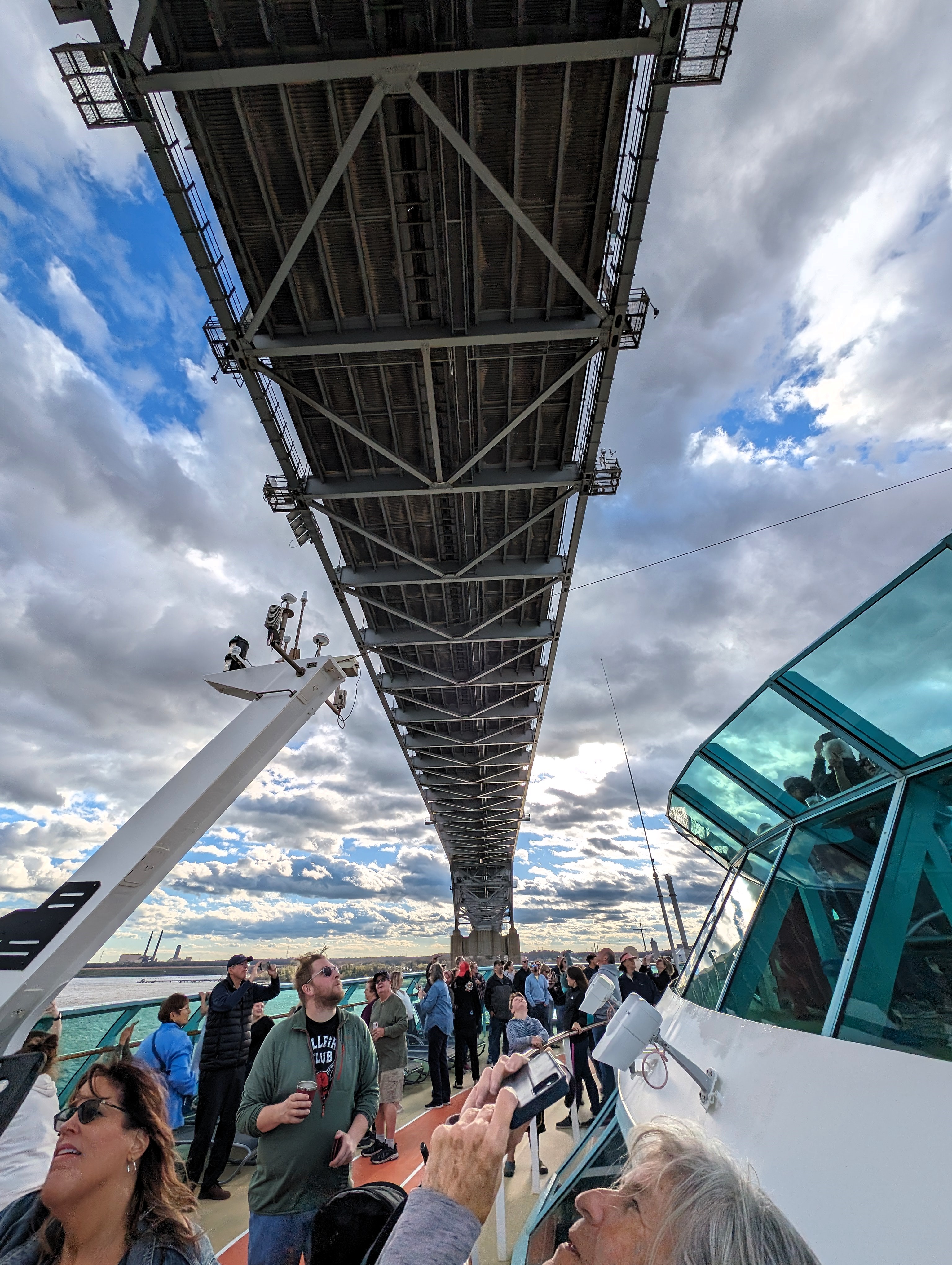
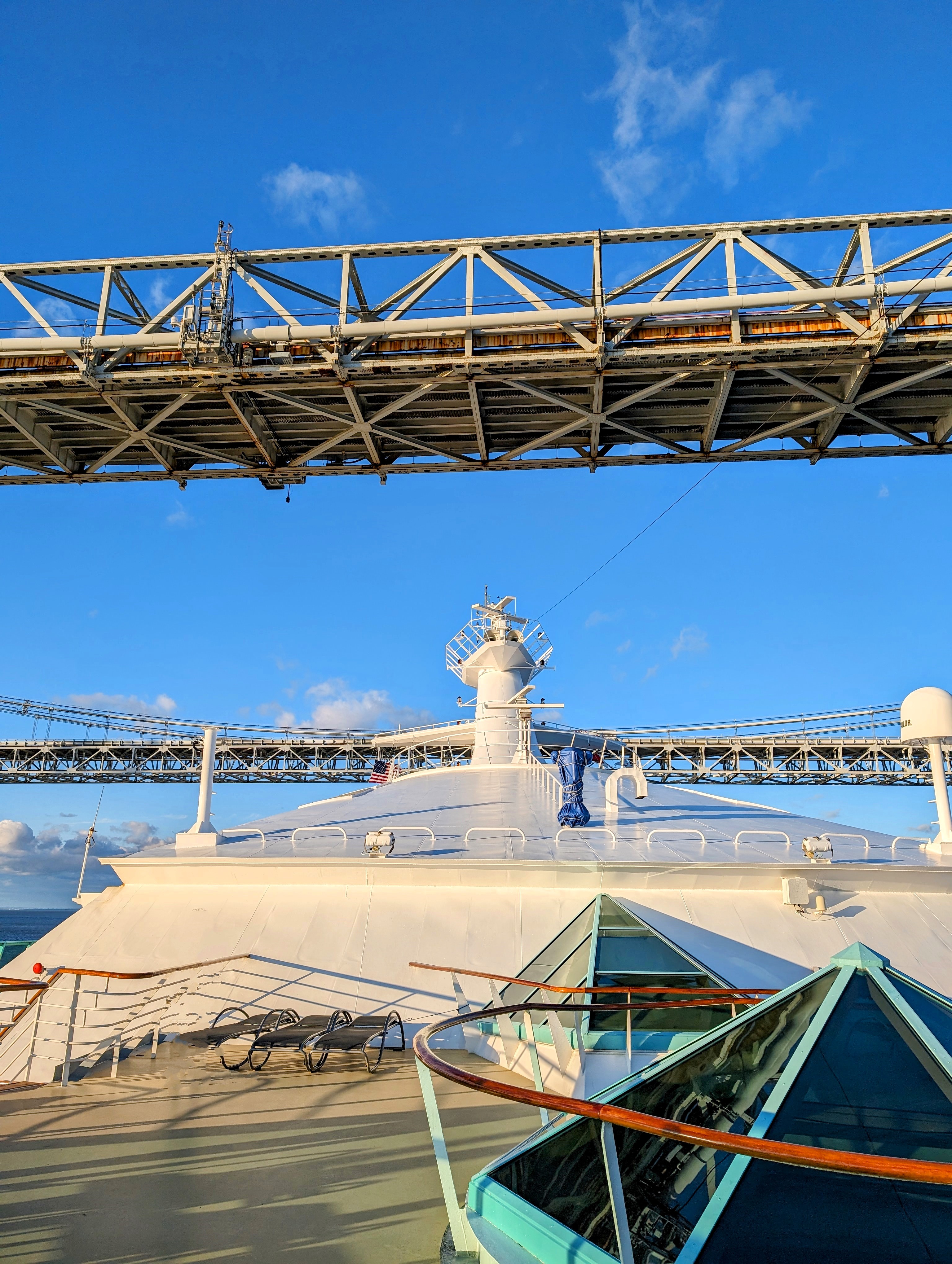
Next we were going under the Key Bridge. Is she going to make it under?
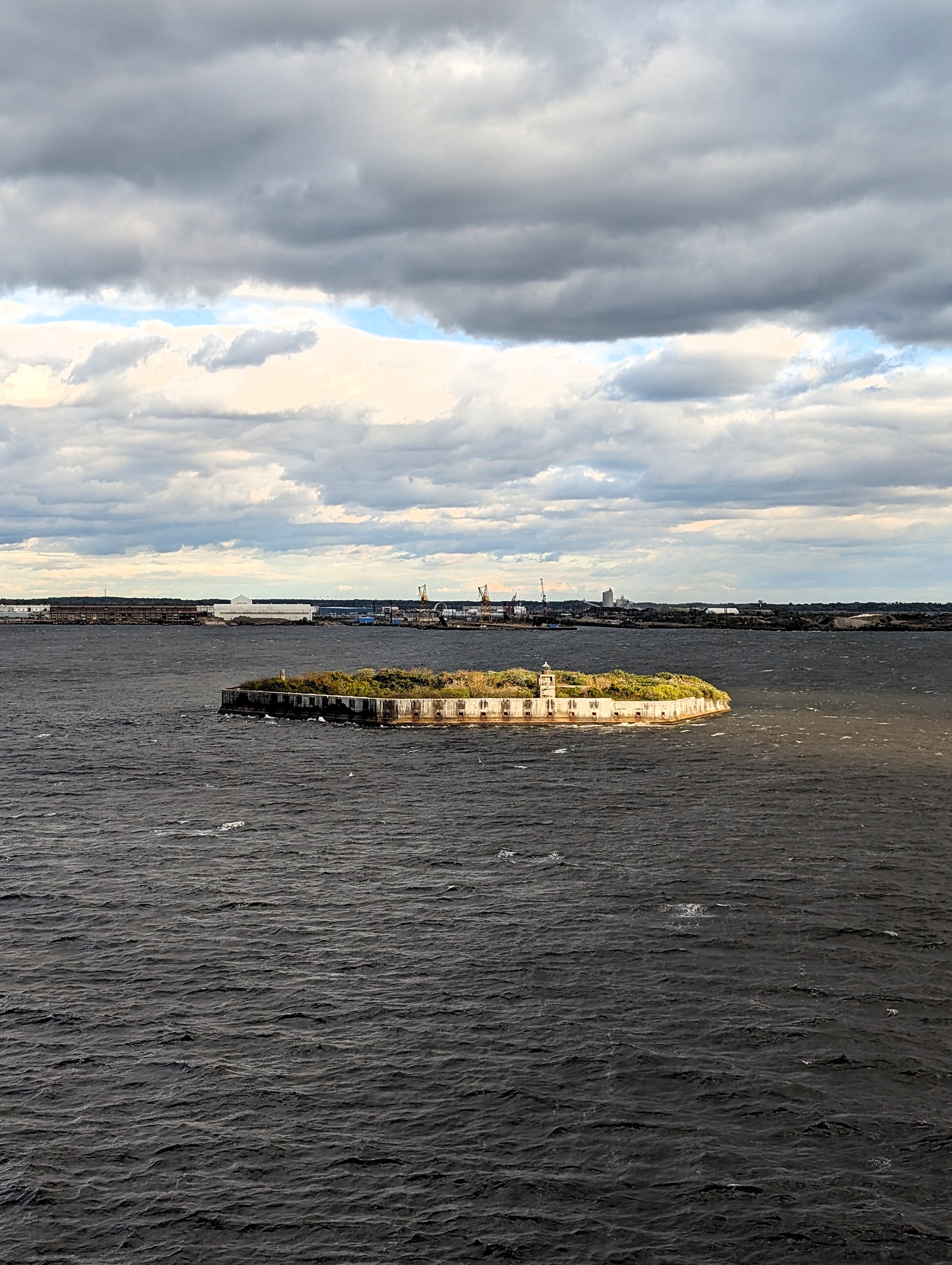
And past Fort Carroll – Designed and built by Robert E. Lee.
A little while later we were under the Chesapeake Bay Bridge. Oooos and aaaahhs.
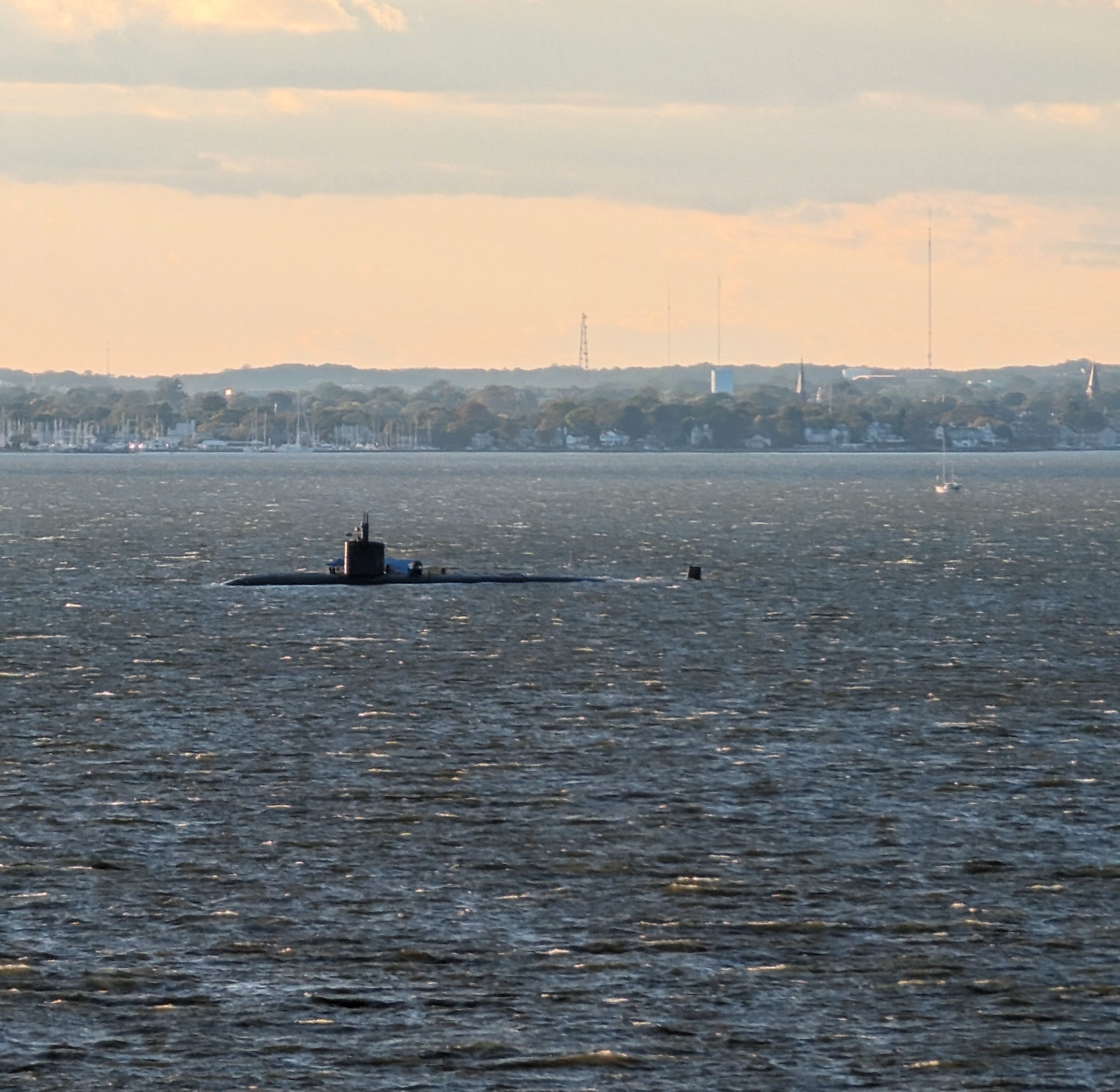
There was a submarine out there. Someone said it was a nuclear sub, another said it was a training sub for Annapolis Naval Academy.
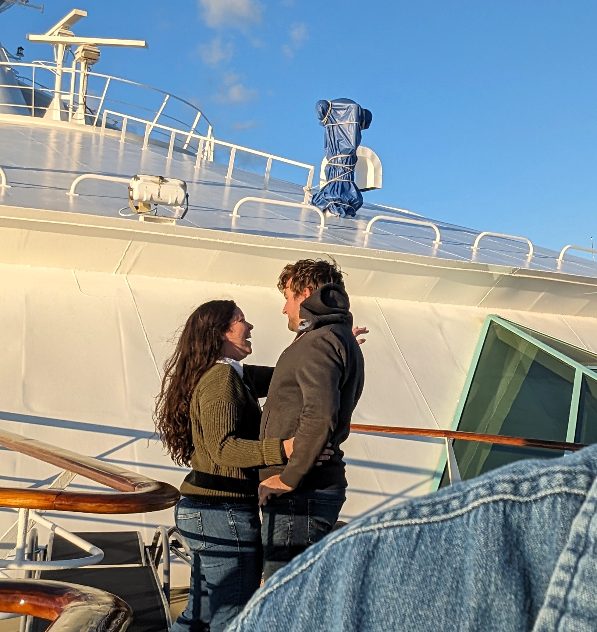
Kathy said “Look, he just proposed to her” So as not to be Mr Obvious I looked through my camera. I asked if they wanted me to take their photos and she said “No, I’m not doing this again!” And he said, “Come on, we should have pictures of this!” So they gave me their camera and redid the whole thing over!
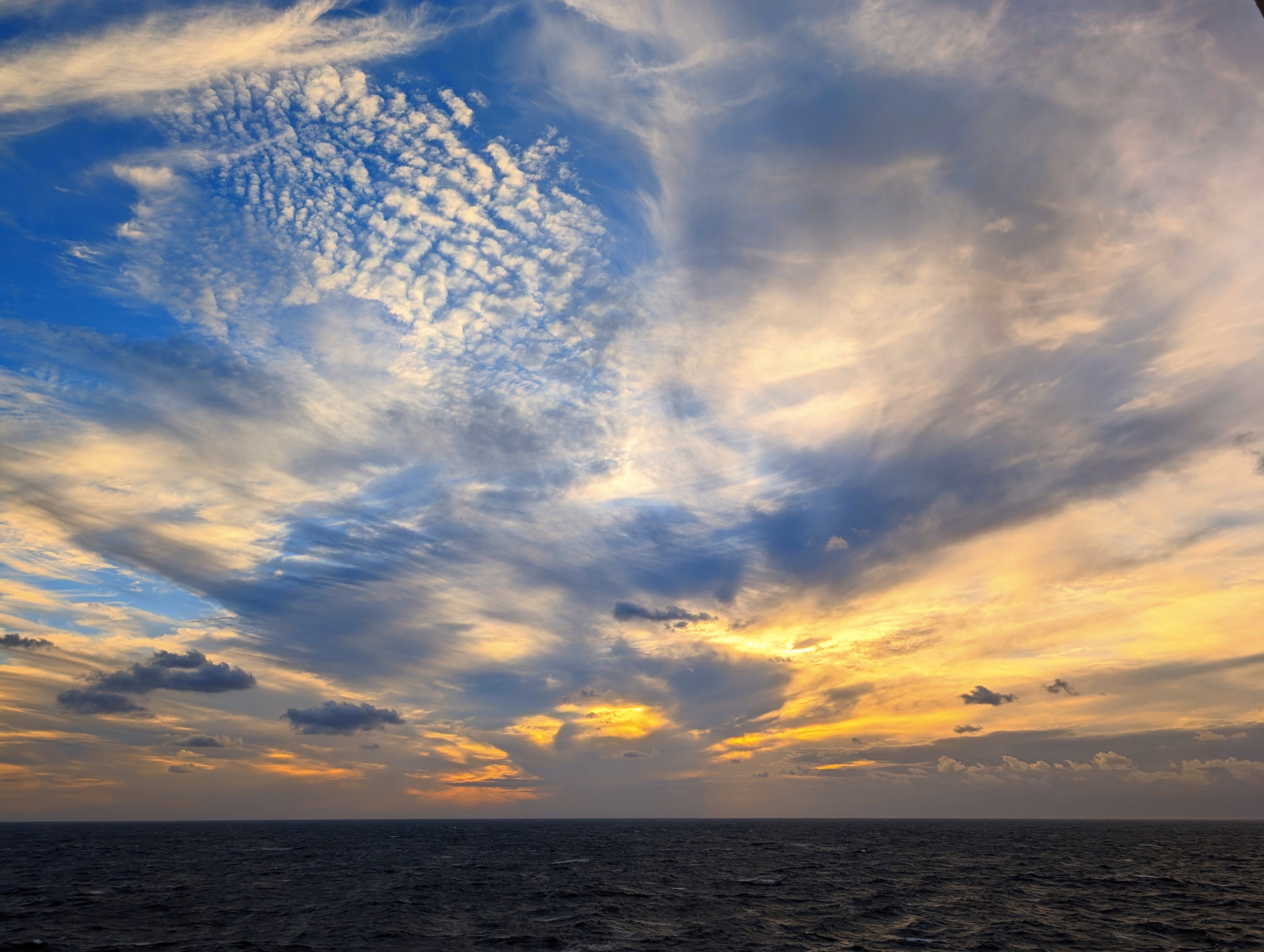
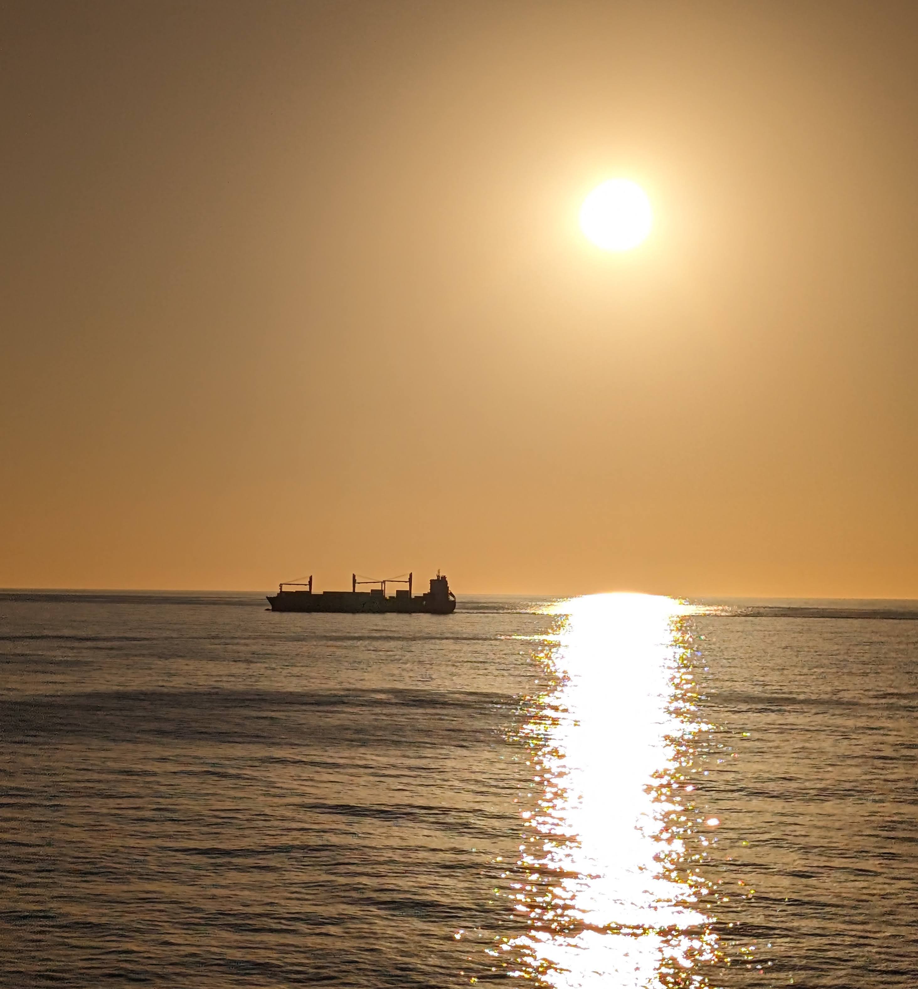
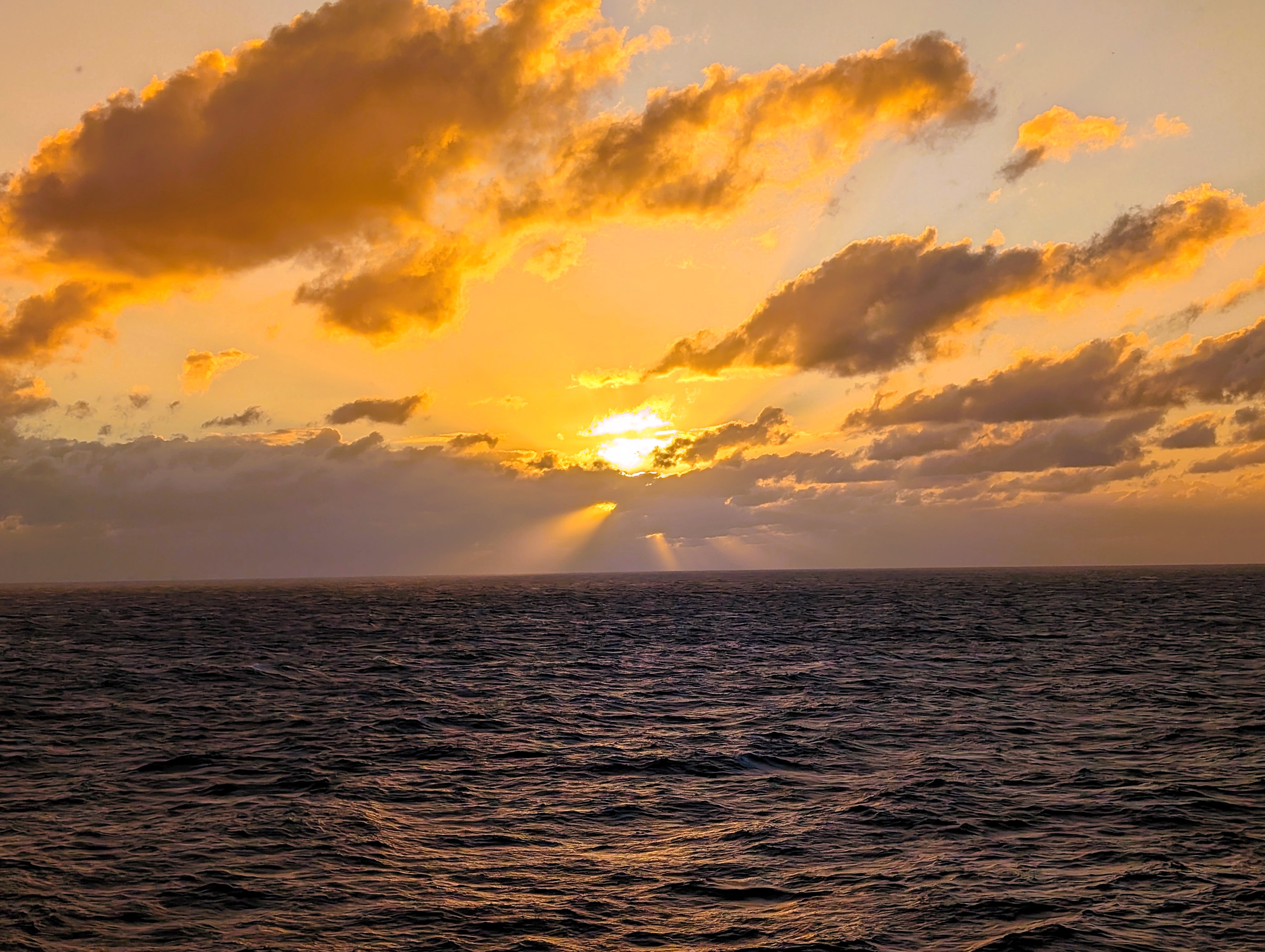
A nice sunset from the side of the ship.
The next day was just a lot of everything going on. Lots of eating! Entertainment galore. Because my back has been bothering me, I went to the excursion desk to see if I could trade our 3-1/2 hour kayak adventure for a mini-cab tour of the Island – no problem. All the staff were very nice. We were able to watch the Ravens beat the Lions. By early evening it was really windy up on deck.
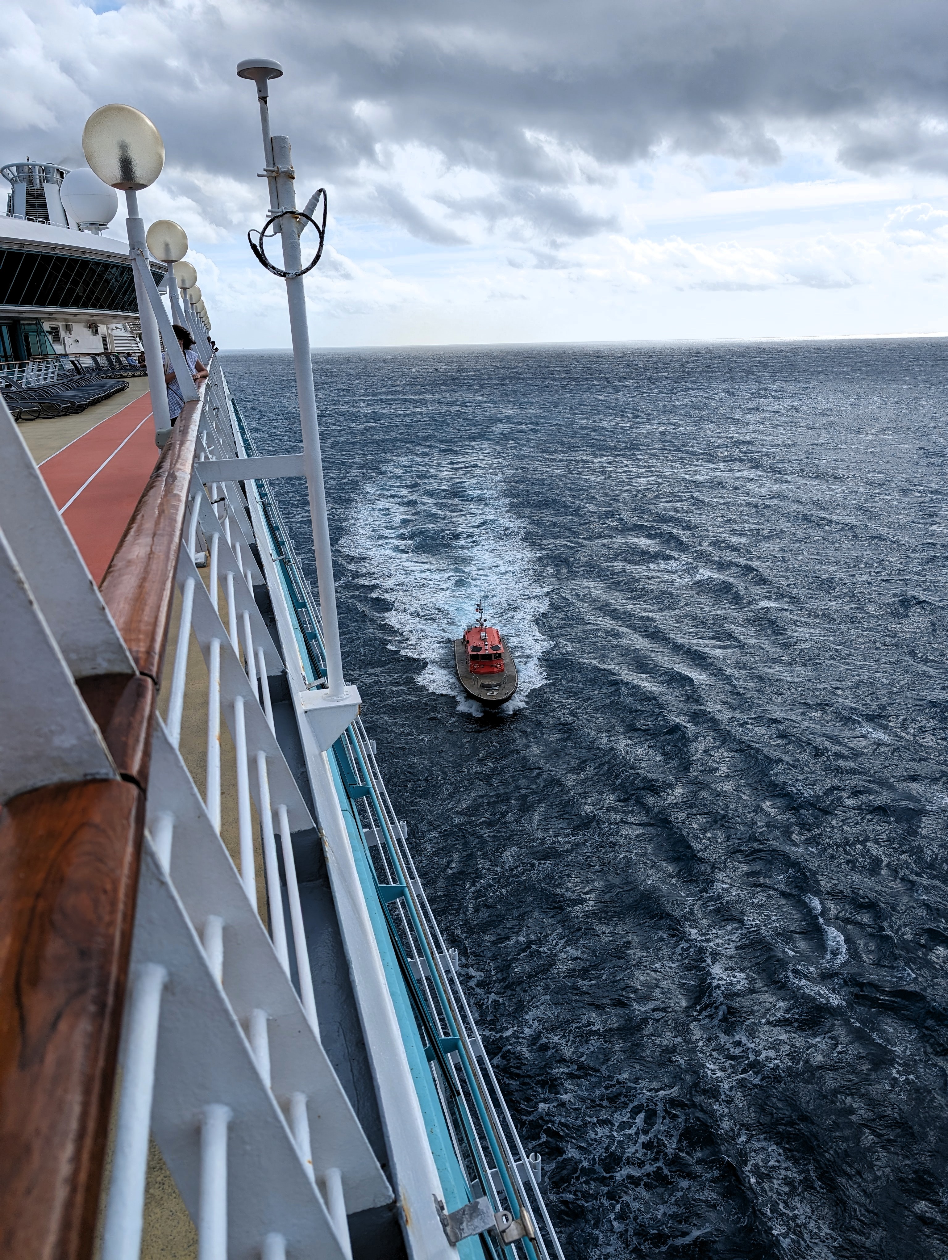
The next morning a pilot boat came along side us to guide us in.
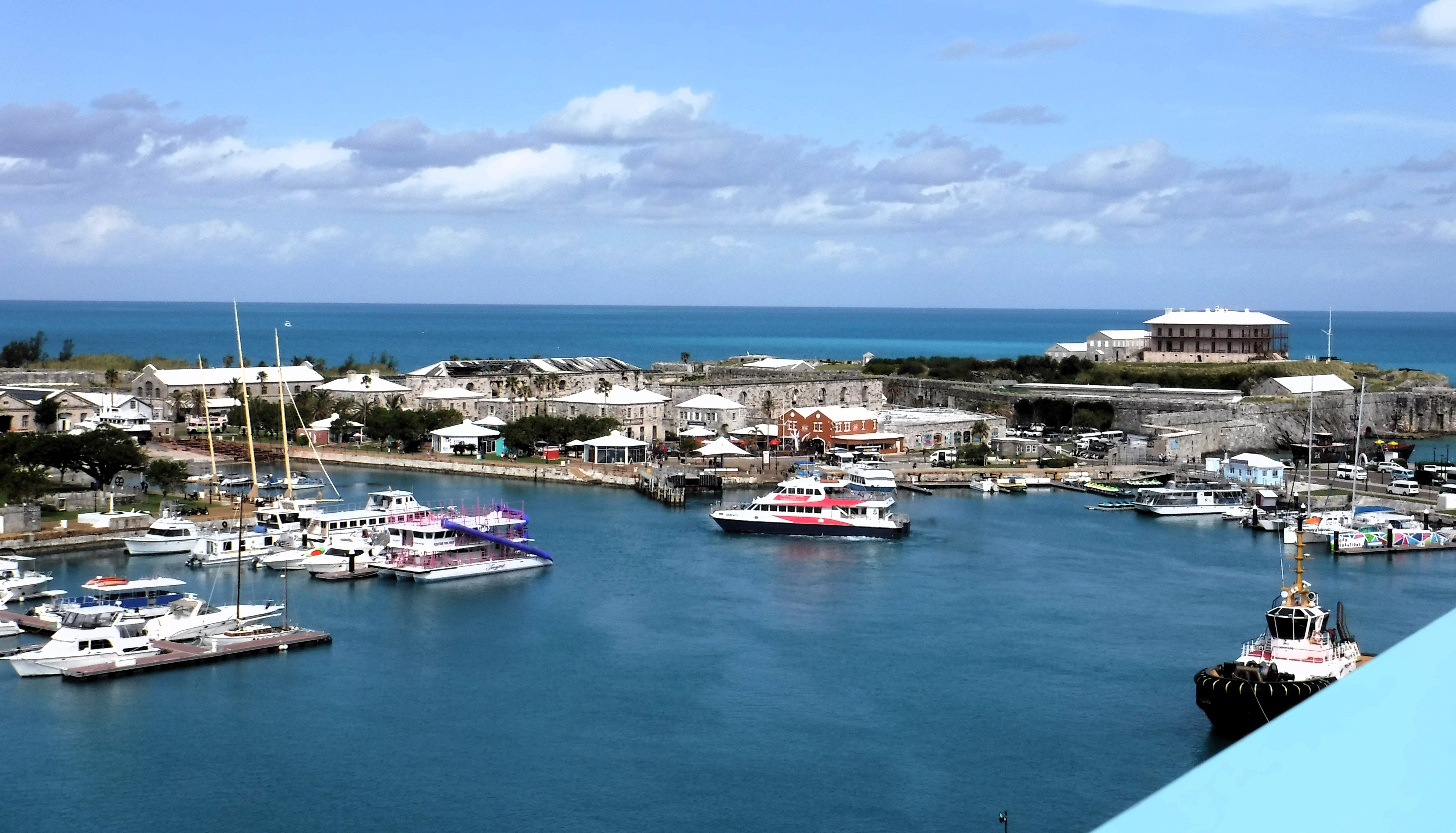
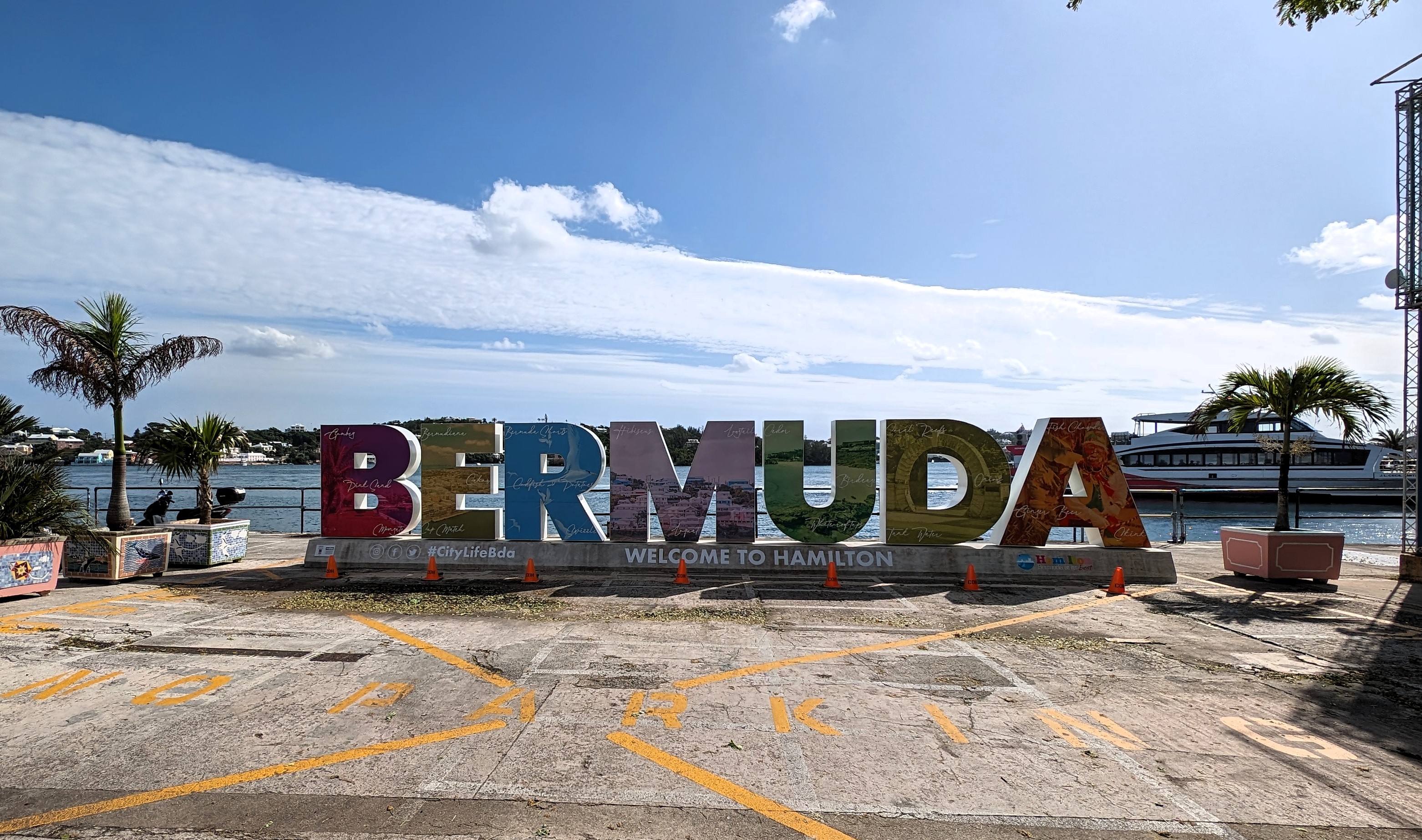
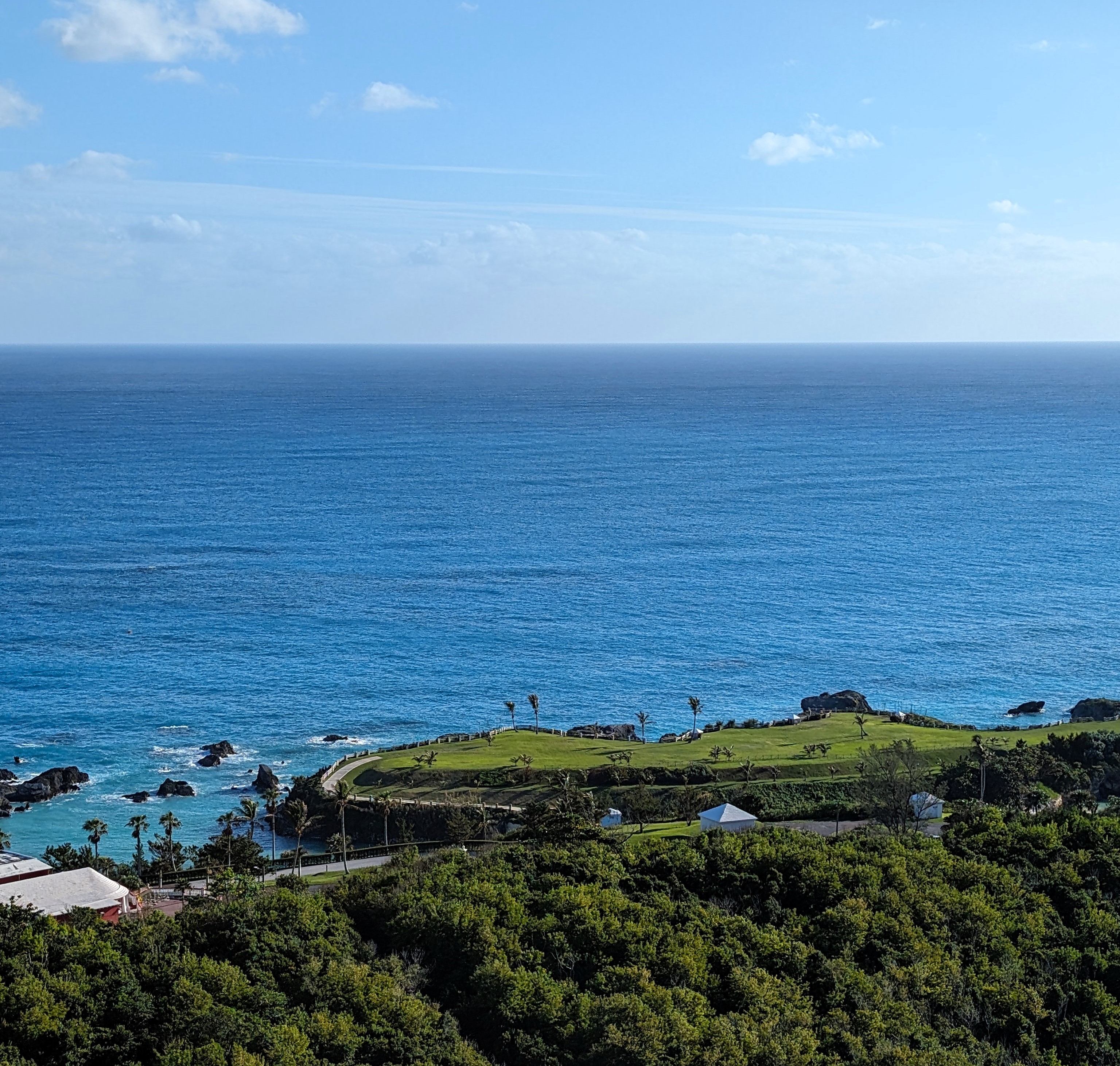
And here we are – Bermuda, Kings Wharf.
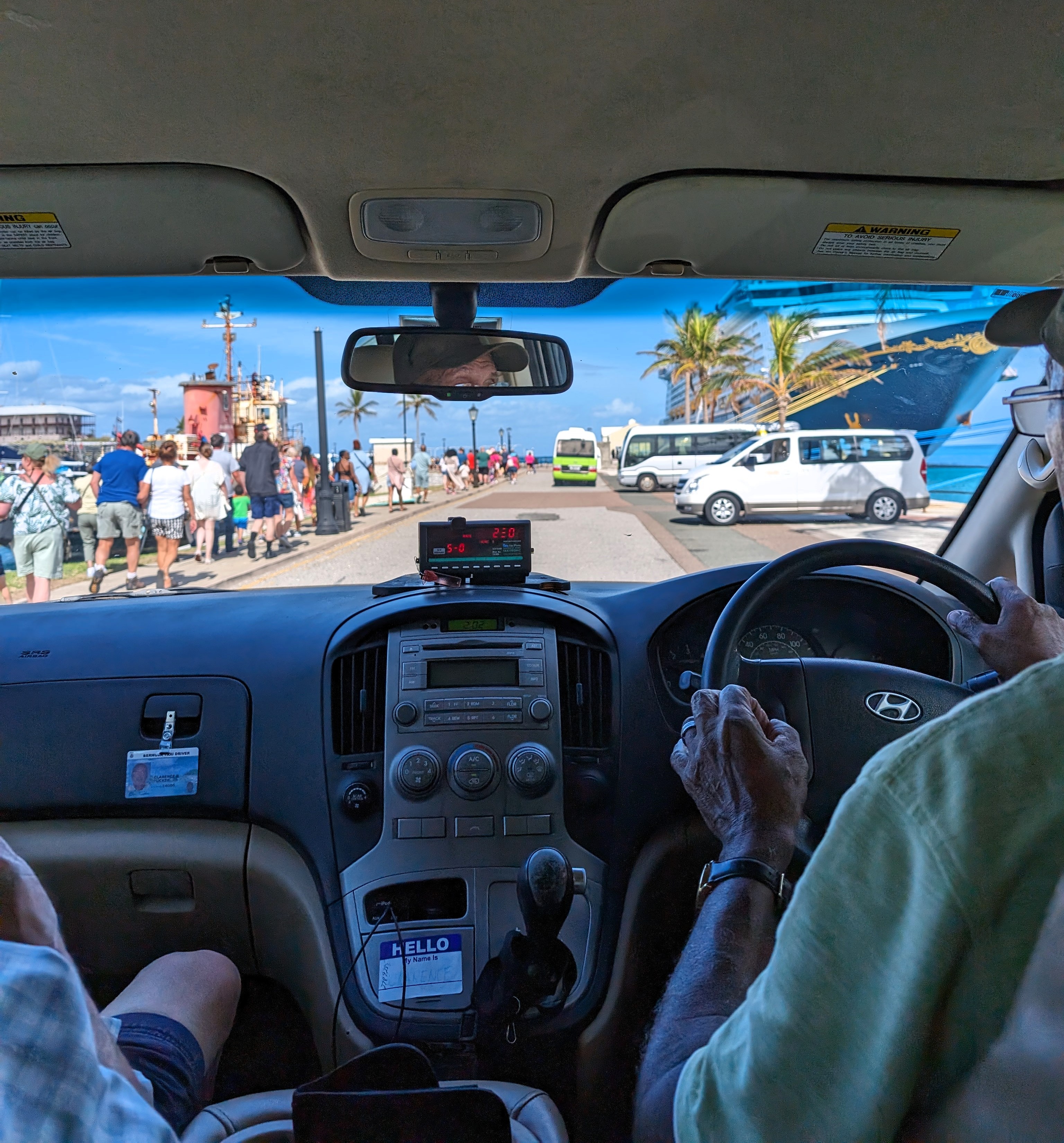
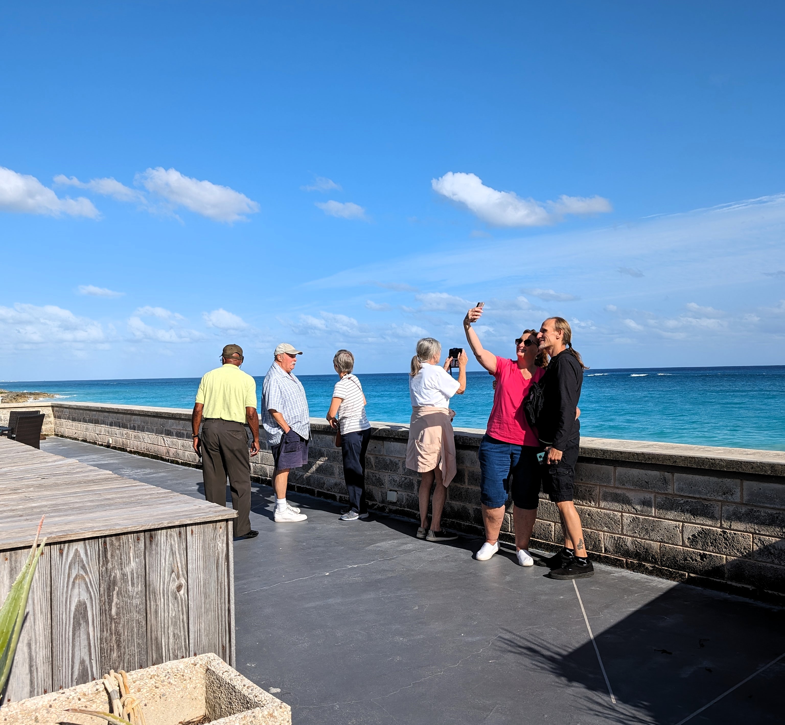
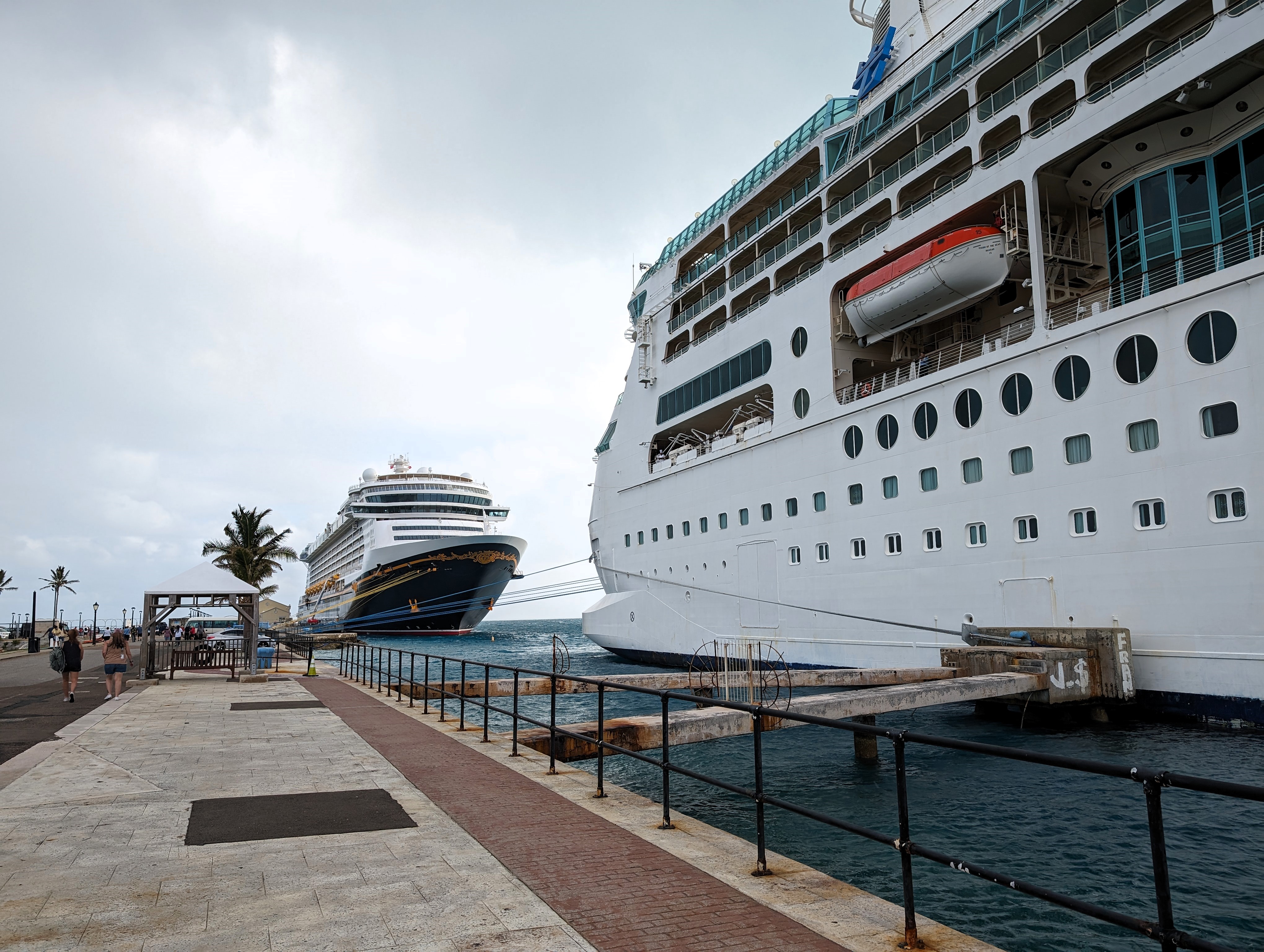
Off the ship and onto an adventure riding around town. Clarence was our driver. There were 2 other couples with us. To the right is a Disney ship. It is huge and holds over 5,000 people.
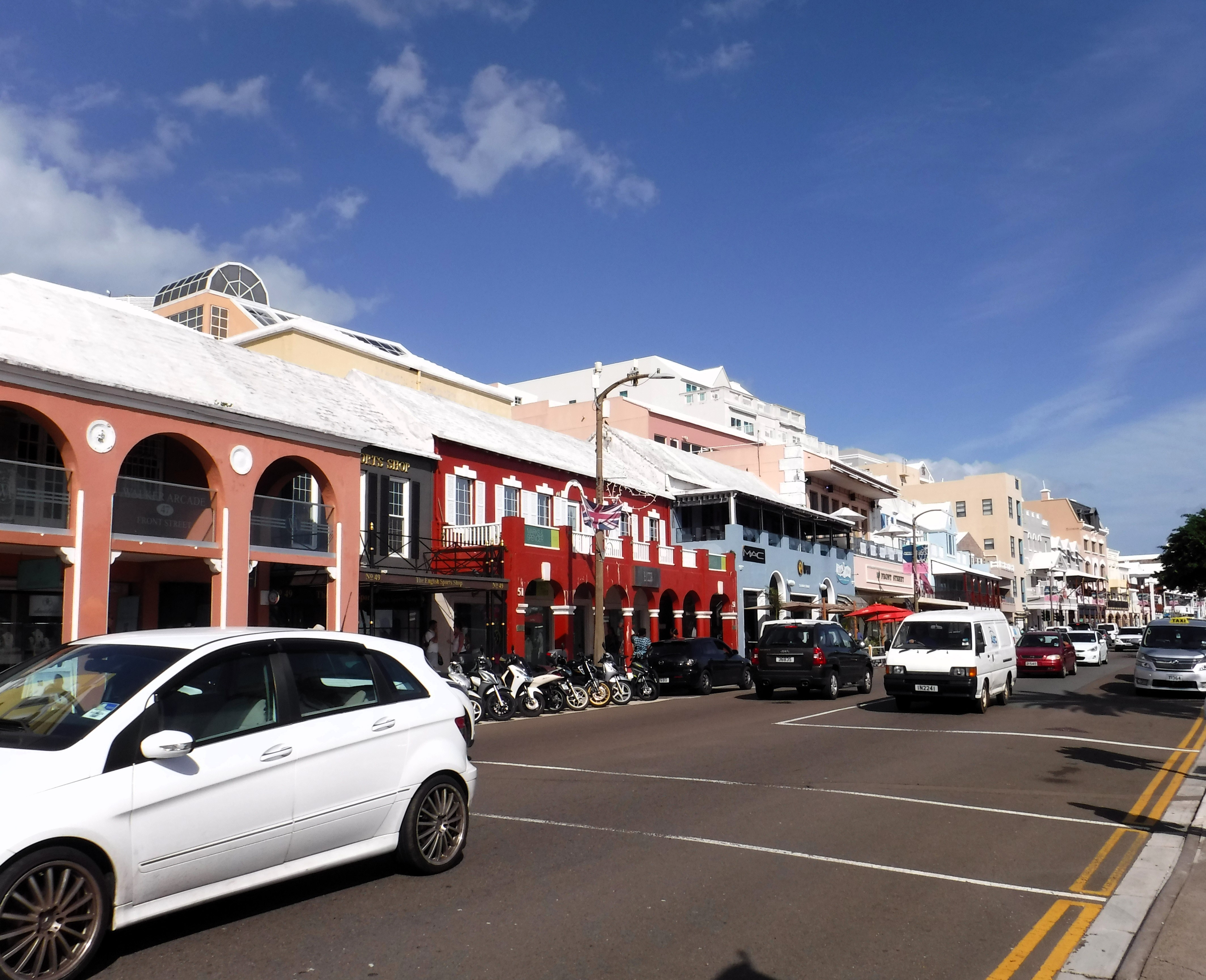
Clarence took us everywhere. We stopped in Hamilton and walked around for about 30 minutes.
Front St.
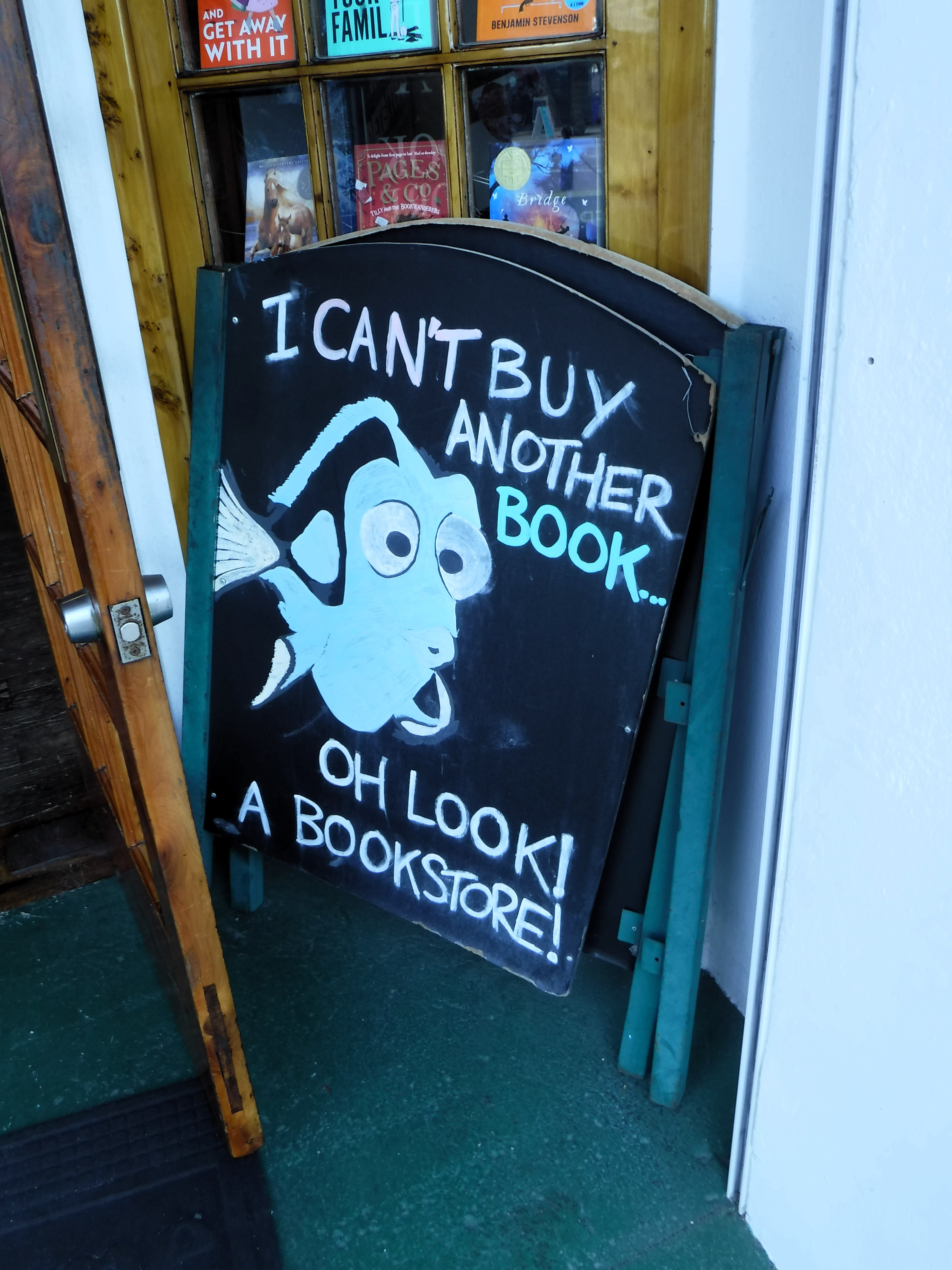
He told us about a souvenir shop around the corner, but this caught our eye.
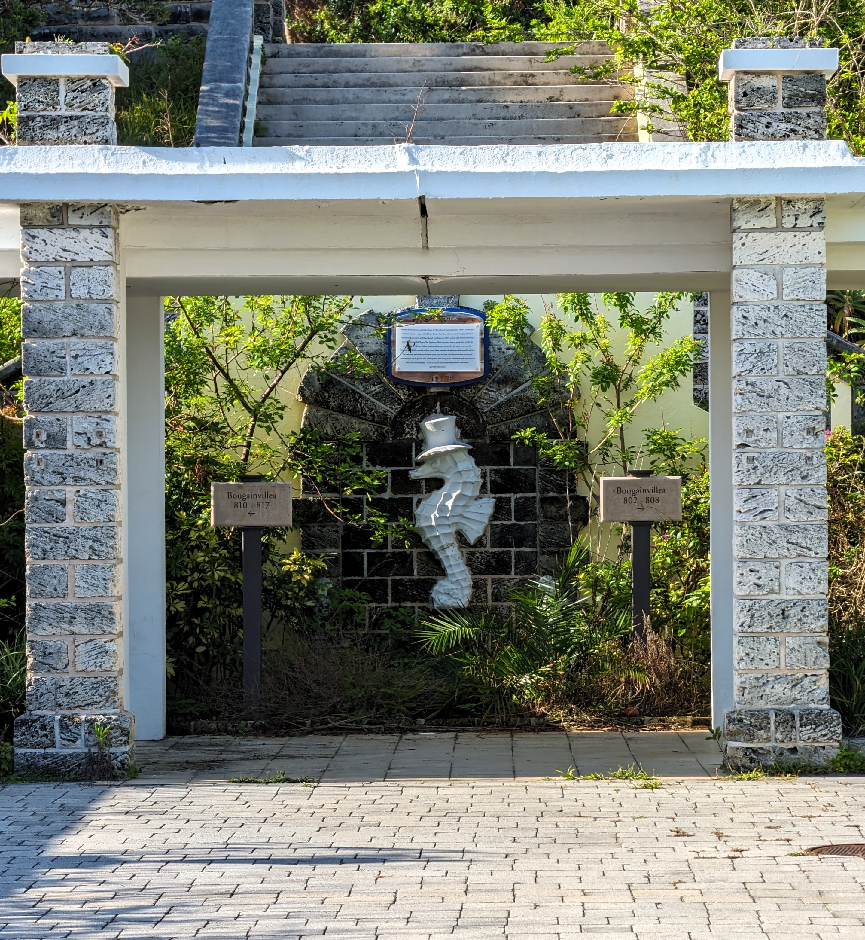
Left Hamilton and headed for the coast. We stopped at an abandoned resort. Kind of eerie – looked nice but everyone is gone?
Here is our group. All very nice people.
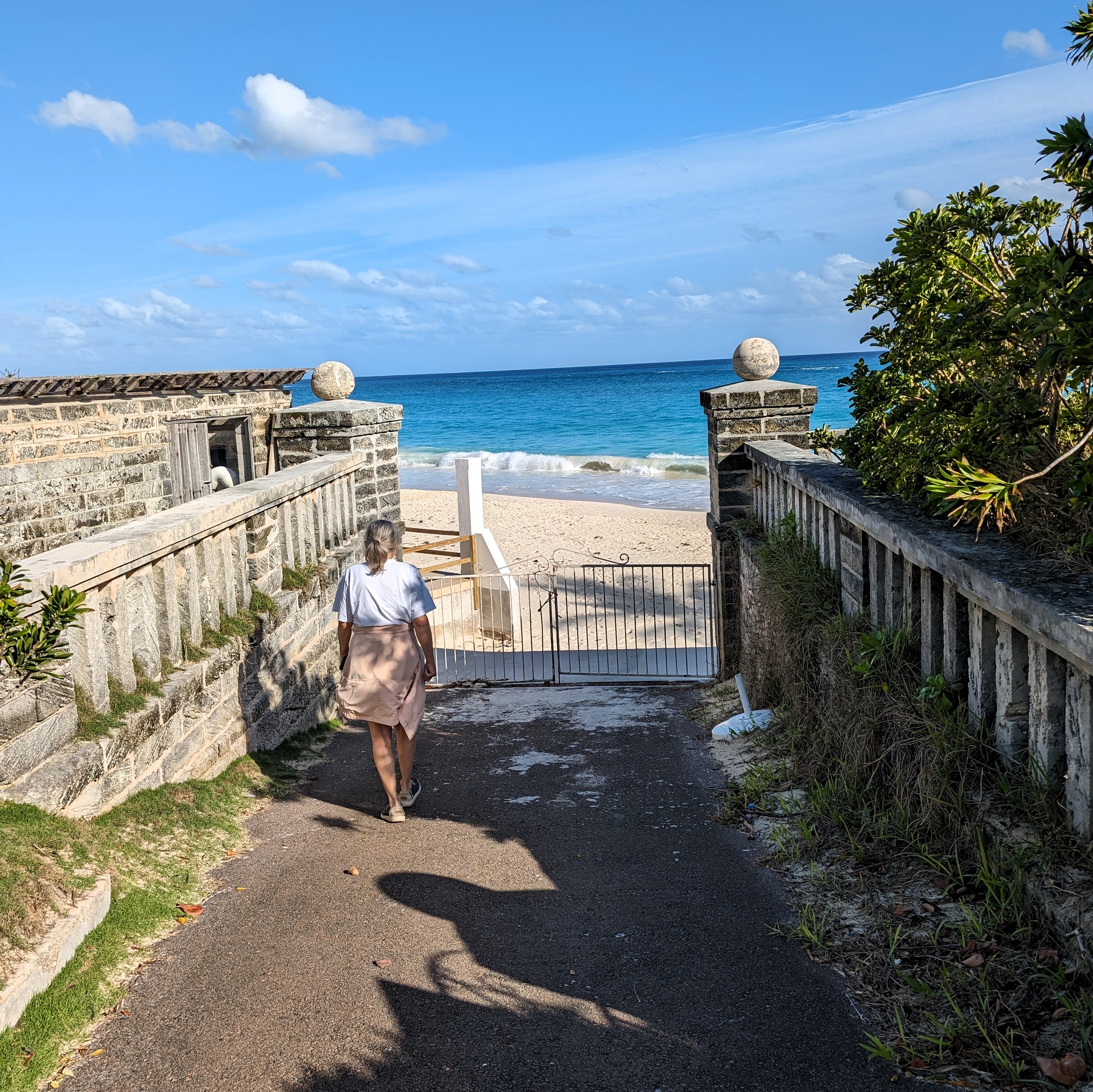
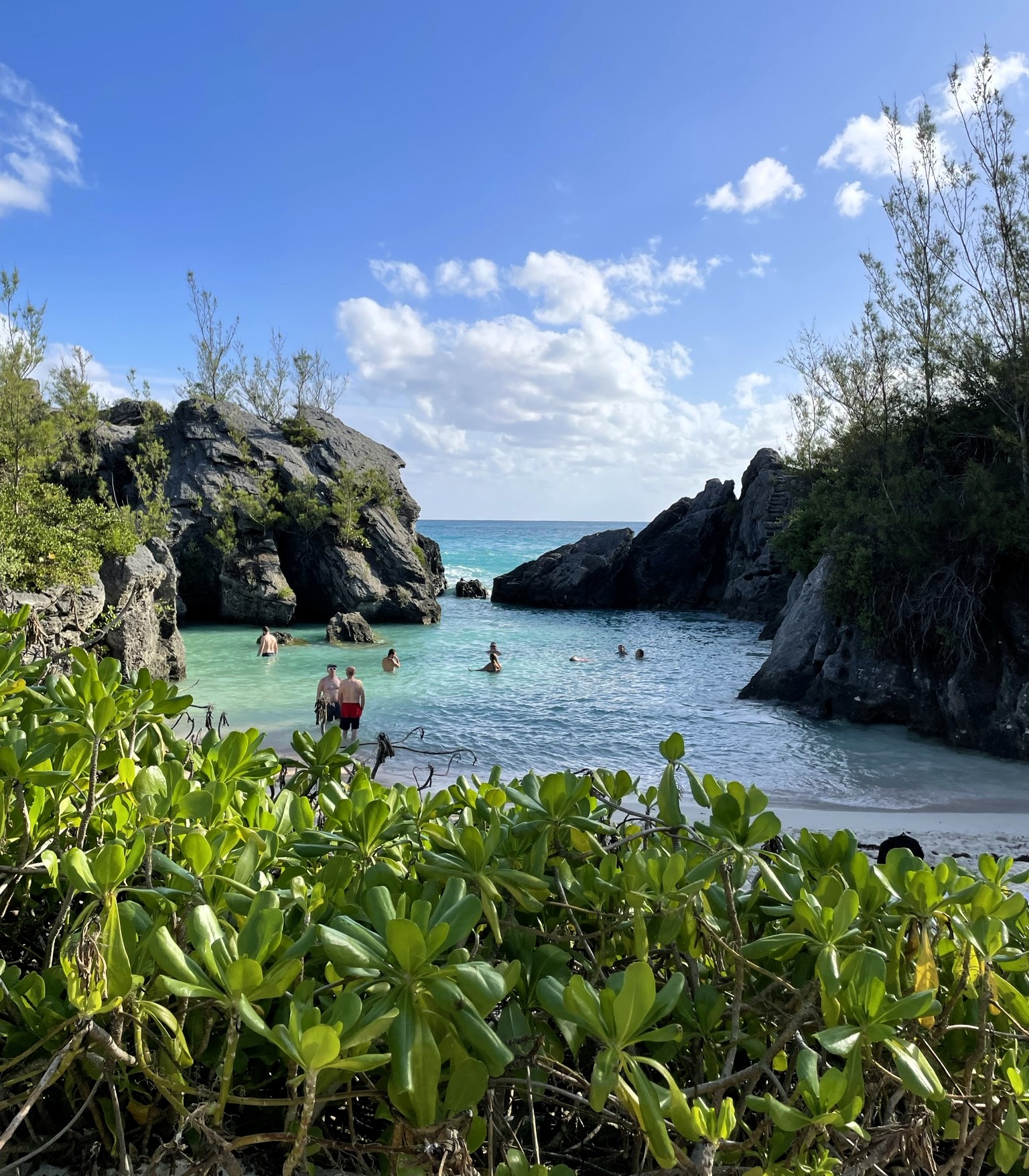
Nice swimming area. I think this was called Elbow Beach.
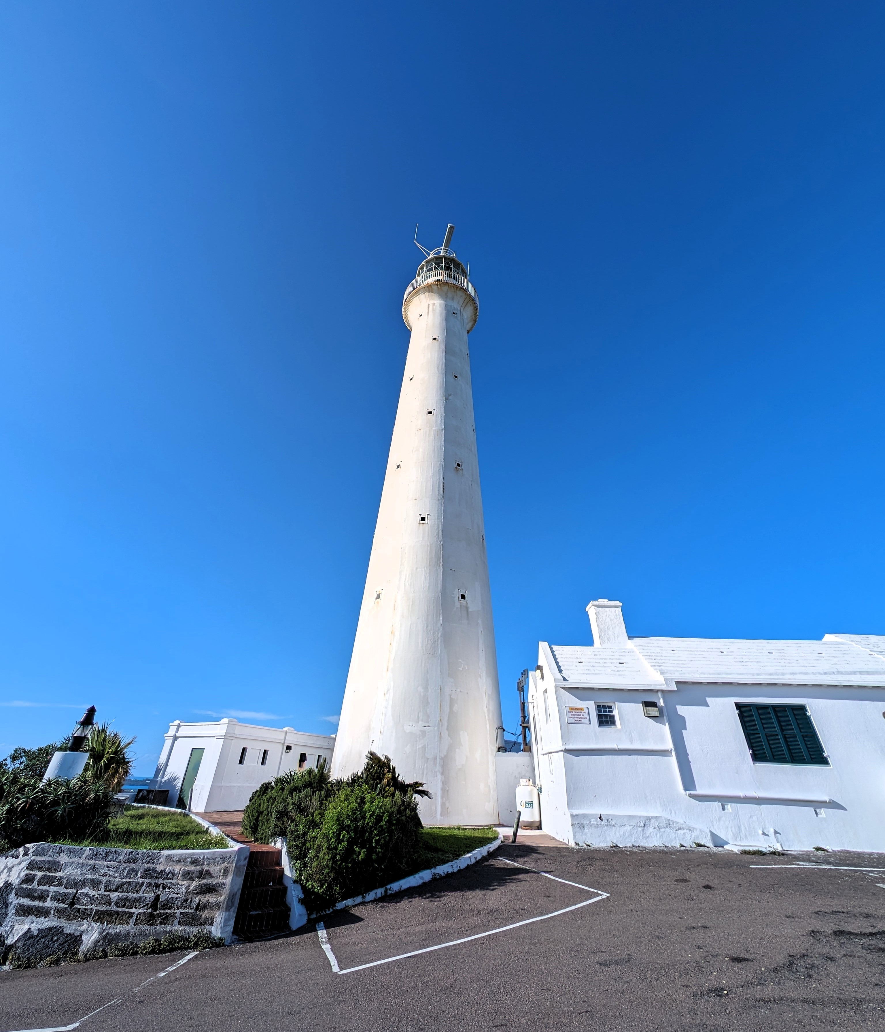
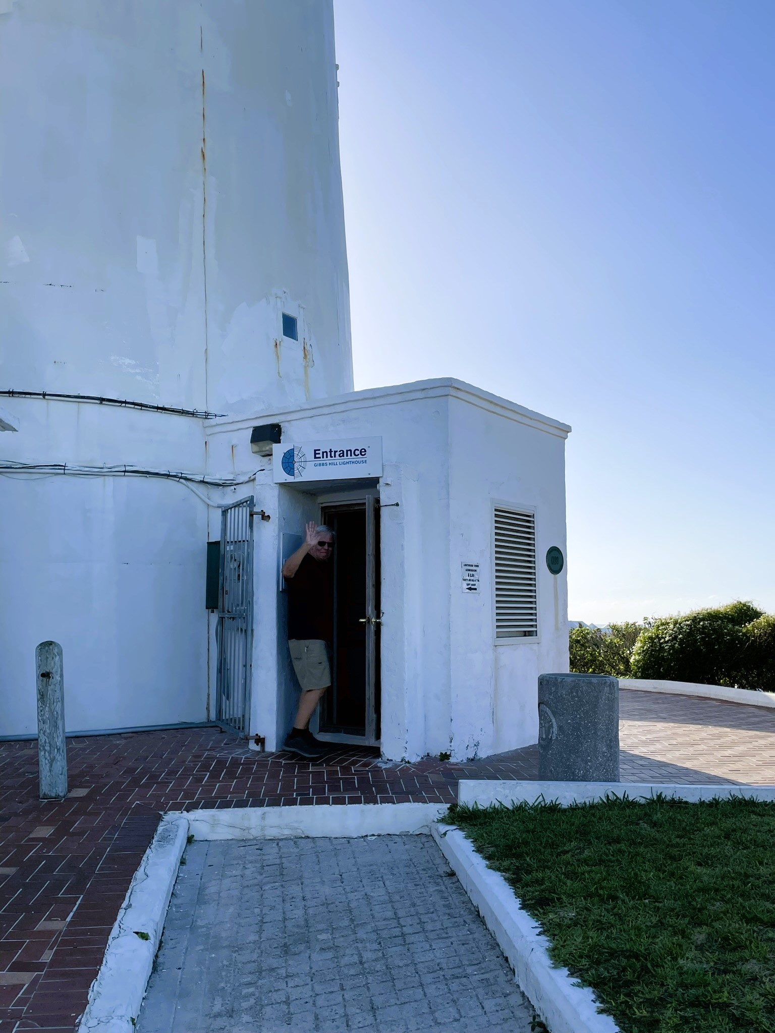
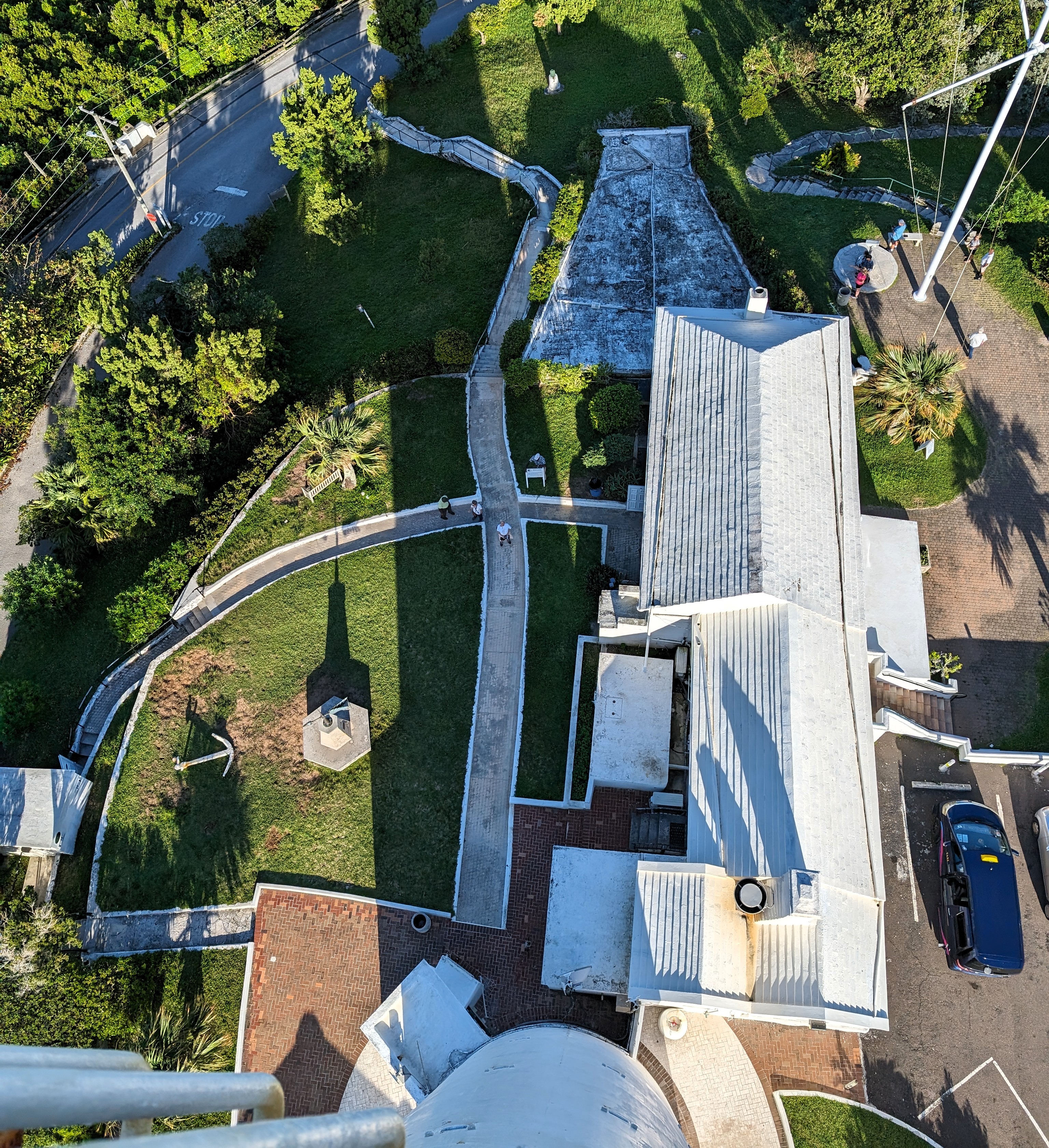
Next stop was Gibbs Hill Lighthouse. Built in 1846.
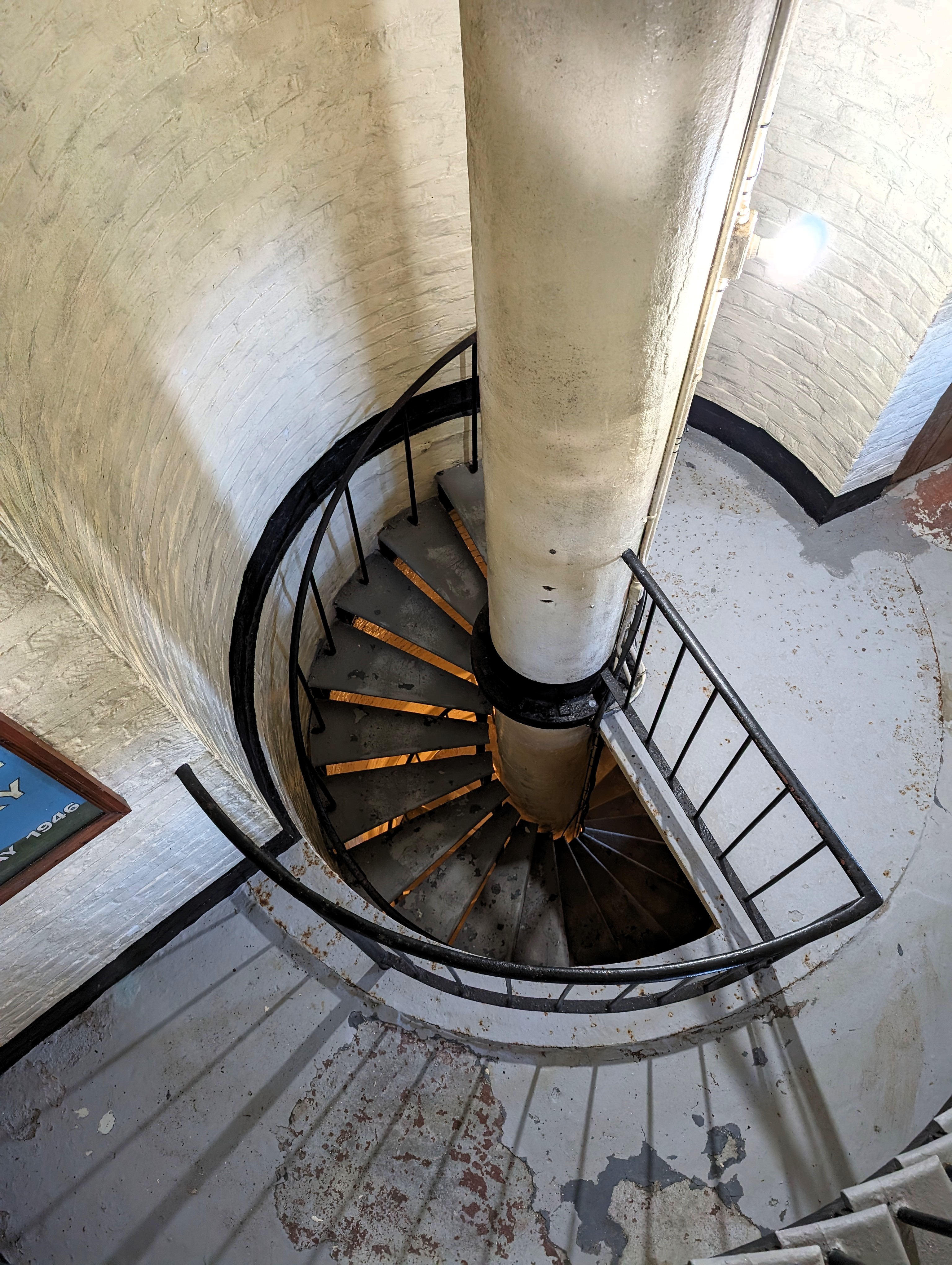
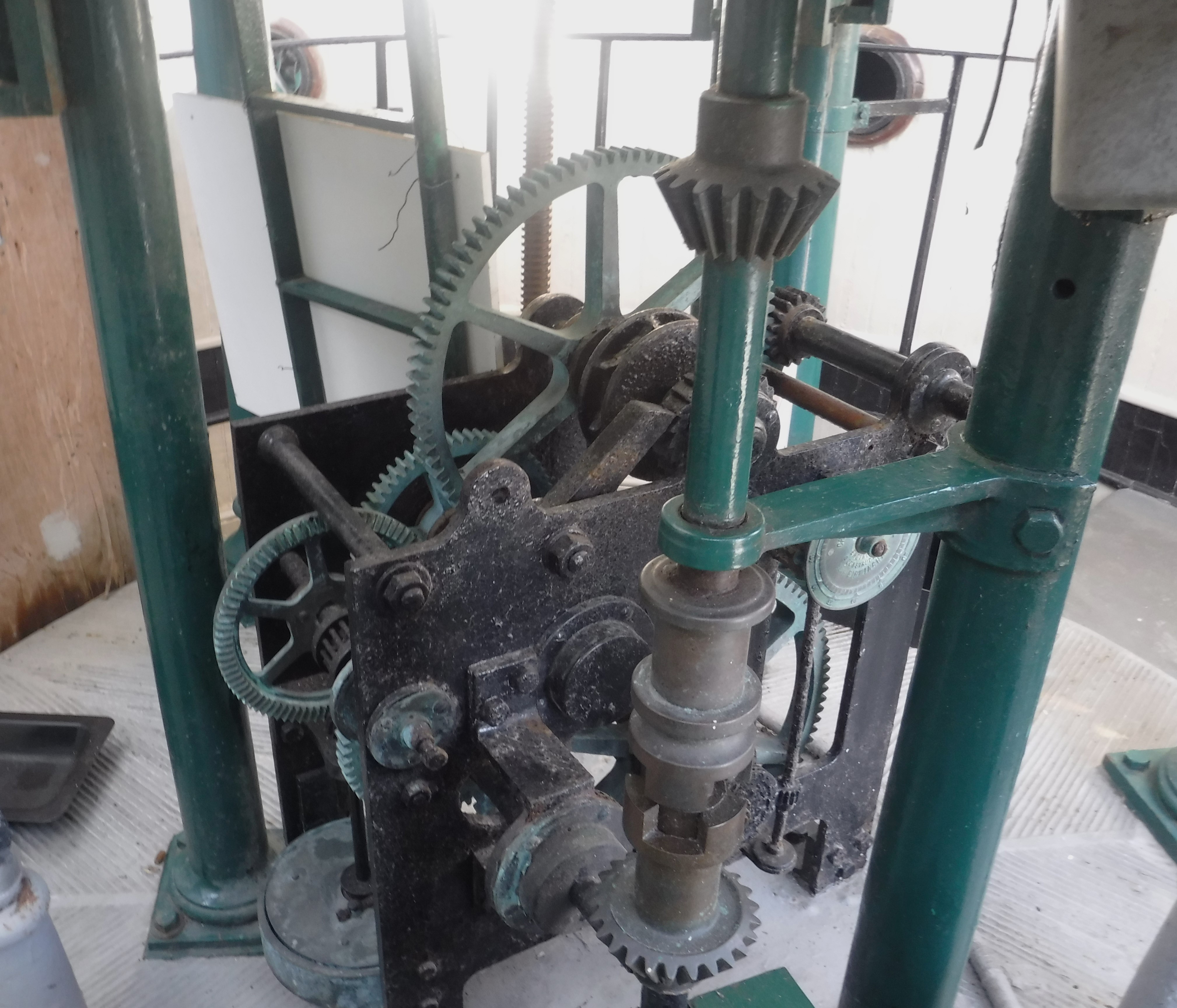
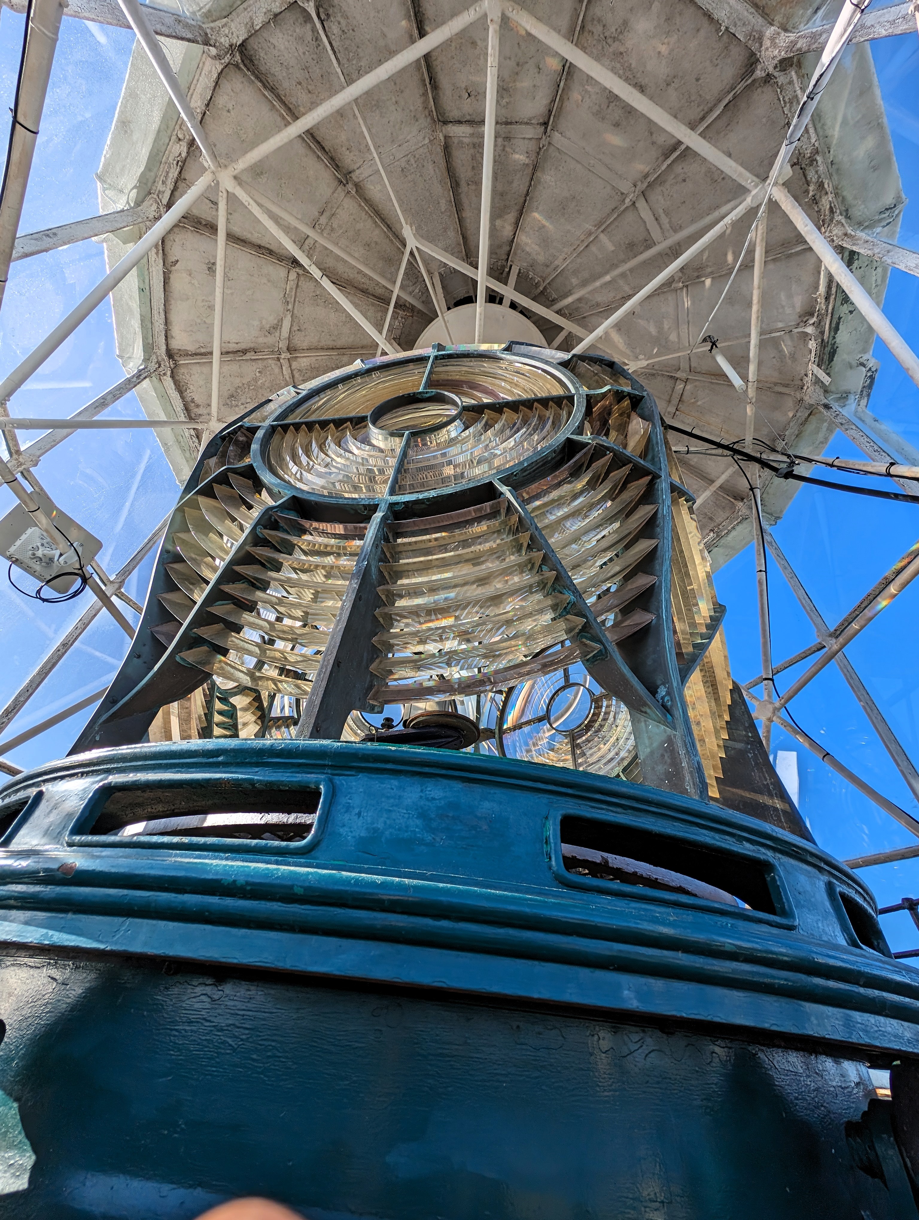
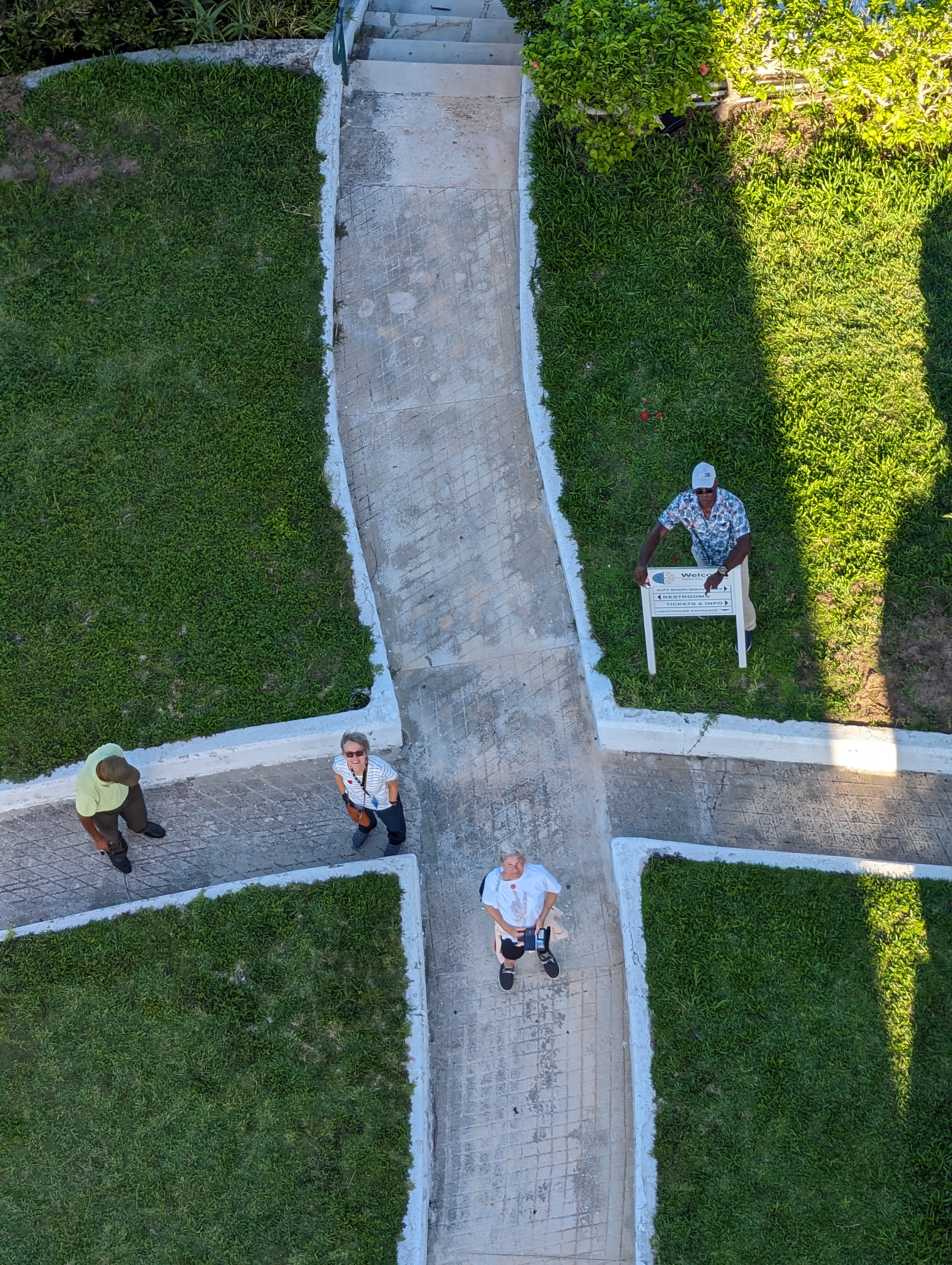
No debating about me climbing to the top – there I go!
An inside look.
Looking down at Kathy and crew
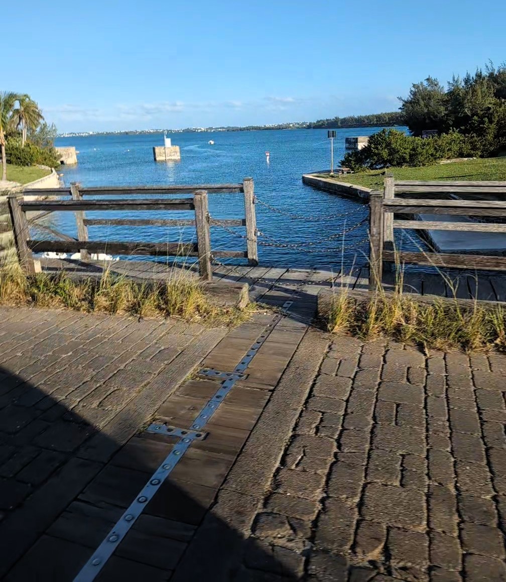
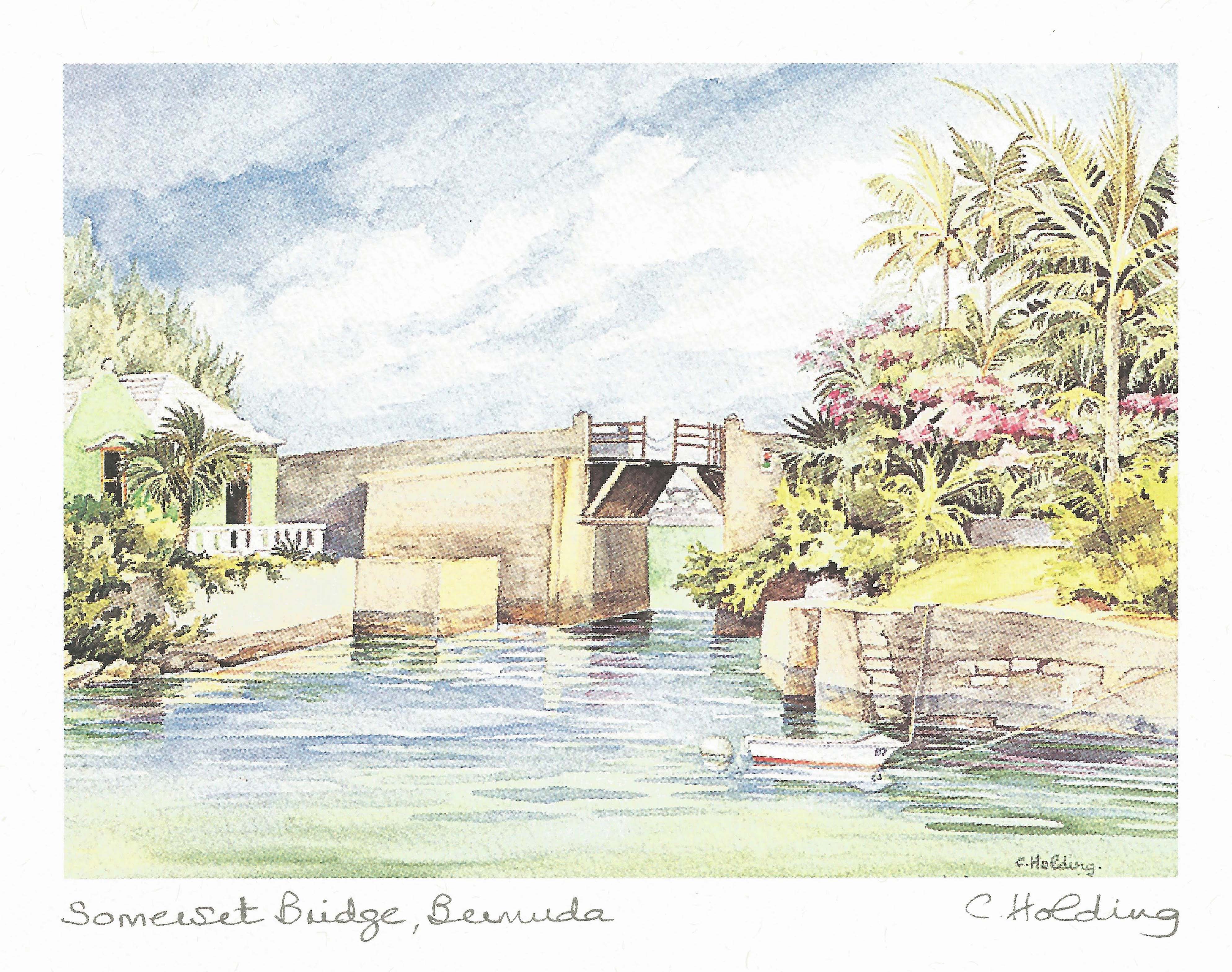
This is interesting – The Somerset Bridge. The smallest drawbridge in the world. Only wide enough to let through the mast of a sailboat. Clarence said people had to get off their boat, climb a ladder, lift the boards by hand, allow boat to pass then climb back down the other side. I imagine it would be tricky by yourself!
because we couldn’t pull over anywhere to look at this, we bought a print.
Another abandoned property. There was a hotel on that little piece of land but salt water undermined it and they tore it down. Now a park.
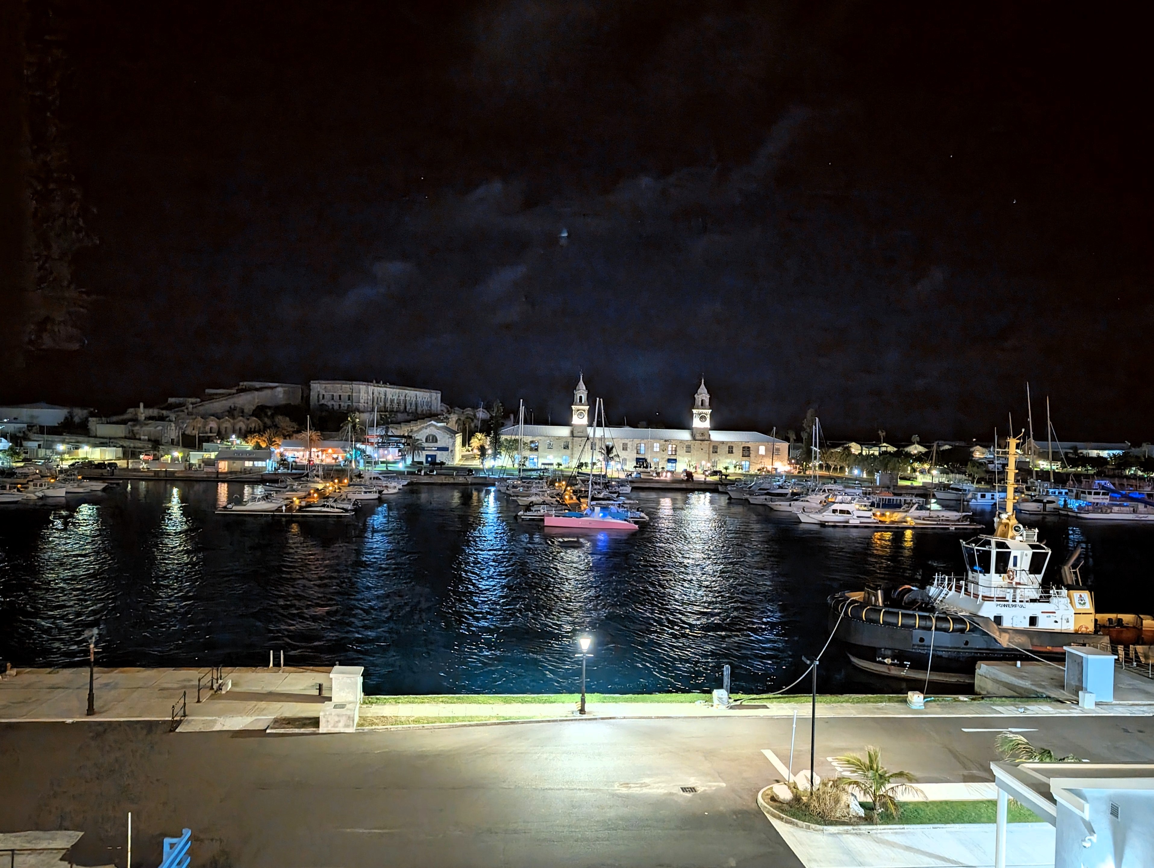
Kings Wharf at night.
The next morning we tried to head out early and as soon as we left the ship, it started pouring down rain. Back to the ship and changed and grabbed our ponchos. Left the ship and the sun started to come out.
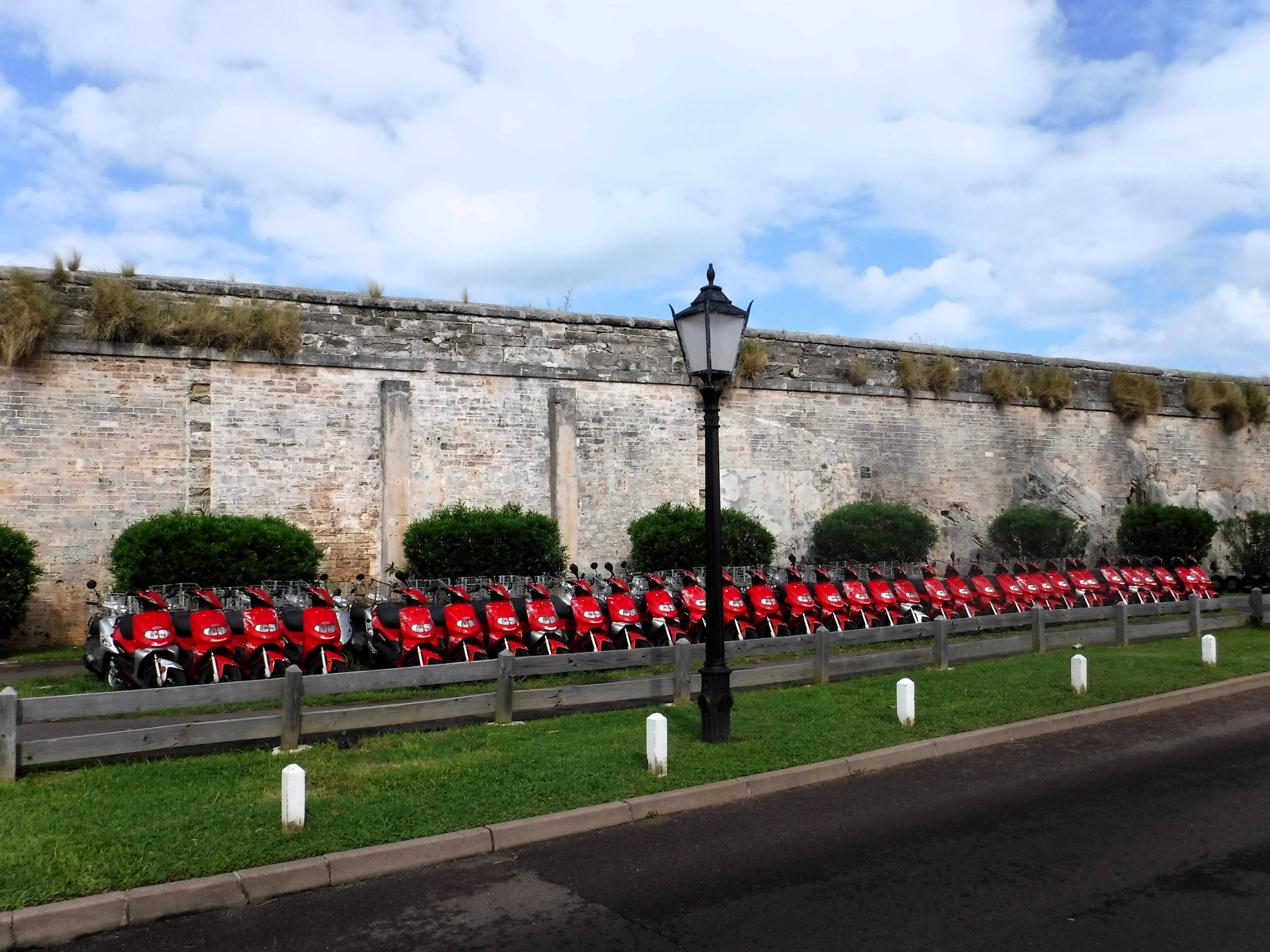
Lots of motor bikes all in a row.
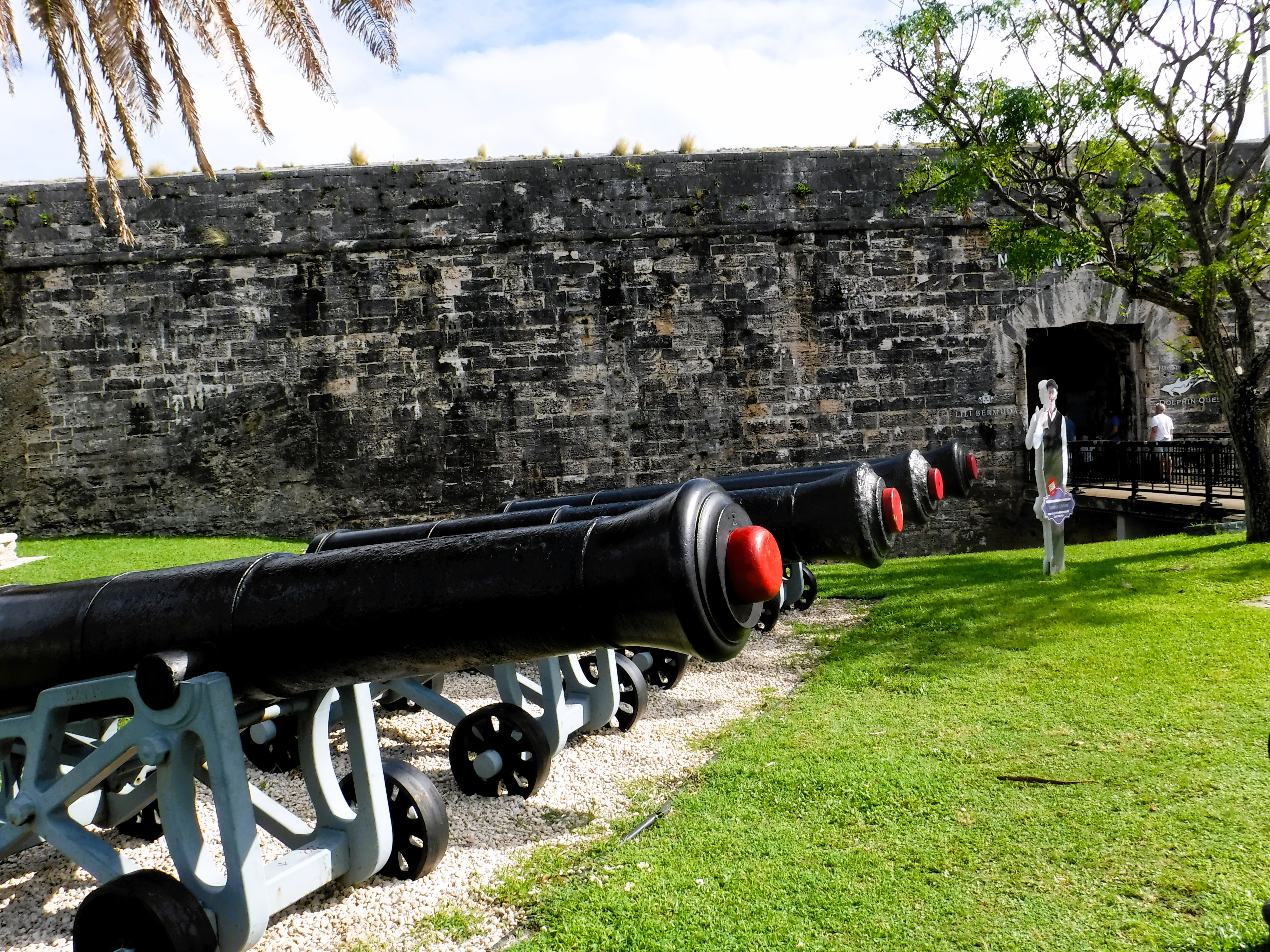
Lots of cannons all in a row. We didn’t have enough time to visit the fort, or the old prison.
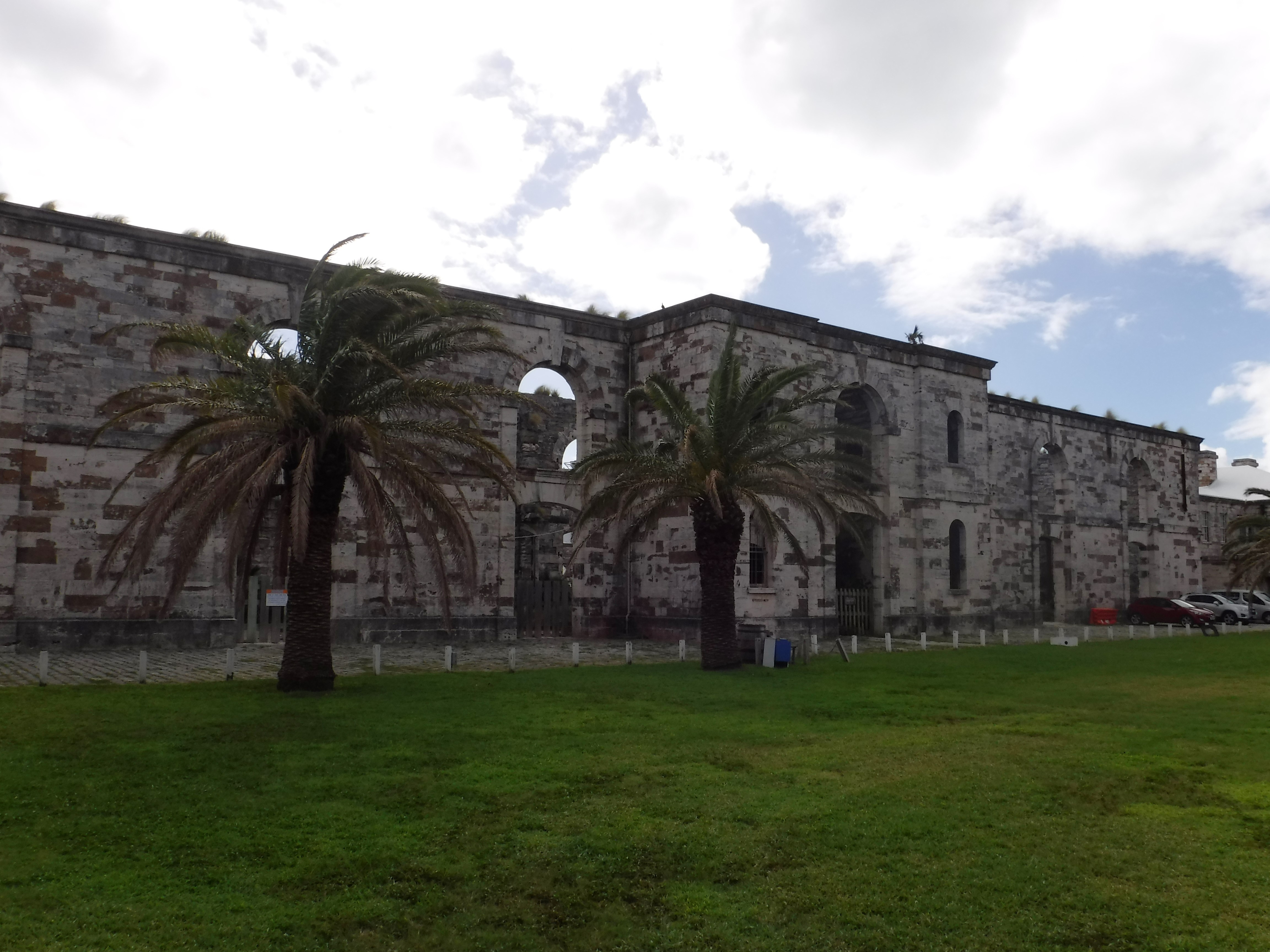
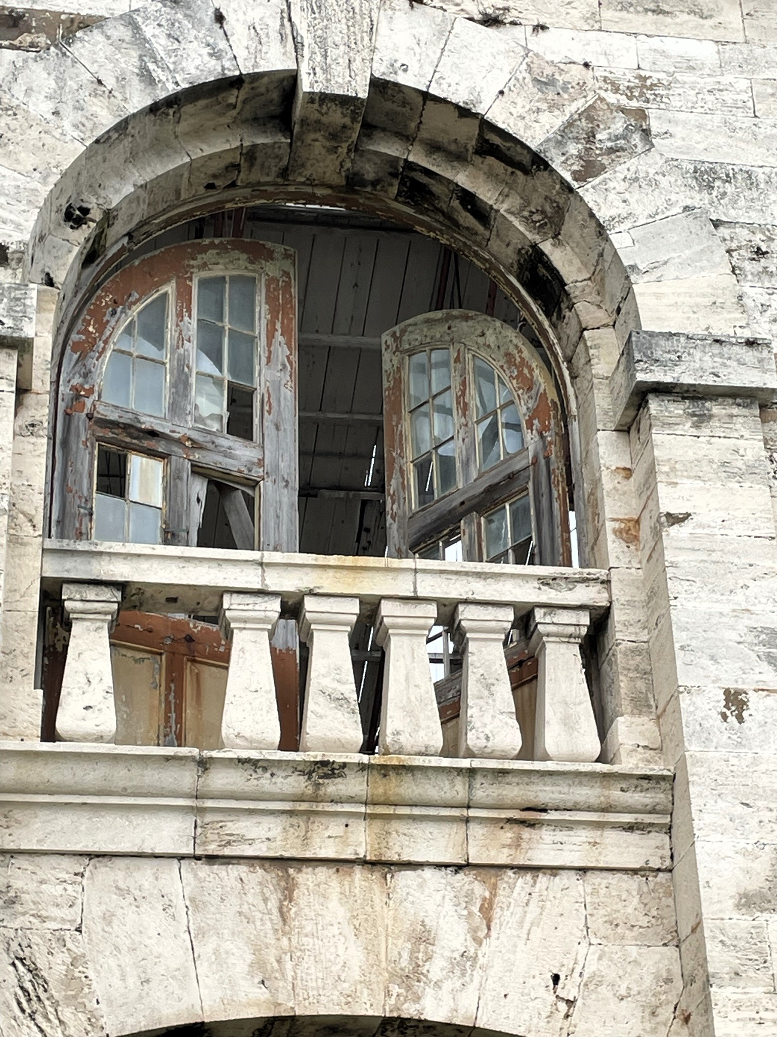
We did get to walk around some old buildings though.
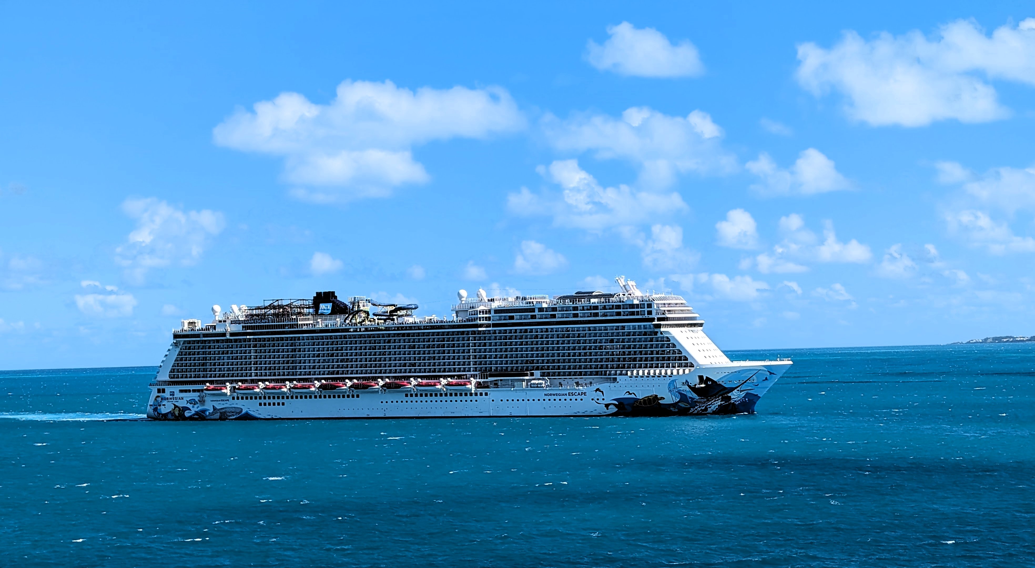
Waiting for us to leave is the Norwegian Cruise Ship Escape. Another huge ship of 5,400+ passengers. Glad our ship was relatively small – 2,400.
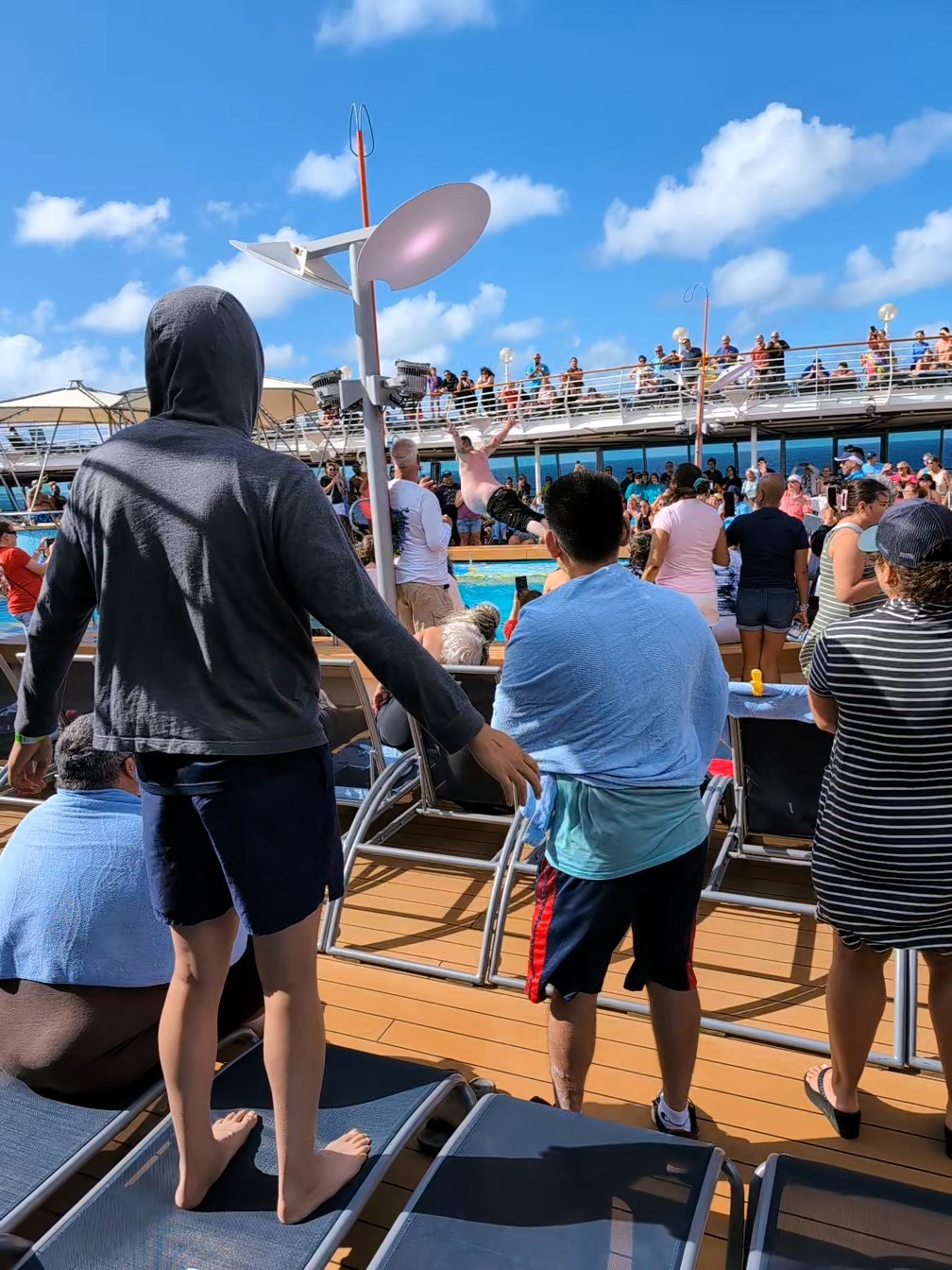
Back out to see and the entertainment is wild – Belly Flop contest.
A couple more sunsets
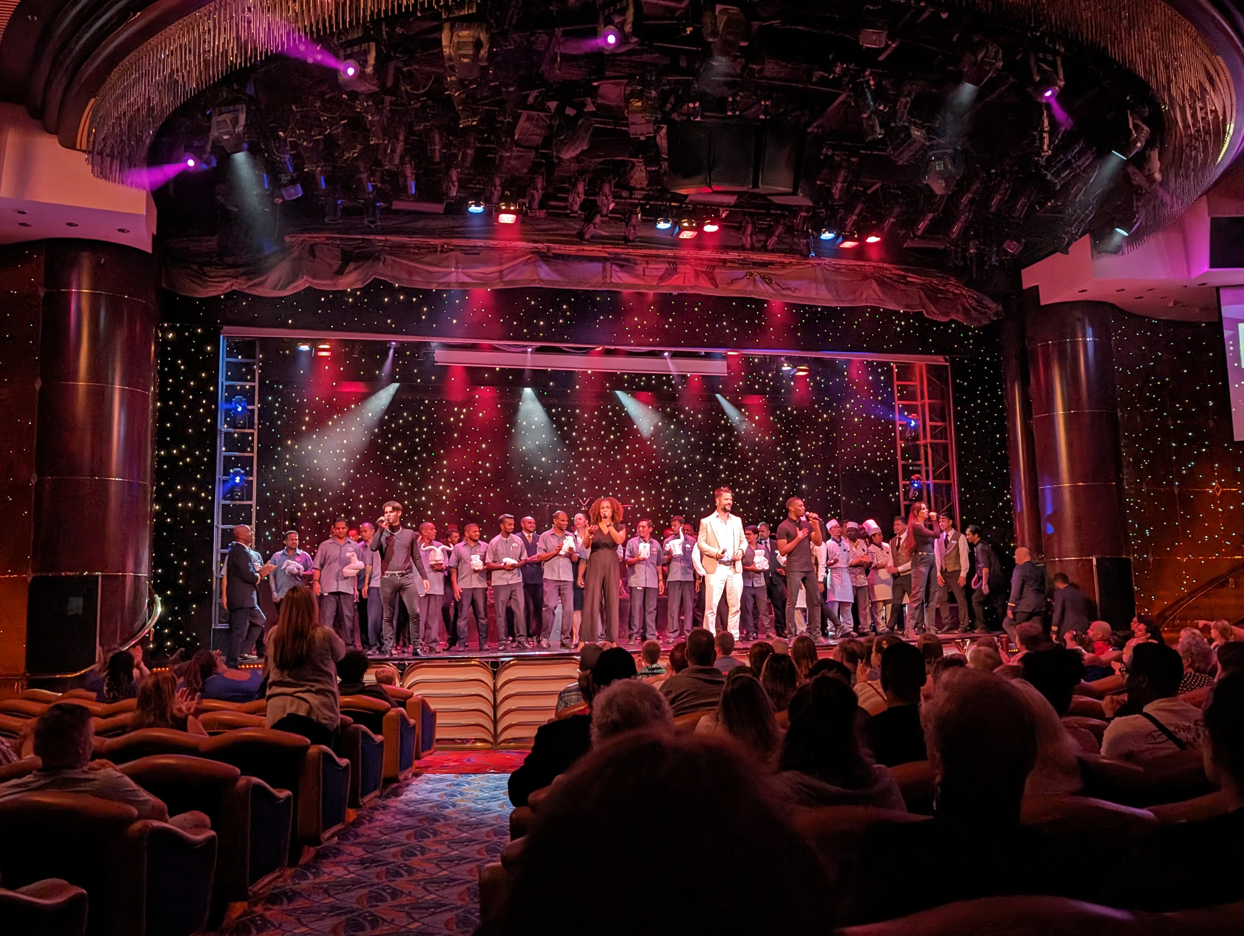
And a Farewell Show with cast and crew.
Very nice adventure! Next time with the kids! Can’t wait.
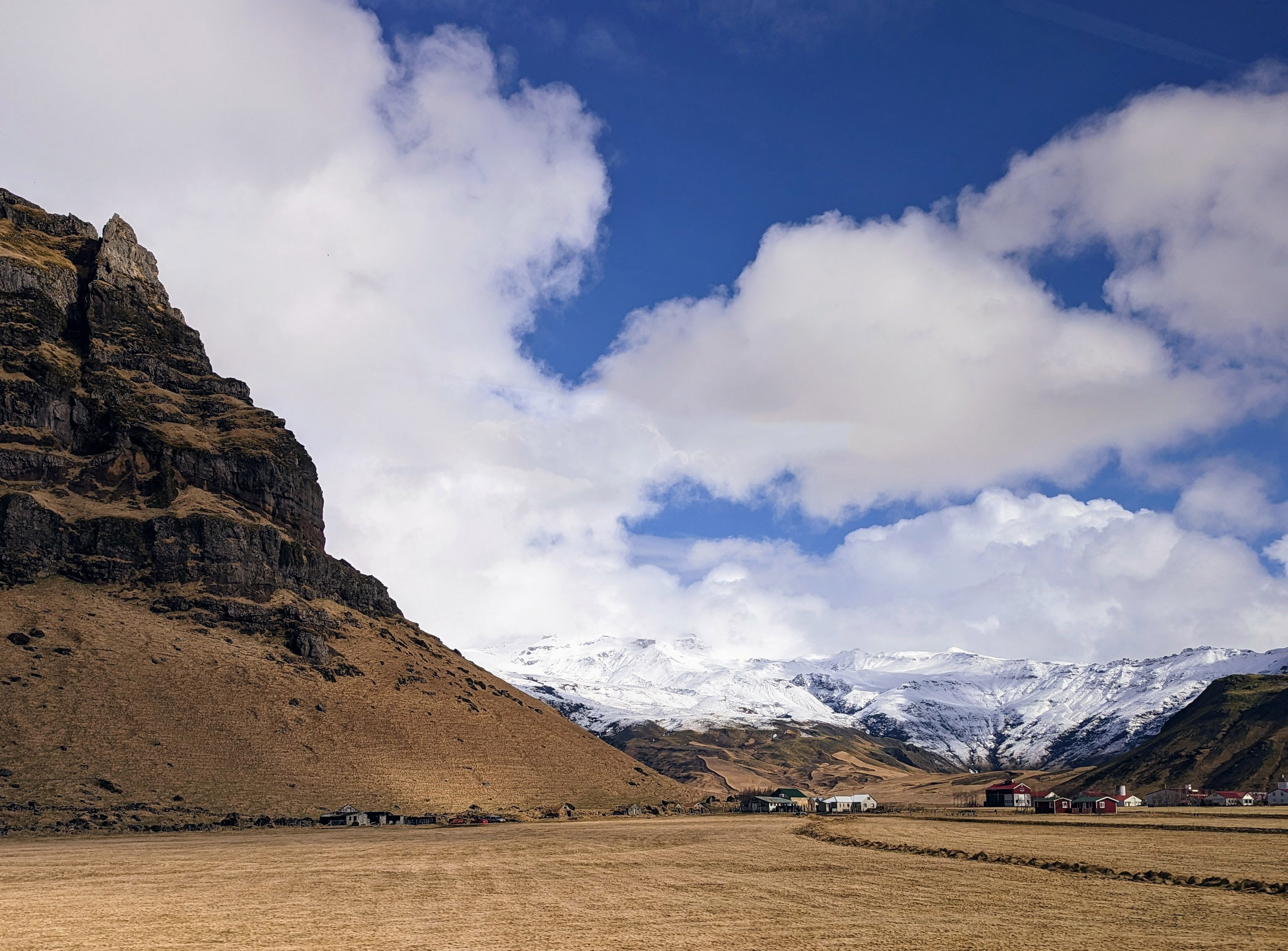
In April 2023 we took a trip to Iceland. Although the weather for the most part was not the best, all the beauty and wonder made the trip an unforgettable experience. Then again, the weather here on the Eastern Shore was not that great – two days before we left, tornadoes touched down just north of here. Volcanoes, blizzards and continental drifts are the norm in Iceland. We did see evidence of global warming.
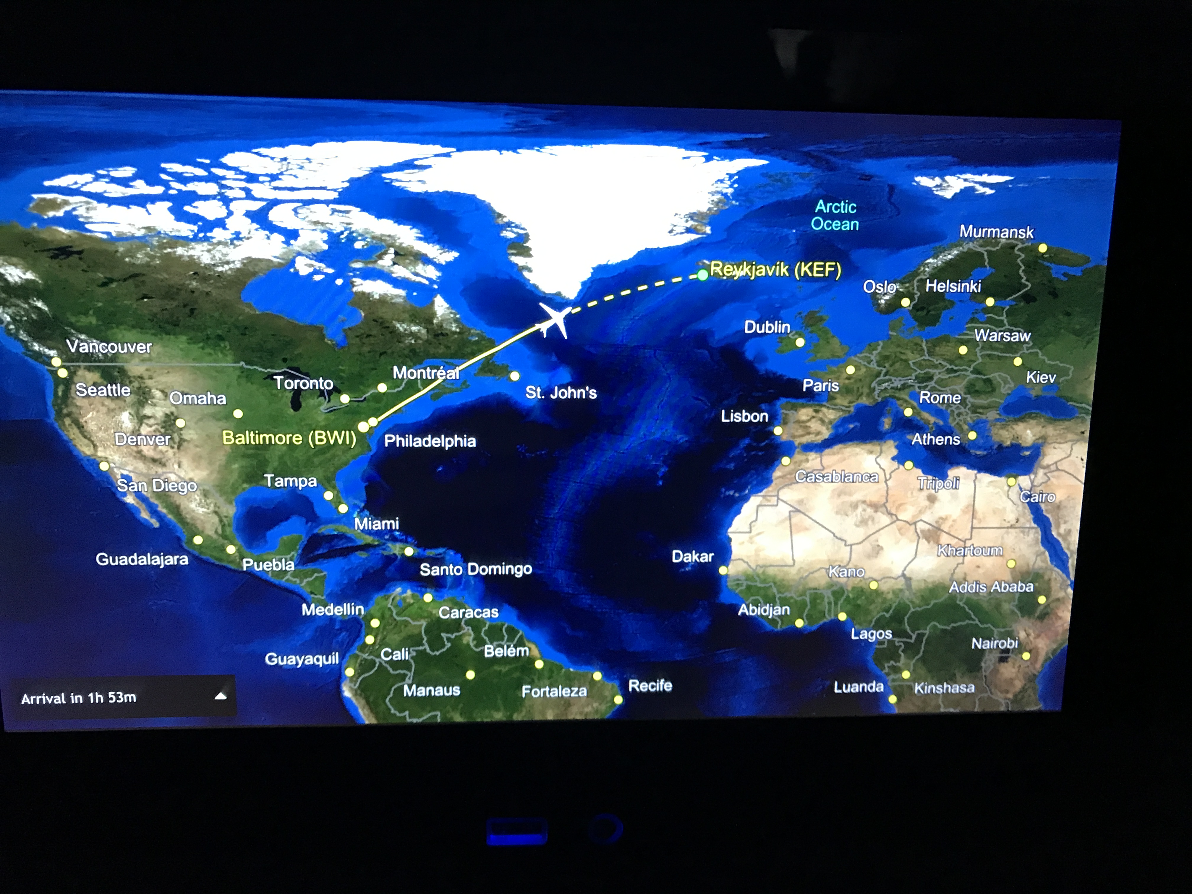
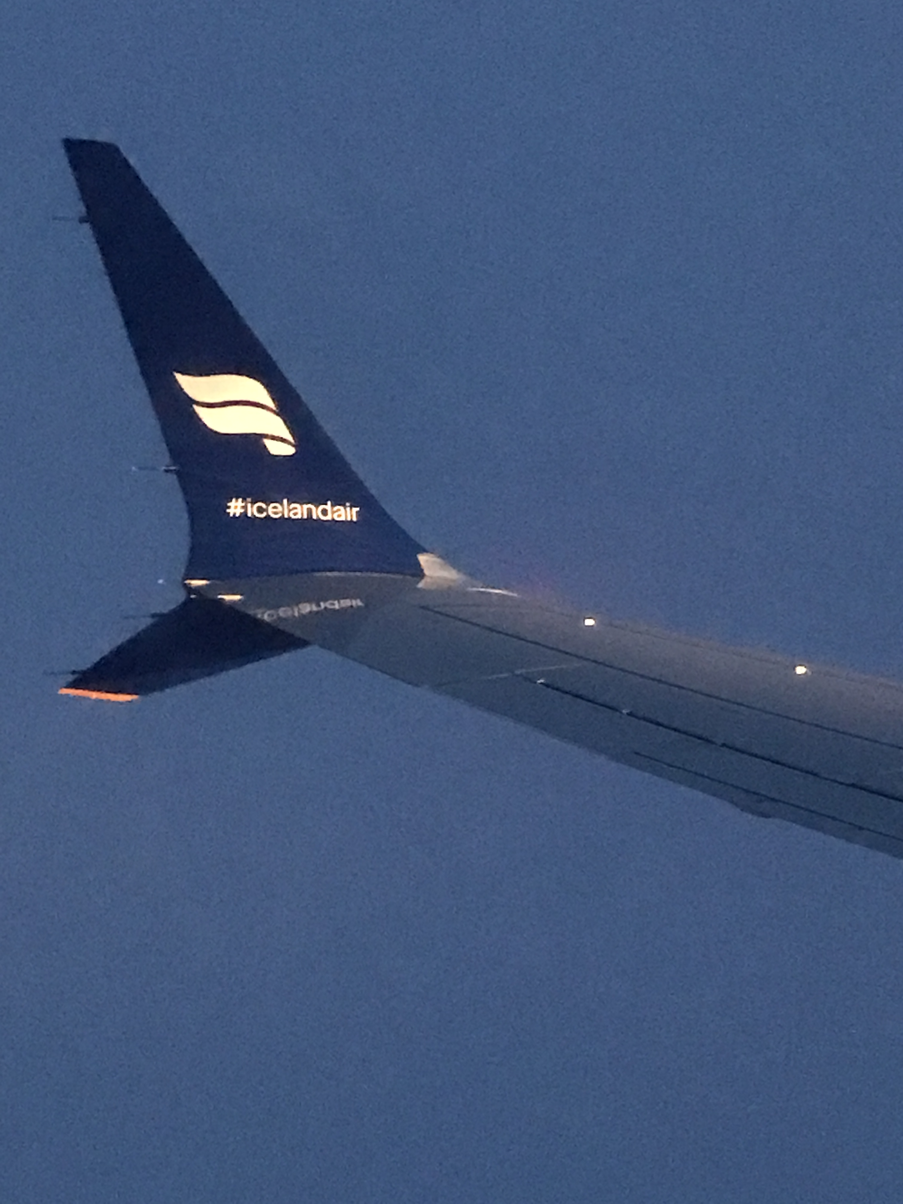
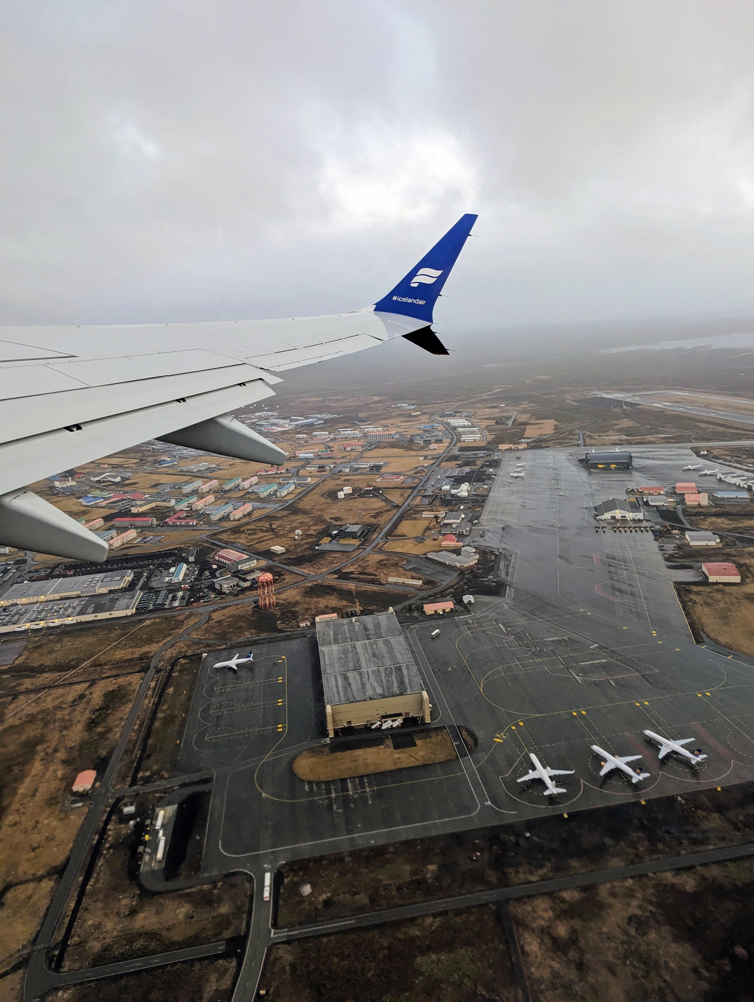
We flew out of BWI Airport Sunday April 2nd on a direct flight. I do not believe I am yet awake from the time-zone differences. Our flight left BWI at 8:35pm. We arrived in Iceland April 3rd at 6:30am.
We arrive at the Keflavik airport which was about a 40 minute shuttle drive to our hotel, The Hotel Klettur (some locals say Klettur means ‘rock’, others say it means ‘cliff’).
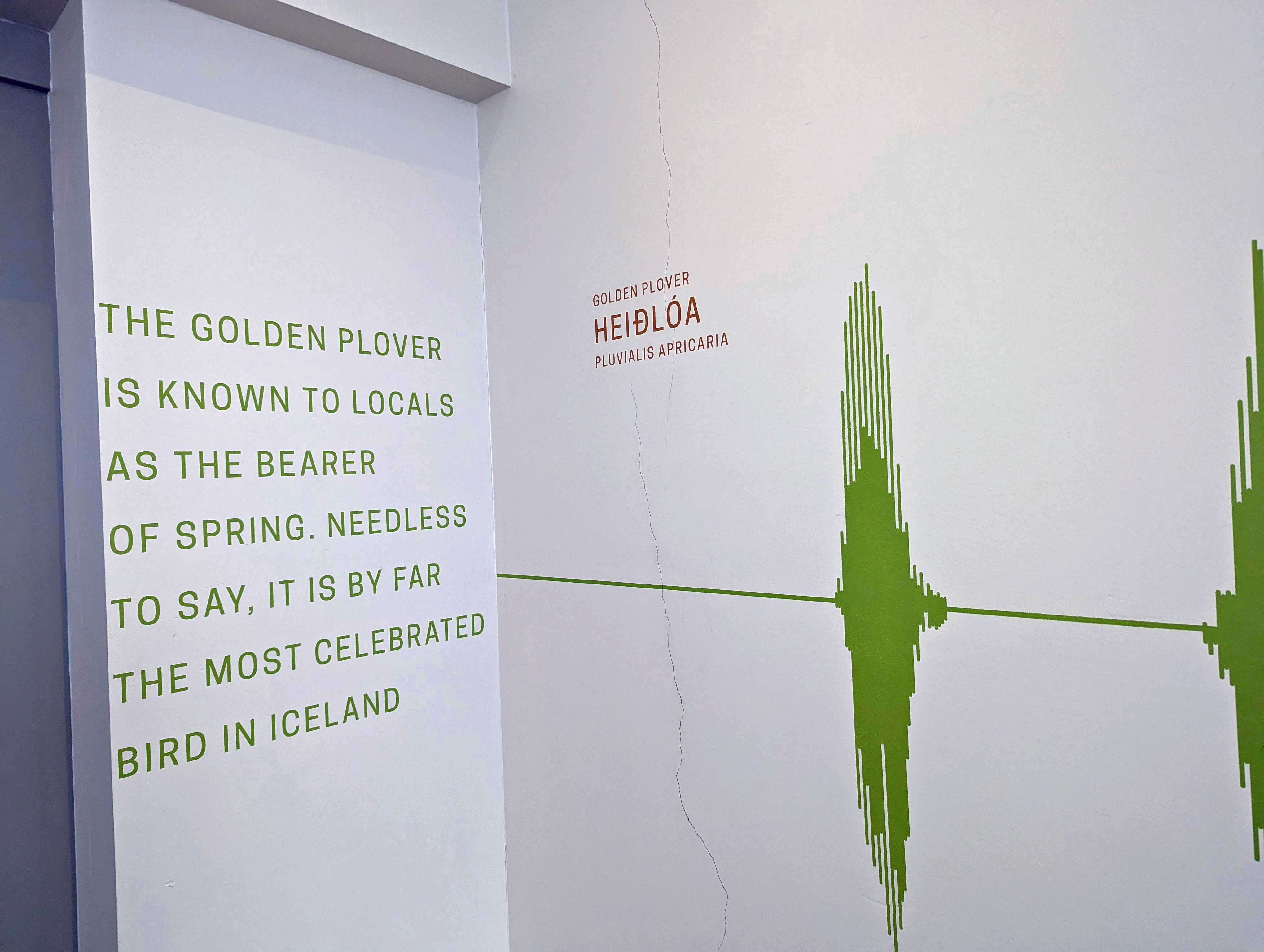
Most walls outside the elevators had some information about local wildlife an/or ecology. Icelanders are very ecological in their thinking and doing.
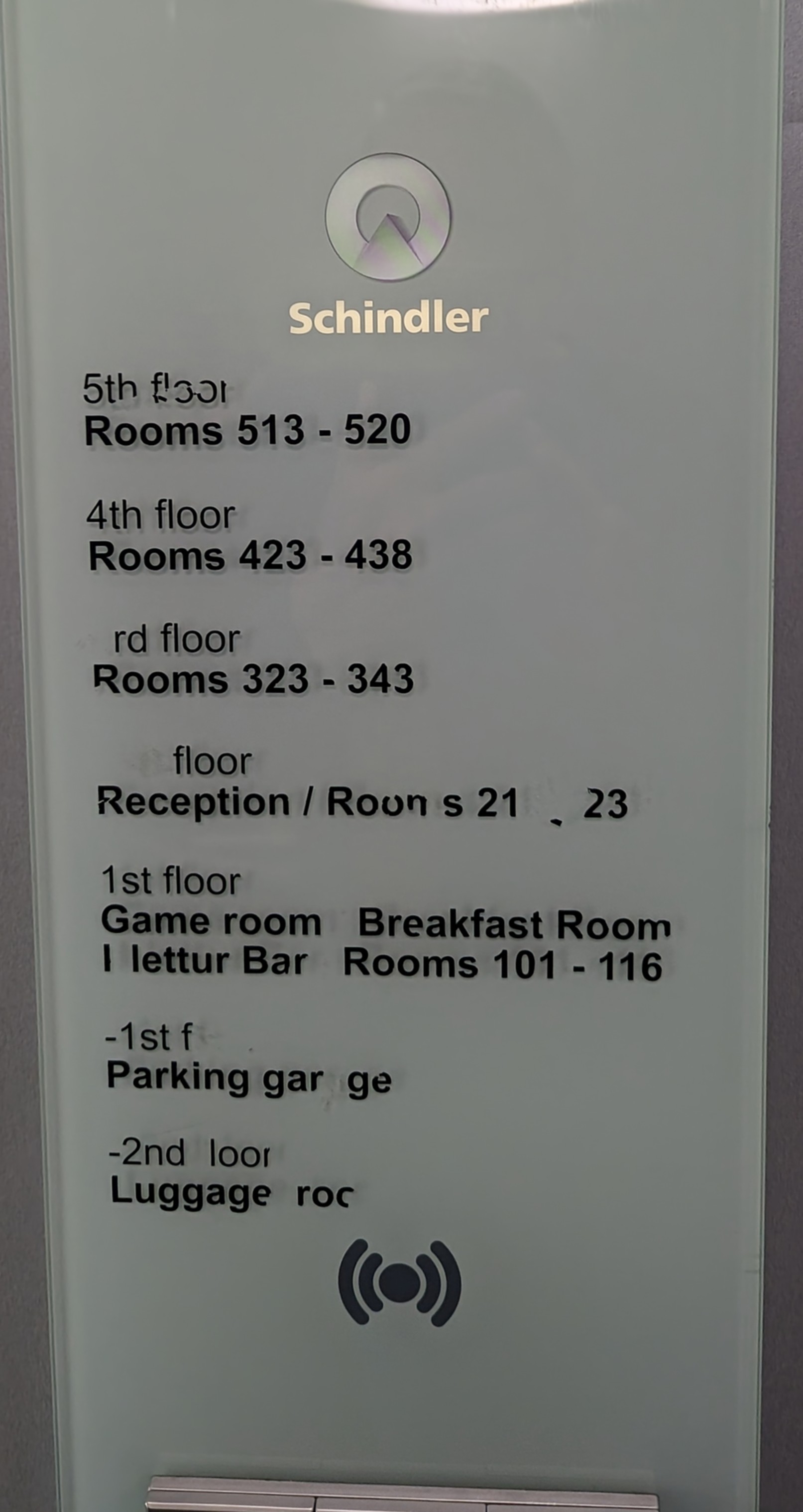
Schindler’s Lift
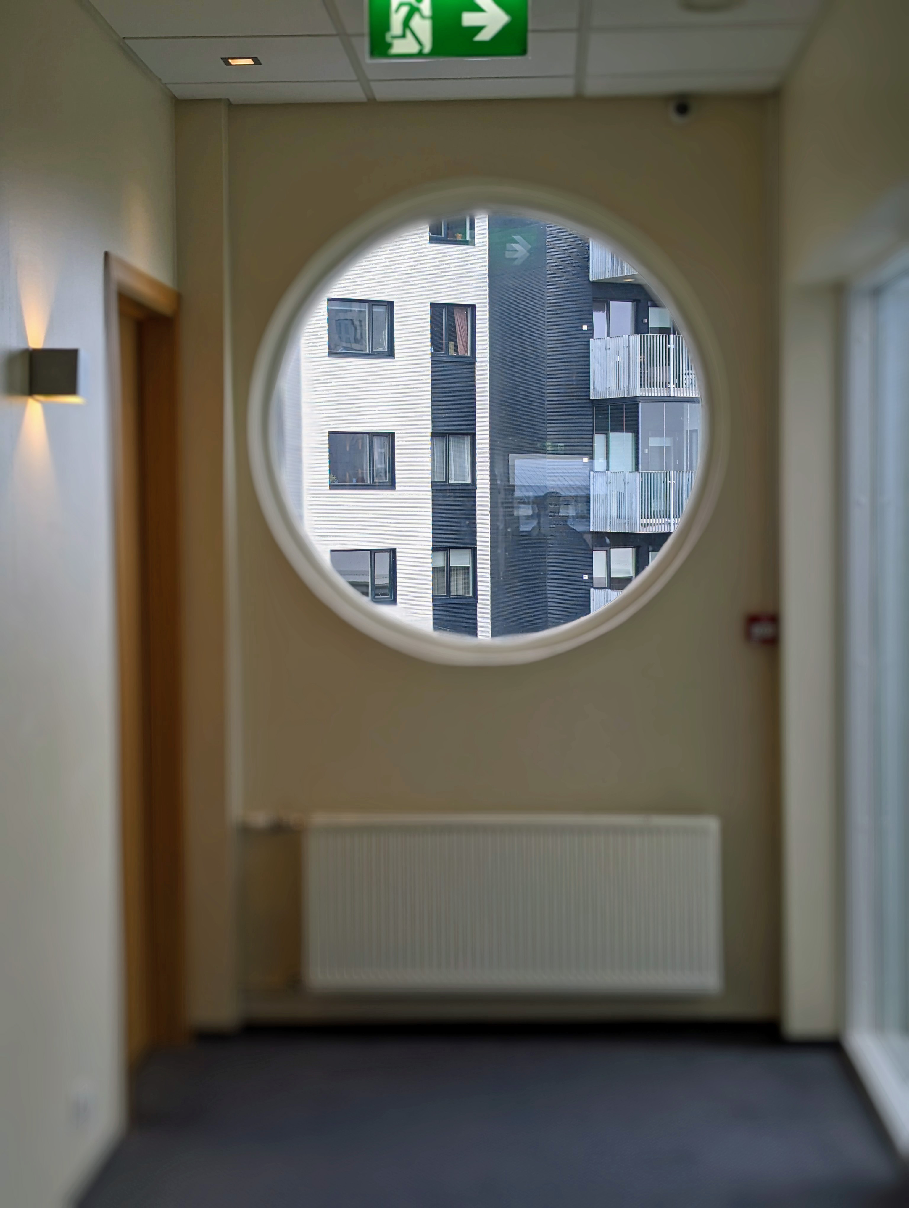
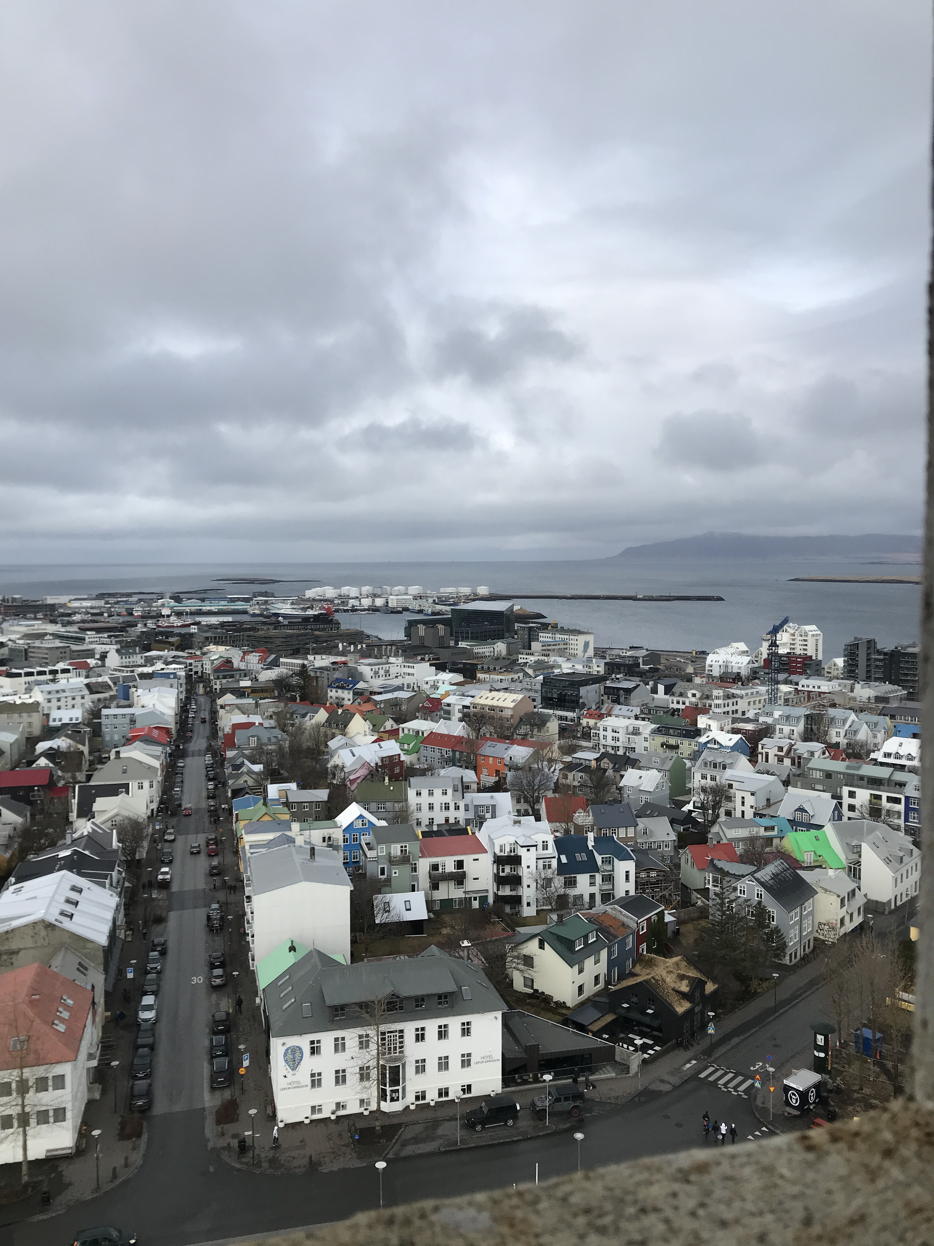
Wonderful view outside our window.
You are given 2 keys to your room. One gets inserted into this holder. It turns on the electricity for the room. So, if you have food in your refrigerator, you have to leave one key behind.
We had a nice room. Our original hotel was overbooked so they sent us here. With an upgrade. And closer to downtown.
I don’t usually show photos of the bathroom, but something interesting here is the heating system. They use geothermal heat. Very hot water flows through that radiator. You regulate it with a valve, not a thermostat. No ac. Most people had their windows opened.
Since we could not check in right away, we took a 3 hour city tour. (The hotel has a luggage storage room to put our bags in). It was actually a really good tour. Our tour guide Dominique was very knowledgeable and took us everywhere.
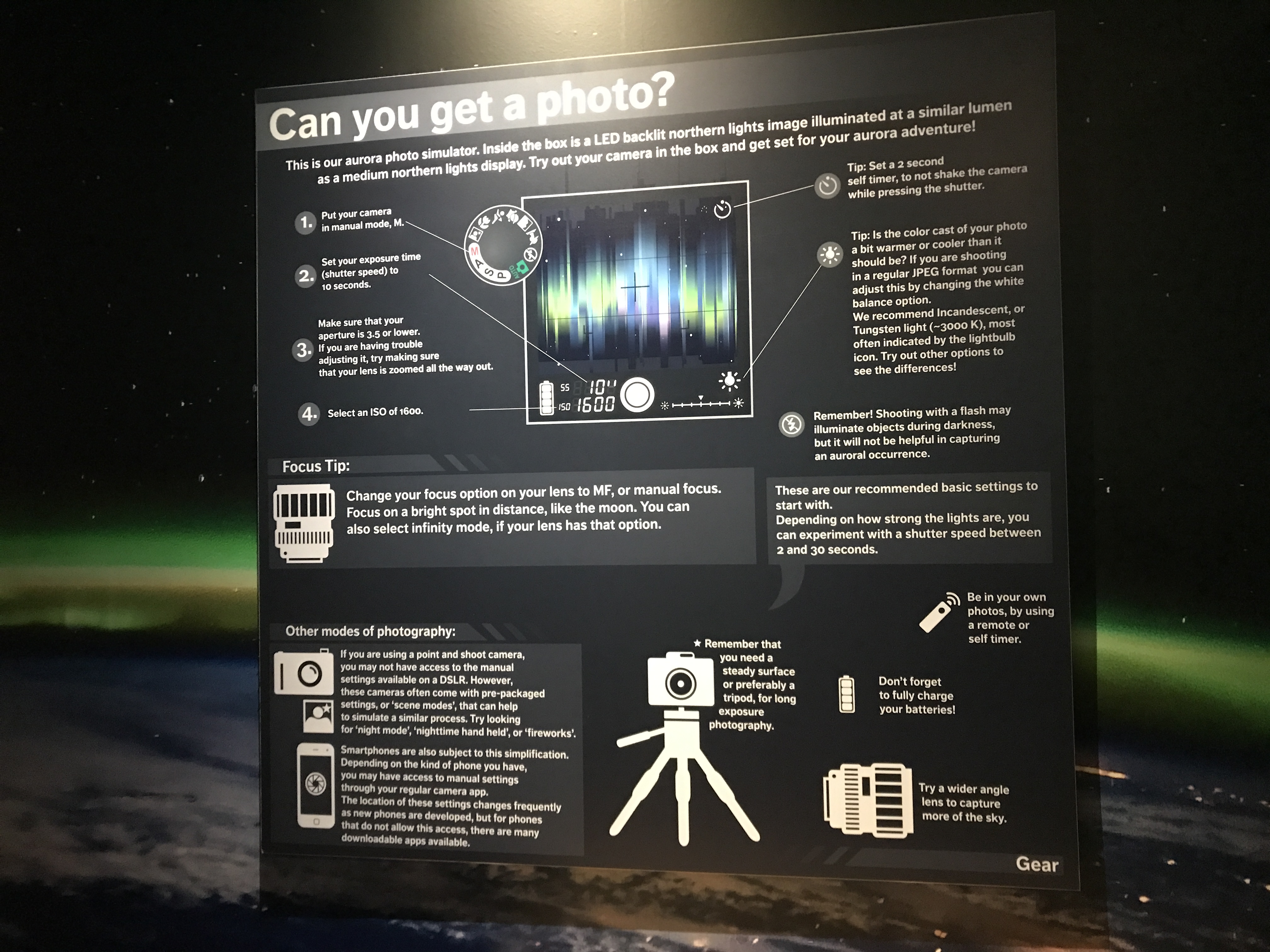
First stop was the Northern Lights Center called Aurora. The guide in here filled our heads with wonderful photos, information and videos.
She also told us the best way to get a perfect shot of the Northern Lights. Nothing more than making sure the flash is off and set it for a 3-4 second exposure. Holding steady!
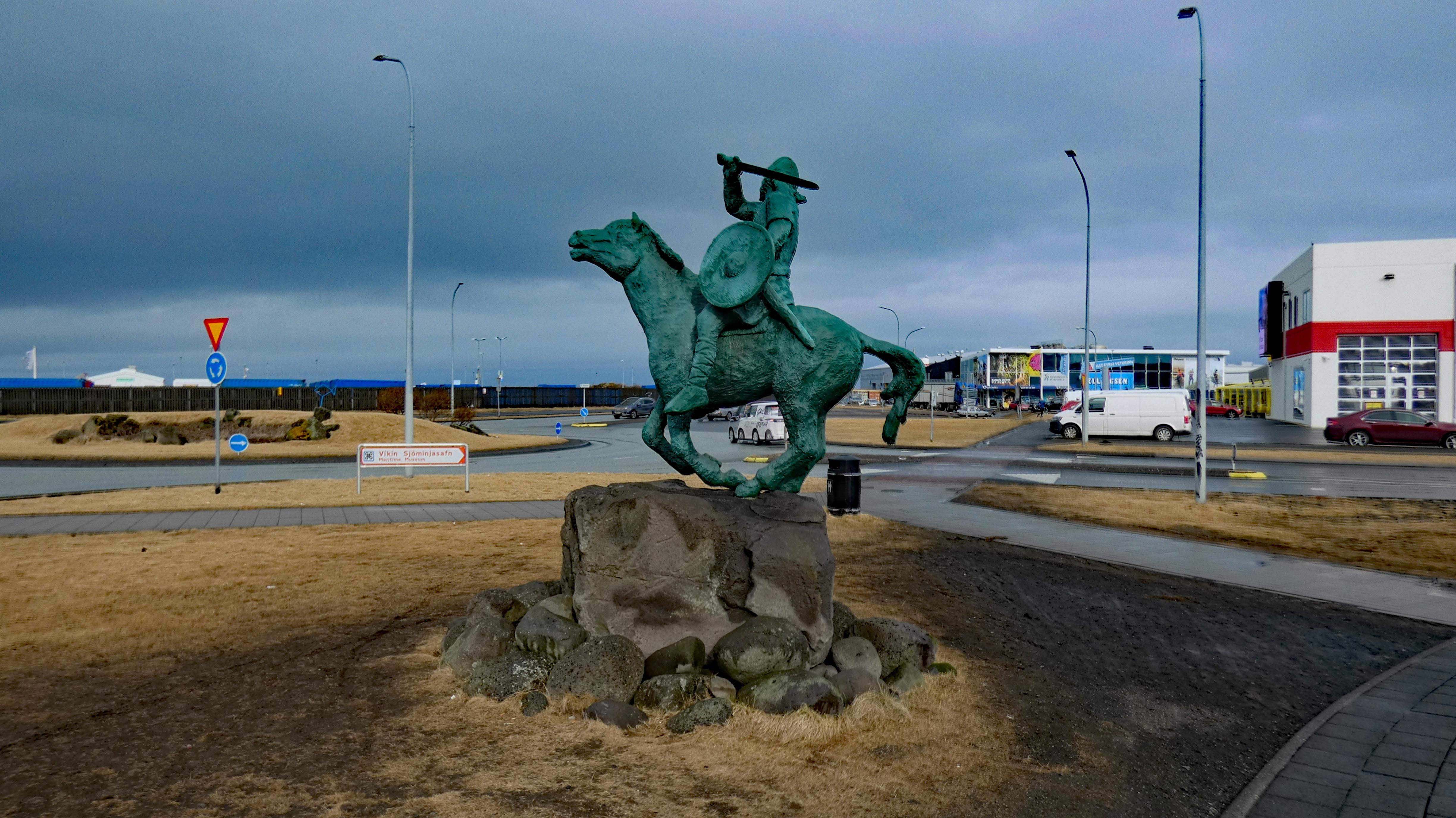
While waiting outside for the rest of the group, he was there in front of the Saga Museum. (The Sagas of Icelanders is supposed to be a literary classic? I bought it but haven’t read it yet – 781 pages)
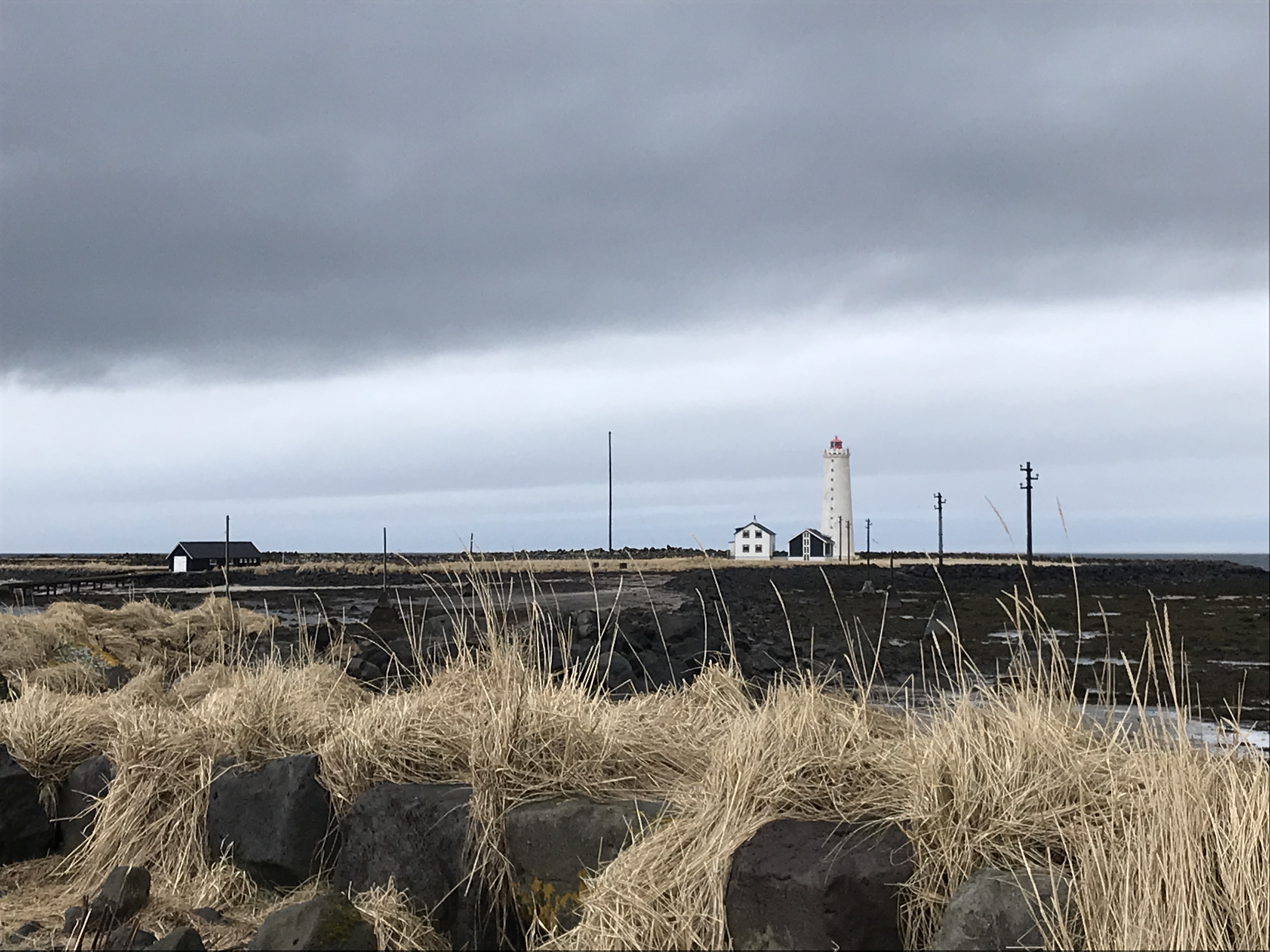
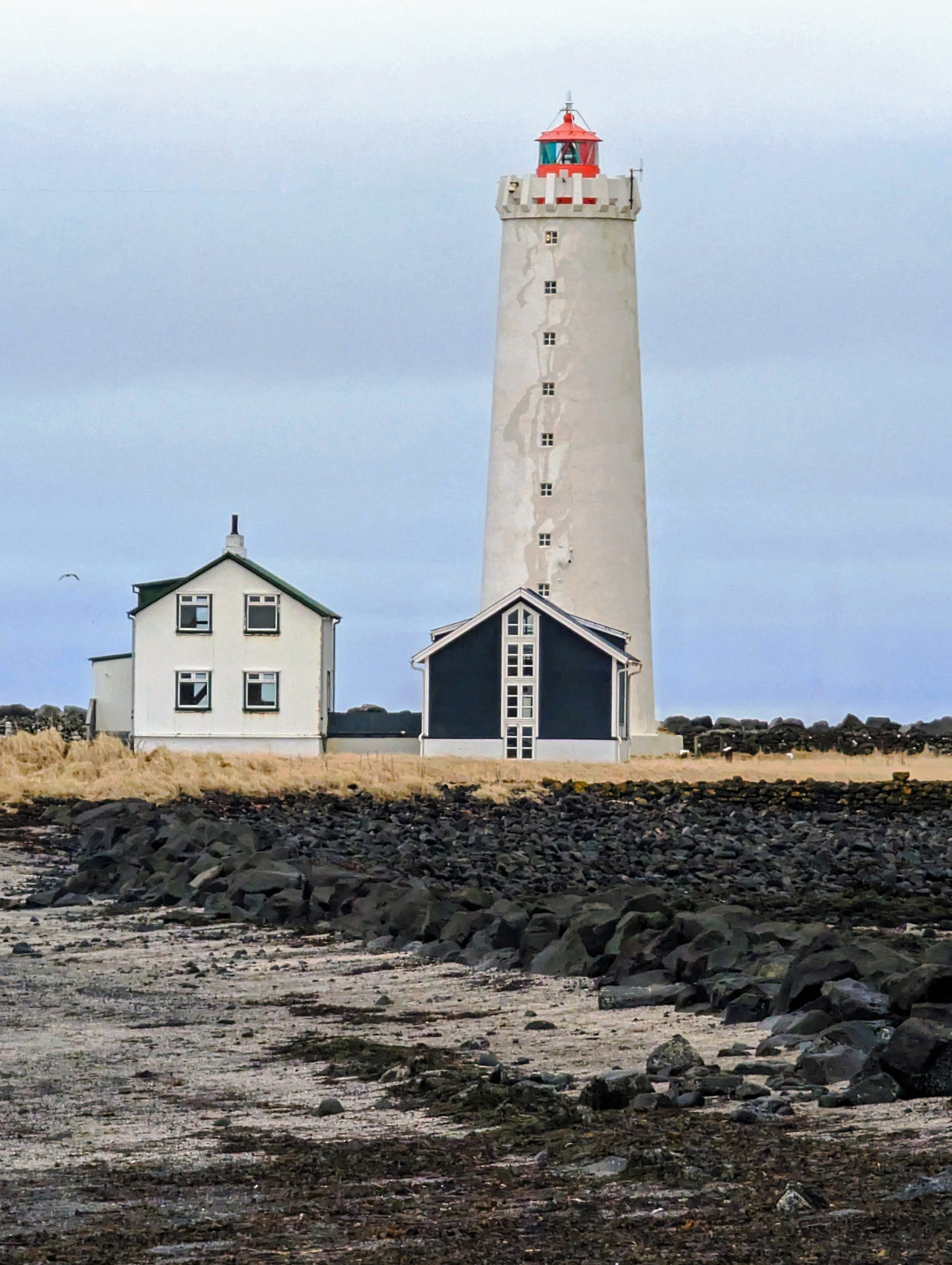
He drove us to see one of the many lighthouses next. This lighthouse can only be accessed by foot during low tide.
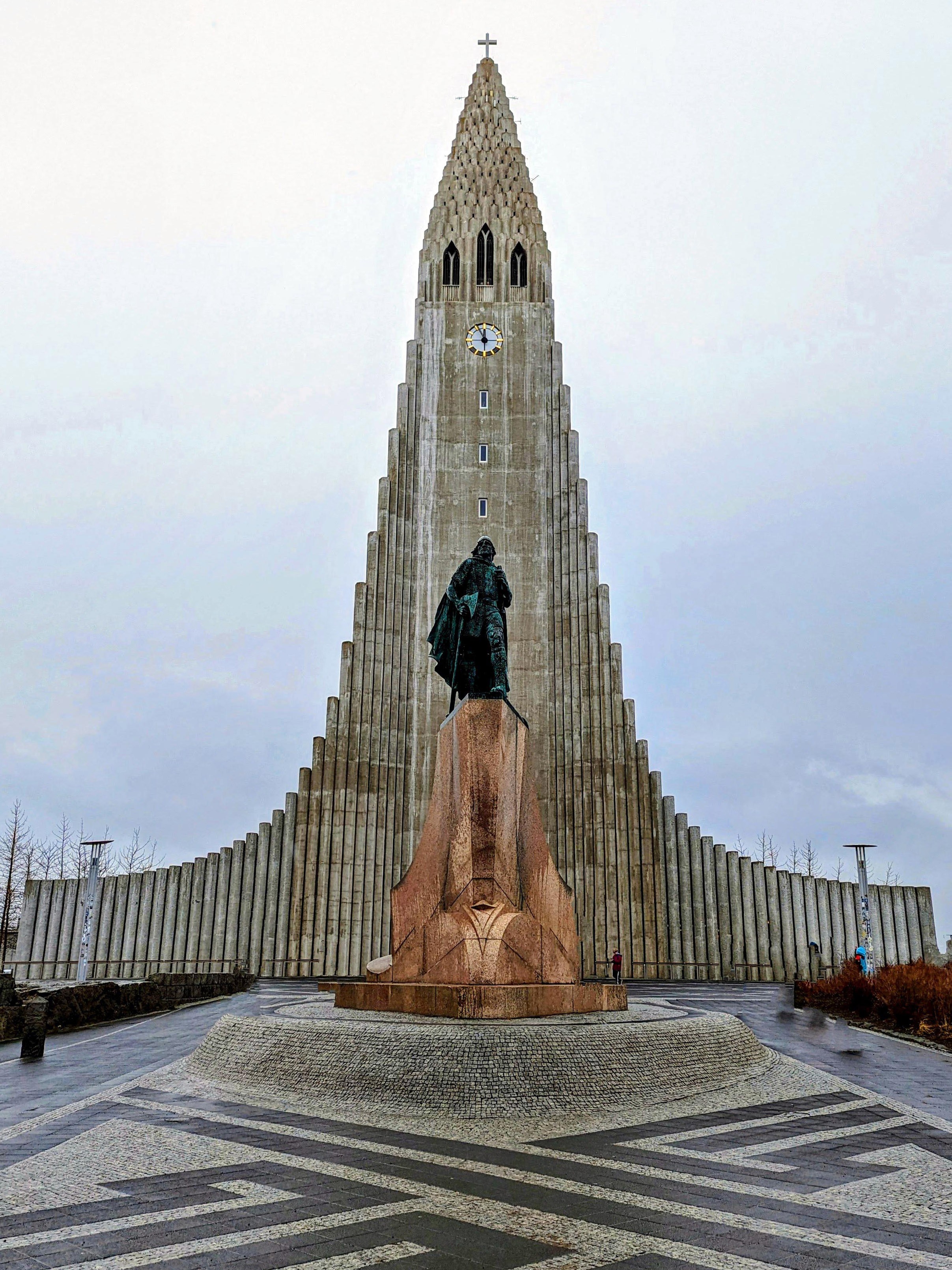
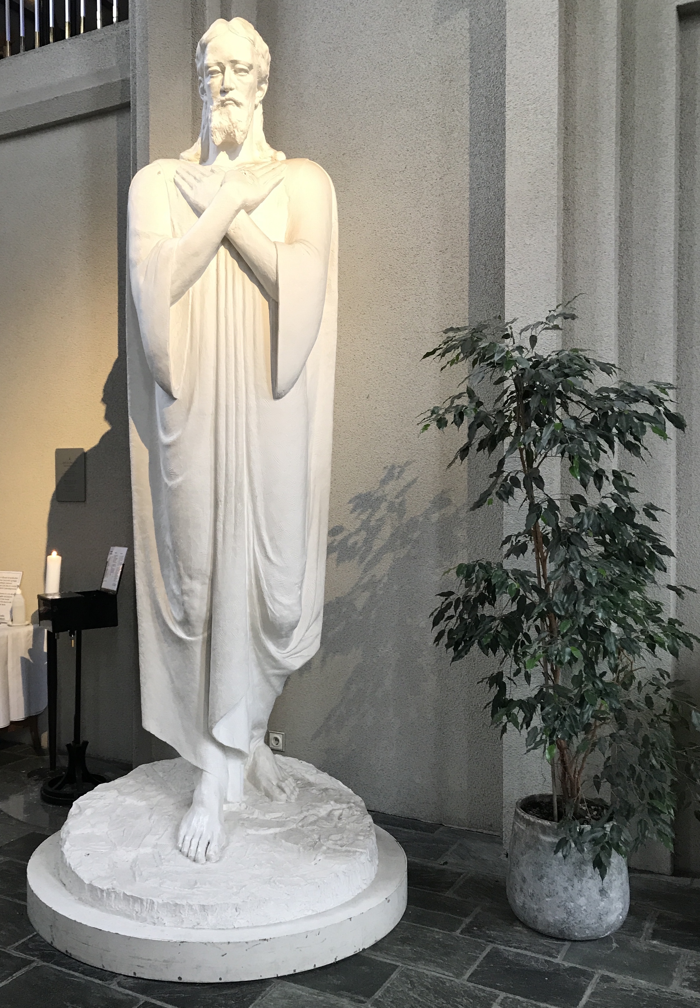
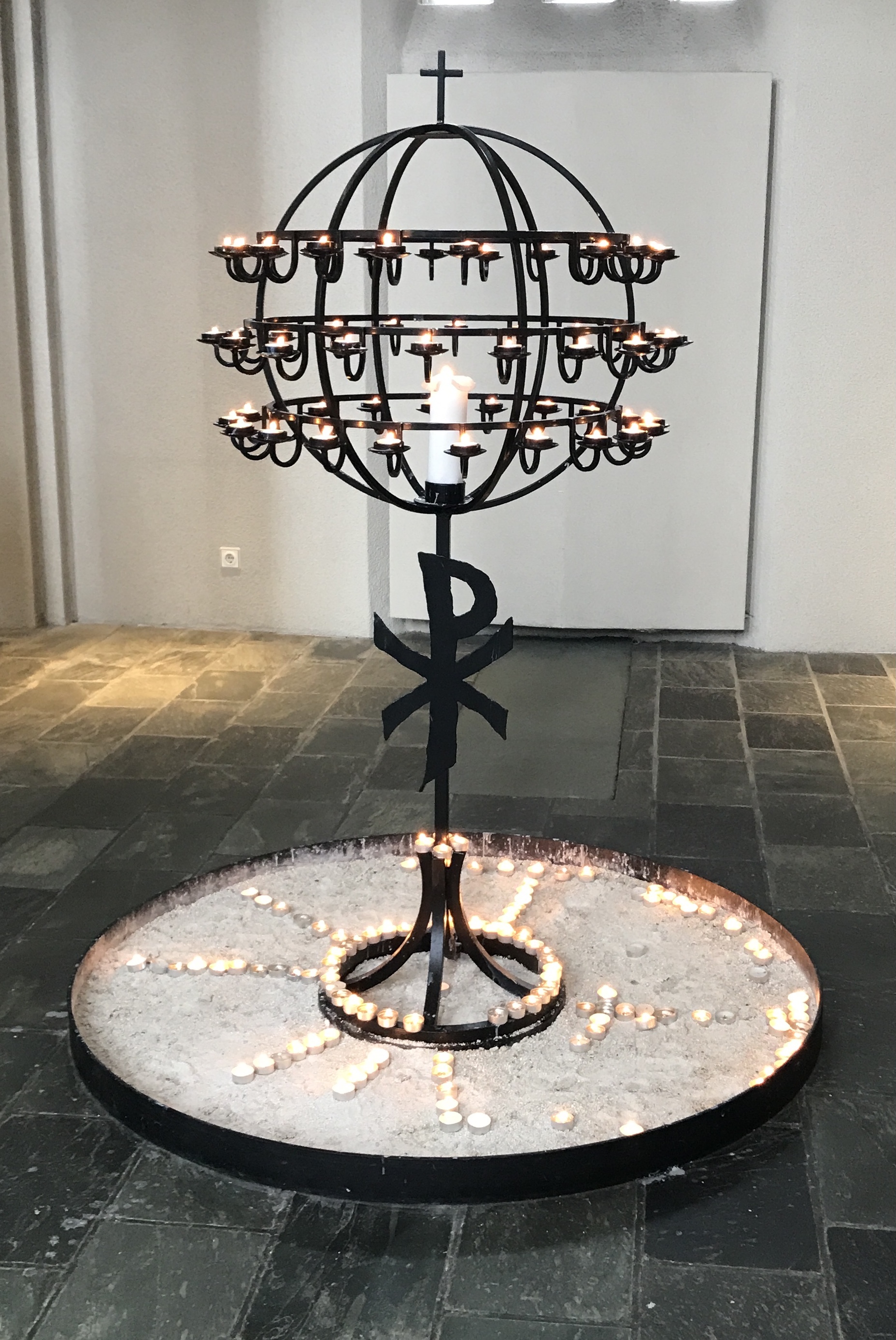
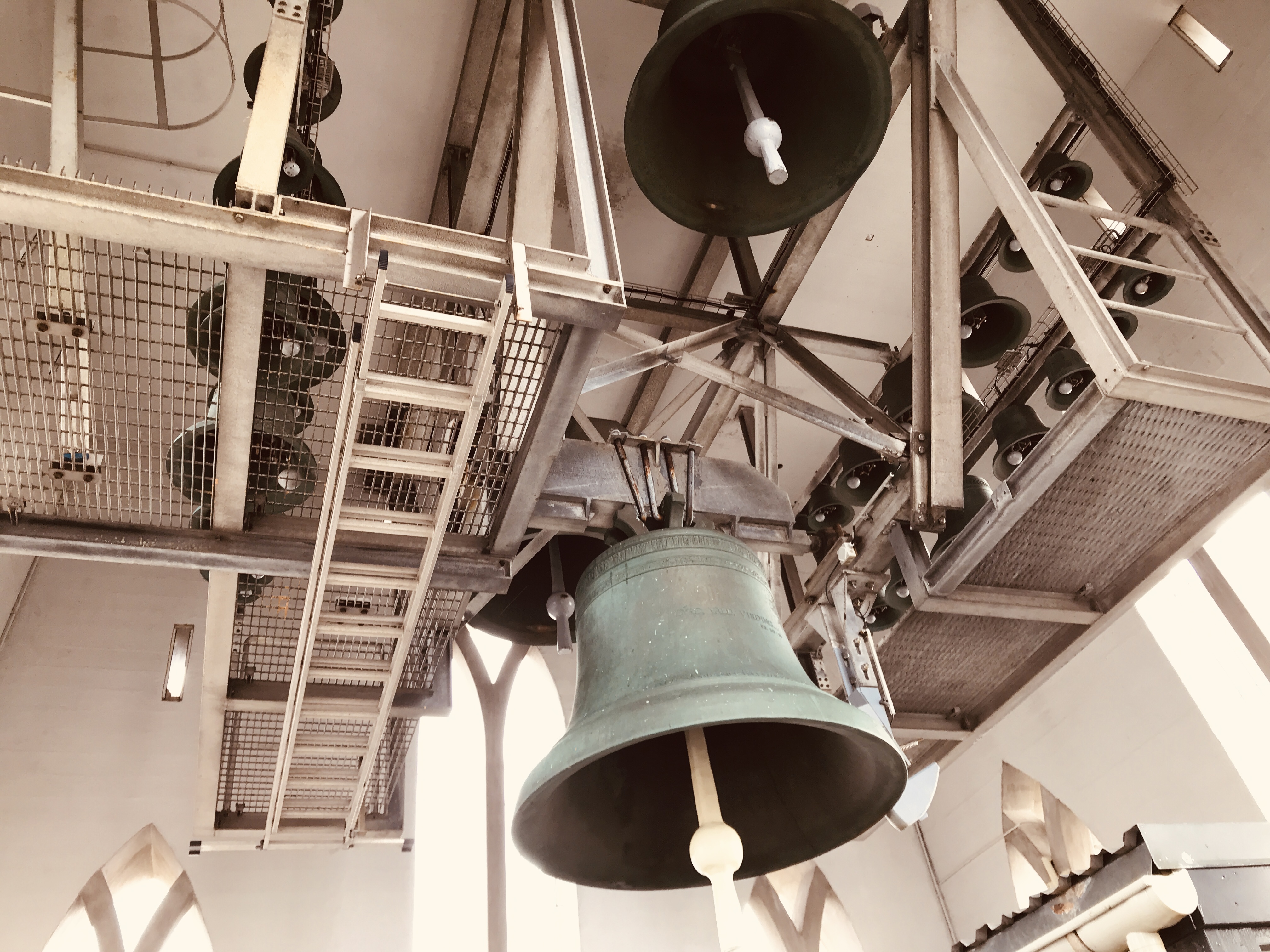
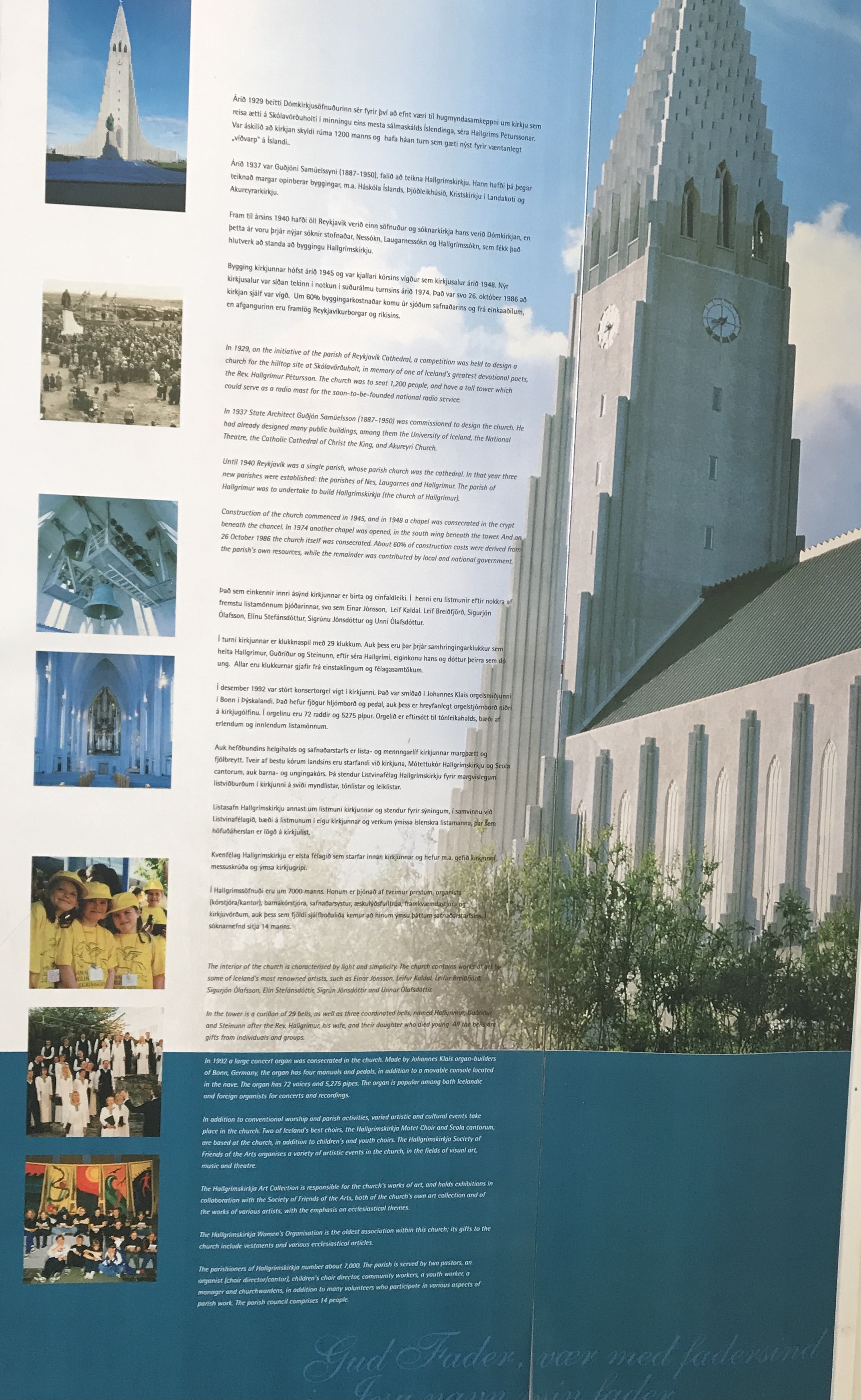
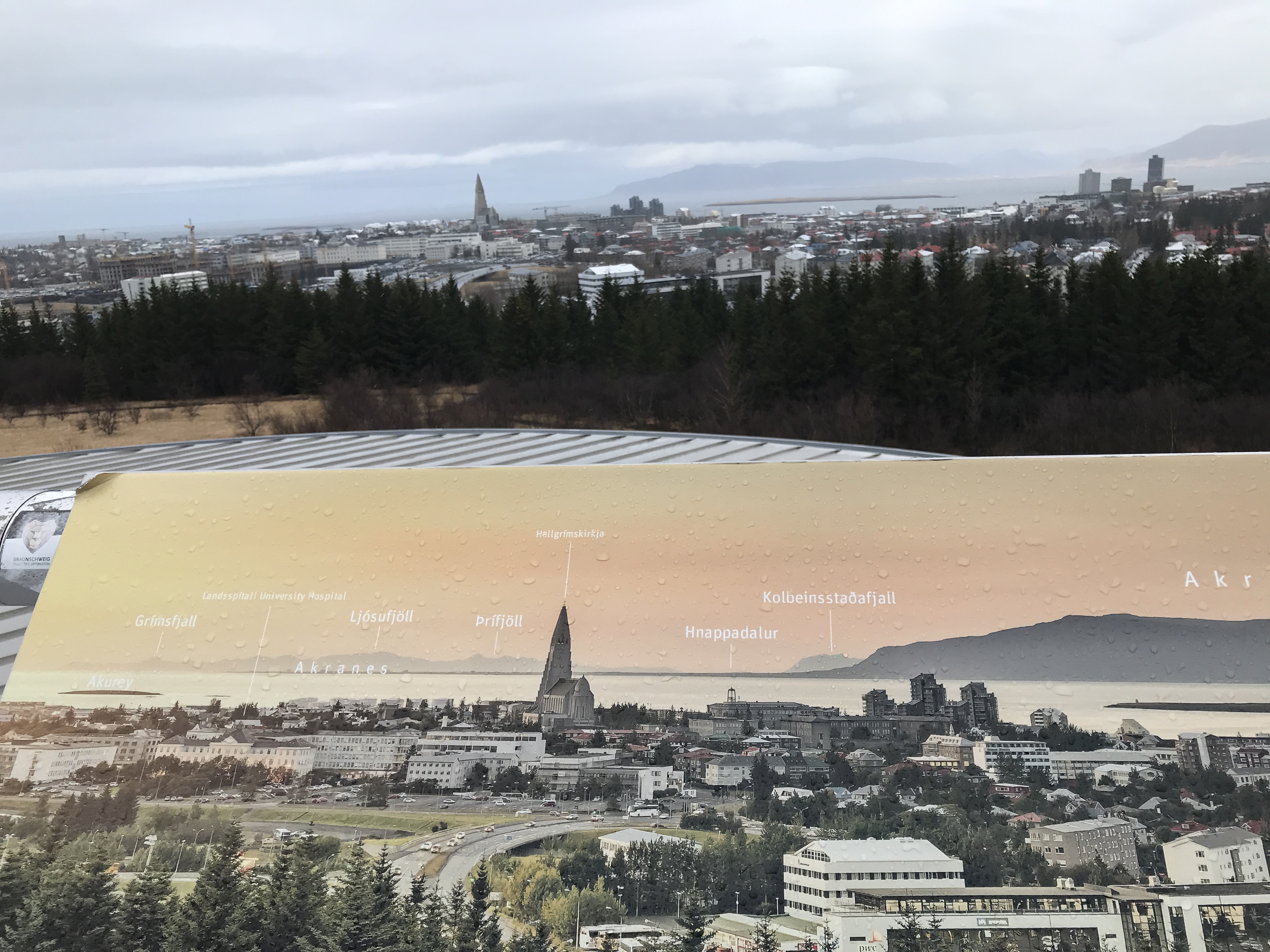
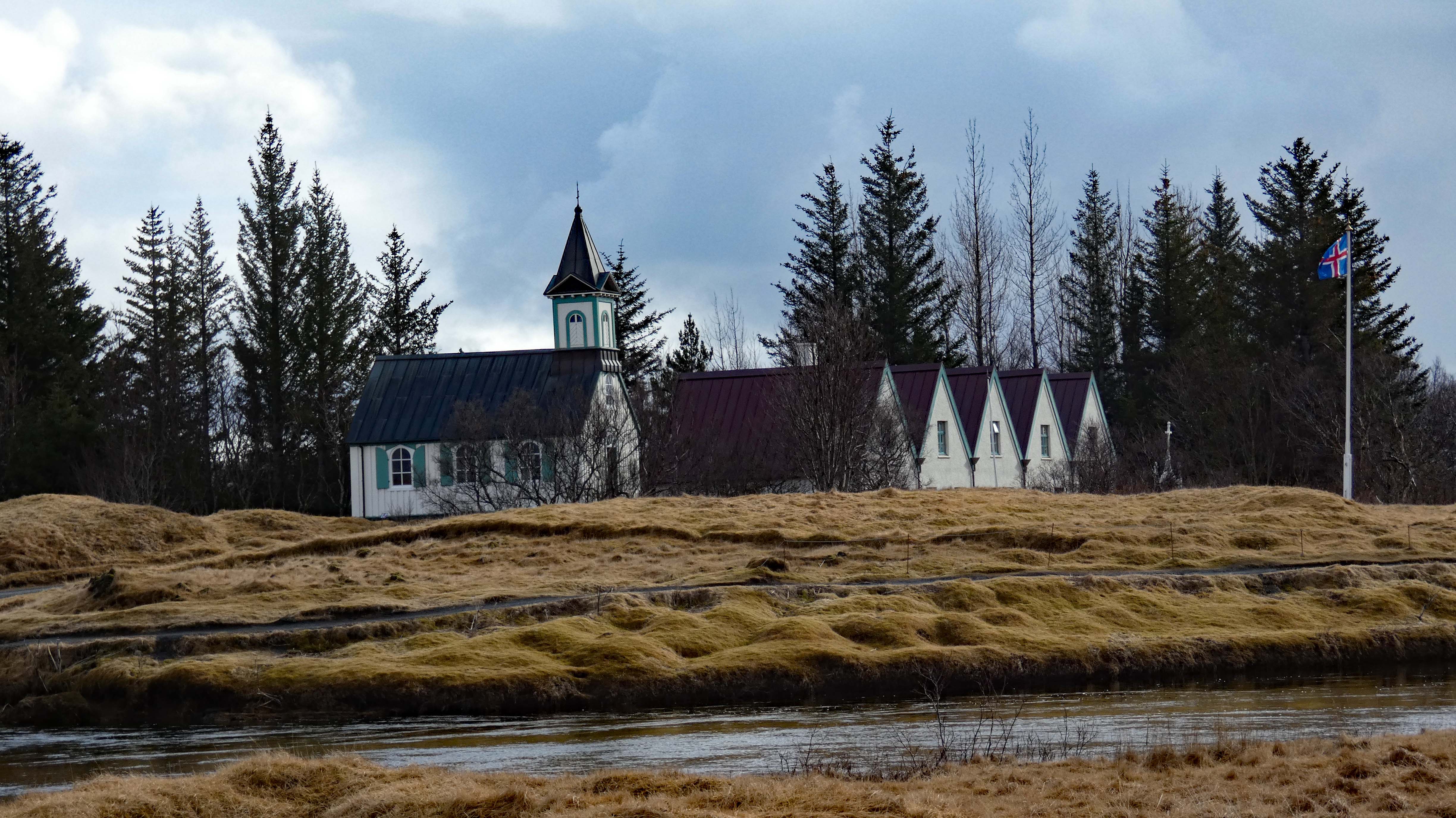
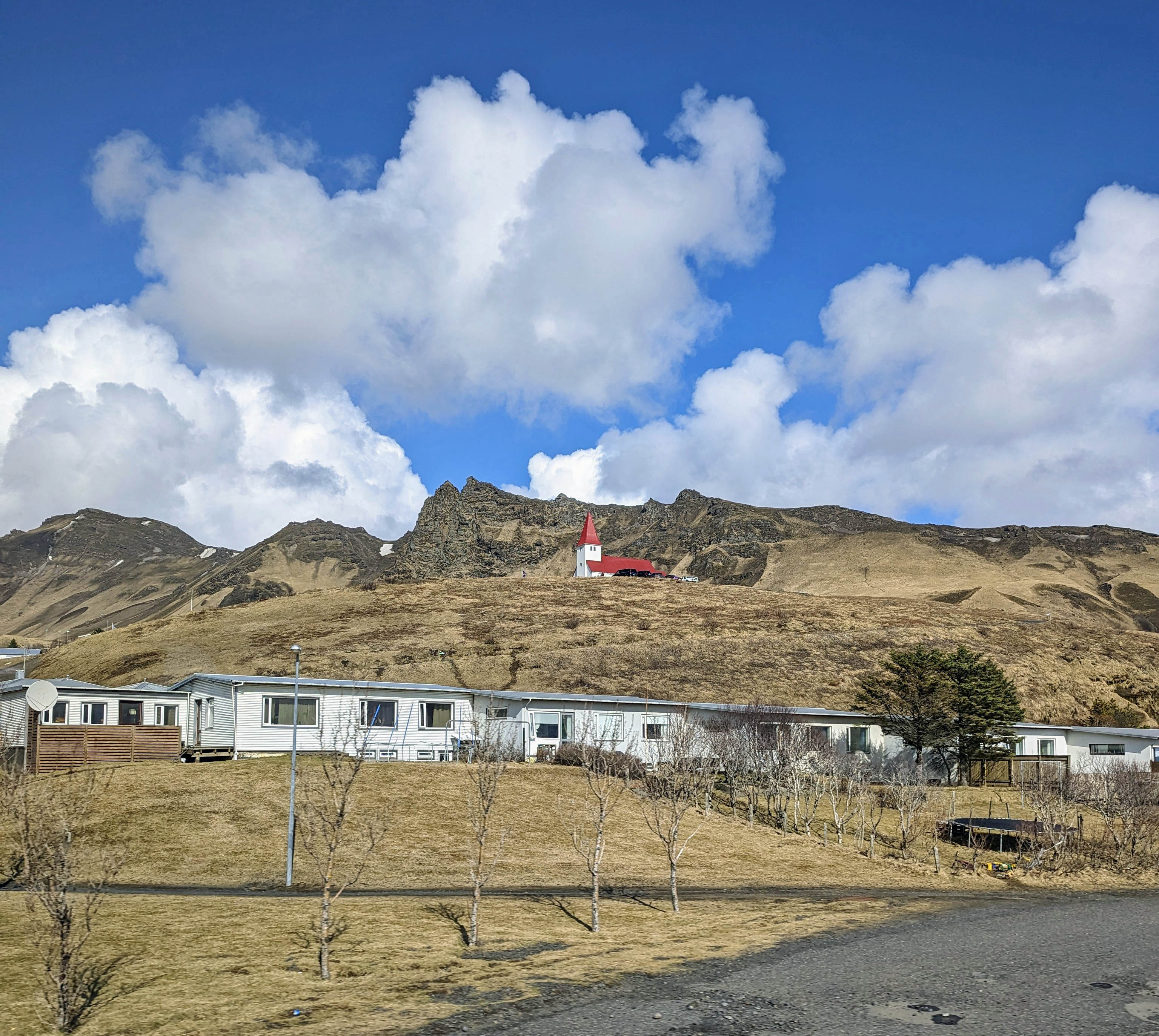
The Hallgrimskirkja Lutheran Church with a statue of Leifur Eiricksson in front. The largest church in Iceland. The statue was donated by the US. There is an identical statue in Newport, Va. Here are some random photos. We went back a second day so we could go up into the tower. I grouped all the photos together here.
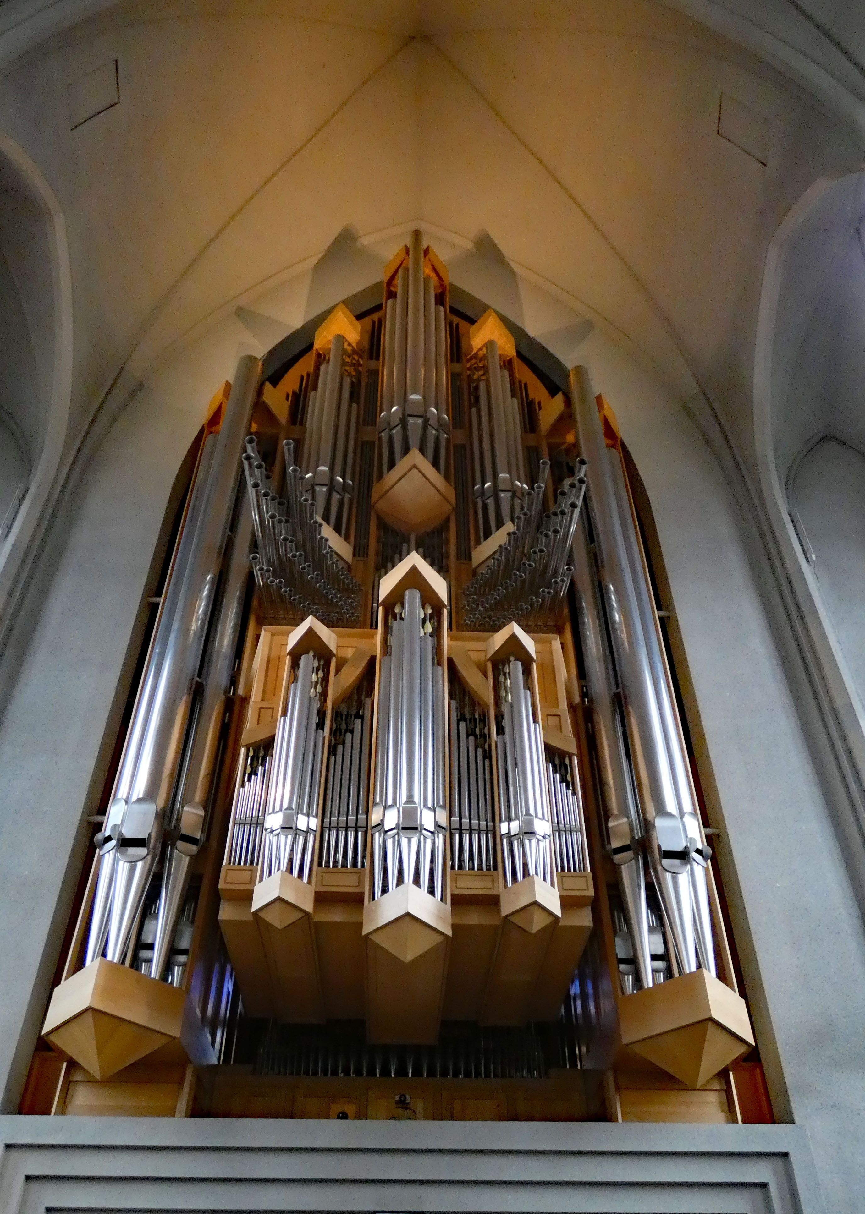
No sooner we walked through the tower doors, the bells started ringing! Very loud!
Misc info
Onto our next destination
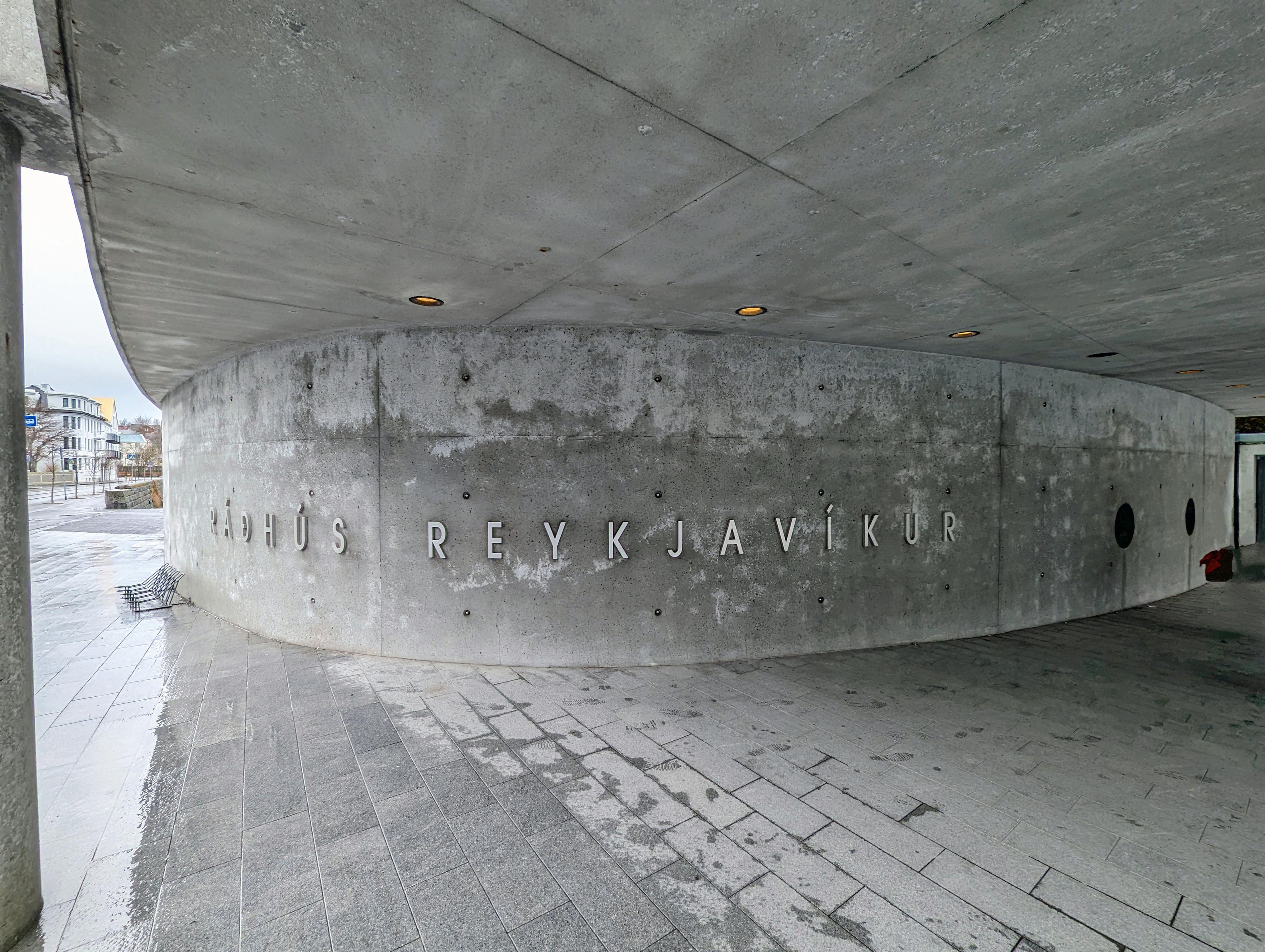
Town Hall
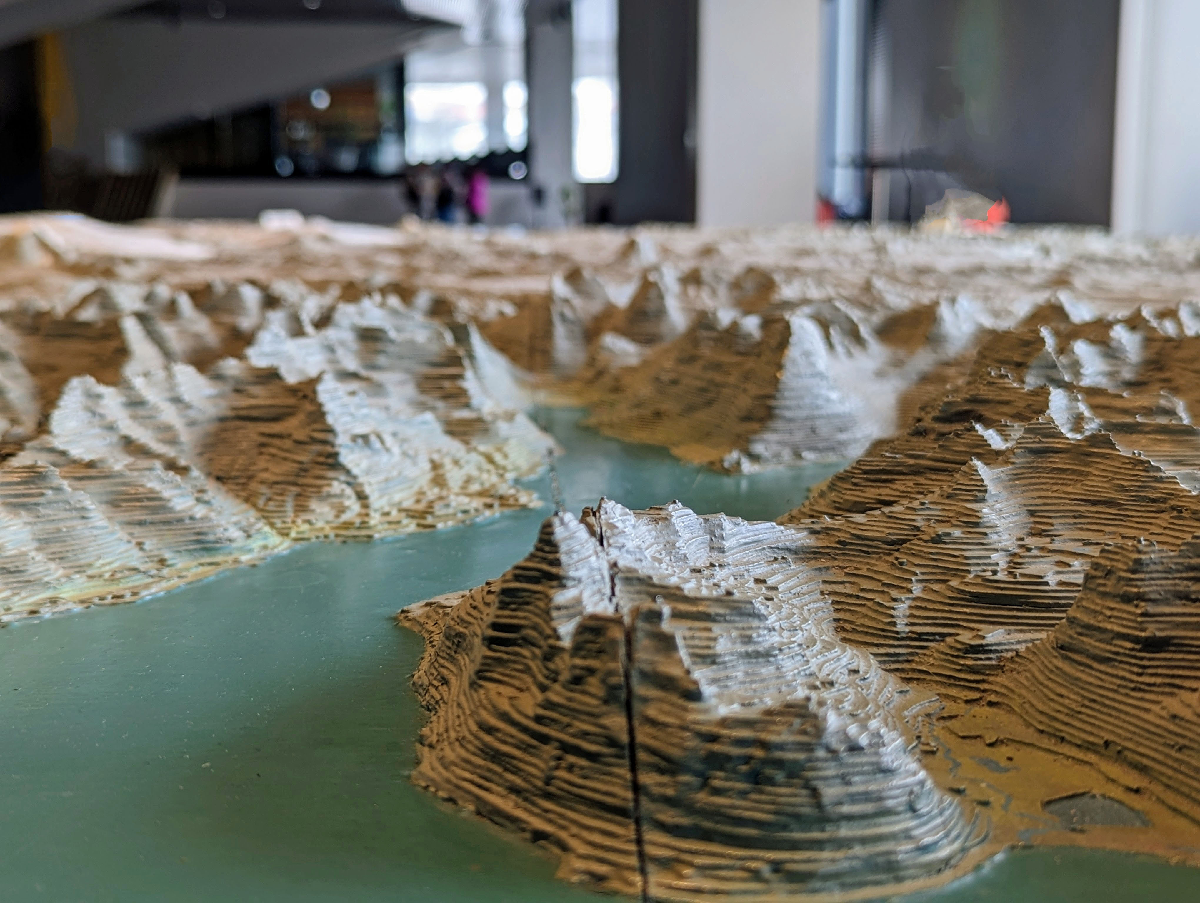
Large relief map of Iceland
Moss may not grow on a rolling stone, but it does grow on lava rock.
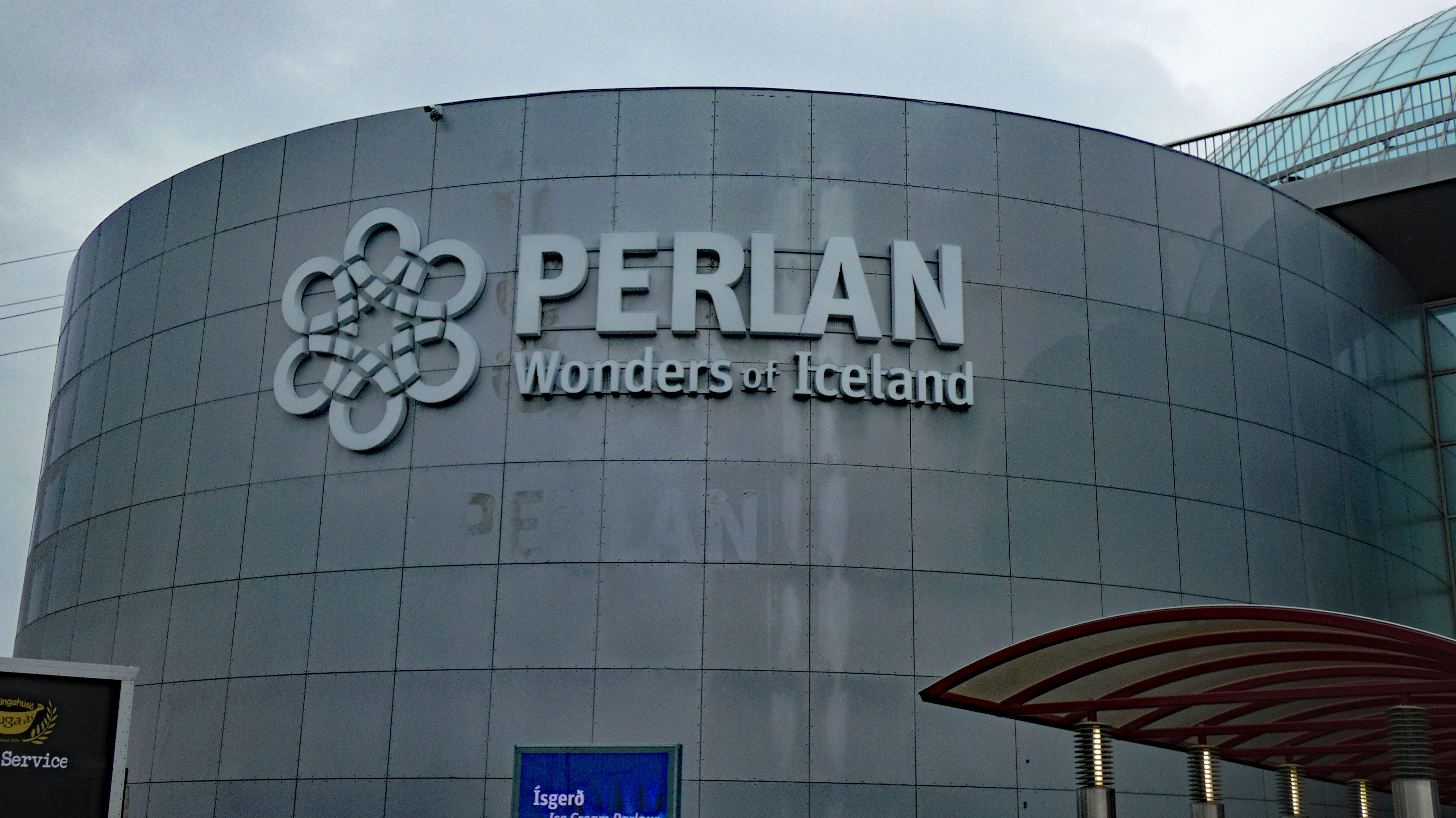
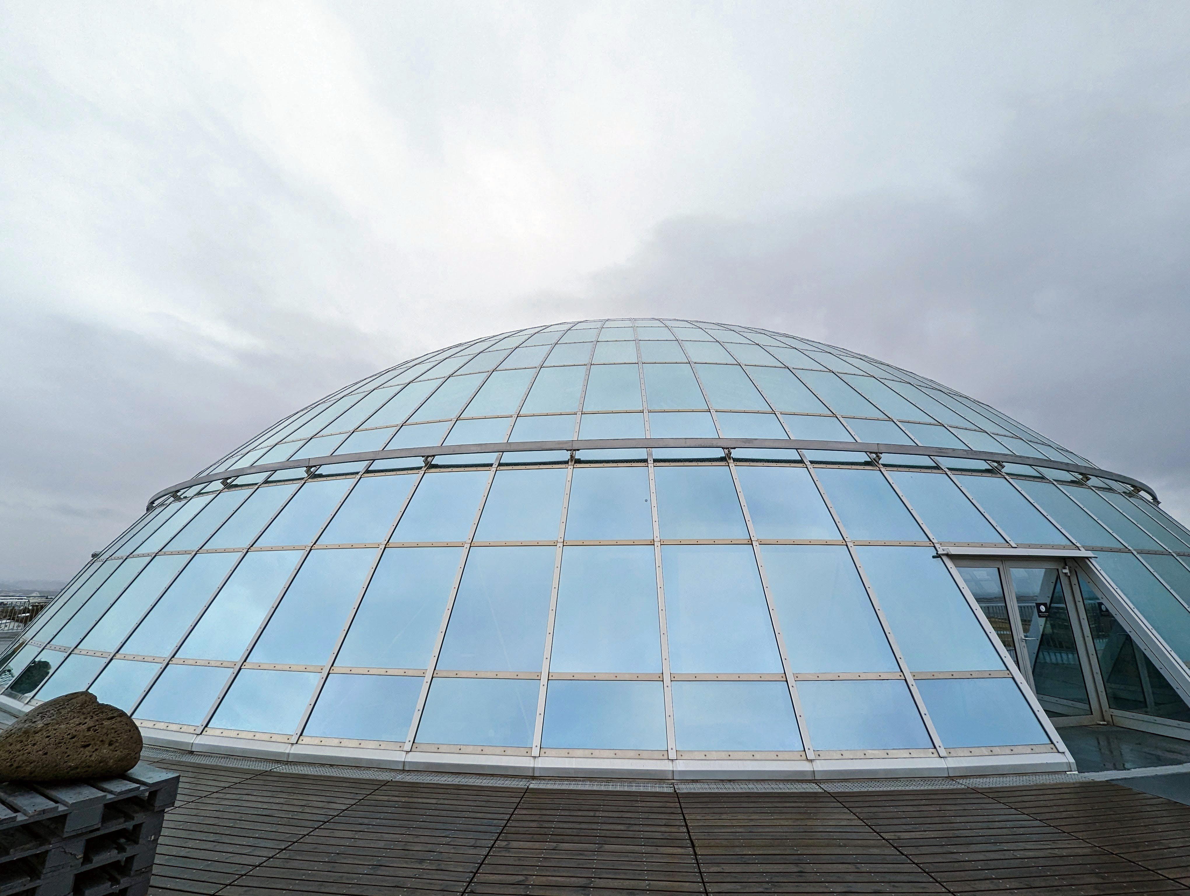
Next stop, the Perlan Museum
There were photos explaining what you were viewing.
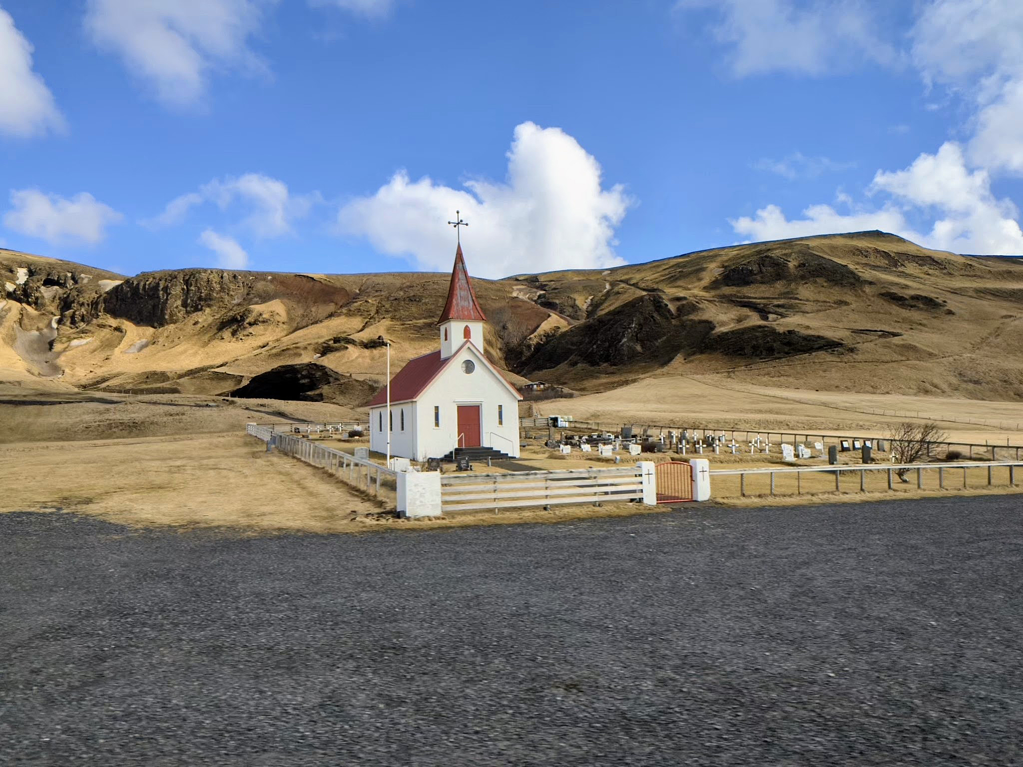
Lots of churches. They left Paganism 1,000+ years ago.
All of this on our first day! Before we checked in. Will tomorrow be a day of rest – nope!
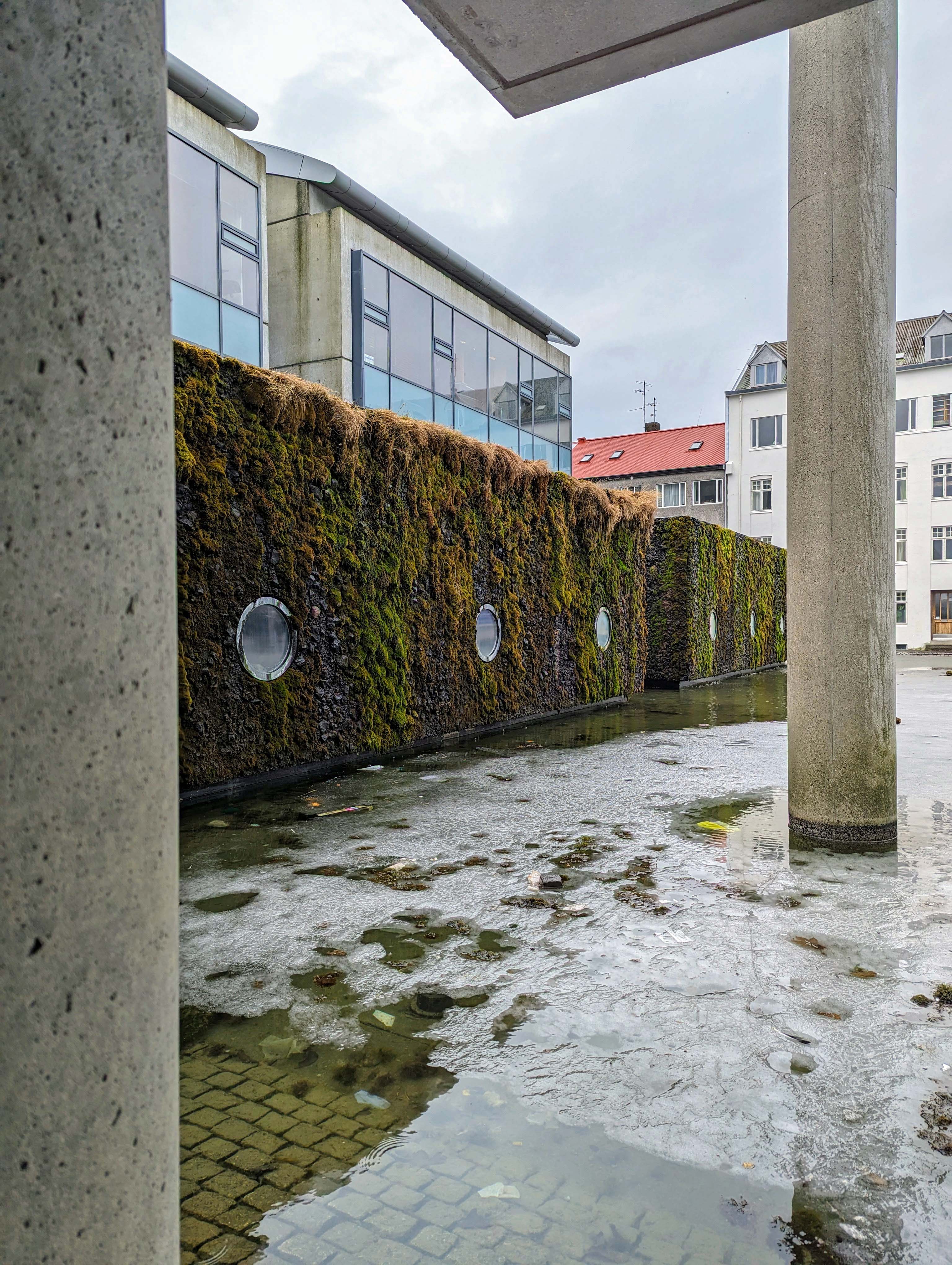
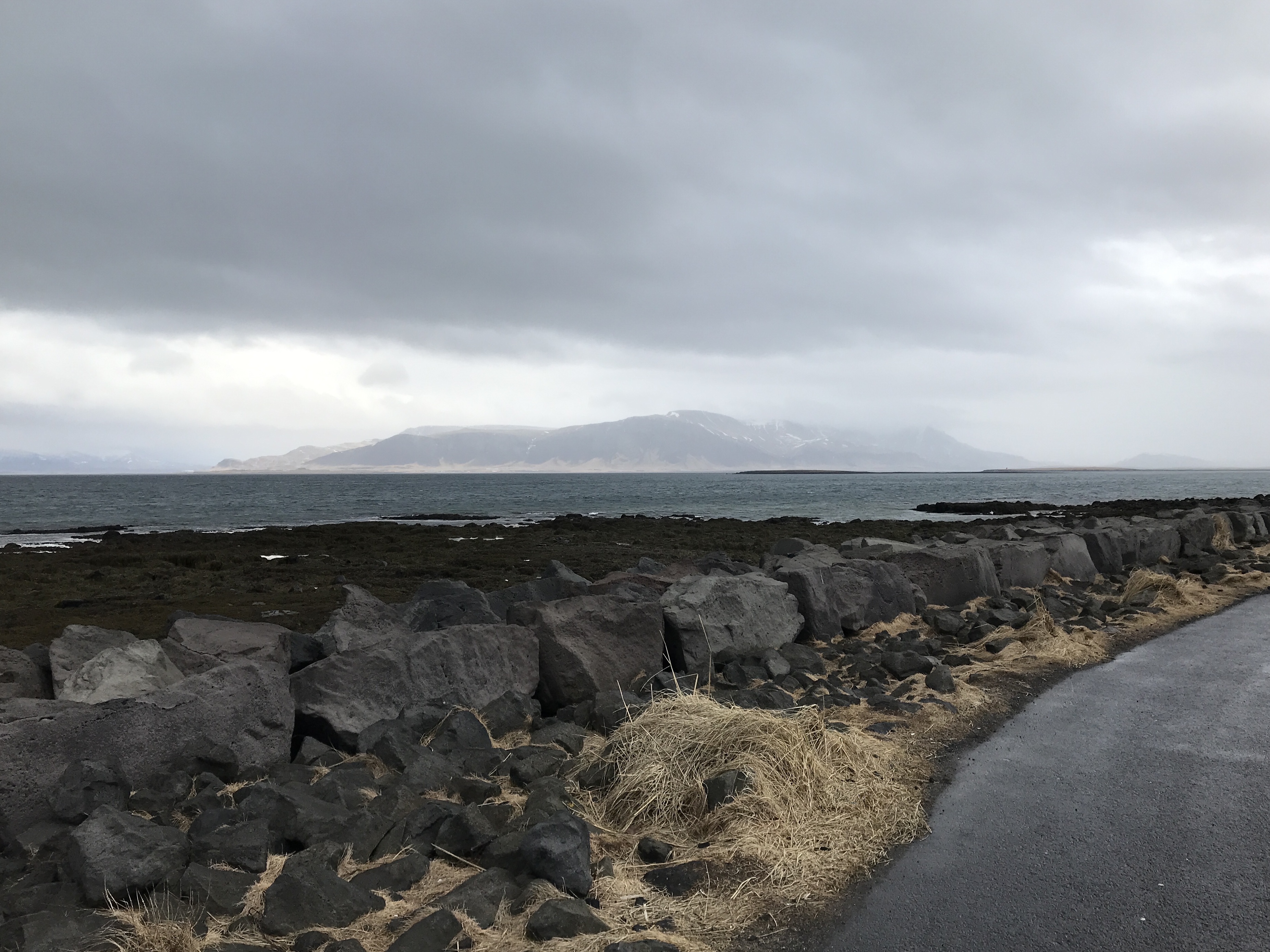
A walk along the shoreline. They have two paths -one for pedestrians and one for cyclists.
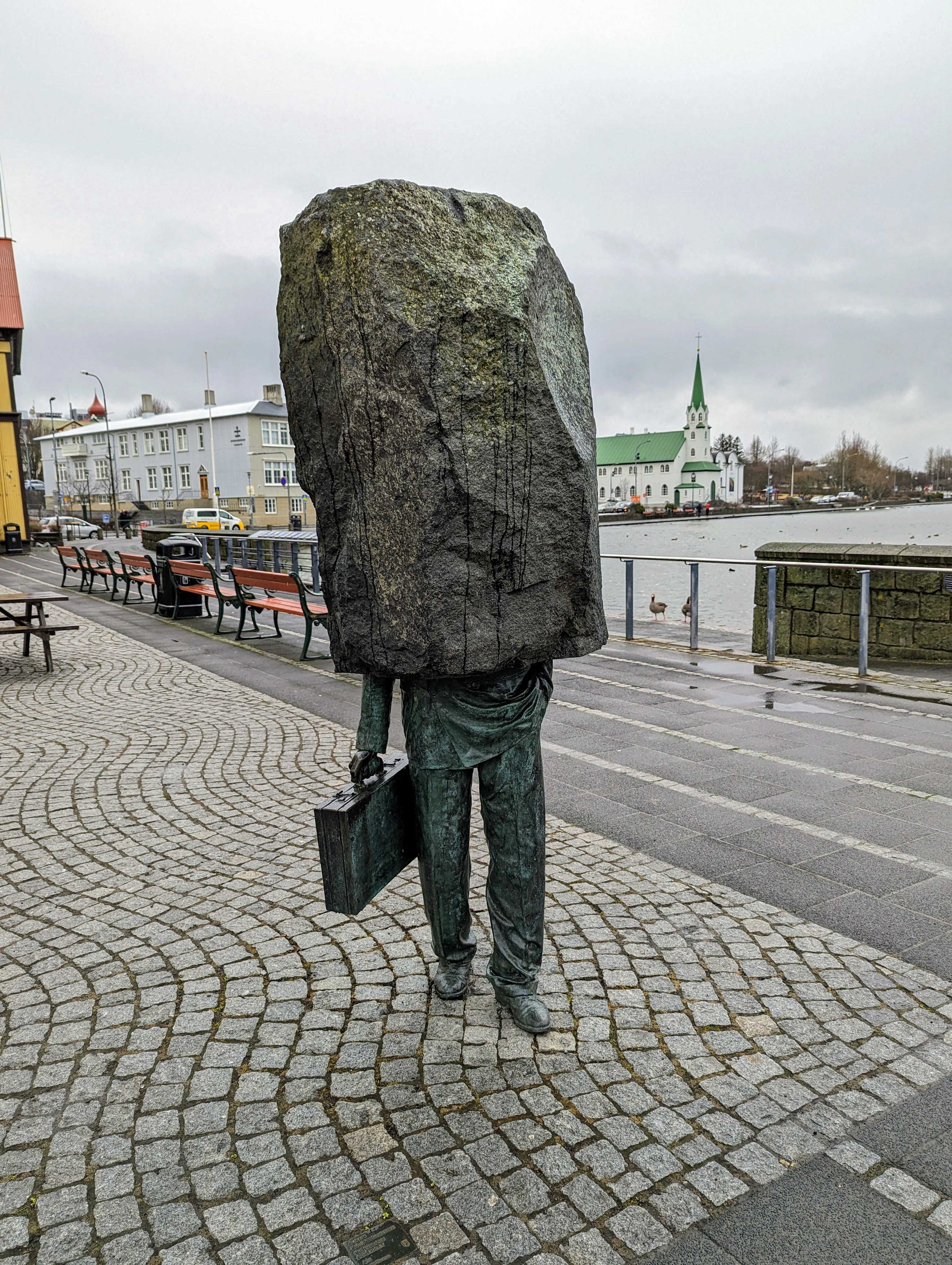
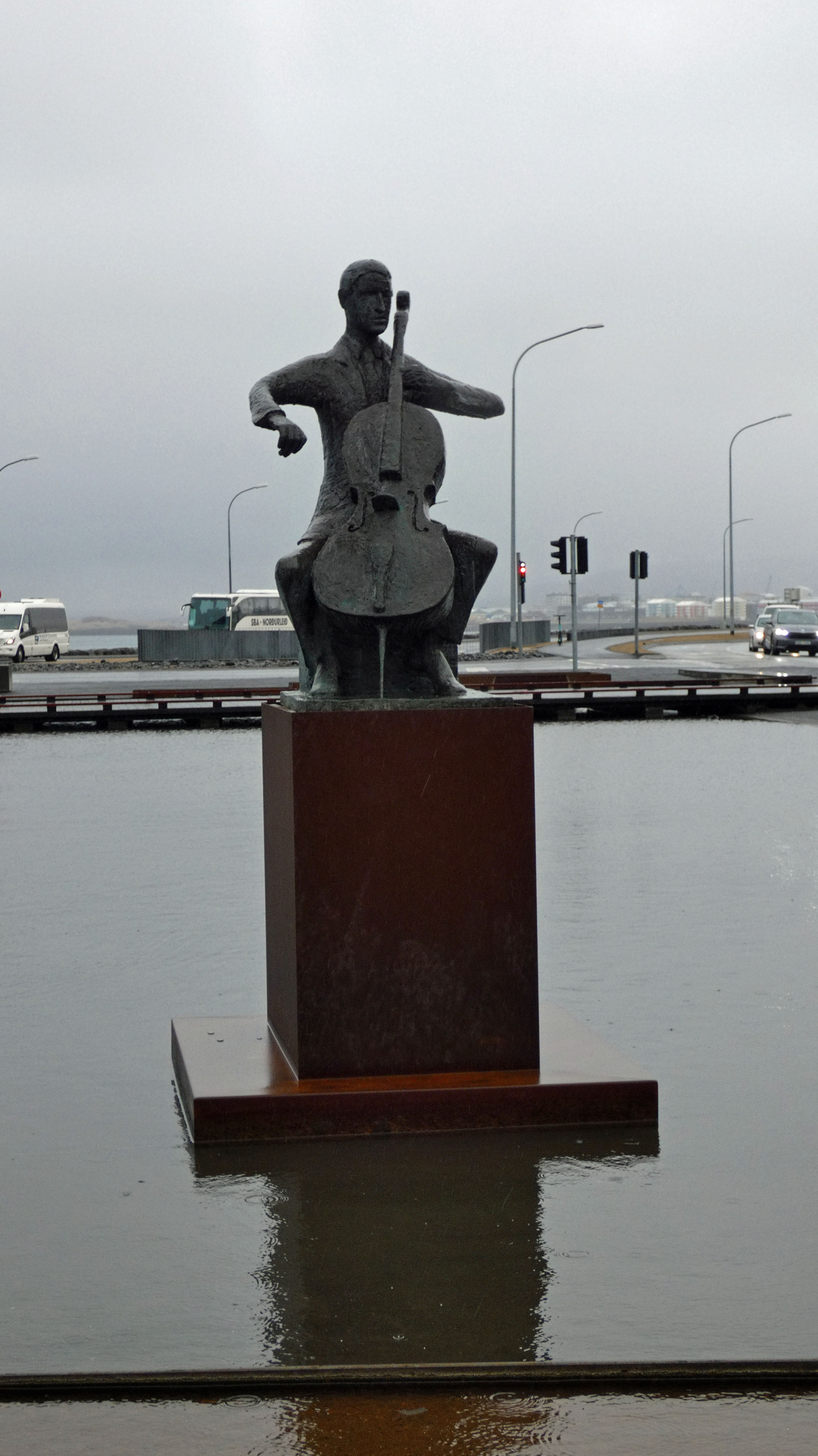
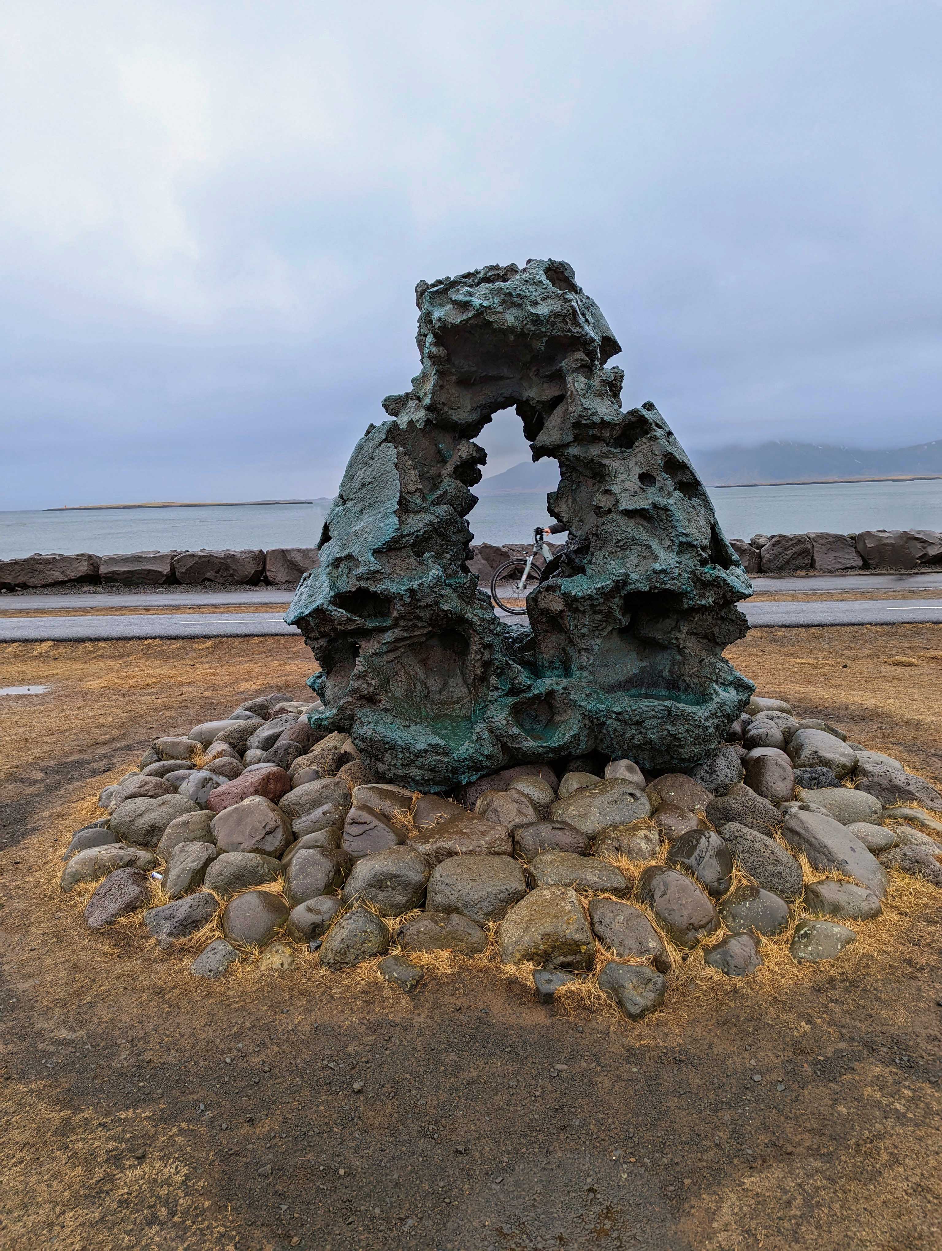
Almost got a shot of her face in the hole. There are 100’s of statues and sculptures everywhere.
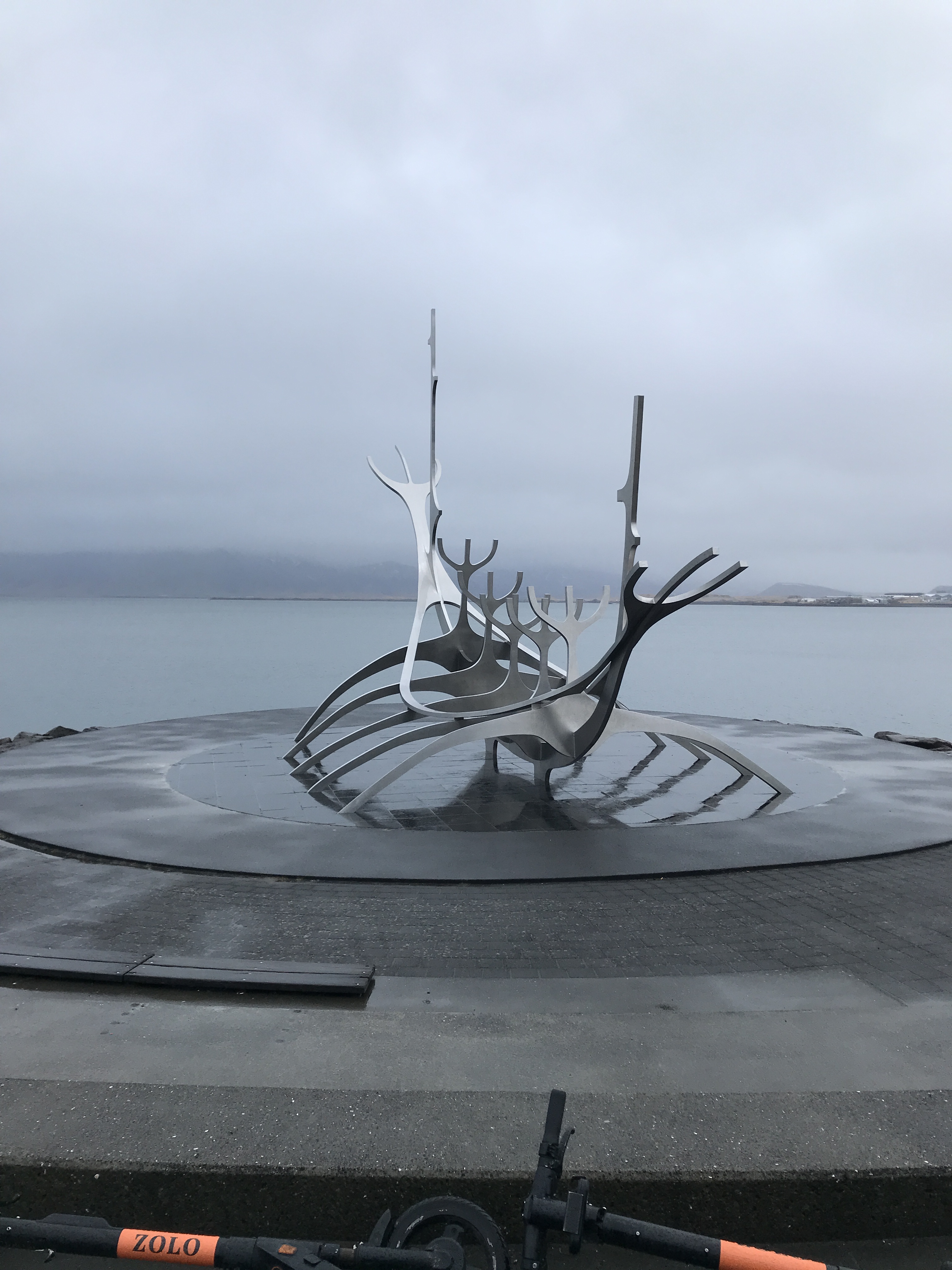
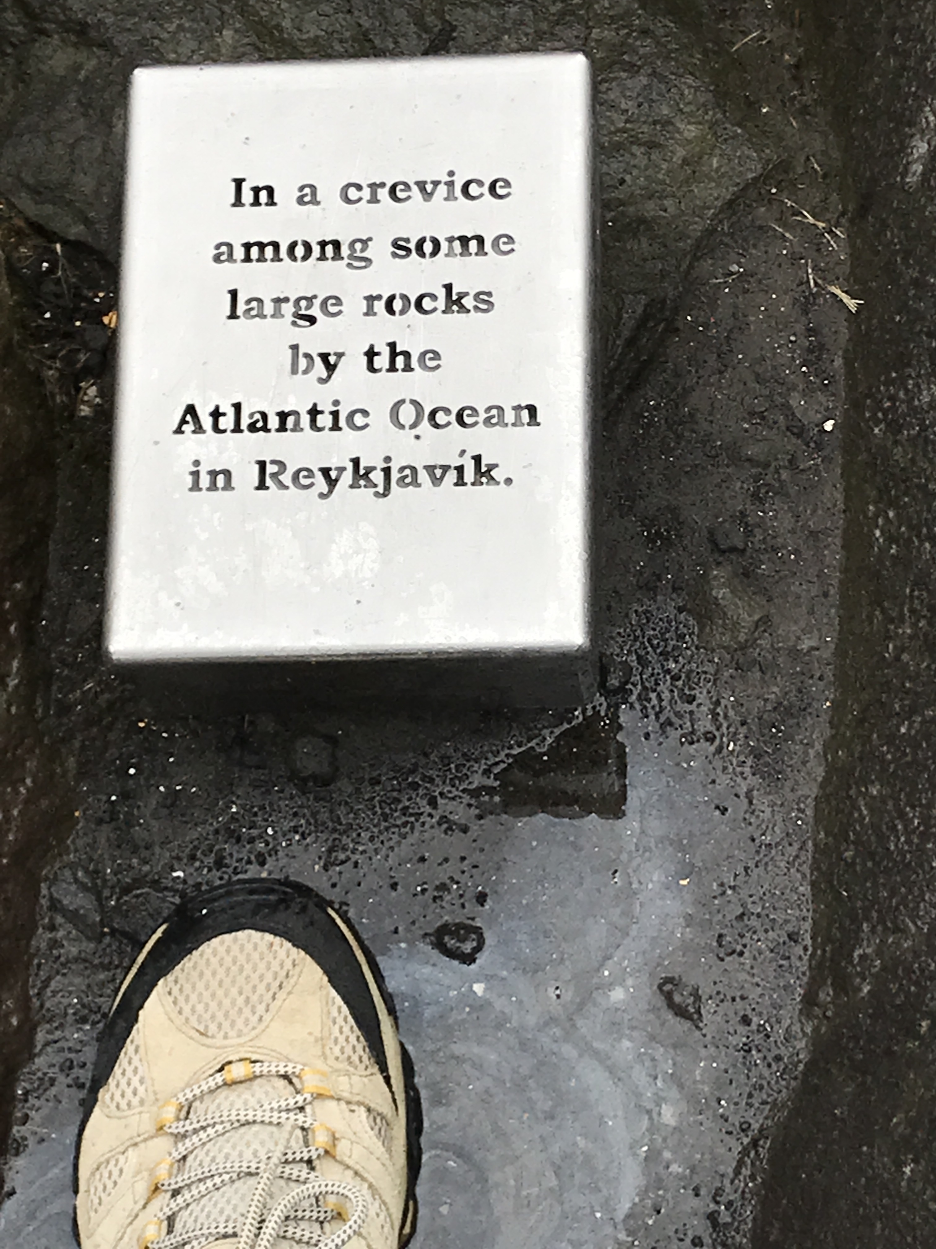
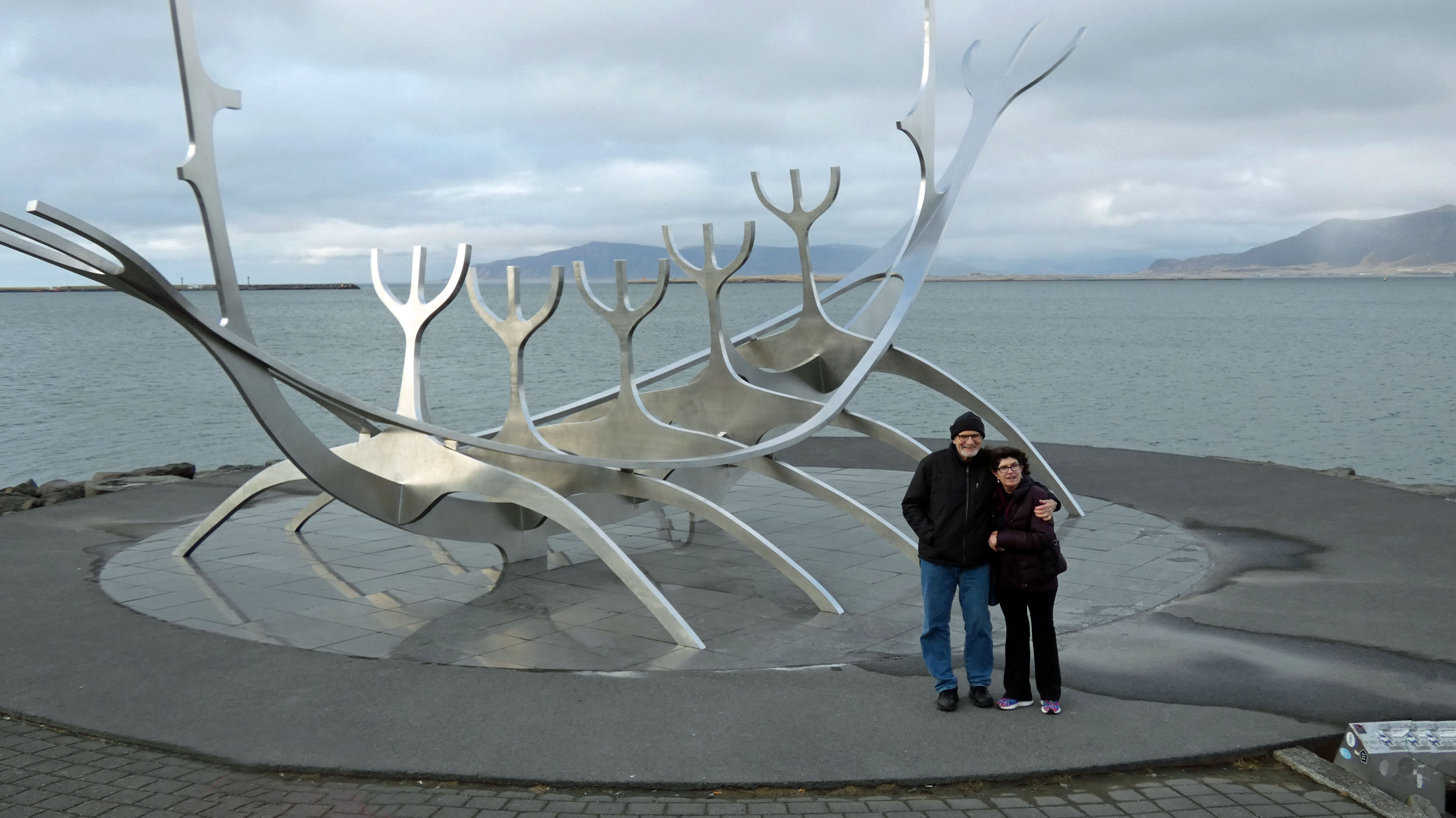
The Sun Voyager sculpture.
…is where Kathy put her foot down…
Mini lighthouse.
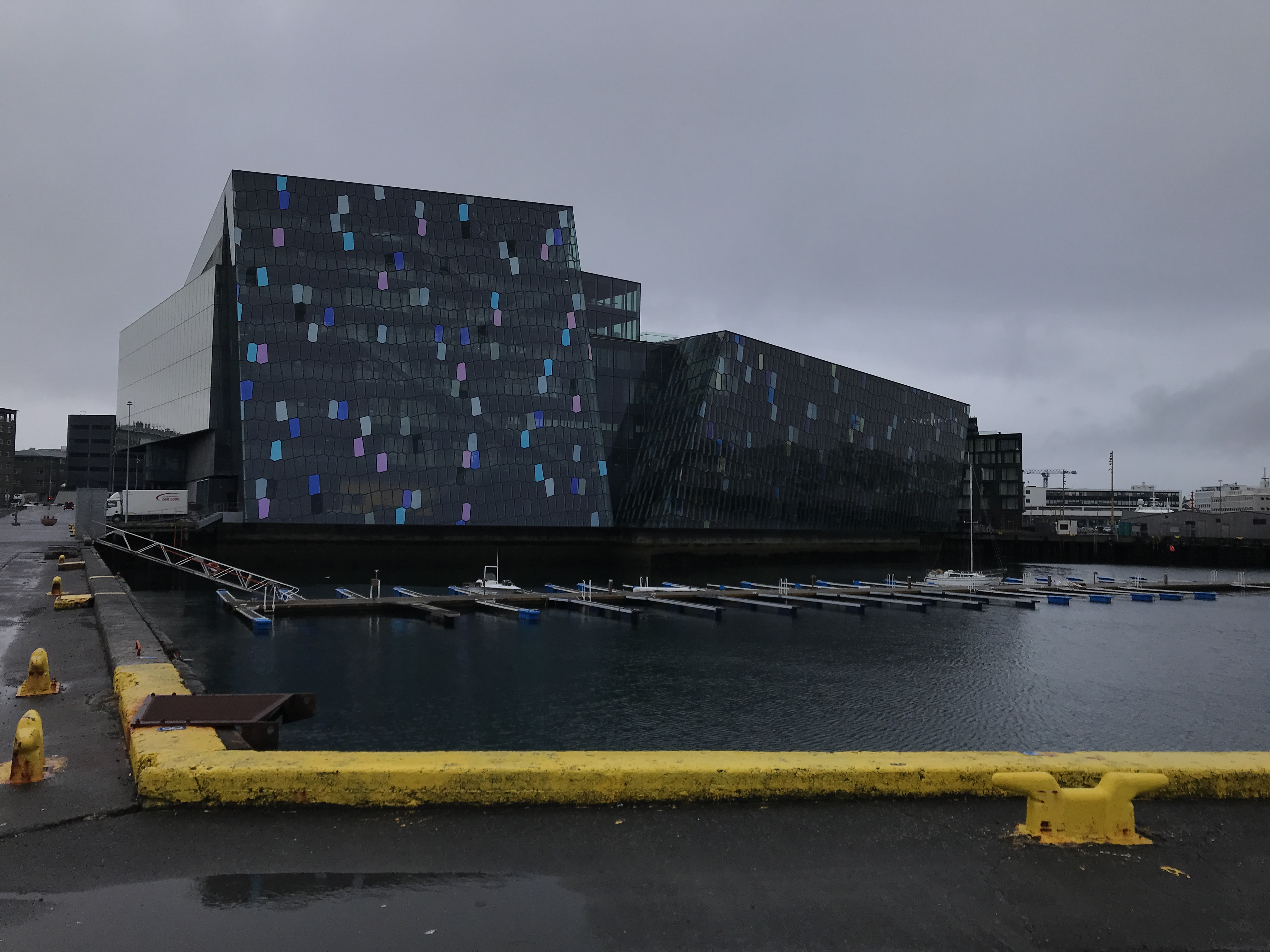
Performing arts center
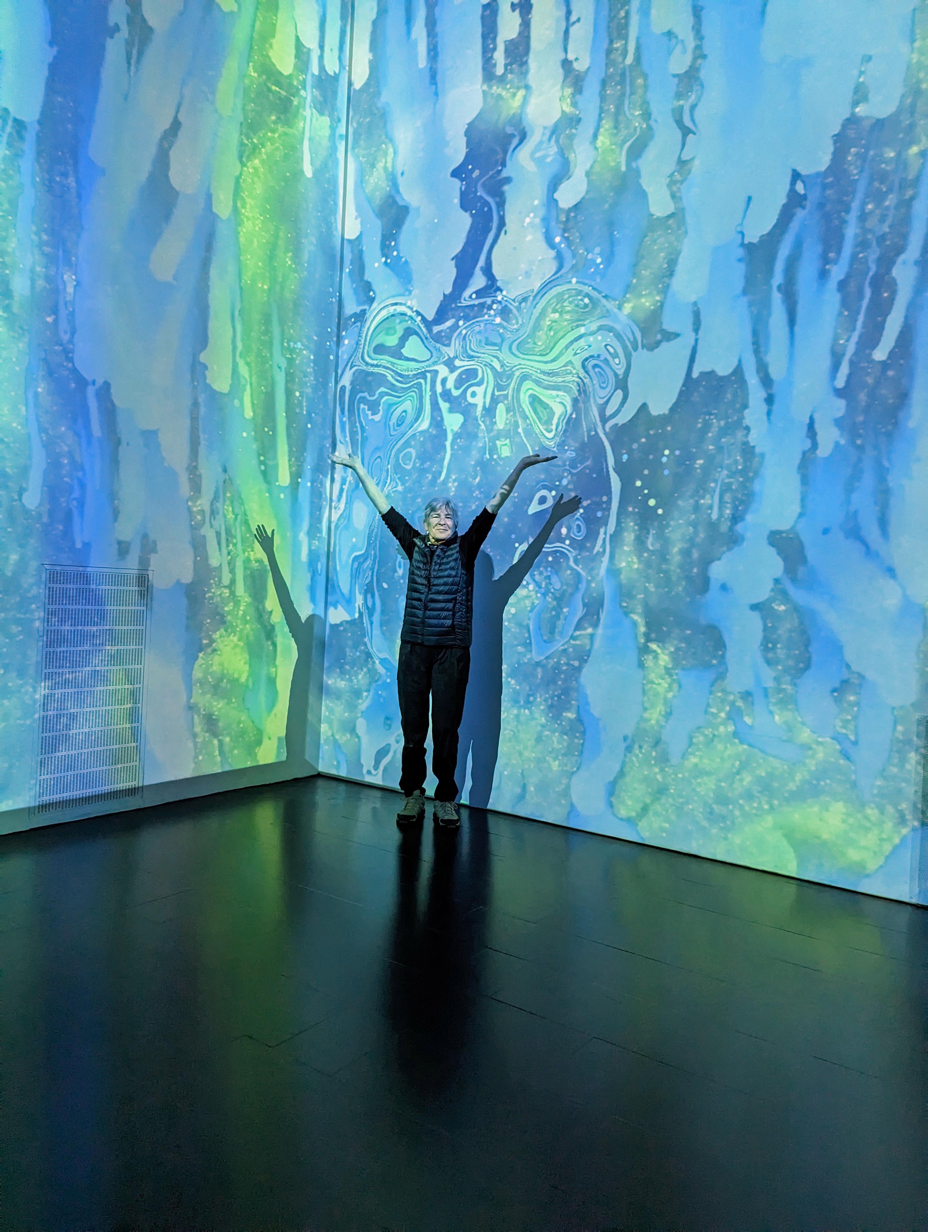
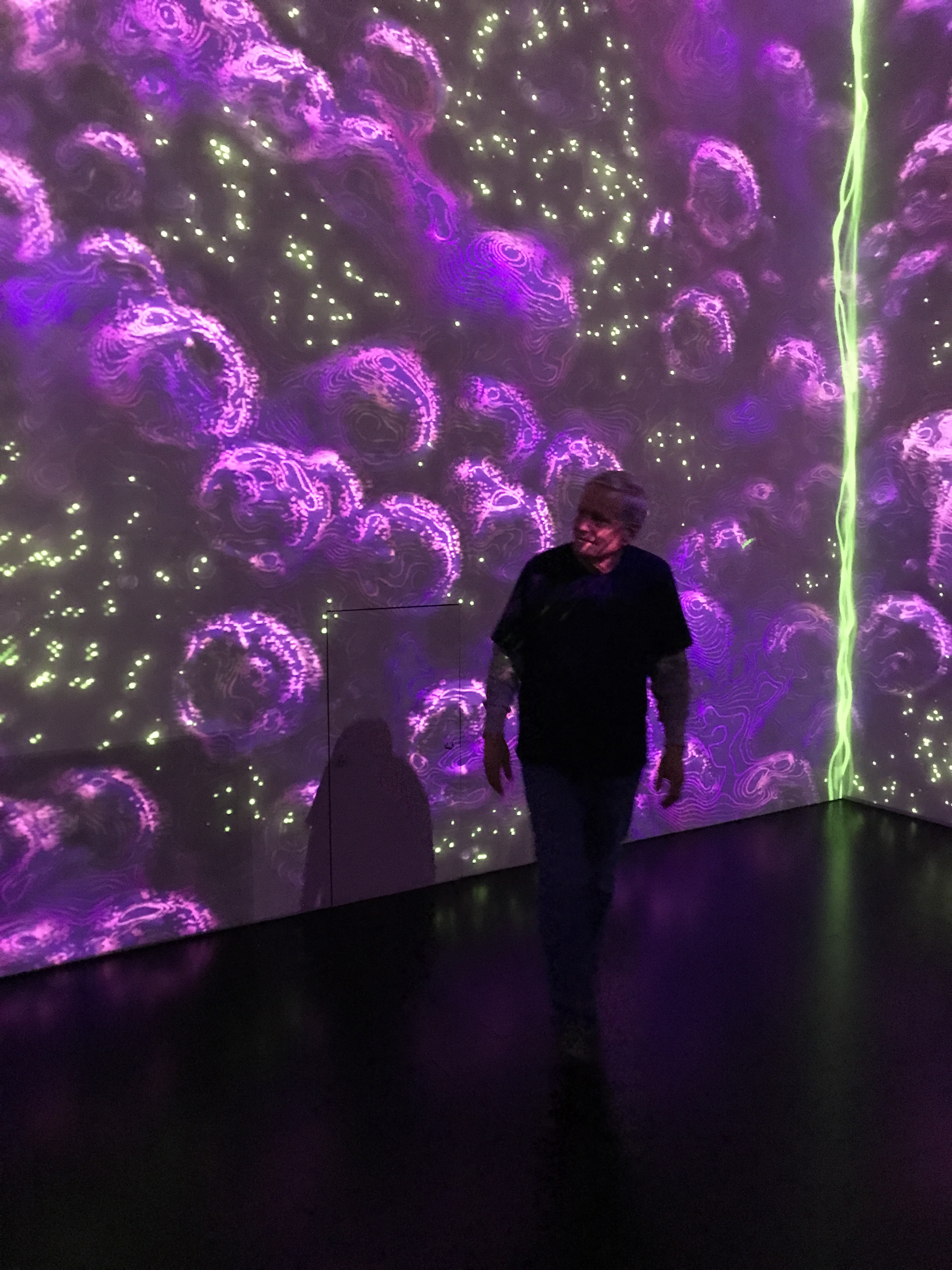
Interesting Immersive Light Show.
Taking a walk around town.
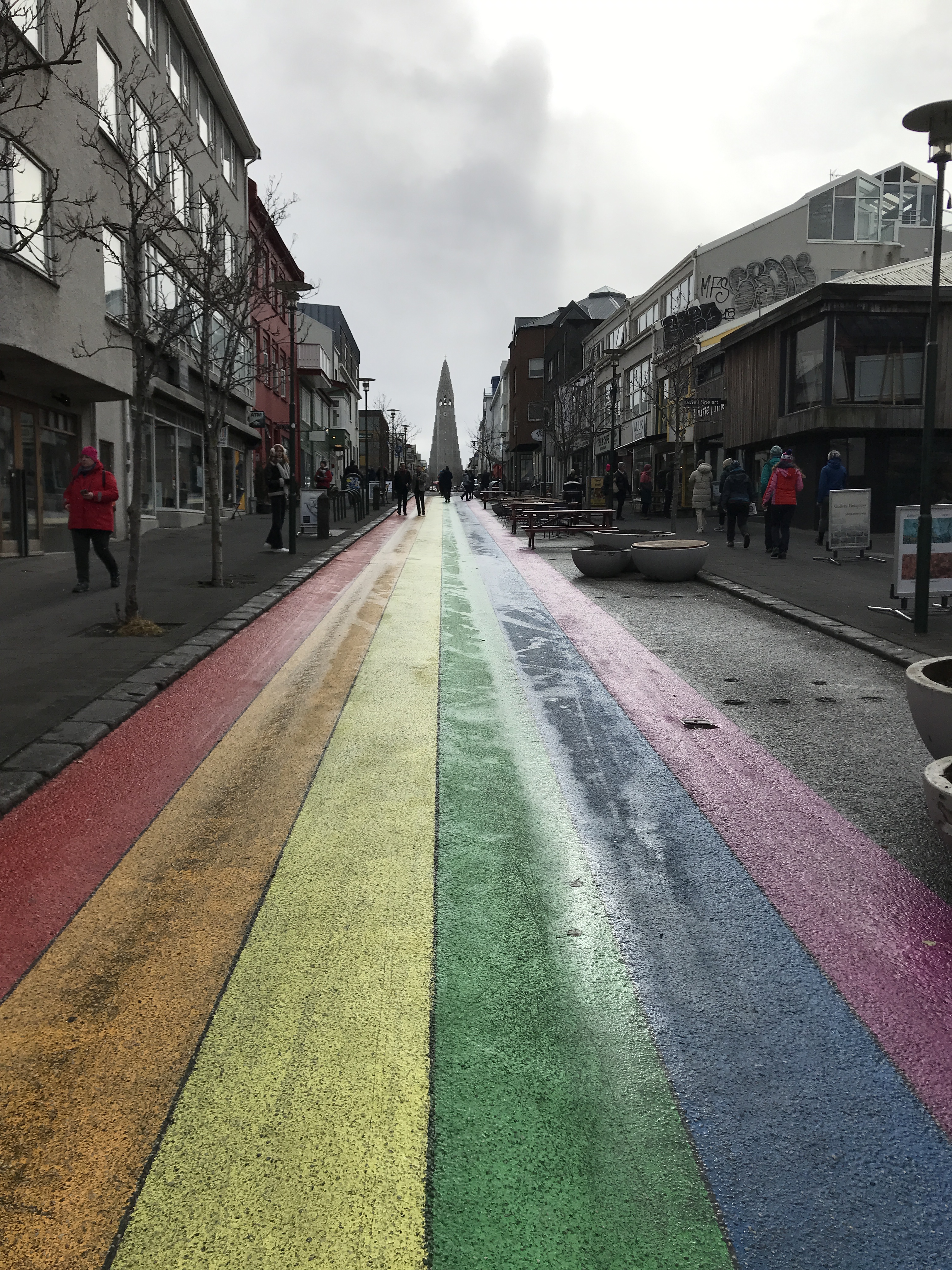
Rainbow road with view of church.
Another statue of another famous dude (If I can’t pronounce your name, chances are I won’t remember you!)
2,082 miles from home and Kathy runs into some friends.
We all went to dinner after this. More on eating later.
Now onto day 3. This will be an 8 hour tour of the Golden Circle. Lots of riding, short stops except when money was involved (rest stop, souvenirs, food, etc.)
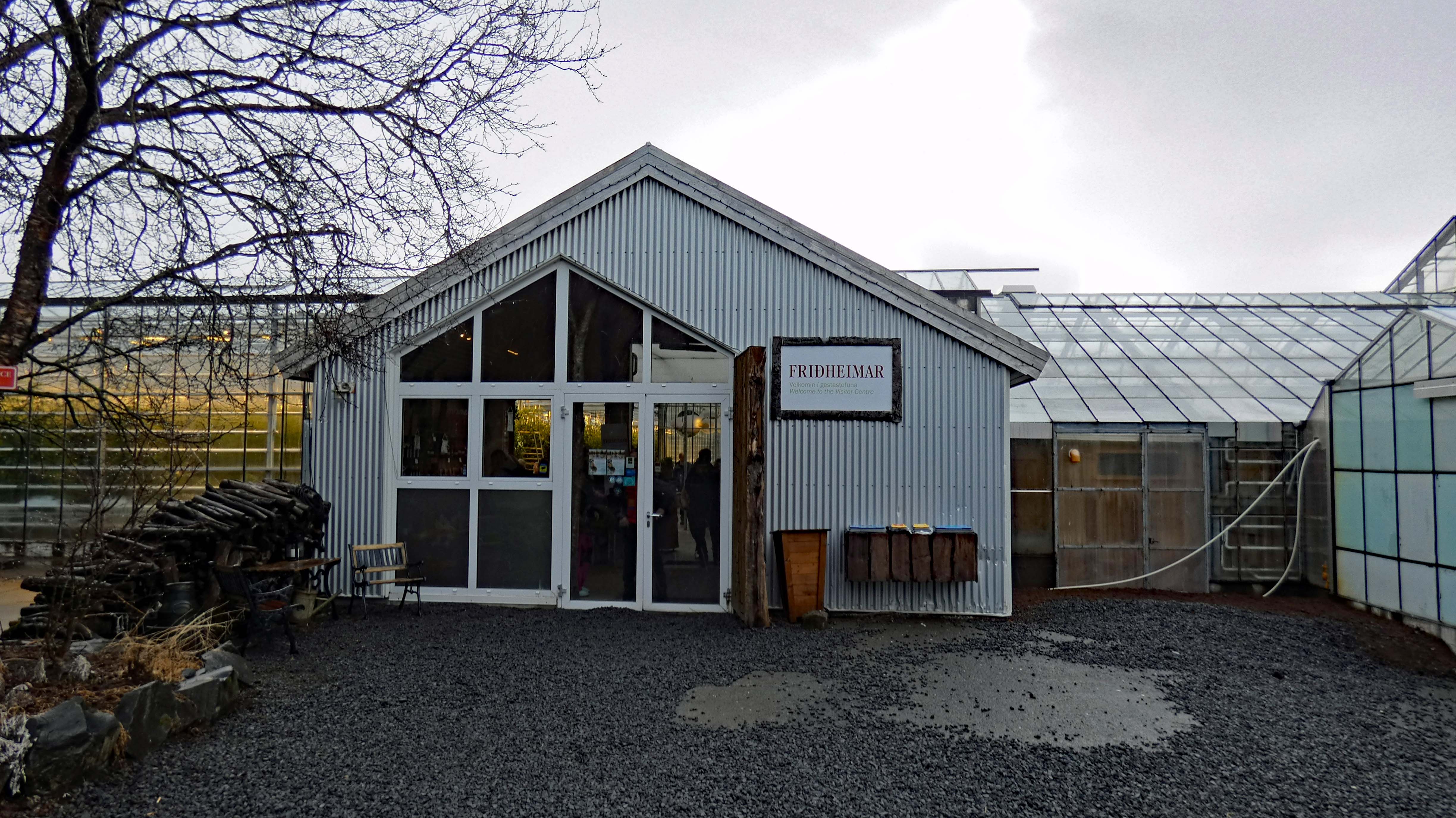
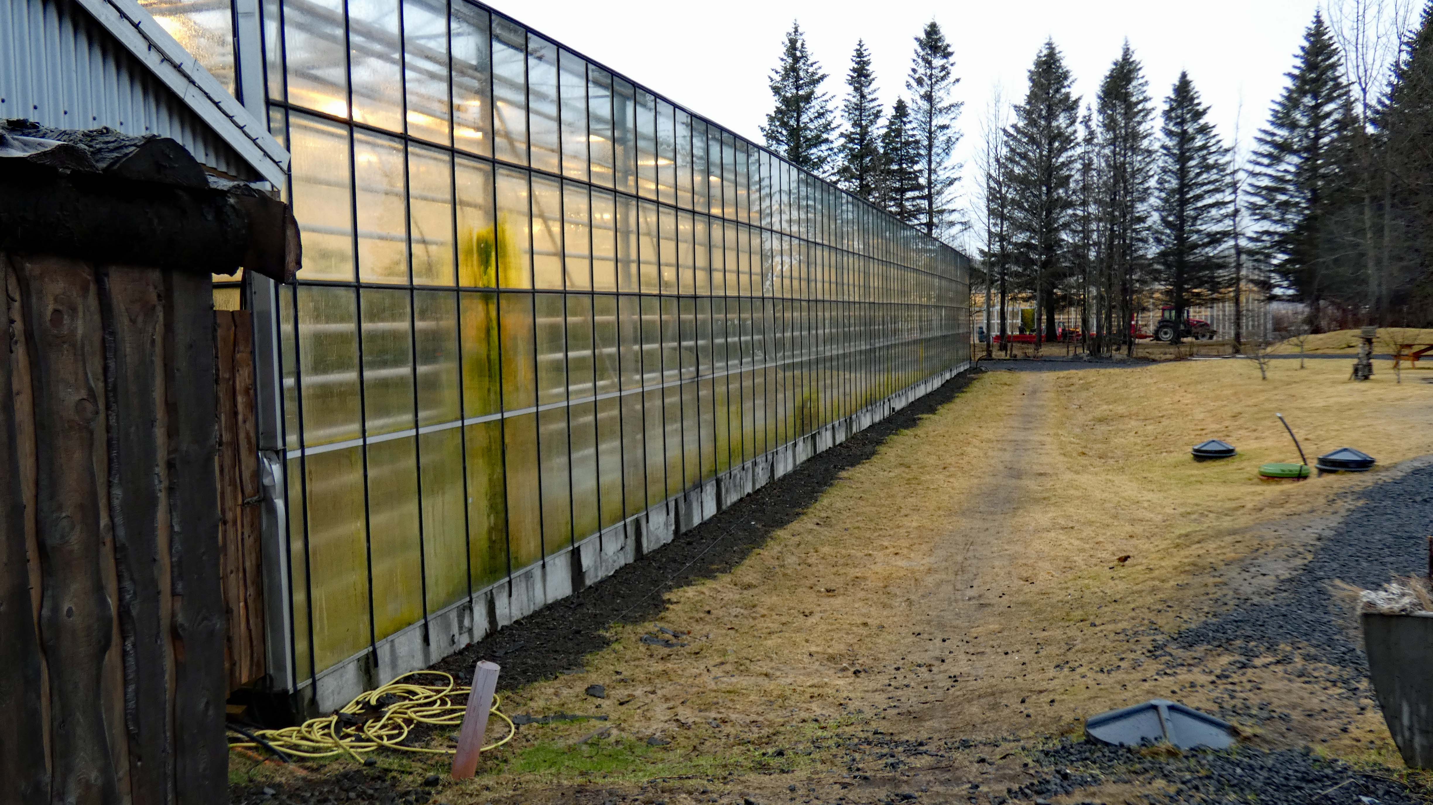
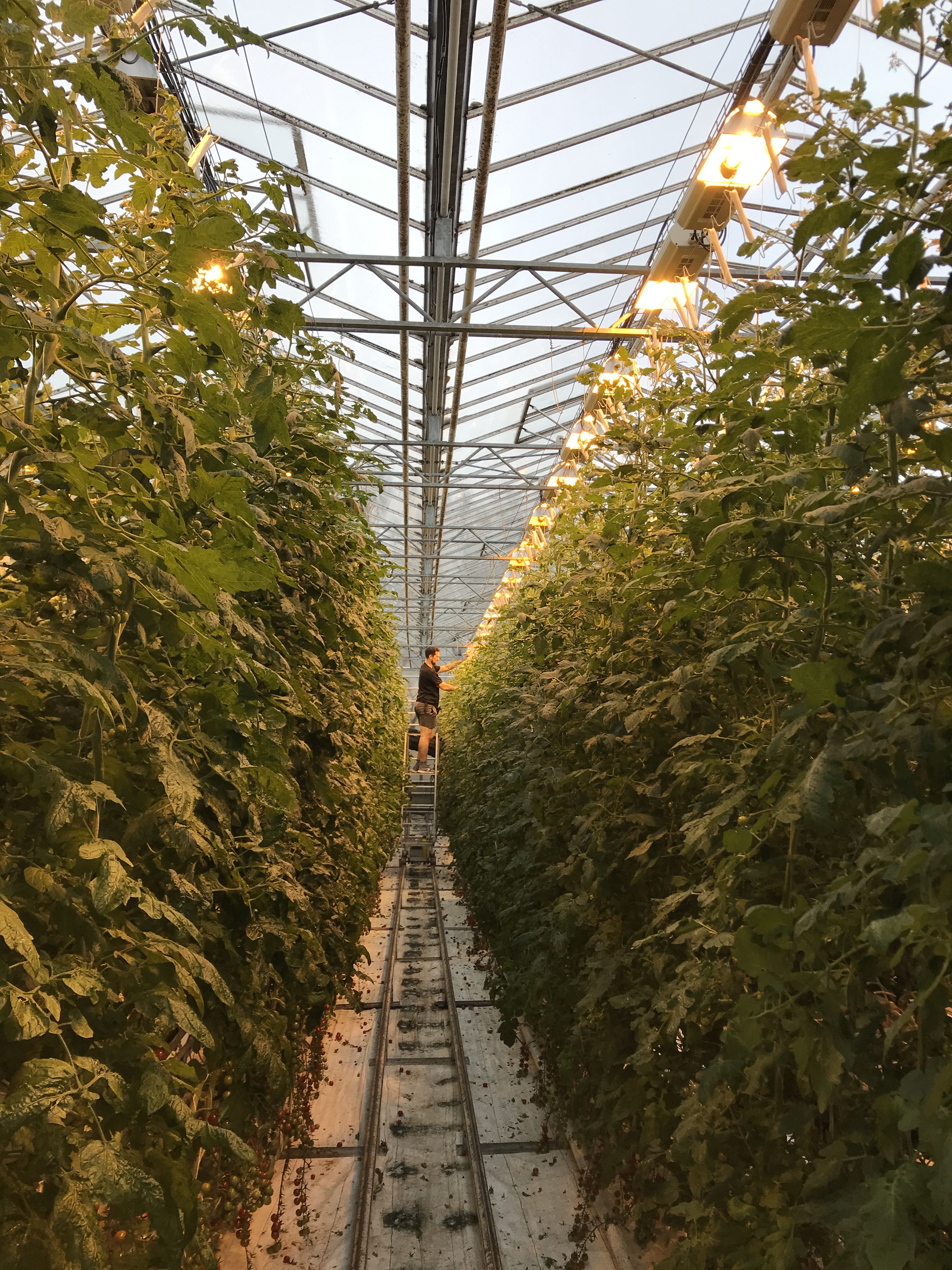
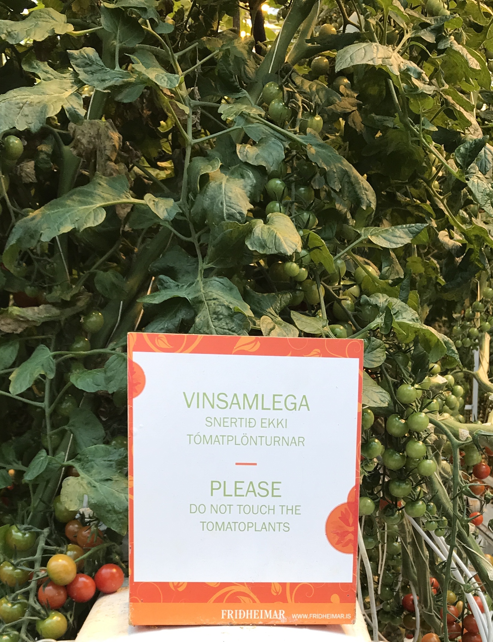
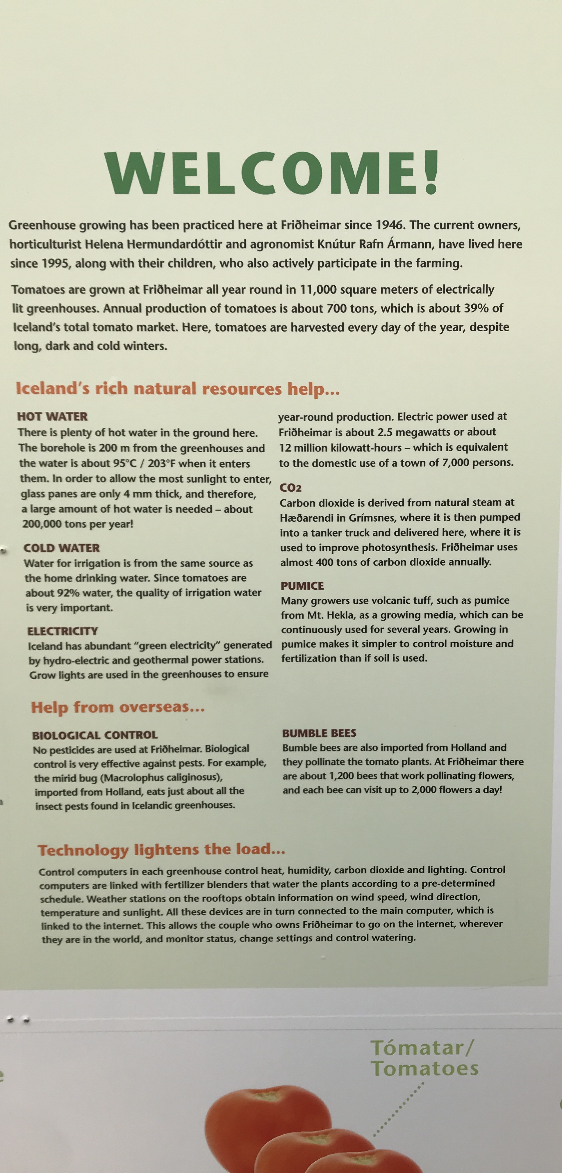
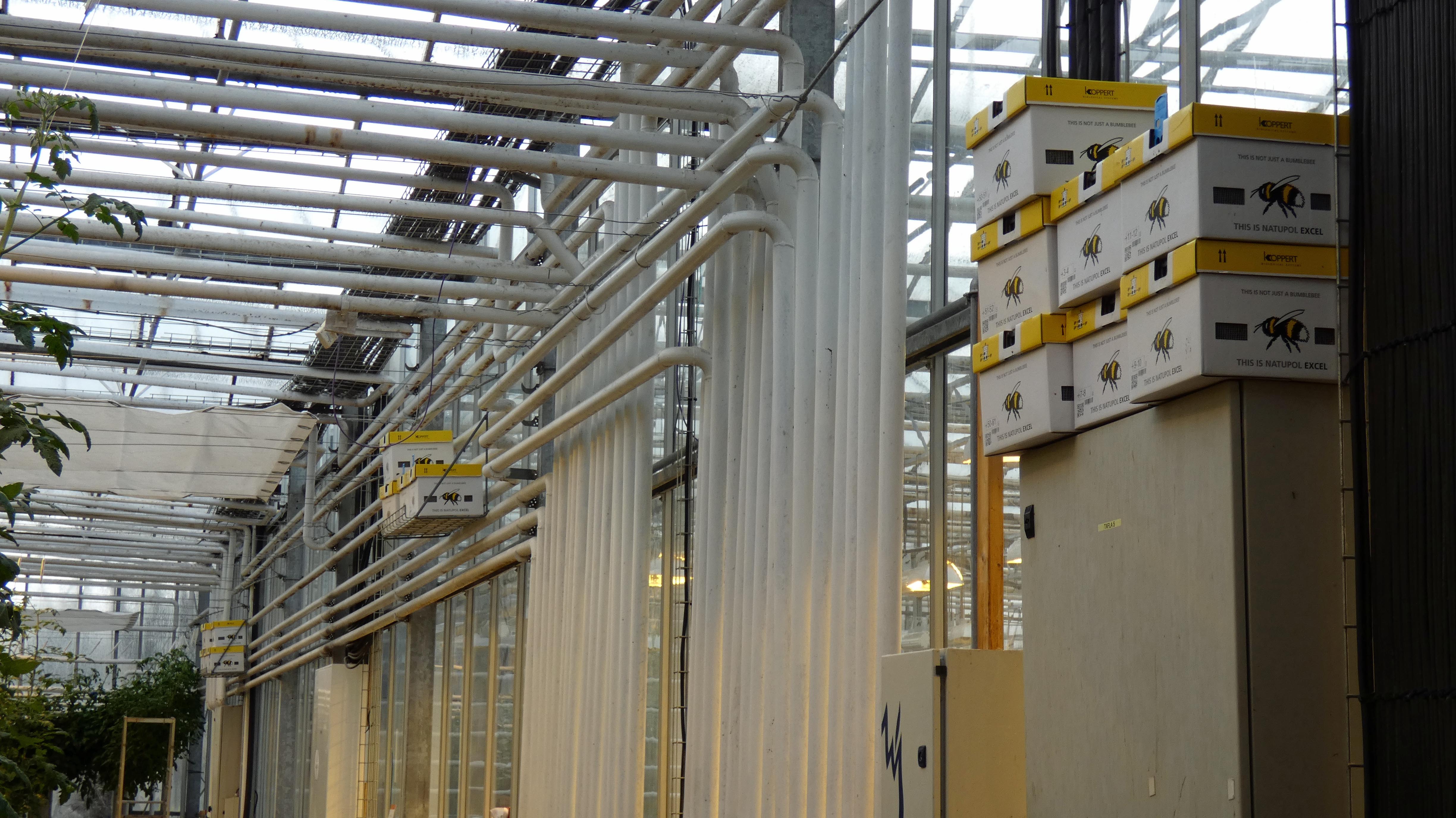
Green House. Mostly tomatoes.
Some people just cannot read – ooohhh look, tomatoes, snap.
Bees – imported. More thermal heating pipes and hydroponics.
Tomato soup and bread. Good stuff here!
No soup for him. There were quite a few horse farms around.
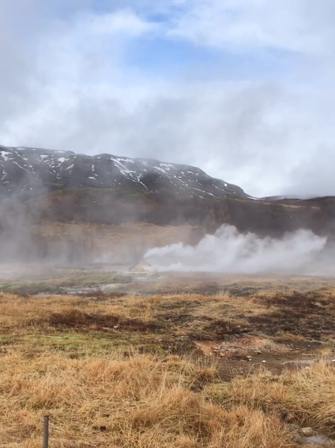
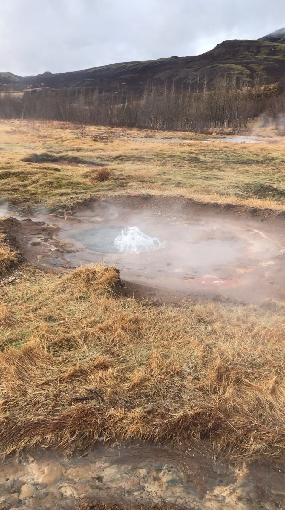
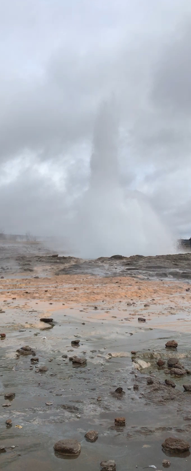
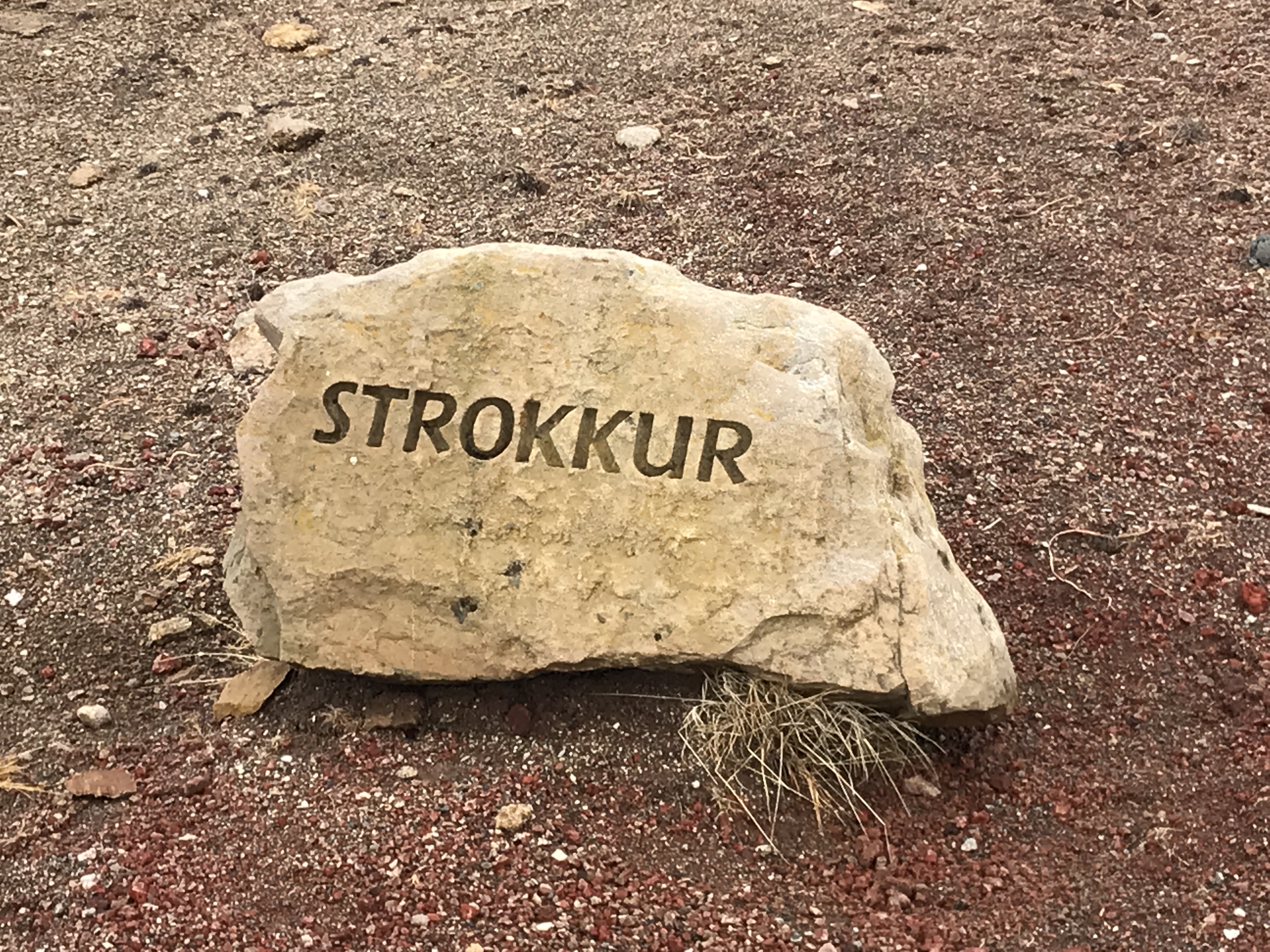
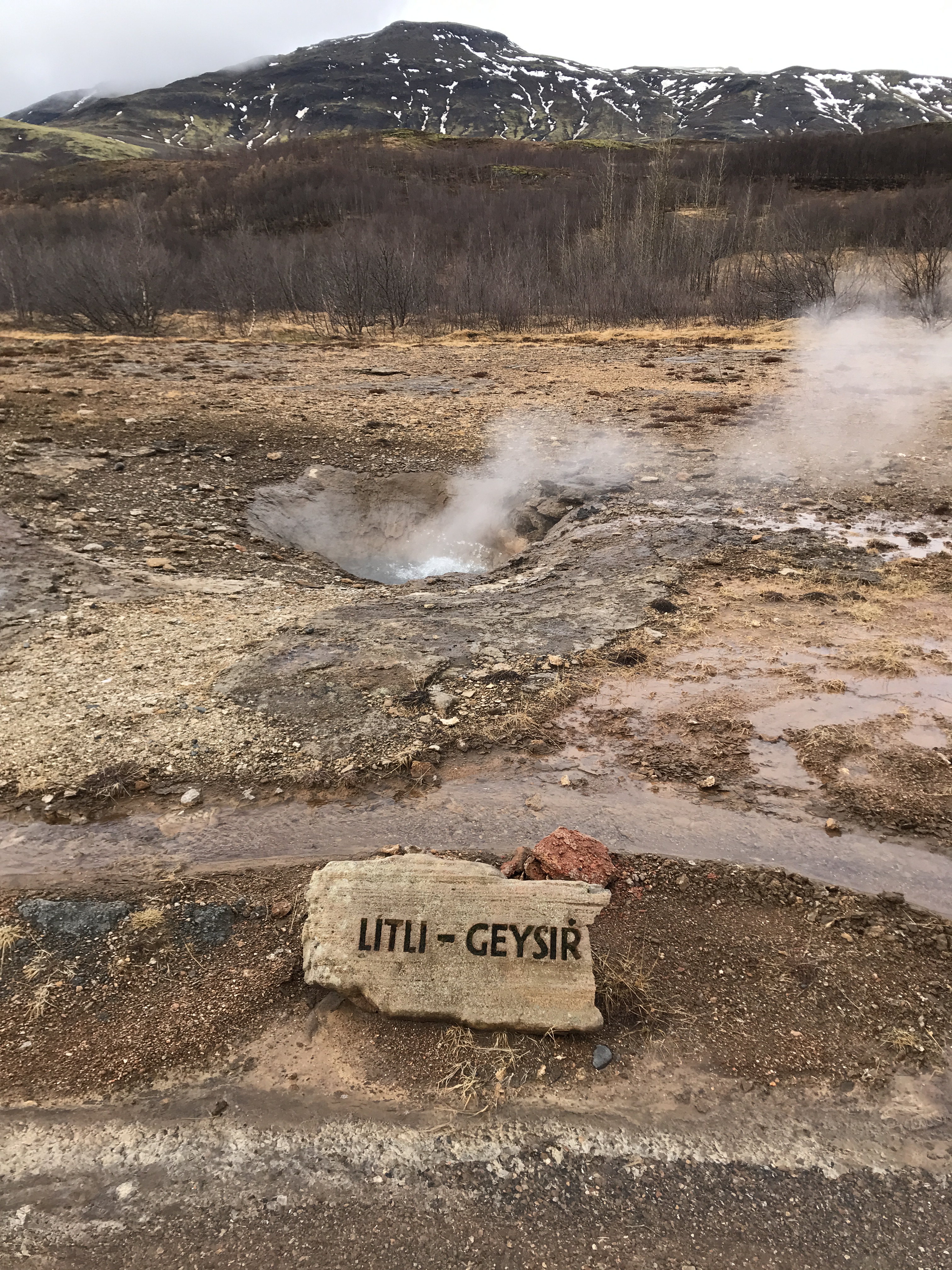
Next stop – geysers.
Our guide today was very good – Inga. But, when we got to the geysers, she neglected to tell us that the active one was up the hill some. We watched this steam up for about 15 minutes!
There she blows!
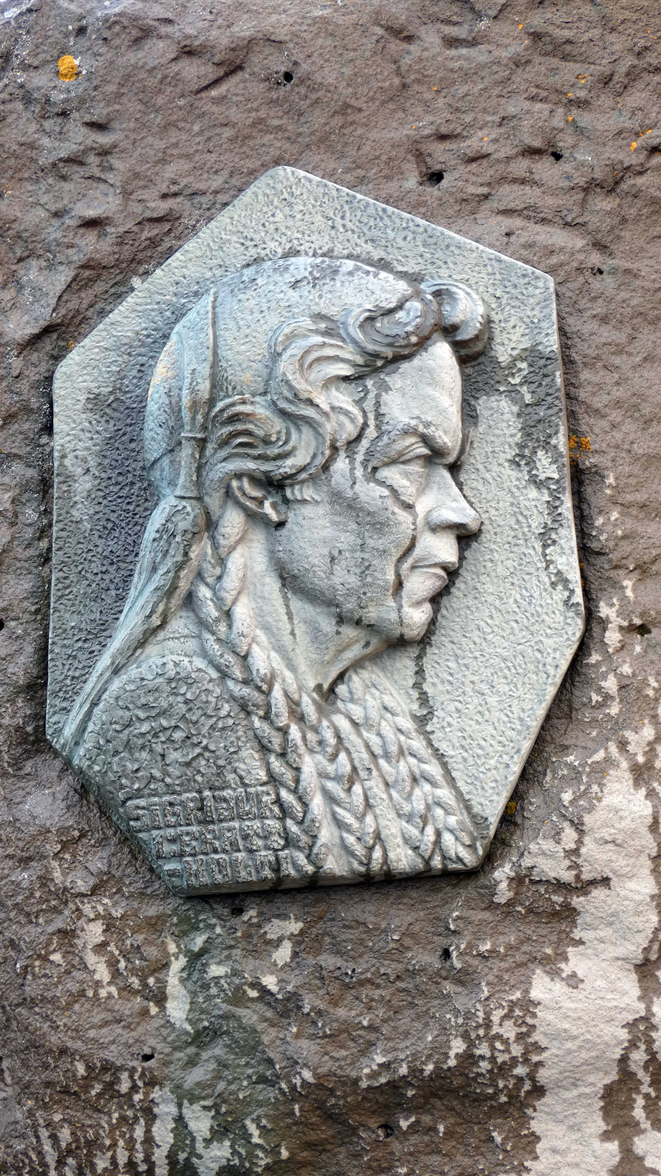
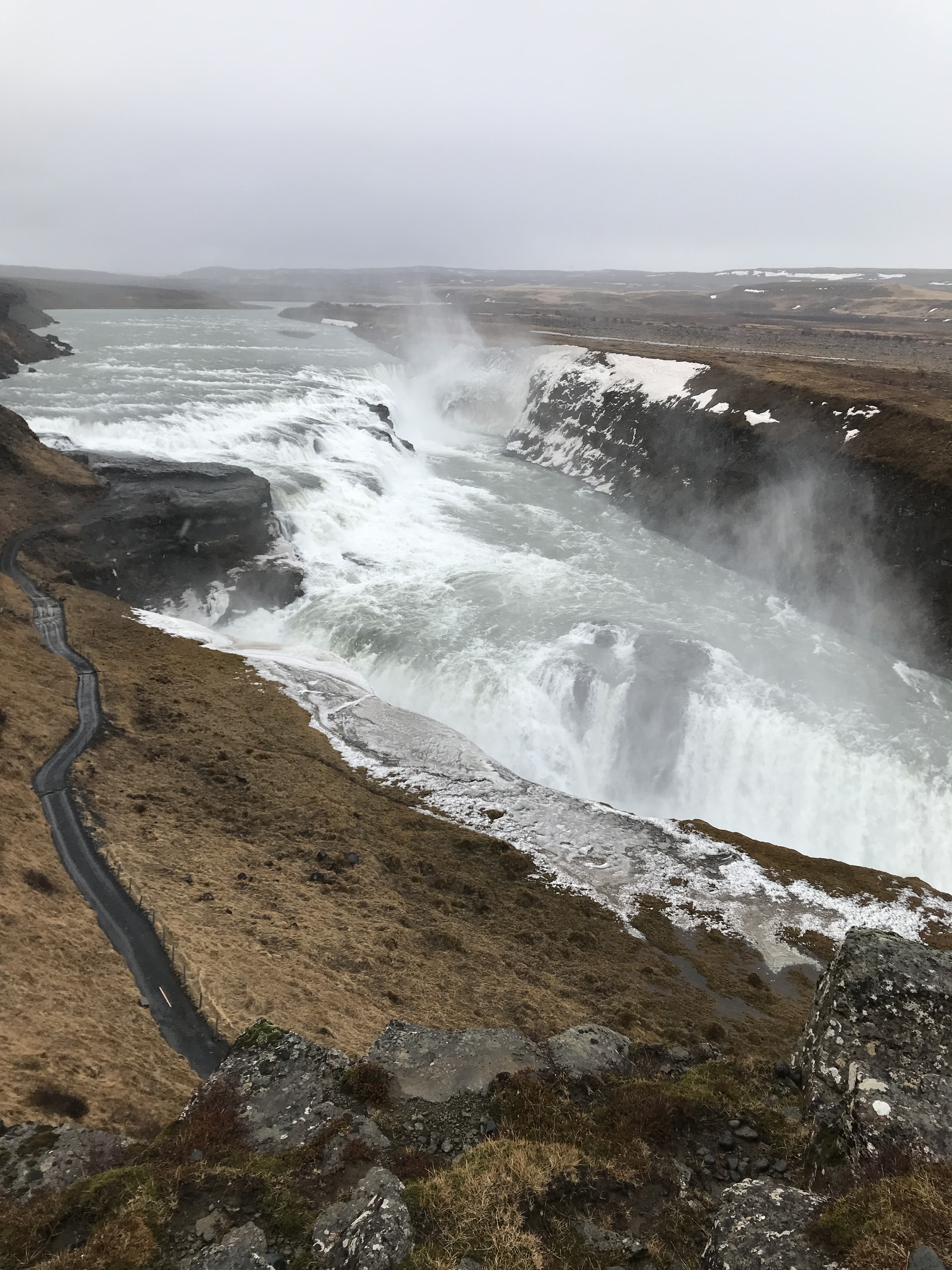
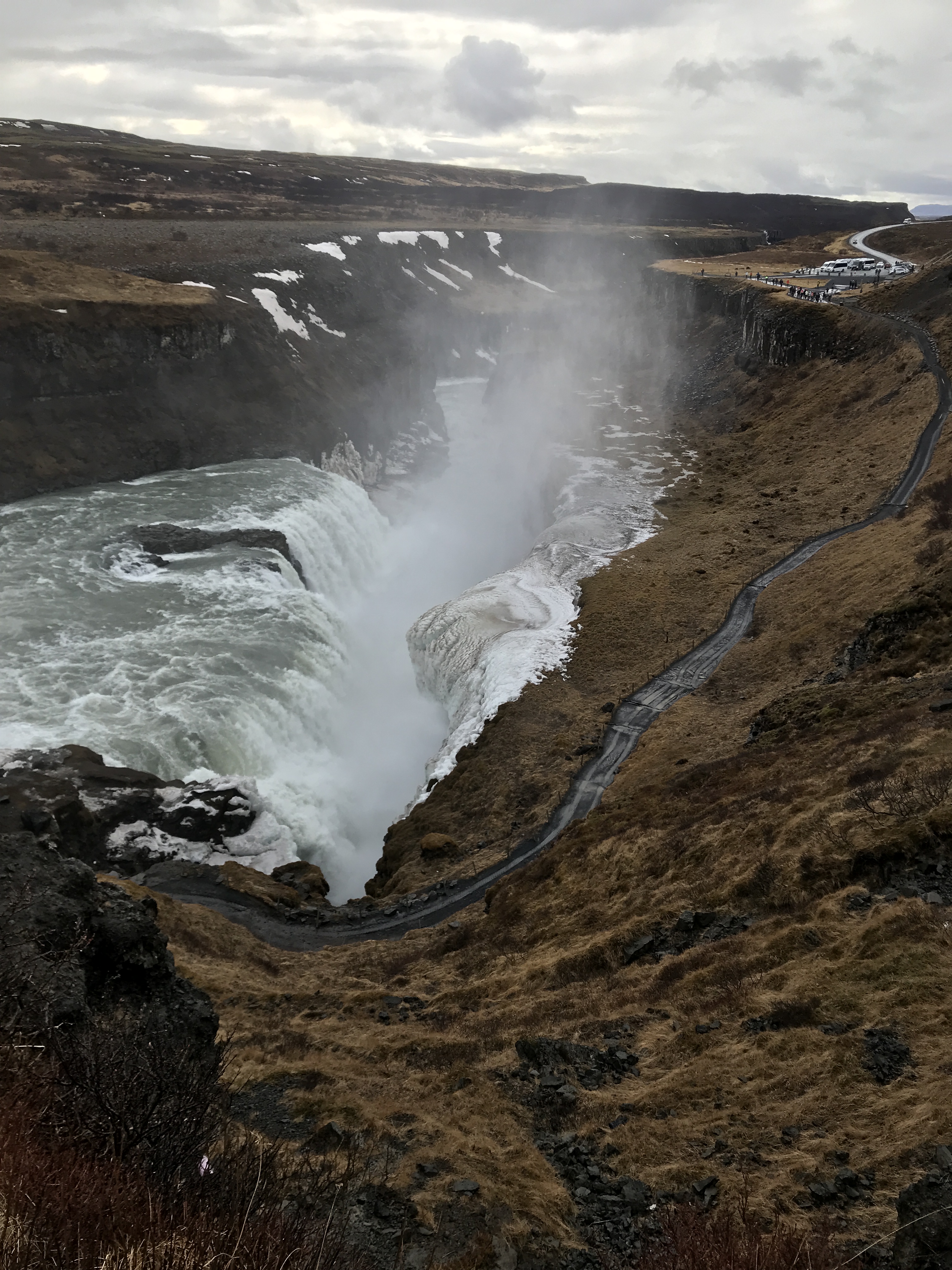
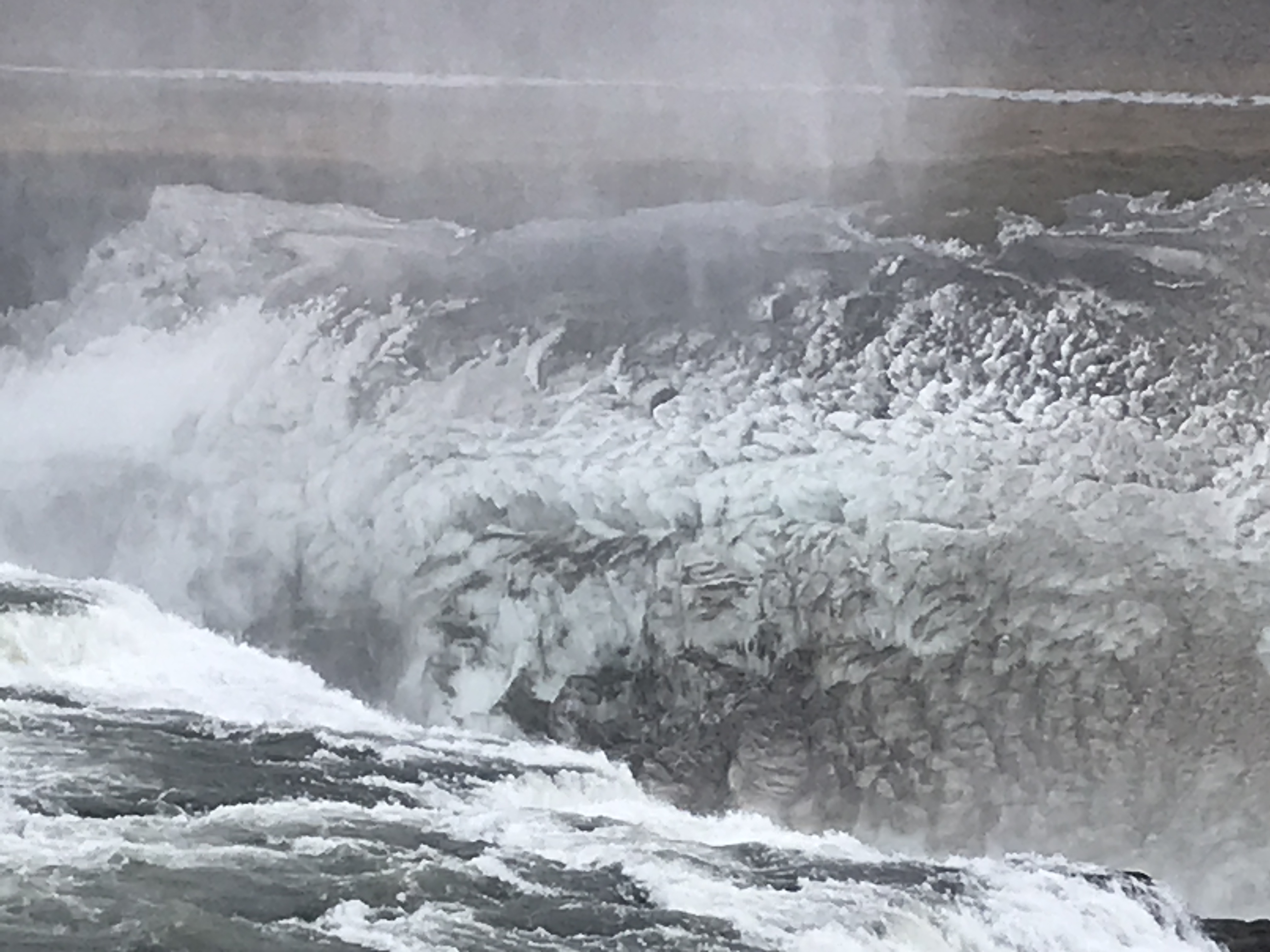
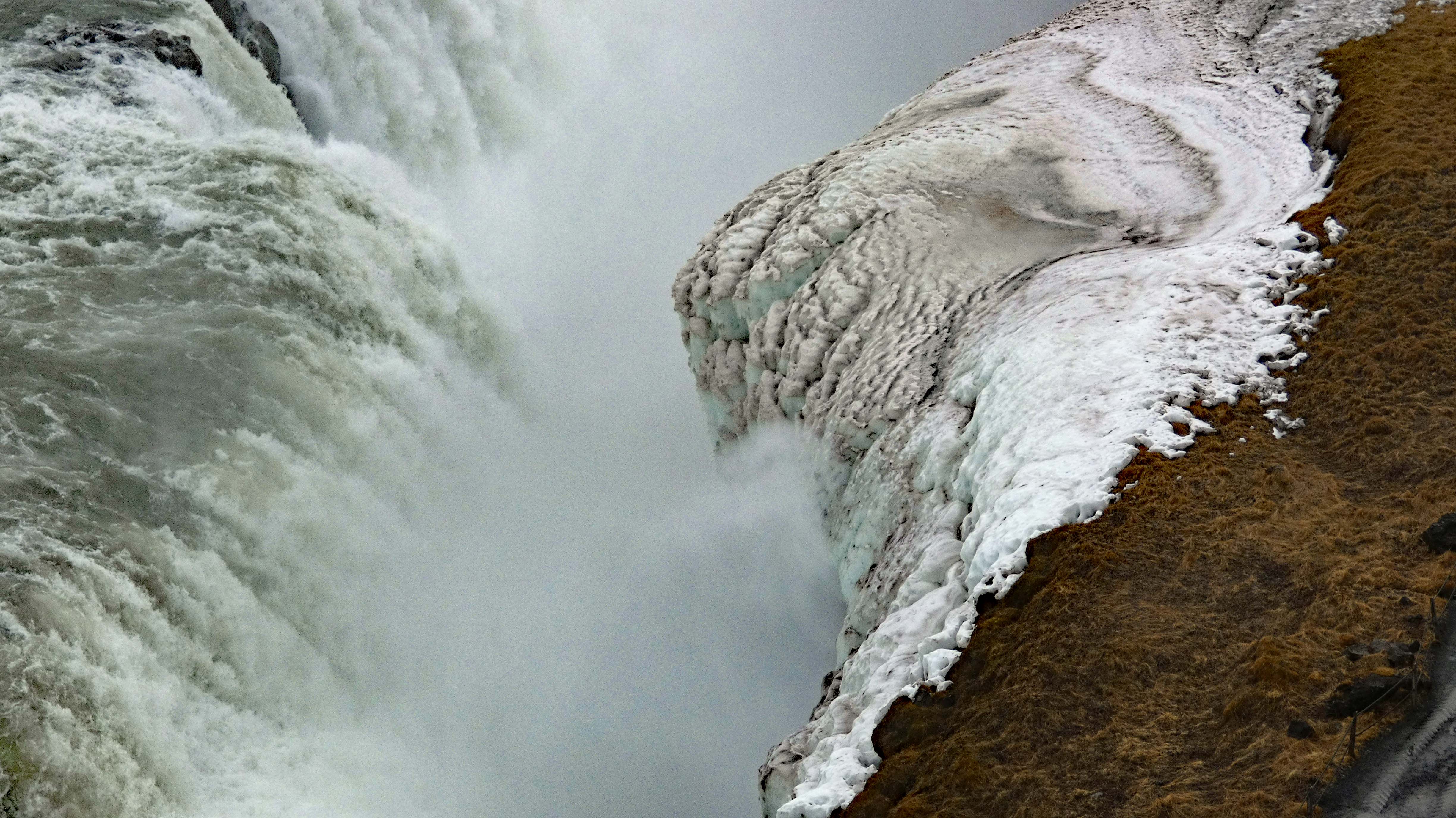
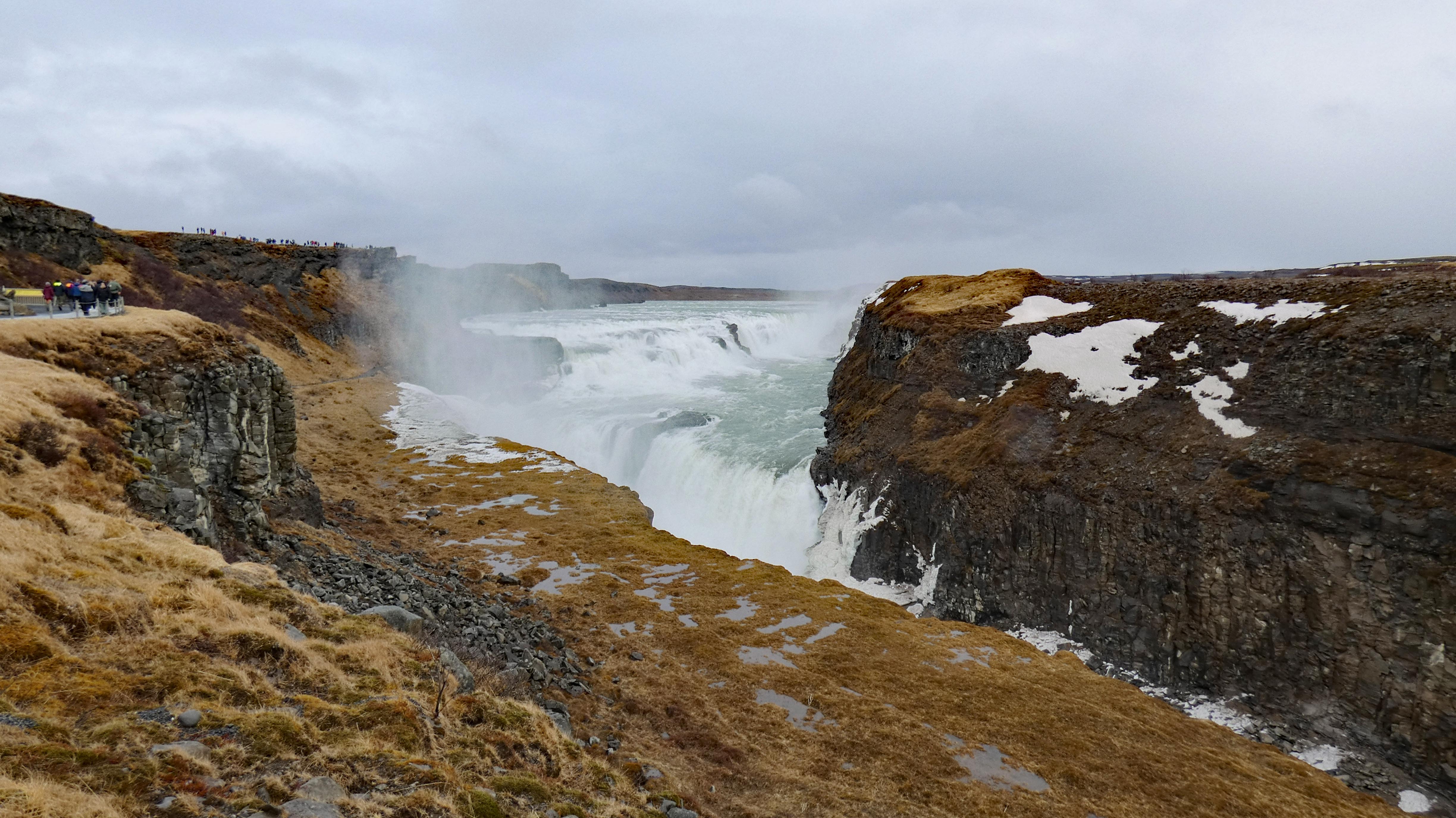
Next up – a fairly large water fall. And a woman who protested and won, the building of a new power plant on the falls. Her name was Sigriour Tomasdottir. She was the daughter of the farmer that owned the waterfall.
Walking down to the bottom was closed off.
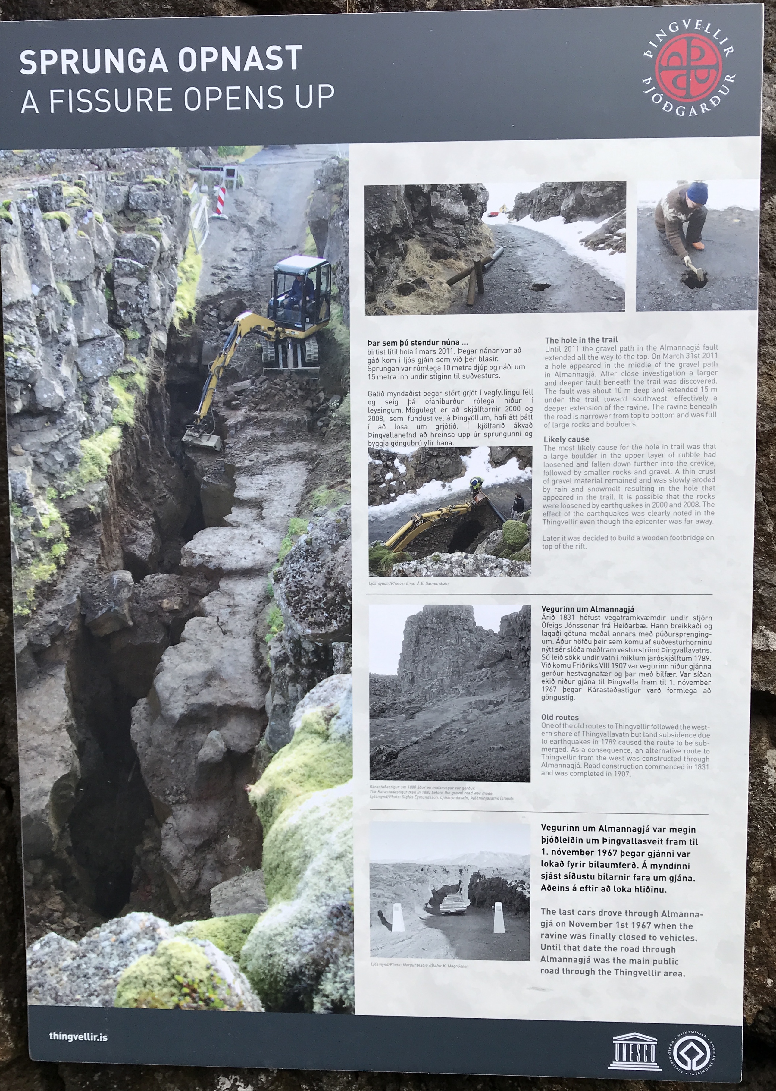
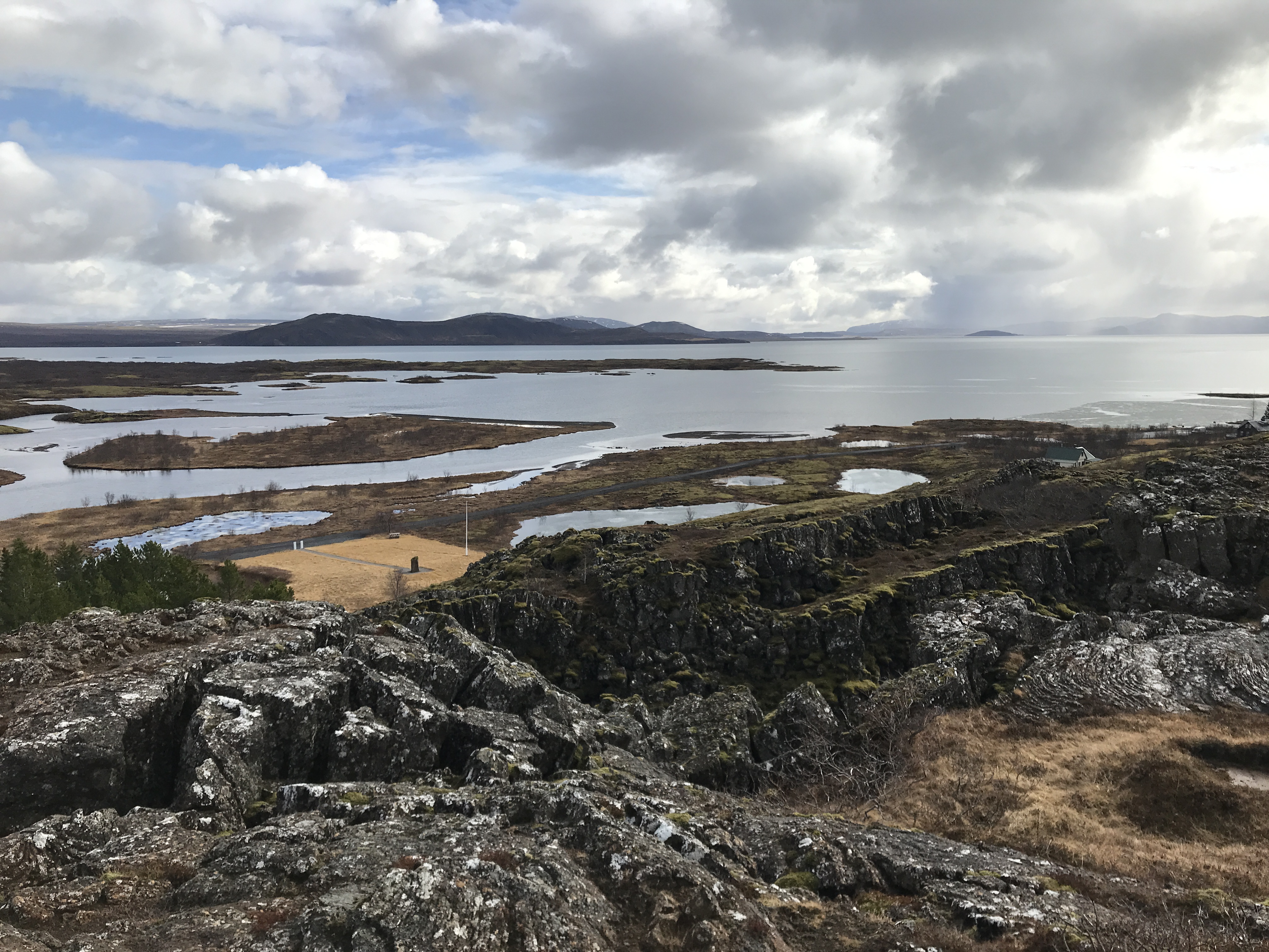
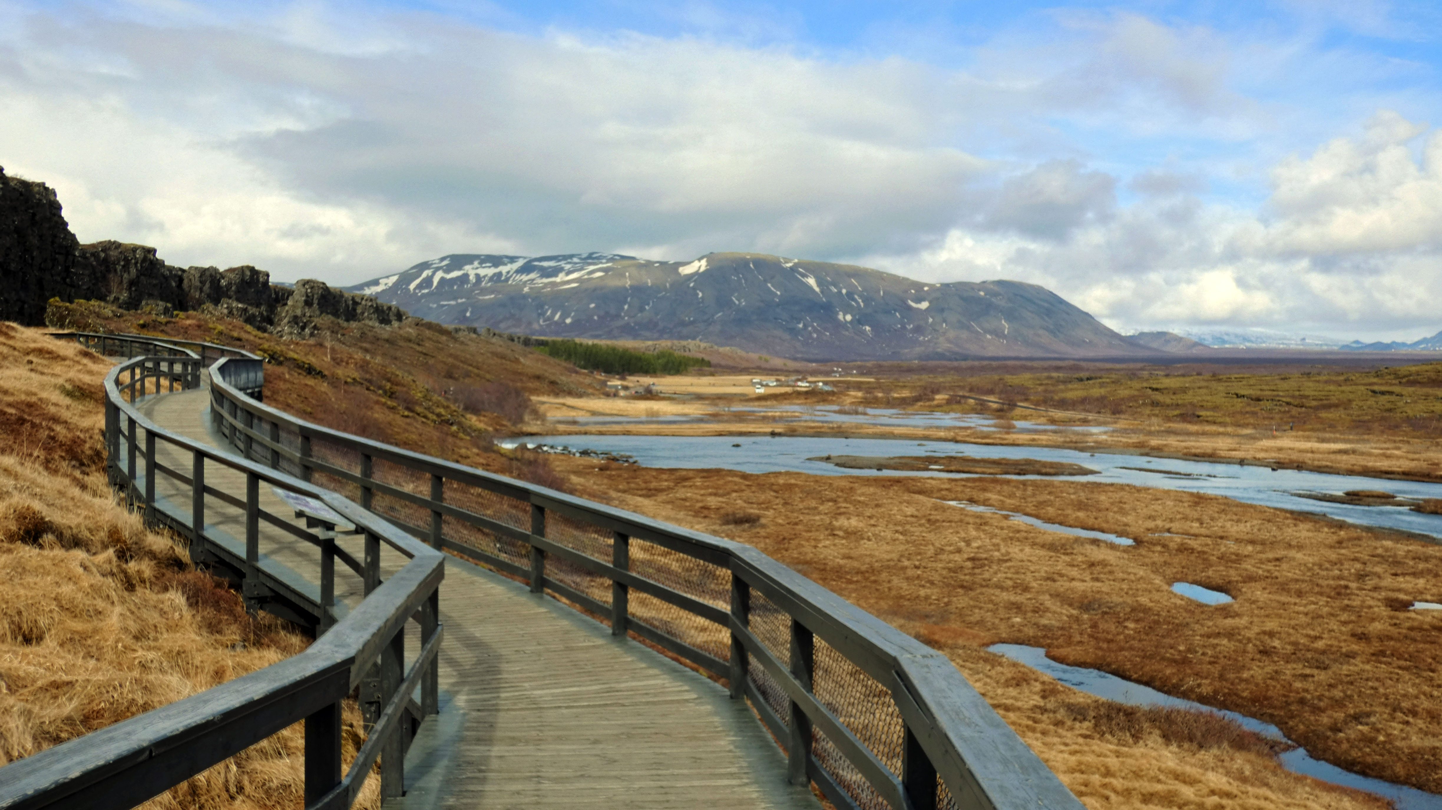
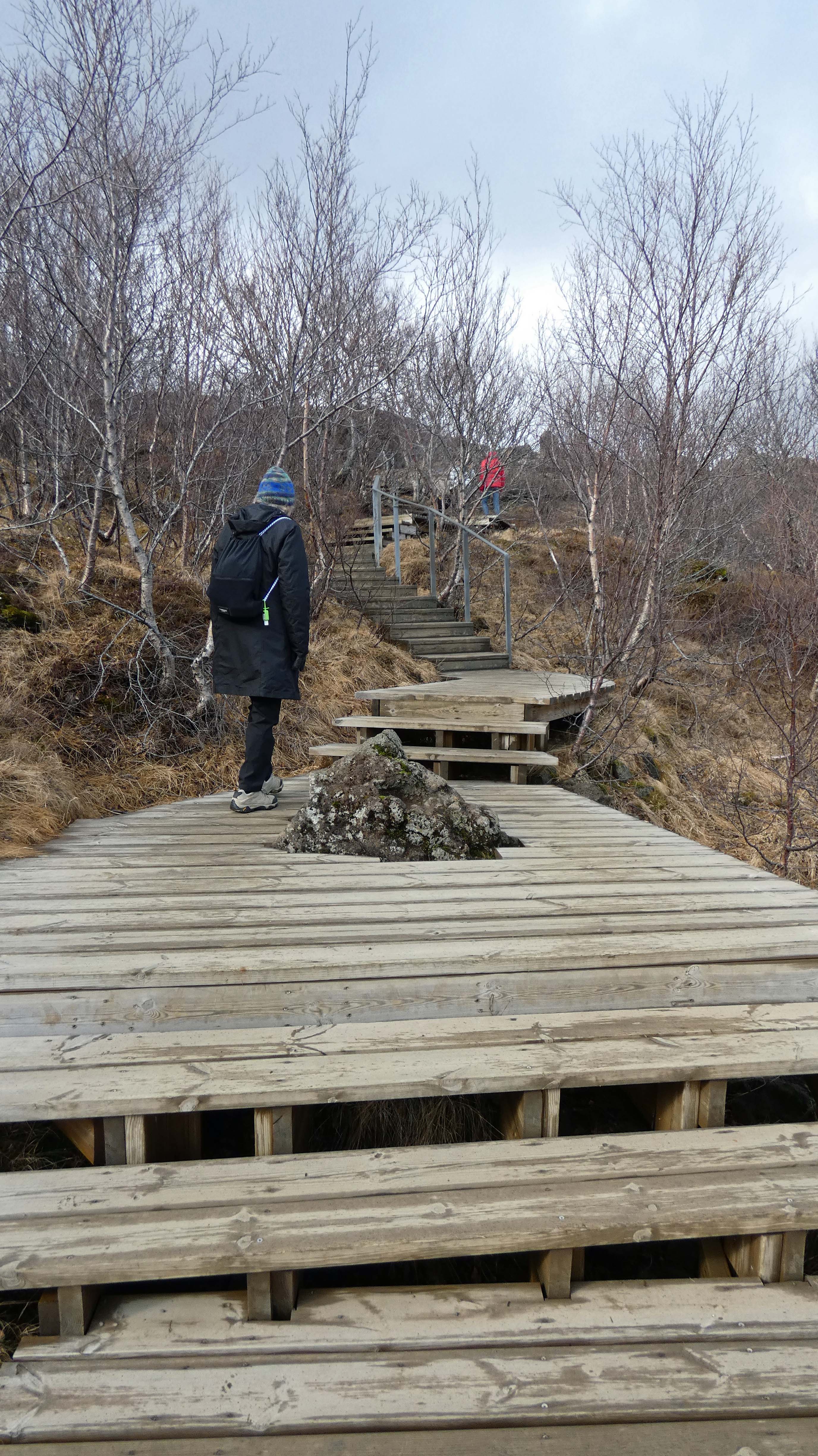
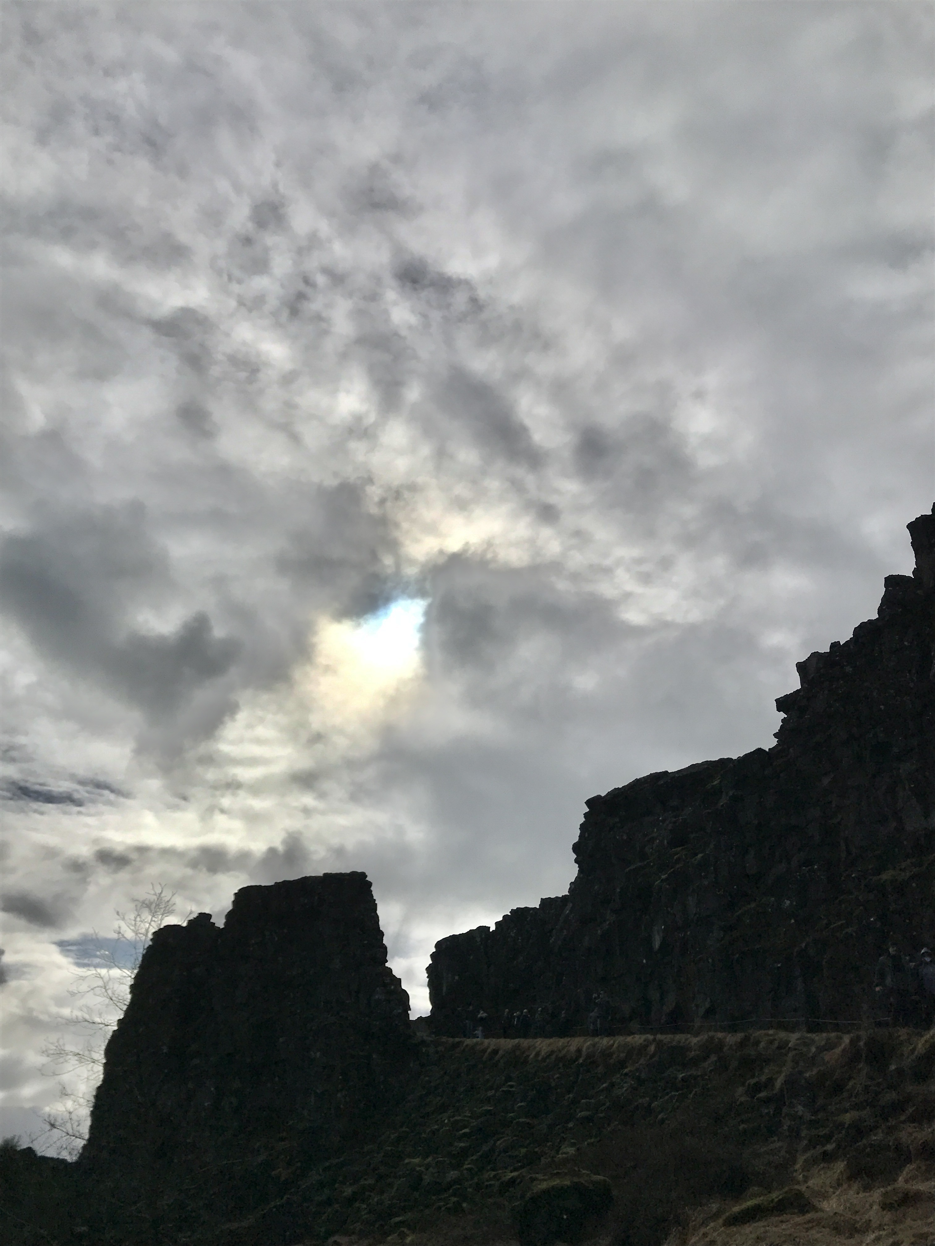
On to the next adventure – tectonic plates of North America and Eurasia. This is the only place on earth you will see 2 tectonic plates meeting above water.
Nice paths and boardwalks all over the place.
A line of people heading to the bottom, where the land splits.
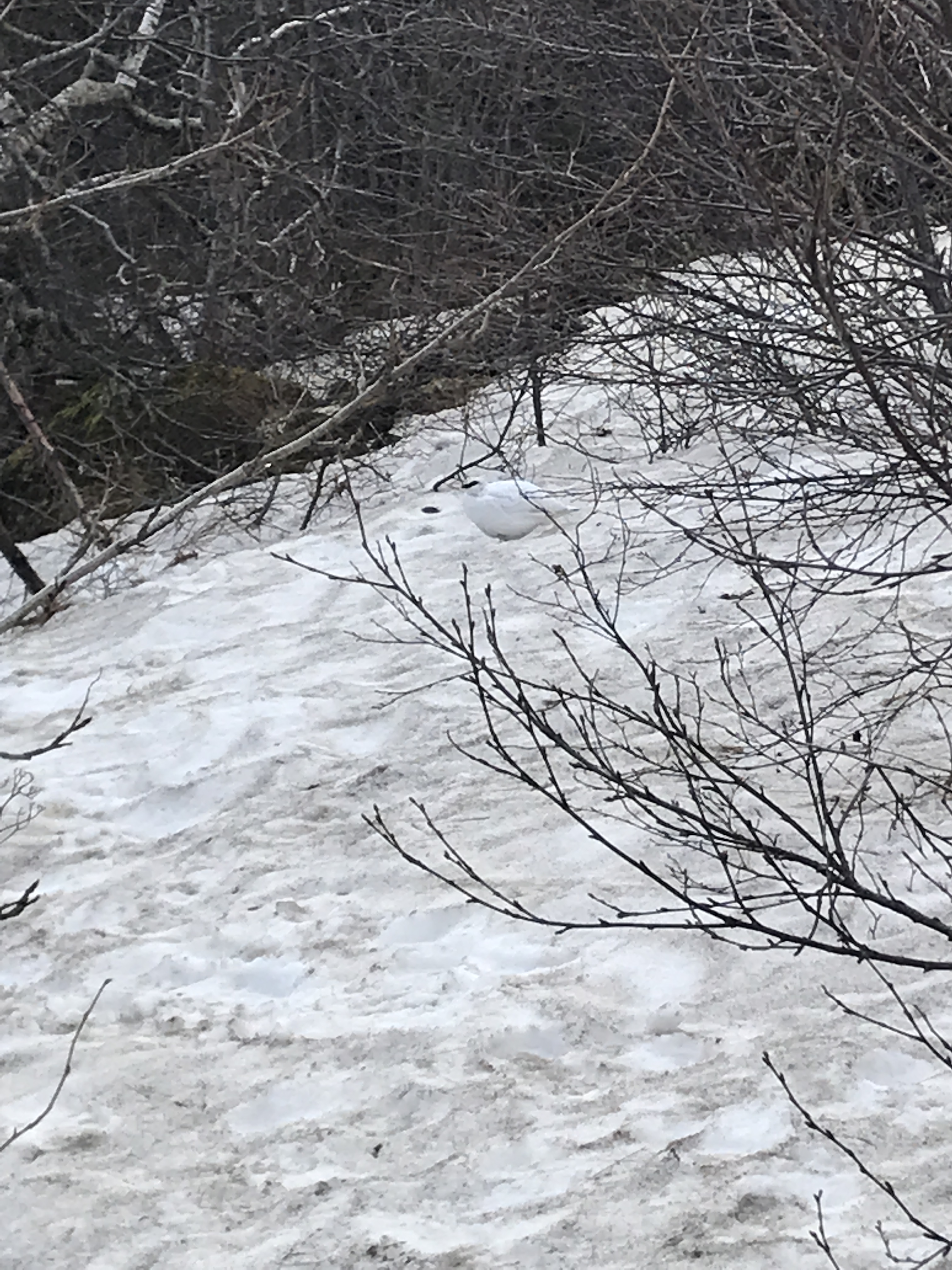
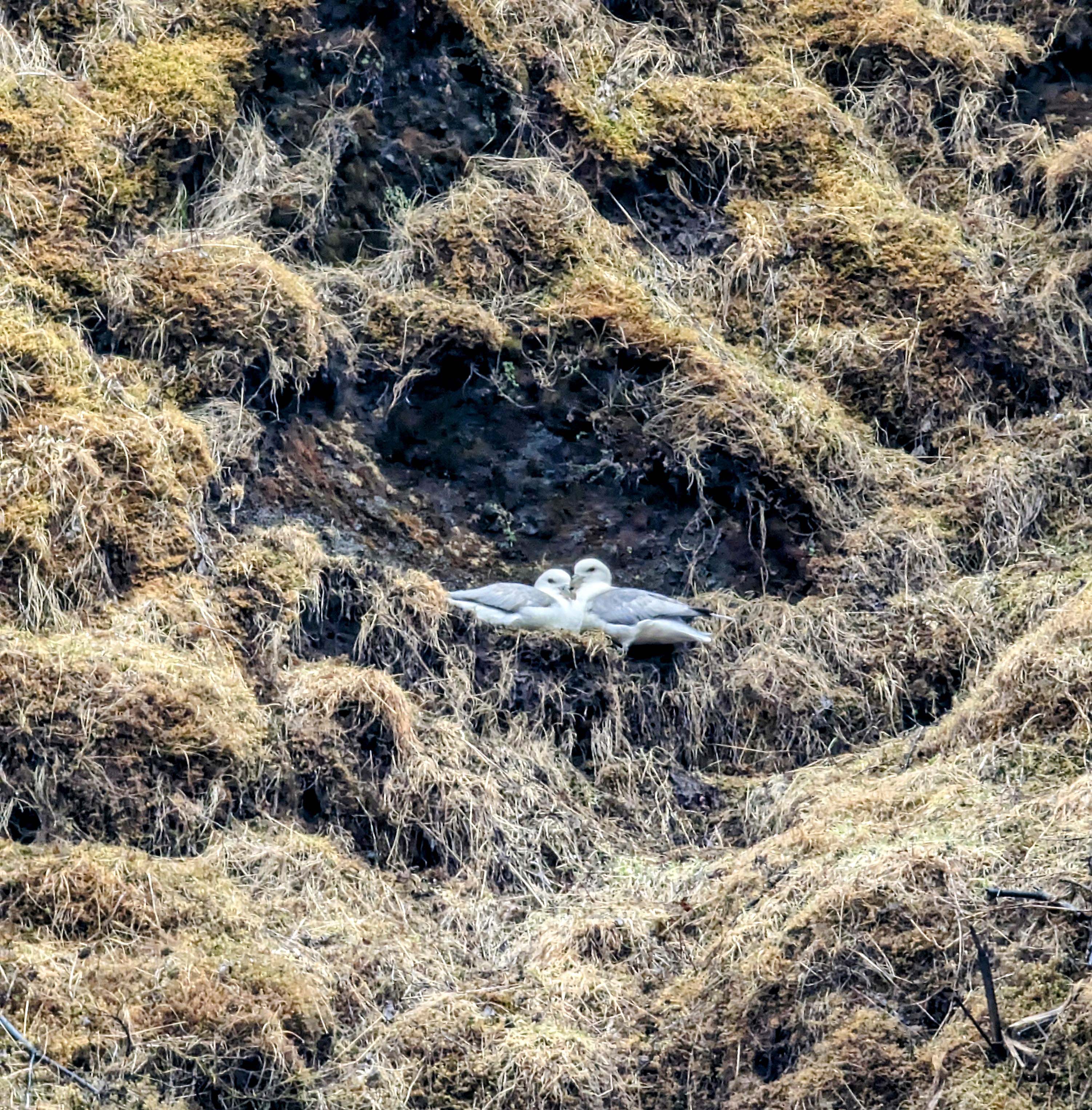
Was hard to see this bird – Rock Ptarmigan. Icelanders and snow foxes eat them.
A flag between continents.
On the ride home – long day.
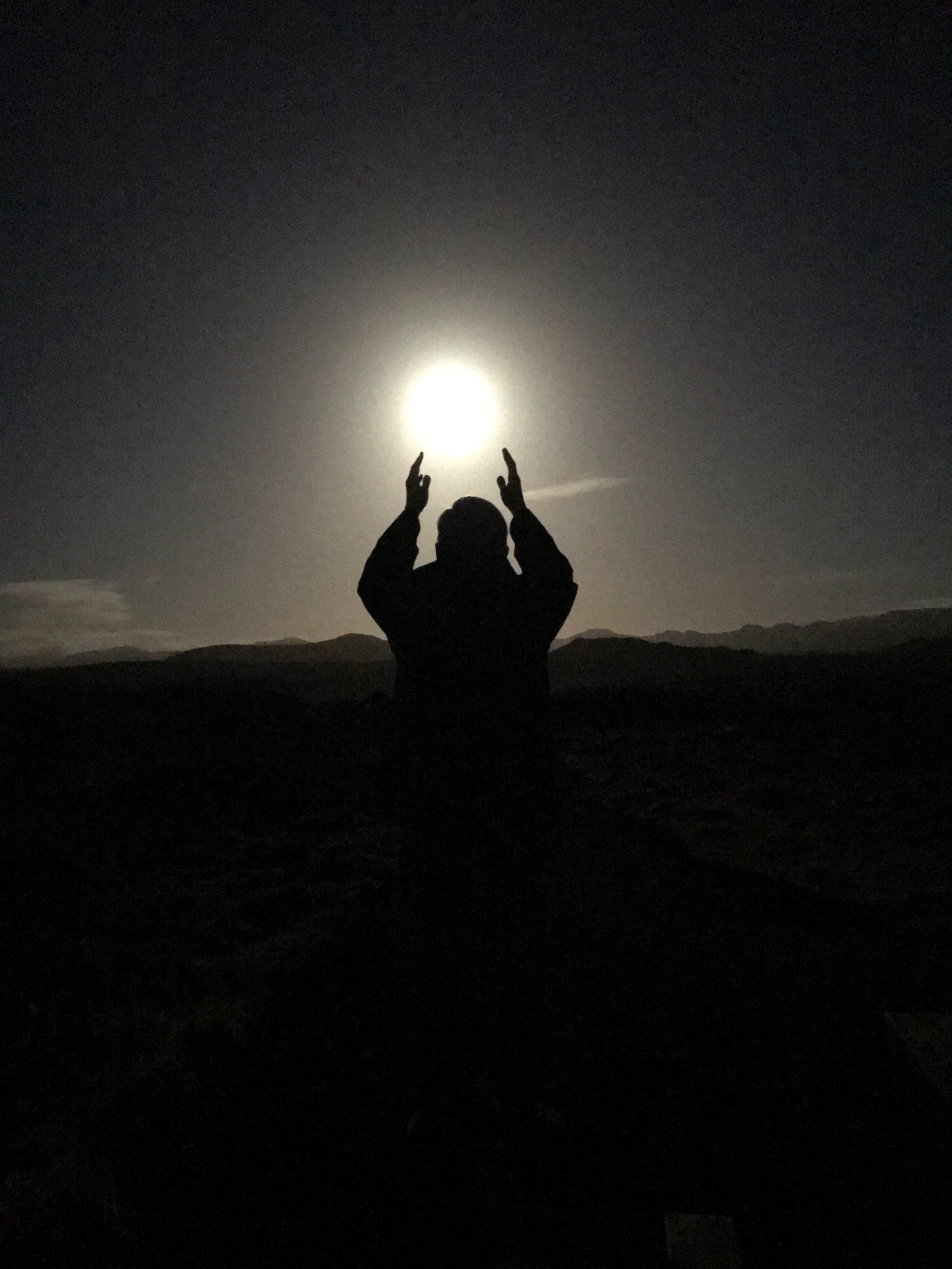
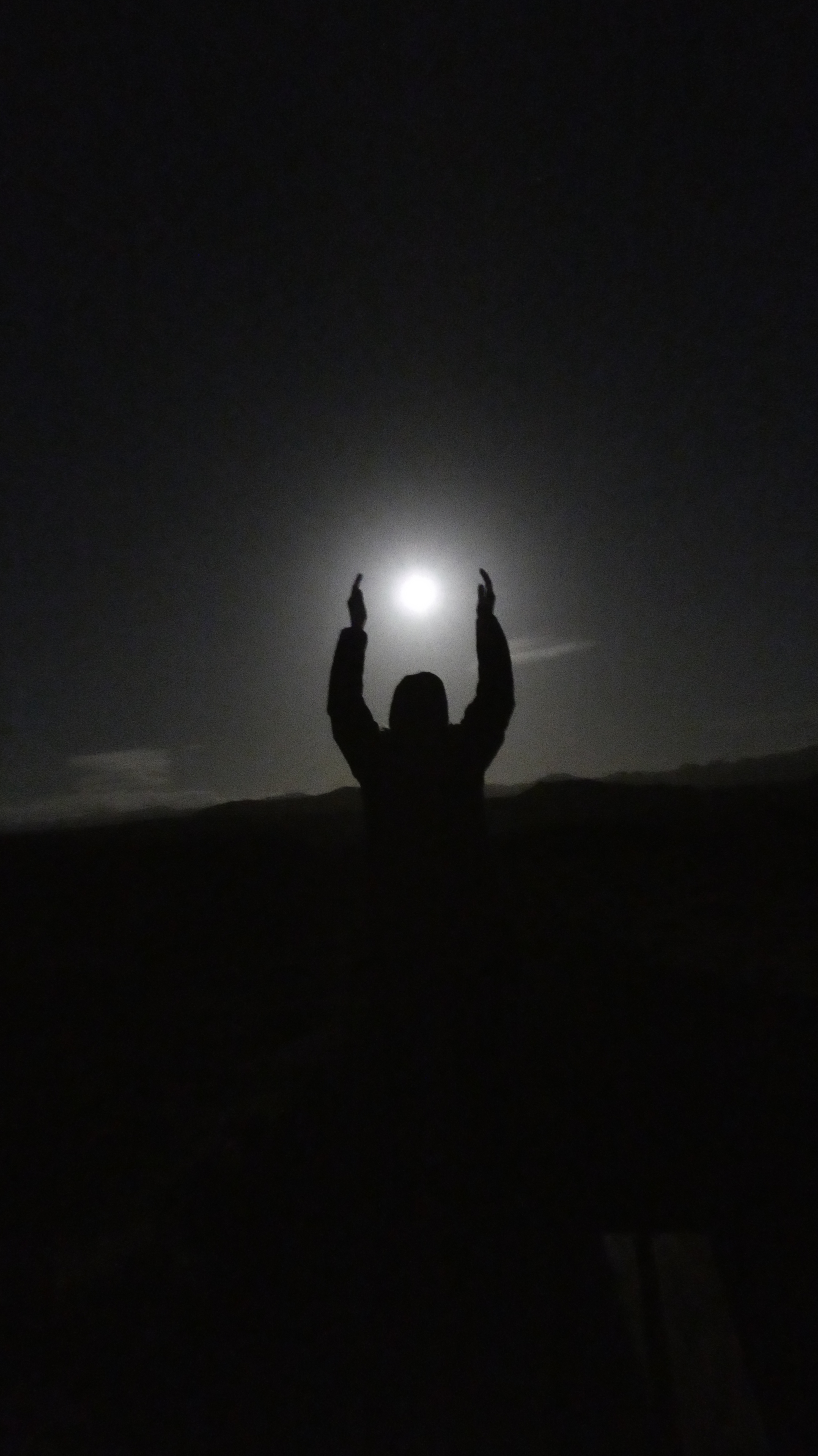
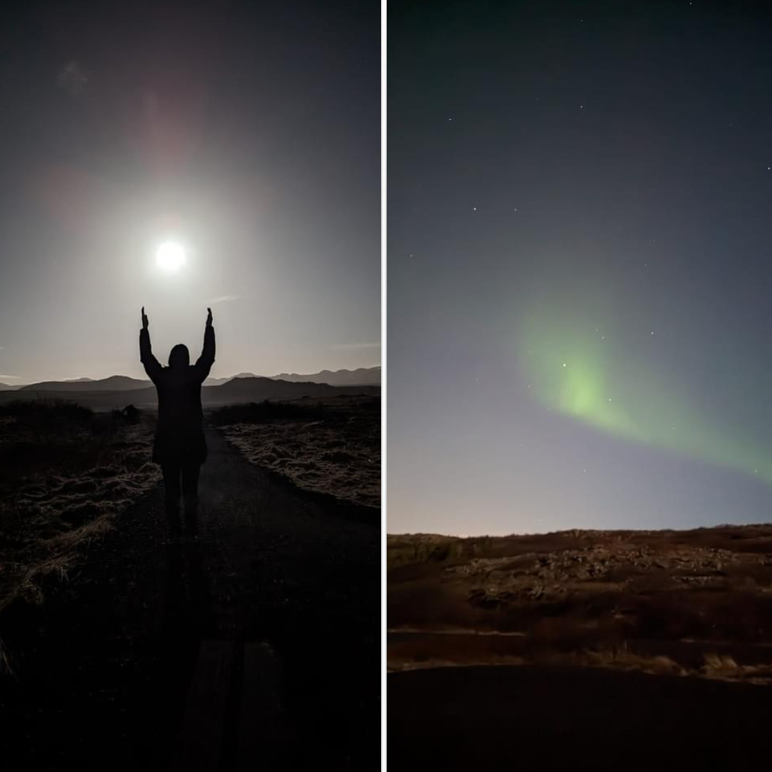
We were supposed to see the Northern Lights two nights ago but the tour kept getting postponed because of weather. This night we went…
The full moon gave off a lot of light.
Lots of moonlight but an eerie beauty over the landscape.
A wisp, but a Northern Light to behold. Went out about 9, saw them about midnight.
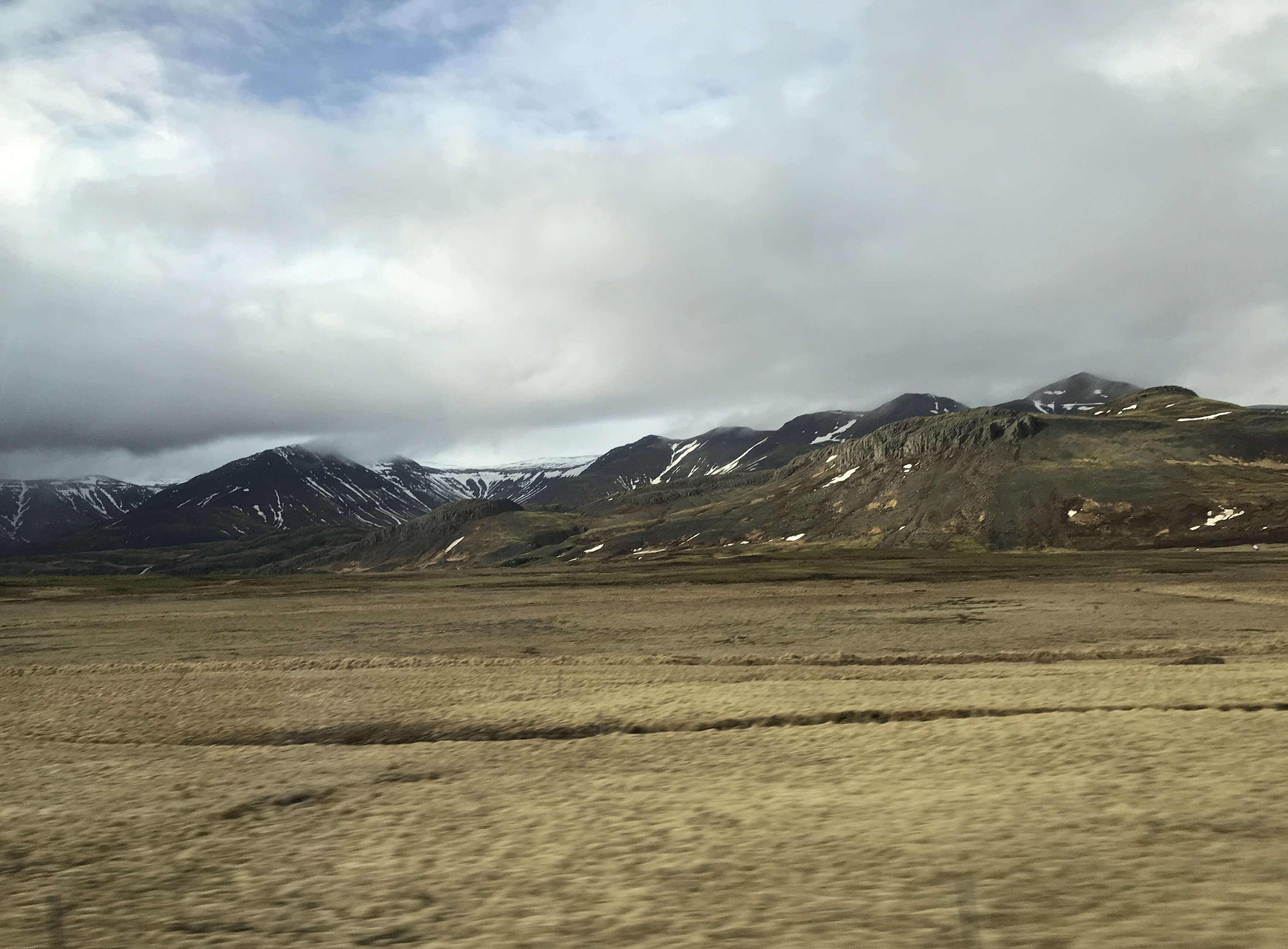
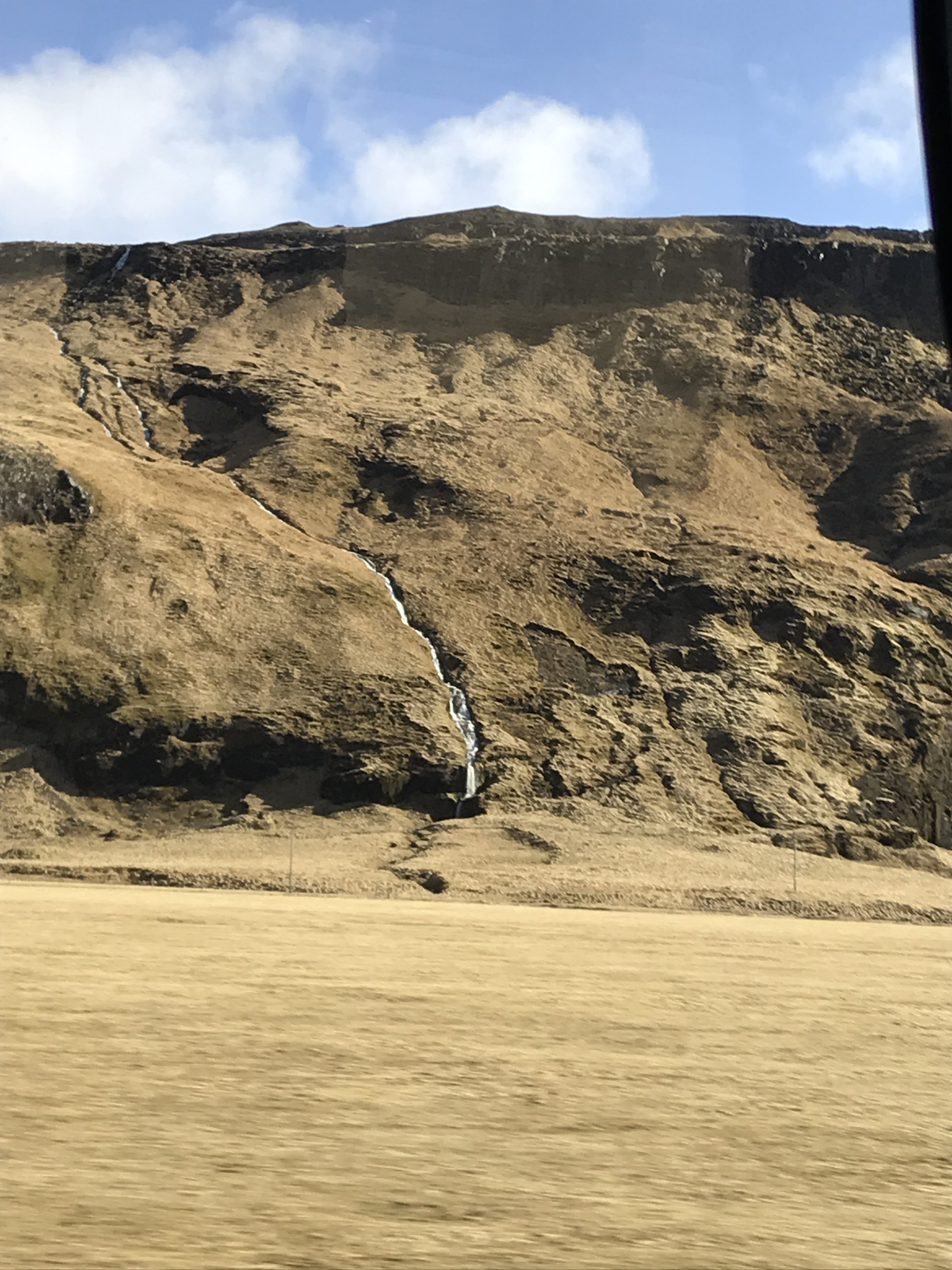
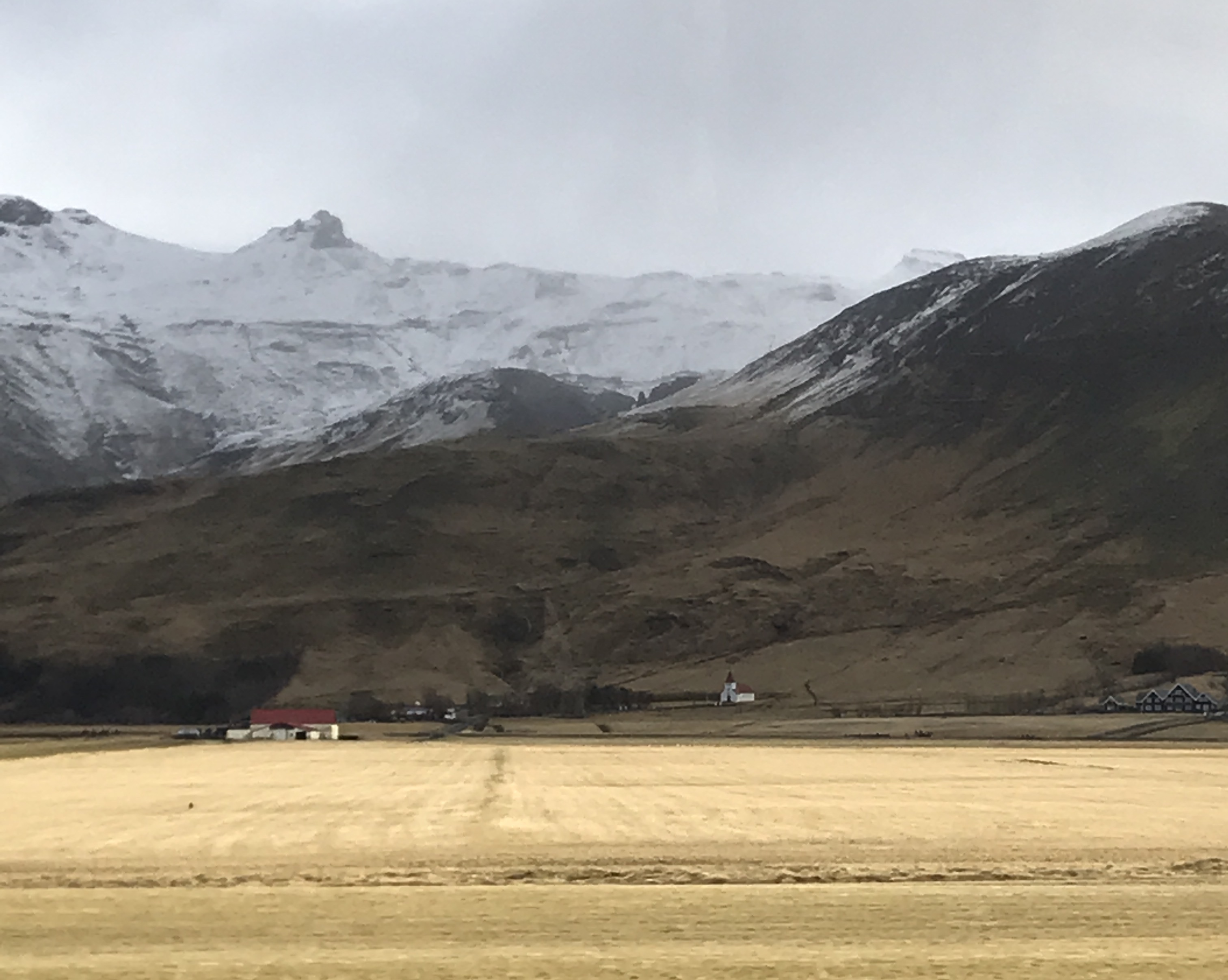
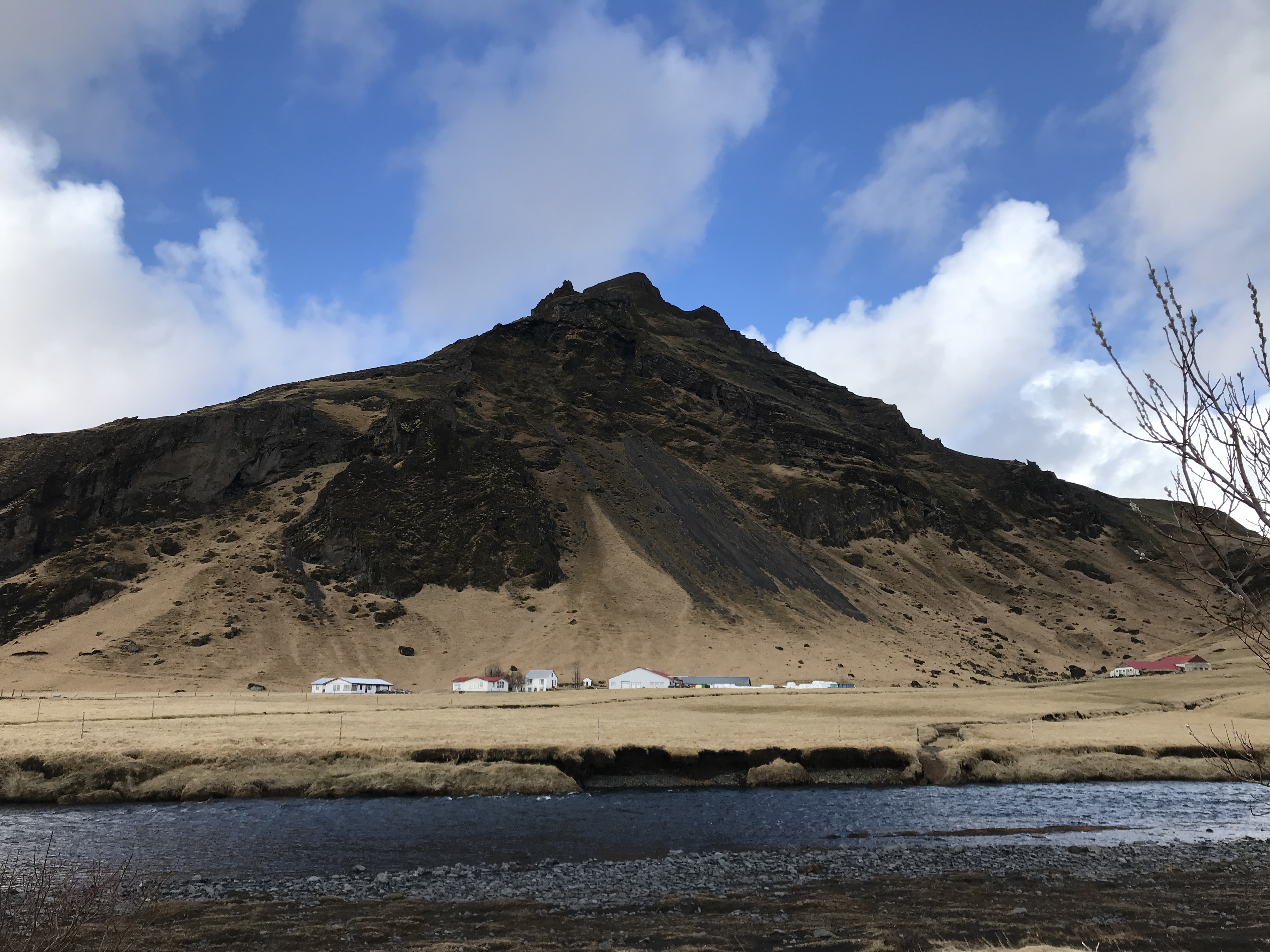
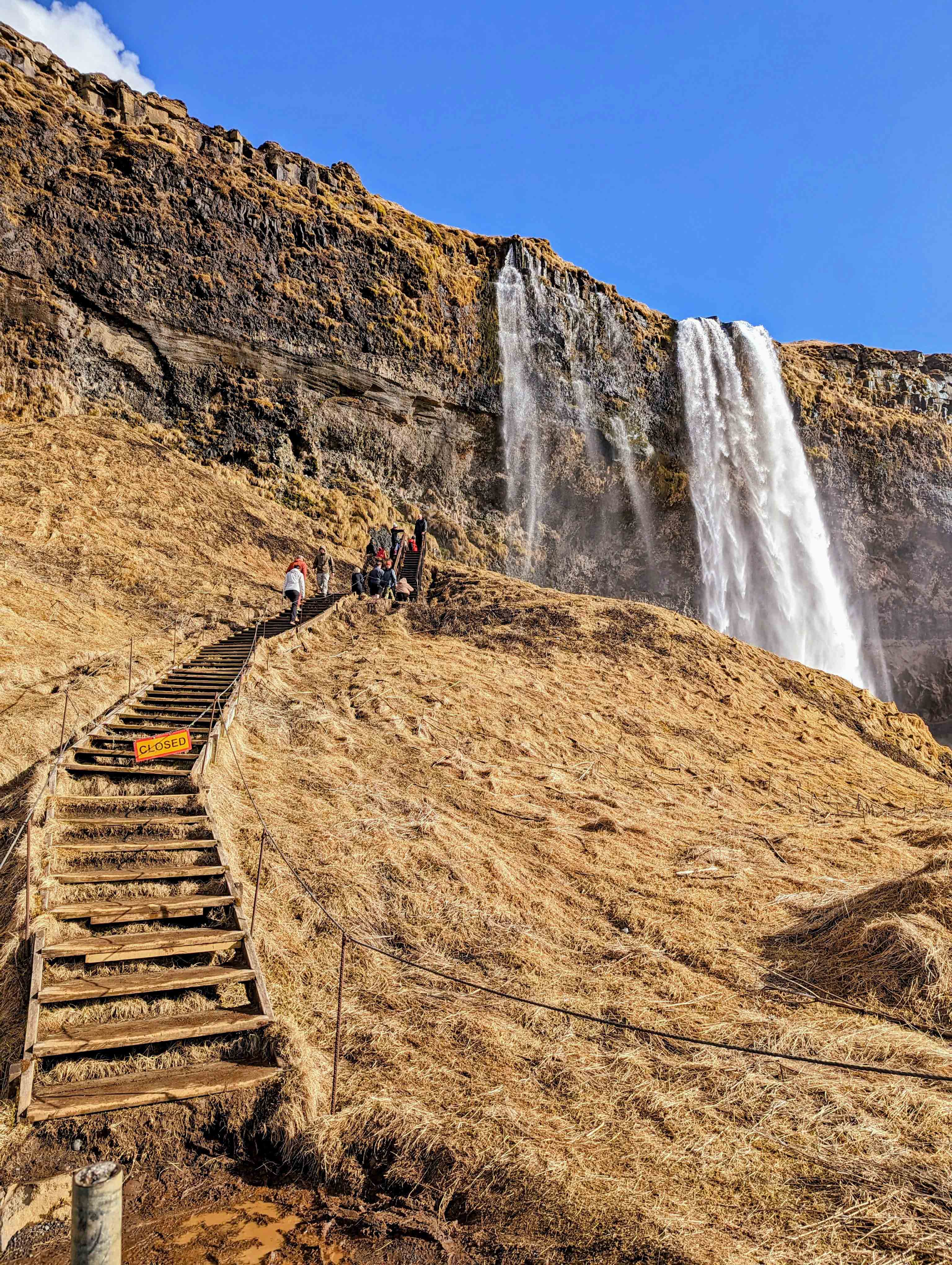
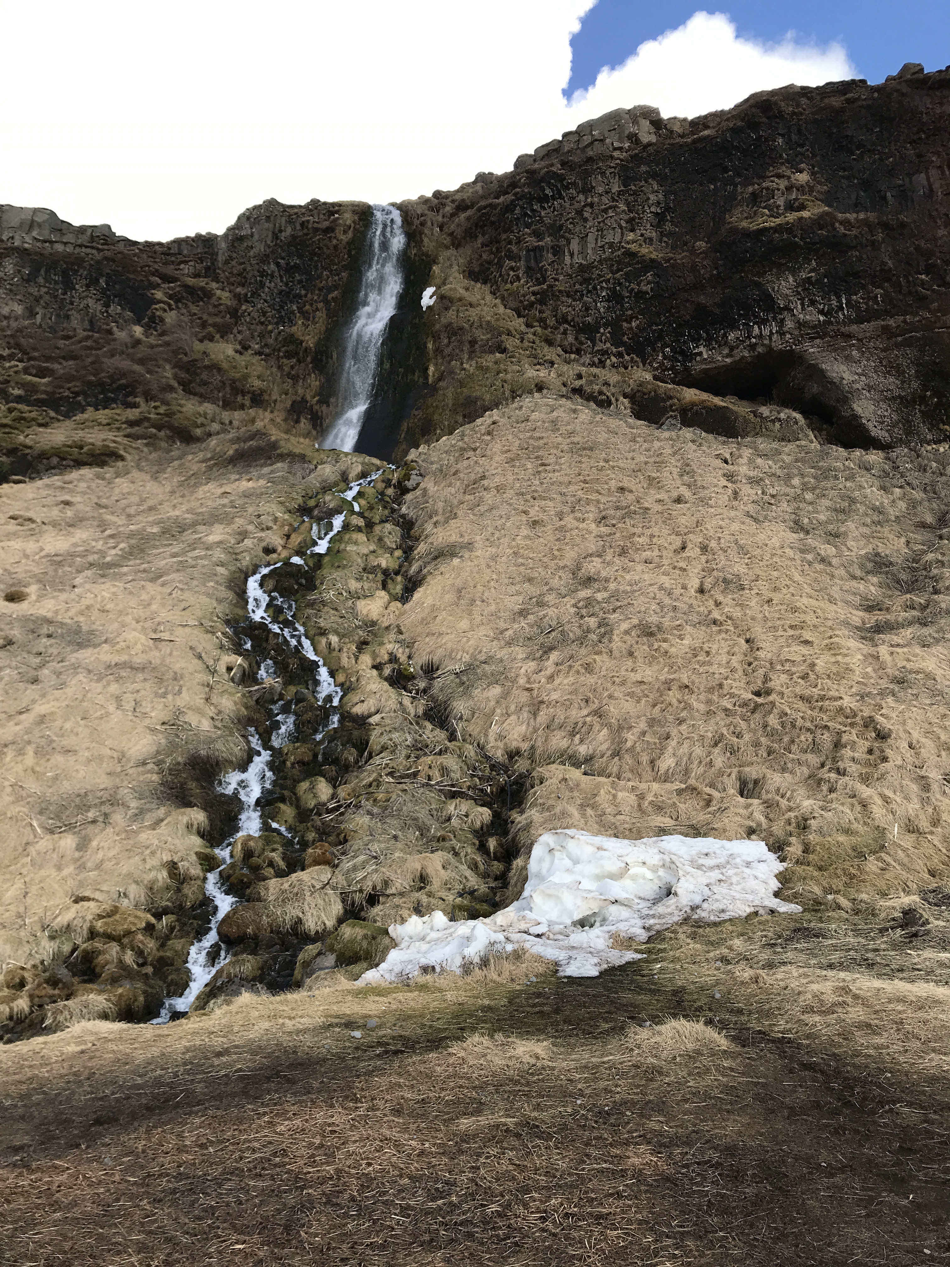
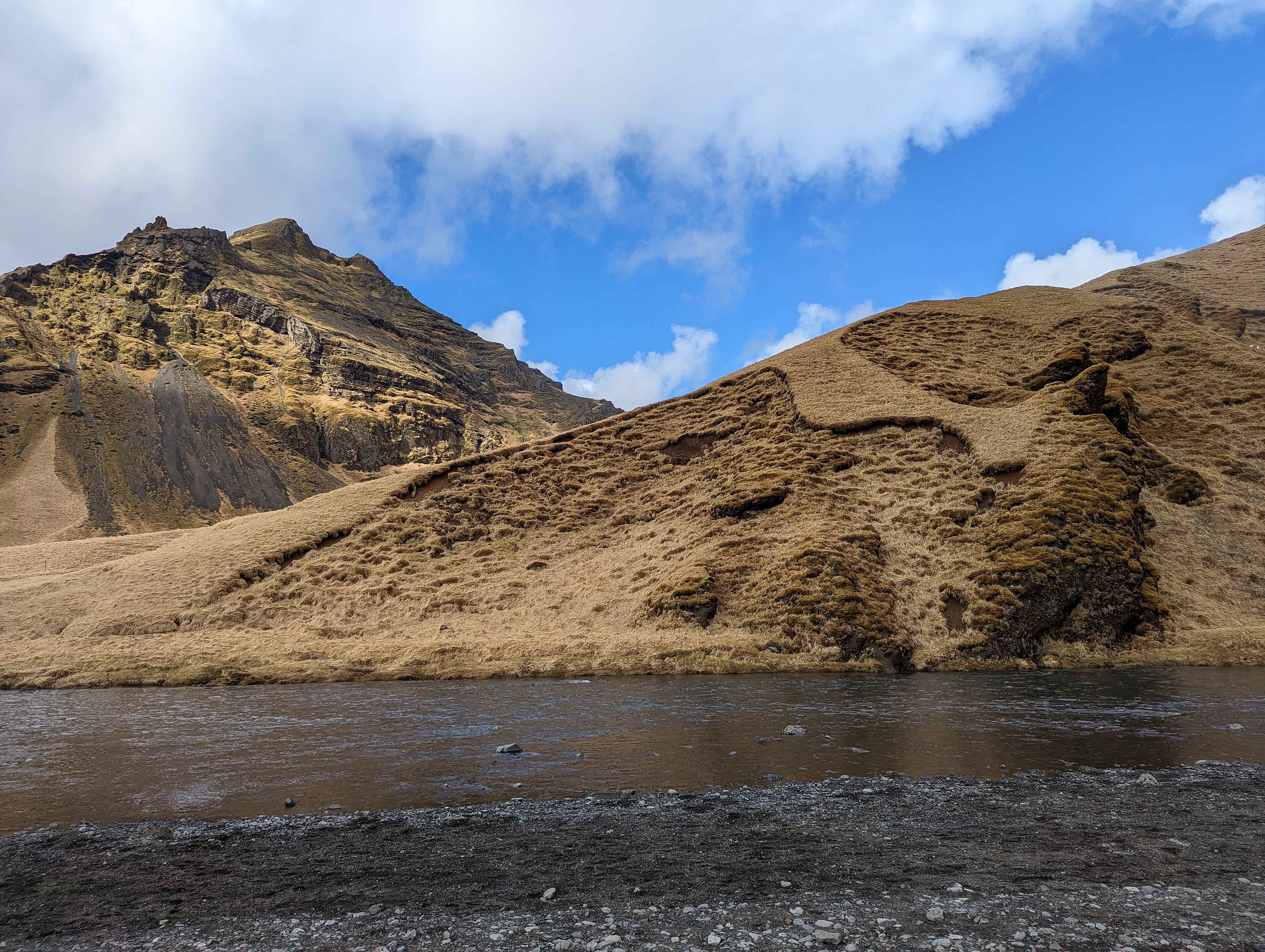
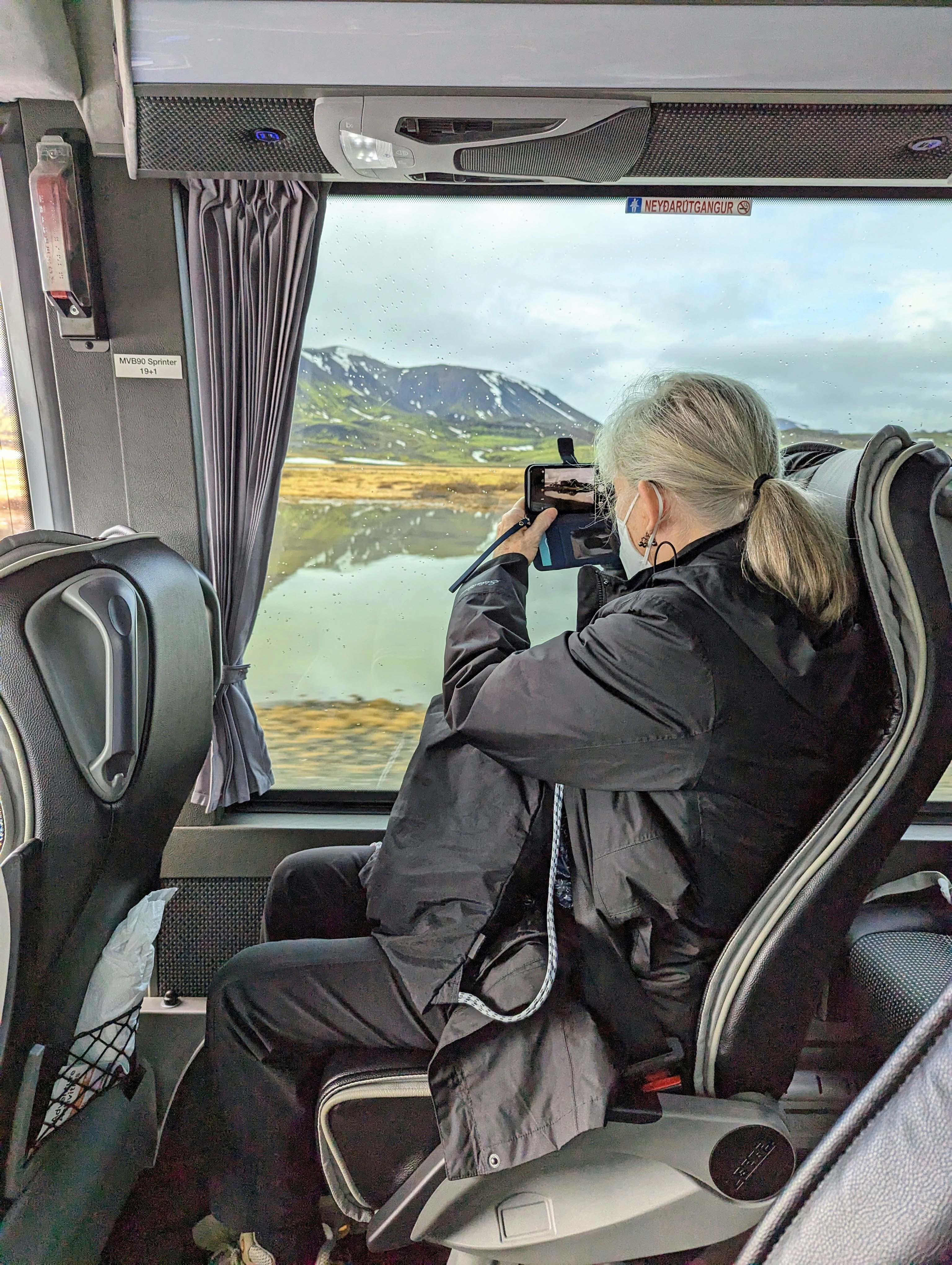
Thursday is the South Shore Adventure. We will get to see waterfalls and glaciers. And it snowed! Some pics on the ride out.
Waterfalls everywhere.
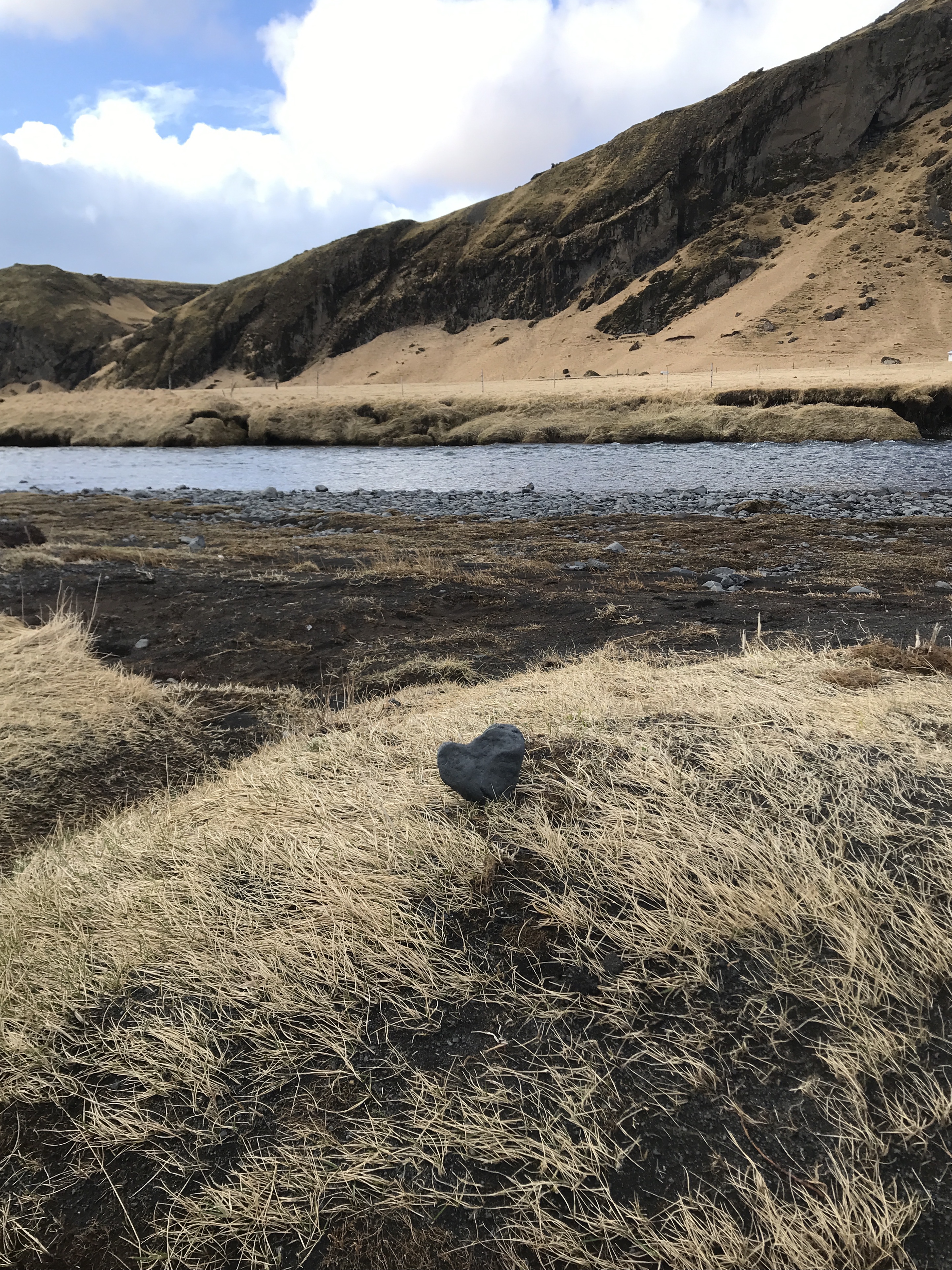
Did we leave our heart in Iceland? Yes.
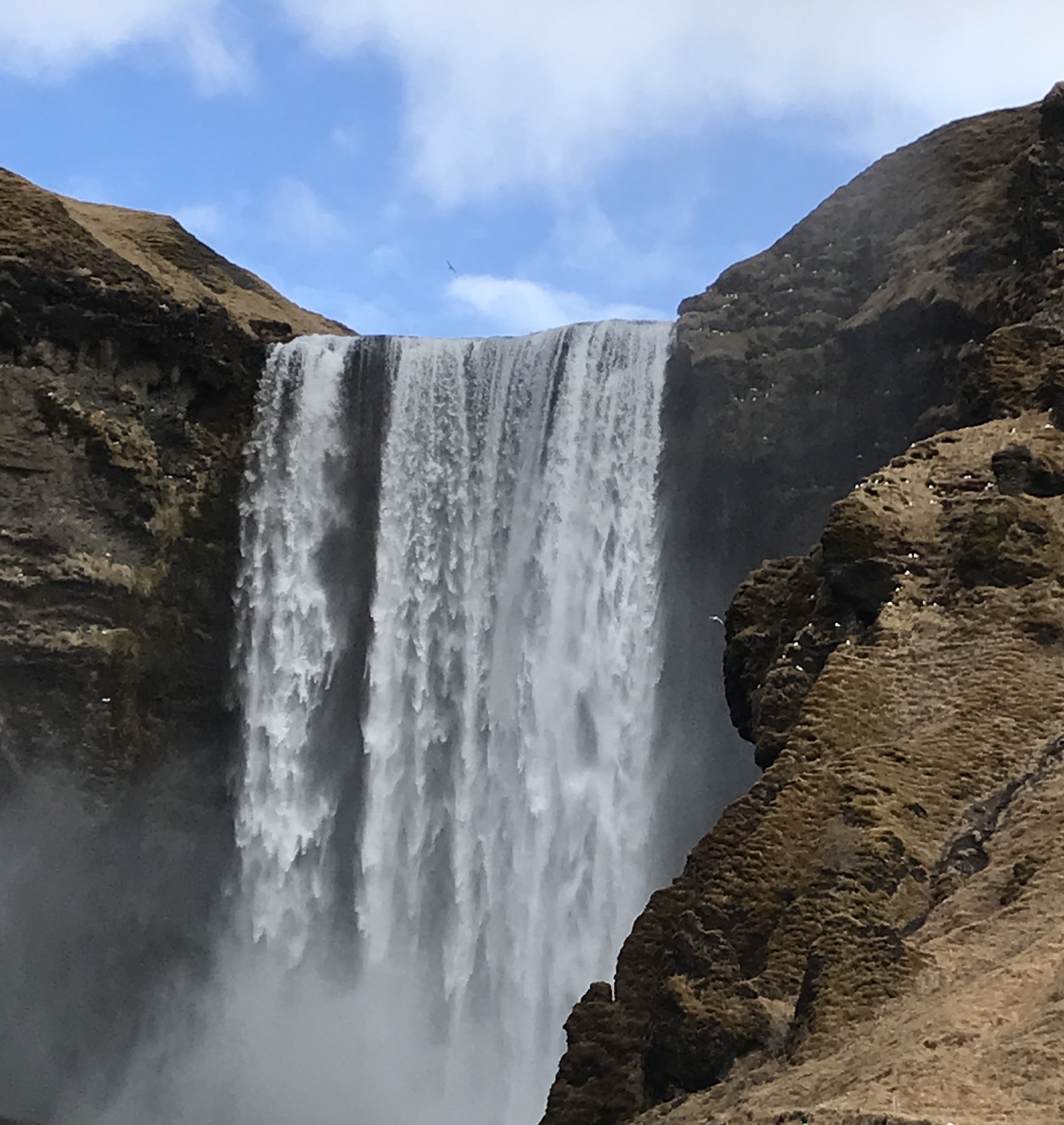
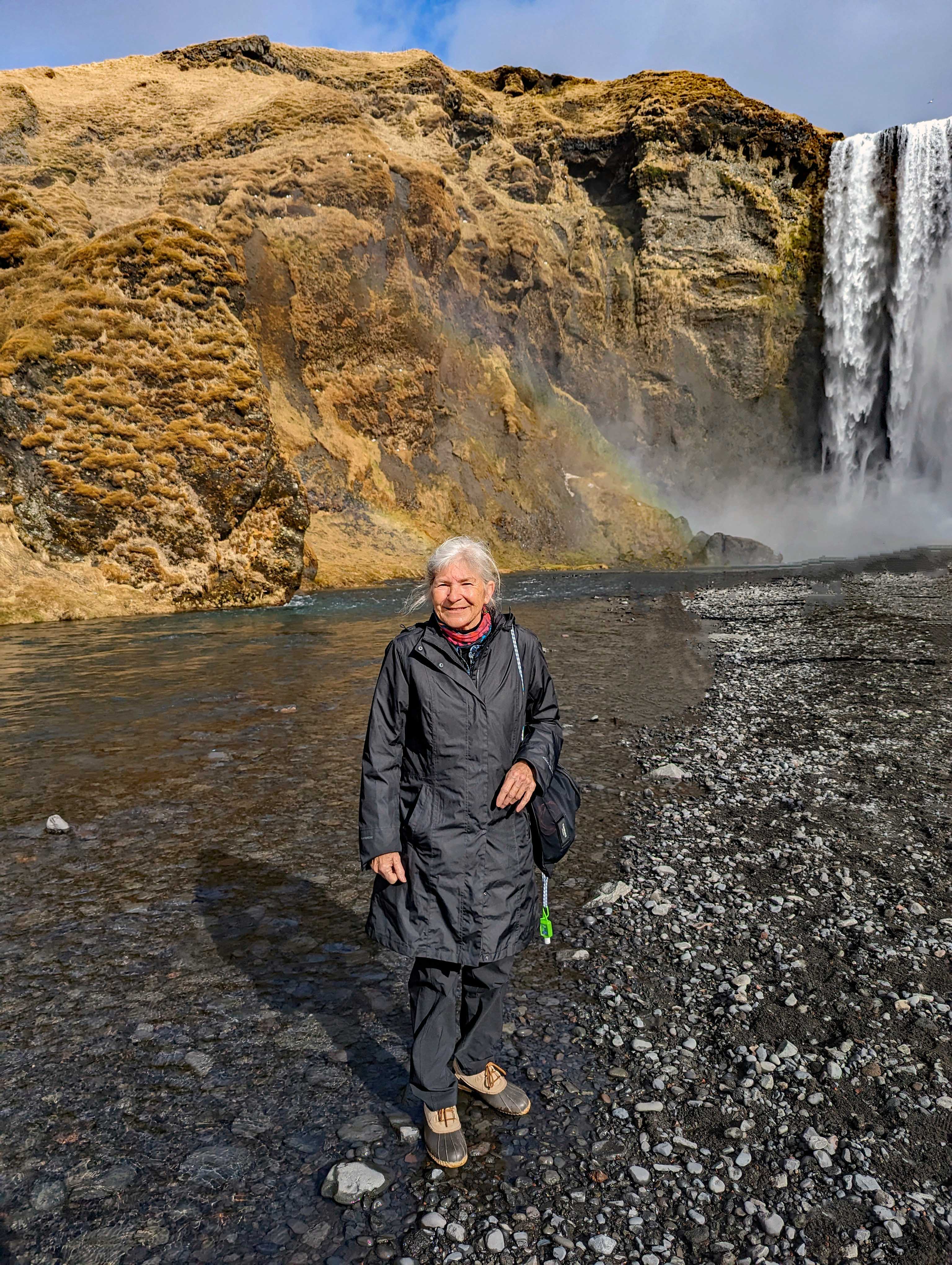
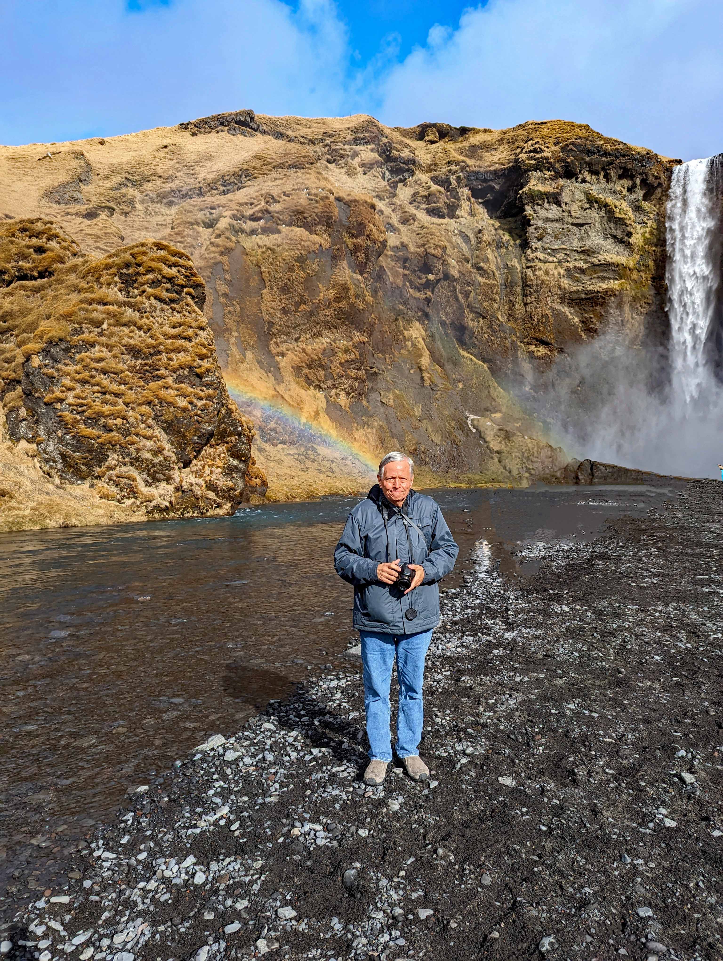
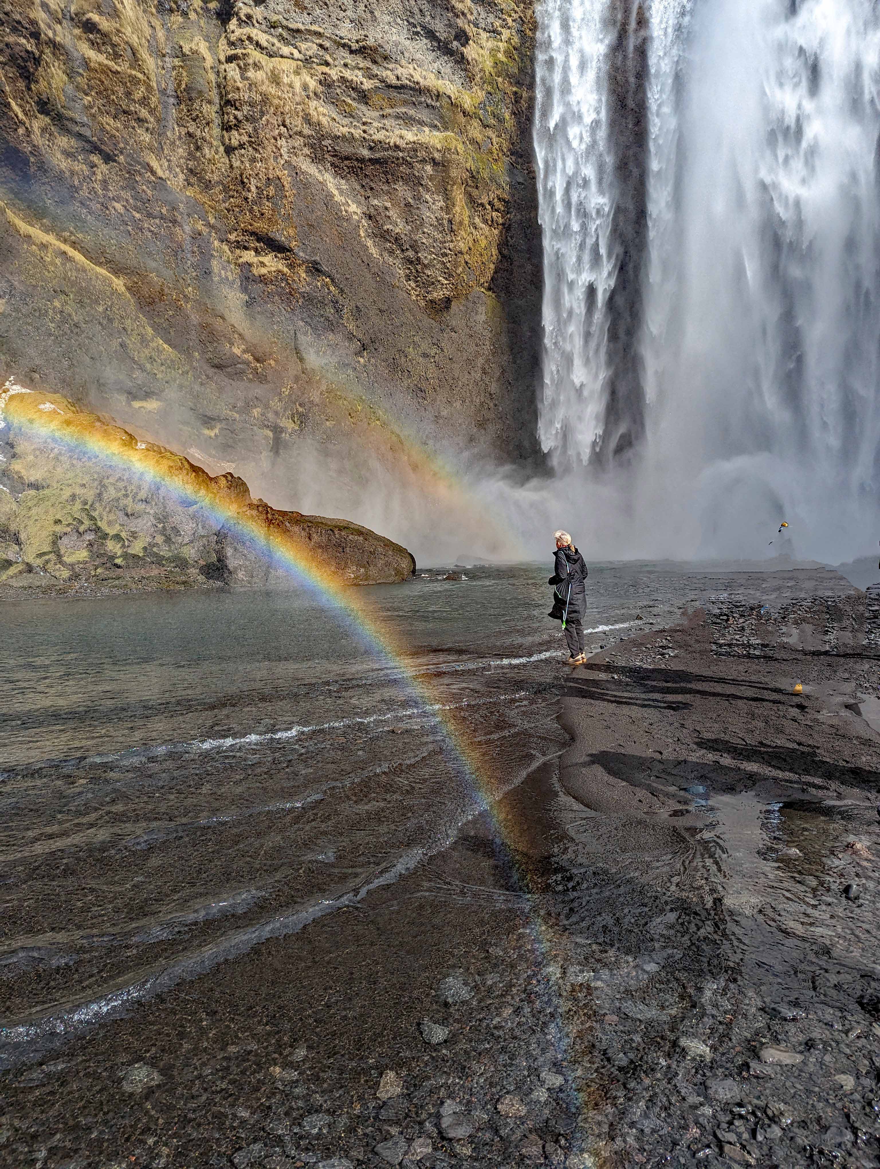
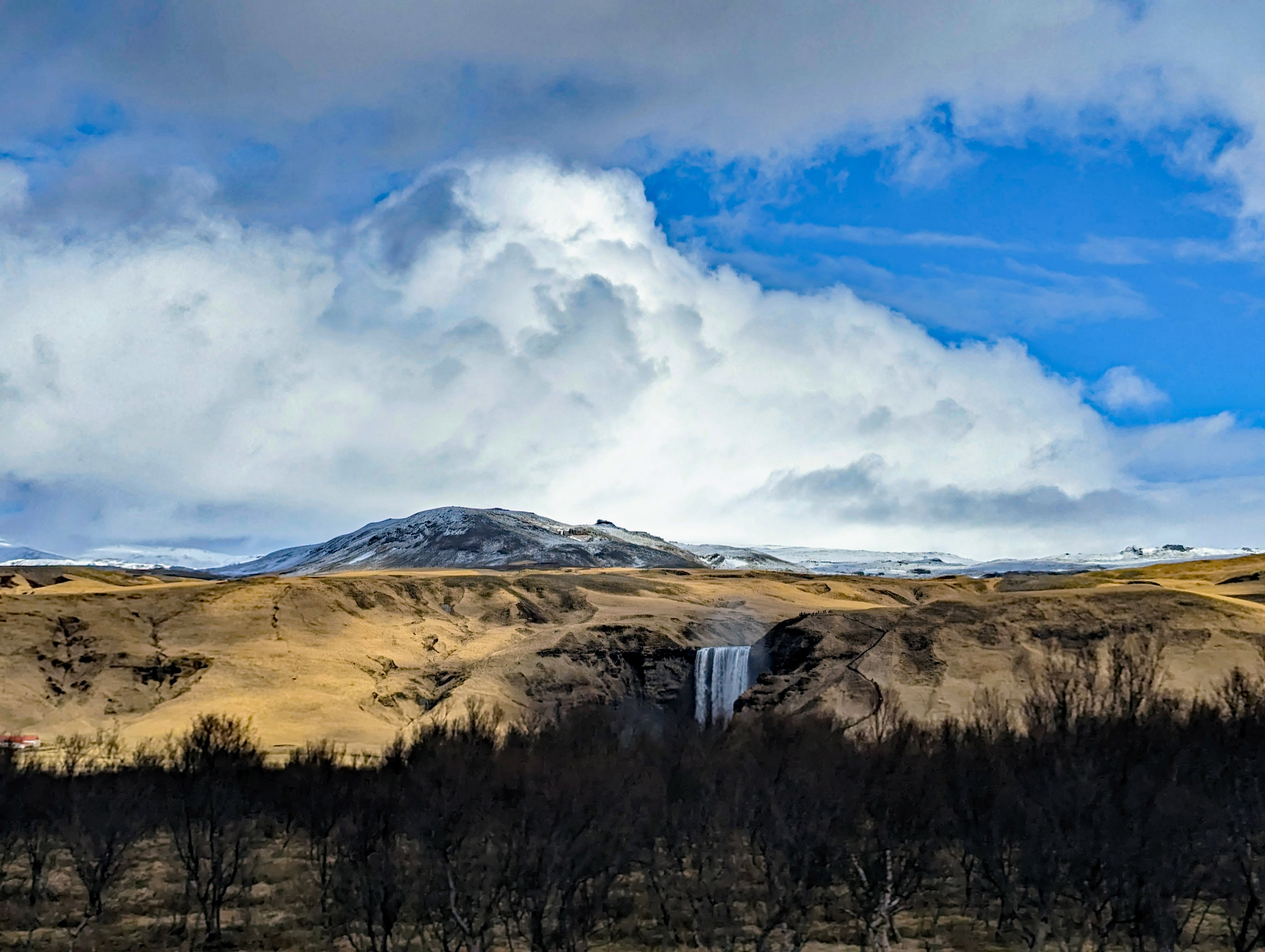
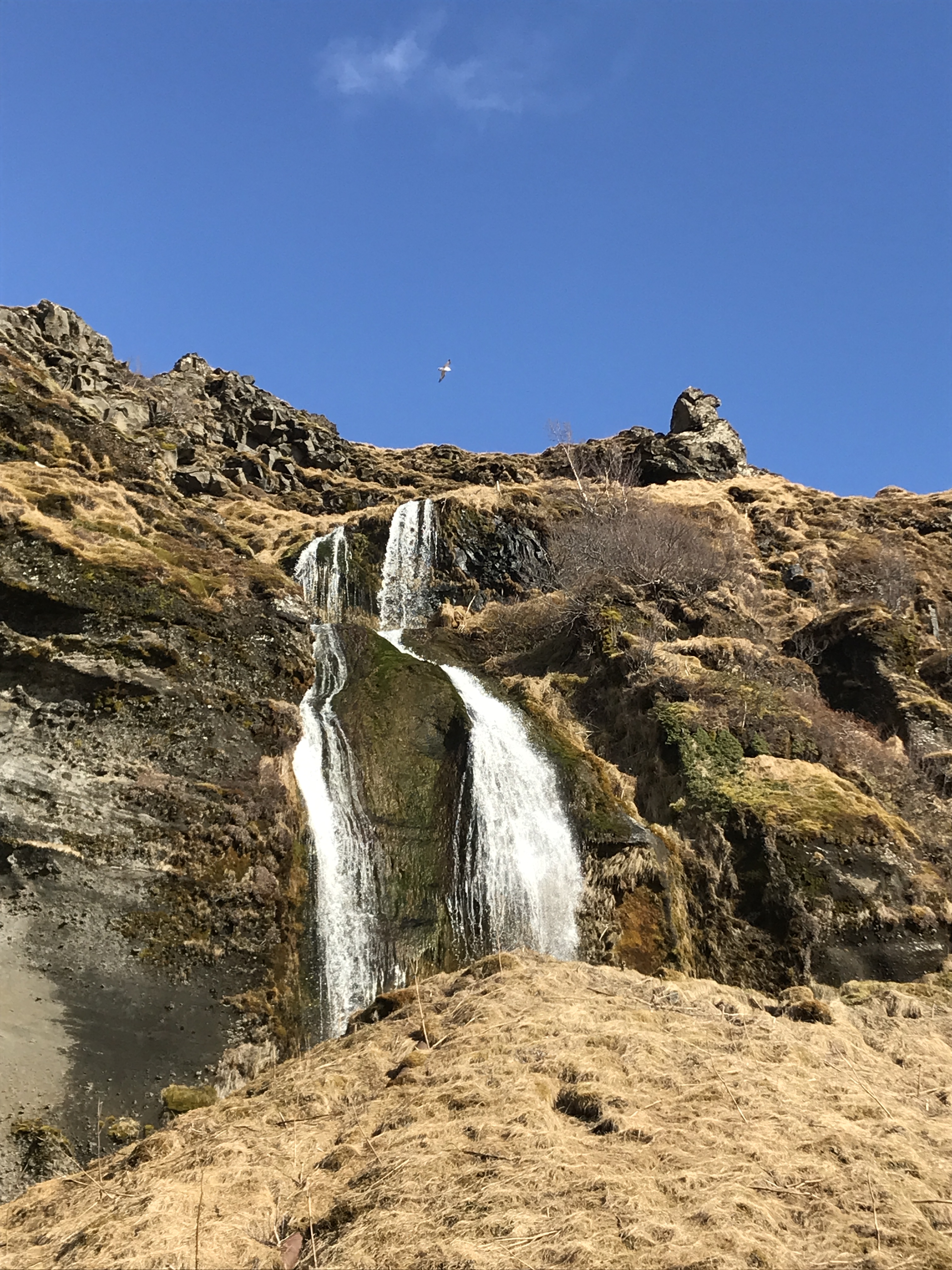
Skogafoss Waterfall.
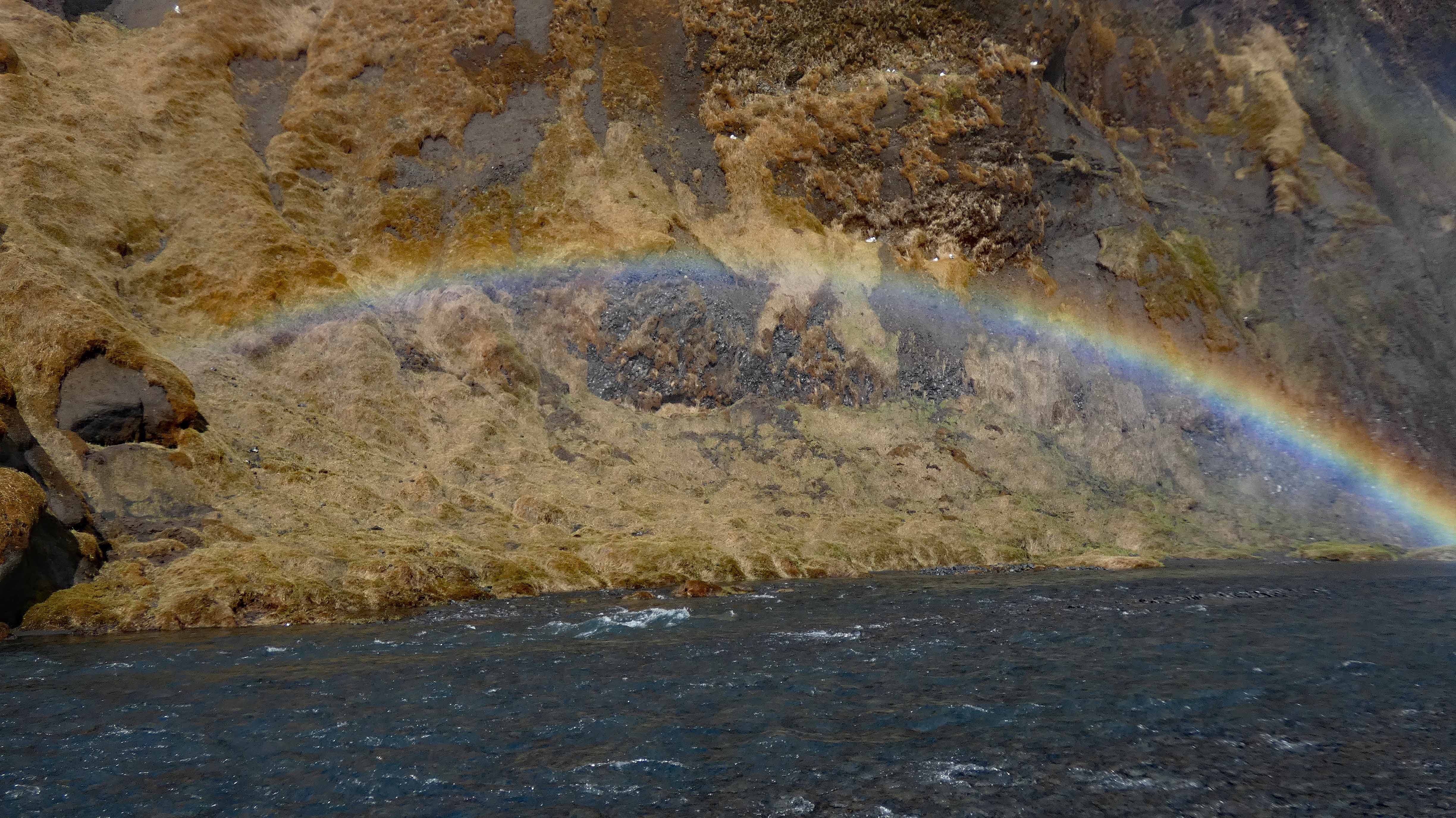
A double rainbow and a triple dose of tourist.
Up in the cliffs, hiding from people.
More to nature than the obvious.
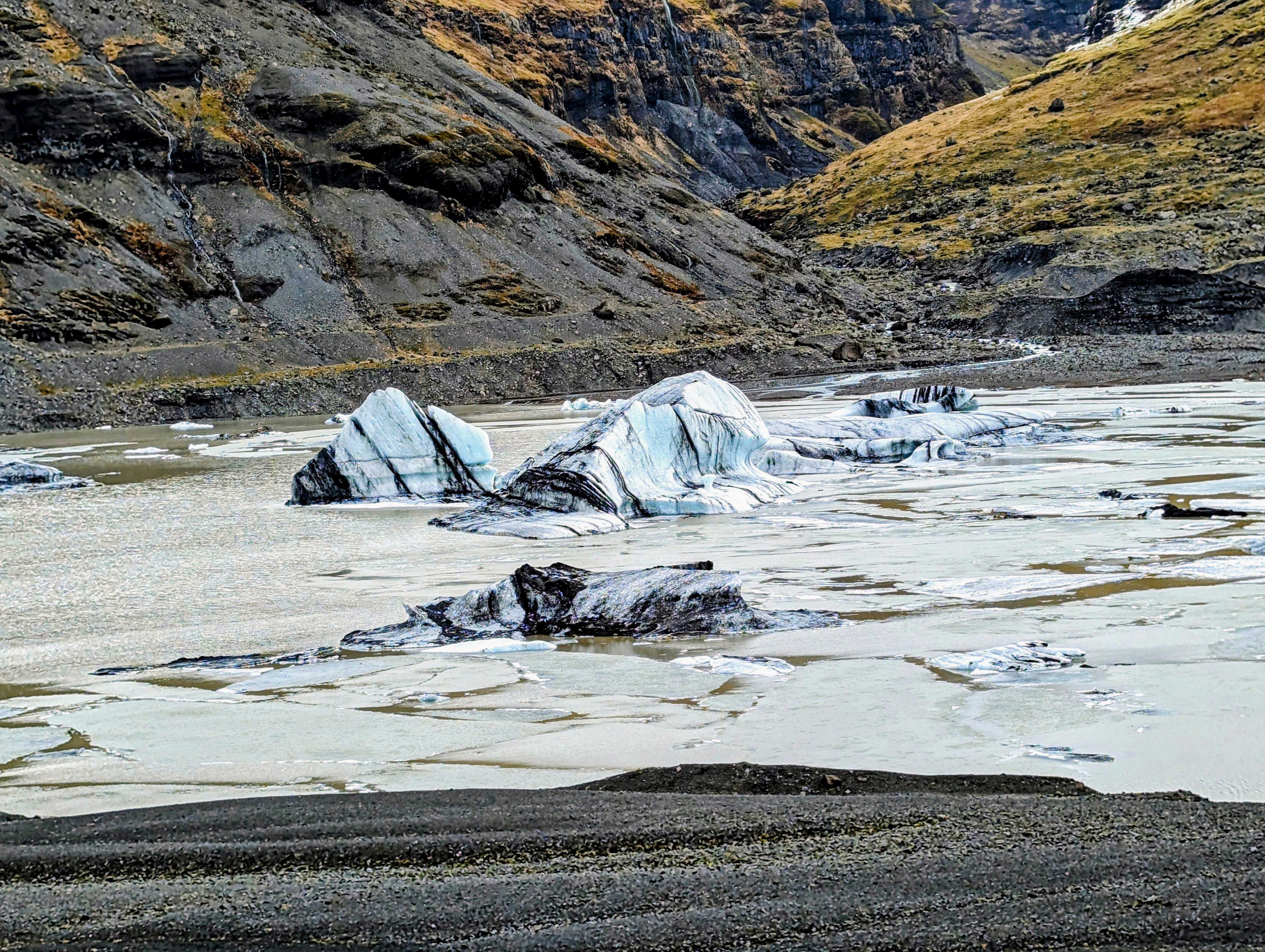
Riding away from one waterfall, heading to a glacier.
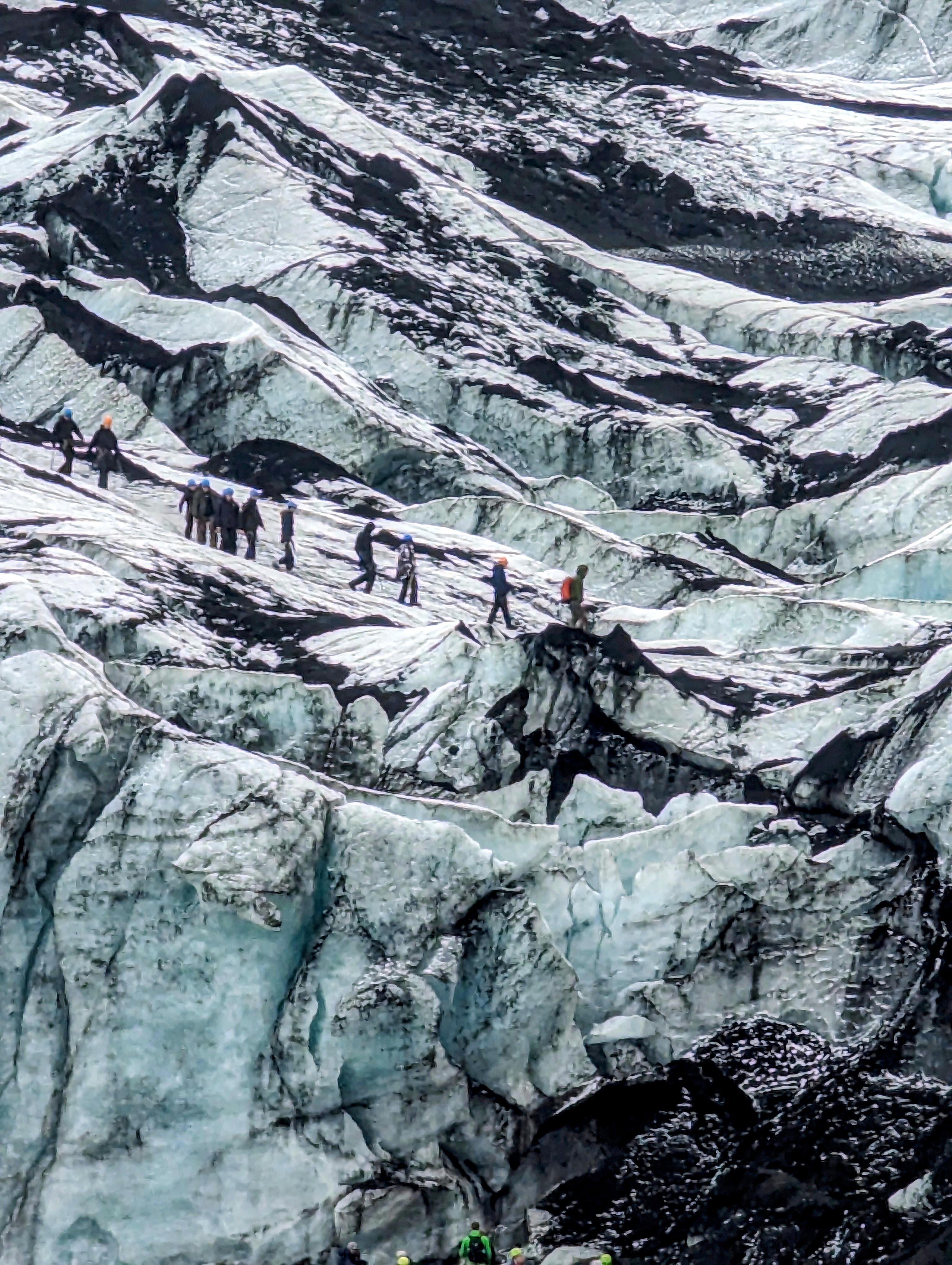
Peeled off parts of the Solheimajokull Glacier. The black lines are volcanic ash that were covered over again and again for thousands of years.
Another tour group on the glacier.
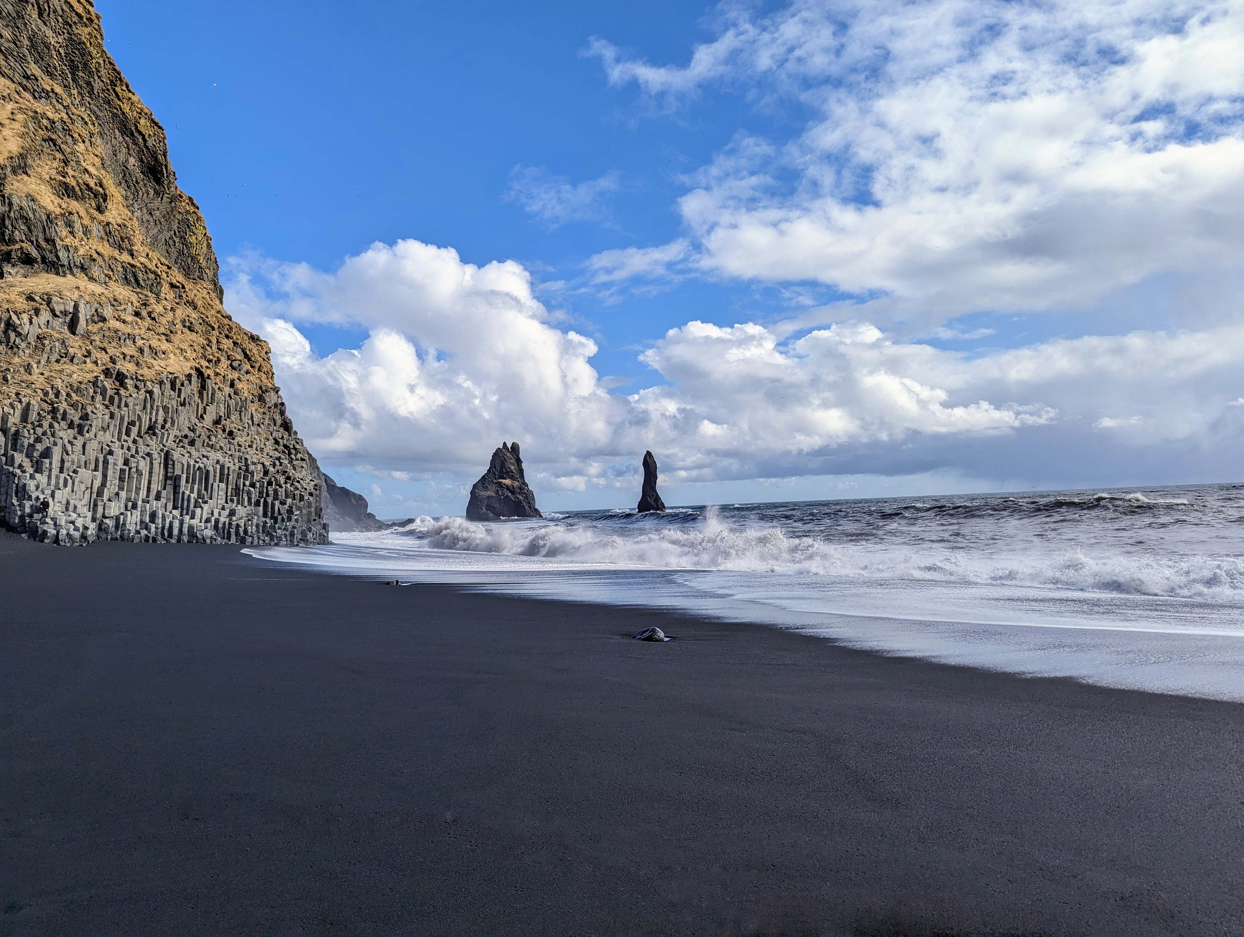
On to the town of Vik.
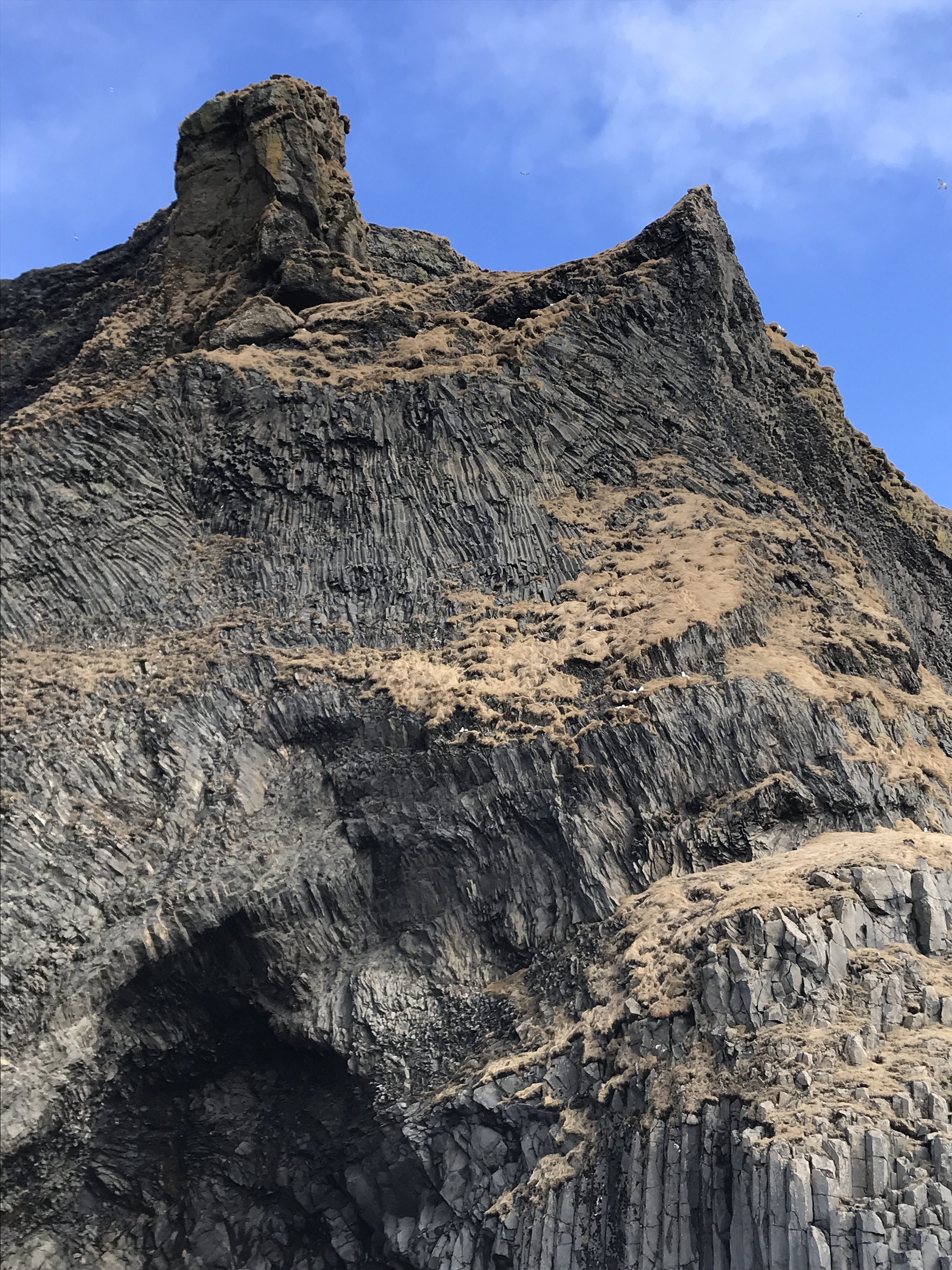
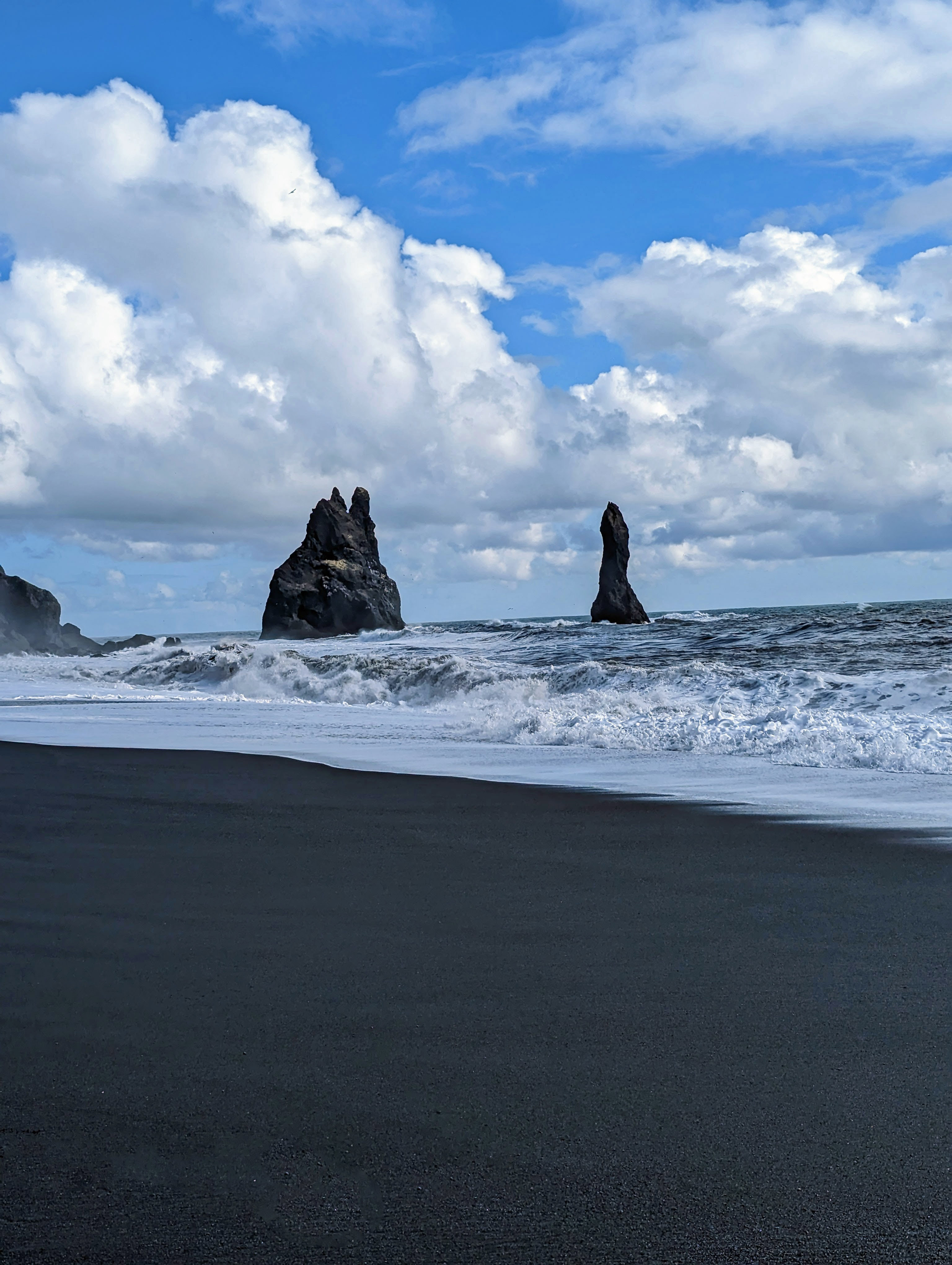
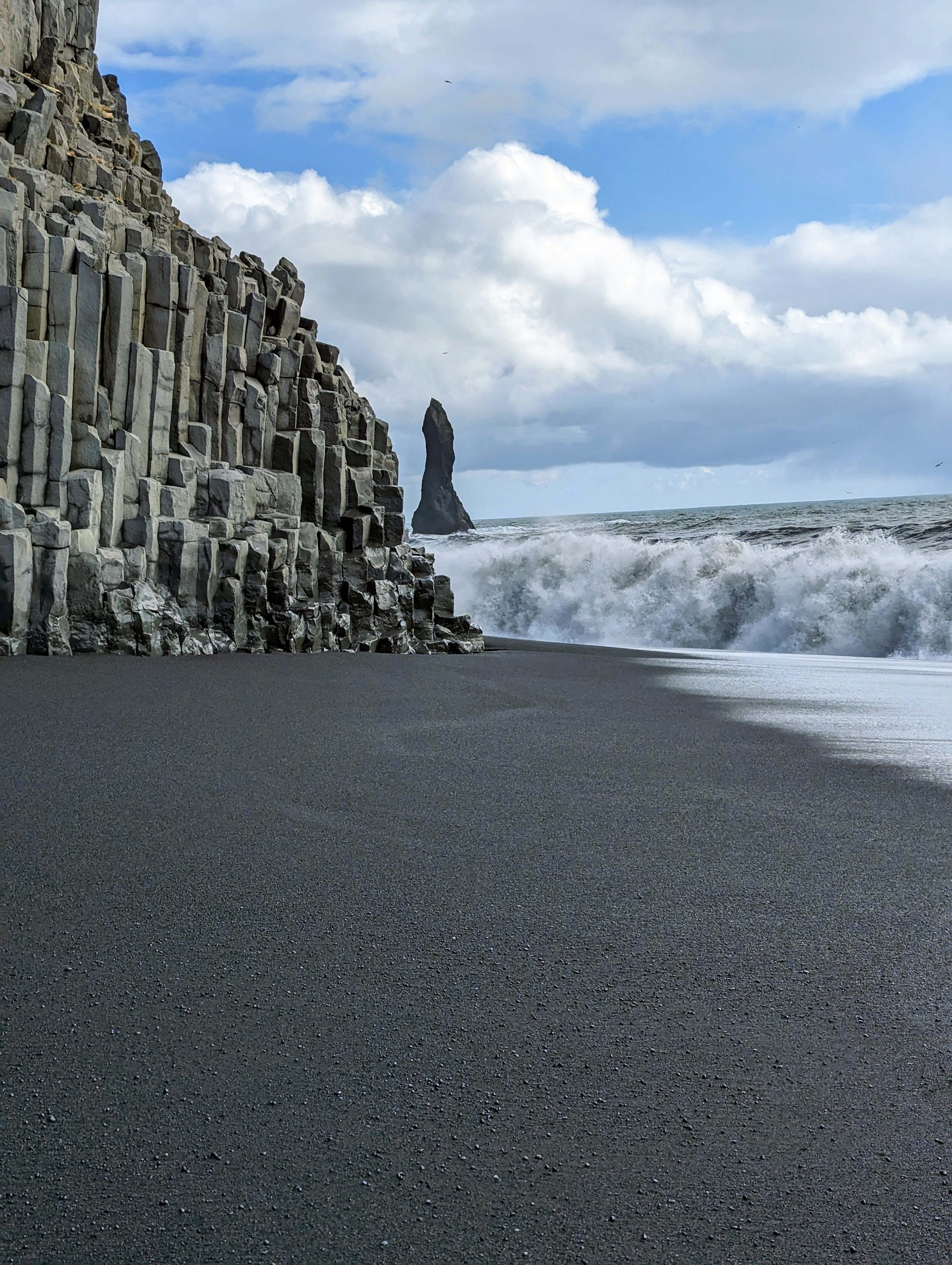
The giants – King and Queen on a ship. We will next head around that mountain to the Black Sand Beaches.
Like the Giant’s Causeway of Northern Ireland.
Our guide told us that stunt pilots love to fly through that hole in the cliff.
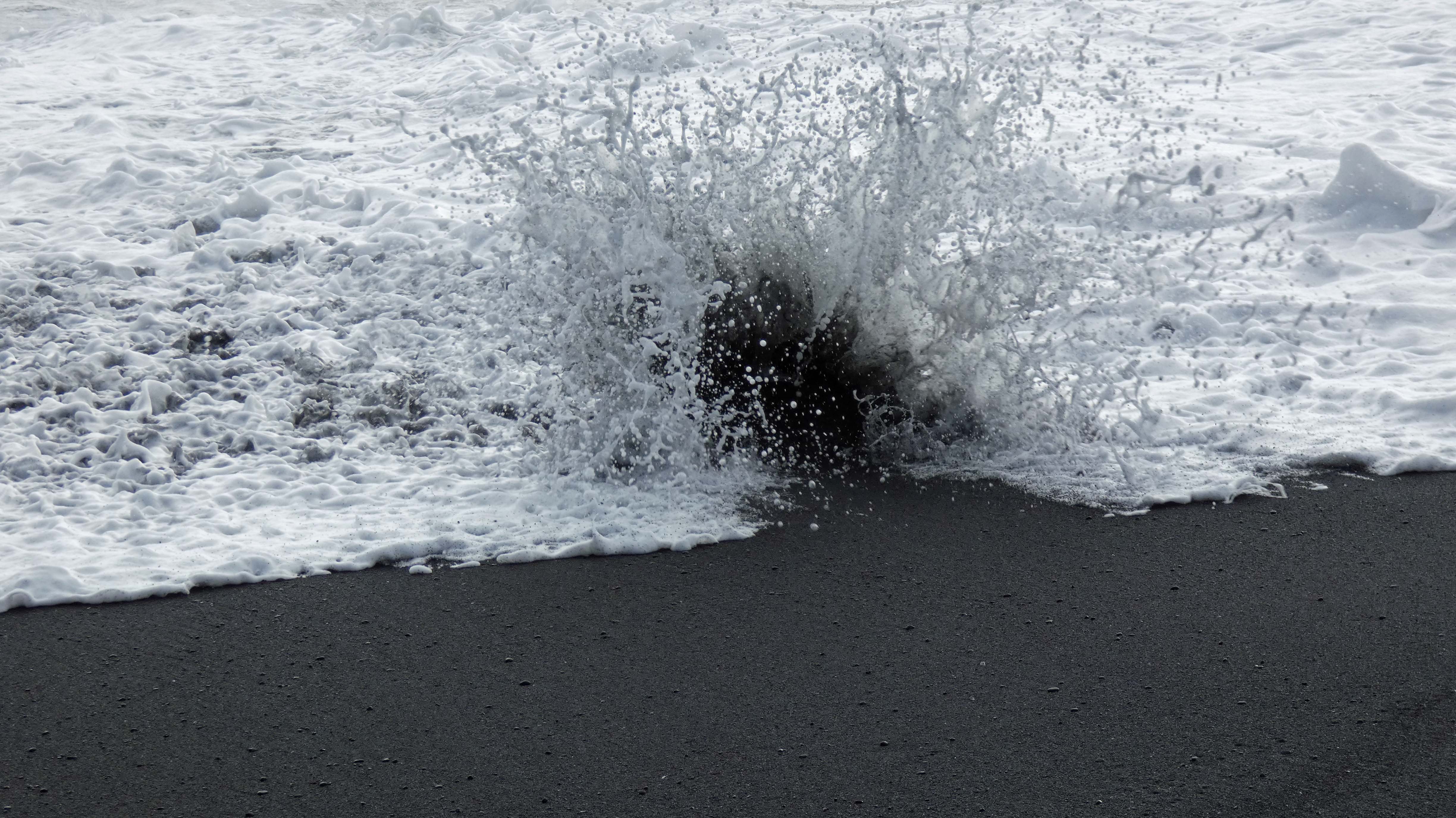
This is the one that got us wet.
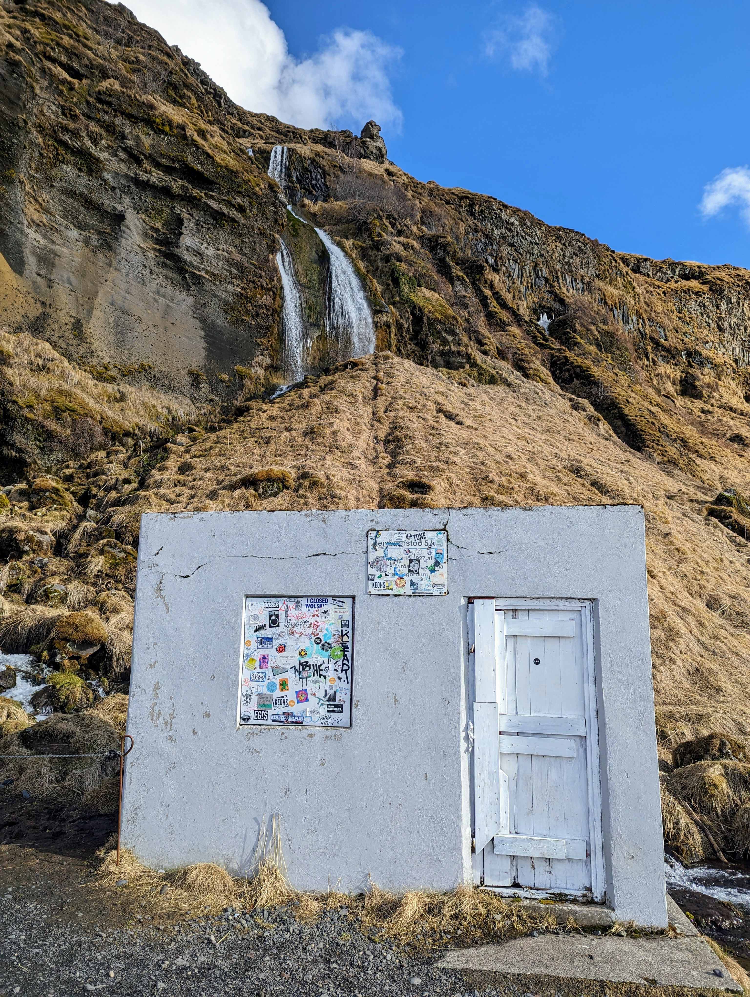
On the way back to town we stopped at another waterfall. Seljandsfoss.
More rainbows.
It was easy to get wet here.
One of the only disappointments was not being able to go behind the waterfall. These people did, but when I am in someone else’s land, I respect their wishes. One guy who didn’t, fell on the ice (why it was closed) and cut his hand wide open.
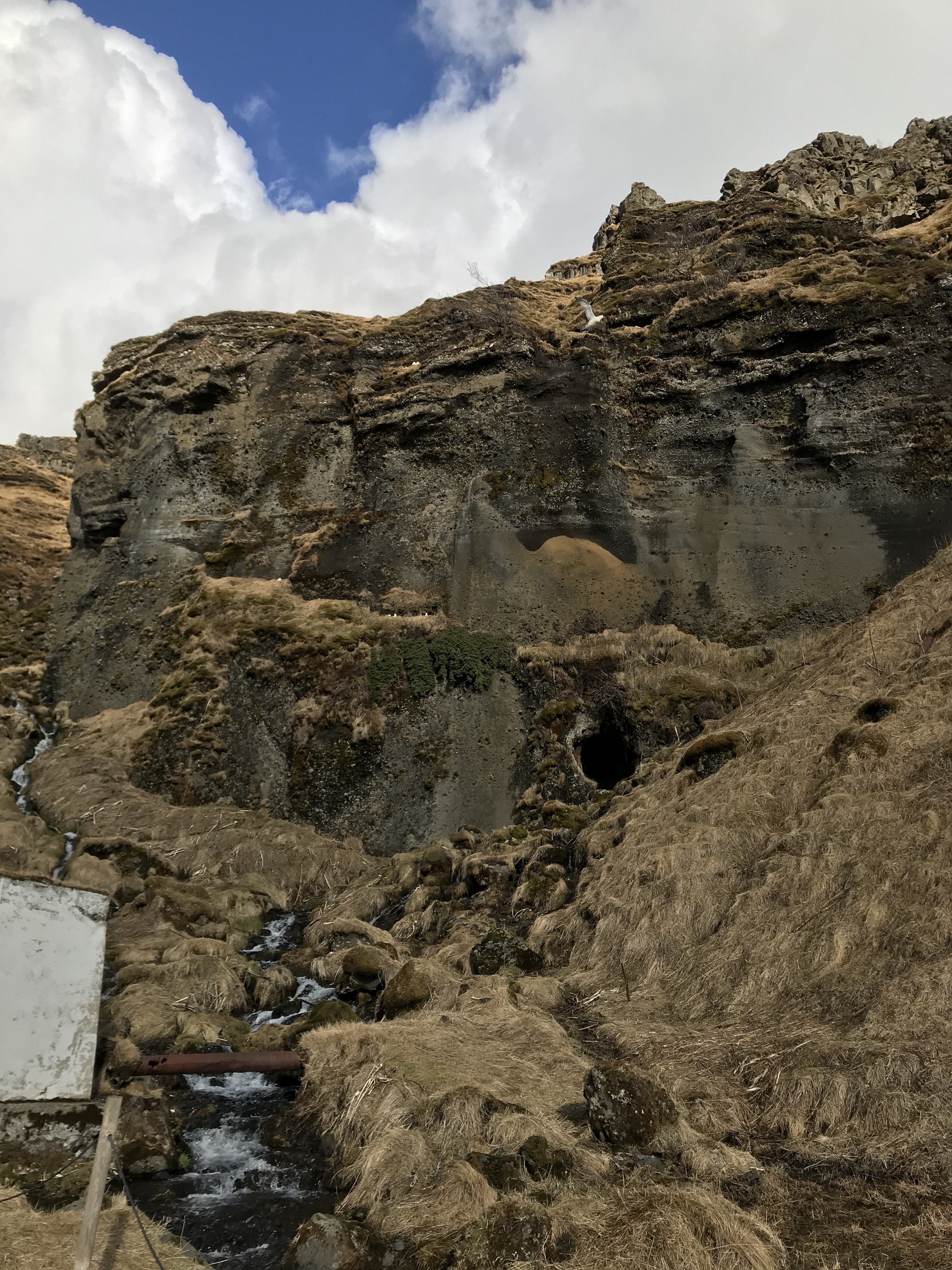
Gnomes live in that cave.
So it is time to head back to Reykjavik. Took some miscellaneous photos on the way.
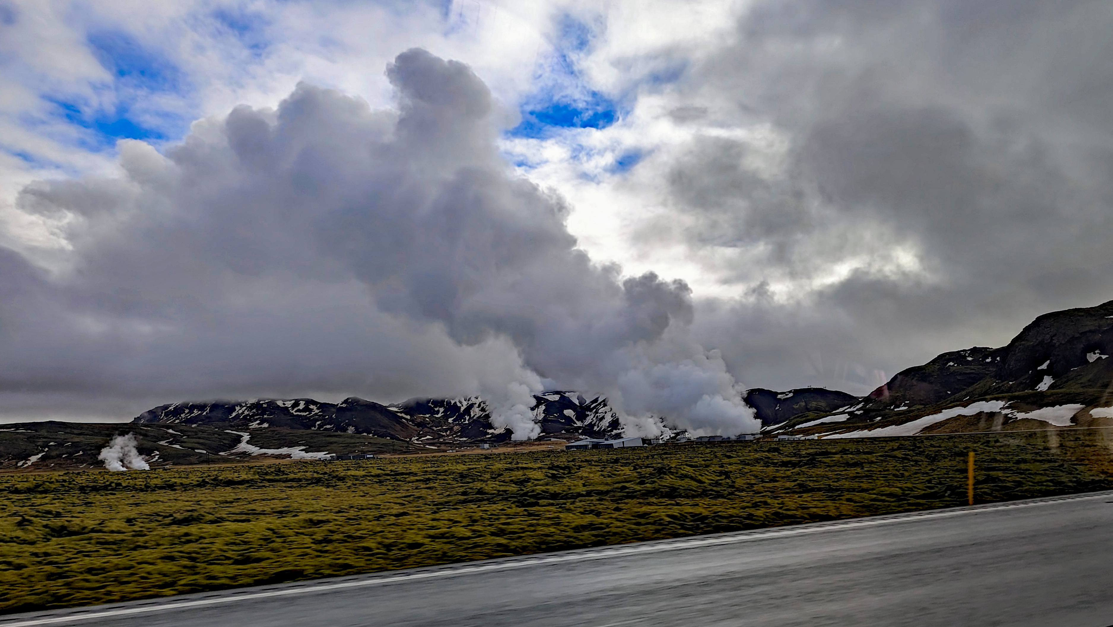
Steam vents just pop up randomly. People are told to be careful where they build their homes. The steam will heat their houses or destroy them.
Nice farm. The lava is covered in moss which decays then more moss and so on, eventually becoming dirt that will allow wheat to grow.
The driver would not pull over so Kathy and I could check out the cemetery.
Random photos.
Cant stop me..
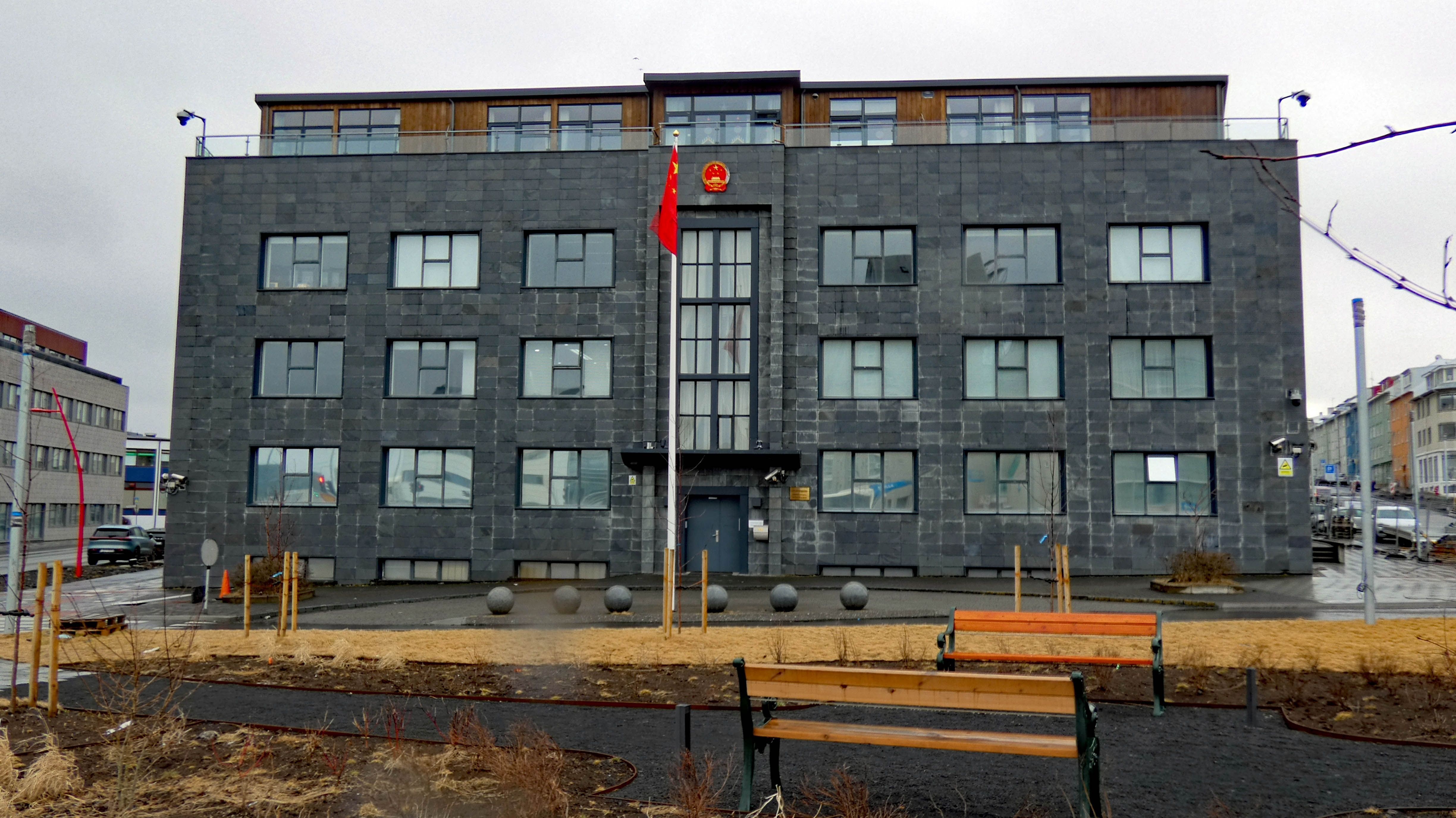
Chinese Embassy.
They love their wrestling.
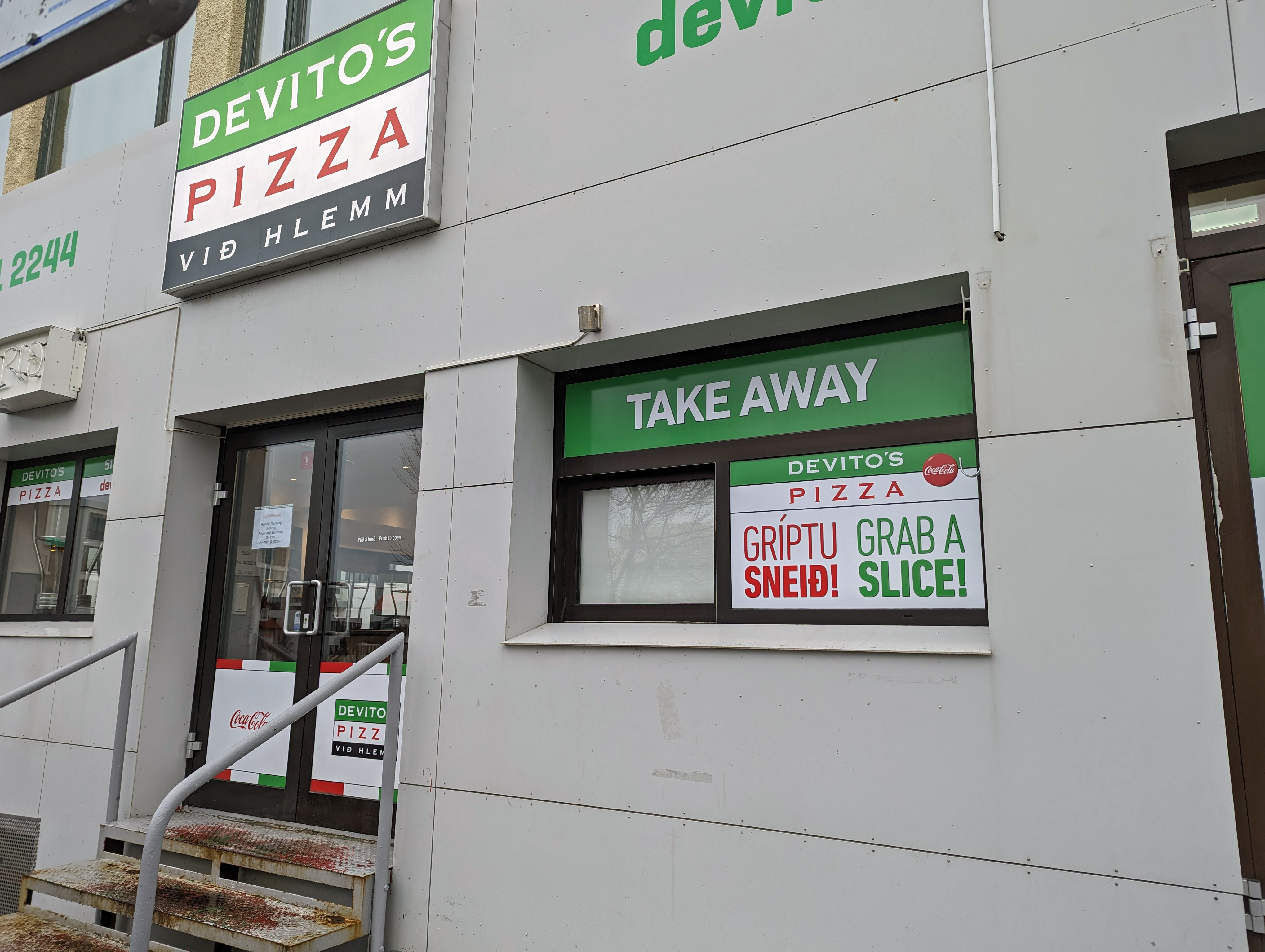
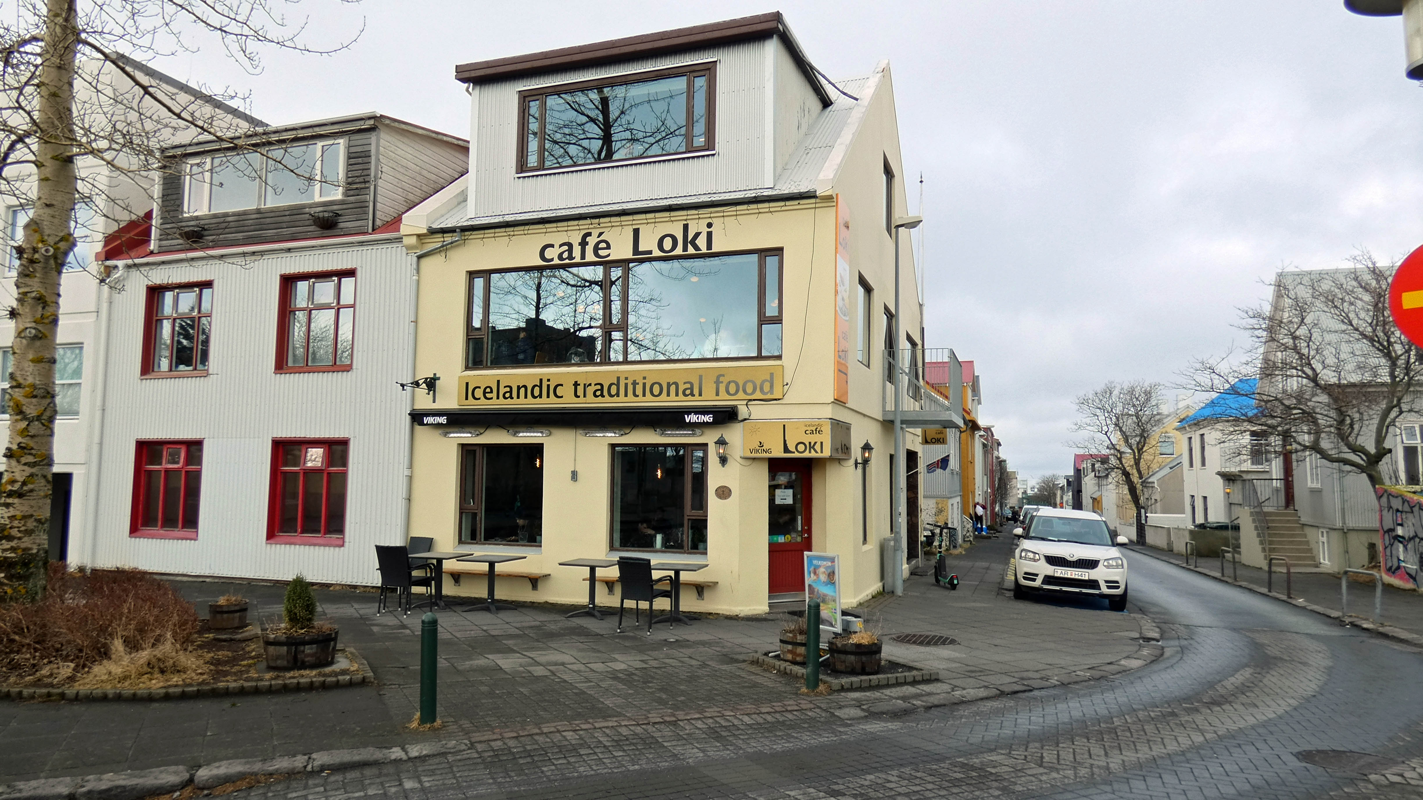
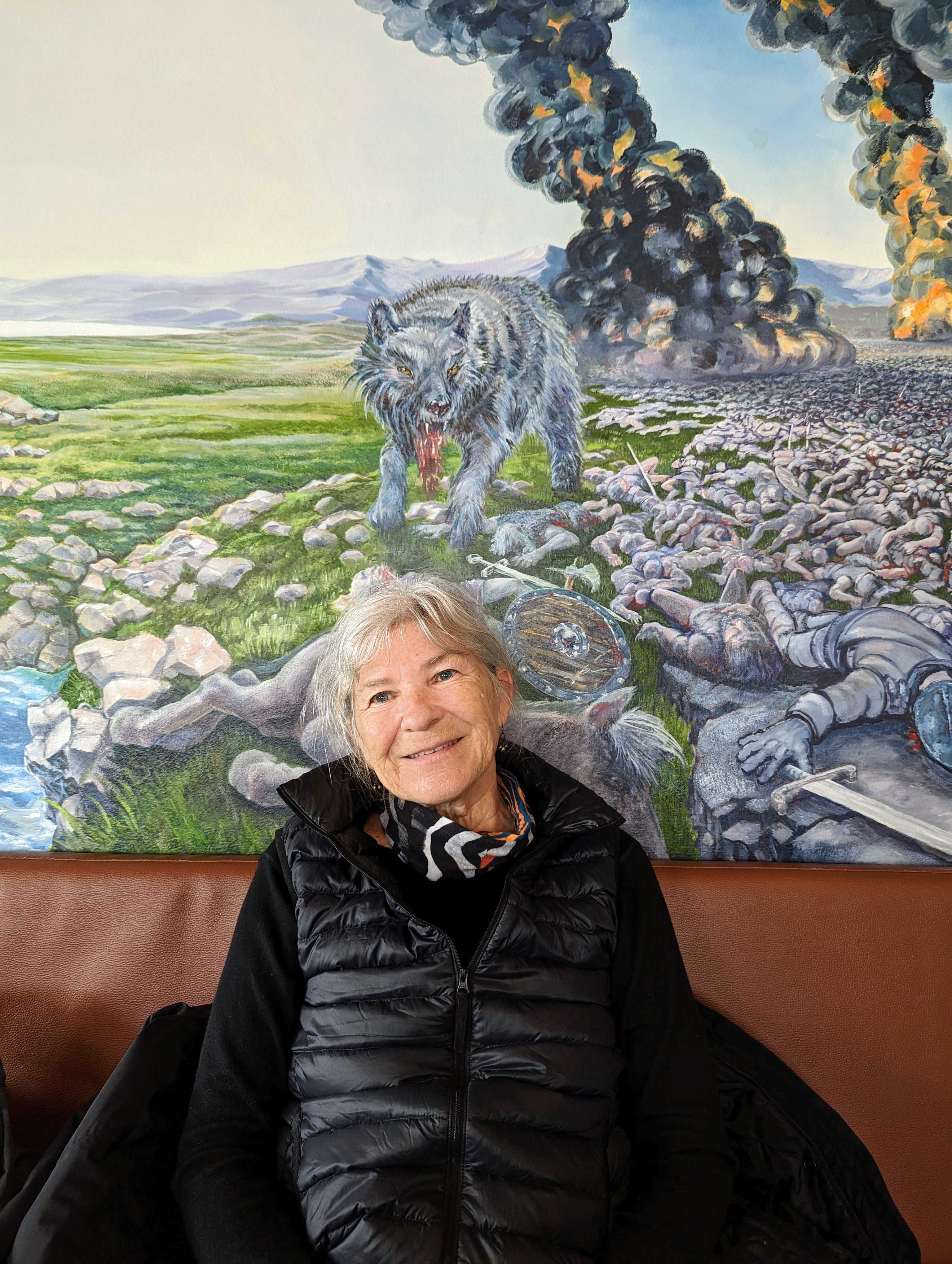
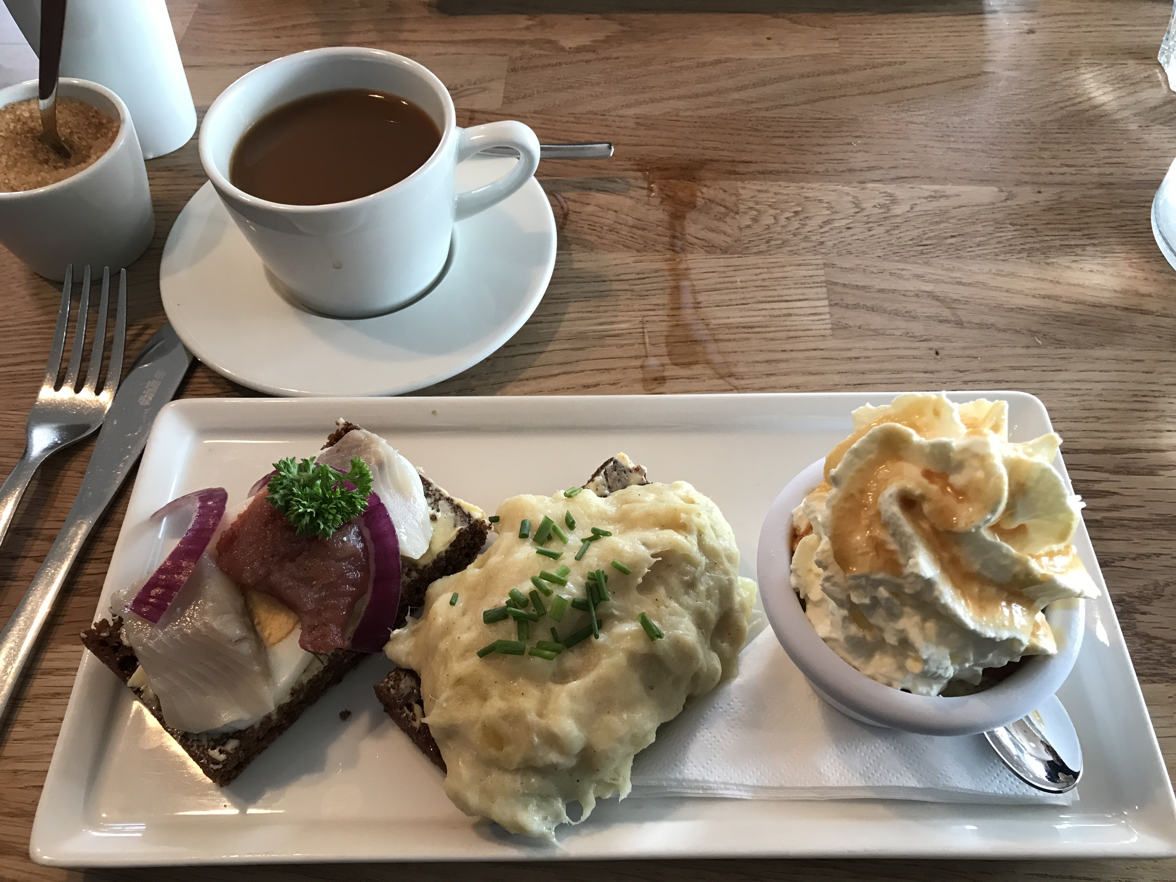
Our first dinner out. We watched a video about this place before we left and thought we should try it, except for the rancid shark!
Really a bizarre mural to look at while eating.
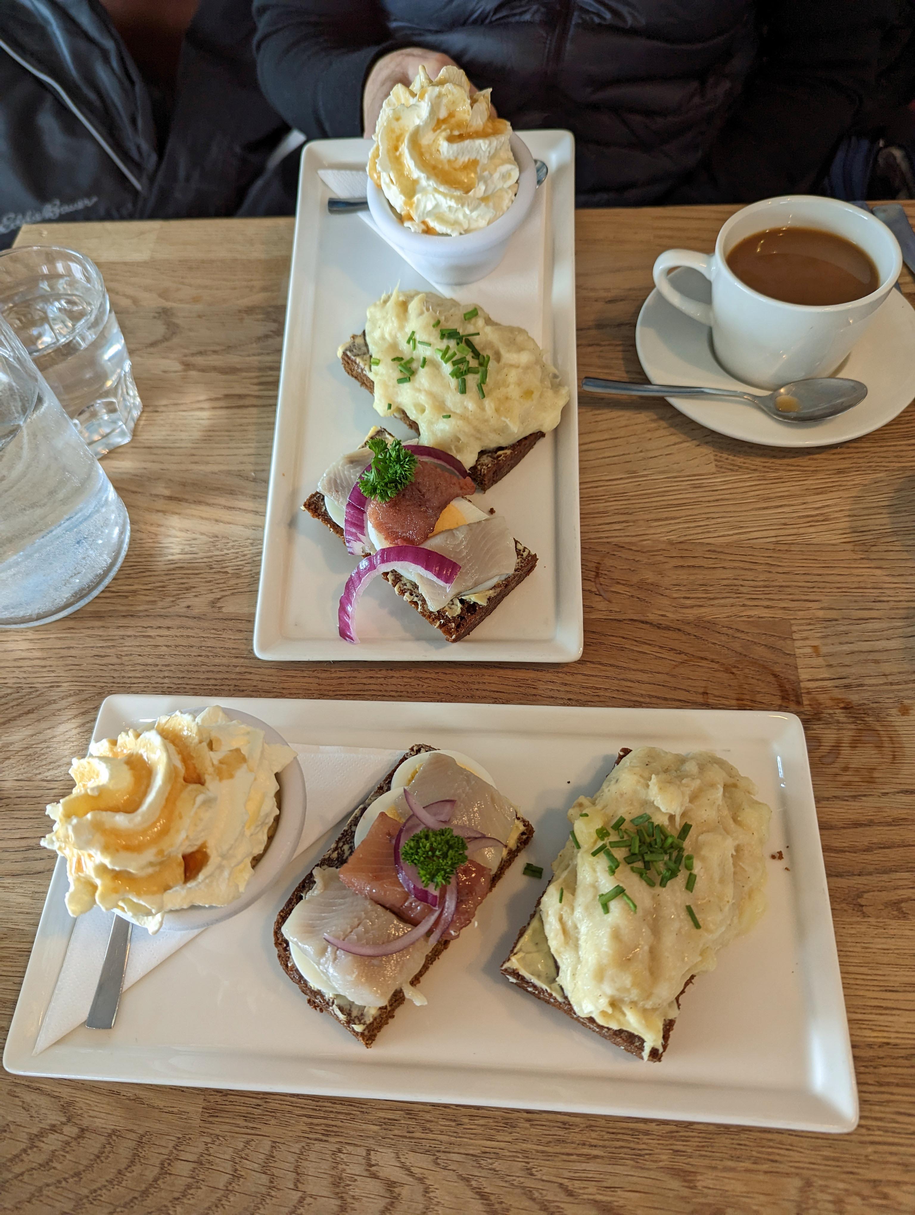
This was called the Baldur. Pickled herring on rye, I did not care for it. In the middle is Mashed Fish on rye, which was really good. Then rye bread ice cream. Melts in your mouth!
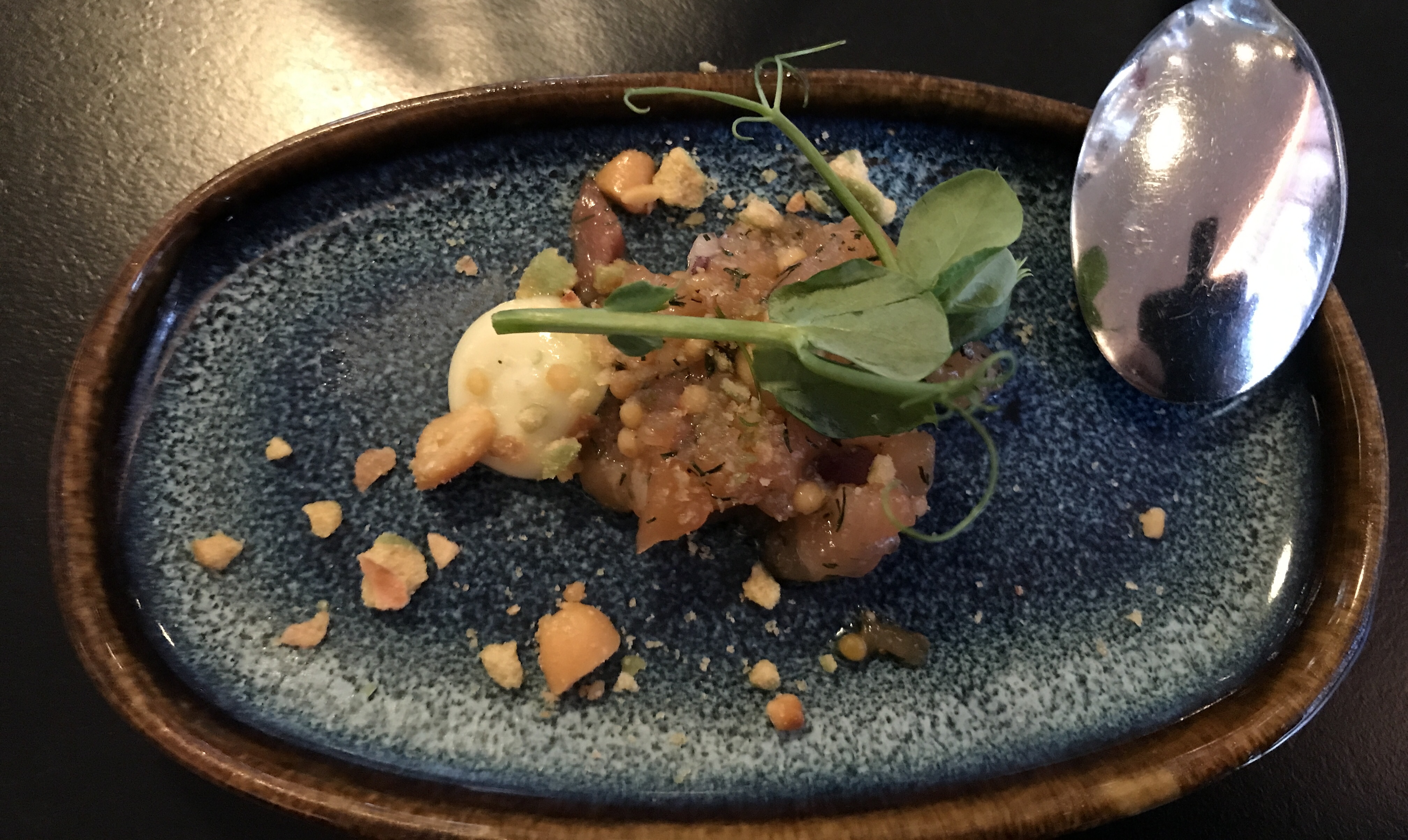
We then went to dinner at this place with Kathy’s friends, Donielle De and her husband Larry.
They start you off with an item new to the menu. This was salmon. OK I guess.
That is butter for your bread on that rock.
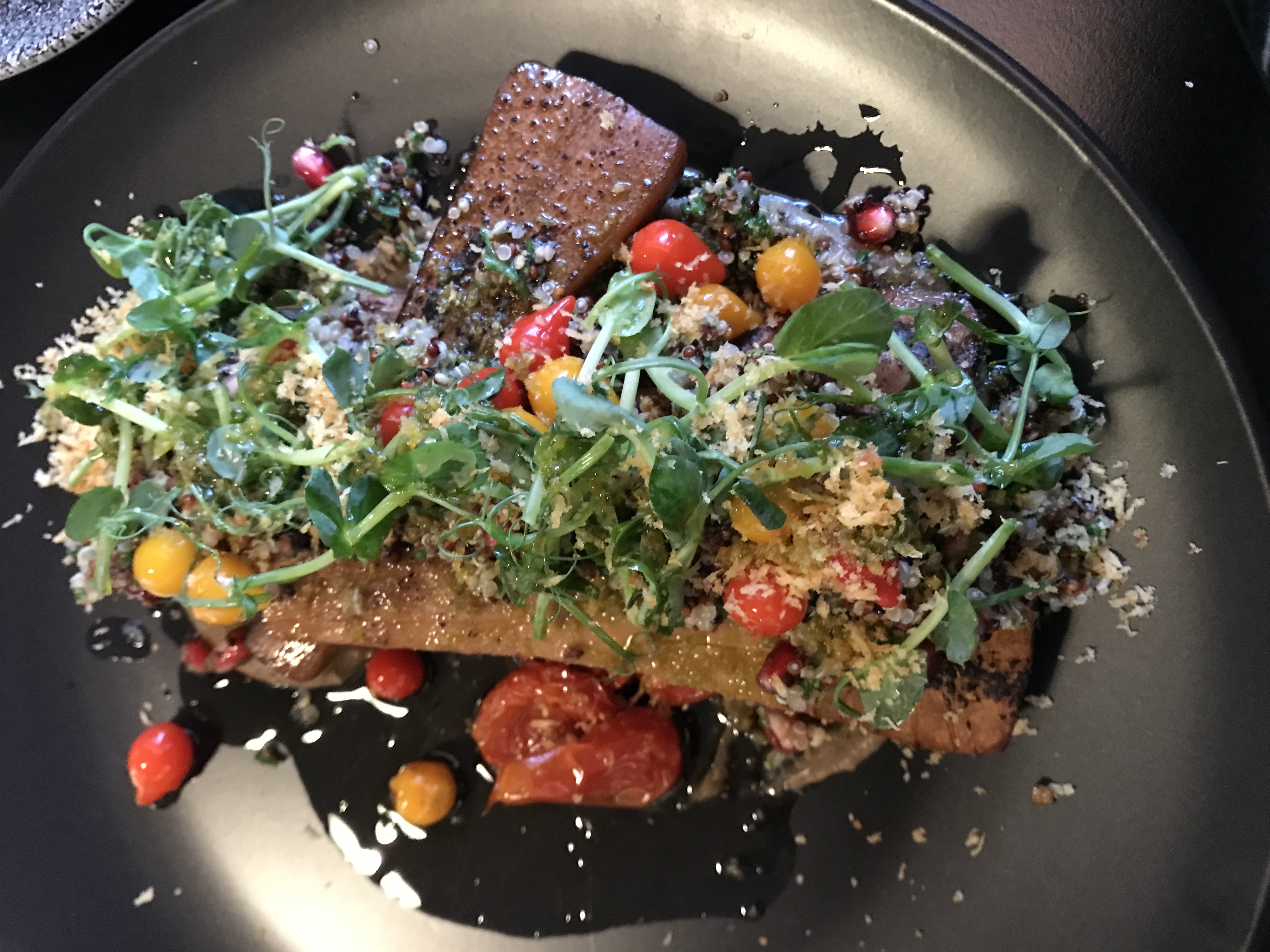
Kathy got the vegan meal.
I got pasta with cod and shrimp.
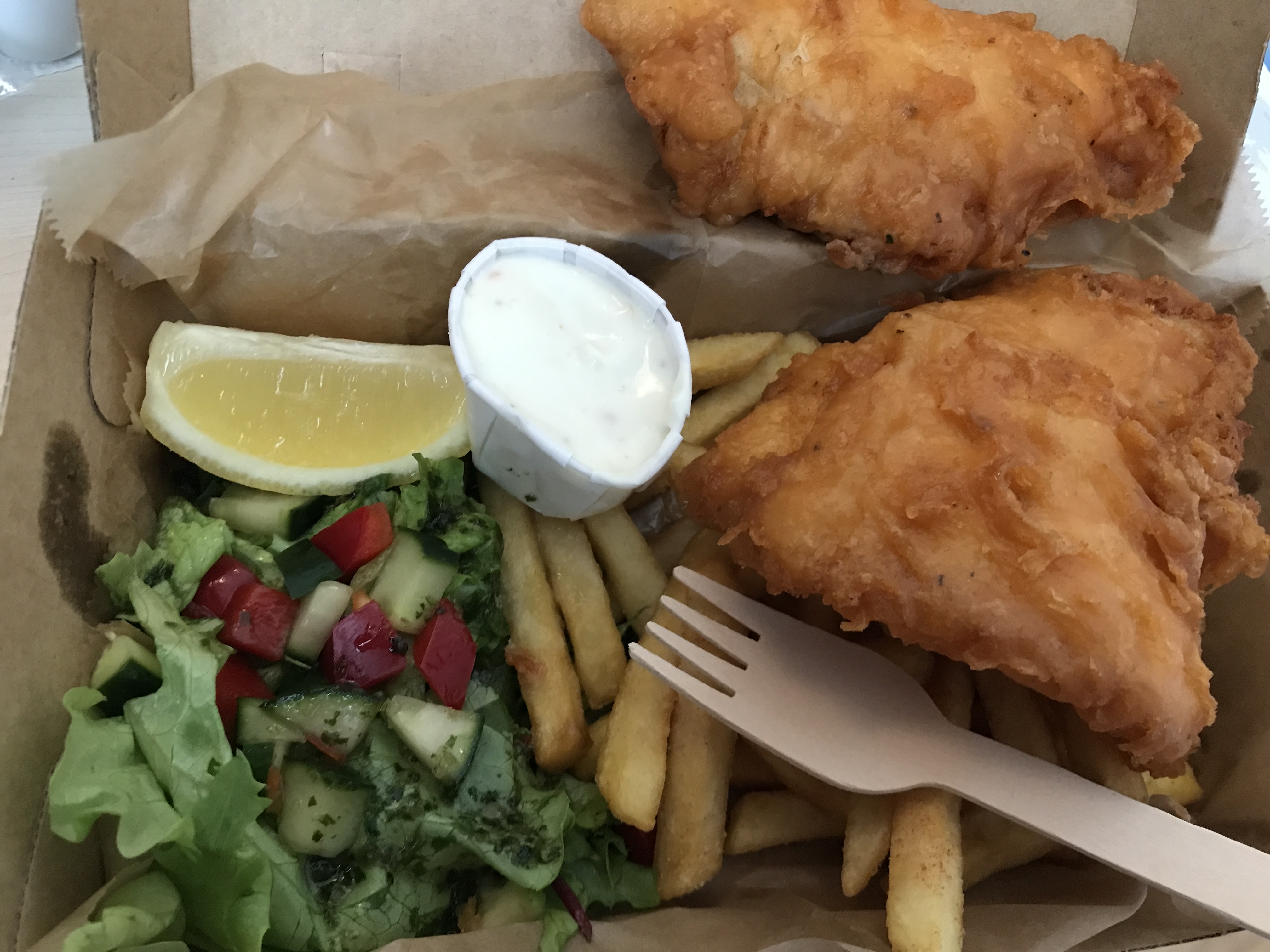
Another night we had carry-out fish and chips. Notice wood fork. Everything is recyclable. And if you want a bag, you will have to pay for it.
Baked beets.
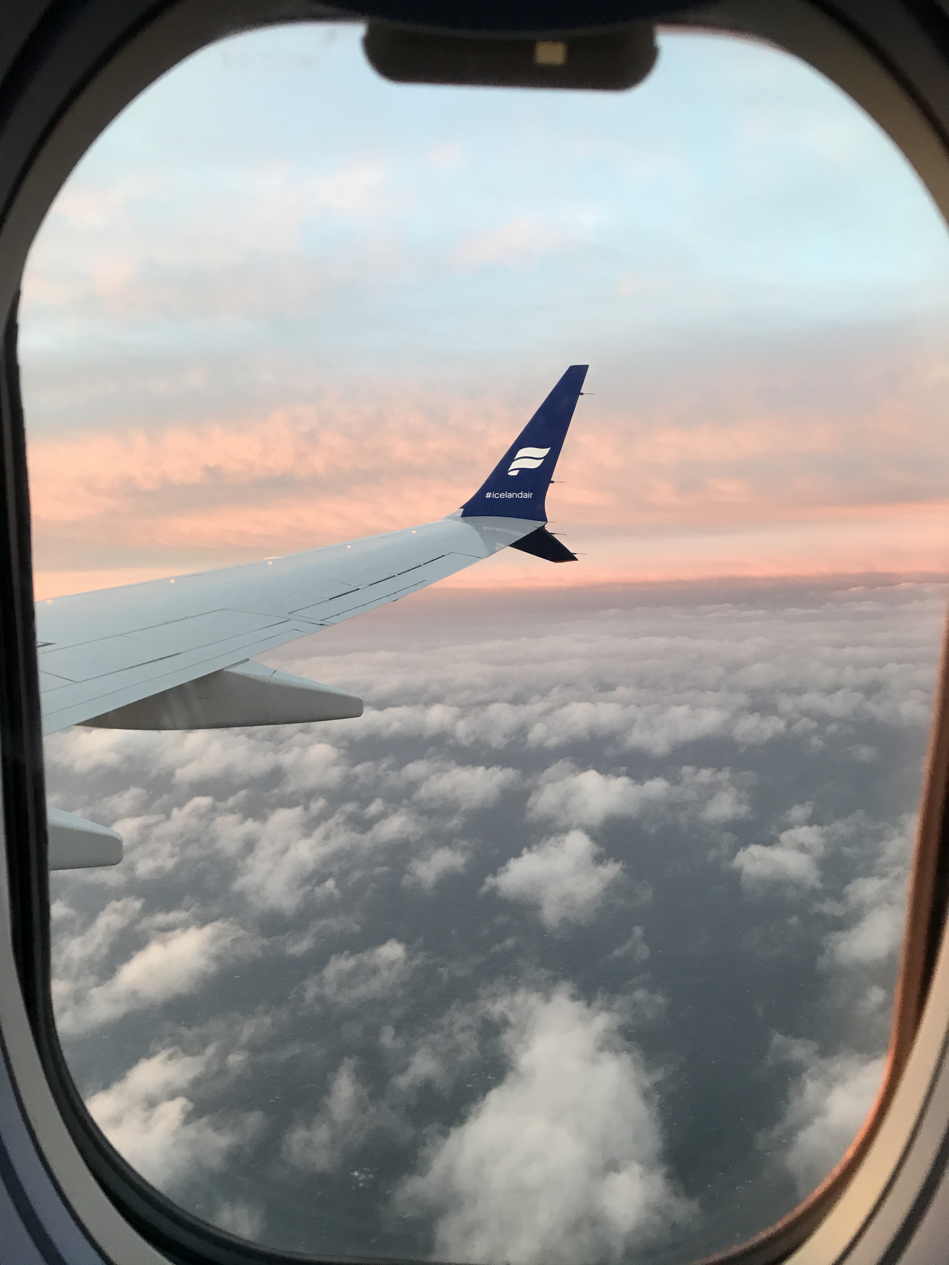
Next morning, heading home. the bus picked us up at about 12:30. Supposed to fly out at 5pm. Due to winds the plane did not take off until about 8:35pm. Long wait in a small airport with not enough seating. We arrived at BWI at 10:20pm EST. Left the long term parking by 11:30pm. Arrived at home 1:45am.
I am so glad that we were able to take this trip. We will probably go back one day to see all the things that we missed.
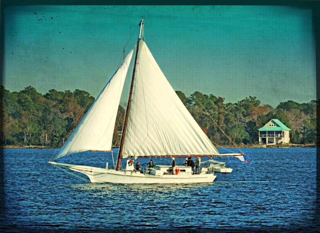
Just before heading to North Carolina back in May, I was looking at an old listing I had for the remaining skipjacks, out there floating around somewhere. At the top of the list, in alphabetical order, was the Ada Mae. This particular skipjack has a notation that it called home New Bern, N.C. We would pass through New Bern heading to Indian Beach for vacation.
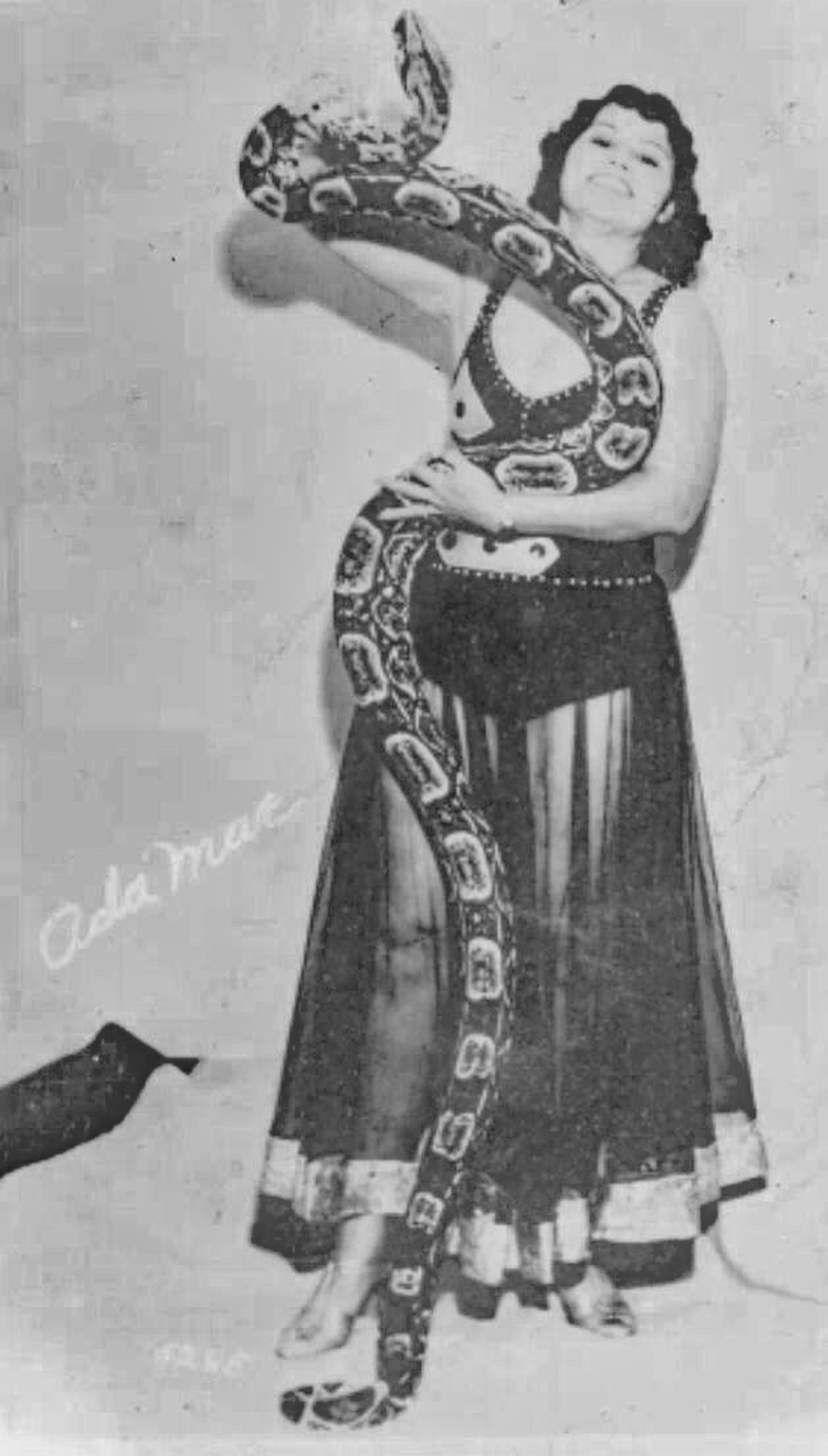
Being that New Bern is about 30 square miles in size, I figured we should do some research to try and find her exact location before heading there. We had absolutely no luck with that! Of course, you can always count on Google for some crazy information. Like this Ada Mae:
She was the 1940s Snake Dancer from Ringling Brothers Circus. Sorry, wrong Ada Mae.
The Ada Mae we are looking for is a 54-foot skipjack, a specialized vessel designed for dredging oysters in the Chesapeake Bay. The Ada Mae was built in 1915 by Ralph Hodges on the family farm in Hyde County, North Carolina. As Hodges, 33, worked on the bateau, his kid sister, 13-year-old Ada Mae, who inspired the skipjack’s name, whiled away the days keeping him company.
Here is some other background info I was able to find: Skipjacks, or two-sail bateaus, were dredge boats that supported the state’s oyster industry. The Ada Mae is believed to be the only remaining skipjack built in North Carolina. It was found in Baltimore, Maryland, in 1994, by an East Carolina University graduate student who was working on a research project in Maryland. The Ada Mae was moored at Washington, North Carolina, where restoration work was being completed. It was to be used there as a classroom to teach students about the oyster industry in the state.
Well, is it in New Bern or Washington? More research. Everyone we talked to started their answer to my question “Where is the Ada Mae?” with, “The last I heard…” So maybe we need to change her name to “The Last I Heard”!
And here is the best time line I could put together.
1915 – Built
About 1945 – Hodges employed the skipjack for more than 30 years, and the Ada Mae’s home was mostly on the Washington waterfront. The Ada Mae divided her working hours between fishing and oystering on the Pamlico Sound off North Carolina, and transporting watermelons and lumber from the sound to Baltimore during the summer.
1955 – Disappeared. The Ada Mae, according to U.S. Coast Guard enrollment records, was among the few skipjacks working until 1955, when it disappeared from the register. She was abandoned outside of Baltimore in a shallow backwater, as is the custom for retiring obsolete boats.
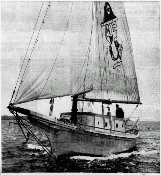
1965 – The Ada Mae was rescued and put into service as the “Chester Peake,” the centerpiece of an advertising campaign launched by National Brewing Company of Baltimore. The aging skipjack was chosen because it represented one of the symbols of the Chesapeake Bay. She sailed from port to port on the bay, attending festivals and regattas and advertising the brewing company.
1965 Advertisement1965
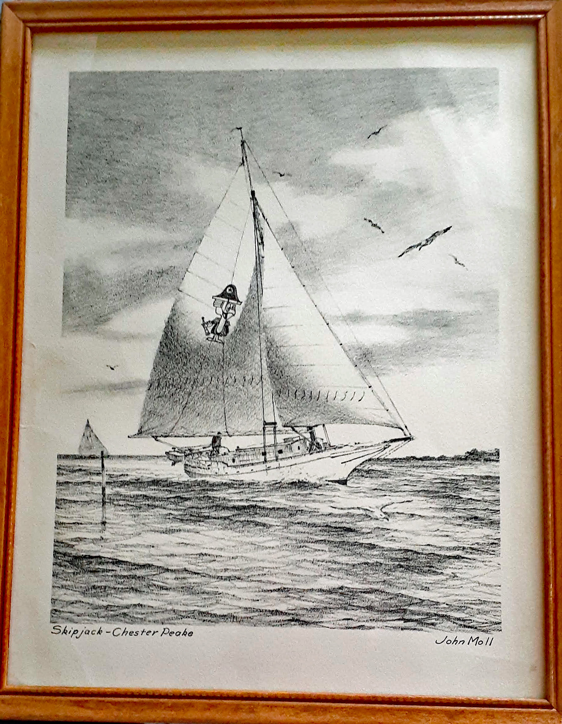
Just recently I acquired the below John Moll print at a local auction.
When National Brewing’s ad campaign shifted, the company donated the Chester Peake to the Baltimore Sea Scouts. For several years they used the skipjack as an educational and training vessel on which scouts learned about boating, leadership, and self-reliance. When upkeep became too much for the scouts, she was sold to William Phillips of Baltimore. Phillips had worked with Chesapeake Bay pilots for nearly 30 years and was hopeful that retirement would provide him the time to restore the Ada Mae. When it became obvious how daunting a restoration would be, Phillips set his sights on finding new owners who would be able to fulfill his dream. As it happened, the new owners found him.
1994 – Found by Grad Student in Baltimore. “David Smith, a graduate student in the maritime history and nautical archaeology program at Eastern Carolina University in Greenville, N.C., had heard in 1994 about a North Carolina-built skipjack called the Ada Mae that was moored somewhere in Baltimore” (Daily Press, Va.)
1995 – It took more than a year to pull together funding to move the boat. Soon after the Ada Mae’s arrival in North Carolina, the Institute for International Maritime Research held a welcome-home party. To the surprise of everyone, including the mayor of Washington, about 200 people led by Ada Mae Cowan, (Namesake of the skipjack), showed up for the festivities.
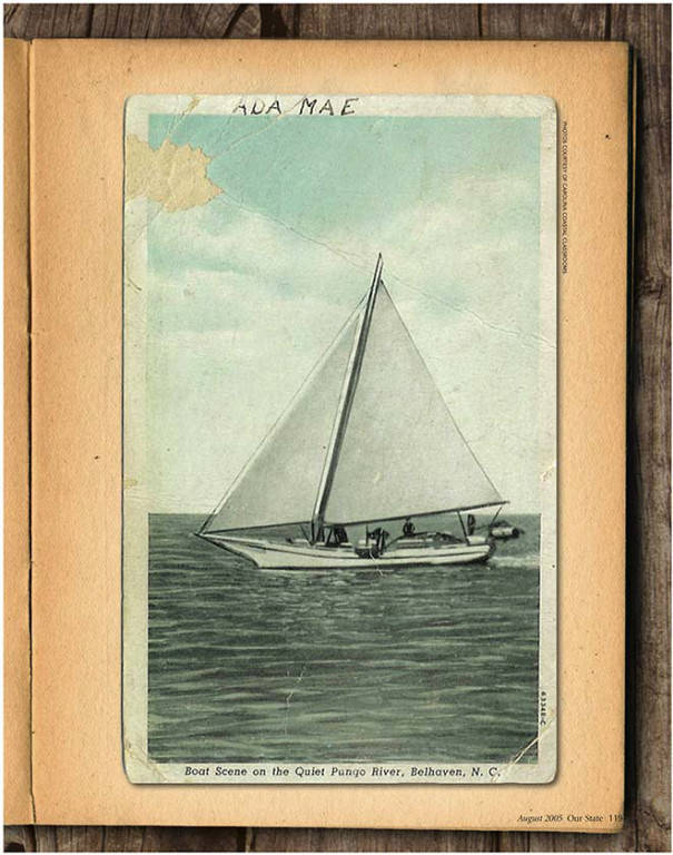
Noted that a 1900 Silver Dollar was kept under the mast for good luck. Also noted: I recently talked to someone who has this Silver Dollar.
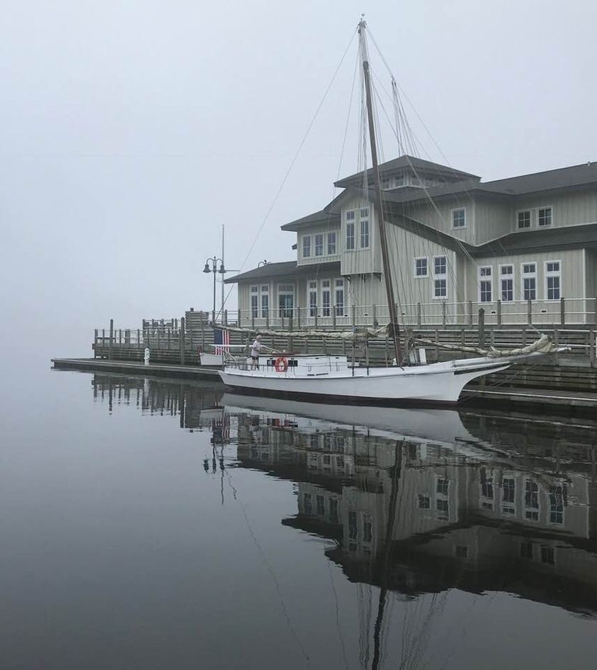
2013 – Below photo of the Ada Mae docked near the Persimmons Restaurant in New Bern, N.C. Photo courtesy Watson Brown’s Backroad Photography (Great photos on his site).
2015 – 100th anniversary celebration. From the Halifax Media Service: “The 1915 ship, built to mainly dredge oysters, has been docked in New Bern since she was acquired by Carolina Coastal Classrooms in 2003. She is now used in the CCC’s educational programs. She is the only remaining skipjack in North Carolina and the oldest working ship in the state,” according to Carolina Coastal Classrooms. About 1,000 were built. The festivities will be at 5 p.m. Saturday at 109 Pollock St. The Ada Mae will be docked on the Neuse River behind the Galley Store.
2018 – Hurricane Florence strikes.
2021 – Found her!!
So, back to the story of our search. As I said, I looked at the Last Skipjacks Project website and sent off an email to a woman named Cyndy and she really didn’t have much info on the Ada Mae. Another Google search came up with Watson Brown’s photo. Thru Facebook I contacted him and he said his photo was from 2013 at New Bern. Kathy and I decided we would stop there on our way to Indian Beach. No luck. We did manage to get in touch with the owner of Persimmons Restaurant and he said it was moved just prior to Florence, just didn’t know where.
While on vacation I spent a lot of time doing some research, which included getting in touch with the Maritime Museum in Beaufort. They told me the boat was offered to them but they lacked the funds to restore it. “The last he heard”, it was in Washington, NC. The other “Last I Heards”, were at Fountain Powerboats, on the Pamlico River across from Washington. (Looking at Google Earth, it looked like a ship graveyard) It wasn’t there. McCotters Marina – no. Belhaven area – no. The Coast Guard, who had listed the Ada Mae as having been inspected in 2013 – never got back to me. And a whole lot more. Including Duck Creek Marina, who later gave me all the info I needed!
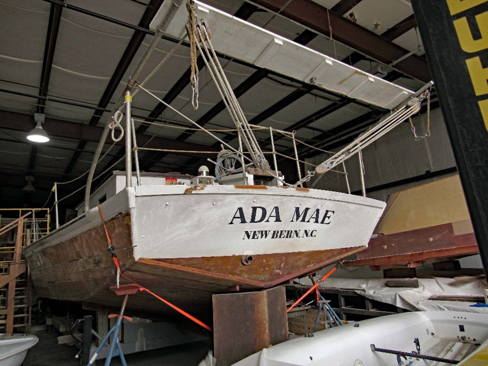
Four months later, I called Duck Creek Marina and talked to Cathy who said I should call the man who previously ran CCC and he would know where she is. Called and talked to him for a while. He said the Ada Mae is currently at Pacific Sea Craft in Washington, NC. She is alive and well and being restored. Come spring 2022 she may be moved to Beaufort, near Indian Beach, North Carolina. (I was seriously chastised for my mispronunciation of Beaufort! I pronounced it as ‘Buu-fort’ and not ‘Bow-fort’! Apparently there is one in North Carolina and one in South Carolina, each with there own pronunciation!)
Jimmy Sellers FB post, photo from 2018, before Hurricane Florence
I was given additional background on what happened to her: In 2018 when Florence approached she was moved to Duck Creek Marina and placed on low blocks. The water rose and she floated off and was damaged when she became wedged between two other boats. (I was originally told back in May she was lifted off the blocks and crashed to the ground). She was eventually moved to Pacific Sea Craft. They are talking about placing fiberglass on her to help preserve the hull. Various opinions about that.
I talked to Pacific Sea Craft a couple times in the past week to verify that she is there – yes she is. As of this writing I am waiting for them to send me some photos of the damage and the restoration work they are doing. They also said we are free to come down and look at her. Kathy will be heading to North Carolina in mid September and said she will stop by and photograph her.
Thank you Kathy for this and for your patience and willingness to travel around and talk to various people about the Ada Mae!!
Please note: I have removed some of the names of the people I have spoken to because, as of now, they still have not gotten back to me, giving permission to use their names. Some info was taken from various websites, that refer back to other websites, like Our State Magazine, N.C. and the Daily Press, Va.. Also Carolina Coastal Classroom which as far as I can tell, has closed down.
Update:
In September 2021, during Kathy’s trip to North Carolina to visit her sister at Indian Beach, Kathy stopped at Pacific Seacraft. It was a Saturday, and they were closed. I tried to convince her to climb over the fence and peek in the window…
On May 24, 2022, on our trip home from Nashville, Tennessee, Kathy and I decided to take a chance and stop at Pacific Seacraft, Washington, North Carolina. I soon saw why Kathy would not climb the fence – the place is huge and has barbed wire all around. I called and asked if we could come in and they said OK. We met a fellow named Travis (the owner Steve was busy) and he showed us the Ada Mae. And here she is, after a year of searching, found in a boat builder’s shed, hopefully awaiting some restoration and placing back in the water.
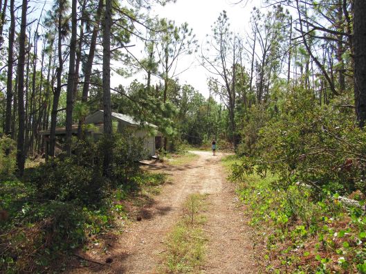
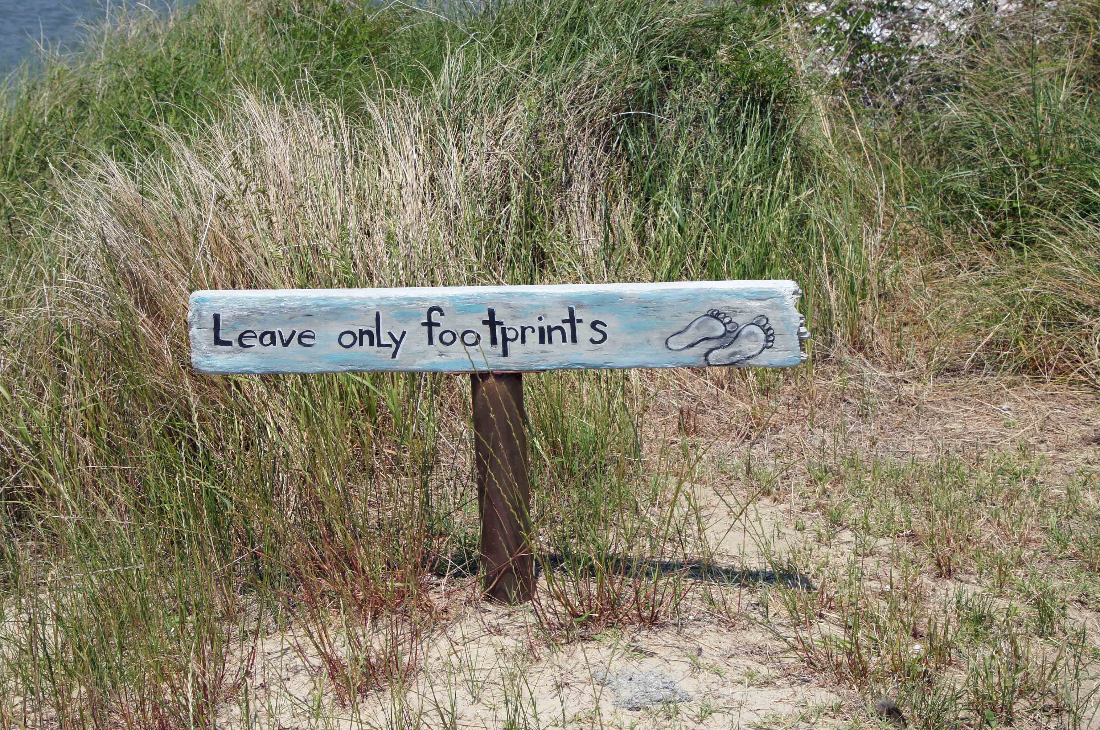
An old joke but still cracks me up – If Pete and Repeat were sitting on a fence and Pete flew away, who was left? Repeat. Ok, If Pete and Repeat were… and on and on it goes until someone tells you to stop it! What does that have to do with a nature hike post? Nothing, other than the fact we have repeated this trip to Assateague Island in Virginia a hundred times. And we never get tired of it. And we always seem to find a new adventure awaiting us – whether we are biking or hiking.
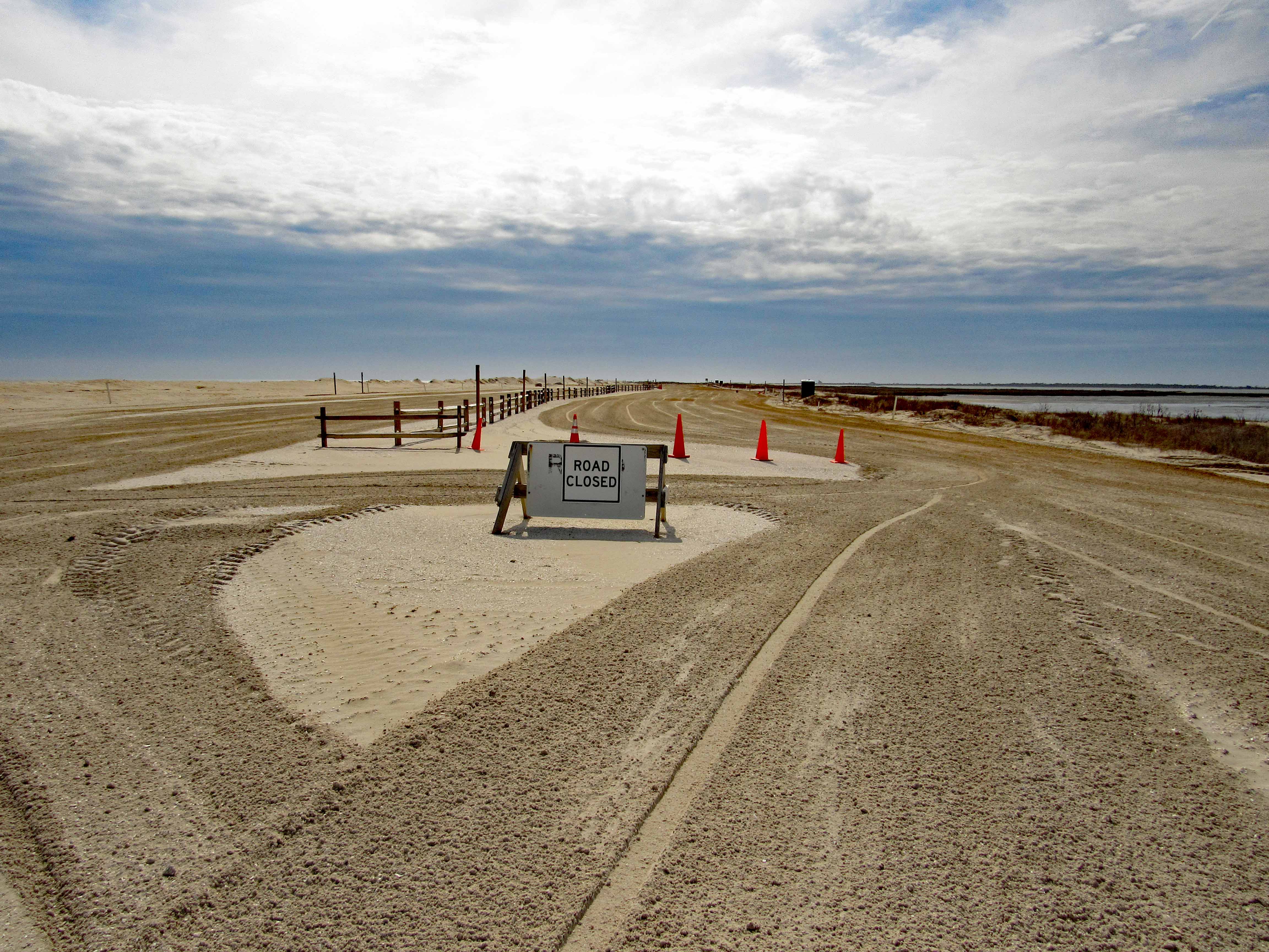
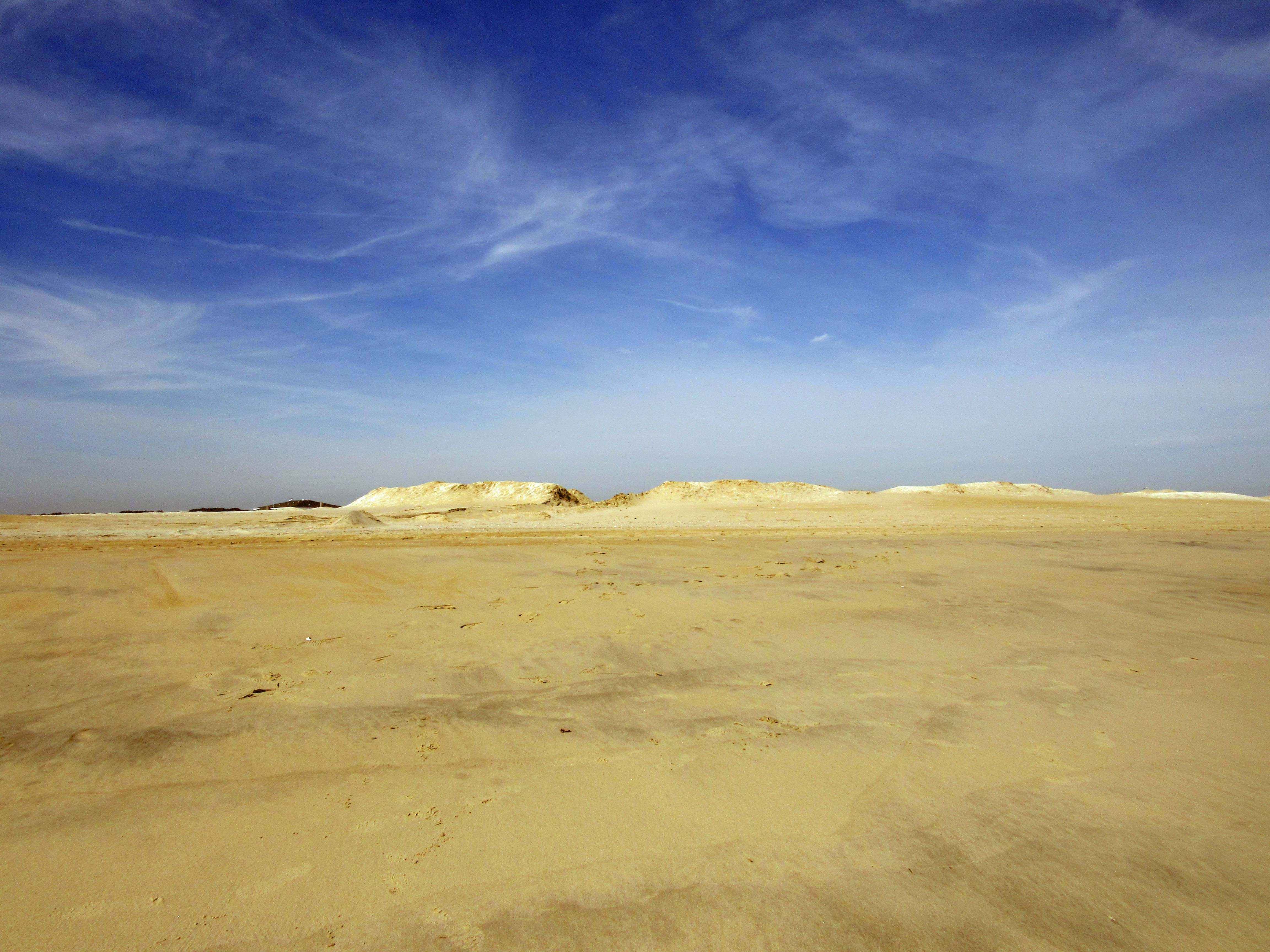
This particular trip was just to get out of the house before the rains came, have lunch and to look at the ocean from the parking lot. But the lot was closed so we decided to see what was going on.
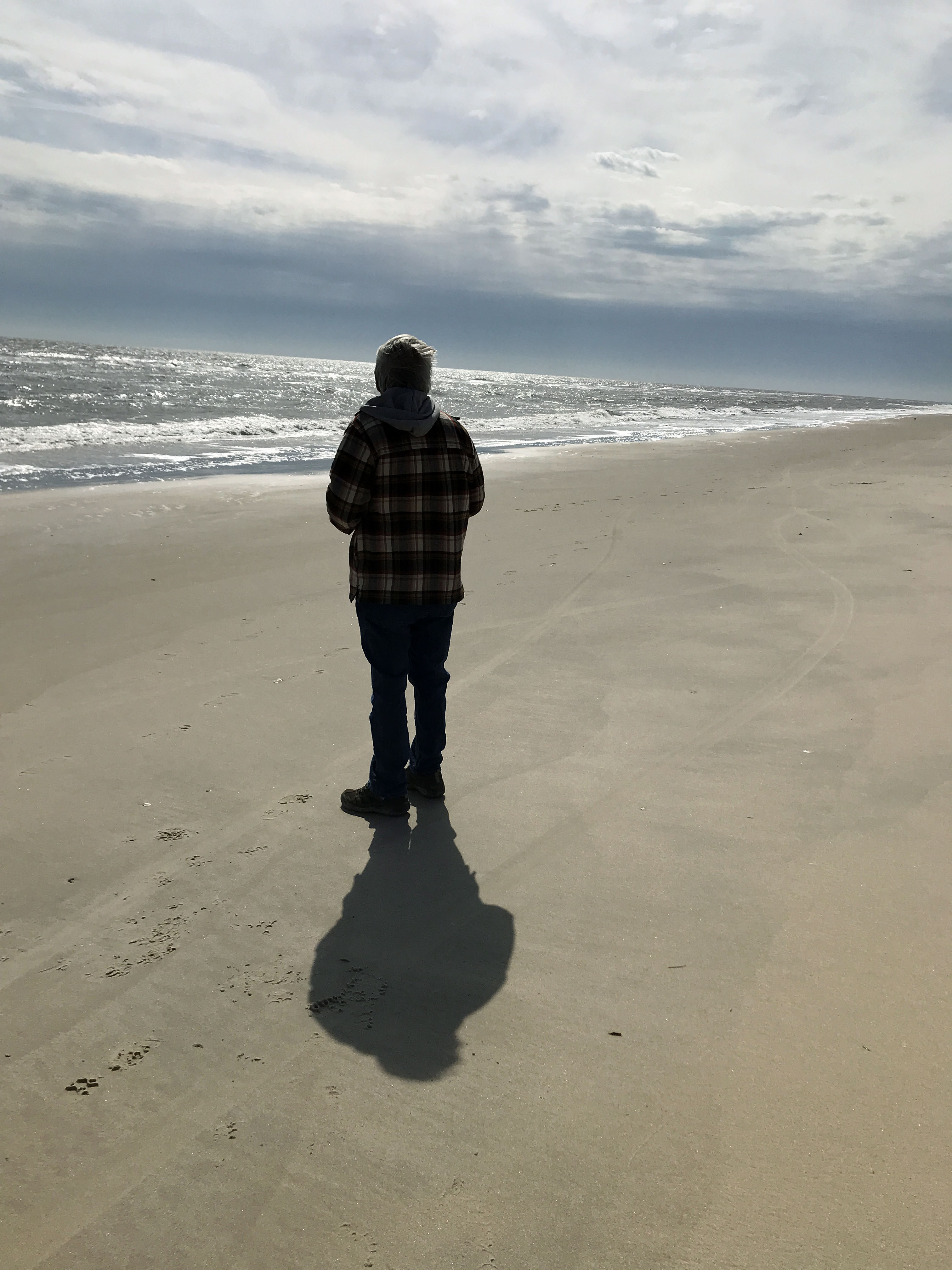
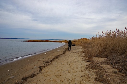
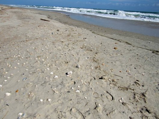
Me wondering where all the sea shells are?
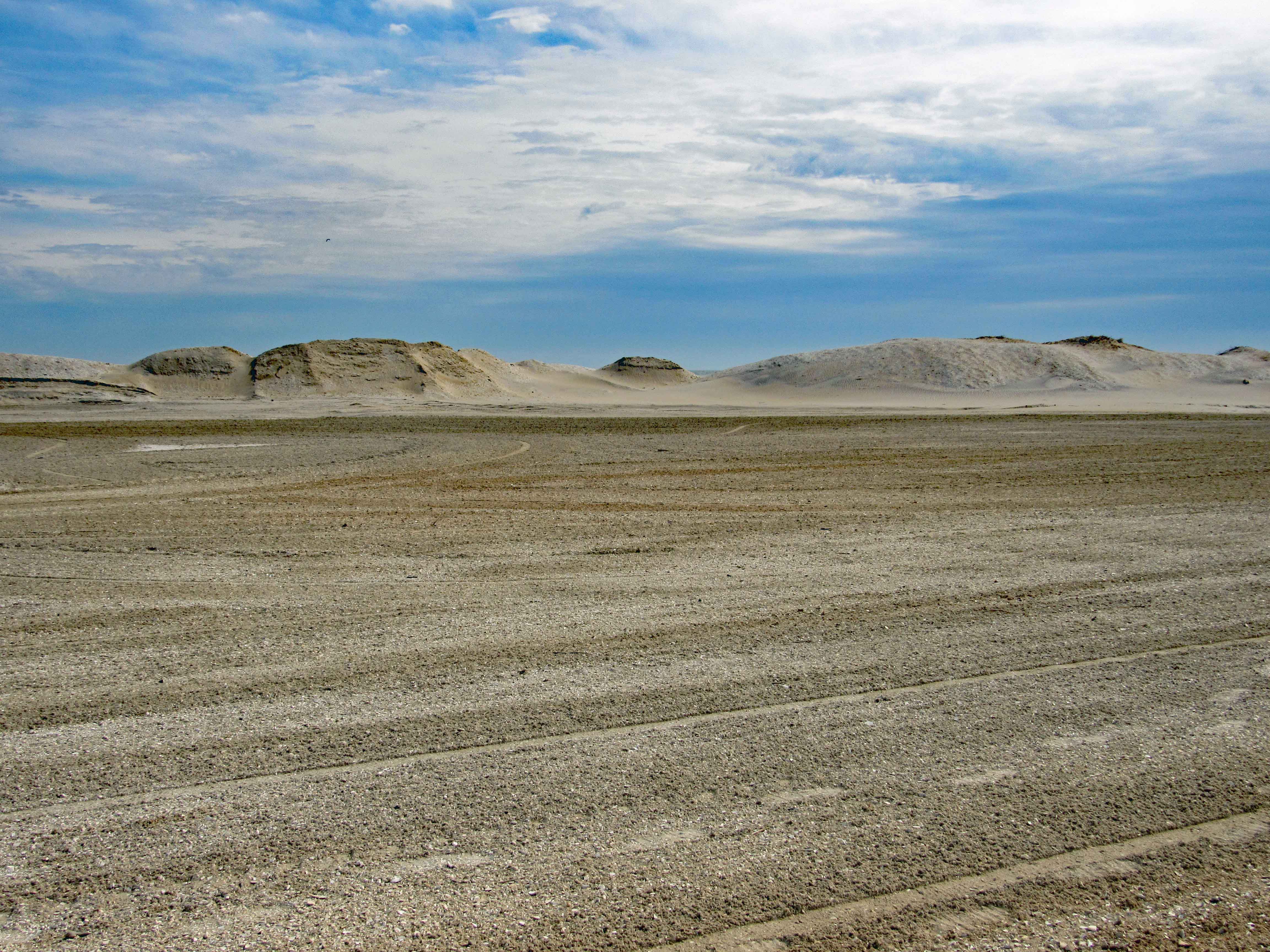
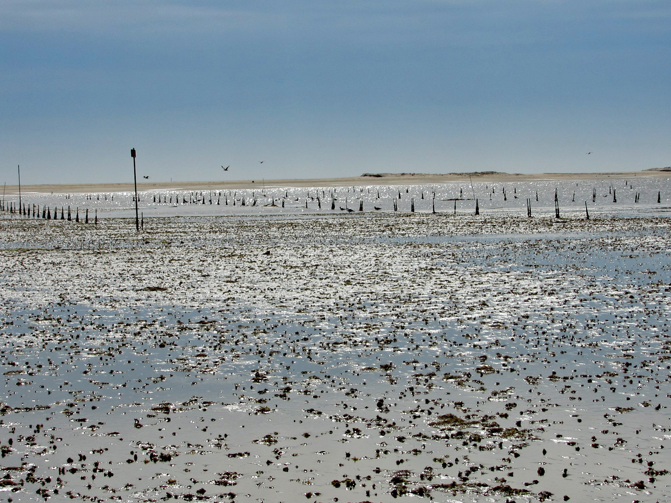
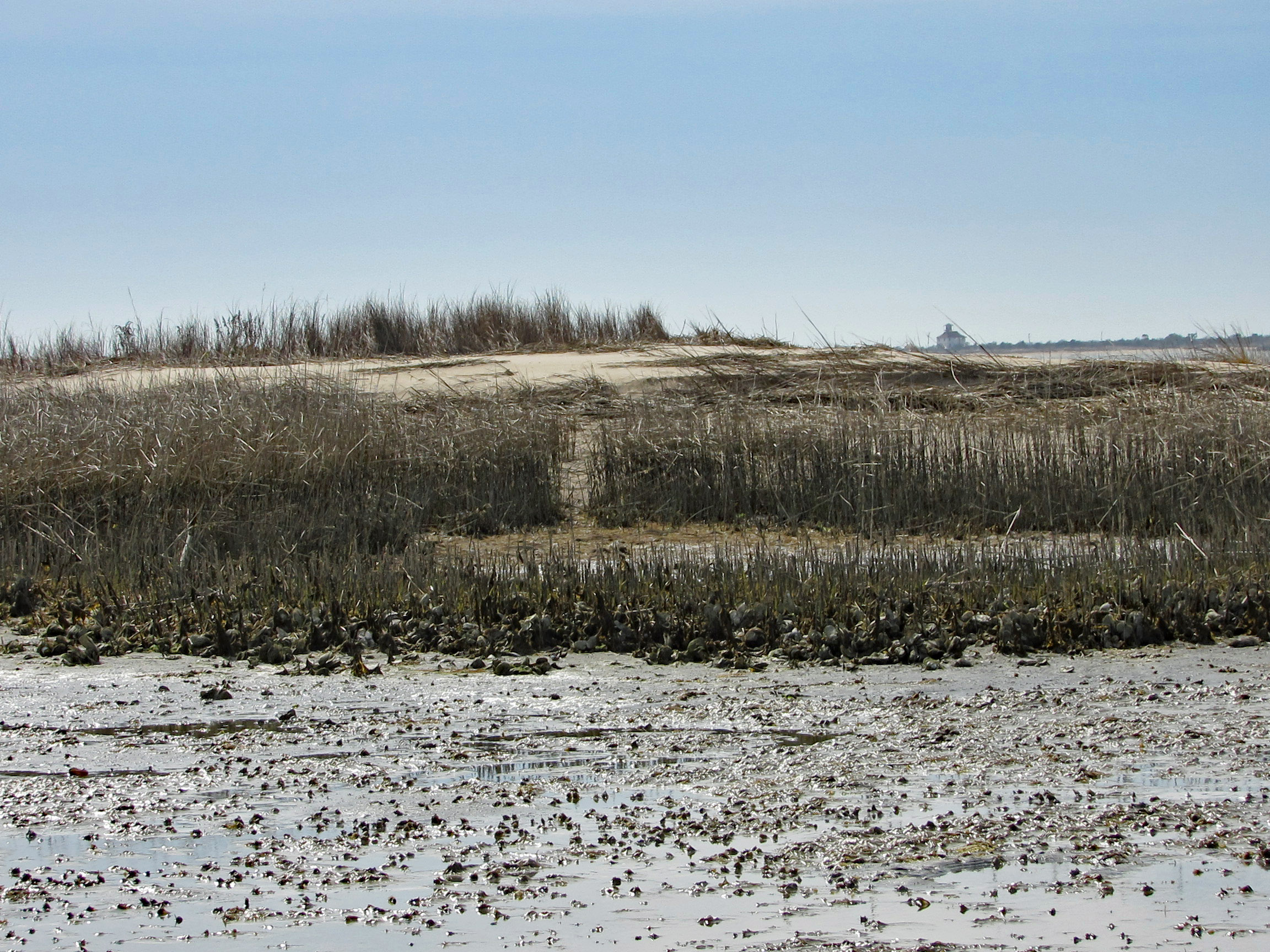
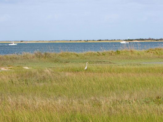
The beach is under a constant state of erosion and the Rangers/contractors are under a constant state of trying to fix it. I’m going to go out on a limb here and guess that the Atlantic Ocean and Tom’s Cove will soon be connected. That at the rate of erosion, maybe by 2025 this stretch of the beach will be gone. So much for doomsday projections…Kathy and I headed over to the cove. Kathy was wondering how are we going to get over to that strip of land. The tide was the lowest we have ever seen it. Off in the distance is where we usually hike – The Bi-valve Trail.
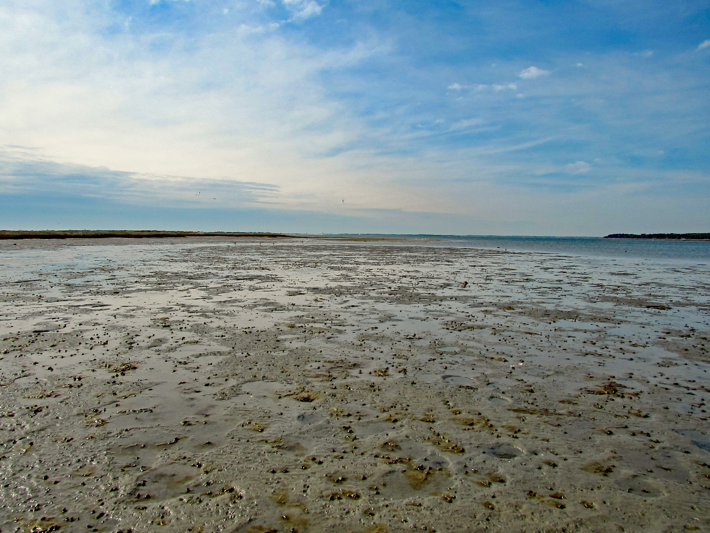
Mostly hard sand but there were some pockets of mud.
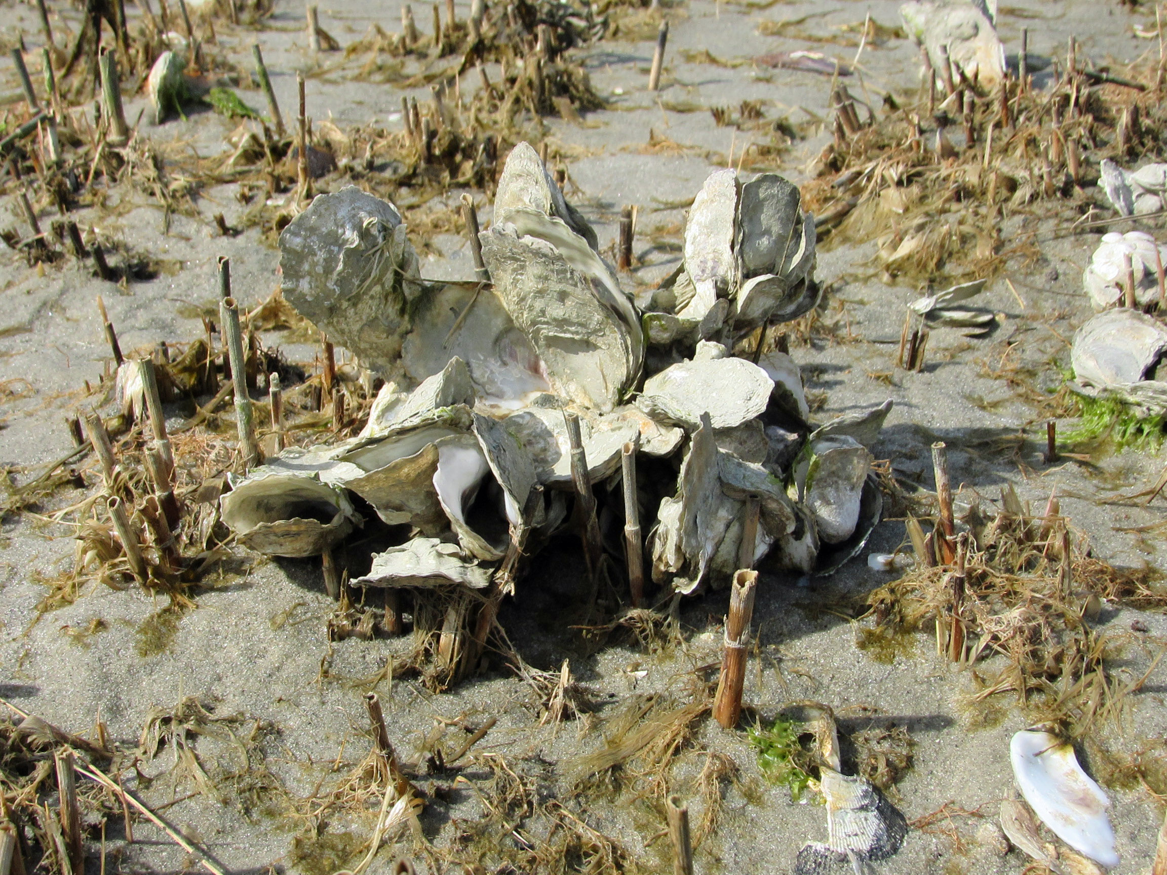
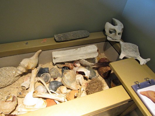
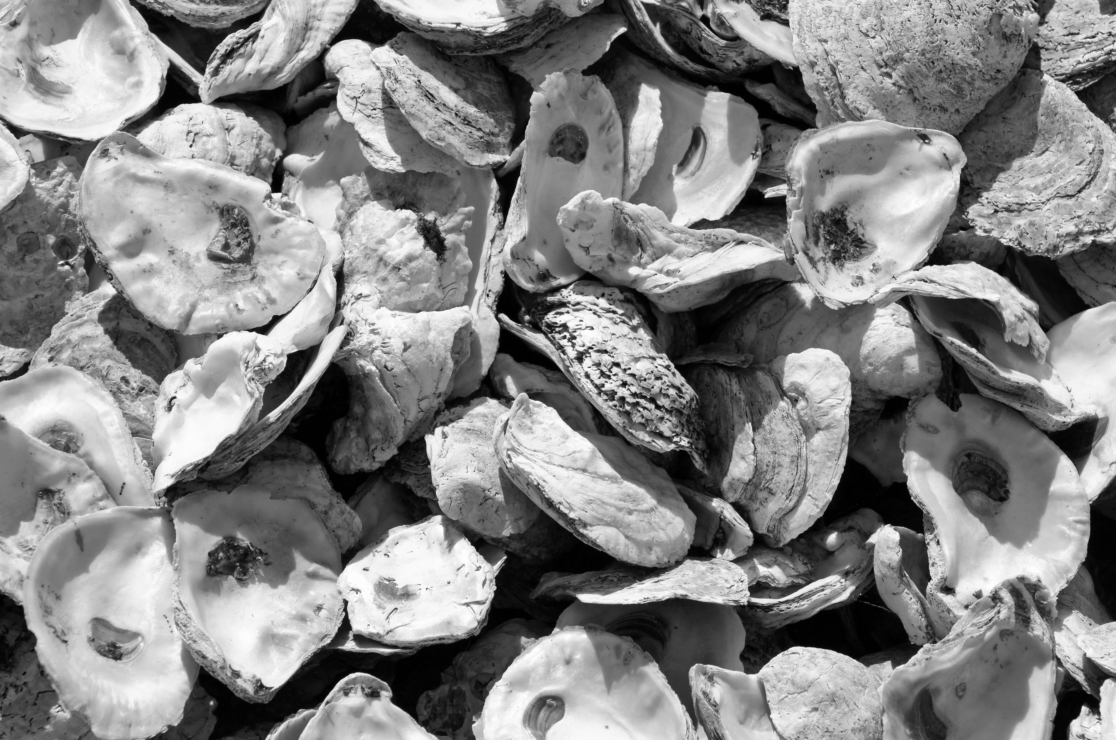
Quite a few varieties of shells. Mostly empty oysters and mollusks. Some clams here and there.
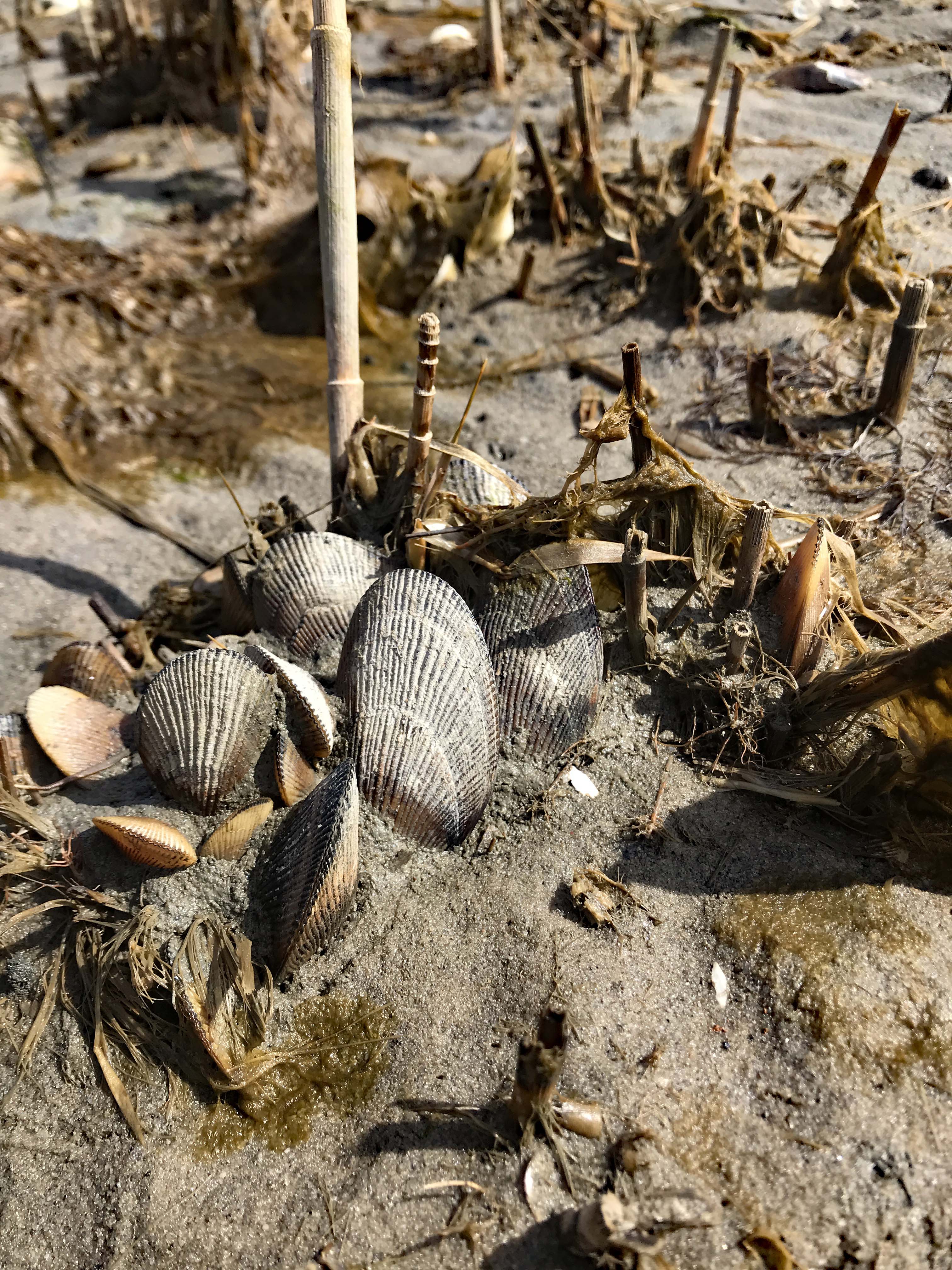
Kathy’s photo of some bivalves.
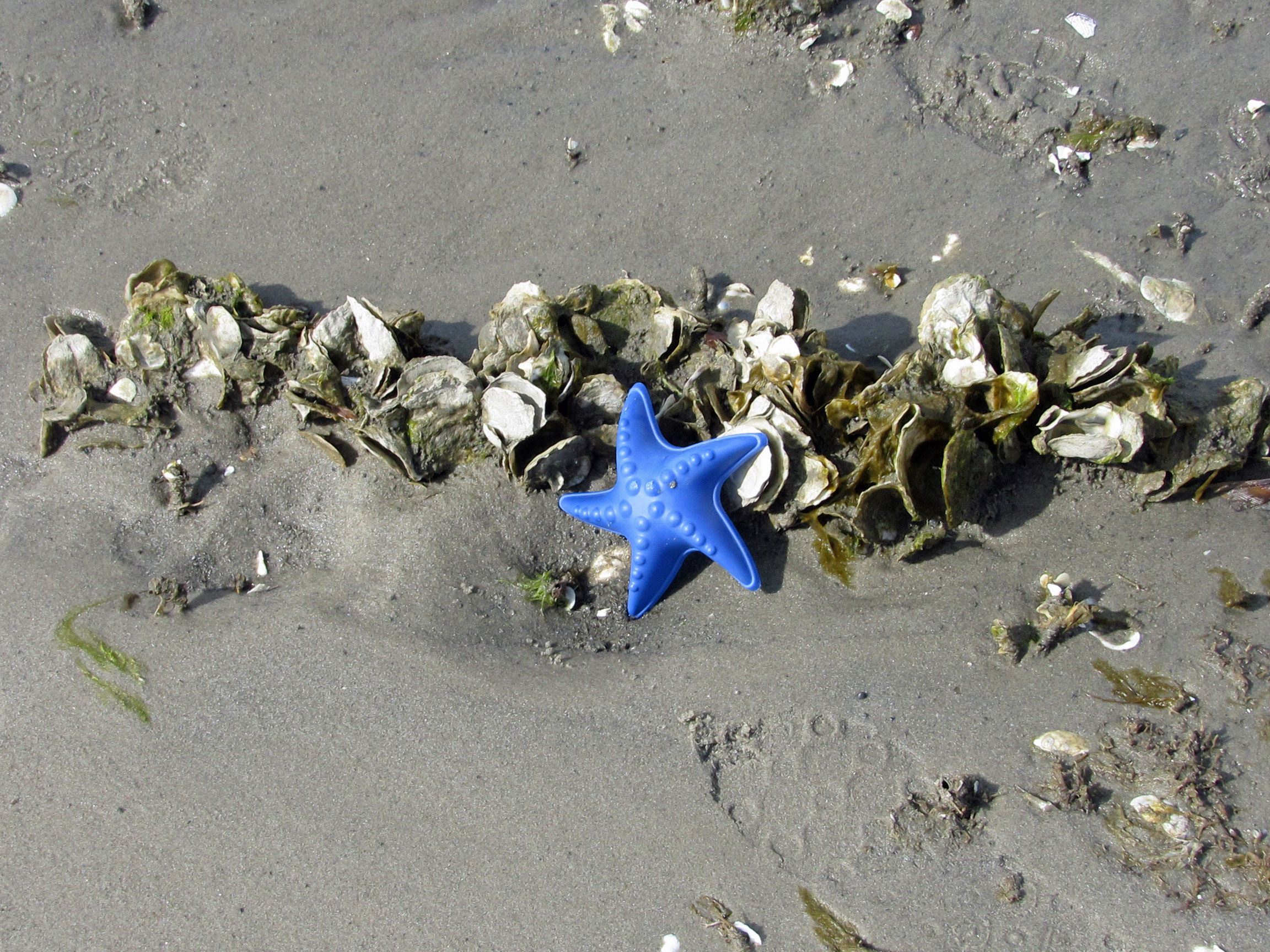
And a very lonely, cold, star fish.
Time to head back and we thought this path would take us towards the beach. It didn’t.
It took us somewhere alien! I have an app on my phone called Google Lens, which if you take a photo with it, it will tell you what it is you photographed. The app didn’t know what to make of this.
We finally make it back to the parking lot. Amazing how it changes every time we visit. Bulldoze the sand up in a pile and the ocean just washes over it.
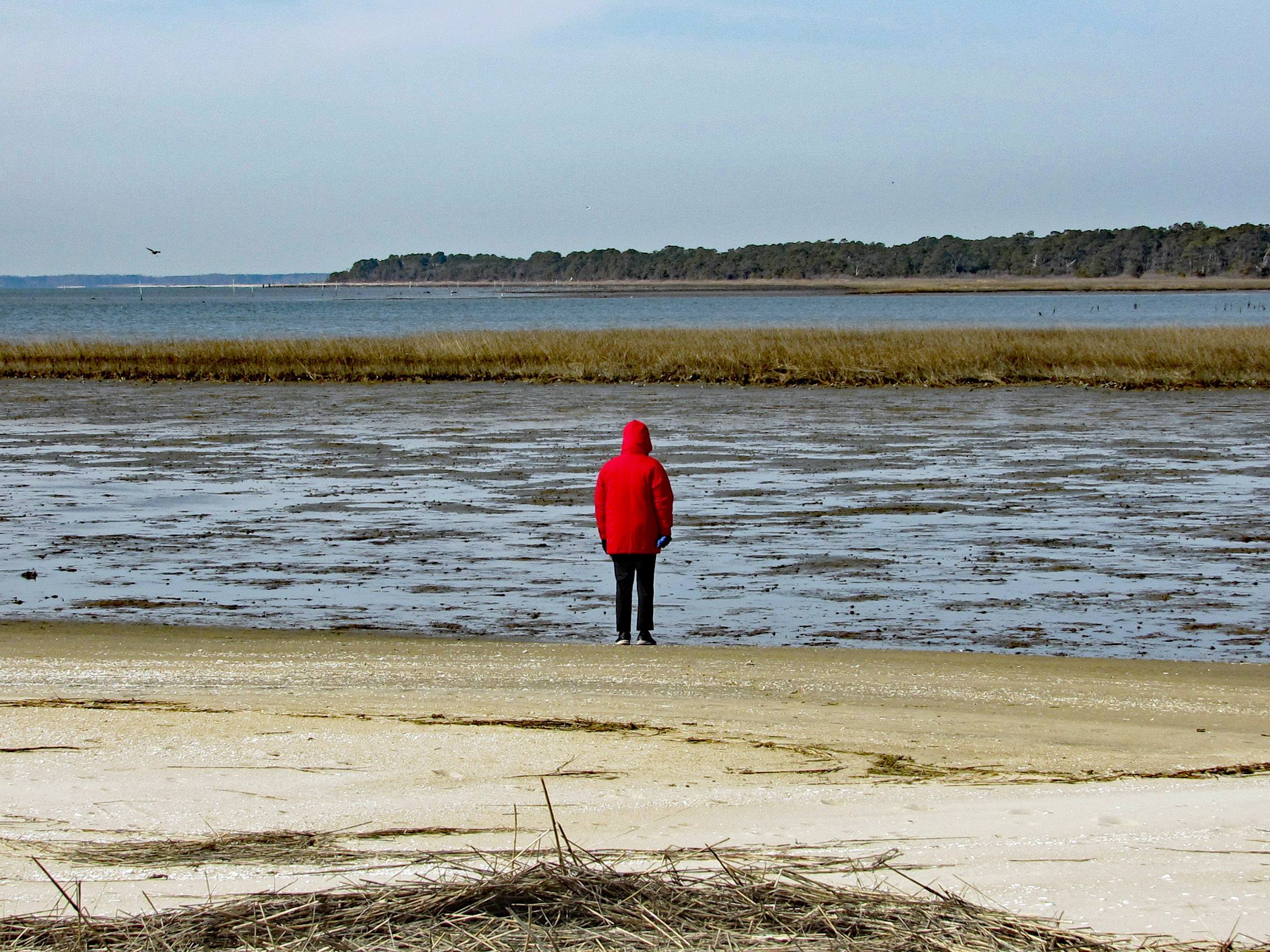
After walking around for a couple hours we then headed to the Crusty Crab at Greenbackville for a couple oyster sandwiches and their delicious coleslaw. Sat at the beach and ate. The tide was also low here…
Another great, repeat adventure with some new twists! Thanks GOD!
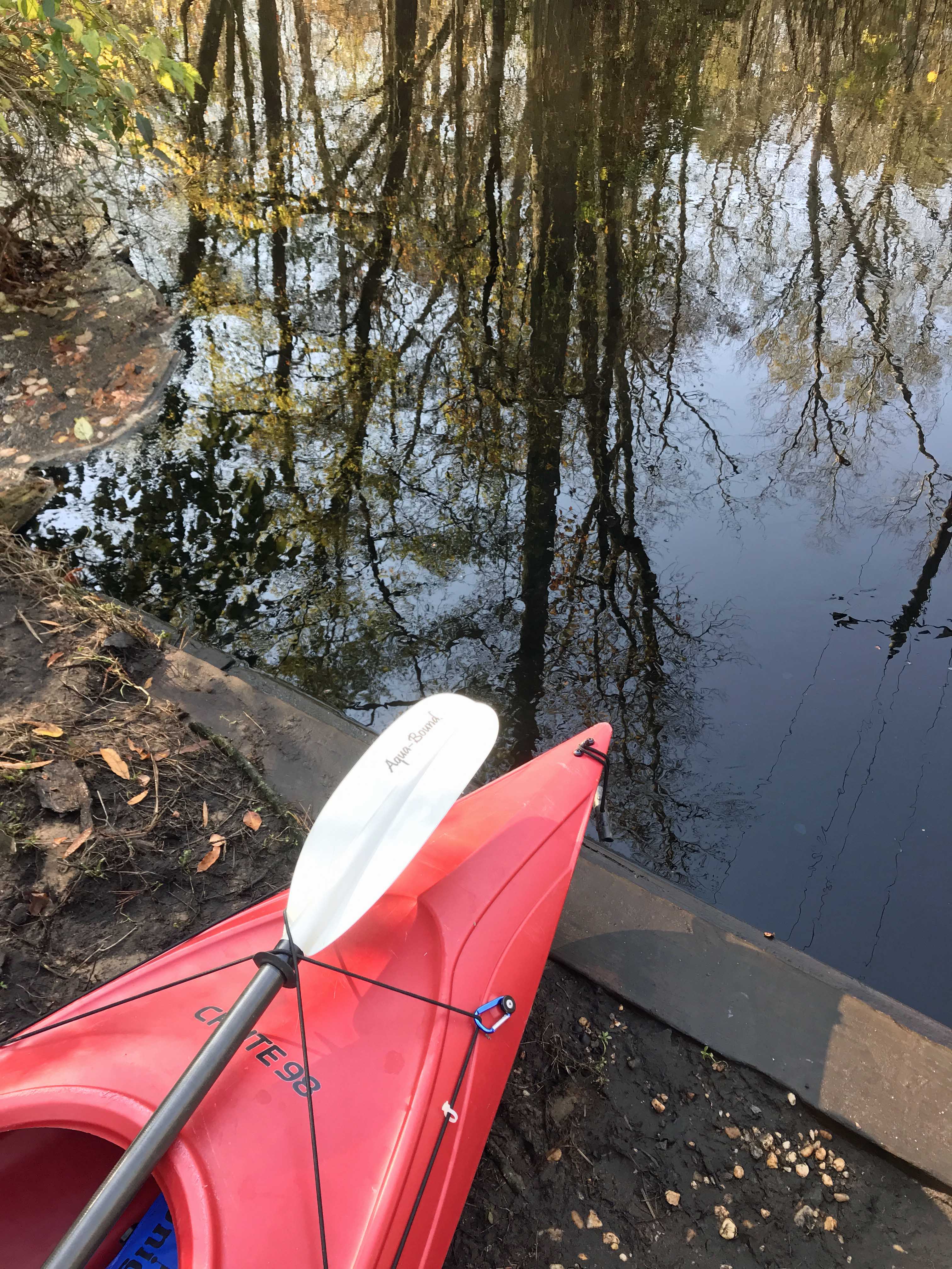
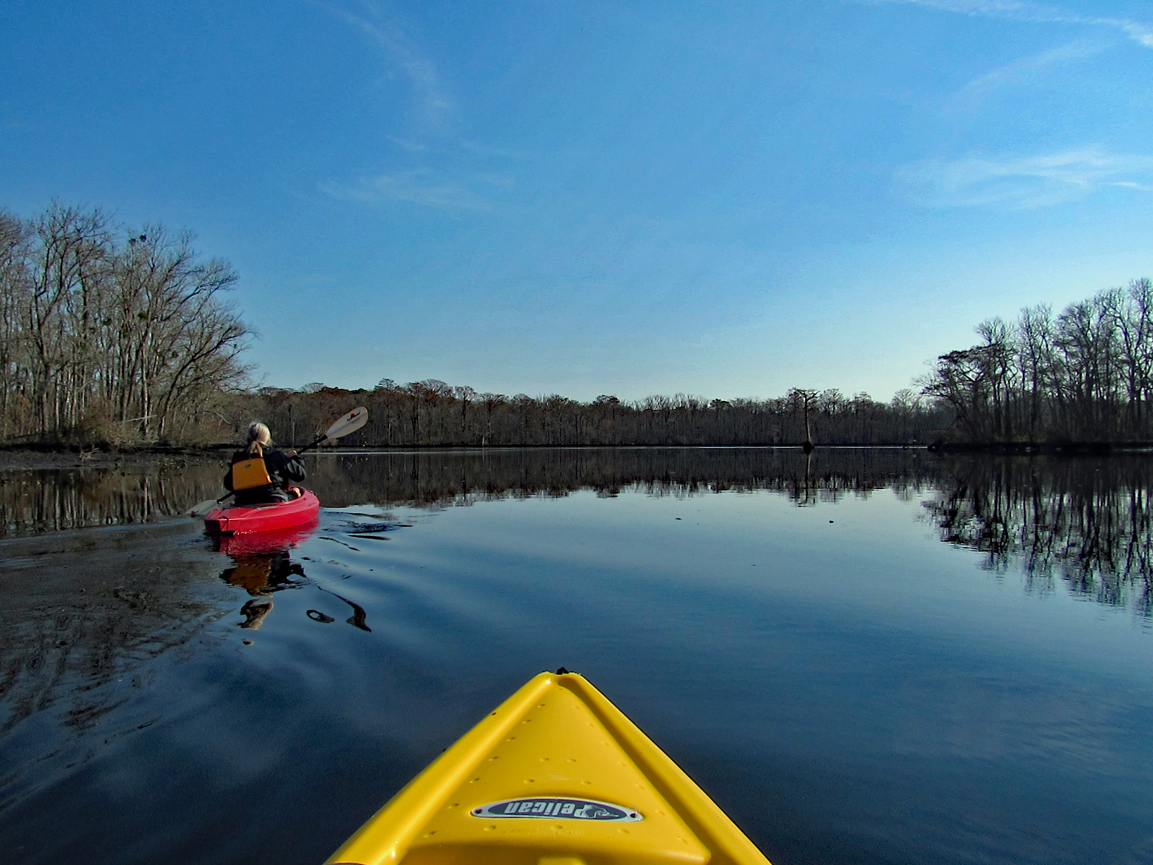
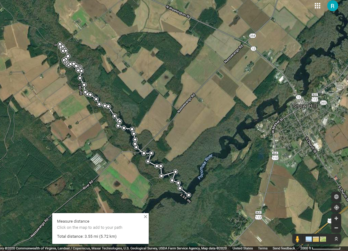
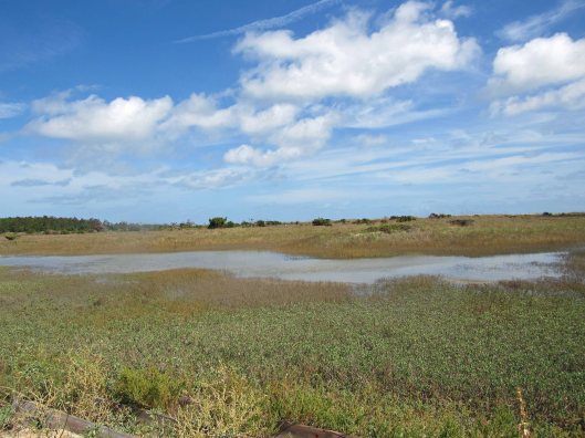
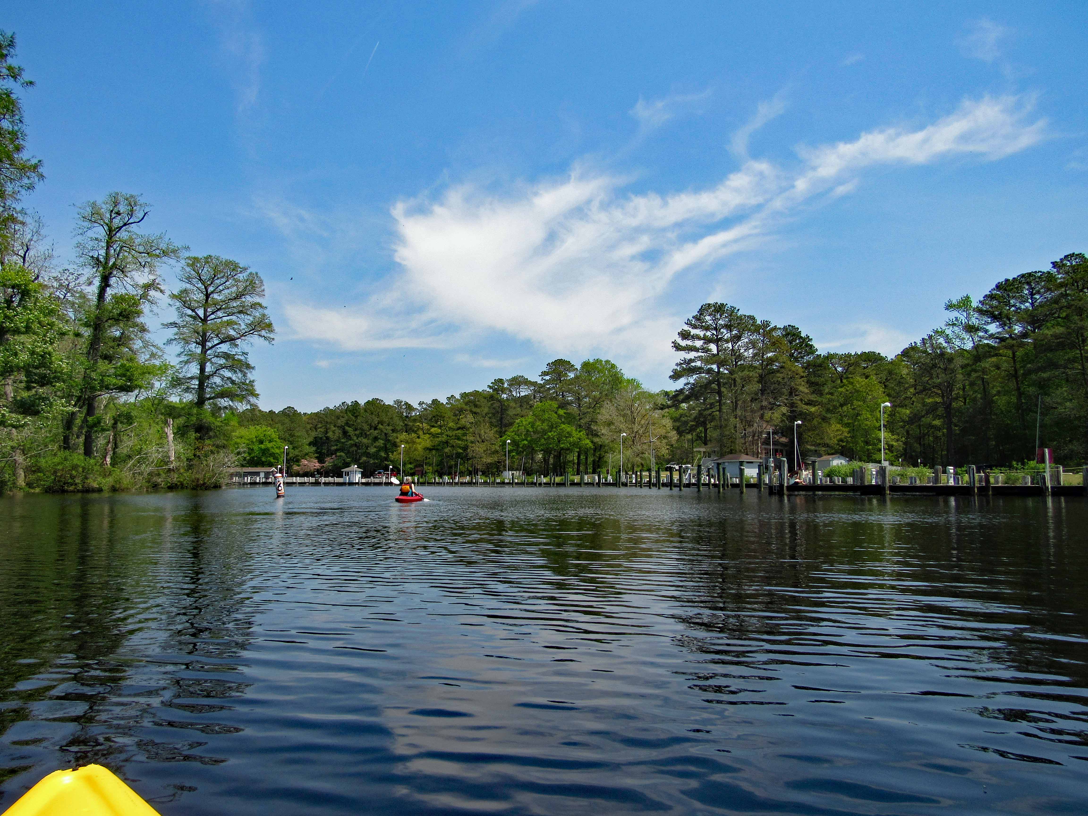
Headed out a little late for a long kayak adventure so we decided to go to a spot nearby – Nassawango Creek to the Pocomoke River. We have done both of these this past summer, but this is our first time going all the way down the Nassawango to the Pocomoke. The water was unbelievably low today and as we stood on shore looking, the creek was still flowing out, rather rapidly.
I prefer a ramp/launch to get in and out of my kayak. I know I risk scraping the bottom quite a bit, but I’d rather do that than fall in! The water being so low, you need to step down two steps. (This is my favorite photo, taken by Kathy)
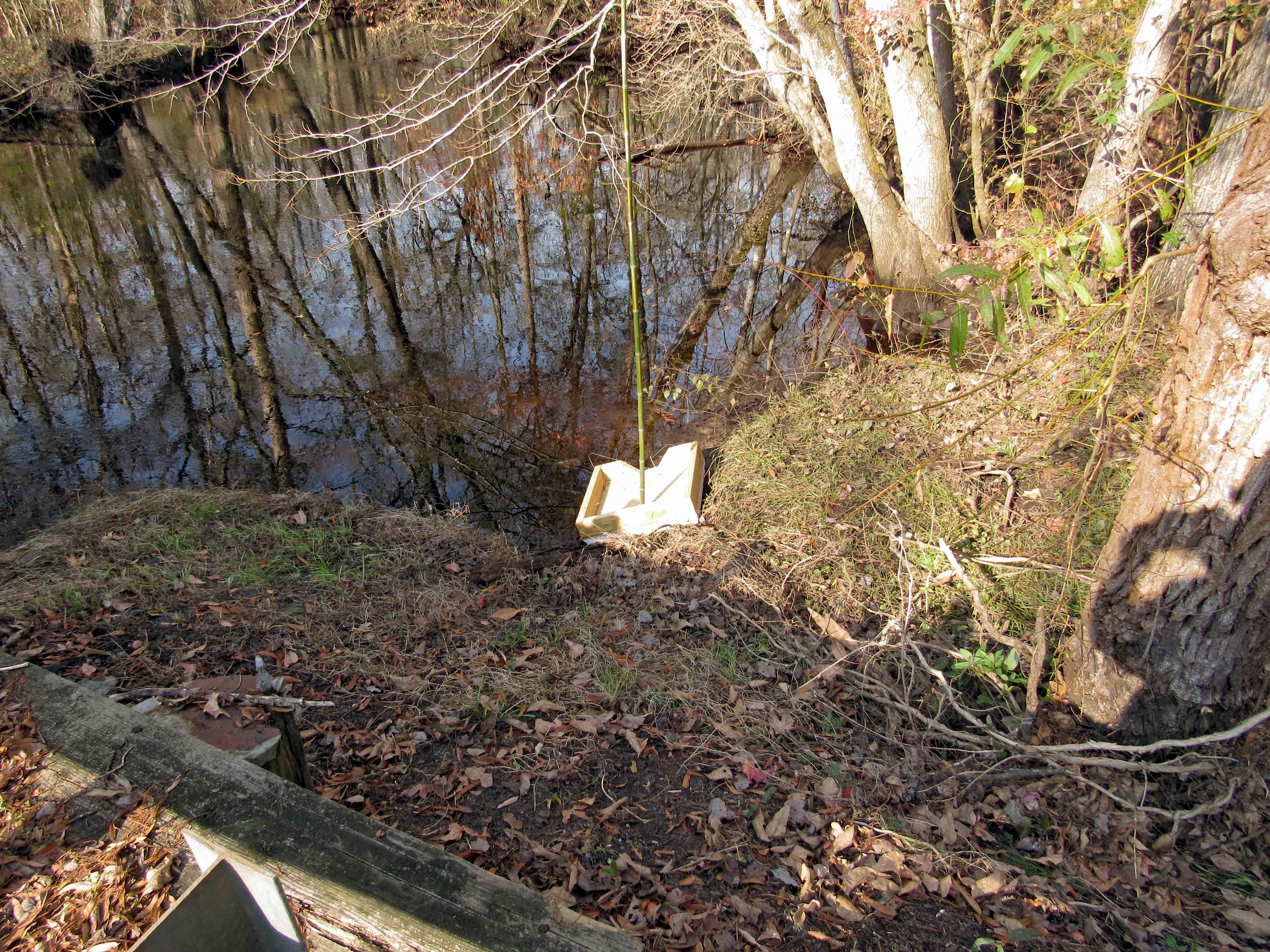
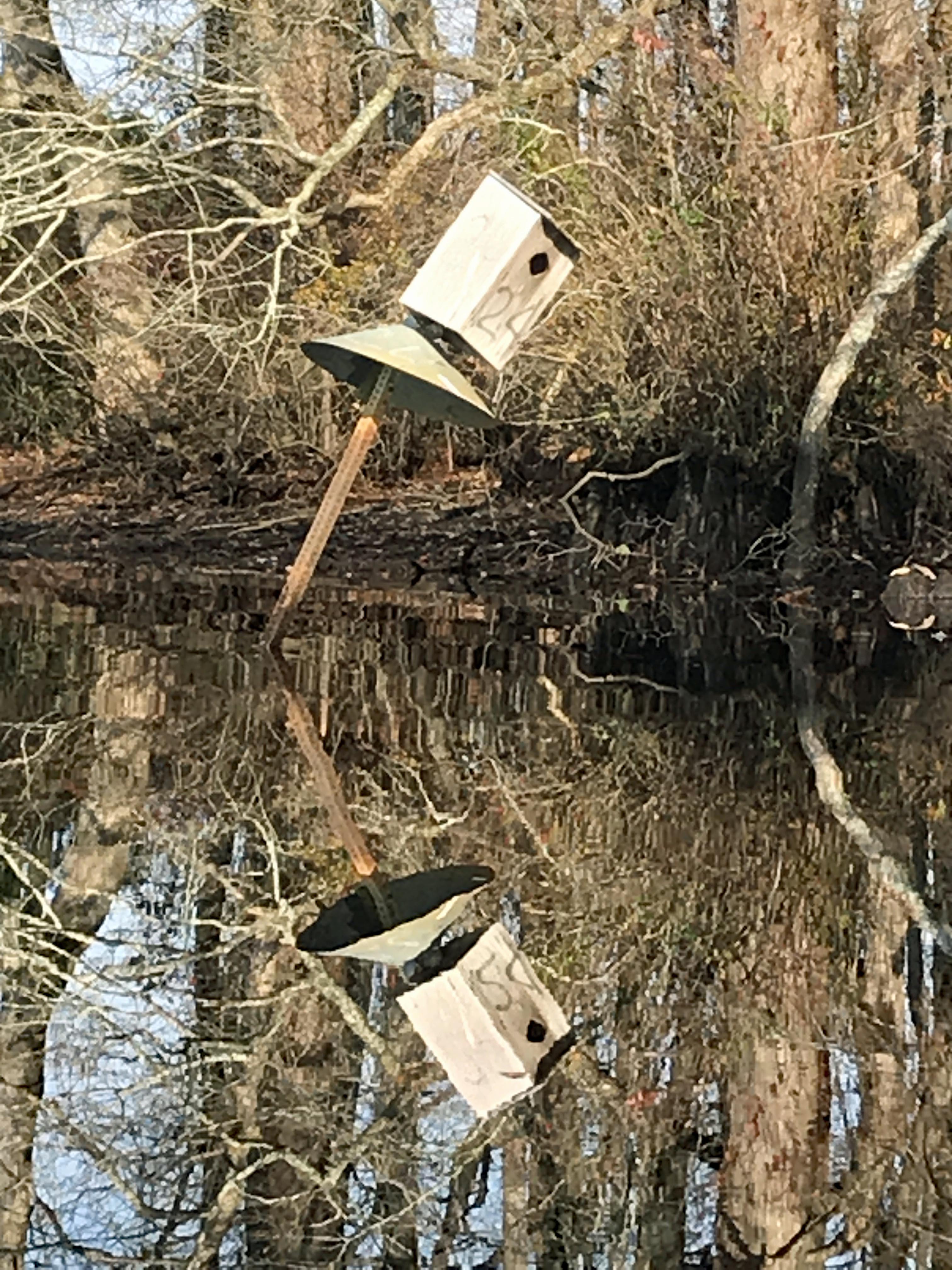
Kathy went in at the steps, I slid in next to this varmint box. A muddy mess here.
Low water for the whole trip, to and fro.
In the photo below there is a cobweb just floating along with us –
Alright, already we’ll all float on Ok, don’t worry, we’ll all float on Even if things get heavy, we’ll all float on… (modest mouse)
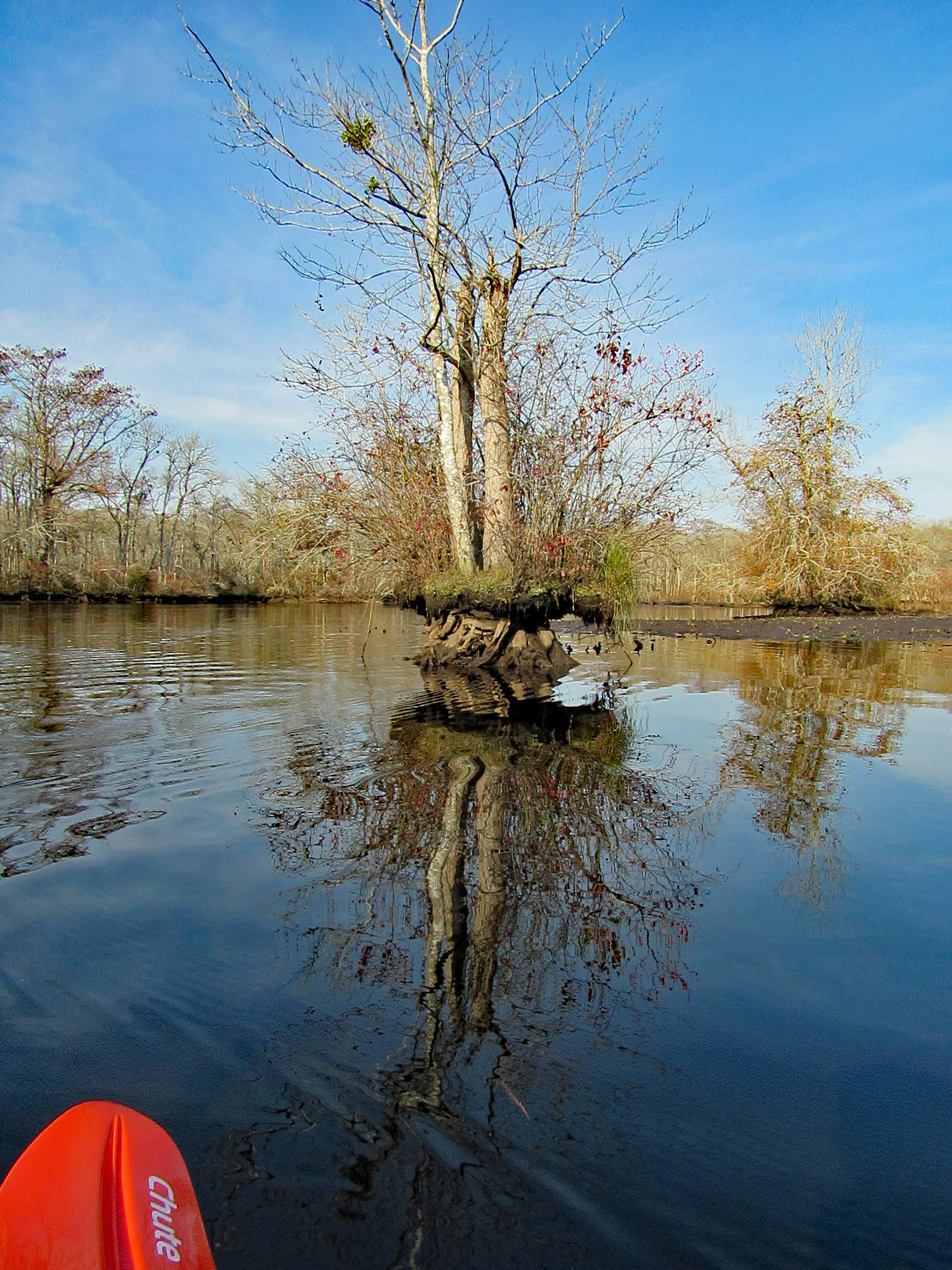
A splash of color to brighten the day.
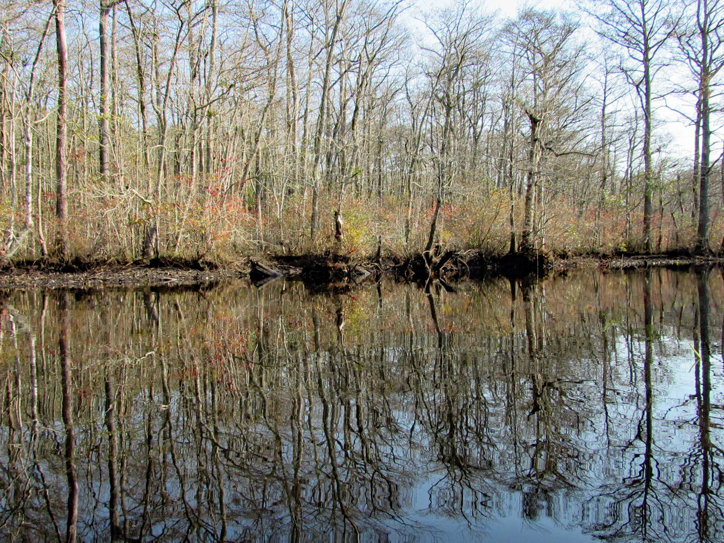
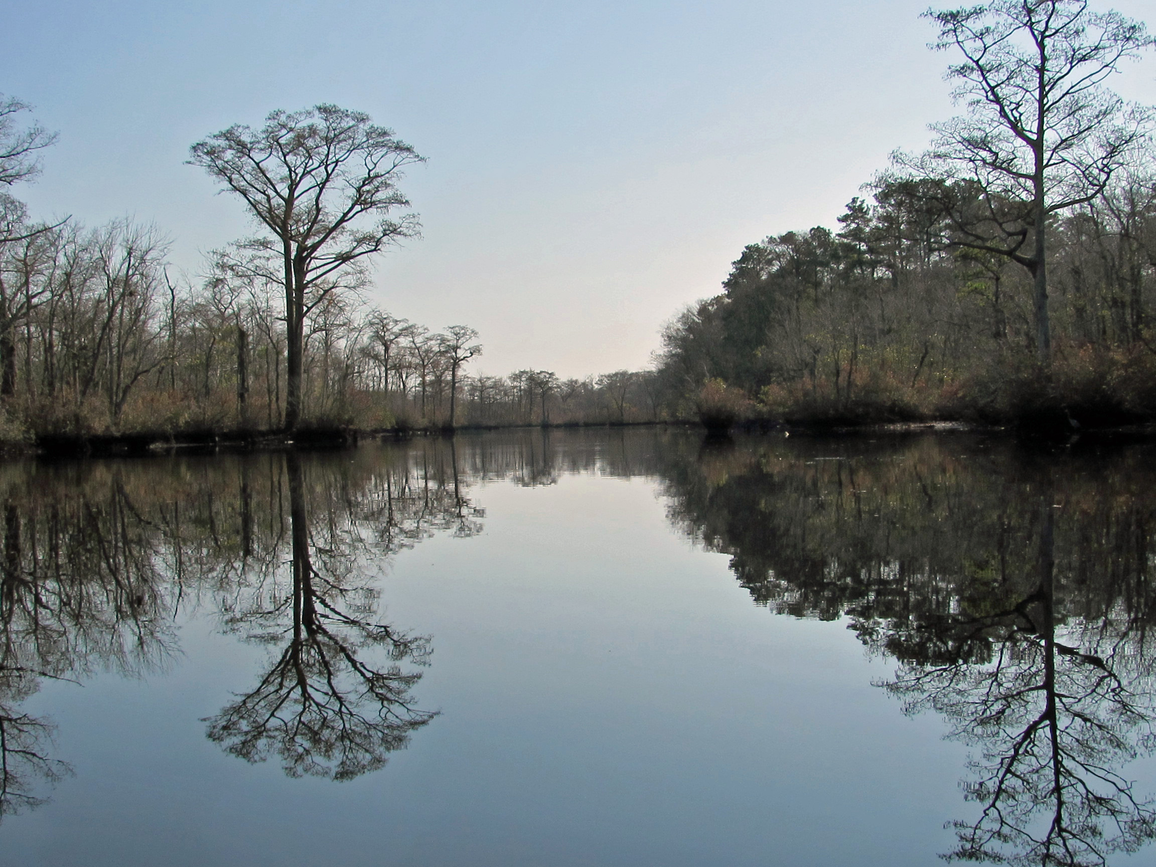
Some very nice reflections.
The Pocomoke River up ahead.
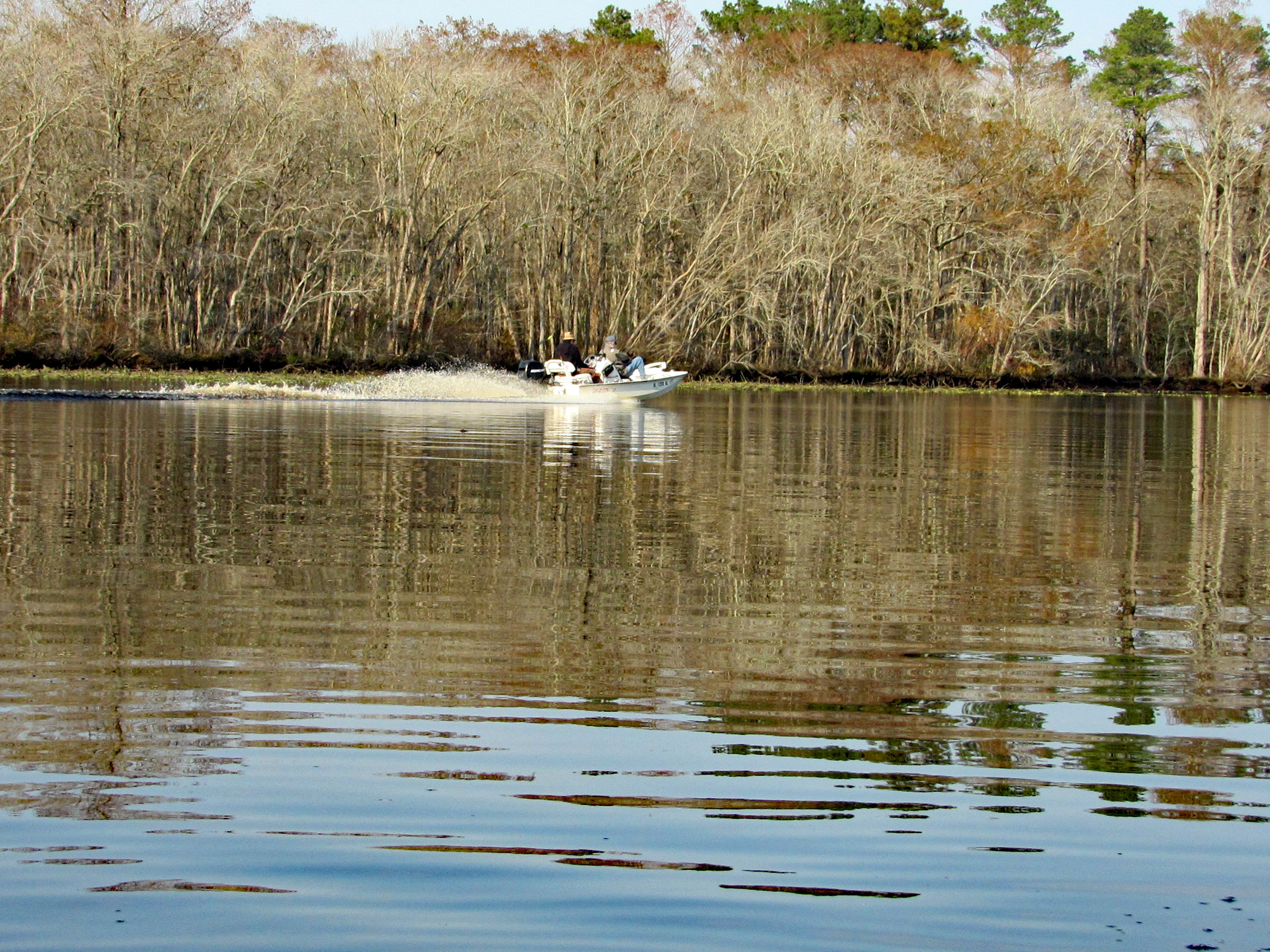
A couple speeding boats zipping by. Kayakers get no respect on this river.
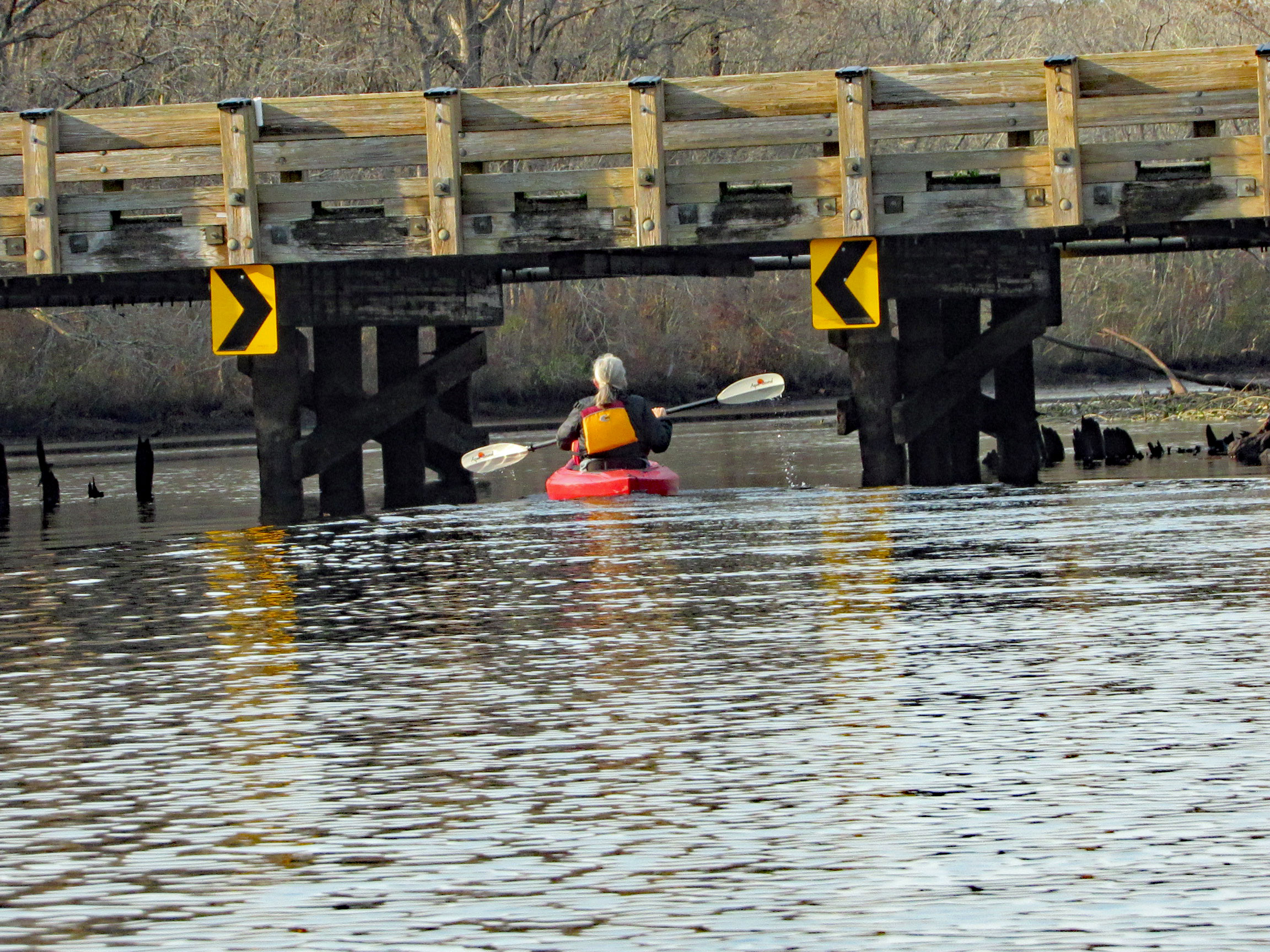
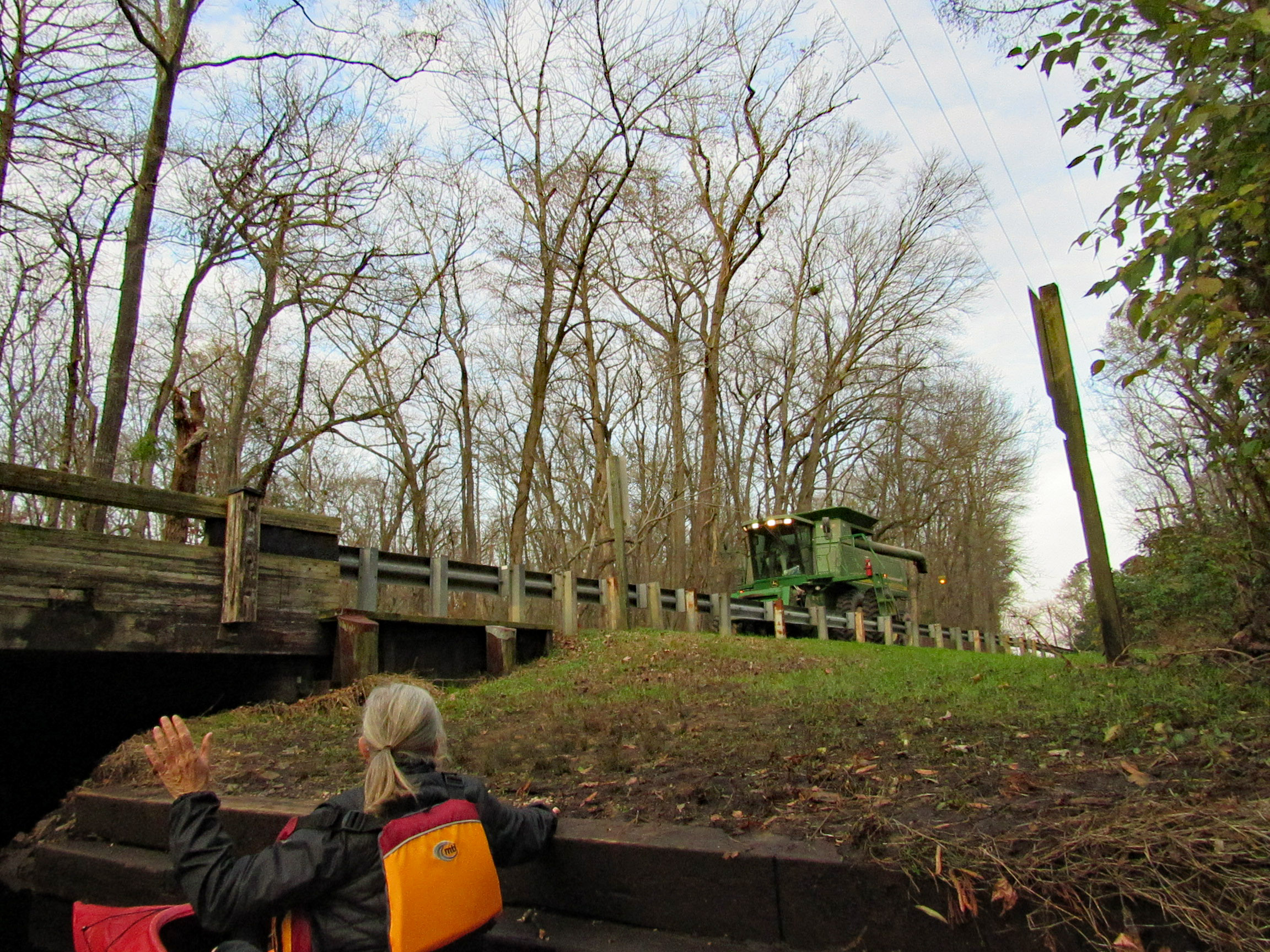
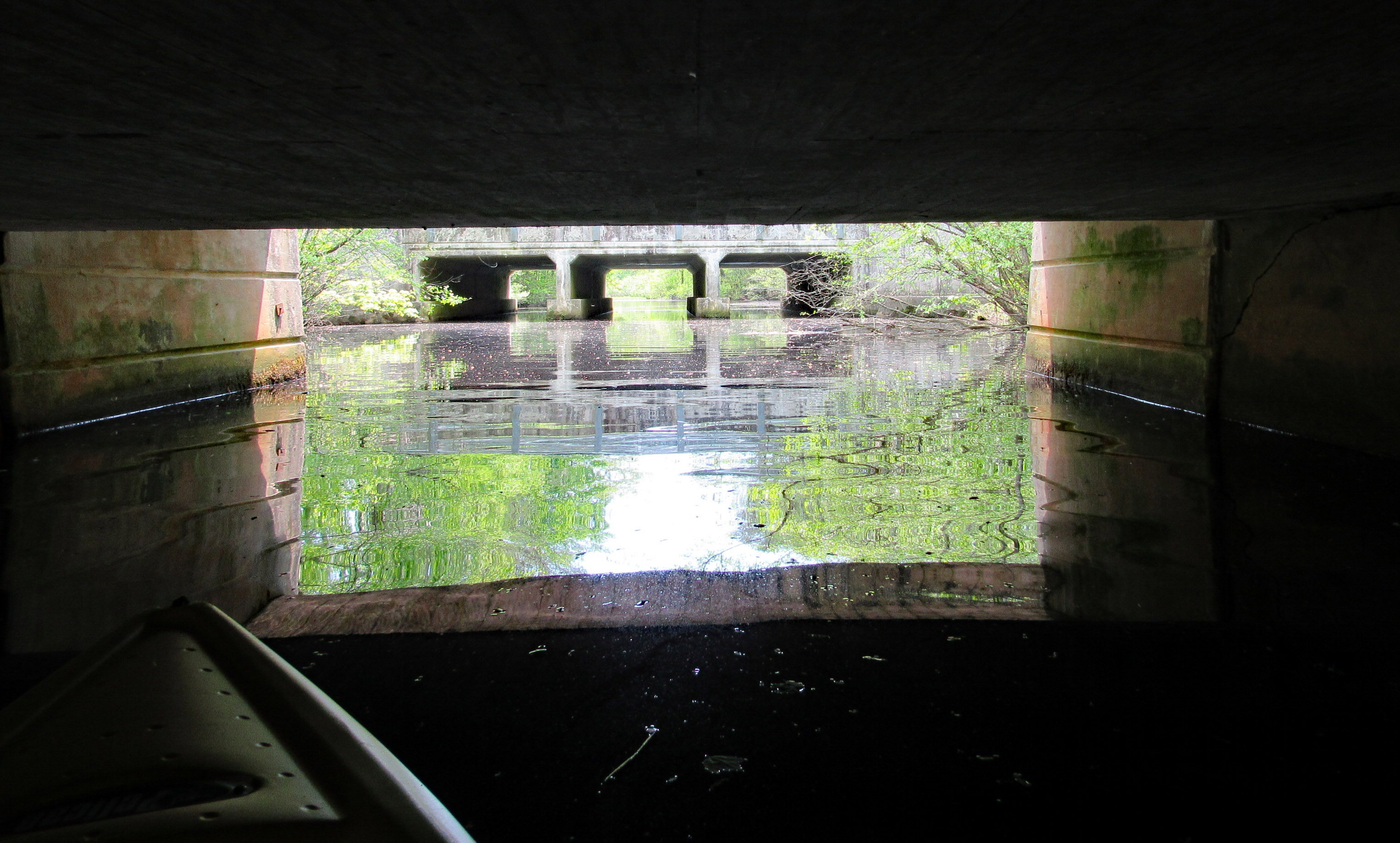
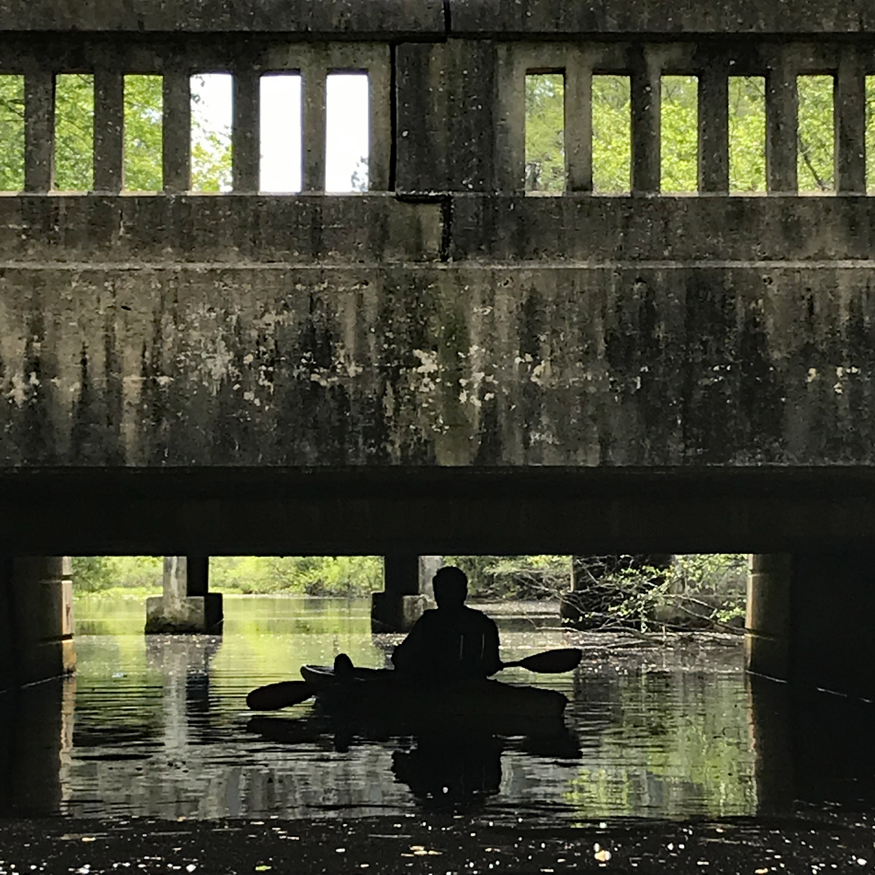
After about 3.5 miles, time to head back. Under the Nassawango Rd bridge.
Another nice reflection shot by Kathy.
Two steps down and waiting for the combine to cross over.
Our trip. Just over 7 miles with all the zig-zagging and crossing over the Pocomoke.
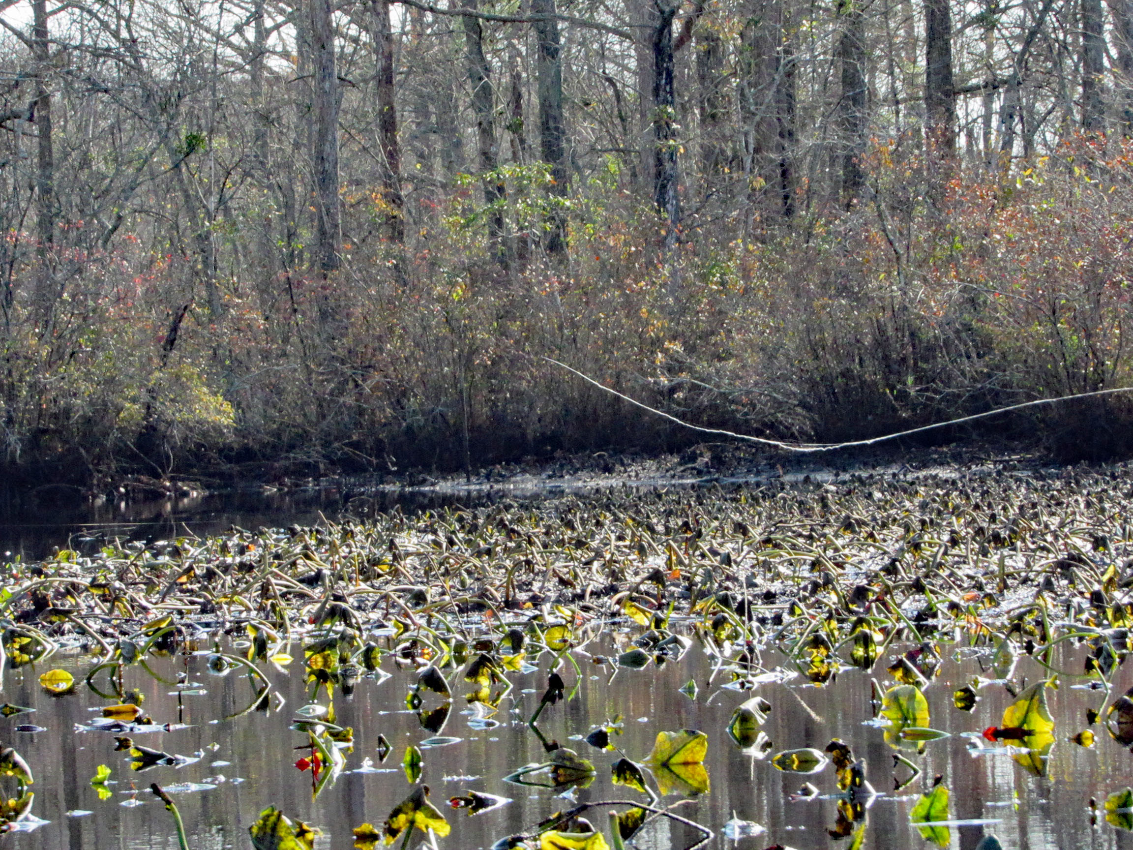
Another great kayak adventure. Next time we will need to check the tides. We hit a lot of submerged tree limbs and could not cut across the lily pads like we normally do. But it was still a great day to be out and grateful to be able to take these kind of trips.
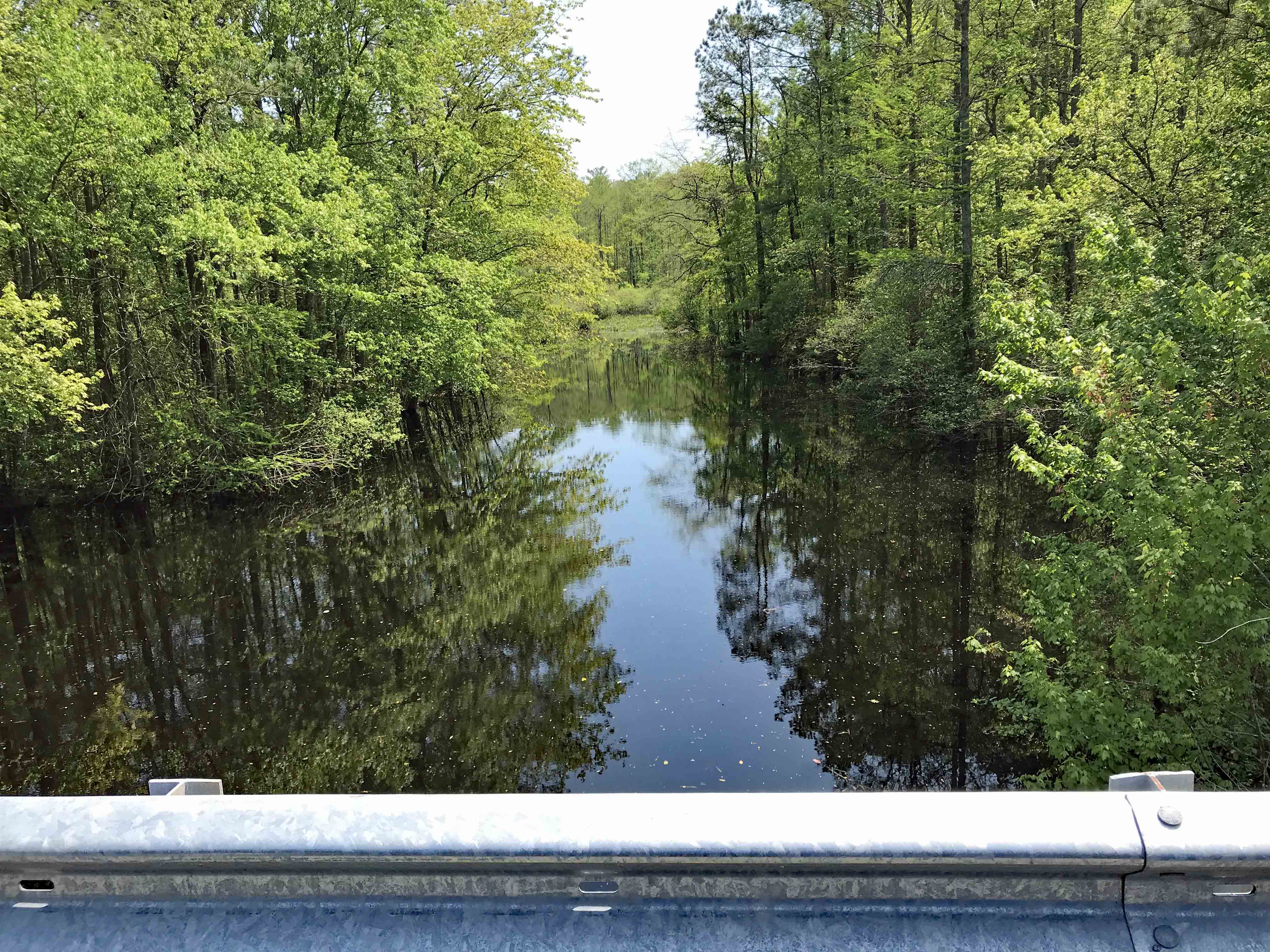
This was a really nice road trip. A little over-cast but nice. The first time we visited BWR a couple years ago, we followed the not too smart, smart phone that directed us to the middle of a swamp and then to Crappo. Another time we traveled to Cambridge and then south to the Refuge. This time we decided to take the scenic back roads. I saw on a map that there were a couple kayak put-in spots so we thought we’d check them out.
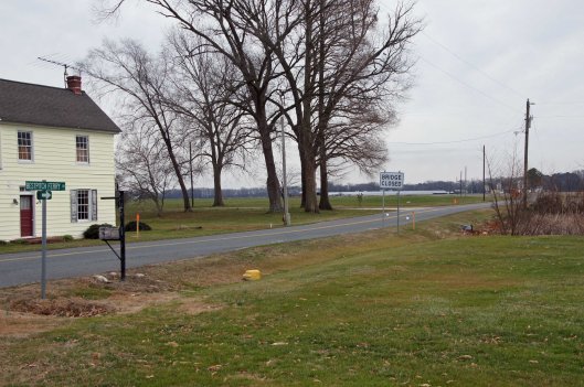
We took Rte 50 to Vienna and headed south on Rte 192. On the map was Bestpitch Ferry Rd., showing a launch. What wasn’t on the map was this sign:
When you see a “Bridge Closed” sign, you should heed it! Na! We thought this was the bridge they were talking about. It wasn’t.
Electric wire fishermen.
The road started to get a little hairy and we could see where it had been washed out in places. Then we came upon this.
On the other side of the barrier a wood, one lane bridge. Looks alright to me.
The kayak launch site is across the river, to the left. In the photo below it looks like a launch that has flooded out over the years.
Time to turn around. Bridge blocked, road falling apart and now a fire.
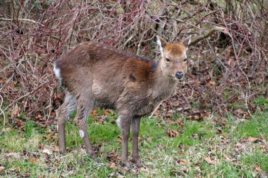
We make it thru the danger and head back to Decoursey Bridge Rd to Bucktown. On the way we came across this little, unafraid of the truck fellow.
Glad we had the detour. Some nice places to visit.
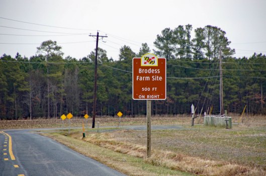
Harriet Tubman Underground Rail Road.
The Brodess Farm is where it was said HT was born. Other accounts say her mother and herself were brought (bought) here after she was born.
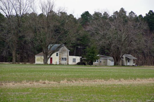
There is no trace of the original farm house, although this one is there. Private property, keep out.
Heading down Greenbriar Rd to Maple Dam Rd, we came across this house. It was unmarked but looking at a couple history pamphlets, we found that this was the Nause-Waiwash Longhouse. It was an abandoned church before the Indians took it over. It looks a lot nicer in the brochure.
Moving along towards the refuge, we spot our first of many eagles. (We lost count at 9-10).
This guy was hanging out on the way to the visitor center.
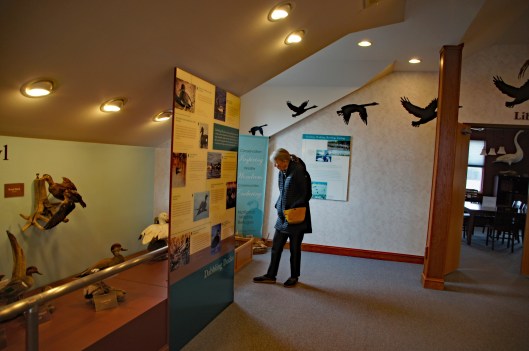
Kathy checking out the displays.
We leave the visitor center and head to the main entrance of the Wildlife Drive. Stopping to eat lunch at the observation deck. On the left of the road there is the Marsh Edge Trail and that was closed due to nesting eagles.
Here are some shots from the refuge.
One of Kathy’s pics. Nice!I see you!Me and my shadowAnother nice Kathy pic!
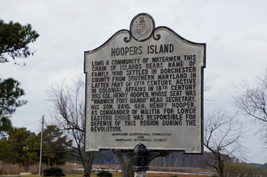
Leaving the refuge it was time to head to Hoopers Island. Rte 335. Heading down Hoopers Island road we came across this church. Originally the “Tubman Chapel”, it moved across the street. St. Mary Star of the Sea.
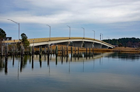
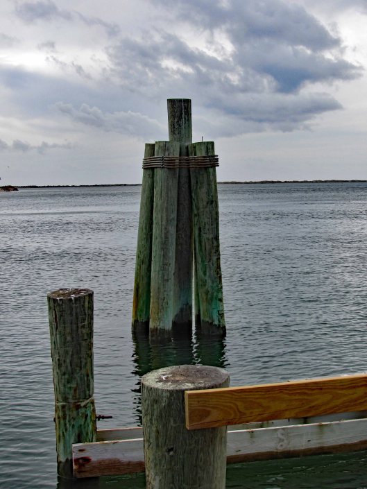
First bridge onto the islands is at Tyler Cove, Fishing Creek.
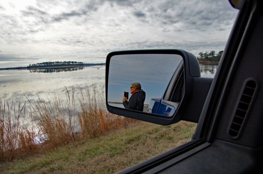
Taken from boat ramp.
Another historical marker.
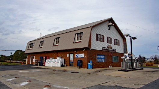
And another General Store
Behind here is a cemetery, which brings me to WHY we wanted to visit Hoopers Island. We want to see all this before it is completely submerged. There is a great video on the sinking of this island. You should watch it – High Tide in Dorchester – https://www.bayjournal.com/films
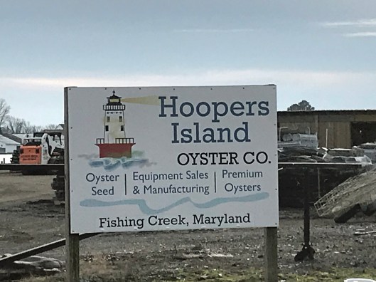
Lots of fishing and sea life down here. Hard to believe it was mostly farms at one tome.
We headed south to the middle island. There are 3 islands, probably more at one time.
Roads flood in high tides and stormsFishermen returning
Pulled off the side to see what we could see – some sea glass, shells and debris.
Looks like 3 adults and one juvenile. Even with a 300mm lens, they were too far off.
Adult brought food to him.
Our map. the lower island has no access.
Great day and so grateful that Kathy likes going on these eight hour adventures with me. For too long I did all this kind of stuff by myself.
While at Indian Beach, North Carolina, we decided to visit the Cape Lookout National Park. To get there we needed to catch the ferry from Harkers Island. They have a nice visitors center there. A few blocks away is/was a museum, Core Sound Waterfowl Museum. It is still closed from the storm of a year ago.
Visitor Center, anchor from ship that sank in 1902Beach artifacts
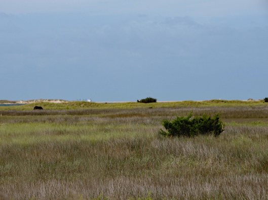
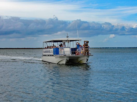
it was about a 4-1/2 mile ferry ride, making one stop at Shackleford Banks. People like to stop there and look at the 100+ wild horses on the island. Kathy and I visited the western end of this island back in June. Nice trip. Didn’t see any horses though.
Pelicans doing pelican stuff.One of the shy horses
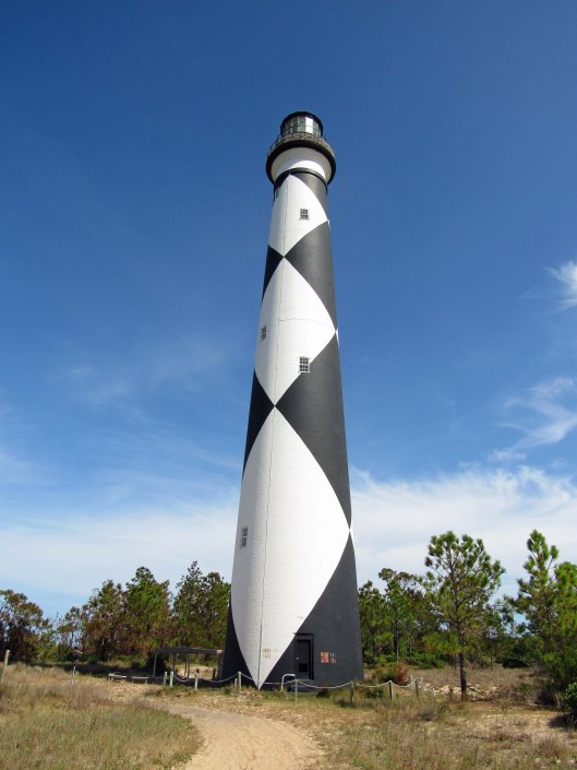
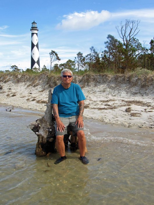
Arrived at our destination and stopped at the Keepers House first.
We missed being able to climb up to the top by about a month.
Black diamonds face north and south. White, east and west.. So, not only does the light shine 24/7, you can also get your bearings by the diamonds.Random black and white
Instead of taking the boardwalk to the ocean, we took a service road.
The ocean. Too many people before us so the pickings were slim for seashells.
So, Kathy decides instead of us walking back up the beach, we should cut across to the bay side. “Are you sure?” “Yes” Ok!
Sand first……and then all marsh.
Not just a marsh but also a bunch of inlets of rushing water. I didn’t know we were doing this kind of hike or I would have worn my water shoes and not my Tevas!
Spooked this guyThe lighthouse looks far awayLooking back from where we came from. It was actually a nice hike.Finally to the beachUnknown structureGetting closerAnd so we restBack to the dockRandom camera colorization of image. It does this sometimes.The ferry coming to drop off people and pick us up.The map of our trip
Although I was only at the beach for about 4 days, it was so nice to get away! Ha! Get away from what??!! Kathy and I always go to the beach! A wonderful trip. Thanks Gail and John.
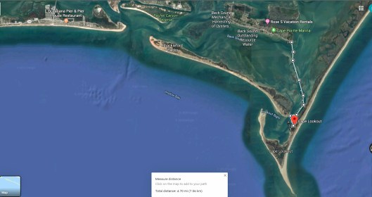
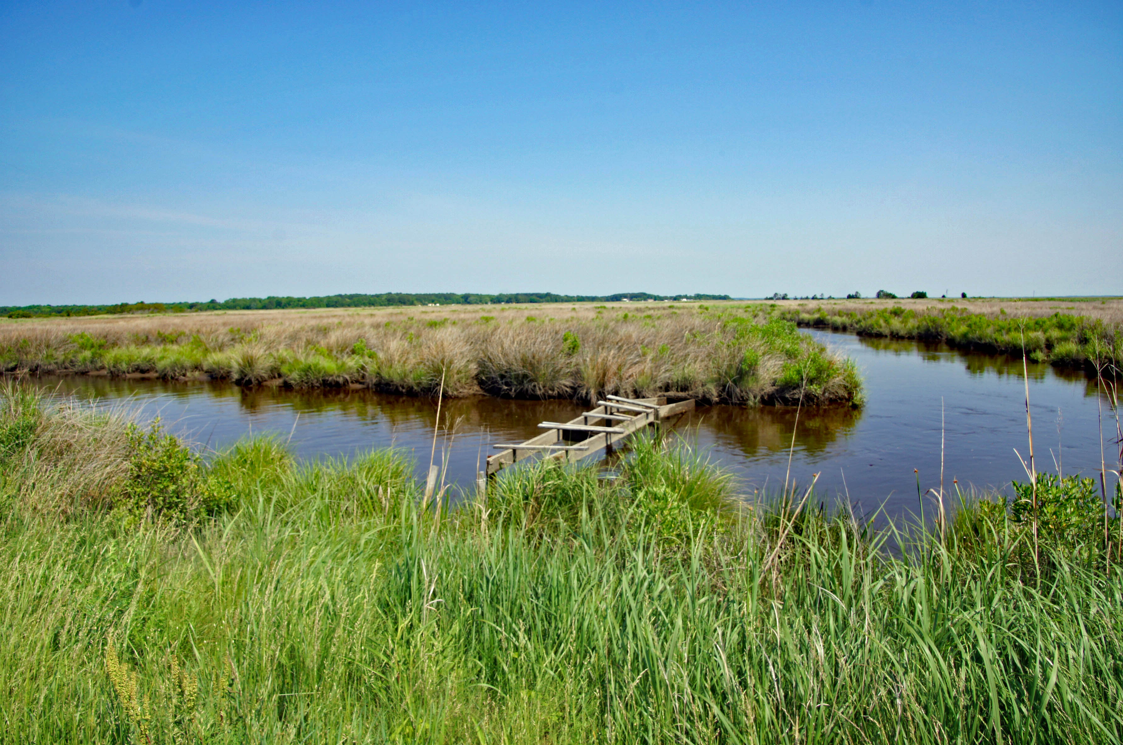
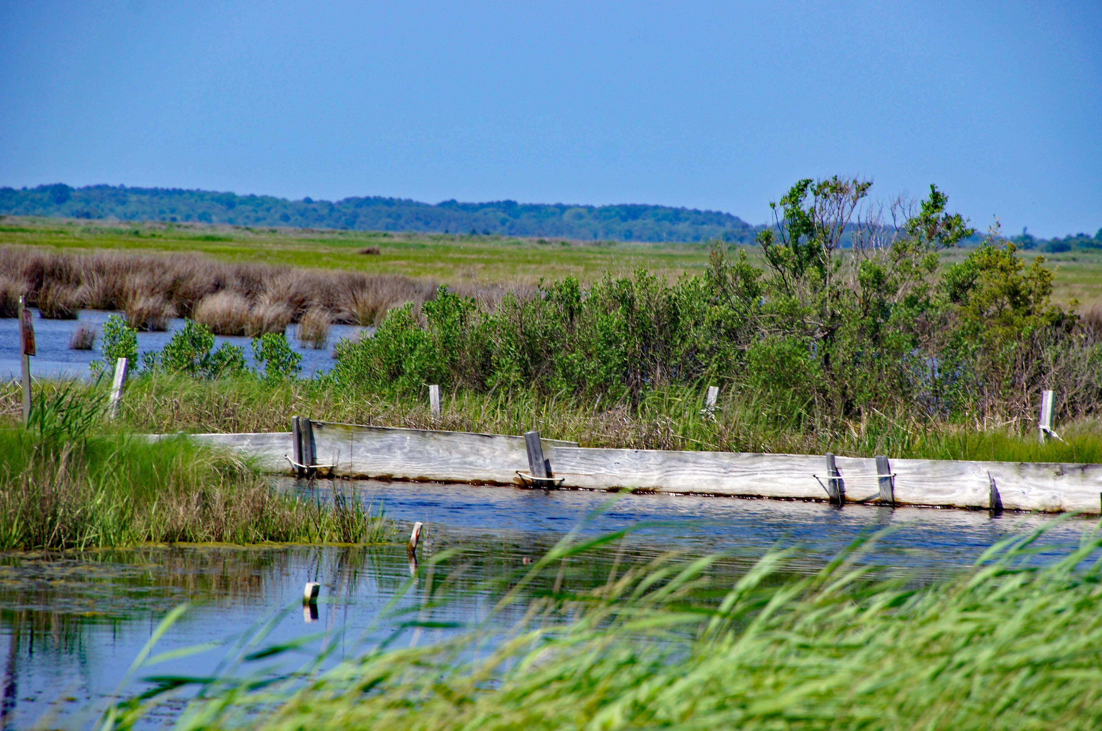
The one thing I really love about the Eastern Shore is the abundance of new adventures that await Kathy and I. Today we headed to Deal Island. Lots to see here. Starting with a Wildlife Management Area.
We took a gravel road, passing marshes, seeing a gazillion dragon flies. They were feeding on all the mosquitoes. Looking out over the marsh.
We parked and headed across the marsh on foot. This may be duck hunters paradise.
So flat down here. There are water elevation levels throughout the island. Most read at 4″ above sea level.
A boat ramp in the middle of nowhere.
Molly lost track of where Kathy was so she headed into the water…
There she is!
A sandy path.
A place to rest and to meditate/contemplate.
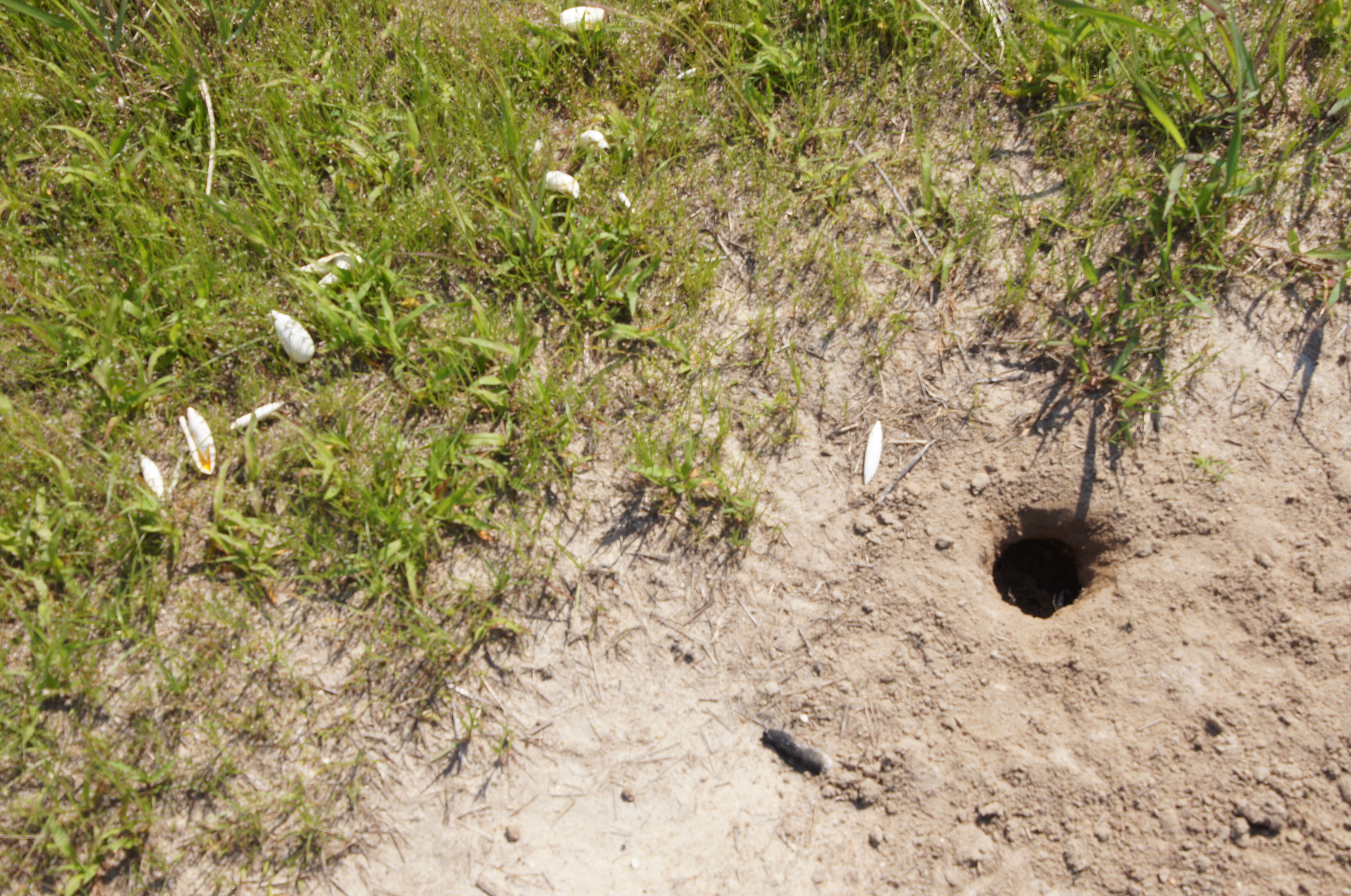
Egg shells and a hole?
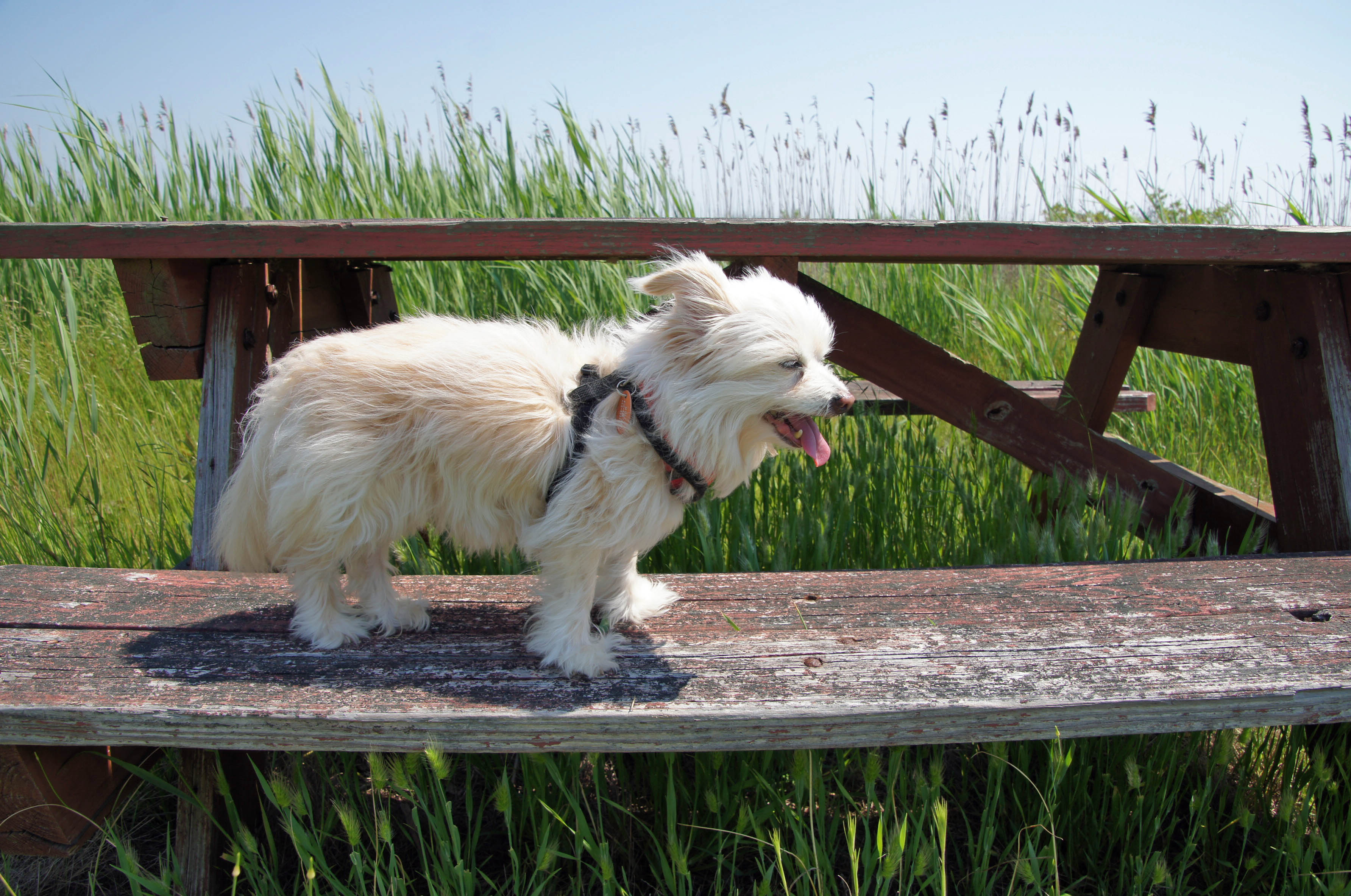
Molly needing a break.
And a little attention.
We leave the wildlife area and drive towards the end of Deal Island Road. A group of little communities along the way. Dames Quarters, Chance, Wenona. A couple historical markers.
Where Kathy’s family spent their summers.
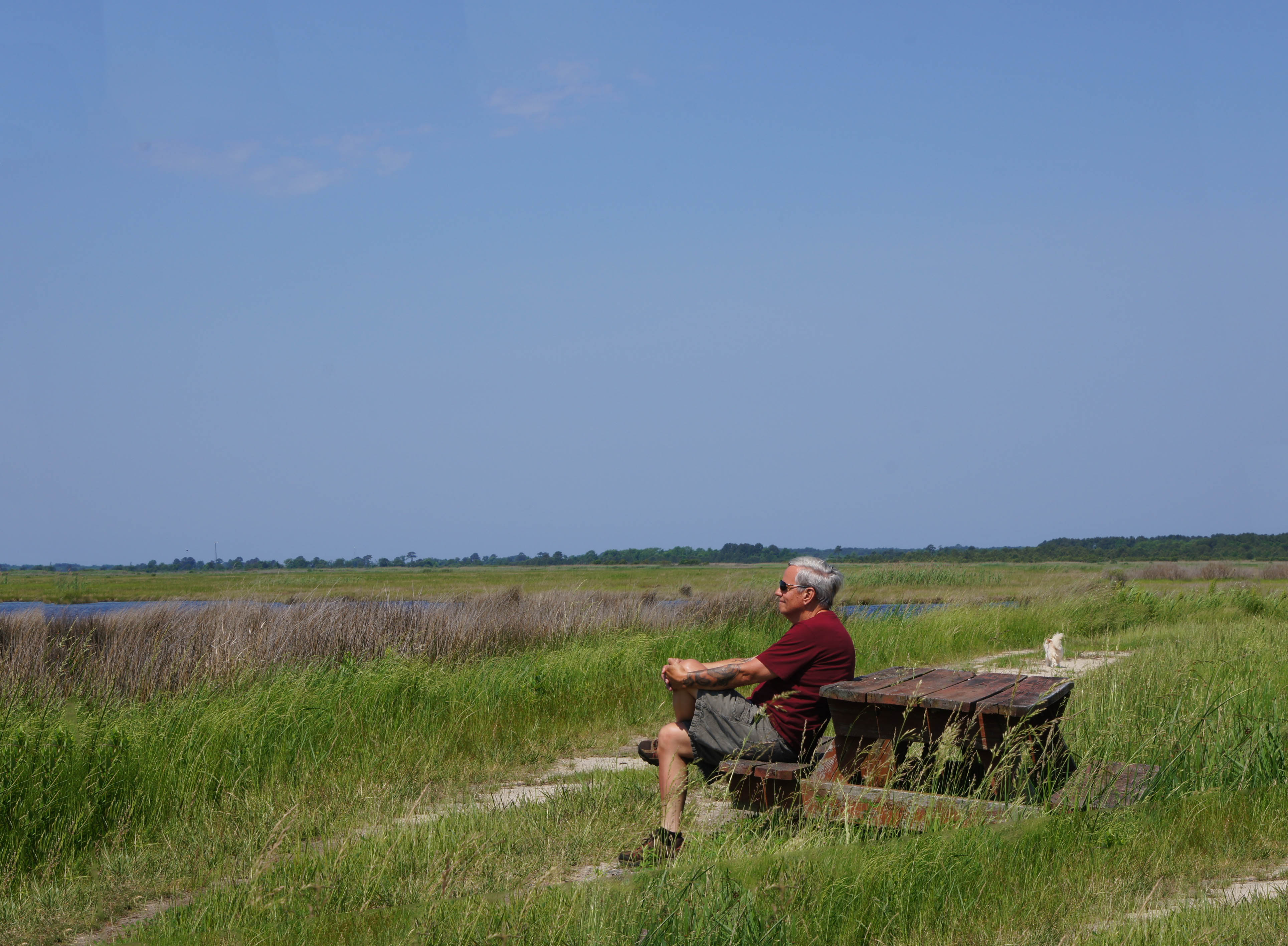
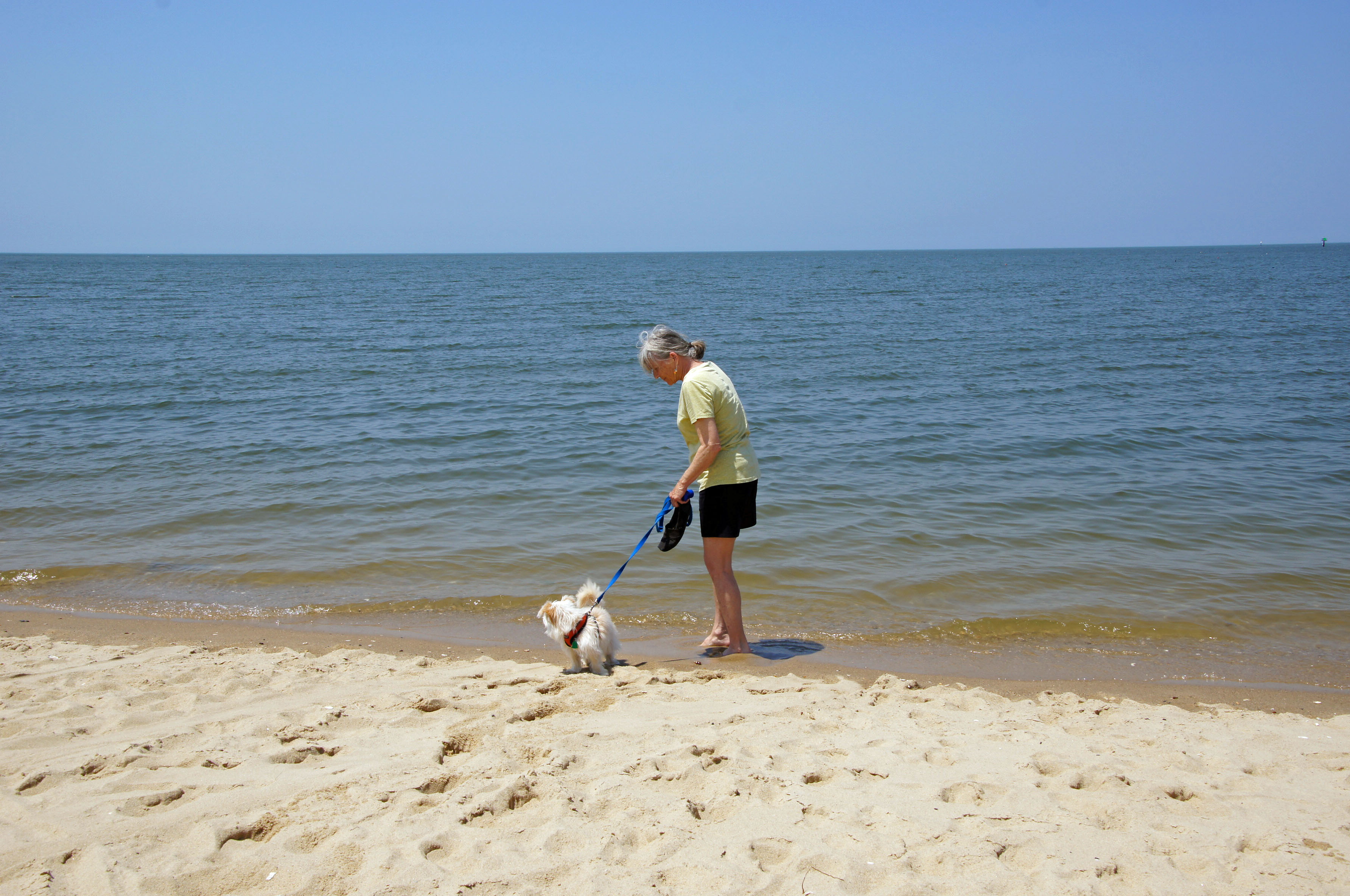
Next was Deal Island Marina and beach. Molly has had enough of the water.
Best beach/trail sign ever.
A little windy but some kayakers were out.
Seafood processing – soft crab area?
Tons of oyster shells.
Heading down the road we came upon this church. Someone is trying to restore it. Google maps shows where restoration had once started but it seems to have stopped. The John Wesley Restoration Project.
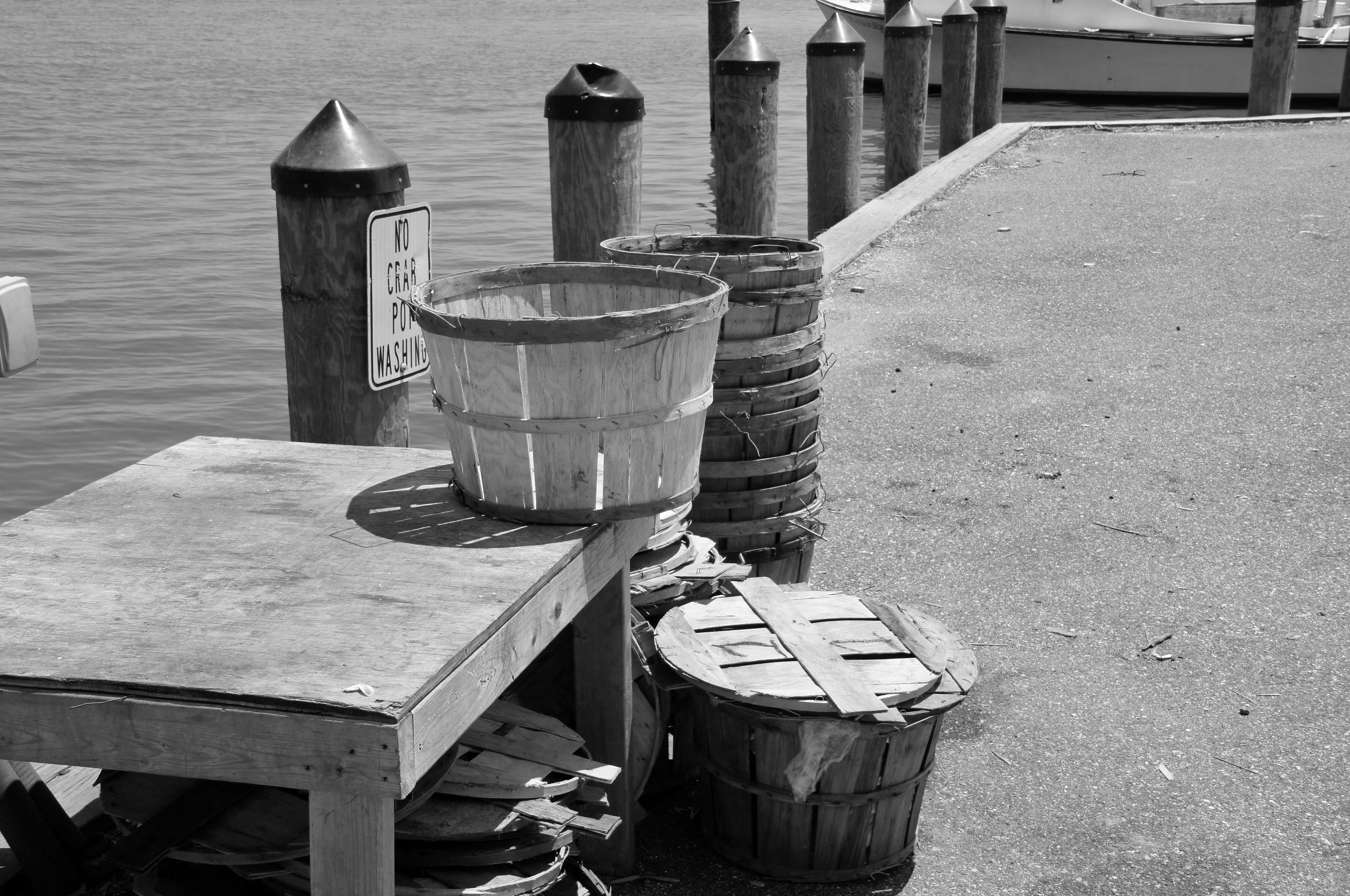
Not too much further to the end. Another marina of sorts. Crab bushels waiting.
Many abandoned work houses. The water men and their businesses are dying off.
It looks like this bank has been converted into someone’s home.
What a great day my birthday was yesterday! I just might have to start celebrating being 29 every year! Kathy was helping her friend Sandy at a conference/workshop for Kennedy Krieger down the ocean and I was to meet them for dinner, but they said I should come down at lunch time. So after sanding and touching up the floor and two doors on the house, off I went.
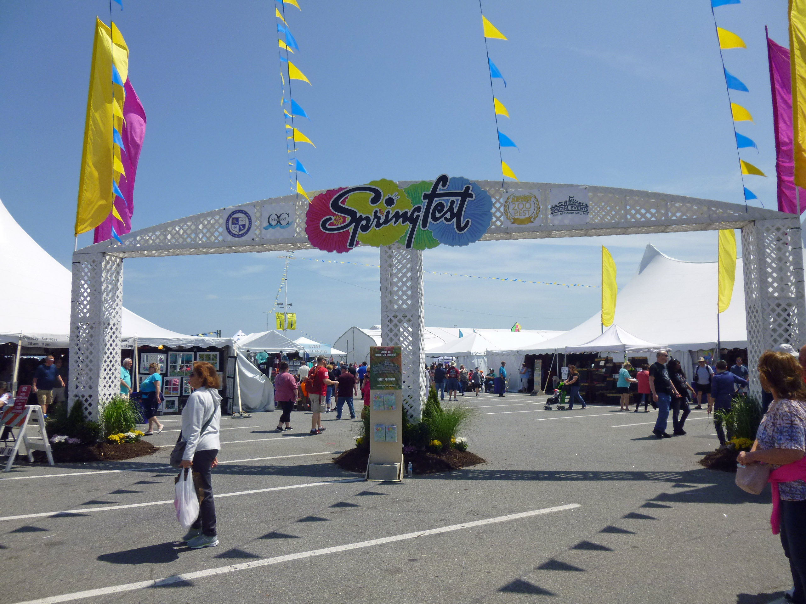
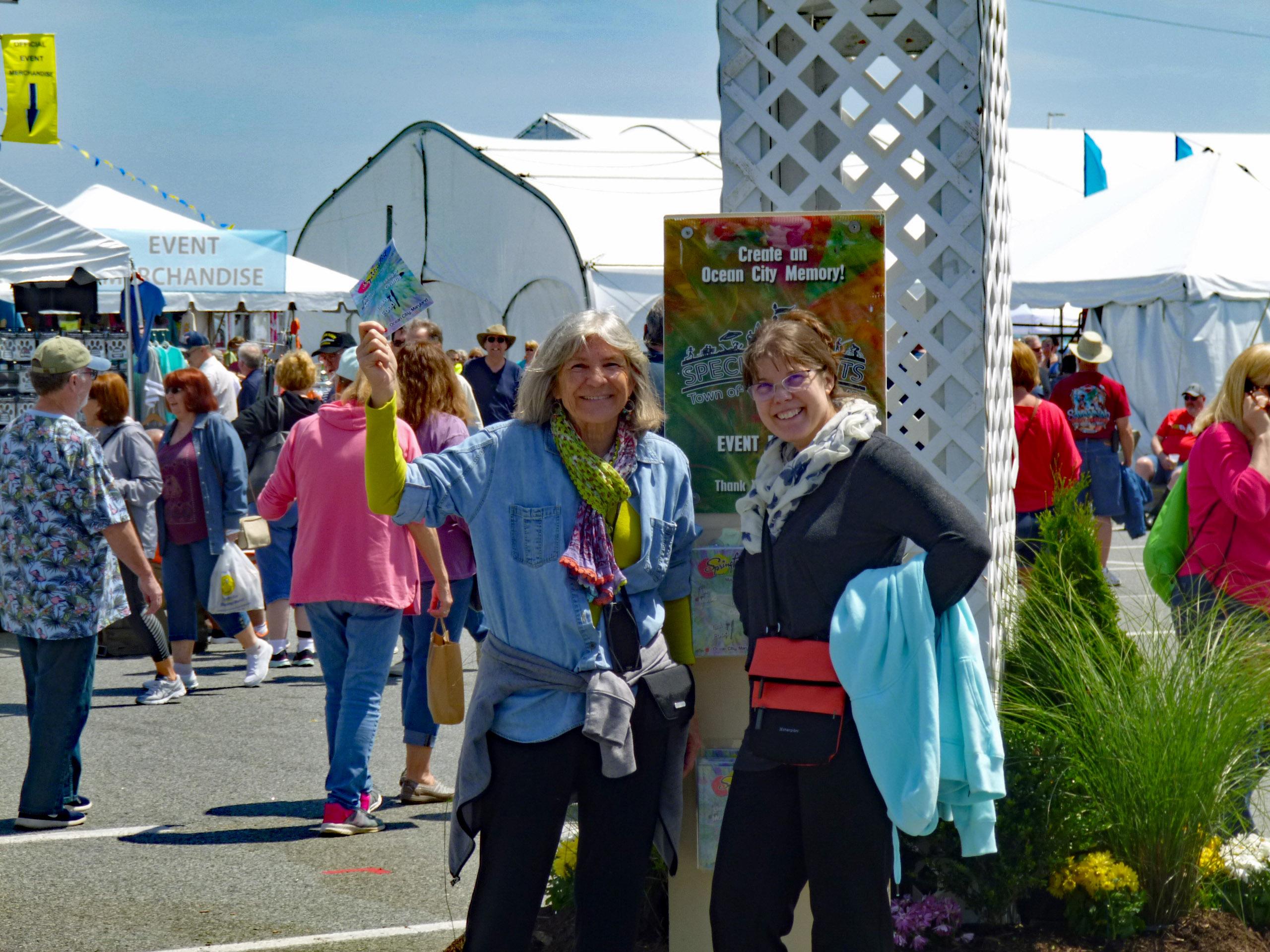
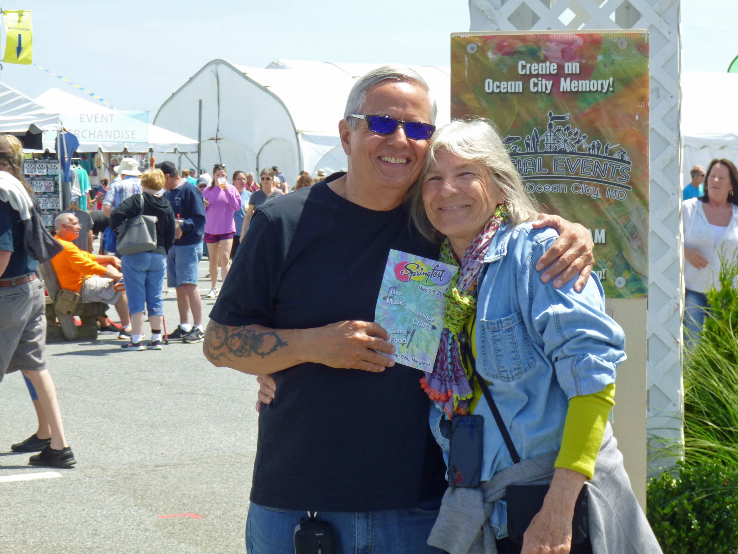
We ate at Dough Rollers and then headed to Springfest. It is a craft show held every year at the inlet parking lot.
Kathy and Sandy.
Kathy and I.
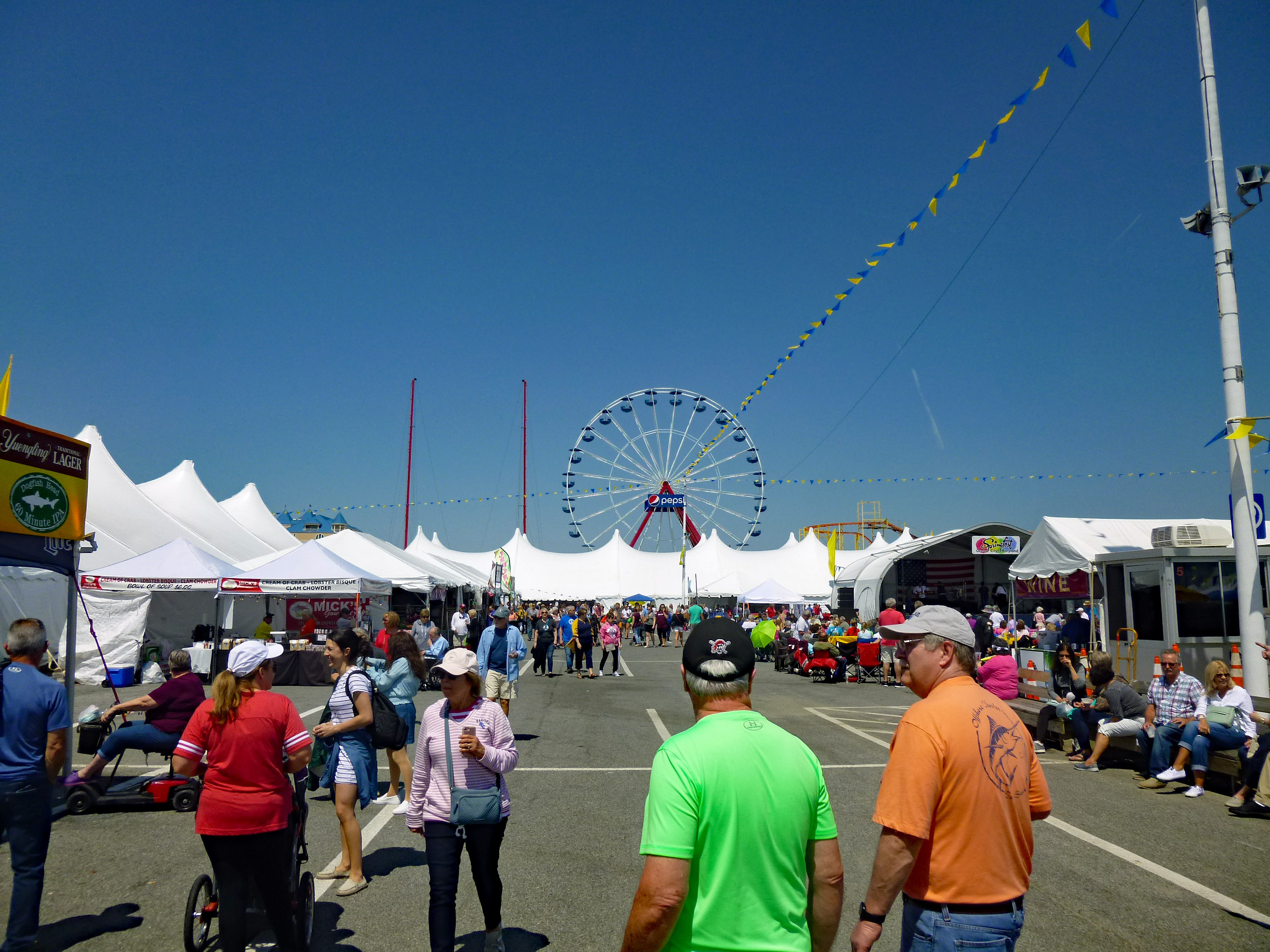
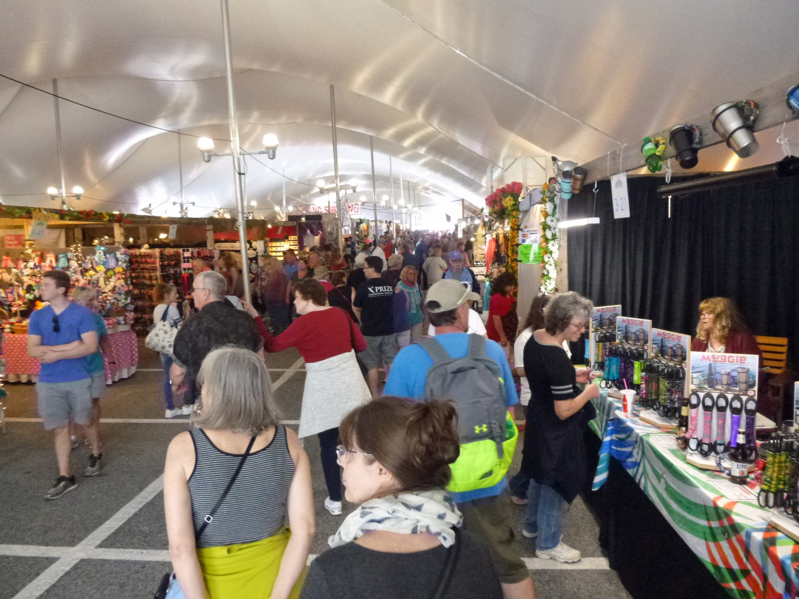
Lite crowd which is my favorite.
Nice crafts. One of my Baltimore favorite artist was not here – Charlene Clark.
But someone I do know was there. Ron from Jaded Love. I’ve known him and his wife Lisa for 25 or more years.
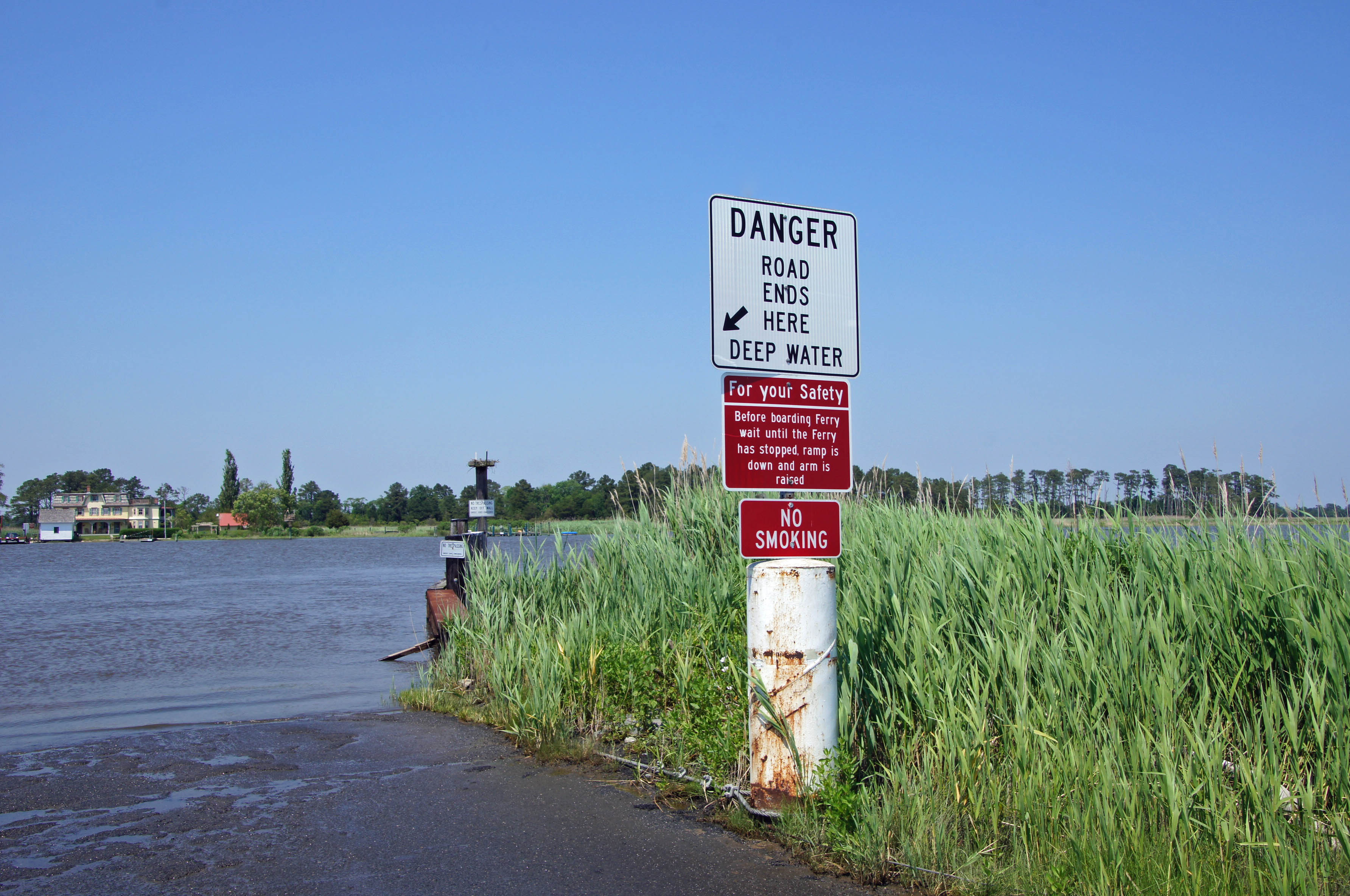
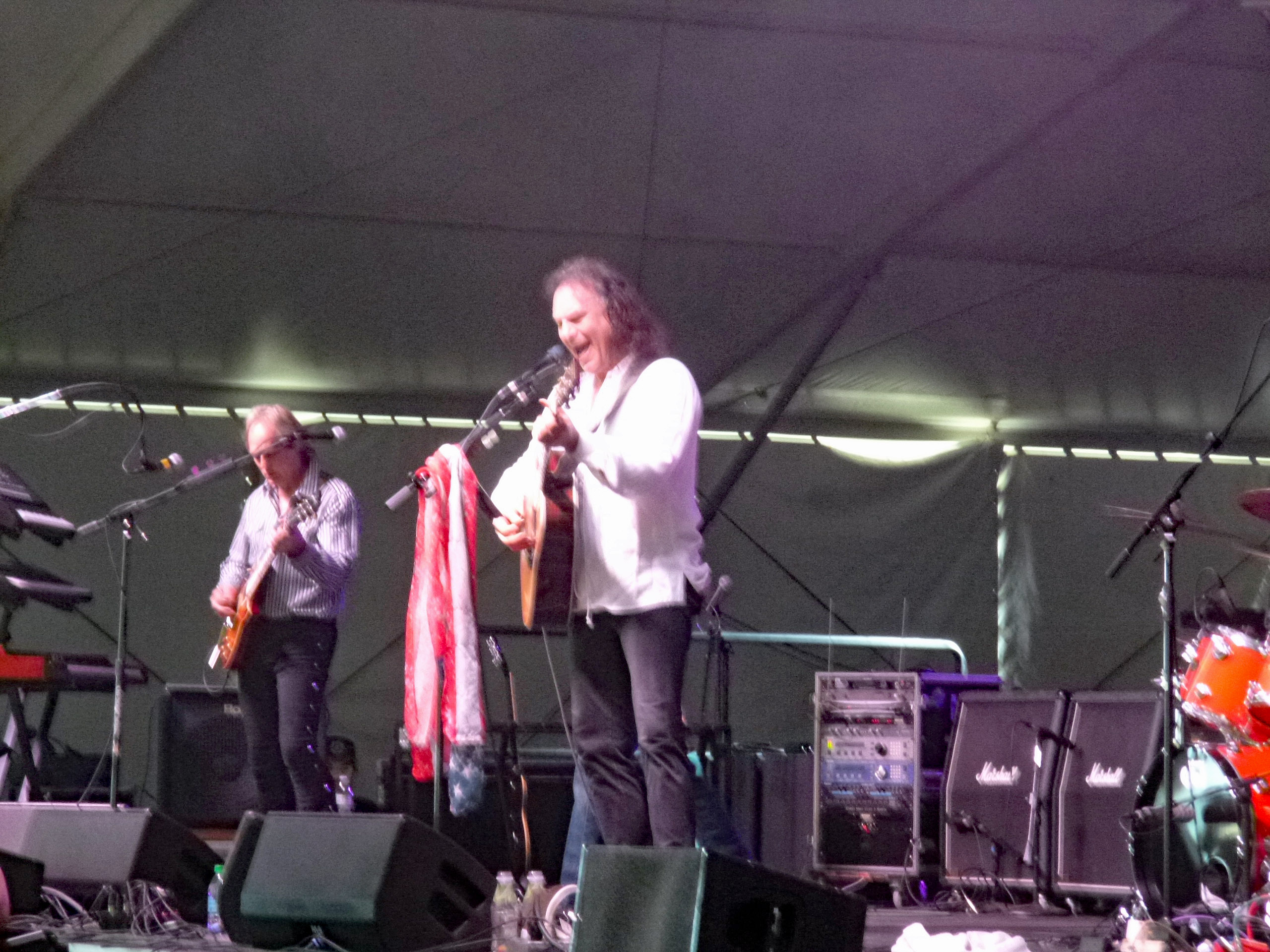
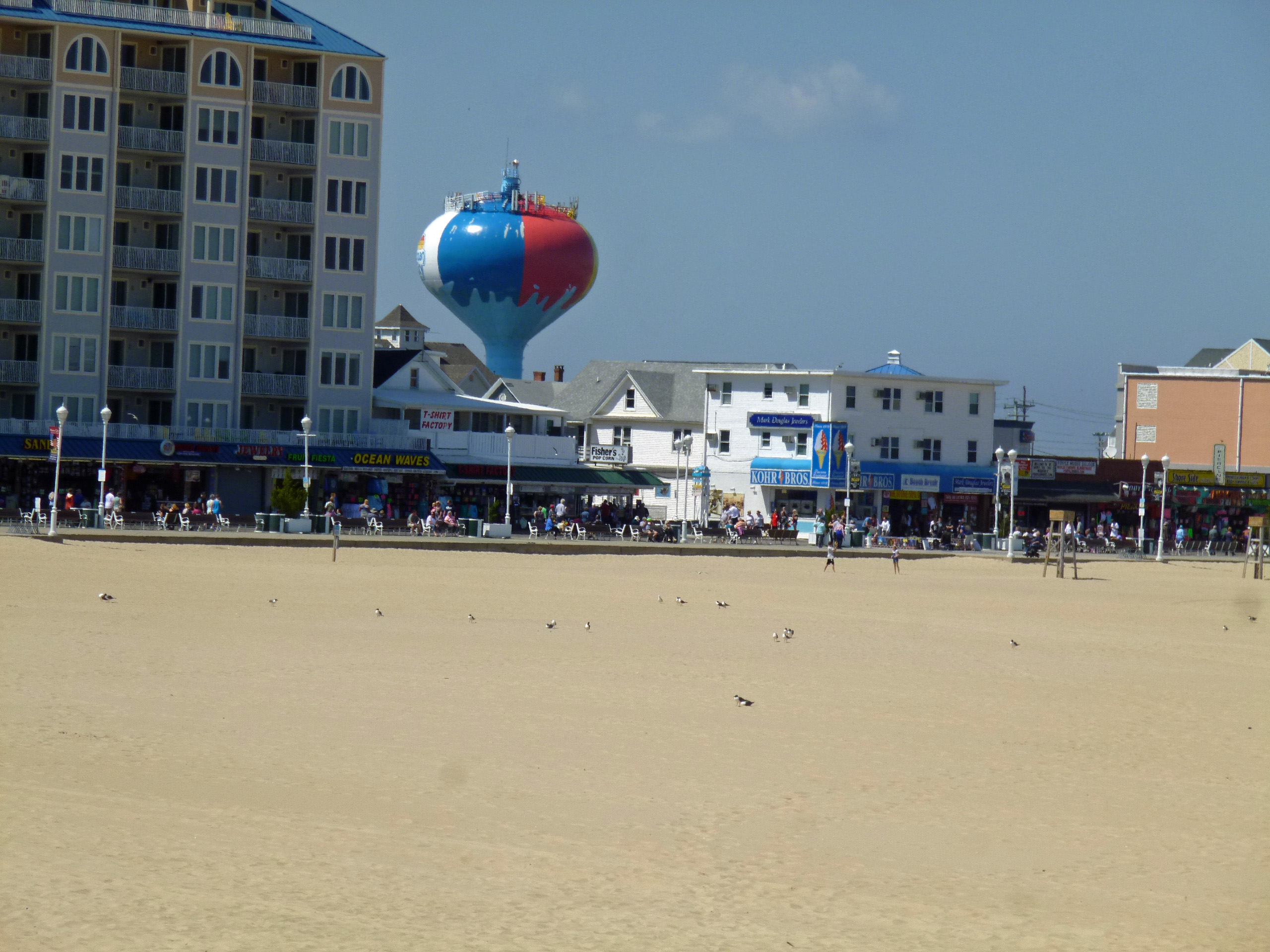
After some roaming around the fest for a while, we headed to the beach. That water tower made the front page of the local paper. It was just painted and is now peeling. Probably another low-bid contract.
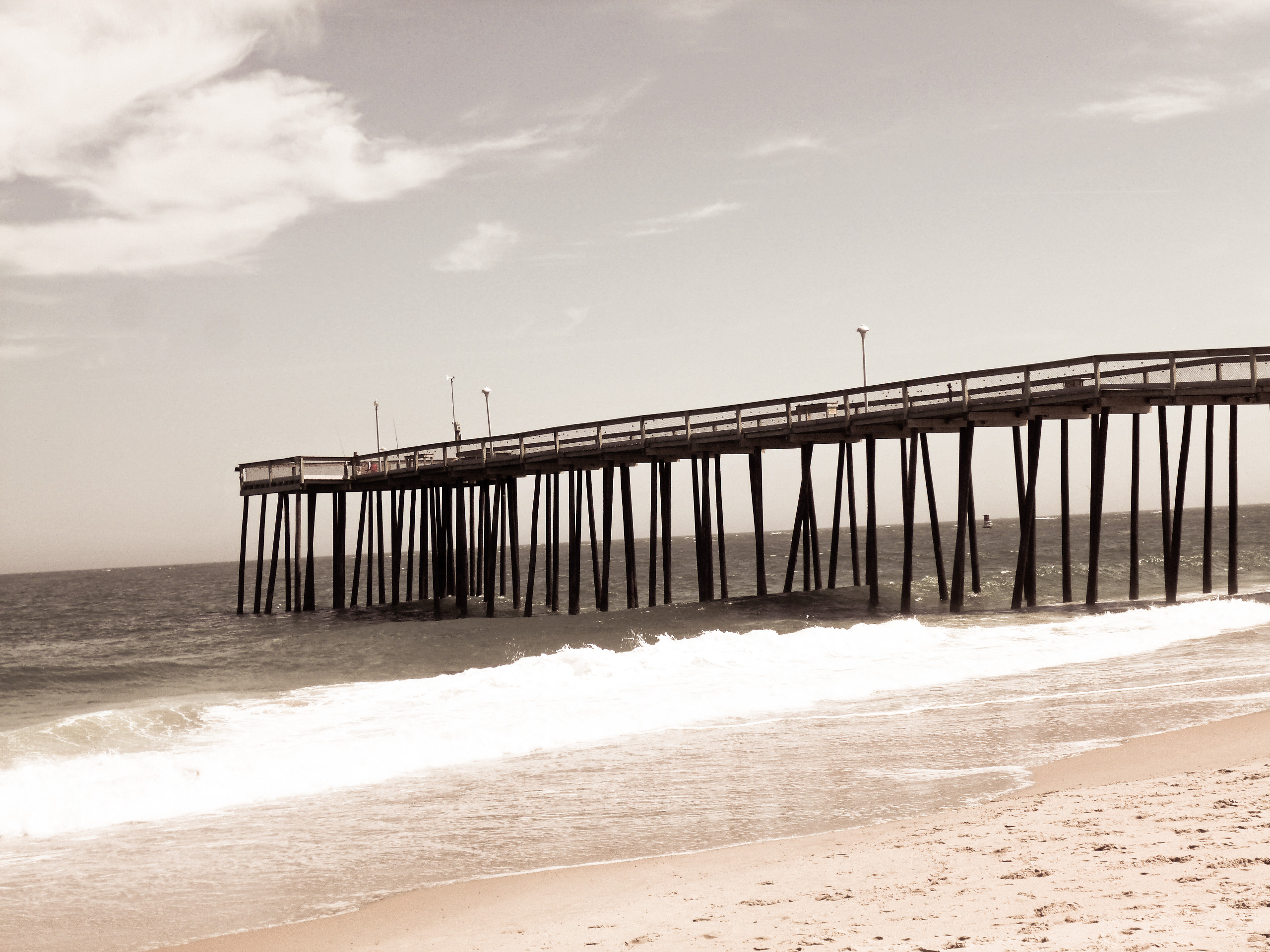
One of the functions of my photo edit tools is called ‘Memories’. My memory must be shot because I don’t remember the fishing pier ever looking like this.
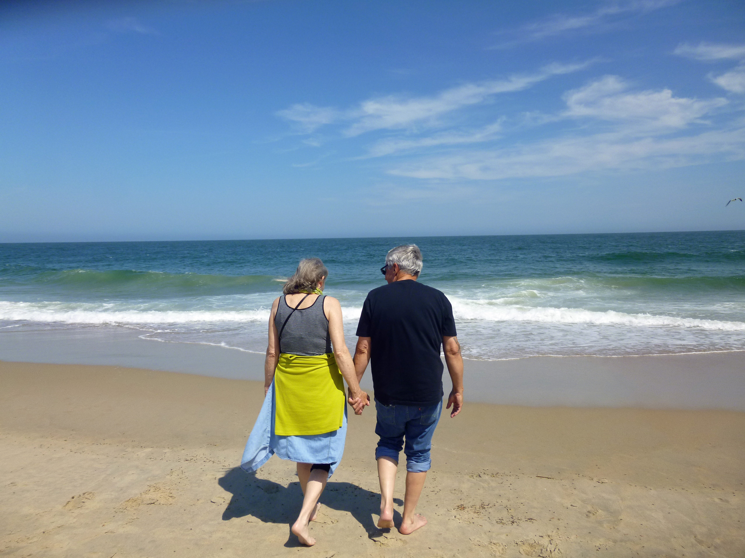
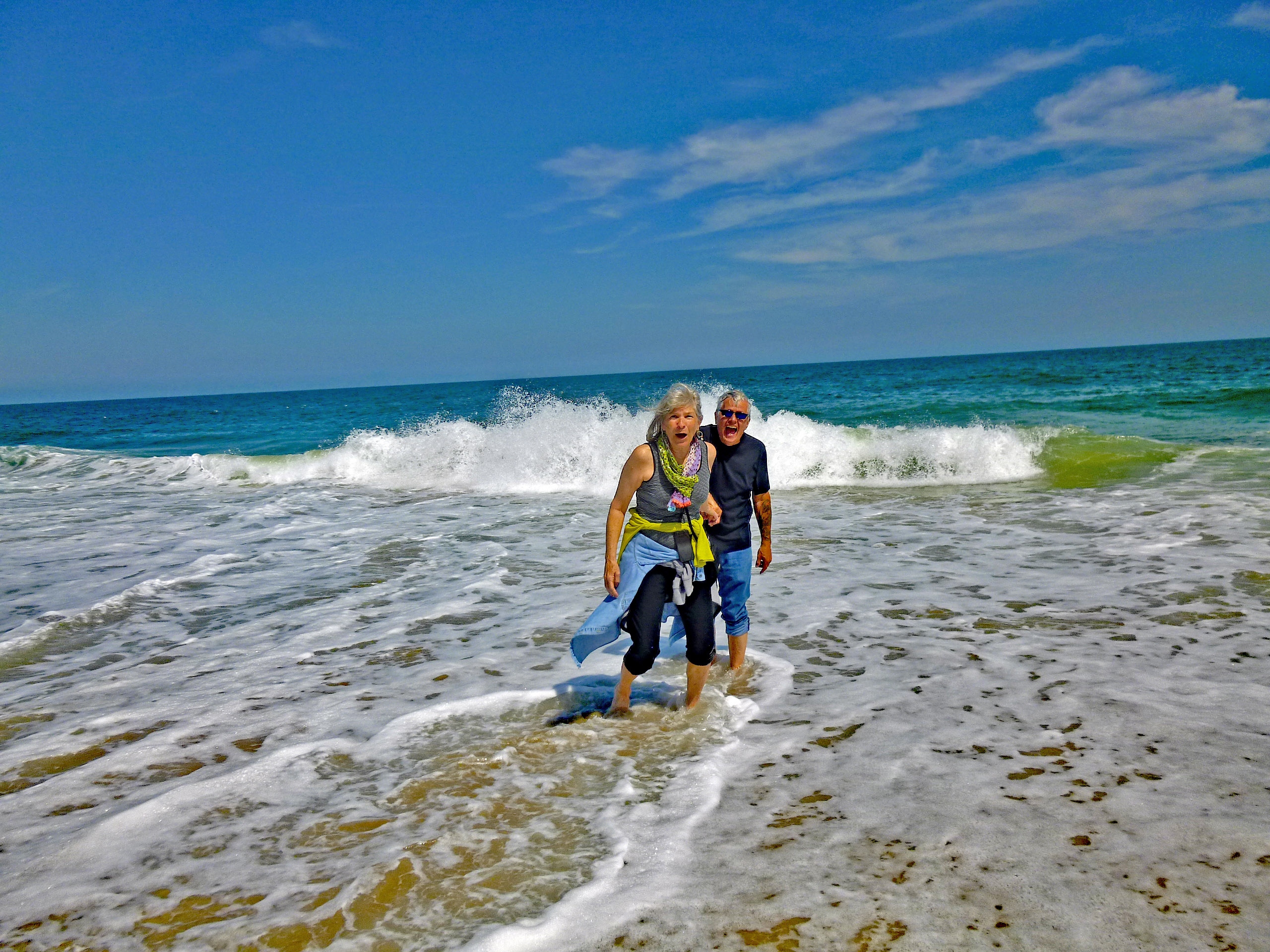
Oh my God! Look at this cute couple with their pants rolled up, heading into the water!!
That is some cold water! There were a couple kids swimming! Kathy asked if I had ever stood in the surf on my birthday before? I came to OC on May 3, 1972 to work, but don’t remember being crazy enough to get my toes wet. I did however stand in the water on May 8, 2015 when I came here to find my friend Eric’s grave.
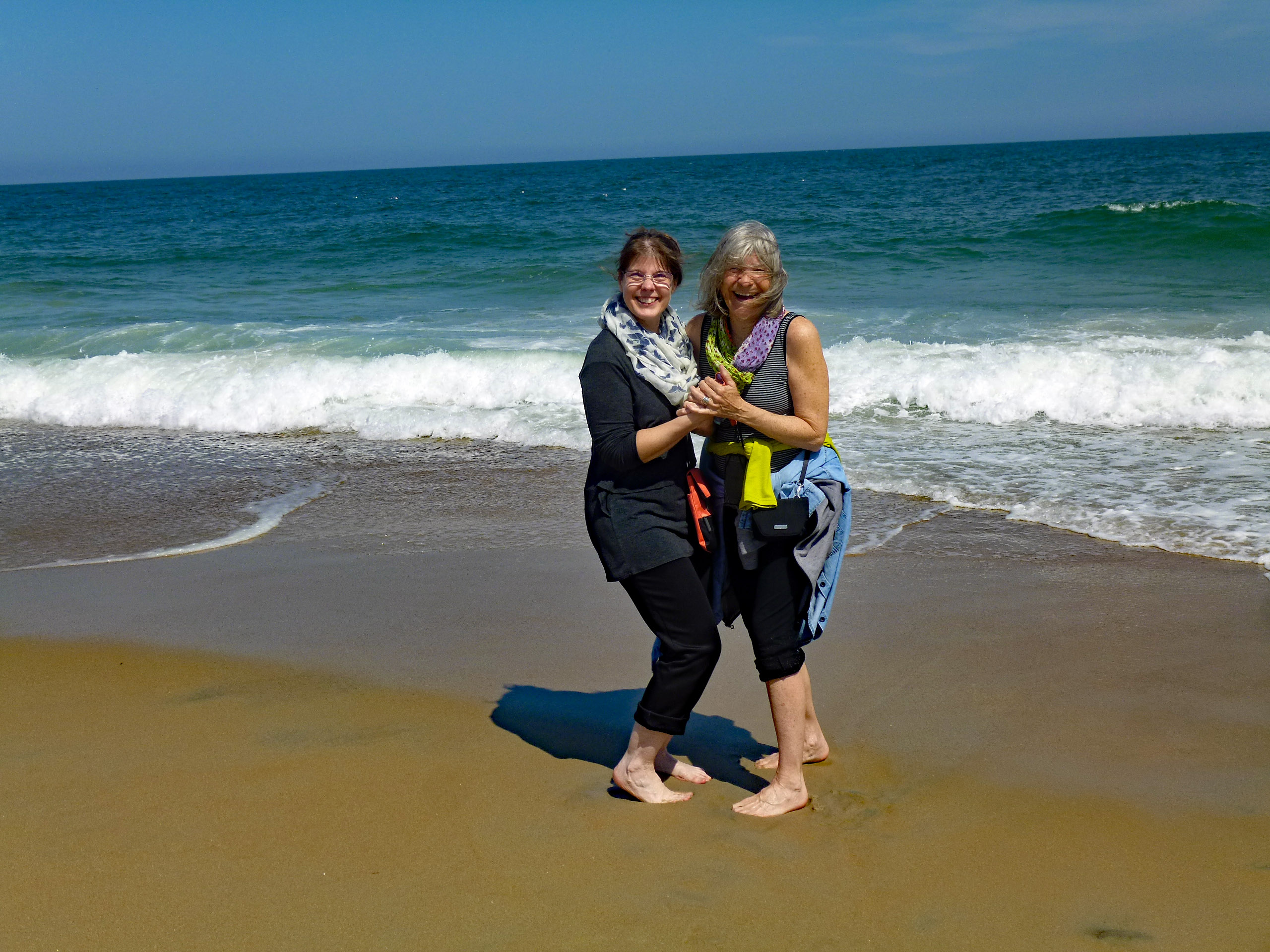
Sandy’s turn. Wave dancers.
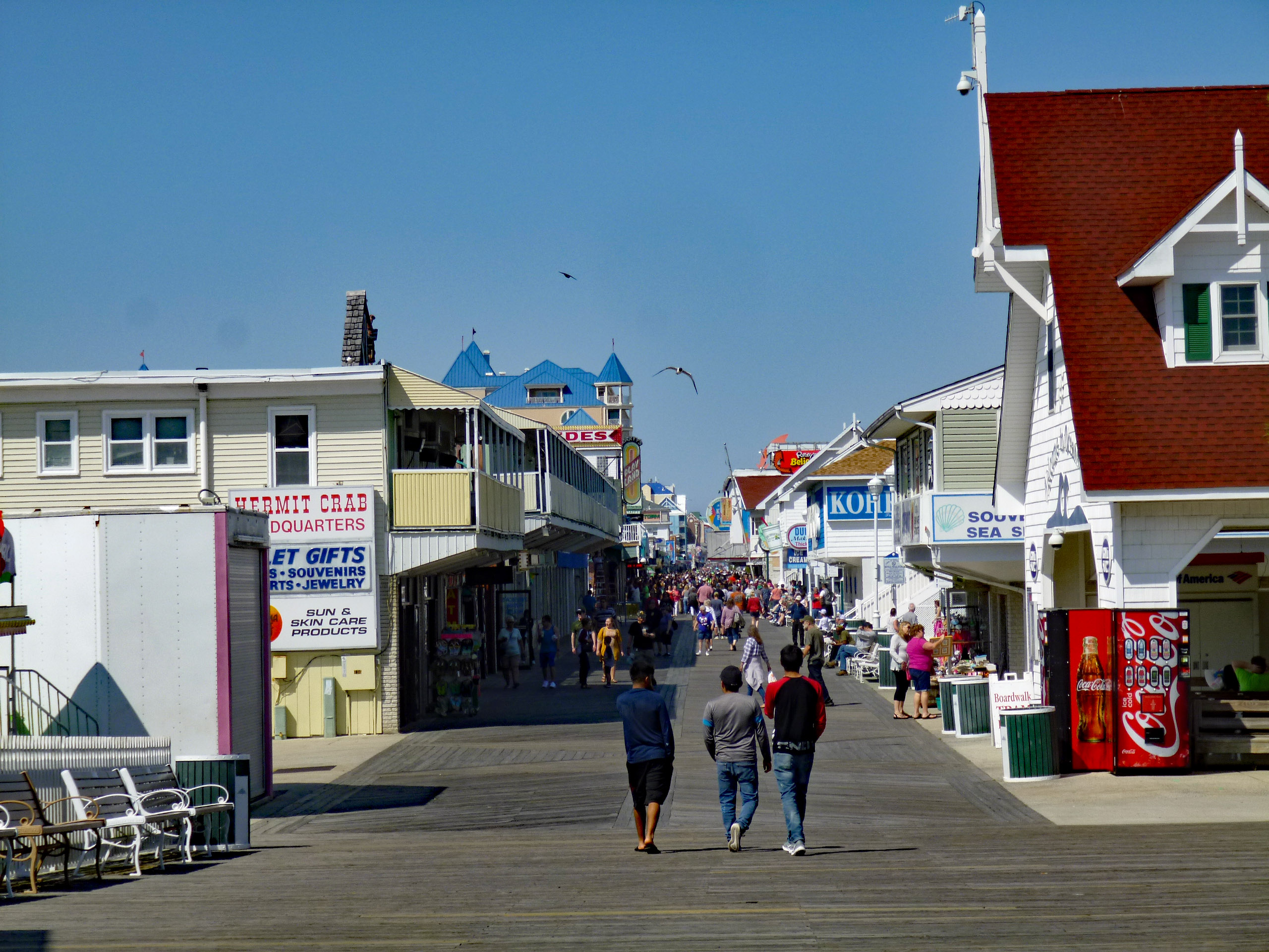
Headed back to the boardwalk towards bay side. Not a bad crowd for early May.
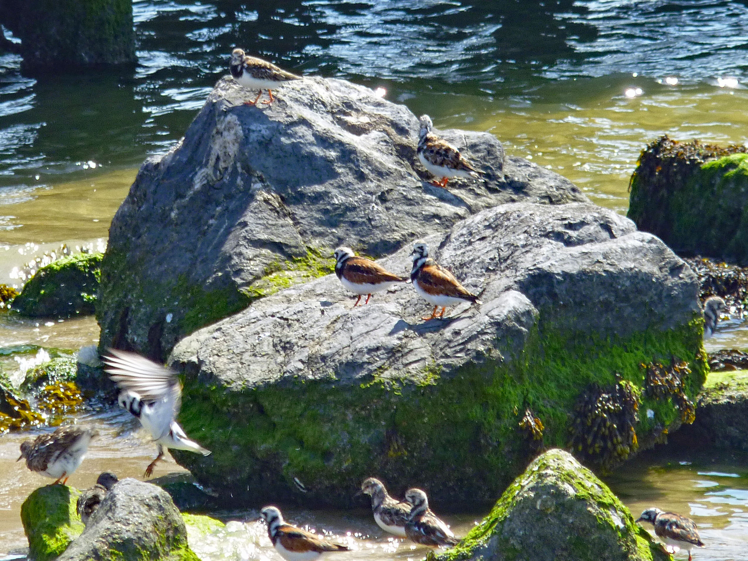
Over to Sunset Park and saw these guys. They look to be Ruddy Turnstone birds? Kathy got me a 16-300mm lens for my camera. It hasn’t come yet. Can’t wait to be able to have a zoom lens and do close ups without carrying a bunch of equipment around.
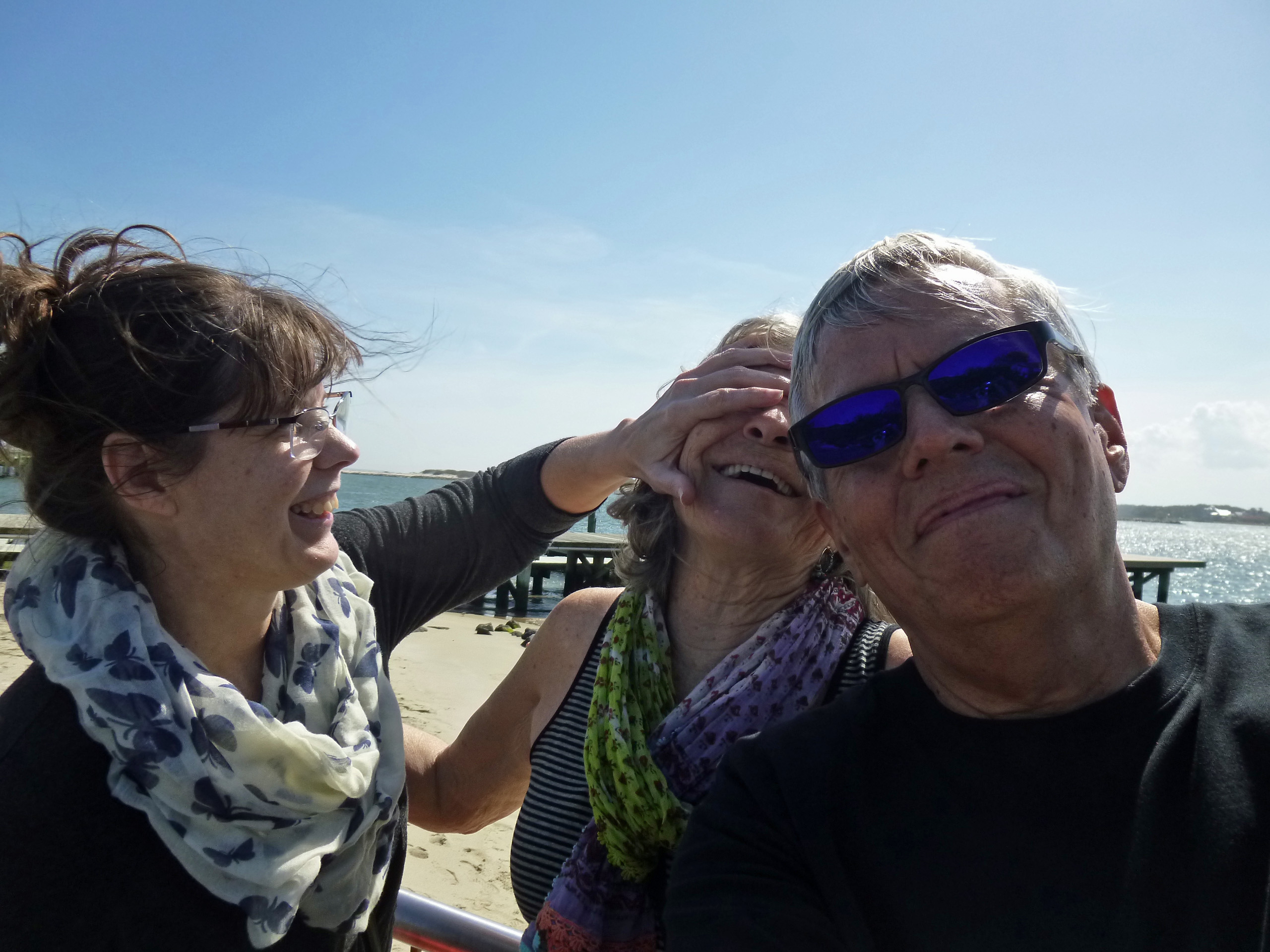
Our selfie down the shore.
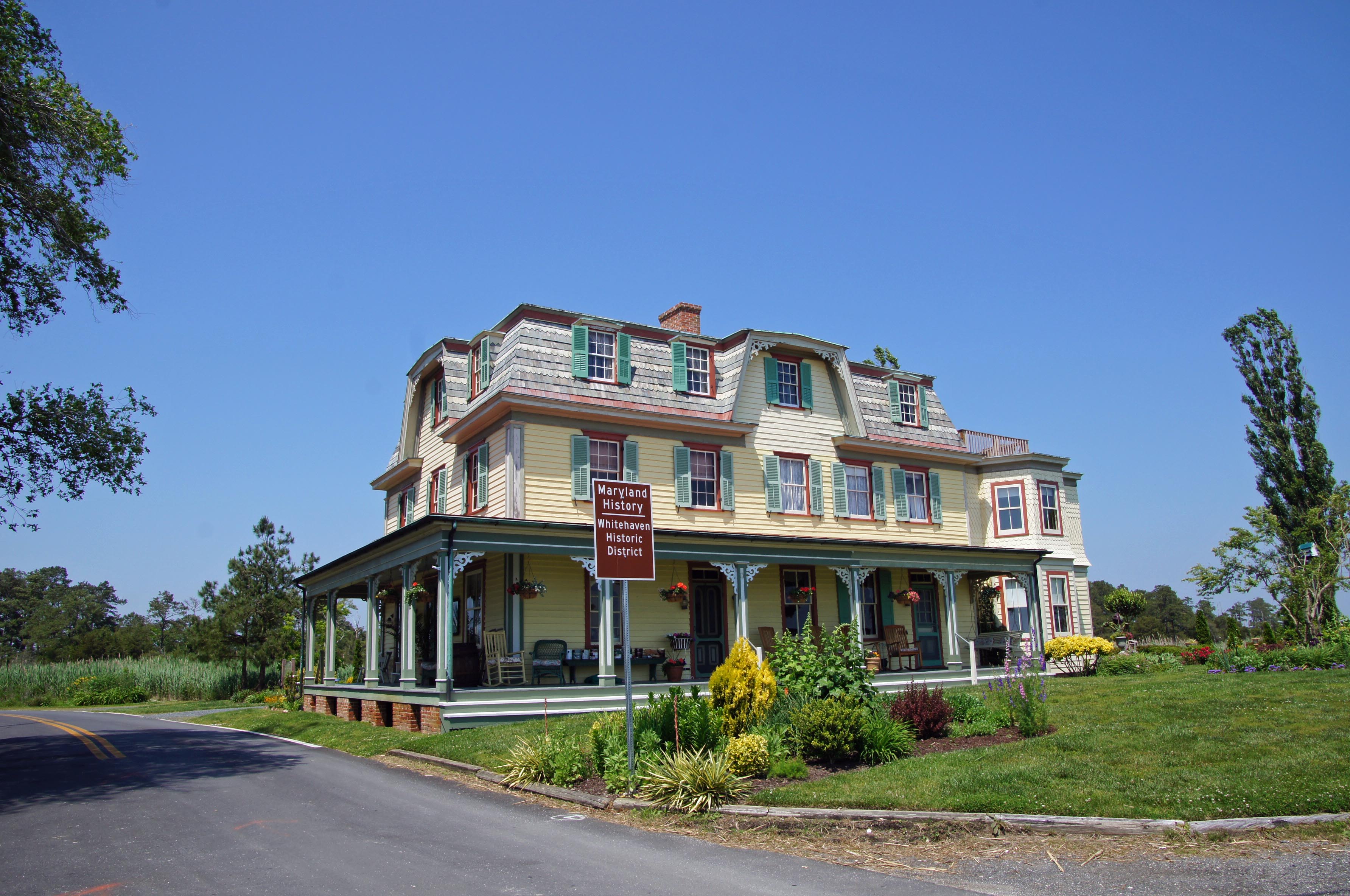
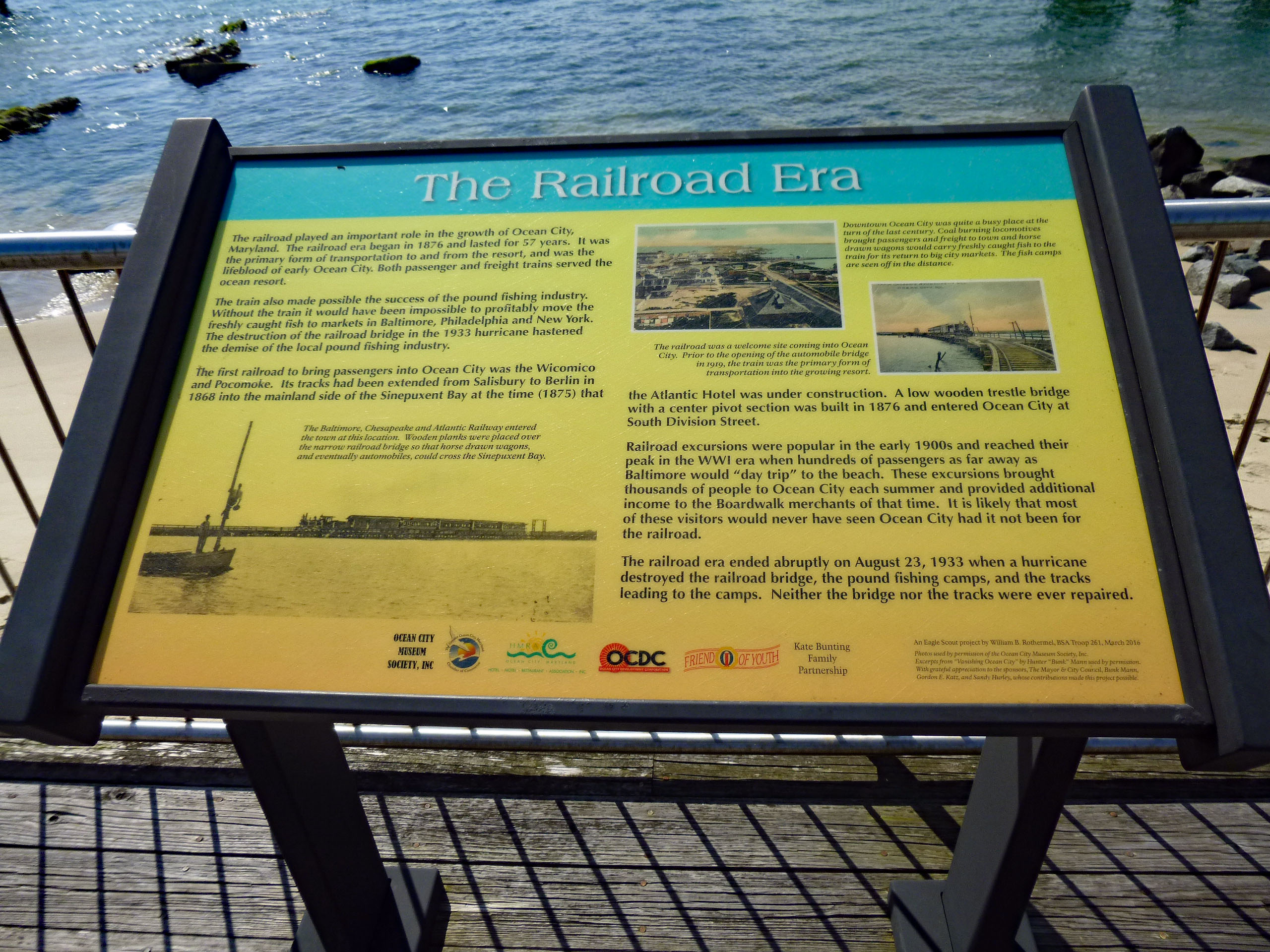
I missed this history sign and Kathy got on me about it. Usually I just stop dead in our tracks (and on the highway) to read these things.
A great day and way to celebrate my birthday! Thanks God, Kathy and Sandy!
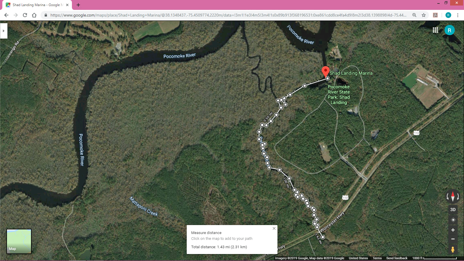
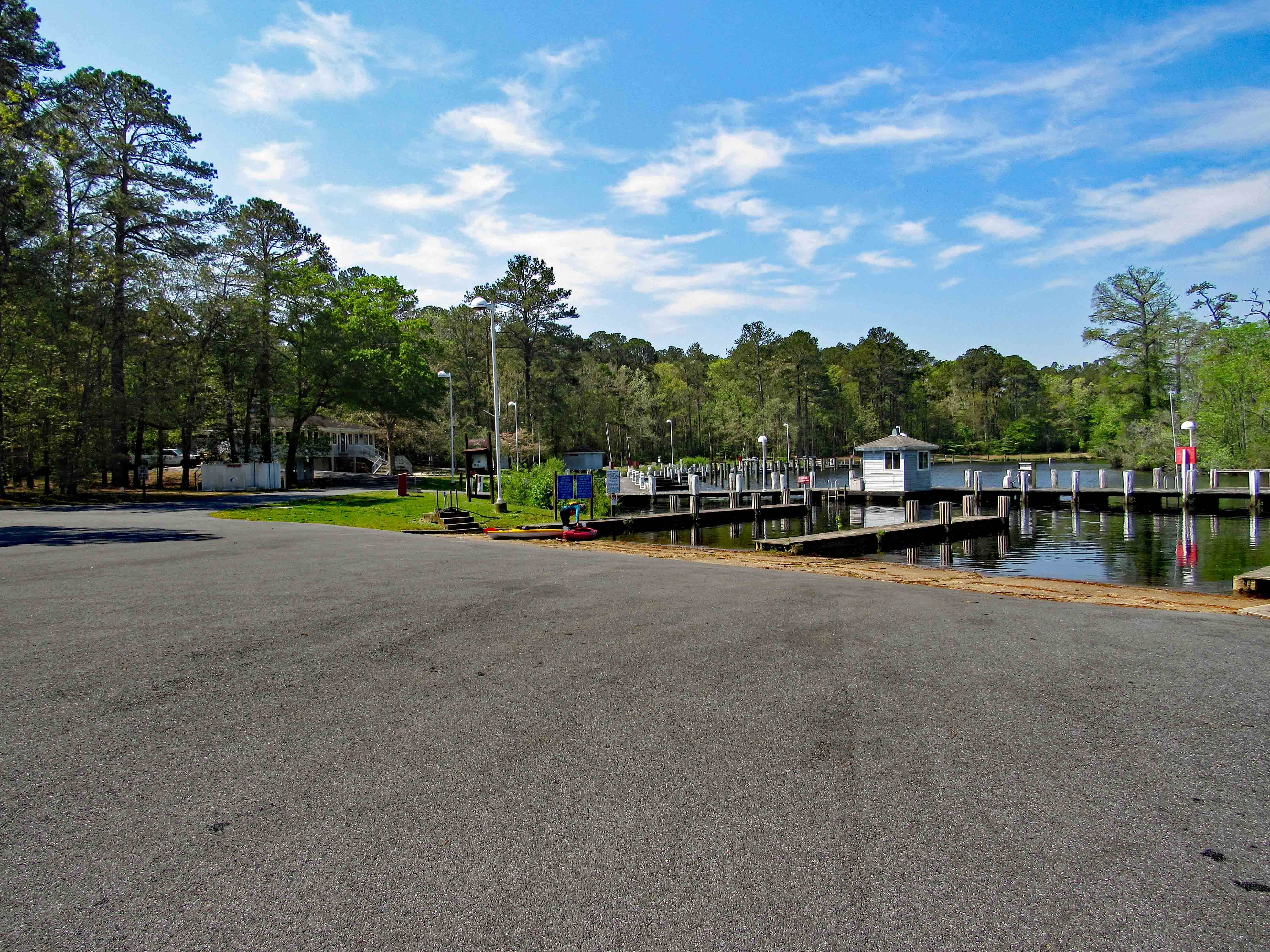
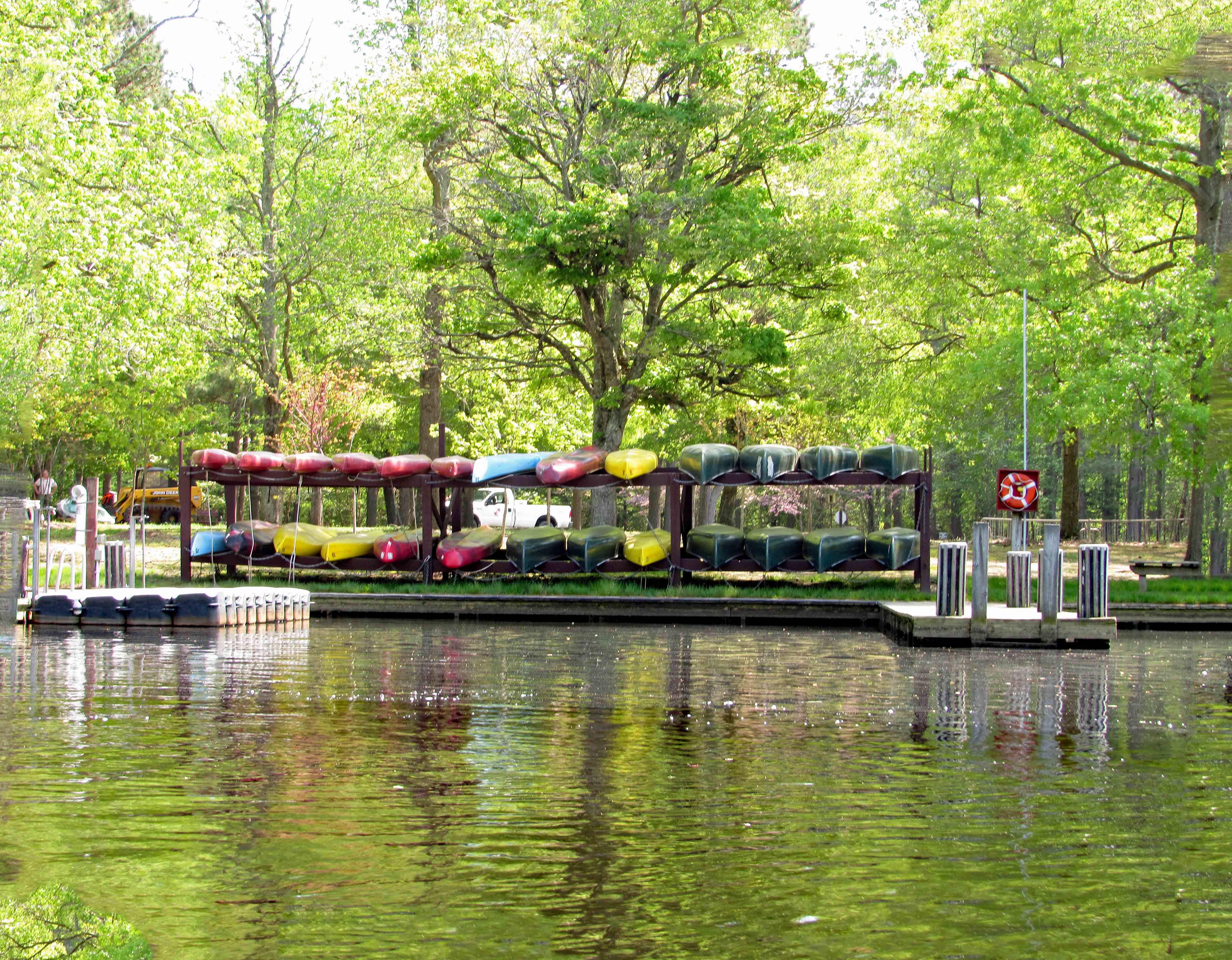
What a great day to take a break from doing ‘stuff’! Loaded the kayaks onto the truck and then headed to Shad Landing at the Pocomoke River State Park. Weatherman was calling for 80+ degrees. We did want to do an Assateague Island trip but the wind gust were to be 10-15mph. For our first time out this season we thought a more peaceful, relaxing trip would be better. Here is our map. Not a long distance trip but a fun one of almost 3 miles and 2-1/2 hours.
There was hardly anyone there. The landing kind of reminded us of Mariner’s Point up in Joppa. Instead of doing the loop west-north then back southeast, we headed off to Rte. 113. Here is Kathy getting everything ready while I park the truck.
From the launch you paddle east, go around the pier and then head southwest. Pass by the lonely canoes on a rack, waiting for adventurers.
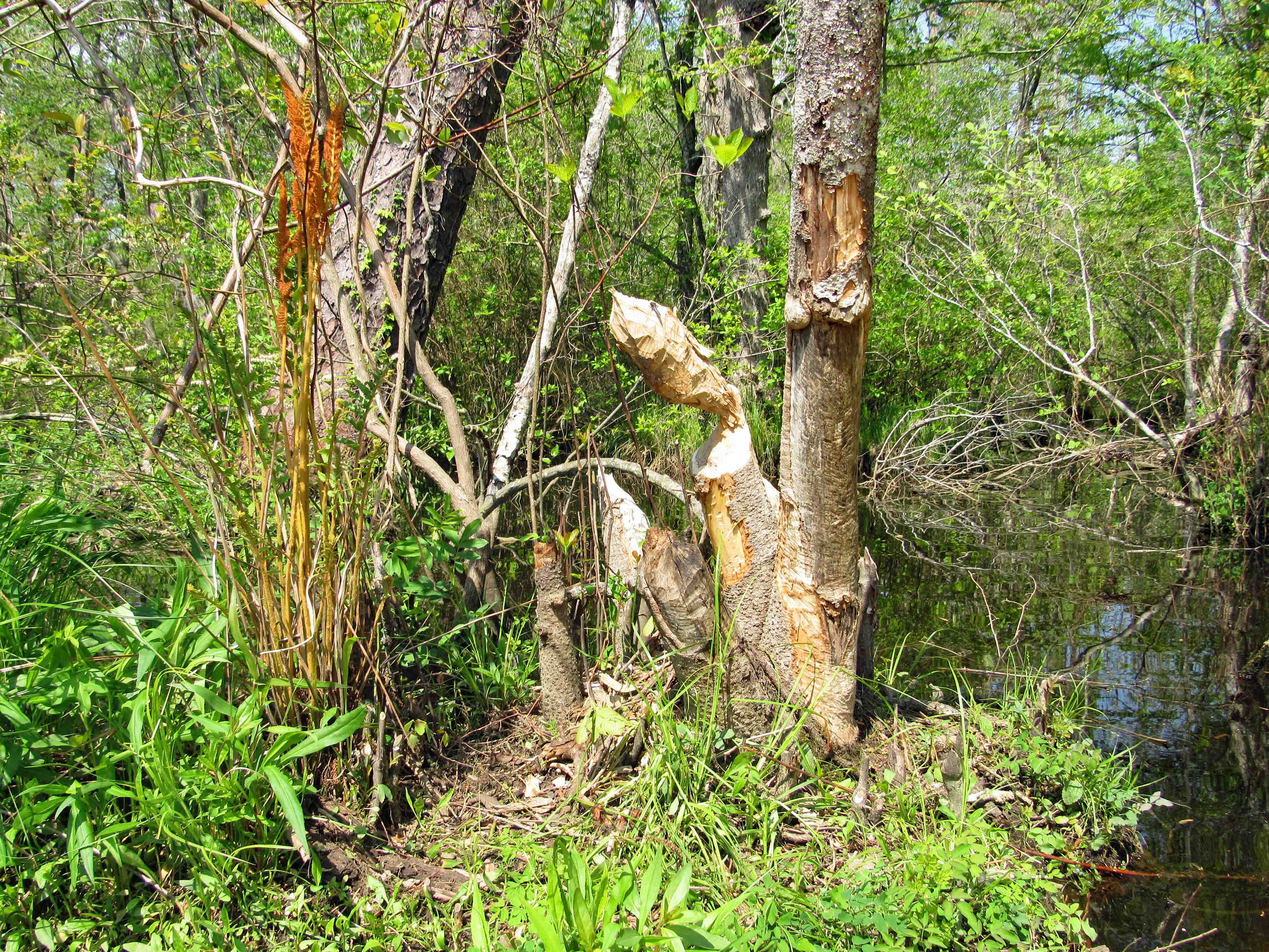
We did not see much wildlife, just some signs. Here it looks like a beaver wasn’t paying attention to what had already been gnawed upon.
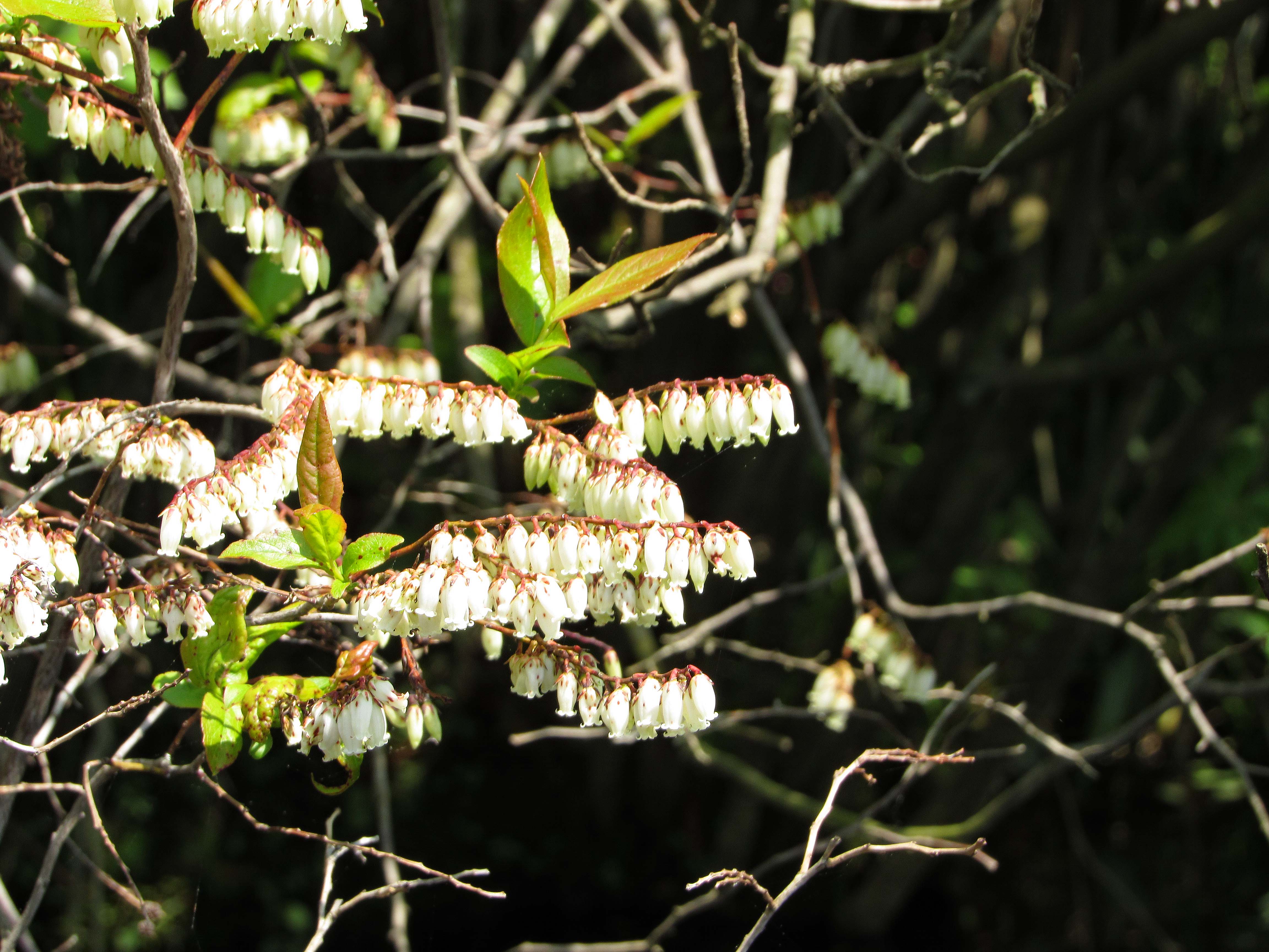
There were some colorful flowers on shore like these little bells. Kathy knows most of the names for these things. I don’t.
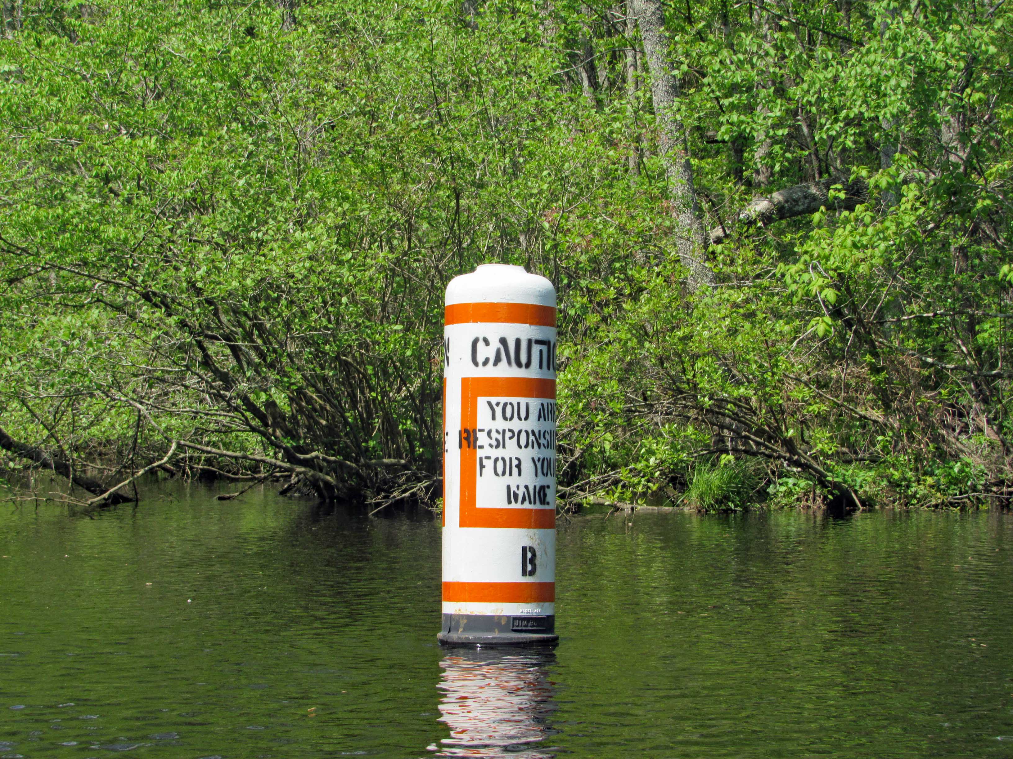
Heading towards the left turn we wanted to make is this marker. Unlike Mariner’s Point, we didn’t have to get out of the way of any crazy boaters that don’t care about wakes.
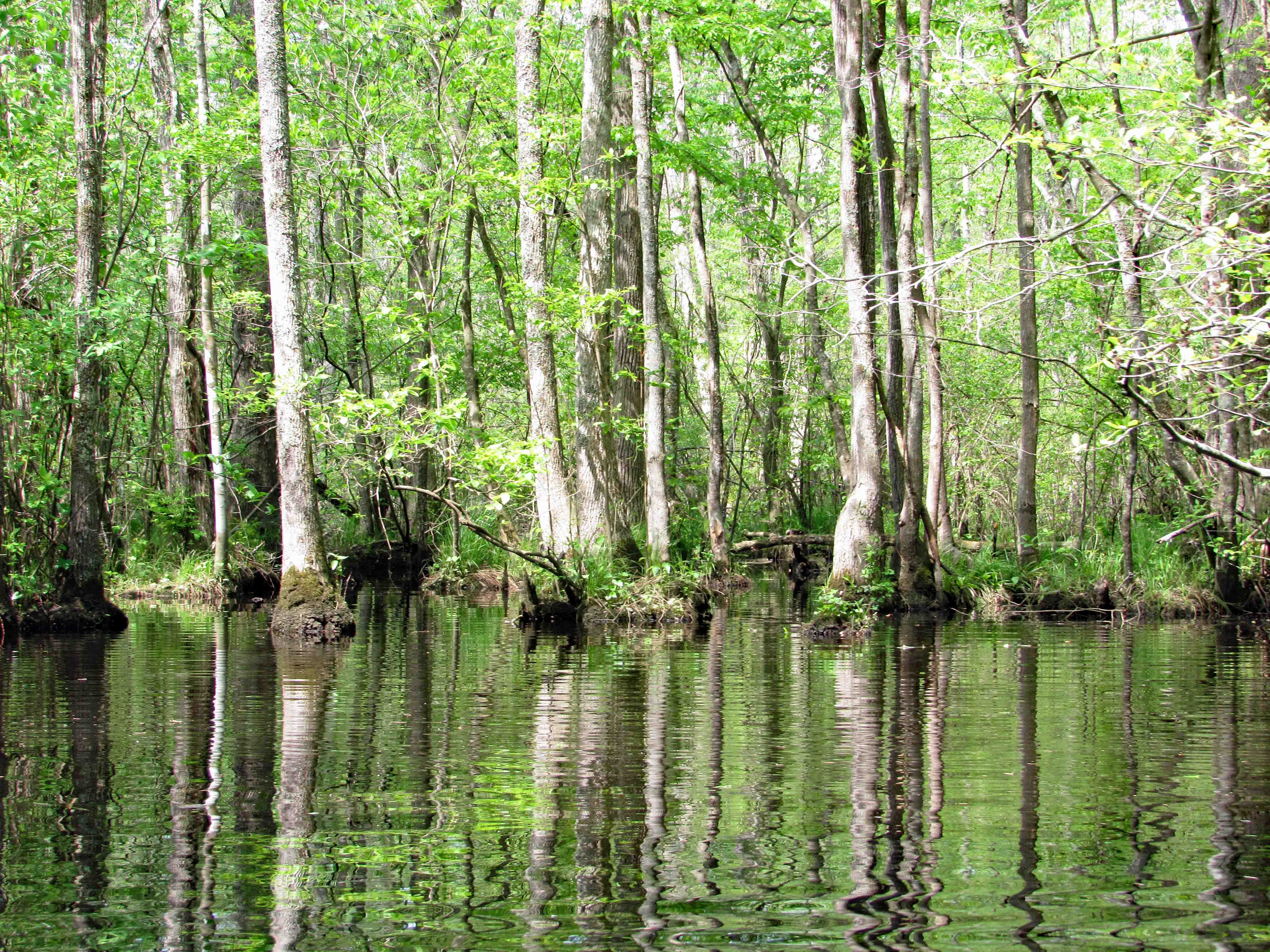
The whole park seems like a giant swamp. Kathy’s brother Phil had me watch a show about the Pocomoke on Delmarva Life, a TV show down here – Back in the 1930’s-40’s they dredged the river and put the spoils along the shore, unbeknownst to them that the dikes they created stopped mother nature from holding and filtering the water before sending it down stream to the Bay, causing damage to the ecosystem. Right now they are in the process of removing the dikes for nine miles up near Rte. 50, to reverse 80 years of bad planning. Here is what the area should look like.
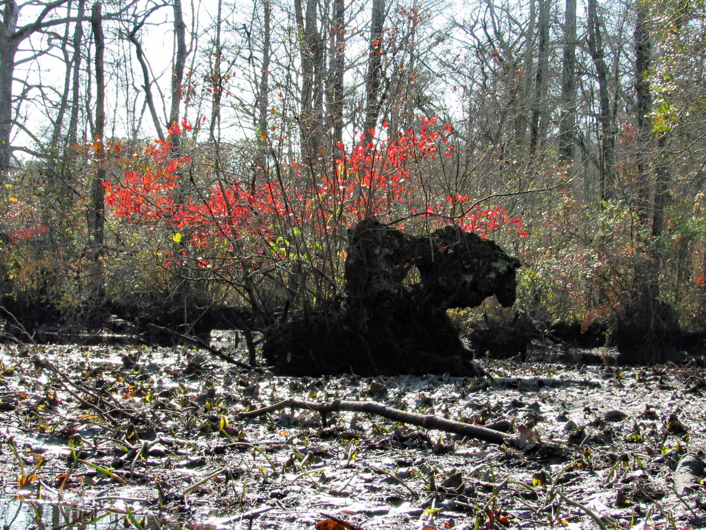
Lots of cypress.
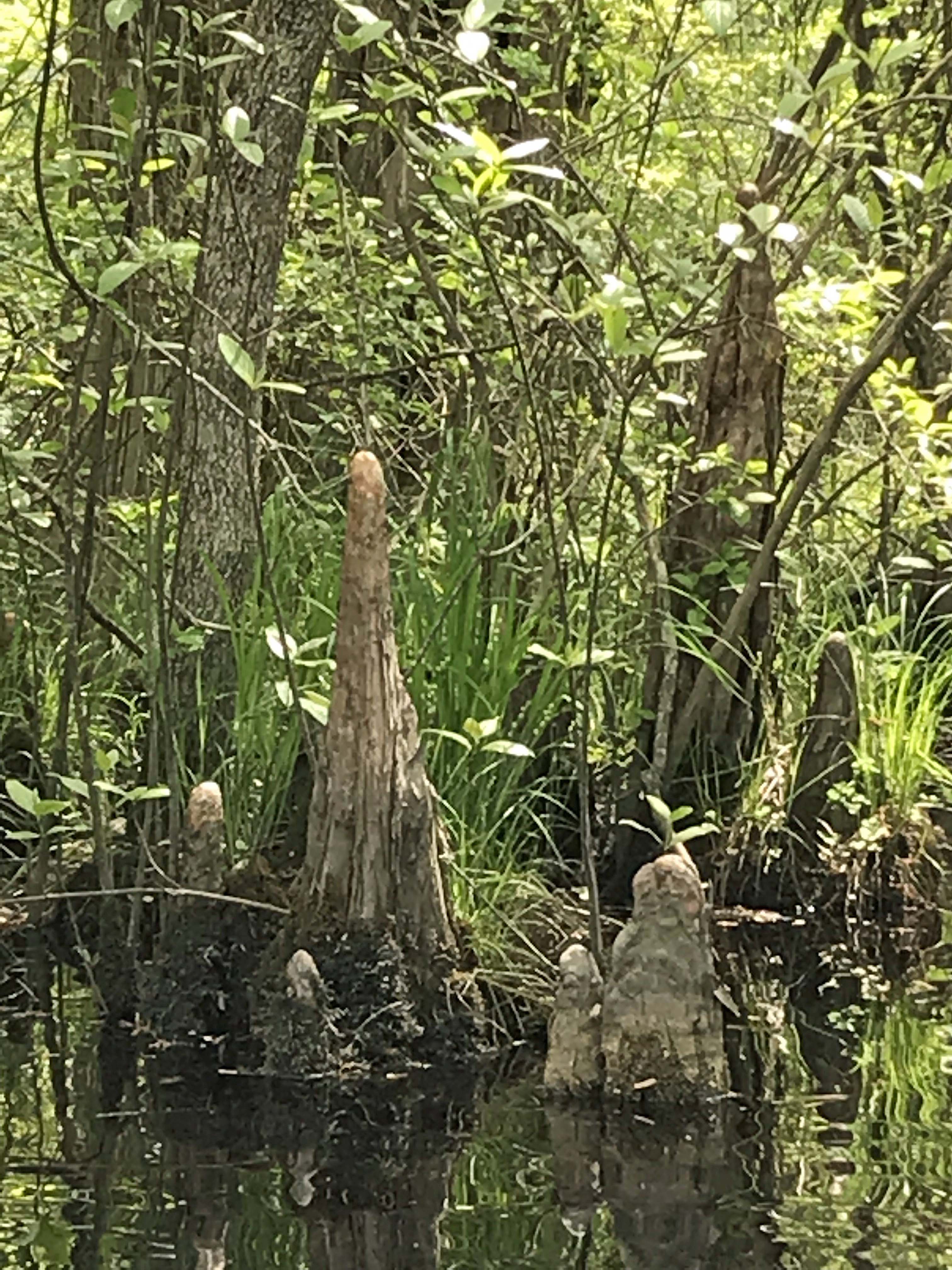
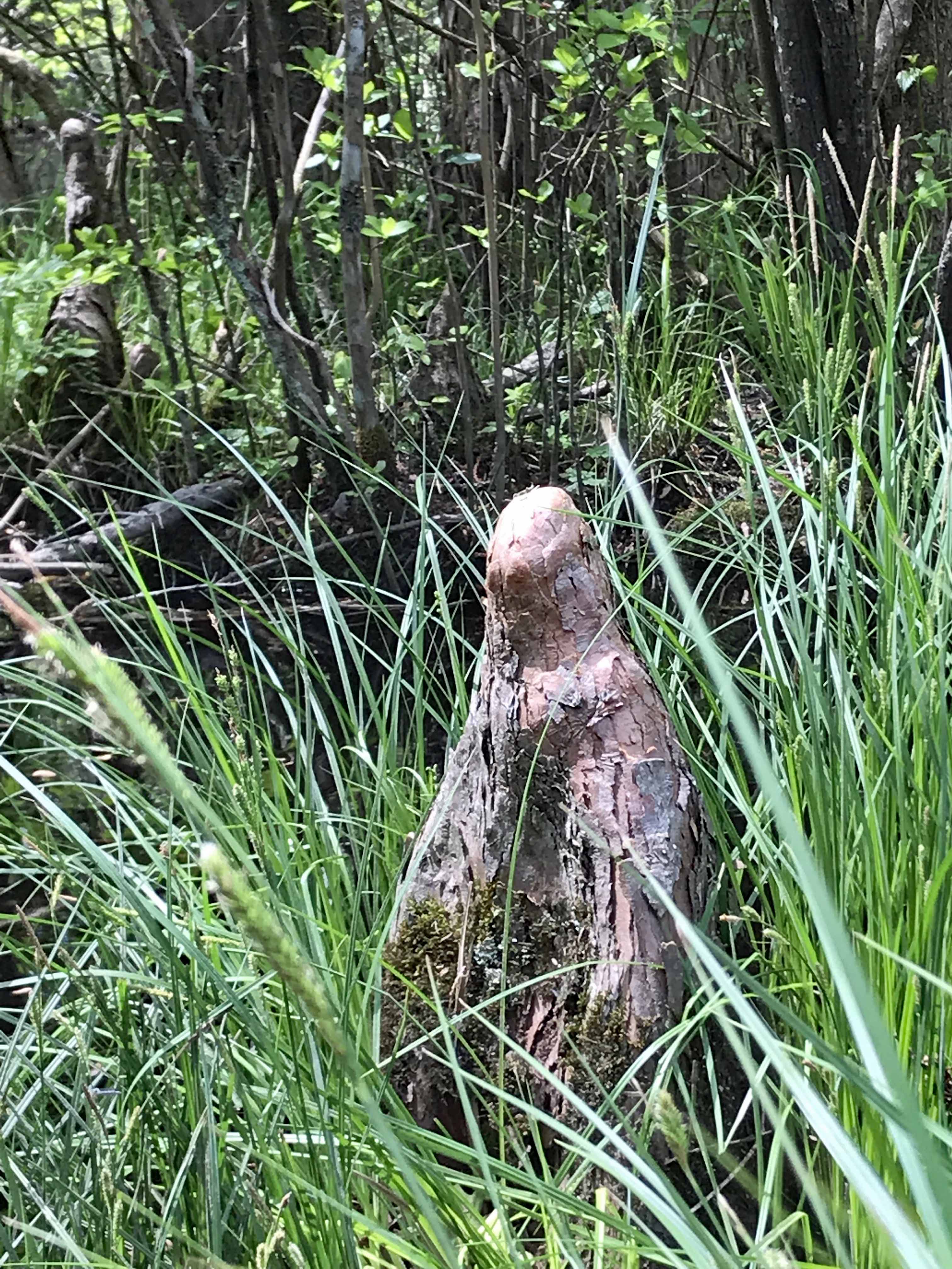
An odd shaped knee to say the least. Looks like a worn out statue.
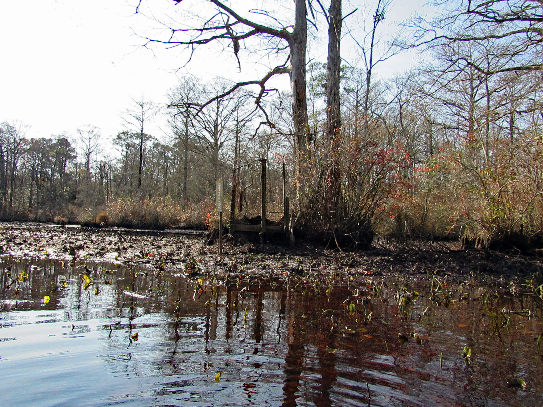
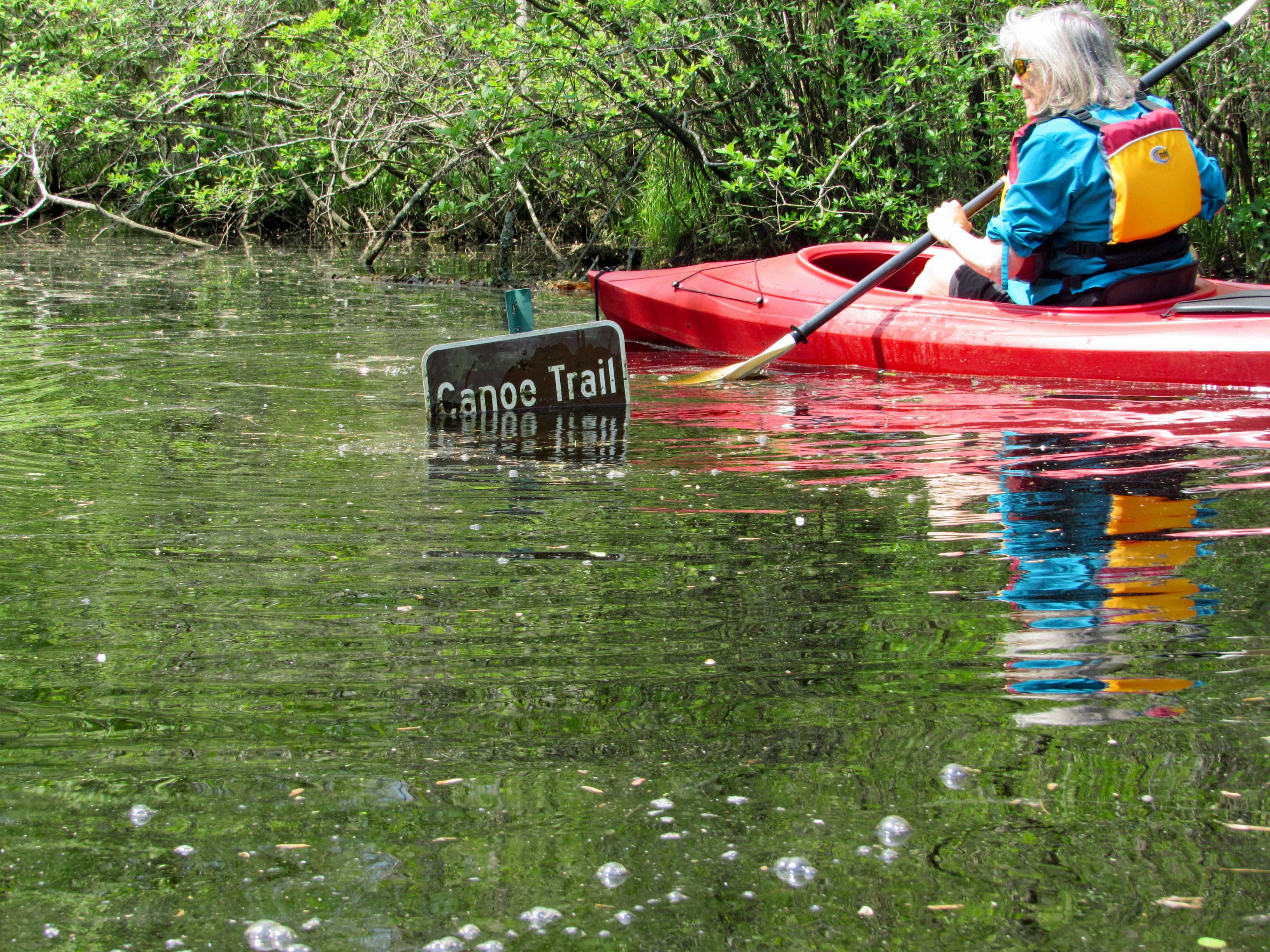
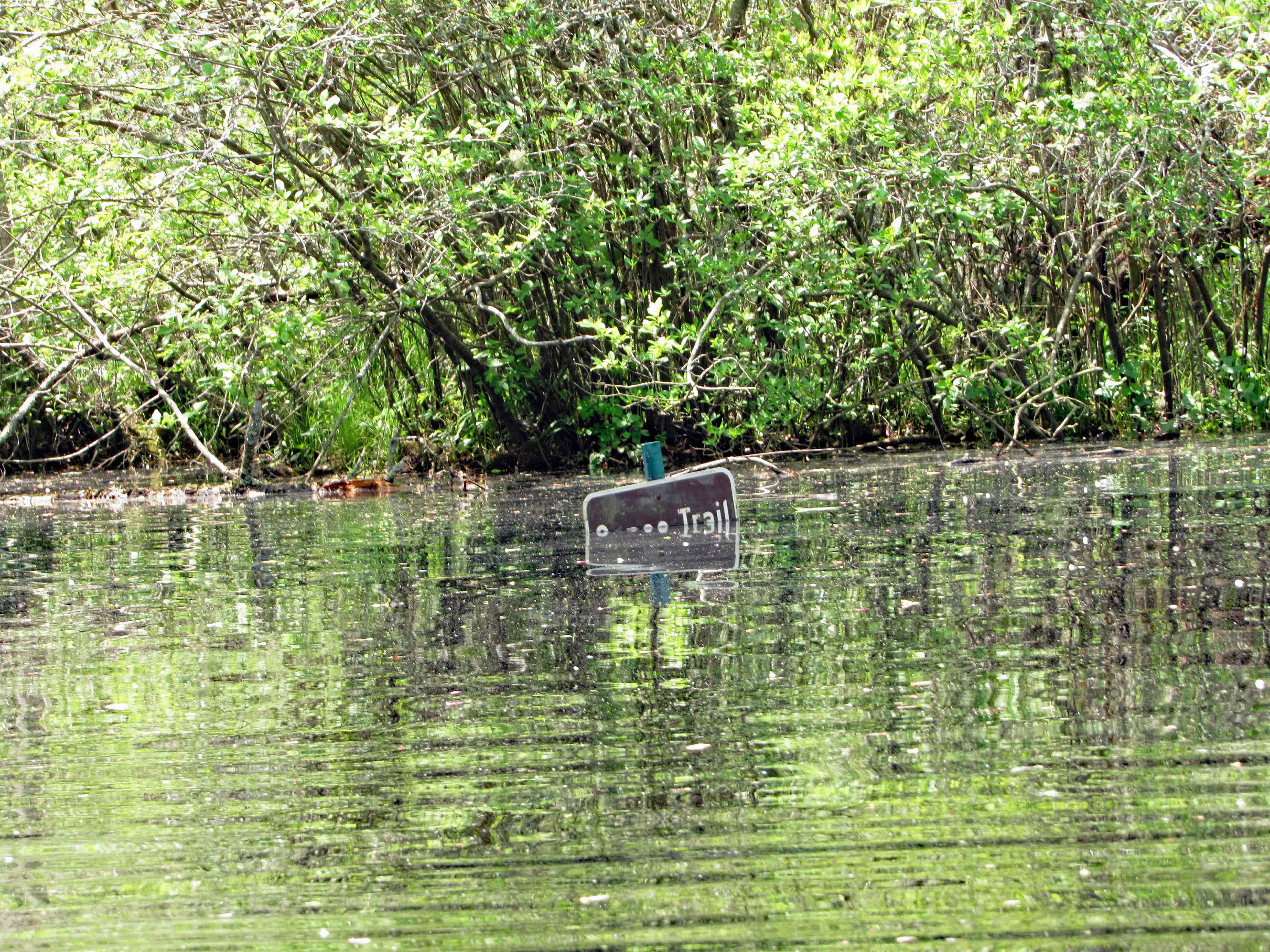
So we make our left hand turn and Kathy see’s this sign. It is halfway covered up. She goes in for a closer look and under ‘Canoe Trail’ is an arrow pointing right.
45 minutes later, on our return trip, the water had risen.
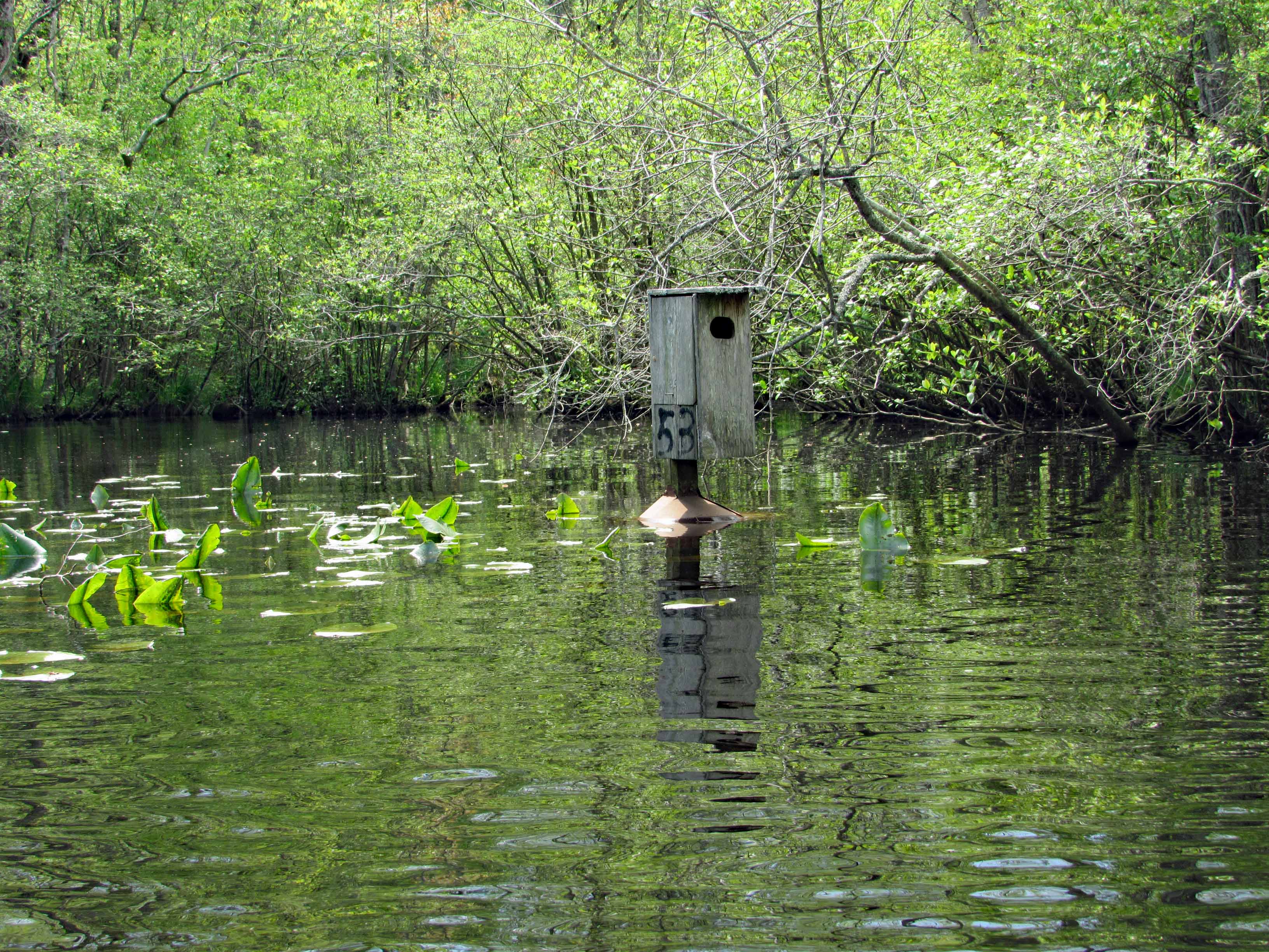
The water was high enough to take away the protection of the metal cones that protect the birds from predators. Also, the lily pads had come up, only to be submerged.
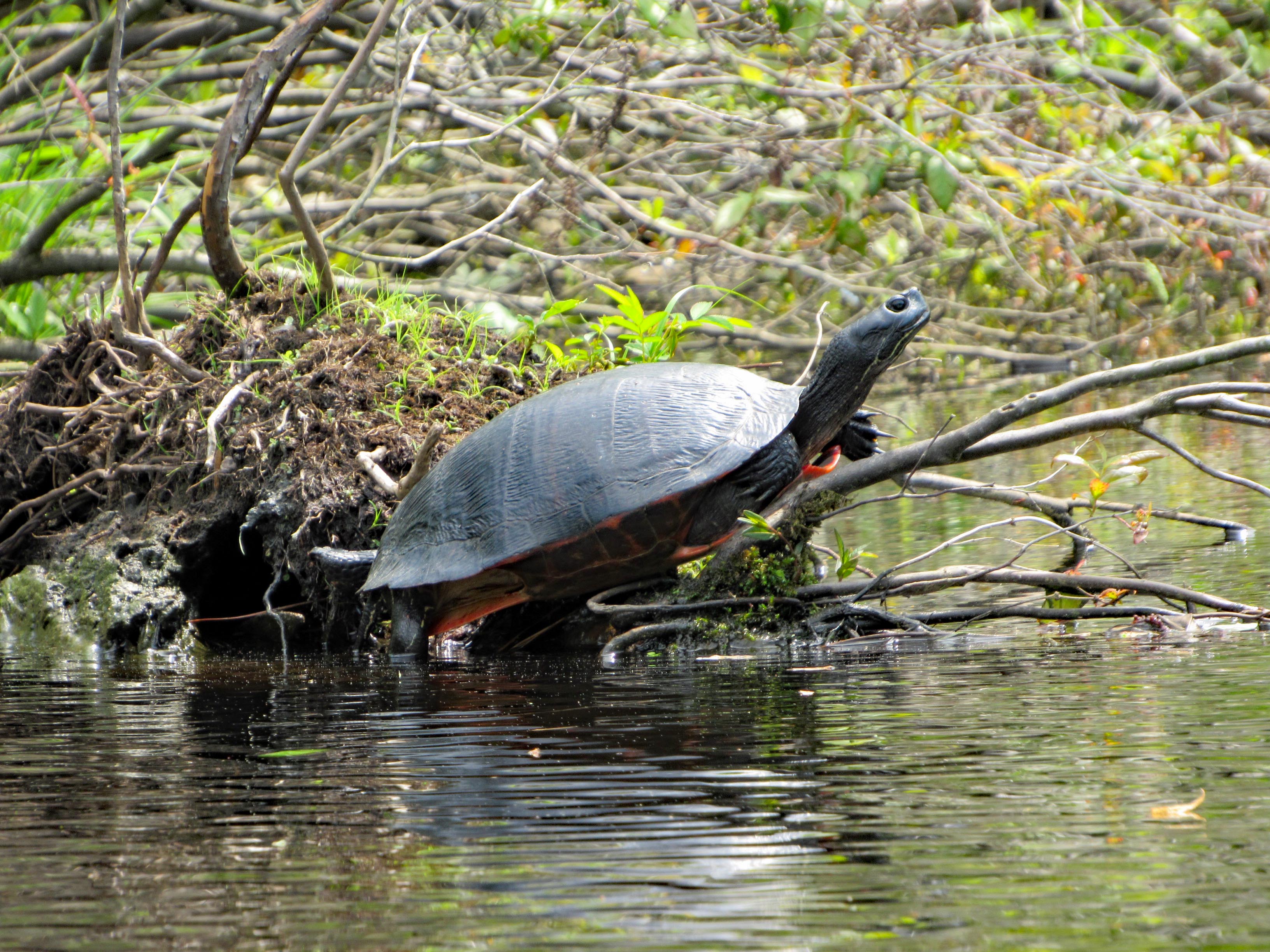
We did see a few turtles and one water snake.
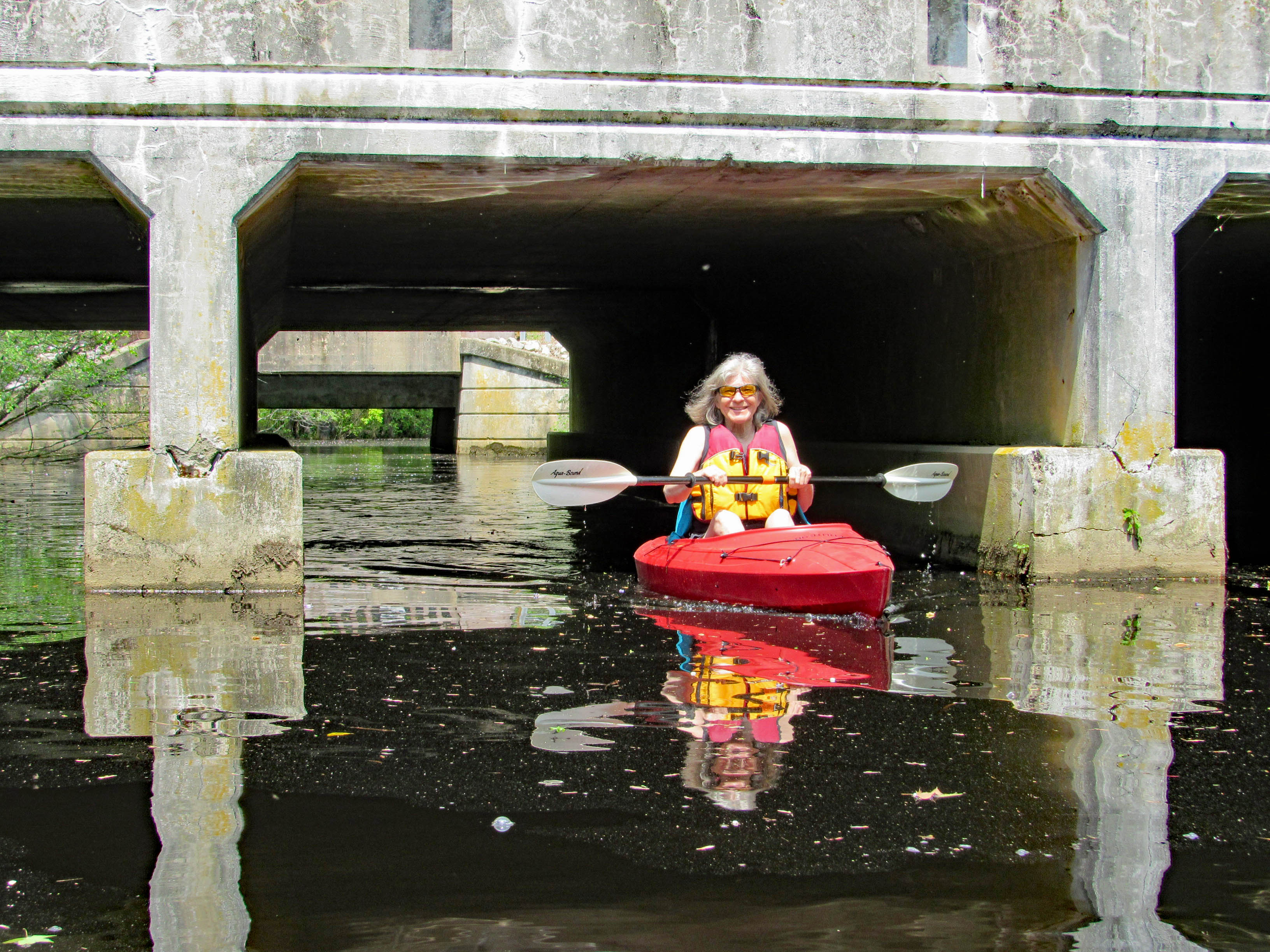
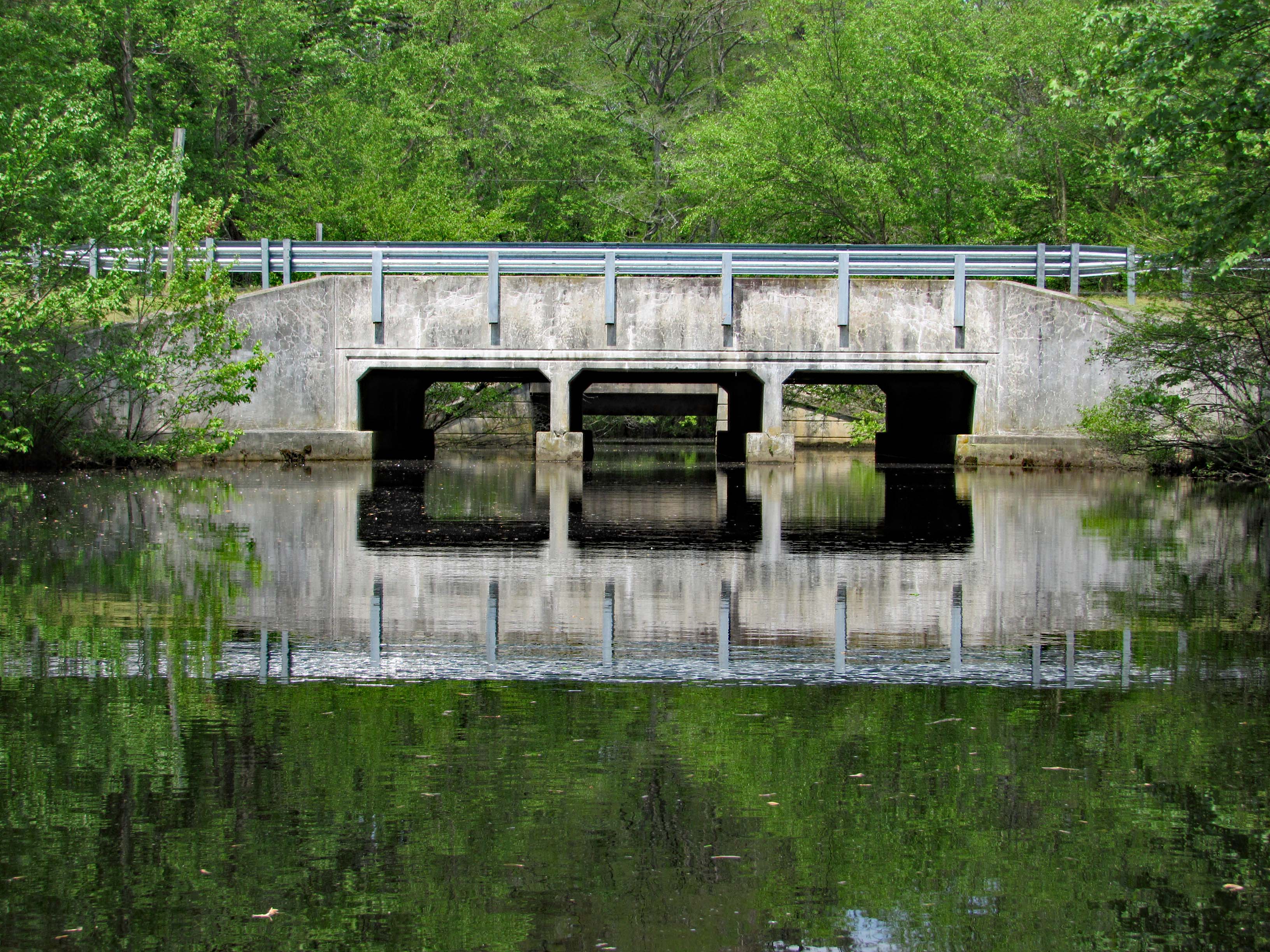
Up ahead, Route 113. Water looks a little high but we came this far –
Kathy wanted me to go through first. She don’t like spiders and snakes.
Kathy took a photo of me contemplating which arch to go thru-
Kathy then made it through safe and sound.
Looking back from the other side of Rte. 113.
Time to paddle back. Marina up ahead.
Leaving the park we headed south on 113 to see the river from up above.
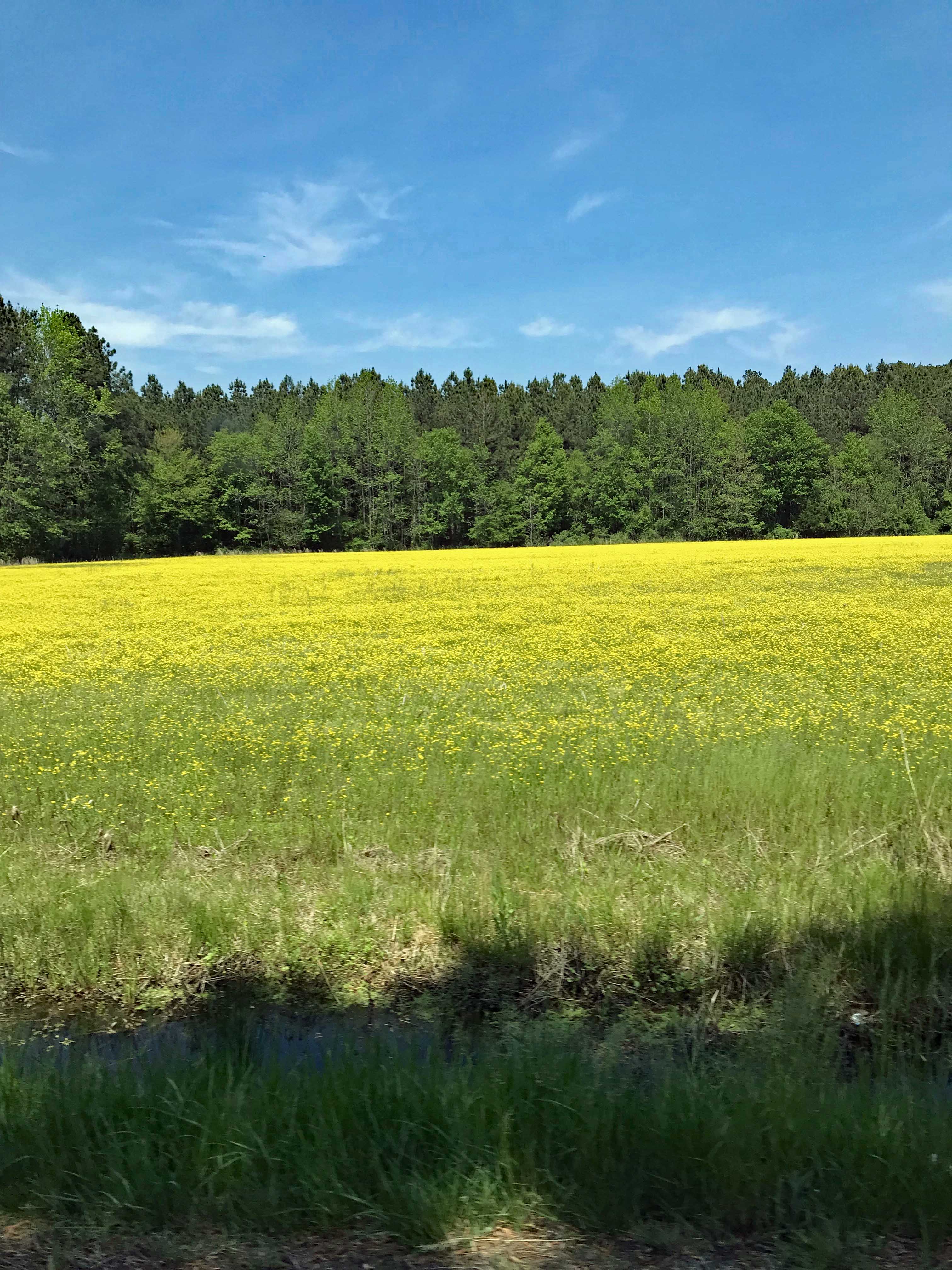
Nice, as were all the fields of flowers on the drive home.
So glad we put a bunch of house stuff to the side for a while, to enjoy this wonderful adventure together. It was a very much needed escape.