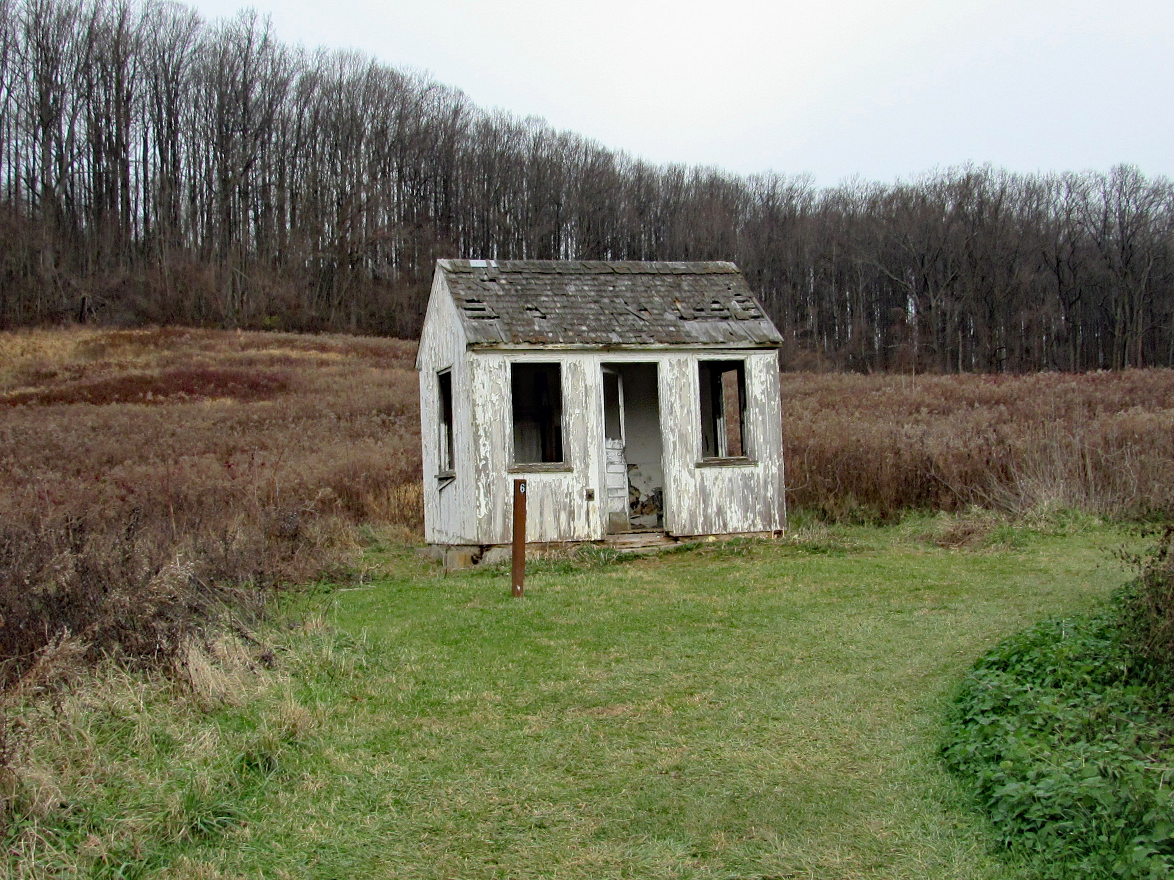
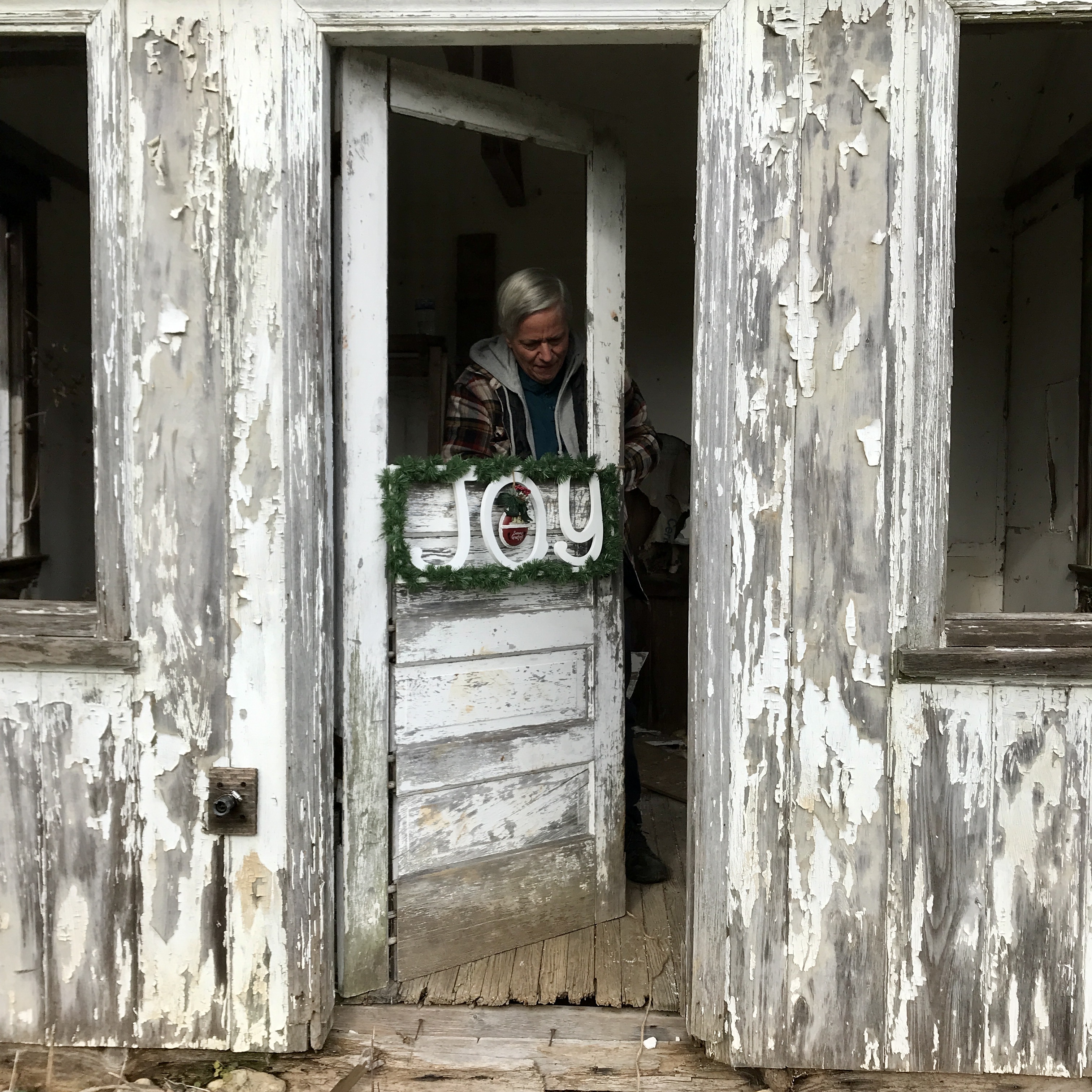
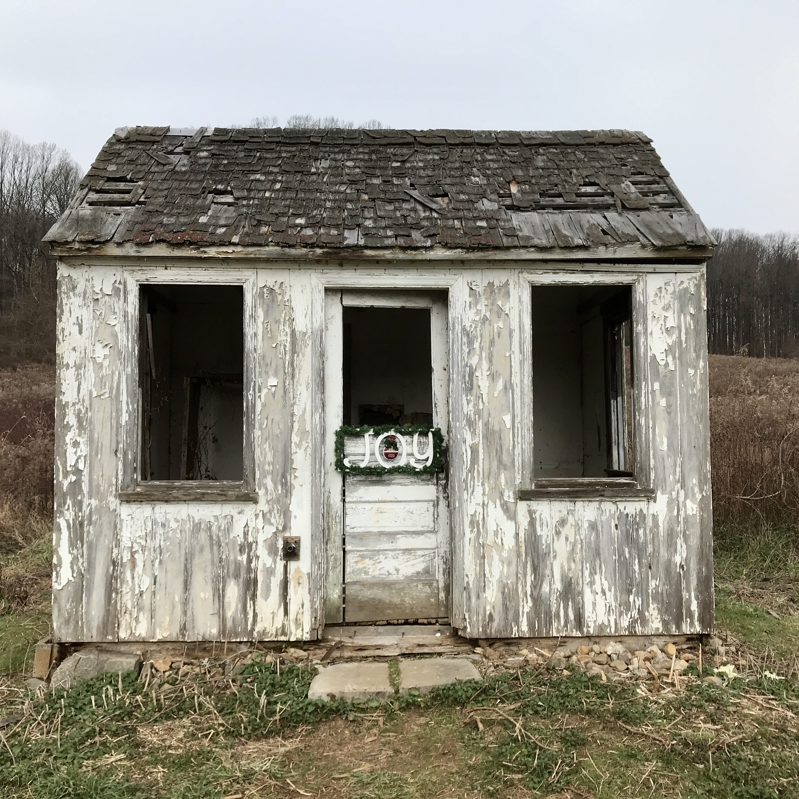
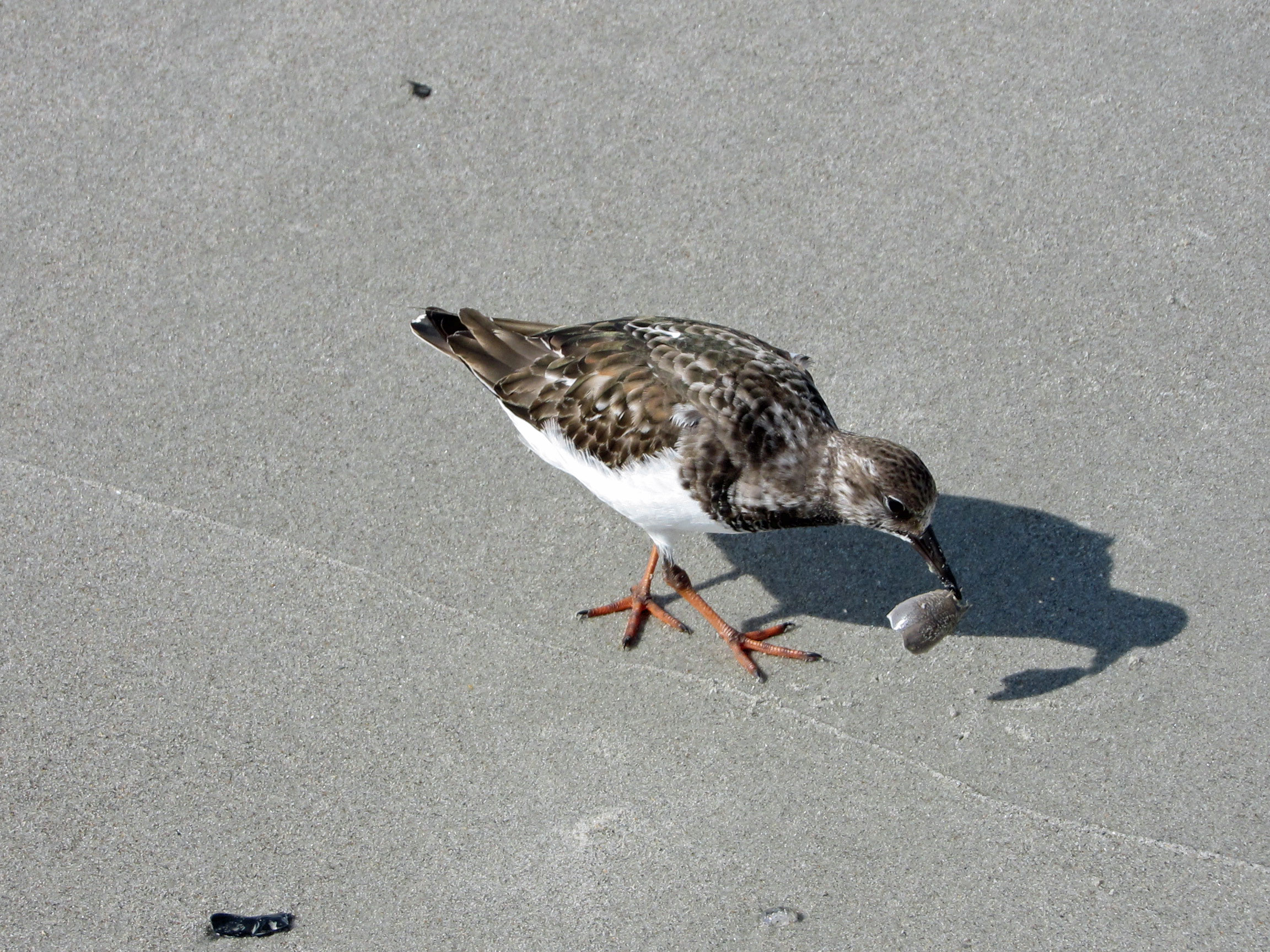
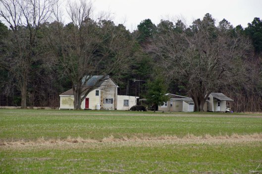
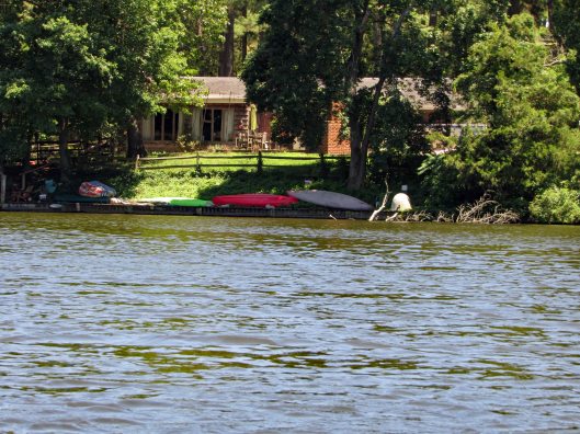
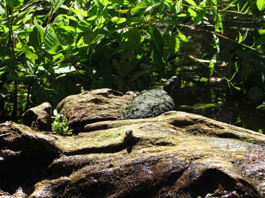
Wasn’t sure we would make it to Baltimore this year, to decorate our favorite building in our favorite park – Cromwell Valley Park. But we did! Heading across the field towards the Greenhouse Path (Not sure when they started calling it that), up in the distance we see the little house. Many years ago it was a bath house for the family that use to live near here.
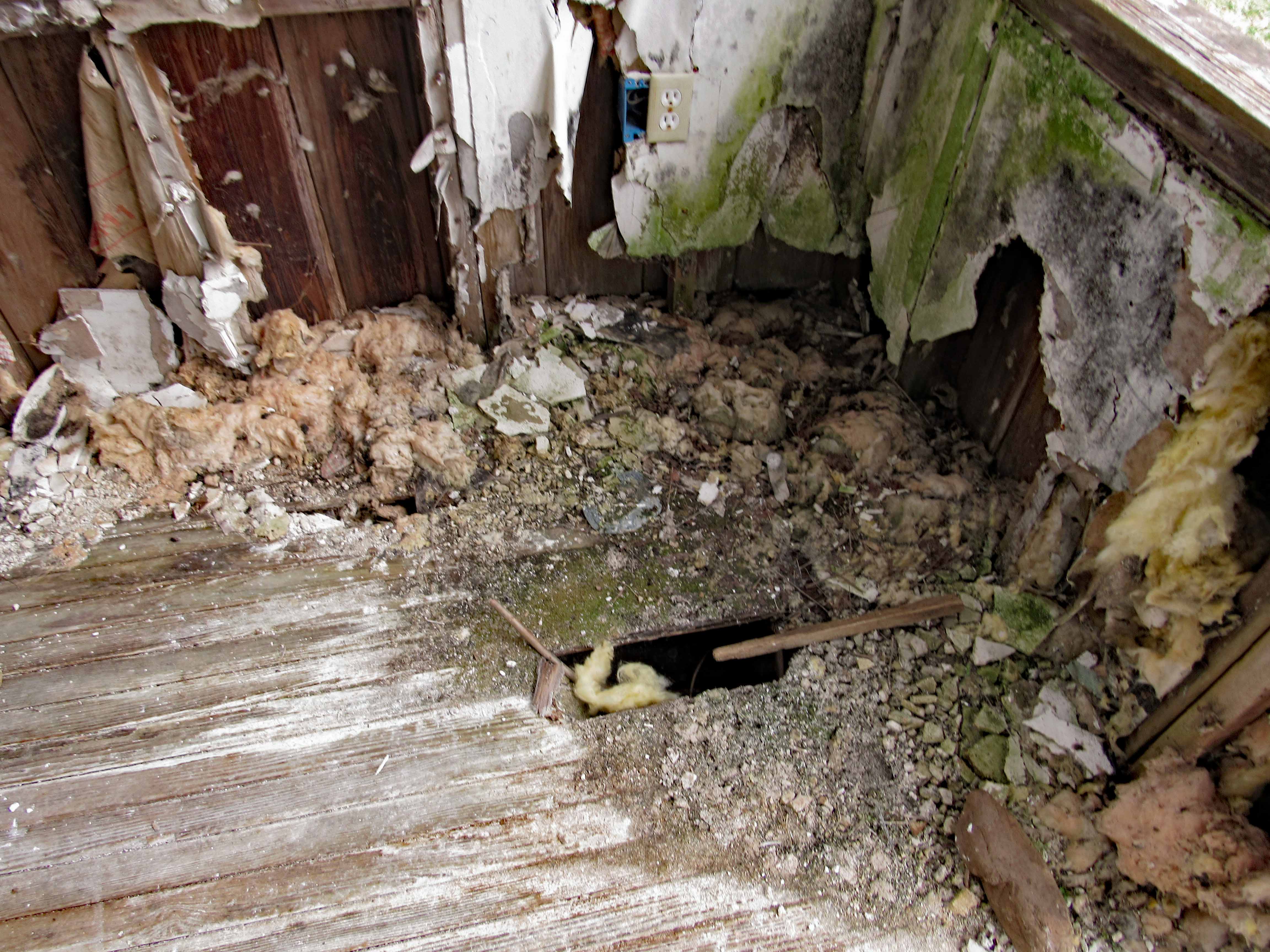
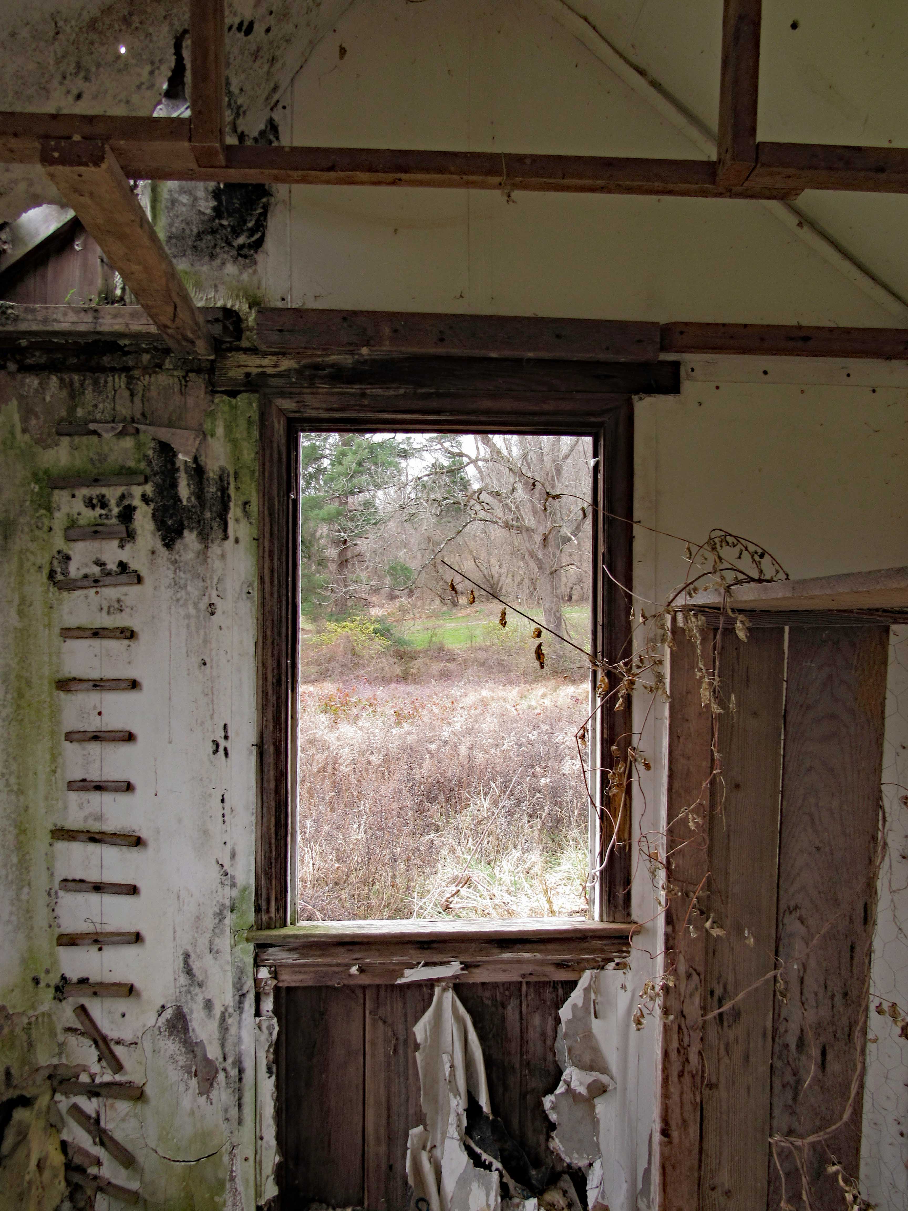
Wondering how many more years our little house will weather the storms. I wish there was a way myself or any of the park volunteers could restore it.
And here I am, decorating.
Our finished Christmas gift to the park.
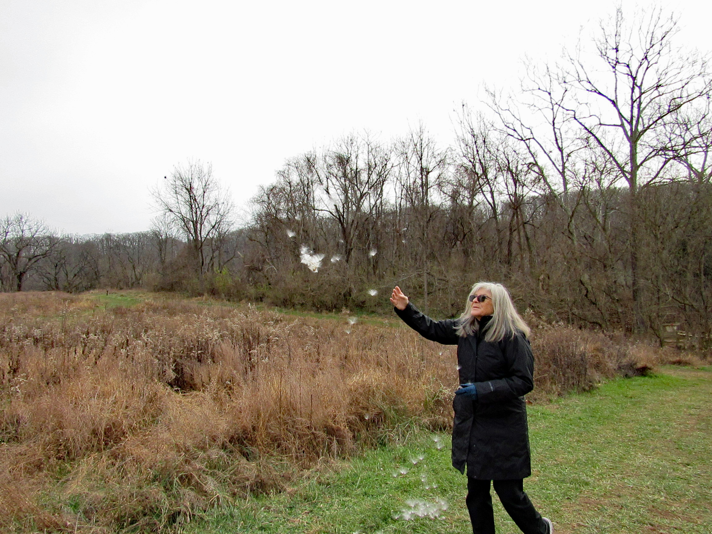
Time to make a Christmas wish…
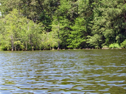
We walk the trail to the woods and then head through to the old balancing reservoir shaft.
On to the Sycamore Trail
This is new. Built in 2019 by a Scout for his Eagle Scout Badge.
Hike towards Mine Bank Run. Can still tell this run continues to overflow it’s banks. Stopped to check out what I call the Bubbling Pond. They call it Marble Spring. It bubbles up from lime underground mixing with the water. Not much bubbling today.
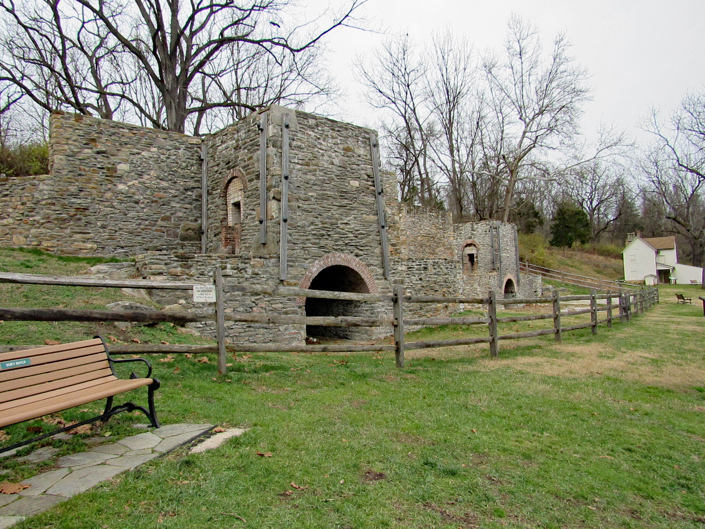
From Mine Bank to the Lime Kiln Trail. I am still amazed at how these were rebuilt.
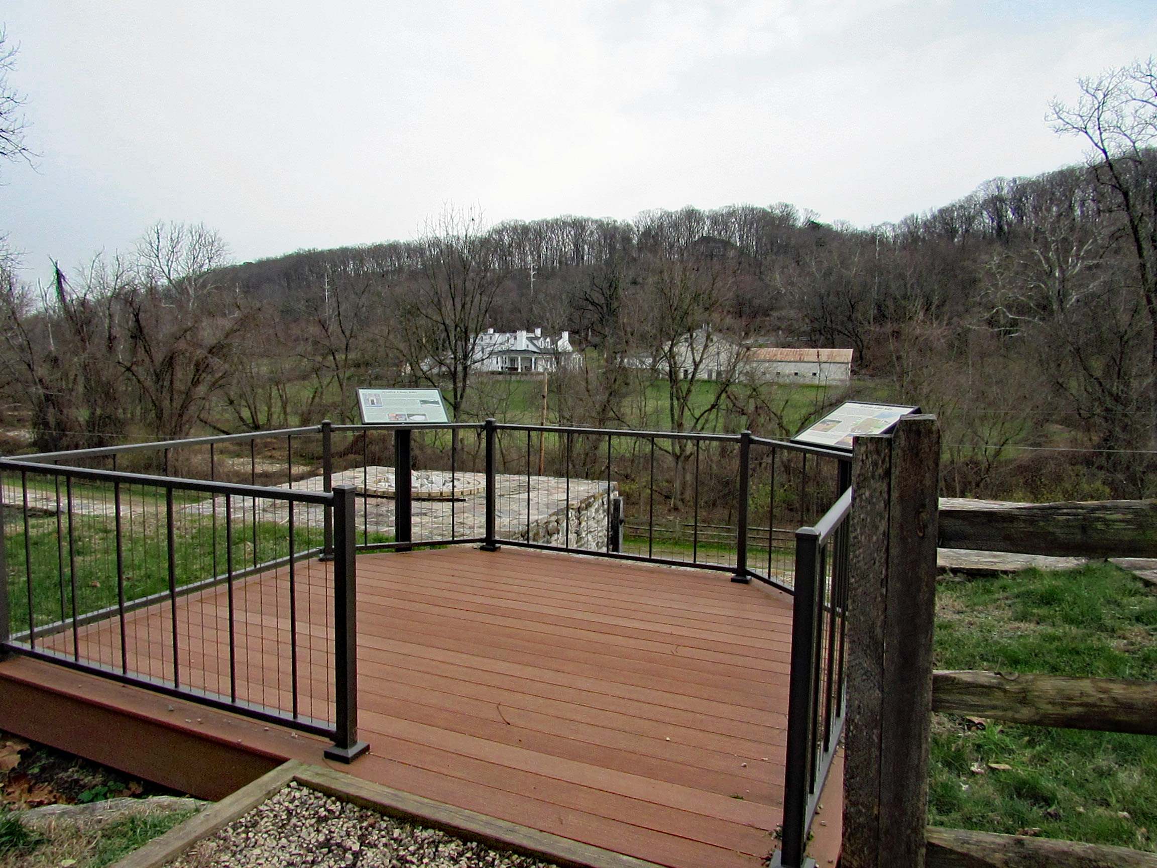
View from the top looking towards Long Island Farm.
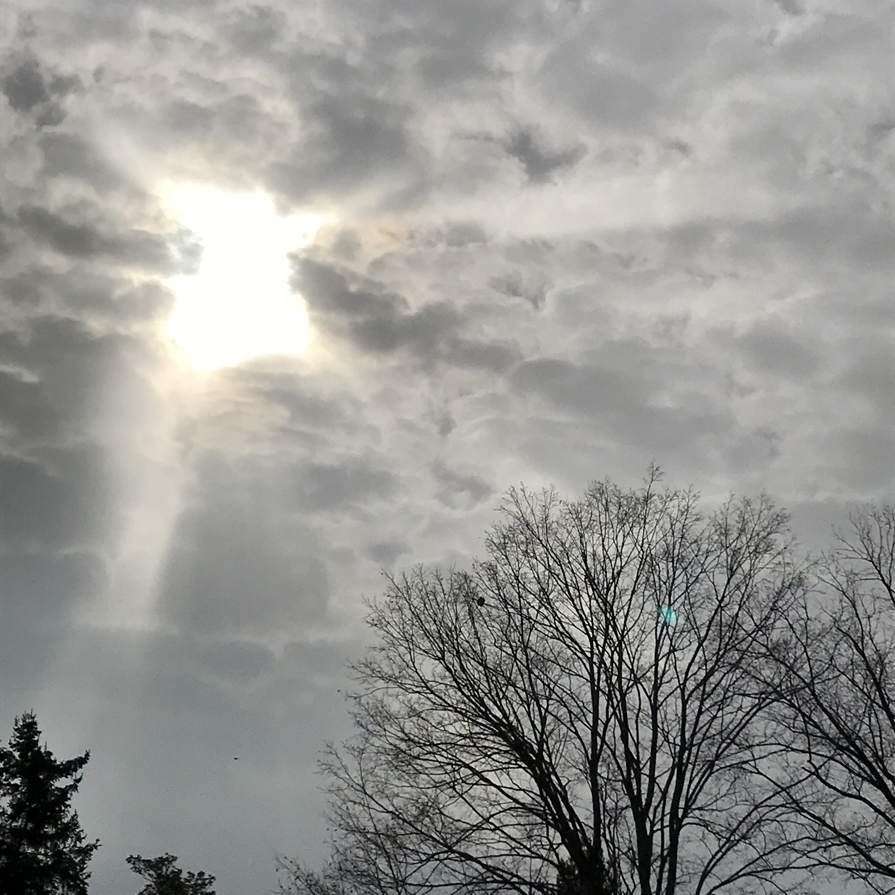
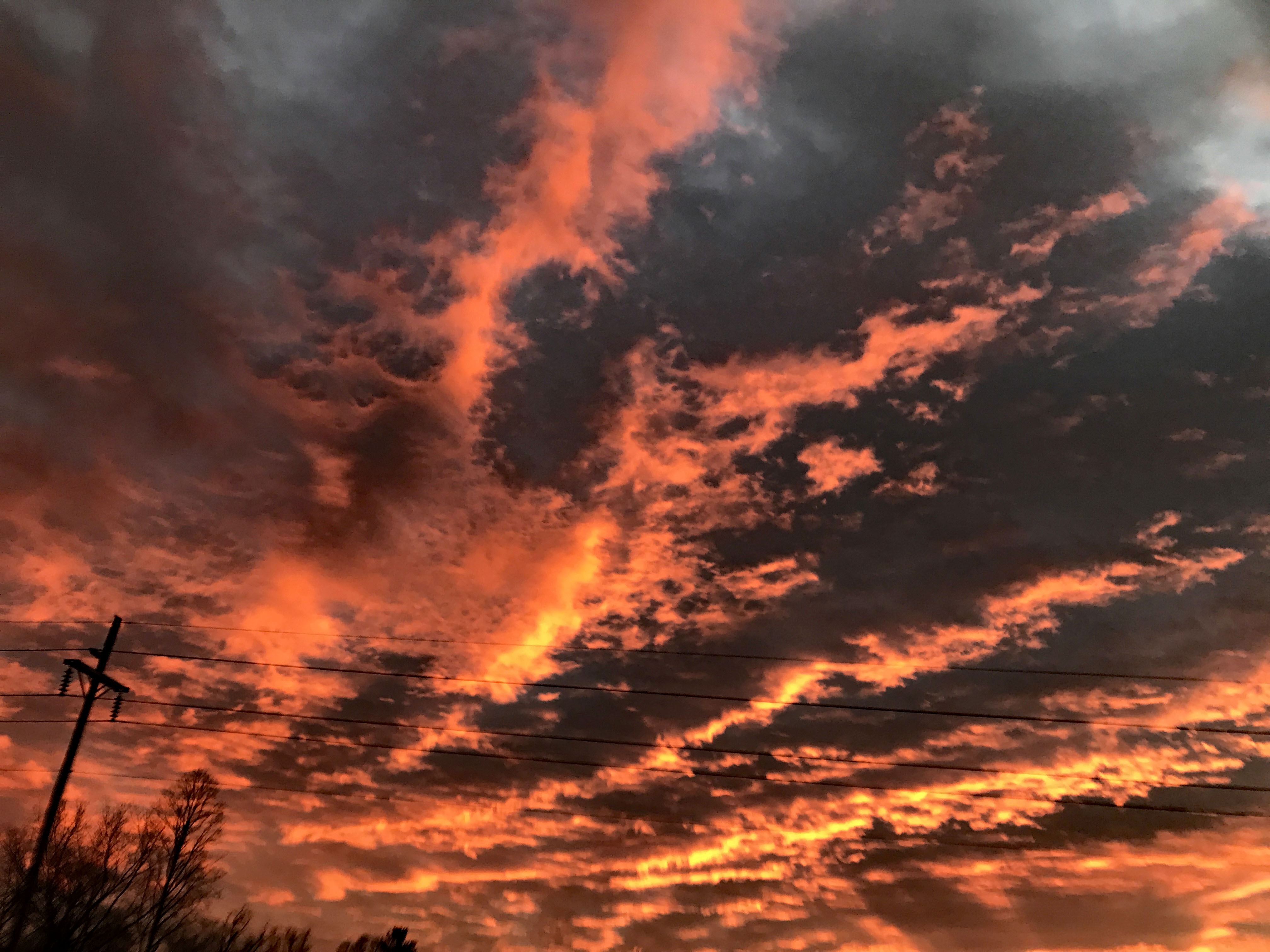
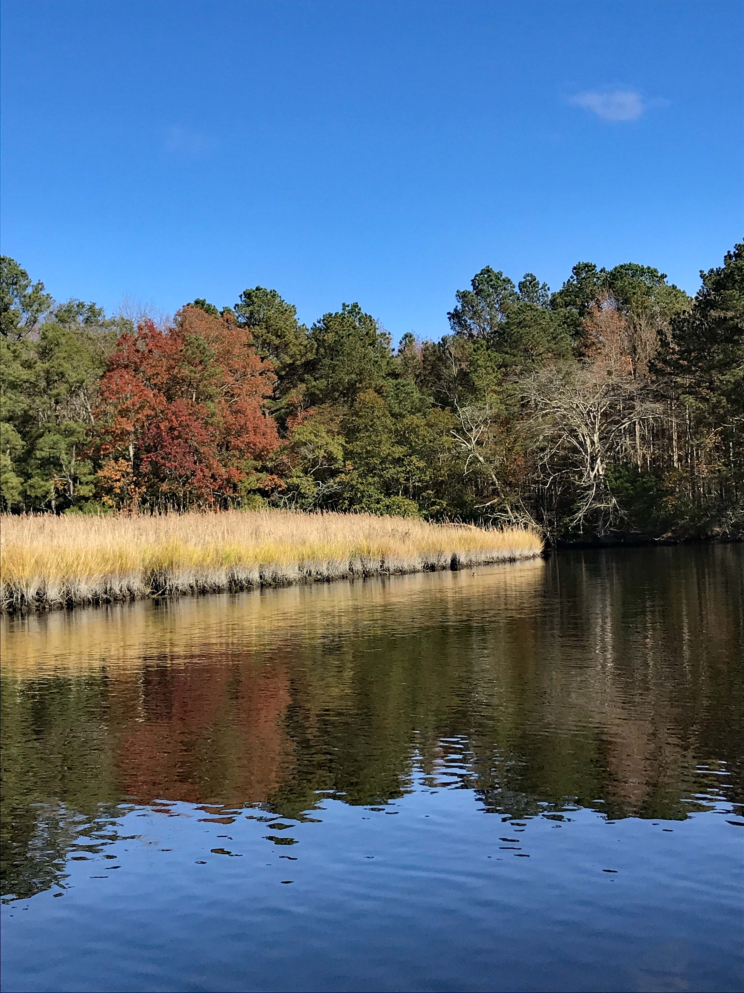
The sky was spectacular this evening. This is at the park.
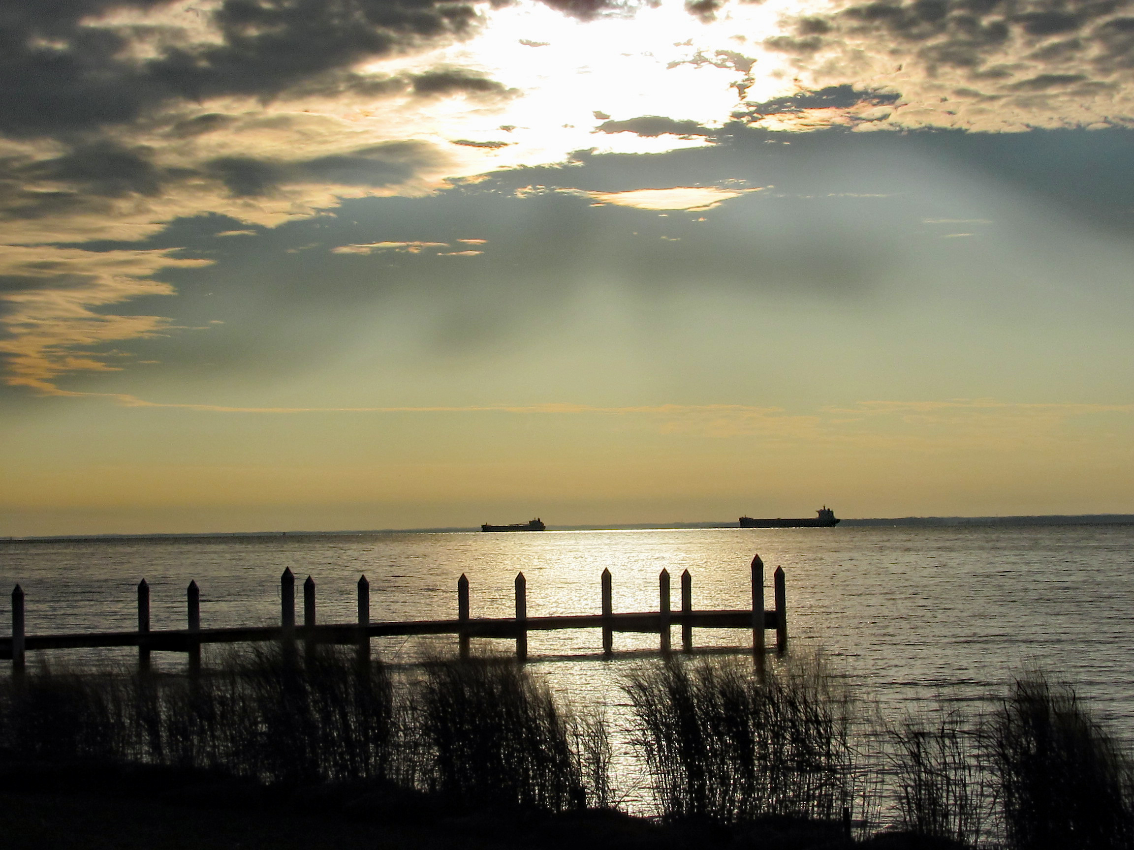
This one was taken from the Eastern Shore at the Bay Bridge. We pulled off of Rte. 50 to eat and look at the water and ships.
Kathy took this one from the car, heading towards Vienna.
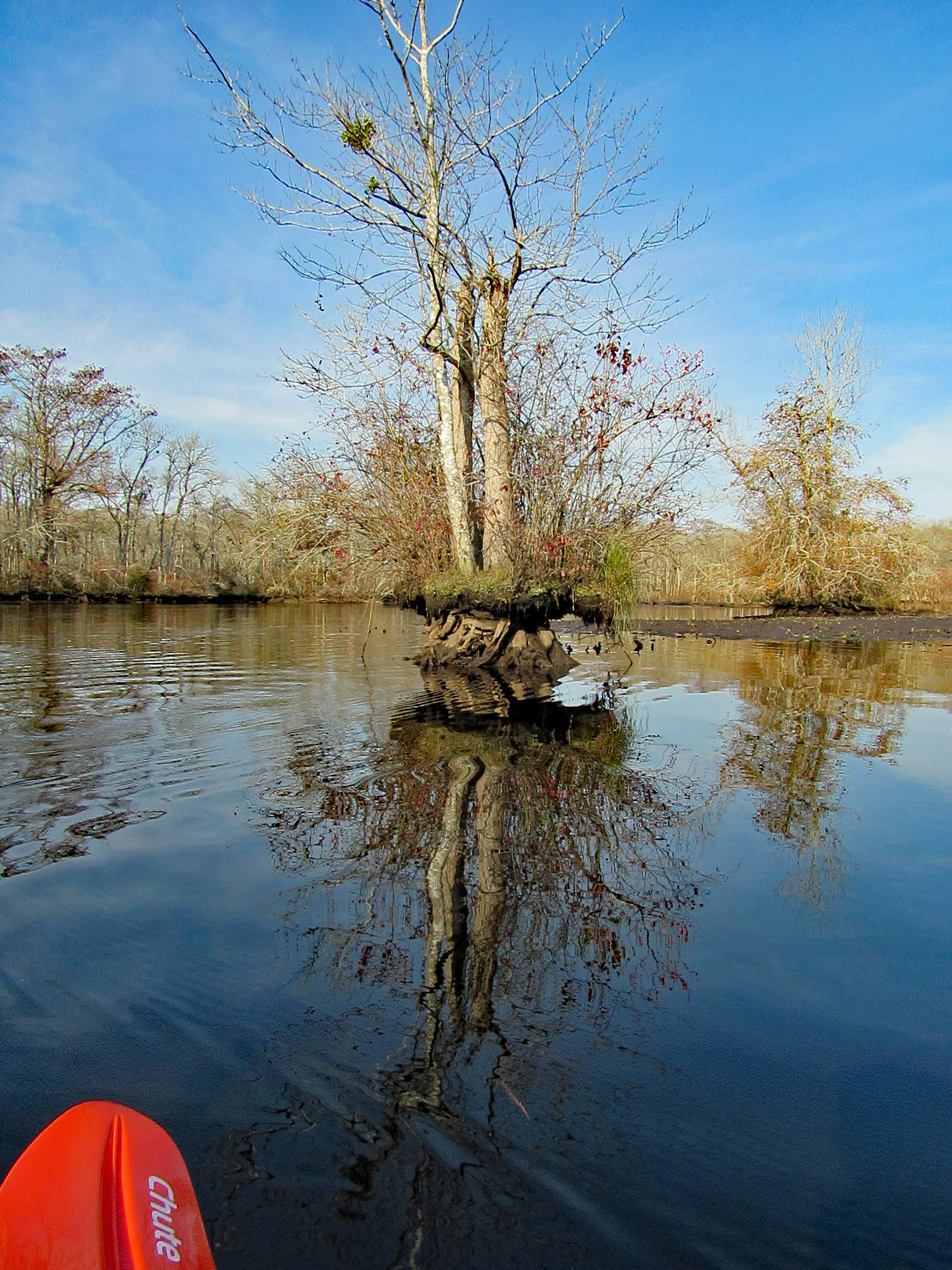
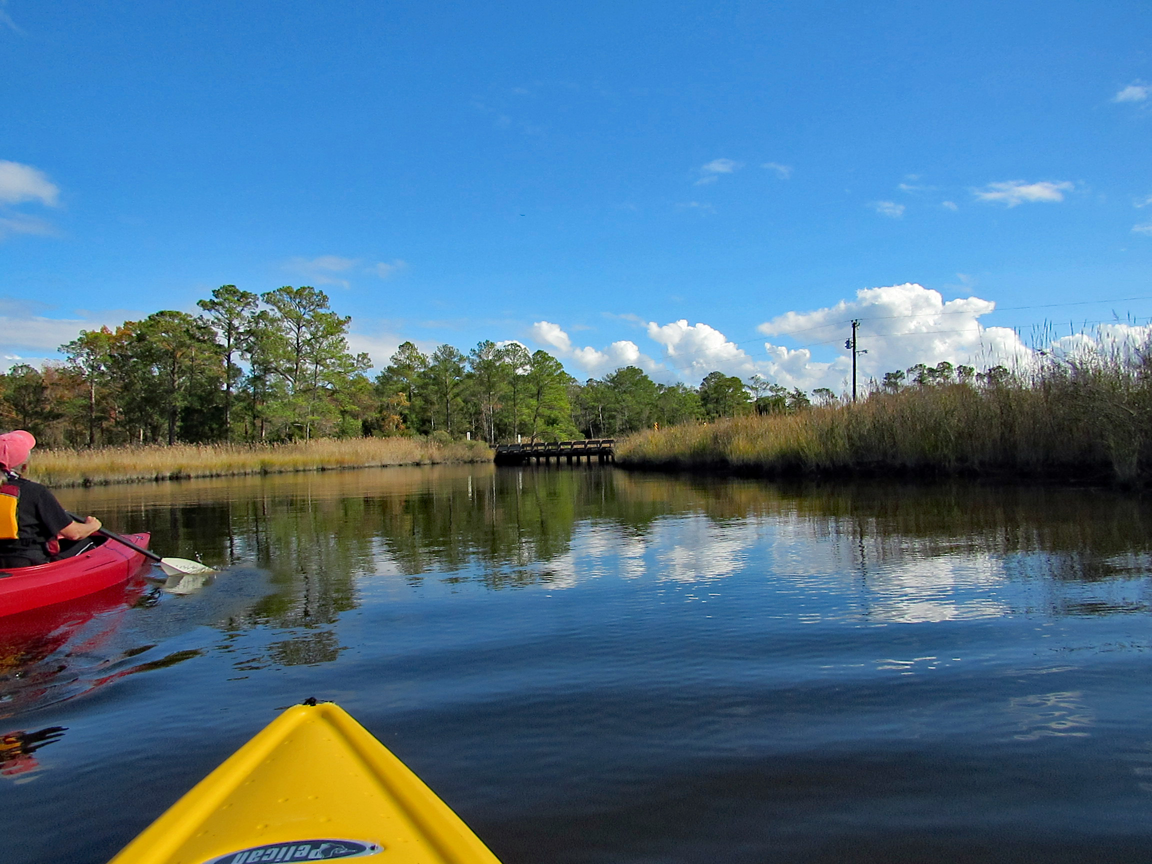
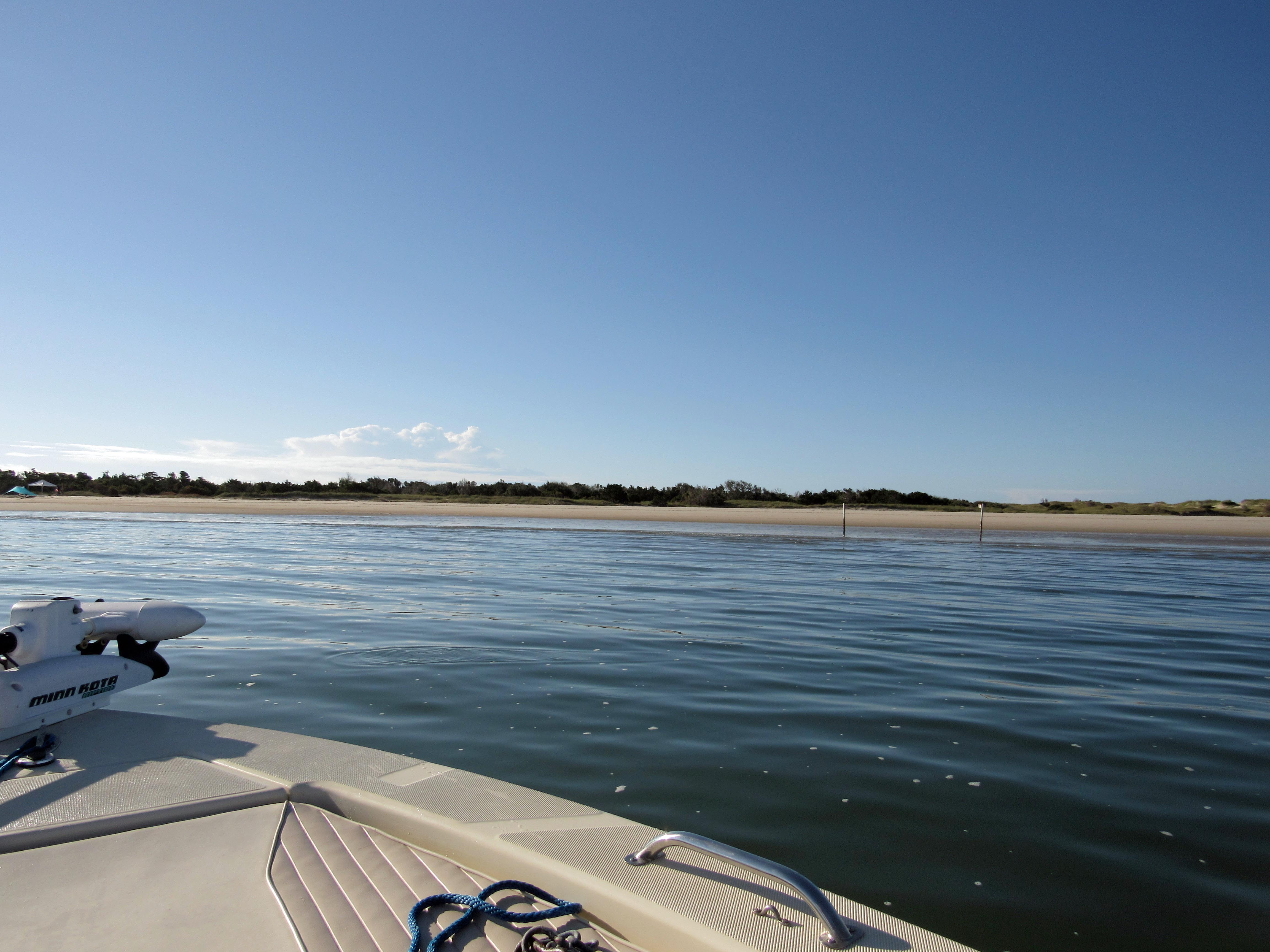
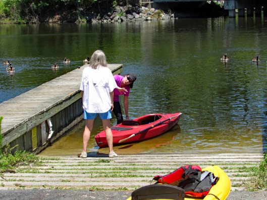
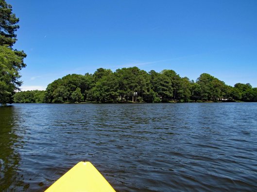
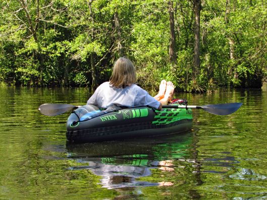
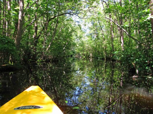
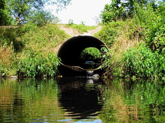
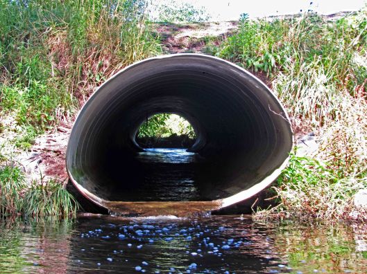
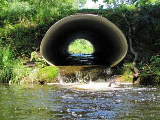
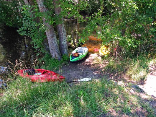
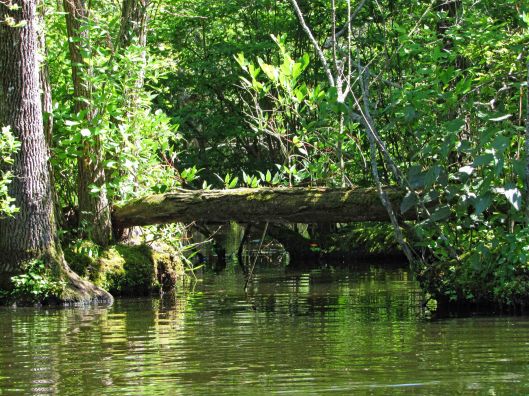
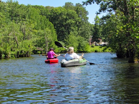
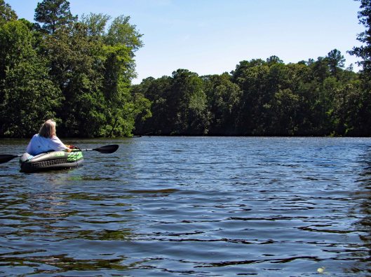
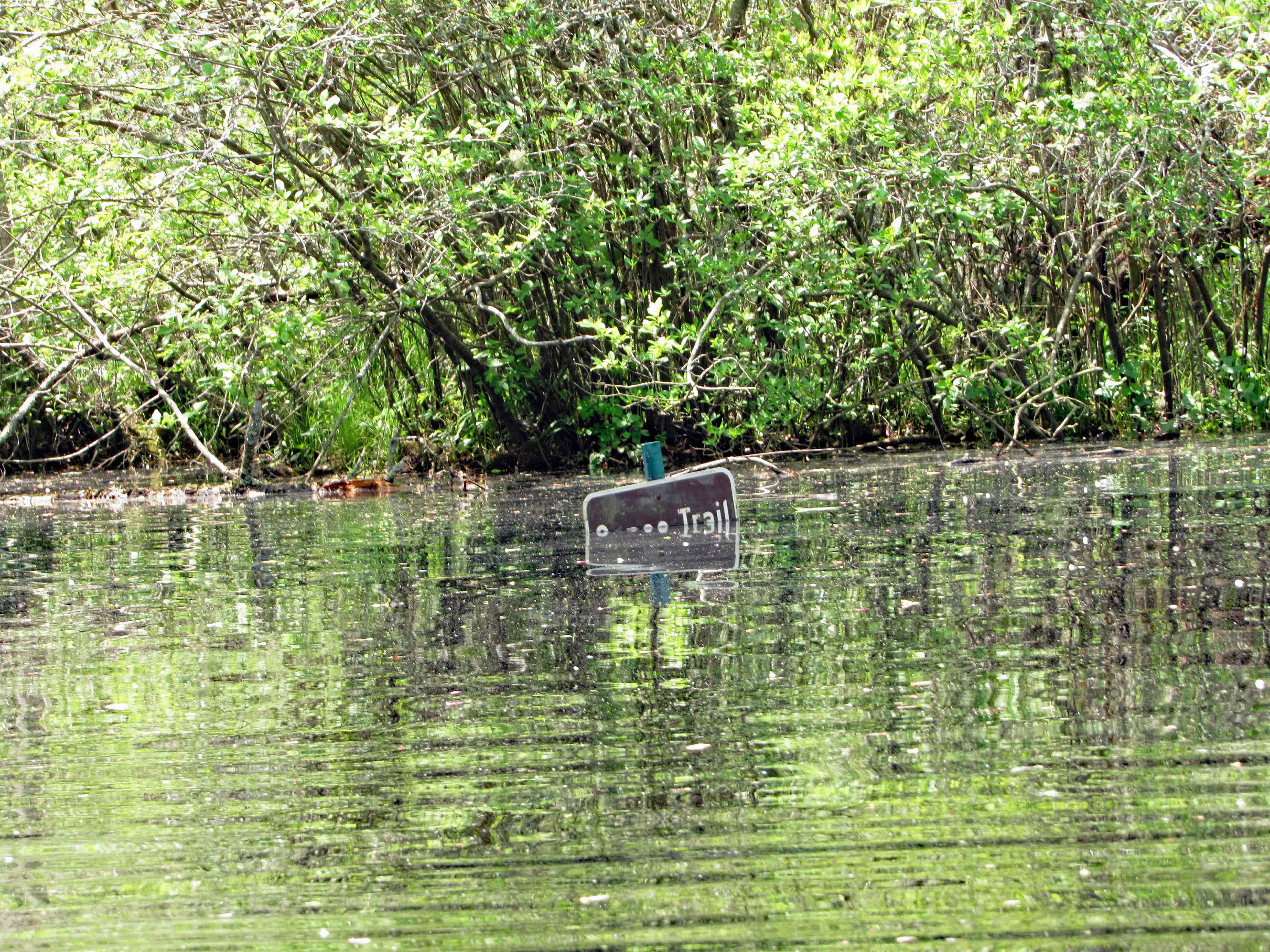
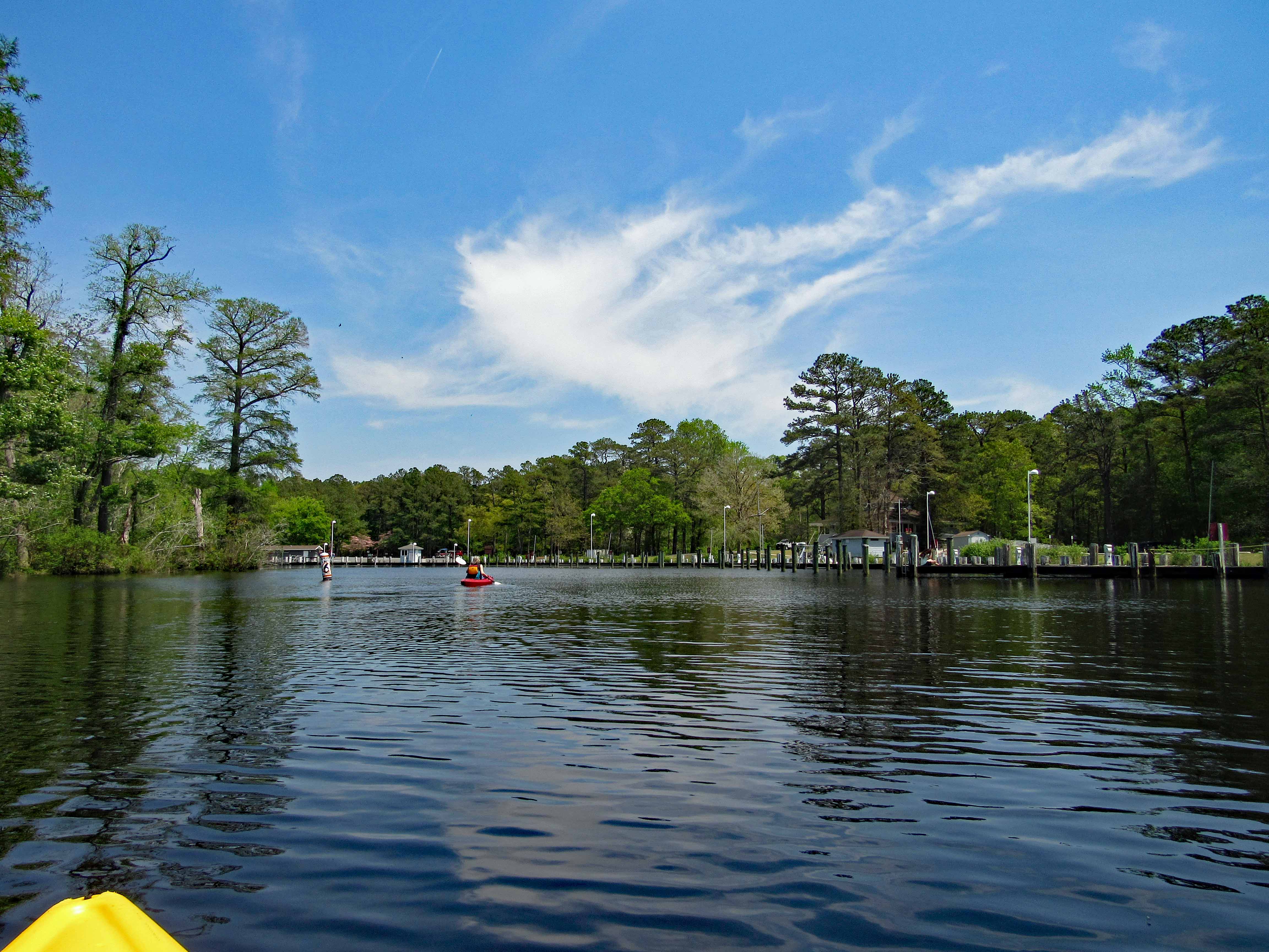
Headed out a little late for a long kayak adventure so we decided to go to a spot nearby – Nassawango Creek to the Pocomoke River. We have done both of these this past summer, but this is our first time going all the way down the Nassawango to the Pocomoke. The water was unbelievably low today and as we stood on shore looking, the creek was still flowing out, rather rapidly.
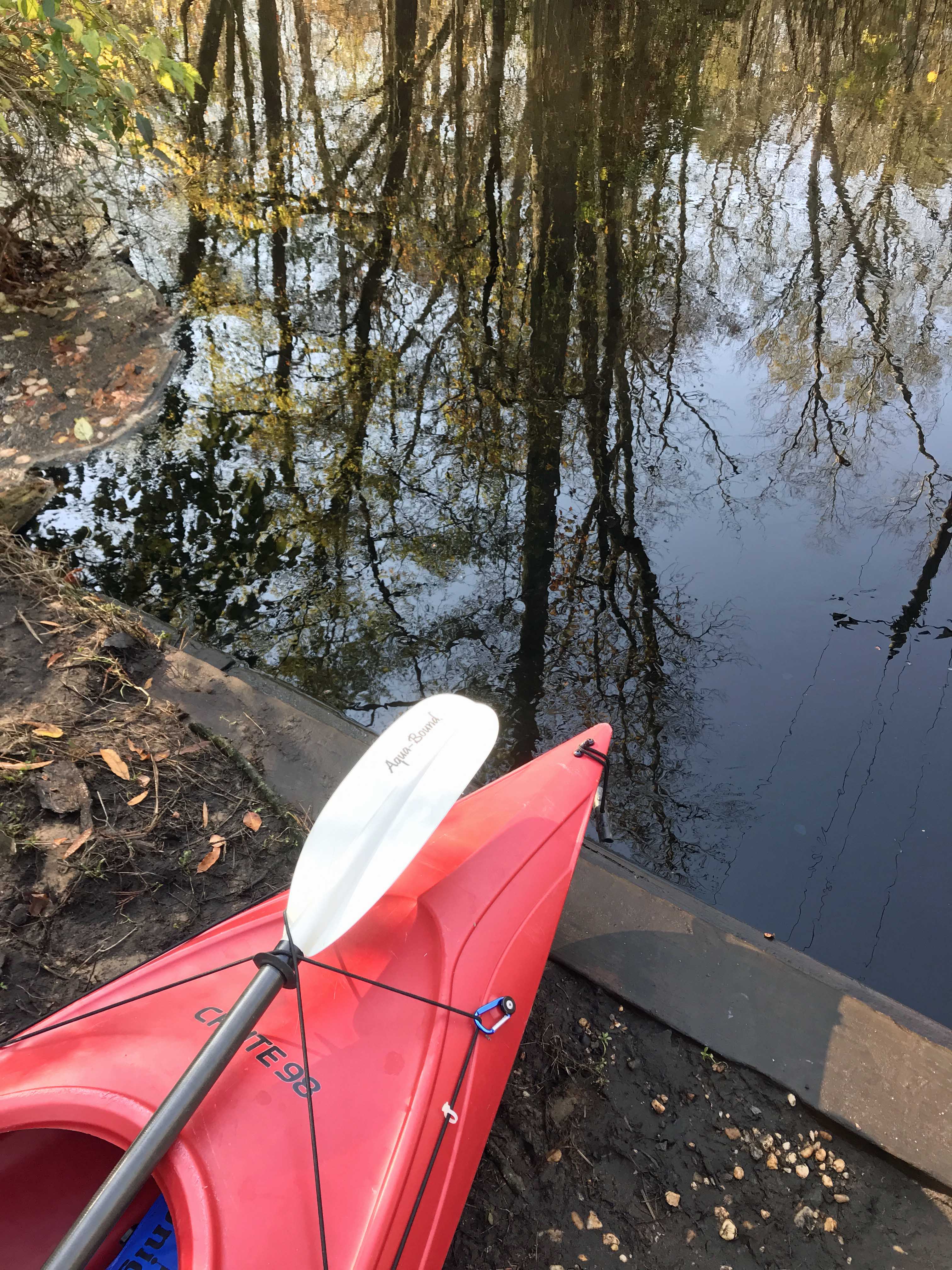
I prefer a ramp/launch to get in and out of my kayak. I know I risk scraping the bottom quite a bit, but I’d rather do that than fall in! The water being so low, you need to step down two steps. (This is my favorite photo, taken by Kathy)
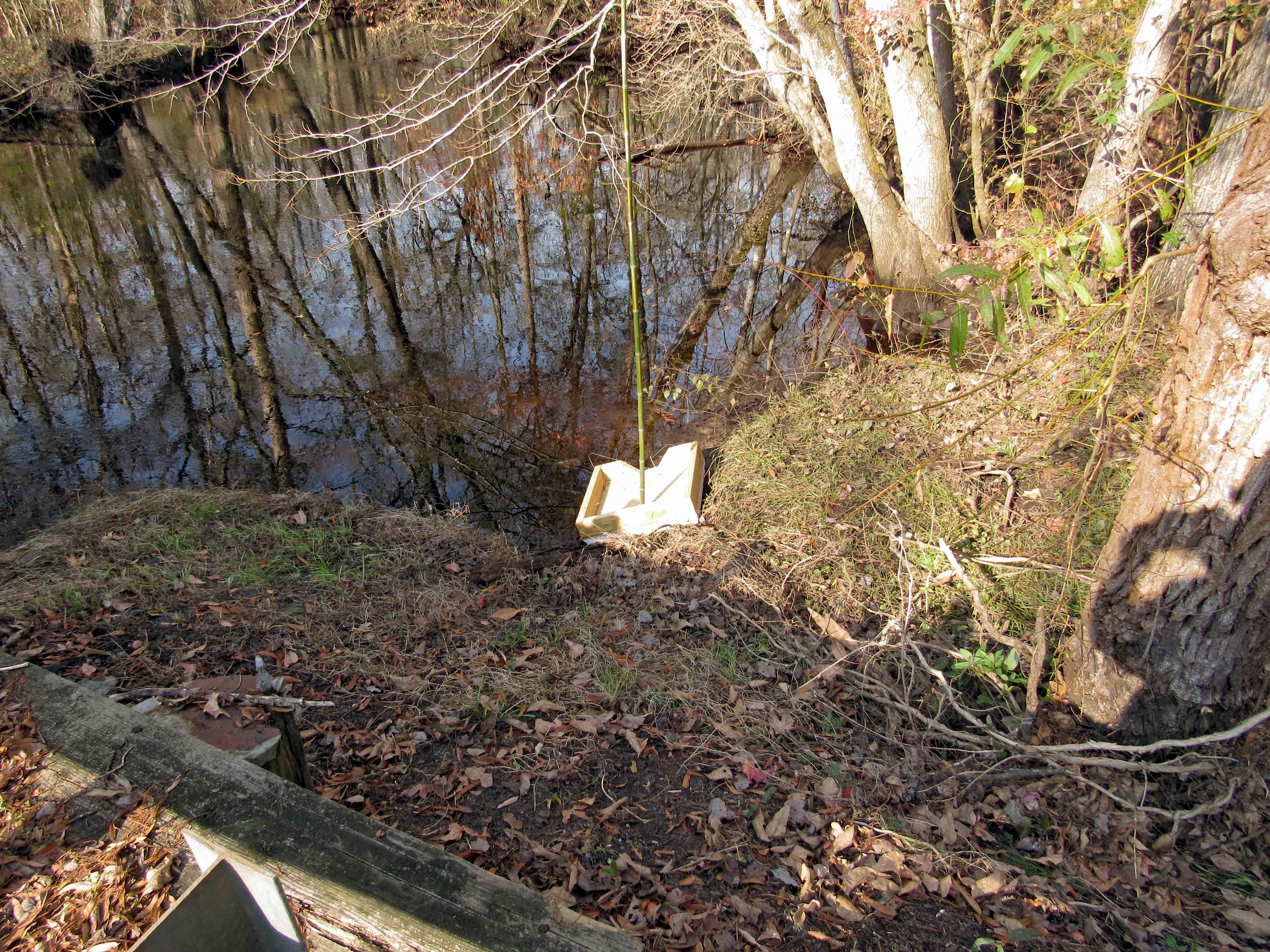
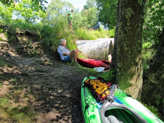
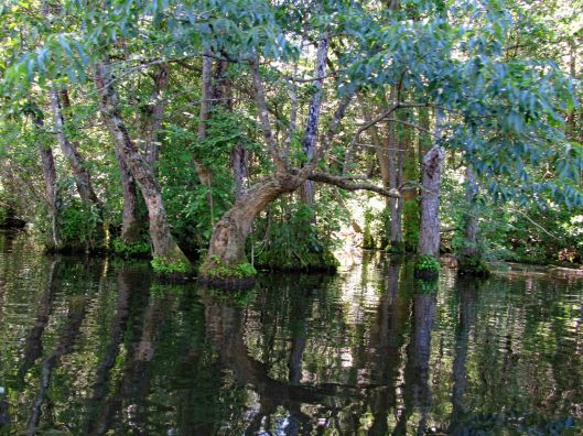
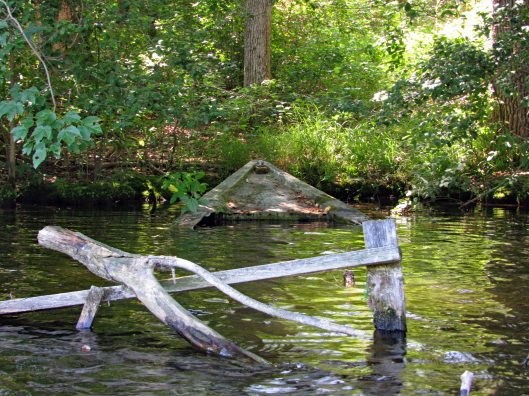
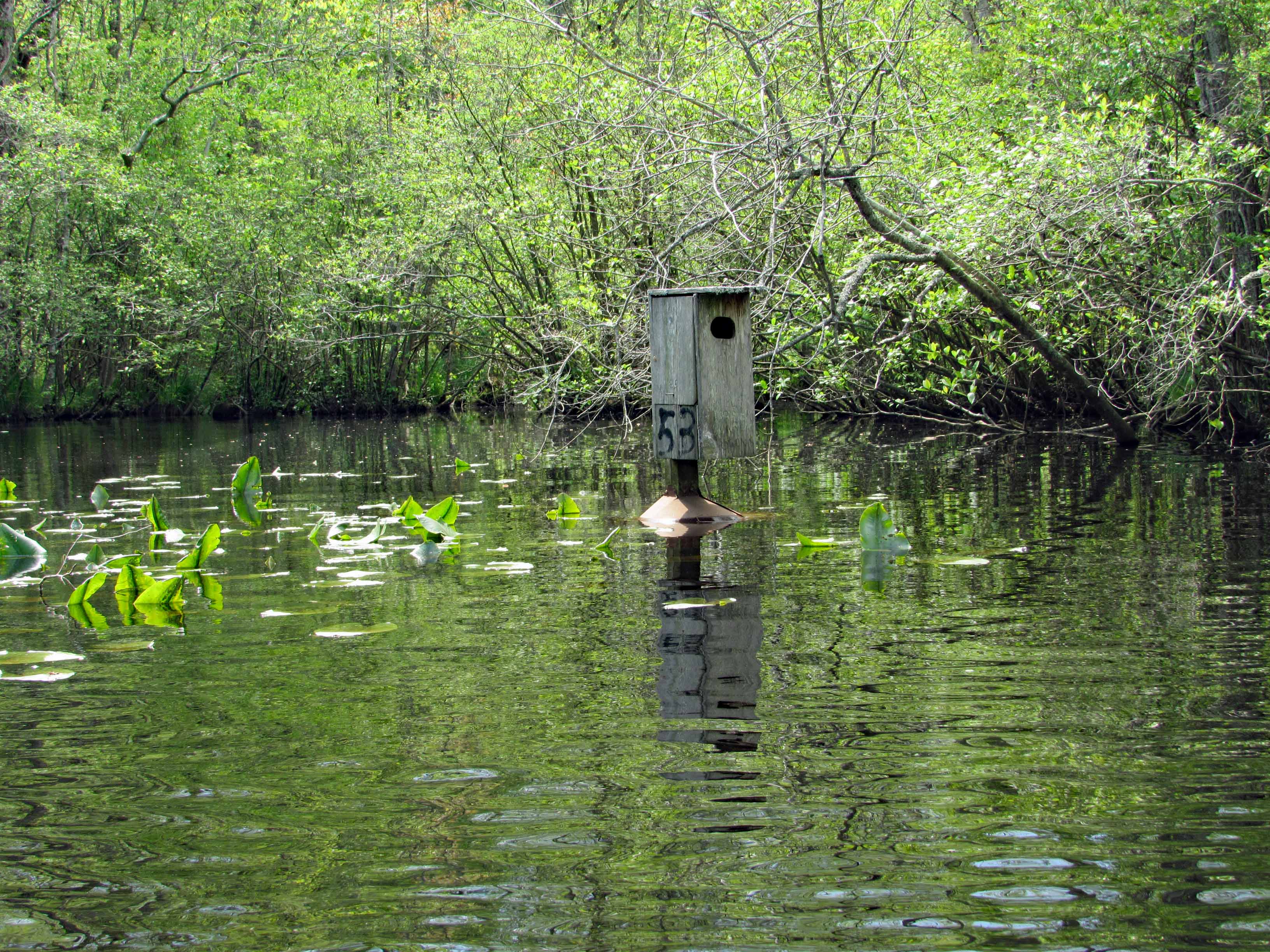
Kathy went in at the steps, I slid in next to this varmint box. A muddy mess here.
Low water for the whole trip, to and fro.
In the photo below there is a cobweb just floating along with us –
Alright, already we’ll all float on Ok, don’t worry, we’ll all float on Even if things get heavy, we’ll all float on… (modest mouse)
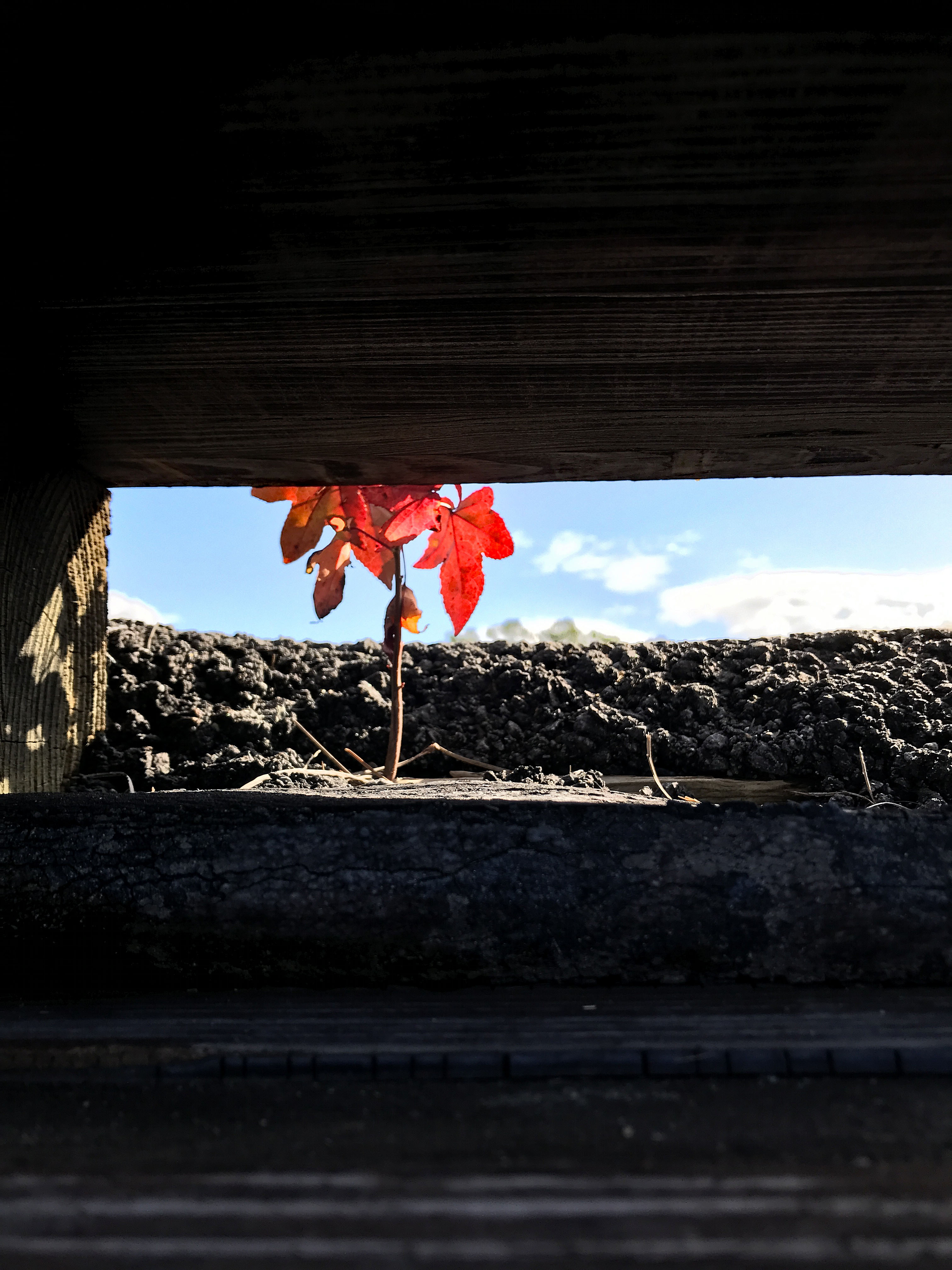
A splash of color to brighten the day.
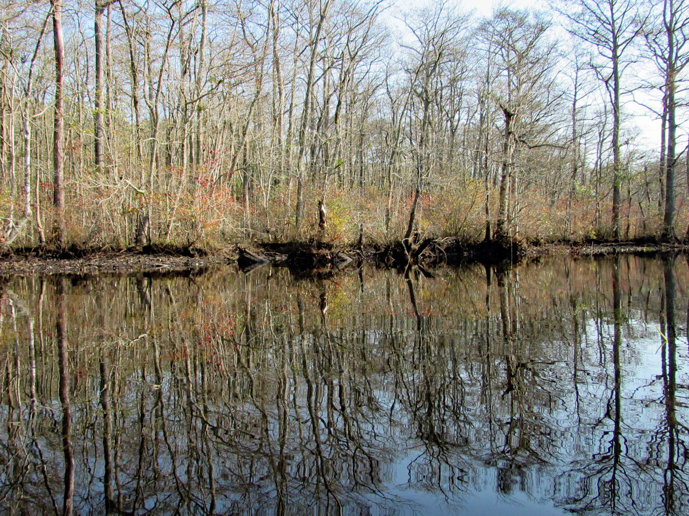
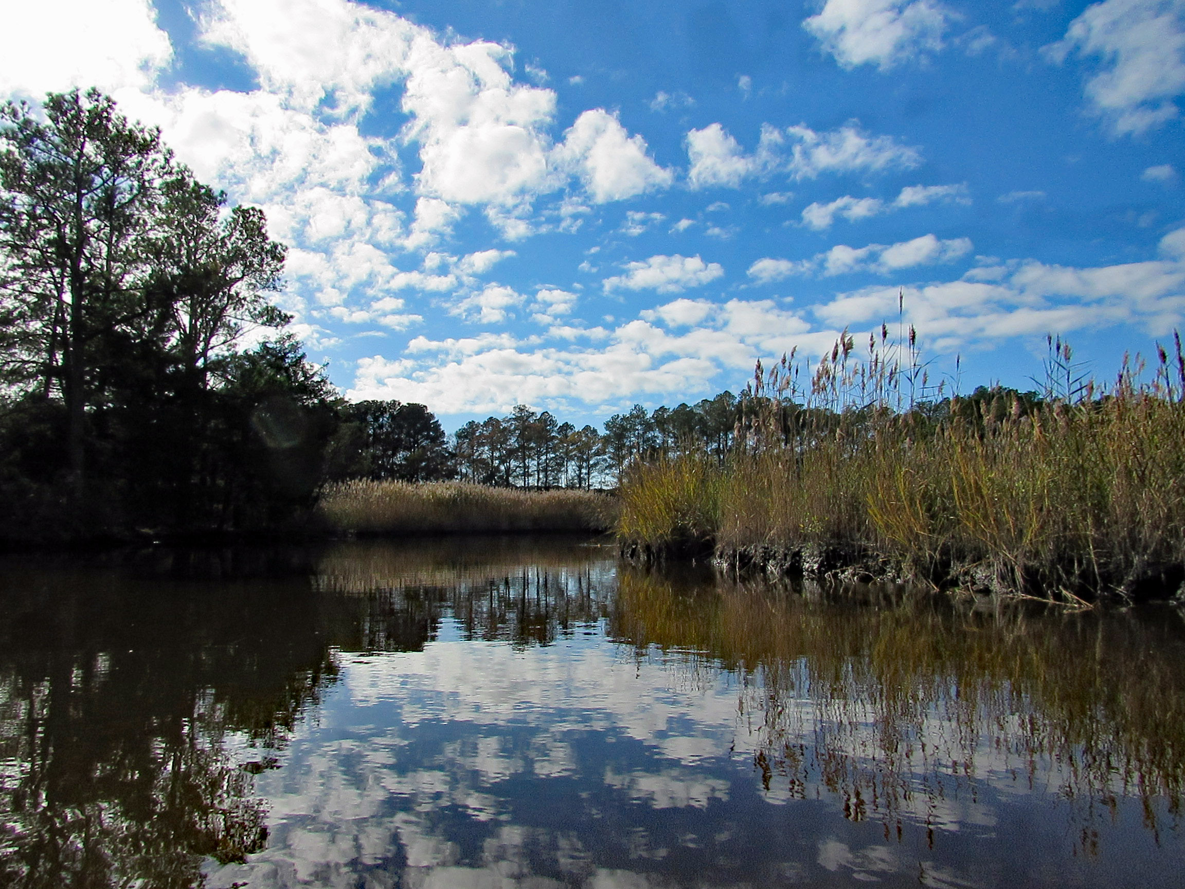
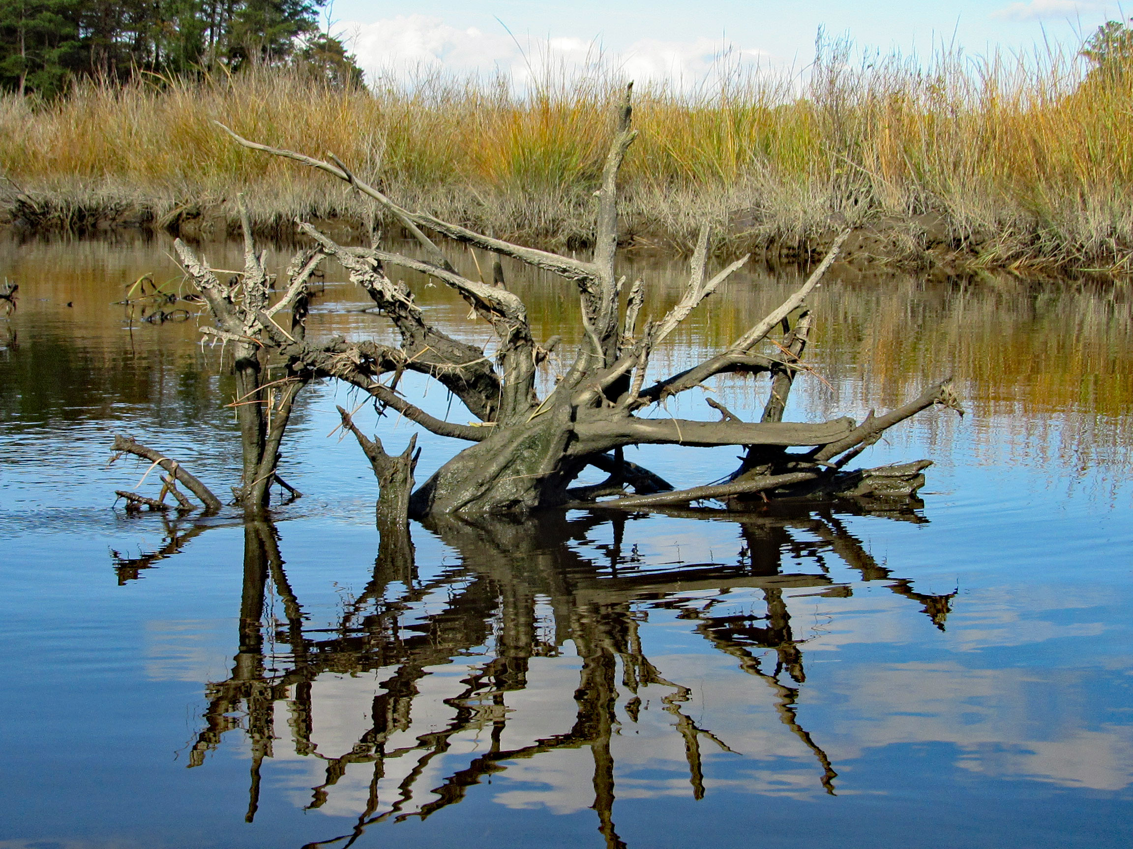
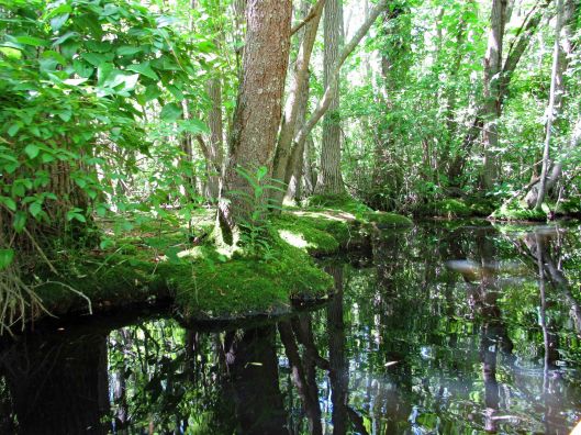
Some very nice reflections.
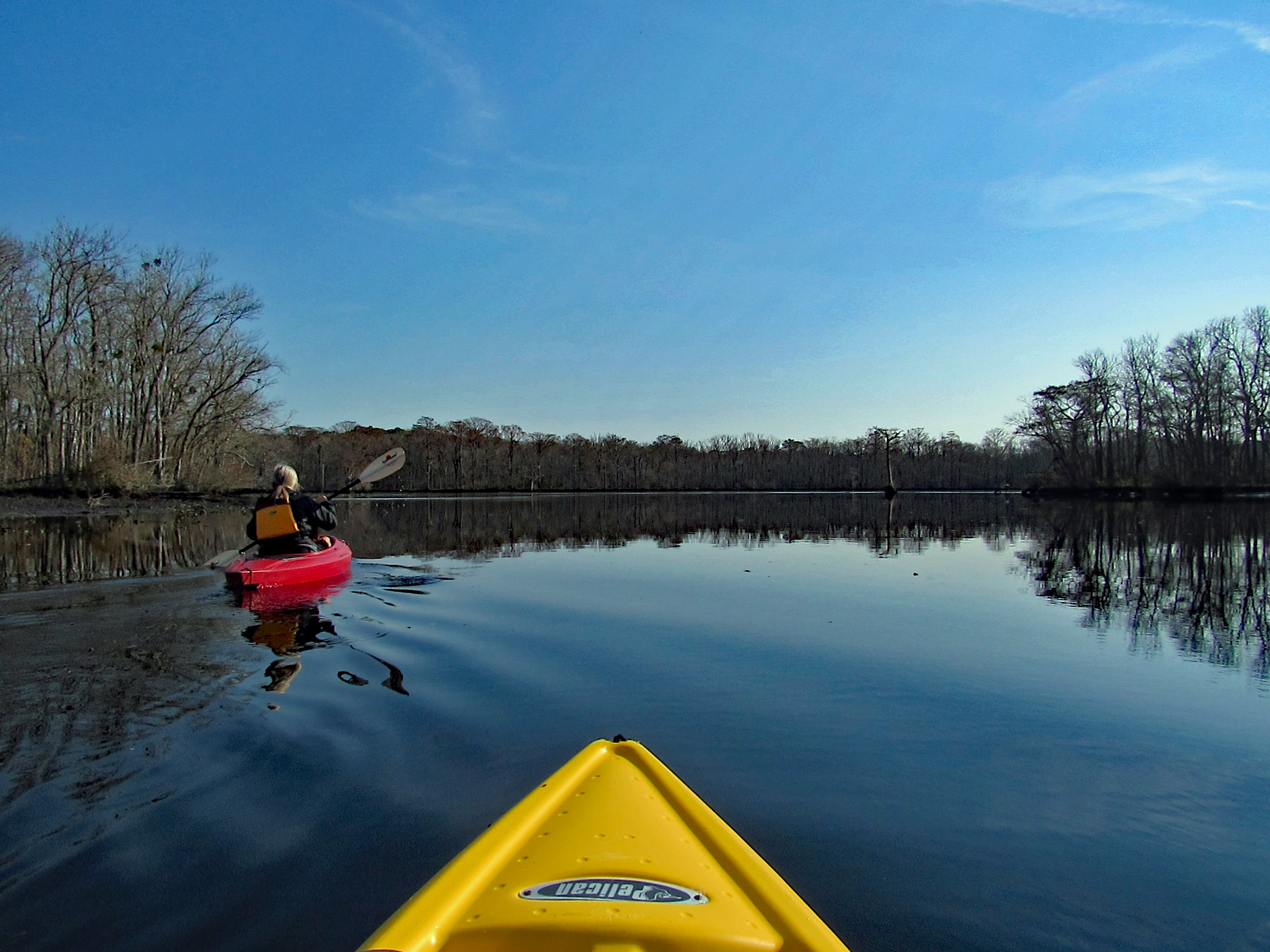
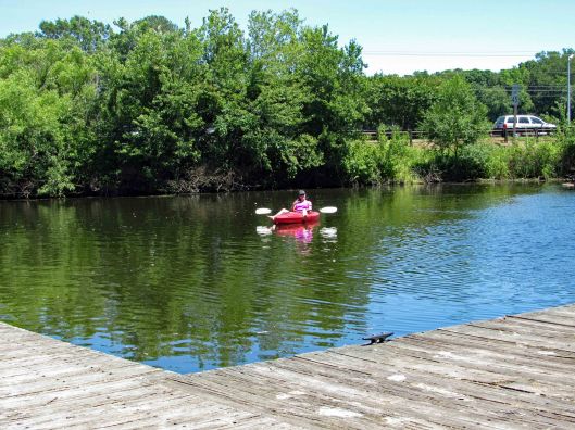
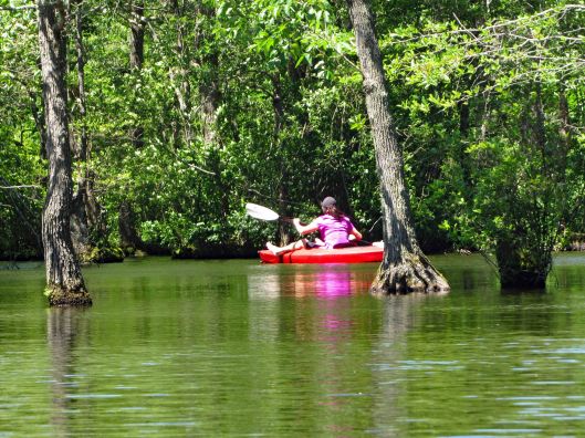
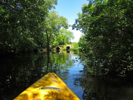
The Pocomoke River up ahead.
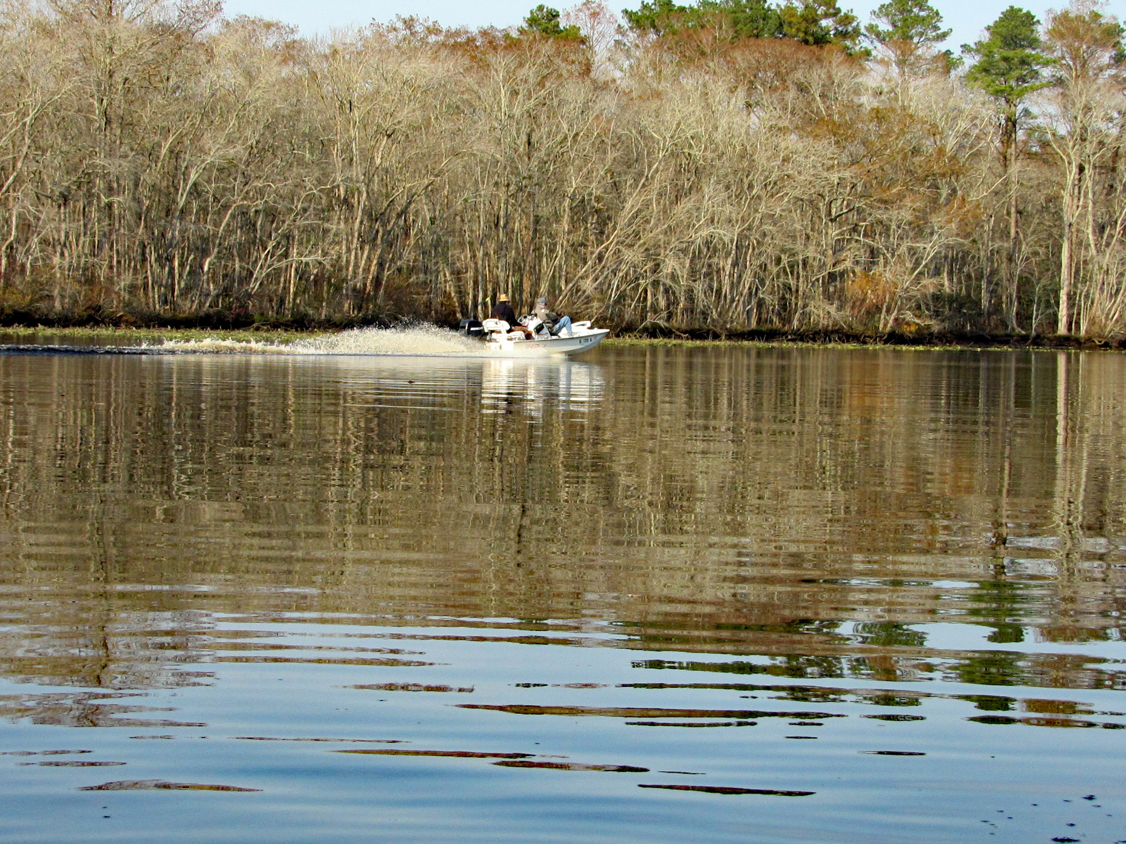
A couple speeding boats zipping by. Kayakers get no respect on this river.
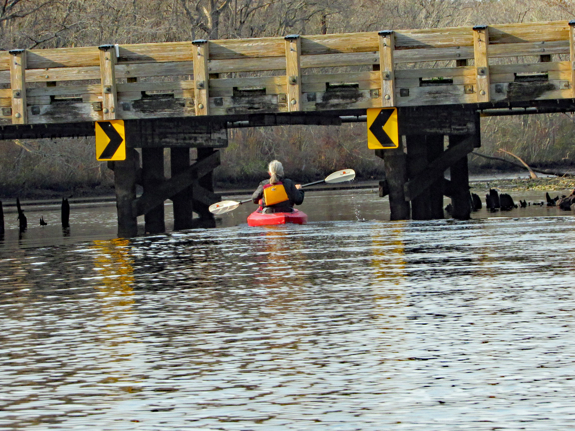
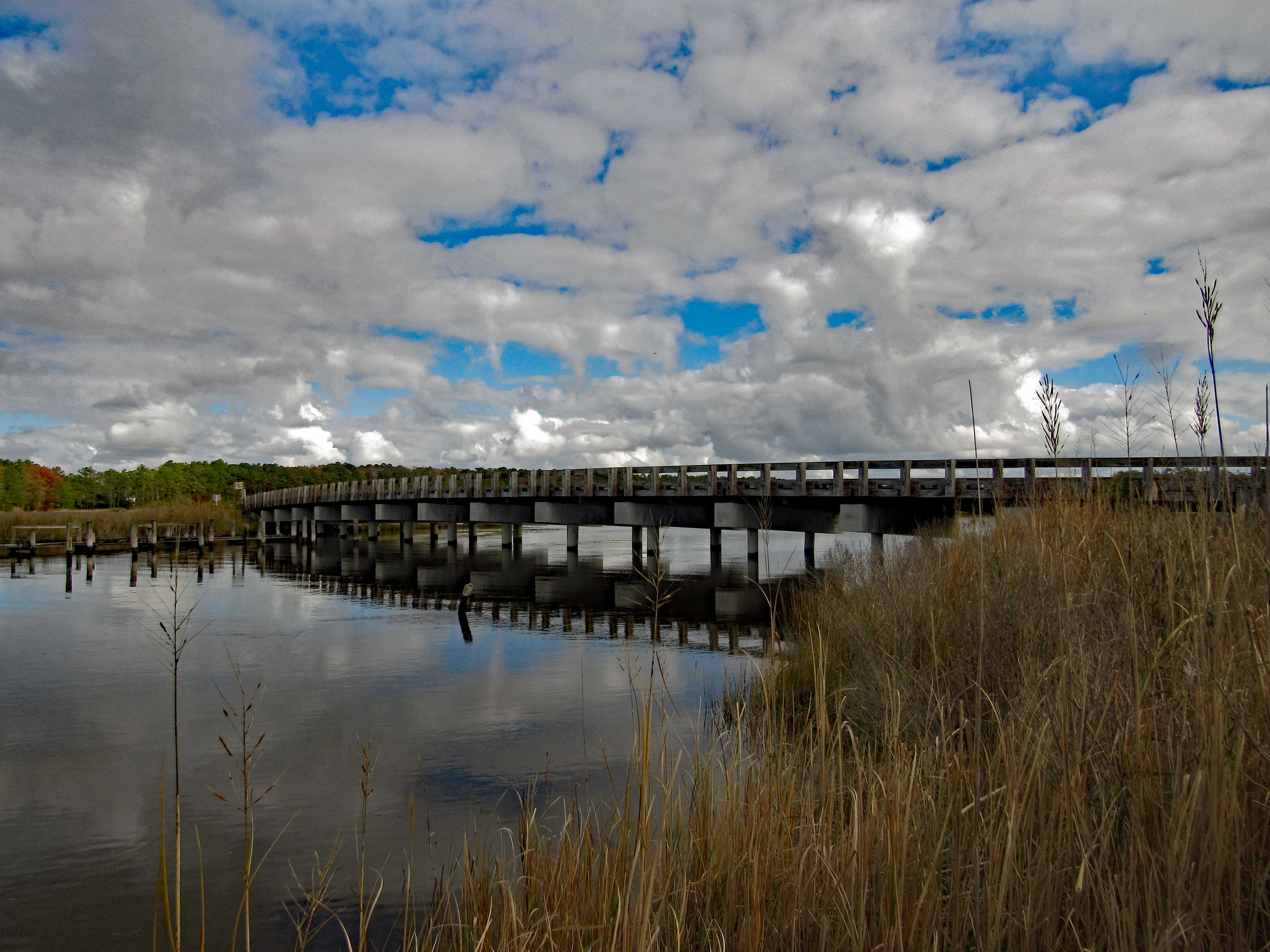
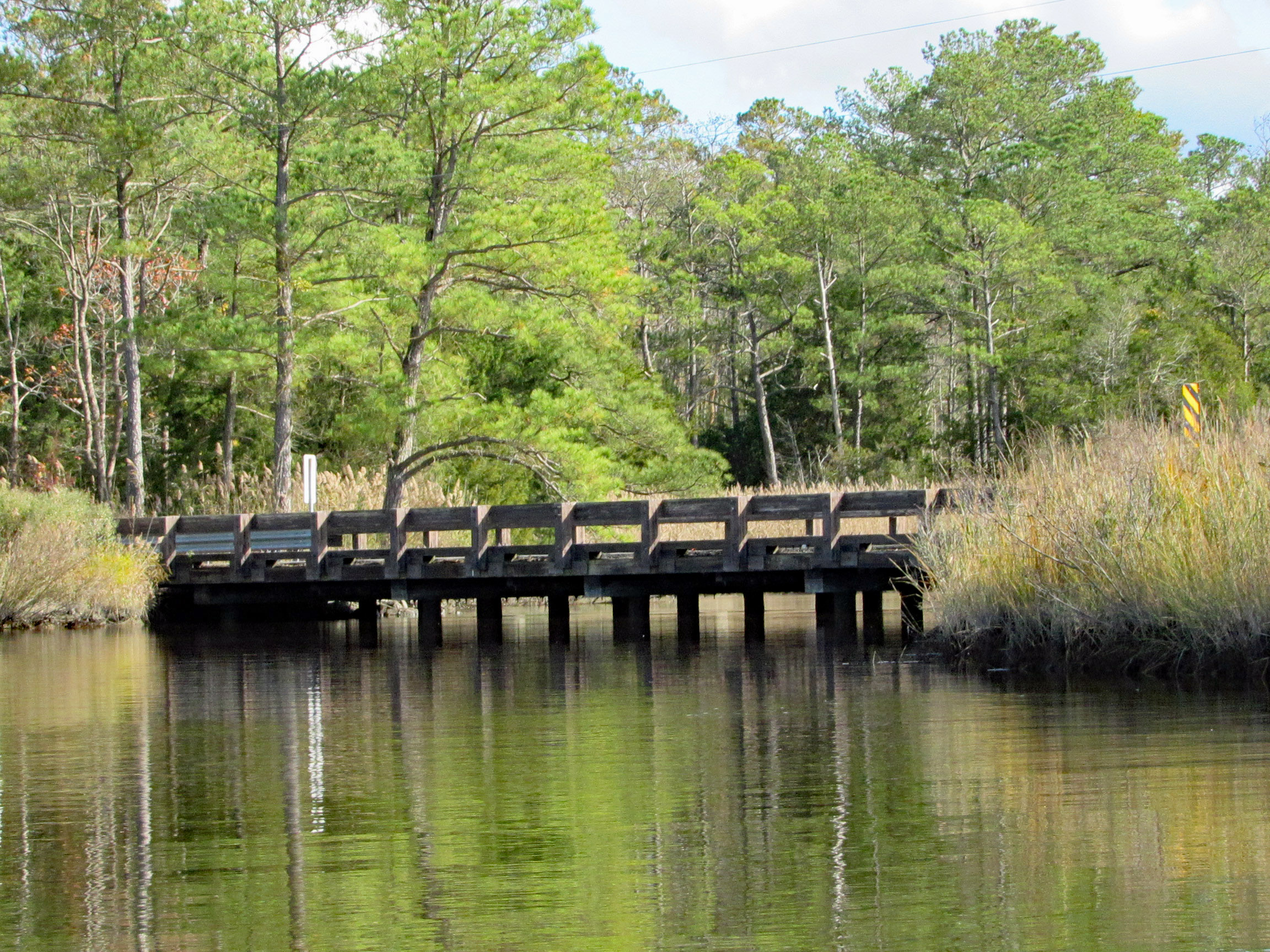
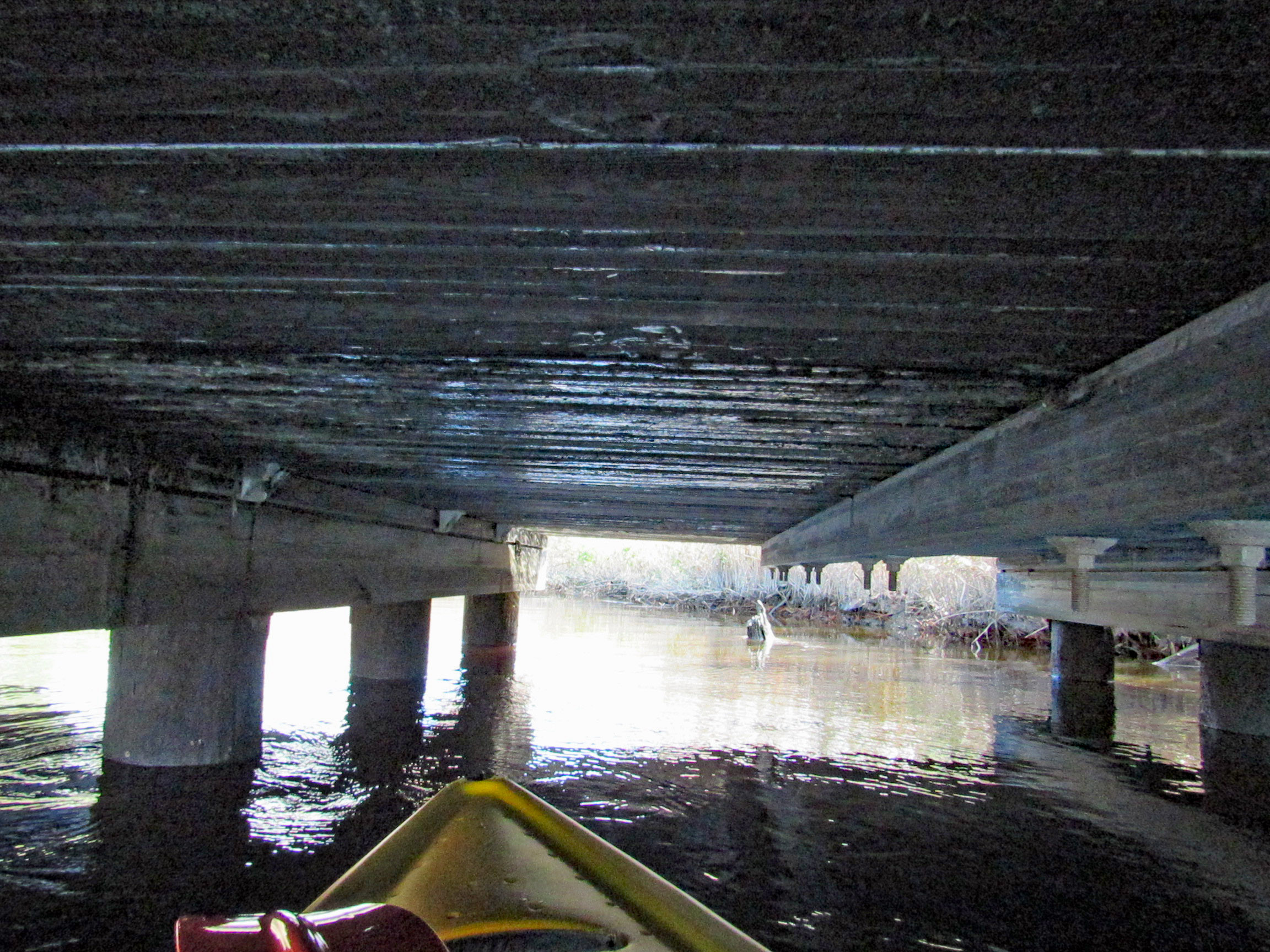
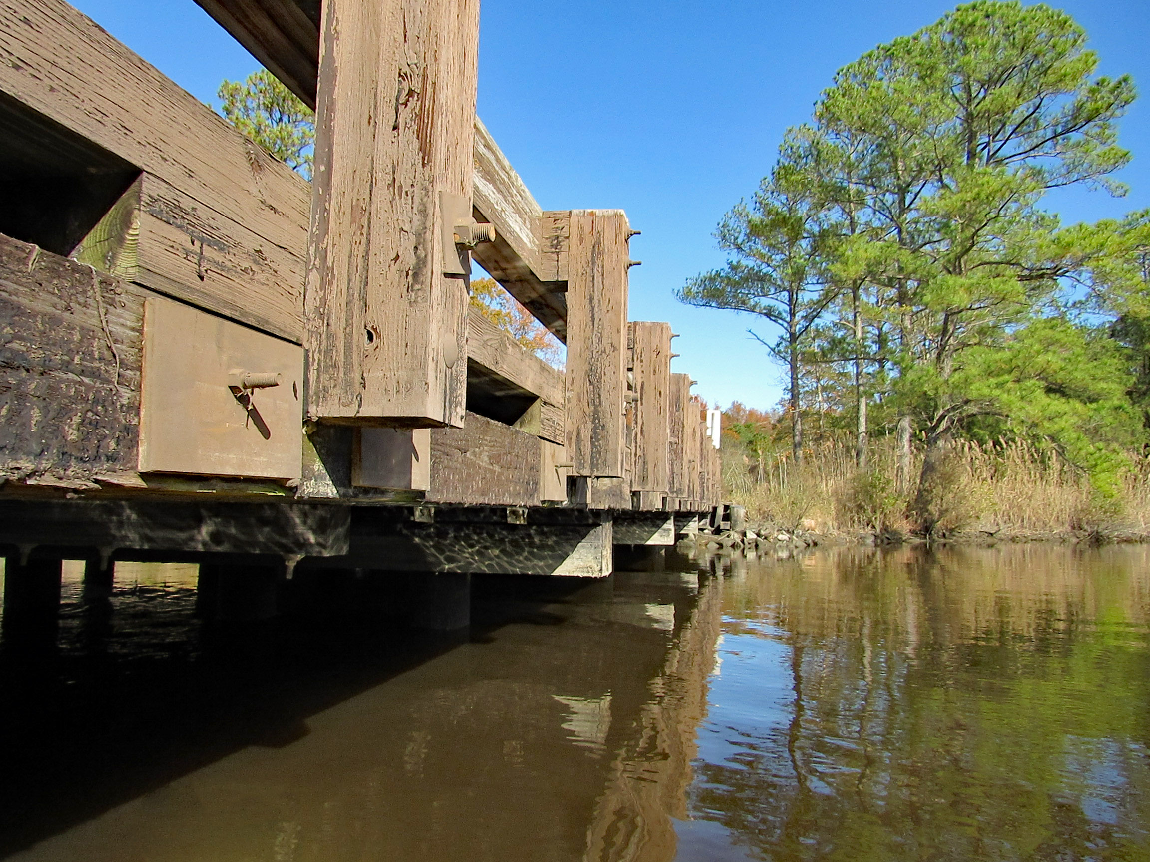
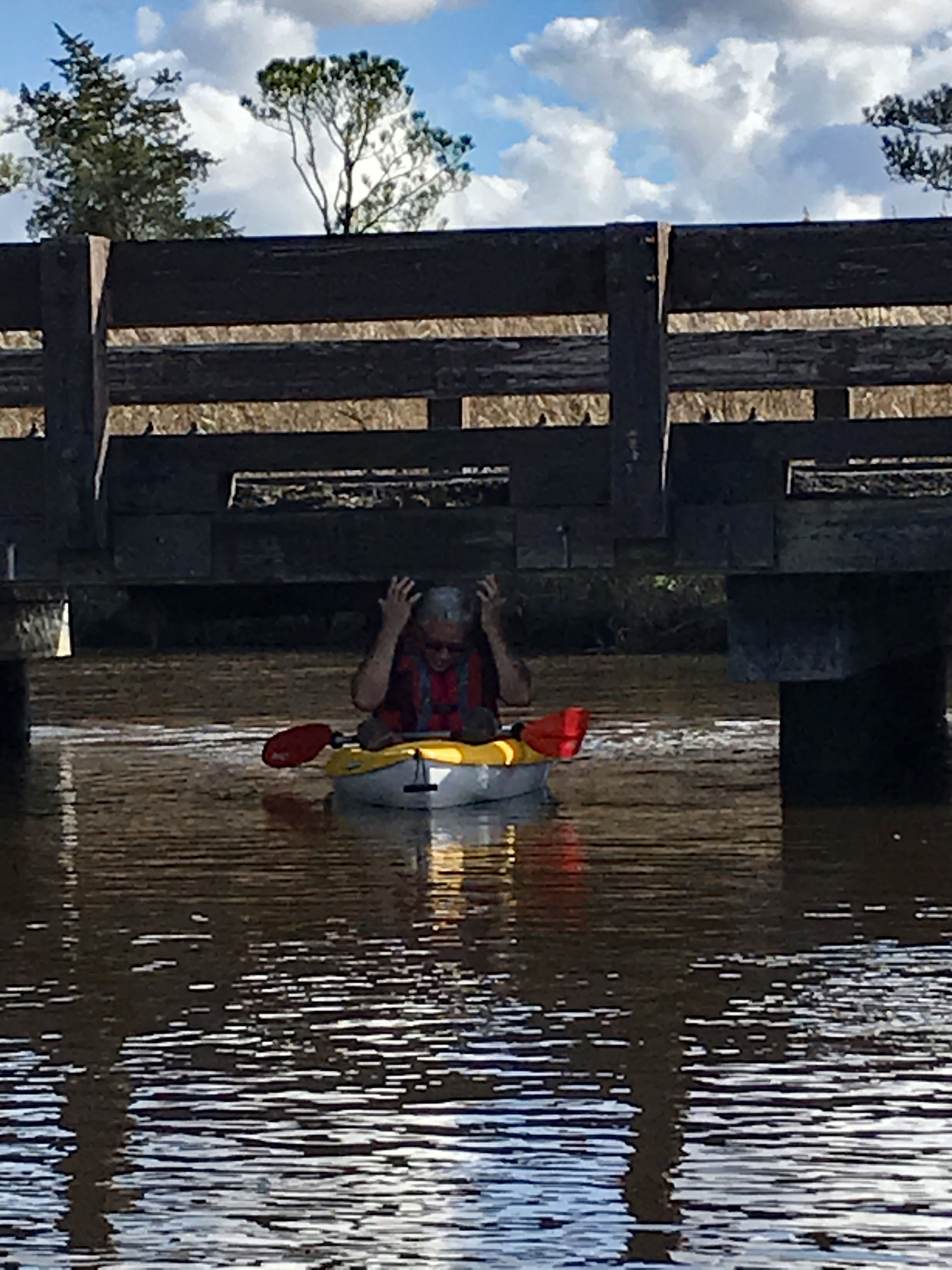
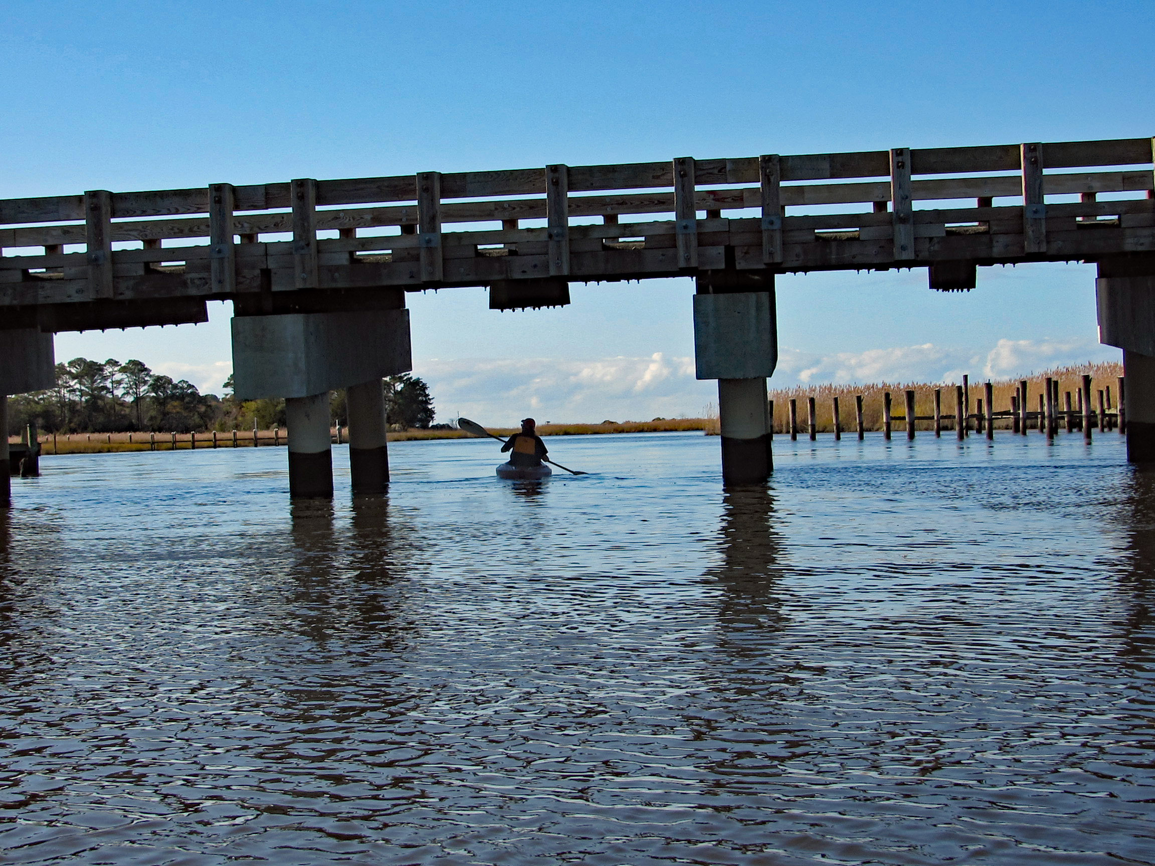
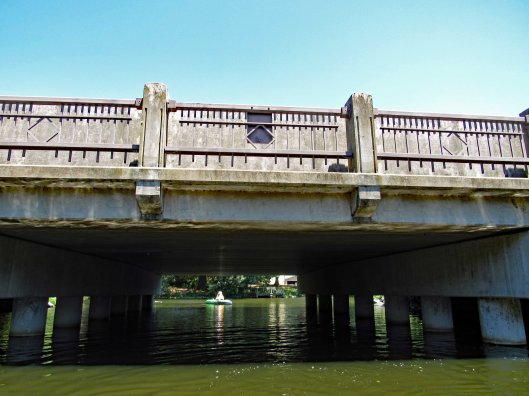
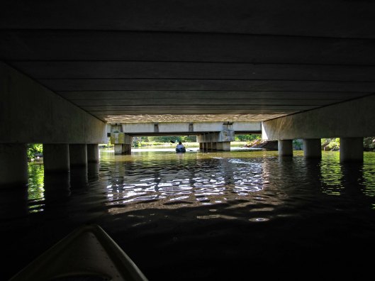
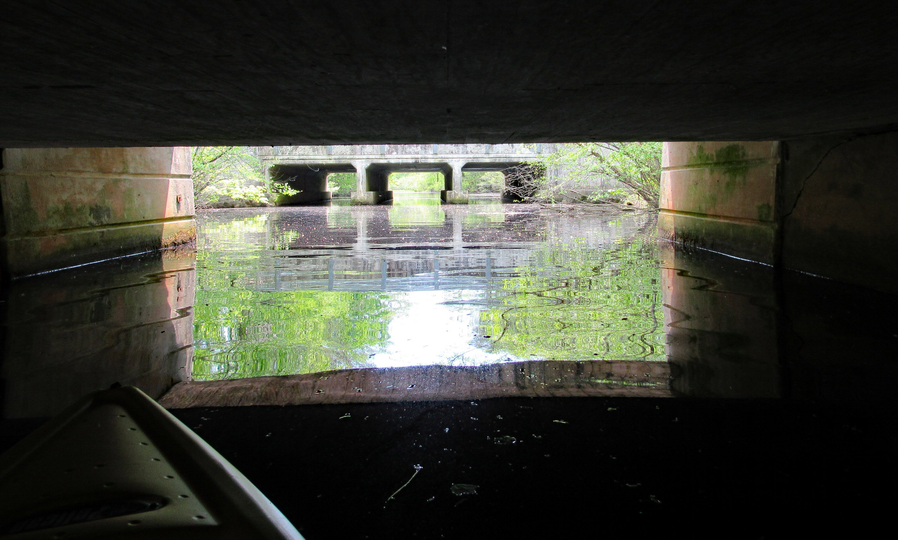
After about 3.5 miles, time to head back. Under the Nassawango Rd bridge.
Another nice reflection shot by Kathy.
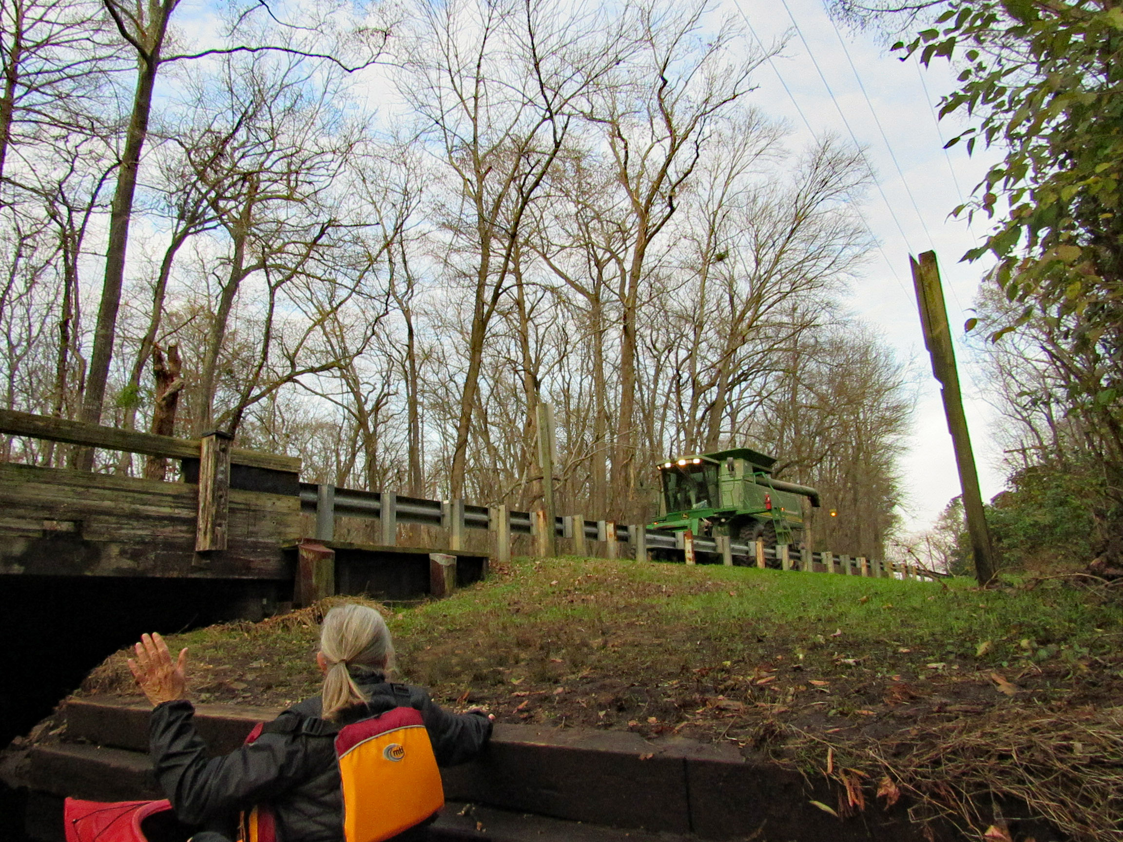
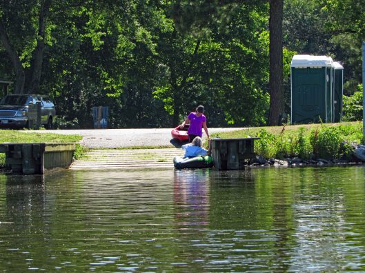
Two steps down and waiting for the combine to cross over.
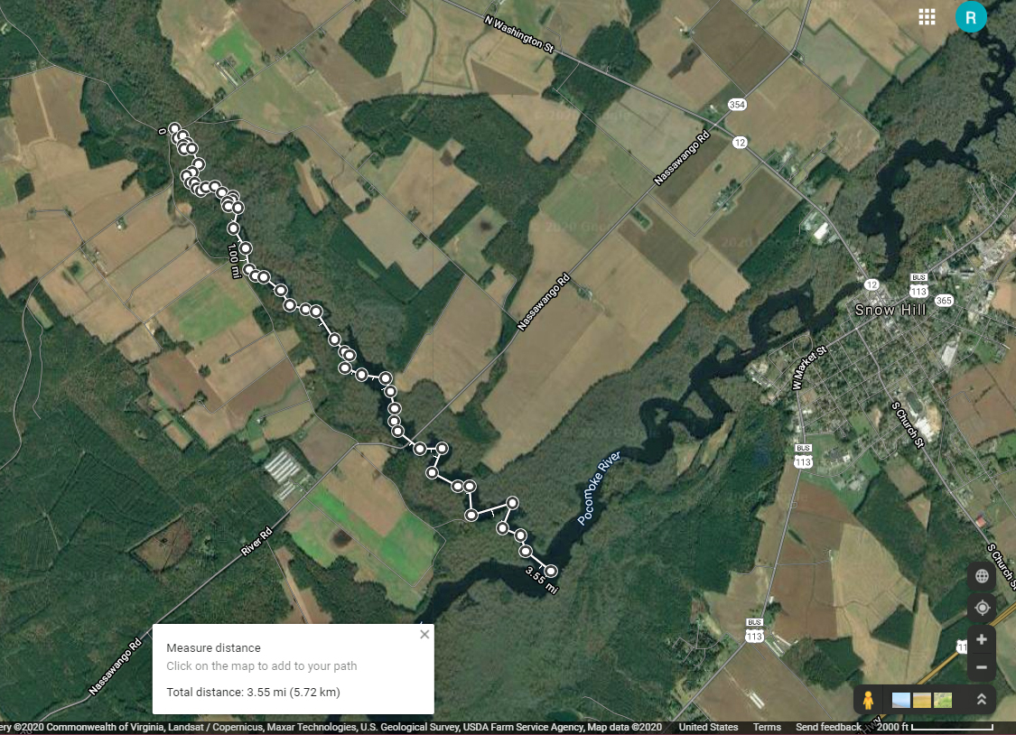
Our trip. Just over 7 miles with all the zig-zagging and crossing over the Pocomoke.
Another great kayak adventure. Next time we will need to check the tides. We hit a lot of submerged tree limbs and could not cut across the lily pads like we normally do. But it was still a great day to be out and grateful to be able to take these kind of trips.
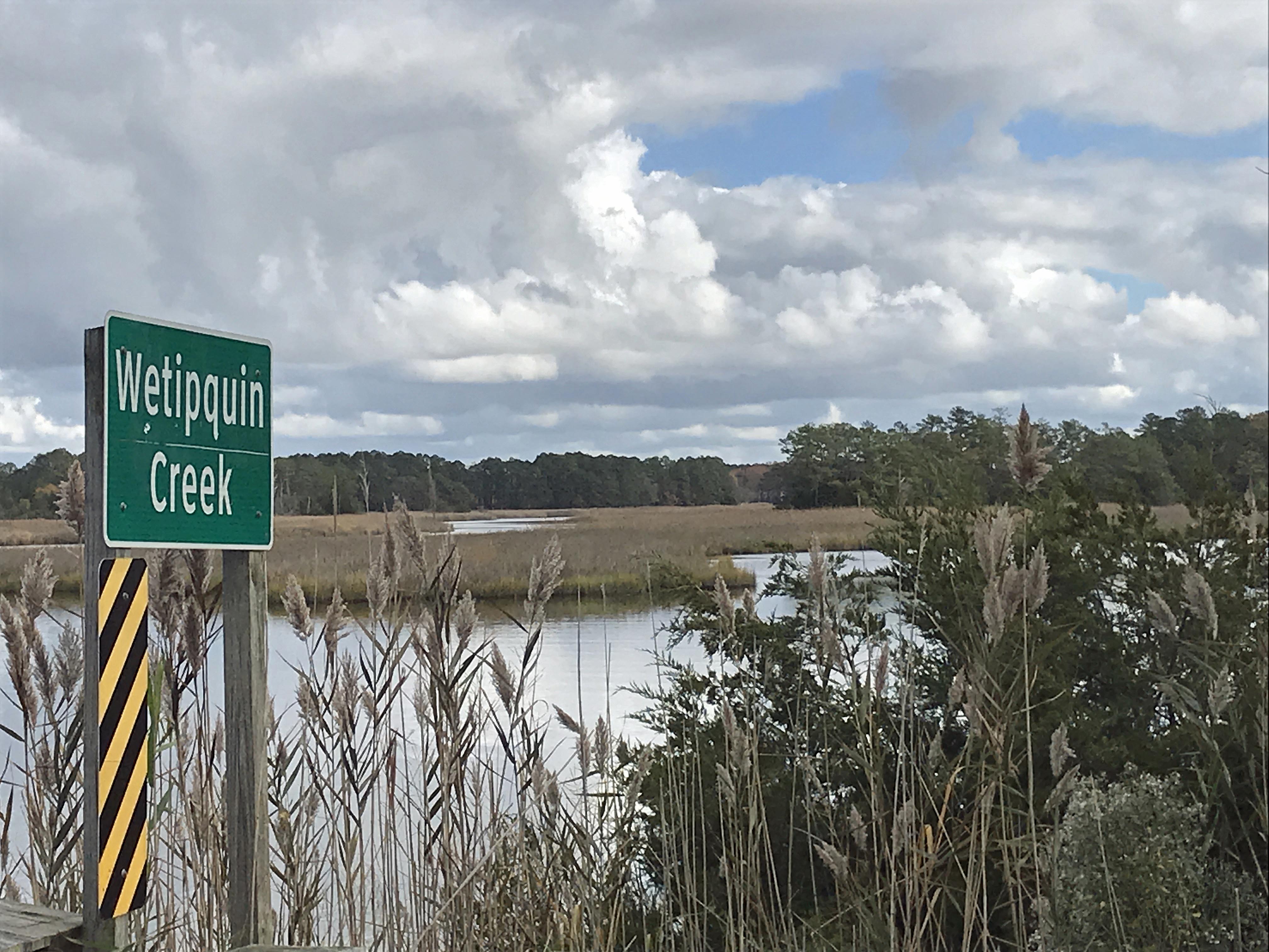
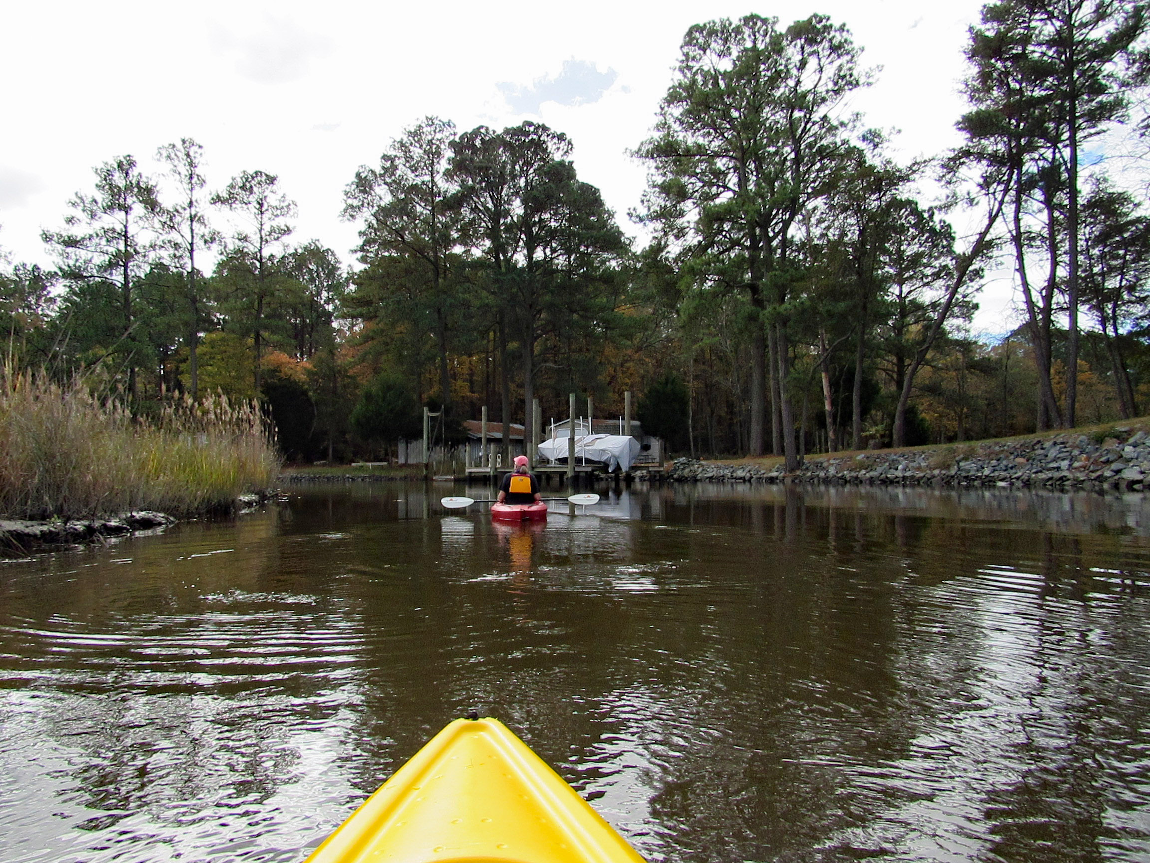
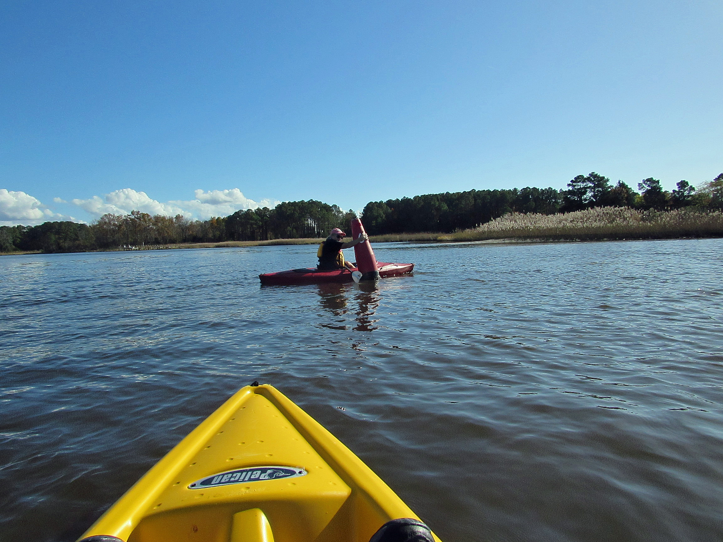
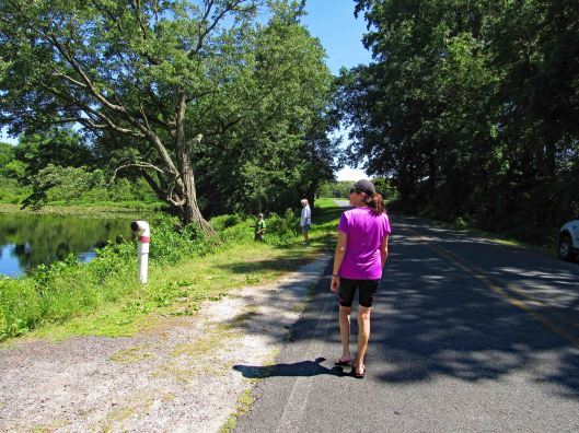
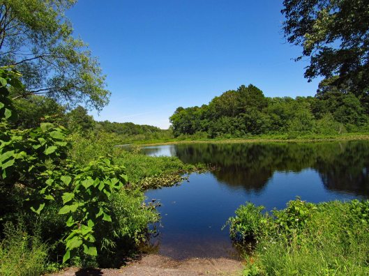
The temperature was heading into the mid to upper 70’s, so we headed out to kayak at Wetipquin Creek, off the Nanticoke River. We were a couple miles from here when we went fishing.
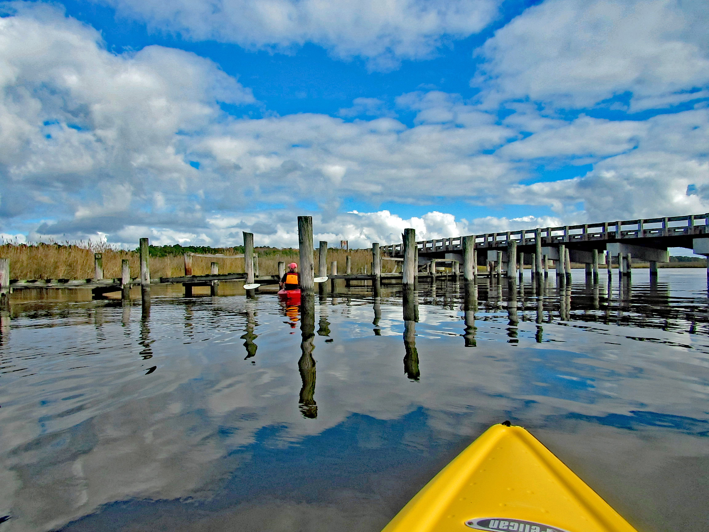
The boat ramp is nice and extends far into the water. Head to the right and go under the Wetipquin Rd. bridge.
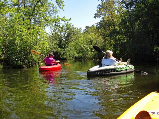
Some pics from Kathy before starting to kayak.
Start our adventure and Kathy stops to look at the Big screen TVs.
I like this one of Kathy’s
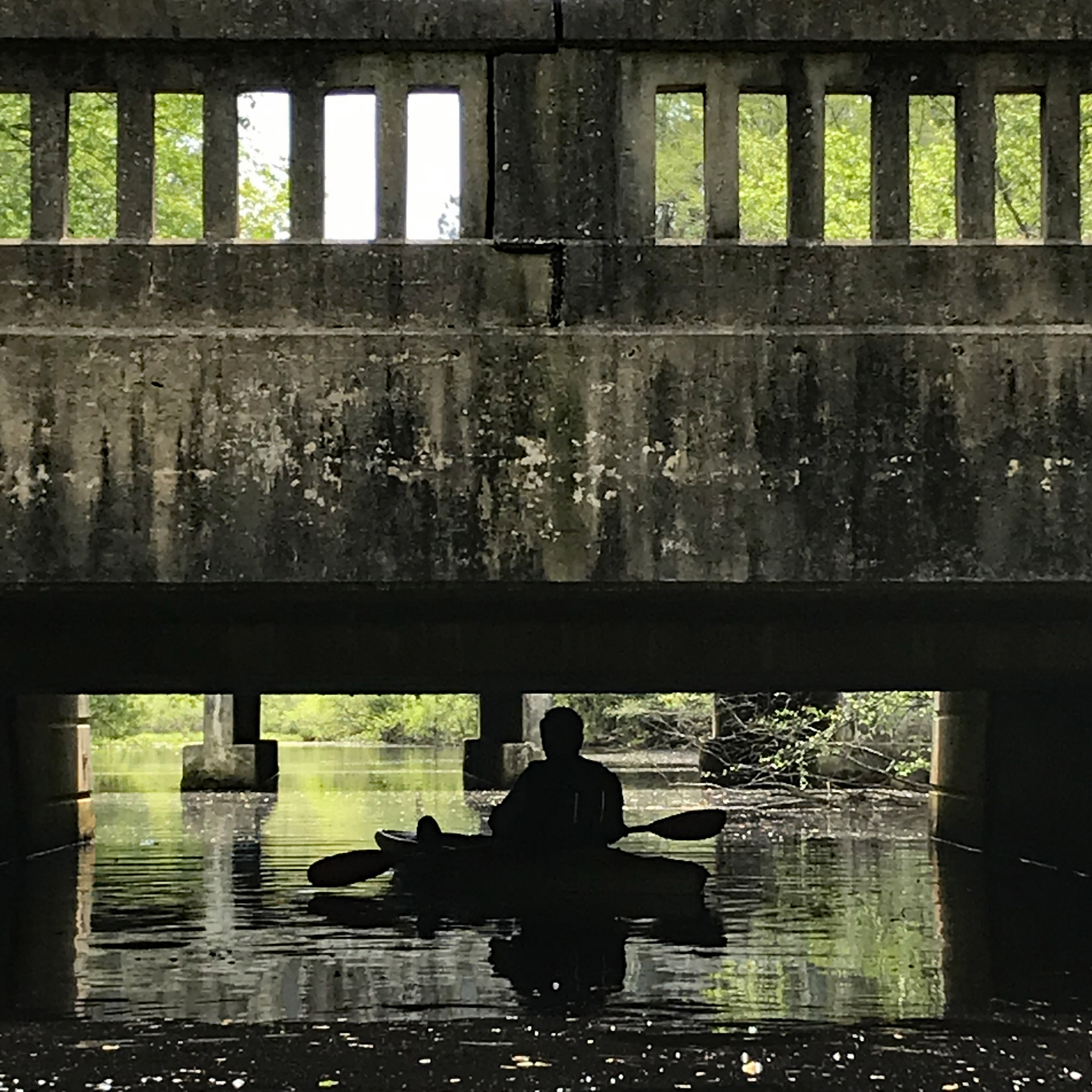
Time to head under the bridge. Kind of on a tilt but high enough to easily get under.
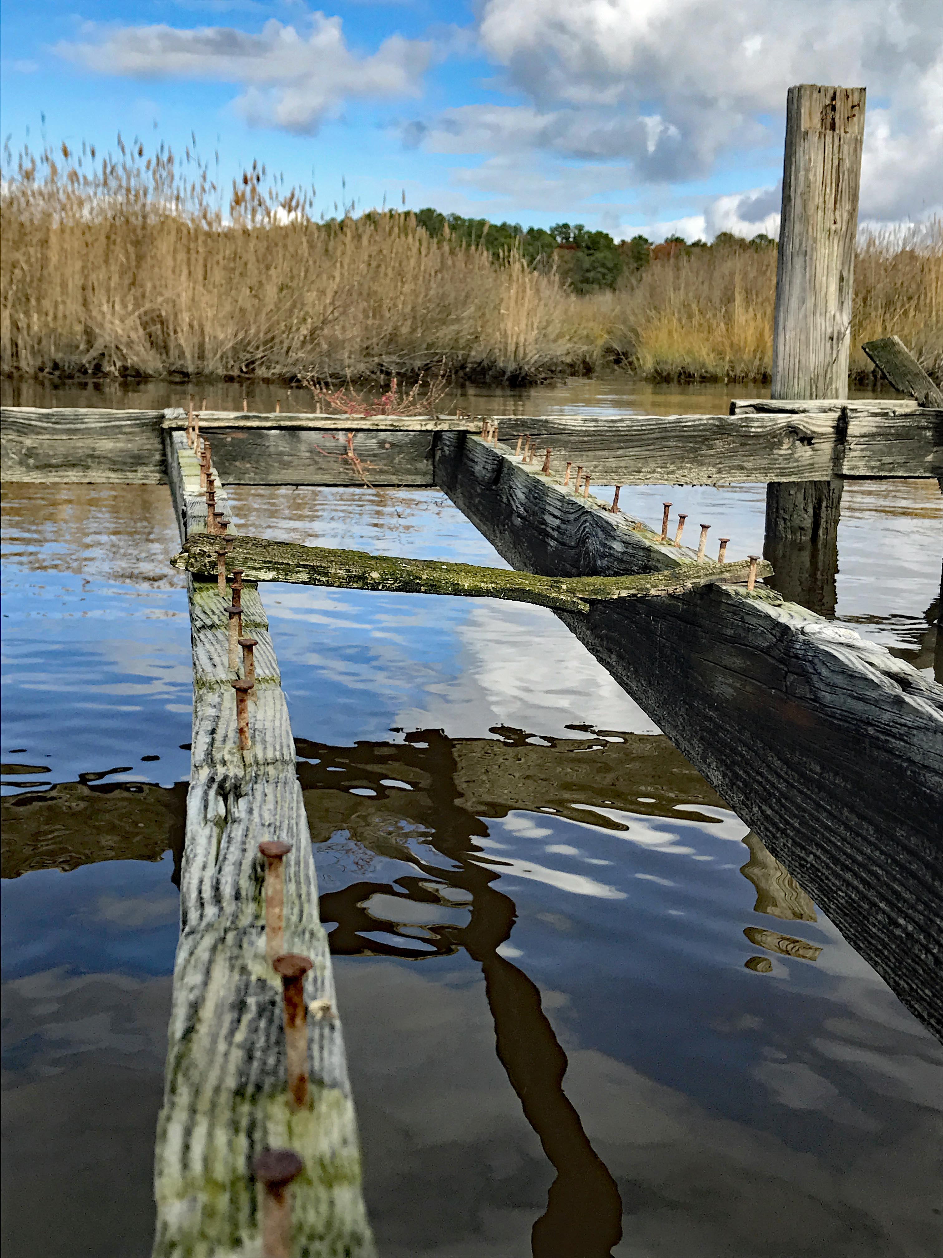
We soon come to a fork in the creek. Left will take us up the Wetipquin and right onto the Tyaskin Creek. We headed right.
Saw this boat and was wondering how they get under the bridge we just passed under?
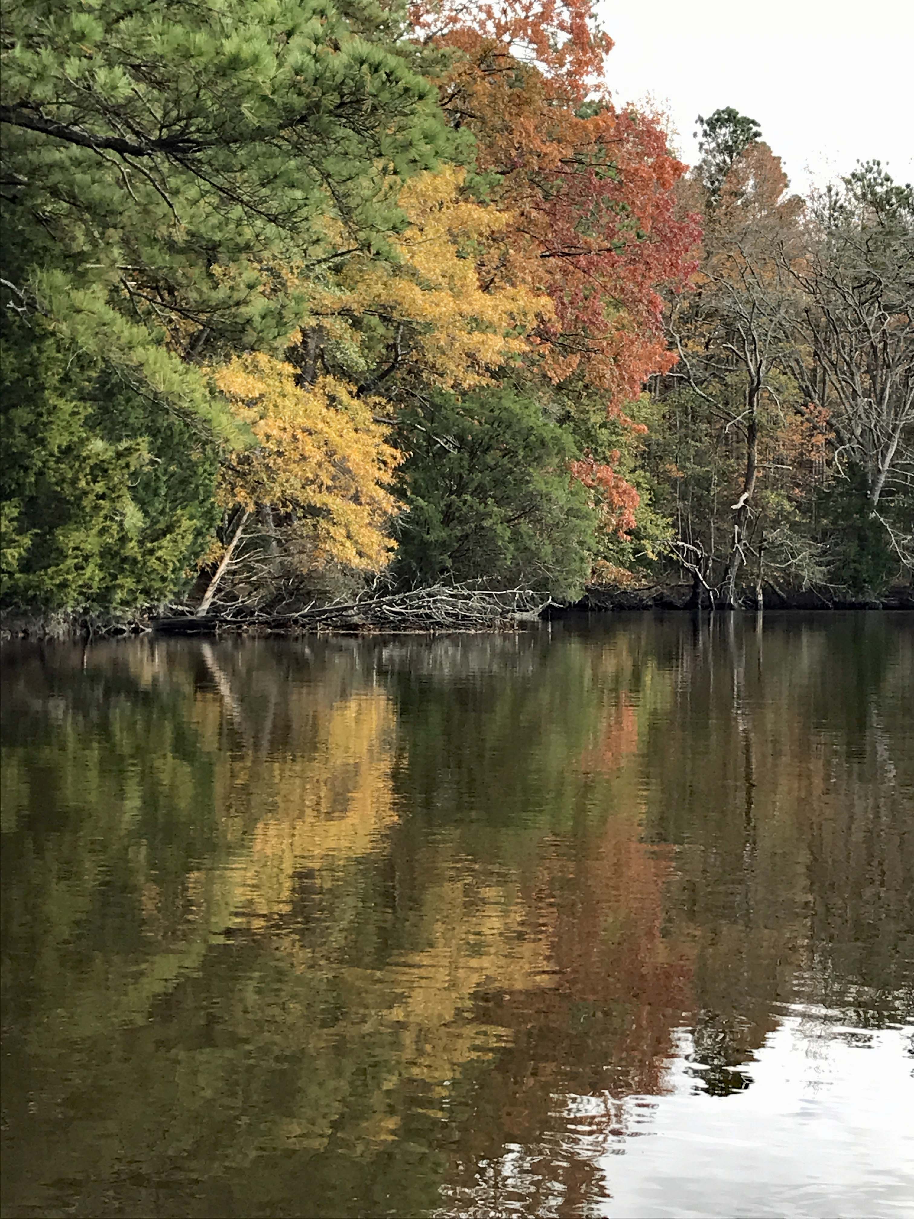
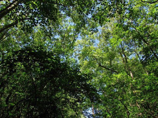
I think we missed most of the fall foliage, but still very beautiful and peaceful.
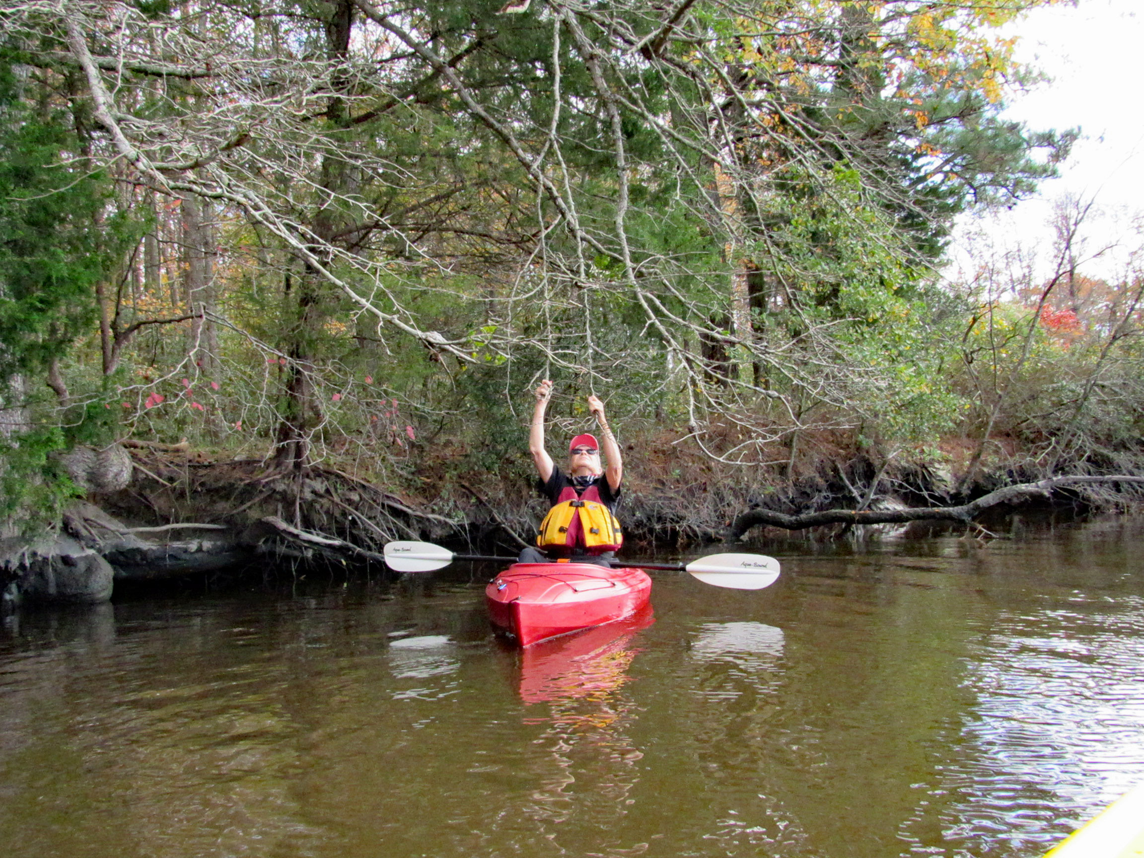
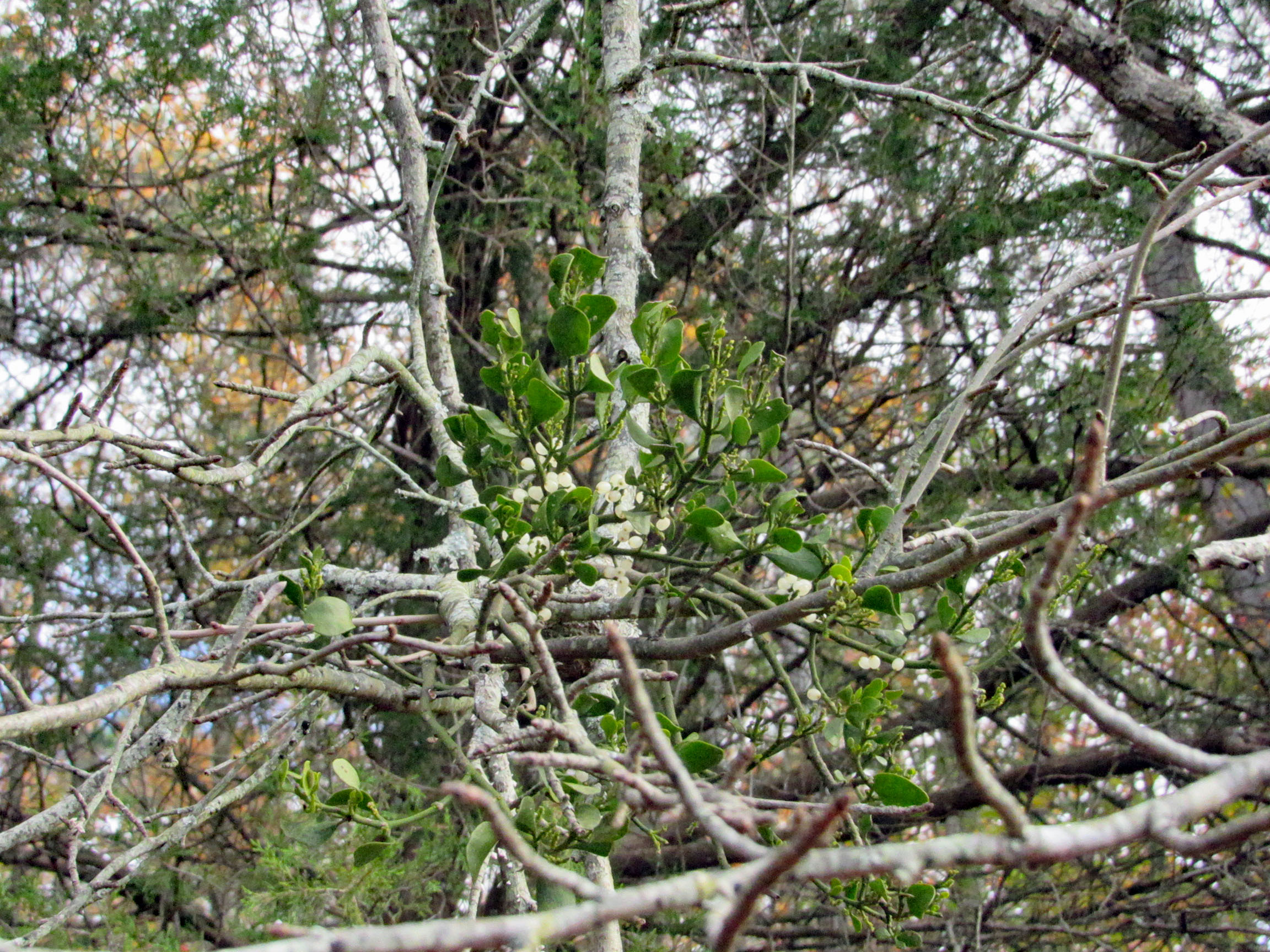
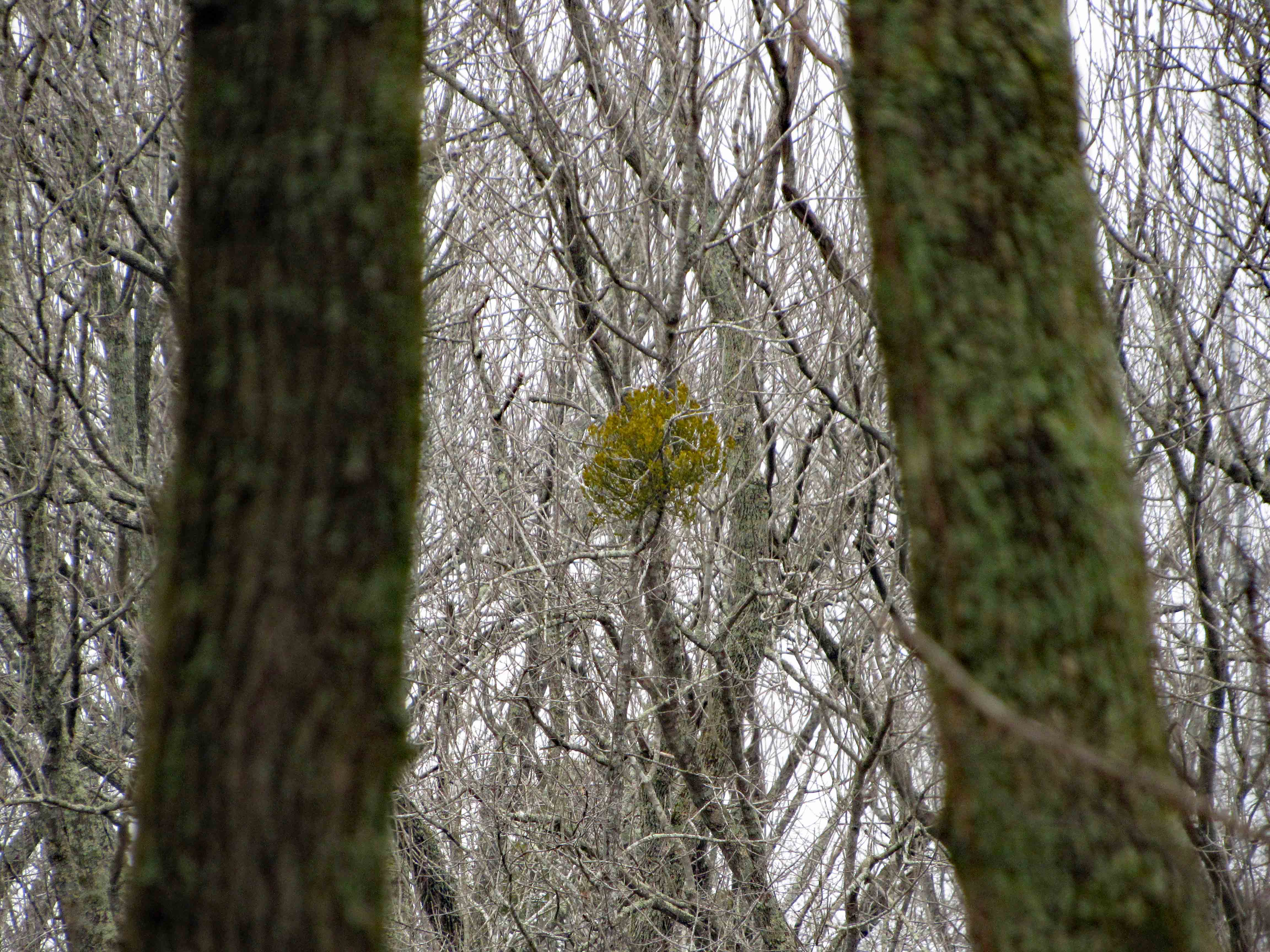
Fooling around with the mistletoe. Amazing how this stuff grows right out of the tree.
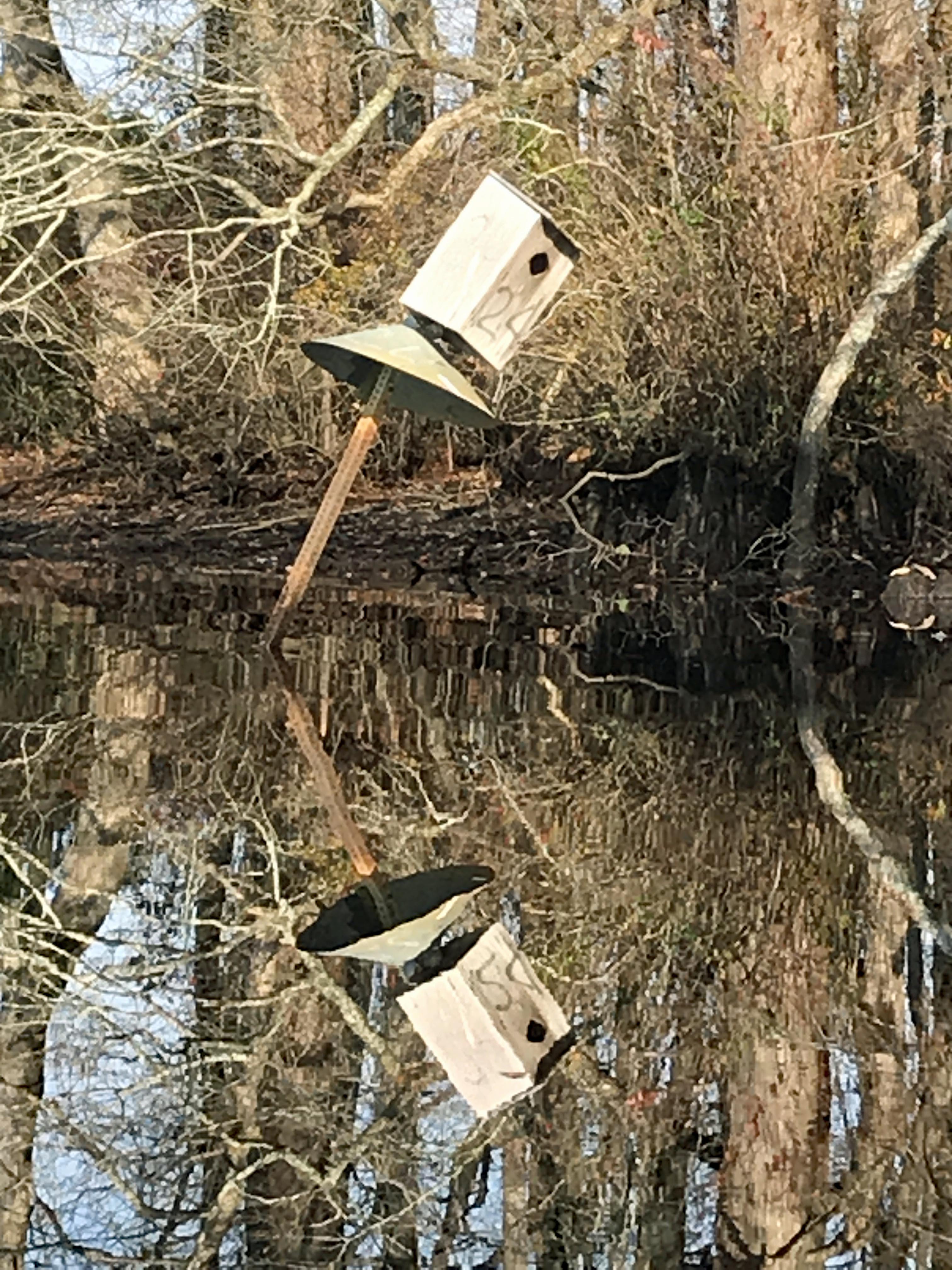
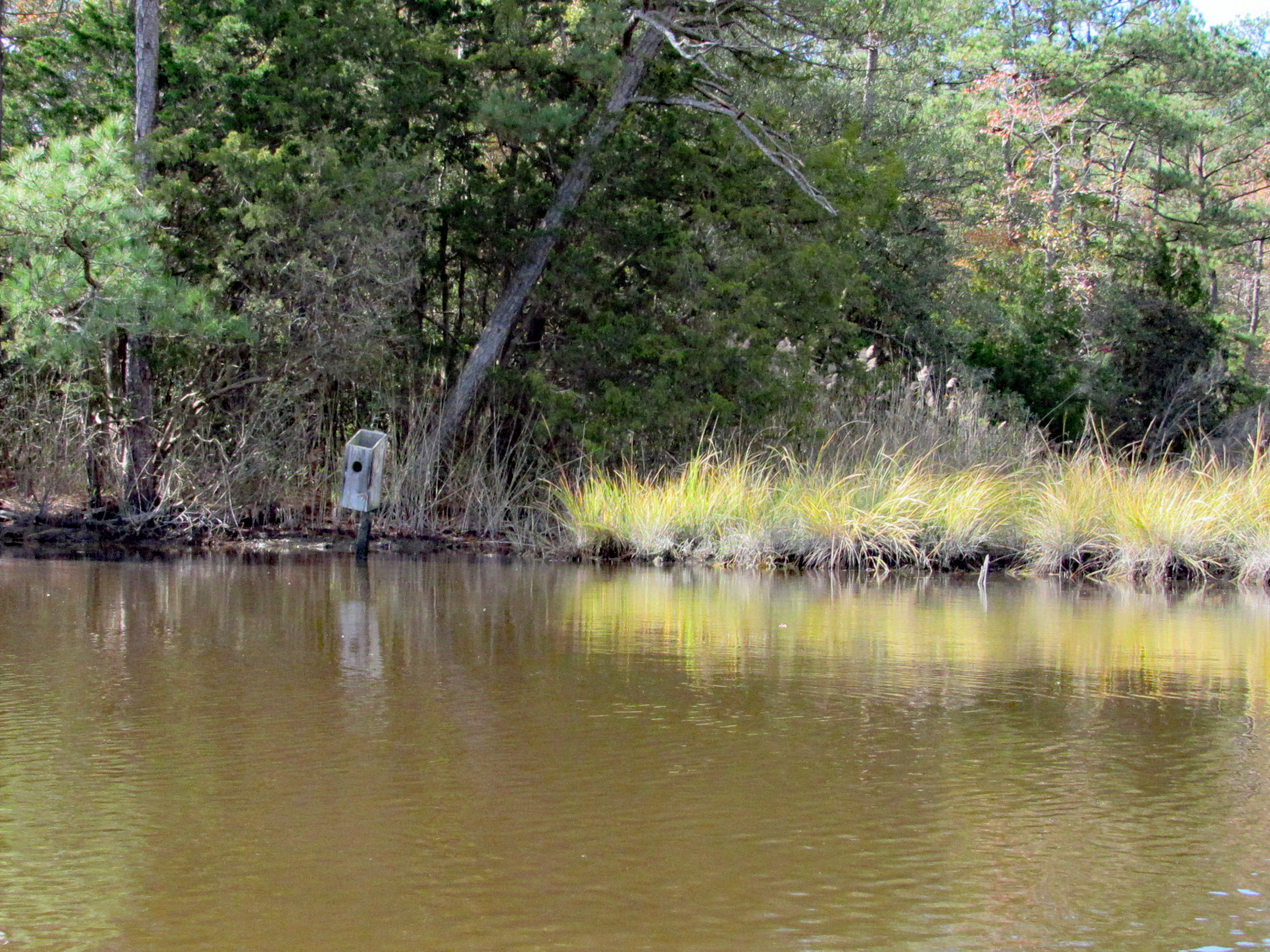
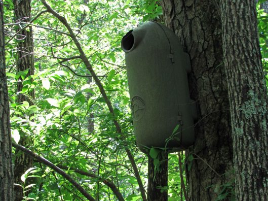
Saw two bird boxes and the tops were missing off of both of them.
Approaching Deep Branch Rd. bridge. Looks low…
…but not too low!
On the other side and checking out up stream a little ways.
Kathy waiting for me back at the bridge, taking photos.
Sights.
Waiting for me to catch up.
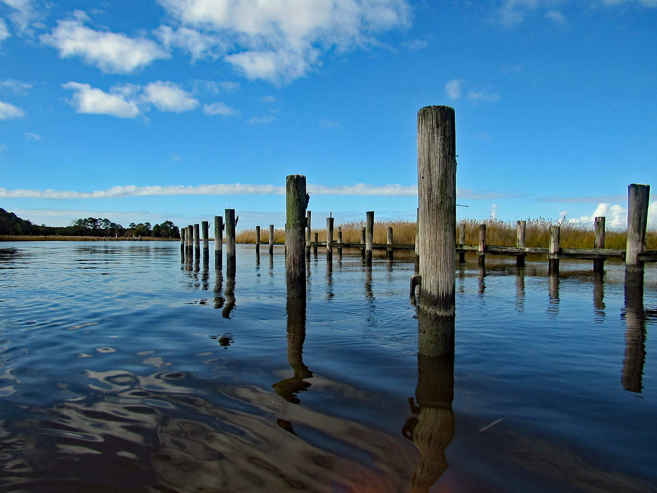
Back under Wetipquin bridge, heading to the Nanticoke.
We didn’t see any wildlife until we headed to open water.
Geez Kathy, what are you doing to that boy?
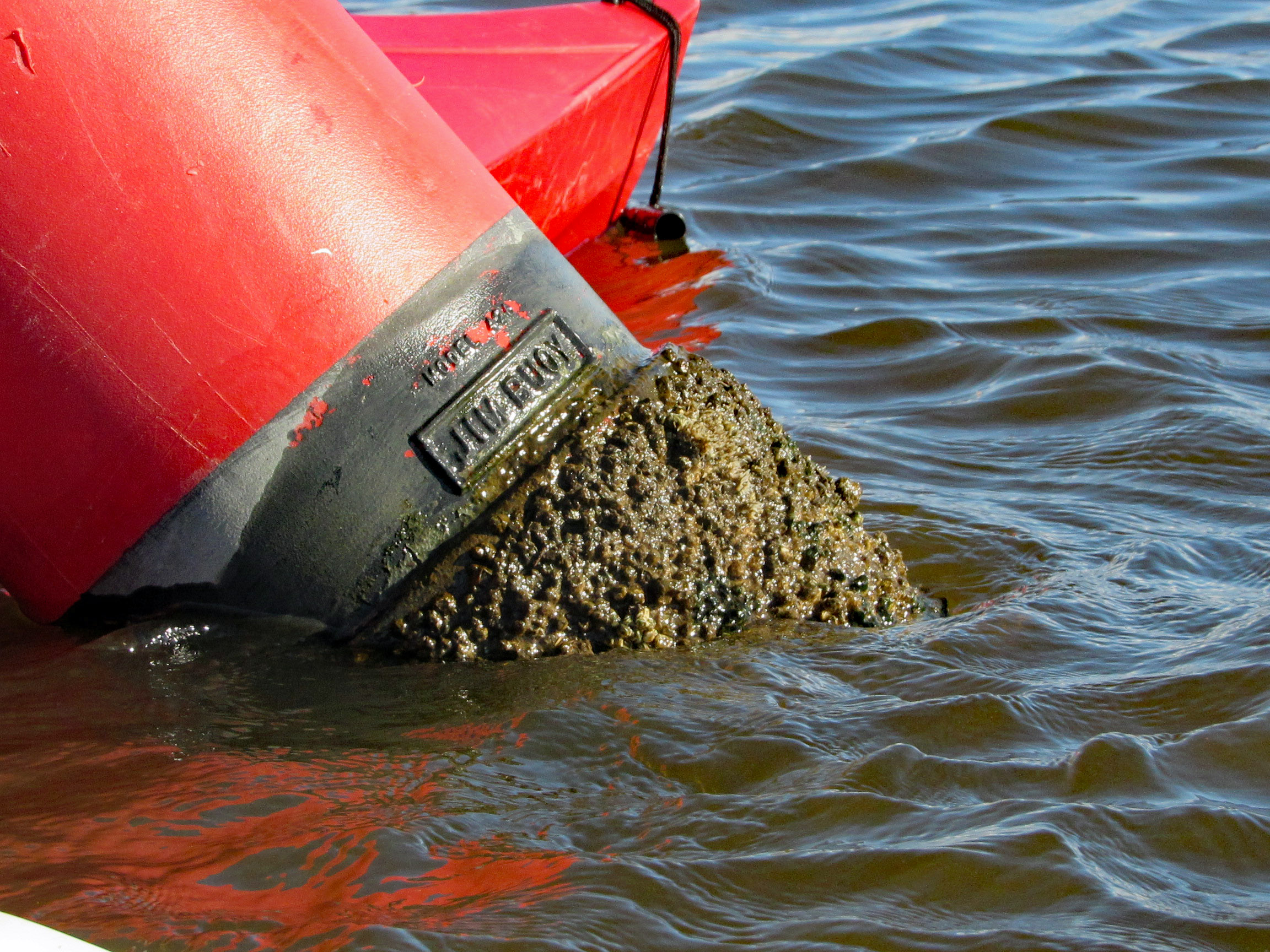
Meet my new friend – Buoy, Jim Buoy!
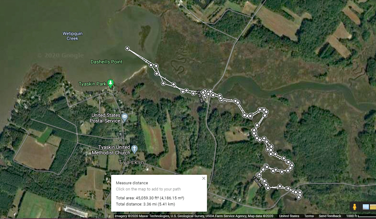
Our path. A beautiful day on the water! Thanks God!
Another great road trip to North Carolina. Kathy already there for a week before I headed down to pick her up. I was to stay a week also but the weather took a turn for the worse and we came back a couple days early.
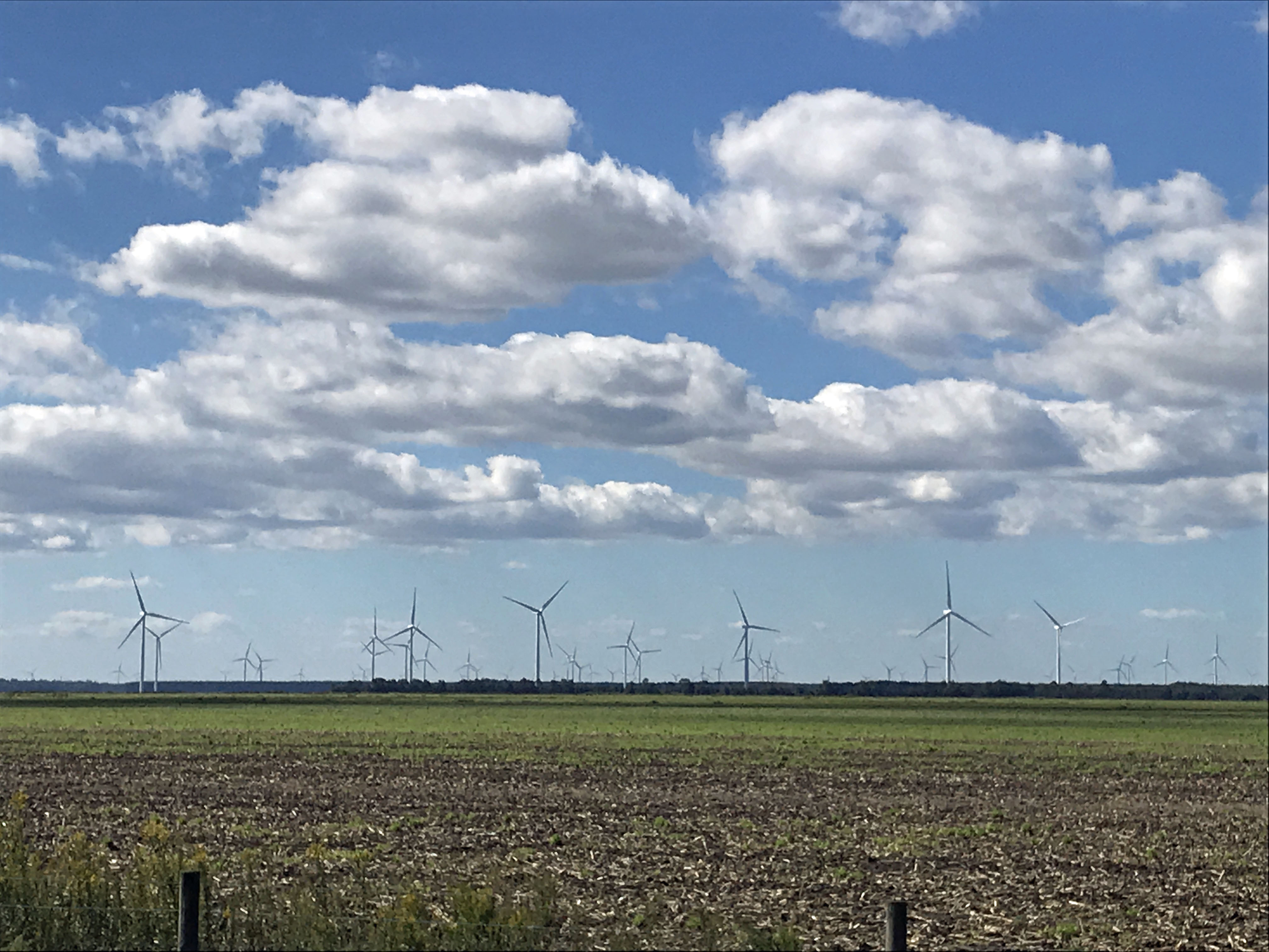
It was very foggy when I left Salisbury, Md. to head south. The fog did not dissipate until well after Edenton. I missed the windmill farm, but Kathy got a photo of it.
One of my favorite stops is at the Dismal Swamp. About 1/2 way there.
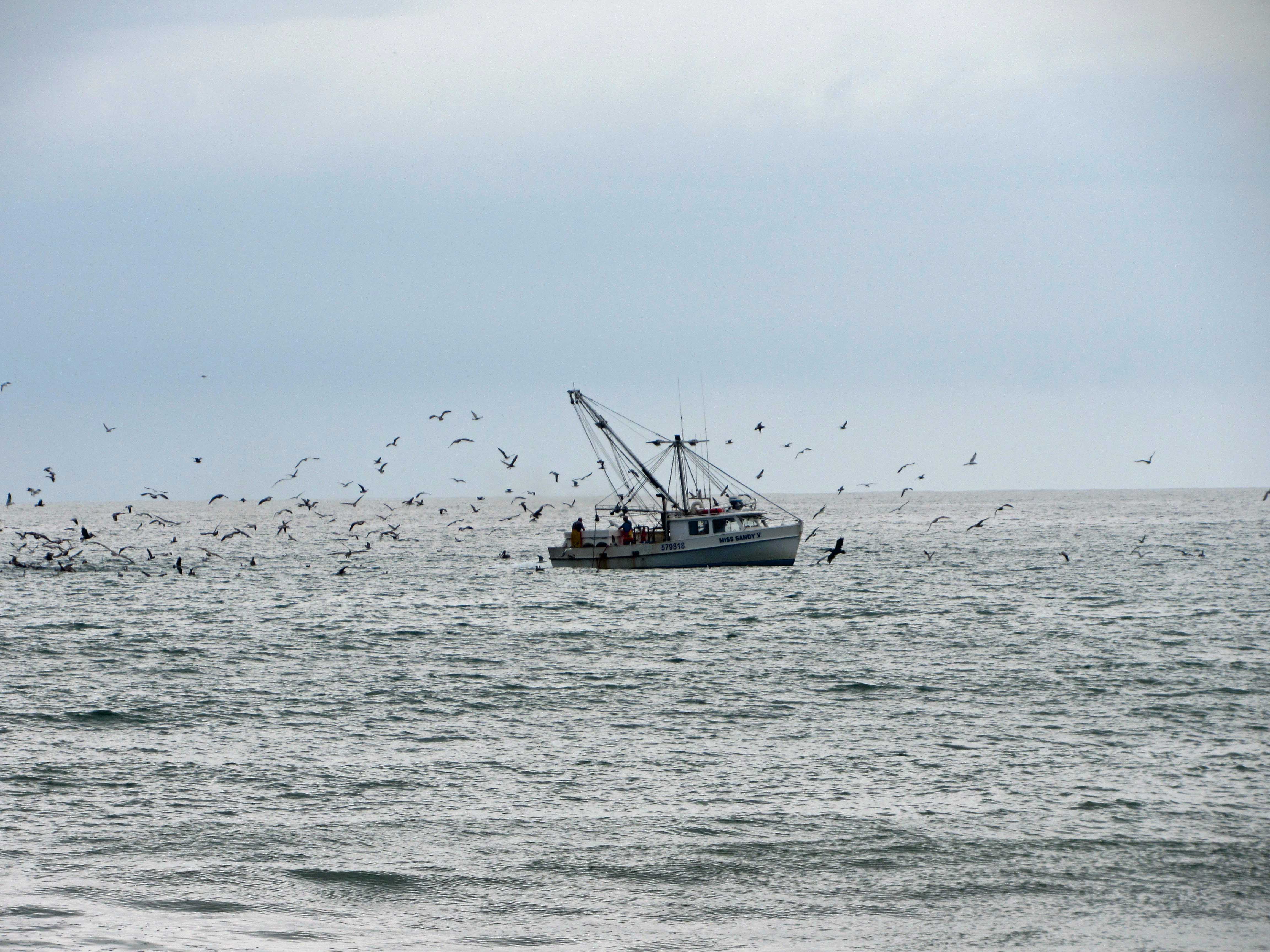
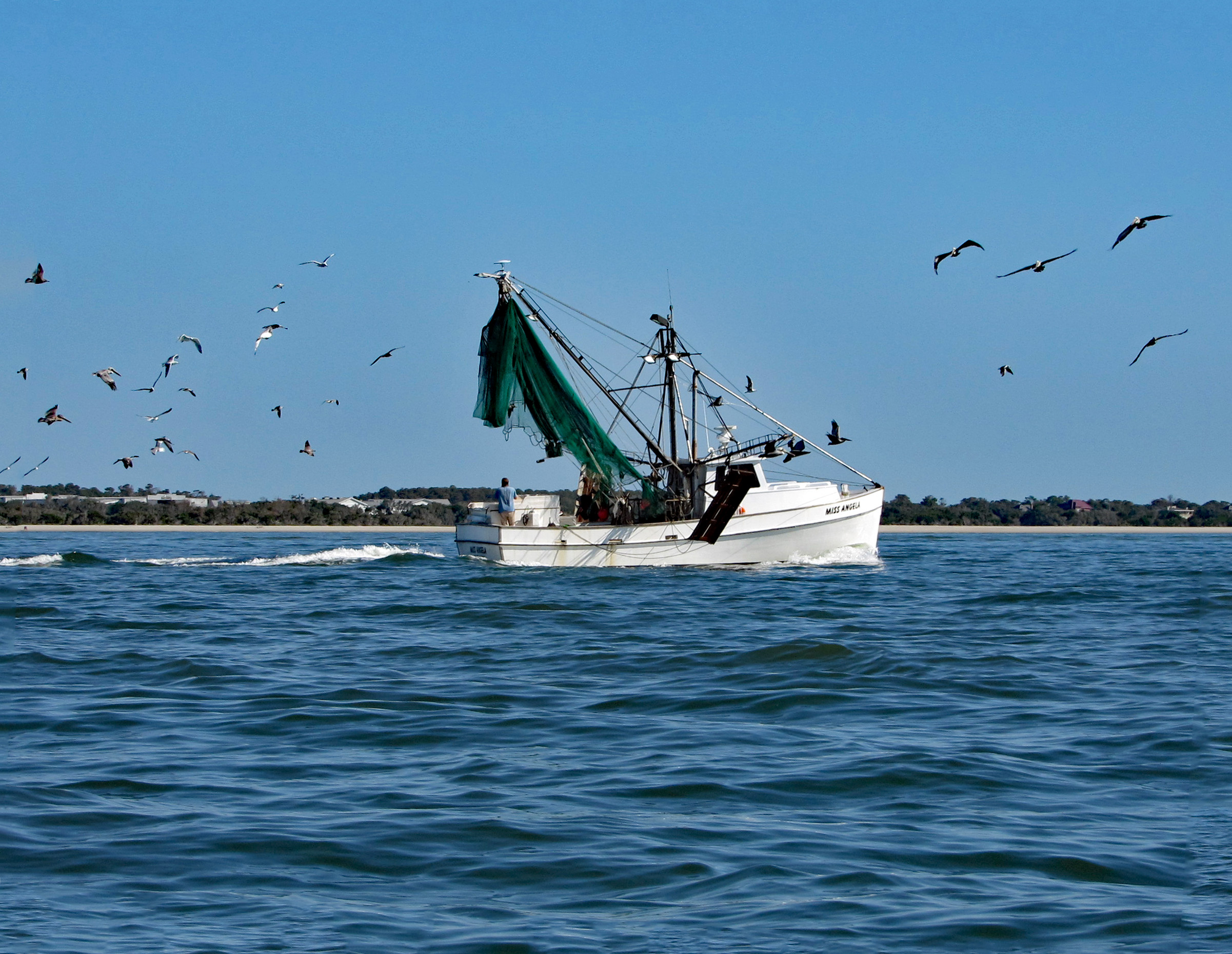
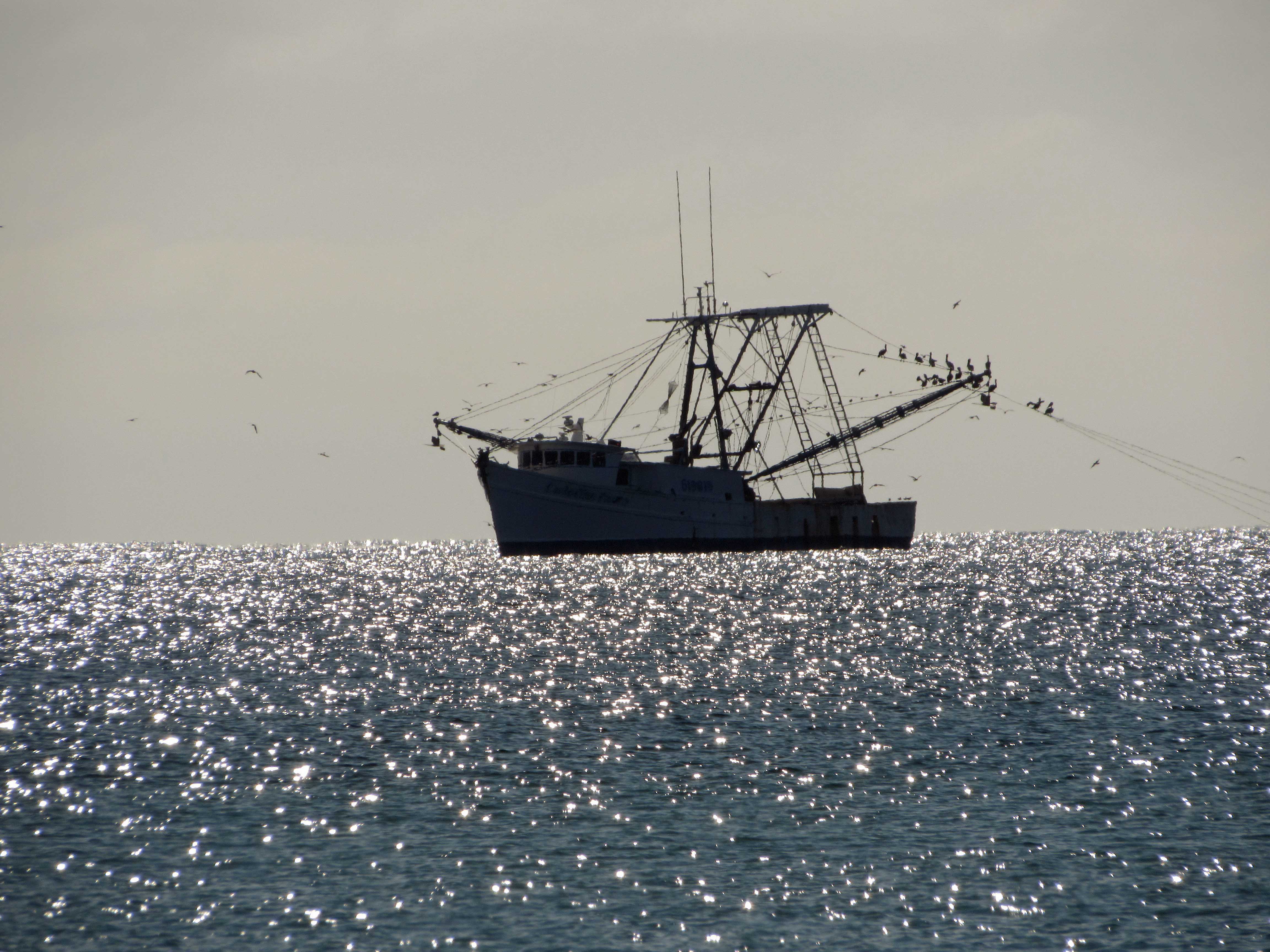
Arrived at Indian Beach, N.C. and we took a walk. Shrimp boat.
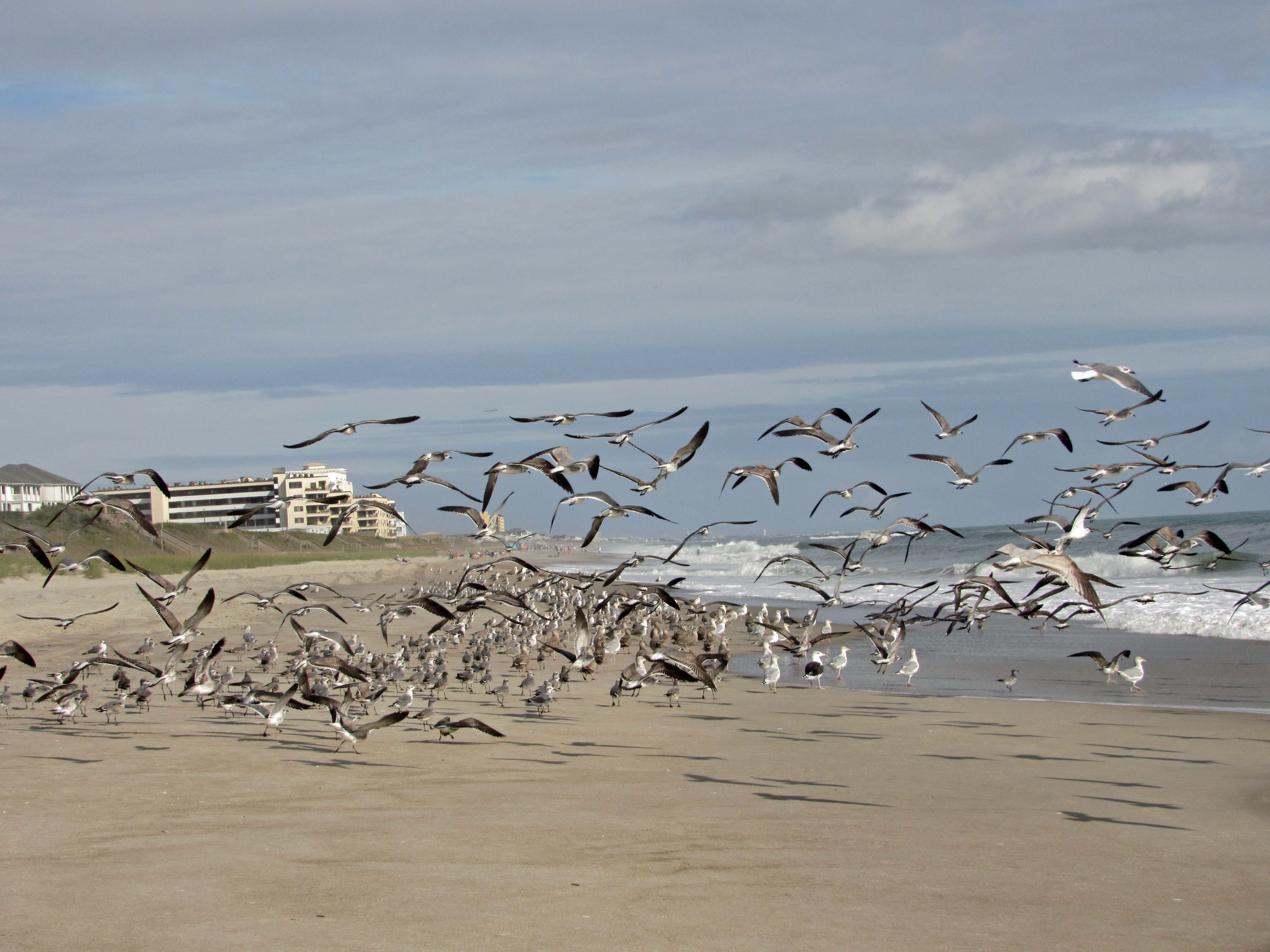
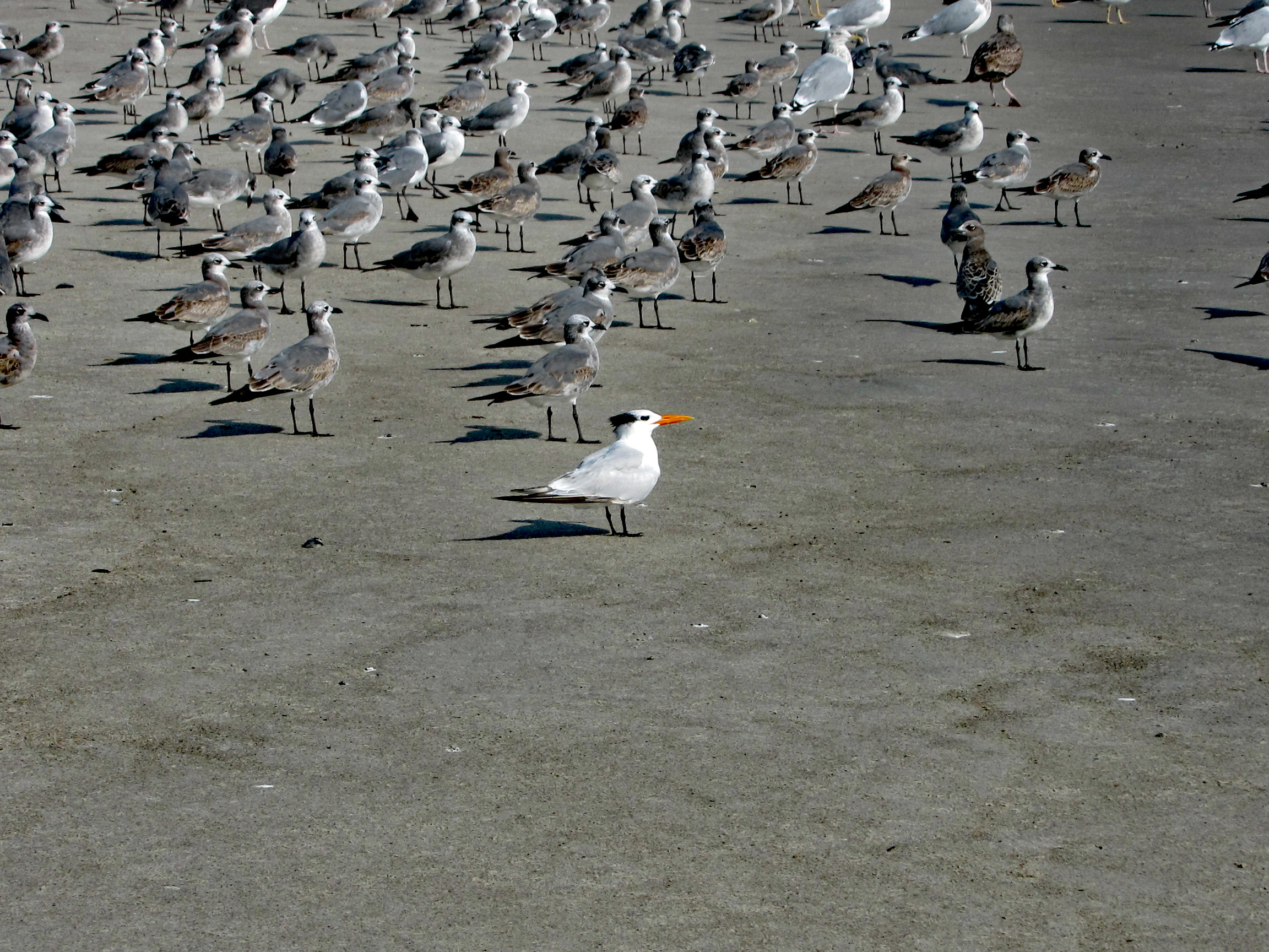
The seagulls here are unlike the ones in Maryland that will hover over you waiting for food.
A Royal Tern
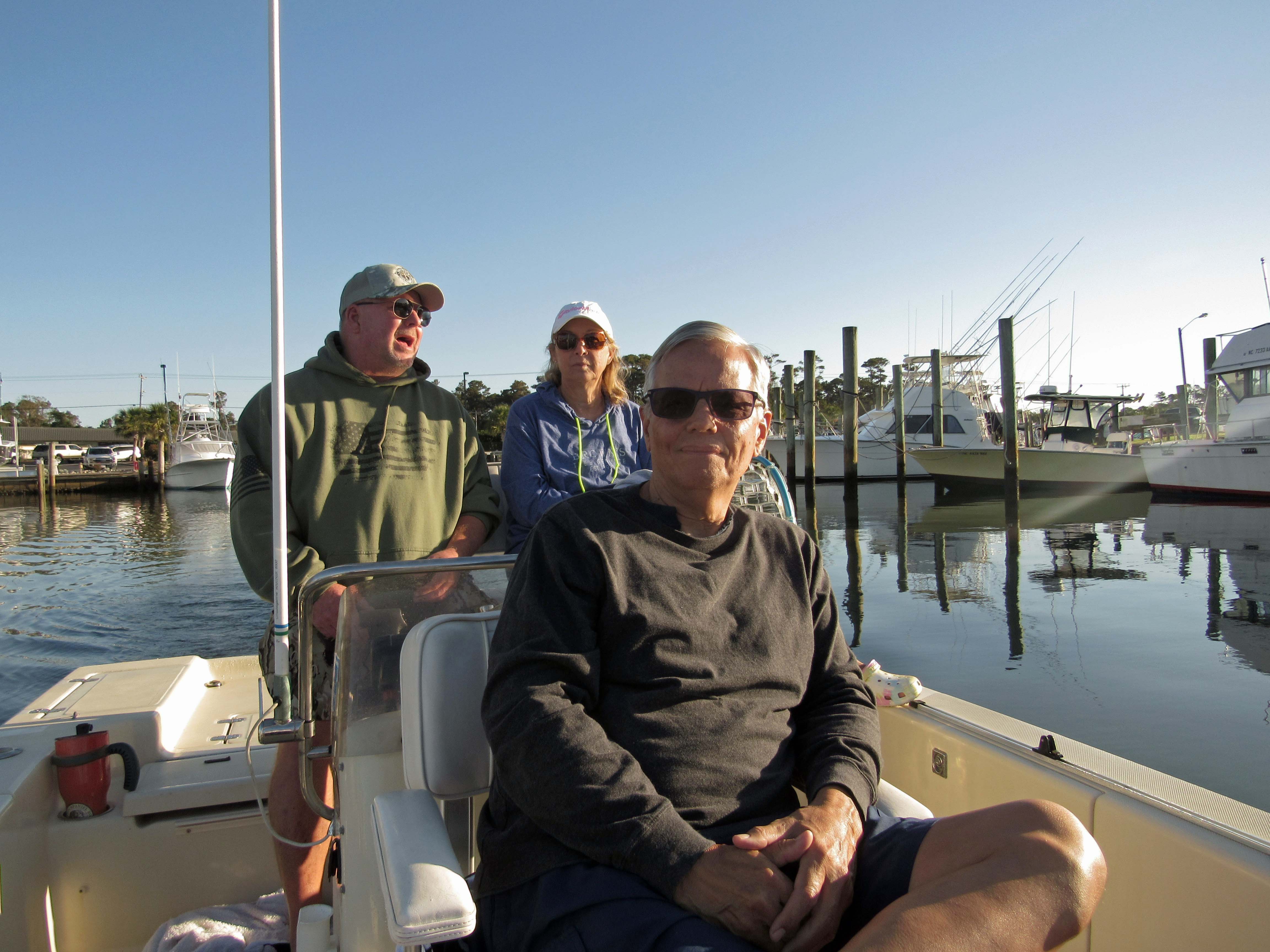
The next day John came down to take us out on their boat. That was very nice of him. With all this Covid stuff going on, we hardly see each other.
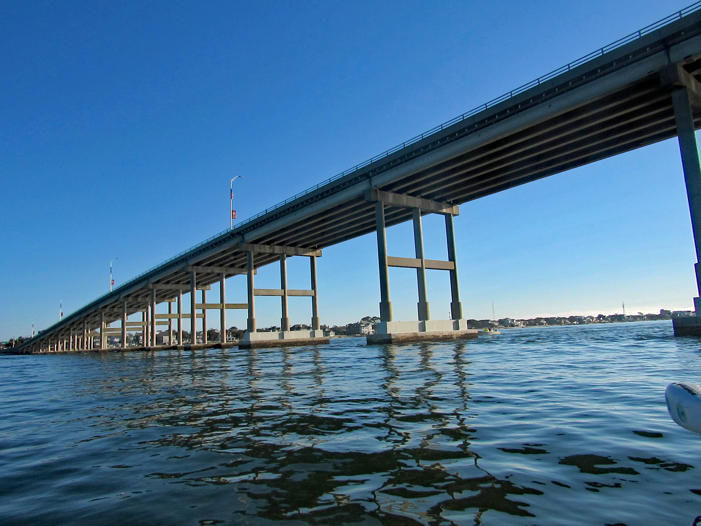
Heading under the Atlantic Bridge Causeway.
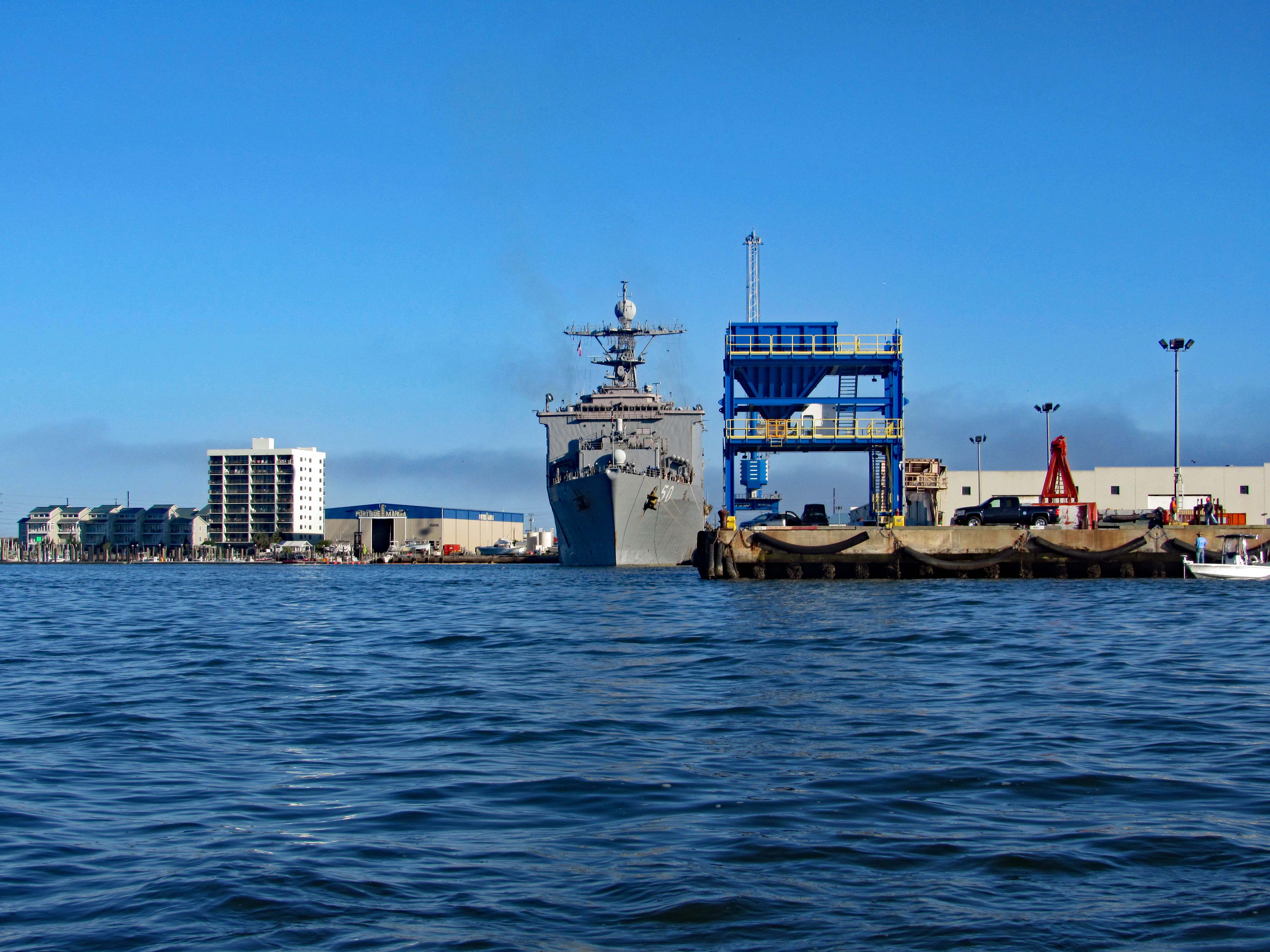
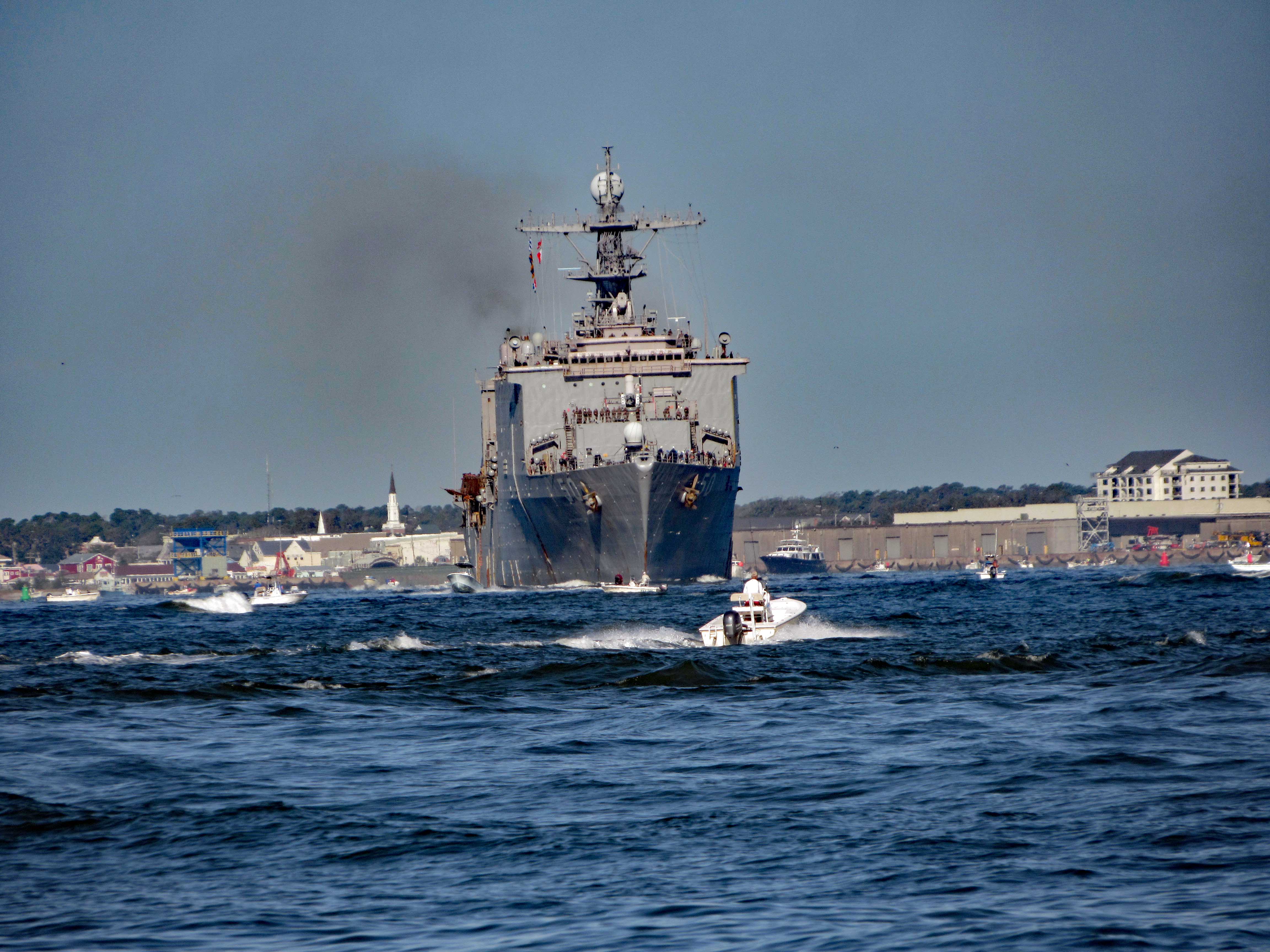
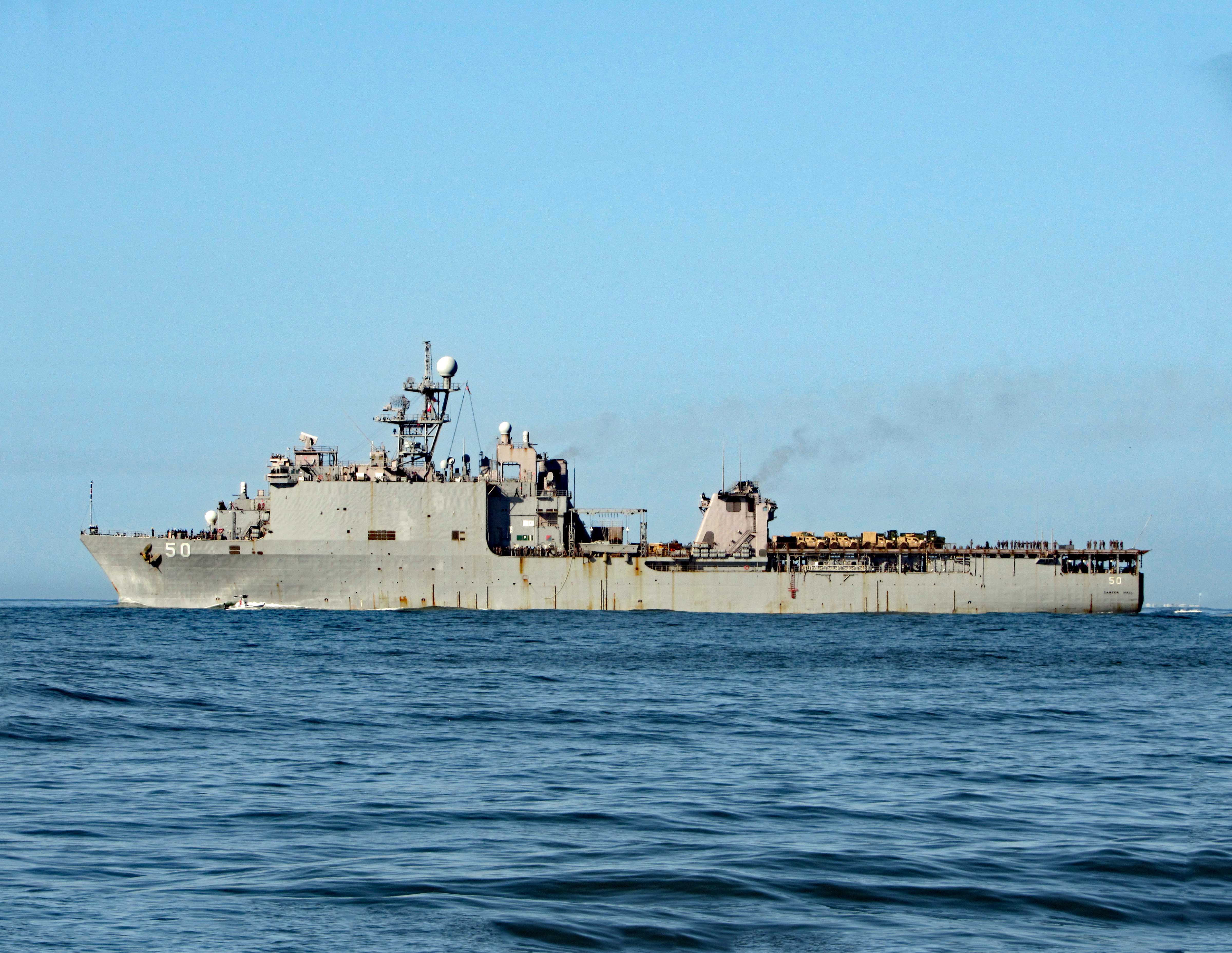
Easing past Sugarloaf Island, headed towards the N.C. Port. Docked there for the time being is the USS 50 (LSD-50), Carter Hall. Landing Ship Dock.
Here she is a little while later pulling out of port.
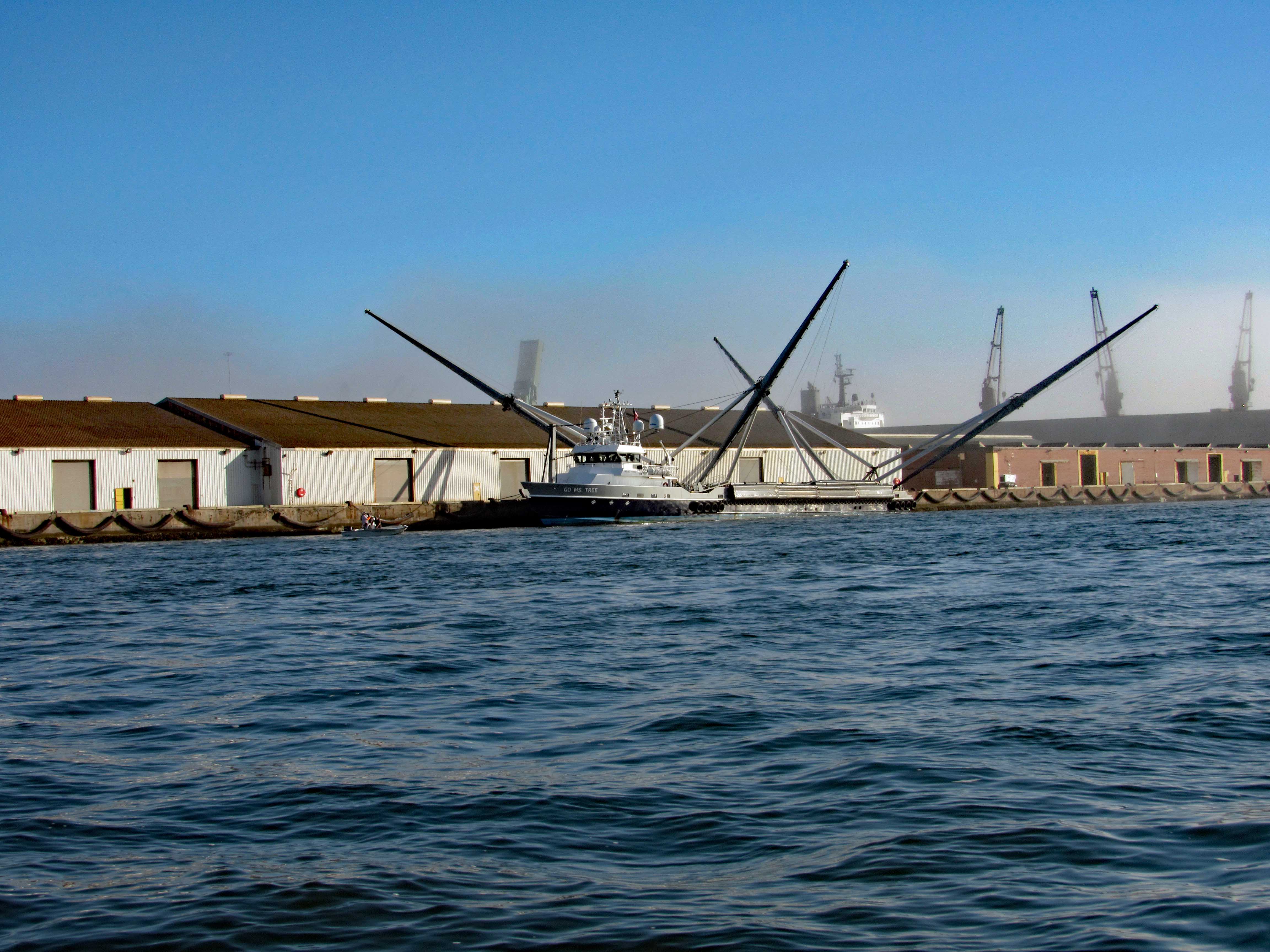
Not far from her is this interesting vessel – Go Ms Tree. Formerly named Mr. Steven. GO Ms. Tree – often shortened to Ms. Tree – is a fast, highly maneuverable vessel that was chartered by SpaceX in 2017 to support their fairing recovery program. The ship has been heavily modified by SpaceX so that it now has a large net structure designed to catch fairing halves as they descend. The name ‘Ms. Tree’ is a pun of the word ‘Mystery’. (from SpaceX website)
Pass this area of the port and ran smack dab into a fog bank.
Made it through there and we all, except John, got off onto Shackleford Banks.
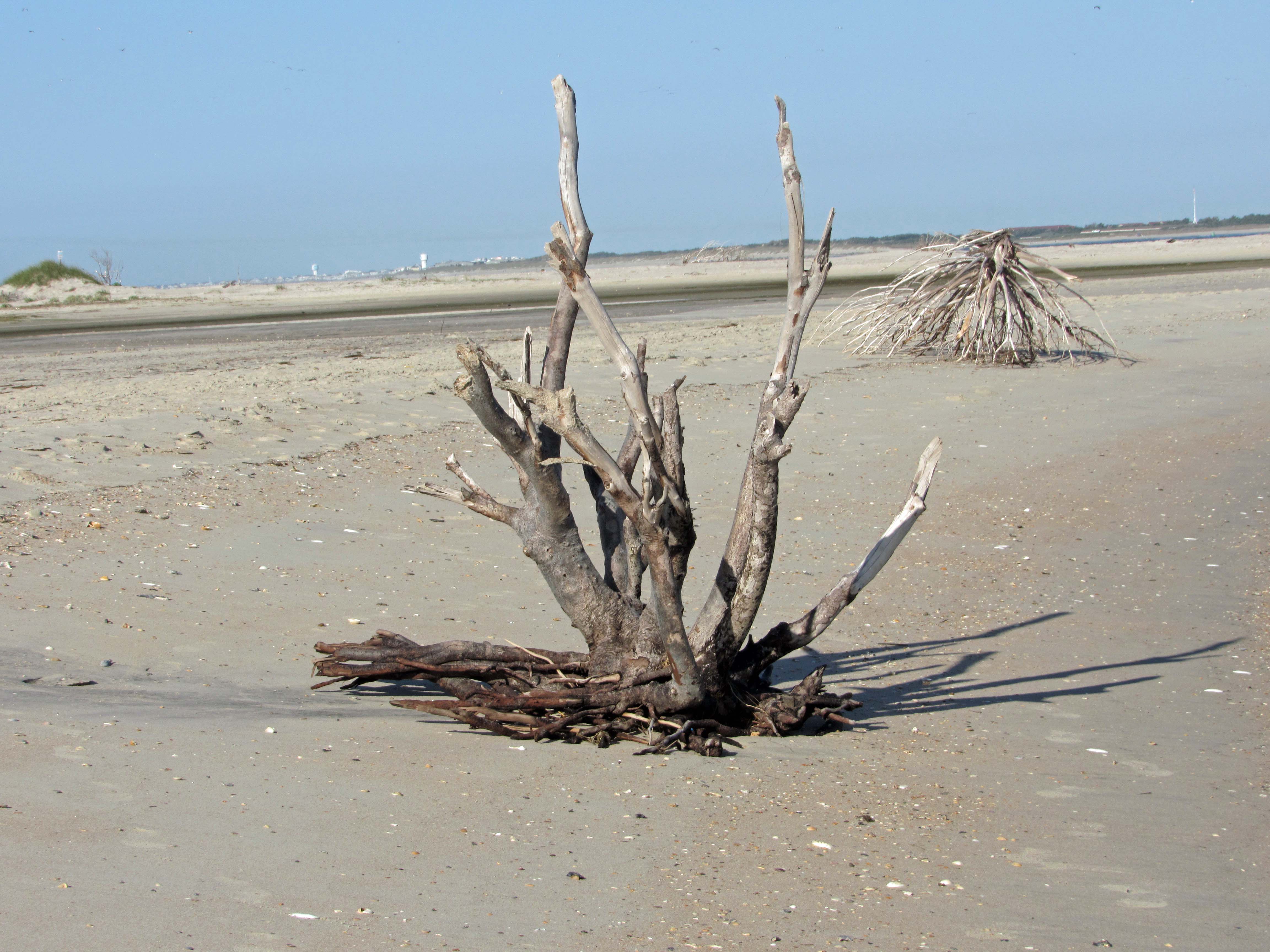
Nice driftwood.
My shot of Kathy and Gail, from up on a dune.
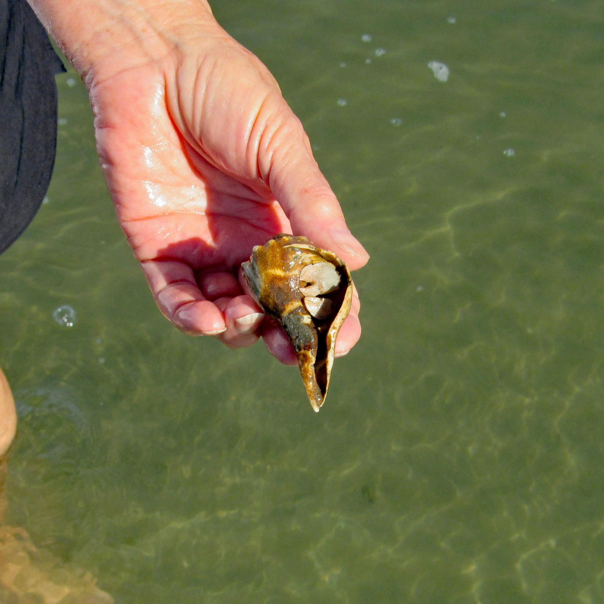
Kathy stepped on a couple Hermit Crabs.
Left Shackleford and headed over to Beaufort. You need to swing around Rachel Carson Island. Shrimp boats everywhere.
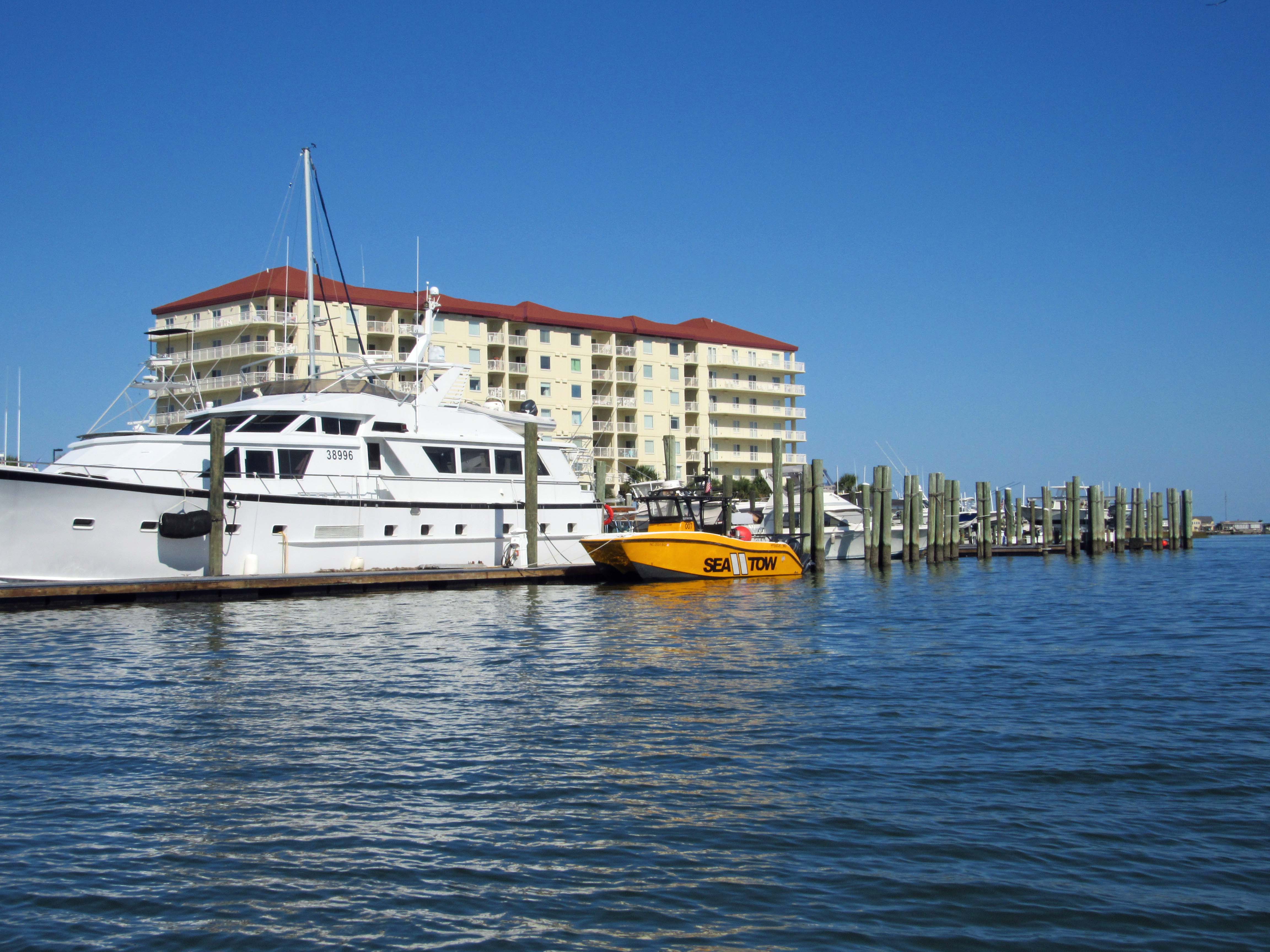
Sea Tow is like AAA of the water.
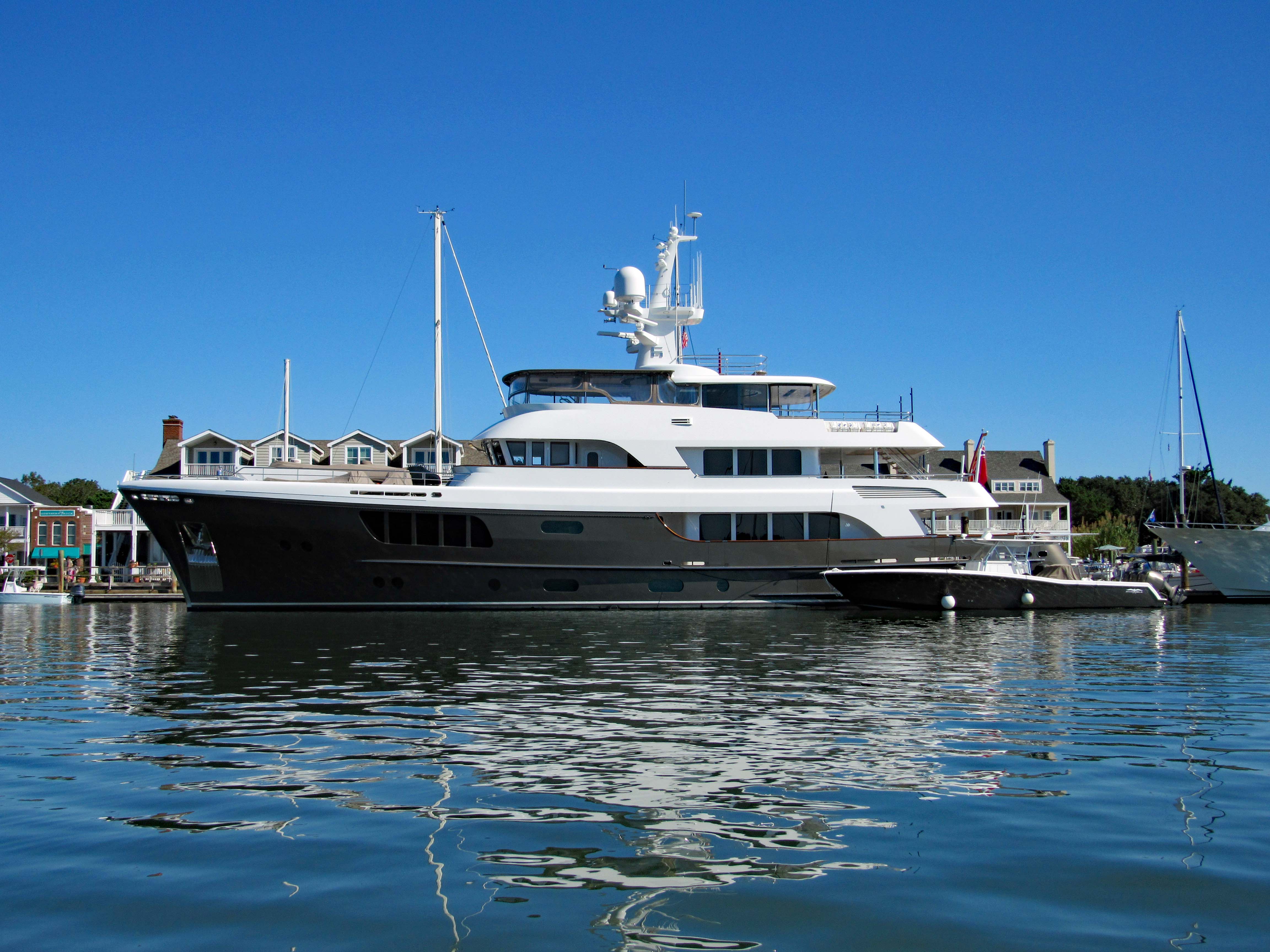
The CaryAli. Wow! A steel and aluminum ship. Built by Alloy Yachts in 2013. For just $25m she can be yours.
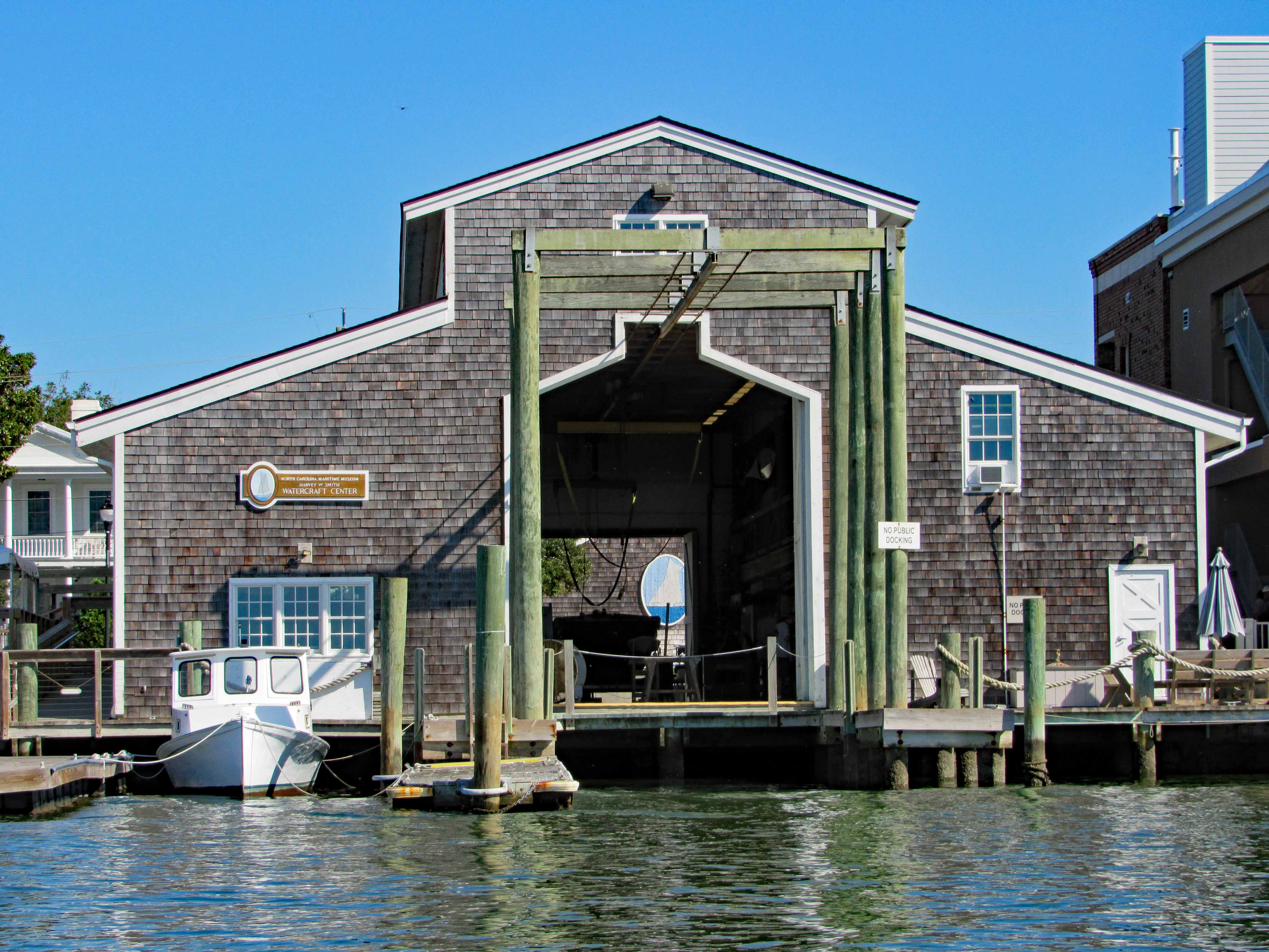
Looking through the Watercraft Center at a ship painted on a wall…
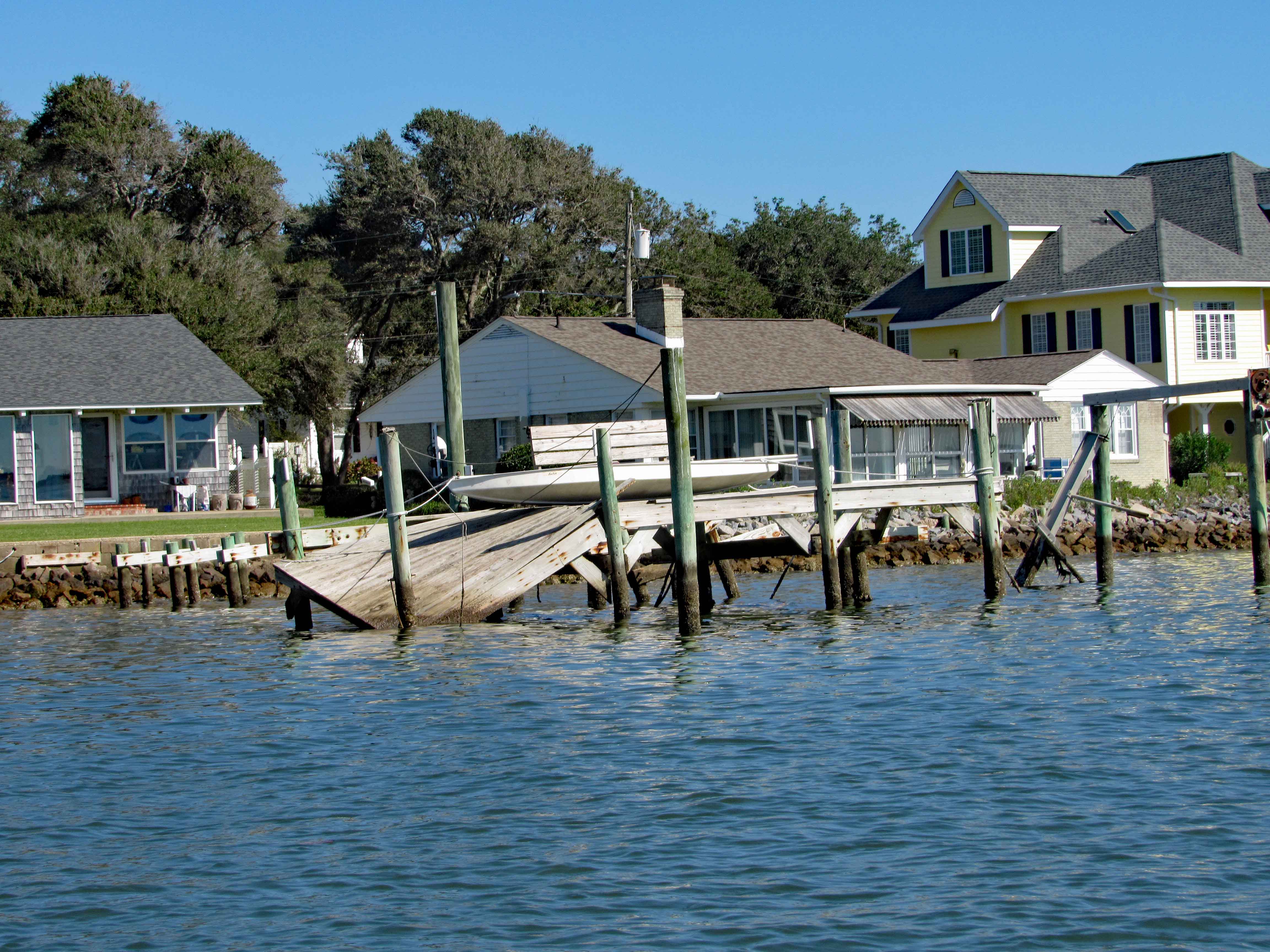
Went up Taylor Creek for a bit, looking at all the boats and quaint little houses. Turned around and headed to Pivers Island Road.
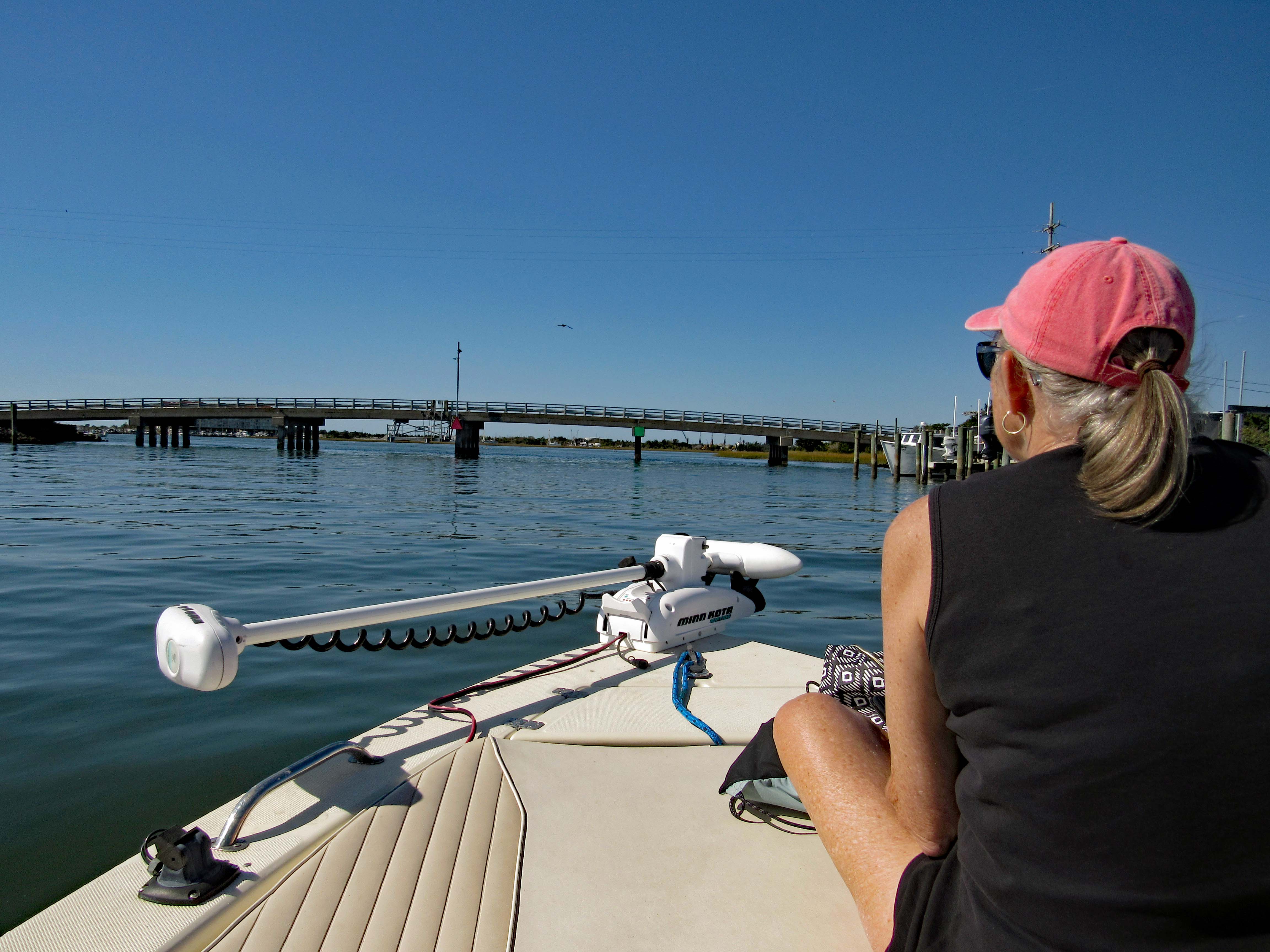
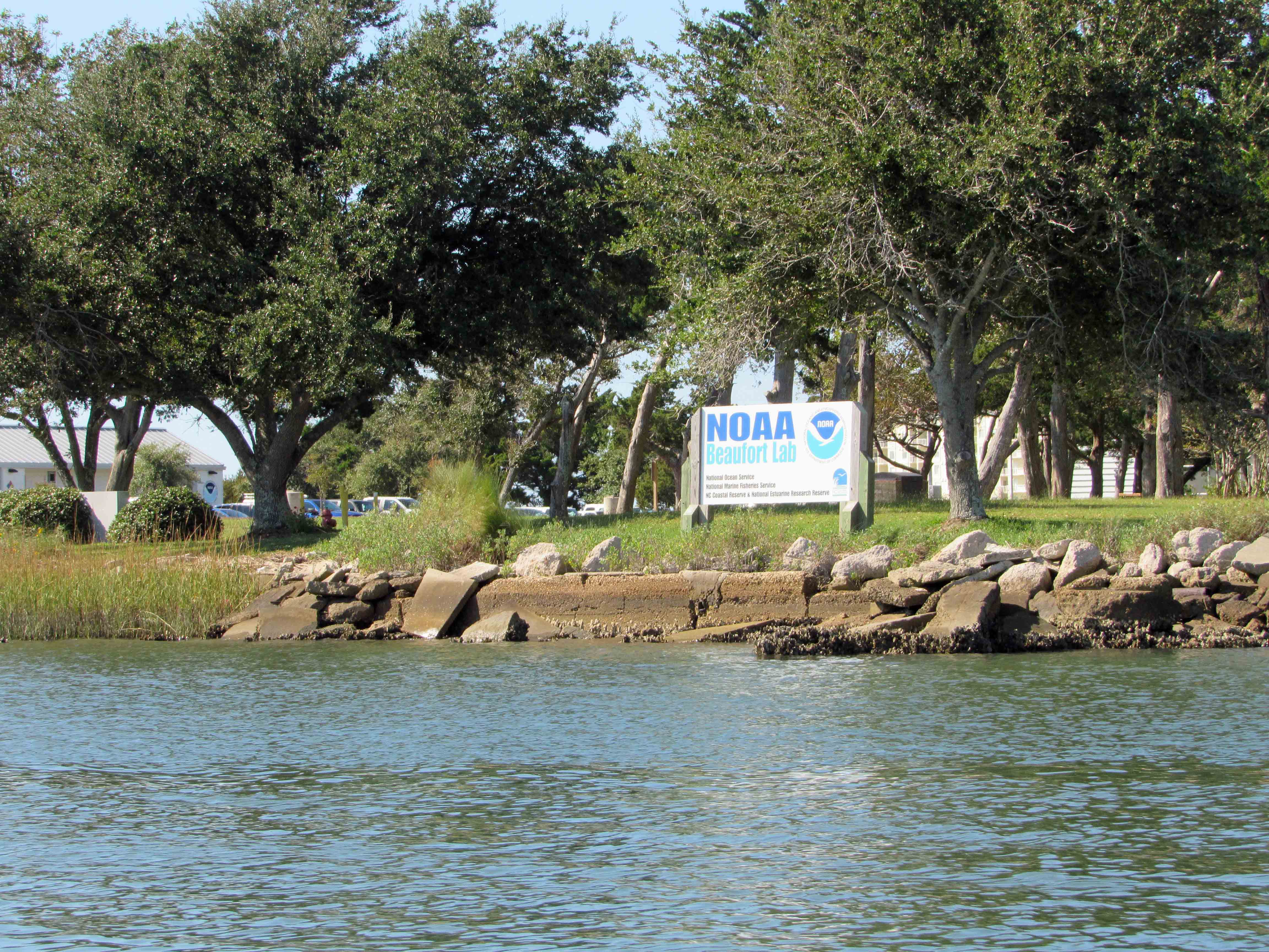
We made it under the bridge but then the water started getting shallow so we headed back to the Beaufort Channel and then towards Bogue Sound. Passing NOAA on the way. There are a lot of colleges and government research centers down here.
I guess it makes a good kayak launch?
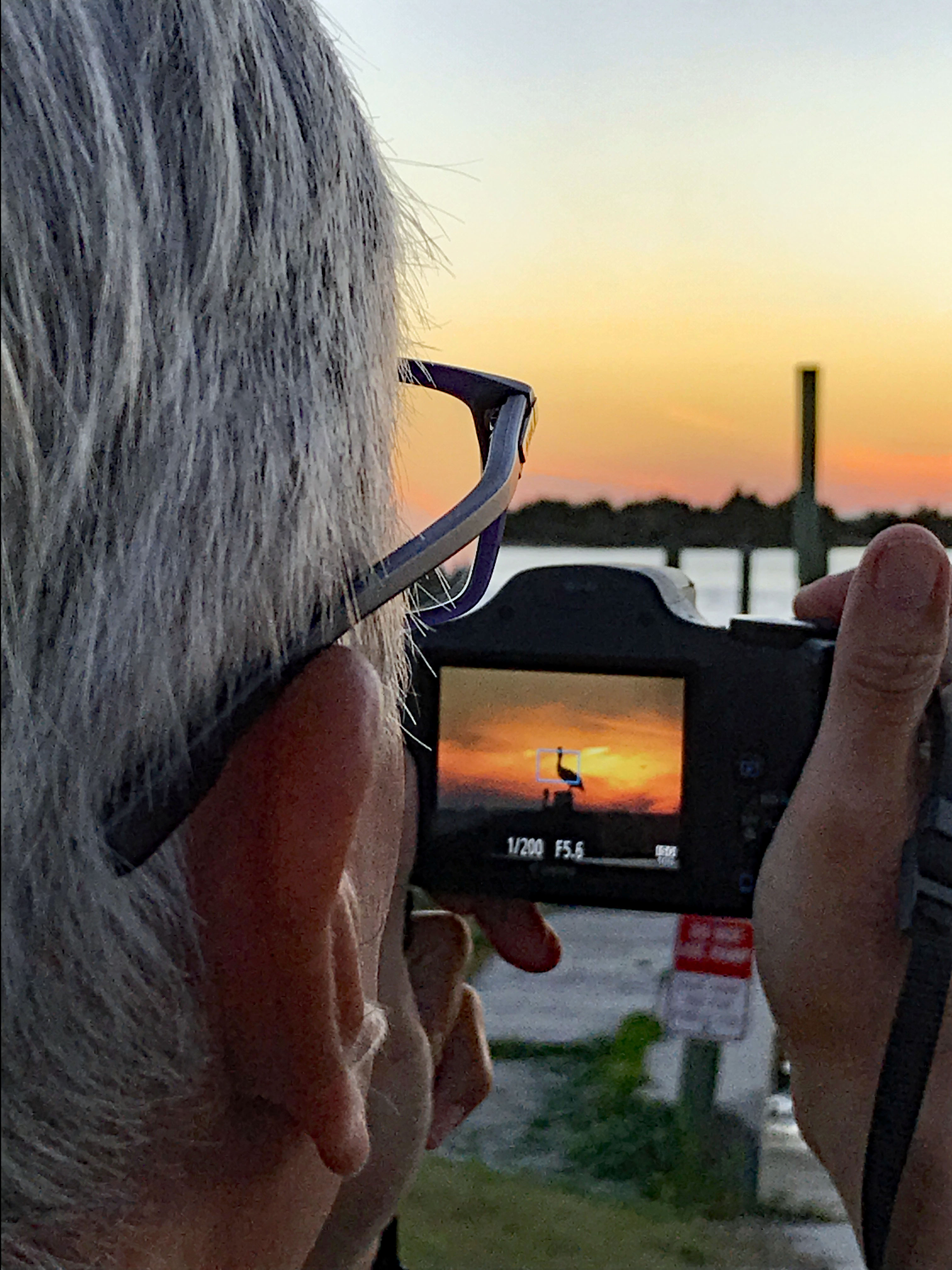
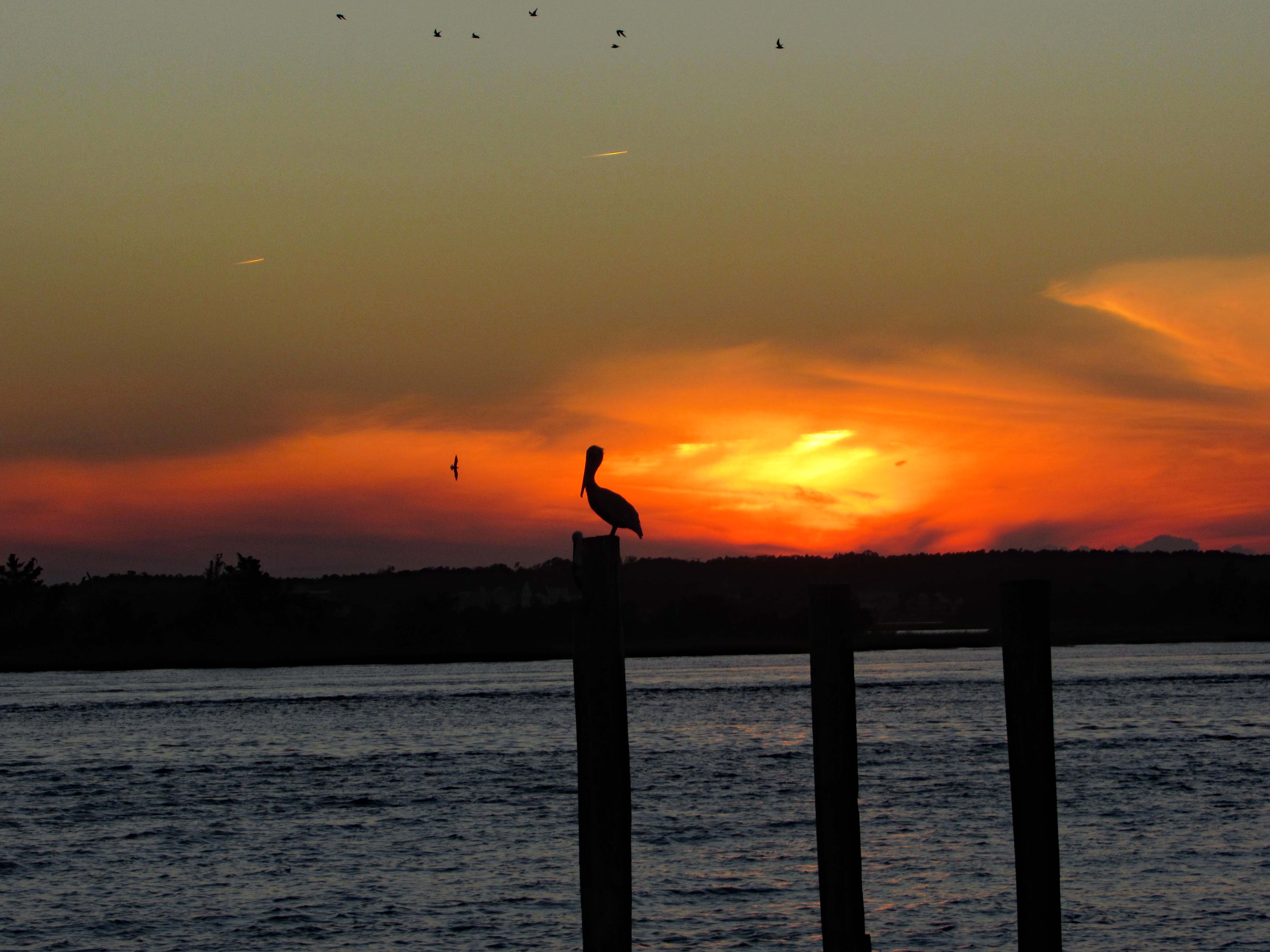
After John and Gail left, to go back home, Kathy and I went over to Swansboro to find a nice place to watch the sunset. Saturday night and the town was packed! So we left and the sun was heading west fast, so I pulled over at Dudley’s Marina on Rte. 24 and Kathy took a photo of me taking a photo of the pelican sunset.
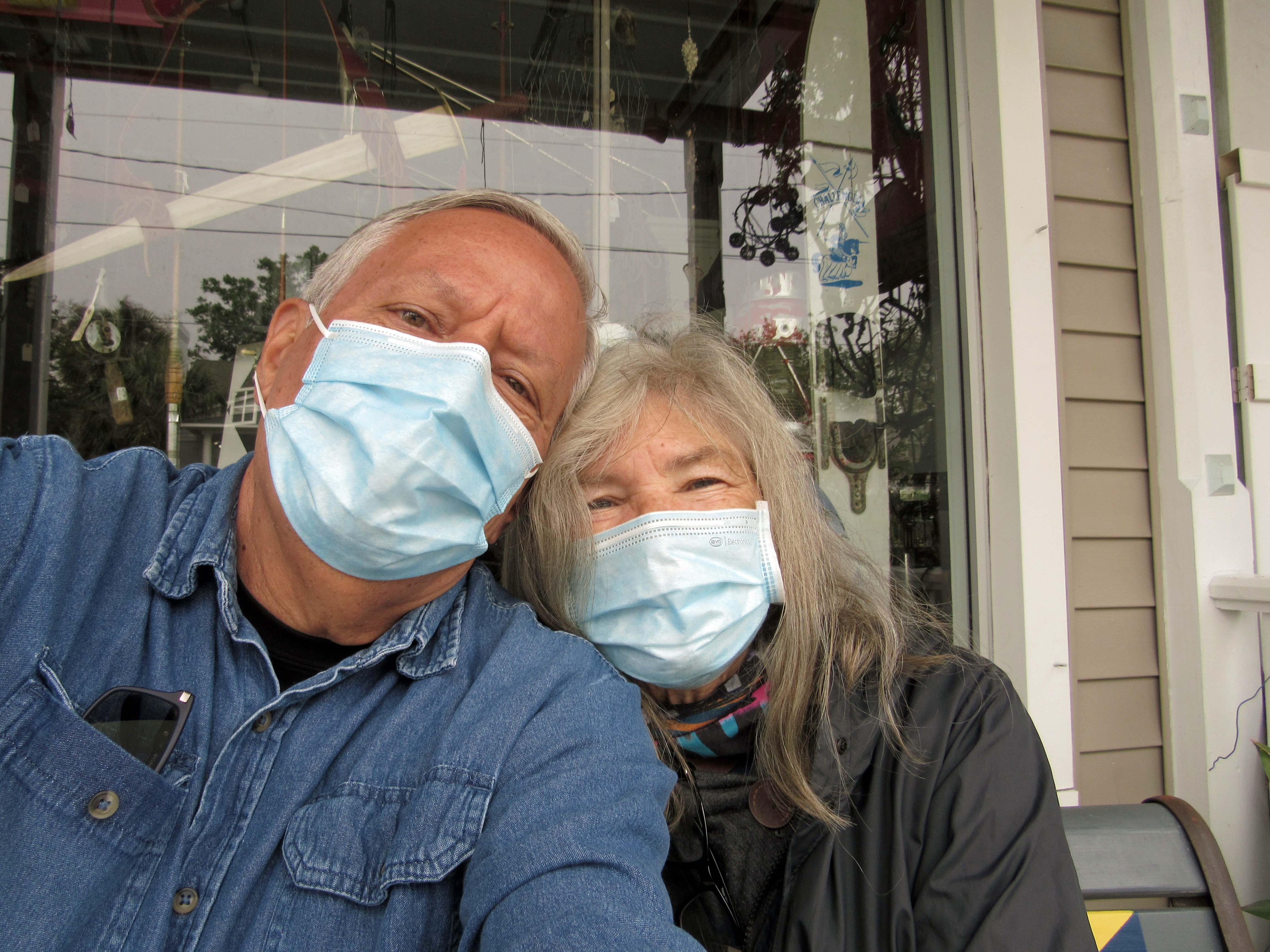
The ‘New Norm’ I hope not for too much longer. The next day we went back to Swansboro to look around
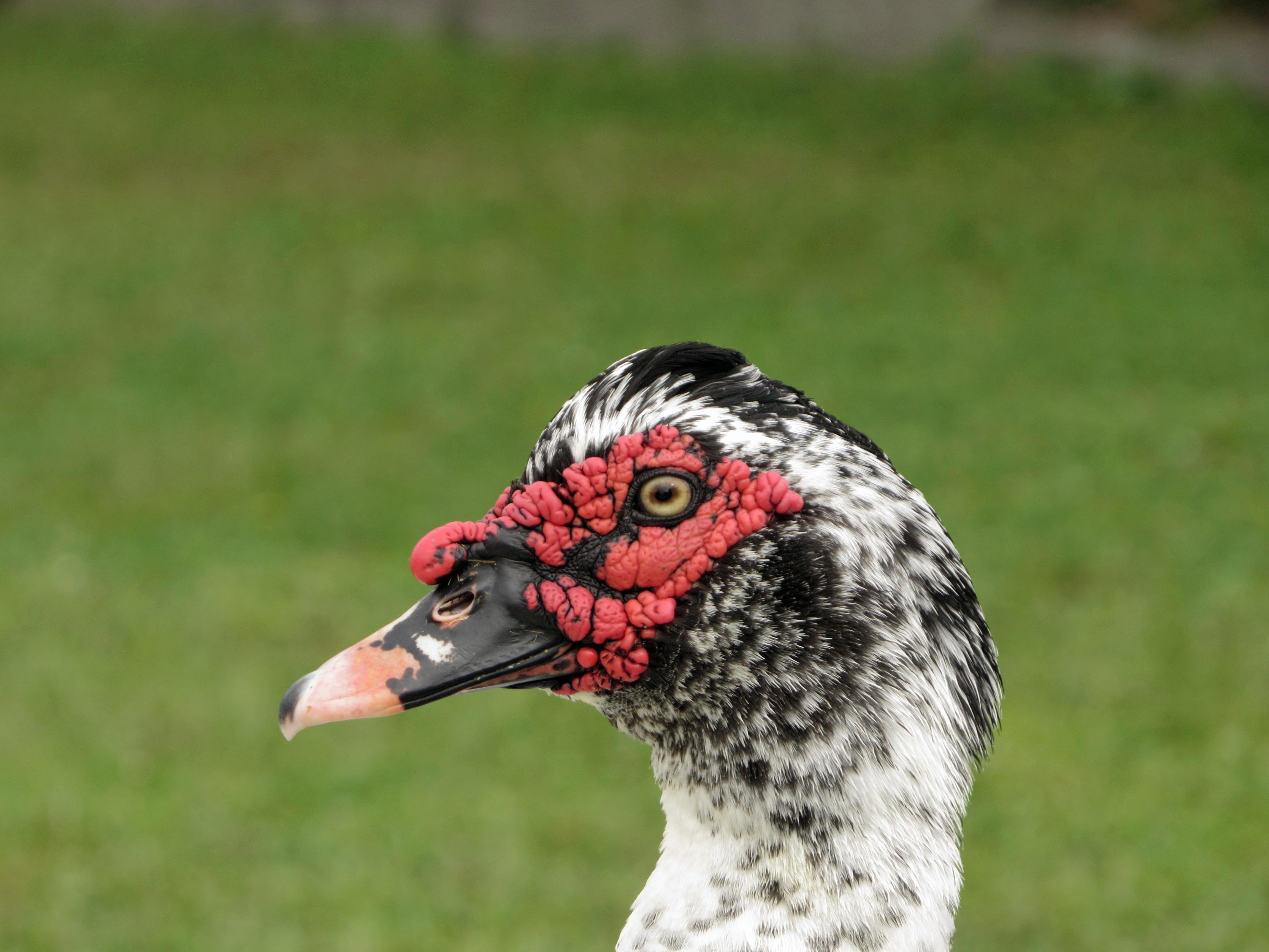
Domestic Muscovy Duck.
Another shrimp boat. Shrimp burgers from the food truck were huge, along with their oyster burgers and soft crab sandwiches.
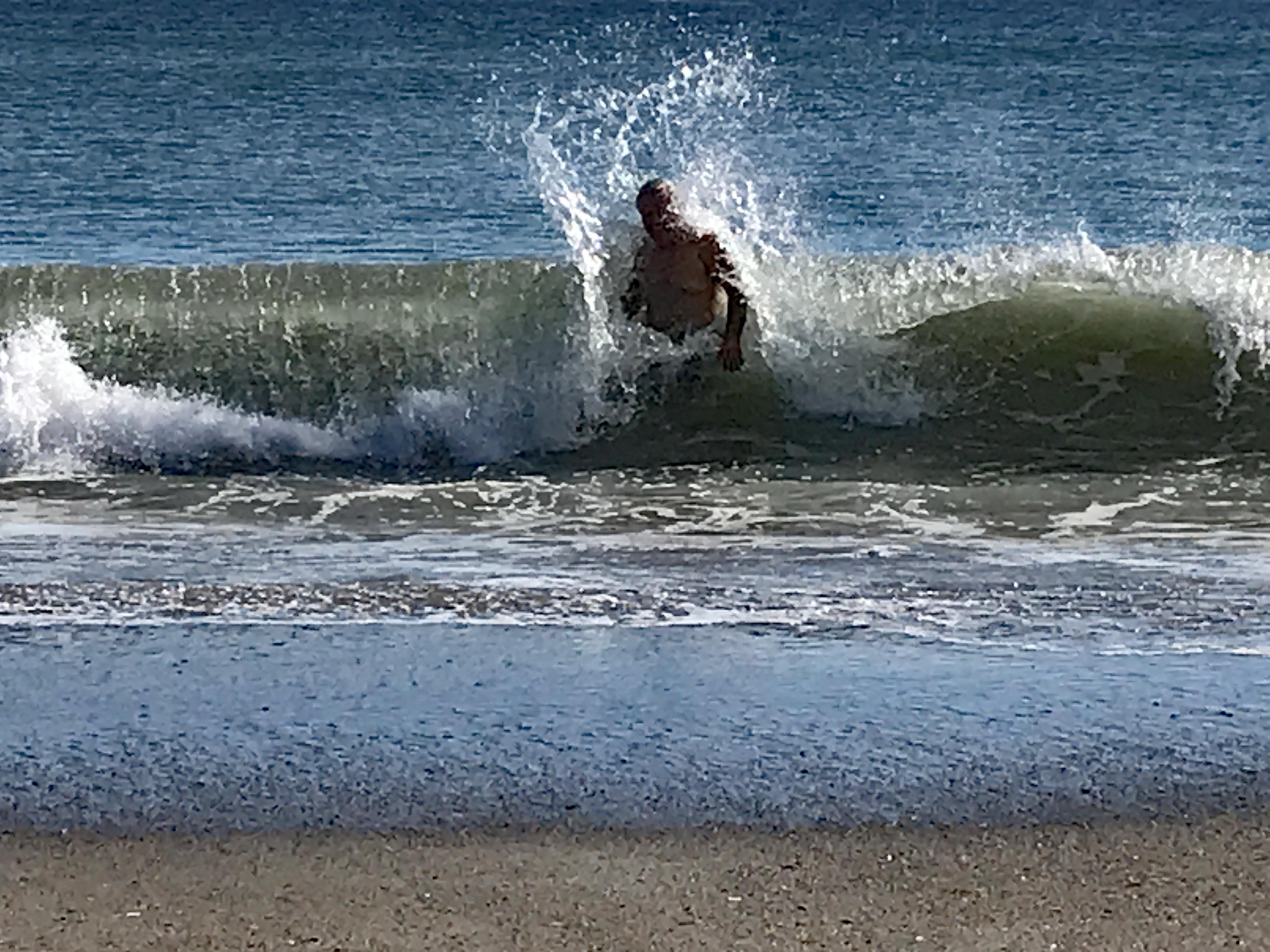
Love the water – when it isn’t freezing. Or knocking me on my butt!
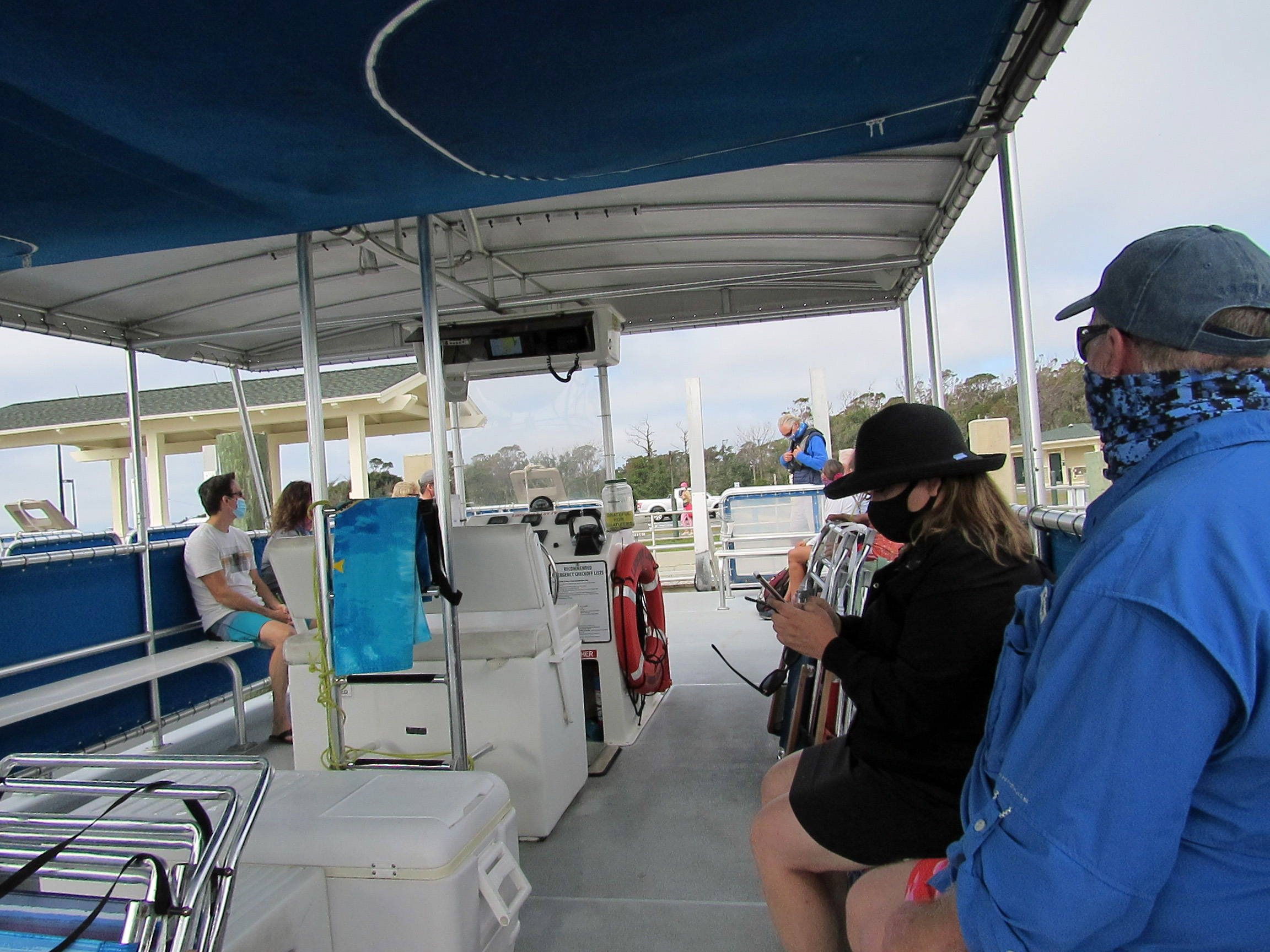
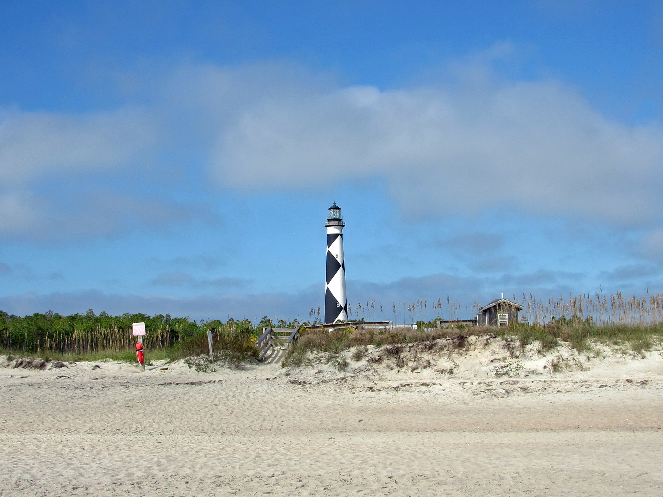
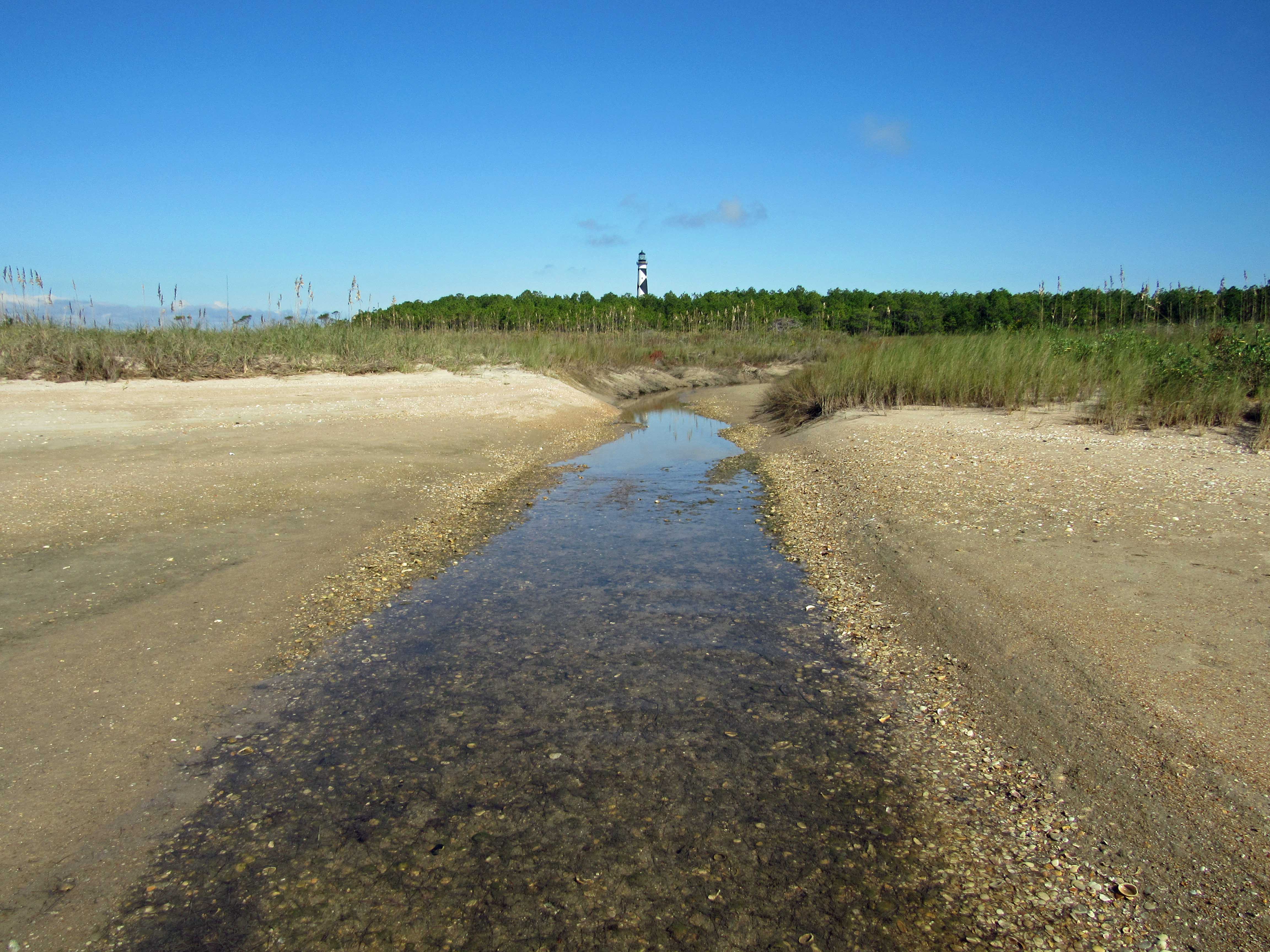
Our next adventure was to Cape Lookout Lighthouse, via a tour boat, where everyone was practicing social distancing, for the most part.
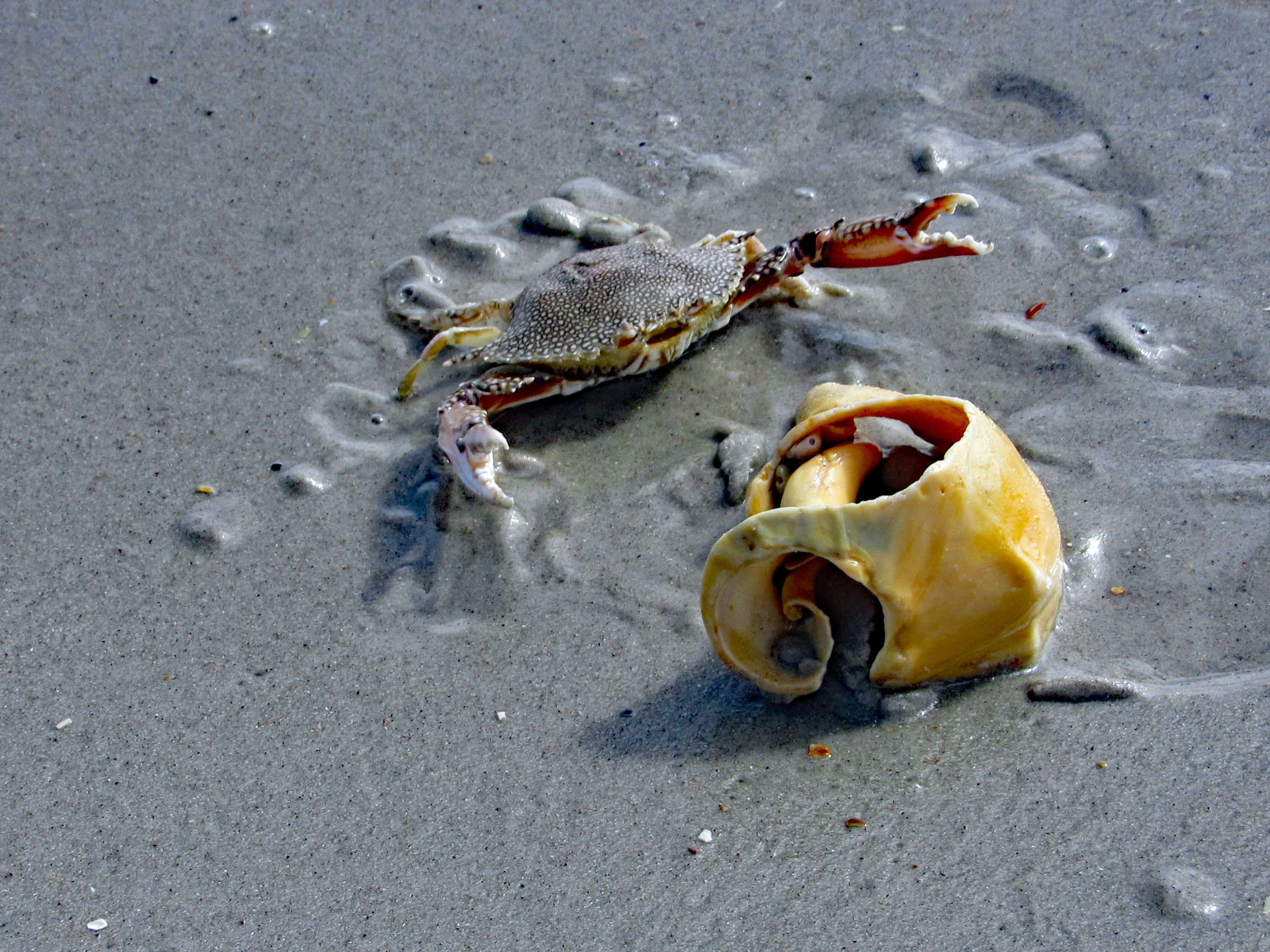
We cut over to the beach, hoping to find some 1/2 way decent shells. No luck.
Even some of the better shells were being fought over. This guy wasn’t giving up his shell find.
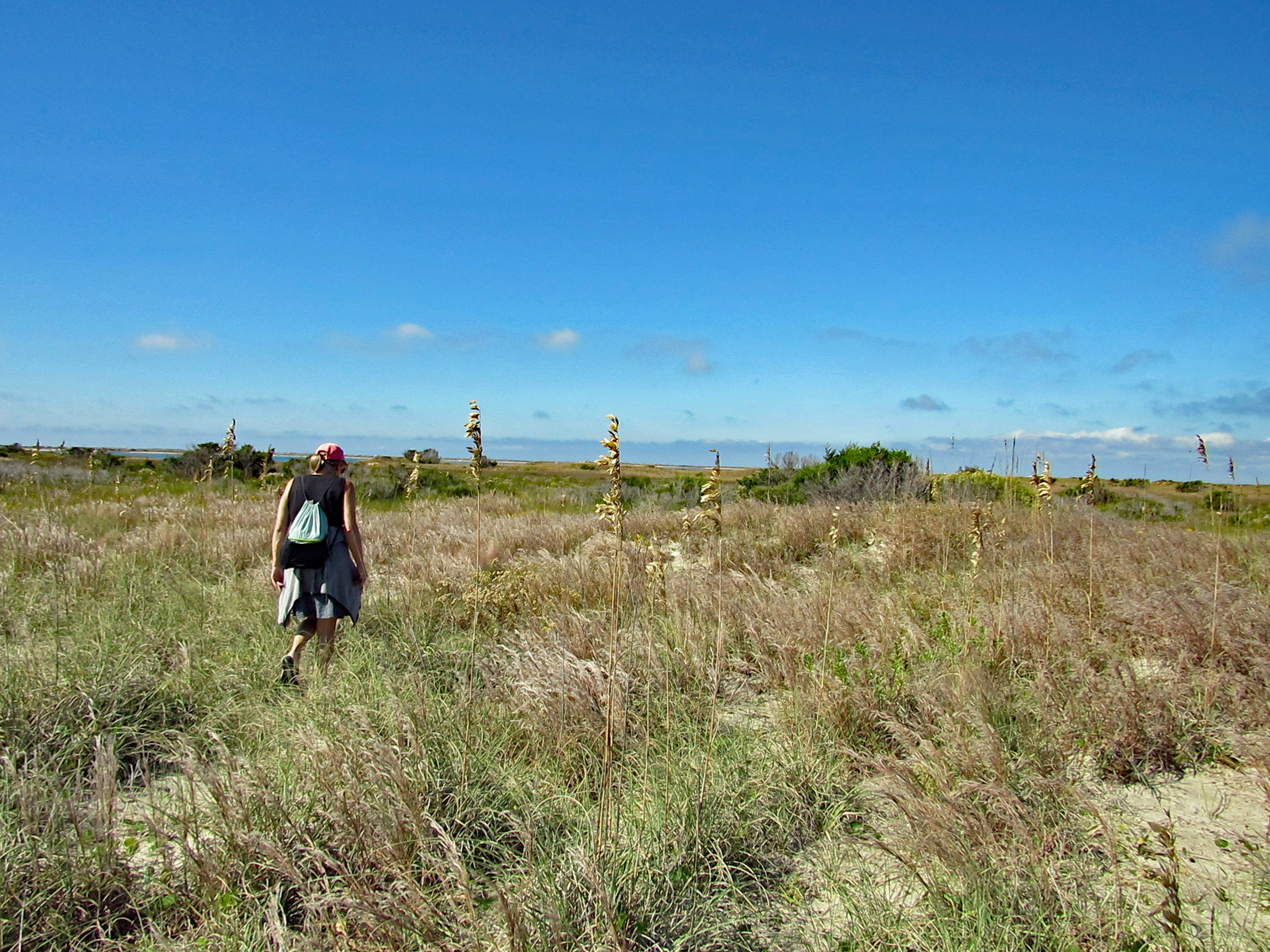
We leave the ocean side of the isle and head over to Wreck Point. Trudging through the dunes and marsh.
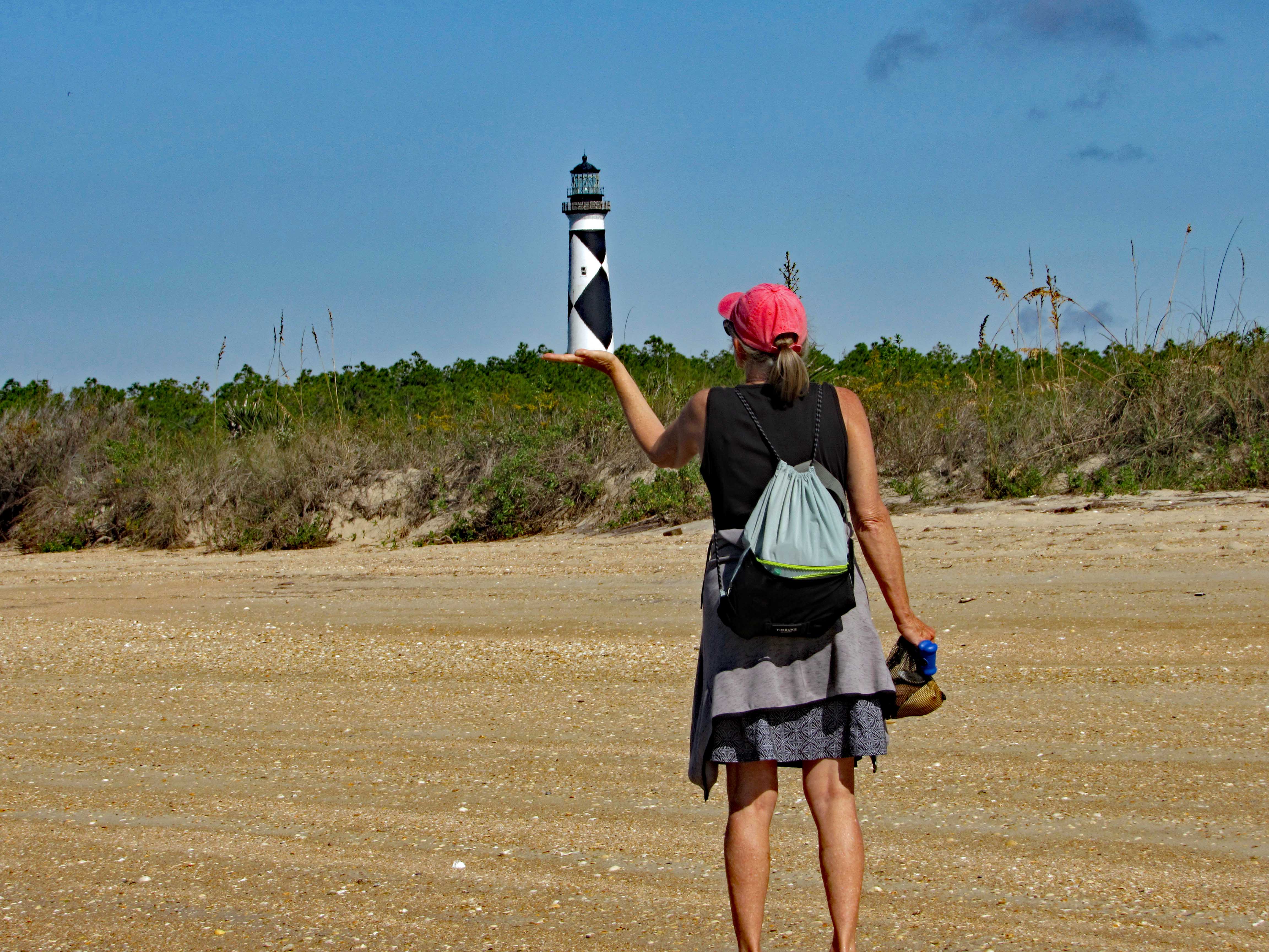
Balancing the Light.
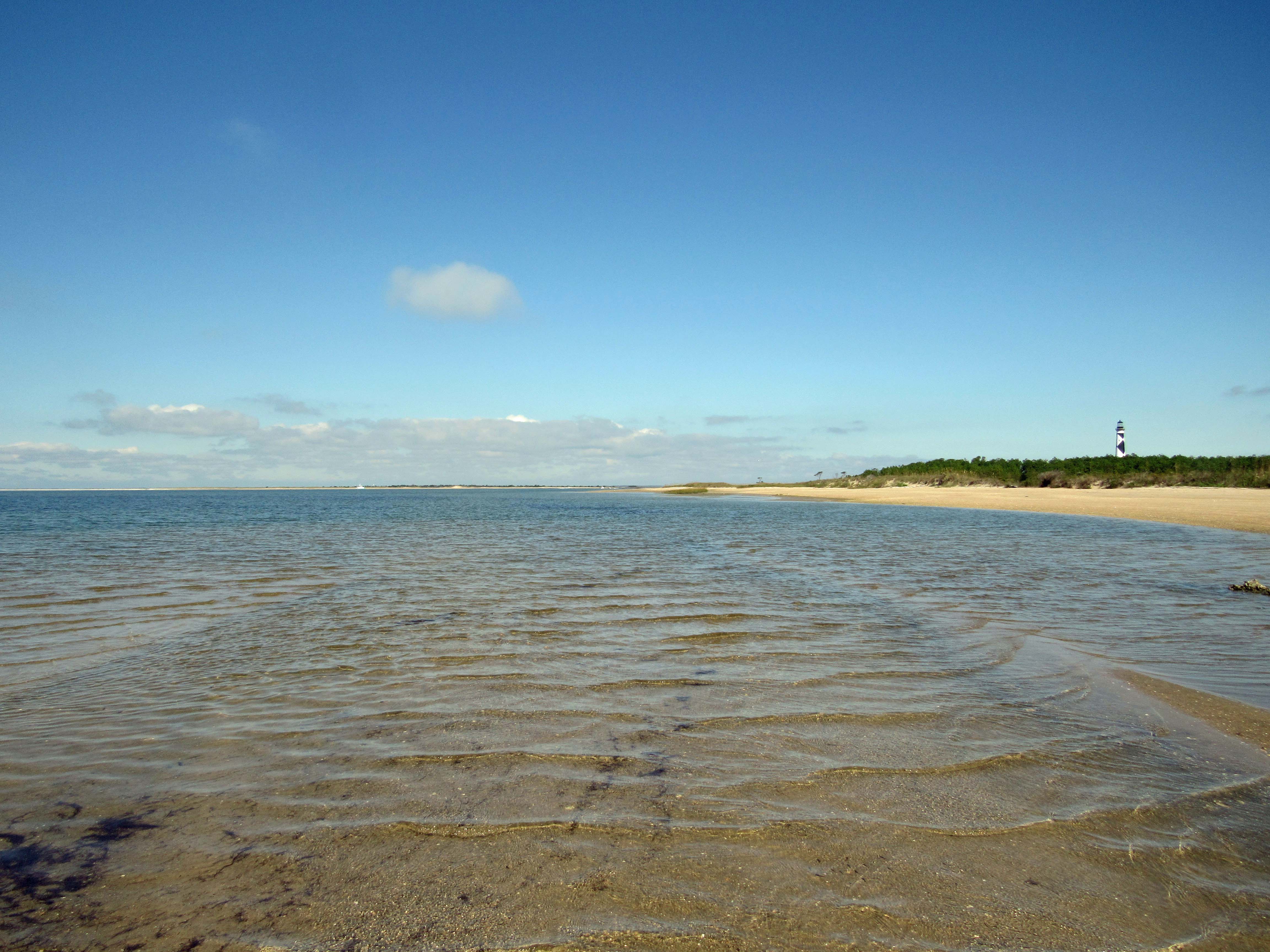
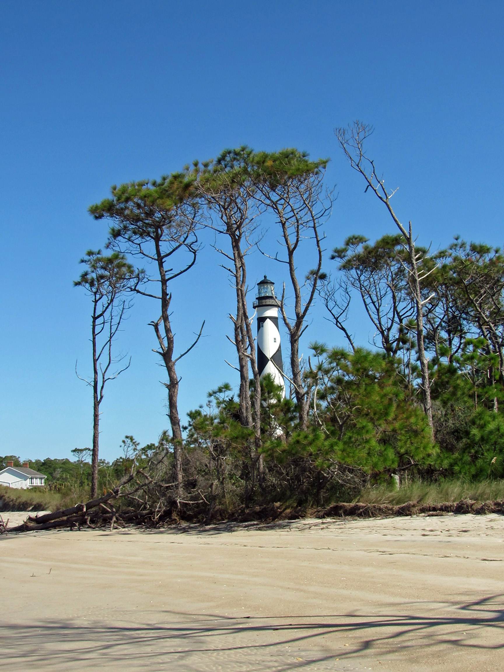
Heading back towards the lighthouse.
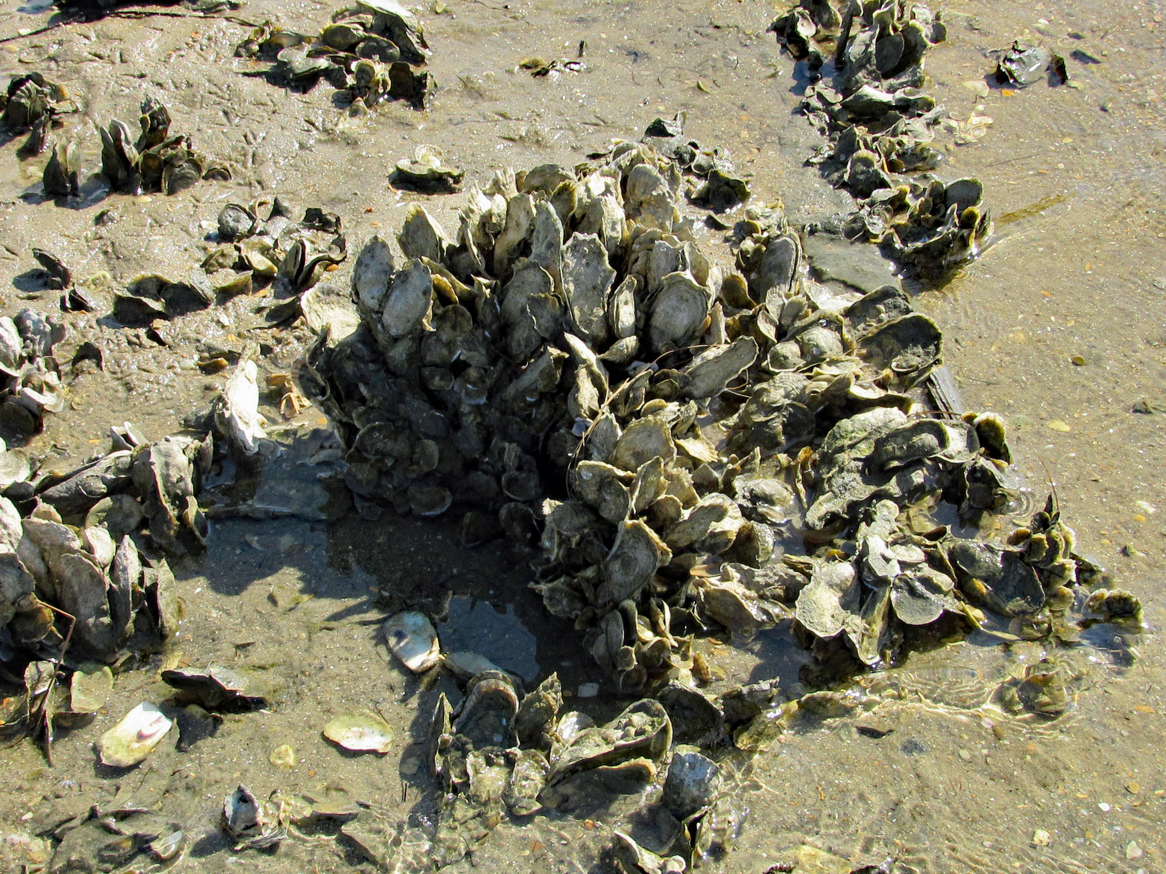
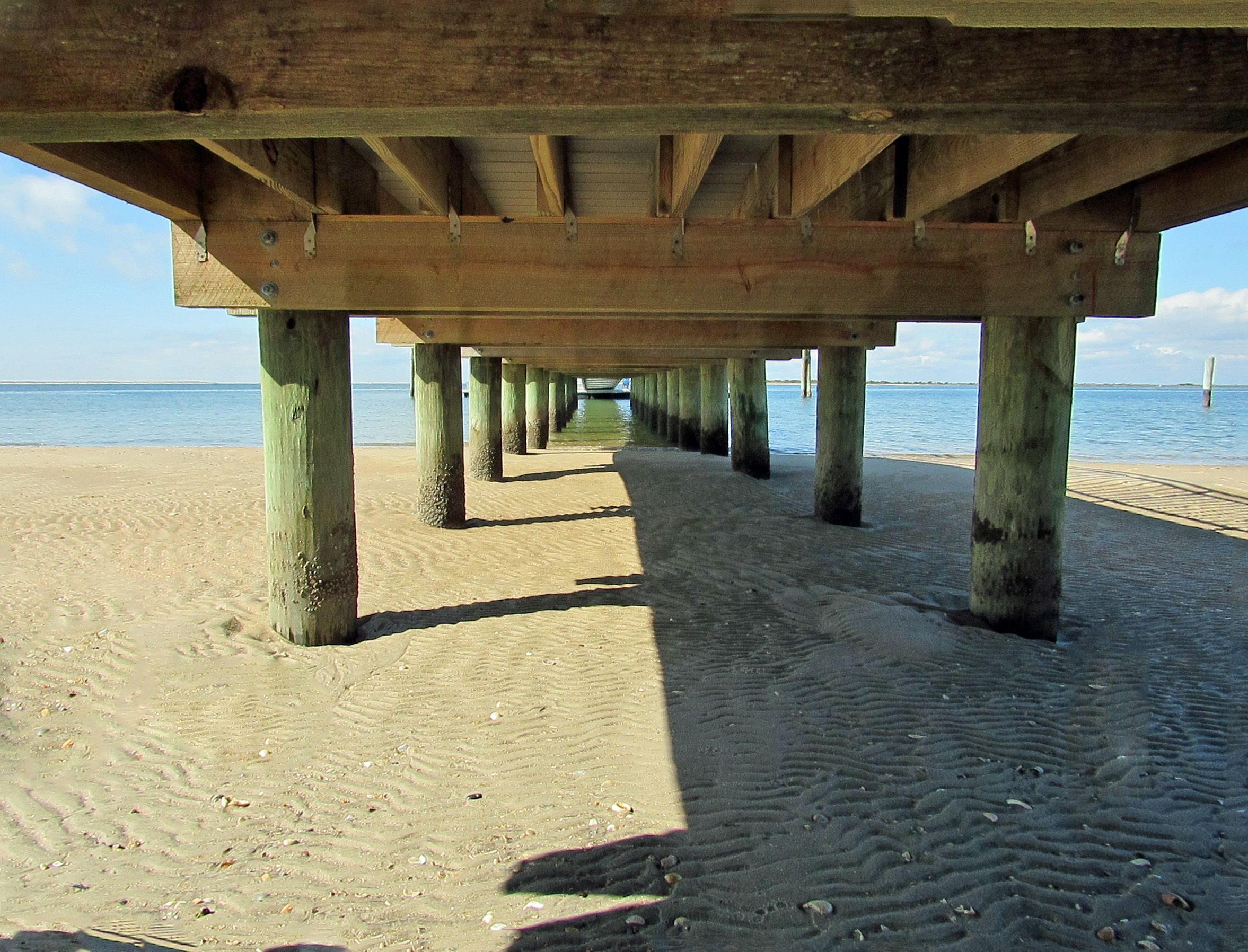
Checking out under the dock…
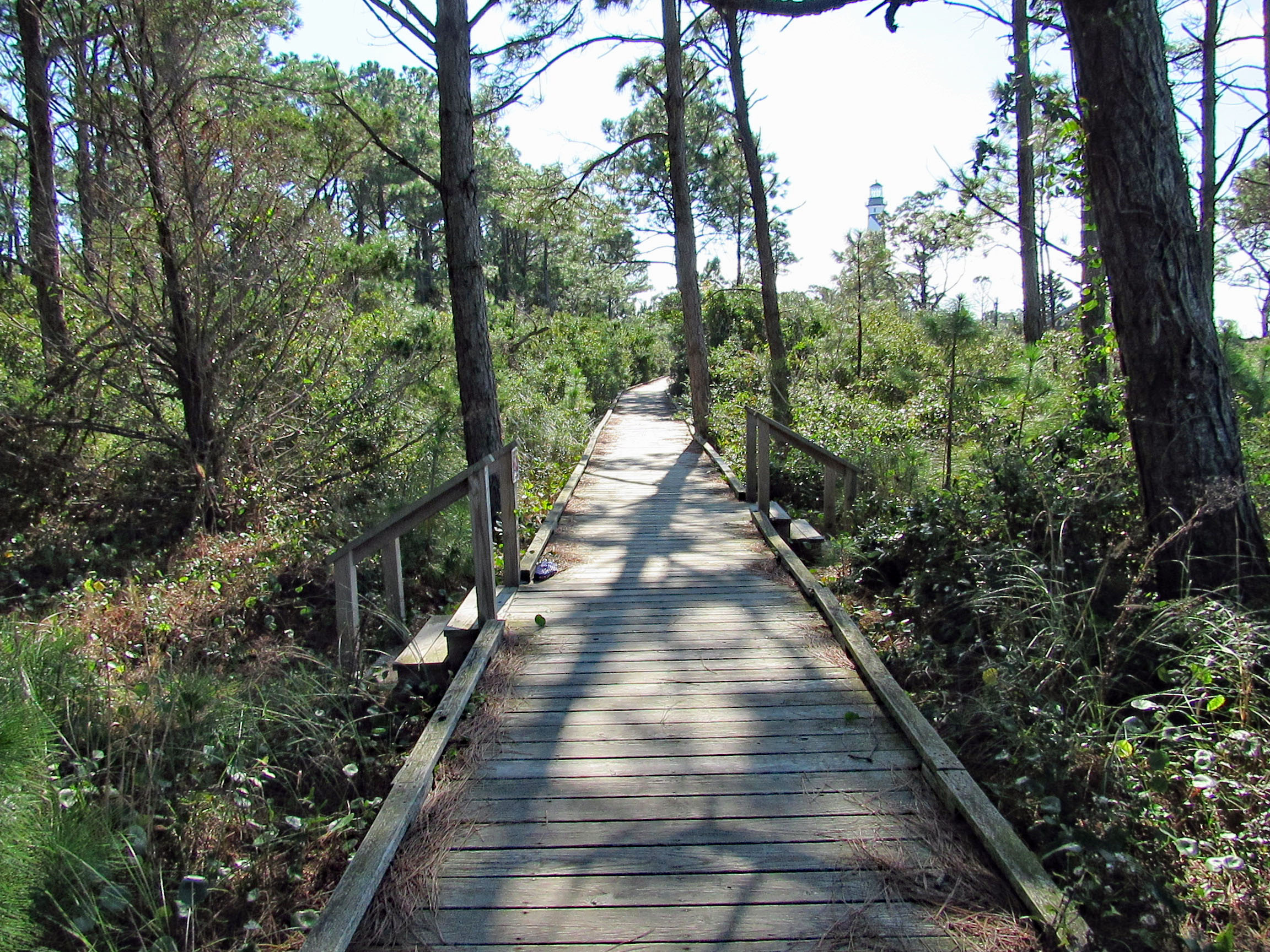
Boardwalk to the lighthouse area.
This guy was going close to shore and other boats blasting his horn and making all kinds of noises.
On the way back, on Shackleford Island. Scratching an itch with his food.
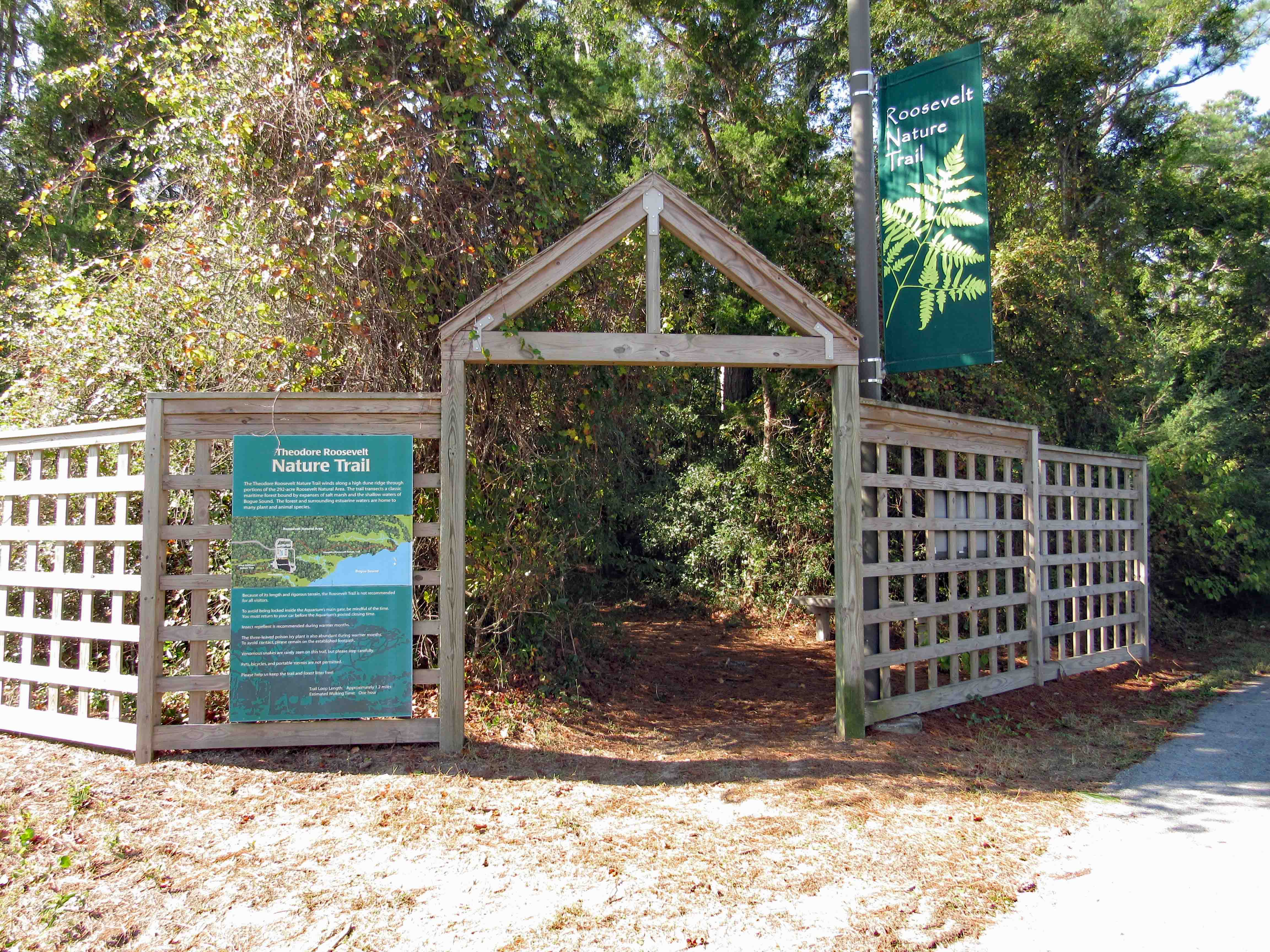
Another day, another adventure. Off to the side of the Pine Knoll Shores Aquarium is a nice little hiking trail. About 1.2 miles.
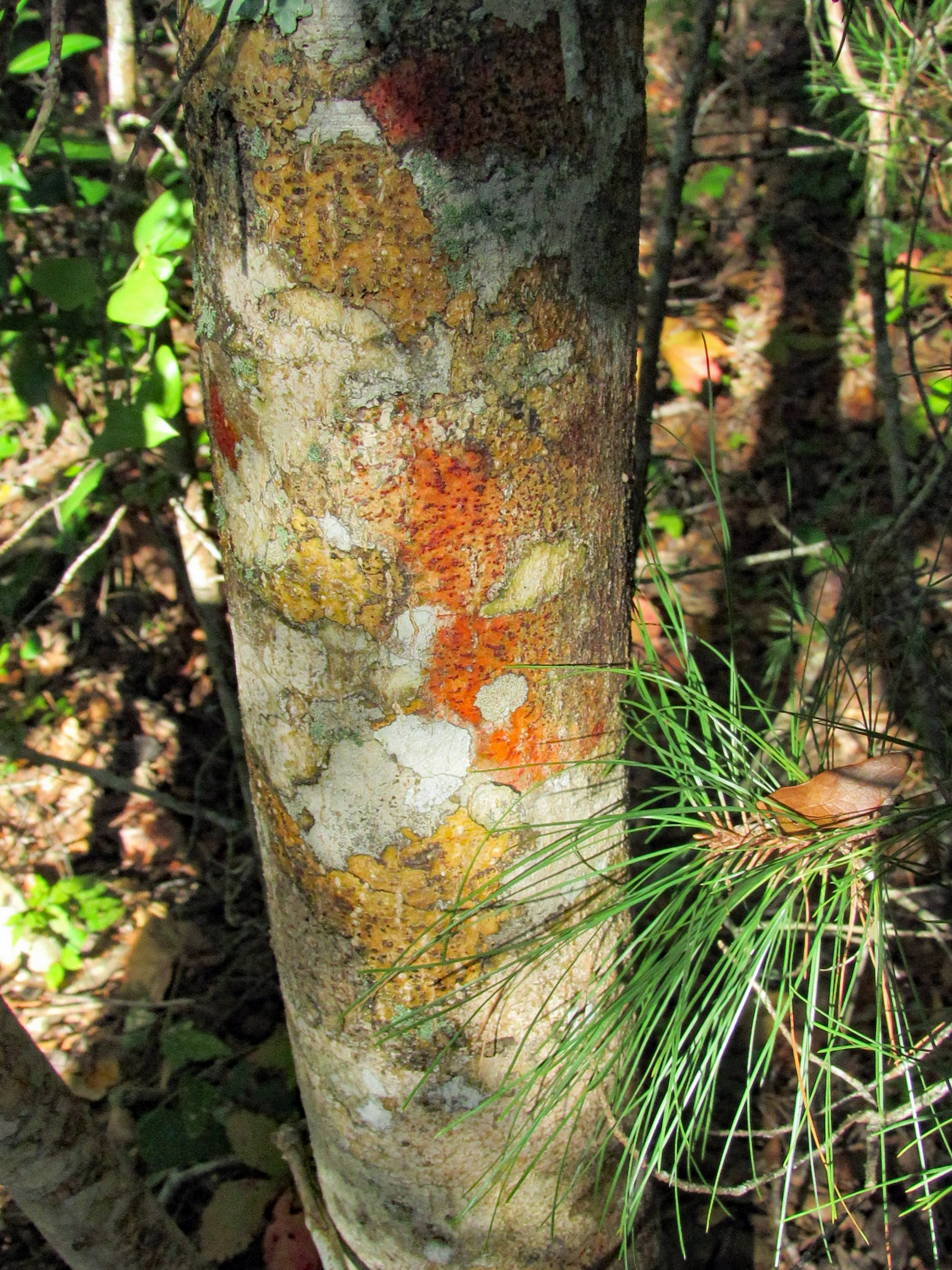
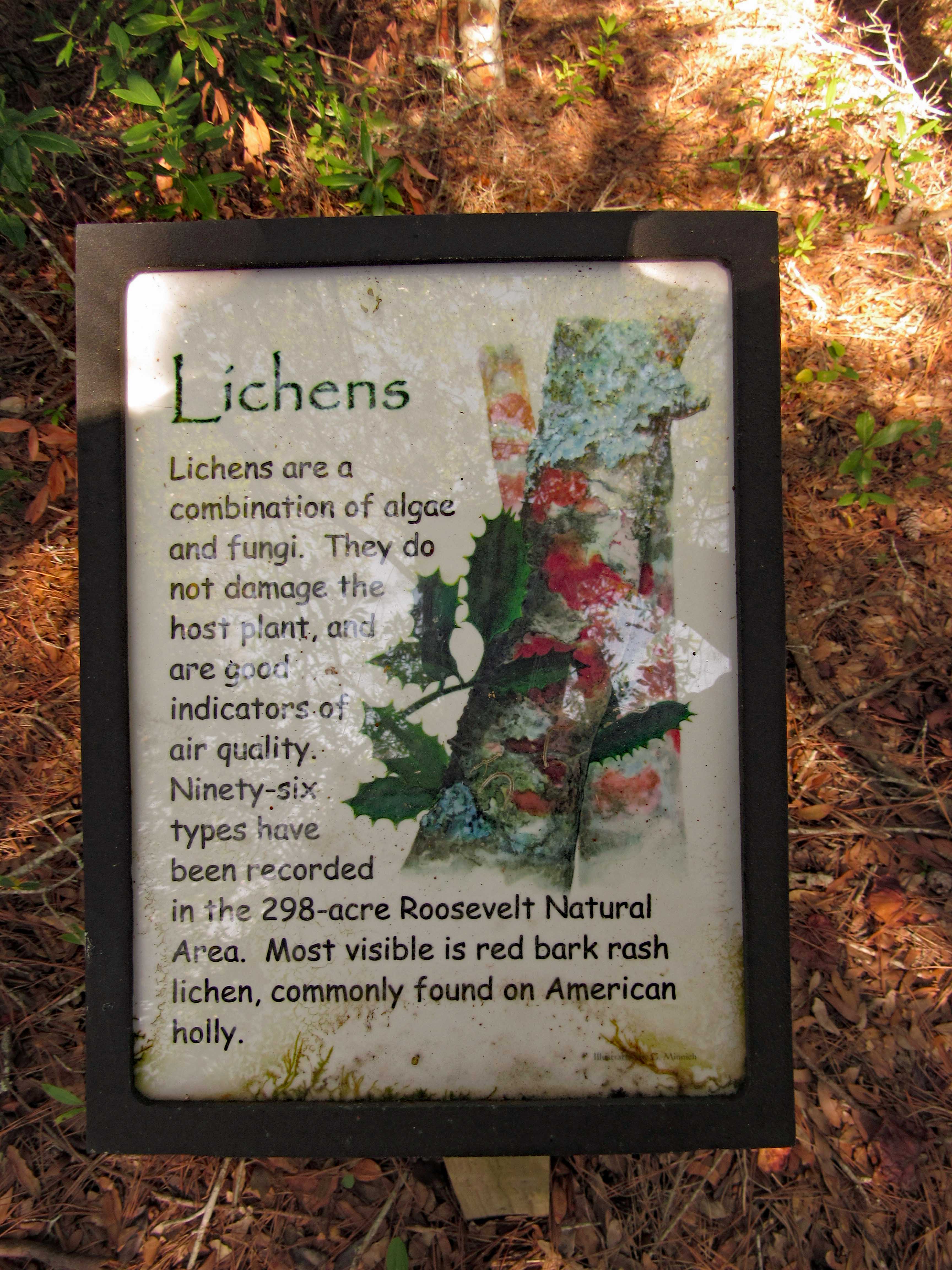
We thought this coloration was the tree itself (Holly)
But it is lichen. Nice info signs along the trail.
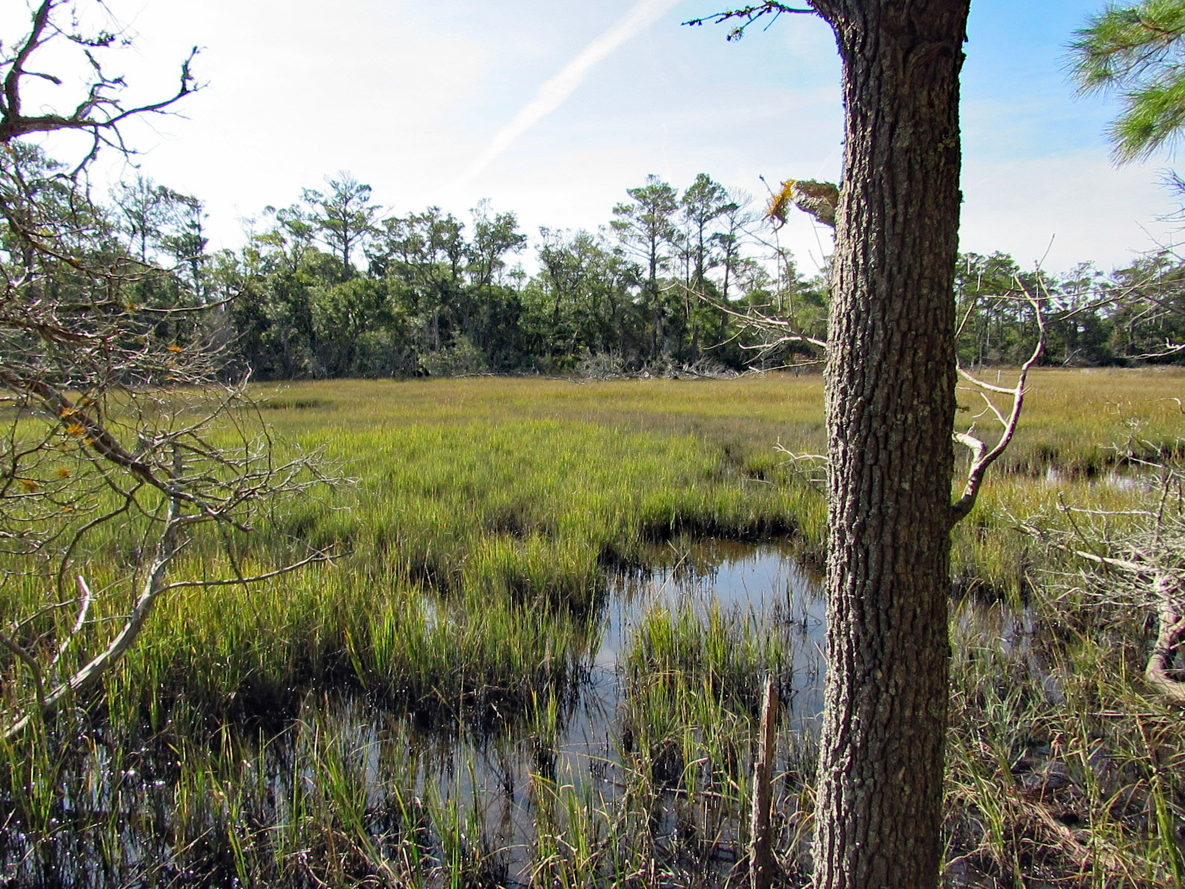
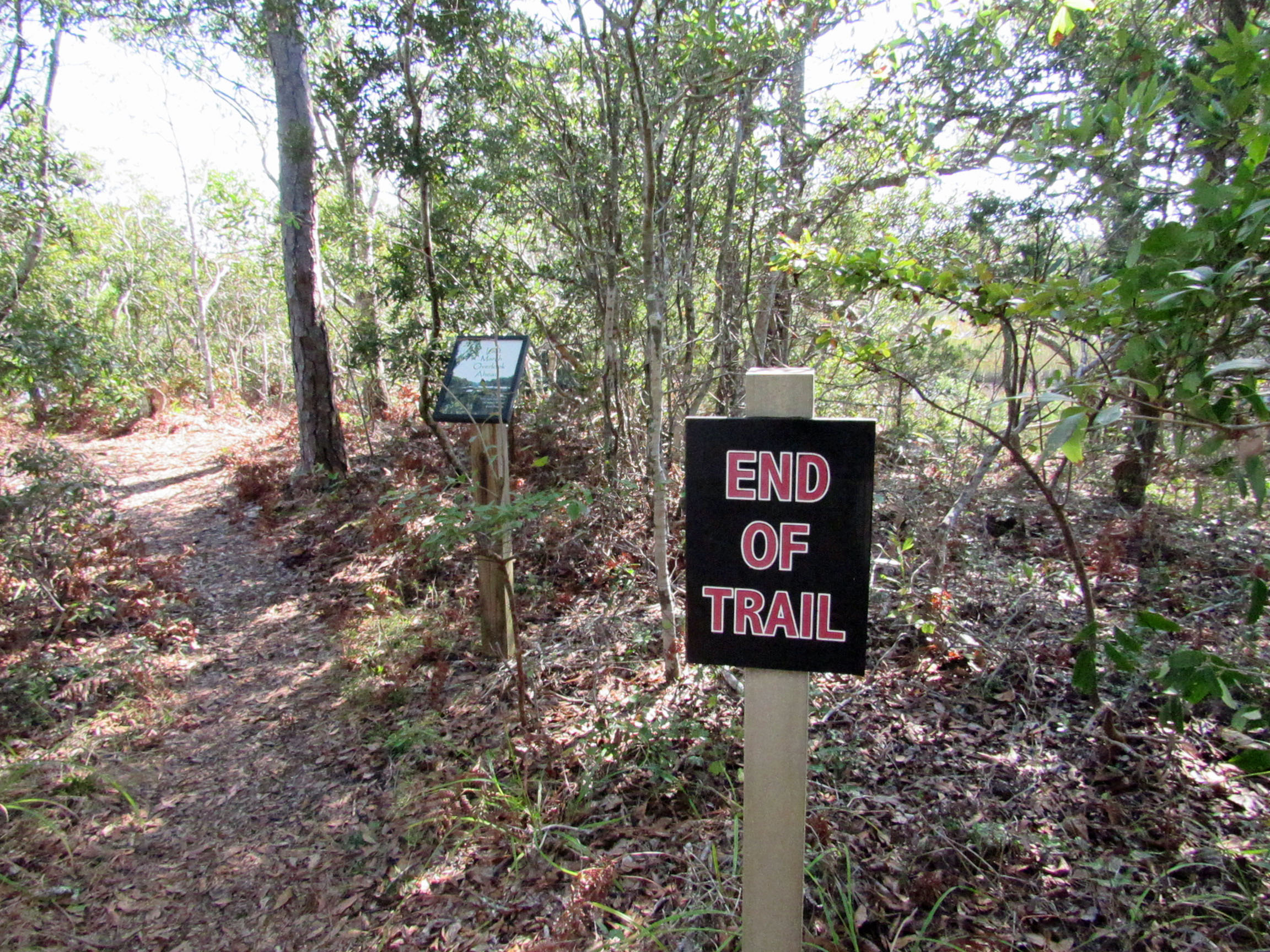
One side of the trail is a marsh. The other side is the Bogue Sound.
Sign in front says End of Trail. Sign behind it says Last Marsh Overlook Ahead?
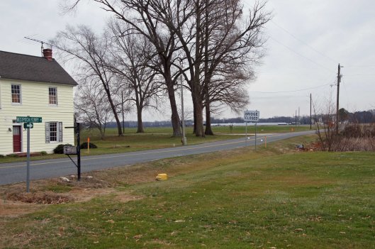
This was a really nice road trip. A little over-cast but nice. The first time we visited BWR a couple years ago, we followed the not too smart, smart phone that directed us to the middle of a swamp and then to Crappo. Another time we traveled to Cambridge and then south to the Refuge. This time we decided to take the scenic back roads. I saw on a map that there were a couple kayak put-in spots so we thought we’d check them out.
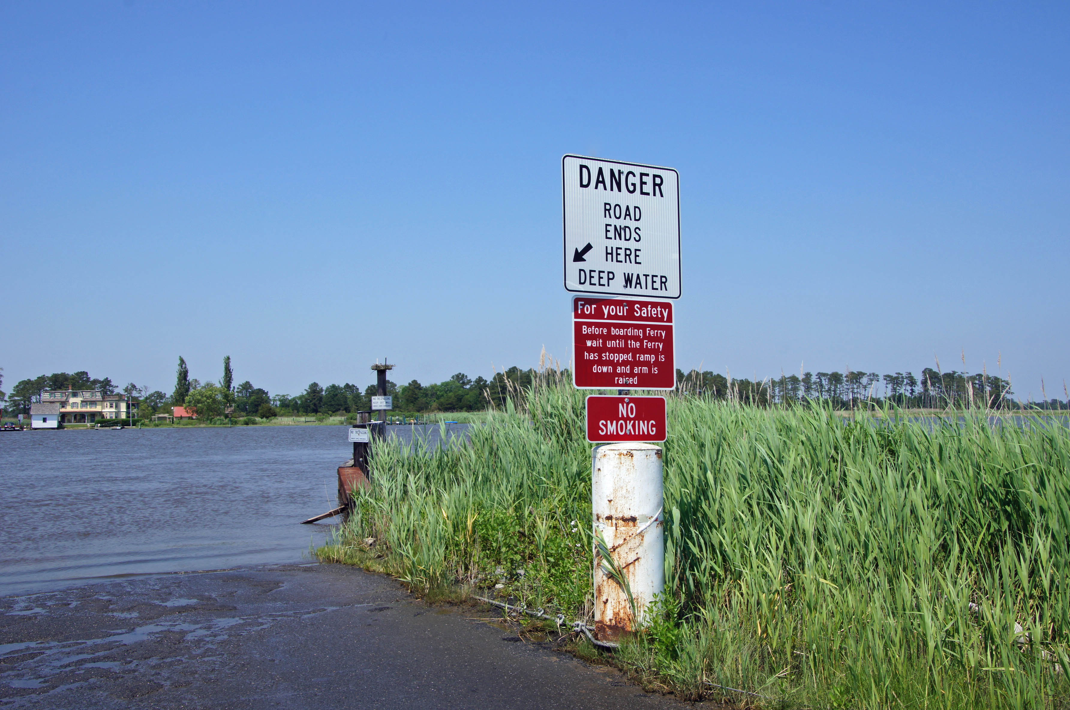
We took Rte 50 to Vienna and headed south on Rte 192. On the map was Bestpitch Ferry Rd., showing a launch. What wasn’t on the map was this sign:
When you see a “Bridge Closed” sign, you should heed it! Na! We thought this was the bridge they were talking about. It wasn’t.
Electric wire fishermen.
The road started to get a little hairy and we could see where it had been washed out in places. Then we came upon this.
On the other side of the barrier a wood, one lane bridge. Looks alright to me.
The kayak launch site is across the river, to the left. In the photo below it looks like a launch that has flooded out over the years.
Time to turn around. Bridge blocked, road falling apart and now a fire.
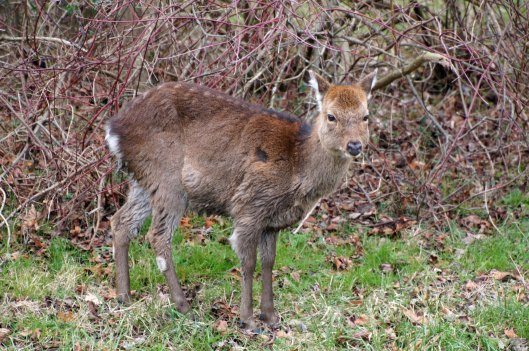
We make it thru the danger and head back to Decoursey Bridge Rd to Bucktown. On the way we came across this little, unafraid of the truck fellow.
Glad we had the detour. Some nice places to visit.
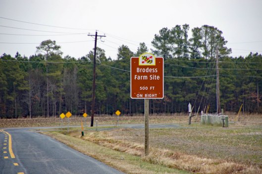
Harriet Tubman Underground Rail Road.
The Brodess Farm is where it was said HT was born. Other accounts say her mother and herself were brought (bought) here after she was born.
There is no trace of the original farm house, although this one is there. Private property, keep out.
Heading down Greenbriar Rd to Maple Dam Rd, we came across this house. It was unmarked but looking at a couple history pamphlets, we found that this was the Nause-Waiwash Longhouse. It was an abandoned church before the Indians took it over. It looks a lot nicer in the brochure.
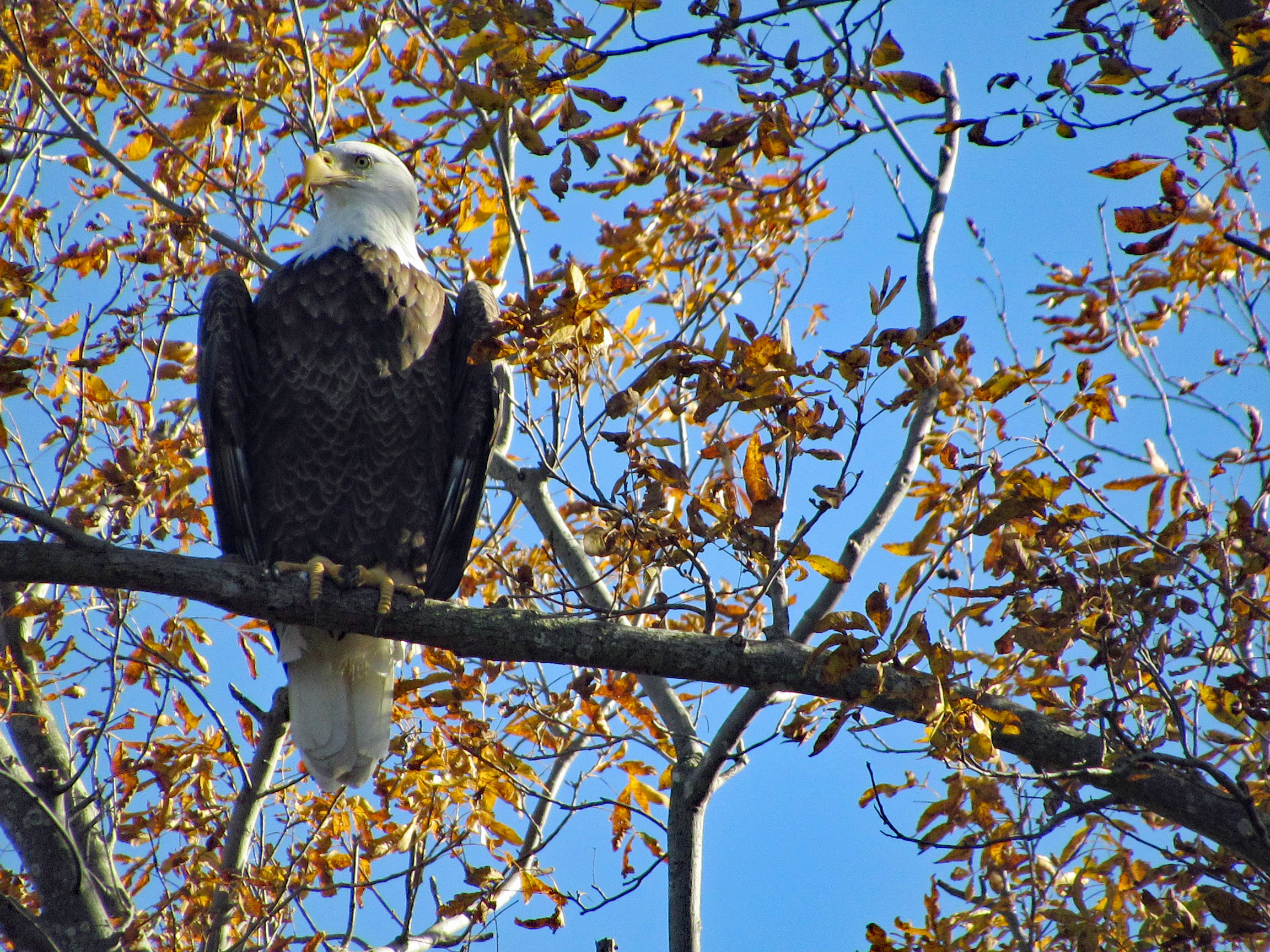
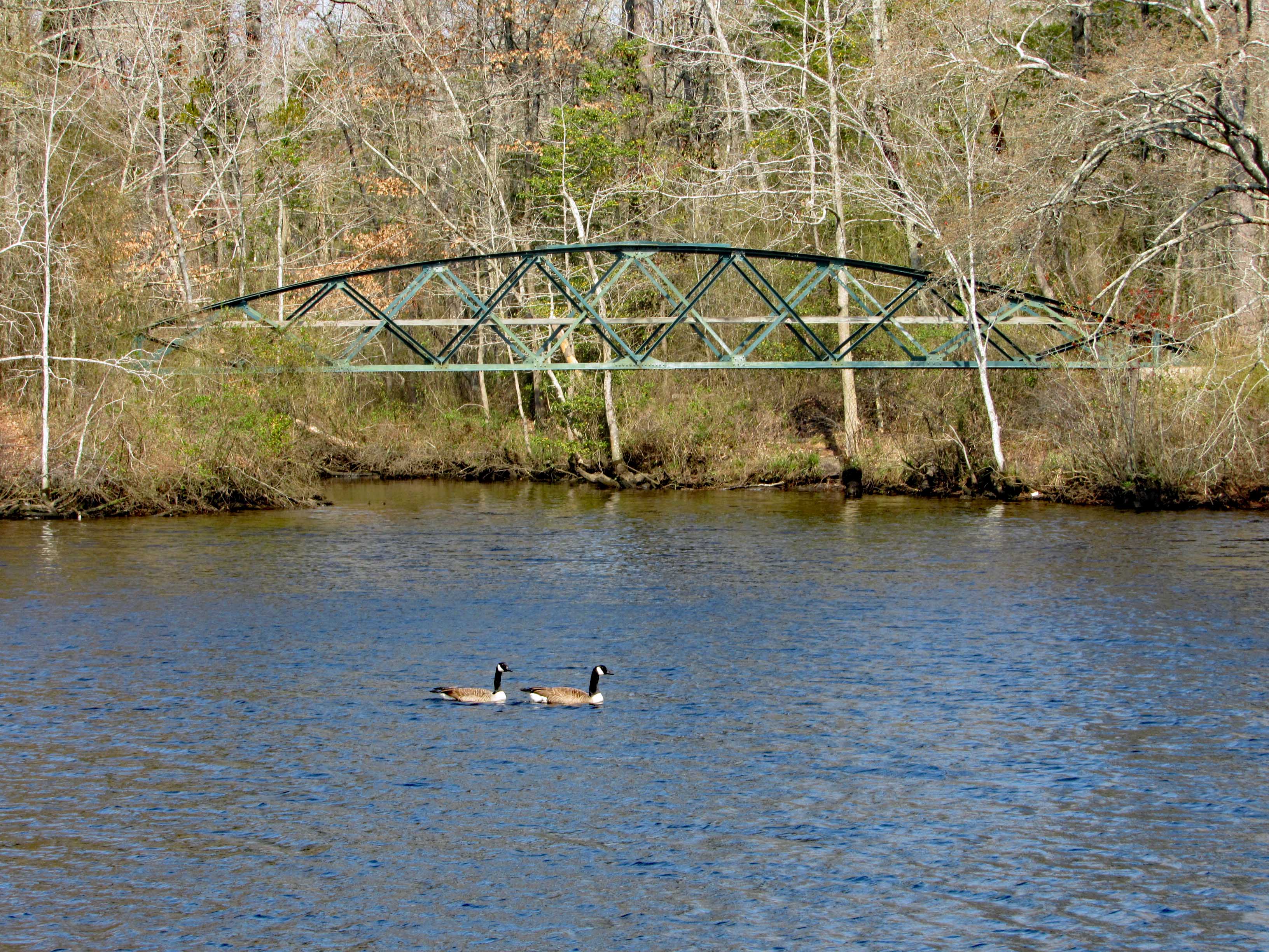
Moving along towards the refuge, we spot our first of many eagles. (We lost count at 9-10).
This guy was hanging out on the way to the visitor center.
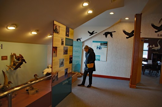
Kathy checking out the displays.
We leave the visitor center and head to the main entrance of the Wildlife Drive. Stopping to eat lunch at the observation deck. On the left of the road there is the Marsh Edge Trail and that was closed due to nesting eagles.
Here are some shots from the refuge.
One of Kathy’s pics. Nice!I see you!Me and my shadowAnother nice Kathy pic!
Leaving the refuge it was time to head to Hoopers Island. Rte 335. Heading down Hoopers Island road we came across this church. Originally the “Tubman Chapel”, it moved across the street. St. Mary Star of the Sea.
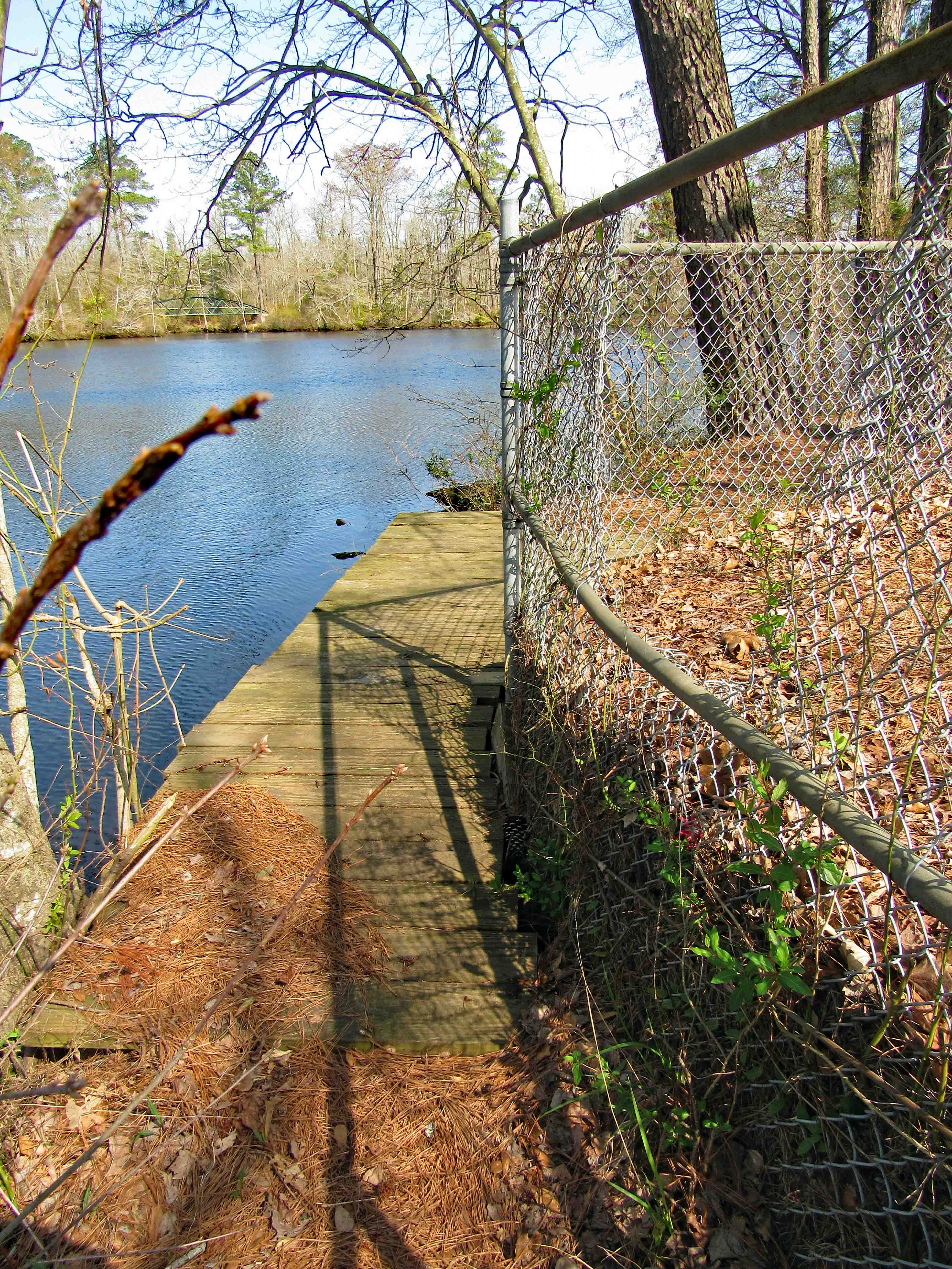
First bridge onto the islands is at Tyler Cove, Fishing Creek.
Taken from boat ramp.
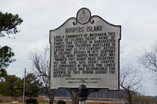
Another historical marker.
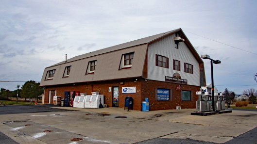
And another General Store
Behind here is a cemetery, which brings me to WHY we wanted to visit Hoopers Island. We want to see all this before it is completely submerged. There is a great video on the sinking of this island. You should watch it – High Tide in Dorchester – https://www.bayjournal.com/films
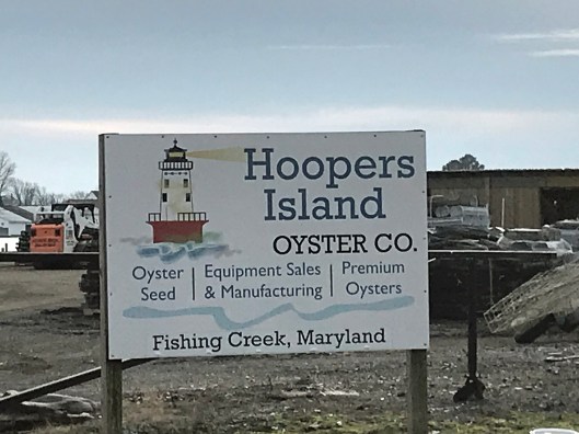
Lots of fishing and sea life down here. Hard to believe it was mostly farms at one tome.
We headed south to the middle island. There are 3 islands, probably more at one time.
Roads flood in high tides and stormsFishermen returning
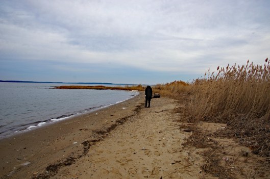
Pulled off the side to see what we could see – some sea glass, shells and debris.
Looks like 3 adults and one juvenile. Even with a 300mm lens, they were too far off.
Adult brought food to him.
Our map. the lower island has no access.
Great day and so grateful that Kathy likes going on these eight hour adventures with me. For too long I did all this kind of stuff by myself.
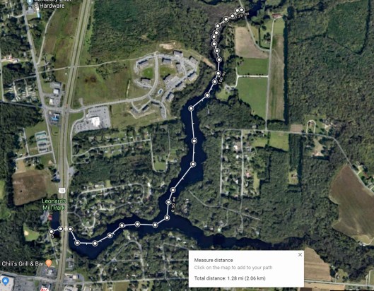
Kathy’s friend from many years ago is in town so we asked if she would like to go kayaking with us? Off to Leonard’s Mill Pond we went. Kathy and Lisa strategizing our adventure.
Lisa waiting for us.
As we leave the smaller portion of the pond, where the visitor center is.
Under the bridges of Rte. 13 to the open water of the pond.
Idle canoes and kayaks.
A fork in the road, so to speak. Looking at a map before heading out, the left (north branch) goes to another pond (Williams Mill). That will be our route. The south branch looked like it just fizzles out in the woods.
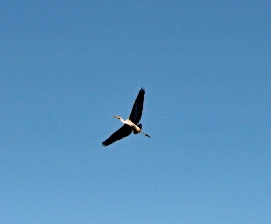
Waiting to attack.
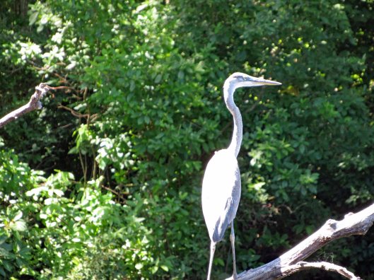
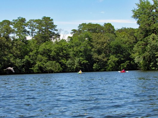
Heron to the left and unsuspecting kayakers to the right.
At the last minute he flew off.
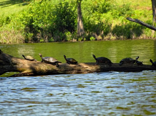
We’ve never seen this many turtles in one day before.
X-Men Turtle.
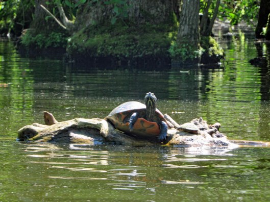
The small guy jumped on the big guys back and the big turtle started clapping.
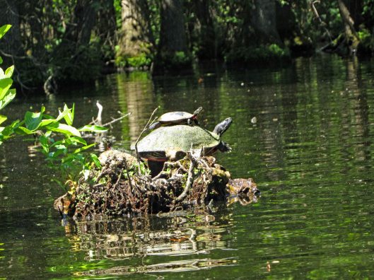
This guy has stuff growing on his back.
The north branch splits up into 2 other branches. The right side was guarded by geese. Lisa took this way. Up a ways you can cross thru to the left side. We went back and forth through the trees.
Kathy used the inflatable kayak again today. I was surprised at how tough it is. There are quite a few semi-submerged branches and trees in the water.
Heading through the trees.
The trees and reflections just sort of merge together. Seems like we are just floating in air.
Up ahead, the end or a new beginning?
Three pipes. Can we fit?
No we can not. But we needed to get out to look at what is on the other side.
Park the kayaks and head up the hill to the road (Williams Mill Road).
Williams Mill Pond. With launch area! New adventures await!
Time to head back.
Some sights along the return trip.
A Ducks Unlimited hidden camera.
Back towards open water.
The wind had picked up and it was a lot of work to get back.
Shipwreck.
Under the highway were a lot of barn swallows. Making it through without incident.
At the launch site.
The map of our trip. It was just over 2-1/2 miles round trip. Great day with a new friend and another new adventure!
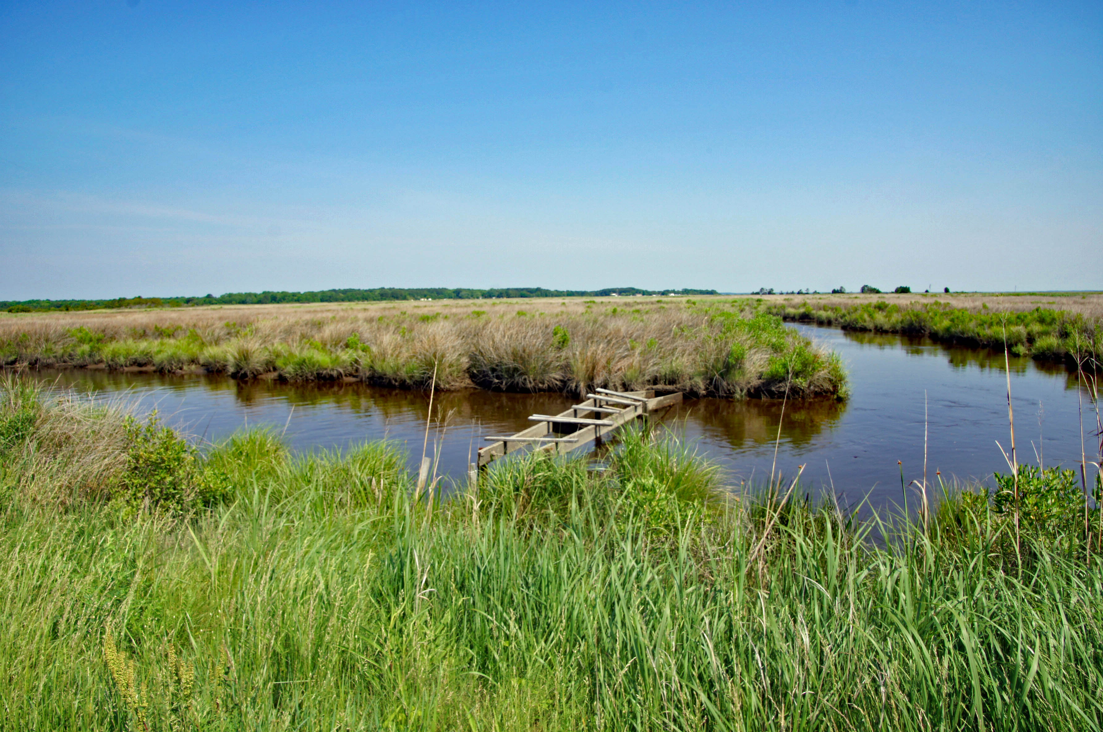
The one thing I really love about the Eastern Shore is the abundance of new adventures that await Kathy and I. Today we headed to Deal Island. Lots to see here. Starting with a Wildlife Management Area.
We took a gravel road, passing marshes, seeing a gazillion dragon flies. They were feeding on all the mosquitoes. Looking out over the marsh.
We parked and headed across the marsh on foot. This may be duck hunters paradise.
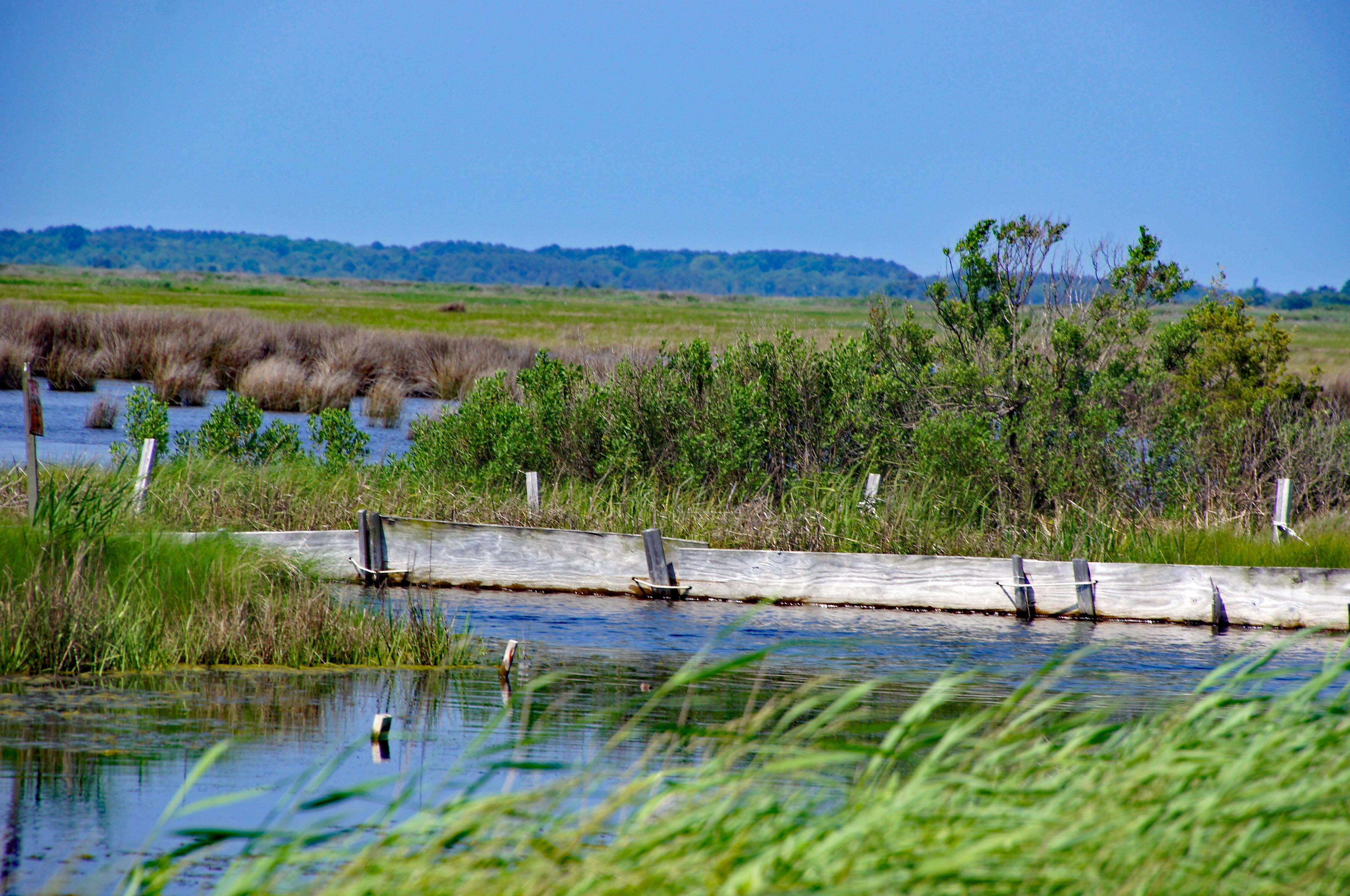
So flat down here. There are water elevation levels throughout the island. Most read at 4″ above sea level.
A boat ramp in the middle of nowhere.
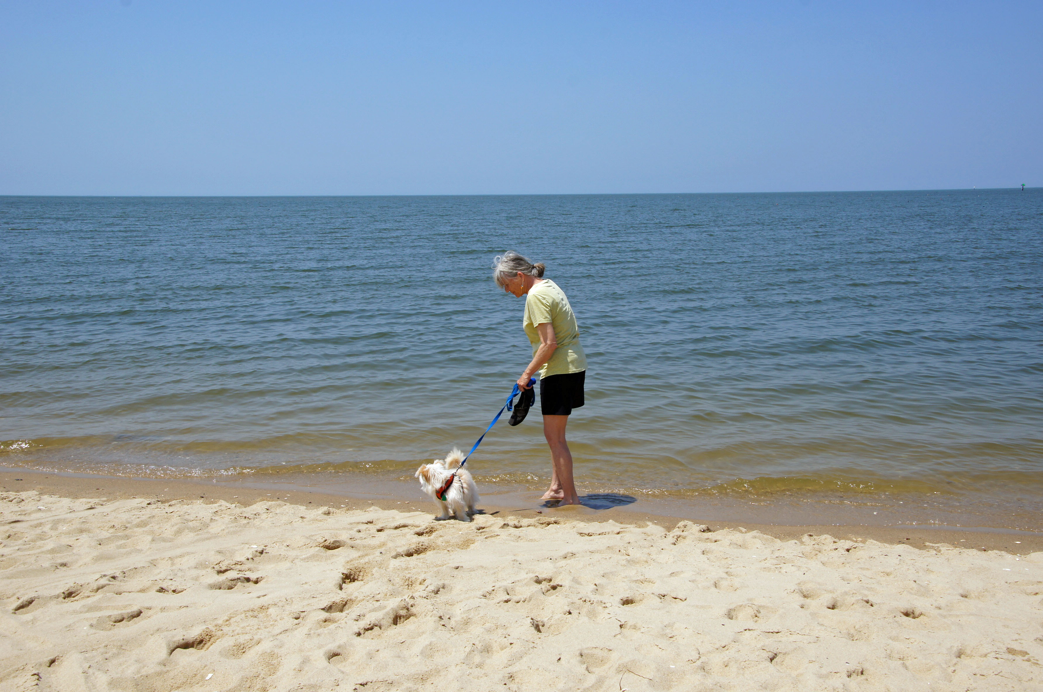
Molly lost track of where Kathy was so she headed into the water…
There she is!
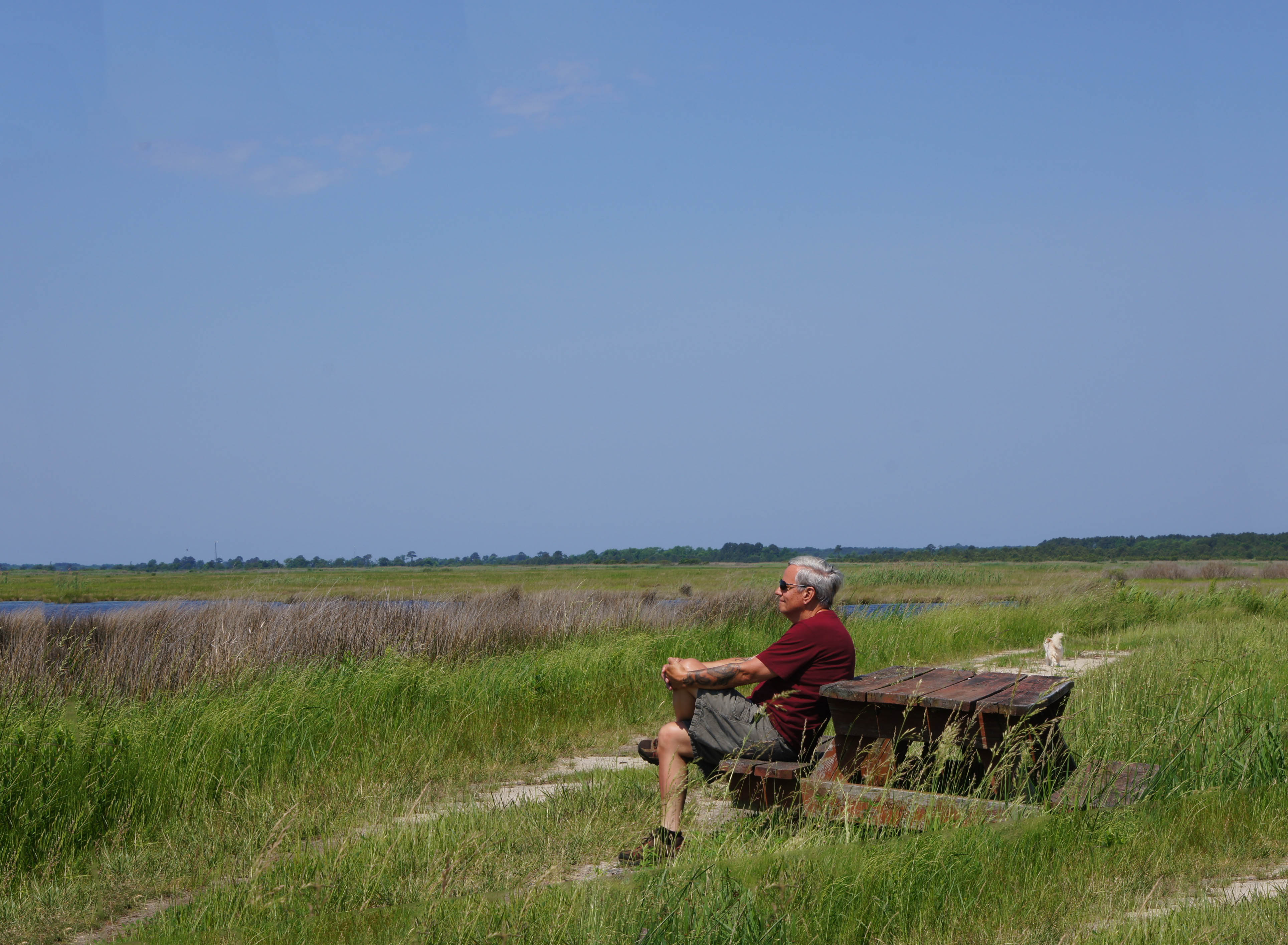
A sandy path.
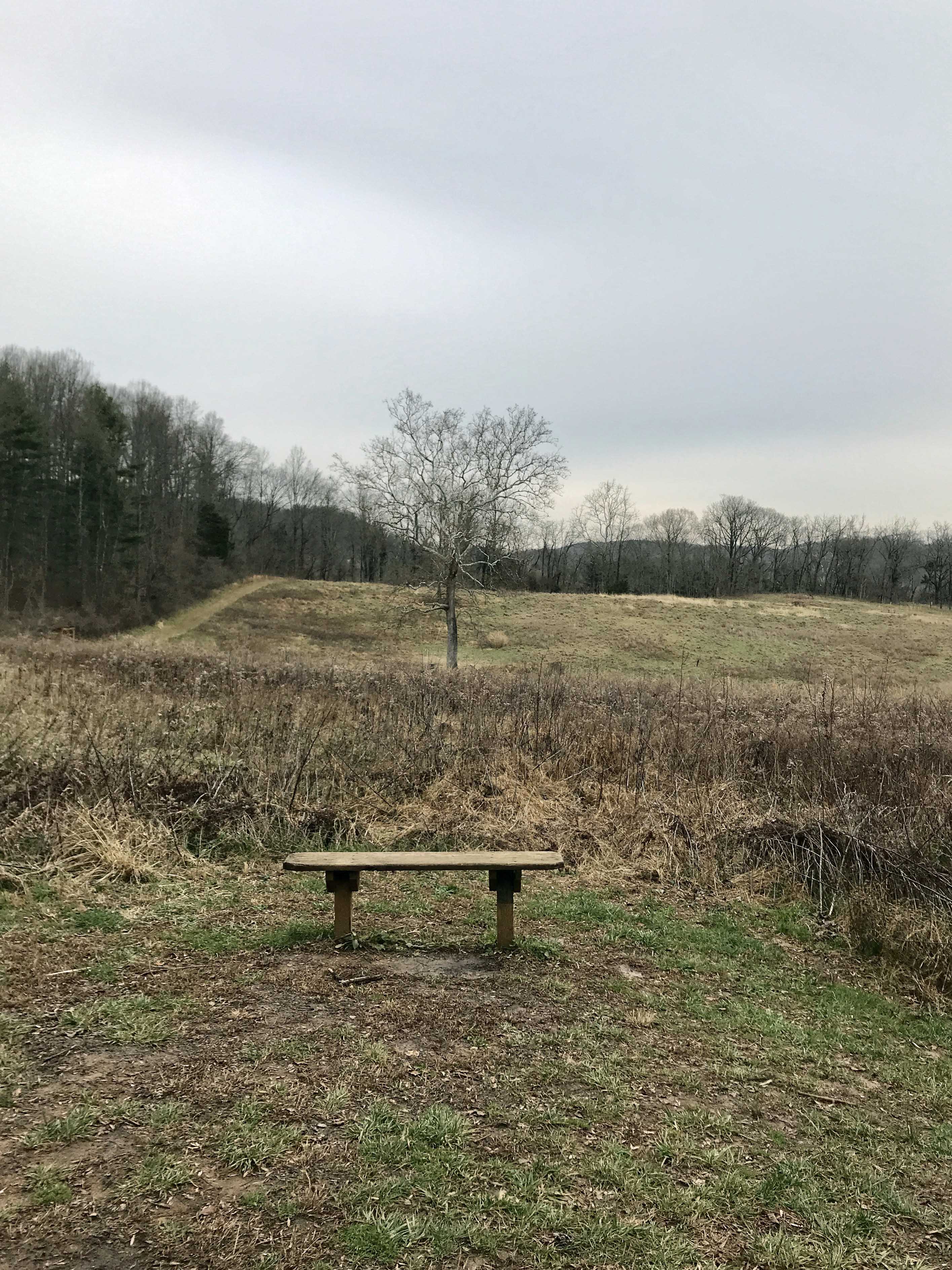
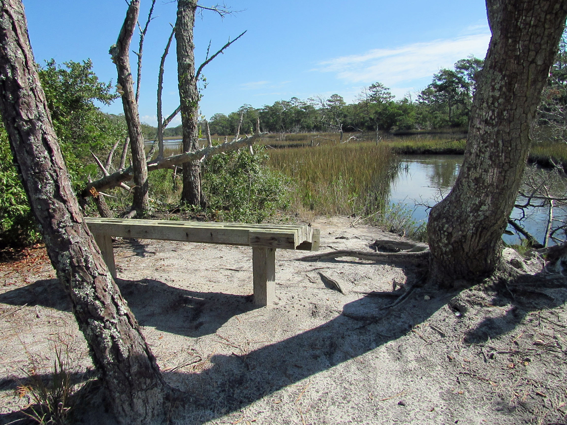
A place to rest and to meditate/contemplate.
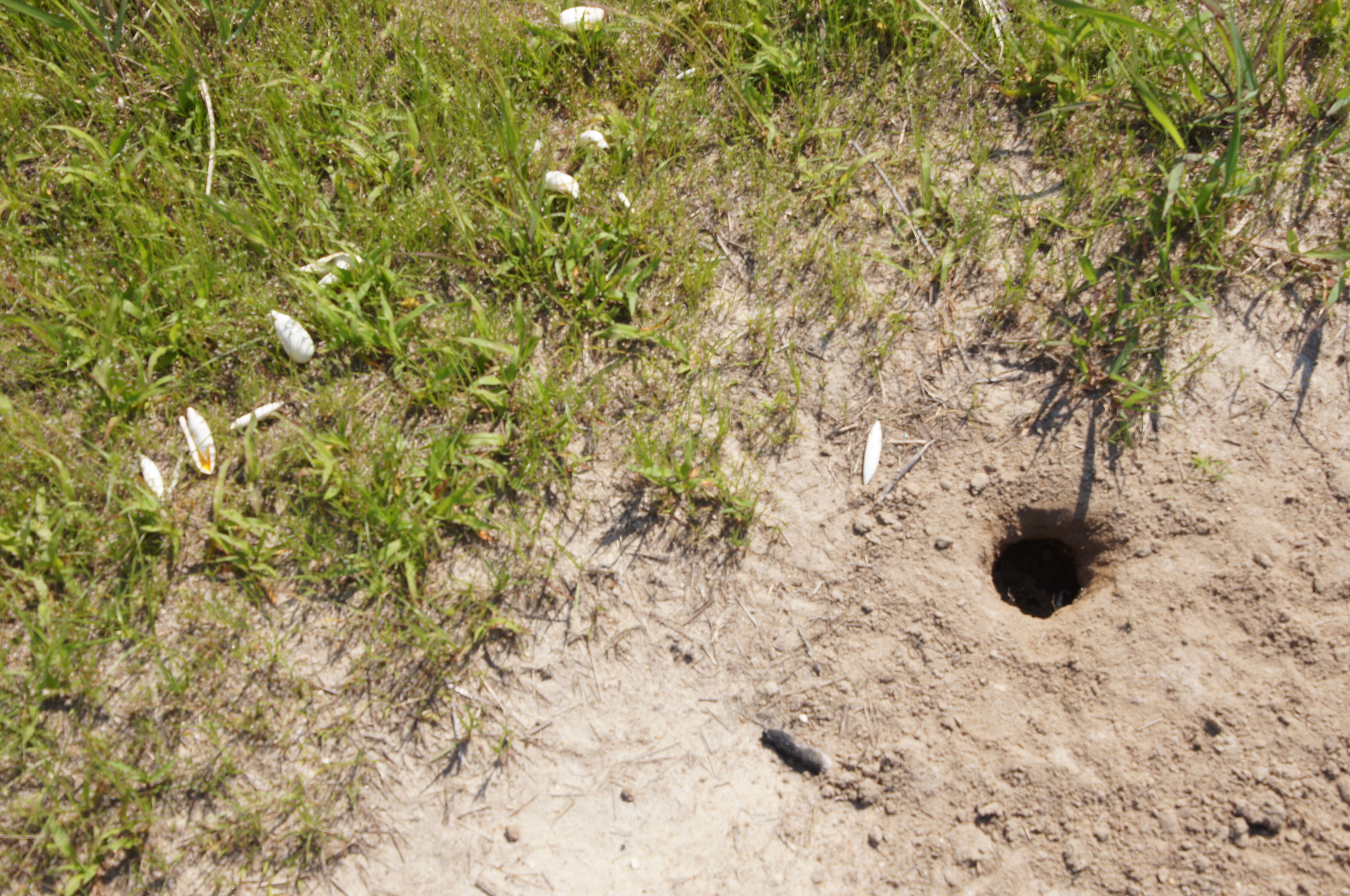
Egg shells and a hole?
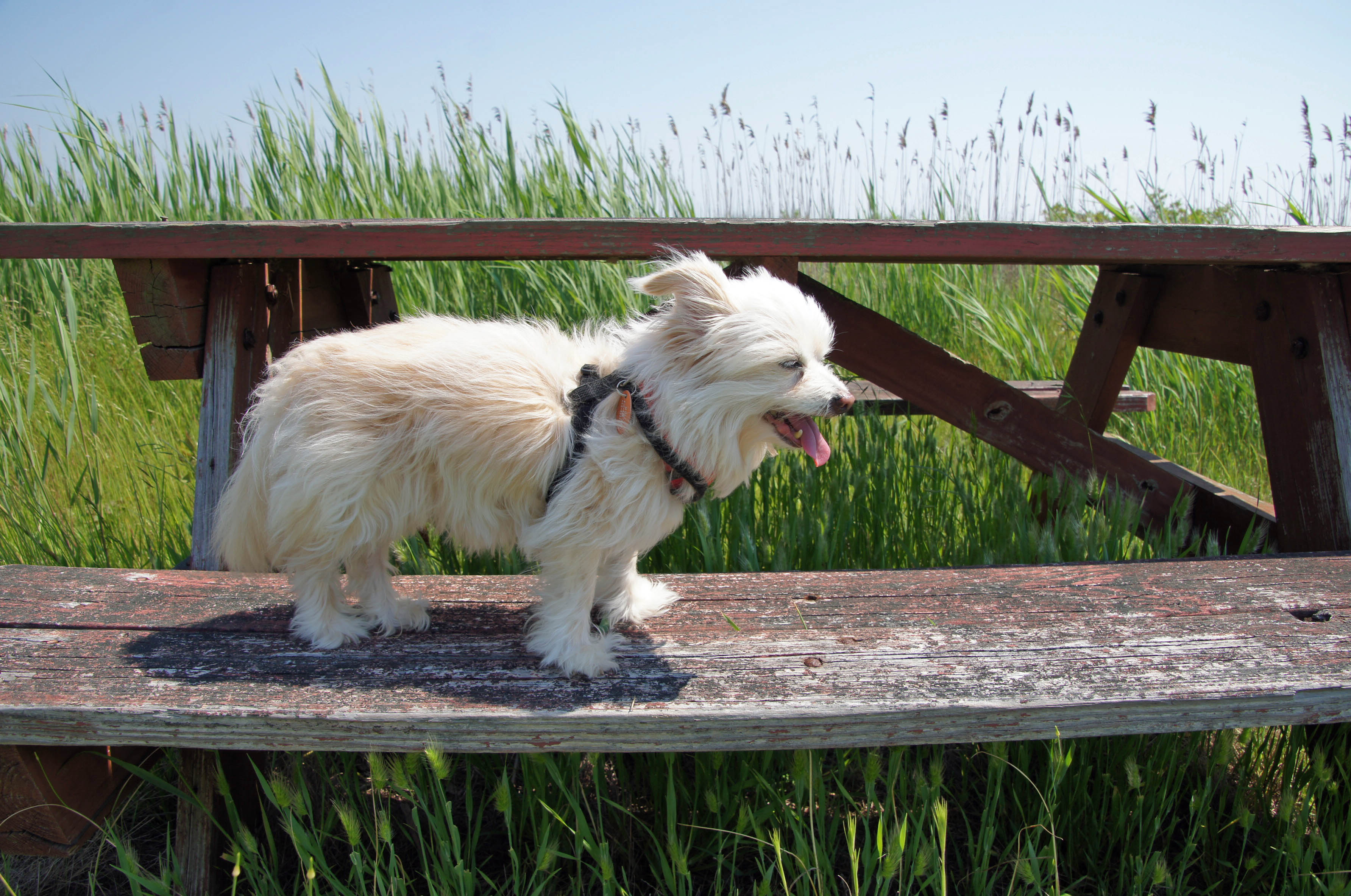
Molly needing a break.
And a little attention.
We leave the wildlife area and drive towards the end of Deal Island Road. A group of little communities along the way. Dames Quarters, Chance, Wenona. A couple historical markers.
Where Kathy’s family spent their summers.
Next was Deal Island Marina and beach. Molly has had enough of the water.
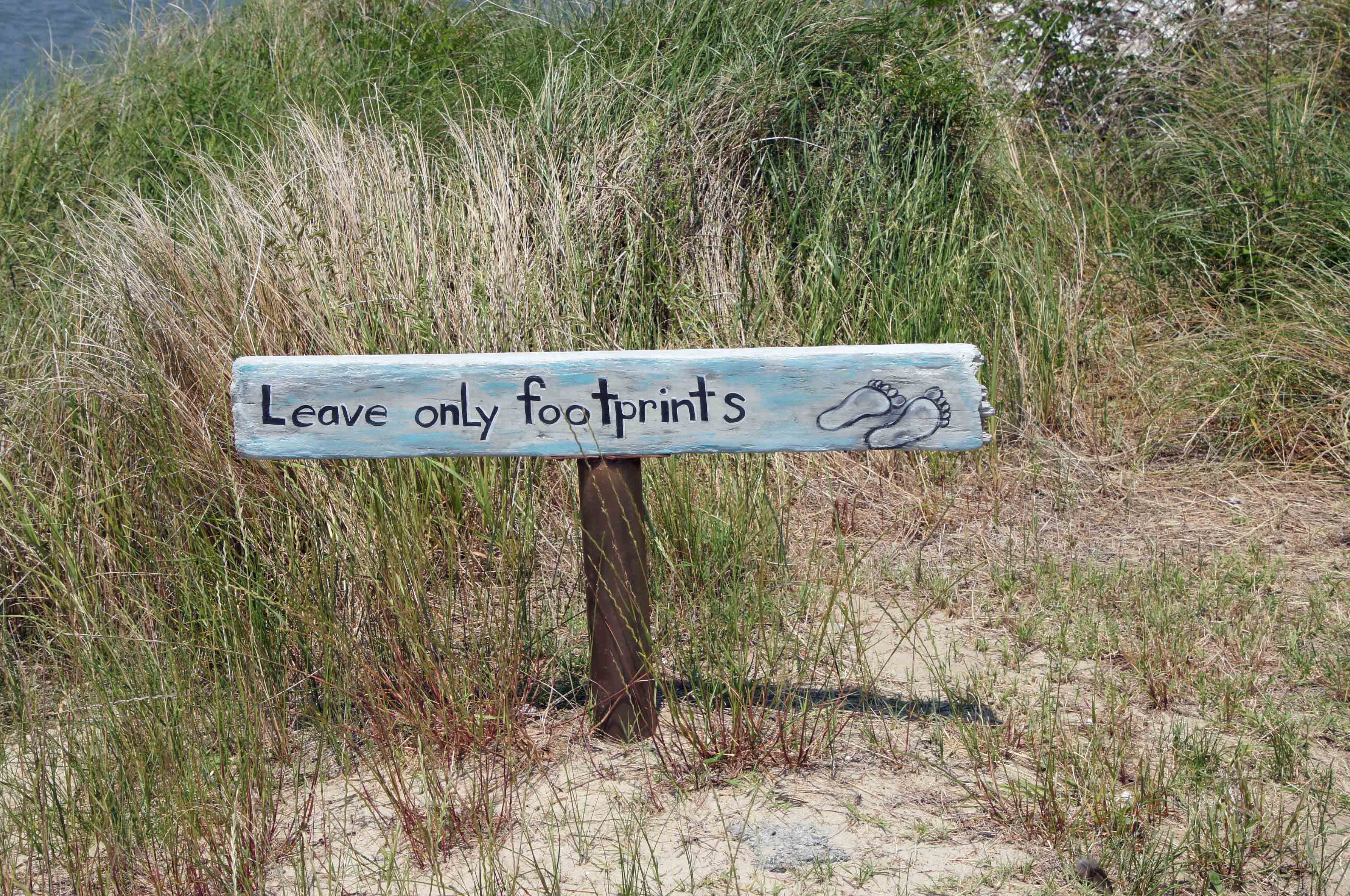
Best beach/trail sign ever.
A little windy but some kayakers were out.
Seafood processing – soft crab area?
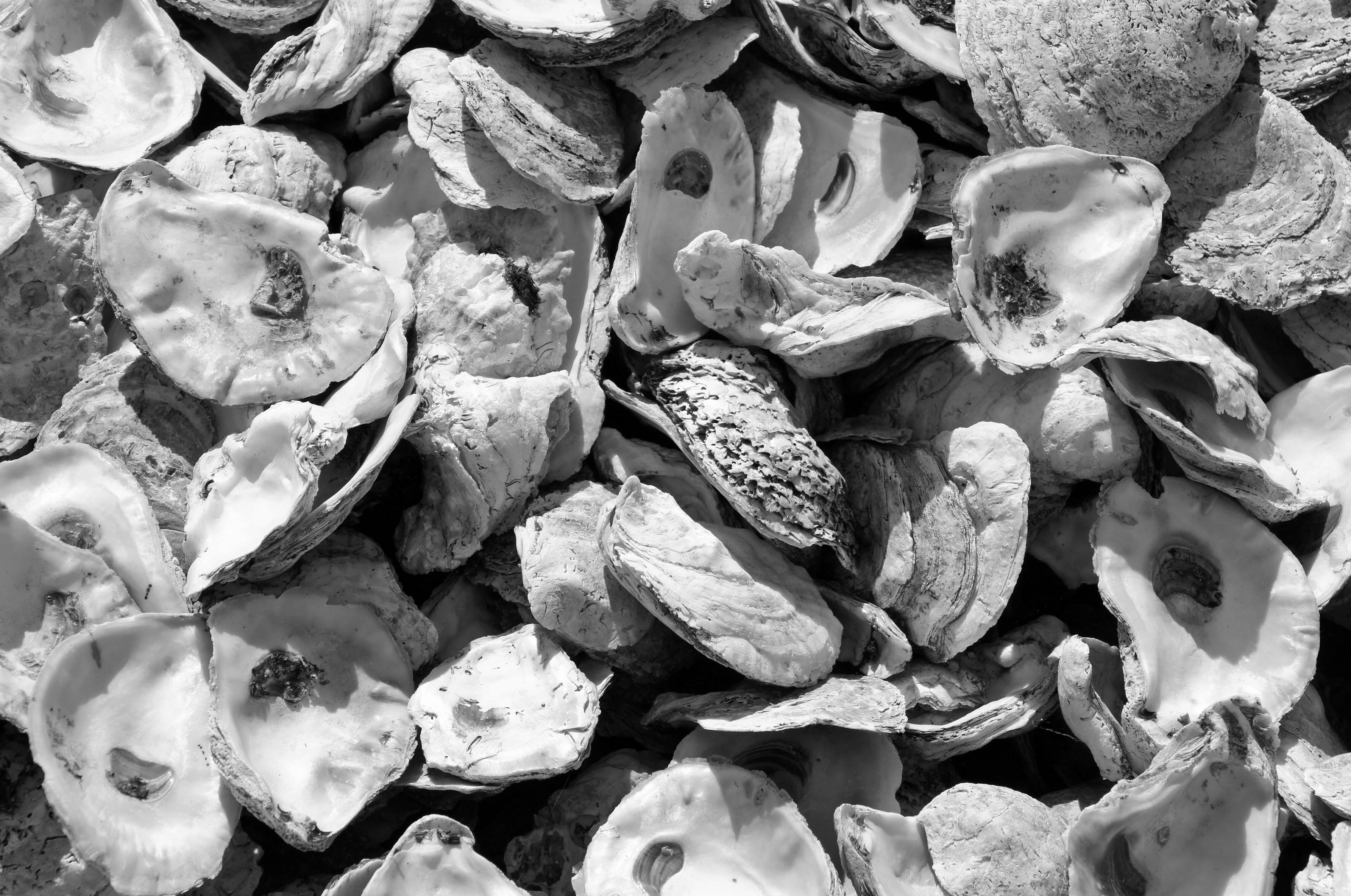
Tons of oyster shells.
Heading down the road we came upon this church. Someone is trying to restore it. Google maps shows where restoration had once started but it seems to have stopped. The John Wesley Restoration Project.
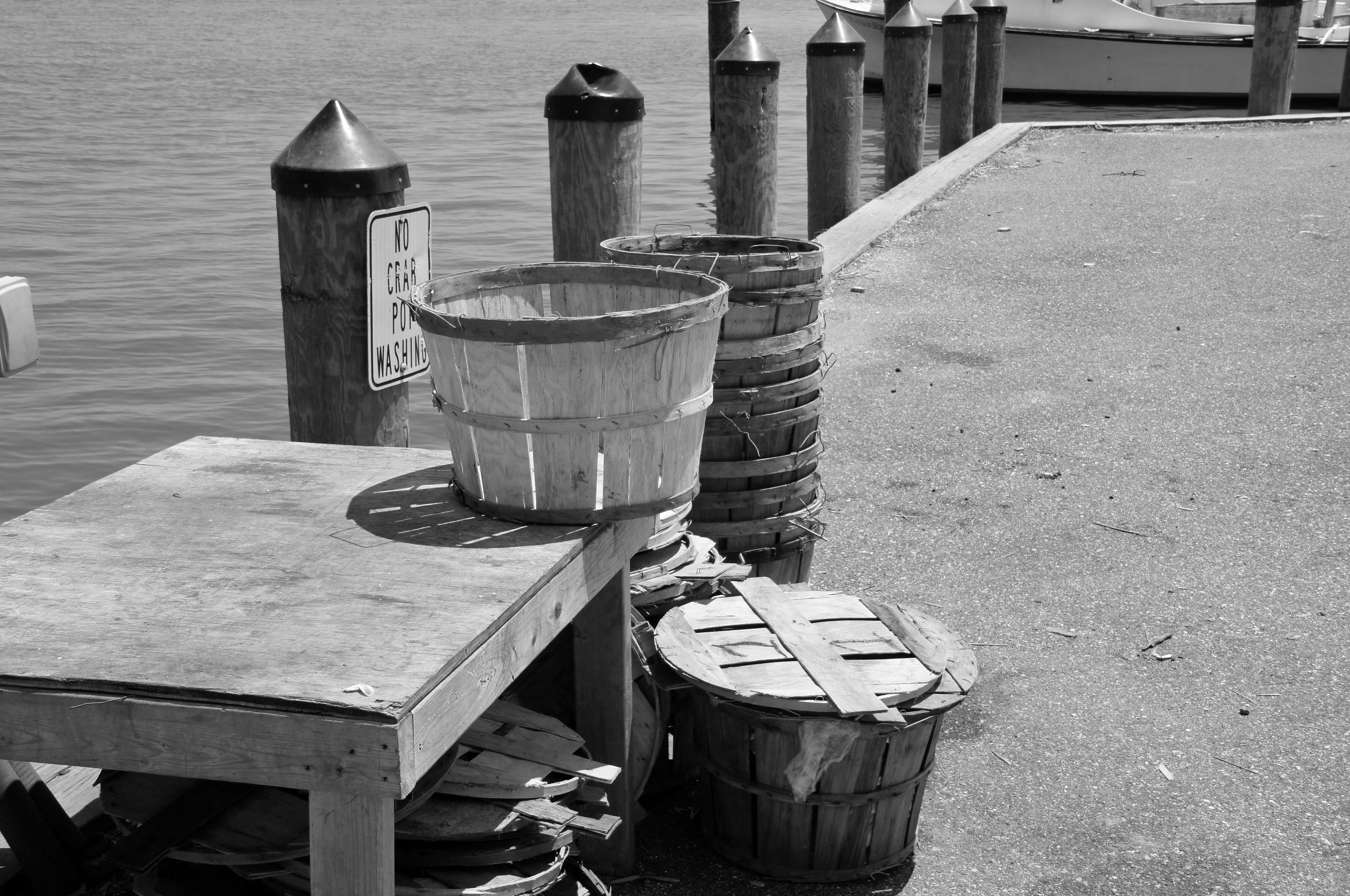
Not too much further to the end. Another marina of sorts. Crab bushels waiting.
Many abandoned work houses. The water men and their businesses are dying off.
It looks like this bank has been converted into someone’s home.
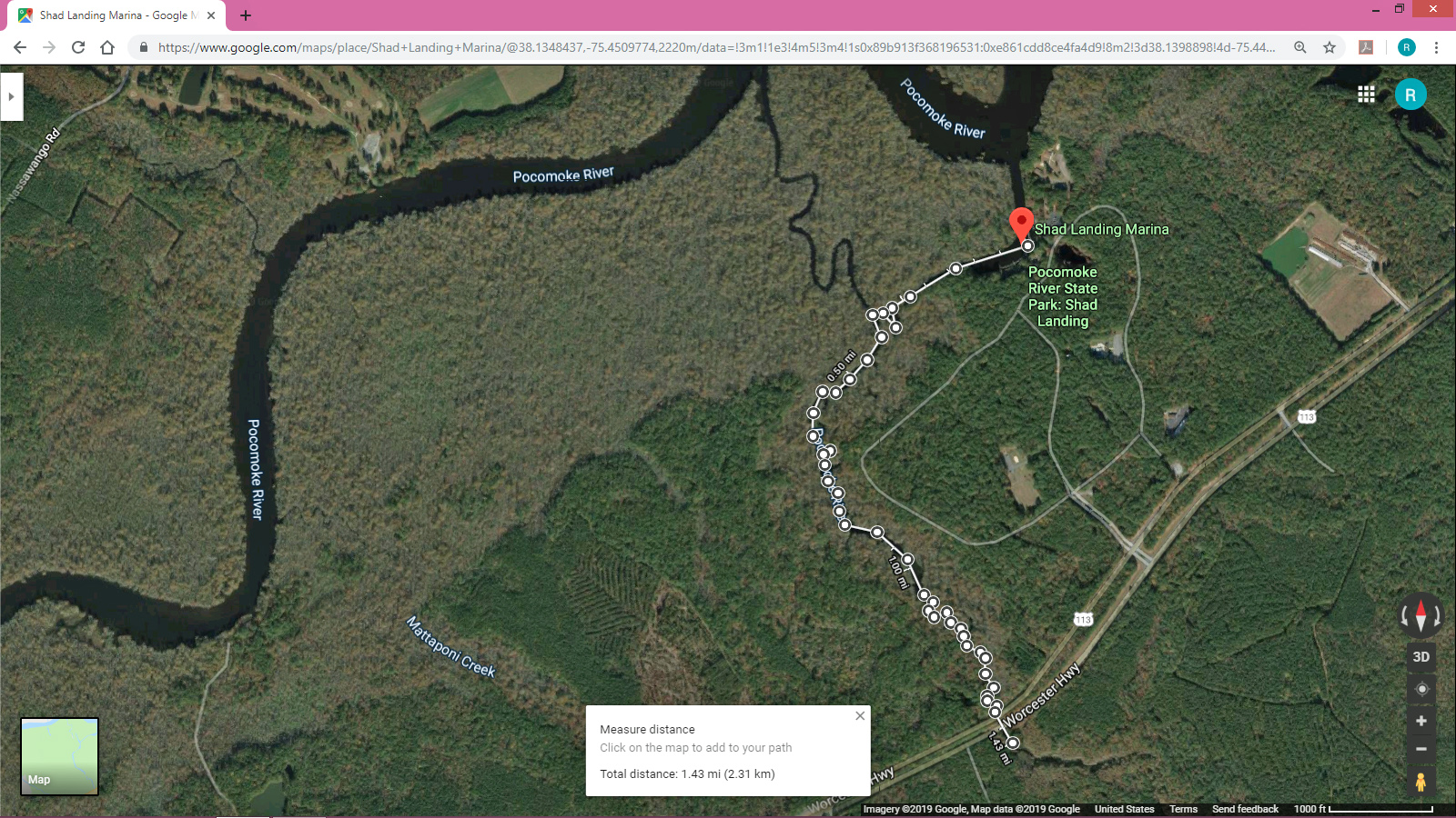
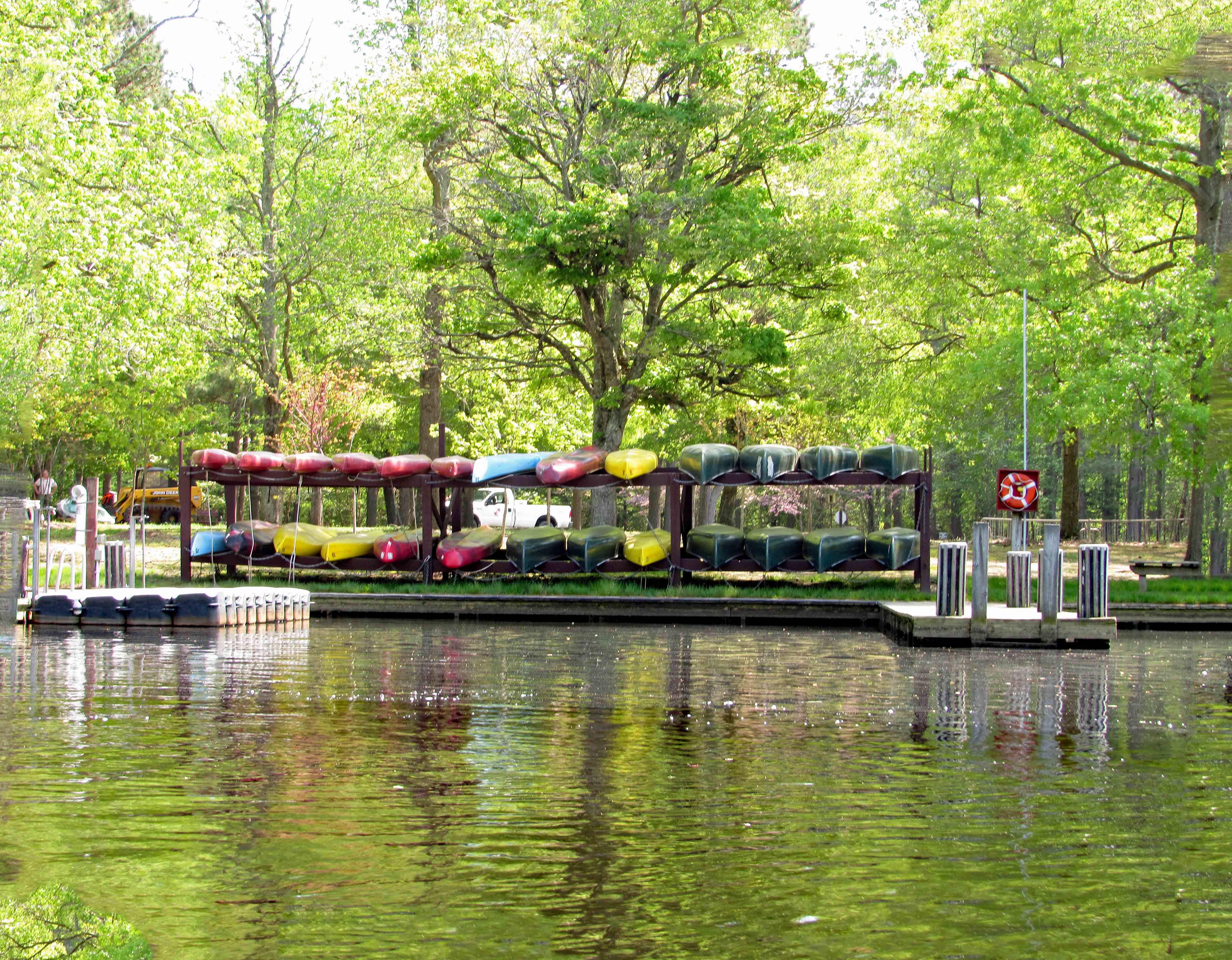
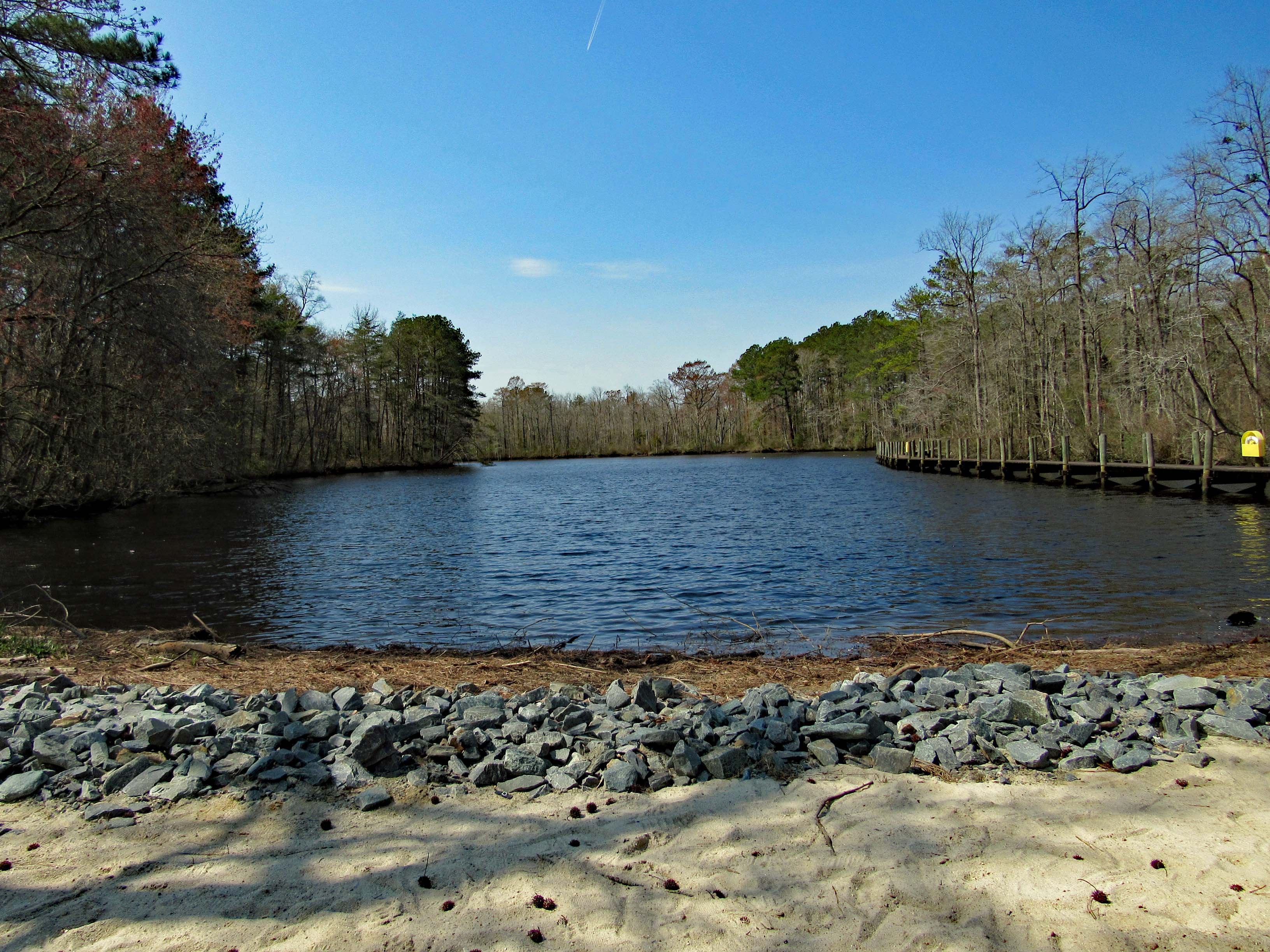
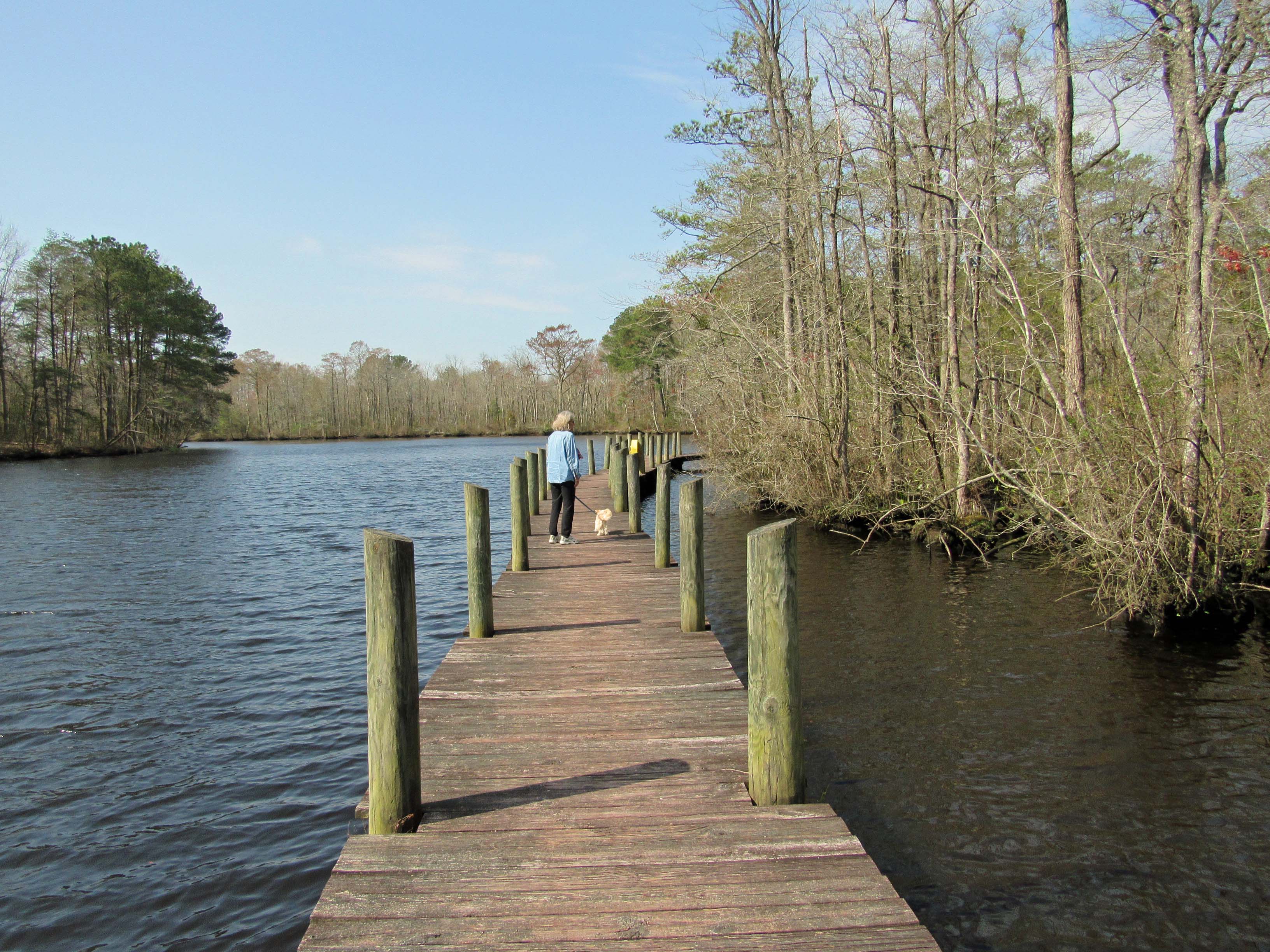
What a great day to take a break from doing ‘stuff’! Loaded the kayaks onto the truck and then headed to Shad Landing at the Pocomoke River State Park. Weatherman was calling for 80+ degrees. We did want to do an Assateague Island trip but the wind gust were to be 10-15mph. For our first time out this season we thought a more peaceful, relaxing trip would be better. Here is our map. Not a long distance trip but a fun one of almost 3 miles and 2-1/2 hours.
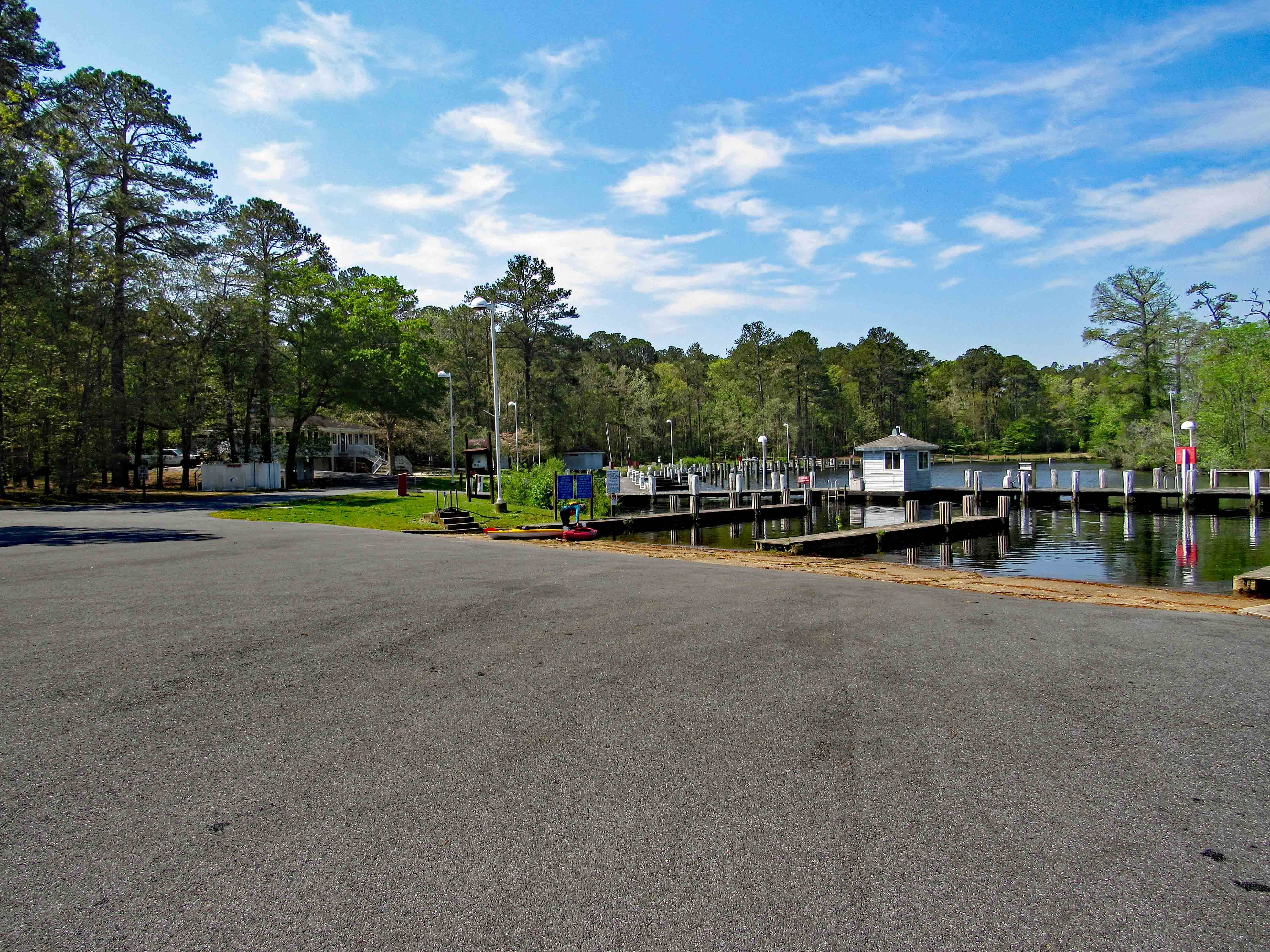
There was hardly anyone there. The landing kind of reminded us of Mariner’s Point up in Joppa. Instead of doing the loop west-north then back southeast, we headed off to Rte. 113. Here is Kathy getting everything ready while I park the truck.
From the launch you paddle east, go around the pier and then head southwest. Pass by the lonely canoes on a rack, waiting for adventurers.
We did not see much wildlife, just some signs. Here it looks like a beaver wasn’t paying attention to what had already been gnawed upon.
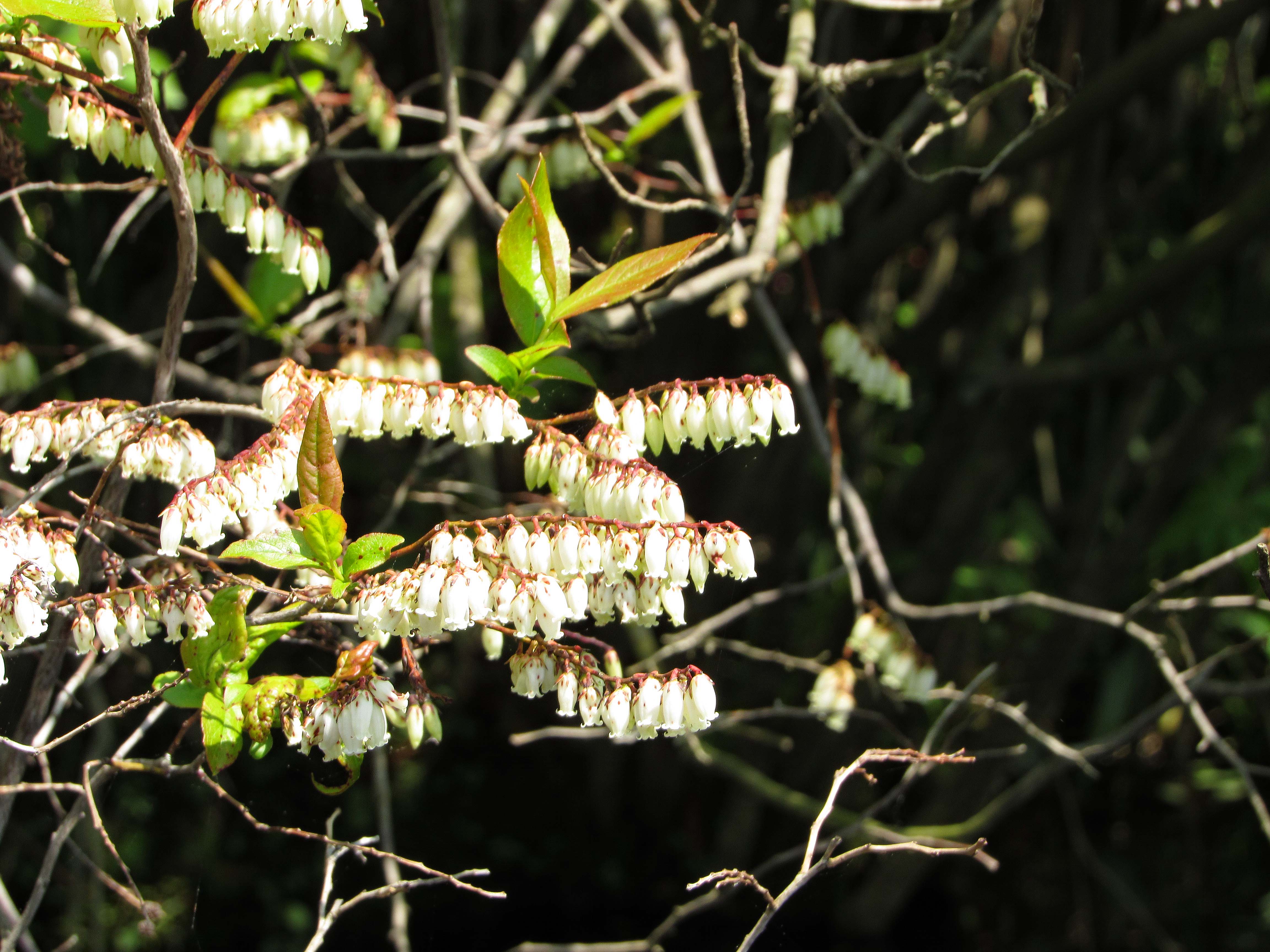
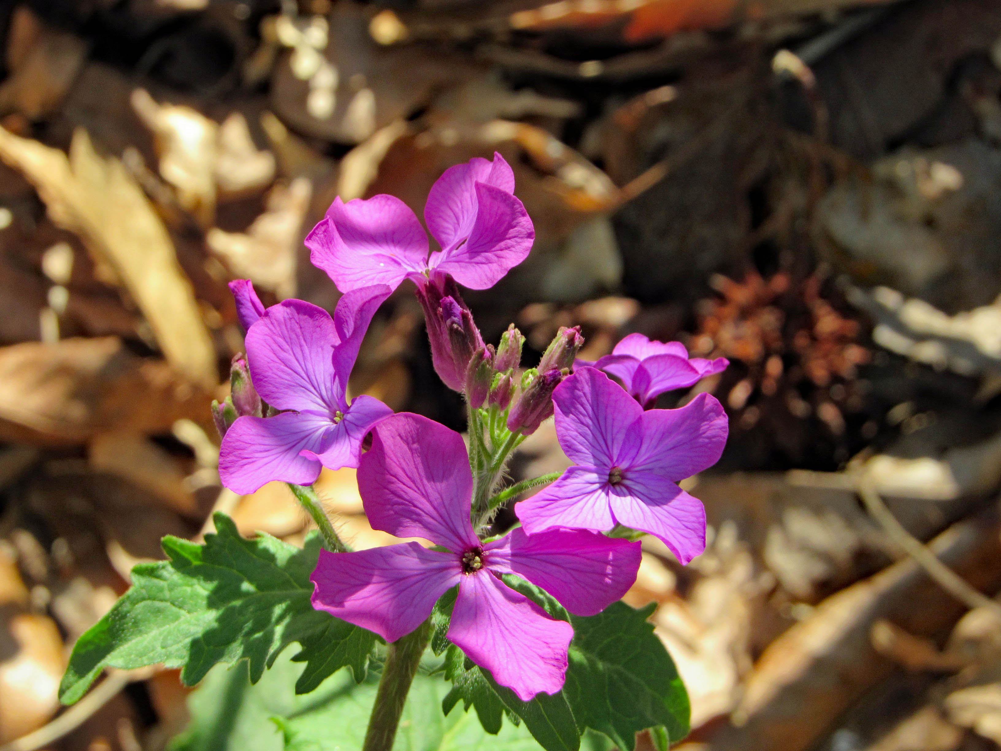
There were some colorful flowers on shore like these little bells. Kathy knows most of the names for these things. I don’t.
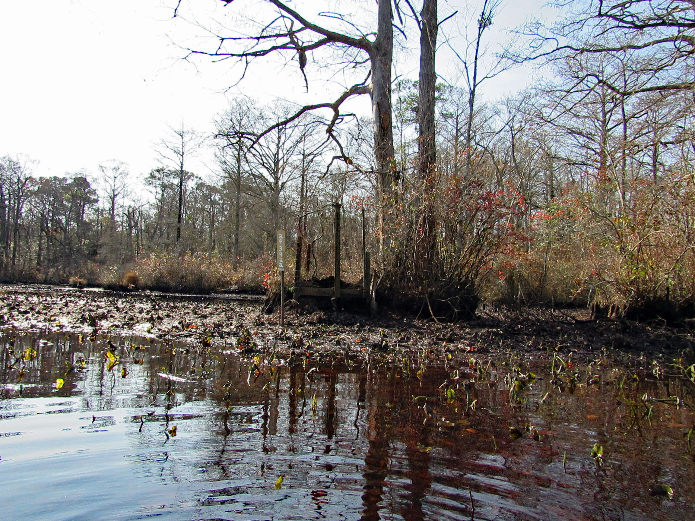
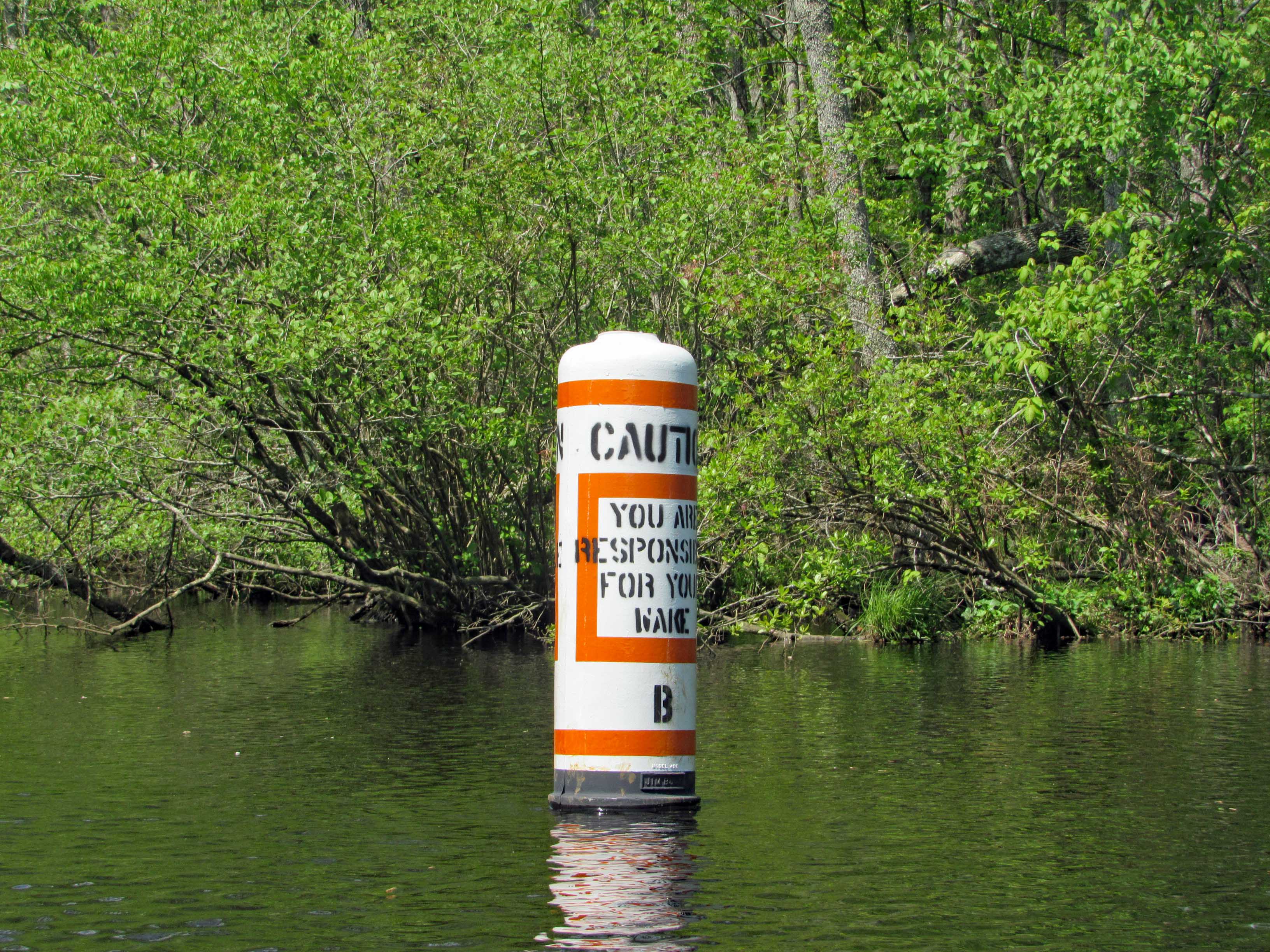
Heading towards the left turn we wanted to make is this marker. Unlike Mariner’s Point, we didn’t have to get out of the way of any crazy boaters that don’t care about wakes.
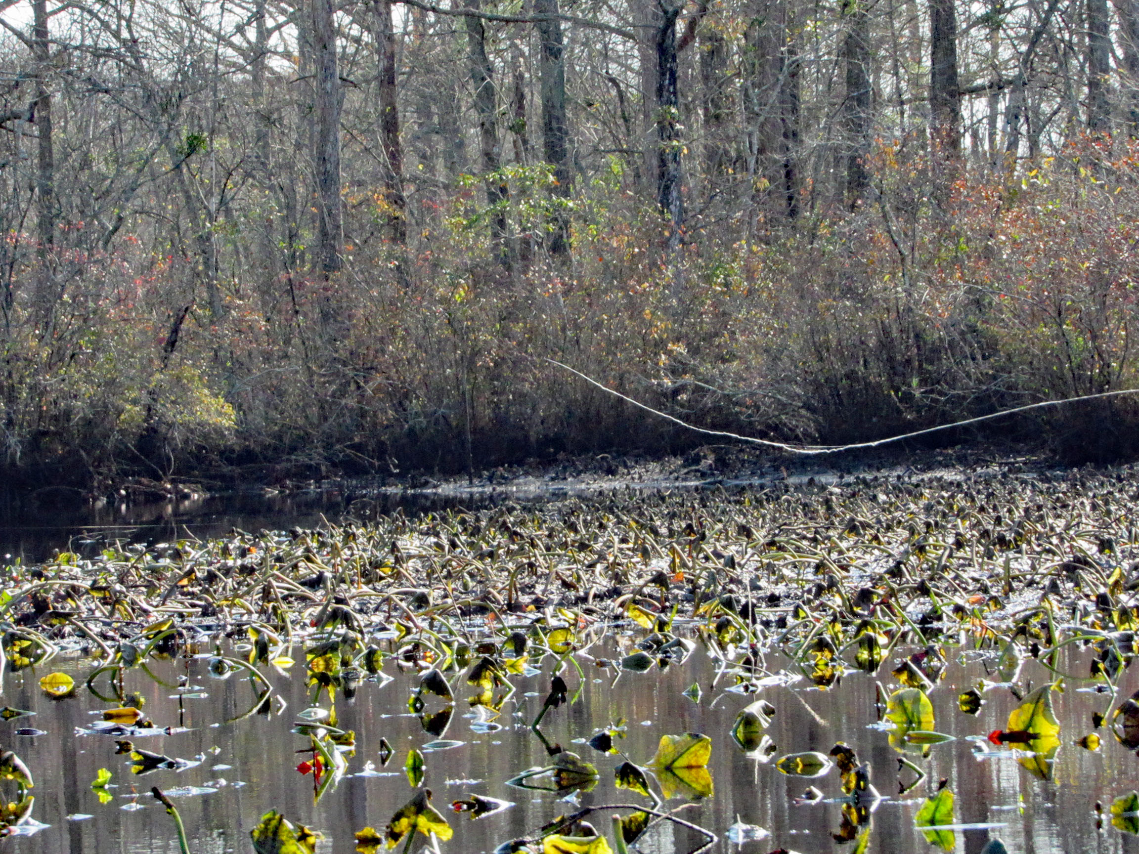
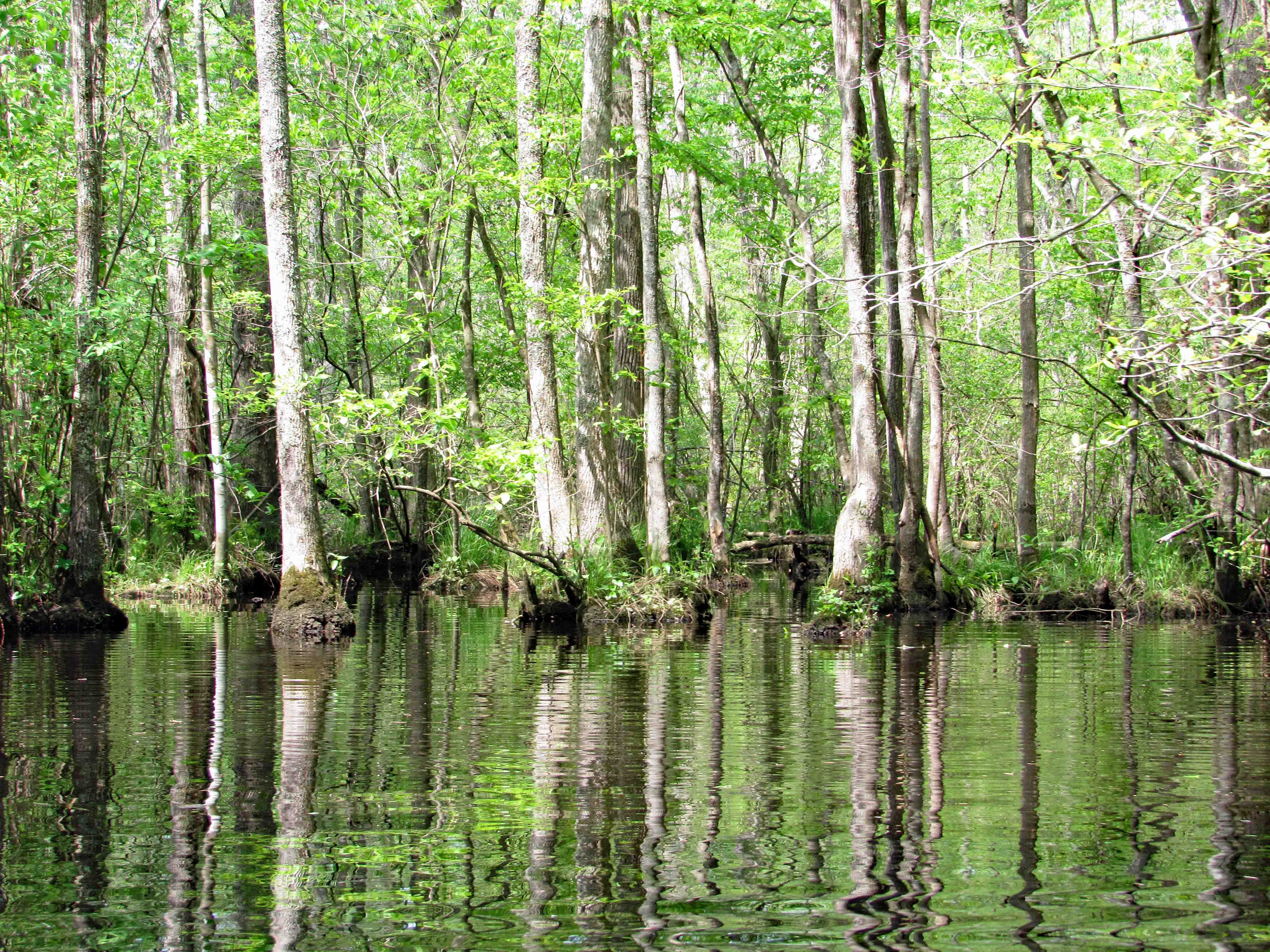
The whole park seems like a giant swamp. Kathy’s brother Phil had me watch a show about the Pocomoke on Delmarva Life, a TV show down here – Back in the 1930’s-40’s they dredged the river and put the spoils along the shore, unbeknownst to them that the dikes they created stopped mother nature from holding and filtering the water before sending it down stream to the Bay, causing damage to the ecosystem. Right now they are in the process of removing the dikes for nine miles up near Rte. 50, to reverse 80 years of bad planning. Here is what the area should look like.
Lots of cypress.
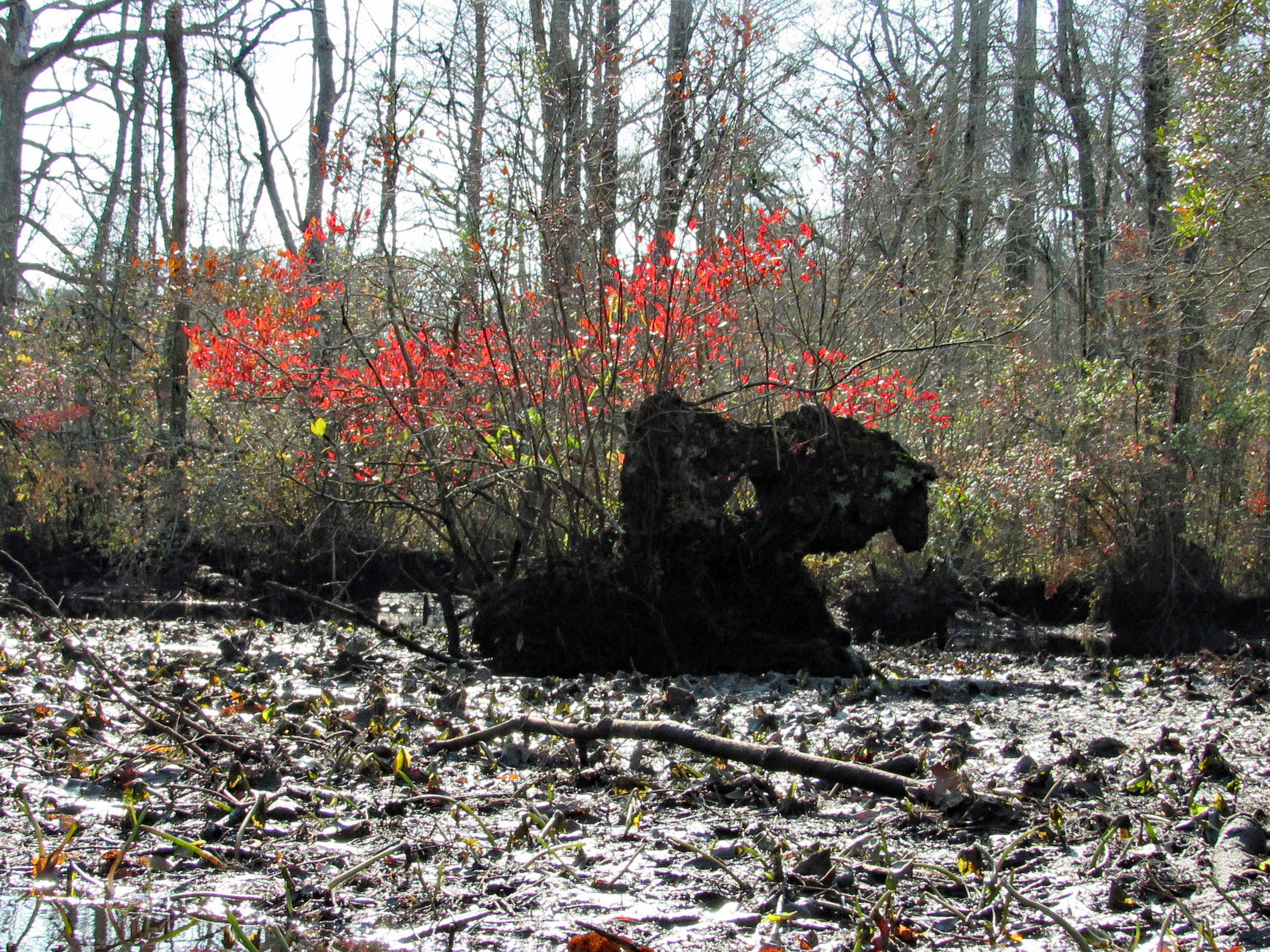
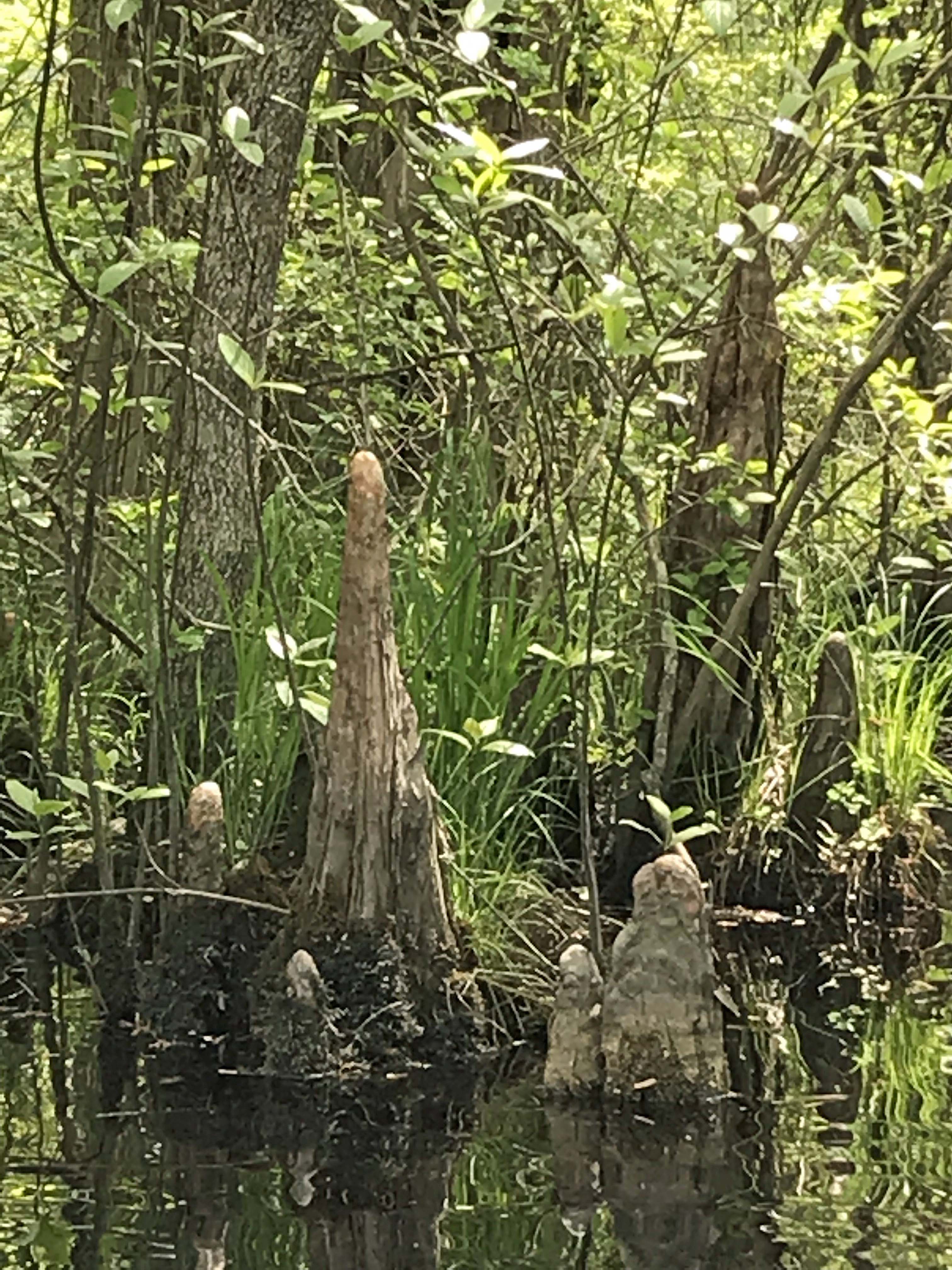
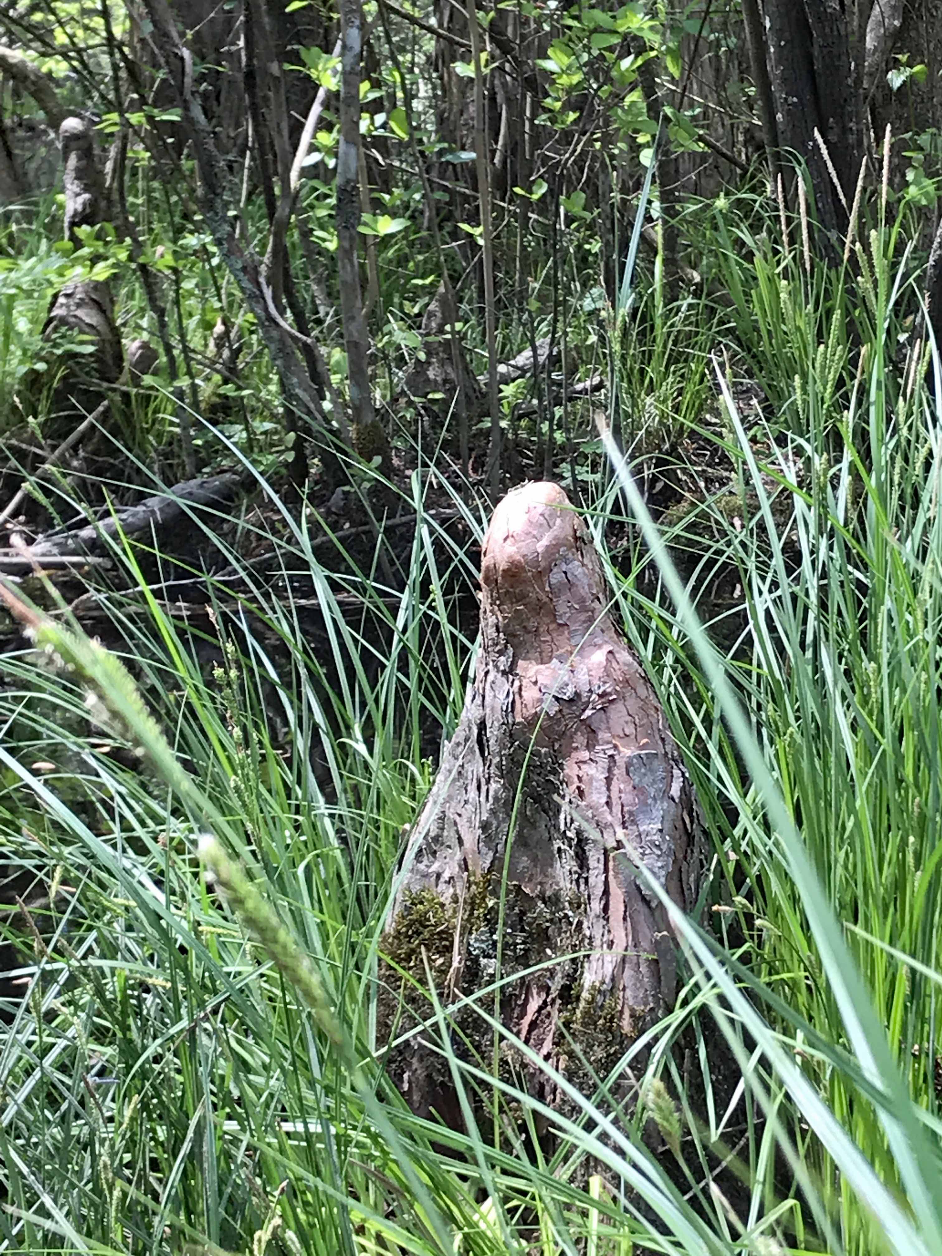
An odd shaped knee to say the least. Looks like a worn out statue.
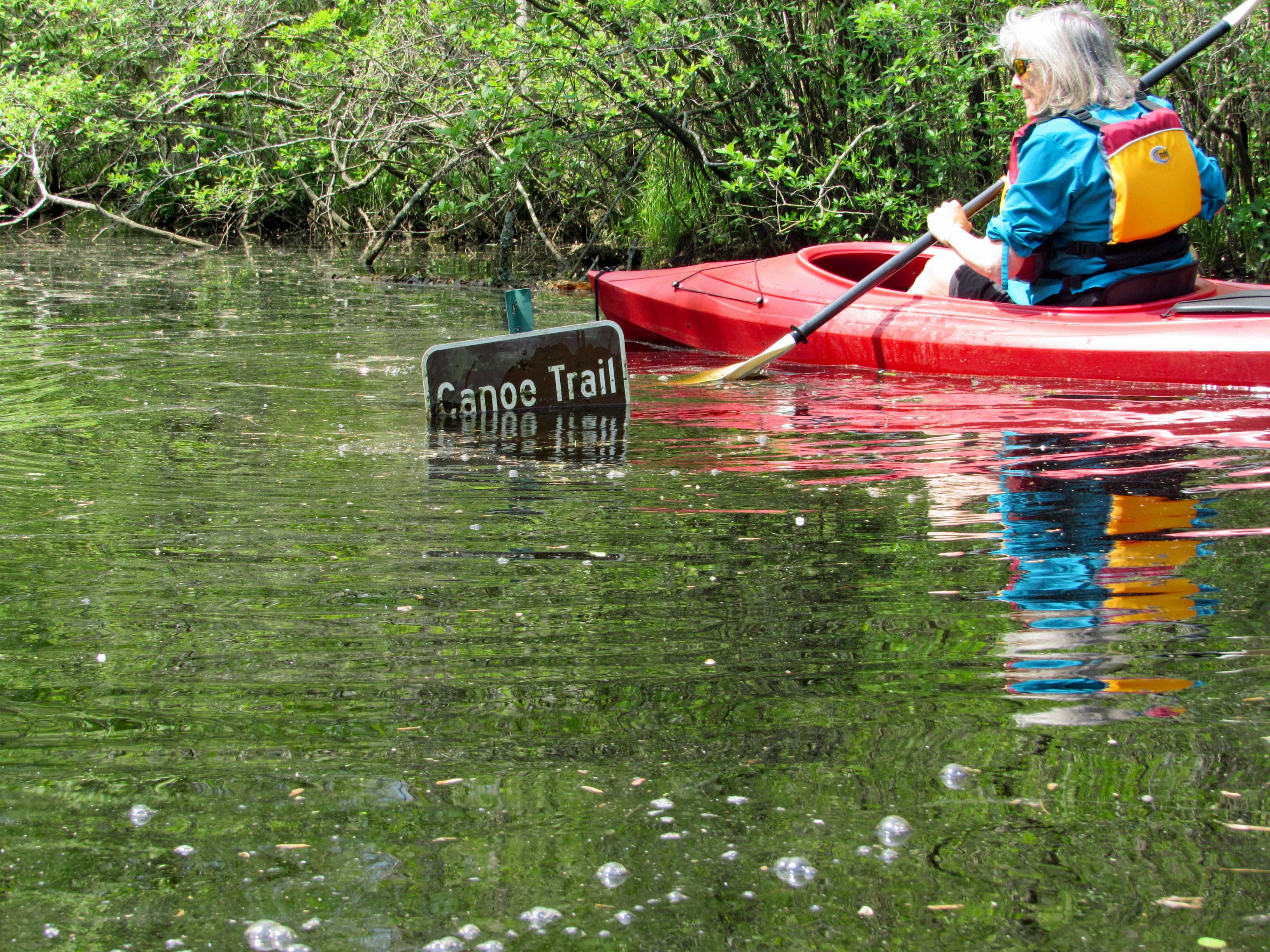
So we make our left hand turn and Kathy see’s this sign. It is halfway covered up. She goes in for a closer look and under ‘Canoe Trail’ is an arrow pointing right.
45 minutes later, on our return trip, the water had risen.
The water was high enough to take away the protection of the metal cones that protect the birds from predators. Also, the lily pads had come up, only to be submerged.
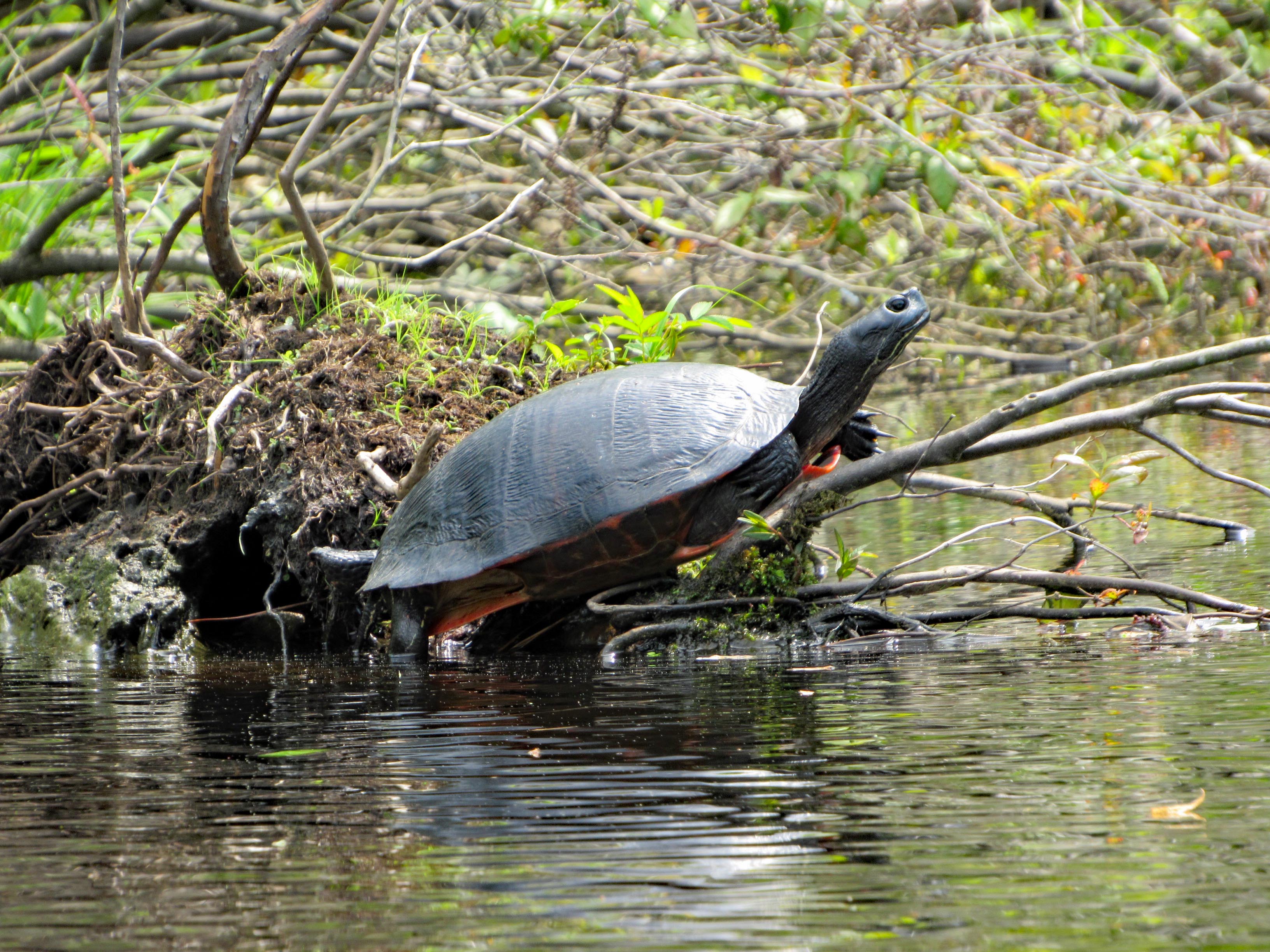
We did see a few turtles and one water snake.
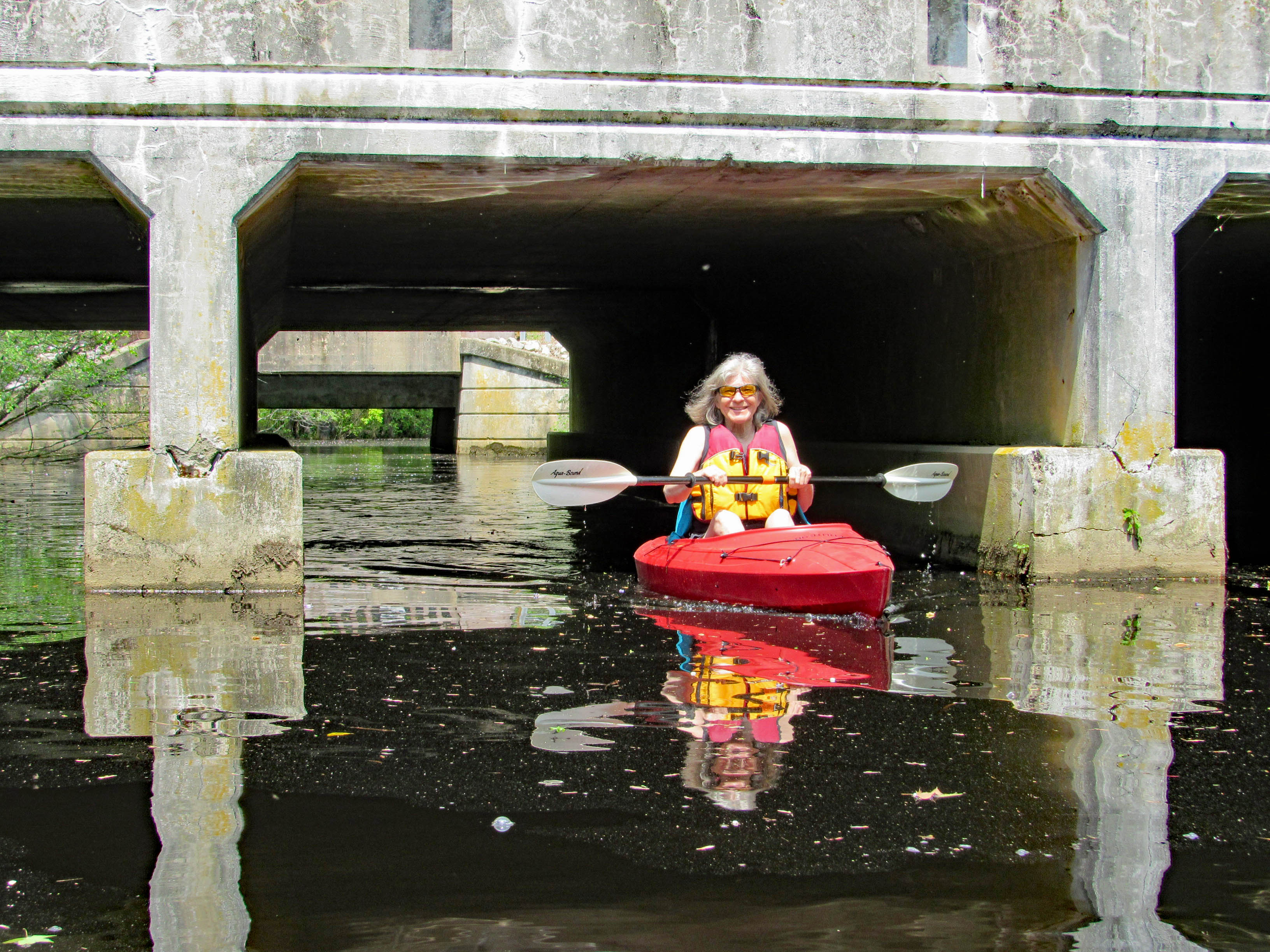
Up ahead, Route 113. Water looks a little high but we came this far –
Kathy wanted me to go through first. She don’t like spiders and snakes.
Kathy took a photo of me contemplating which arch to go thru-
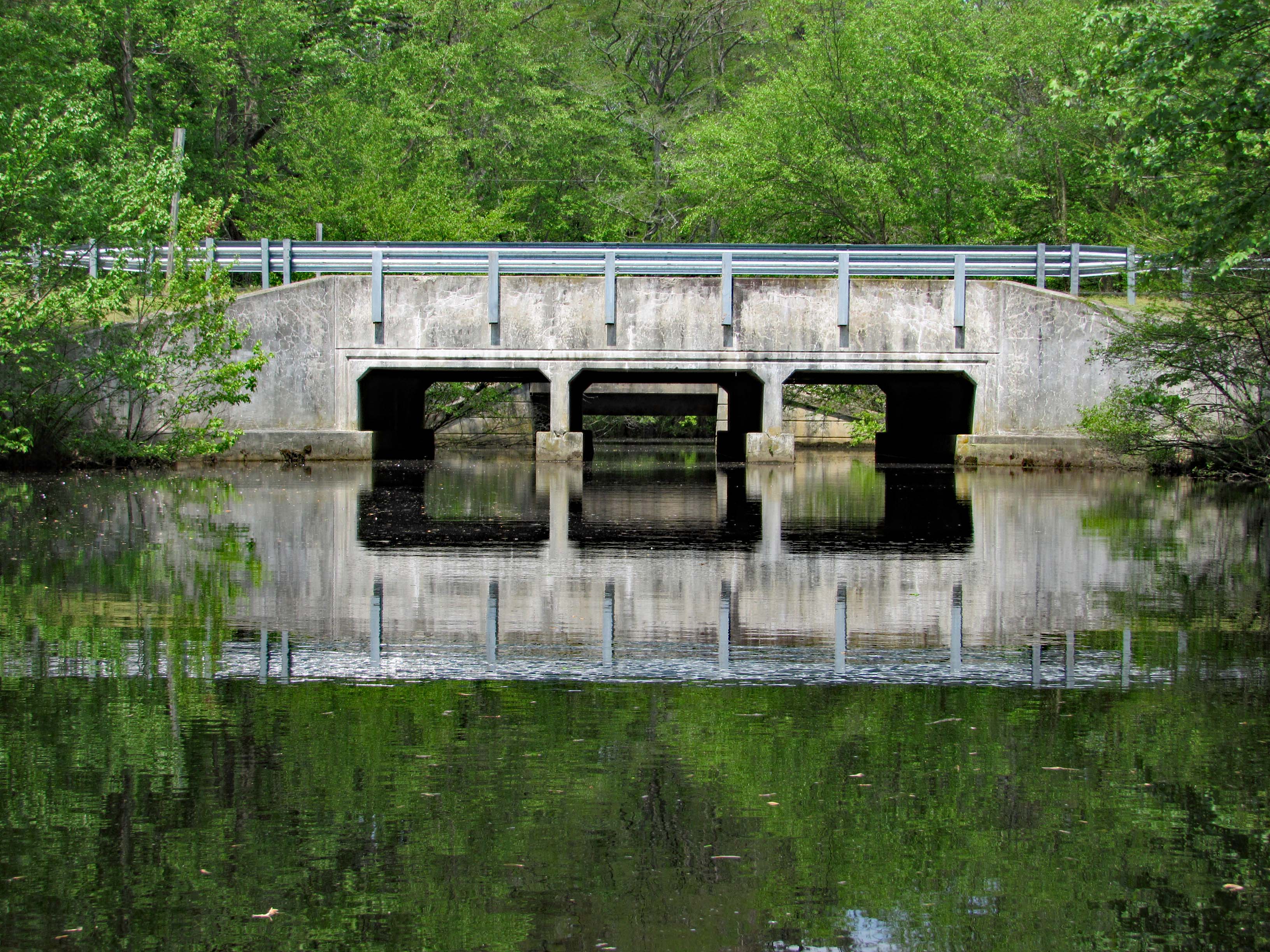
Kathy then made it through safe and sound.
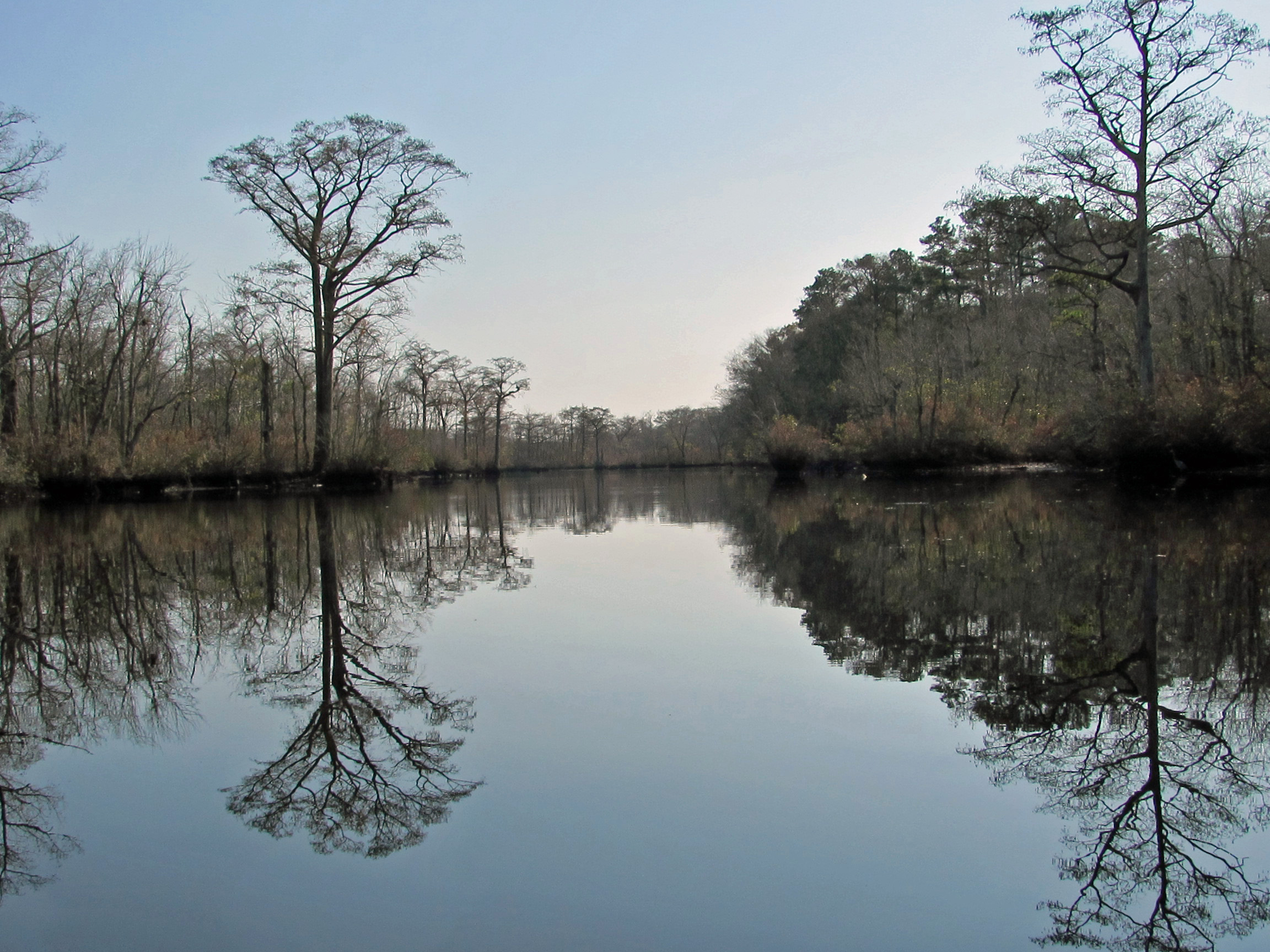
Looking back from the other side of Rte. 113.
Time to paddle back. Marina up ahead.
Leaving the park we headed south on 113 to see the river from up above.
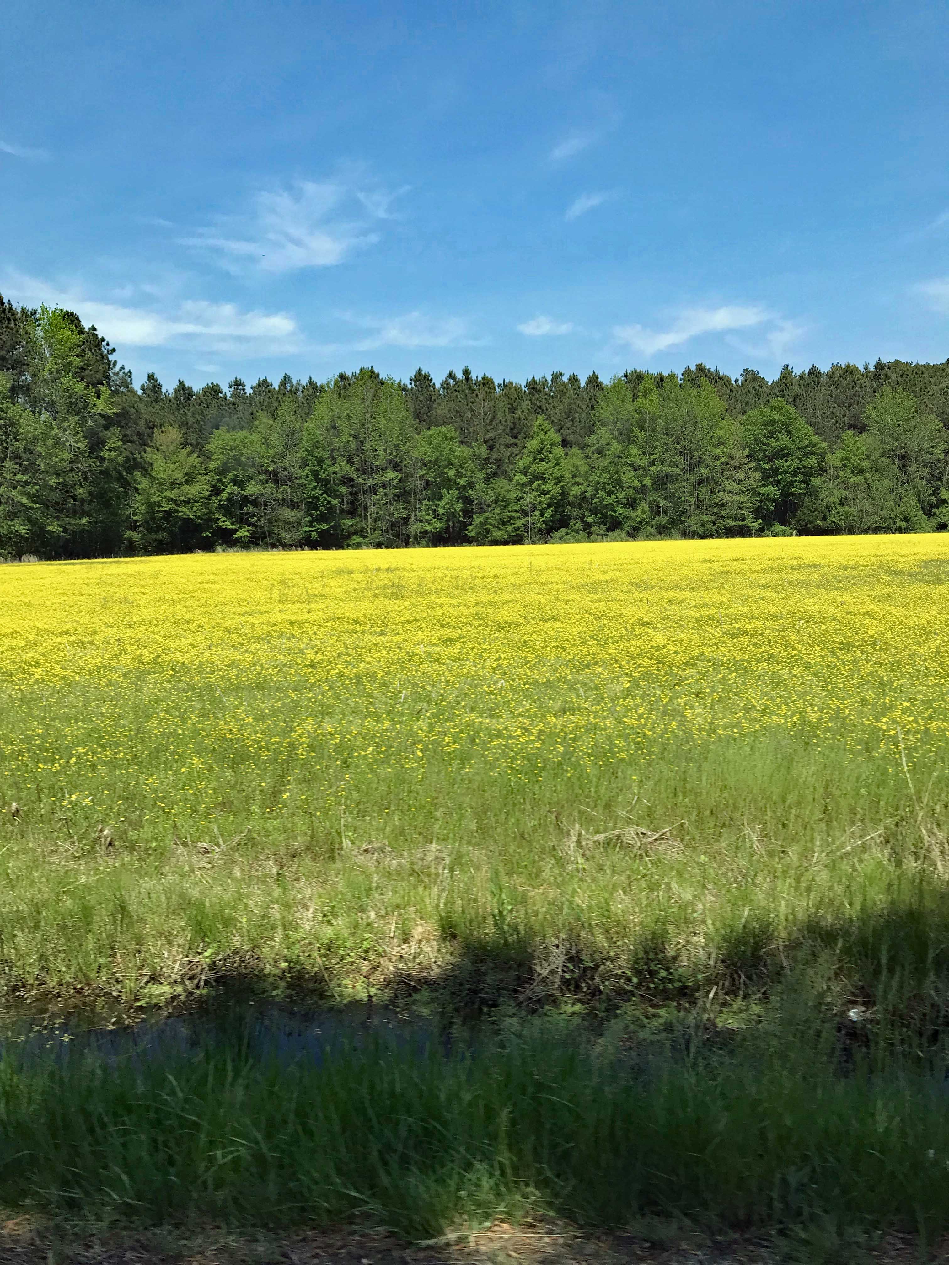
Nice, as were all the fields of flowers on the drive home.
So glad we put a bunch of house stuff to the side for a while, to enjoy this wonderful adventure together. It was a very much needed escape.
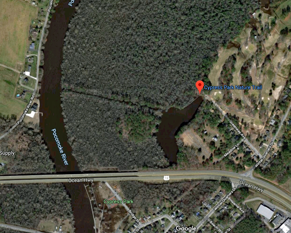
While watching the local news for Delmarva, a segment came on asking for volunteers to help with a small park near Pocomoke City, adjacent to the Pocomoke River. We decided to head down and check it out. It was a short 30+ minute drive to get there. Here is the map. The park is right off of Rte. 13.
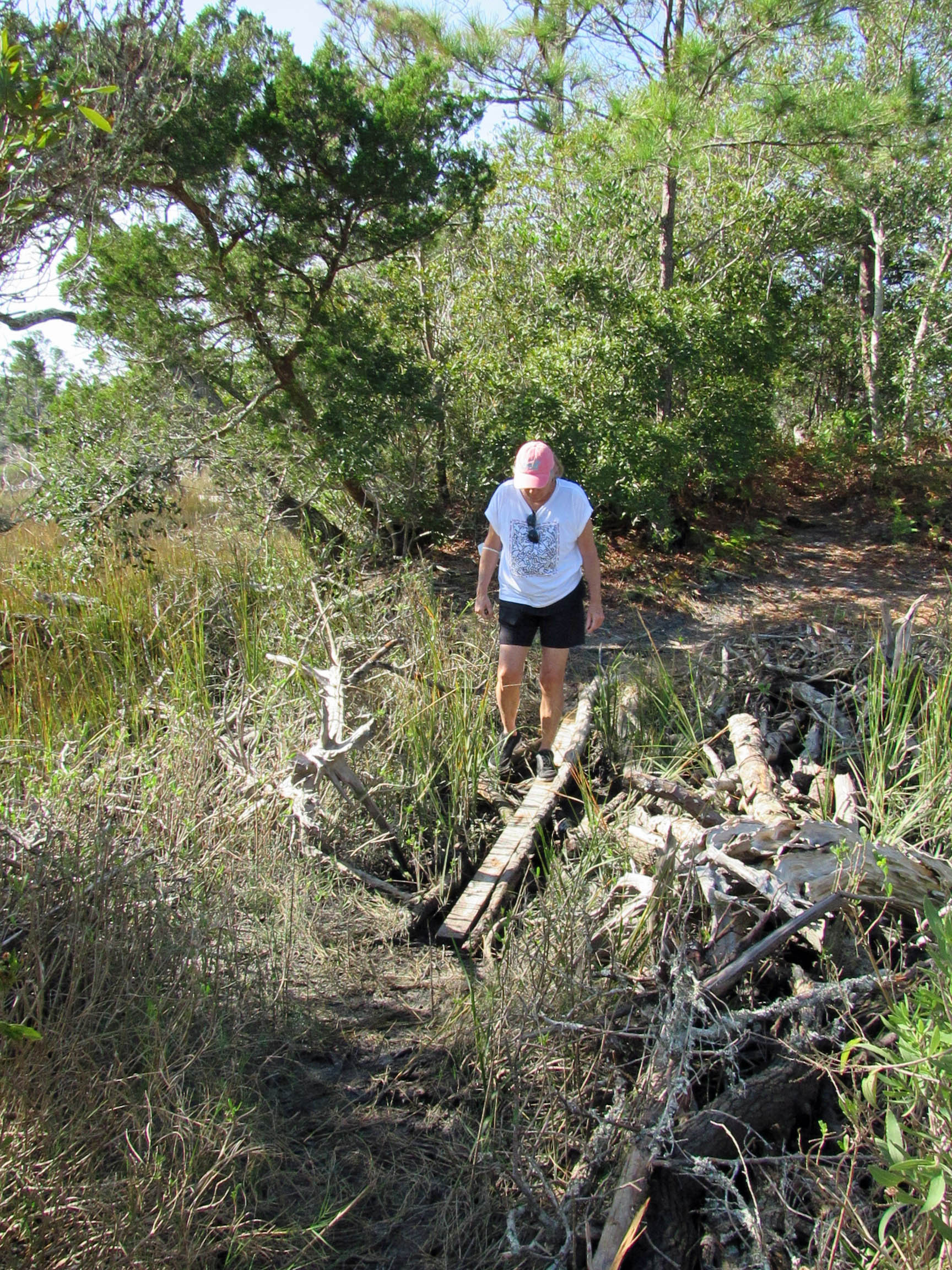
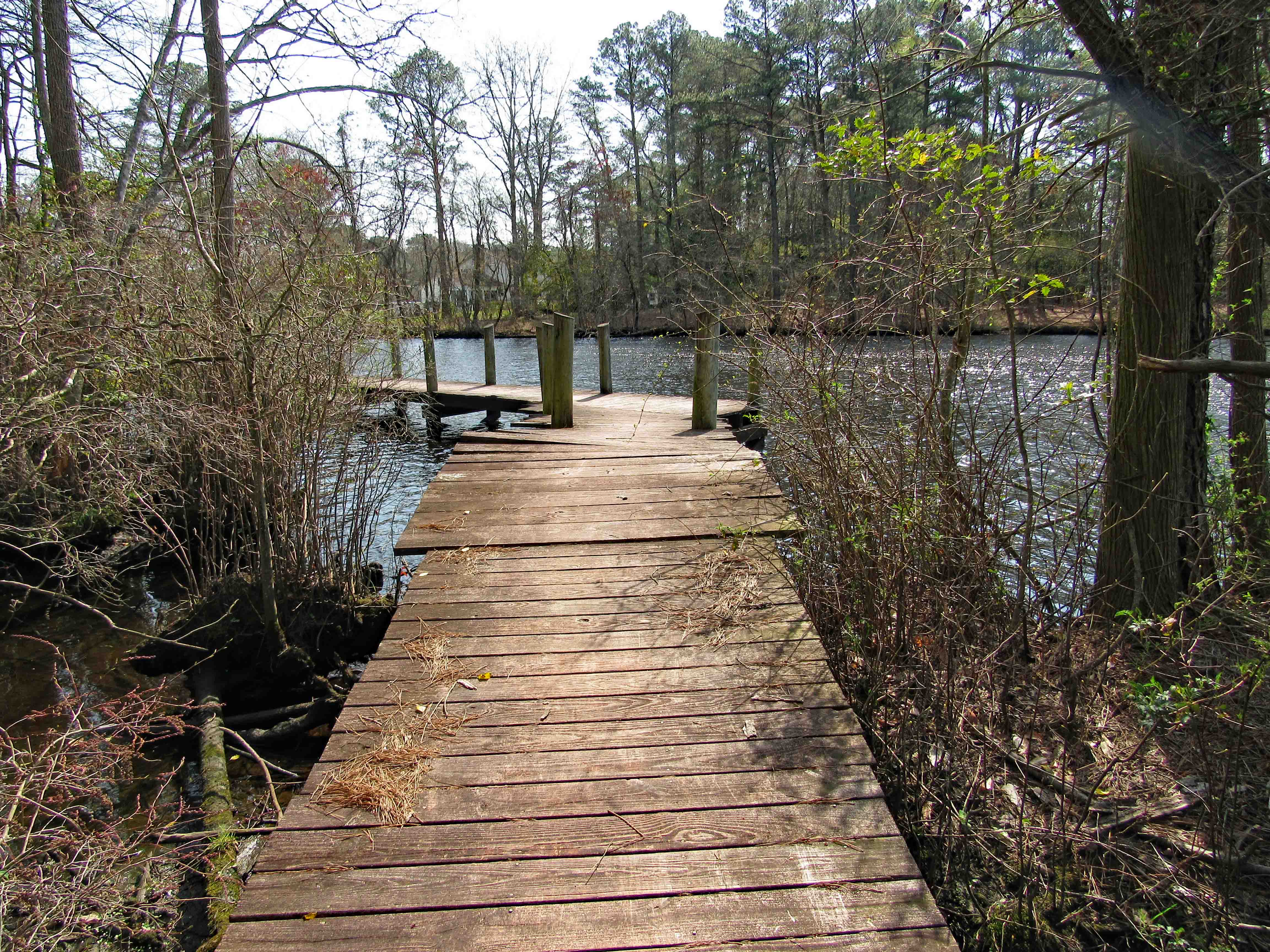
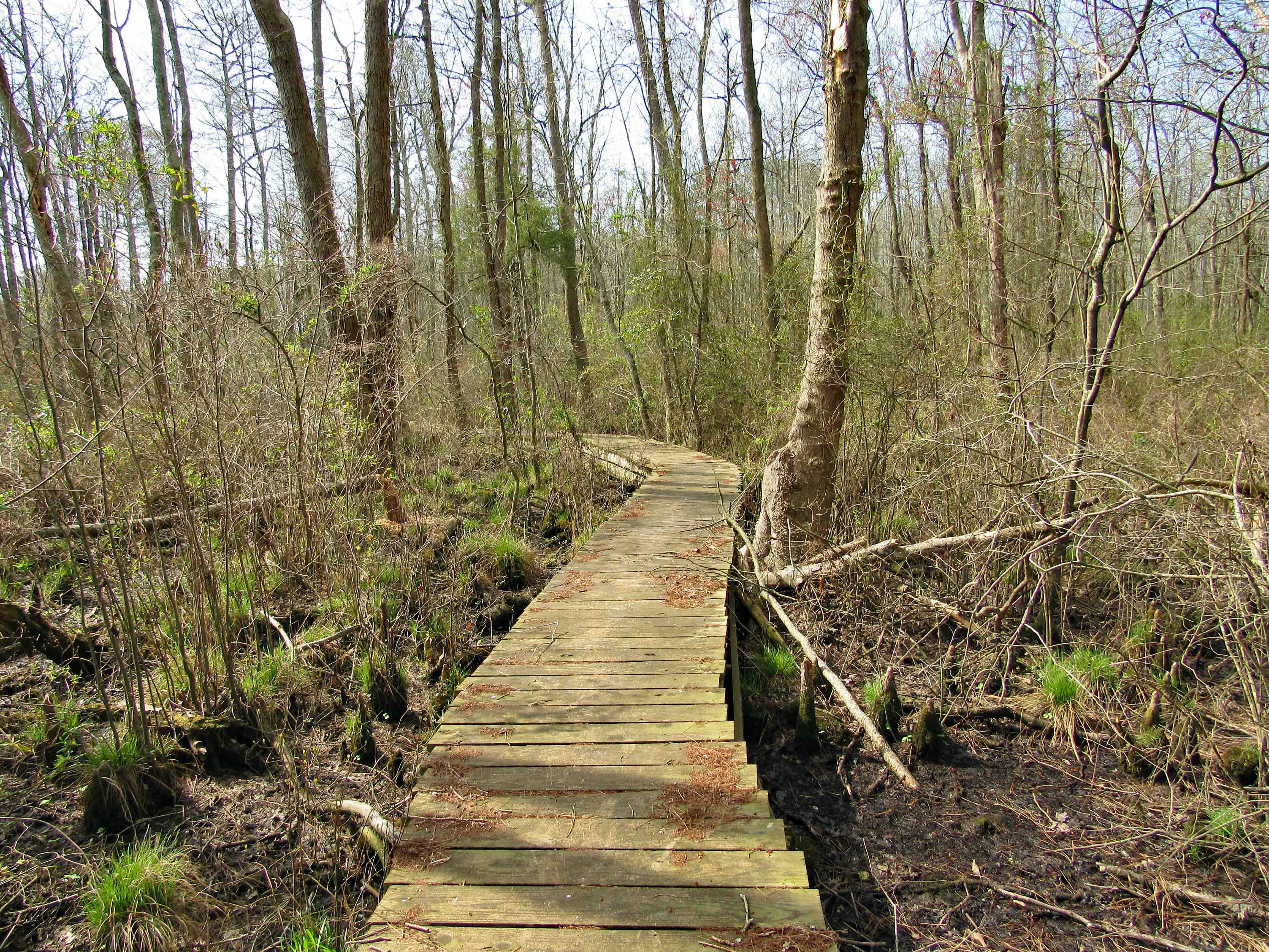
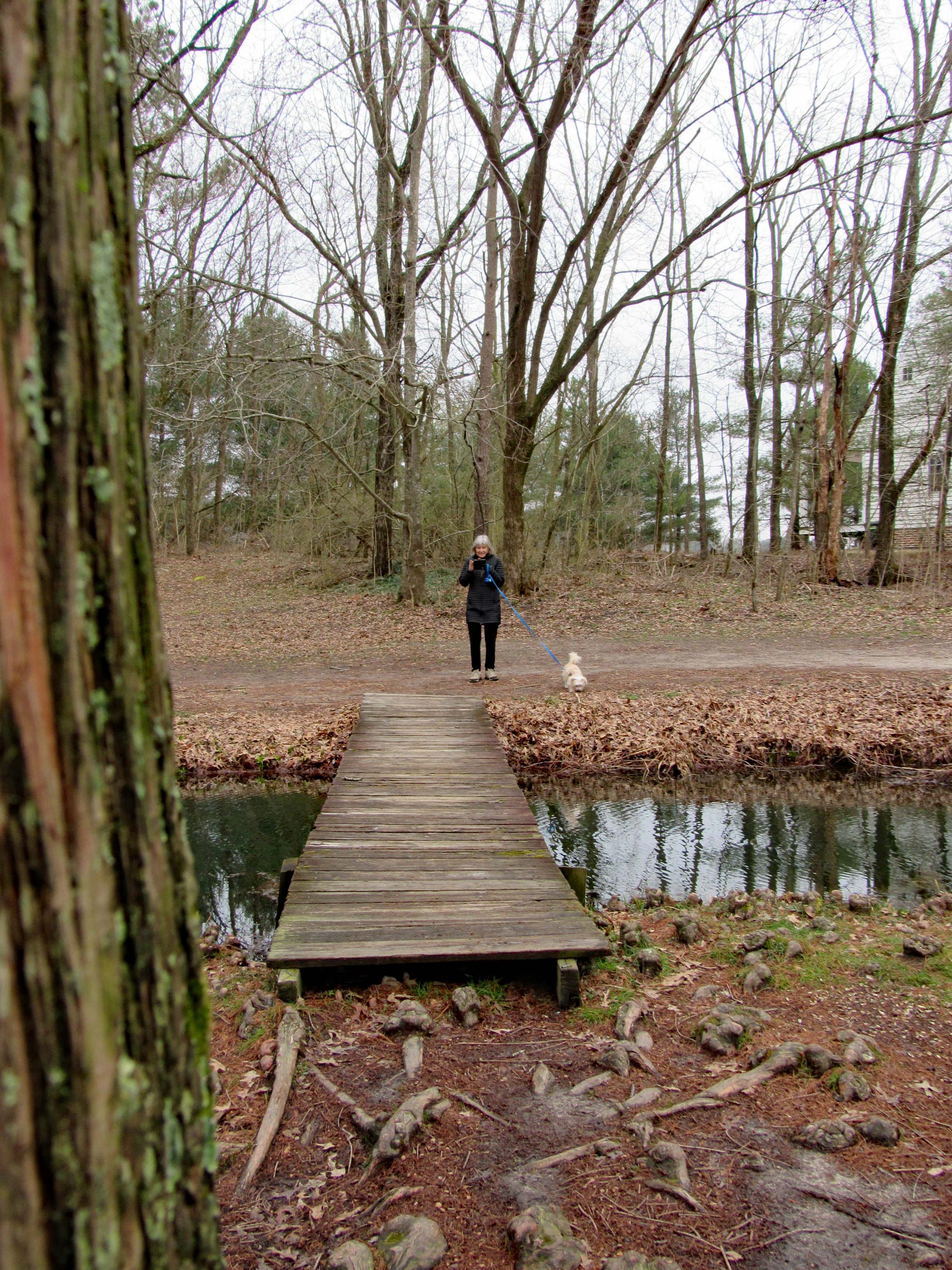
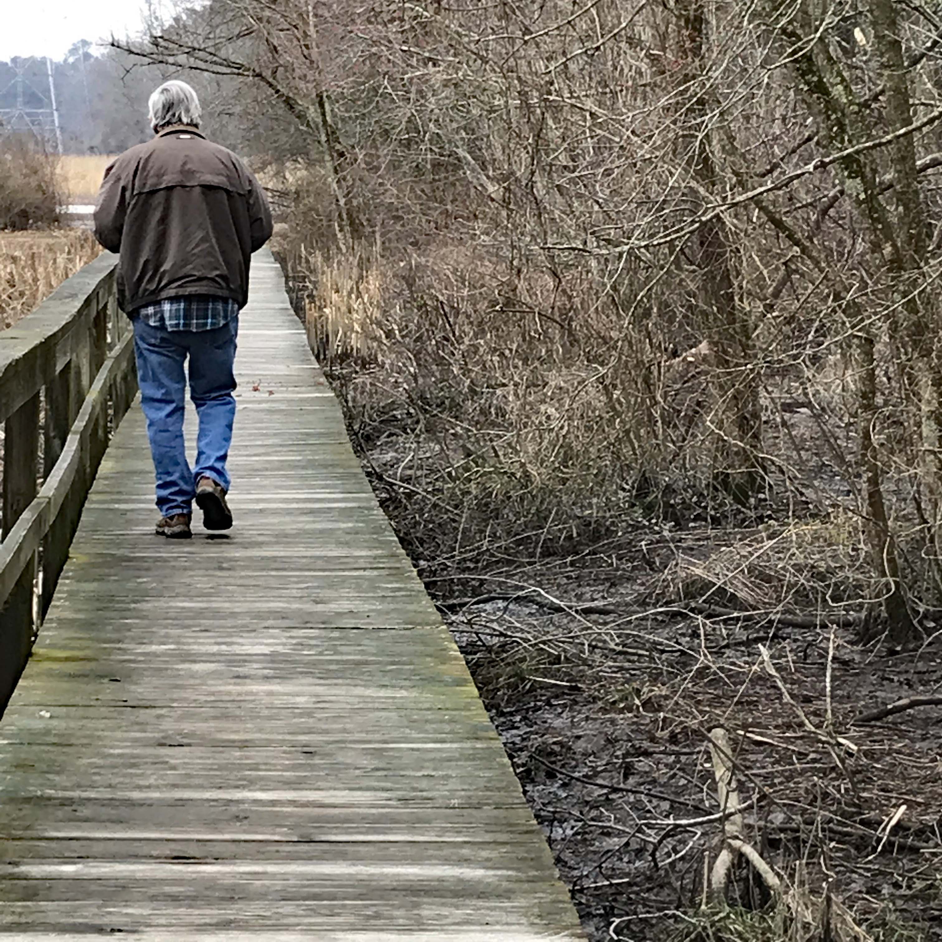
There was no one there except for Kathy, Molly and myself. And as will be seen in later photographs, the park/trail is in need of some TLC from volunteers! The path is made up of woods and boardwalks.
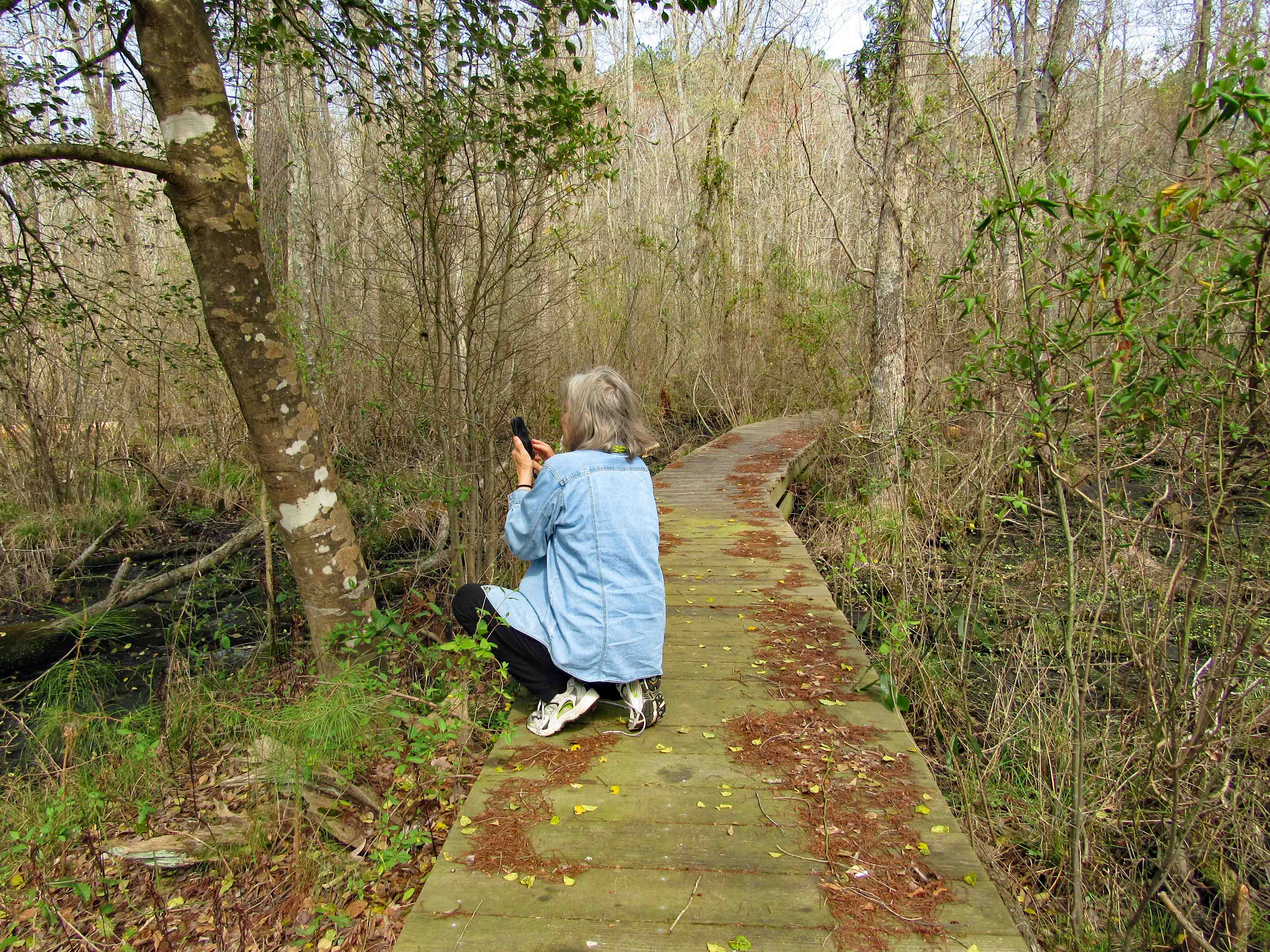
Kathy and Molly checking out the boards. The overall length of the hike is about 1/2 mile. Nice day for a walk, but beware – Ticks are out in full force!
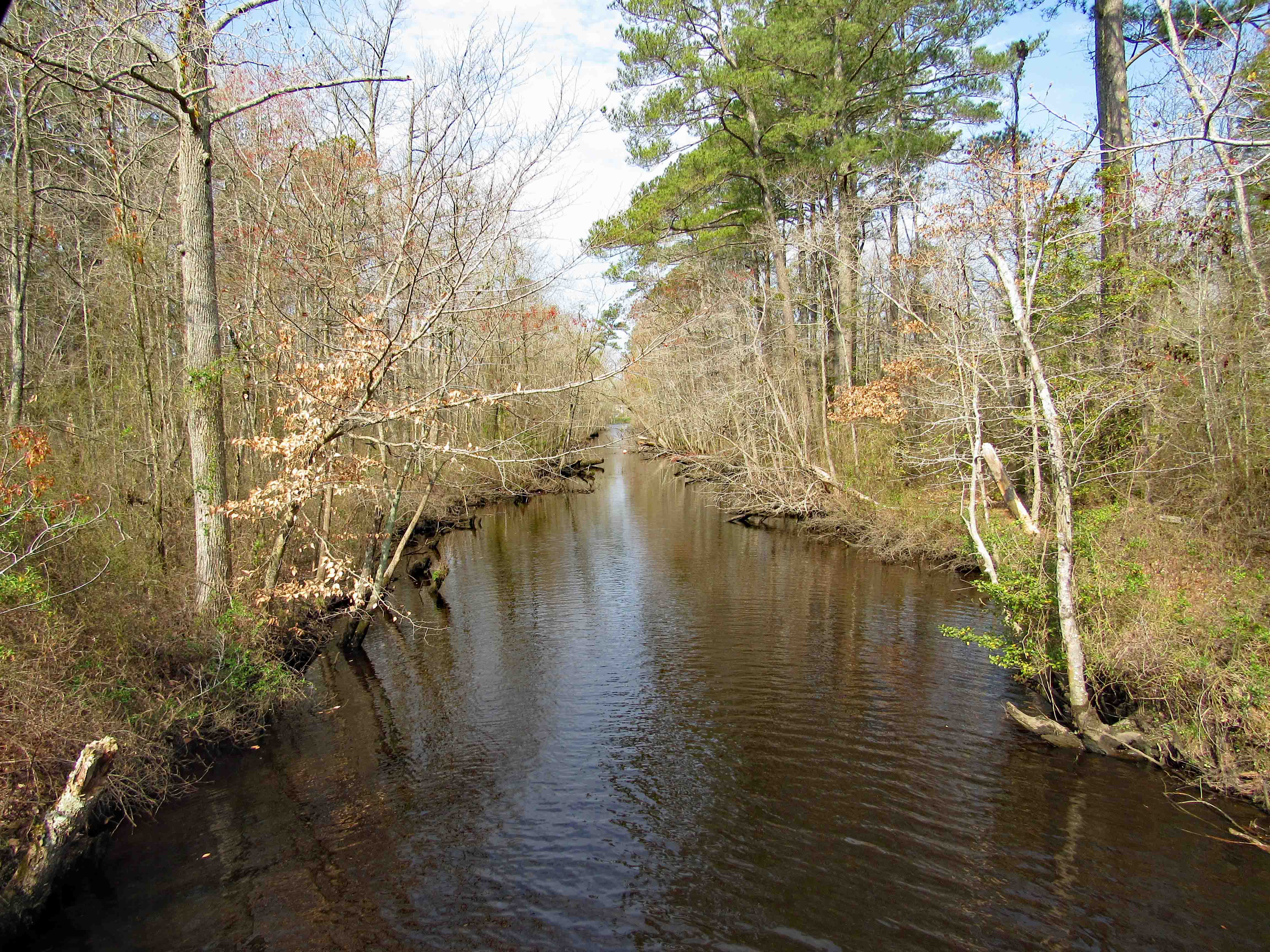
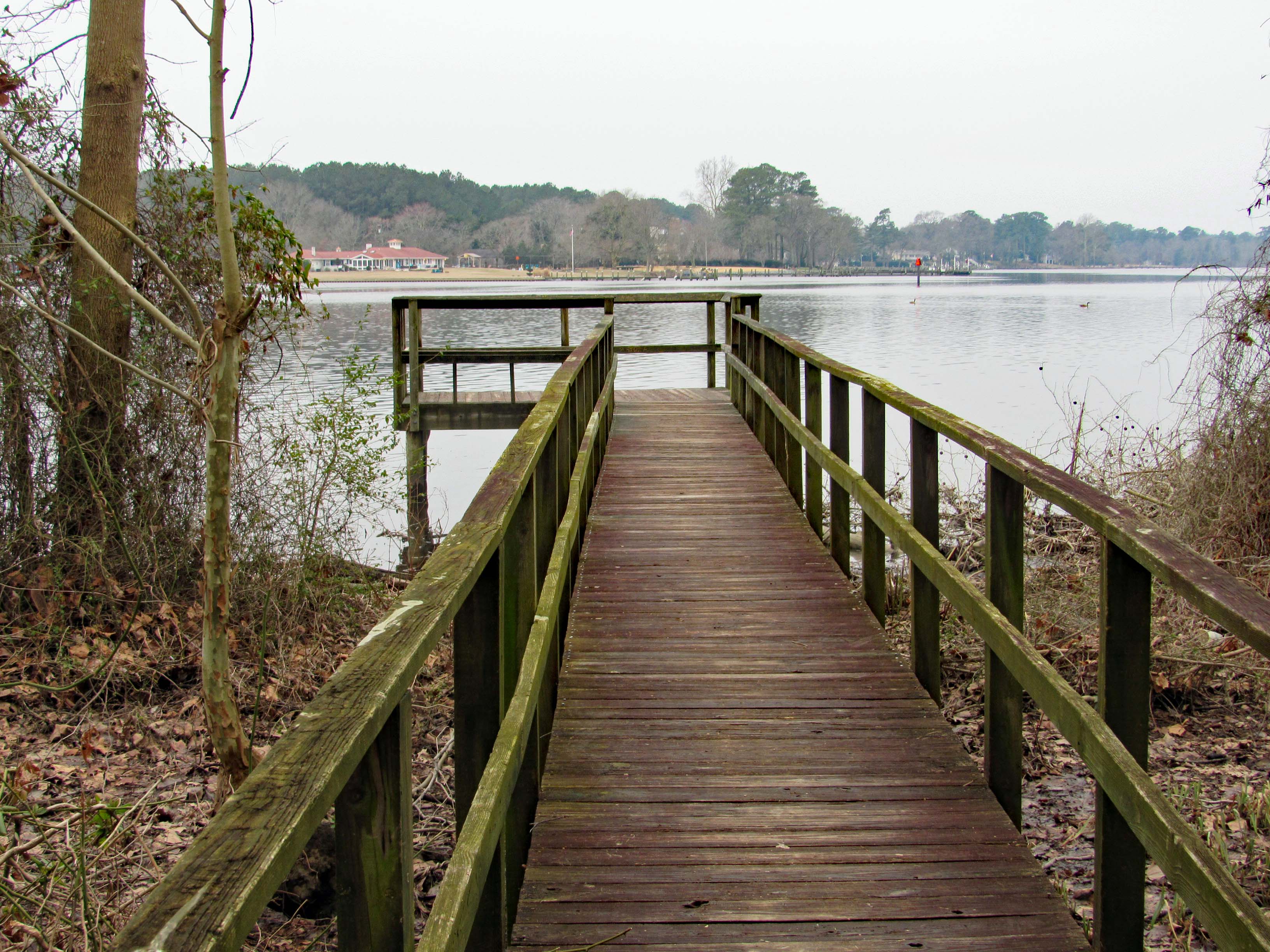
After a walk along the water, the trail heads into the woods. This is looking back towards the pond.
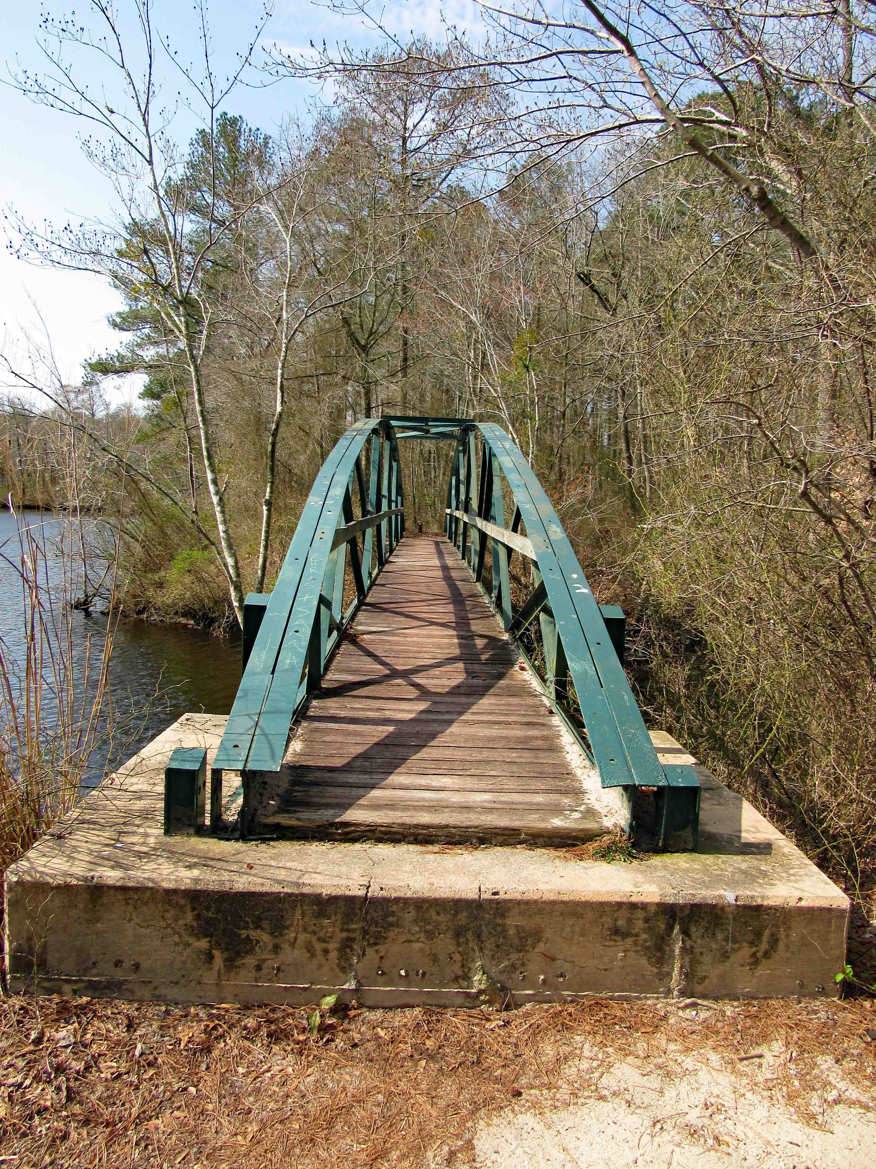
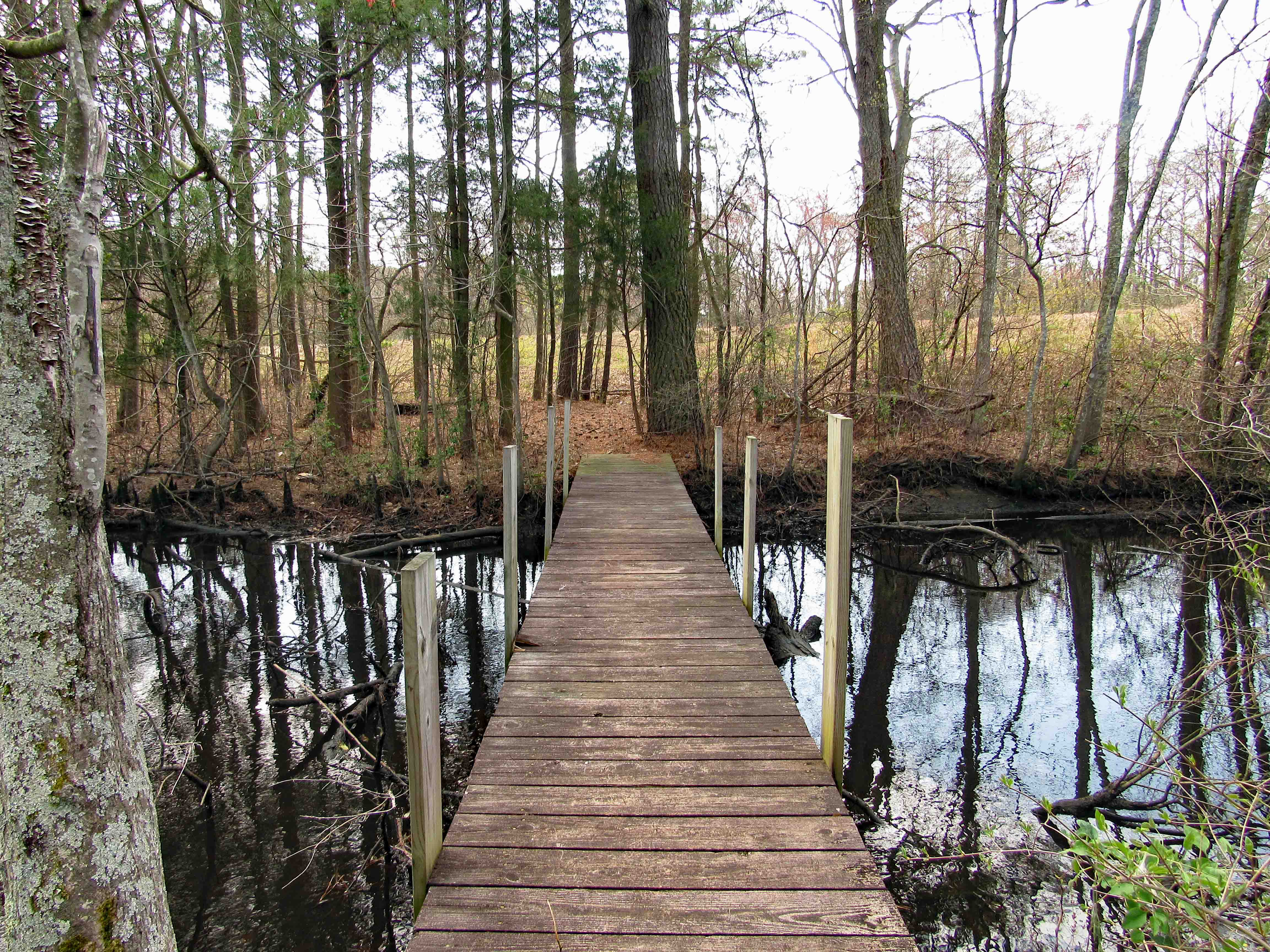
Then lo and behold what do we see?
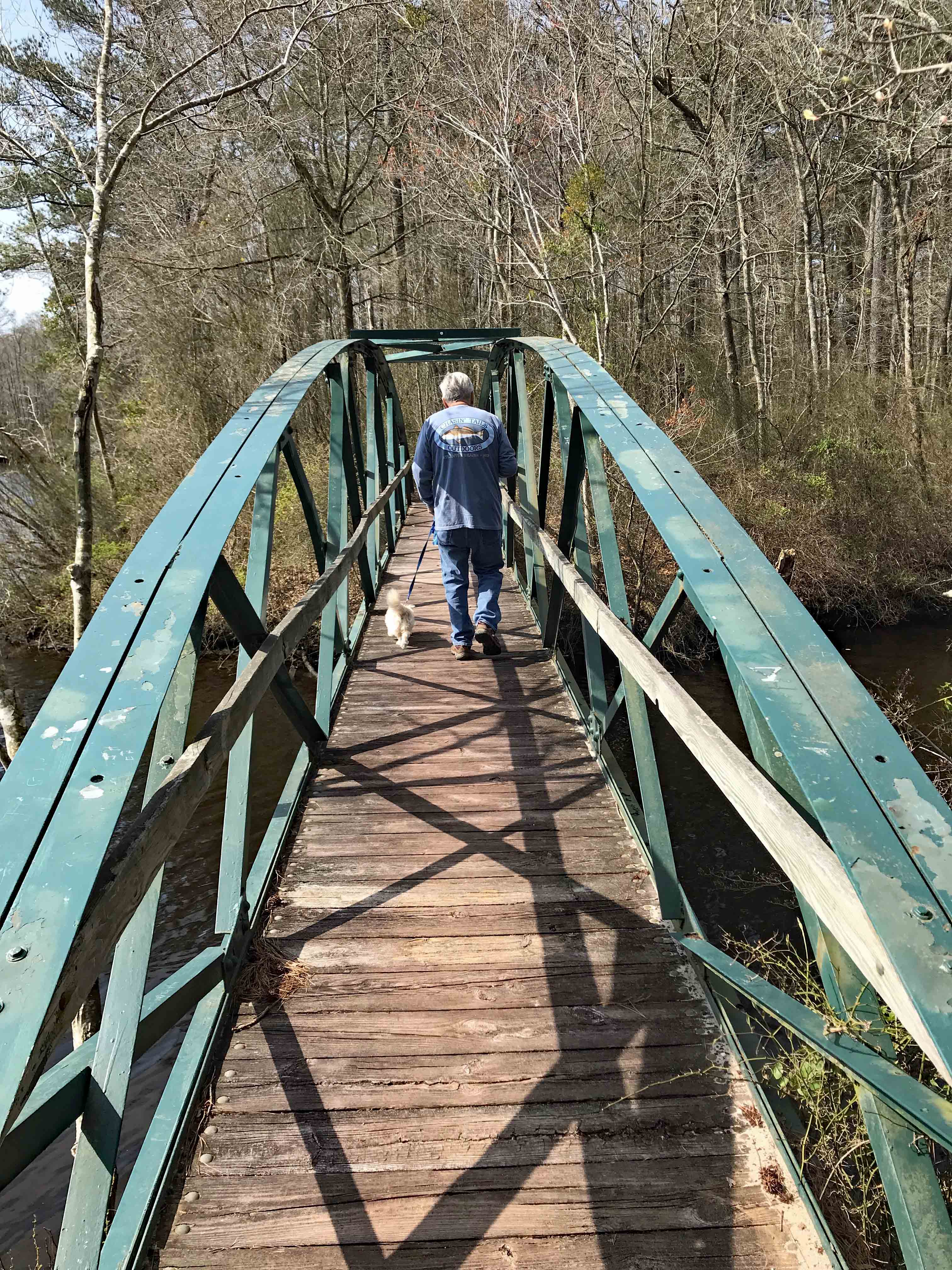
A bridge. A foot bridge.
And there we go.
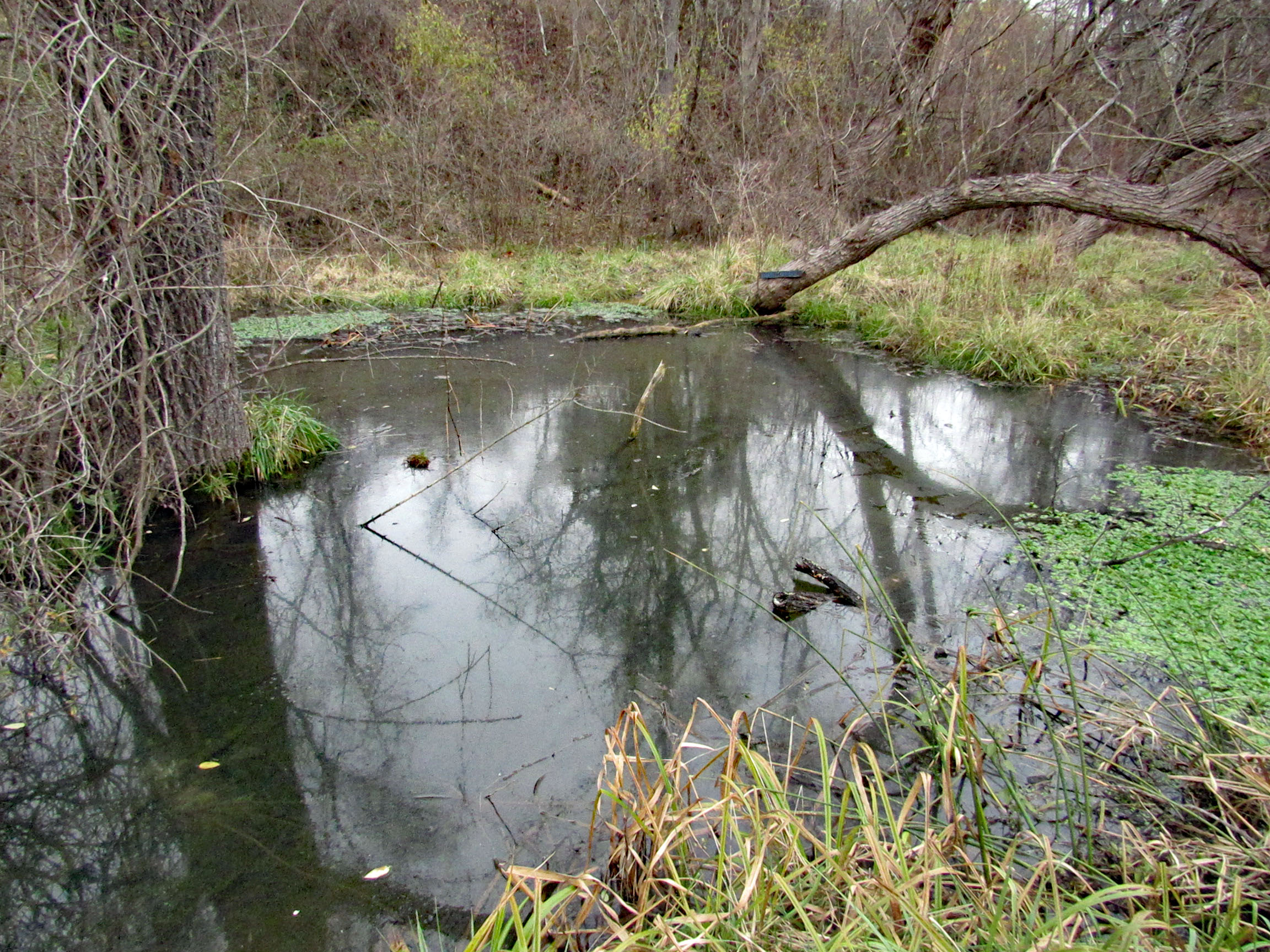
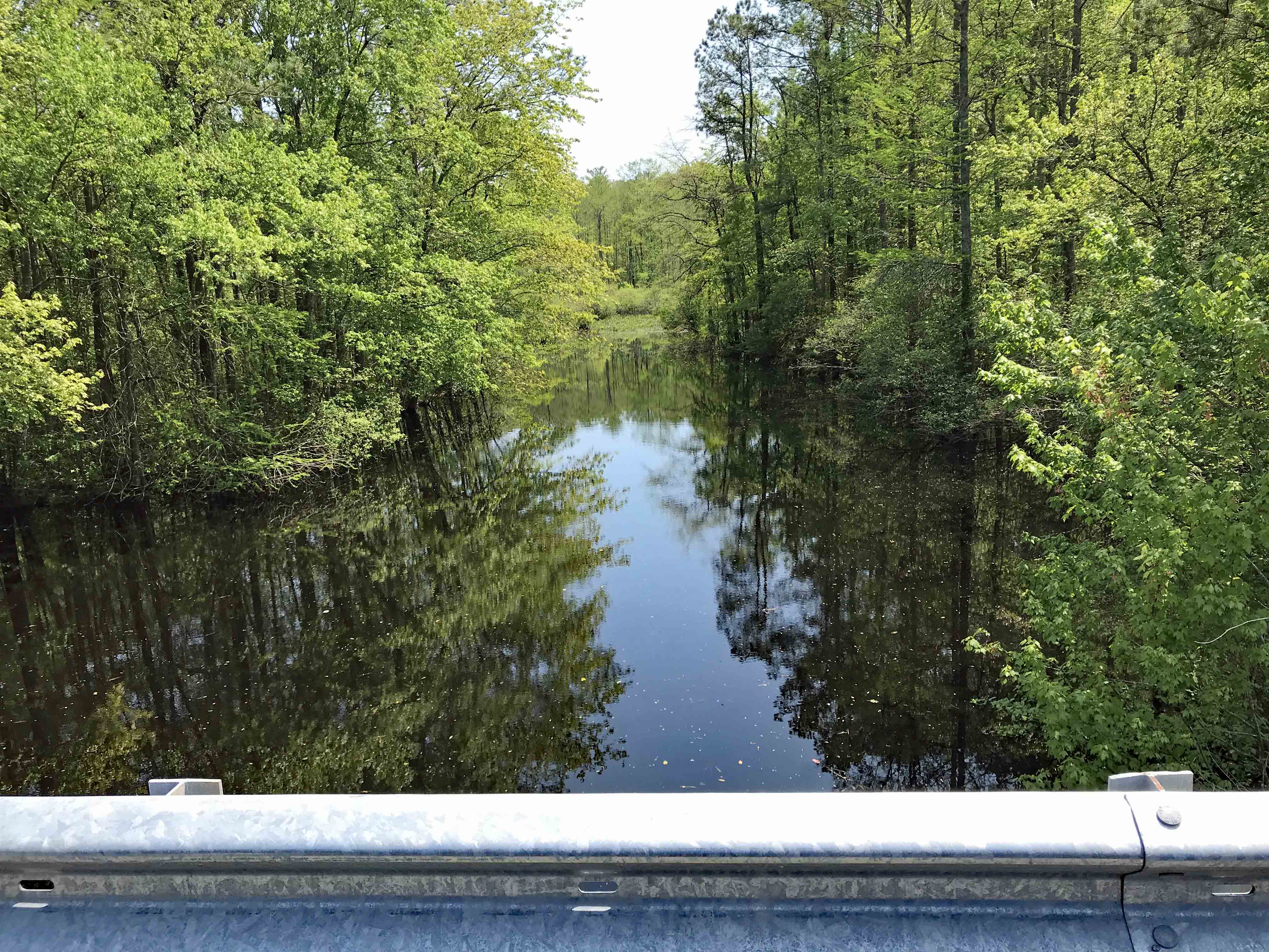
The feed to the pond is from the Pocomoke River. Up river a ways, at Snow Hill, Kathy and I kayaked. Deep dark waters.
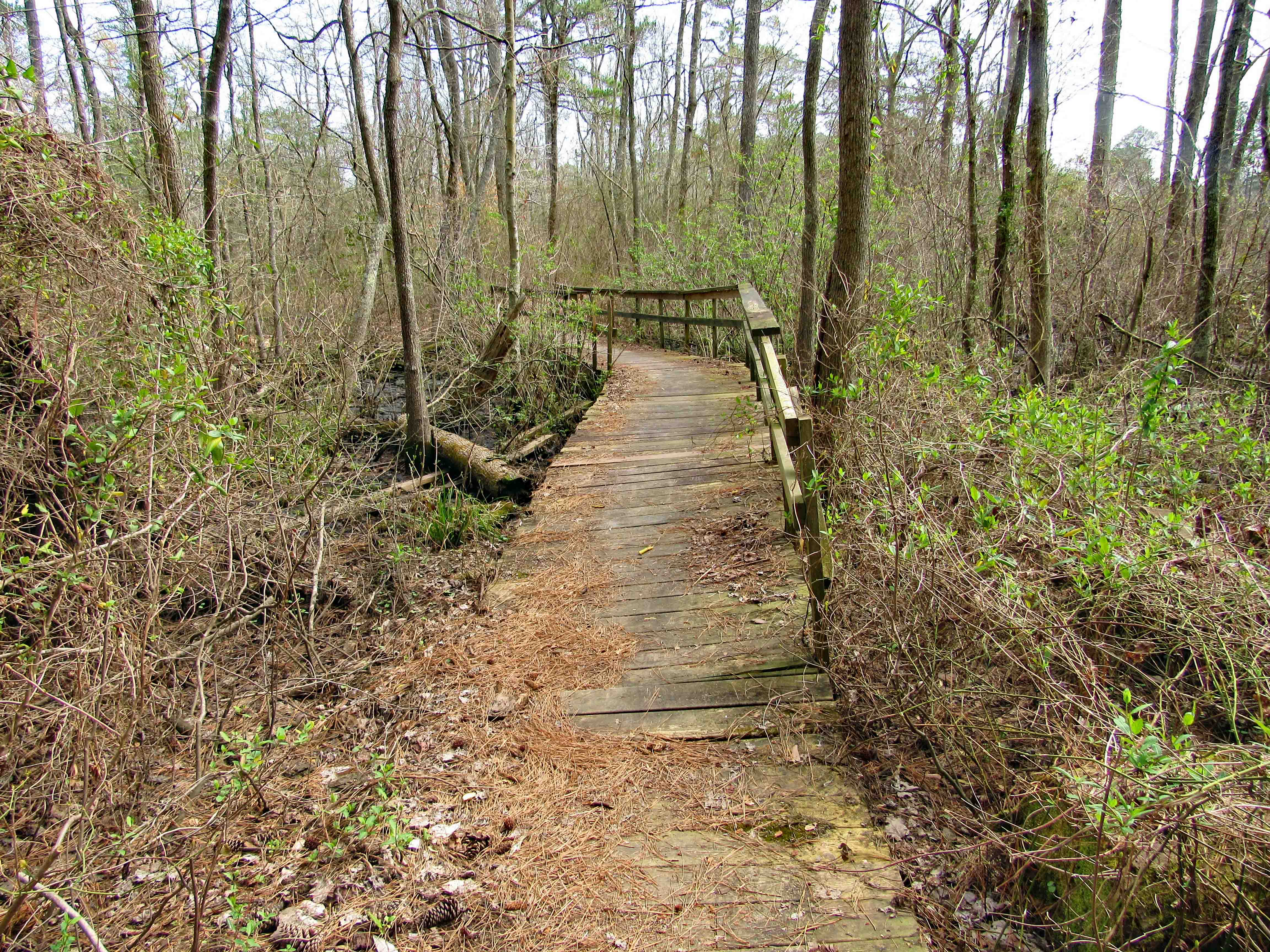
This next section of the trail could really use some help.
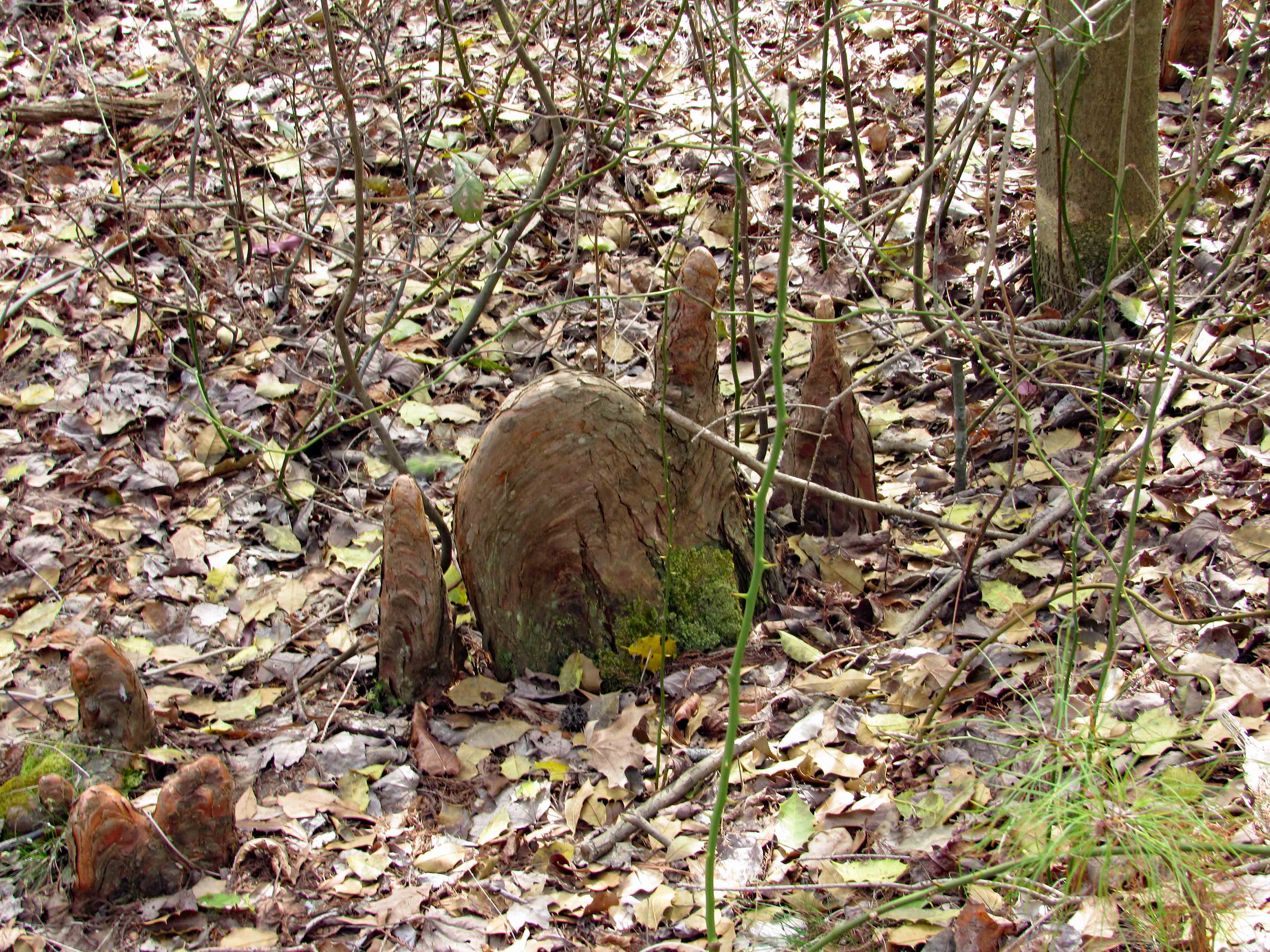
The cypress off-spring (Cypress knee) are covered with all sorts of growth.
And take many shapes.
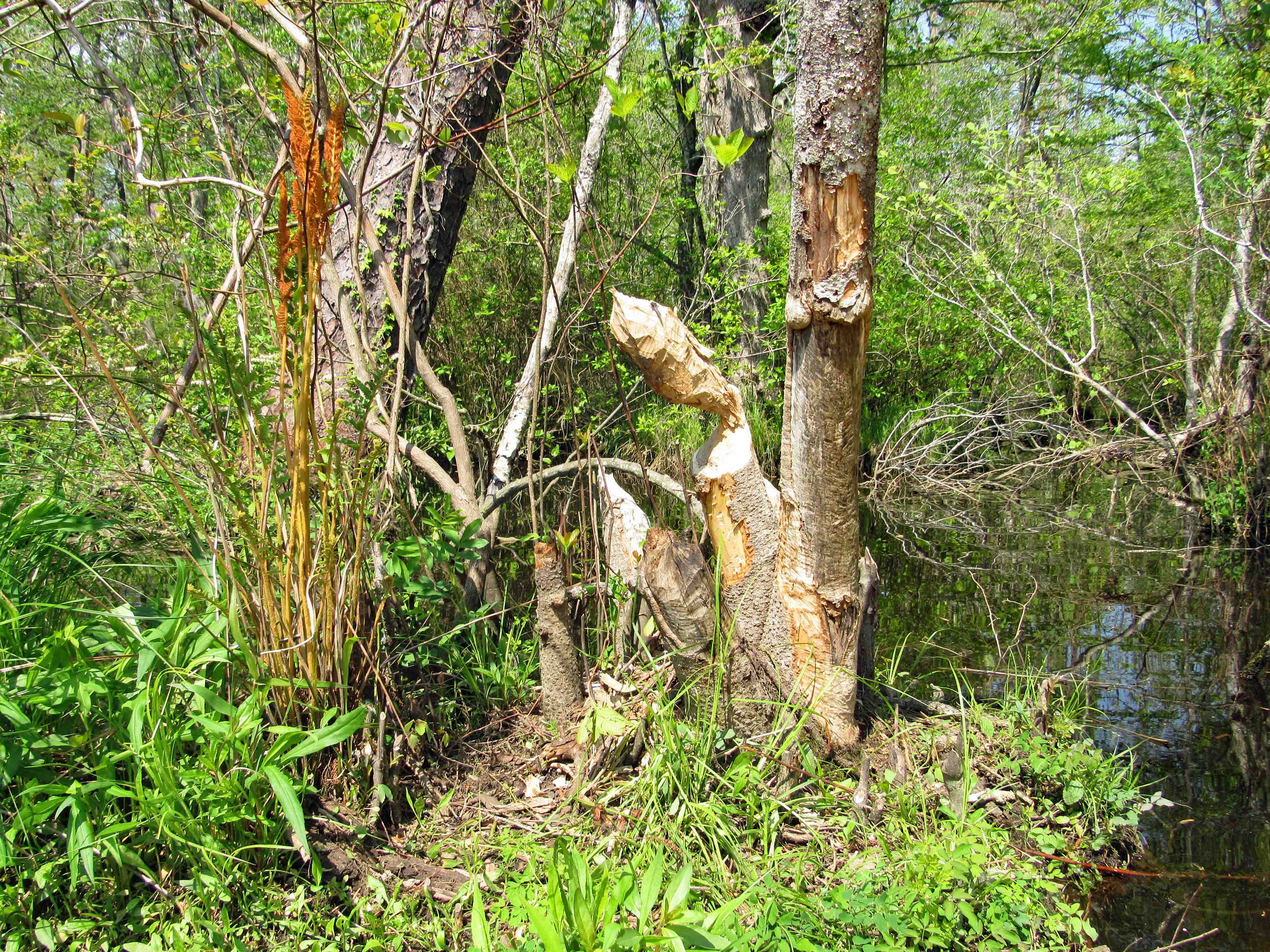
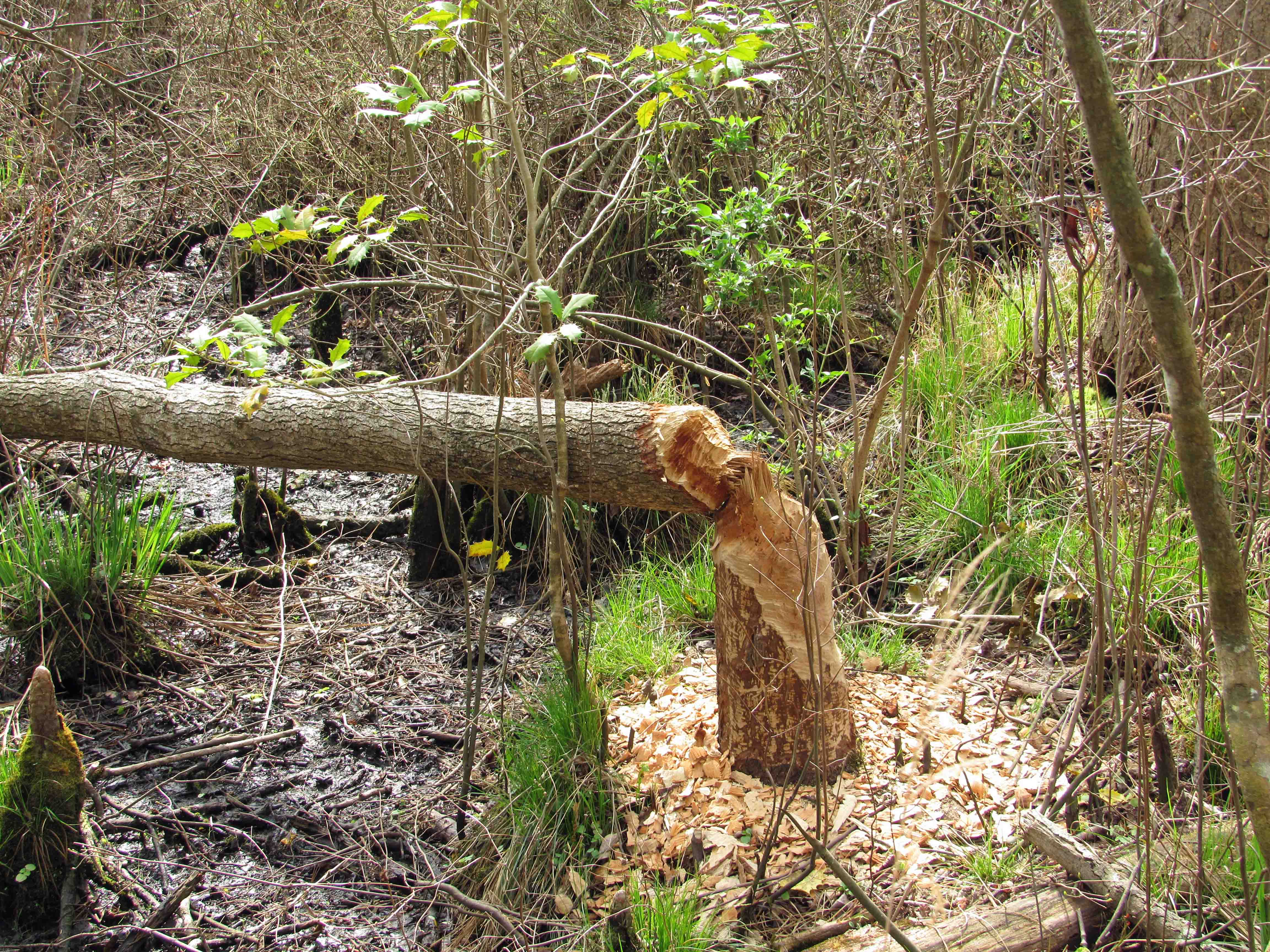
Freshly gnawed beaver tree, toppled over.
Kathy getting a close-up view…
…of beautiful tree markings. Do you think it is a dogwood? No. How can you tell? By its bark! woof-woof. Molly thought it was funny.
Across another little stream to the opposite side of the pond. This puts you right next to Rte. 13, headed towards a cemetery.
Stay to the left to remain on the trail.
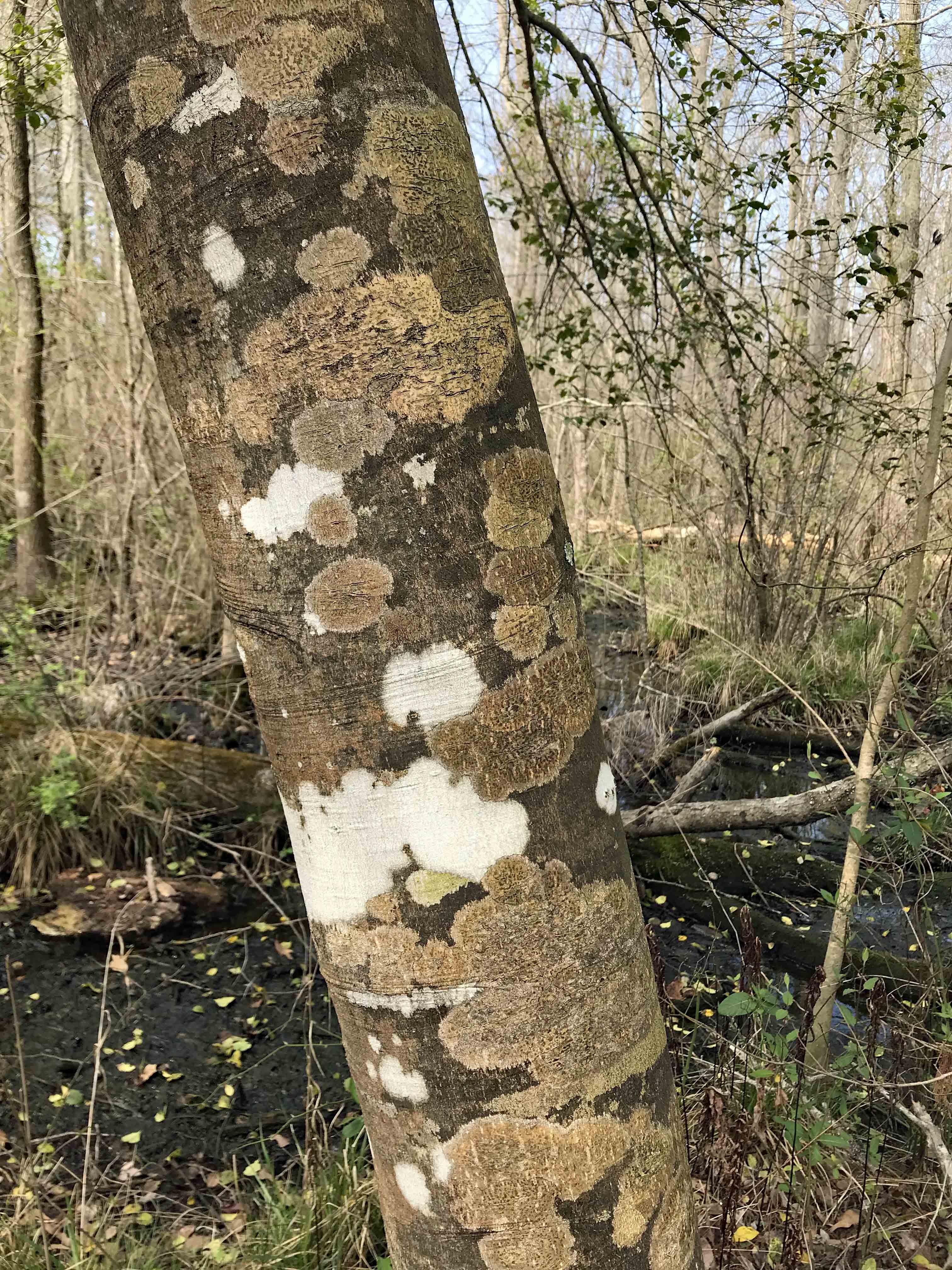
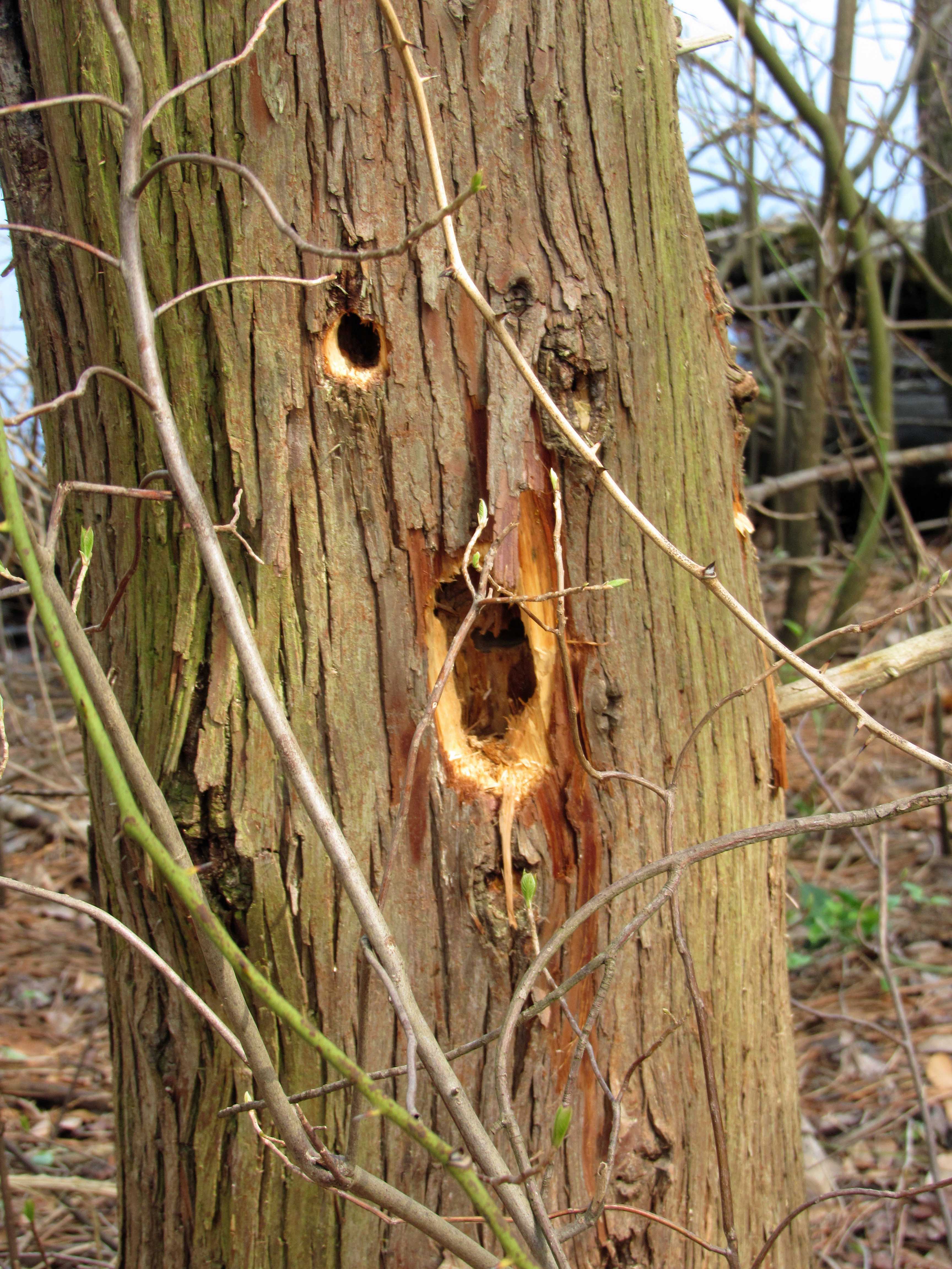
Bird holes or a screaming tree? It is your imagination to do with as you please.
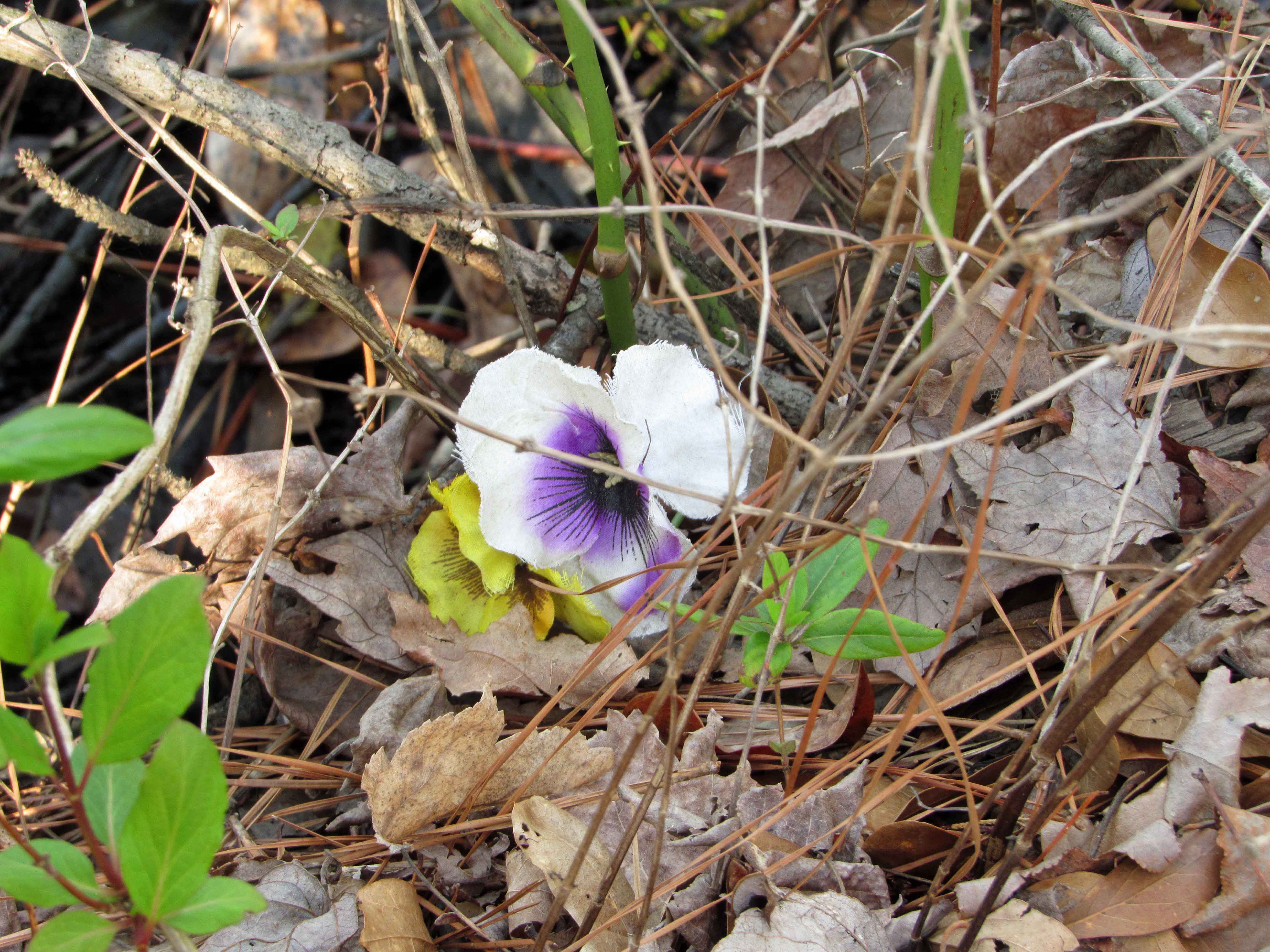
Kind of early for this to be blooming out here in the woods don’t you think? It’s an artificial flower, probably blown over here from the cemetery. Oh! duh!
Well, this one is real!
Heading back to the parking lot.
Looking over at the foot bridge, two of four geese on the pond. Not much wildlife around.The silence was actually nice.
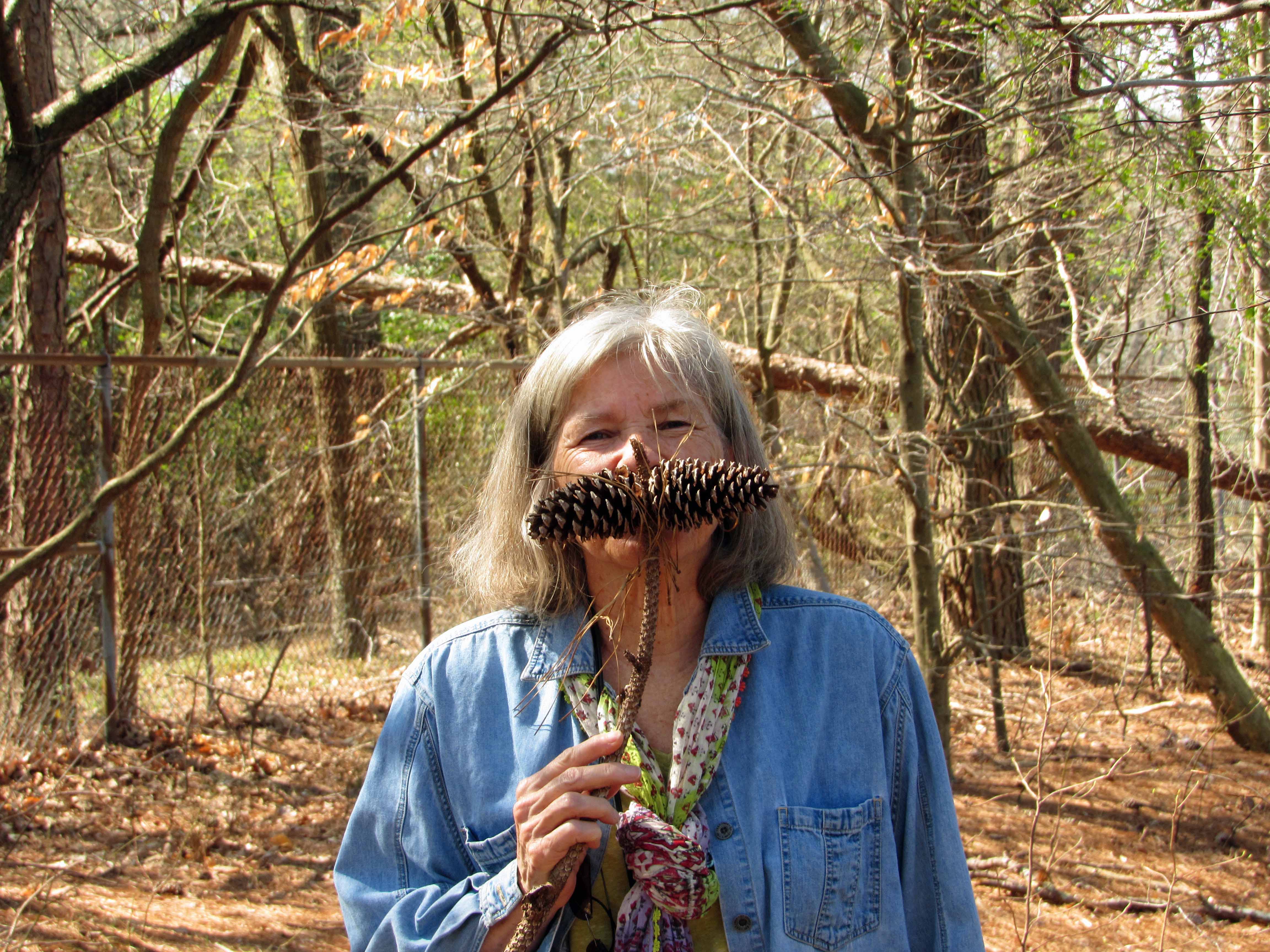
i won’t even go there, about mustache rides!
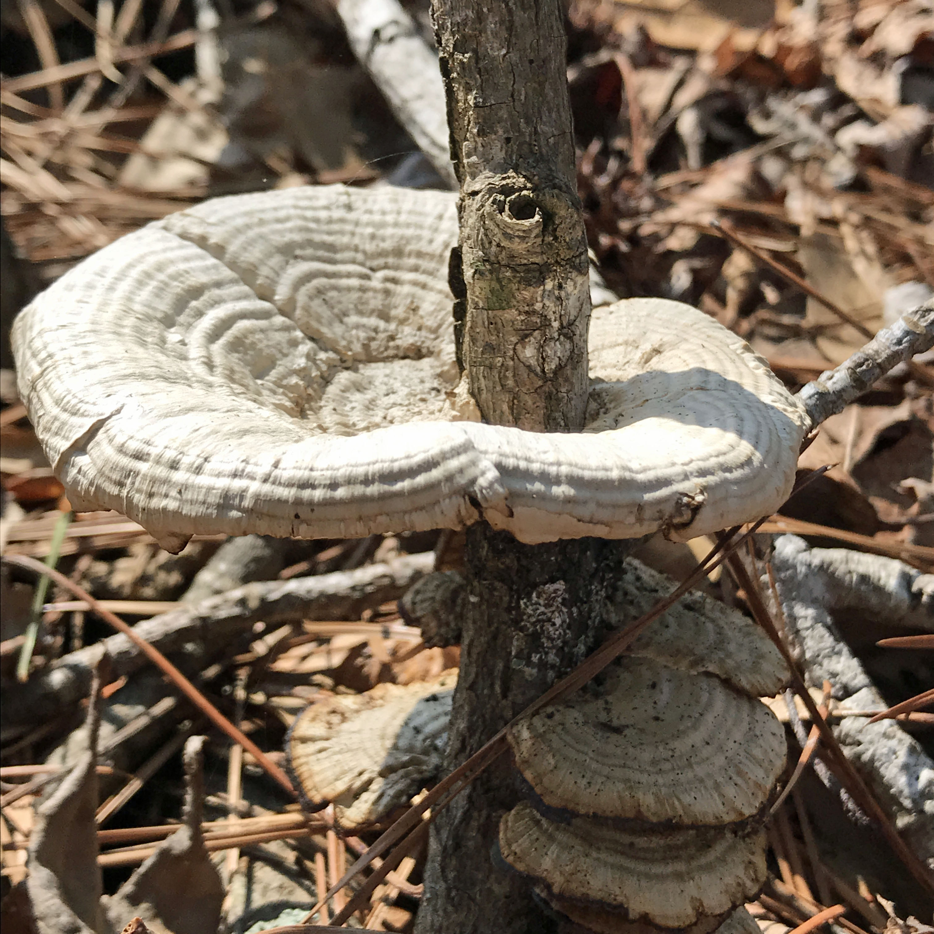
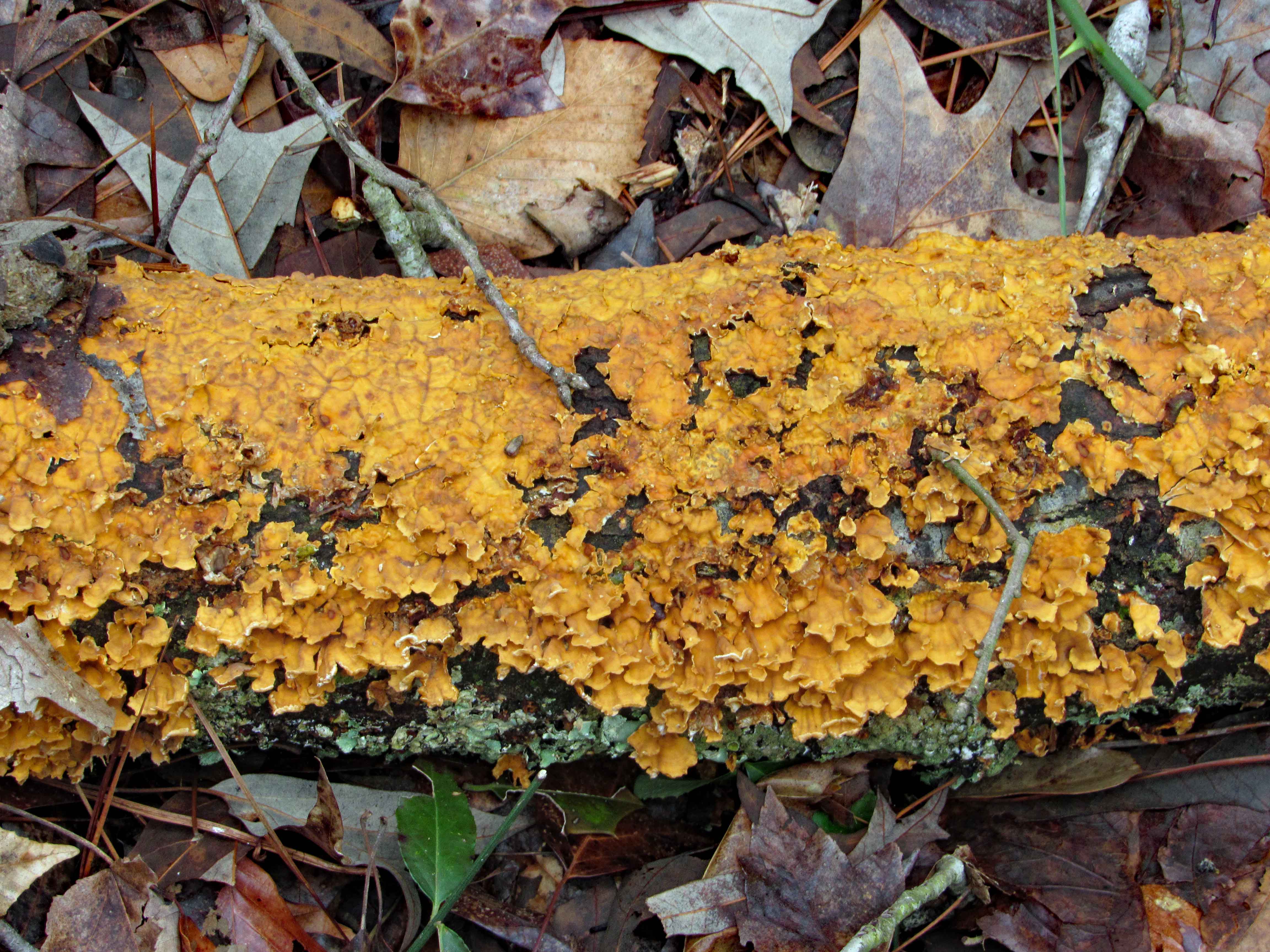
Mushroom condo.
Not a long hike so from here we headed to Ocean City for some Thrasher Fries.
Retirement has been hard work and it seems like forever since we have been able to find the time to enjoy a really nice hike. It was really cold and windy when we hiked Chincoteague a couple of weeks ago. Today did not seem like a good day to hike with the impending storm on the way, but we said the hell with it. We need to get out!
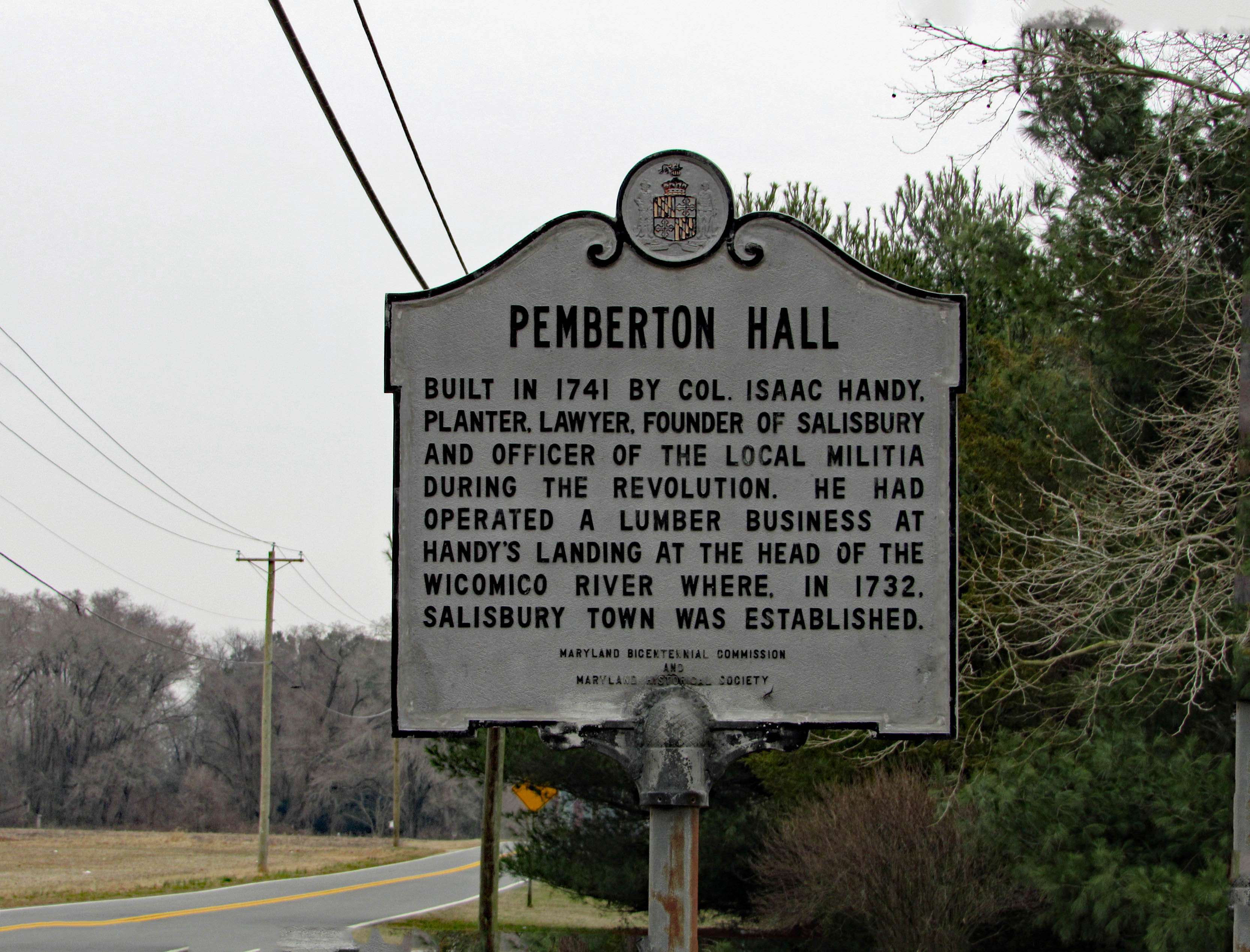
So off we went. We decided on somewhere local in case the weather took a turn for the worse. Pemberton Historical Park is just southwest of Salisbury and just a few minute drive from home. Here is the historical marker as you enter the park.
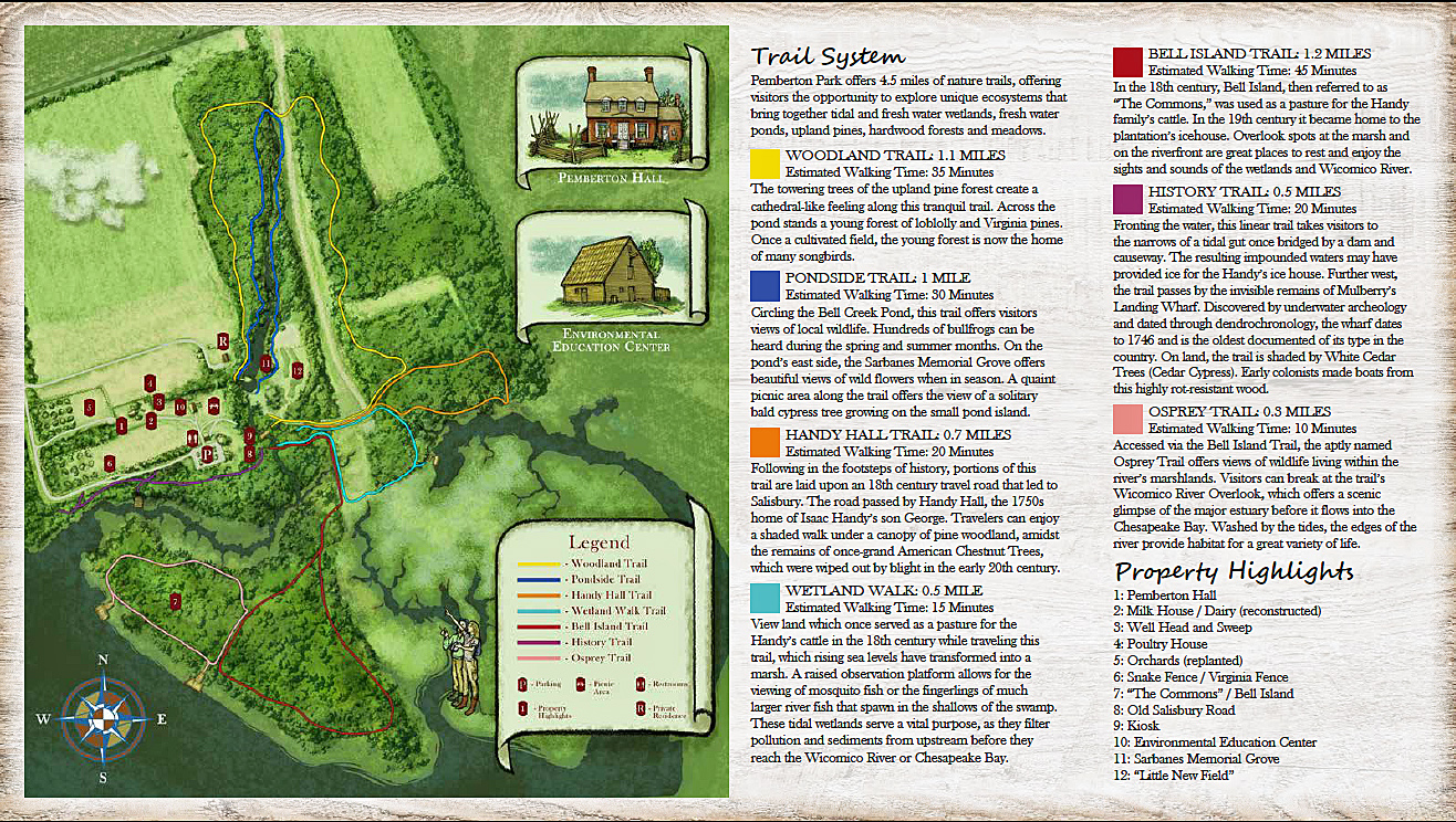
Sme more history can be found on their website. Very interesting. The trail map below. We hiked the Bell Island, Osprey and History trails, along with part of the Handy Hall Trail.
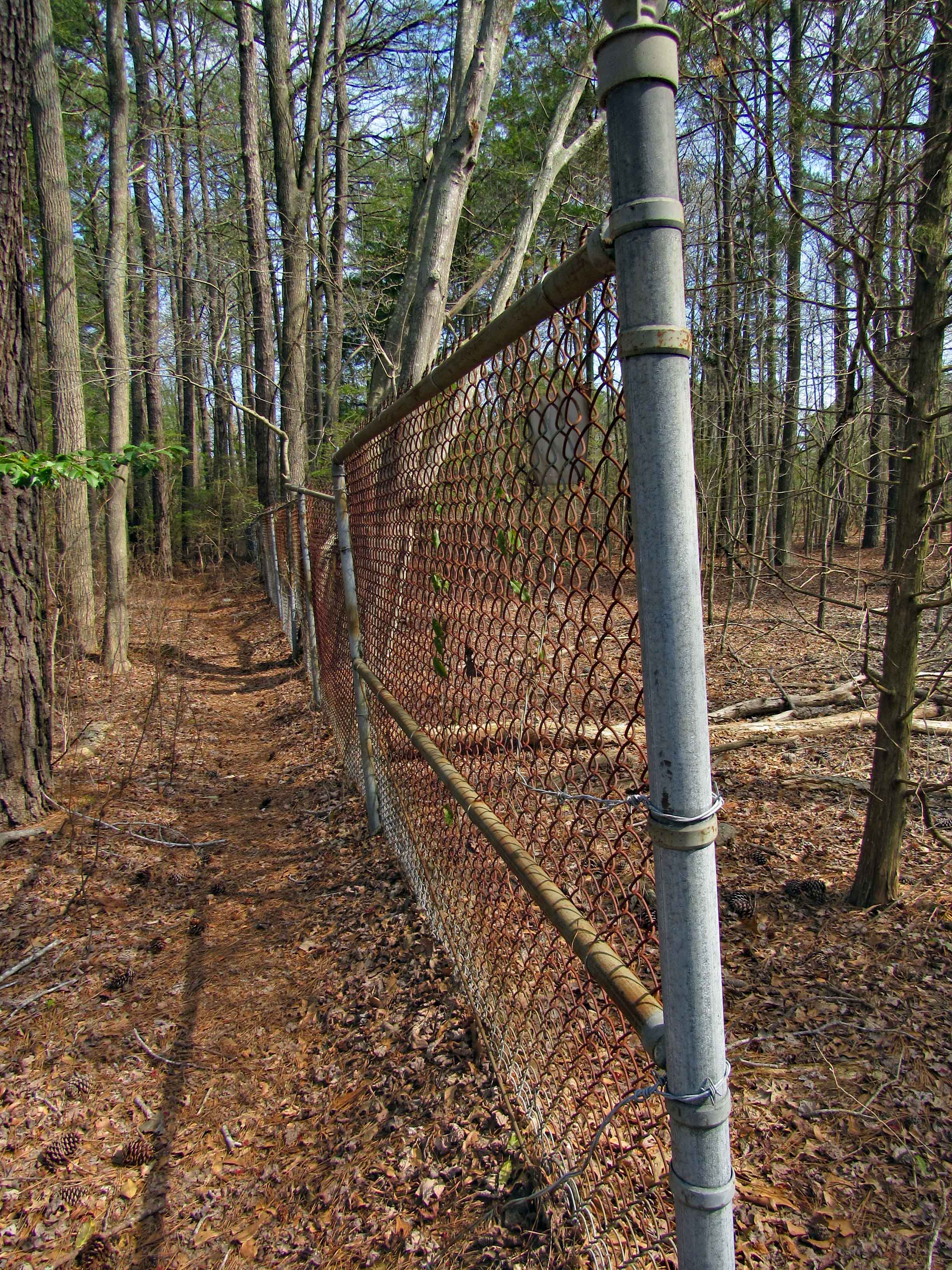
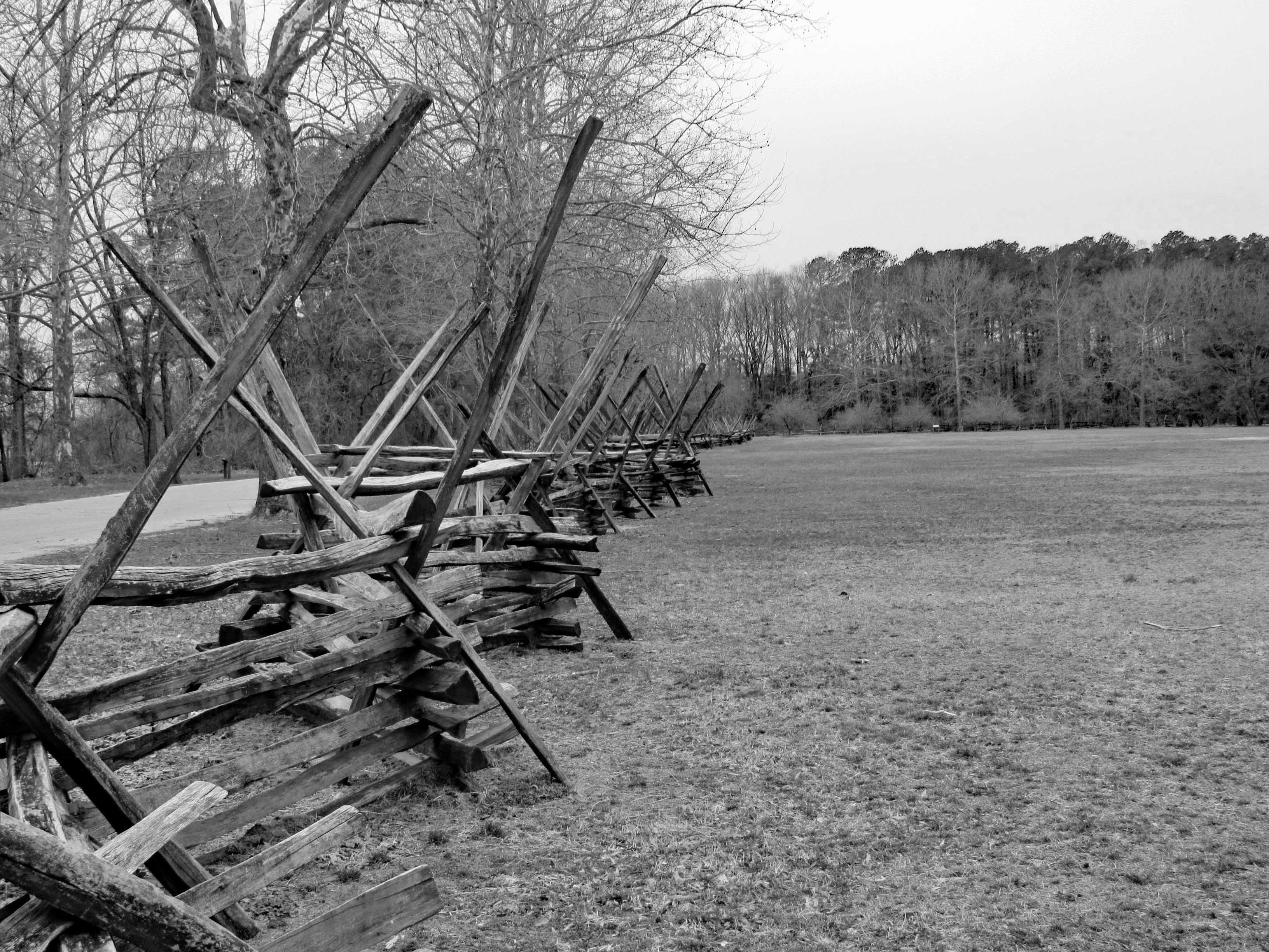
Entering the park is a nice fence…
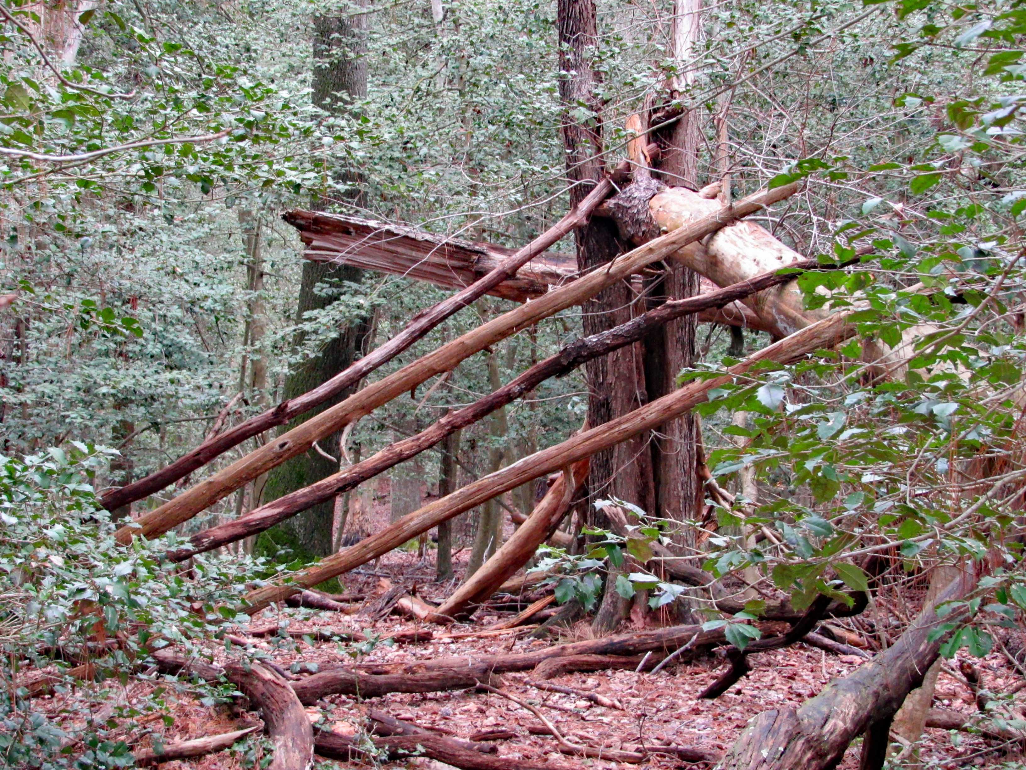
A man-made fence vs. a fence Mother Nature is making…
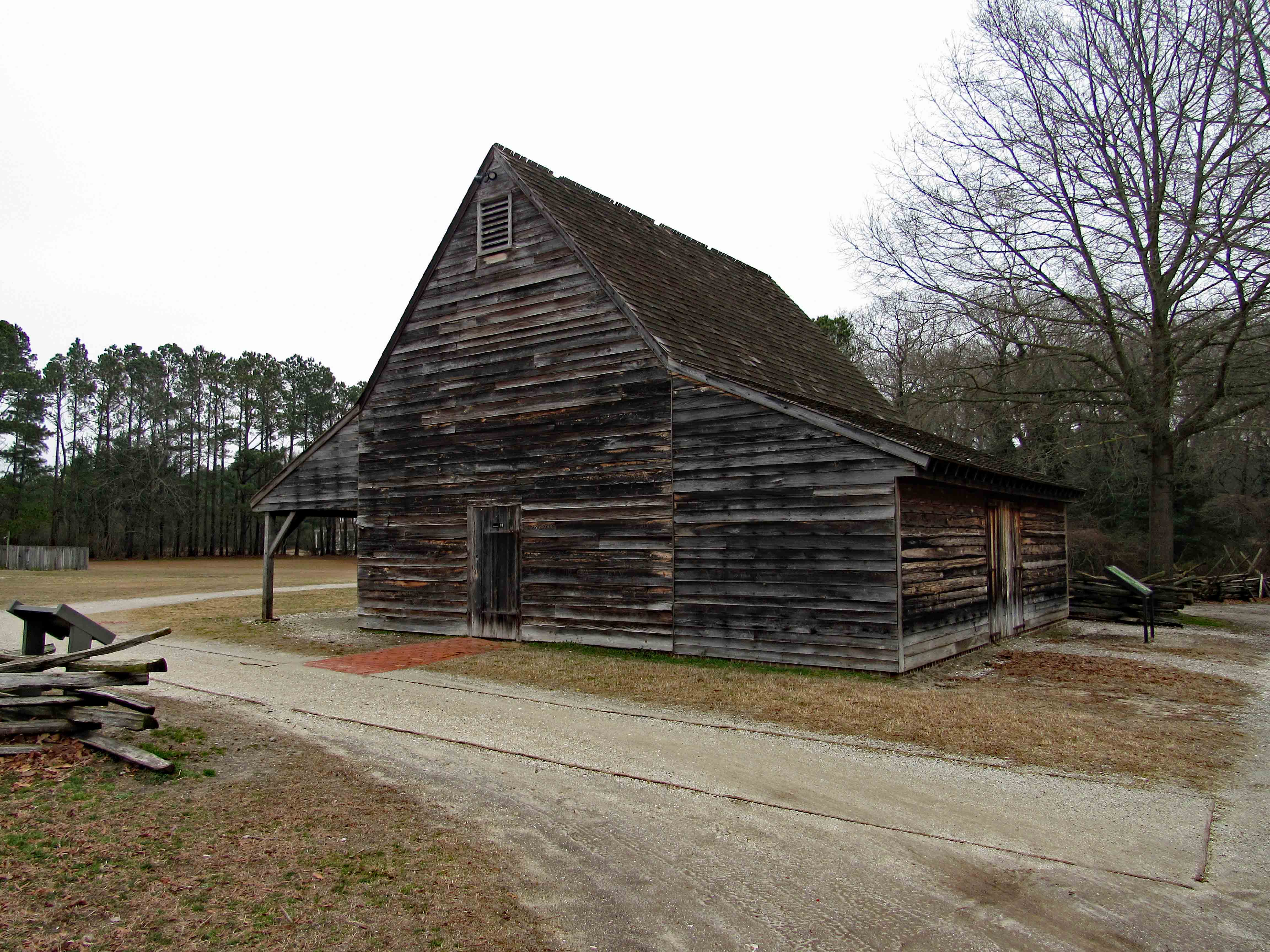
The trail head consists of various older buildings. Including this restroom.
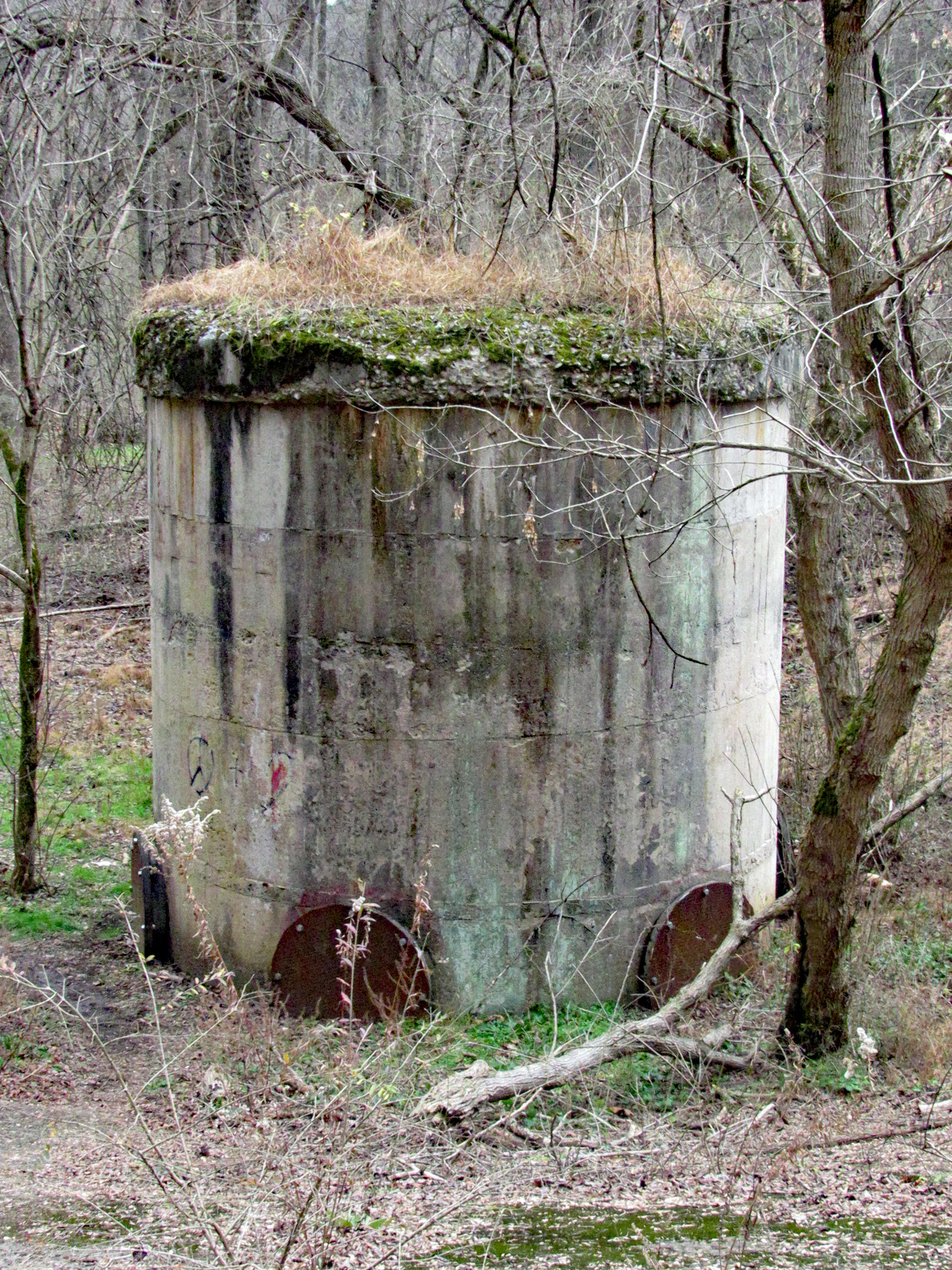
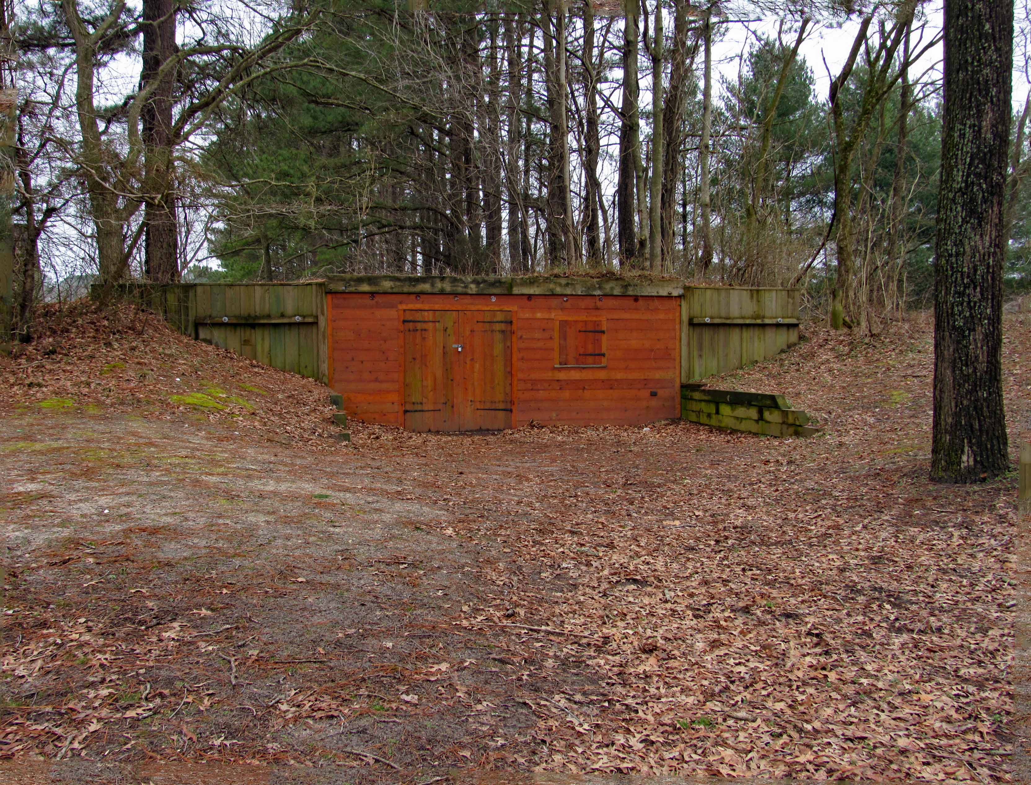
This looks to be an old bunker/storage building of some sorts.
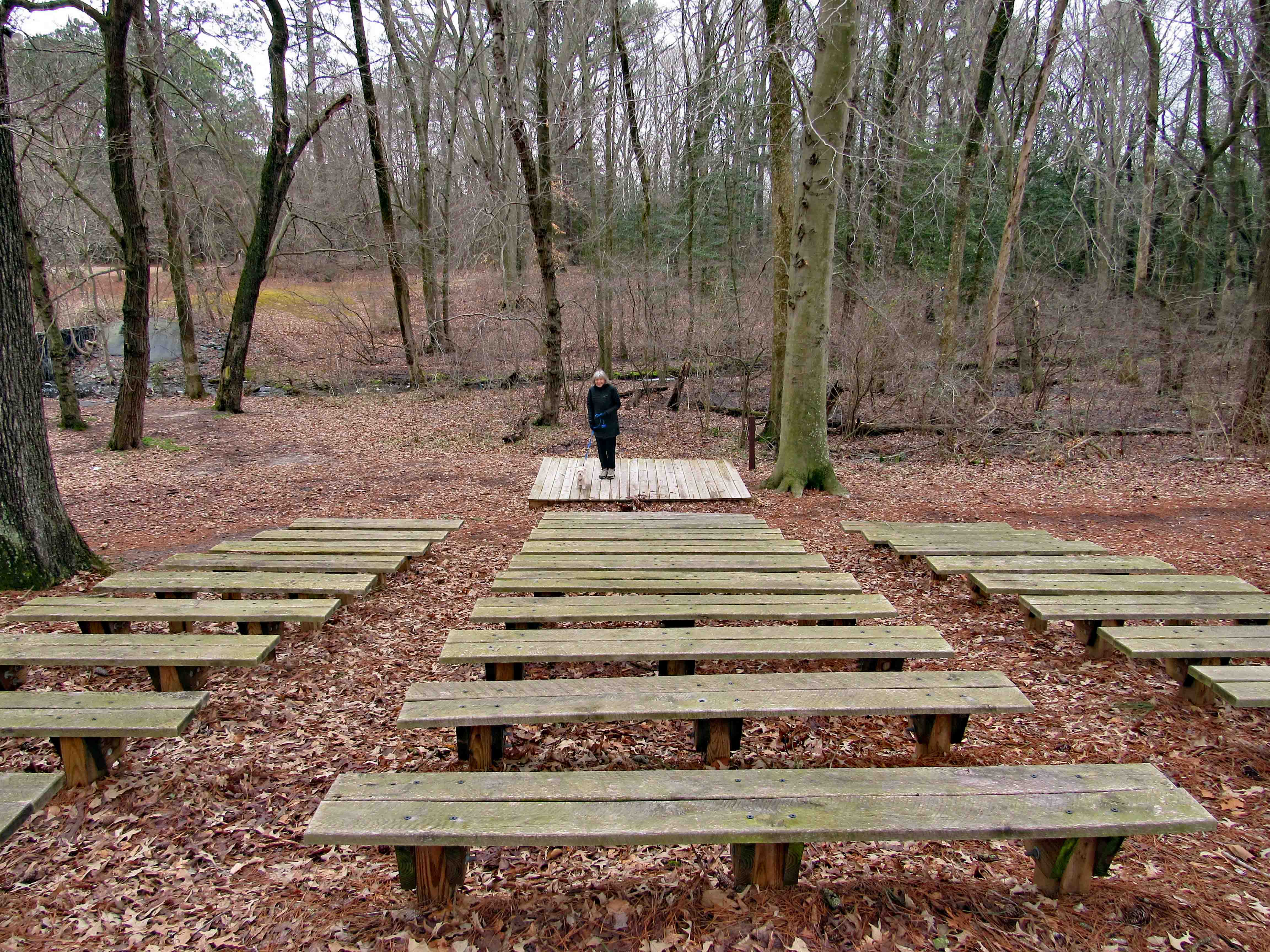
A nice theater.
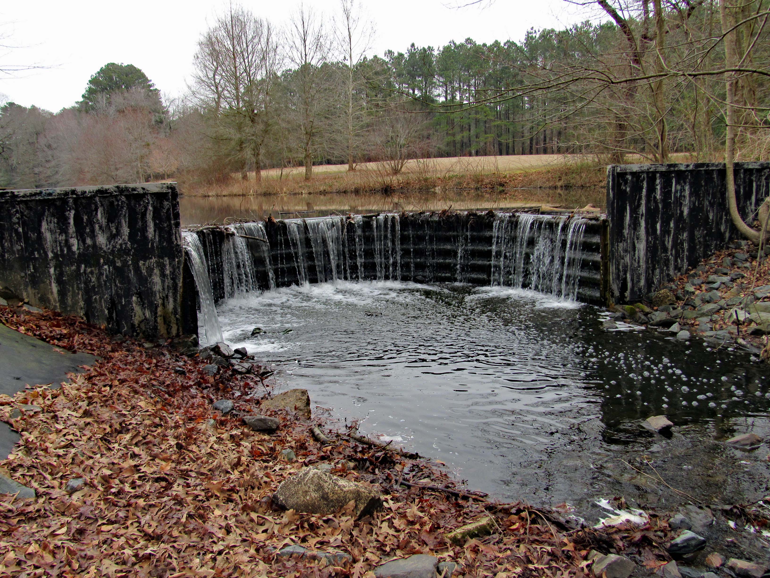
And a rounded dam. I can almost picture years ago this being made of wood and then maybe stone.
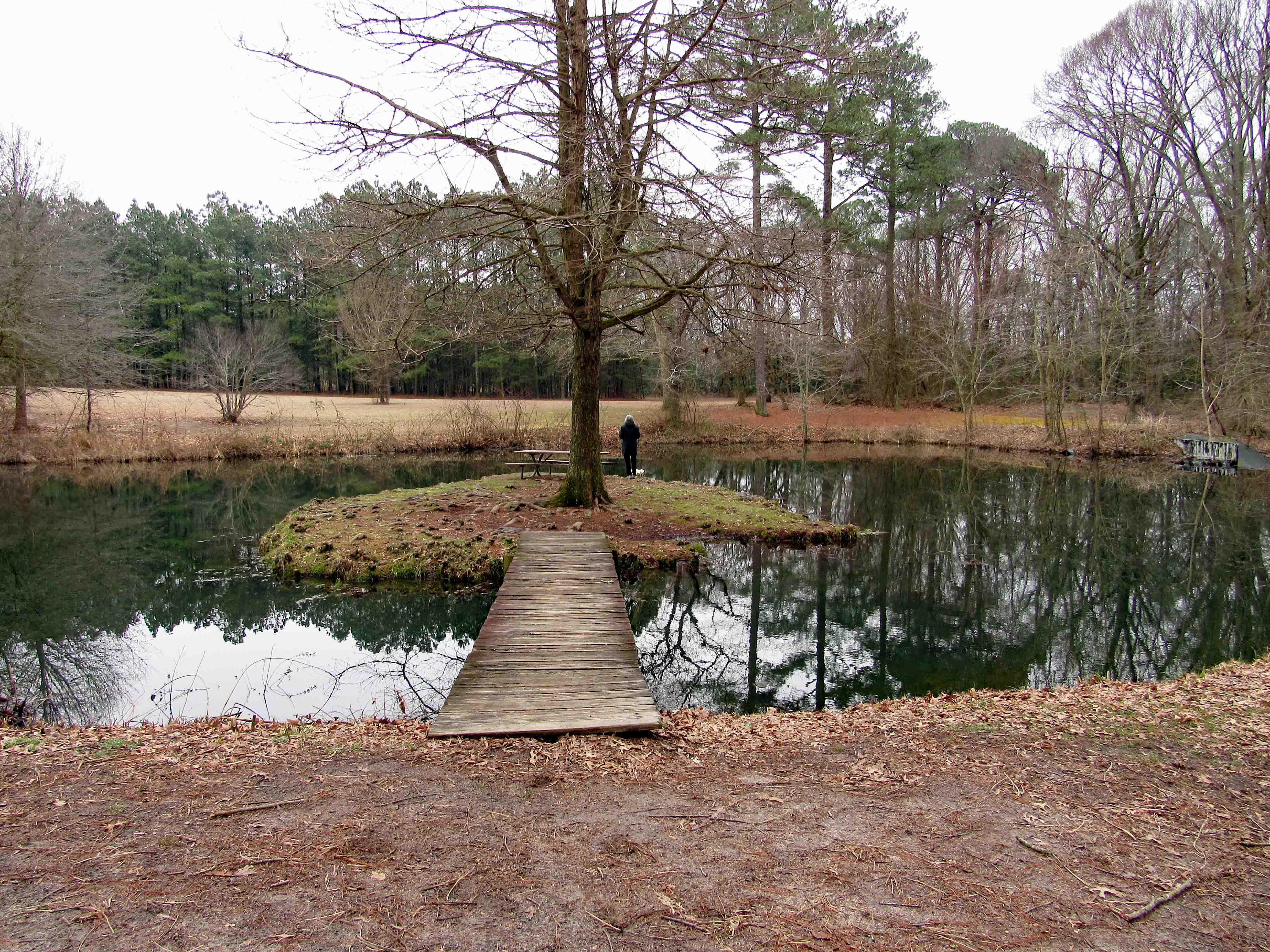
A little island picnic area.
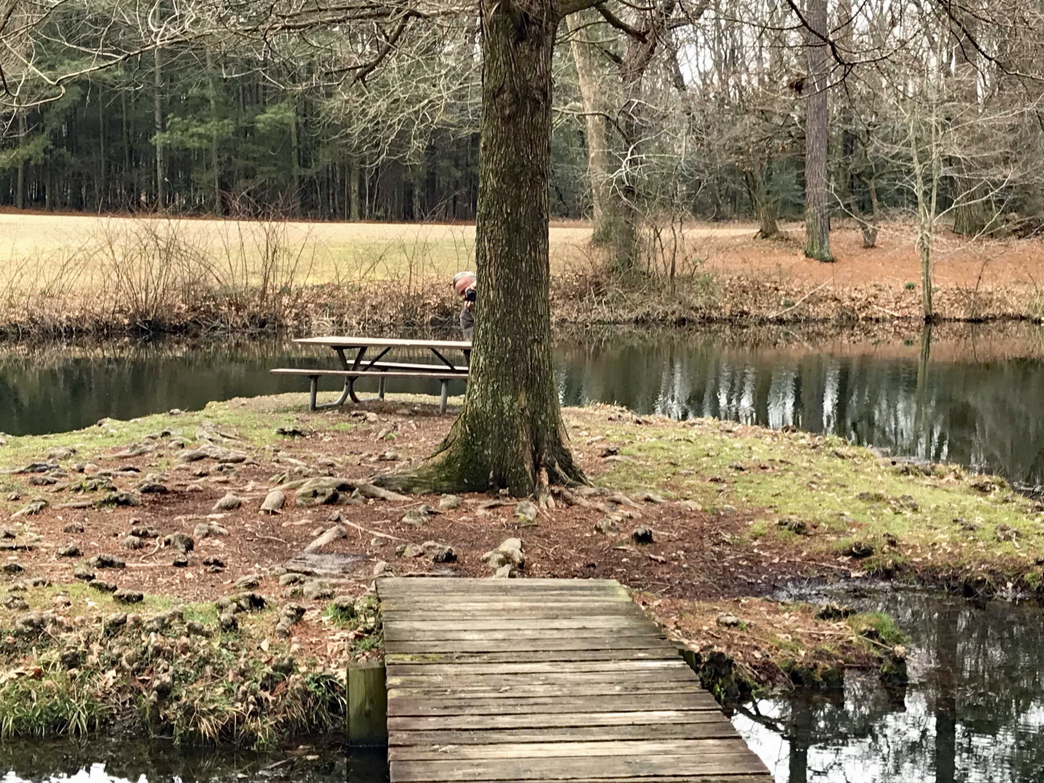
Kathy taking a photo of me…
taking one of her.
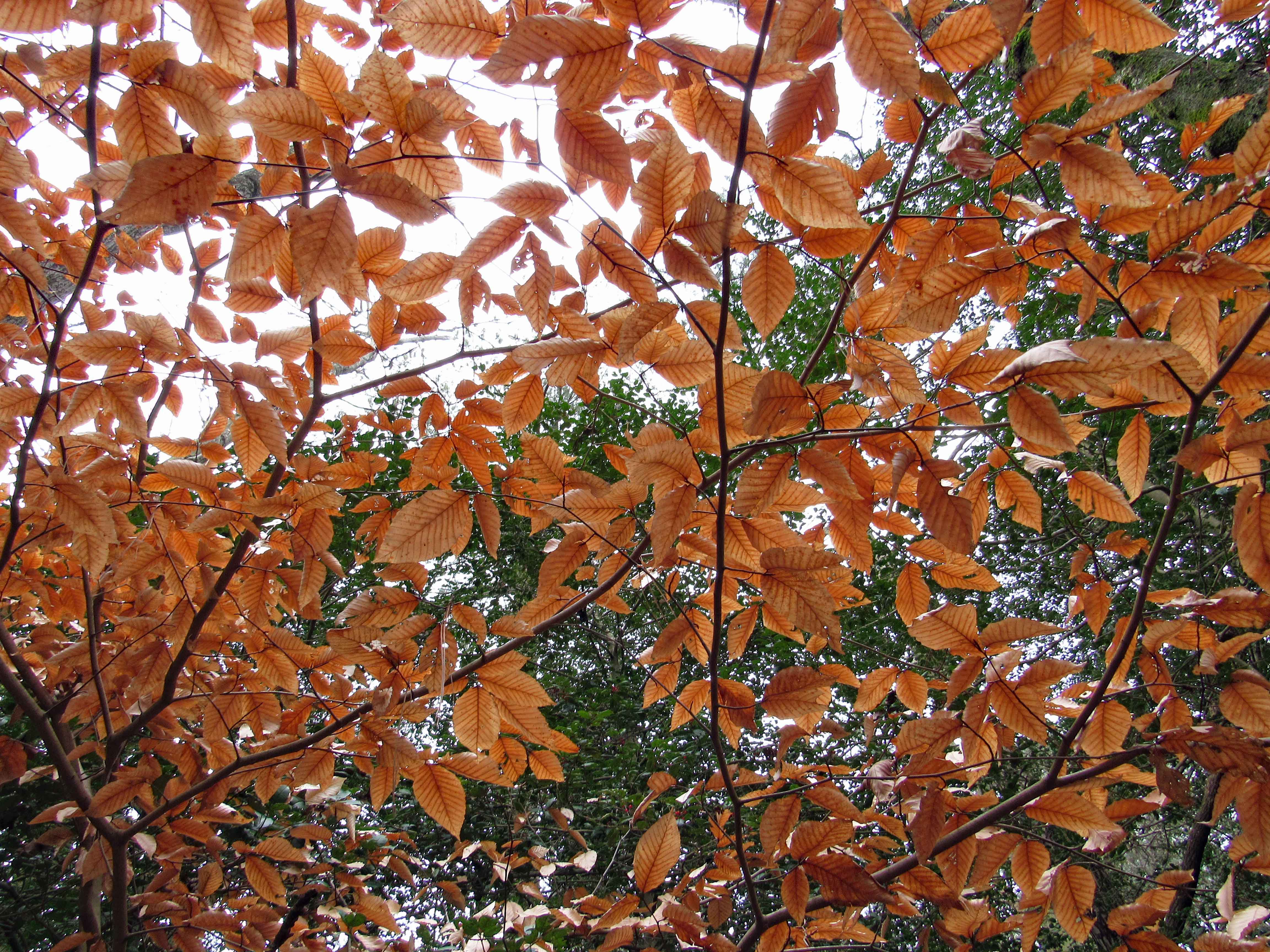
Dreary yet some nice colors.
Boardwalks
and bird boxes.
Molly hears it…
I see it.
And kathy sees it.
An eagle on the top of the lone tree dead center
Hard to get a good shot this far away. (I do not carry a bunch of lenses and stuff with me when hiking)
More colors.
This was in the path. nicely strange. Kathy took this one.
When one tree fell, I guess it took the other one with it.
Dead center and this thing was humming.
Lone growth up in the trees.
A beaver house.
As I walk away…
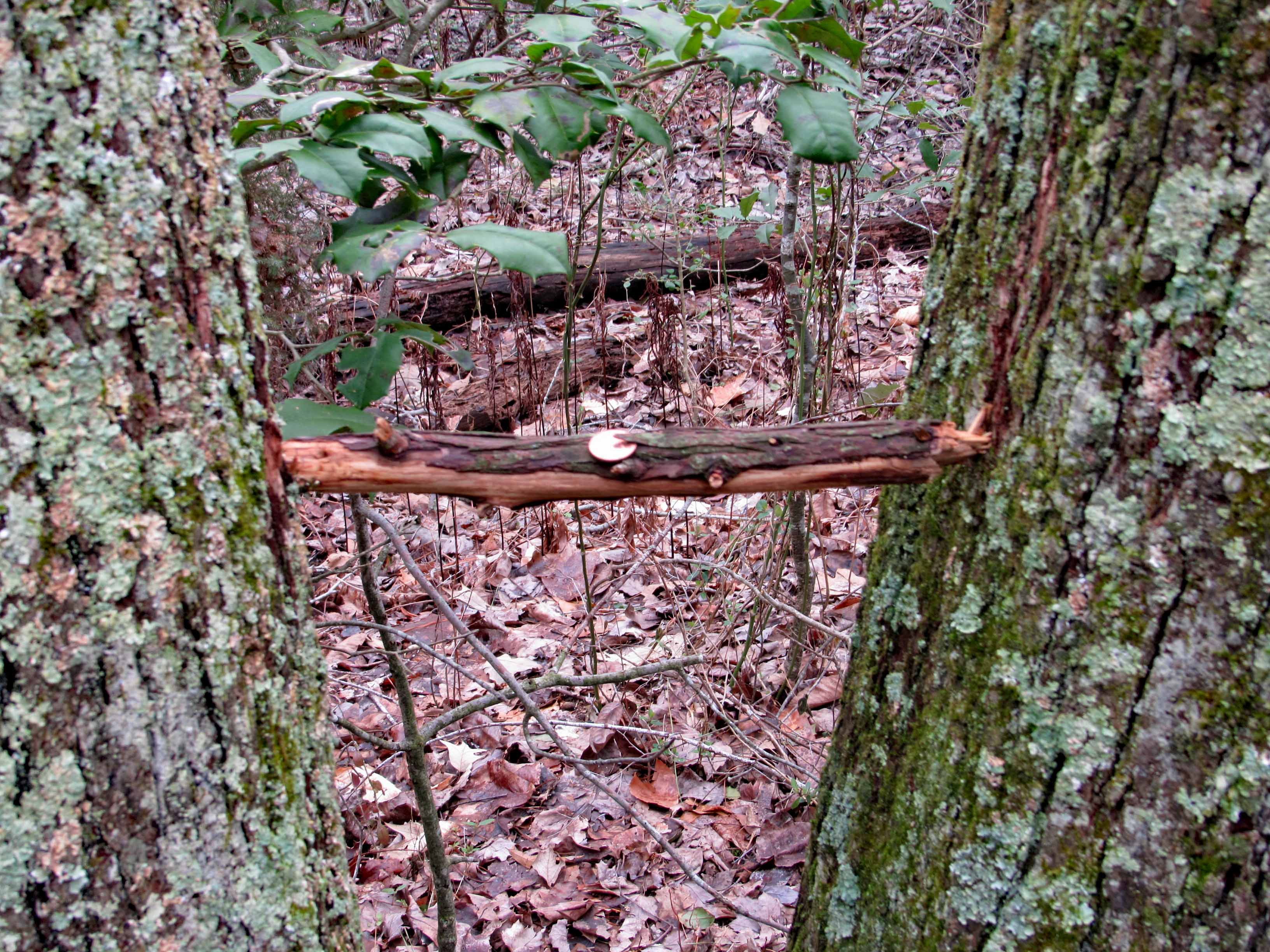
A penny for your thoughts (I’m thinking – Don’t touch it! It looks like a booby-trap!)
A wonderful adventure in our new neck of the woods!!