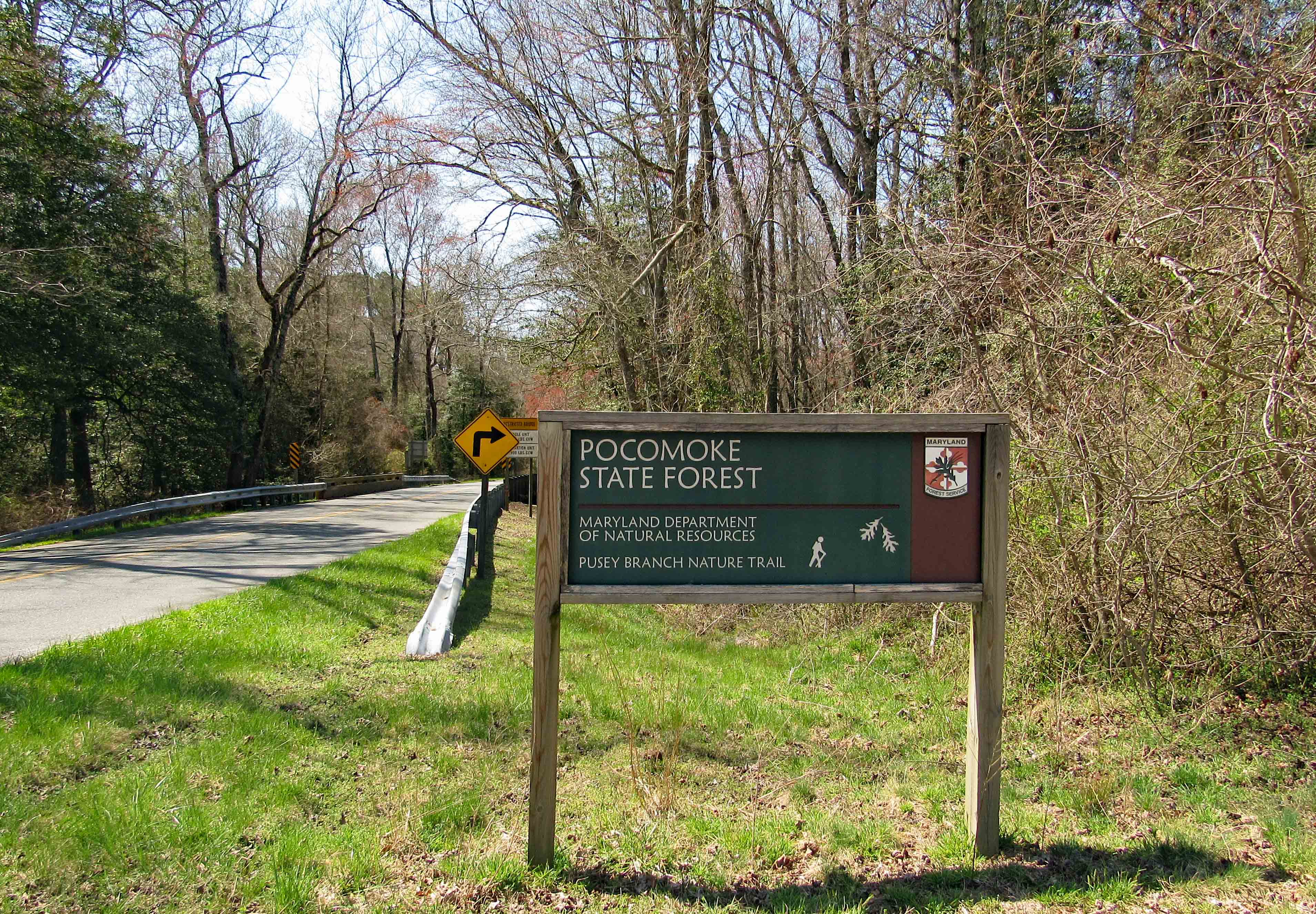
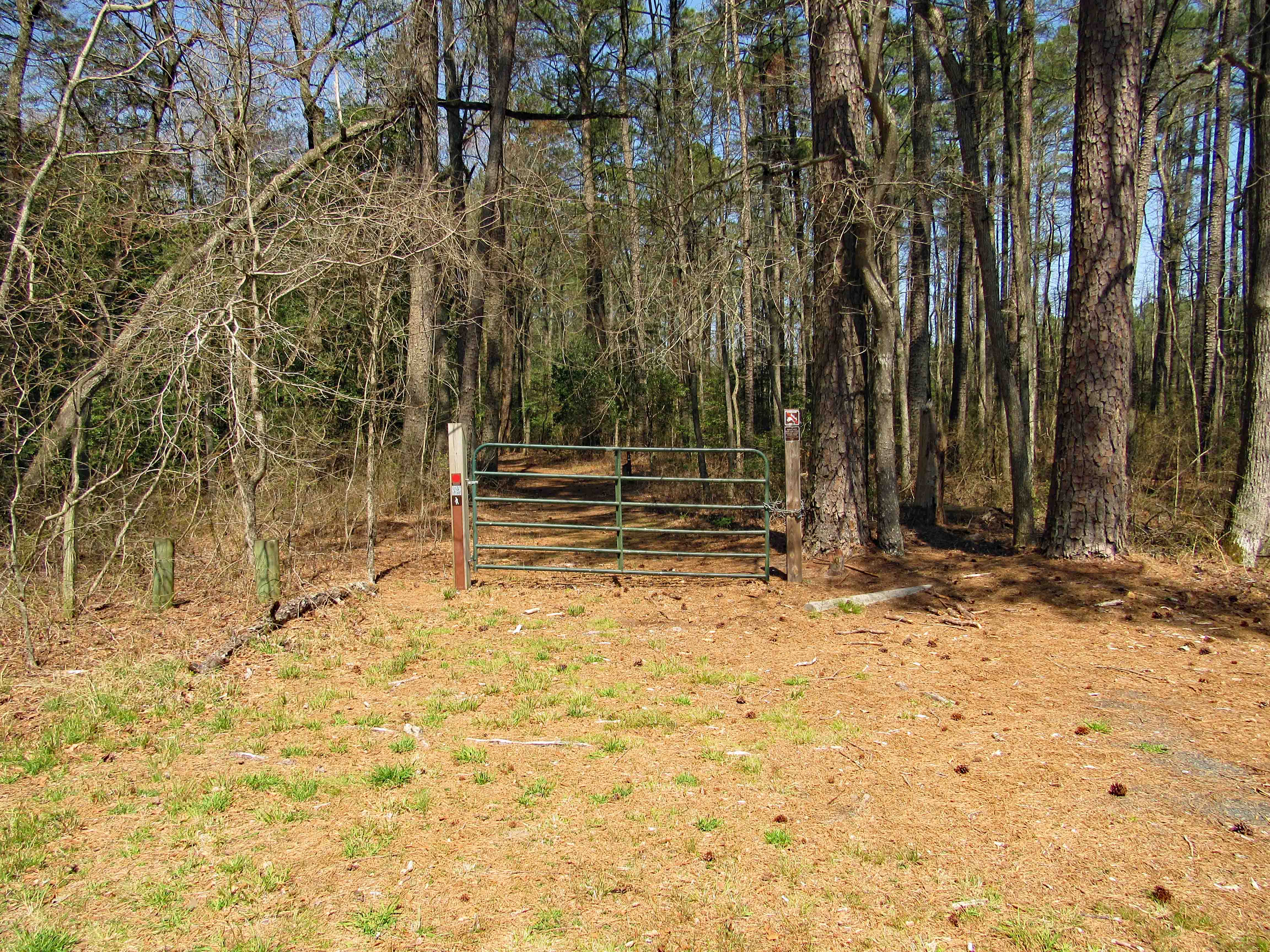
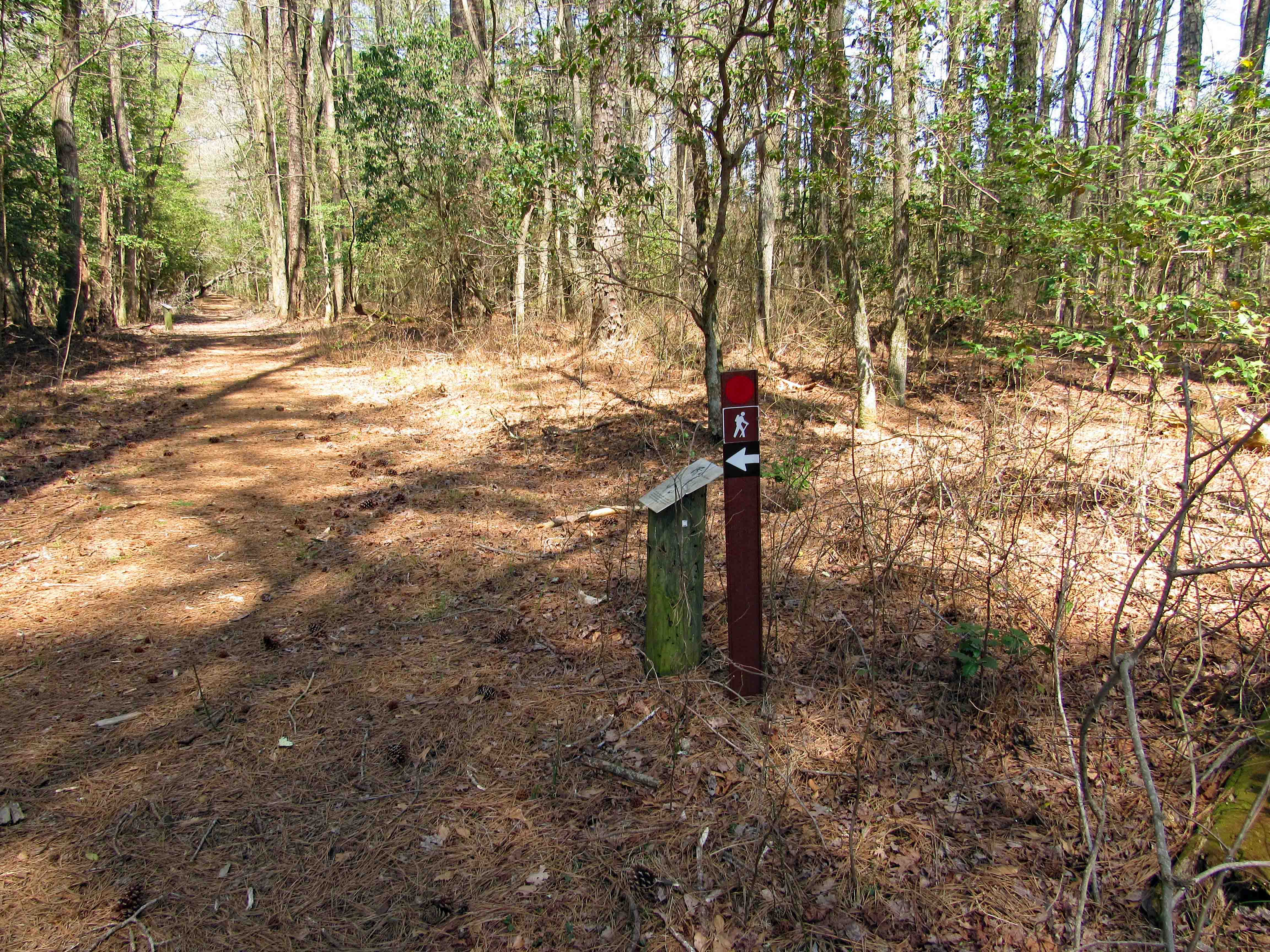
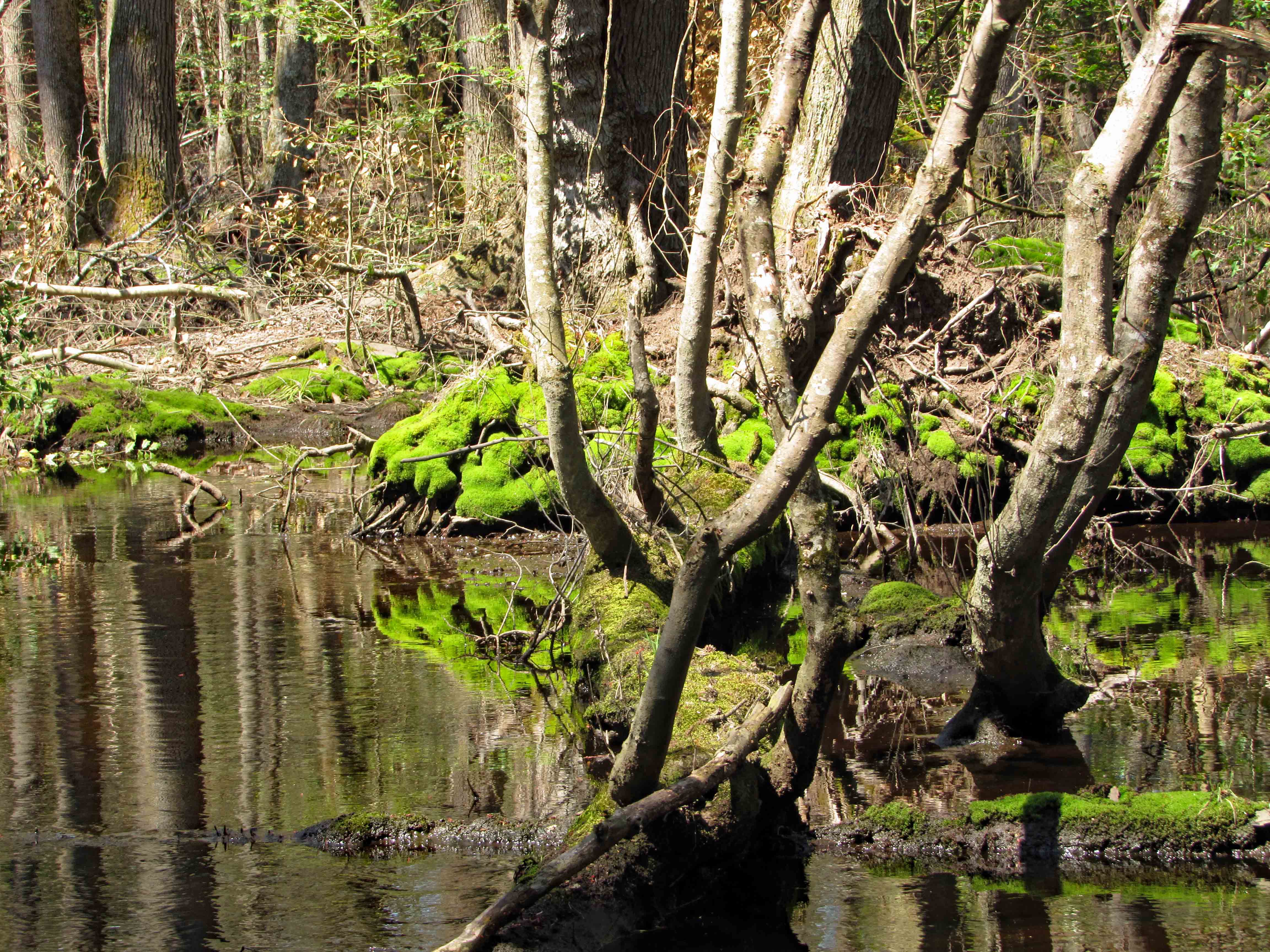
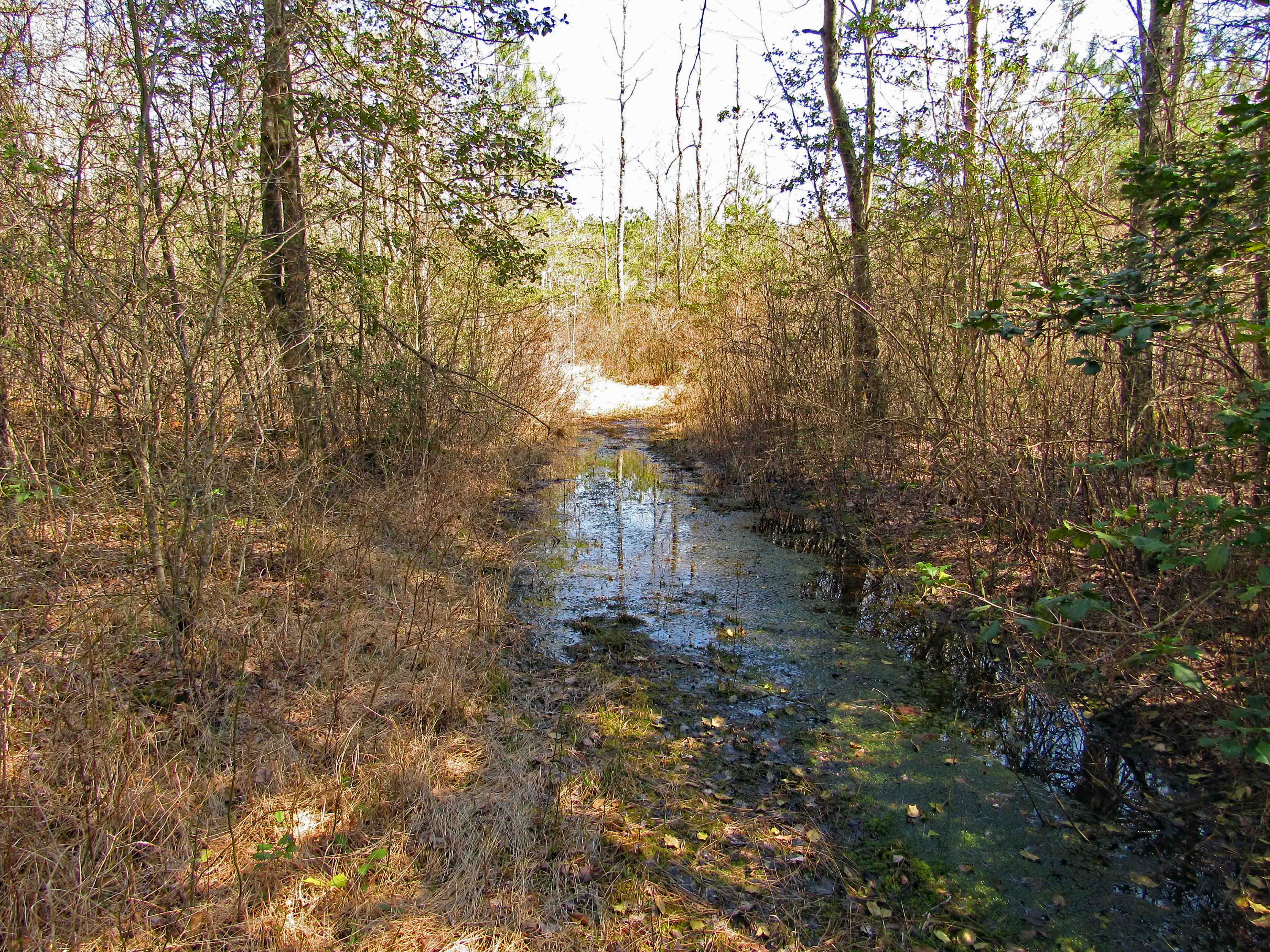
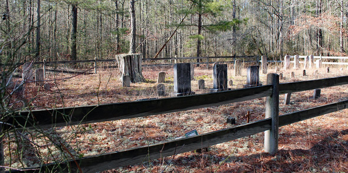
As many of my Facebook friends know, if Kathy and I are not at Furnace Town volunteering or cleaning up some cemetery, I can usually be found on Merrill’s property clearing trails and boundary roads. A couple weeks ago while there I asked Merrill where he wanted me to cut next? He said to clear from where I stopped the other day and head over to the cement marker. The map below shows my progress. CM are cement markers. It is really quiet back there except for the occasional ‘Peepers’ near the angle irons.

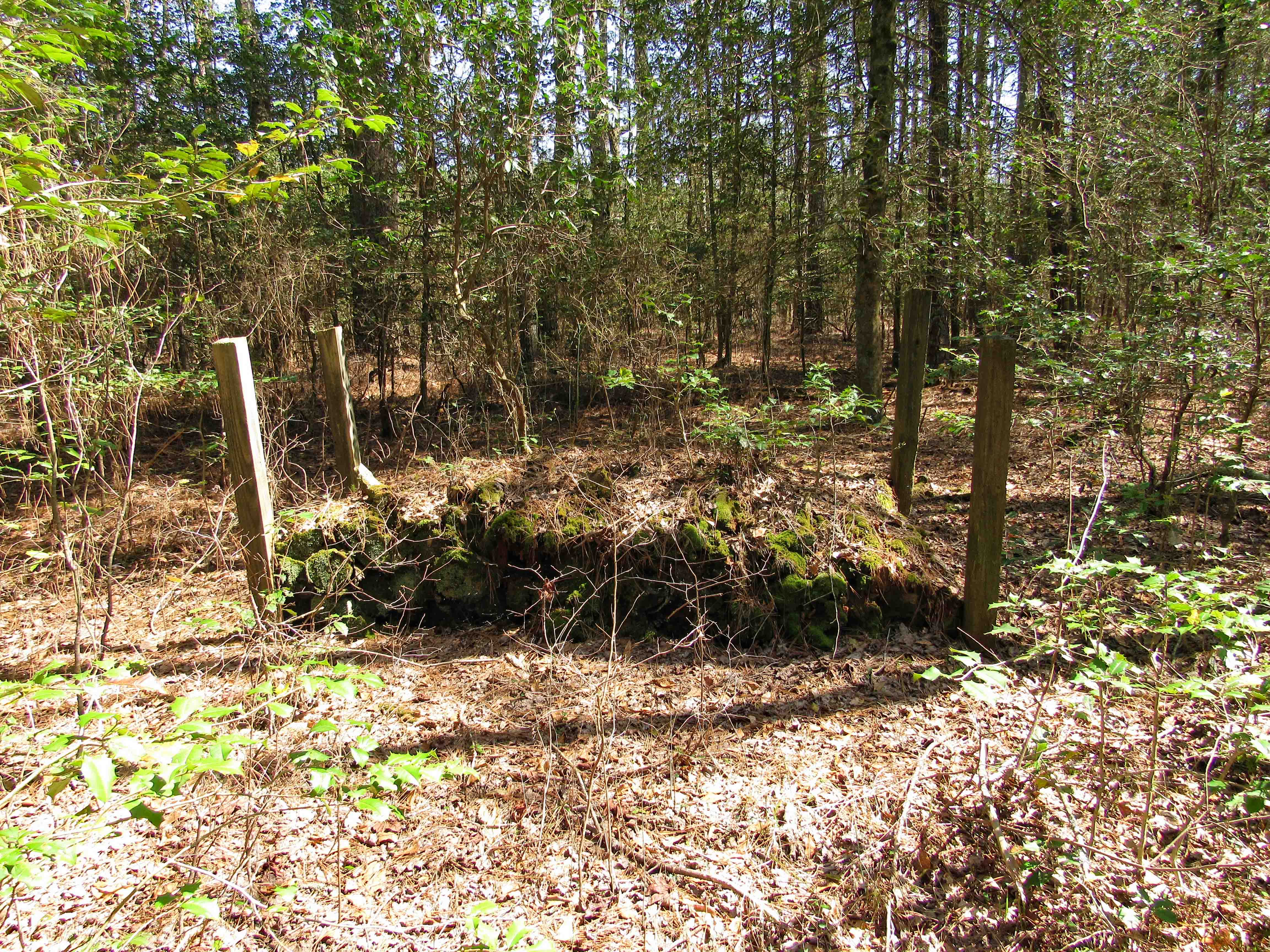
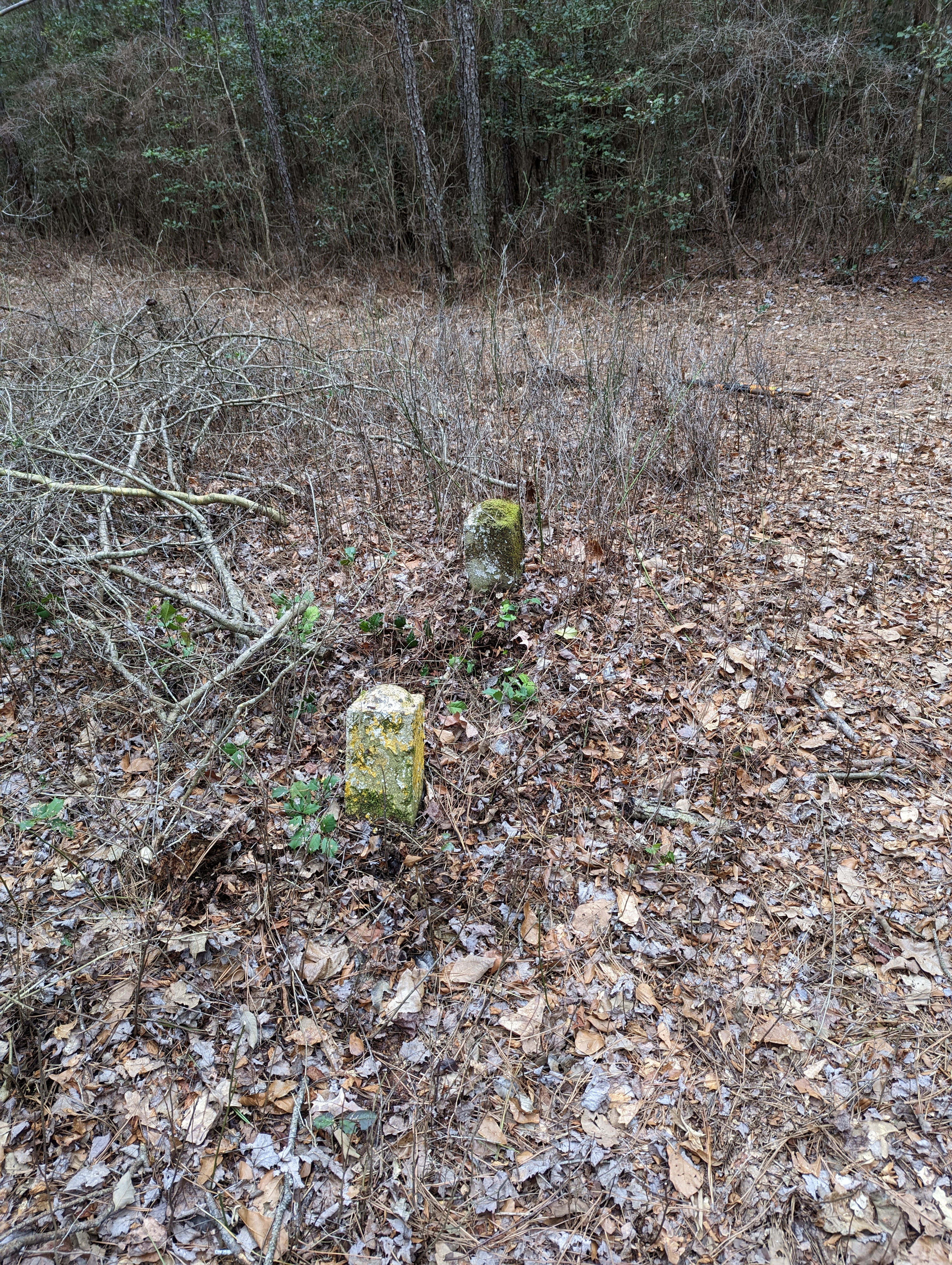
So I start cutting, looking for what I thought would be a regular 4″x4″ Boundary Marker like the ones pictured below.
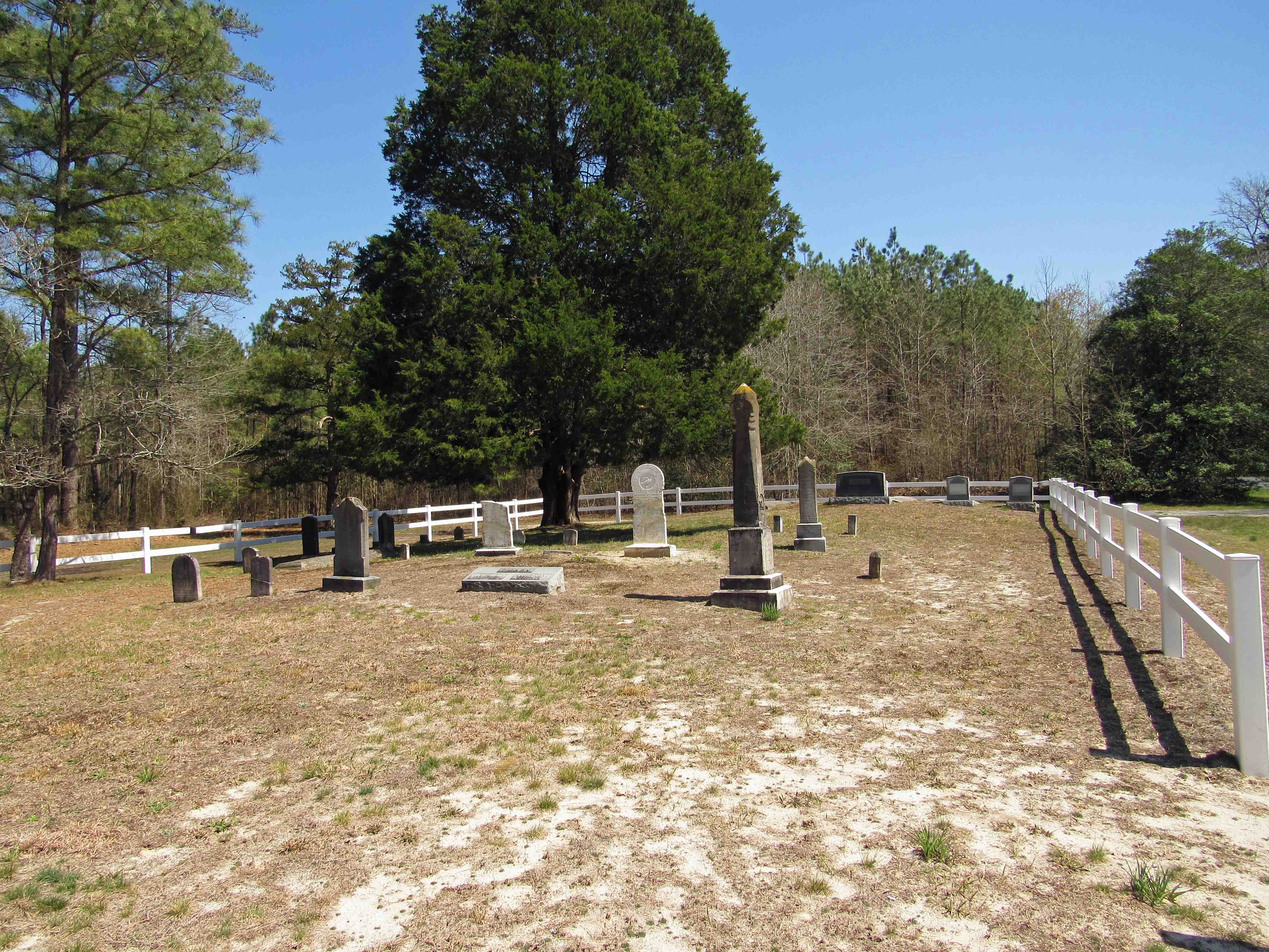
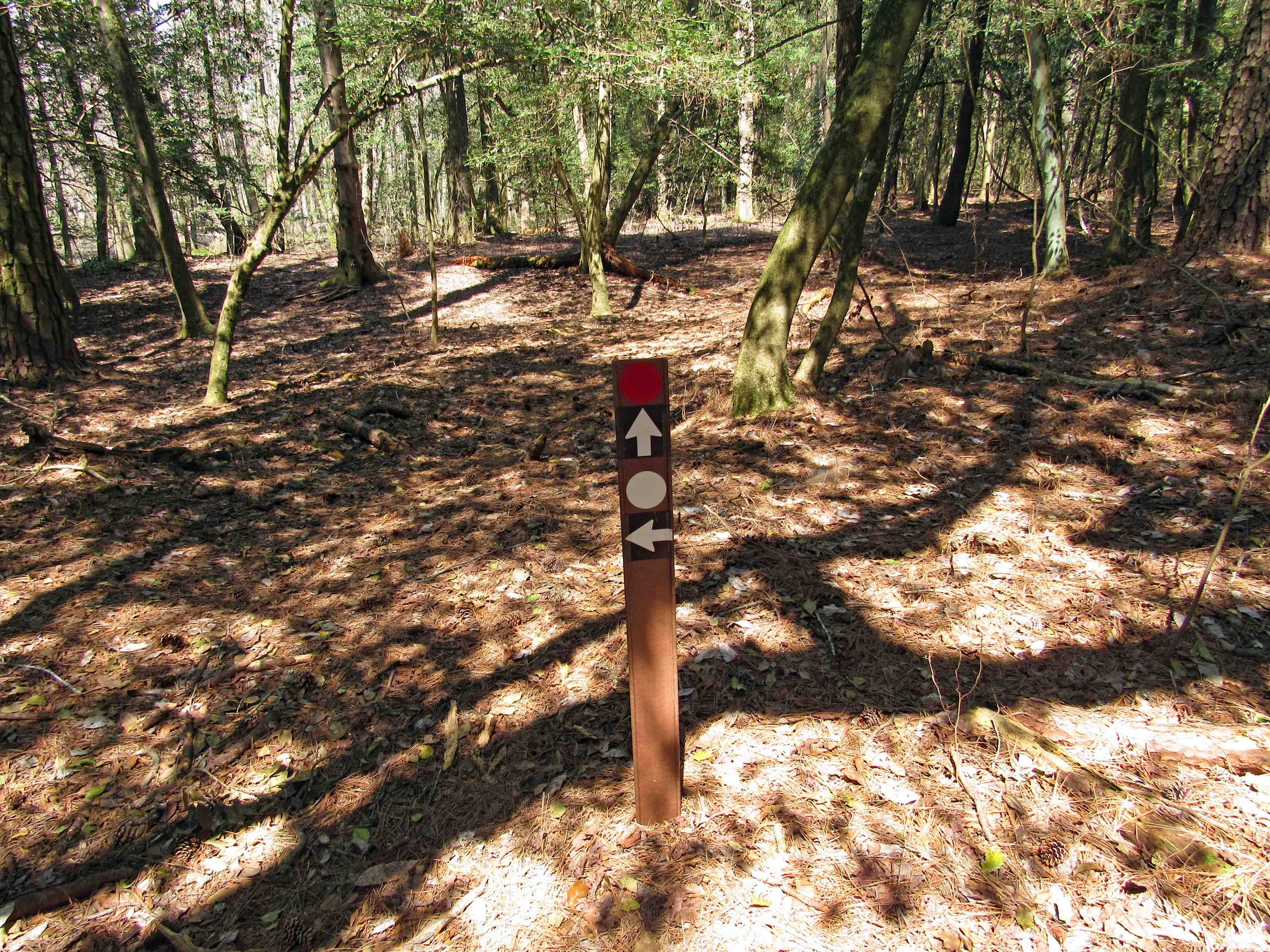
I’m cutting and cutting looking for this thing when up through the woods I see this.
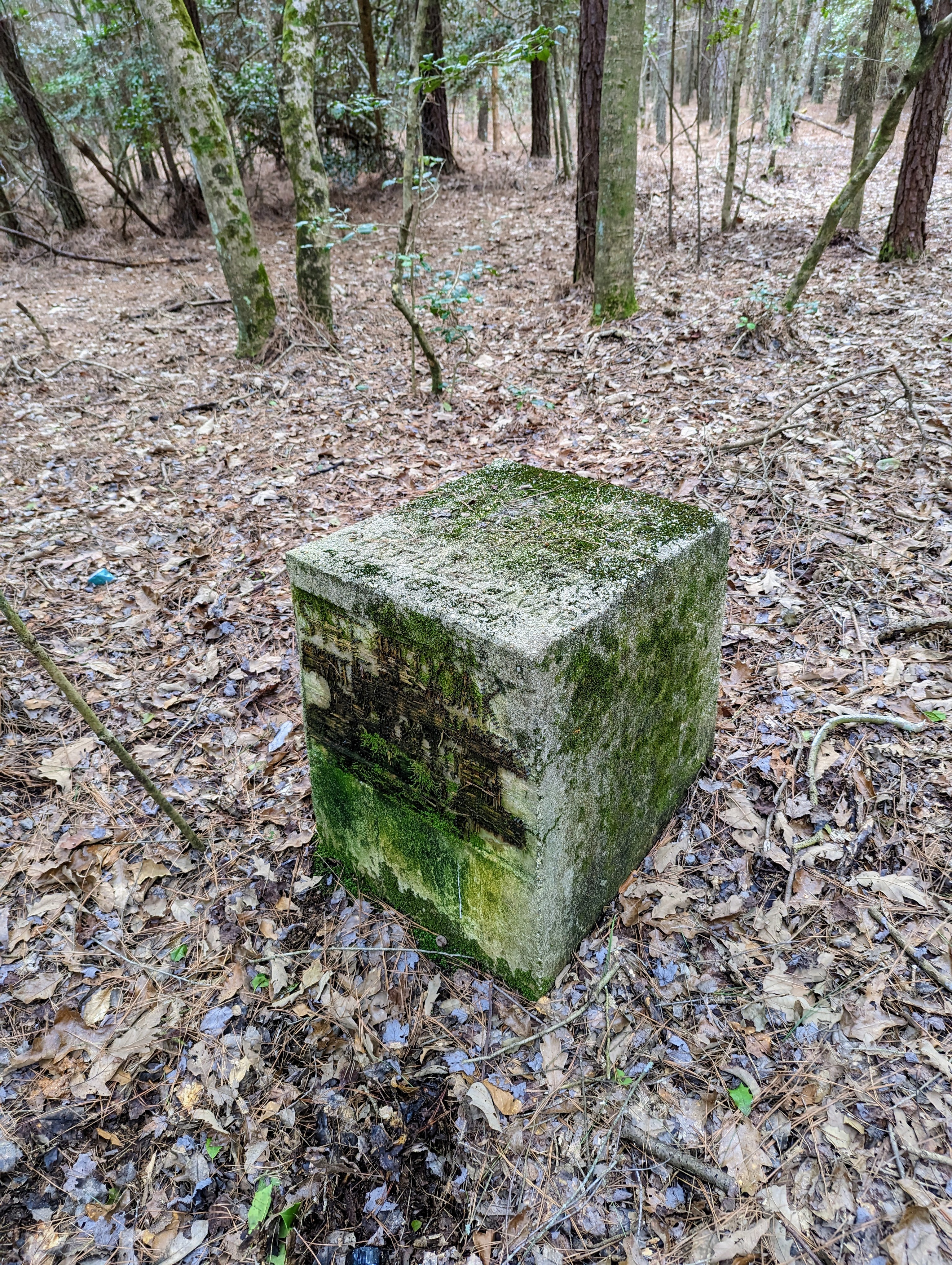
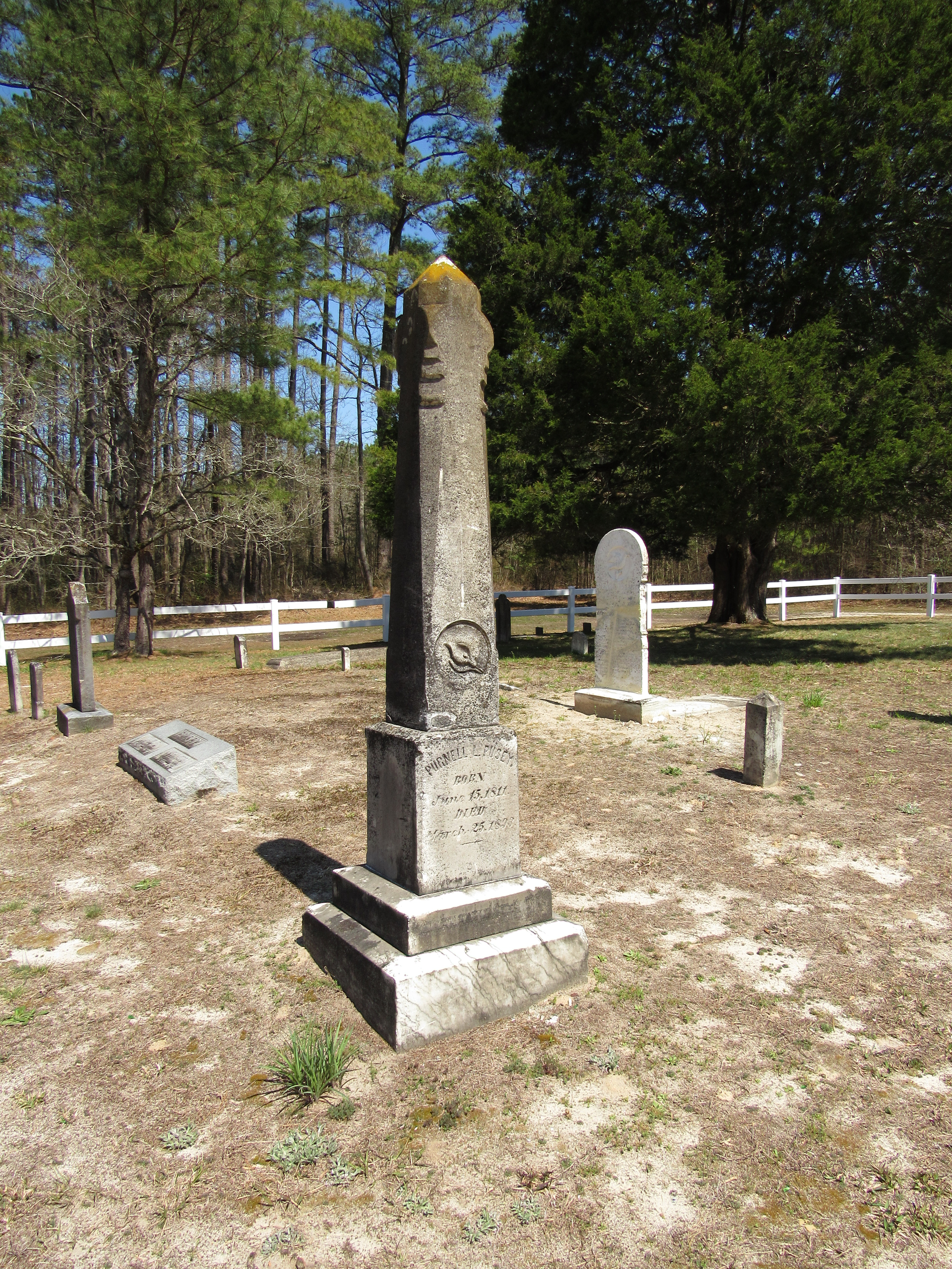
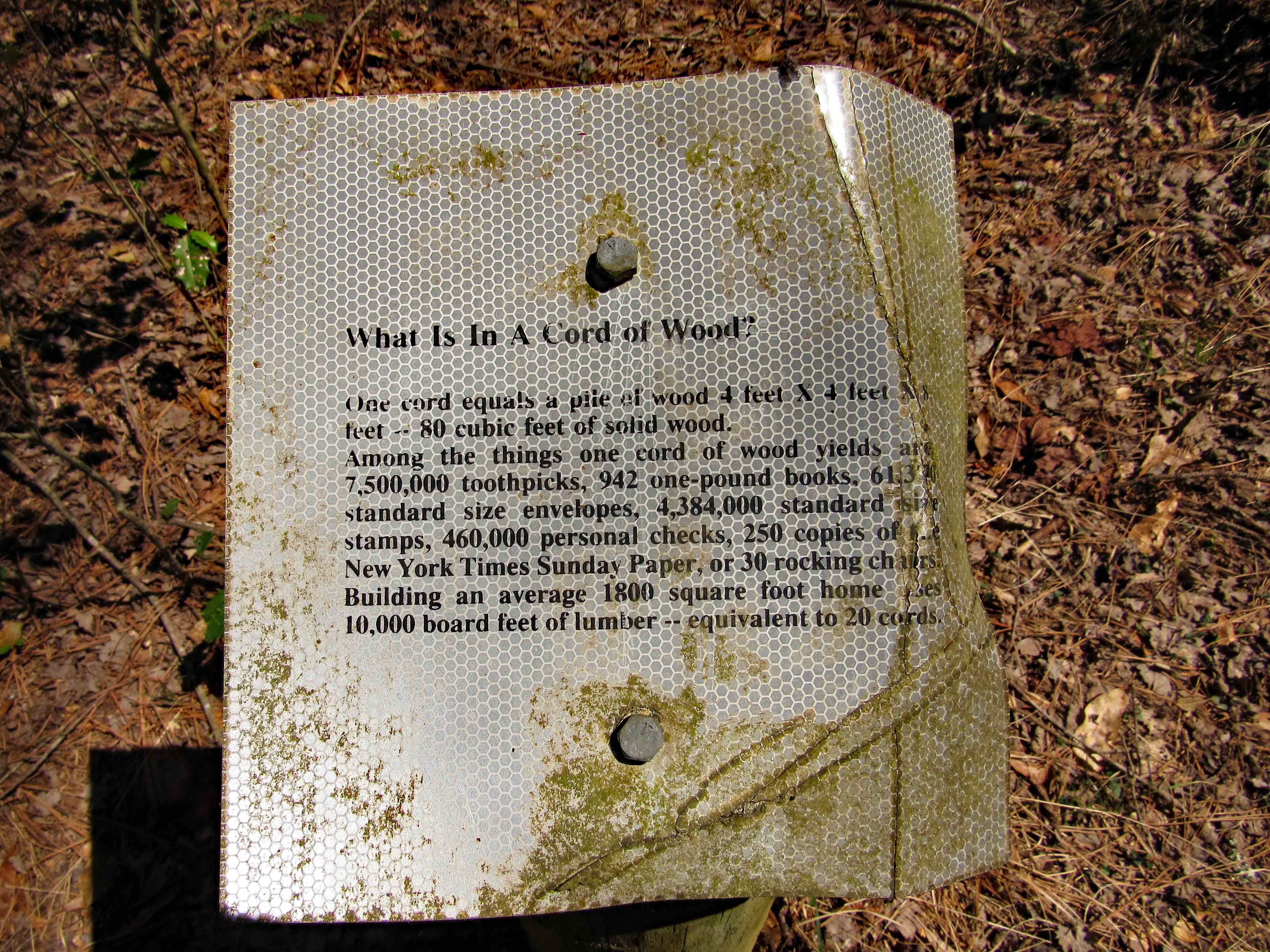
This is interesting. It’s a big marker. Getting a good look at it, it appears that when the concrete was poured into the form, the form had nails in it spelling out various undecipherable words, names and dates. I did not want to mess with it until I got permission to do so.
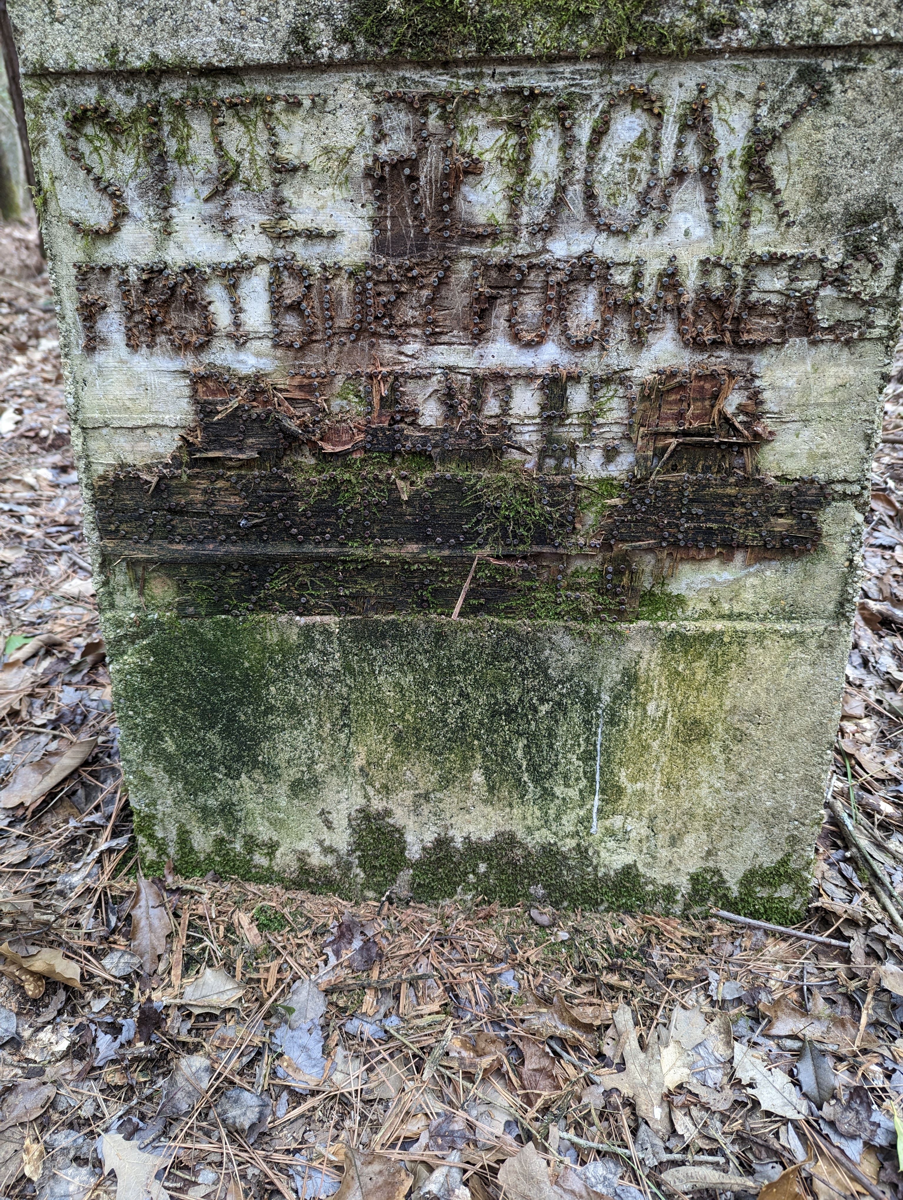
Merrill said it was alright to clean it up so Kathy and I did just that. We carefully removed the rotten wood around the nails which were firmly seated into the concrete. I was surprised that they had not rusted away. After that we used a brush and water to clean off the algae, lichen, mold and mildew.

After cleaning as much as we could (we were limited with the amount of water we had, although I did find a pool of water in the woods and when I asked Merrill about it, he said it was probably from the days of making moonshine in a still back there?! More research for another time!), we were able to read the inscriptions.

“SITE REDOAK FIRST BDRY [Boundary] PATENTED TO GEORGE CHALMERS OCT 9 1765” There was a large red oak tree here at one time which not only marked the boundary of George Chalmers property, which he called ‘Fochabers’, it now marks the county line between Worcester and Wicomico Counties.
Worcester County was created in 1742 by the dividing up of Somerset County. Then in 1867 parts of Worcester and Somerset were divided up to create Wicomico County. (This is probably why I am having such a hard time doing land acquisition research).
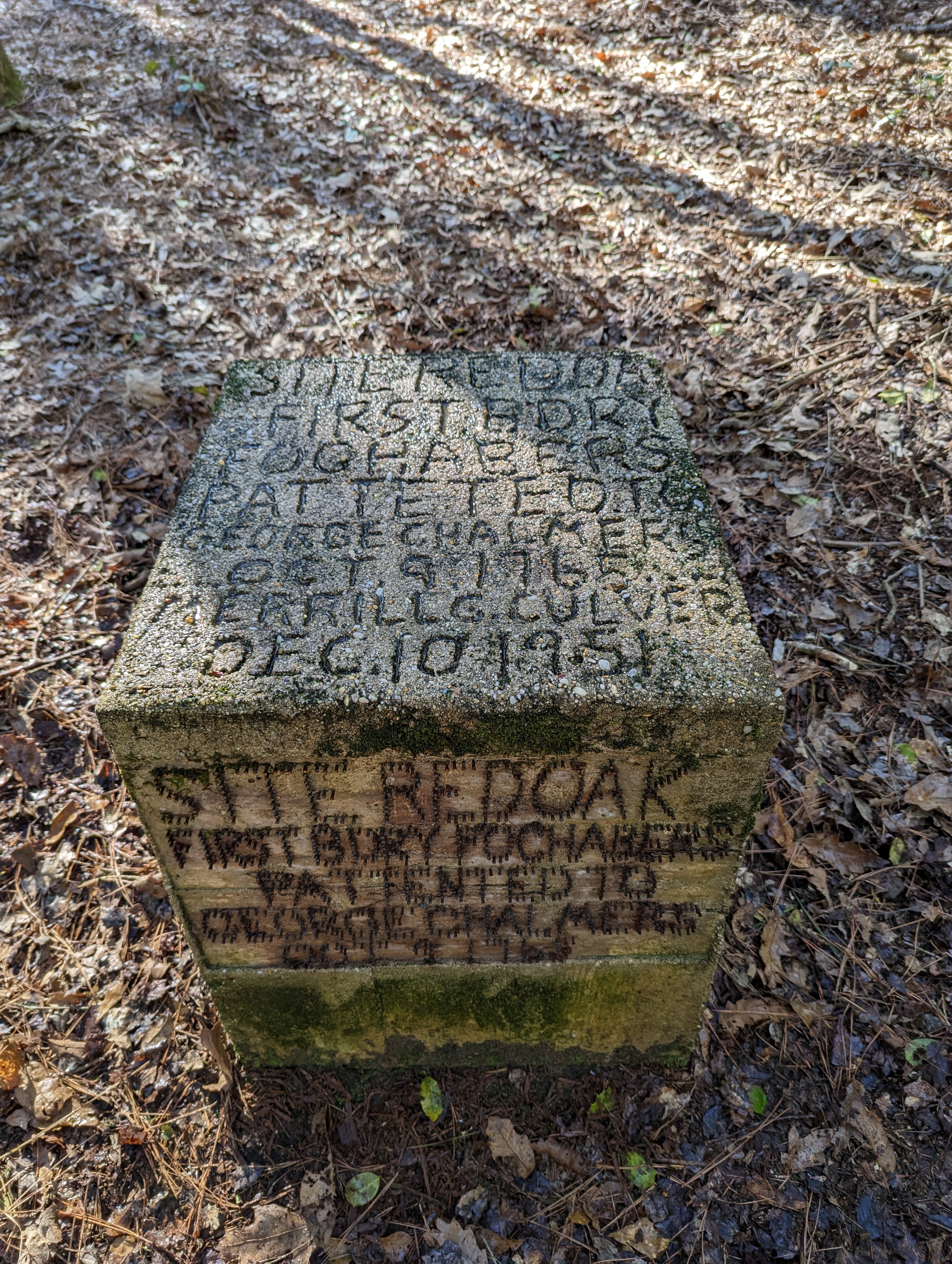
The top of the marker which was easier to clean, restates what the side says, with some added information. These markings appear to have been made while the cement was wet.
SITE REDOAK FIRST BDRY FOCHABERS PATTE[N]TED TO GEORGE CHALMERS OCT 9 1765 MERRILL G CULVER DEC 10 1951
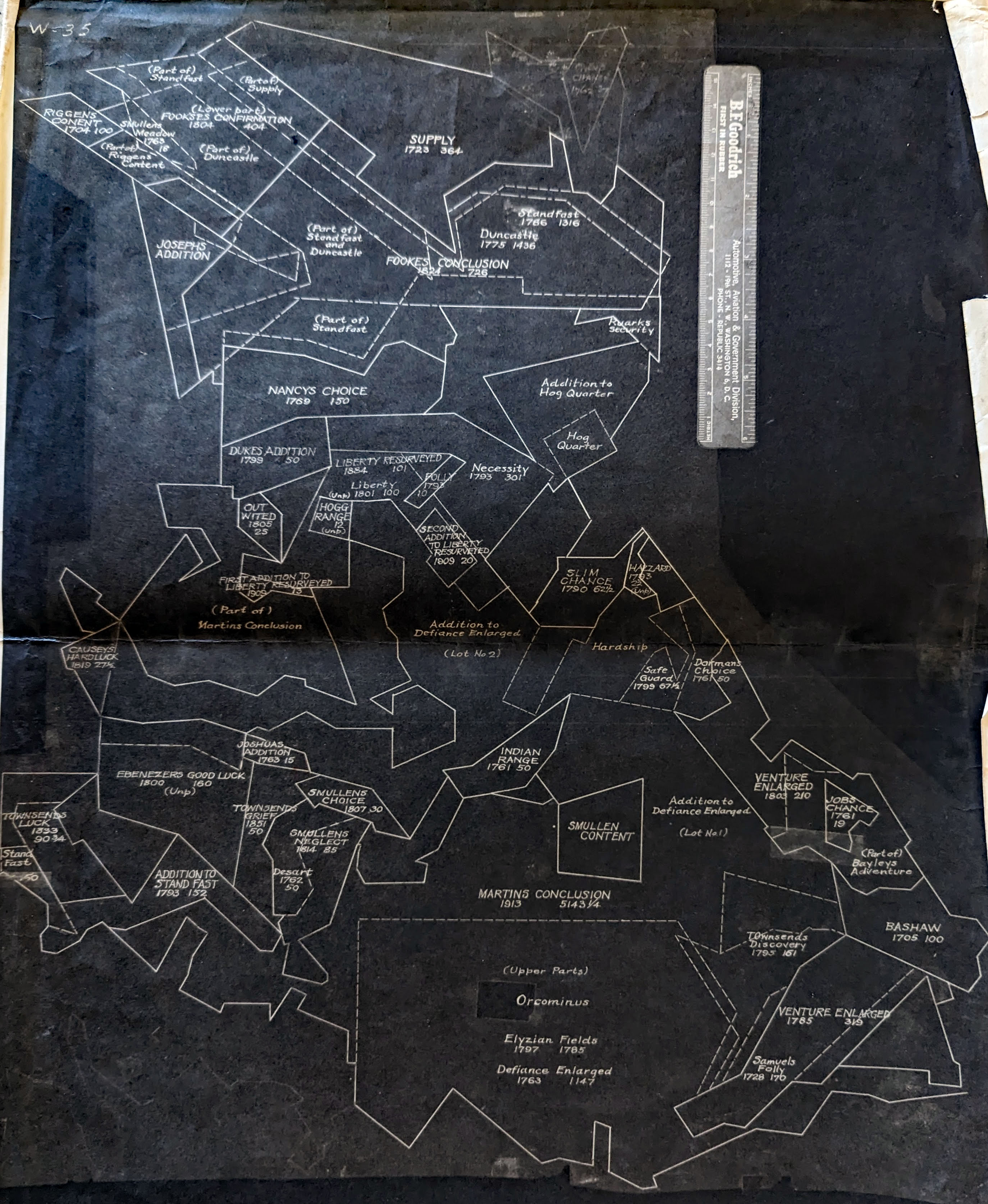
Let the research begin: First we asked Merrill what he knew about it and he gave us the below plat map. It has the property listed as ‘Focubus’. I just love some of the names that were given to these properties: Cary’s Folly, Hogg Quarter, Buck Harbor (Kathy and I hiked a DNR trail down here called that), the Rice Patch and Dunkirk to name a few.

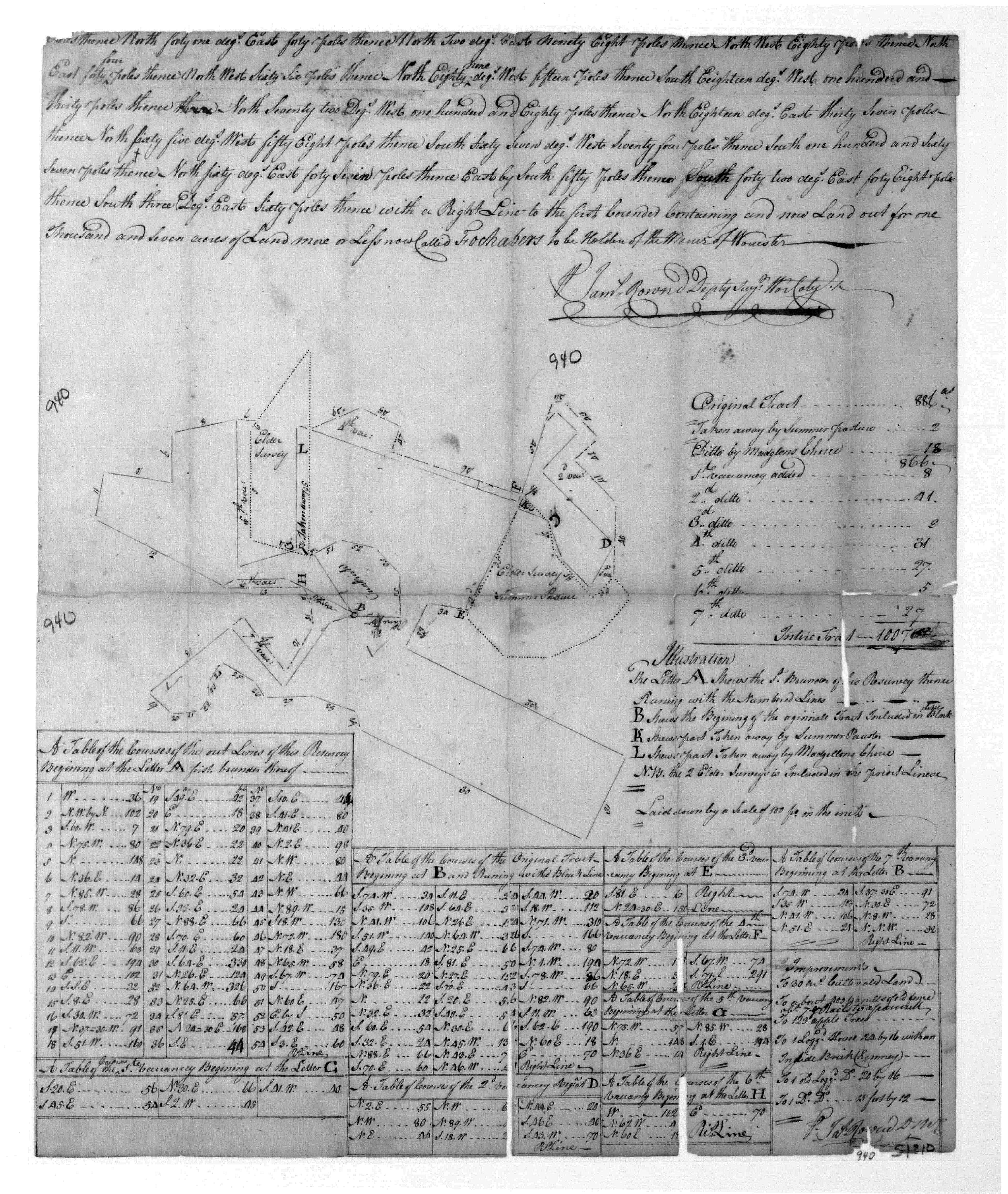
Here is another plat that went with it, although I cannot make heads nor tails of it. More great names though: Indian Range, Slim Chance, Smullen’s Content and Neglect. Some of these dates pre-date the American Revolution…
Which brings us to the man himself – George Chalmers. Painted by Tannock in 1824.

The below, brief biography was obtained from Wikipedia, the book The Colonial Legacy Vol I by L. Leder and from the Maryland State Archives. Another book The Public Life of George Chalmers by G.A. Cockroft is one of those scanned from the original book and turned into a reprint. I did not buy the original or the reprint. $$$
George Chalmers was born on December 26, 1742 at Fochabers, Moray, the second son of the local postmaster, James Chalmers (who was a grandson of George Chalmers of Pittensear in Lhanbryde) and his wife Isabella. After completing a course at King’s College, Aberdeen, he studied law at the University of Edinburgh for several years. [It is not clear whether he graduated from either school]
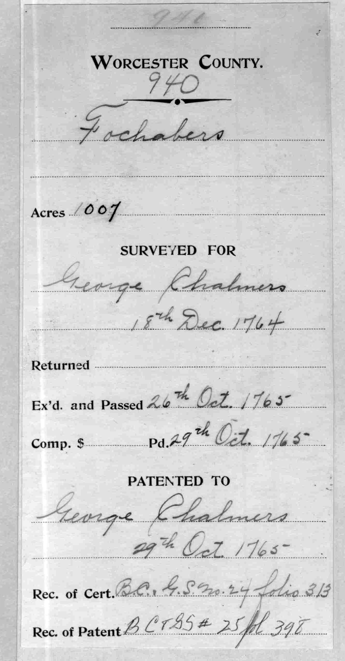
Two uncles on the father’s side had settled in British North America, and Chalmers visited Maryland in 1763, apparently to assist in recovering a tract of land about which a dispute had arisen. [It is noted in The Colonial Legacy Vol. I. by L.H. Leder that Chalmers came to America with his only uncle, Robert, in 1763, who died a year later at which time he received his uncle’s inheritance. He used that money to purchase large tracts of land, one of which was 1,007 acres in Worcester County. He then sold it for a huge profit. (As of this writing I am waiting for the state archives to get back to me on whom did he sell it to?)]
As far as the land dispute, there are a few listed in the Md. State Archives…. And Further in Case of the Decease of the said Robert Chalmers before the Affairs and Business hereby Committed to him shall be finally Concluded And we Considering that he has taken alongst with him George Chalmers Son of James Chalmers Postmaster in Fockabin & Nephew to the said Robert Chalmers to be a Companion We hereby in that event Constitue & appoint the said George Chalmers to Succeed the said Robert Chalmers as our Attorney in the Premisses Giving & Granting to him full Power and Commission to Act and Do for us as the said Robert Chalmers may or can do by Virtue hereof and that Immediately after or how soon the said Robert Chalmers death happens he being alwise liable to account to us all his Intromissions… Another land dispute on the other side of the bay involved William Paca.
In 1766 “…he moved to the New Frontier Town of Baltimore.” Where he practiced law, that he was not impecunious while living in Maryland. Receipt found in 1764 of a warrant for over 1,000 acres in undeveloped Worcester County.
As a Loyalist, however, at the outbreak of the American War of Independence, he abandoned his professional prospects and returned to Great Britain. Several years then passed before he found adequate employment.
Chalmers was a fellow of the Royal Society and the Society of Antiquaries of London, an honorary member of the Antiquarian Society of Scotland, and a member of other learned societies. His library was left to his nephew, at whose death in 1841 it was sold and dispersed.
Random Notes from Md. State Archives:
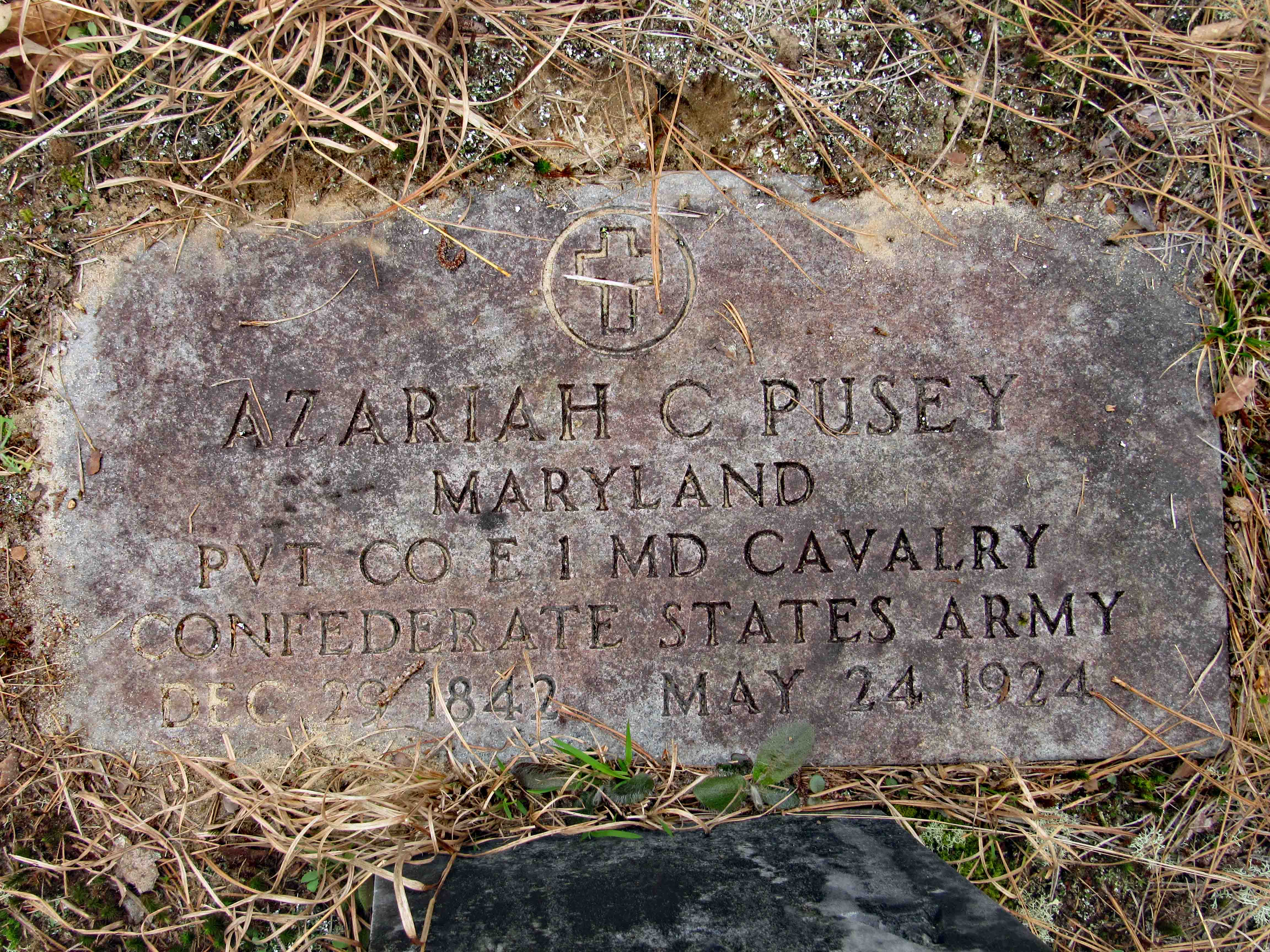
1781 “List of Persons Indicted for Treason May Term 1781.” July 15 Indictments brought against inhabitants of following counties on May [8], 1781: Prince Georges, Kent, Anne Arundel, Saint Marys, Charles, Frederick, Washington, Calvert, Baltimore, for “adhering to the Enemy”; against following people: Jonathan Boucher, Henry Addison, Daniel Addison, Daniel Stevenson, Charles Gordon, John Montgomery, Daniel Dulany, Daniel Dulany of Walter, Lloyd Dulany, Walter Dulany, Nathaniel Richardson, Anthony Stewart, George Howard, Henry Riddle, Philip Key, Leigh Master, Bennett Allen, David Carcand, Thomas French, William Edmiston, George Chalmers, William Dickson indicted for treason; no person outlawed in May term 1781.
Kathy and I visited the Nabb Center (where we both told them that if they have any research, filing, scanning, etc. that needs to be done, let us know – they never did). Their loss!
They did find some land records for us which are not the easiest to figure out. One mentions Dunkirk, which Merrill told us about, and how it relates to his father’s (now his) property. I am still waiting for the Maryland State Archives to get back to me with the timeline and ownership of the property between 1765 and 1951.
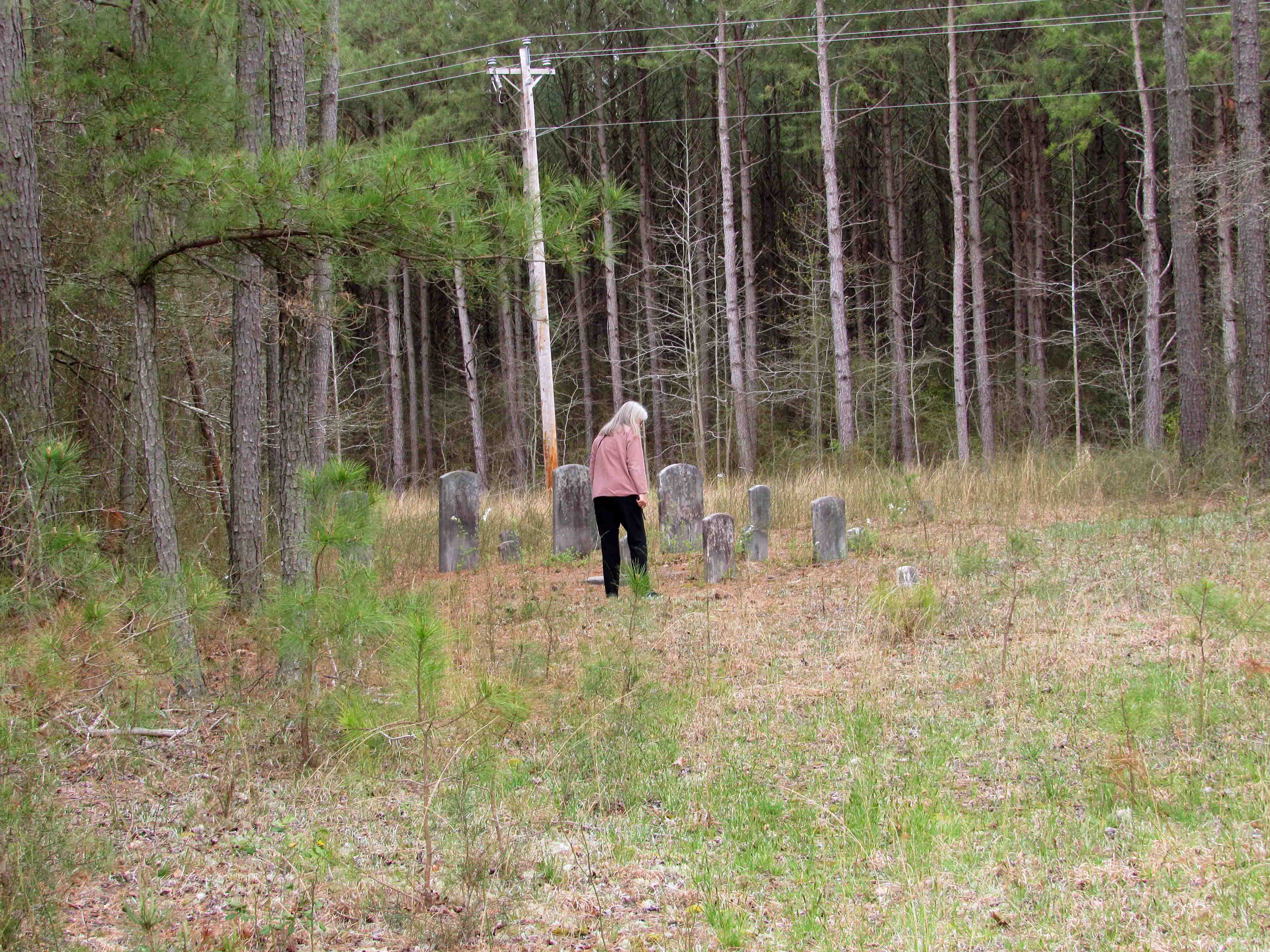
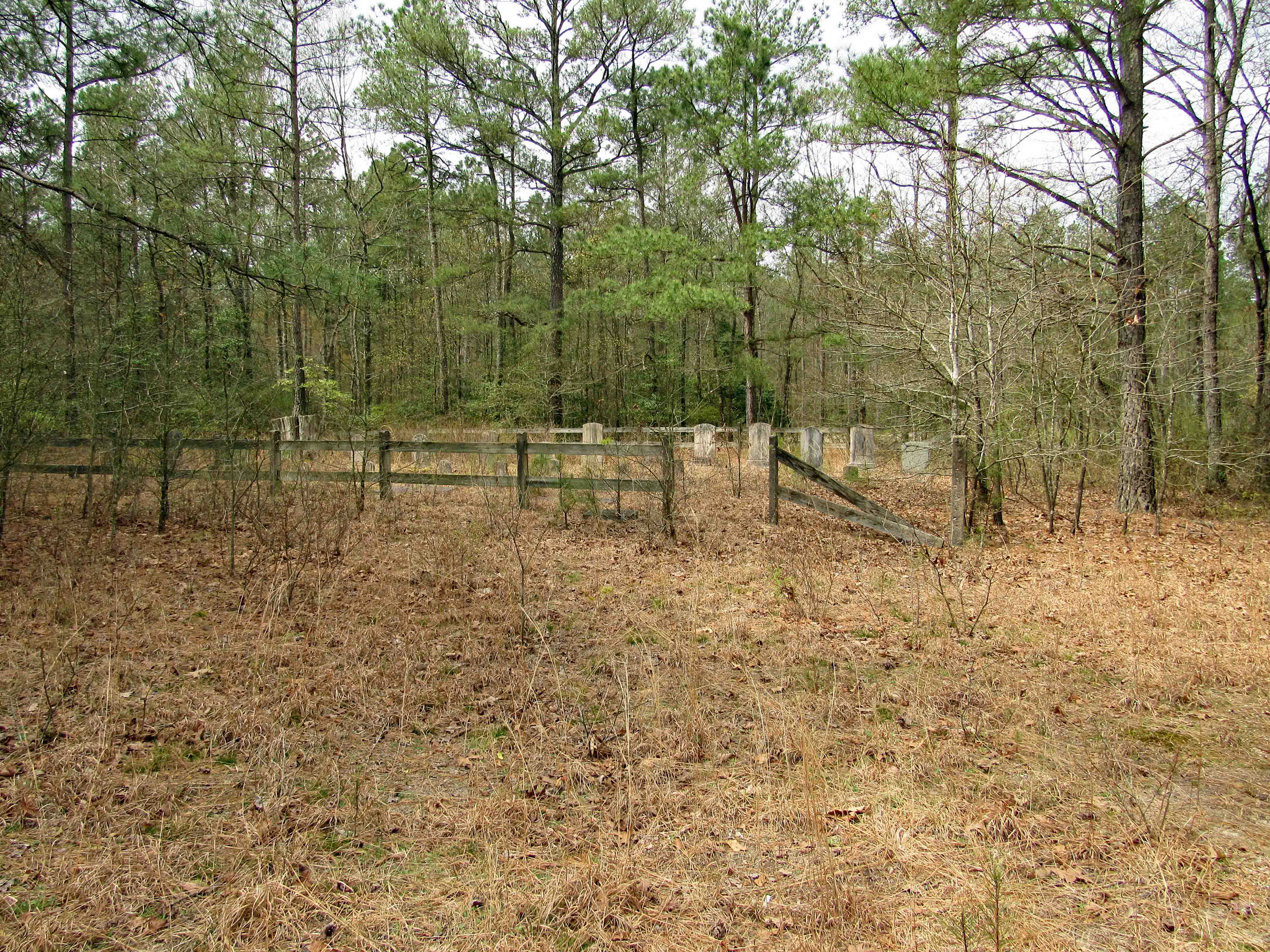
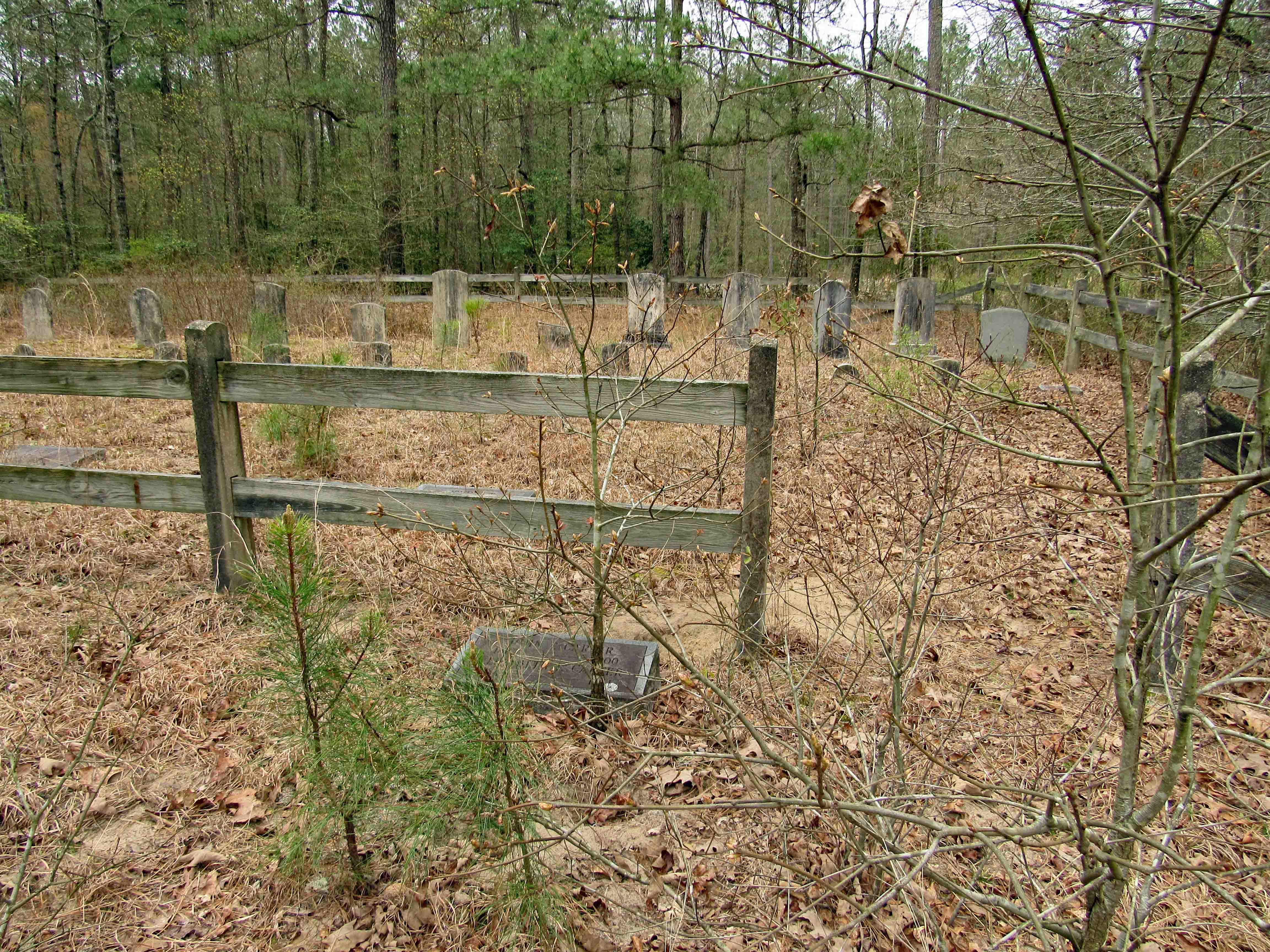
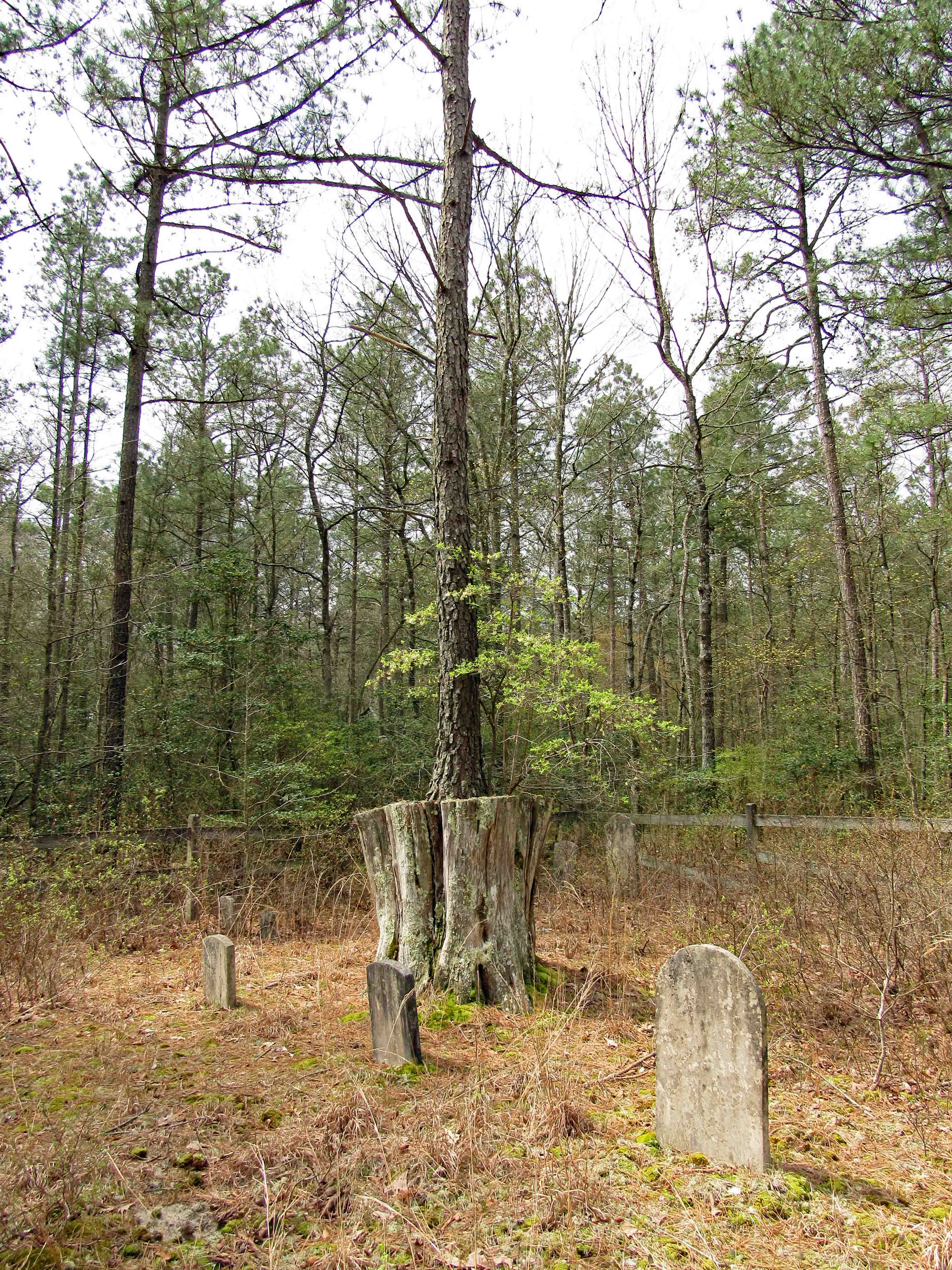
But to the Nabb Center’s credit, they did help us find the location of a cemetery that we have been looking for. Another blog for another time.
I would like to thank Merrill for giving us permission to post this and to Kathy who is always ready to take on a new historical research project!