• About
  • History Writings

Water and Me

Water and Me

Tag Archives: Trails

Pusey Trail and Cemeteries

15 Thursday Apr 2021

Posted by Ronald Parks in Archives, Cemetery, Eastern Shore, Genealogy, Hiking, nature, Road Trips, Trails

≈ Leave a comment

Tags

Cemetery, Civil War, hike, Just Walk, markers, muddy, Pusey, Research, swamp, Trails, Worcester County

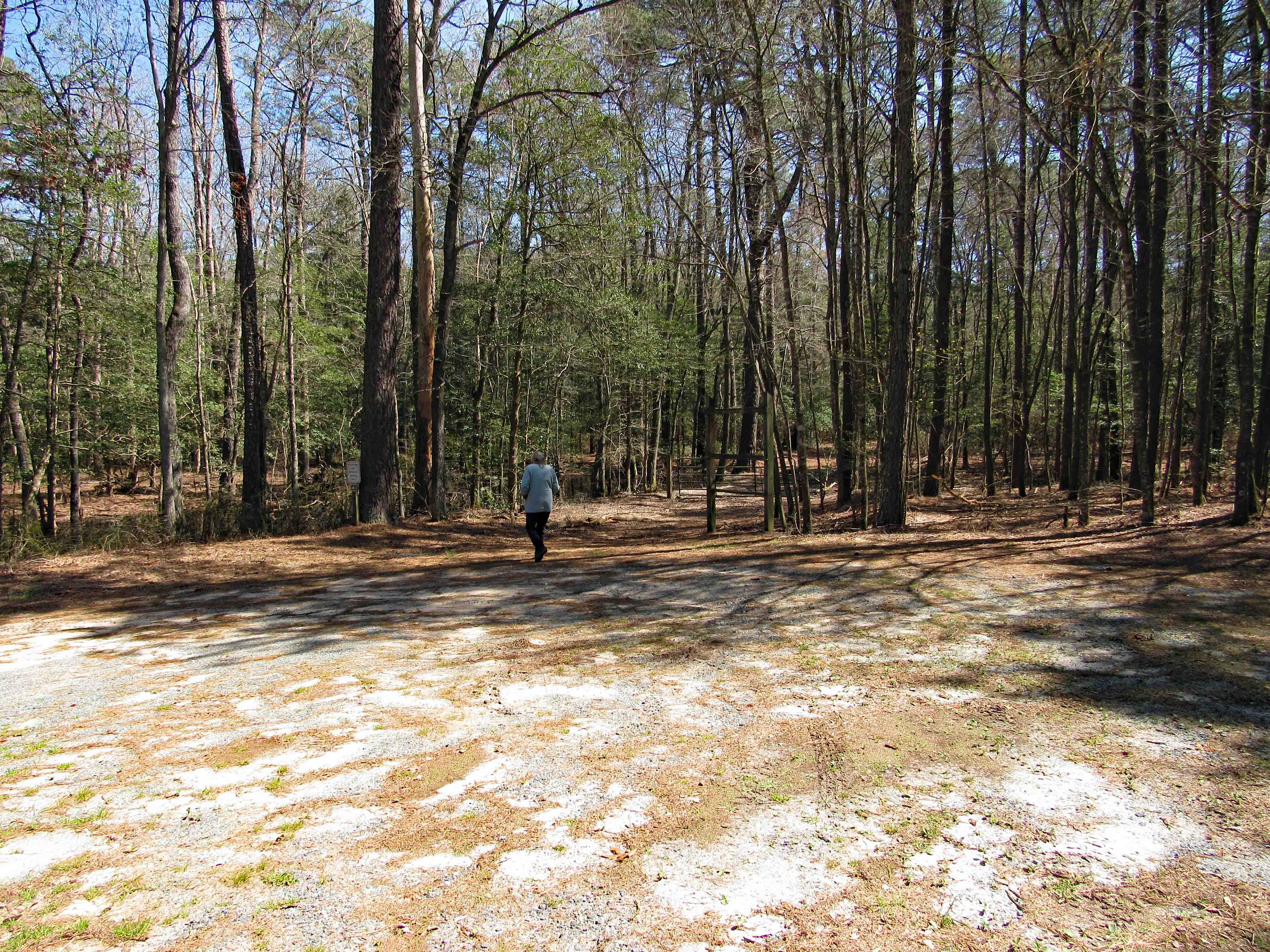
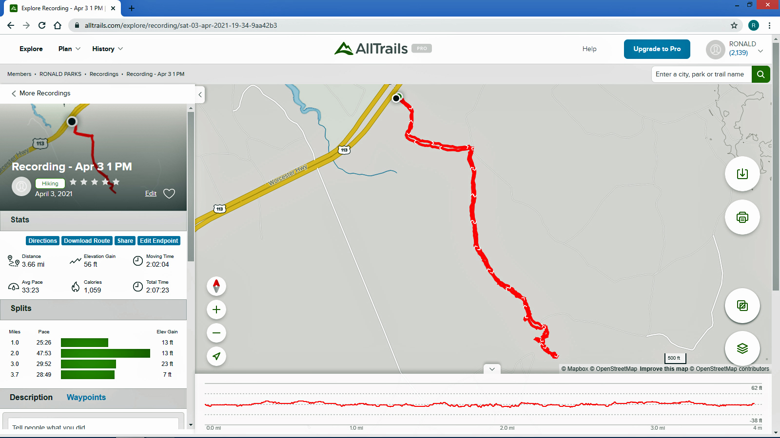
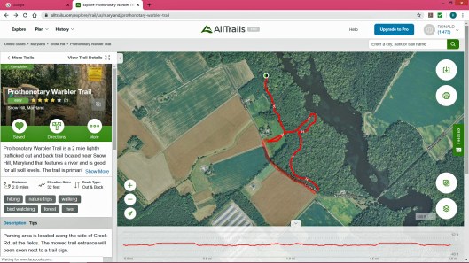
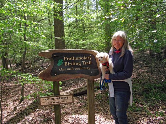
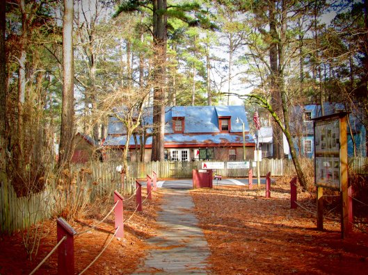
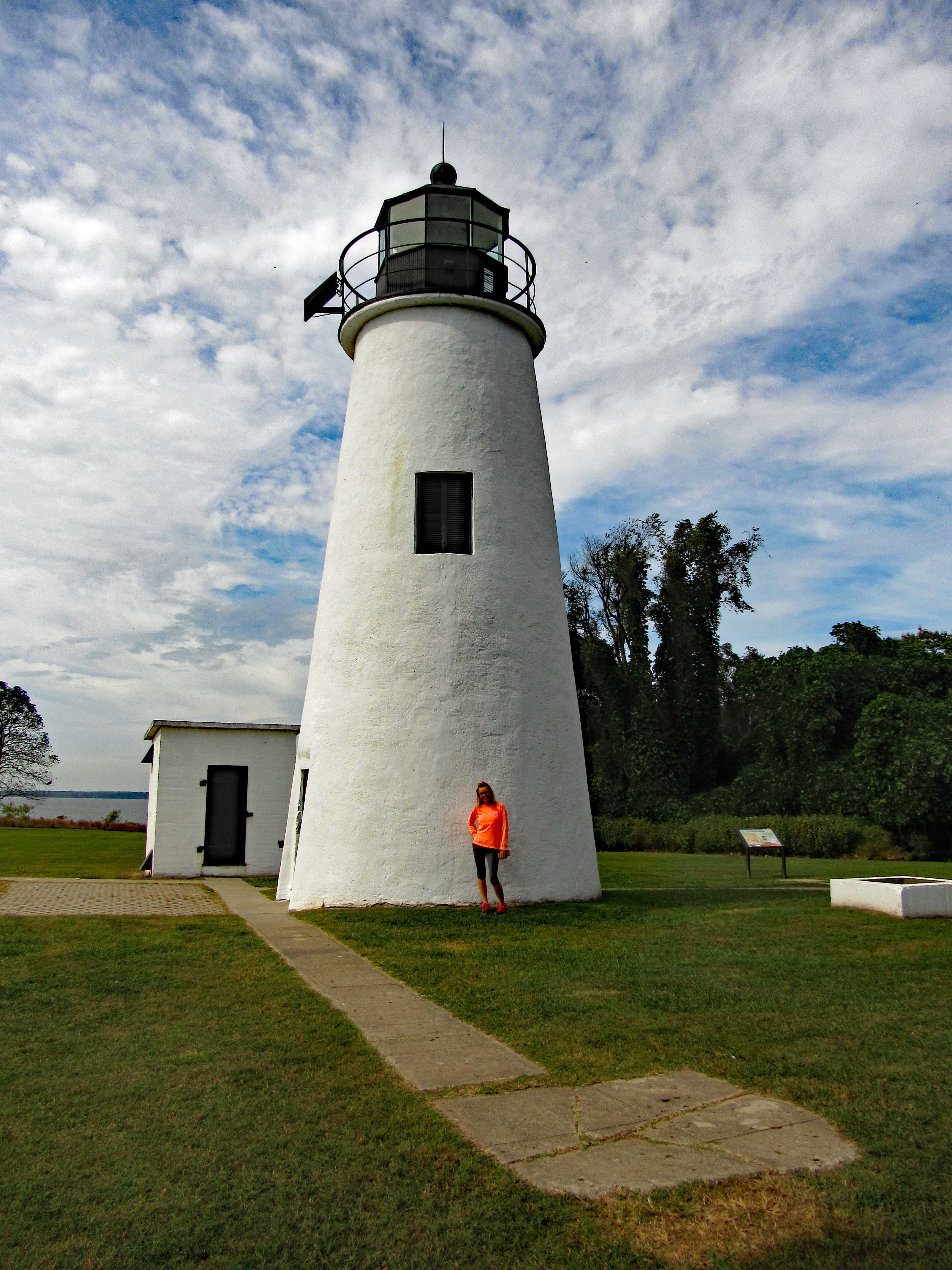
A week or so ago we found a brochure called “Just Walk”. It was put out by the Worcester County Health Dept. You could sign up and receive gifts for the miles you walked on 15 different trails. Most of which we had already hiked. There were a couple we hadn’t so we decided to go ahead and do it. The first one we picked was the Pusey Branch Trail on Old Furnace Rd near Old Beech Rd.

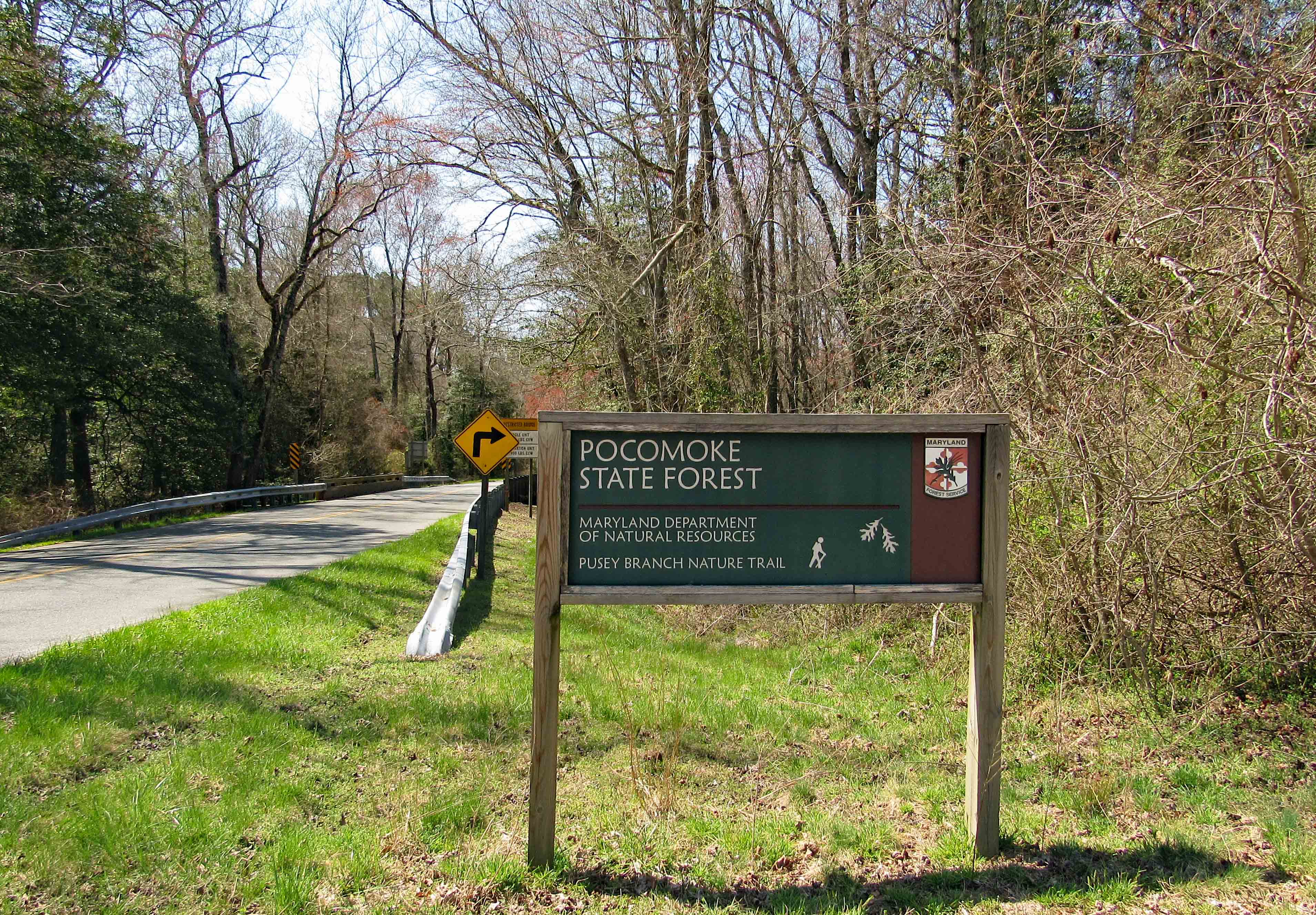
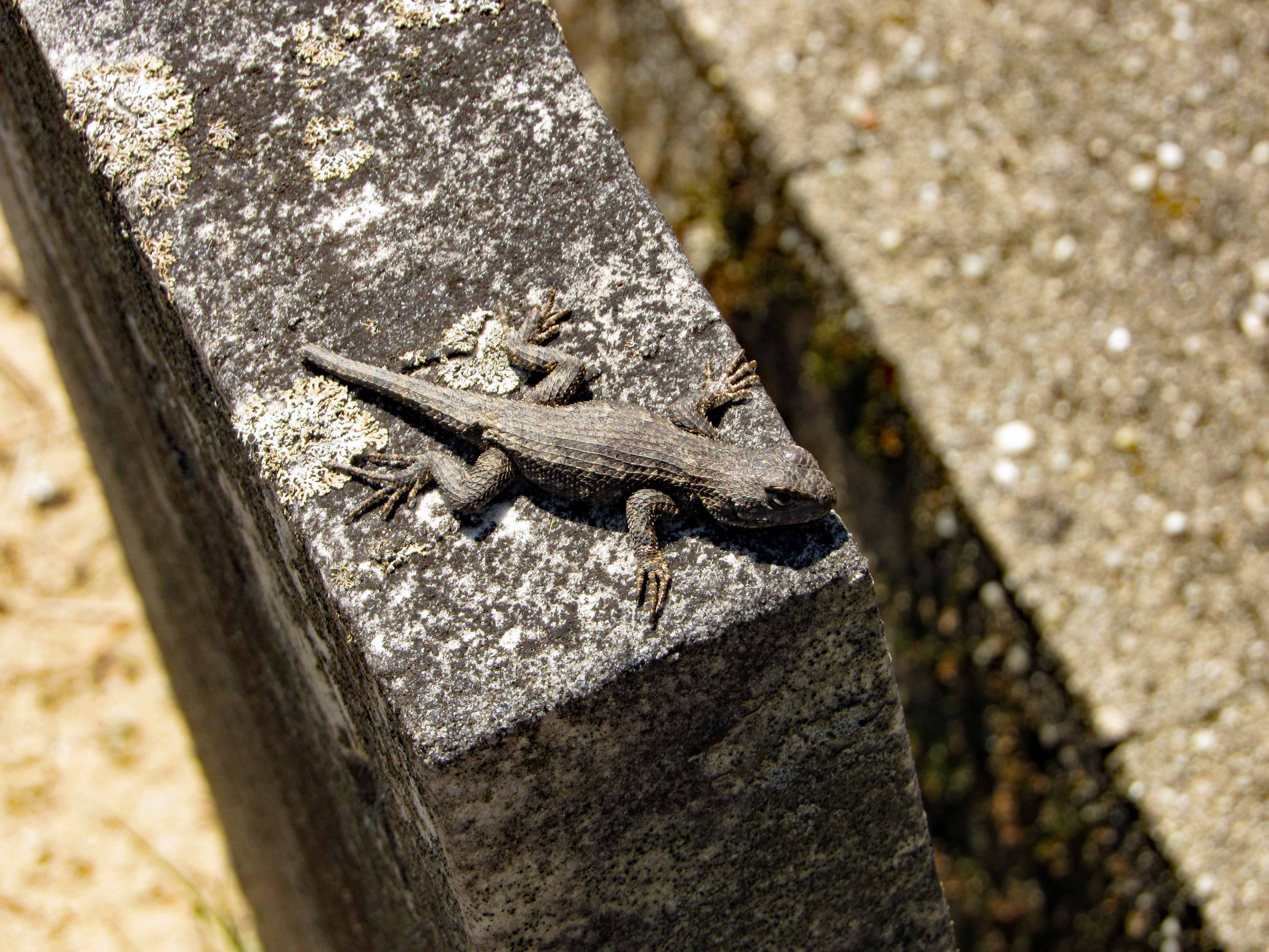
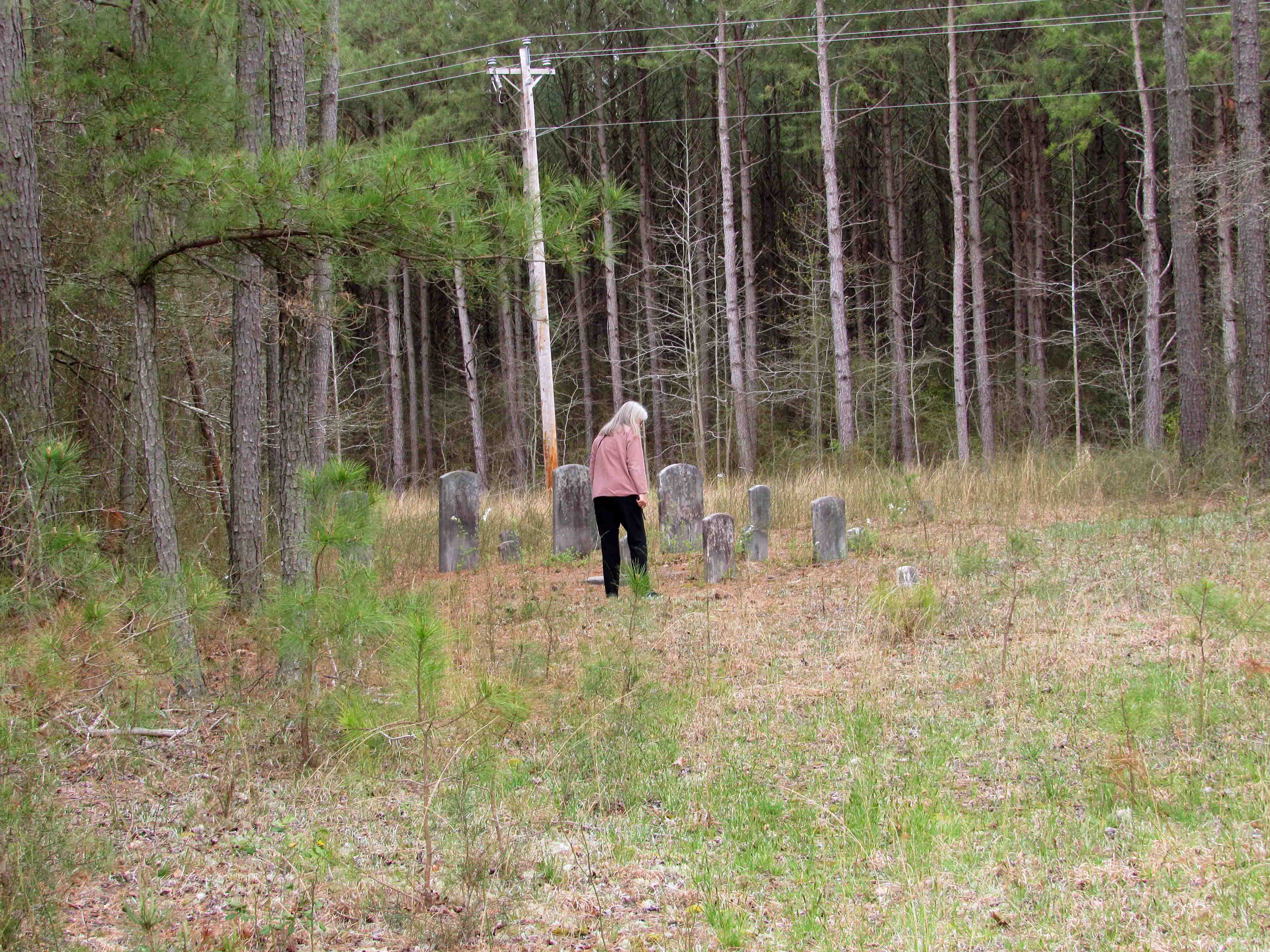
There is a cemetery at the front of this trail, so we thought we would check it out.

Lost part of his tail and has a hole in his side.

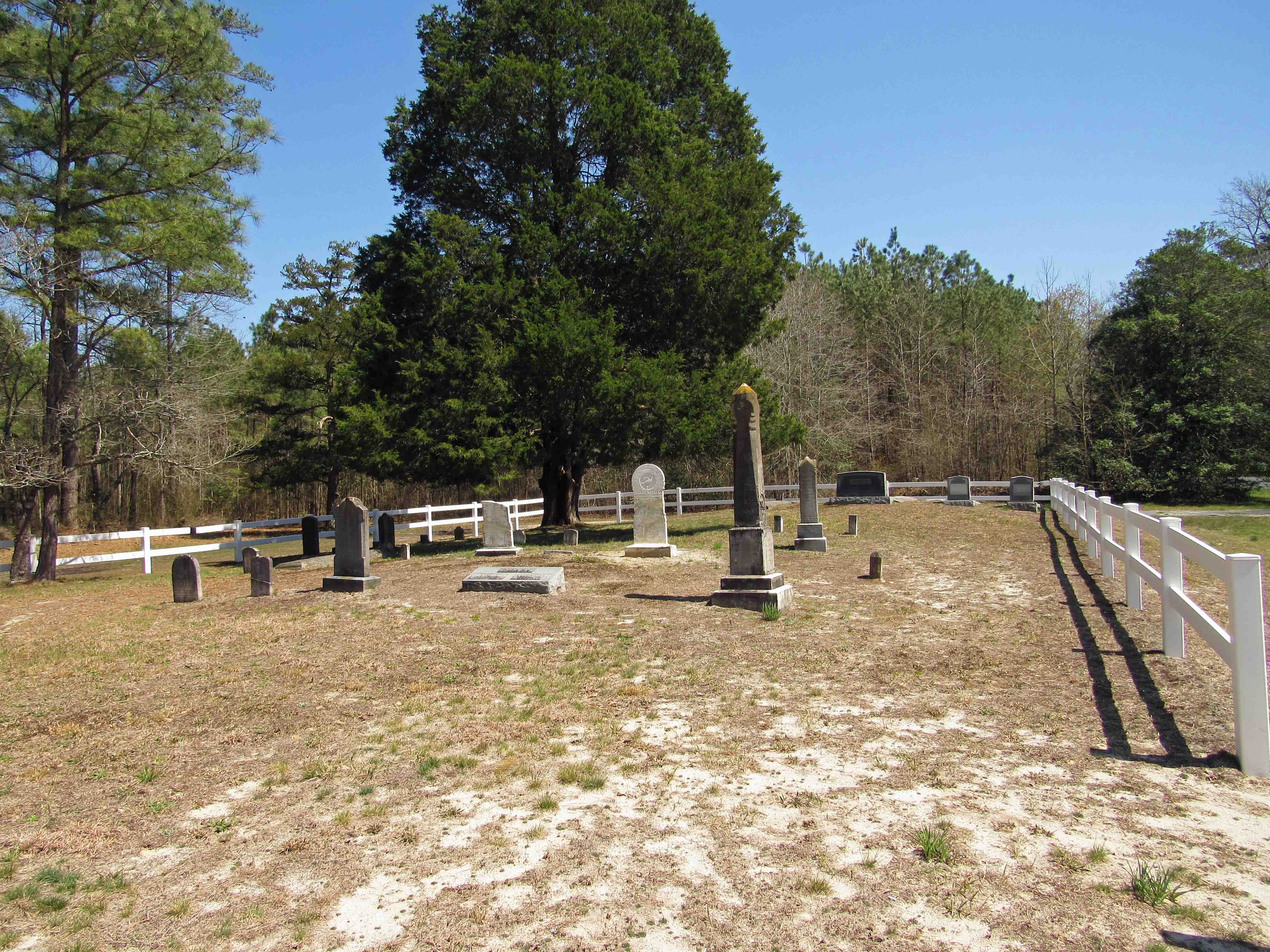
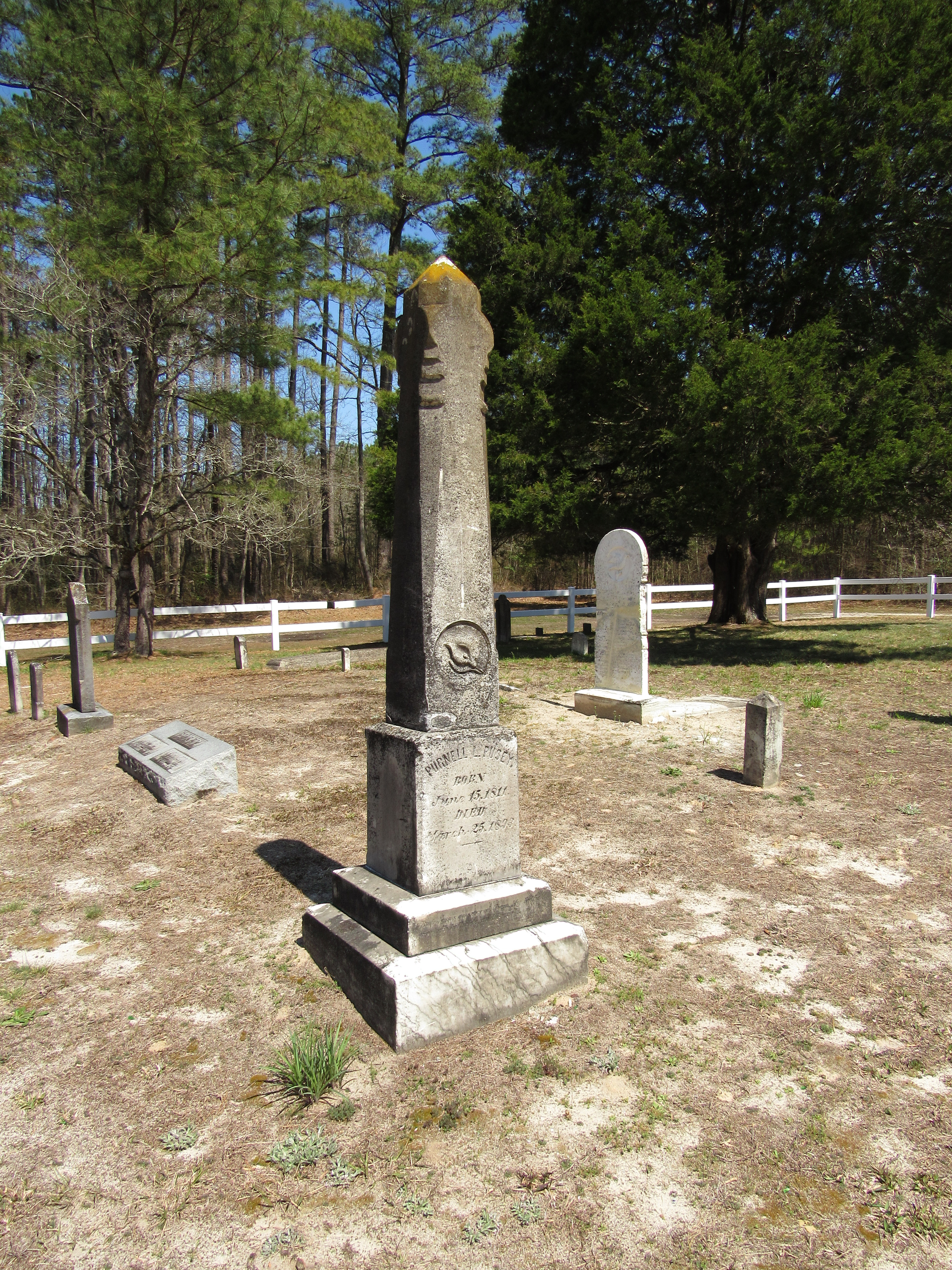
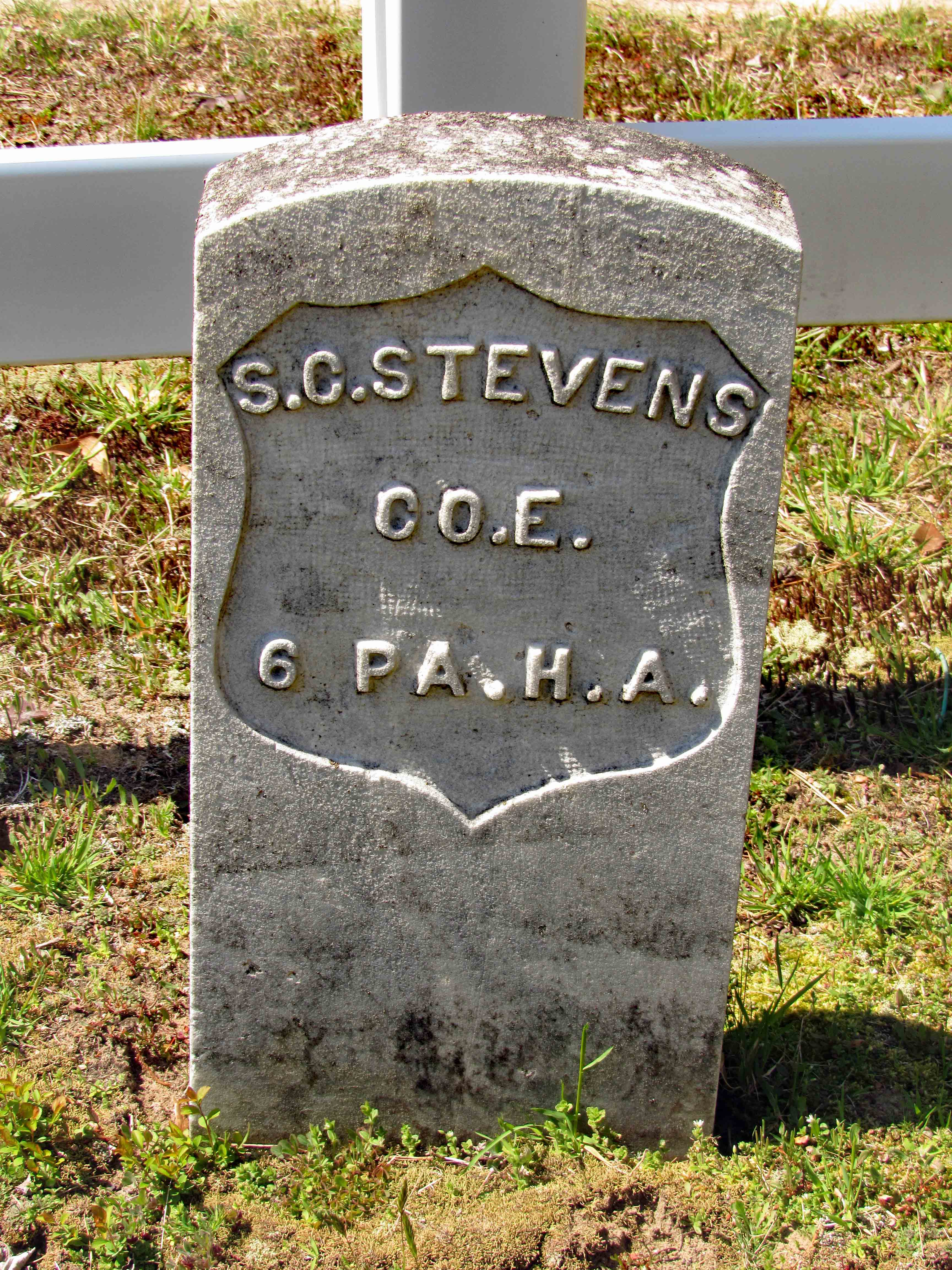
We then see this headstone. I knew by the writing and style that it is a military grave. When I got home, I decided to do a little research on S.C. Stevens. Private Stanley C. Stevens enlisted into the Union Army (Civil War) on August 30, 1864 at 28 years old. He was in Battery E of the 6th Pennsylvania Heavy Artillery. He was enlisted for 1 year and mustered out June 13, 1865. I could not find his birth or death dates.

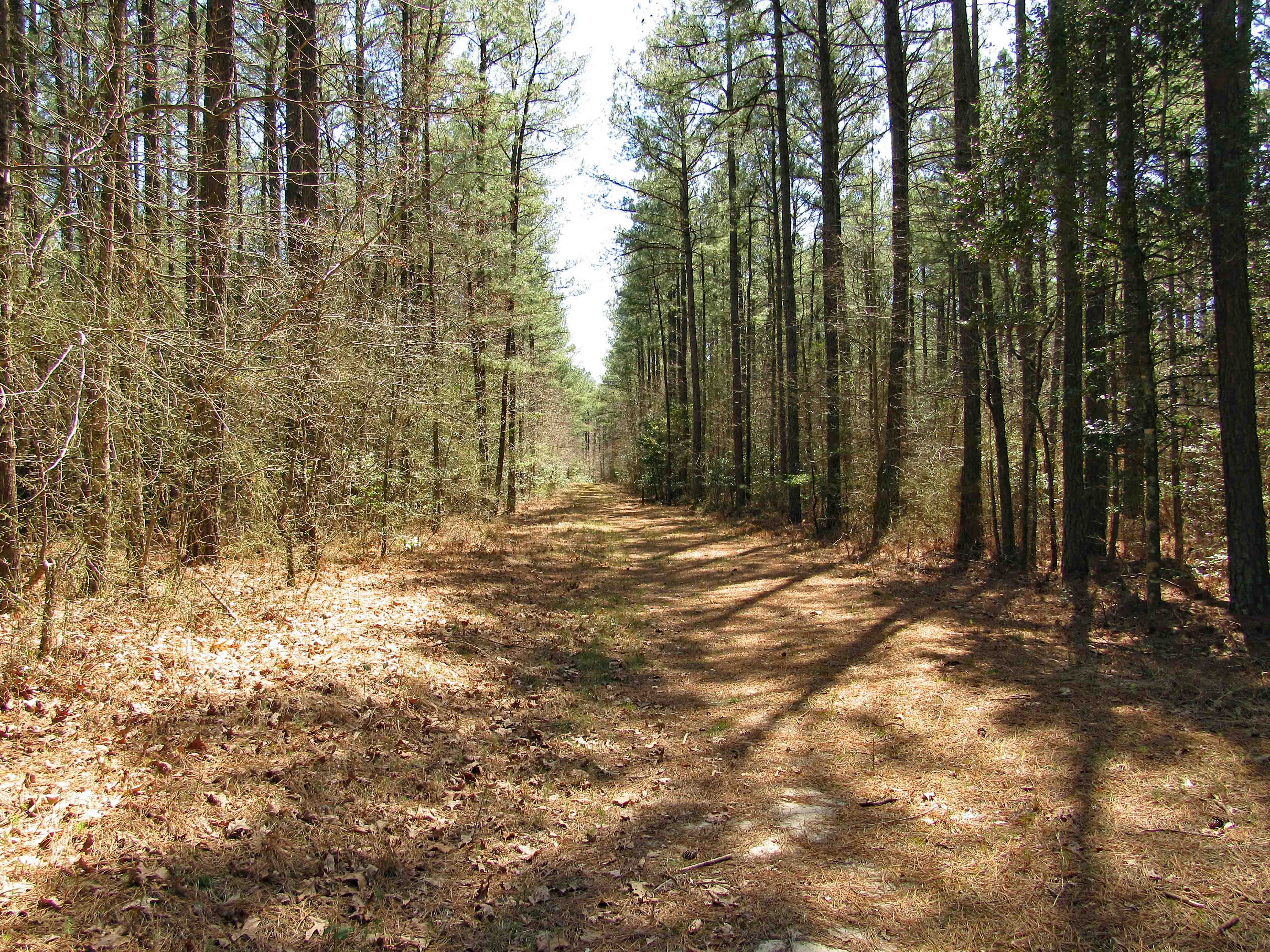
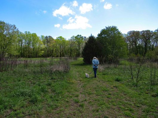
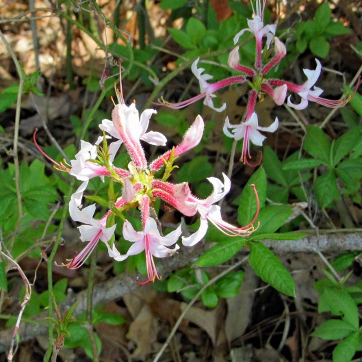
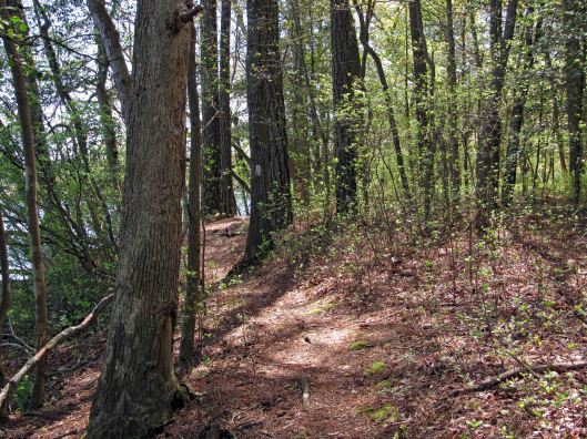
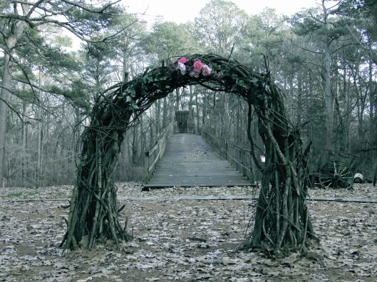
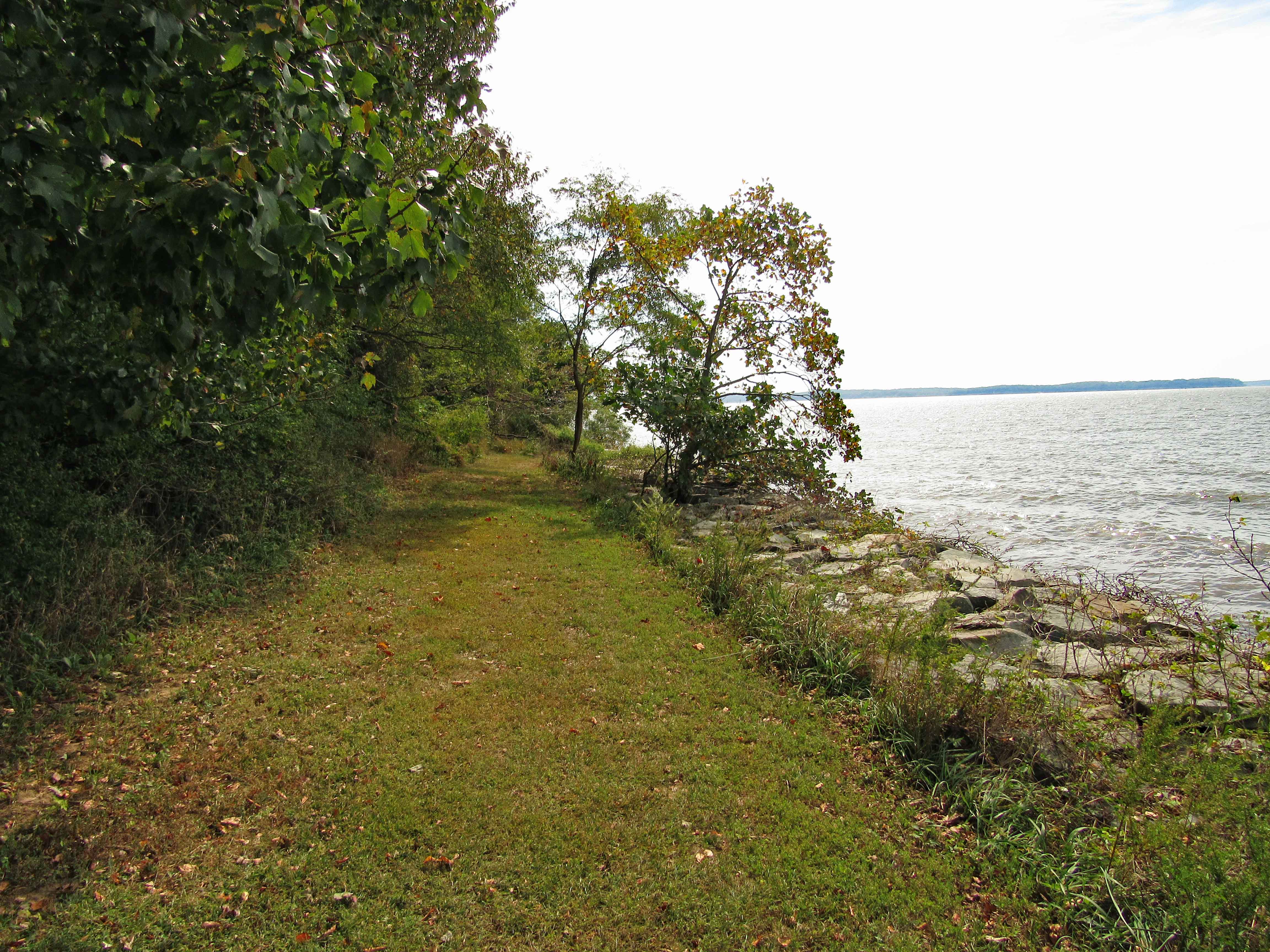
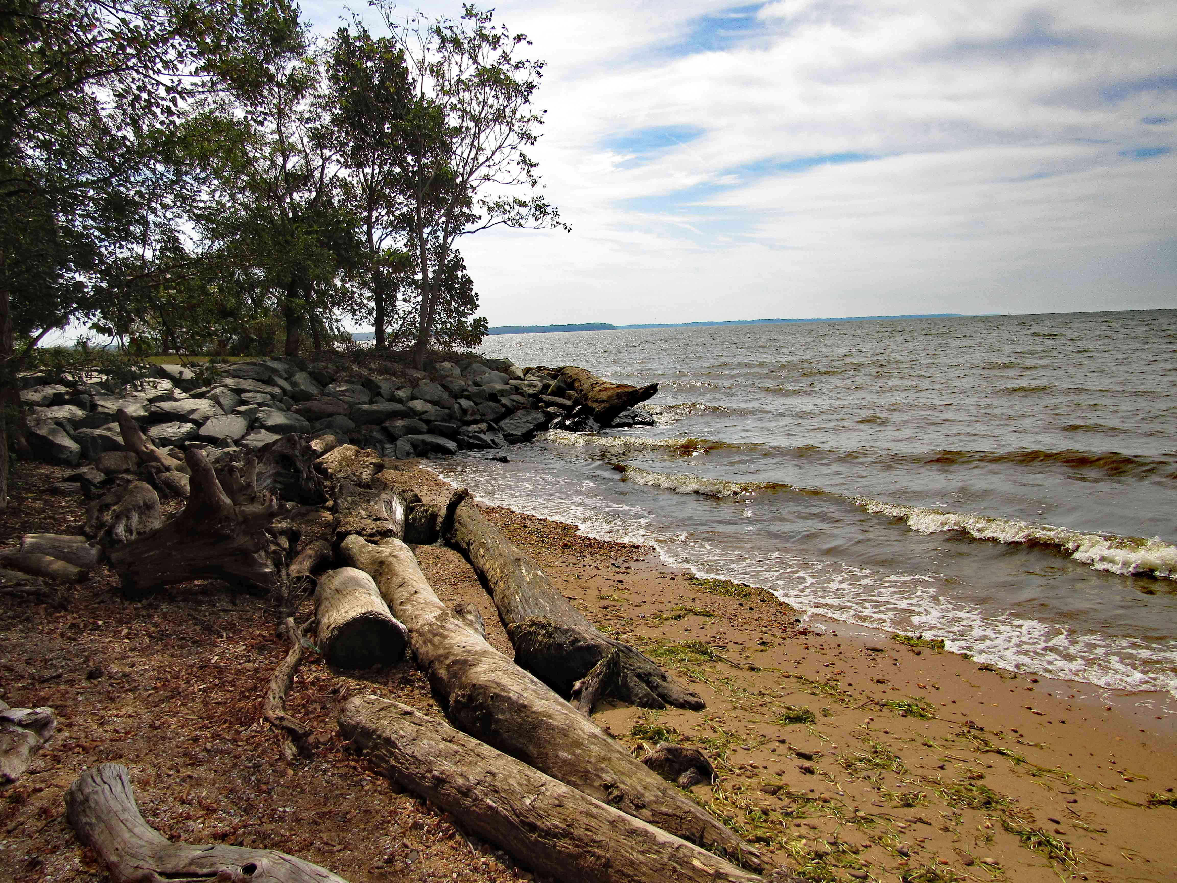
We finish looking around and head to the trail.

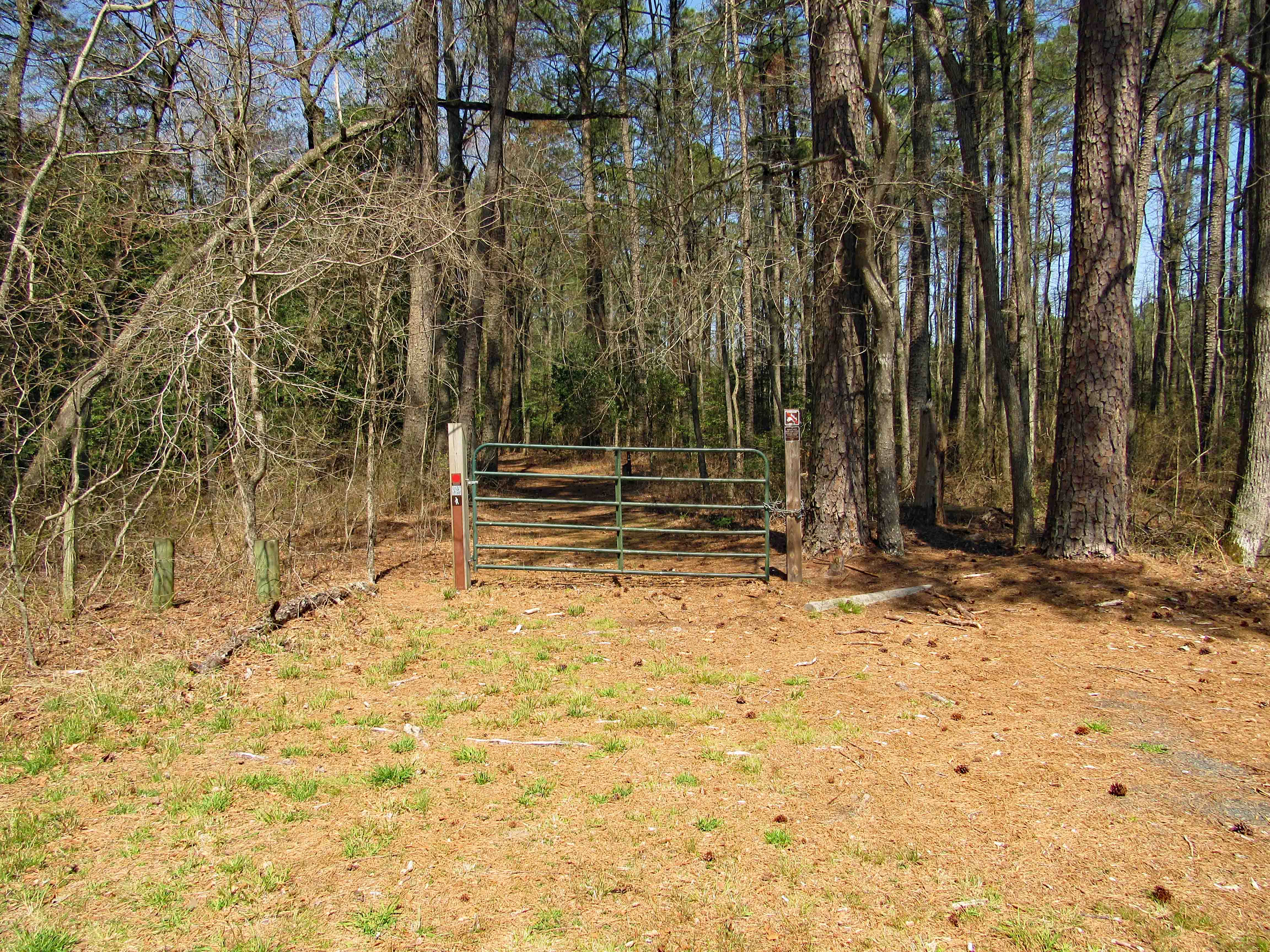
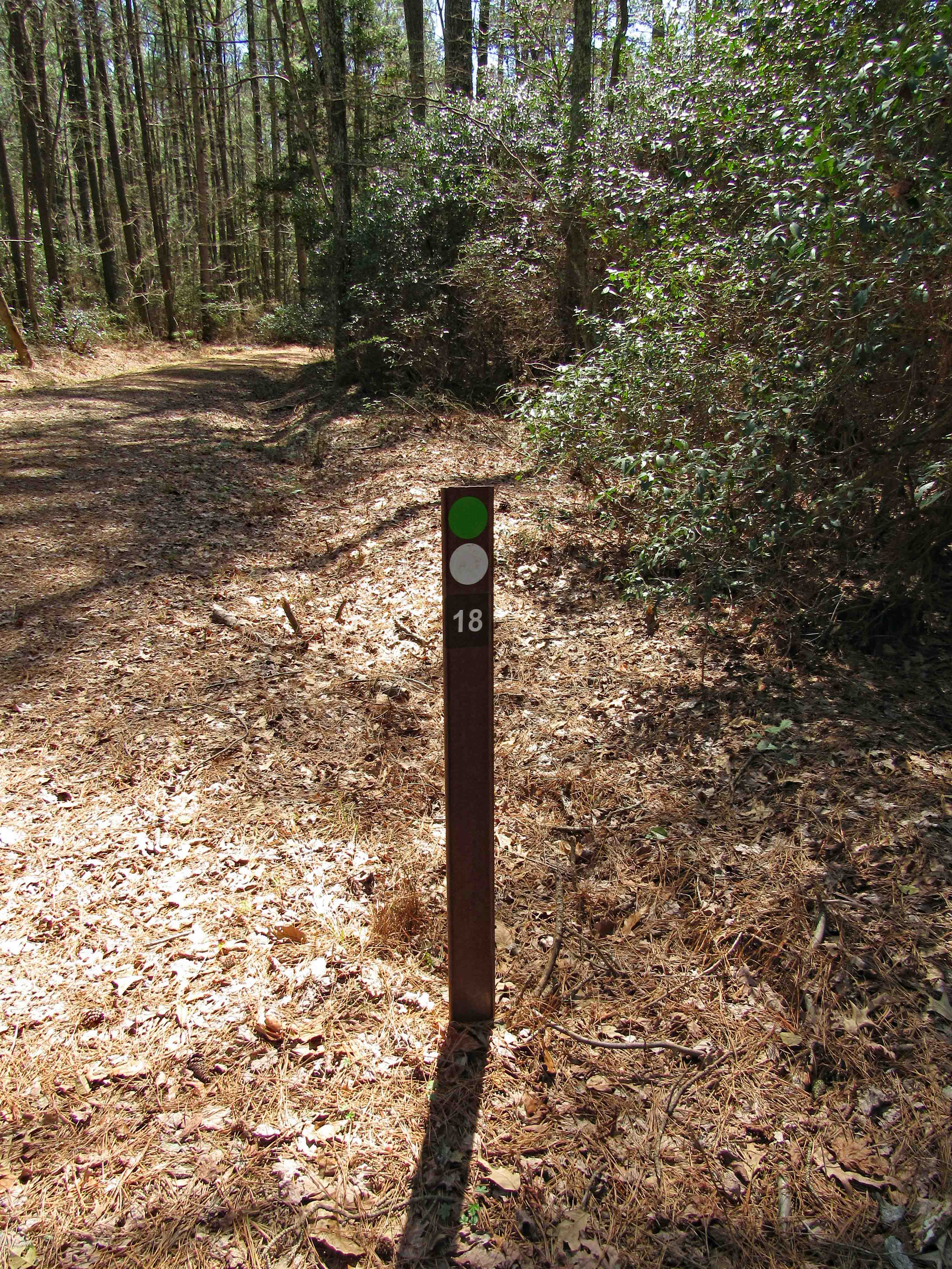
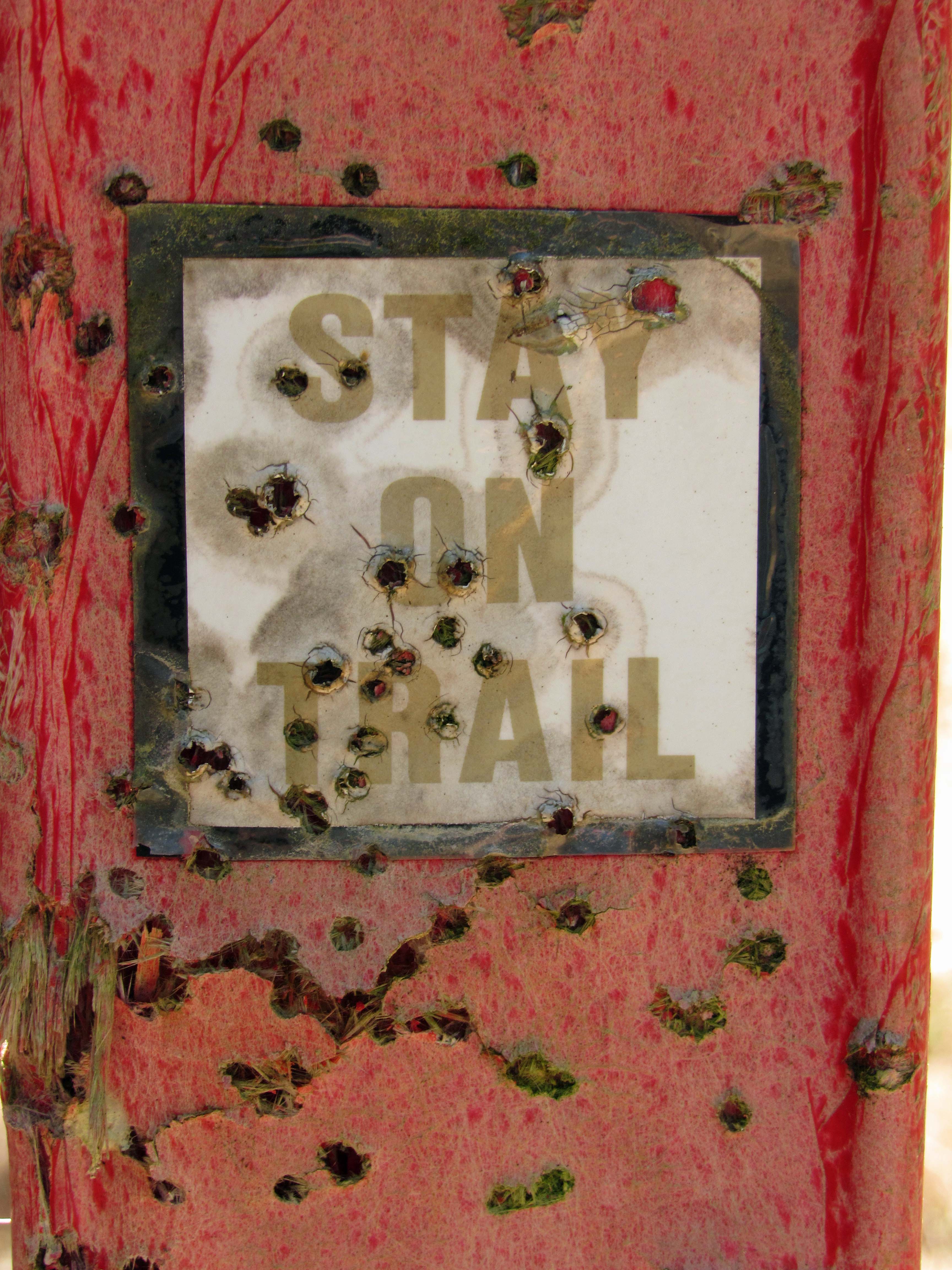
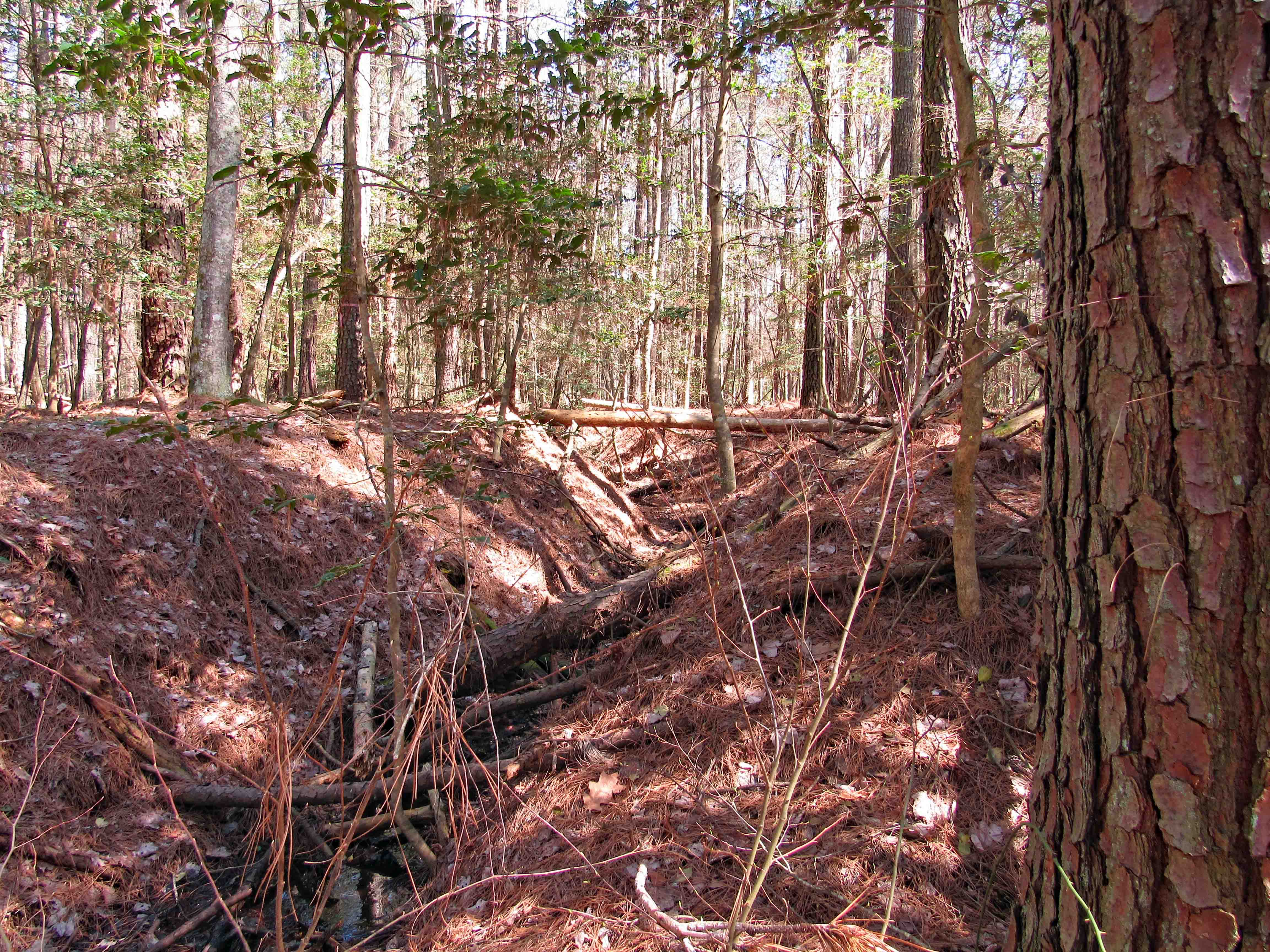
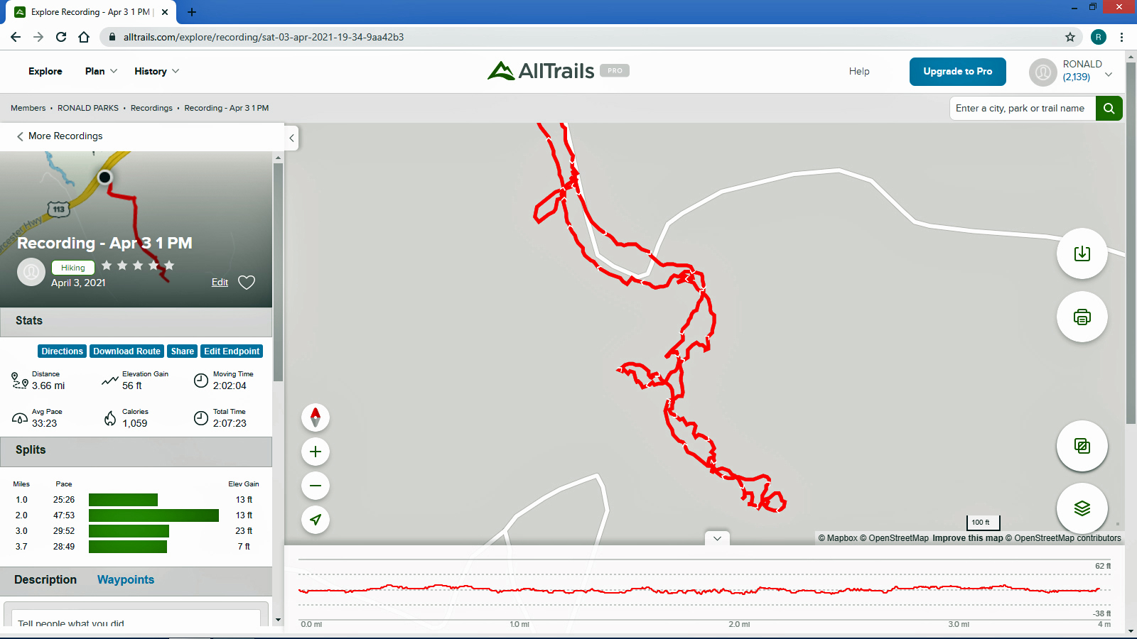
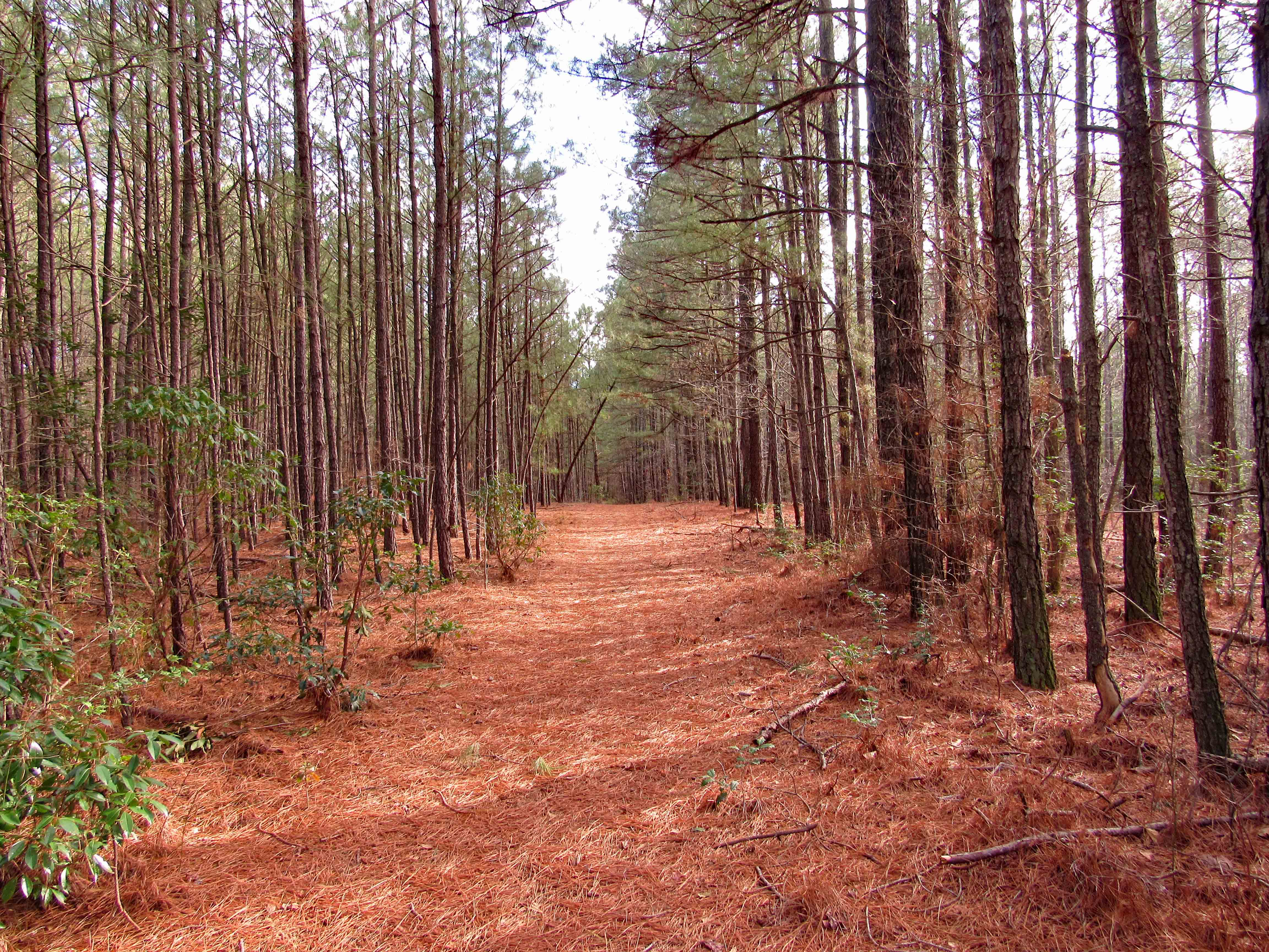
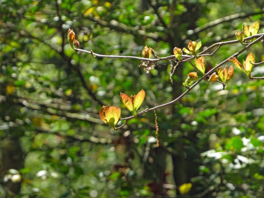
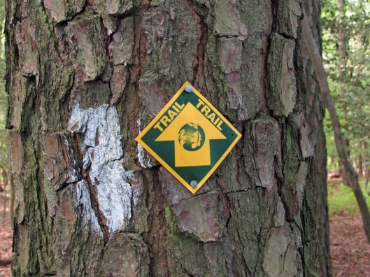
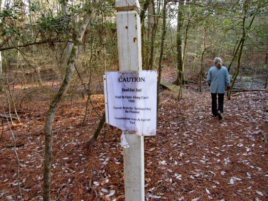
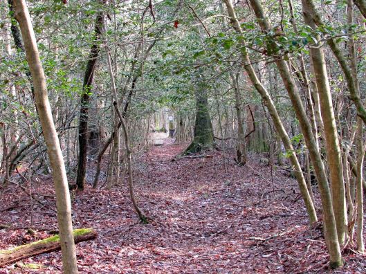
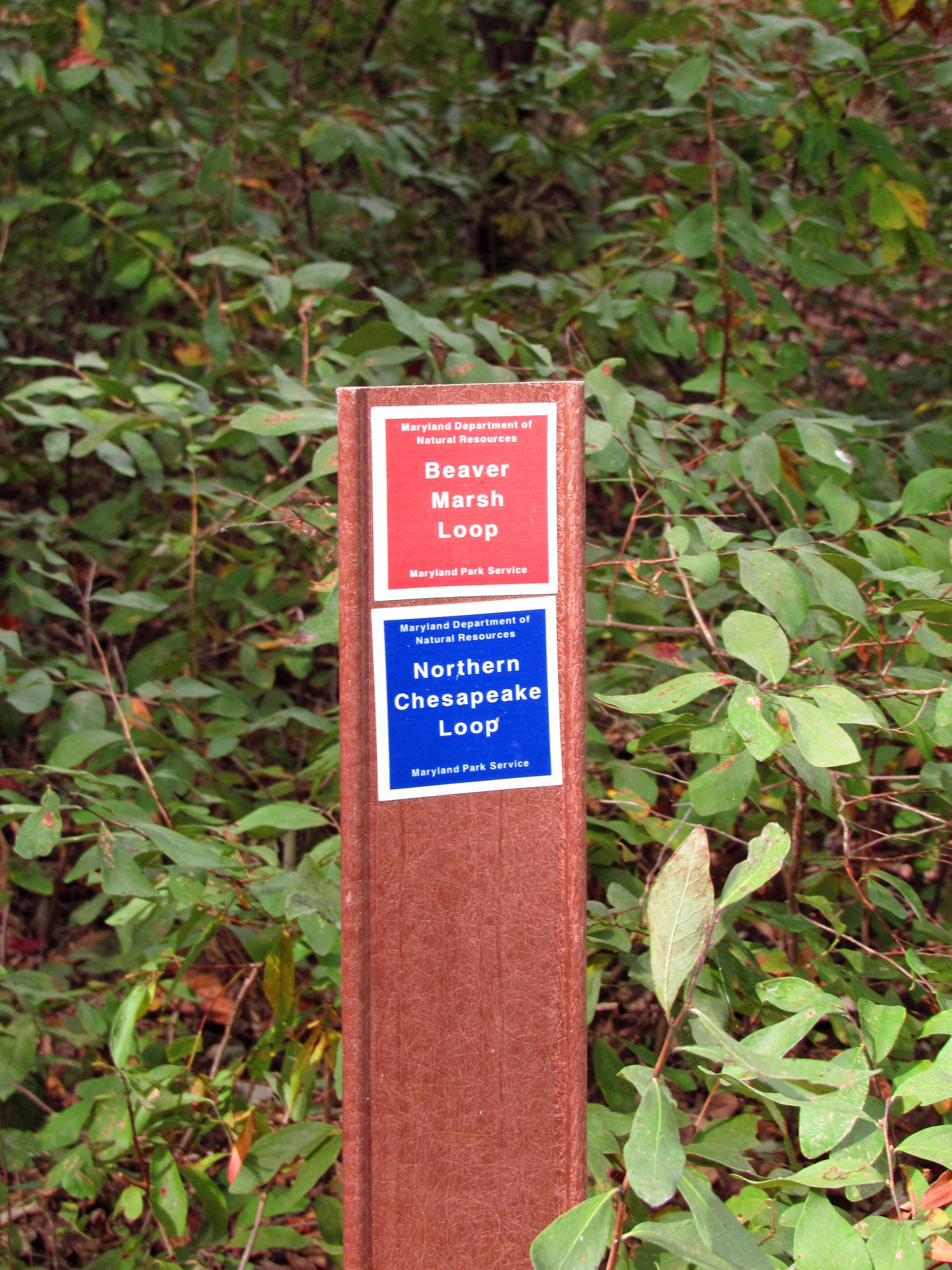
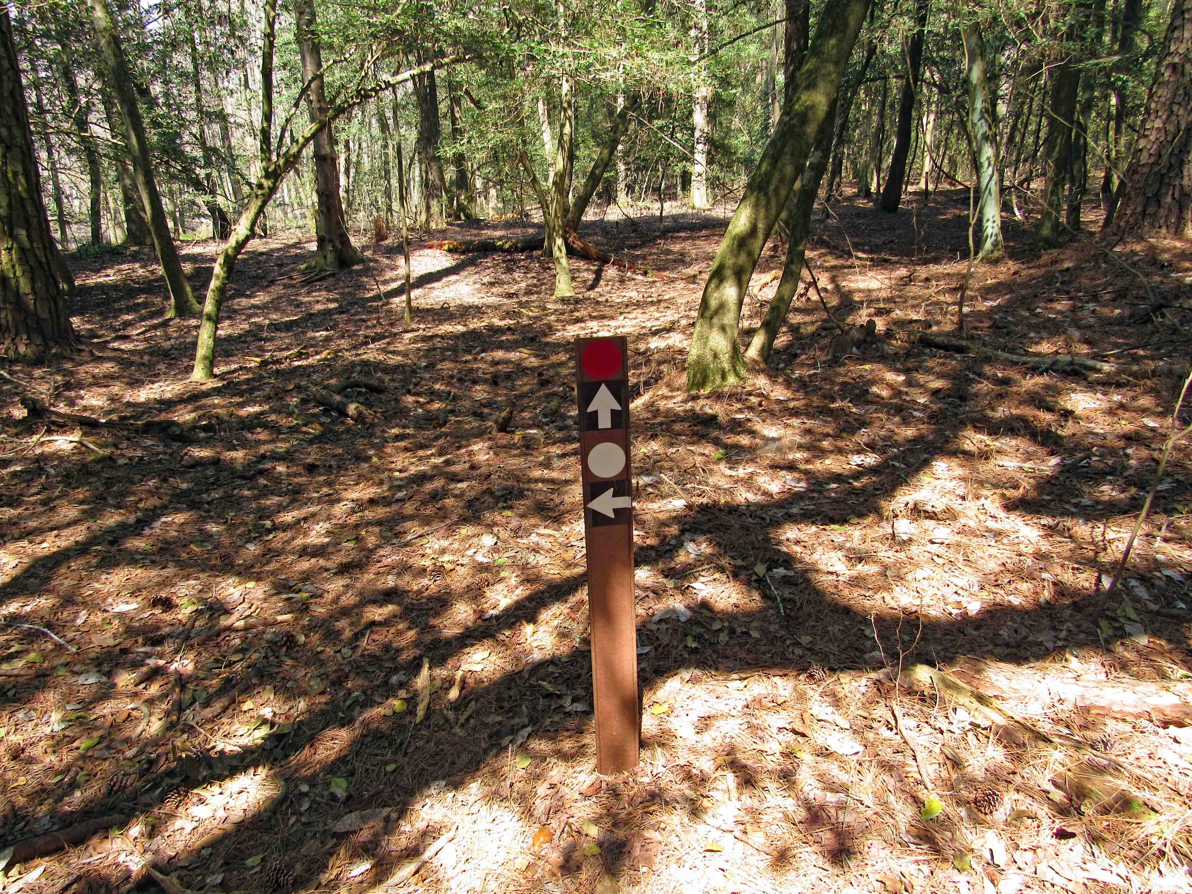
The trail needs some maintenance but it is well marked.

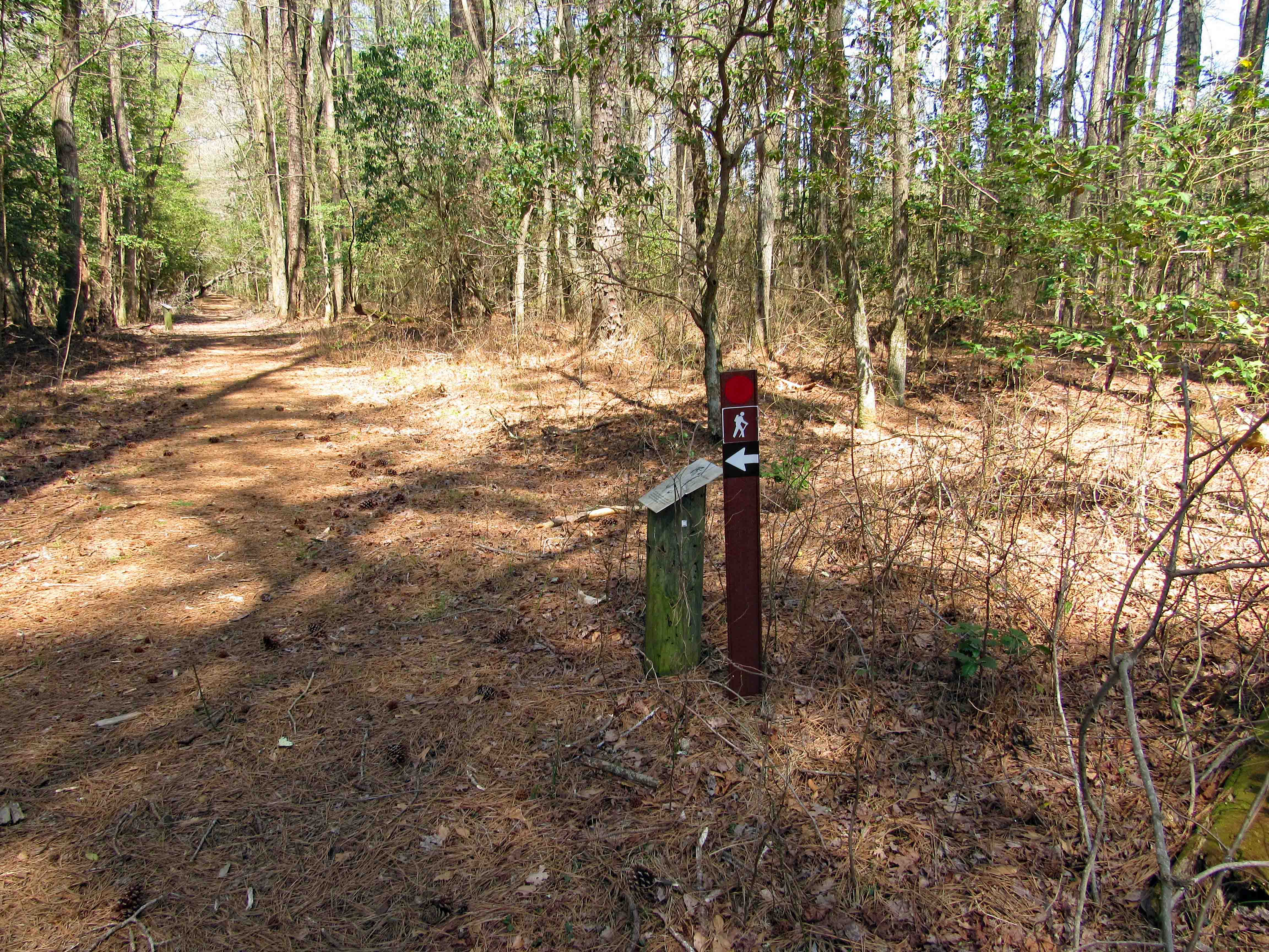
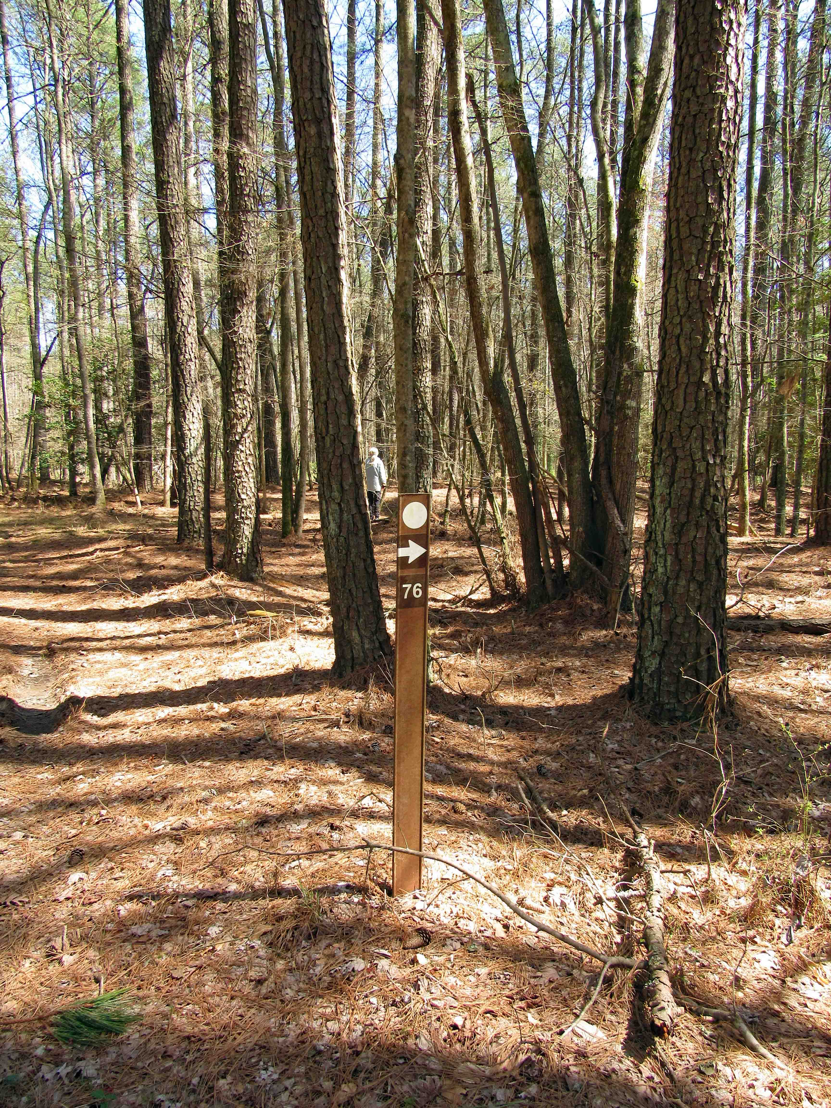
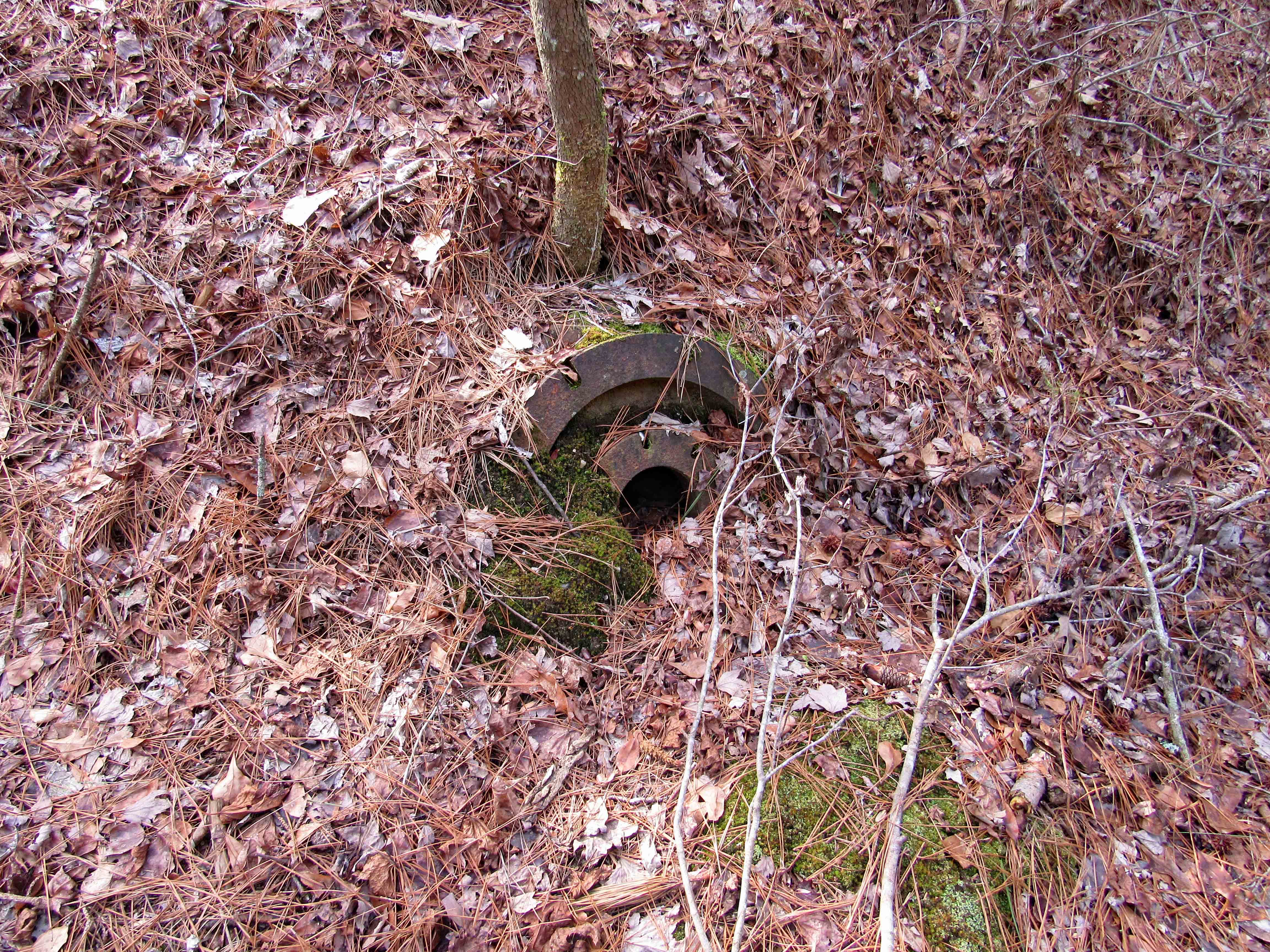
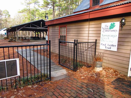
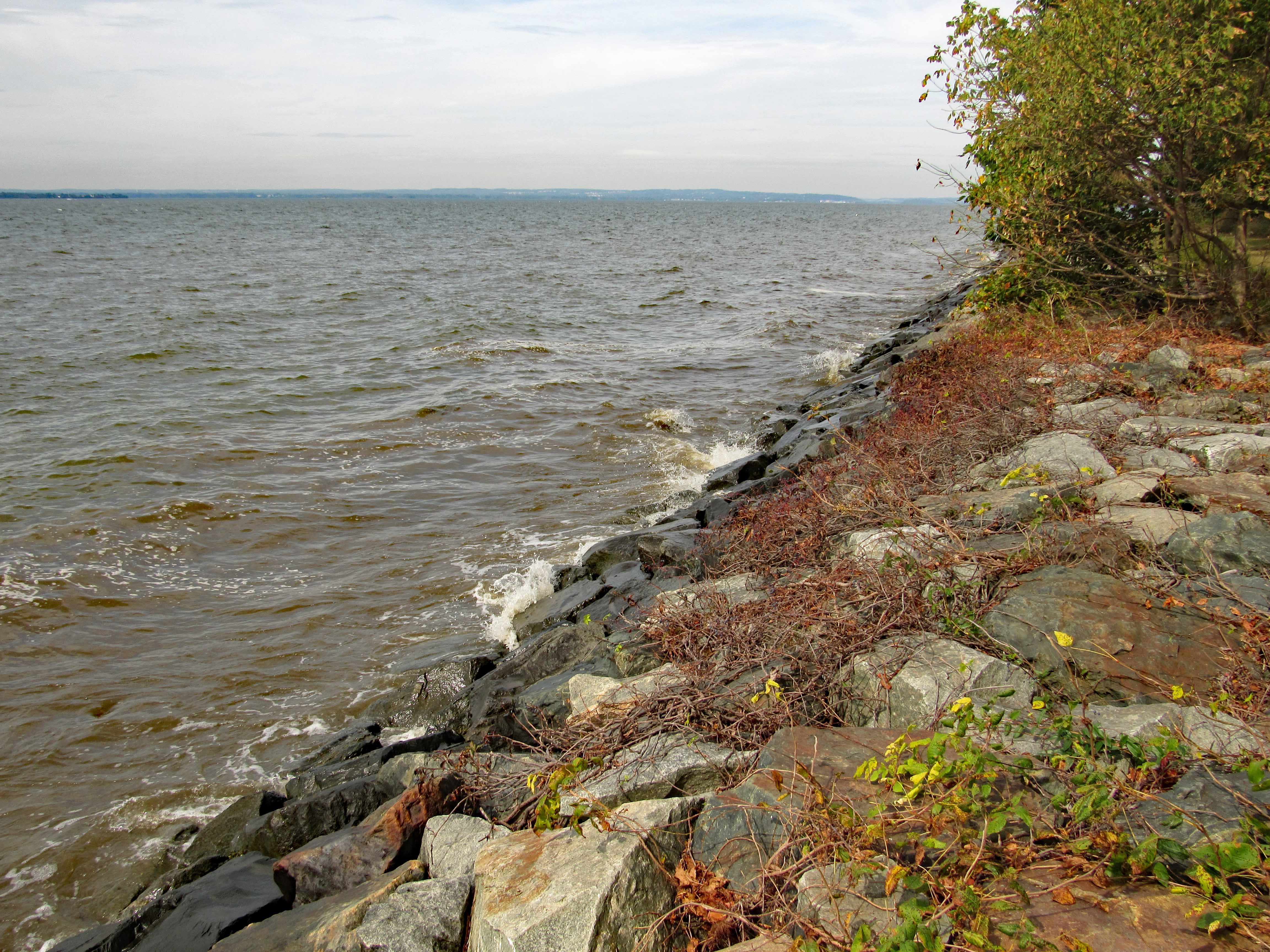
We came to a secondary trail and headed that way.

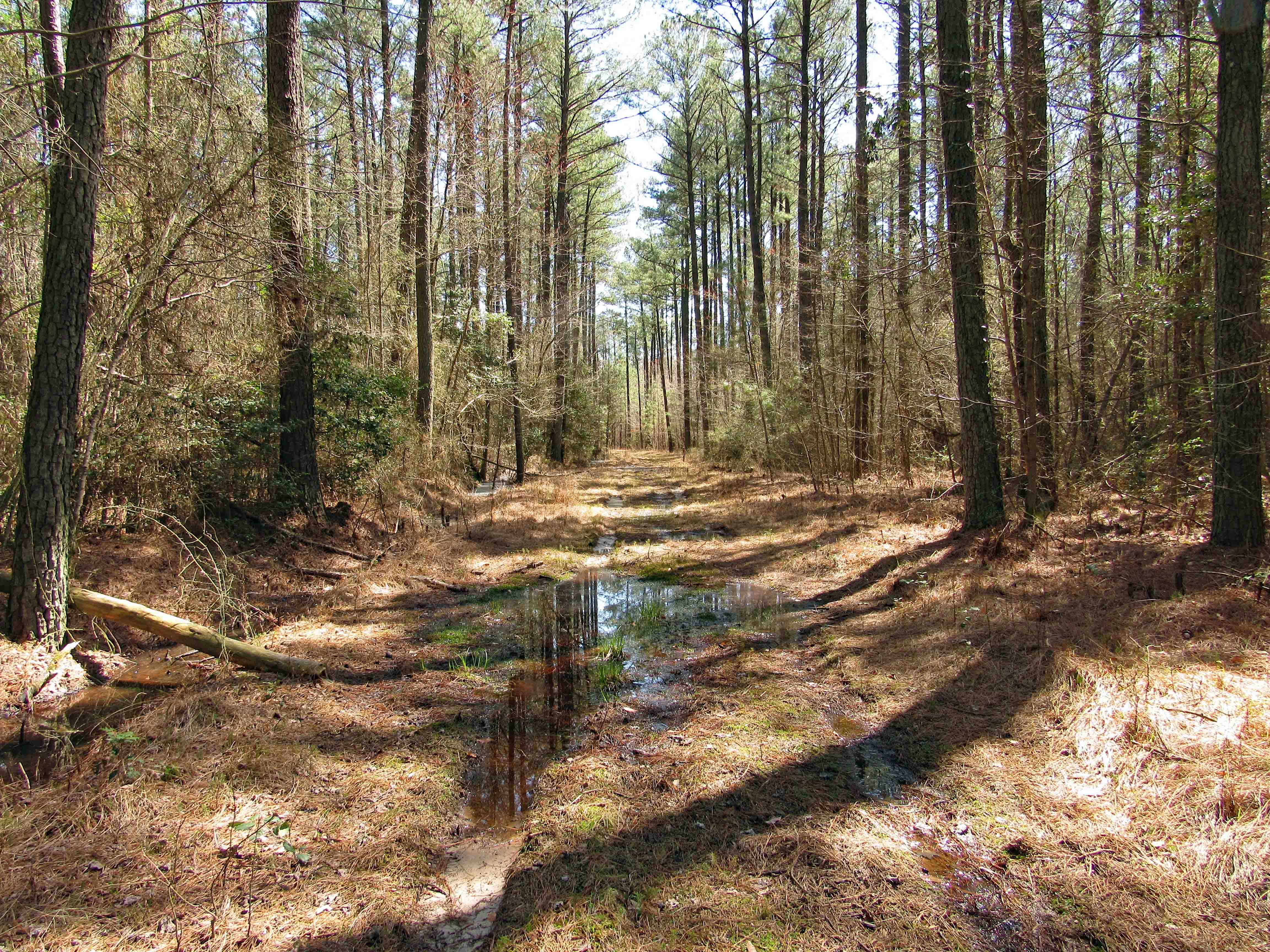
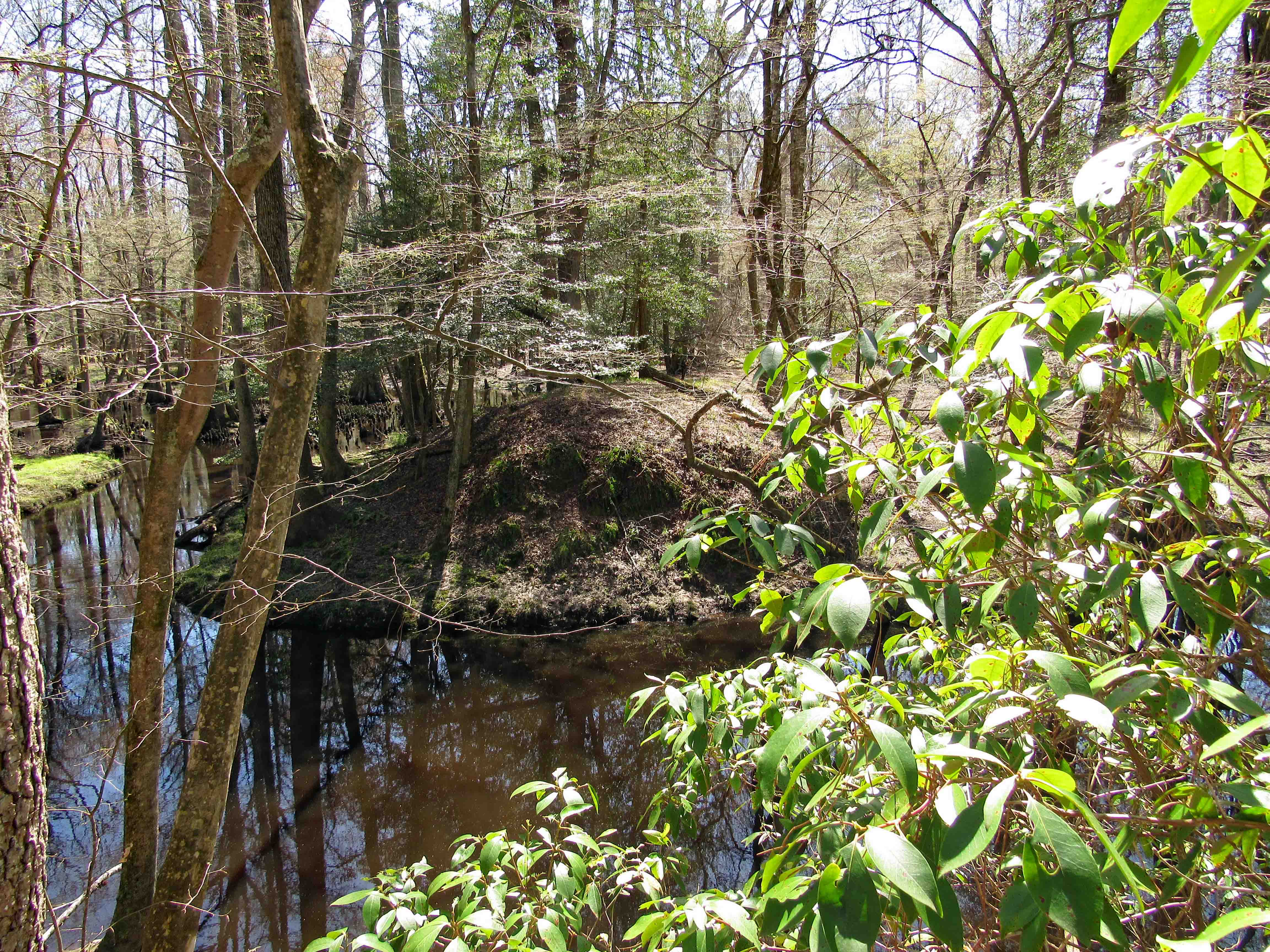
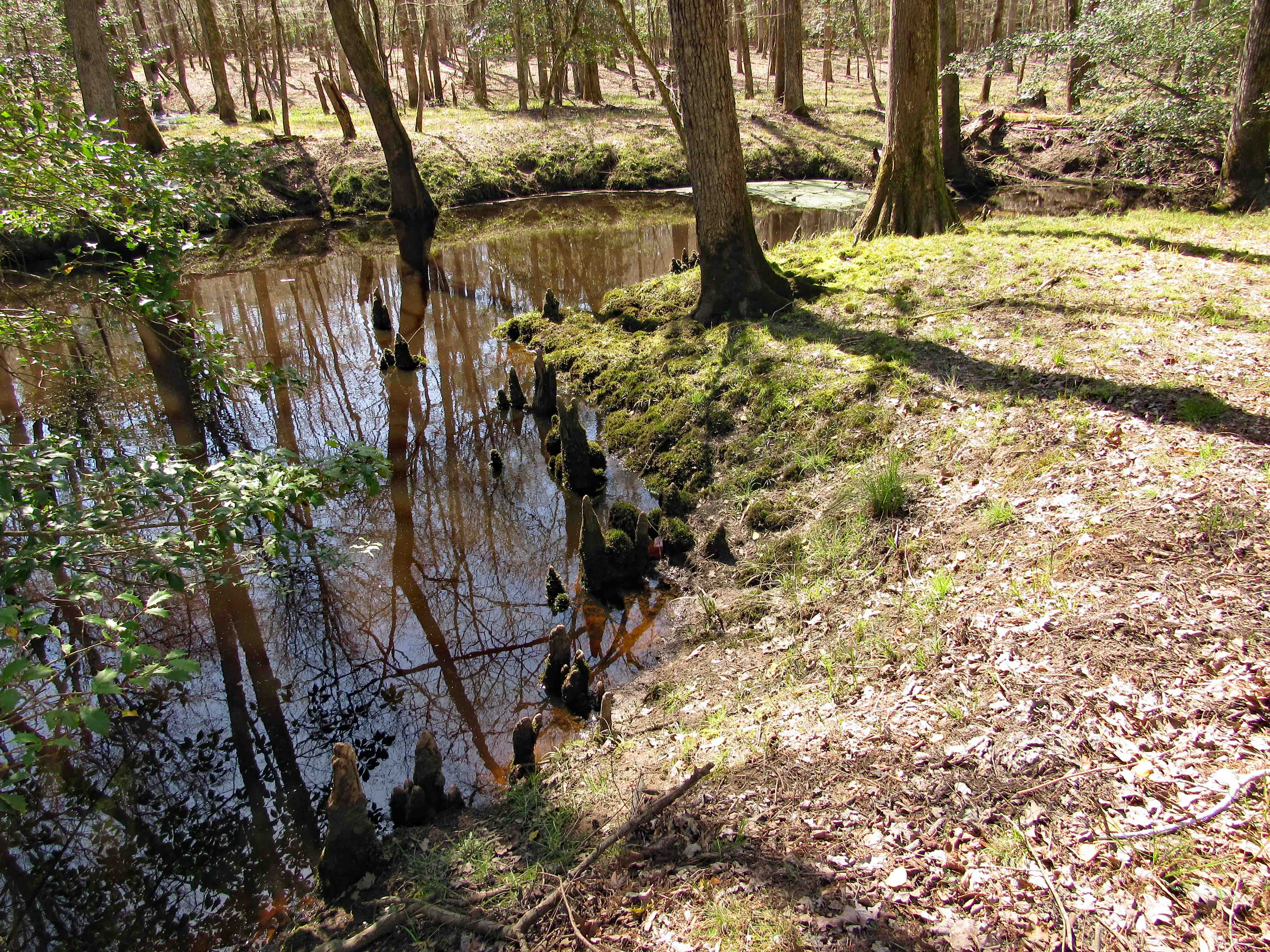
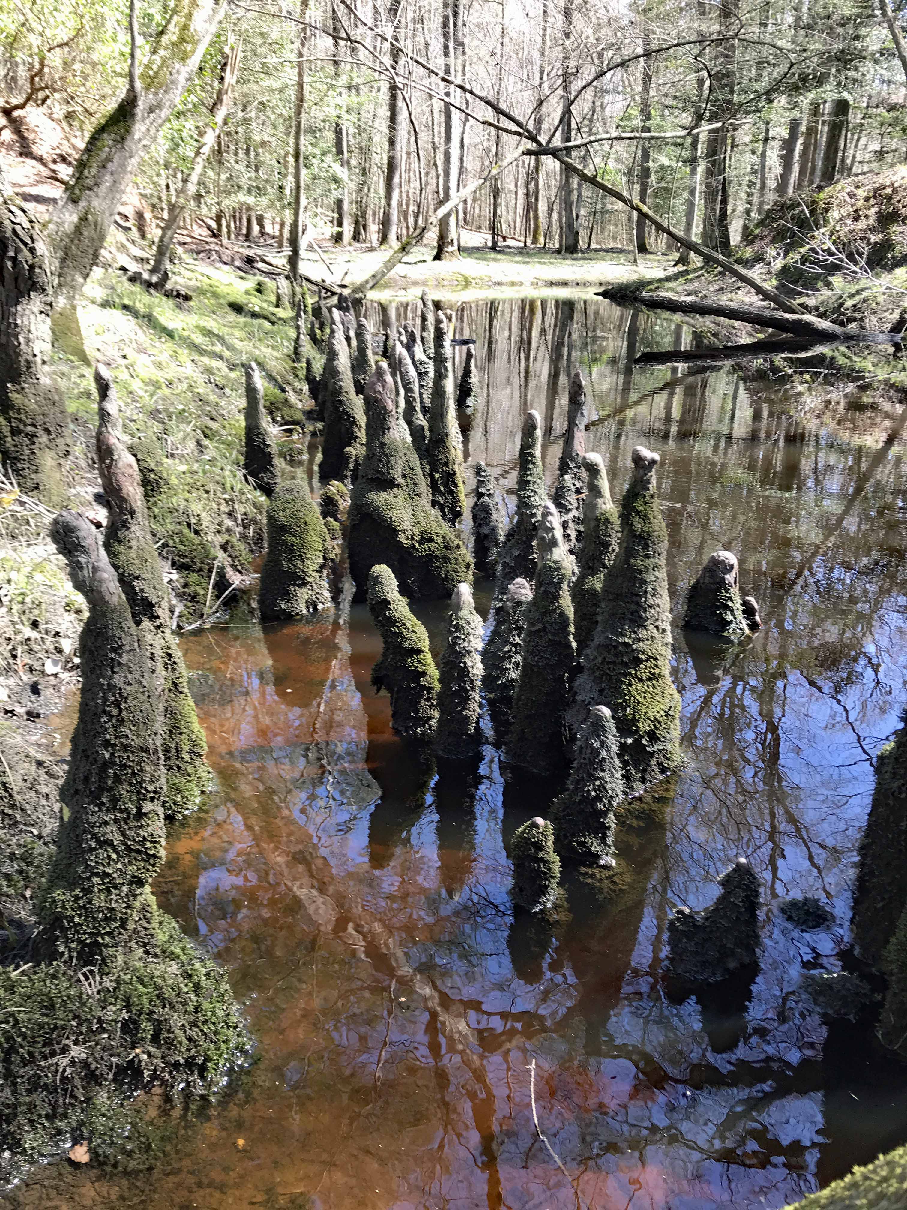
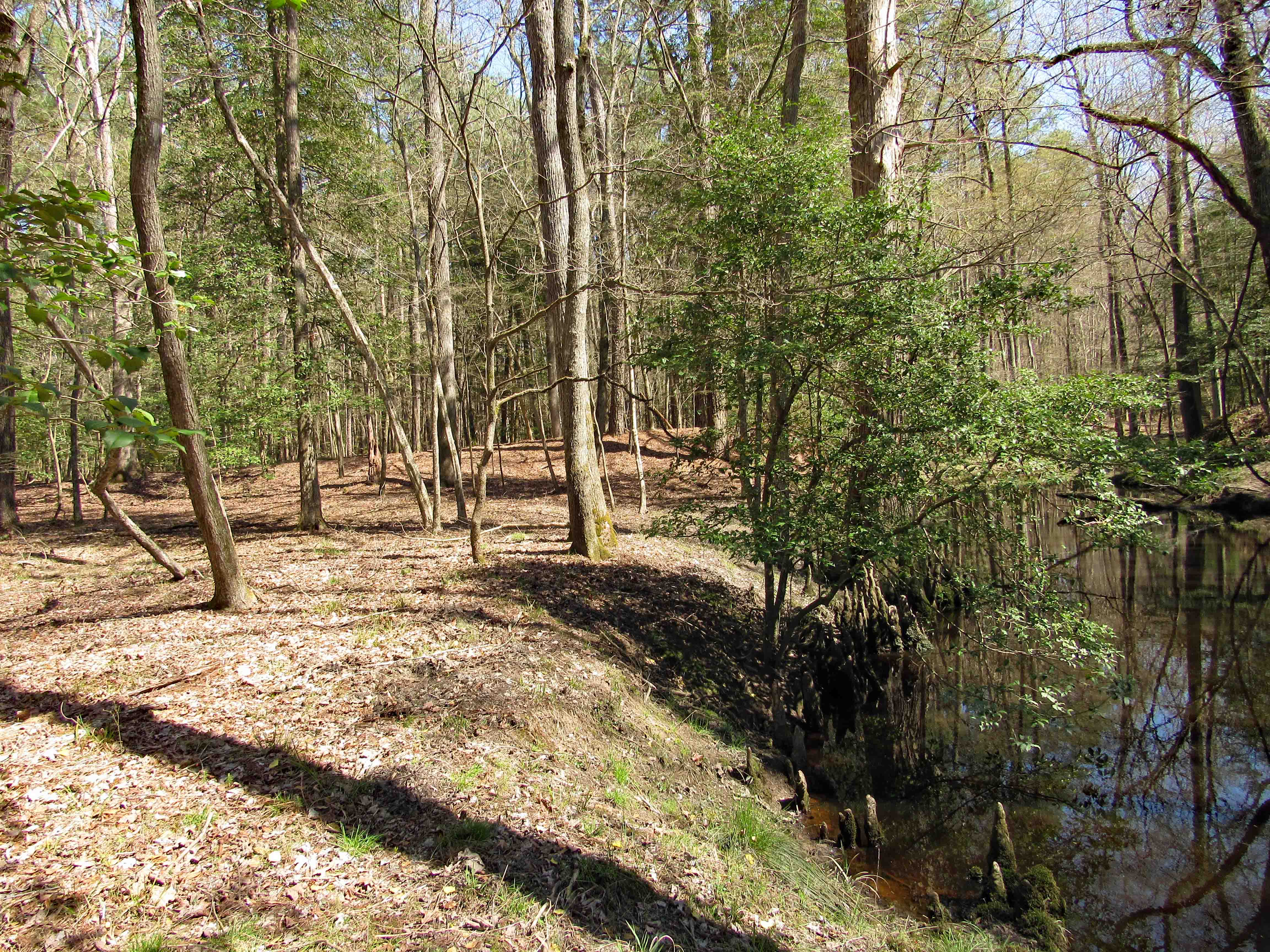
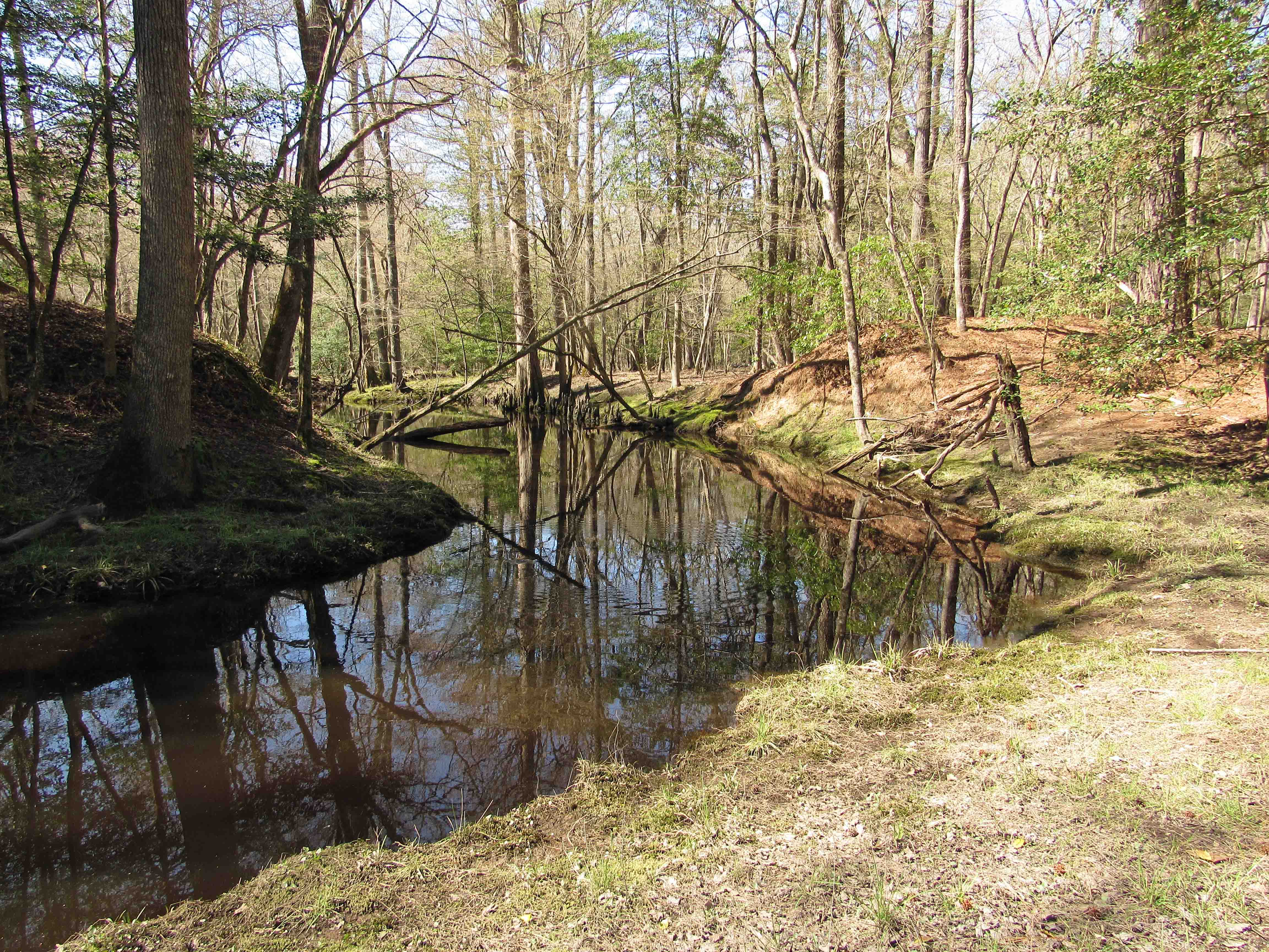
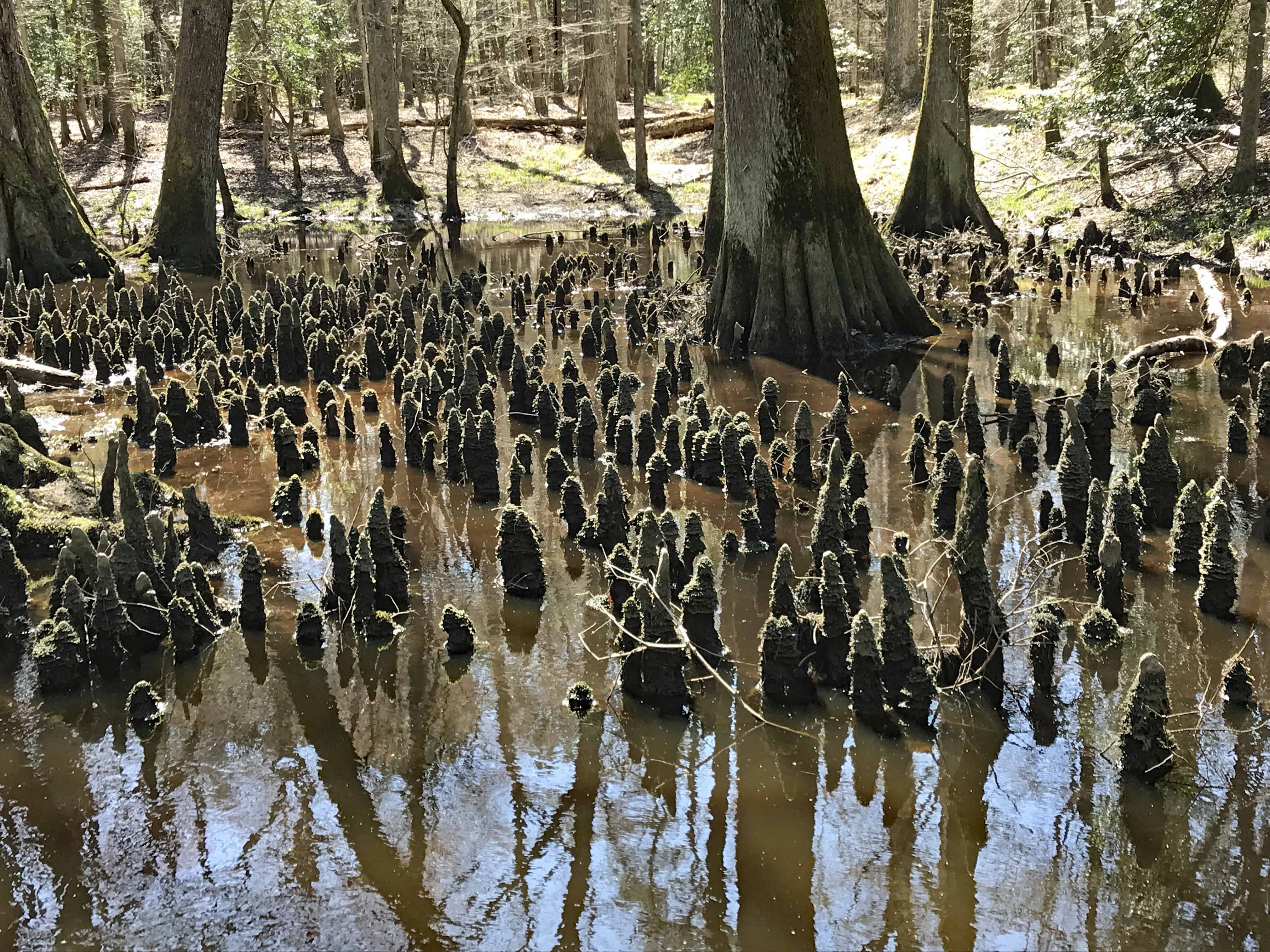
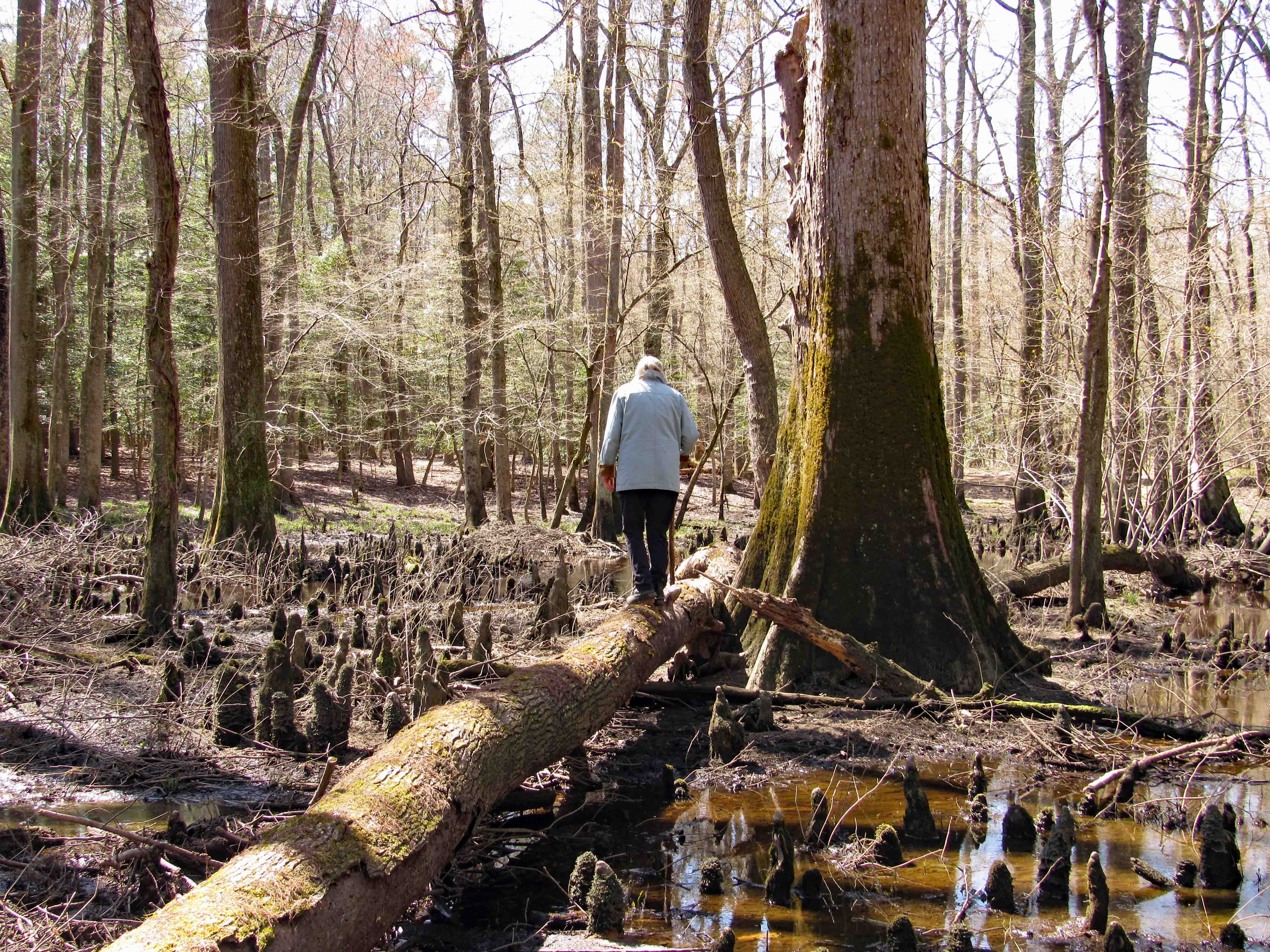
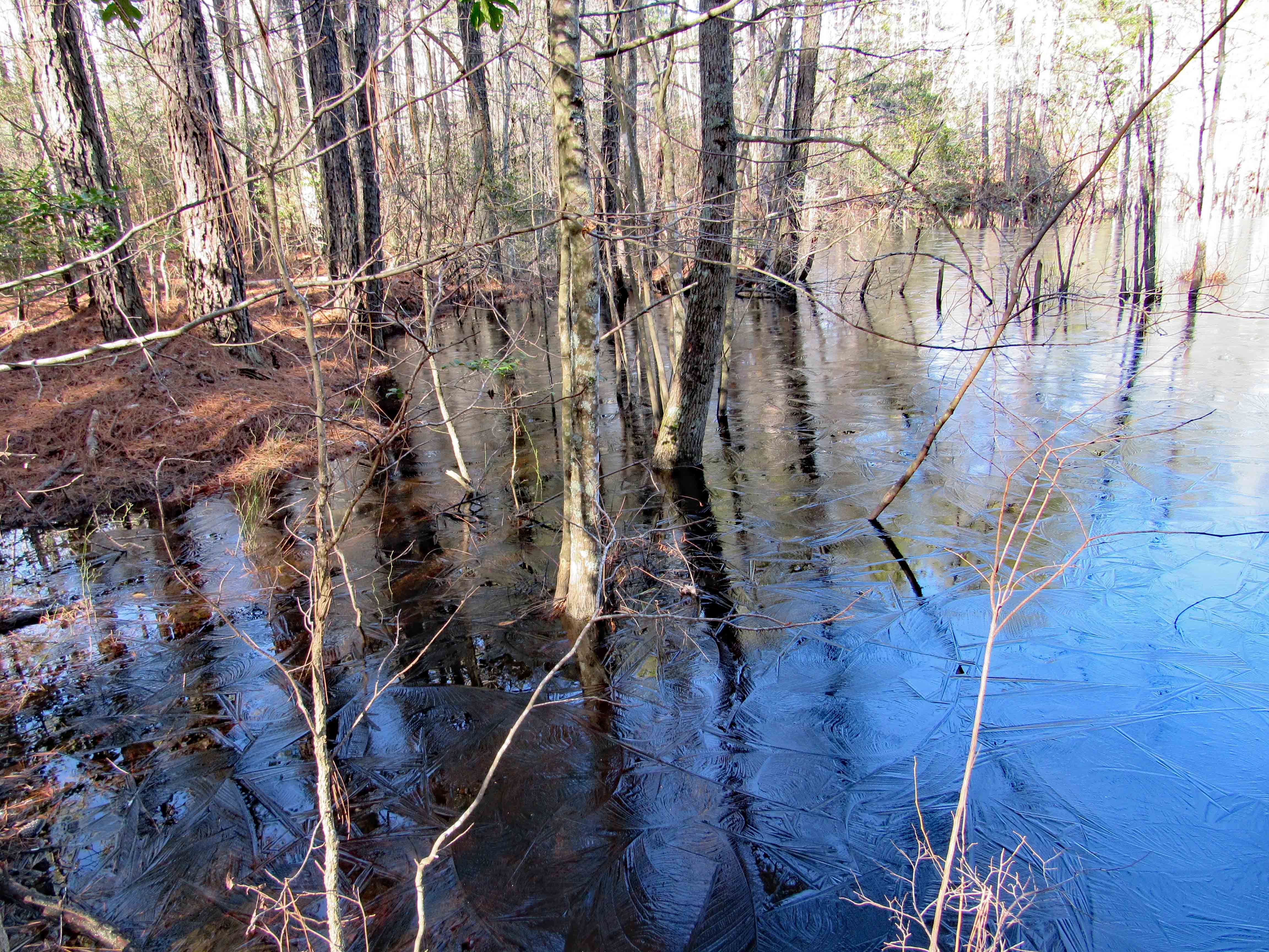
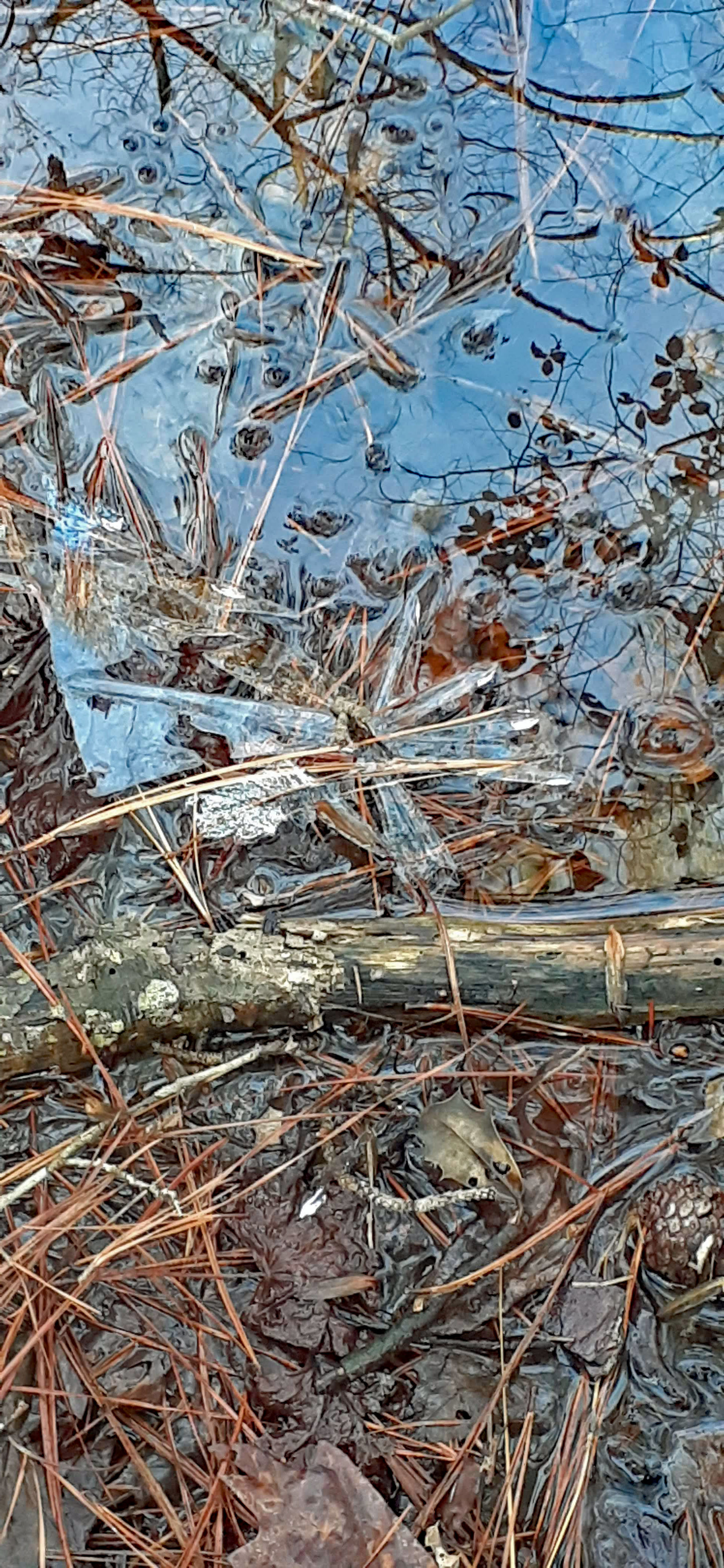
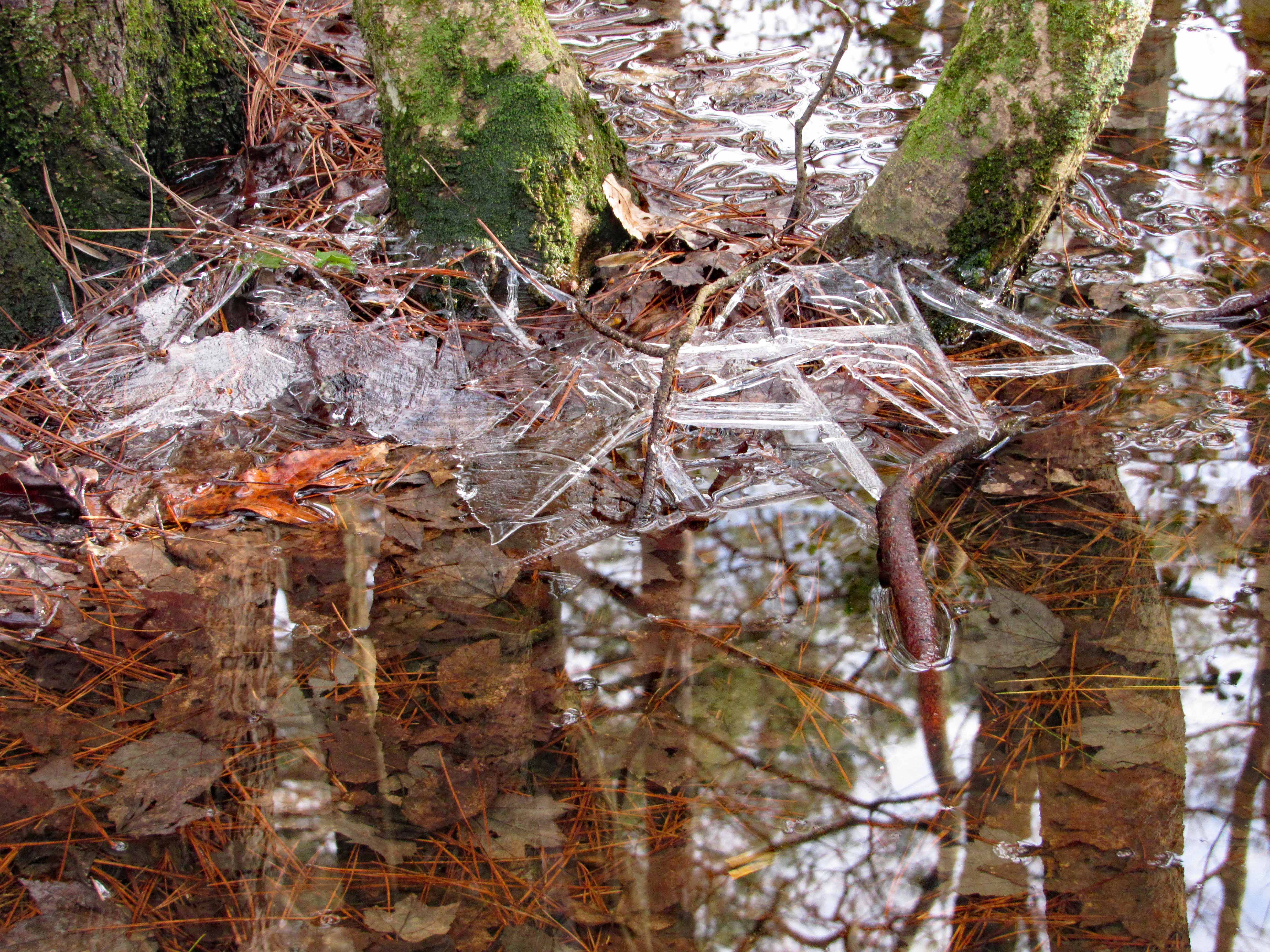
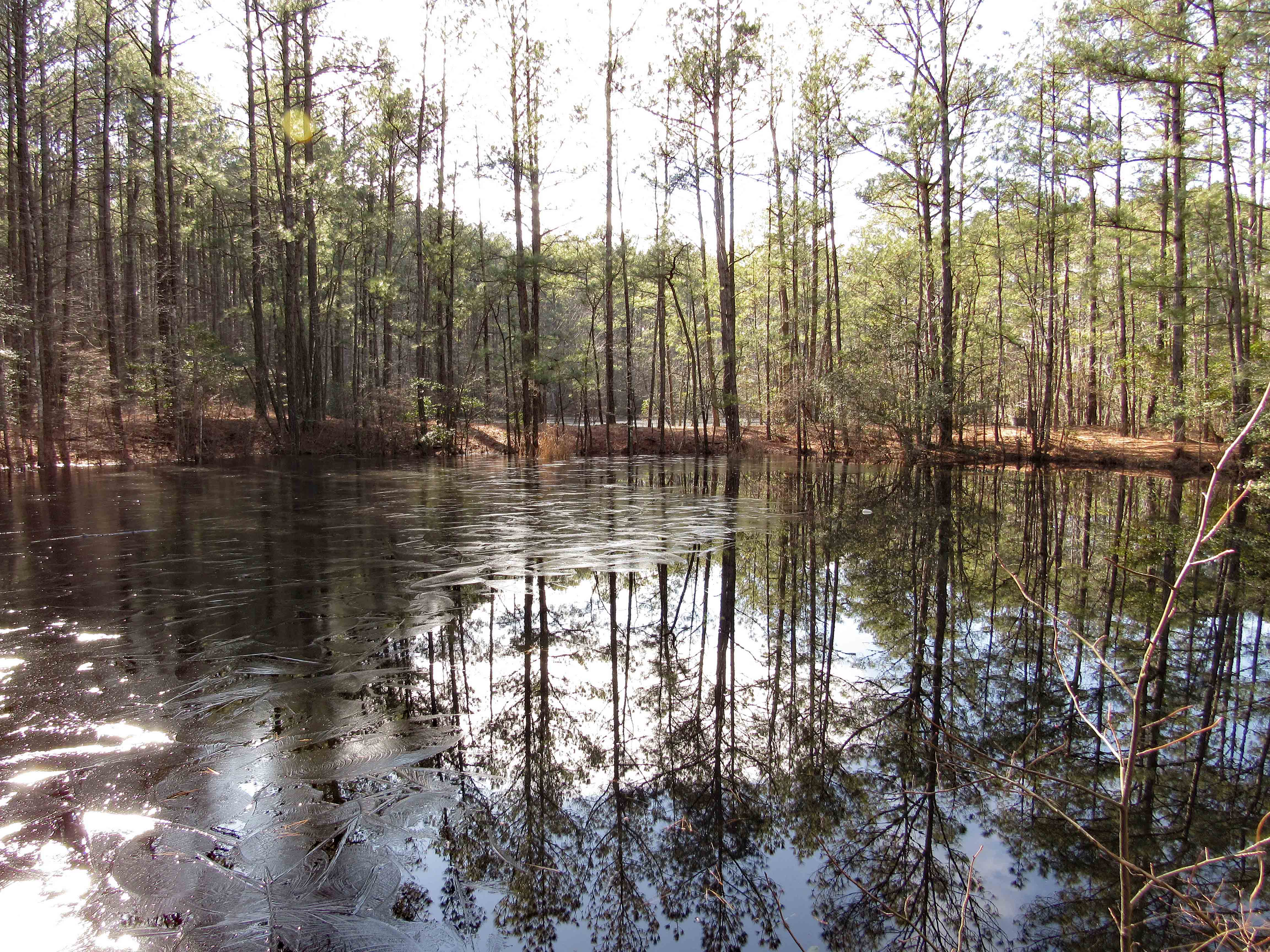
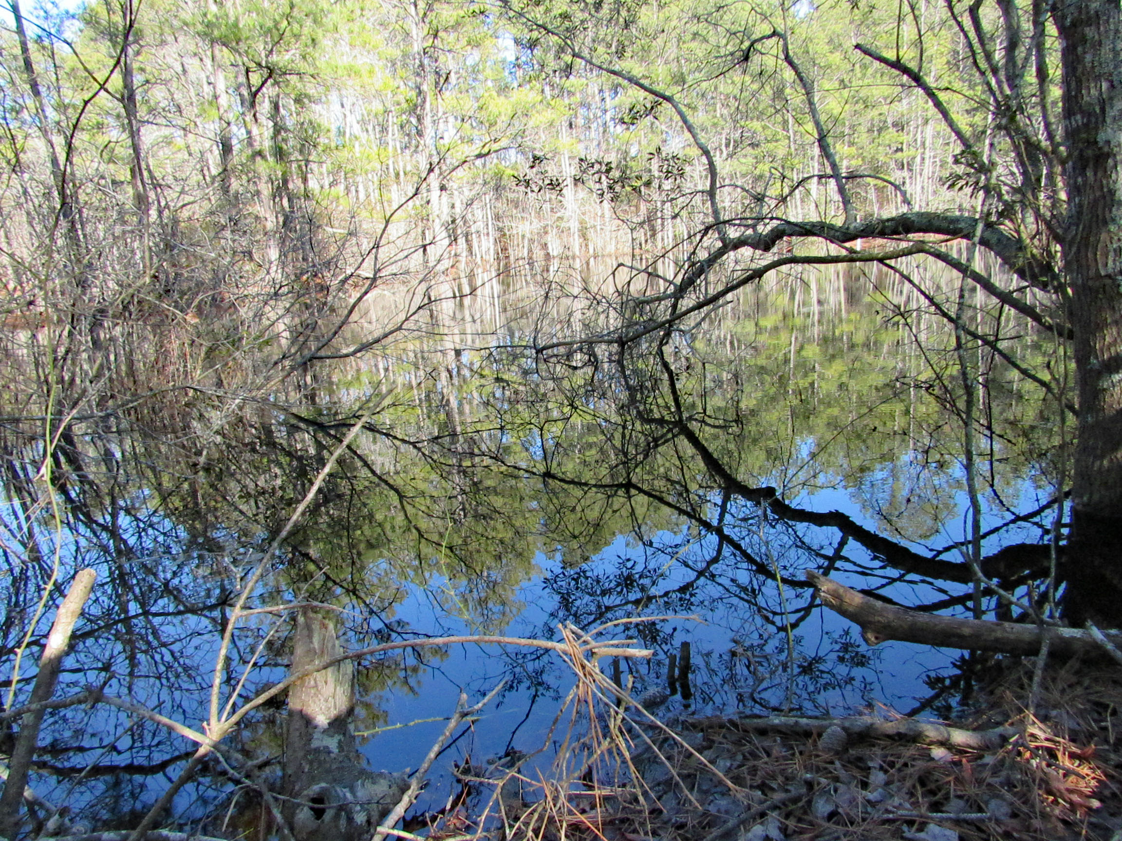
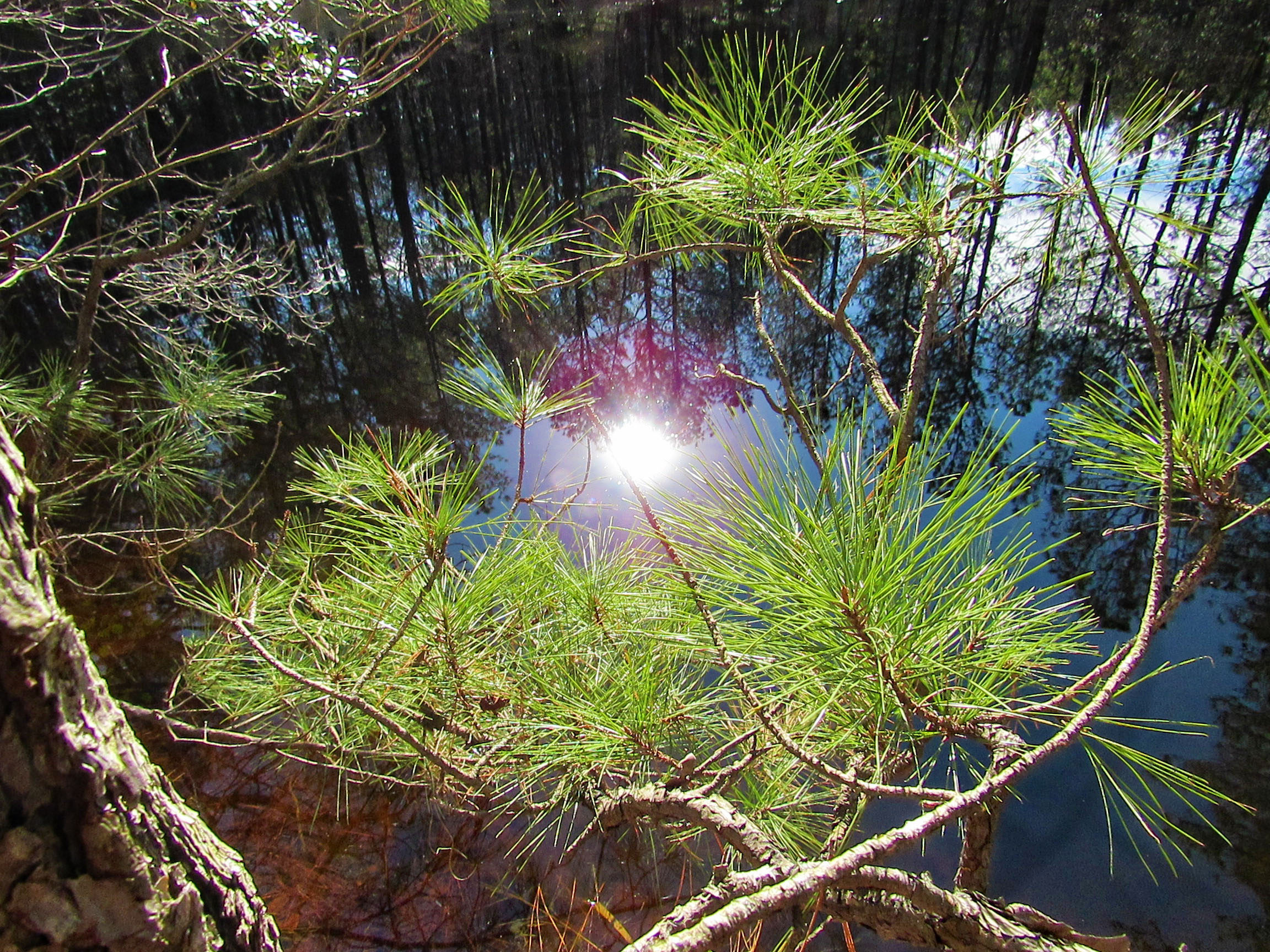
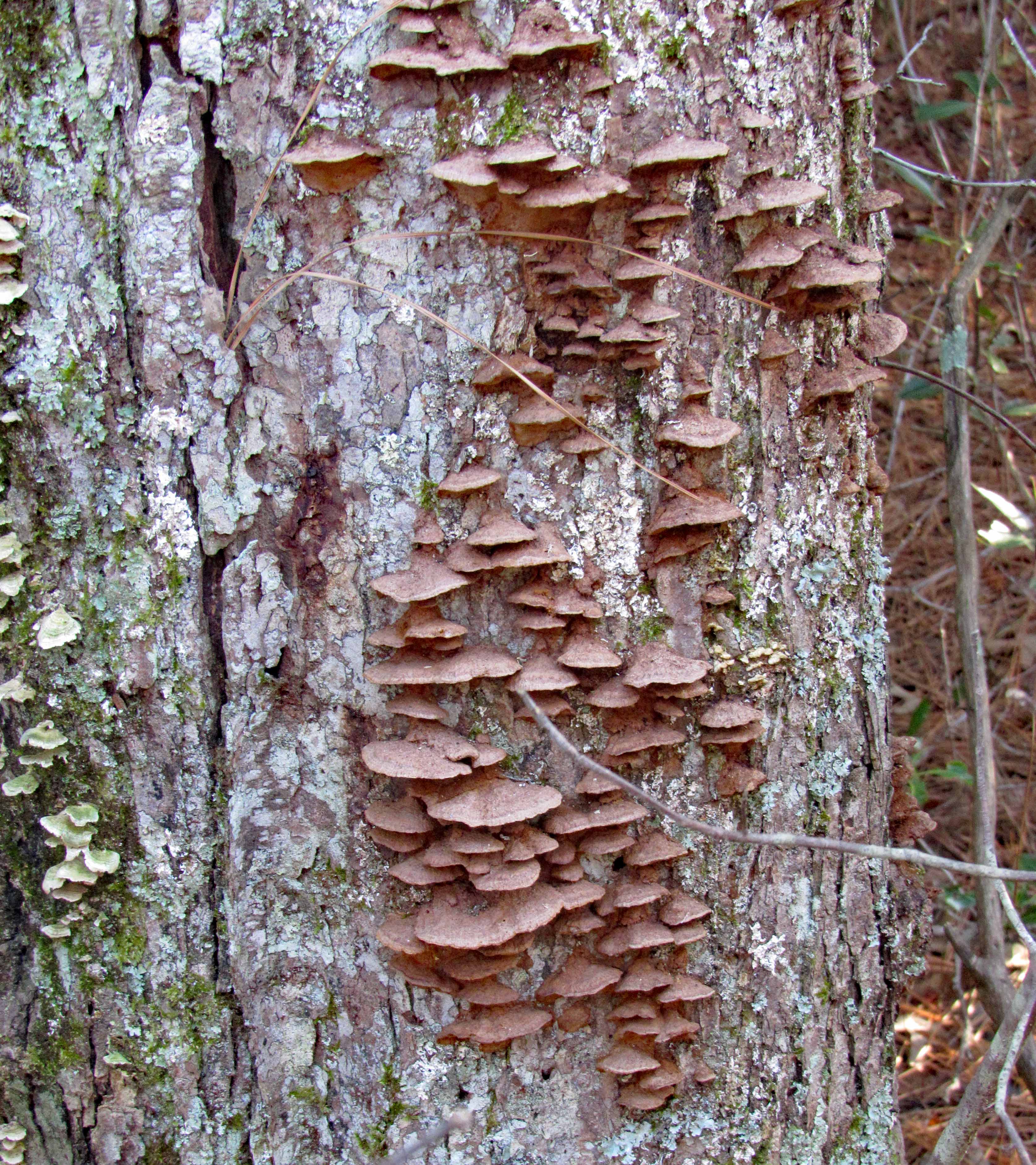
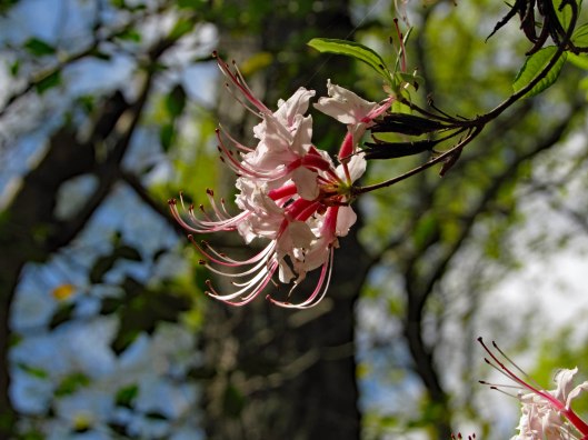
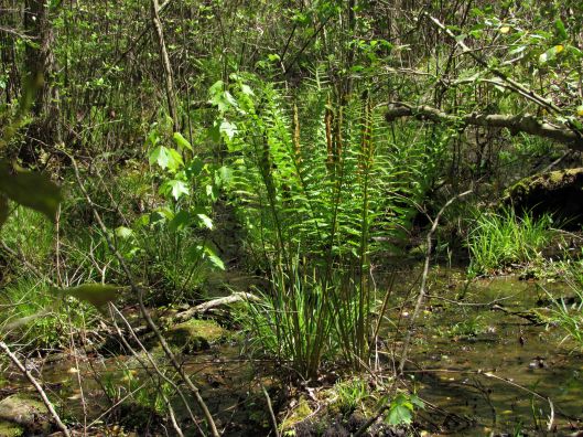
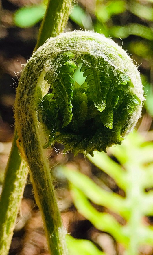
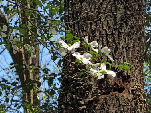
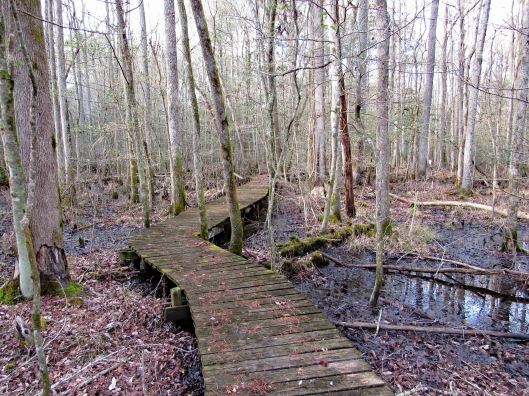
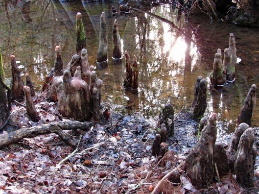
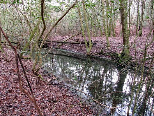
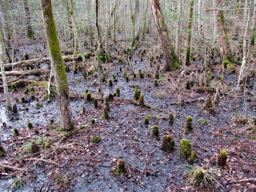
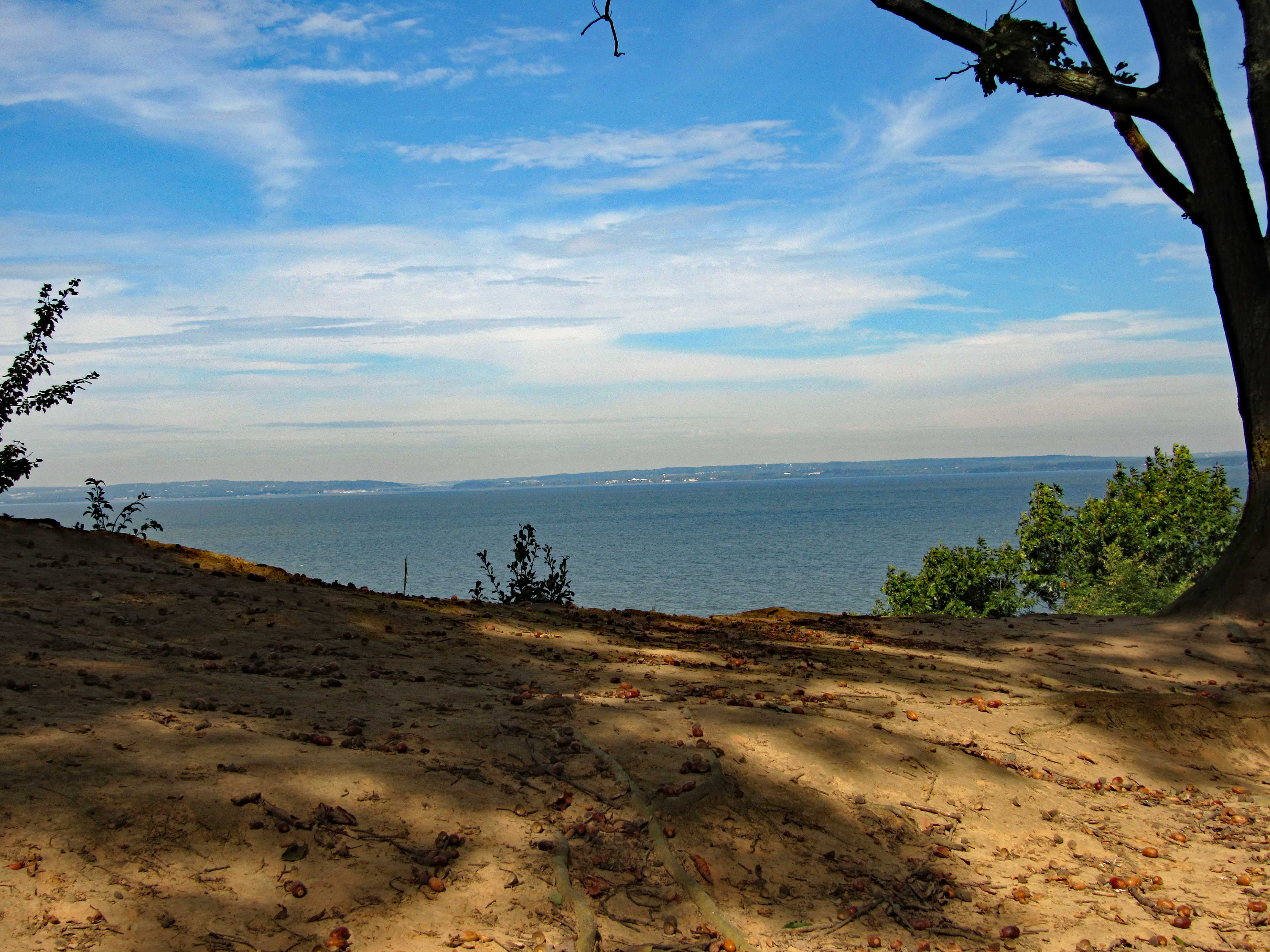
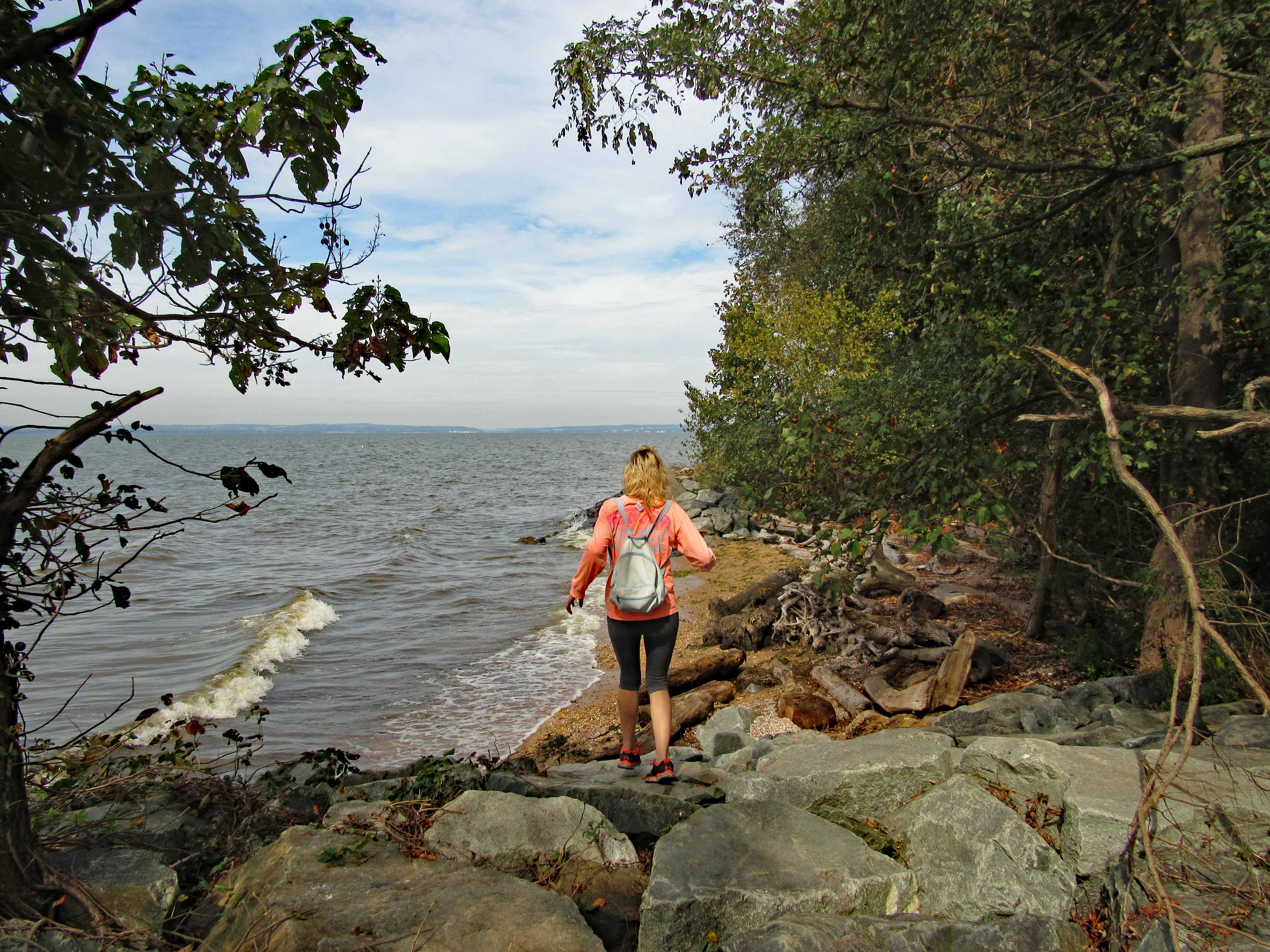
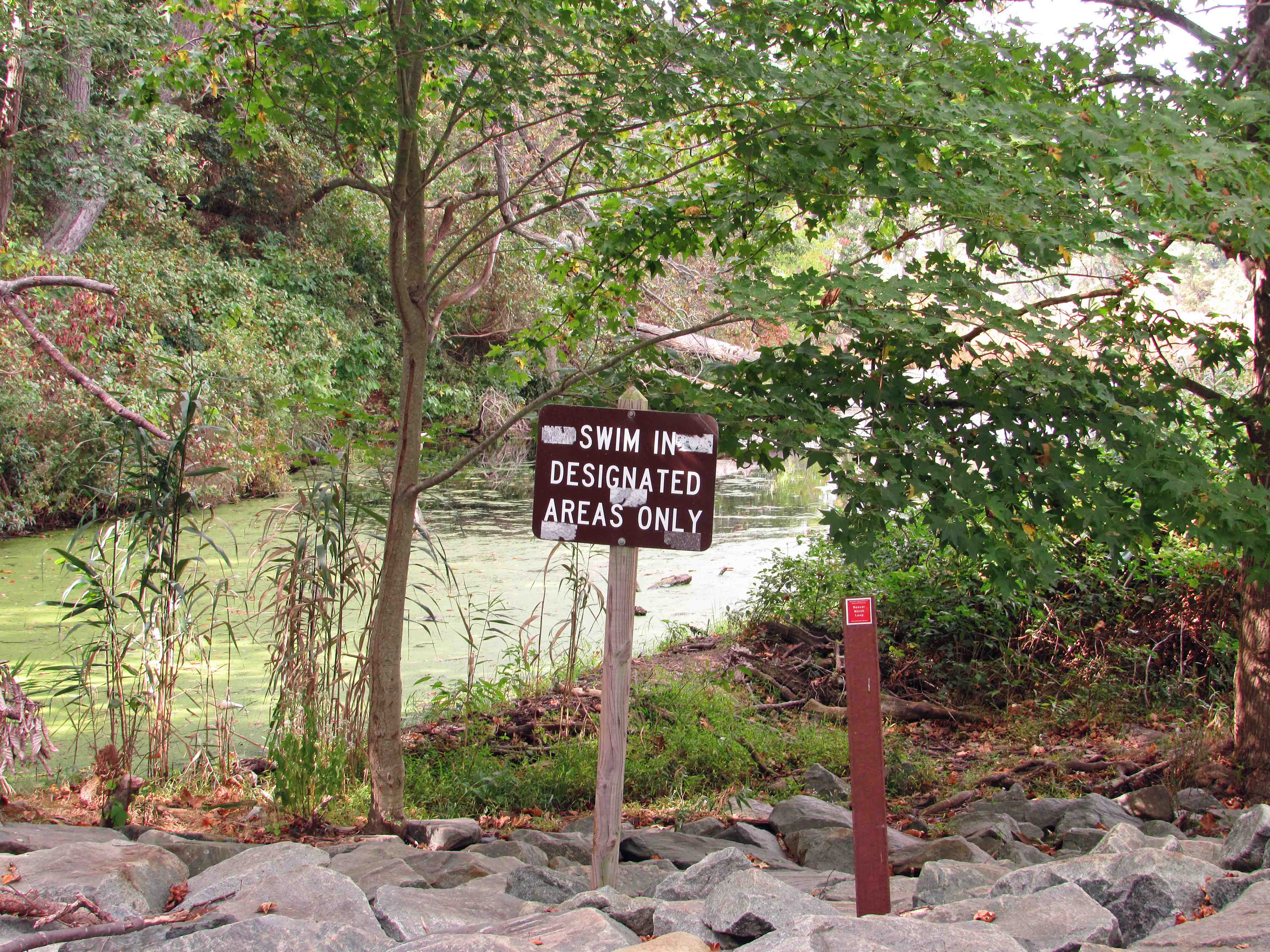
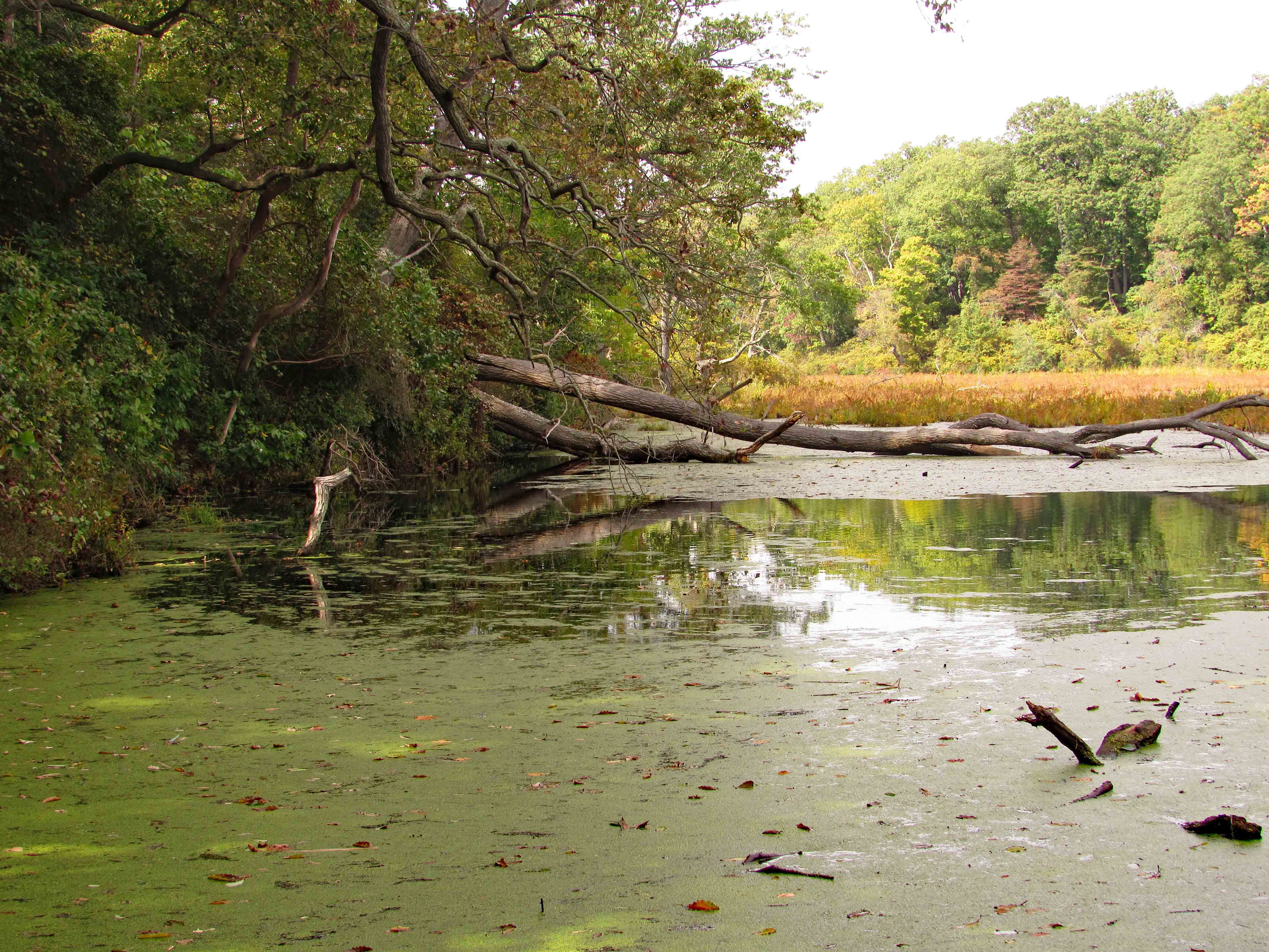
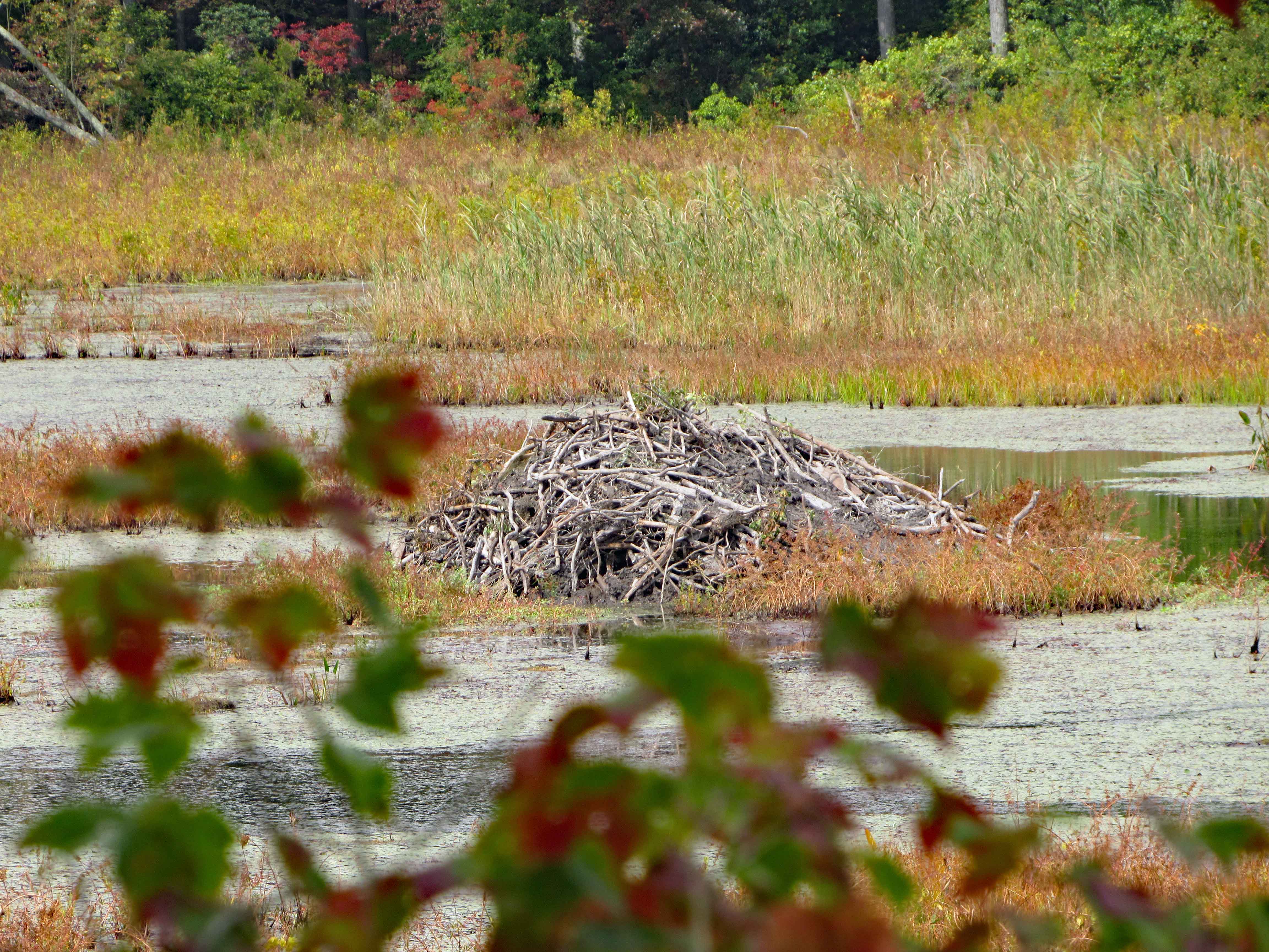
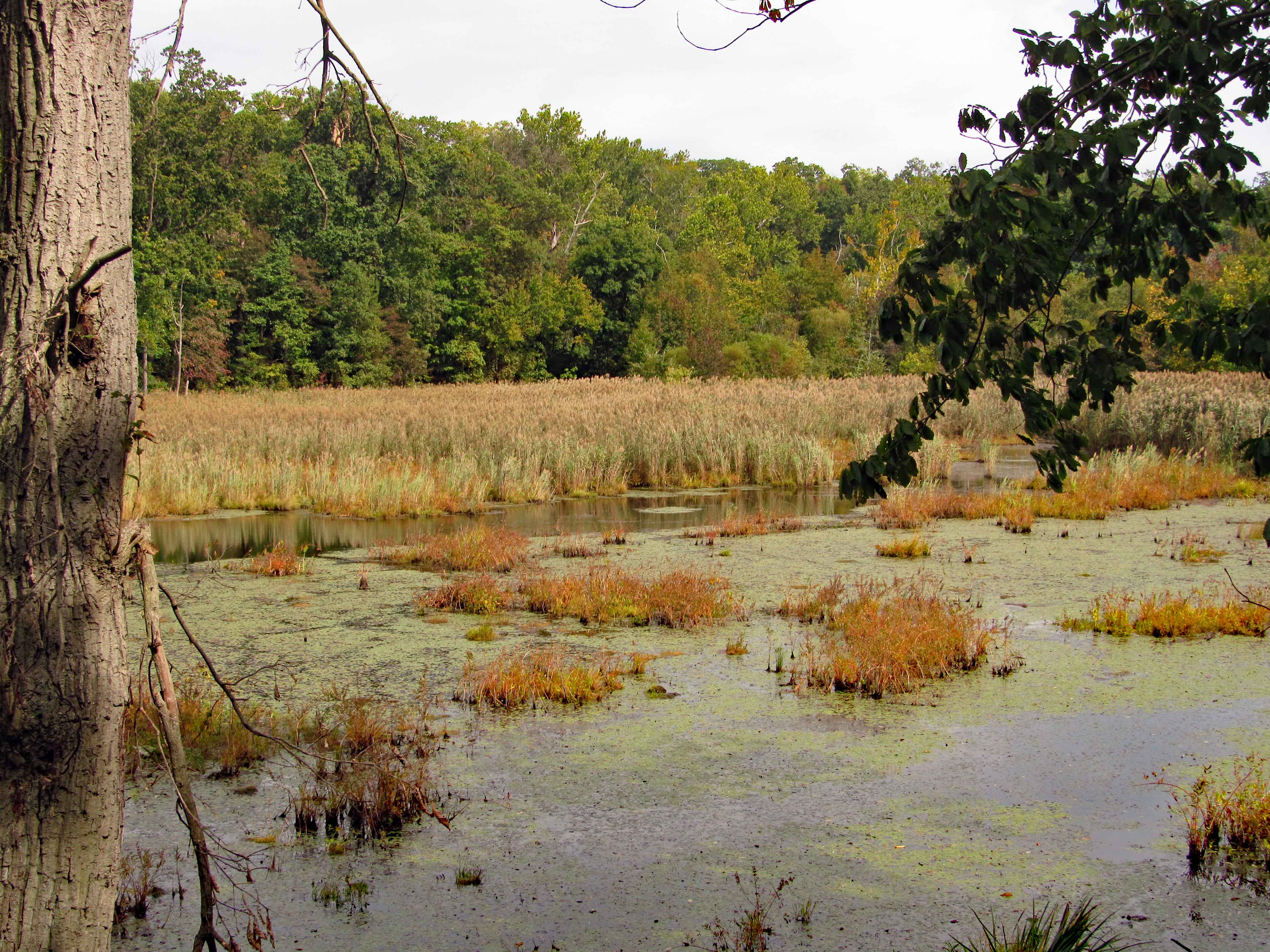
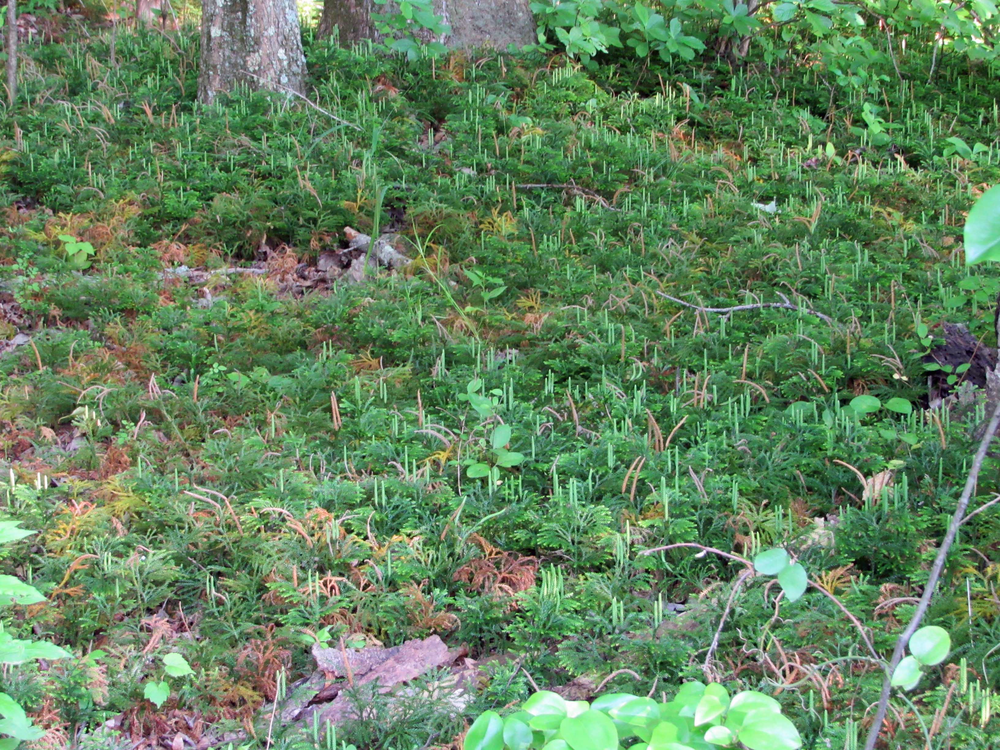
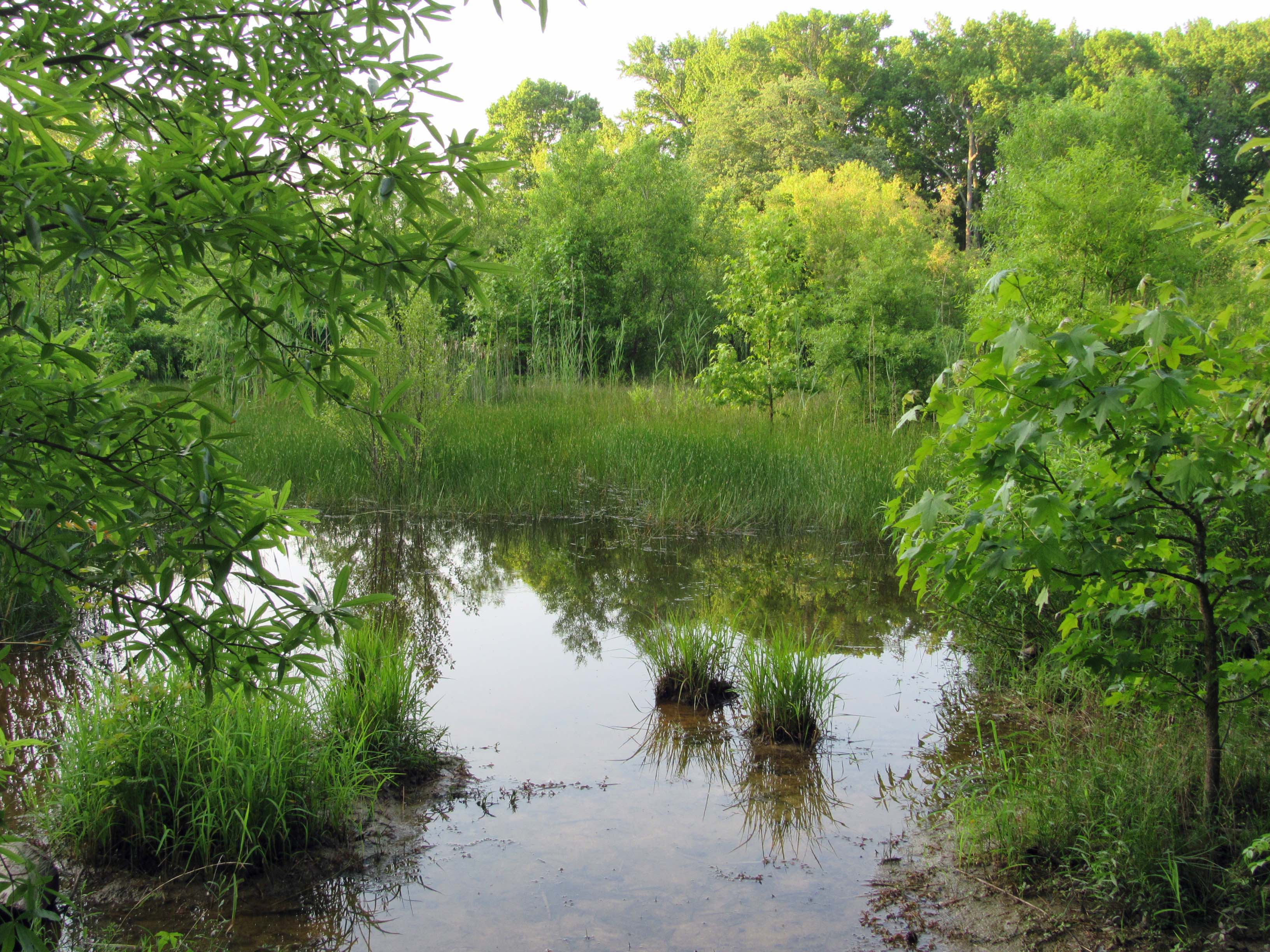
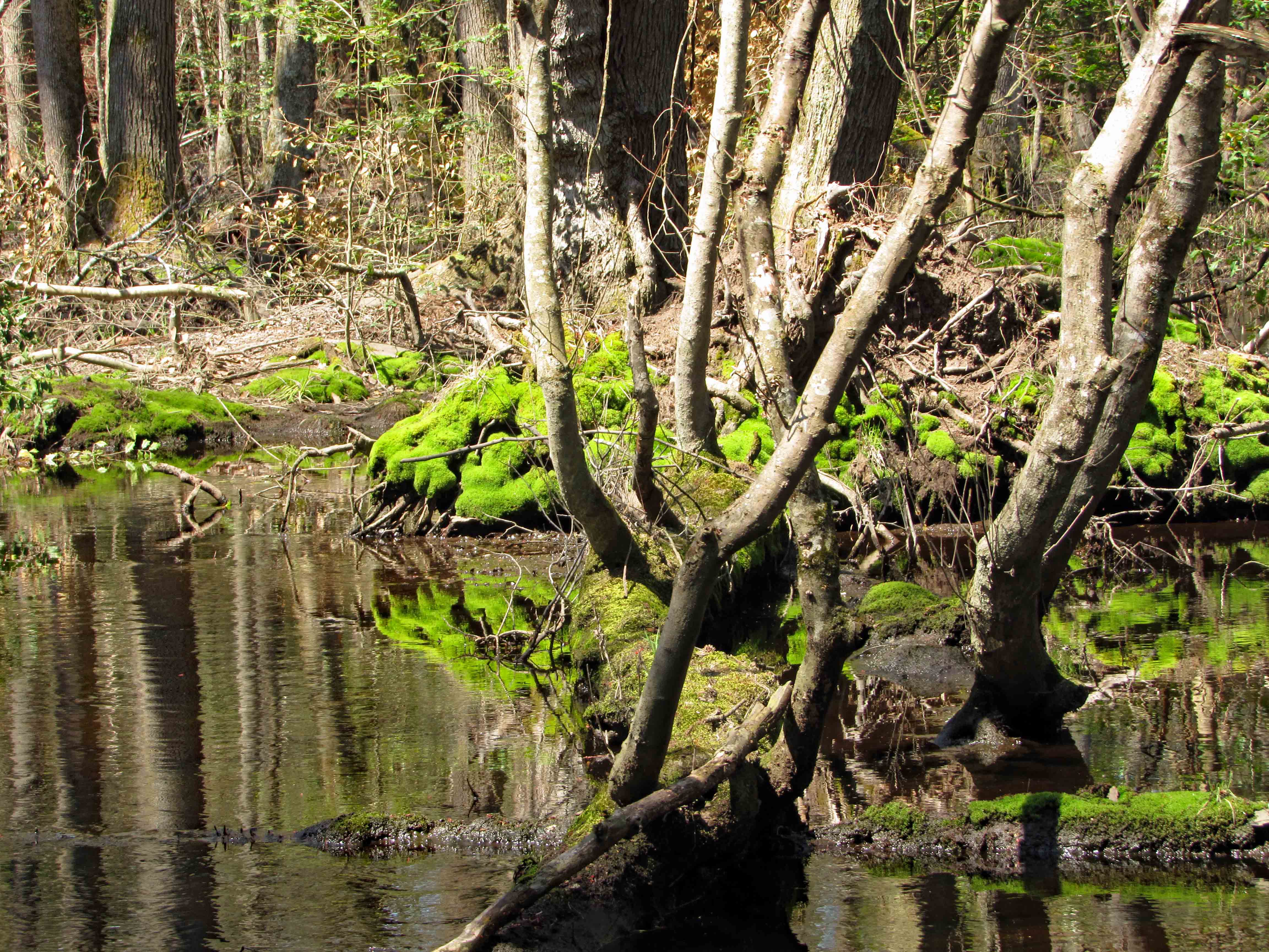
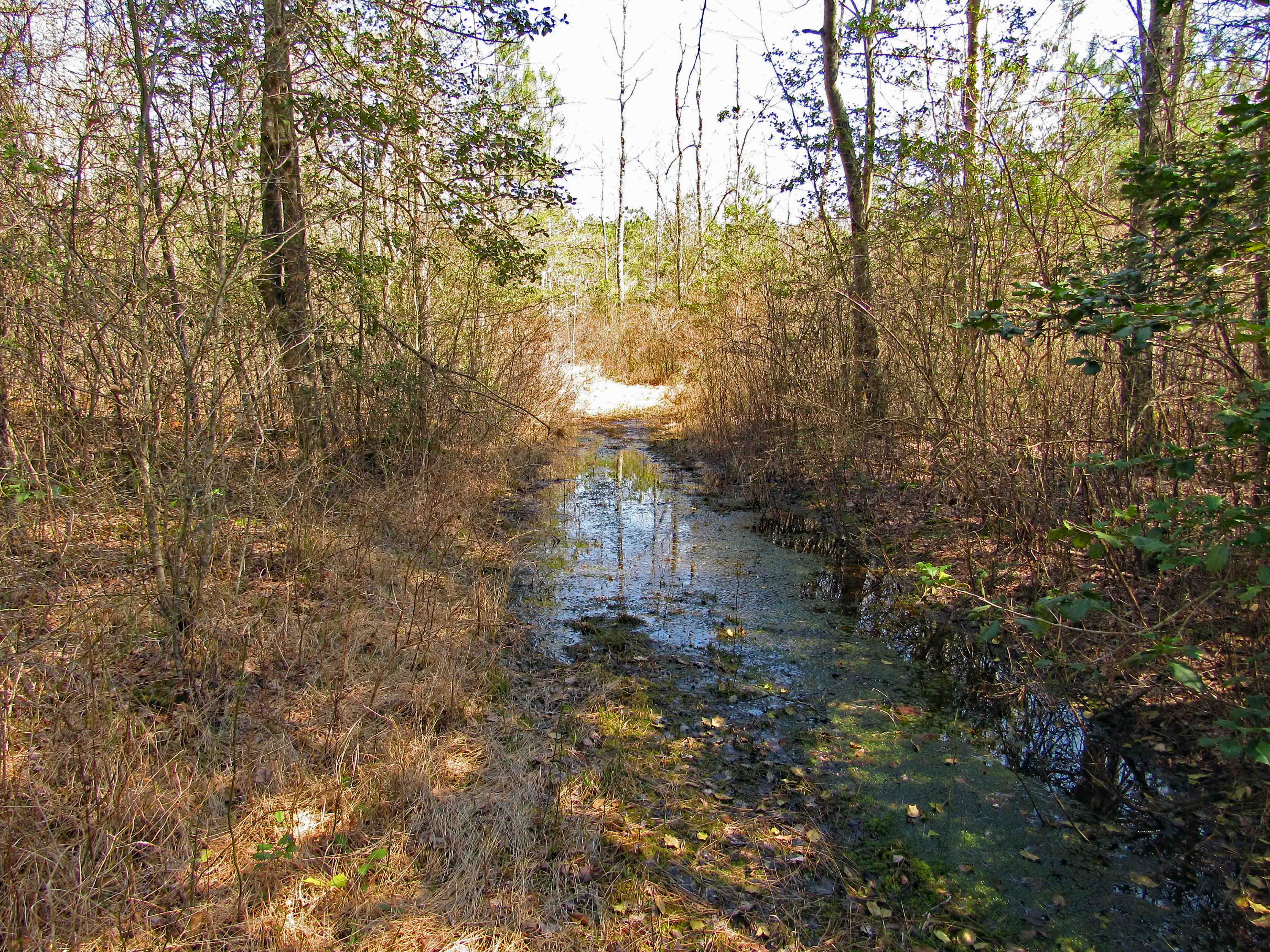
The White Trail took us to a swamp, bright green life in an otherwise old, dying forest.

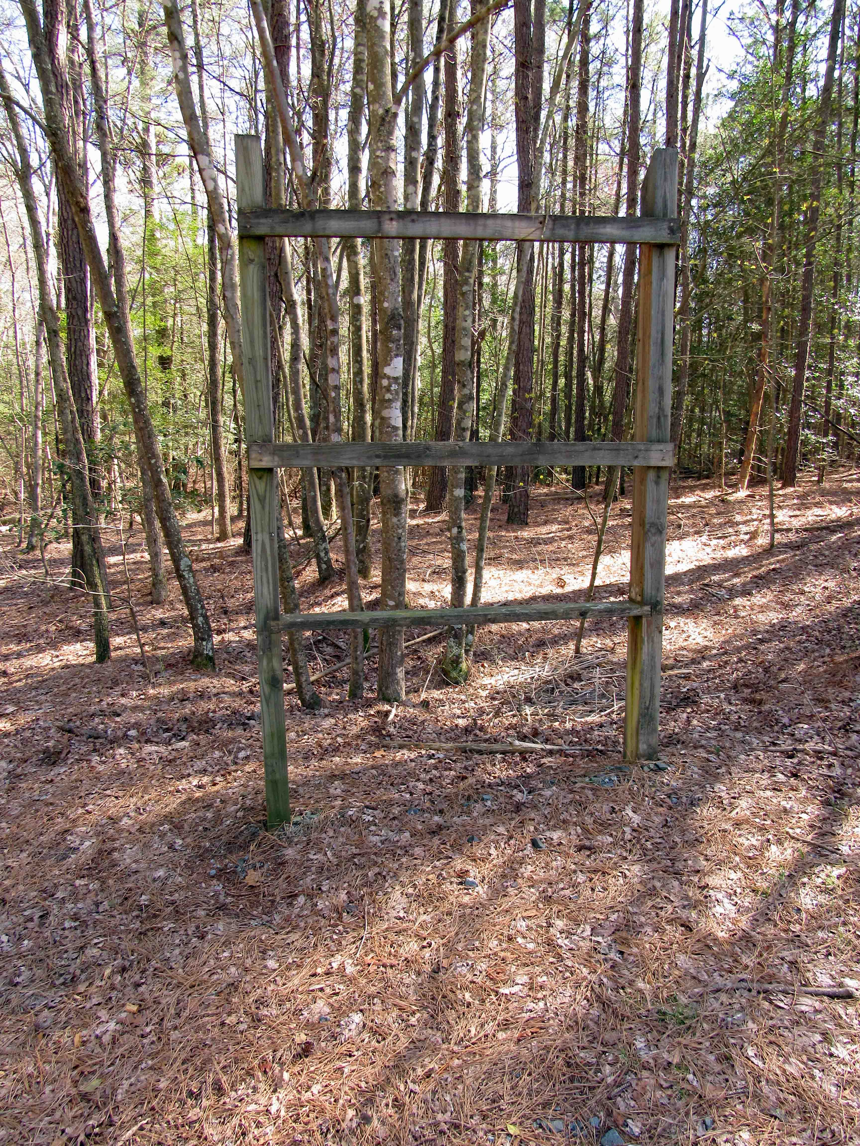
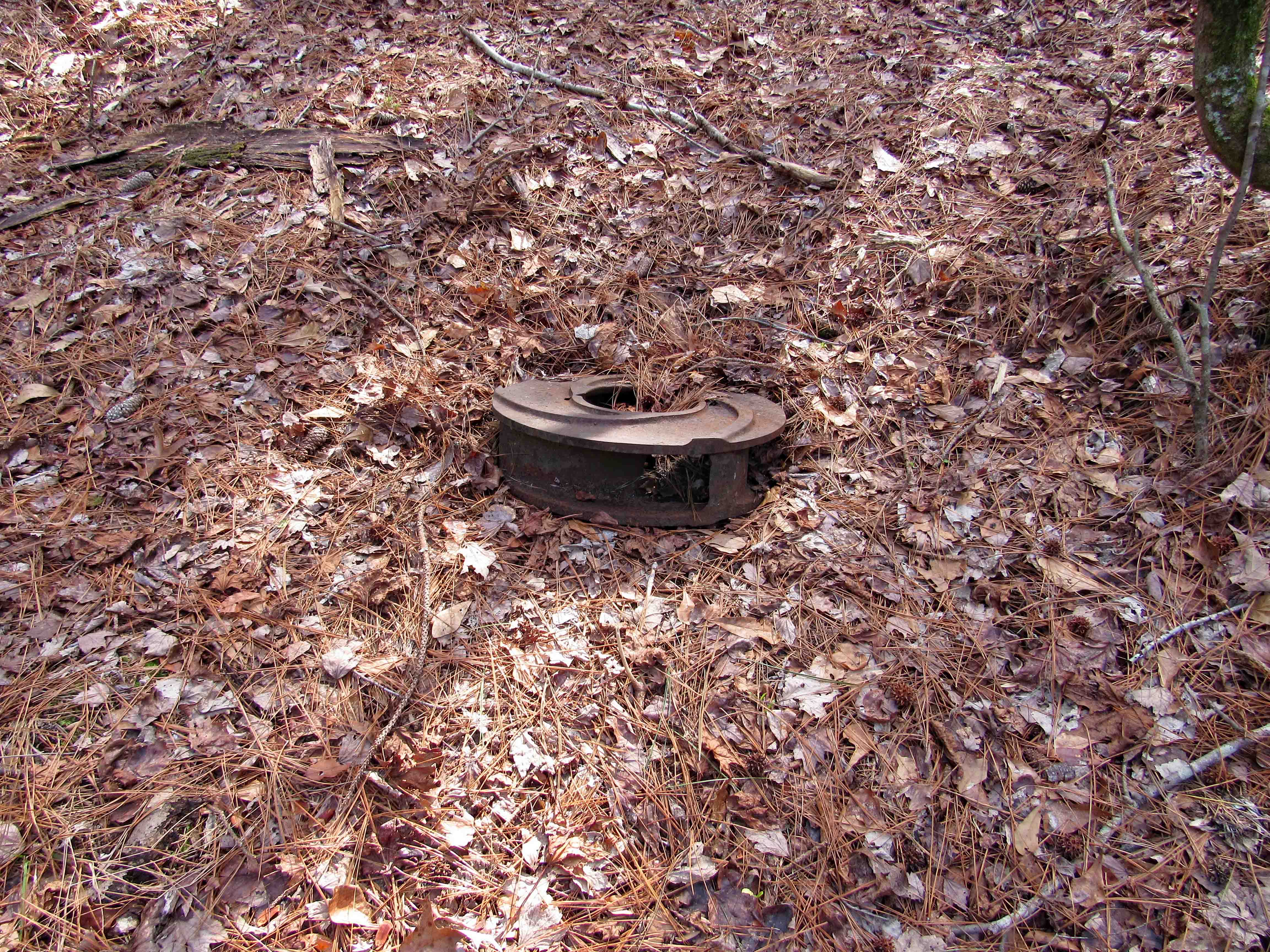
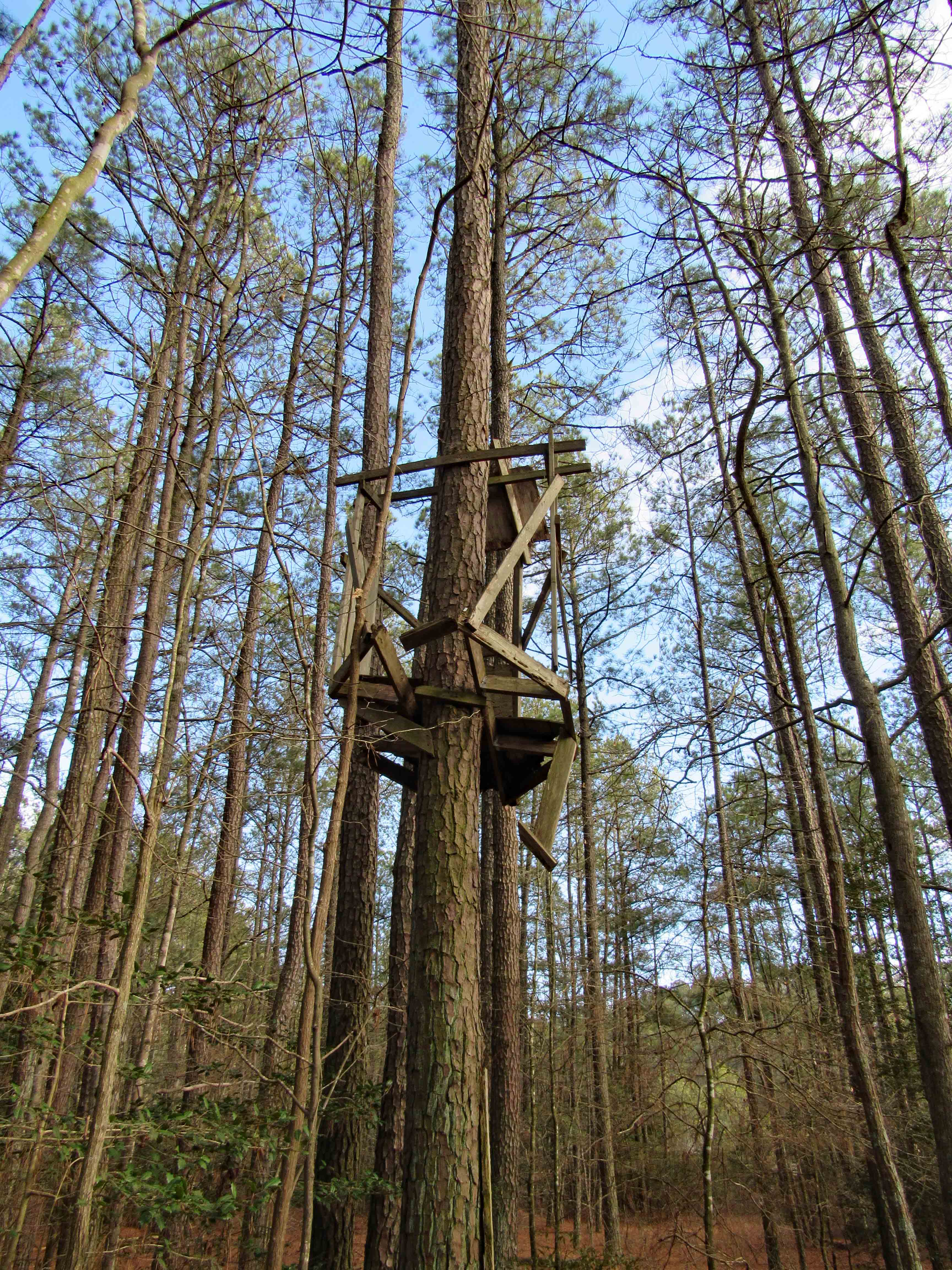
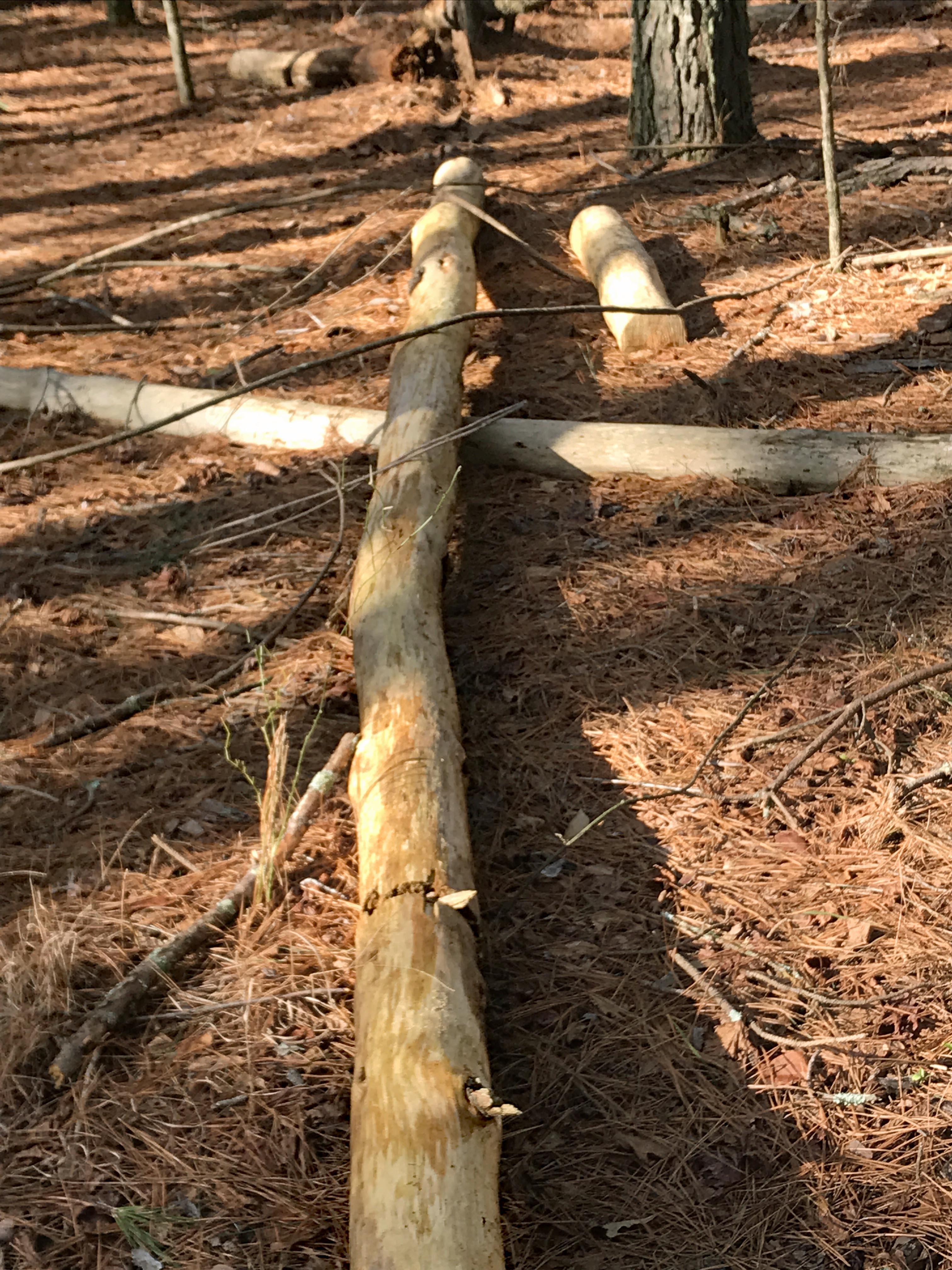
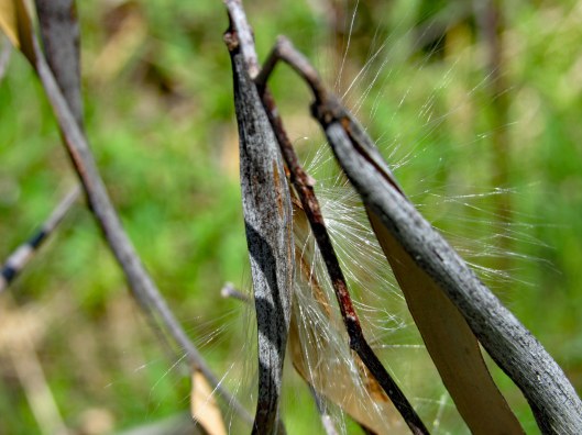
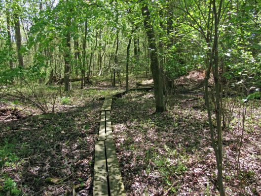
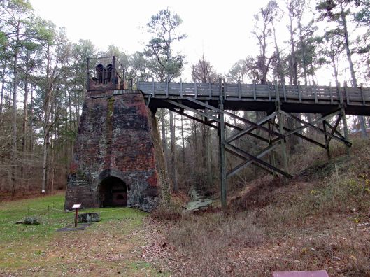
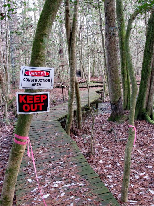
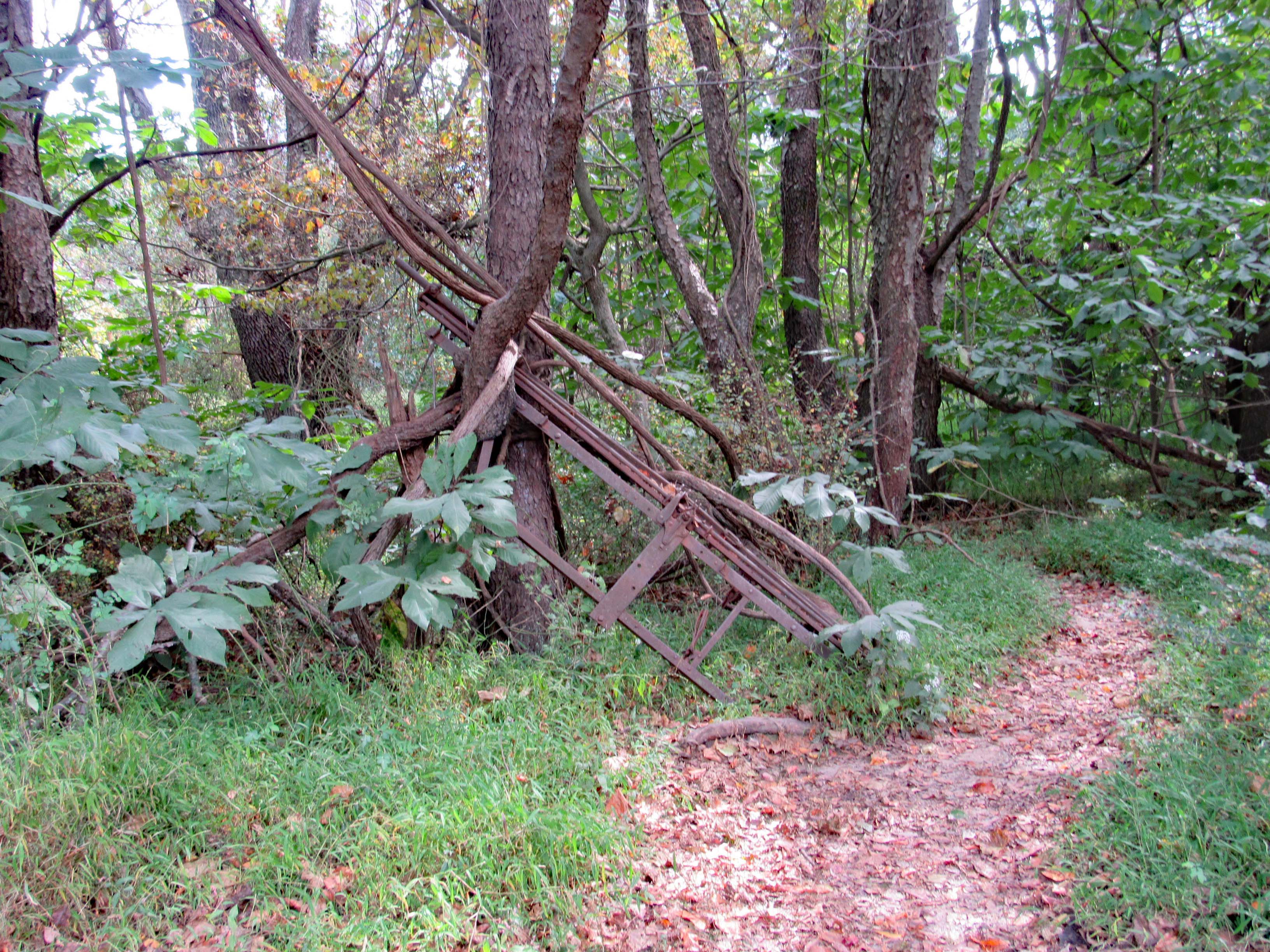
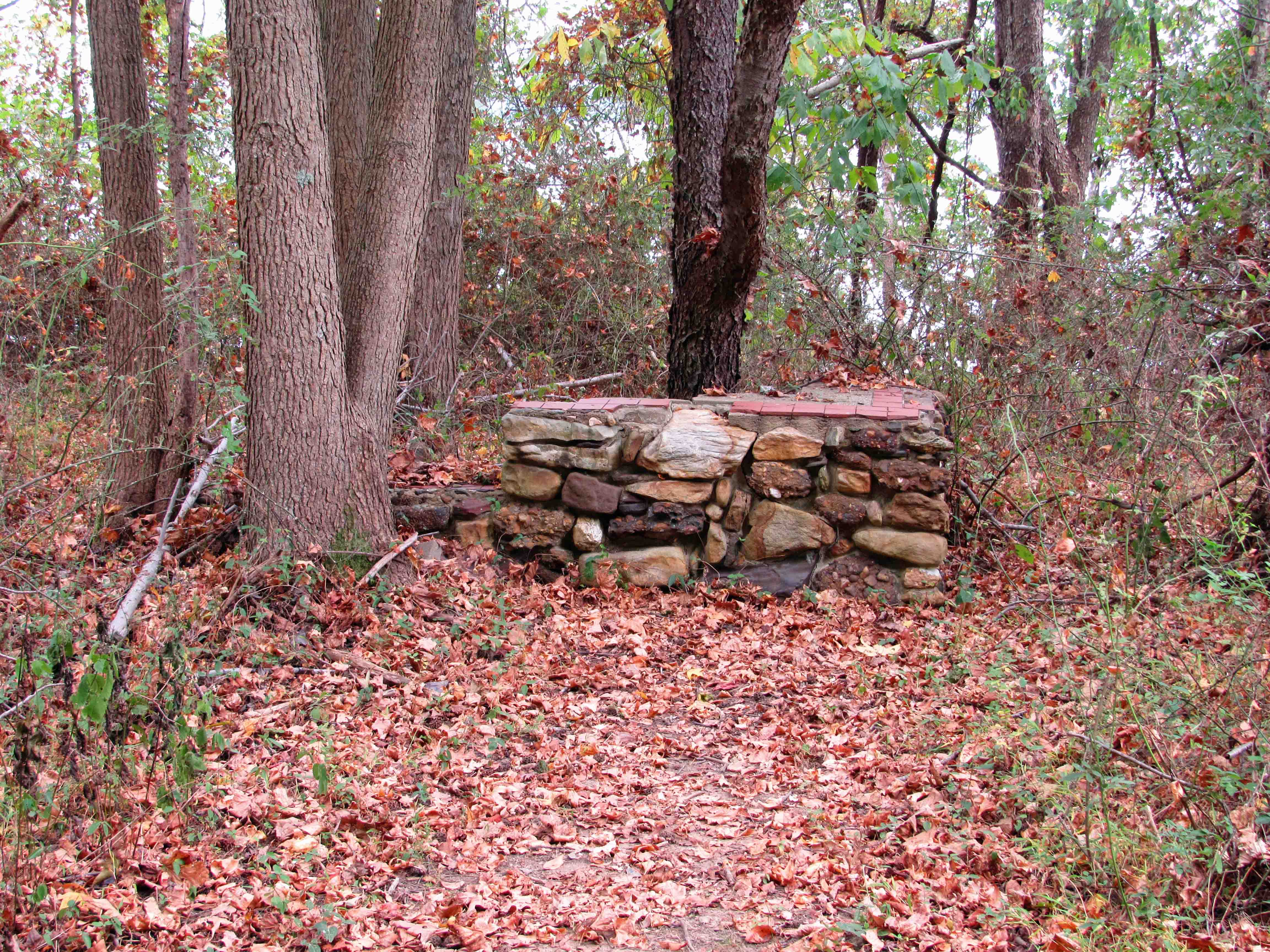
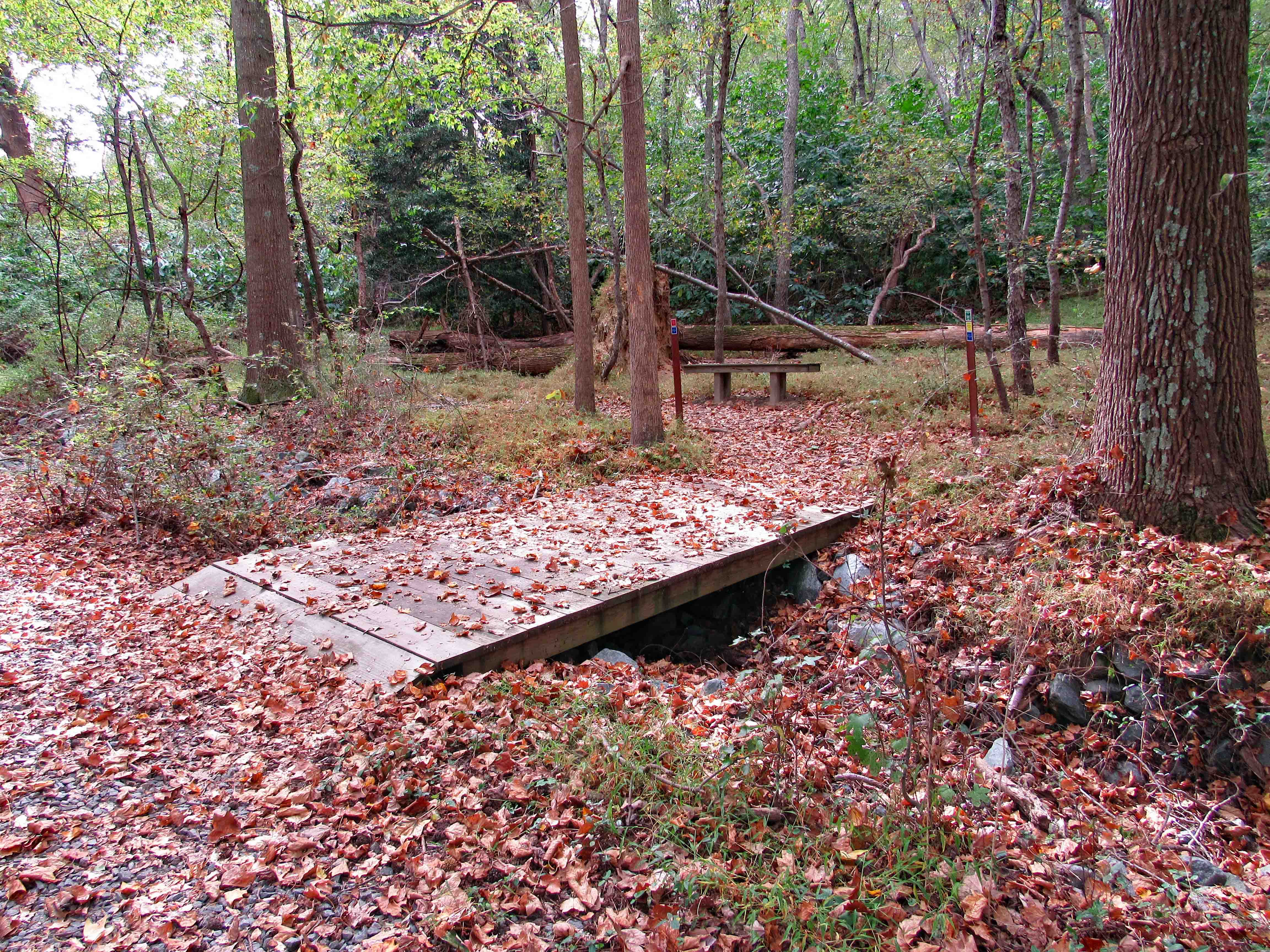
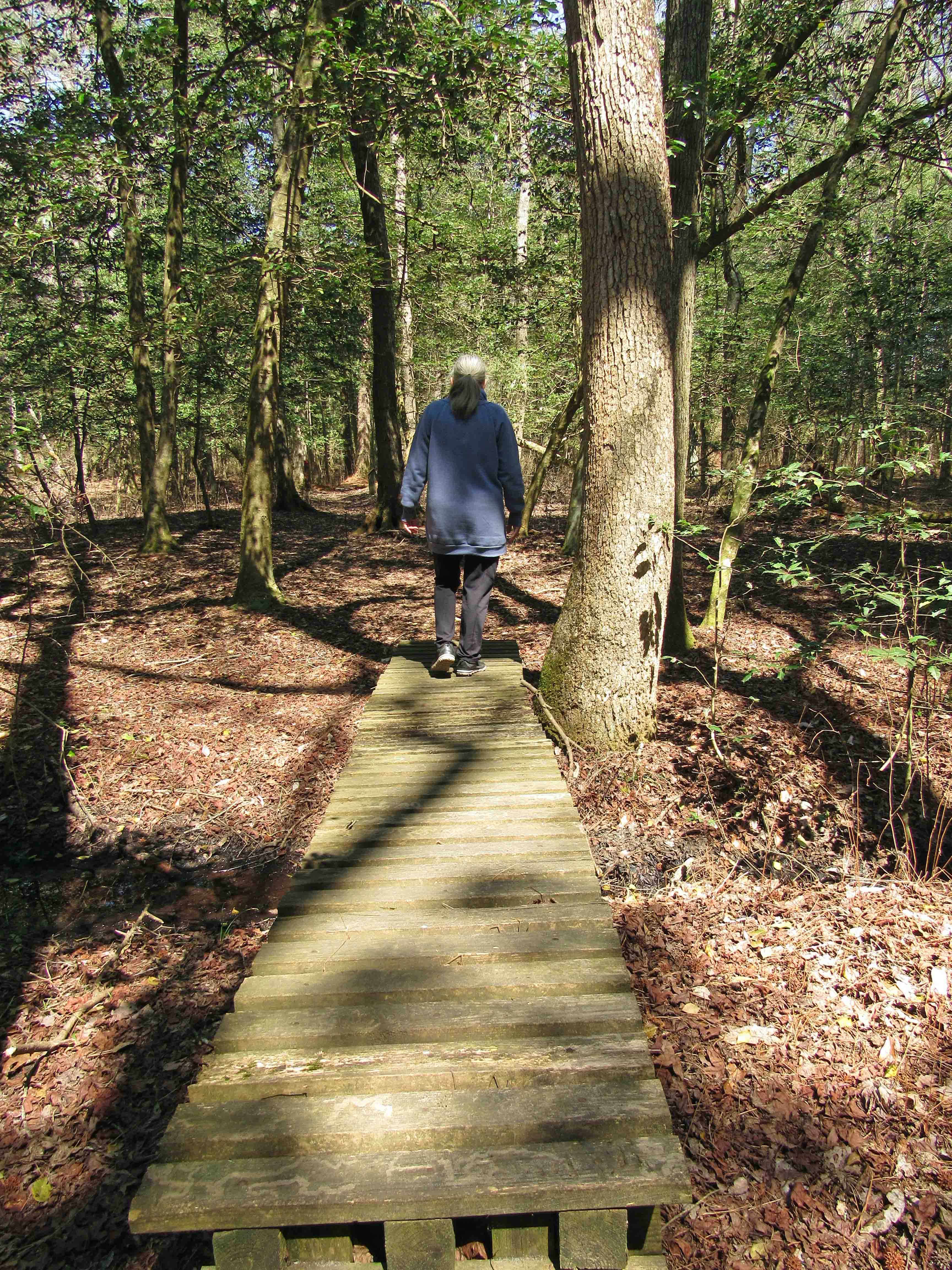
A few boardwalks and busted up benches along the way.

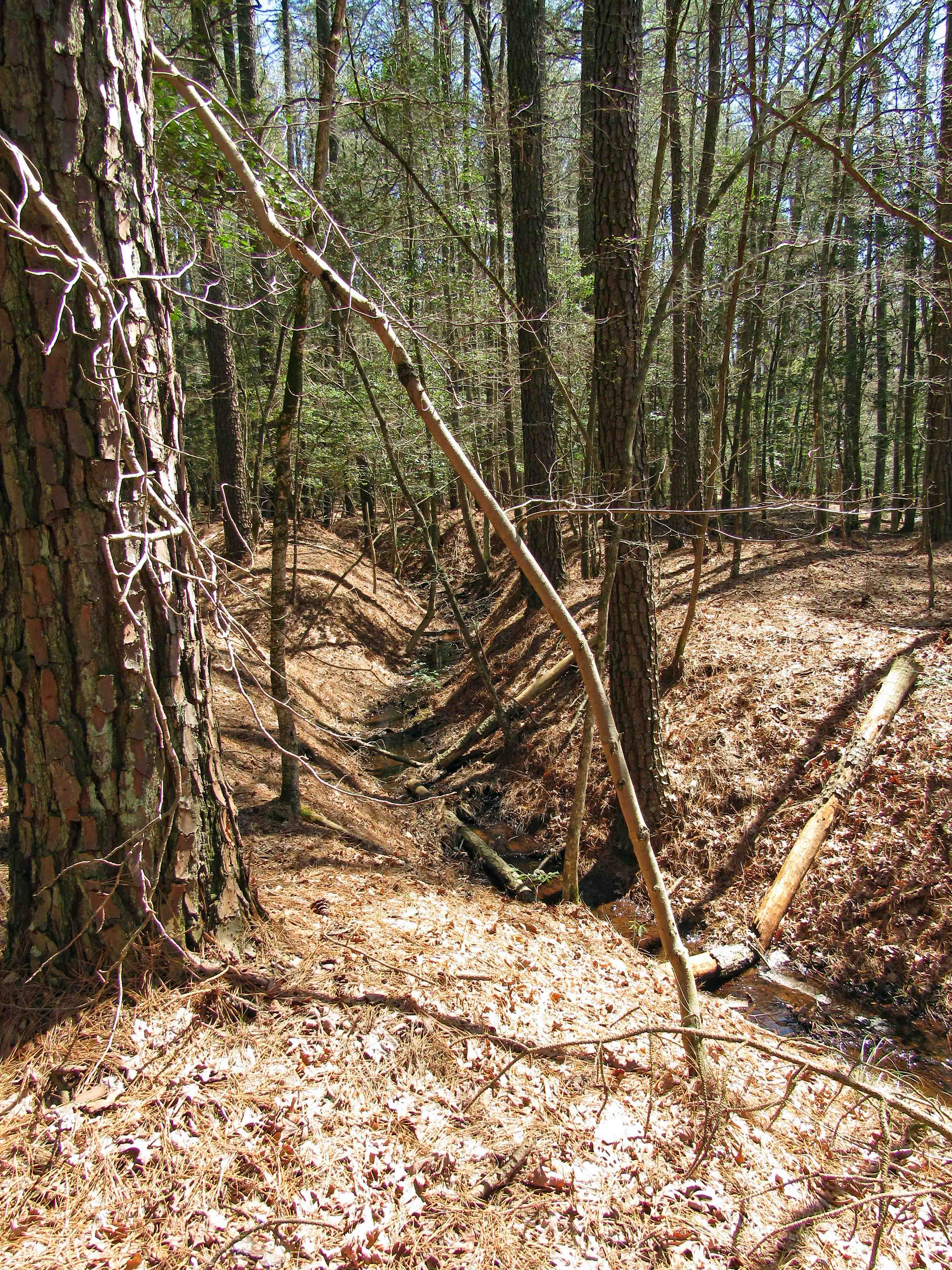
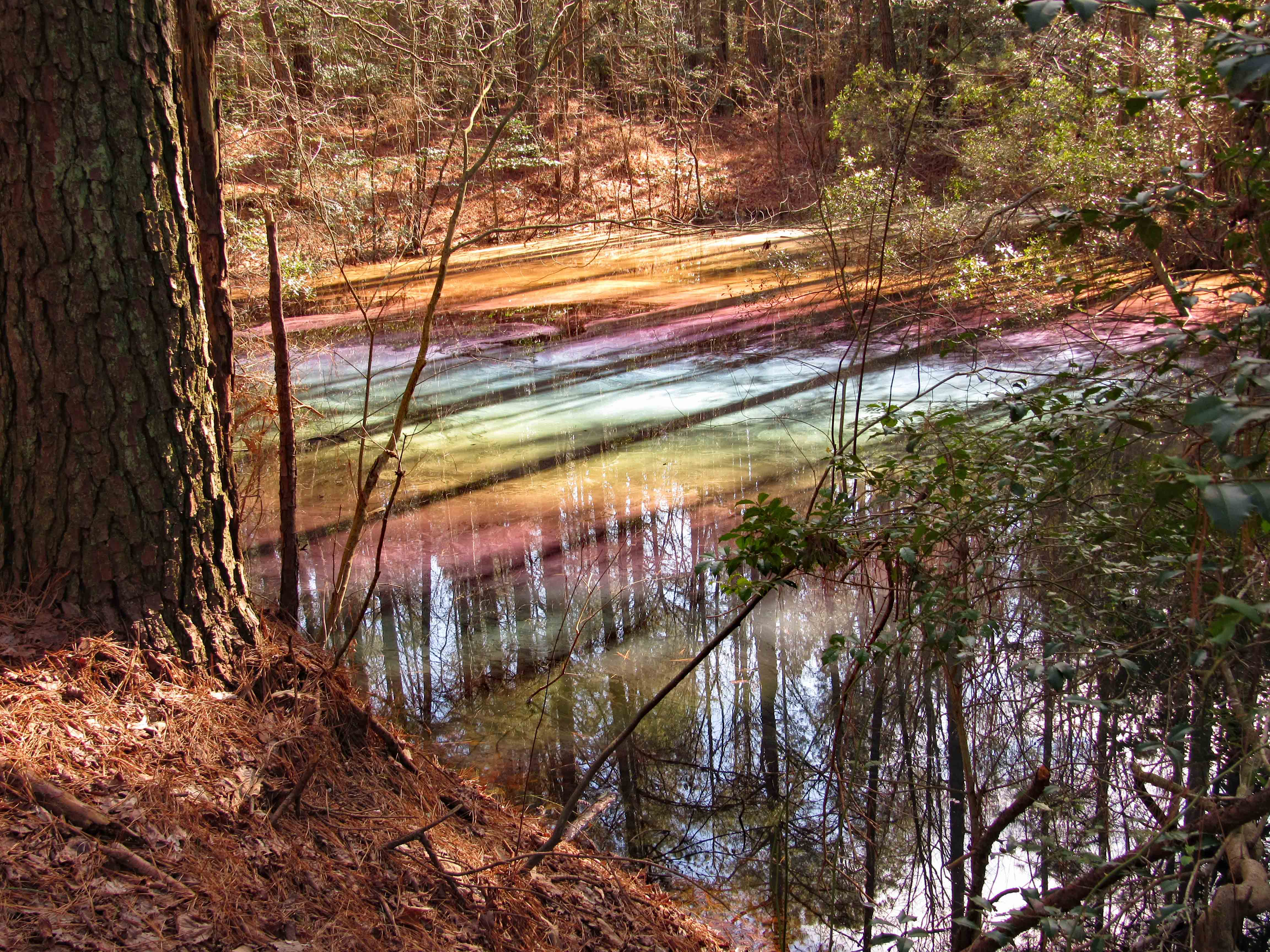
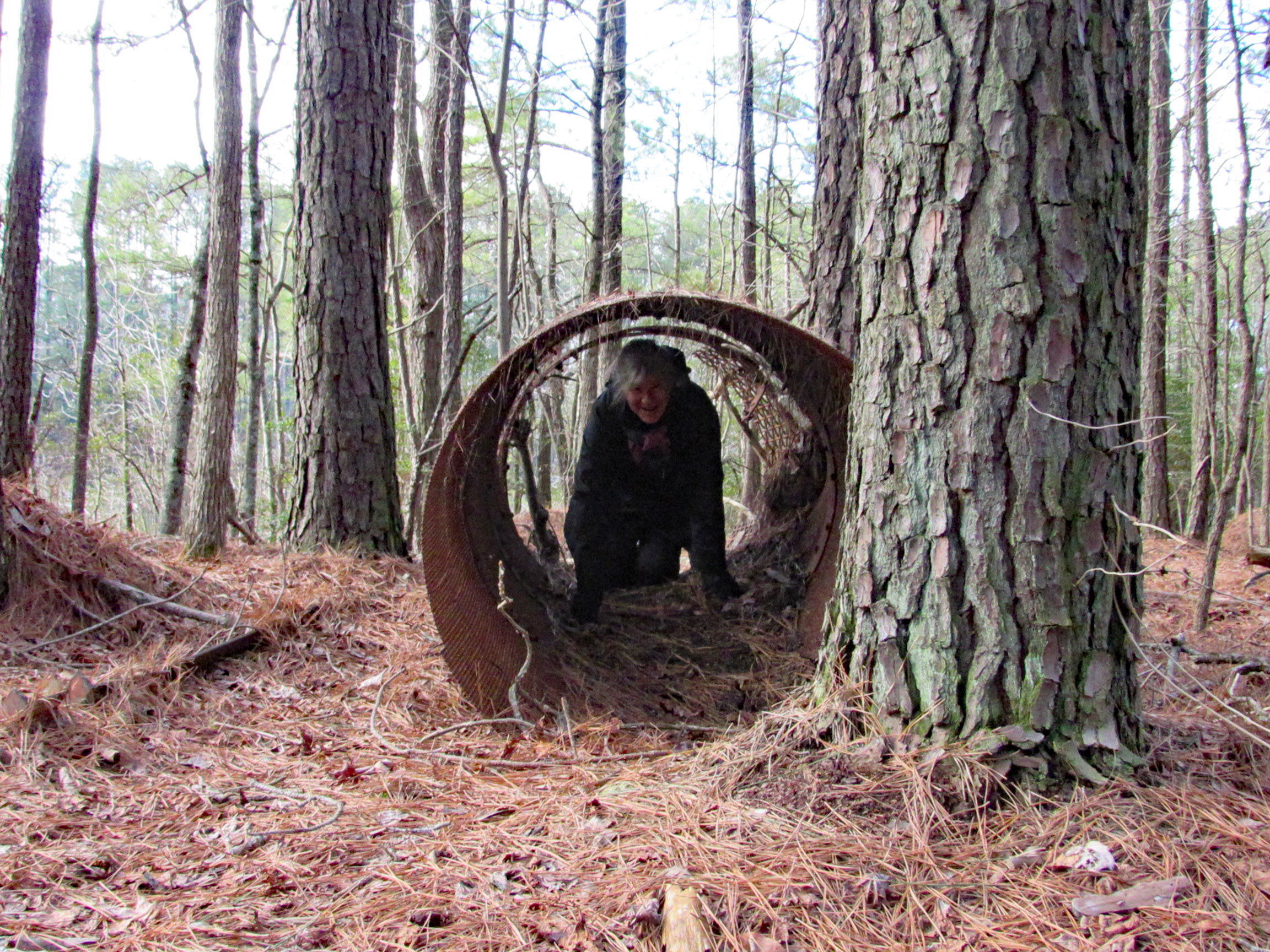
We found another path off of the designated path and tried to take that one but there was too much water.

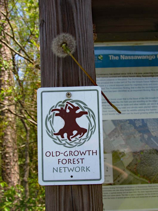
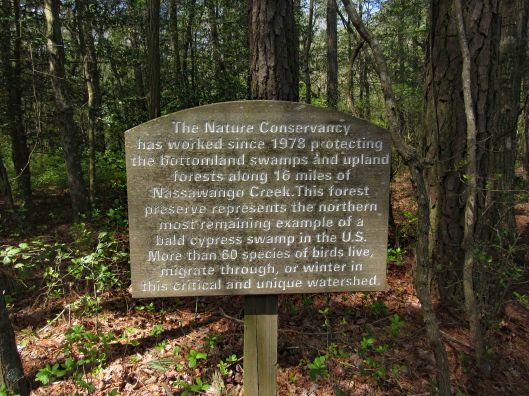
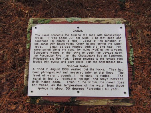
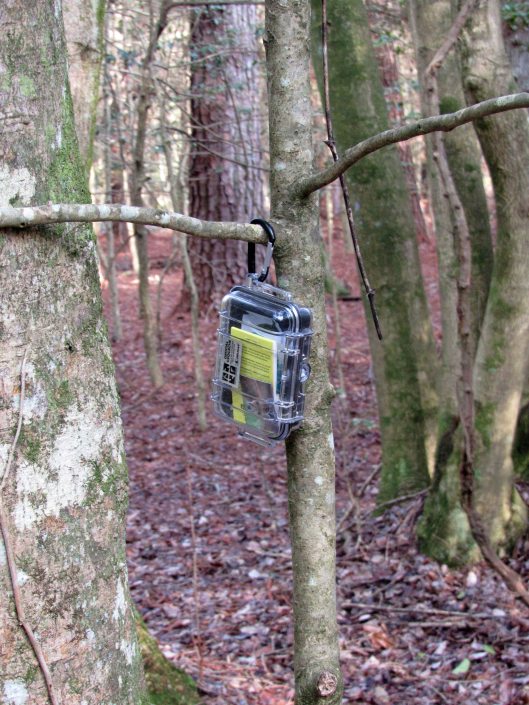
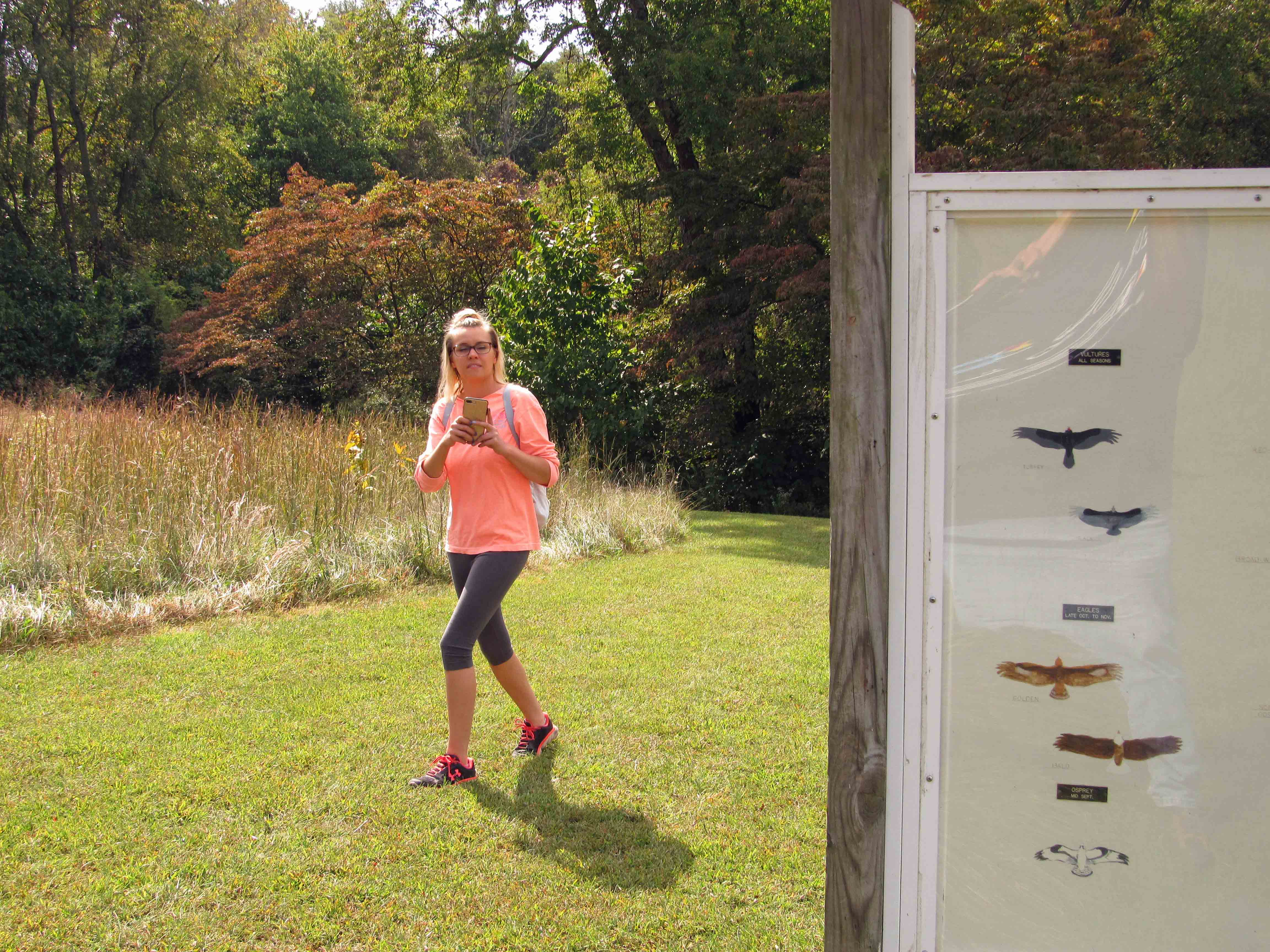
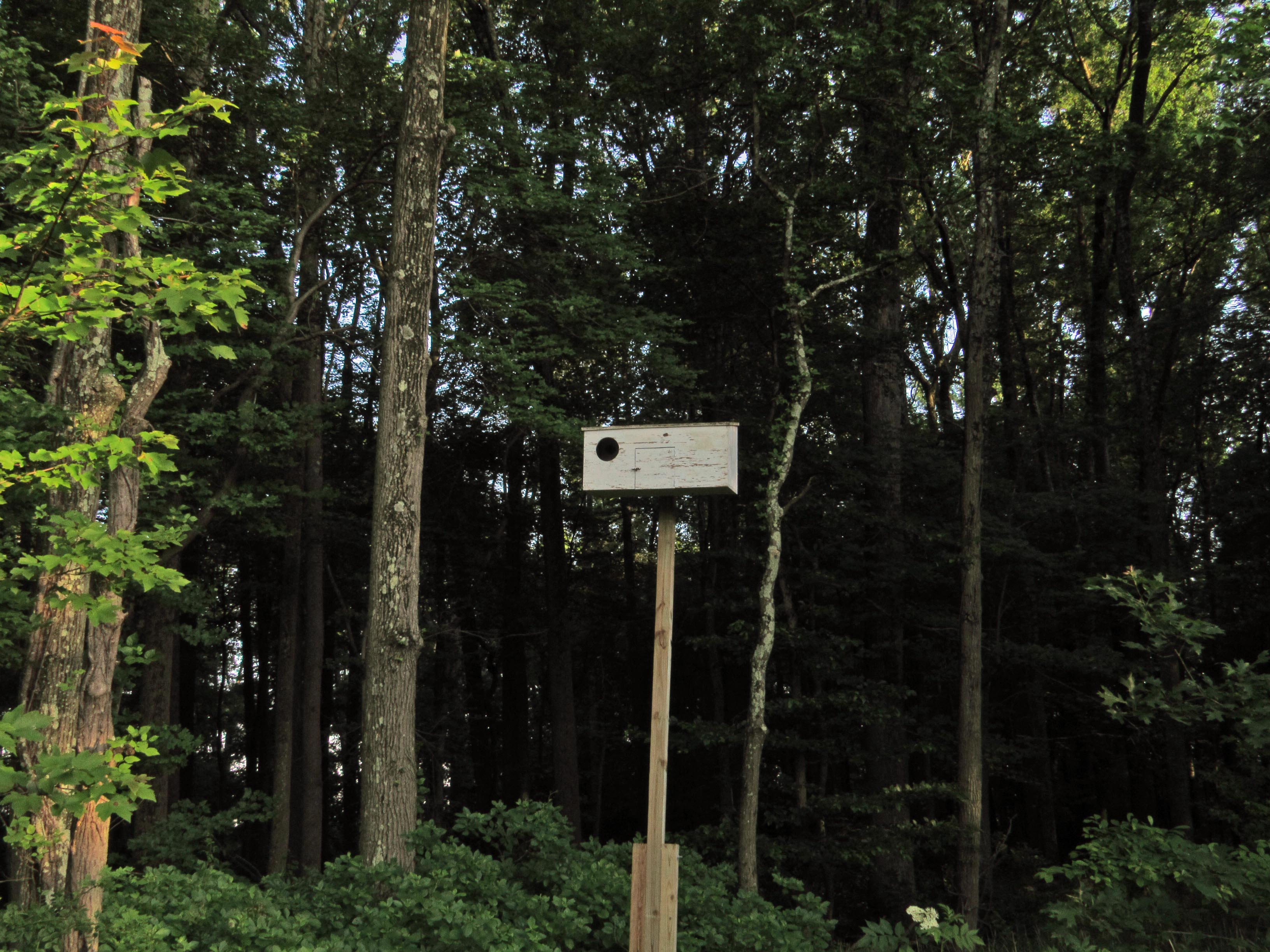
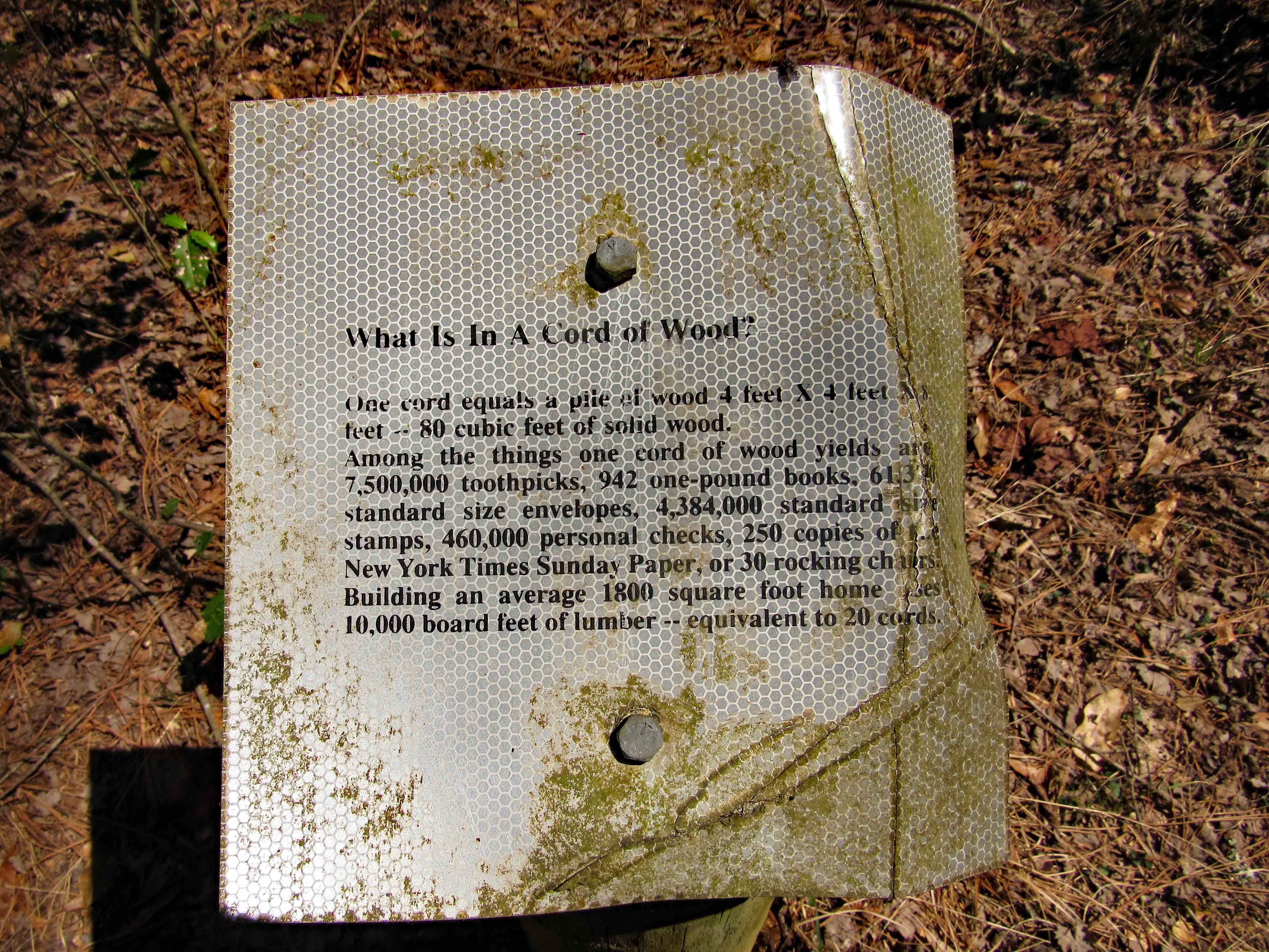
Informational signs along the way. This one asks what is in a cord of wood?

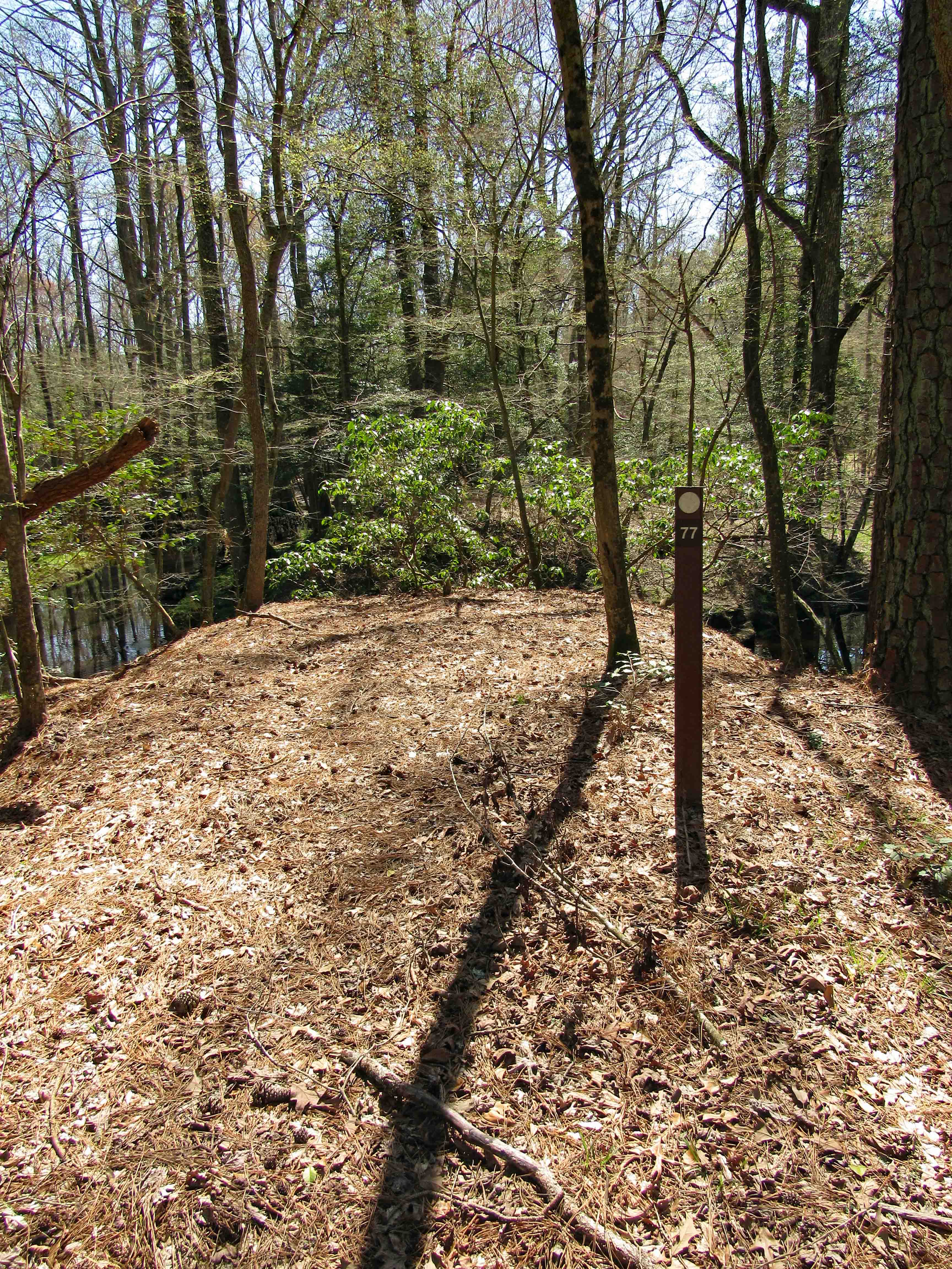
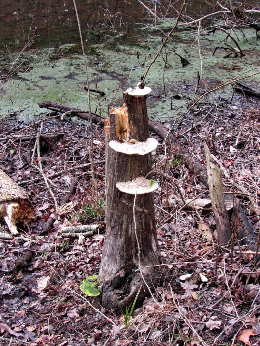
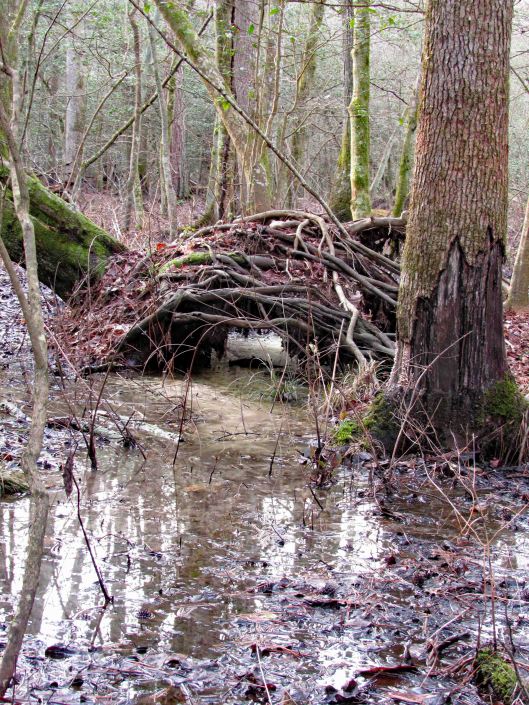
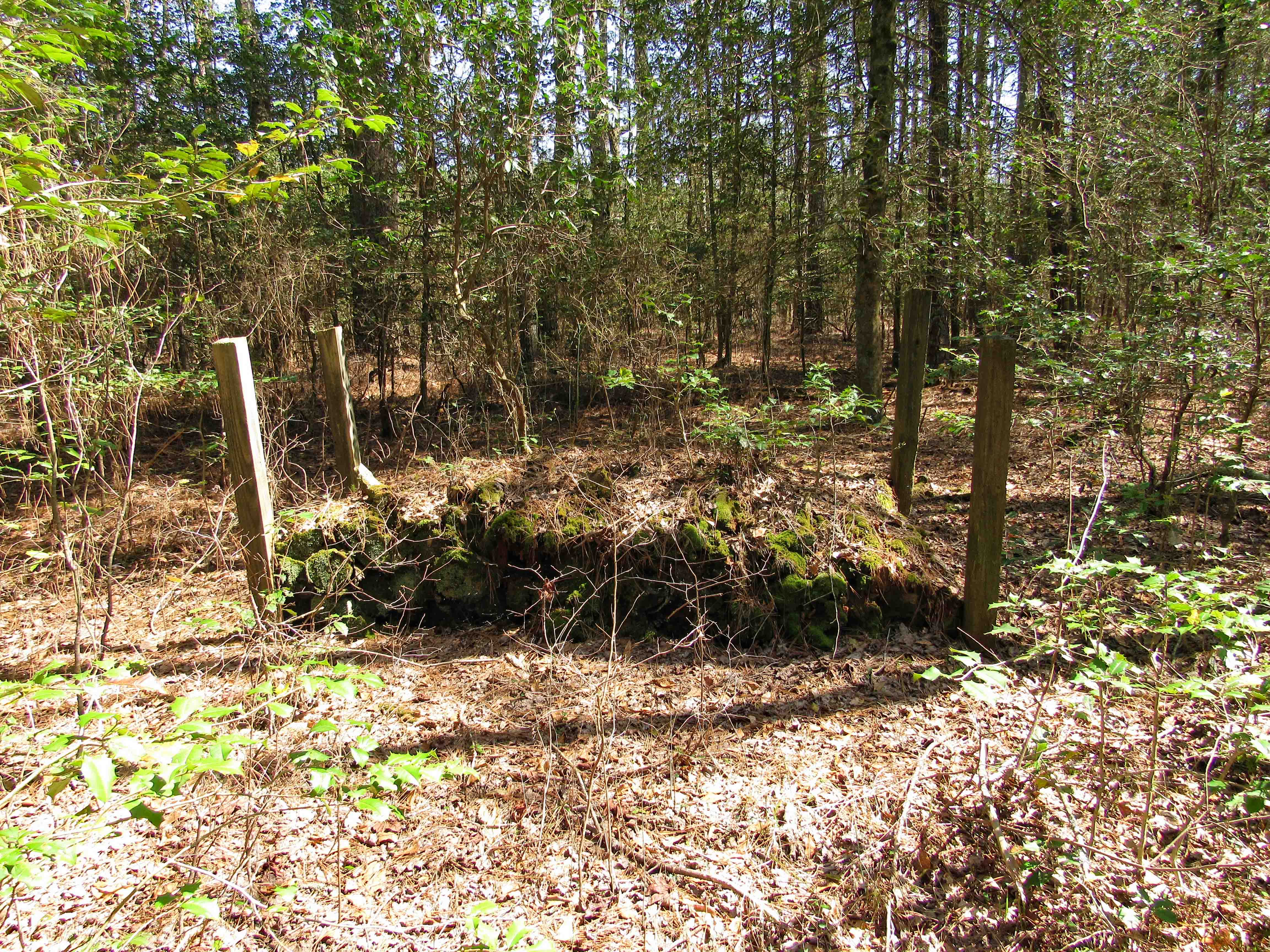
I don’t think so! A mound of rotted wood.

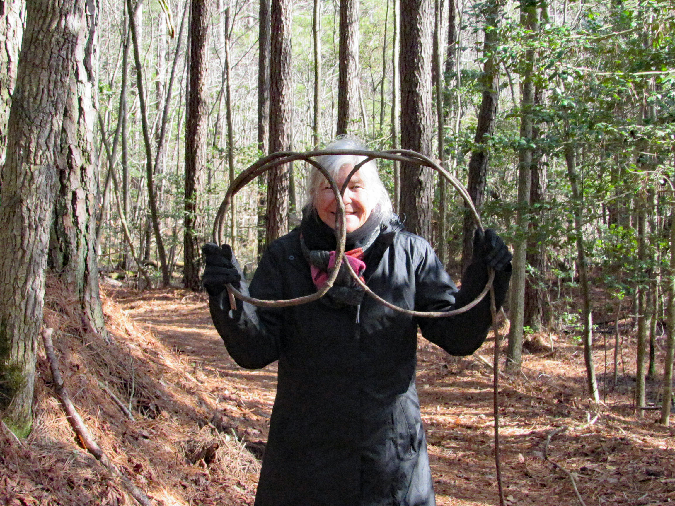
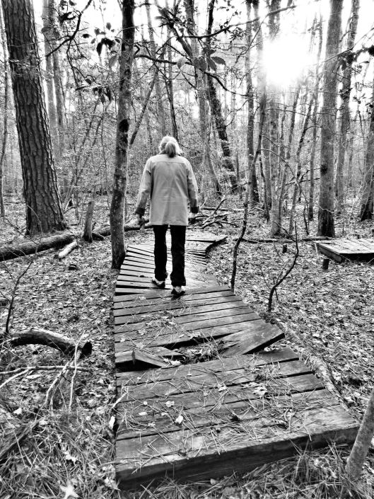
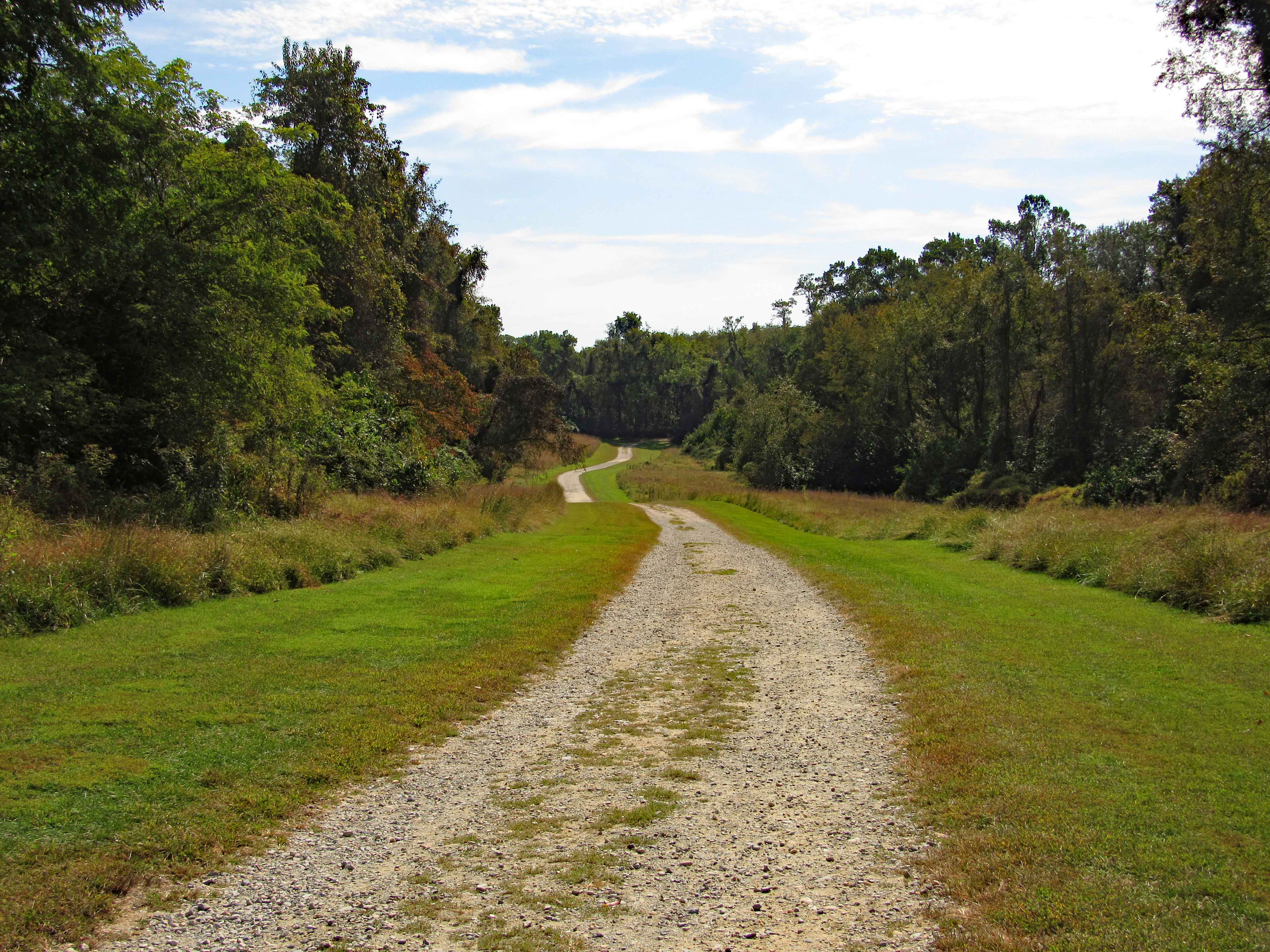
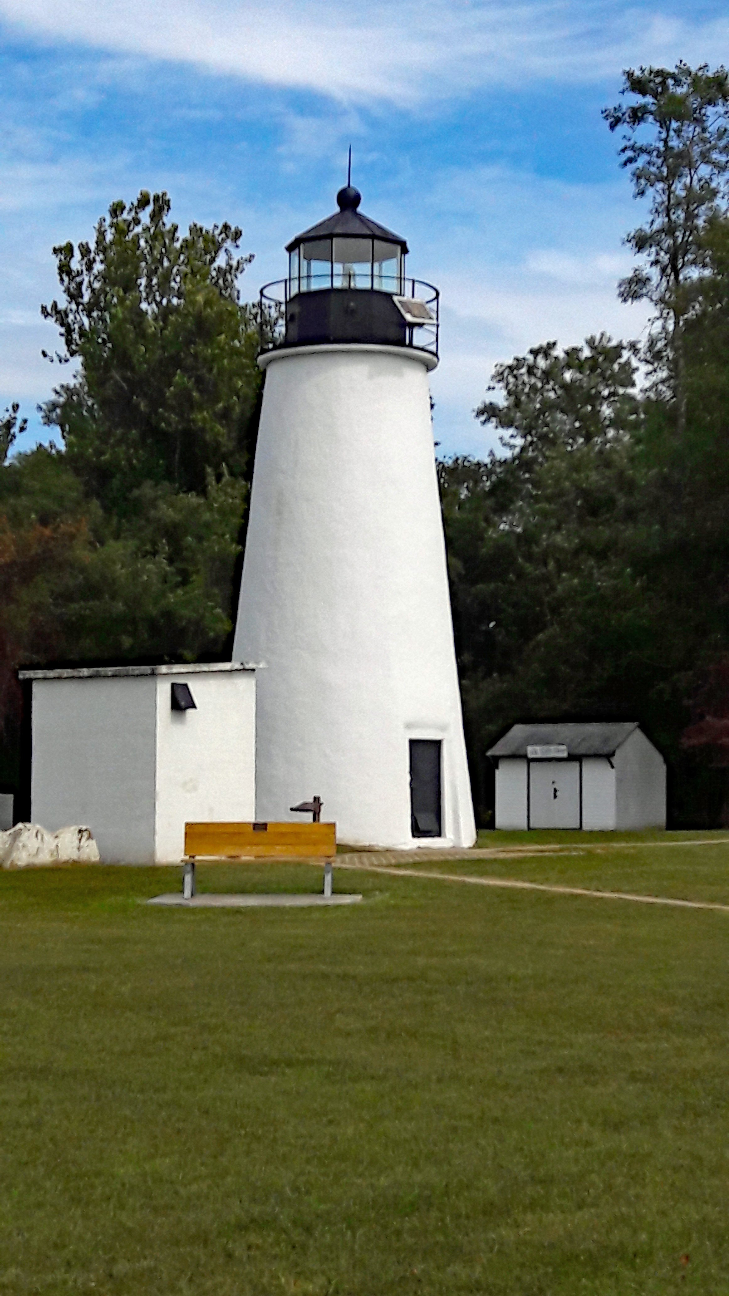
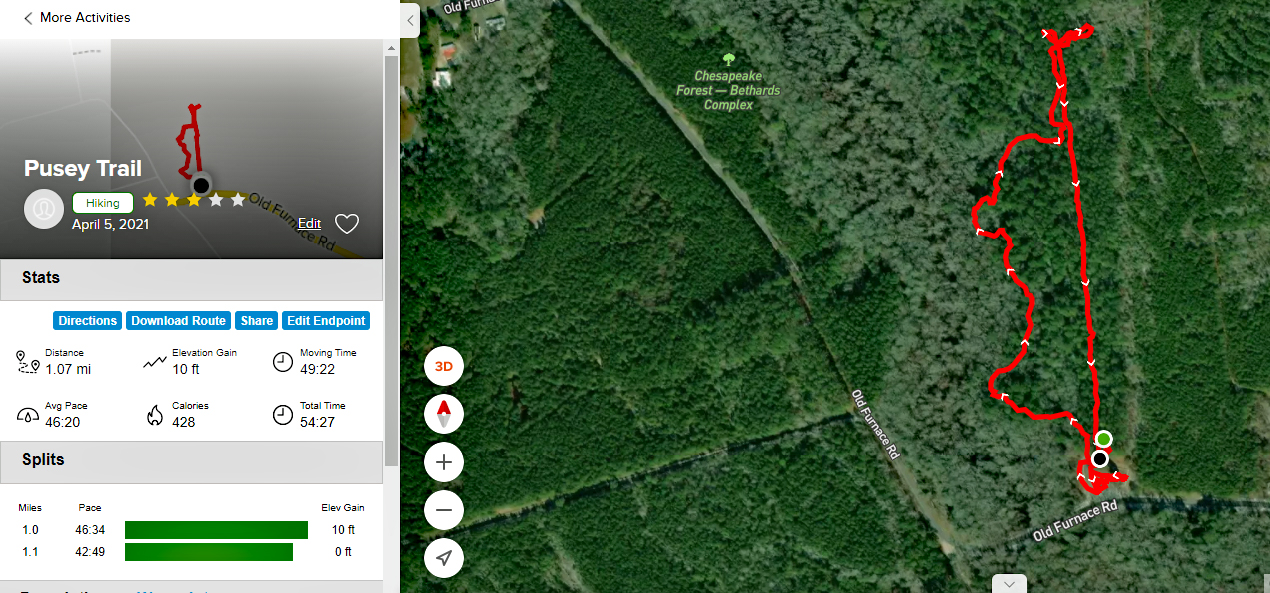
Our path. A short hike and I couldn’t wait to get back and fill out the Health Department form to start earning free gifts!! Ha!! Get to the bottom of the form and it informs me that we have to be Worcester residents to register!!

As I mentioned above, I did some research on Pvt. Stevens. Because this hike was on the Pusey Branch and there were Pusey headstones in the cemetery, I just assumed the name of the cemetery was Pusey? (Researchers NEVER assume!). I went to the Find a Grave website and saw that the Pusey Cemetery is a couple miles west on Meadow Bridge Rd. The above cemetery is called the Nazareth Cemetery, from a church and not a private one.

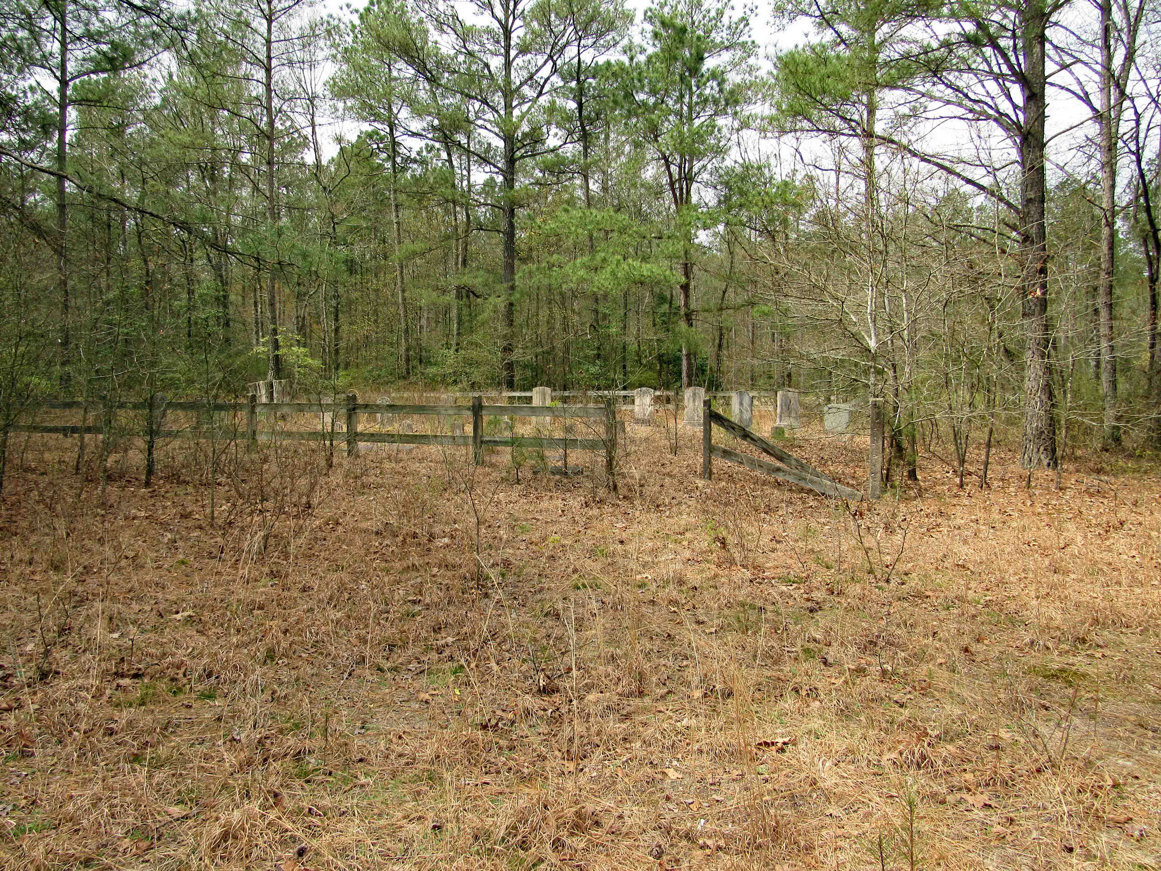
So, a week later we head to find the Pusey Cemetery. As we head down the road Kathy sees some headstones in the woods. This one is a private cemetery called Bounds-McAllen Cemetery.

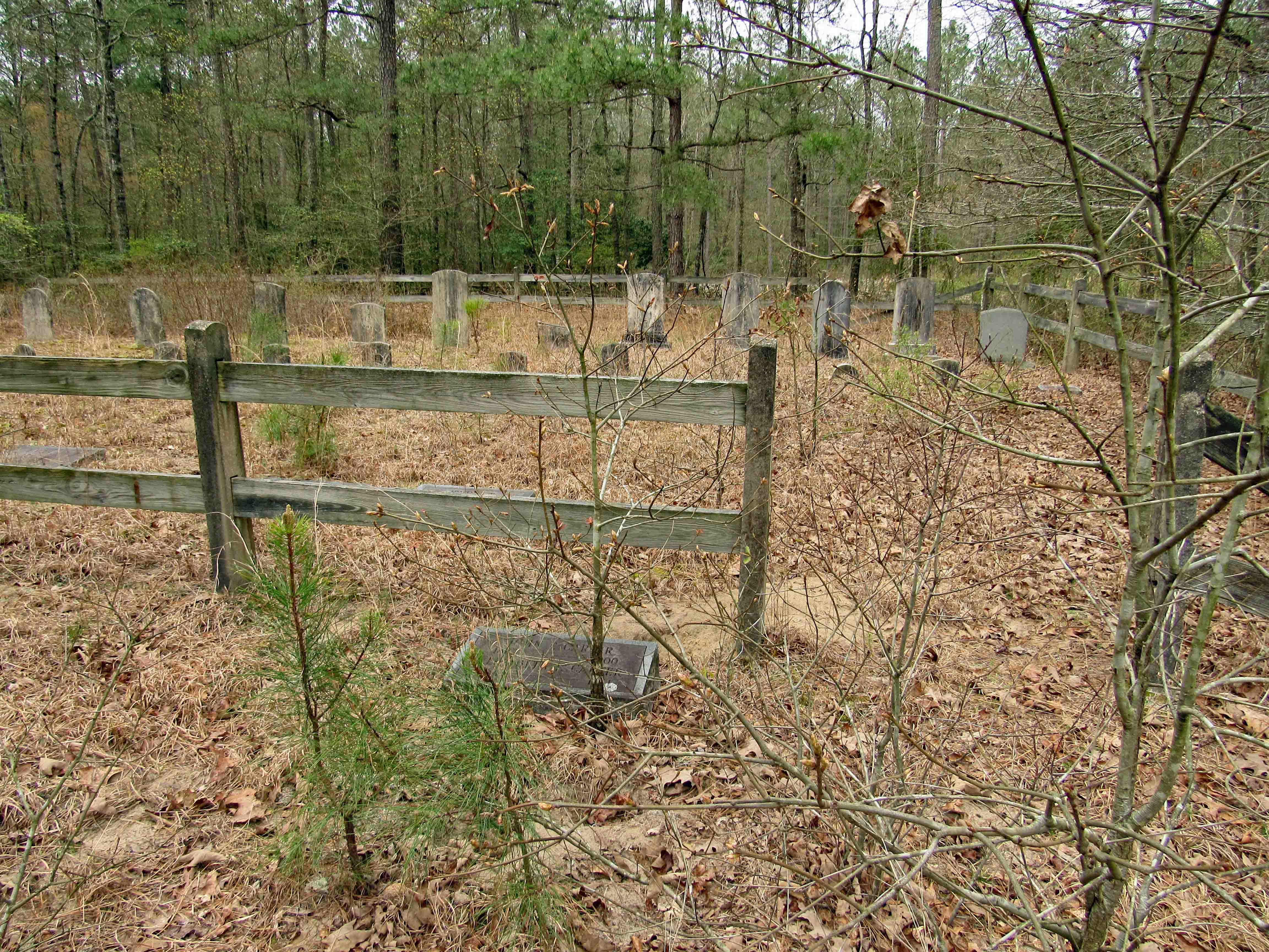
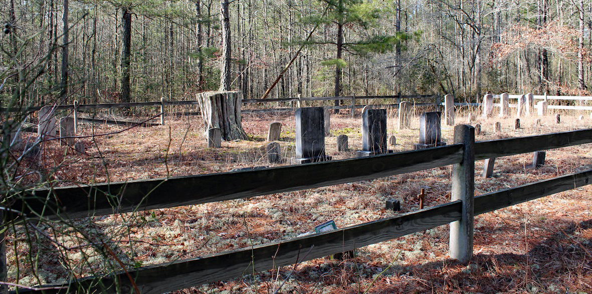
A small cemetery and not the one we are looking for. A photo on the Find a Grave site shows it with a fence. We head further up the road and we see a gate on a trail and we think this must be the place. Walking back about 700′ we found it. Seemed odd that there was a marker on the outside of the fence.

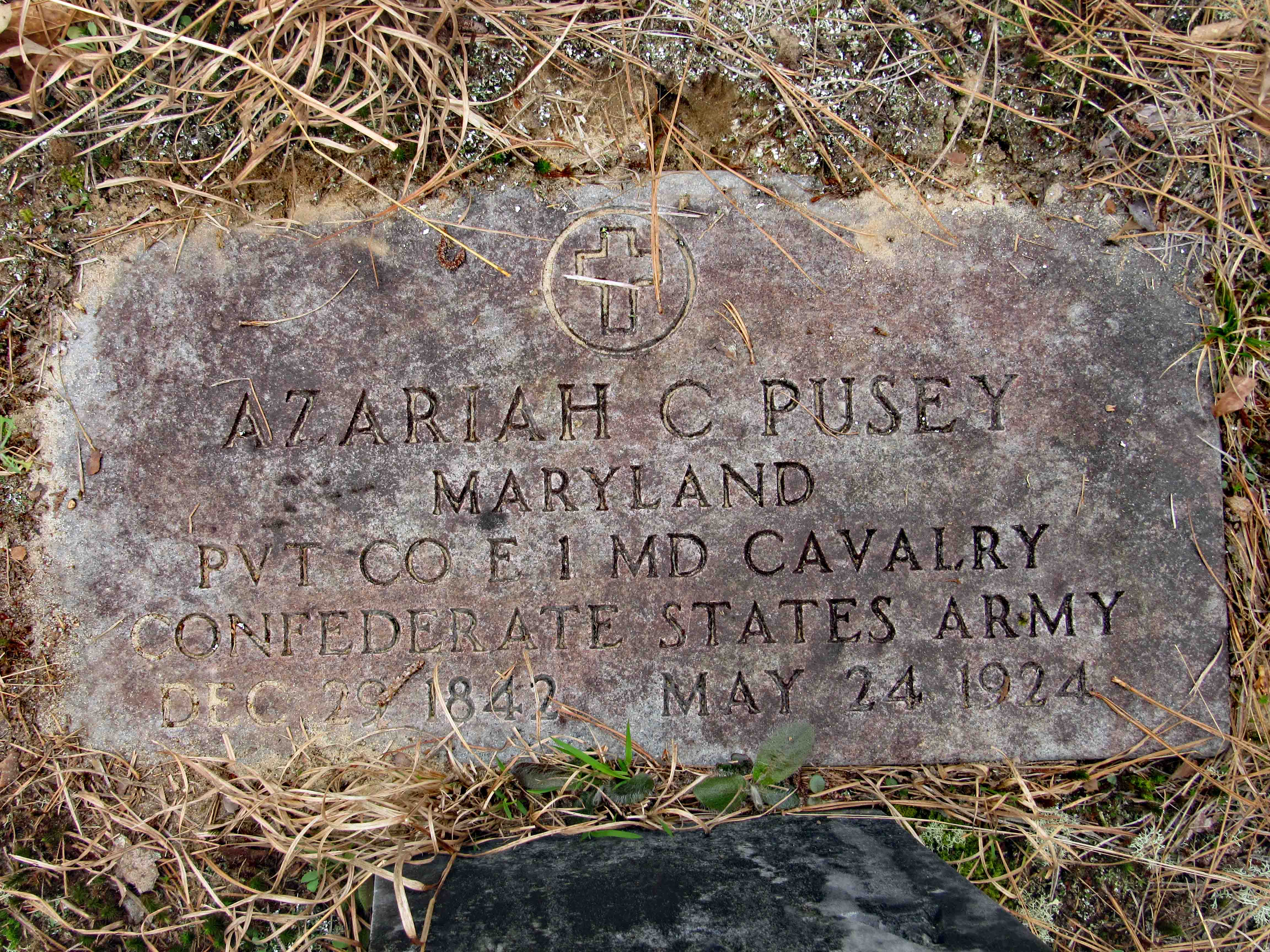
We found another Veteran’s grave. There is more available research on him, on Google, than that on Stevens. As can be seen, he was in the Confederate Army, the cavalry. Here is a link for info. http://www.mikehitch.com/me/5062.htm Thanks Mike for the info.

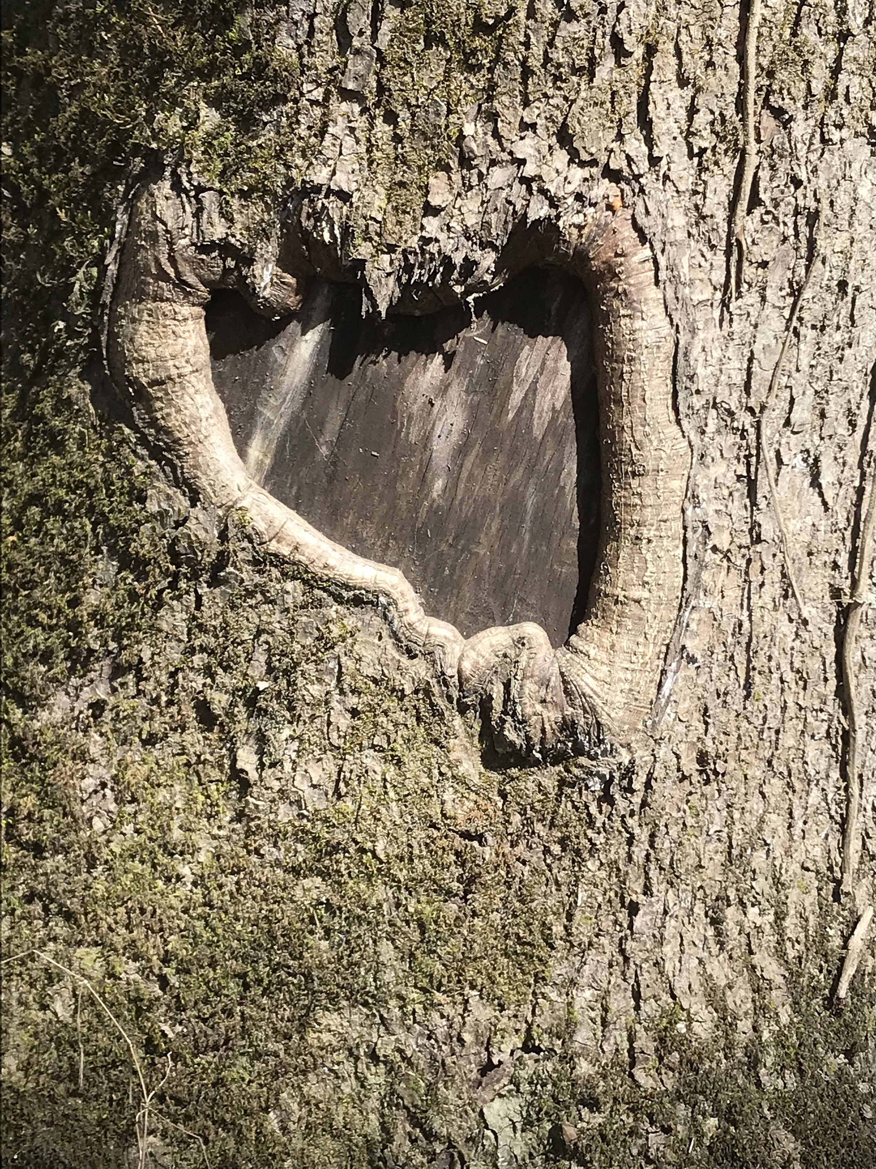
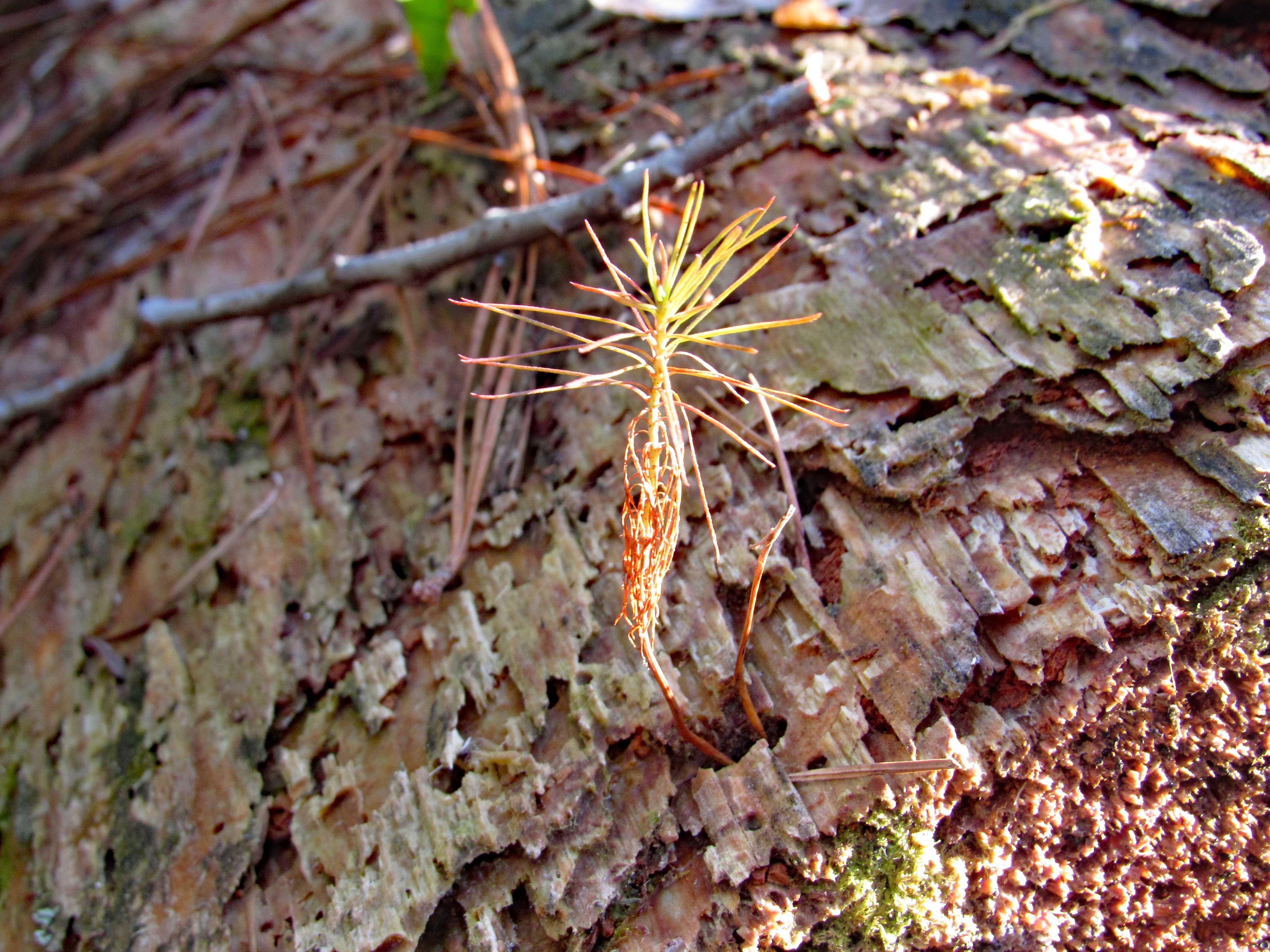
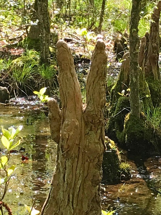
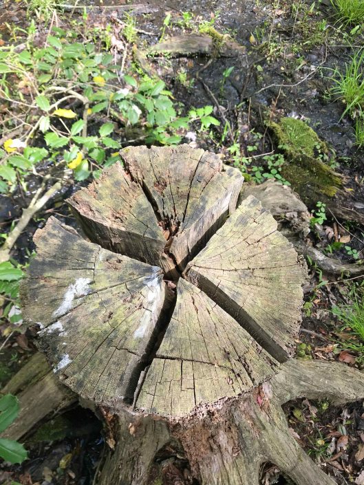
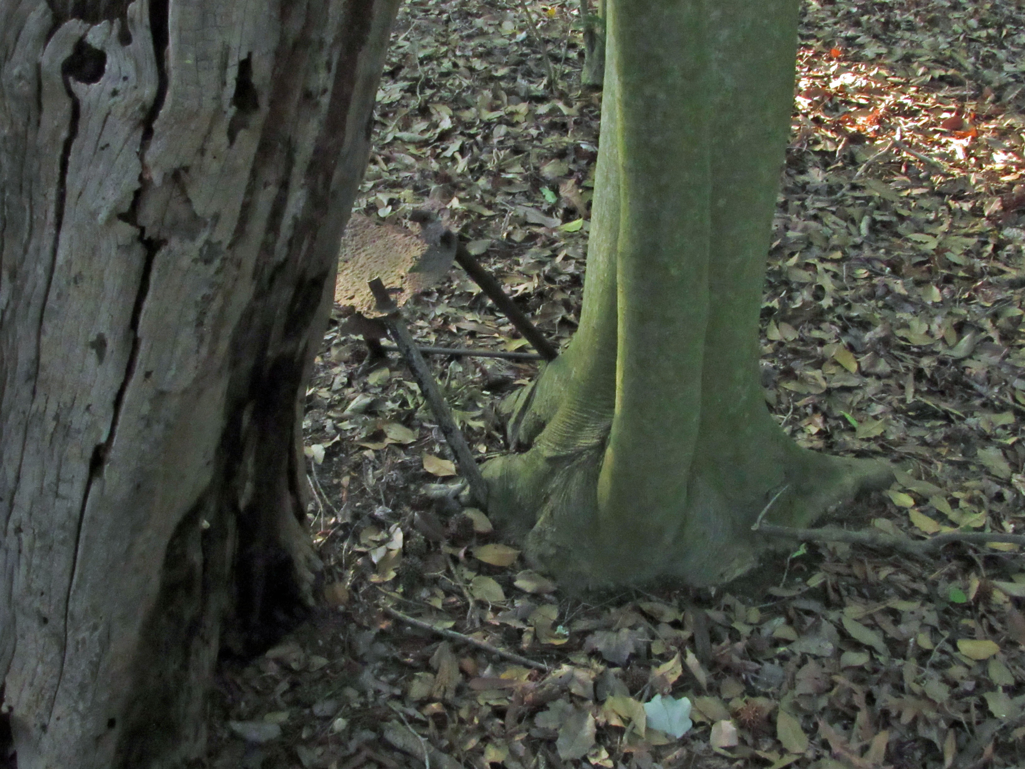
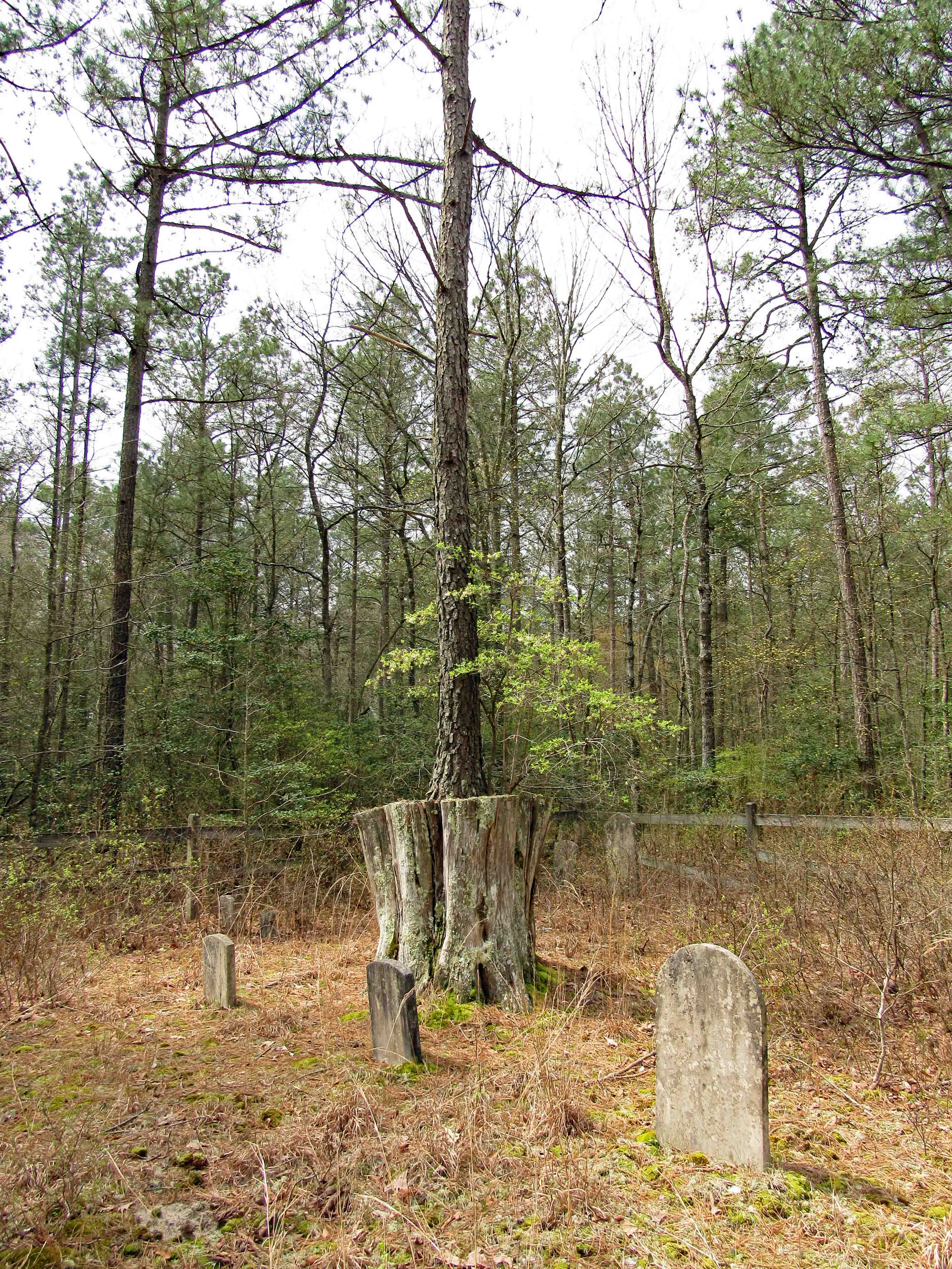
And here we have a tree growing on top a dead stump.

A photo from 2013 of the cemetery, Some sites show it just as the Pusey Cemetery. On other sites I saw it called the Pusey-Maddox Cemetery.

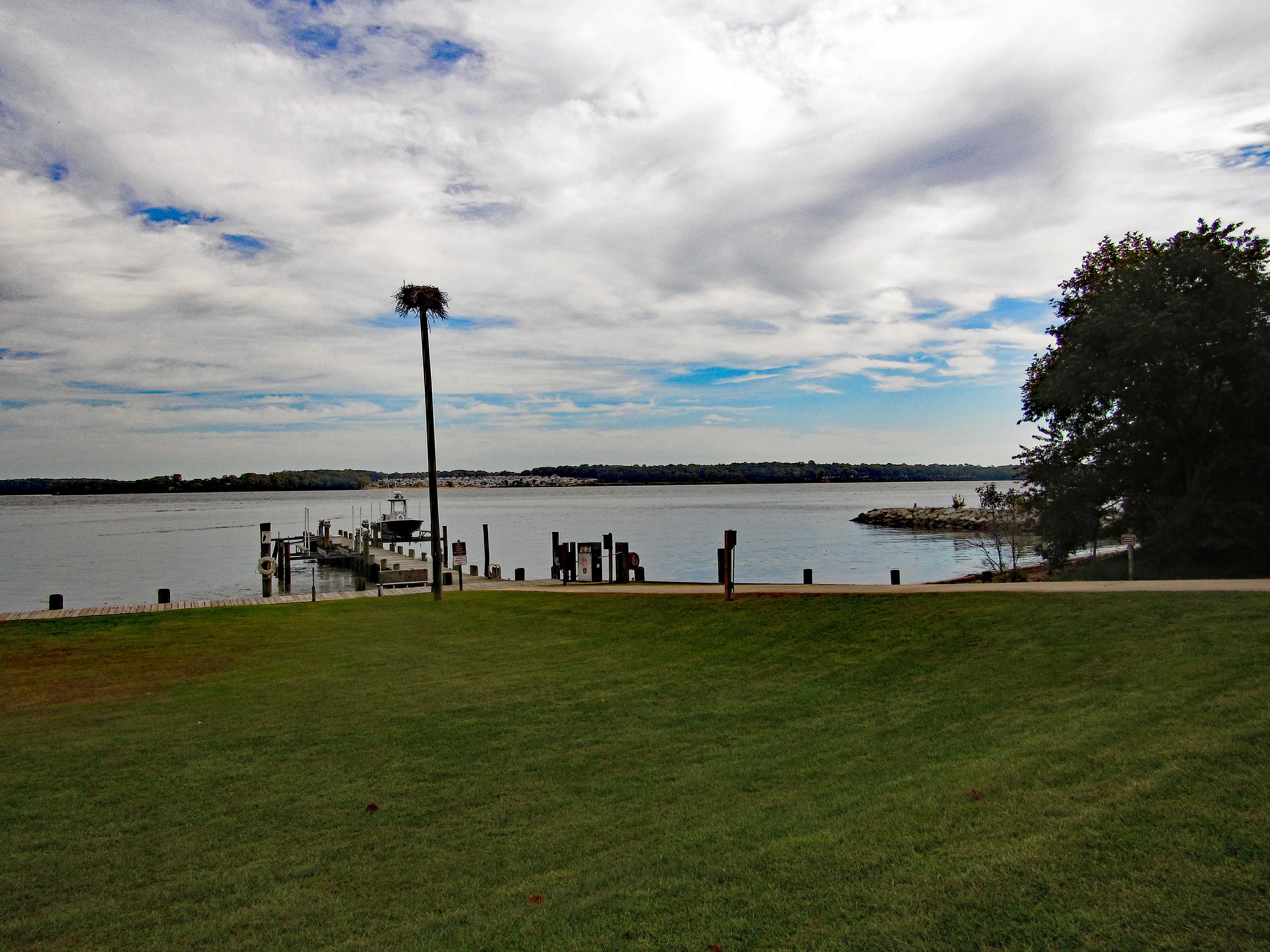
After visiting here, we hiked some. Another story, another time.

It would be nice to know the story of the two service men. They are buried a couple miles from each other, in cemeteries with family members of the same name. Did they know each other. One item I read about Azariah was that he enlisted in the union, was captured by the rebels and joined them?? So many questions, so little time…

Chandler Tract (White Trail) 4 3 21

04 Sunday Apr 2021

Posted by Ronald Parks in biking, Eastern Shore, nature, Photography, State Parks, Trails

≈ Leave a comment

Tags

cypress, Hiking, Pocomoke, State Parks, trail signs, Trails

This was a 3.6 mile or a 4.1 mile hike, depending on which map you use, in the Pocomoke State Forest. There is also a Green Trail (4.4 mi) and a Blue Trail (5.2 mi) in the same area. We chose the White Trail because it heads towards a creek – Corkers Creek. The entrance is across Rte. 113, from Shad Landing. Nice empty parking lot.

Maybe they will put up a trail map here one day.

Only saw a couple cyclist on the trail. Otherwise a nice quiet hike. The Green and White trails intersect for a short distance. We know what the dots mean, unsure of the numbers though. I wrote the park service to ask them. Waiting to hear back.

A few muddy spots starting off, but mostly dry. It is the Eastern Shore and there will be mud!

Buckshot warning about straying away from the trail…

But where would you go? Lots of thickets on one side and a swamp on the other. But I do know what they mean. Up on the Gunpowder Trails they don’t want you straying off – it can and will cause erosion.

Up ahead where Kathy is, take a sharp right.

Which didn’t seem right. We ended up at a ditch. On the other side in the distance I saw a trail marker…so let’s go.

Up the other side and a few 100 yards ahead we came to marker 77. End of the ‘Official’ trail.

Corkers Creek passes down below and across the way we see another mound. (Wondering if at one time a bridge crossed here?) One of our maps says Colburn Trail is over there.

We look to the right and head down to a nice area.

Kathy’s photo of some of the Cypress Knees.

Back up the mound and then down the left side.

Read that this was designated as a canoe creek. Don’t think so. Maybe at one time.

We walk a ways and come across the most Cypress Knees we have ever seen.

Kathy heads over for a better look…

Instead of heading back the way we came, we cut through the woods, but still have to navigate the ditch. I thought Kathy was going to want us to cross the log.

Some really nice close-ups that Kathy took.

Below is the map that AllTrails has. Path looks pretty straight and narrow – in and out.

Here is what it looks like enlarged, at the creek. We were all over the place!

Another wonderful adventure! We will probably do the Green Path by bike, next trip.

Blades Road Trail

09 Tuesday Feb 2021

Posted by Ronald Parks in Eastern Shore, Hiking, nature, State Parks

≈ Leave a comment

Tags

ice, marsh, nature, Parks, Pocomoke, Trails, unicorns

Part of the Pocomoke River State Park. Short hike, about 4.1 miles. We did this trail last month and revisited for other views, other areas we did not walk last time. Nice skim of ice on some of the water in the marsh.

Lots of reflections

Some interesting colors left behind from the local unicorns maybe?

Judy in disguise…or Kathy with a new pair of glasses!

Pump parts

Playing in the pipe or looking for unicorns.

Tree stand for unicorn hunters

Duck decoys

The trail and the sights

A lot of these photographs were taken by Kathy. My camera has been giving me some trouble here lately. Especially with the batteries keeping a charge or even charging at all.

All in all it was a great day for a hike. Thanks Kathy and thank you God!

Prothonotary Warbler Trail

26 Sunday Apr 2020

Posted by Ronald Parks in Eastern Shore, Hiking, nature, Road Trips, State Parks, Trails

≈ Leave a comment

Tags

beaver, birds, flowers, Hiking, Nassawango, nature, Pocomoke River, prothonotary, Trails, warbler

Well that is a mouthful to say! Pronunciation is Pro-ton-o-tar-y, which by itself is a Chief Clerk in a court of law, which is apropos to what I have been going through the past couple of months (another story, another time). But with the warbler attachment, it is just that – a warbler. A trail full of them. This was a 2.3 mile hike.

For whatever reason, All Trails stopped recording our trip so I used their default map, adding an extra red line at the bottom left of the trail because we walked the road back. Not much parking. You need to park on the grass along the road. The guy that lives in the house to the left of the entrance trail was cutting the grass. He does a good job maintaining it. It is turkey hunting season and he wanted to know if we seen any? Glad this property belongs to the Nature Conservancy – No Hunting! I hate ducking bullets!

Entrance path

Some of the plants we saw

The path goes from Creek Rd. to Nassawango Creek. A nice trail with some boardwalks. No steep hills to climb. Molly did well and there were only 3 other people on the trail. We were spaced out accordingly.

It is part of a cypress swamp and the ‘knees’ always remind me of faceless people.

PEACE

Signage along the trail.

Nails in tree? and blaze.

More stuff along the way…

This was interesting. One of the bottles had AA written on it and I thought how weird is that? I looked it up and and it is an Ancient Age Bourbon Bottle. I immediately saw Alcoholics Anonymous!

Warbler in entrance hole

Well, Molly says enough of this. Although it has been a wonderful, peaceful hike, it is time to feed me! Thanks God for a wonderful hike with minimum people out there.

Quite a few of these photos were taken by Kathy. Thanks Kathy!

Paul Leifer Trail

16 Thursday Jan 2020

Posted by Ronald Parks in Hiking, HISTORY, nature, Trails

≈ Leave a comment

Tags

canals, Conservancy, cypress swamp, Furnace Town, Geocache, Hiking, nature, Snow Hill, State Parks, Trails

In my last blog, First Hike 2020, I spoke of looking for the Paul Leifer Trail at Furnace Town and how we thought the only access was from the gift shop, which closed in October. Well I sent an email to Furnace Town asking about access to the trail and they told us to go through the gate and then head to the trail, so we did.

Through the gate and head to the right, where you will see the Iron Furnace. Go to the left and there is an information board with a map and cautions that the boardwalks are very slippery.

Some interesting signage and some not so interesting!

The boardwalks were not only very slick, some were falling apart.

Molly didn’t mind and she did a lot better on this hike.

Some of the sights along our hike. It was very quiet here.

Crabby
A favorite sight of mine!
2nd Geocache in as many weeks.
Happy-Happy-Happy

Heading back out after about 1-1/2 hour hike. A couple shots in the ‘town’.

Wedding arch? Or sacrificial temple at the top?
Nice pic from Kathy.

Our hike, via All trails: Under a mile but very adventurous!

But the best sign was this one…

Life is full of next bends!! Thanks God for pointing the way to each and every bend, not that I am always paying attention to where you are pointing…

Turkey Point at Elk Neck

06 Friday Oct 2017

Posted by Ronald Parks in Hiking, nature, Photography

≈ Leave a comment

Tags

Chesapeake Bay, Hiking, Lighthouse, meditation, nature, photography, susquehanna, Trails

With Kathy at her sister’s for a week, I figured I’d see if my daughter wanted to go kayaking or hiking. She chose hiking so we went up to North East, Md. to Elk Neck State Park. Nice day for a hike. A little warm then started cooling off with the clouds moving in. I haven’t done this hike for about 5 years. Always nice to revisit places. This was a two part hike:

First we stopped at the lighthouse lot and walked the paths. Round trip here was about 2-1/2 miles.

A few of these signs scattered about.

With good reason. My daughter, Jules, has an app on her phone that measures distance. She said this cliff was 72′ up. This view is looking N.W. towards Havre De Grace. The head of the Chesapeake Bay. 

Nice path. The fields on both sides have grown over some since the last time.

Not sure what this was.

Jules staying away from the hawk viewing sign. Multiple wasp nest on this thing. We did see a couple eagles while roaming around.

Finally made it to the lighthouse. Five years ago I was able to go inside. Not today.

We followed the light house trail down to the bottom. Another area seriously grown over. Use to be able to follow this trail south to an area just under the light house and look up the cliff.

So we headed the other way. So nice and peaceful listening to the water lap against the rocks. I could sit here for hours.

A little beach up ahead.

Driftwood and seashells. 

Back up top.

No pee-call here! This spot-o-pot had a lot of stink bugs in it. Most fell off the roof, onto the toilet, when I opened the door. 

Onto the next leg of our hike – Rogues Harbor and the Beaver Pond. This was a short hike. When we got to the upper left there was a detour around a ravine. I’ve done this hike before and it takes quite a while. We could see enough from our vantage point on this side. The trail does go all the way around the pond.

First stop though was at the marina bathrooms. Looking east across the Elk River.

Buttonwood Beach RV Resort. From this view it looks like sardine villa. From Google Earth, they are well spaced and looks like a nice place to set up an RV (or trailer home)

Unknown ruins.

Swim? I don’t think I would put my kayak in here!

If I did, it would take a while to rinse it off! Beaver Pond.

Lots of trail markers and maps at each entrance.

Beaver House. 

It won’t be long before these invasive phragmites take over the whole pond. 

Little cutie. There were a group of these right here. Good eyesight for as small as they are. And they could jump about 3 feet. 

No bridges to burn on this trip…

Early Evening Hike

13 Tuesday Jun 2017

Posted by Ronald Parks in Hiking, nature

≈ Leave a comment

Tags

Camping, Hiking, kayaking, nature, photography, Trails

Saturday evening was a nice time to take a short hike at Marshy Point Park. Little did we know at the time, we would see these same spots on our kayak adventure the next day, from a different perspective.

Looking out from the dock at the osprey nest and footbridge.

Walking along you come to an overlook and you really have to look over to see.

The footbridge to other trails. Molly and Kathy waiting patiently for me to catch up…before it gets dark.

From the footbridge, looking towards Dundee Creek.

A trail we have never taken. 1/2 mile we should be able to complete before the sun goes down and they lock us in.

The paths are pretty well maintained.

A stool with a tree growing around its legs.

Where mud may be, they built these little walk ways.

A camping area.

A path back to the water.

A red-wing blackbird making noise.

View from the path. We will get up close and personal here tomorrow.

Not sure who this is.

Love new growth just popping up.

IMG_0234

Part of a swamp. Never did see the pond.

Here comes the darkness.

Mr Owl, are you in there?

Nope, I’m in here. Kathy said he was caged up because he is blind in one eye.

FYI a map of the trails. There are a lot of them here and we have only been to a couple.

Blogroll

  • Flouride Action Network
  • lulu
  • My Book
  • WordPress.com
  • WordPress.org

Recent Posts

  • In Search of The Skipjack Ada Mae
  • Trap Pond Kayak
  • Pusey Trail and Cemeteries
  • Chandler Tract (White Trail) 4 3 21
  • Oyster Fritters, Antiques, a Hike (and a bad sign)

Blog at WordPress.com.

  • Follow Following
    • Water and Me
    • Join 226 other followers
    • Already have a WordPress.com account? Log in now.
    • Water and Me
    • Customize
    • Follow Following
    • Sign up
    • Log in
    • Report this content
    • View site in Reader
    • Manage subscriptions
    • Collapse this bar
 

Loading Comments...