• About
  • History Writings

Water and Me

Water and Me

Tag Archives: Research

Pusey Trail and Cemeteries

15 Thursday Apr 2021

Posted by Ronald Parks in Archives, Cemetery, Eastern Shore, Genealogy, Hiking, nature, Road Trips, Trails

≈ Leave a comment

Tags

Cemetery, Civil War, hike, Just Walk, markers, muddy, Pusey, Research, swamp, Trails, Worcester County

A week or so ago we found a brochure called “Just Walk”. It was put out by the Worcester County Health Dept. You could sign up and receive gifts for the miles you walked on 15 different trails. Most of which we had already hiked. There were a couple we hadn’t so we decided to go ahead and do it. The first one we picked was the Pusey Branch Trail on Old Furnace Rd near Old Beech Rd.

There is a cemetery at the front of this trail, so we thought we would check it out.

Lost part of his tail and has a hole in his side.

We then see this headstone. I knew by the writing and style that it is a military grave. When I got home, I decided to do a little research on S.C. Stevens. Private Stanley C. Stevens enlisted into the Union Army (Civil War) on August 30, 1864 at 28 years old. He was in Battery E of the 6th Pennsylvania Heavy Artillery. He was enlisted for 1 year and mustered out June 13, 1865. I could not find his birth or death dates.

We finish looking around and head to the trail.

The trail needs some maintenance but it is well marked.

We came to a secondary trail and headed that way.

The White Trail took us to a swamp, bright green life in an otherwise old, dying forest.

A few boardwalks and busted up benches along the way.

We found another path off of the designated path and tried to take that one but there was too much water.

Informational signs along the way. This one asks what is in a cord of wood?

I don’t think so! A mound of rotted wood.

Our path. A short hike and I couldn’t wait to get back and fill out the Health Department form to start earning free gifts!! Ha!! Get to the bottom of the form and it informs me that we have to be Worcester residents to register!!

As I mentioned above, I did some research on Pvt. Stevens. Because this hike was on the Pusey Branch and there were Pusey headstones in the cemetery, I just assumed the name of the cemetery was Pusey? (Researchers NEVER assume!). I went to the Find a Grave website and saw that the Pusey Cemetery is a couple miles west on Meadow Bridge Rd. The above cemetery is called the Nazareth Cemetery, from a church and not a private one.

So, a week later we head to find the Pusey Cemetery. As we head down the road Kathy sees some headstones in the woods. This one is a private cemetery called Bounds-McAllen Cemetery.

A small cemetery and not the one we are looking for. A photo on the Find a Grave site shows it with a fence. We head further up the road and we see a gate on a trail and we think this must be the place. Walking back about 700′ we found it. Seemed odd that there was a marker on the outside of the fence.

We found another Veteran’s grave. There is more available research on him, on Google, than that on Stevens. As can be seen, he was in the Confederate Army, the cavalry. Here is a link for info. http://www.mikehitch.com/me/5062.htm Thanks Mike for the info.

And here we have a tree growing on top a dead stump.

A photo from 2013 of the cemetery, Some sites show it just as the Pusey Cemetery. On other sites I saw it called the Pusey-Maddox Cemetery.

After visiting here, we hiked some. Another story, another time.

It would be nice to know the story of the two service men. They are buried a couple miles from each other, in cemeteries with family members of the same name. Did they know each other. One item I read about Azariah was that he enlisted in the union, was captured by the rebels and joined them?? So many questions, so little time…

Rev N.J. Tilghman

01 Sunday Mar 2020

Posted by Ronald Parks in Cemetery, Eastern Shore, HISTORY

≈ 1 Comment

Tags

Cemetery, Eastern Shore, HISTORY, Research, Snow Hill, Tilghman

If the truth be told, I do miss doing historical research. So, when something of interest comes along, I will see what I can find out. Don’t get me wrong, I love being retired and enjoy doing the things that Kathy and I do. I really don’t have much time for writing and research. So when I can combine research and field trips, well, that makes retirement so much better!

The other day someone passed along to me a booklet: Whence Did The Negro Originate. by NJ Tilghman. My first reaction was – Are you kidding me??

Rear Cover

There are a lot of Tilghman’s down here on the Eastern Shore, but this one says he is from Palatka Florida. Time to do some research on this very odd booklet. Here is the full title page:

Interesting about the above is that the Publisher has been cut off the page (and erased off the rear cover). Without going into a lot of detail about the book I will say this – This guy was crazy! The Readers Digest version: Adam and Eve had Cain and Abel. Cain kills Abel and is cast out into the wilderness where he takes up a wife…Wait!! Adam and Eve had no daughters?? So who became Cain’s wife?? Well according to the Reverend and his “reliable information” Cain married an Orangoutang (his spelling) or Gorilla. He goes on to prove his point which makes absolutely no sense.

Then the question of “What about the Great Flood”? You know, where Noah takes a few million species of animals in a boat? Notes: The N in NJ Tilgman stands for Noah. Also, Tilghman had a son who it appears built a boat that was called Noah’s Ark. So, the booklet goes on to say that “…But Negroes, offspring of Cain and the ape, were not pure men, but unclean and must be preserved in the Ark with the unclean beasts.”

After some more research I found out that Tilghman was originally from the Eastern Shore and is buried at a cemetery in Snow Hill. Kathy suggested a road trip to find it. Looking at the Findagrave website we found it. So off we went.

We placed his little booklet on his headstone. I wonder if after meeting God he “rolled in his grave” as they say??

Here is his Death Certificate. I had to contact the person who posted the grave info to ask about the cause of death. I could not make it out. She said it was “Exhaustion due to Prostatitis, Contributory – Enlarged Prostrate.

Why do obituaries always say nice things about people? His actually glorifies him, 8 years after he wrote this pamphlet. Here are some excerpts: Rev. Noah J. Tilghman (1828-1918), one of the best known and most highly esteemed citizens of Palatka…He was an earnest student of the Bible, and put into daily practice its great lessons of mortality and spirituality. He lived the life of practical Christianity, treating all men honestly and honorably, and so closely following “the golden rule” in his every act and endeavor as to make his example one worthy of emulation. Unbelievable!

A little further research found this information about this spiritual giant!

Source:State Archives of Florida: Series S12, Volume 01, Box 46 Description: Death warrant signed by Governor William S. Jennings. Date: January 16, 1901 Creator: Jennings, William Sherman, 1863-1920 Warrants Florida Boom and Progressive Era (1890-1926) General Note: On December 21, 1901, Governor William S. Jennings signed a death warrant listing Noah J. Tilghman as the man to be hanged. Tilghman’s name had been mistakenly written on the warrant. The death warrant was supposed to be issued for J. B. Brown, an African-American man wrongfully convicted of murdering white railroad engineer Harry E. Wesson. After the debacle with the death warrant, Brown was sentenced to life in prison. In 1913, Brown was exonerated. Tilghman wrote the Governor a few times about this.

After this we decided to roam around Snow Hill. There was some sort of Oyster Festival going on. We went into the Antique Toy store which was fun. Then to a really nice art studio with a wonderful artist named Nancy.

Water tower

Grabbed some lunch at the Down Under carry-out, headed back to Byrd Park, ate and looked for the Goats of Goat Island.

The yellow tag says UMES 1995

A really nice combo road trip and research kind of day!

Some Favorites Before I Go

29 Thursday Nov 2018

Posted by Ronald Parks in Archives, Baltimore, HISTORY, Writing

≈ 9 Comments

Tags

Baltimore, Dams, engineering, glass plate negatives, Gunpowder Falls, HISTORY, Loch Raven, Public Works, Research, Warren, water history, writing

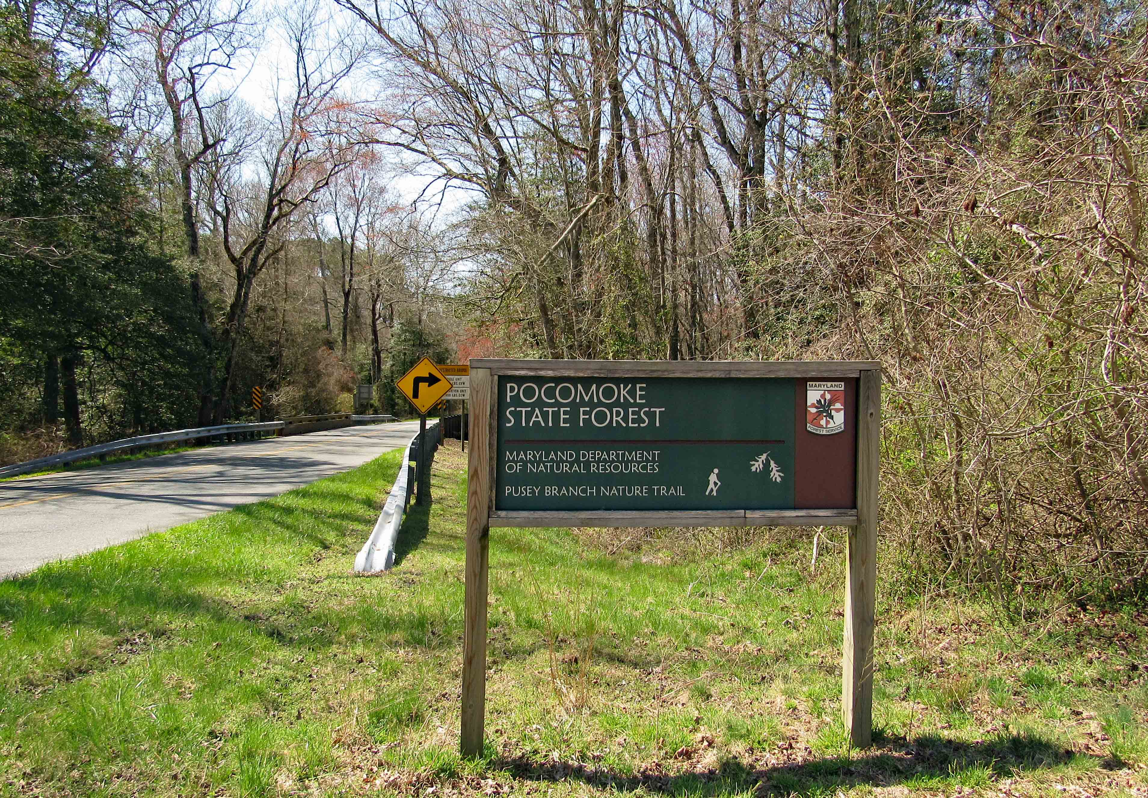
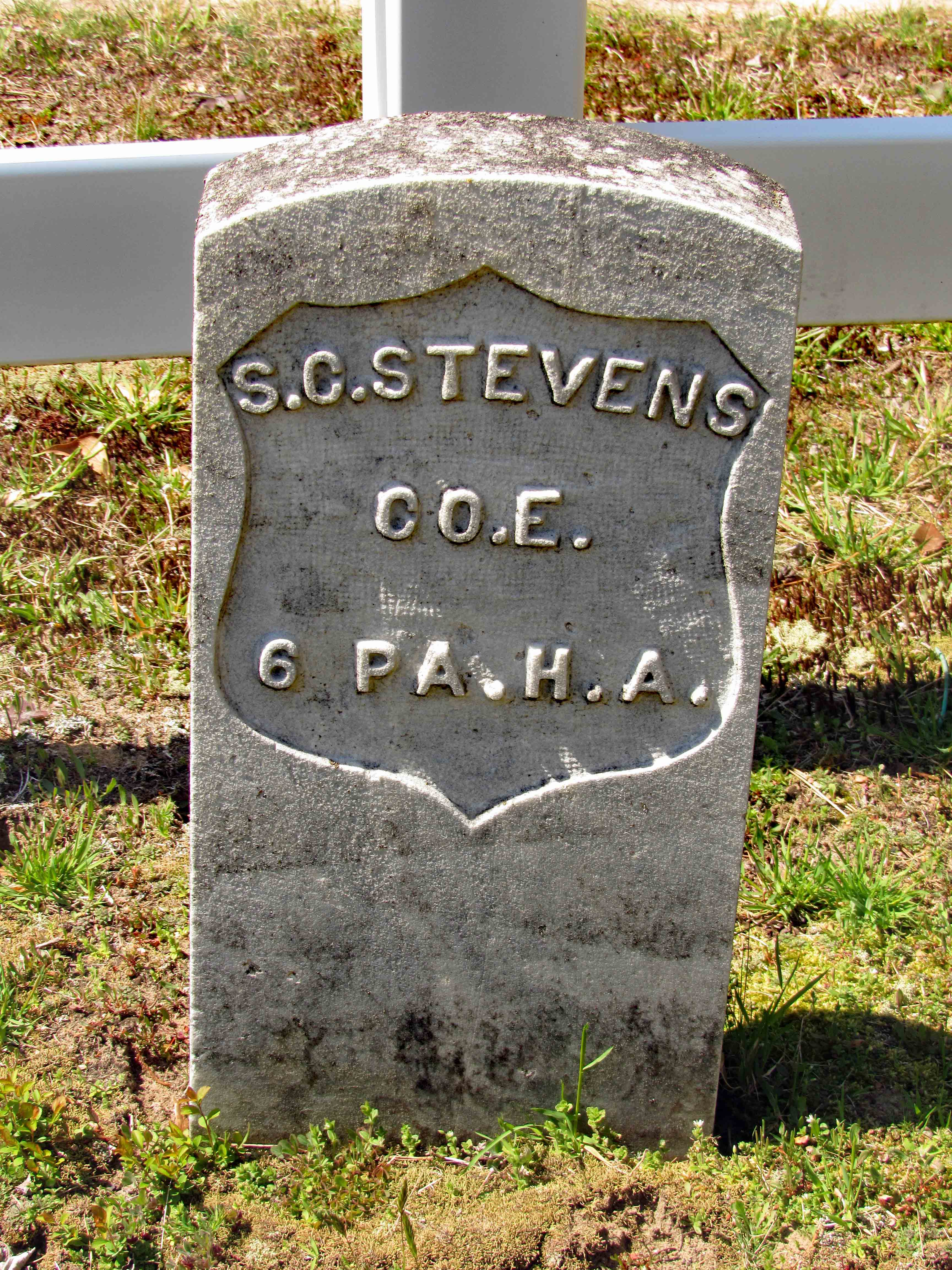
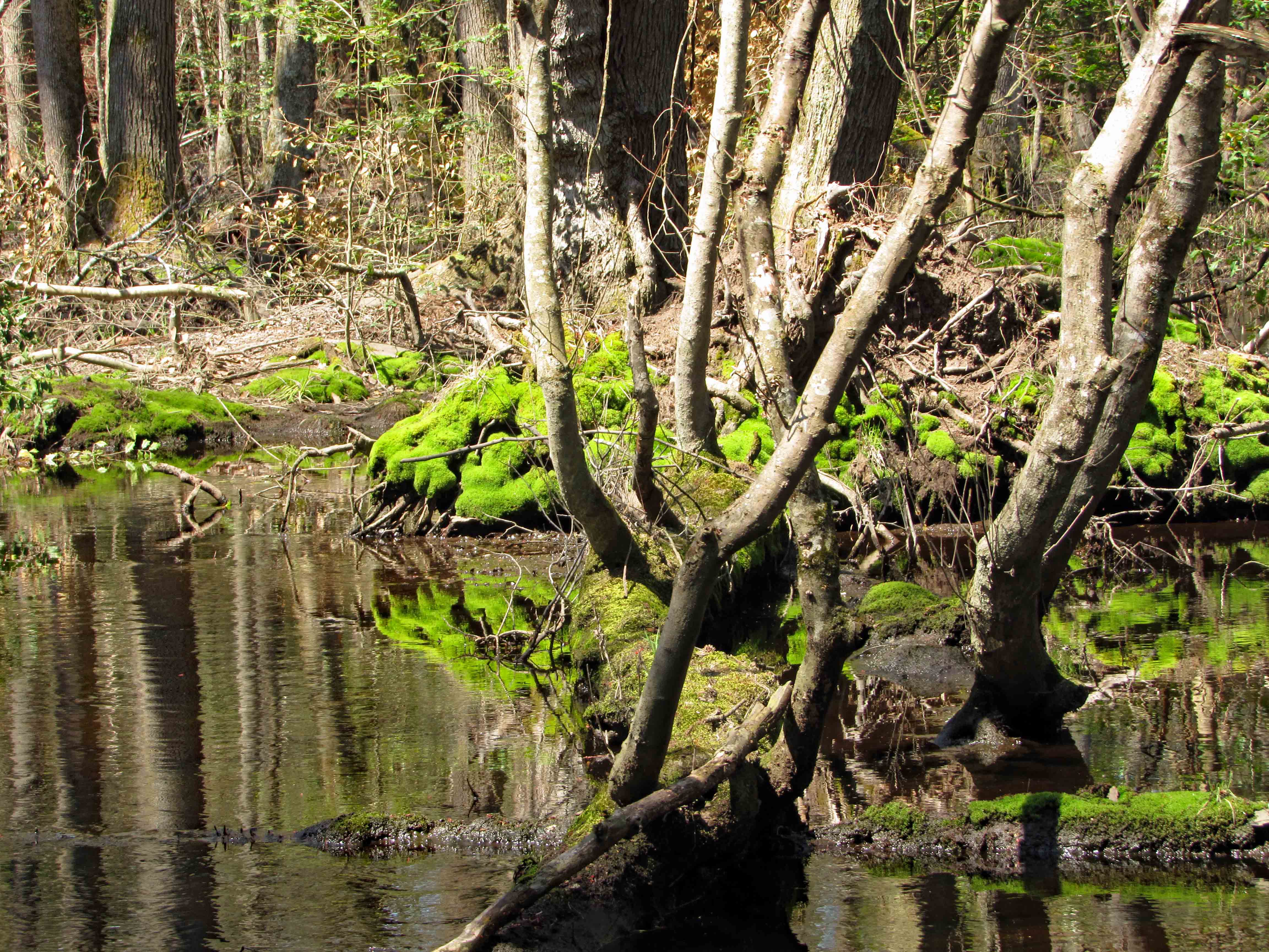
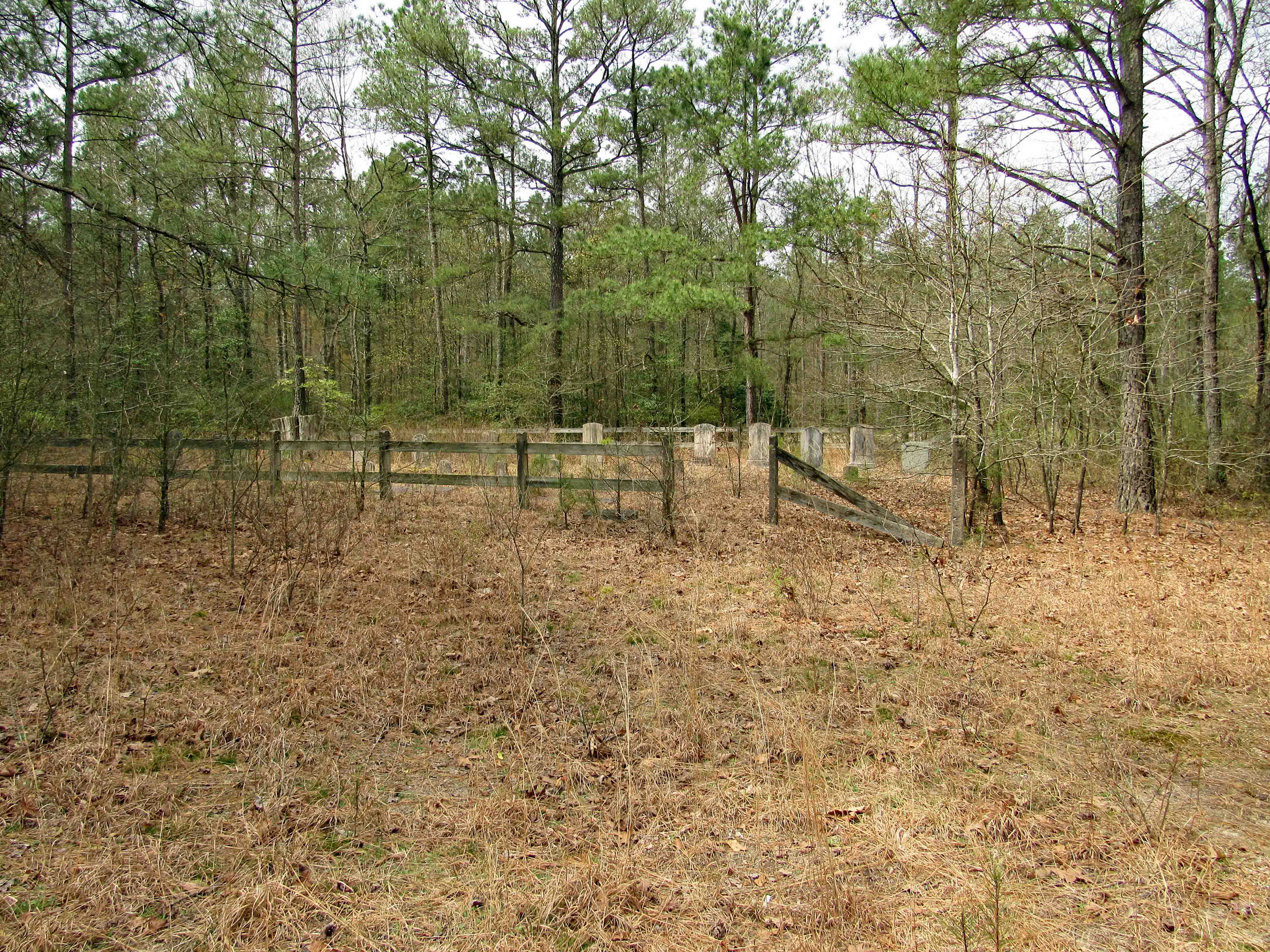
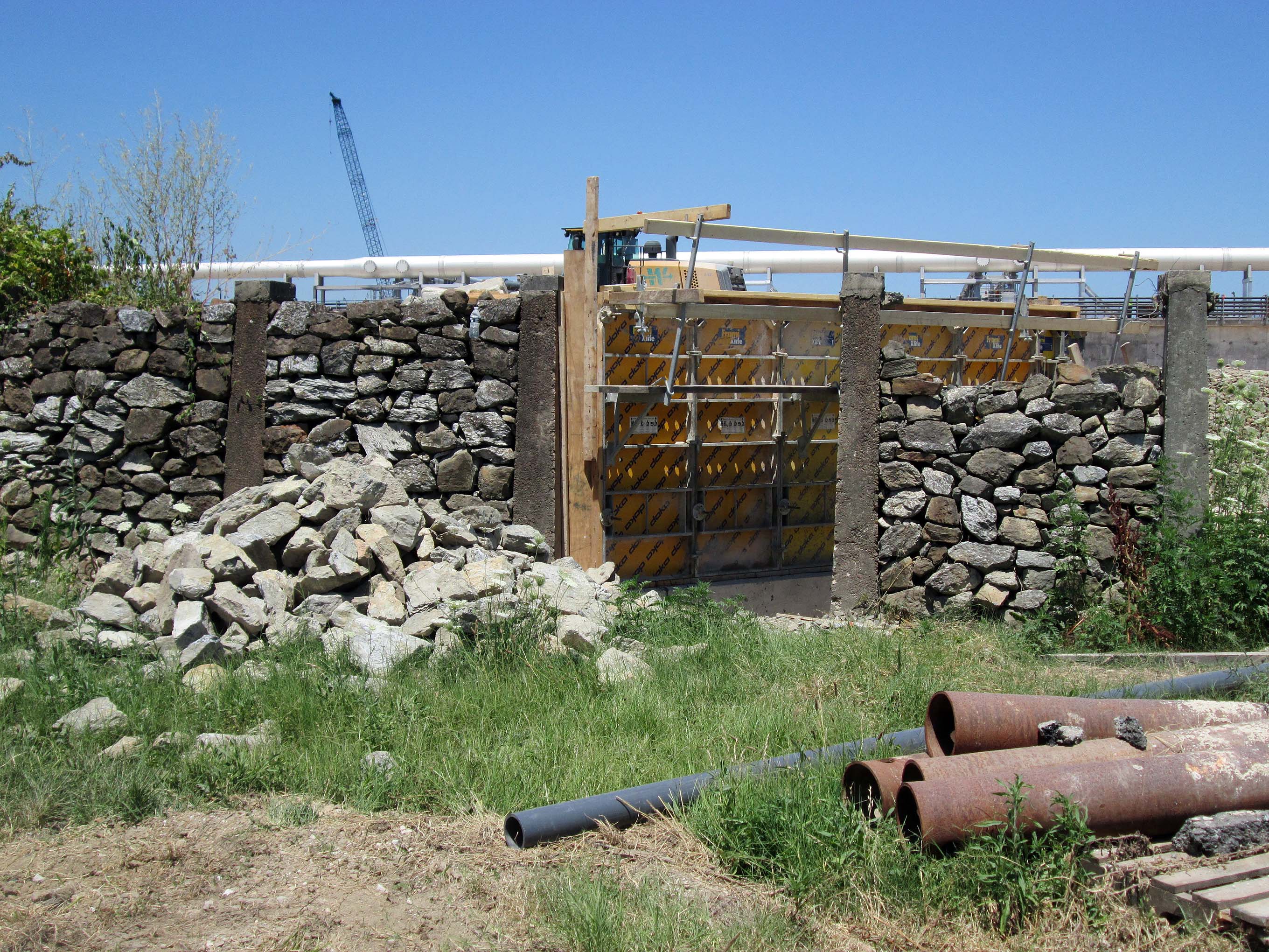
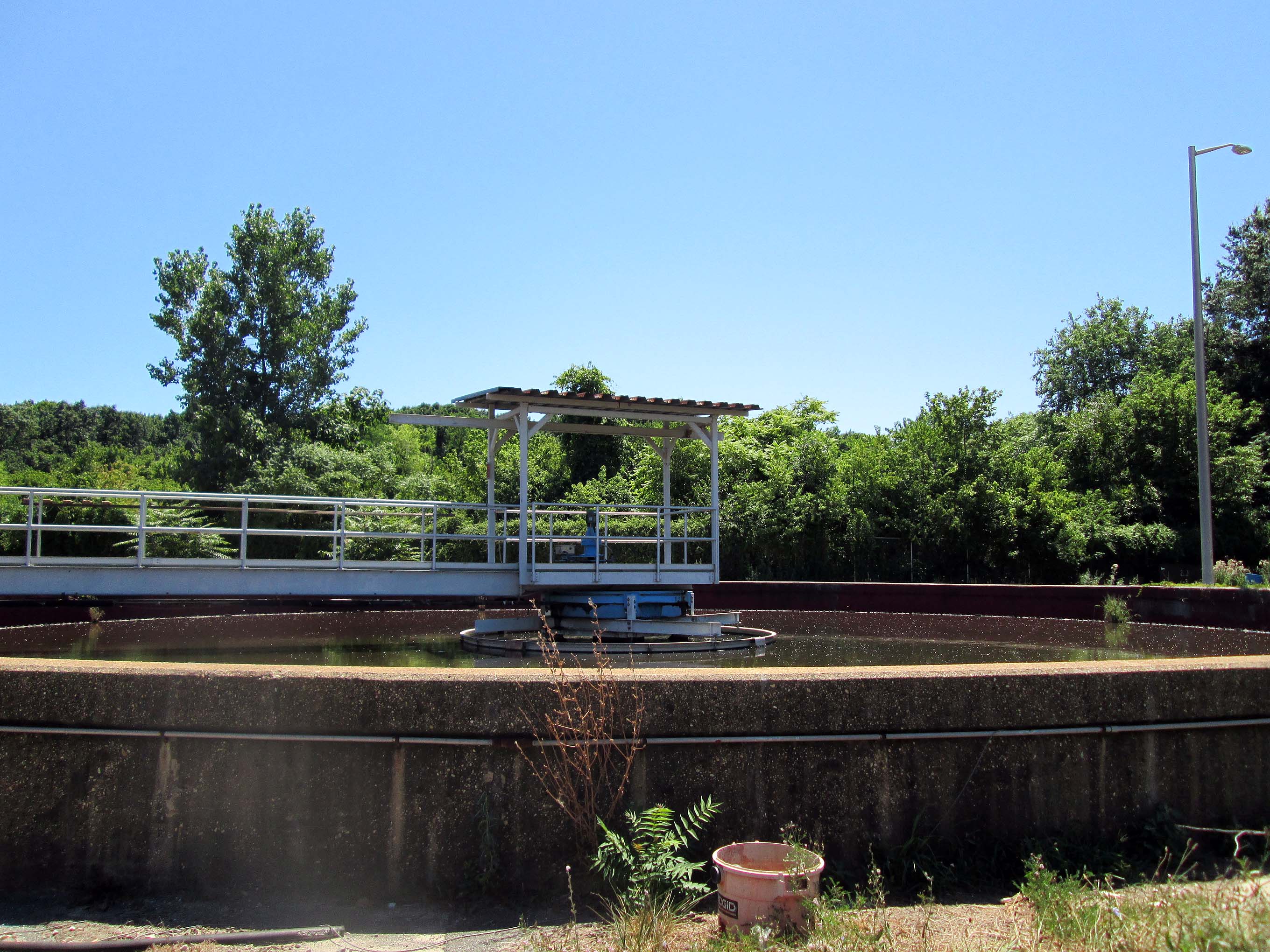
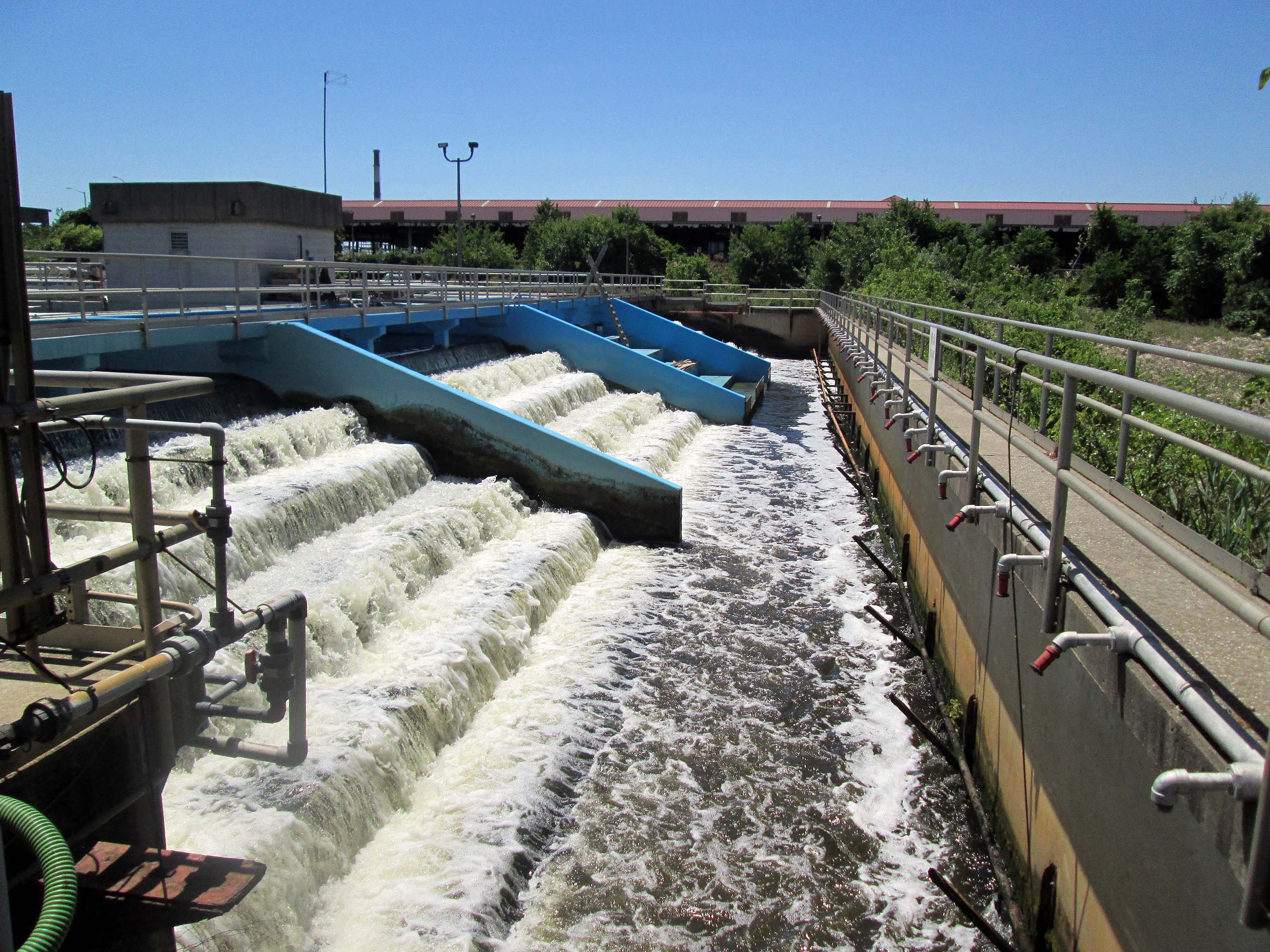
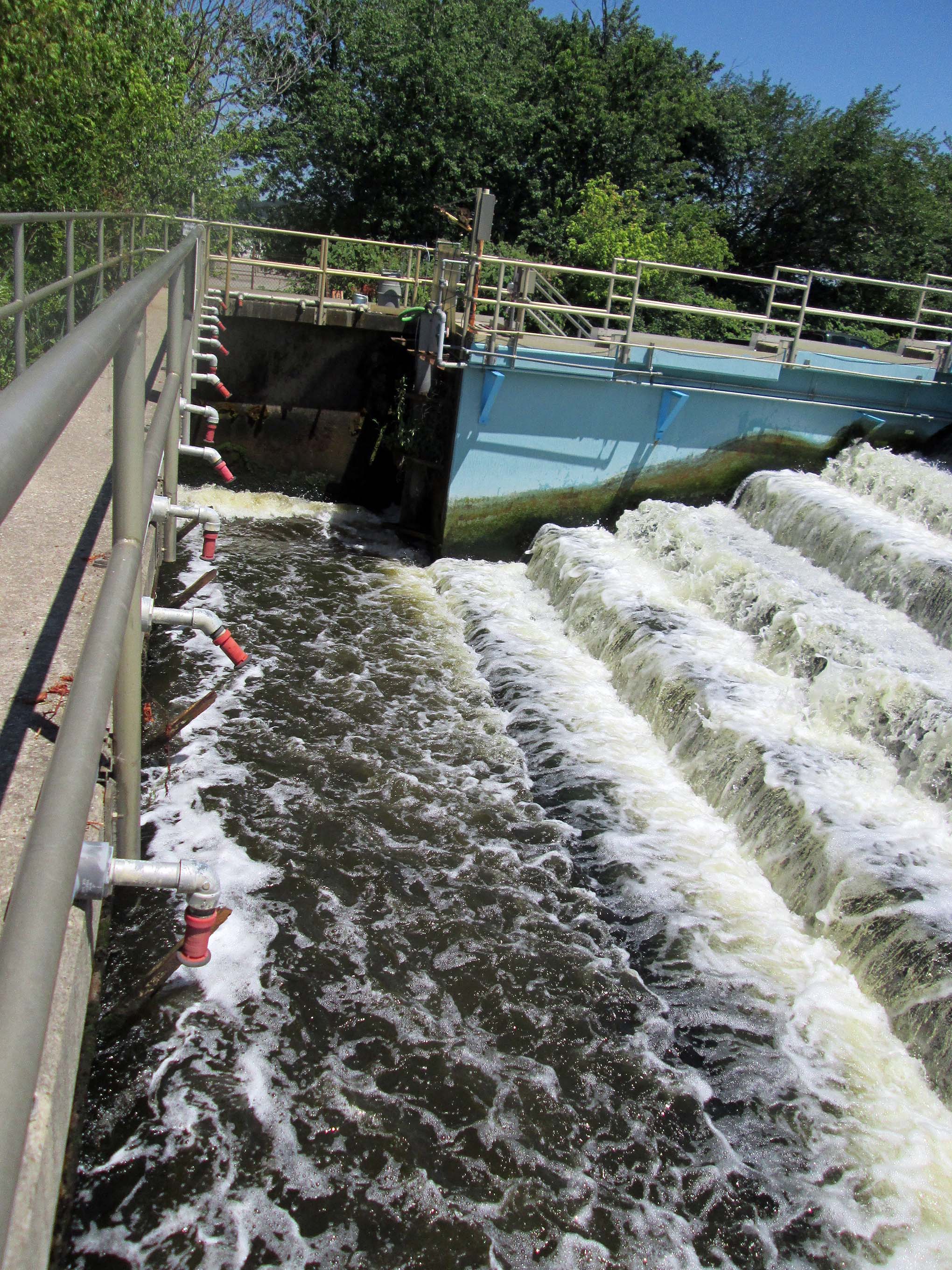
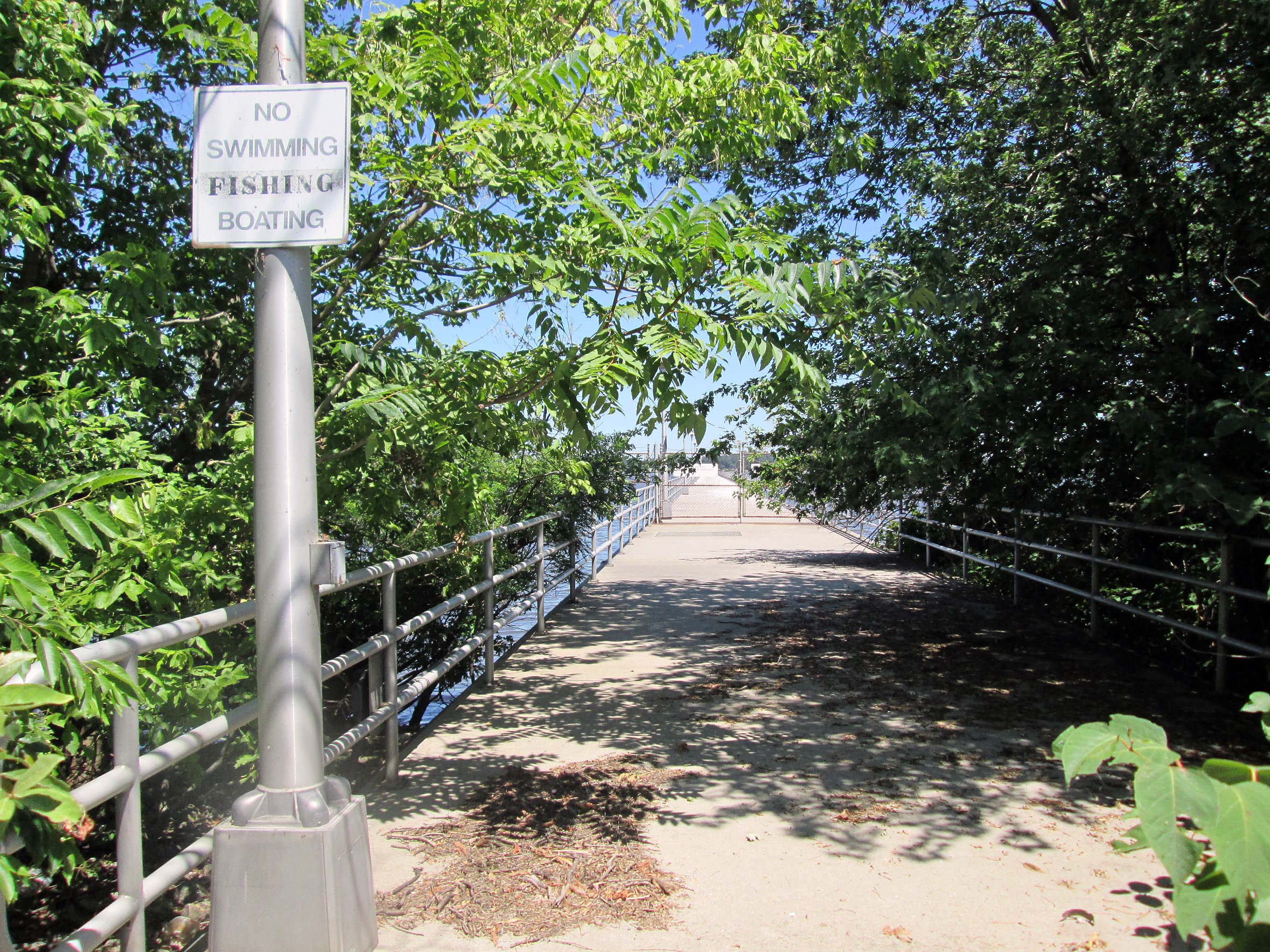
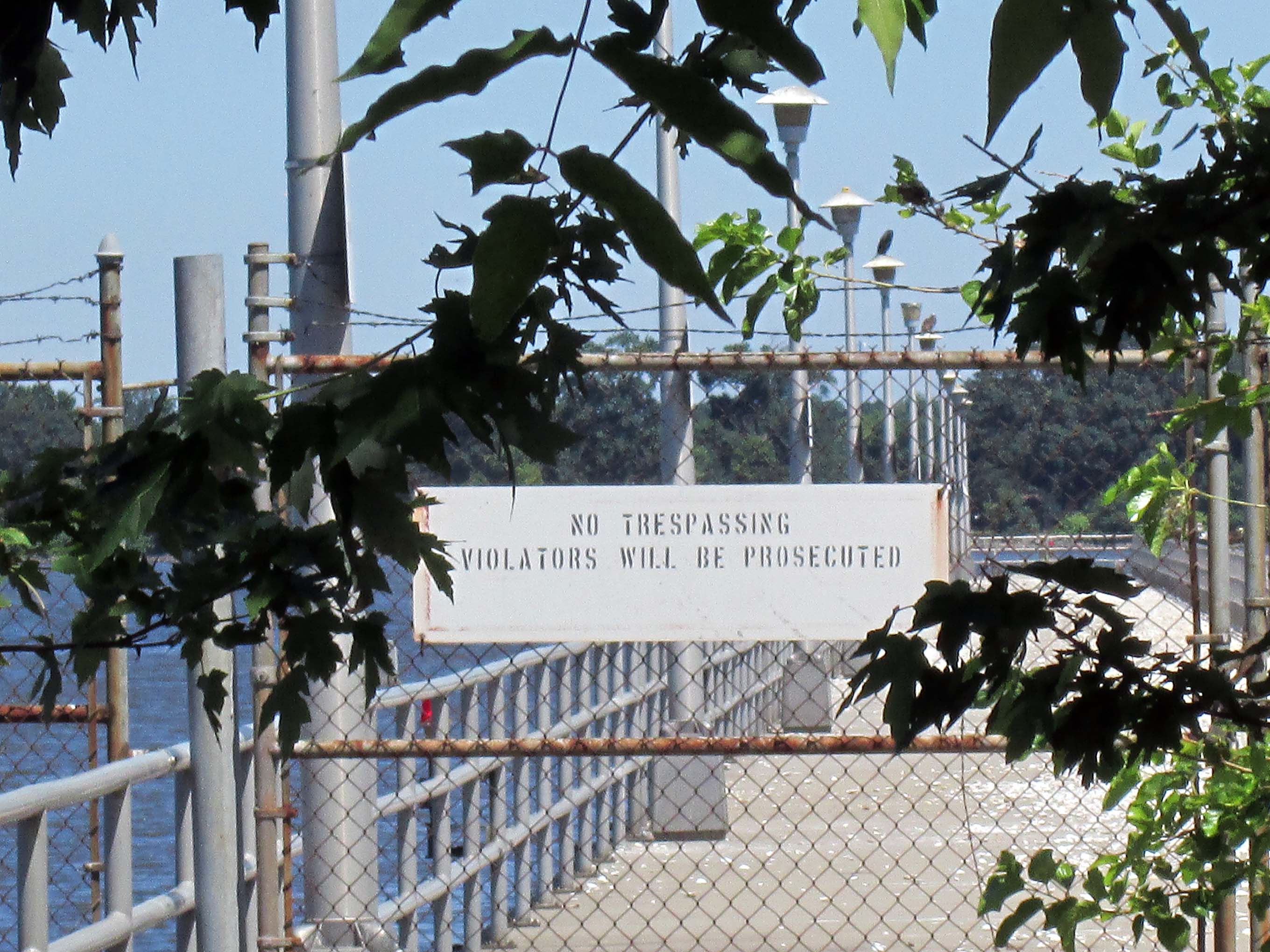
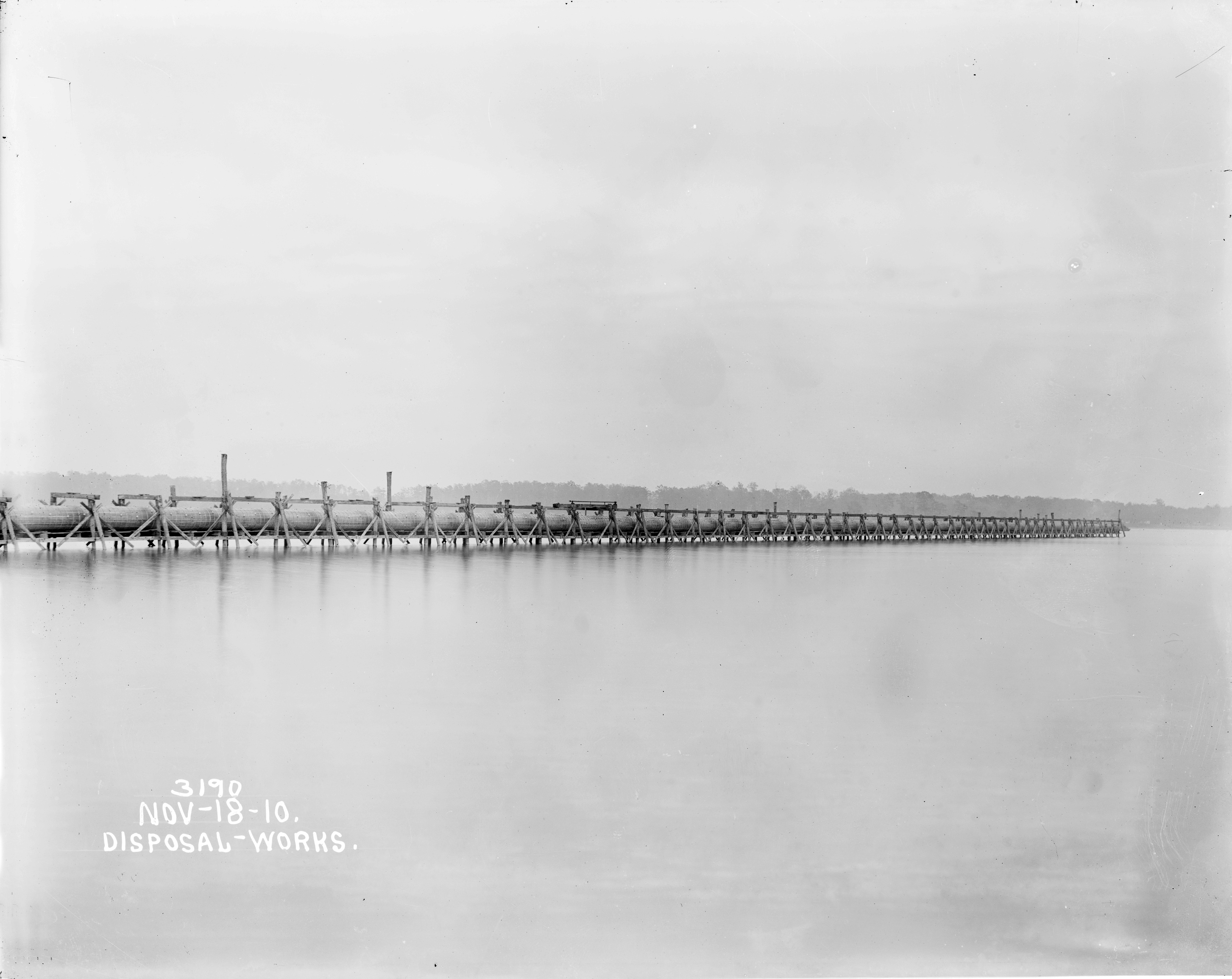
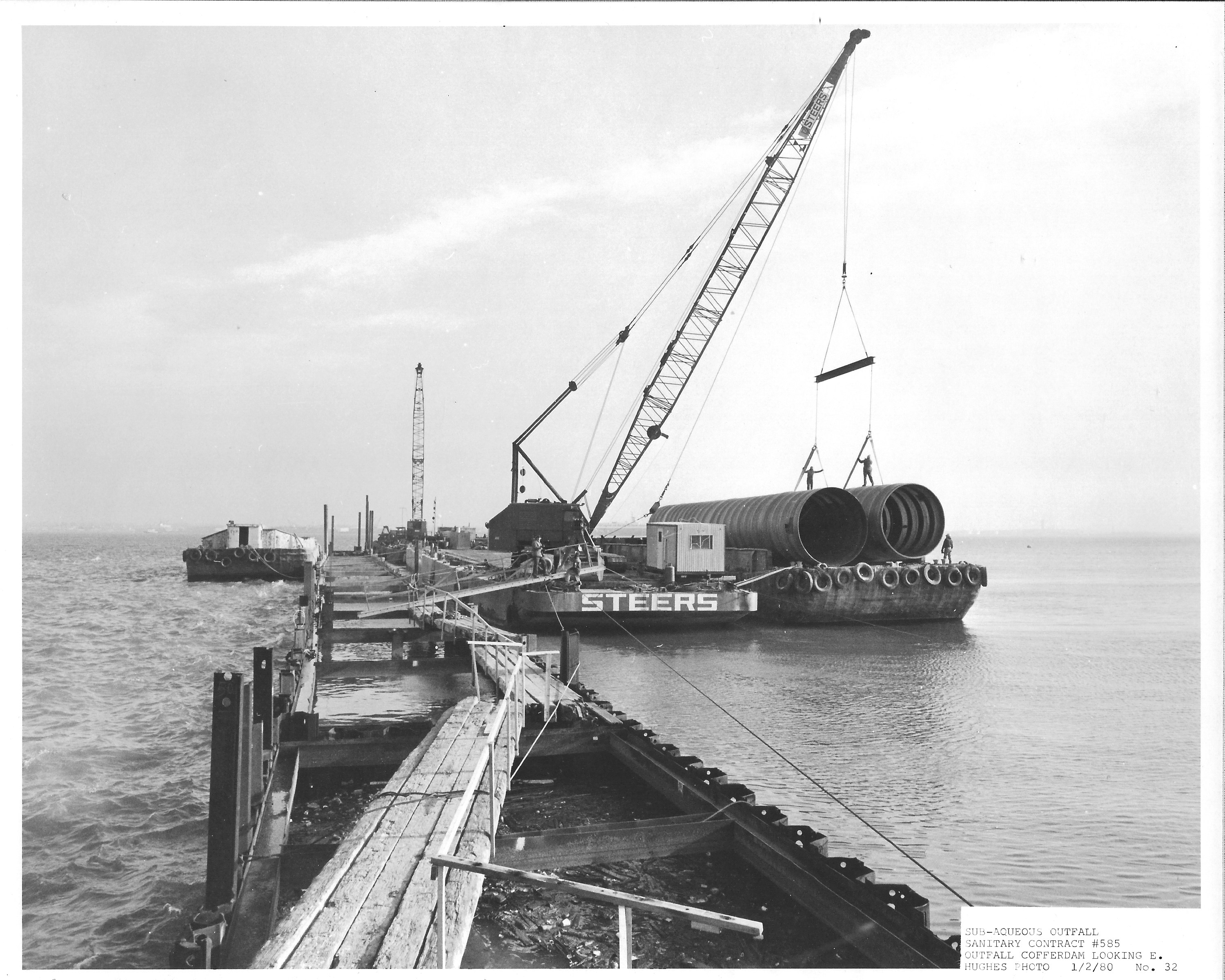
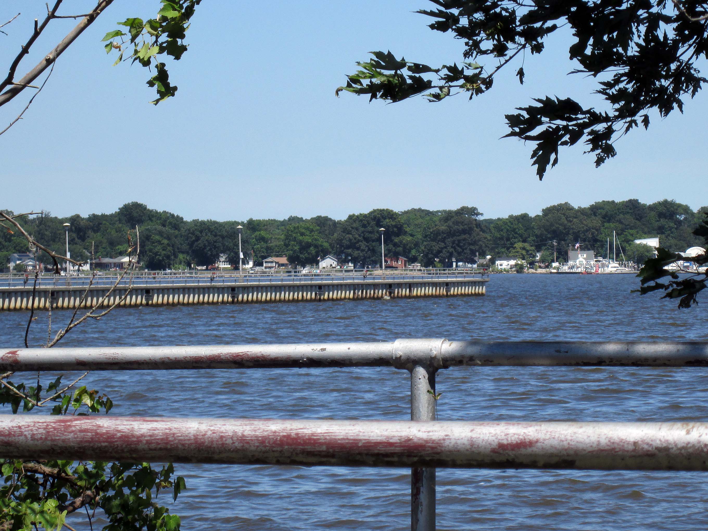
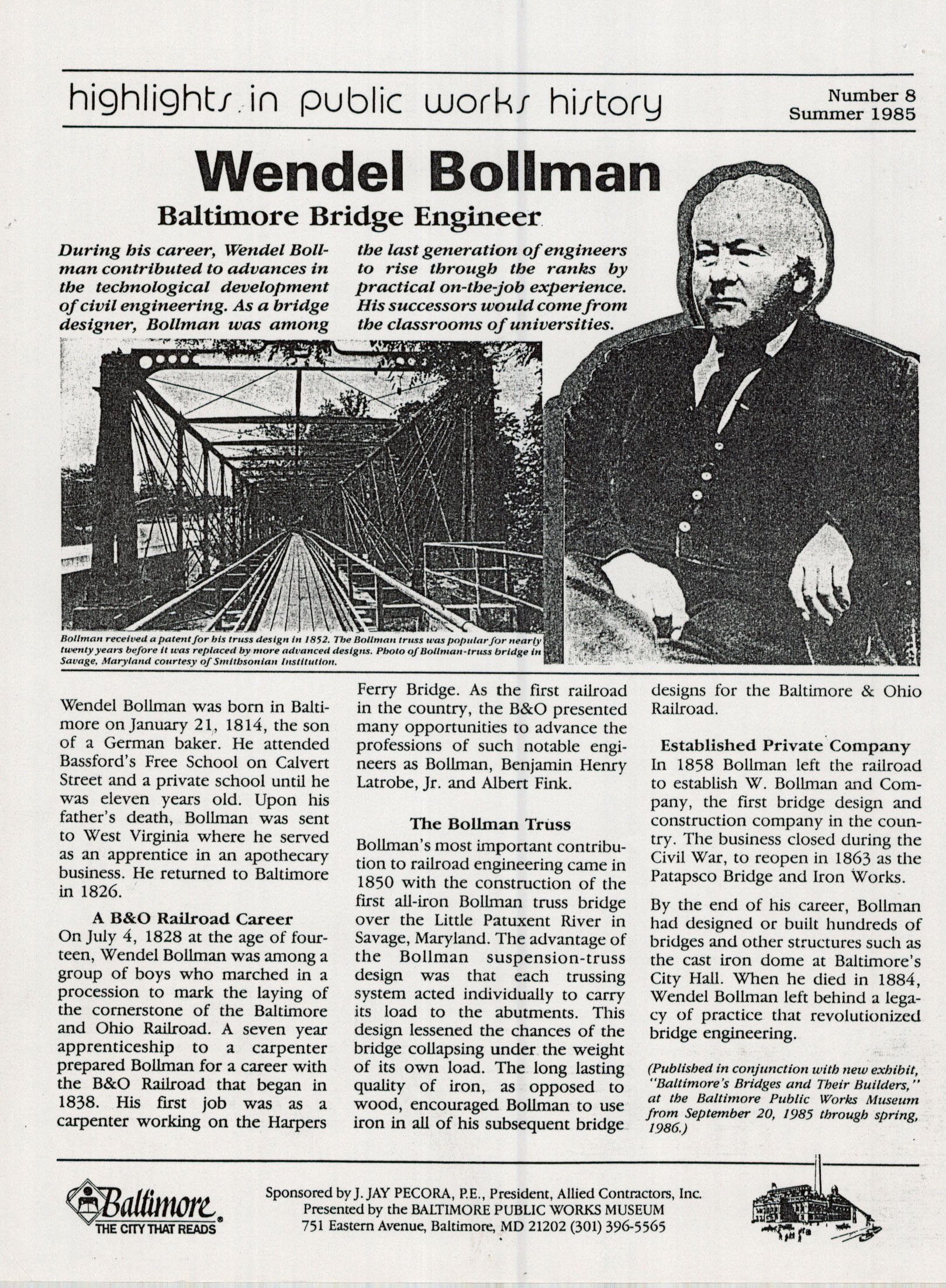
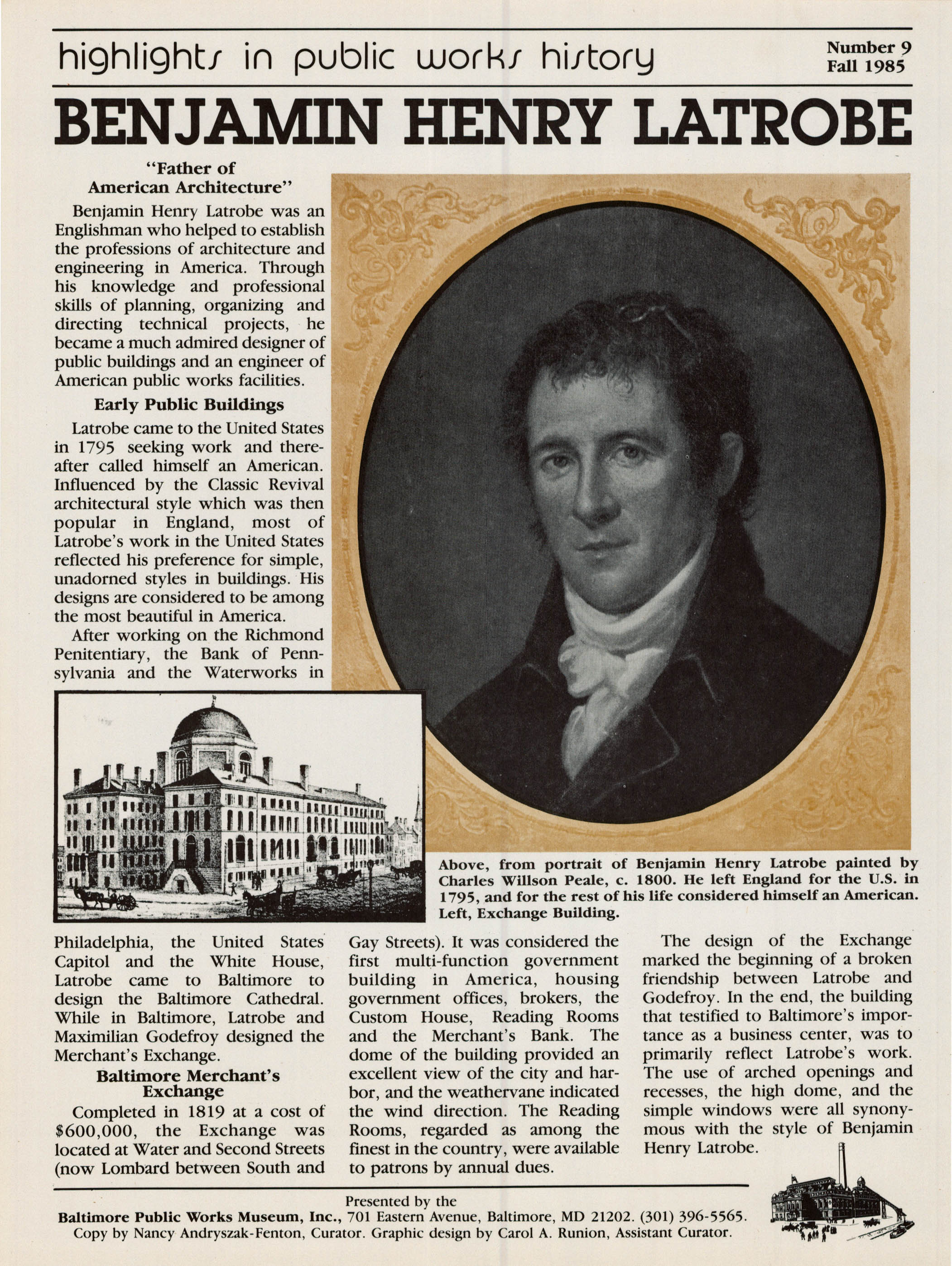
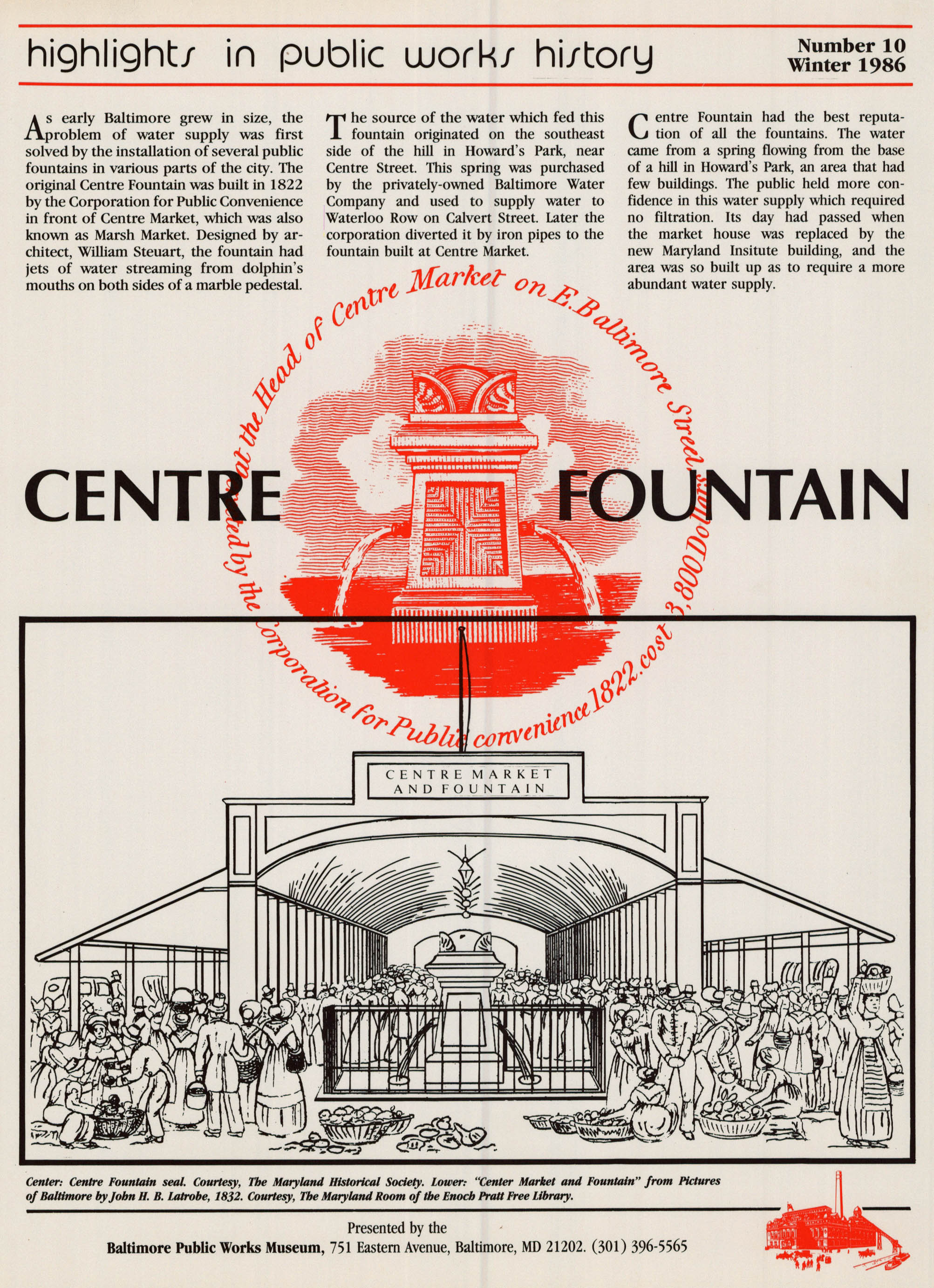
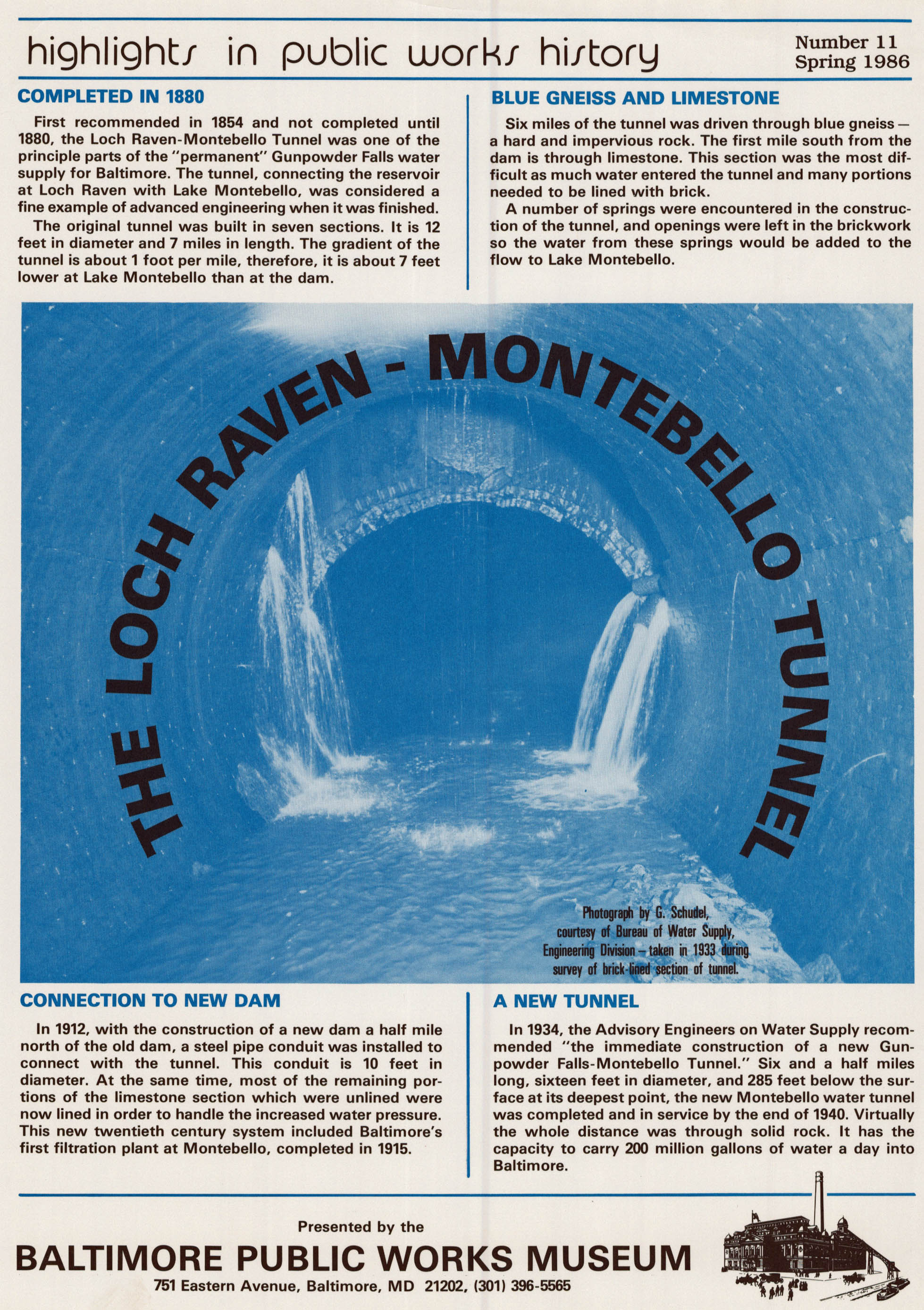
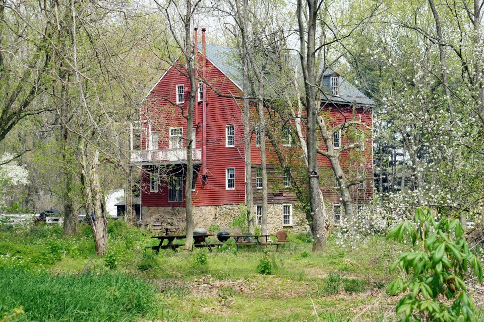
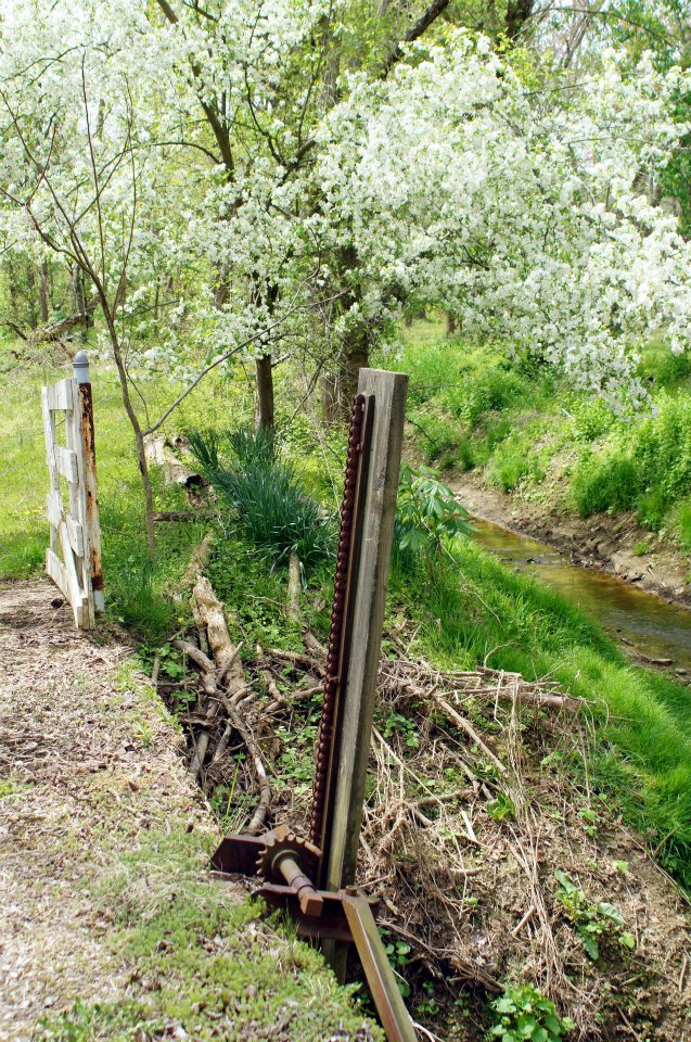
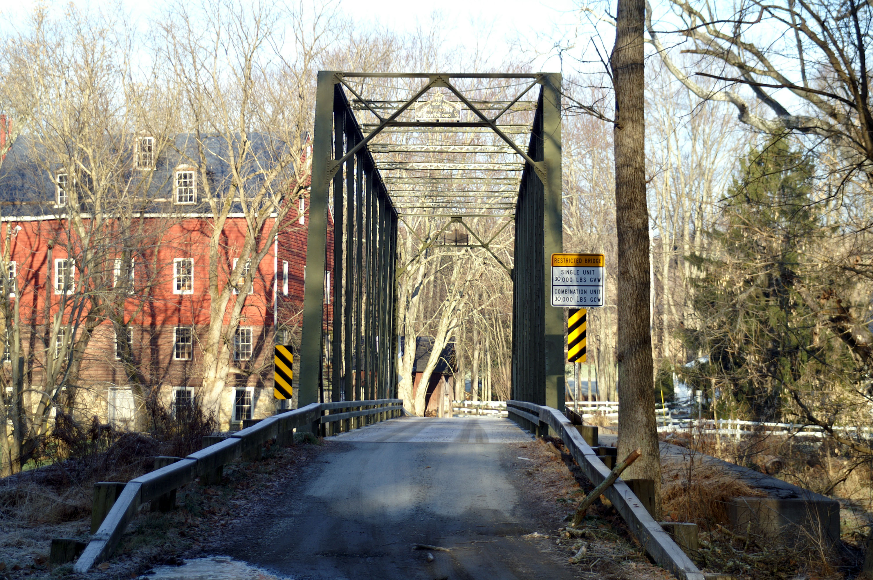
My time is winding down, working for the City of Baltimore, so I thought I would share some favorite photographs from my research and my time here…

This photograph is the one that started my writing. I guess it was sometime in the late 1970s that I started keeping journals of my life. Not sure why, but I did. Some were just in the form of letters that I later copied into an electronic file of my life, that I later turned into my auto-biography. This photo though started my writing on Baltimore’s Water Supply History, which was preceded by Building the Gunpowder Falls – Montebello Tunnel 1935 – 1940.

I have written about this photograph in an earlier blog post on October 20, 2017. Here are the introductory pages from my book that explains it:

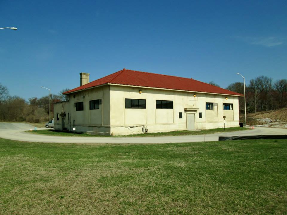
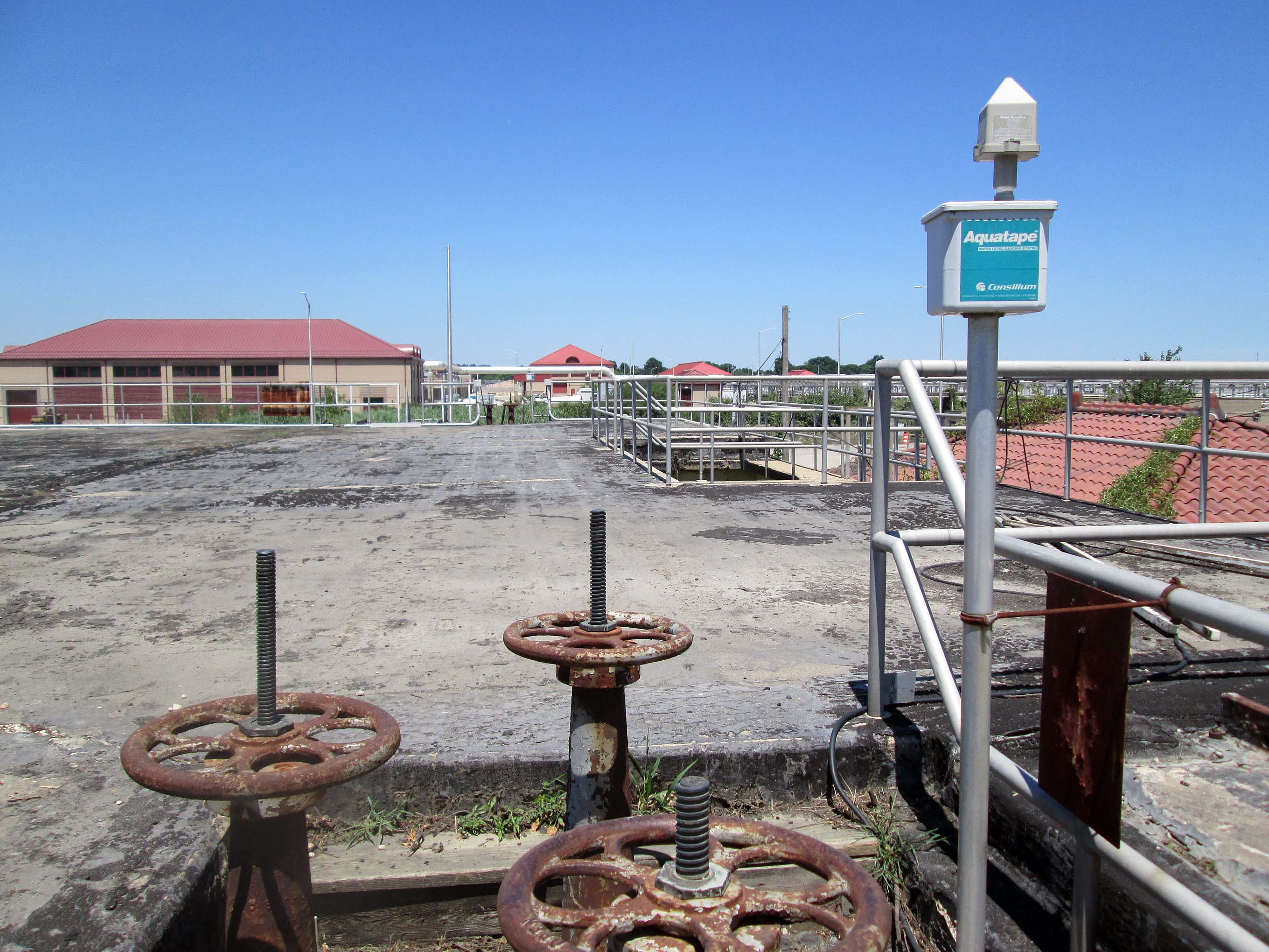
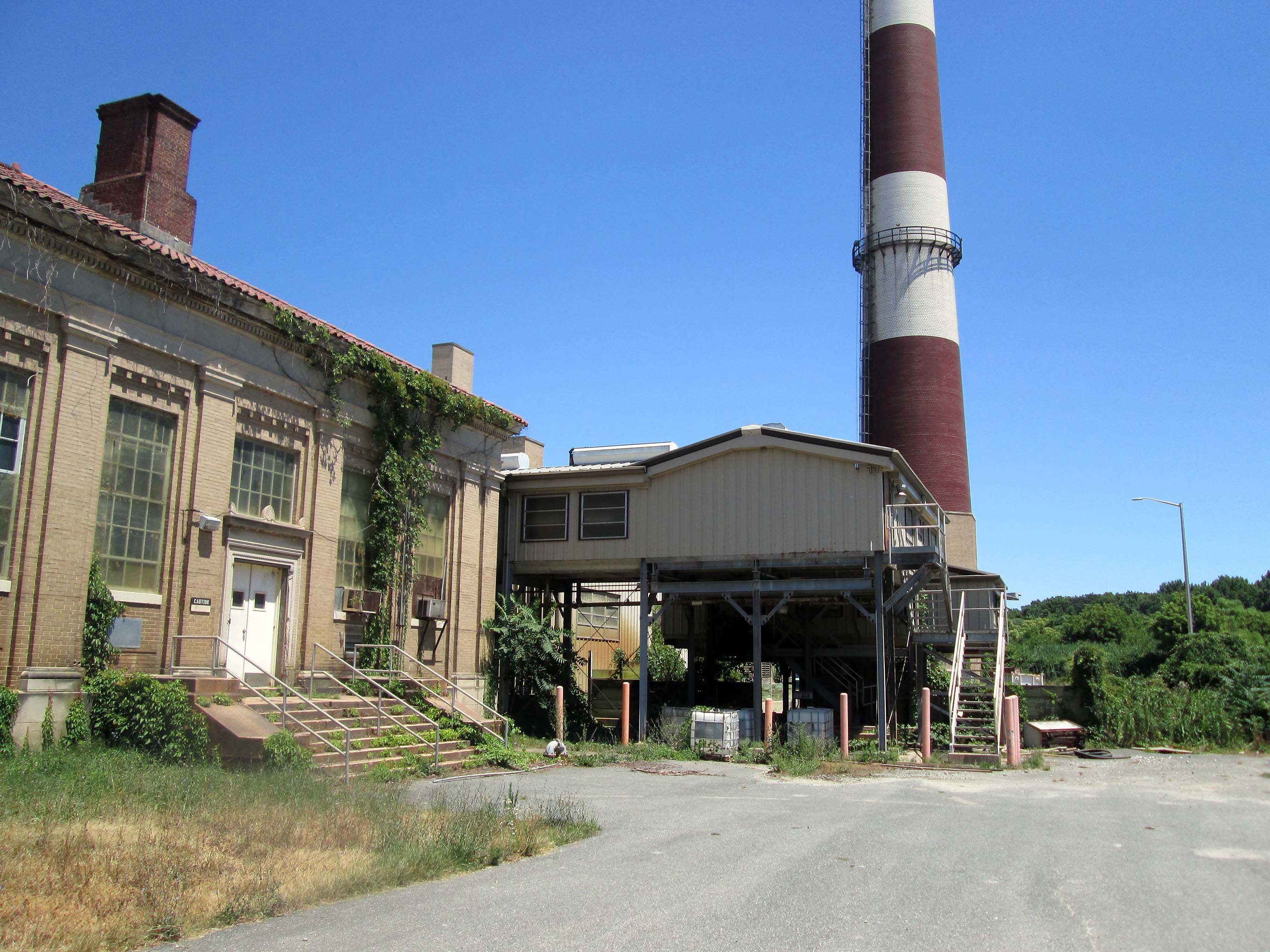
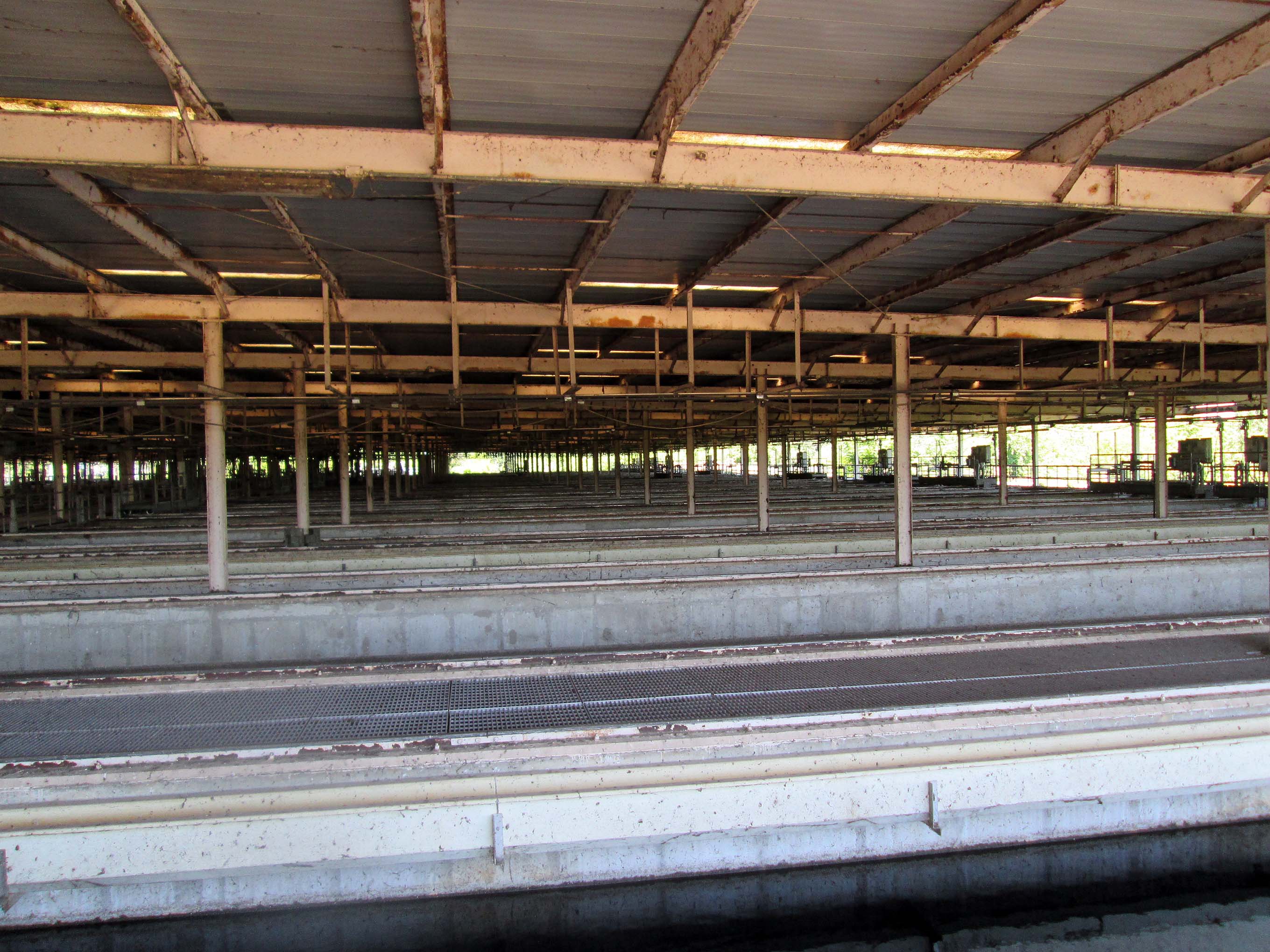
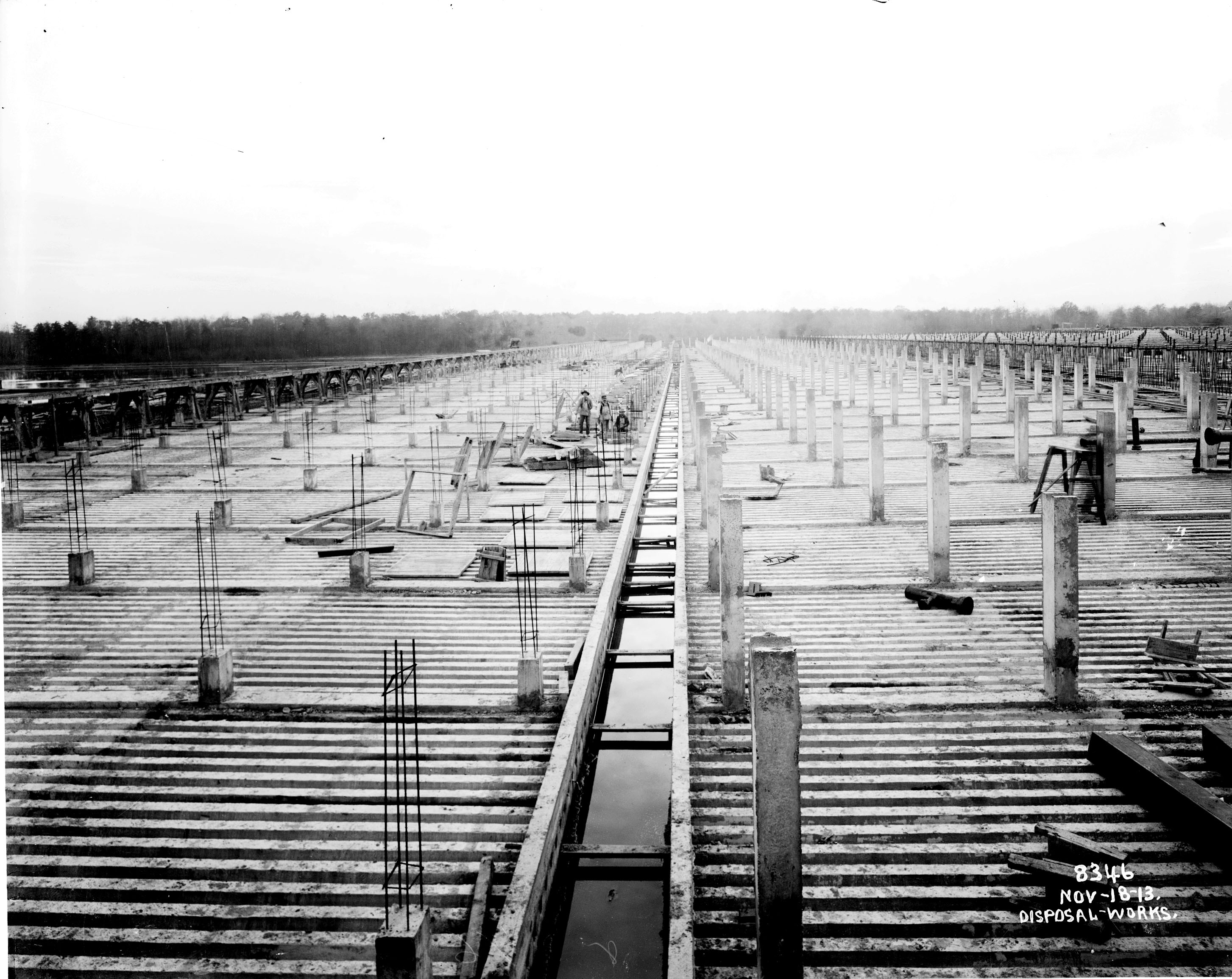
Sometime in the late 1980s, renovations began in an old storage section of Plant II at the Montebello Filters on Hillen Road, in Baltimore City. This storage room was to be converted into an office area for the newly hired Water Treatment Engineers. Resident engineers were nothing new to the filtration plant, but somewhere in time, Plant Managers, Maintenance Supervisors and Bureau Chiefs had replaced them. Therefore, the addition of engineers to the staff became a momentous occasion, sparing no expenses to build them a new office and to make them feel welcomed.

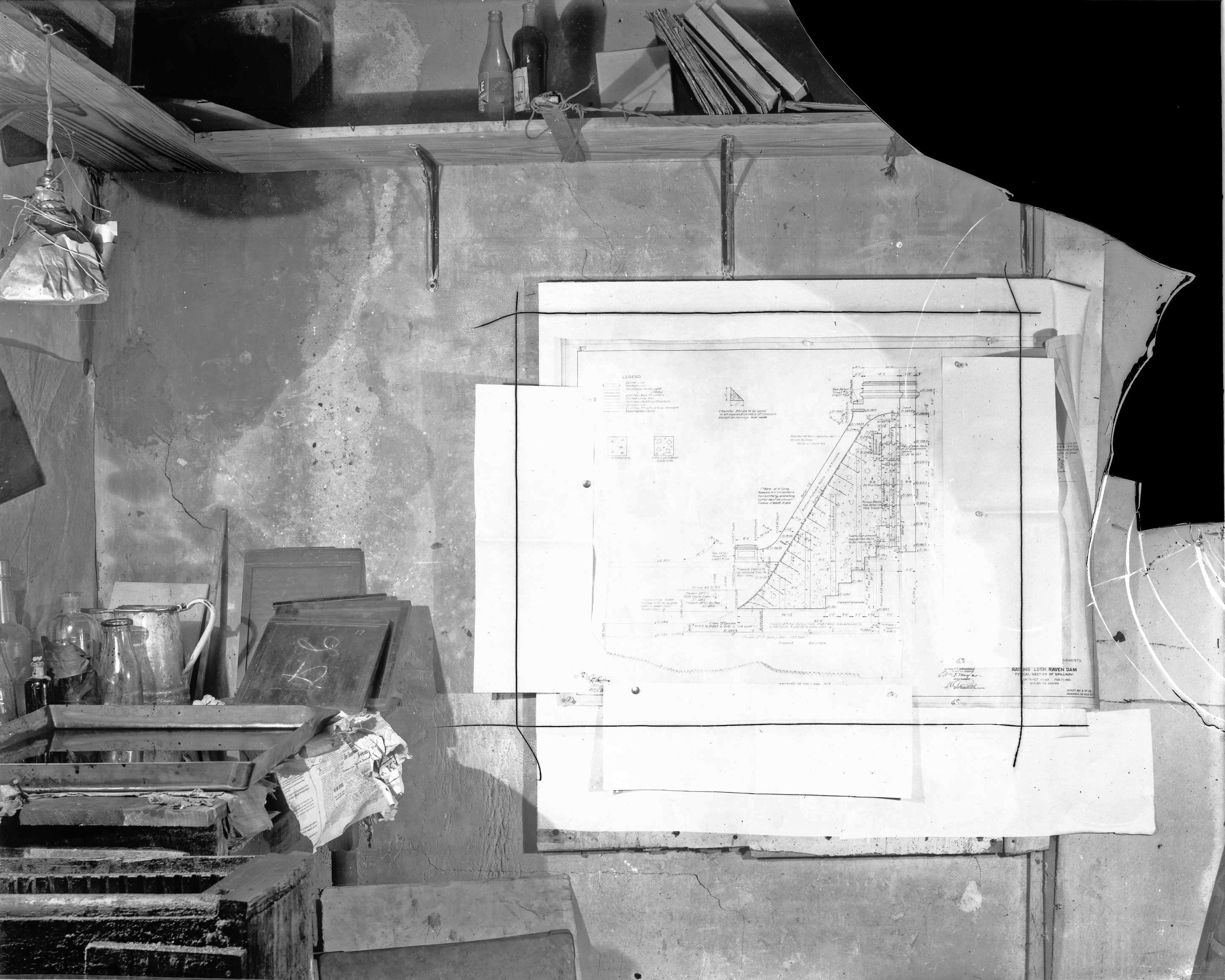
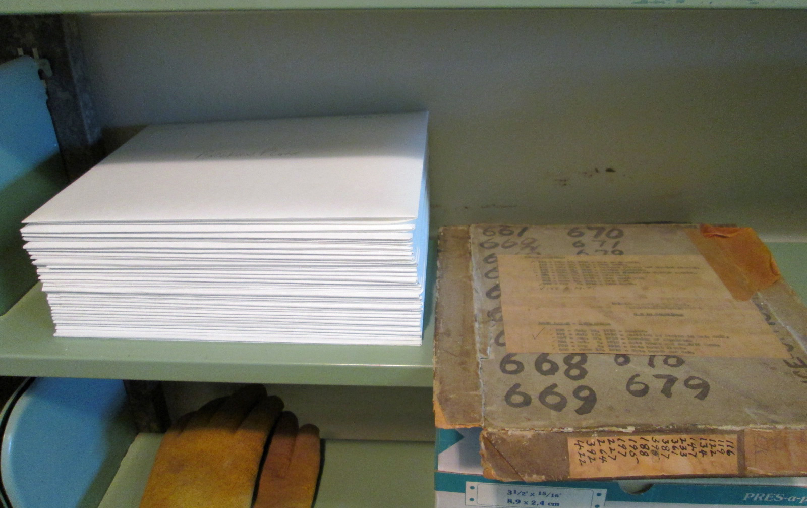
It was just by coincidence that the storage area slated for renovation housed a majority of the records from the previous engineers, along with hundreds of glass plate negatives and photographic lanternslides. The maintenance supervisor of that time just saw boxes of junk and gave instructions to throw it all away. Thinking that the information in these boxes looked interesting, I told the laborers working on the project to take all this ‘junk’ and put in a room on the second floor. This second floor storage area actually did house a bunch of junk and a few years later, when I needed extra storage space, I went over and started cleaning out this room.

While sorting through the boxes, trying to decide what was worth keeping, I decided to keep it all, that I would just go ahead and straighten it out, putting it on shelves. It was while going through the material that I realized what a treasure trove of information was there: old blue prints, engineers’ logs, personal journals, water contracts dating back to the early 1900s, deeds to lands obtained by the city through the courts (along with the judge’s personal journal, dating back to the 1880s), early photographs and so much more. After I had sorted it all out the best I could, I left it alone for quite a few years.

In 2005, Richard Vann, one of the newly hired engineers, received instructions to put together a history of the water department; mostly just listing all the water contracts and what work was done for each one. However, Richard, being a very thorough individual, started listing everything, from who the mayor was to what the inspector’s names were on the jobs. He put this information in chronological order but found that there were gaps in his work, that years were missing from the little bit of records that he had. I then showed him the books and information that I had found years earlier and he started to enter this information into his time line.

In 2006, my boss asked me to assist Richard in what he was doing. We were having electrical problems at the time and I was to work with him to put together a diagram showing all the electrical work done over the years. In the 26 plus years that I have worked here, there has always been a construction project going on, but no one has ever put together an ‘as built’ drawing of the electrical system. So I set up shop adjacent to Richard’s office and via email, he sent me the information that he had. While reading the chronology, I remembered that I had seen additional information, even photos, of things Richard had written about, packed away in the second floor storage area. I decided to go back through all those shelves and boxes of history and see what I could match up to what he had listed.

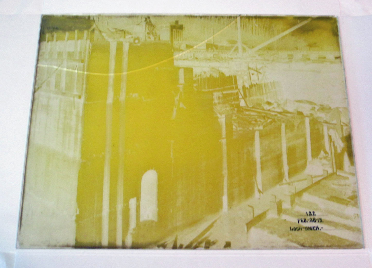
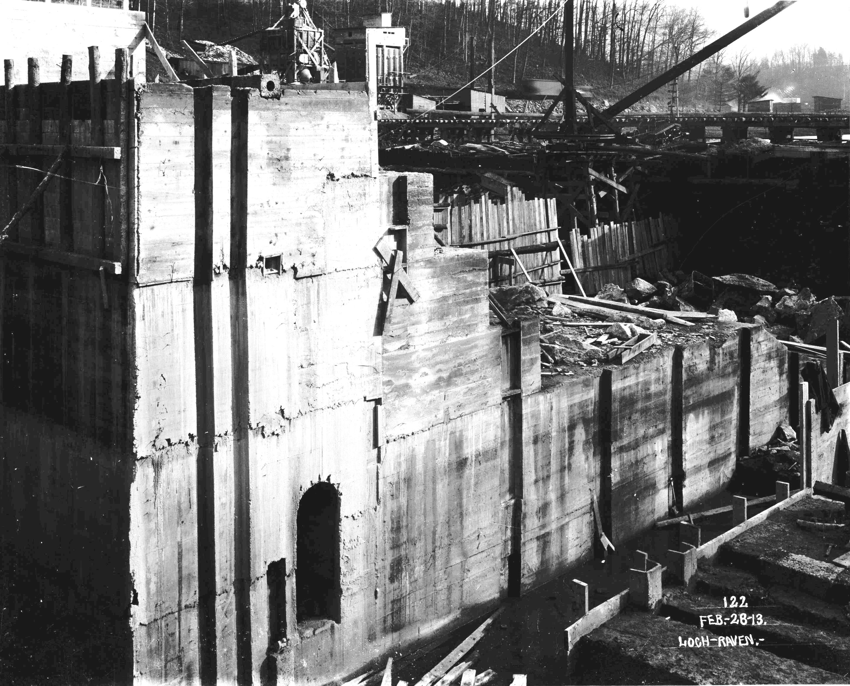
When I came upon the glass plate negatives, I decided to have some of them processed and turned into photos. This became an expensive proposition so I decided to learn how to do this on my own. My boss gave me permission to buy the equipment I needed, which was no more than a scanner capable of scanning 8” x 10” negatives and Lantern Slides, software to invert the negatives into a positive and a good printer.

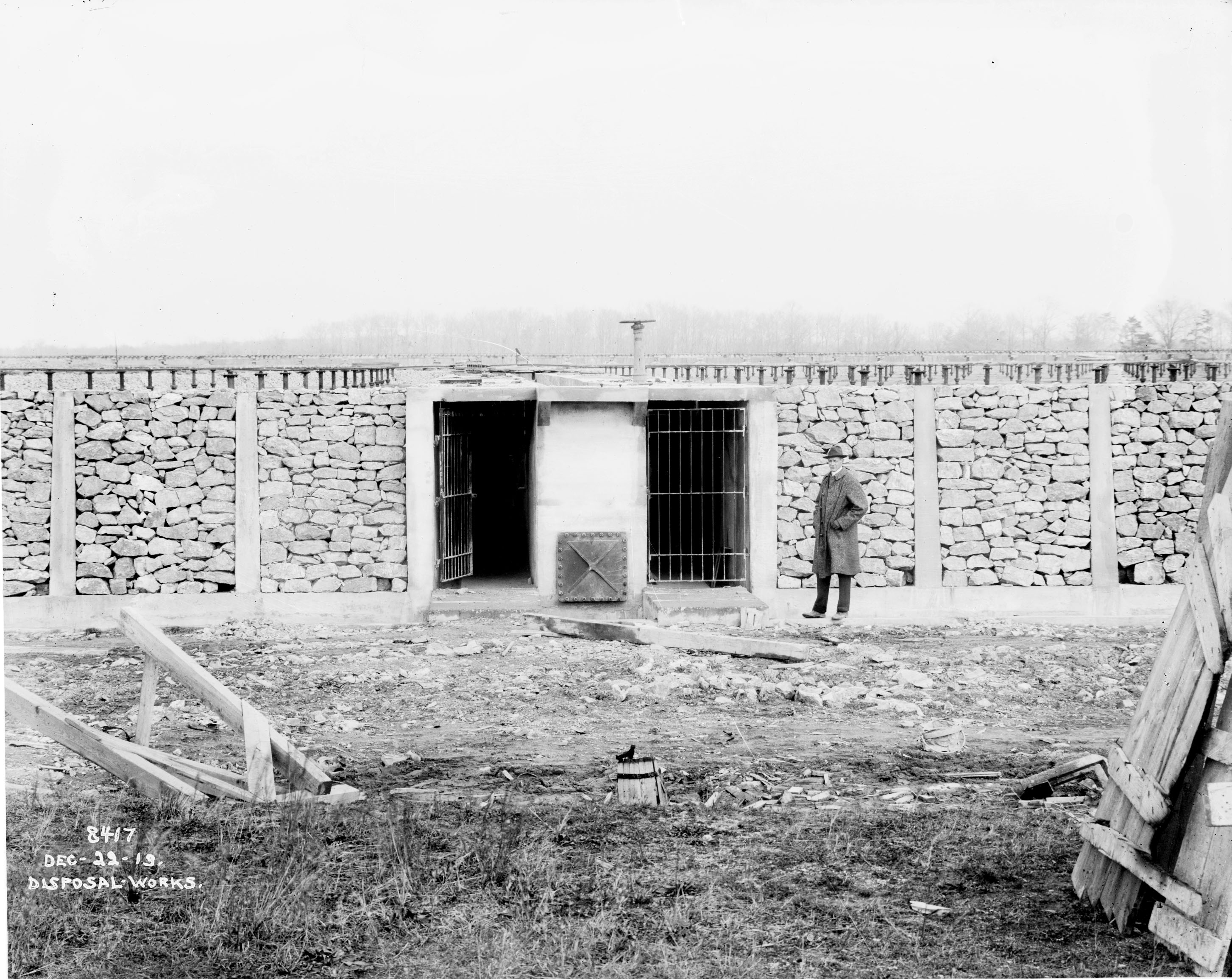
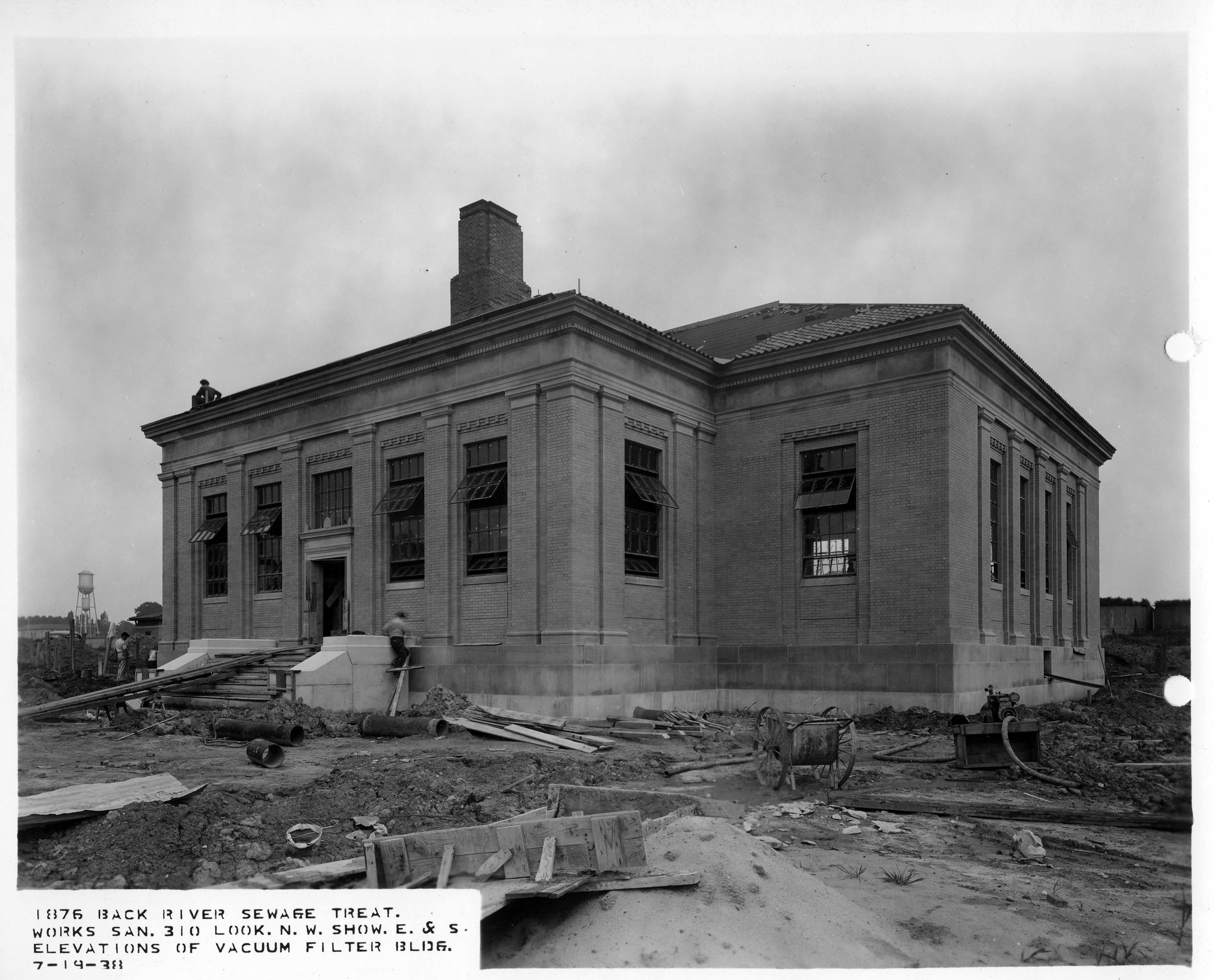
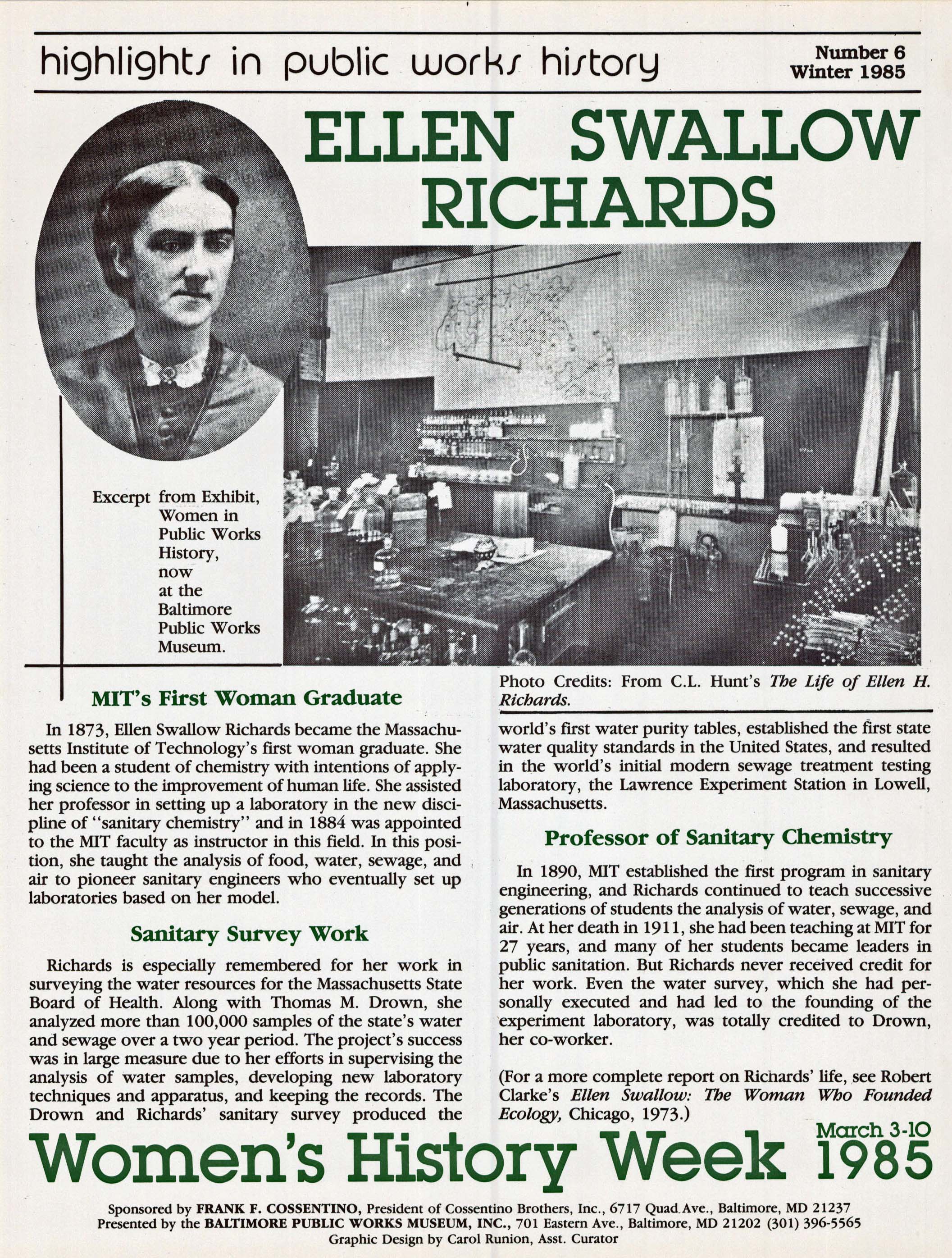
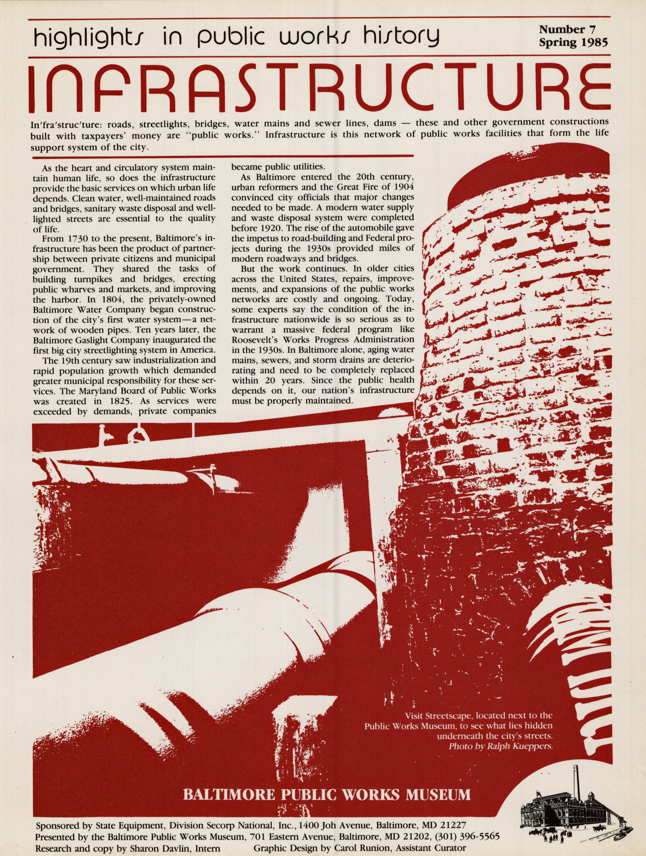
While working with one of the lanternslides, I noticed something odd, that in a tunnel, where workers were excavating, there were train tracks that came to a dead end under what looked like a giant boulder. This particular slide came from a box from around 1938, so I asked Richard if he had any information on an event of that year that was of interest. Sure enough, he showed me the Annual Report covering the year 1938 where it was reported that an explosion had occurred in the building of the Gunpowder-Montebello Tunnel.

This notation in the report was only about a half a paragraph long, nothing more than a blurb, so I decided to investigate it further. Searching through all those records that were about to be thrown away 20 years ago, stumbling across filing cabinets that had been stored at the Ashburton Filtration Plant (Home of the Water Engineers in the late 1950s), and researching the archives of the local newspapers, I was able to piece together the story below.

(Note: Upon further research, I found that the picture above was not from the tunnel explosion, but rather a progress photo from 1938 of the heading  being loaded and wired for blasting. Unfortunately, the tunnel explosion photos are missing from the collection.)

I would like to take this time to thank Richard Vann, Water Systems Engineer, for pointing me in the direction to find this information. His chronology alone could fill a book.

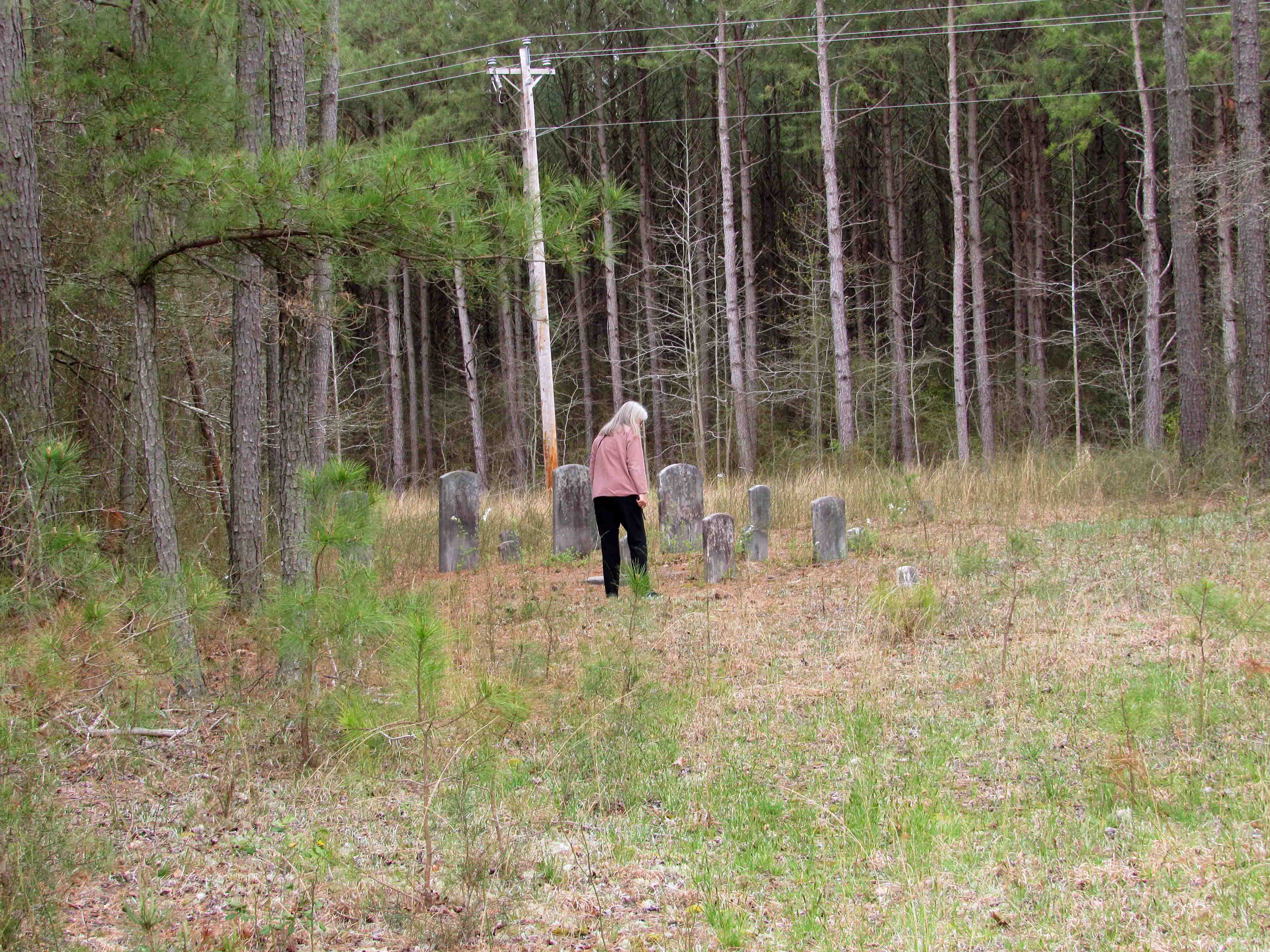
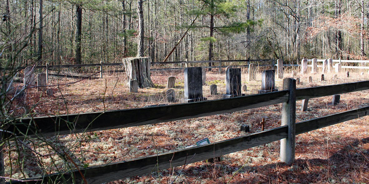
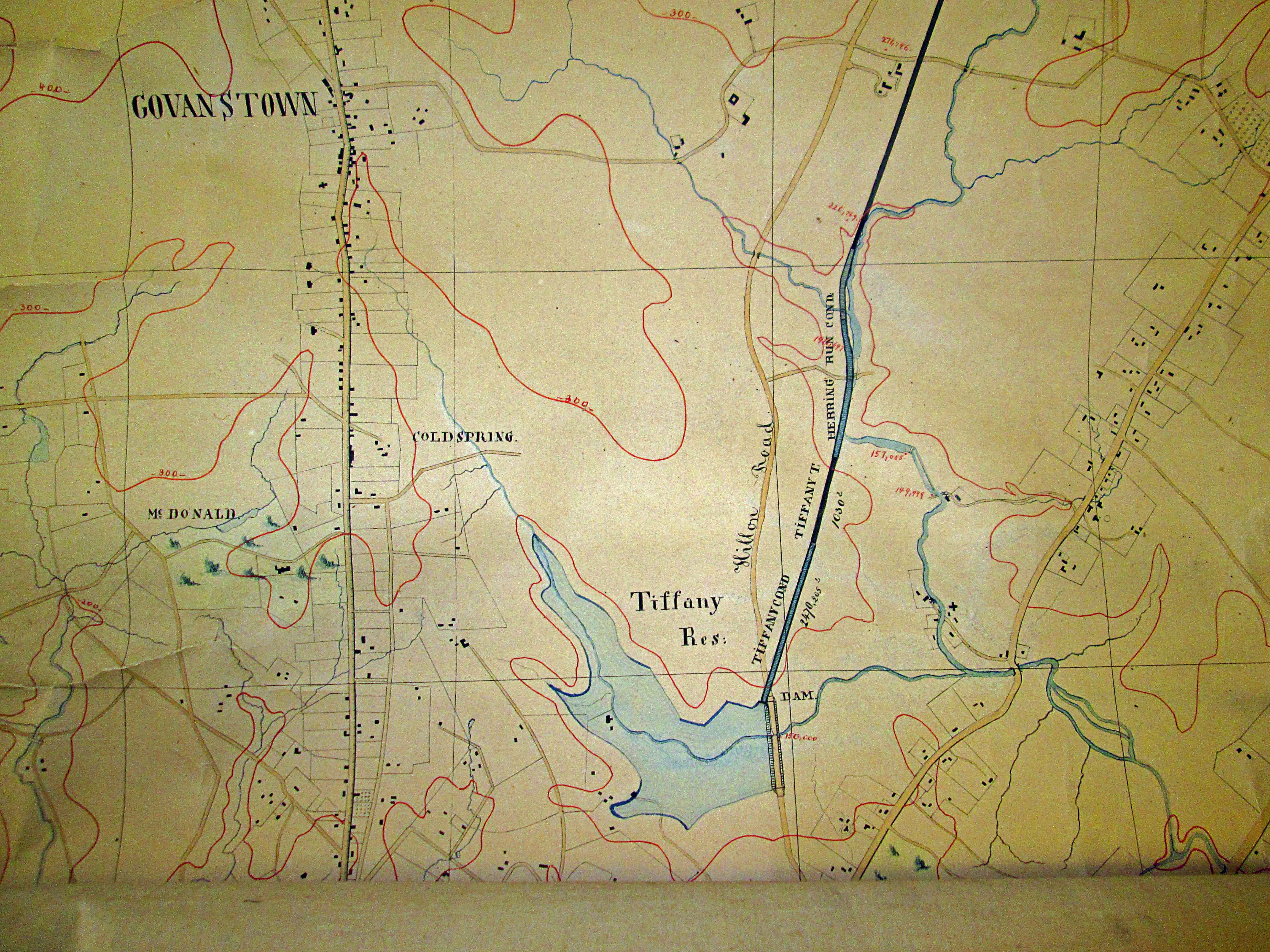
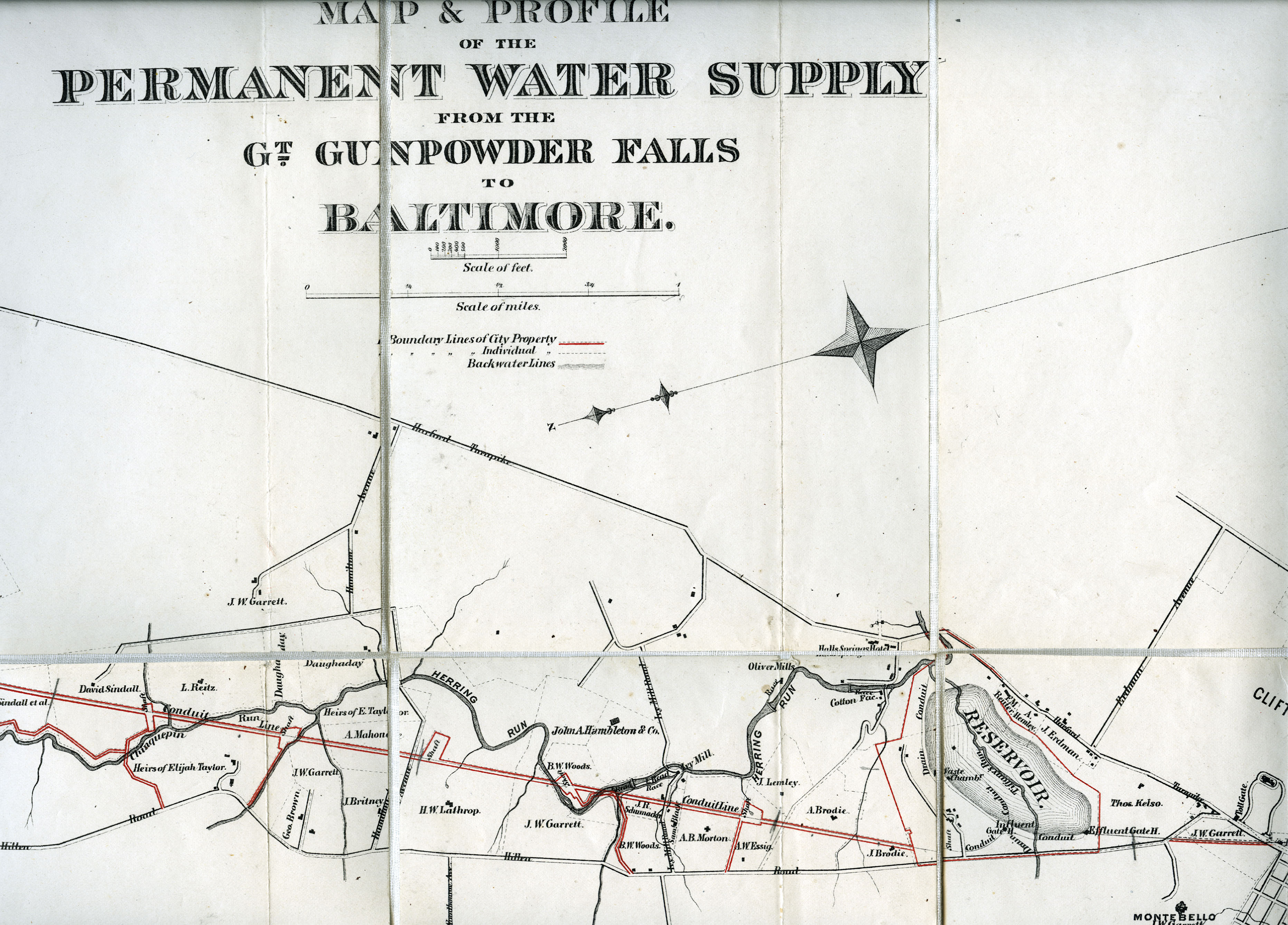
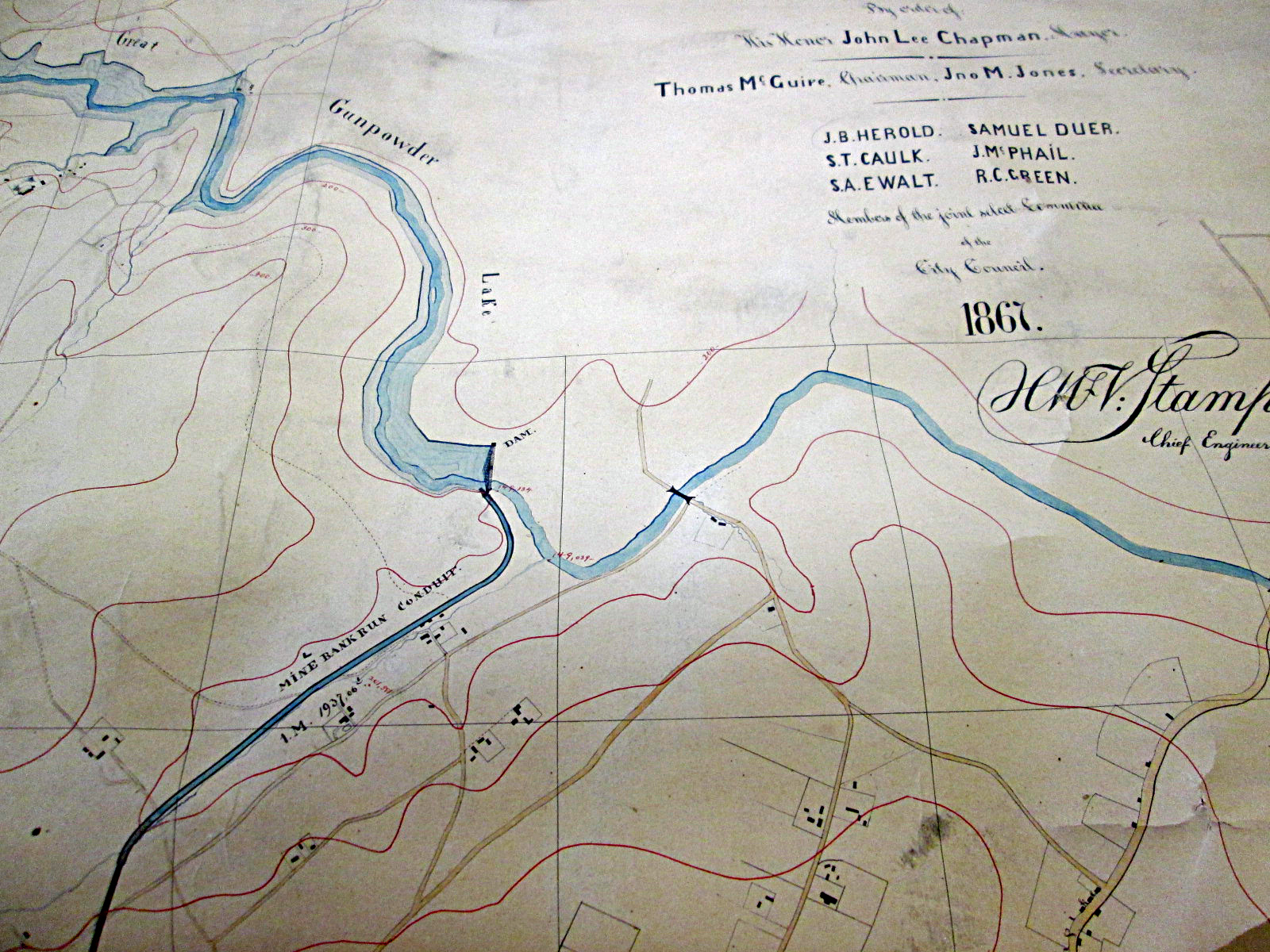
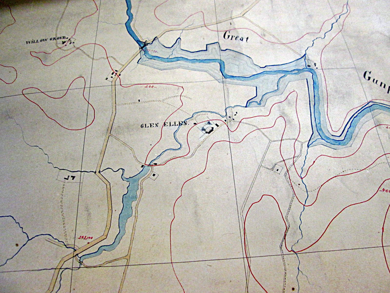
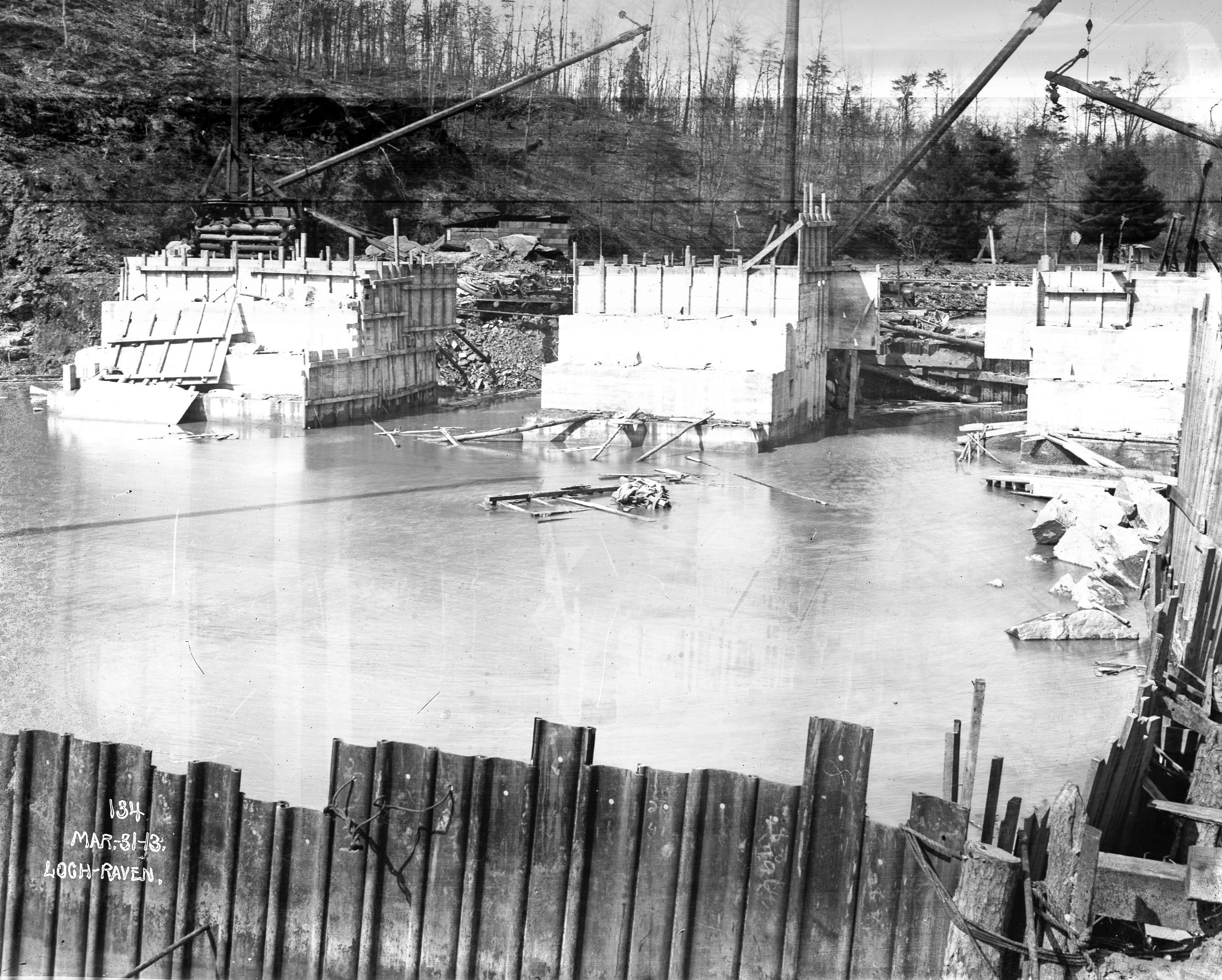
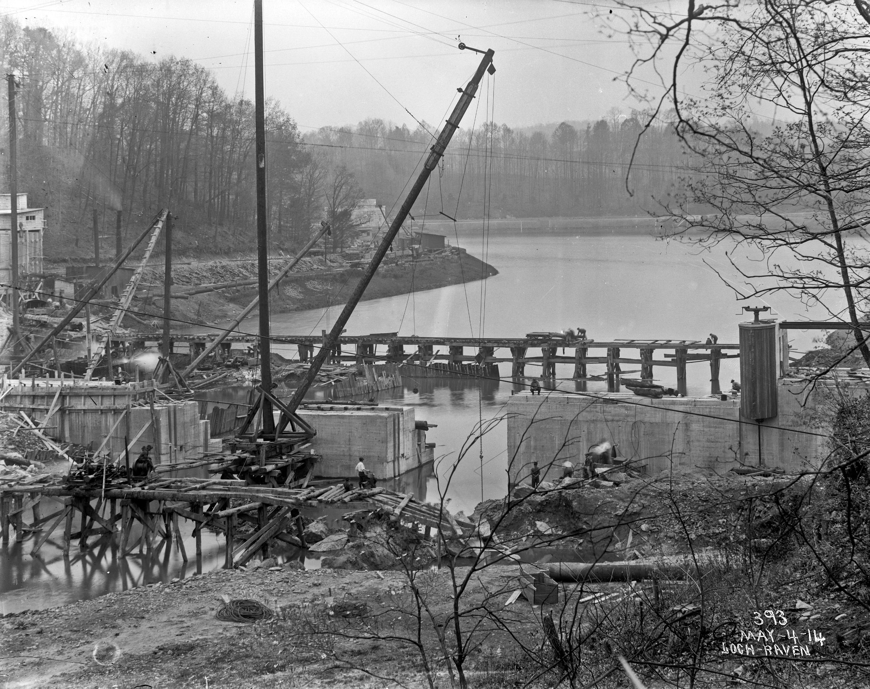
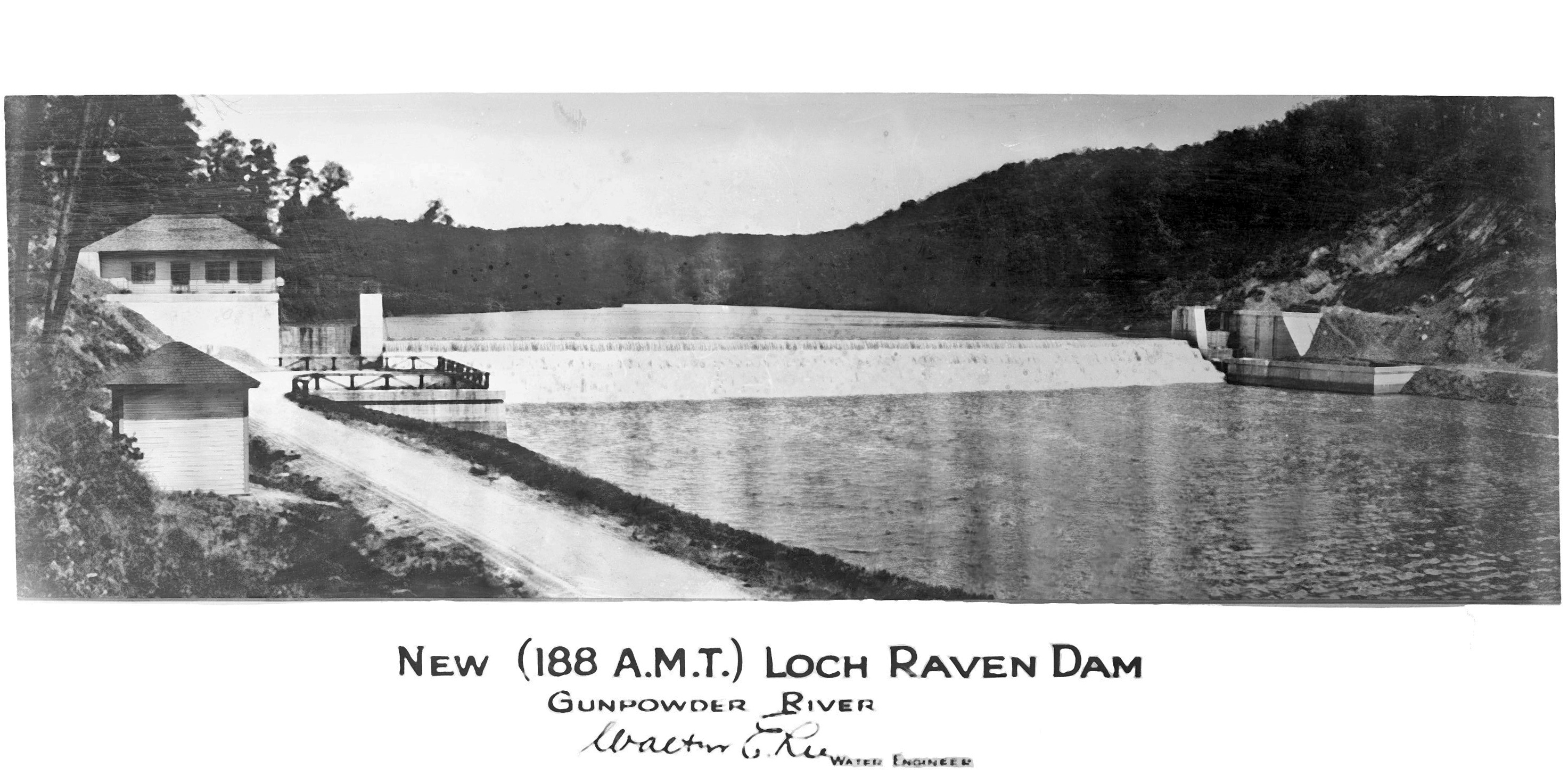
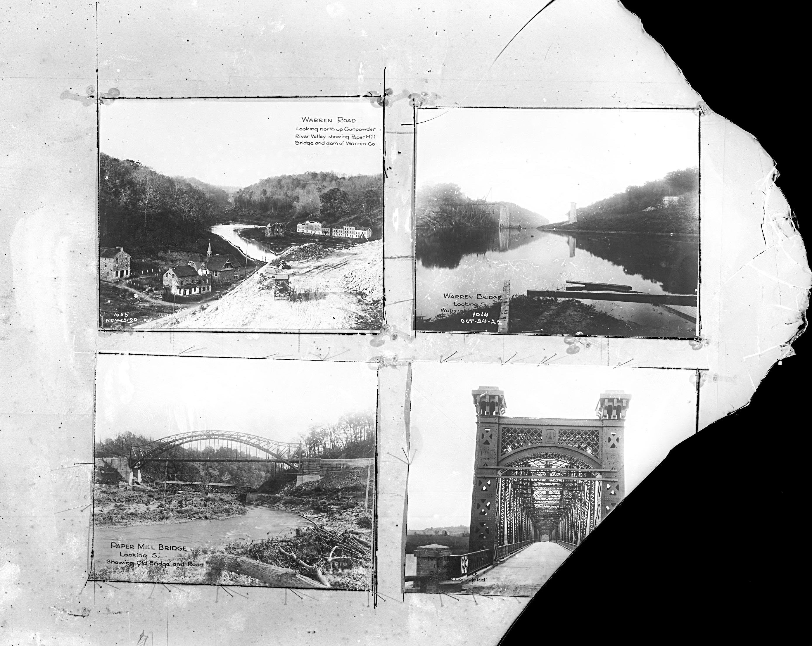
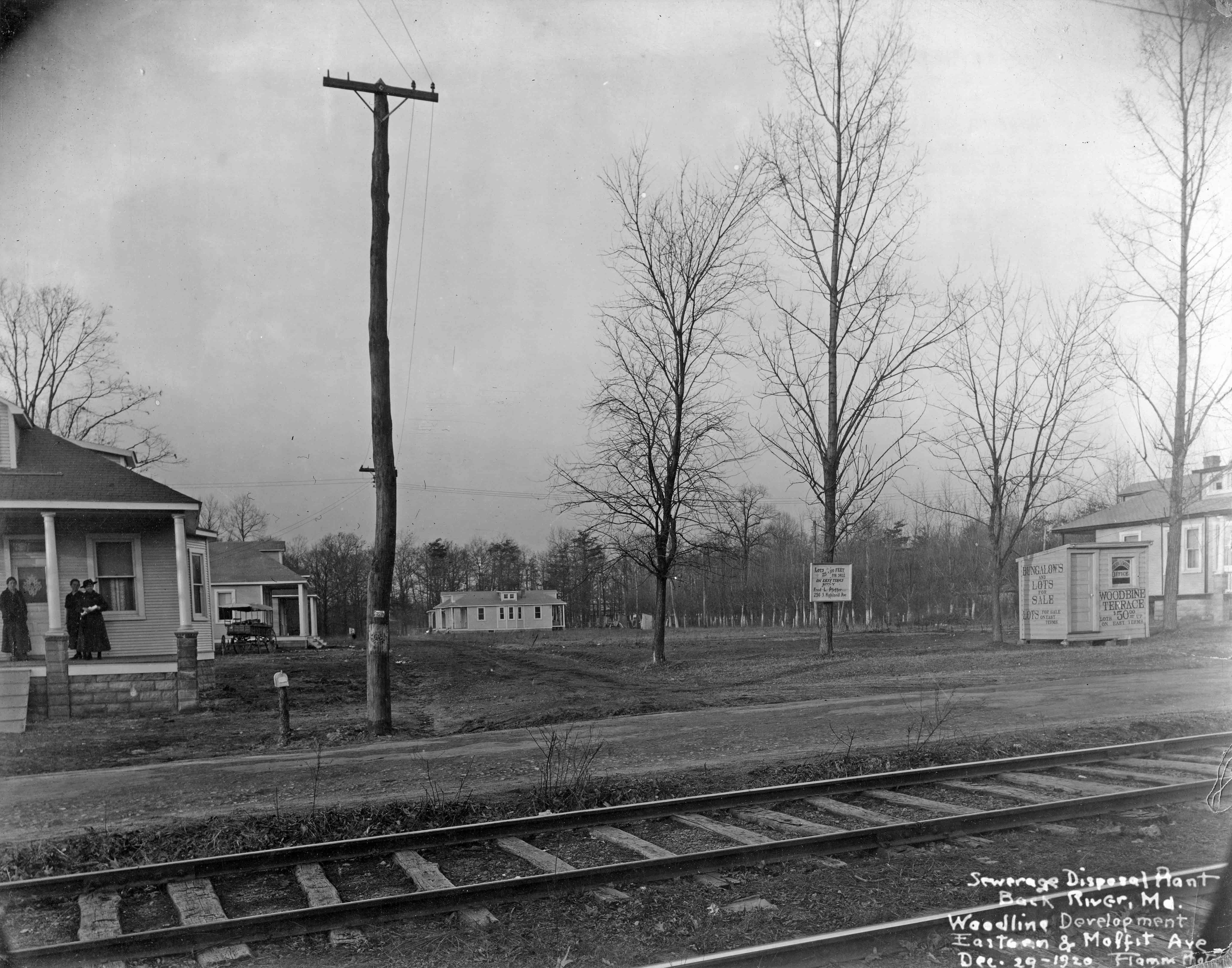
This next photo, from 1921, inspired me to start writing young adult fiction. When the City was buying up all the properties around the Gunpowder Falls, with the intent to raise the dam from an elevation 188′ to 270′ (settled on el 240′) many families and businesses were displaced. To me this is a sad photograph. The woman and her 3 children, who are renters, being displaced for a damn dam. (Not sure if this house was in the 270′ or 240′ flood lands, in either case, the City would still take to enlarge its watershed). 

Here is the opening to a book I have yet to finish. Hopefully some day. Not yet edited for correctness..

The Children of Warren
“Jennifer, wake up. We have to go.”
“No! I don’t wanna!”
“Come on, you know what today is! You don’t want them to flood us out, do you?”
With that, Jennifer sits up in her bed and looks at her mother, eyes wide open and says, “They couldn’t do that! You wouldn’t let them, would you mom?”
Her mom pulls her close, reassuringly, and tells her, “Honey, if I had my way, they wouldn’t be allowed to flood us out at all, but it ain’t up to me. So come on, get up and get yourself dressed.”
With that, Jennifer pulls herself to the side of the bed and when her feet touch the cold dirt floor she shrieks in disgust, “Mom! Why’d they take the floor out? Why couldn’t they wait until we were gone!”
“Honey, we’ve been over this a hundred times” her mother says, trying not to sound irritated at the constant questioning of ‘why’. “You know your father and me had to sell off what we could before the City took it from us.”
“But I loved our floors mommy. Daddy worked so hard making them pretty for us.”
“I know honey” her mom says, reminiscing about better days in Warren…

I showed this initial writing to a friend and explained the story (kids go back to the town before it is flooded and get caught in the flood…) and they told me there was already a movie about this kind of event, called “In Dreams” with Robert Downey Jr. Ha!

Tiffany Reservoir

11 Tuesday Sep 2018

Posted by Ronald Parks in Baltimore, engineering, water history

≈ 3 Comments

Tags

Baltimore, bridges, Dams, engineering, Gunpowder Falls, HISTORY, Jones Falls, Lake Montebello, Lake Roland, maps, POLITICS, Public Works, Research, water history

Quite an interesting find: A map from 1867. What makes this map so interesting is that in all my research I never came across any references for having the Gunpowder Falls connected to a reservoir called Tiffany. Everything I read said it would flow by gravity to a new reservoir, Lake Montebello.

First off, let my give a little history on how this water supply came about. Starting in 1836: Samuel Smith, Mayor, appoints a committee to hire the services of a Delaware Engineer named John Randall, to study and recommend a plan for the Baltimore Water Supply. In 1837 John Randall proposed that the City of Baltimore gets its water from the Great Gunpowder Falls. Suggested building two dams, one dam on the Gunpowder near Tysons Mill and the second dam on the Western Run near York Road. Water from these dams was to flow by gravity into the valley of Jones Falls to a receiving reservoir at about Elevation 300. Lake Roland is at 300’

In 1850 consulting engineers are hired to look into Randall’s proposal and then in 1852 a water commission is formed.

1854 Mr. John Smith Hollins, Mayor. Mr. Alfred Duval, Civil Engineer of Baltimore and a private citizen, presented a report to the Council recommending the development of a water supply from the Gunpowder Falls. Duval recommended the building of a dam at Raven’s Rock, the closest point on the Gunpowder Falls to the City, and a tunnel to convey the water by gravity from the dam to a receiving reservoir near Montebello. Mr. Sickles recommended to the Council the adoption of a modified version of the Duval proposal. Mr. Sickles had made extensive surveys and reported to the Mayor and City Council a plan for an ‘air-lined tunnel’ to convey the water of the Gunpowder to the City. An ordinance authorizing such a development was passed by the Council in October but was never signed by the Mayor.

1857 Mr. Thomas Swann, Mayor. Mr. James S. Suter, Water Engineer (April 14, 1857). Original plan for the Jones Falls development was modified by an ordinance adopted in July.  Ordinance instructed Water Commissioners to procure an increased supply of water from Jones Falls “agreeably to a plan heretofore reported to the Council by James Slade, Civil Engineer”. The Water Board is reorganized on April 14 and the first Water Engineer appointed was James Suter.

1860 Swann Lake, (Lake Roland) is completed on the Jones falls.

1861 both the Hampden and Mt Royal Reservoirs are completed.

1866 Mayor John Lee Chapman realizes the approaching inadequacy of Jones Falls as a continuing source of future water supply.

1867 A map of Tiffany Reservoir is drawn up.

As can be seen in this portion of the map below, the location is on the western side of Hillen Road. On a 2018 map it would be the area of Hillen Rd. and 35th St. Where Mergenthaler school is and the area where the houses are on 35th. 

Here is an early photograph of the area where Lake Montebello would be. I am assuming that this is looking east from Hillen Rd to the site of the lake.

And here is an 1880s map showing how the lake and Loch Raven Conduit was (and is) laid out. 

Returning to the Tiffany Reservoir map, a couple things of interest: On the Tiffany map you can see it says Tiffany Conduit connected to Tiffany T (tunnel) then to Herring Run Conduit. Looking close you can see that there are two colorings of this conduit; the first and third sections being blue. The middle section (Tiffany T) is black. All the black sections in this conduit are underground. All the blue ones are open channels. I believe this is where the term ‘Air-lined Tunnel’ came from? That there was not enough head pressure to completely fill the underground portions. Following the tunnel north. The Herring Run Conduit becomes the Sater’s Ridge Tunnel.

And that turns into the Mine Bank Conduit, to the dam at Loch Raven. Another symbol on this map I like is that all the roads pass over the river and streams as regular bridges. On the one below you can see where the road passes over the Gunpowder, below the dam and around the corner, it is colored in, which shows that back in 1867 there was a covered bridge at Cub Hill and Cromwell Bridge roads. 

A couple more items of interest on this map – The location of Glenn Ellen Castle.

Swann Lake (Lake Roland). The title of the Tiffany Map is somewhat wrong. It states “In connection with the Swann Lake Aqueduct.” I believe it should say “In relation to”. On this map I do not see it connected.

The Hampden (Noted as Hampton on map) and Mt. Royal Reservoirs.

And this map portion that shows the Johns Hopkins property before it became Lake Clifton, and a race track in the lower right corner. In a few years from this map’s date, a Baltimore County water filtration plant will be built near the track; using ozone filtering technology. (I forget off hand what the date was – maybe 1907?)

And finally, on the map title is HMF v Stamp as the Chief Engineer. I could not find anything about this person until 1873 where he is listed as the contractor to build the Temporary Water Supply, from the Gunpowder to Roland Run, which fed Lake Roland. It consisted of a couple pumps near Meredith Bridge, running some pipes to dump into Roland Run.

The Tiffany Run Reservoir was never built. Lake Montebello was. Many droughts, flooding of the Jones Falls and finally and over polluted Jones Falls required the new, permanent Gunpowder Works to be built – and is still in service today.

Note: This map is too brittle and too large for my scanner.

Box of Blues

20 Friday Jul 2018

Posted by Ronald Parks in Archives, Baltimore, water history

≈ 4 Comments

Tags

Baltimore, bridges, Cromwell Park, Dams, engineering, glass plate negatives, Gunpowder Falls, HISTORY, Loch Raven, photography, Public Works, Research, water history

This box has been sitting in my office for years now and as I slowly pack my office up, the box has been making its presence known more and more. This is one of those task that I didn’t want to undertake, but knew eventually I would have to. I’ve referred to it before as the Jigsaw Puzzle Box. It contains a lot of broken glass plate negatives.

They were originally laying one on top another. No boxes or protective sleeves. I sat them on their side to try to stop some of the damage. These plates are heavy and the weight of being stacked is enough to crush themselves.

So let’s get started on cleaning and scanning. I pulled out the more intact ones first, but already there was a problem – not only were most of these suffering from severe silvering, from being improperly stored, this one was yellow (Under or over exposed when taken maybe?)

I scanned it anyway because there is something about this photo – The second Loch Raven Dam being built, showing an arched walkway through the base of the dam. A couple years ago I was told that I would be able to go on an inspection tour of the inside of the dam – I guess they forgot me…

A couple more intact plates, not found in previous collections of building the 1915 dam. I like this one, below, looking downstream of the Gunpowder River. A locomotive riding the spur track in the distance and a person on the trestle.

A view looking upstream from the cofferdam. 

Although there was a lot of silvering, after some work in Photoshop Elements, I was fortunate enough to make them worth saving. Another view downstream. The old 1880s gatehouse in background. Notice the wood pedestal for the valve operator. 

I wish I would have found this one years ago. This photo is signed by the engineer, Walter Lee and the plate itself is signed by the photographer – Waldeck.

With this next one, the puzzle pieces start falling apart. The photographer would take photographs and drawings, mount them on a board and then photograph the photographs. Thank God for the digital age!

Inside the photographers studio – more like an onsite shed at the construction site – 1920s.

Some of the shed photo plates were not only broken, but were over exposed.

Using my software I was able to enhance the above photo enough, using the ‘Equalize’ button, to bring out the drawing. In this case it is the Balancing Reservoir at Cromwell Park.

Next up more photos being photographed. Two of my favorites on this plate – The original photo of the town of Warren before flooding (A lot of historical societies use this photo and don’t give credit to the City for using it. I guess because it has been used so many times in various newsletters and publications, they consider it public domain) And I like the Paper Mill Bridge with the covered bridge underneath. 

This next one threw me for a loop! A Cathedral to Water? Not sure what this is of?

I finally hit the bottom of the box, nothing but pieces. Some large ones and then many small pieces.

I scanned them just in case some day, some one can use modern technology to put the pieces together, where they belong! (I know, the tech exists, maybe something for someone to do later!)

So I am wrapping up the history and placing in it storage. Hopefully it will be around in 100 more years. Who knows. I have done about as much as I could with what I have been given.


Back River 100+ Years

11 Wednesday Jul 2018

Posted by Ronald Parks in Archives, Baltimore, HISTORY, Sewage History

≈ Leave a comment

Tags

Back River, Baltimore, engineering, FILTRATION, Public Works, Research, sewage, Sewage History

I went to the Back River Waste Water Treatment Plant the other day. I was looking for some surplus bricks and also to turn in a security gate swipe card that was given to me many years ago. Since I had not been there in a few years, I thought I would give myself a tour. It sure has changed with all the new construction. A lot of the older buildings are gone, replaced by new Clean Water Regulations. Last I heard it was over a billion dollars in upgrades!

Here is an aerial view of the plant. Red numbers correspond to the photographs. I tried to match up some of the older photos I have with what remains, not yet demolished.

This next drawing (thanks engineering) labels the buildings.

Here is a photo of just outside the gate, when the plant was first built, showing homes for sale. I had previously posted another blog back in March 2016 of the Eastern Ave entrance.

And here is an older aerial, showing a race track on the property.

Once through the gate and past the admin building on the right was this building. (#1) This was where I first started collecting and documenting the water and sewerage archives.

This is what is there now.

Across from here was a really smelly tank (#2). The drawing calls them the Primary Clarifiers.

Around the corner use to be this.

This is all that is left of the Trickling Filters.

The Waste Pickle Liquor Facility!?

A close up view (#4)

The sludge Storage lagoon, according to the drawing. A worker there said they were sludge storage tanks that are no longer being used.

Let’s see what is up top (#5). It is covered over.

I tried to do some research in the one building by the smokestack years ago. I even volunteered to clean the mess up and document everything, but after a few years of asking and getting no response, I said forget it. There are a lot of the early sewer contracts on the 3rd floor. (#6)

The building to the left was the Vacuum Filter Building as shown below from the 1930s. 

Next was a real lagoon of sorts. Just another dumping ground. (#7)


Then onto this – the Elutriation Tanks (can’t pronounce it, so I can’t explain it!!) It didn’t smell as bad as the first tank though.

I ran into a worker and asked where does all this flow into the river at, so he showed me. (#9) All the years of coming down here, this was the first time I saw this.

The sewage gently cascading down the steps to an opening that dumps into the river (as if sewerage can be called “gently cascading”!)

Past the trees and out into the river. (#10)

If anyone wants to fish near here, believe me, you don’t want to.

Here is what was the plant effluent when the plant was first built. Wooden Pipes.

They moved this discharge point over a bit, replacing the wood with steel.

Here is the view from the side, of the new concrete and steel structure.

With a close up. There were quite a few osprey in the area.

Next was the filtration building. (#11)

And how the original one looked when it was first being built.

Getting ready to head out and saw these stairs! 

Ooops wait! Wrong photo (Although I did travel to Mexico and saw the ruins years ago) (#12)

Not sure what these were but it still has water flowing through it.

As can be seen on the above drawing there are a couple notations concerning Bethlehem Steel. With that plant closed down, I wonder where these pipe go and the purpose of the buildings?

Nice day at wastewater. PS – I never did find the bricks I was looking for. Ending up going to the Loading Dock and buying them!

Highlights in Public Works History part 2

11 Monday Jun 2018

Posted by Ronald Parks in Archives, Baltimore, engineering, HISTORY

≈ Leave a comment

Tags

Baltimore, bridges, Dams, engineering, Gunpowder Falls, HISTORY, Latrobe, Montebello, POLITICS, Public Works, Research, Route 40, water history, White wings

Some more flyers from the DPW Museum.

Bollman, bridge engineer:

B.H. Latrobe:

Centre Fountain:

Loch Raven-Montebello Tunnel:

The Baltimore Pike:

City Hall:

The white Wings:

Back River:

Montebello Filters:

C.H. Latrobe:


Noble Mill on Deer Creek

06 Wednesday Jun 2018

Posted by Ronald Parks in Dams, HISTORY, water history

≈ Leave a comment

Tags

Baltimore, bridges, Dams, Deer Creek, engineering, kayaking, mills, Noble Mill, Research, water history

Somehow or another I ended up on a mailing list for an organization called S.P.O.O.M. – Society for the Preservation of Old Mills. I just received their latest posting and I see they are visiting Eden Mill on Deer Creek this weekend. Nice mill that I have written about before. (A favorite kayak spot) Back in 1933 when Baltimore City was looking for a new water source, Deer Creek was on the list of possible dam sites. If the dam was built at Rocks State Park, Eden Mill would be flooded. There were quite a few mills below that area which would have lost water power needed for the mills. One of which was Noble’s Mill, which I visited in 2012.

Here is the drawing of Noble’s Mill.

And what the Mill looked like in 1933.

And in 2012.

The water race sluice gates.

Water to the mill via the sluice gates.

And where it enters the mill.

Sluice gate rack and pinion.

One of the best parts of my 2012 trip was being able to go into the mill. The owner saw me poking around outside and offered to give me a tour. 

Besides his artwork, he has been restoring some of the mill works.

Got to love this old pulley system and how you can watch the grain go through the chutes.

The old bridge over Deer Creek.

Maker of the bridge.

Map of the other mills along Deer Creek.

The Noble Mill map shows the road in front of the mill, between Deer Creek and the mill. Google Earth shows the road behind the mill.

Highlights in Public Works History part 1

05 Tuesday Jun 2018

Posted by Ronald Parks in Archives, Baltimore, engineering, HISTORY

≈ Leave a comment

Tags

Baltimore, bridges, engineering, FILTRATION, HISTORY, Museum, POLITICS, Public Works, Research, water history

Continuing with documenting and archiving, I found a collection of small posters concerning Public Works. I believe these were given out at the DPW Museum in Baltimore back in the 1980s during the time it was open. There are some missing and I hope to be able to find them, to complete the collection. Here are issues #1,3,4,6 and 7.  #1 has some misinformation. The Roland Tower was completed in 1905 according to Annual Reports. Not sure what the word exhaneous, which is handwritten on the poster, means?

#3 comes from Abel Wolman’s booklet, “The Livable City”.

#4 from the exhibit: Baltimore’s Bridges and Their Builders.

#6 from 1985’s Women’s Week.

#7 is about our infrastructure.

Over the years there have been many attempts at posters, exhibits, newsletters etc. I wish they would start doing more of the history in a poster like the above or a new newsletter… The City attempted to try a new format of the Annual Report, but it is inconsistent and sporadic at best.

Fire Towers

10 Thursday May 2018

Posted by Ronald Parks in Reservoir, water history

≈ Leave a comment

Tags

Baltimore, engineering, Fires, Gunpowder Falls, Loch Raven, Public Works, Research, water history

I have just about completed scanning and documenting the 1500+ negatives I found a few weeks back (Loose Ends Never End). Only needed to scan just over 700. The others have already been documented elsewhere. I wish someone would have taken the time to at least give a descriptive label to these things, other than the date the photos were taken. From my years of research, most I can identify, others I cannot.

Here are two that were in a group, although not labelled, I recognized as construction of the Susquehanna Conduit. Along with Deer Creek Pumping Station. There are quite a few negatives scattered throughout this collection, although in numerical and chronological order, that should be in other groups of photos.

It looks like a fire tower, just not sure. What my book says about fires in the watersheds:

From File Folder 1194: August 1931 letter concerning the building of a fire tower located near Loch Raven. The State Dept. of Forestry request fire towers at all watershed properties. Rost responds that they (the City) have no money to contribute to the building of these towers. 1932 fire reports: Most report that the fires were caused by smokers. Also a list of damage done: Twenty five acres burned, mostly ten inch hardwoods. 1939 letter from Towson Nurseries concerning property adjacent to the Northern Central RR at Kenilworth. They want to plow some furrows in the field to help stop any fires that may happen. Small gives them permission. January 5, 1943 report of a fire at the Gatekeeper’s house at Lake Roland. May 22, 1945 memo of a fire in the barracks immediately behind of the old gatehouse at Lake Montebello, formerly occupied by the Maryland State Guard. November 20, 1945 fire report, barn owned by City on Mittens’ farm about one mile west of Westminster Pike: On investigation of this fire learned from Paul George, age 46, overseer on Dr. Saffell’s farm, that he was husking corn, in a field near the barn, with five German prisoners. He stated that all of them ate their lunch at this barn around noon. At about 2:45pm, one of these prisoners went on top a hill, to relieve himself, when he came running back and told Mr. George that smoke was coming out of this barn. Mr. George stated that at no time was any of the prisoners in the barn or smoking near same. Dale George, son, said he saw two hunters near the barn earlier but didn’t know them. June 9, 1949 memo concerning all the fires occurring on the property between Pierce’s store and the dam. Mostly are caused by picnickers. 1956 memo concerning fire at Hampton in which fifty acres burnt. Three young boys were caught leaving the fire. Contains lengthy report. 1957 letter from Werner to a Philip Franklin who had started a fire at Loch Raven and then left the scene. Werner wants to know a good reason why he shouldn’t be prosecuted. March 1962 report of a fire north of the dam caused by fishermen.

These two photos are dated May 10, 1965. I know the watersheds have fire roads; I have never seen any of these towers – not that this one would still be standing. Looks pretty rickety to me.

← Older posts

Blogroll

  • Flouride Action Network
  • lulu
  • My Book
  • WordPress.com
  • WordPress.org

Recent Posts

  • In Search of The Skipjack Ada Mae
  • Trap Pond Kayak
  • Pusey Trail and Cemeteries
  • Chandler Tract (White Trail) 4 3 21
  • Oyster Fritters, Antiques, a Hike (and a bad sign)

Blog at WordPress.com.

  • Follow Following
    • Water and Me
    • Join 226 other followers
    • Already have a WordPress.com account? Log in now.
    • Water and Me
    • Customize
    • Follow Following
    • Sign up
    • Log in
    • Report this content
    • View site in Reader
    • Manage subscriptions
    • Collapse this bar
 

Loading Comments...