• About
  • History Writings

Water and Me

Water and Me

Category Archives: Assateague

Pete and Repeat

27 Saturday Feb 2021

Posted by Ronald Parks in Assateague, chincoteague, Eastern Shore, Hiking, National Parks, nature

≈ Leave a comment

Tags

adventures, bivalve, chincoteague, dunes, Eastern Shore, Google Lens, nature, oysters, photography, Toms Cove, Virginia

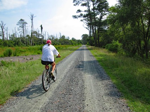
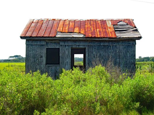
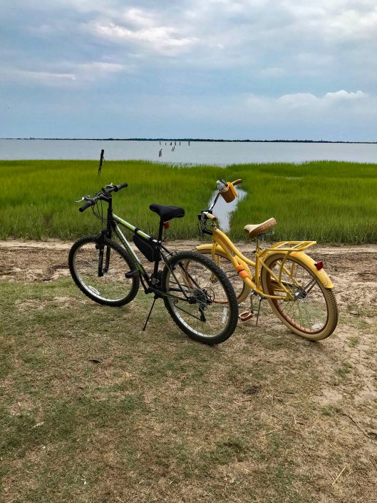
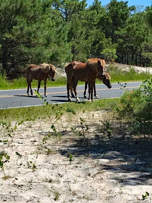
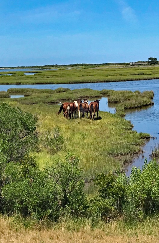
An old joke but still cracks me up – If Pete and Repeat were sitting on a fence and Pete flew away, who was left? Repeat. Ok, If Pete and Repeat were… and on and on it goes until someone tells you to stop it! What does that have to do with a nature hike post? Nothing, other than the fact we have repeated this trip to Assateague Island in Virginia a hundred times. And we never get tired of it. And we always seem to find a new adventure awaiting us – whether we are biking or hiking.

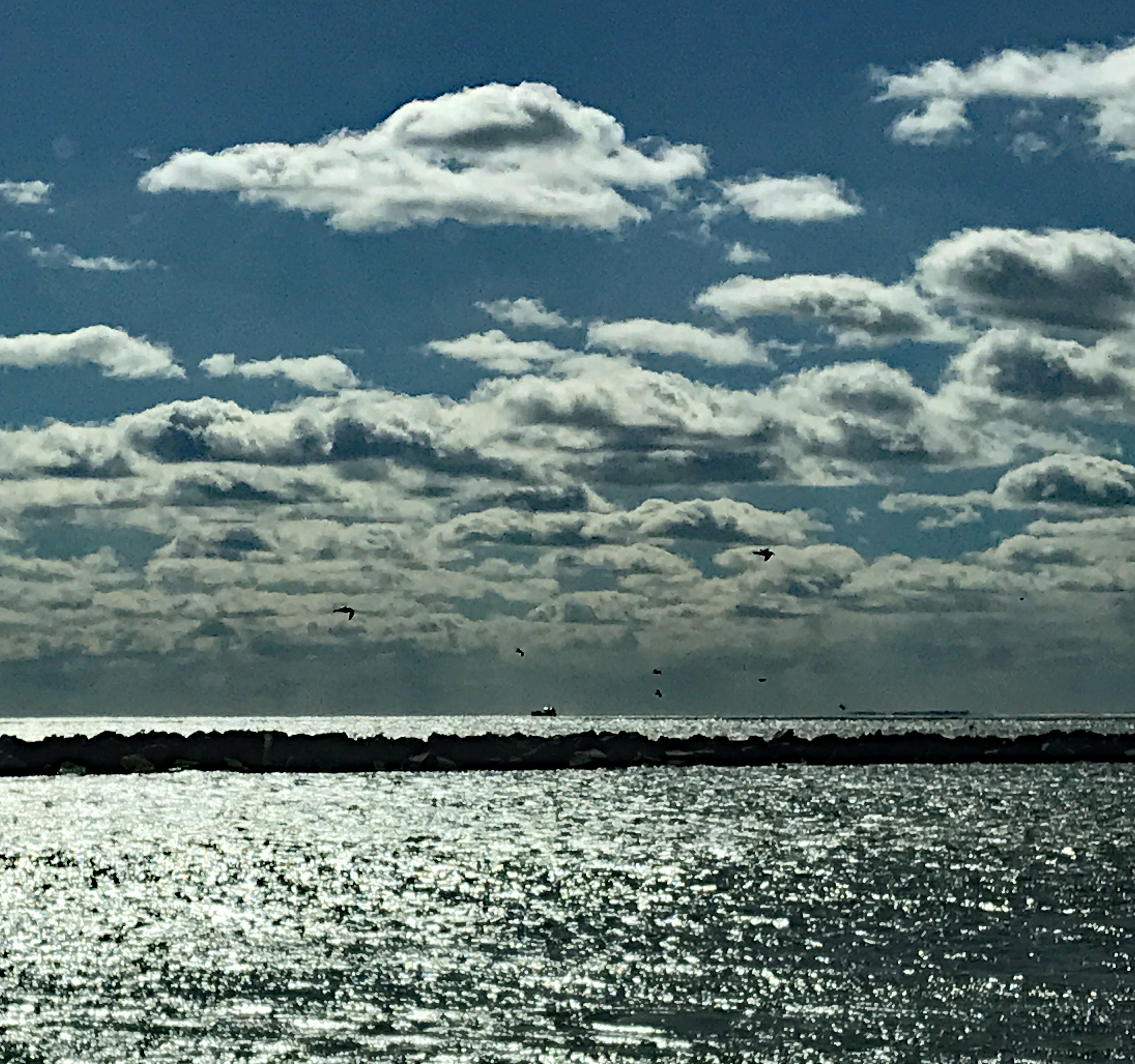
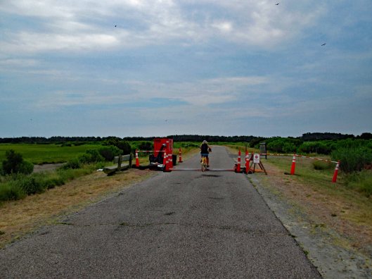
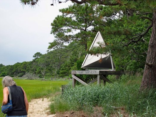
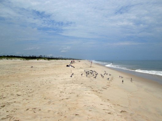
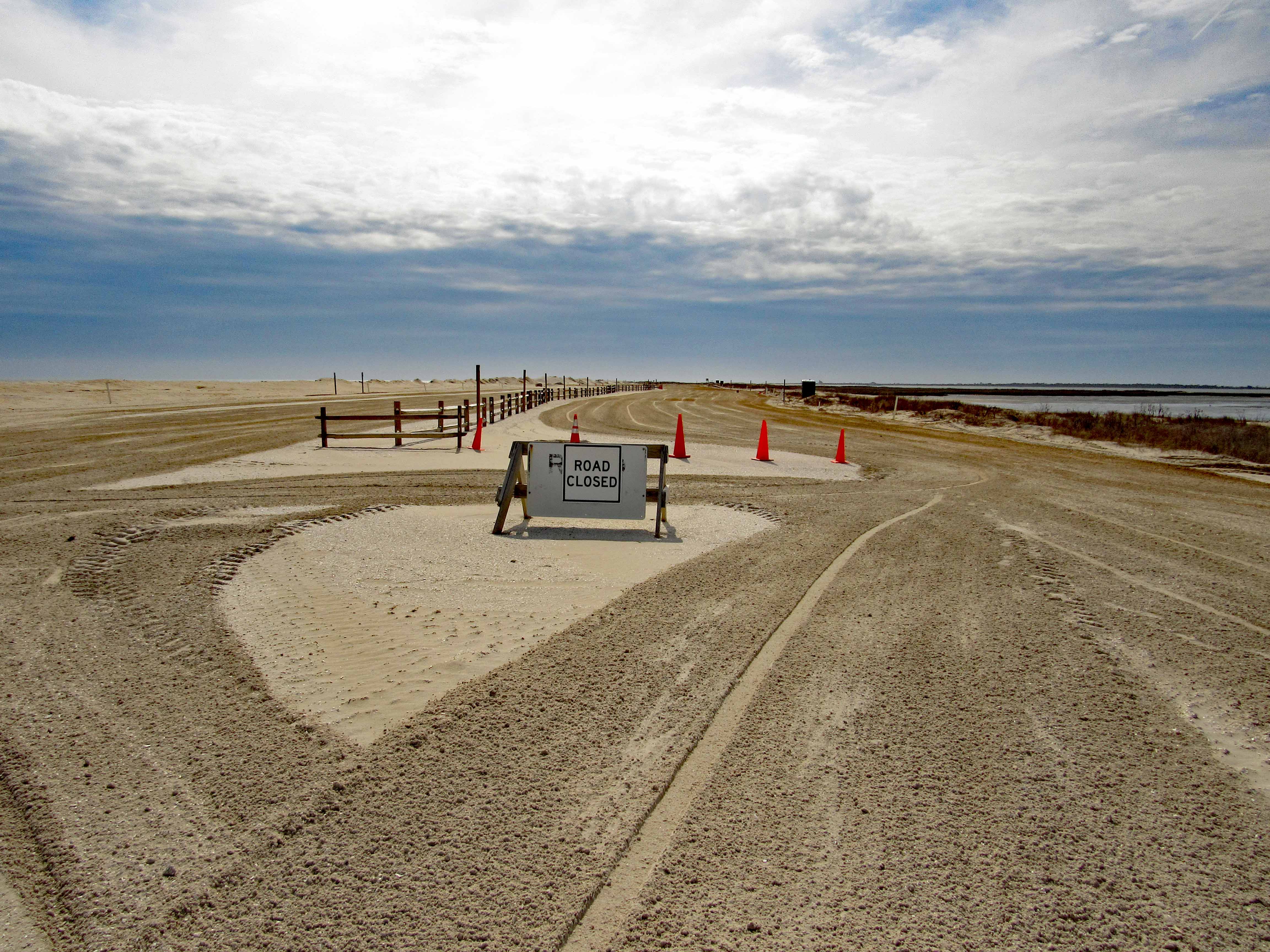
This particular trip was just to get out of the house before the rains came, have lunch and to look at the ocean from the parking lot. But the lot was closed so we decided to see what was going on.

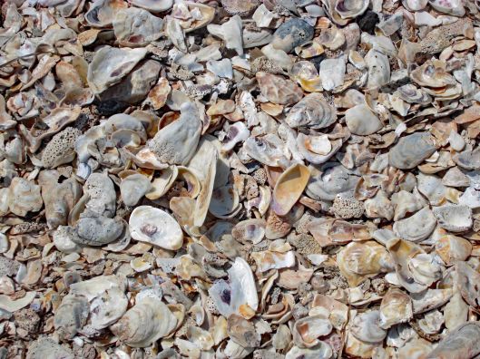
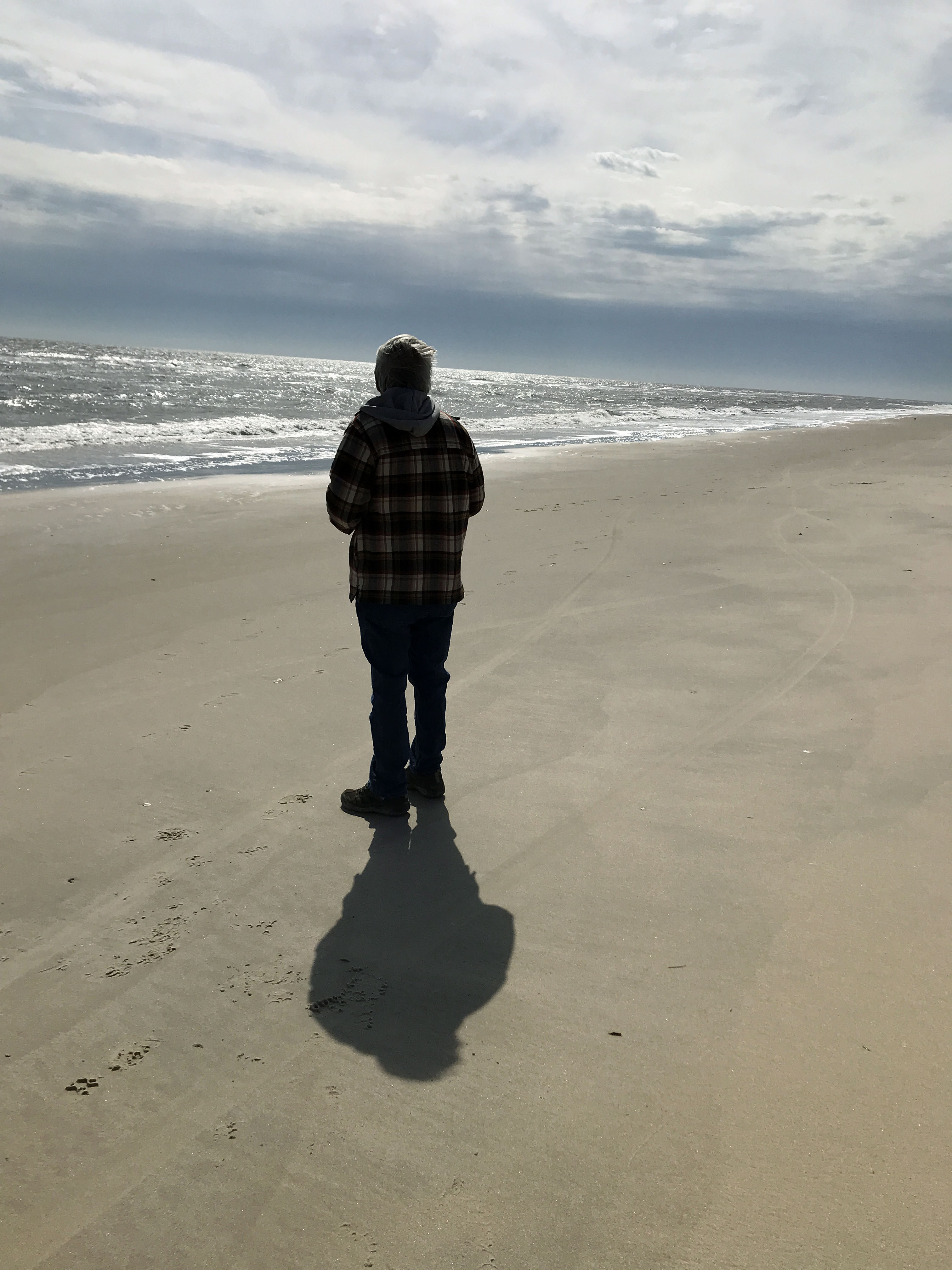
Me wondering where all the sea shells are?

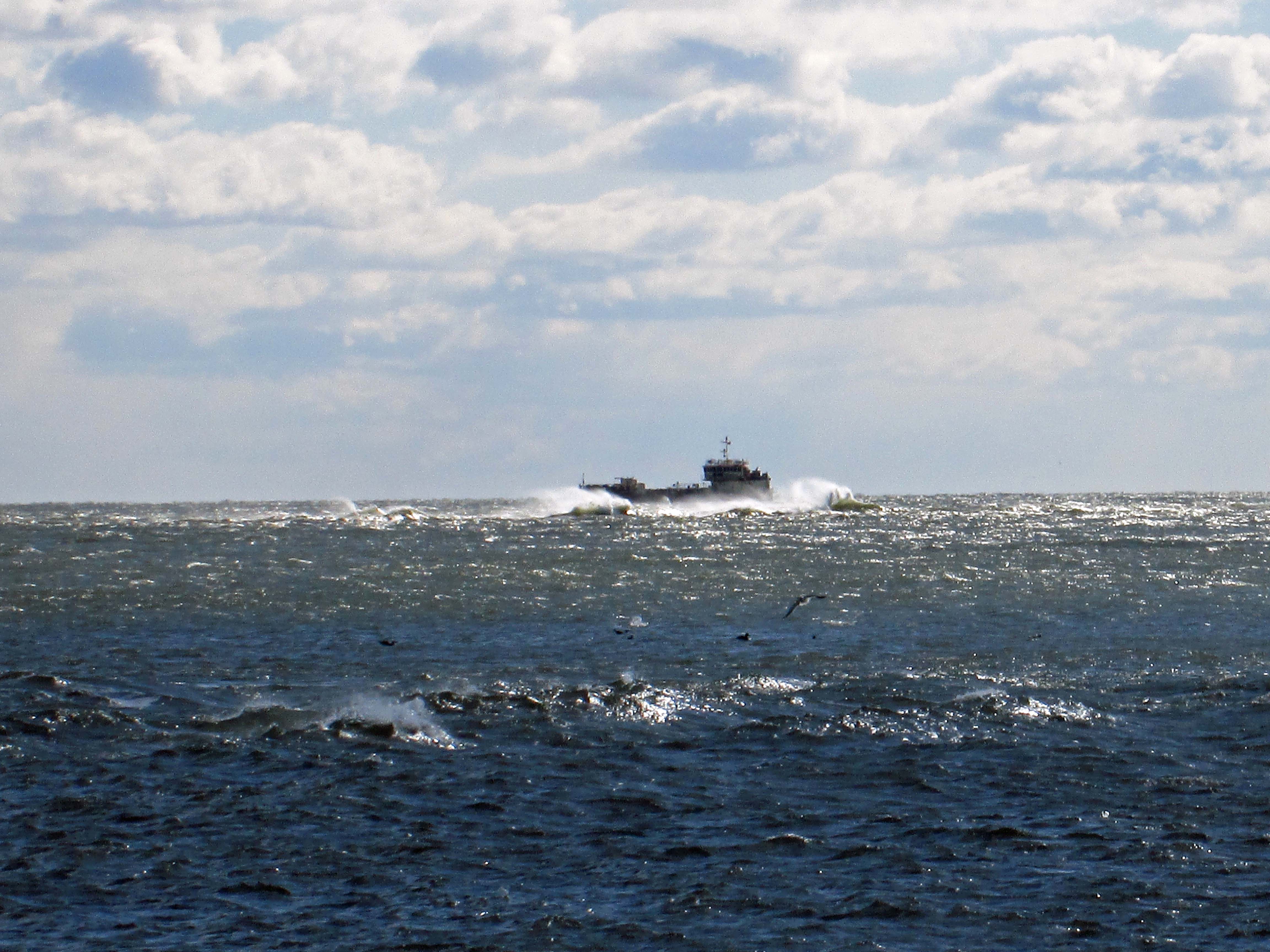
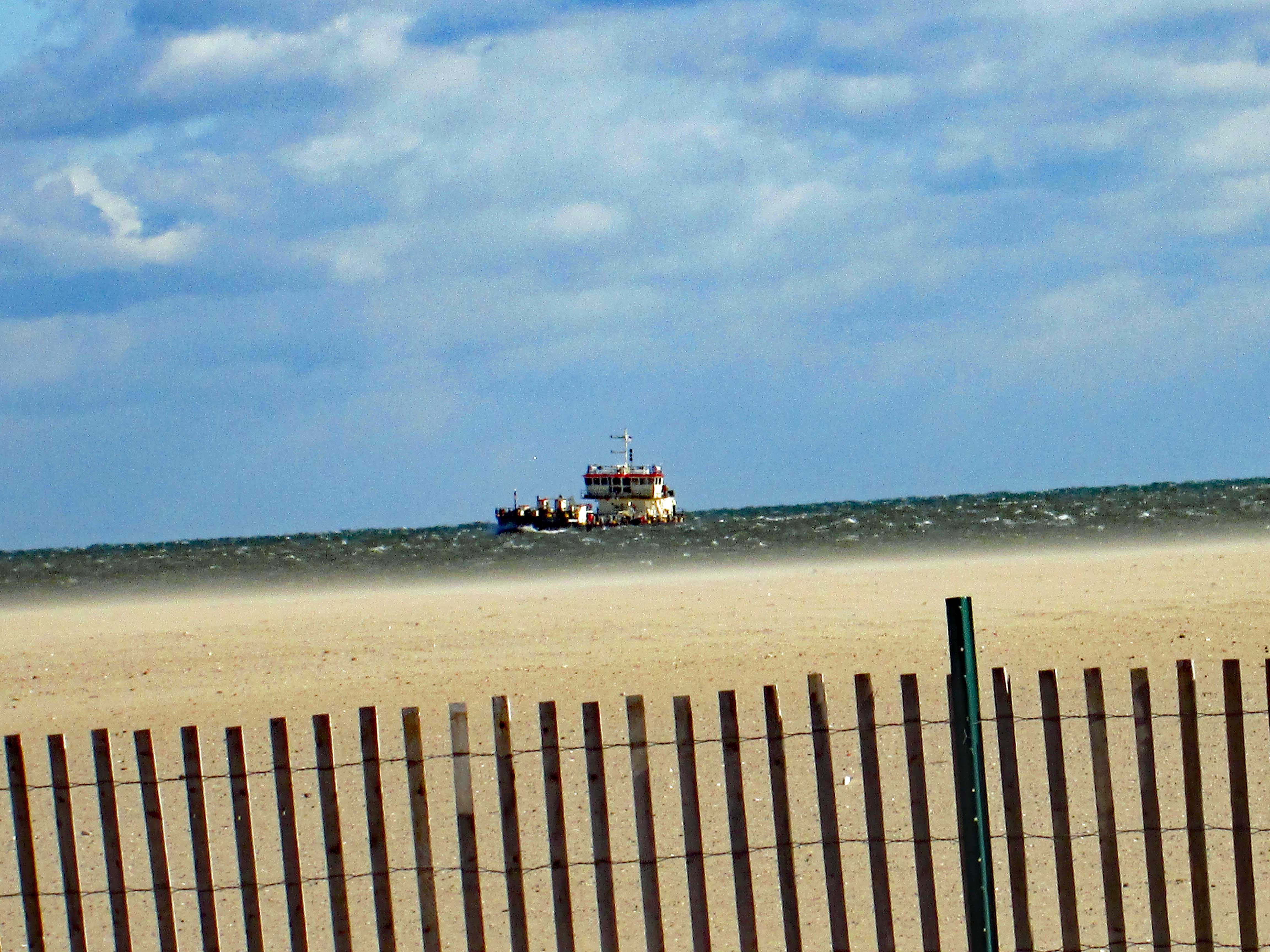
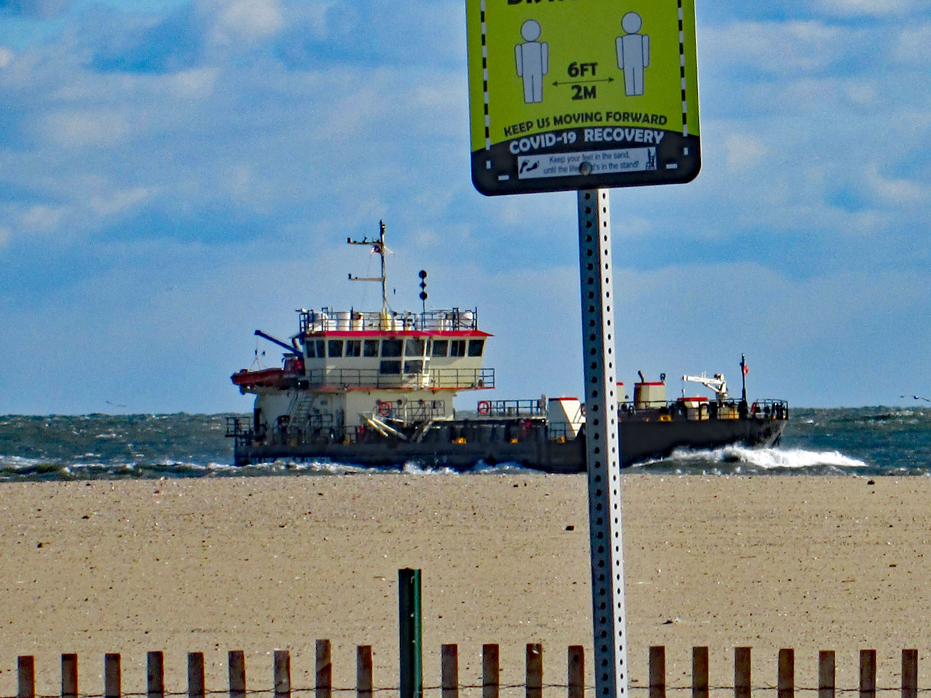
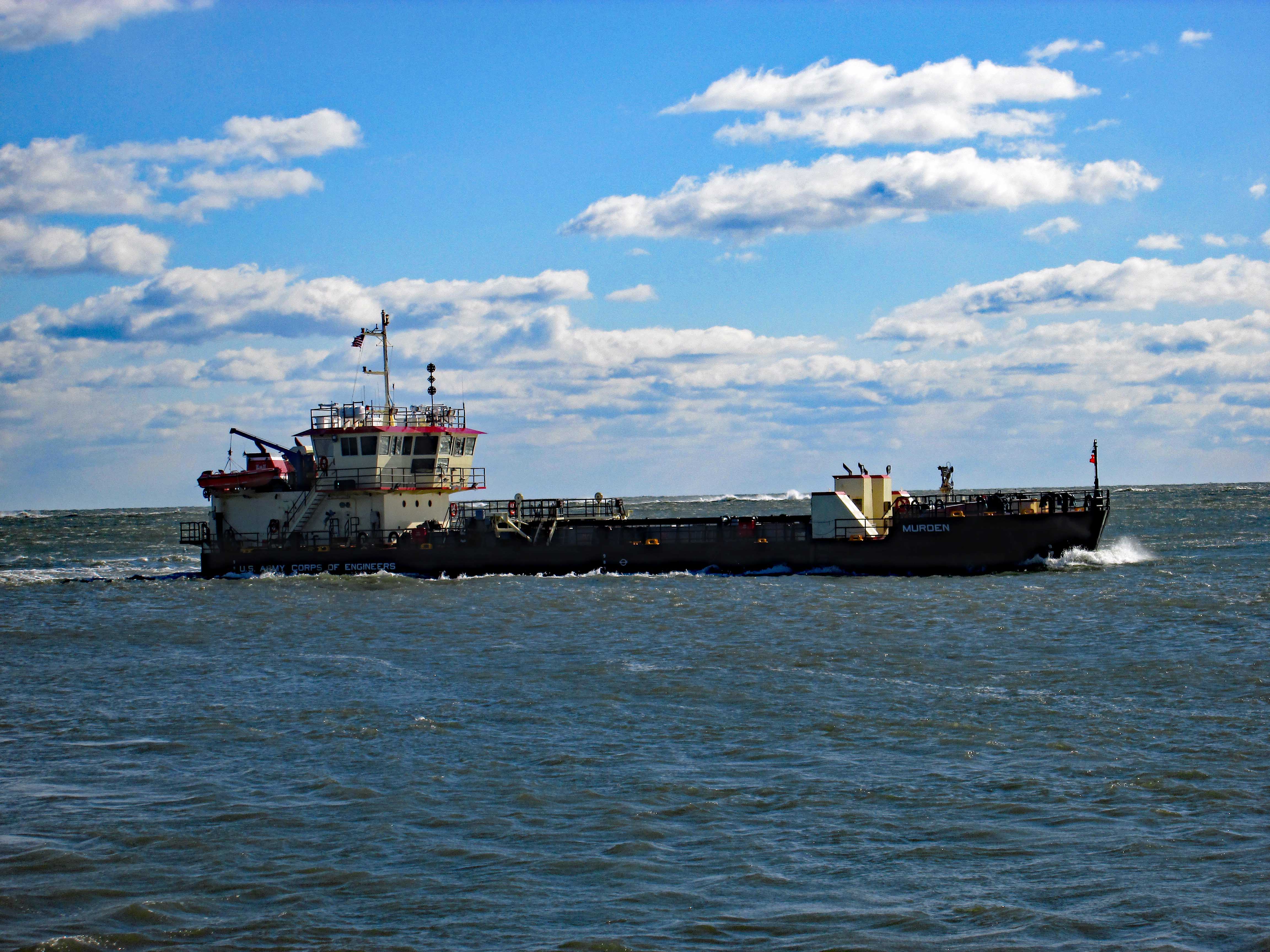
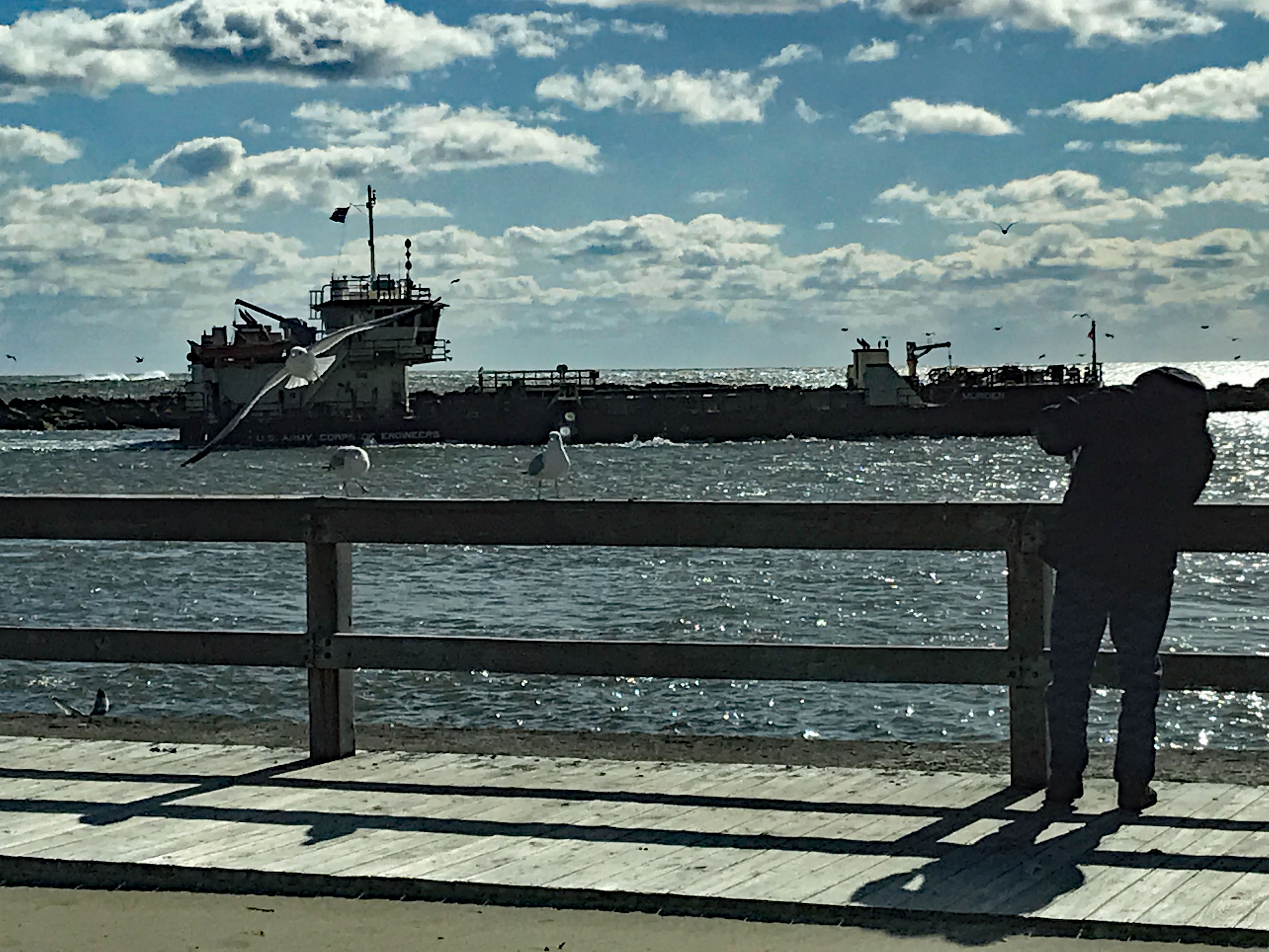
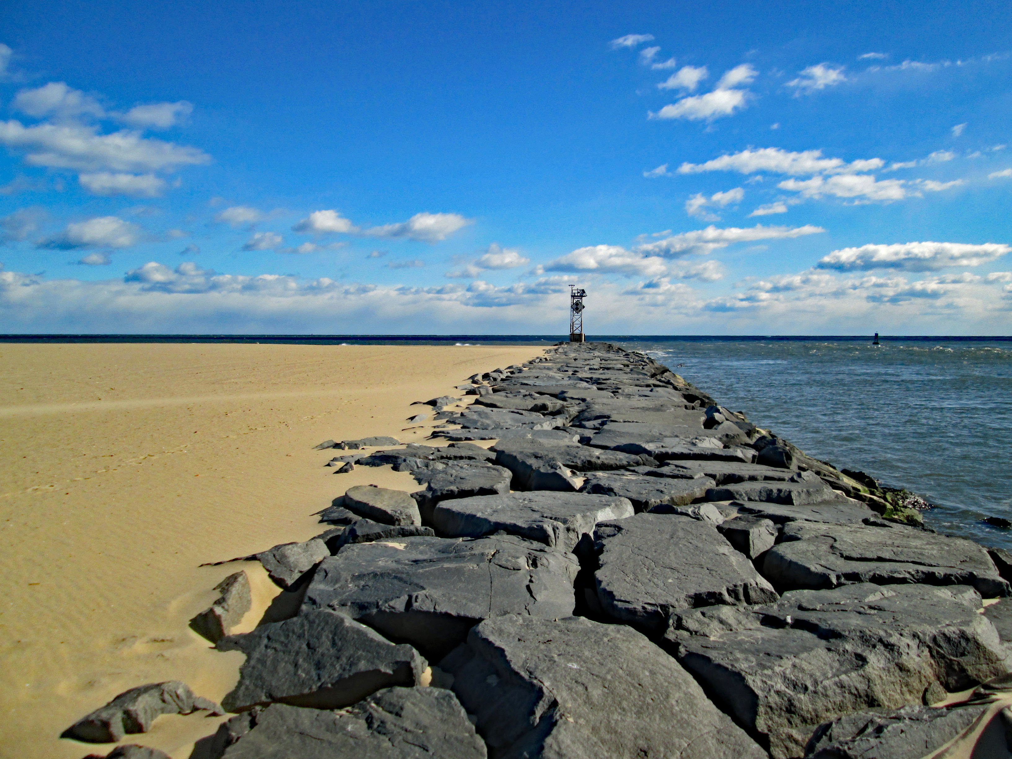
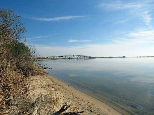
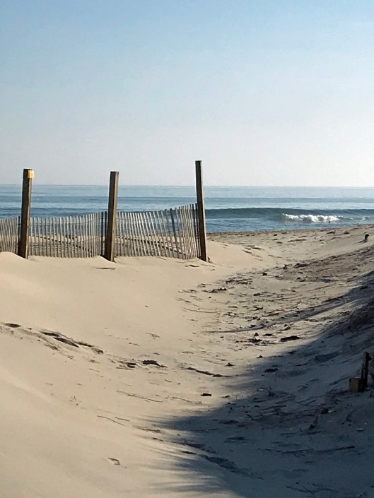
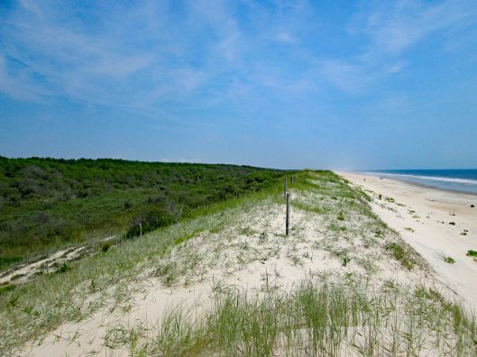
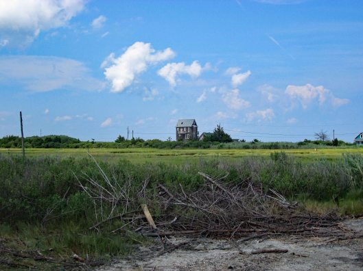
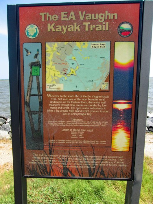
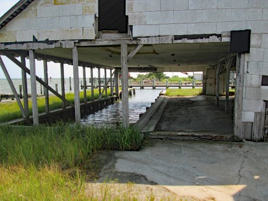
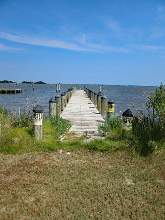
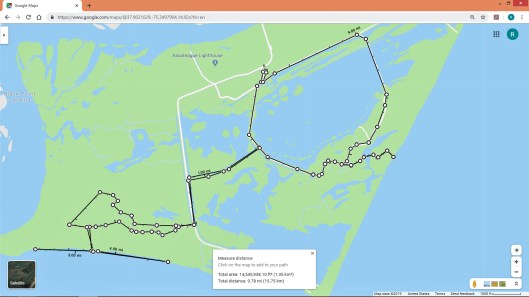
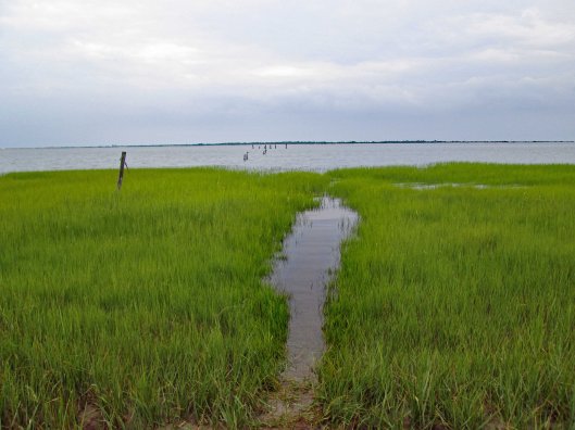
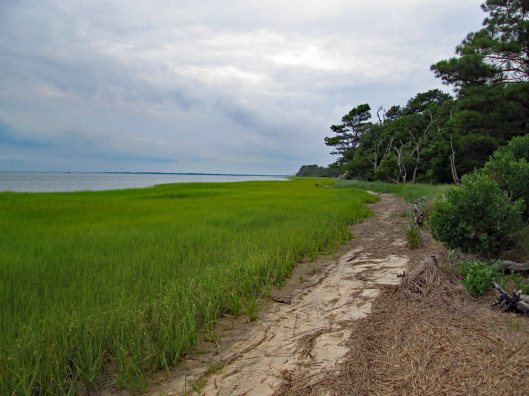
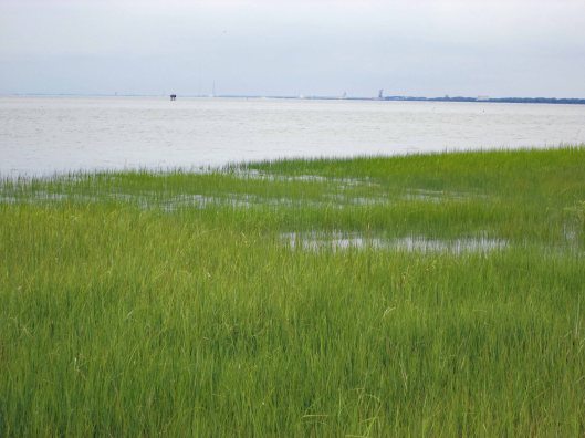
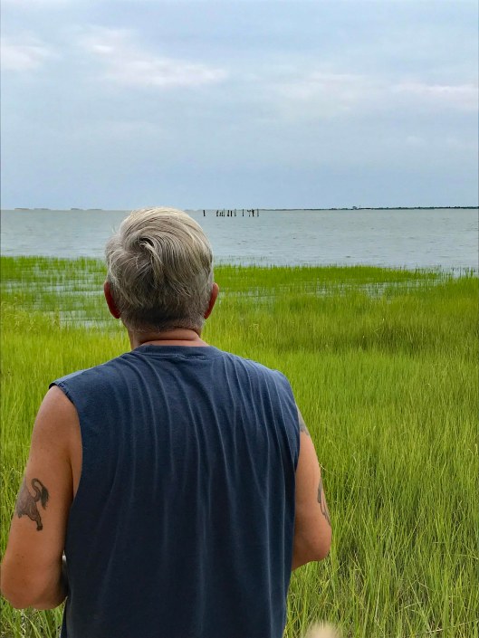
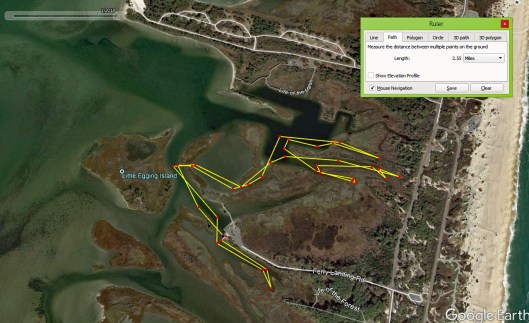
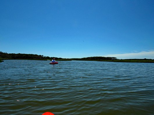
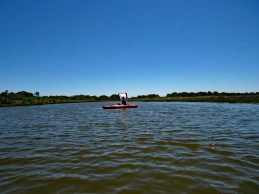
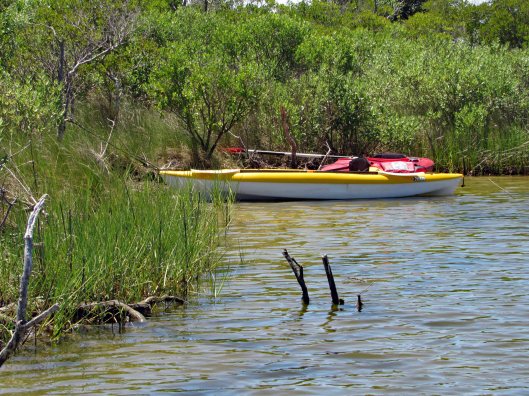
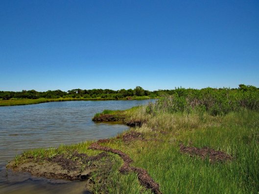
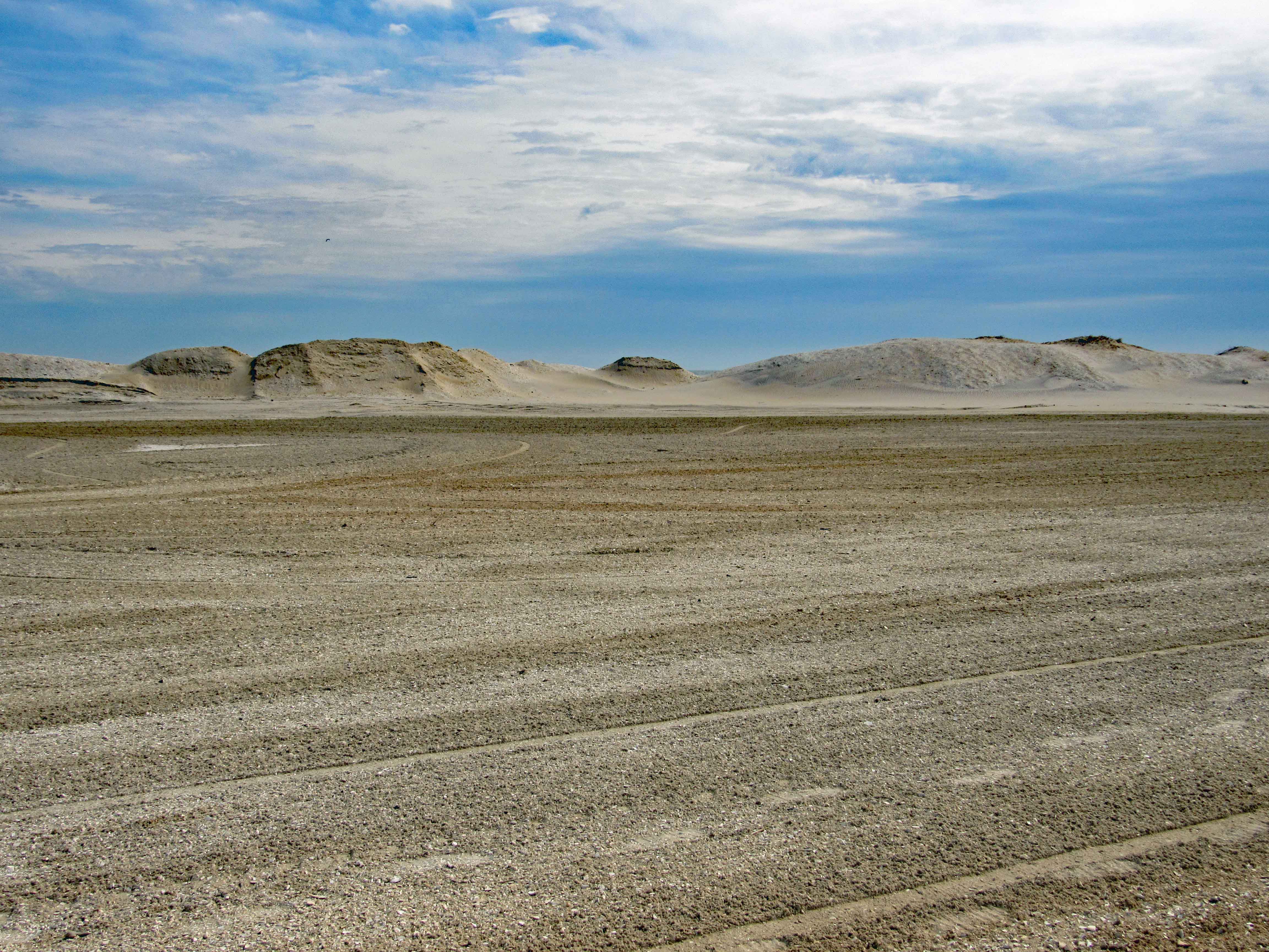
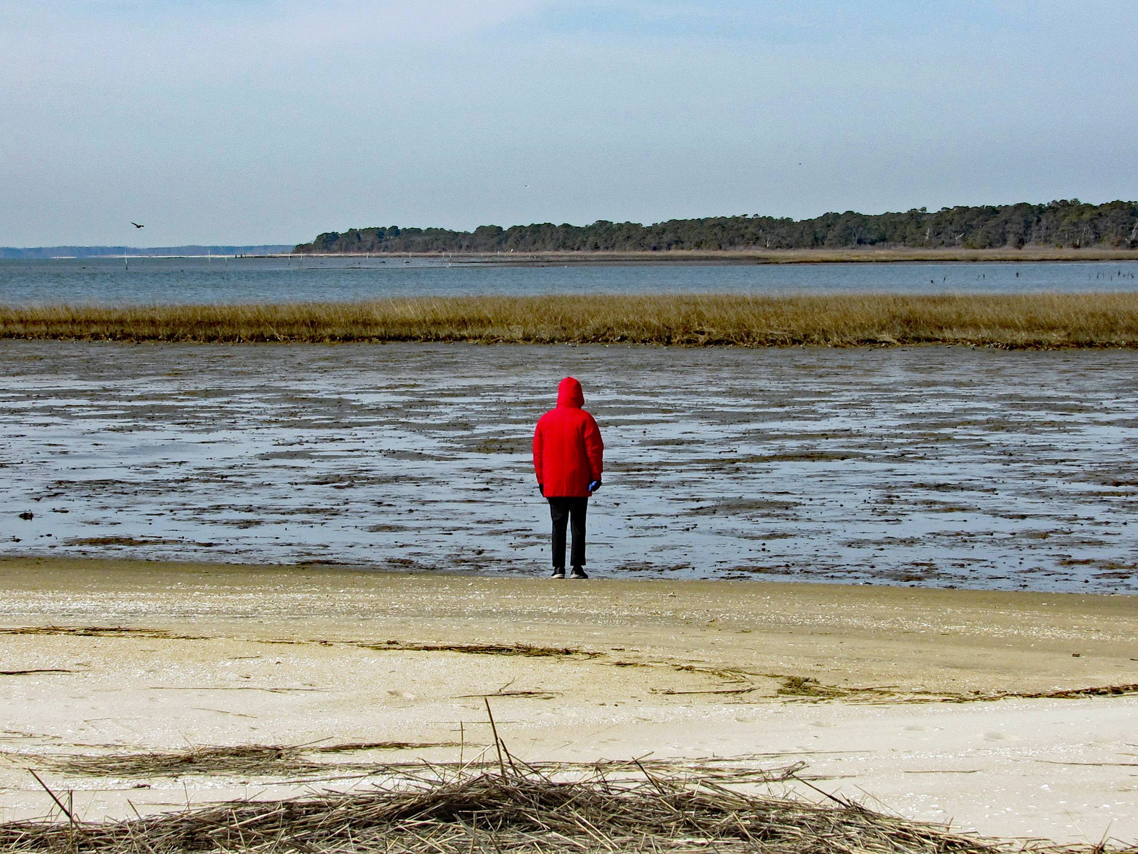
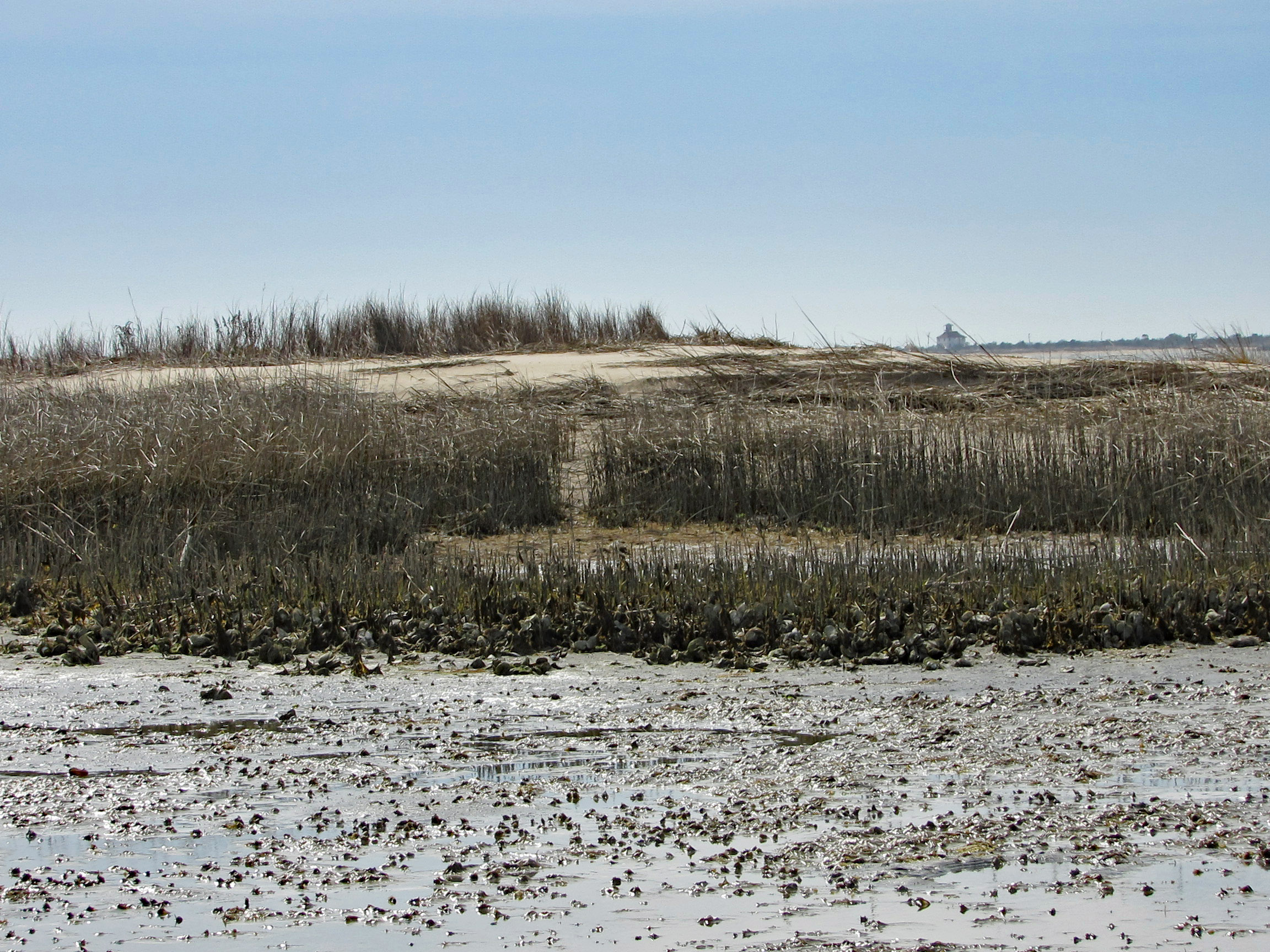
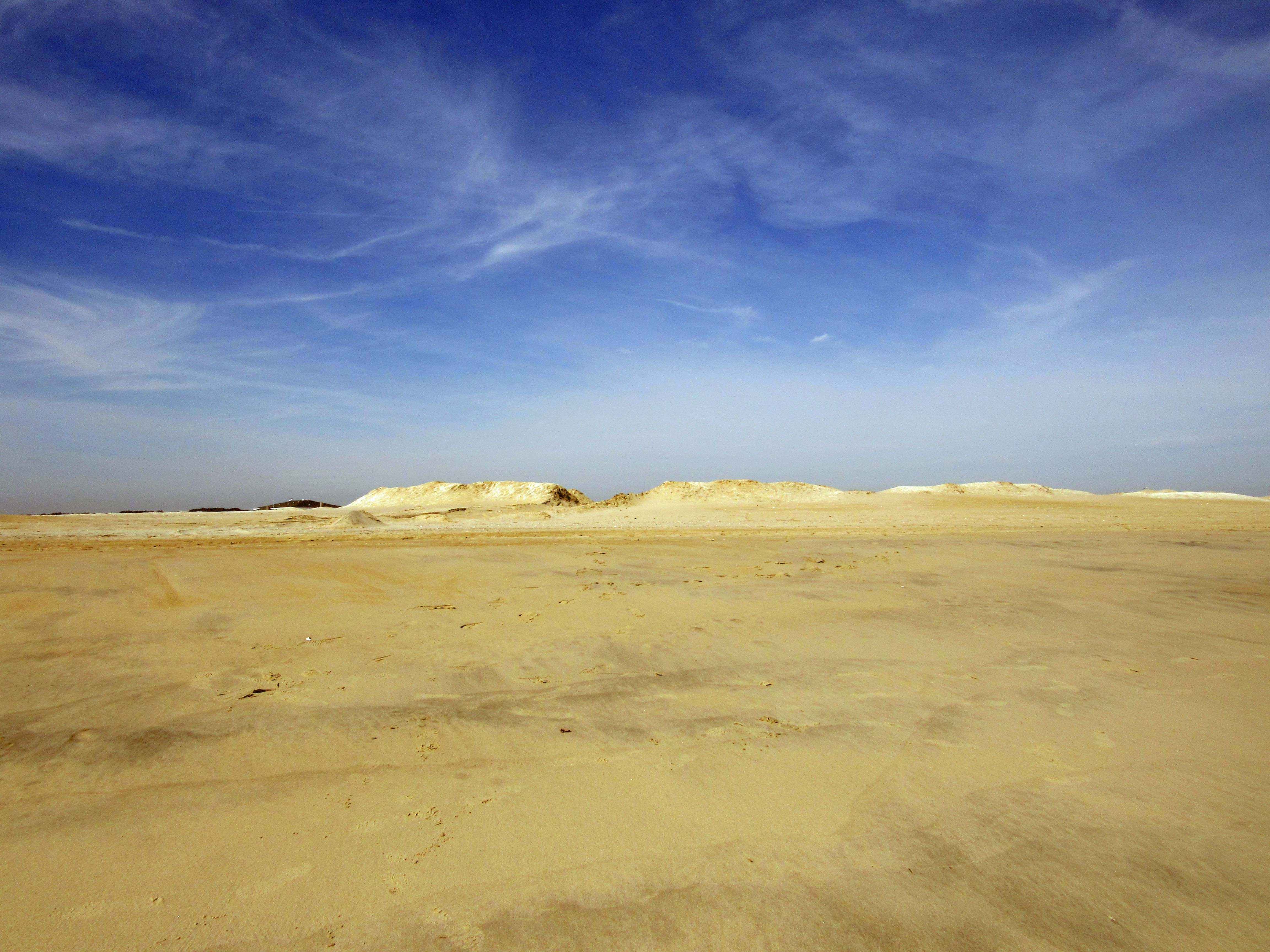
The beach is under a constant state of erosion and the Rangers/contractors are under a constant state of trying to fix it. I’m going to go out on a limb here and guess that the Atlantic Ocean and Tom’s Cove will soon be connected. That at the rate of erosion, maybe by 2025 this stretch of the beach will be gone. So much for doomsday projections…Kathy and I headed over to the cove. Kathy was wondering how are we going to get over to that strip of land. The tide was the lowest we have ever seen it. Off in the distance is where we usually hike – The Bi-valve Trail.

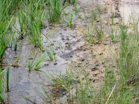
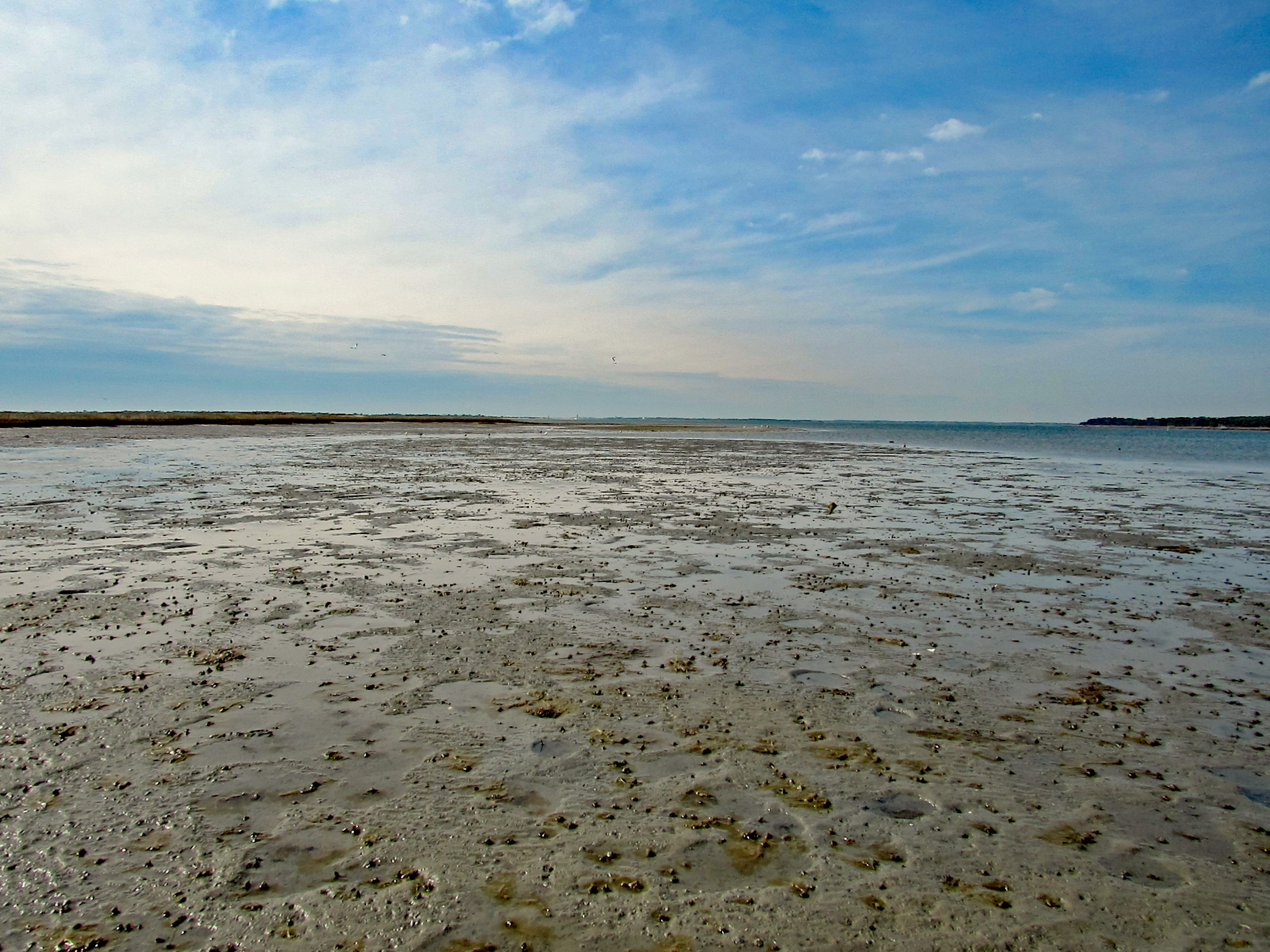
Mostly hard sand but there were some pockets of mud.

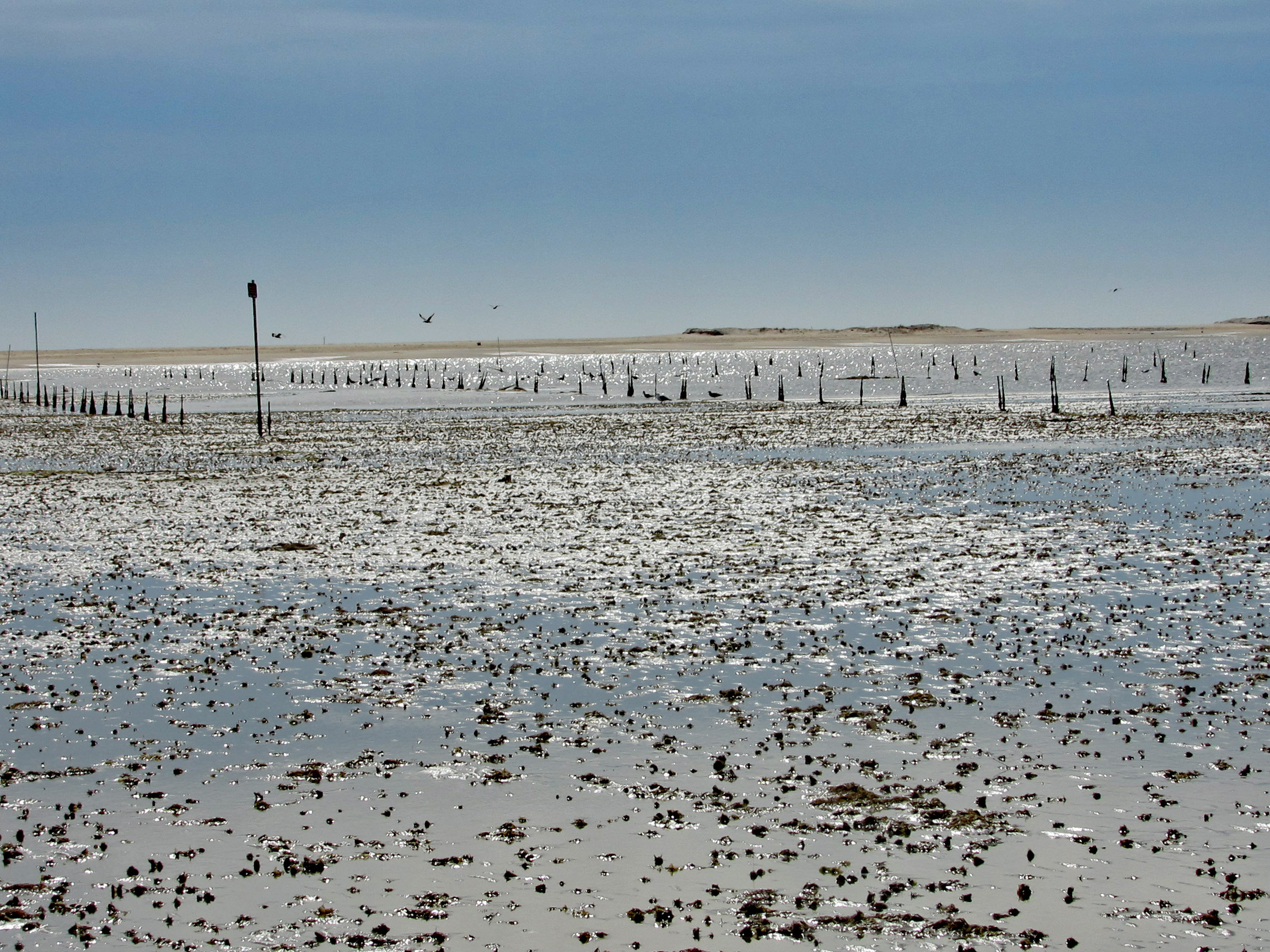
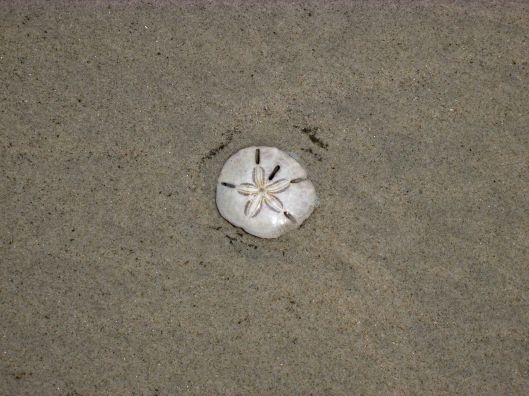
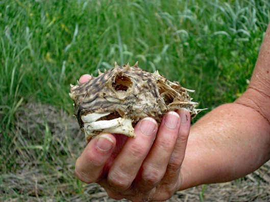
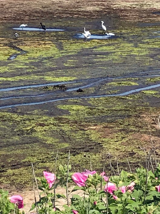
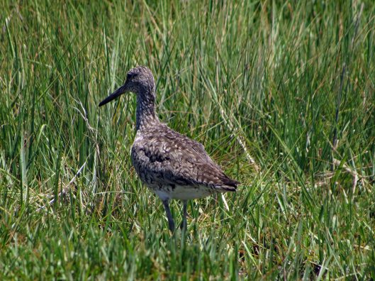
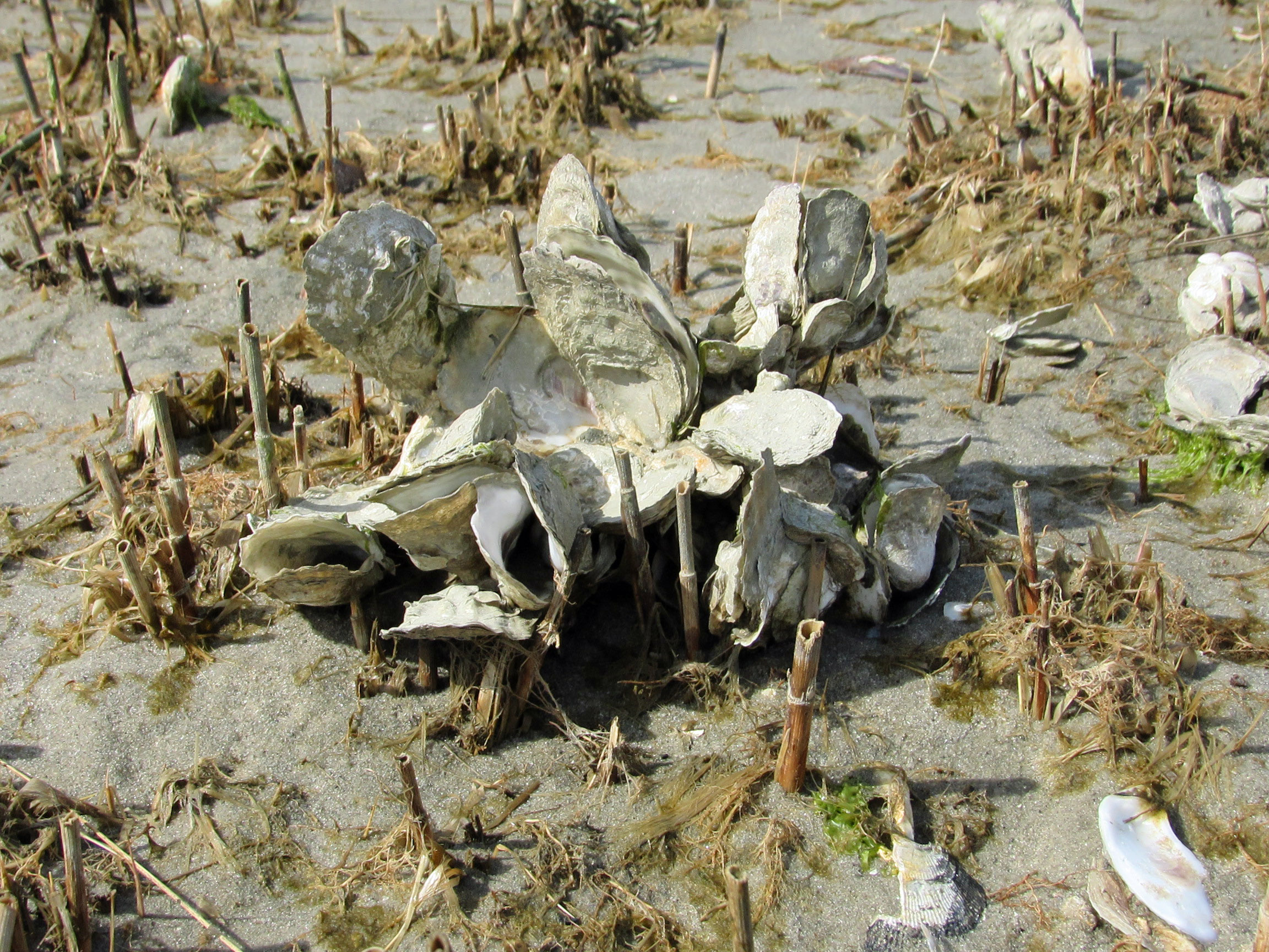
Quite a few varieties of shells. Mostly empty oysters and mollusks. Some clams here and there.

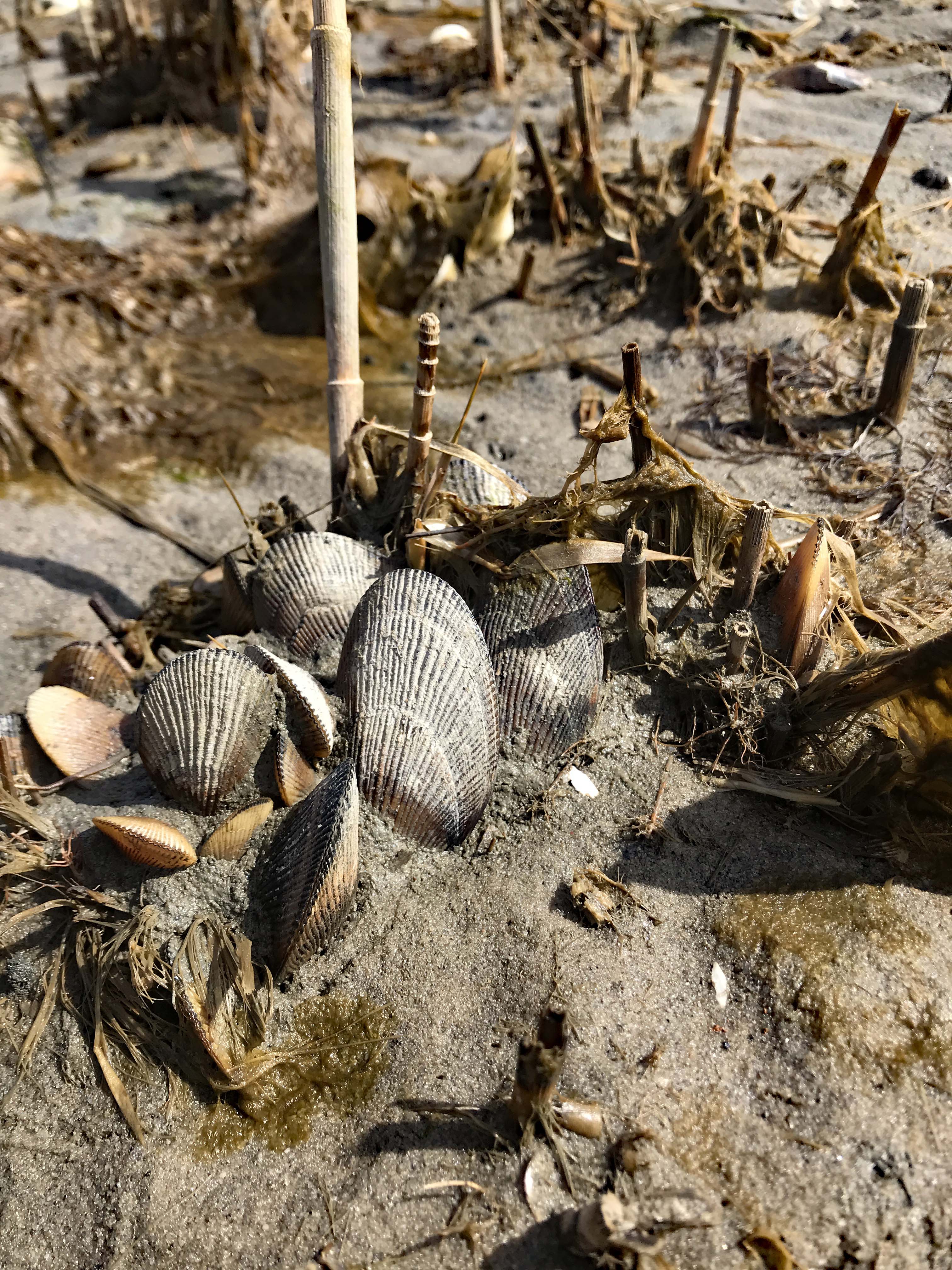
Kathy’s photo of some bivalves.

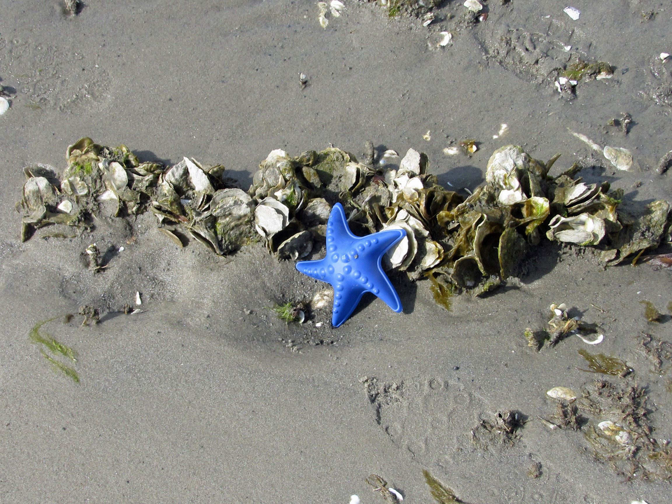
And a very lonely, cold, star fish.

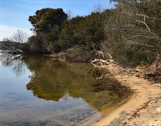
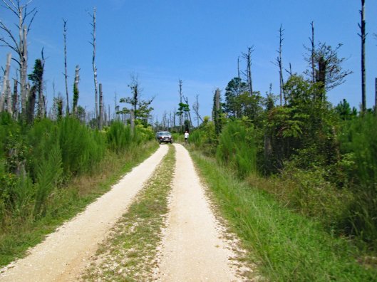
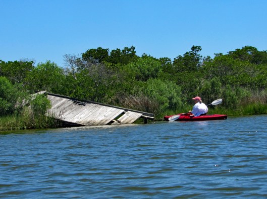
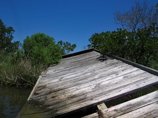
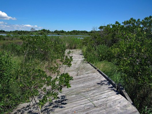
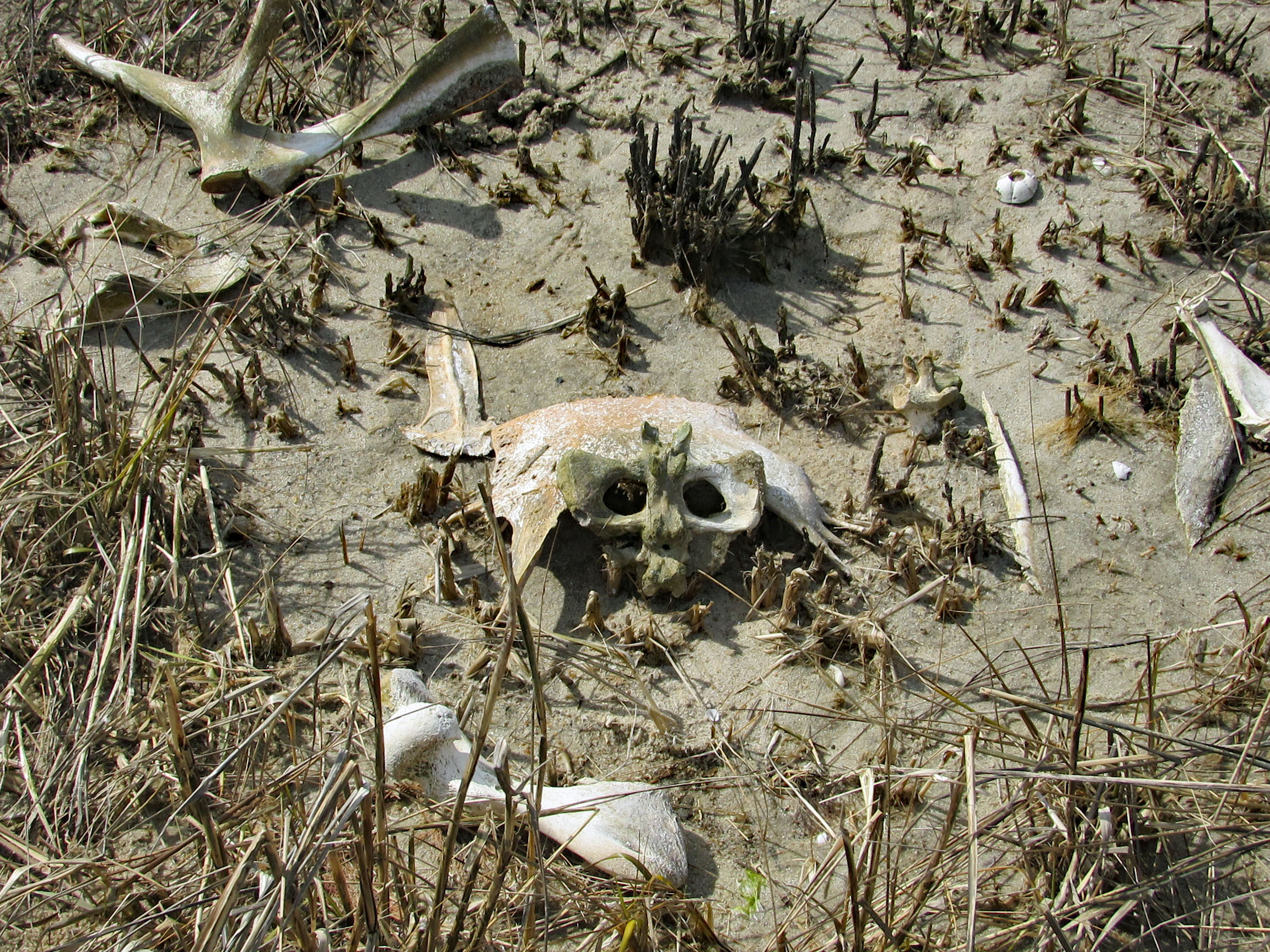
Time to head back and we thought this path would take us towards the beach. It didn’t.

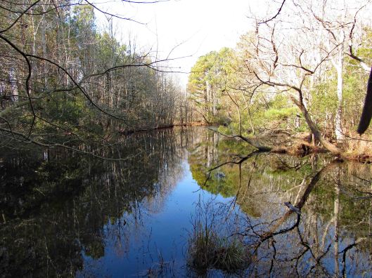
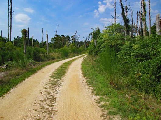
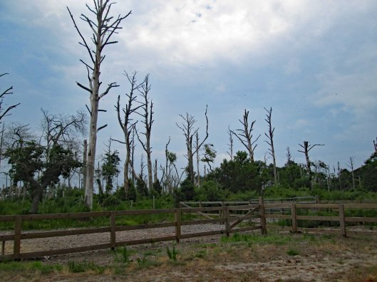
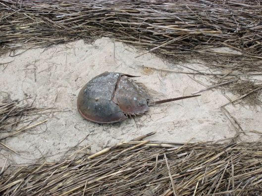
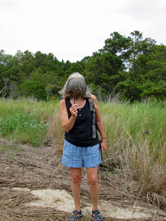
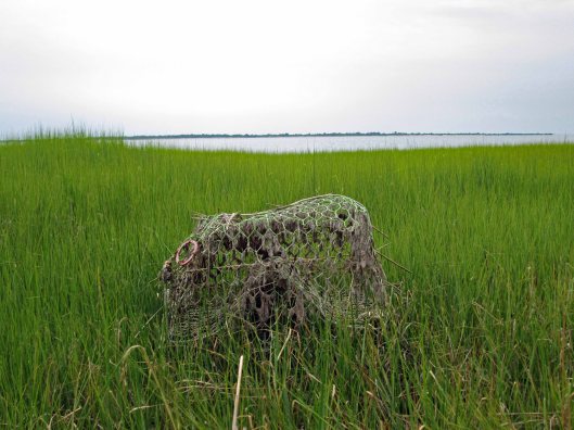
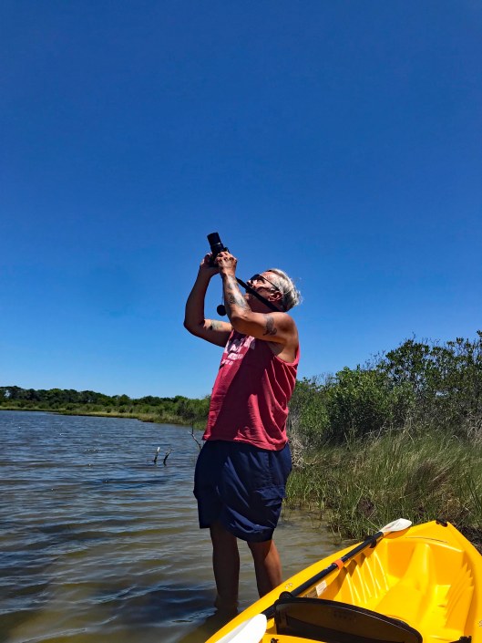
It took us somewhere alien! I have an app on my phone called Google Lens, which if you take a photo with it, it will tell you what it is you photographed. The app didn’t know what to make of this.

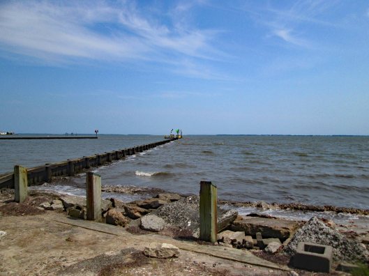
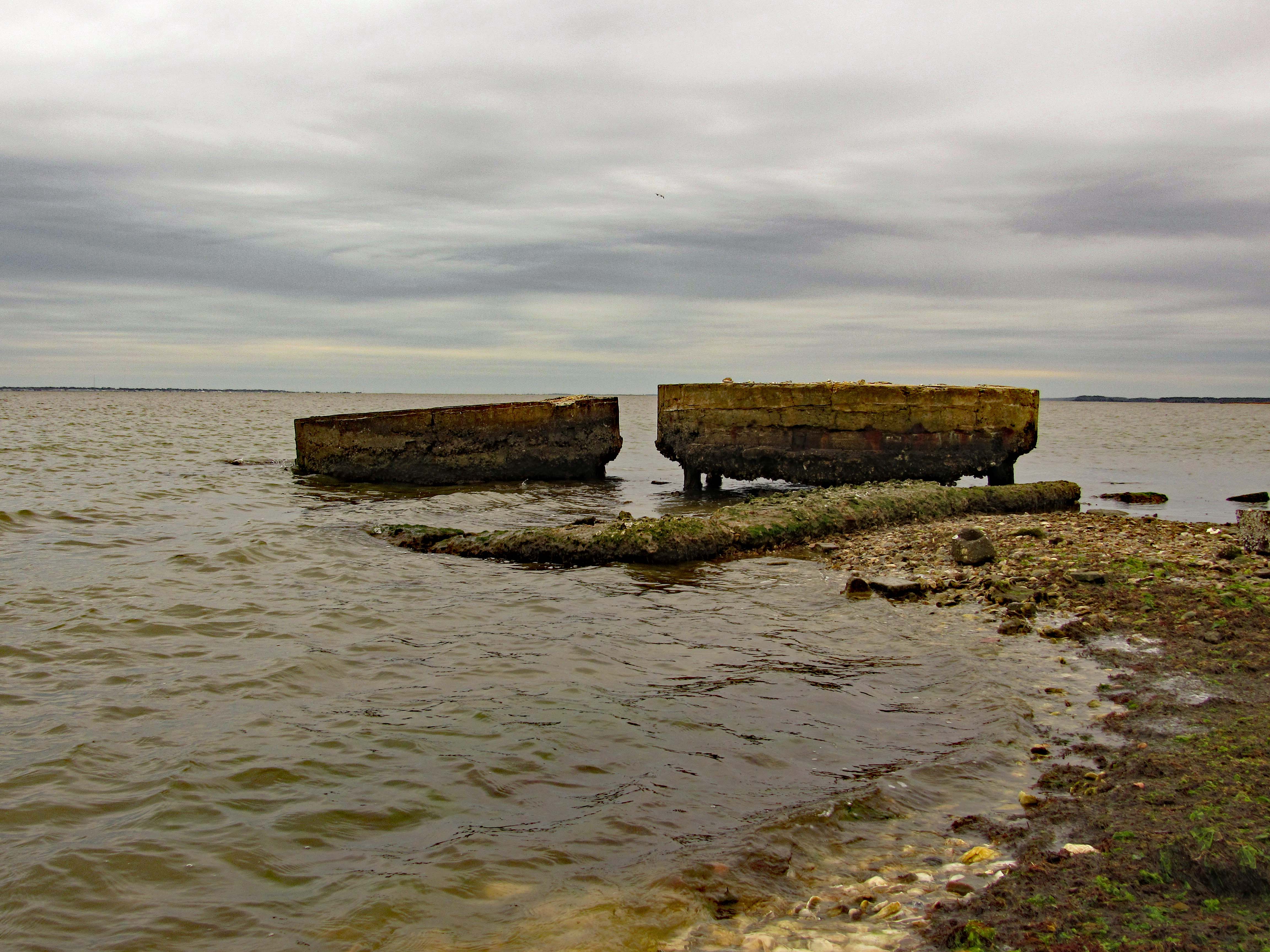
We finally make it back to the parking lot. Amazing how it changes every time we visit. Bulldoze the sand up in a pile and the ocean just washes over it.

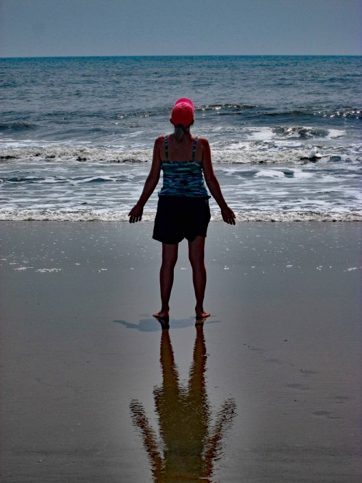
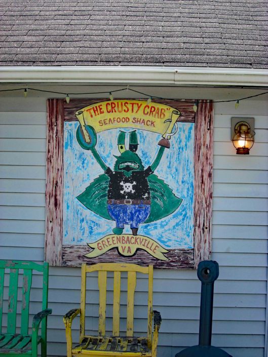
After walking around for a couple hours we then headed to the Crusty Crab at Greenbackville for a couple oyster sandwiches and their delicious coleslaw. Sat at the beach and ate. The tide was also low here…

Another great, repeat adventure with some new twists! Thanks GOD!

The Murden

15 Monday Feb 2021

Posted by Ronald Parks in Assateague, boating, Eastern Shore, engineering, Harbor, ocean city, Road Trips

≈ Leave a comment

Tags

Assateague, Corps of Engineers, dredge, inlet, Murden, OC, sand, Thrashers

Headed down to Ocean City, Md. the other day. It was cold and windy but a nice day to be out. We parked at the Inlet Parking Lot after checking to see if Thrasher’s Fries was open. They were not. Off in the distance we saw some sort of ship way down near Assateague.

The ship started to head back towards the Inlet Channel – some rough seas

Suddenly he headed towards the beach adjacent to the fishing pier.

Did a u-turn and we thought he was going to hit the beach.

He straightened himself (or herself) out and then headed into the channel.

Where the seagulls and I could get a good look.

The cars lined up for lunch and the gulls waiting for some Thrashers. Disappointed.

Back in the car with a view one way…

Then the other.

Here is a stock photo of the ship and some info.

The split hull dredger Murden is currently very busy working in and around Ocean City Inlet as part of the Assateague Island Restoration project, conducted in partnership with the Assateague Island National Seashore, the U.S. Army Corps of Engineers’ Baltimore District said in its latest announcement. This project involves dredging sand from in and around the Ocean City Inlet navigation channel and beneficially placing it south of the inlet just offshore of Assateague Island. The work is being done to mitigate the impacts on sediment transport and erosion caused by the the inlet and associated jetties. According to USACE, this work generally takes place twice a year. The Murden arrived at Ocean City Inlet at the end of May (2019) and is expected to continue working in the area until mid-June. The USACE’s shallow draft dredger is based out of the the U.S. Army Corps of Engineers’ Wilmington District in North Carolina.

Last Hike 2019

29 Sunday Dec 2019

Posted by Ronald Parks in Assateague, Eastern Shore, Hiking, State Parks

≈ Leave a comment

Tags

Assateague, Beach Life, Hiking, nature

It was a beautiful day Saturday, December 28, 2019 and there is nothing better than taking a hike on a beautiful day. If we had known it was going to be as warm as it was, maybe we could have went kayaking instead! Next time. We have a lot of favorite hikes that we do, but sometimes we look for new places. Although we have been to the Assateague area many times, we saw a spot on the map we never have been to – Rackliffe House and trail:

This historic site is behind the visitor center. There are 2 trails that lead there. We chose the wooded one instead of the asphalt.

Across from where Kathy is sitting is a path to Sinepuxent Bay with the Verrazano Bridge in the distance.

A very short beach hike.

Kathy pic
Kathy pic

Leaving the beach we head towards the house, passing the golf course.

Nice tree tunnel

This Geo-cache was hanging in plain site. At first I thought it was a wildlife camera.

Always nice to have a choice in the paths we take in life.

Historic house – from their website:

Rackliffe House, a 1740s merchant-planter’s home overlooking Assateague Island and scenic Sinepuxent Bay. Rackliffe House was constructed in the 1740s by Captain Charles Rackliffe, the merchant-planter grandson of one of the earliest English immigrants to Maryland’s seaside. The large two-story, three-bay Manor House features Flemish bond brickwork with random glazed headers, a steeply pitched gabled roof with kicked eaves, and large windows. Captain Rackliffe intended the house to be seen across the water. He built it on a prominent ridge atop a man-made terrace with expansive views of the water and island.

In its time, Rackliffe House has witnessed marauding Spanish galleons, Barbary pirate ships, and English men-of-war. The house has stood through the Revolutionary War, the War of 1812, and the Civil War. Today, thanks to the restoration efforts of the Rackliffe House Trust and the Maryland Department of Natural Resources, historic Rackliffe House now serves as a coastal museum that interprets 18th-century life along Maryland’s seaside.

View through the house

The second part of the loop includes a pond and a stream

Brave Molly stepped over Kathy’s feet to cross over

I thought all the bugs died off during the last freeze. Termites.

We leave the visitors center and the Rackliffe Loop and head over to the ocean. Always a favorite. And again we sought out an area we have never hiked. North of the Youth Group Areas. We hiked behind the sand dune and saw this. Who they keeping out or in?

Rounding the corner to the beach.

Kathy pic

The beach with not a lot of shells, just this small group;

Getting ready for the new year.

Not that we run around nude on the beach a lot, but this sign makes you wonder! Kathy says this use to be an unauthorized nude beach many years ago.

Beautiful day, beautiful hike and beautiful beach! Thanks God for another beauty!

Bike, Beach and Drive-by

11 Sunday Aug 2019

Posted by Ronald Parks in Assateague, chincoteague, Eastern Shore

≈ Leave a comment

Tags

Beach, biking, chincoteague, Hiking, kayaking, oysters

Another day trip to Chincoteague. We rode around the wildlife loop and instead of taking the Swan Cove Trail we headed to the service road. This is about a 7 mile road. The road wasn’t bad but the mosquitoes were terrible!

Lots of dead trees.

Headed to the beach via the OSV – Over Sand Vehicles entrance.

This wasn’t a bad road either.

Parked our bikes. Ran into a volunteer ranger and we asked about all the dead birds on Chincoteague Road bridge. 100s of them. She said they were fledgling seagulls, just learning to fly. They come up out of the marshes and because they are young, they can barely get the height they need to get over the bridge. Not to worry she said…there are a lot of them. Ugh!

Lots of birds and other life on the beach.

Ghost crab

Beach and ocean as far as you can see.

Aura around Kathy’s reflection.

Survey marker

Can never have too many seashells from the seashore!

Heading back, need to watch out for the 4 wheelers.

Took a different route home. Usually we take Chincoteague Road (Rte 175) to Rte 679, which turns into Rte 12 in Maryland. We turned on Rte 798 and went past Wallops NASA. Back to 679, turned at Captain’s Cove. This is on the Virginia side and put us in Greenbackville.

Next dinner date!

Left there and headed north to George Island Landing Road.

No windows or doors, but I have 3 boats.
This beach was all shells…
Years of piles upon piles
Everywhere are signs, blocking the scenery…
Might do, but doubt it
Nice launch and not crowded.
Old oyster house
Waiting for the ships to come in
New structure among the ruins.
Lots of shells
I’m looking through you..

Great day trip!

Chincoteague Bike/Hike

14 Sunday Jul 2019

Posted by Ronald Parks in Assateague, biking, Eastern Shore, Hiking

≈ Leave a comment

Tags

biking, chincoteague, Crabs, Hiking, ocean, ponies, wallops

Kathy and I cannot get enough of Chincoteague National Wildlife Refuge. We did another bike ride through, with a small hike thrown in. As can be seen below, this was our path. According to the brochure, shown at the end of this blog, we only did about 8.3 miles, but with Google Maps we went over 9.7 miles. Either way, it was nice.

When we left the house on this adventure, our intent was to only do the Wildlife Loop and part of the Service Road, but we ended up leaving the Wildlife Loop on Black Duck Trail and headed towards the Woodland Trail. On that trail is a great trail – The Bivalve Trail. Afterwards we went back to the Wildlife Loop and the Swan Cove Trail and eventually the ocean.

Pumping-restoring the marsh
Black Duck Trail
Pony Pens
Woodland Trail
Road less traveled on left
Wishes in waiting
Off-road biking
End of road – off bikes and hike
Looking left
Looking right
What is that?
Getting close
After conferring with a couple of people, Merrill and Phil,
This is a reflector for Wallops Island (NASA)
NASA in distance

Views along this path…

The Fiddler
Who am I?
Long ago puffer
Contemplation
Abandoned

Back to the bikes and onto the Woodland Trail

Pony Pens
Ponies
Swan Cove Trail to ocean
Marshes drying up
Map Paths

Another wonderful adventure! Thanks God

Assateague Revisited

06 Saturday Jul 2019

Posted by Ronald Parks in Assateague, Eastern Shore, kayaking, State Parks

≈ Leave a comment

Tags

Assateague, kayaking, nature, ponies, State Parks

Return trip to Assateague State Park for some more kayaking. Paddled a little over 2-1/2 miles and were out there for a few hours. Nice day with a slight breeze, enough to keep the bugs off. We put in at the Old Ferry Landing. A few people there. By the time we returned, there were a lot more people. We pretty much went to a couple isolated waterways, opting not to head out on open water to the islands. Mostly hugged the shoreline.

Headed south-east which was a dead end.

Turned and headed north east, passing by the landing, towards the nature trail. Came across this.

Got close to check it out, then climb up on it.

It dead ends. Must have washed up here during a storm.

Taking a picture of Kathy taking my picture.

It was harder getting up and down that thing than it looks. Once I was able to crawl back into my kayak, we headed into a cove.

Then backed out to head to another.

Wind picked up so Kathy made a sail.

Could not find this in my bird book. May be immature and not be fully colored.

Back into another little waterway and as far as we could go.

Although we could only go so far, it was really nice and peaceful back here.

Parked the kayaks to chill in the water some.

Kathy’s pic of me trying to take a photo of a bi-plane flying overhead. Red Baron.

Kathy’s pic. My hands shake to much to get a good shot that far away.

Not only does Kathy do a good Ralph Macchio, she also picks up other people’s trash along the beach.

After some walking around looking at crabs and various shellfish, back into the kayaks for another cove.

Another dead end.

A shortcut on the return.

Lots of people. I think the ranger was giving crabbing lessons.

Nice day on the water and we then run into a traffic jam leaving the park.

Kathy’s photos of the ponies.

A very nice kayak adventure!

Blogroll

  • Flouride Action Network
  • lulu
  • My Book
  • WordPress.com
  • WordPress.org

Recent Posts

  • In Search of The Skipjack Ada Mae
  • Trap Pond Kayak
  • Pusey Trail and Cemeteries
  • Chandler Tract (White Trail) 4 3 21
  • Oyster Fritters, Antiques, a Hike (and a bad sign)

Blog at WordPress.com.

  • Follow Following
    • Water and Me
    • Join 226 other followers
    • Already have a WordPress.com account? Log in now.
    • Water and Me
    • Customize
    • Follow Following
    • Sign up
    • Log in
    • Report this content
    • View site in Reader
    • Manage subscriptions
    • Collapse this bar
 

Loading Comments...