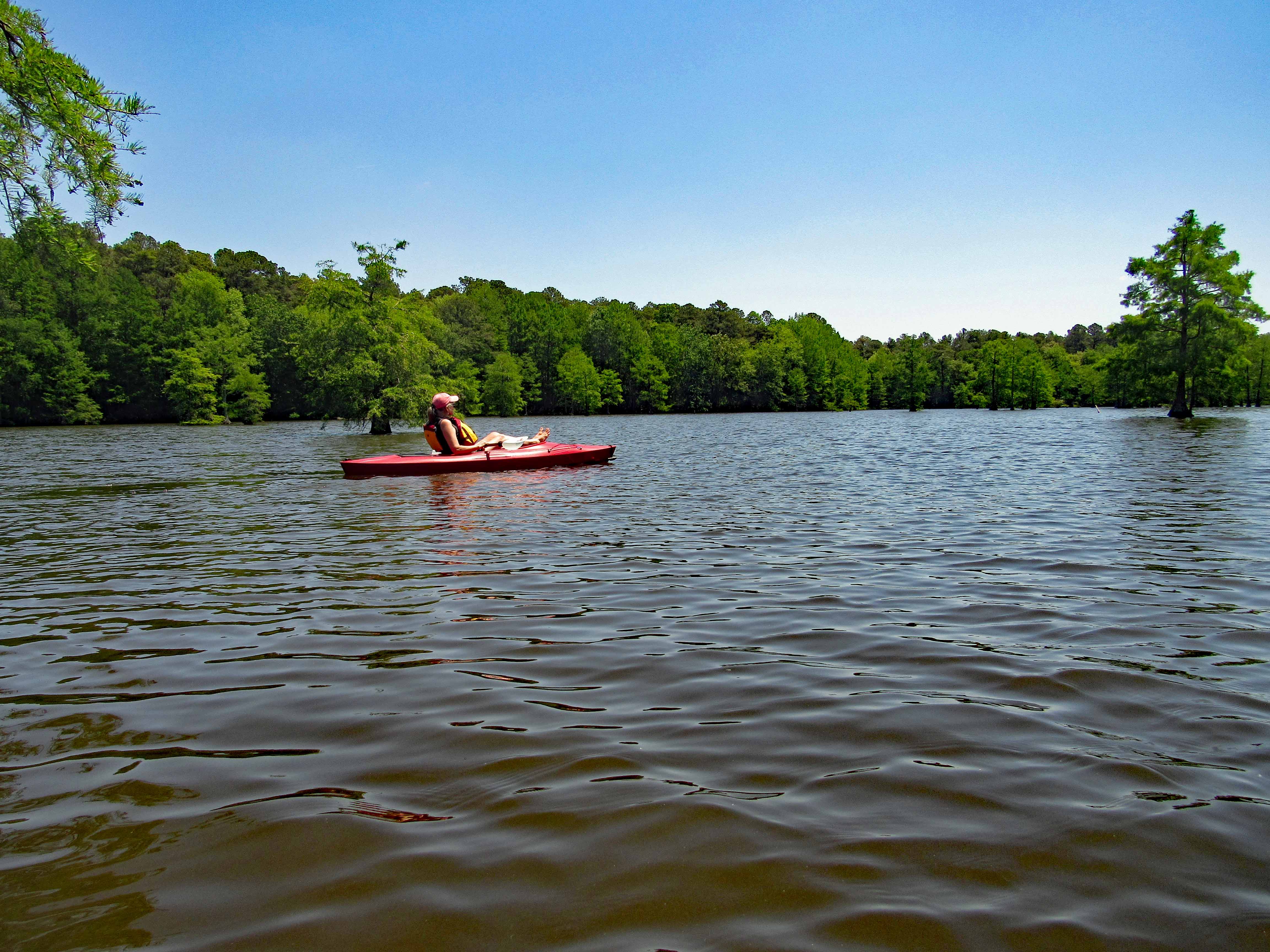
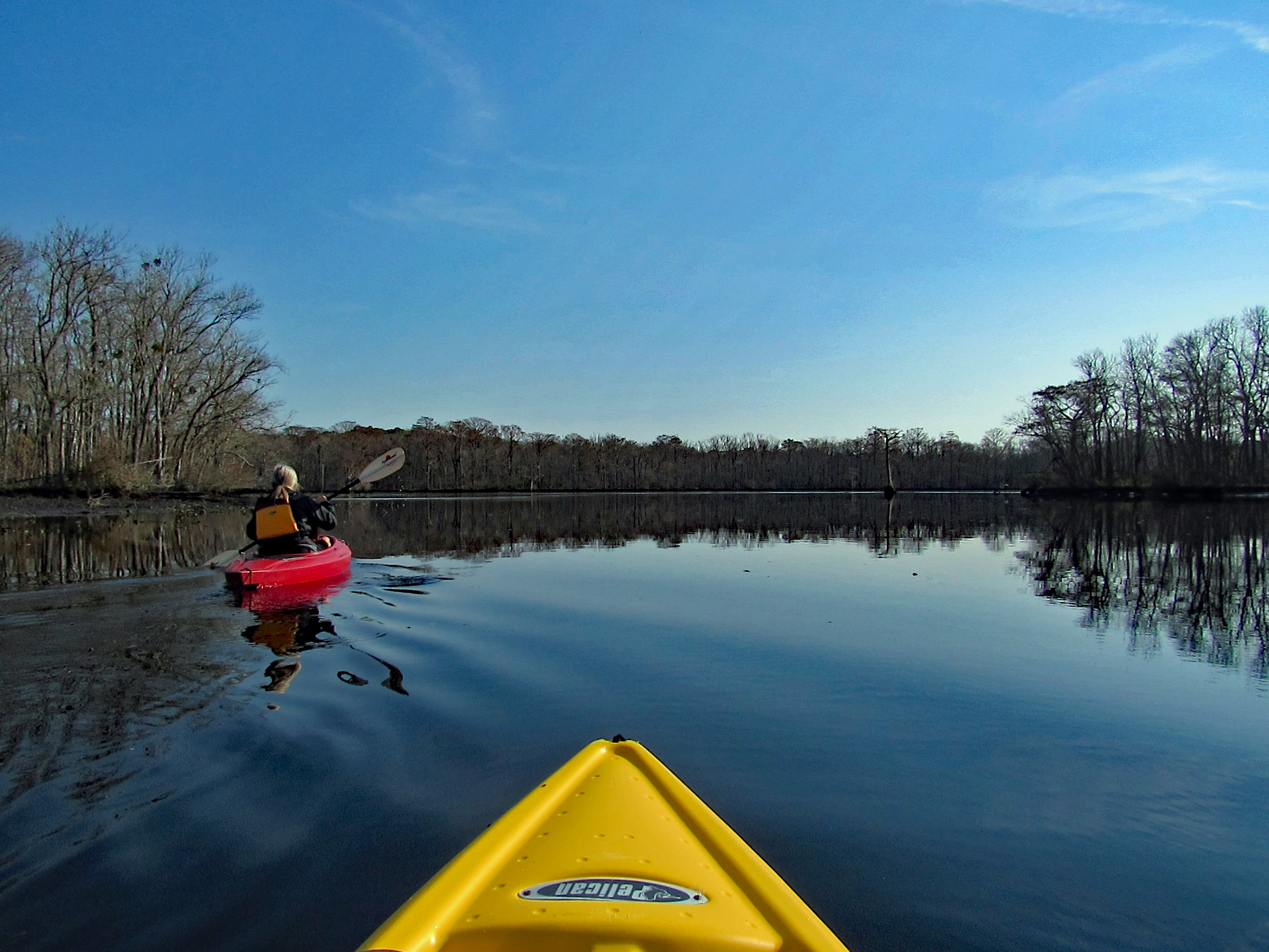
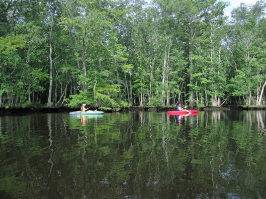
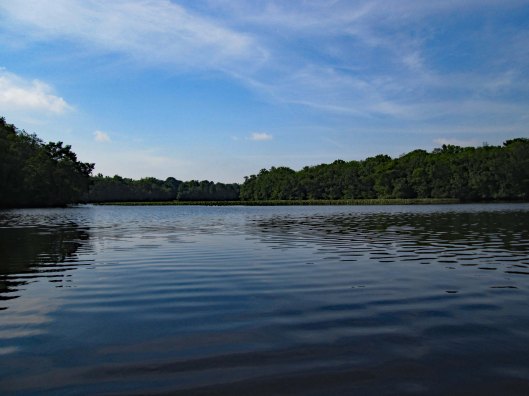
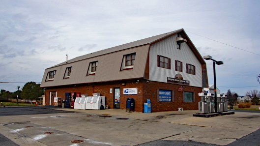
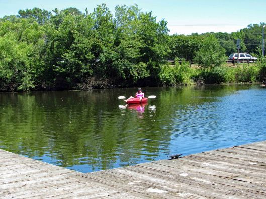
First kayak adventure of the season at Delaware’s Trap Pond State Park in Delaware. It usually costs us $8 to park at the boat launch. This year we decided to go ahead and get a yearly, out-of-state permit (for seniors) since we like hiking, biking and kayaking there. The permit covers all state parks in Delaware except Fort Delaware State Park and Pea Patch Island.
Water was calm. And since it was a very nice day weather wise, there were a few people on the water. We paddled a little over 3 miles.
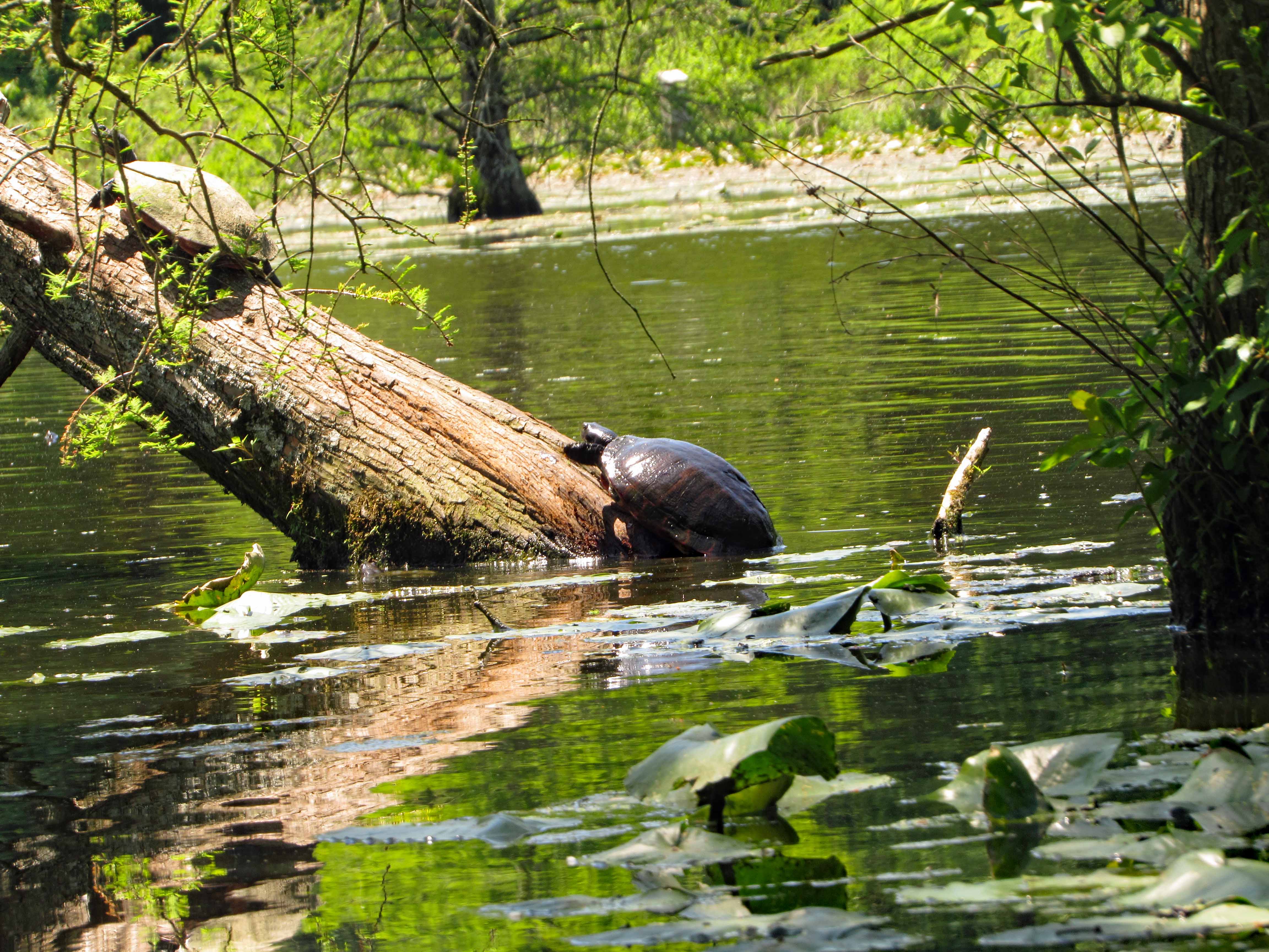
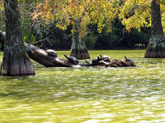
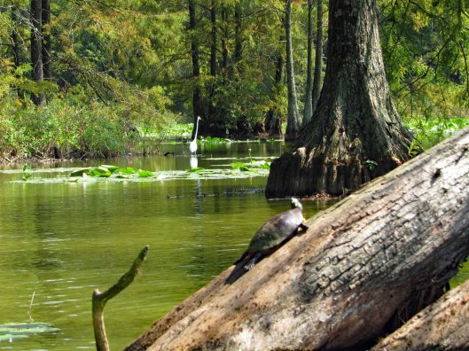
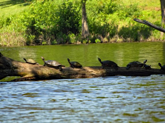
As usual there were a lot of turtles sunning themselves.
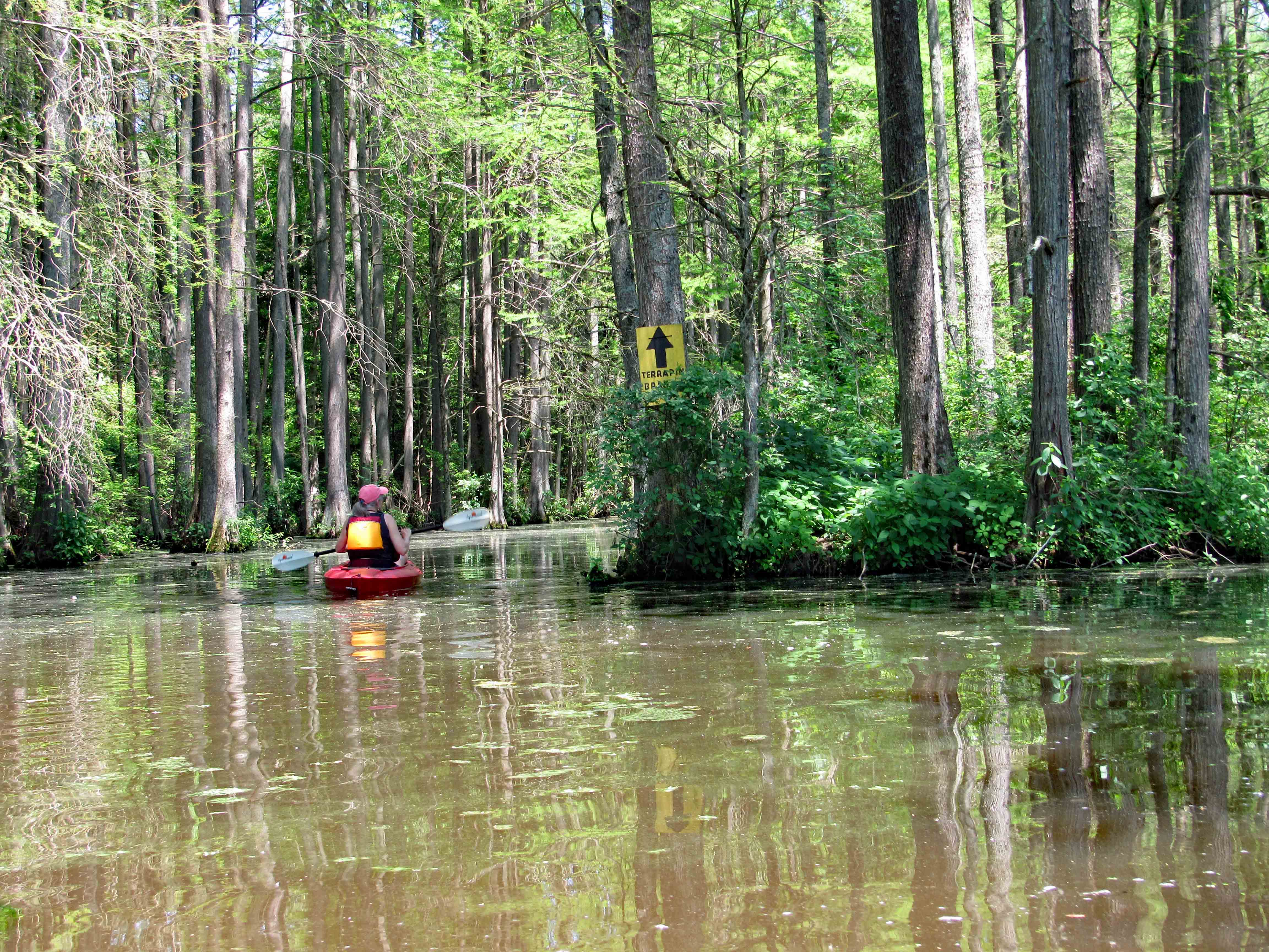
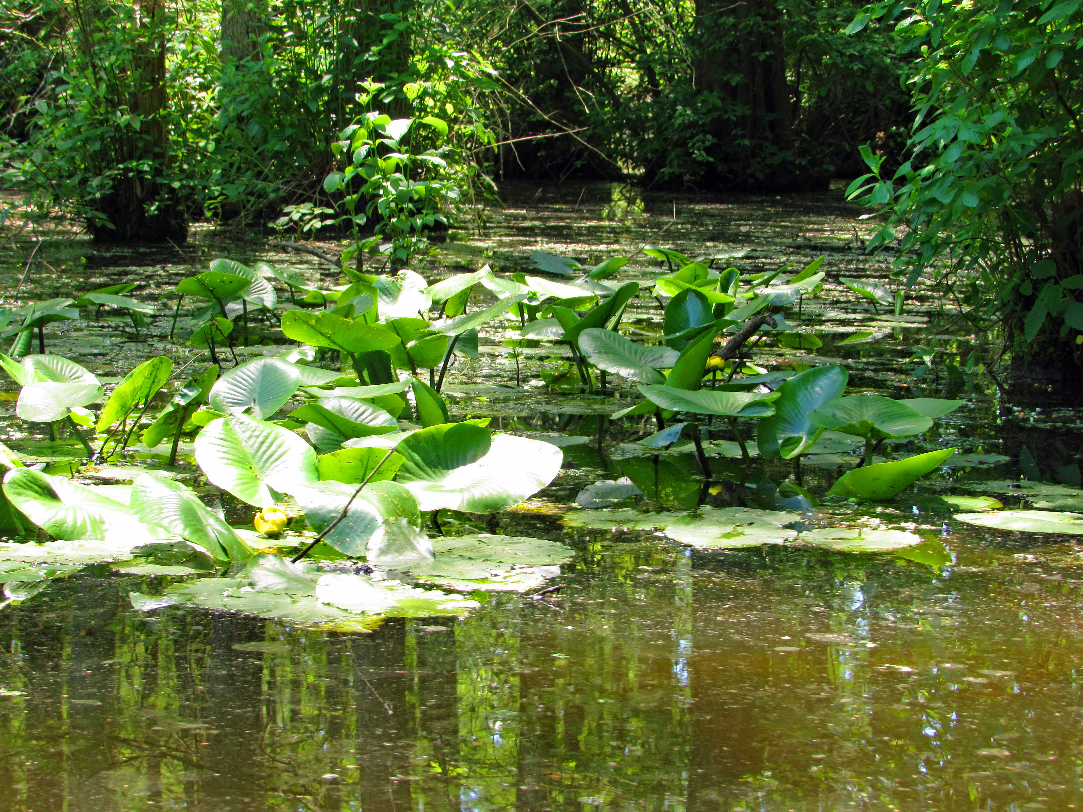
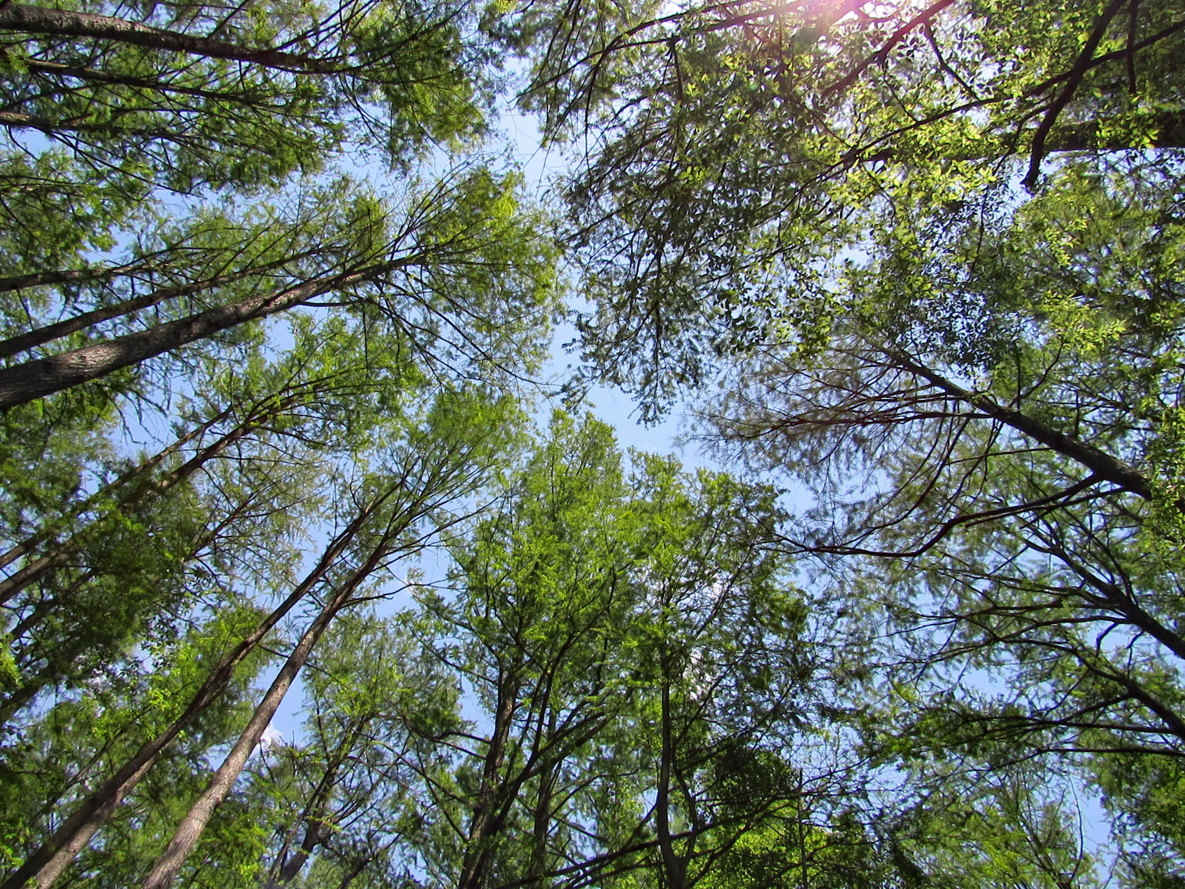
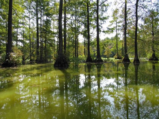
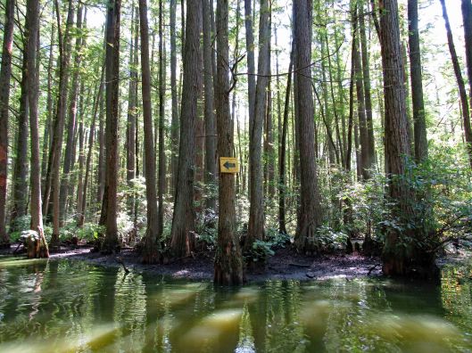
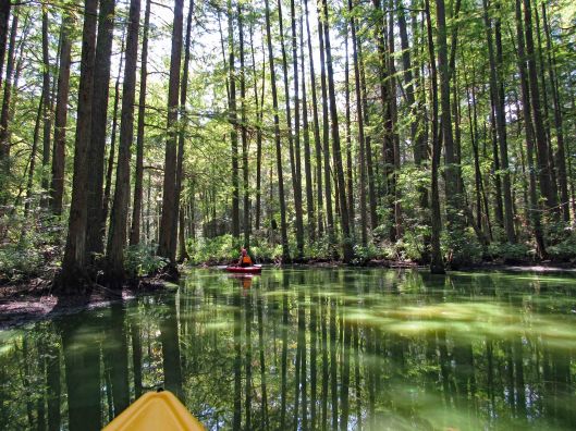
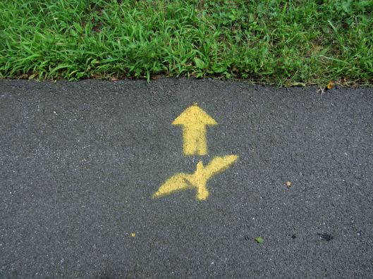
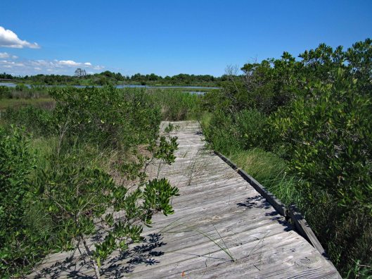
Into the cypress swamp. Arrows pointing the way to Terrapin Branch. On Google maps this is called Thompson Branch.
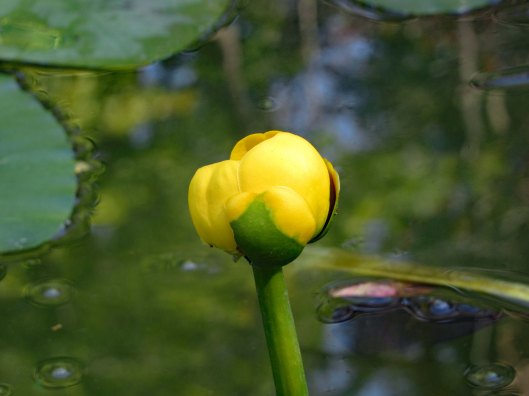
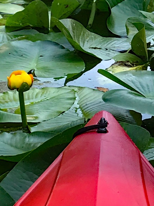
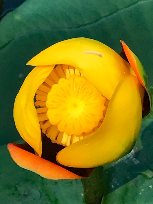
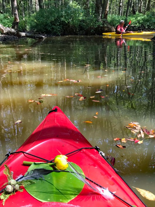
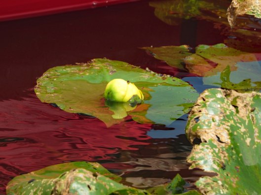
Flowers already in bloom on the lily pads.
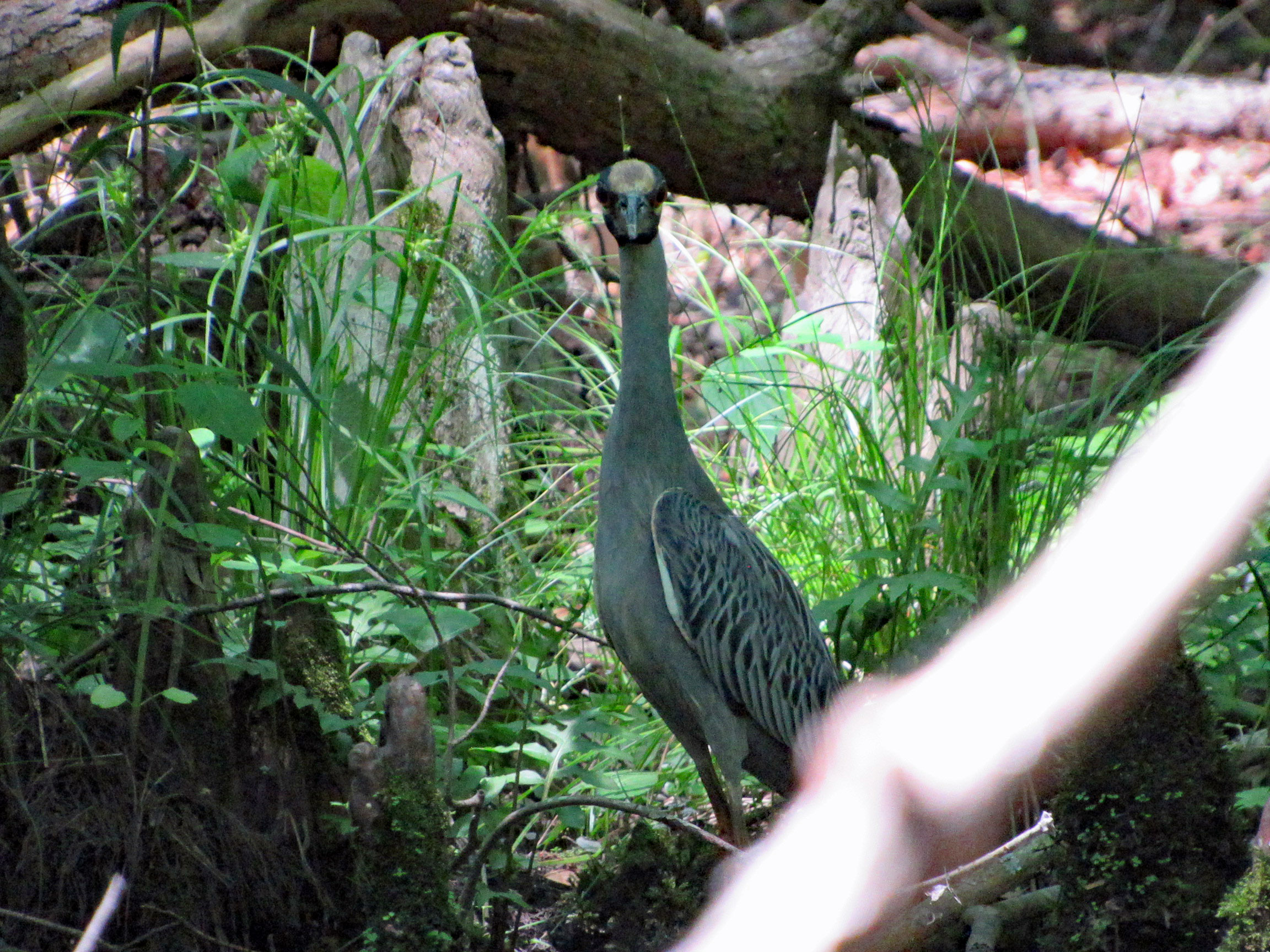
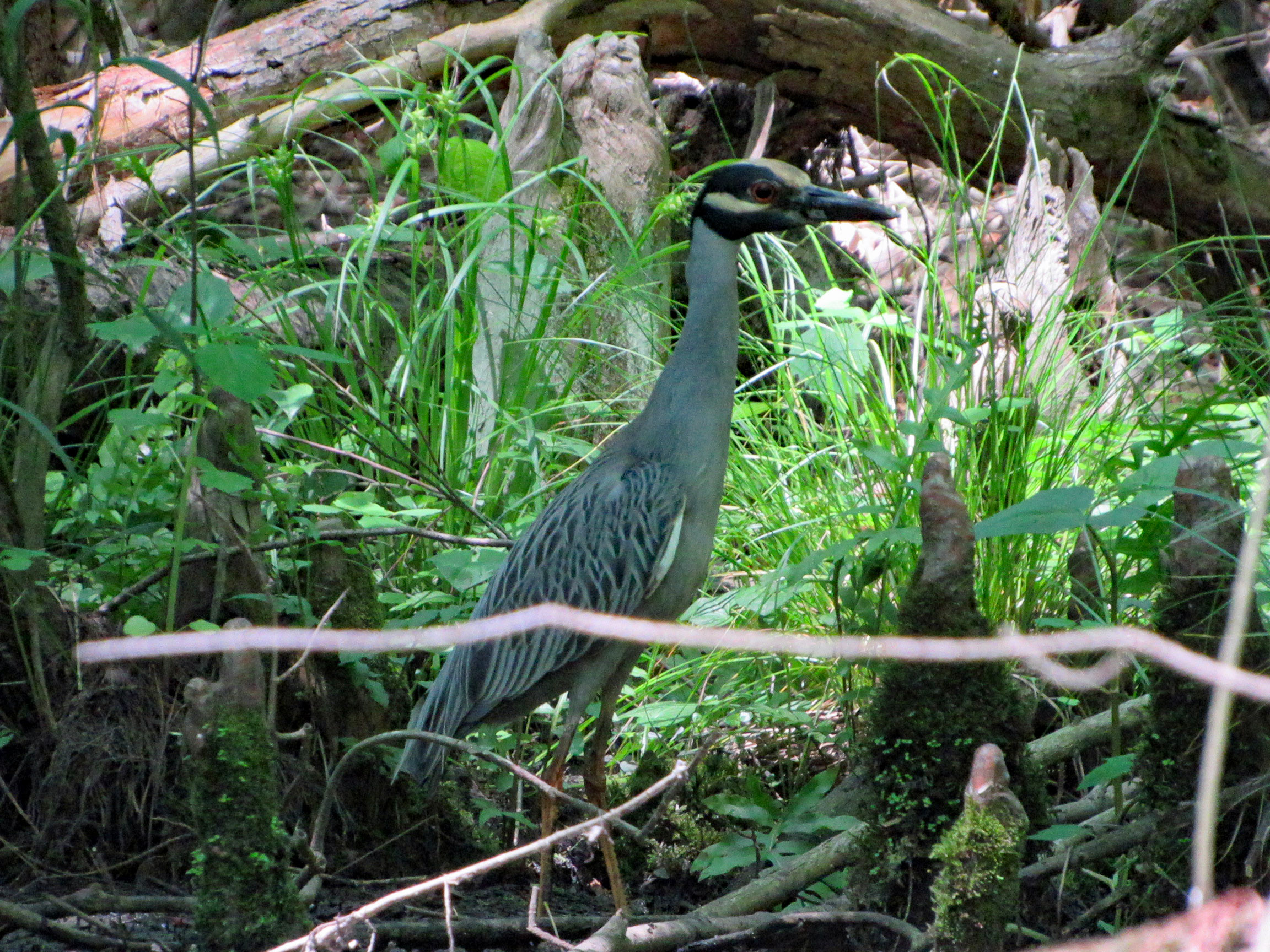
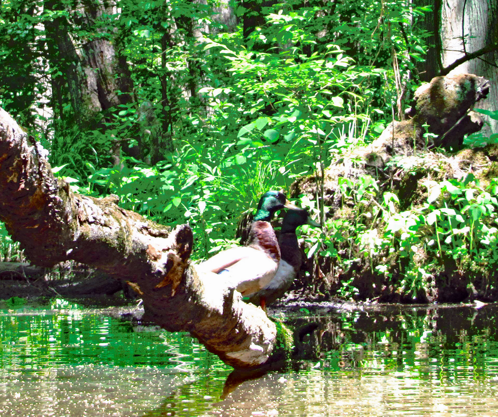
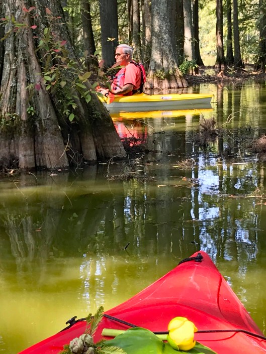
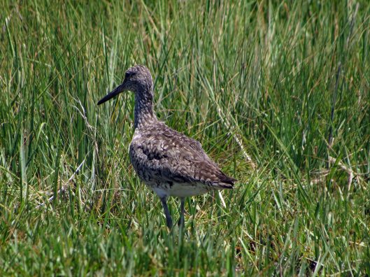
Looking at me looking at him.
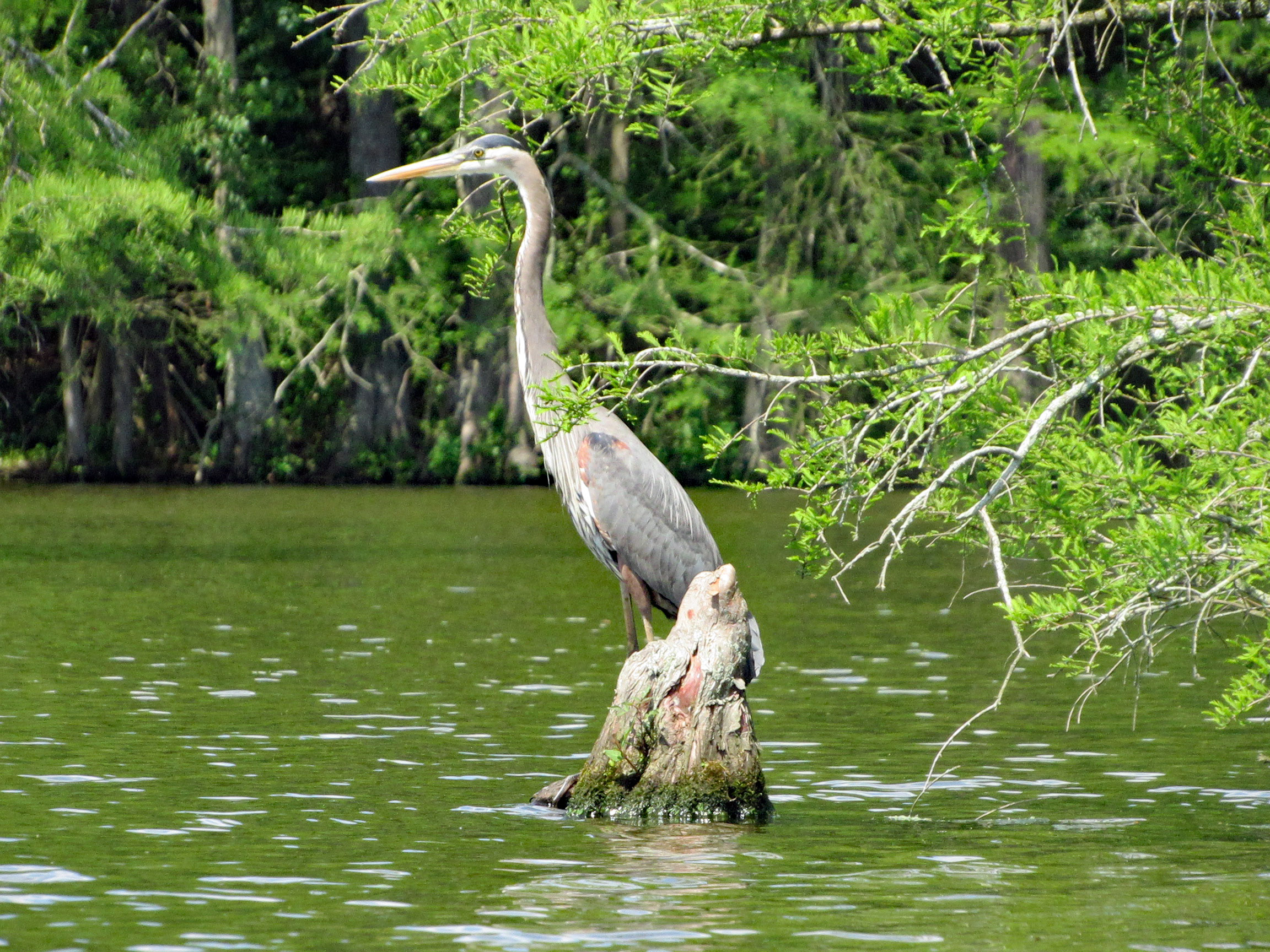
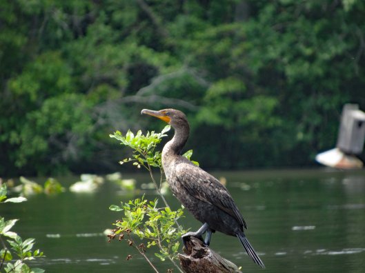
Google Lens app says this is a Yellow Crowned Night Heron? Not sure.
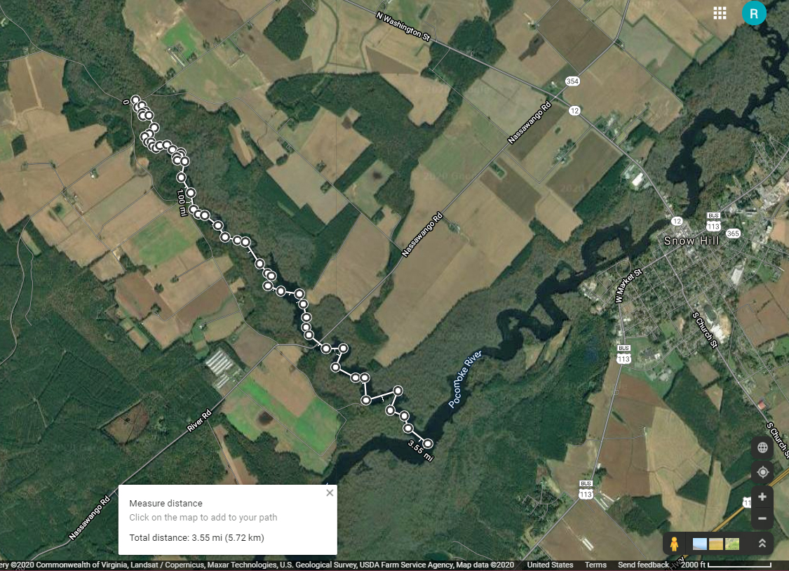
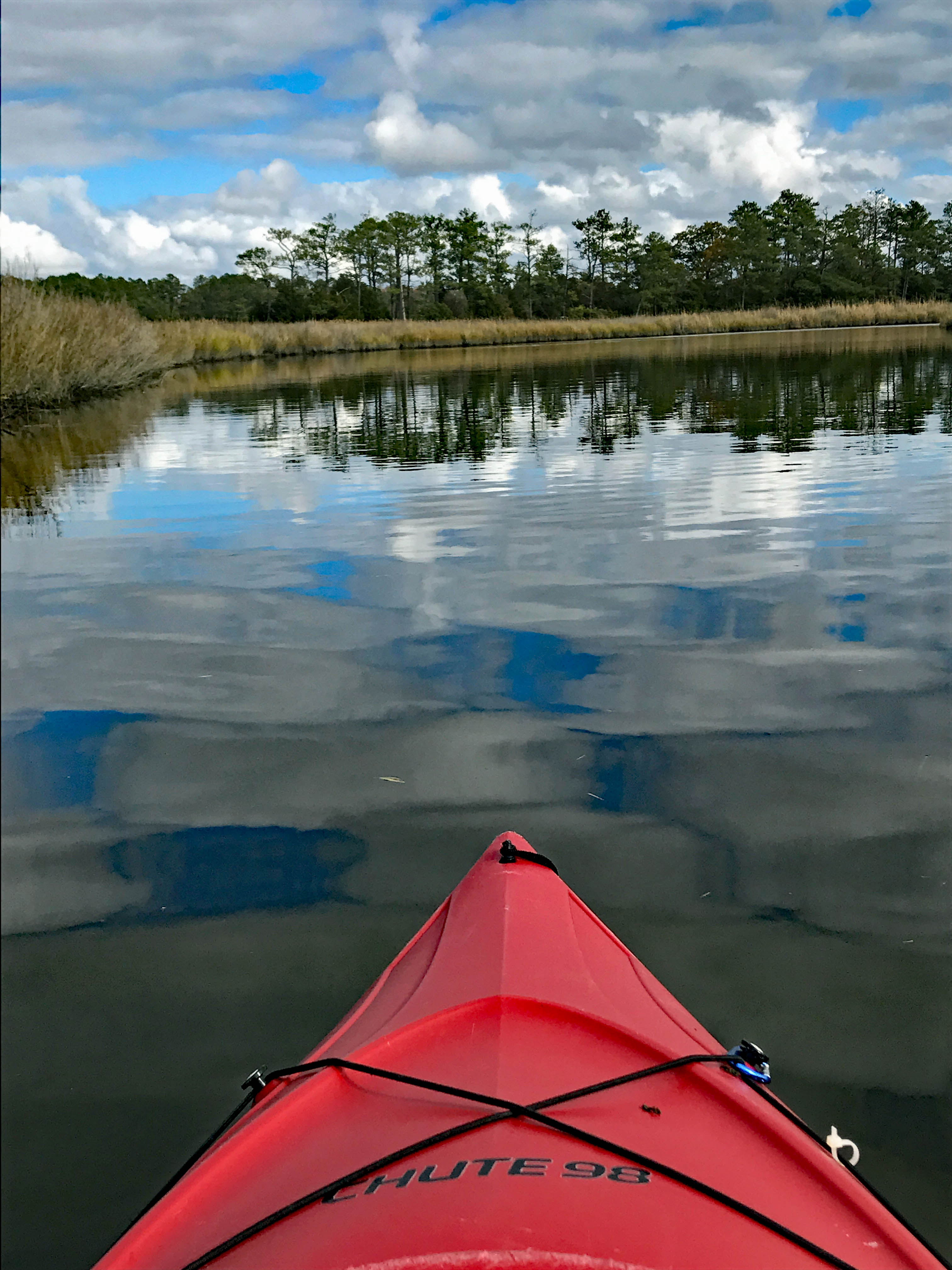
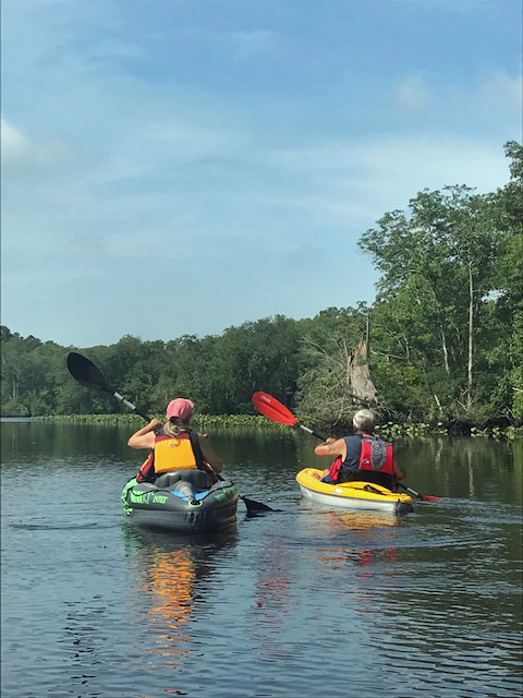
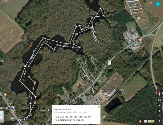
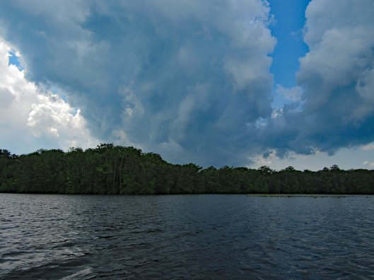
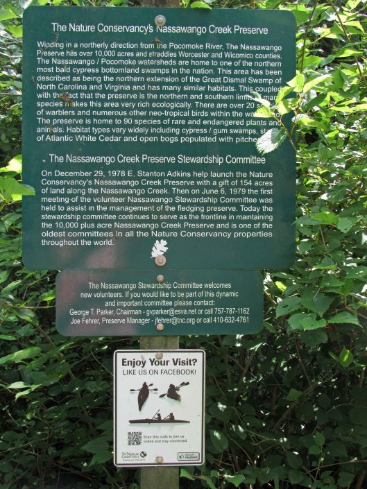
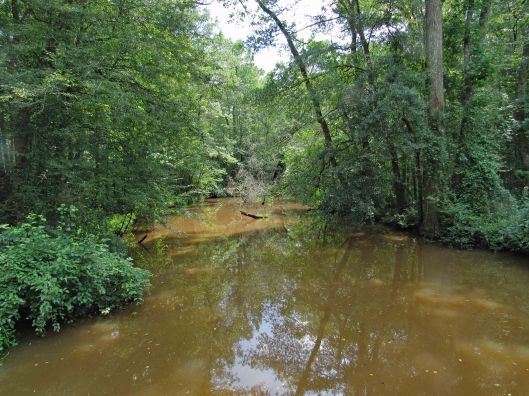
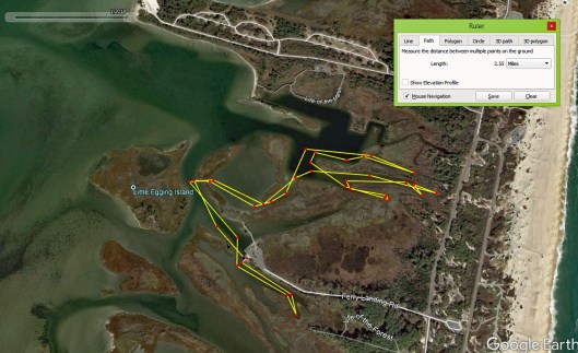
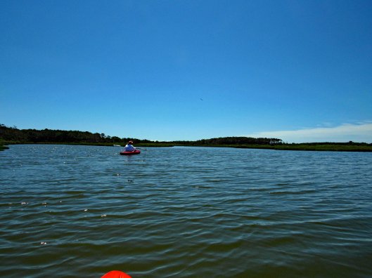
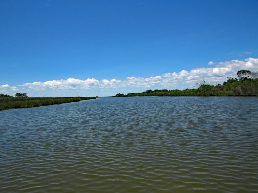
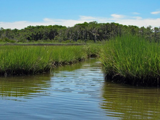
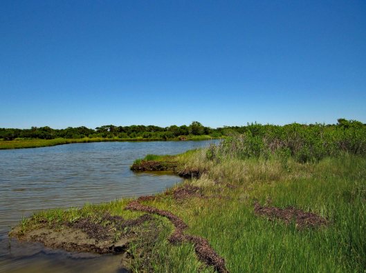
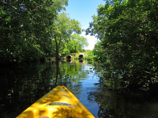
Headed out a little late for a long kayak adventure so we decided to go to a spot nearby – Nassawango Creek to the Pocomoke River. We have done both of these this past summer, but this is our first time going all the way down the Nassawango to the Pocomoke. The water was unbelievably low today and as we stood on shore looking, the creek was still flowing out, rather rapidly.
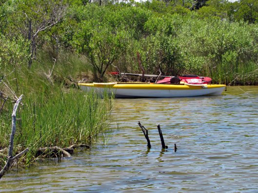
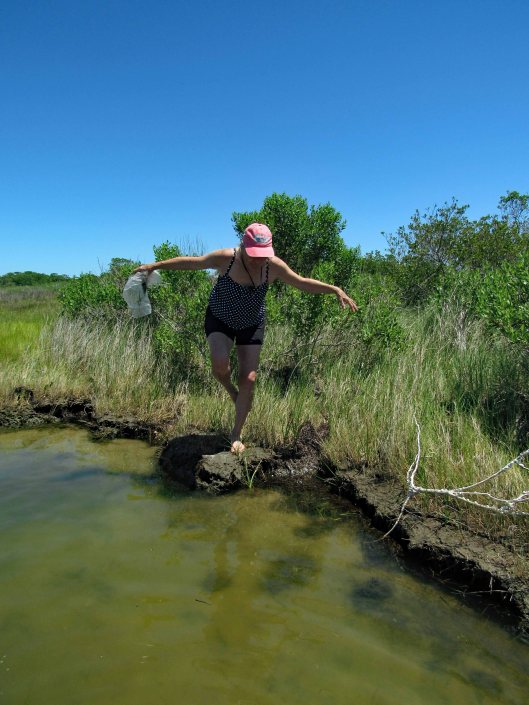
I prefer a ramp/launch to get in and out of my kayak. I know I risk scraping the bottom quite a bit, but I’d rather do that than fall in! The water being so low, you need to step down two steps. (This is my favorite photo, taken by Kathy)
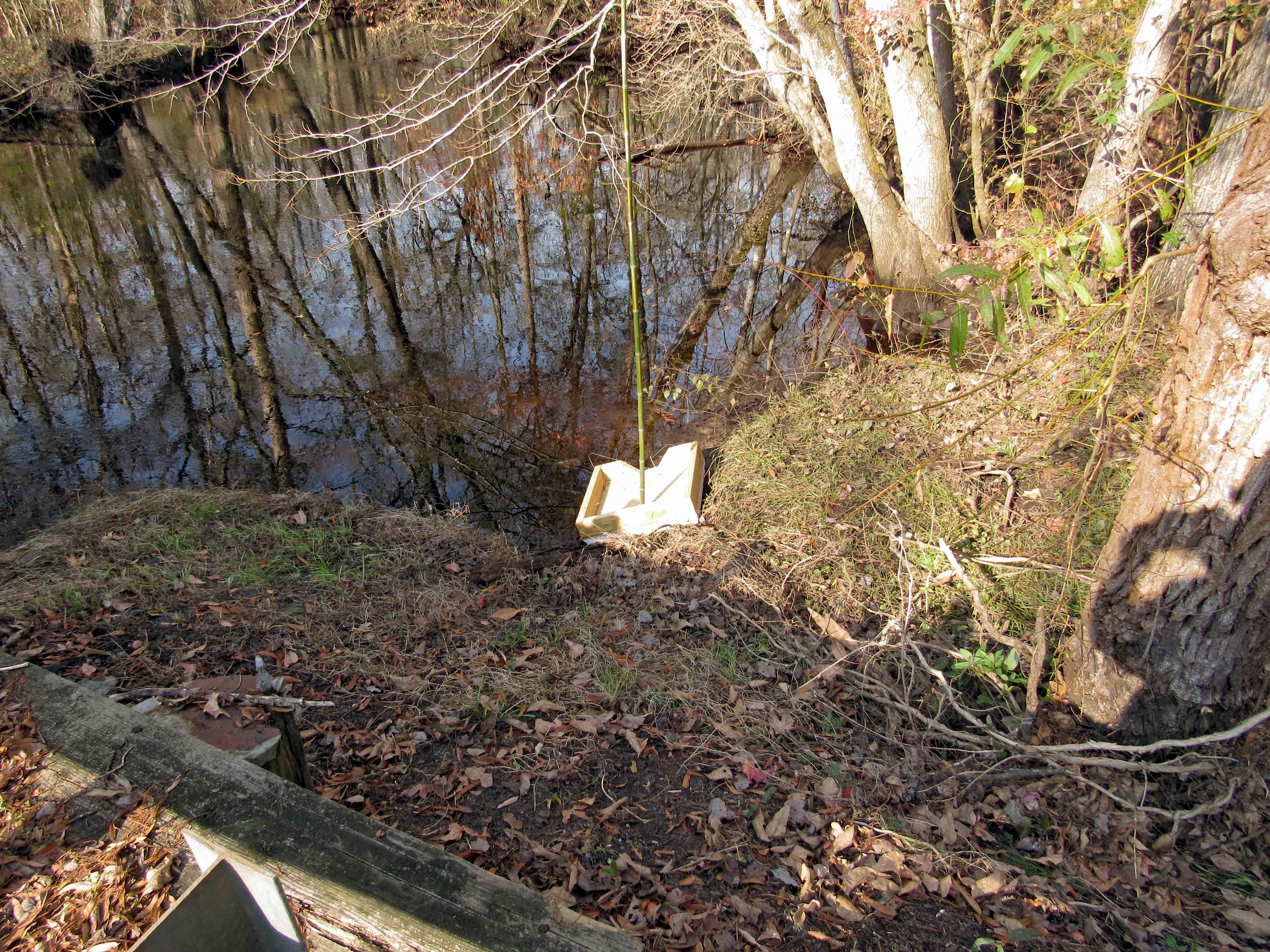
Kathy went in at the steps, I slid in next to this varmint box. A muddy mess here.
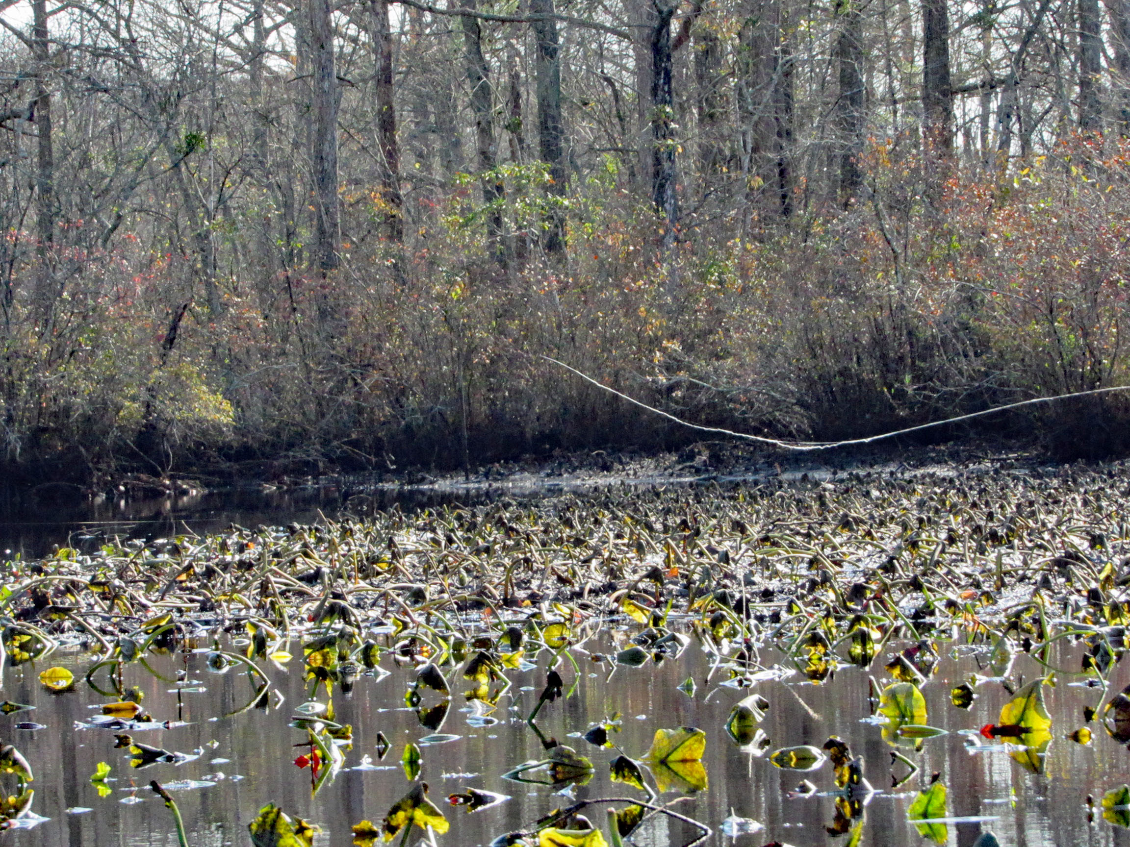
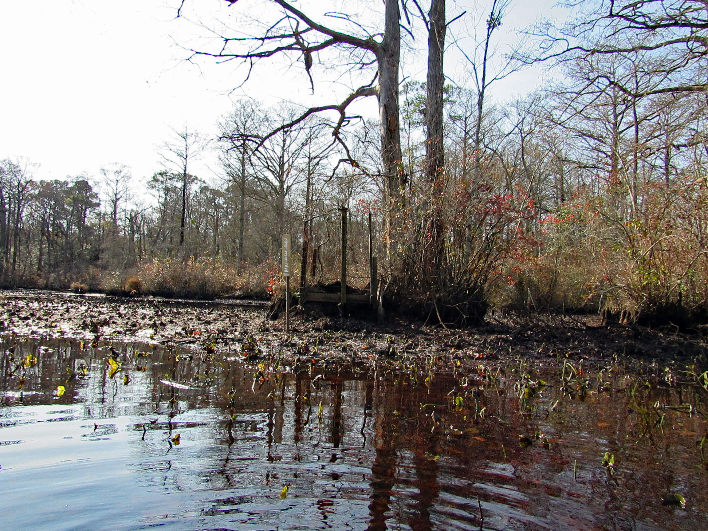
Low water for the whole trip, to and fro.
In the photo below there is a cobweb just floating along with us –
Alright, already we’ll all float on Ok, don’t worry, we’ll all float on Even if things get heavy, we’ll all float on… (modest mouse)
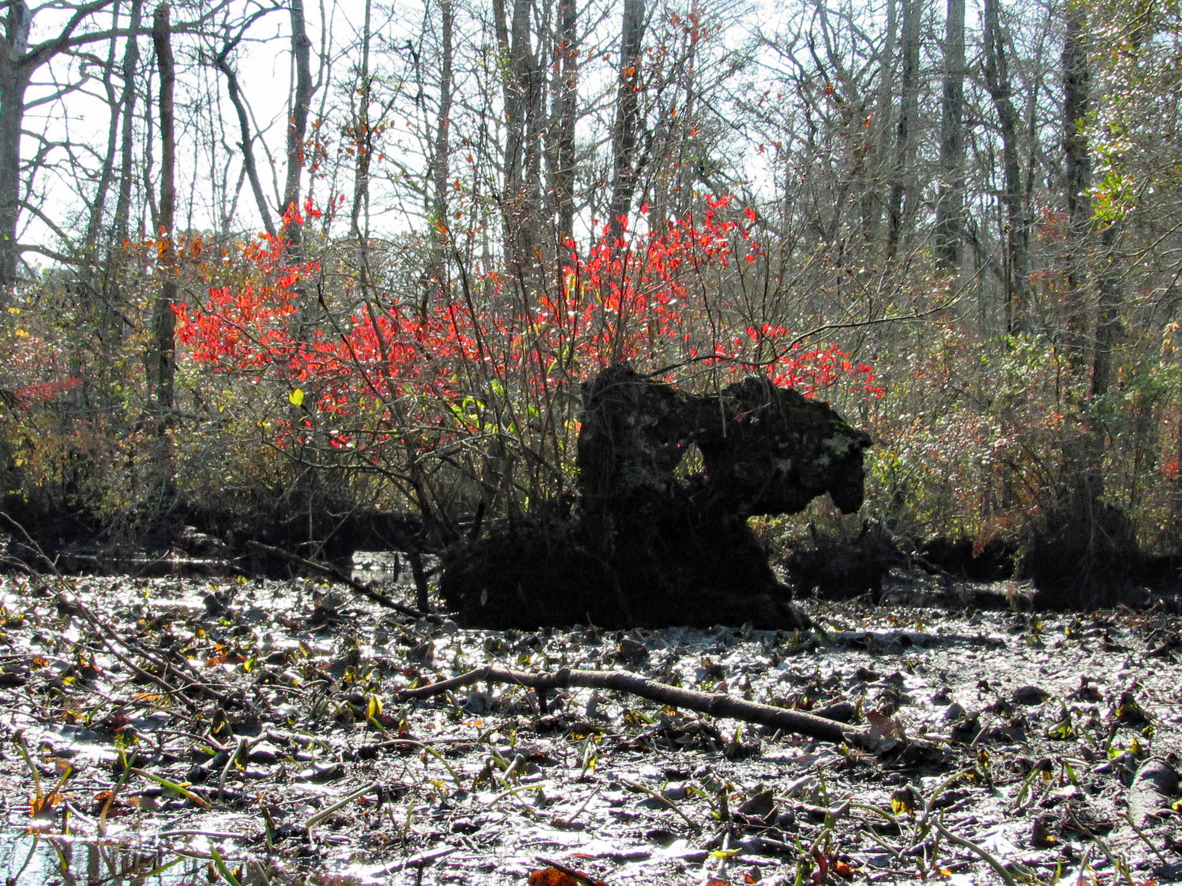
A splash of color to brighten the day.
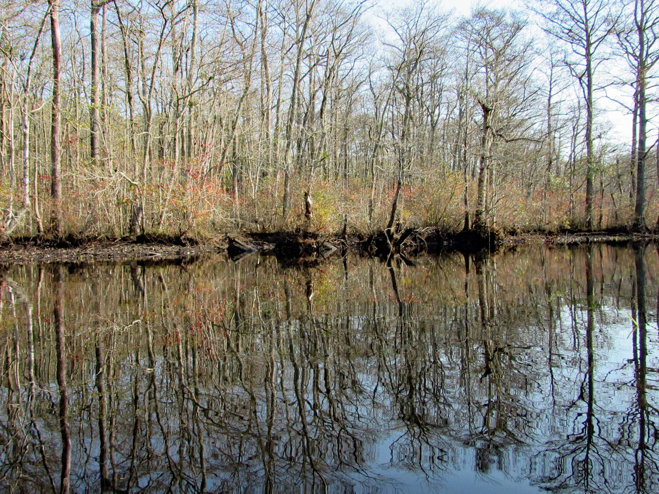
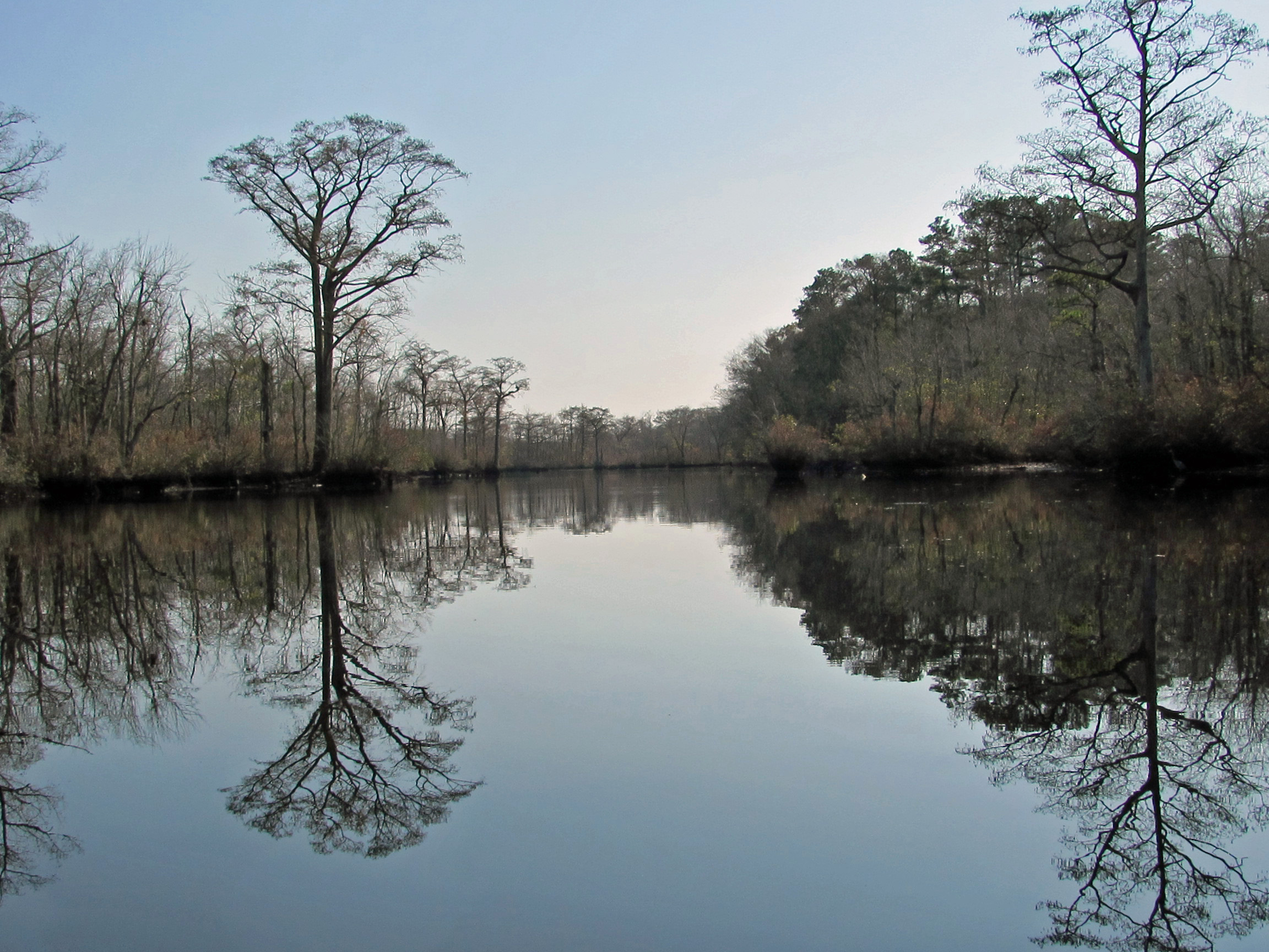
Some very nice reflections.
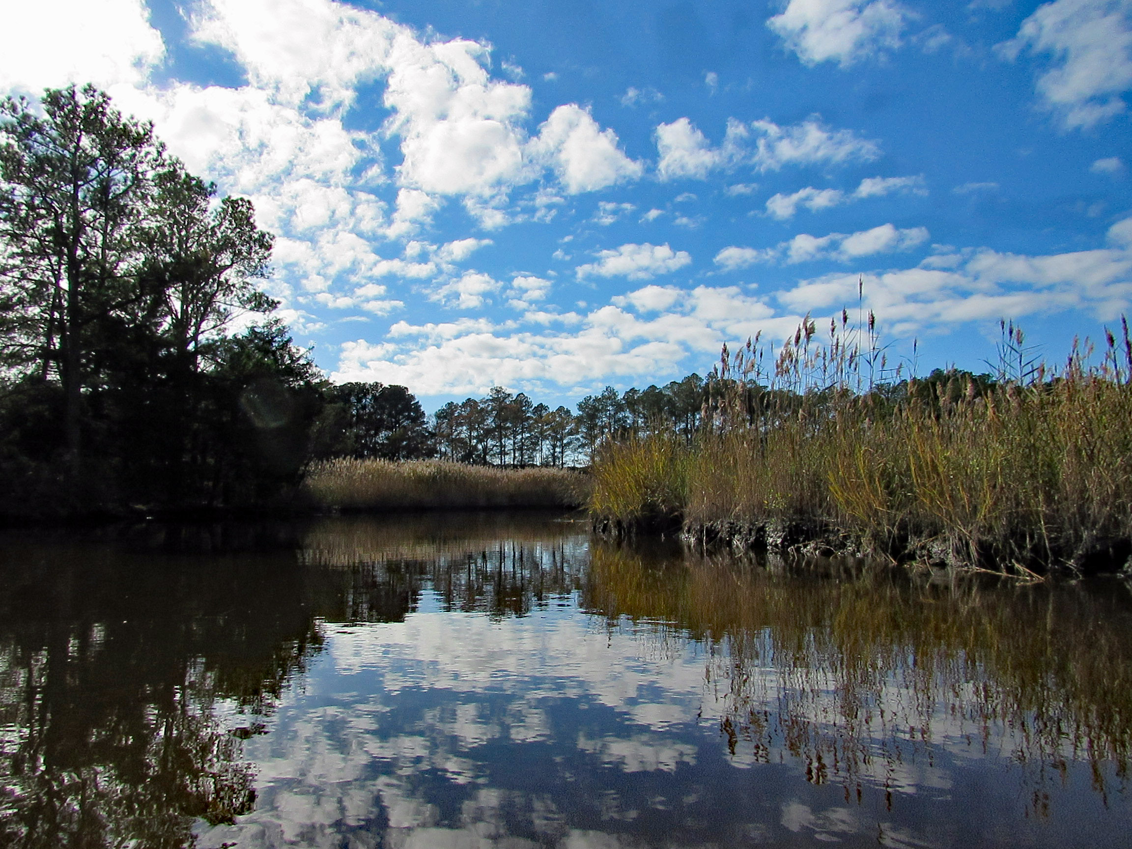
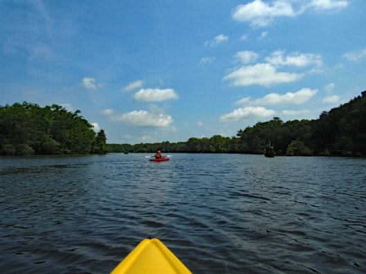
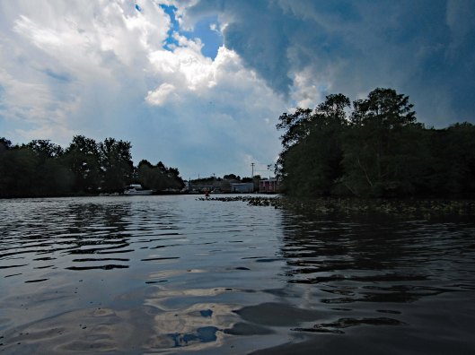
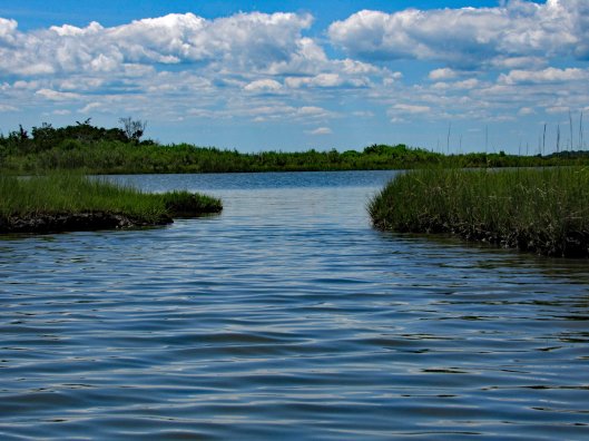
The Pocomoke River up ahead.
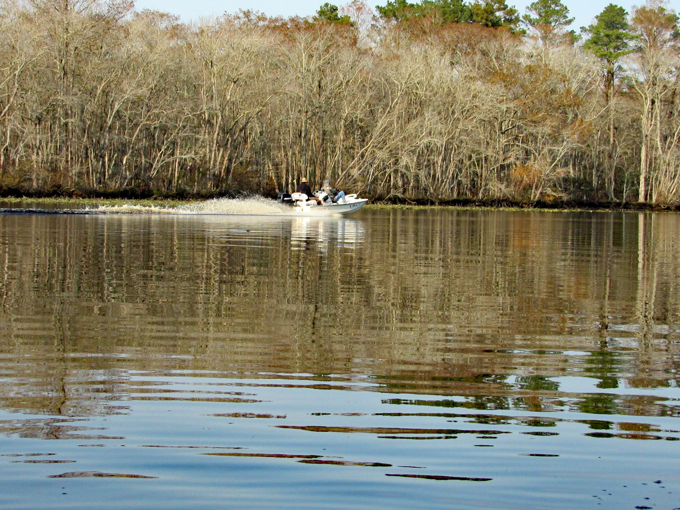
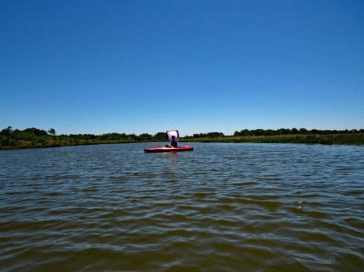
A couple speeding boats zipping by. Kayakers get no respect on this river.
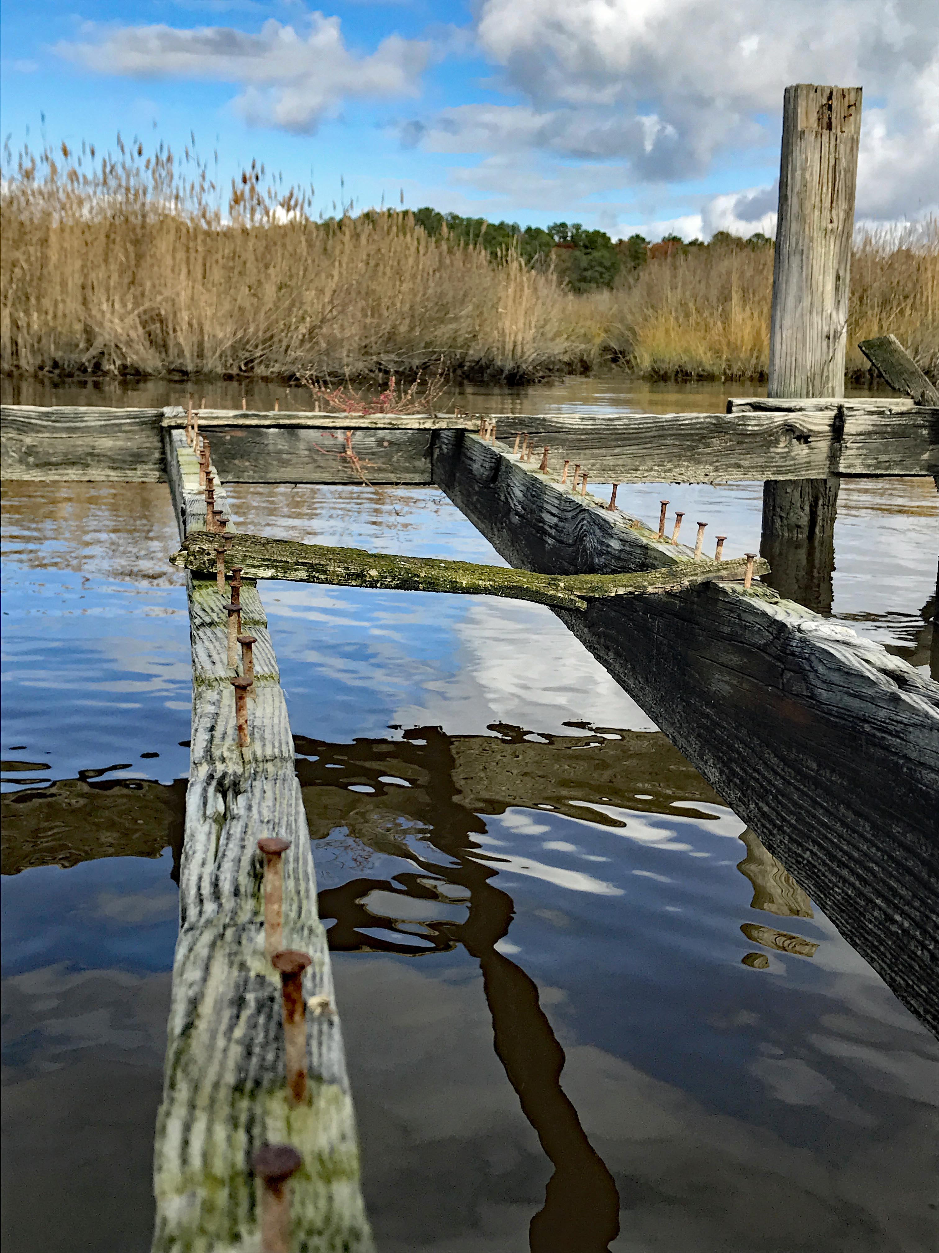
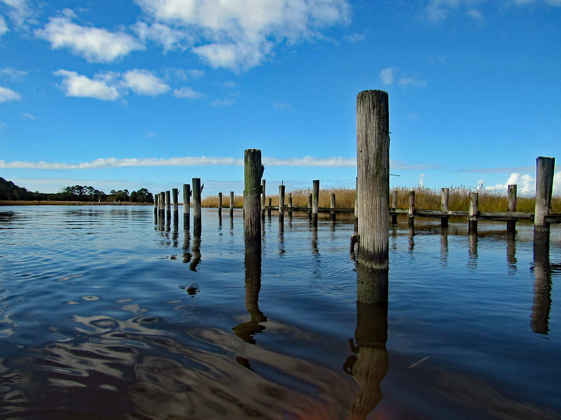
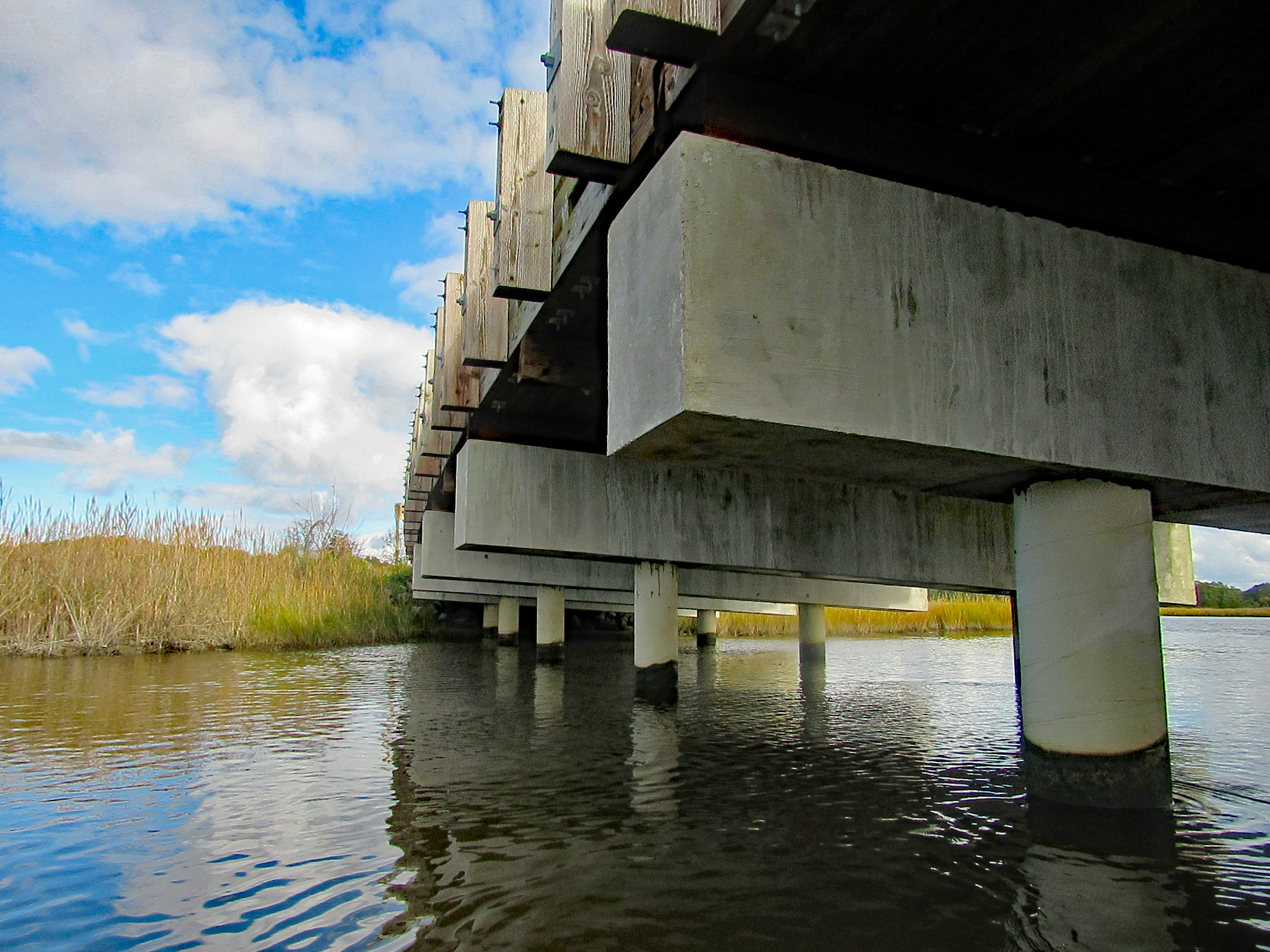
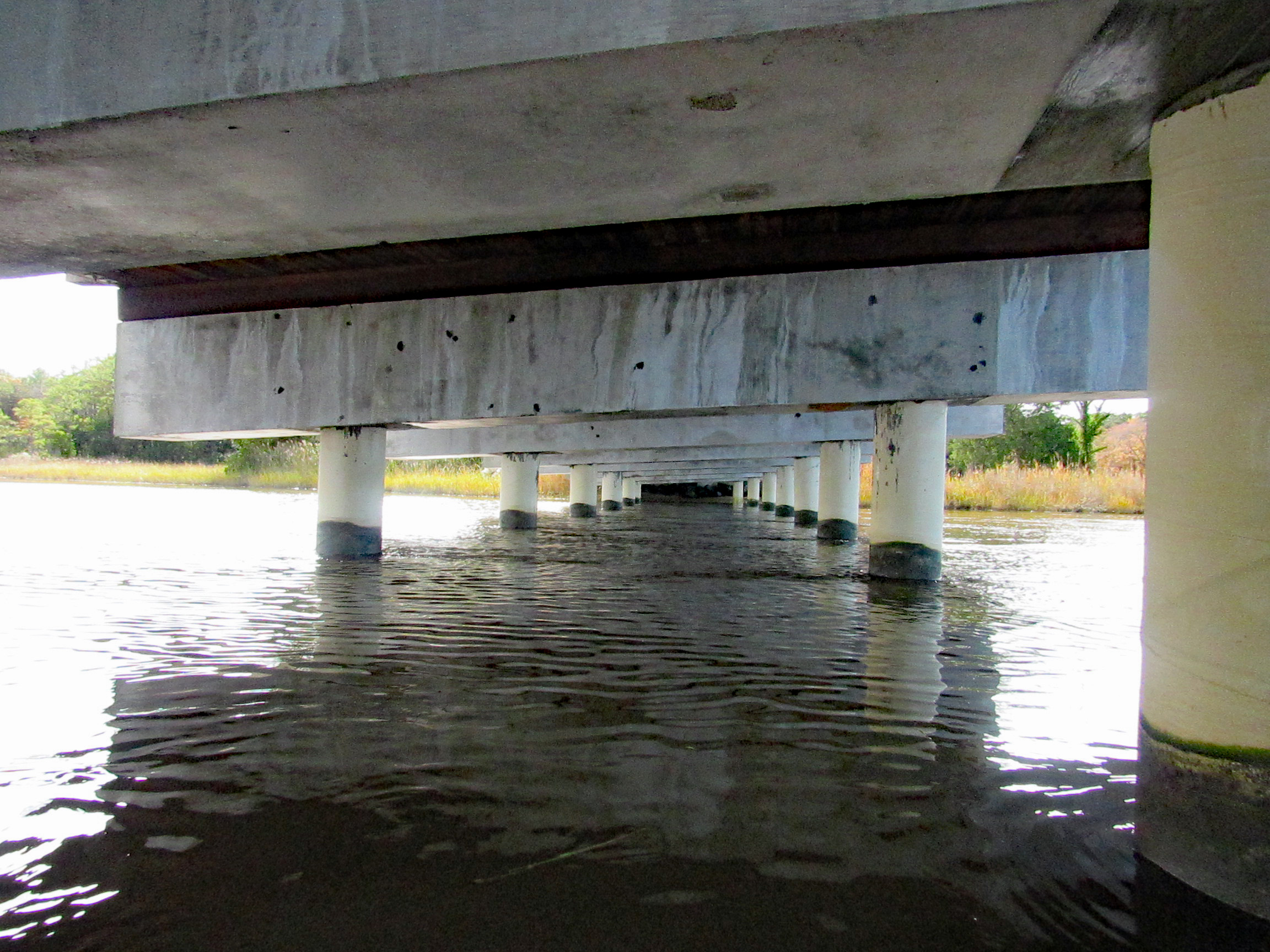
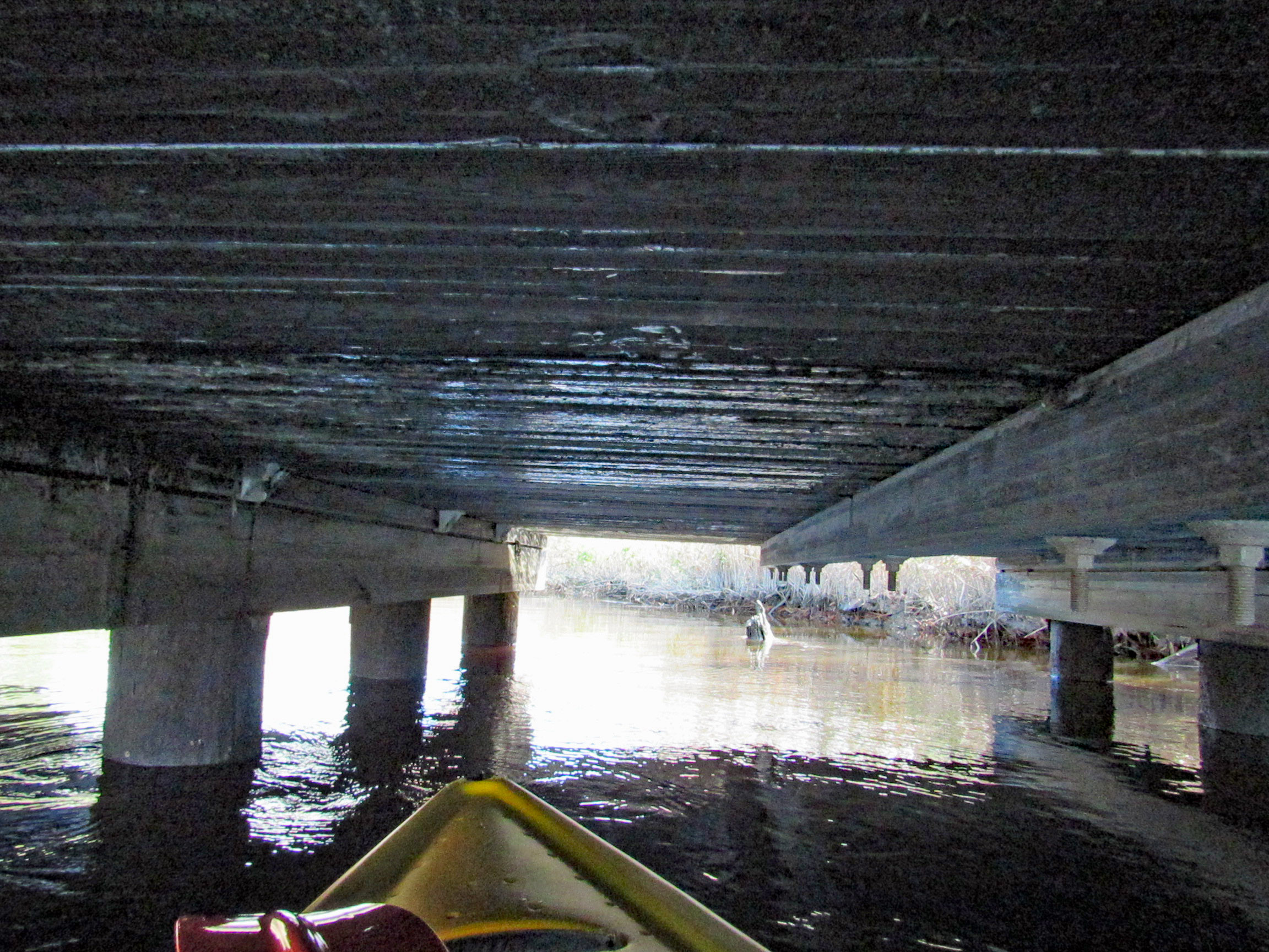
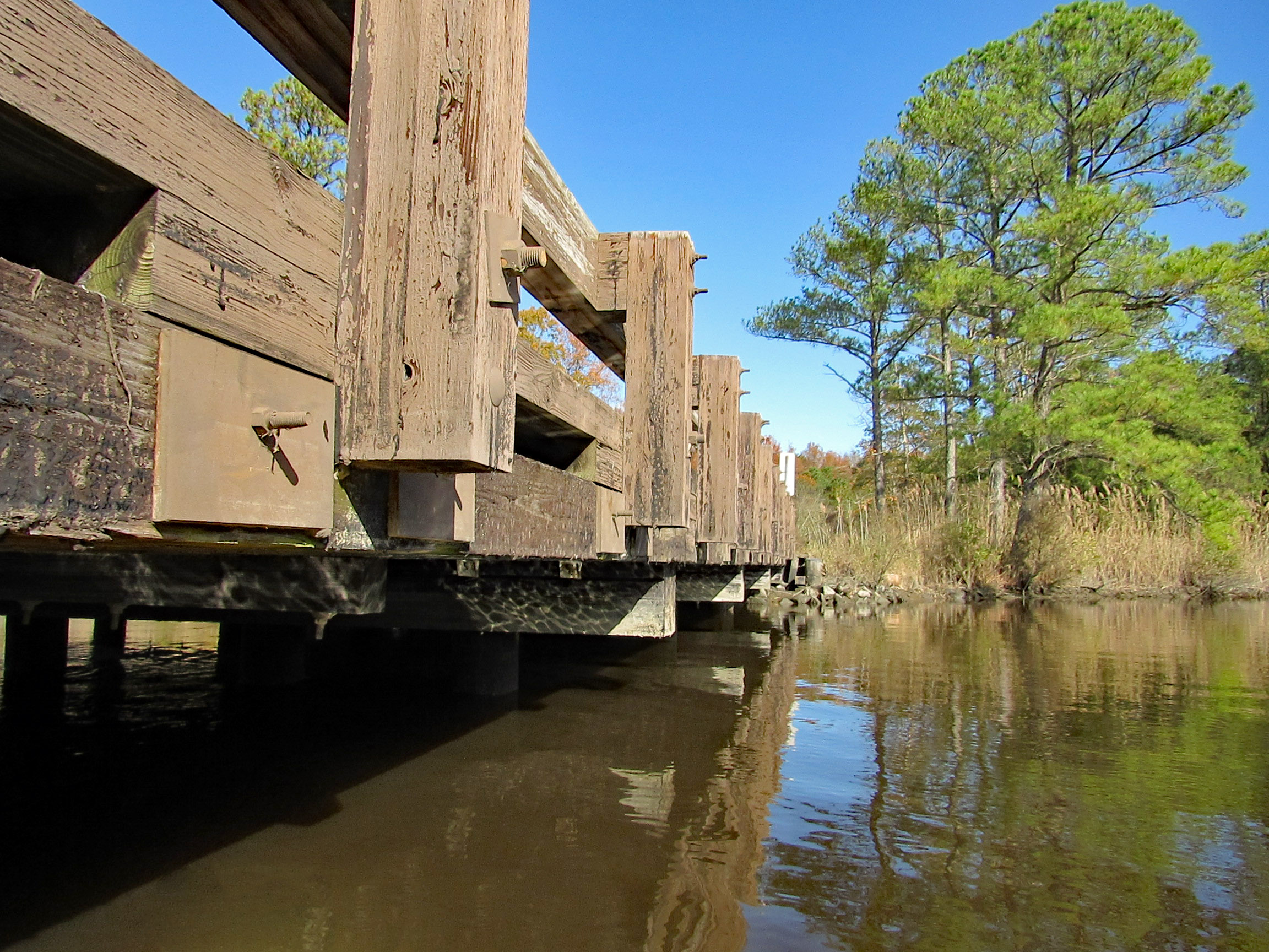
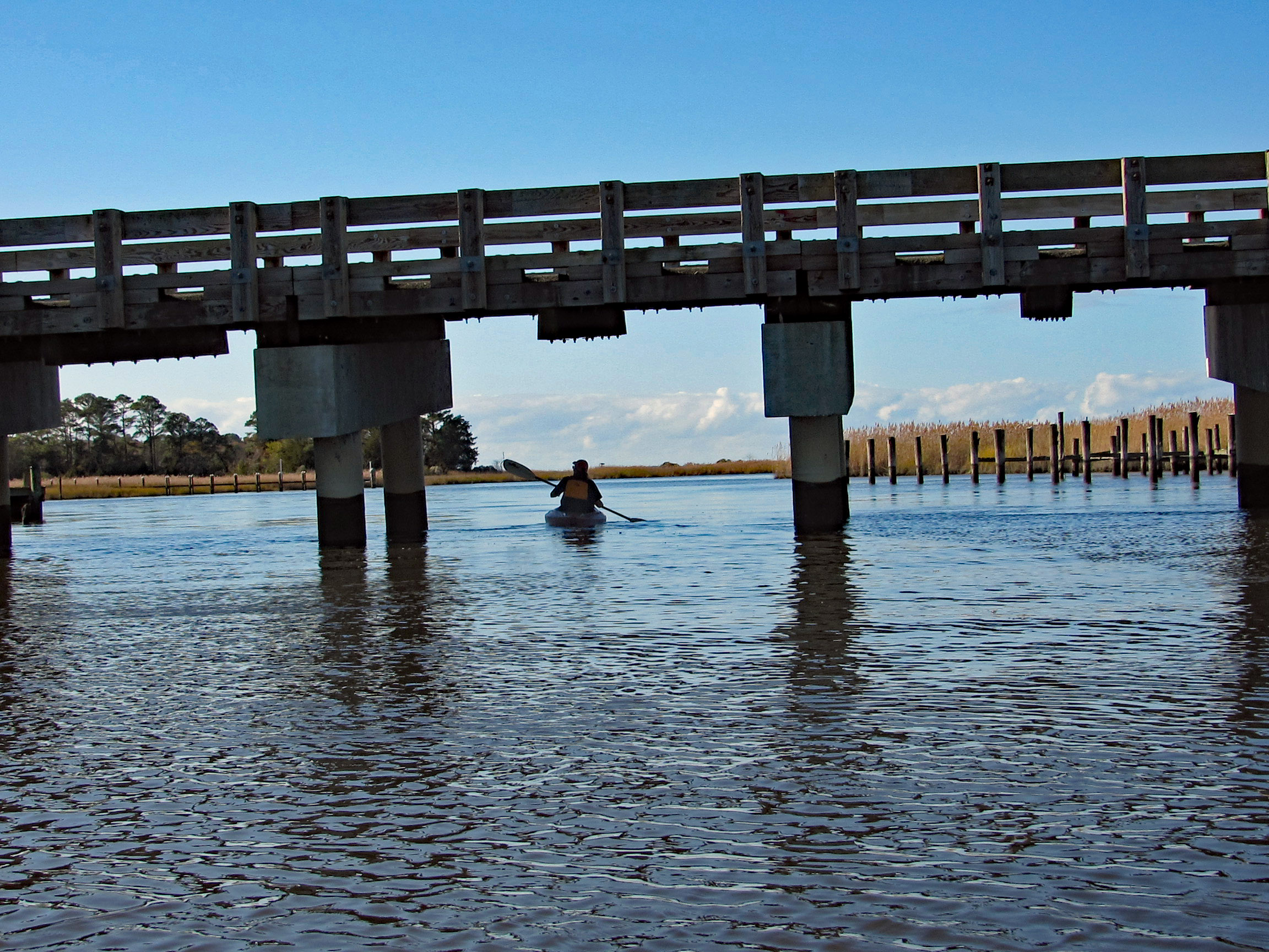
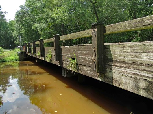
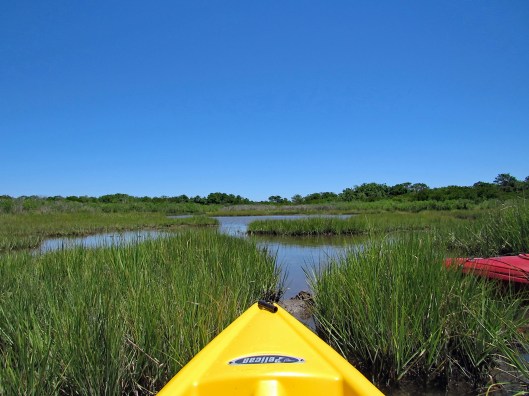
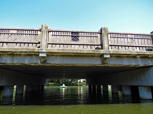
After about 3.5 miles, time to head back. Under the Nassawango Rd bridge.
Another nice reflection shot by Kathy.
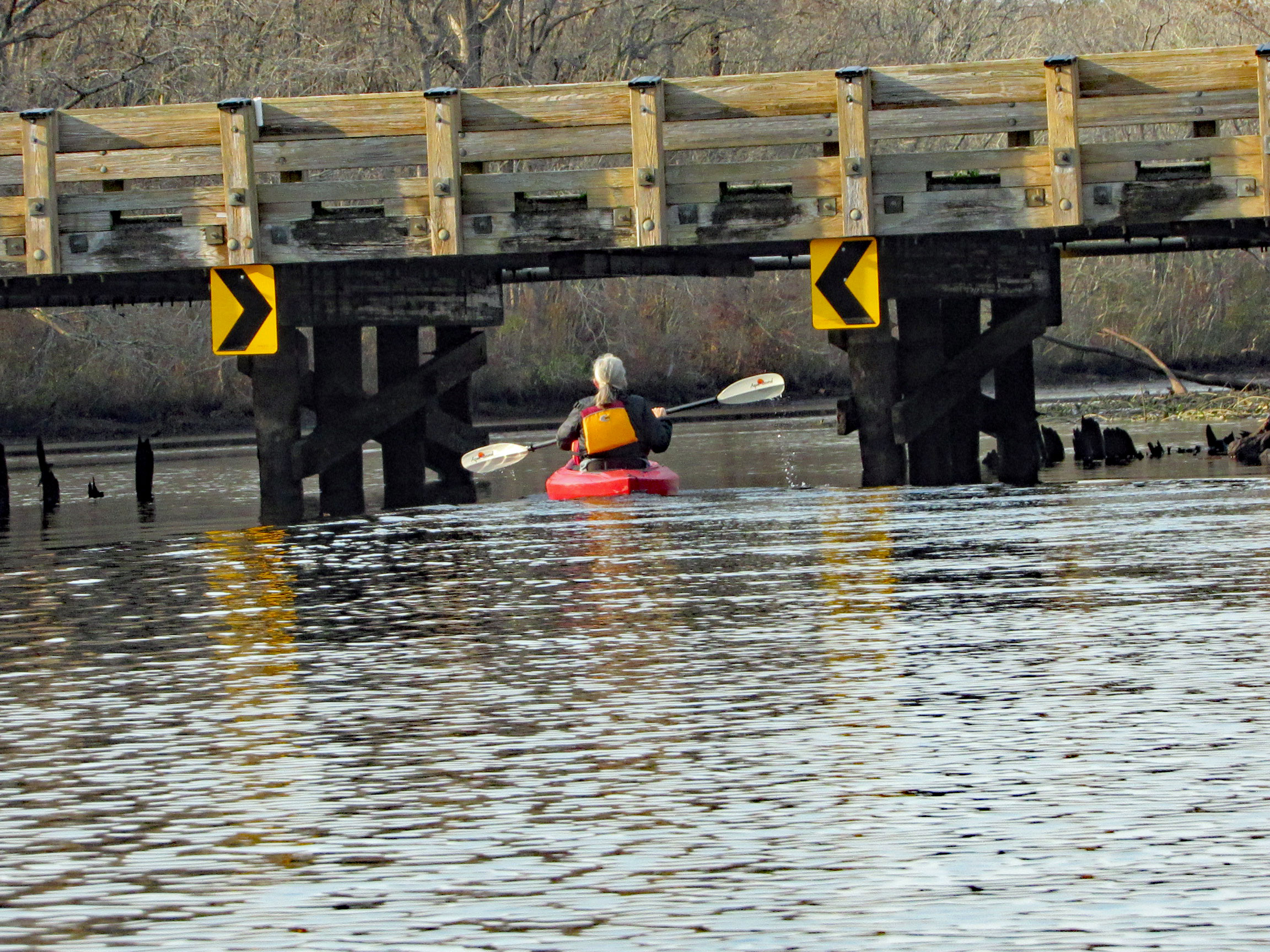
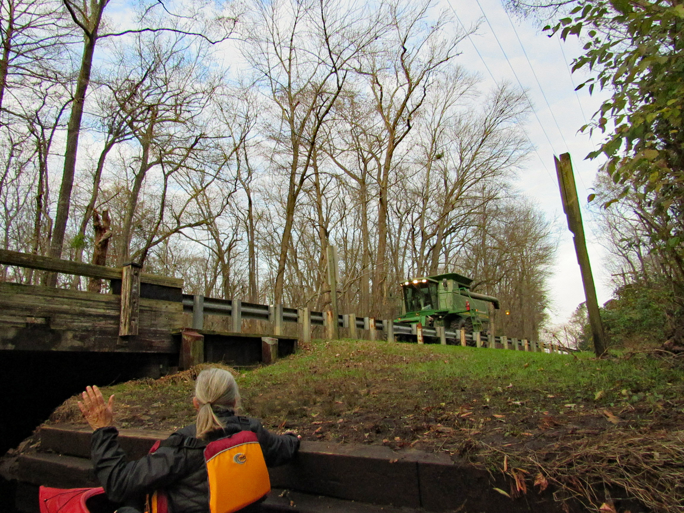
Two steps down and waiting for the combine to cross over.
Our trip. Just over 7 miles with all the zig-zagging and crossing over the Pocomoke.
Another great kayak adventure. Next time we will need to check the tides. We hit a lot of submerged tree limbs and could not cut across the lily pads like we normally do. But it was still a great day to be out and grateful to be able to take these kind of trips.
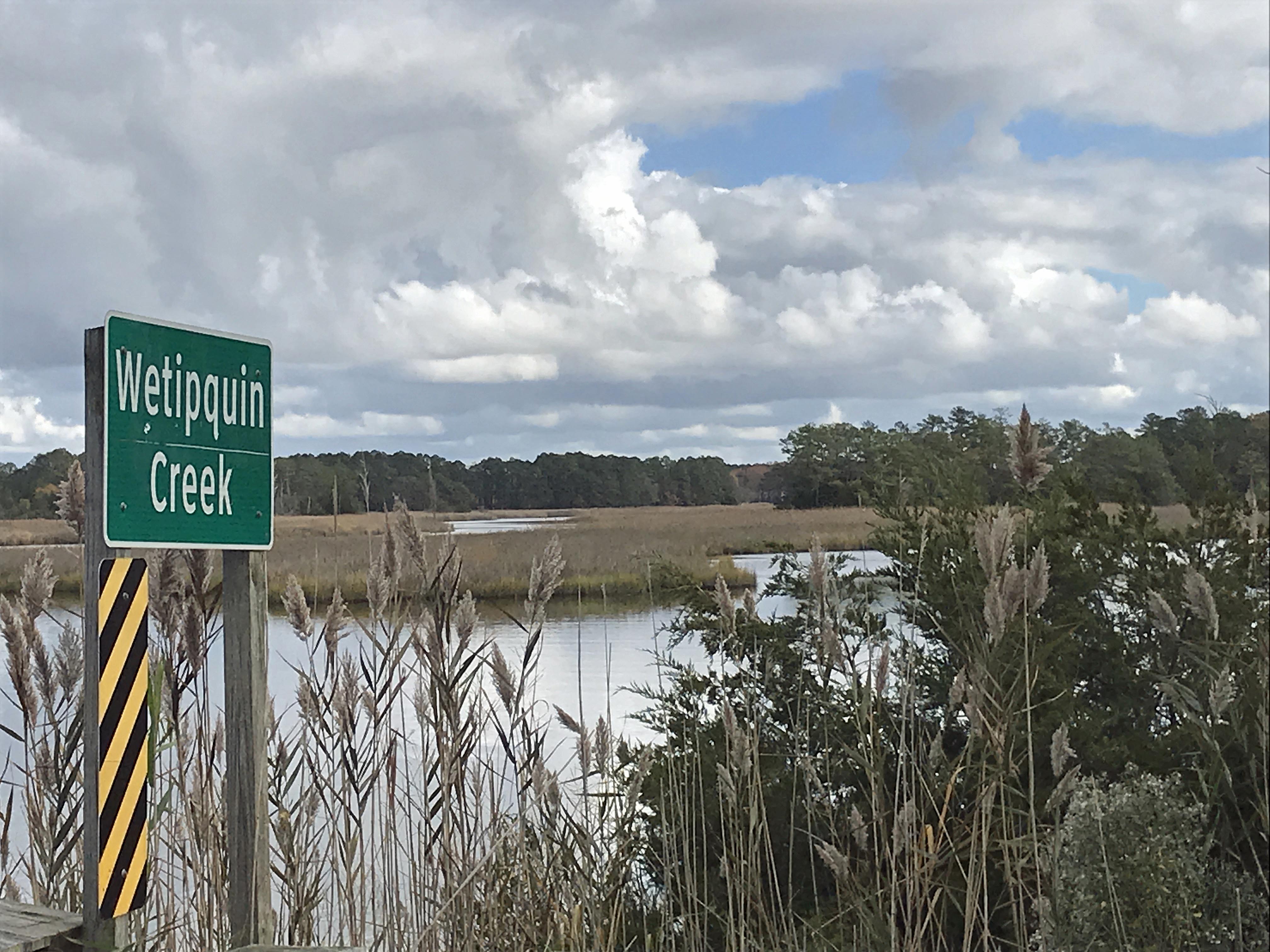
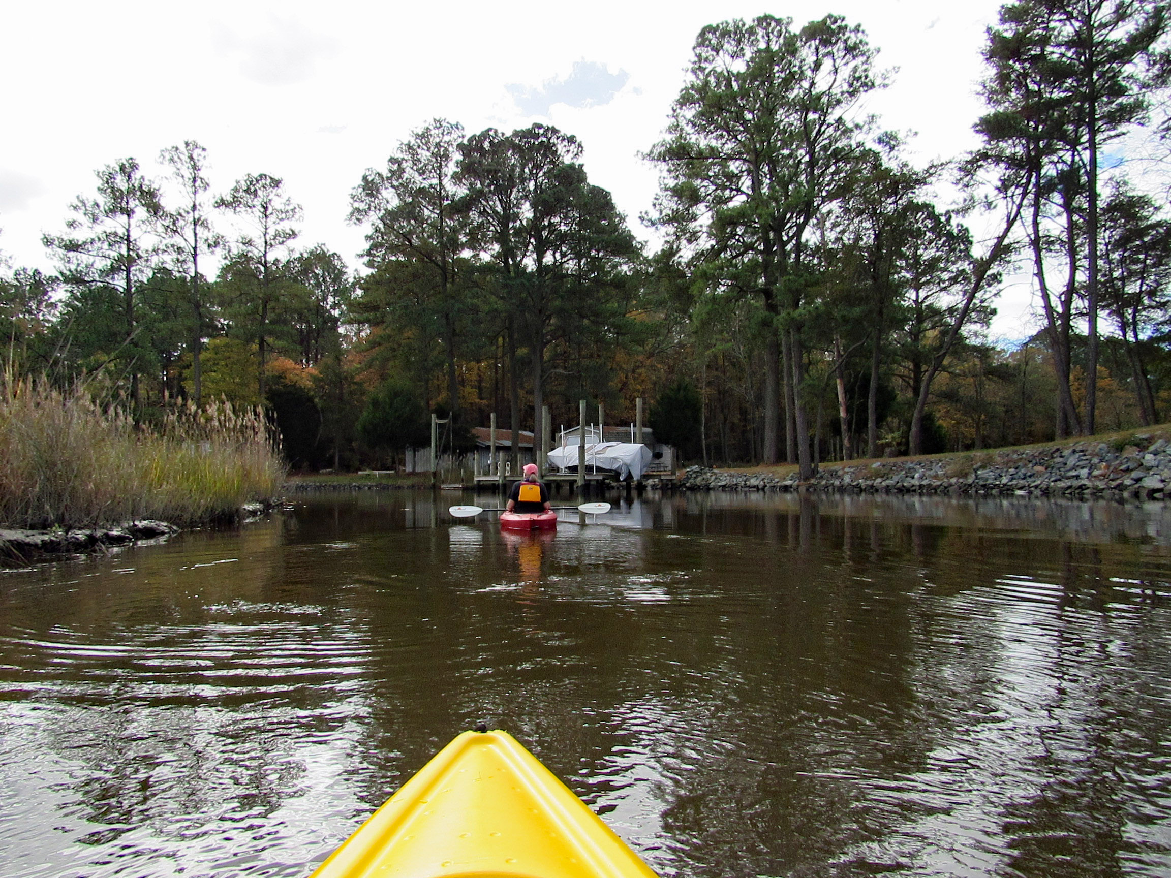
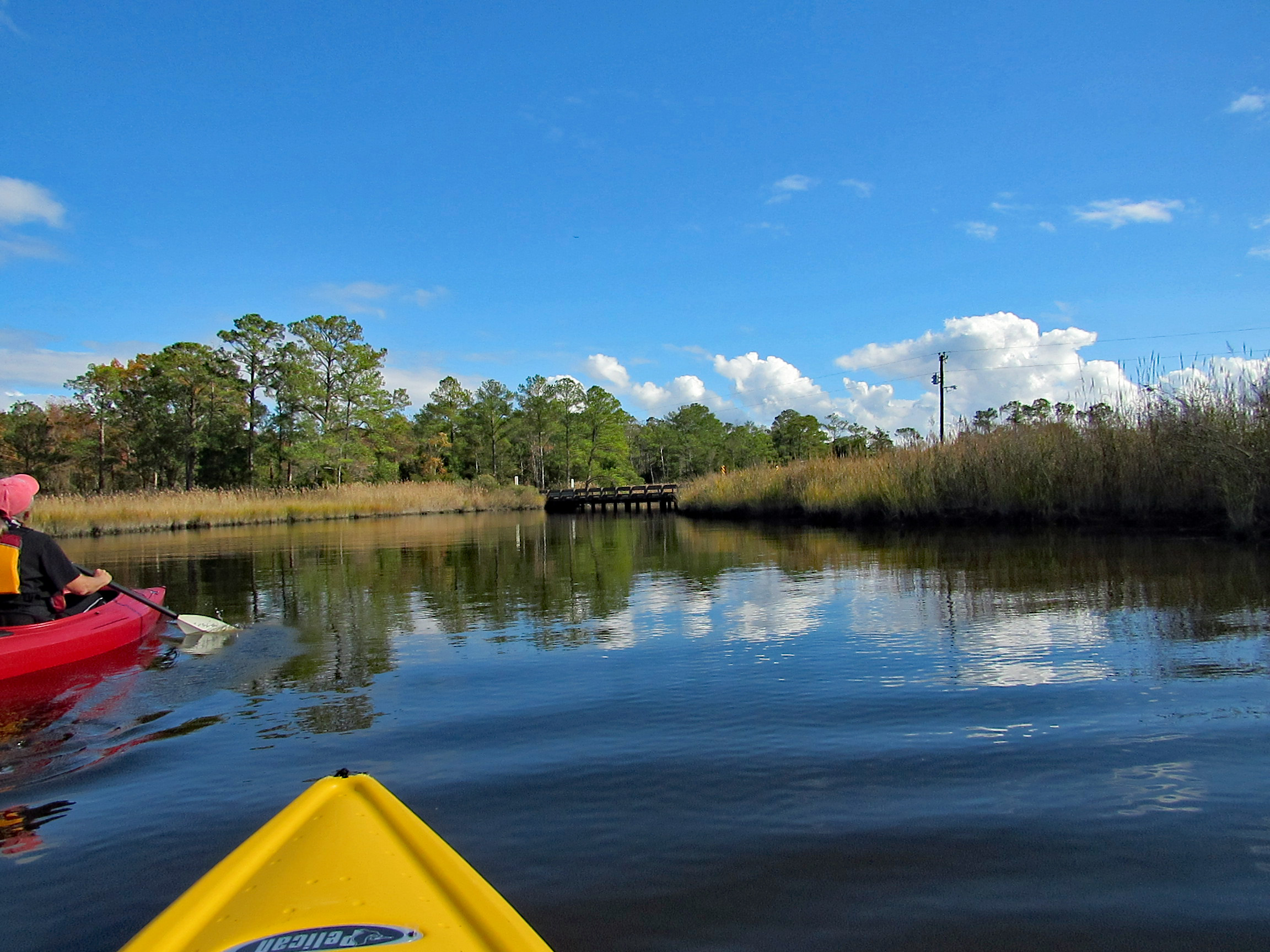
The temperature was heading into the mid to upper 70’s, so we headed out to kayak at Wetipquin Creek, off the Nanticoke River. We were a couple miles from here when we went fishing.
The boat ramp is nice and extends far into the water. Head to the right and go under the Wetipquin Rd. bridge.
Some pics from Kathy before starting to kayak.
Start our adventure and Kathy stops to look at the Big screen TVs.
I like this one of Kathy’s
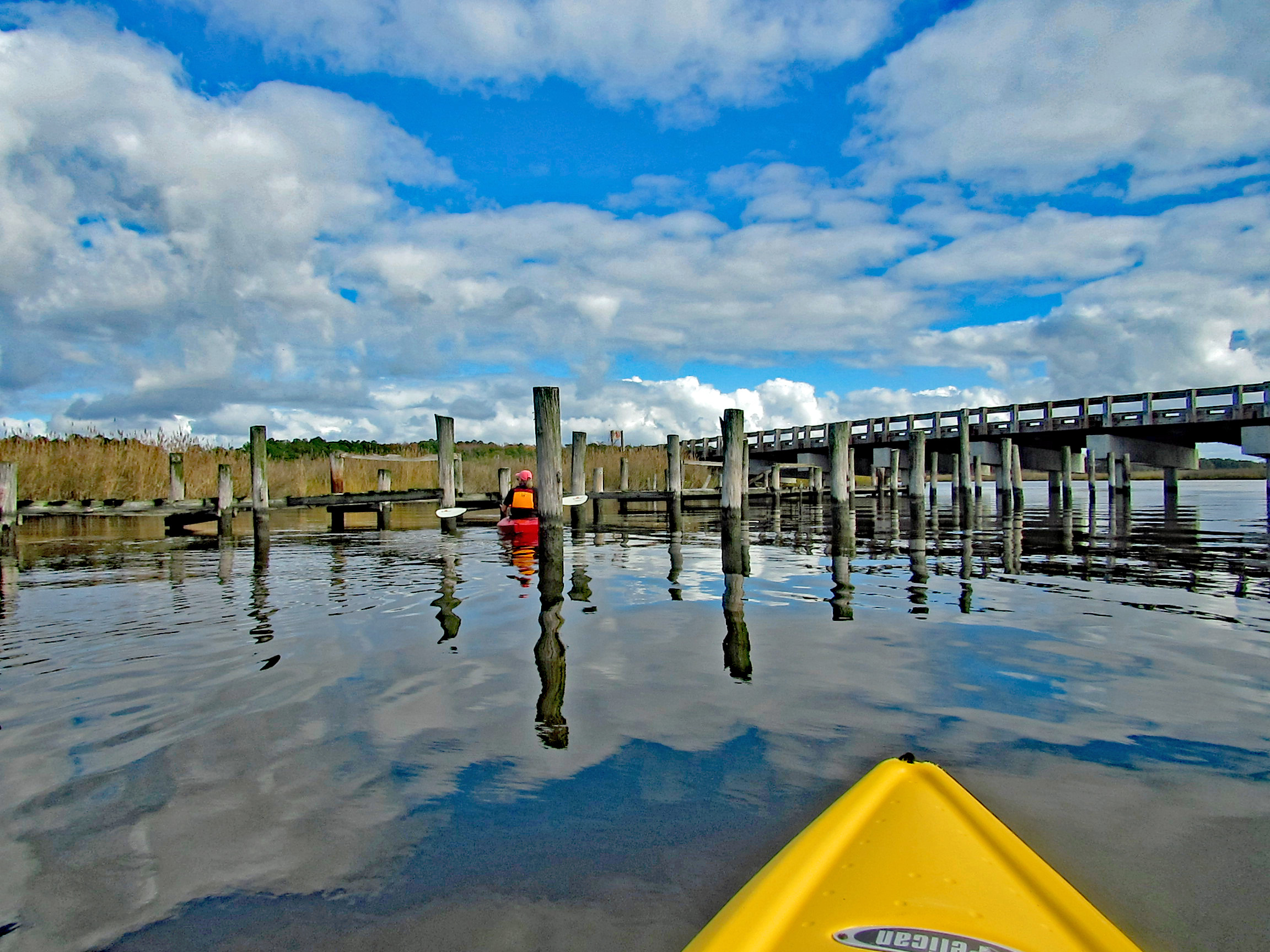
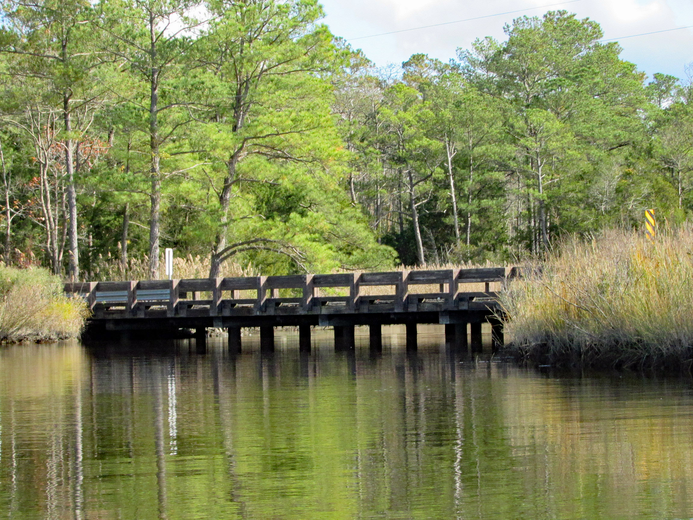
Time to head under the bridge. Kind of on a tilt but high enough to easily get under.
We soon come to a fork in the creek. Left will take us up the Wetipquin and right onto the Tyaskin Creek. We headed right.
Saw this boat and was wondering how they get under the bridge we just passed under?
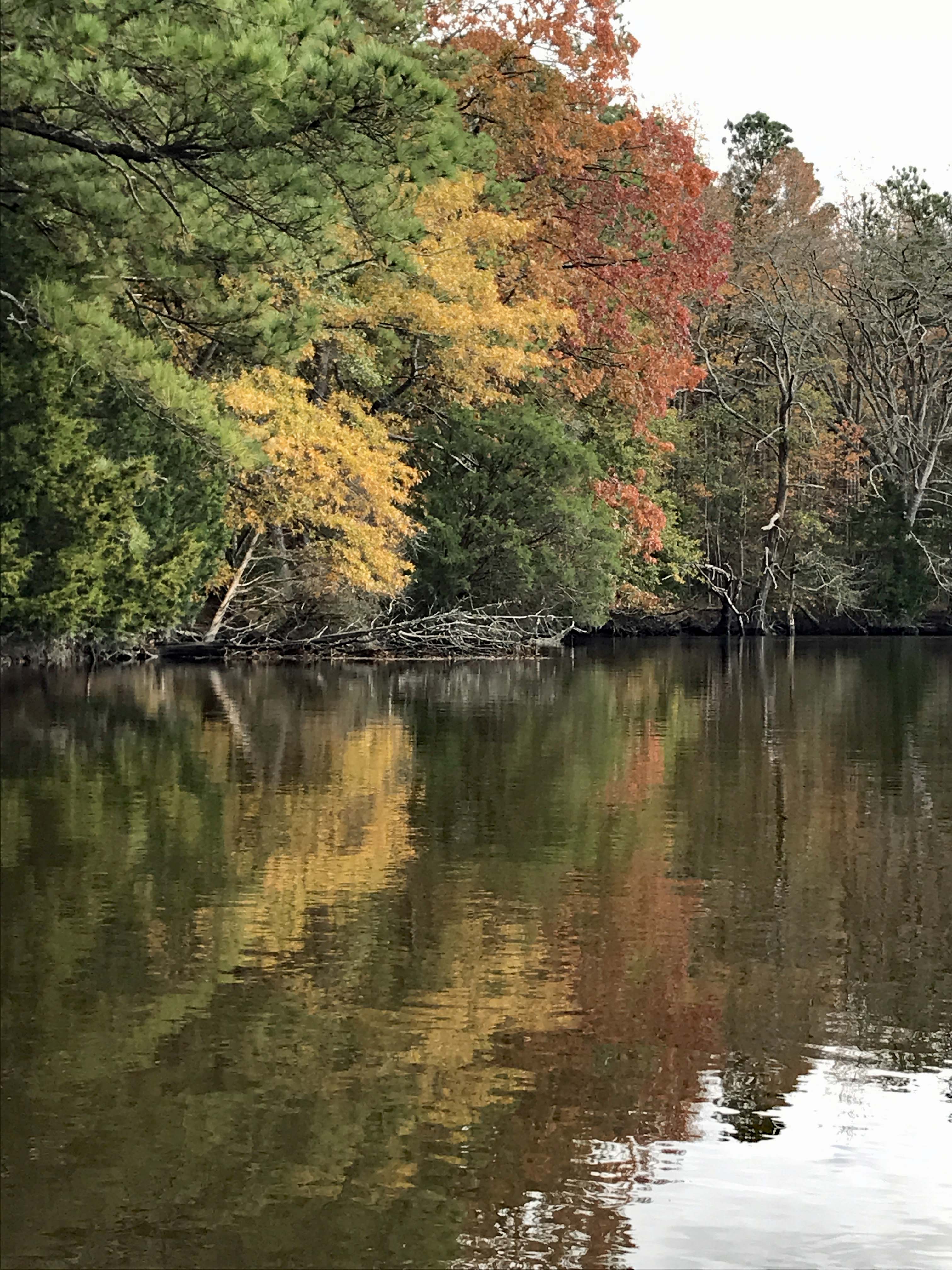
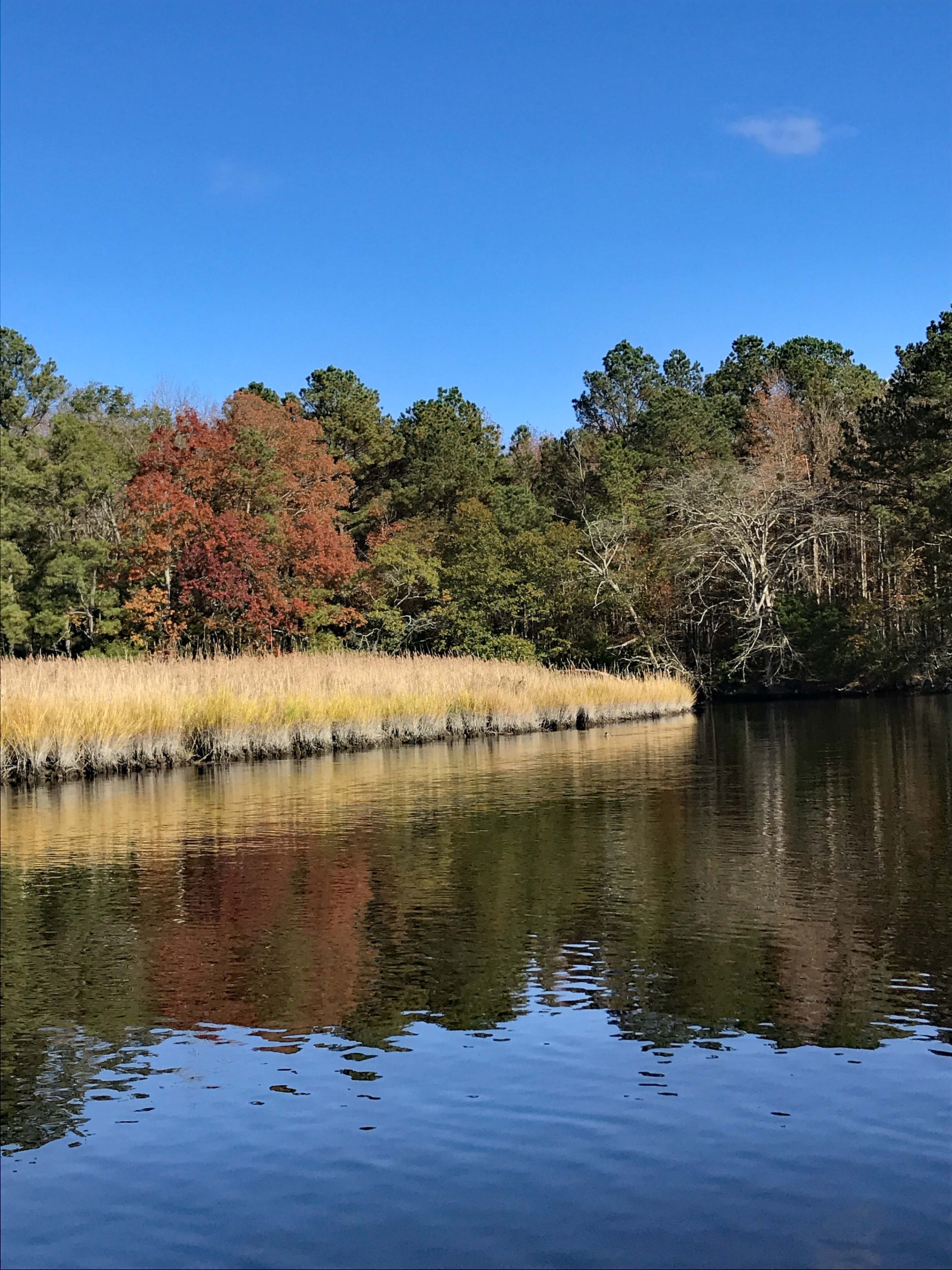
I think we missed most of the fall foliage, but still very beautiful and peaceful.
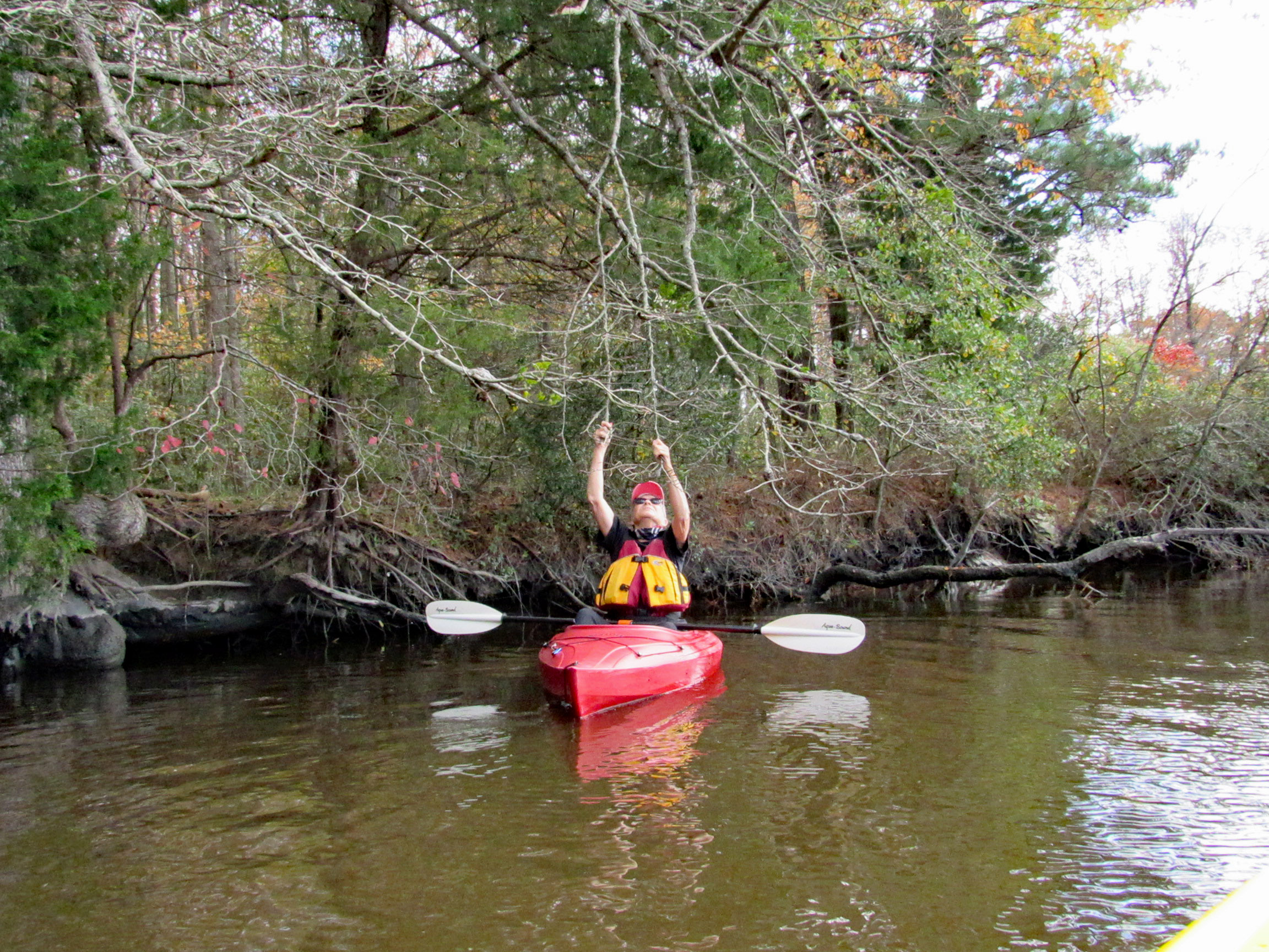
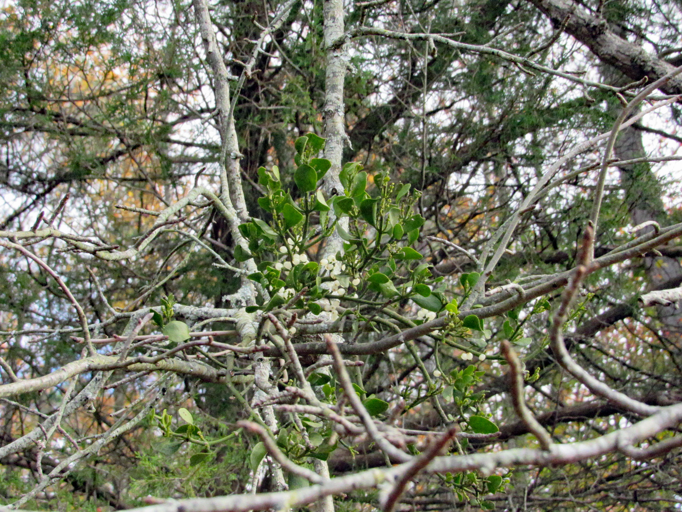
Fooling around with the mistletoe. Amazing how this stuff grows right out of the tree.
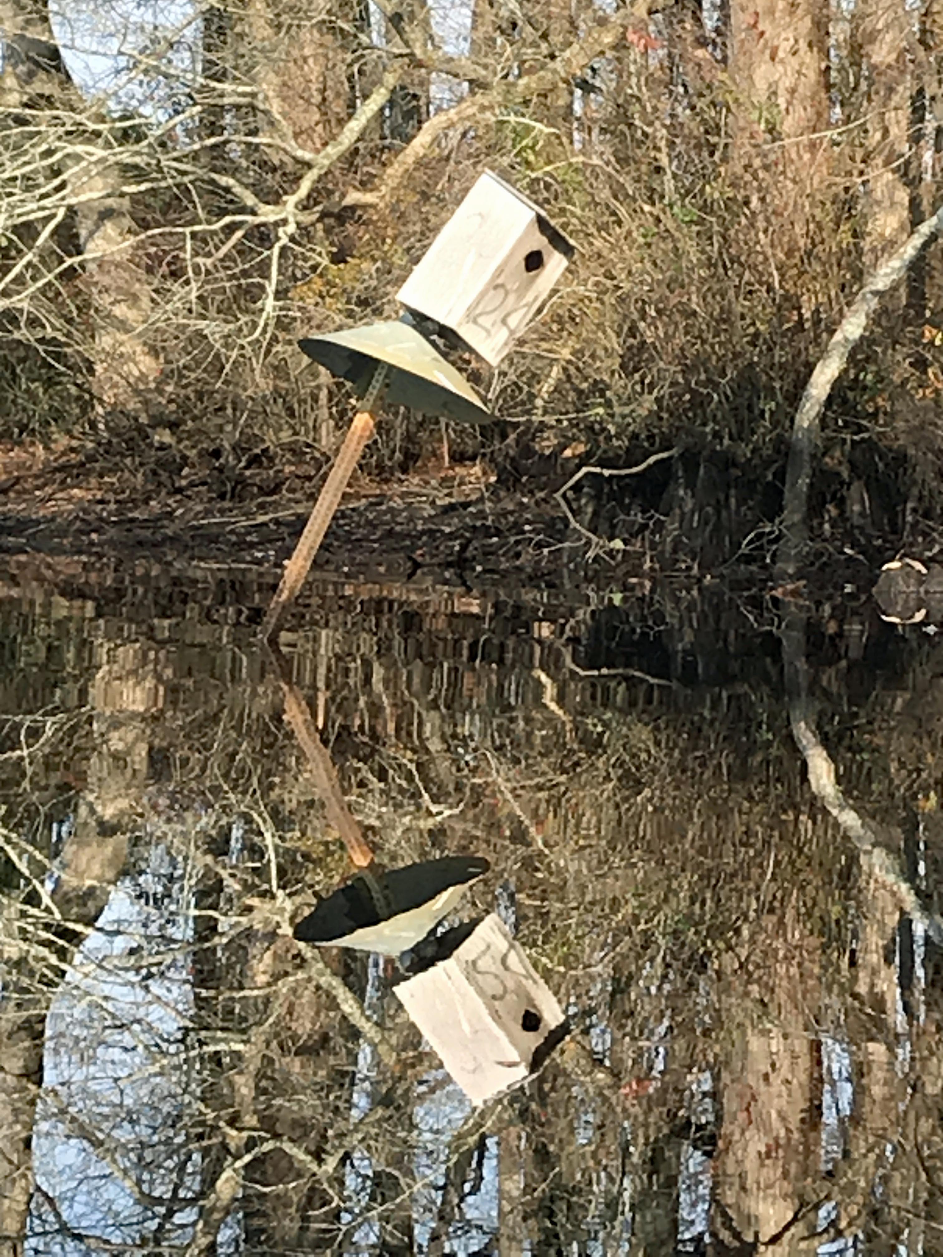
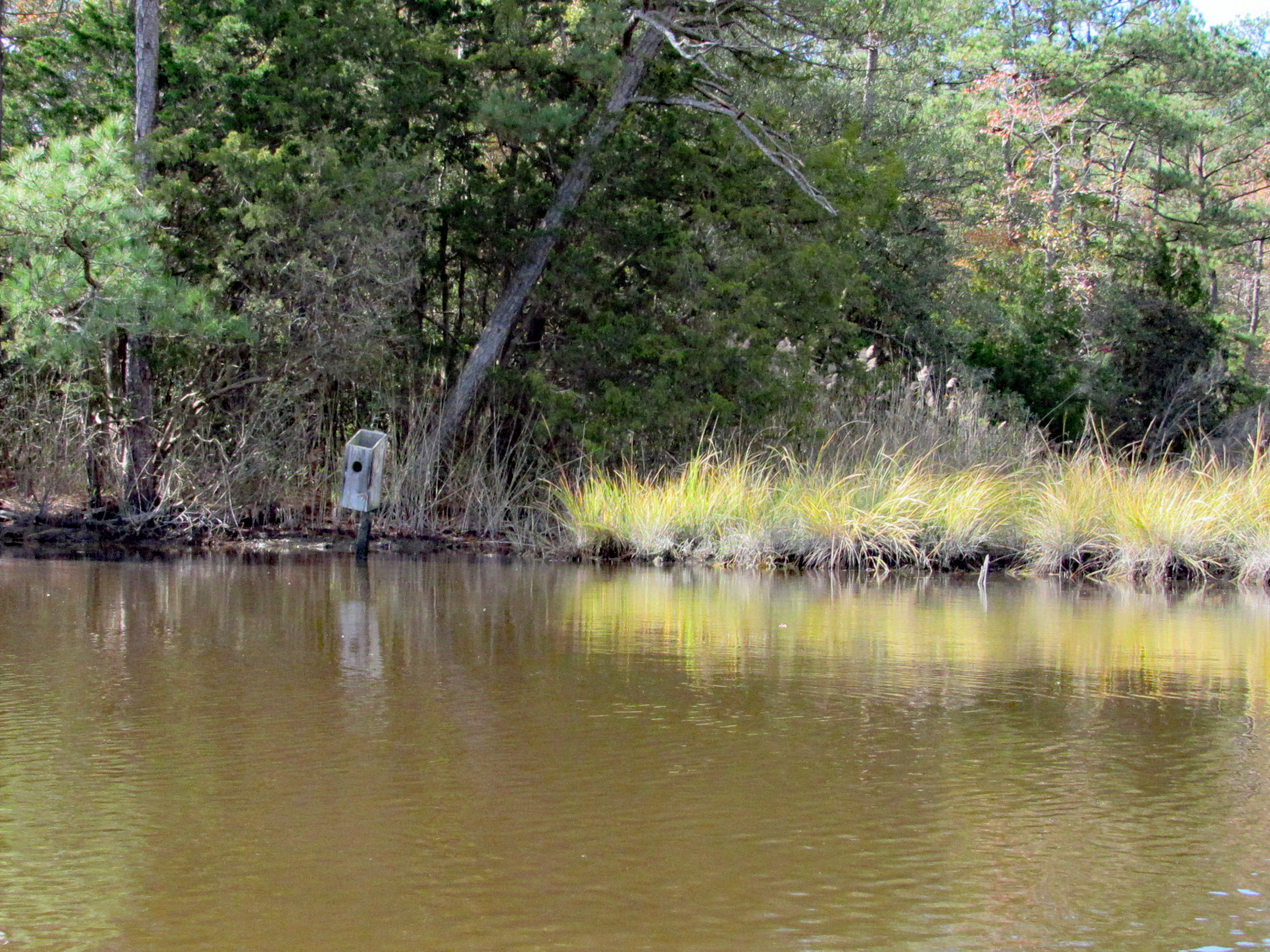
Saw two bird boxes and the tops were missing off of both of them.
Approaching Deep Branch Rd. bridge. Looks low…
…but not too low!
On the other side and checking out up stream a little ways.
Kathy waiting for me back at the bridge, taking photos.
Sights.
Waiting for me to catch up.
Back under Wetipquin bridge, heading to the Nanticoke.
We didn’t see any wildlife until we headed to open water.
Geez Kathy, what are you doing to that boy?
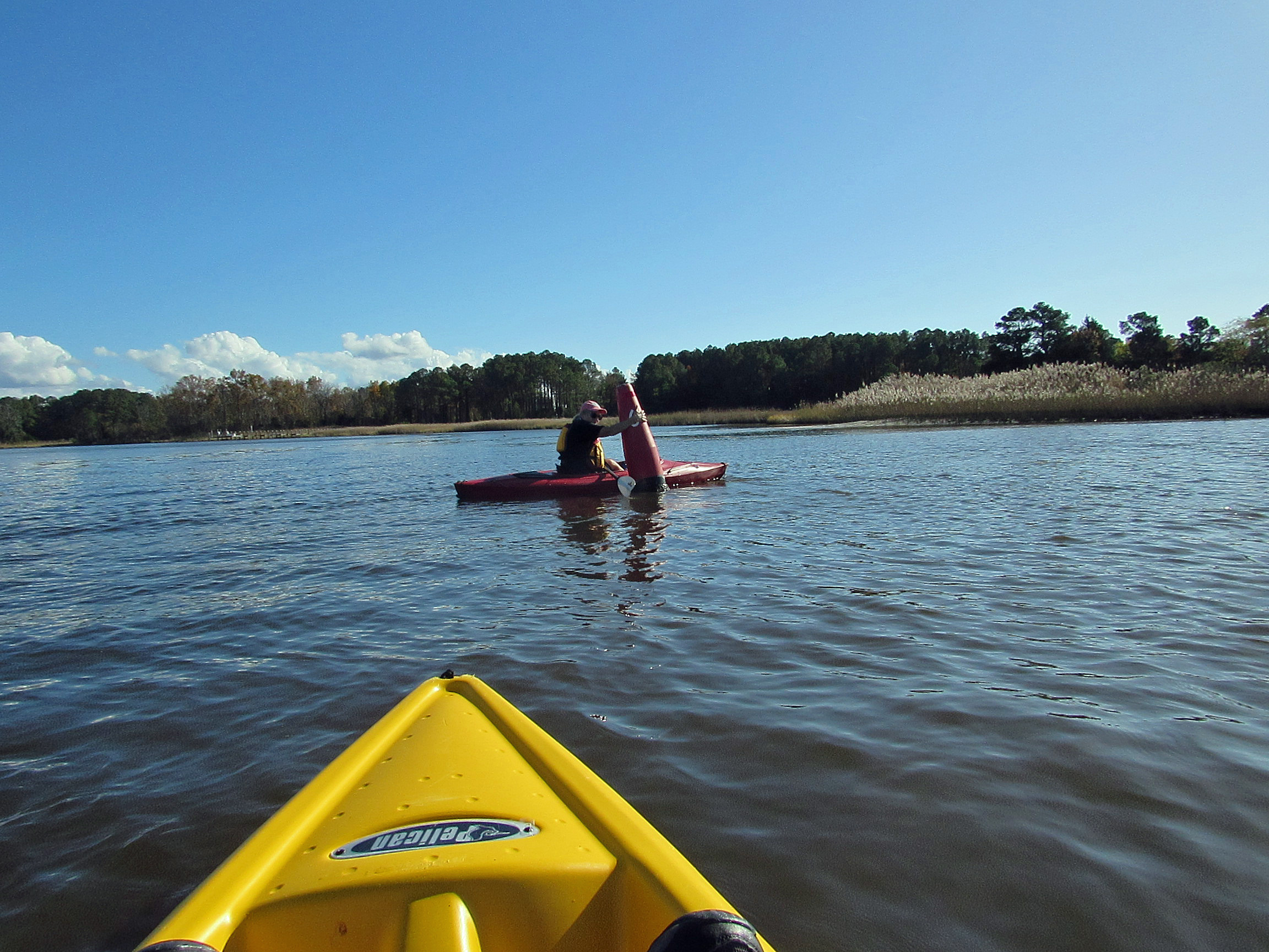
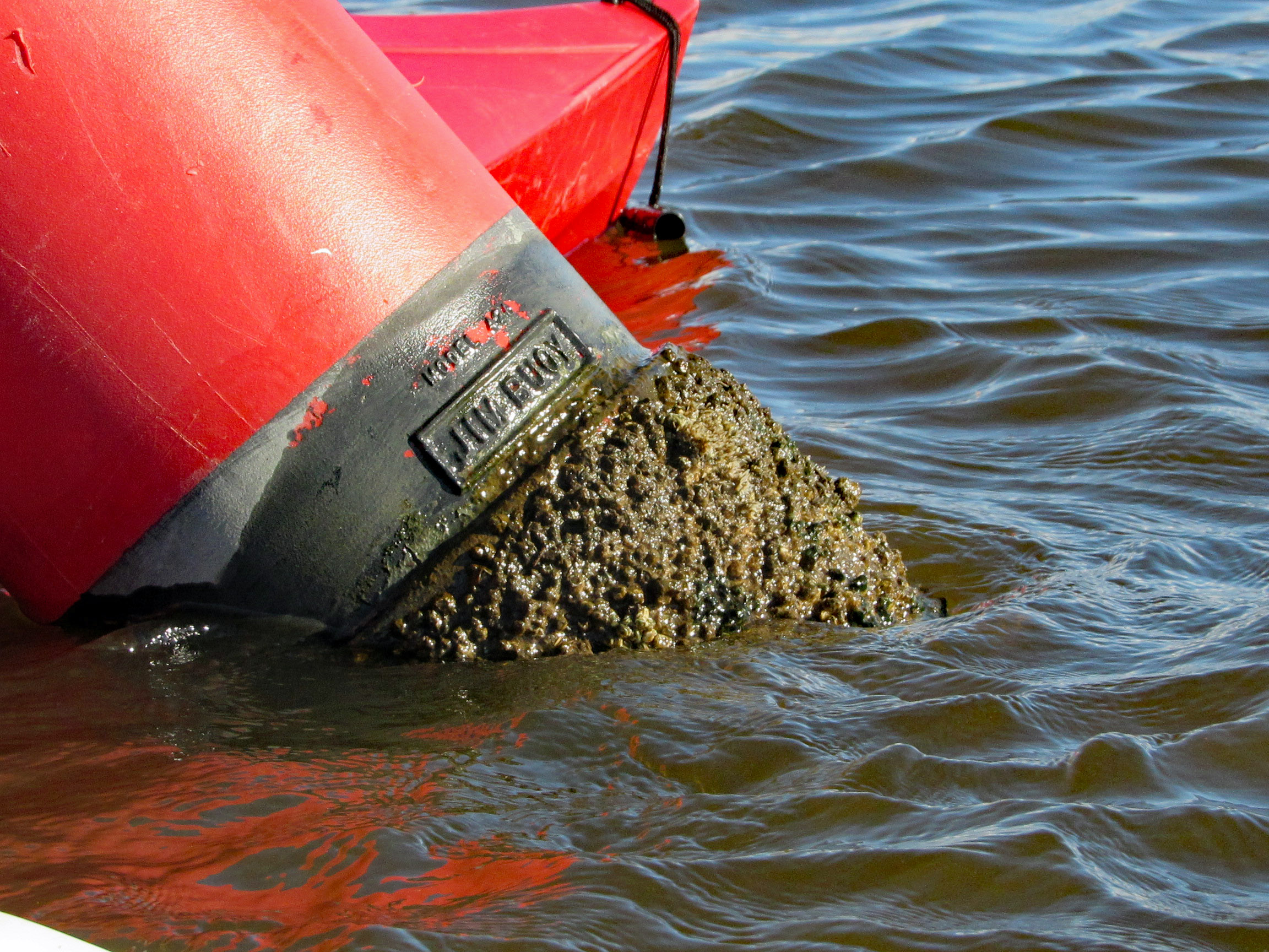
Meet my new friend – Buoy, Jim Buoy!
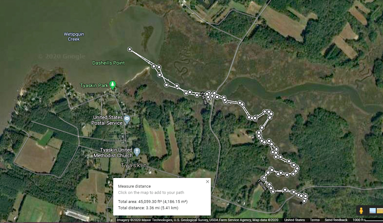
Our path. A beautiful day on the water! Thanks God!
Early kayak adventure – it has been hot out so we got an early start! Kathy’s sister Gail was up from North Carolina so off we went to Snow Hill and a trip down the Pocomoke, around Goat Island. It was about 3 and 1/3 mile round trip.
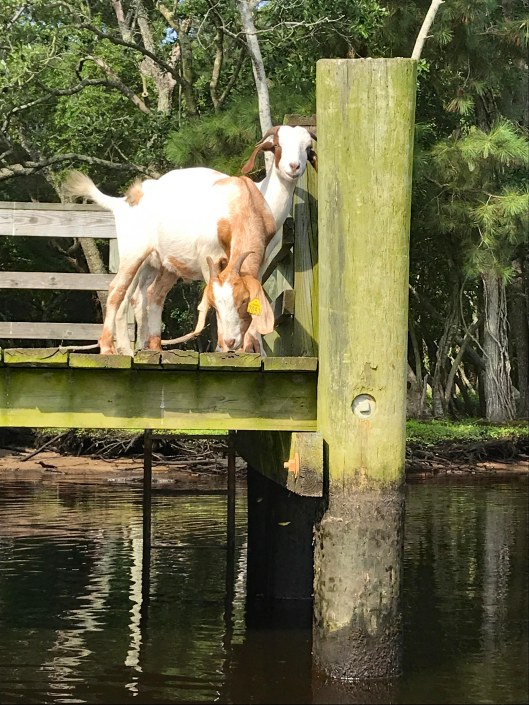
We usually enter the Pocomoke from the south ramp but for some reason I decided to park up by the north one. Glad we did! The goats of Goat Island were out.
The water was like glass with very little wind.
Someone has been rubbing against (or eating) this tree.
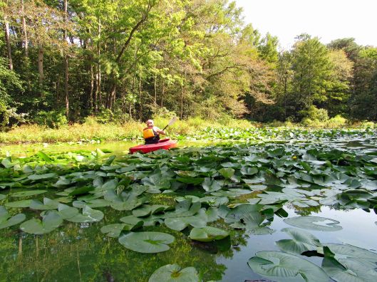
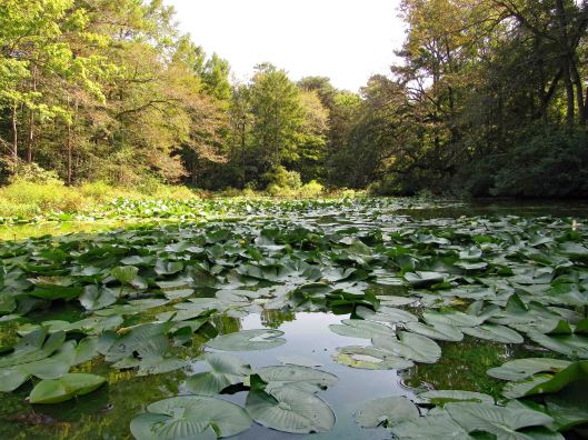
Lots of lily pads floating about. Tried to avoid and paddle around.
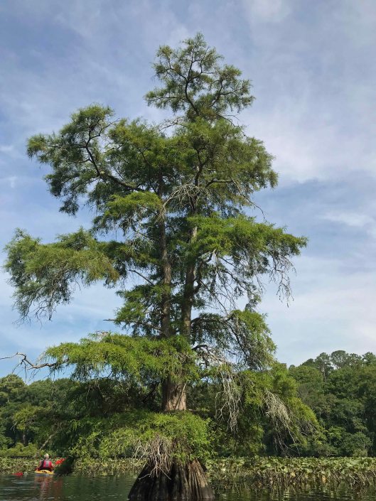
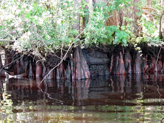
Big cypress.
Through the obstacles and onto open water.
Not many photos of Kathy and I together on adventures, other than selfies. Gail took this one.
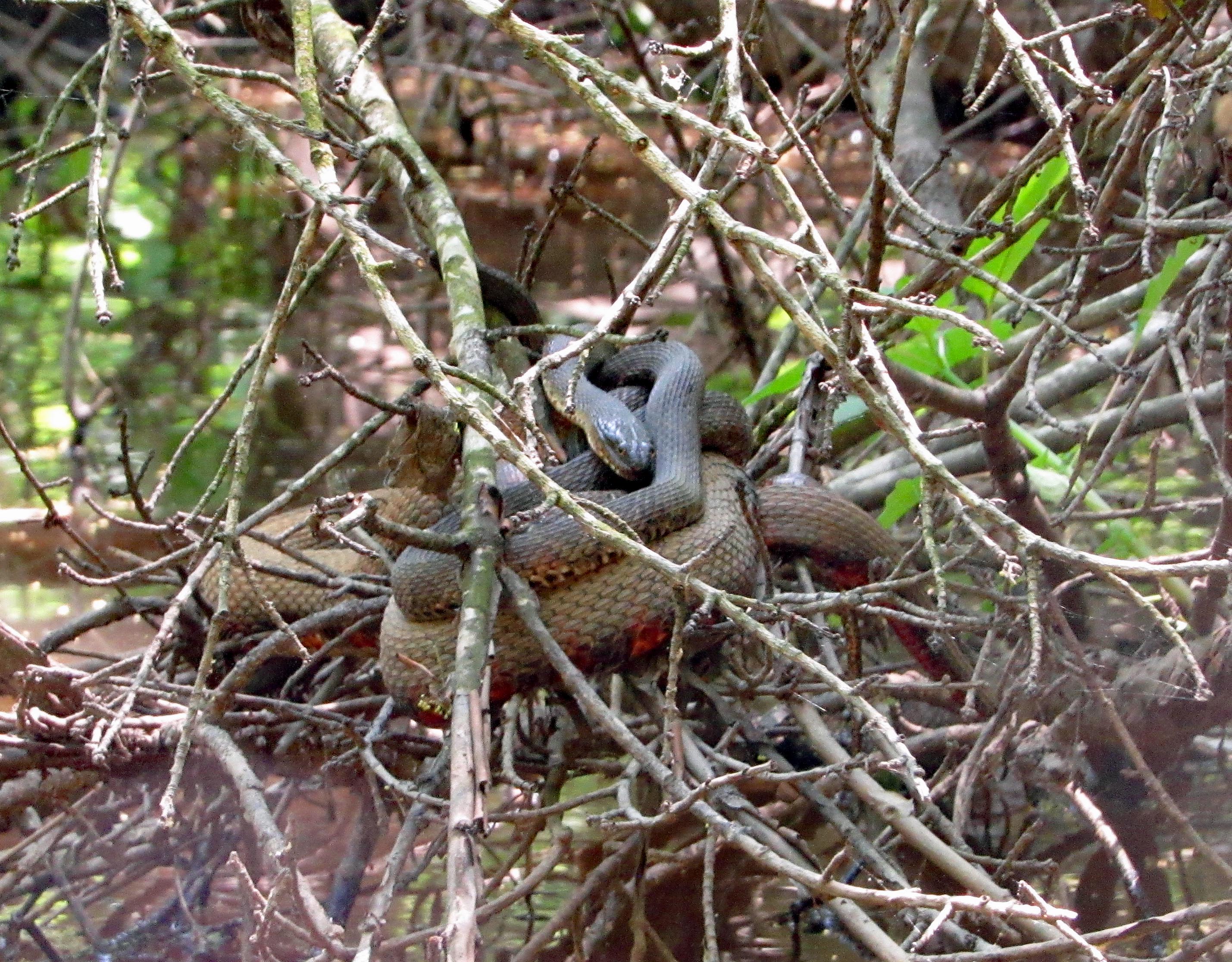
There were a few of these strung across the river?
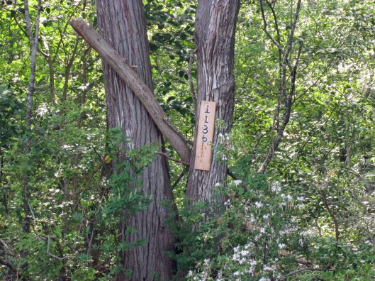
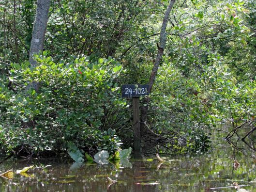
Another tree address…
Looks prehistoric.
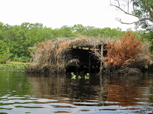
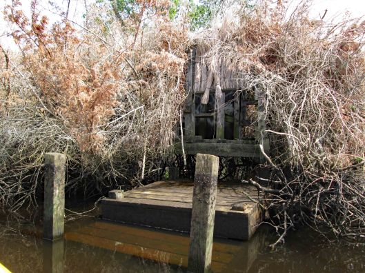
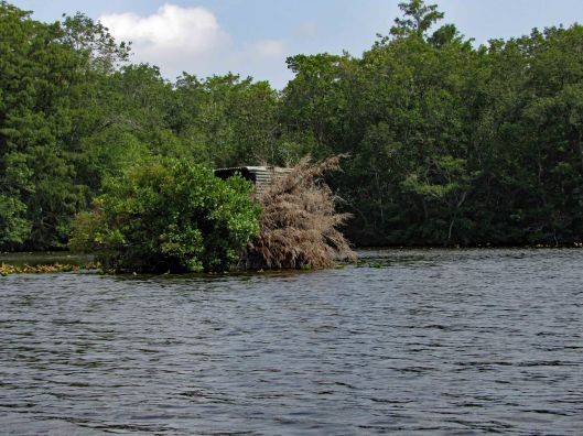
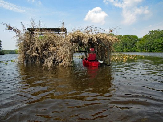
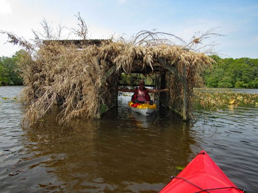
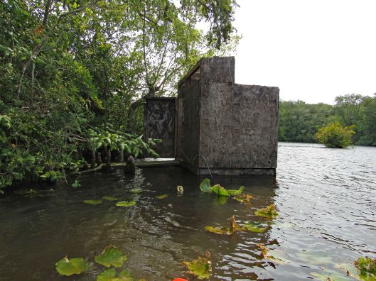
Duck blind.
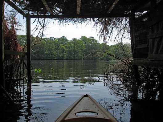
Inside looking out.
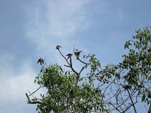
Tree swallows not too happy with me.
Side entrance to blind – needs some TLC.
So, i’m all the way down by the duck blind, about a quarter mile away from Kathy and Gail when I hear a whistle. So I paddle back as fast as I can to see if anything is wrong – “No, we just wanted you to see us balance the paddles on our heads!” Ha!!!
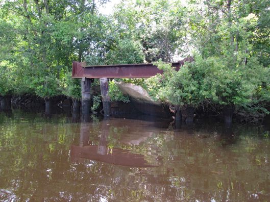
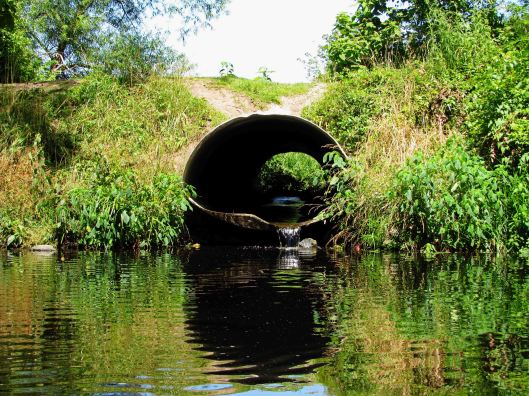
Looks to be the old outfall from the sewage plant.
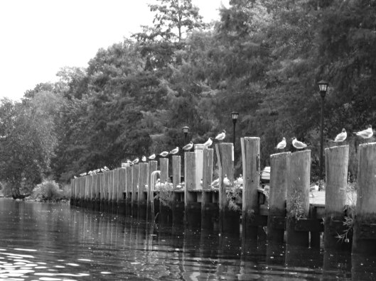
Heading back – seagulls looking for some Thrasher’s French Fries…
It was a really nice morning to go kayaking. Except for one little incident that happened – some jerk in a power boat was going too fast and about over-shot the curve. I was able to get out of his way but he was crazy and called us F’ing idiots!! I waved and told him to have a great day! I believe we had the right of way.
This was a really nice road trip. A little over-cast but nice. The first time we visited BWR a couple years ago, we followed the not too smart, smart phone that directed us to the middle of a swamp and then to Crappo. Another time we traveled to Cambridge and then south to the Refuge. This time we decided to take the scenic back roads. I saw on a map that there were a couple kayak put-in spots so we thought we’d check them out.
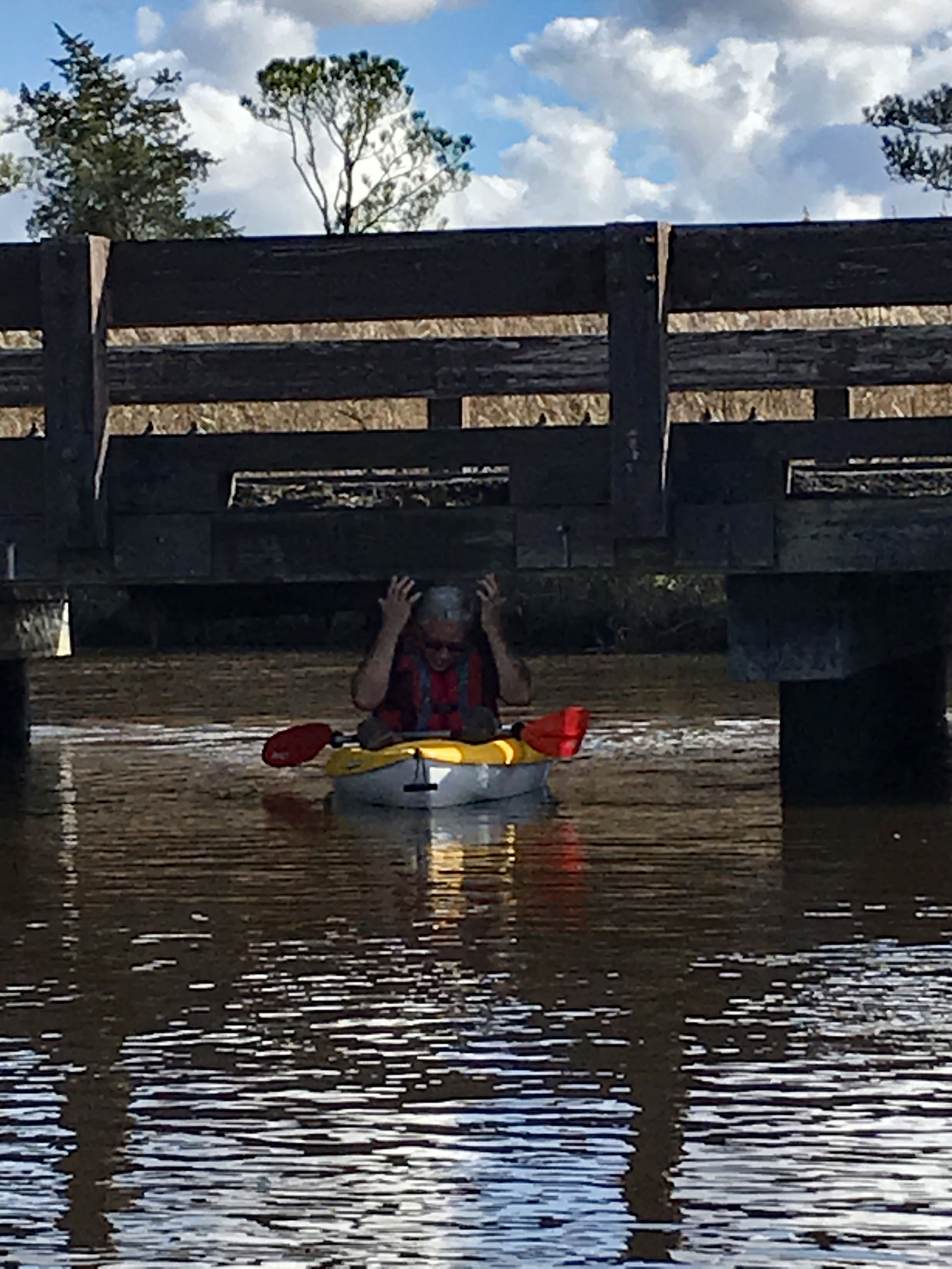
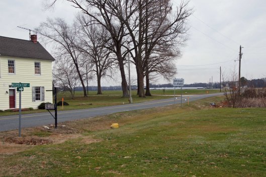
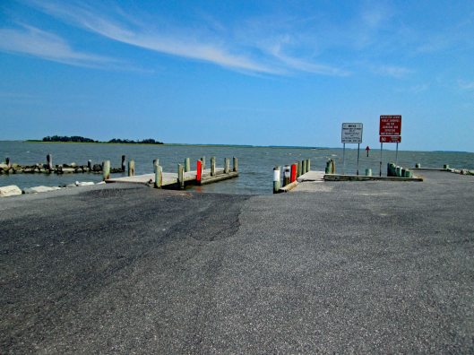
We took Rte 50 to Vienna and headed south on Rte 192. On the map was Bestpitch Ferry Rd., showing a launch. What wasn’t on the map was this sign:
When you see a “Bridge Closed” sign, you should heed it! Na! We thought this was the bridge they were talking about. It wasn’t.
Electric wire fishermen.
The road started to get a little hairy and we could see where it had been washed out in places. Then we came upon this.
On the other side of the barrier a wood, one lane bridge. Looks alright to me.
The kayak launch site is across the river, to the left. In the photo below it looks like a launch that has flooded out over the years.
Time to turn around. Bridge blocked, road falling apart and now a fire.
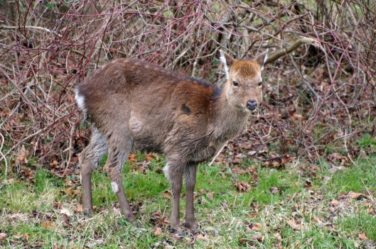
We make it thru the danger and head back to Decoursey Bridge Rd to Bucktown. On the way we came across this little, unafraid of the truck fellow.
Glad we had the detour. Some nice places to visit.
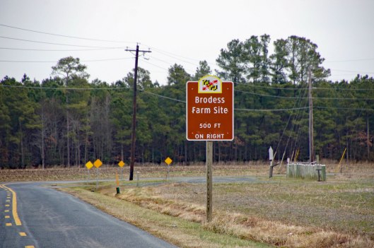
Harriet Tubman Underground Rail Road.
The Brodess Farm is where it was said HT was born. Other accounts say her mother and herself were brought (bought) here after she was born.
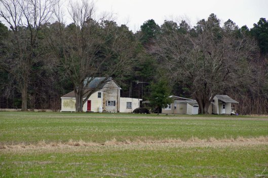
There is no trace of the original farm house, although this one is there. Private property, keep out.
Heading down Greenbriar Rd to Maple Dam Rd, we came across this house. It was unmarked but looking at a couple history pamphlets, we found that this was the Nause-Waiwash Longhouse. It was an abandoned church before the Indians took it over. It looks a lot nicer in the brochure.
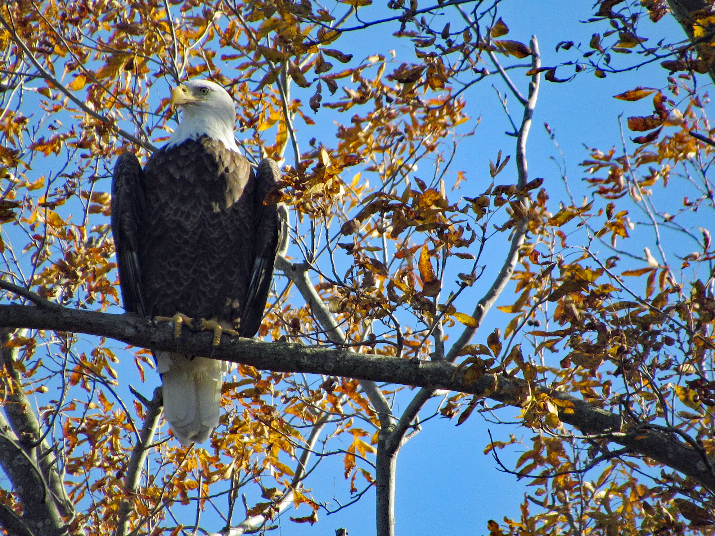
Moving along towards the refuge, we spot our first of many eagles. (We lost count at 9-10).
This guy was hanging out on the way to the visitor center.
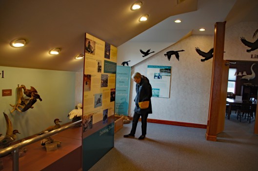
Kathy checking out the displays.
We leave the visitor center and head to the main entrance of the Wildlife Drive. Stopping to eat lunch at the observation deck. On the left of the road there is the Marsh Edge Trail and that was closed due to nesting eagles.
Here are some shots from the refuge.
One of Kathy’s pics. Nice!I see you!Me and my shadowAnother nice Kathy pic!
Leaving the refuge it was time to head to Hoopers Island. Rte 335. Heading down Hoopers Island road we came across this church. Originally the “Tubman Chapel”, it moved across the street. St. Mary Star of the Sea.
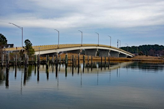
First bridge onto the islands is at Tyler Cove, Fishing Creek.
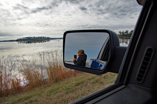
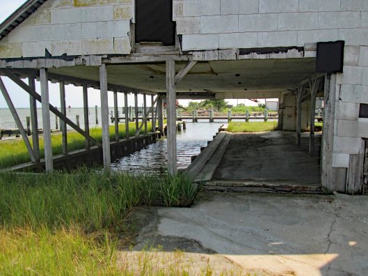
Taken from boat ramp.
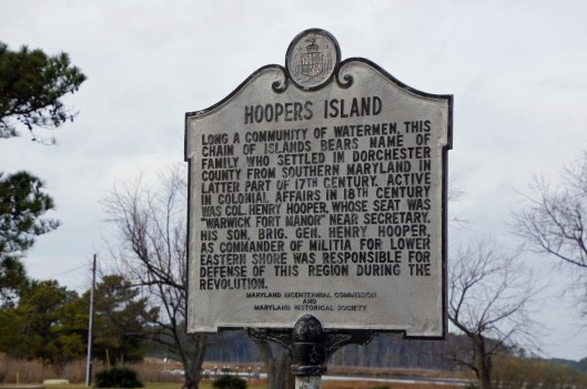
Another historical marker.
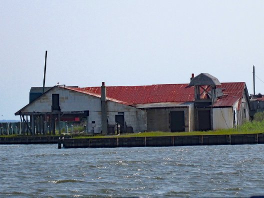
And another General Store
Behind here is a cemetery, which brings me to WHY we wanted to visit Hoopers Island. We want to see all this before it is completely submerged. There is a great video on the sinking of this island. You should watch it – High Tide in Dorchester – https://www.bayjournal.com/films
Lots of fishing and sea life down here. Hard to believe it was mostly farms at one tome.
We headed south to the middle island. There are 3 islands, probably more at one time.
Roads flood in high tides and stormsFishermen returning
Pulled off the side to see what we could see – some sea glass, shells and debris.
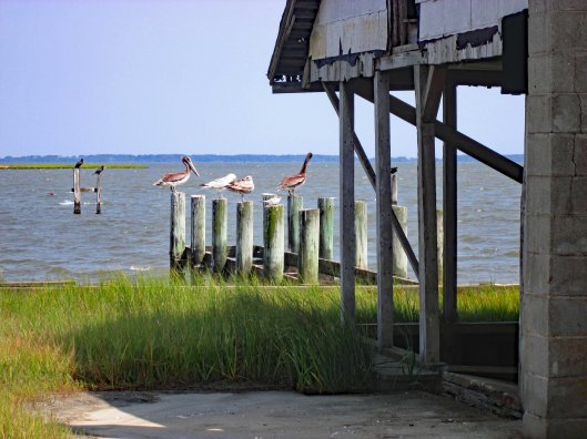
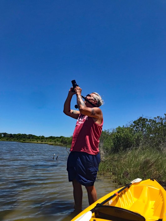
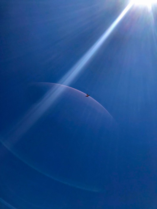
Looks like 3 adults and one juvenile. Even with a 300mm lens, they were too far off.
Adult brought food to him.
Our map. the lower island has no access.
Great day and so grateful that Kathy likes going on these eight hour adventures with me. For too long I did all this kind of stuff by myself.
First off, I would like to thank the team @KayakingDelmarva for writing and documenting their trips/adventures to places I had no idea about. Because of them, Kathy and I have been able to follow their paths on our own adventures. Thank you!
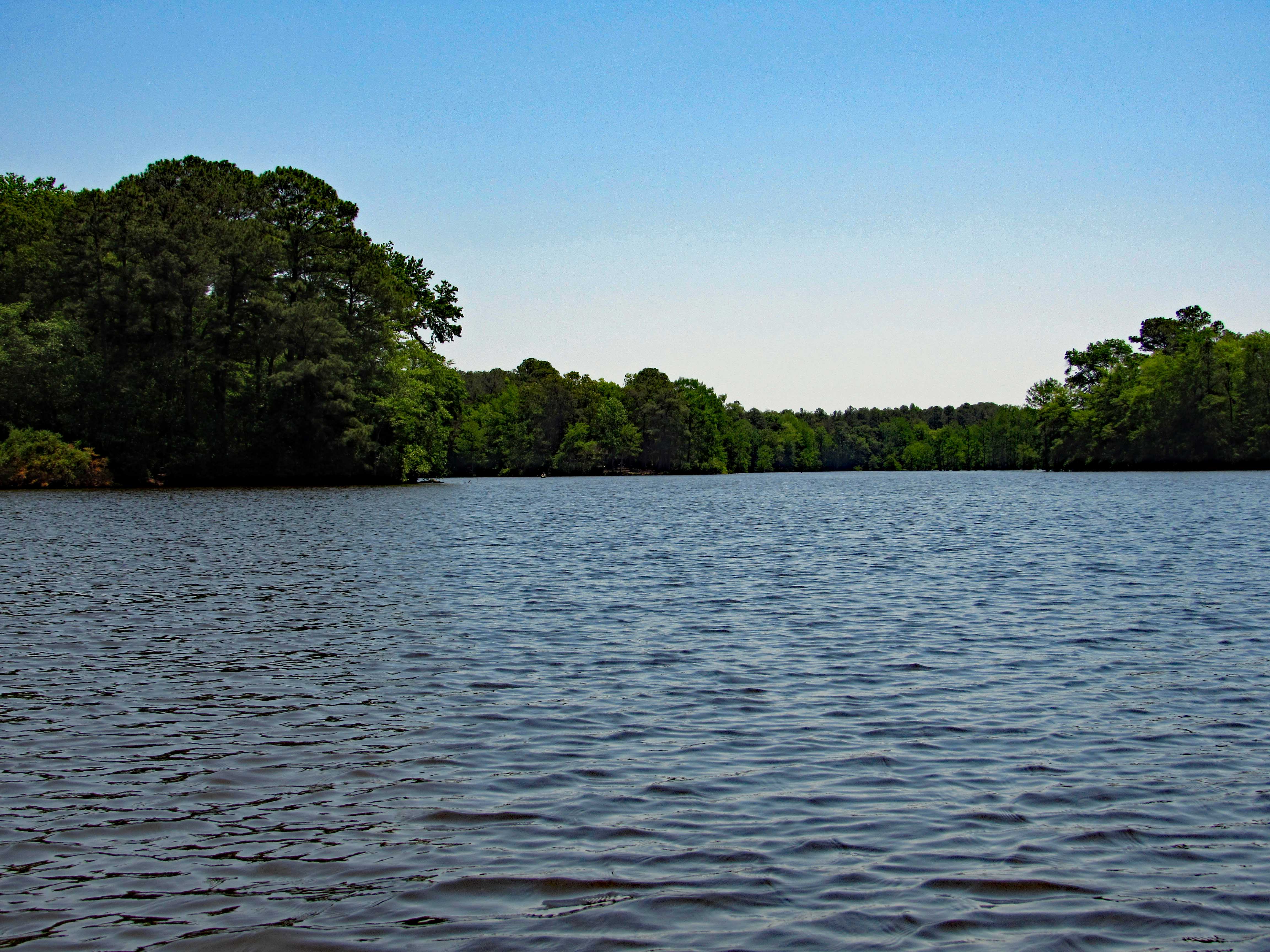
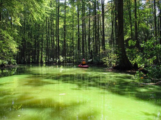
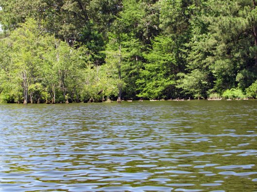
I had previously written about Trap Pond a while ago when we were looking for a new place to hike, but because it was $8 to enter, we passed. Seems crazy to pay to go hiking. Kayaking and use of a boat launch is worth it though.
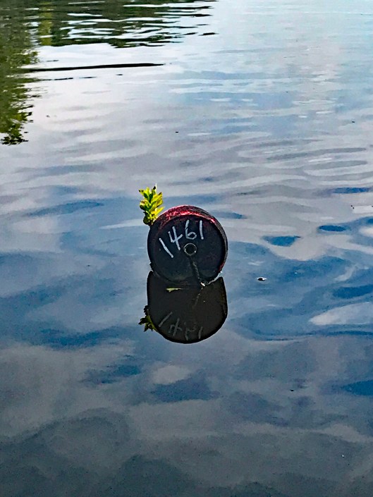
In the above photo is a yellow sign to the left:
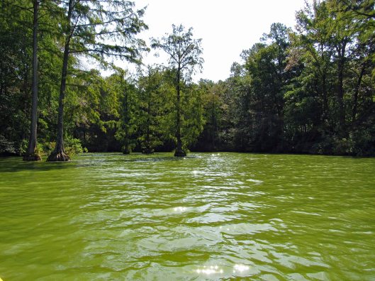
The water was nasty looking and we did everything in our power not to touch it!
We followed the shore, passing the camping sites, into the first creek.
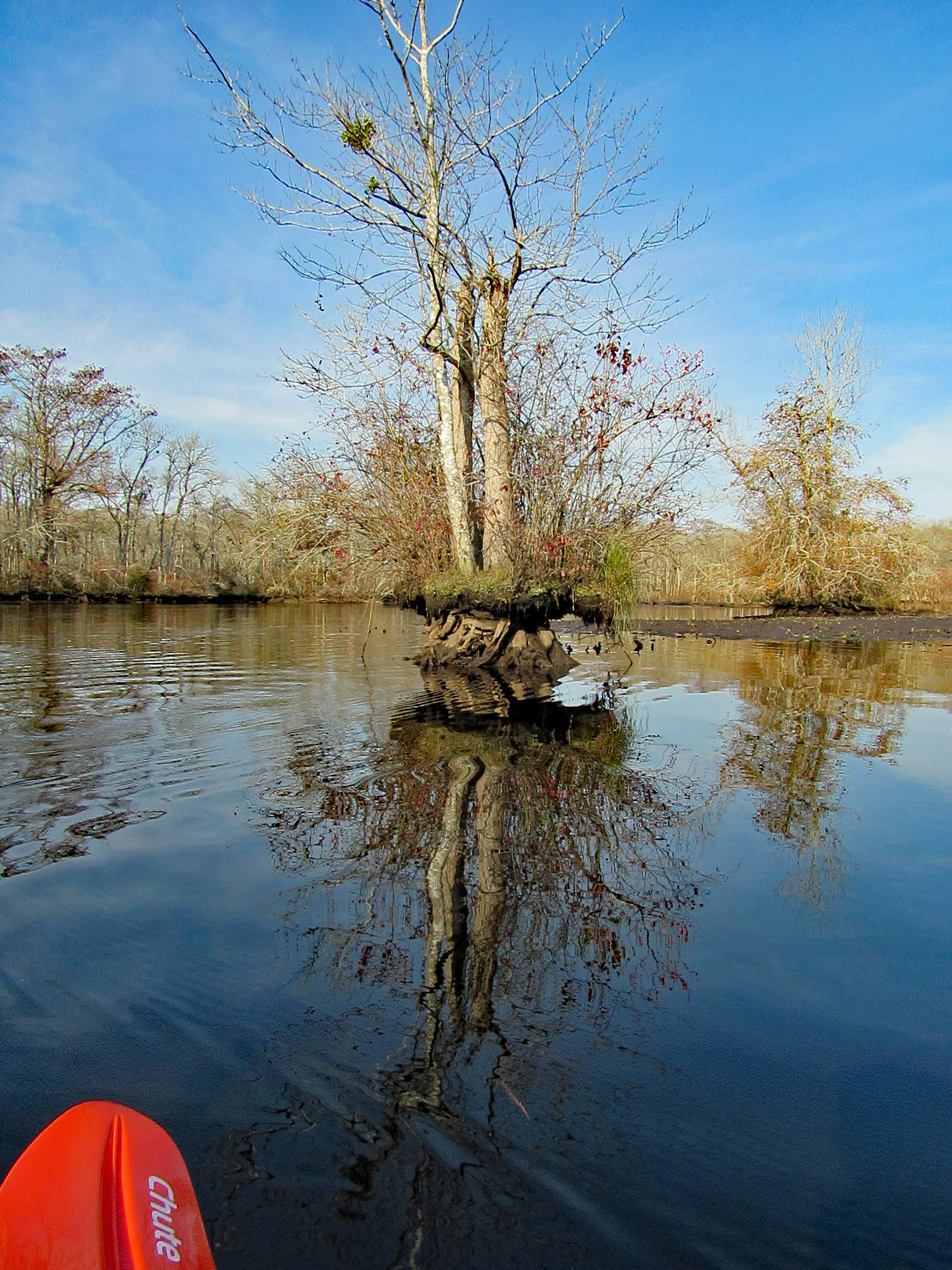
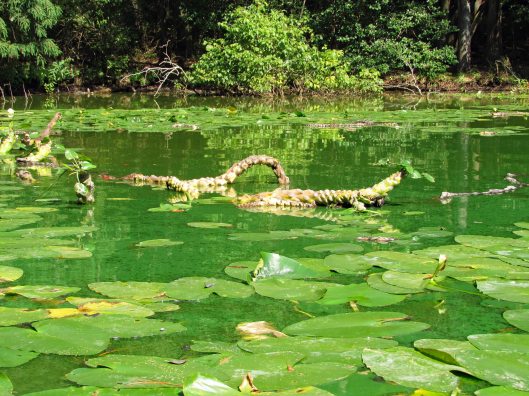
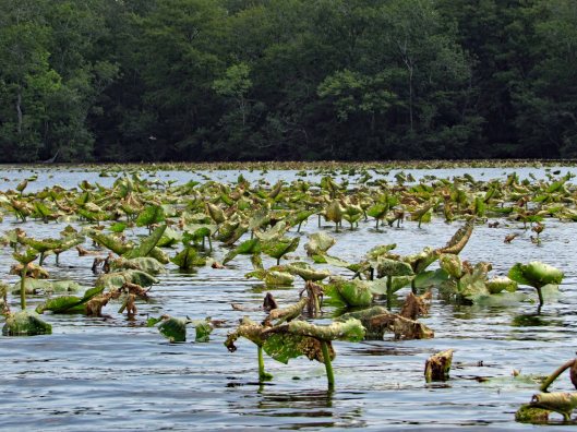
Dead endFloating root system of lily-pads
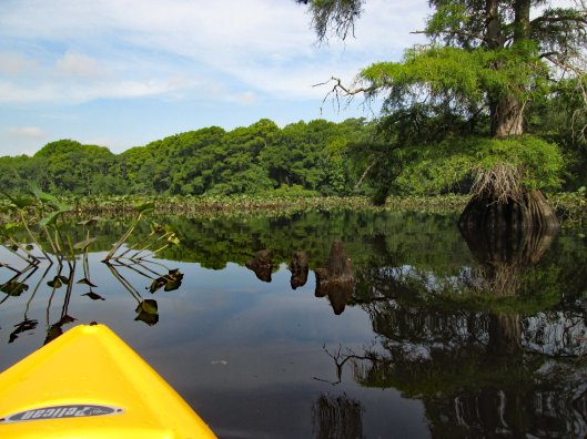
Turned around and headed back along the shore, occasionally heading out into the open water, then back into the cypress.
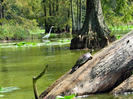
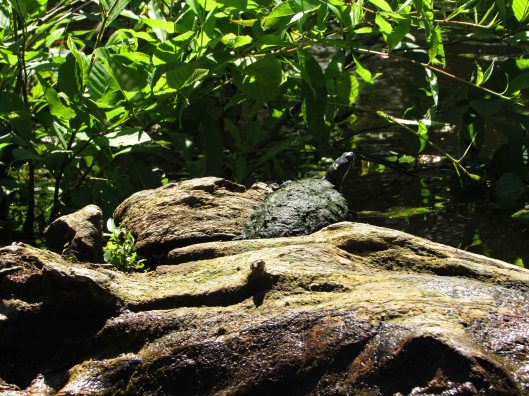
Lots of turtles
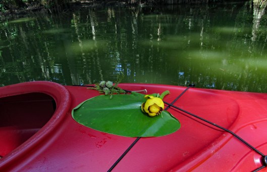
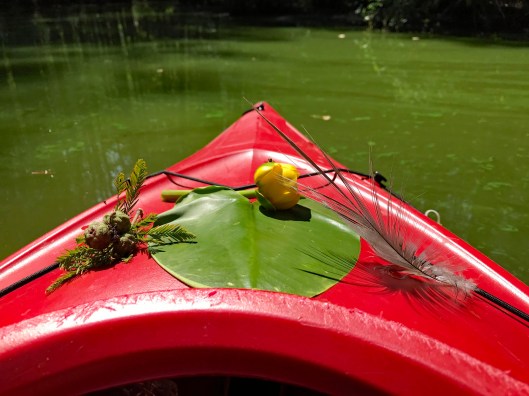
Kathy took some nice pics of the flowers and nature, adorning her kayak.
And of course me photo-bombing her pics!
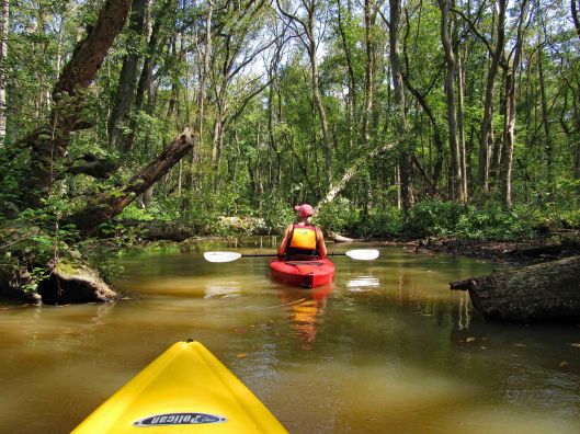
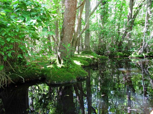
We then headed into another creek. A sign says this is Terrapin Branch. On Google maps it is noted as Thompson Branch. Lots of signs pointing you in the right direction.
Only became aware of this guy because of all the noise he was making.
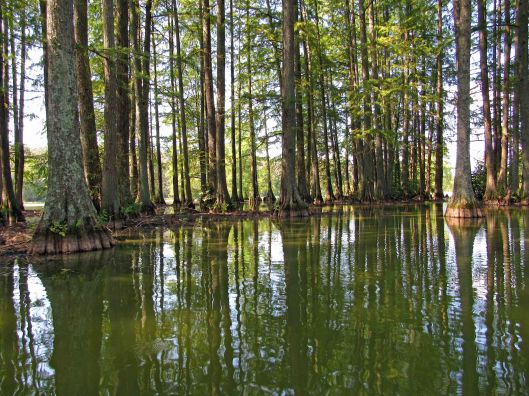
Water still green back here
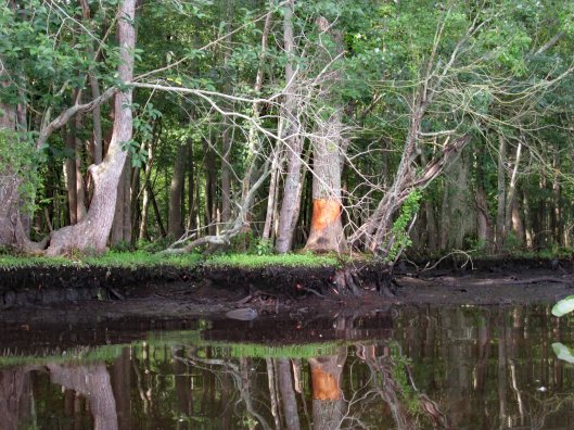
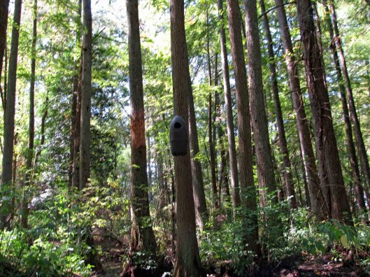
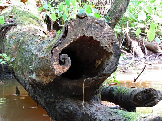
Various nests (or spy cameras?). Also odd markings on trees. Looks like scrapings from falling trees maybe?
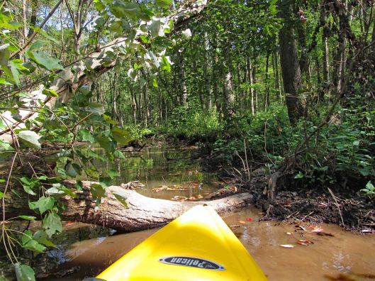
Uh-oh! End of the road? A fallen tree in the way. There were a lot of trees down but for the most part, people had cut them out of the way.
My kayak will fit under, but I won’t.
So, I tried backing up and going full speed, to get my kayak to leap over it! No luck – just bounced off!
Time to turn around and go back.
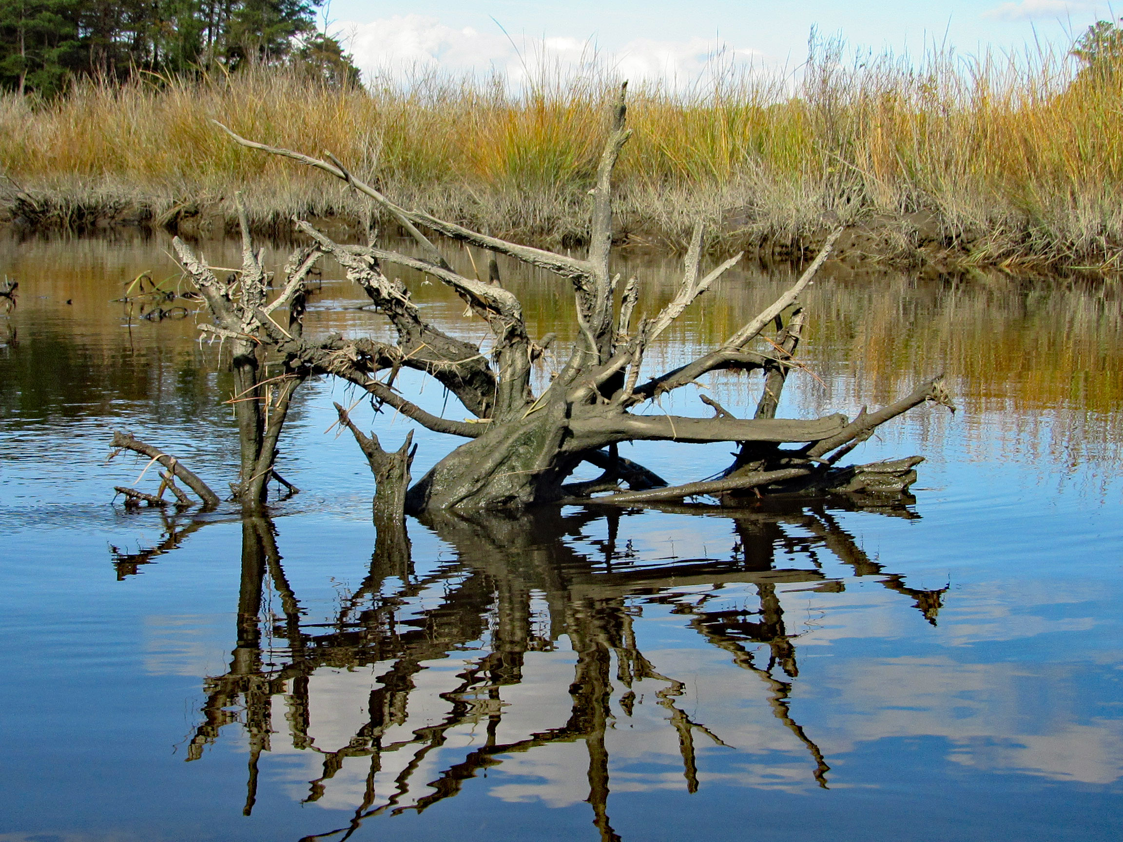
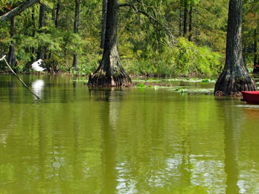
He saw us first.Turtle very still – “Please don’t look at me!”“Are you looking at me?”Cypress reflections
After about 4 hours out there, back to the launch. It will take quite a while to clean the kayaks off.
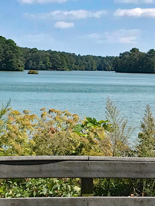
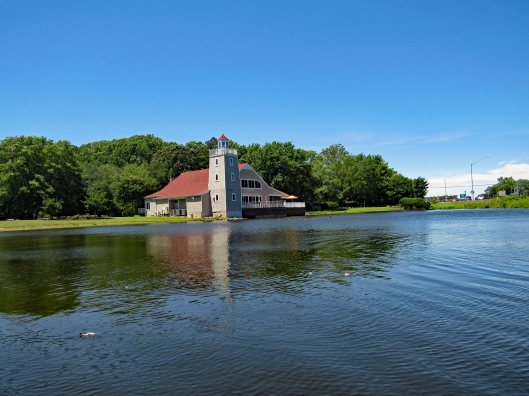
Nice pond to say the least!
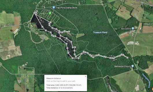
Our path. Not really sure of the ending point only because I had no GPS signal. Very nice day. Thanks God for another great one!
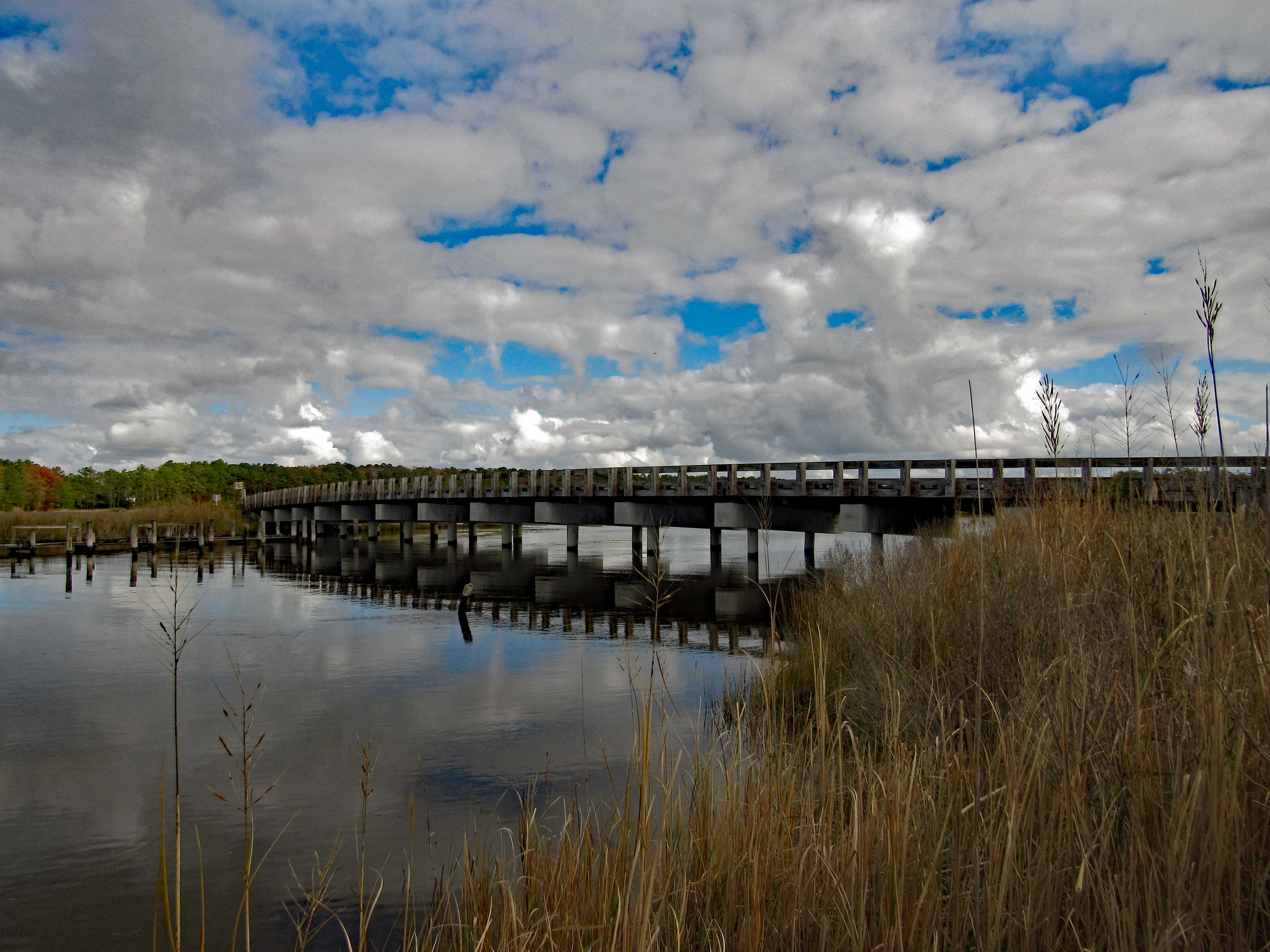
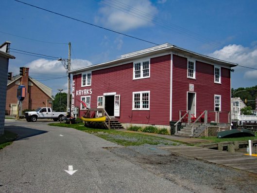
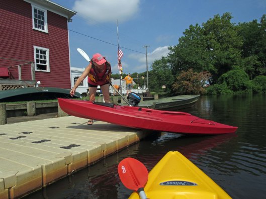
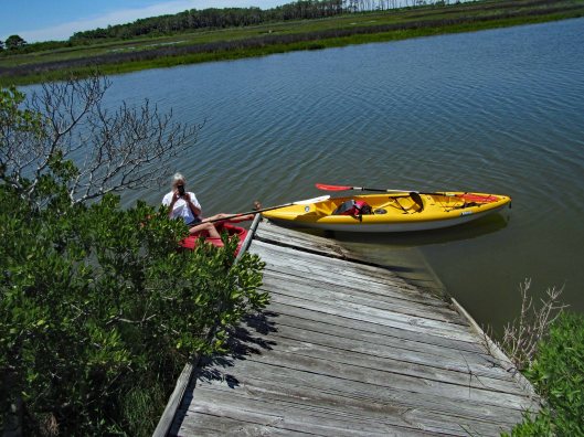
Kathy and I had previously gone kayaking on the Pocomoke at Snow Hill’s southwest side, below Rte 12. This day we headed to the northeast side, at the Pocomoke River Canoe Company. I called beforehand to see if they had a public launch and they do. It is more of a floating dock, of which I have never jumped in my kayak from before. I did ok – I didn’t fall in. (Usually I walk in from a ramp). The employees there are very nice and helpful.
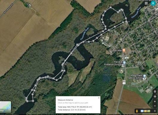
Here is our path. It was about 3-1/4 miles round trip.
Some highlights:
Here comes the rain!
After a couple hours of kayaking and the rain forcing an early exit (Stupid weathermen were calling for rain after 4pm. We were there at about 10am), we decided to grab something to eat at a place called Down Under on Rte 12. Great cranberry/walnut chicken salad for me. Kathy got a cheese steak sub which she enjoyed. Instead of sitting in the parking lot, we headed back into Snow Hill, Byrd Park, to eat. Finally saw the Goat of Goat Island!
The canoe guys gave us a brochure listing other launches. On the way home we stopped at one, to check it out. This one is on Red House Road and is very small.
Thanks God for another day filled with adventures!!
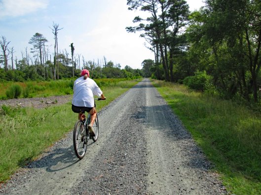
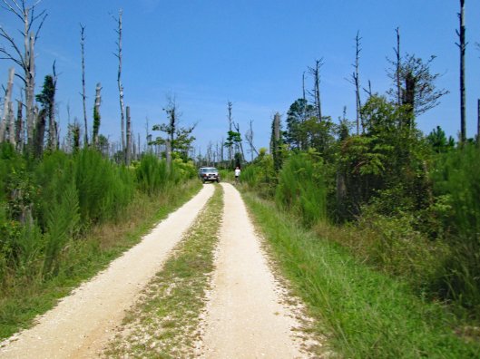
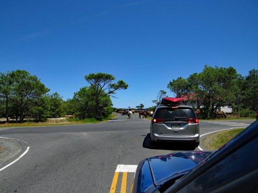
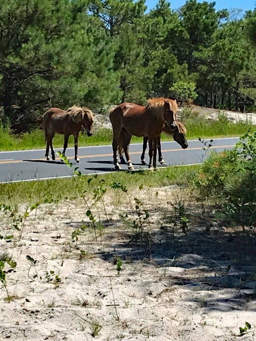
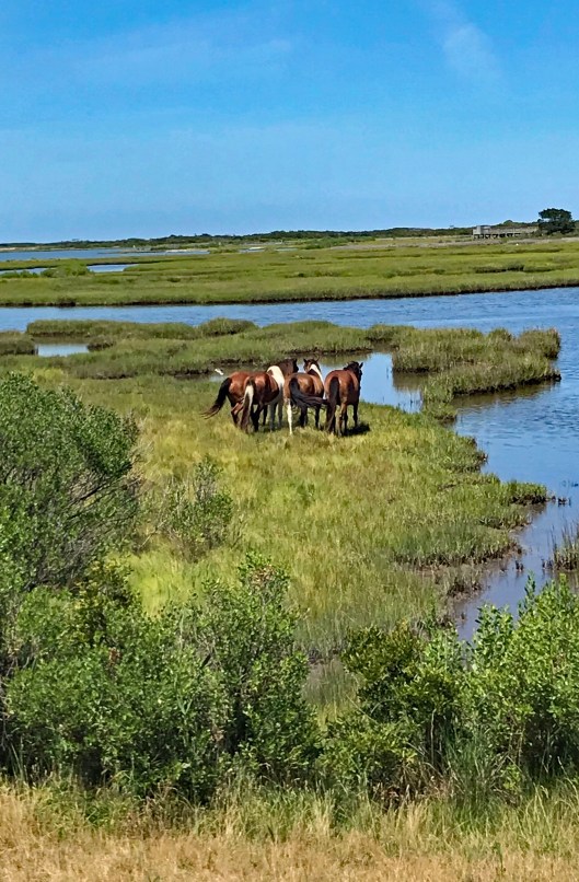
Another day trip to Chincoteague. We rode around the wildlife loop and instead of taking the Swan Cove Trail we headed to the service road. This is about a 7 mile road. The road wasn’t bad but the mosquitoes were terrible!
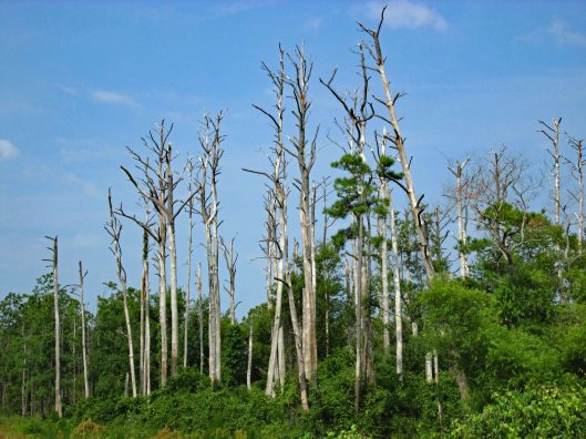
Lots of dead trees.
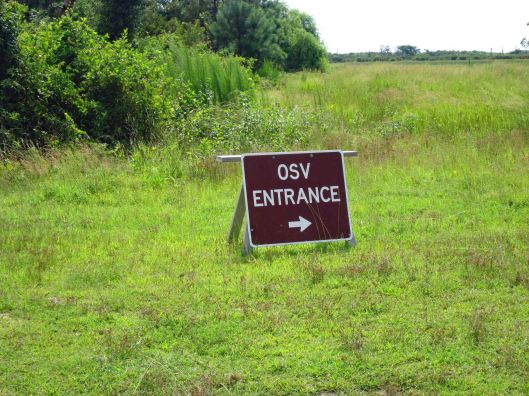
Headed to the beach via the OSV – Over Sand Vehicles entrance.
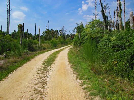
This wasn’t a bad road either.
Parked our bikes. Ran into a volunteer ranger and we asked about all the dead birds on Chincoteague Road bridge. 100s of them. She said they were fledgling seagulls, just learning to fly. They come up out of the marshes and because they are young, they can barely get the height they need to get over the bridge. Not to worry she said…there are a lot of them. Ugh!
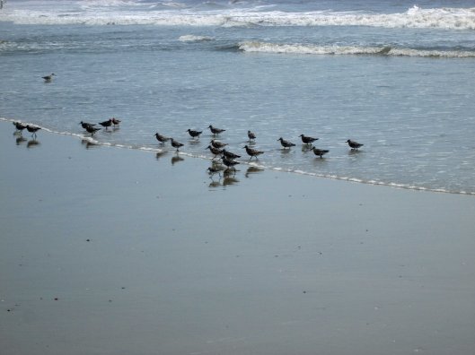
Lots of birds and other life on the beach.
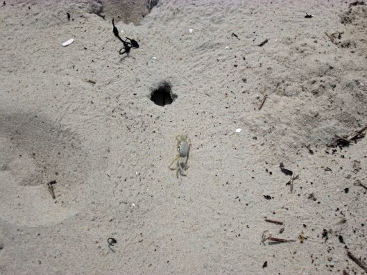
Ghost crab
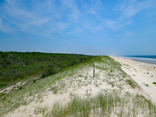
Beach and ocean as far as you can see.
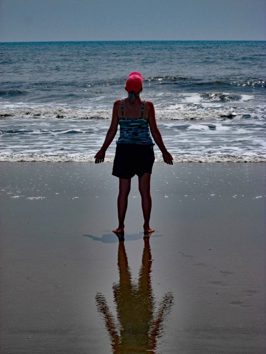
Aura around Kathy’s reflection.
Survey marker
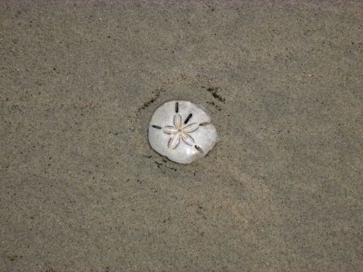
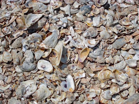
Can never have too many seashells from the seashore!
Heading back, need to watch out for the 4 wheelers.
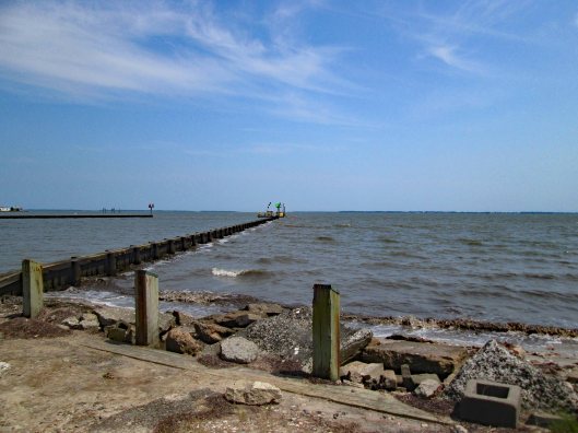
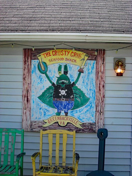
Took a different route home. Usually we take Chincoteague Road (Rte 175) to Rte 679, which turns into Rte 12 in Maryland. We turned on Rte 798 and went past Wallops NASA. Back to 679, turned at Captain’s Cove. This is on the Virginia side and put us in Greenbackville.
Next dinner date!
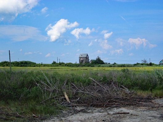
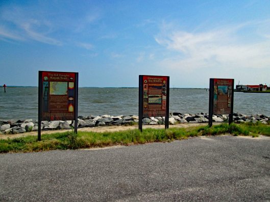
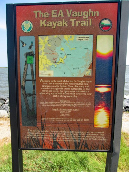
Left there and headed north to George Island Landing Road.
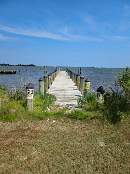
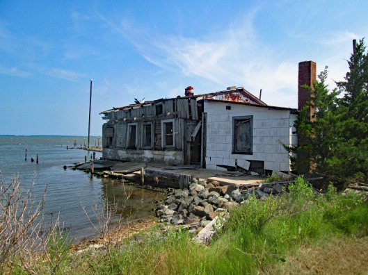
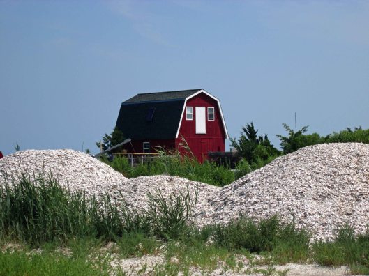
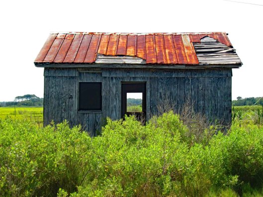
No windows or doors, but I have 3 boats.This beach was all shells…Years of piles upon pilesEverywhere are signs, blocking the scenery…Might do, but doubt itNice launch and not crowded.Old oyster houseWaiting for the ships to come inNew structure among the ruins.Lots of shellsI’m looking through you..
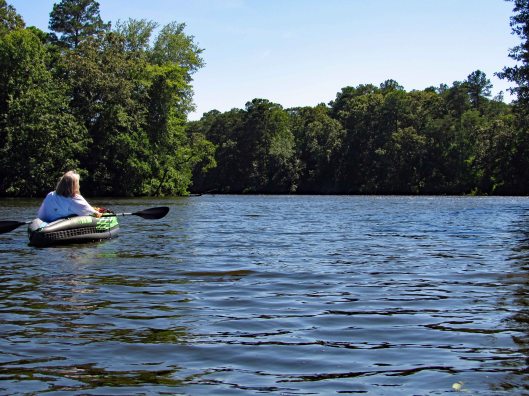
Return trip to Assateague State Park for some more kayaking. Paddled a little over 2-1/2 miles and were out there for a few hours. Nice day with a slight breeze, enough to keep the bugs off. We put in at the Old Ferry Landing. A few people there. By the time we returned, there were a lot more people. We pretty much went to a couple isolated waterways, opting not to head out on open water to the islands. Mostly hugged the shoreline.
Headed south-east which was a dead end.
Turned and headed north east, passing by the landing, towards the nature trail. Came across this.
Got close to check it out, then climb up on it.
It dead ends. Must have washed up here during a storm.
Taking a picture of Kathy taking my picture.
It was harder getting up and down that thing than it looks. Once I was able to crawl back into my kayak, we headed into a cove.
Then backed out to head to another.
Wind picked up so Kathy made a sail.
Could not find this in my bird book. May be immature and not be fully colored.
Back into another little waterway and as far as we could go.
Although we could only go so far, it was really nice and peaceful back here.
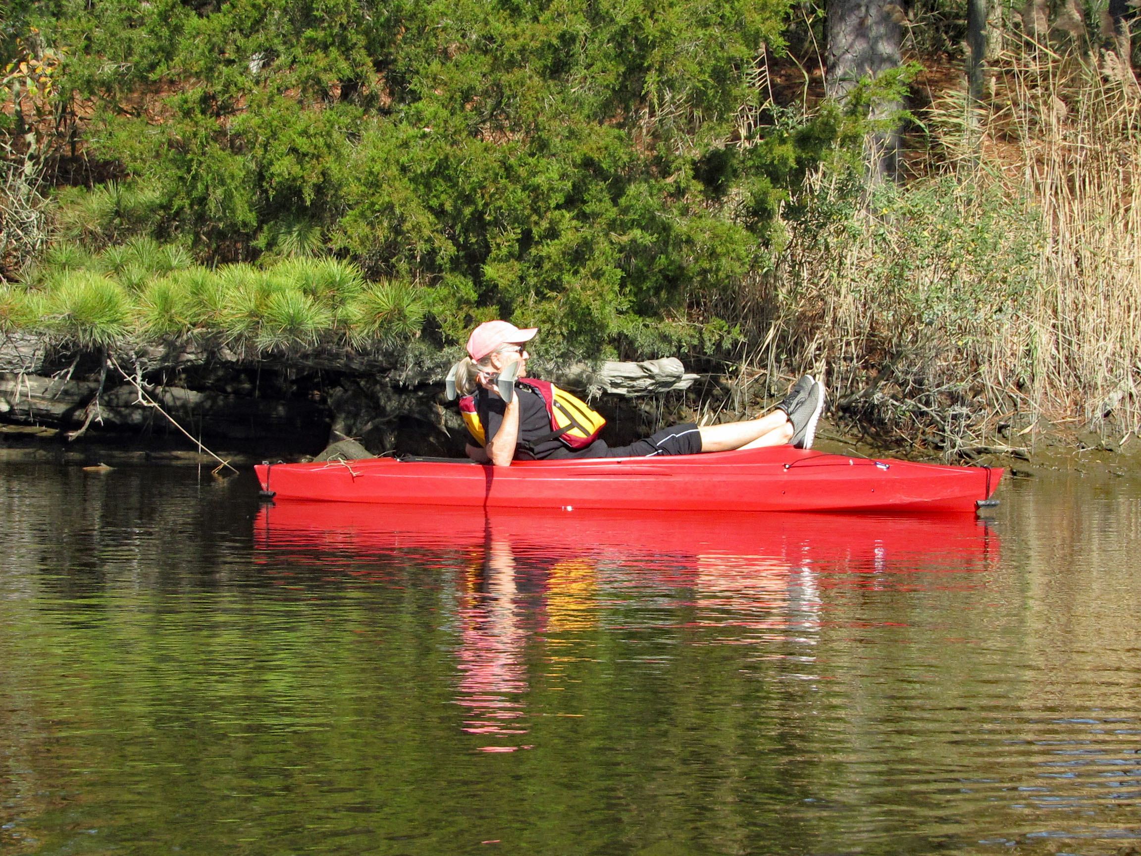
Parked the kayaks to chill in the water some.
Kathy’s pic of me trying to take a photo of a bi-plane flying overhead. Red Baron.
Kathy’s pic. My hands shake to much to get a good shot that far away.
Not only does Kathy do a good Ralph Macchio, she also picks up other people’s trash along the beach.
After some walking around looking at crabs and various shellfish, back into the kayaks for another cove.
Another dead end.
A shortcut on the return.
Lots of people. I think the ranger was giving crabbing lessons.
Nice day on the water and we then run into a traffic jam leaving the park.
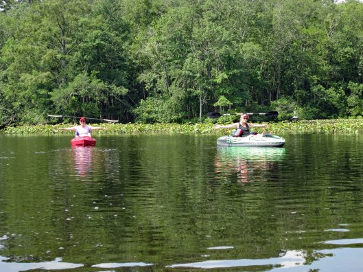
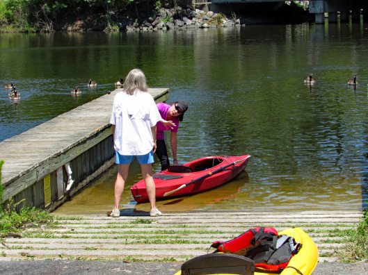
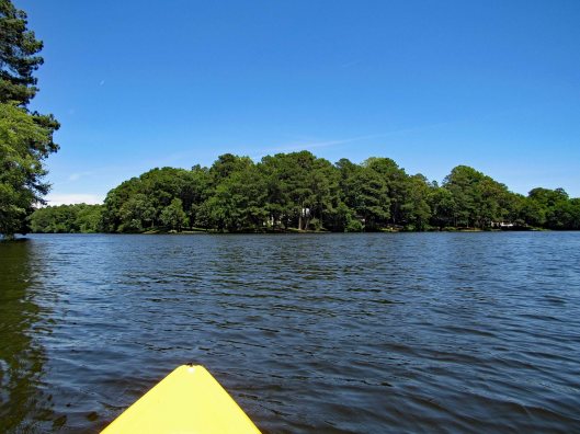
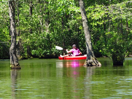
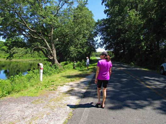
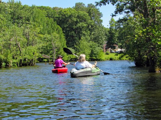
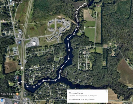
Kathy’s friend from many years ago is in town so we asked if she would like to go kayaking with us? Off to Leonard’s Mill Pond we went. Kathy and Lisa strategizing our adventure.
Lisa waiting for us.
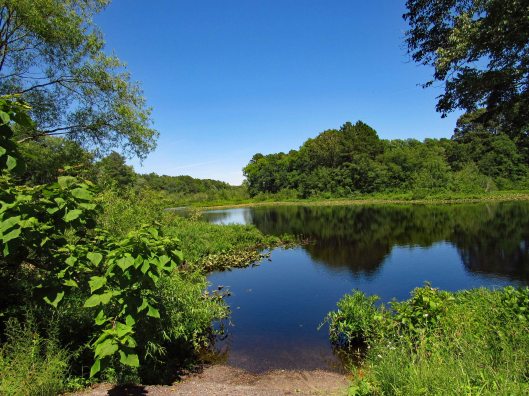
As we leave the smaller portion of the pond, where the visitor center is.
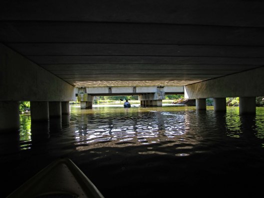
Under the bridges of Rte. 13 to the open water of the pond.
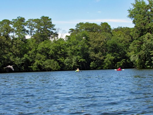
Idle canoes and kayaks.
A fork in the road, so to speak. Looking at a map before heading out, the left (north branch) goes to another pond (Williams Mill). That will be our route. The south branch looked like it just fizzles out in the woods.
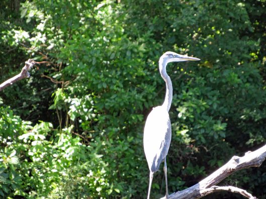
Waiting to attack.
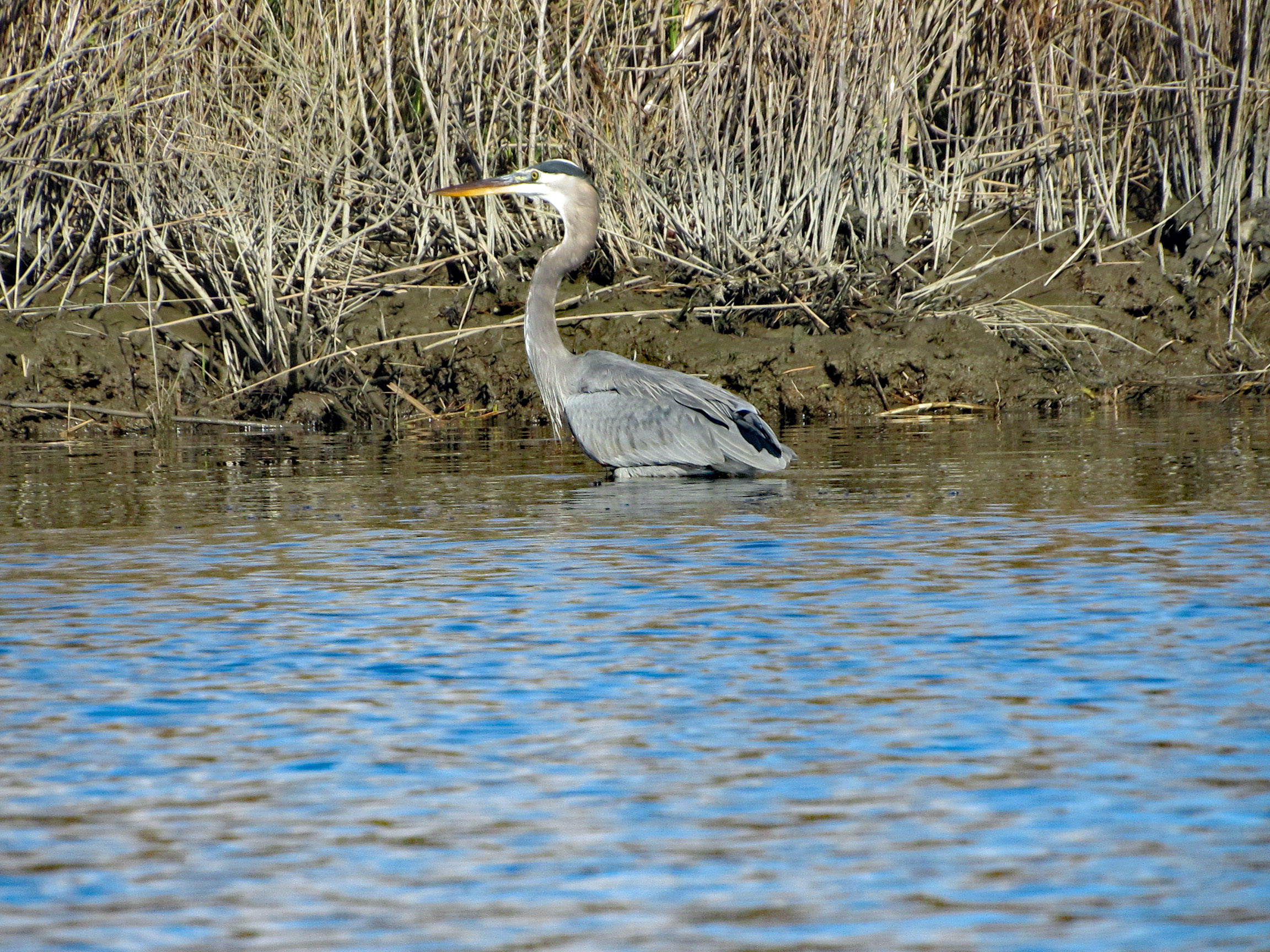
Heron to the left and unsuspecting kayakers to the right.
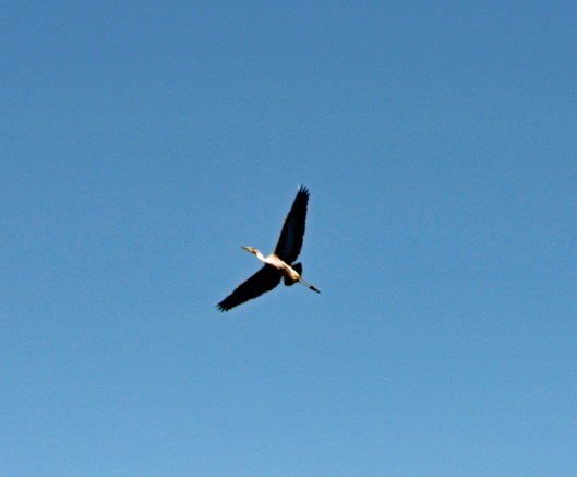
At the last minute he flew off.
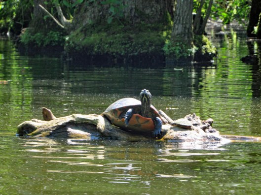
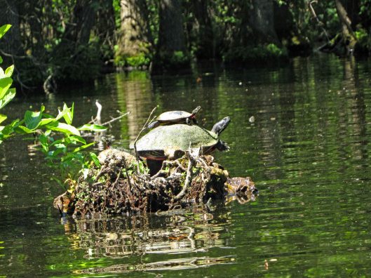
We’ve never seen this many turtles in one day before.
X-Men Turtle.
The small guy jumped on the big guys back and the big turtle started clapping.
This guy has stuff growing on his back.
The north branch splits up into 2 other branches. The right side was guarded by geese. Lisa took this way. Up a ways you can cross thru to the left side. We went back and forth through the trees.
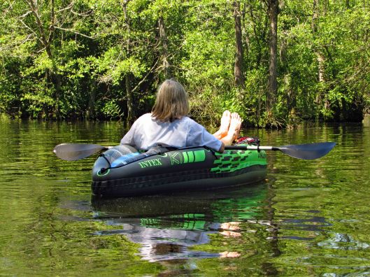
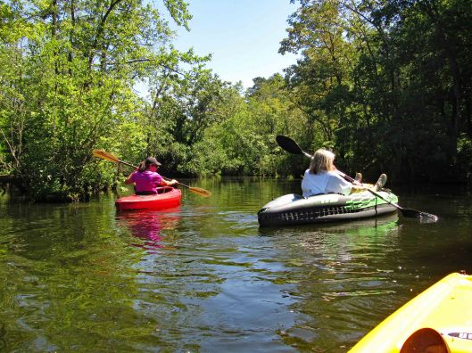
Kathy used the inflatable kayak again today. I was surprised at how tough it is. There are quite a few semi-submerged branches and trees in the water.
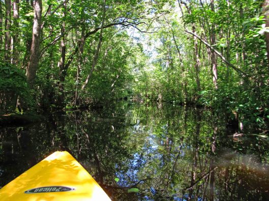
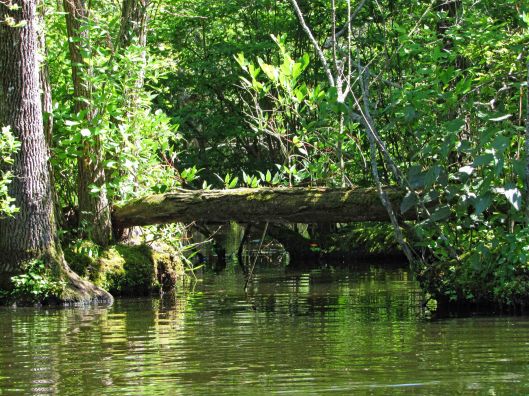
Heading through the trees.
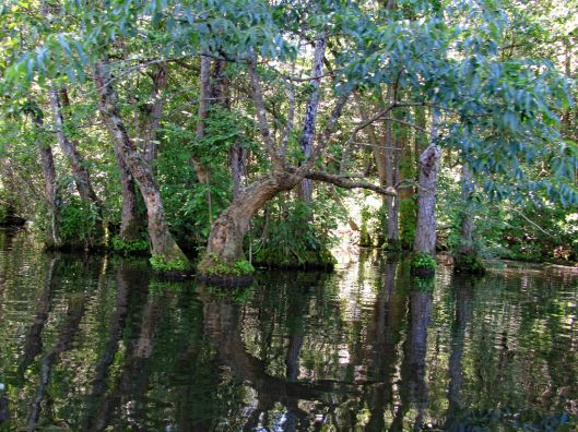
The trees and reflections just sort of merge together. Seems like we are just floating in air.
Up ahead, the end or a new beginning?
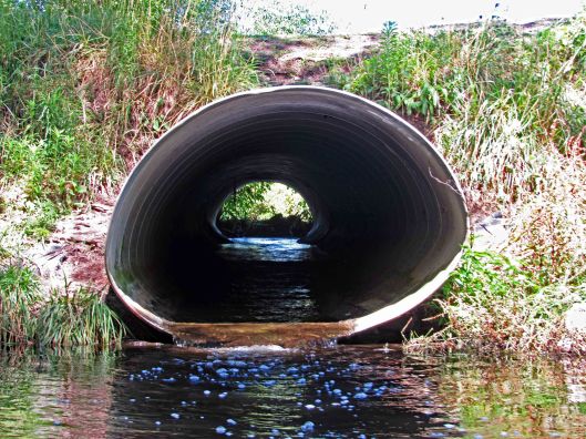
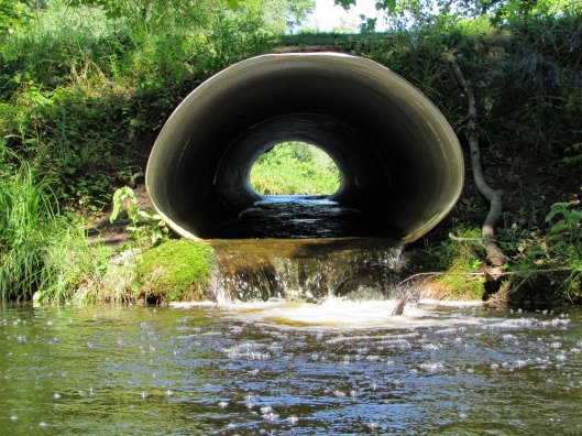
Three pipes. Can we fit?
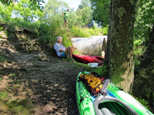
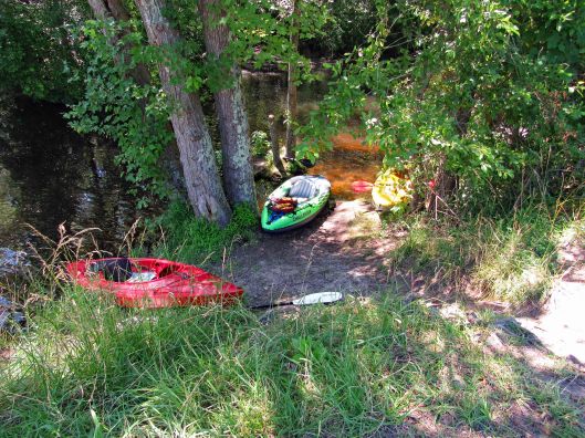
No we can not. But we needed to get out to look at what is on the other side.
Park the kayaks and head up the hill to the road (Williams Mill Road).
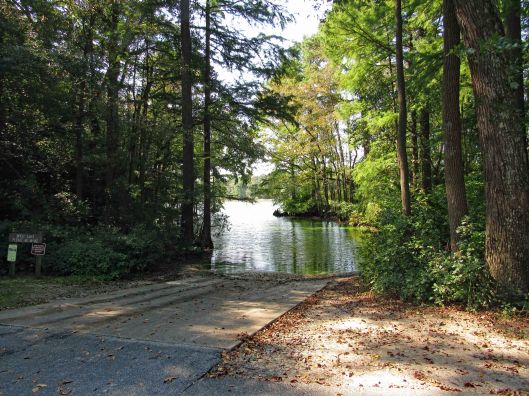
Williams Mill Pond. With launch area! New adventures await!
Time to head back.
Some sights along the return trip.
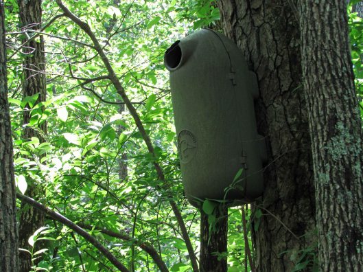
A Ducks Unlimited hidden camera.
Back towards open water.
The wind had picked up and it was a lot of work to get back.
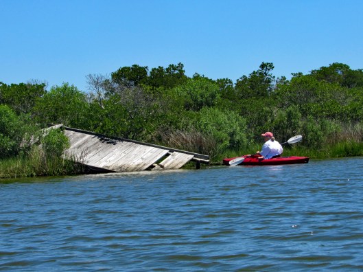
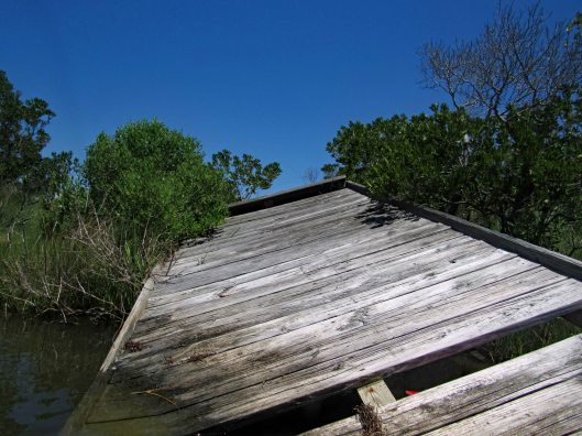
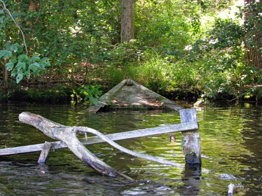
Shipwreck.
Under the highway were a lot of barn swallows. Making it through without incident.
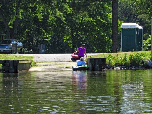
At the launch site.
The map of our trip. It was just over 2-1/2 miles round trip. Great day with a new friend and another new adventure!