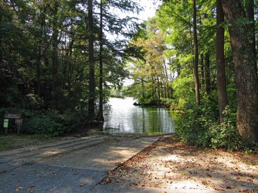
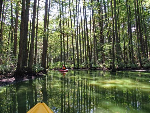
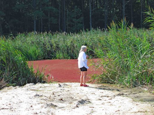
First kayak adventure of the season at Delaware’s Trap Pond State Park in Delaware. It usually costs us $8 to park at the boat launch. This year we decided to go ahead and get a yearly, out-of-state permit (for seniors) since we like hiking, biking and kayaking there. The permit covers all state parks in Delaware except Fort Delaware State Park and Pea Patch Island.
Water was calm. And since it was a very nice day weather wise, there were a few people on the water. We paddled a little over 3 miles.
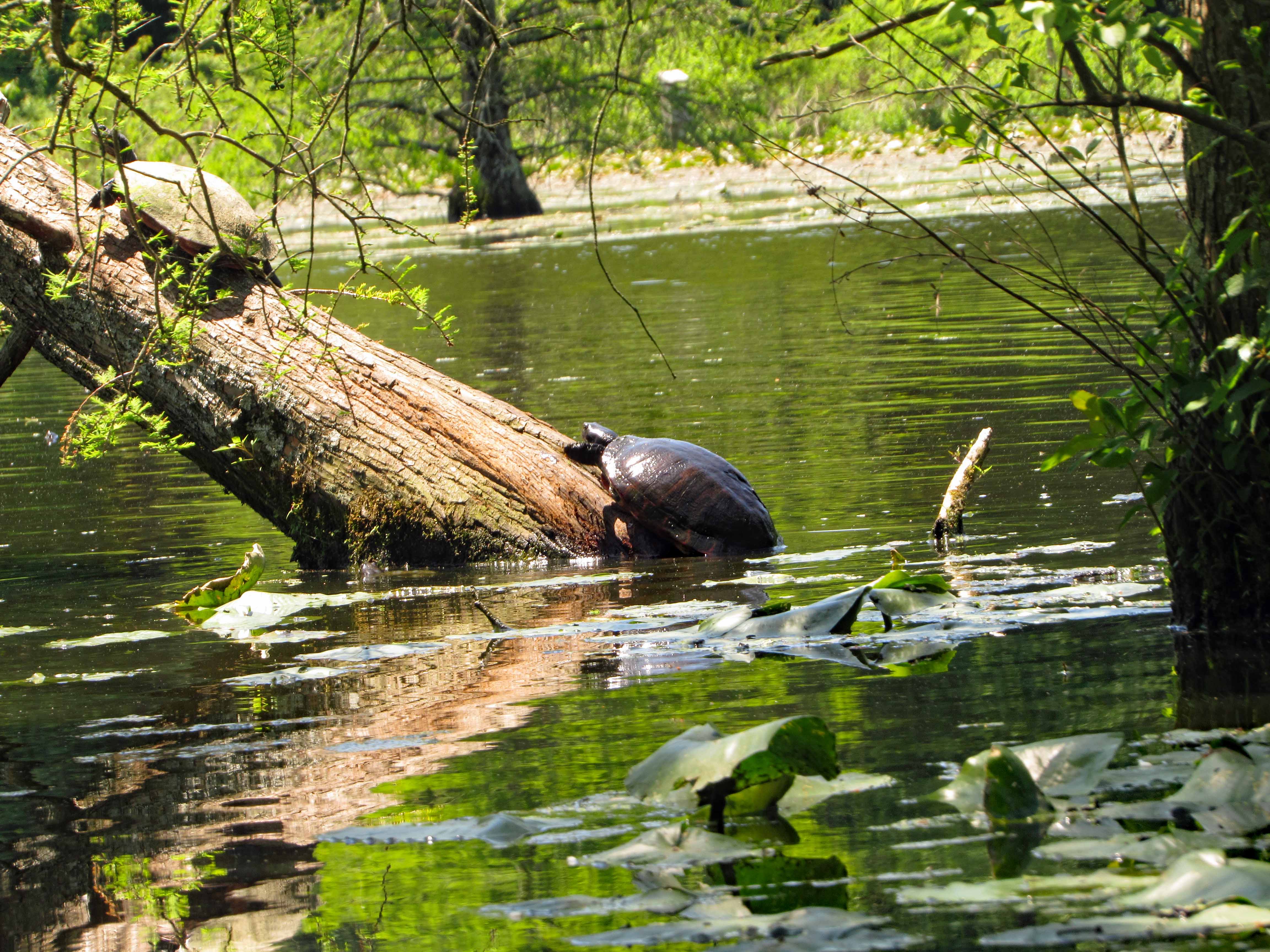
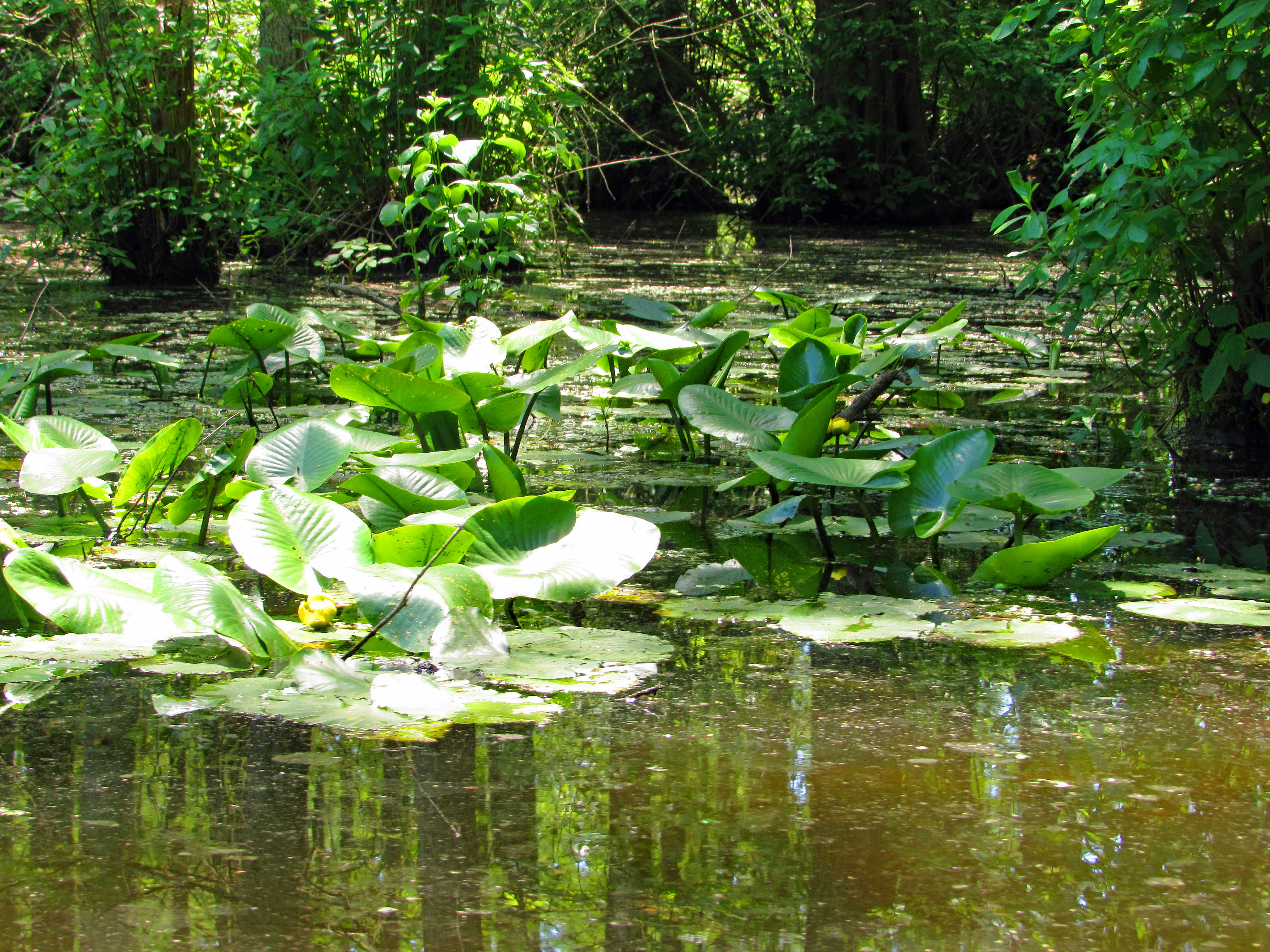
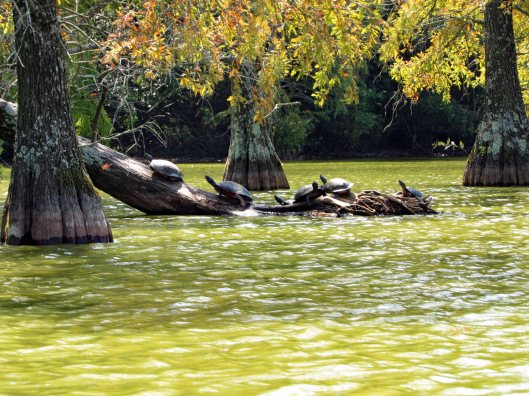
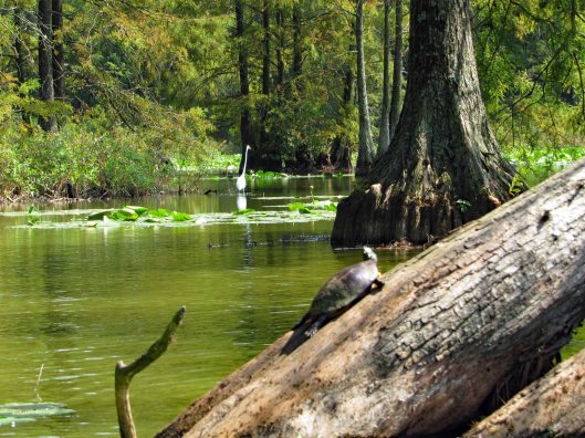
As usual there were a lot of turtles sunning themselves.
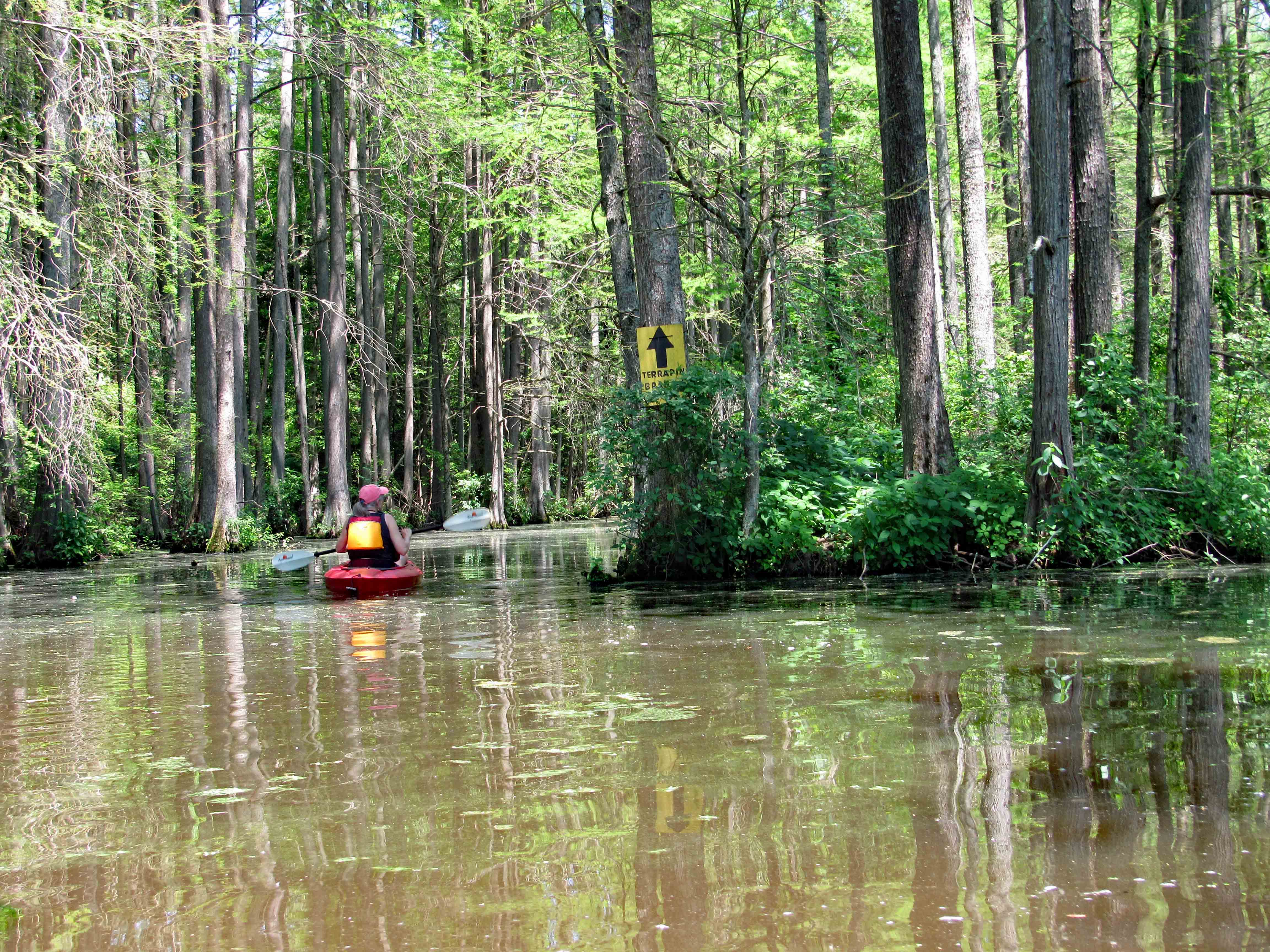
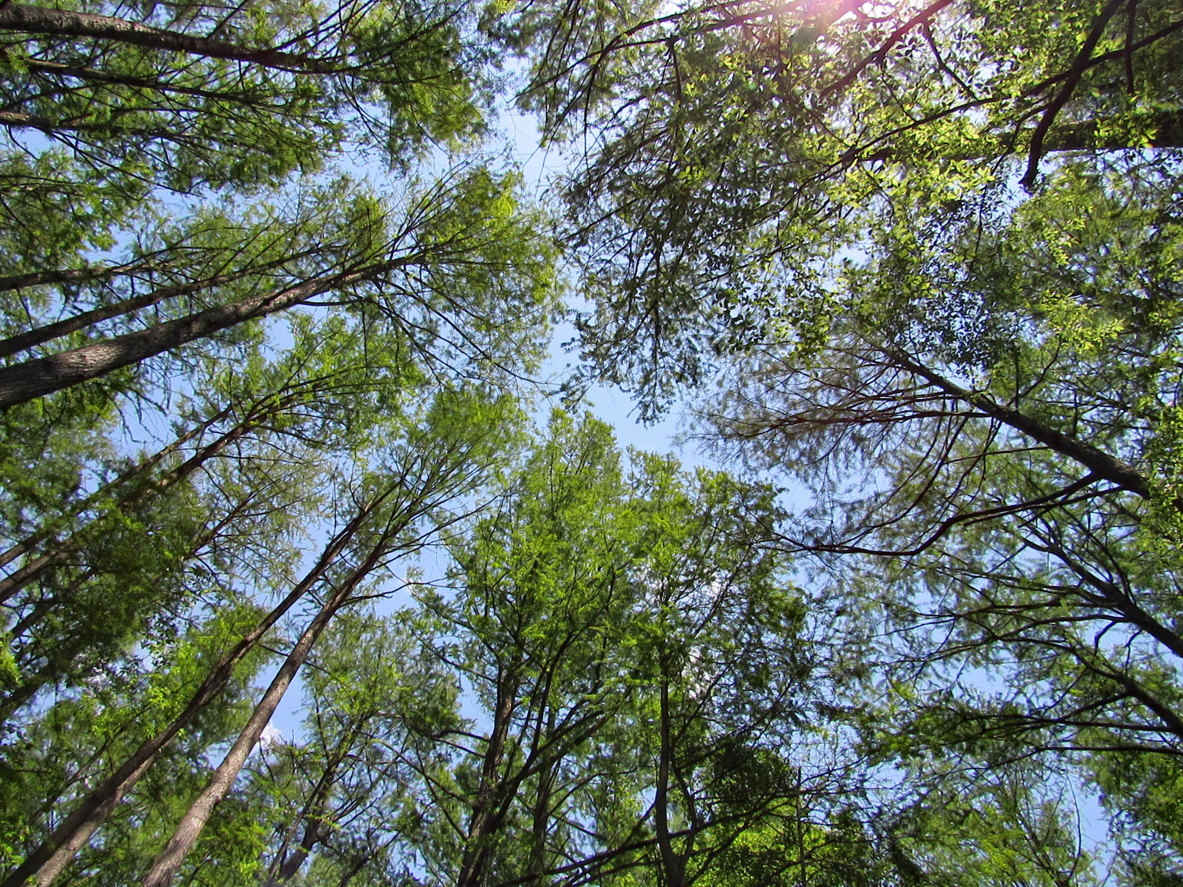
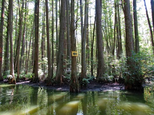
Into the cypress swamp. Arrows pointing the way to Terrapin Branch. On Google maps this is called Thompson Branch.
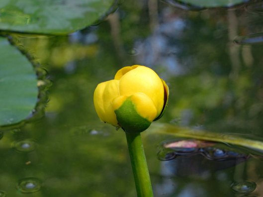
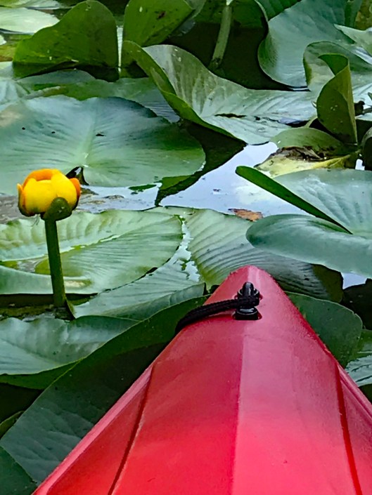
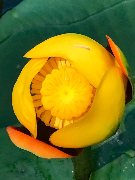
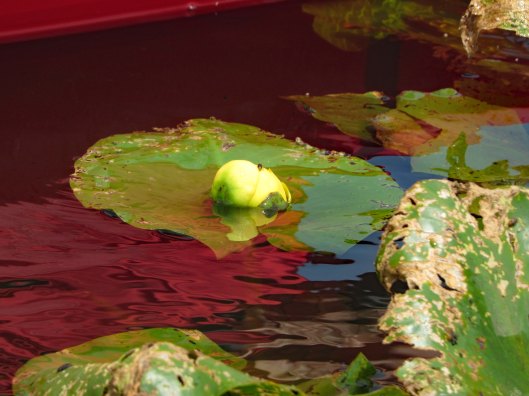
Flowers already in bloom on the lily pads.
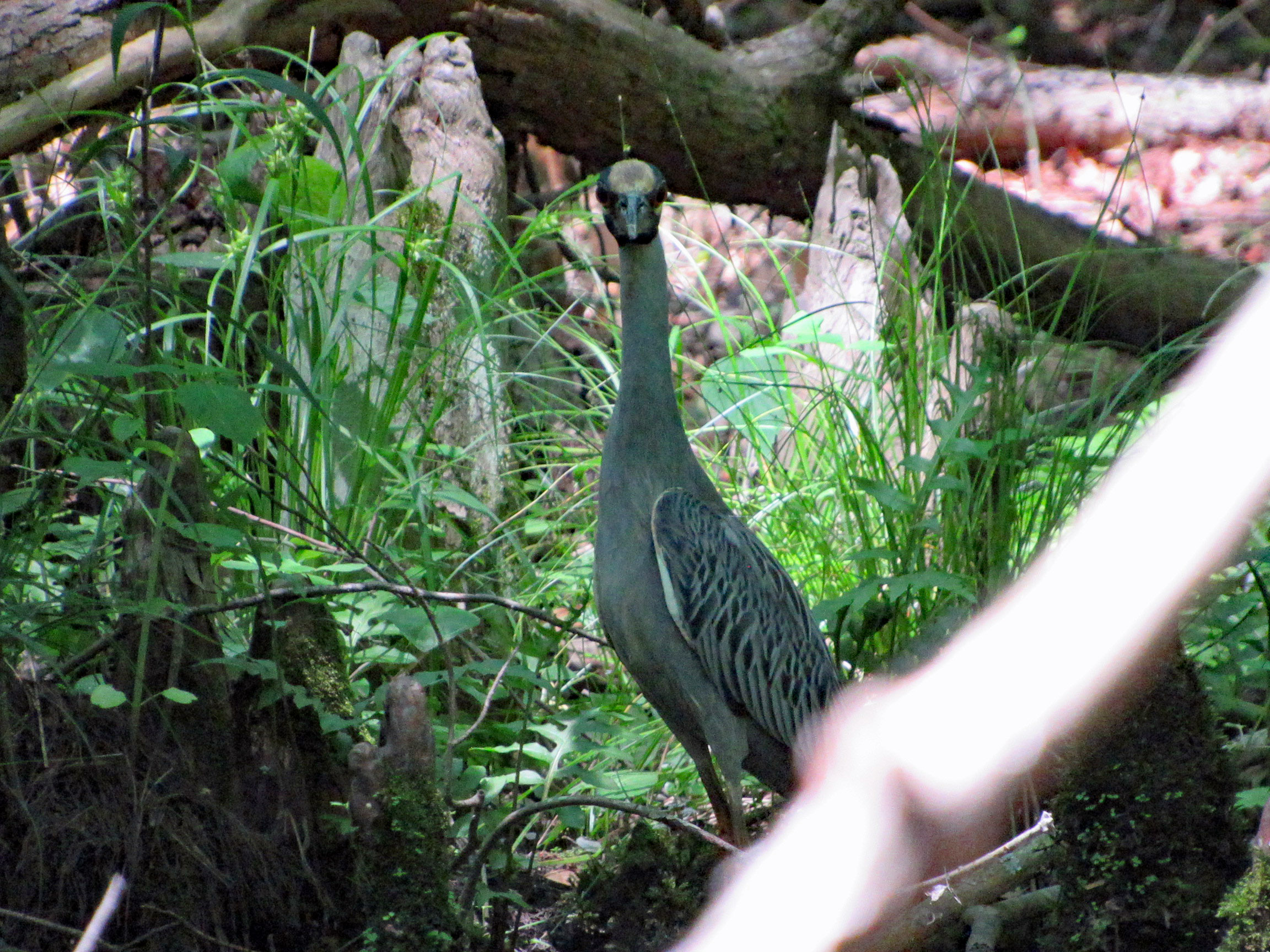
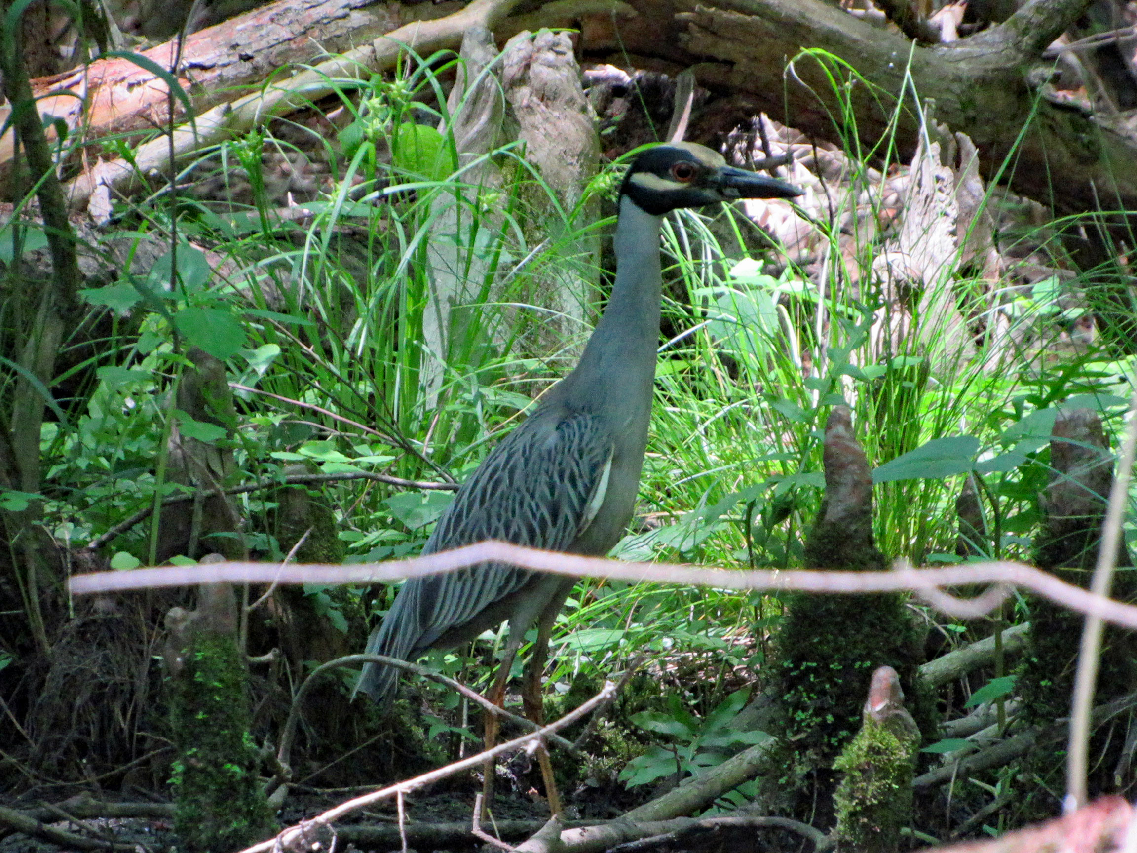
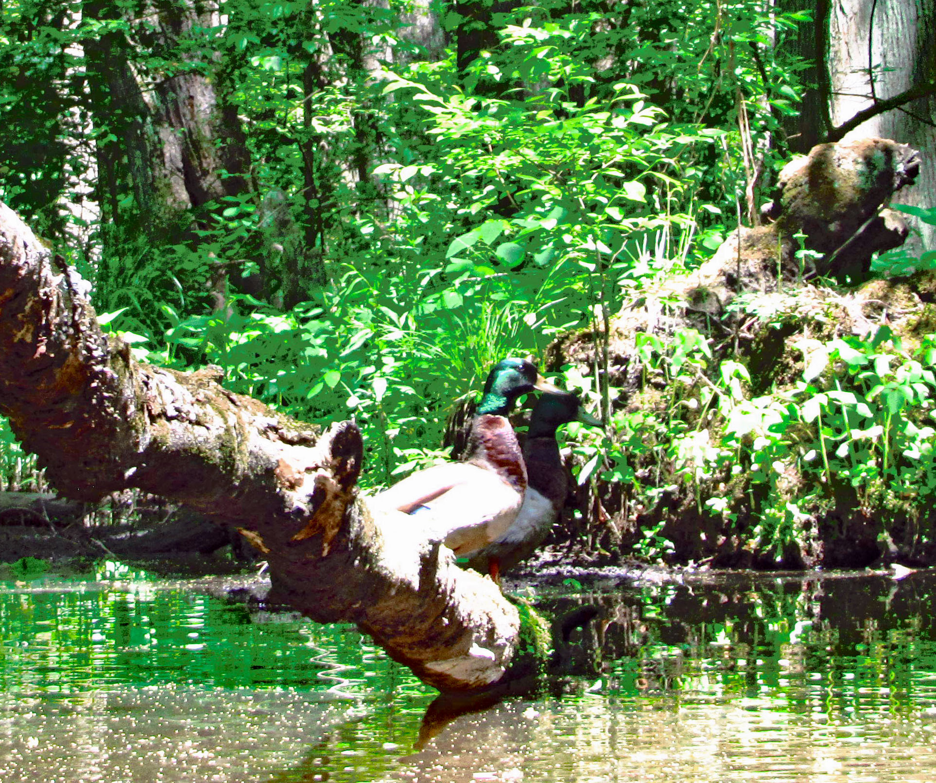
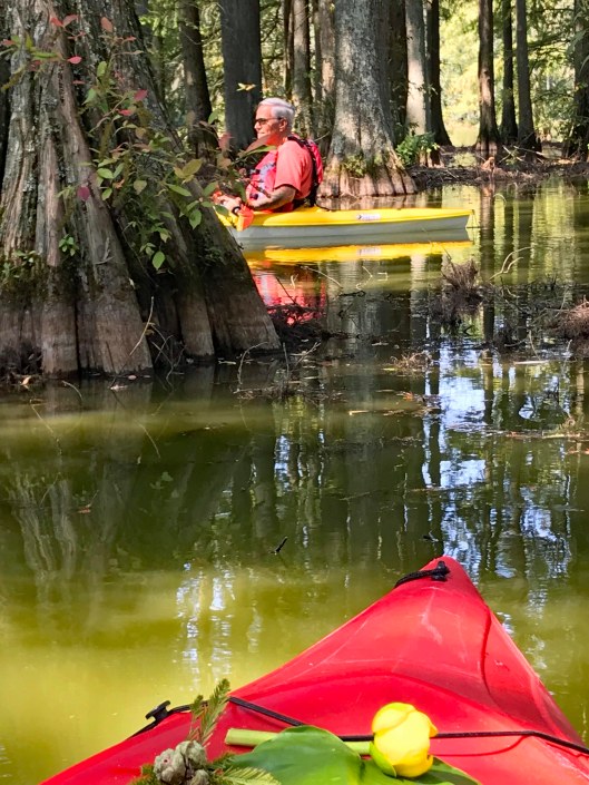
Looking at me looking at him.
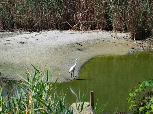
Google Lens app says this is a Yellow Crowned Night Heron? Not sure.
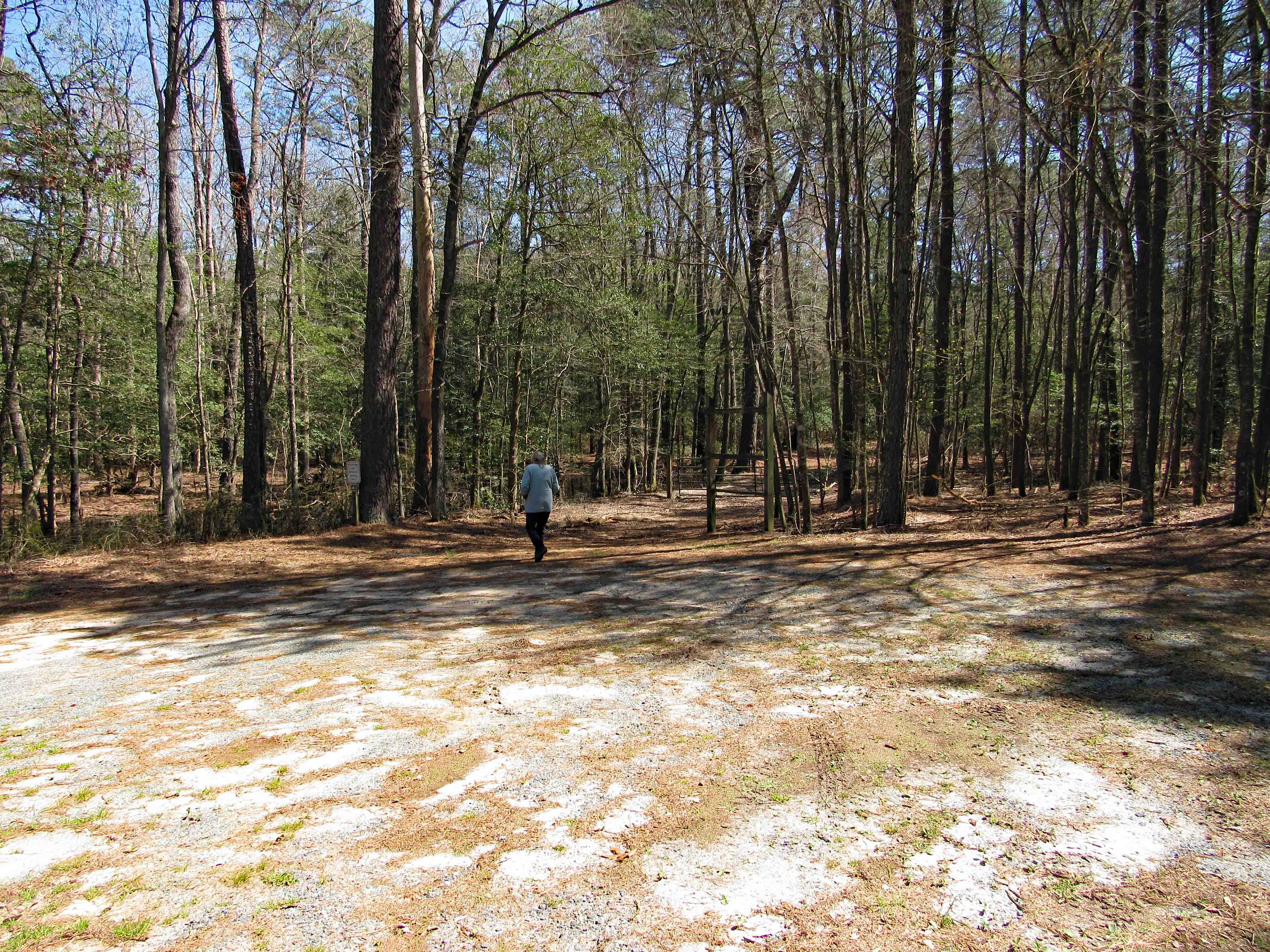
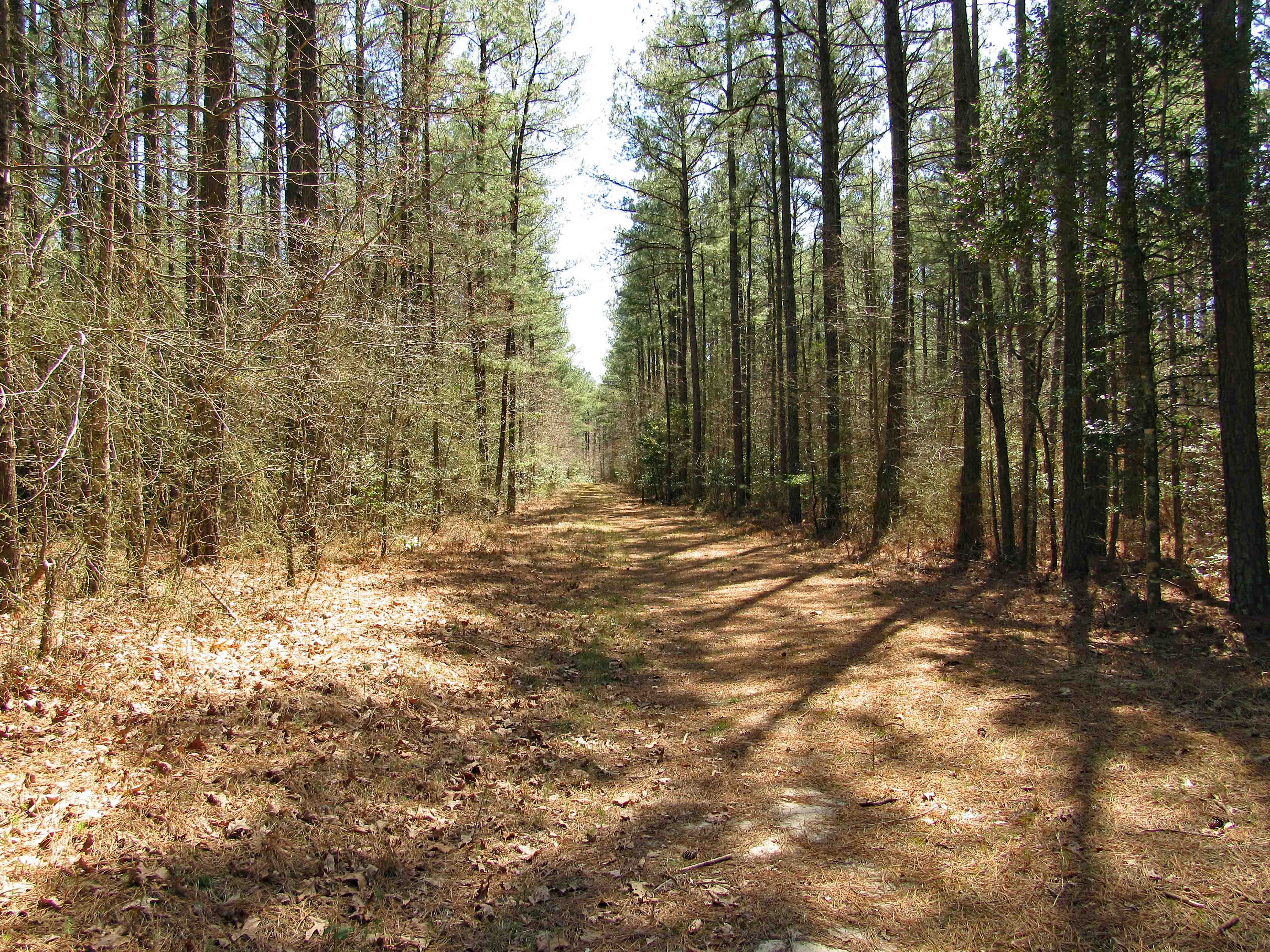
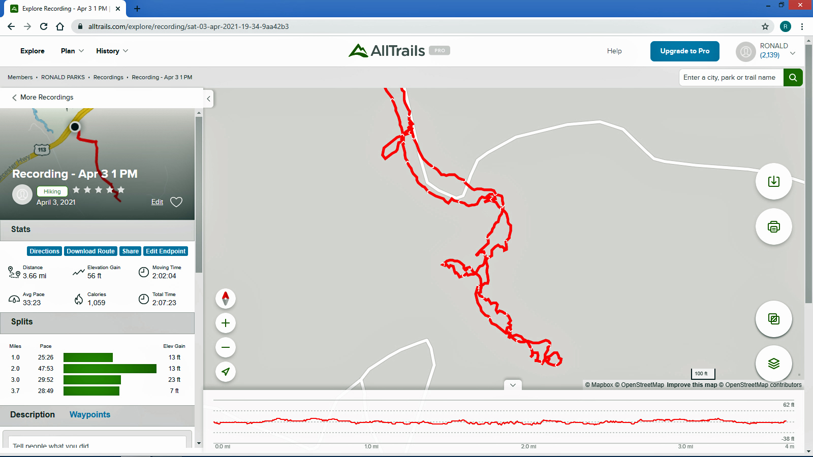
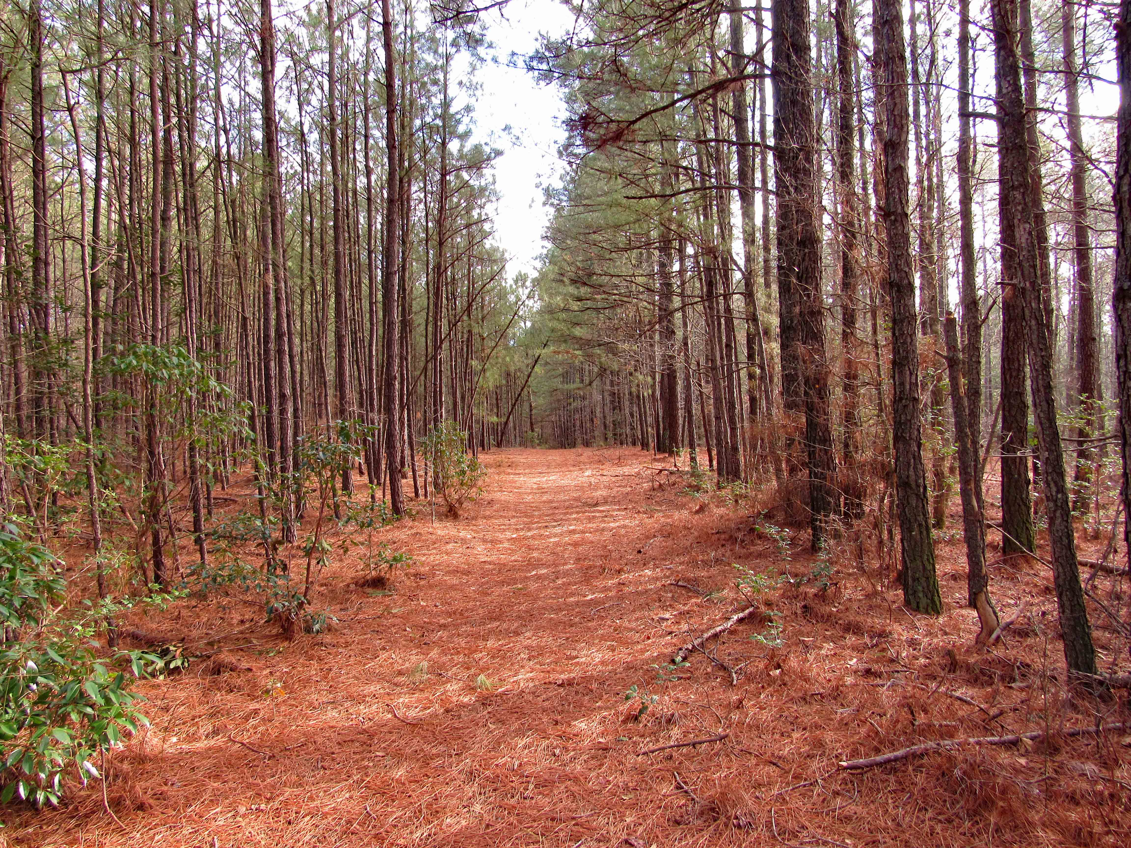
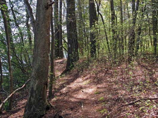
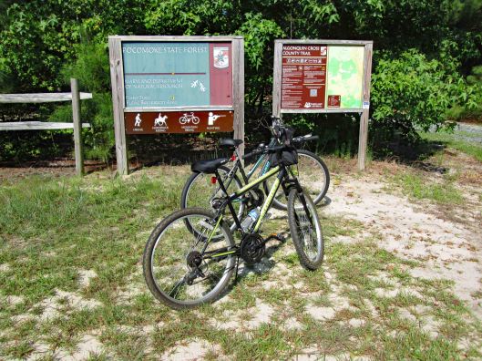
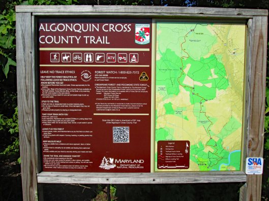
This was a 3.6 mile or a 4.1 mile hike, depending on which map you use, in the Pocomoke State Forest. There is also a Green Trail (4.4 mi) and a Blue Trail (5.2 mi) in the same area. We chose the White Trail because it heads towards a creek – Corkers Creek. The entrance is across Rte. 113, from Shad Landing. Nice empty parking lot.
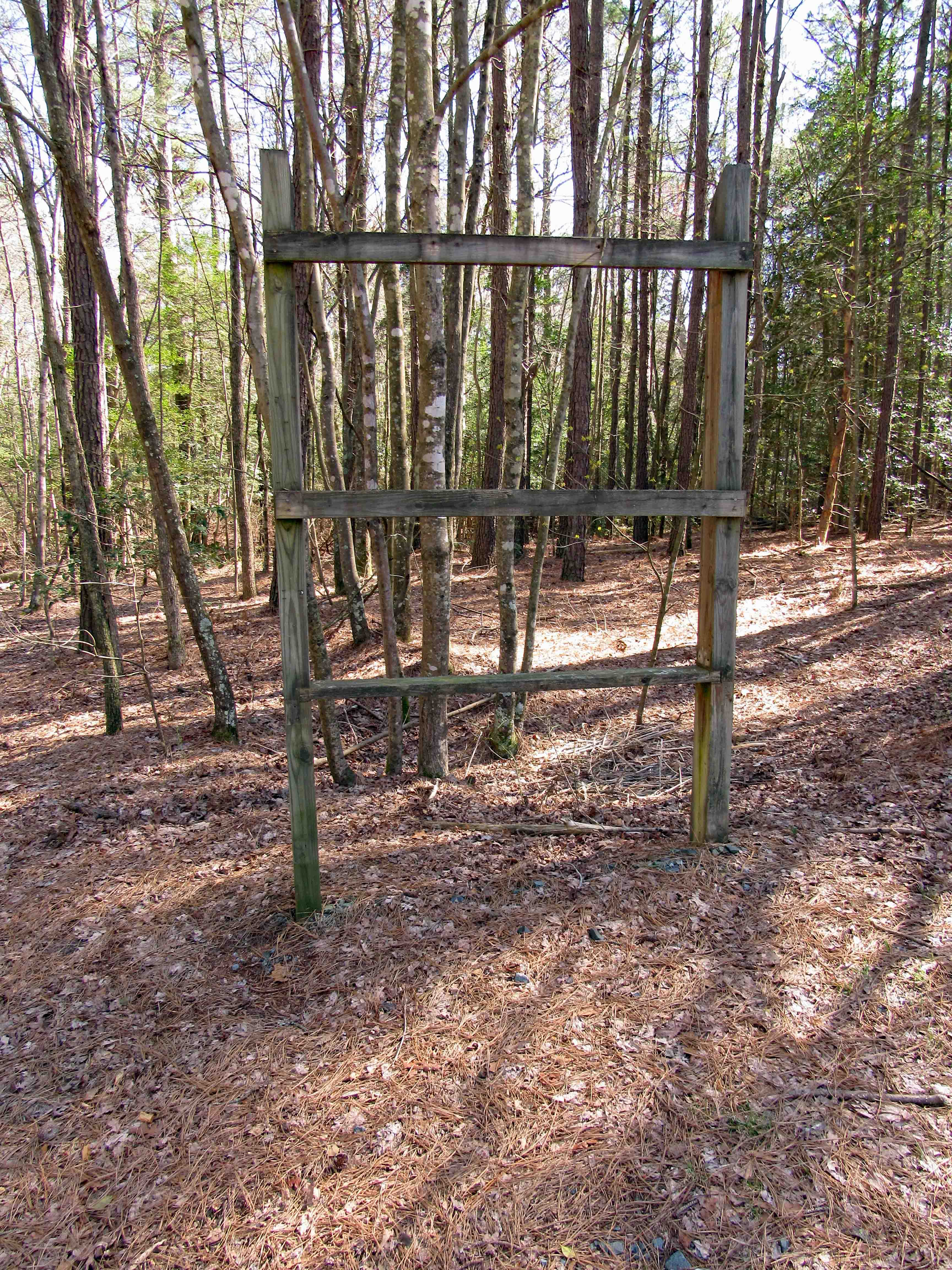
Maybe they will put up a trail map here one day.
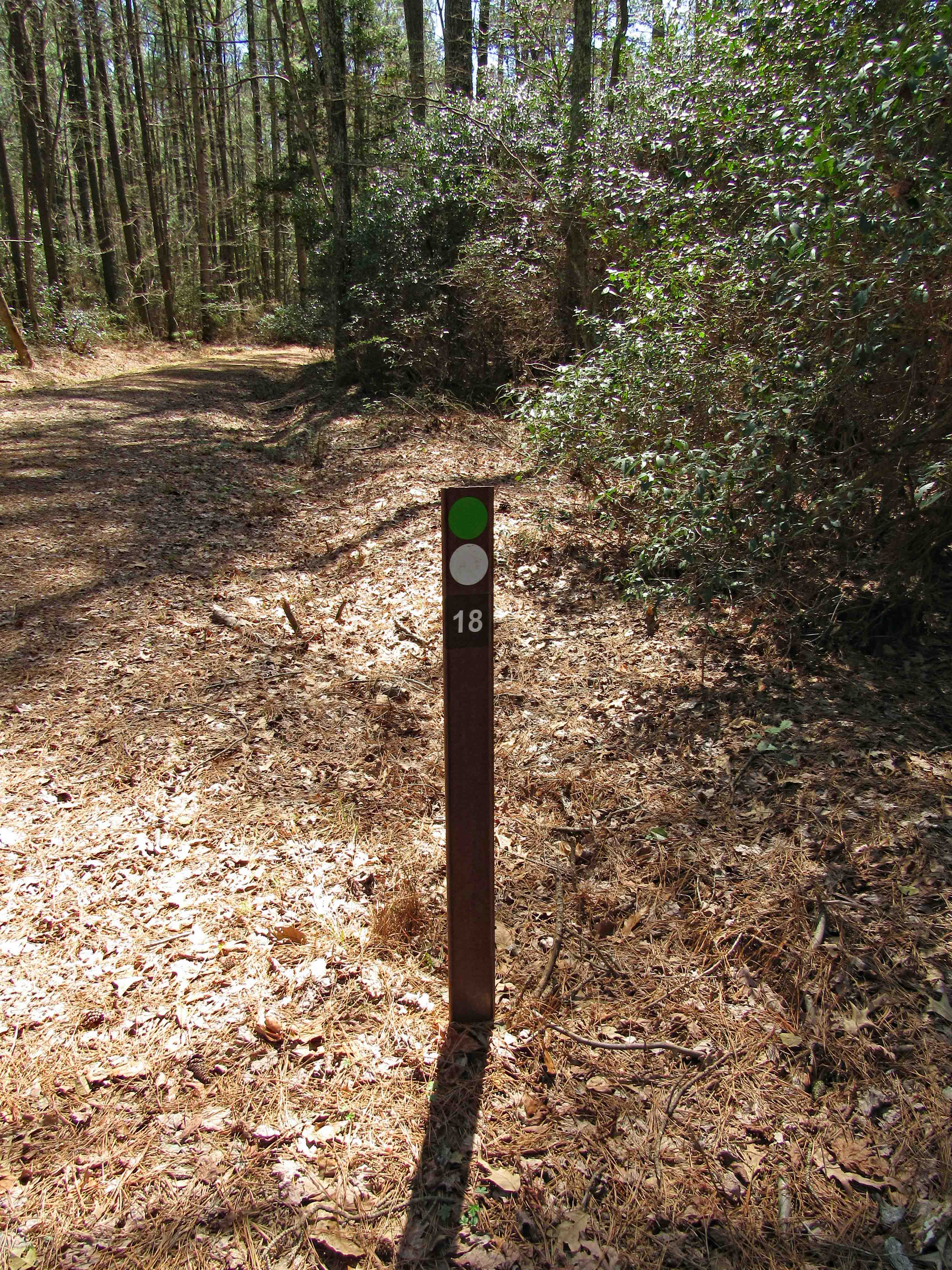
Only saw a couple cyclist on the trail. Otherwise a nice quiet hike. The Green and White trails intersect for a short distance. We know what the dots mean, unsure of the numbers though. I wrote the park service to ask them. Waiting to hear back.
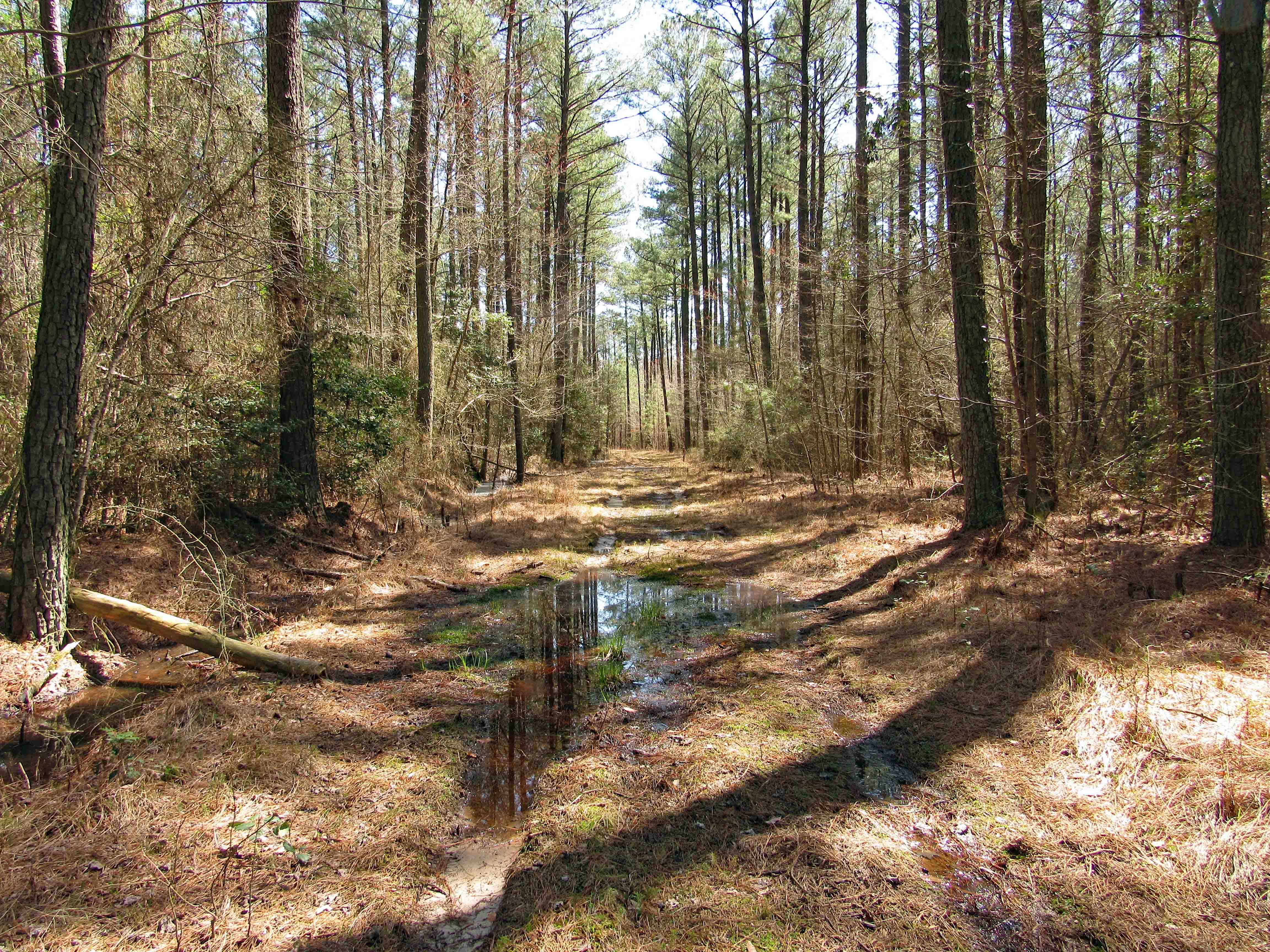
A few muddy spots starting off, but mostly dry. It is the Eastern Shore and there will be mud!
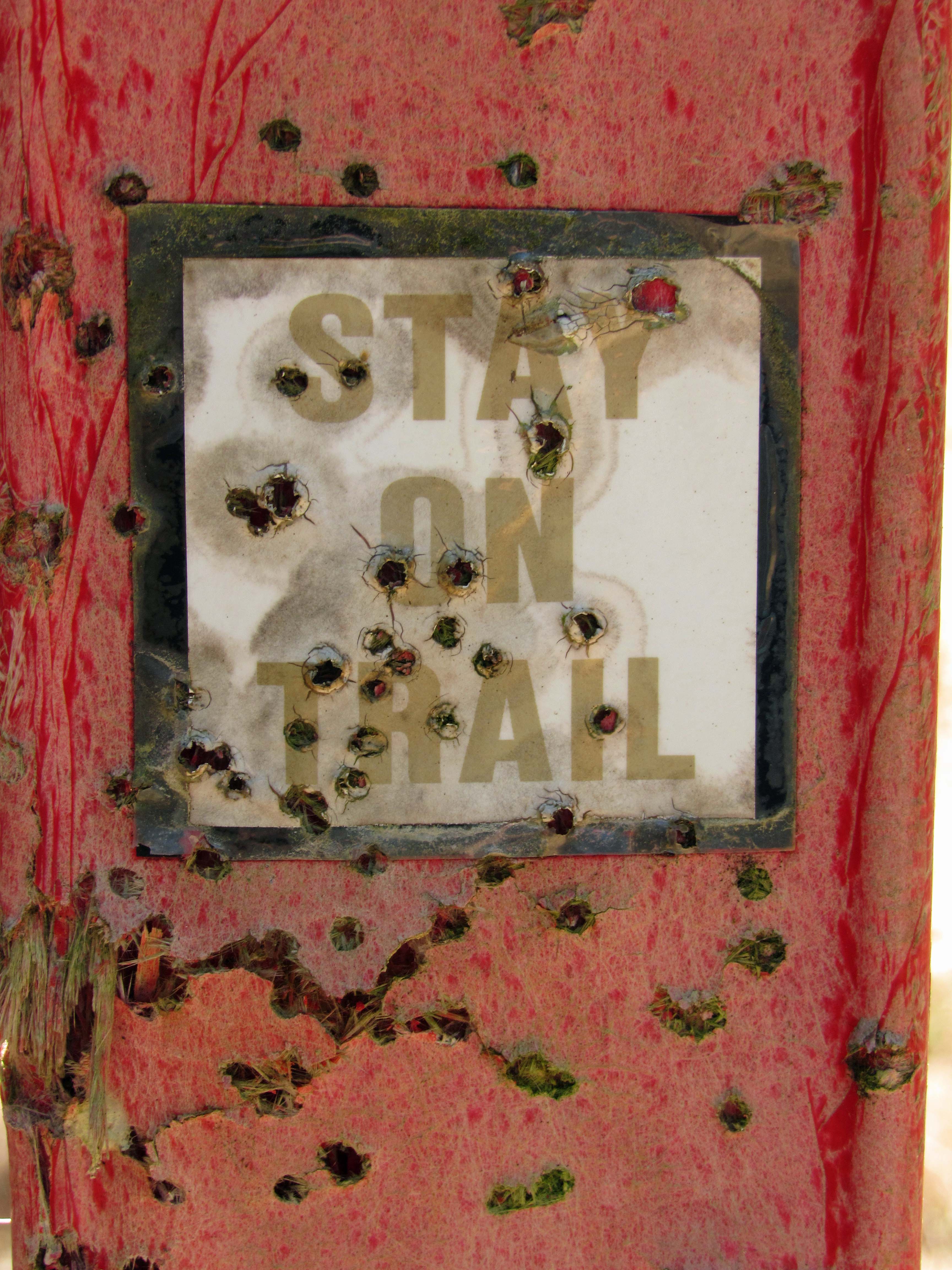
Buckshot warning about straying away from the trail…
But where would you go? Lots of thickets on one side and a swamp on the other. But I do know what they mean. Up on the Gunpowder Trails they don’t want you straying off – it can and will cause erosion.
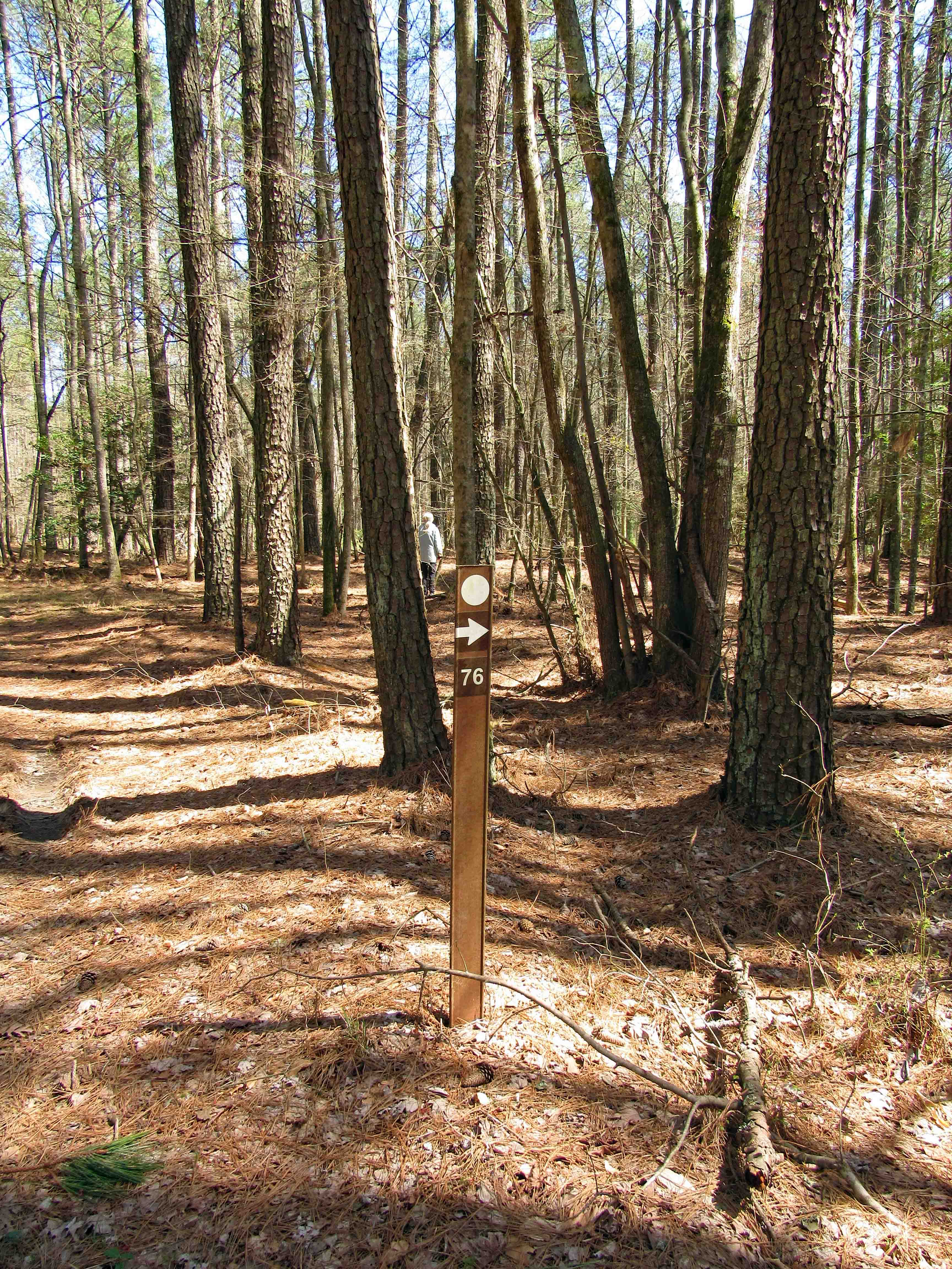
Up ahead where Kathy is, take a sharp right.
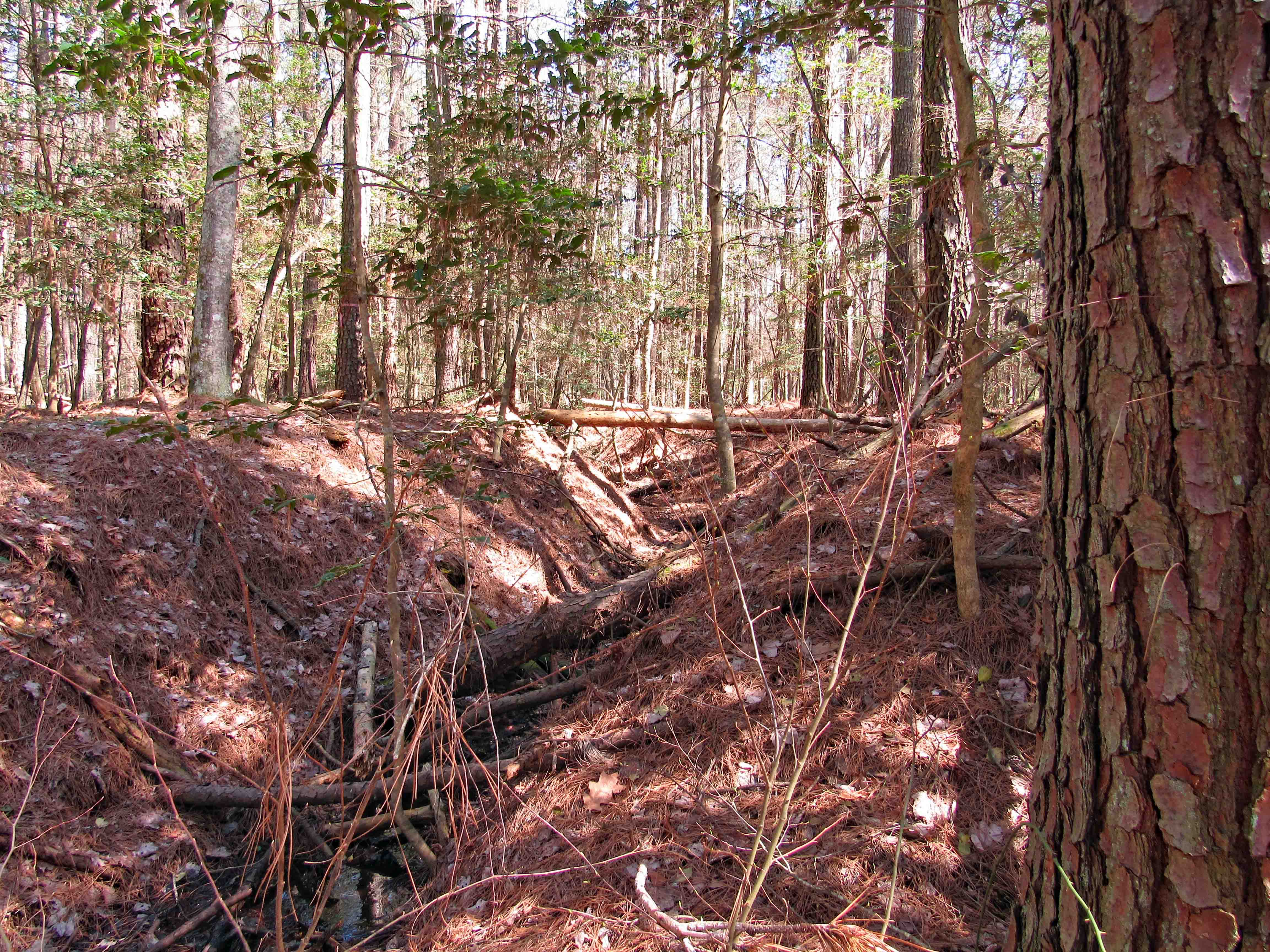
Which didn’t seem right. We ended up at a ditch. On the other side in the distance I saw a trail marker…so let’s go.
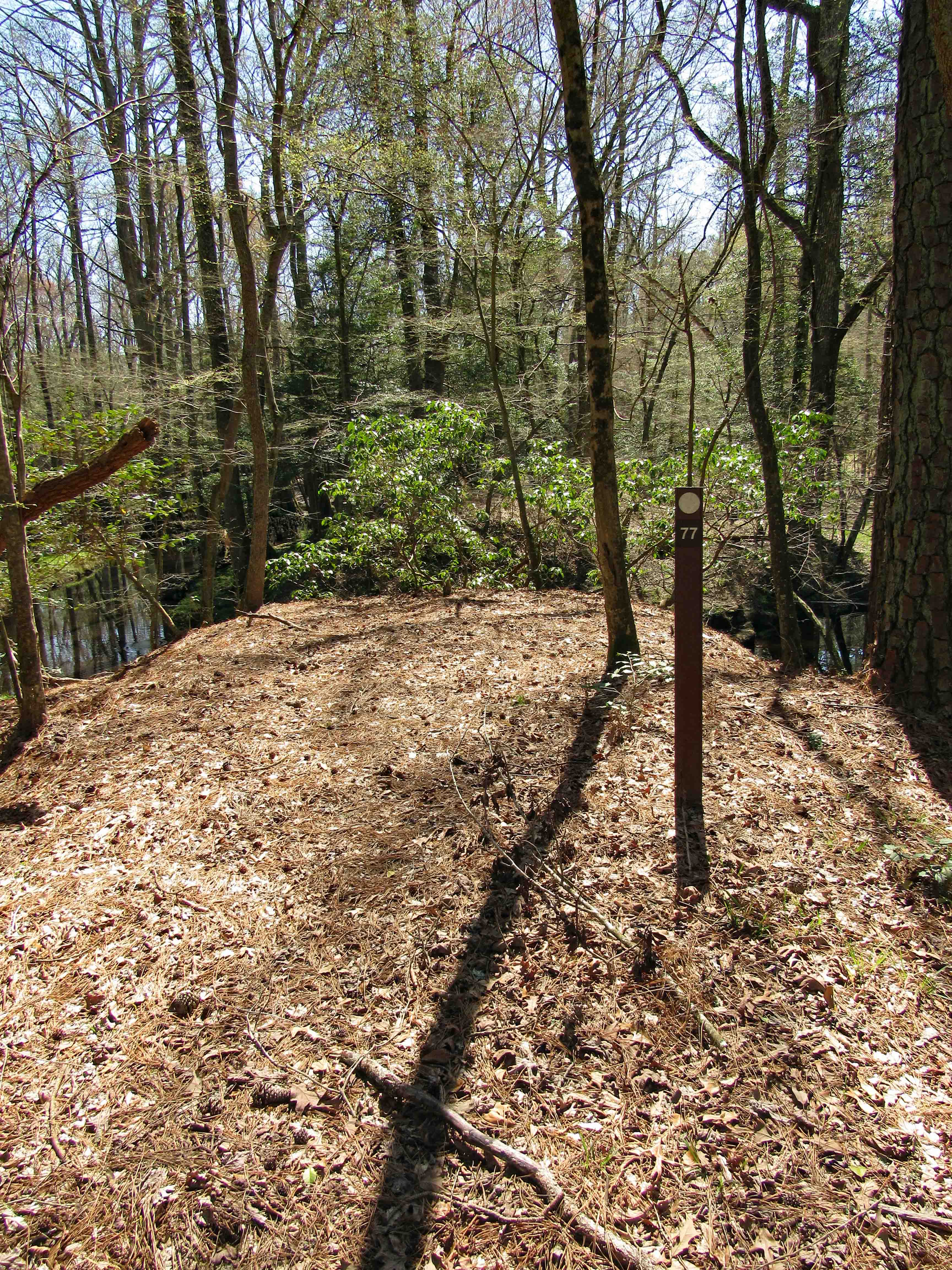
Up the other side and a few 100 yards ahead we came to marker 77. End of the ‘Official’ trail.
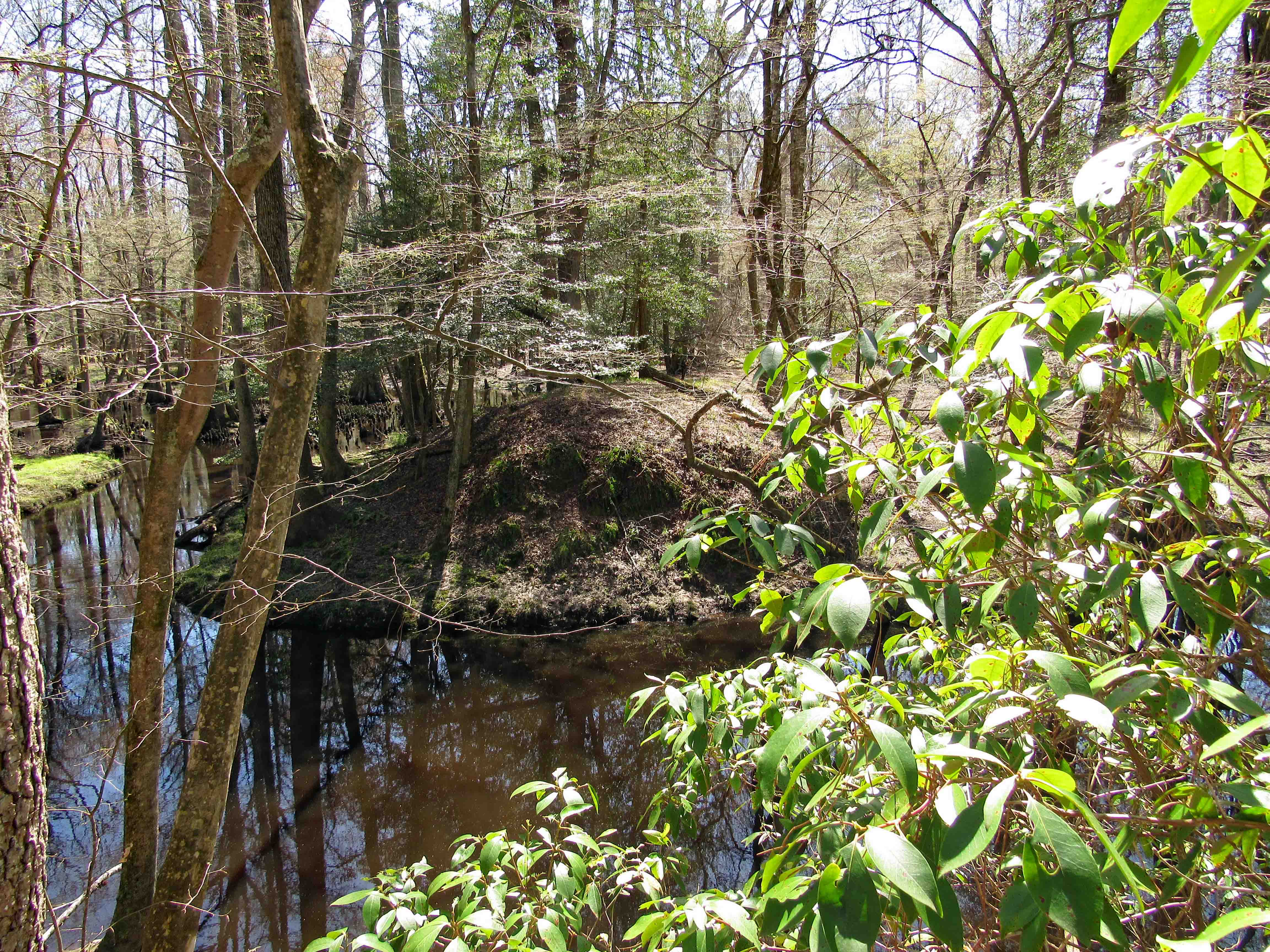
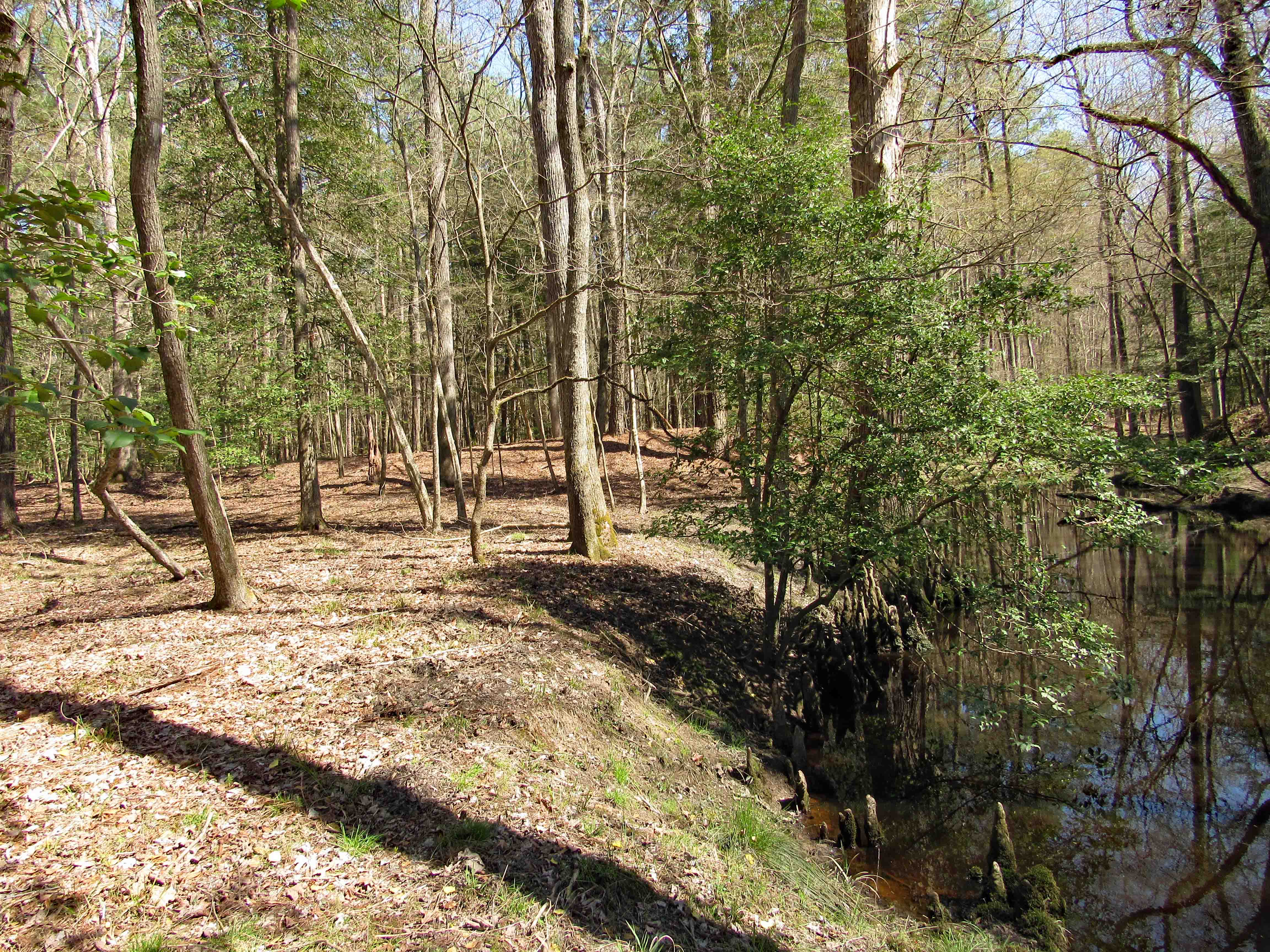
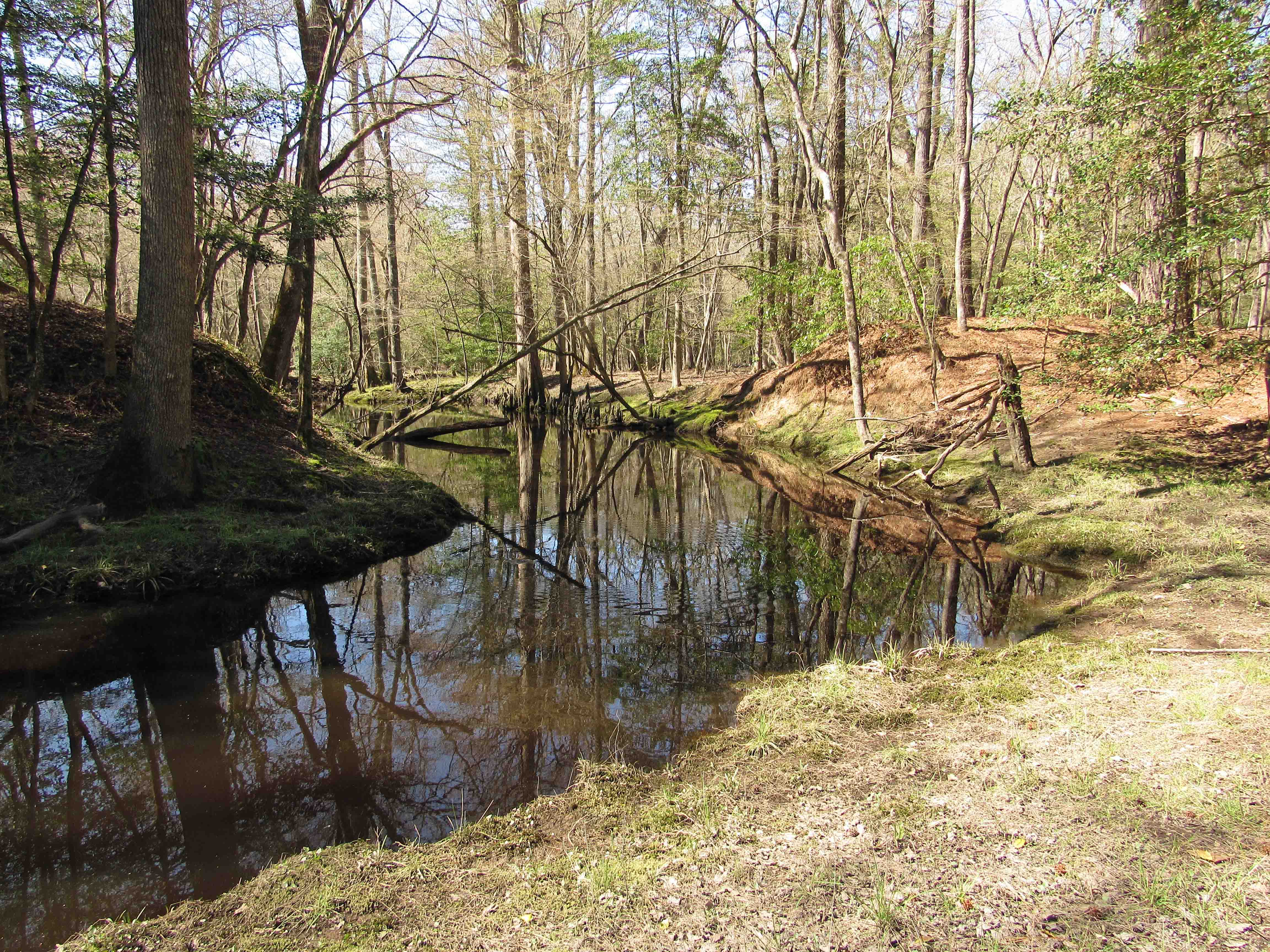
Corkers Creek passes down below and across the way we see another mound. (Wondering if at one time a bridge crossed here?) One of our maps says Colburn Trail is over there.
We look to the right and head down to a nice area.
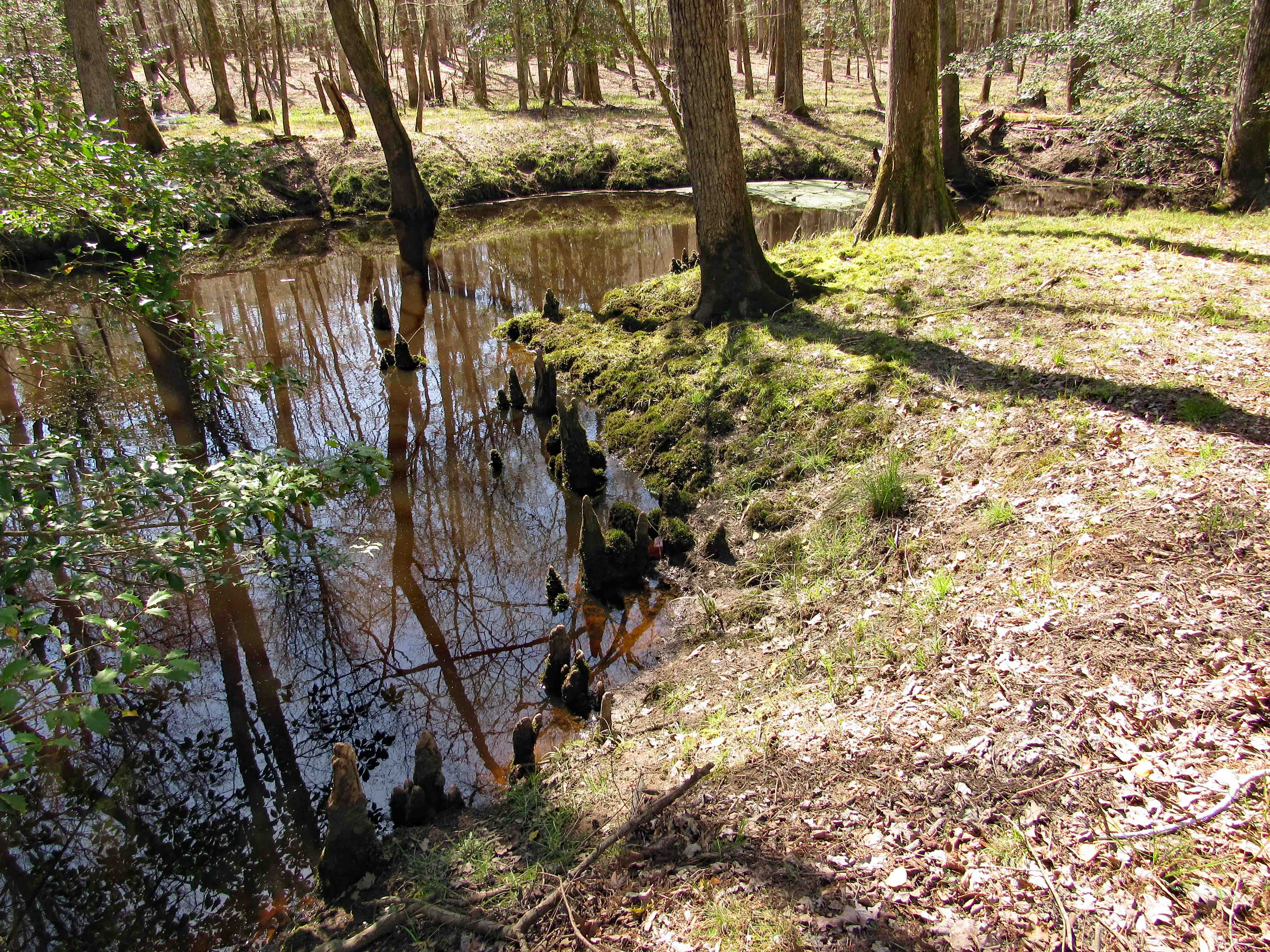
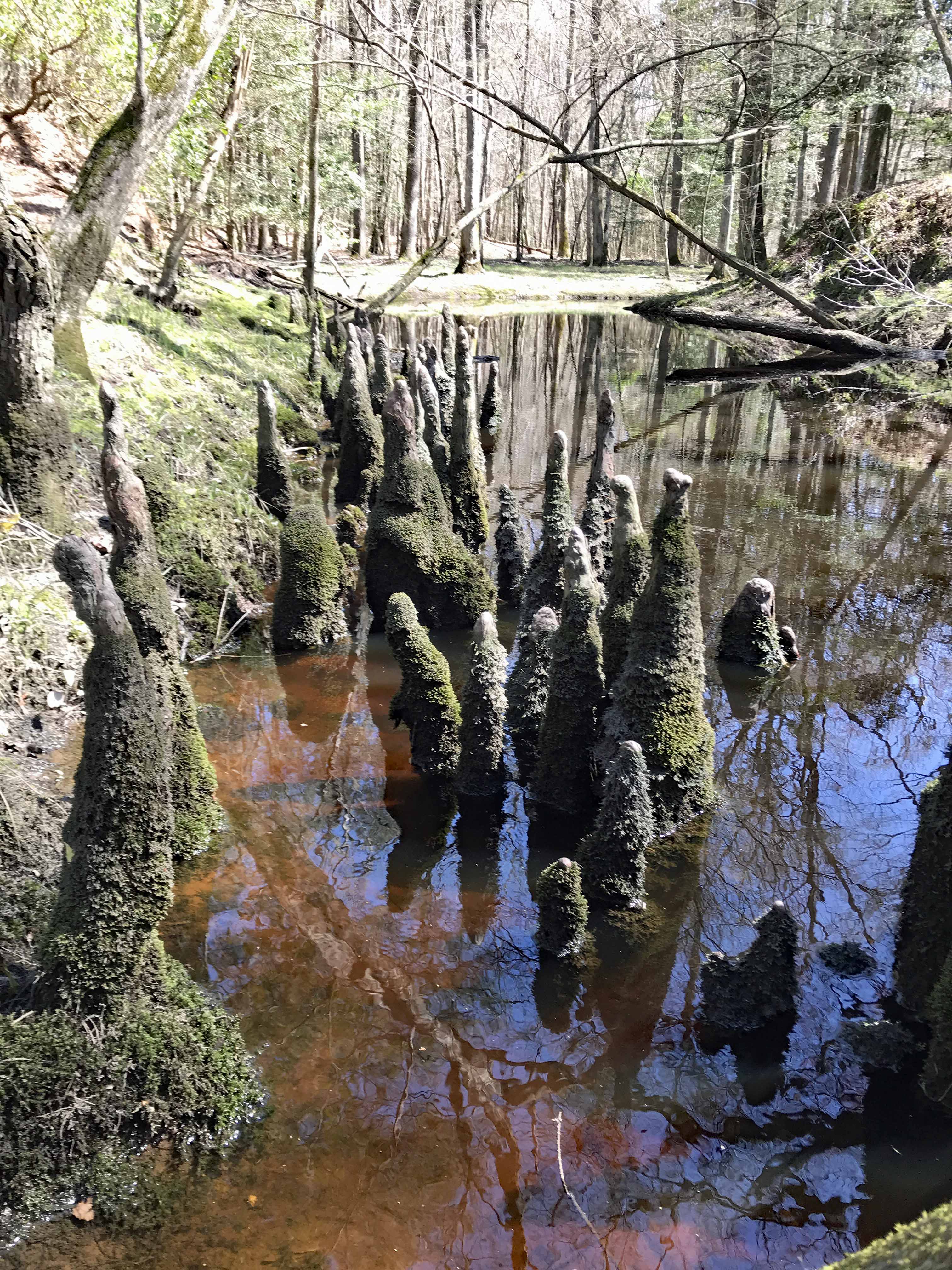
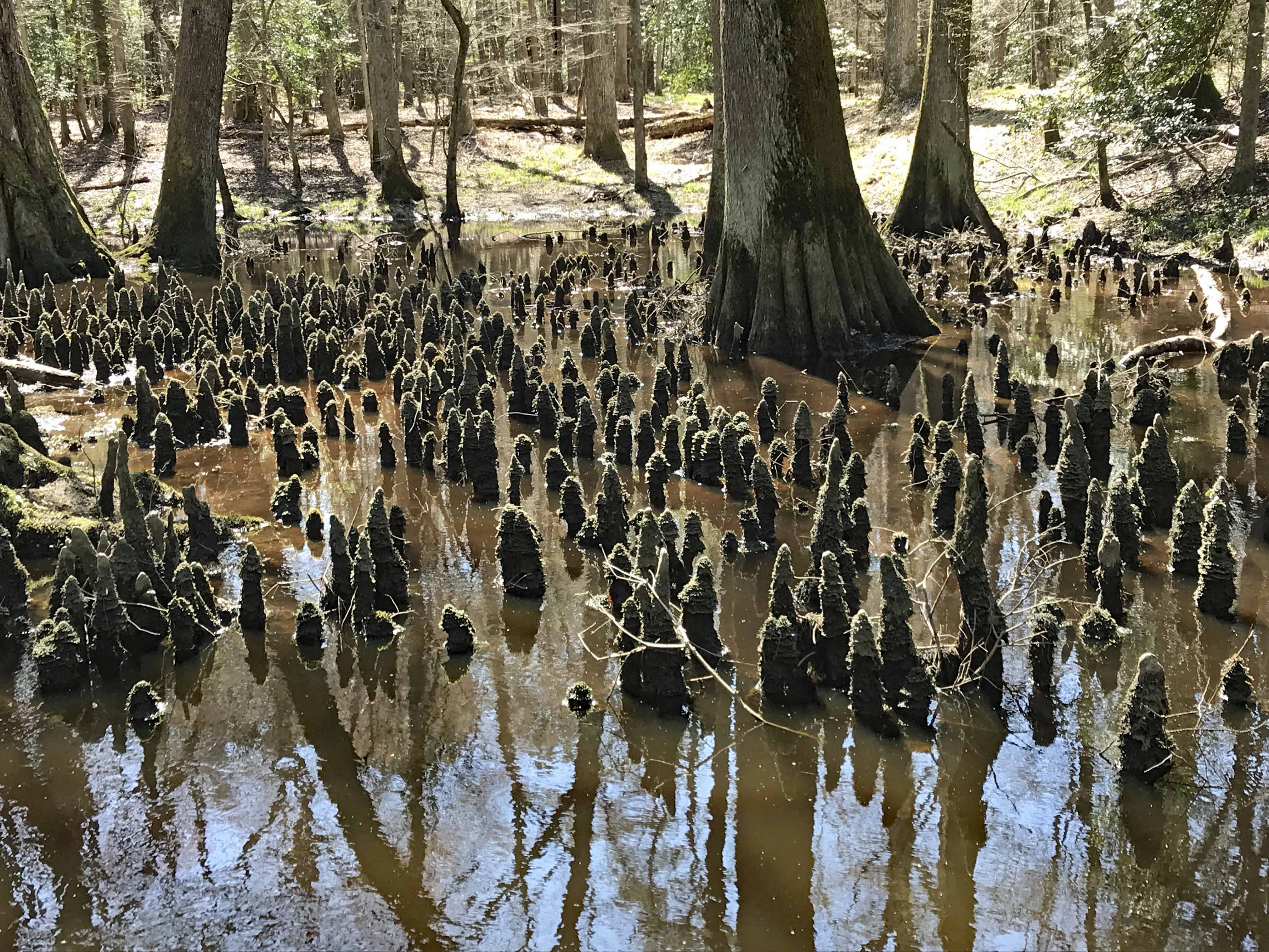
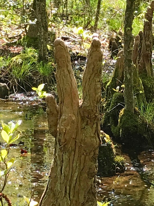
Kathy’s photo of some of the Cypress Knees.
Back up the mound and then down the left side.
Read that this was designated as a canoe creek. Don’t think so. Maybe at one time.
We walk a ways and come across the most Cypress Knees we have ever seen.
Kathy heads over for a better look…
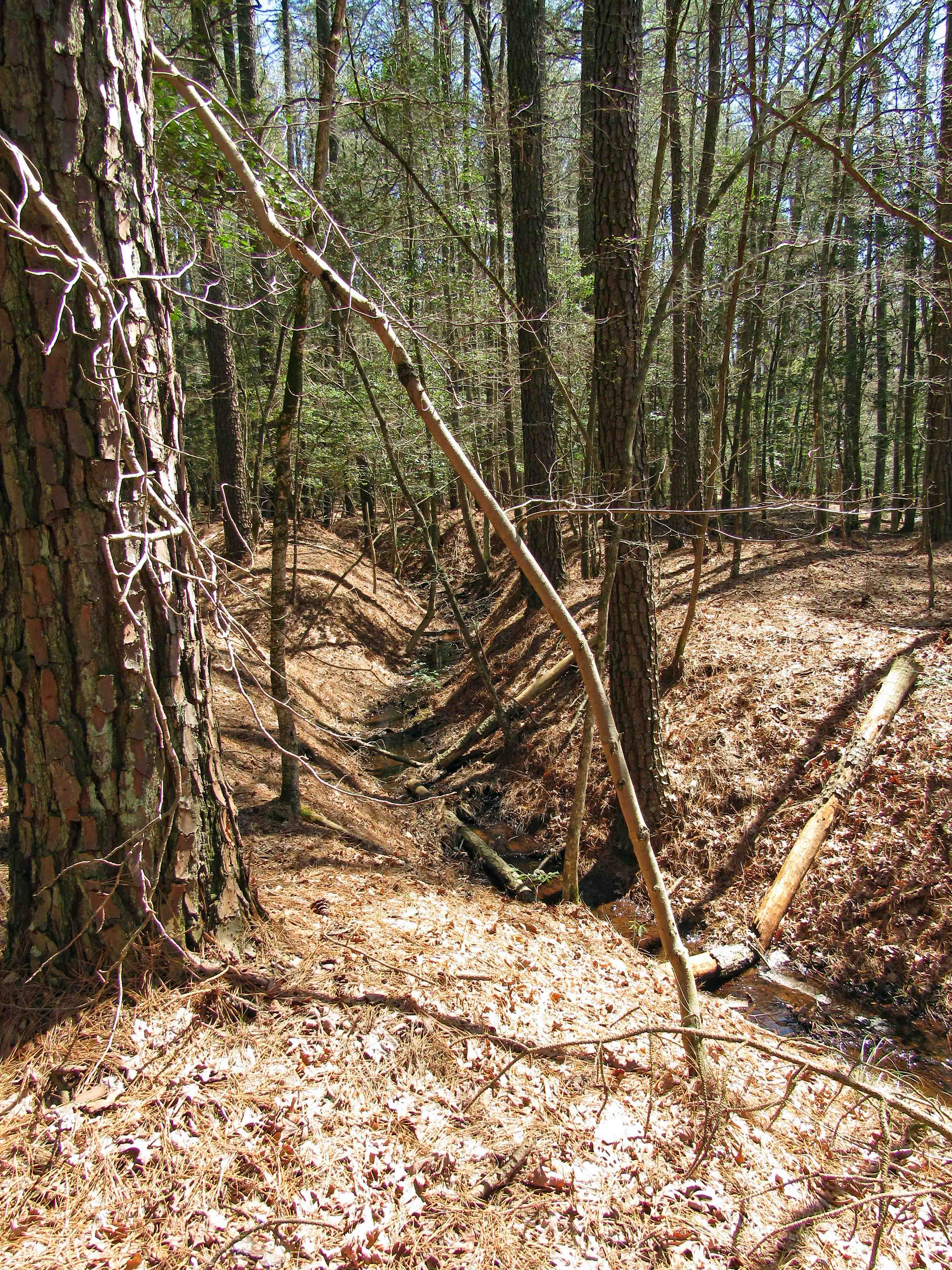
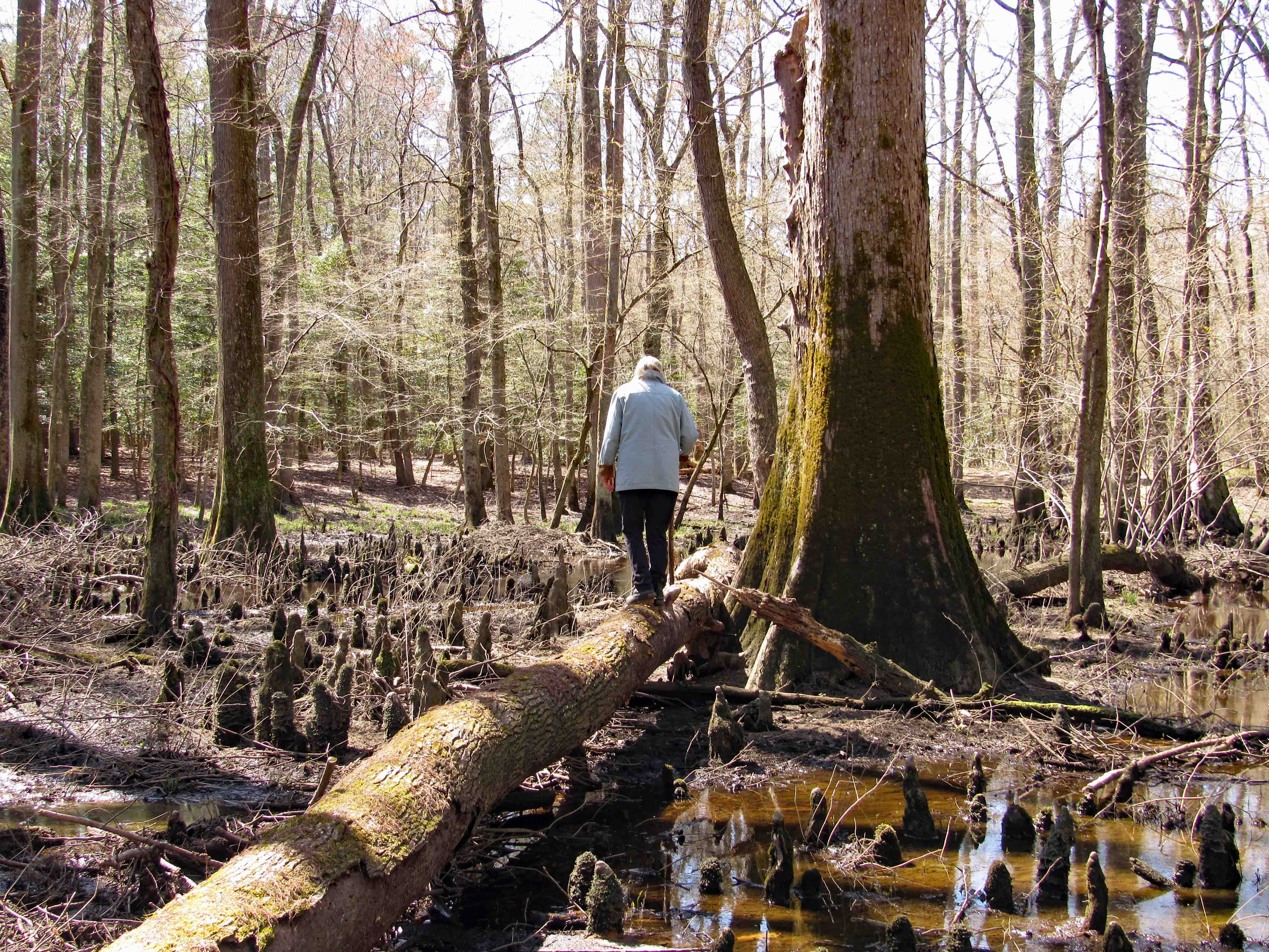
Instead of heading back the way we came, we cut through the woods, but still have to navigate the ditch. I thought Kathy was going to want us to cross the log.
Some really nice close-ups that Kathy took.
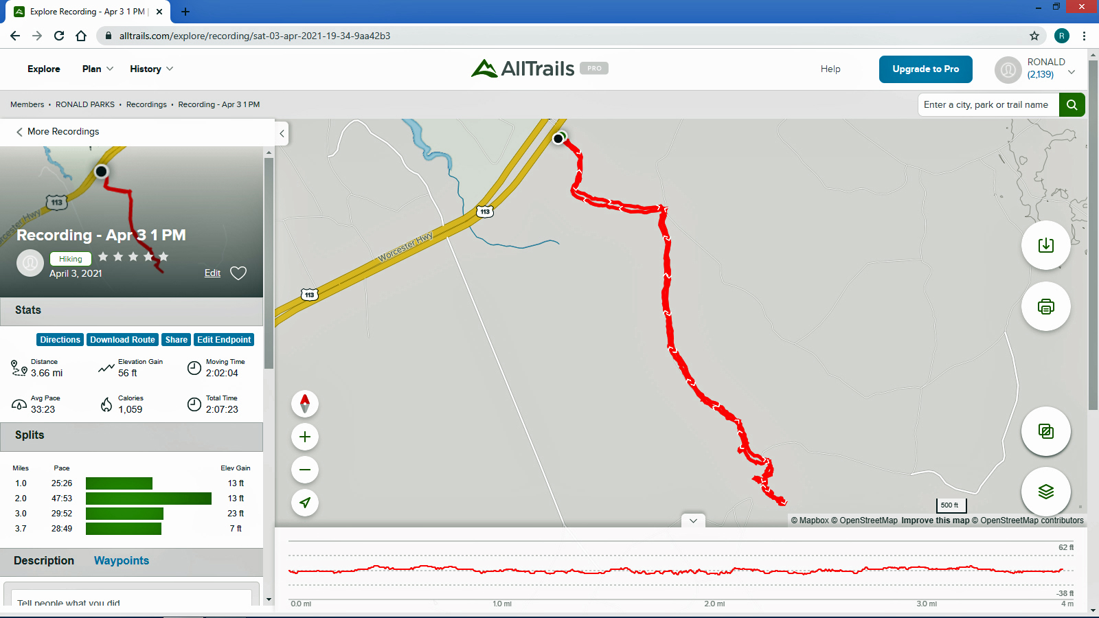
Below is the map that AllTrails has. Path looks pretty straight and narrow – in and out.
Here is what it looks like enlarged, at the creek. We were all over the place!
Another wonderful adventure! We will probably do the Green Path by bike, next trip.
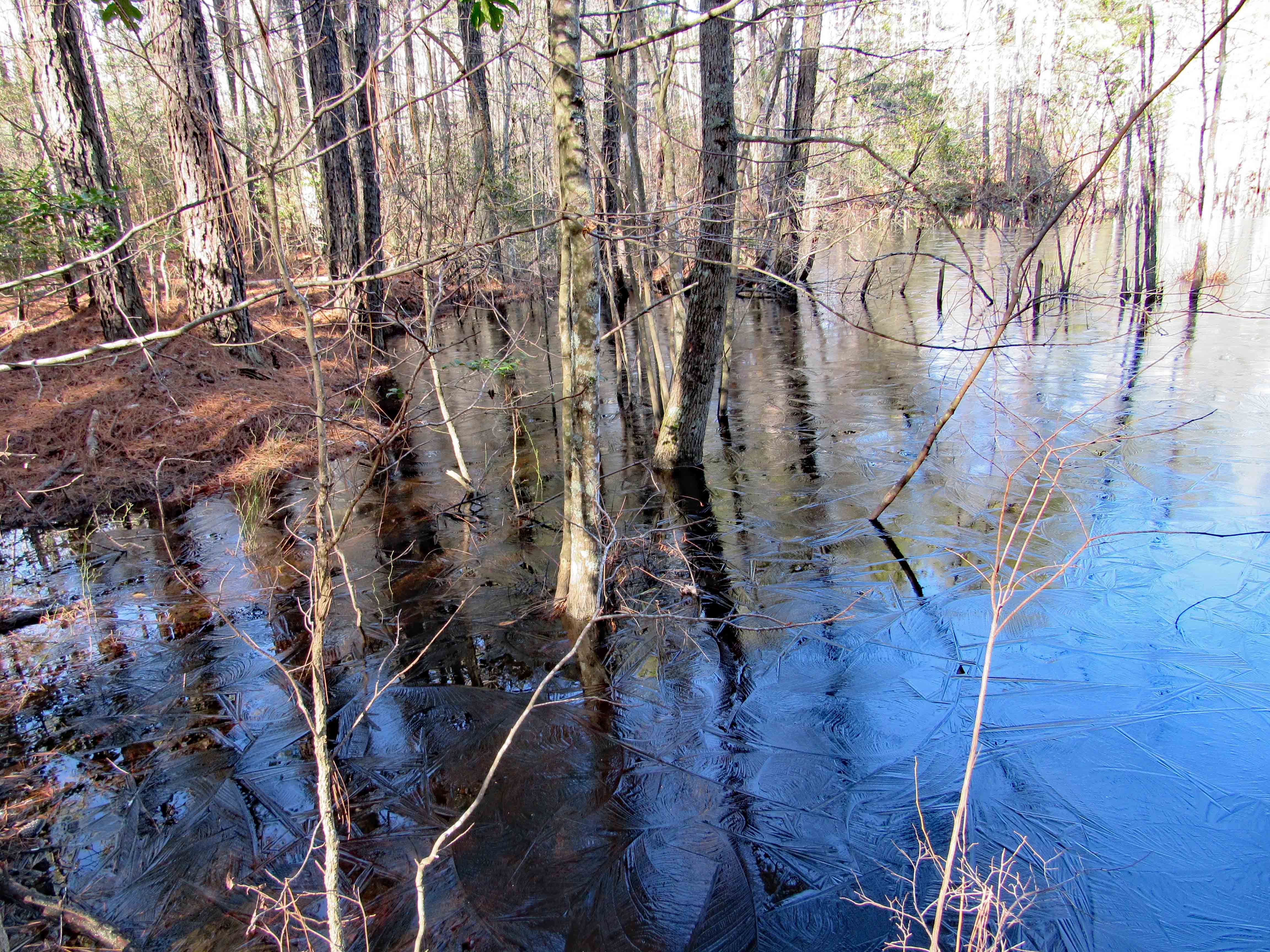
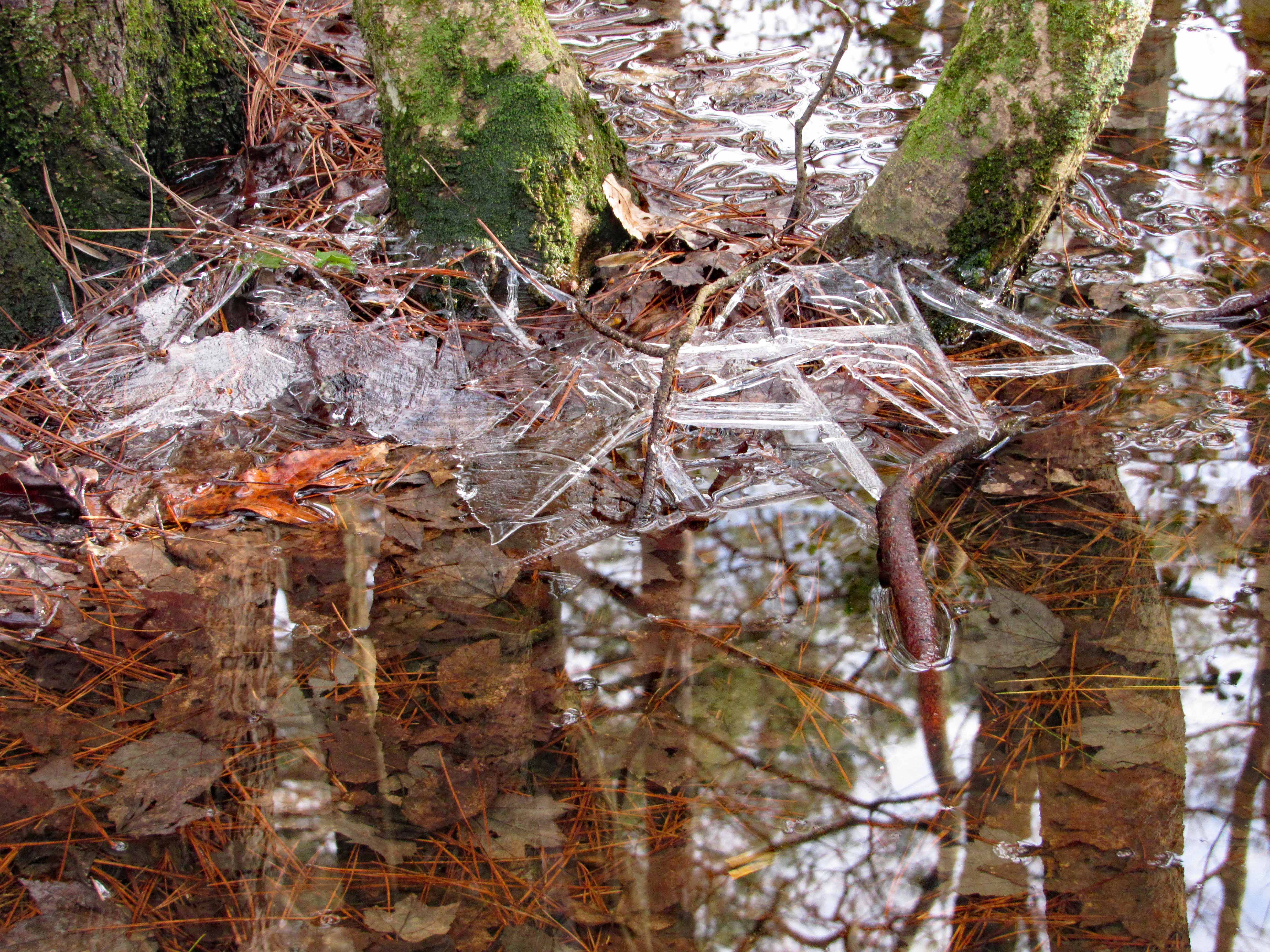
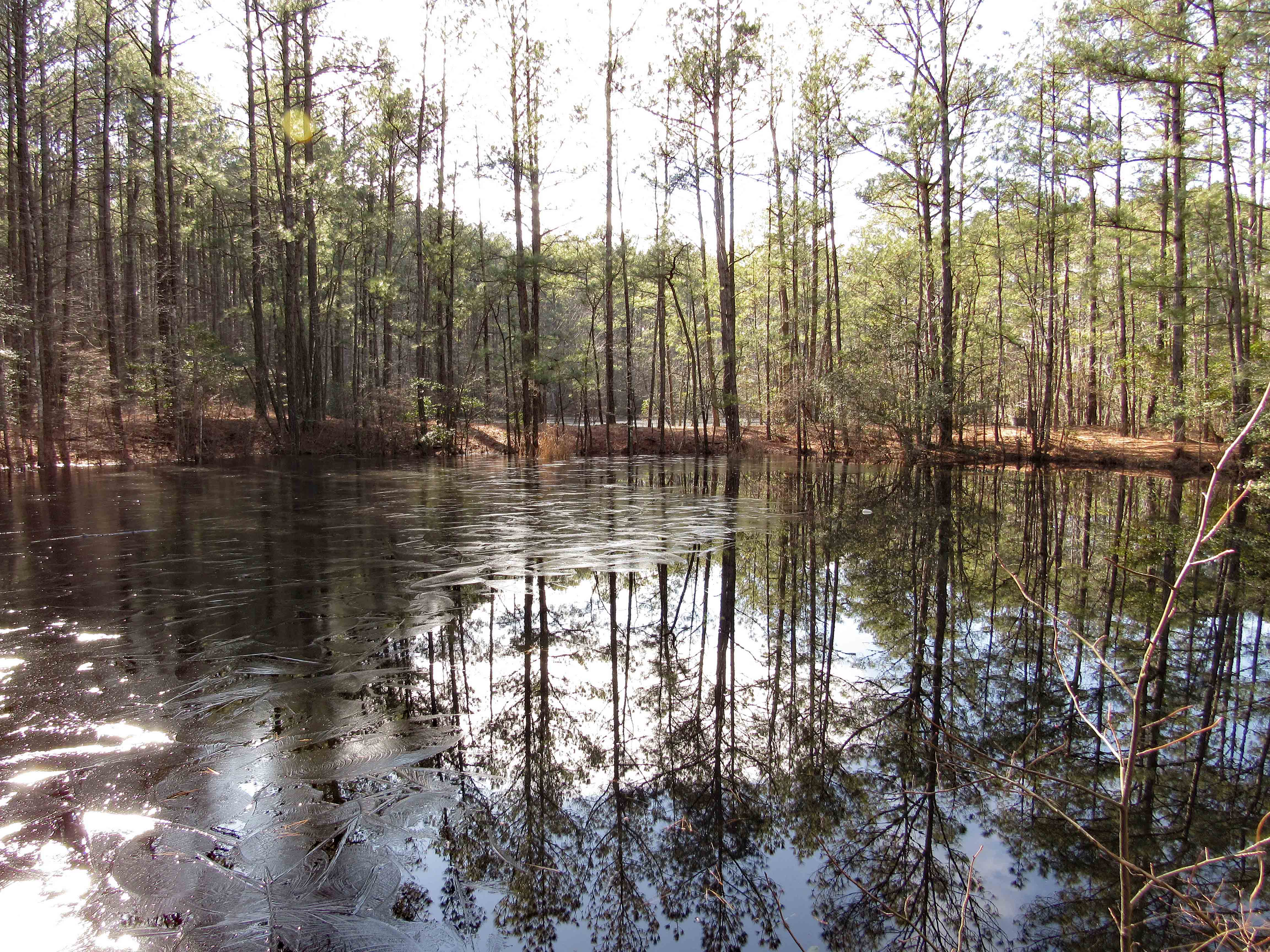
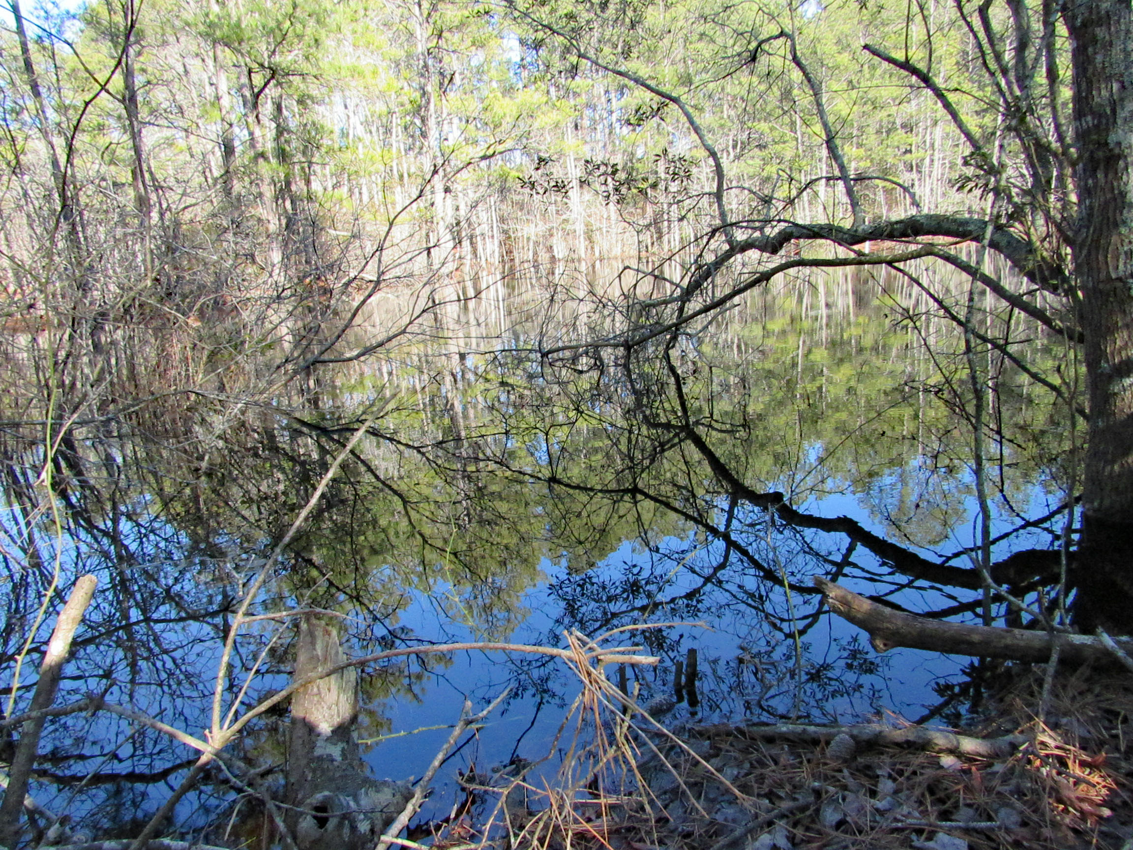
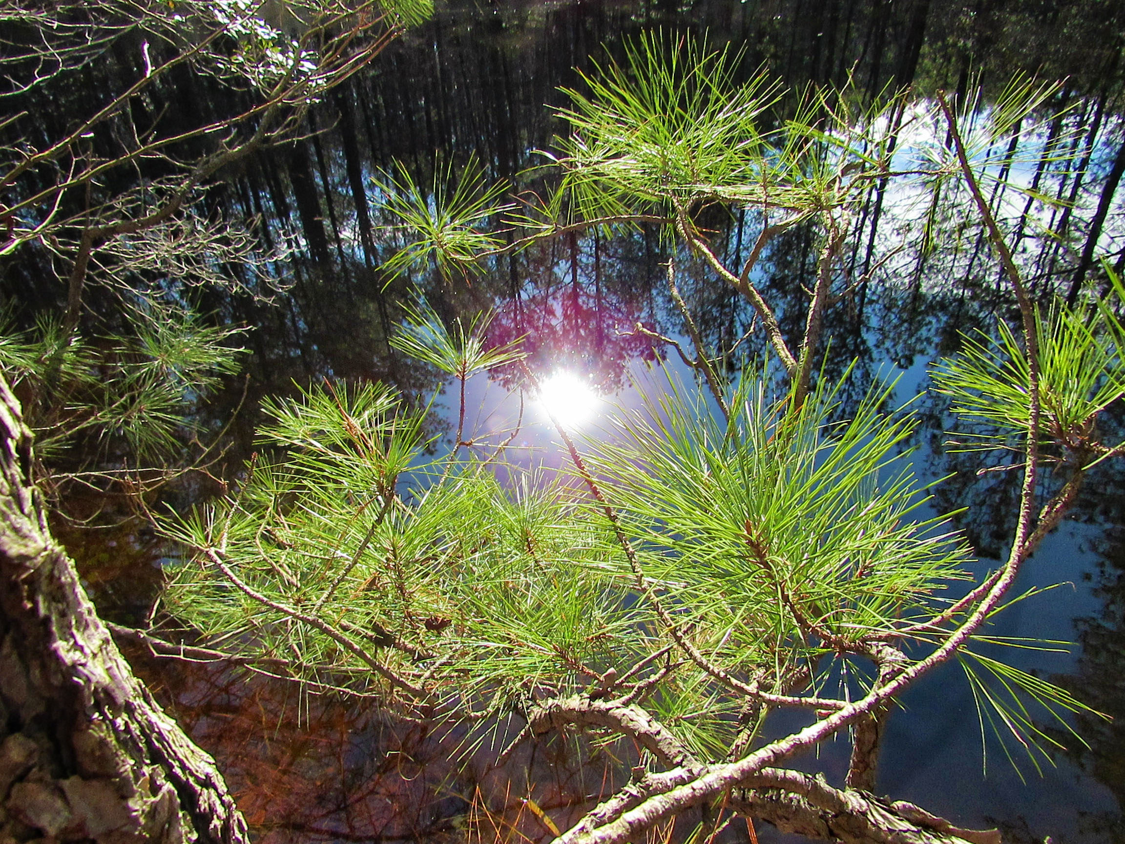
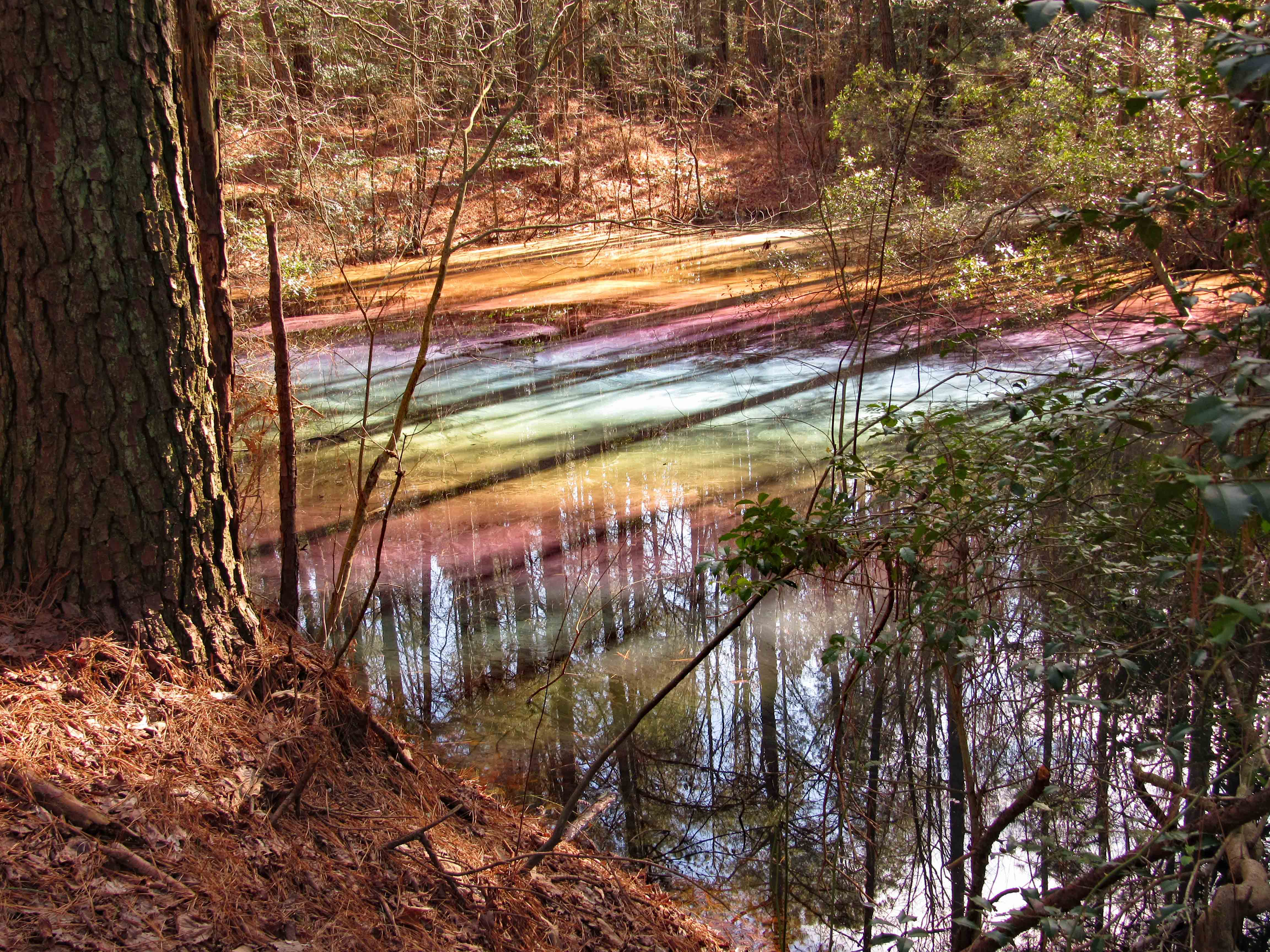
Part of the Pocomoke River State Park. Short hike, about 4.1 miles. We did this trail last month and revisited for other views, other areas we did not walk last time. Nice skim of ice on some of the water in the marsh.
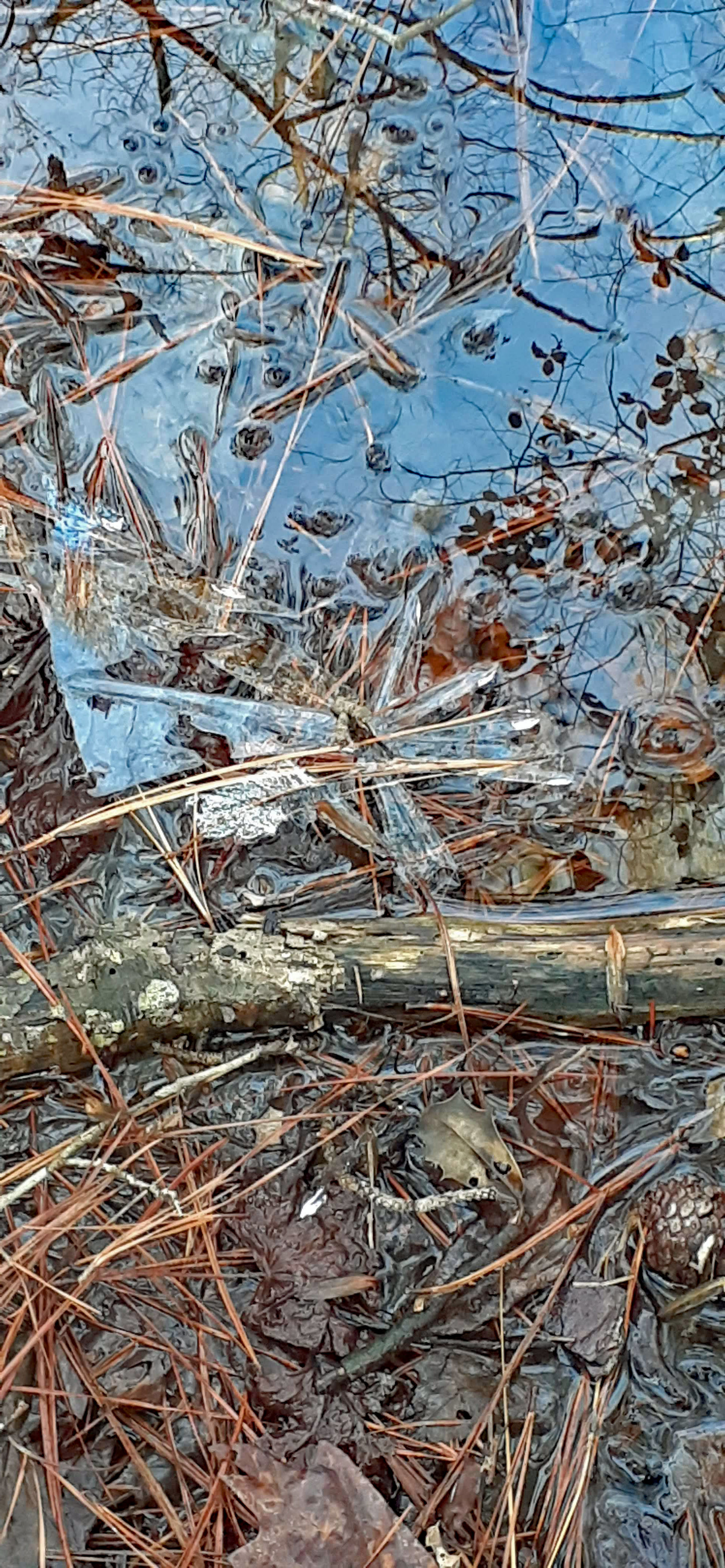
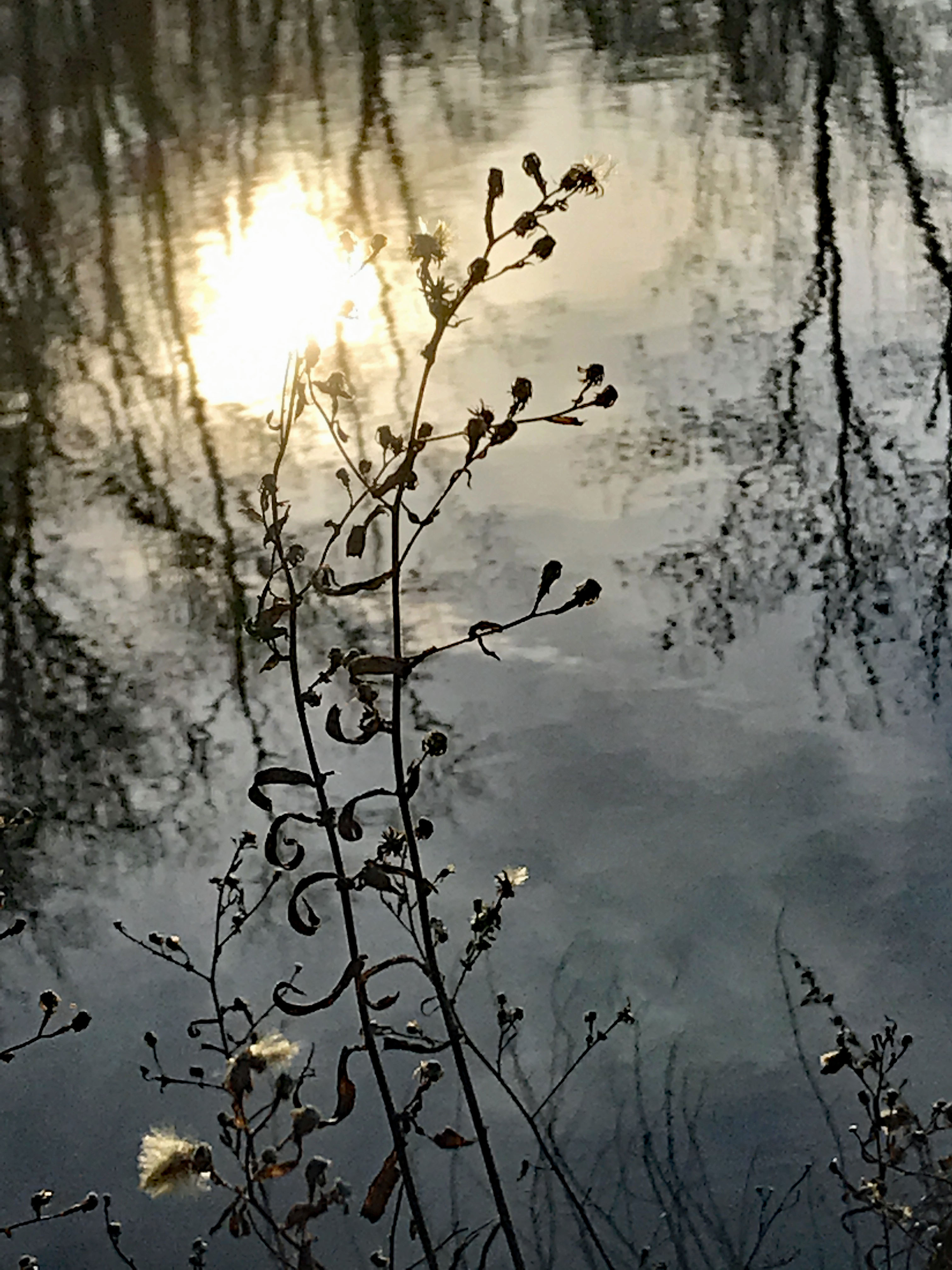
Lots of reflections
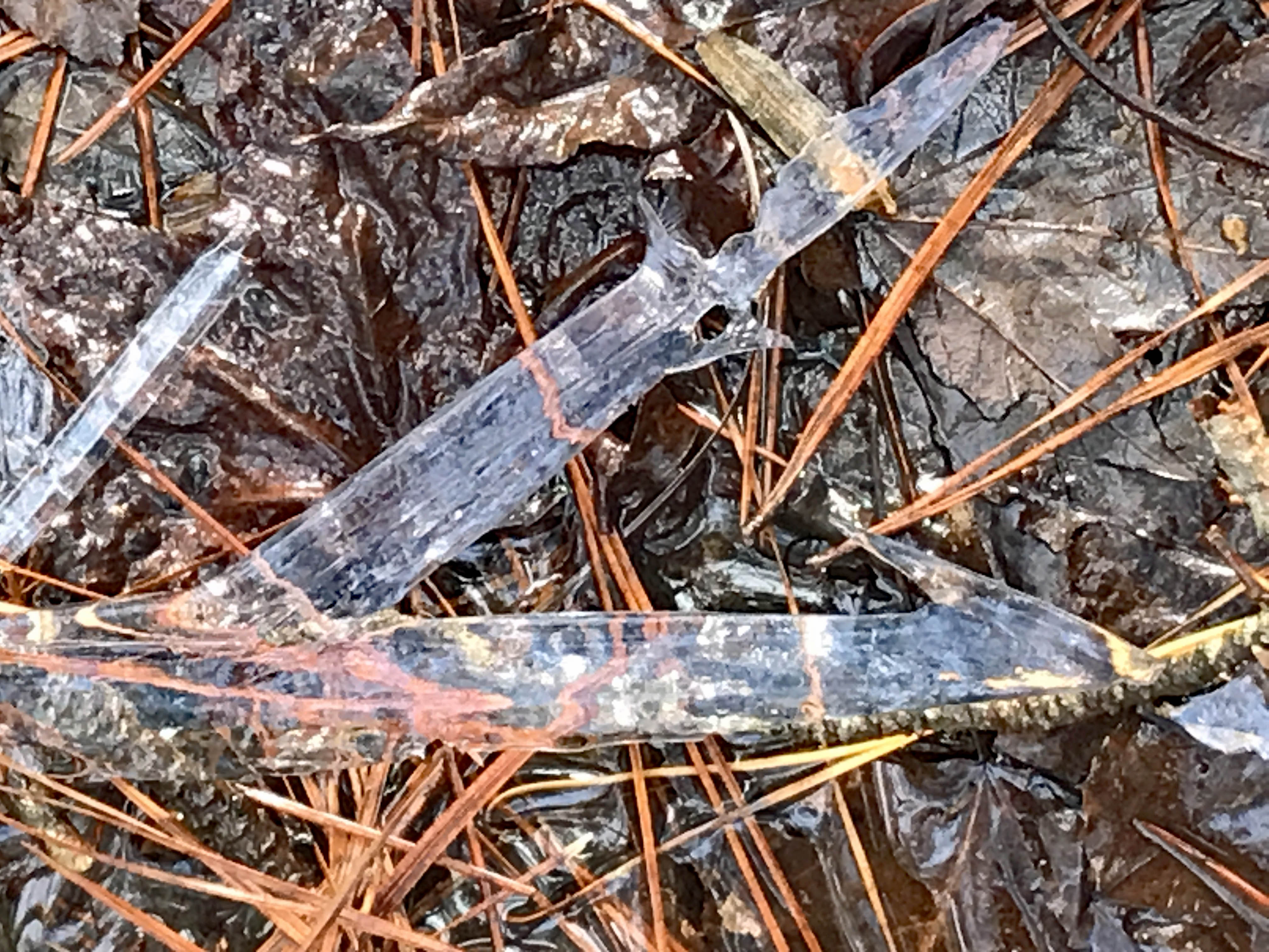
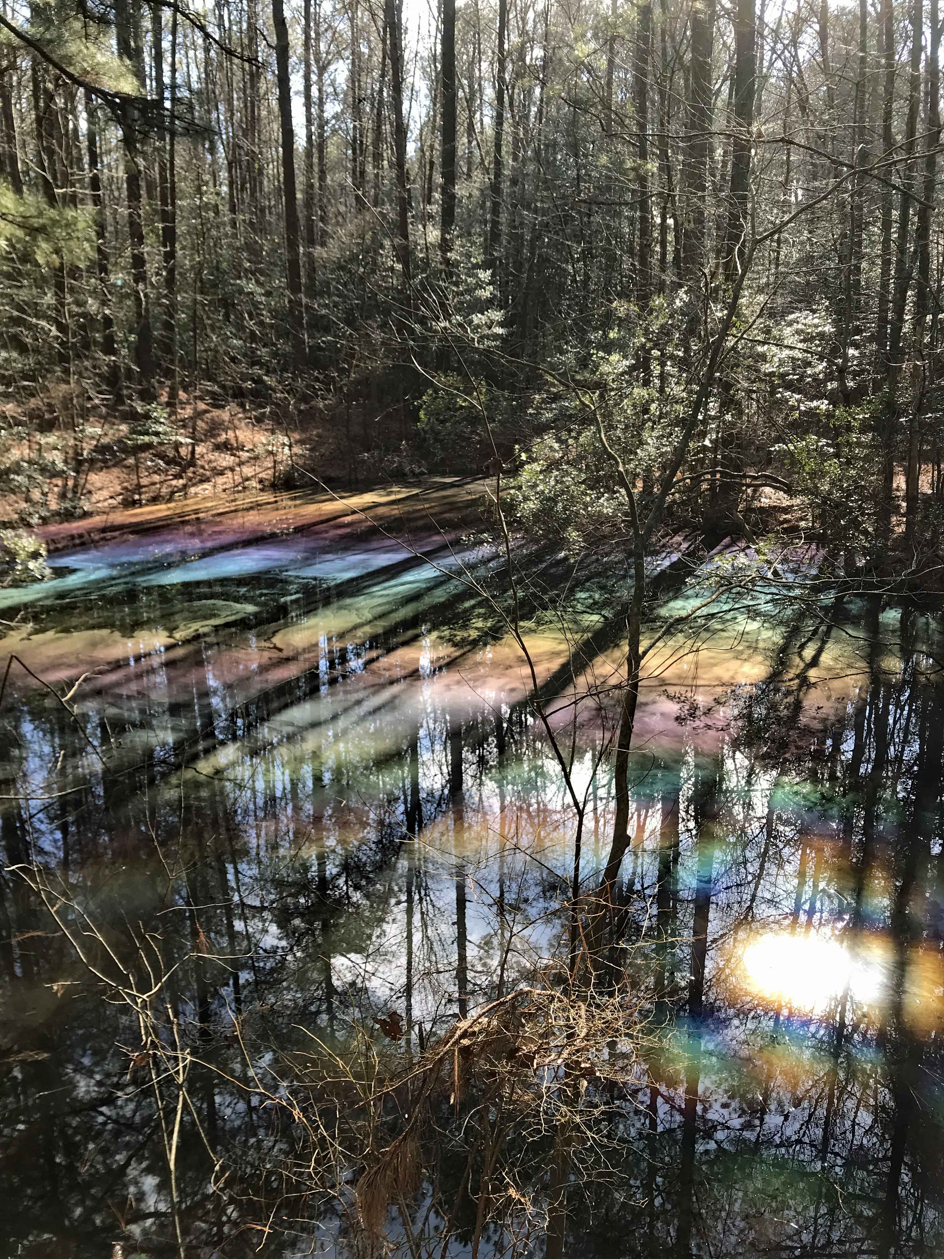
Some interesting colors left behind from the local unicorns maybe?
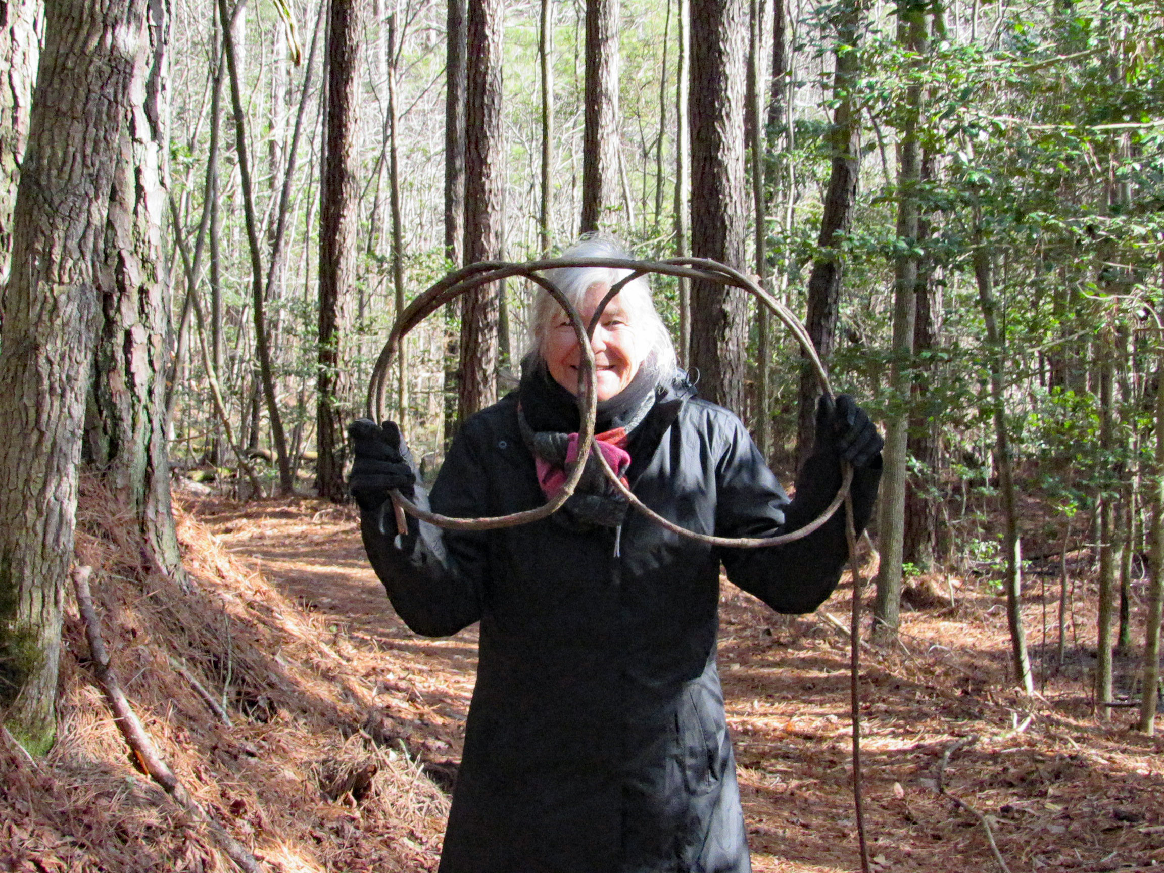
Judy in disguise…or Kathy with a new pair of glasses!
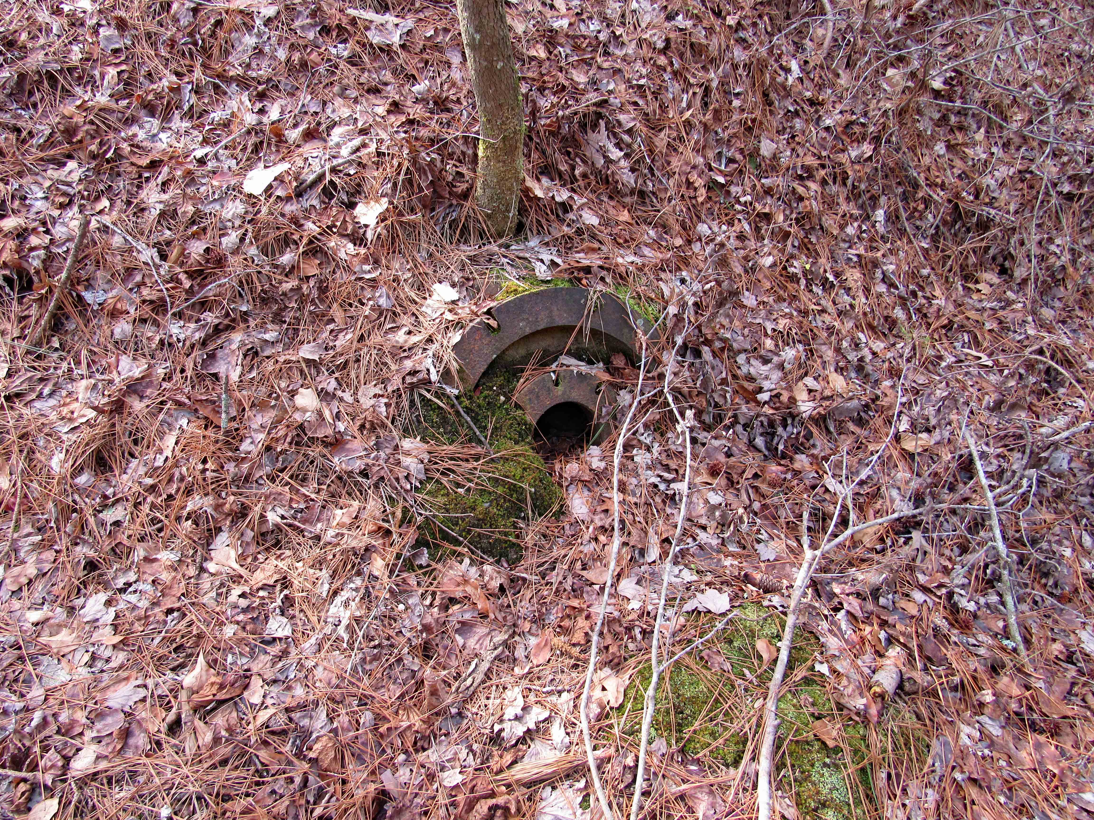
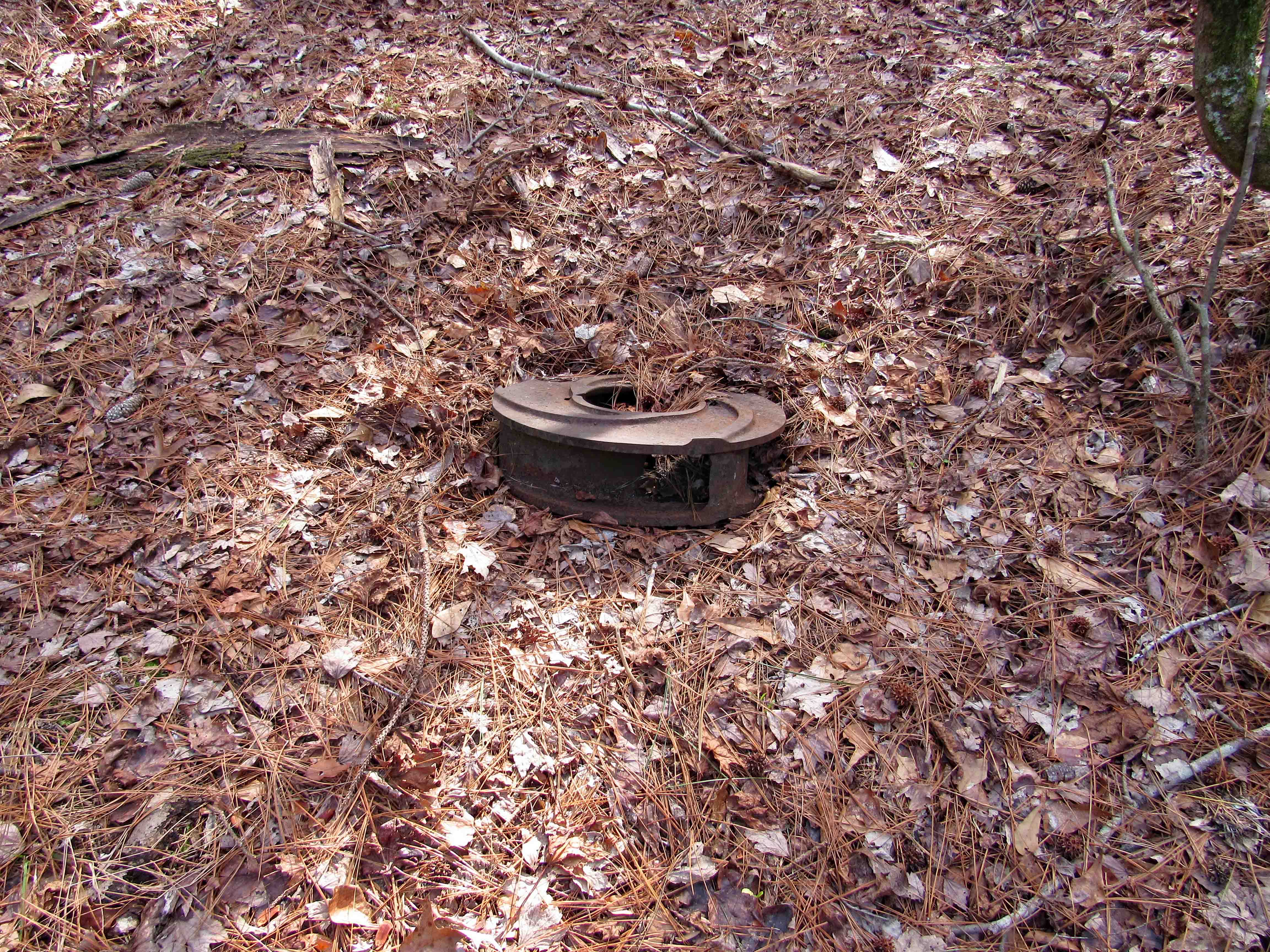
Pump parts
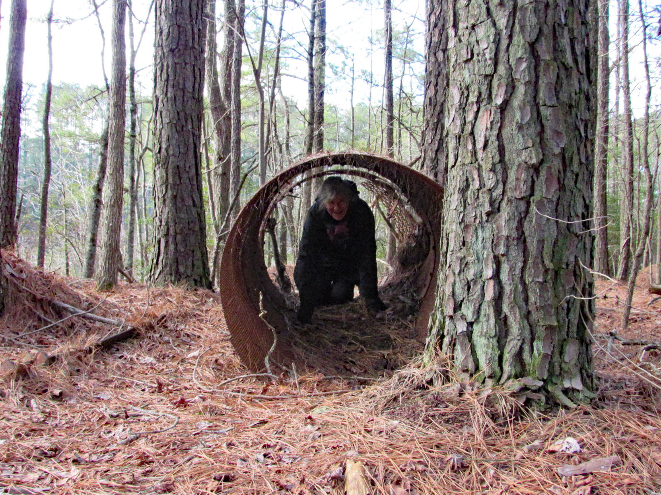
Playing in the pipe or looking for unicorns.
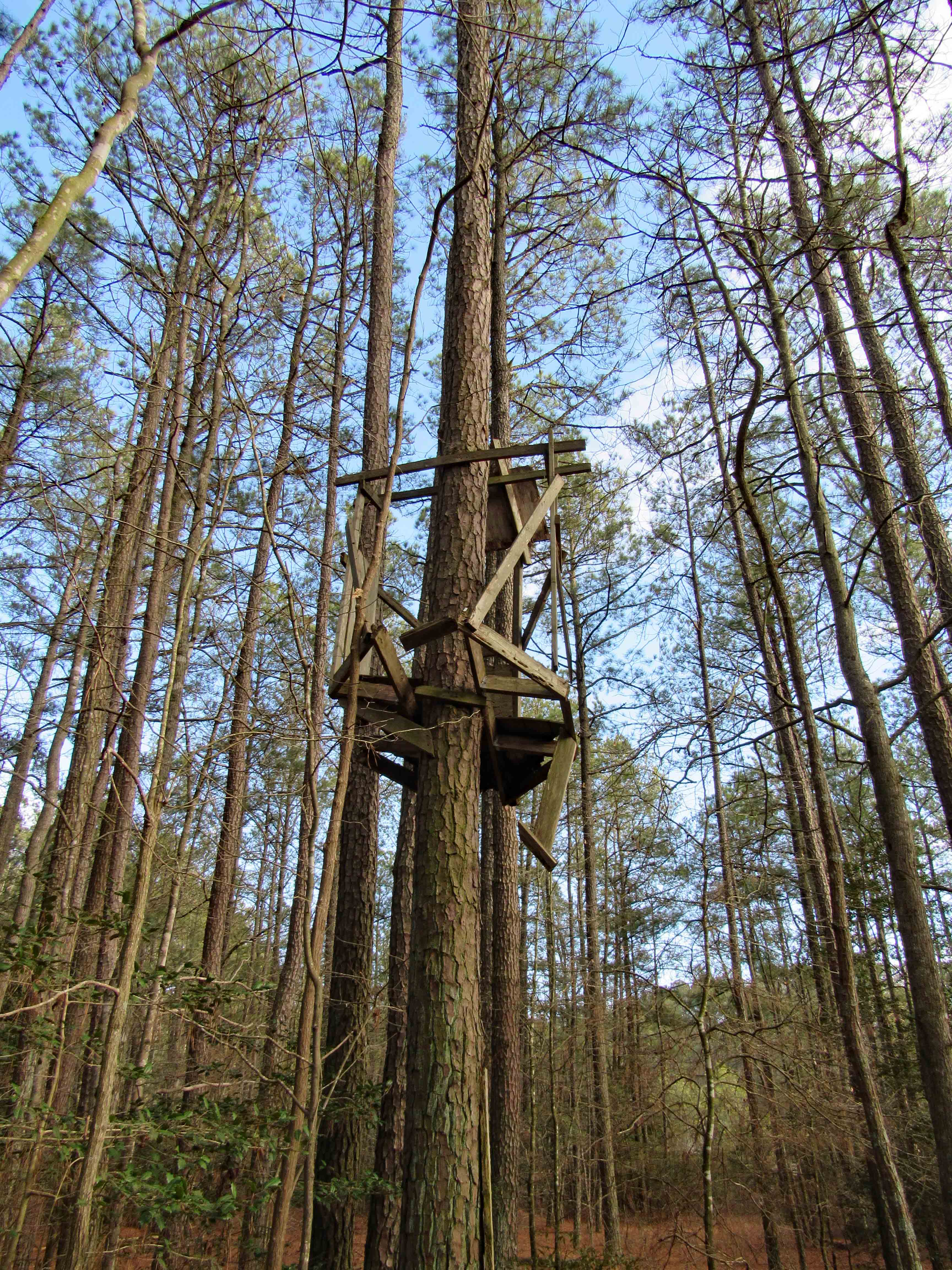
Tree stand for unicorn hunters
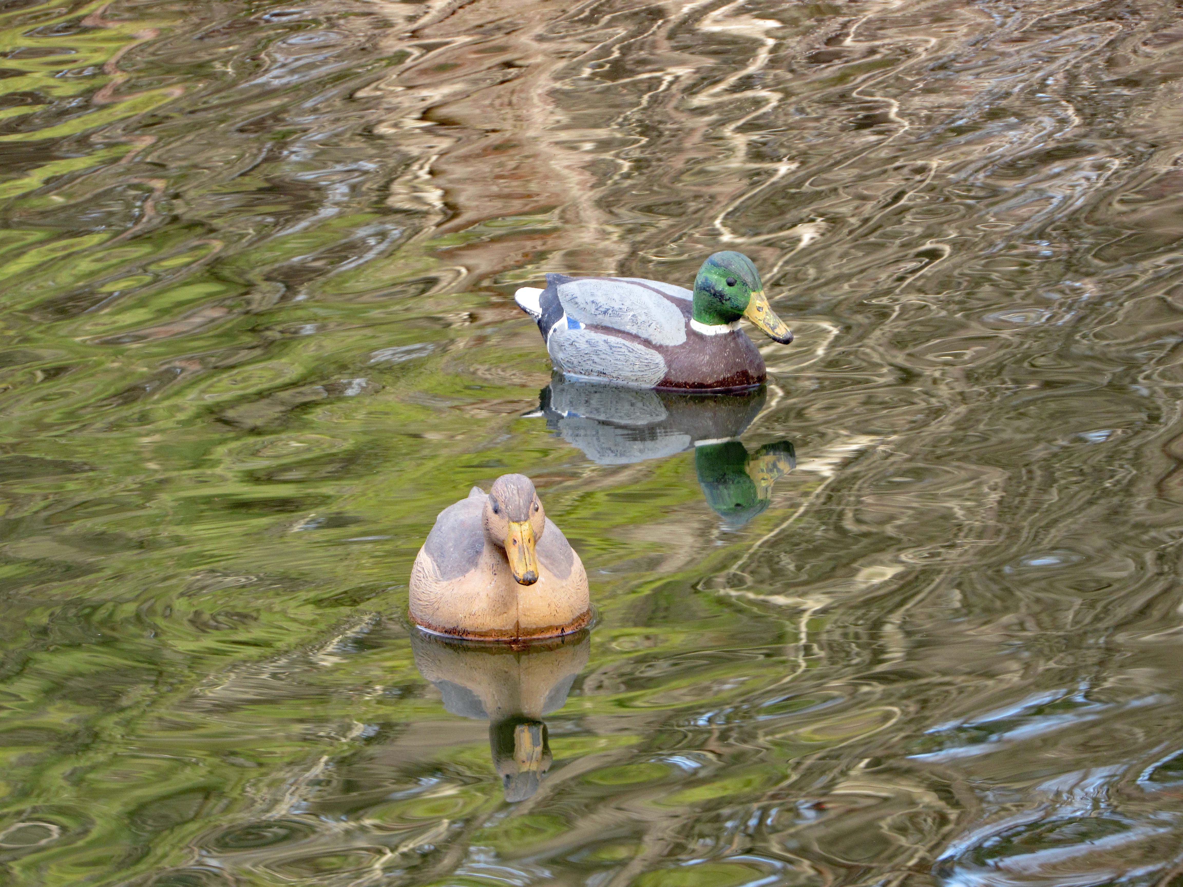
Duck decoys
The trail and the sights
A lot of these photographs were taken by Kathy. My camera has been giving me some trouble here lately. Especially with the batteries keeping a charge or even charging at all.
All in all it was a great day for a hike. Thanks Kathy and thank you God!
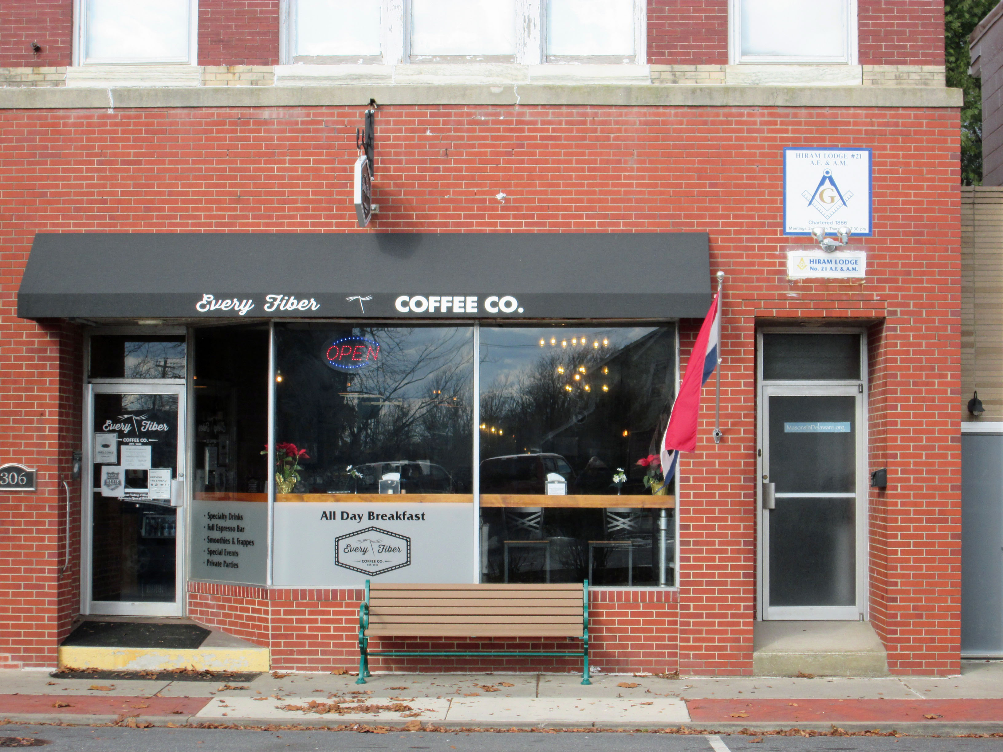
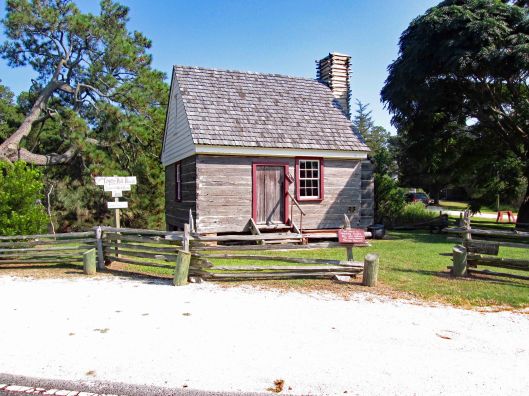
Drove up to Seaford Delaware to visit a family friend we haven’t seen in a while. Nice little town. Met at the local coffee shop, Every Fiber. Staff very pleasant. The upstairs is a meeting hall for the local Masons, which were established at Seaford in 1866. They moved to this location in 1912.
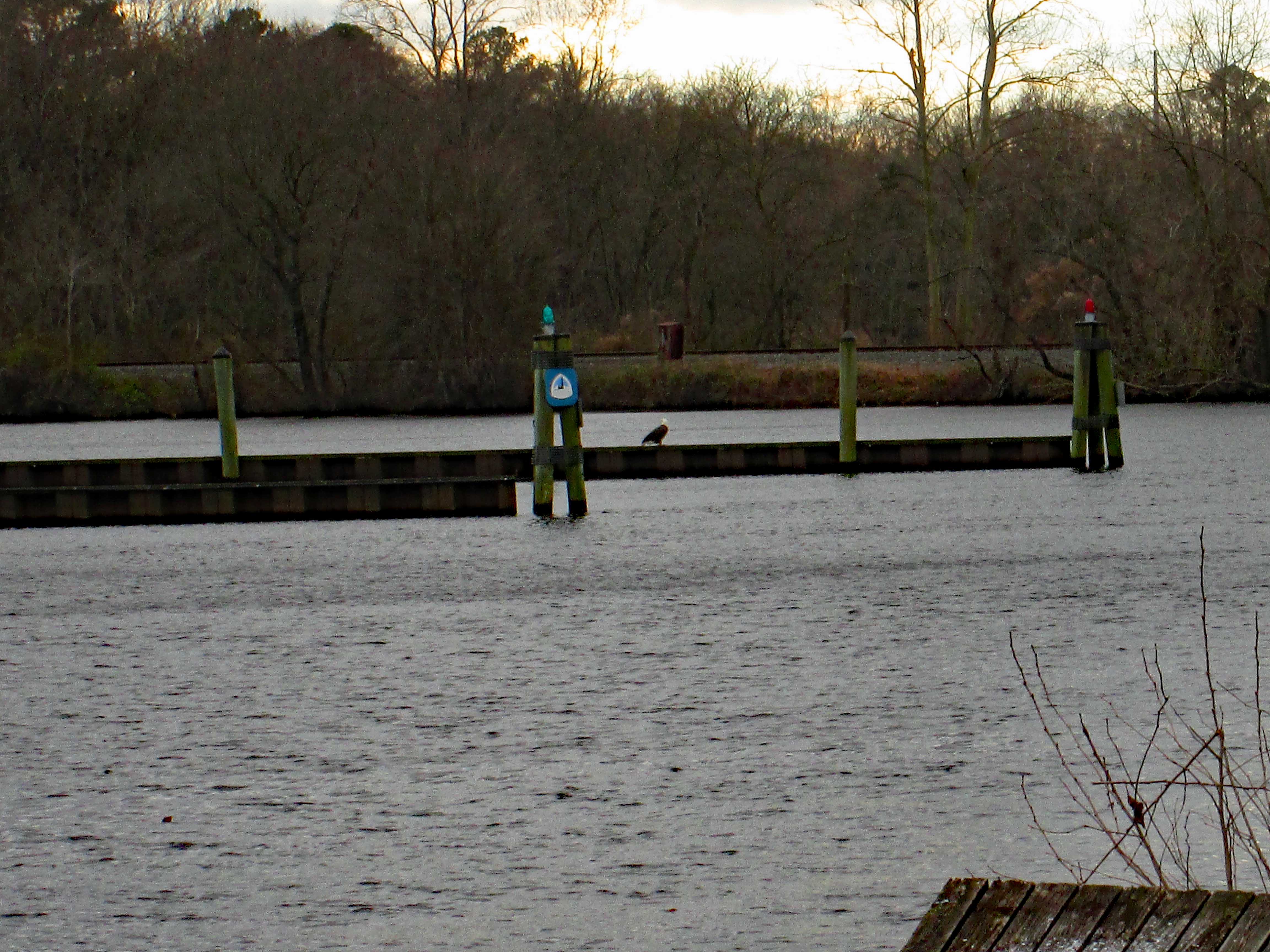
After our visit we drove around to check out the town. They are in the process of building a new park on the Nanticoke river. Across from which, we saw this big guy sitting there (Once again I leave the house, forgetting my good camera, only having my Canon point and shoot!)
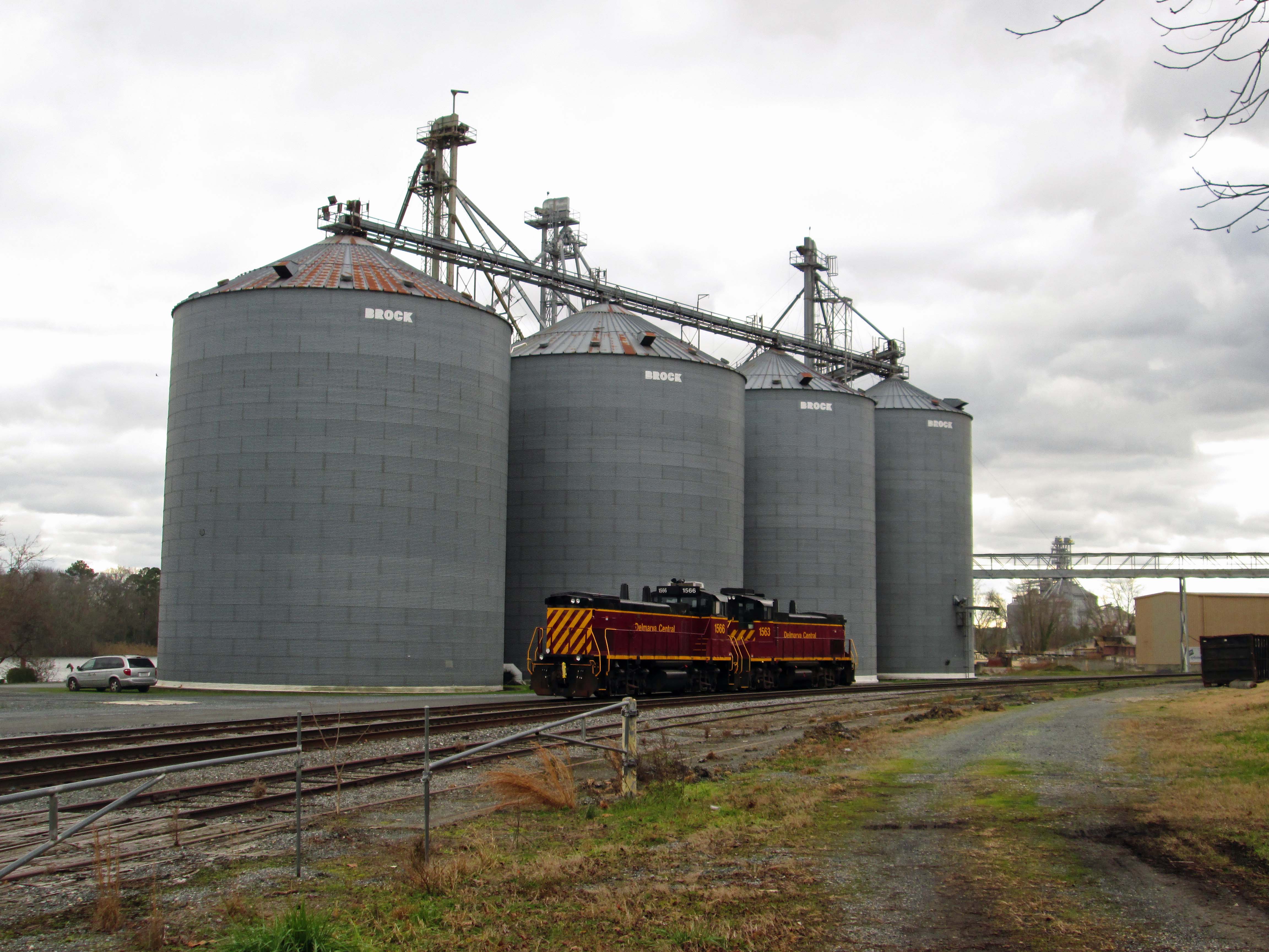
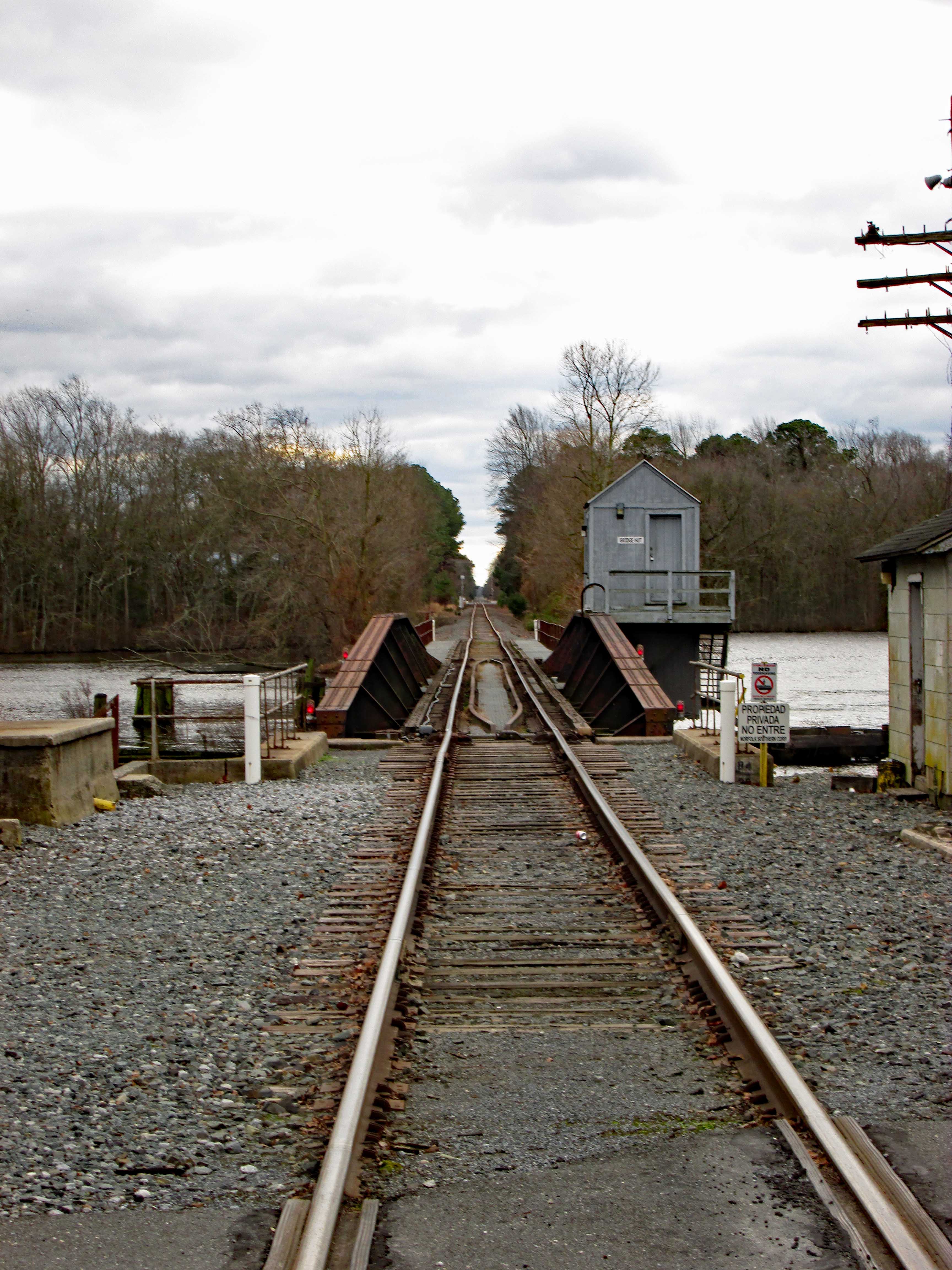
Old granary with a couple locomotives.
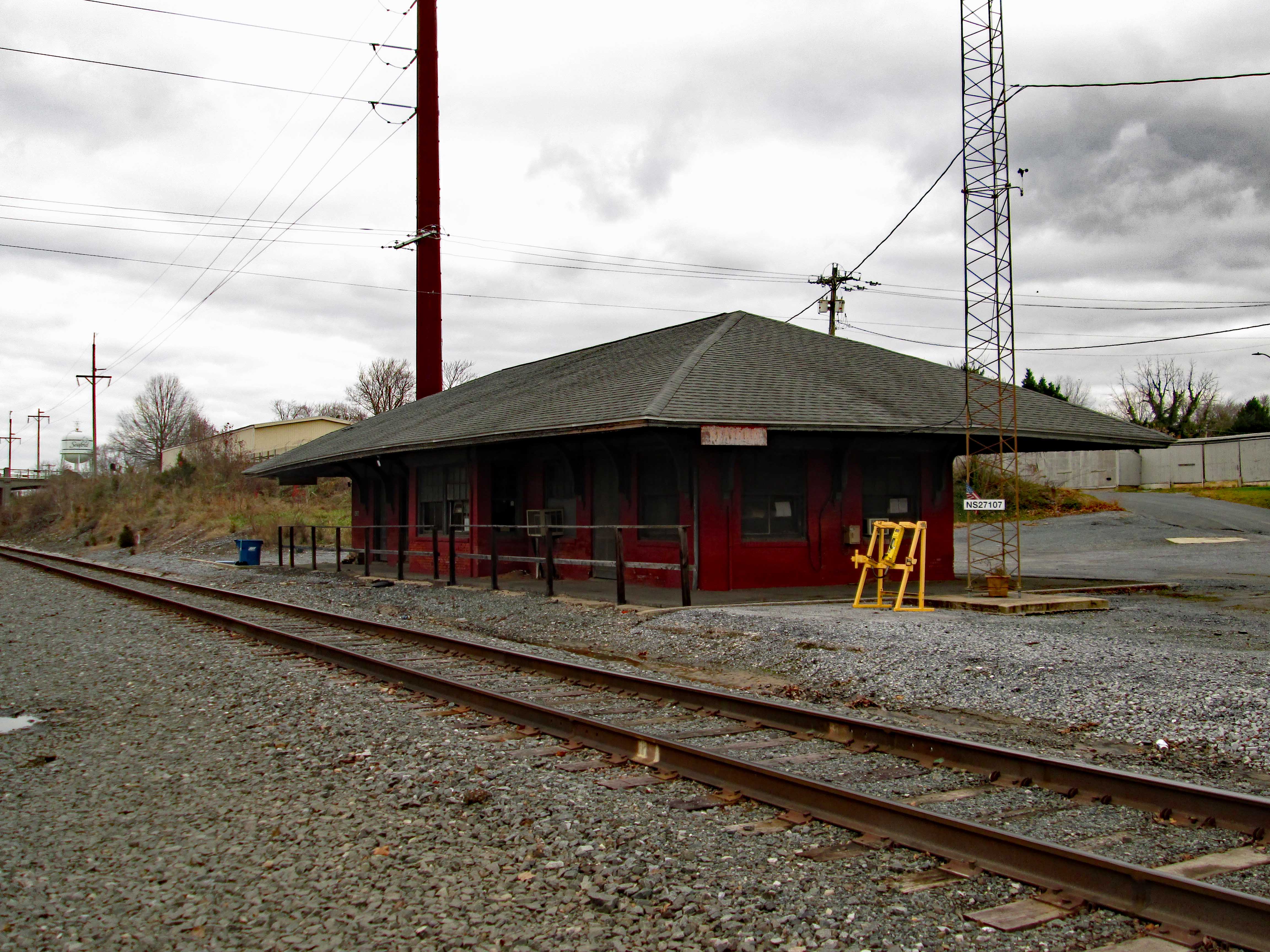
Old Seaford train station and tracks.
Headed to the other side of the river to see if I could sneak up on the eagle for a close up. Nope…I startled a heron and when he flew off, the eagle flew away also. Got a photo of where he was resting though!
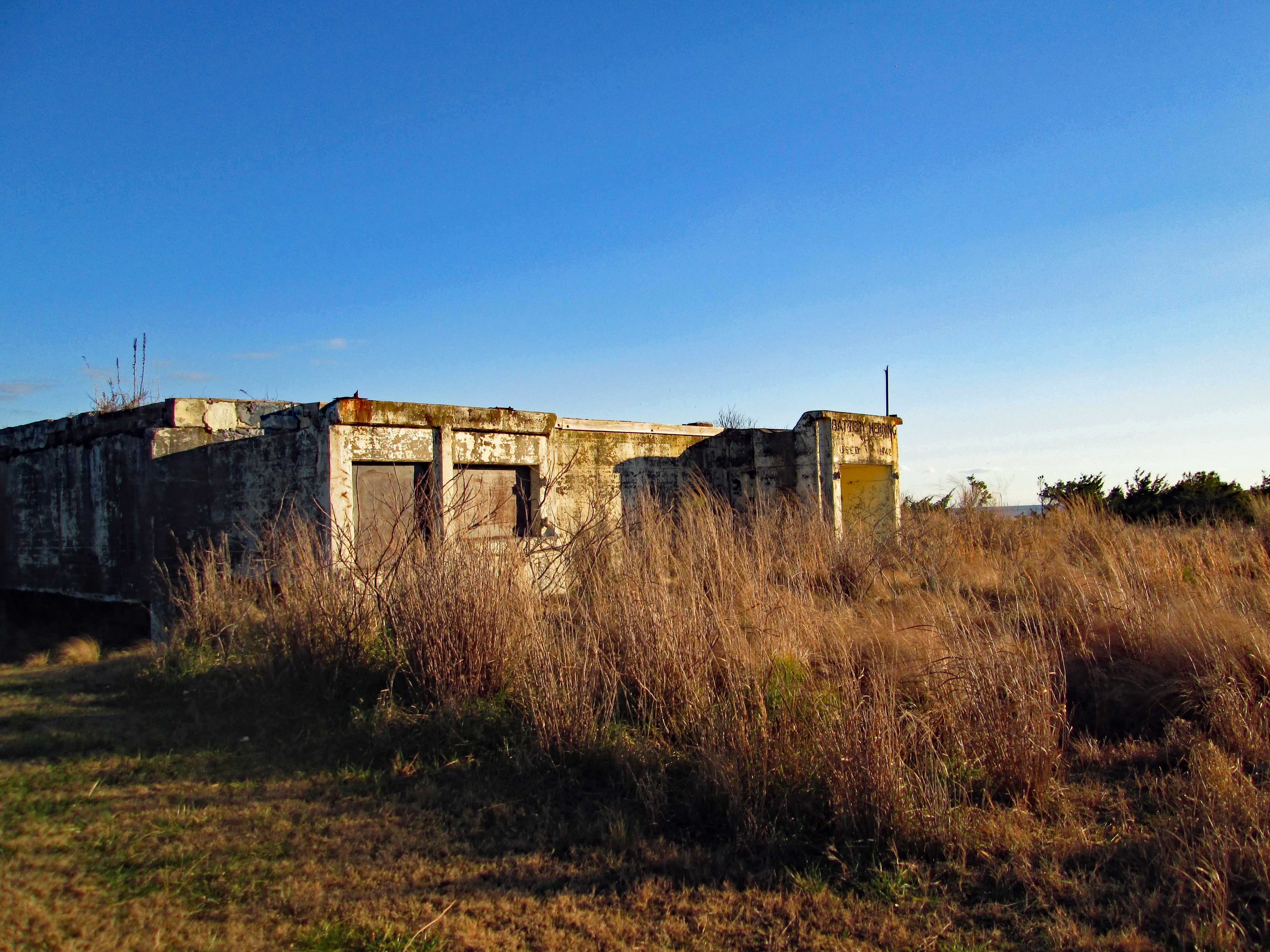
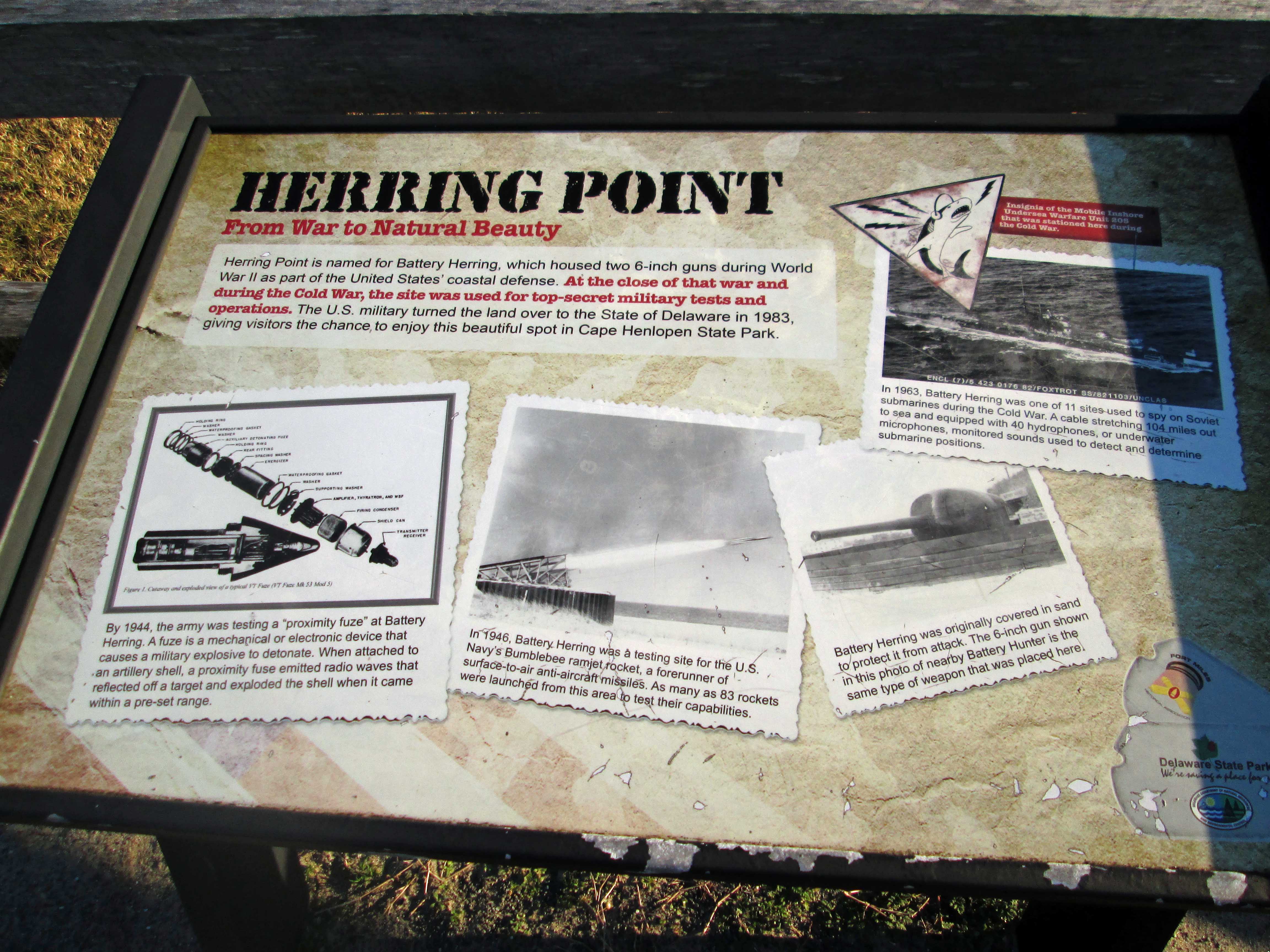
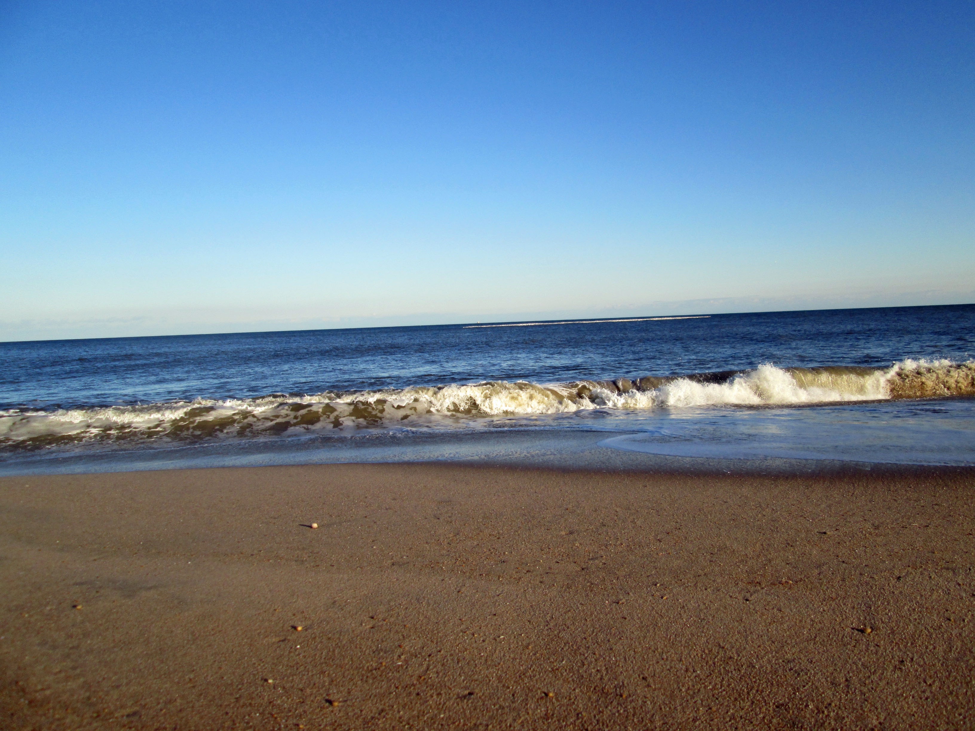
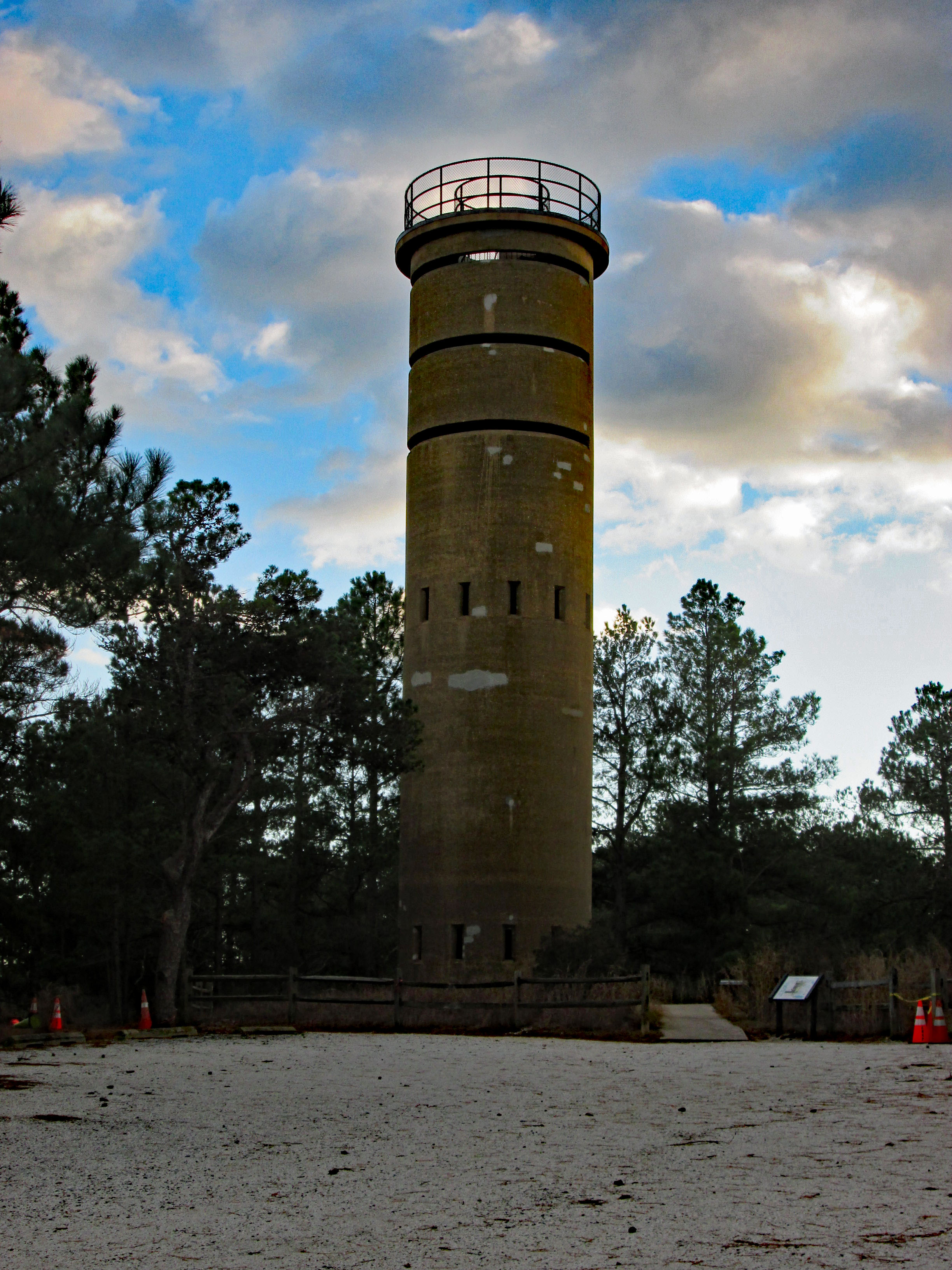
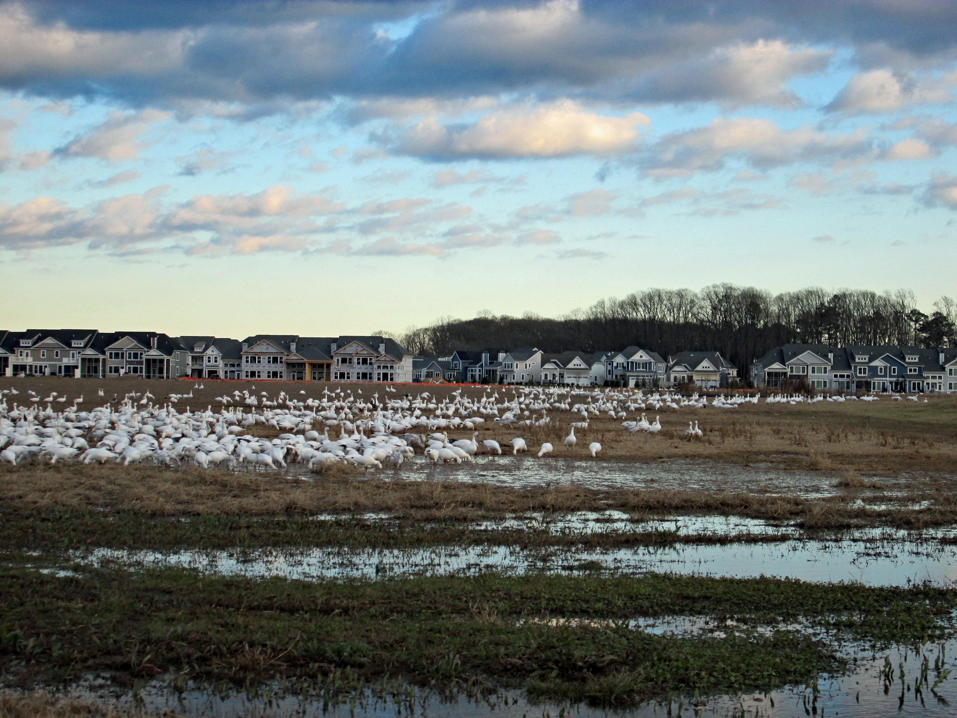
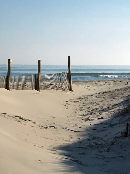
Left there and headed to Lewis. We were going to check out the ferry but decided to go see the sea at Henlopen State Park. Lots of snow Geese flying overhead. First thing we came upon was an old Battery – Herring Battery.
Historical sign describing its use.
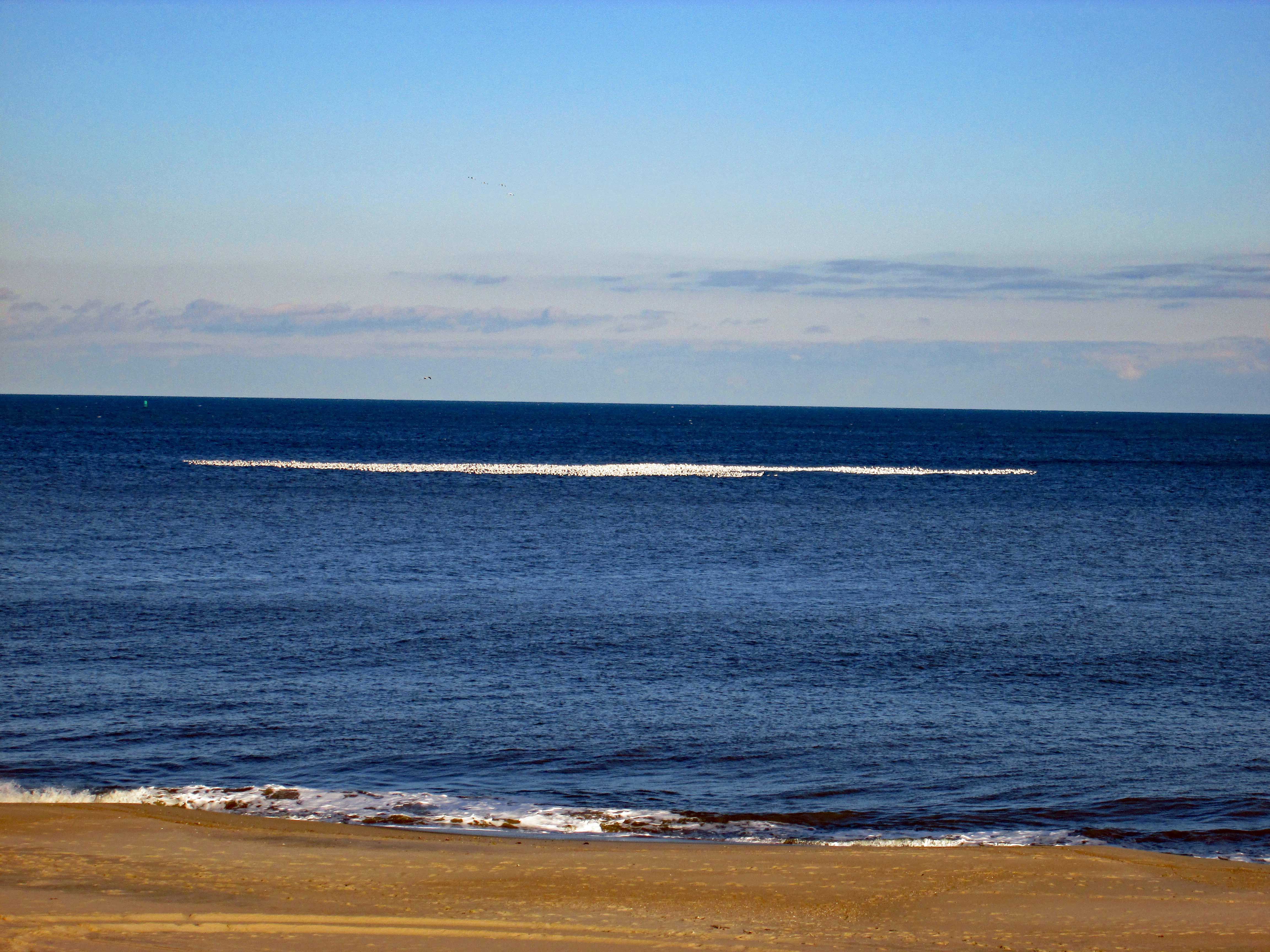
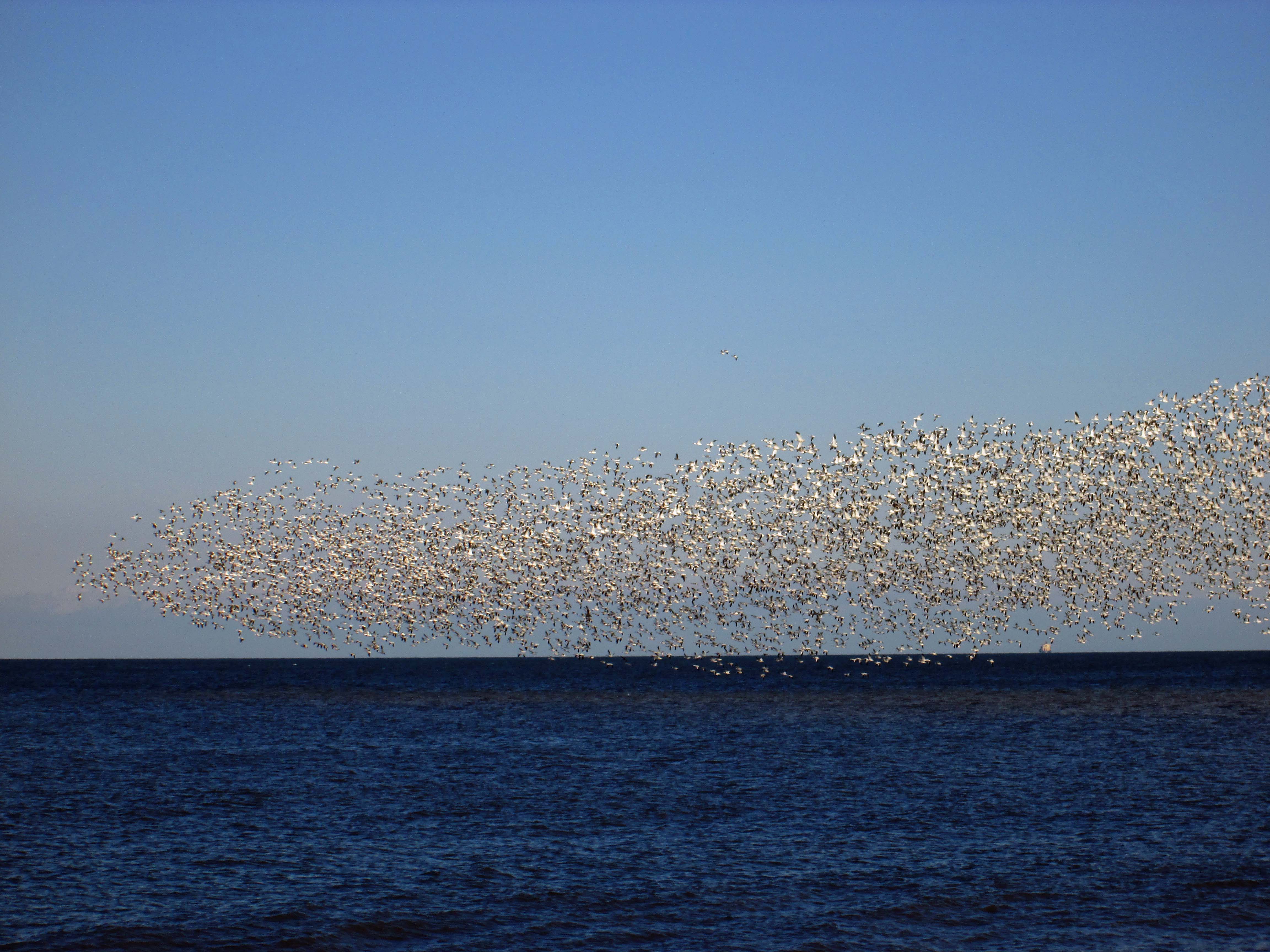
Standing at the top of the dune we saw all these groups of white on the ocean – thousands of Snow Geese!
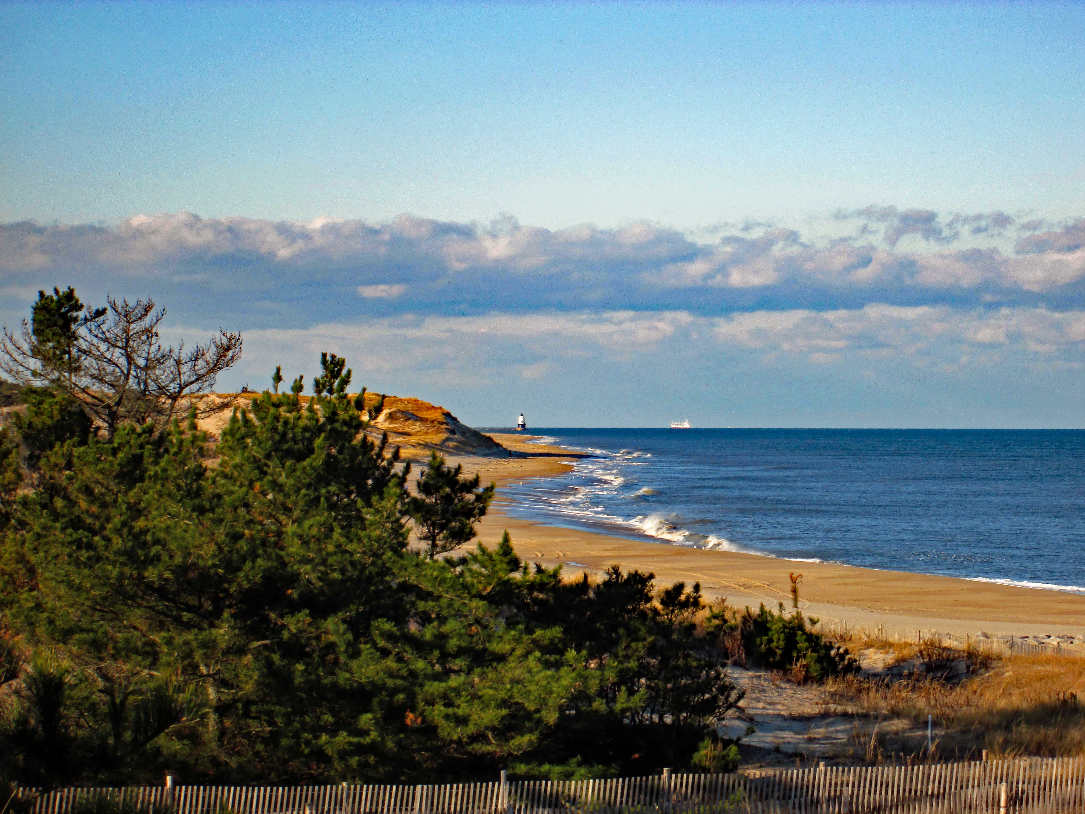
Views from the Battery – towards lighthouse and then towards Rehobeth.
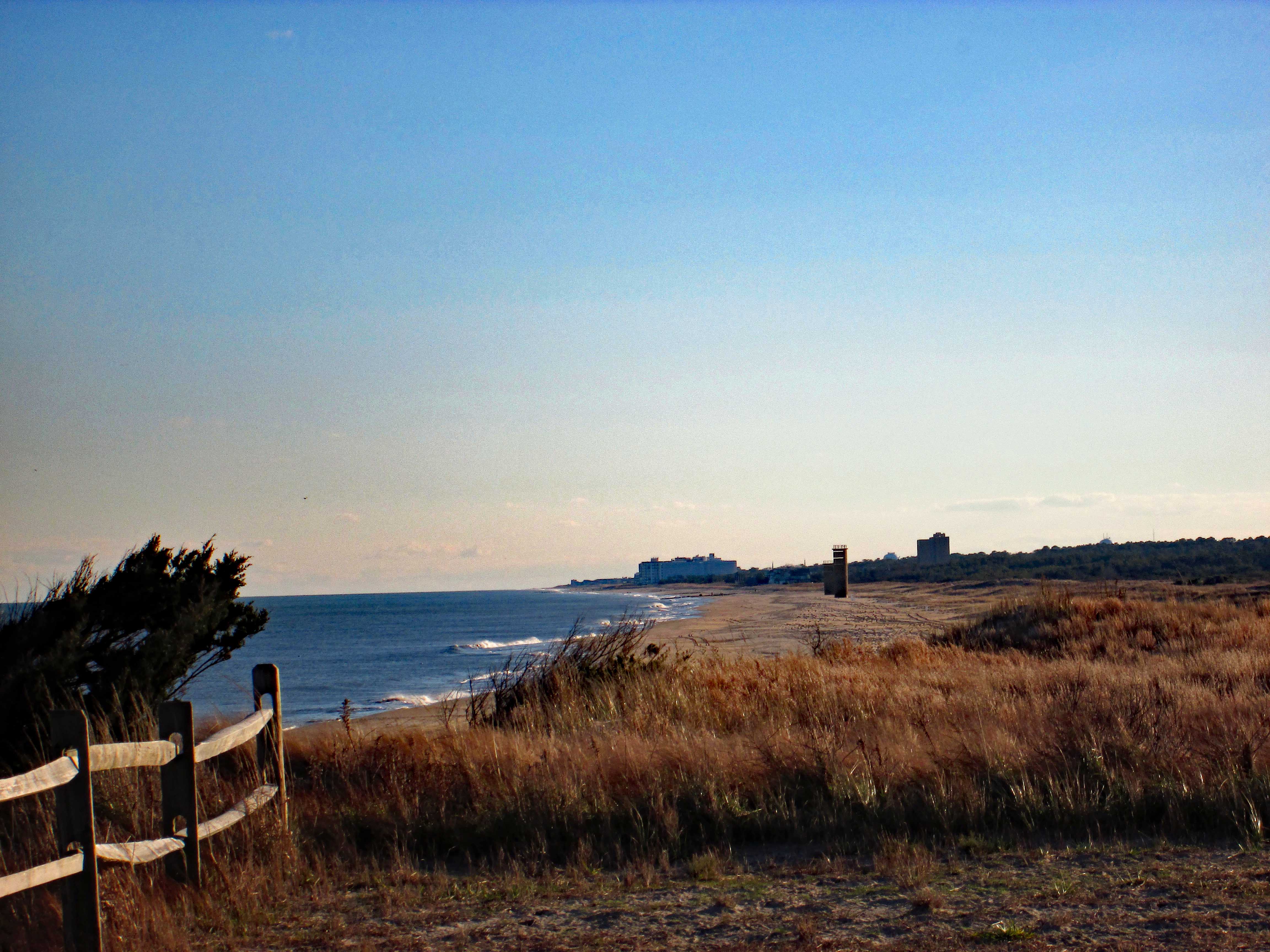
Walked down the path to get a closer view of the geese.
And there they go!
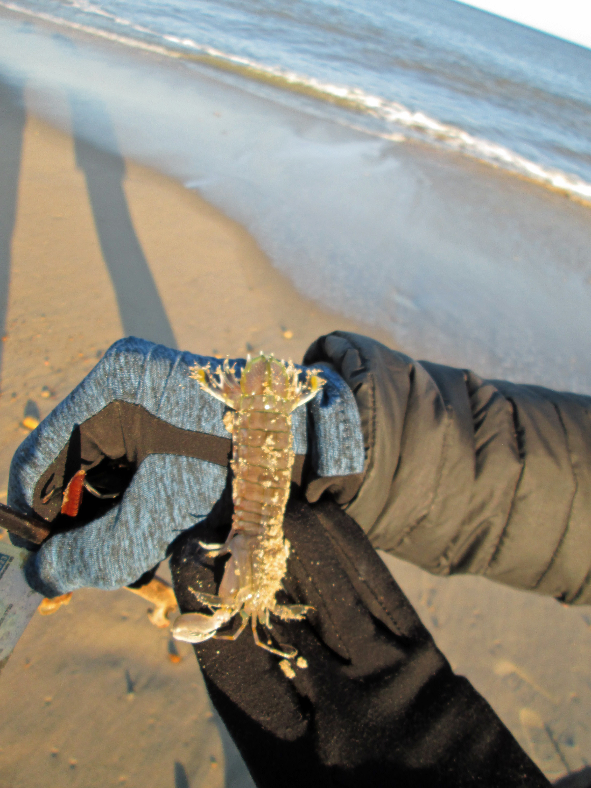
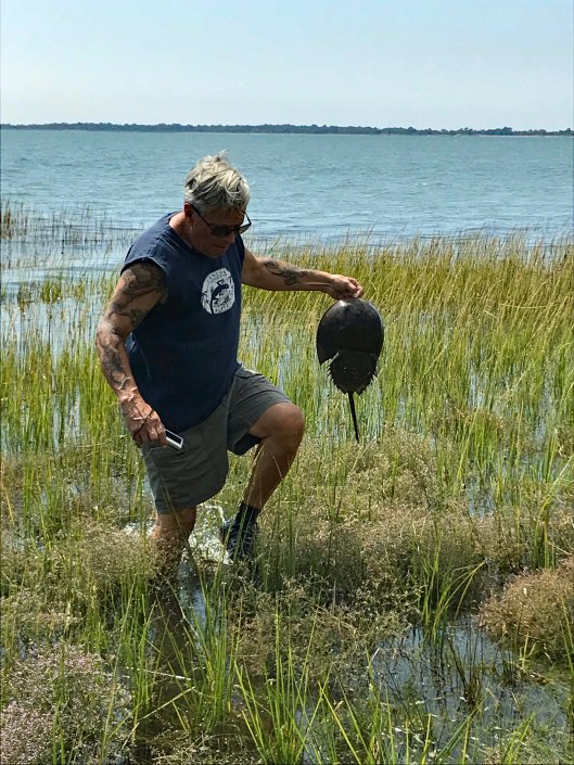
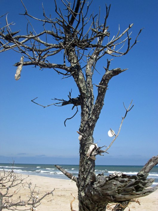
Found this guy on the beach. Not sure what he is – prawn, shrimp, mini-lobster? But he was still alive. No sooner than Kathy puts it back in the ocean, an eagle swooped down and snatched him – Where’s the camera!!??
Looks like this washed up on shore. As did someone’s driver’s license. Tried to find the person on the internet, but no luck. Need to turn in to the police.
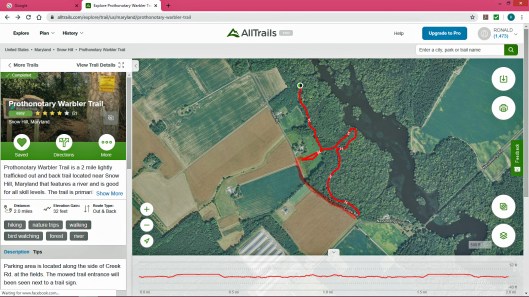
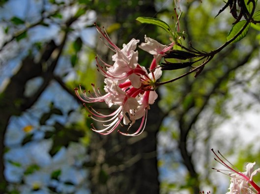
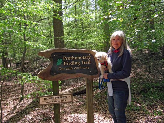
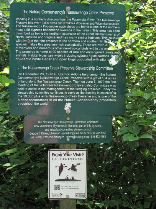
Well that is a mouthful to say! Pronunciation is Pro-ton-o-tar-y, which by itself is a Chief Clerk in a court of law, which is apropos to what I have been going through the past couple of months (another story, another time). But with the warbler attachment, it is just that – a warbler. A trail full of them. This was a 2.3 mile hike.
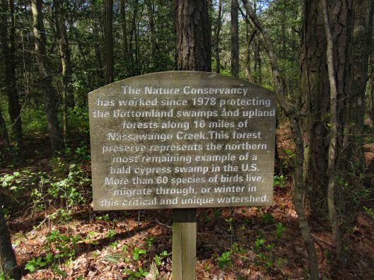
For whatever reason, All Trails stopped recording our trip so I used their default map, adding an extra red line at the bottom left of the trail because we walked the road back. Not much parking. You need to park on the grass along the road. The guy that lives in the house to the left of the entrance trail was cutting the grass. He does a good job maintaining it. It is turkey hunting season and he wanted to know if we seen any? Glad this property belongs to the Nature Conservancy – No Hunting! I hate ducking bullets!
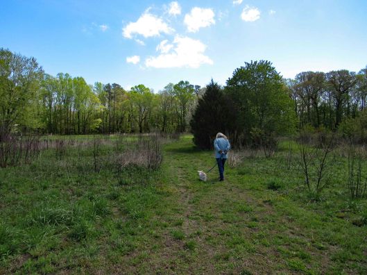
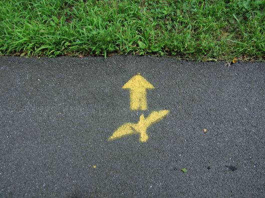
Entrance path
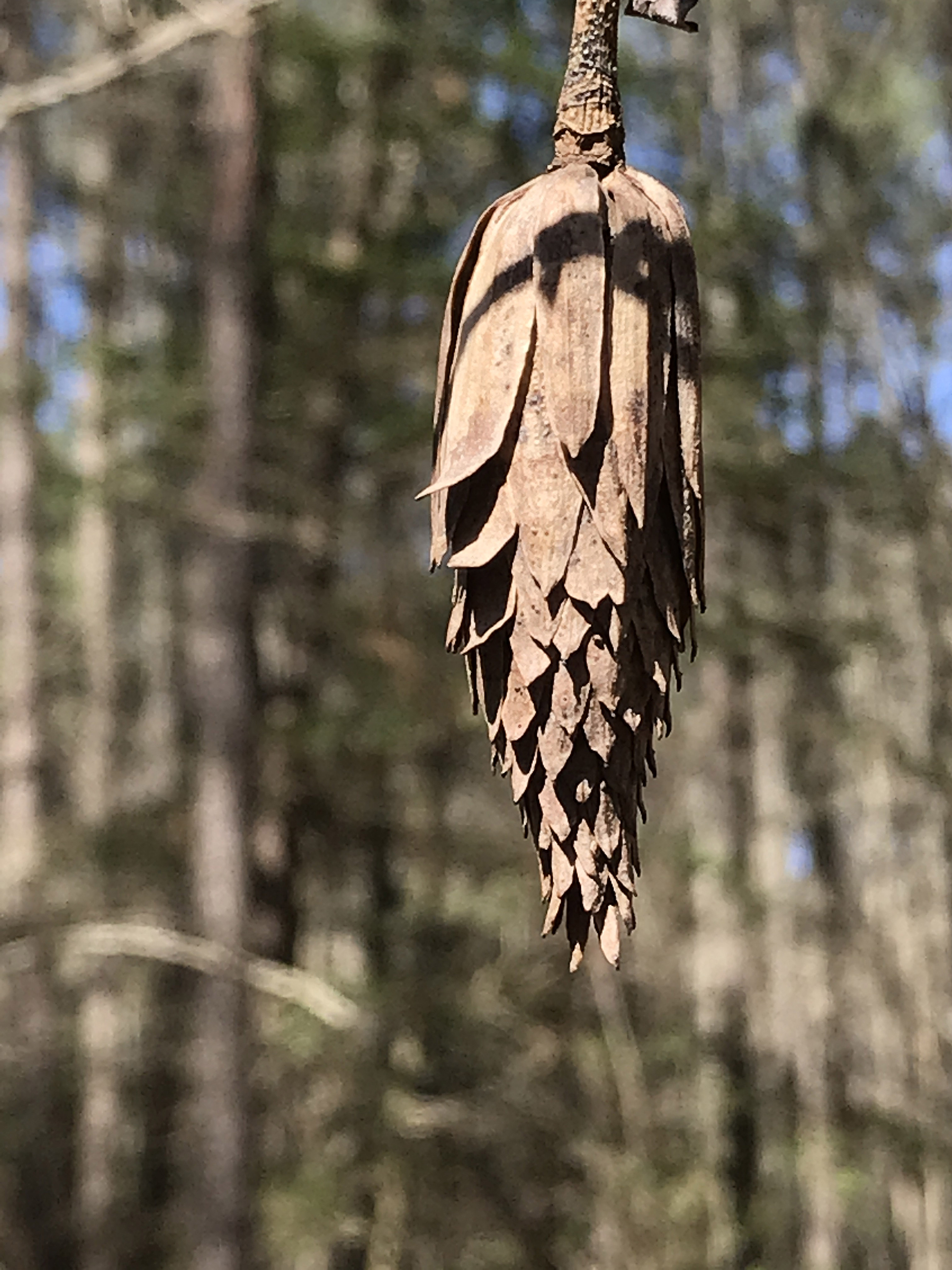
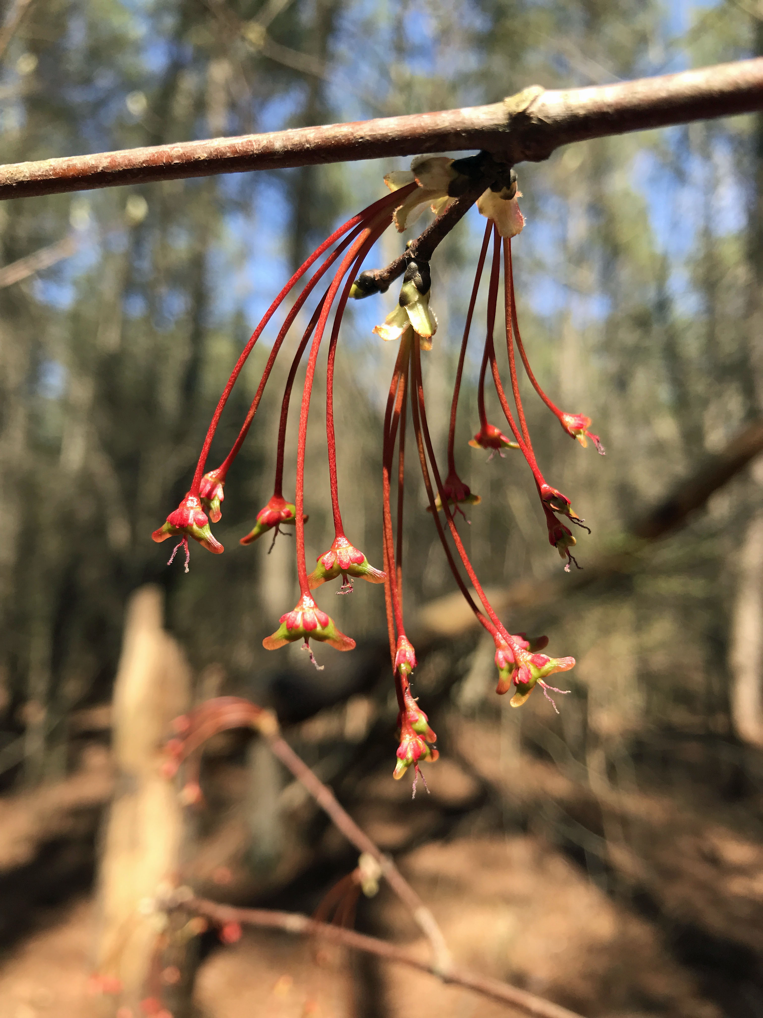
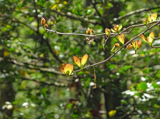
Some of the plants we saw
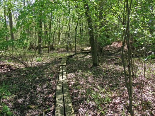
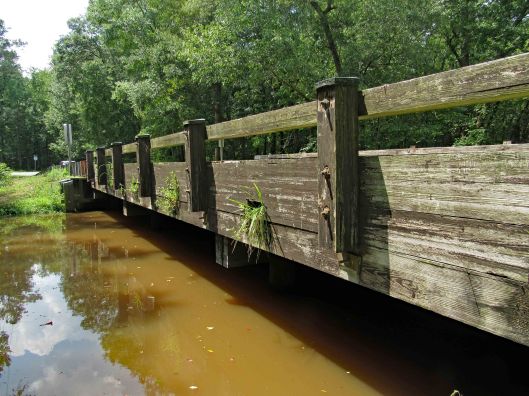
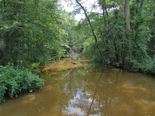
The path goes from Creek Rd. to Nassawango Creek. A nice trail with some boardwalks. No steep hills to climb. Molly did well and there were only 3 other people on the trail. We were spaced out accordingly.
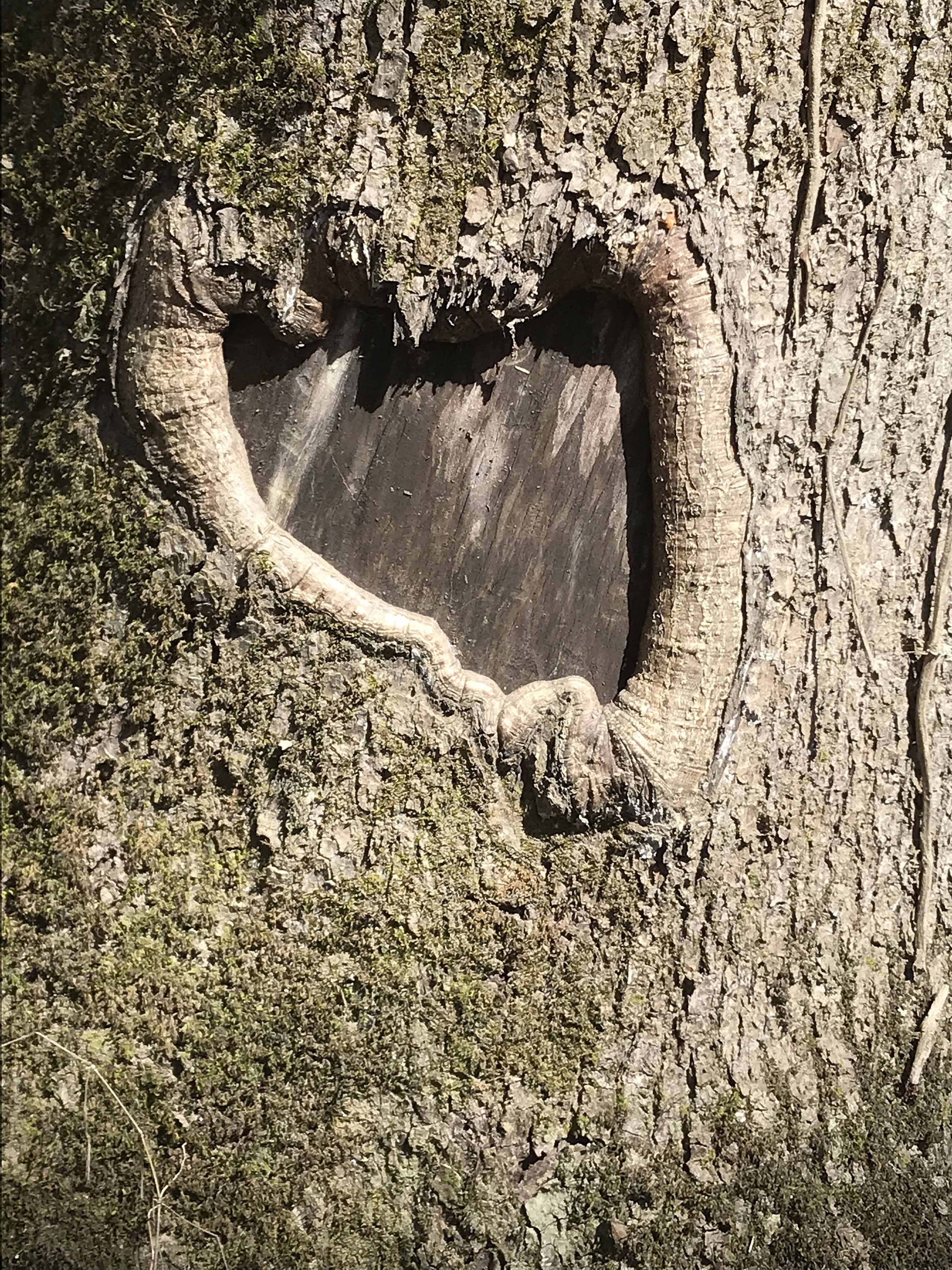
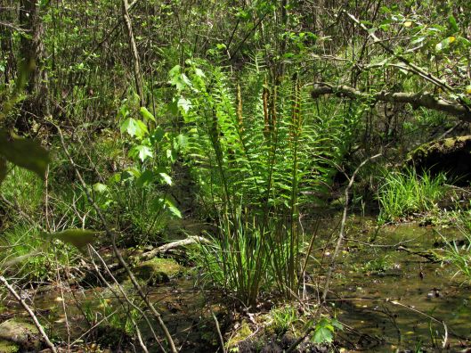
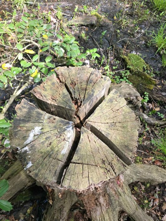
It is part of a cypress swamp and the ‘knees’ always remind me of faceless people.
PEACE
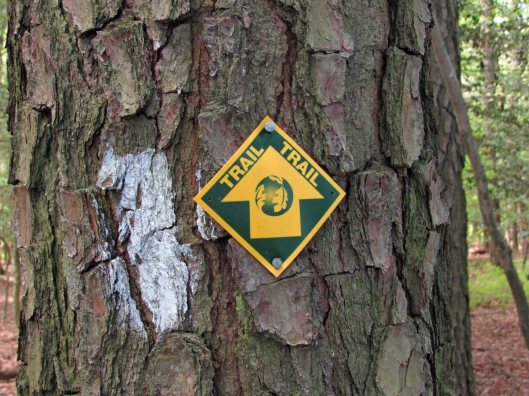
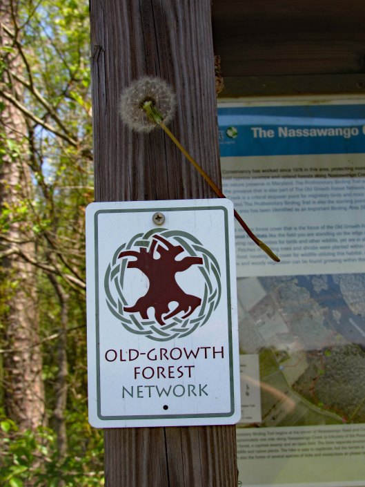
Signage along the trail.
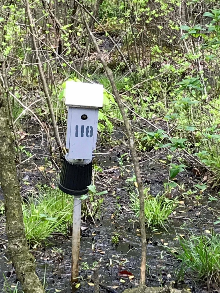
Nails in tree? and blaze.
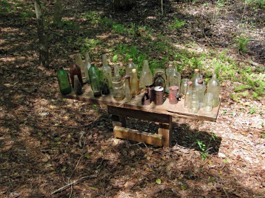
More stuff along the way…
This was interesting. One of the bottles had AA written on it and I thought how weird is that? I looked it up and and it is an Ancient Age Bourbon Bottle. I immediately saw Alcoholics Anonymous!
Warbler in entrance hole
Well, Molly says enough of this. Although it has been a wonderful, peaceful hike, it is time to feed me! Thanks God for a wonderful hike with minimum people out there.
Quite a few of these photos were taken by Kathy. Thanks Kathy!
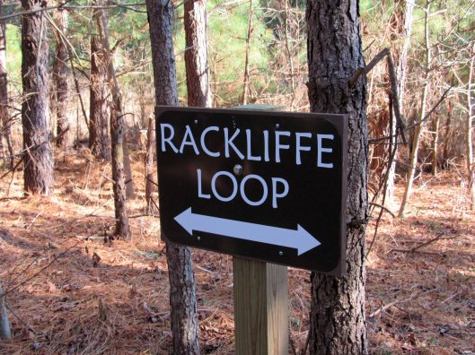
It was a beautiful day Saturday, December 28, 2019 and there is nothing better than taking a hike on a beautiful day. If we had known it was going to be as warm as it was, maybe we could have went kayaking instead! Next time. We have a lot of favorite hikes that we do, but sometimes we look for new places. Although we have been to the Assateague area many times, we saw a spot on the map we never have been to – Rackliffe House and trail:
This historic site is behind the visitor center. There are 2 trails that lead there. We chose the wooded one instead of the asphalt.
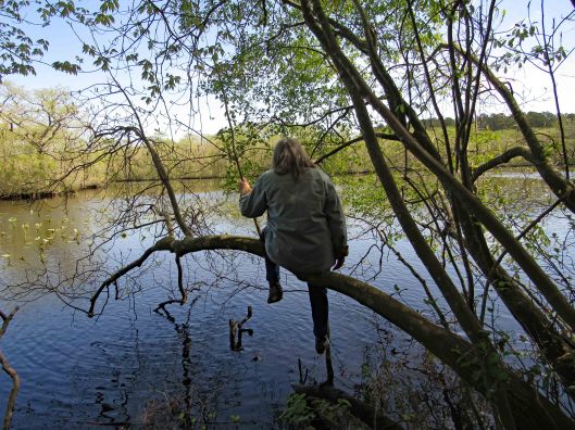
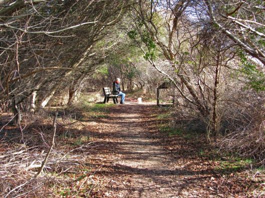
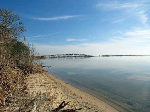
Across from where Kathy is sitting is a path to Sinepuxent Bay with the Verrazano Bridge in the distance.
A very short beach hike.
Kathy picKathy pic
Leaving the beach we head towards the house, passing the golf course.
Nice tree tunnel
This Geo-cache was hanging in plain site. At first I thought it was a wildlife camera.
Always nice to have a choice in the paths we take in life.
Historic house – from their website:
Rackliffe House, a 1740s merchant-planter’s home overlooking Assateague Island and scenic Sinepuxent Bay. Rackliffe House was constructed in the 1740s by Captain Charles Rackliffe, the merchant-planter grandson of one of the earliest English immigrants to Maryland’s seaside. The large two-story, three-bay Manor House features Flemish bond brickwork with random glazed headers, a steeply pitched gabled roof with kicked eaves, and large windows. Captain Rackliffe intended the house to be seen across the water. He built it on a prominent ridge atop a man-made terrace with expansive views of the water and island.
In its time, Rackliffe House has witnessed marauding Spanish galleons, Barbary pirate ships, and English men-of-war. The house has stood through the Revolutionary War, the War of 1812, and the Civil War. Today, thanks to the restoration efforts of the Rackliffe House Trust and the Maryland Department of Natural Resources, historic Rackliffe House now serves as a coastal museum that interprets 18th-century life along Maryland’s seaside.
View through the house
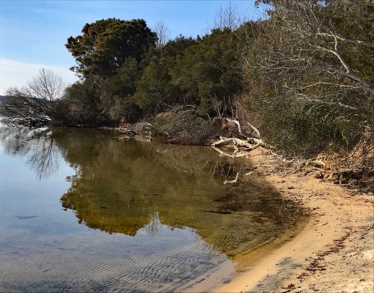
The second part of the loop includes a pond and a stream
Brave Molly stepped over Kathy’s feet to cross over
I thought all the bugs died off during the last freeze. Termites.
We leave the visitors center and the Rackliffe Loop and head over to the ocean. Always a favorite. And again we sought out an area we have never hiked. North of the Youth Group Areas. We hiked behind the sand dune and saw this. Who they keeping out or in?
Rounding the corner to the beach.
Kathy pic
The beach with not a lot of shells, just this small group;
Getting ready for the new year.
Not that we run around nude on the beach a lot, but this sign makes you wonder! Kathy says this use to be an unauthorized nude beach many years ago.
Beautiful day, beautiful hike and beautiful beach! Thanks God for another beauty!
First off, I would like to thank the team @KayakingDelmarva for writing and documenting their trips/adventures to places I had no idea about. Because of them, Kathy and I have been able to follow their paths on our own adventures. Thank you!
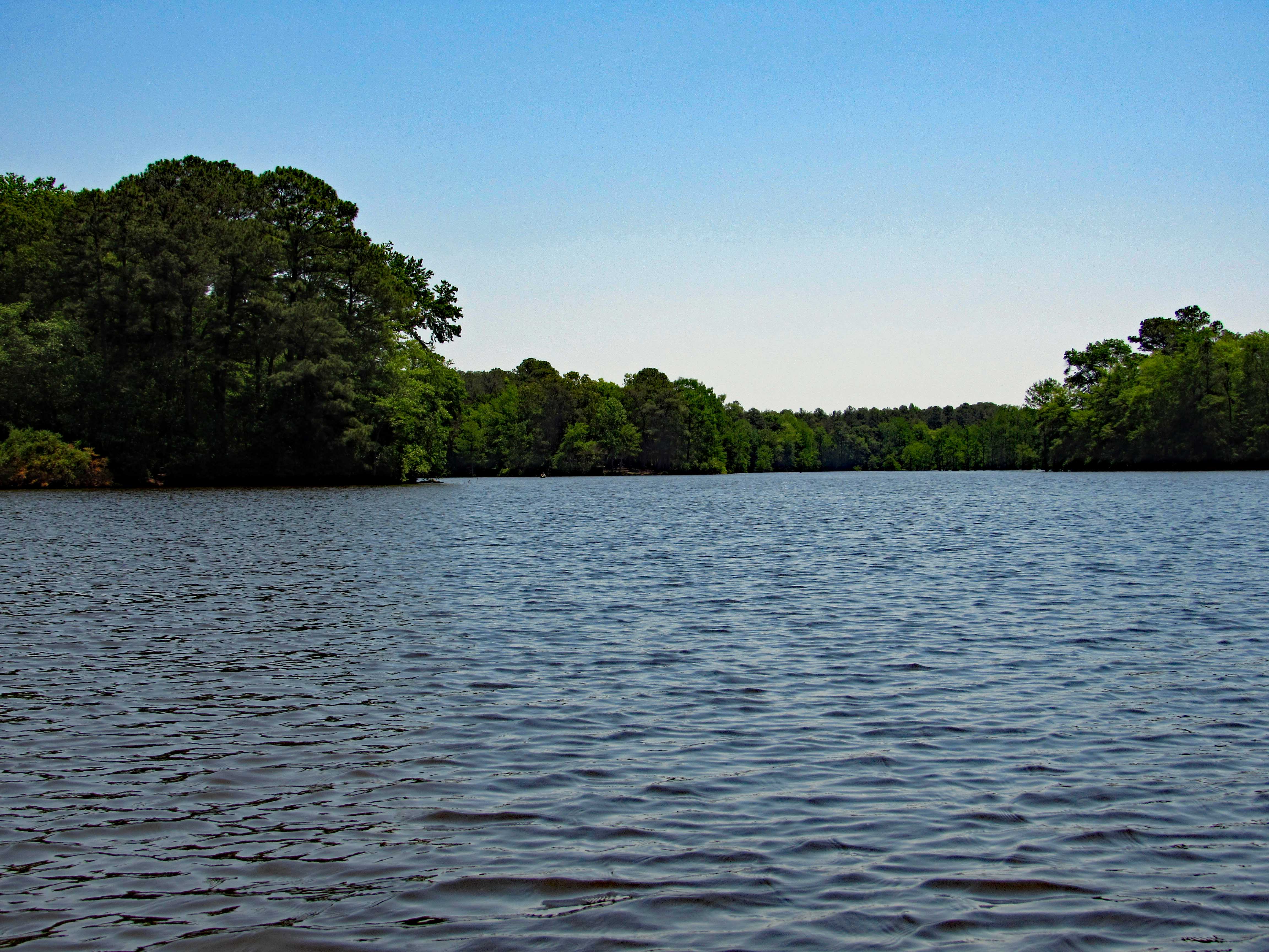
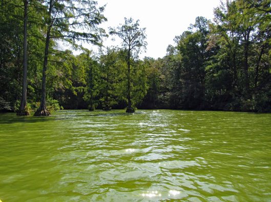
I had previously written about Trap Pond a while ago when we were looking for a new place to hike, but because it was $8 to enter, we passed. Seems crazy to pay to go hiking. Kayaking and use of a boat launch is worth it though.
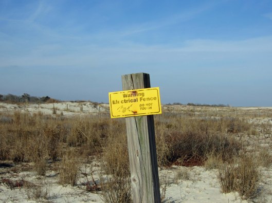
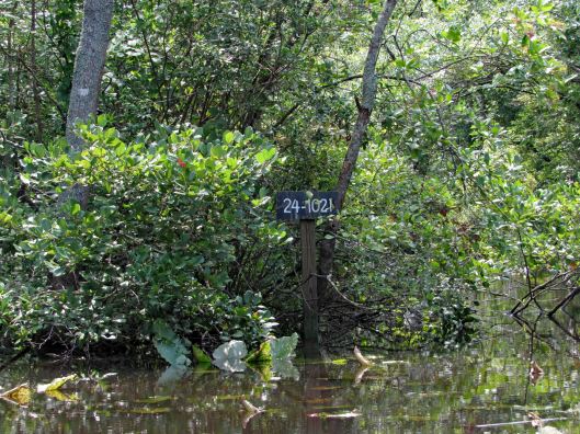
In the above photo is a yellow sign to the left:
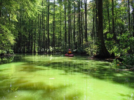
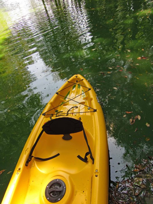
The water was nasty looking and we did everything in our power not to touch it!
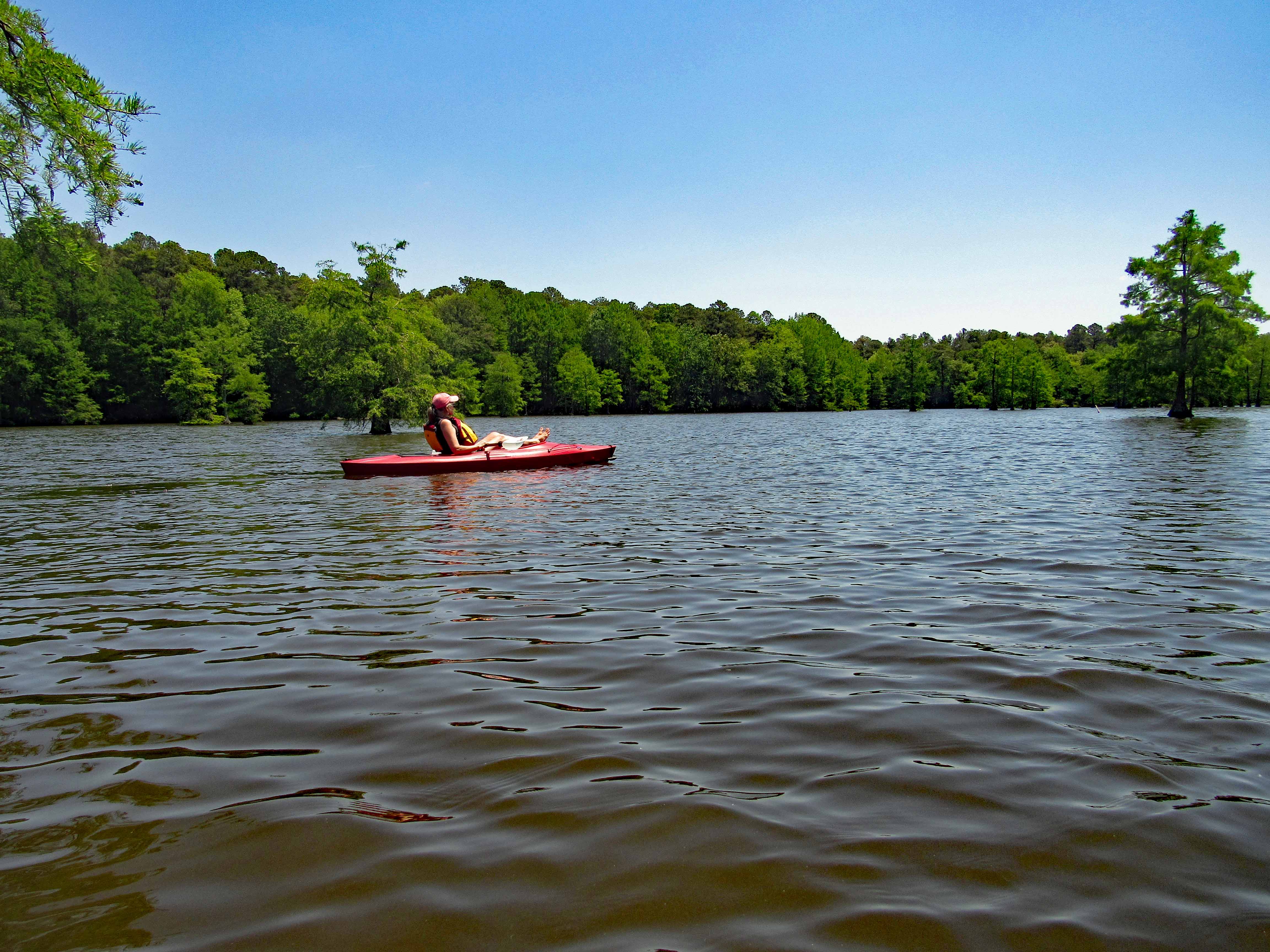
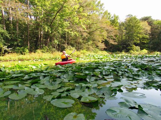
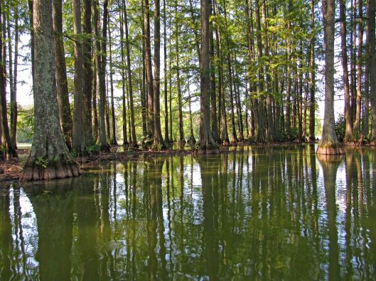
We followed the shore, passing the camping sites, into the first creek.
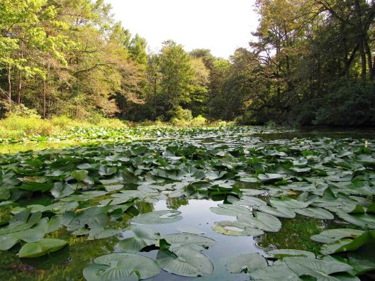
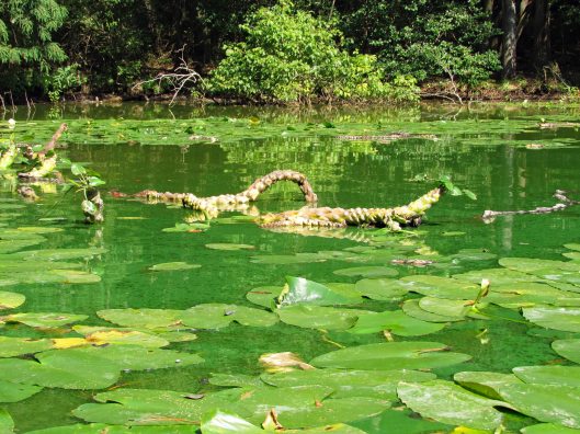
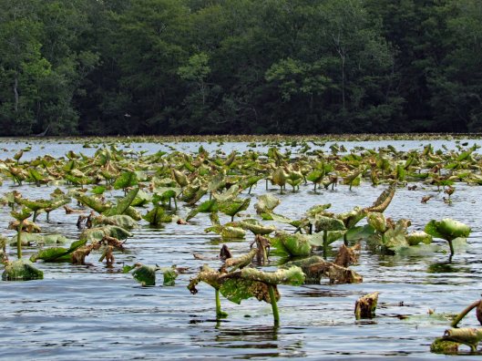
Dead endFloating root system of lily-pads
Turned around and headed back along the shore, occasionally heading out into the open water, then back into the cypress.
Lots of turtles
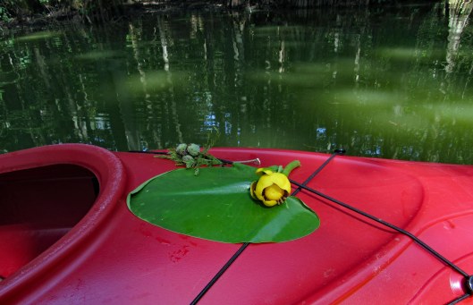
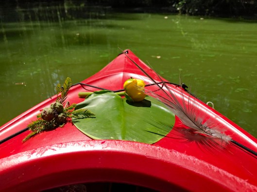
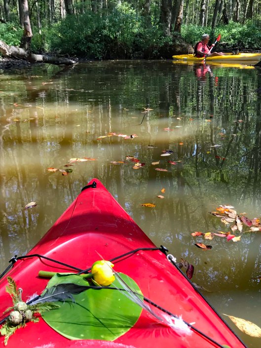
Kathy took some nice pics of the flowers and nature, adorning her kayak.
And of course me photo-bombing her pics!
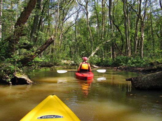
We then headed into another creek. A sign says this is Terrapin Branch. On Google maps it is noted as Thompson Branch. Lots of signs pointing you in the right direction.
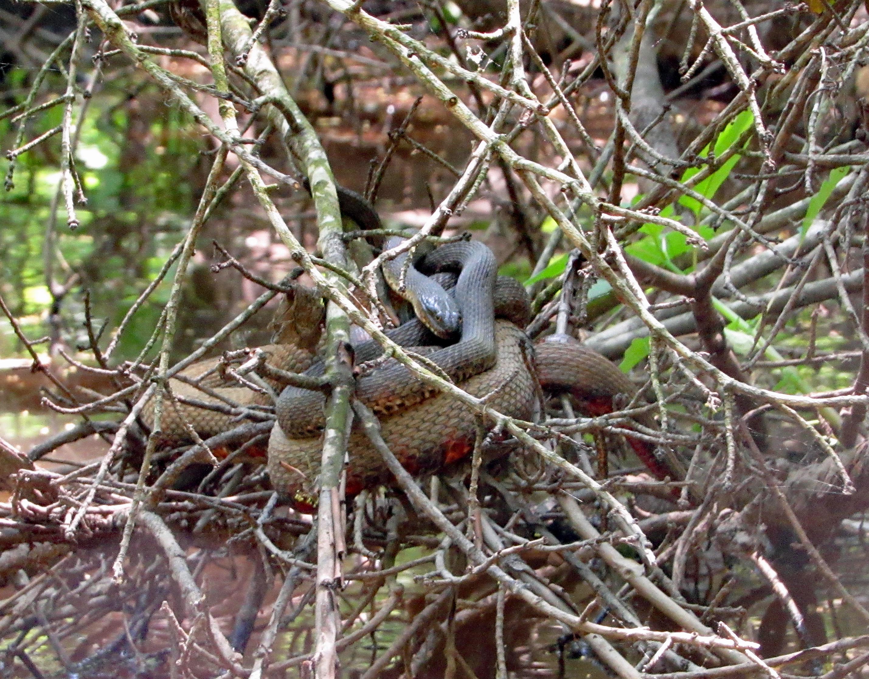
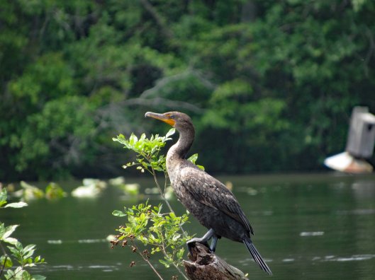
Only became aware of this guy because of all the noise he was making.
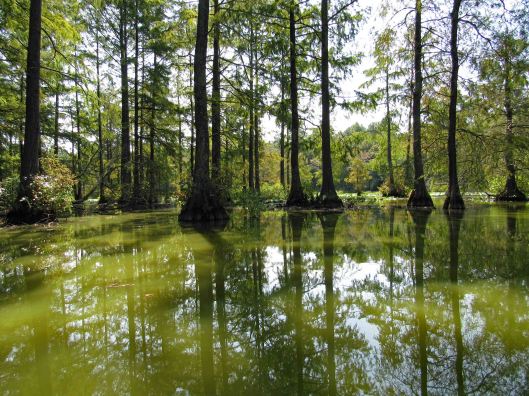
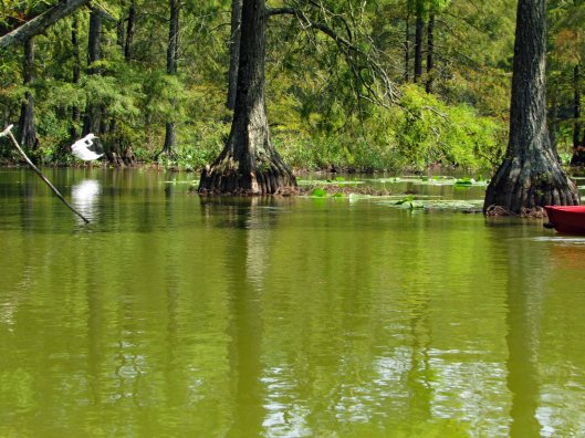
Water still green back here
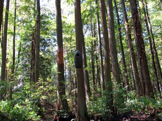
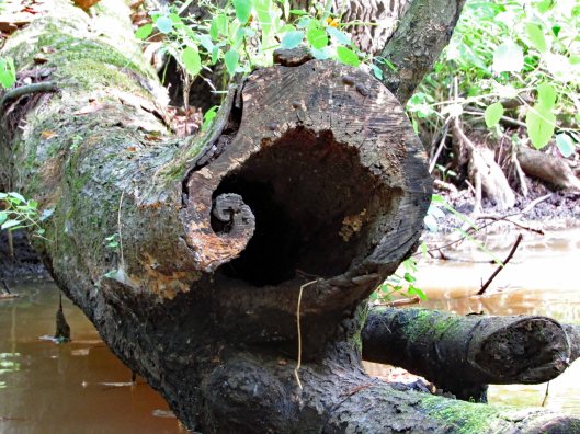
Various nests (or spy cameras?). Also odd markings on trees. Looks like scrapings from falling trees maybe?
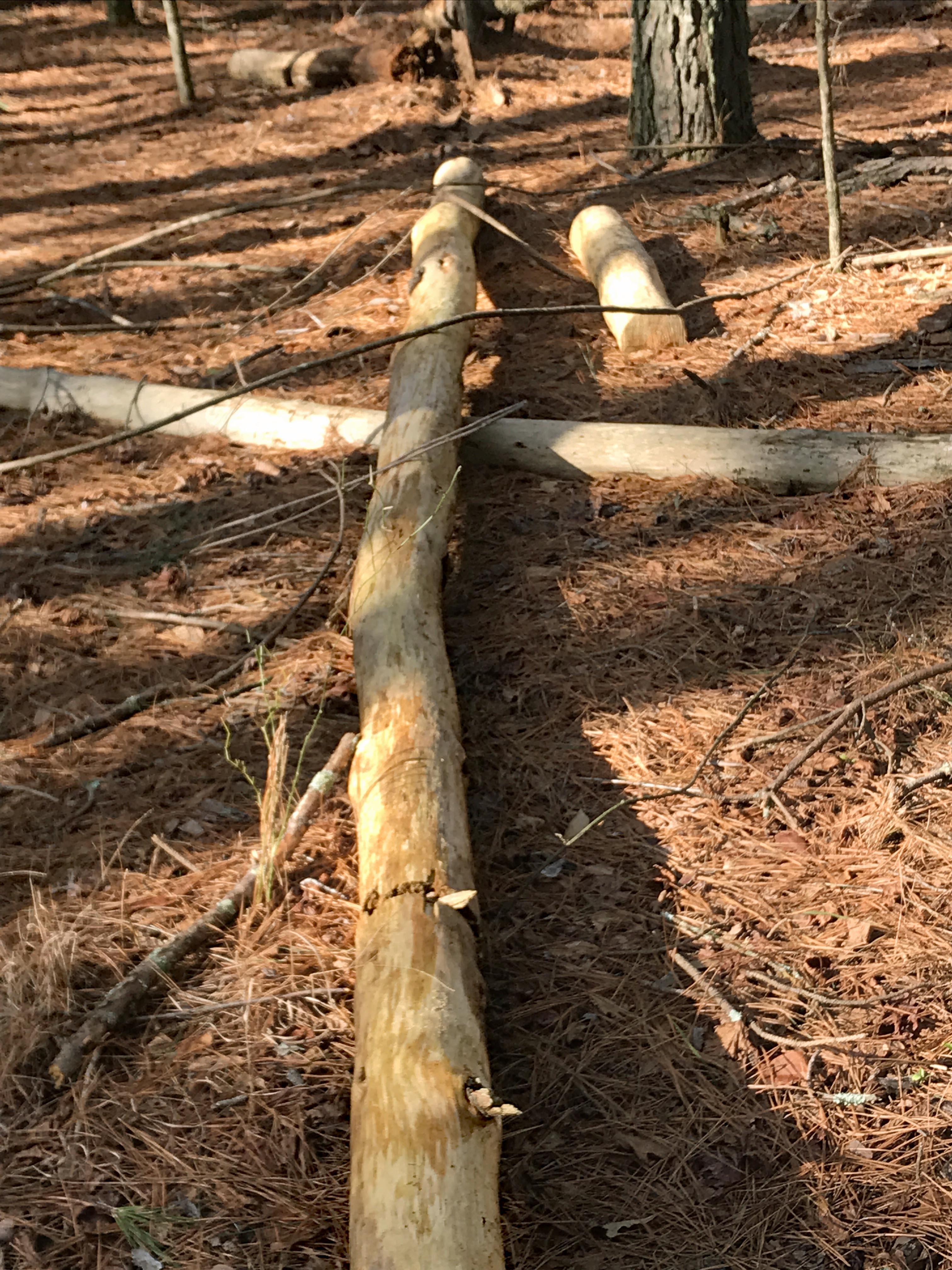
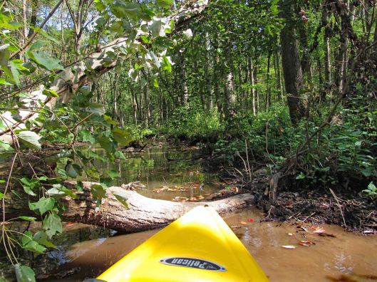
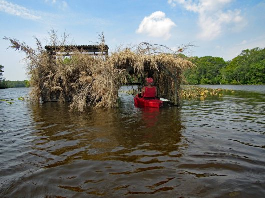
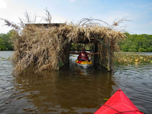
Uh-oh! End of the road? A fallen tree in the way. There were a lot of trees down but for the most part, people had cut them out of the way.
My kayak will fit under, but I won’t.
So, I tried backing up and going full speed, to get my kayak to leap over it! No luck – just bounced off!
Time to turn around and go back.
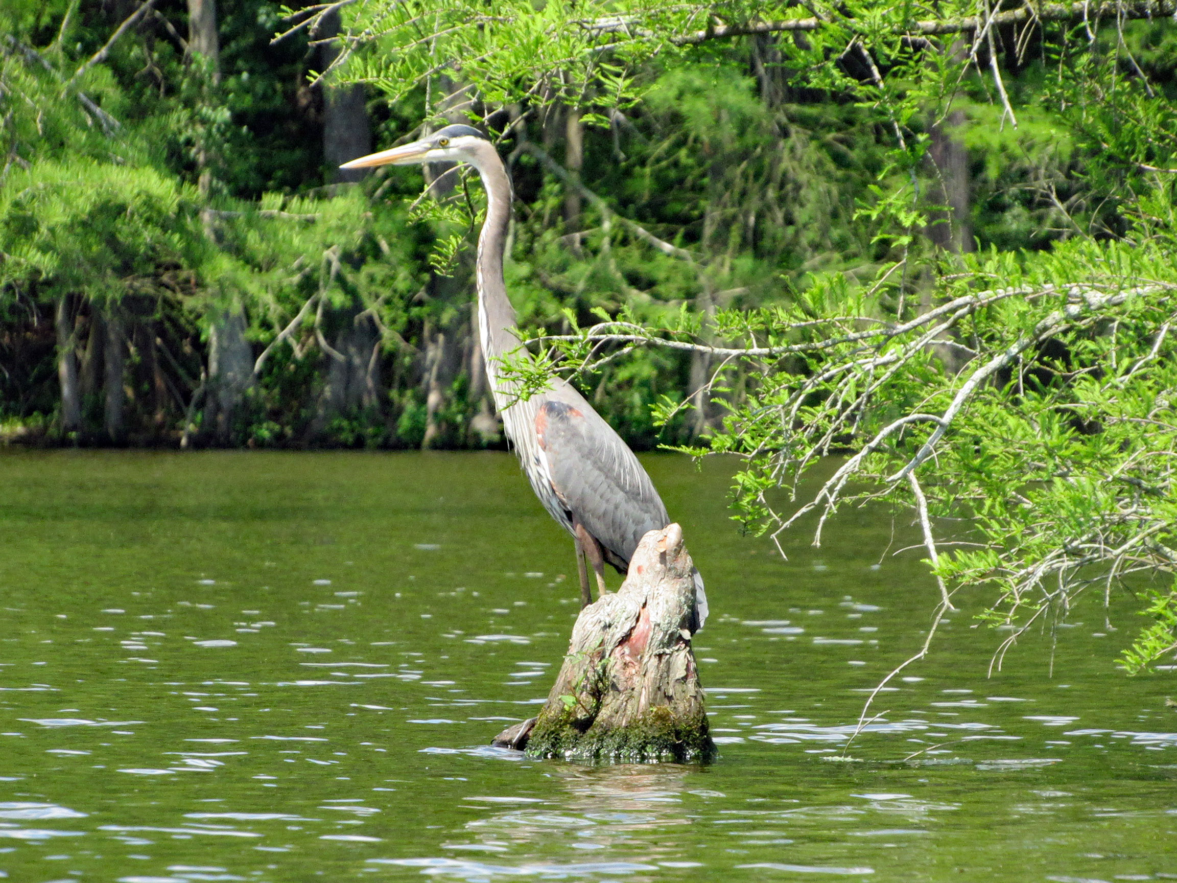
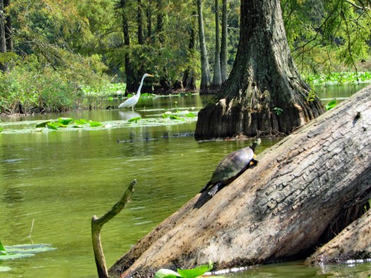
He saw us first.Turtle very still – “Please don’t look at me!”“Are you looking at me?”Cypress reflections
After about 4 hours out there, back to the launch. It will take quite a while to clean the kayaks off.
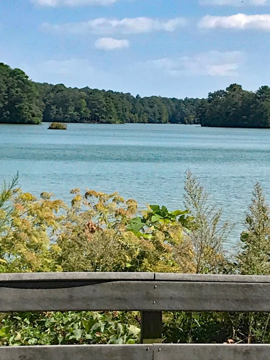
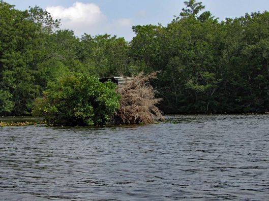
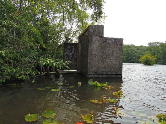
Nice pond to say the least!
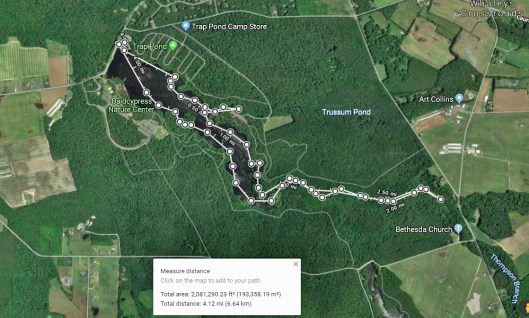
Our path. Not really sure of the ending point only because I had no GPS signal. Very nice day. Thanks God for another great one!
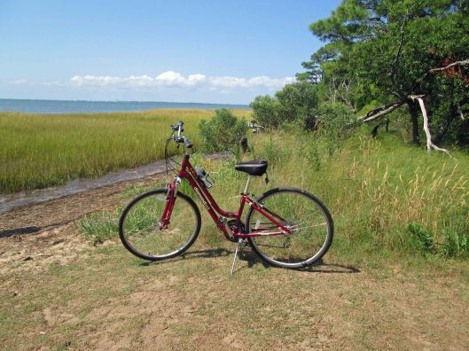
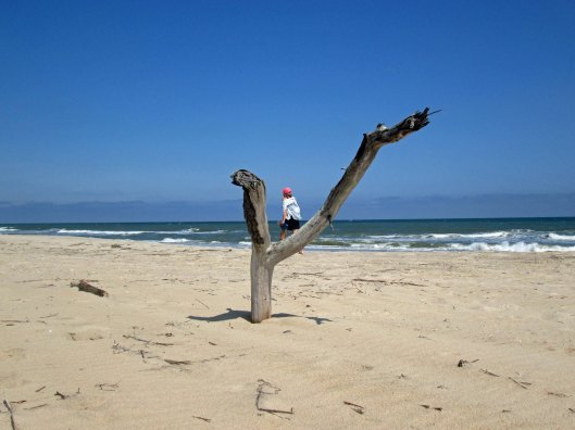
Kathy and I figured we would get at least a couple days of biking and hiking in before the weather took a turn for the worse (Hurricane Dorian). Chincoteague is always a favorite spot. First we biked over to the Bivalve Trail on the bay side.
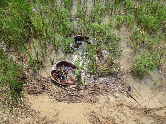
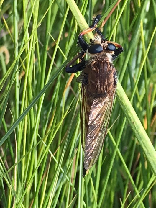
Playing in storm drainKathy’s sister Gail’s bike. Kathy likes this one better.Snails in high tideDon’t tread on me.Upside down in the grass. Grass cuts your legs up!Reading Naturalist on the Nanticoke. Full chapter on these guysKathy’s photo of the Roy Orbison bug.This was all dry last week.
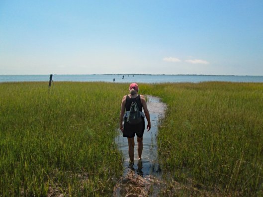
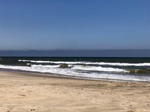
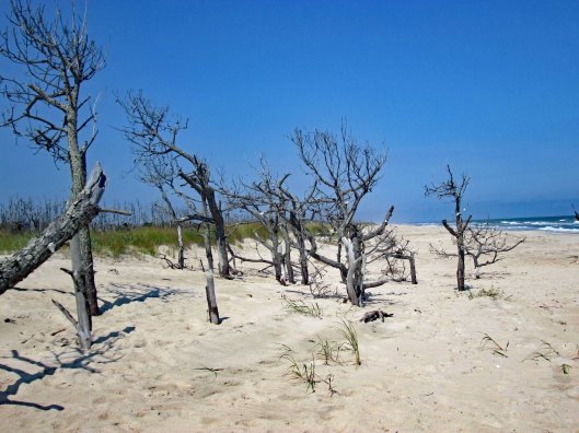
Then we headed over to the ocean.
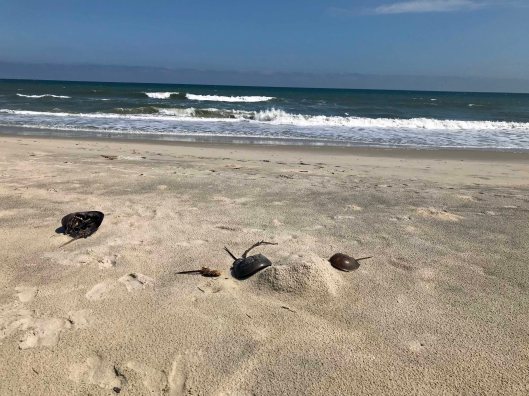
The female carries a male, digs a shallow hole for her eggs then tosses the male onto the eggs to do his thing. Then they go their separate ways. This group didn’t make it.??A bunch of trees with sea shell ornaments.
Packed up and headed through town to see if we could find a decoy carver’s shop. No luck but found this old house – Sign on left says: Capt. Timothy Hill House. Islands oldest home. 1800. Another sign says privately owned, visitors welcome.
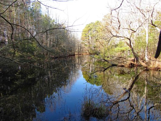
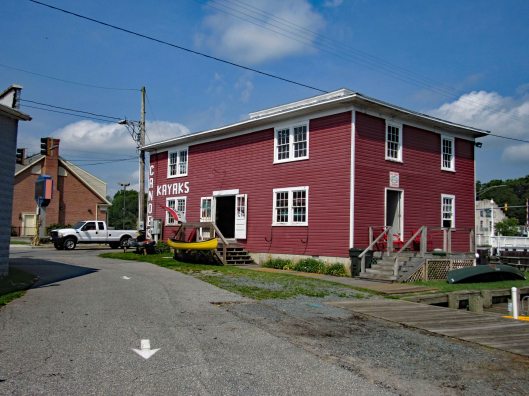
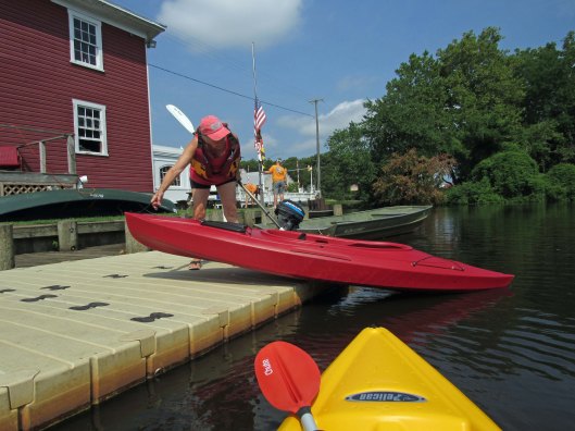
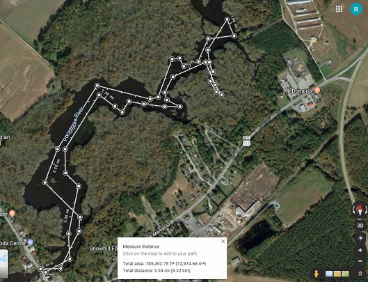
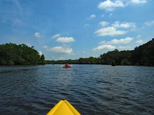
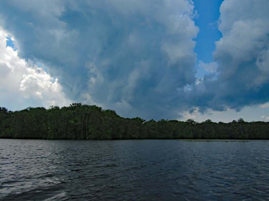
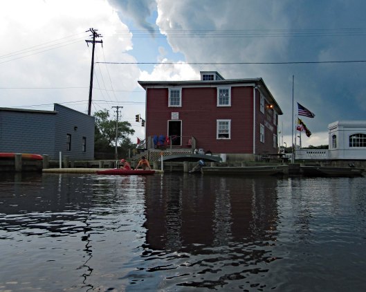
Kathy and I had previously gone kayaking on the Pocomoke at Snow Hill’s southwest side, below Rte 12. This day we headed to the northeast side, at the Pocomoke River Canoe Company. I called beforehand to see if they had a public launch and they do. It is more of a floating dock, of which I have never jumped in my kayak from before. I did ok – I didn’t fall in. (Usually I walk in from a ramp). The employees there are very nice and helpful.
Here is our path. It was about 3-1/4 miles round trip.
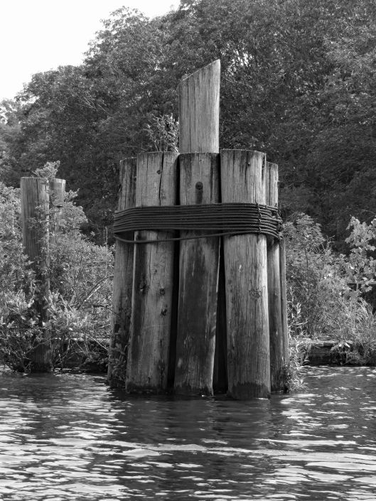
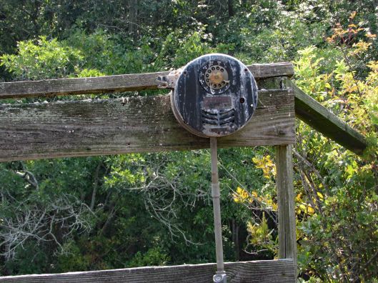
Some highlights:
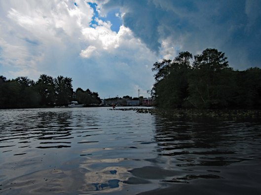
Here comes the rain!
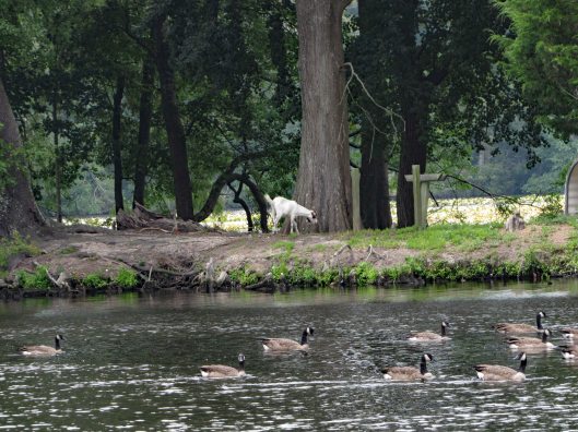
After a couple hours of kayaking and the rain forcing an early exit (Stupid weathermen were calling for rain after 4pm. We were there at about 10am), we decided to grab something to eat at a place called Down Under on Rte 12. Great cranberry/walnut chicken salad for me. Kathy got a cheese steak sub which she enjoyed. Instead of sitting in the parking lot, we headed back into Snow Hill, Byrd Park, to eat. Finally saw the Goat of Goat Island!
The canoe guys gave us a brochure listing other launches. On the way home we stopped at one, to check it out. This one is on Red House Road and is very small.
Thanks God for another day filled with adventures!!