Tags
Avalon, Baltimore, Gunpowder Falls, Houses, Loch Raven, Montebello, Pretty Boy, Public Works, Realtors, water history
With retirement not too far away, Kathy and I have been looking at houses the past couple of months. Some have been fairly nice, others would take too much work and still others have since been knocked down!
Of course, working for the Water Department for 37 years, why not live on watershed property or any other house owned by the City of Baltimore?
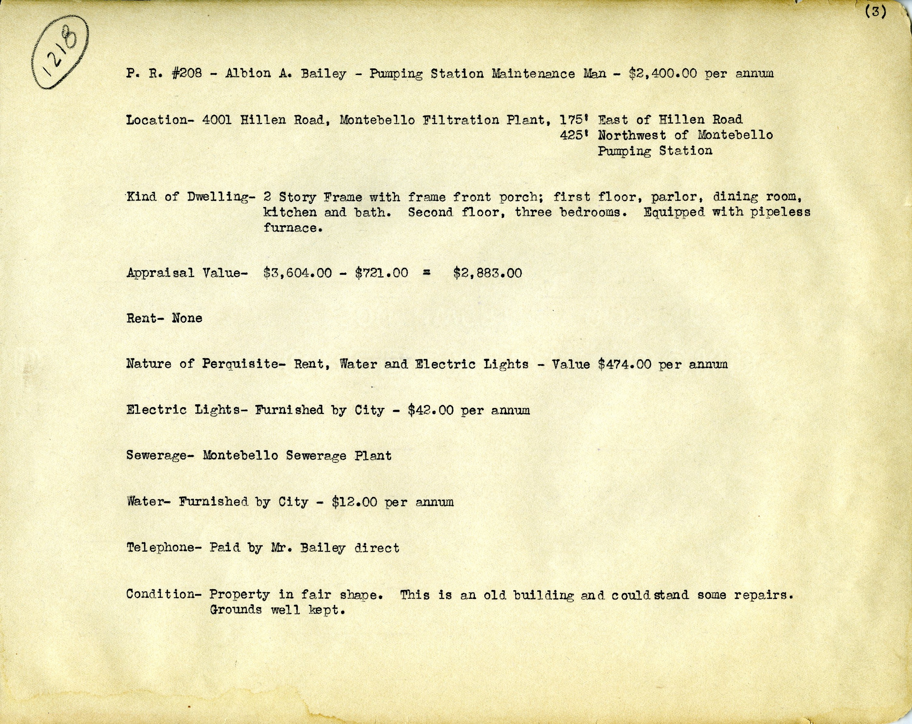
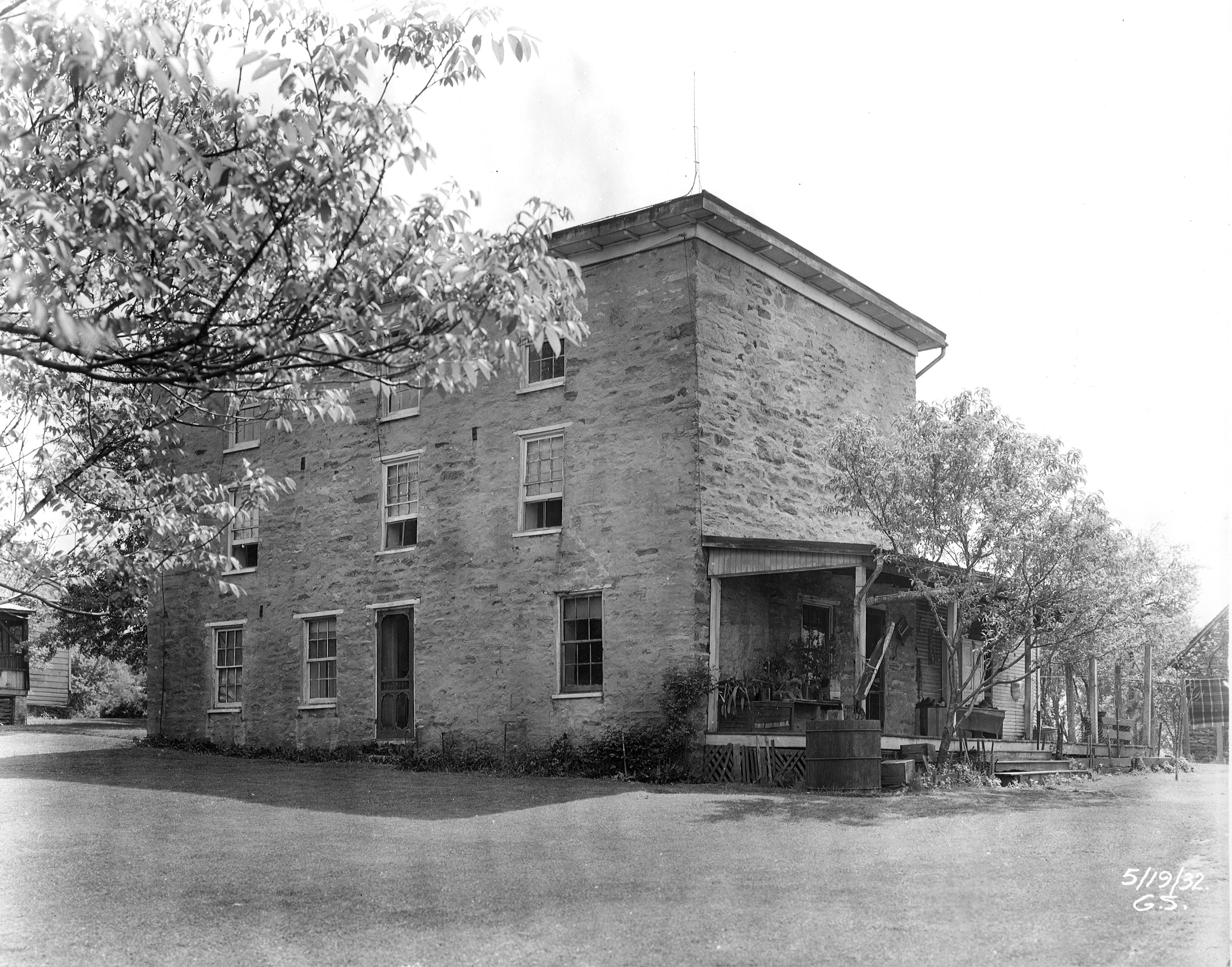
This first house was right here at the Montebello water plant. The only thing left to this house is the BBQ chimney.
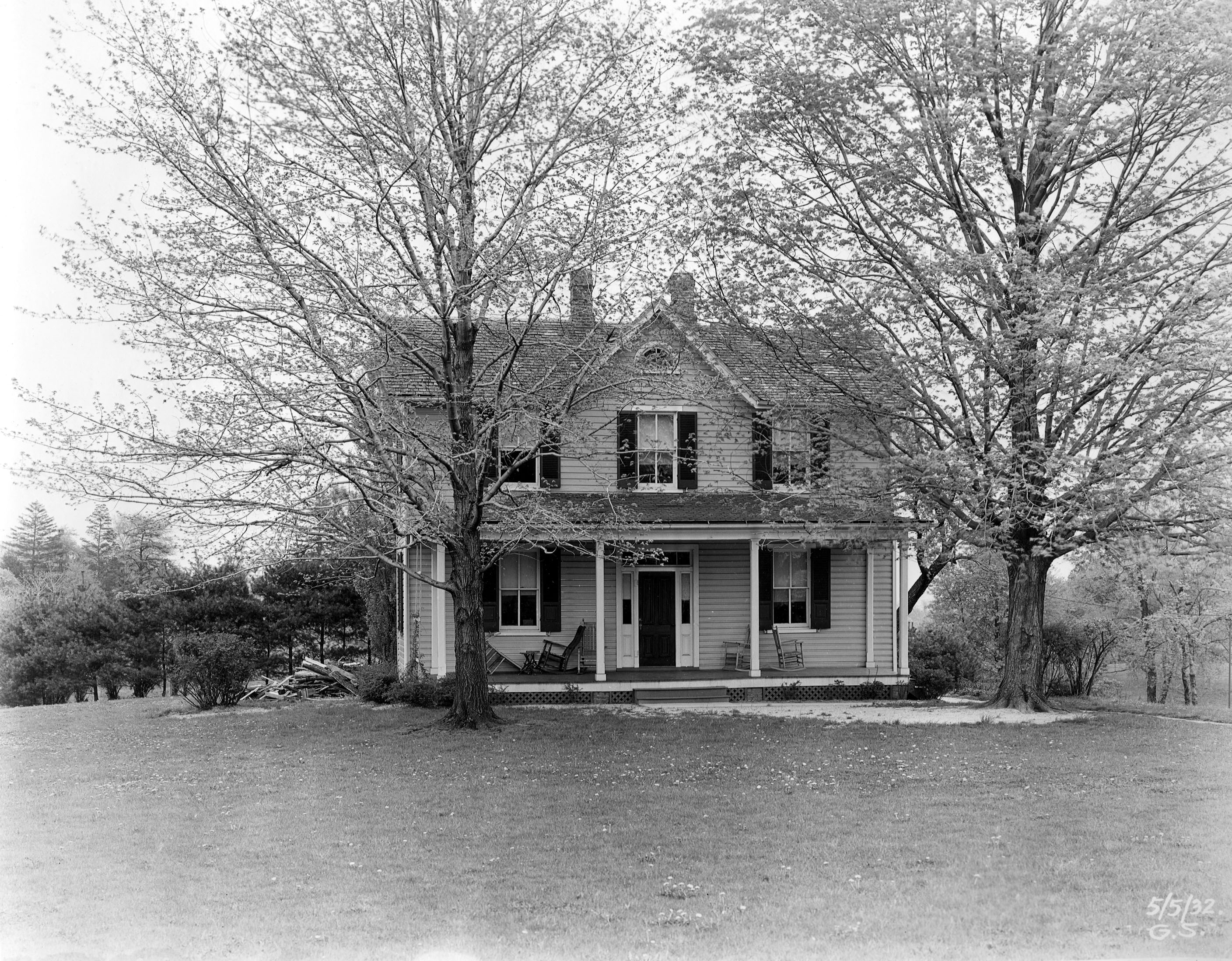
Info on the house and its occupants.
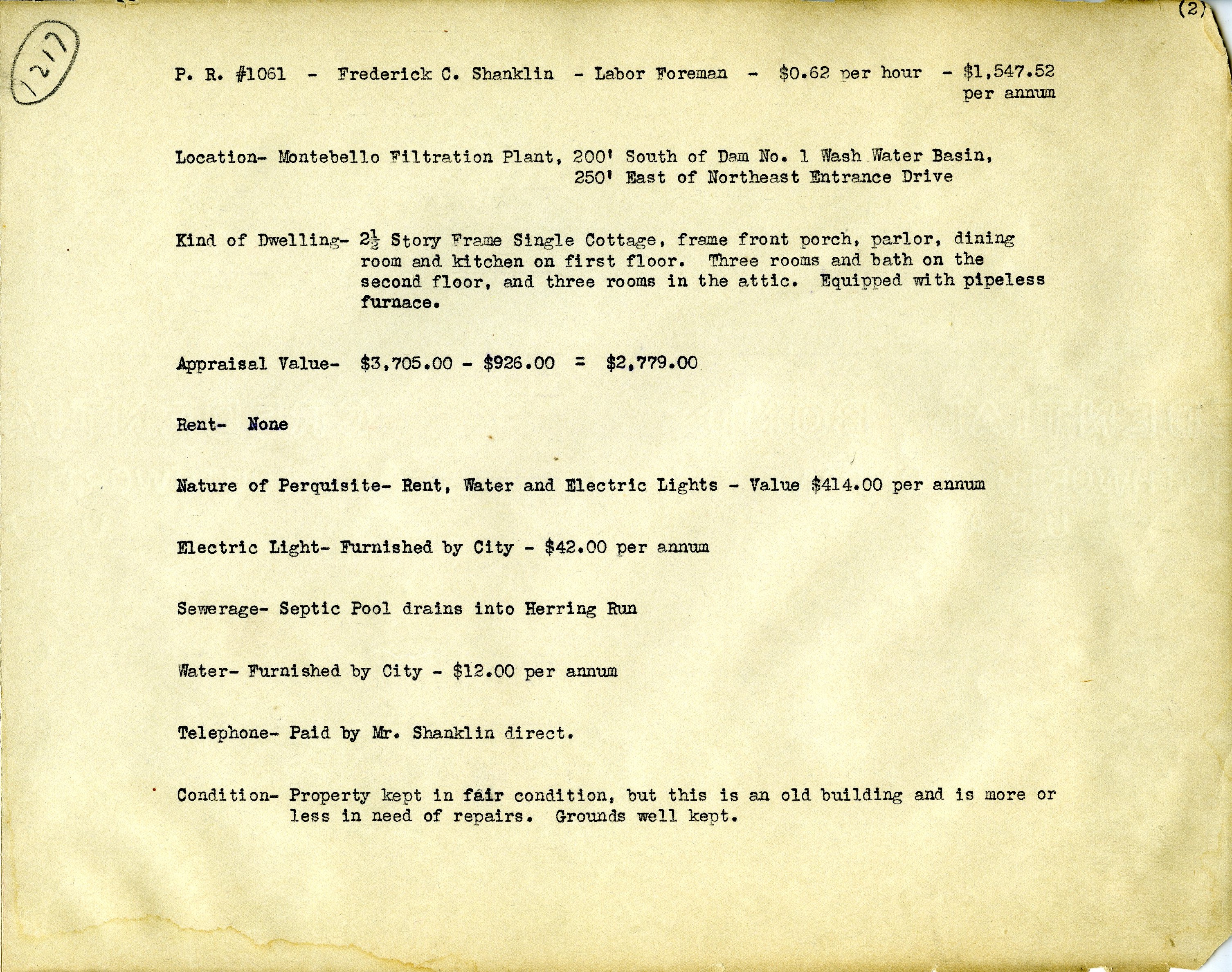
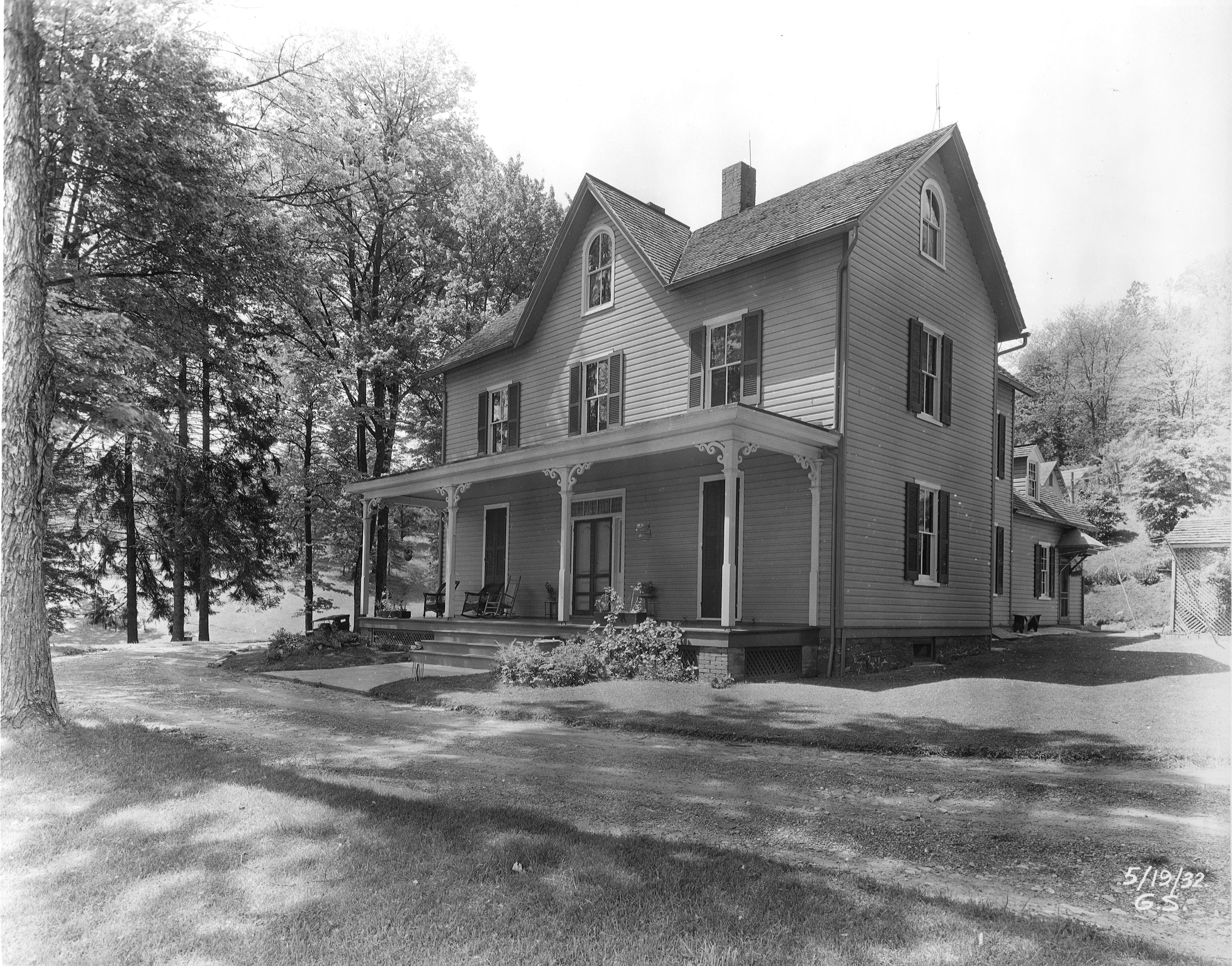
Another house on the Montebello Grounds. I had actually met people who lived here. This too was knocked down.
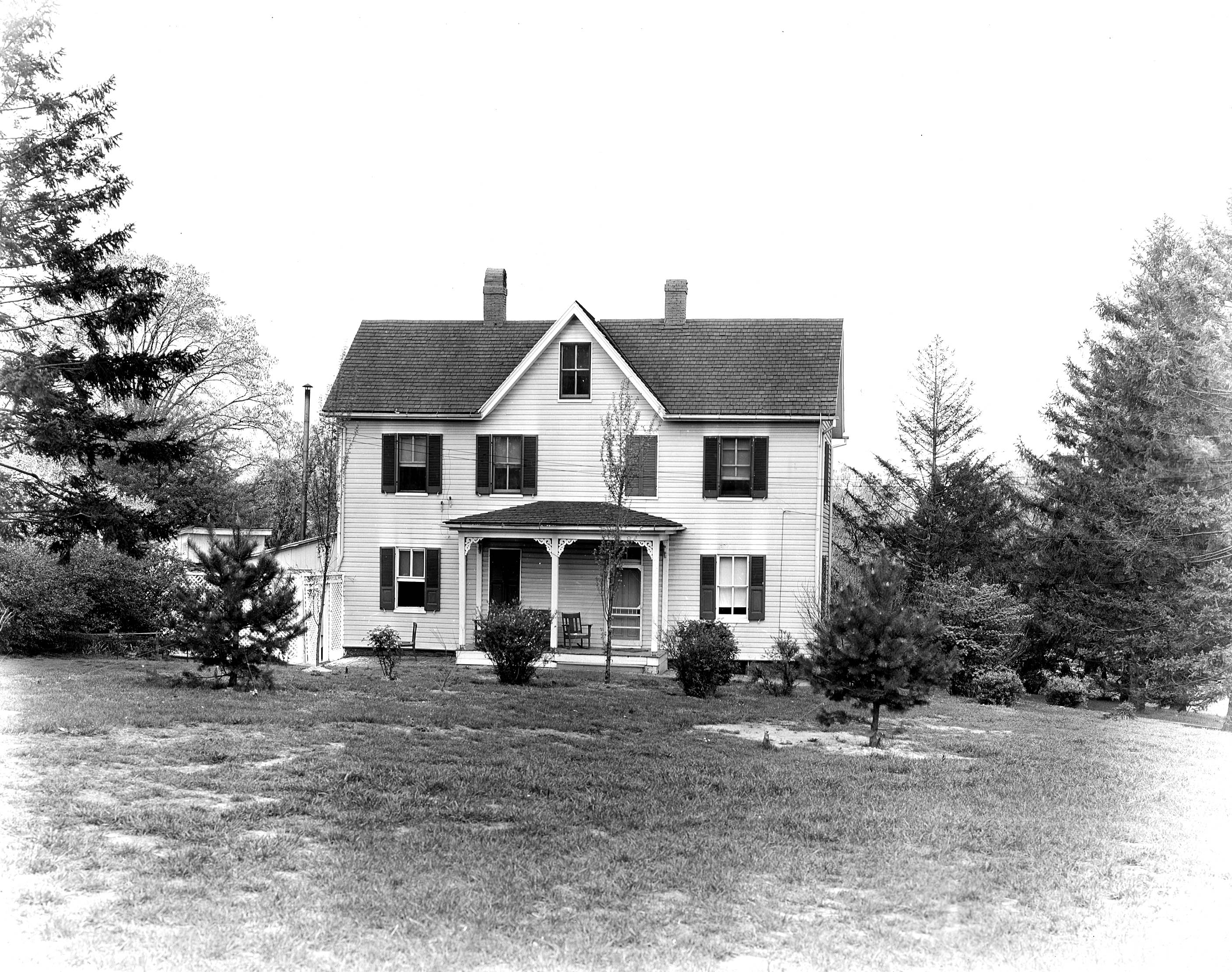
Info on house. Nice house for a labor foreman.
And the final Montebello house.
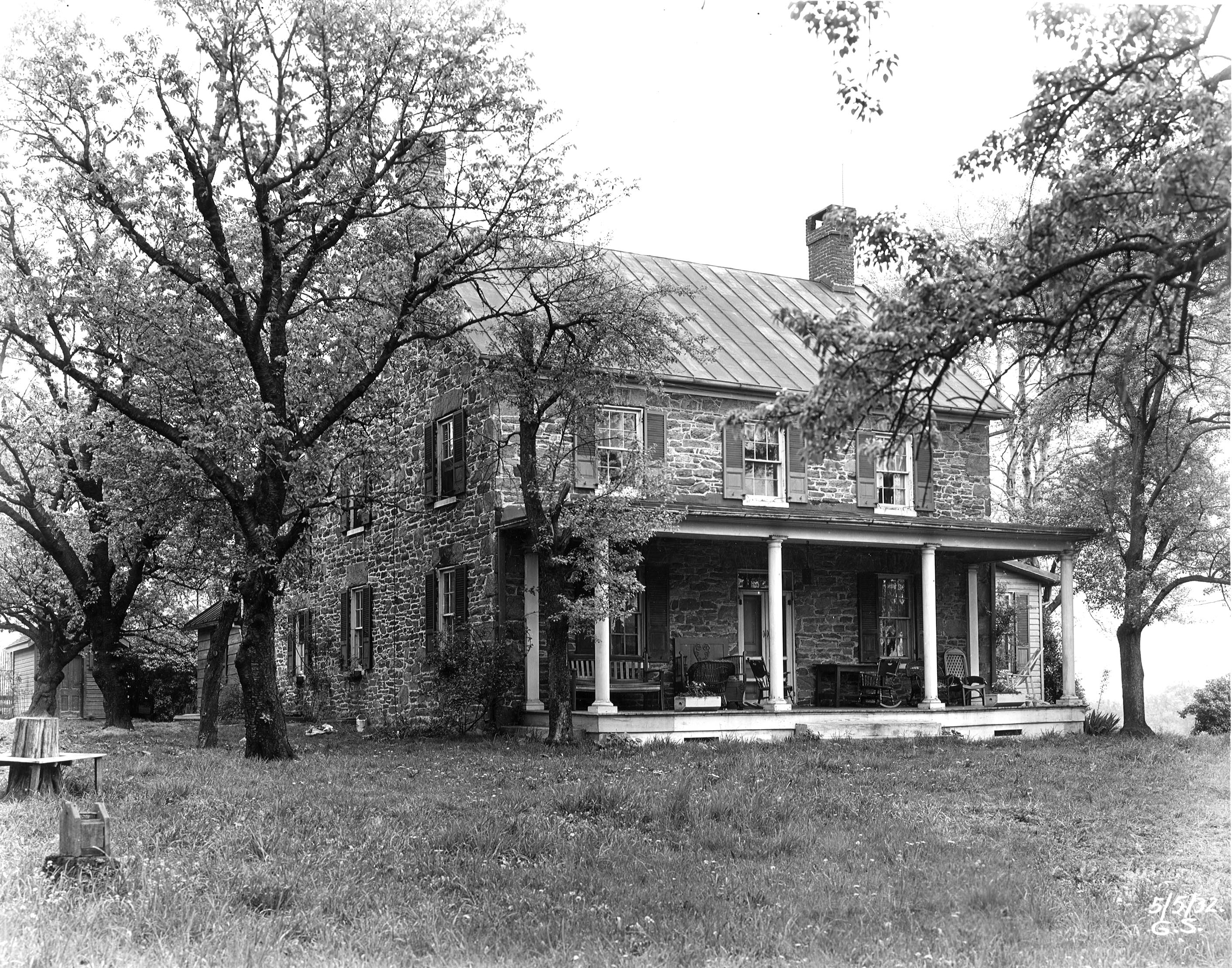
Info on house. This is a duplicate of the Armstrong house, that the preservation people are holding up construction on a new chlorine building, but where were they when this house was razed? I guess a youth baseball field makes it ok to knock it down, but not a water process building??
Time to ride up to Loch Raven, to look at some houses:
Info on house.
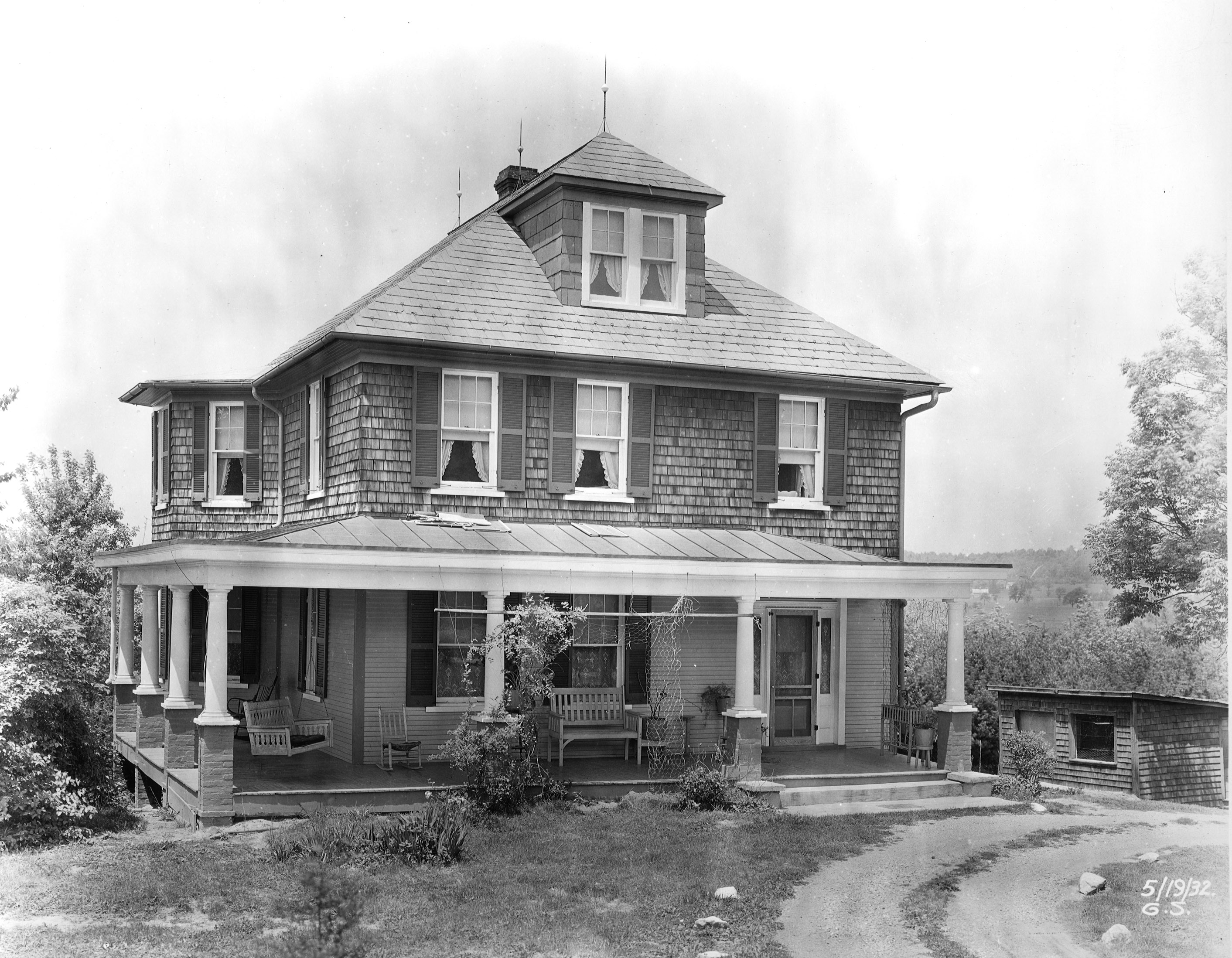
This next one looks nice – also looks familiar.
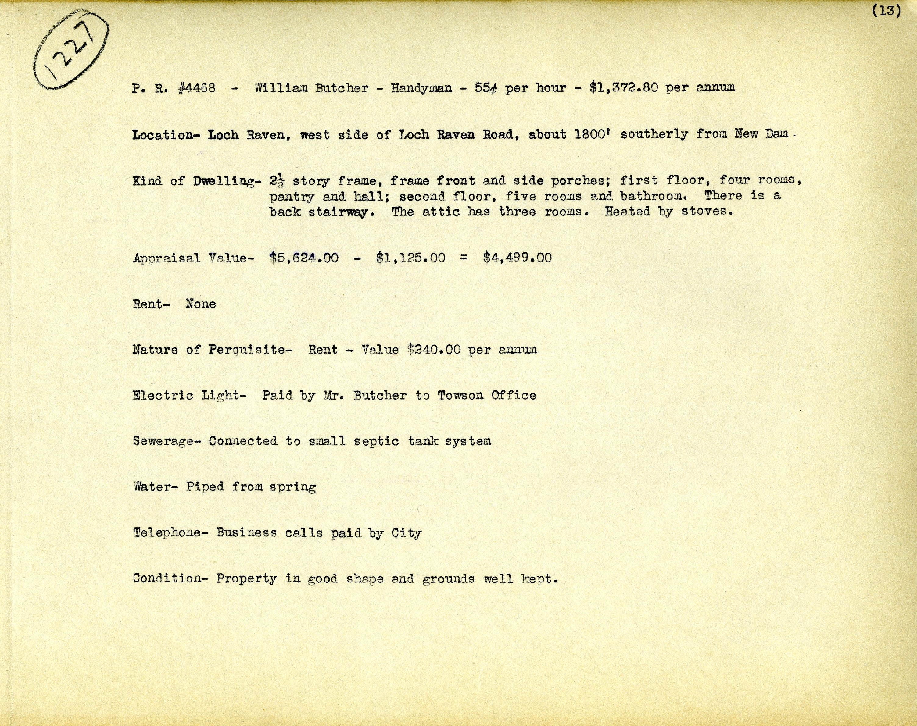
Info on house.
Another nice one.
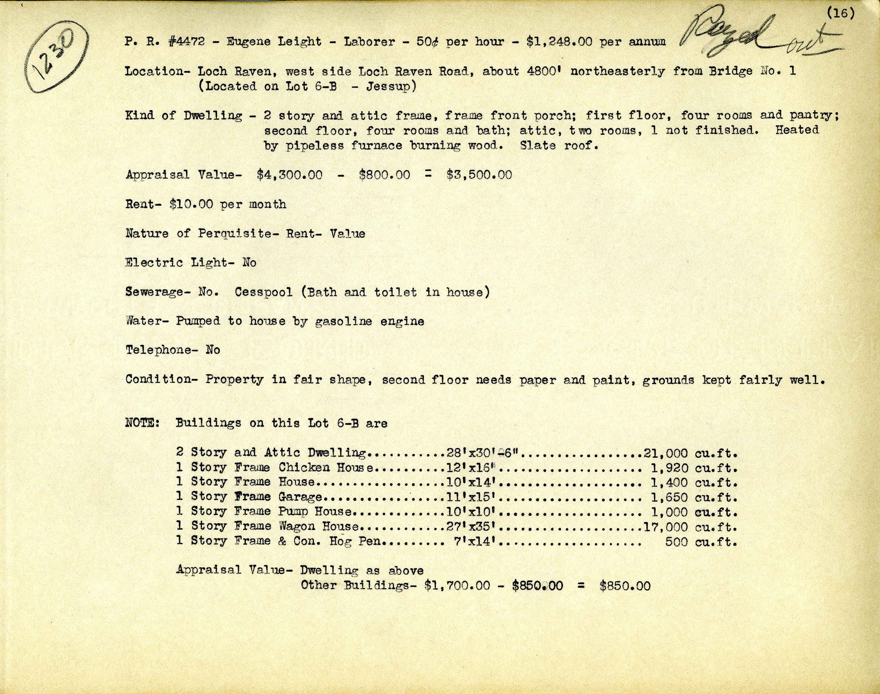
Another laborer’s house.
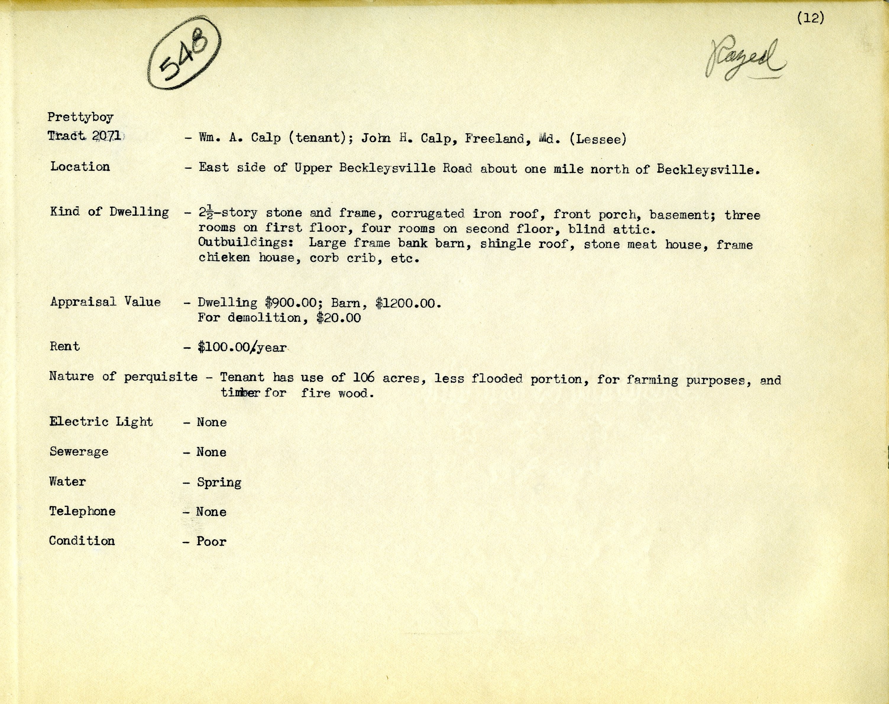
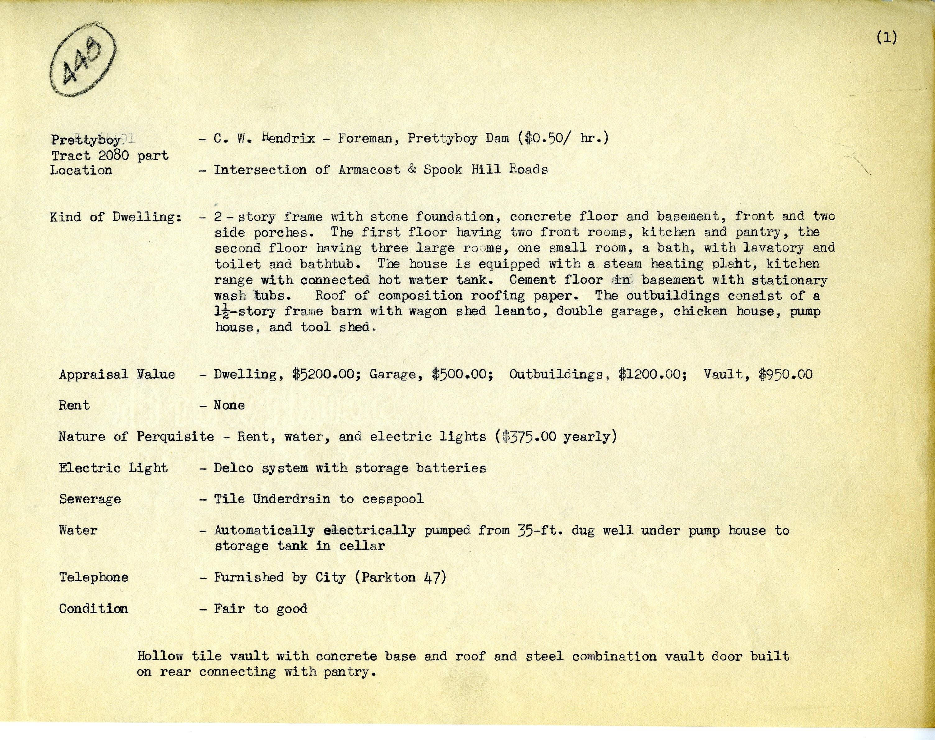
Moving up the Gunpowder River to check out some houses up near Prettyboy Reservoir.
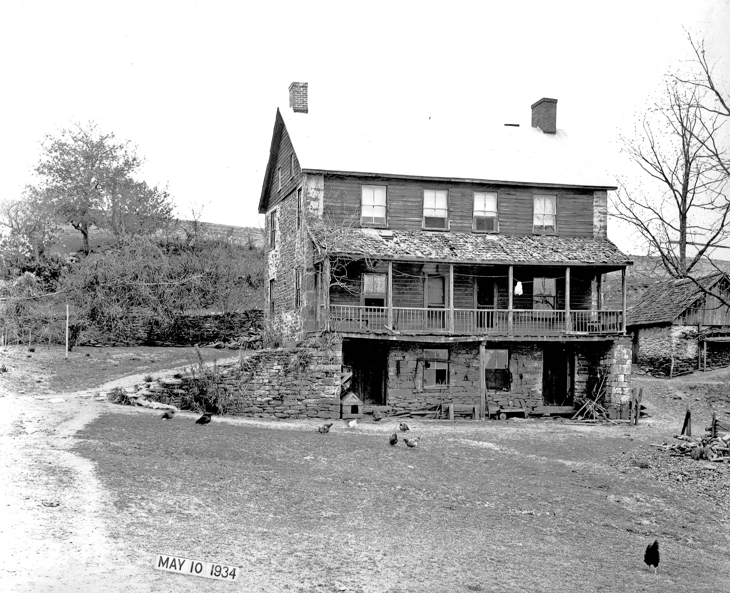
A fixer upper with chickens.
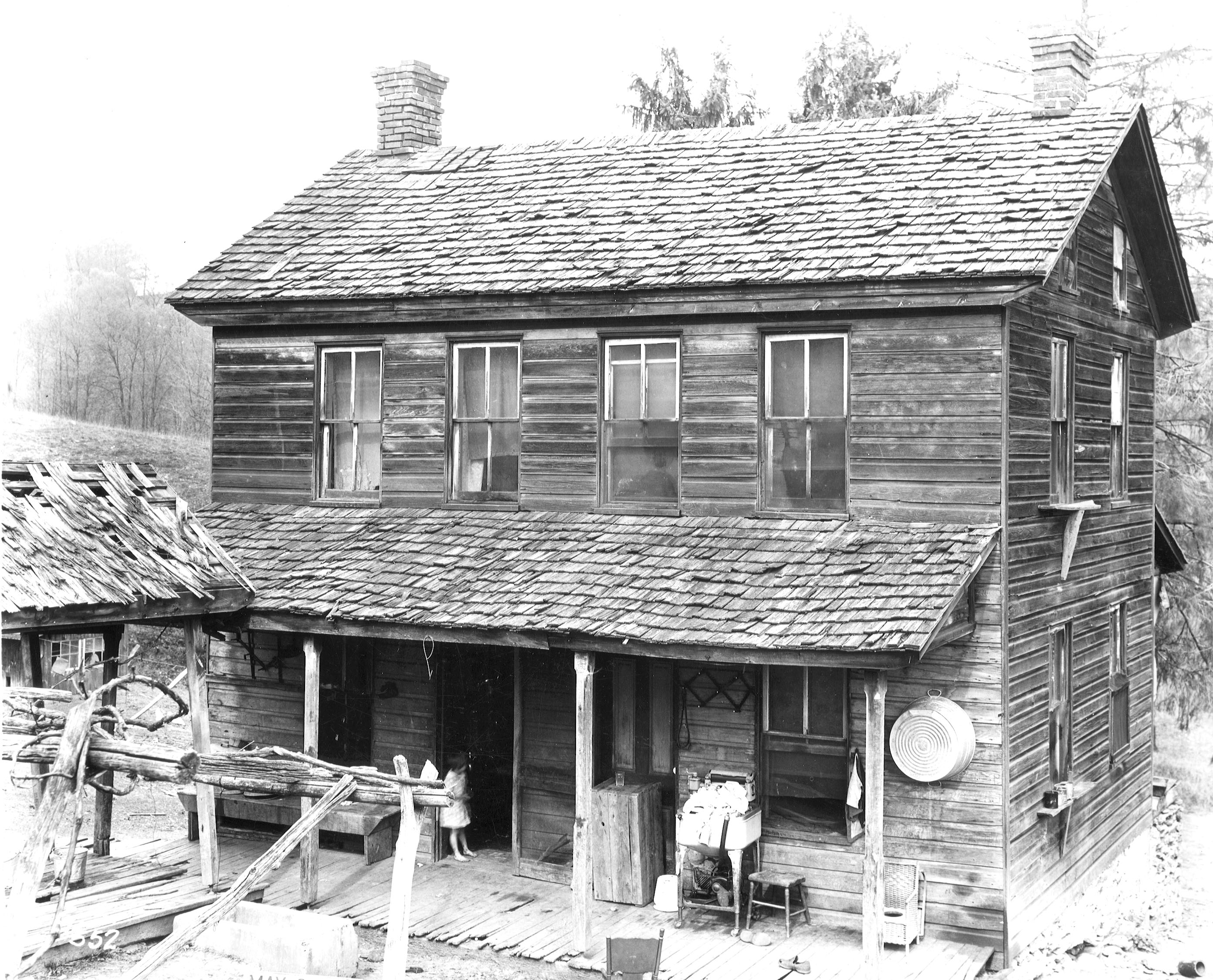
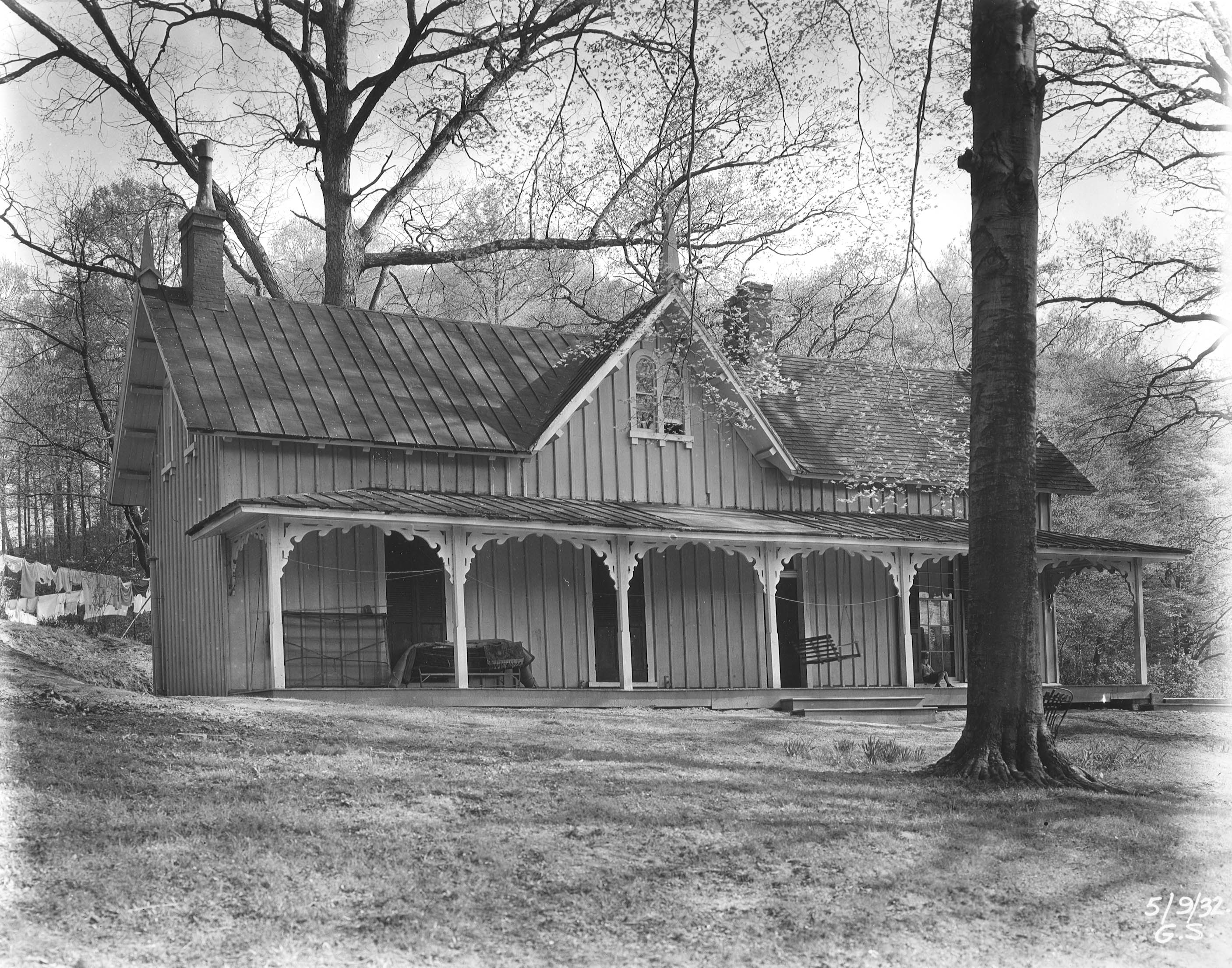
This one looks like a scary place to raise kids.
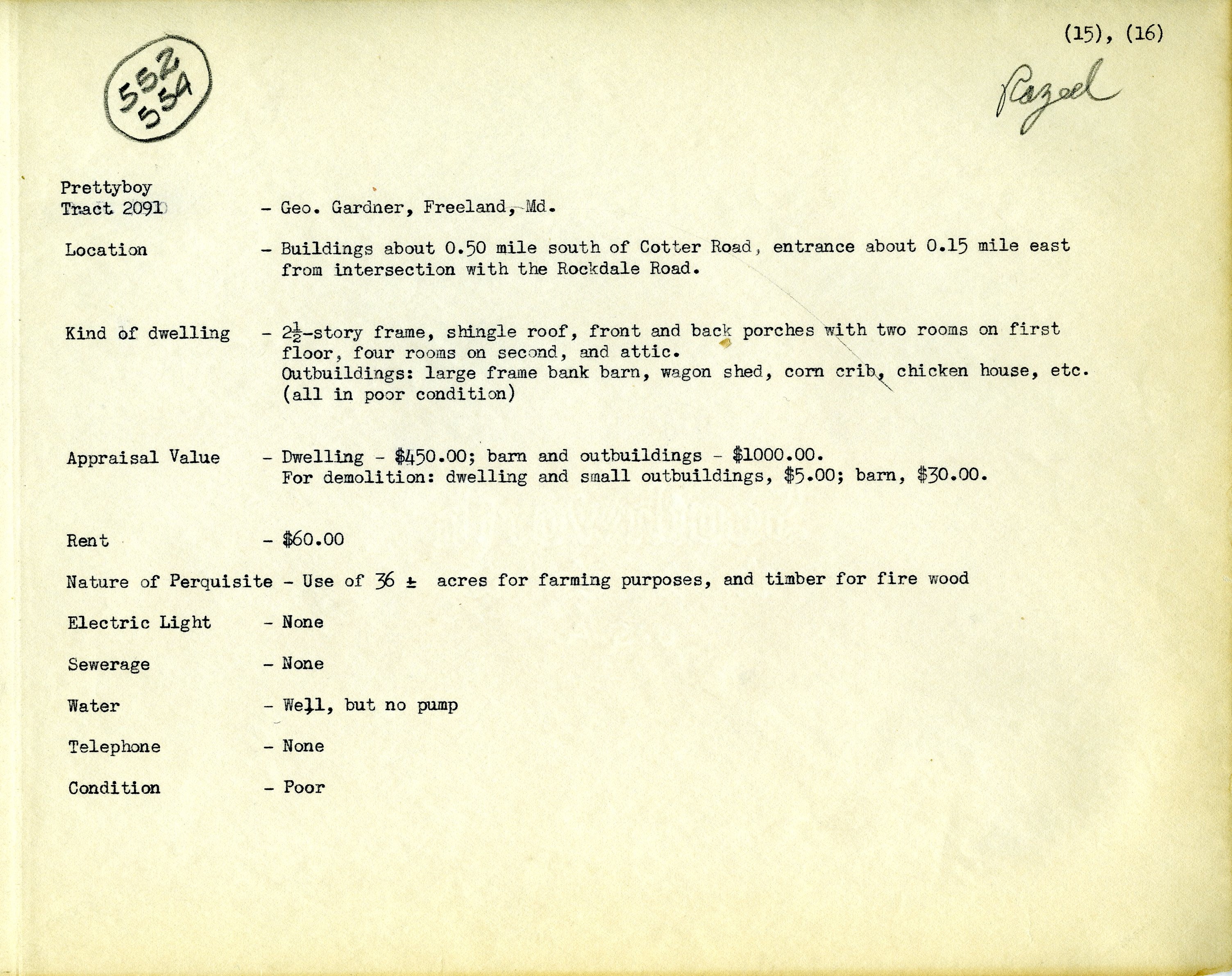
Doesn’t appear to be a City employee, but still City property.
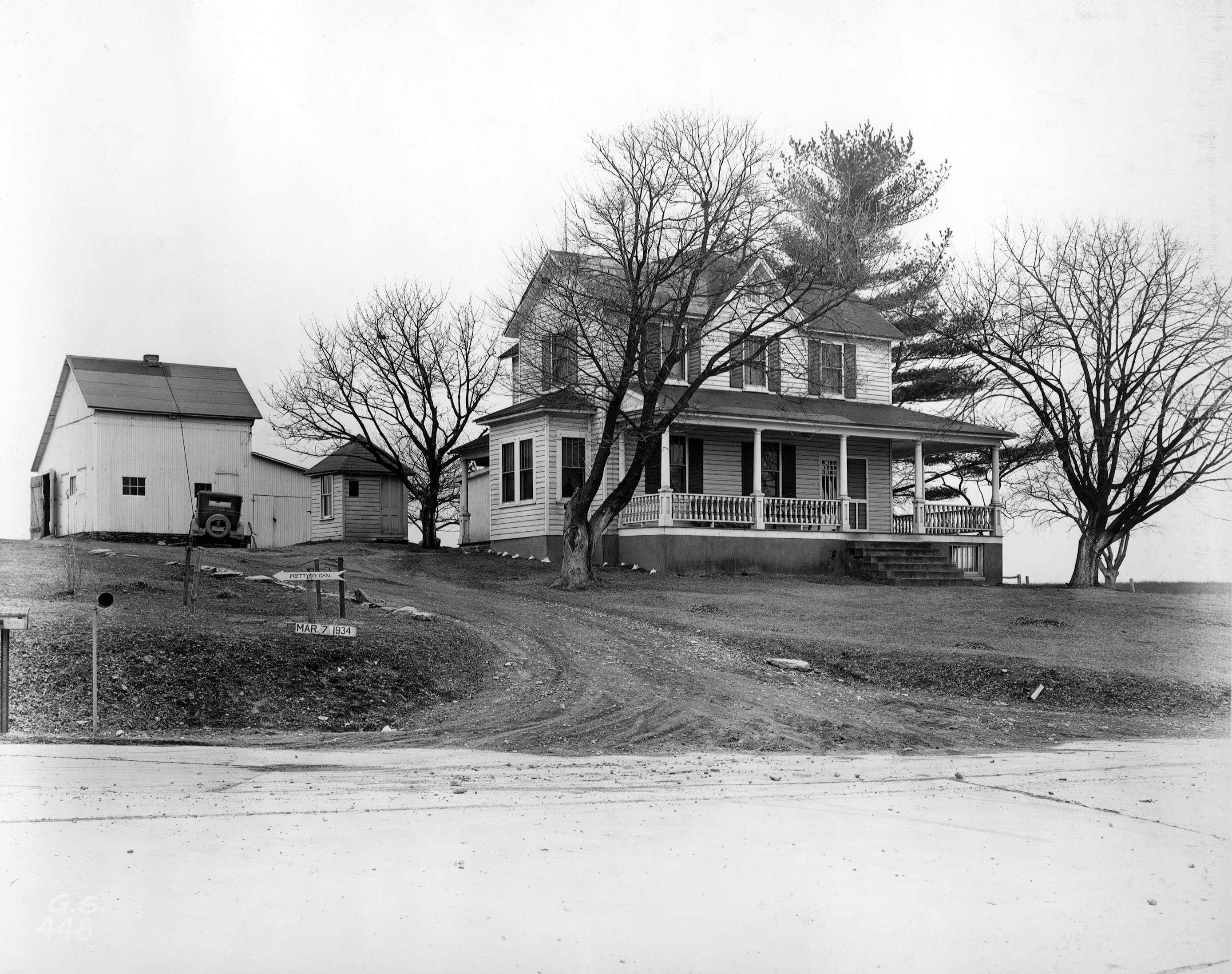
I doubt if Jimi lived here, but nice. I guess the owner was tired of people asking where the dam was so he put up a sign.
Info on house.
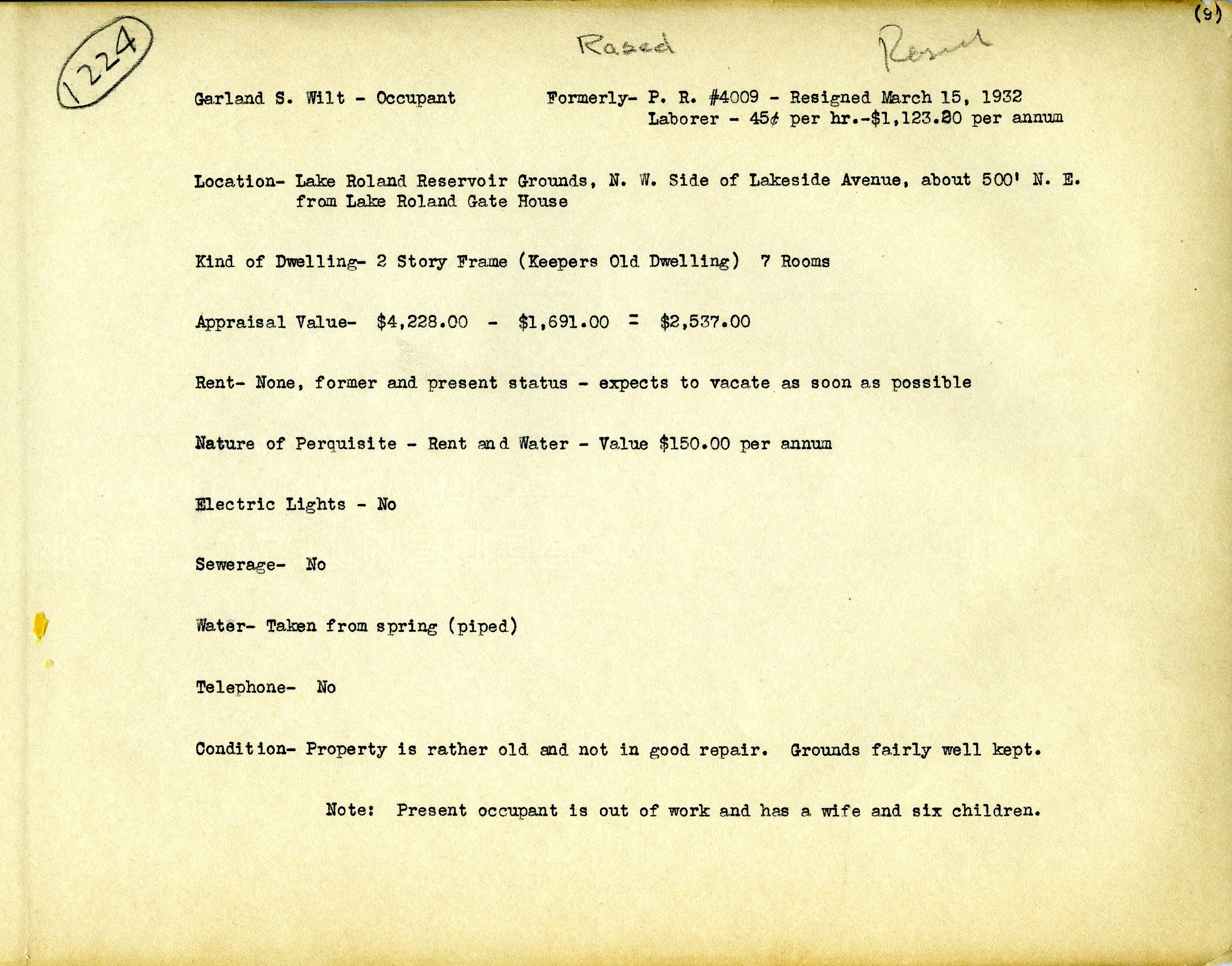
We leave the Gunpowder area and head back to the City, Roland Park. I like this one. A little skinny but nice. Wish the realtor would have posted some interior pics!
Property info. This guy resigned but is still living in the house.
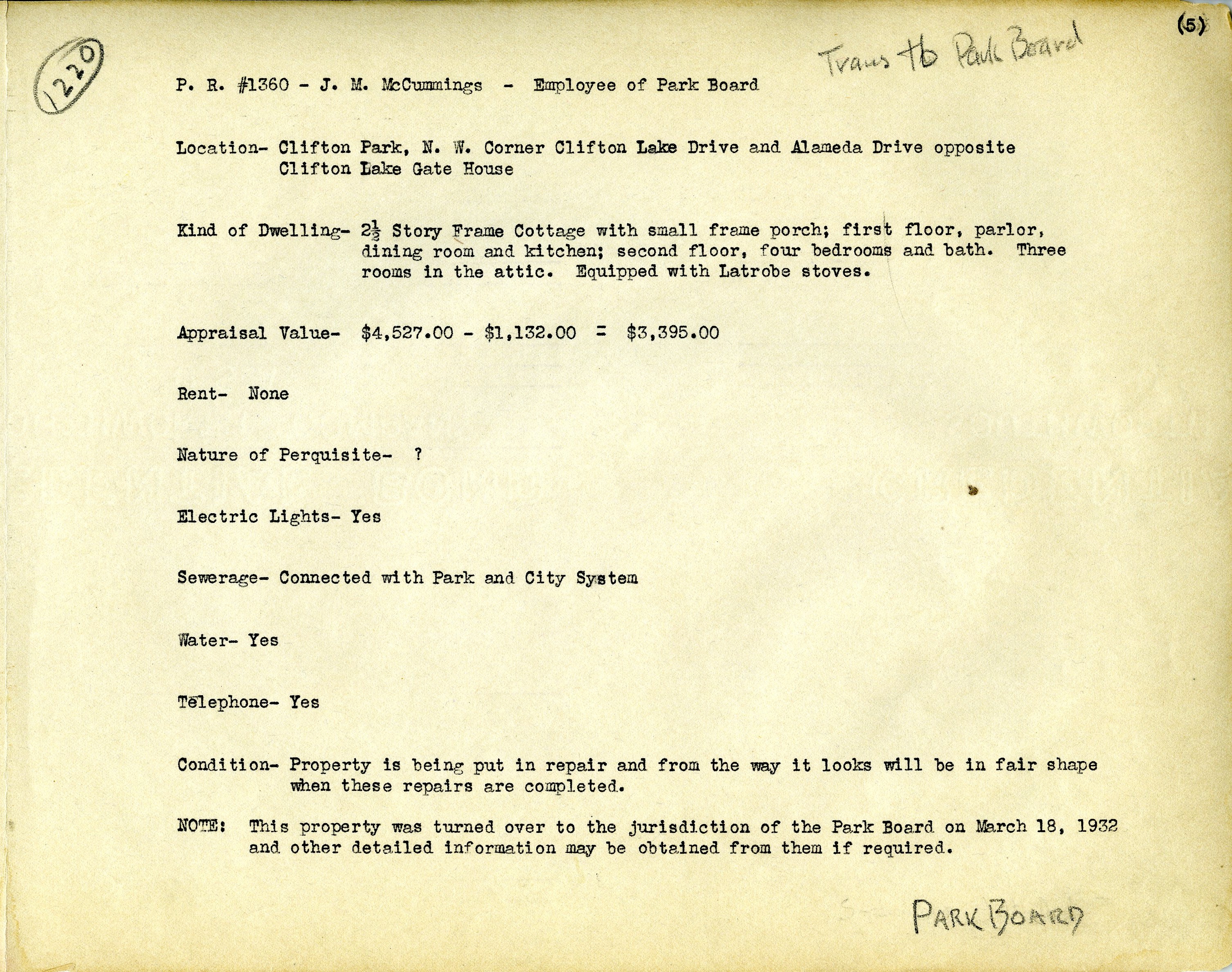
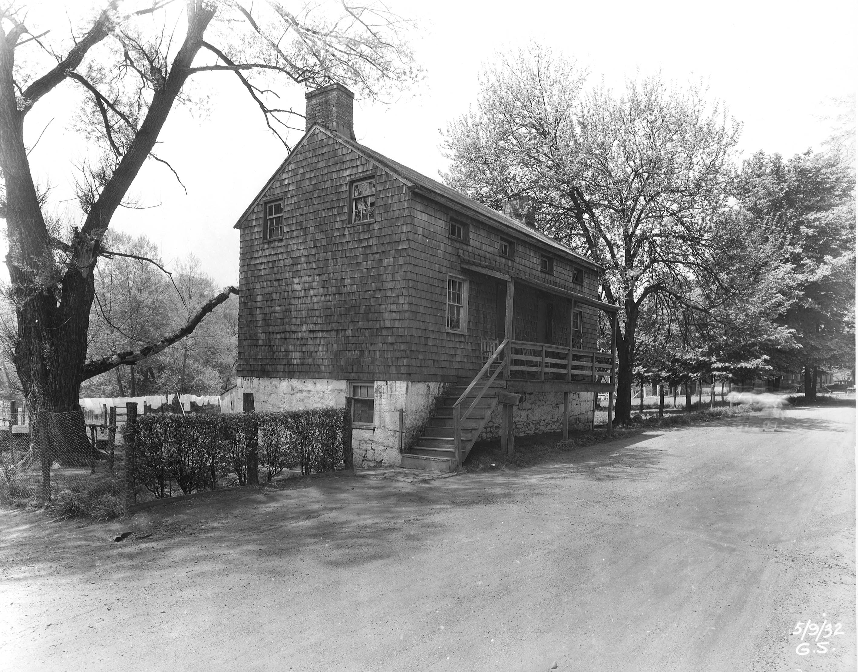
We left there and headed back over near Montebello. Got a text from my agent saying that a house just came on the market over at Clifton!
Darn! Too late – turned over to the Park Board!
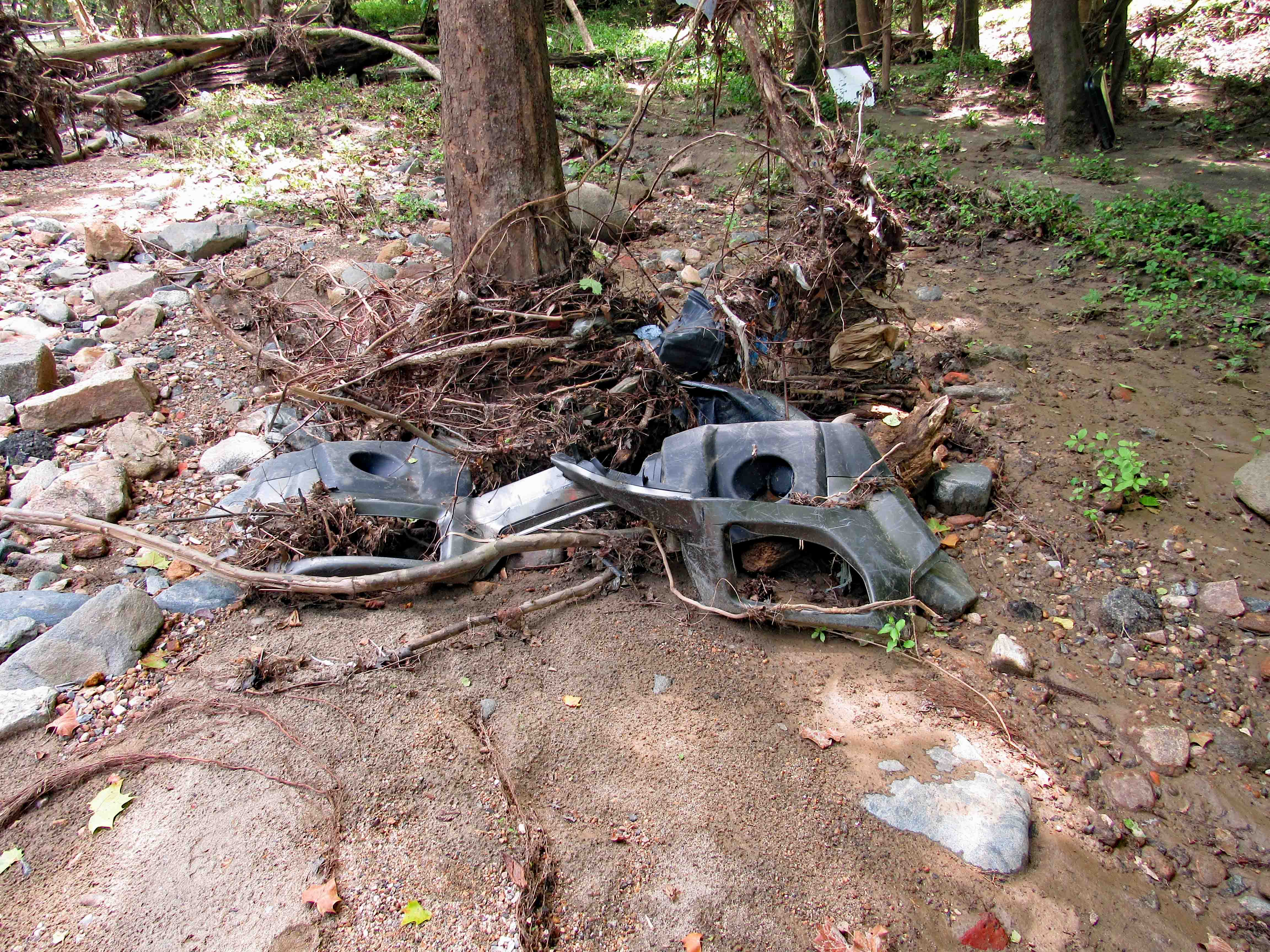
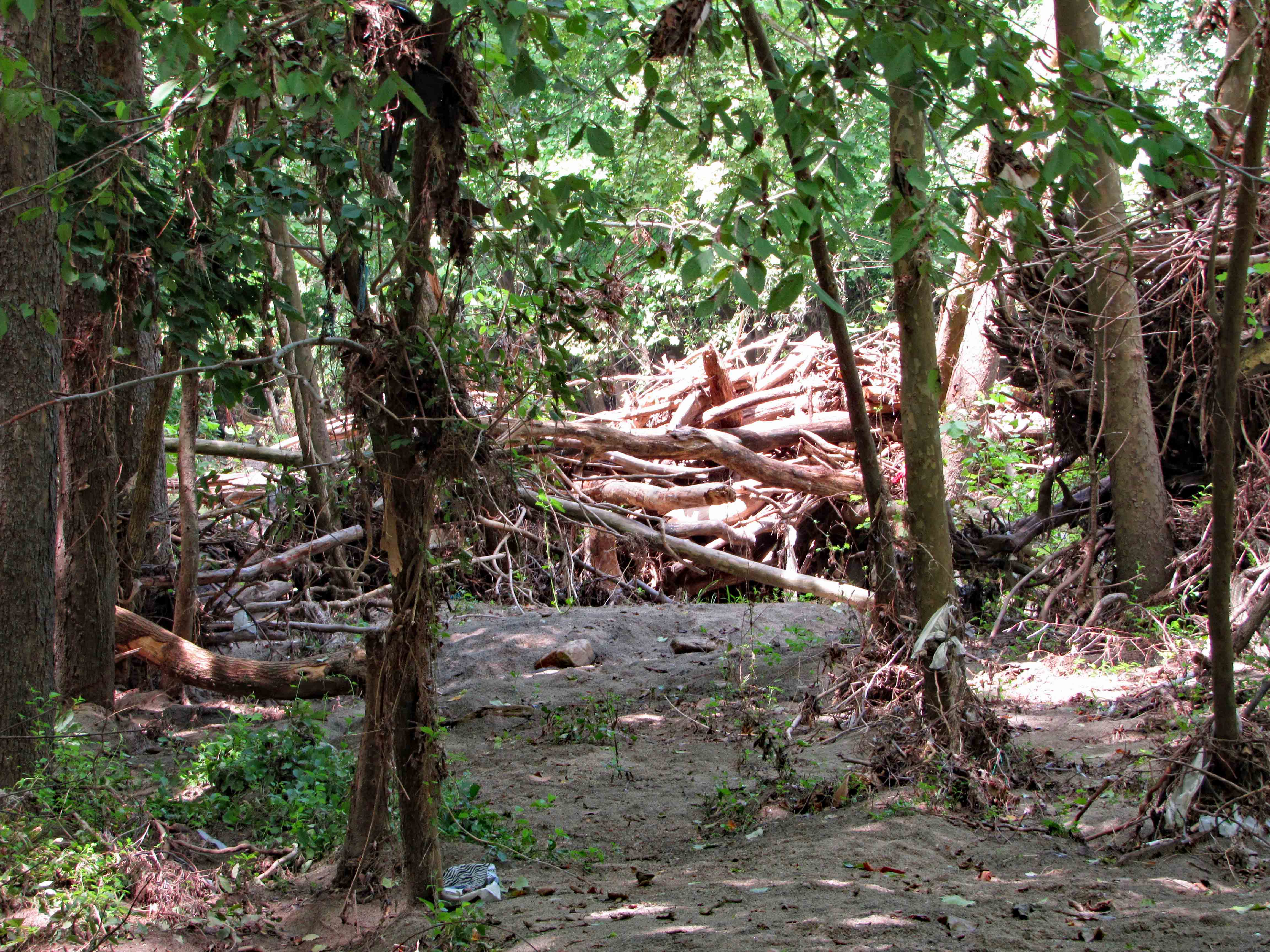
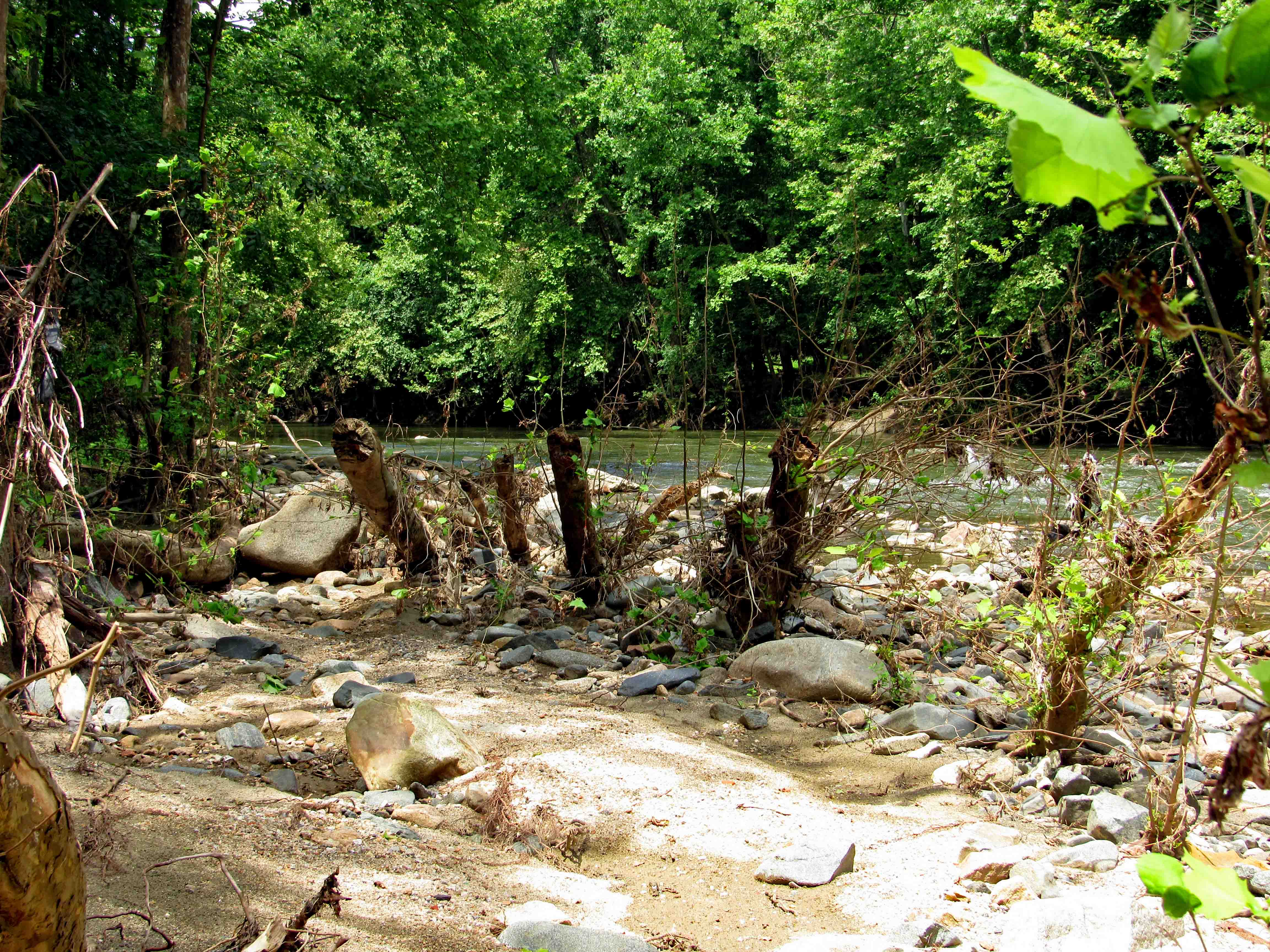
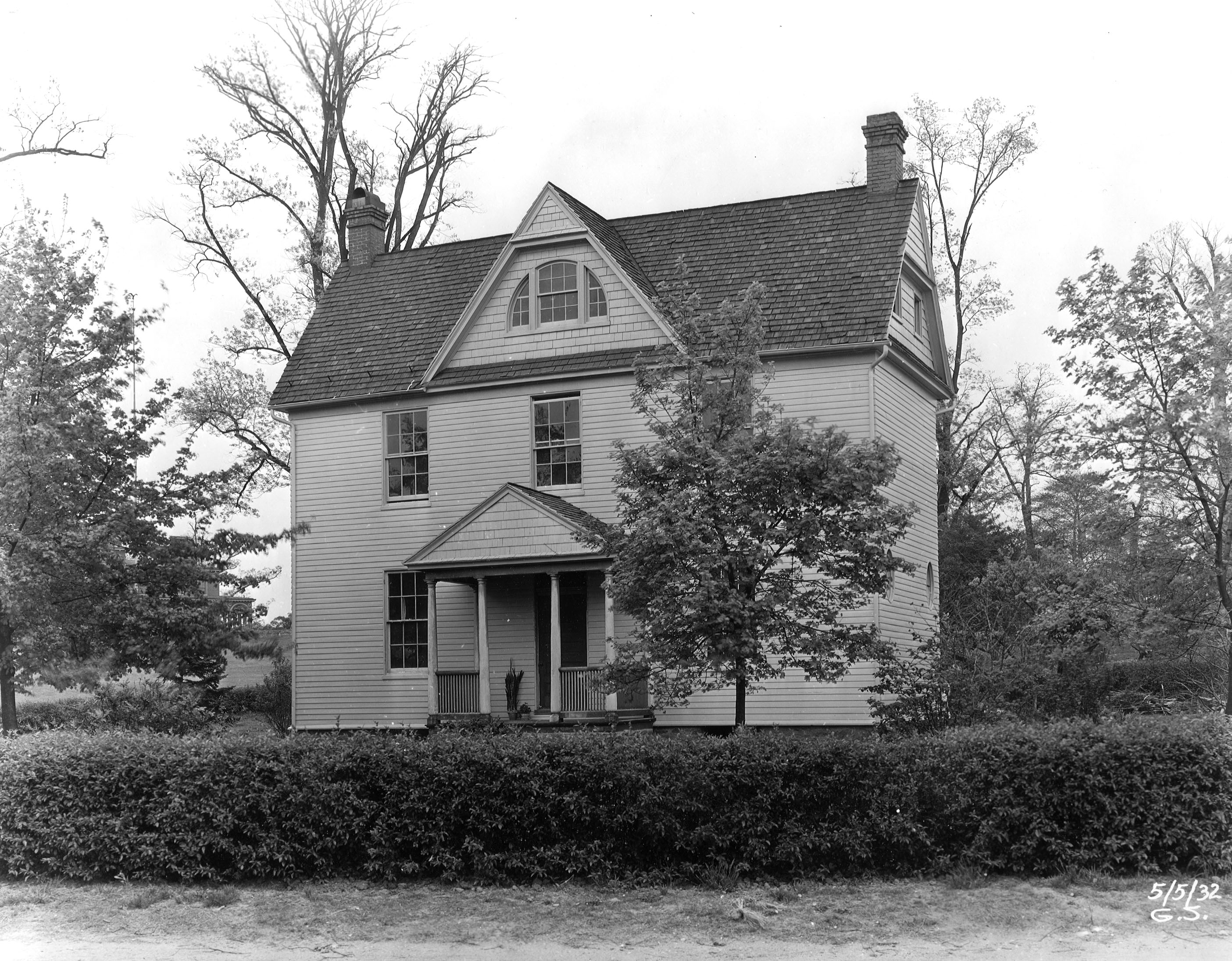
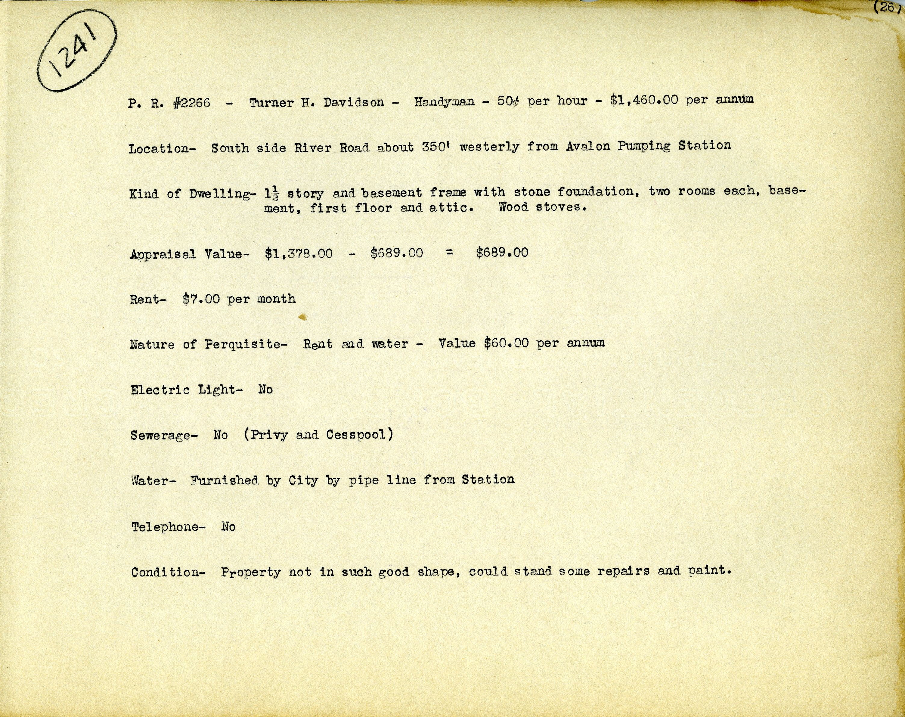
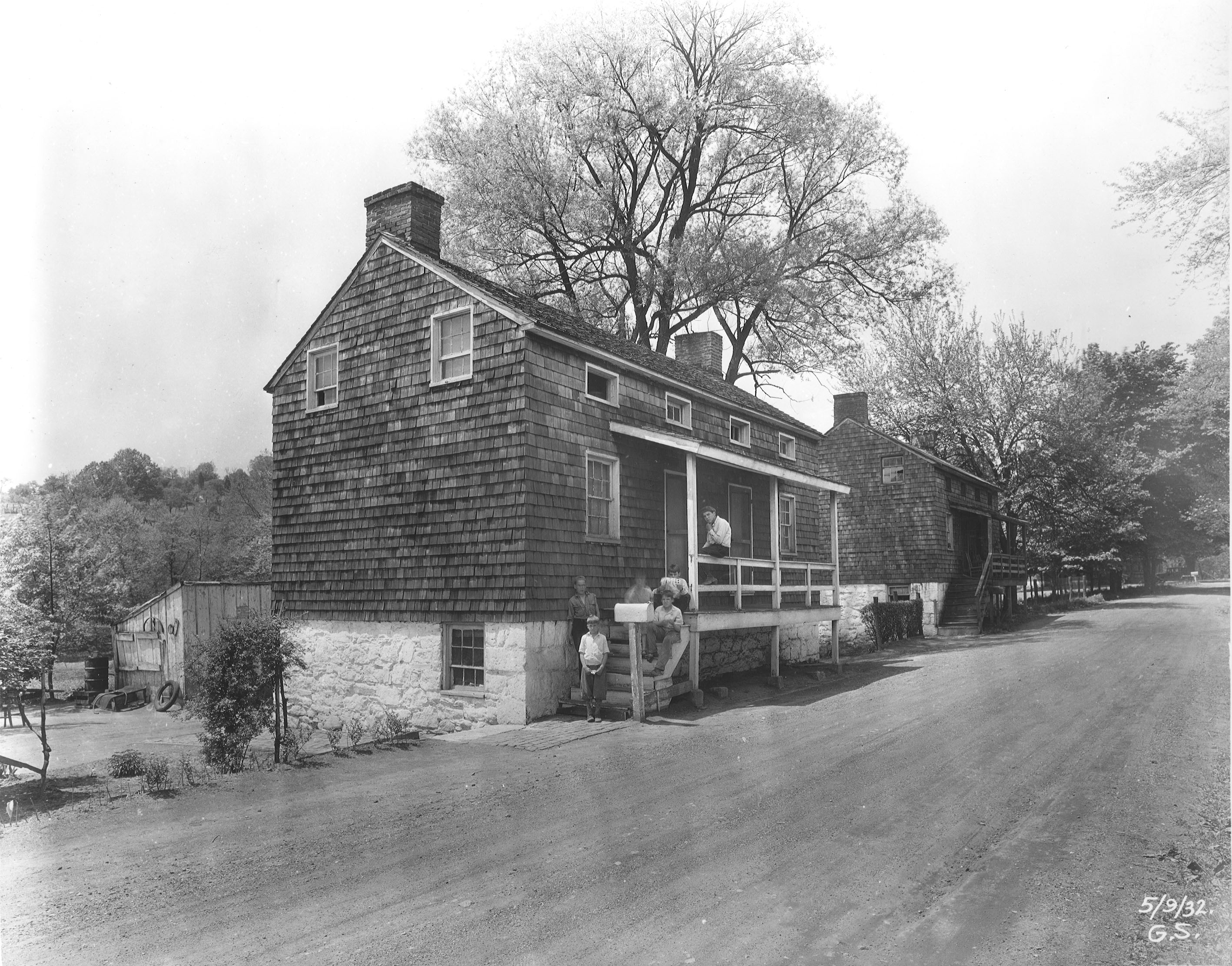
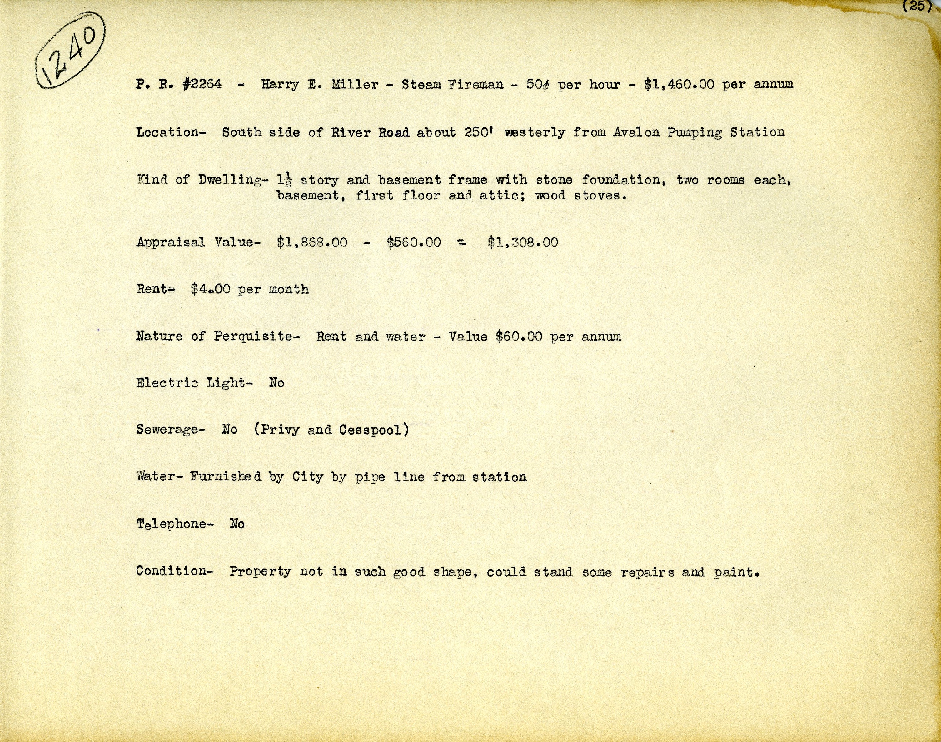
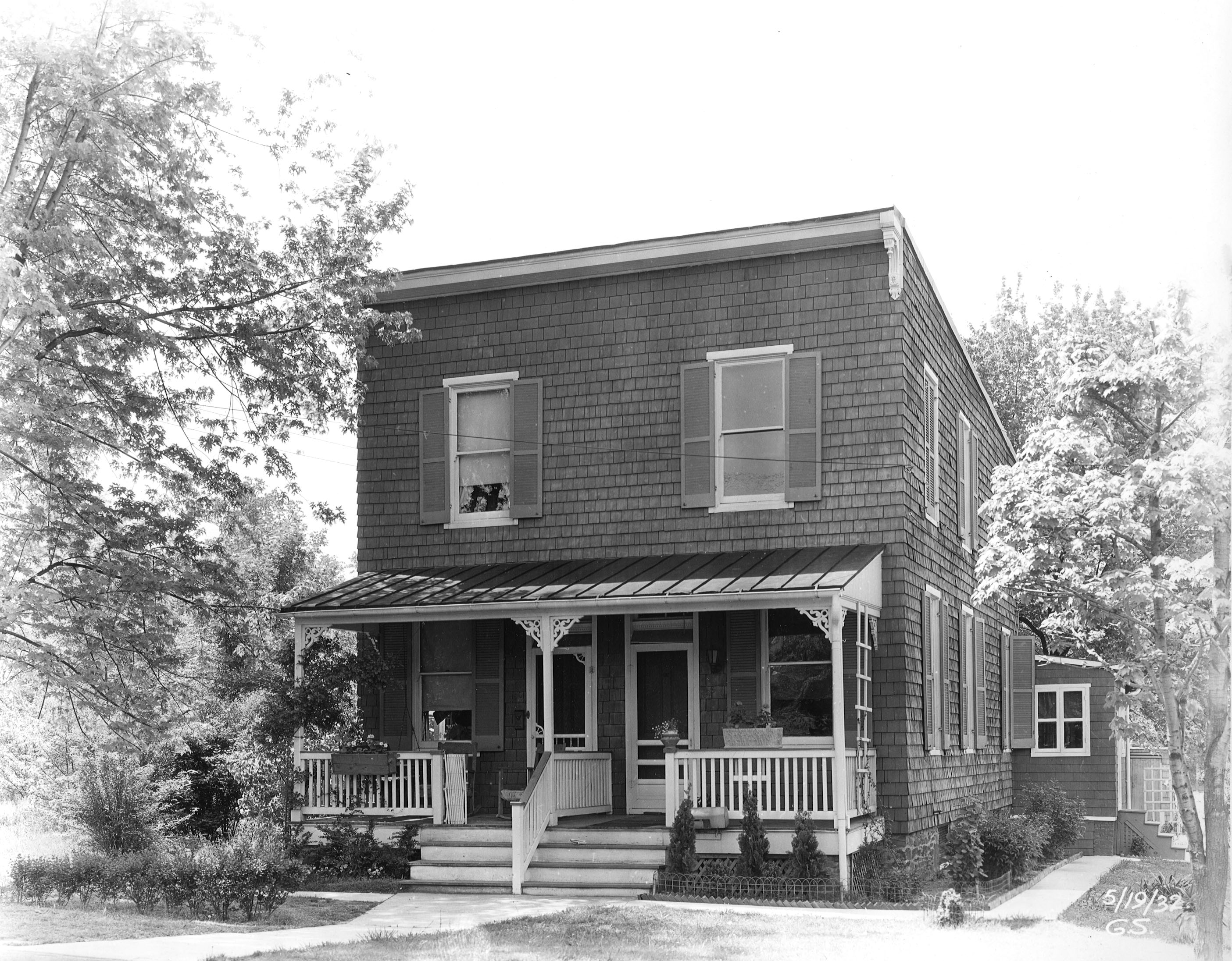
We now head west out of the city towards the Patapsco river. Avalon.
Not sure about that porch and what’s with those small upper windows??
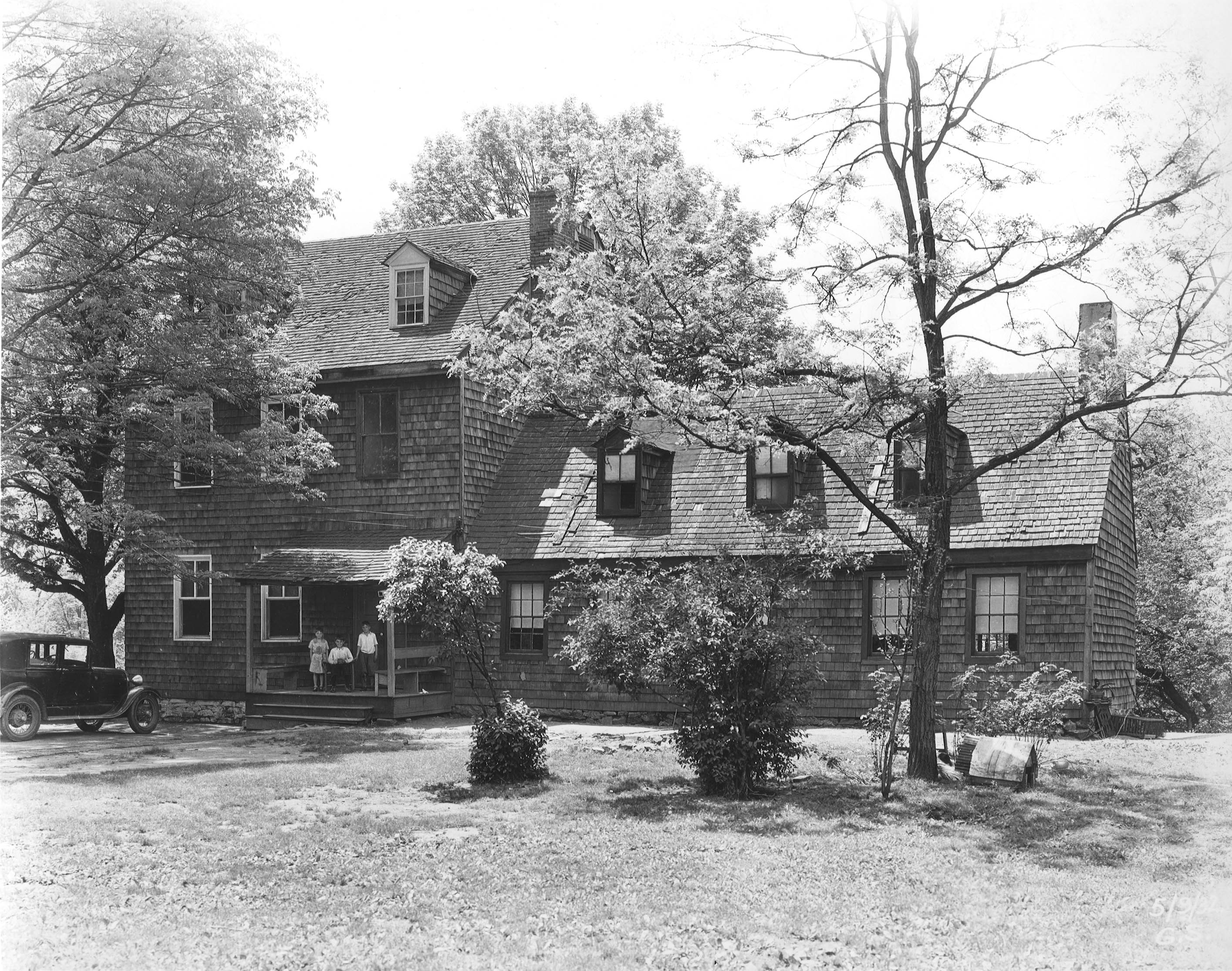
This one looks like the Davidson house above, but it comes with children.
Info on house.
More searching took us to a couple more.
These were double occupancy, I really don’t want to live next to someone that works at the water department! This one below is a semi-detached.
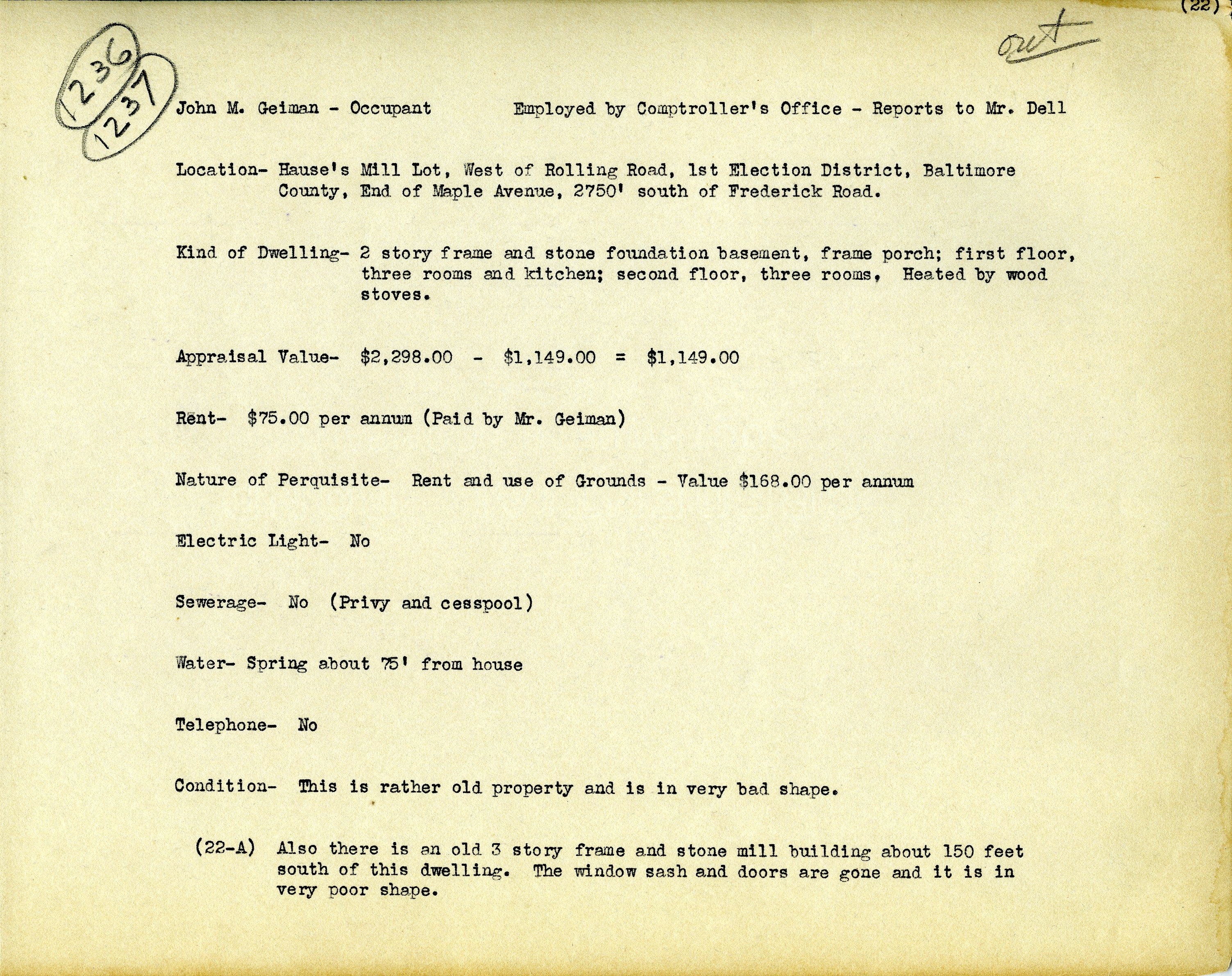
The next house was unbelievably dirty. I felt sorry for this little kid, whose father worked for the City Comptroller.
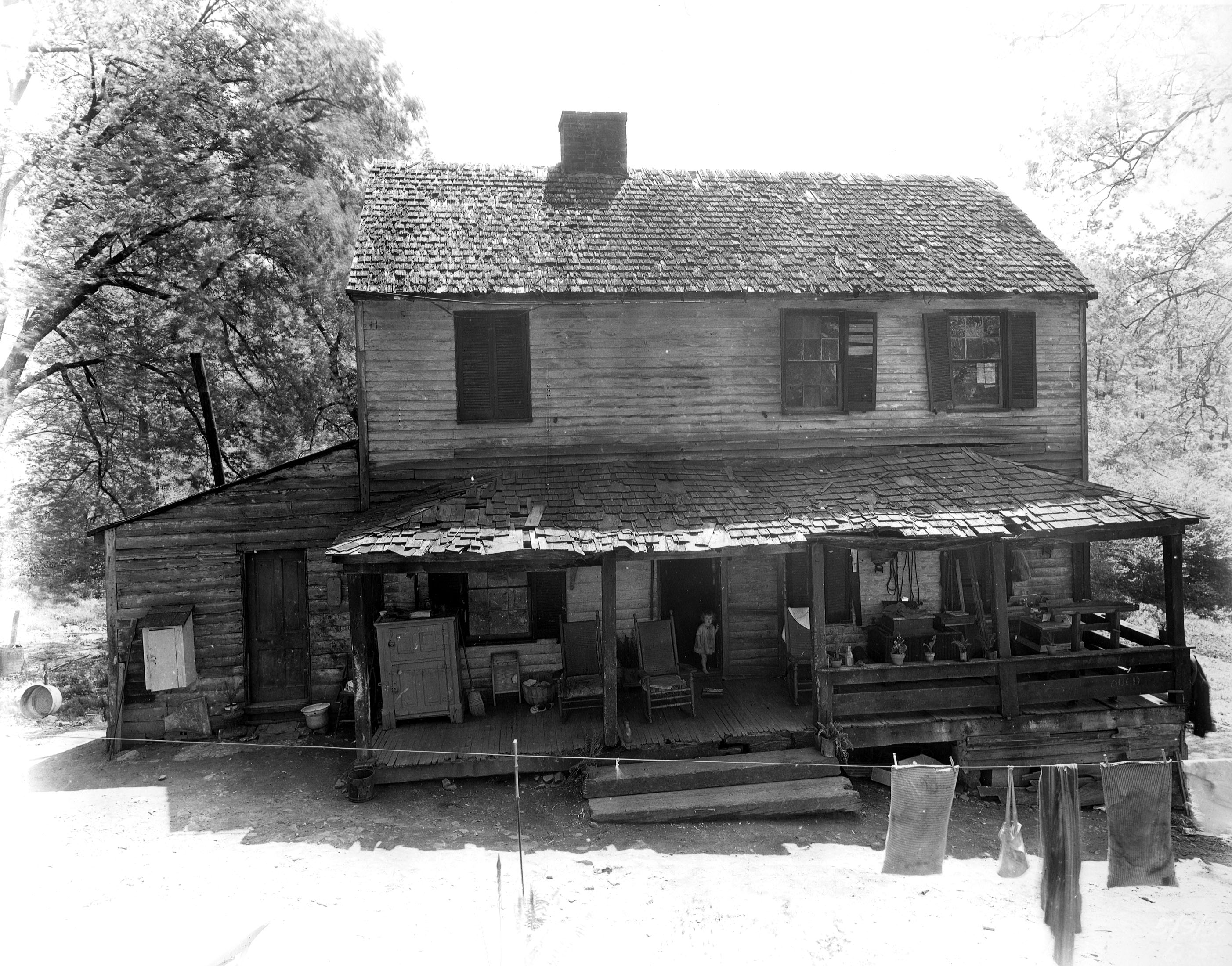
It does have a mill though.
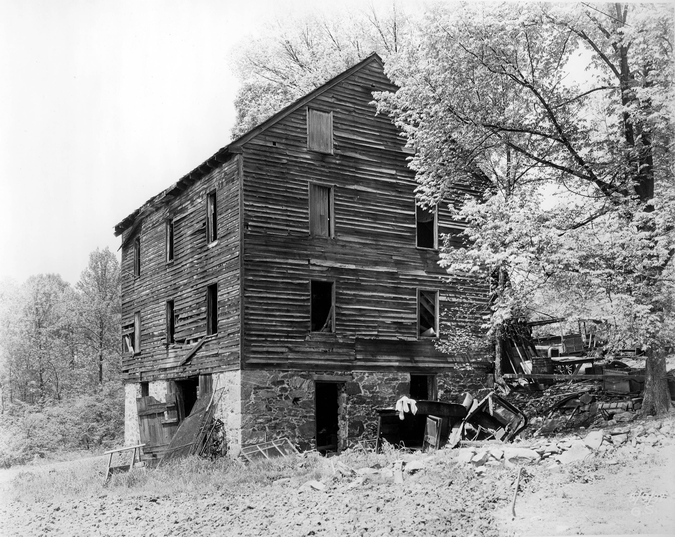
Info on the house.
A big house on the market, over on the west side – Arlington.
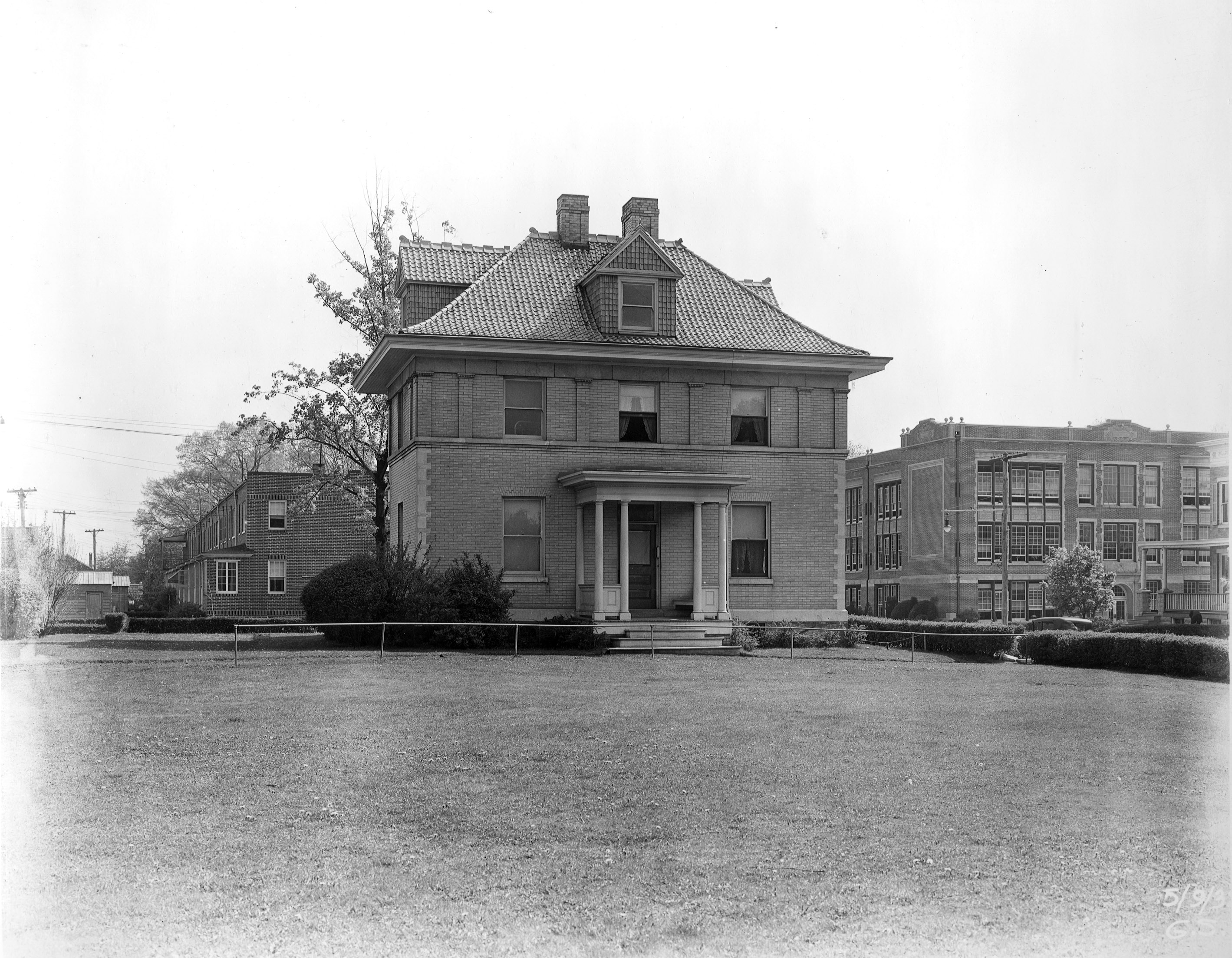
Looks like a school next door – don’t need the noise.