• About
  • History Writings

Water and Me

Water and Me

Category Archives: Floods

Loch Raven and the Rain

27 Friday Jul 2018

Posted by Ronald Parks in Dams, Floods, Reservoir, water history

≈ Leave a comment

Tags

Baltimore, Cromwell Park, Dams, engineering, FILTRATION, Gunpowder Falls, Hiking, Loch Raven, Montebello, Public Works, water history

The never-ending rains are here so I decided to check out the water works and see what is going on. Montebello Lake has risen quite a bit. If the grounds crew does not cut all the way to the water line, the phragmites will once again encroach the banks.

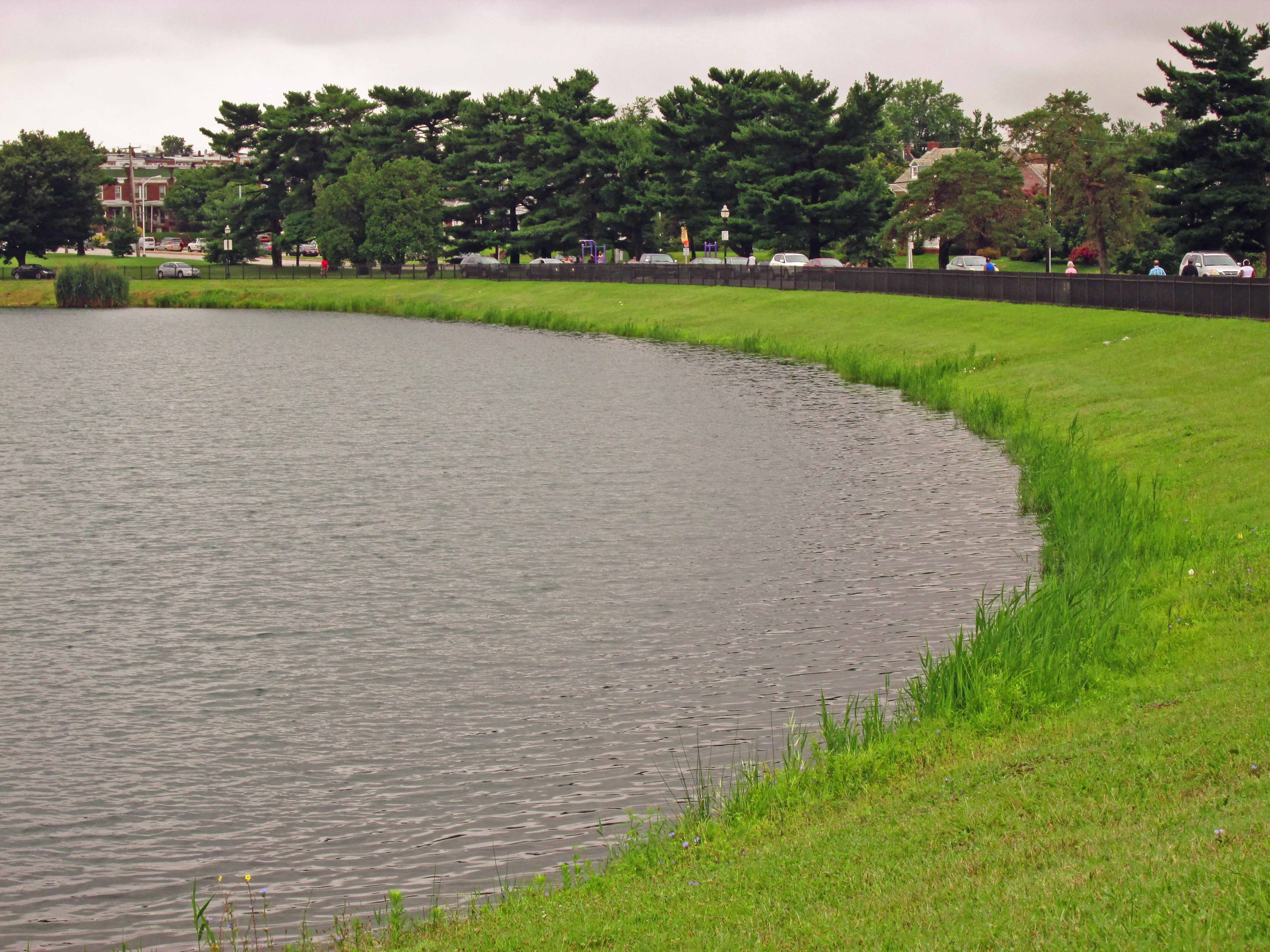
A look in the gate house on the lake. This flow is normally about 11-13 mgd. Today it is at 21 mgd. And for those of you who do not know – no, this is not drinking water going to waste. The Montebello Lake is where the impurities from the treatment plant settle out along with the dissipation of the chlorine before it goes into Herring Run. 

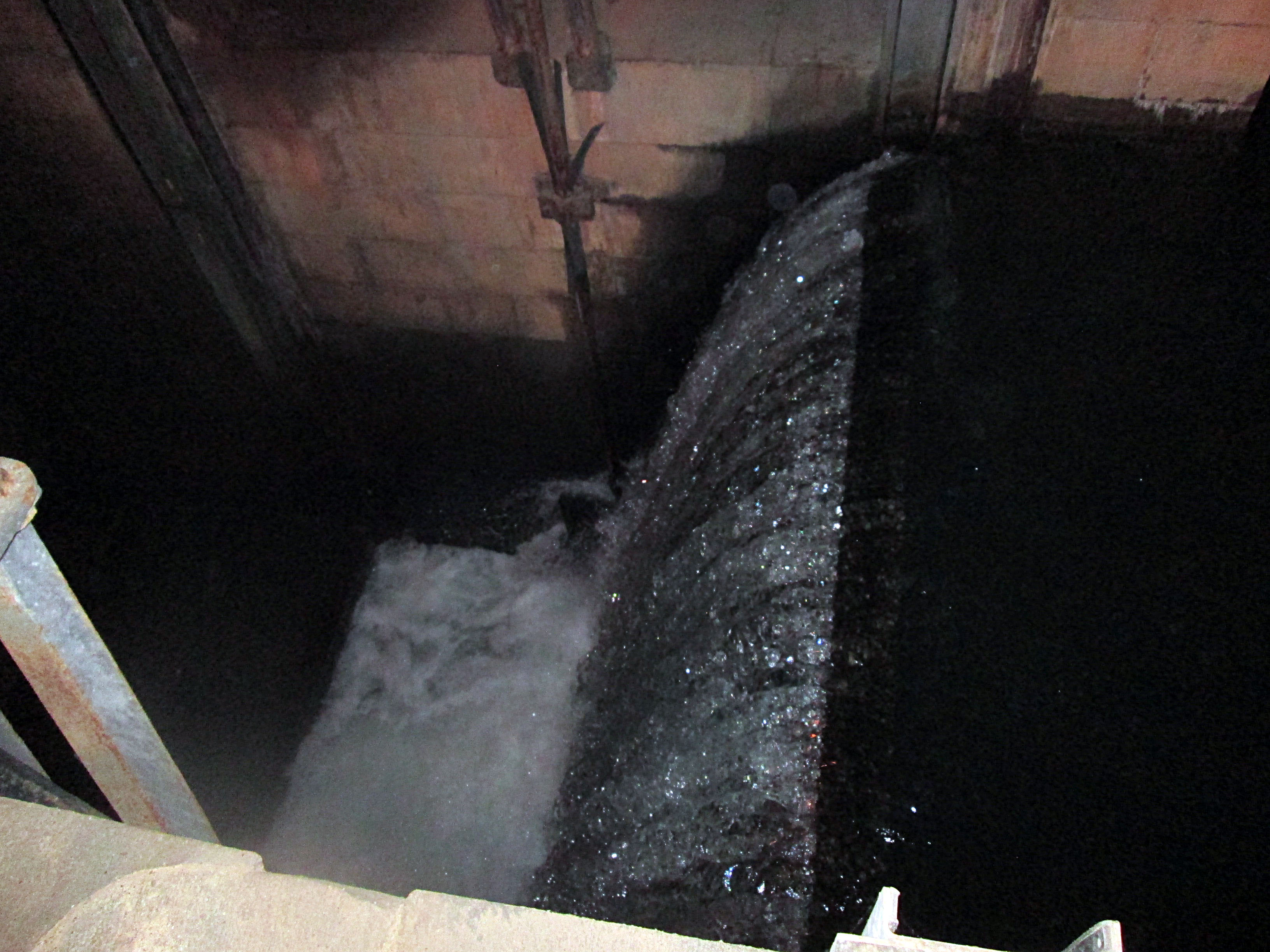
On my way over to Kathy’s for some steamed crabs, she calls me and says I should check out Loch Raven before coming to her house, so I did. I parked behind Sander’s and walked over to where Mine Bank Run and the Gunpowder Falls meet. Wow!

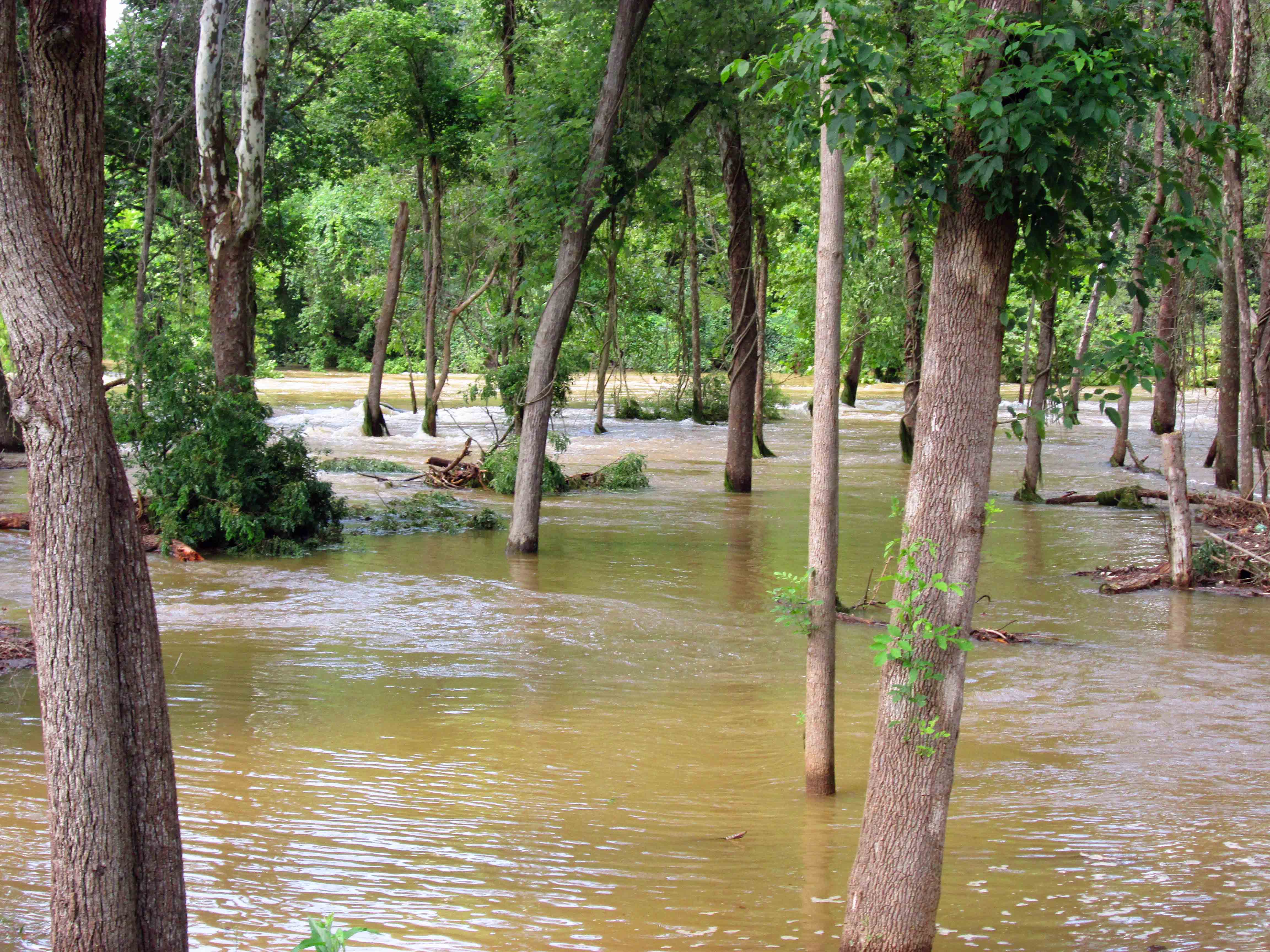
It hasn’t been this high for a while. On Loch Raven Drive, the bridge over Mine Bank Run. This is the stream we were walking in the other day, towards Cromwell Park.

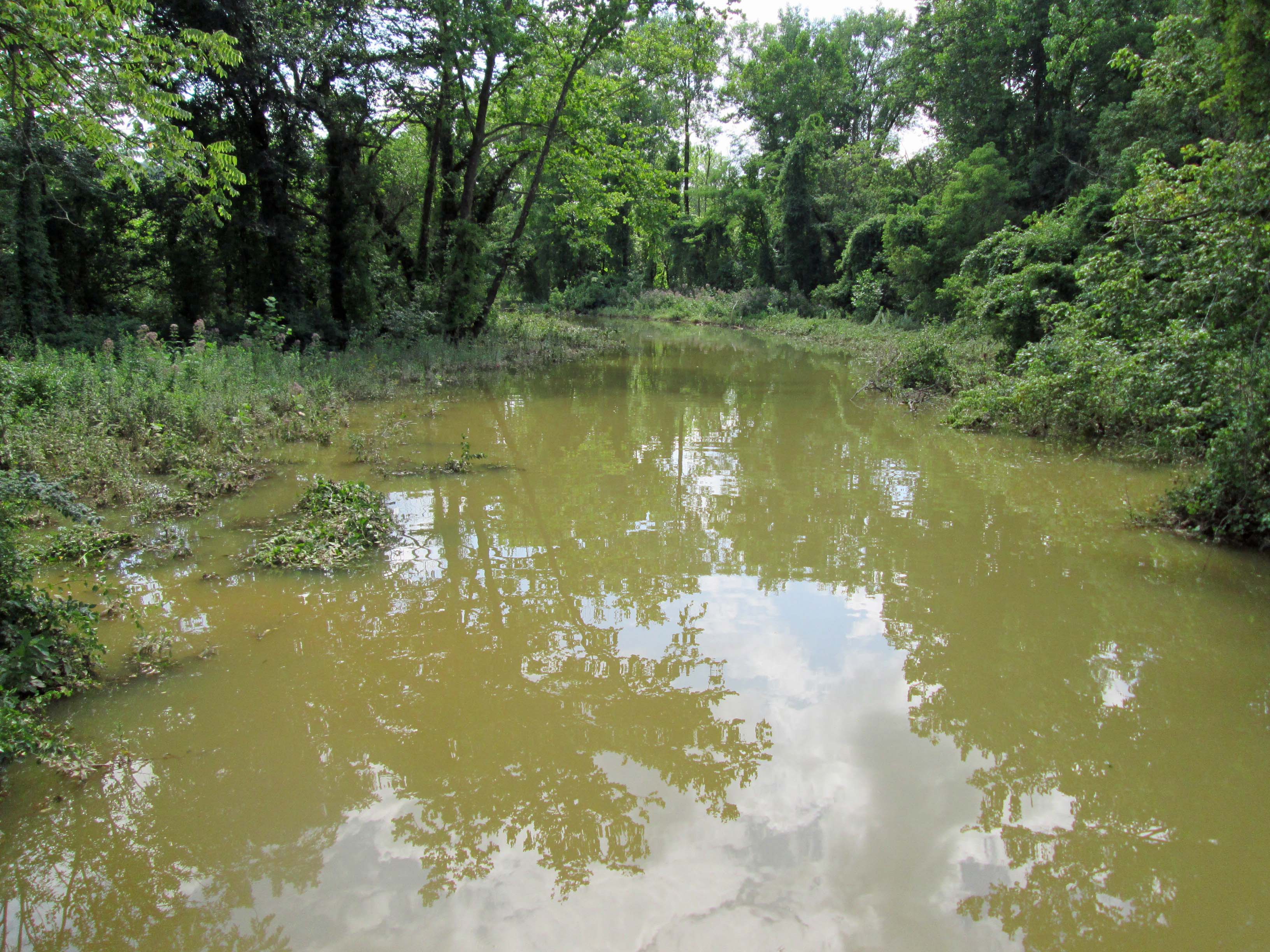
Heading up the Drive a little farther and looking back towards Cromwell Bridge Road.

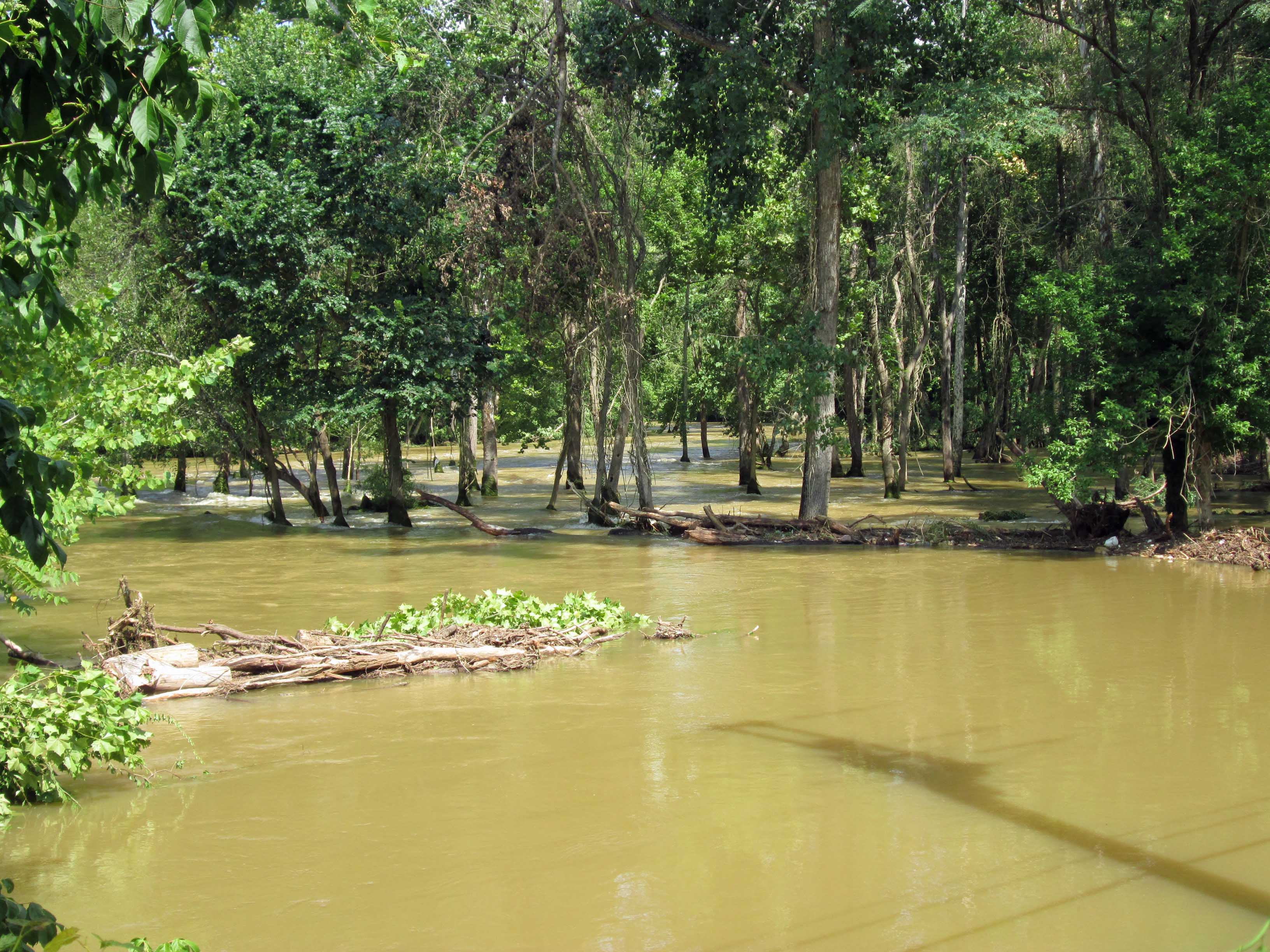
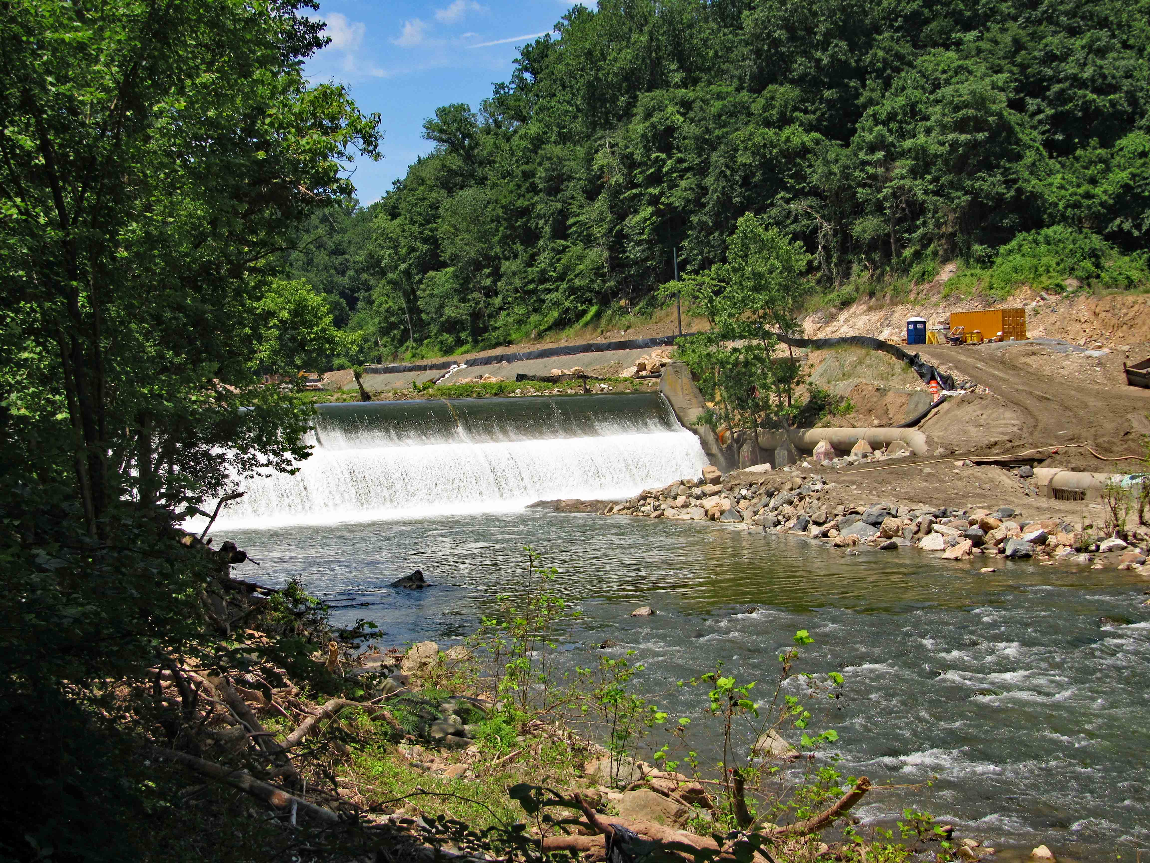
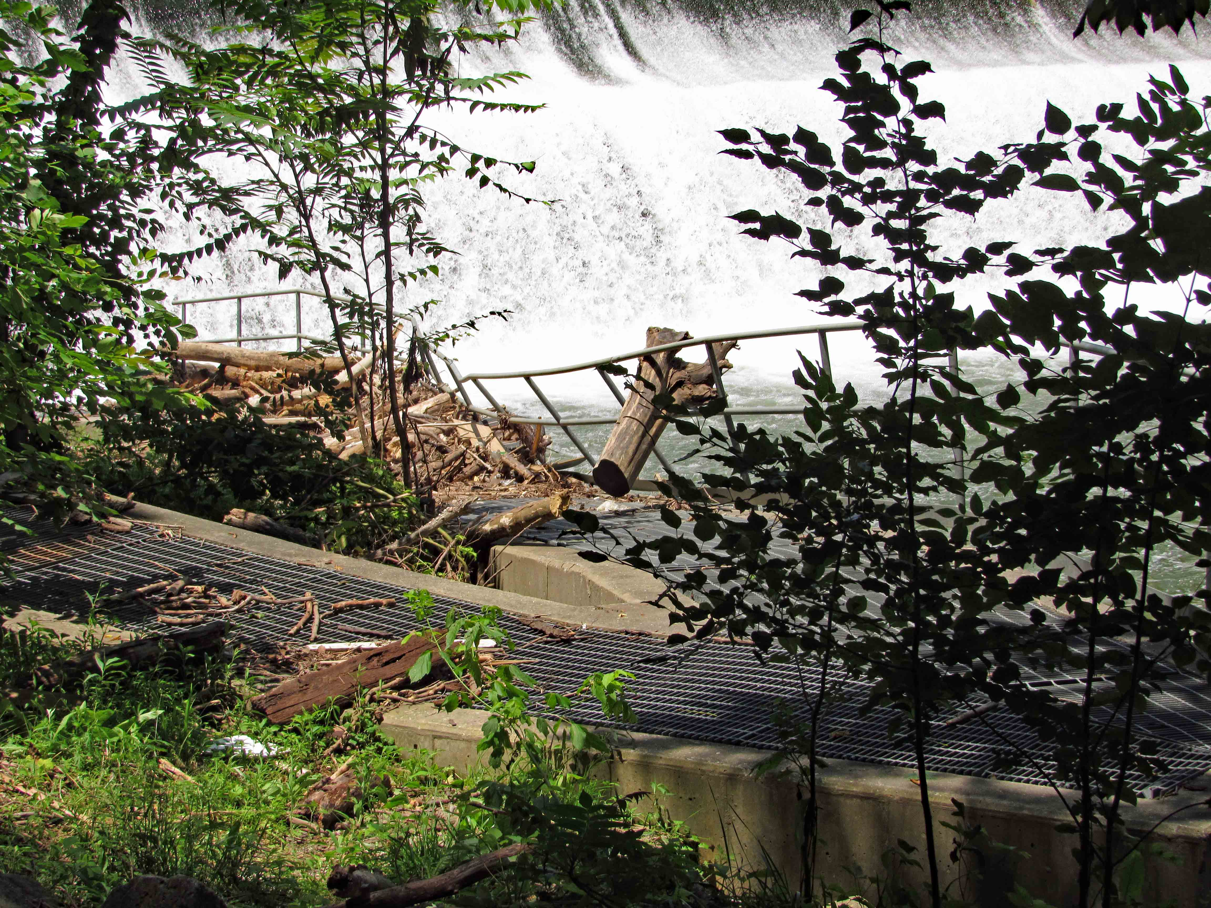
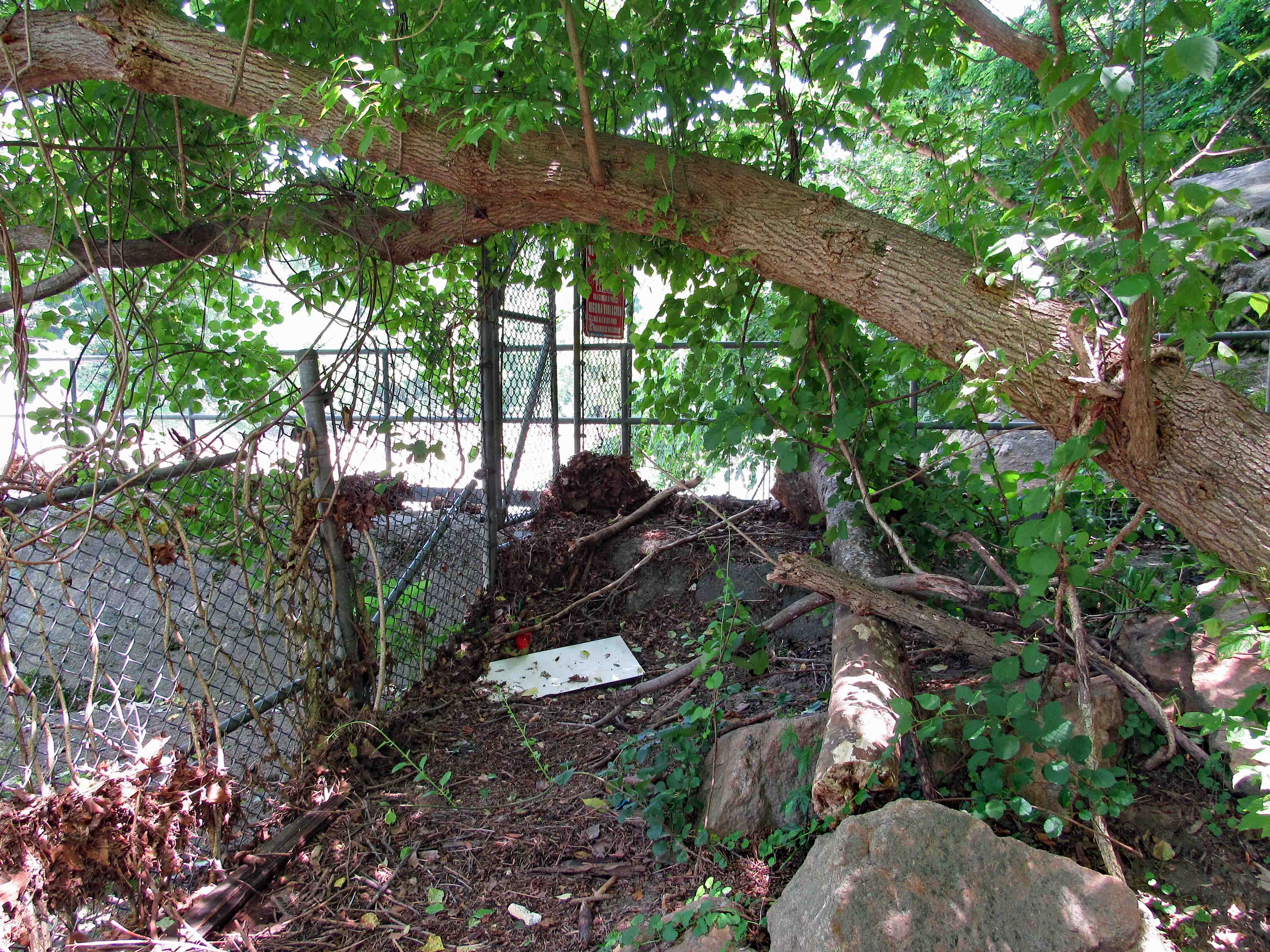
Back to my car and headed to the 1881 dam. One of these days someone will fulfill their promise to me and let me in to photograph looking down into these chambers. Not holding my breath! The new, unused maintenance facility up in the background.

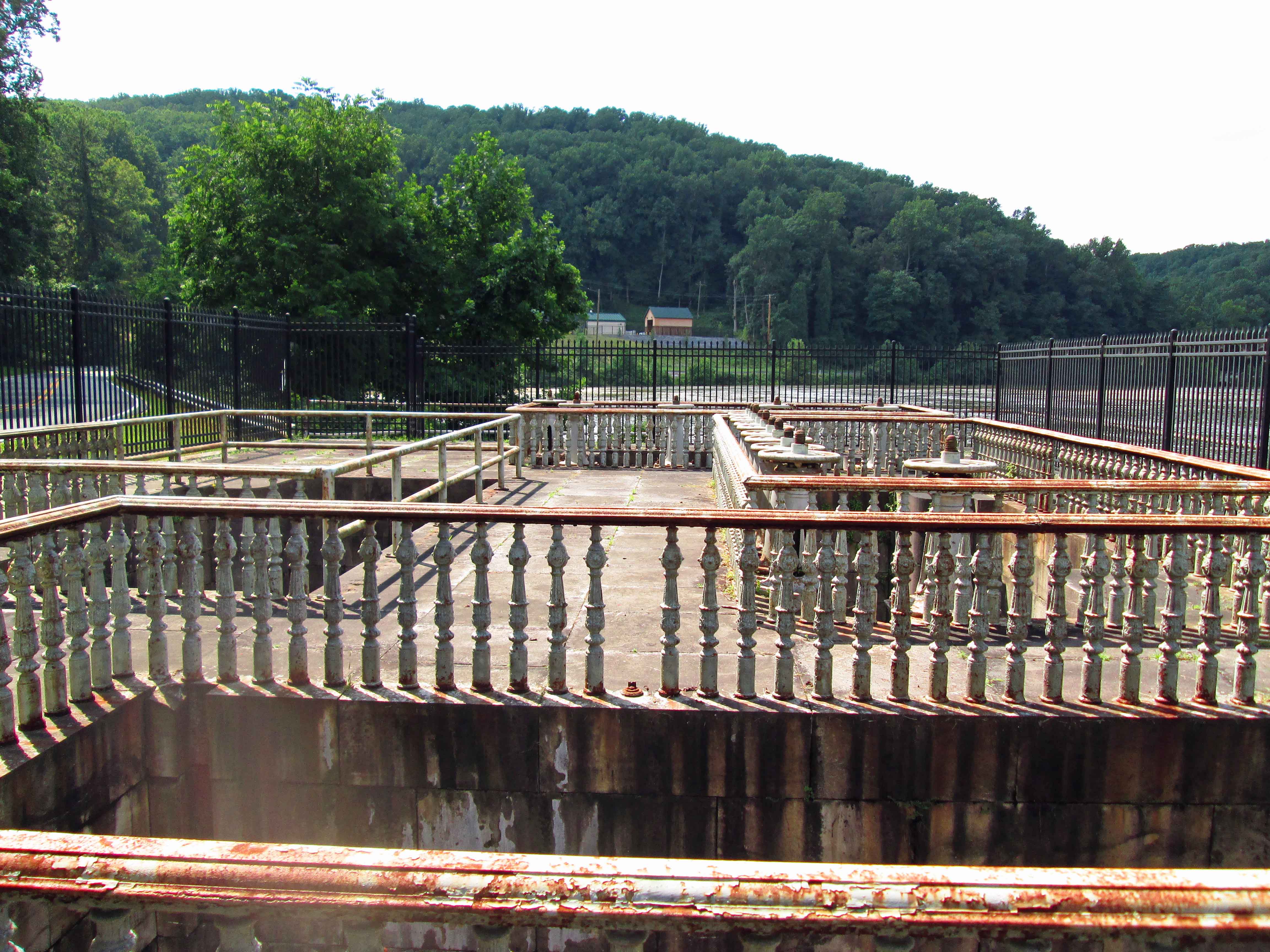
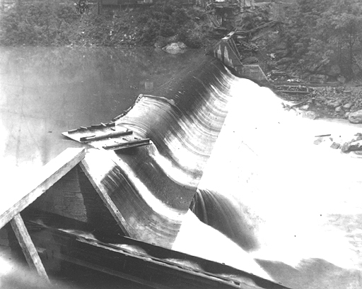
From the top of the dam, looking across – that is a lot of water.

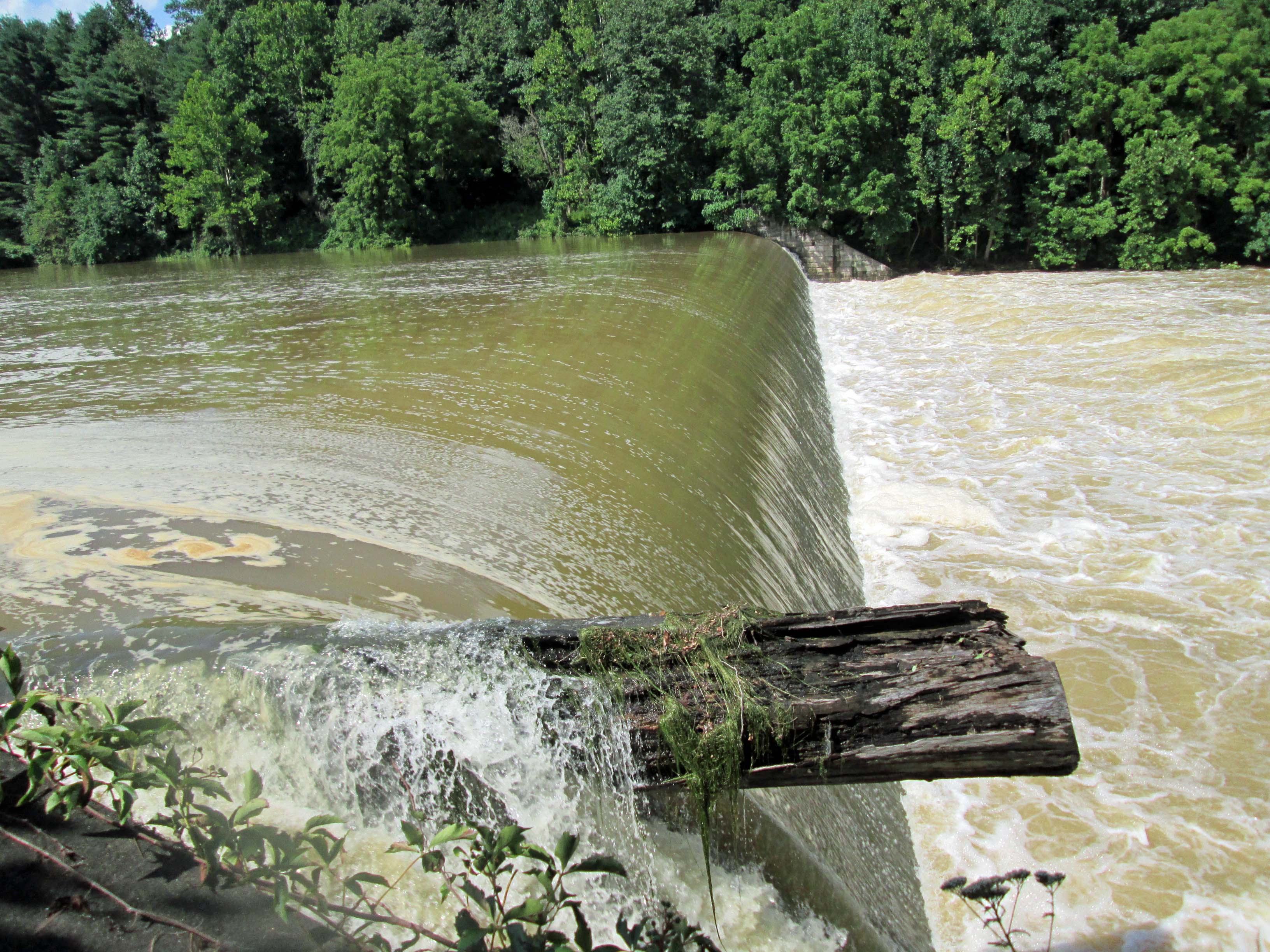
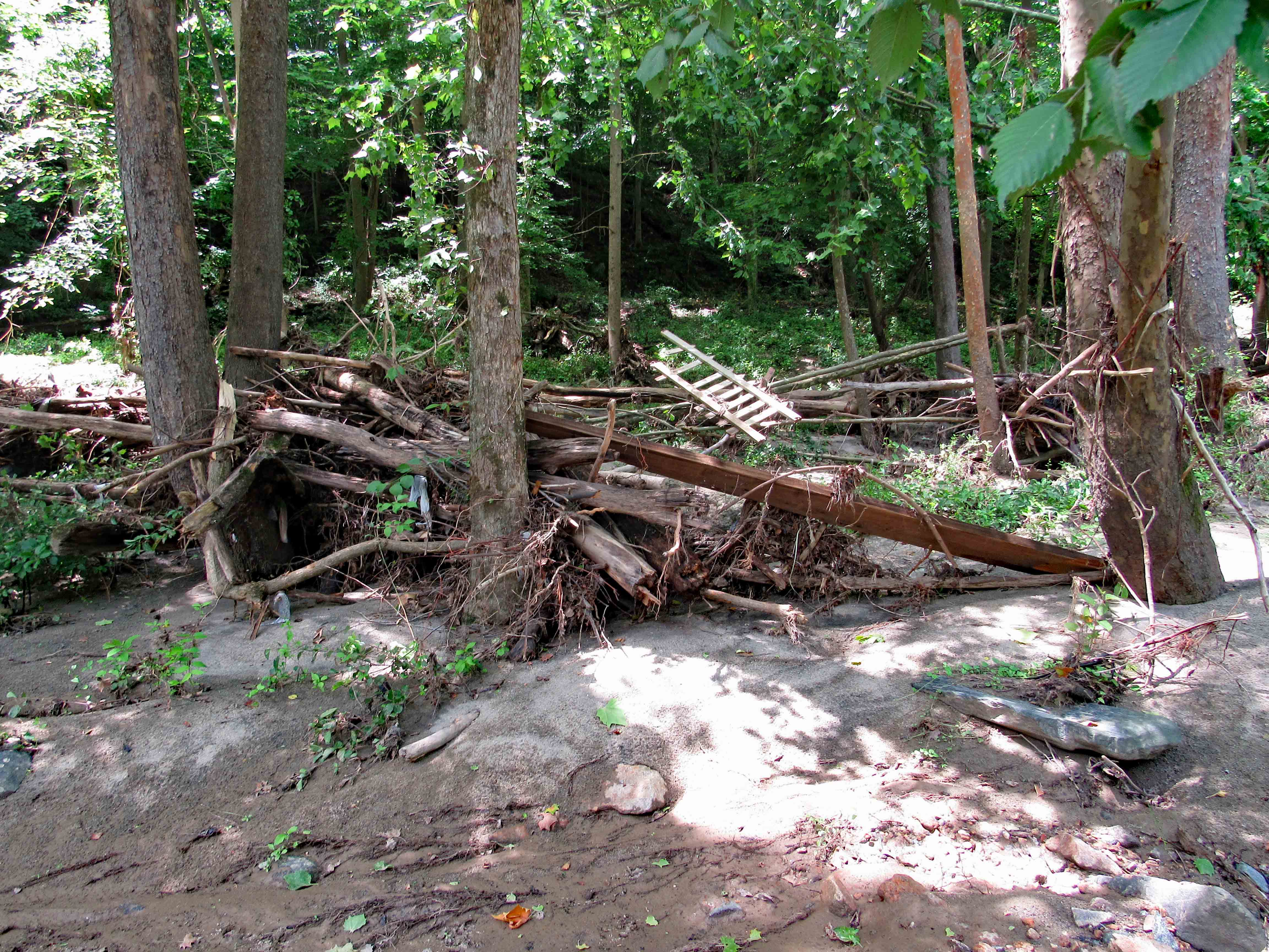
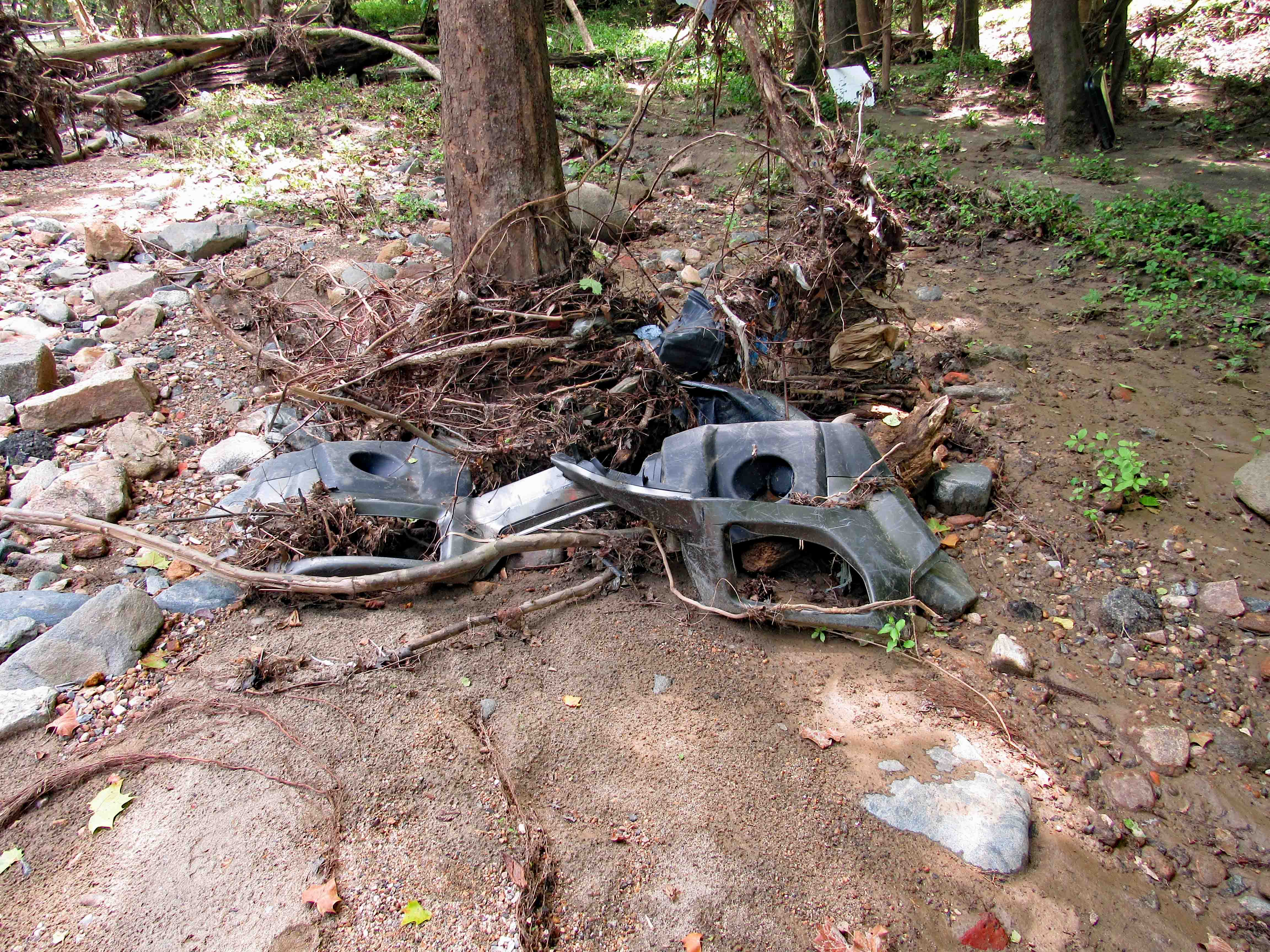
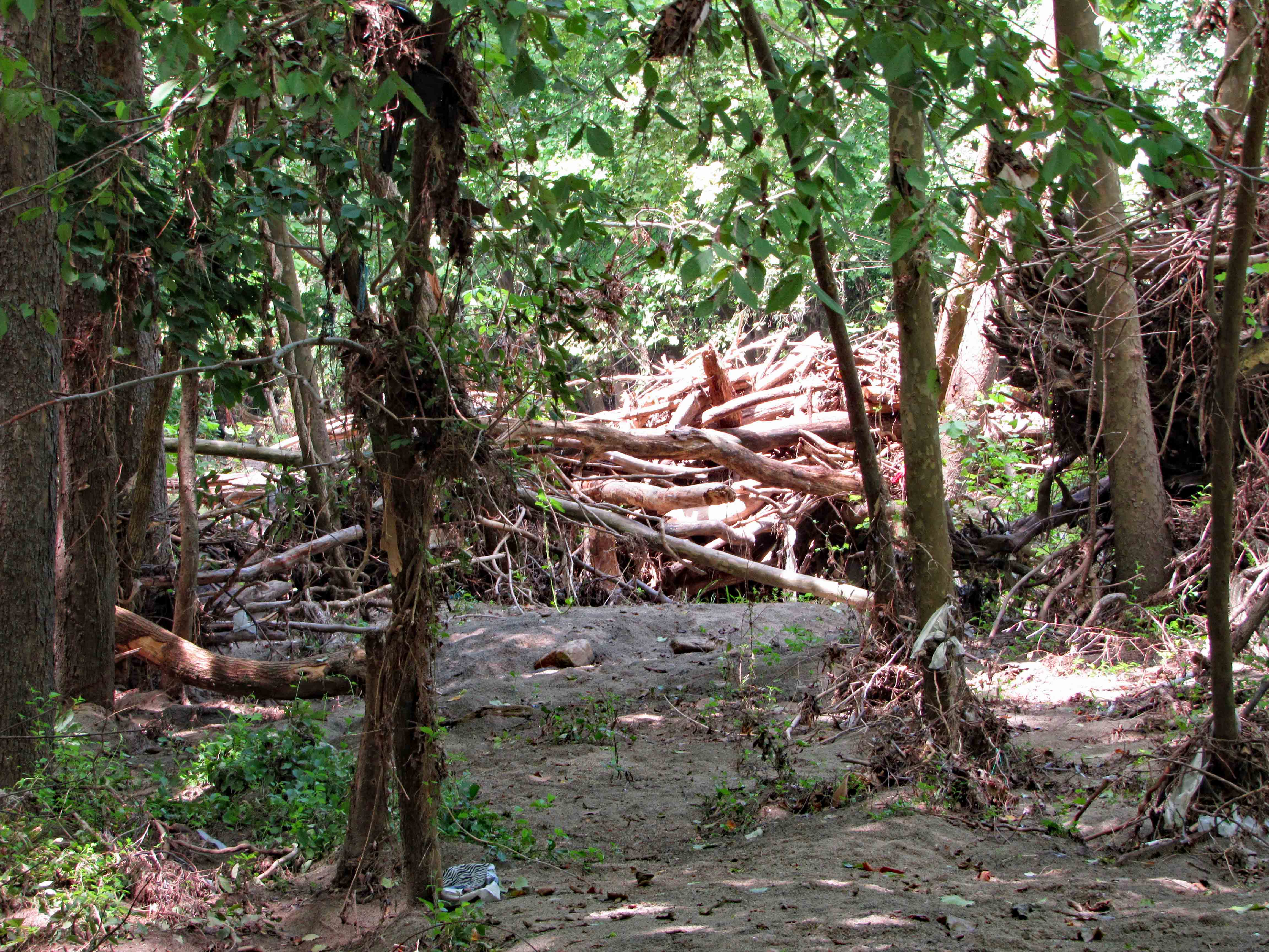
I am amazed that this log is still here after all these years. I just want to jump up and down on it to get it the hell off the top of the dam! Damn log! Log jam at the dam.

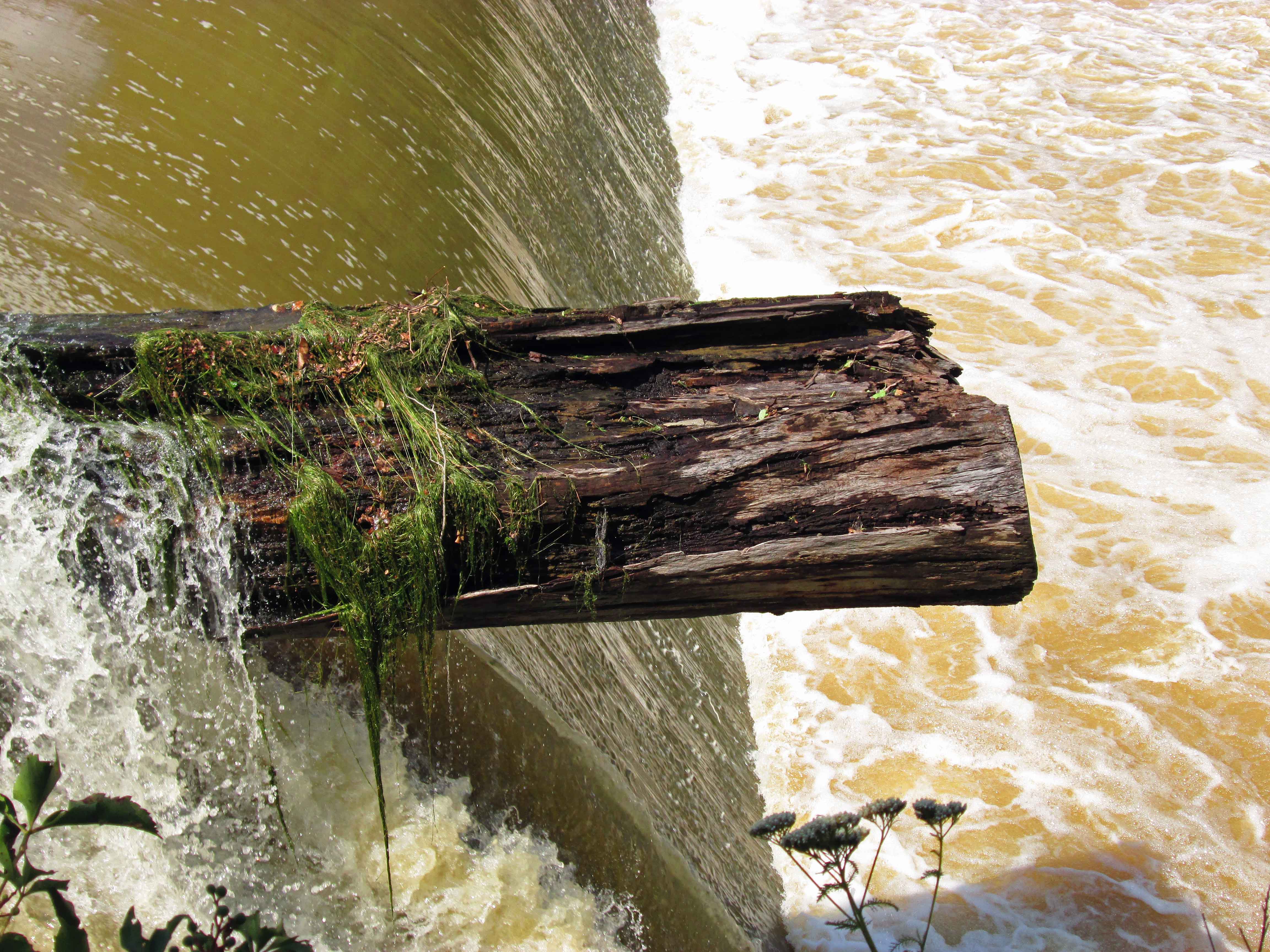
Climbed down to the bottom of the dam, along the retaining wall. The water is lapping along the top of the wall.

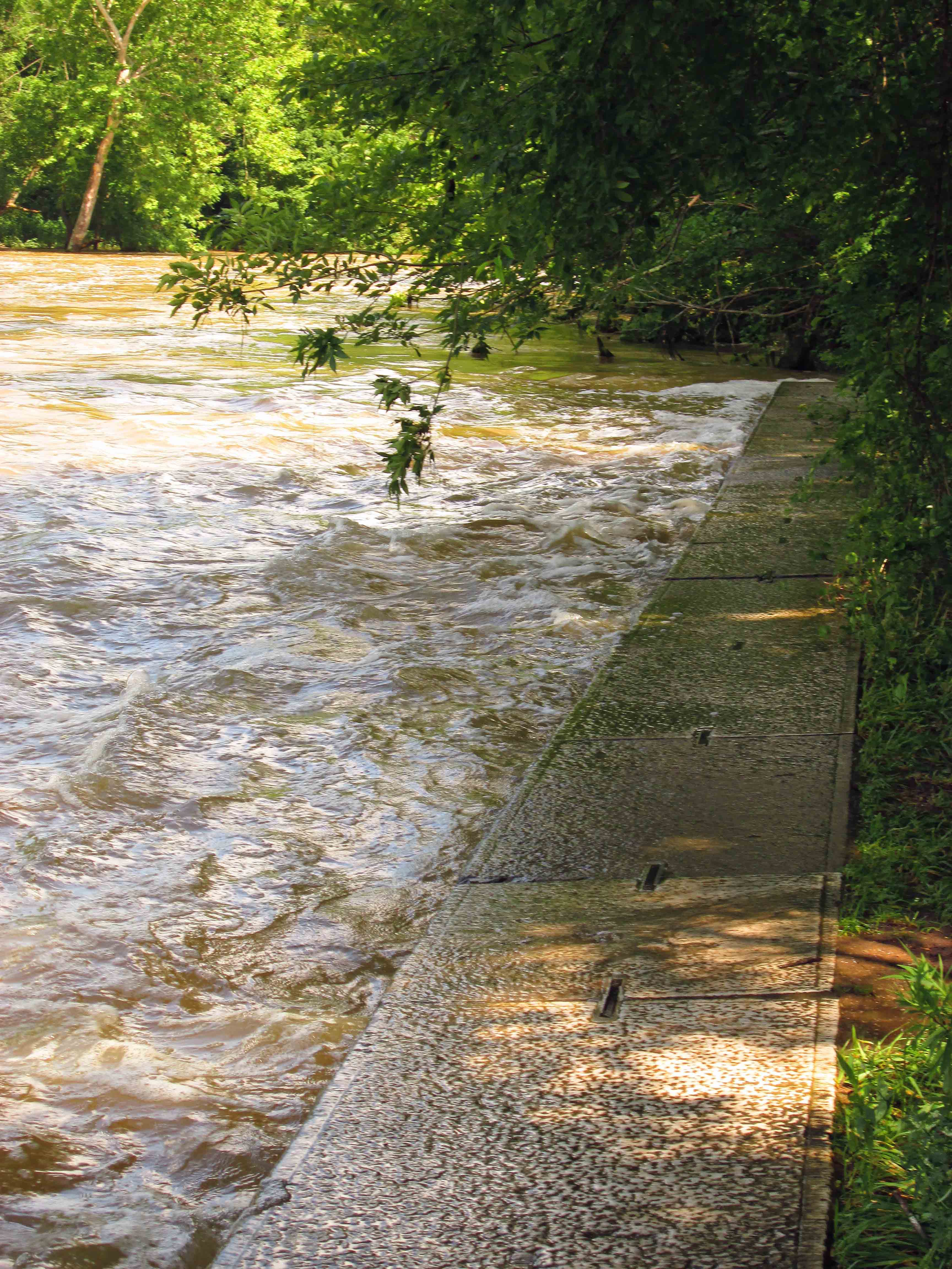
Here we can see that the integrity of the wall is starting to give a little bit. The water is gurgling up through the wall on the left, which means there are holes in the wall. Overall, not bad for a wall that was built in the 1880s.

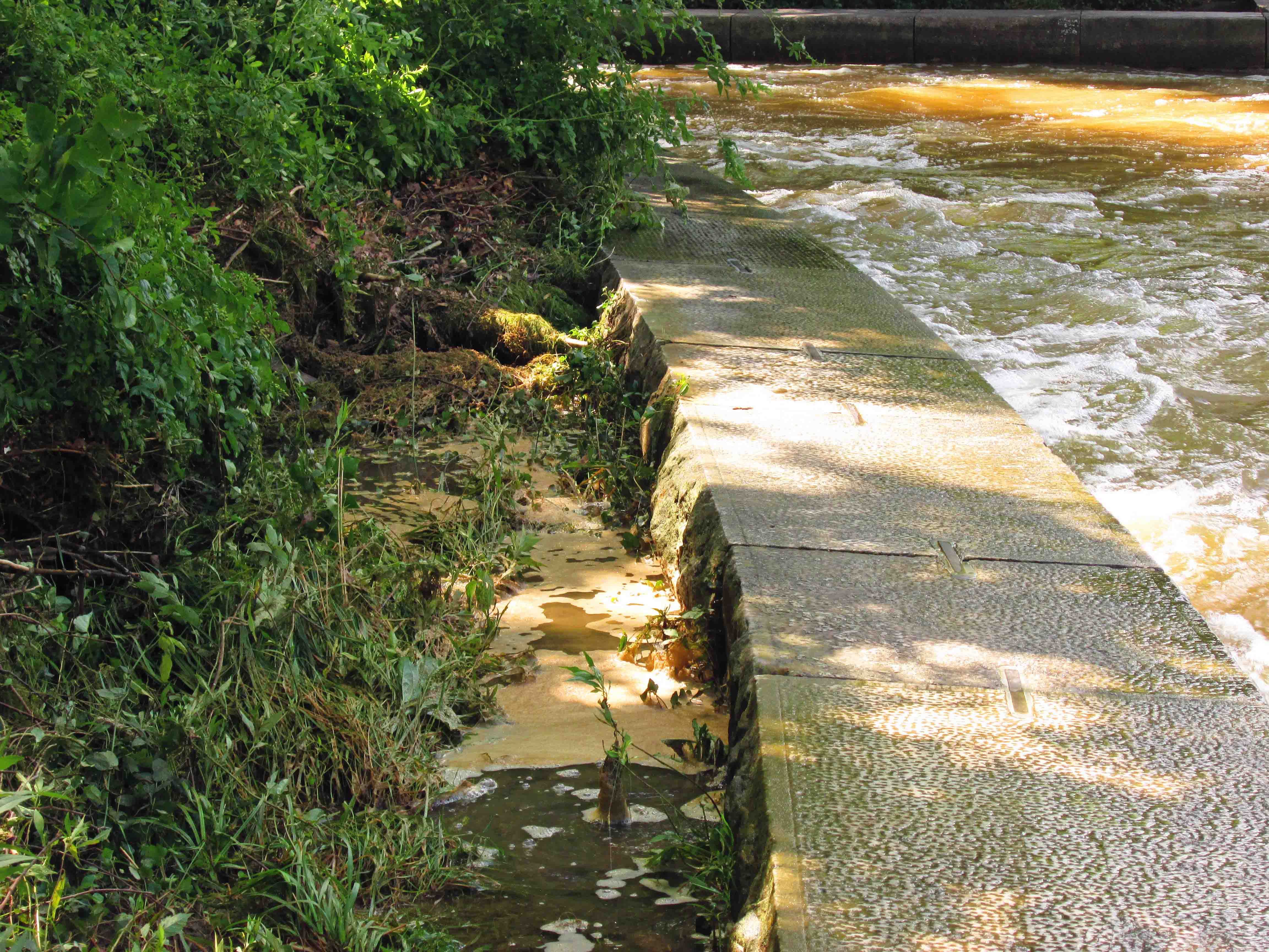
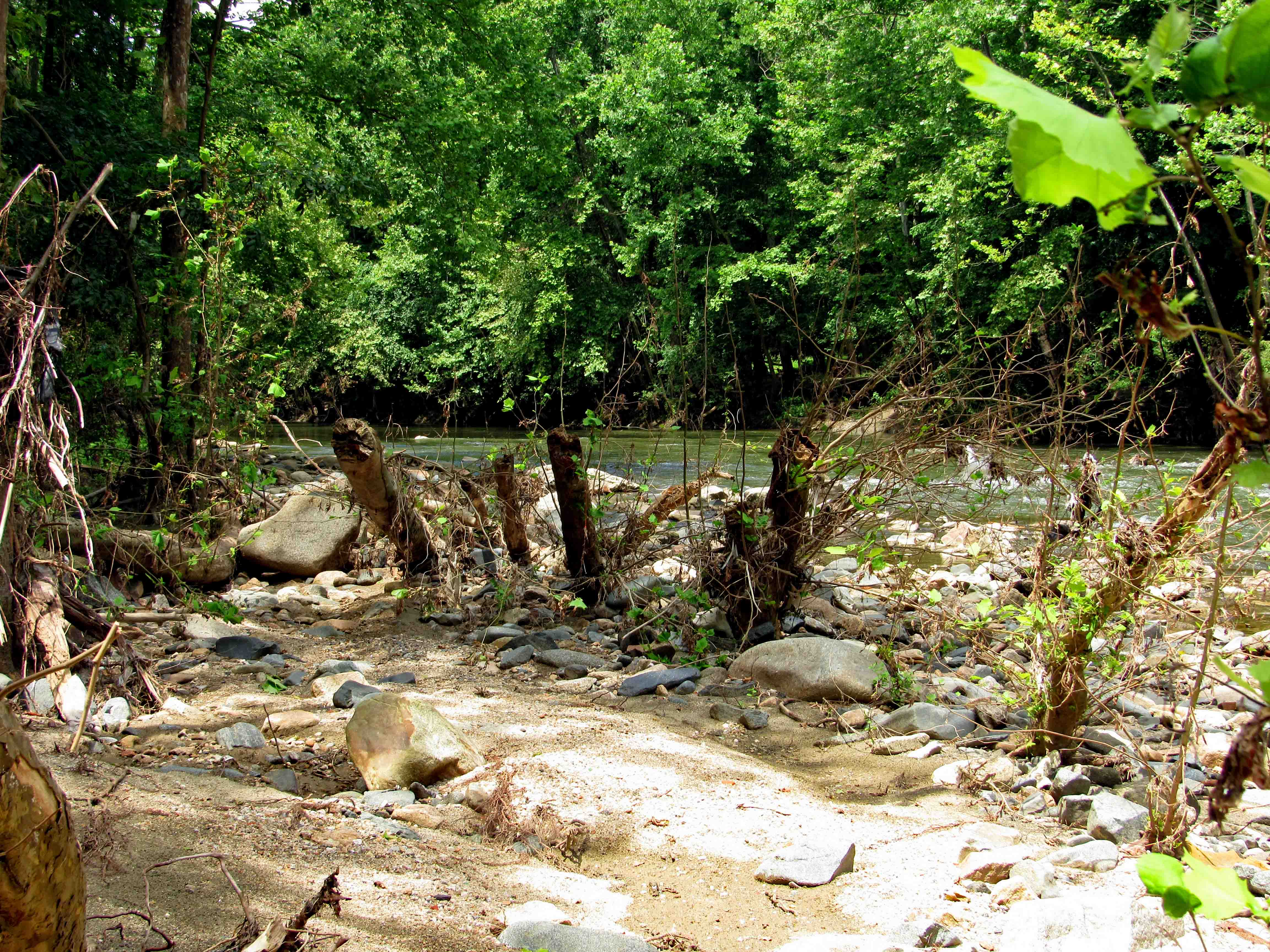
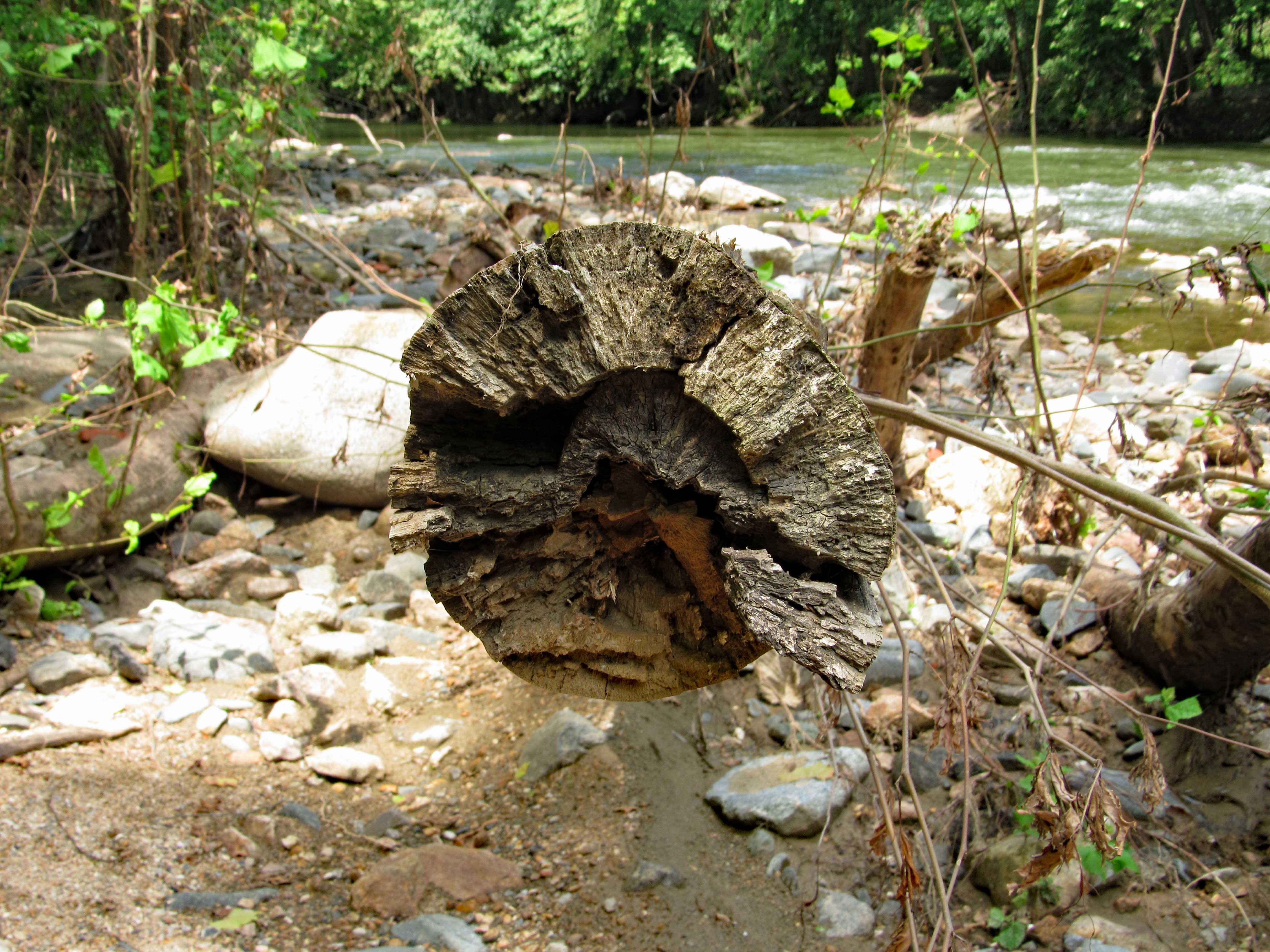
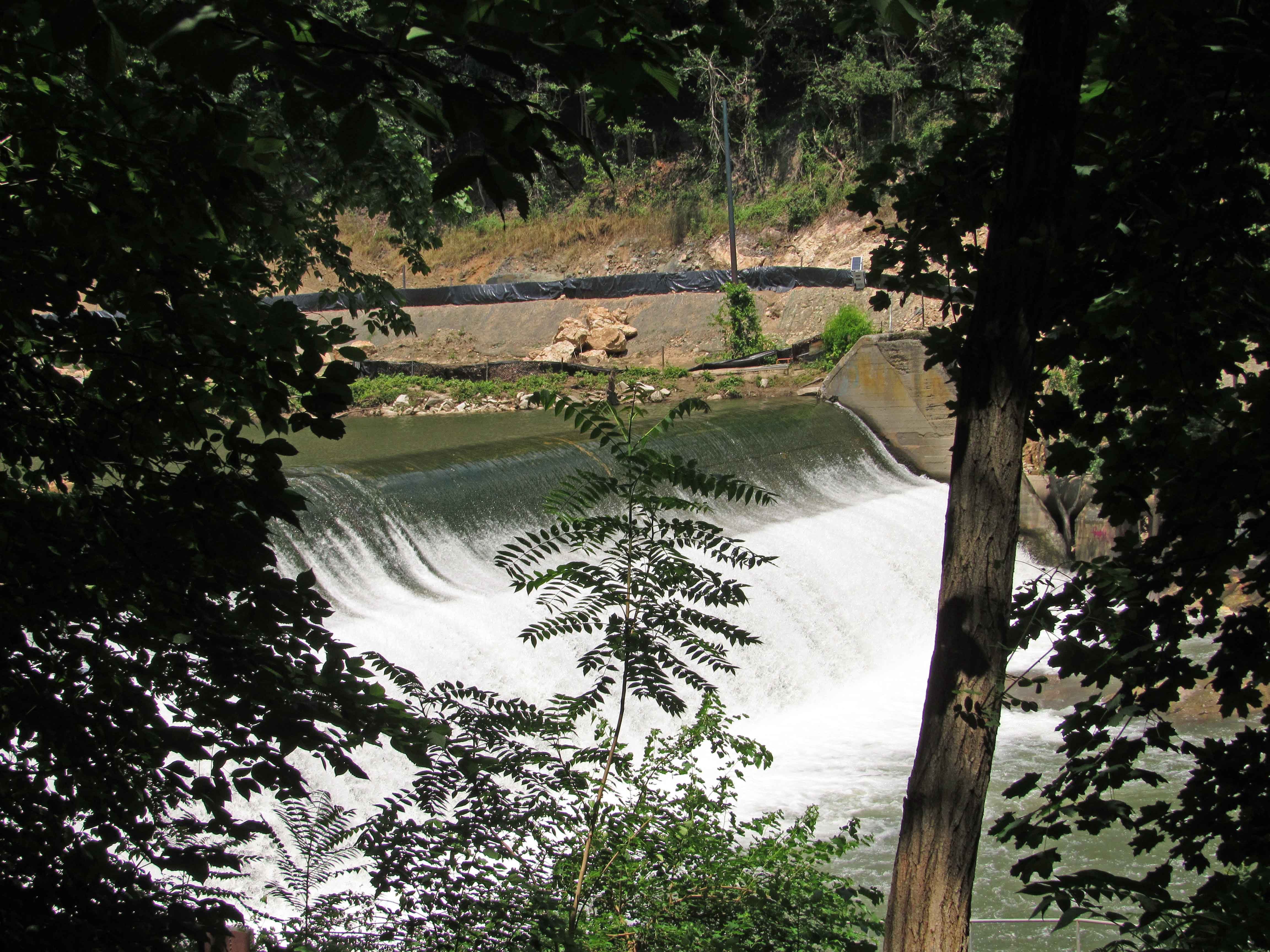
Looking across the Gunpowder to the opposite shore.

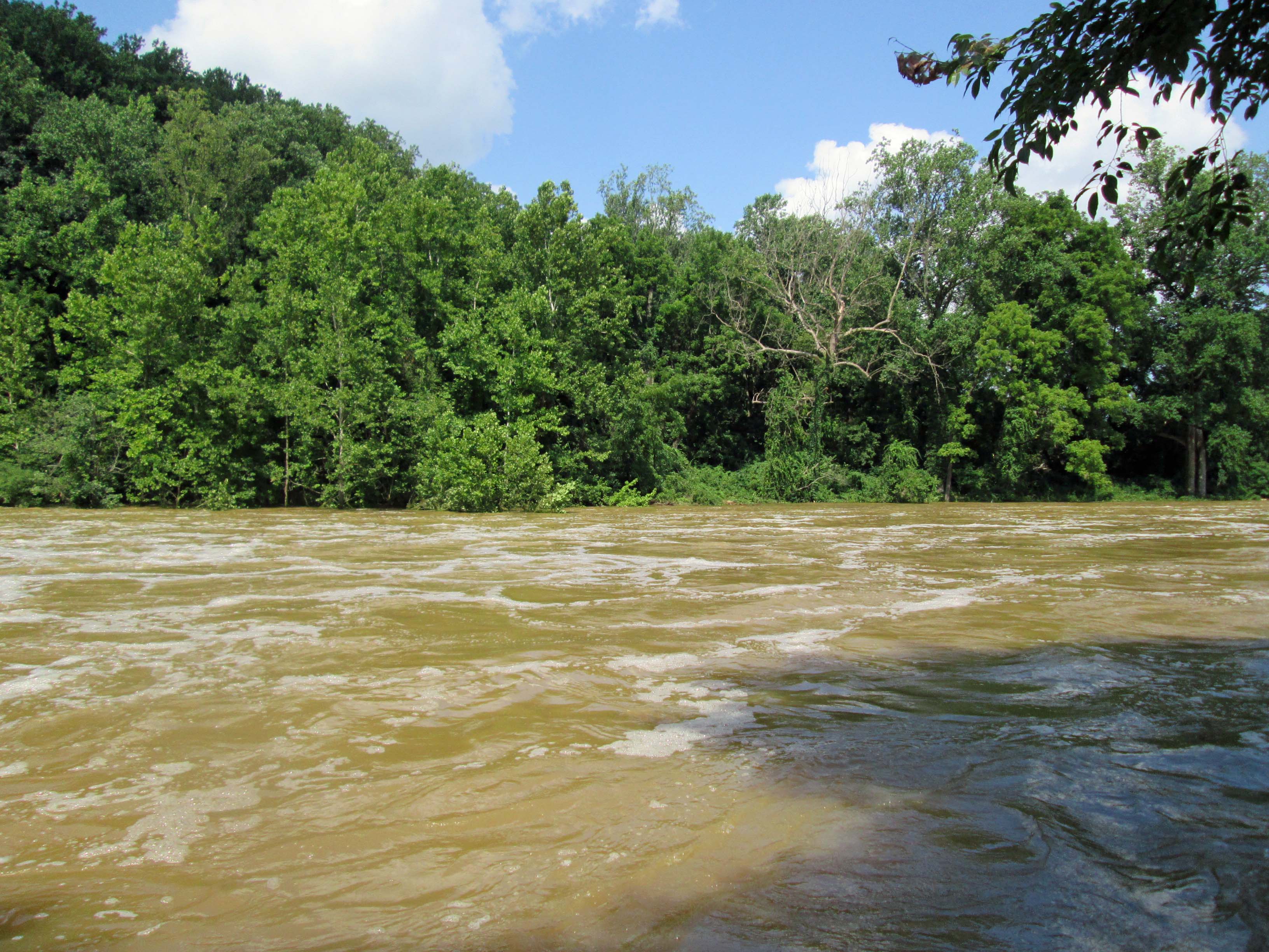
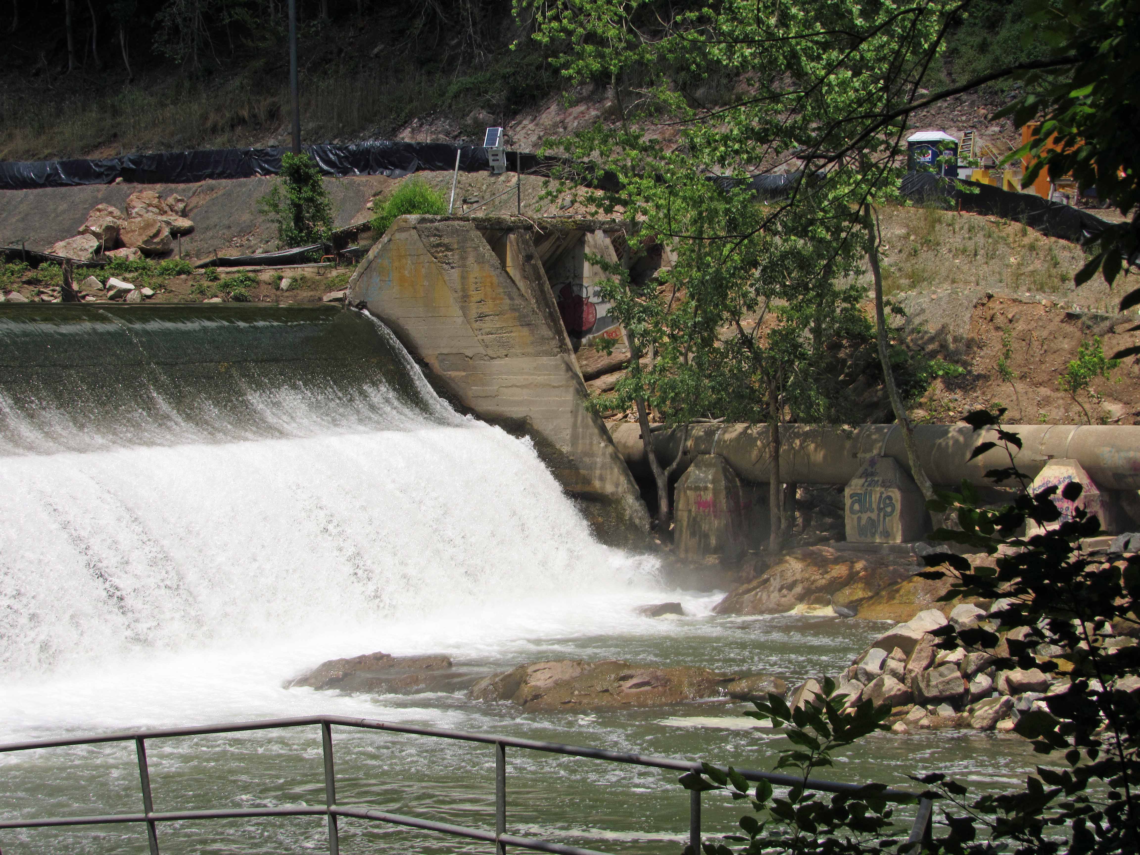
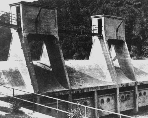
Then towards the dam itself. Remembering when Kathy and I were able to gingerly stroll across here, to get to the other side!

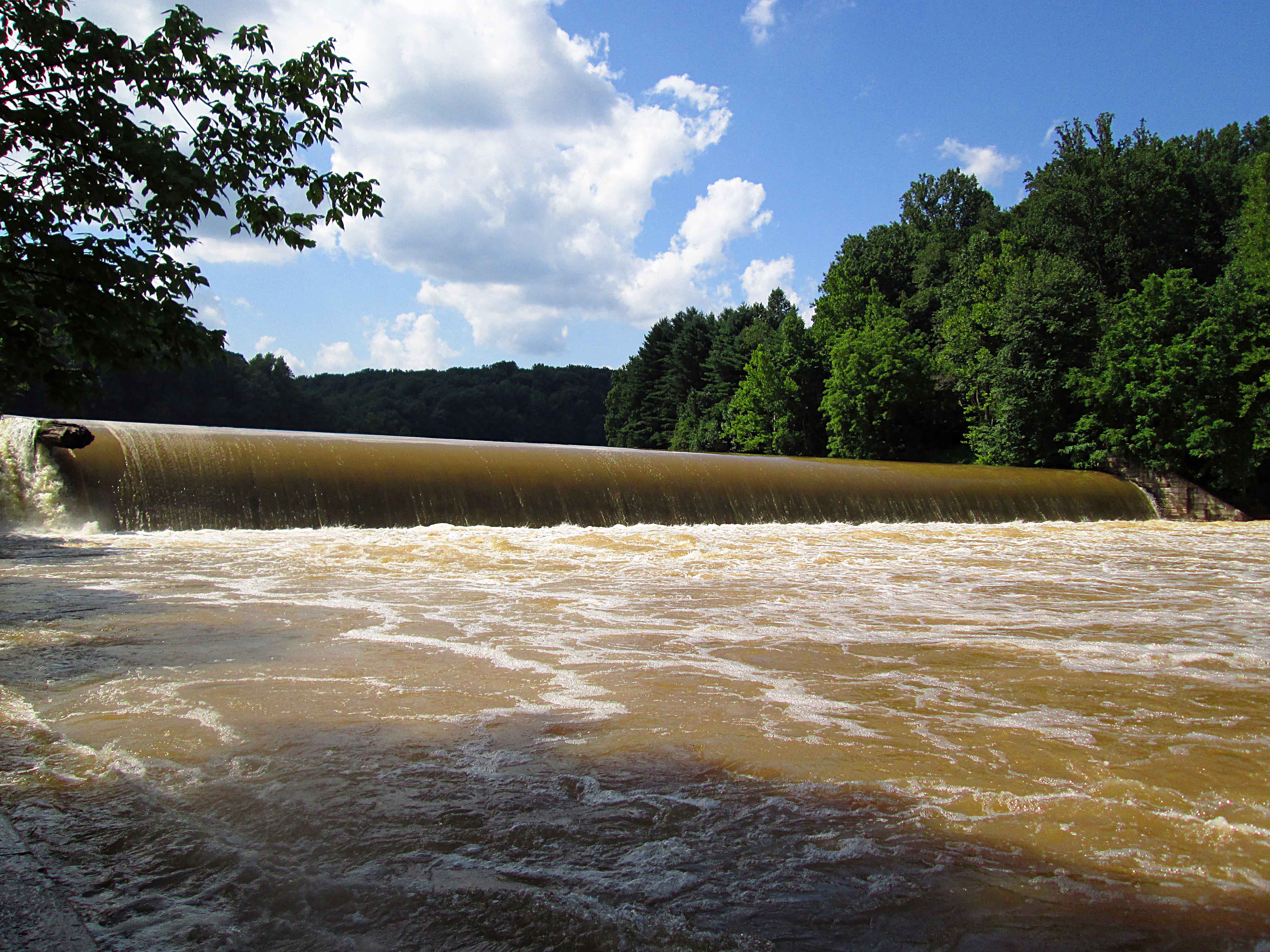
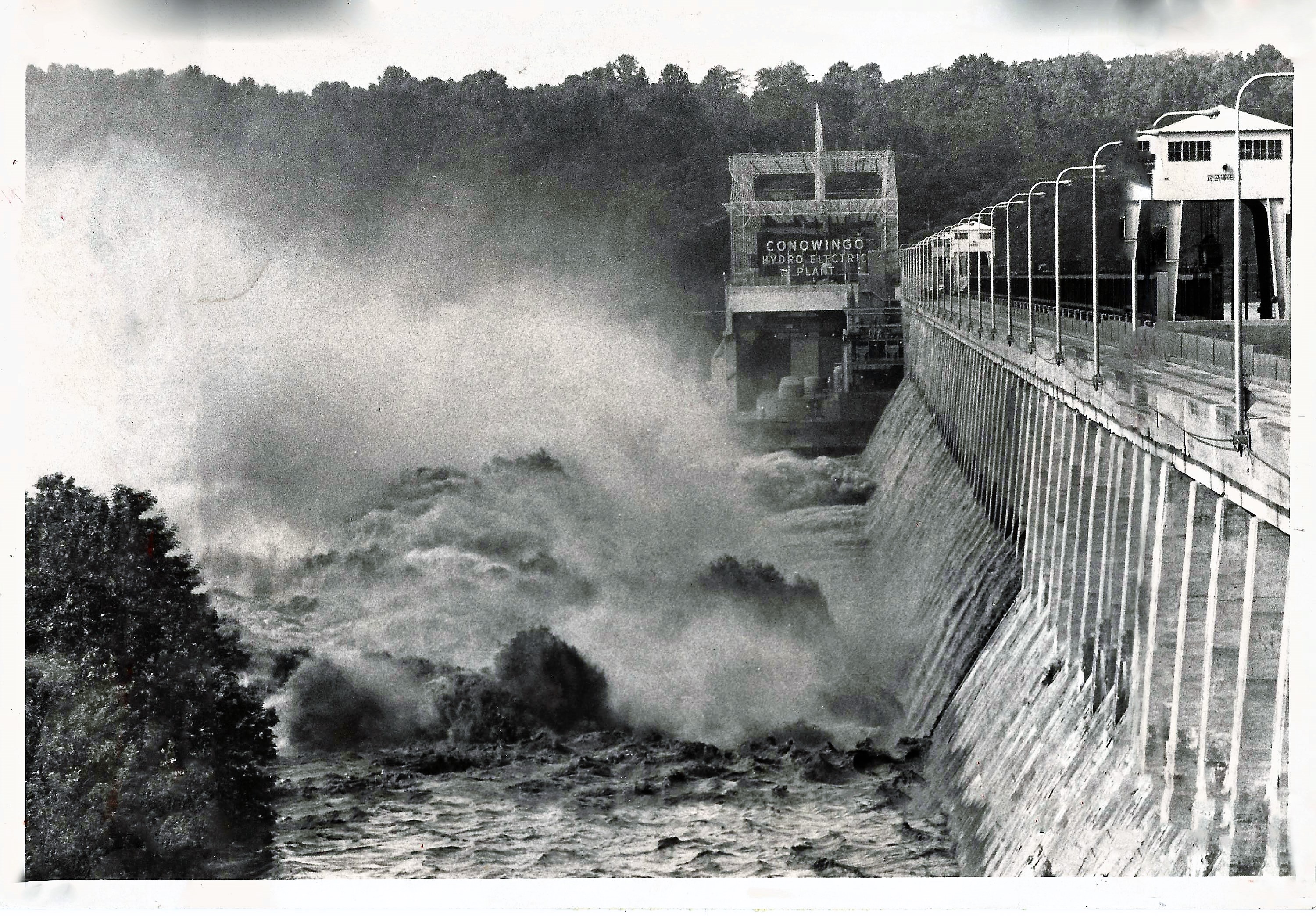
On Loch Raven Drive, looking towards the new dam.

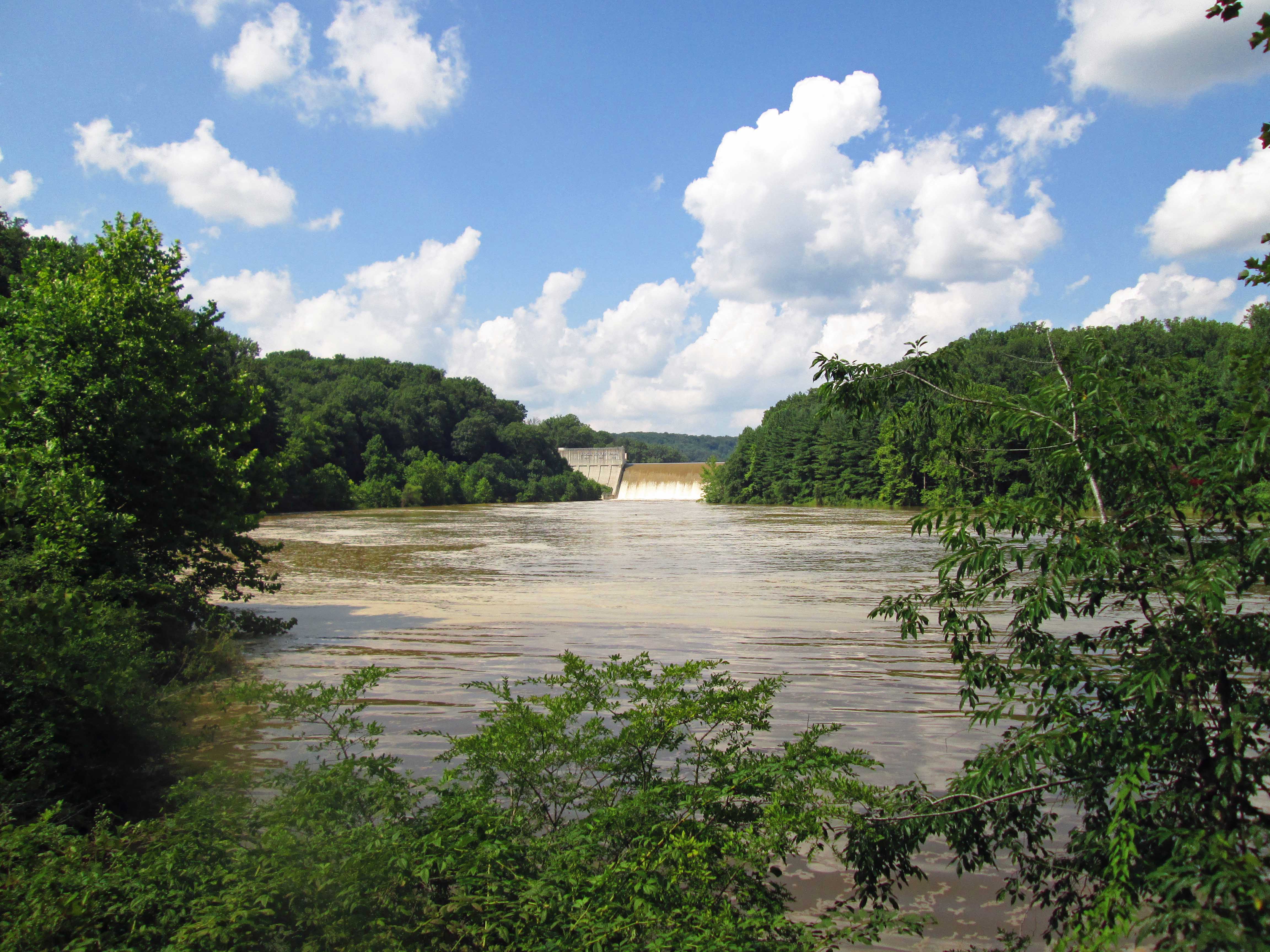
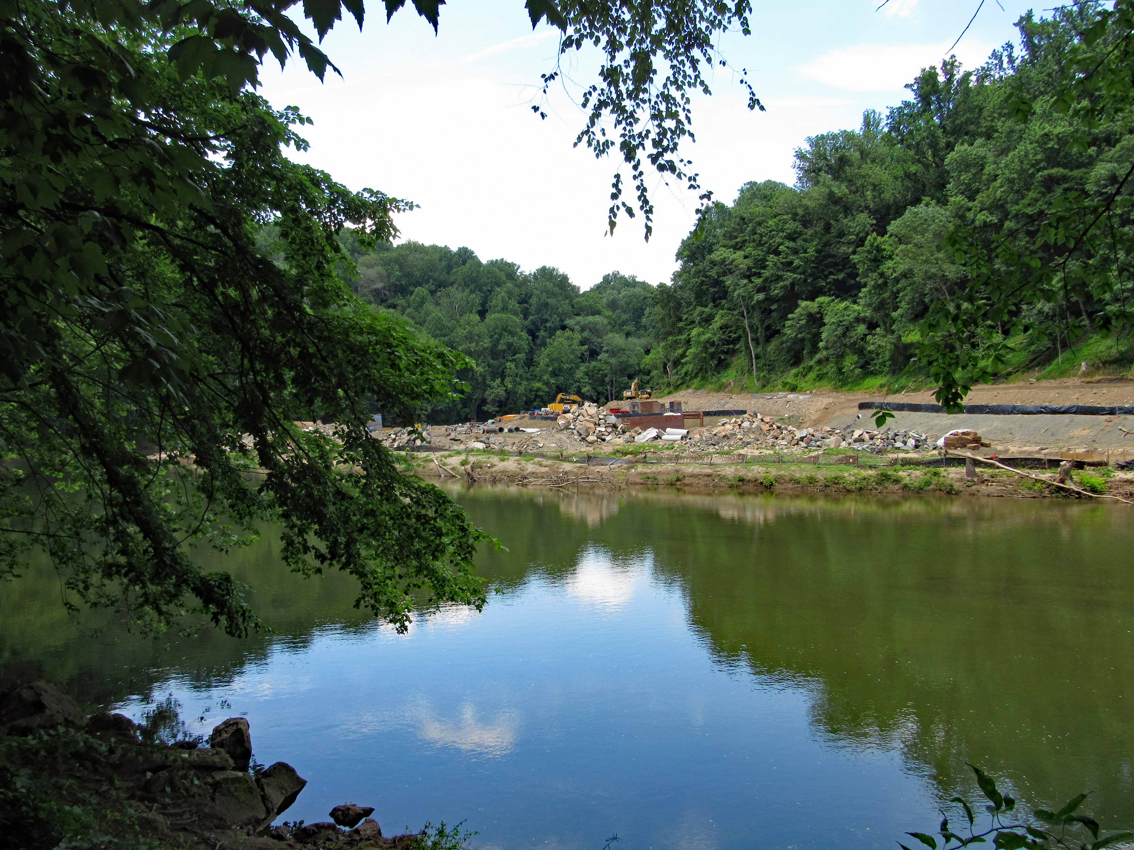
If there is this much mud and silt from the small streams that feed the Gunpowder, can you imagine all the crap in the waters of the Susquehanna River! 444 miles of dirty water emptying into that river and then our Bay!

The water above the new dam is our drinking water. And even though this water looks pretty muddy and full of debris, once filtered at Montebello, it is still some of the best drinking water in the country. (Think I will get a raise for that promo! Ha!!)

Patapsco State Park Bloede’s Dam

25 Monday Jun 2018

Posted by Ronald Parks in Dams, Floods, Hiking

≈ 2 Comments

Tags

Avalon, Baltimore, Bloede Dam, engineering, Hiking, HISTORY, nature, Patapsco, photography, Public Works

Sunday was a nice day for a hike so we seized the moment and headed to Patapsco State Park. Because of all the flooding and the on-going construction to remove the Bloede’s Dam, a lot of the areas were closed off, which meant the same amount of people trying to cram the smaller accessible areas. Good thing we went early. Other than some parking at the Avalon side, the only other parking was on River Road near the swinging bridge, which was also closed off.

So we parked and took this trail.

I remember seeing this a few years ago. still not sure what it is. I think it may have been a water fountain, that by river pressure through a pipe, supplied water?

A Maryland Department of Natural Resources Geological Survey marker off the side of the trail.

The devastation from the flooding was unbelievable. This area is a few miles downstream from Ellicott City. Part of someone’s fence.

Part of a car.

Trees wrapped around trees…

Or just snapped off

Snap…

Debris everywhere, unless maybe brought here by a fisherman? Did find a bunch of sea glass (or stream glass!)

Heading to the dam, which is just under a mile away, we can see some construction debris on the other side.

Along with some debris you really don’t want to see in a stream.

Approach to the dam and construction site. From what I read, they are moving the sewer line, putting the Grist Mill Trail over it and removing the dam. 

The fish lift. Trees in the fence. 

The sewer line that needs moving.

Another view of dam.

Above the dam. The construction site, which a lot was washed away in the flood. I like how in this photo the sky is white but the reflection is blue.

On top of dam abutment. Debris just rolled right over the fence.


Historic photo of dam about 1907. Good history on Wiki.

These two photos courtesy of Baltimore County Public Library and Wikipedia.

If you read the Wiki article you can see that this was a world’s first hydro dam, 1906.

https://en.wikipedia.org/wiki/Bloede%27s_Dam


Conowingo During Agnes 1972

21 Friday Oct 2016

Posted by Ronald Parks in 1972, Dams, engineering, Floods

≈ 2 Comments

Tags

Baltimore, bridges, Conowingo, Dams, engineering, HISTORY

Came across this Sun Paper photograph showing, what it says on the back, that all 53 gates of the dam were opened during the storm. It doesn’t look like all 53 are opened. In a 2008 interview, a former Conowingo Employee, Elder Silvercloud tells us that many of the flood gates wouldn’t open. They were stuck. Another article I read said they were going to dynamite a portion of the dam to relieve pressure? In 2011 another storm caused them to open 43 gates. For more info, Google Search Conowingo Dam Agnes.

conowingo1

Notice there are no watermarks saying ebay or sun paper – that is because I do not steal these photos off the internet. They are in my personal collection.

conowingo2


Blogroll

  • Flouride Action Network
  • lulu
  • My Book
  • WordPress.com
  • WordPress.org

Recent Posts

  • ICELAND April 2023
  • George Chalmers of Fochabers
  • In Search of The Skipjack Ada Mae
  • Trap Pond Kayak
  • Pusey Trail and Cemeteries

Blog at WordPress.com.

  • Follow Following
    • Water and Me
    • Join 226 other followers
    • Already have a WordPress.com account? Log in now.
    • Water and Me
    • Customize
    • Follow Following
    • Sign up
    • Log in
    • Report this content
    • View site in Reader
    • Manage subscriptions
    • Collapse this bar
 

Loading Comments...