
Tags
Avalon, Baltimore, Bloede Dam, engineering, Hiking, HISTORY, nature, Patapsco, photography, Public Works
Sunday was a nice day for a hike so we seized the moment and headed to Patapsco State Park. Because of all the flooding and the on-going construction to remove the Bloede’s Dam, a lot of the areas were closed off, which meant the same amount of people trying to cram the smaller accessible areas. Good thing we went early. Other than some parking at the Avalon side, the only other parking was on River Road near the swinging bridge, which was also closed off.
So we parked and took this trail.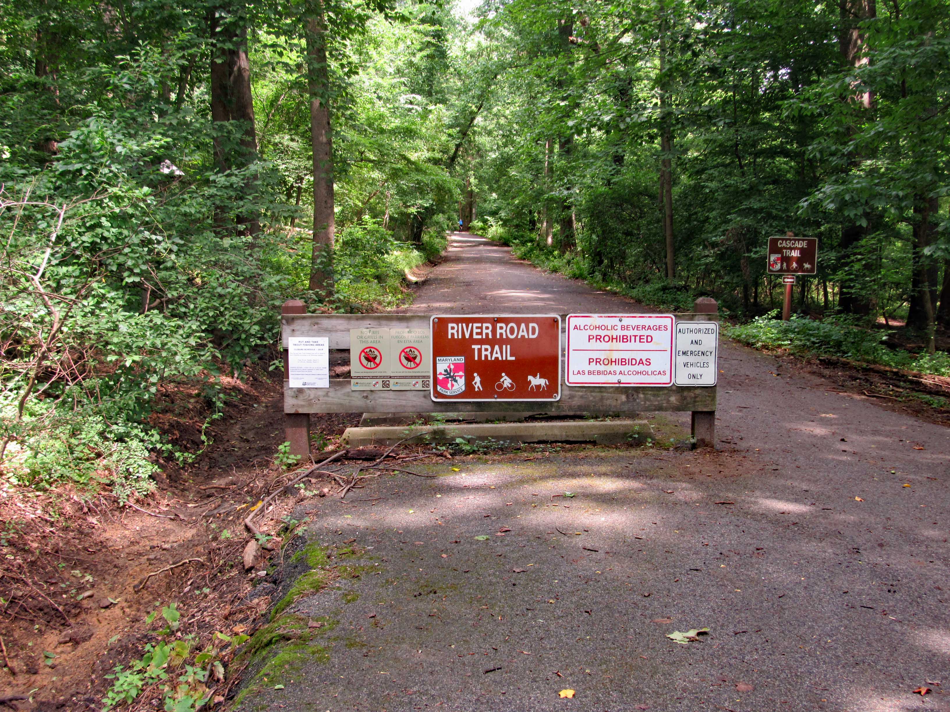
I remember seeing this a few years ago. still not sure what it is. I think it may have been a water fountain, that by river pressure through a pipe, supplied water?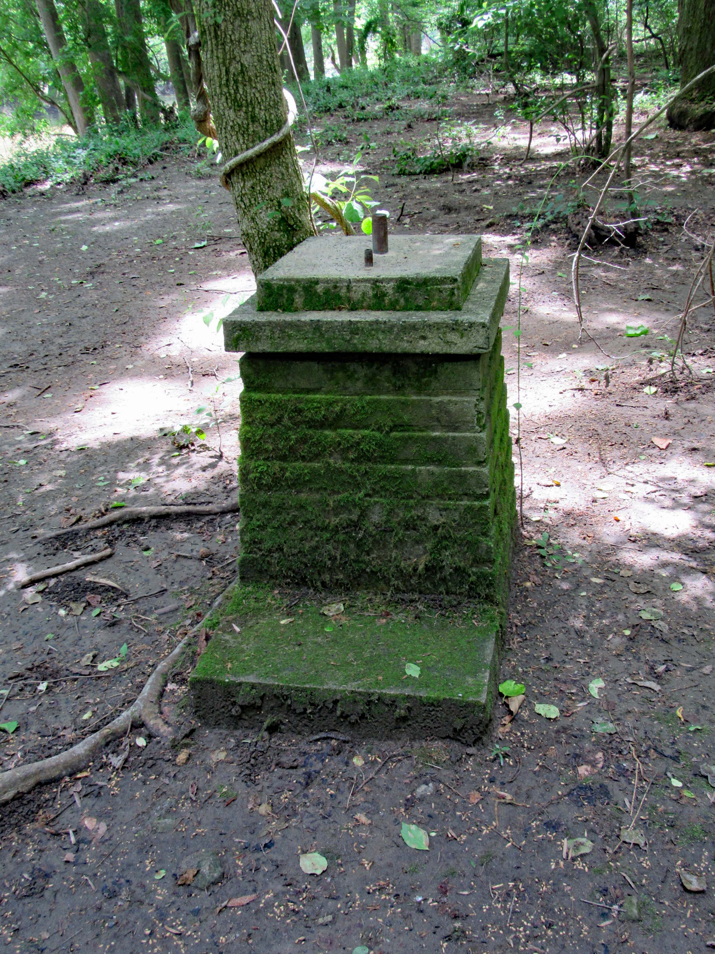
A Maryland Department of Natural Resources Geological Survey marker off the side of the trail.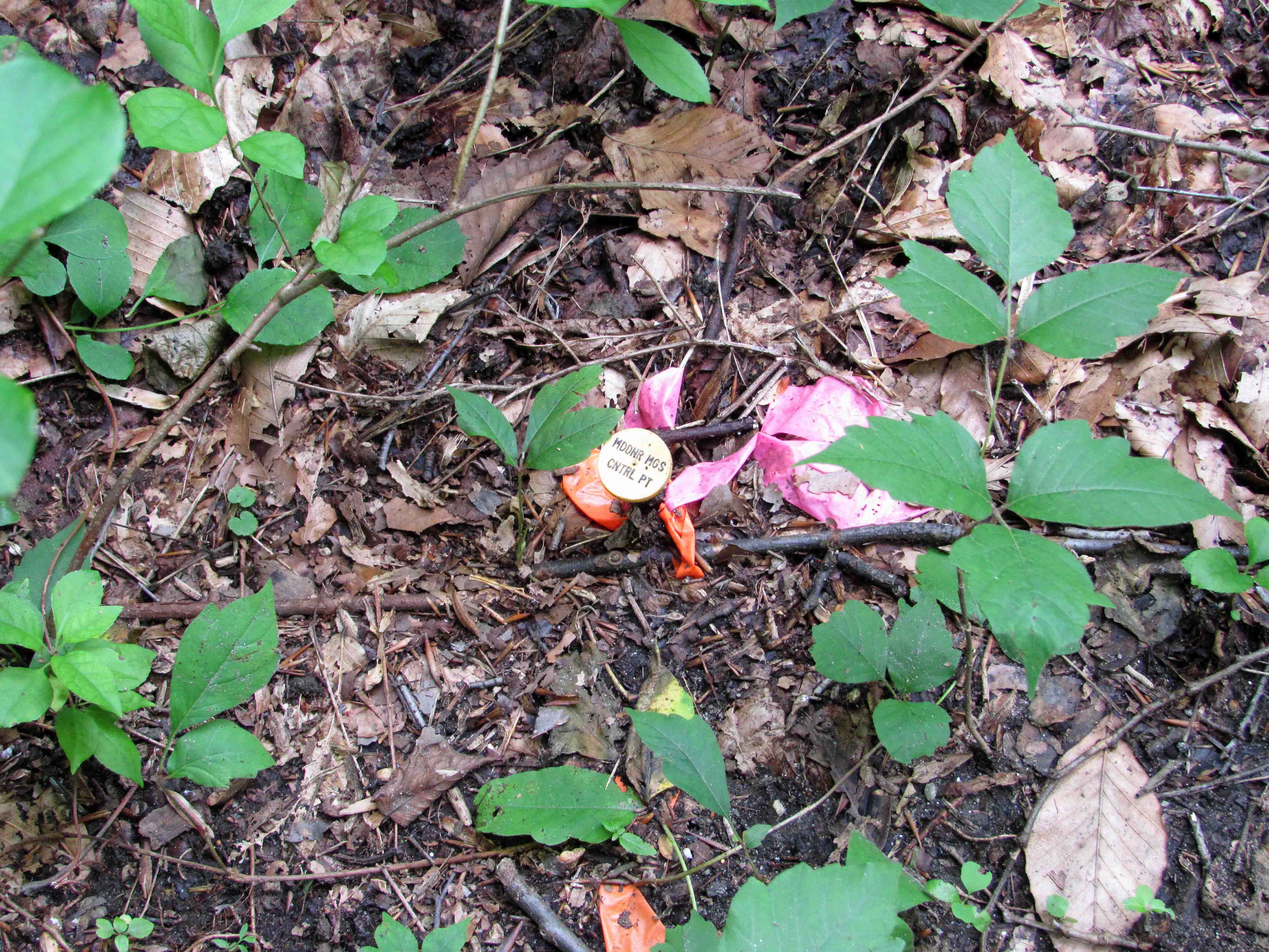
The devastation from the flooding was unbelievable. This area is a few miles downstream from Ellicott City. Part of someone’s fence.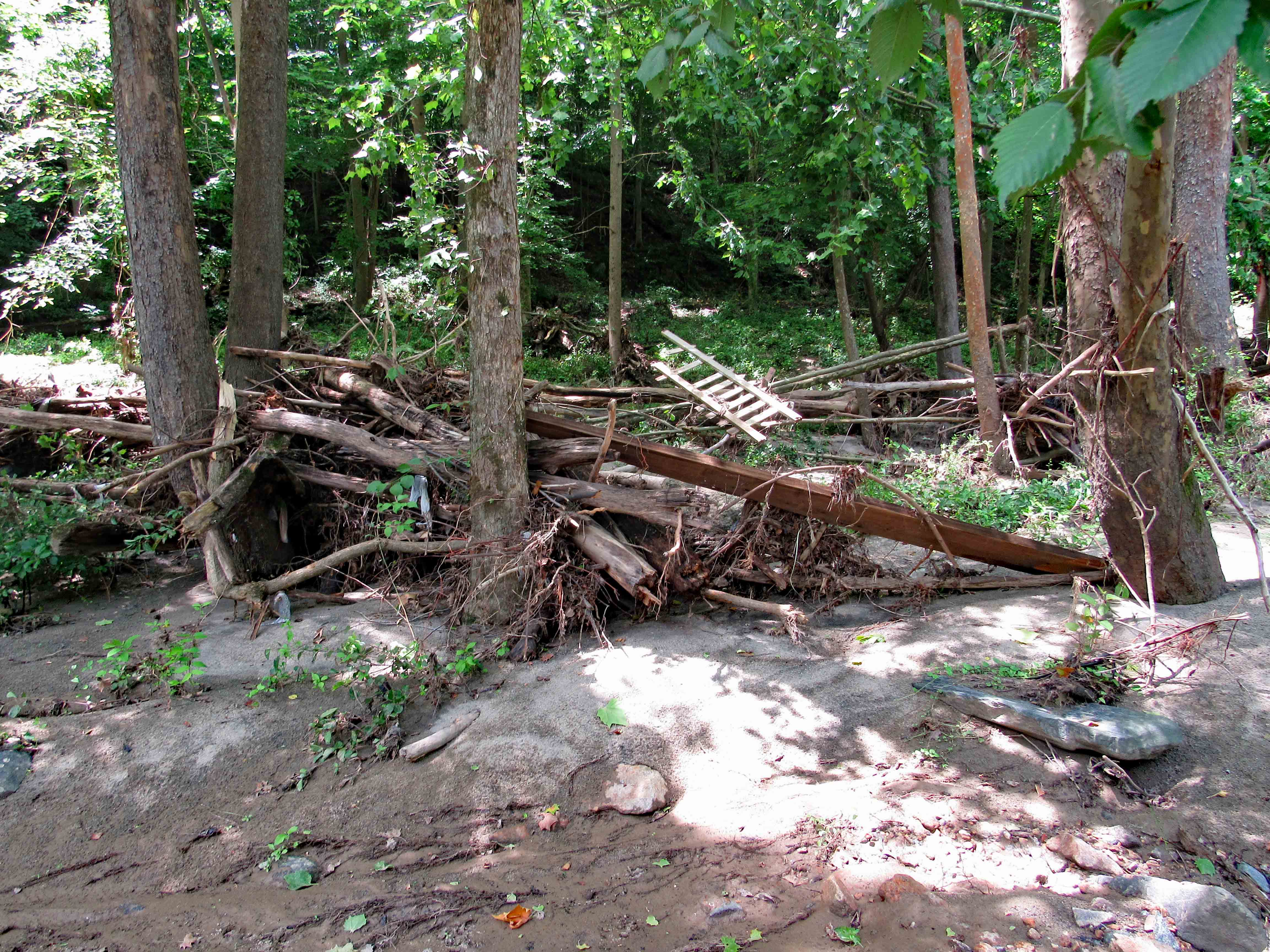
Part of a car.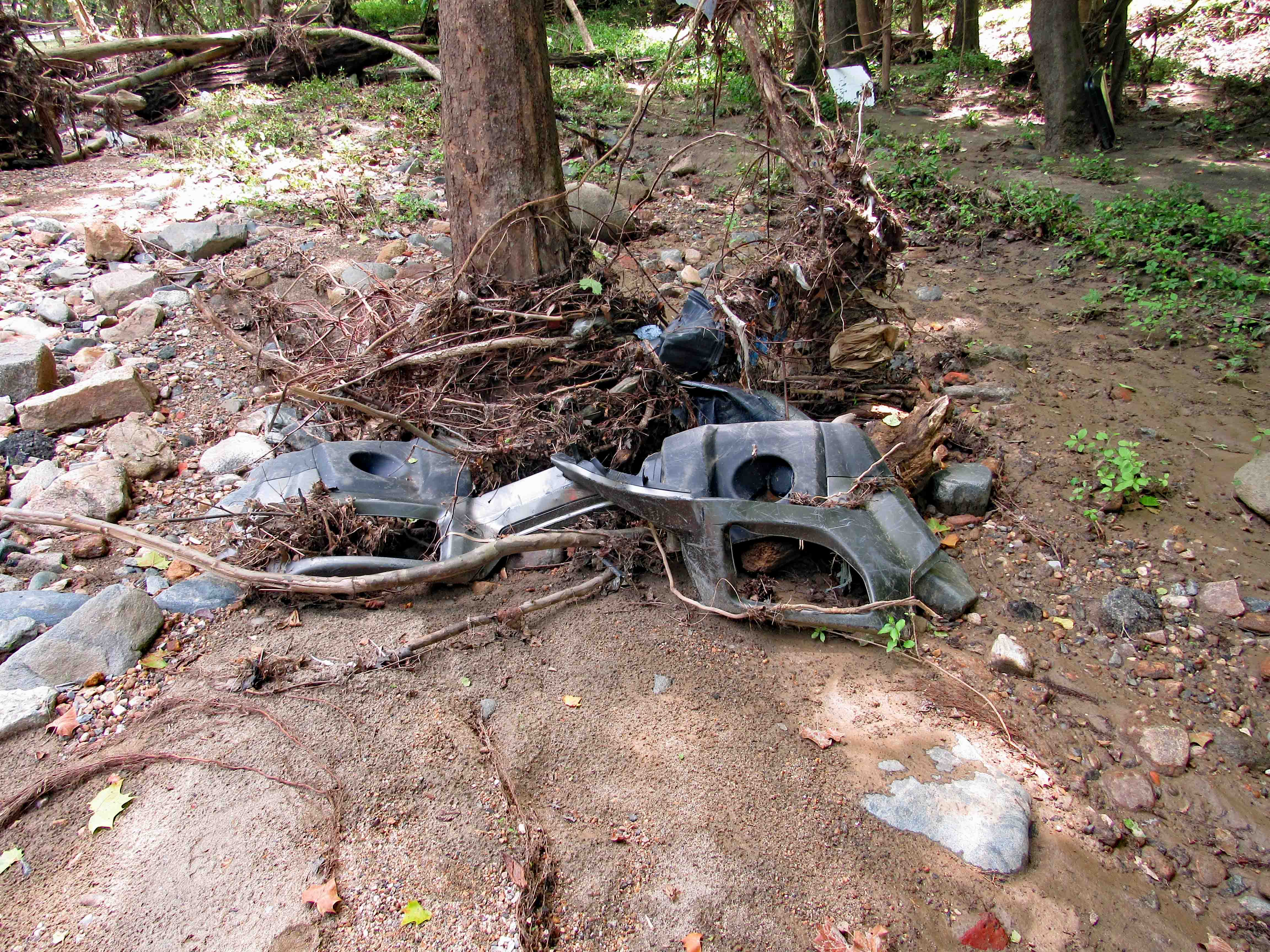
Trees wrapped around trees…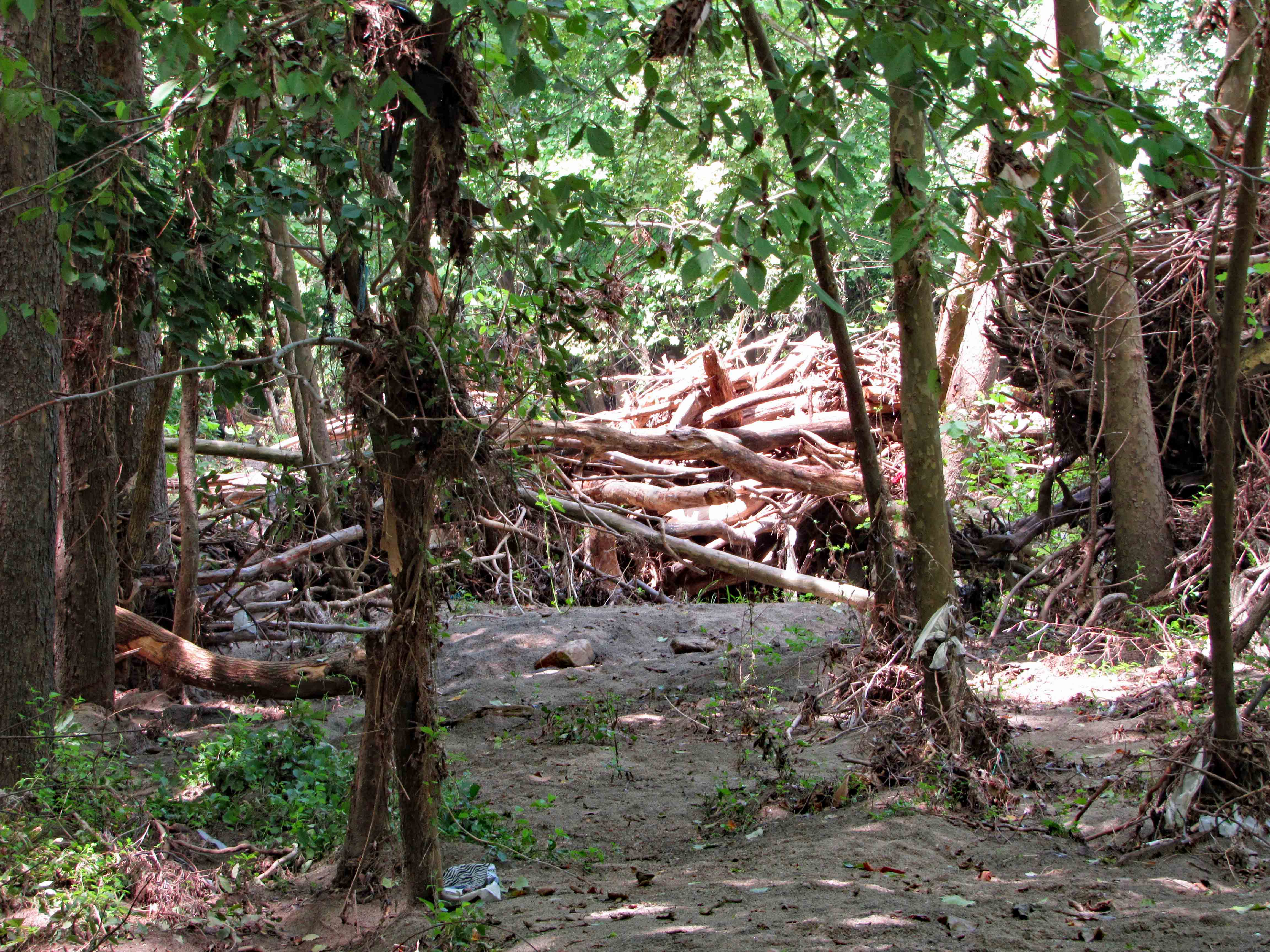
Or just snapped off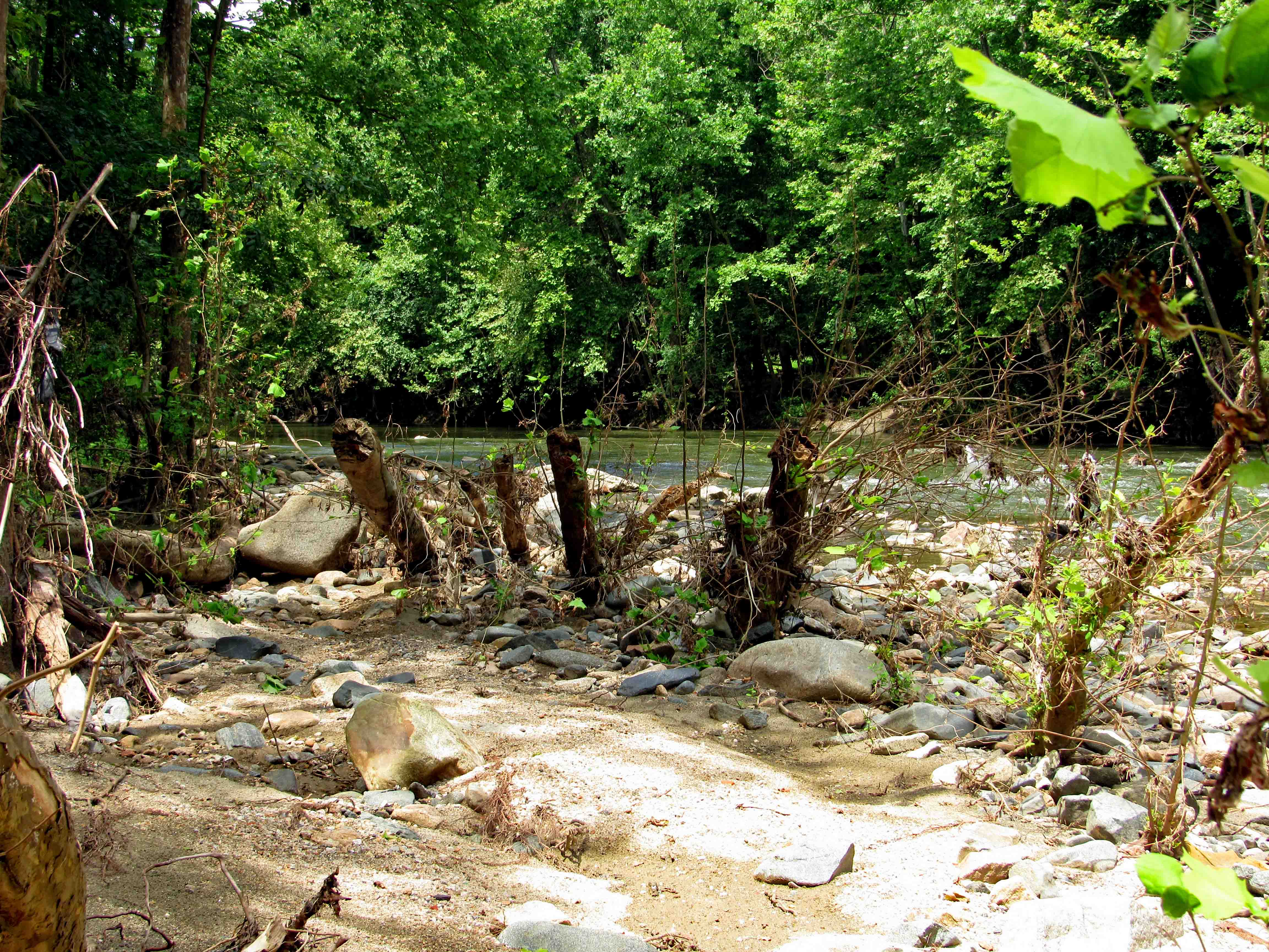
Snap…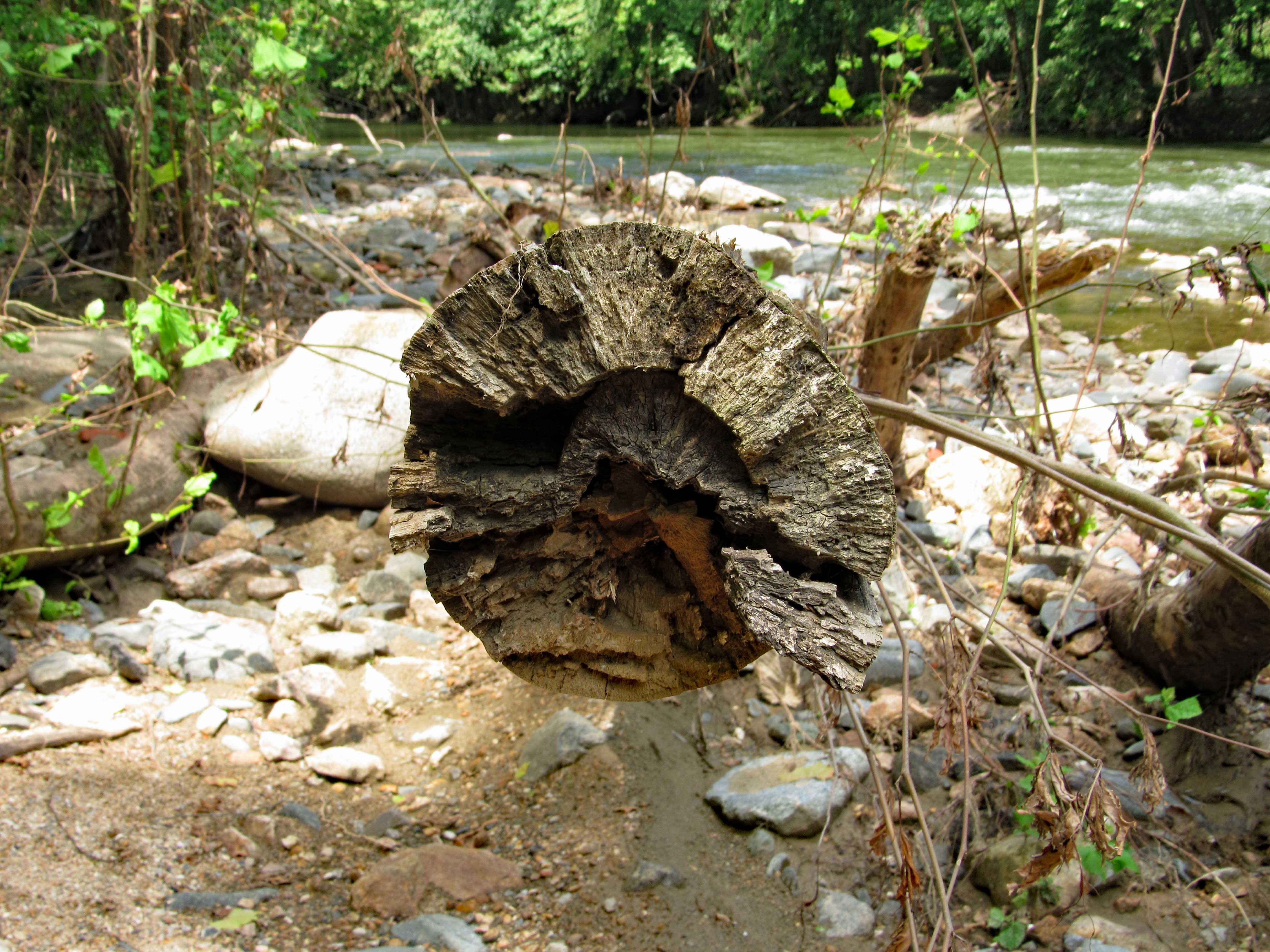
Debris everywhere, unless maybe brought here by a fisherman? Did find a bunch of sea glass (or stream glass!)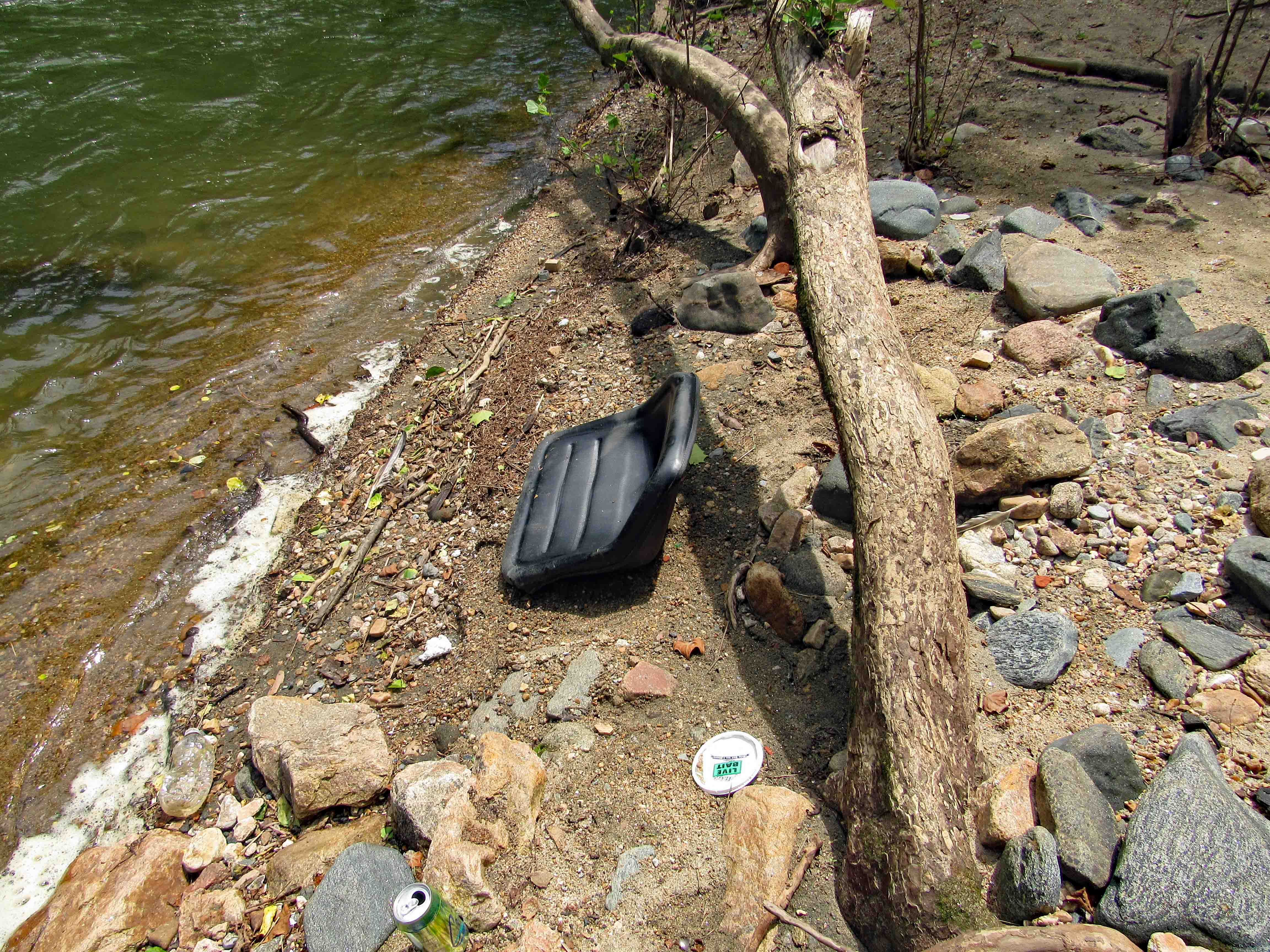
Heading to the dam, which is just under a mile away, we can see some construction debris on the other side.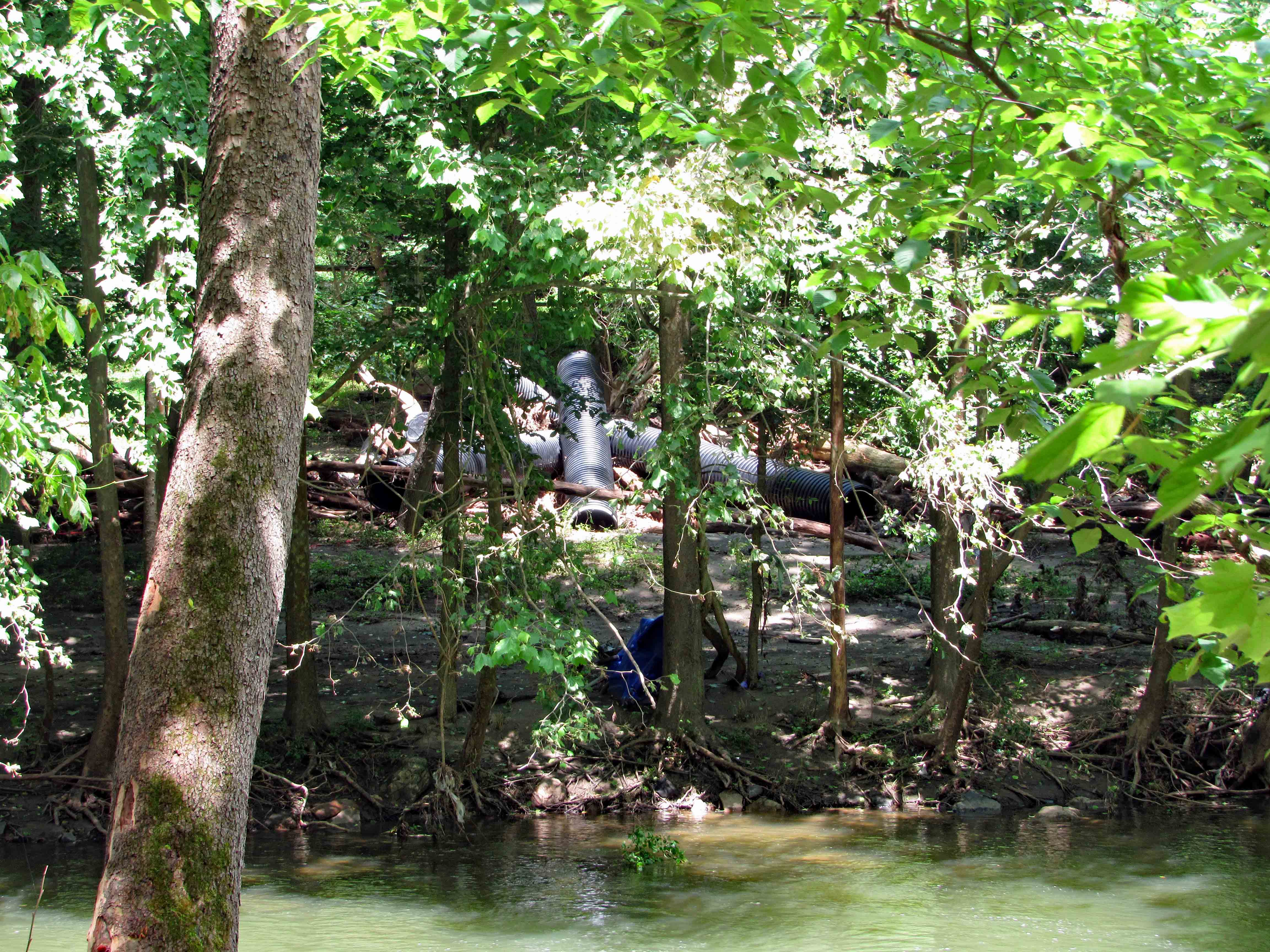
Along with some debris you really don’t want to see in a stream.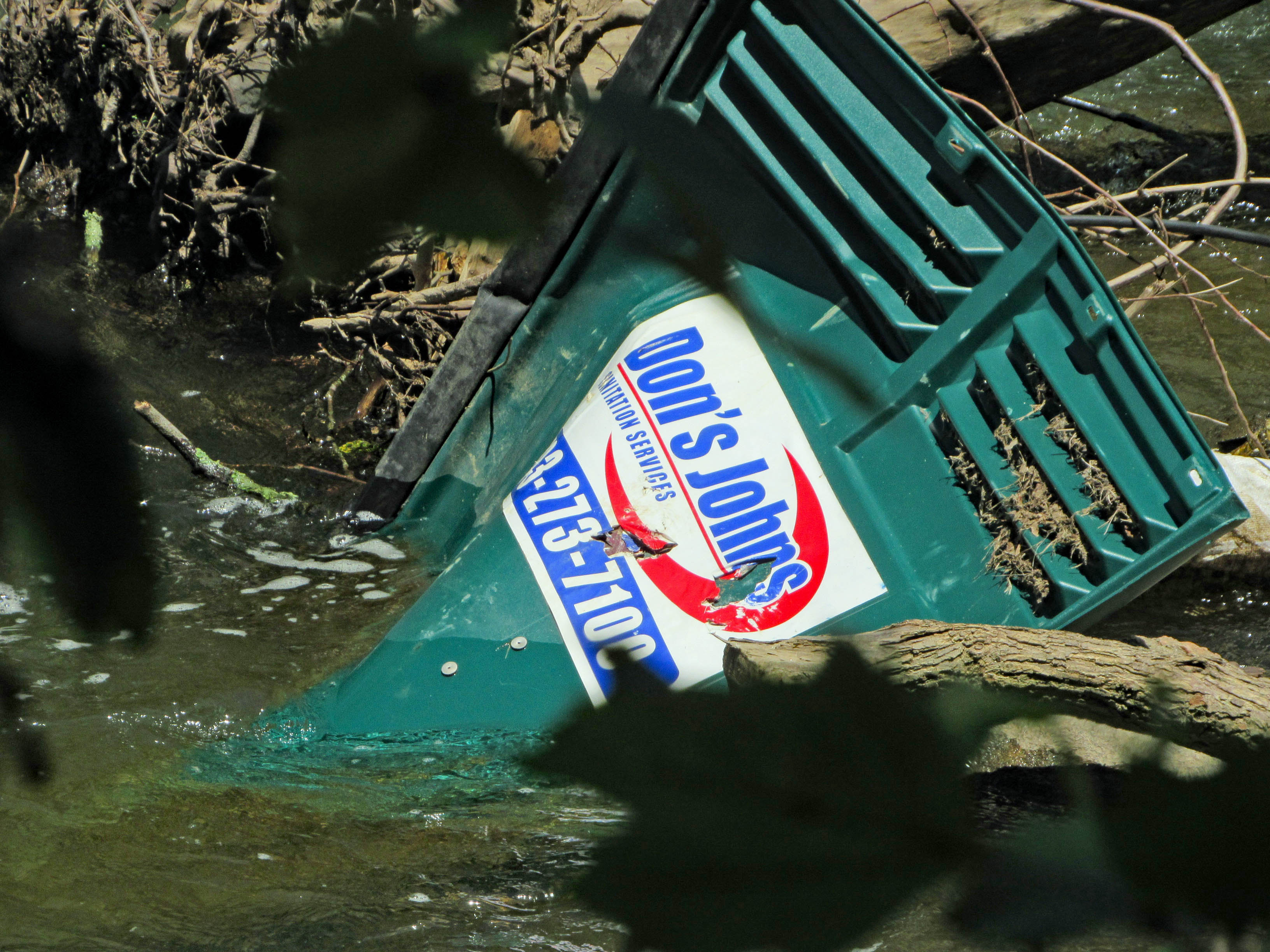
Approach to the dam and construction site. From what I read, they are moving the sewer line, putting the Grist Mill Trail over it and removing the dam. 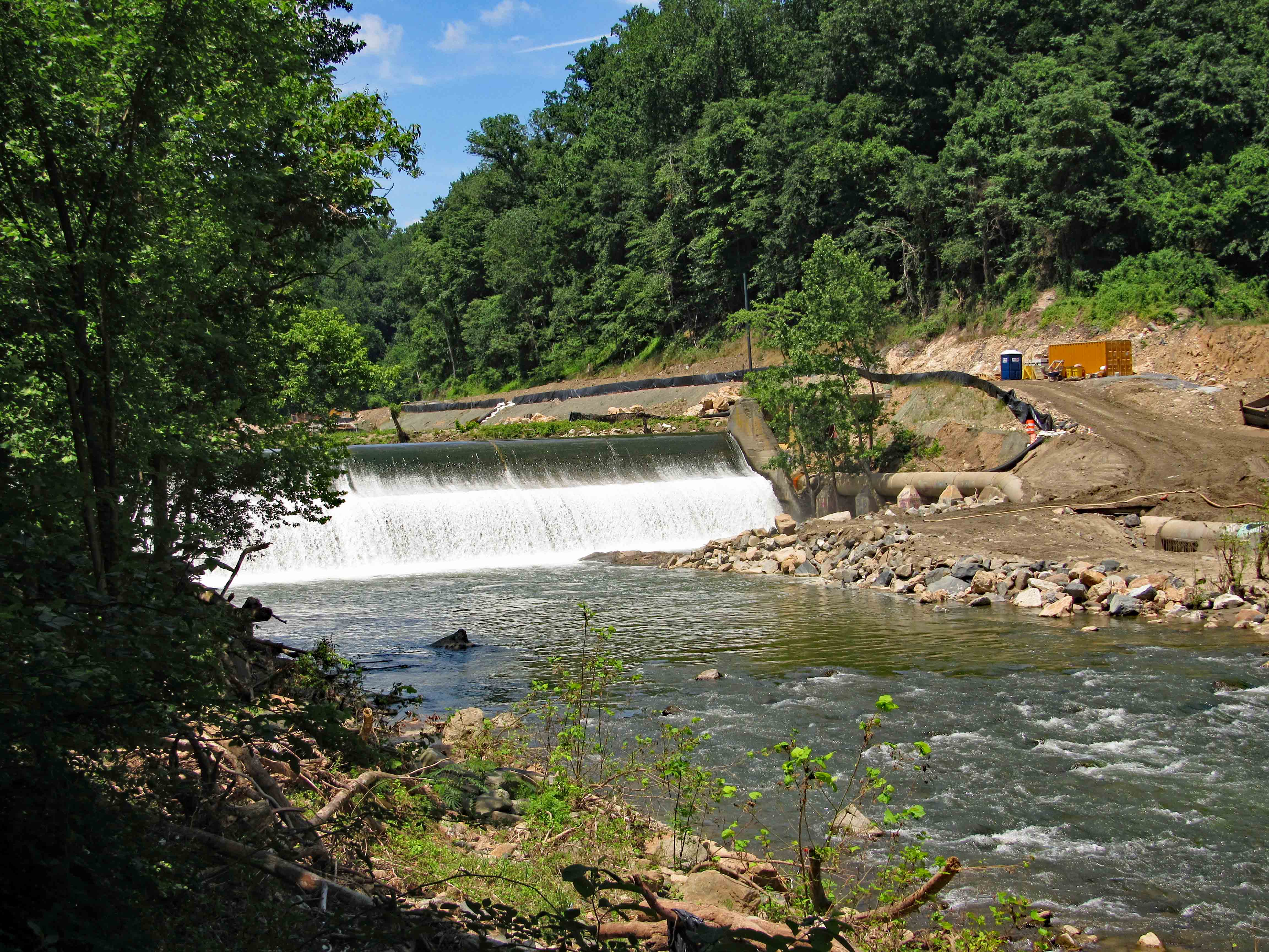
The fish lift. Trees in the fence. 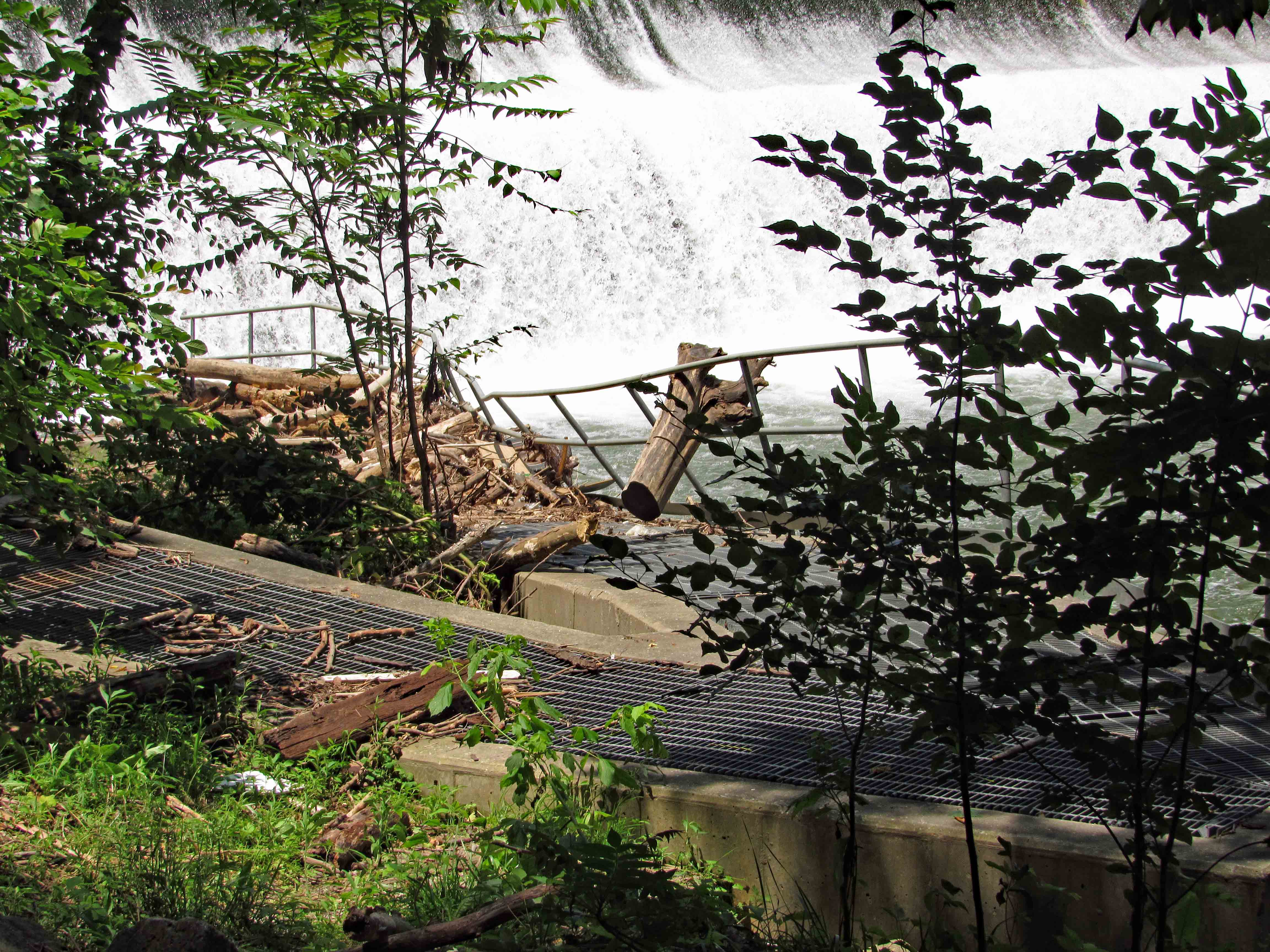
The sewer line that needs moving.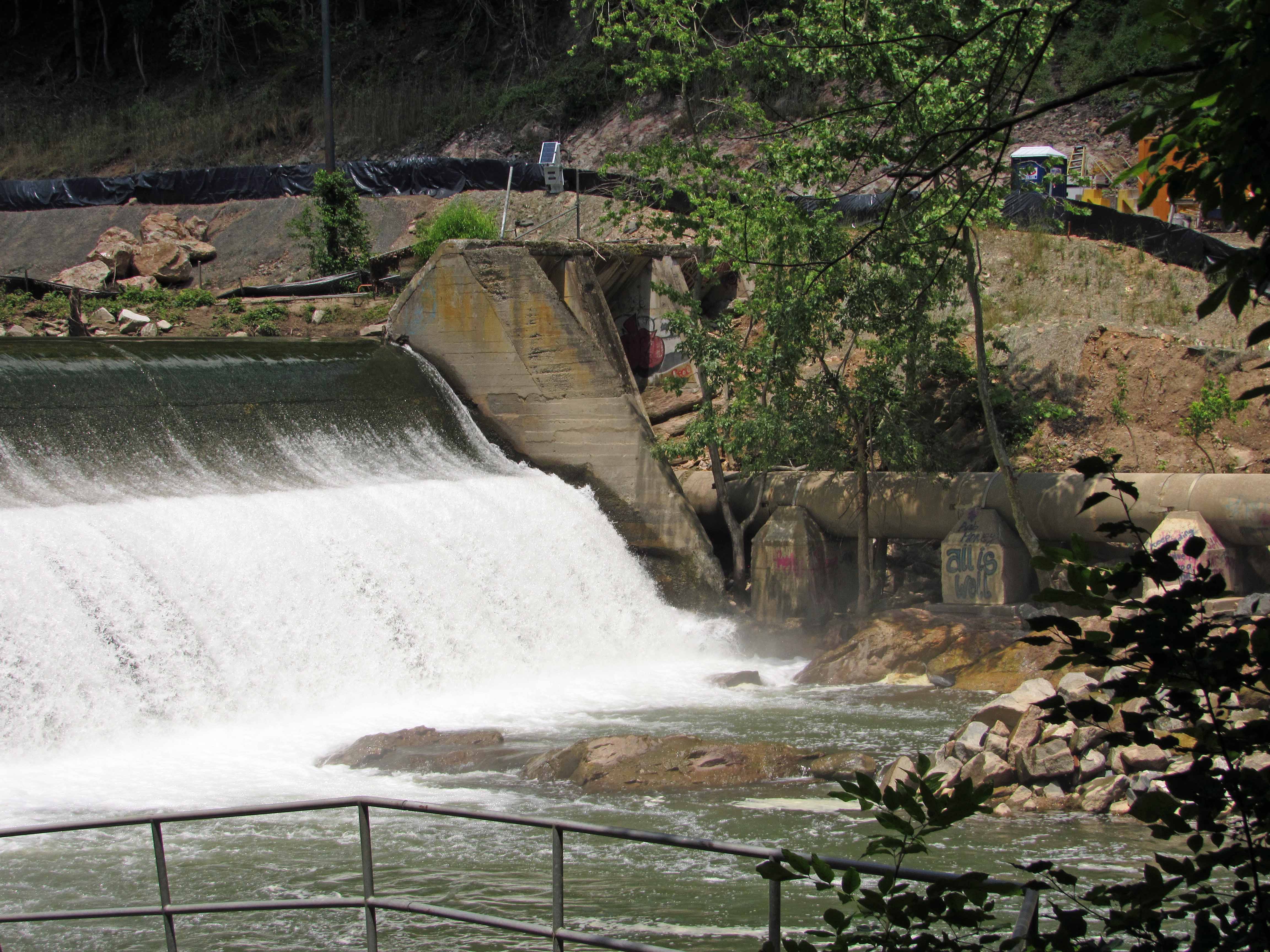
Another view of dam.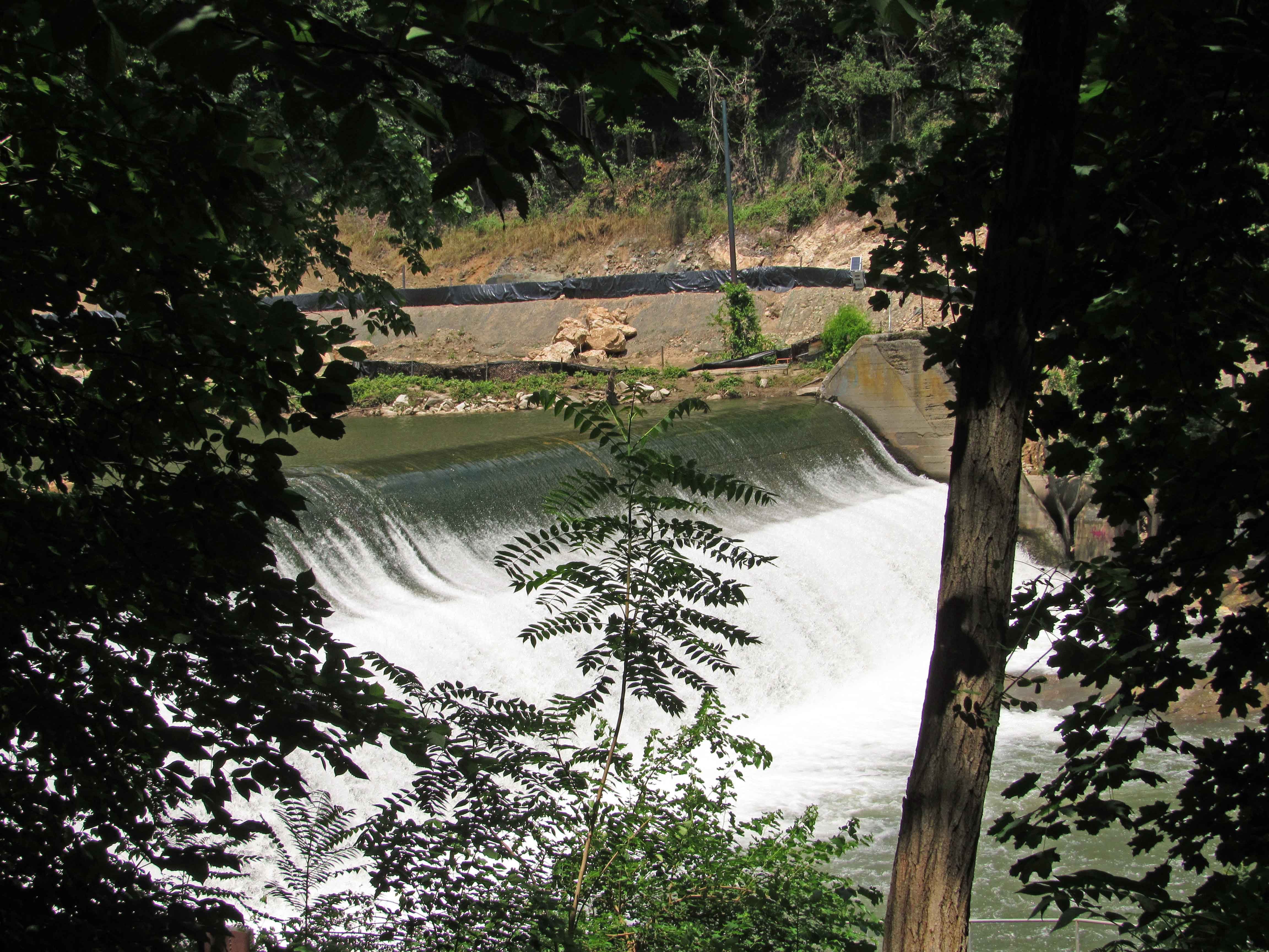
Above the dam. The construction site, which a lot was washed away in the flood. I like how in this photo the sky is white but the reflection is blue.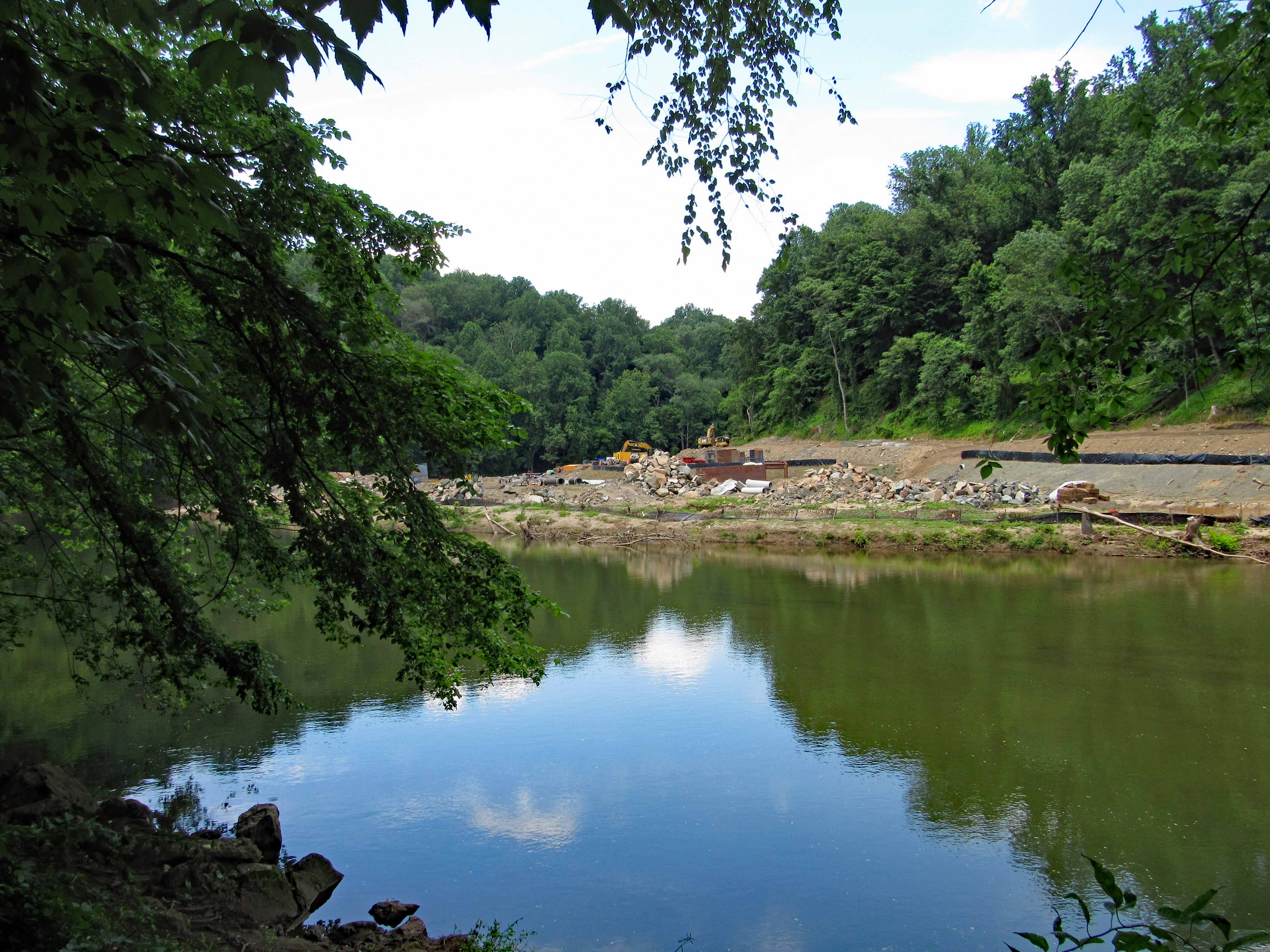
On top of dam abutment. Debris just rolled right over the fence.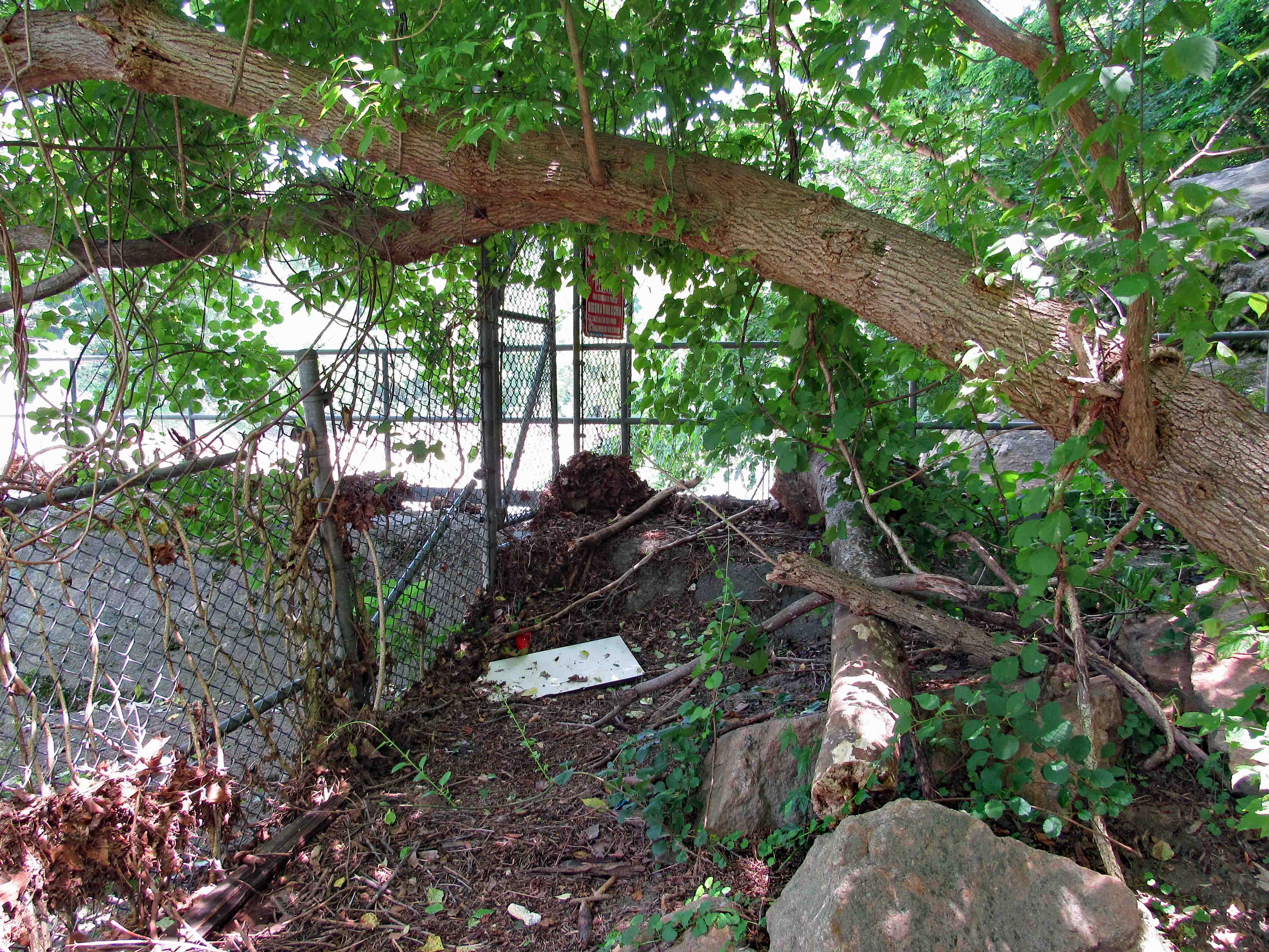
Historic photo of dam about 1907. Good history on Wiki.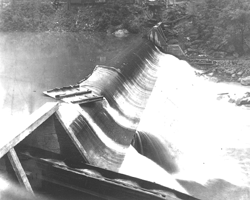
These two photos courtesy of Baltimore County Public Library and Wikipedia.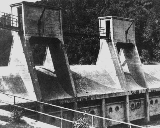
If you read the Wiki article you can see that this was a world’s first hydro dam, 1906.
https://en.wikipedia.org/wiki/Bloede%27s_Dam
