
Tags
eden mill, engineering, Hiking, HISTORY, kayaking, mills, Museum, Public Works, water history
Kathy and I went kayaking on one of the most peaceful creeks I know of – Eden Mill at Deer Creek. Back in July 2013 I posted about History and Photography, that people should appreciate the history of the mills and streams they hike. Since I have just started to kayak, I now have a deeper appreciation of the history of Eden Mill. The perspective is so much different on the water than it is walking the trails.
Additional research has shown that there were a few plans for damming Deer Creek. in July of 2013 I wrote that the crest of the proposed dam at the Rocks would be at an elevation of 540’. Another 1933 study put it at 430’. In either case, if the dam was built, the mill would be under water.
The below topography map shows the creek elevation at 342’. The dam is 16’ tall so that brings us to 358’. The mill is three stories so let’s add roughly another 36’ – that’s 394’. So yes, that is still a good 30 feet underwater! The mill is to the right of the word creek, just past the branch stream.

To know this and to understand the history makes it such a sweet kayaking adventure. Appreciate history. Go kayaking. Be happy!

Looking upstream from the base of the mill.
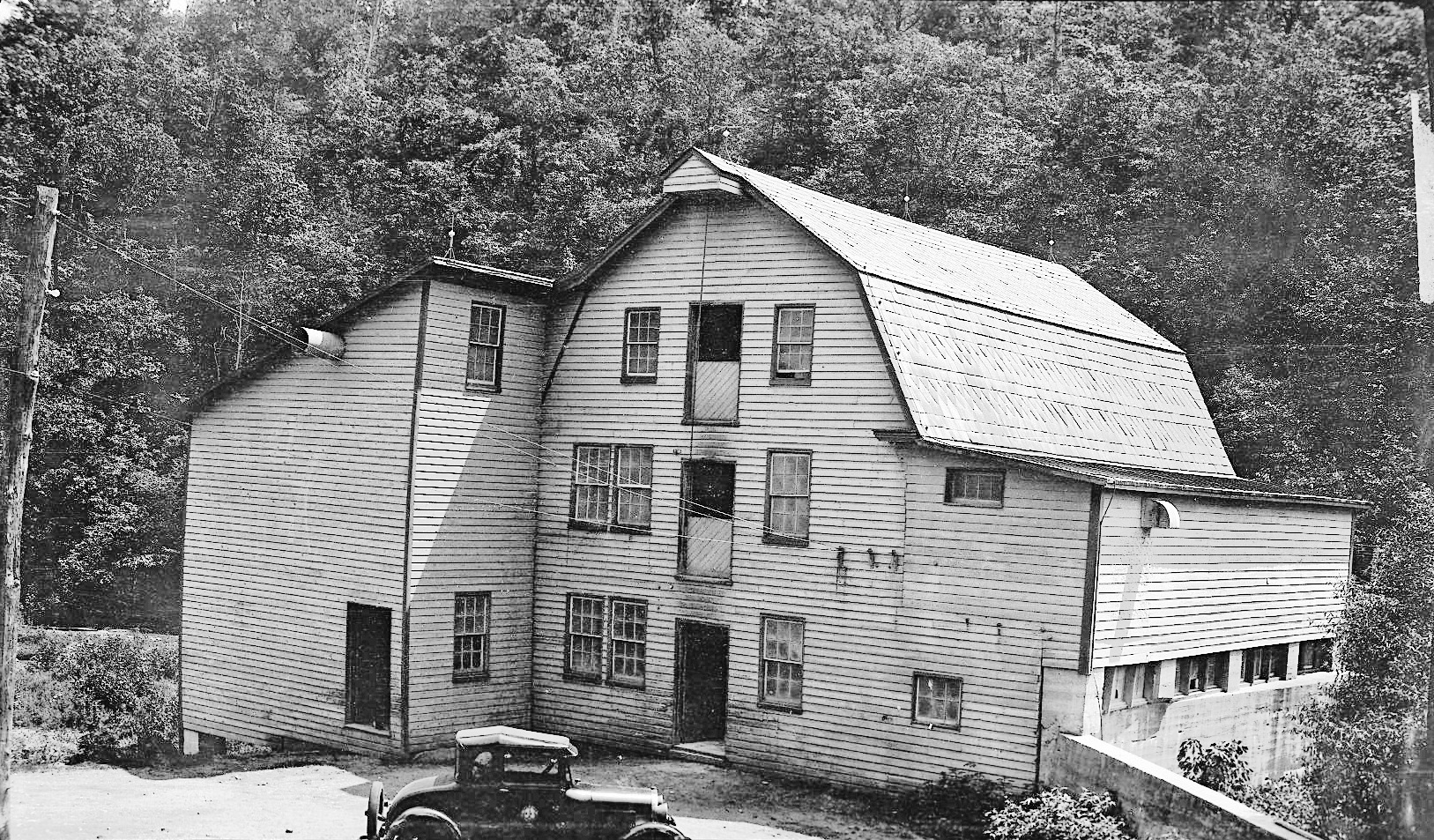
The Mill as it looked in the 1930s

The mill and top of dam. View from kayaks.

One of the branch streams that feeds Deer Creek. These two bridges would be under water.
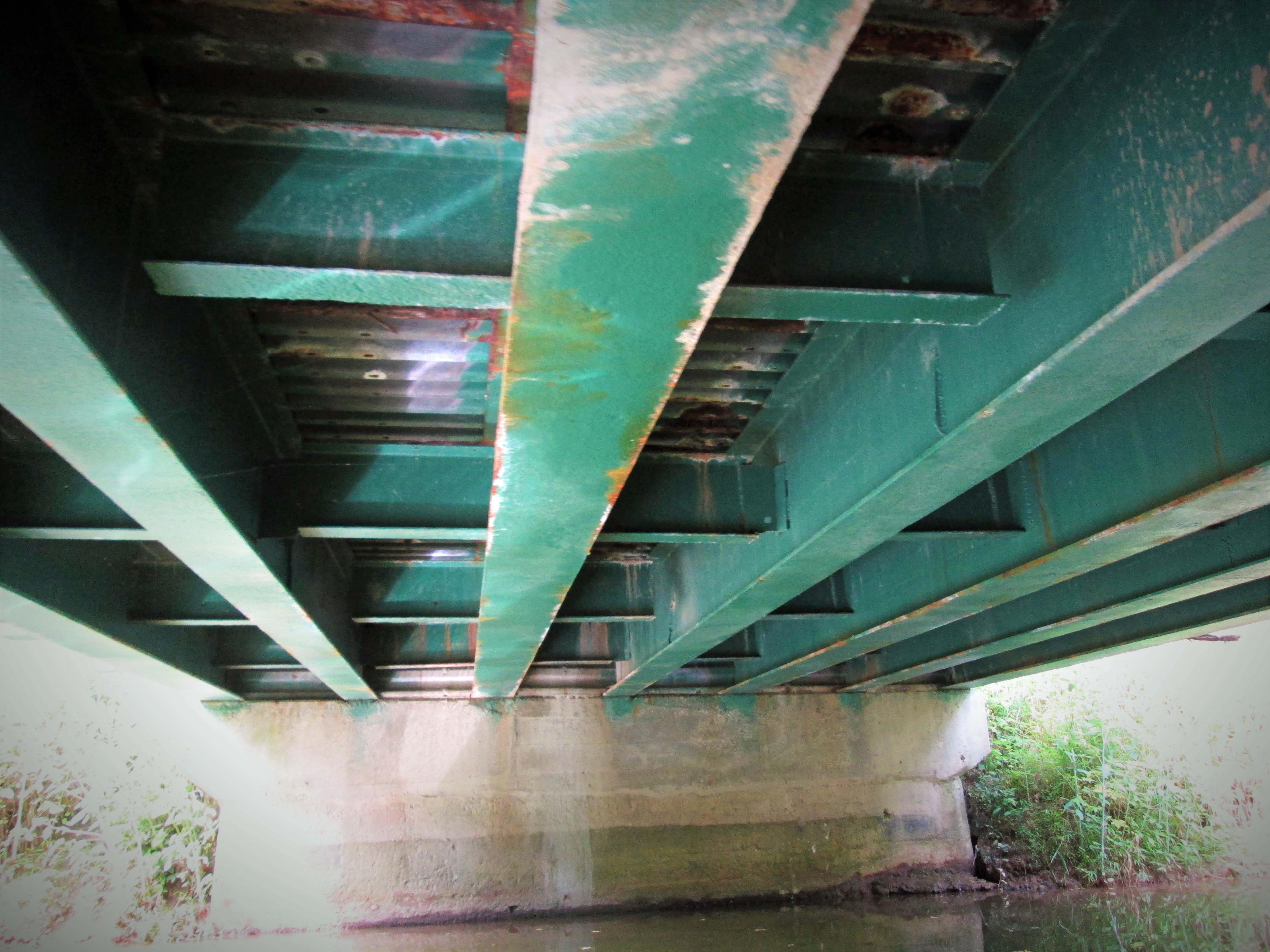
View from under the bridge. Back in the 30s, this bridge was probably an old wooden one.

It doesn’t get any better than this!

I enoyed reading this, I taking my son up there for our first kayaking trip and some fishing. Where did you launch your kayak at and any info on the route you took.
Thank you
Jason
We put in just west of the mill. There is a small kayak/canoe launch there. Tell your son to take a hard right out of the launch because 100+ feet to the left is the top of the dam! It doesn’t draw that much water over the top but better to be safe! A little over 400 feet up stream is a small stream you can take, that goes under a foot bridge. Then head back to the main stream and continue on. We were able to go about 2 miles up. Then we hit some shallow water. Turned around. It was about 4 miles total. Thanks for reading my post!
Thank you so much for getting back so fast