• About
  • History Writings

Water and Me

Water and Me

Tag Archives: mills

Noble Mill on Deer Creek

06 Wednesday Jun 2018

Posted by Ronald Parks in Dams, HISTORY, water history

≈ Leave a comment

Tags

Baltimore, bridges, Dams, Deer Creek, engineering, kayaking, mills, Noble Mill, Research, water history

Somehow or another I ended up on a mailing list for an organization called S.P.O.O.M. – Society for the Preservation of Old Mills. I just received their latest posting and I see they are visiting Eden Mill on Deer Creek this weekend. Nice mill that I have written about before. (A favorite kayak spot) Back in 1933 when Baltimore City was looking for a new water source, Deer Creek was on the list of possible dam sites. If the dam was built at Rocks State Park, Eden Mill would be flooded. There were quite a few mills below that area which would have lost water power needed for the mills. One of which was Noble’s Mill, which I visited in 2012.

Here is the drawing of Noble’s Mill.

And what the Mill looked like in 1933.

And in 2012.

The water race sluice gates.

Water to the mill via the sluice gates.

And where it enters the mill.

Sluice gate rack and pinion.

One of the best parts of my 2012 trip was being able to go into the mill. The owner saw me poking around outside and offered to give me a tour. 

Besides his artwork, he has been restoring some of the mill works.

Got to love this old pulley system and how you can watch the grain go through the chutes.

The old bridge over Deer Creek.

Maker of the bridge.

Map of the other mills along Deer Creek.

The Noble Mill map shows the road in front of the mill, between Deer Creek and the mill. Google Earth shows the road behind the mill.

North Patapsco Bridges

25 Wednesday Apr 2018

Posted by Ronald Parks in Baltimore, Dams, engineering, water history

≈ 4 Comments

Tags

Baltimore, bridges, Dams, engineering, HISTORY, Liberty Dam, mills, Public Works, water history

More from the Loose Ends Never Ends files. I have about 500 more negatives to scan in this one collection. Just finished up more of the Liberty Dam and adjacent bridges. I must confess, I have never really done a lot of research concerning these bridges. Over the years I have found hundreds of photographs/negatives, and only found a few of them interesting; like Liberty Lumber, the Indian grave marker and the dam itself. Although I really like climbing on and under bridges, I never gave these photos much thought. Looking at Google Maps, it is hard to place the original/present location of these bridges. I’m just not familiar with the area’s history. Most are from the early 1950s.

Ivy Mill Bridge is first. I like this one because it shows the old structure in the background. This photo is one of the few with a description attached.

Beginning construction, temporary bridges were built.

Foundation and columns poured.

As can be seen, these photos are missing the contractor’s descriptions of work – black rectangular areas on photos.

Moving right along with progress.

Reaching the final height and then comes the decking.

The finished bridge.

Next collection of negatives were marked as North Branch Over Patapsco, including Morgan Run. General view of the area.

Setting forms for foundations.

Columns.

Ready to place decking.

Putting on final touches.

Finished bridge from old bridge. (I wonder if this old one is underwater?)

The next group I found were of the Snowden Creek Bridge. Not many photos in this collection. It must be way up there because it looks pretty shallow. Forms poured and ready for decking.

Near completion. 

The next 500+ negatives to document are of building the Susquehanna Tunnel.

Here is the photo of the grave marker, taken from an engineer’s scrapbook. 


History Hike Part 2

23 Tuesday Jan 2018

Posted by Ronald Parks in Baltimore, Dams, water history

≈ 4 Comments

Tags

Baltimore, Dams, engineering, Gunpowder Falls, Hiking, HISTORY, mills, nature, POLITICS, Public Works, Research, water history

Now the good stuff! In yesterday’s post I shared about our hike along the Little Gunpowder Falls, from Jerusalem Mill to the old iron bridge at Franklinville. On the way we stopped and explored an abandoned mill race and structure that appeared to be for valving or damming up the water flow. Back at my office on Monday I found a report from 1933 concerning the mill and property.

Here is a photograph of the mill that use to be there:

The 1933 report gives this description of the mill – Wm. Barton Mill in Franklinville, Little Gunpowder Falls. Several mill buildings used for the manufacturing of cotton duck. Mill race and dam have been broken thru since about 1926. Mill was built in 1883. All manufacturing equipment has been removed except for turbine. Barton purchased property from Mt. Vernon-Woodberry Mills on August 5, 1930. Information is sketchy on ownership. 1899 sold to Mt. Vernon-Woodberry Mills, yet they sold it twice. Once to Oak Tire and Rubber in 1925 and to Barton, but notes ownership to Marvin Merryman in 1929. No info on size of mill pond since dam was broken through. Supplementary water reservoir of 20,000 gallons in center of square in tenement section to furnish water for automatic sprinkler system in mills. Dam, made of timber, was about 800’ from mill. There was a water wheel at one time, with 140hp capacity.
Buildings at mill included: the main mill, waste house, store house, boiler house, and wheel house. There were also 3, two family two story houses on property. And more, according to tax records at Baltimore county. Records mention a mill adjacent to this one, to the north, known as Jericho mill. no traces of mill could be found.
Along with the report is this plat which shows the layout of the buildings:


And this plat:


As stated before, we climbed down into the mill race where we saw holes in the structure. I told Kathy I believed them to be supports to hold valves or gates.

In the report was this photo. The center part of this structure on the left is missing, along with the dam itself on the right.

Below is a photograph of the area today, where the mill use to be. A sign on the fence says it is managed by Carnegie Express Construction Managers, Builders and Developers:

What does this have to do with Baltimore’s Water Supply History?

Typhoid cases, which had decreased by the mid-1920s, would re-emerge by the early 1930s along with a long period of drought. In 1932, the City Government hires consultants to review the status of its water supply. These consultants would form a board of engineers known as The Advisory Engineers on Water Supply. The engineers were Messrs. John H. Gregory, Gustav J. Requardt and Abel Wolman9. On December 19, 1934, the Advisory Engineers released their report:
1) Immediate construction of a new Gunpowder Falls Montebello Tunnel.
2) Immediately following the completion of the new Gunpowder Falls – Montebello Tunnel, the existing Loch Raven – Montebello Tunnel should be strengthened.
3) Conduct surveys, land purchases, sub-surface explorations and preparation of plans and specifications for the development of an additional water supply should be undertaken at once. (Areas of development looked at by the Board were the Patapsco River; the Little Gunpowder Falls, Winters Run and Deer Creek, and the Susquehanna River).

They were going to dam up the Little Gunpowder Falls and all the mills and property along the Falls would need to be bought (or taken). It was decided to go with Item #1 above.


History Hike Part 1

22 Monday Jan 2018

Posted by Ronald Parks in Hiking, nature

≈ 2 Comments

Tags

bridges, Dams, Gunpowder Falls, Hiking, mills, nature, photography

Between the work on our houses and going to Salisbury, yesterday was our first opportunity to take a hike. A little over-cast but a very nice day. The map shows we walked about 3-1/2 miles on the Little Gunpowder Trail, starting at Jerusalem Mill.

We headed thru the field to first look at the progress of the old stone structure. Not much done.

From there onto the Jericho Covered Bridge.

Interior of bridge.

Since this was a short walk, we decided to follow the road for a bit instead of taking the other trail back. Here is a roadside attraction.

Overlooking the stream. 

A nice ice floe with some blue ice.

Beavers getting their fill. First time I have seen a double gnawing on a tree?

Another view of the ice floe.

A small stream feeding into the Falls.

And what do we have here?

An old mill race. Kathy could see that I was excited to see this, so she prodded me on for us to go down there and take a look. 

So we did. Molly wasn’t too enthused about this. Ice hanging off the rocks.

The mill race valve structure (More later on the mill)

Molly was pretty much done with walking on the ice, so I picked her up and still managed to get some photos while Kathy was taking my pic.

Out of the mill and headed farther south. Sign about the town of Franklinville.

Nice place to be.

Passing thru Franklinville and onto the old iron bridge.

From the bridge. Looking north.

Then looking south. Kathy took a great photo of this. Hoping she shares soon!

Time to head back. Saw this guy on the way.

A leaf left its mark in the asphalt, with the help of a lot of salt.

This is a long narrow road. Most drivers were very cautious approaching us. Nice fence.

The covered bridge from the west side.

Molly back on the ice, floating around.

If you are still long enough, you can hear the ice crack.

How much longer can this tree hold on?

Jerusalem Mill road. Bridge over stream.

Later I will write about the history portion of our hike. Some interesting stuff!!


Kilgore Falls and Kayaking (Doggie Style)

12 Tuesday Sep 2017

Posted by Ronald Parks in Hiking, kayaking, Photography

≈ Leave a comment

Tags

Dams, dogs, eden mill, Hiking, kayaking, Kilgore, mills, nature, photography

It was a nice day to head up to Eden Mill for some kayaking, but first we stopped at Kilgore Falls, on Falling Branch, to do a little hiking. Early enough and cool enough out that there wasn’t a big summer crowd there.

Nice, well worn trails to the falls.

Two paths across the water. I took the easier one since I was carrying Molly in one hand and the camera in the other.

Molly, a poop bag and an alien t-shirt. Life is sweet!

An unobstructed view.

Speaking of aliens, did you ever see the Star Trek episode with Frank Gorshin – Let That Be Your Last Battlefield?

We finished our hike and then headed to the mill for Molly’s first kayak adventure. She was well behaved and only got jumpy once. (When I say jumpy, I mean, we thought she was going to jump ship)

Heading up stream, waiting for me. Another kayaker suggested I move my truck. Shouldn’t park in front of the mill. I thought the mill was closed.

Right after she peeked over the side and realized she was on the water, she panicked some. But calmed down.

The barn and shed upstream a ways. The water was higher than normal. We were hoping to go further up, but…

…just past the farm the water was only a couple inches deep. I got out and walked up some to see if it was deeper upstream. To the curve, it was not.

We brought the kayaks together to drift downstream at an easy pace. Molly decided to jump in my kayak.

Only turtles we saw.

And this guy. We did see a couple deer driving the back road to the dam, but that was it for wildlife.

Speaking of wild life, when I went to get the truck, this guy, in his mastiff taxi, was pulling up! Another weekend of wonderful adventures!!

Peaceful Sunday Kayak

09 Sunday Jul 2017

Posted by Ronald Parks in kayaking, Photography

≈ 1 Comment

Tags

Dams, Deer Creek, fishing, kayaking, mills, nature, photography

Headed up to Deer Creek early this morning for an early kayak adventure. Not a lot of people there, which is the way we like it. Some people fishing off the bank. We saw lots of fish way up stream.

Heading up stream. Fisher-people to the right, casting in our direction.

Something swam across our path. I thought it was a beaver at first…

it was this raccoon. He swam to this side to get a drink!

There were so many red-winged blackbirds. What a variety of sounds they make! Mullein plant to the left. We did see a couple hawks, but they were too far up in the tree for me to get a good shot. I usually just take my underwater camera when kayaking. it doesn’t have a good telephoto lens on it.

Speaking of underwater – I just stuck it under, next to the kayak and saw a bunch of trout.

You do have to pay attention for the submerged logs.

Kathy collecting for our souvenirs. Only had to get out twice for shallow water. Water felt good.

This was as far as we were able to go – too shallow. Almost 2 miles up. You can practically drift all the way back to the mill.

Odd looking cocoon. Three leaves weaved together to make a pouch. Like a pea pod. There were a bunch in this tree.

Pretty little flowers.

Glad we went early. A crowd showed up. Nice day enjoying ourselves, nature and God.

Patapsco SP, Avalon

22 Monday May 2017

Posted by Ronald Parks in Baltimore, Hiking, HISTORY, water history

≈ 2 Comments

Tags

Baltimore, bridges, engineering, Hiking, HISTORY, maps, mills, nature, photography, state park, water history

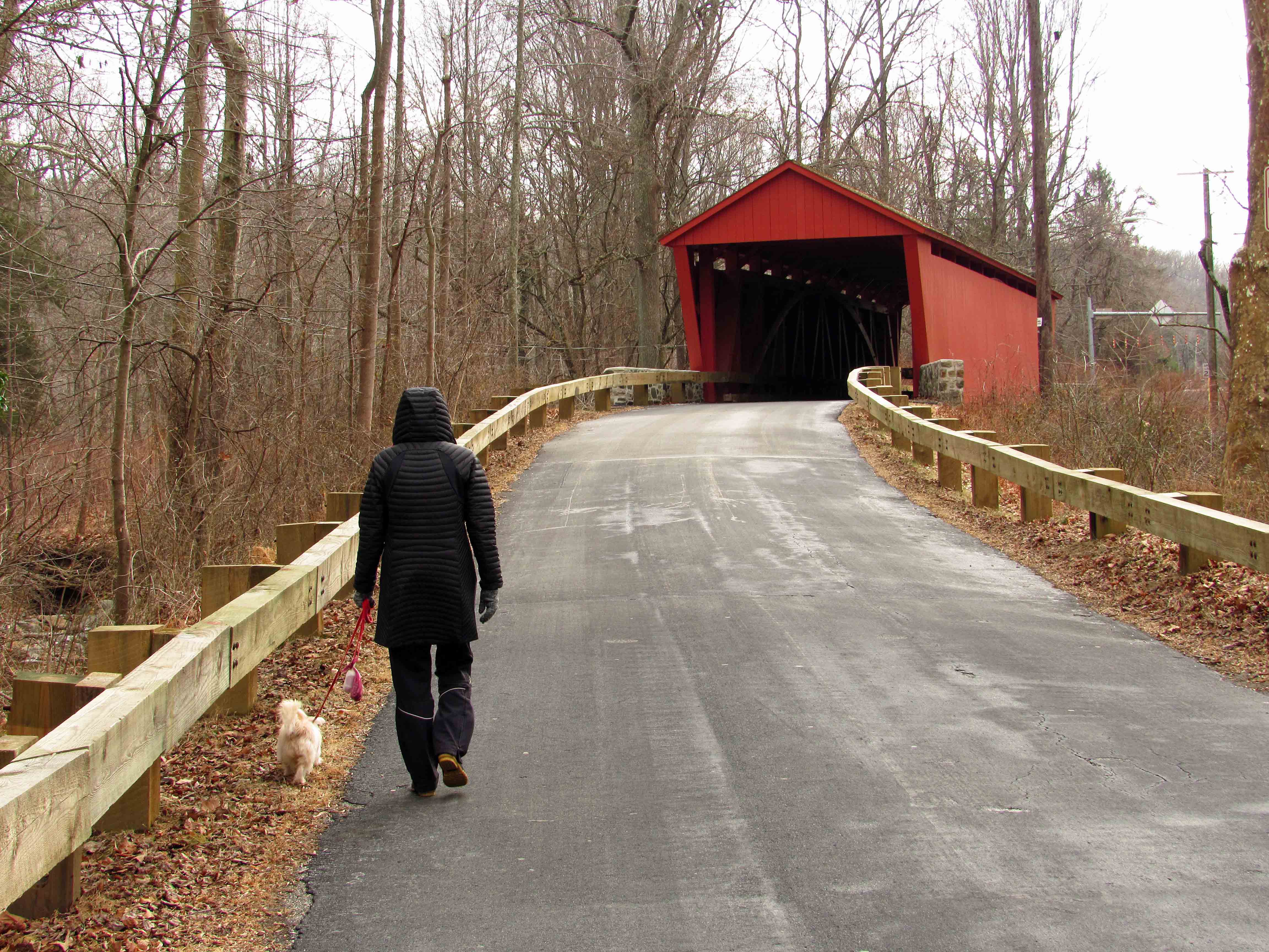
Due to the possibility of rain, we decided to go hiking at Avalon in the Patapsco State Park instead of going kayaking. I have a new phone app called All Trails which is pretty cool. It documents your hike.

Although it says we were moving for 1 hour and 25 minutes, we were actually there for 3 hours. It does not record every time you stop to enjoy the sights, sounds and smells. That is indicated by the thicker line, where we deviated from the trail. Lots of honeysuckle out. The only thing I did not like about this hike was the amount of bikes flying through there. Some had bells, most didn’t.

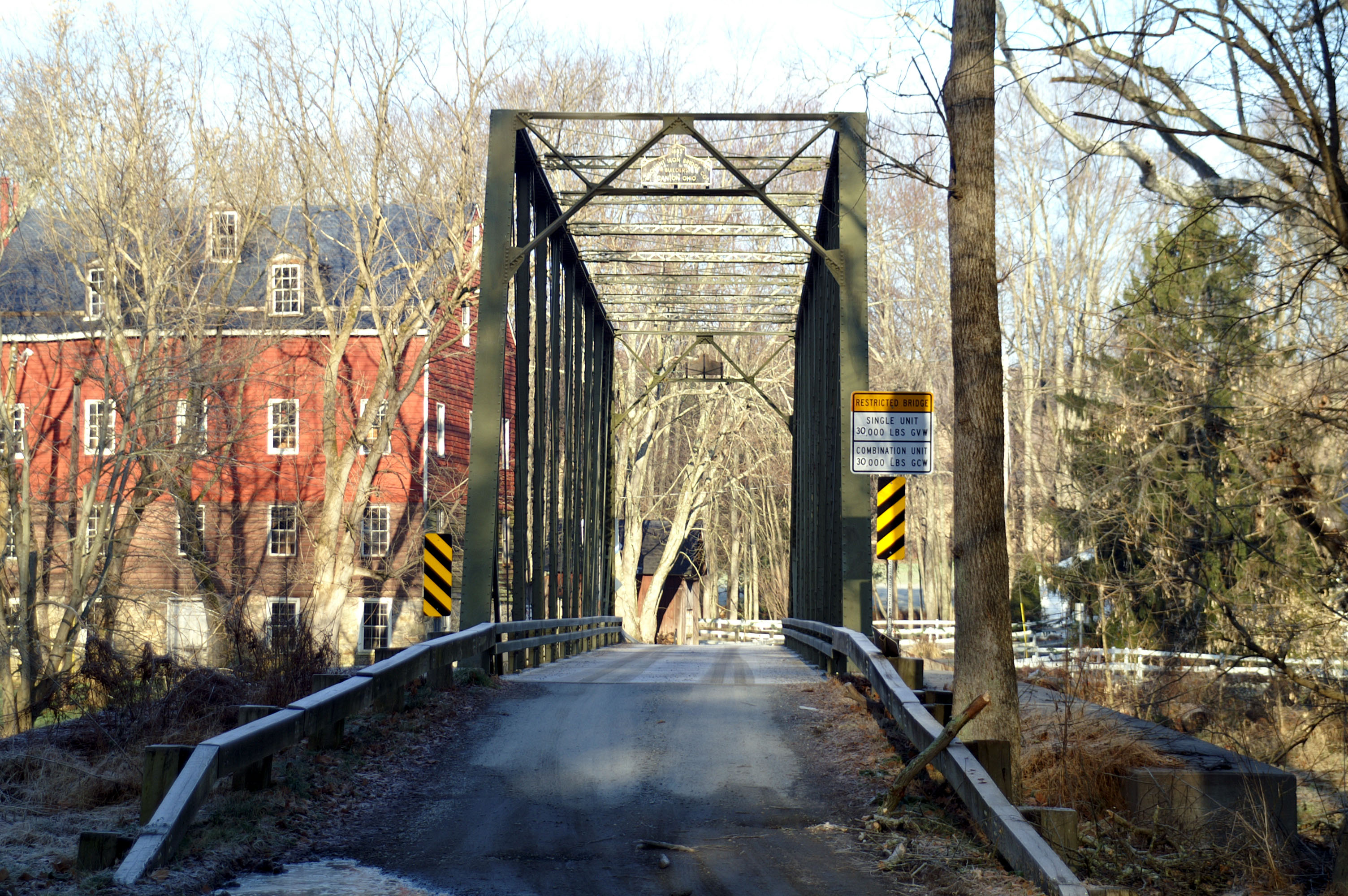
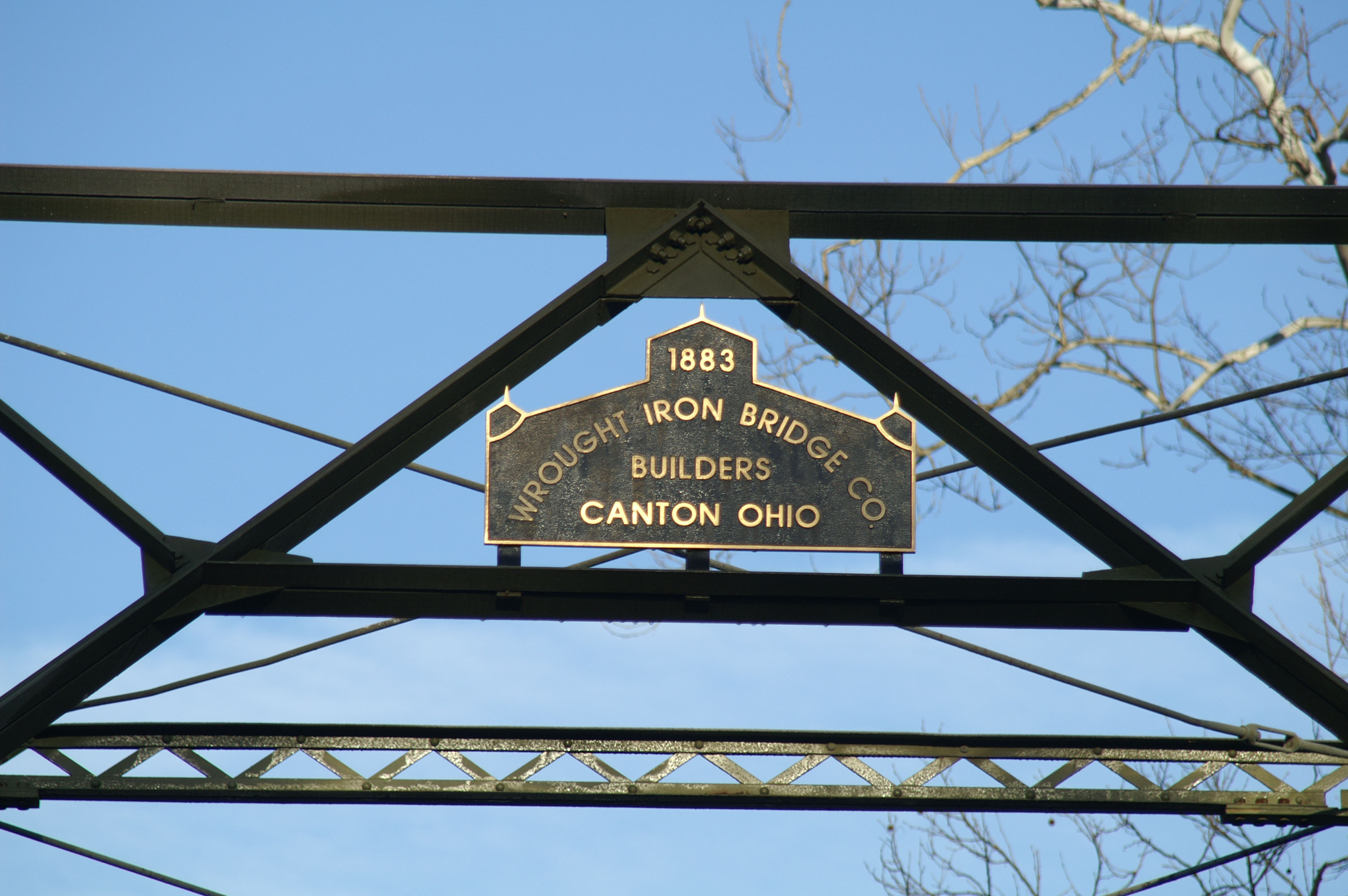
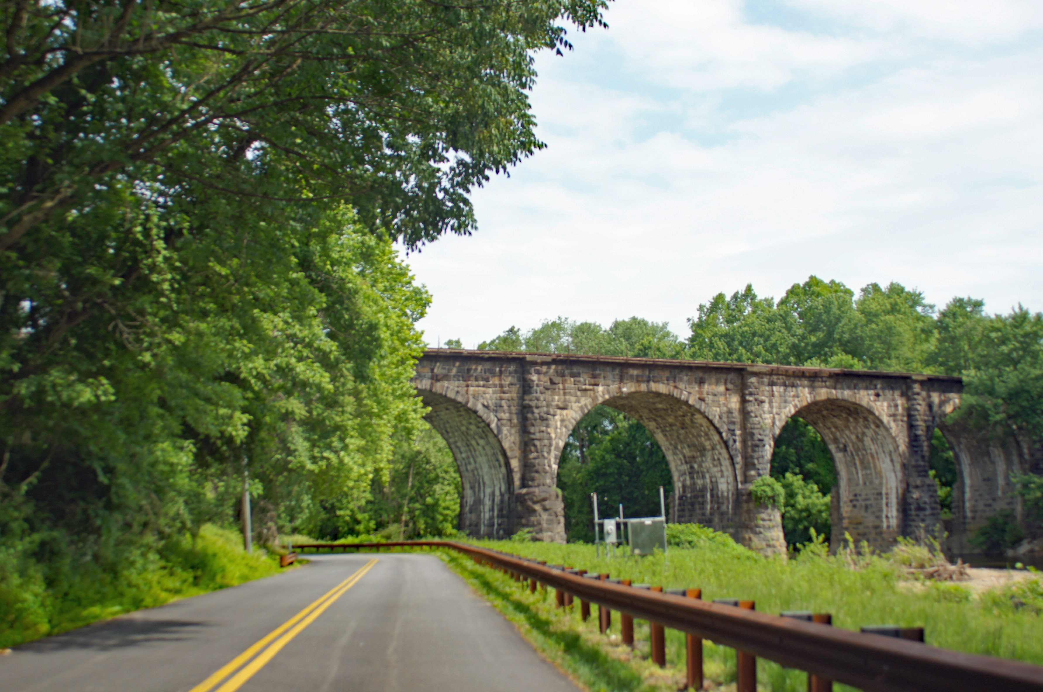
Entering the park, one of the first things you see is the Thomas Viaduct.

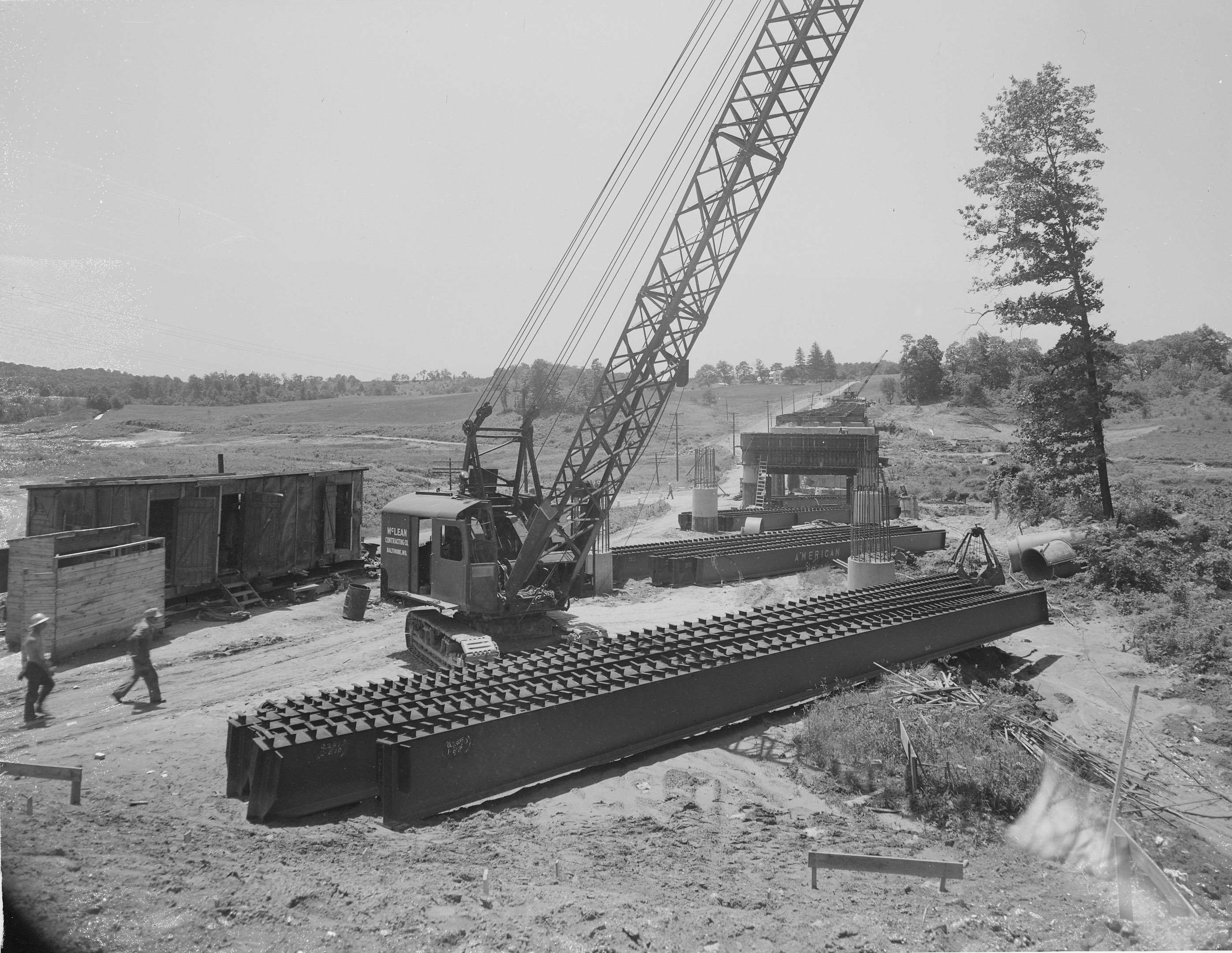
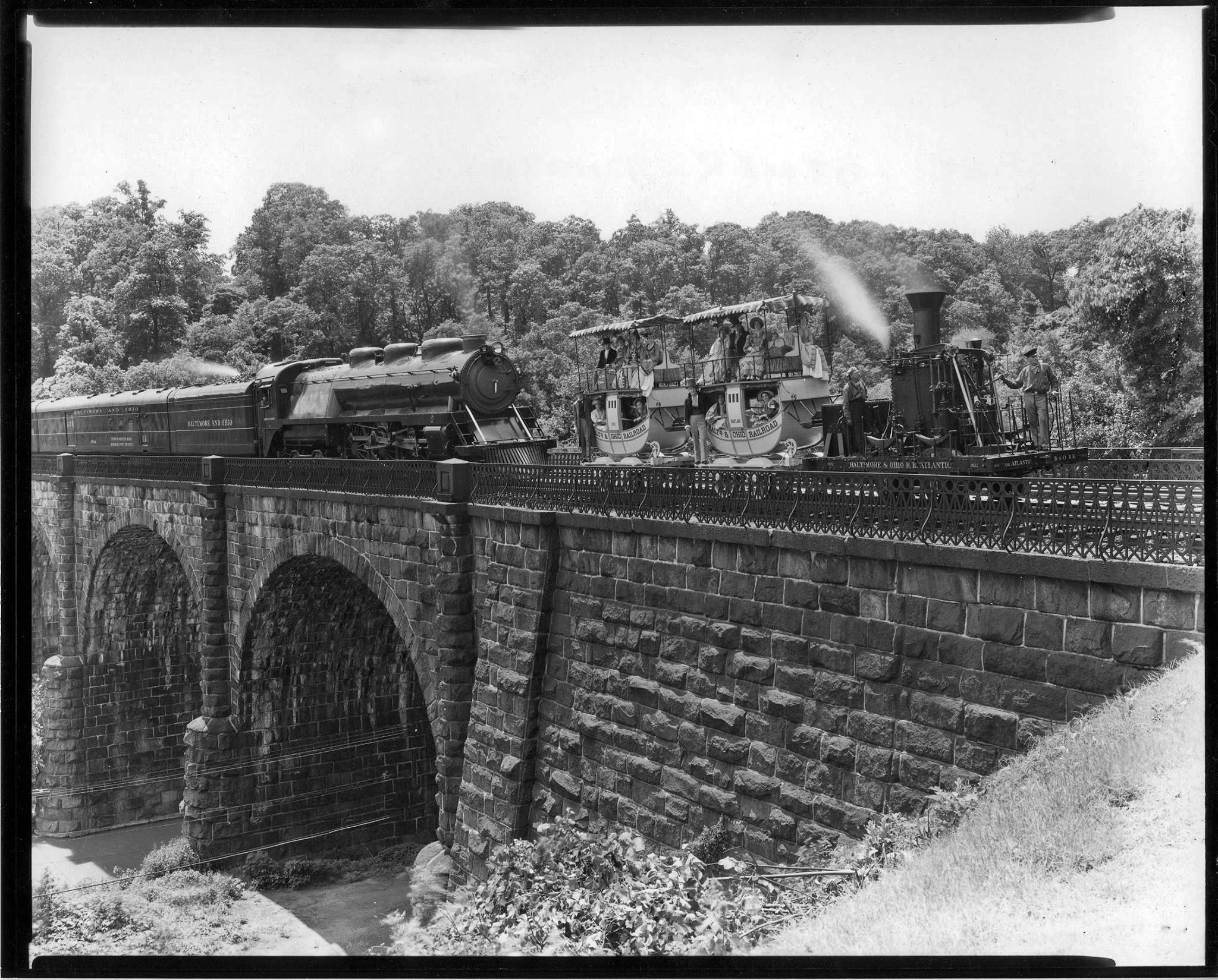
This photo is from the 1930s I believe (DPW Archives). It shows an older train and a newer one from that time.

This photo I took 5 years ago, the last time I visited the park. Soon after this, my Konica Minolta camera would die on me. It was a good camera.

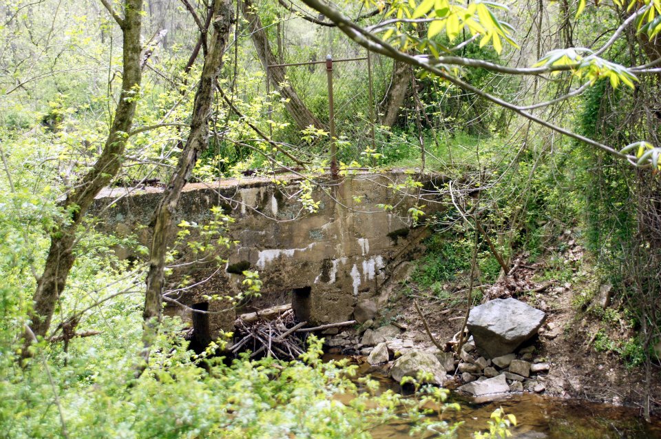
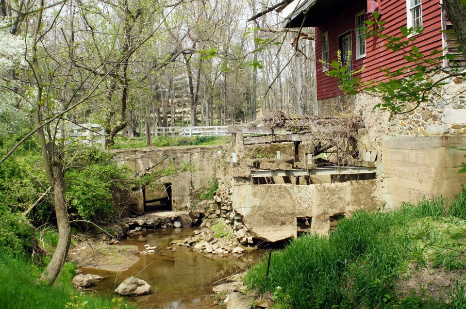
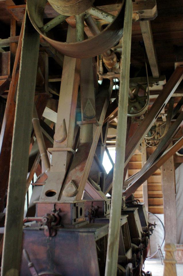
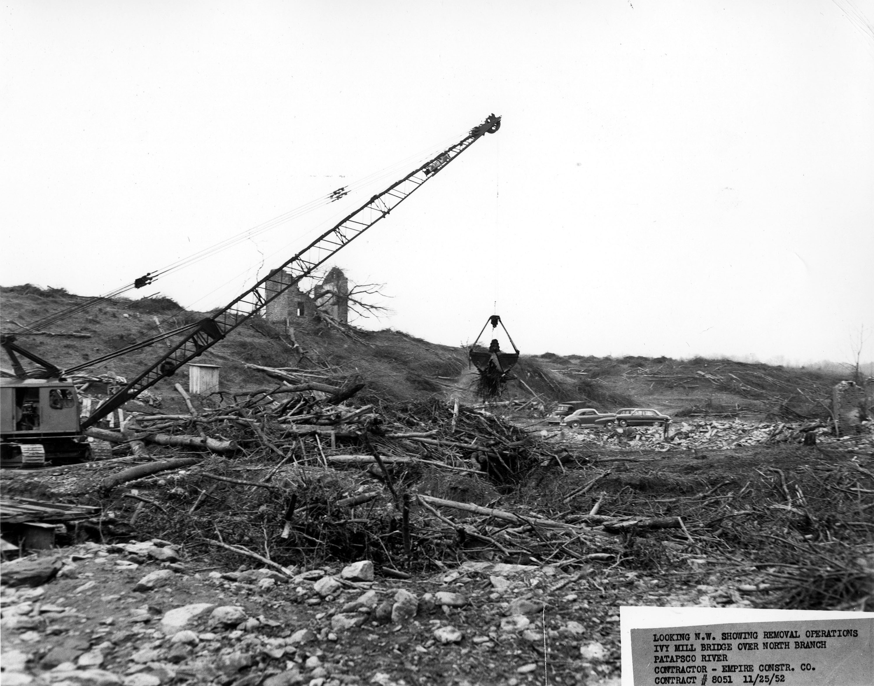
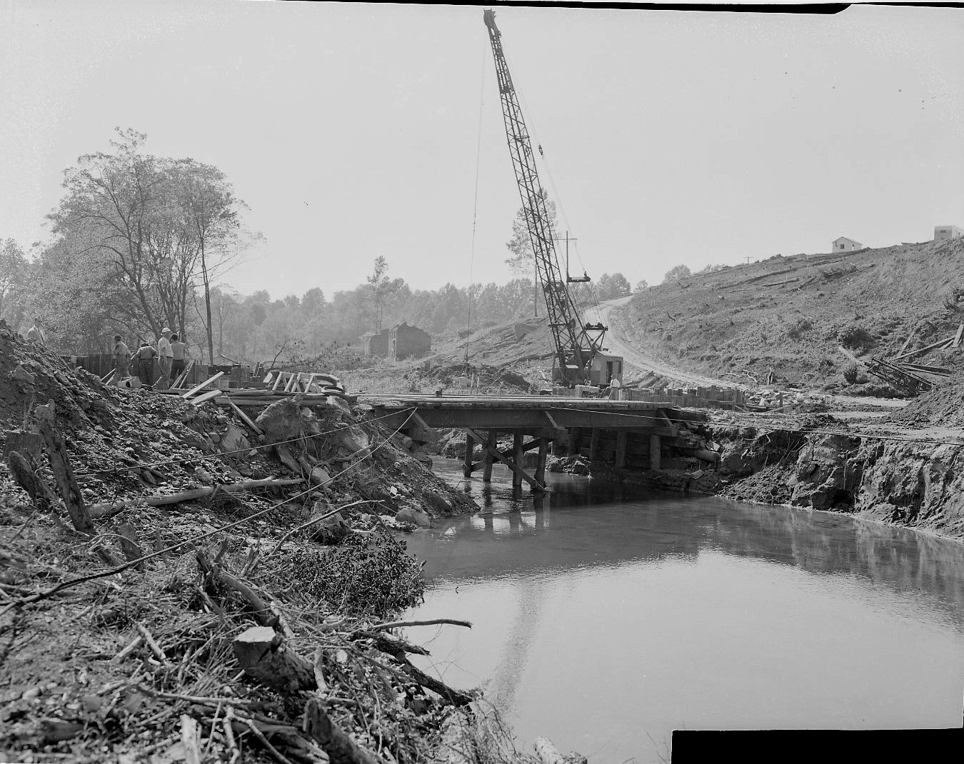
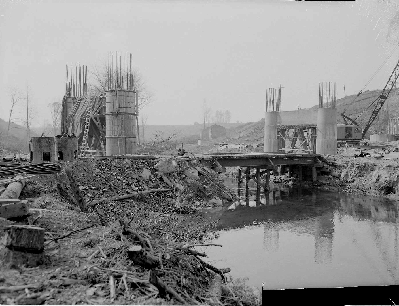
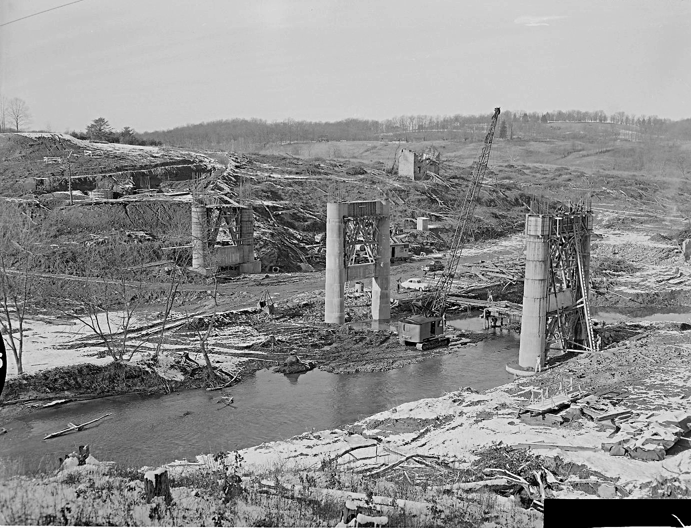
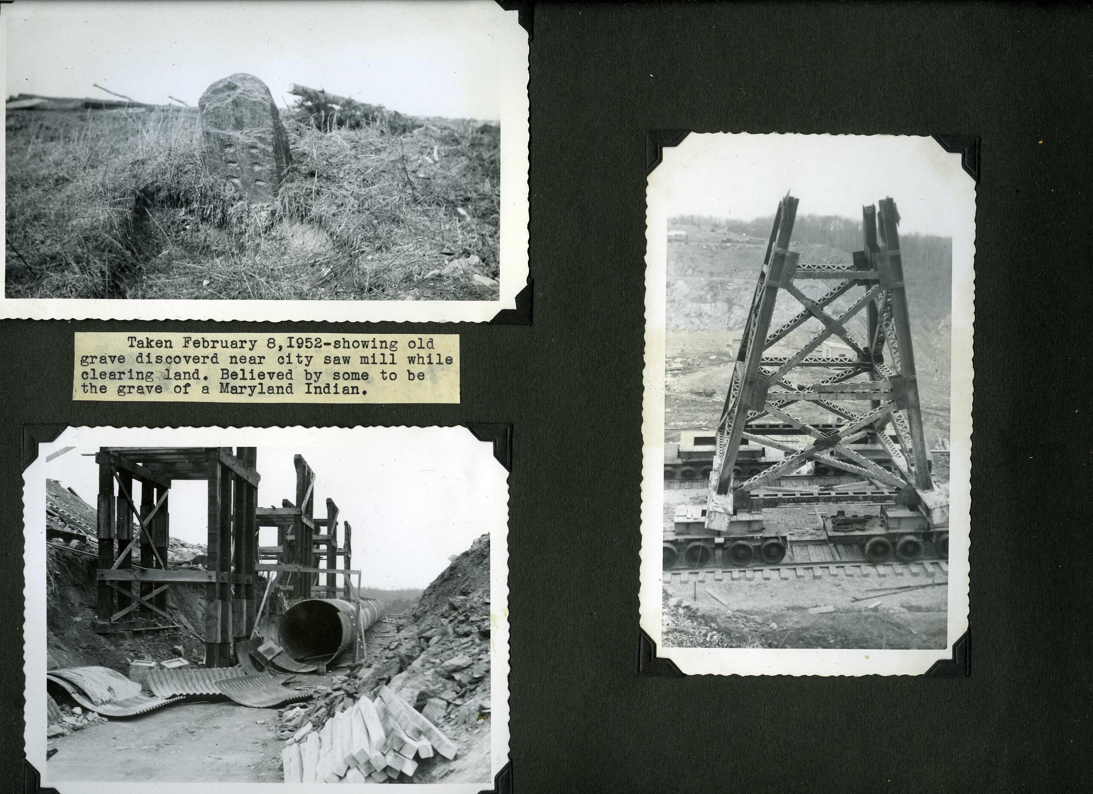
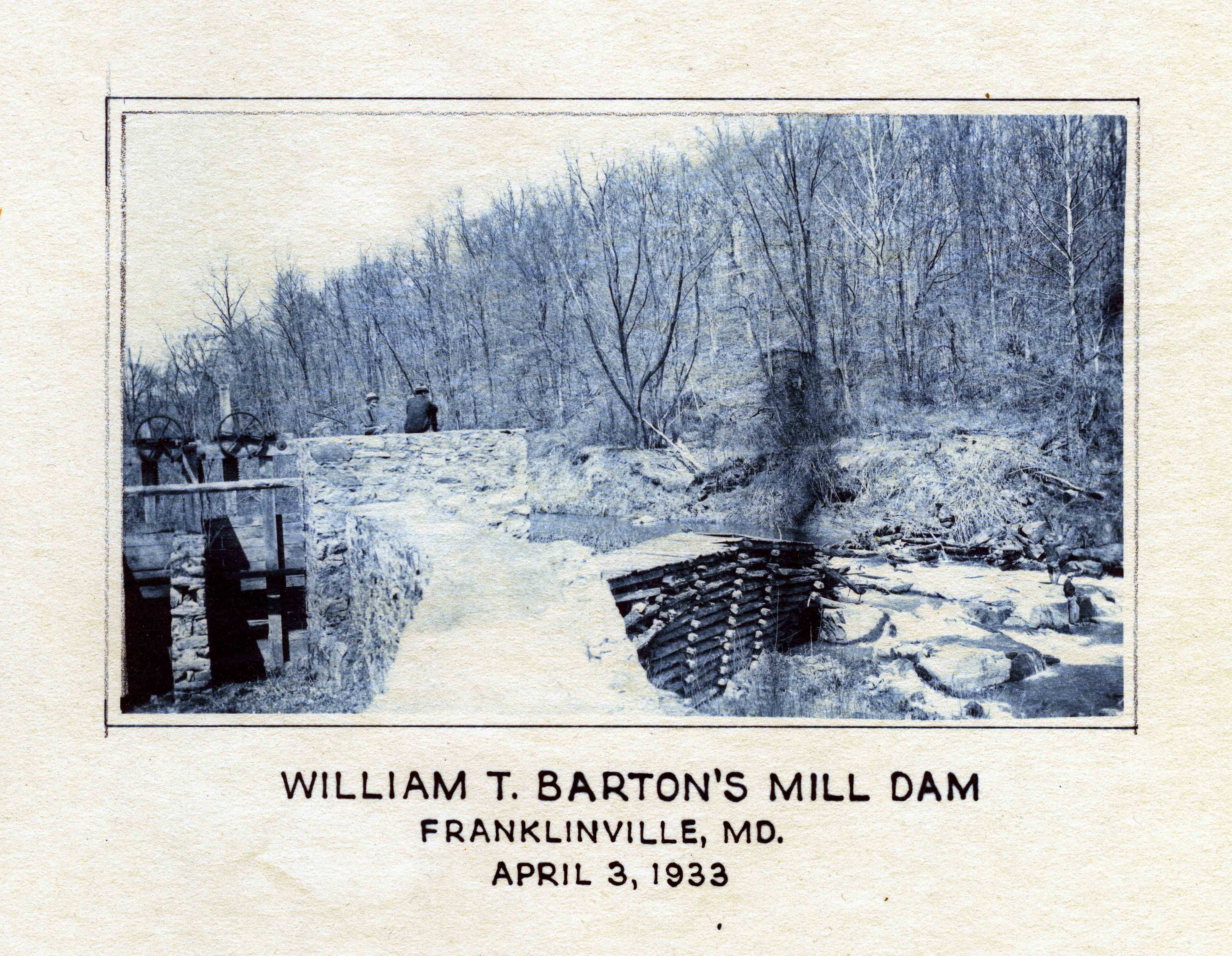
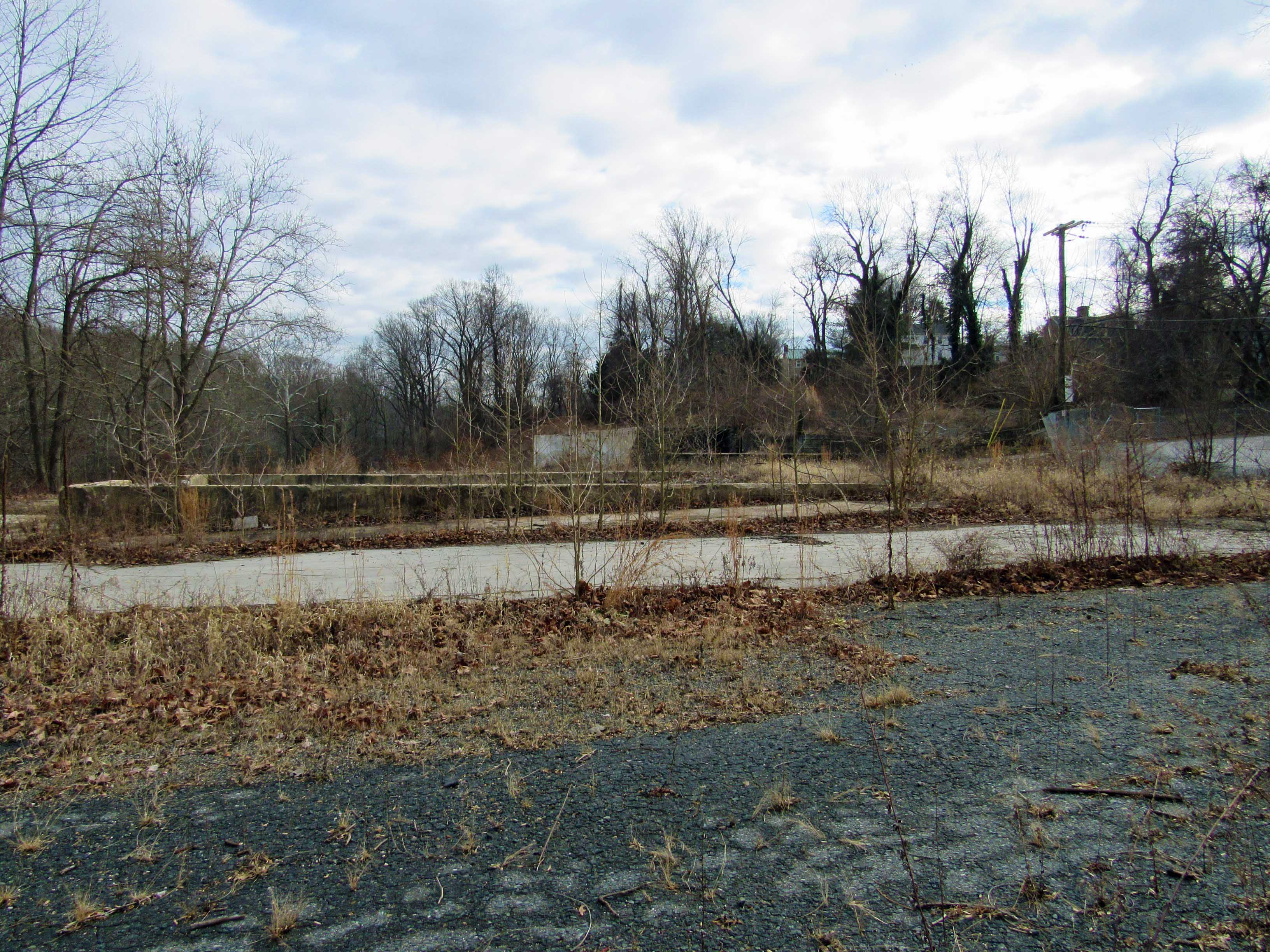
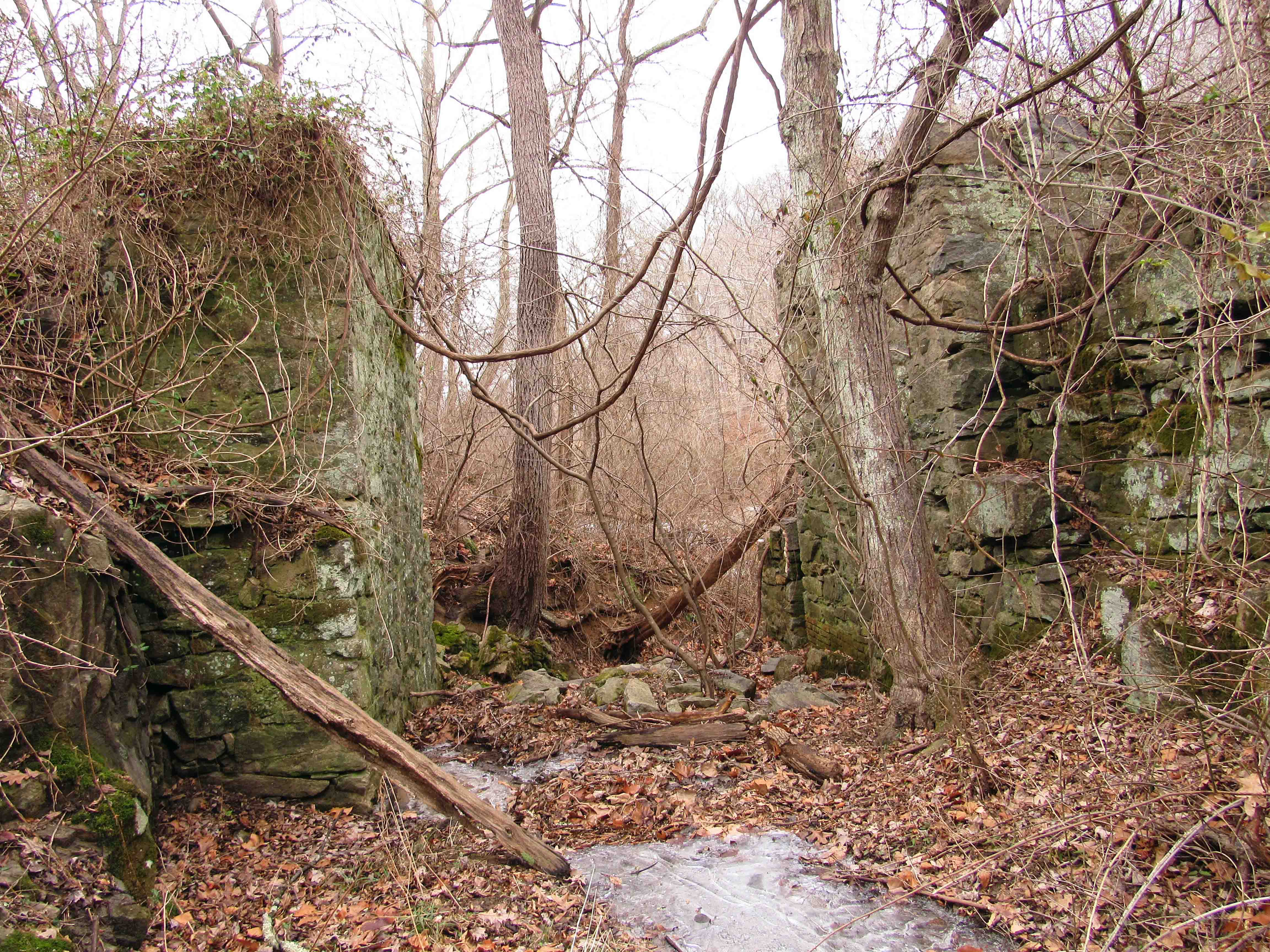
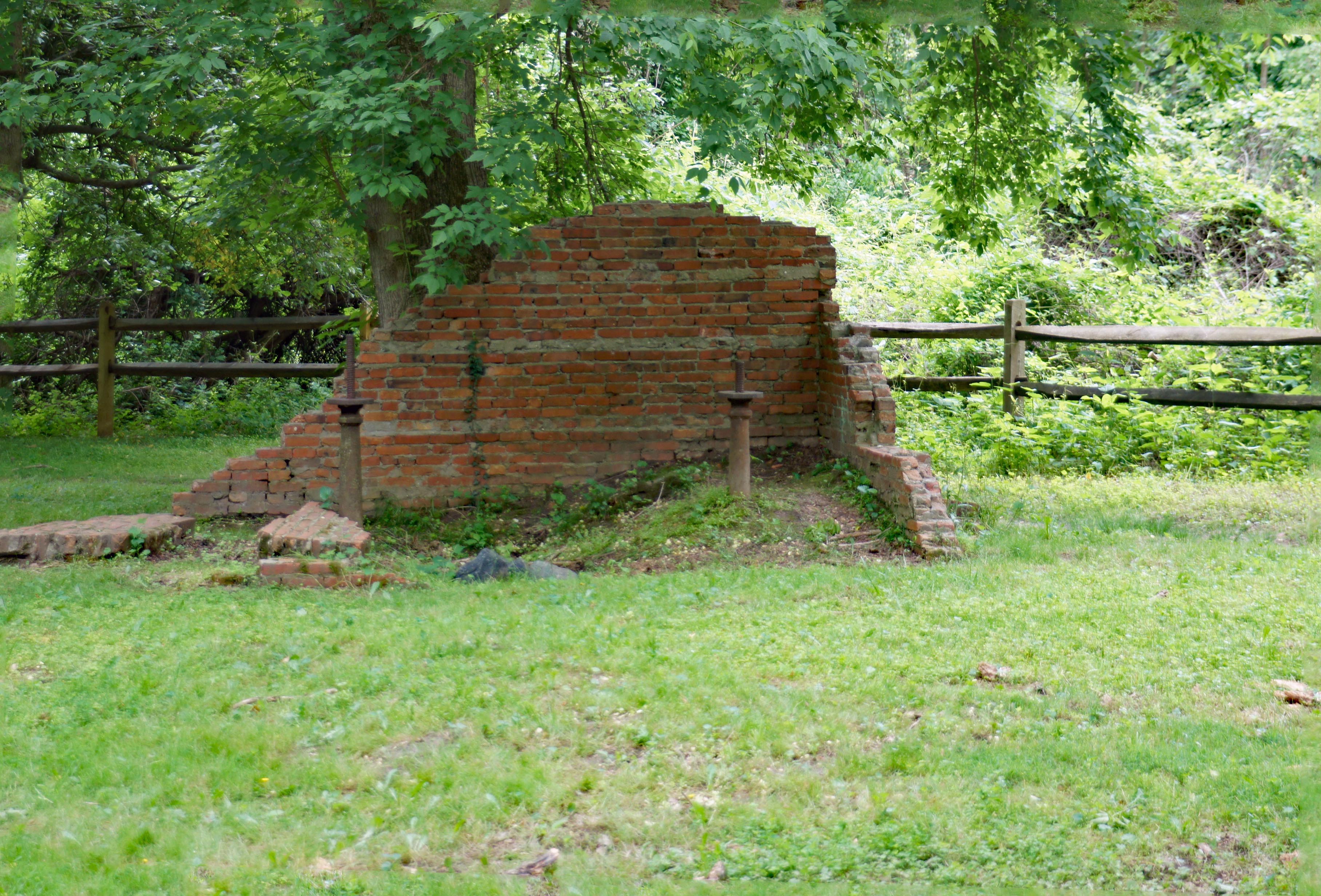
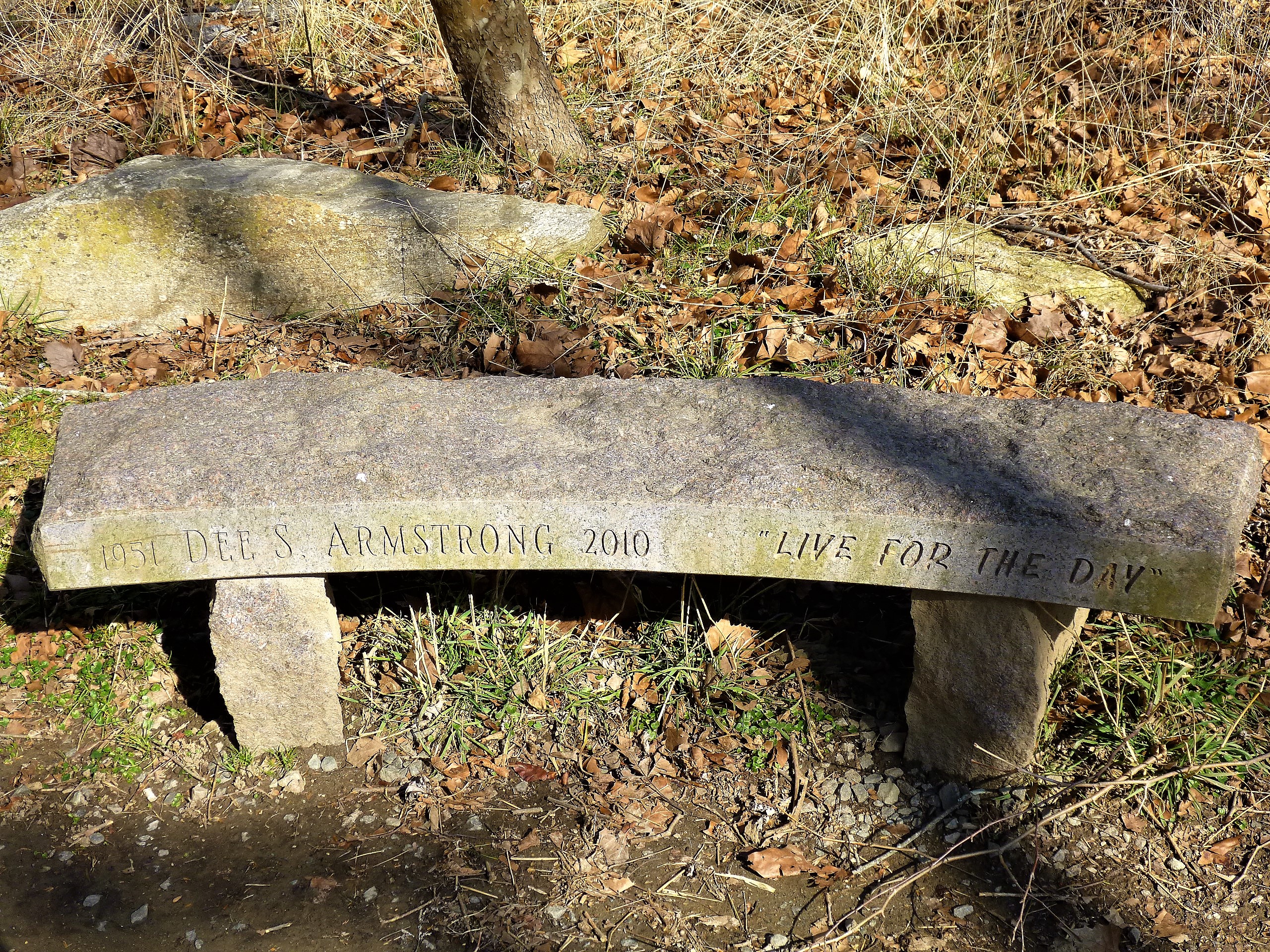
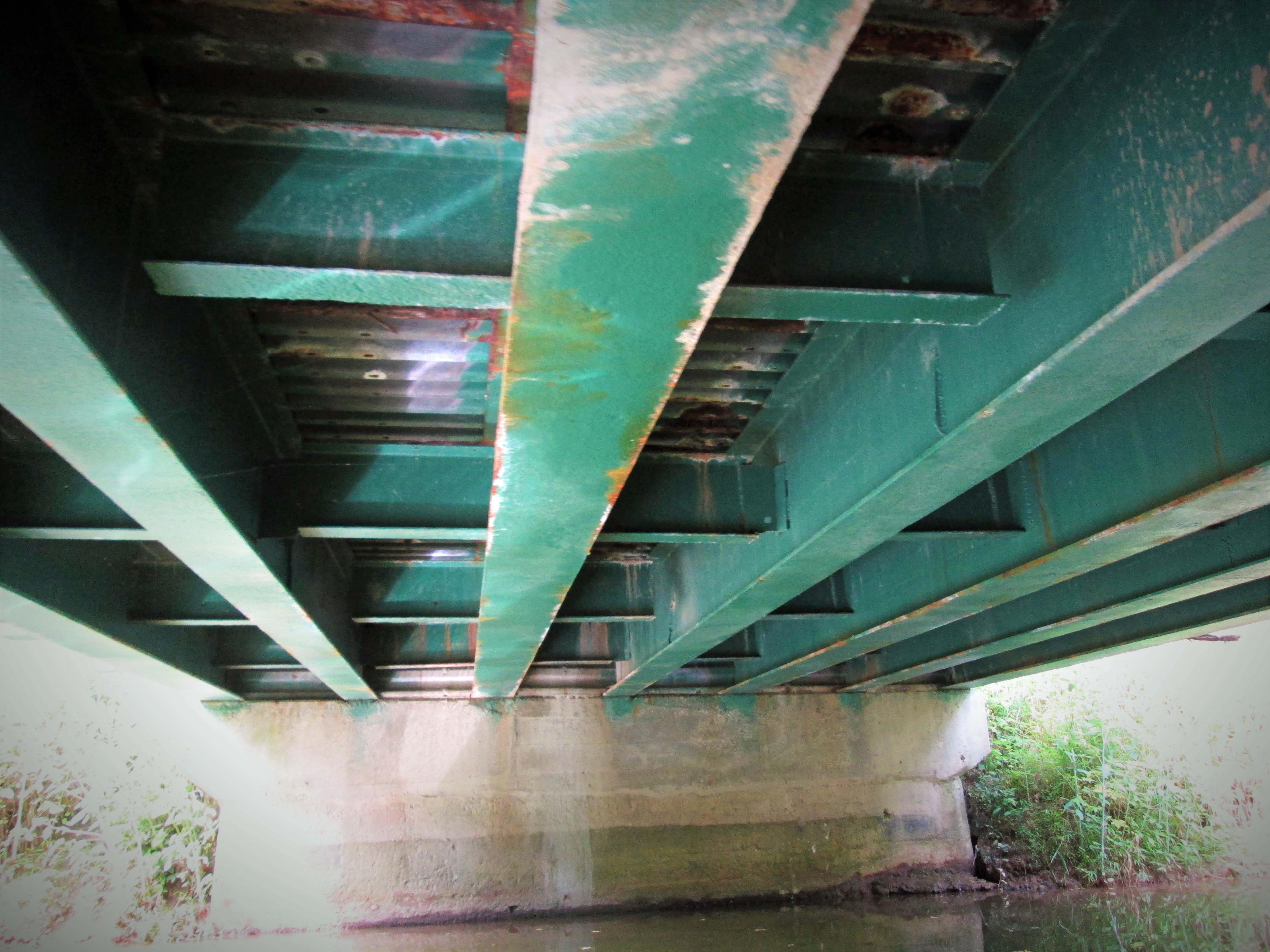
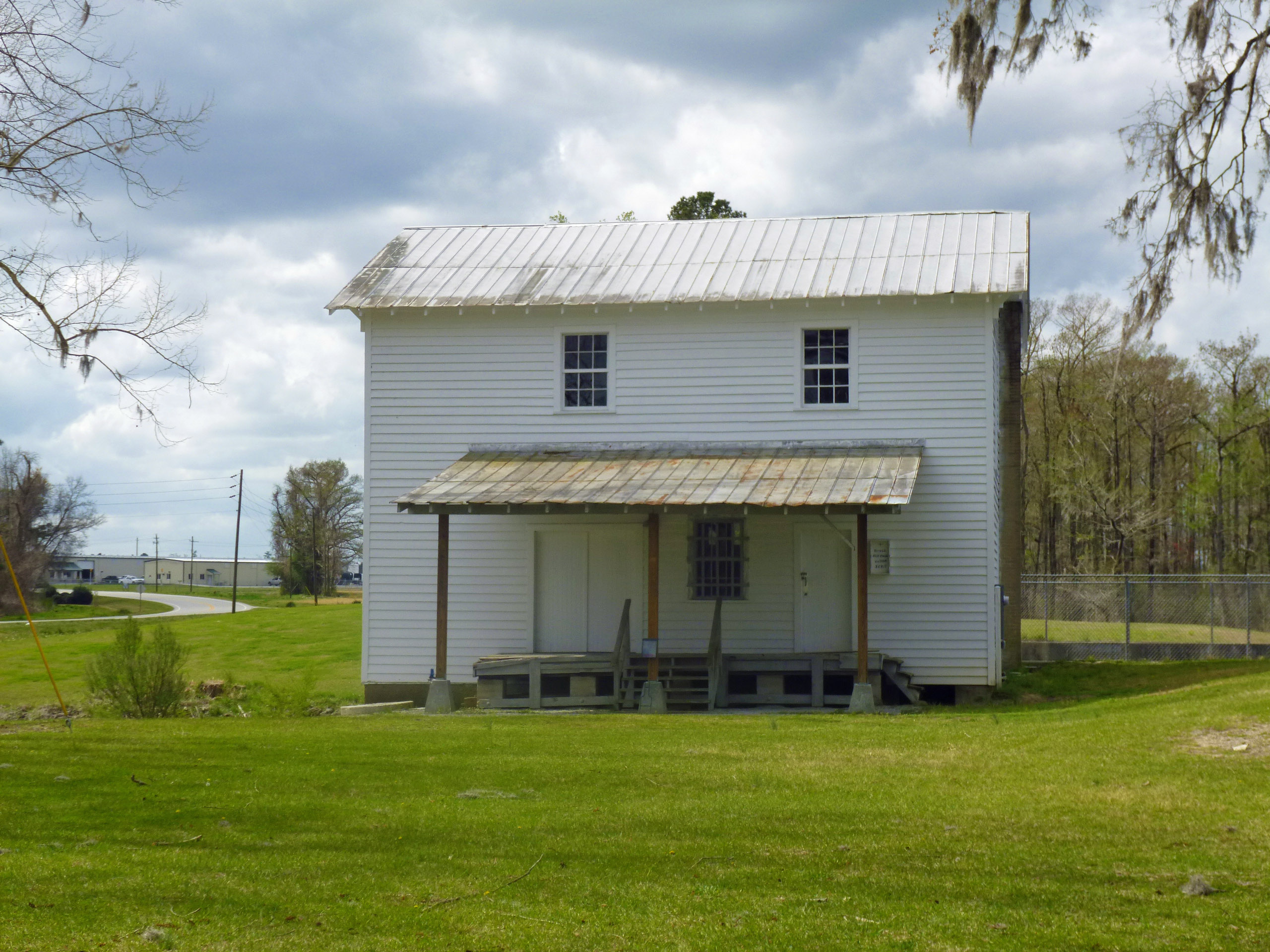
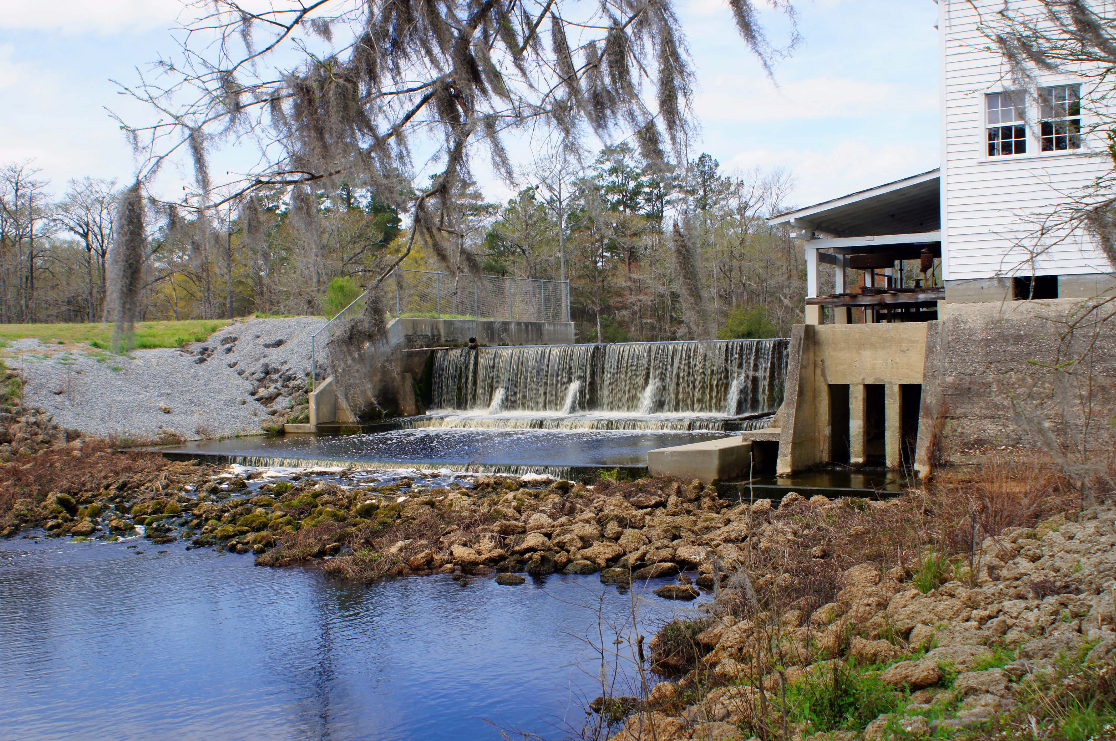
Of course I had to check out the old water works, or what is left of them. Here is some info on that:

On September 30, 1921, the City of Baltimore took over operation of the filters at Avalon. By the purchasing of the Baltimore County Water and Electric Company, the City received a dam and filtration plant on the Patapsco River at Avalon. After this, the filters at Herring Run, near Philadelphia Road, were abandoned and the sand taken to Avalon. Ten years later, the City stops using it.
Of interest is the following:
1923 Correspondence between Edward Rost (Mechanical Engineer), [V].B. Siems (Water Engineer), Edmund Budnitz (Federal Prohibition Director) and A. Bernard Siems (Water Engineer). Concerns sampling water at the Rockburn Branch (Patapsco River), Avalon Pumping Station for pollution caused by illicit liquor still smashed up by Government agents. How the Feds destroyed it and dumped it into the stream, causing the contamination. Excellent description of how the still was built and operated: They built a small dam with a hand pump for water, pumped through a rubber hose and iron pipe to twenty-seven wooden boxes made of pine, made water tight with muslin. They also had a vertical high pressure steam boiler. Scattered around were half gallon mason jars, corn meal and liquid mash. It was suggested by Siems that the mash be hauled away to a local farmer’s manure pit. A follow up letter to the feds by Siems asking that they clean up the corn mash they dumped everywhere, which is still contaminating the stream.

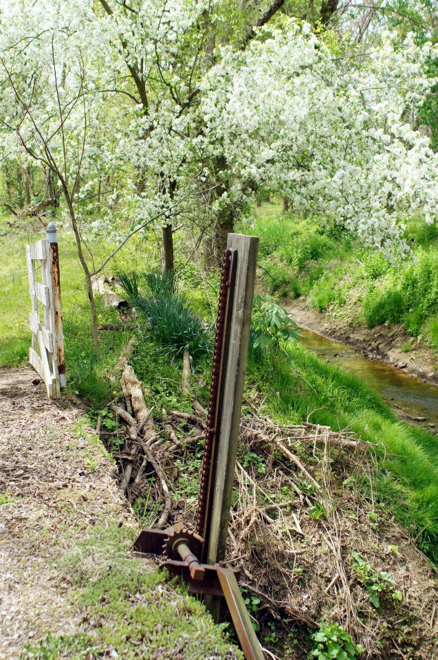
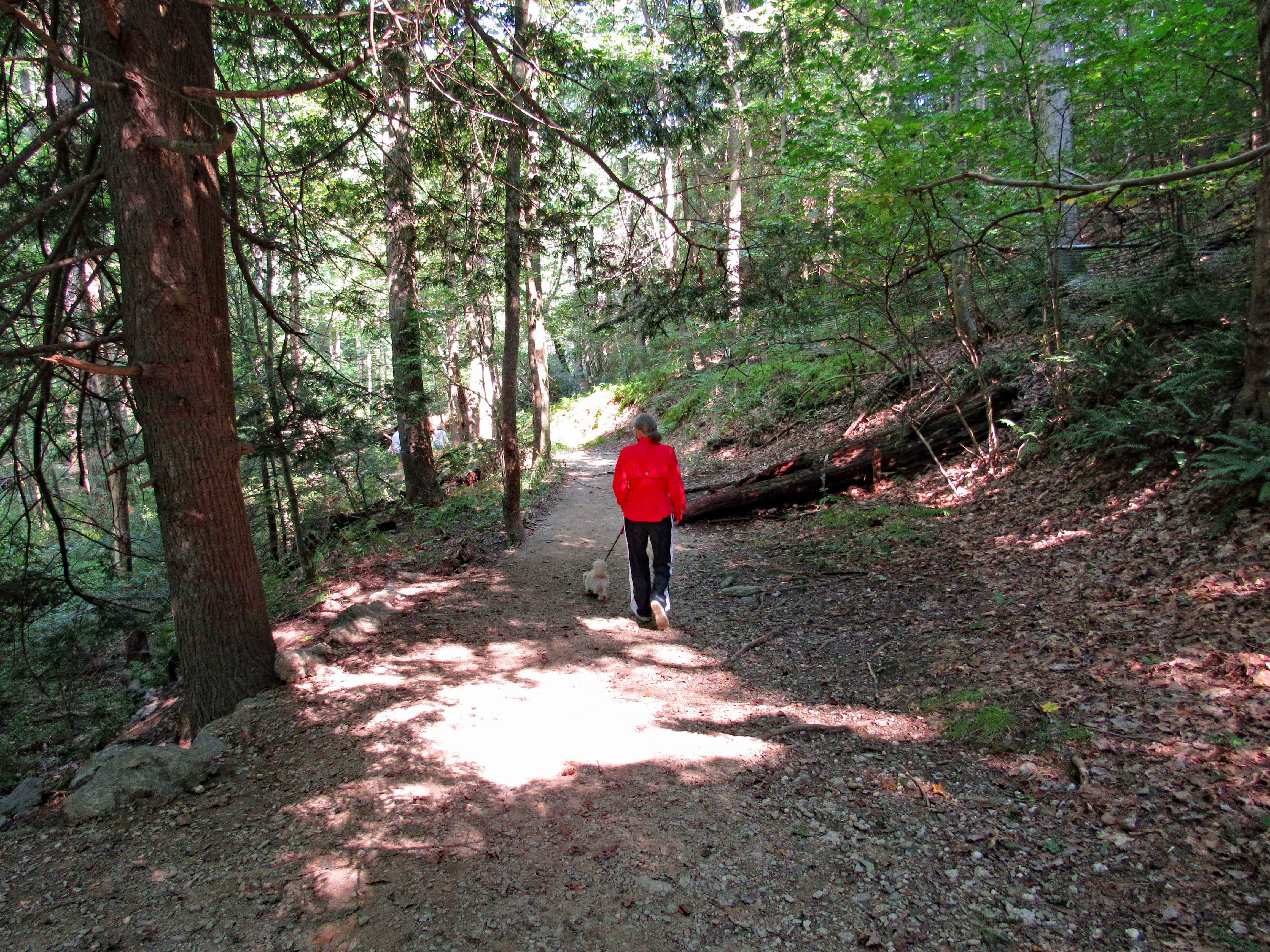
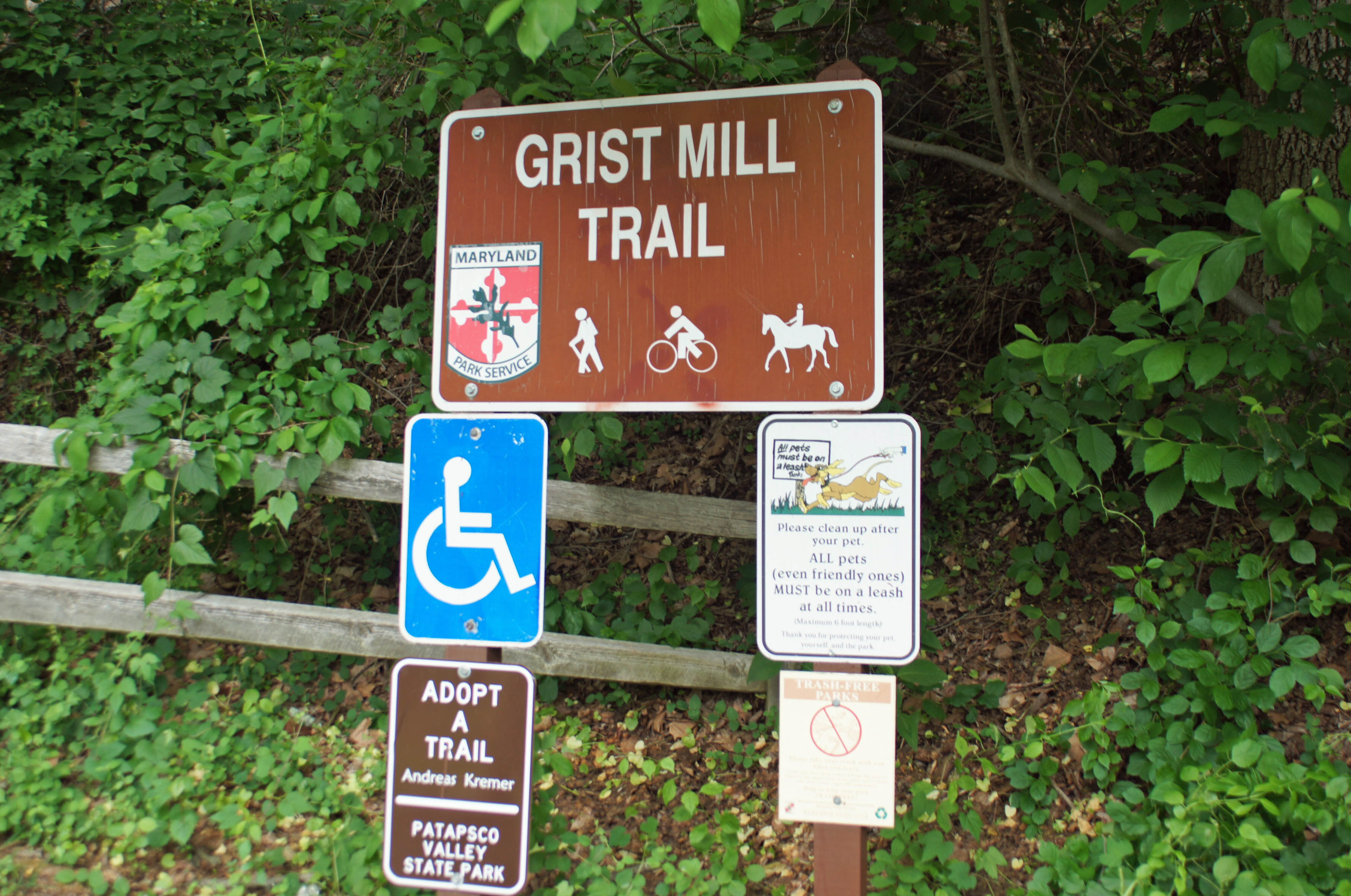
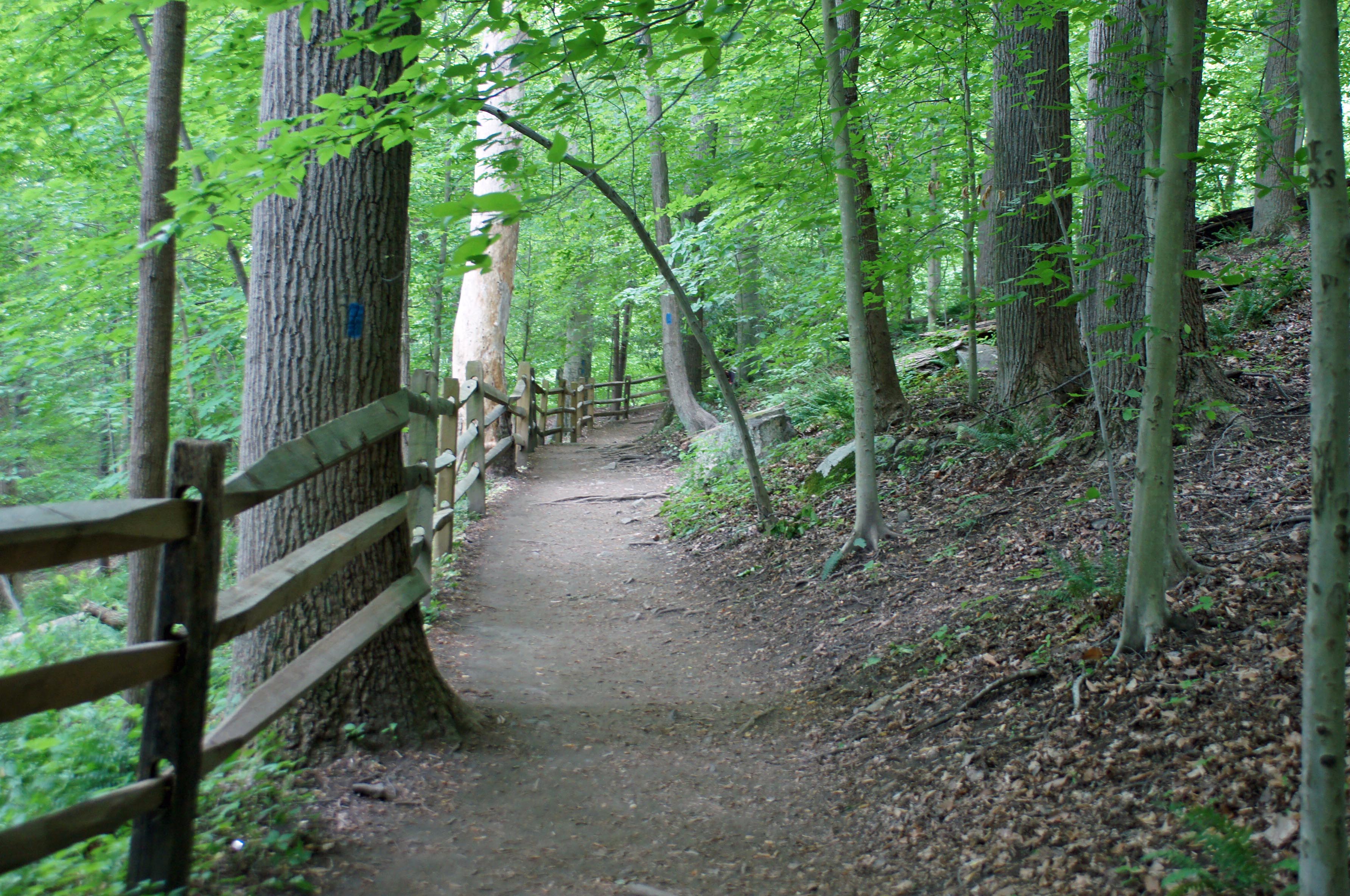
One of the many trails. According to All Trails, there are over 20 miles of trails here.

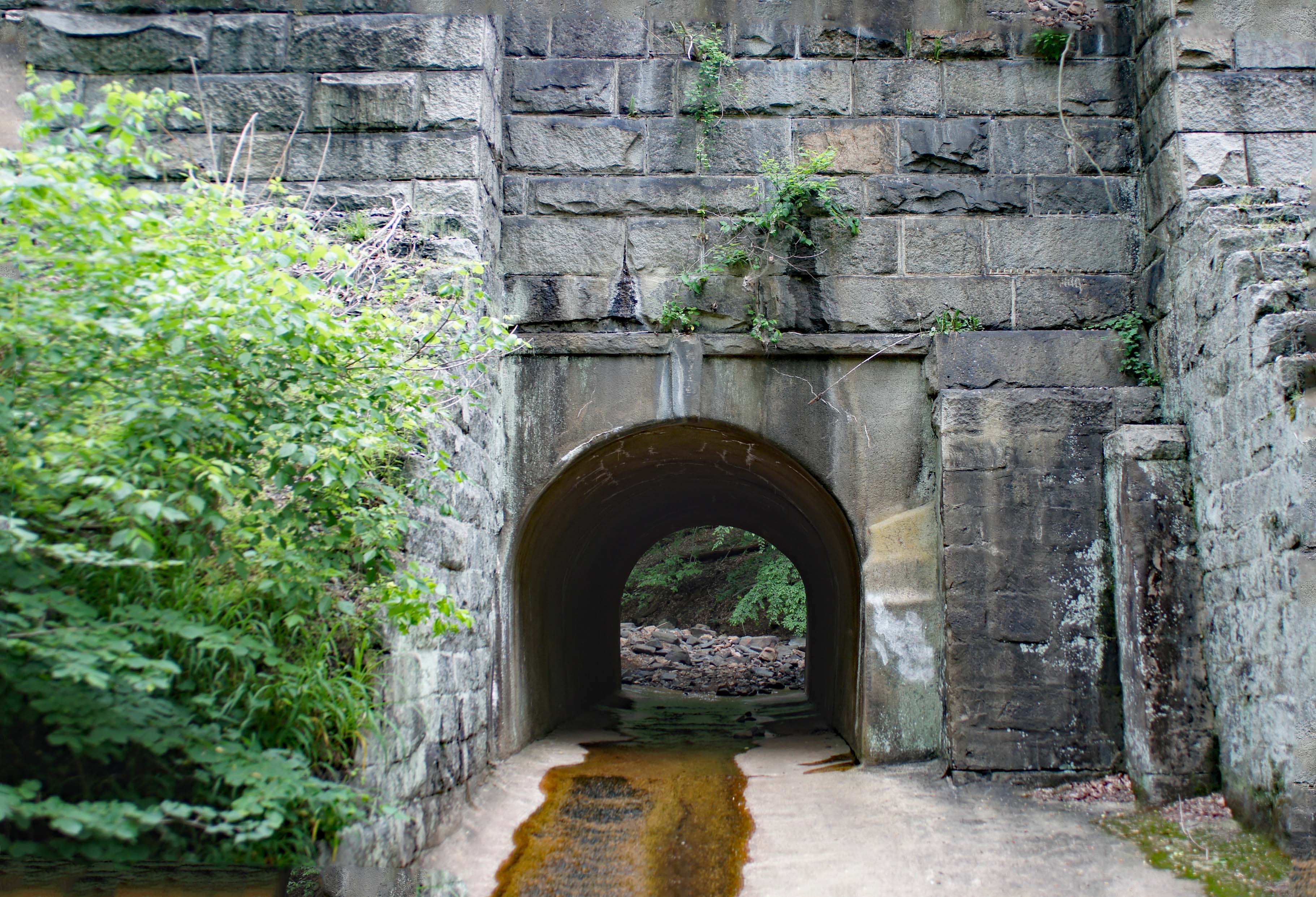
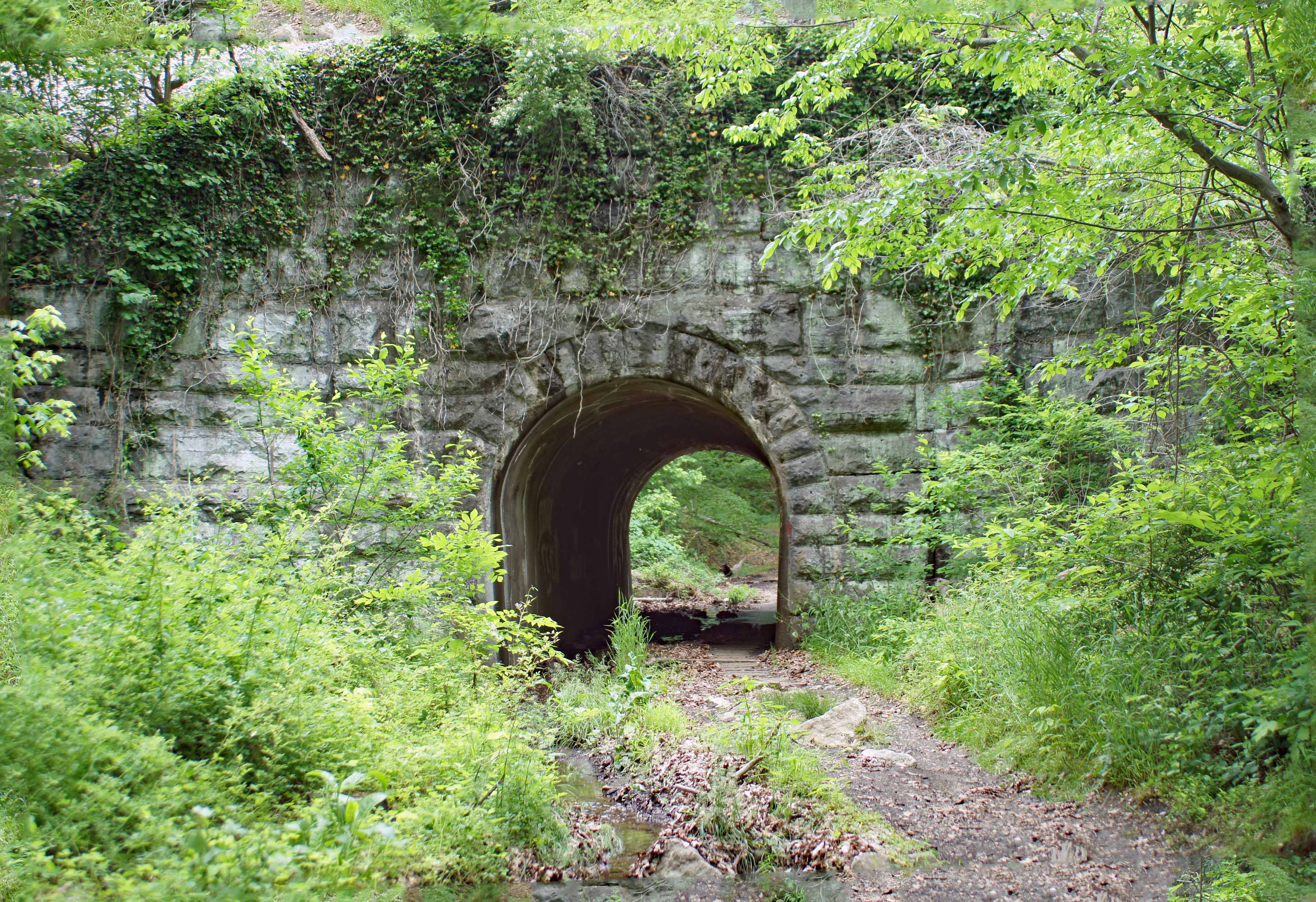
Tunnels to the other trails.

Another one.

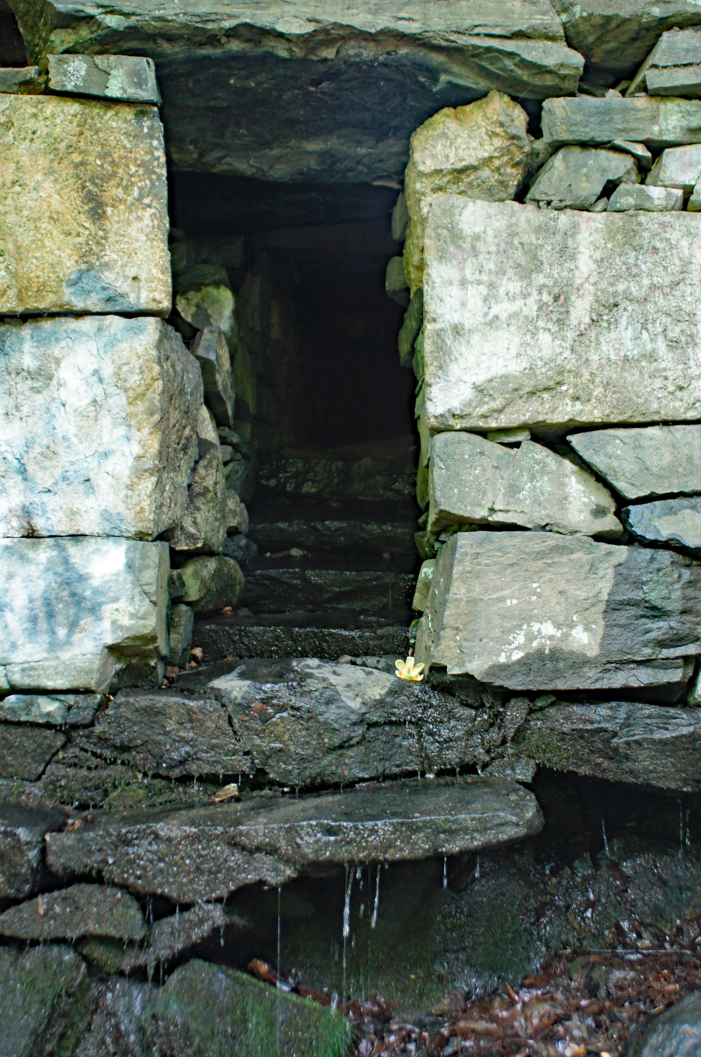
Besides the tunnels to the other side of the train tracks, there were many storm drains. This one had a Tulip Poplar Tree flower. Fell right in place for all to enjoy.

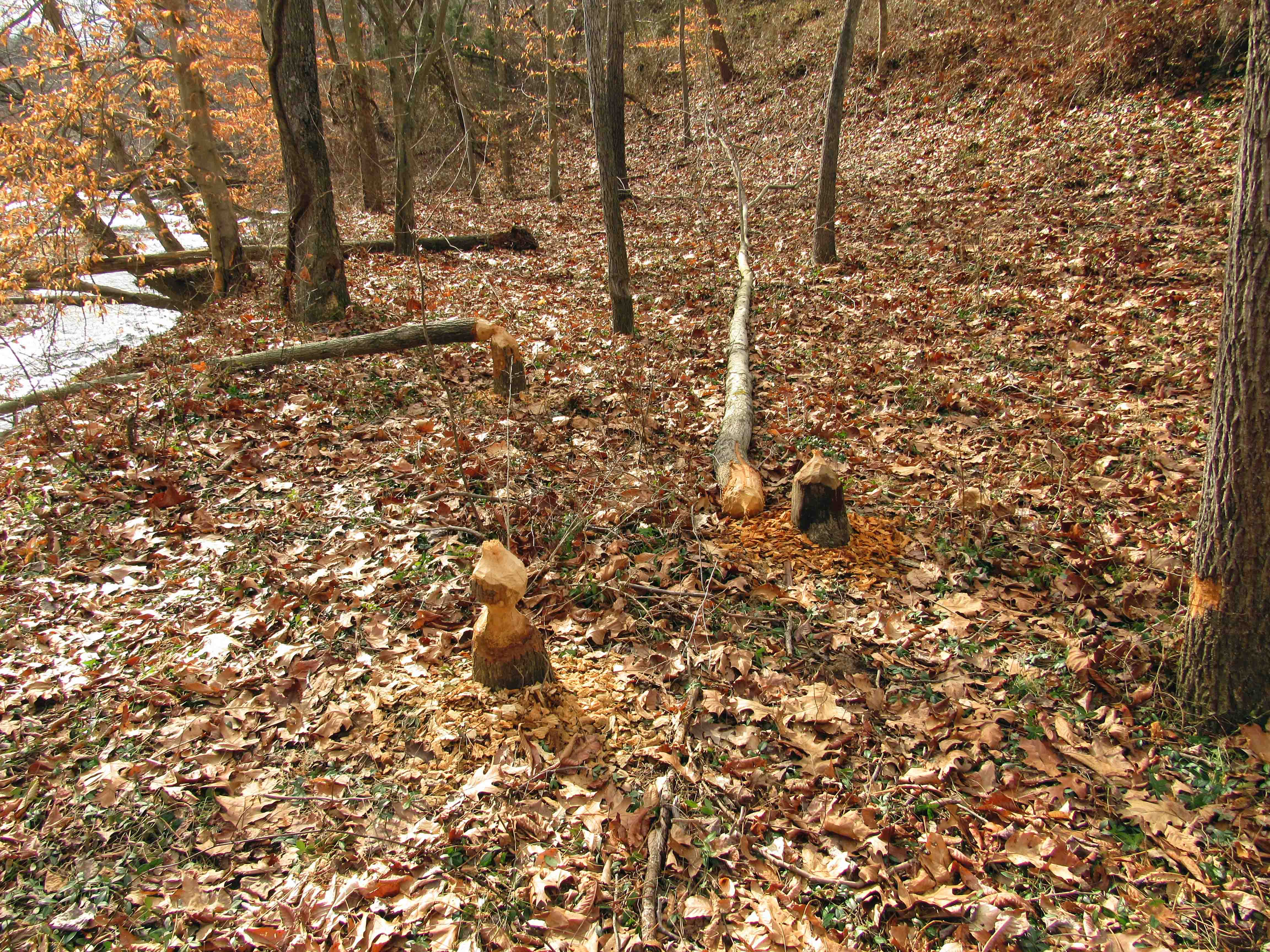
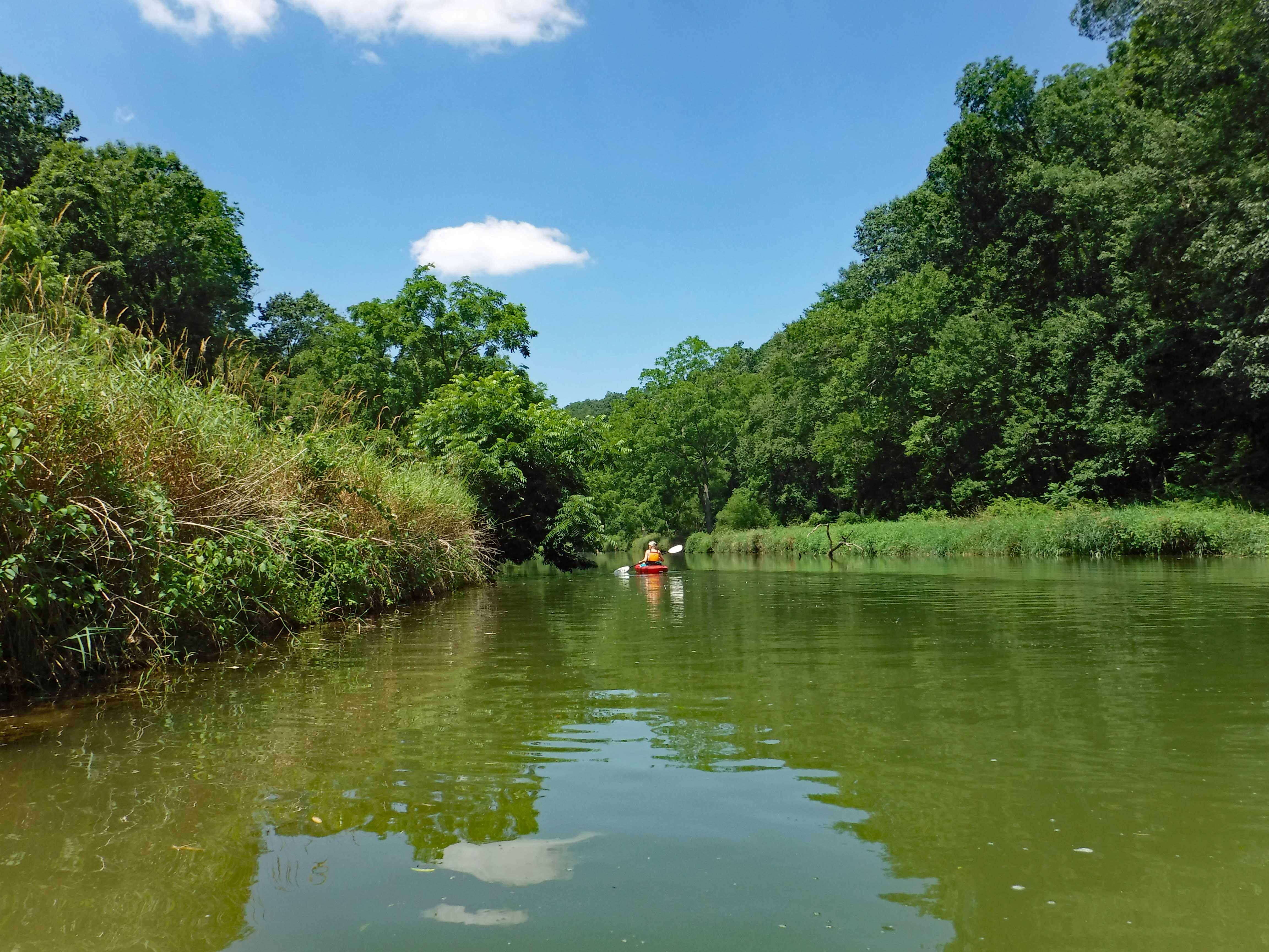
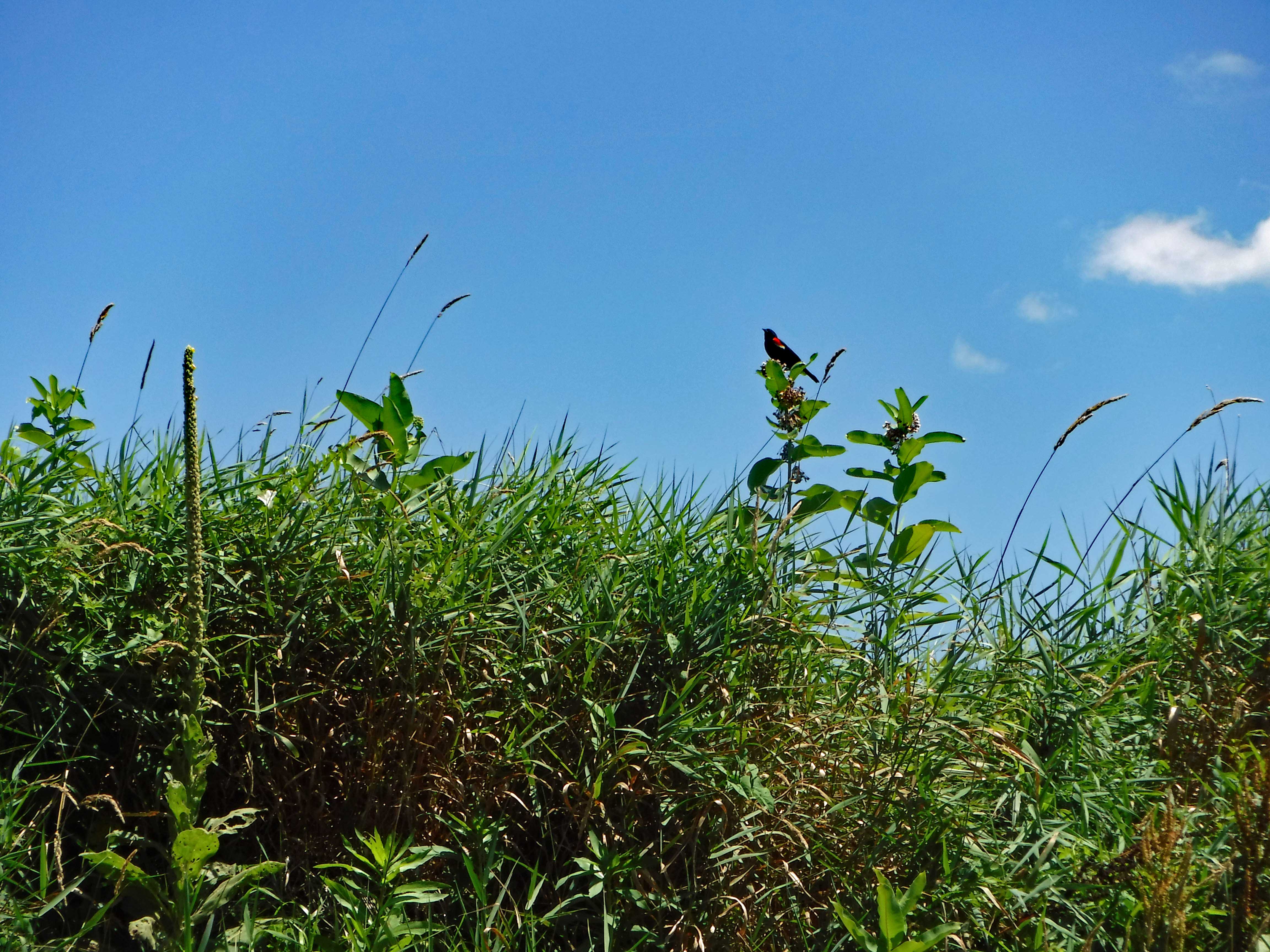
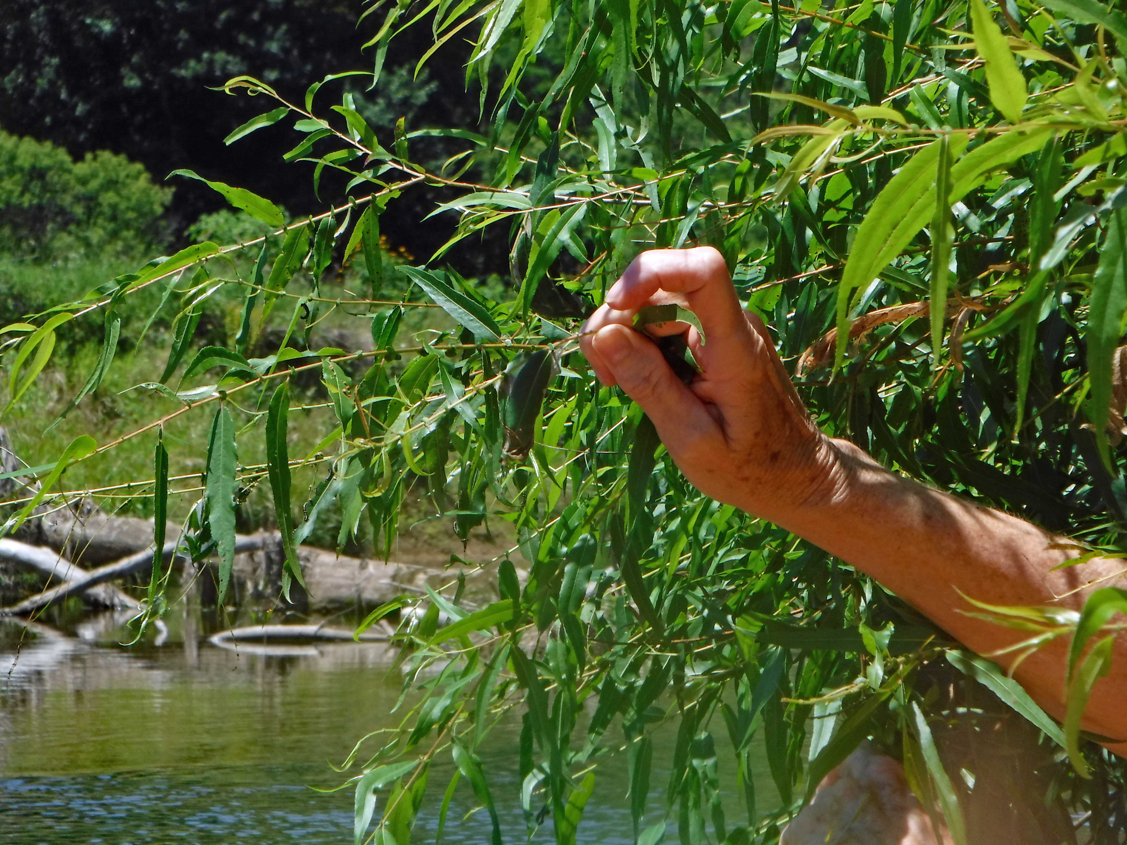
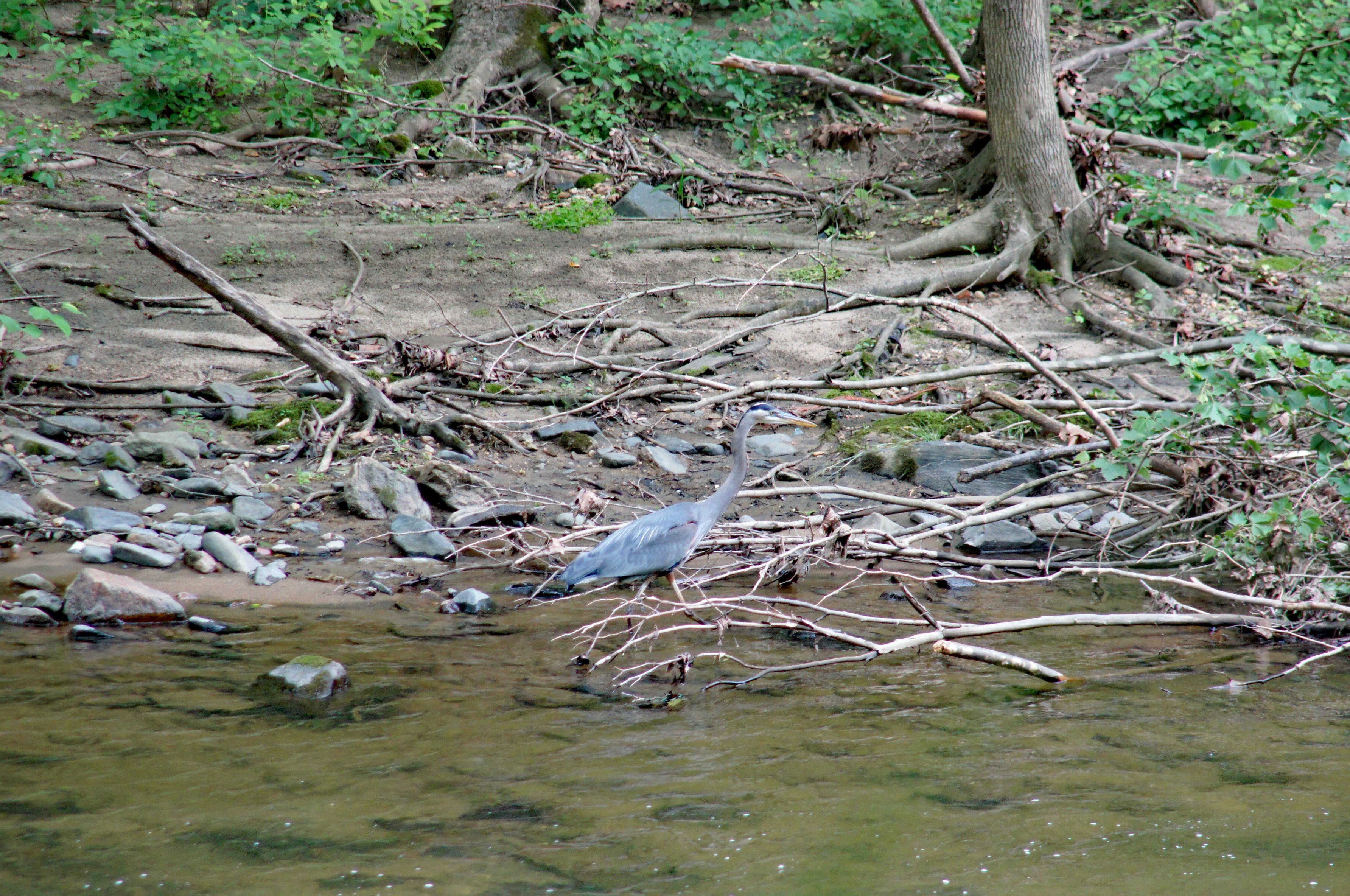
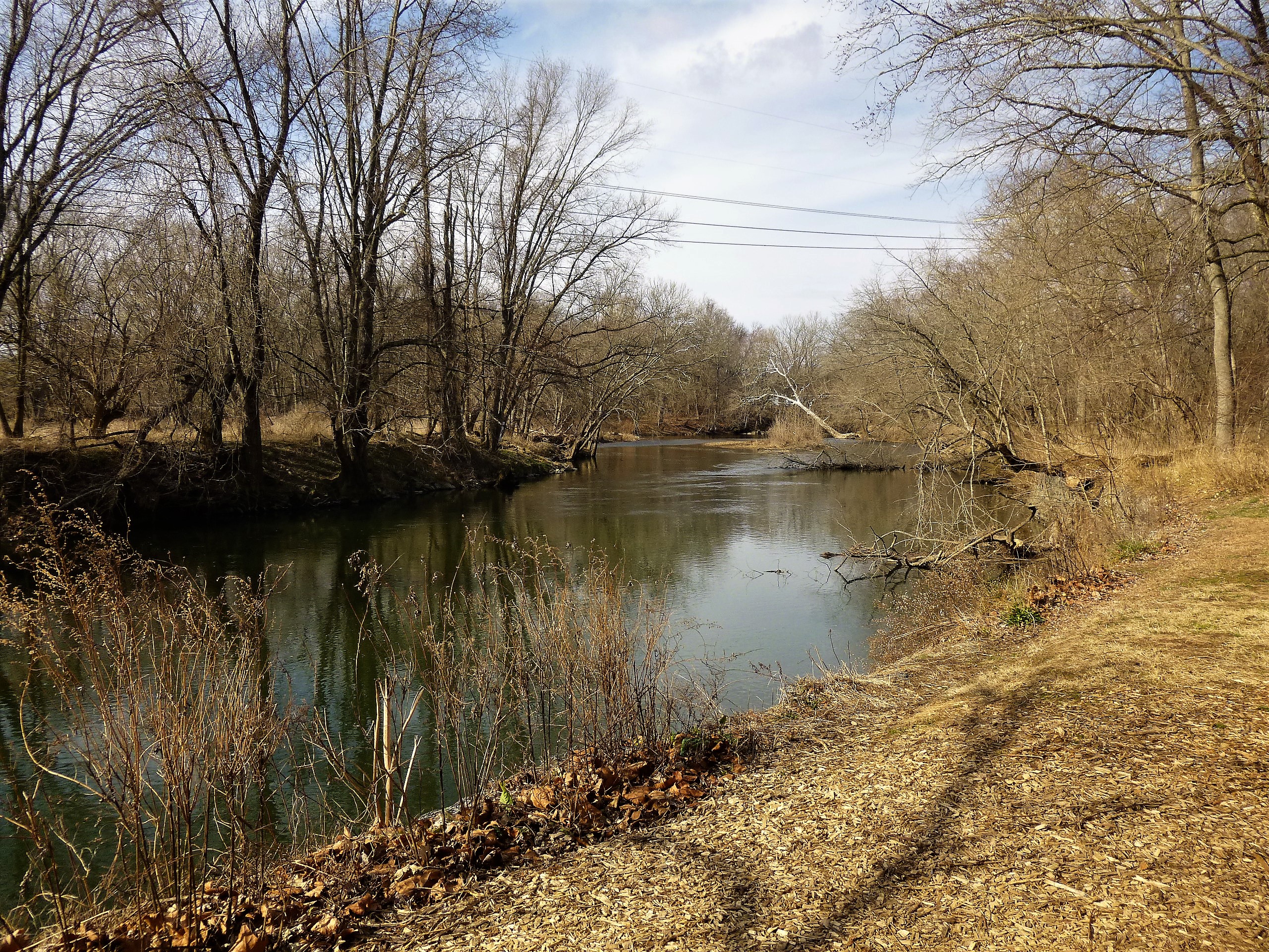
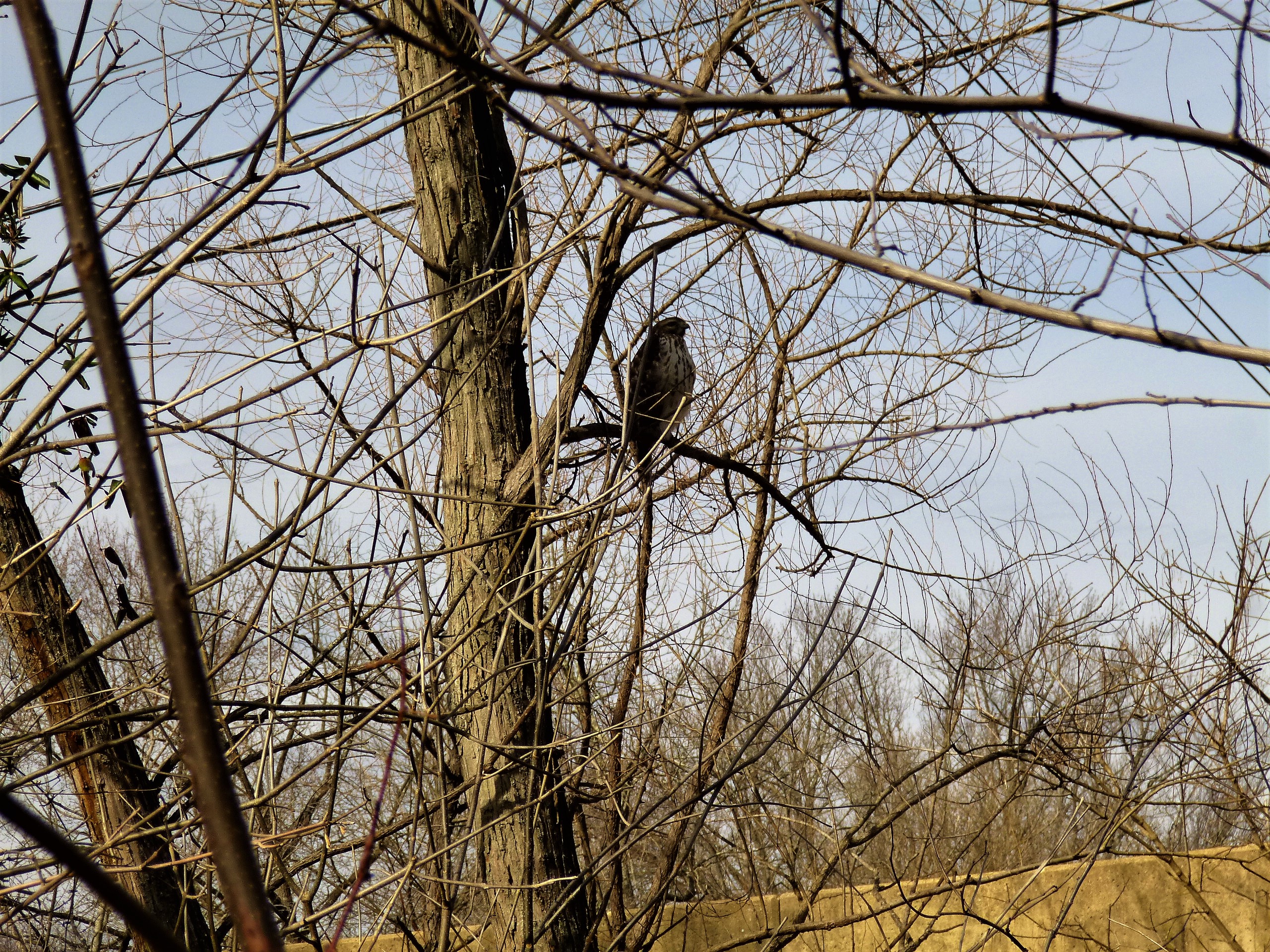
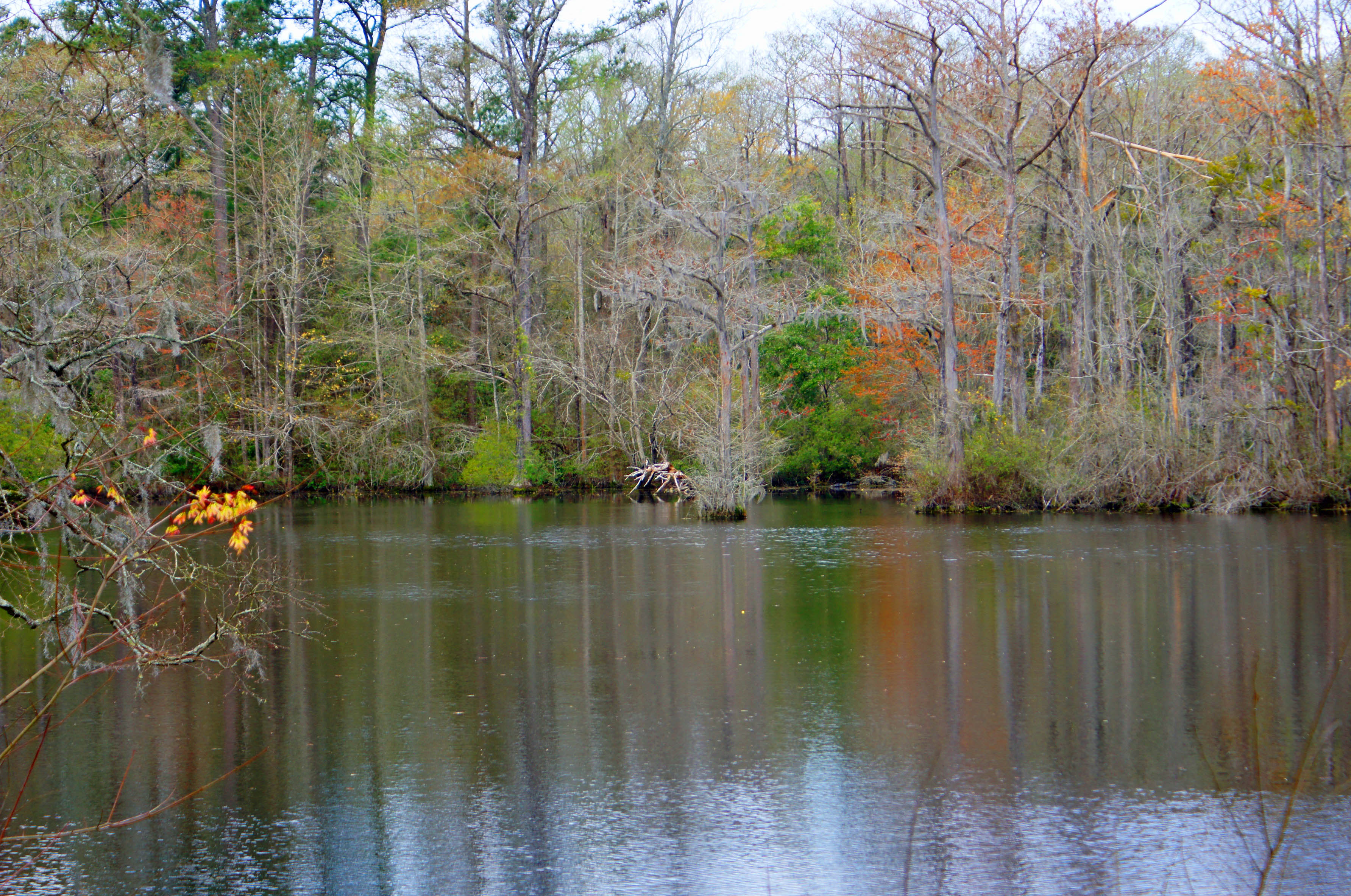
One of our off-trail forages to the river, we came across this guy. There was also an osprey and maybe an adolescent eagle.

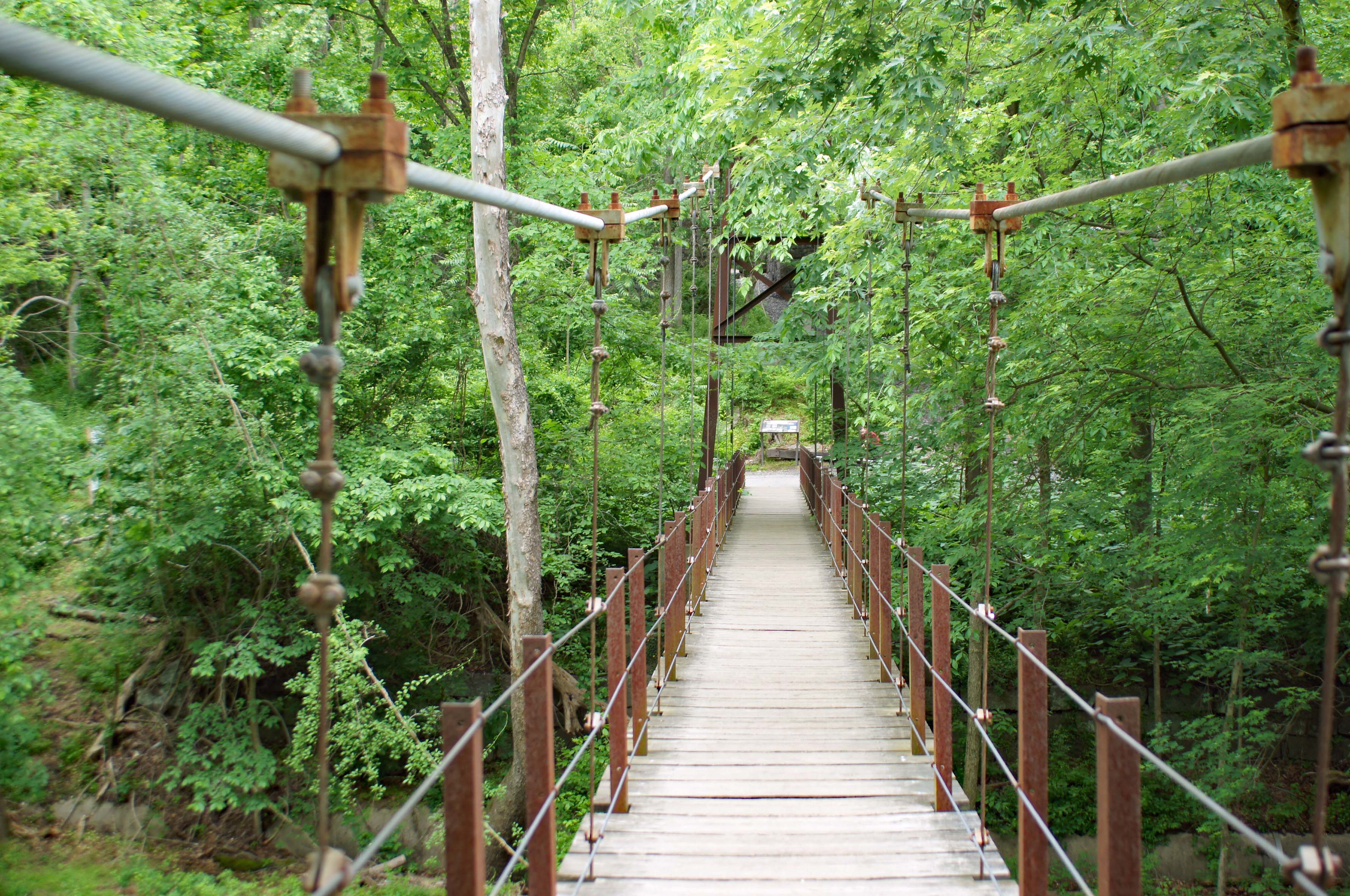
Up stream a ways is the swinging bridge. I could swear that when I was young, this bridge was made of rope and wood and it really swung. Now it just kind of bounces.

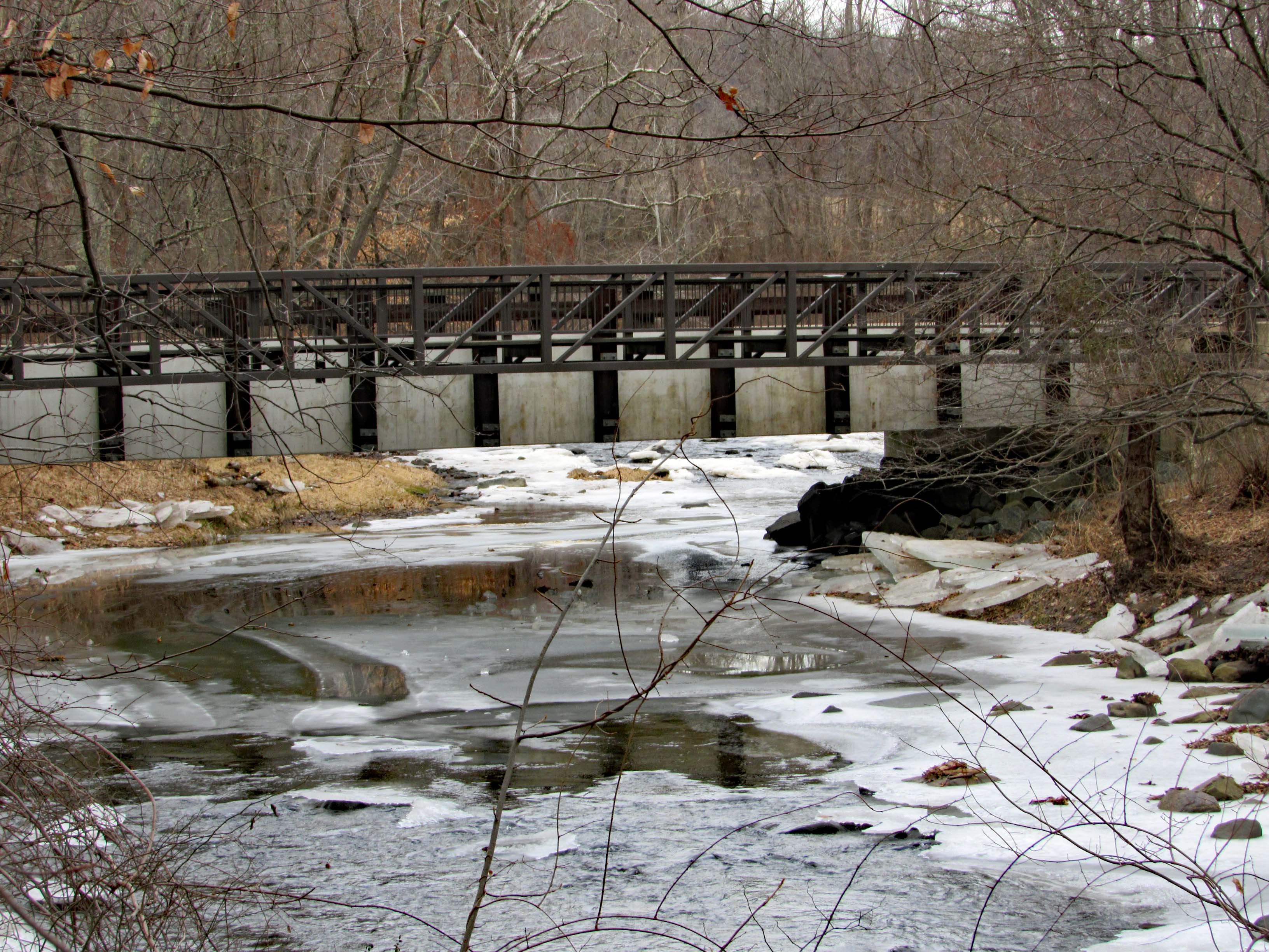
Five years ago. It was pretty clear under the swinging bridge.

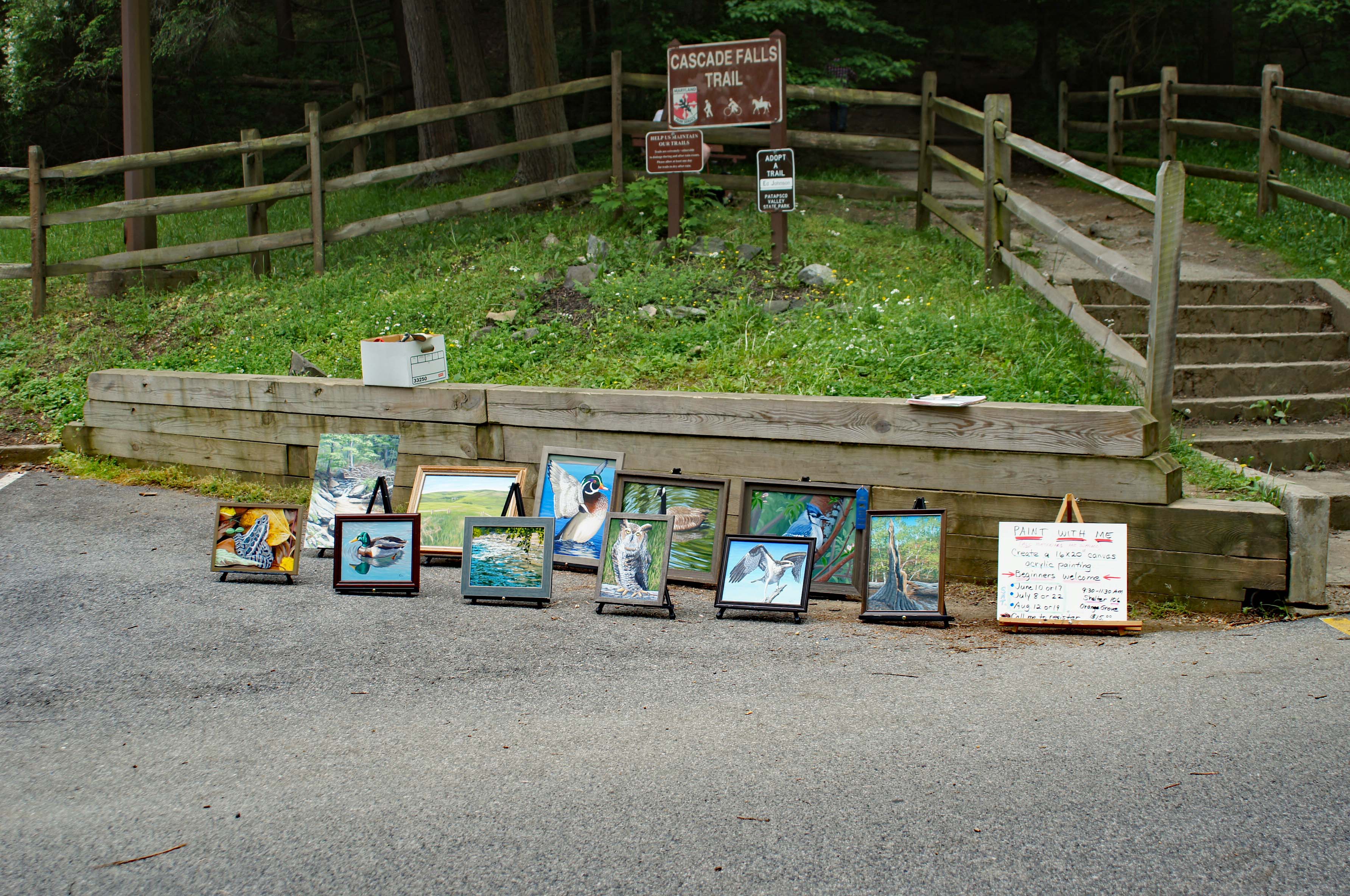
Plein art at the entrance to Cascade Falls.

Well worn trails.

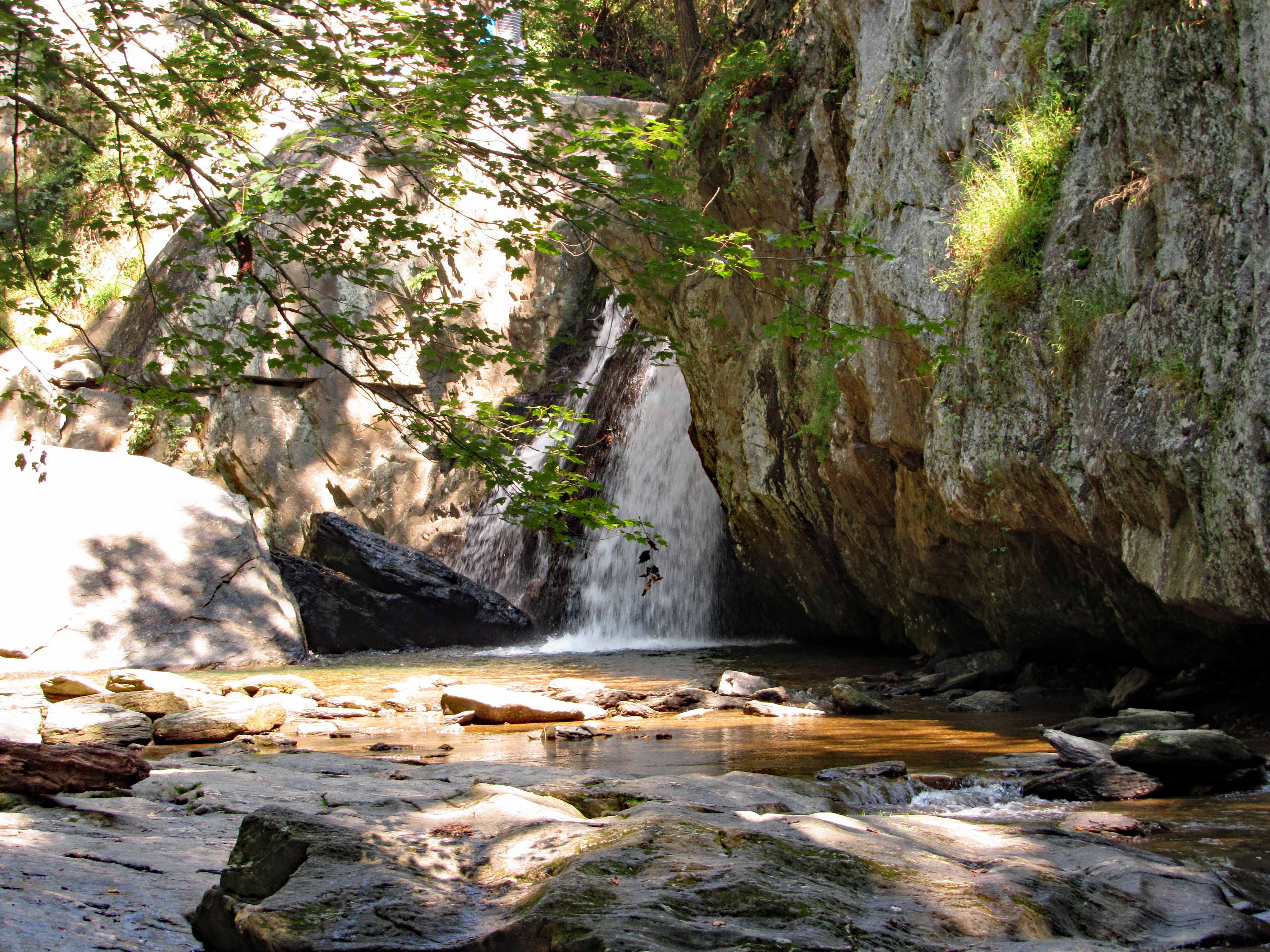
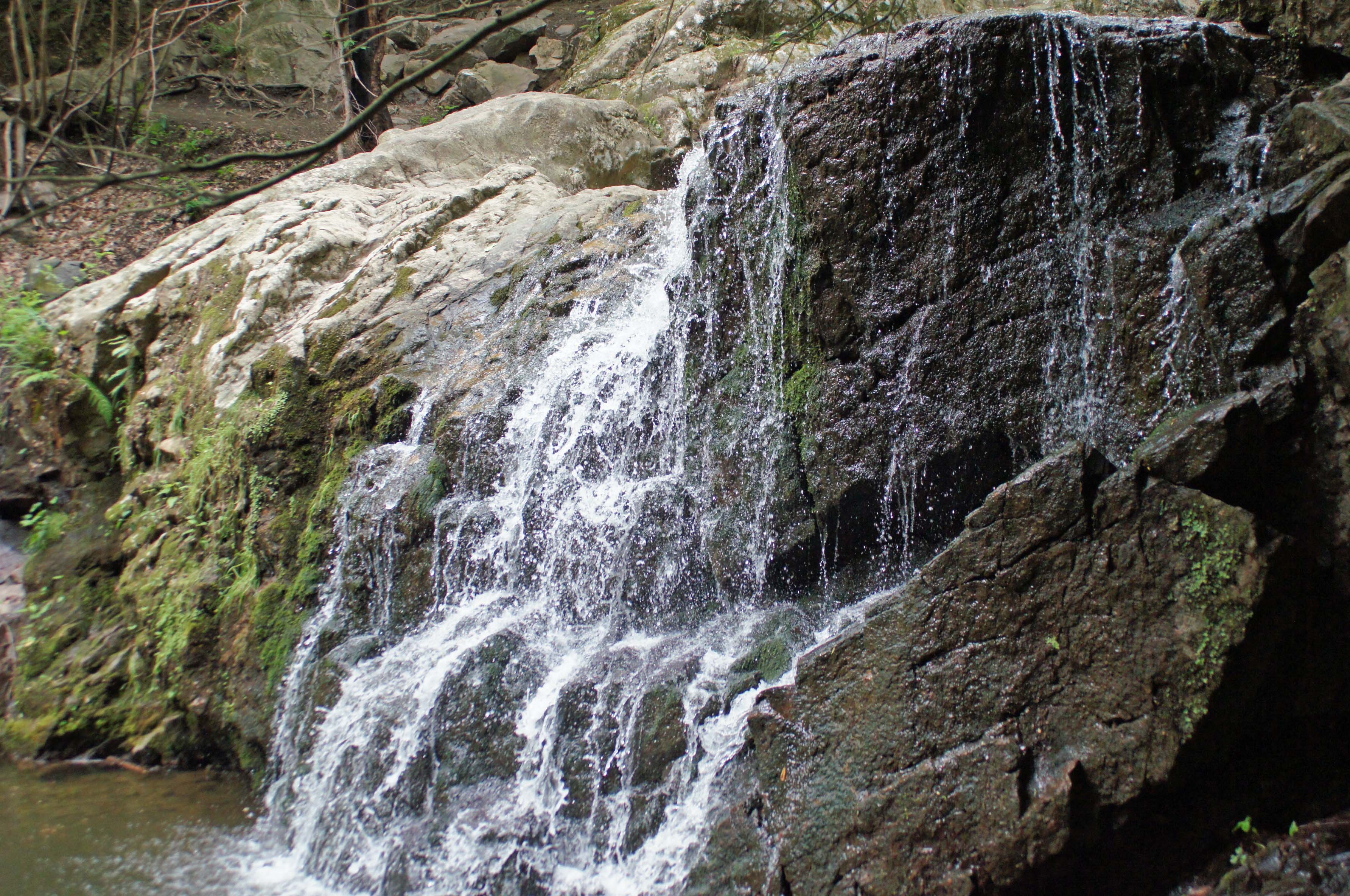
The lower portion of the falls.

Cascade Falls.

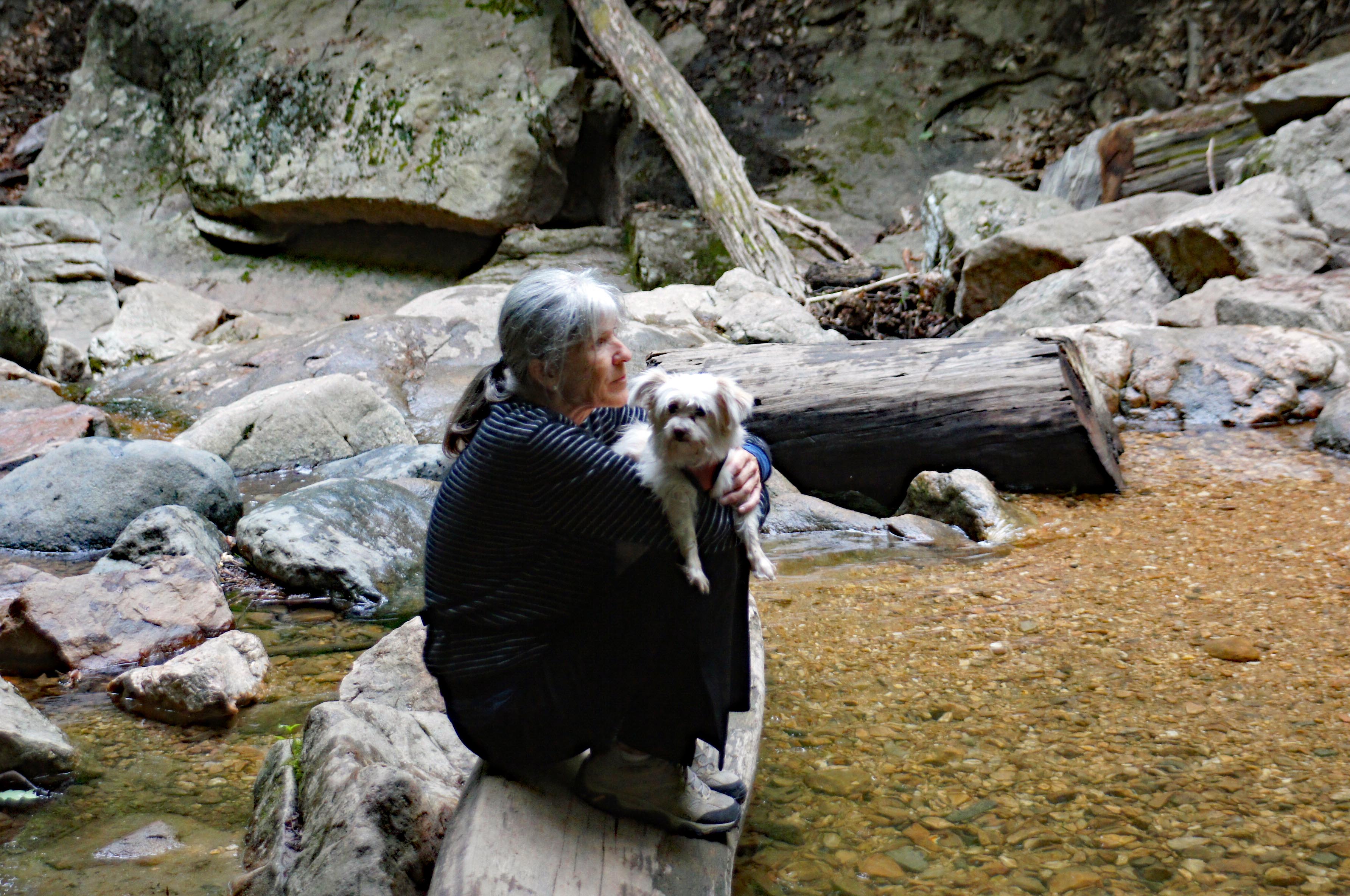
Kathy contemplating the sights and sounds of the falls. Molly contemplating how to get off that log and back to land.

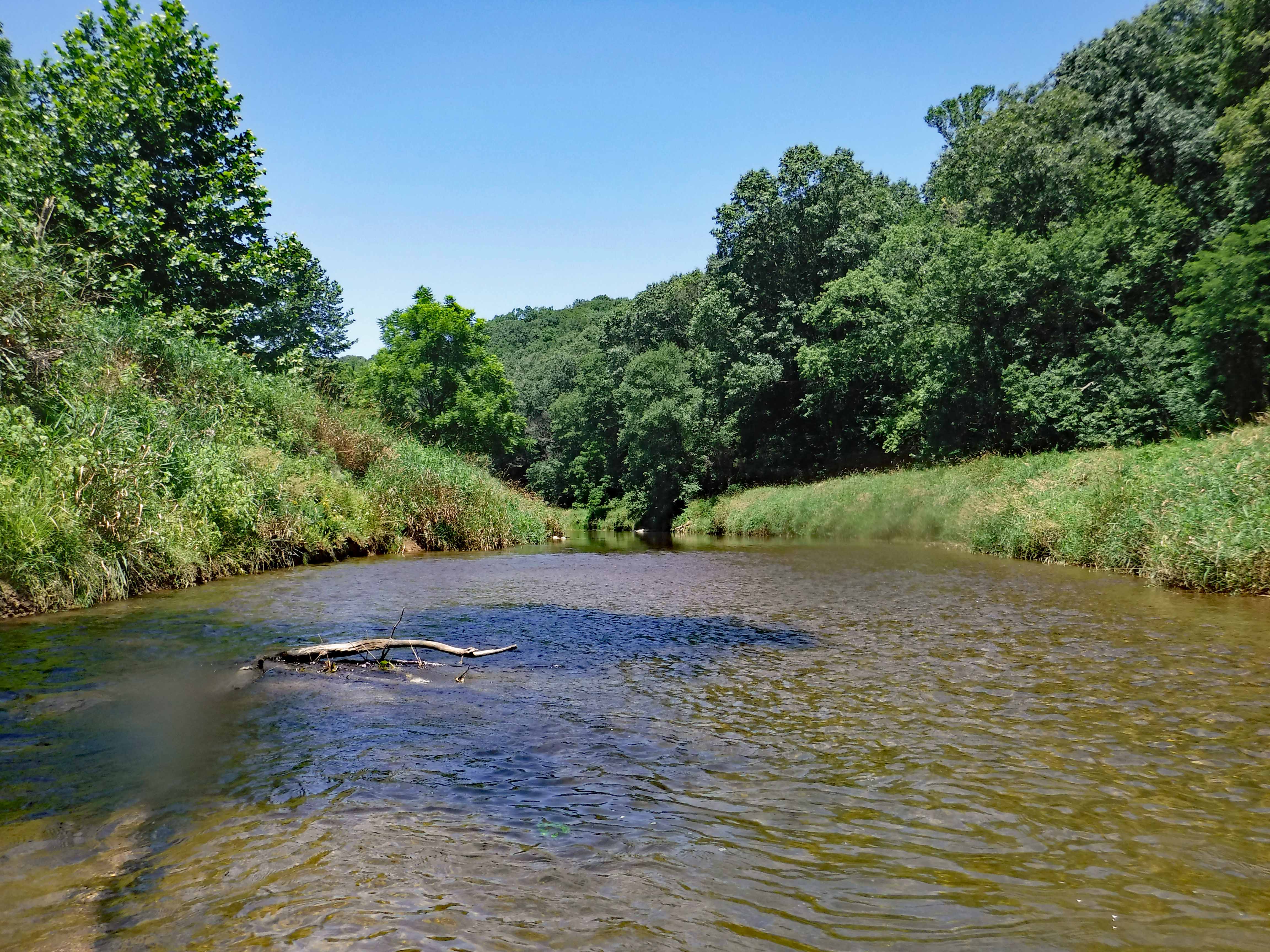
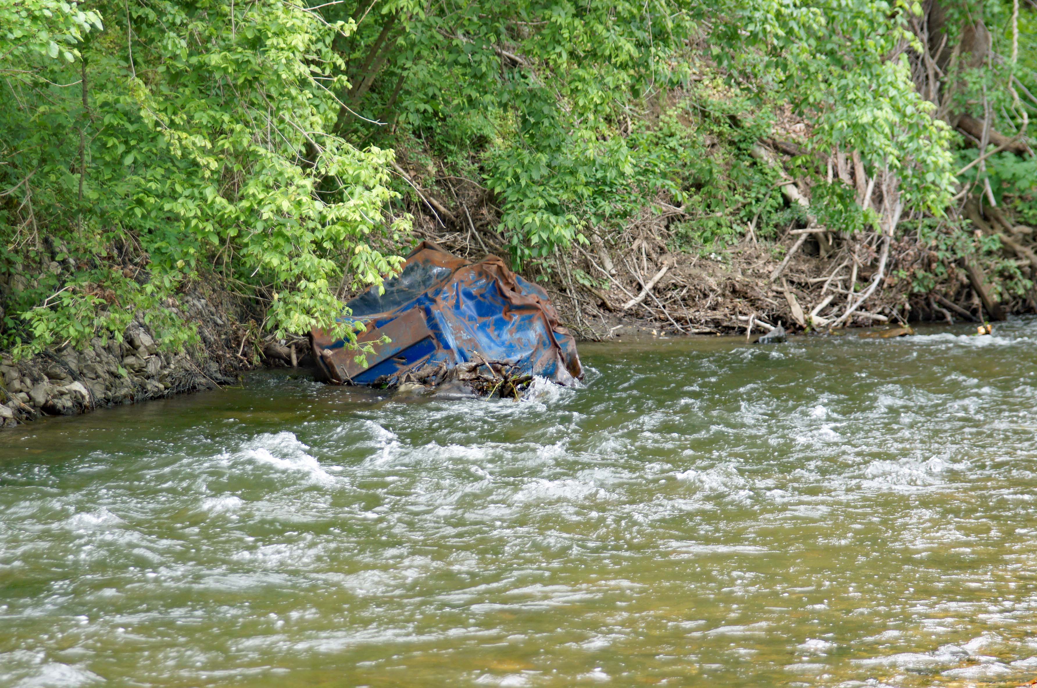
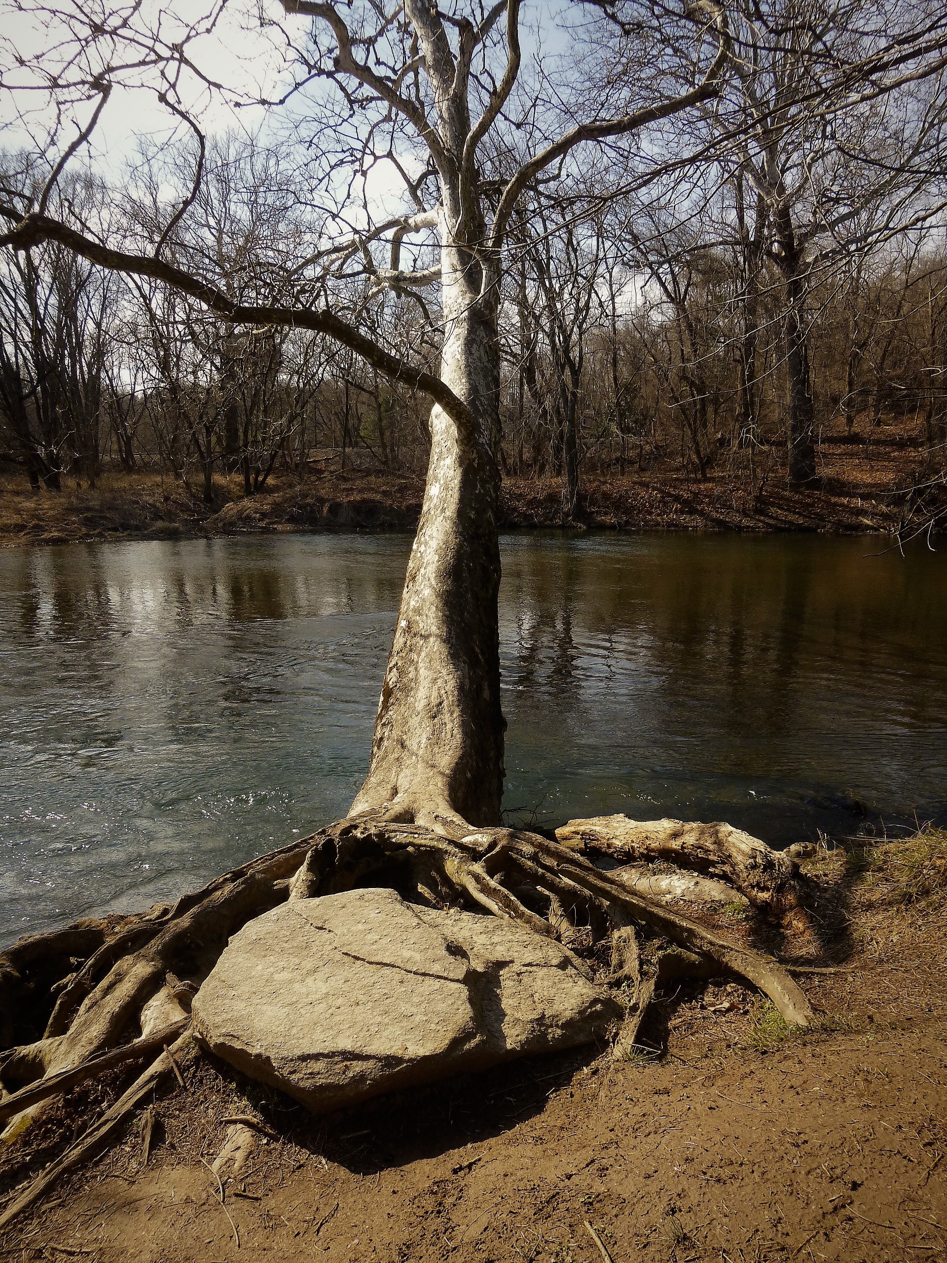
Heading back, following the river instead of the trail. Dumpster?

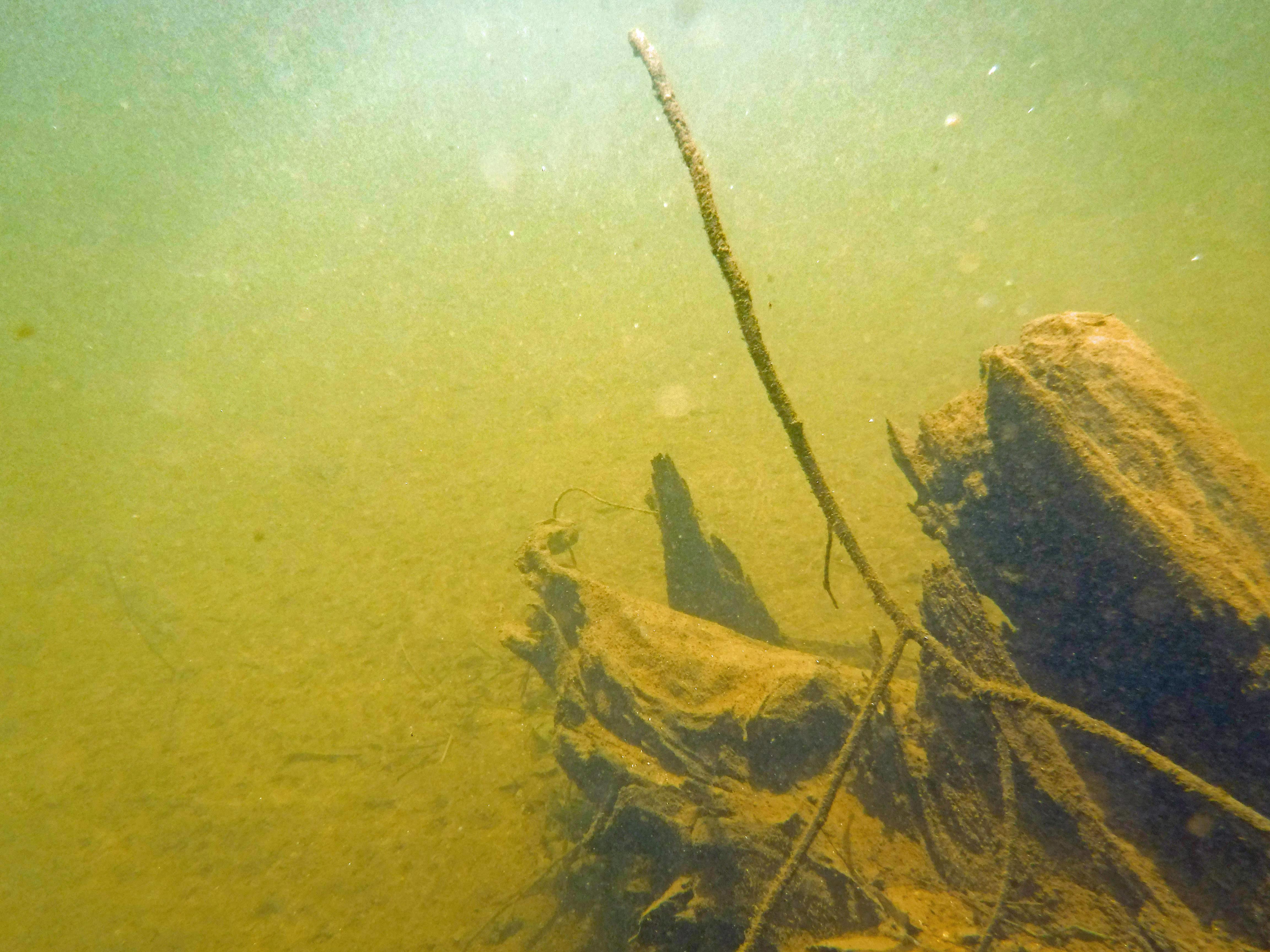
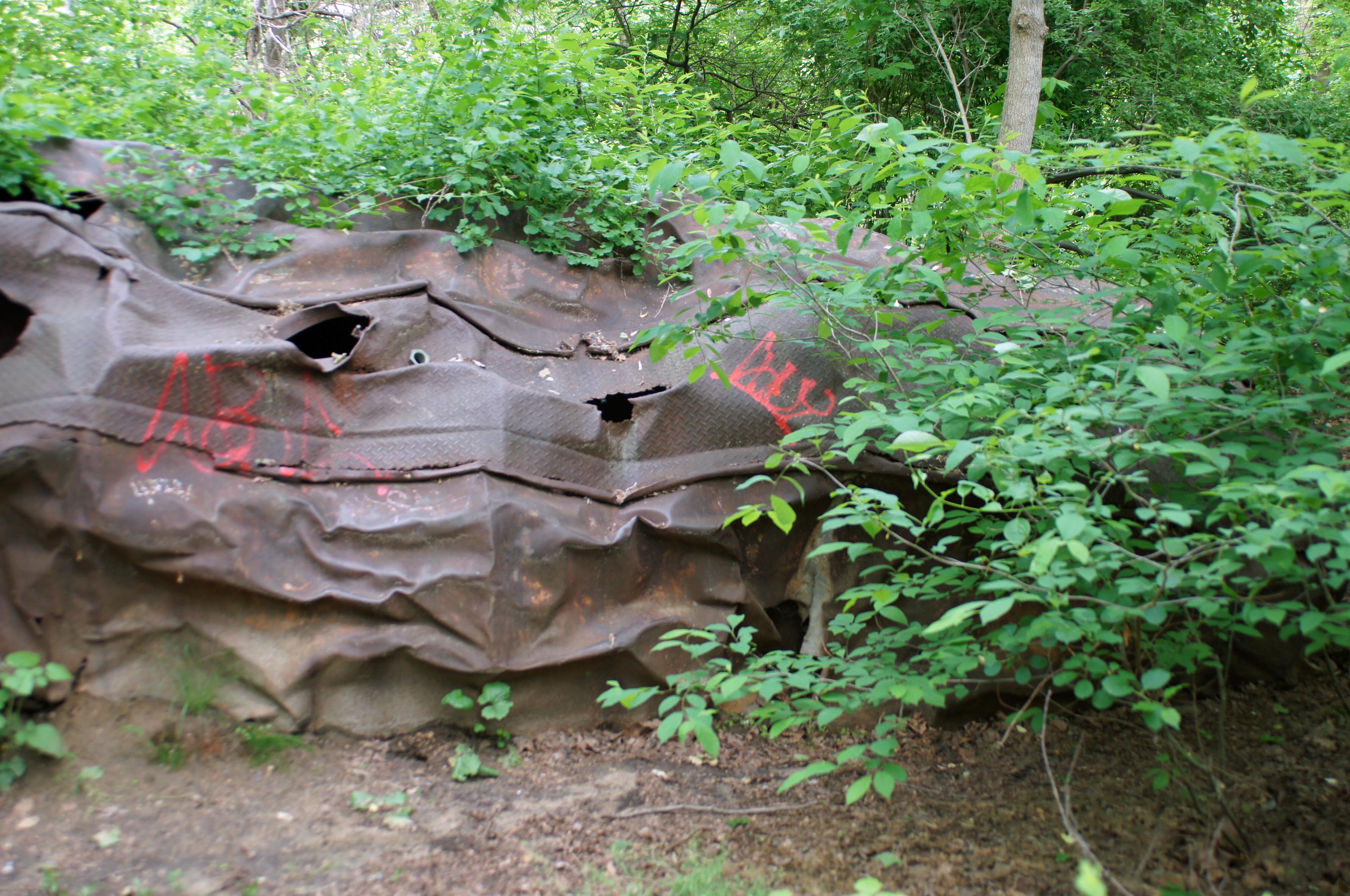
Had trouble finding this guy. An oil tanker that was washed away during Hurricane Agnes, 1972.

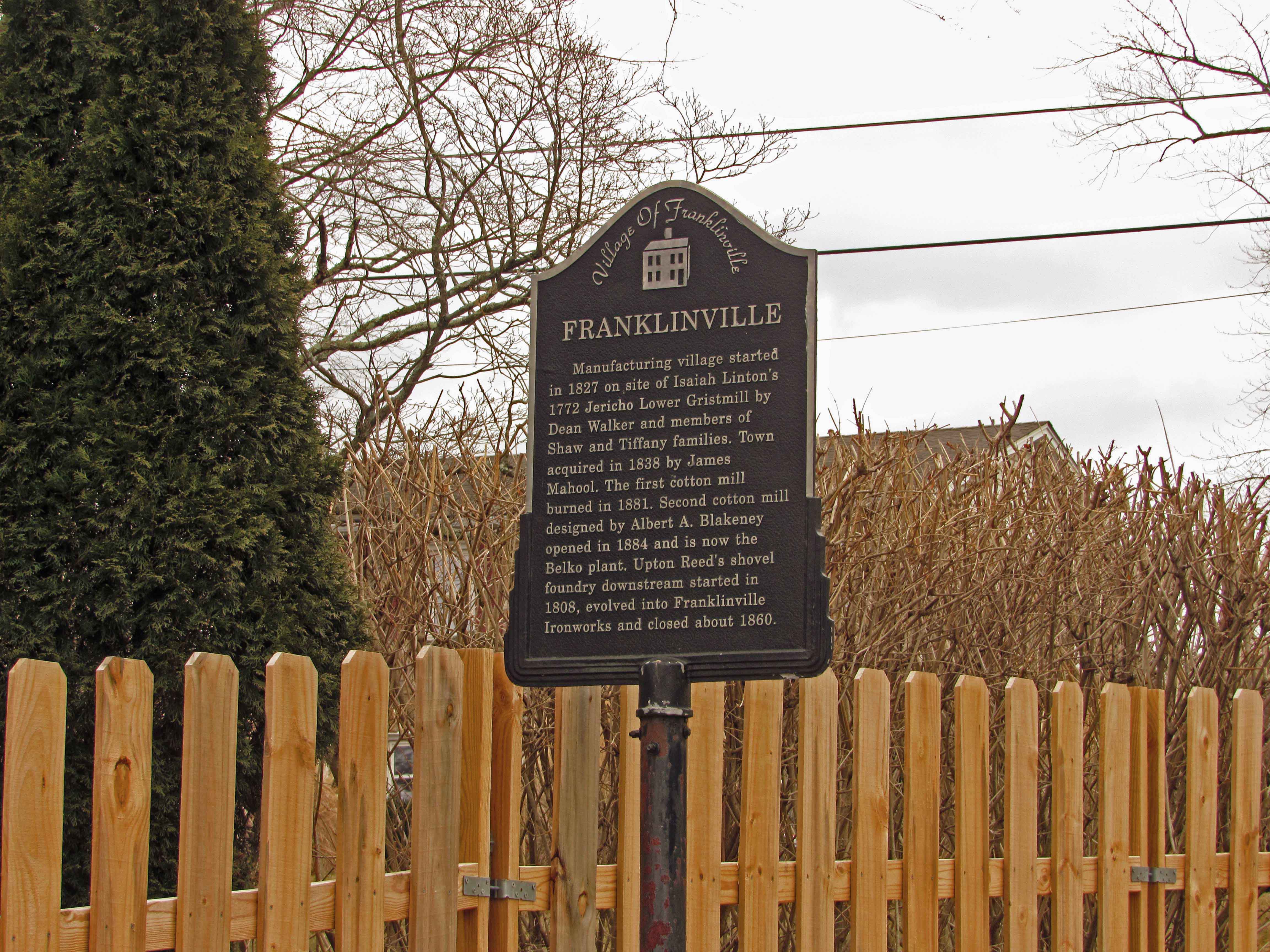
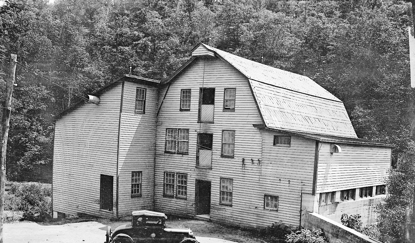
This is 5 years ago. So only recently did they (Park people) allow it to get so overgrown. There is a historic marker on the trail – The Forces of Nature.

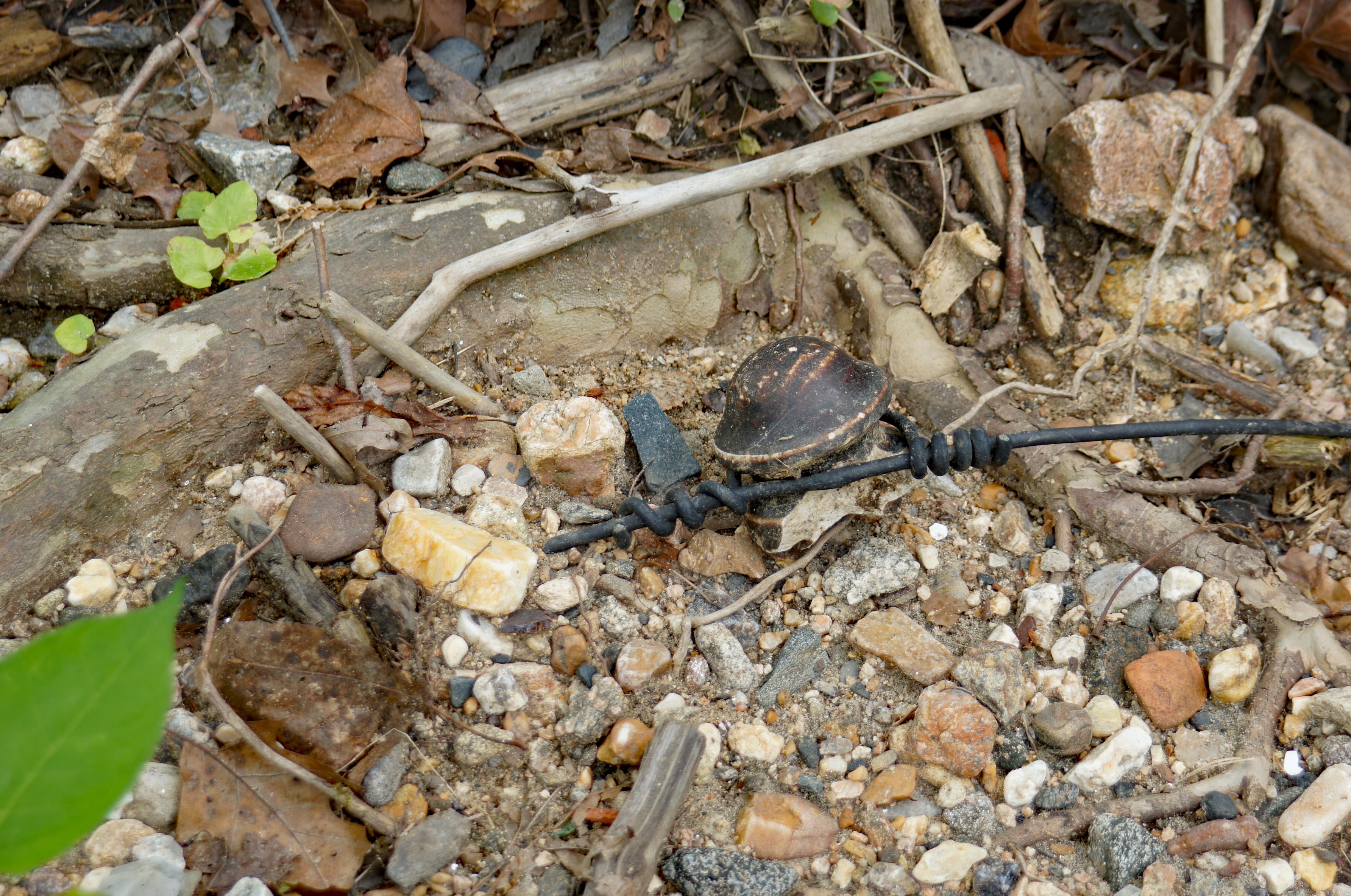
Walking along the river, found a lot of Sea Glass – actually I guess it is river glass. Also there was an electrical insulator. Found some really nice glass and porcelain. (Kathy found most of it)

A nice day and a wonderful hike. Five years ago I did this hike by myself. It is nice to have someone with me, to enjoy this.

Road Trip, Museum and Hike

30 Monday Jan 2017

Posted by Ronald Parks in art, Photography

≈ Leave a comment

Tags

art, Hiking, mills, Museum, nature, photography

Headed up to the Brandywine River Museum in Chadds Ford, Pa. where part of the Wyeth Collection is displayed. Kathy suggested we go to check out the Wyeth Family art work before we go see Andrew Wyeth’s granddaughter’s work at the Harford Artist Association next month.

p1070817

Art gallery connected to a mill. http://www.brandywine.org/museum

p1070819

A boy and his hawk (and I guess 2 pigeons to feed to his hawk?)

p1070821

View from the second story window, actually thru the window. Meditation pyramid.

p1070828

Not allowed to photograph the artwork, which was fine. Gave me more time to look at and enjoy the work (sometimes I photograph objects and their accompanying plaques, thinking I will read later…) Big Brass Bunny to start off our hike on the Riverwalk.

p1070832

Nice little trail along the Brandywine River.

p1070839

“That’ll do pig, that’ll do.” Farmer Hoggett – Babe.

p1070843

Water connection for my water blog – Stream monitoring station (USGS)

p1070848

View from the train tracks, looking up-stream.

p1070853

One of two inscribed benches along the trail. “Live For The Day”

p1070855

Large sycamore leaning towards the water. Wonder how much longer it will stand?

p1070878

A lone hawk wondering if he will ever get to pose for a bronze statue…

Eden Mill Kayaking

14 Thursday Jul 2016

Posted by Ronald Parks in HISTORY, Photography, Reservoir, water history

≈ 3 Comments

Tags

eden mill, engineering, Hiking, HISTORY, kayaking, mills, Museum, Public Works, water history

Kathy and I went kayaking on one of the most peaceful creeks I know of – Eden Mill at Deer Creek. Back in July 2013 I posted about History and Photography, that people should appreciate the history of the mills and streams they hike. Since I have just started to kayak, I now have a deeper appreciation of the history of Eden Mill. The perspective is so much different on the water than it is walking the trails.

Additional research has shown that there were a few plans for damming Deer Creek. in July of 2013 I wrote that the crest of the proposed dam at the Rocks would be at an elevation of 540’. Another 1933 study put it at 430’. In either case, if the dam was built, the mill would be under water.

The below topography map shows the creek elevation at 342’. The dam is 16’ tall so that brings us to 358’. The mill is three stories so let’s add roughly another 36’ – that’s 394’. So yes, that is still a good 30 feet underwater! The mill is to the right of the word creek, just past the branch stream.

EM5

To know this and to understand the history makes it such a sweet kayaking adventure. Appreciate history. Go kayaking. Be happy!

EM7

Looking upstream from the base of the mill.

EM6

The Mill as it looked in the 1930s

EM1

The mill and top of dam. View from kayaks.

EM3

One of the branch streams that feeds Deer Creek. These two bridges would be under water.

EM4

View from under the bridge. Back in the 30s, this bridge was probably an old wooden one.

EM2

It doesn’t get any better than this!

Brock Mill Pond NC

04 Monday Apr 2016

Posted by Ronald Parks in HISTORY, Photography, Travel

≈ Leave a comment

Tags

engineering, Hiking, kayaking, mills, North Carolina, photography, water history

Took a road trip to Indian Beach, North Carolina the other day. On the way we stopped at an old mill, c1700s. Nice.

P1060471

Too bad it was closed for the day – would like to see the inside workings.

The dam

The pond – Kayak adventure waiting to happen!

← Older posts

Blogroll

  • Flouride Action Network
  • lulu
  • My Book
  • WordPress.com
  • WordPress.org

Recent Posts

  • In Search of The Skipjack Ada Mae
  • Trap Pond Kayak
  • Pusey Trail and Cemeteries
  • Chandler Tract (White Trail) 4 3 21
  • Oyster Fritters, Antiques, a Hike (and a bad sign)

Blog at WordPress.com.

  • Follow Following
    • Water and Me
    • Join 228 other followers
    • Already have a WordPress.com account? Log in now.
    • Water and Me
    • Customize
    • Follow Following
    • Sign up
    • Log in
    • Report this content
    • View site in Reader
    • Manage subscriptions
    • Collapse this bar
 

Loading Comments...