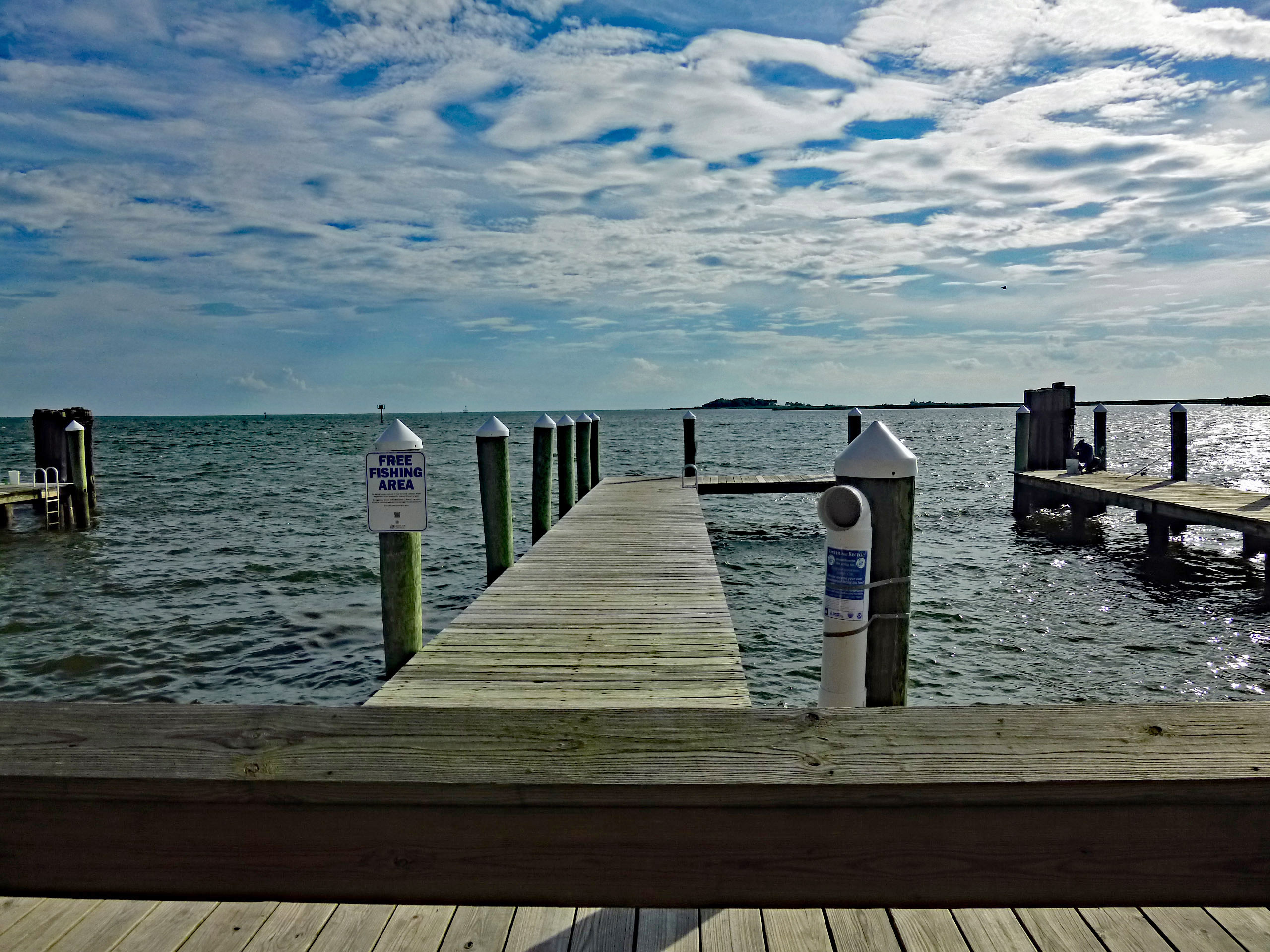
Headed to Baltimore from Salisbury about 9am. For whatever reason there was a back-up on the Bay Bridge. Got to the cruise terminal about noon. Everyone at the terminal was very nice. Lots of people instructing you to have all your documents ready – Cruise ticket, passport, ID. The Vision of the Seas, Royal Caribbean.
Our cabin was ready at 1pm which wasn’t bad. Exterior with view and this is what we could see.
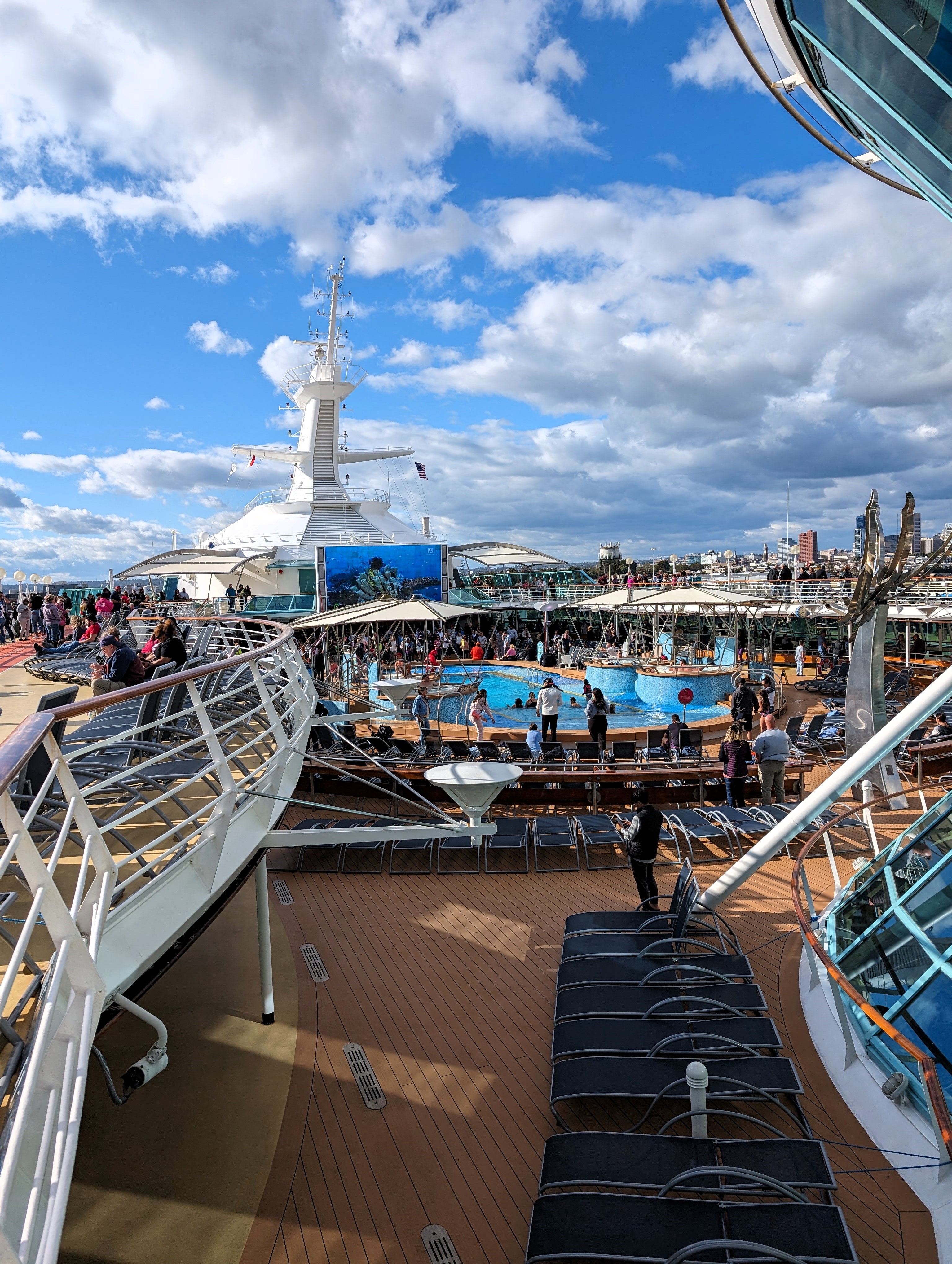
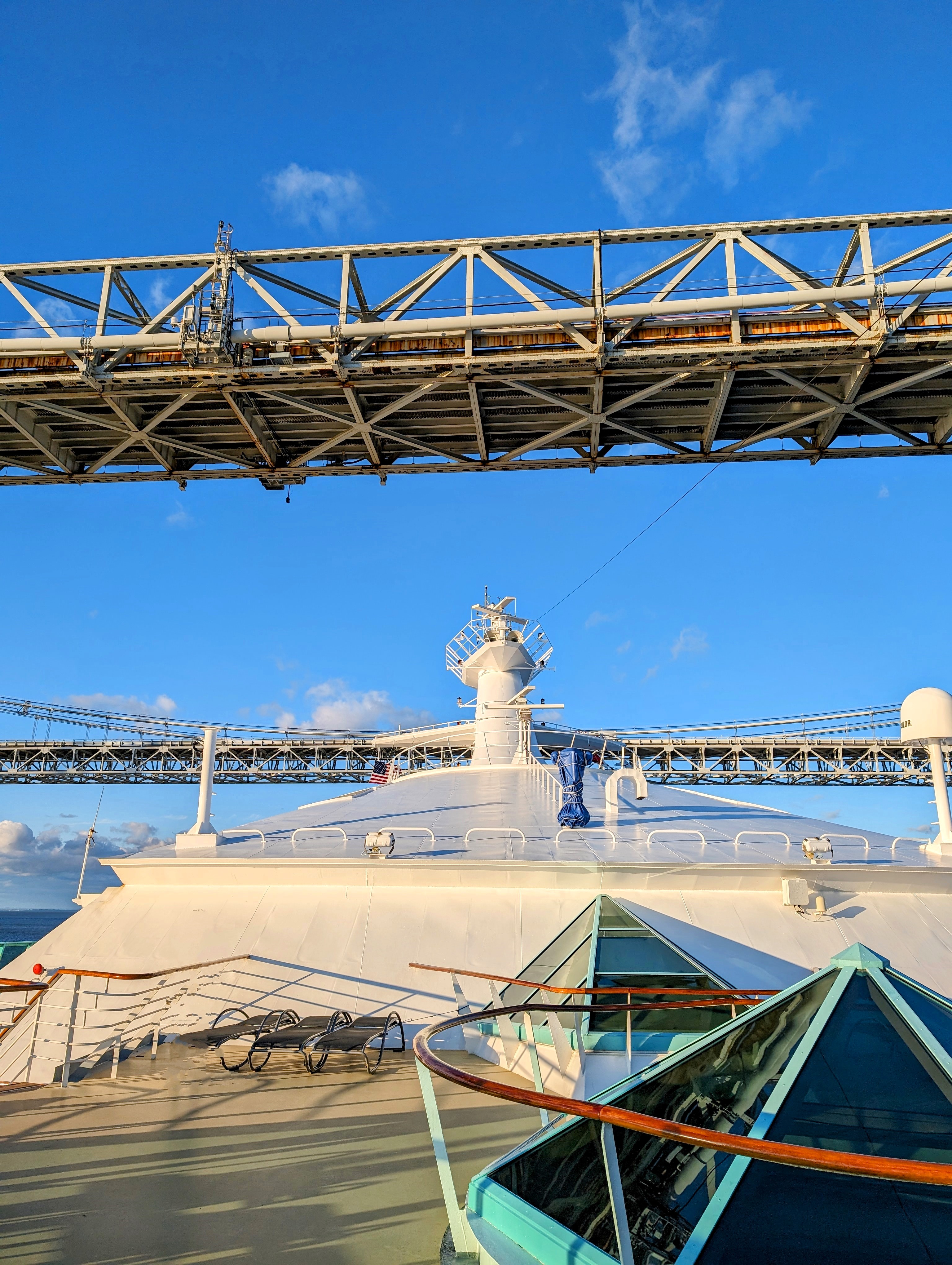
Roamed around the deck. People already in the pool.
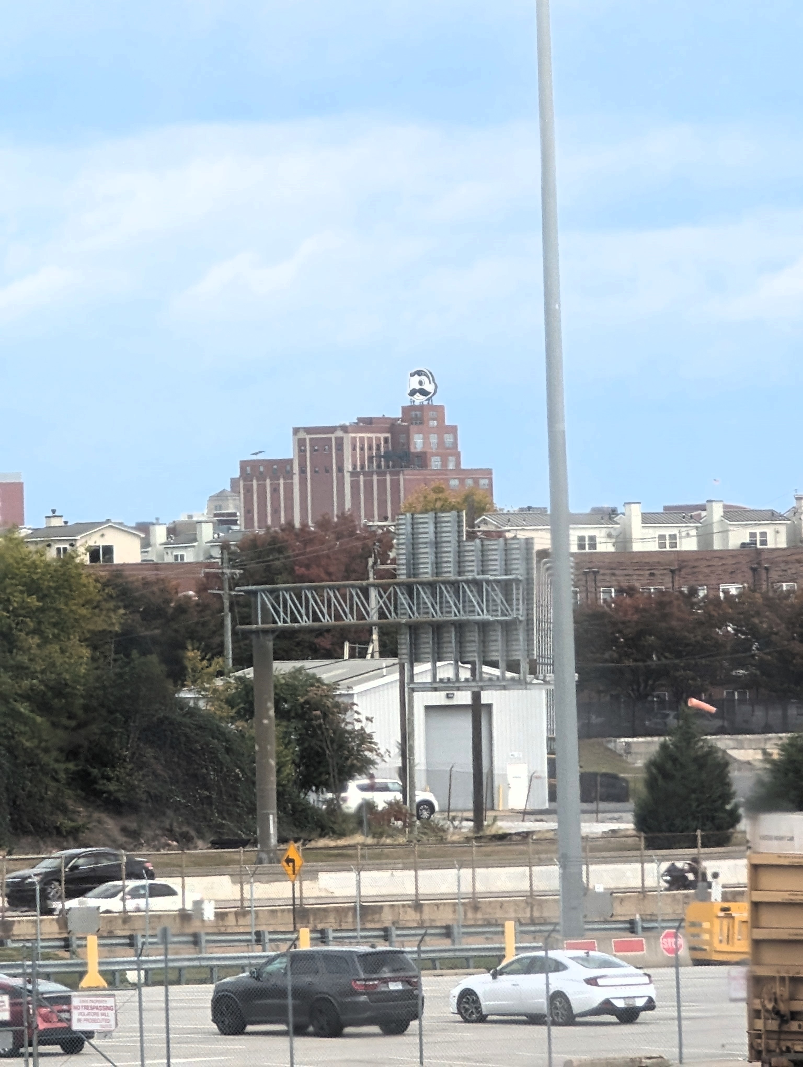
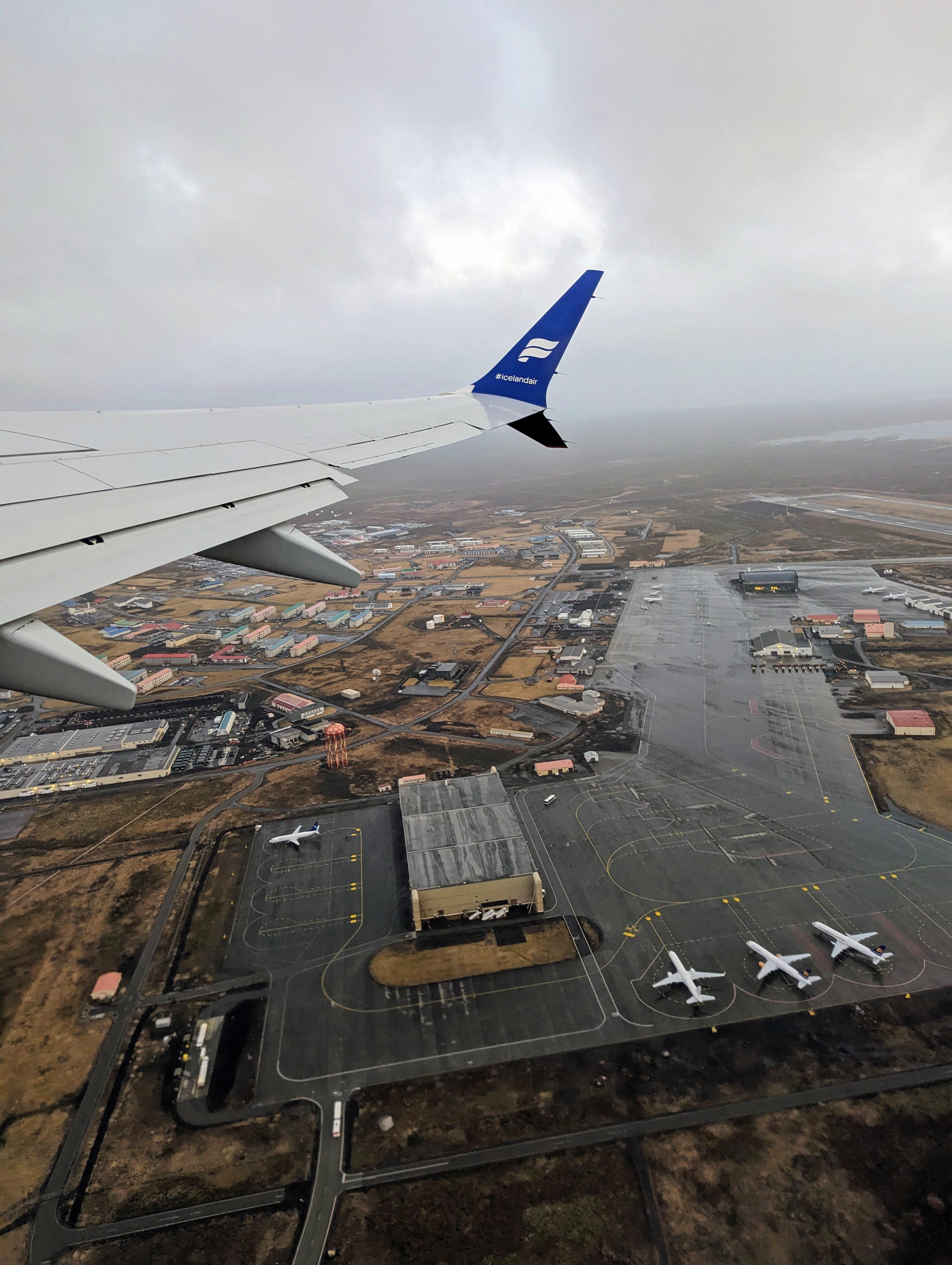
Went to the Windjammer Buffet and ate. We were a little late leaving port. It appeared that someone left the ship in an ambulance. Headed out and saw the Curtis Bay Water Tank.
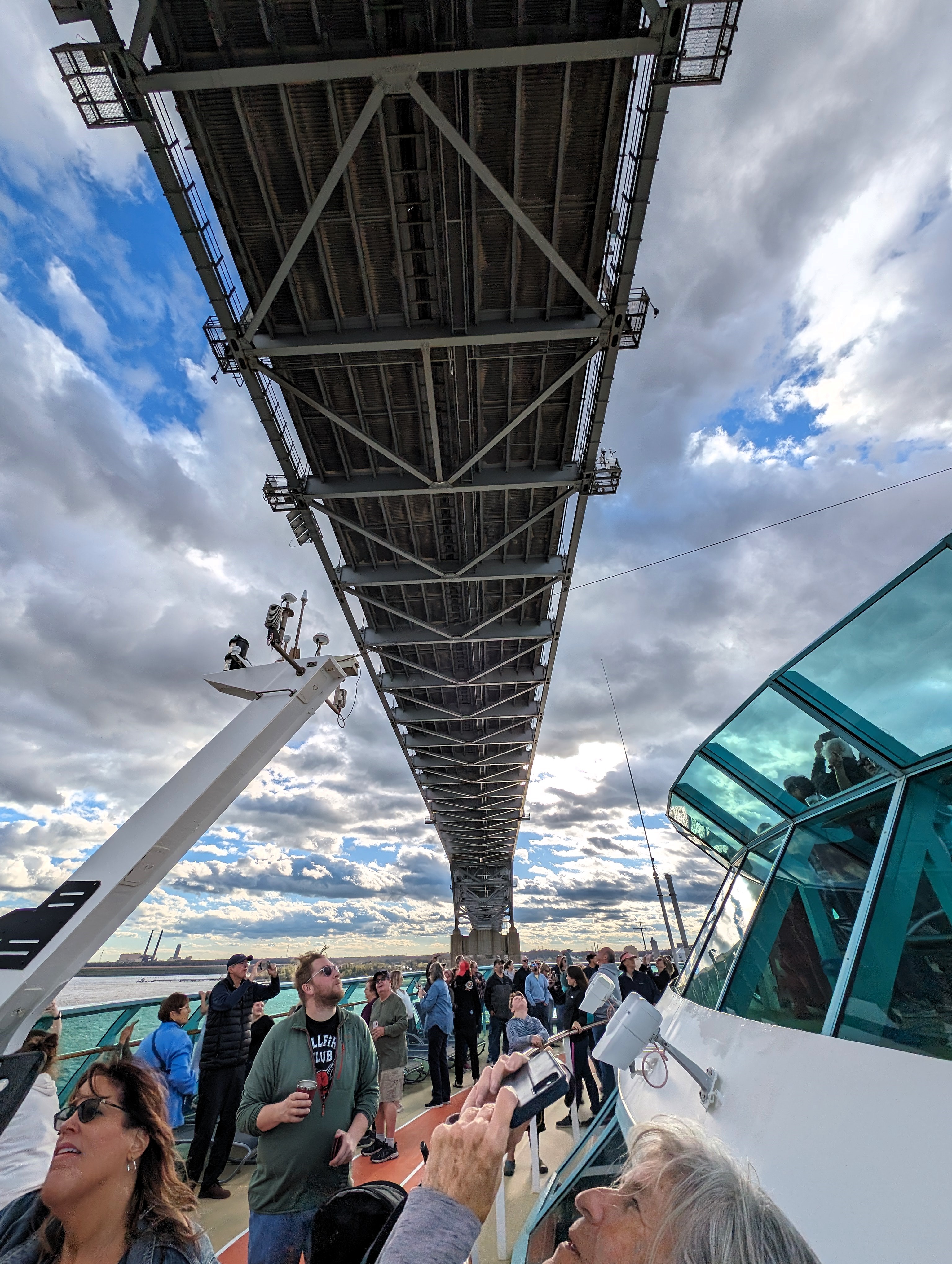
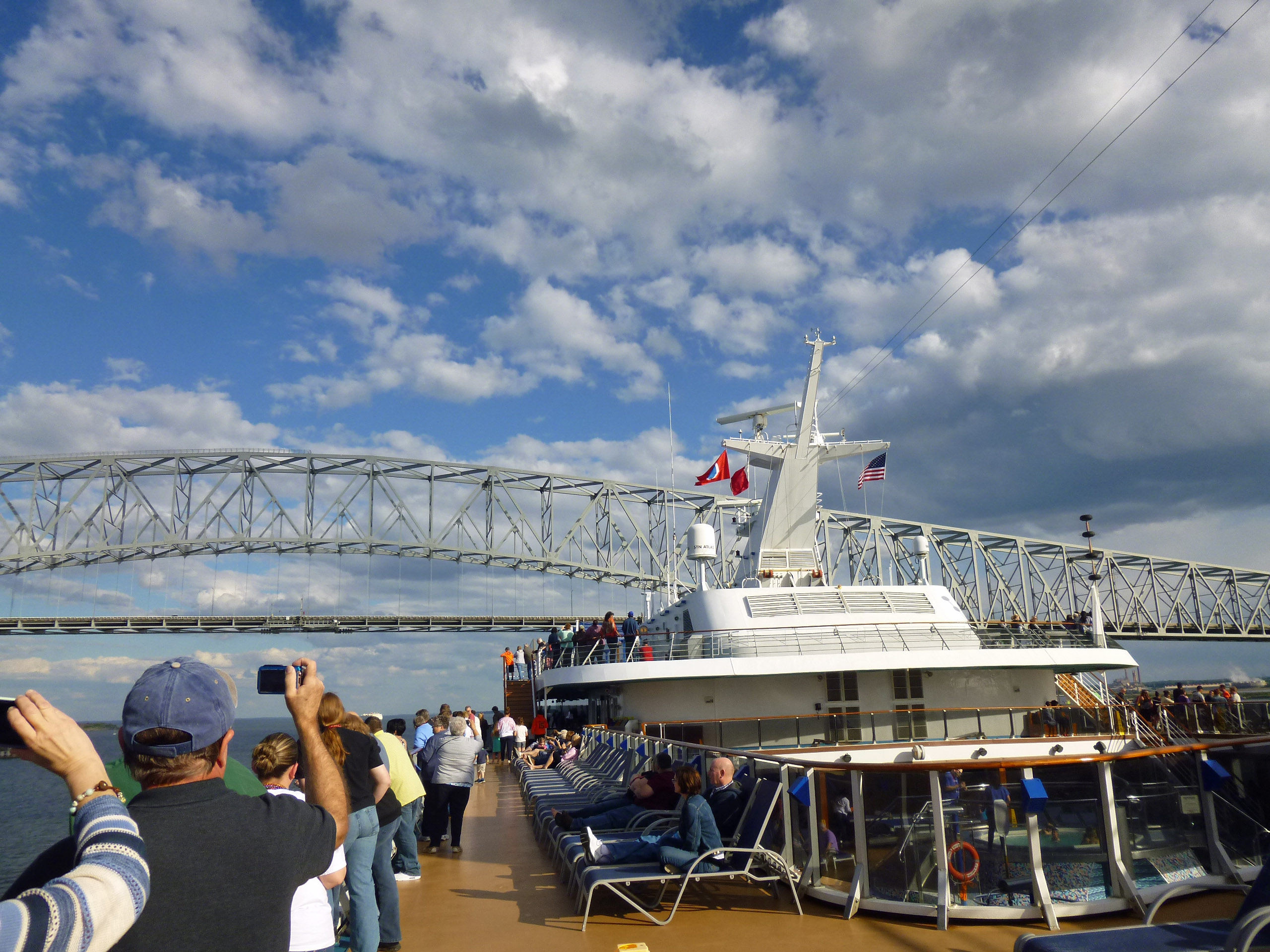
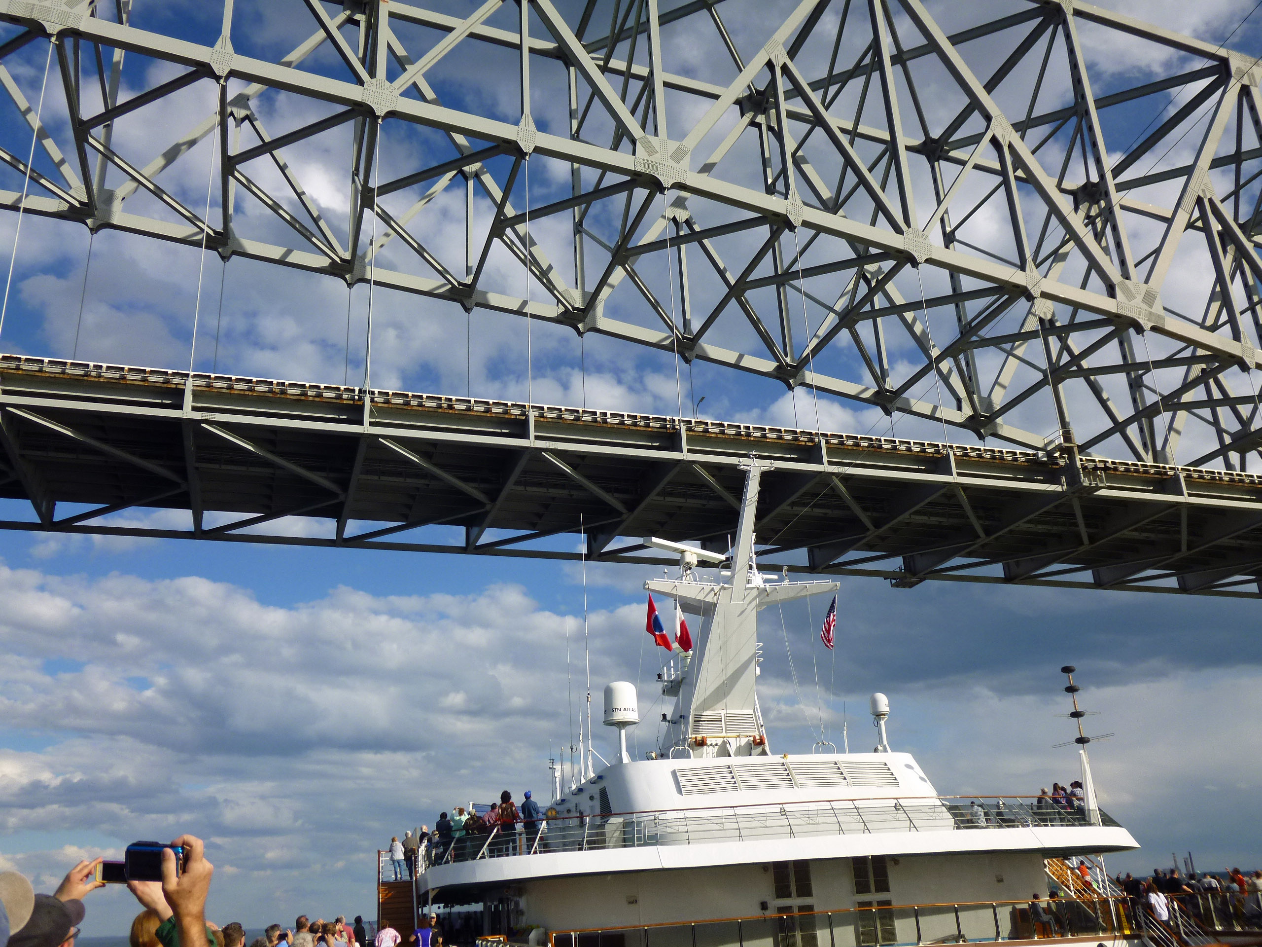
Next we were going under the Key Bridge. Is she going to make it under?
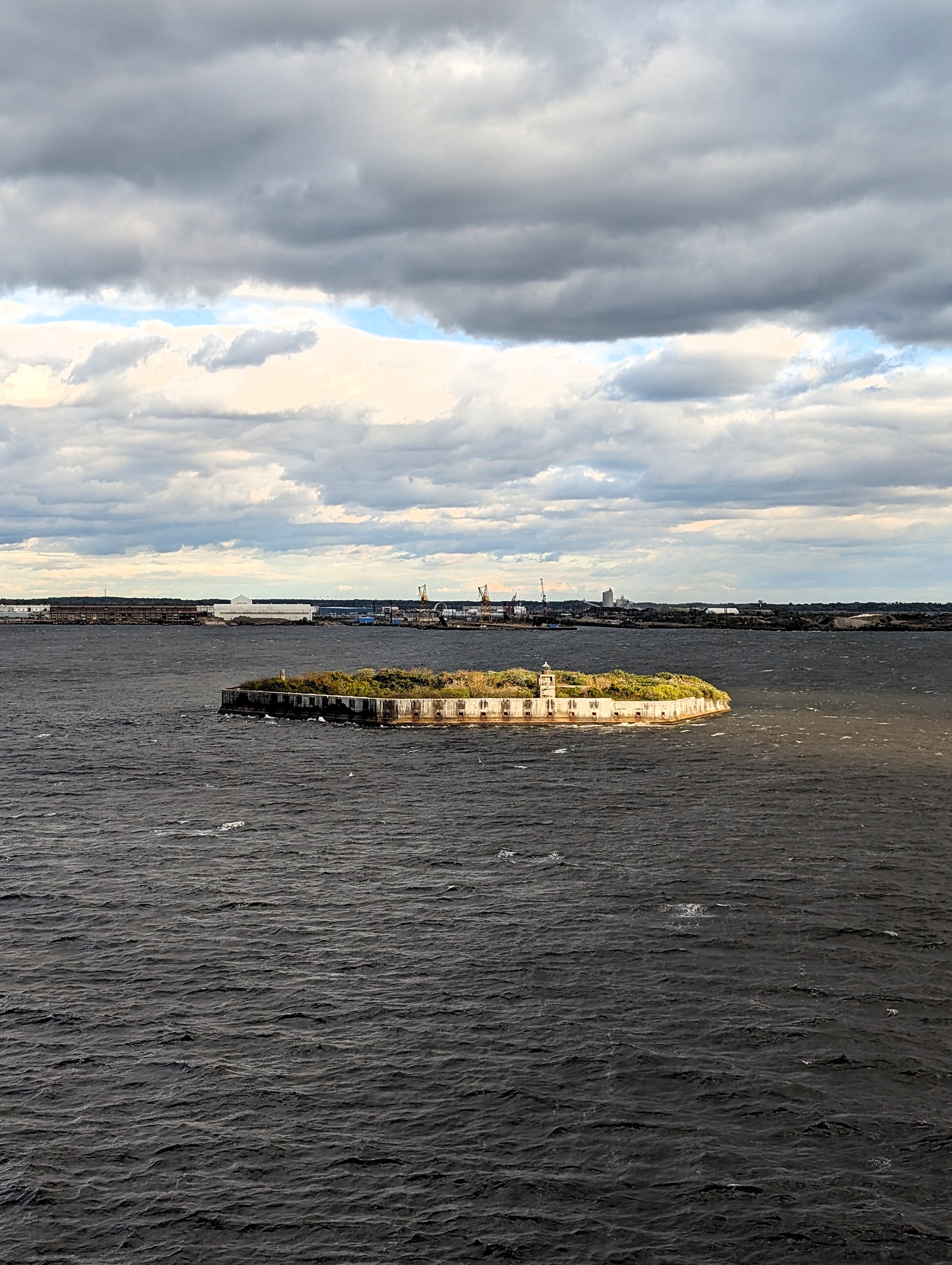
And past Fort Carroll – Designed and built by Robert E. Lee.
A little while later we were under the Chesapeake Bay Bridge. Oooos and aaaahhs.
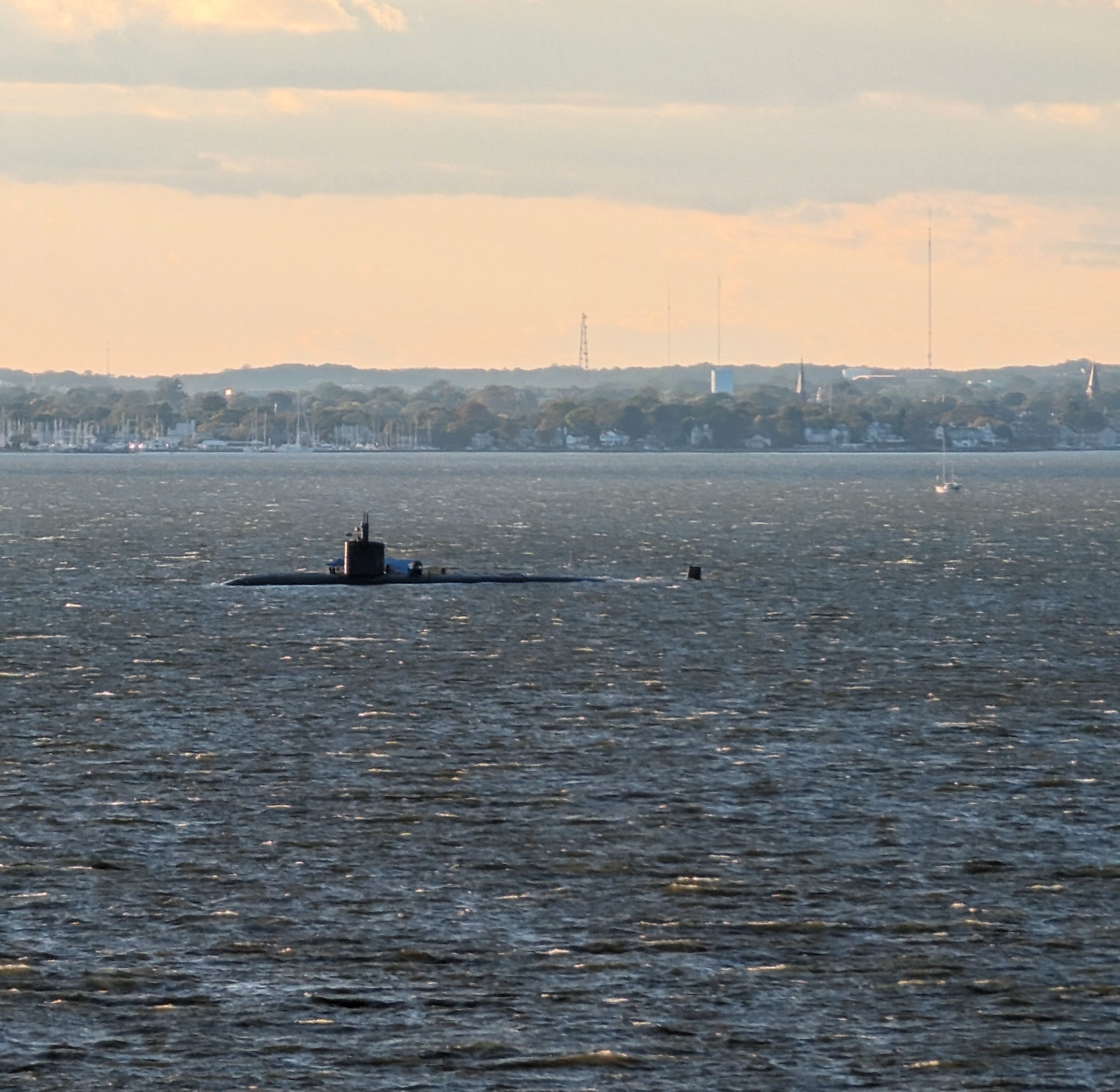
There was a submarine out there. Someone said it was a nuclear sub, another said it was a training sub for Annapolis Naval Academy.
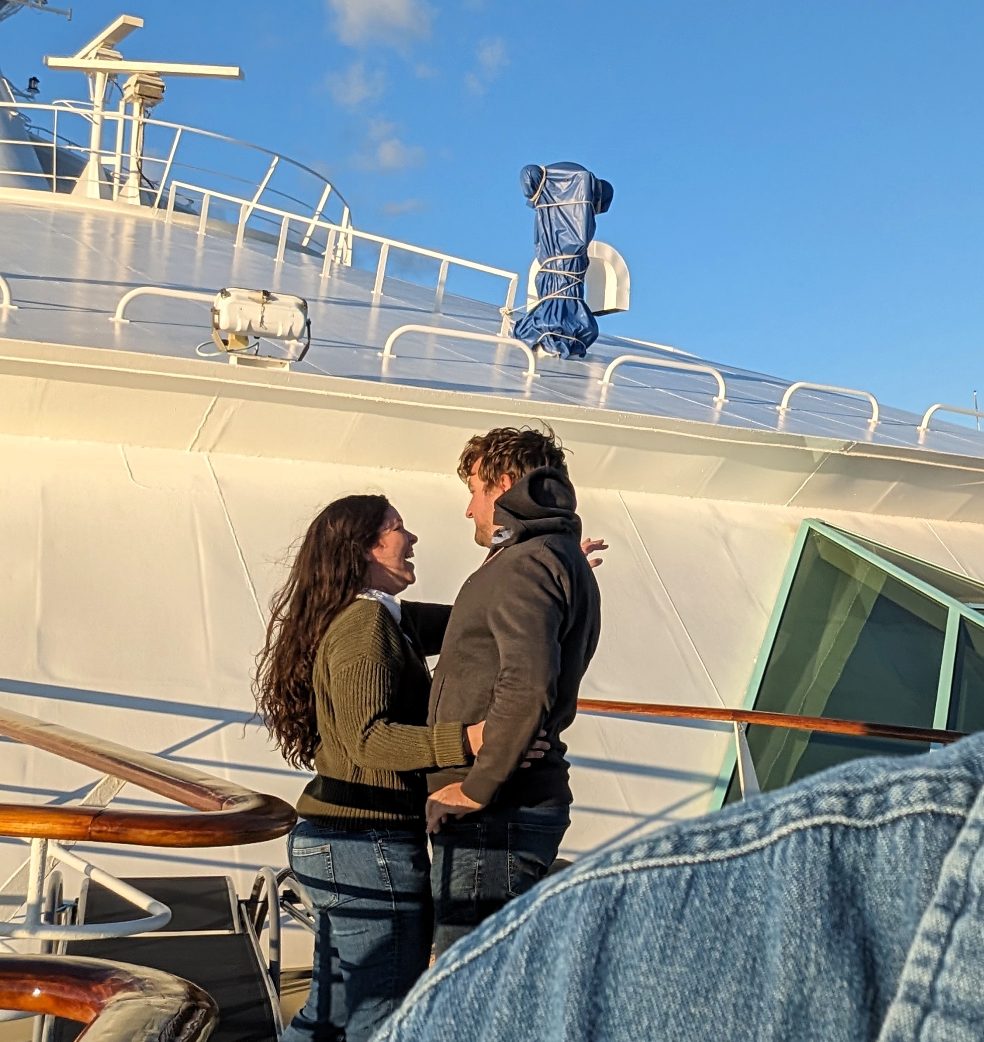
Kathy said “Look, he just proposed to her” So as not to be Mr Obvious I looked through my camera. I asked if they wanted me to take their photos and she said “No, I’m not doing this again!” And he said, “Come on, we should have pictures of this!” So they gave me their camera and redid the whole thing over!
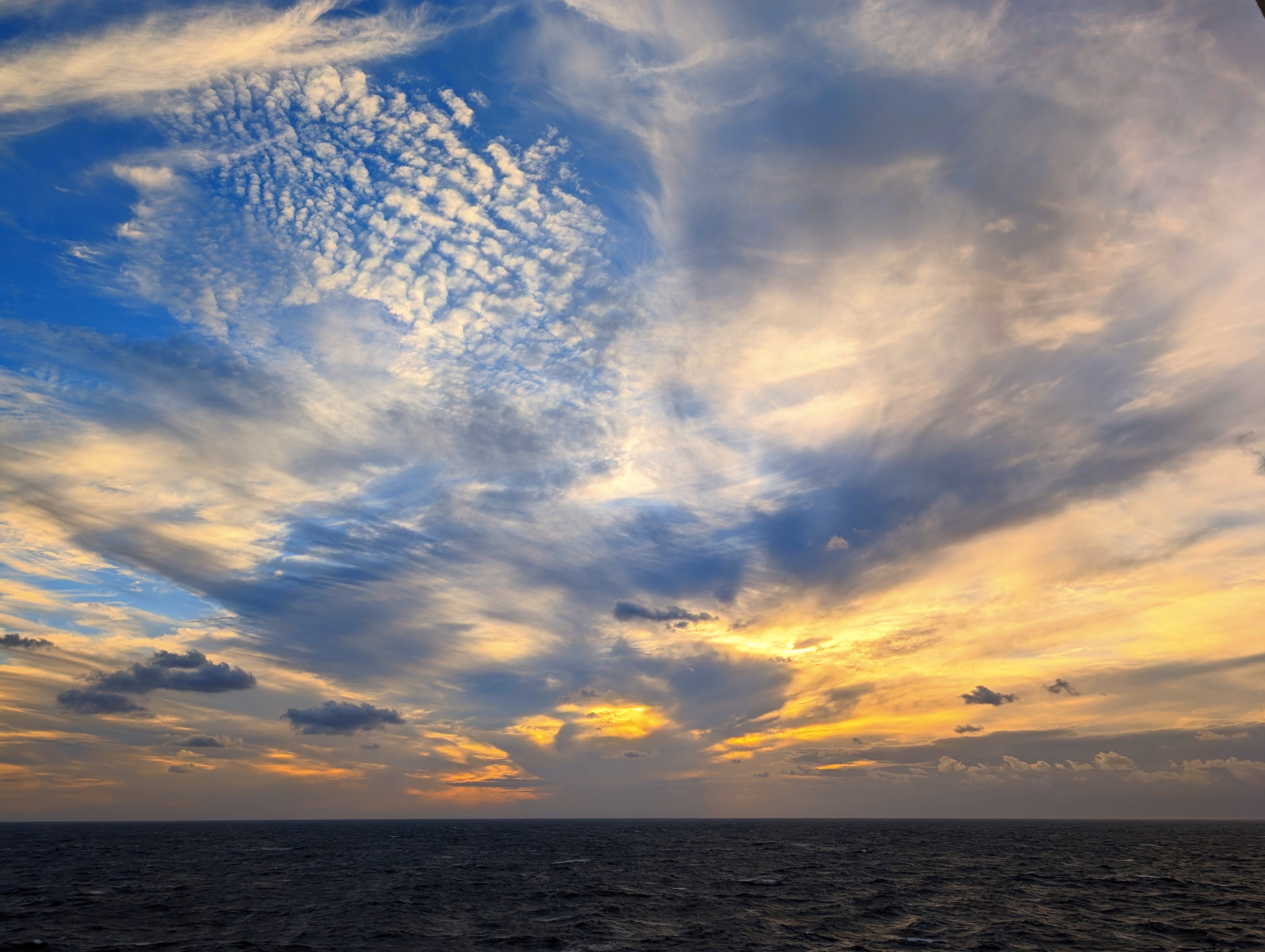
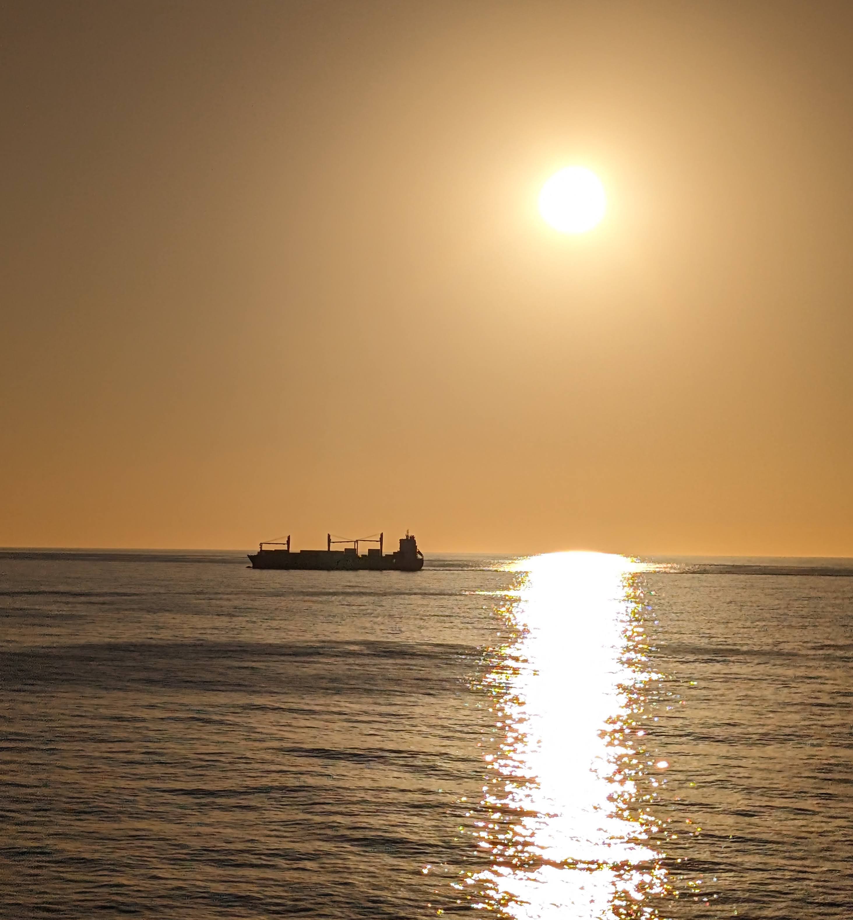
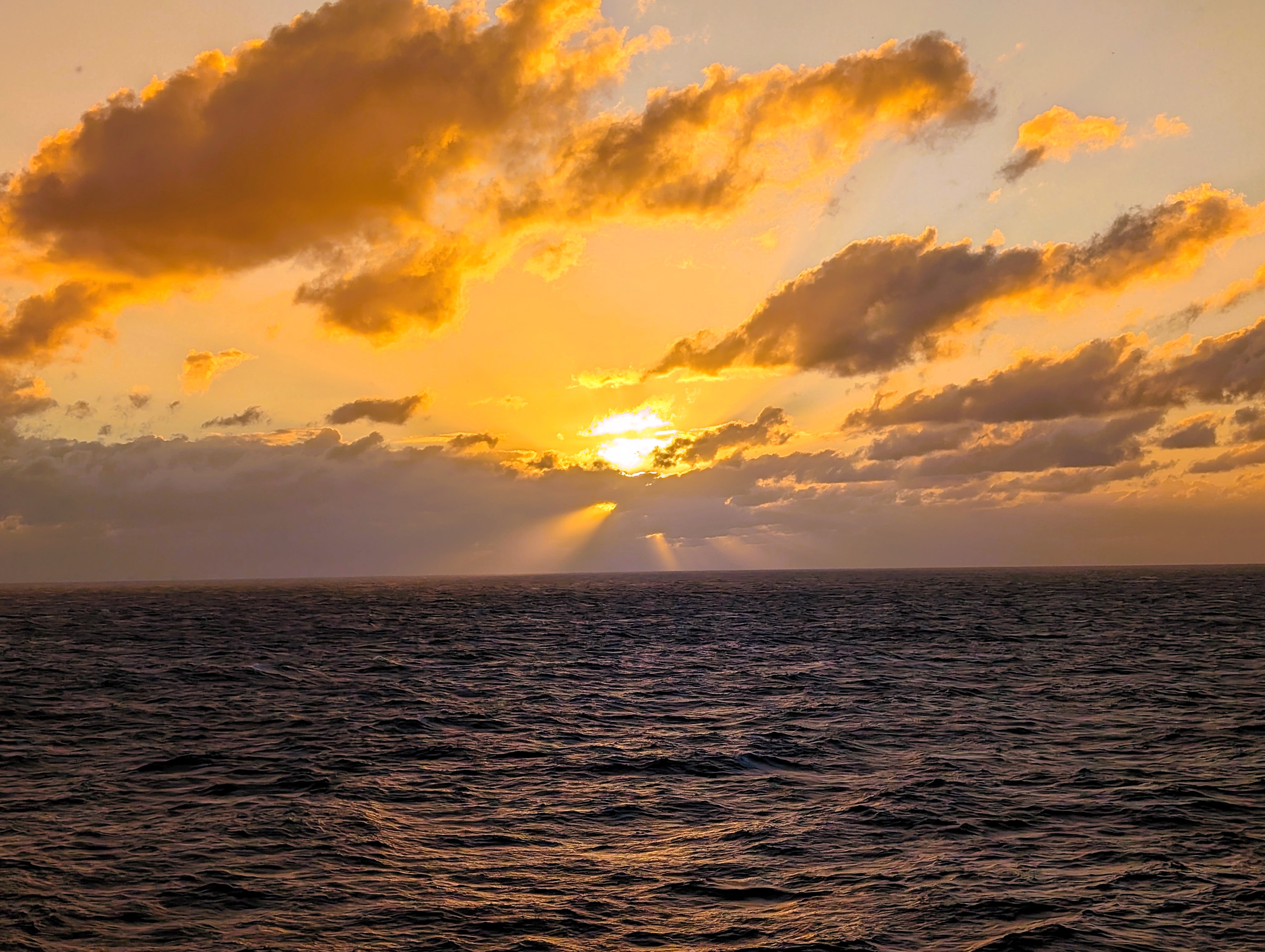
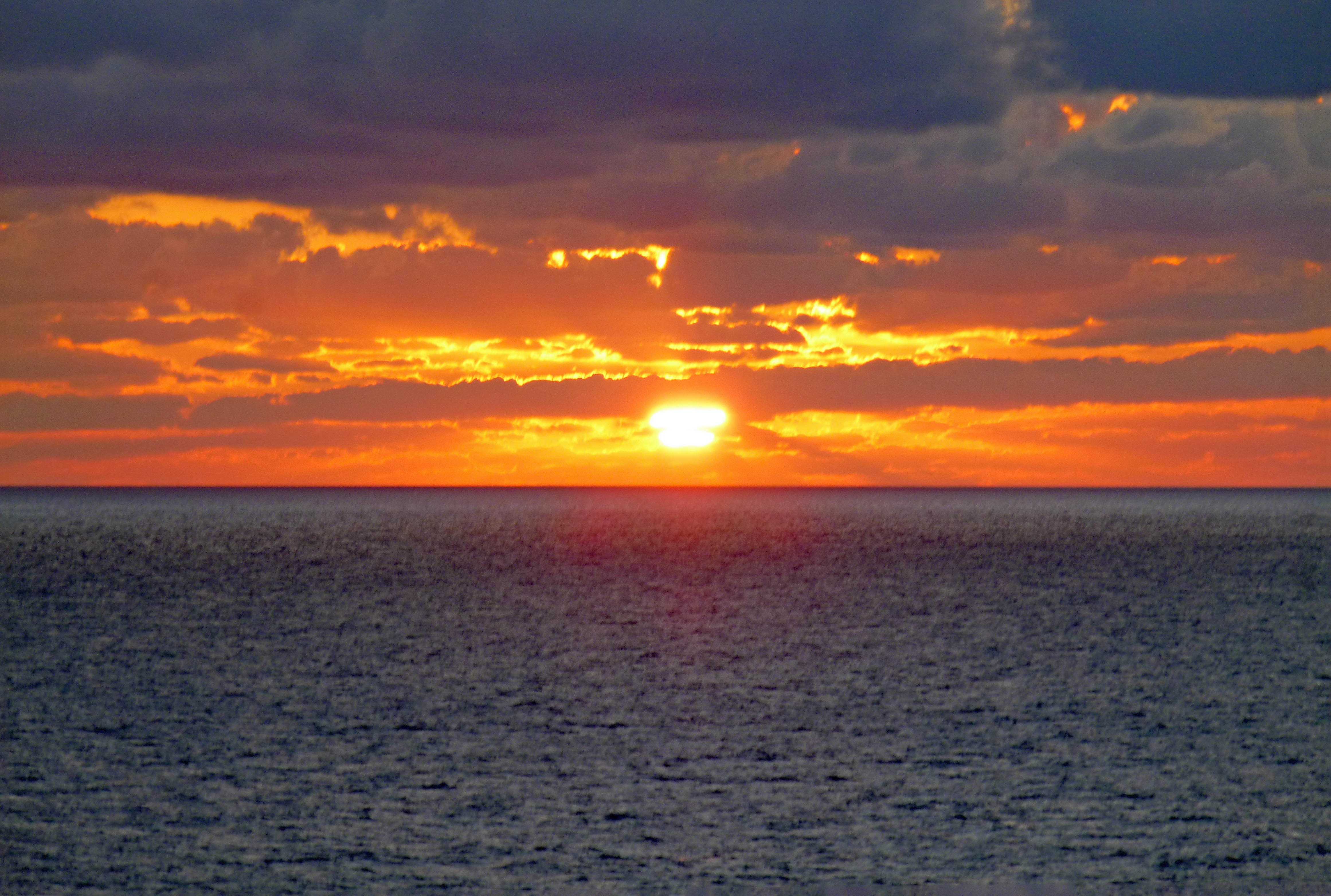
A nice sunset from the side of the ship.
The next day was just a lot of everything going on. Lots of eating! Entertainment galore. Because my back has been bothering me, I went to the excursion desk to see if I could trade our 3-1/2 hour kayak adventure for a mini-cab tour of the Island – no problem. All the staff were very nice. We were able to watch the Ravens beat the Lions. By early evening it was really windy up on deck.
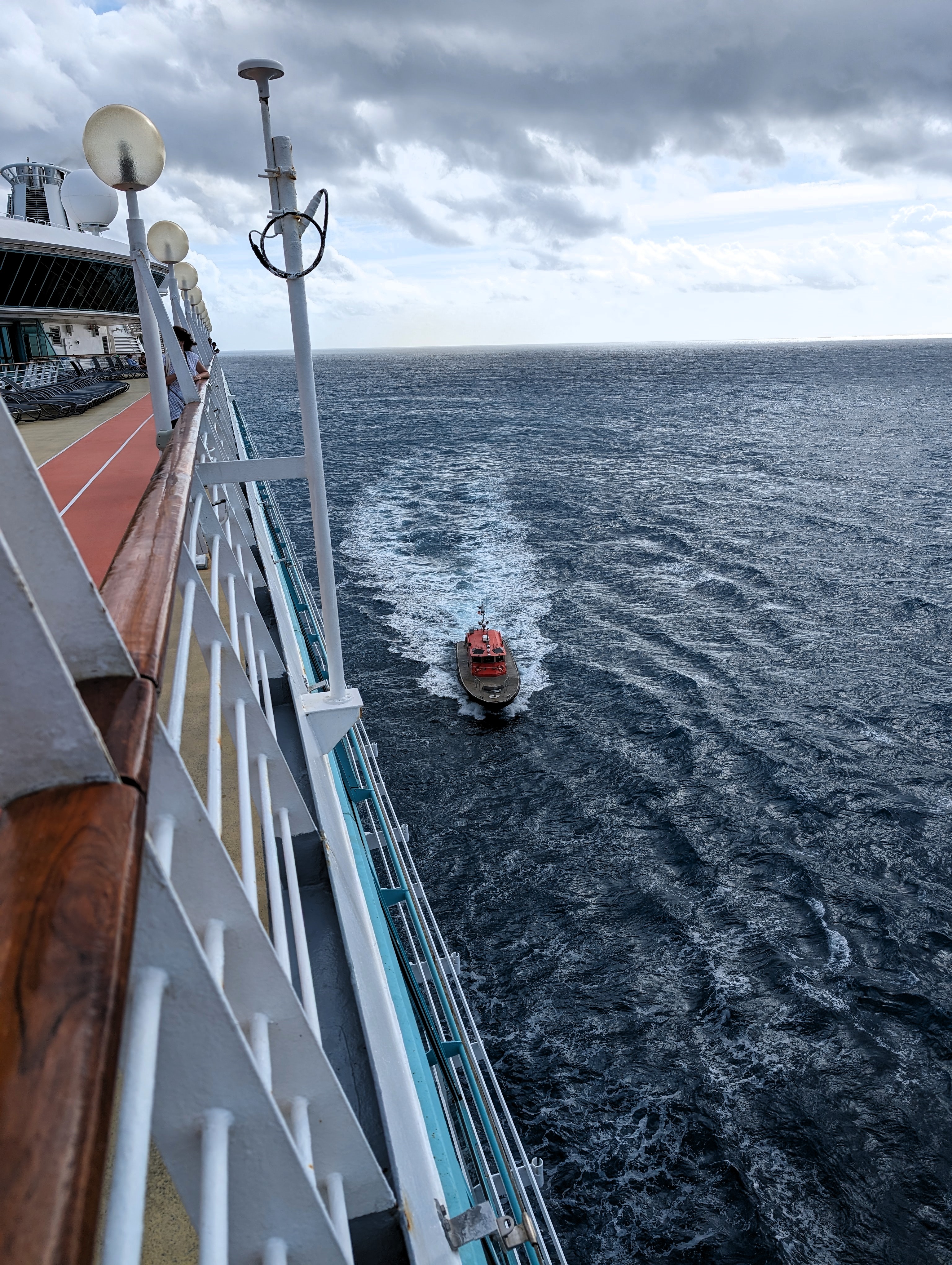
The next morning a pilot boat came along side us to guide us in.
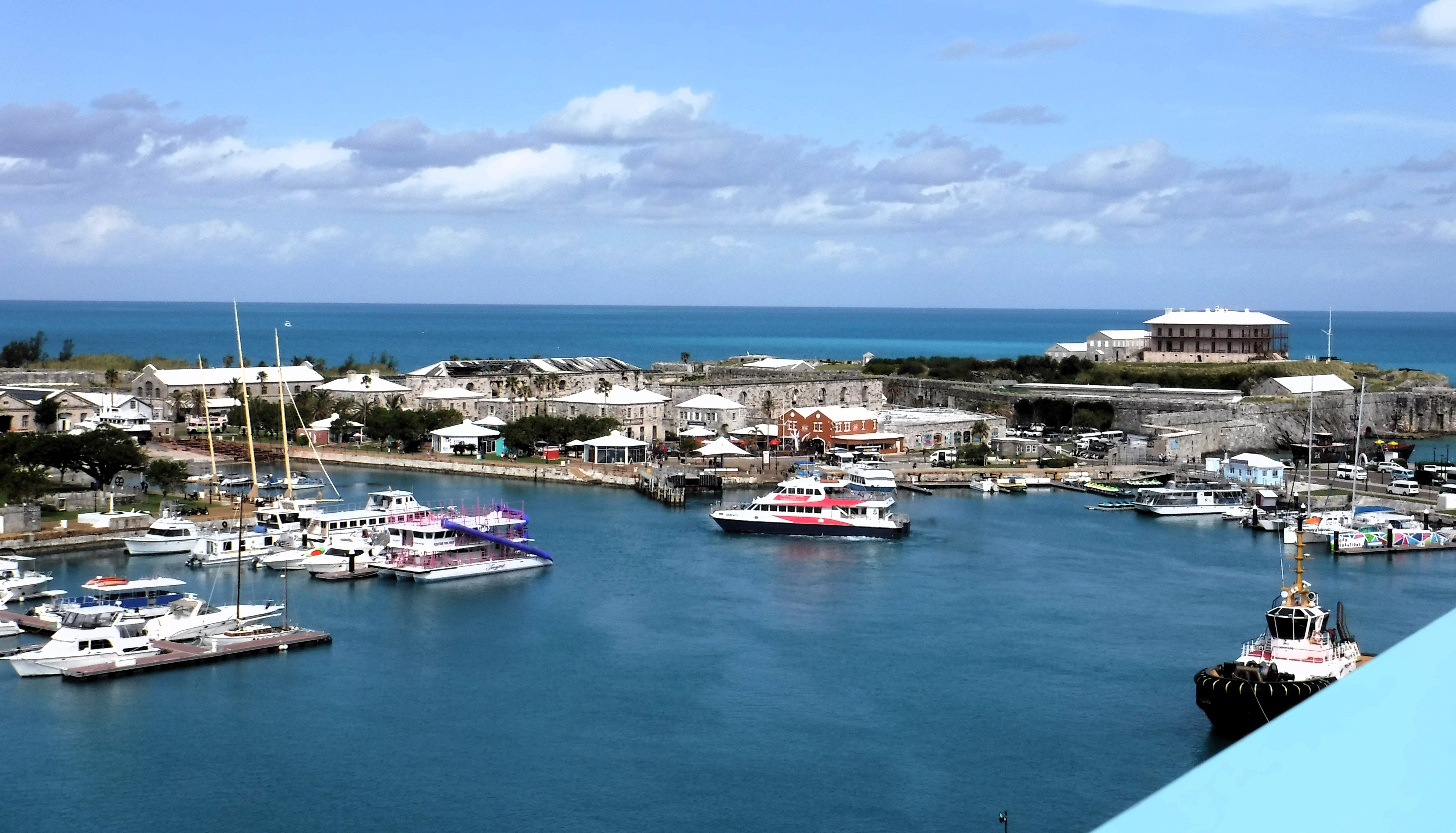
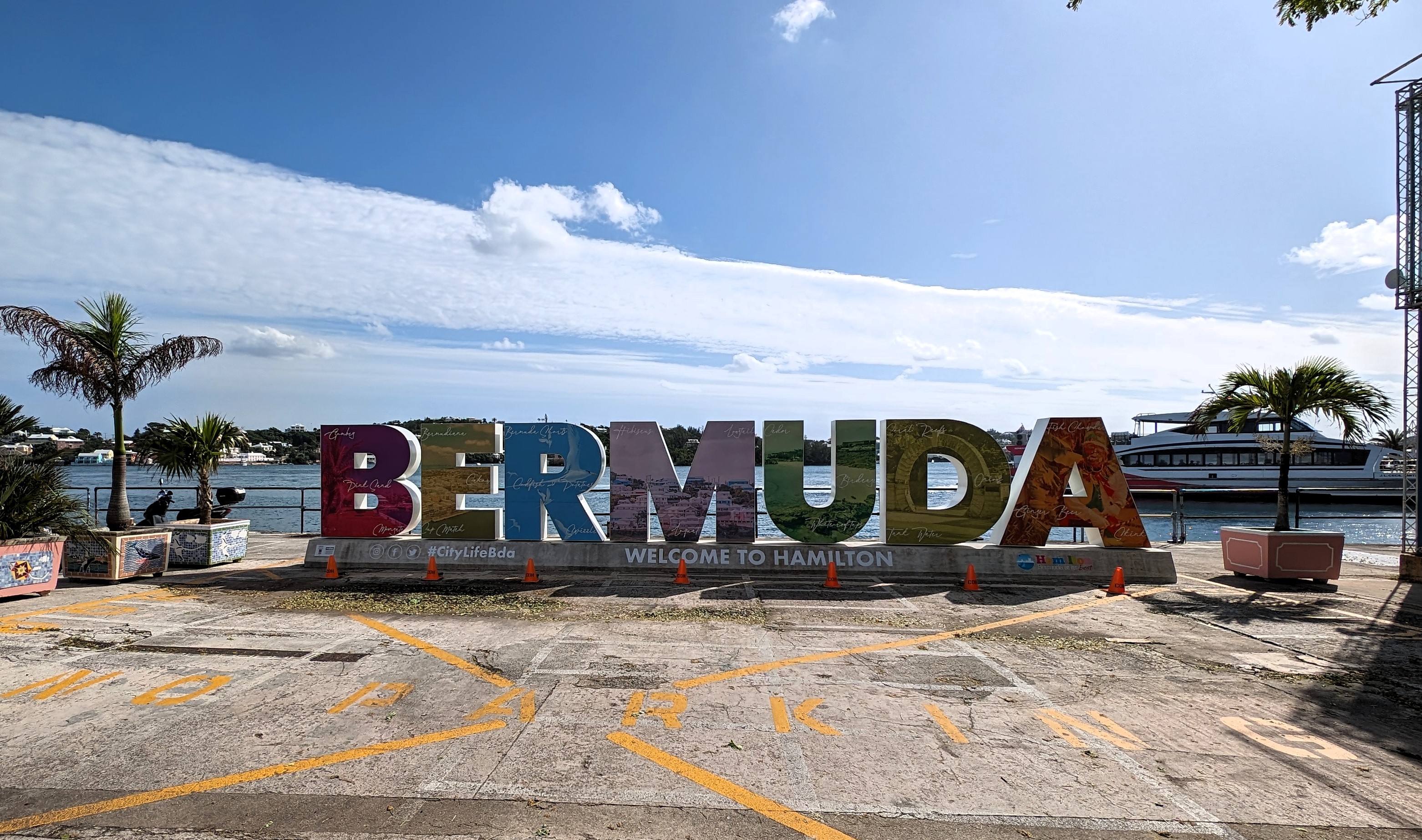
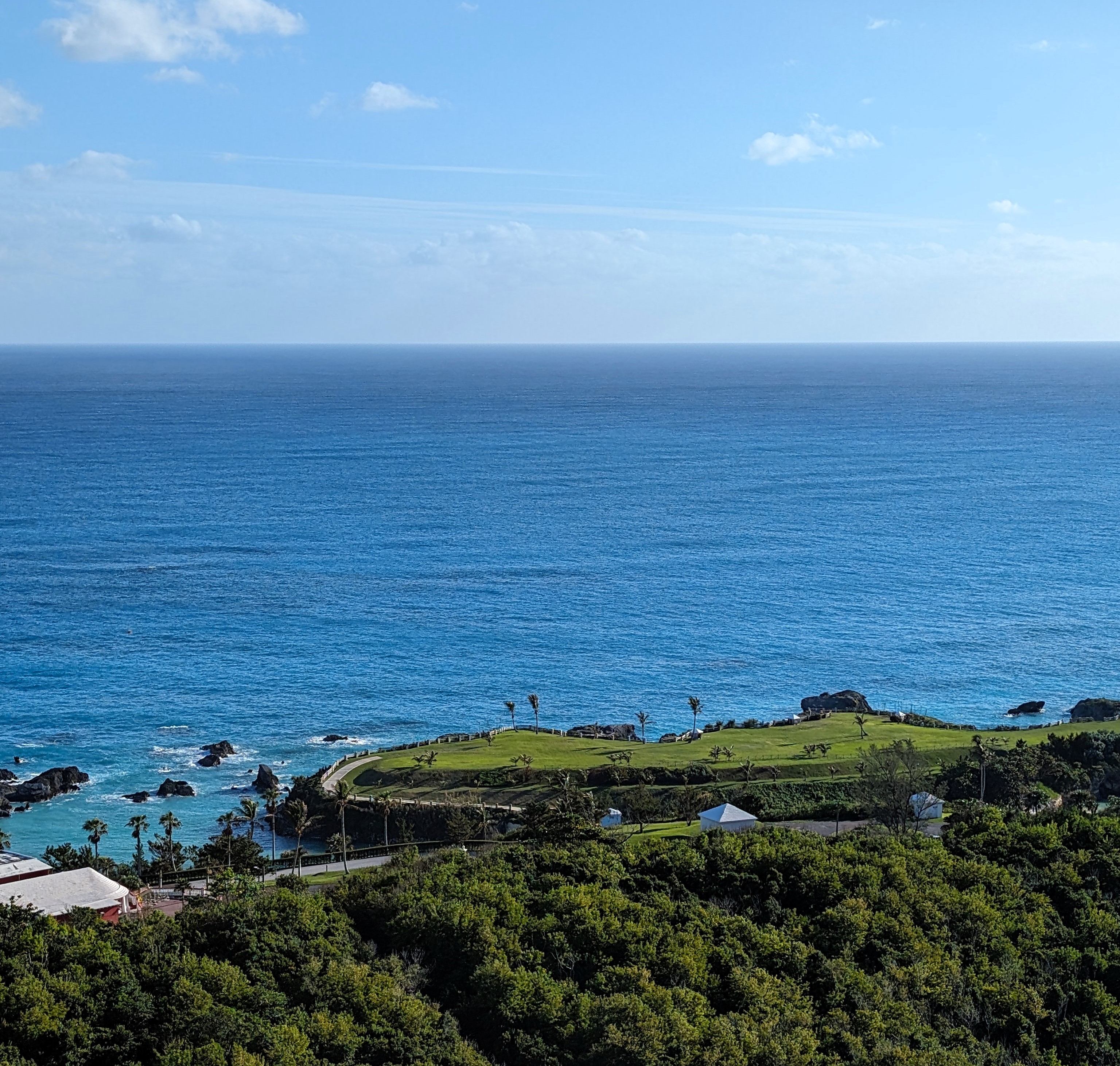
And here we are – Bermuda, Kings Wharf.
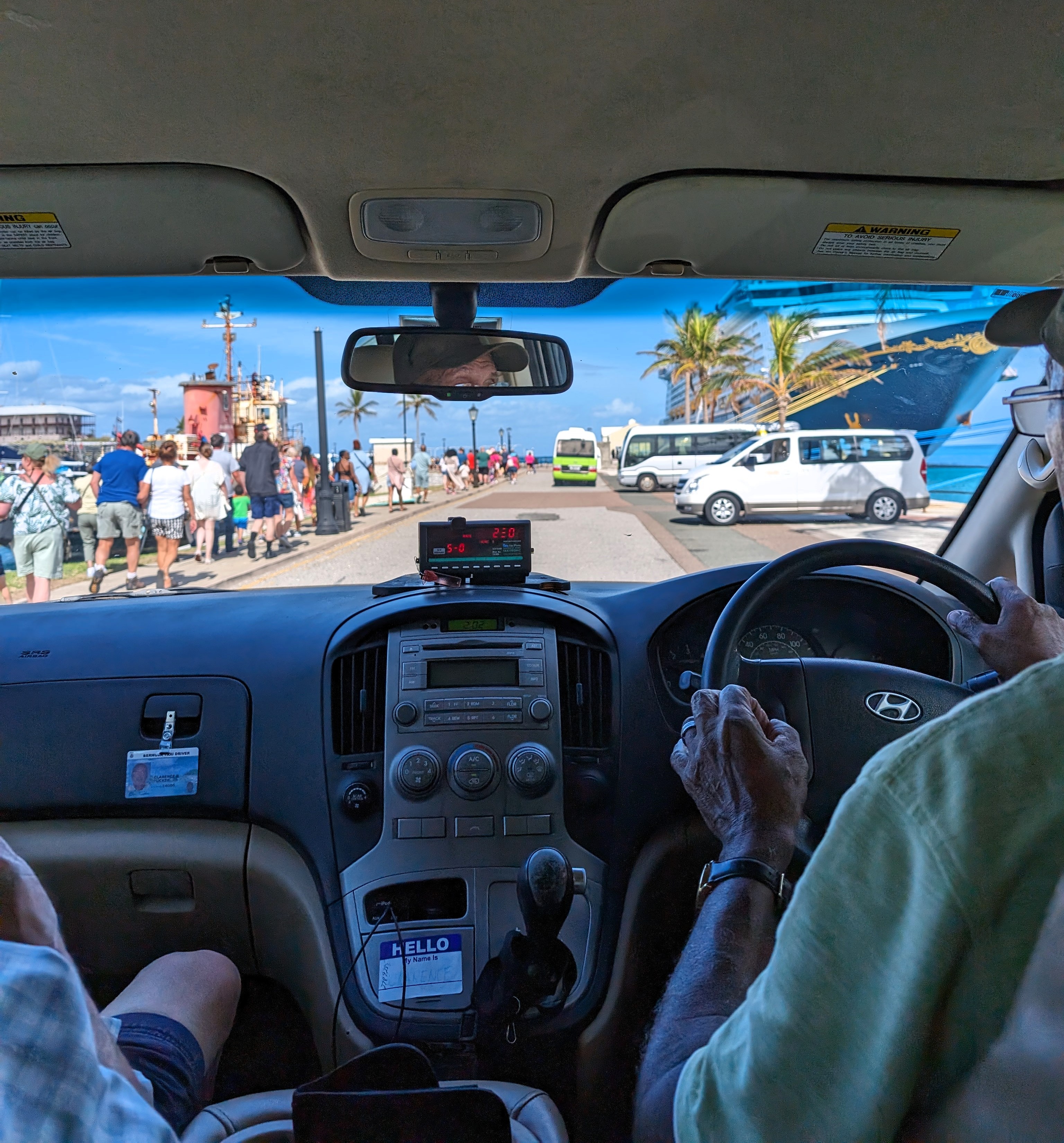
Off the ship and onto an adventure riding around town. Clarence was our driver. There were 2 other couples with us. To the right is a Disney ship. It is huge and holds over 5,000 people.
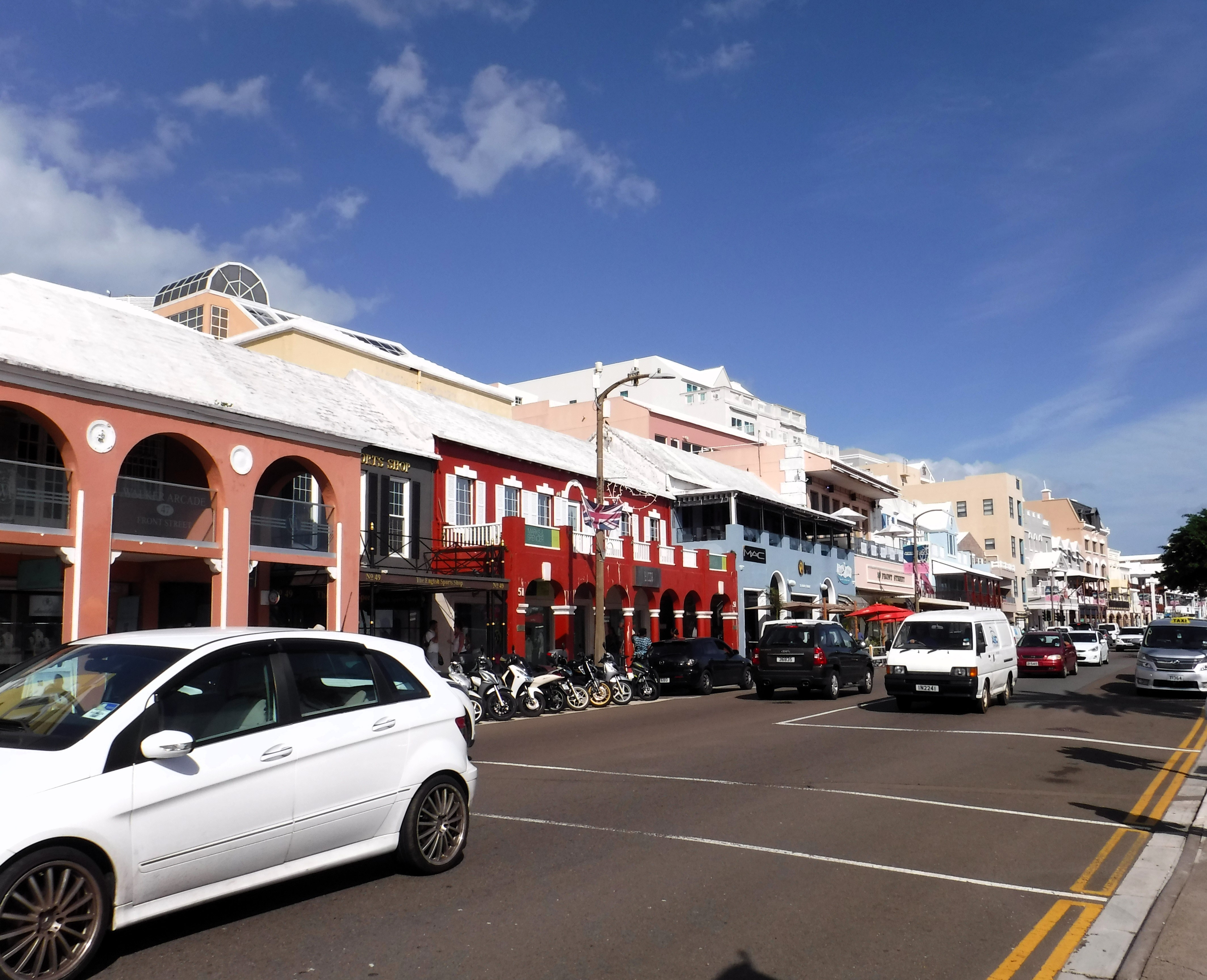
Clarence took us everywhere. We stopped in Hamilton and walked around for about 30 minutes.
Front St.
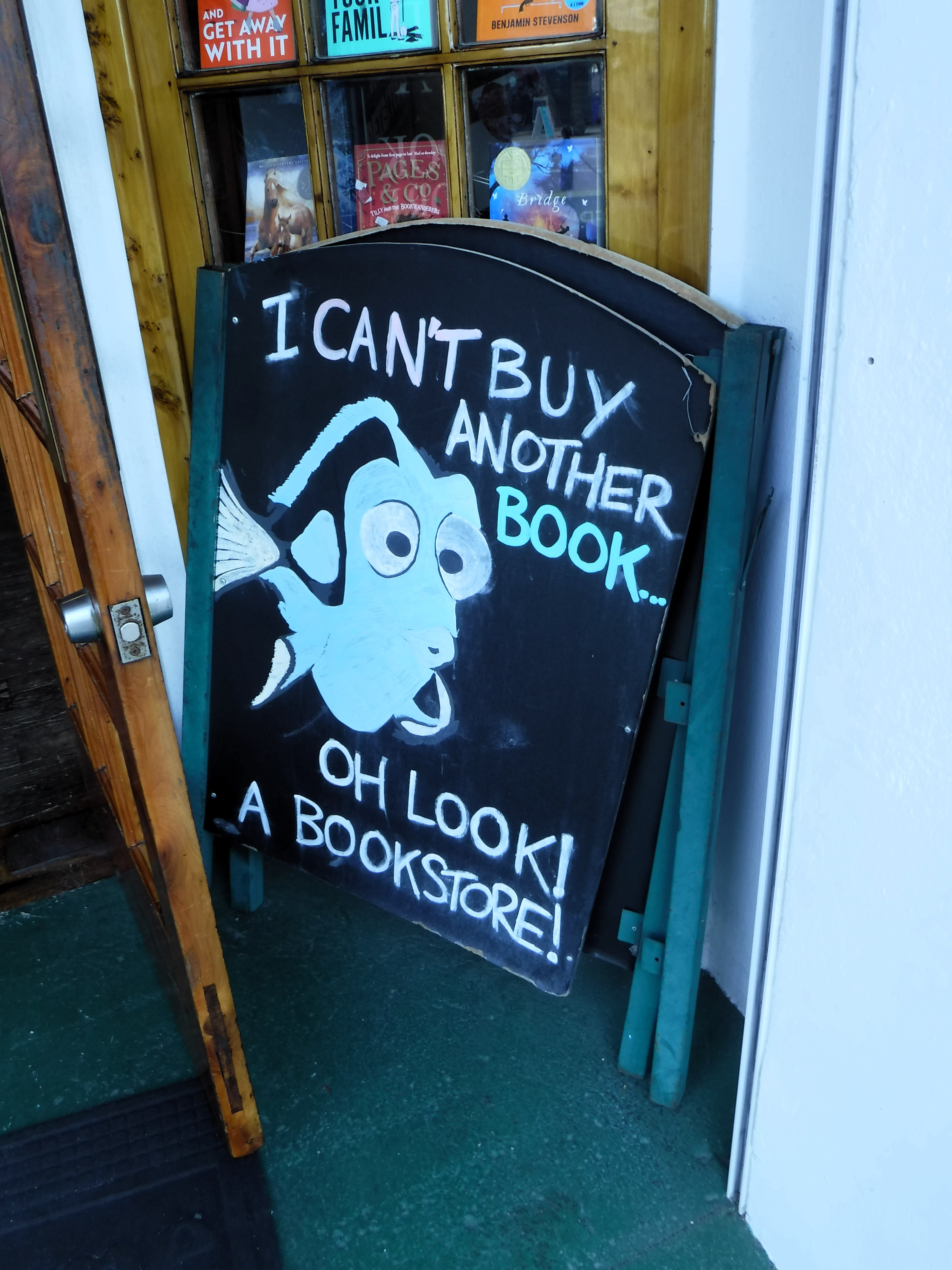
He told us about a souvenir shop around the corner, but this caught our eye.
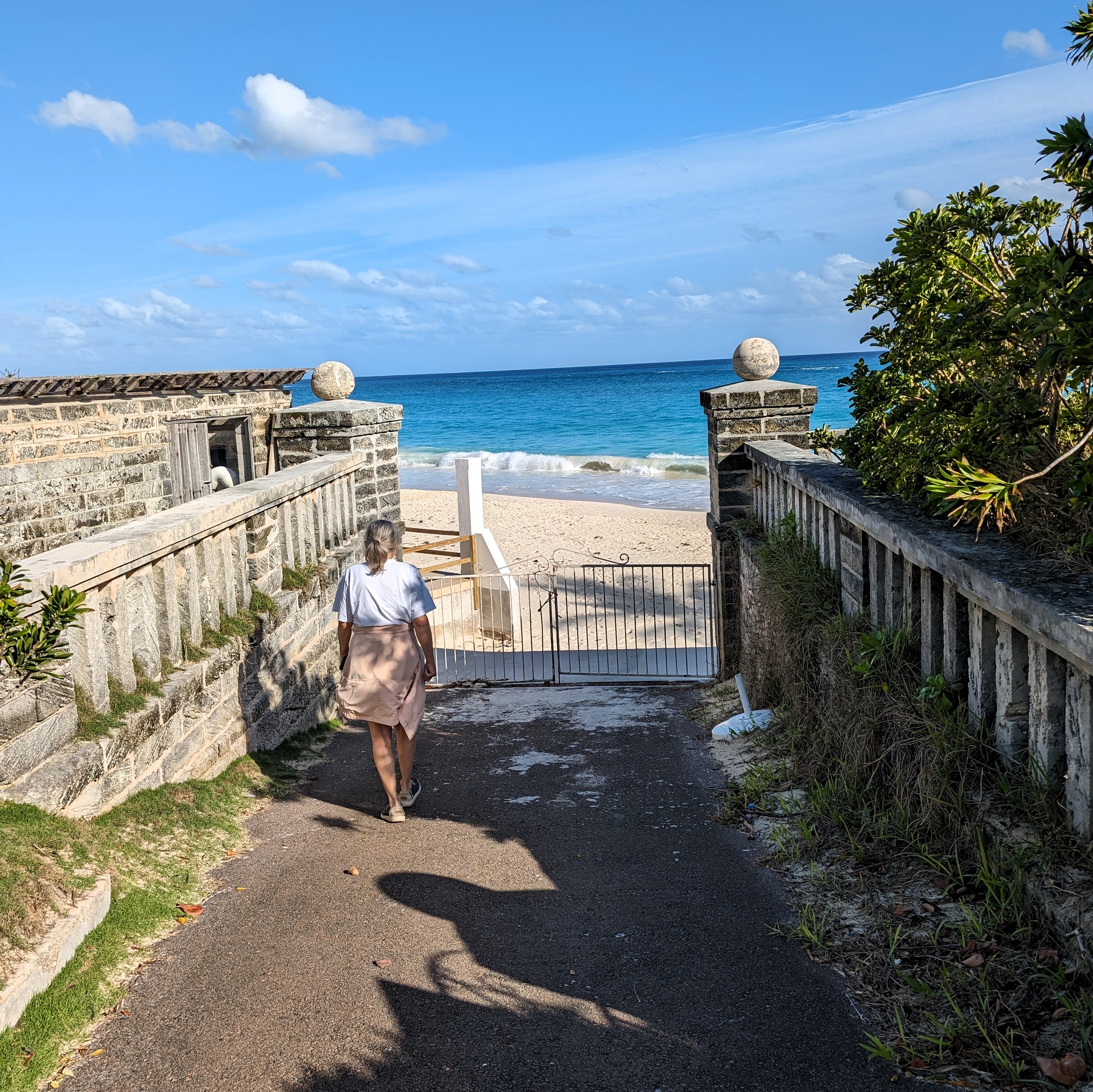
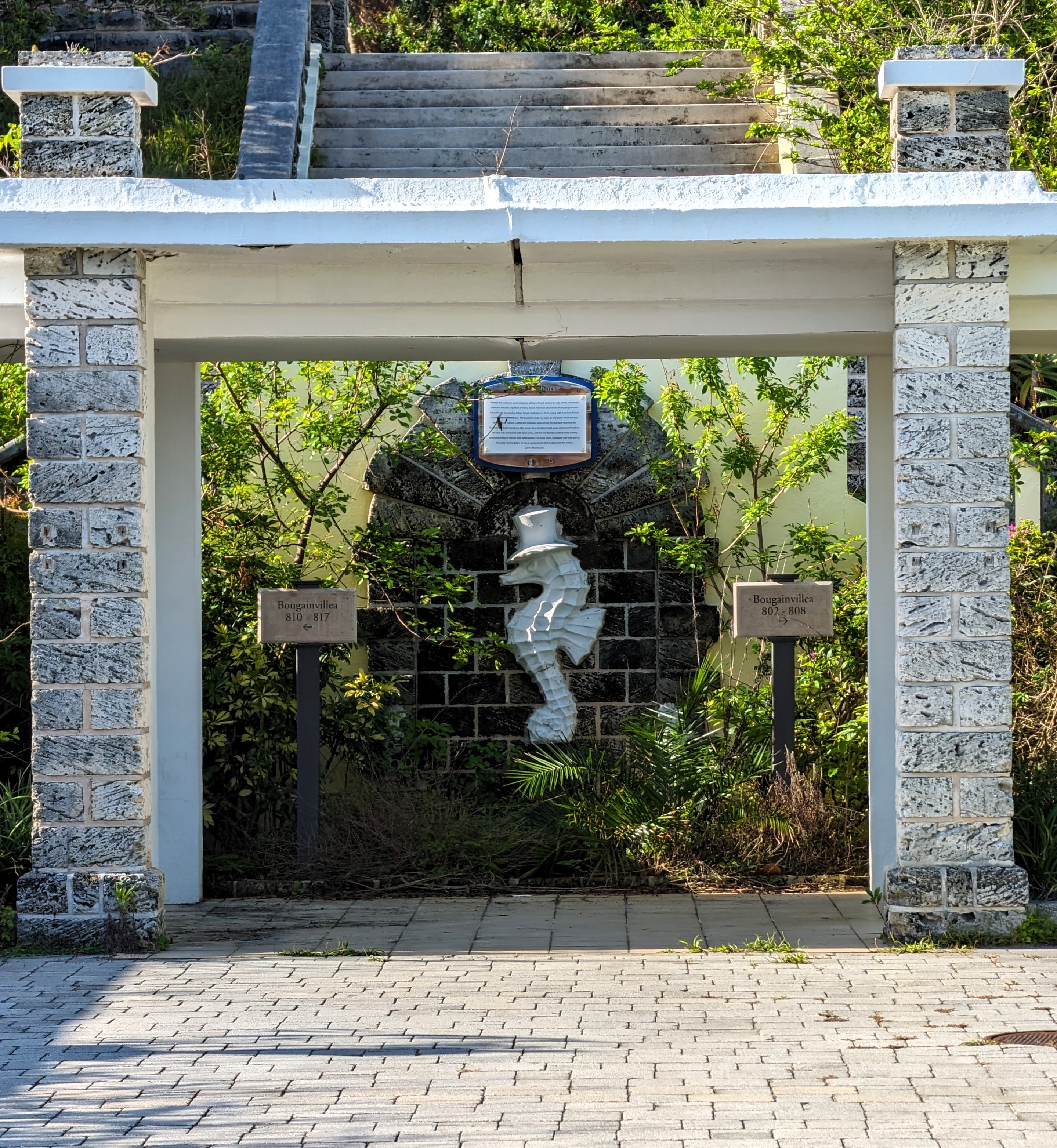
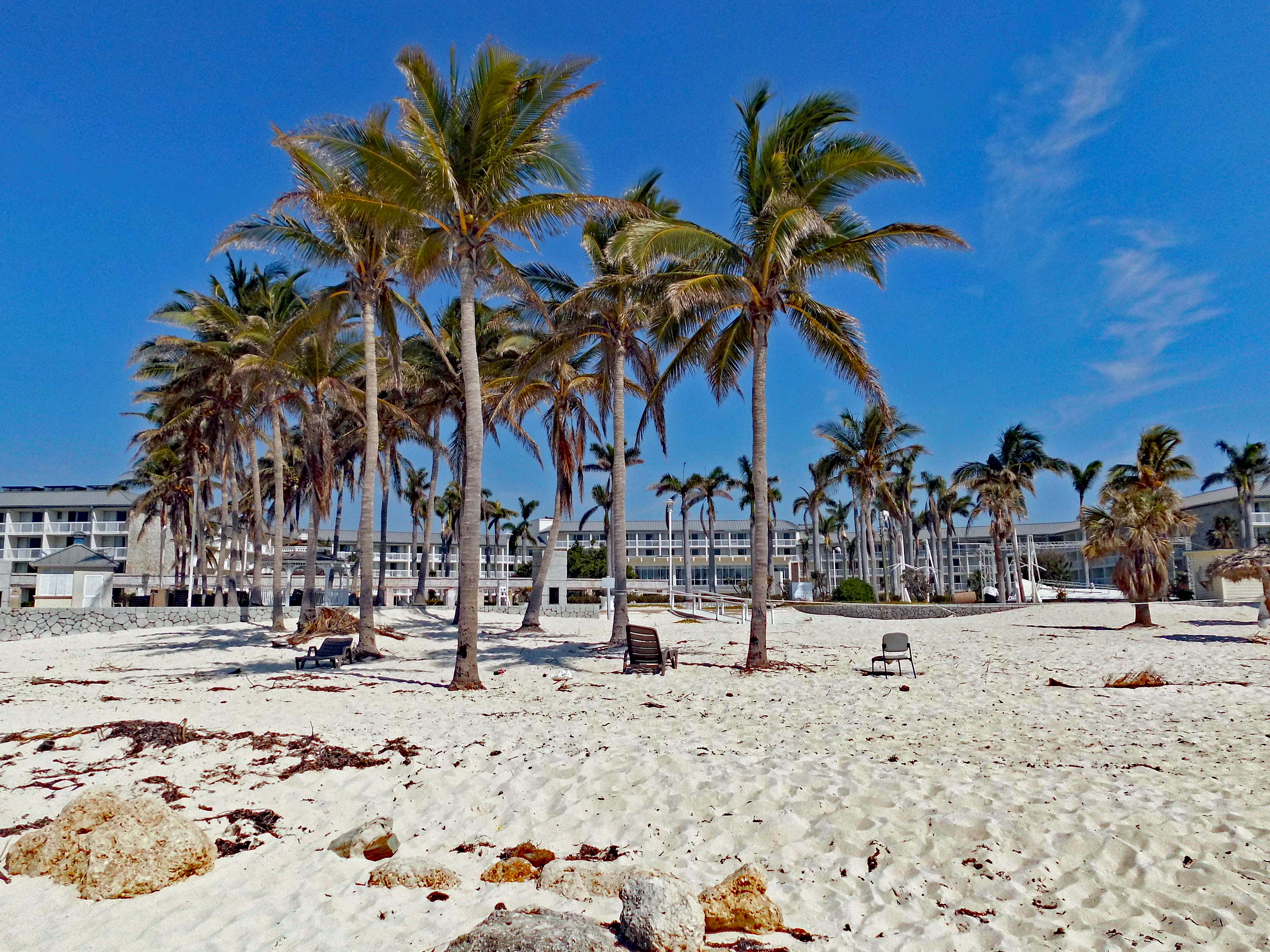
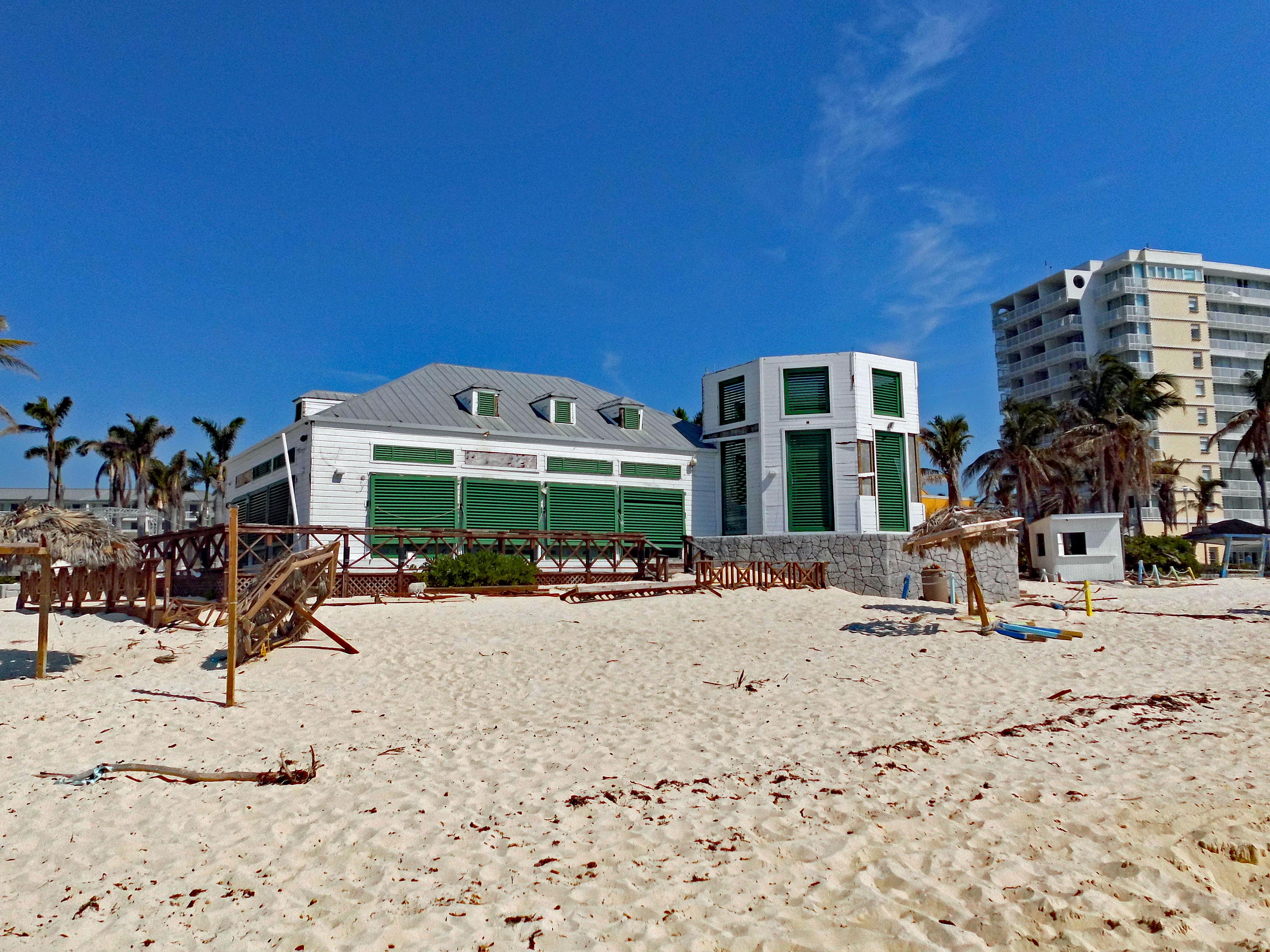
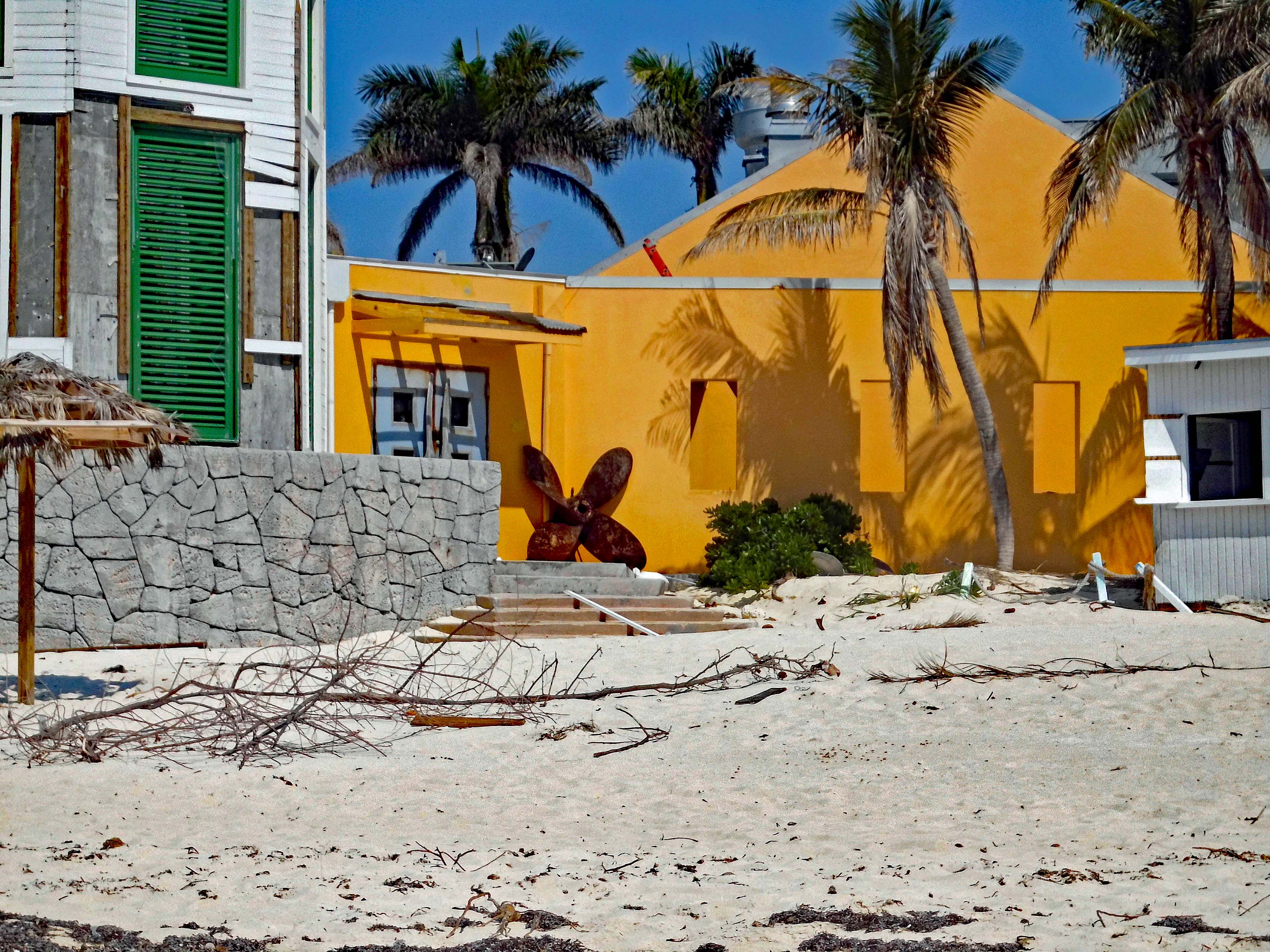
Left Hamilton and headed for the coast. We stopped at an abandoned resort. Kind of eerie – looked nice but everyone is gone?
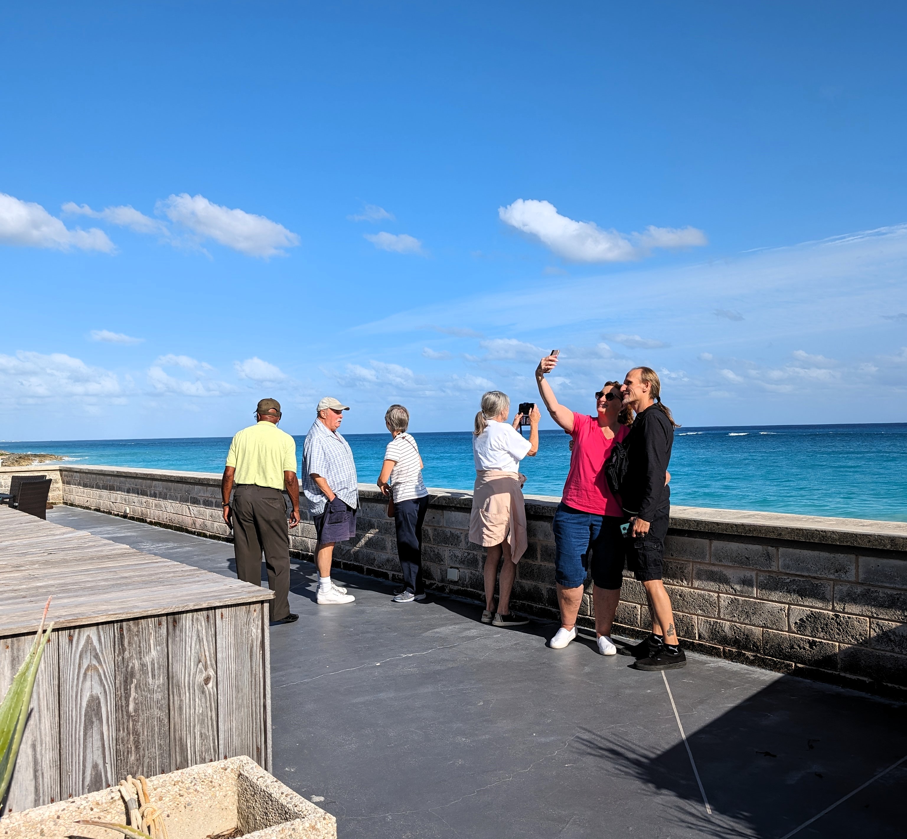
Here is our group. All very nice people.
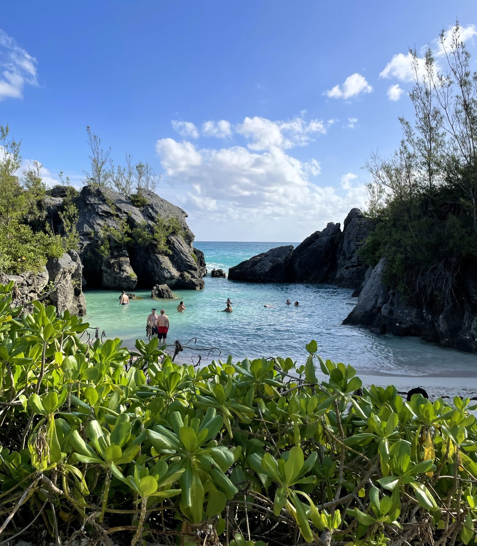
Nice swimming area. I think this was called Elbow Beach.
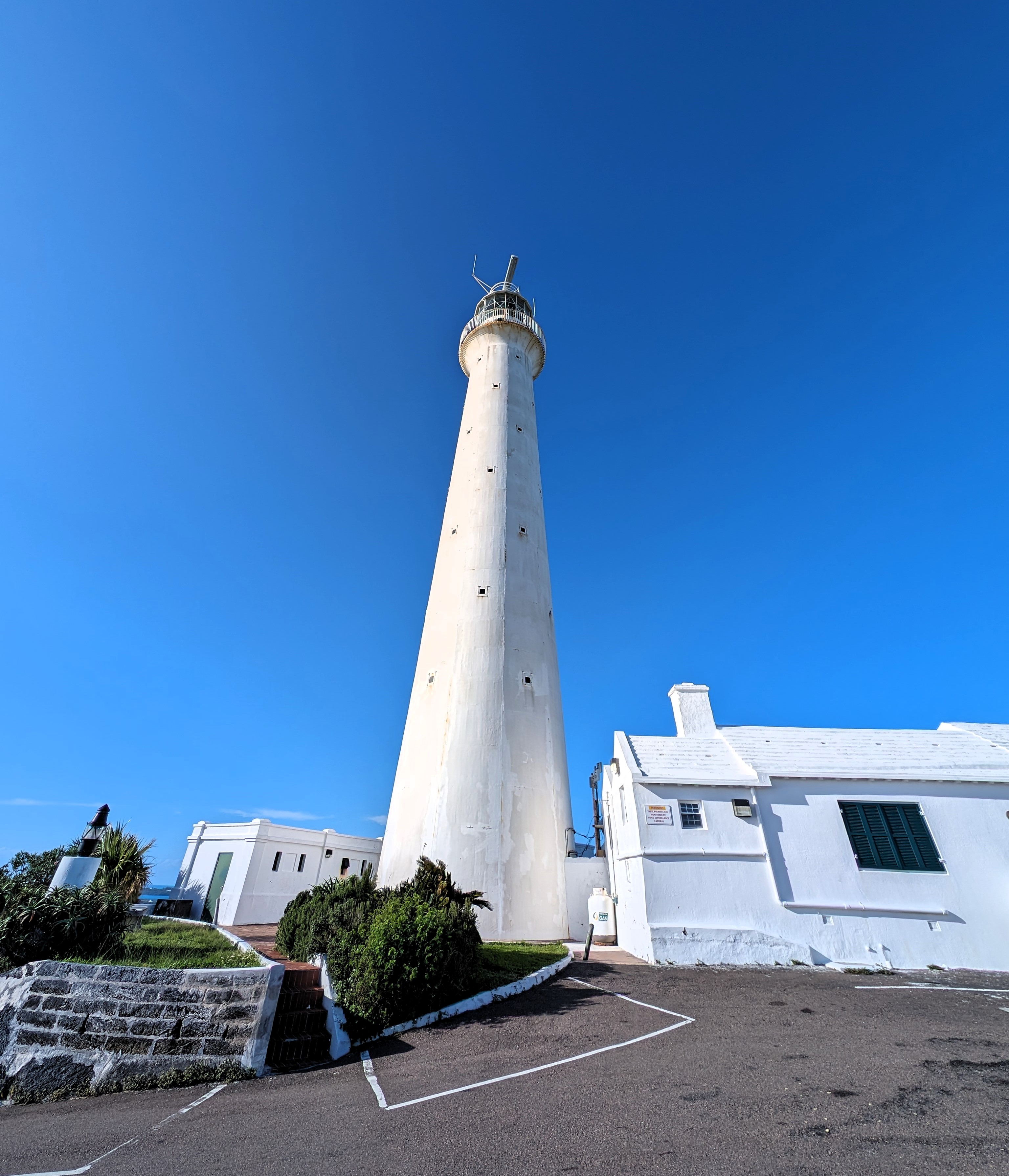
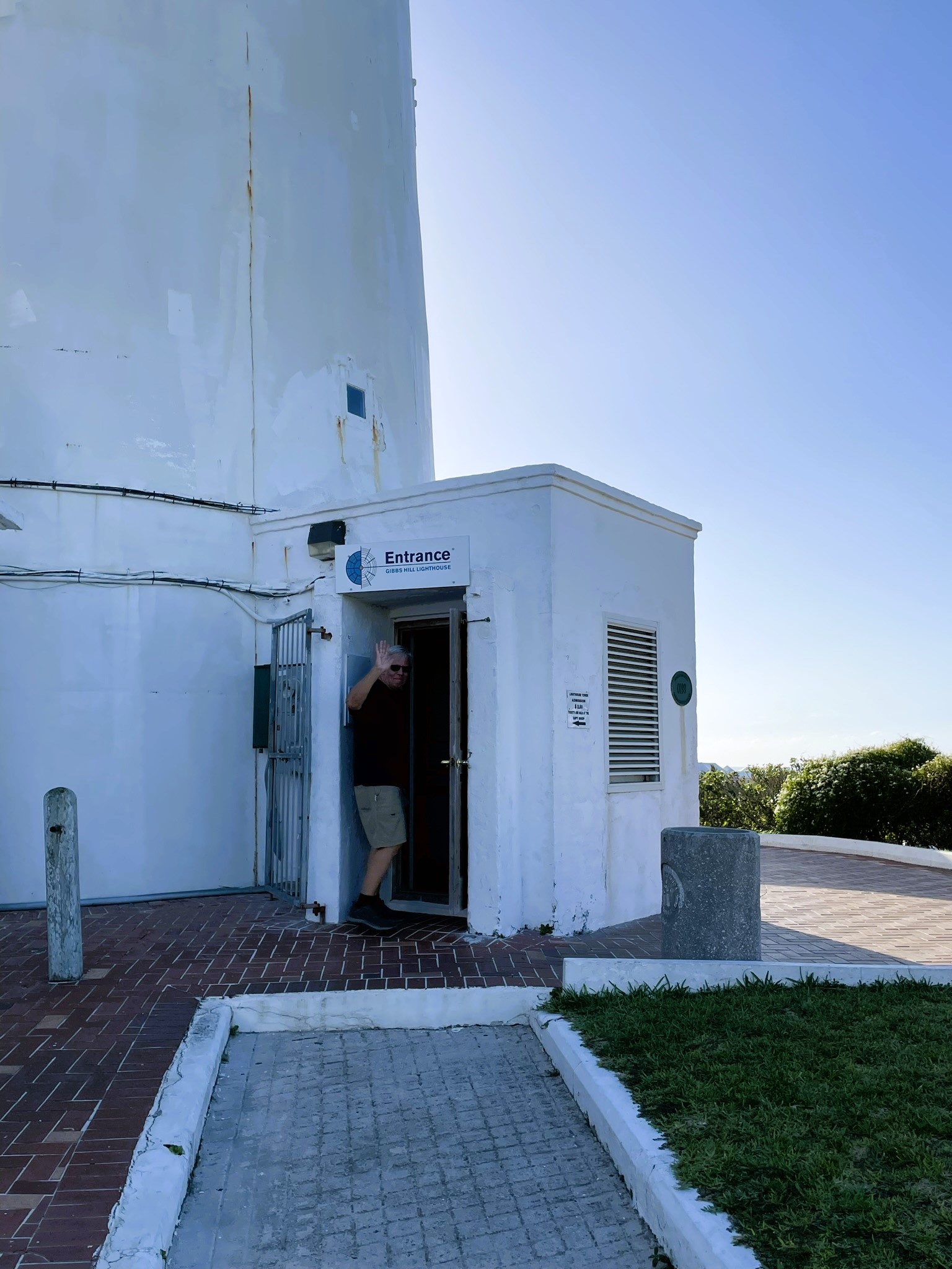
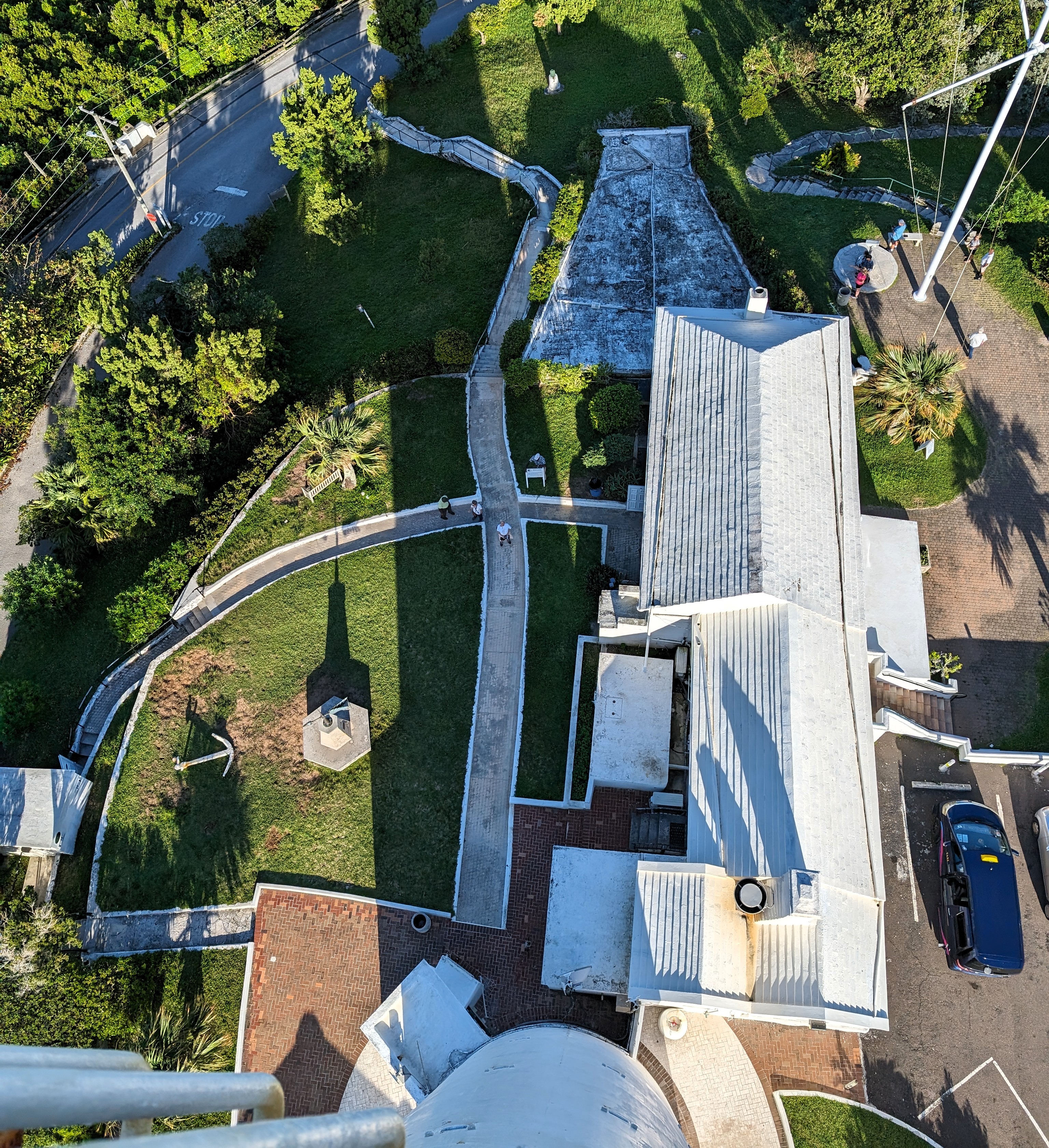
Next stop was Gibbs Hill Lighthouse. Built in 1846.
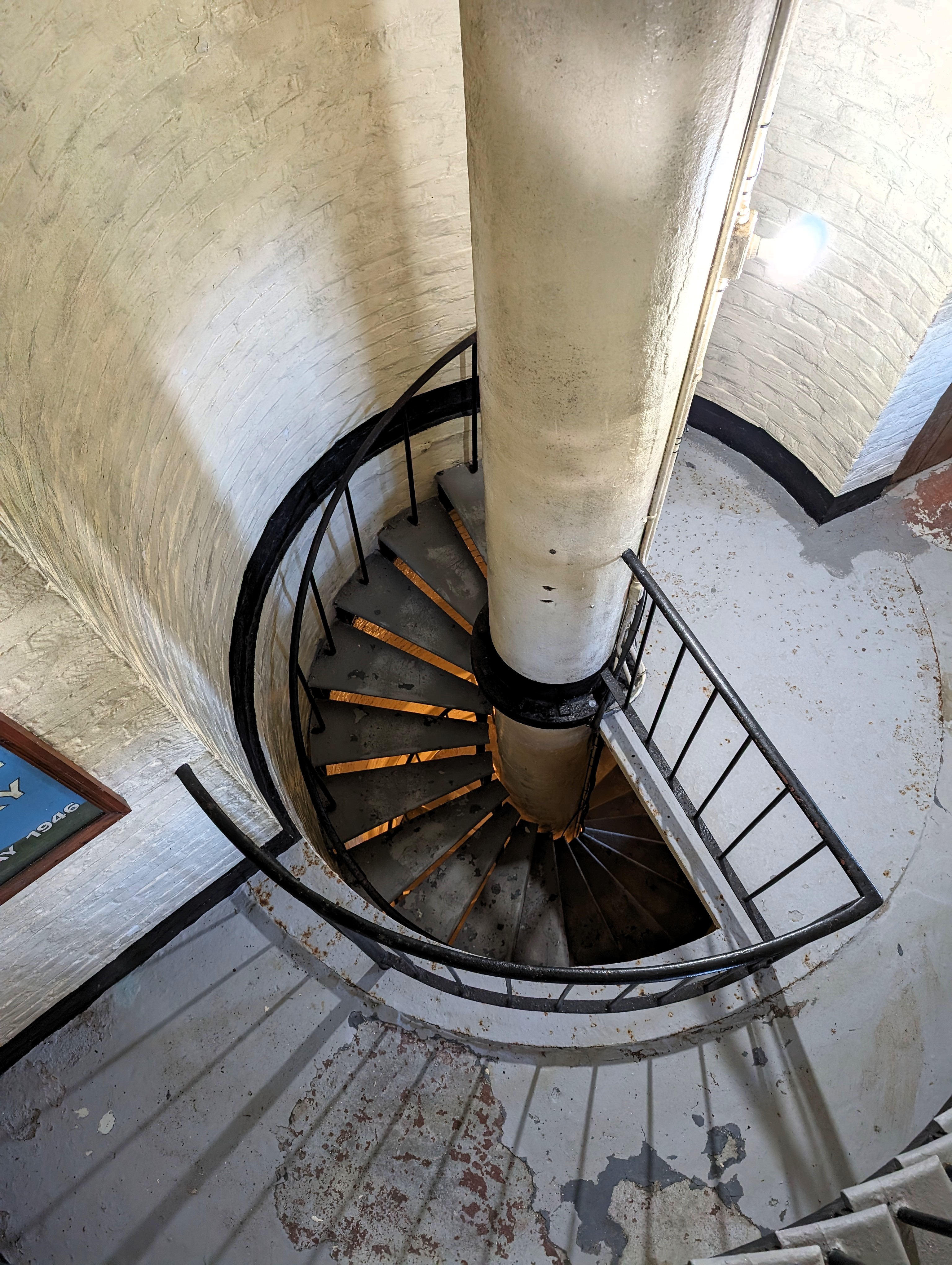
No debating about me climbing to the top – there I go!
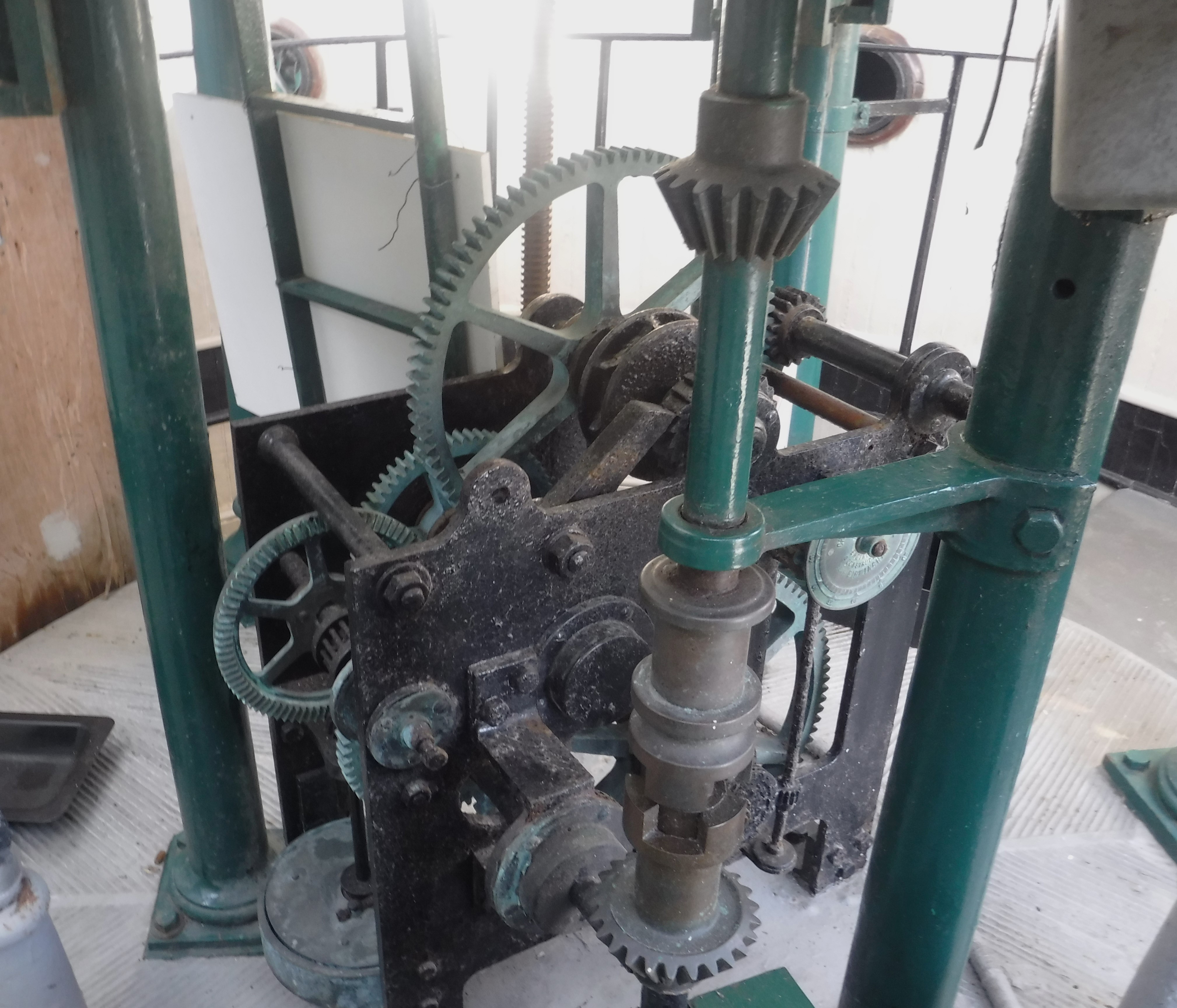
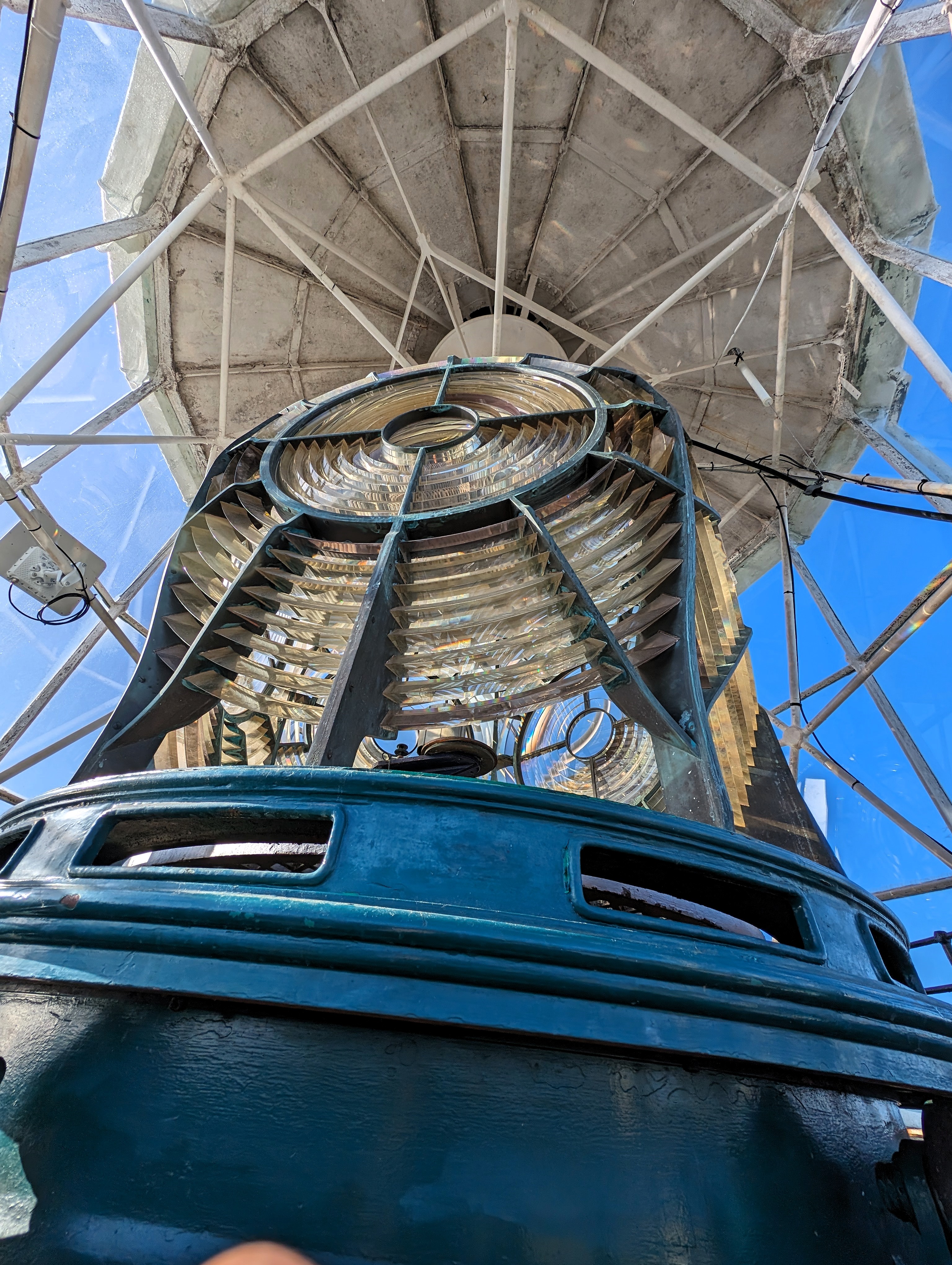
An inside look.
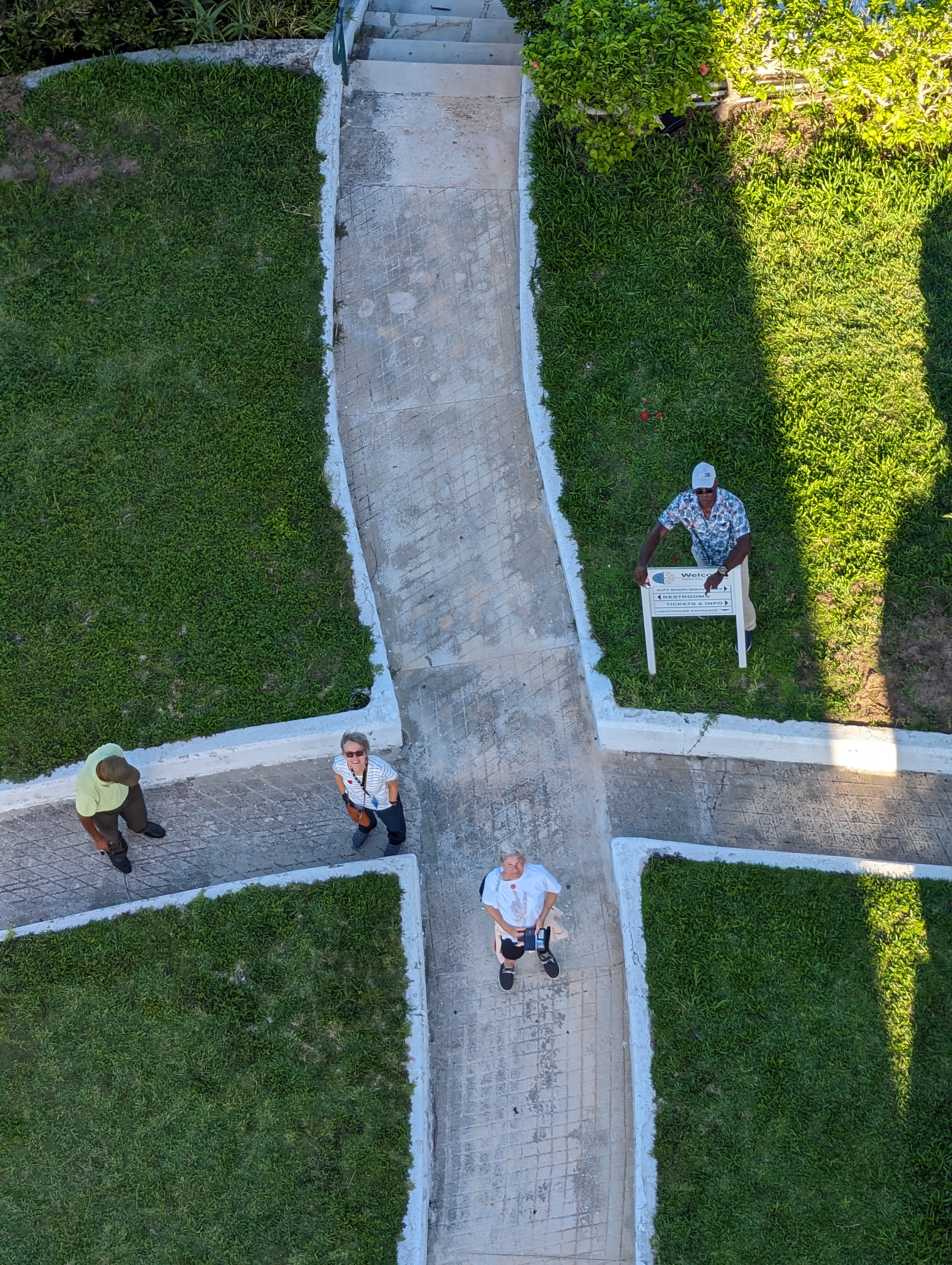
Looking down at Kathy and crew
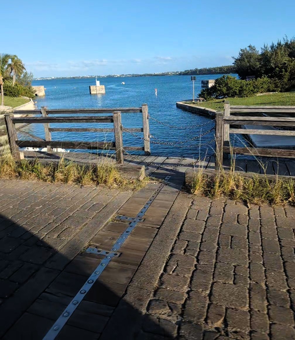
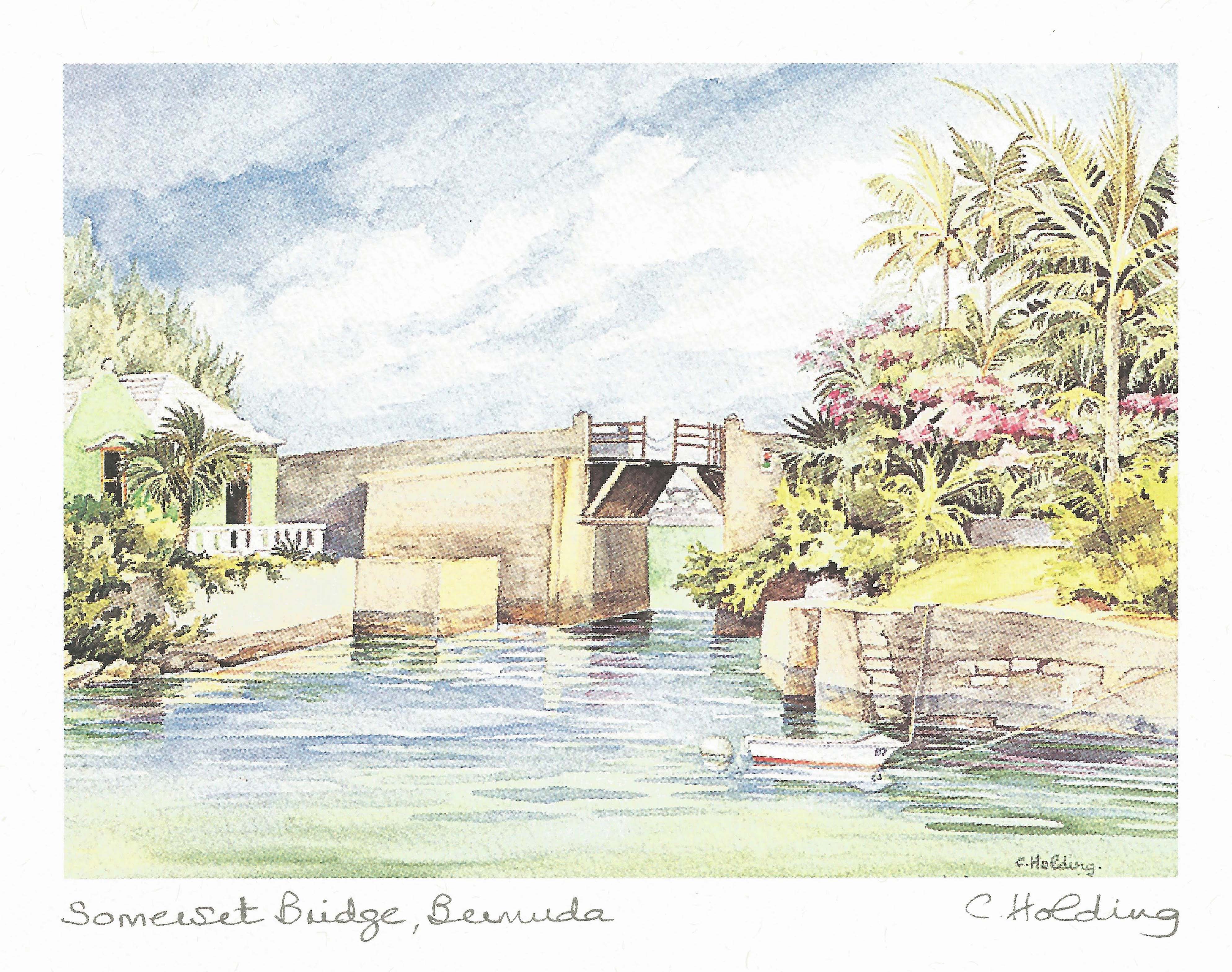
This is interesting – The Somerset Bridge. The smallest drawbridge in the world. Only wide enough to let through the mast of a sailboat. Clarence said people had to get off their boat, climb a ladder, lift the boards by hand, allow boat to pass then climb back down the other side. I imagine it would be tricky by yourself!
because we couldn’t pull over anywhere to look at this, we bought a print.
Another abandoned property. There was a hotel on that little piece of land but salt water undermined it and they tore it down. Now a park.
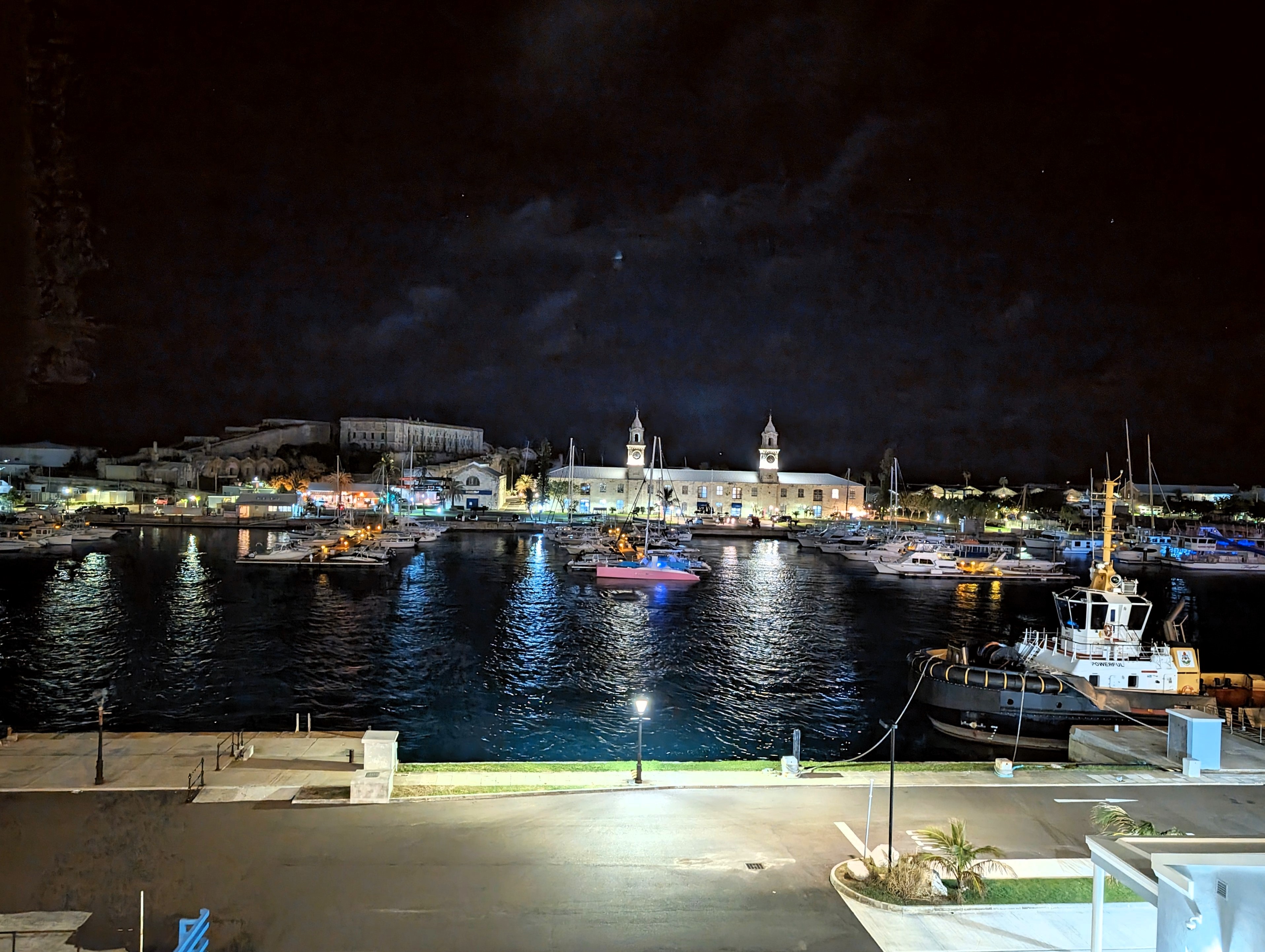
Kings Wharf at night.
The next morning we tried to head out early and as soon as we left the ship, it started pouring down rain. Back to the ship and changed and grabbed our ponchos. Left the ship and the sun started to come out.
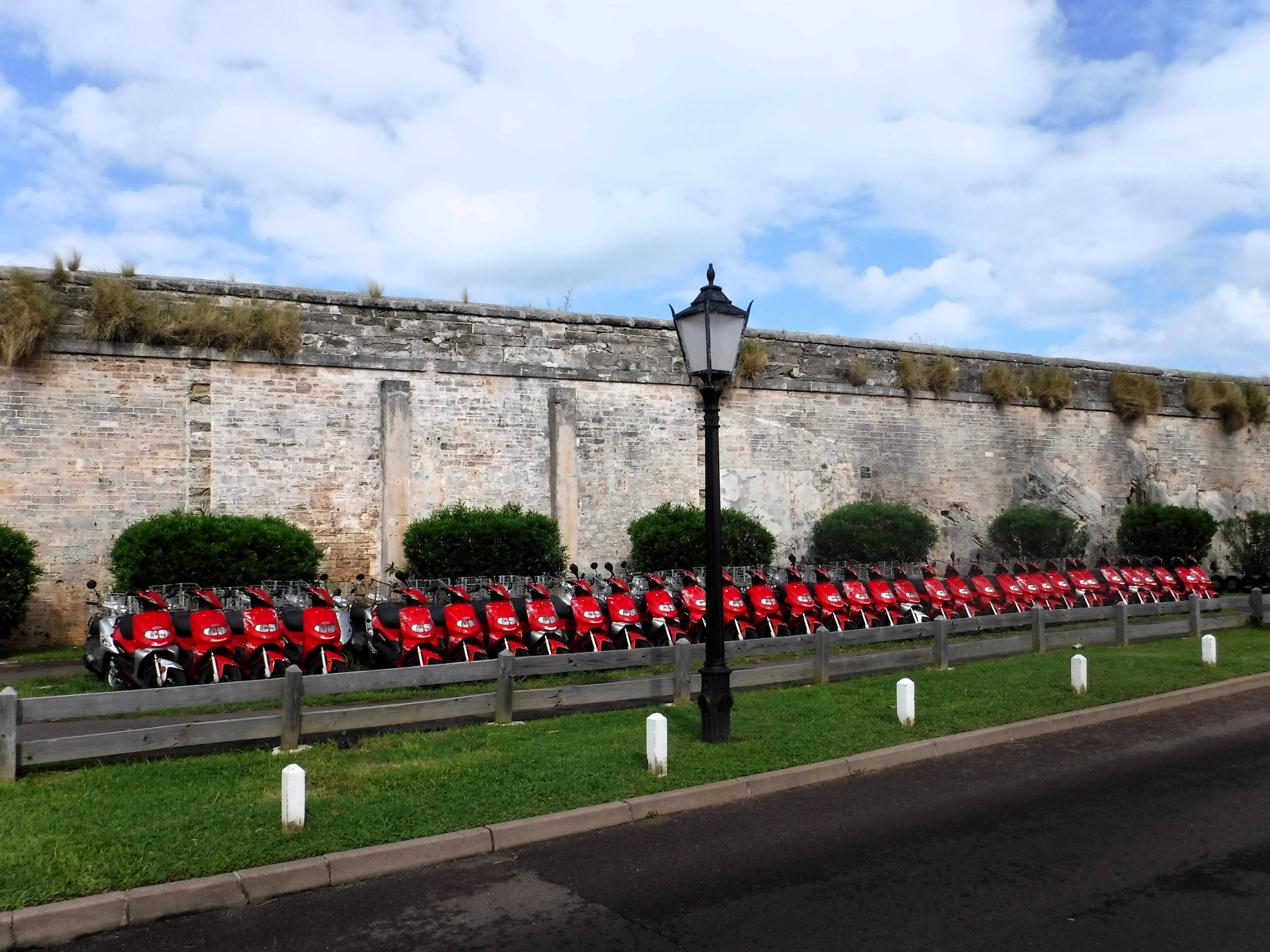
Lots of motor bikes all in a row.
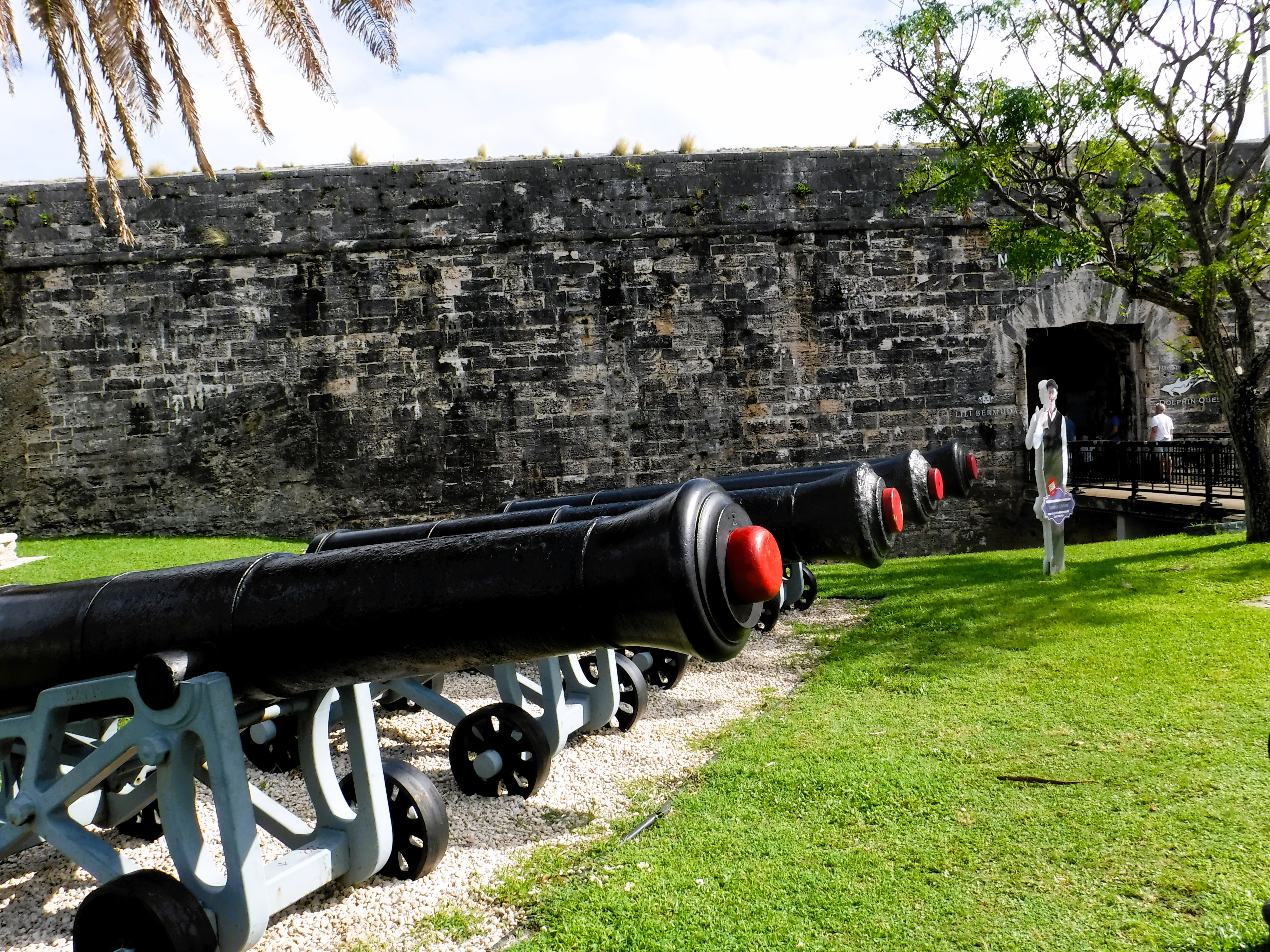
Lots of cannons all in a row. We didn’t have enough time to visit the fort, or the old prison.
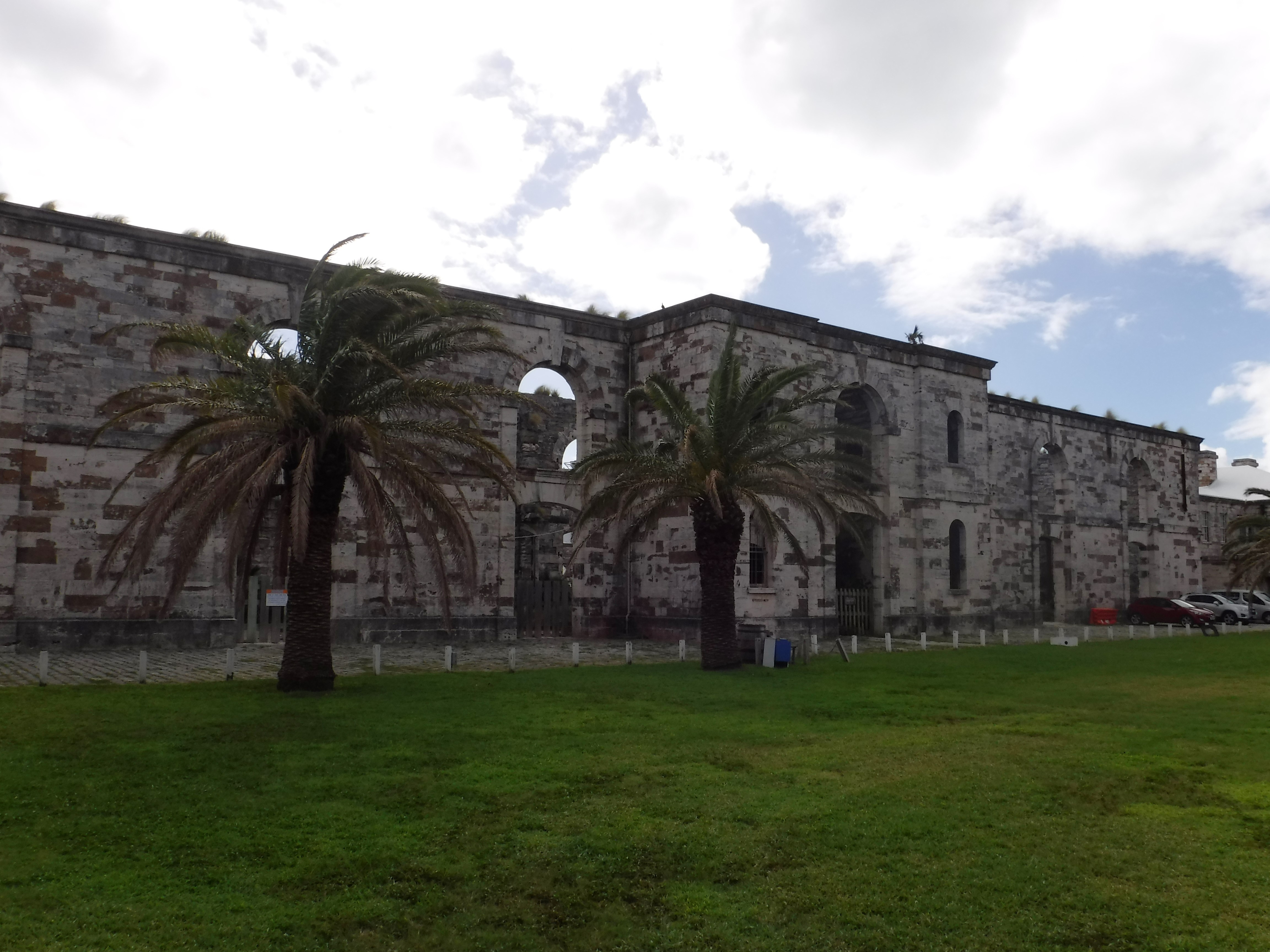
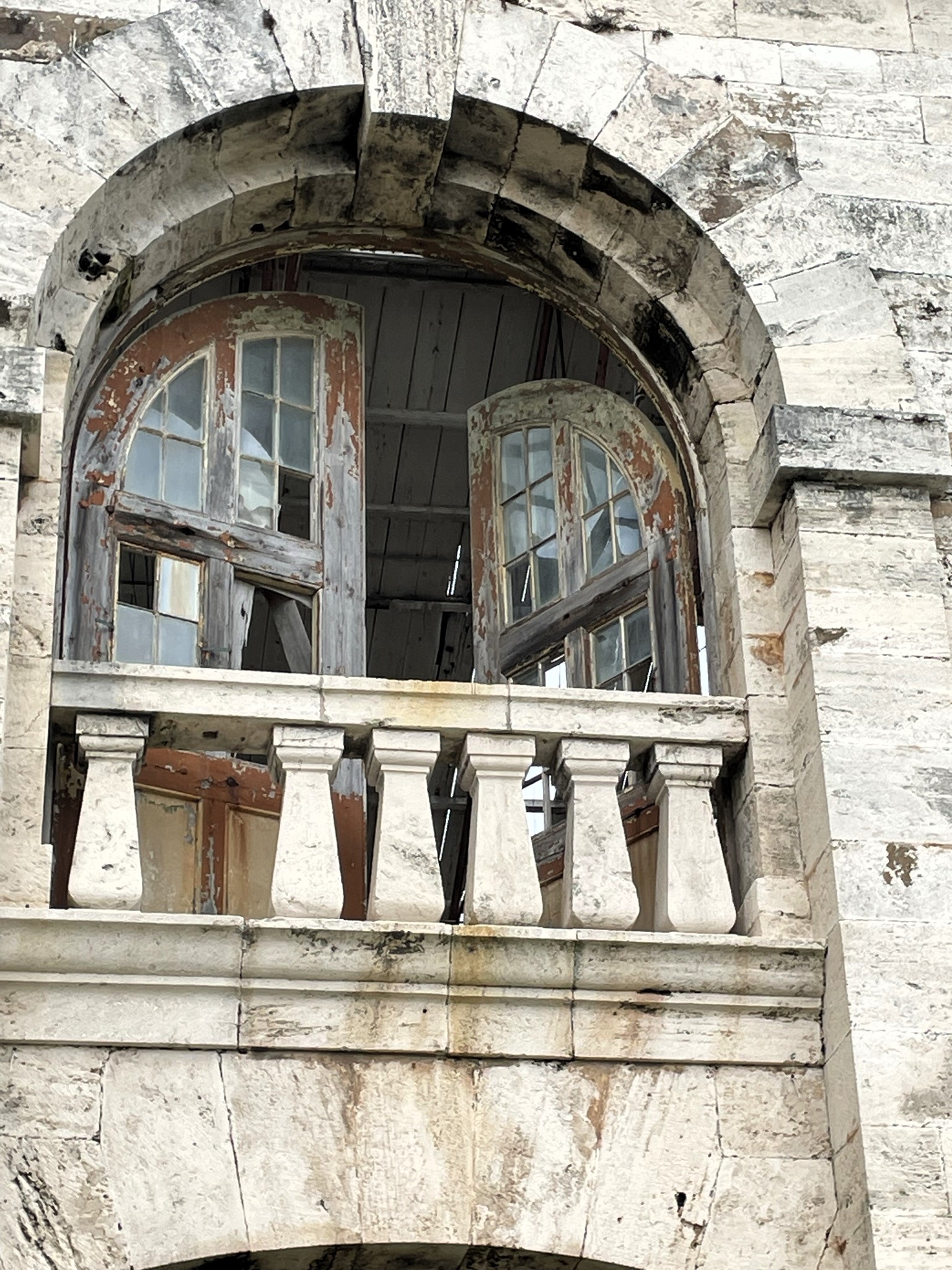
We did get to walk around some old buildings though.
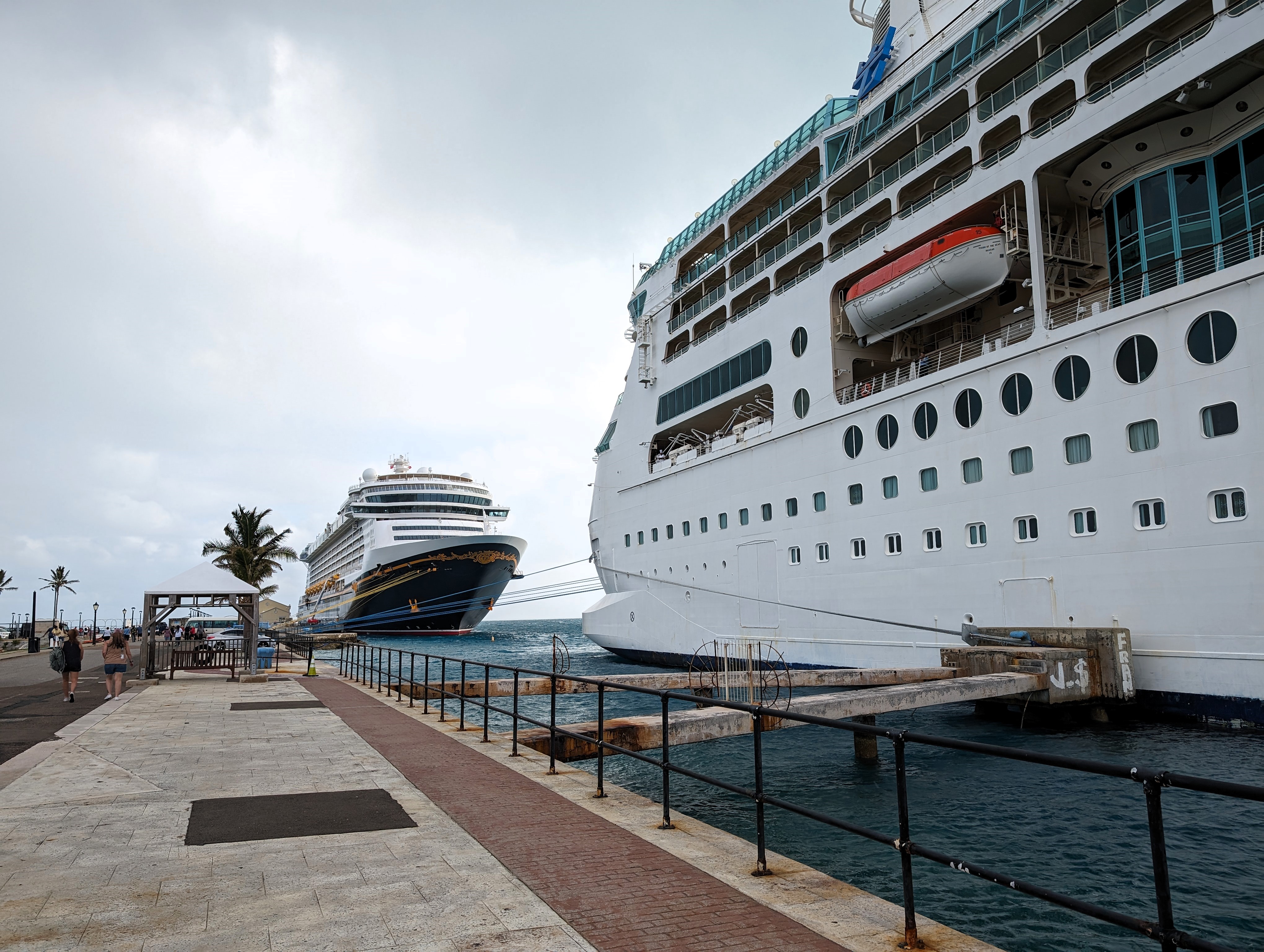
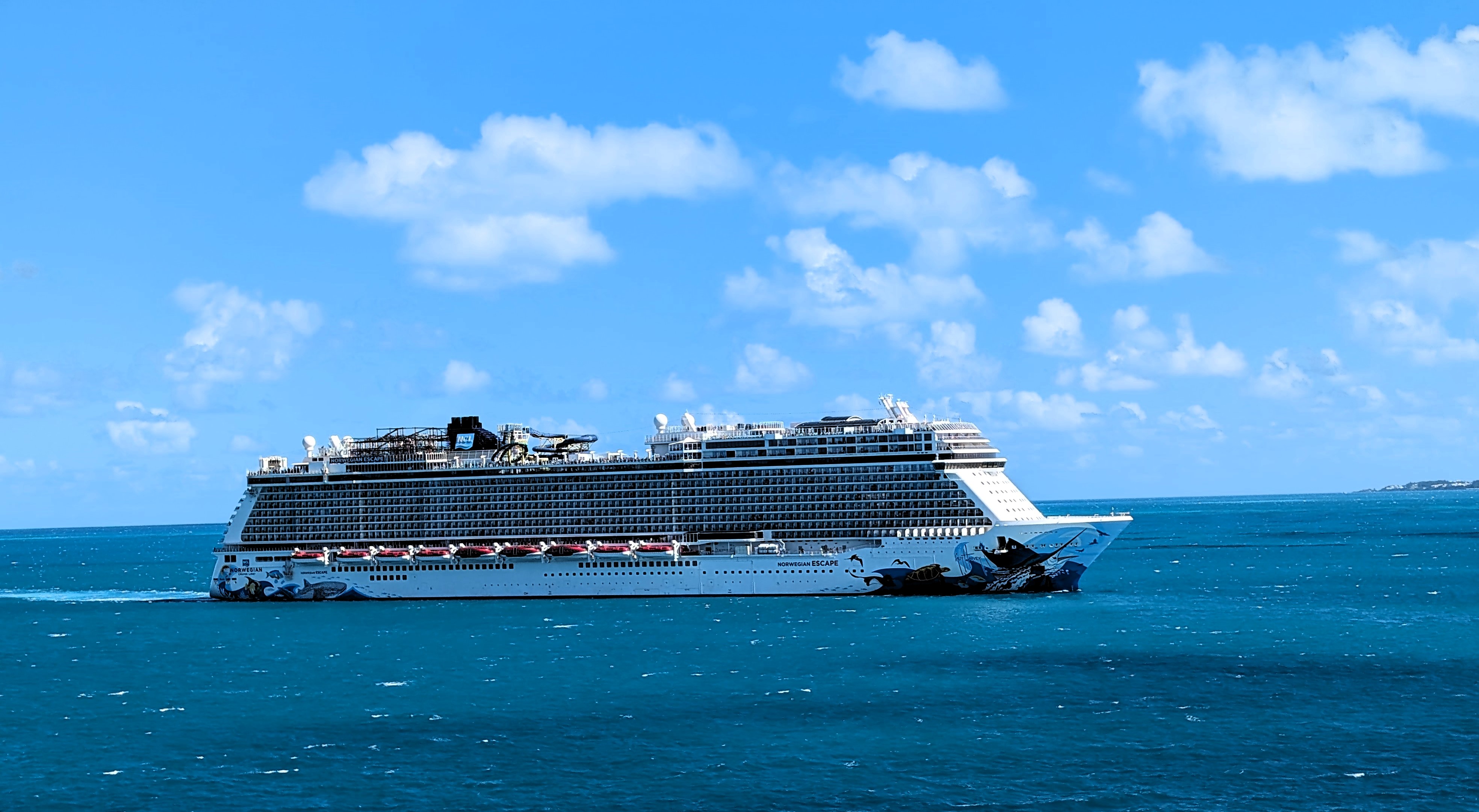
Waiting for us to leave is the Norwegian Cruise Ship Escape. Another huge ship of 5,400+ passengers. Glad our ship was relatively small – 2,400.
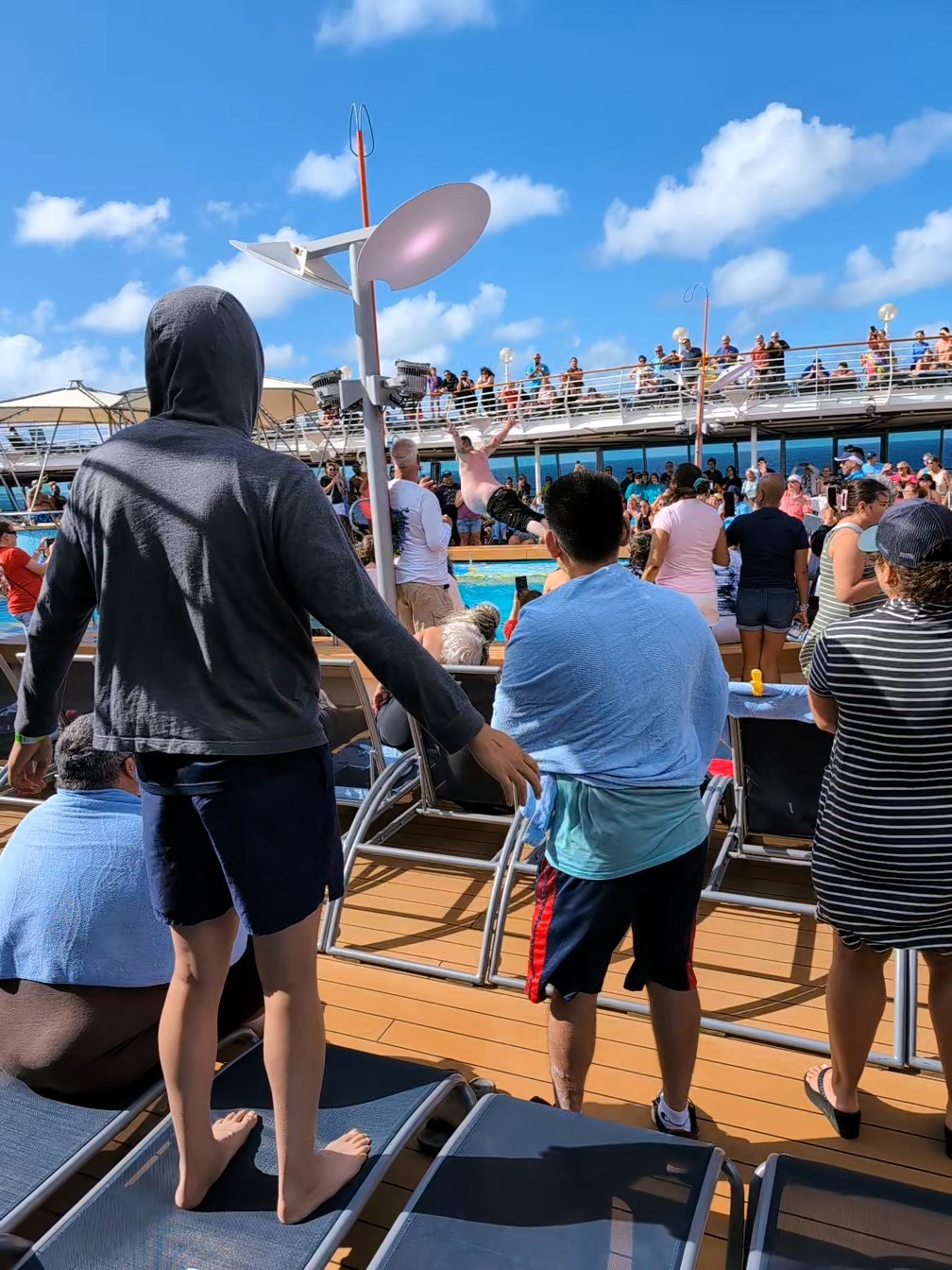
Back out to see and the entertainment is wild – Belly Flop contest.
A couple more sunsets
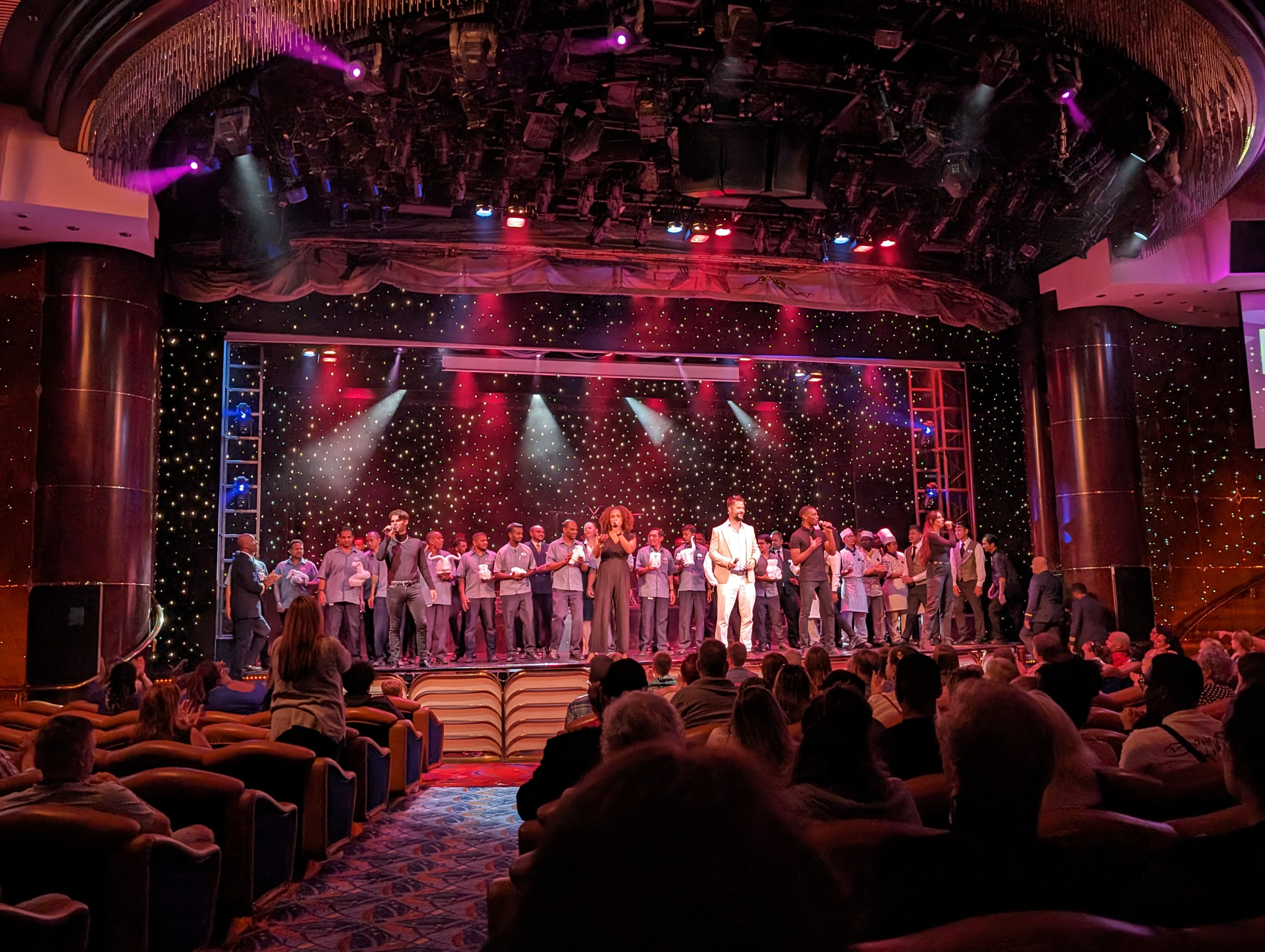
And a Farewell Show with cast and crew.
Very nice adventure! Next time with the kids! Can’t wait.
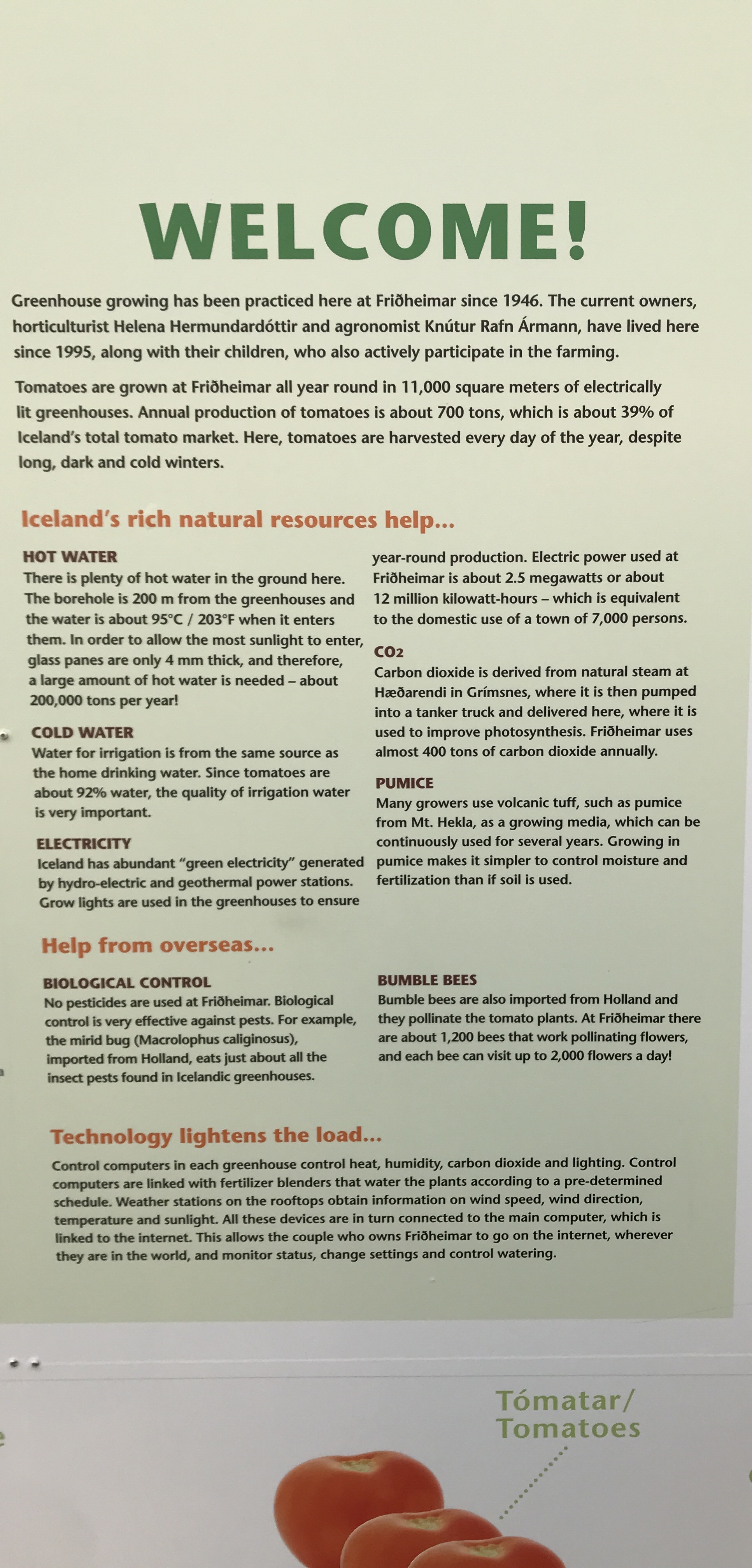
In April 2023 we took a trip to Iceland. Although the weather for the most part was not the best, all the beauty and wonder made the trip an unforgettable experience. Then again, the weather here on the Eastern Shore was not that great – two days before we left, tornadoes touched down just north of here. Volcanoes, blizzards and continental drifts are the norm in Iceland. We did see evidence of global warming.
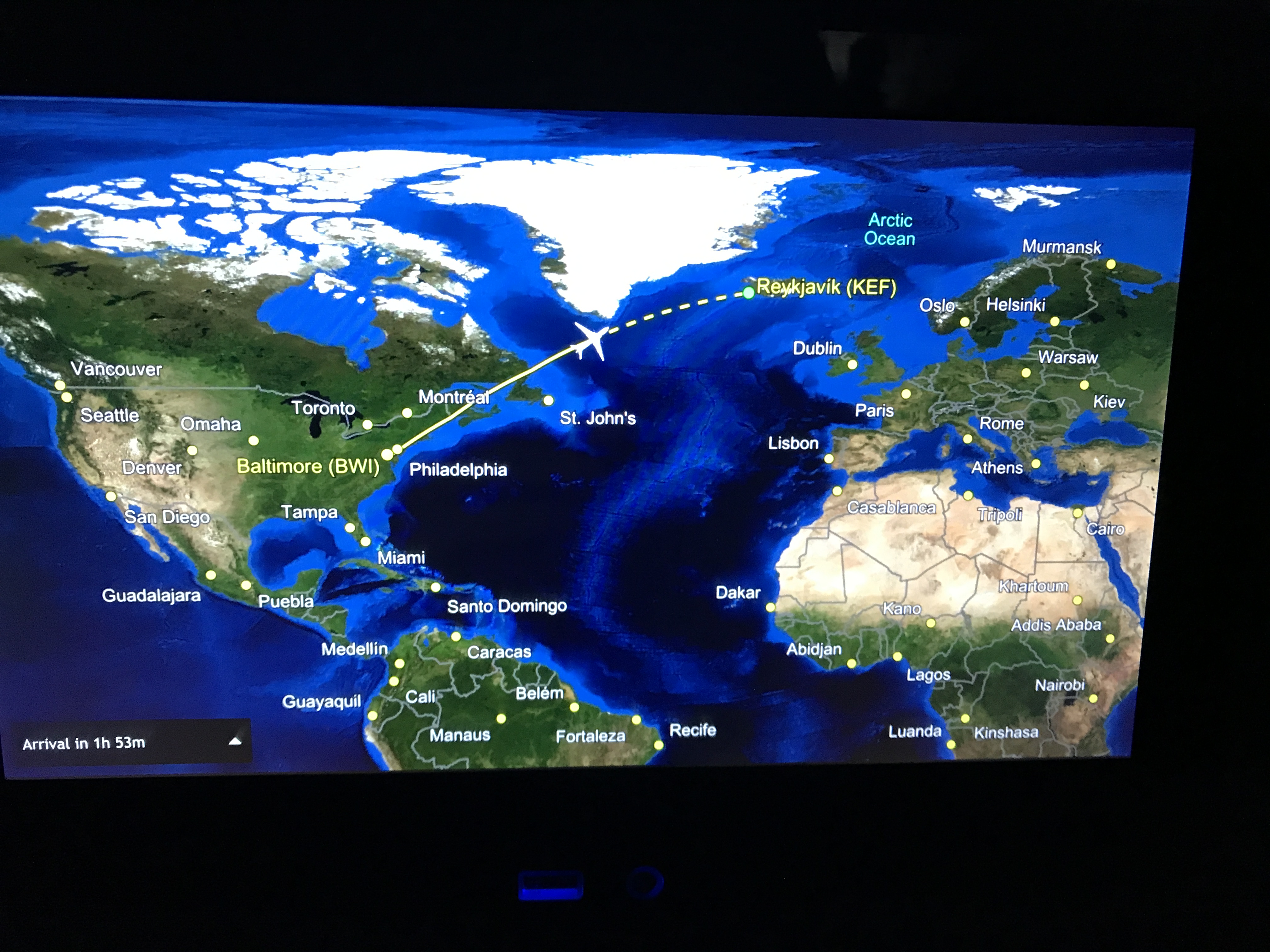
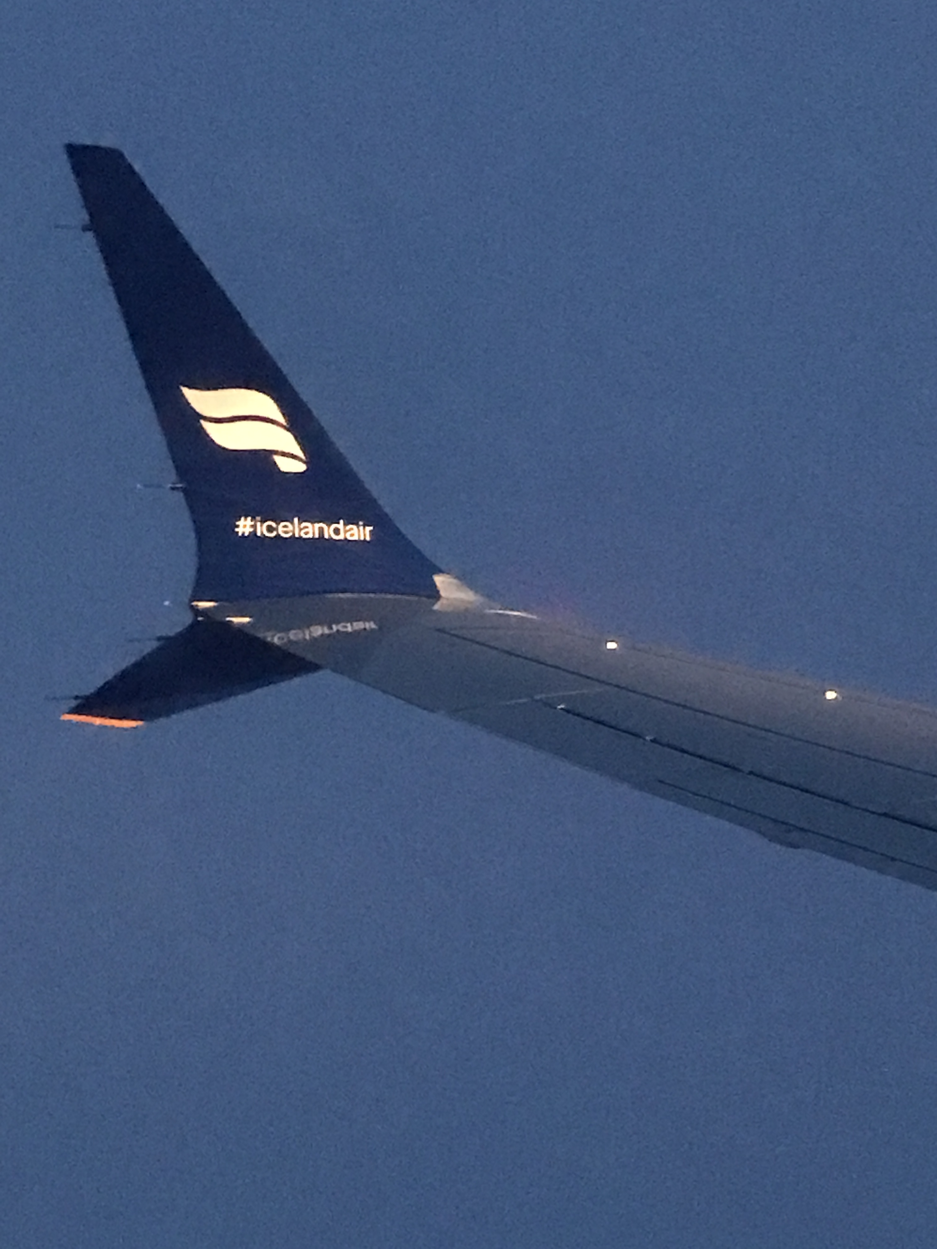
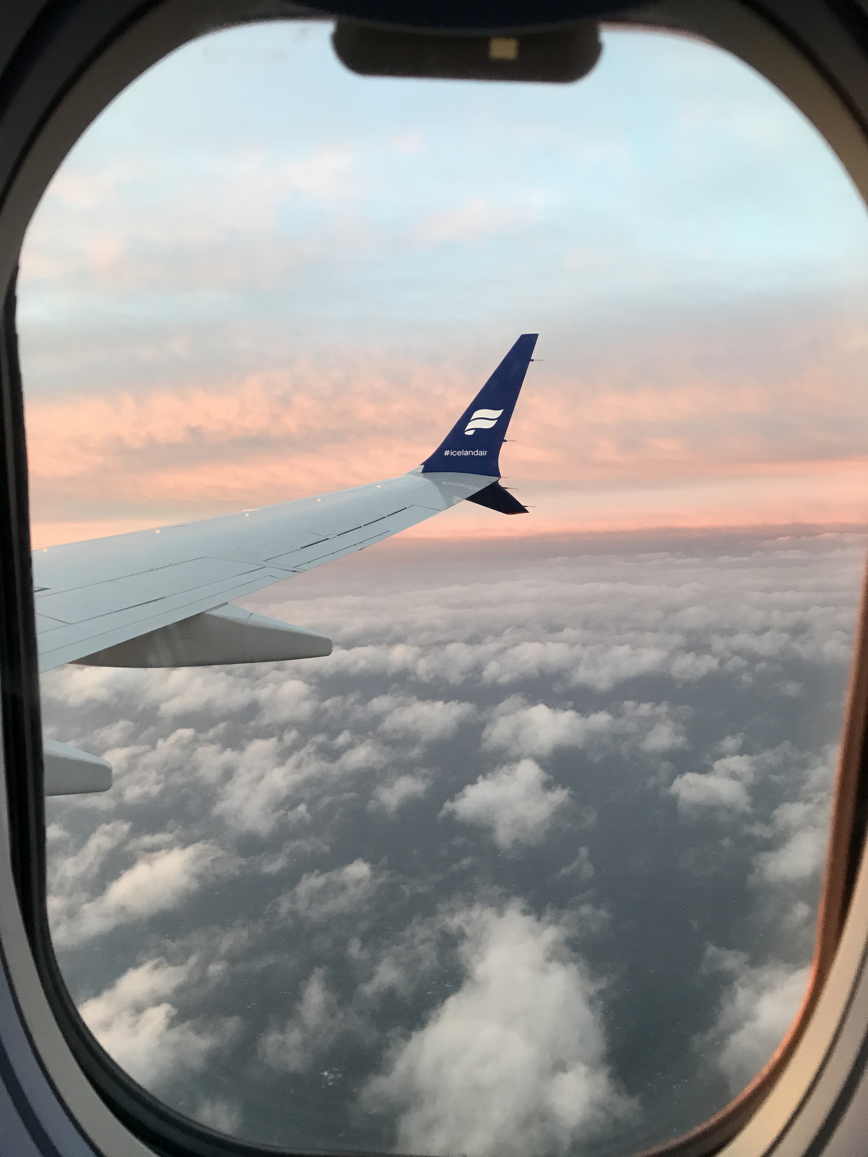
We flew out of BWI Airport Sunday April 2nd on a direct flight. I do not believe I am yet awake from the time-zone differences. Our flight left BWI at 8:35pm. We arrived in Iceland April 3rd at 6:30am.
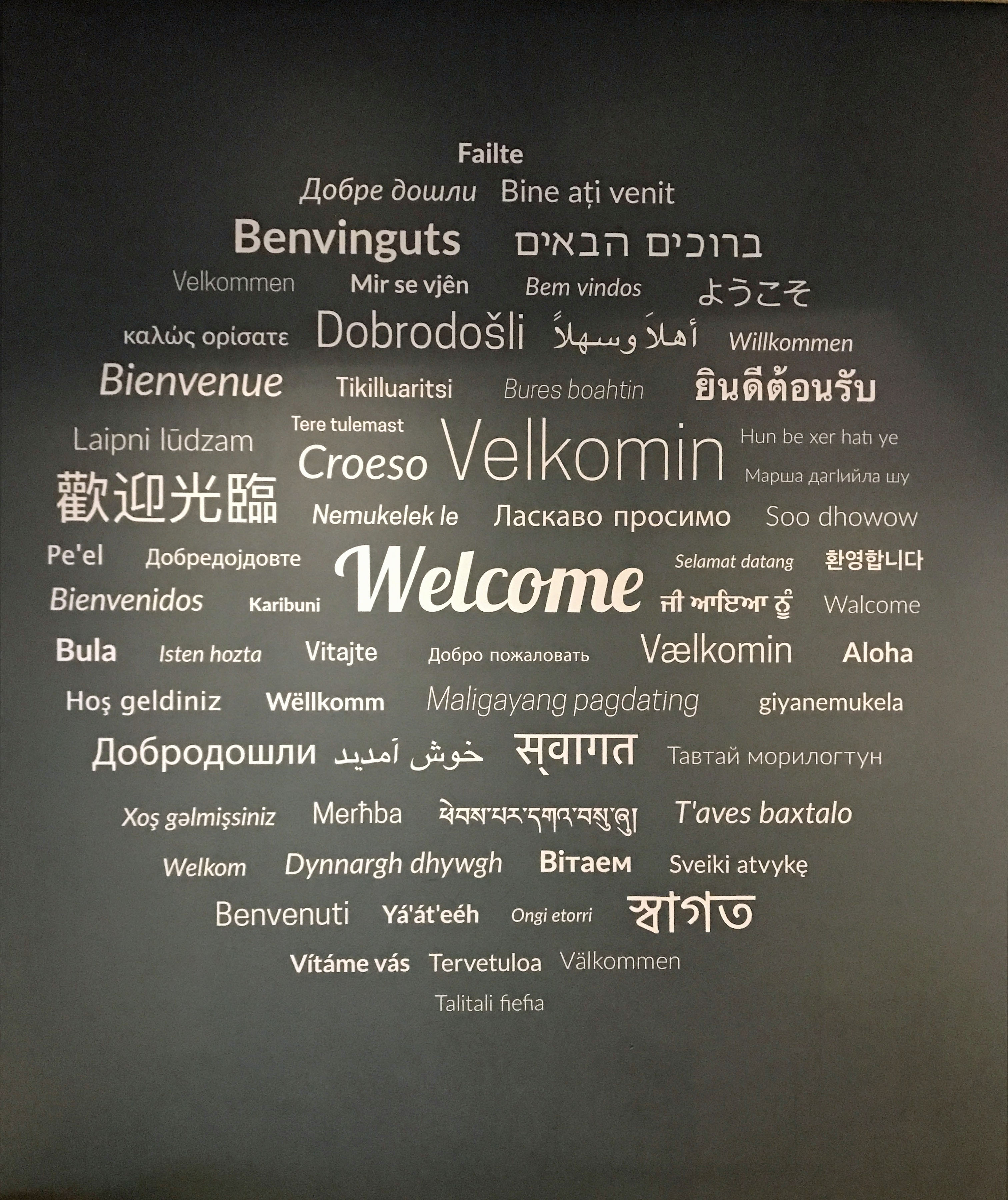
We arrive at the Keflavik airport which was about a 40 minute shuttle drive to our hotel, The Hotel Klettur (some locals say Klettur means ‘rock’, others say it means ‘cliff’).
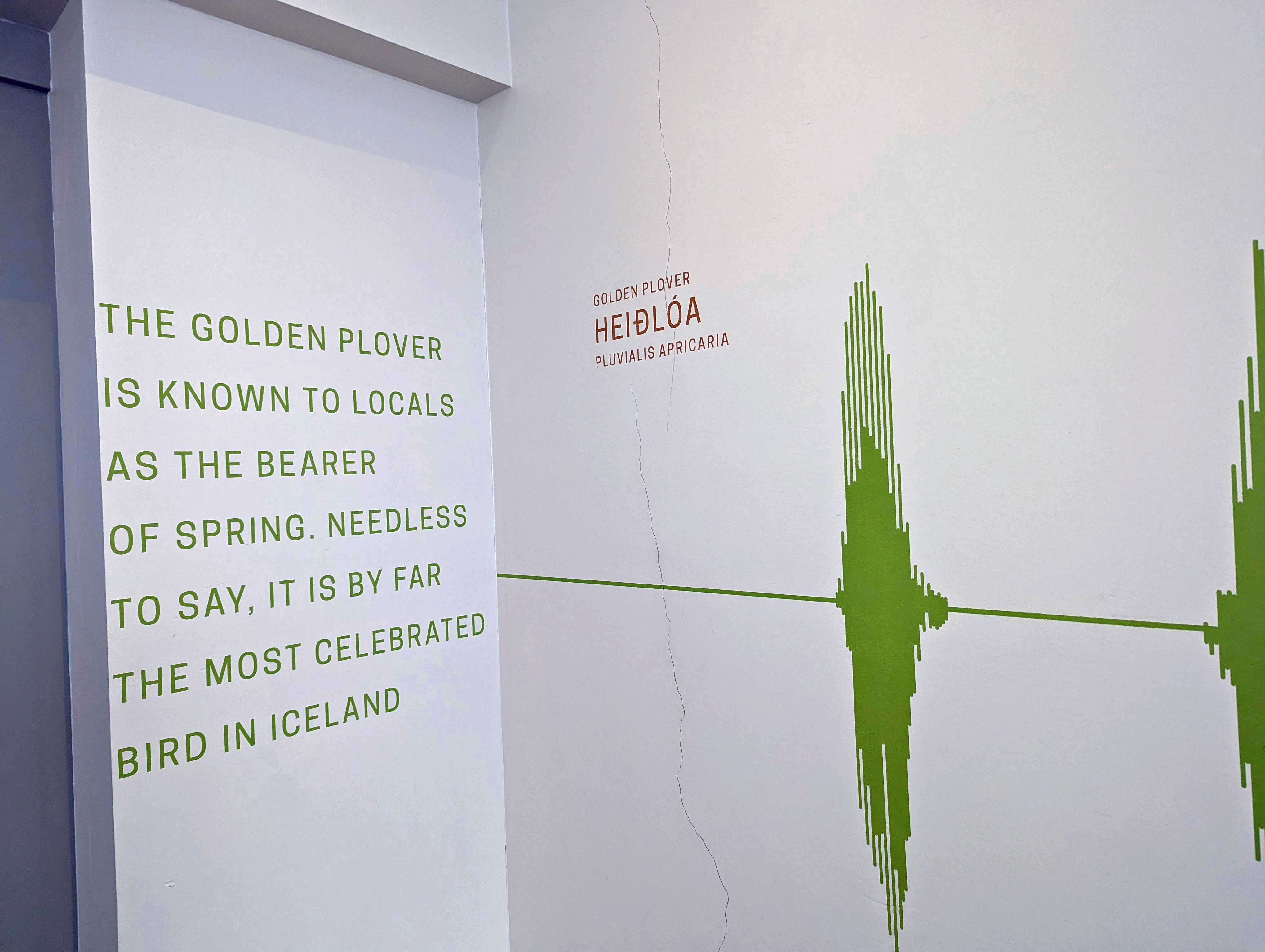
Most walls outside the elevators had some information about local wildlife an/or ecology. Icelanders are very ecological in their thinking and doing.
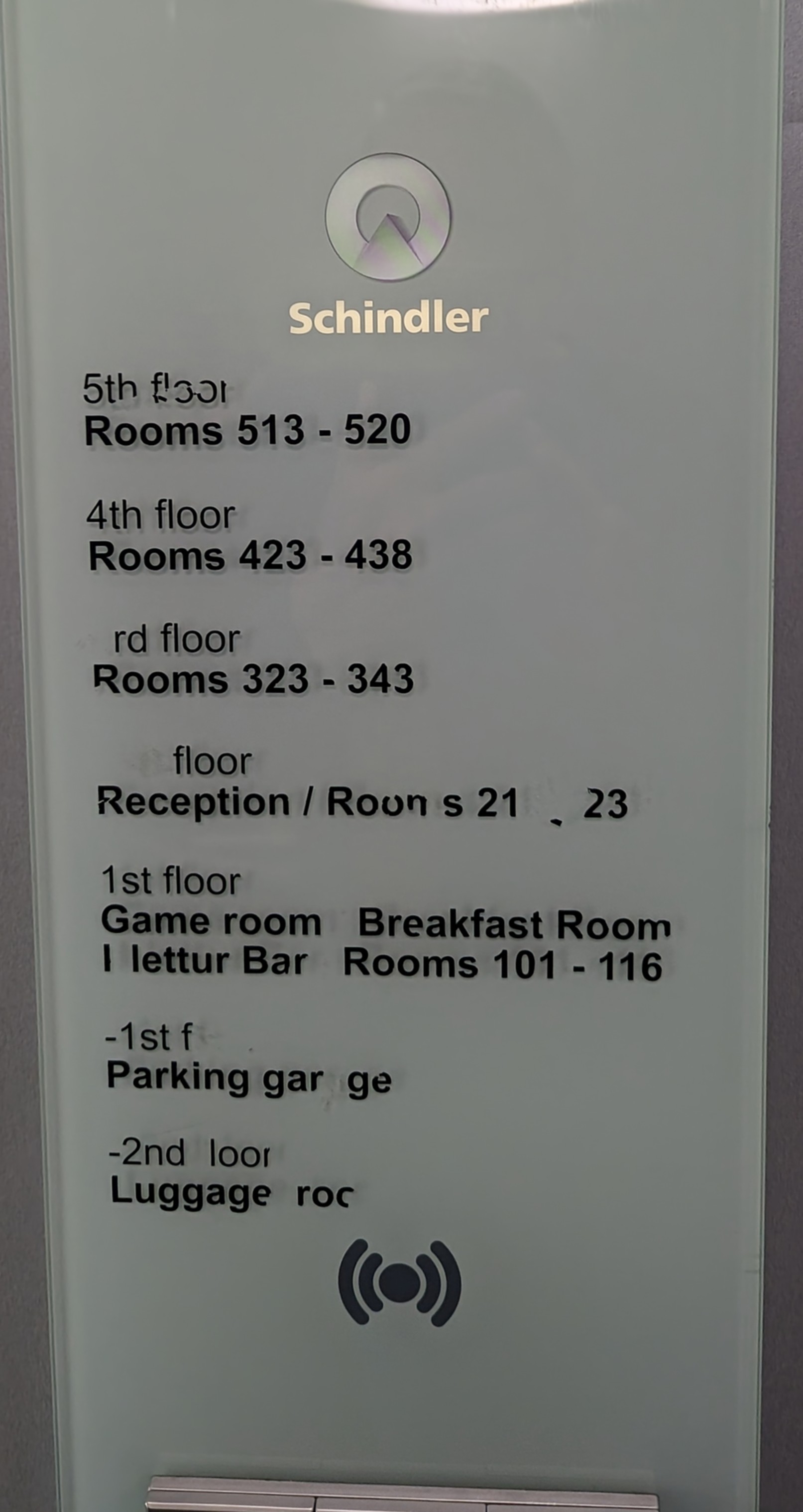
Schindler’s Lift
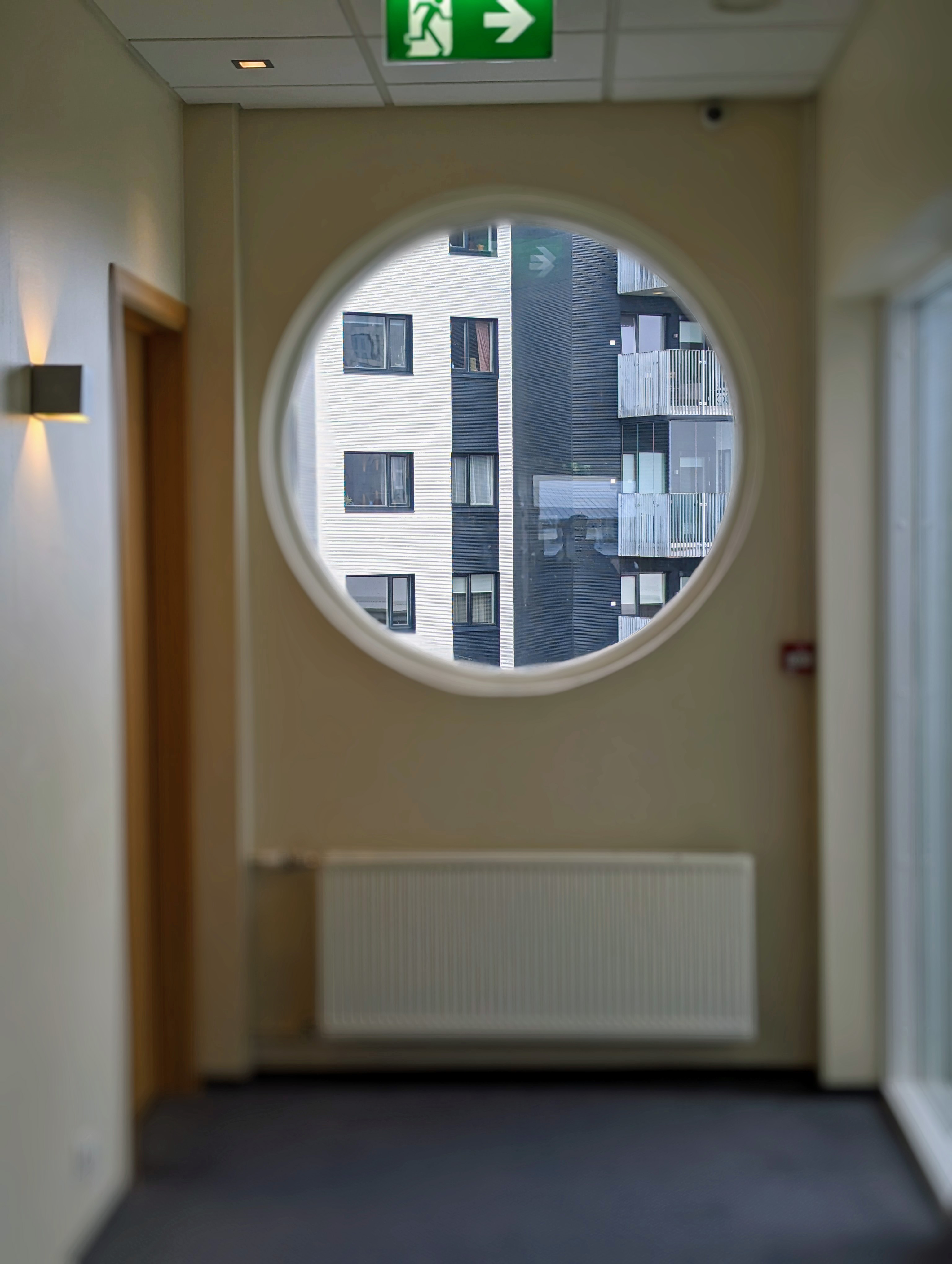
Wonderful view outside our window.
You are given 2 keys to your room. One gets inserted into this holder. It turns on the electricity for the room. So, if you have food in your refrigerator, you have to leave one key behind.
We had a nice room. Our original hotel was overbooked so they sent us here. With an upgrade. And closer to downtown.
I don’t usually show photos of the bathroom, but something interesting here is the heating system. They use geothermal heat. Very hot water flows through that radiator. You regulate it with a valve, not a thermostat. No ac. Most people had their windows opened.
Since we could not check in right away, we took a 3 hour city tour. (The hotel has a luggage storage room to put our bags in). It was actually a really good tour. Our tour guide Dominique was very knowledgeable and took us everywhere.
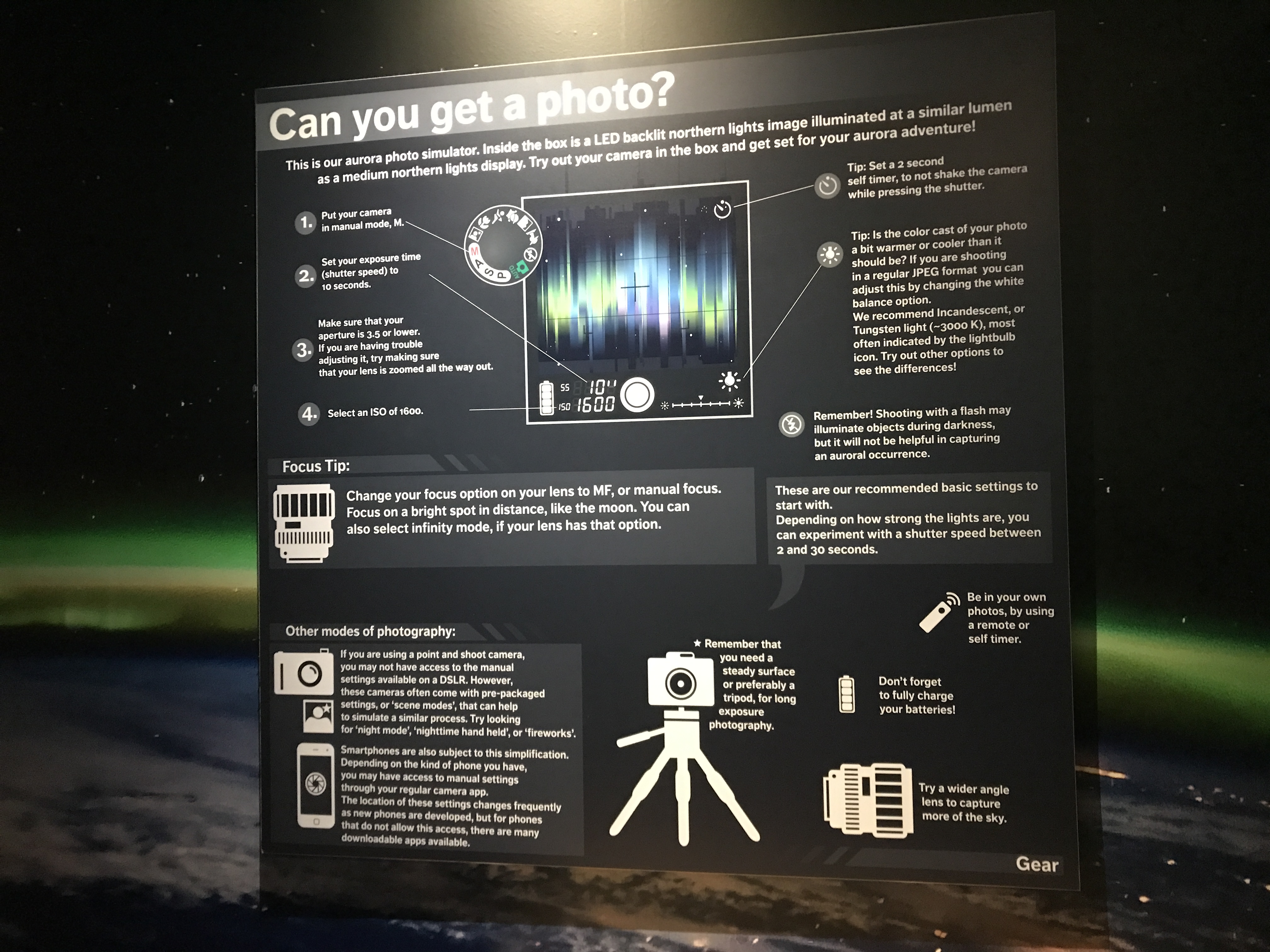
First stop was the Northern Lights Center called Aurora. The guide in here filled our heads with wonderful photos, information and videos.
She also told us the best way to get a perfect shot of the Northern Lights. Nothing more than making sure the flash is off and set it for a 3-4 second exposure. Holding steady!
While waiting outside for the rest of the group, he was there in front of the Saga Museum. (The Sagas of Icelanders is supposed to be a literary classic? I bought it but haven’t read it yet – 781 pages)
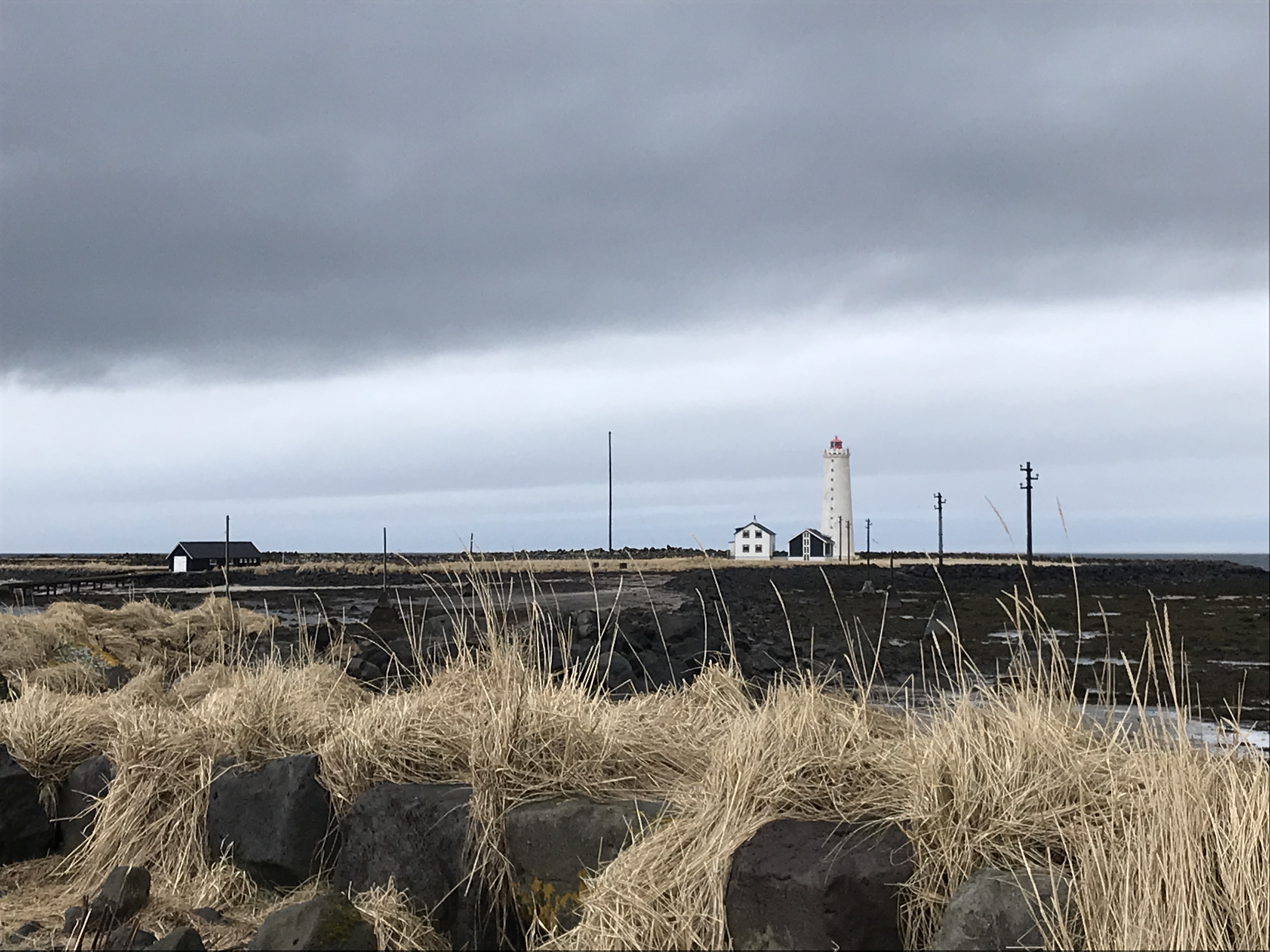
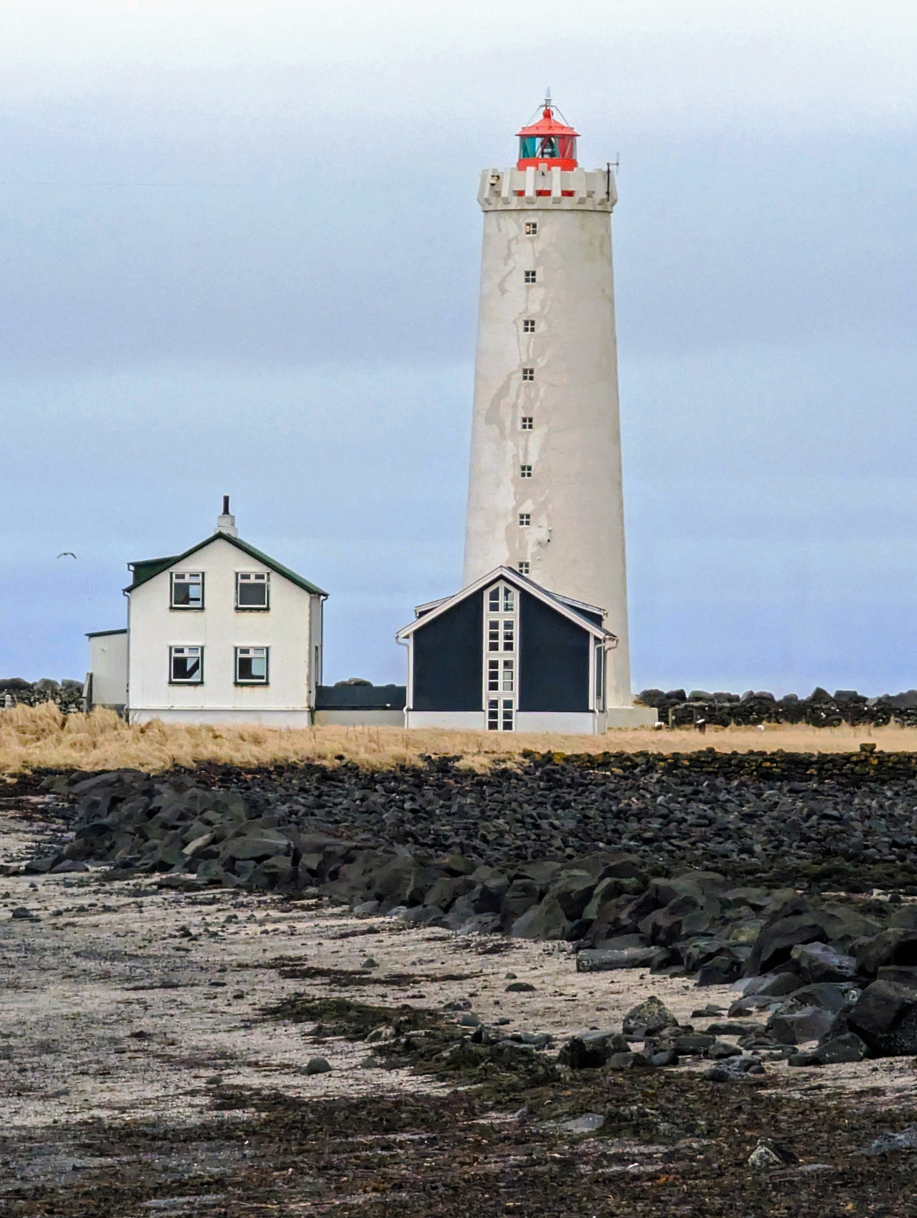
He drove us to see one of the many lighthouses next. This lighthouse can only be accessed by foot during low tide.
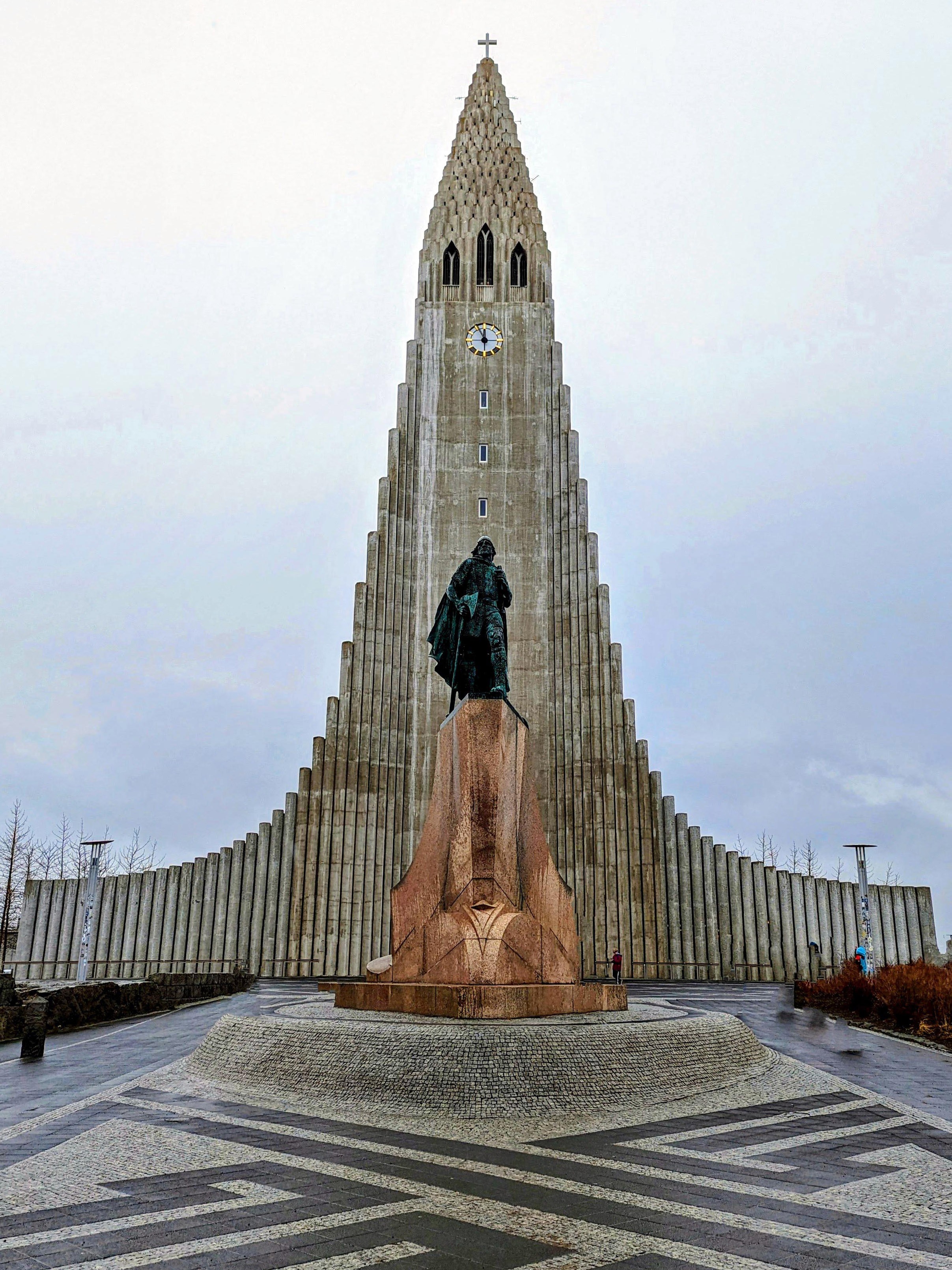
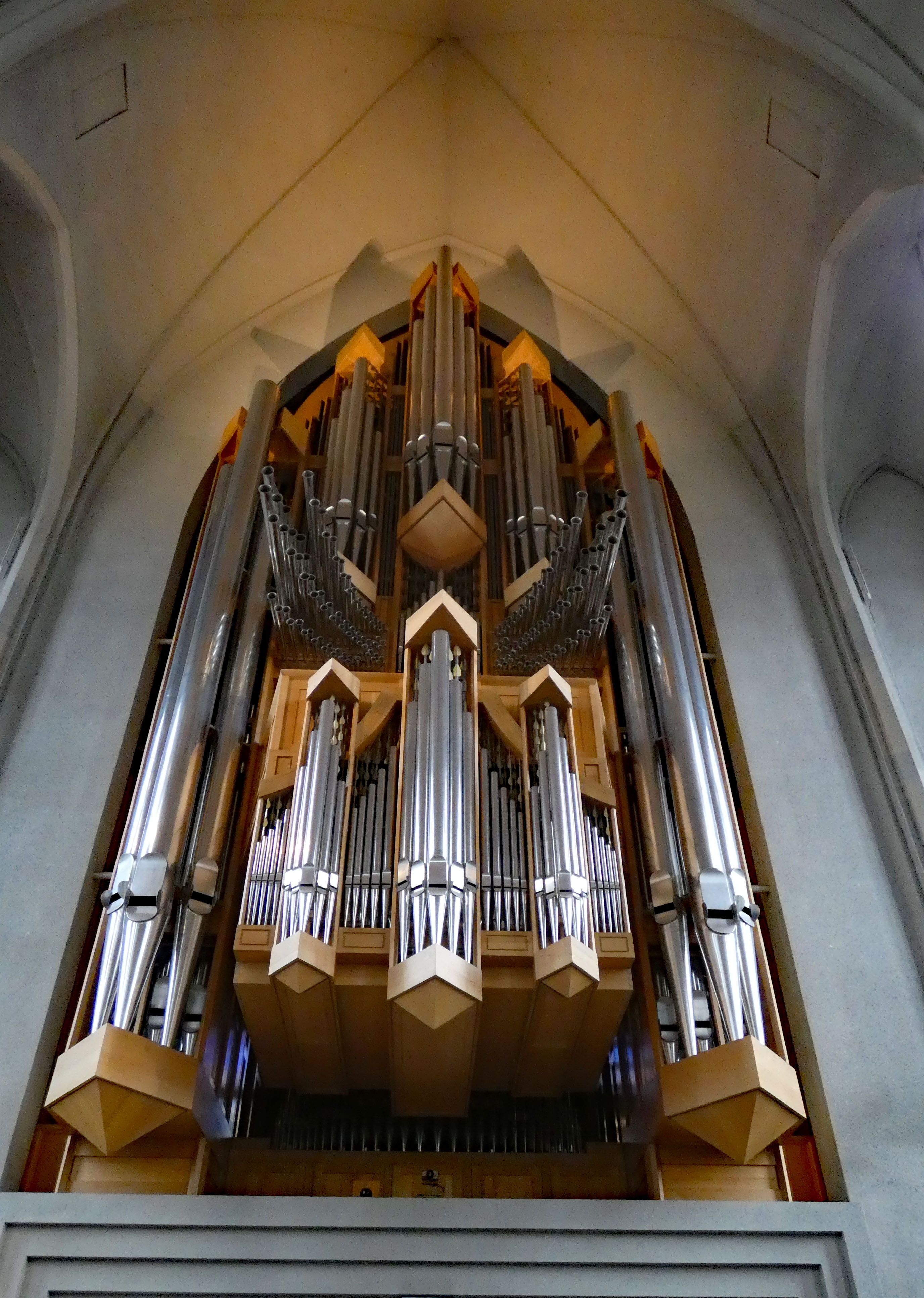
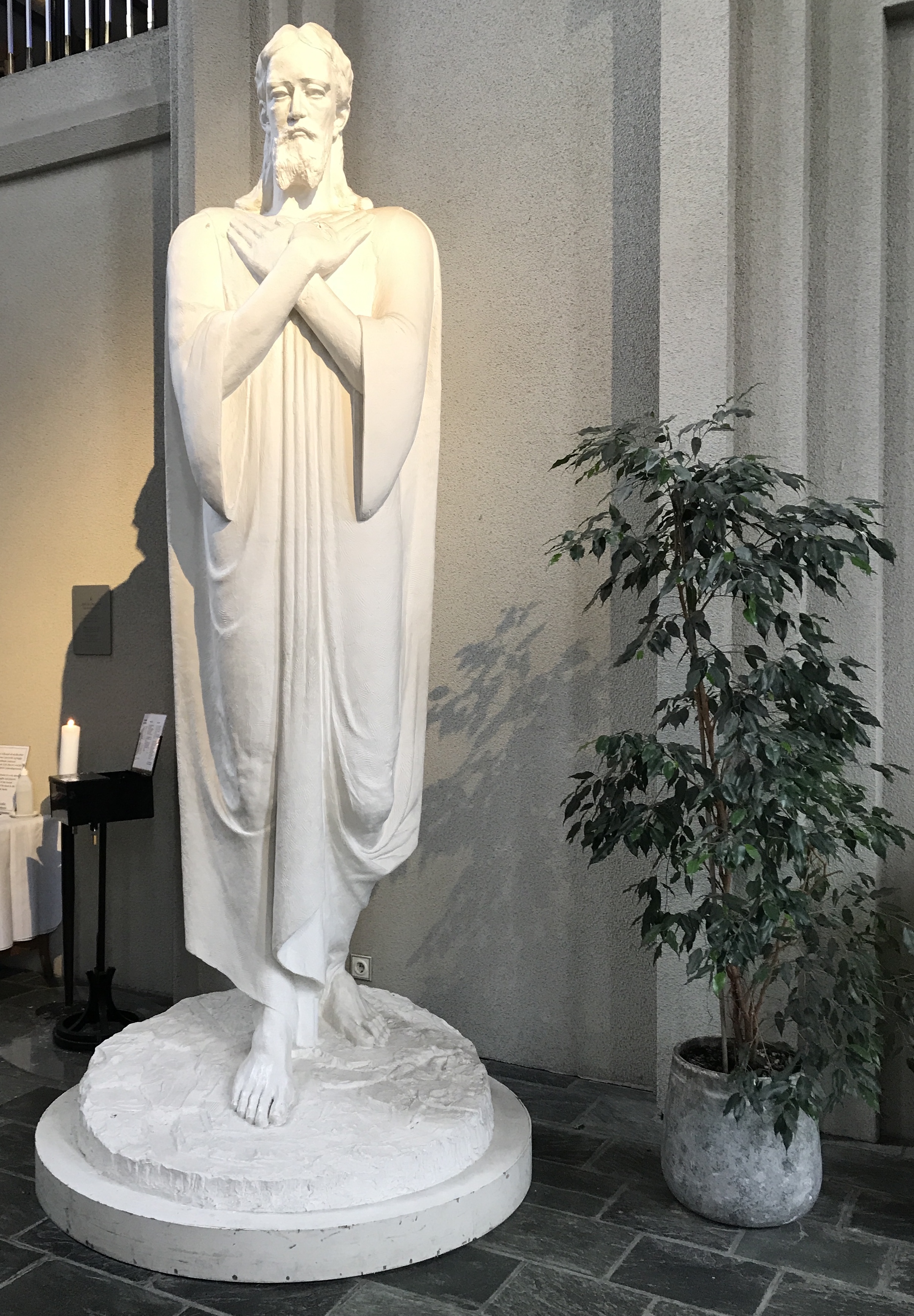
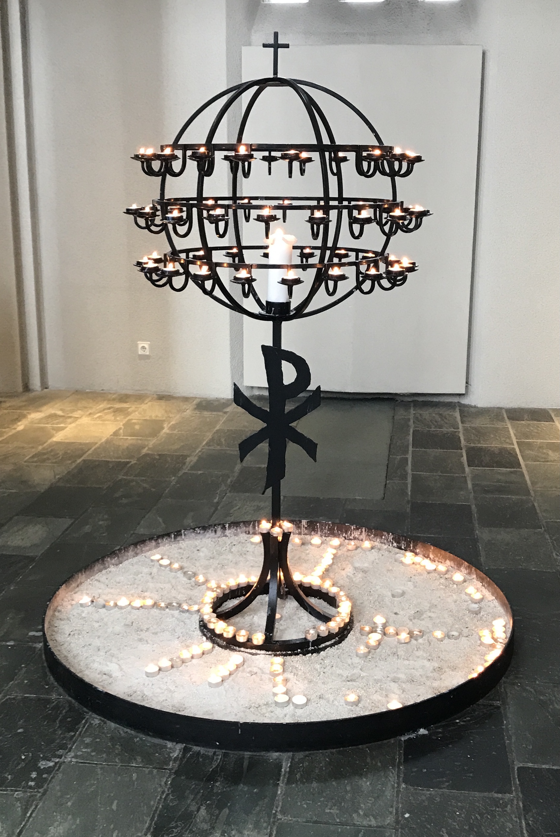
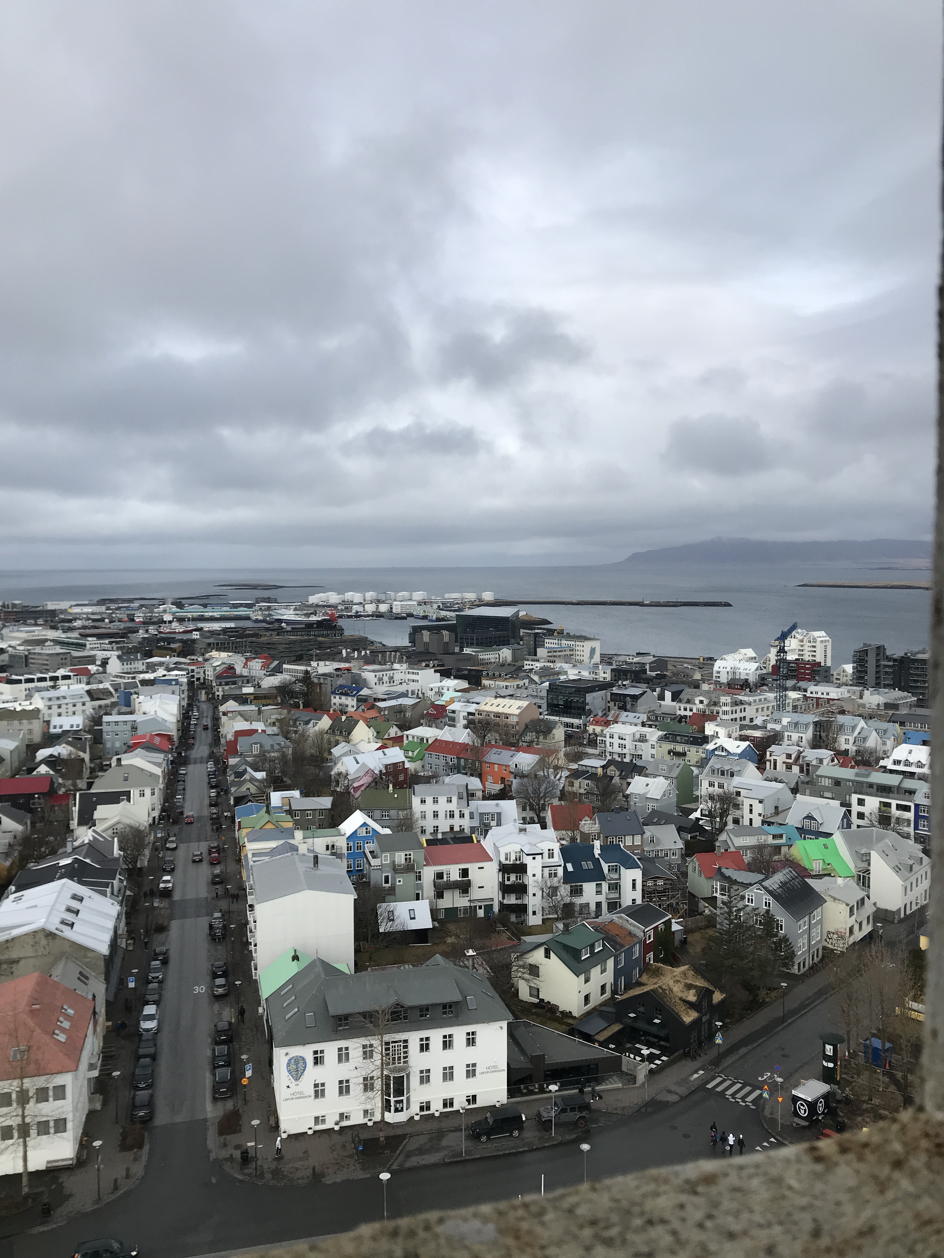
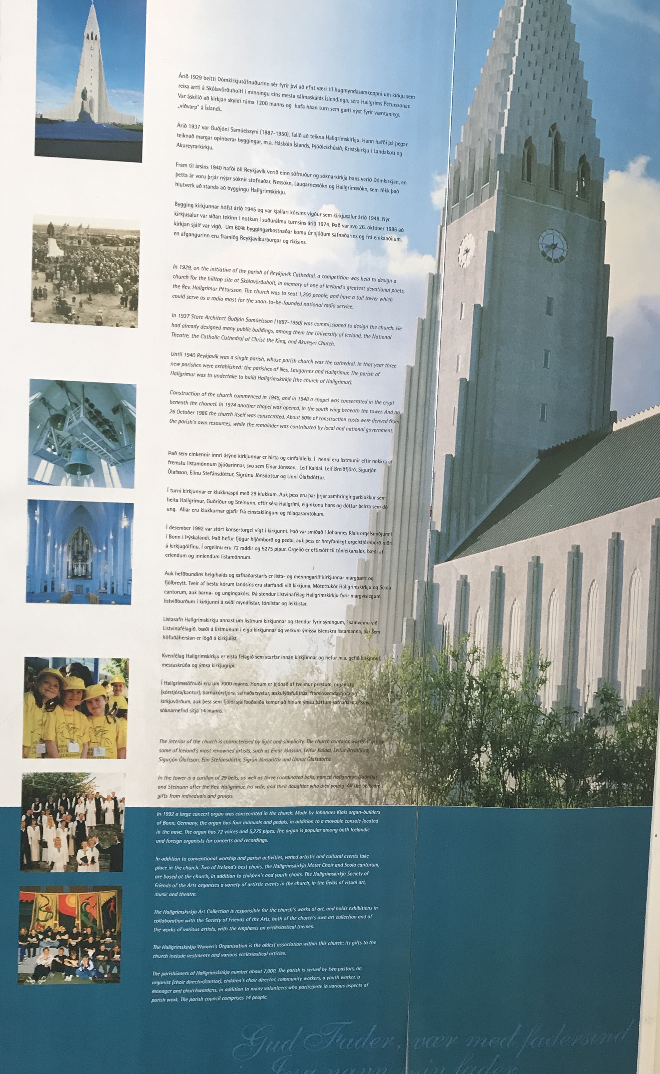
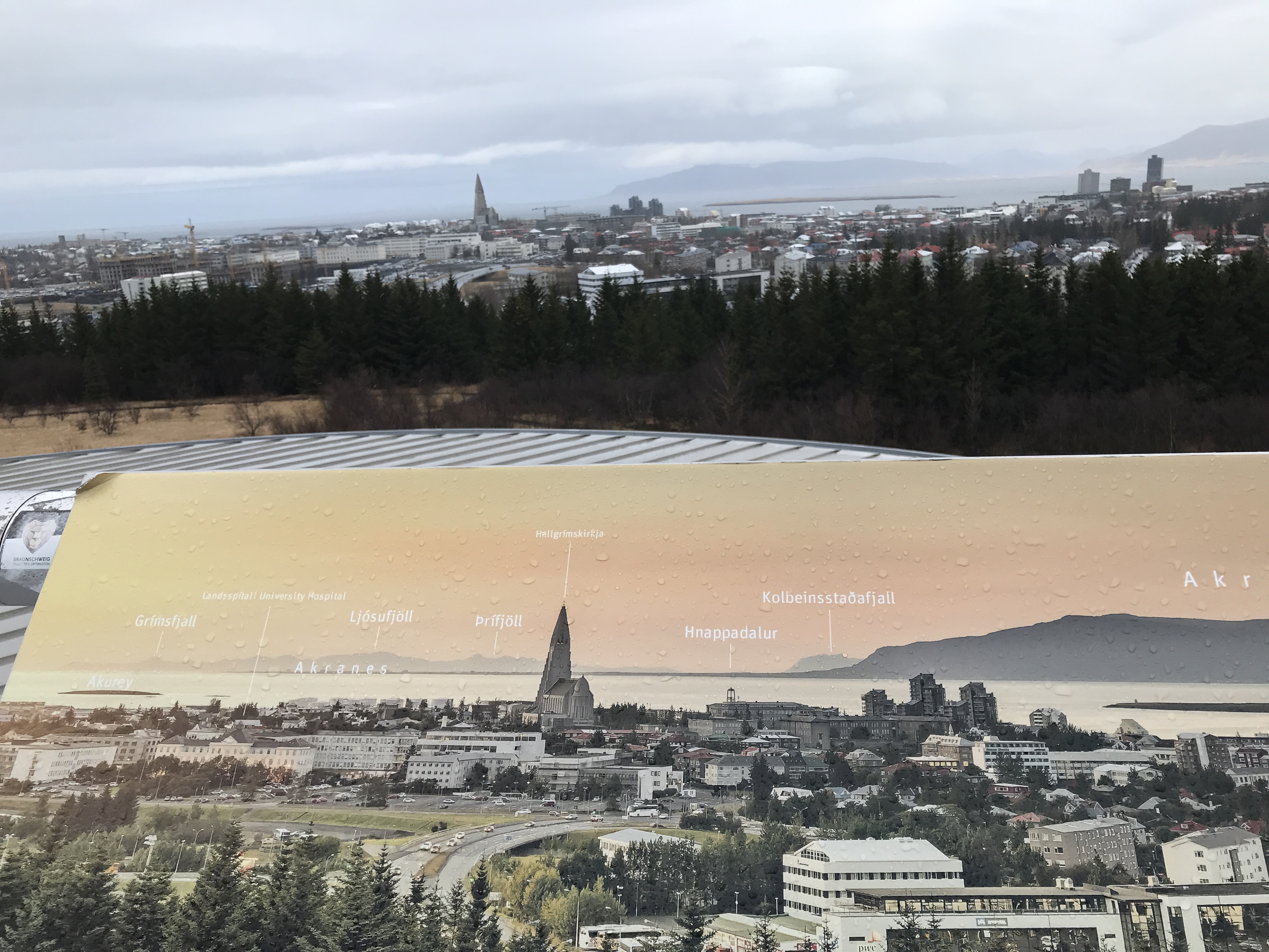
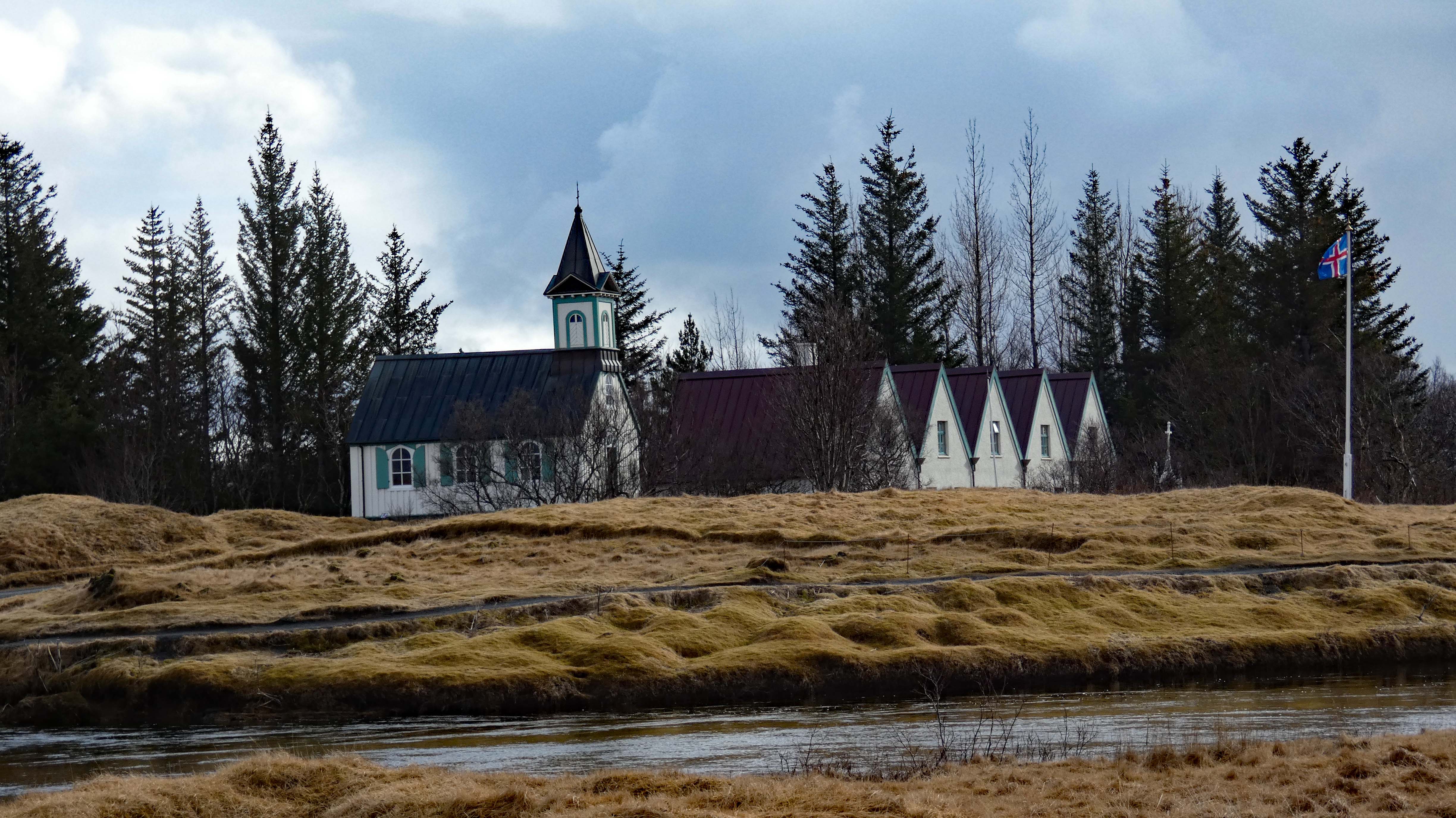
The Hallgrimskirkja Lutheran Church with a statue of Leifur Eiricksson in front. The largest church in Iceland. The statue was donated by the US. There is an identical statue in Newport, Va. Here are some random photos. We went back a second day so we could go up into the tower. I grouped all the photos together here.
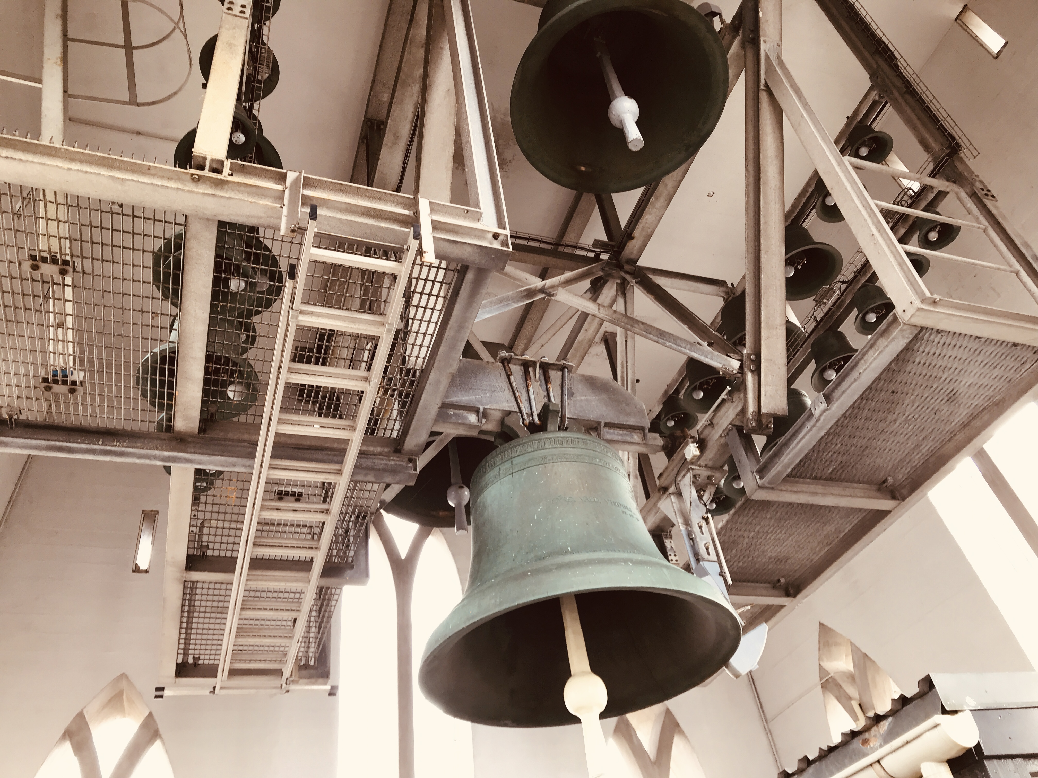
No sooner we walked through the tower doors, the bells started ringing! Very loud!
Misc info
Onto our next destination
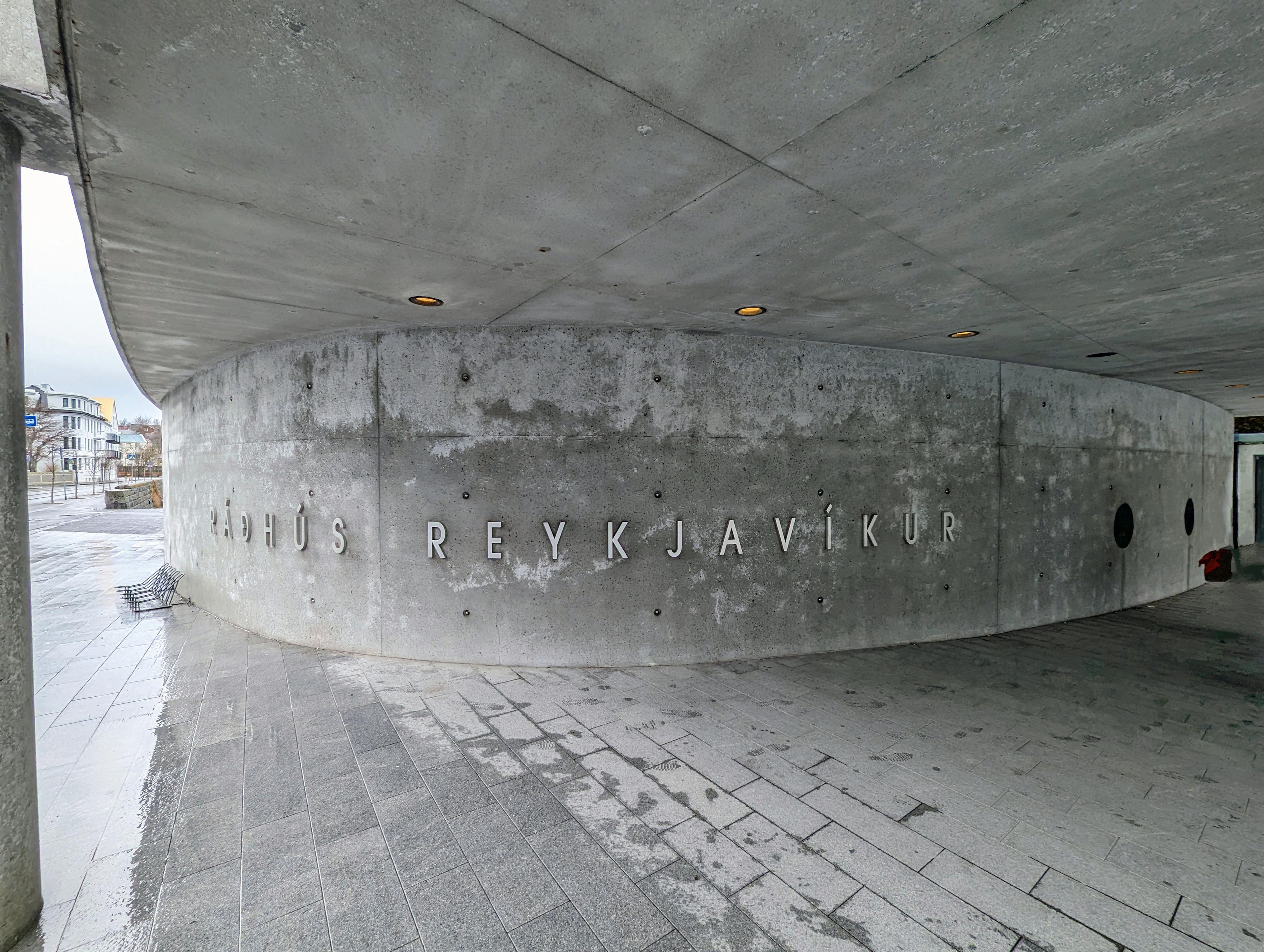
Town Hall
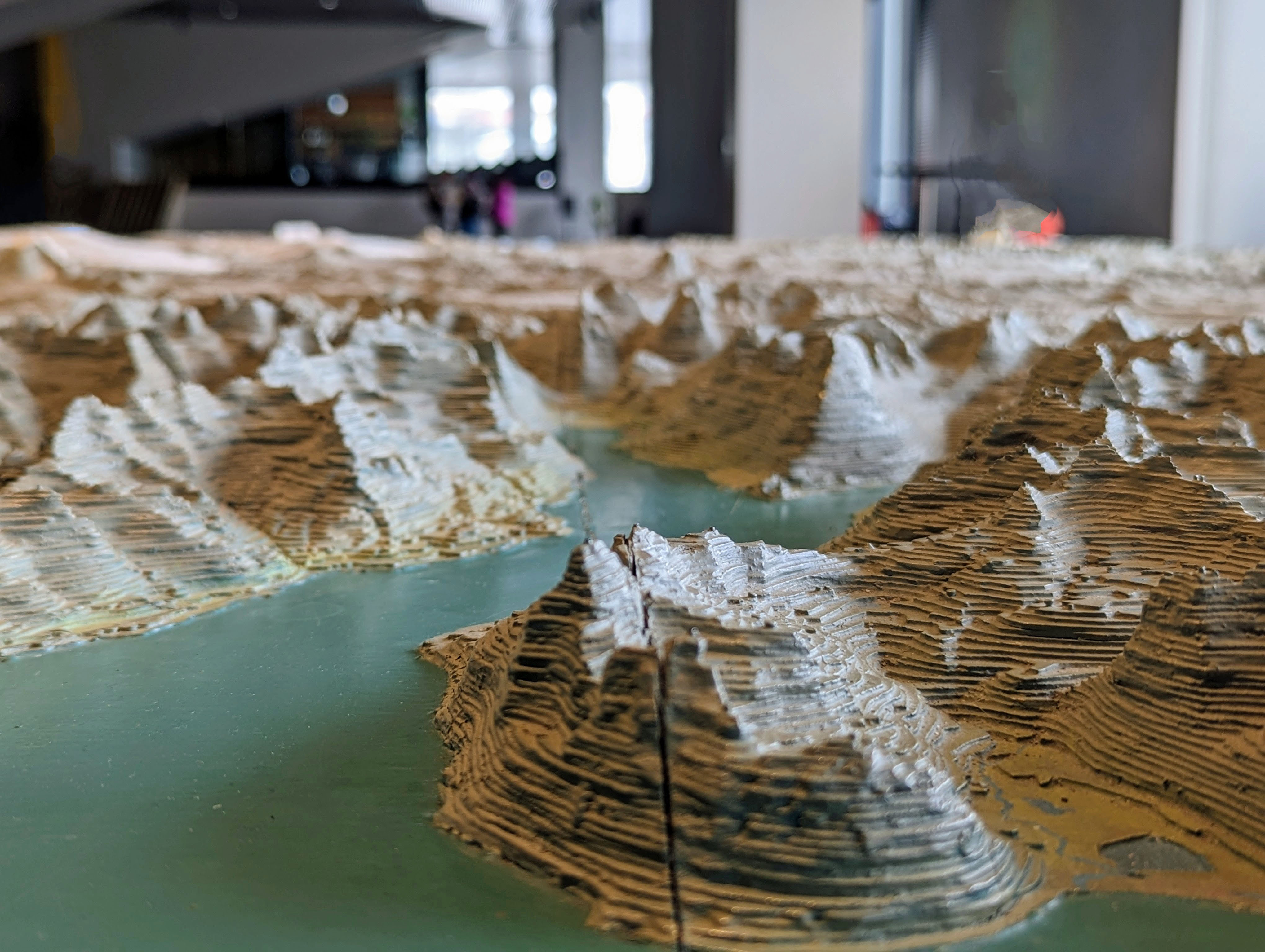
Large relief map of Iceland
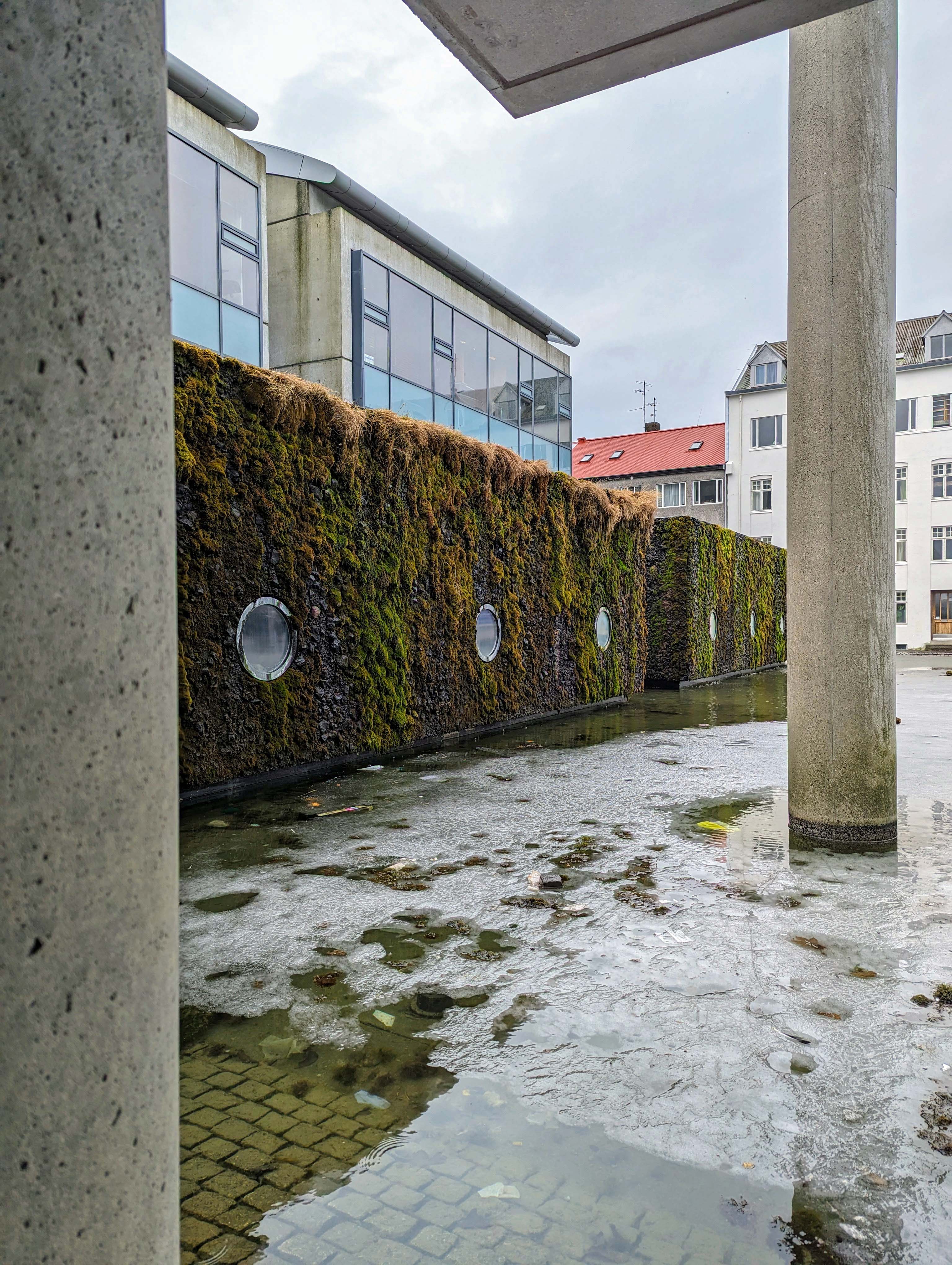
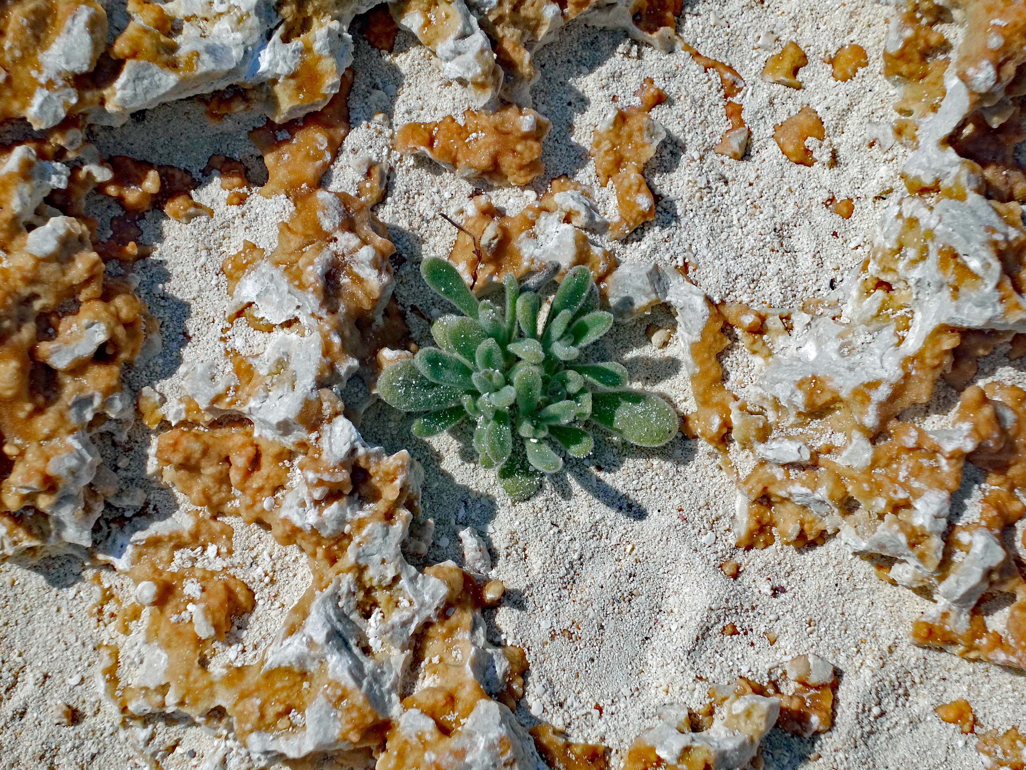
Moss may not grow on a rolling stone, but it does grow on lava rock.
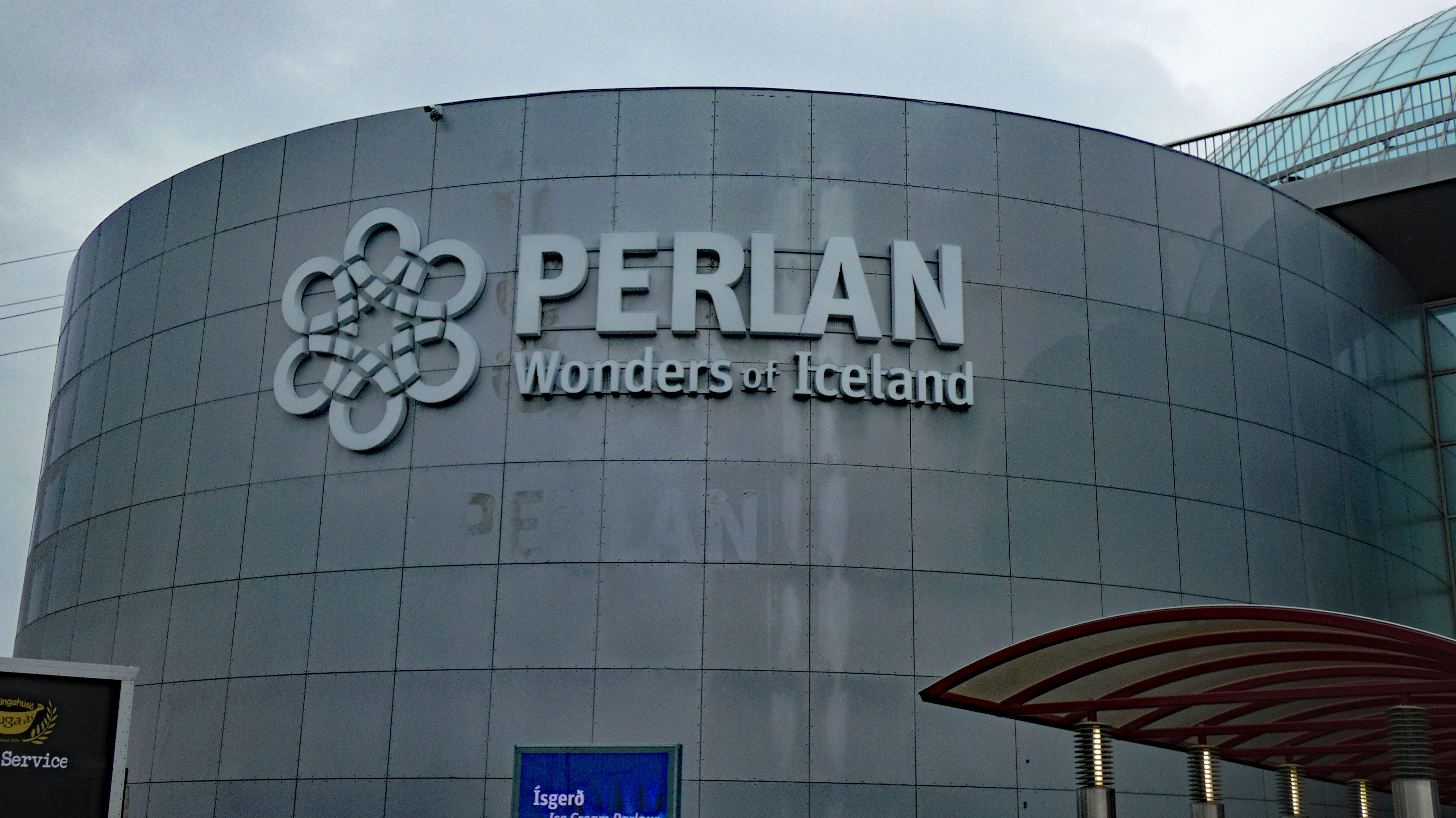
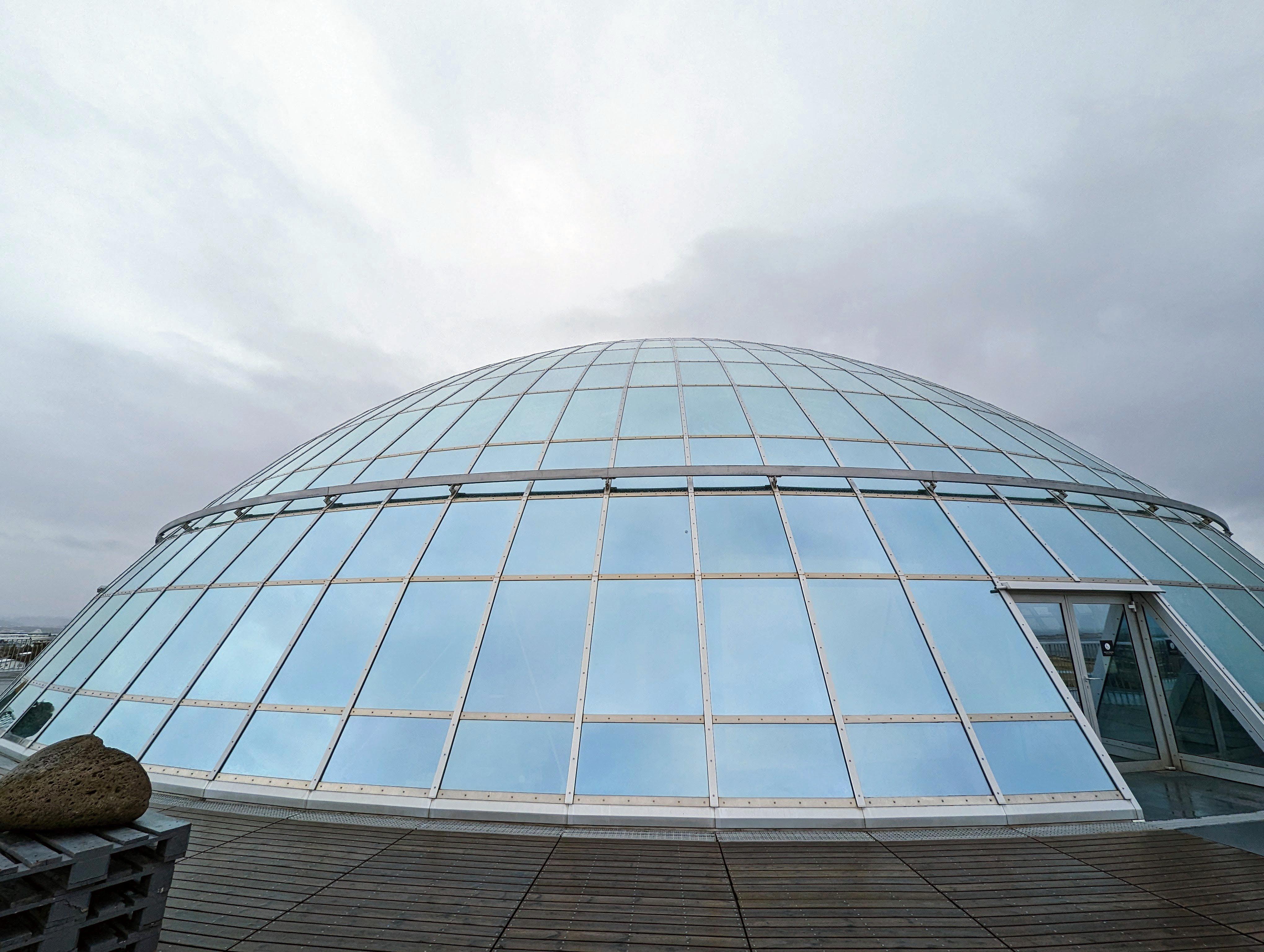
Next stop, the Perlan Museum
There were photos explaining what you were viewing.
Lots of churches. They left Paganism 1,000+ years ago.
All of this on our first day! Before we checked in. Will tomorrow be a day of rest – nope!
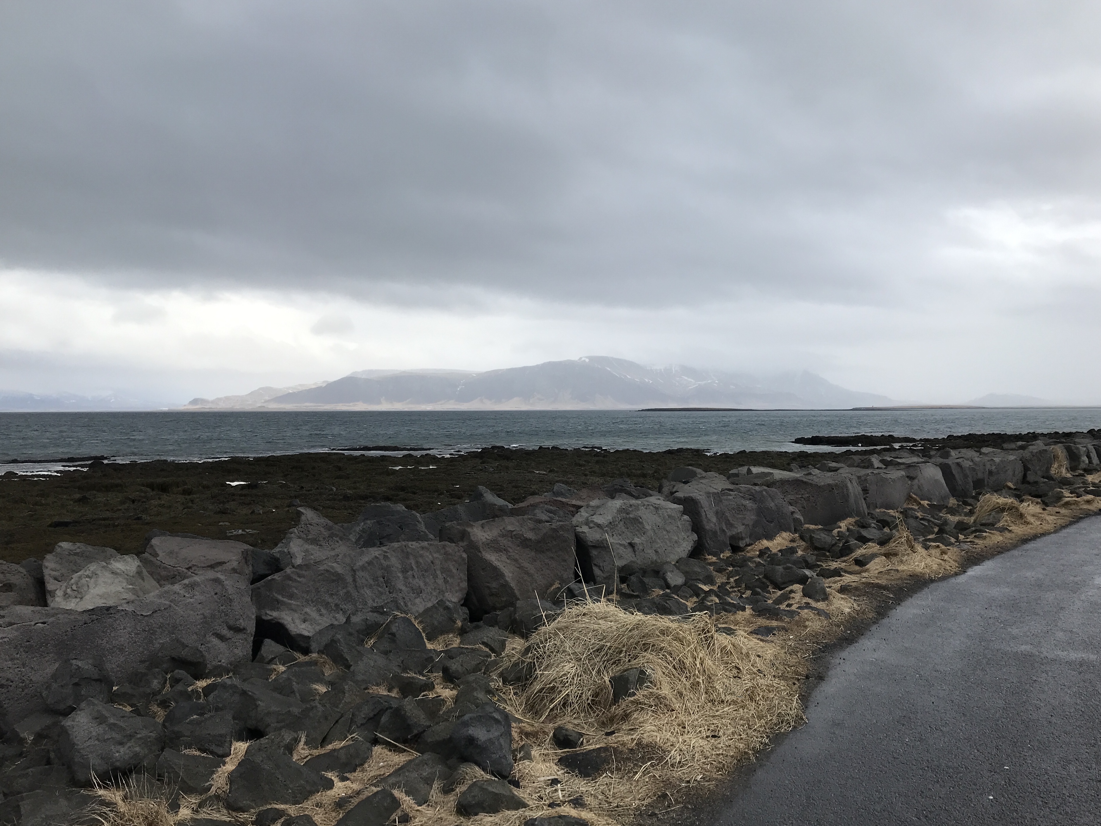
A walk along the shoreline. They have two paths -one for pedestrians and one for cyclists.
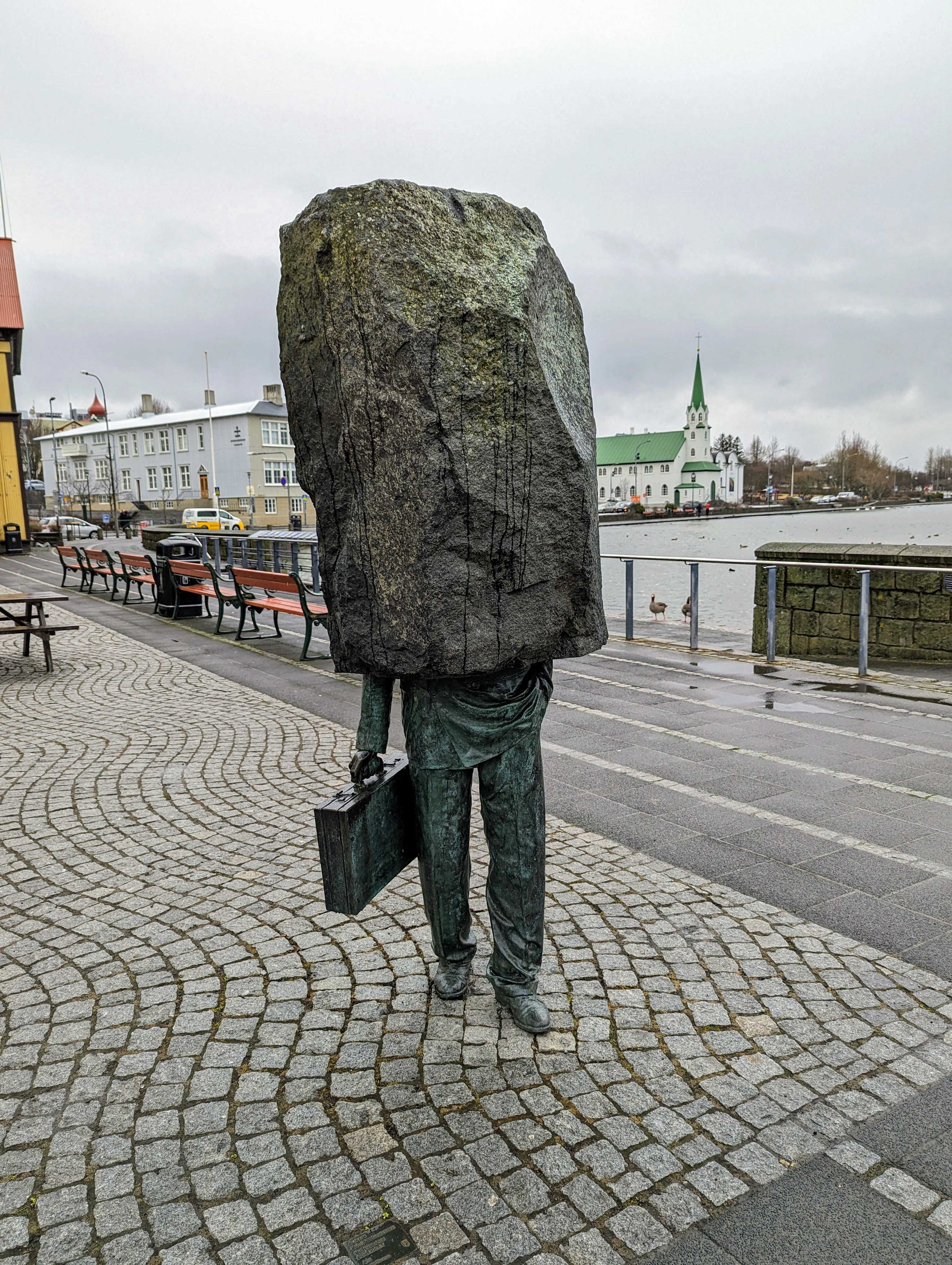
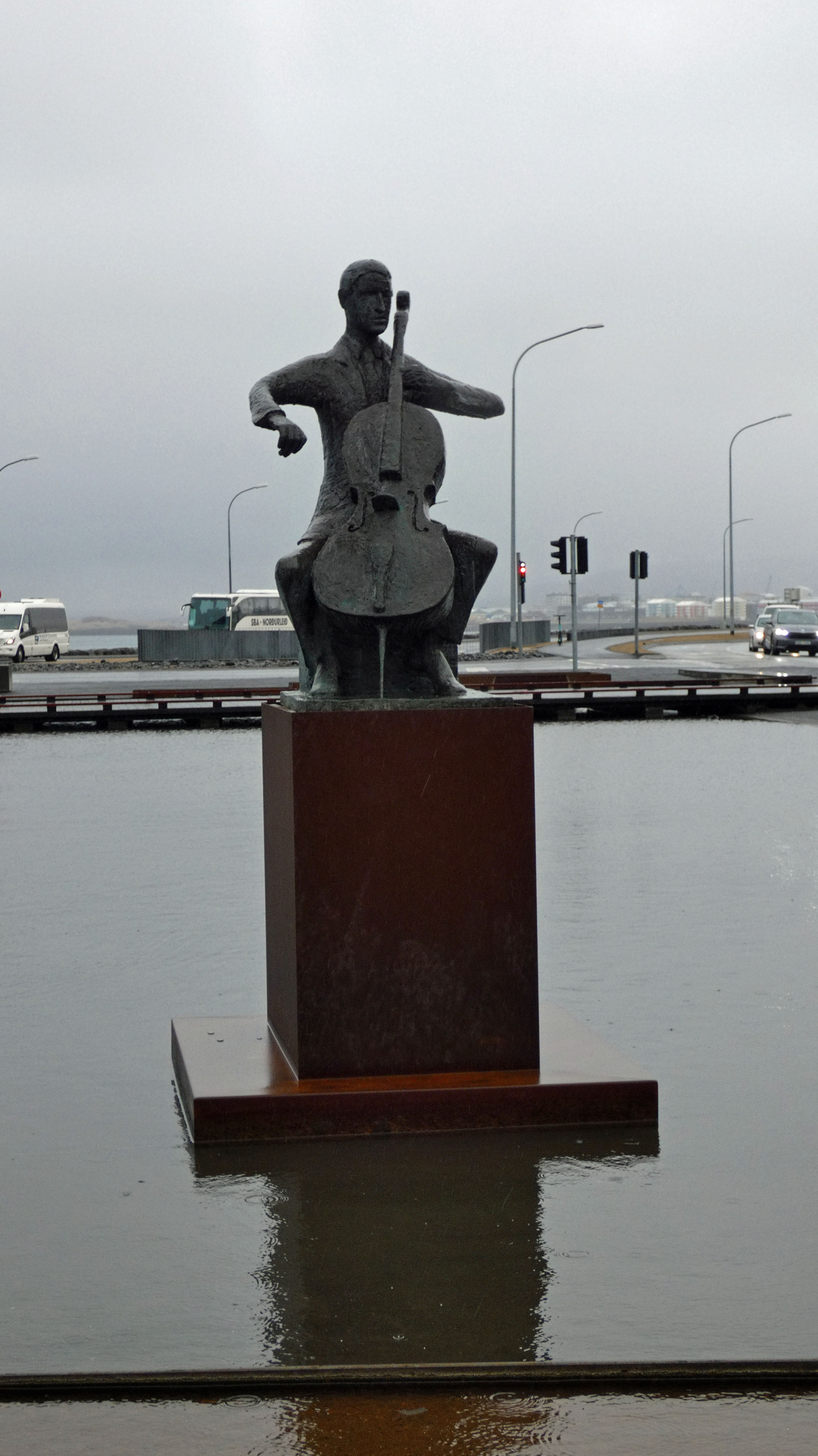
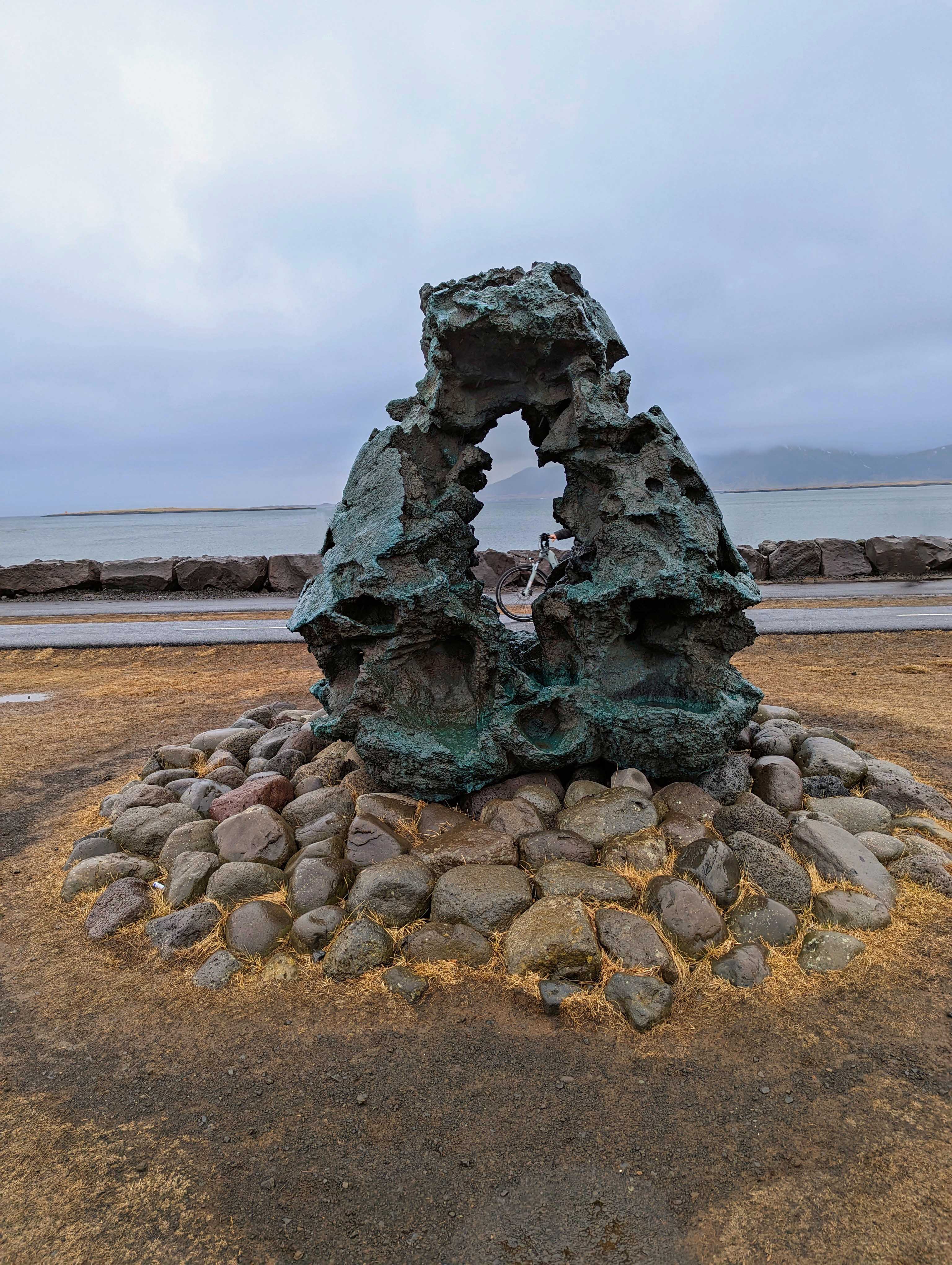
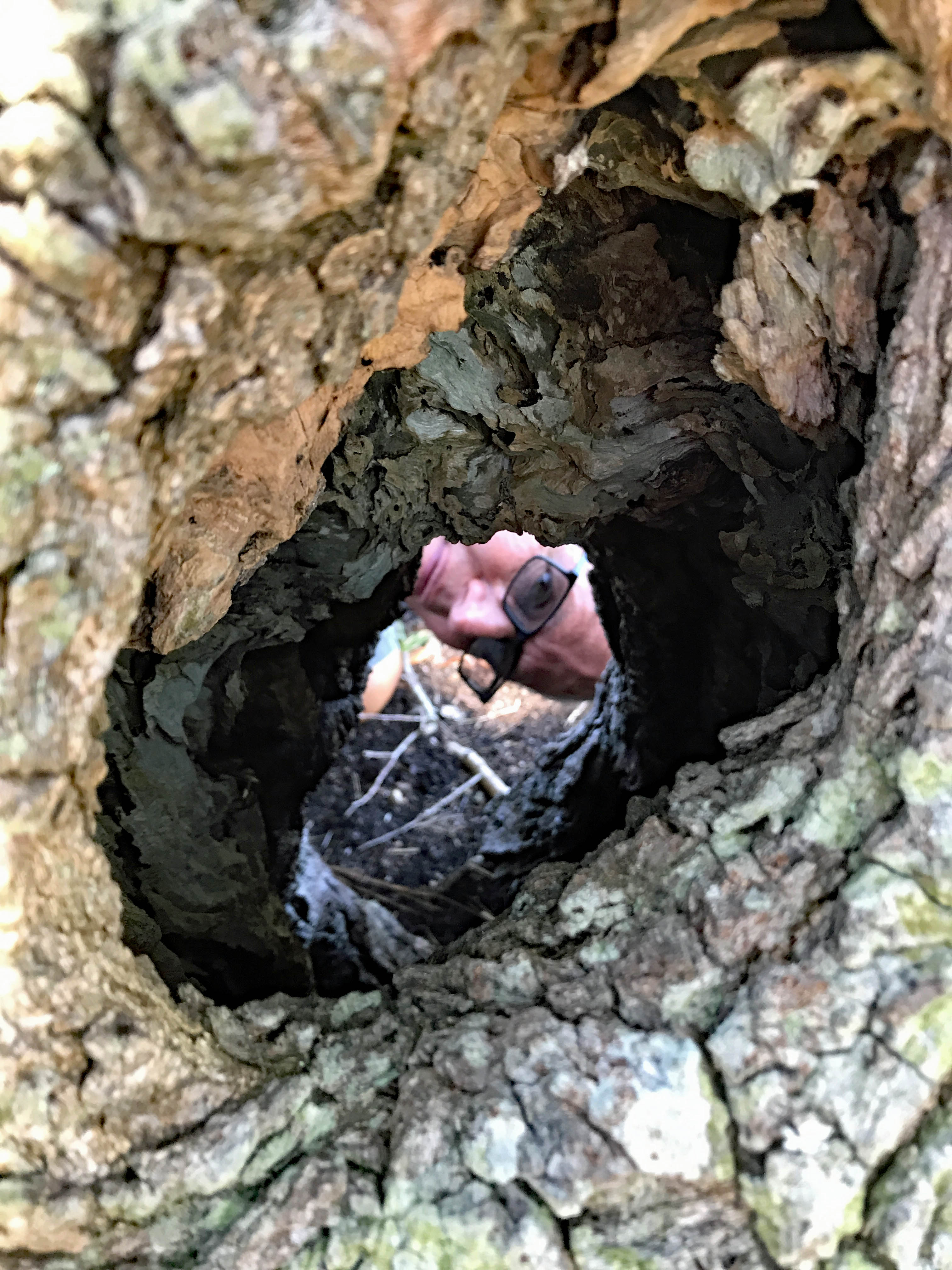
Almost got a shot of her face in the hole. There are 100’s of statues and sculptures everywhere.
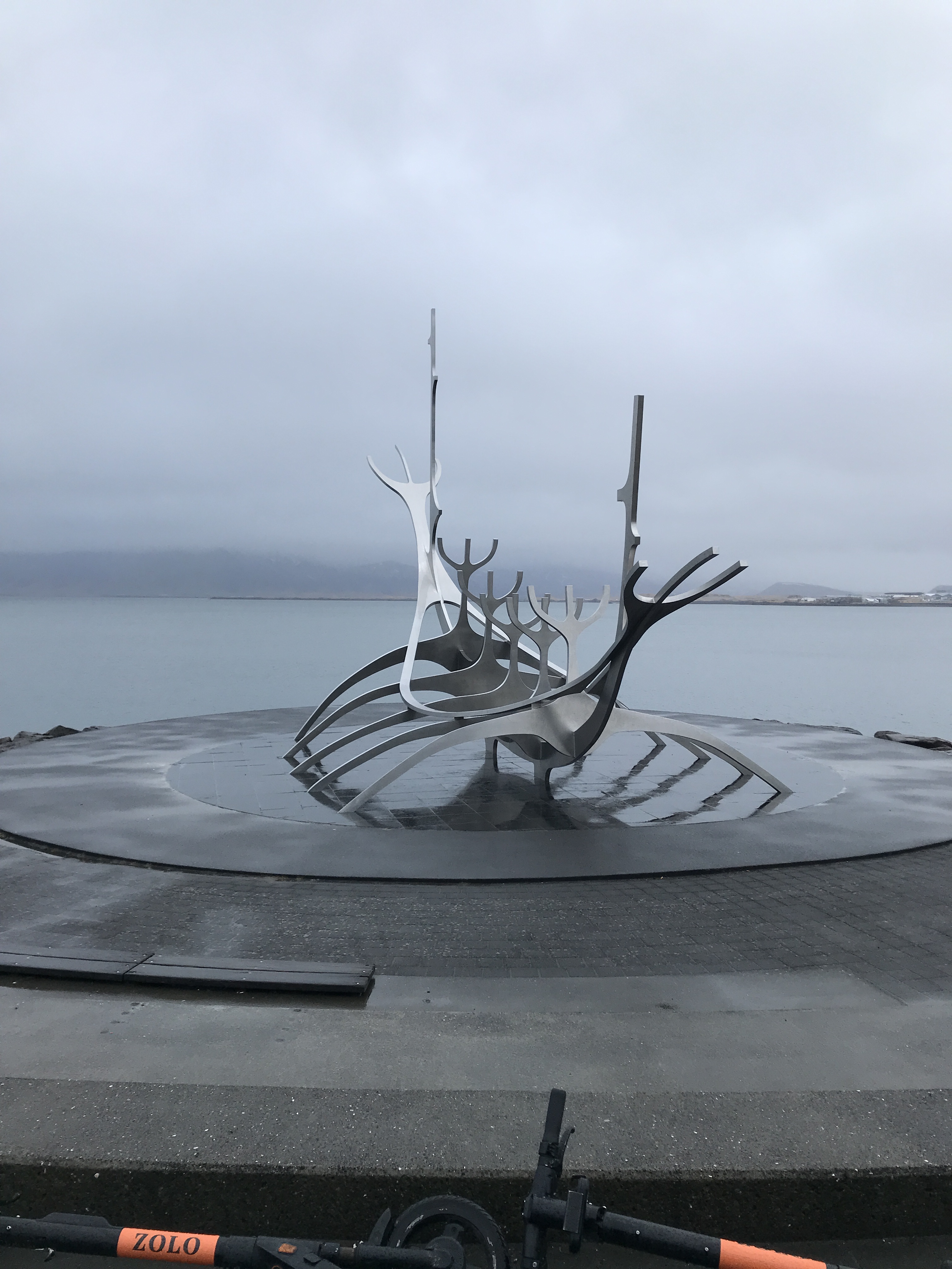
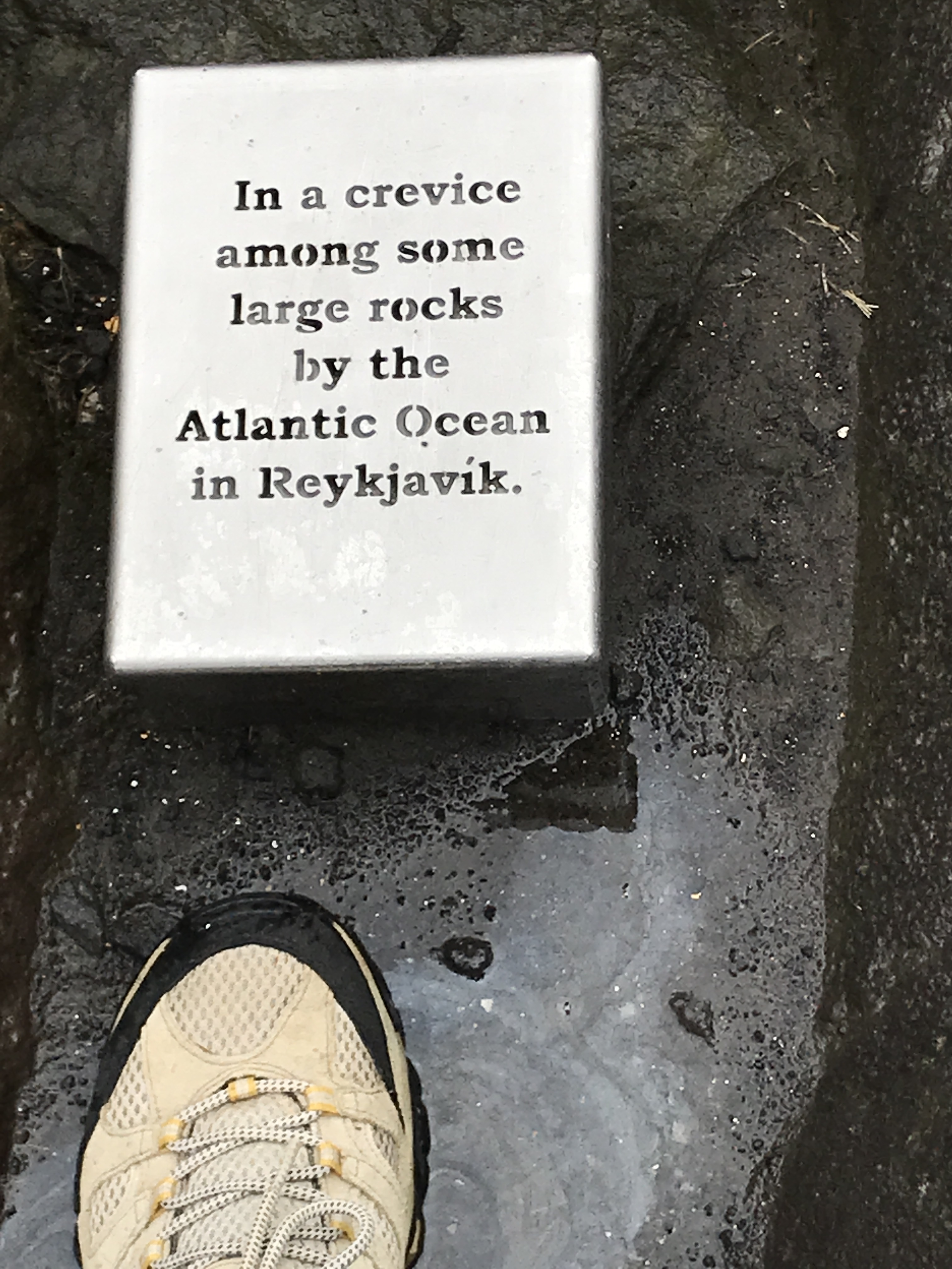
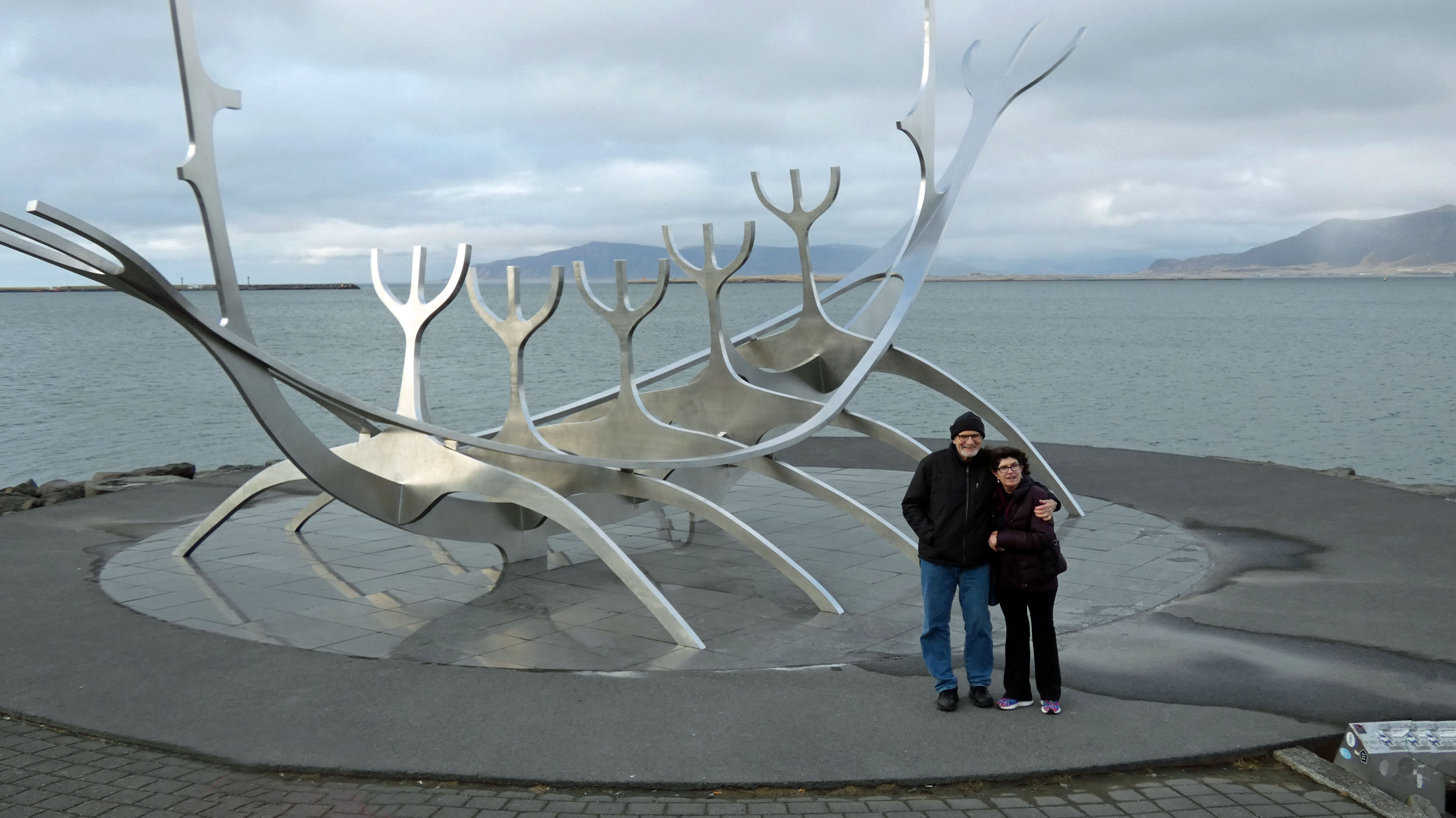
The Sun Voyager sculpture.
…is where Kathy put her foot down…
Mini lighthouse.
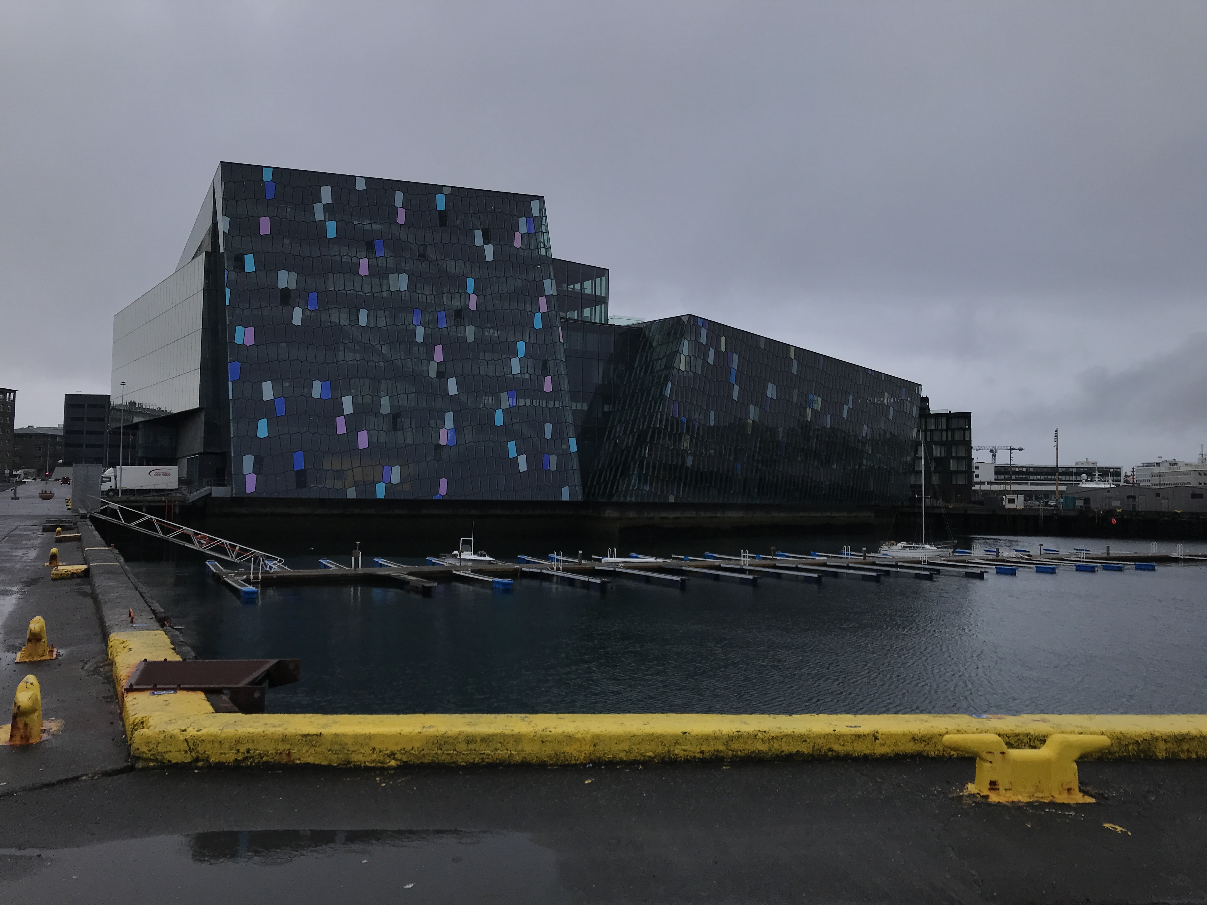
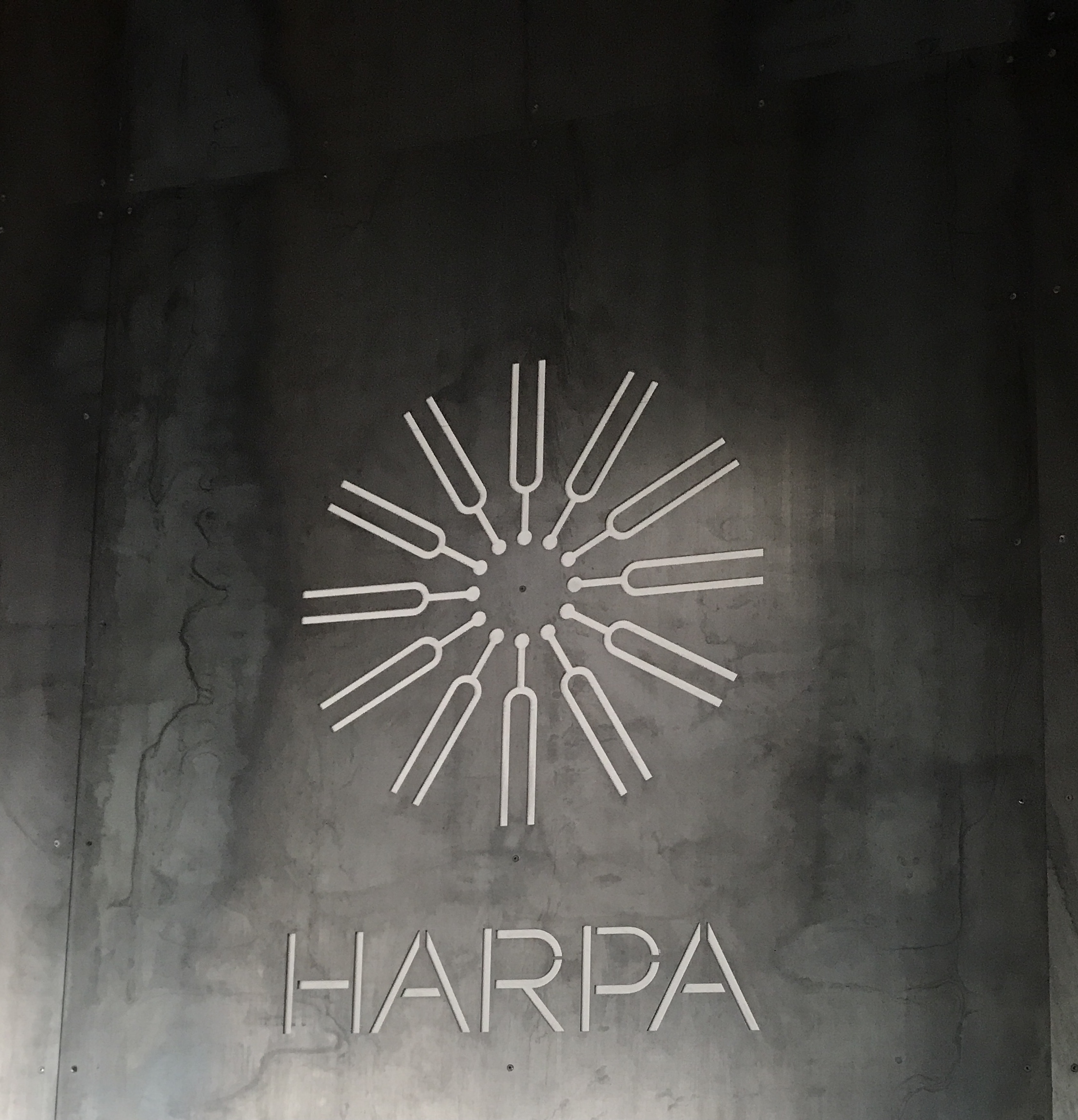
Performing arts center
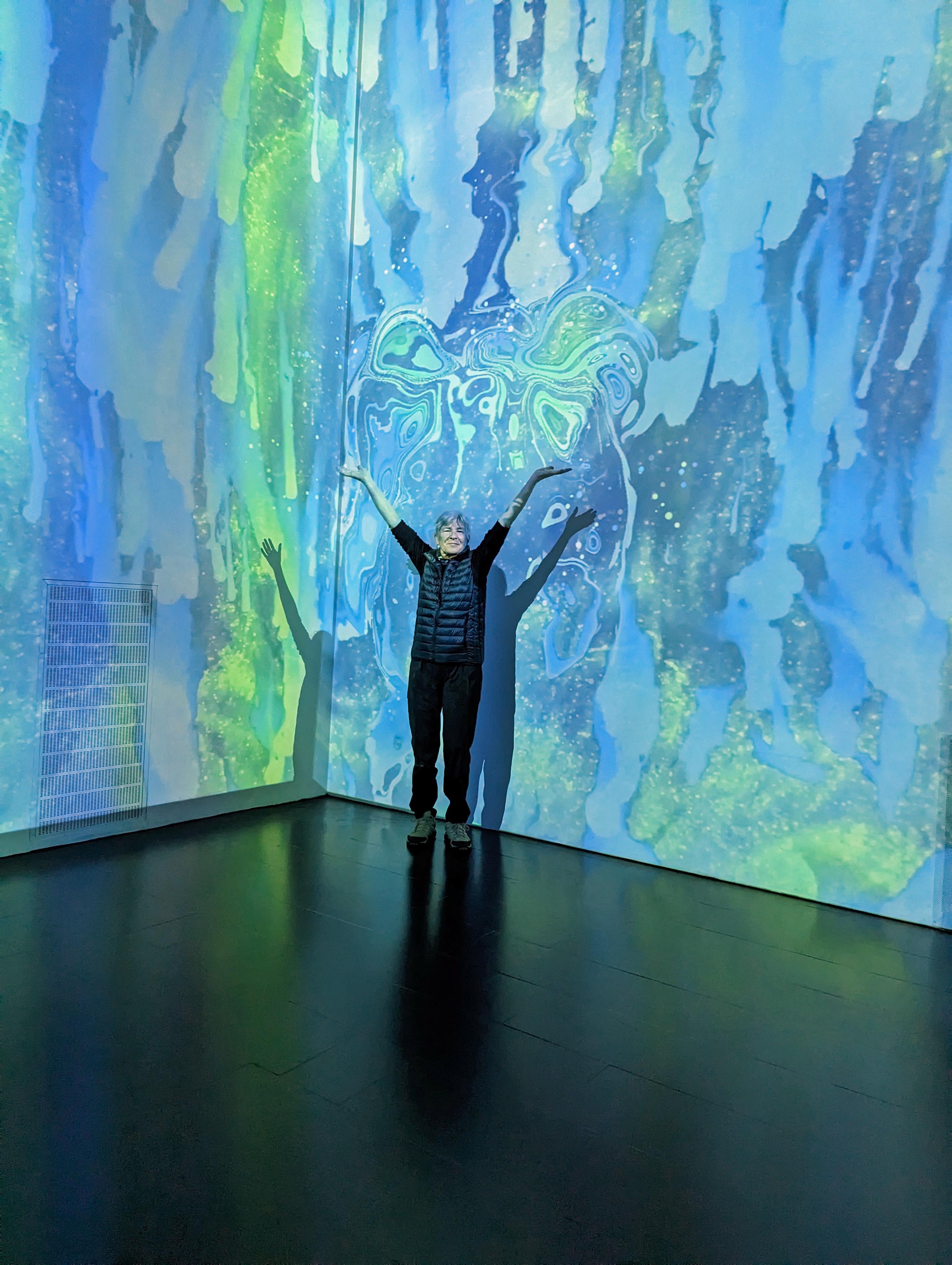
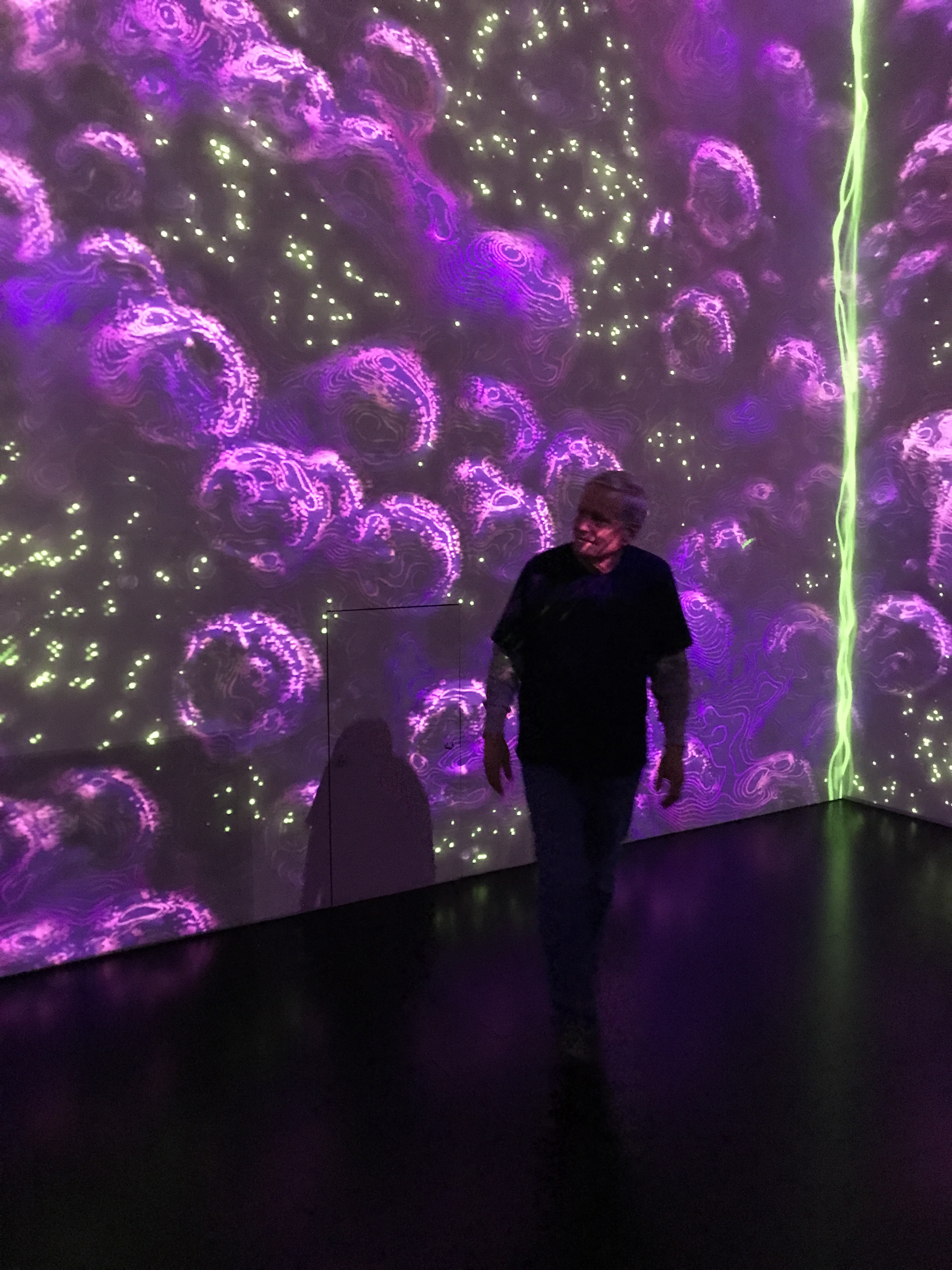
Interesting Immersive Light Show.
Taking a walk around town.
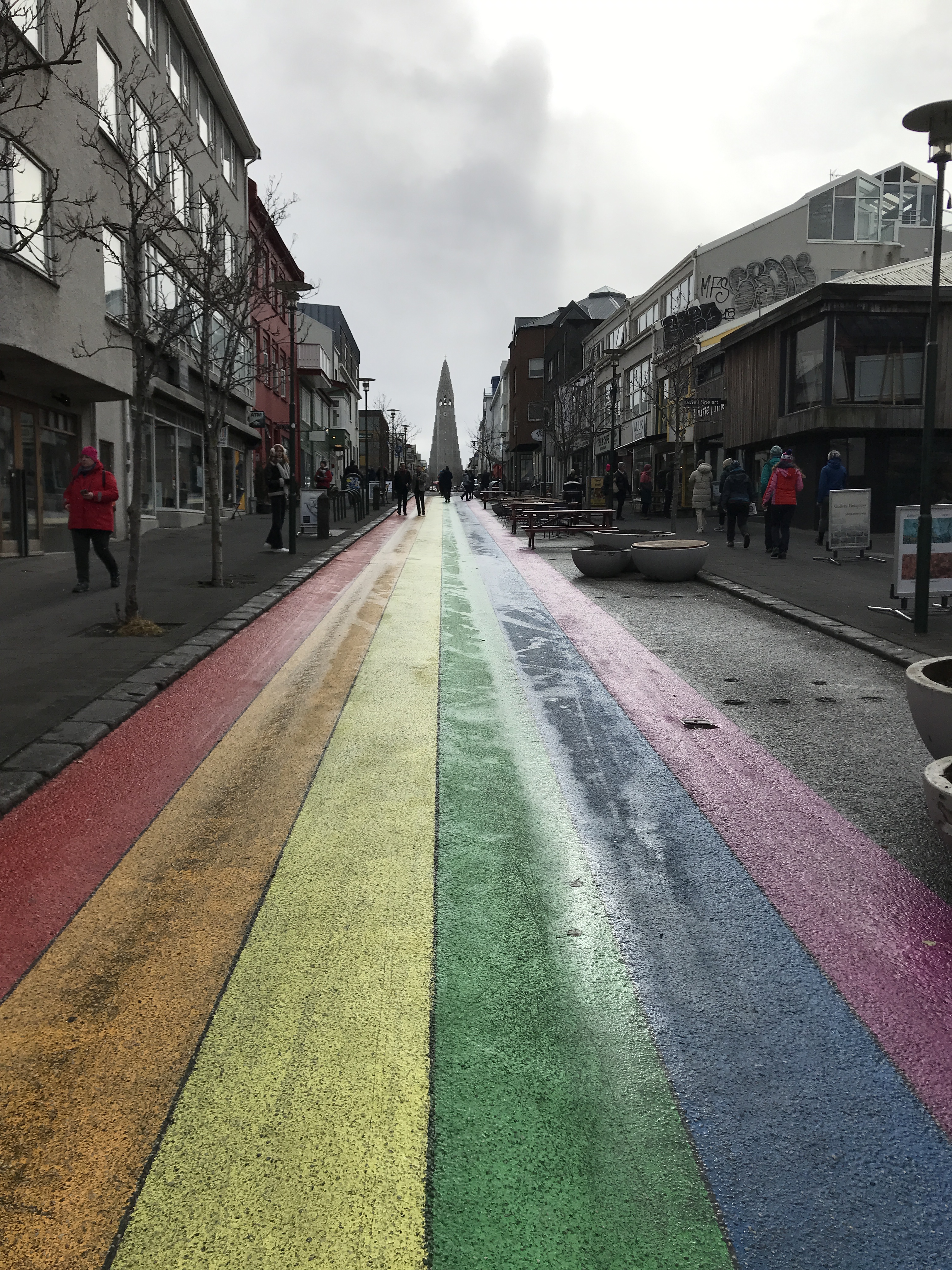
Rainbow road with view of church.
Another statue of another famous dude (If I can’t pronounce your name, chances are I won’t remember you!)
2,082 miles from home and Kathy runs into some friends.
We all went to dinner after this. More on eating later.
Now onto day 3. This will be an 8 hour tour of the Golden Circle. Lots of riding, short stops except when money was involved (rest stop, souvenirs, food, etc.)
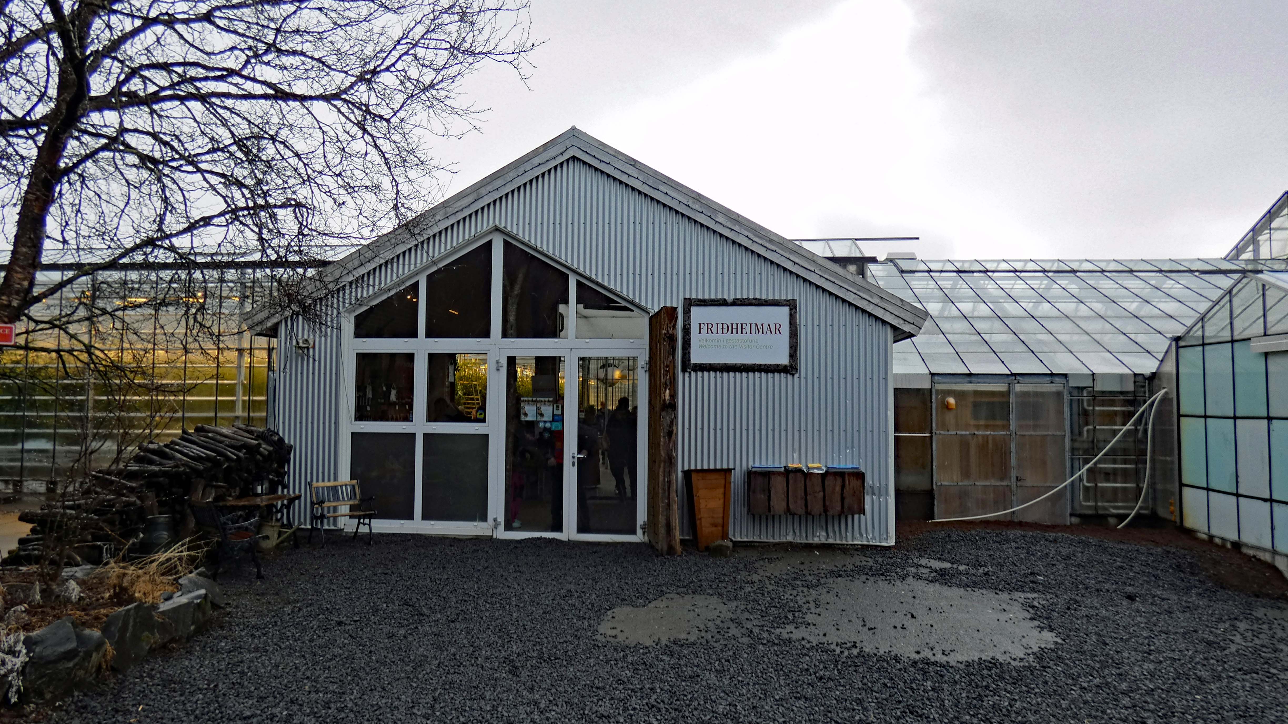
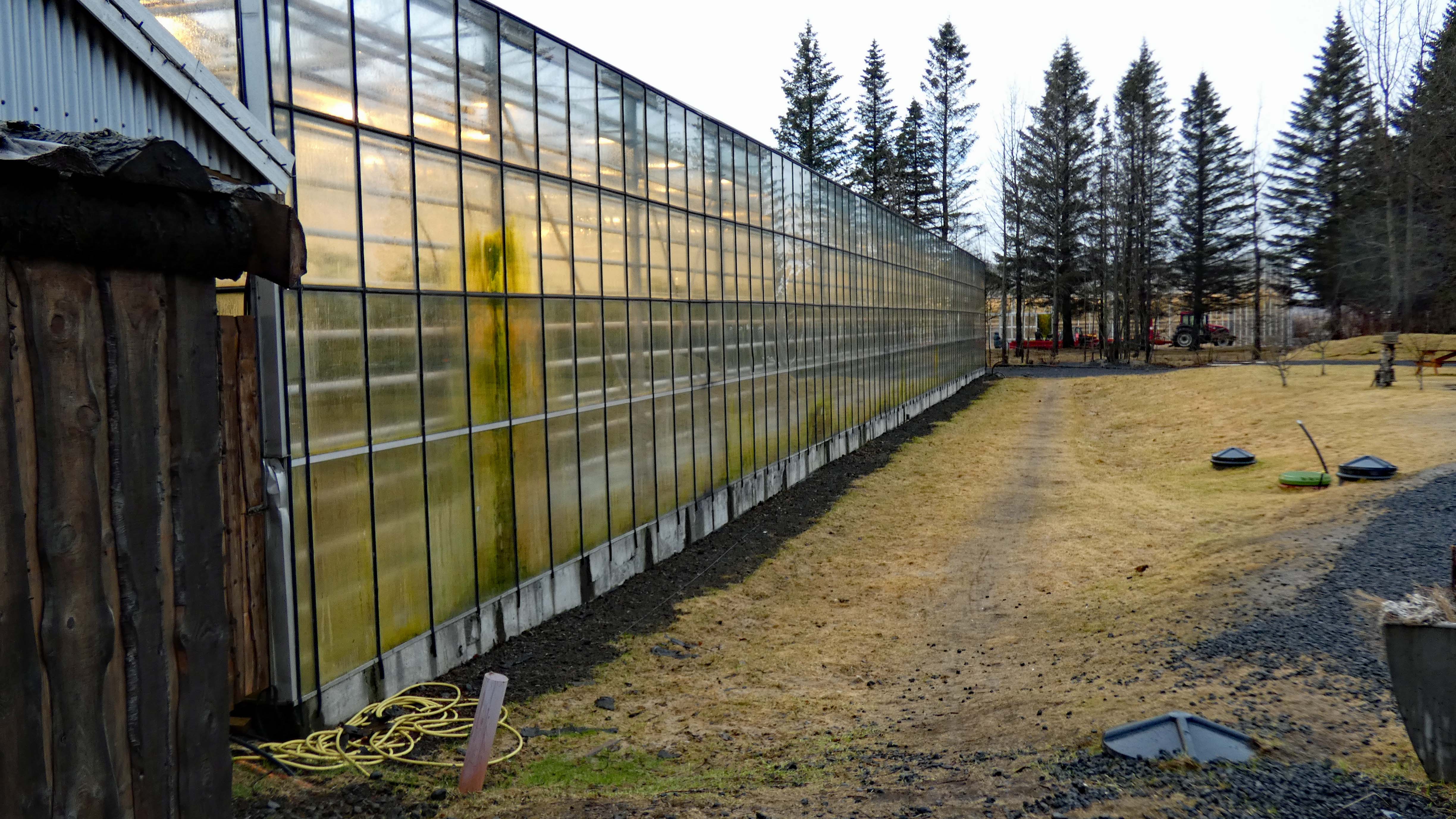
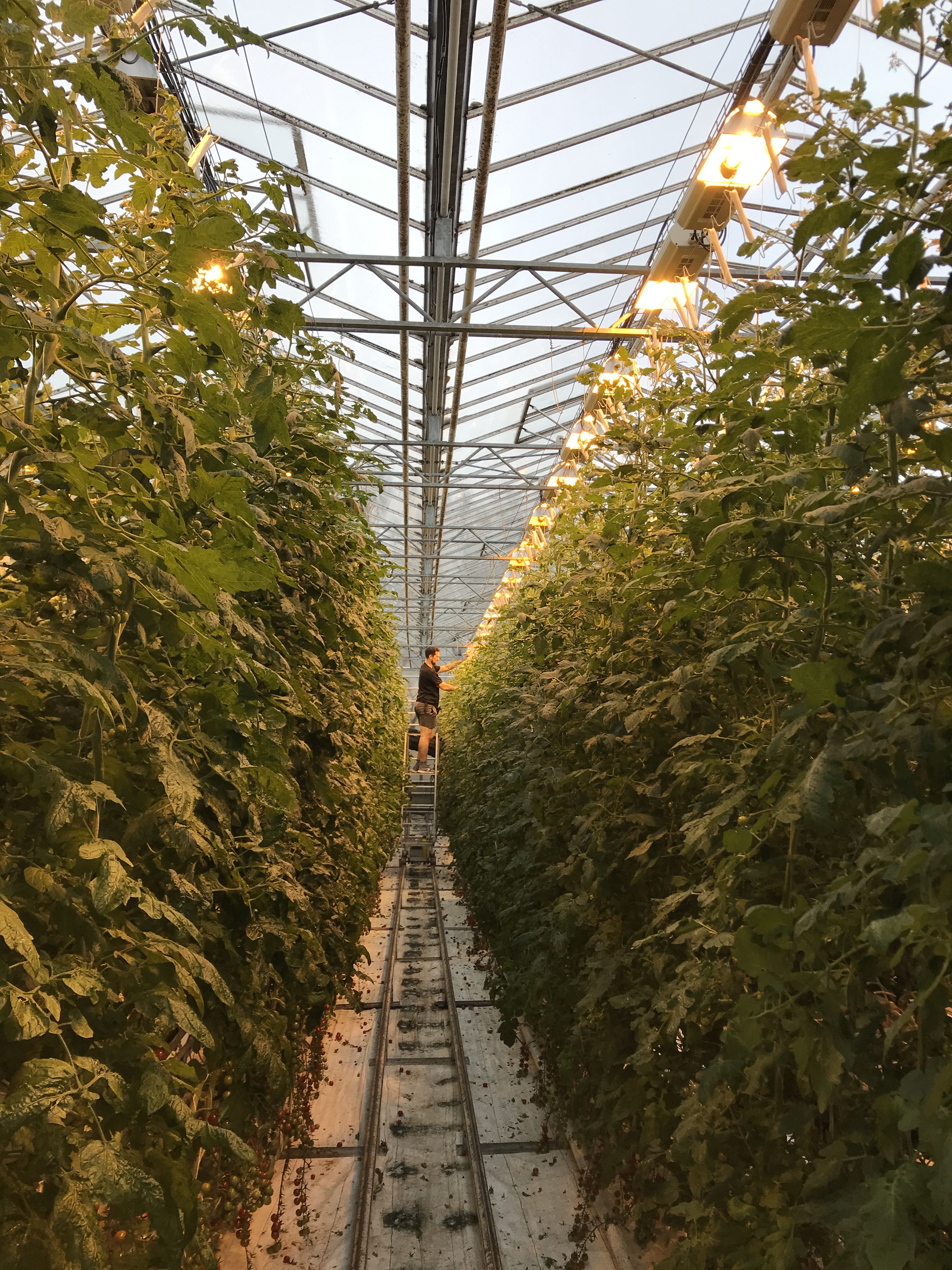
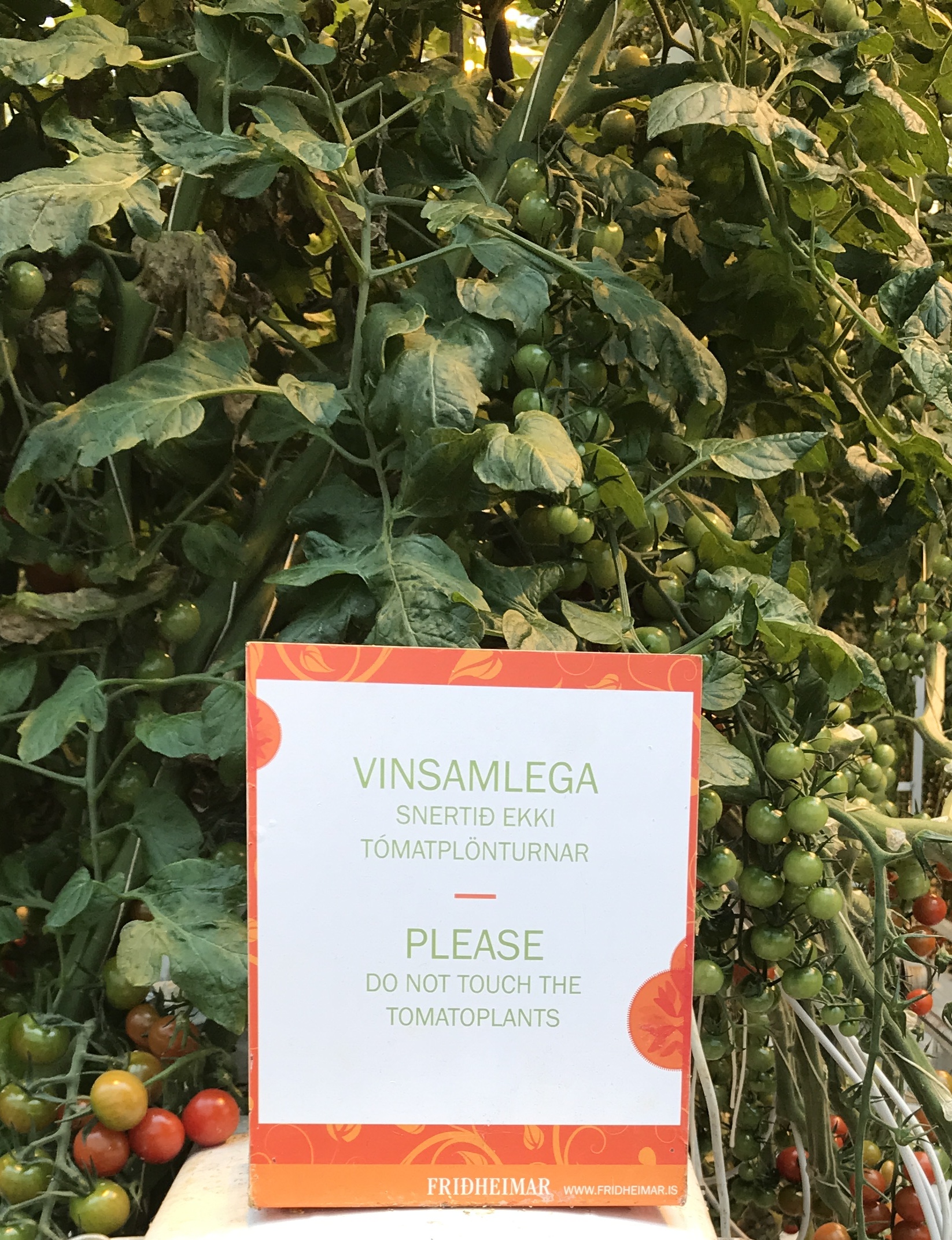
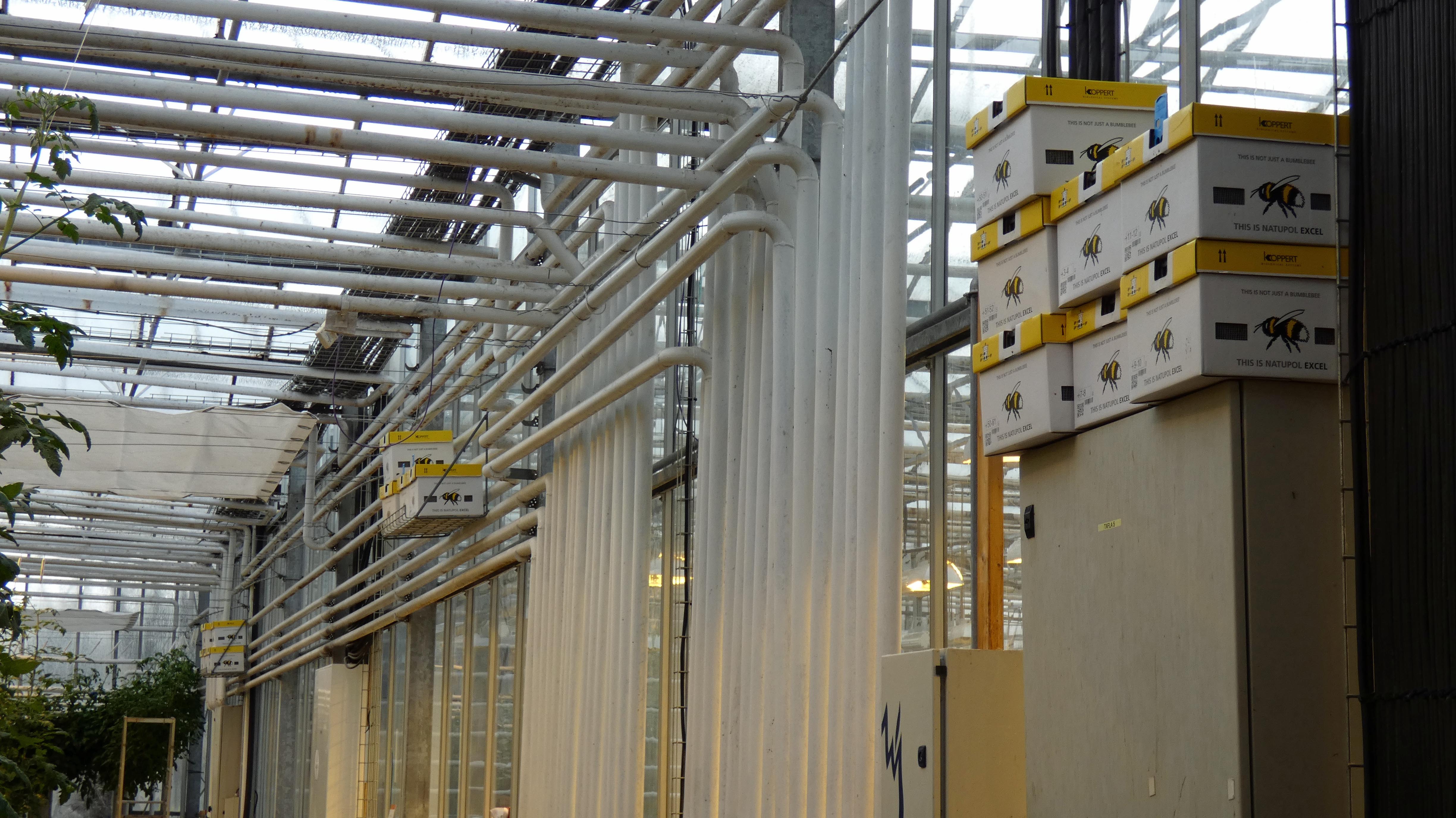
Green House. Mostly tomatoes.
Some people just cannot read – ooohhh look, tomatoes, snap.
Bees – imported. More thermal heating pipes and hydroponics.
Tomato soup and bread. Good stuff here!
No soup for him. There were quite a few horse farms around.
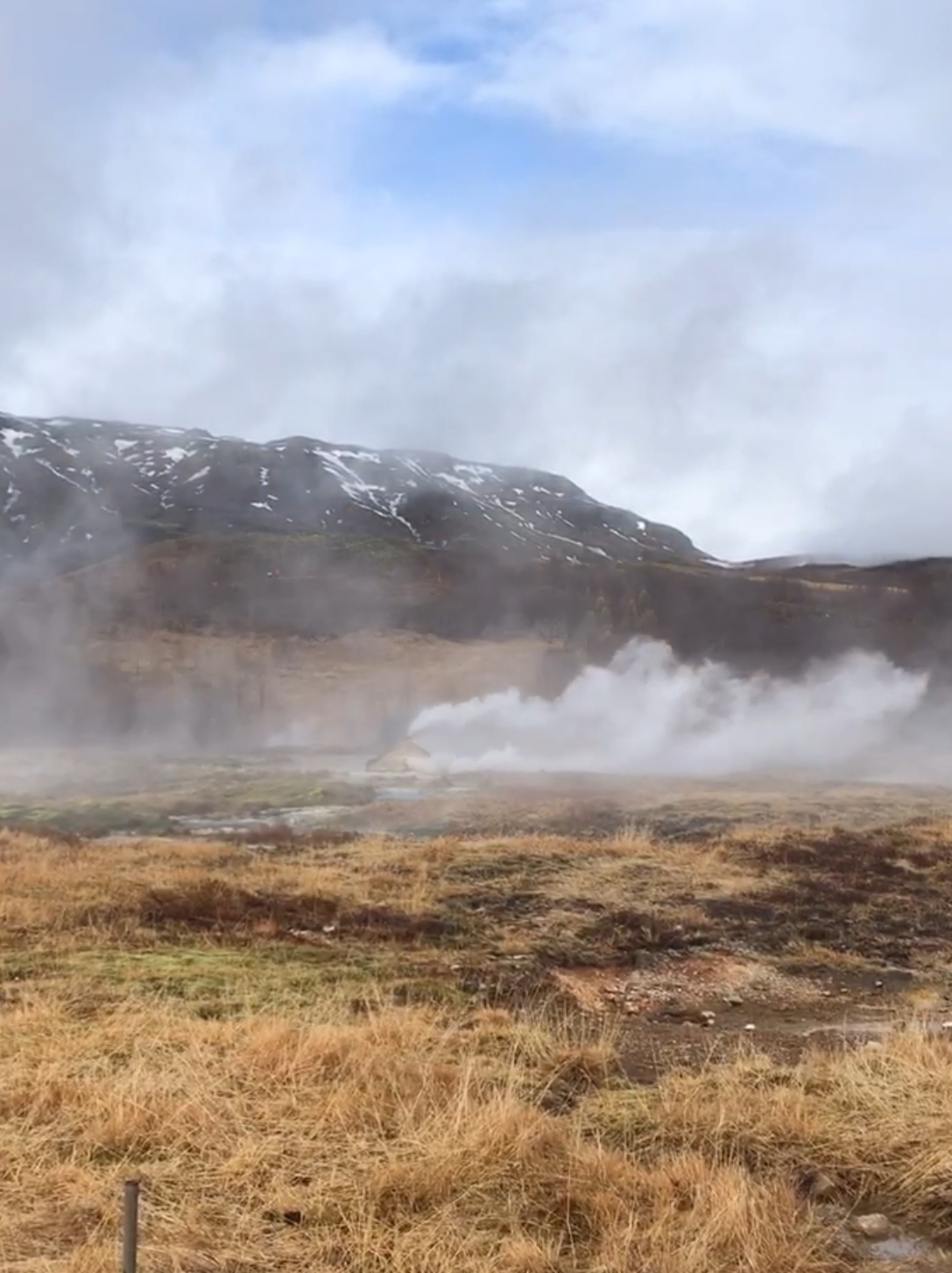
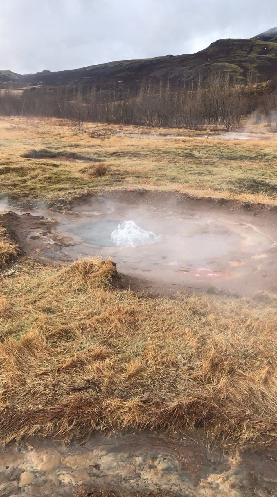
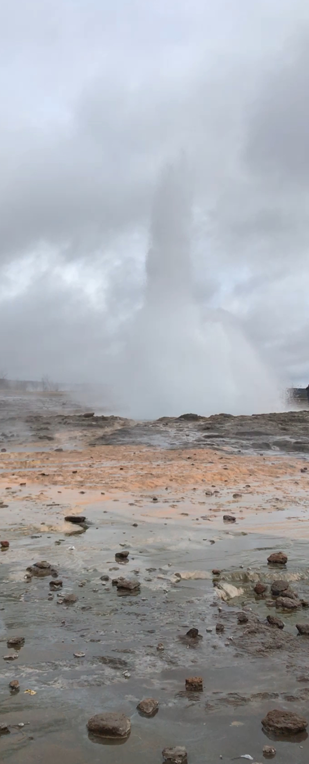
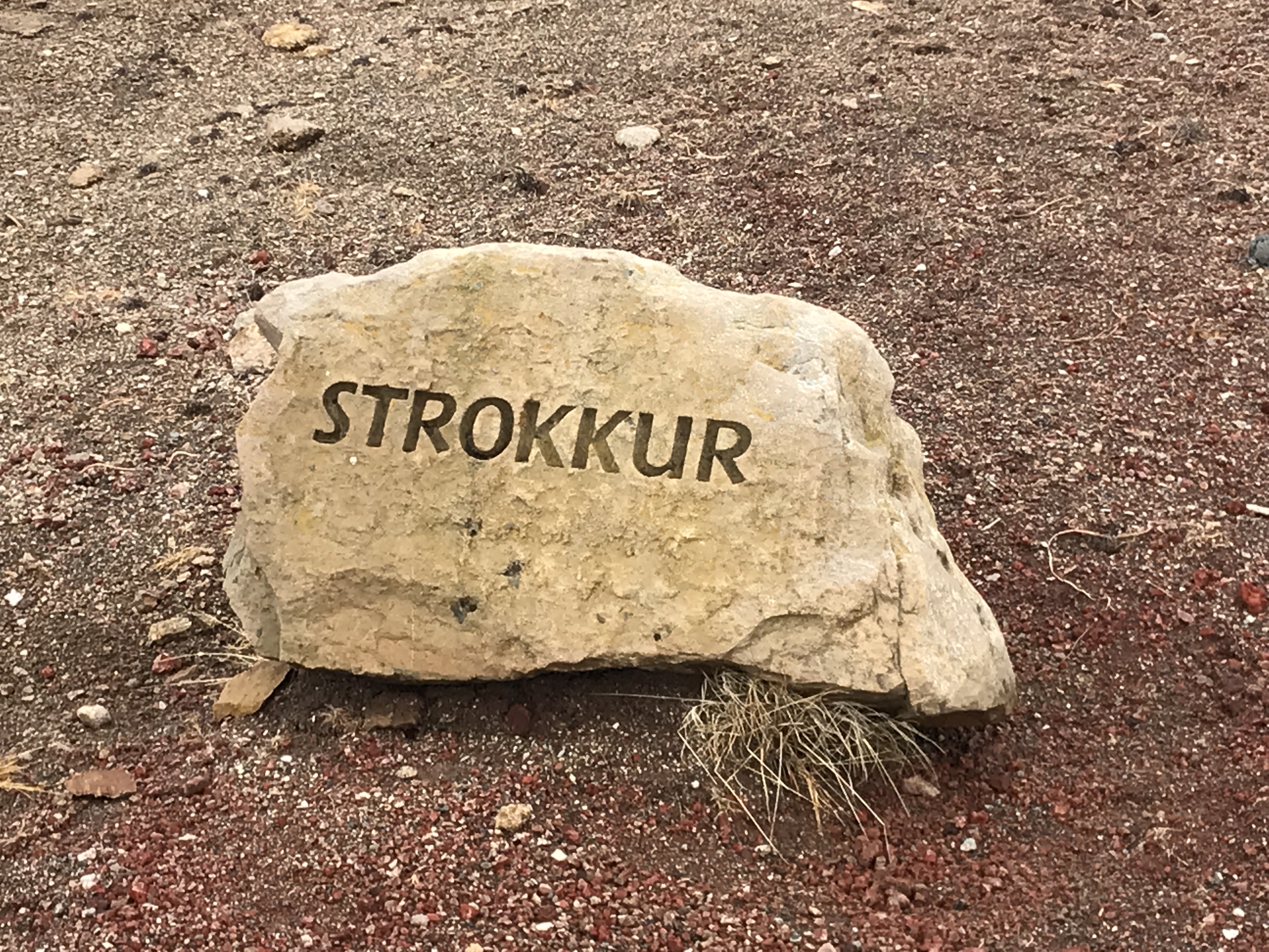
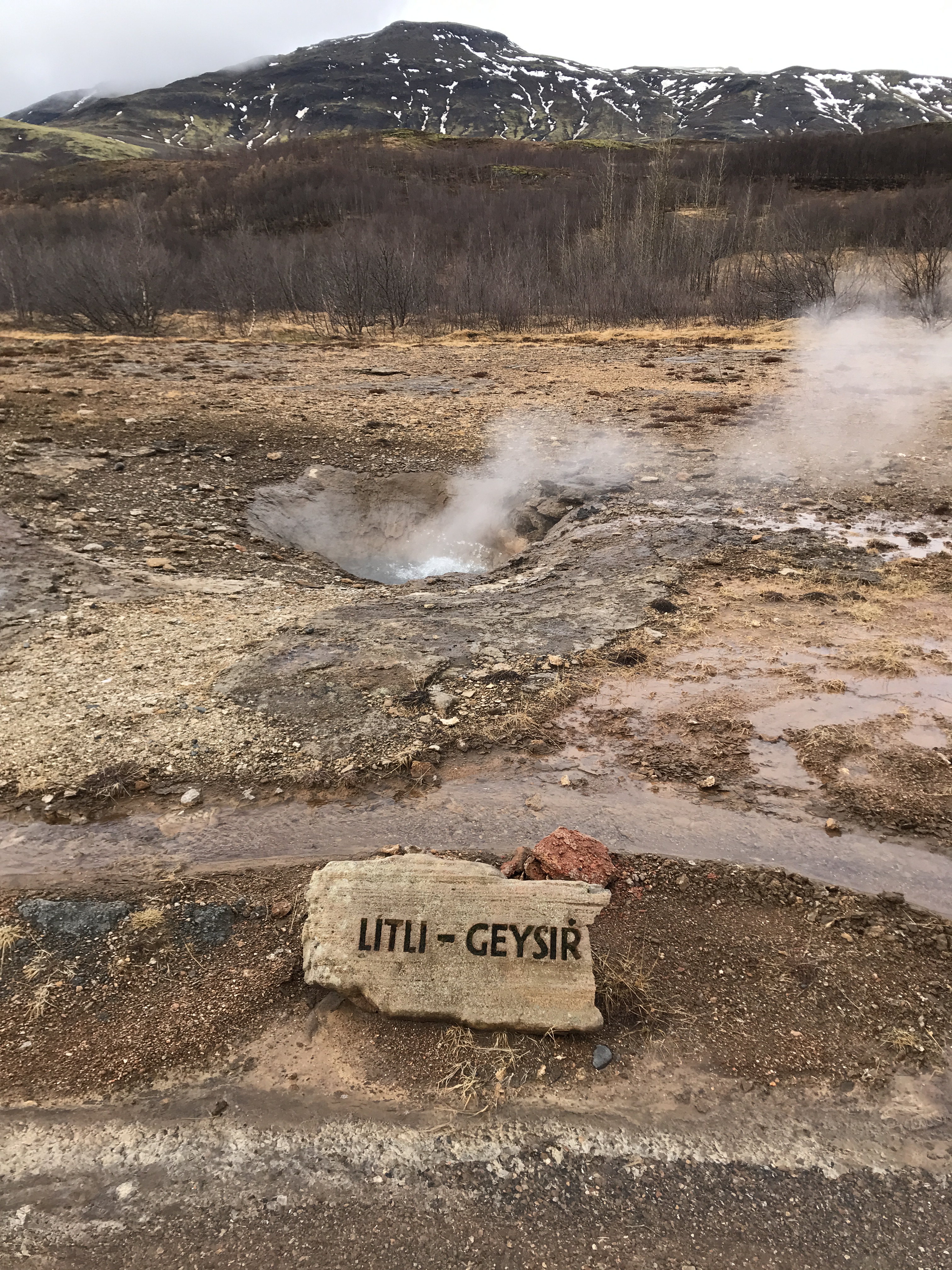
Next stop – geysers.
Our guide today was very good – Inga. But, when we got to the geysers, she neglected to tell us that the active one was up the hill some. We watched this steam up for about 15 minutes!
There she blows!
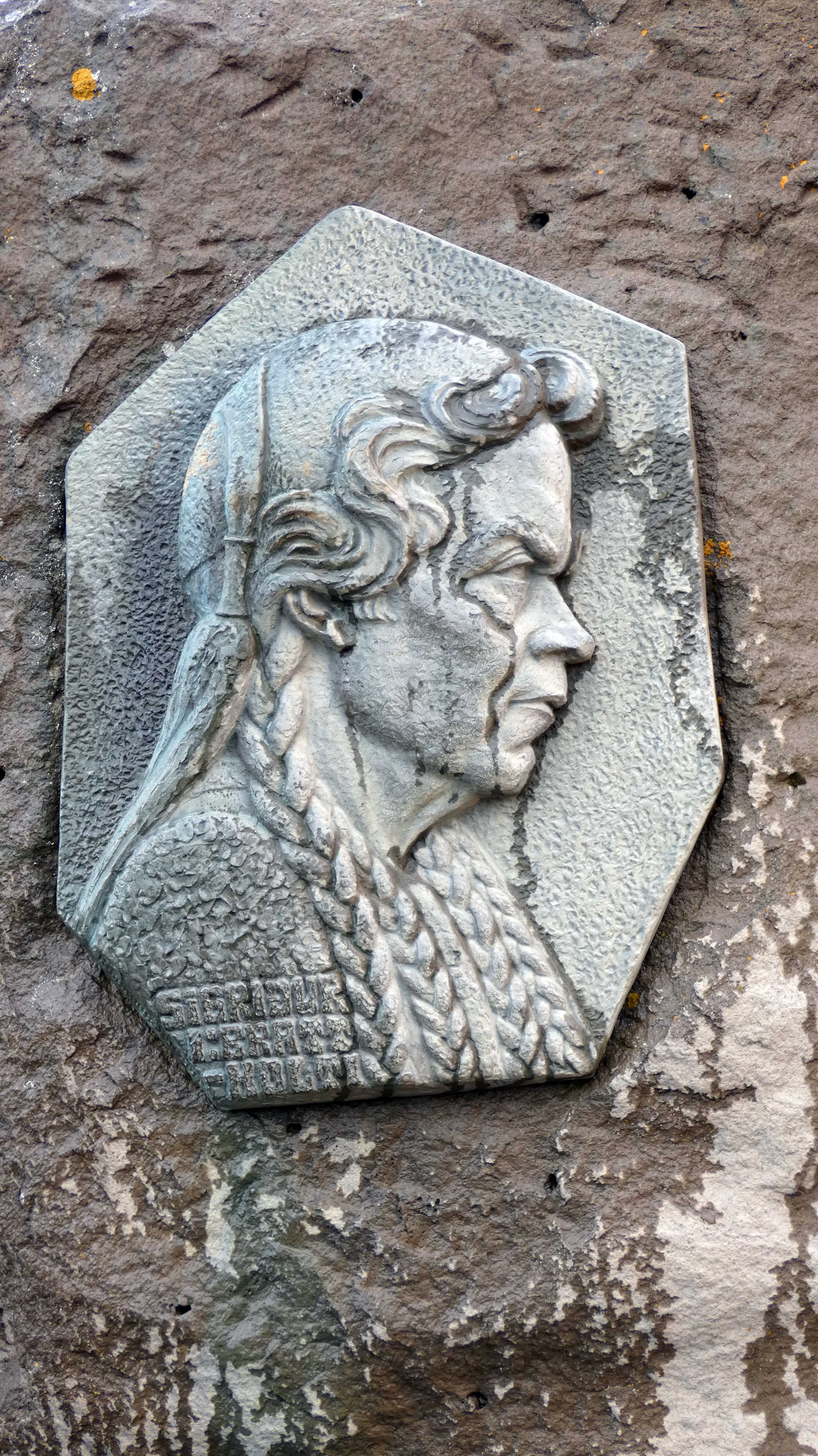
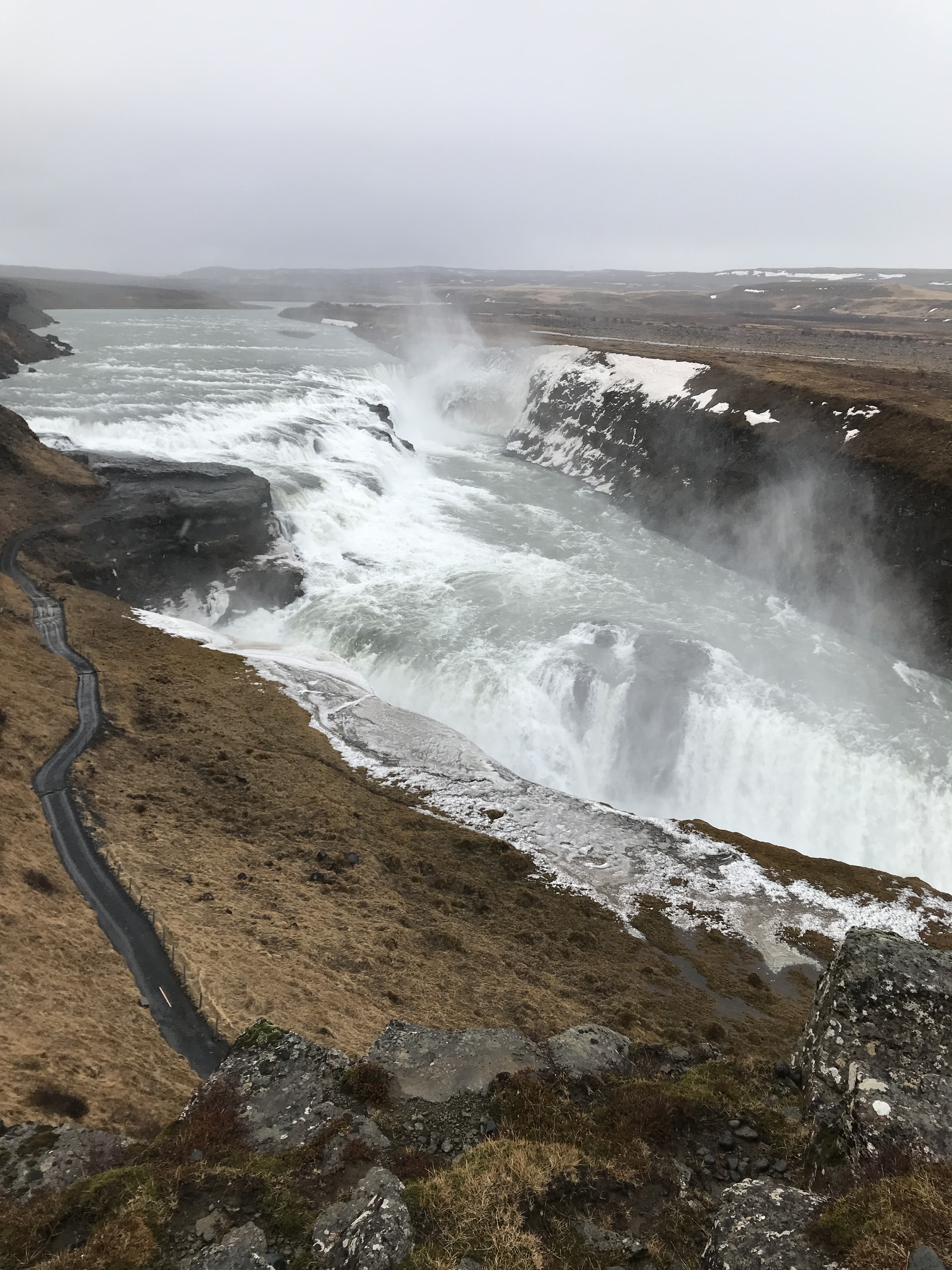
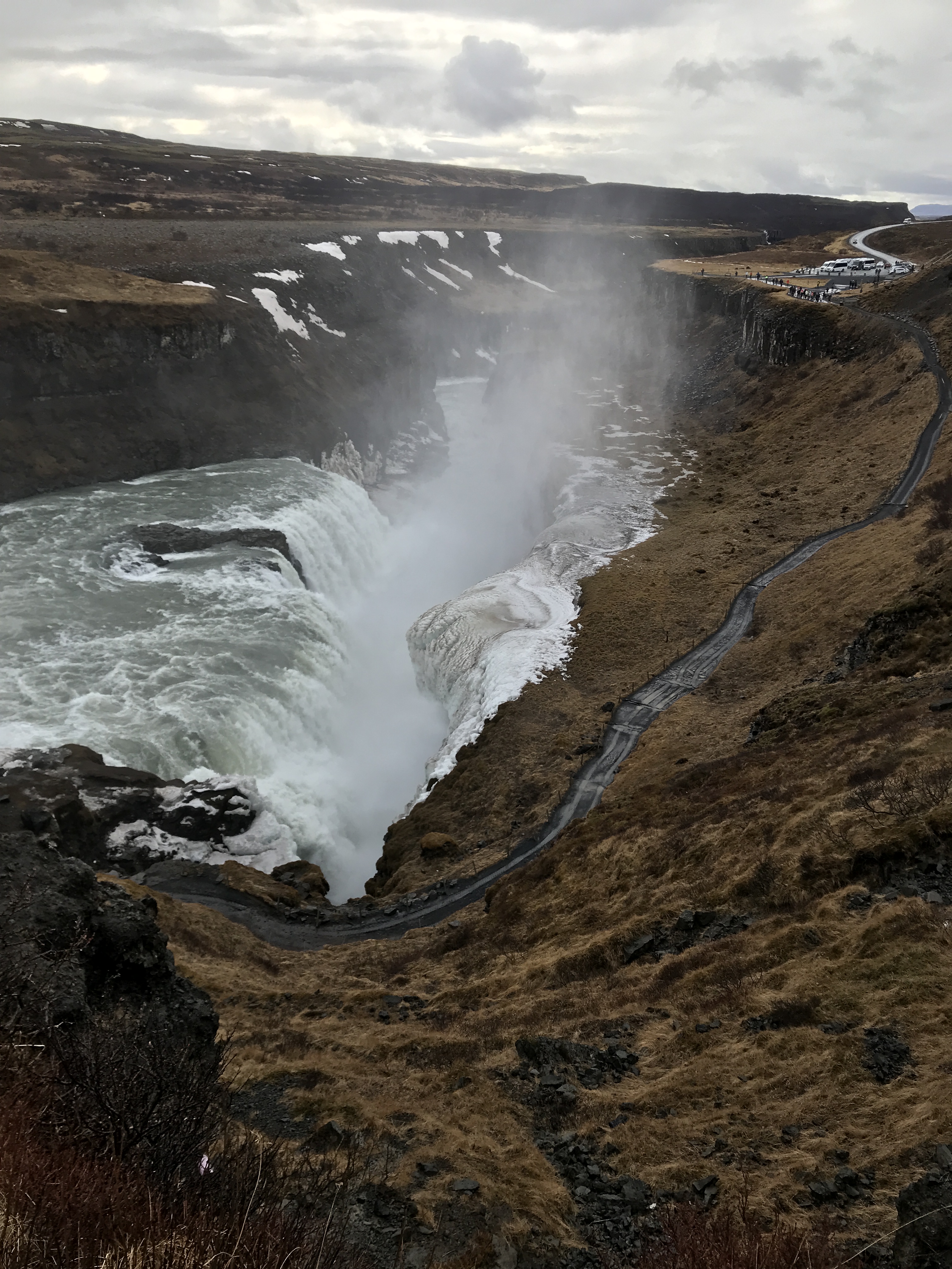
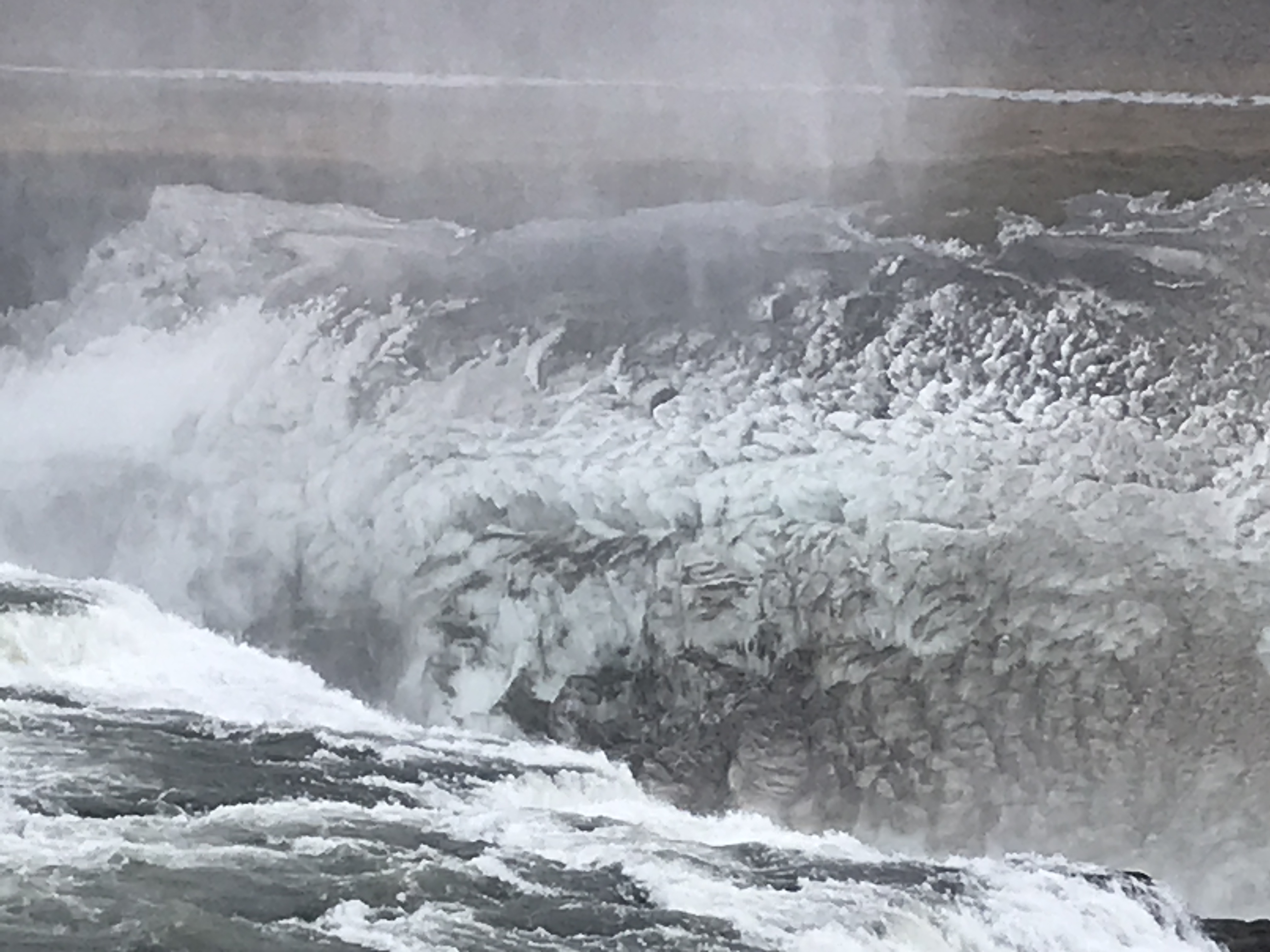
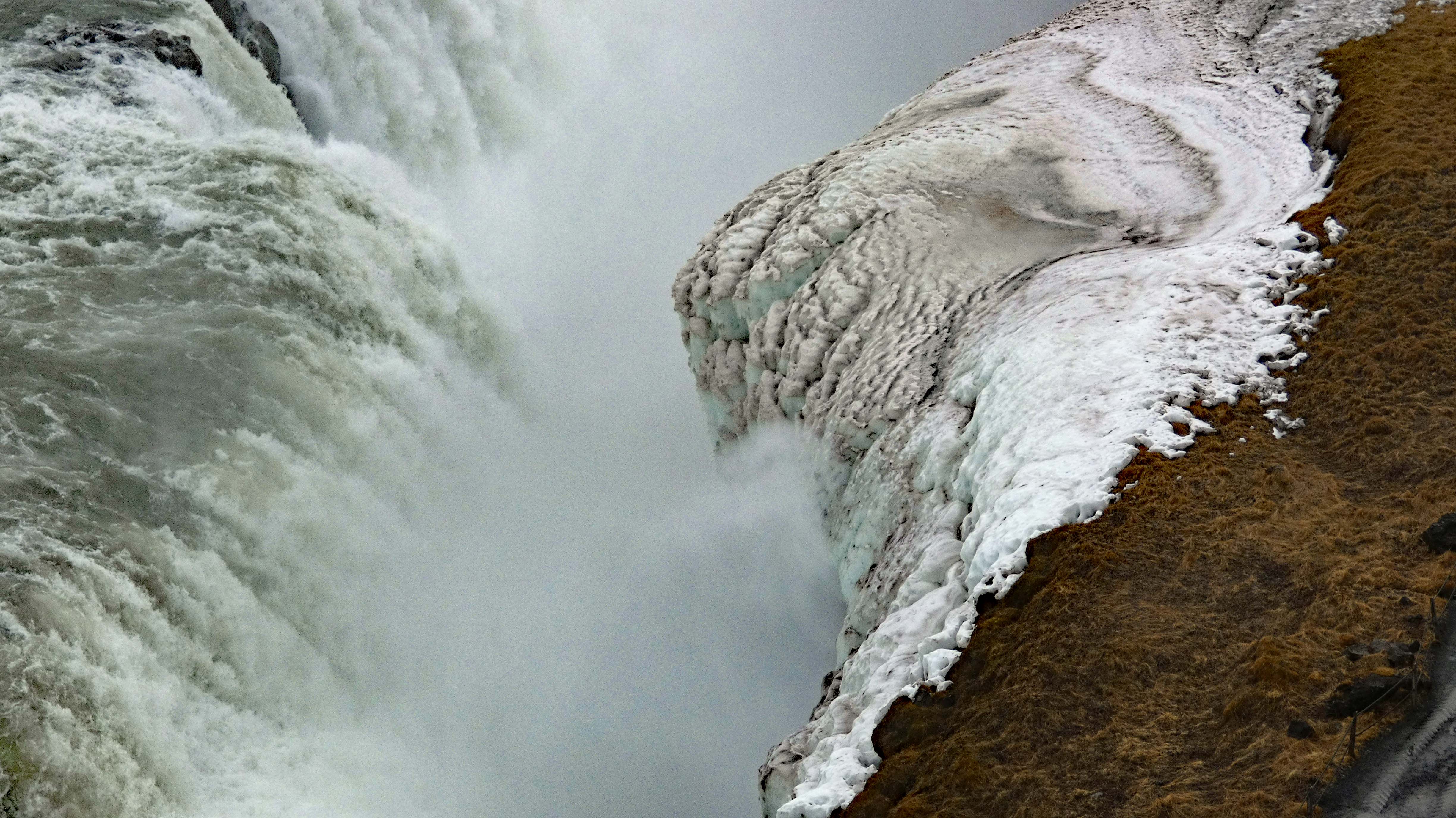
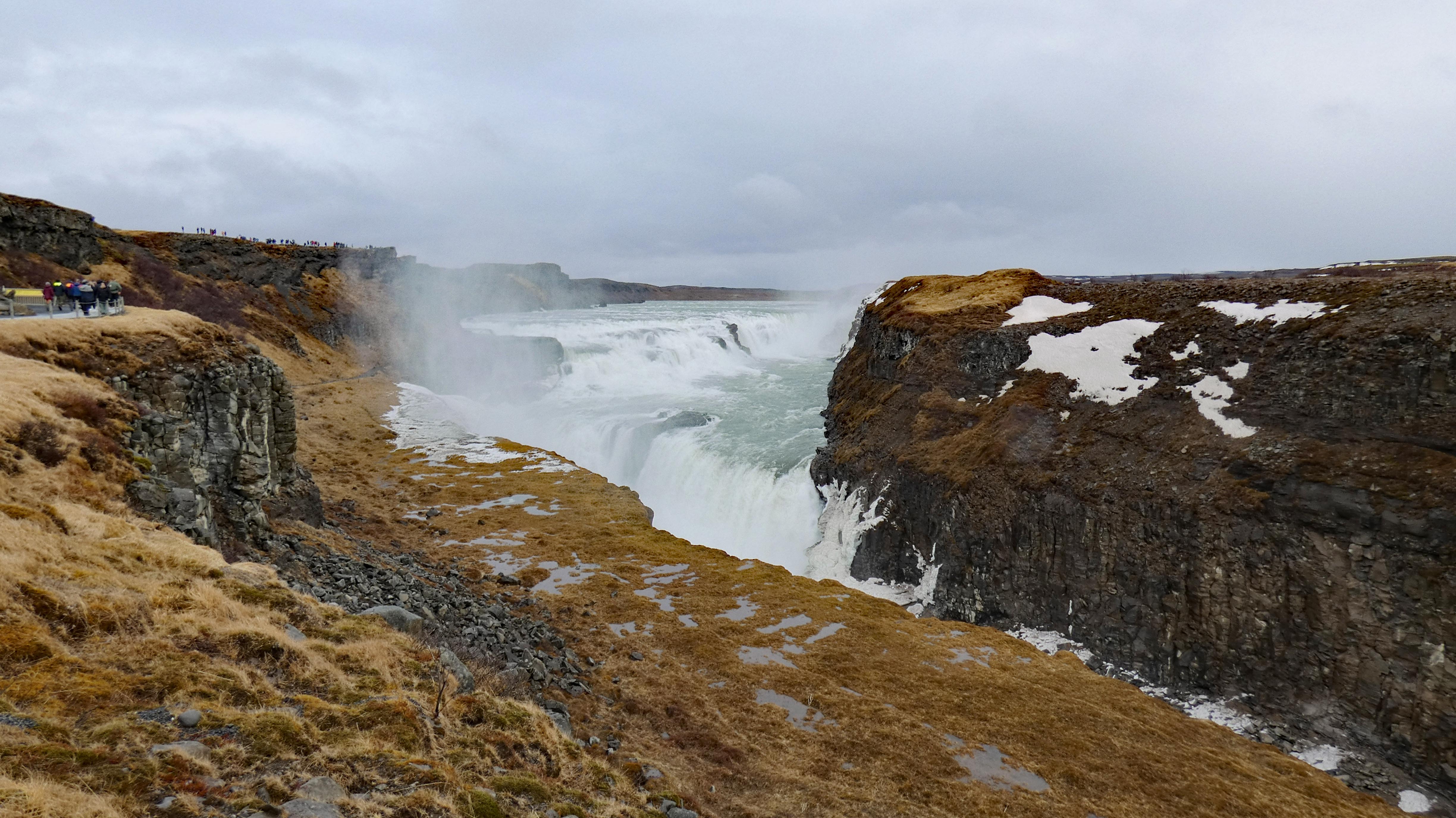
Next up – a fairly large water fall. And a woman who protested and won, the building of a new power plant on the falls. Her name was Sigriour Tomasdottir. She was the daughter of the farmer that owned the waterfall.
Walking down to the bottom was closed off.
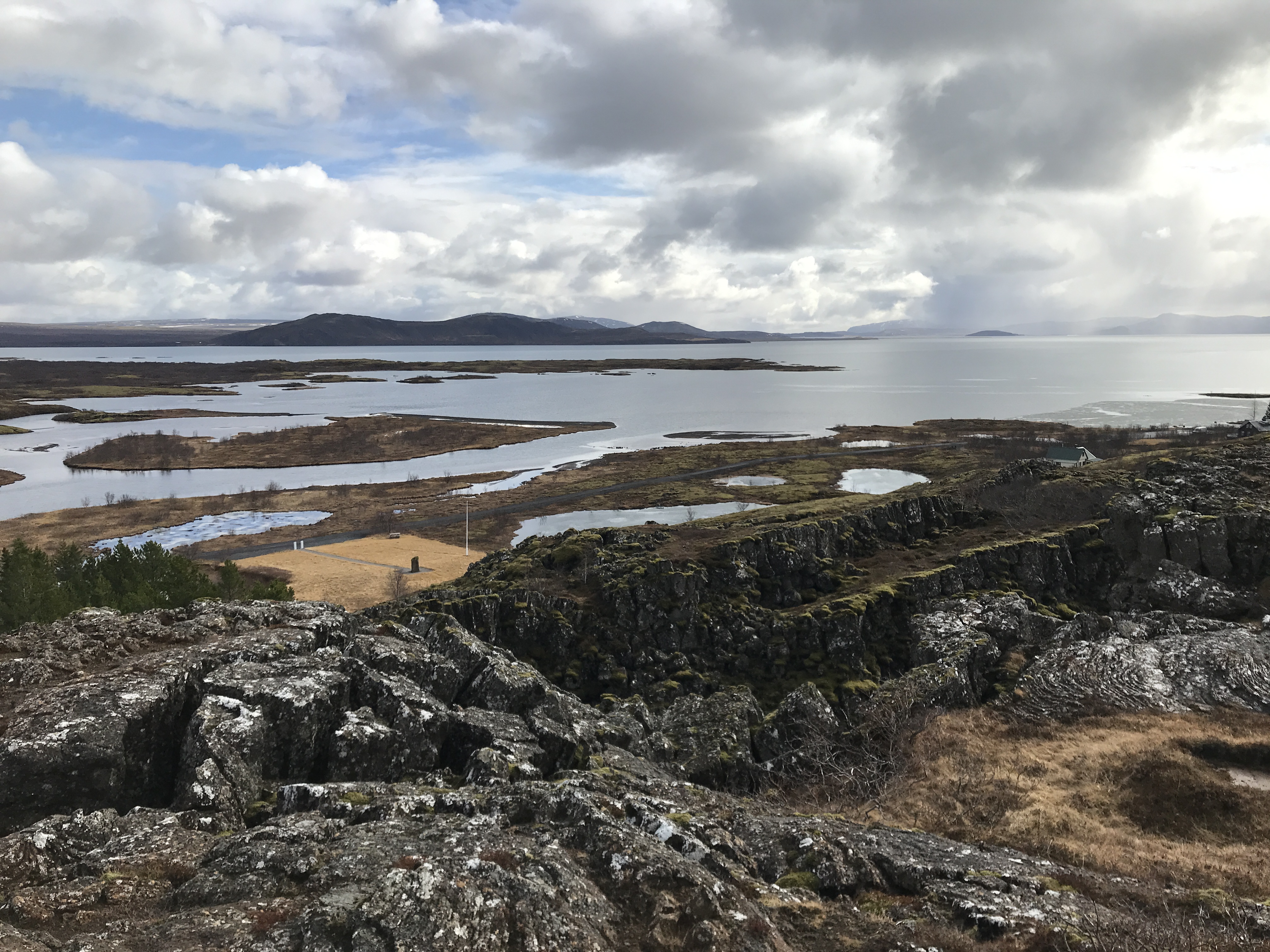
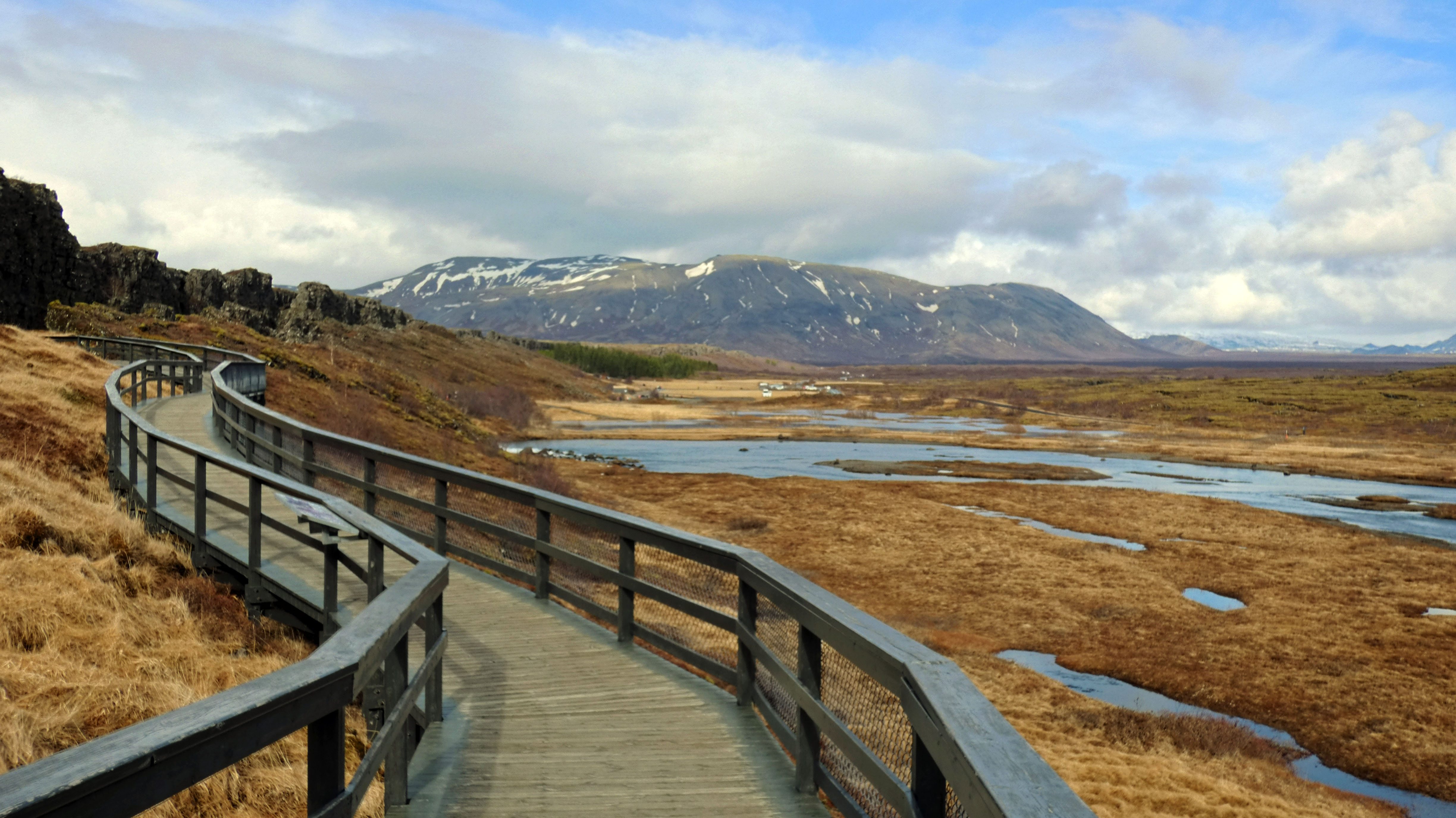
On to the next adventure – tectonic plates of North America and Eurasia. This is the only place on earth you will see 2 tectonic plates meeting above water.
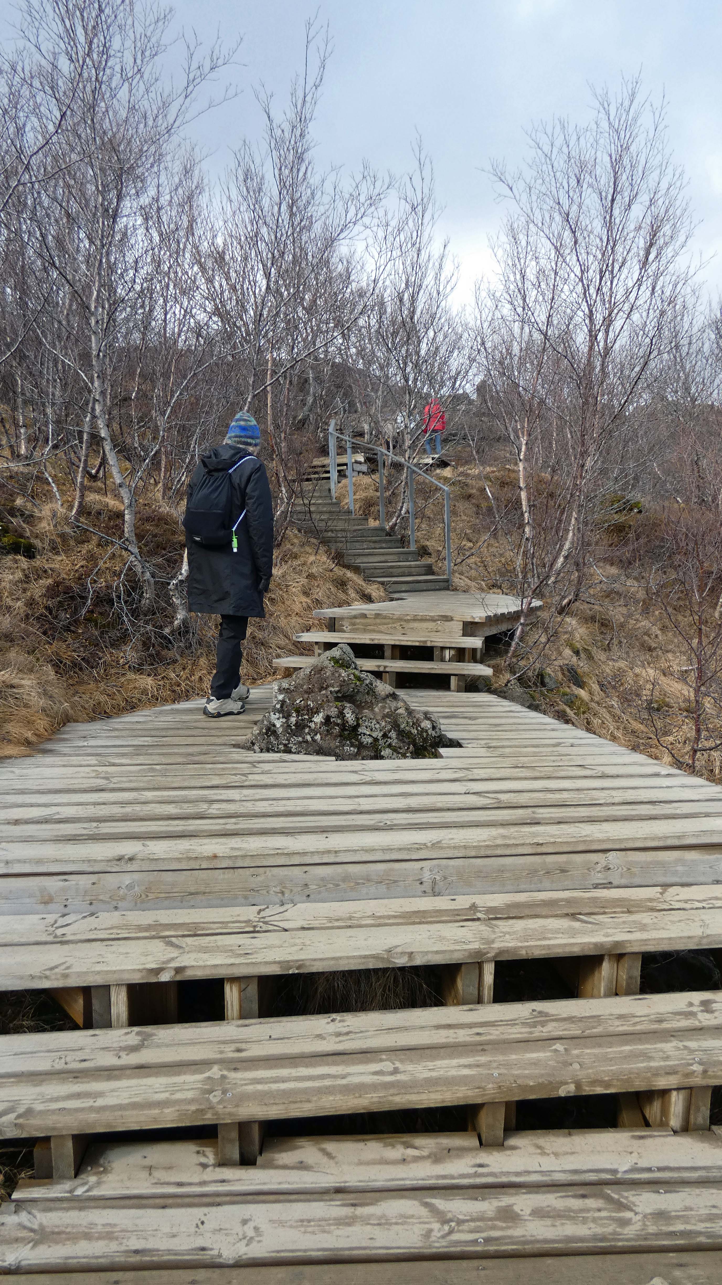
Nice paths and boardwalks all over the place.
A line of people heading to the bottom, where the land splits.
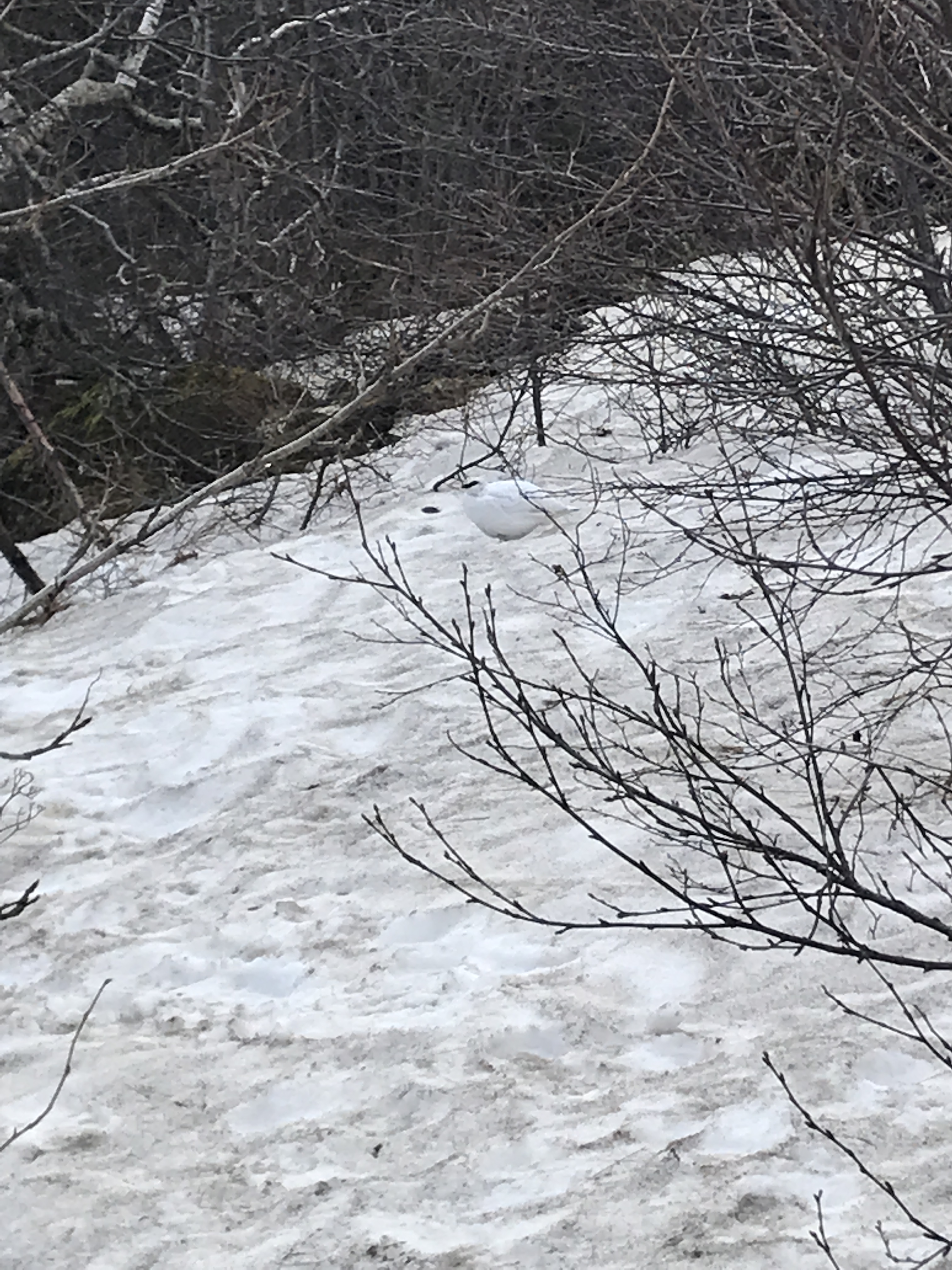
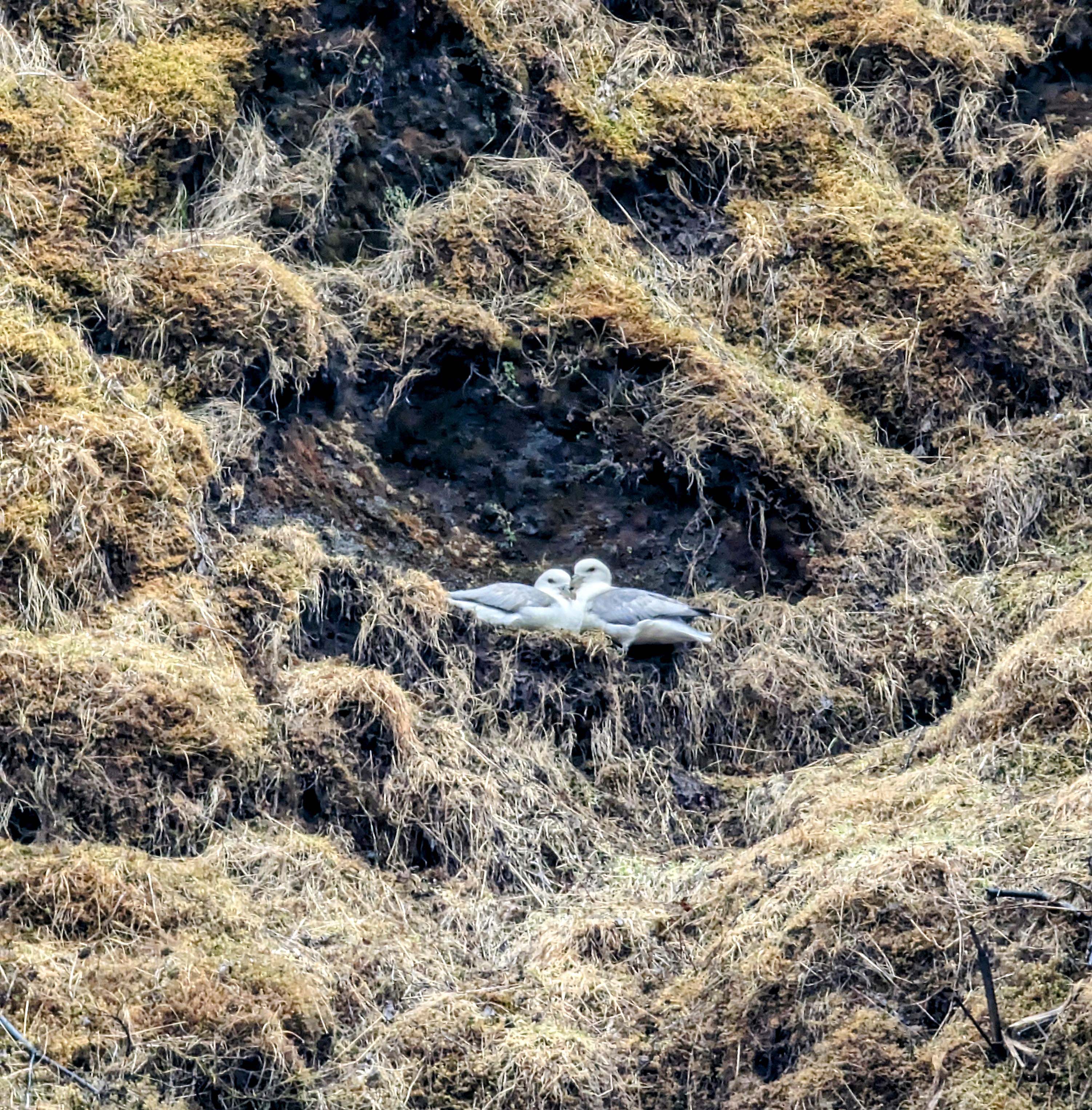
Was hard to see this bird – Rock Ptarmigan. Icelanders and snow foxes eat them.
A flag between continents.
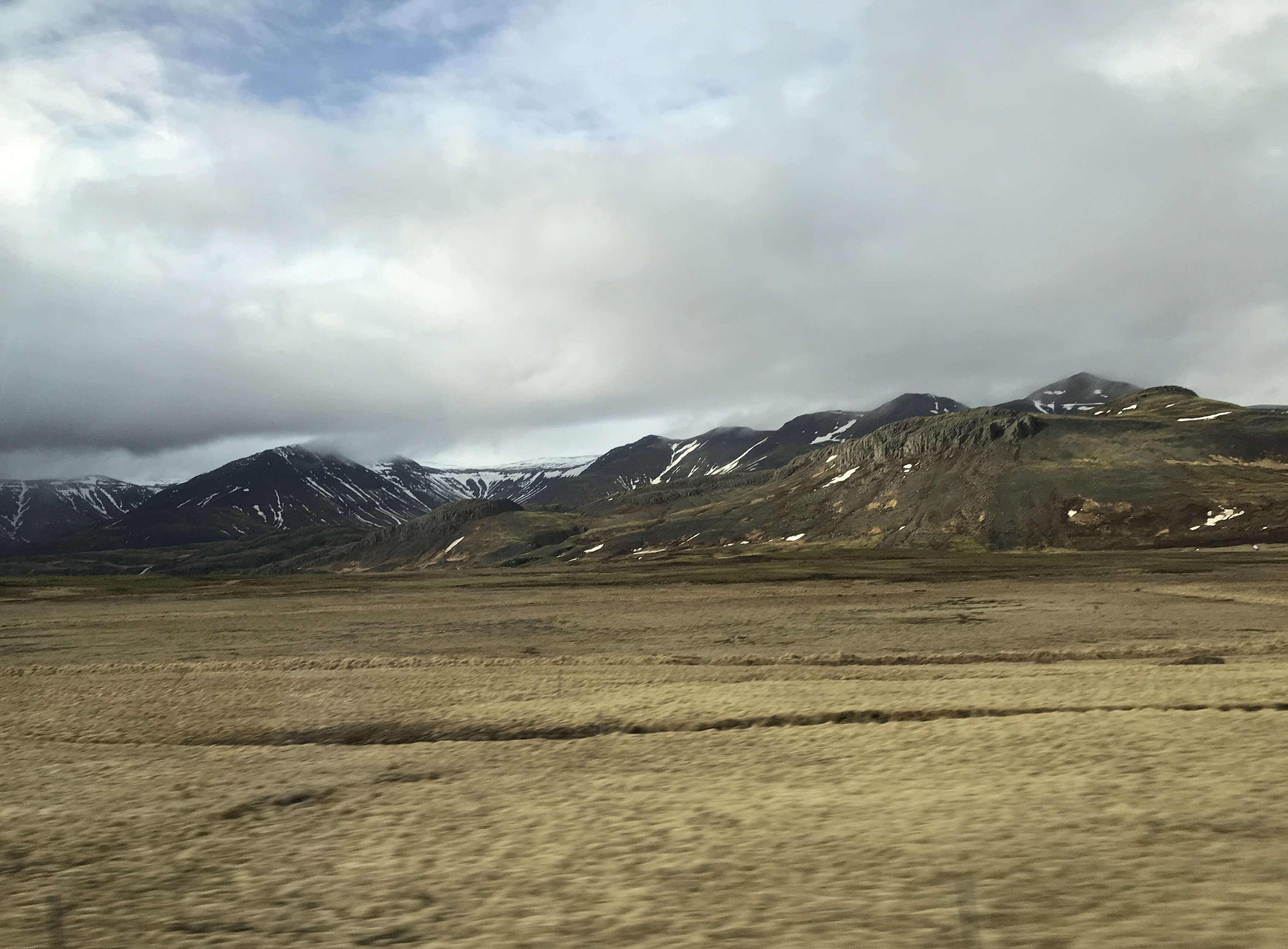
On the ride home – long day.
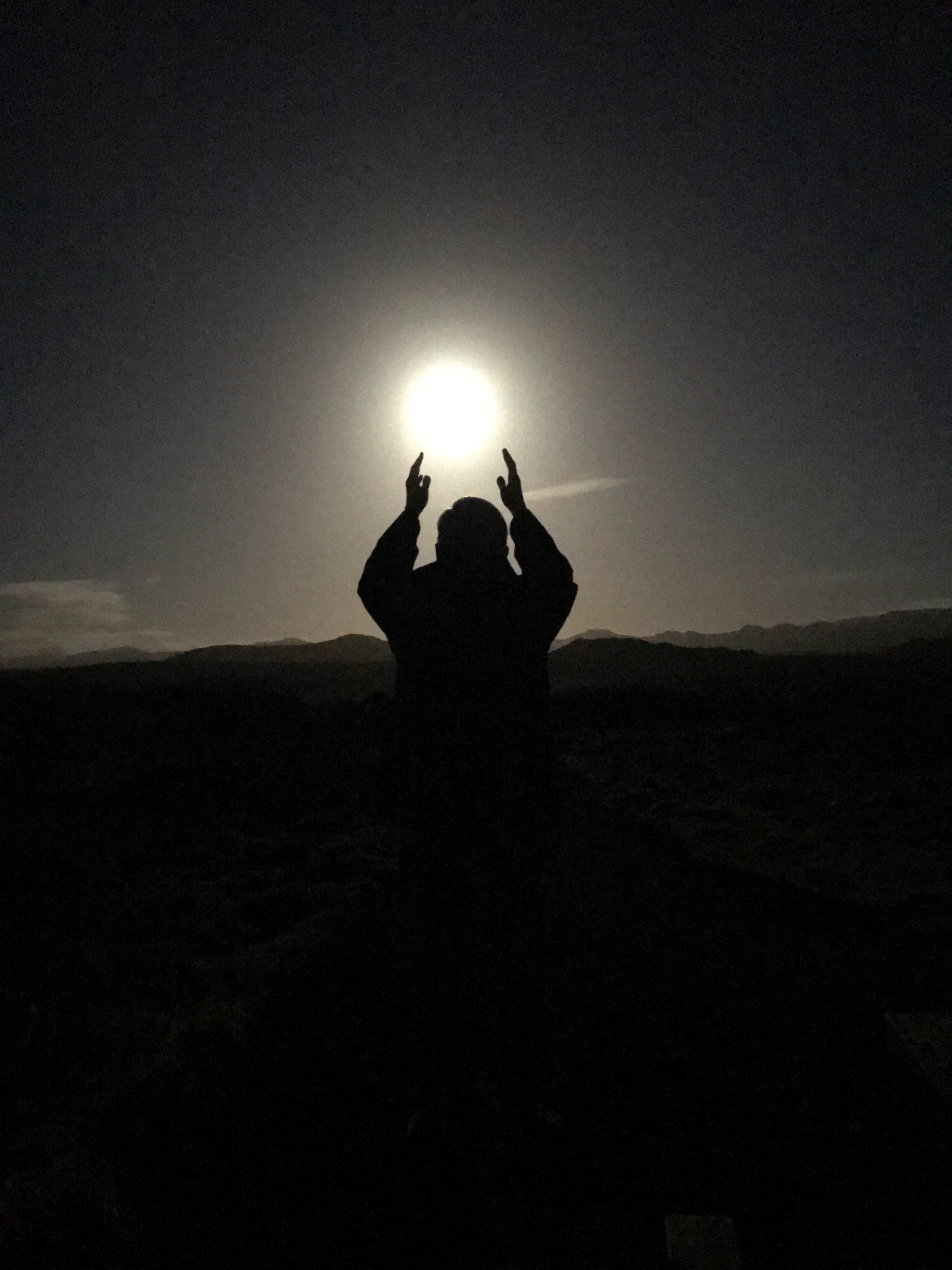
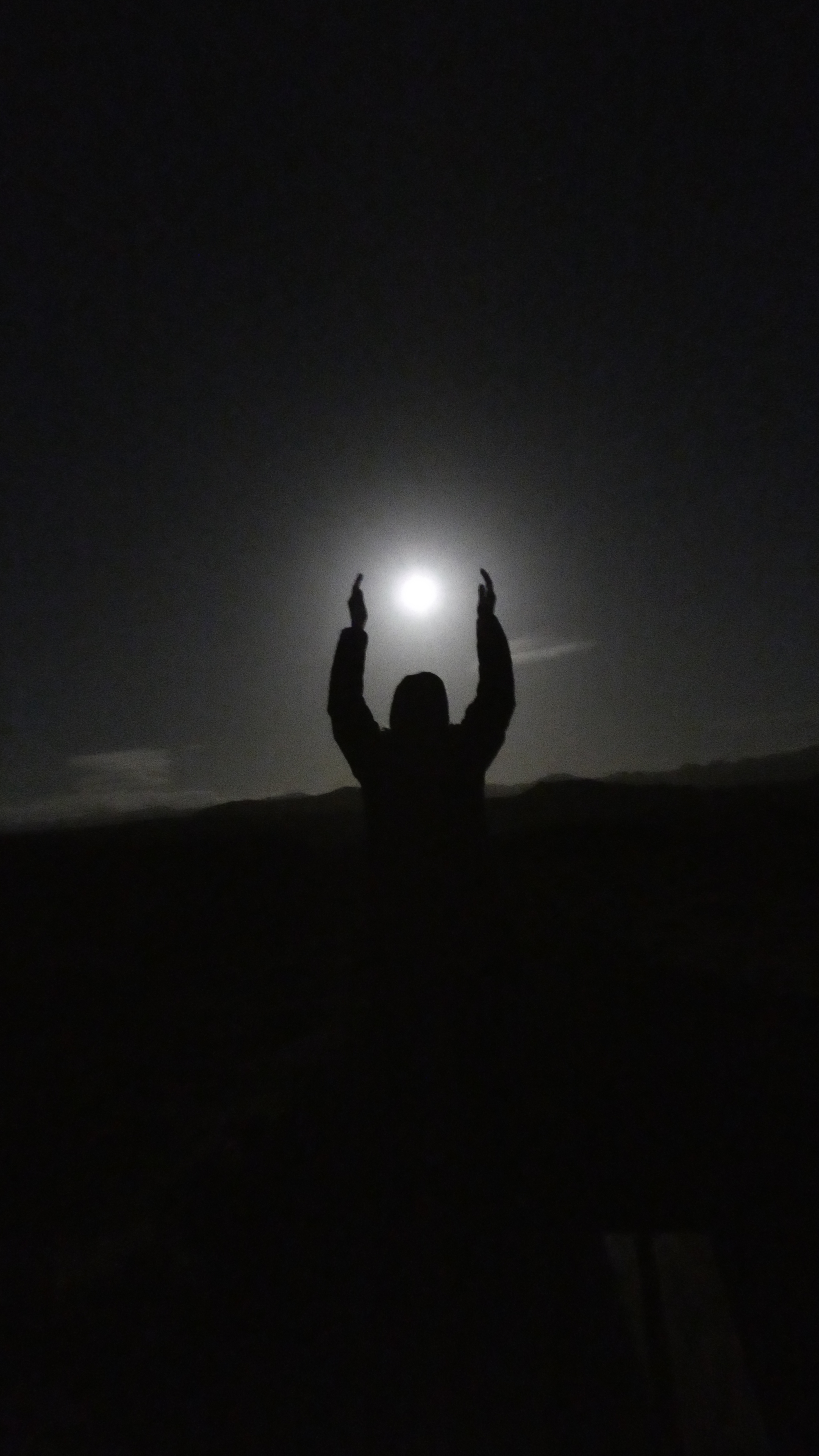
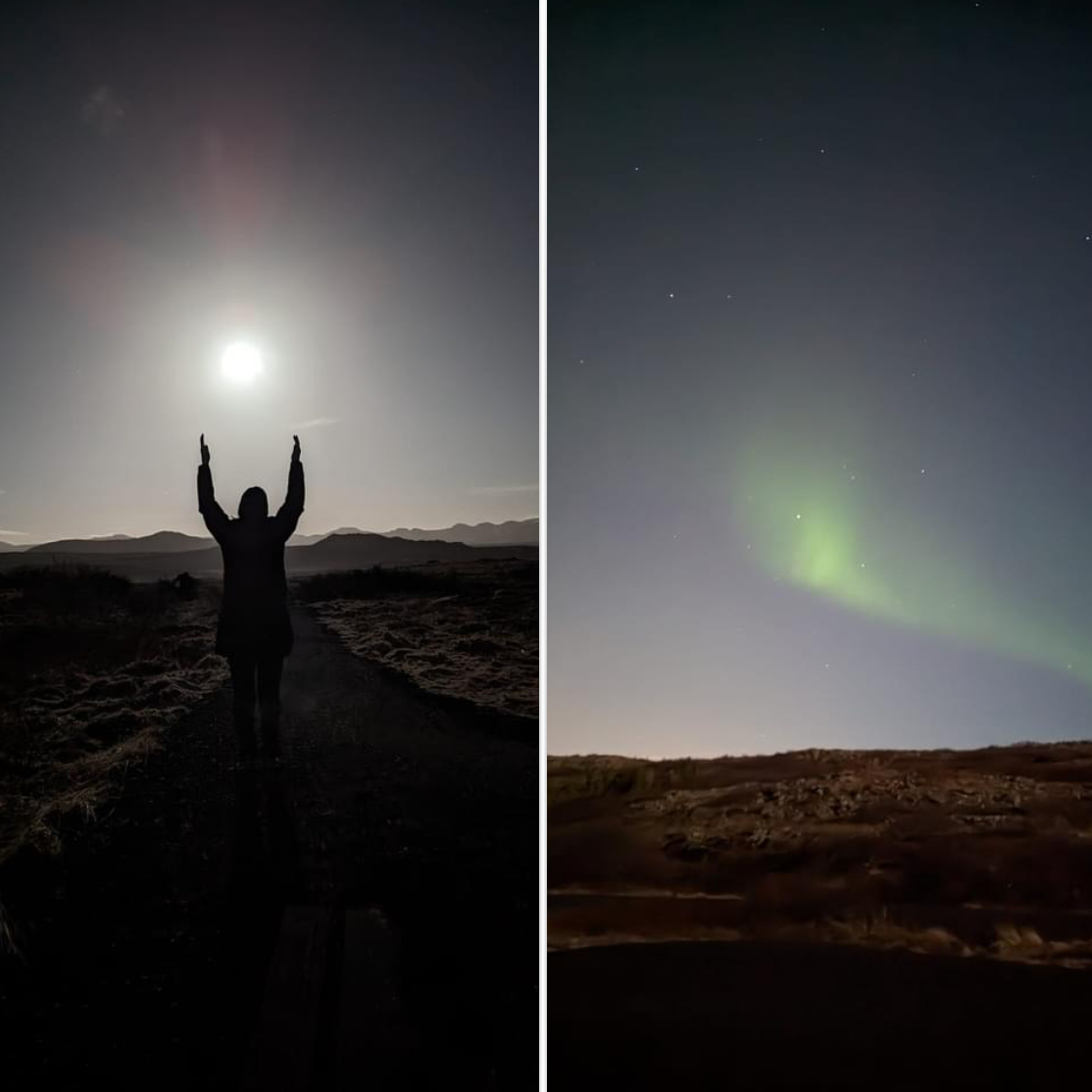
We were supposed to see the Northern Lights two nights ago but the tour kept getting postponed because of weather. This night we went…
The full moon gave off a lot of light.
Lots of moonlight but an eerie beauty over the landscape.
A wisp, but a Northern Light to behold. Went out about 9, saw them about midnight.
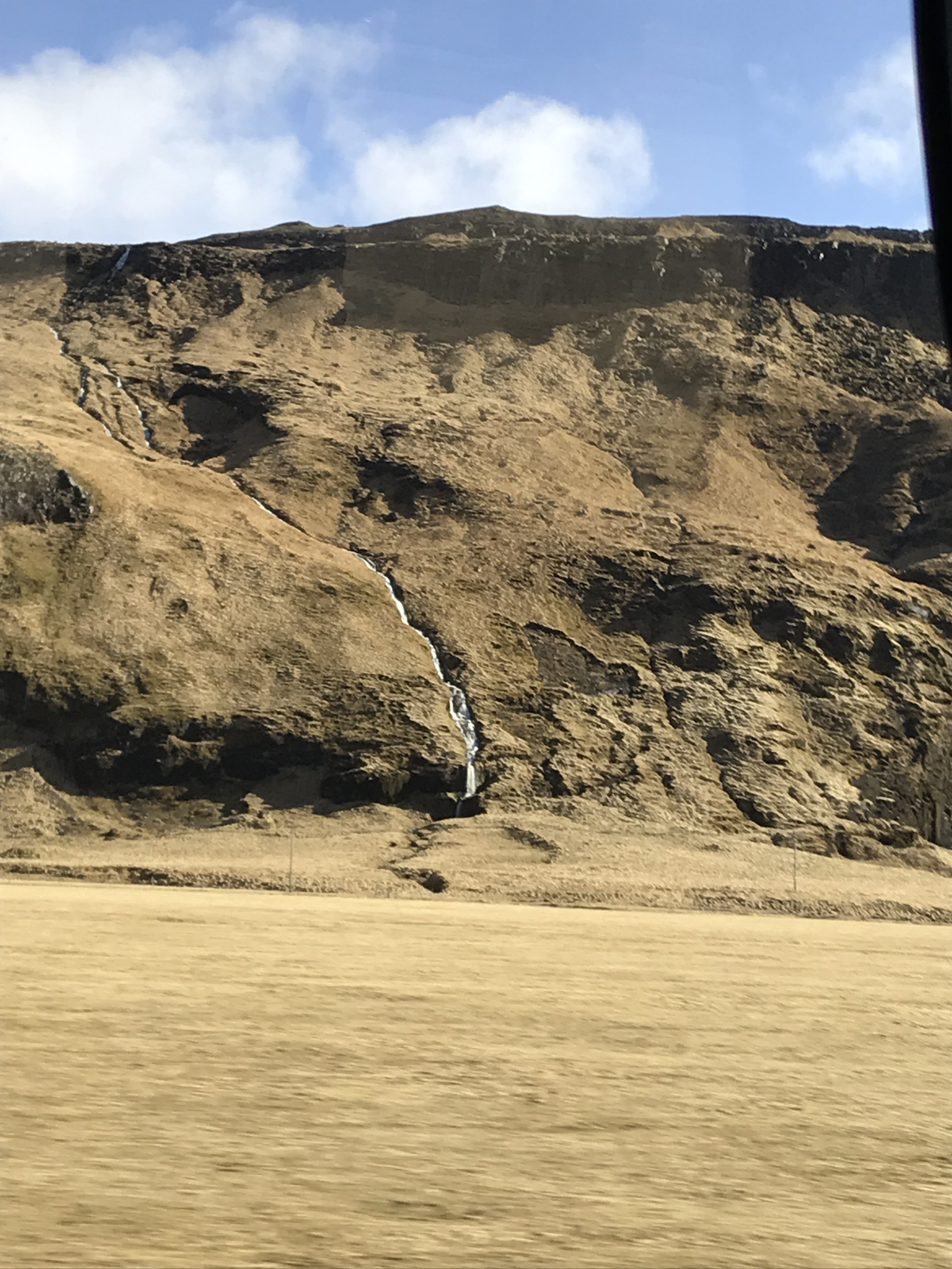
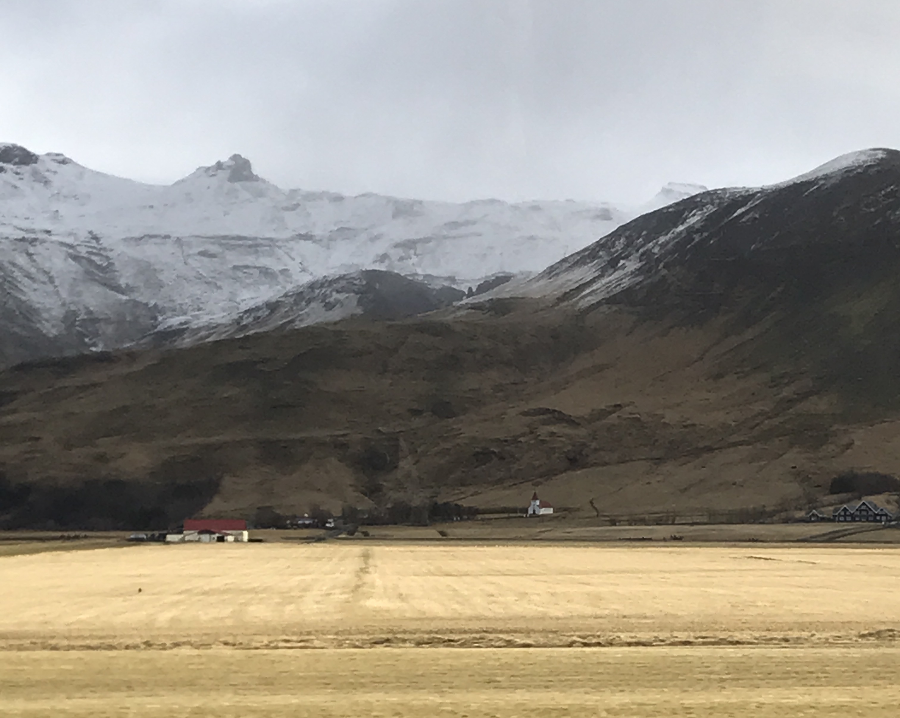
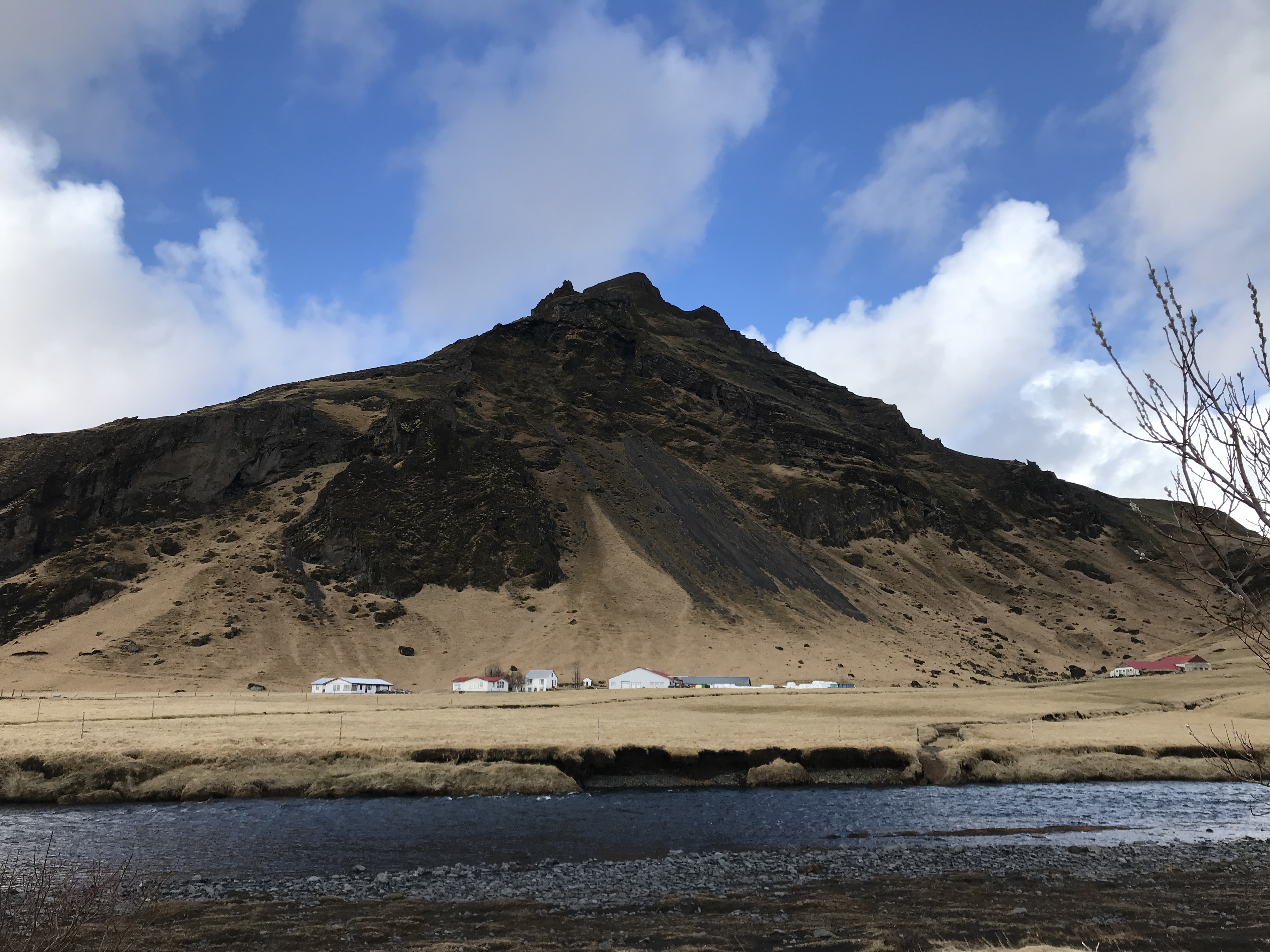
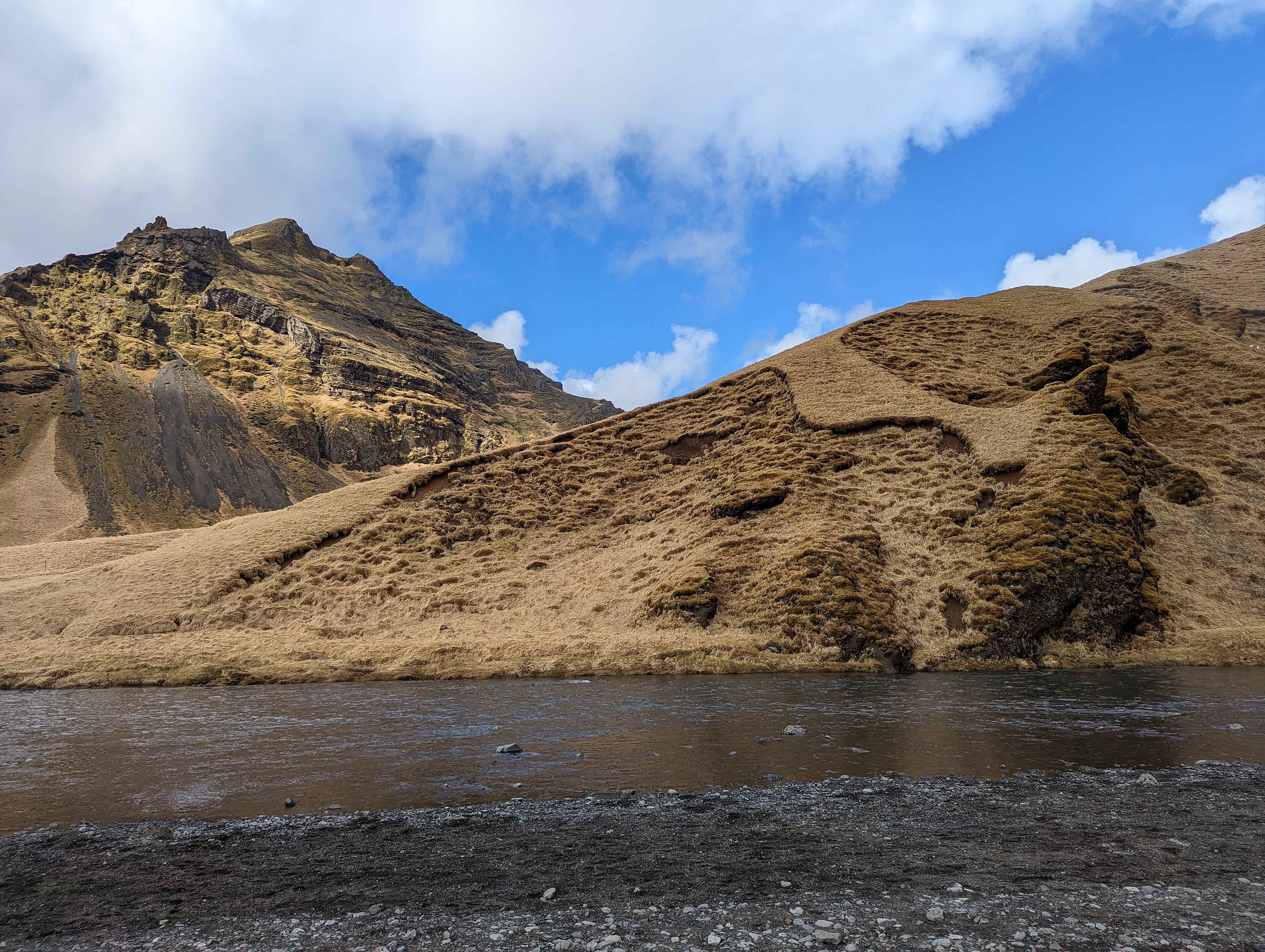
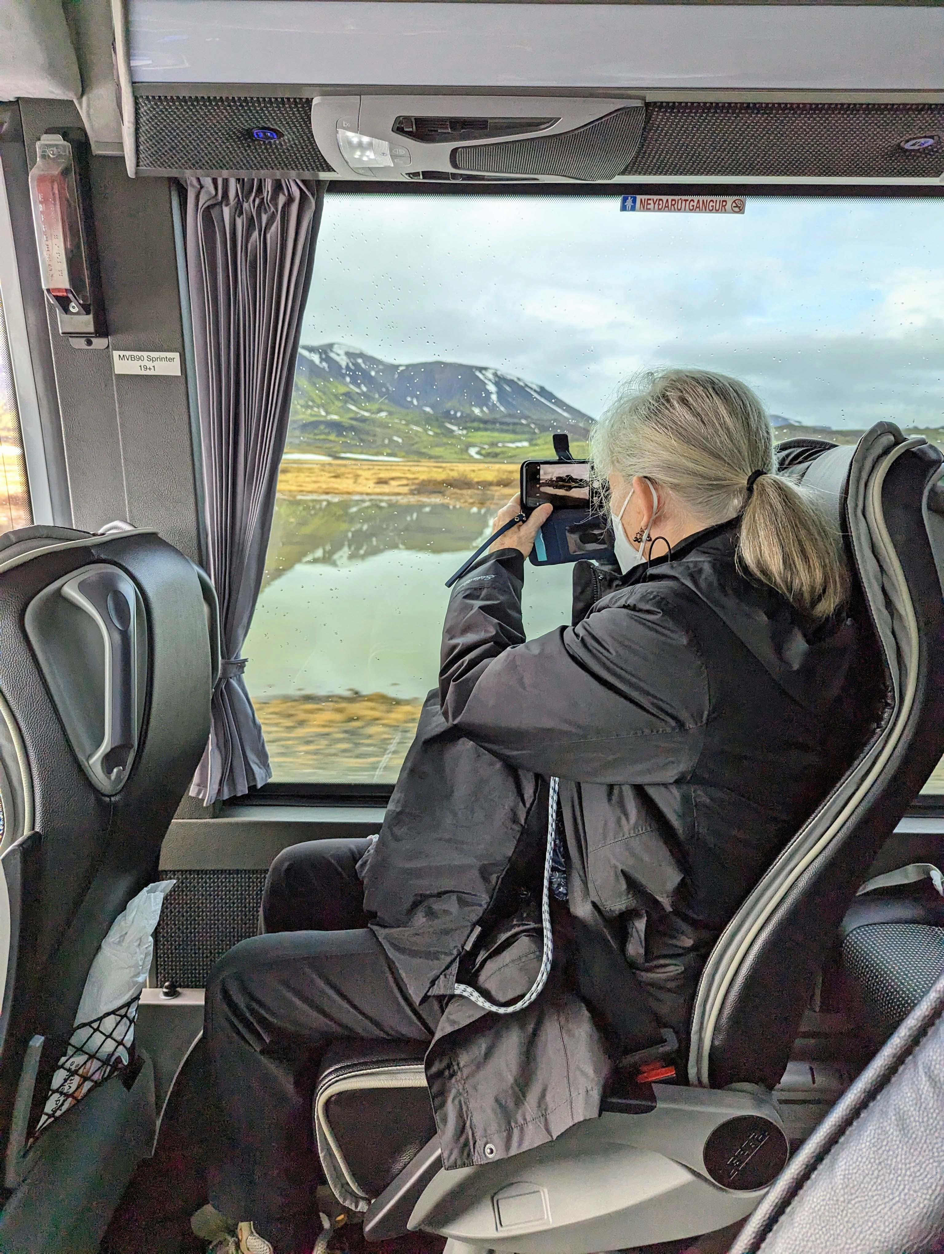
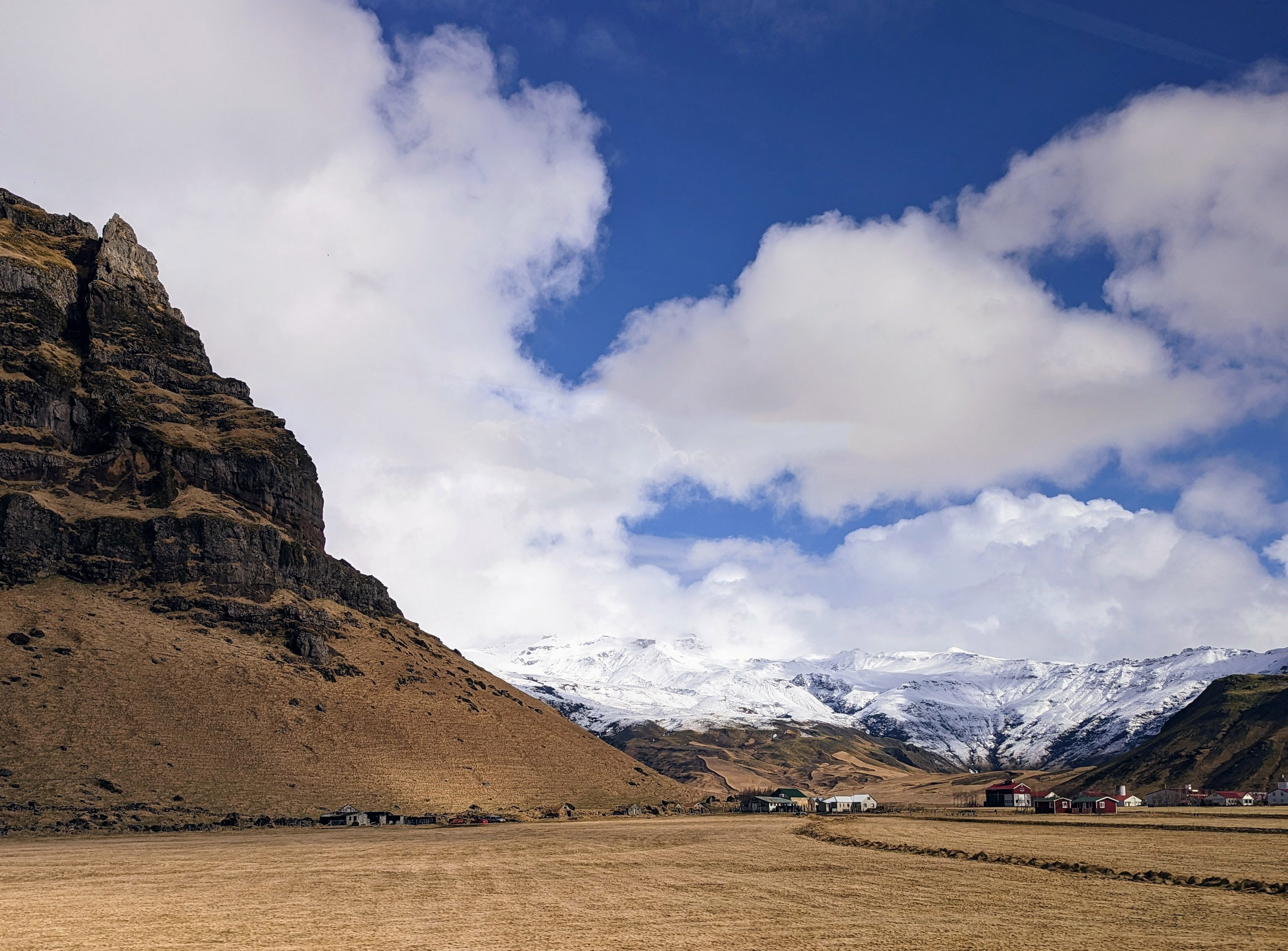
Thursday is the South Shore Adventure. We will get to see waterfalls and glaciers. And it snowed! Some pics on the ride out.
Waterfalls everywhere.
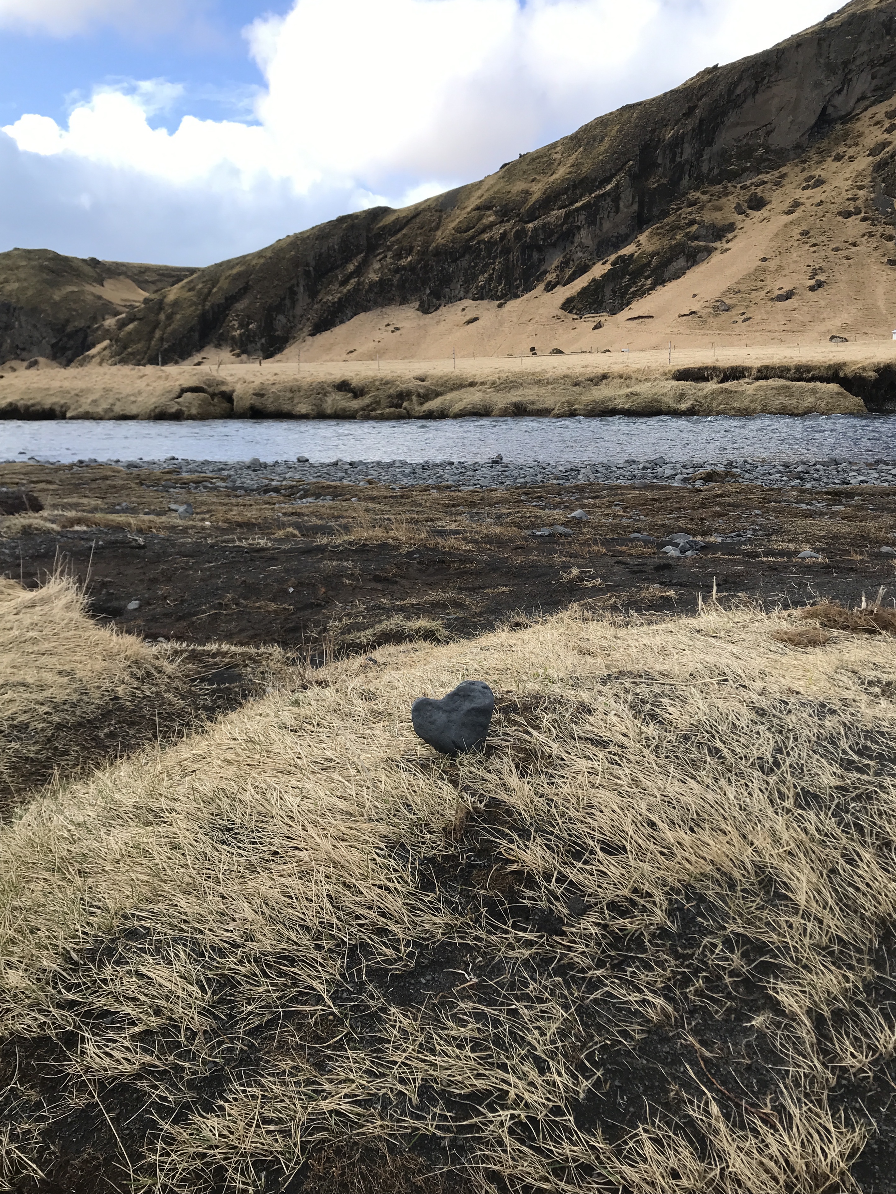
Did we leave our heart in Iceland? Yes.
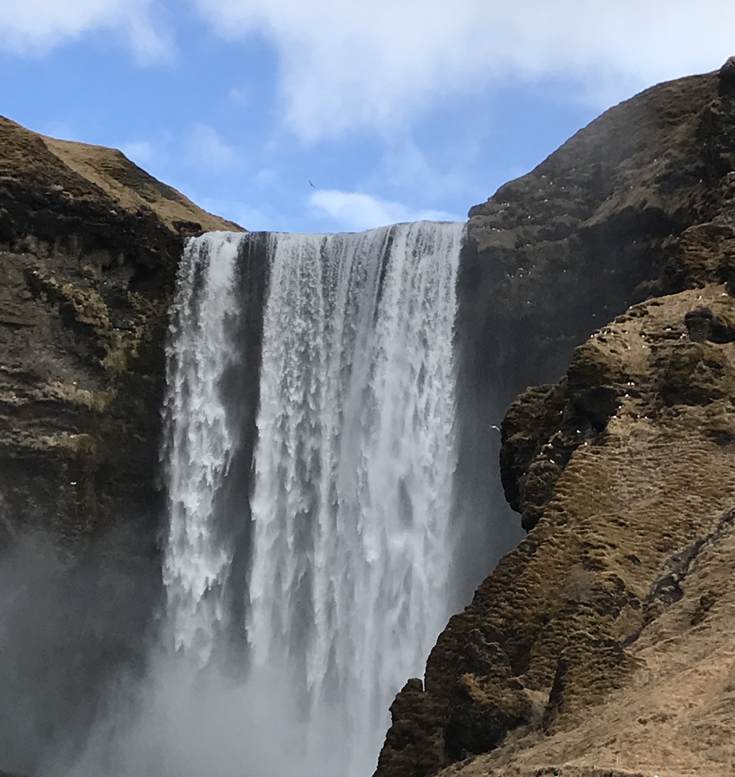
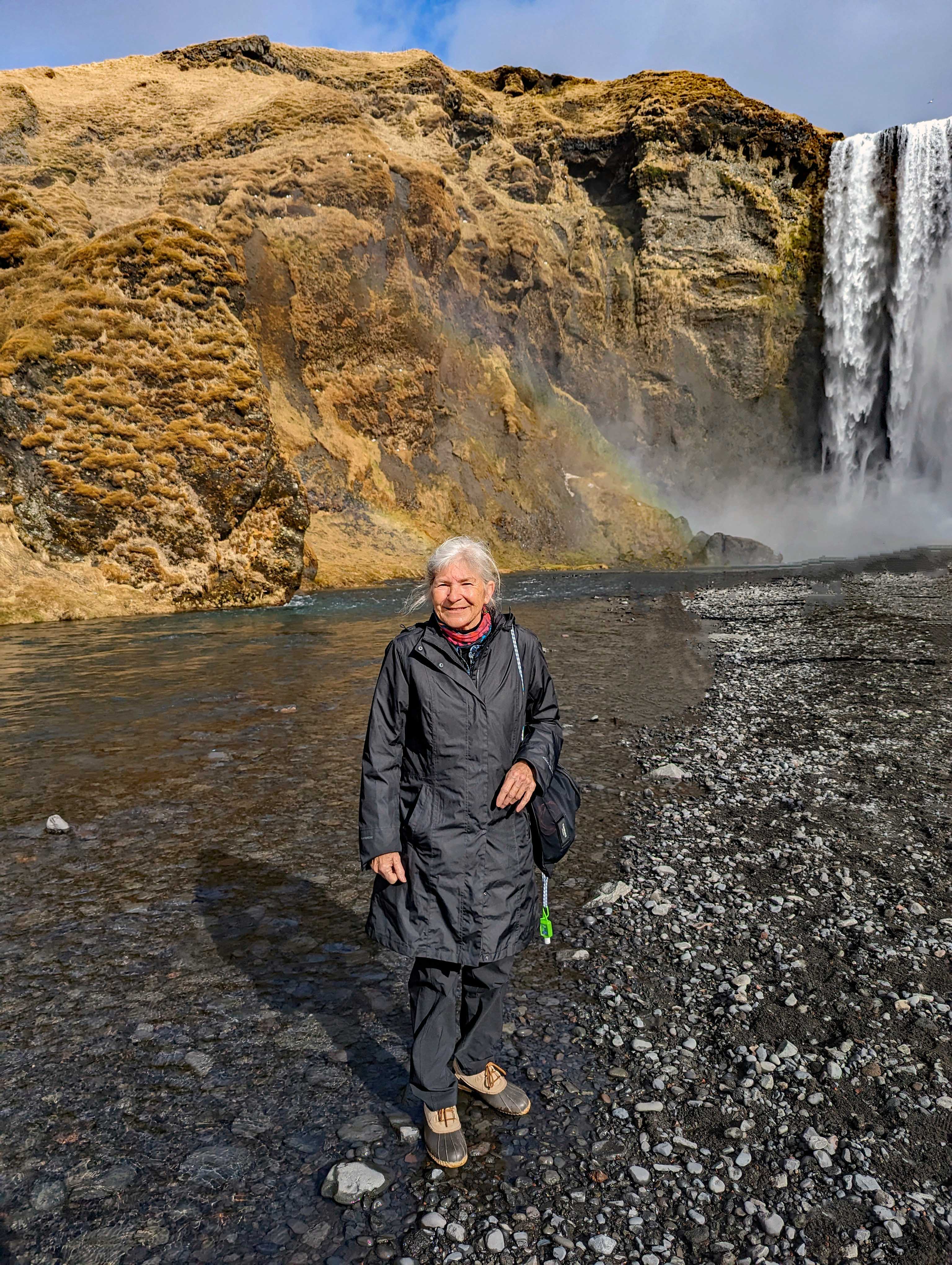
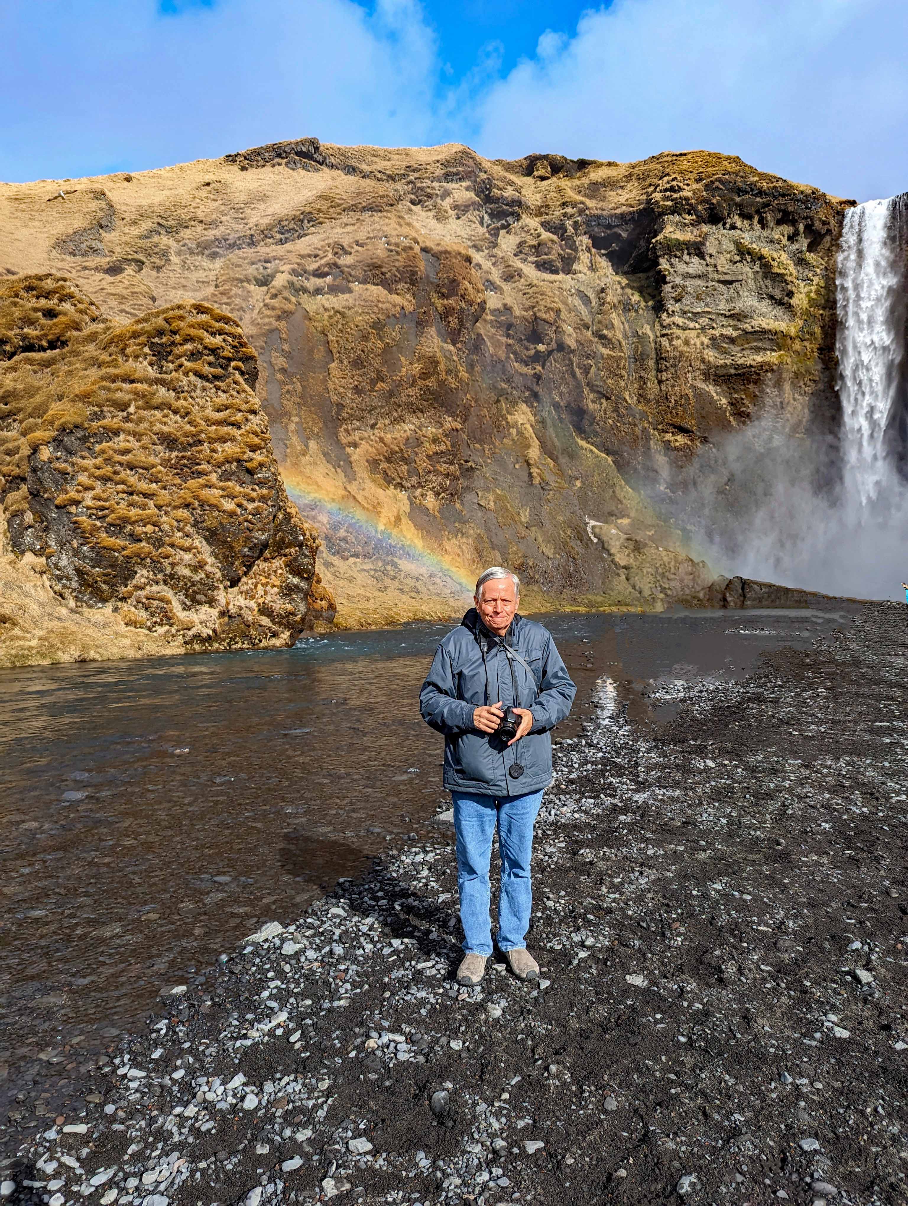
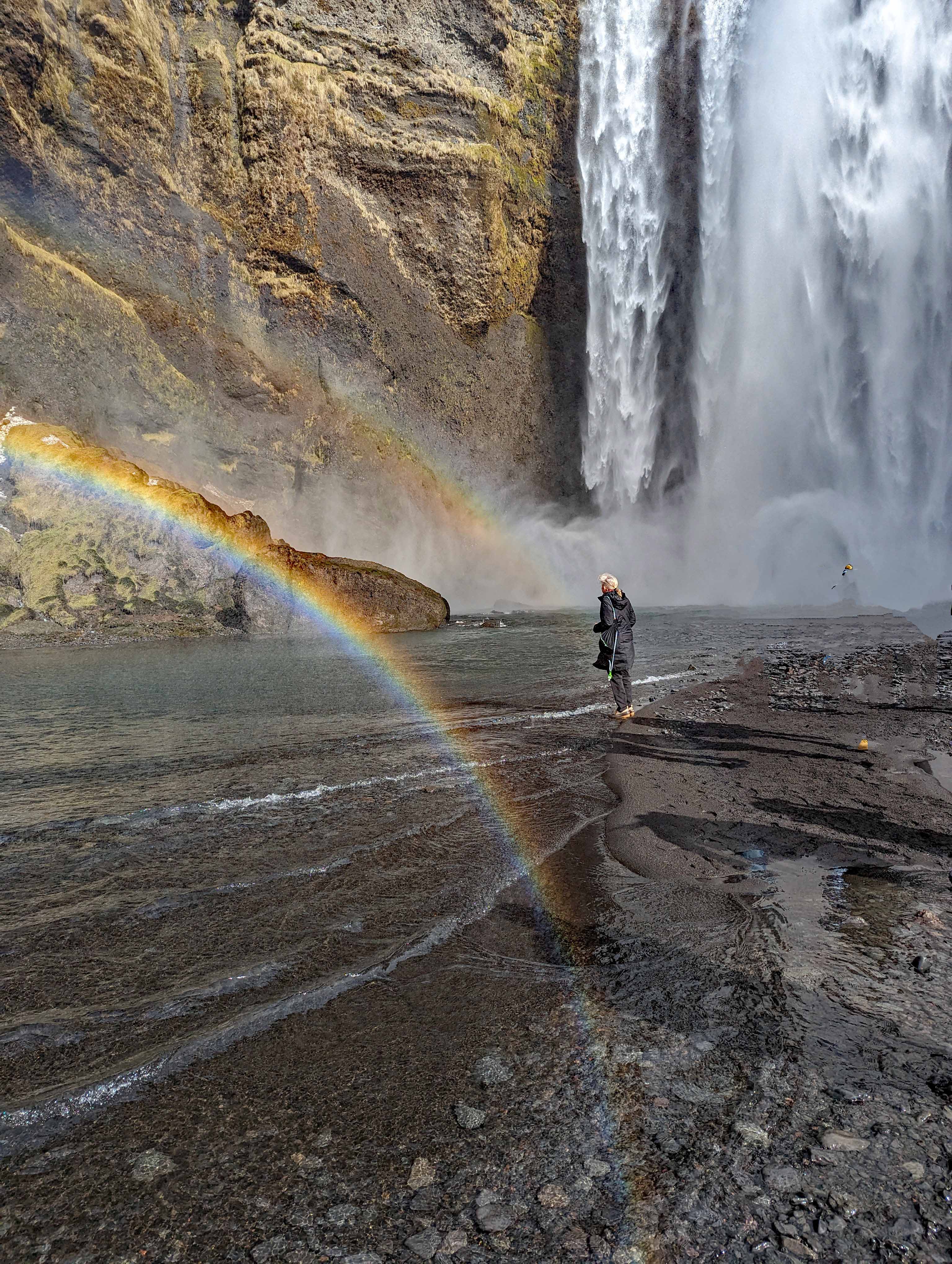
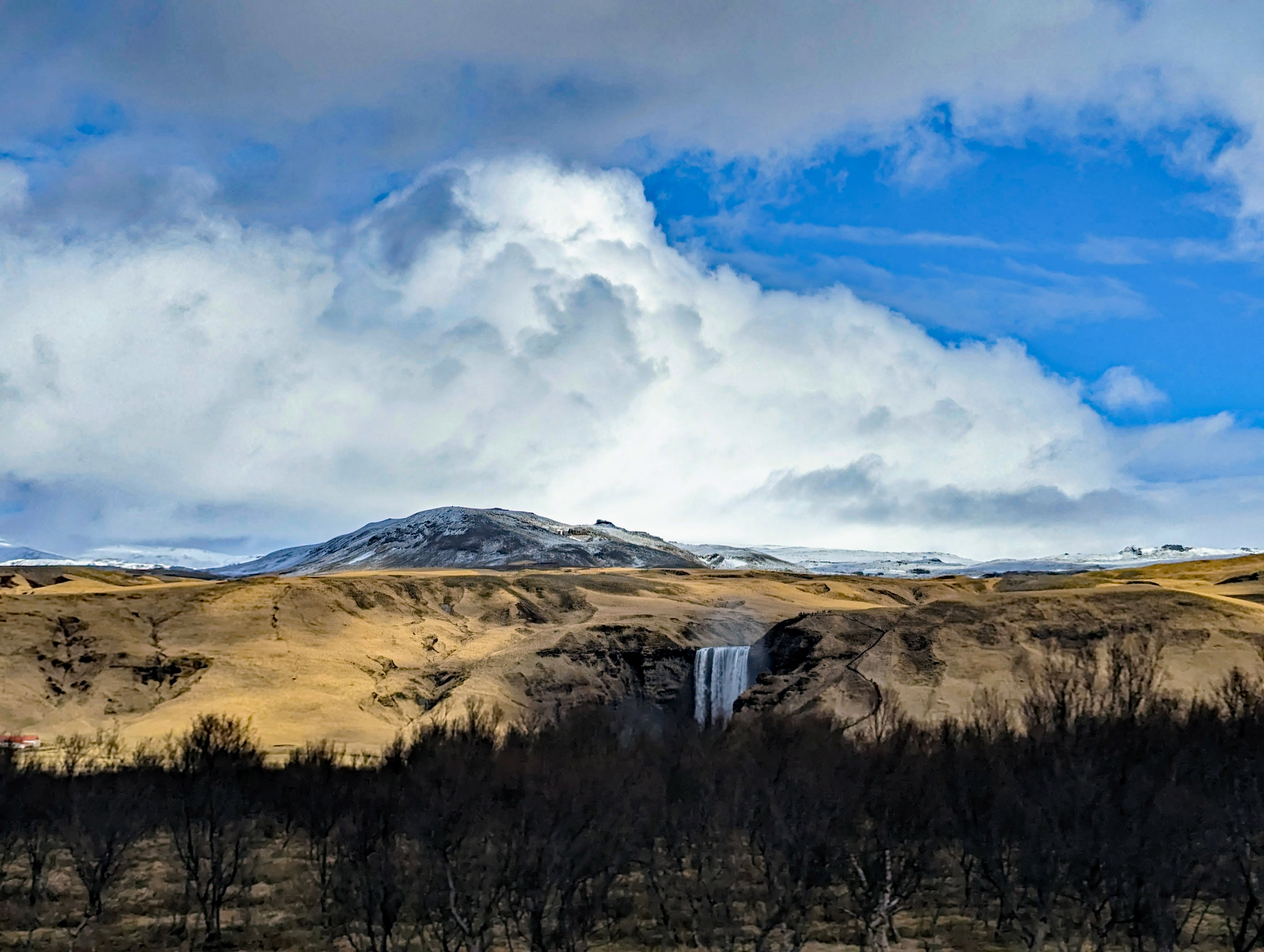
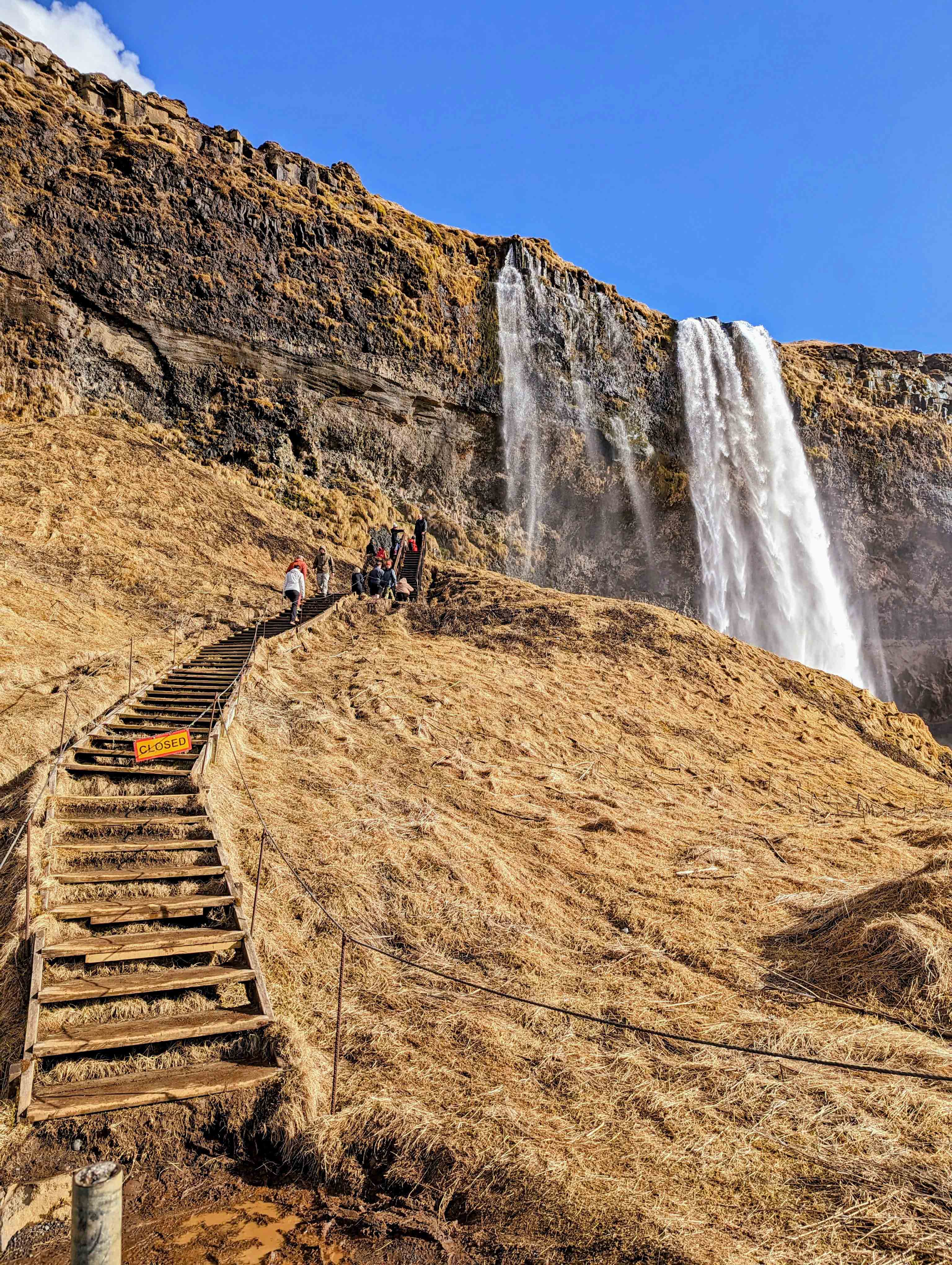
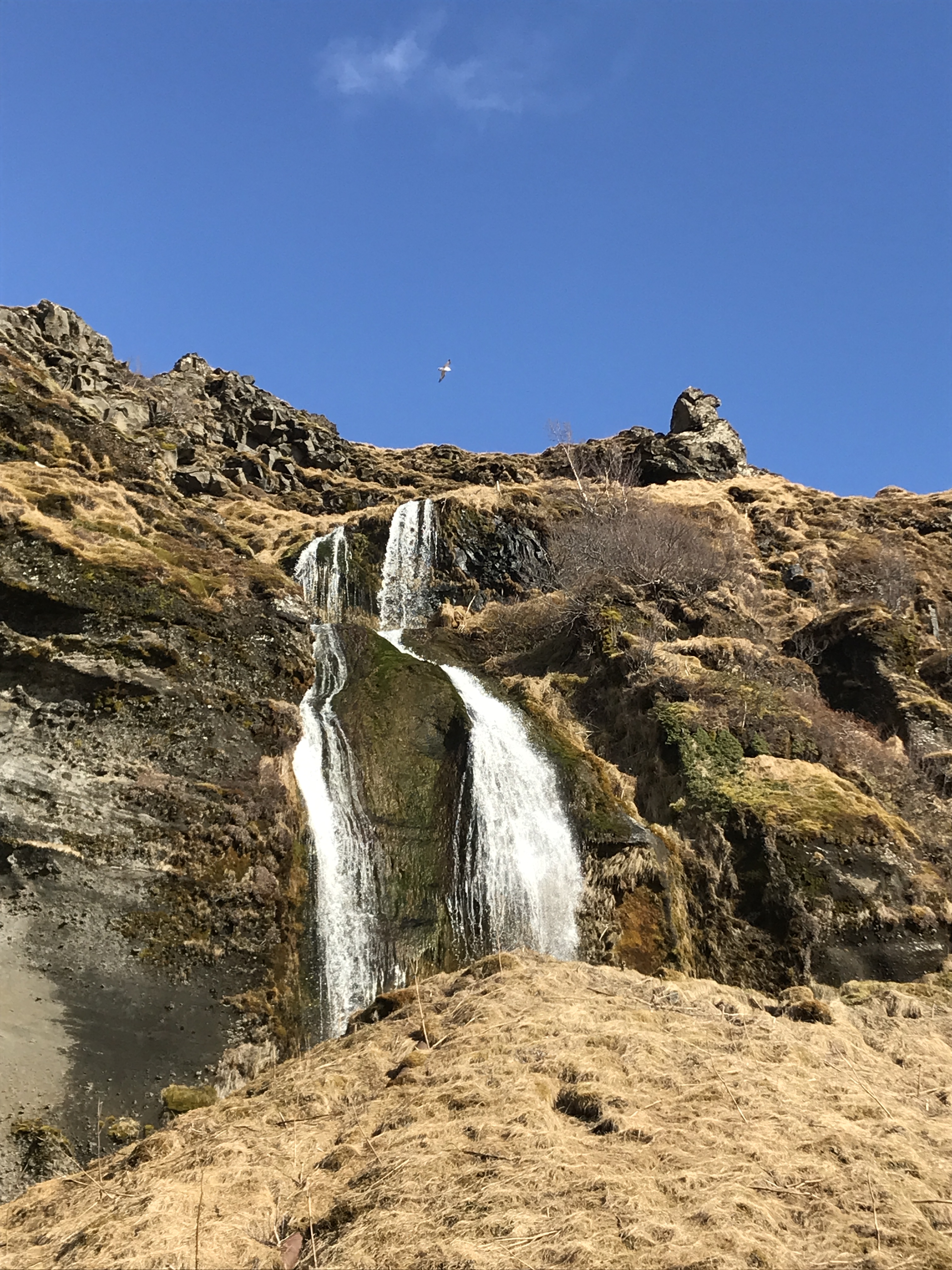
Skogafoss Waterfall.
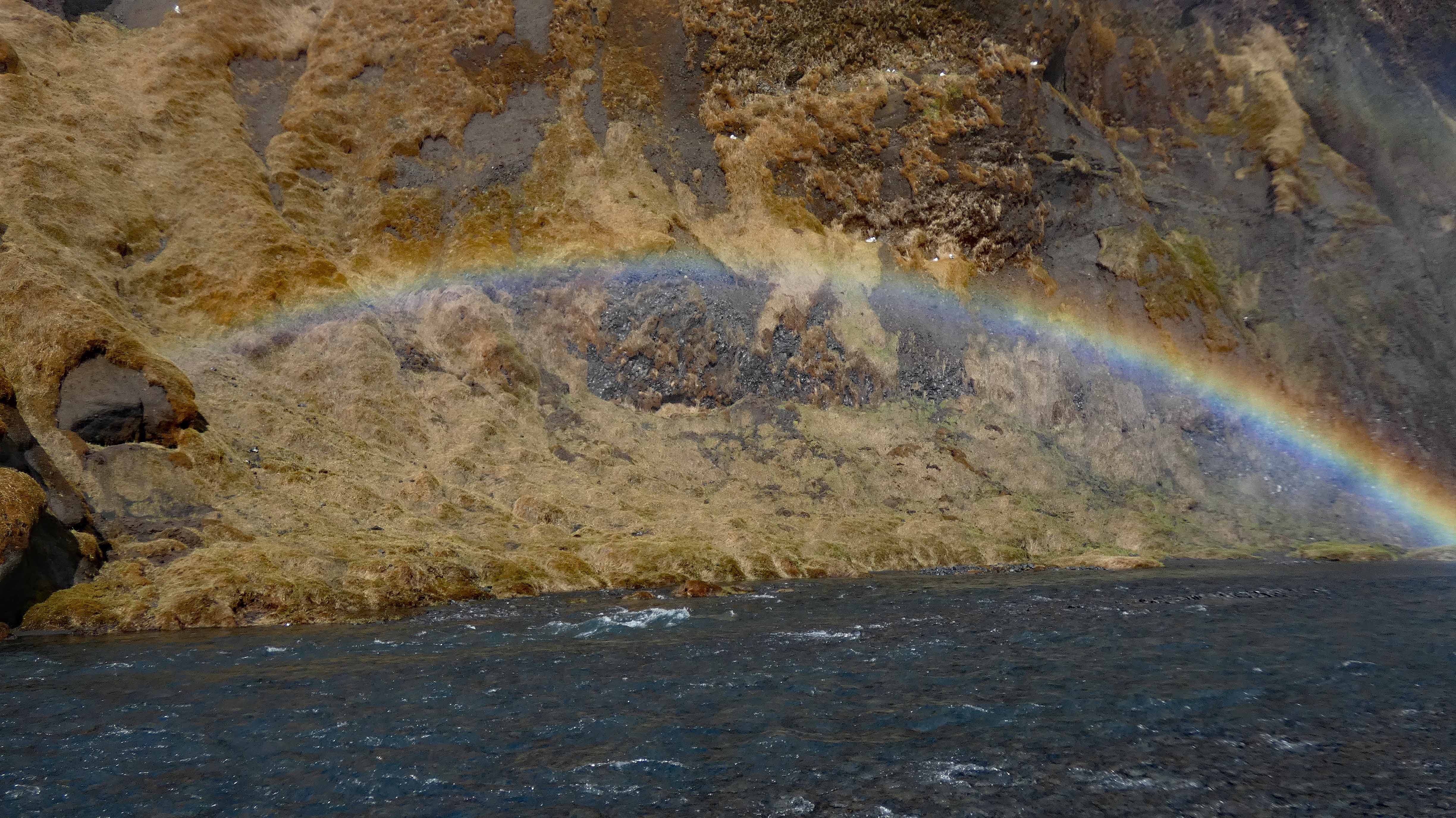
A double rainbow and a triple dose of tourist.
Up in the cliffs, hiding from people.
More to nature than the obvious.
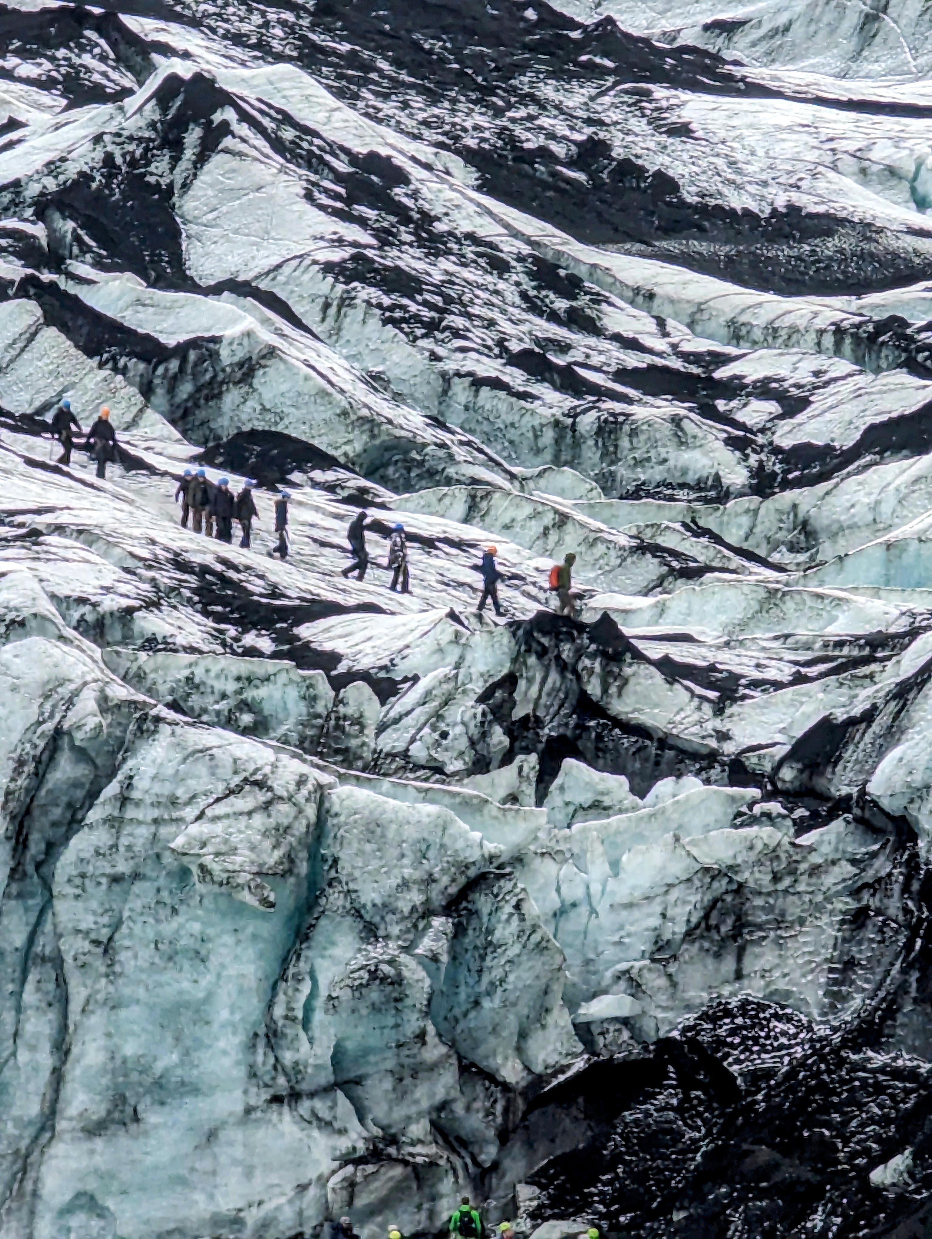
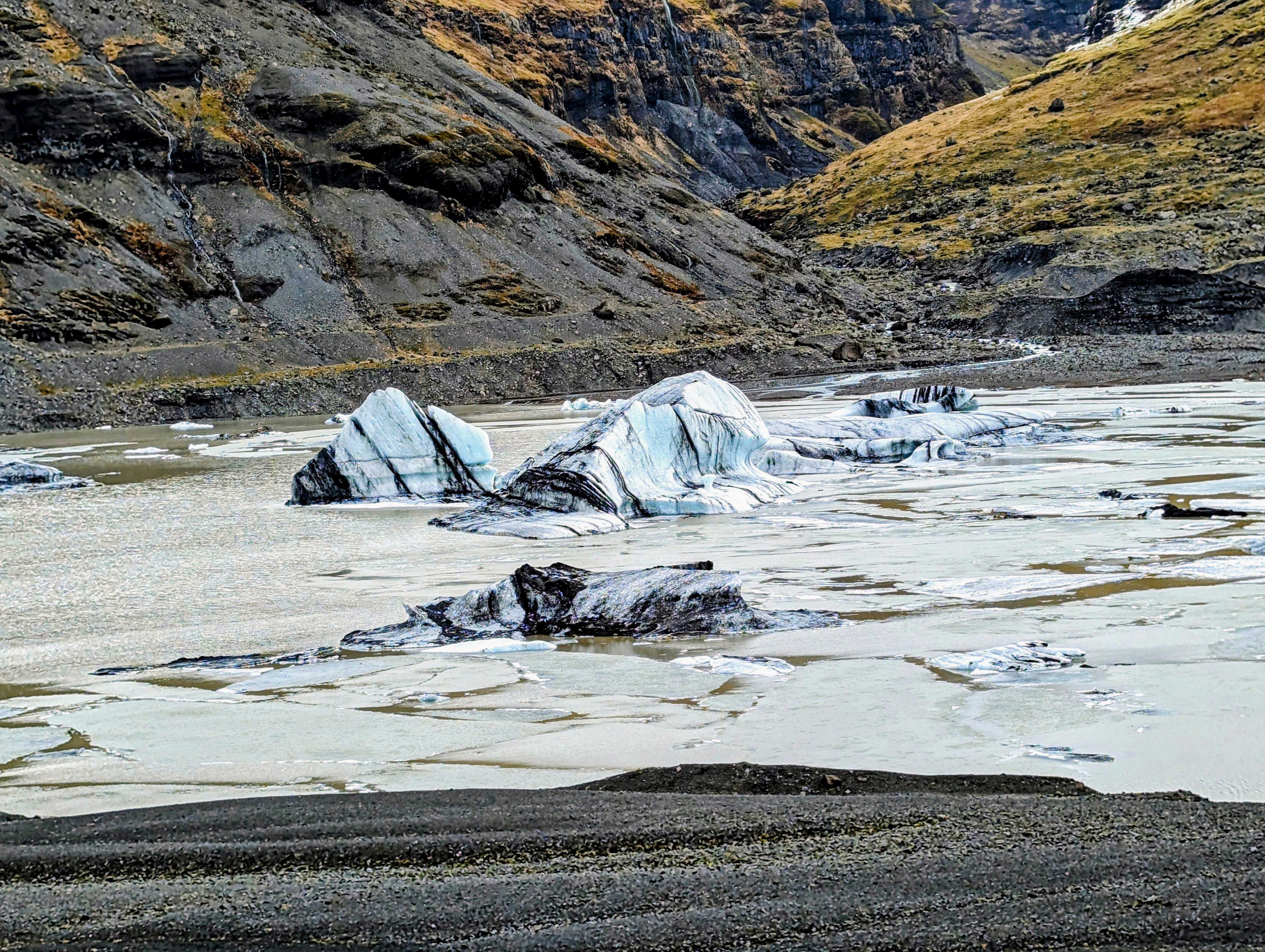
Riding away from one waterfall, heading to a glacier.
Peeled off parts of the Solheimajokull Glacier. The black lines are volcanic ash that were covered over again and again for thousands of years.
Another tour group on the glacier.
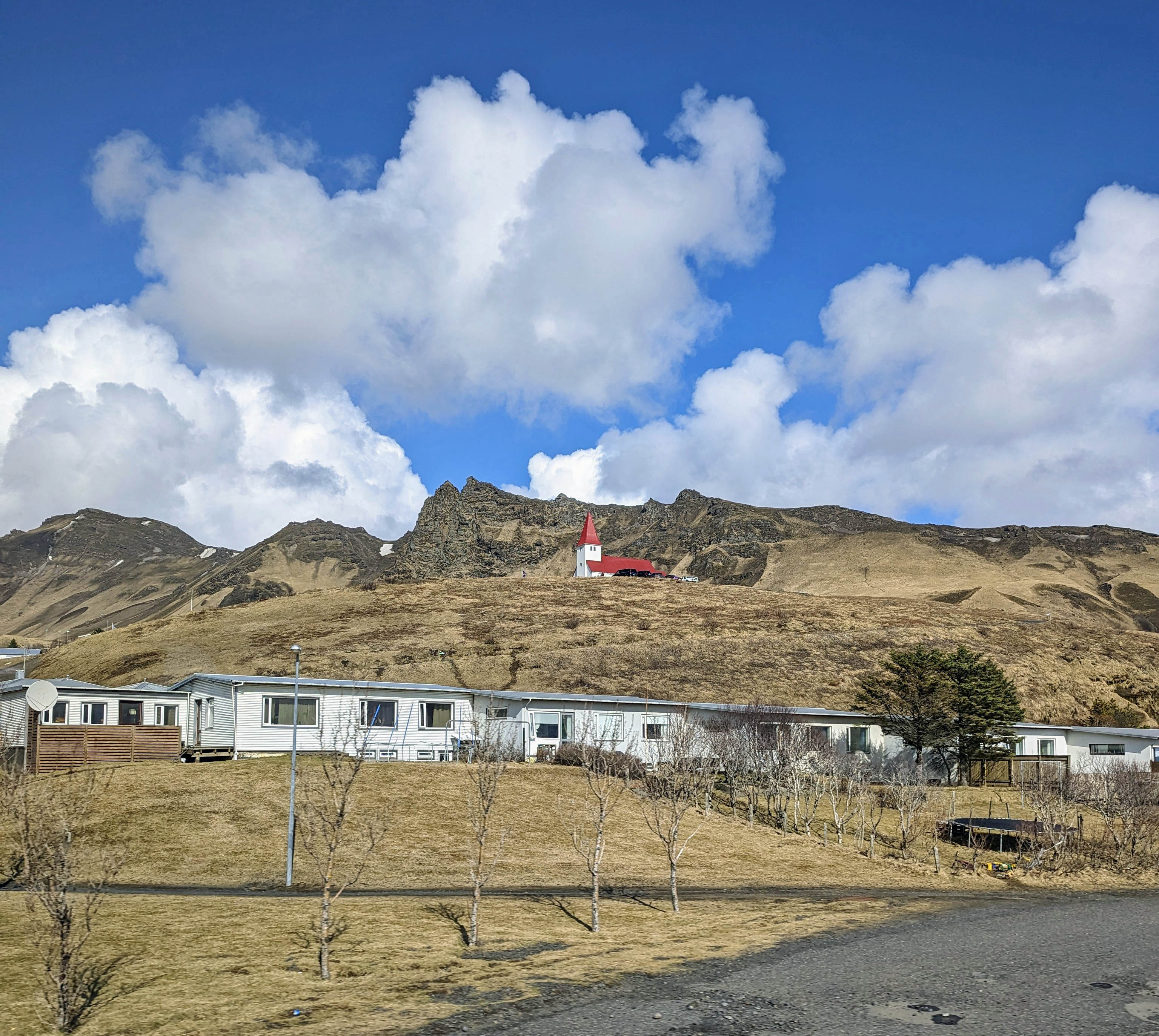
On to the town of Vik.
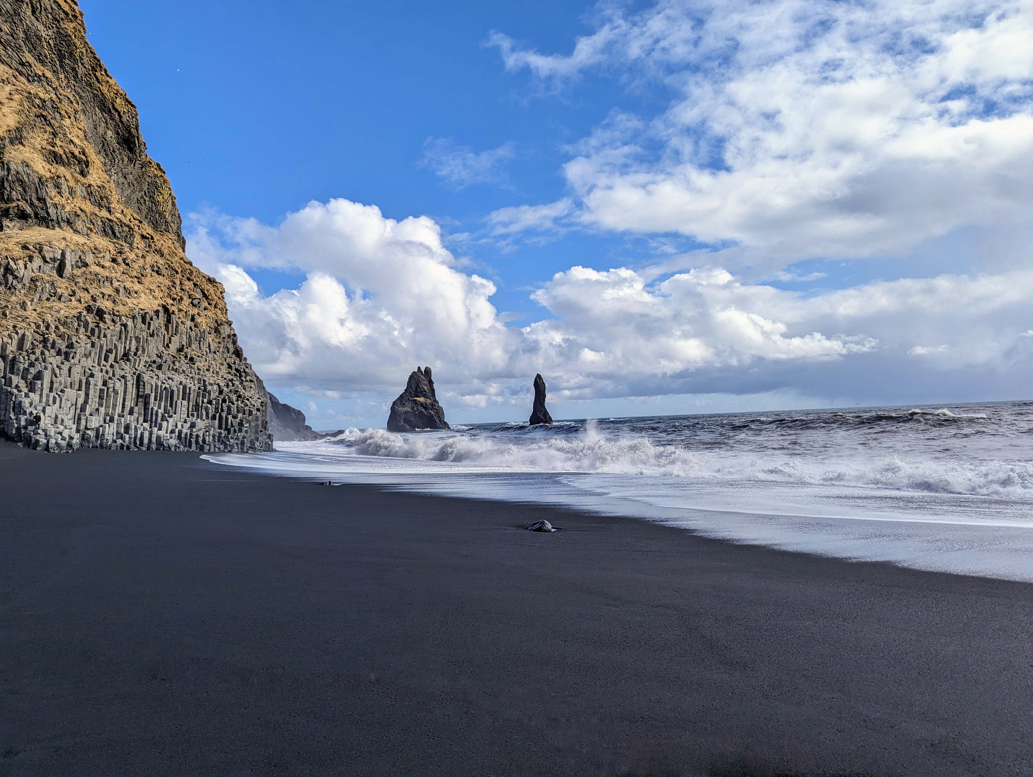
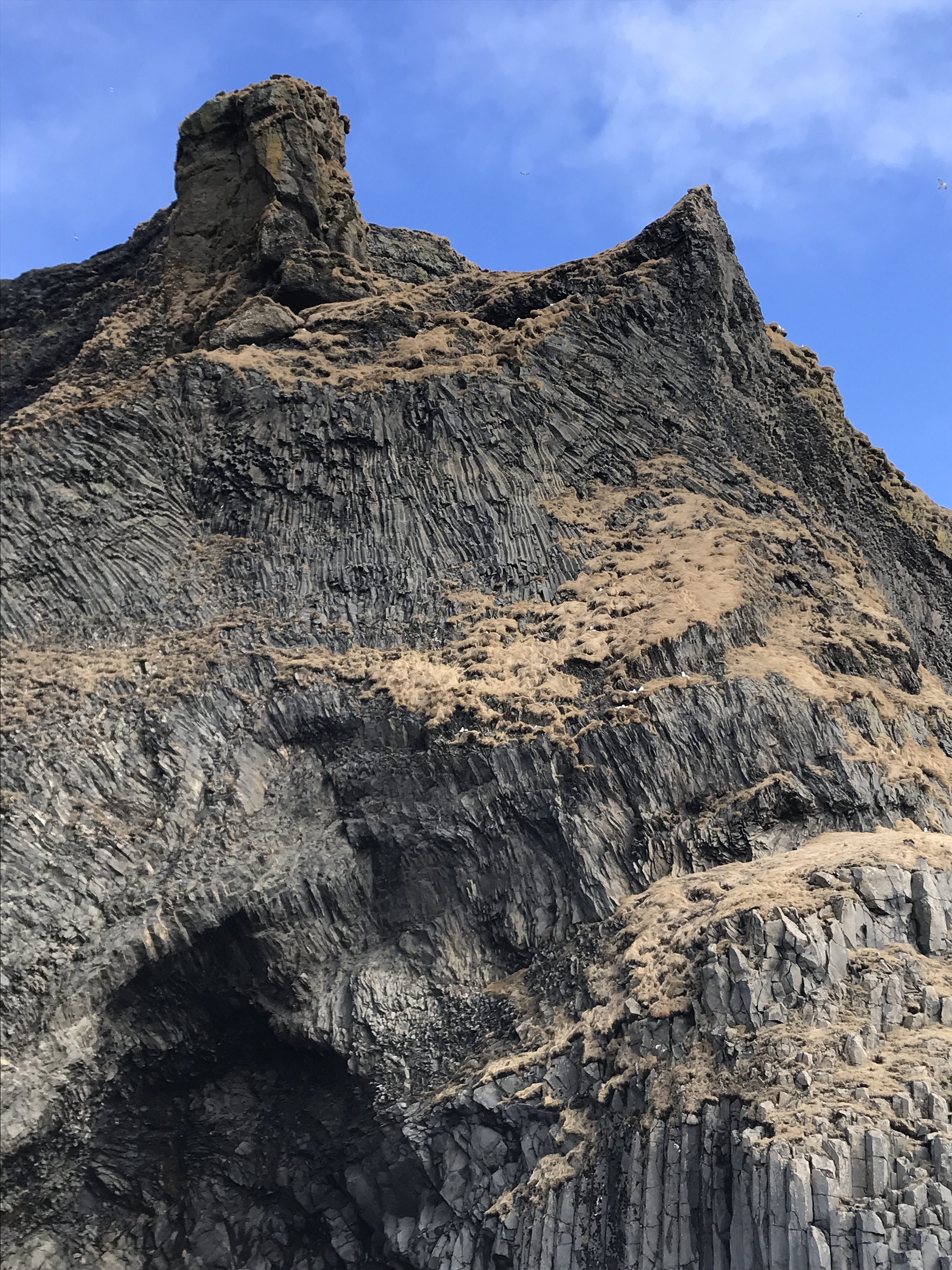
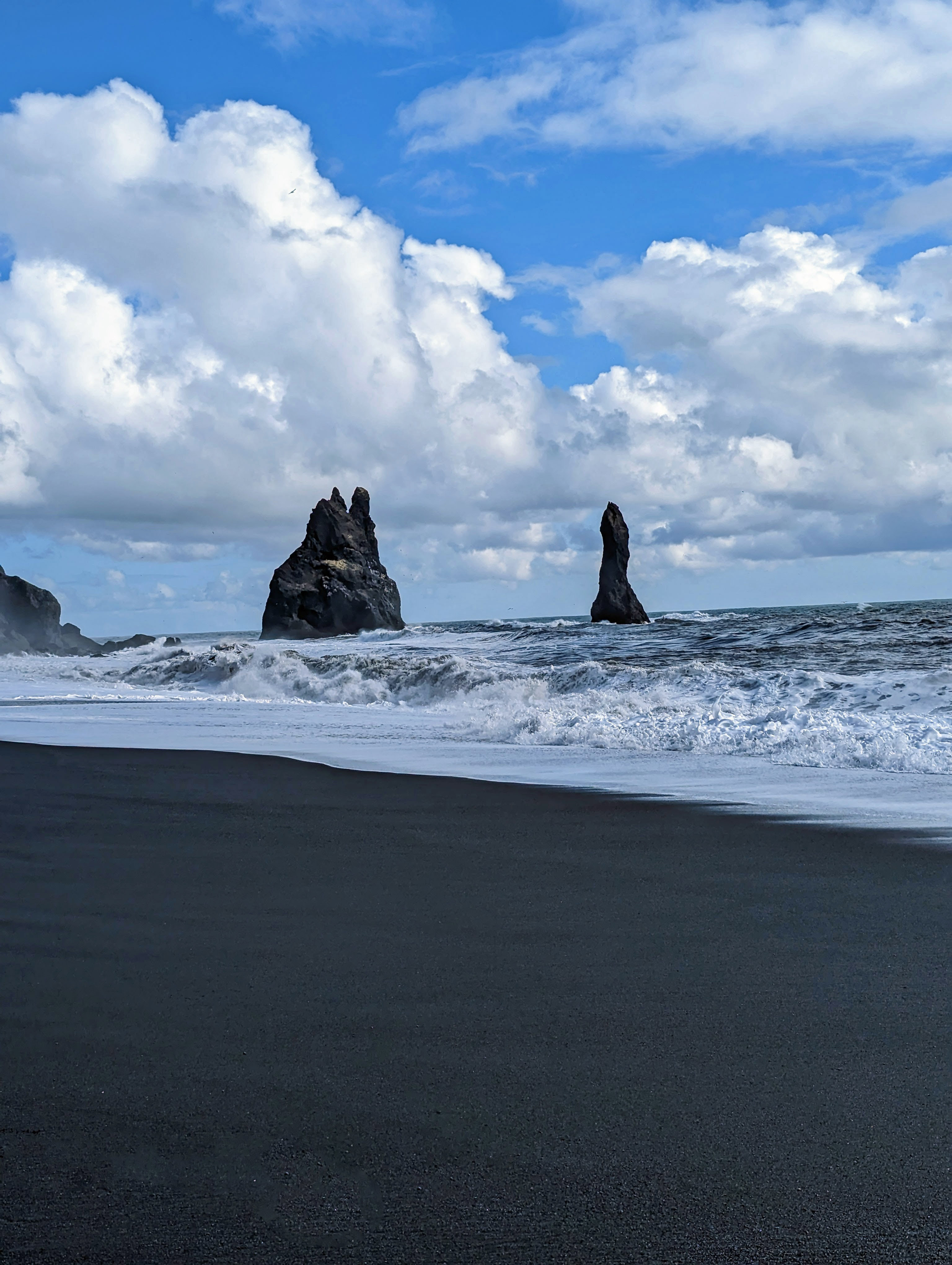
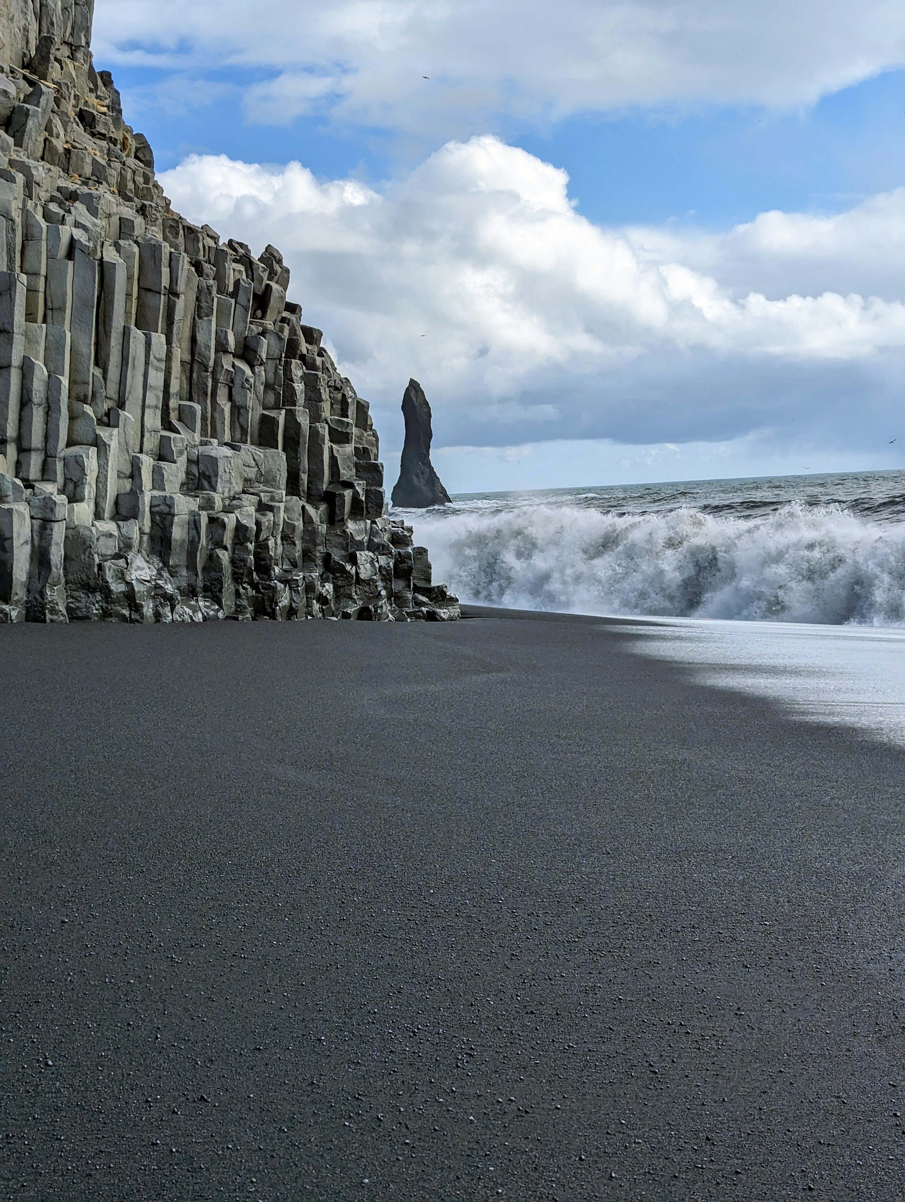
The giants – King and Queen on a ship. We will next head around that mountain to the Black Sand Beaches.
Like the Giant’s Causeway of Northern Ireland.
Our guide told us that stunt pilots love to fly through that hole in the cliff.
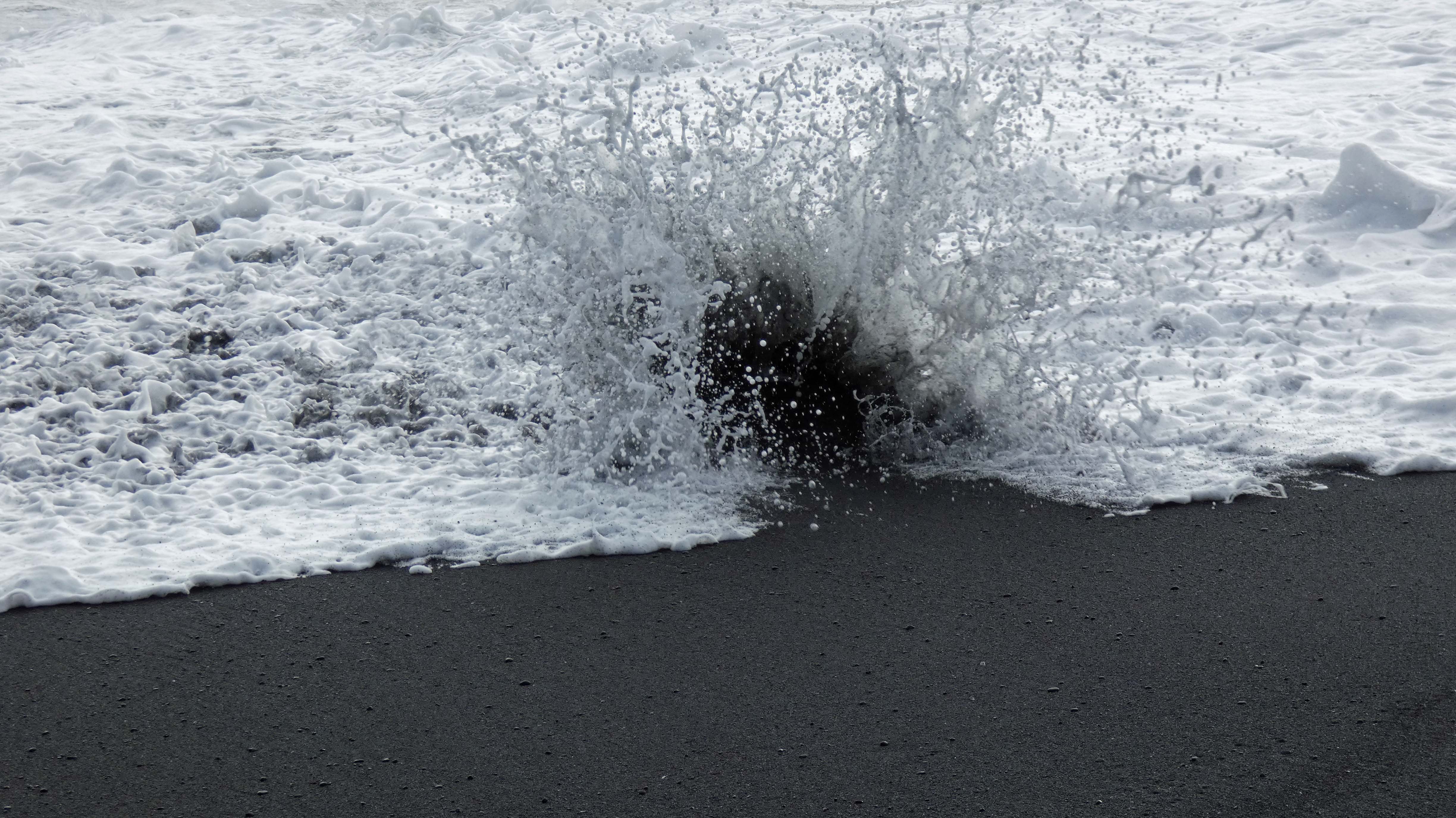
This is the one that got us wet.
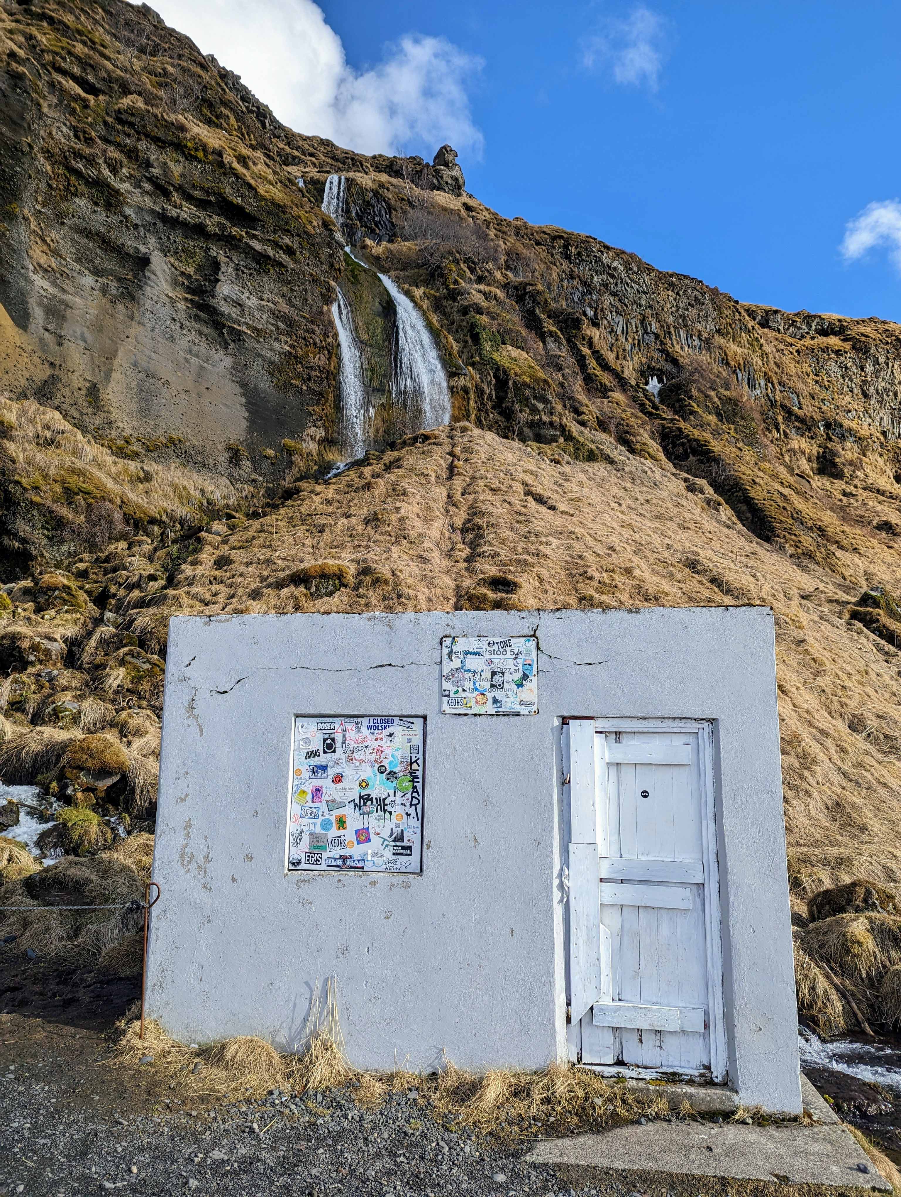
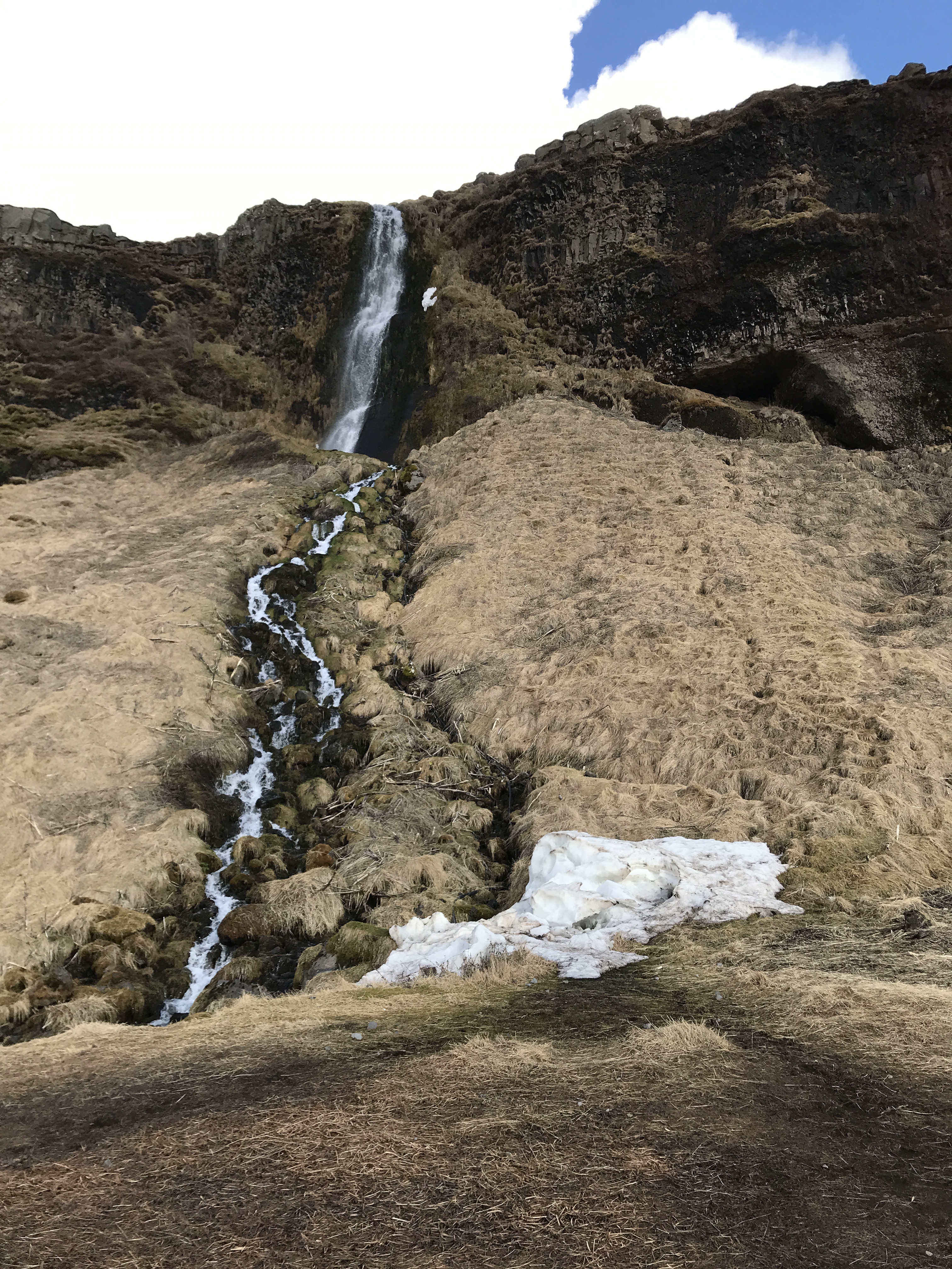
On the way back to town we stopped at another waterfall. Seljandsfoss.
More rainbows.
It was easy to get wet here.
One of the only disappointments was not being able to go behind the waterfall. These people did, but when I am in someone else’s land, I respect their wishes. One guy who didn’t, fell on the ice (why it was closed) and cut his hand wide open.
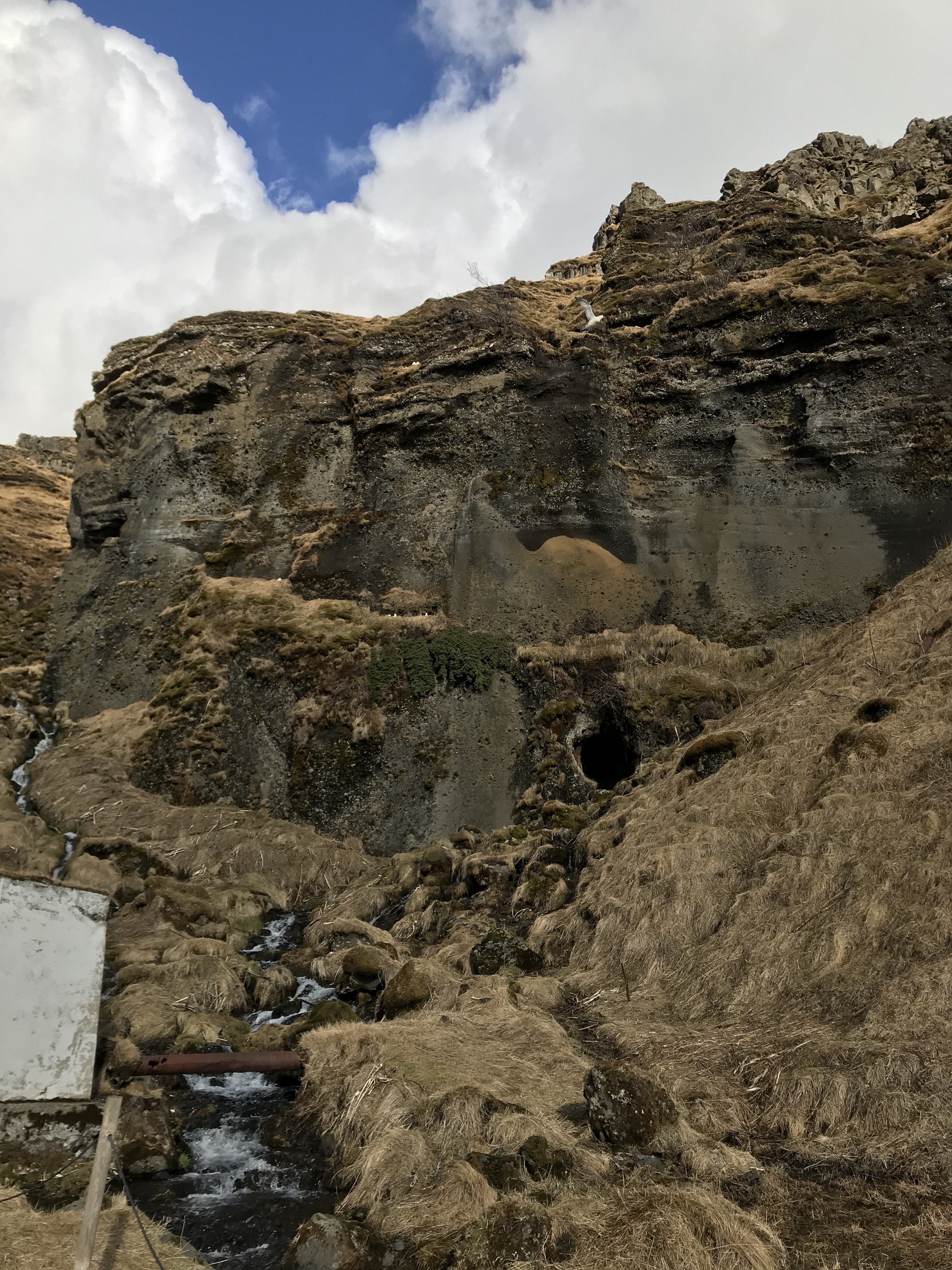
Gnomes live in that cave.
So it is time to head back to Reykjavik. Took some miscellaneous photos on the way.
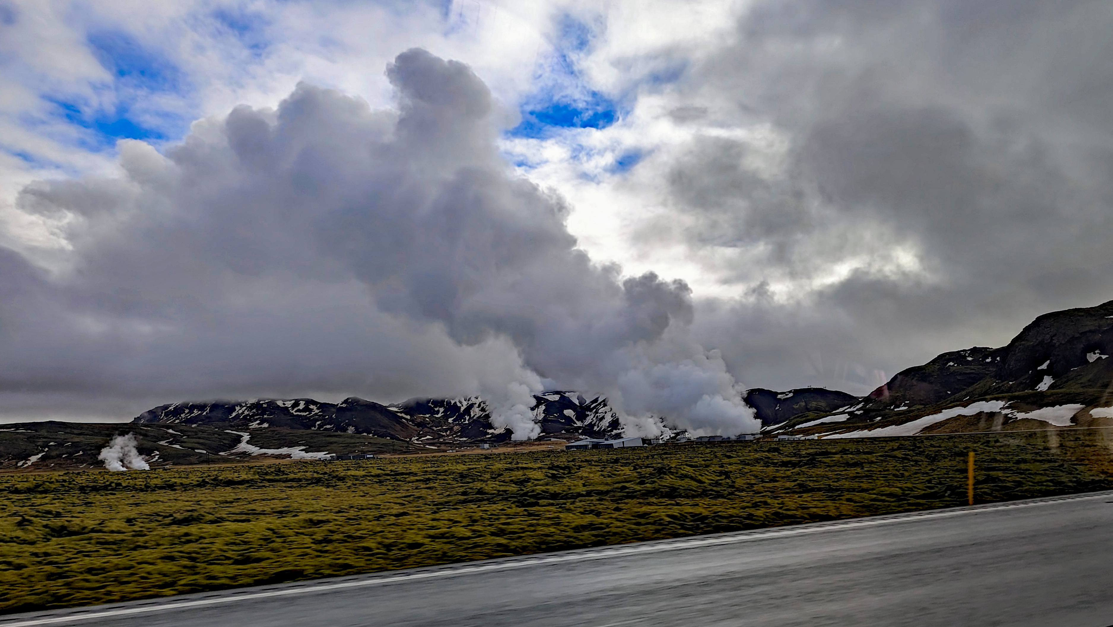
Steam vents just pop up randomly. People are told to be careful where they build their homes. The steam will heat their houses or destroy them.
Nice farm. The lava is covered in moss which decays then more moss and so on, eventually becoming dirt that will allow wheat to grow.
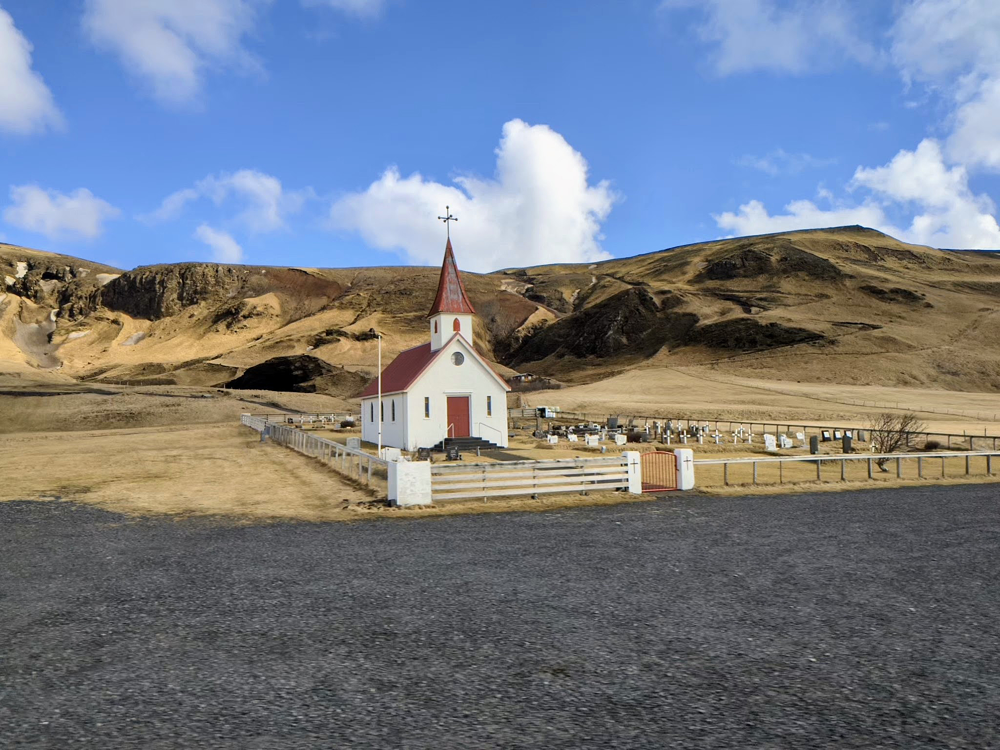
The driver would not pull over so Kathy and I could check out the cemetery.
Random photos.
Cant stop me..
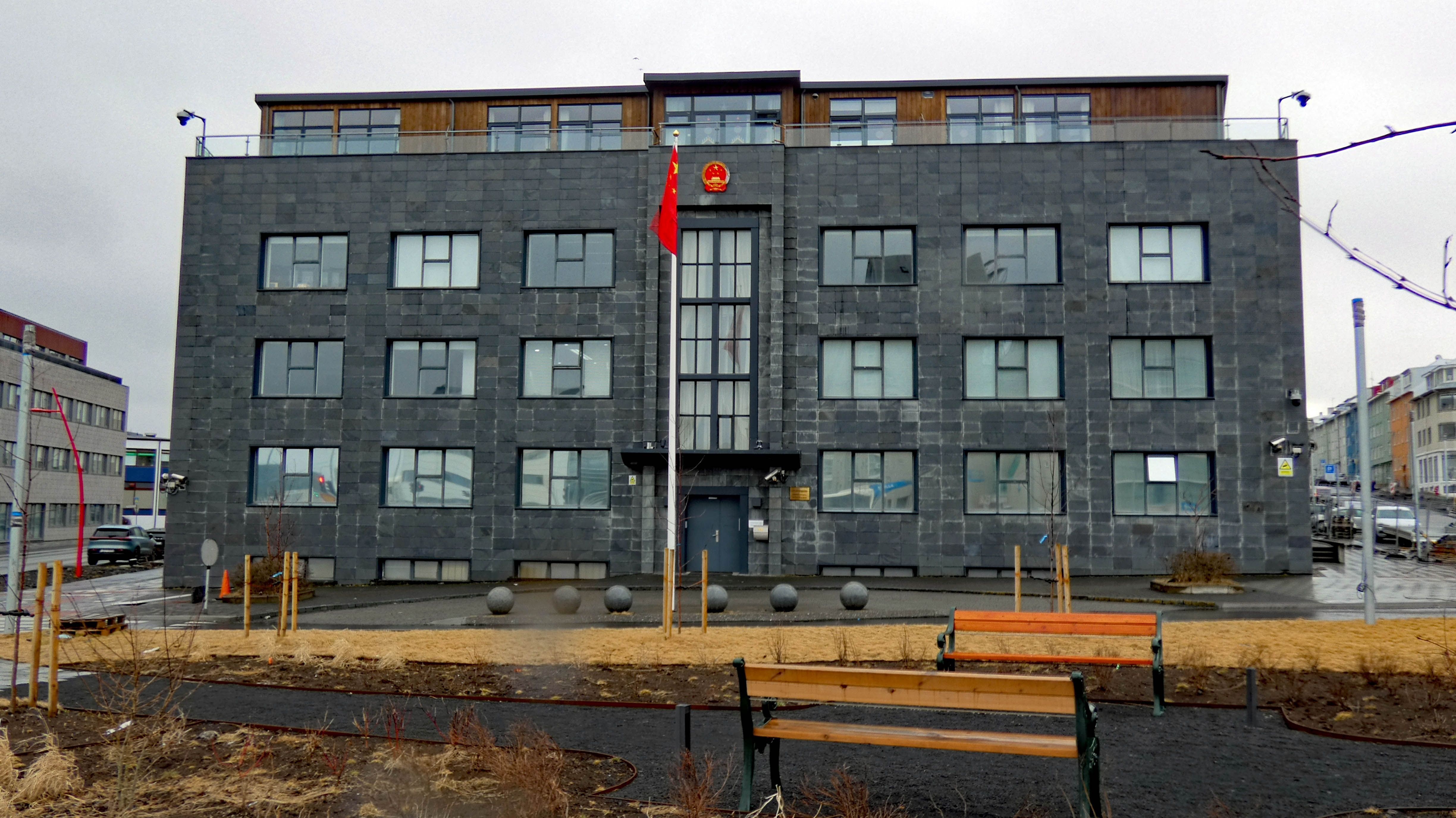
Chinese Embassy.
They love their wrestling.
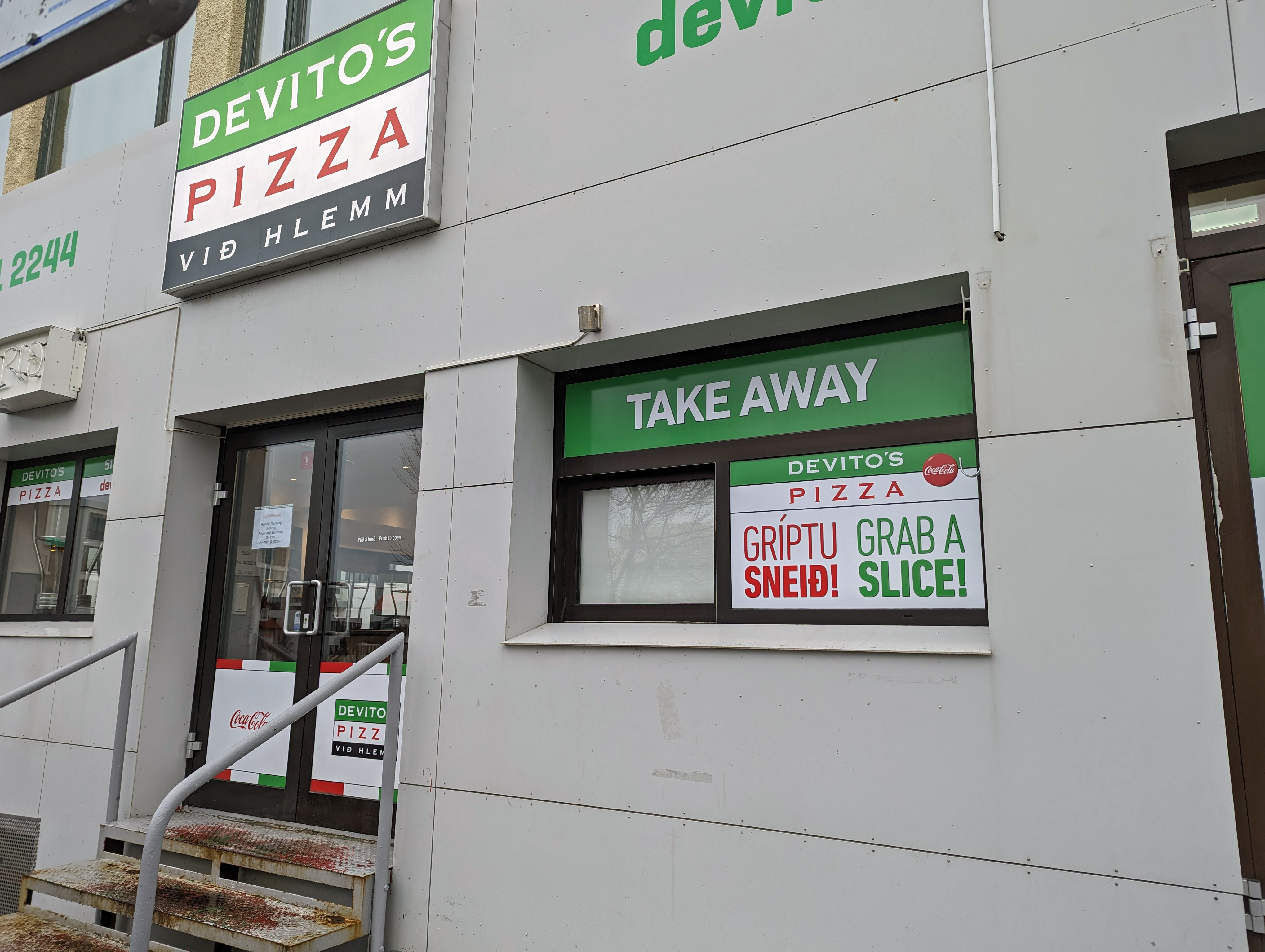
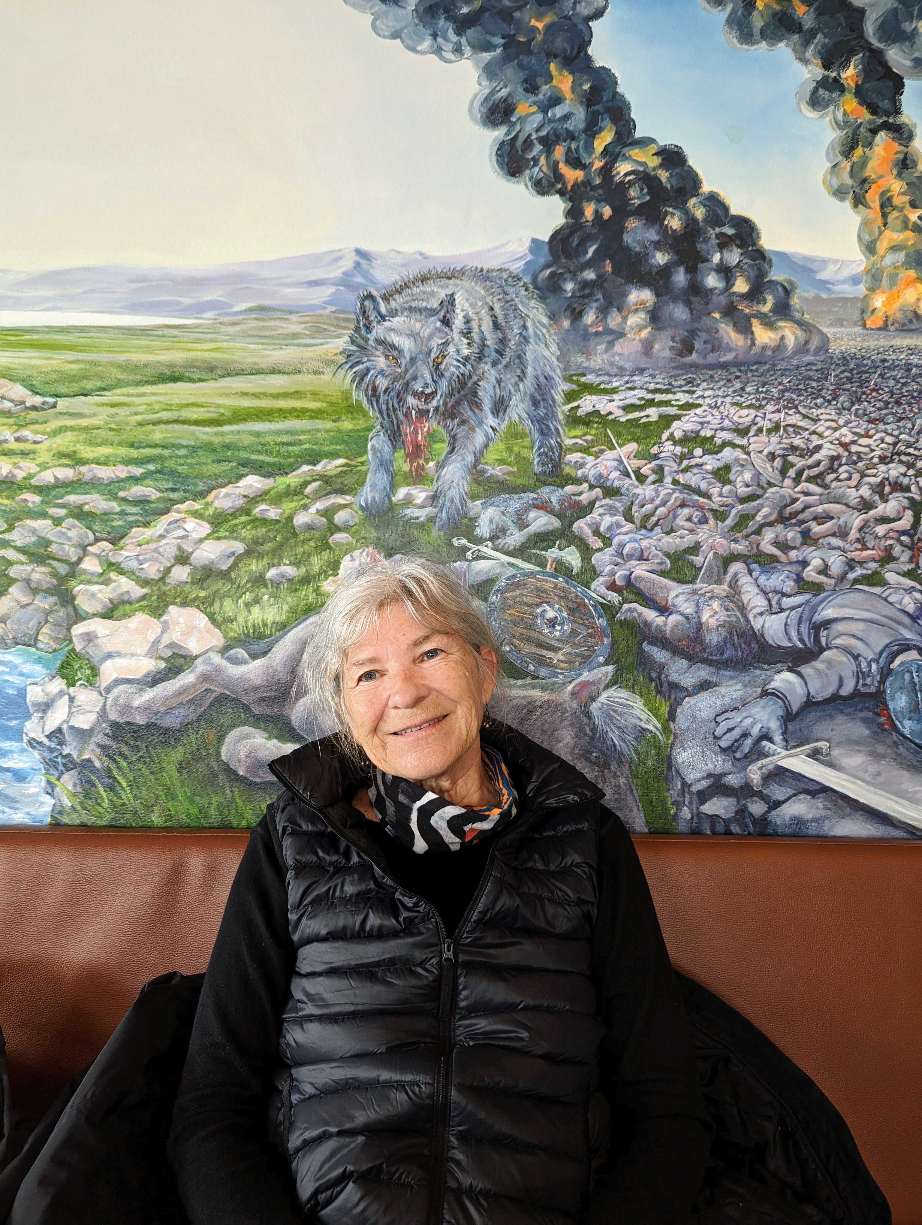
Our first dinner out. We watched a video about this place before we left and thought we should try it, except for the rancid shark!
Really a bizarre mural to look at while eating.
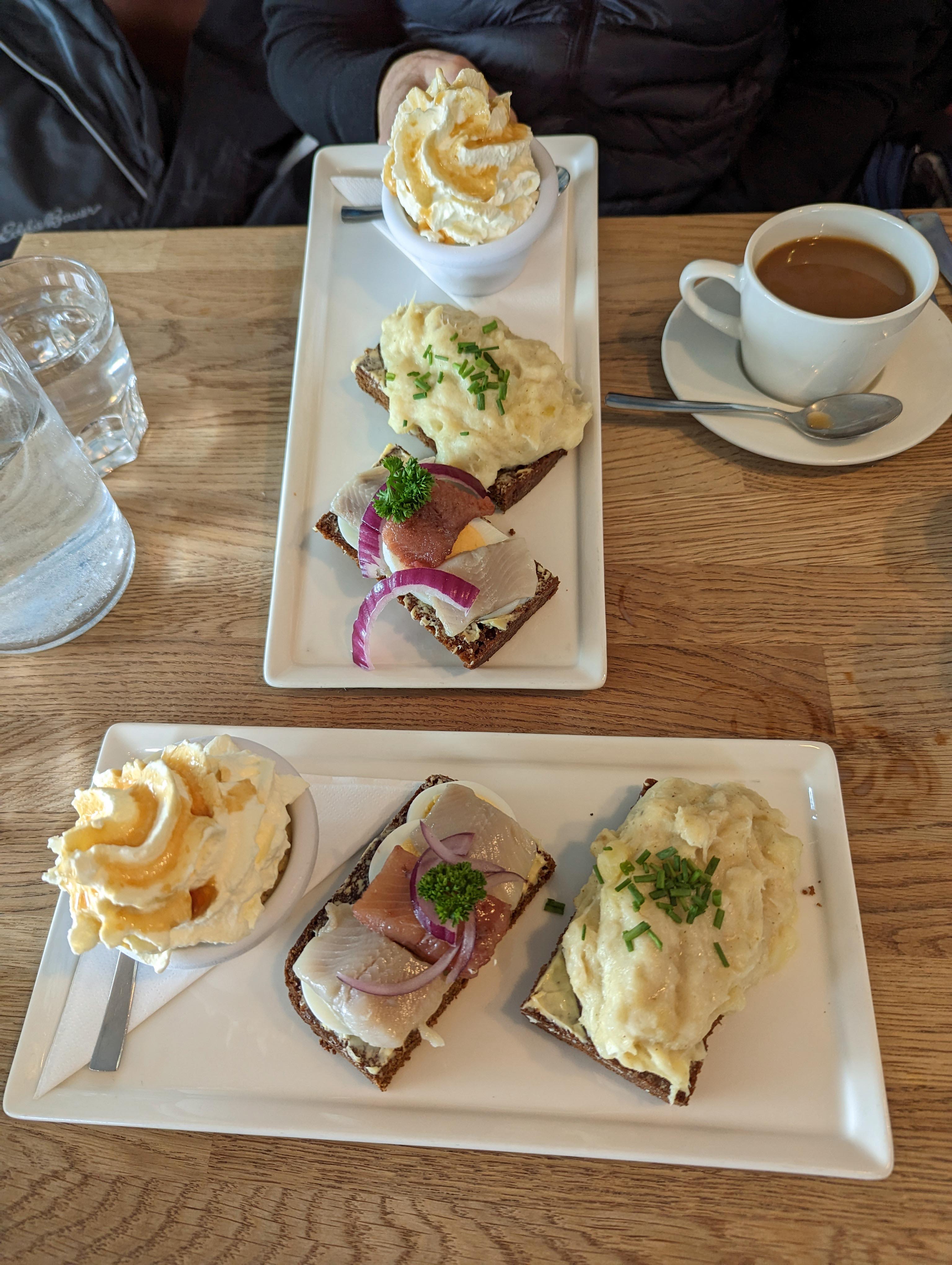
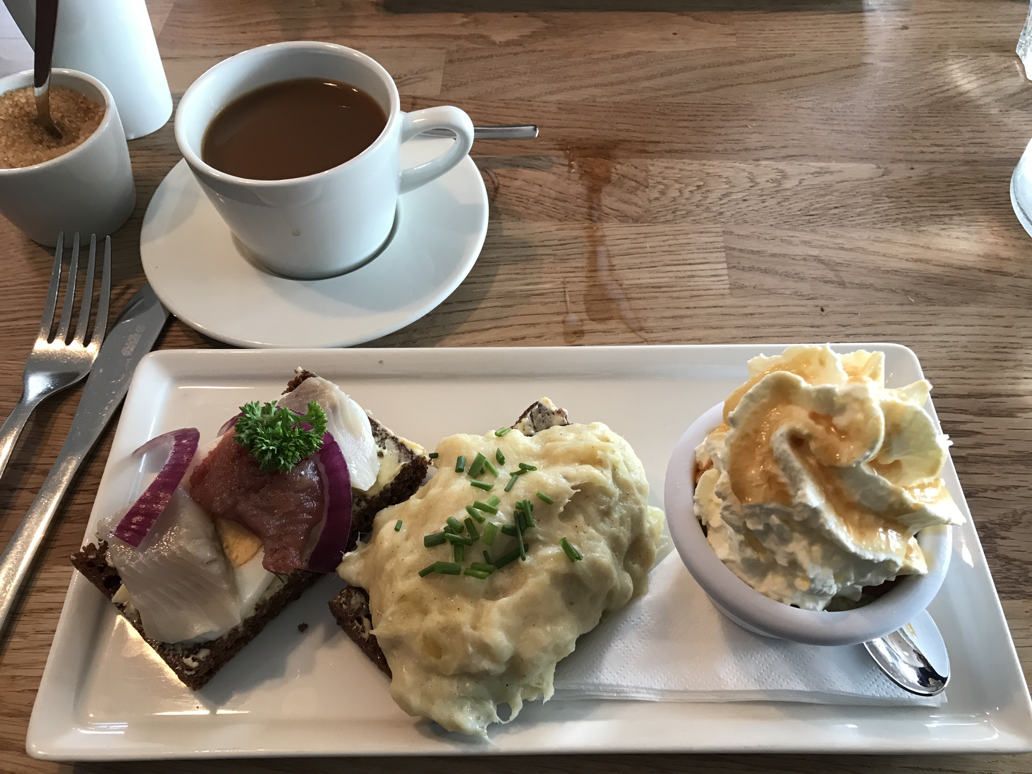
This was called the Baldur. Pickled herring on rye, I did not care for it. In the middle is Mashed Fish on rye, which was really good. Then rye bread ice cream. Melts in your mouth!
We then went to dinner at this place with Kathy’s friends, Donielle De and her husband Larry.
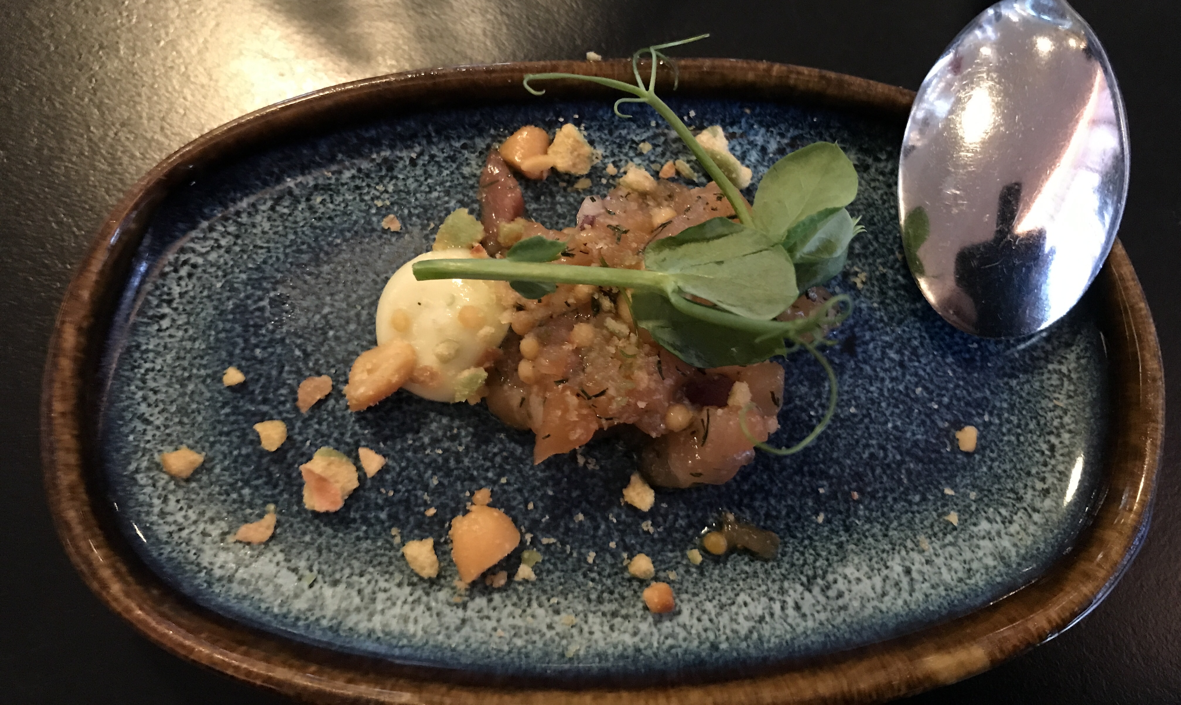
They start you off with an item new to the menu. This was salmon. OK I guess.
That is butter for your bread on that rock.
Kathy got the vegan meal.
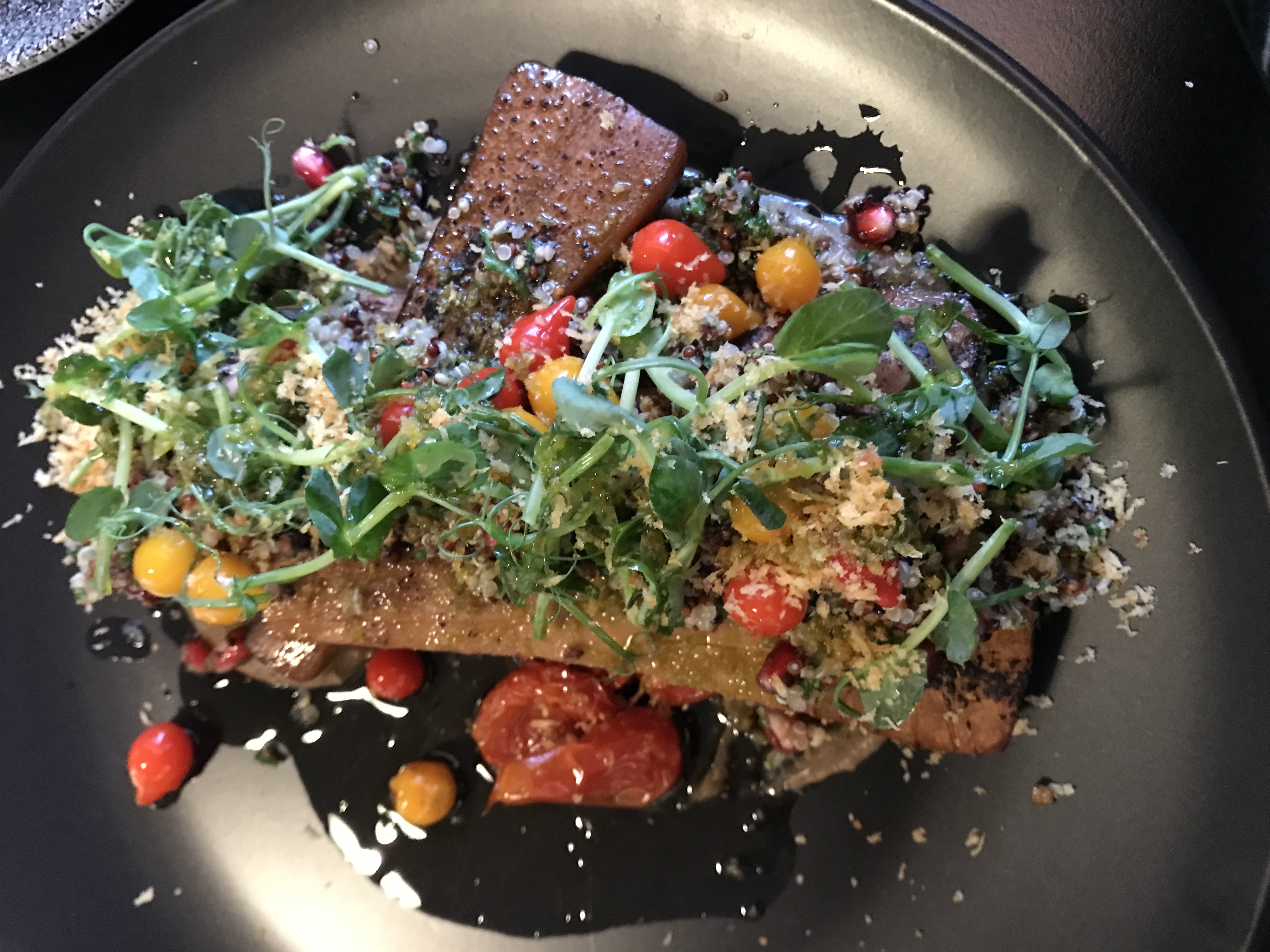
I got pasta with cod and shrimp.
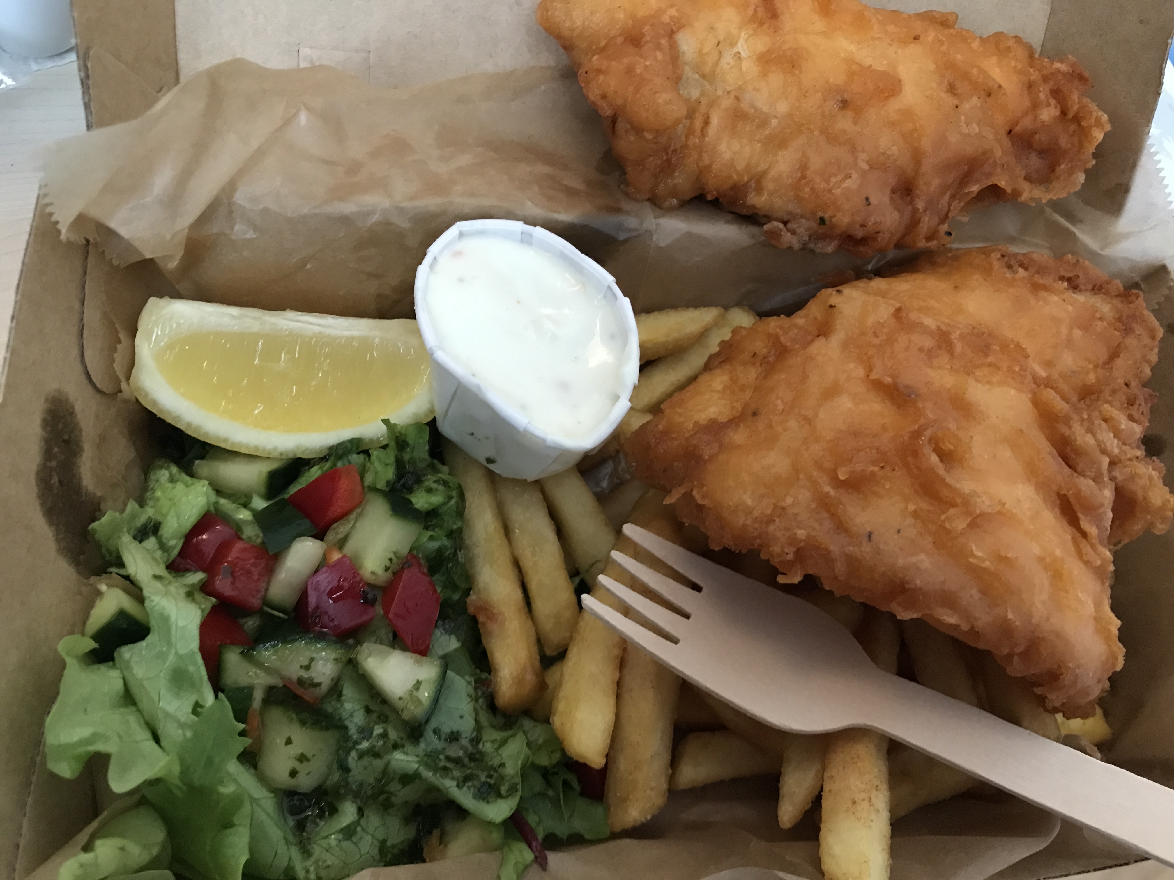
Another night we had carry-out fish and chips. Notice wood fork. Everything is recyclable. And if you want a bag, you will have to pay for it.
Baked beets.
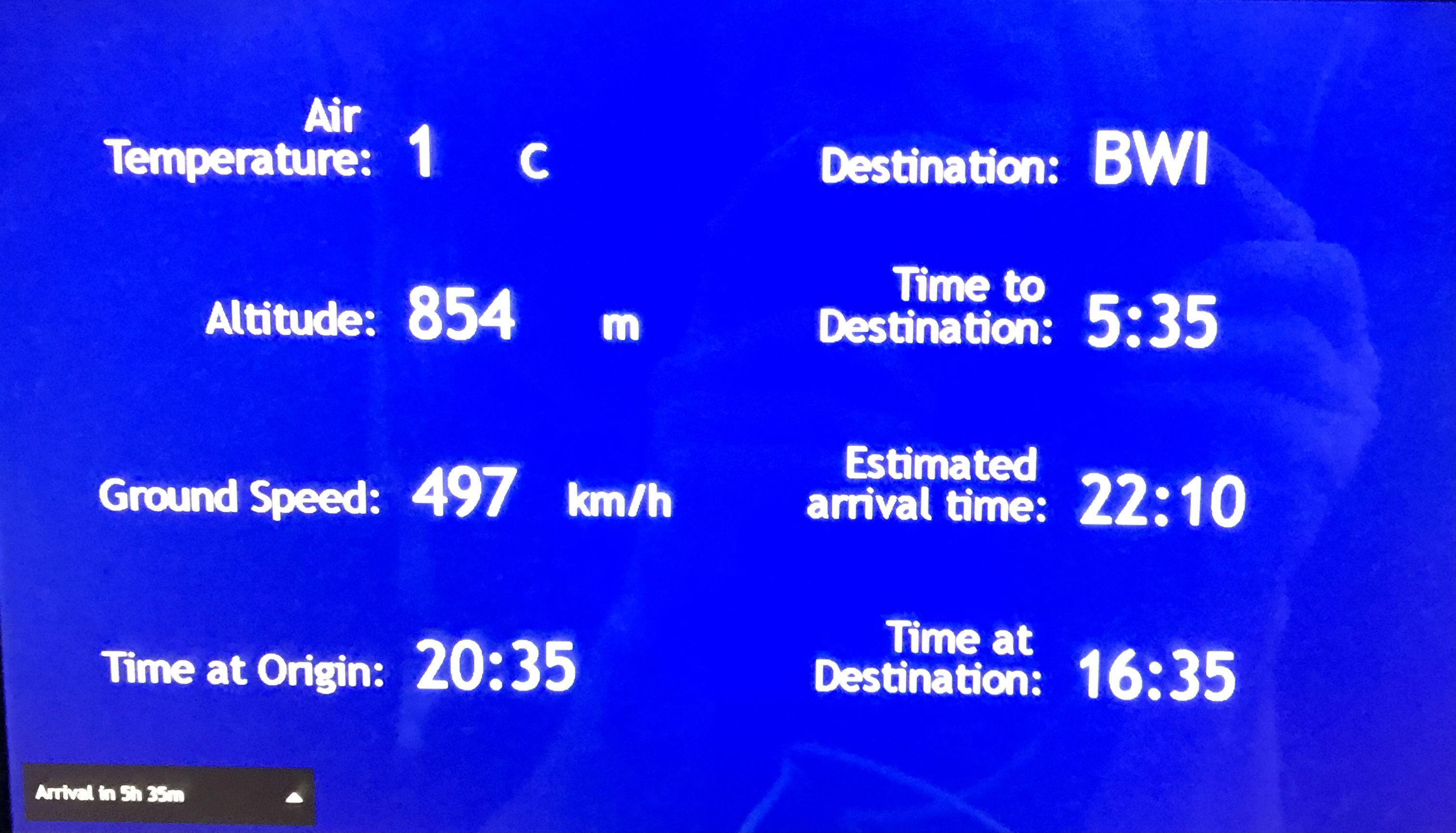
Next morning, heading home. the bus picked us up at about 12:30. Supposed to fly out at 5pm. Due to winds the plane did not take off until about 8:35pm. Long wait in a small airport with not enough seating. We arrived at BWI at 10:20pm EST. Left the long term parking by 11:30pm. Arrived at home 1:45am.
I am so glad that we were able to take this trip. We will probably go back one day to see all the things that we missed.
Another great road trip to North Carolina. Kathy already there for a week before I headed down to pick her up. I was to stay a week also but the weather took a turn for the worse and we came back a couple days early.
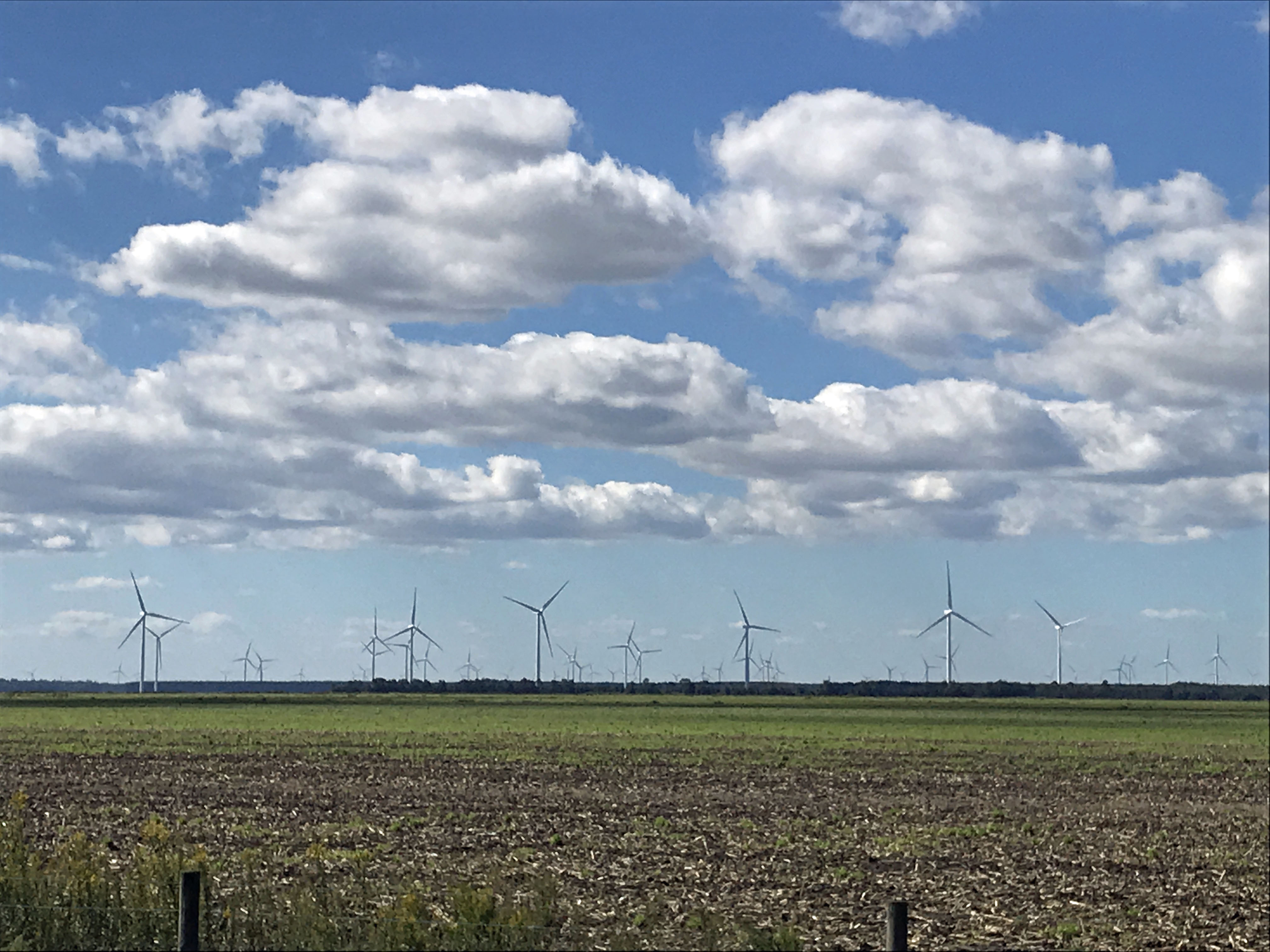
It was very foggy when I left Salisbury, Md. to head south. The fog did not dissipate until well after Edenton. I missed the windmill farm, but Kathy got a photo of it.
One of my favorite stops is at the Dismal Swamp. About 1/2 way there.
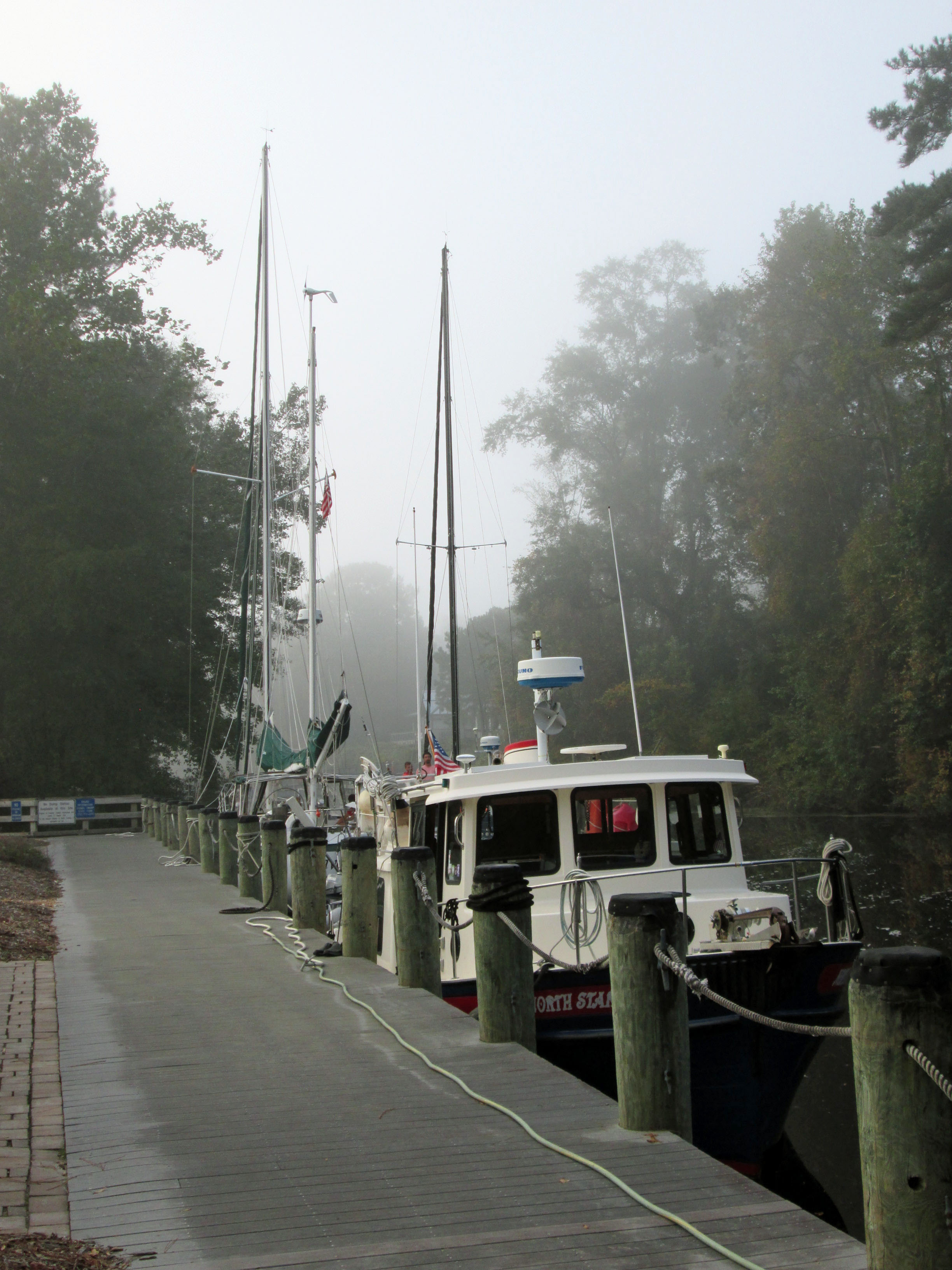
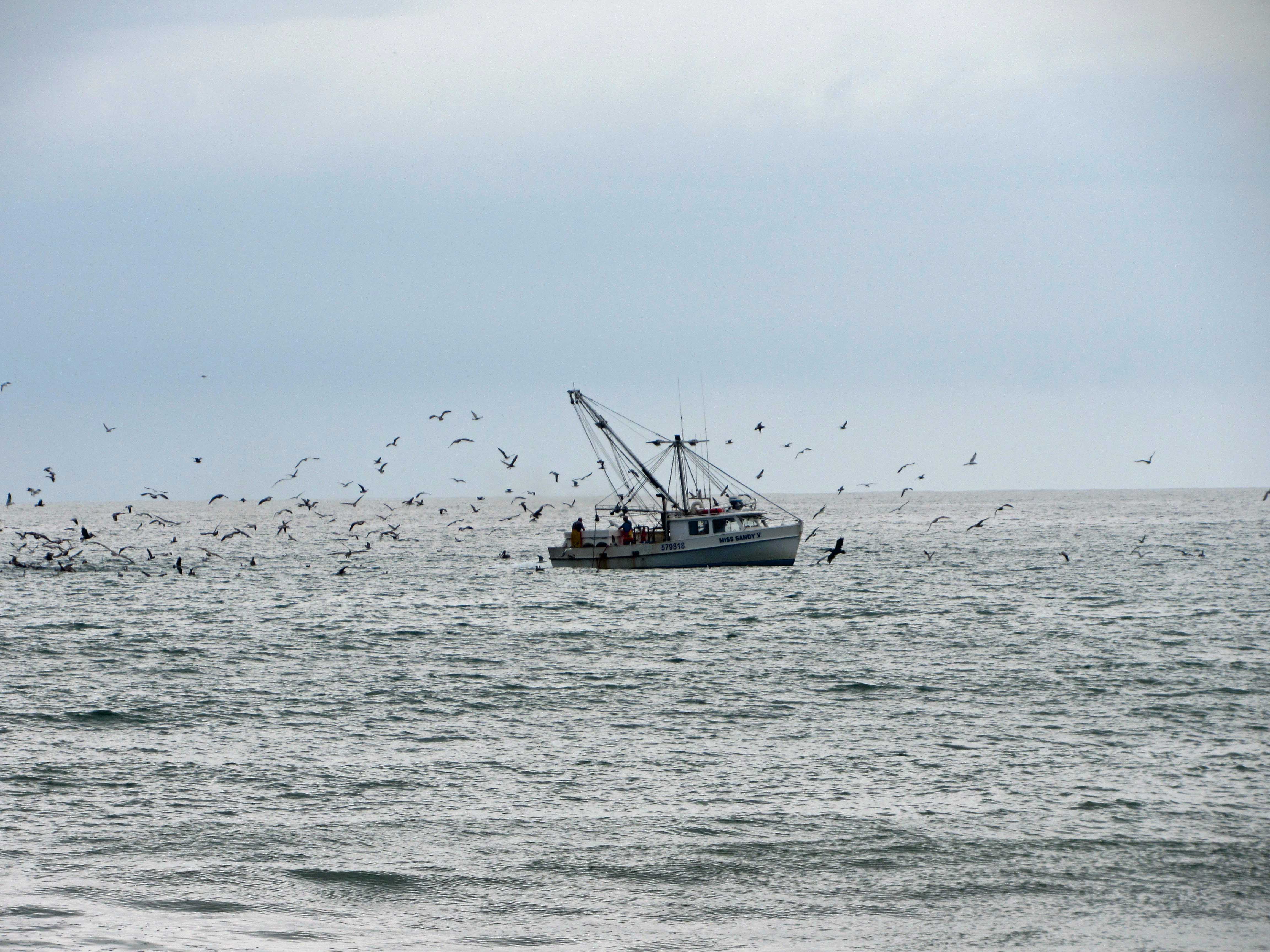
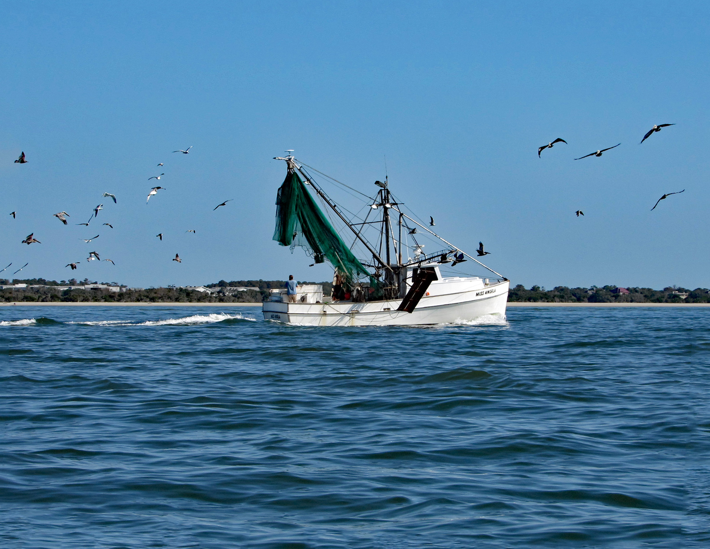
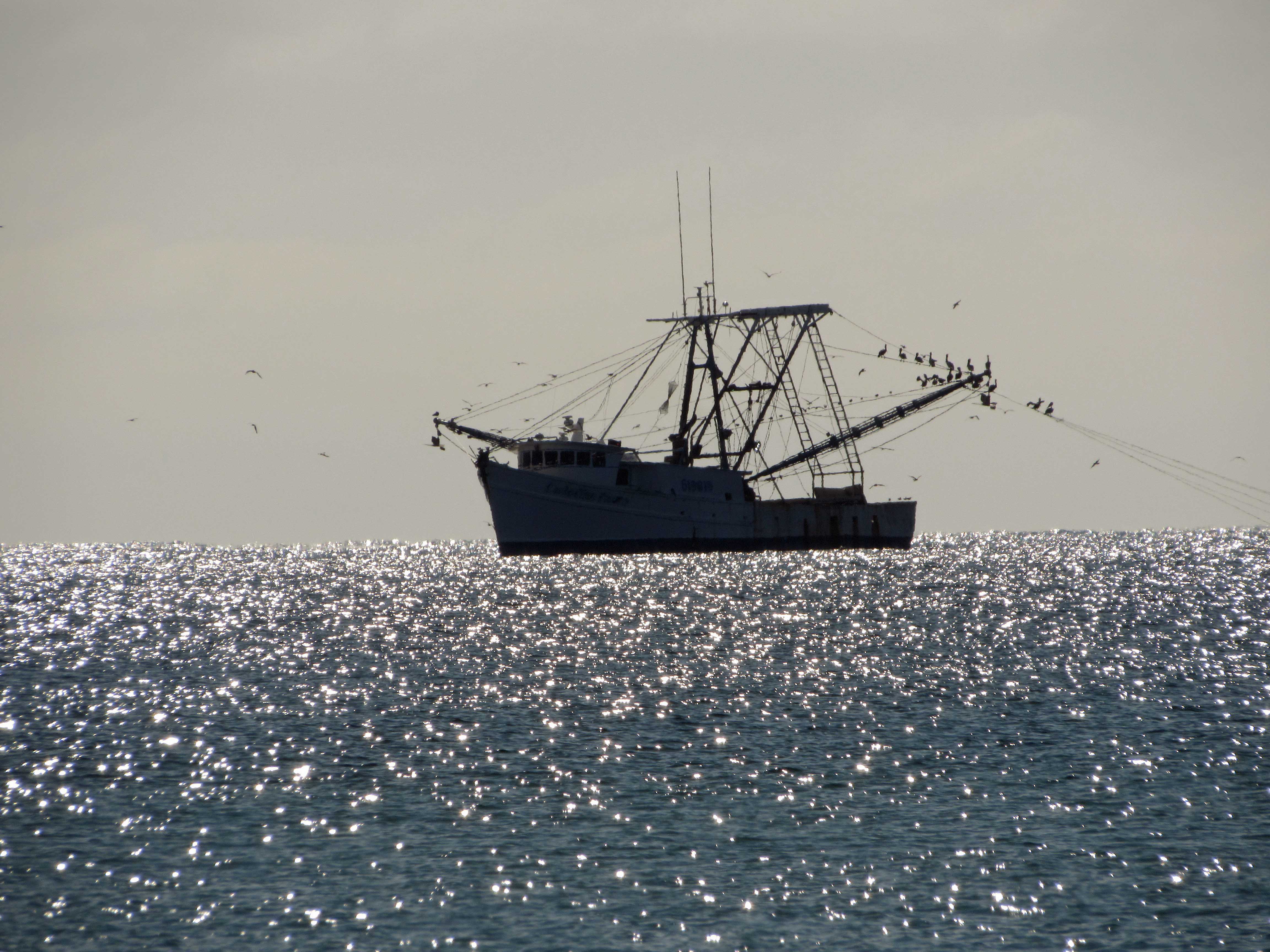
Arrived at Indian Beach, N.C. and we took a walk. Shrimp boat.
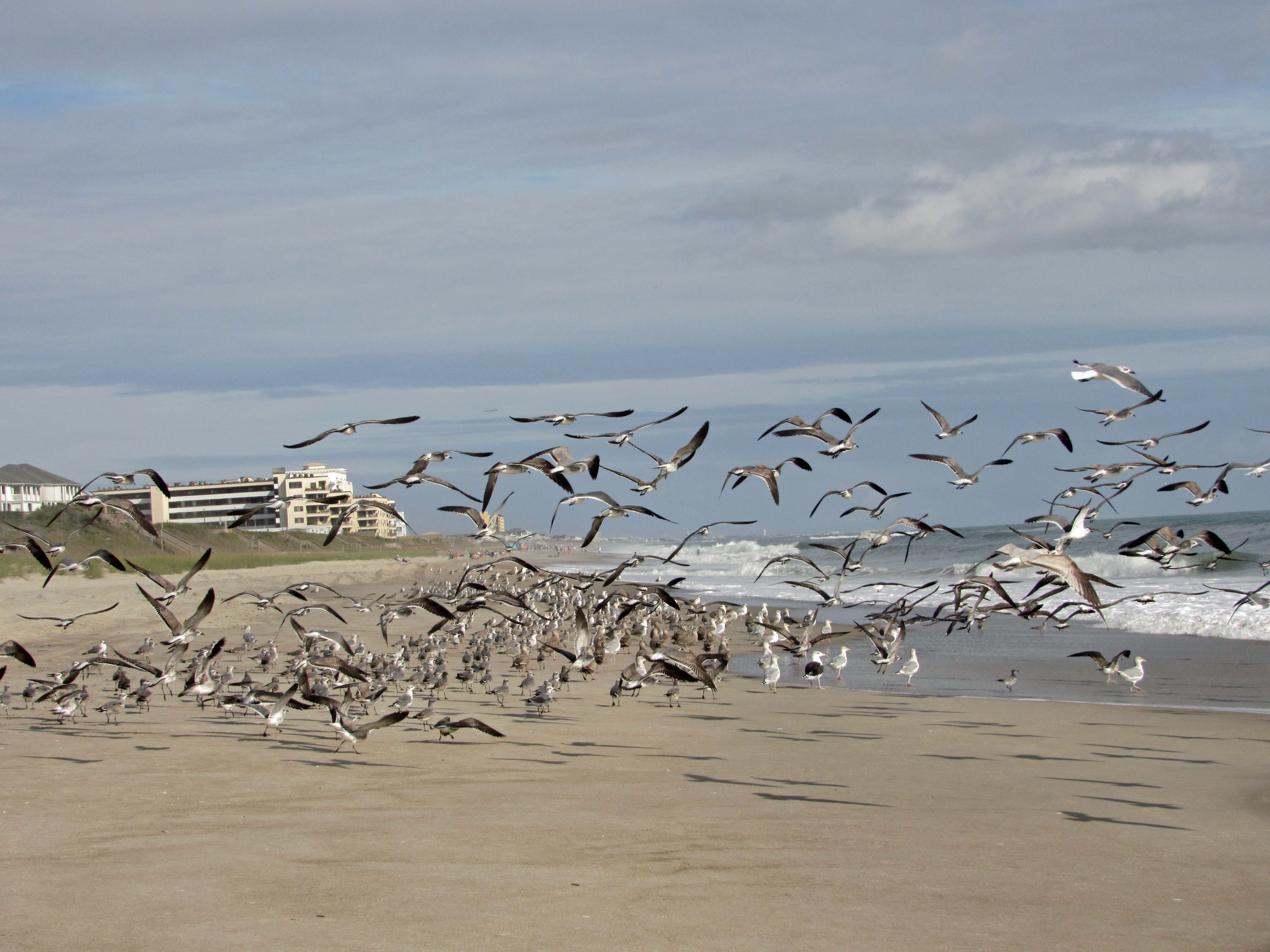
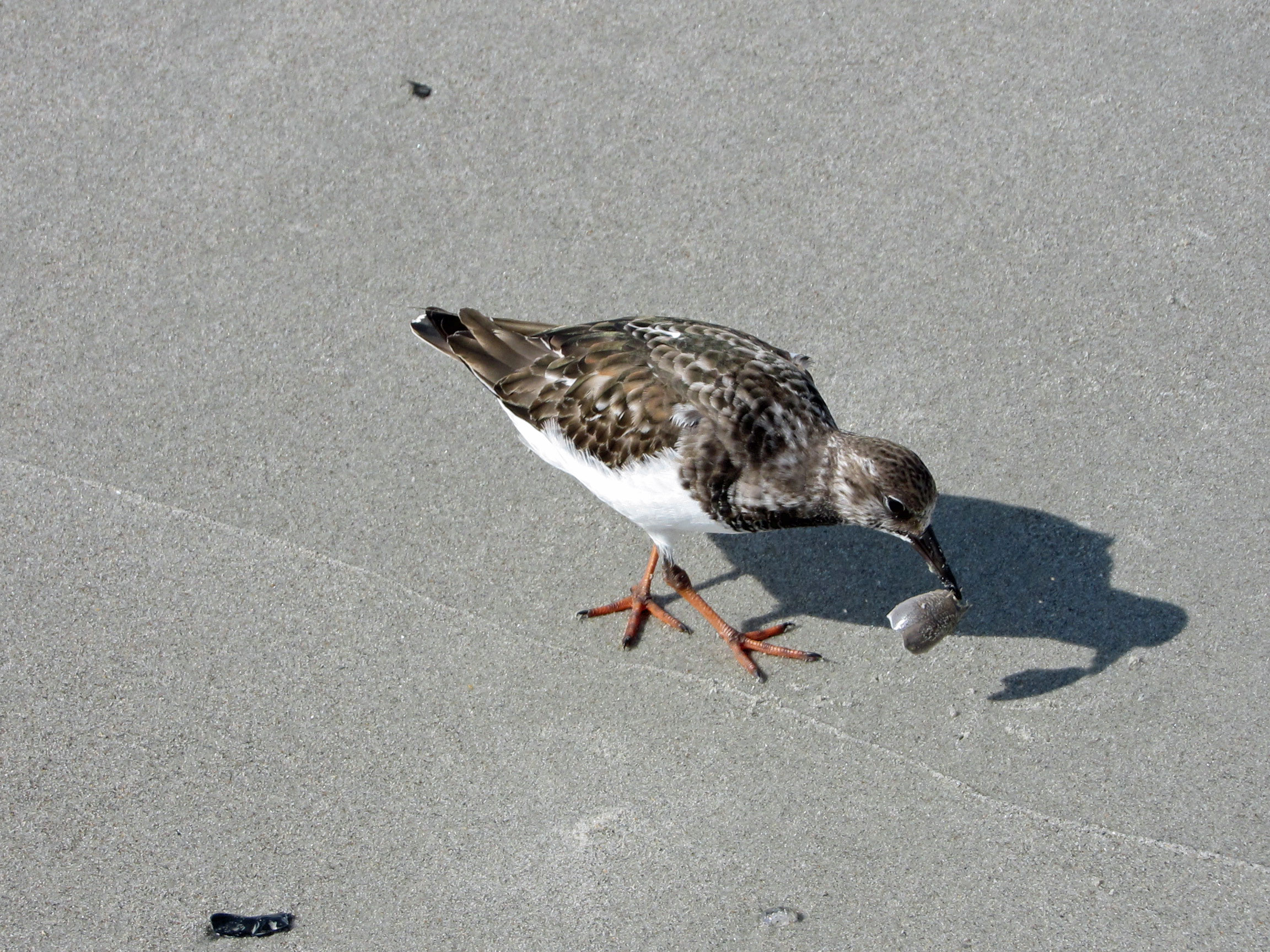
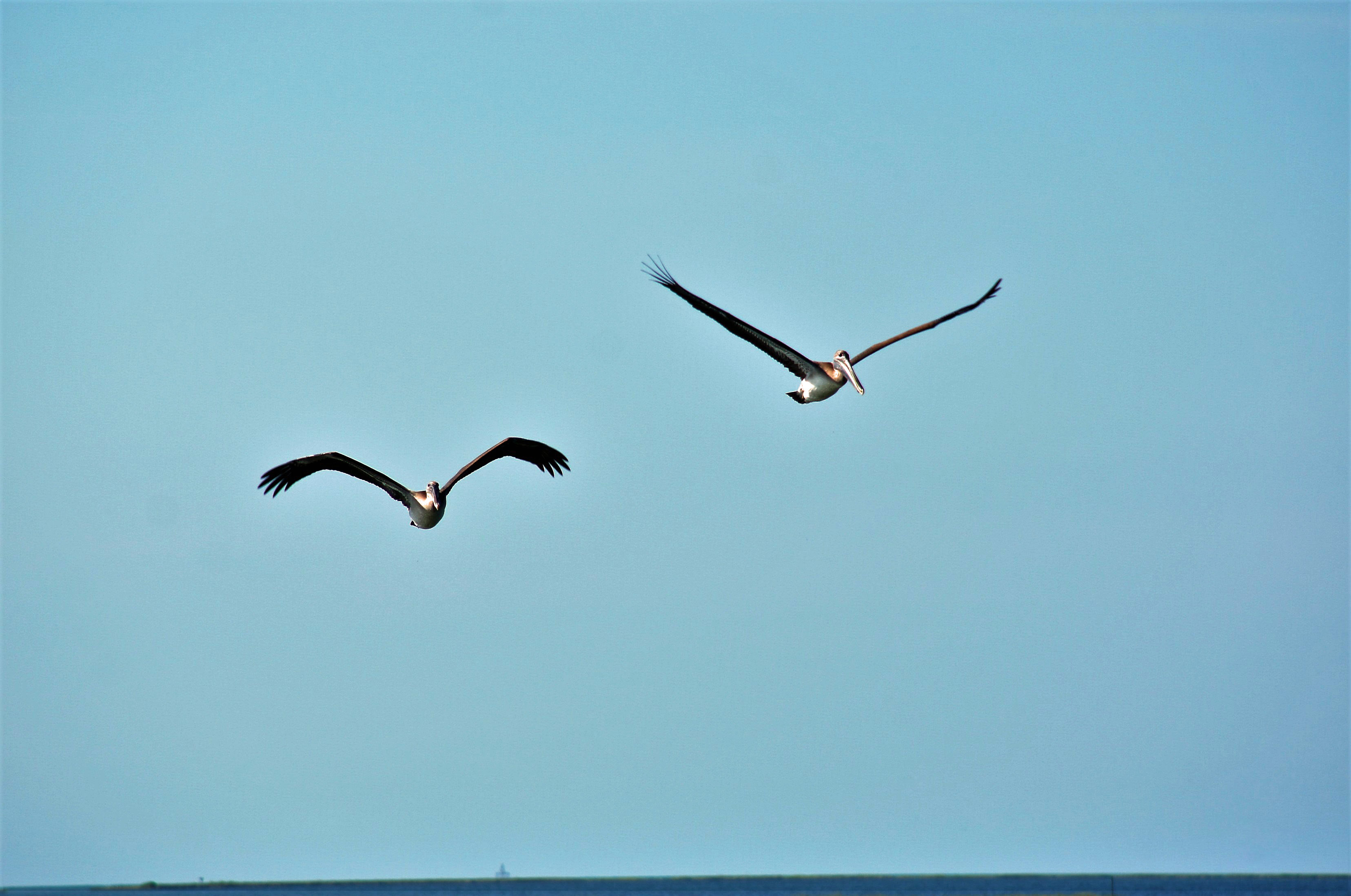
The seagulls here are unlike the ones in Maryland that will hover over you waiting for food.
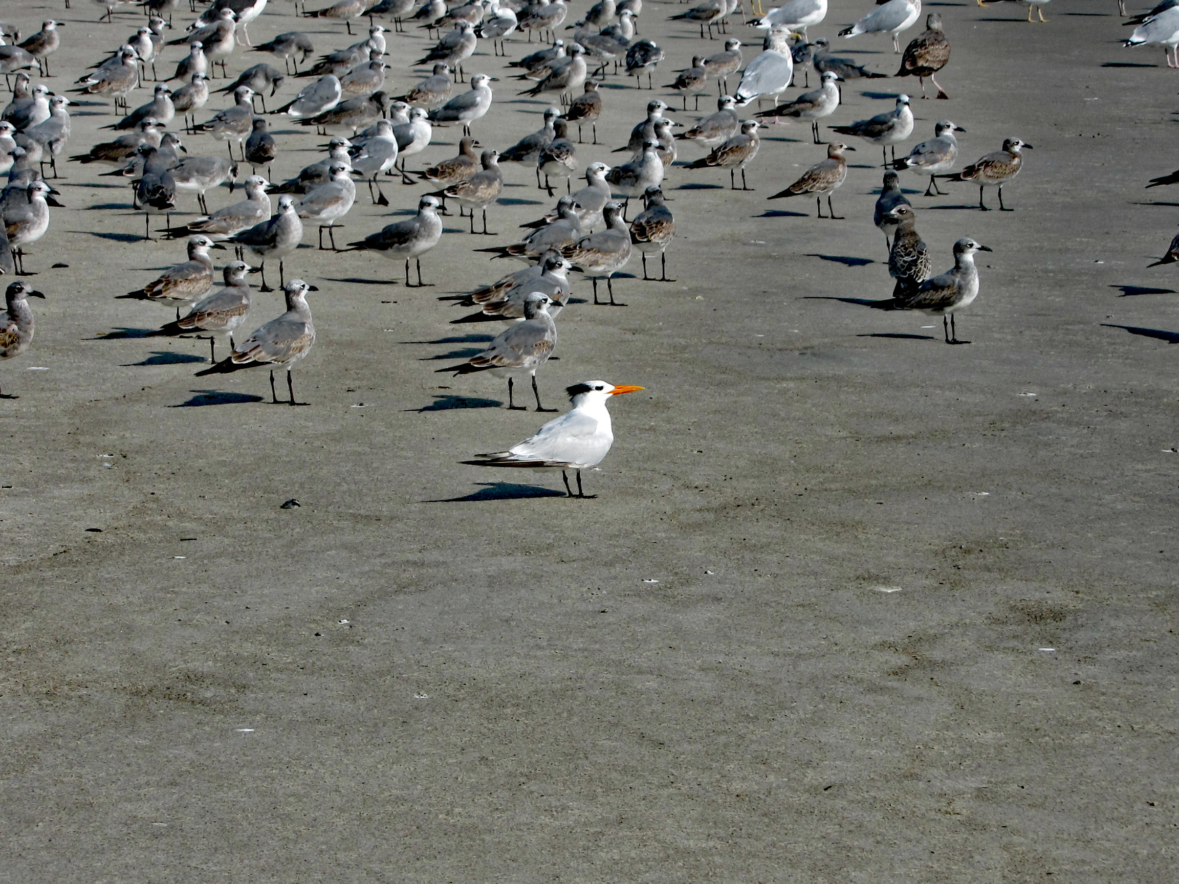
A Royal Tern
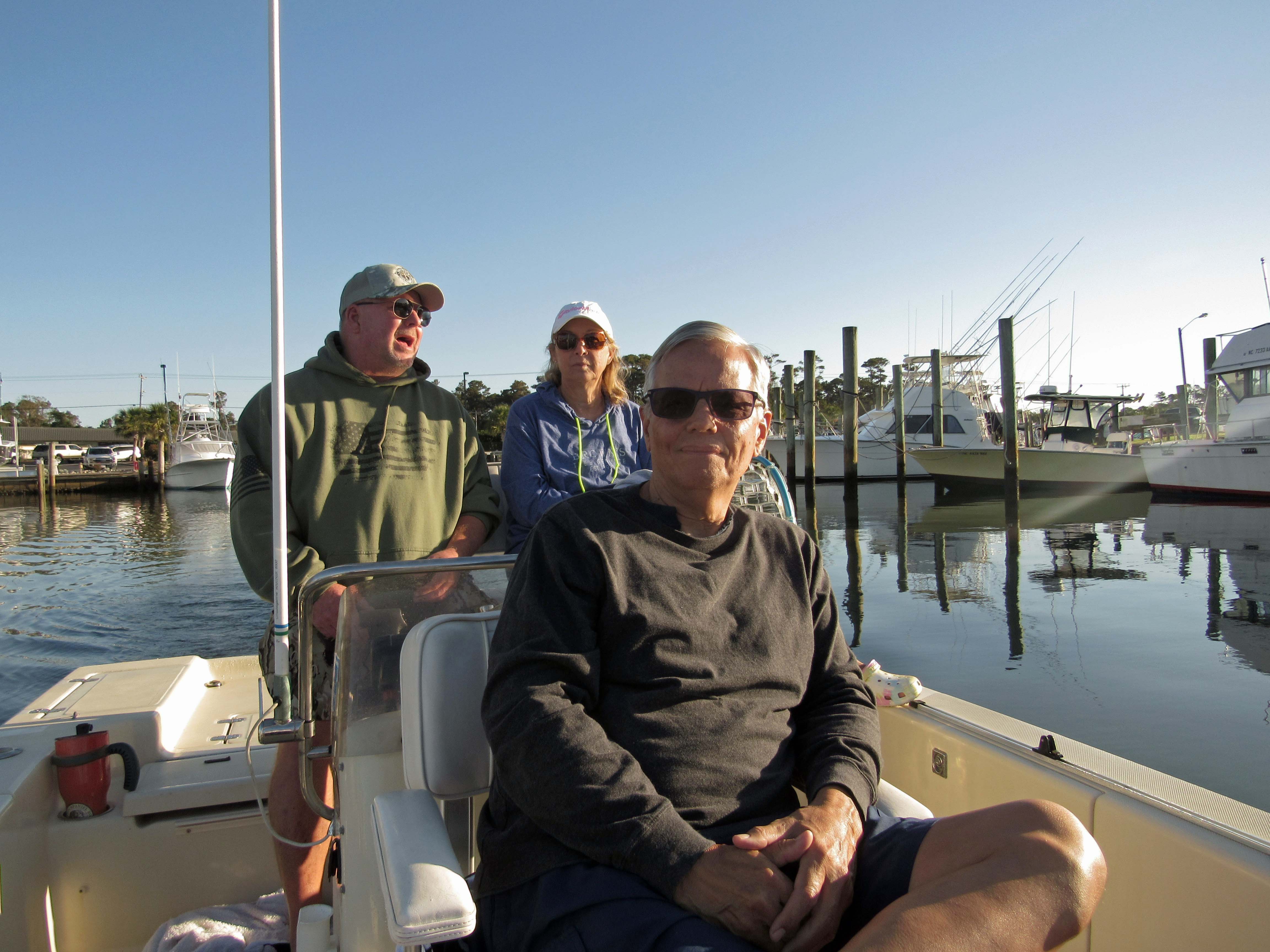
The next day John came down to take us out on their boat. That was very nice of him. With all this Covid stuff going on, we hardly see each other.
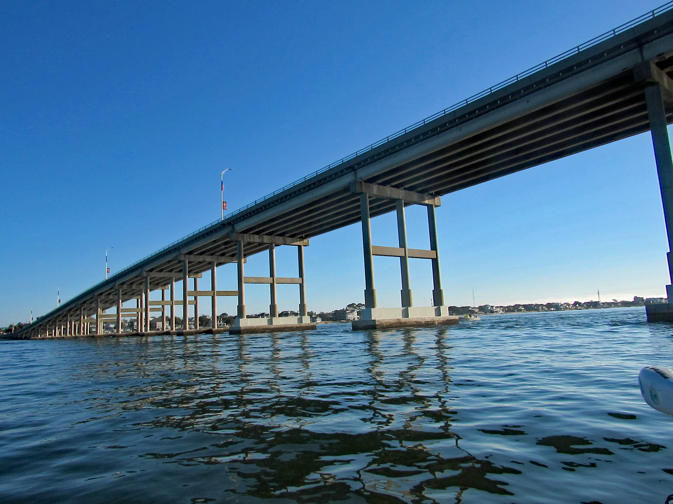
Heading under the Atlantic Bridge Causeway.
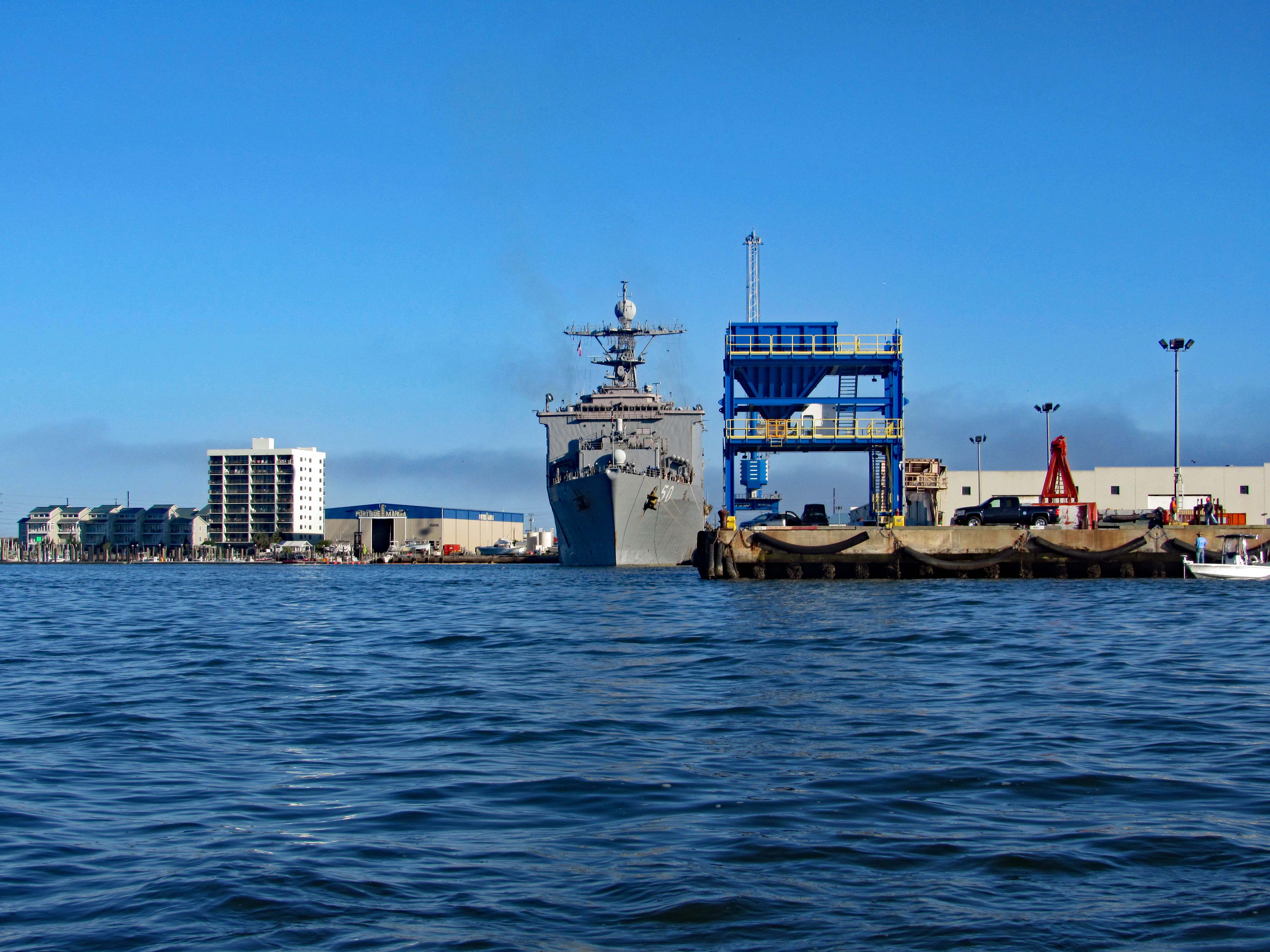
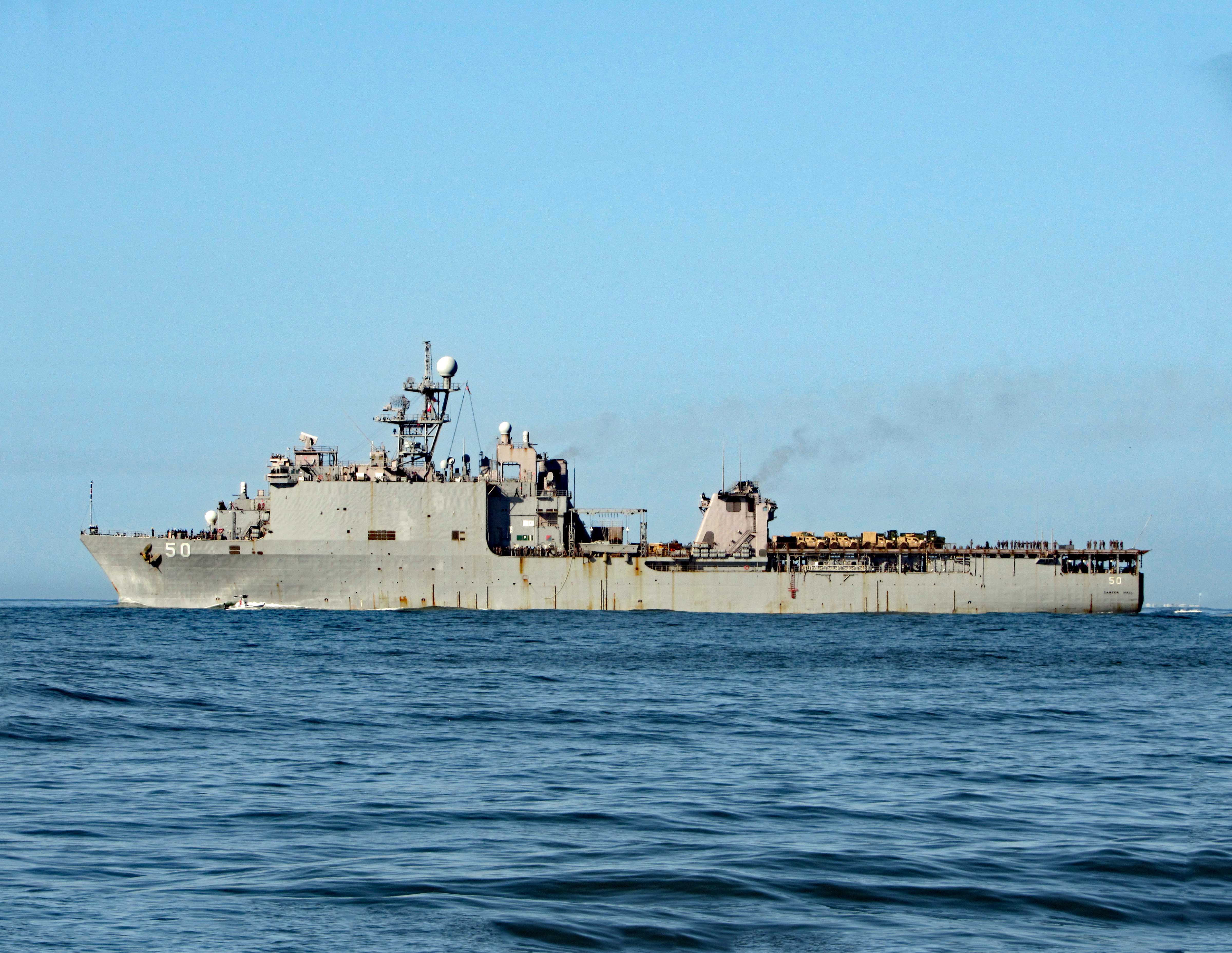
Easing past Sugarloaf Island, headed towards the N.C. Port. Docked there for the time being is the USS 50 (LSD-50), Carter Hall. Landing Ship Dock.
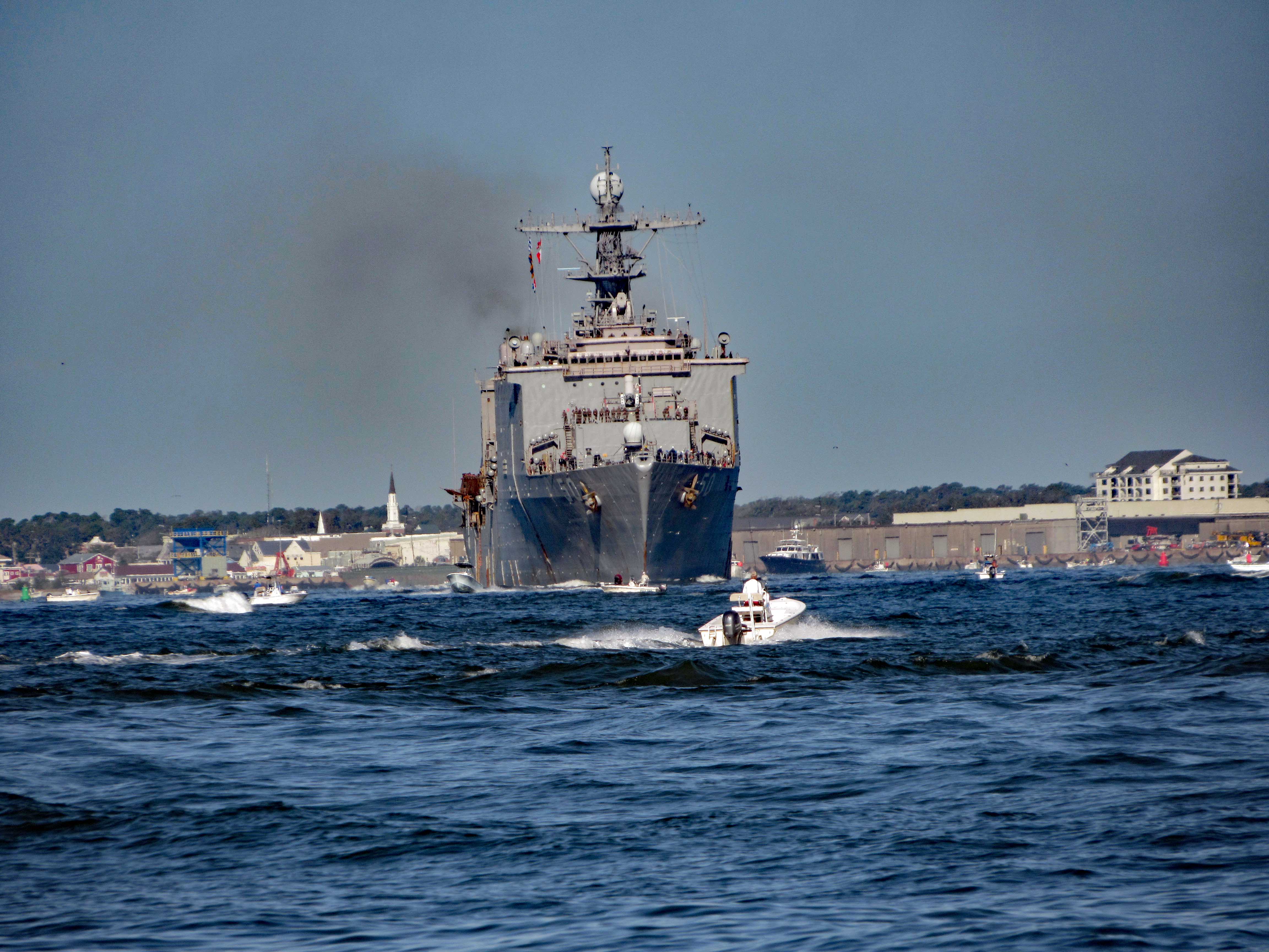
Here she is a little while later pulling out of port.
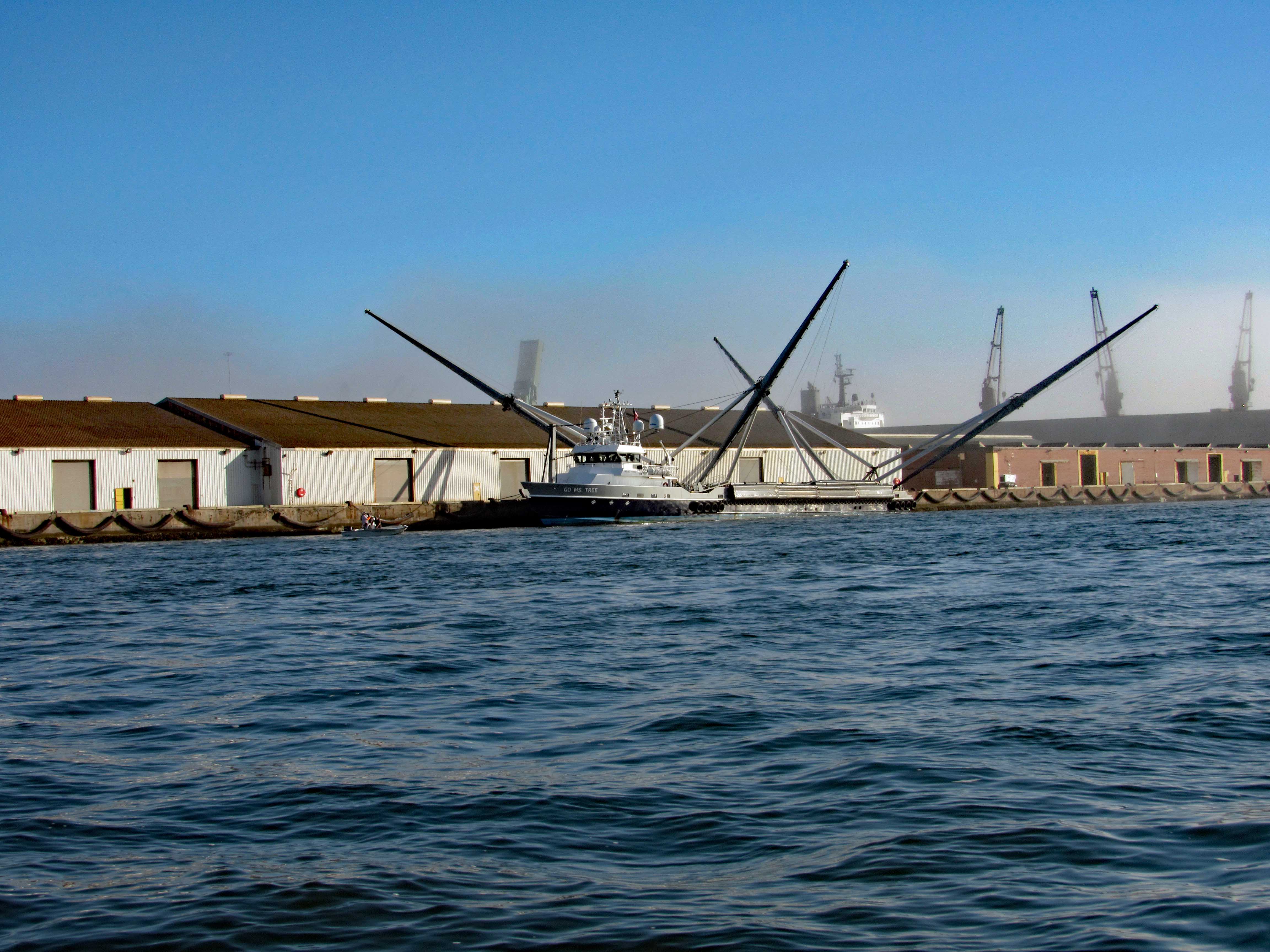
Not far from her is this interesting vessel – Go Ms Tree. Formerly named Mr. Steven. GO Ms. Tree – often shortened to Ms. Tree – is a fast, highly maneuverable vessel that was chartered by SpaceX in 2017 to support their fairing recovery program. The ship has been heavily modified by SpaceX so that it now has a large net structure designed to catch fairing halves as they descend. The name ‘Ms. Tree’ is a pun of the word ‘Mystery’. (from SpaceX website)
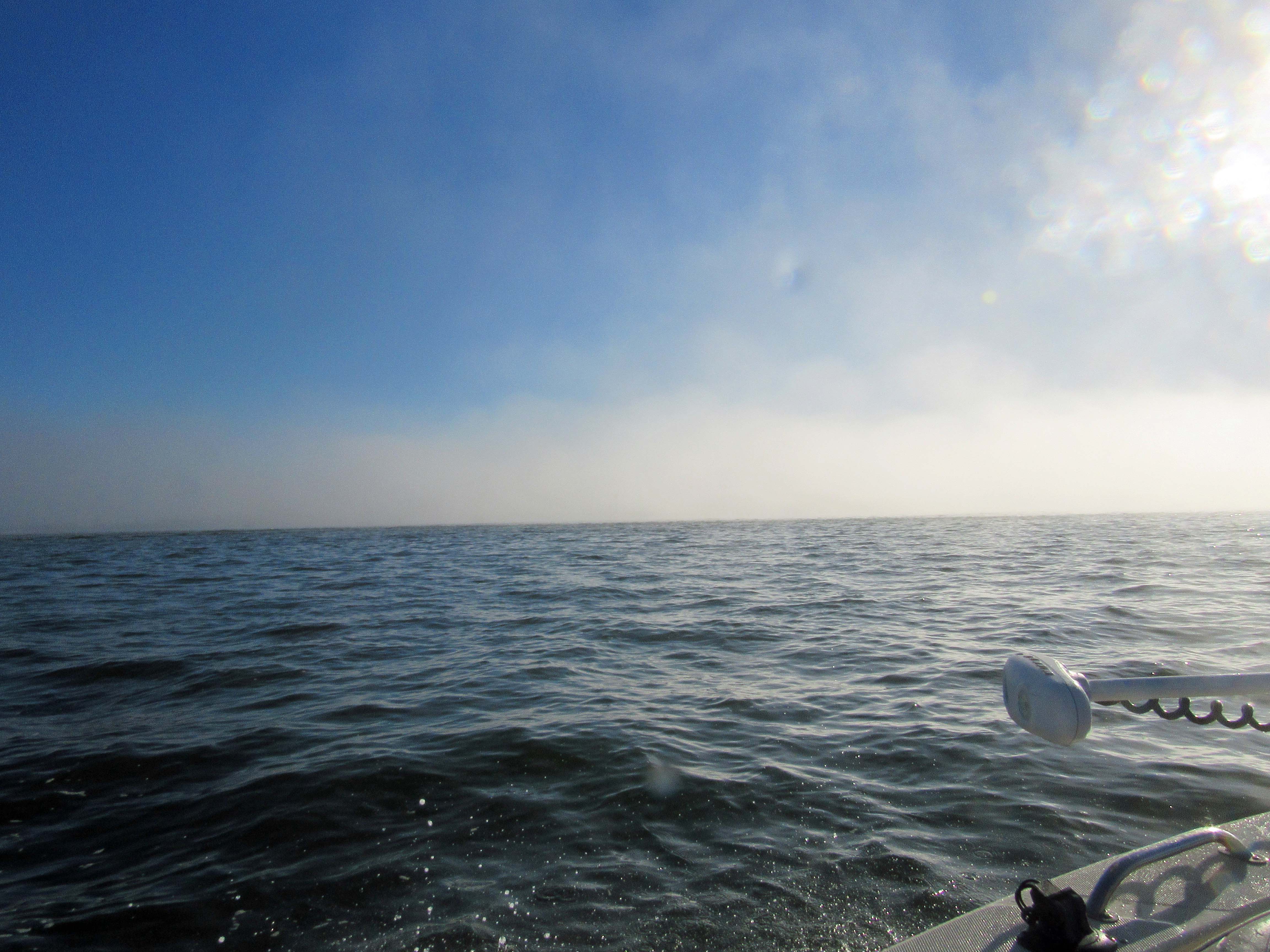
Pass this area of the port and ran smack dab into a fog bank.
Made it through there and we all, except John, got off onto Shackleford Banks.
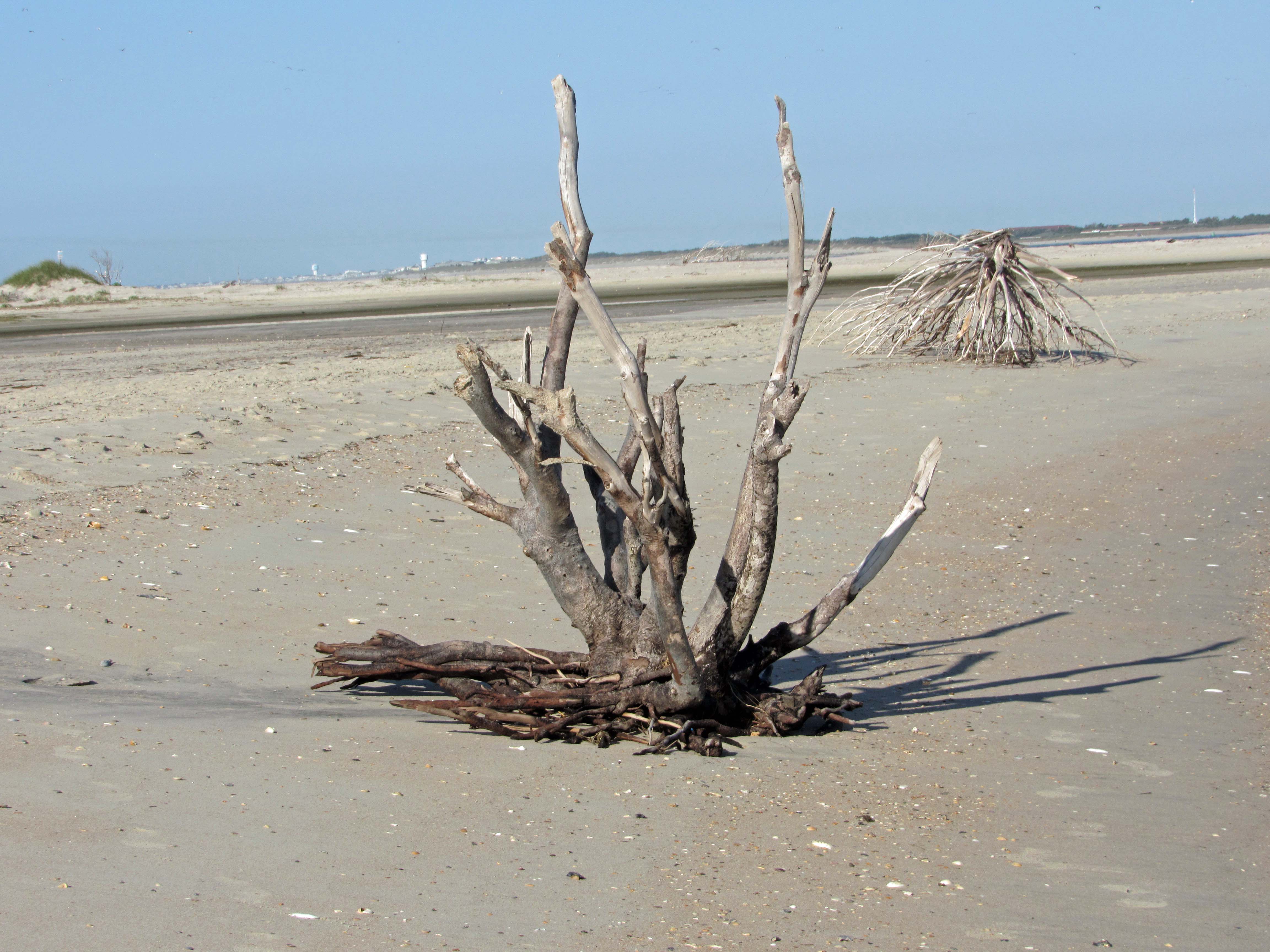
Nice driftwood.
My shot of Kathy and Gail, from up on a dune.
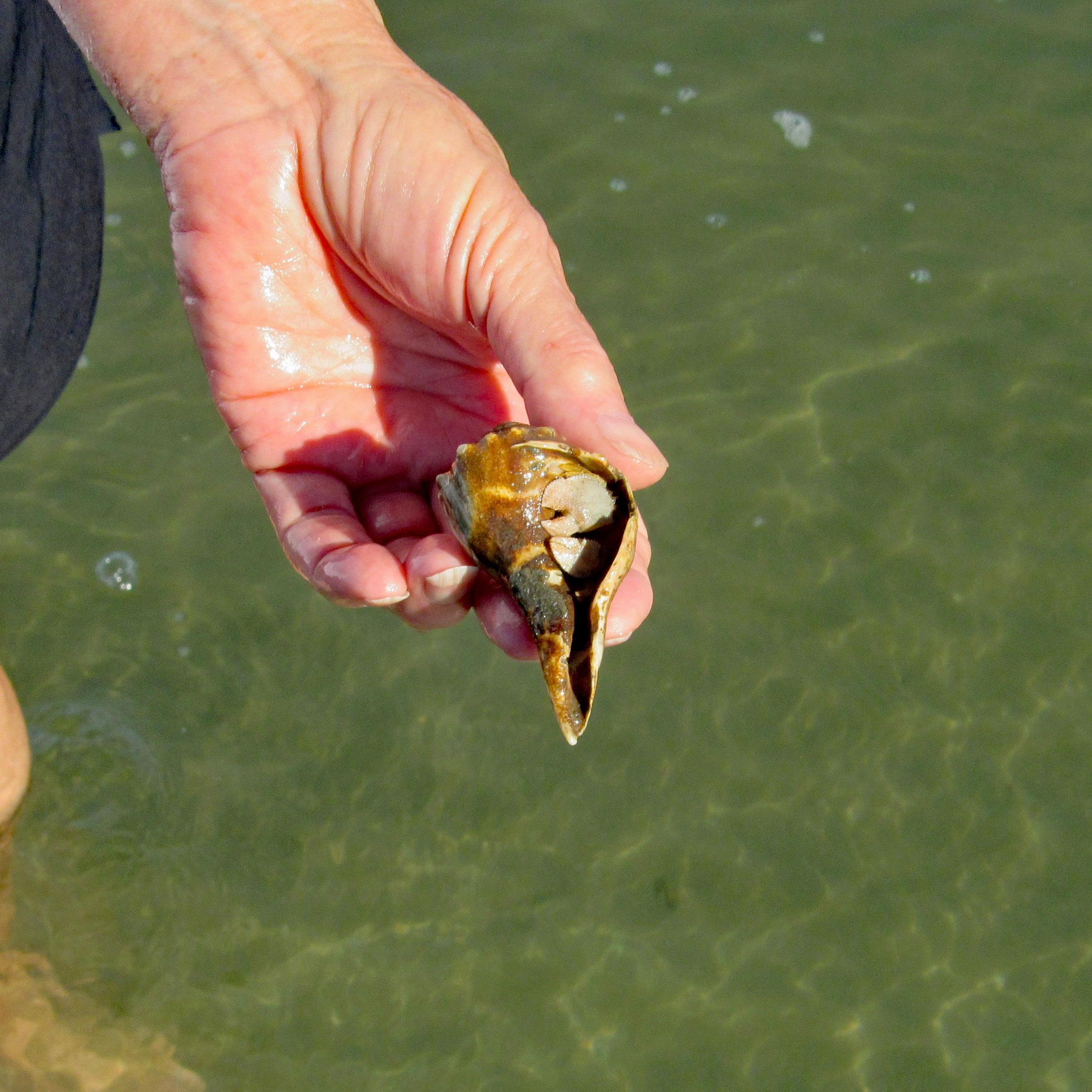
Kathy stepped on a couple Hermit Crabs.
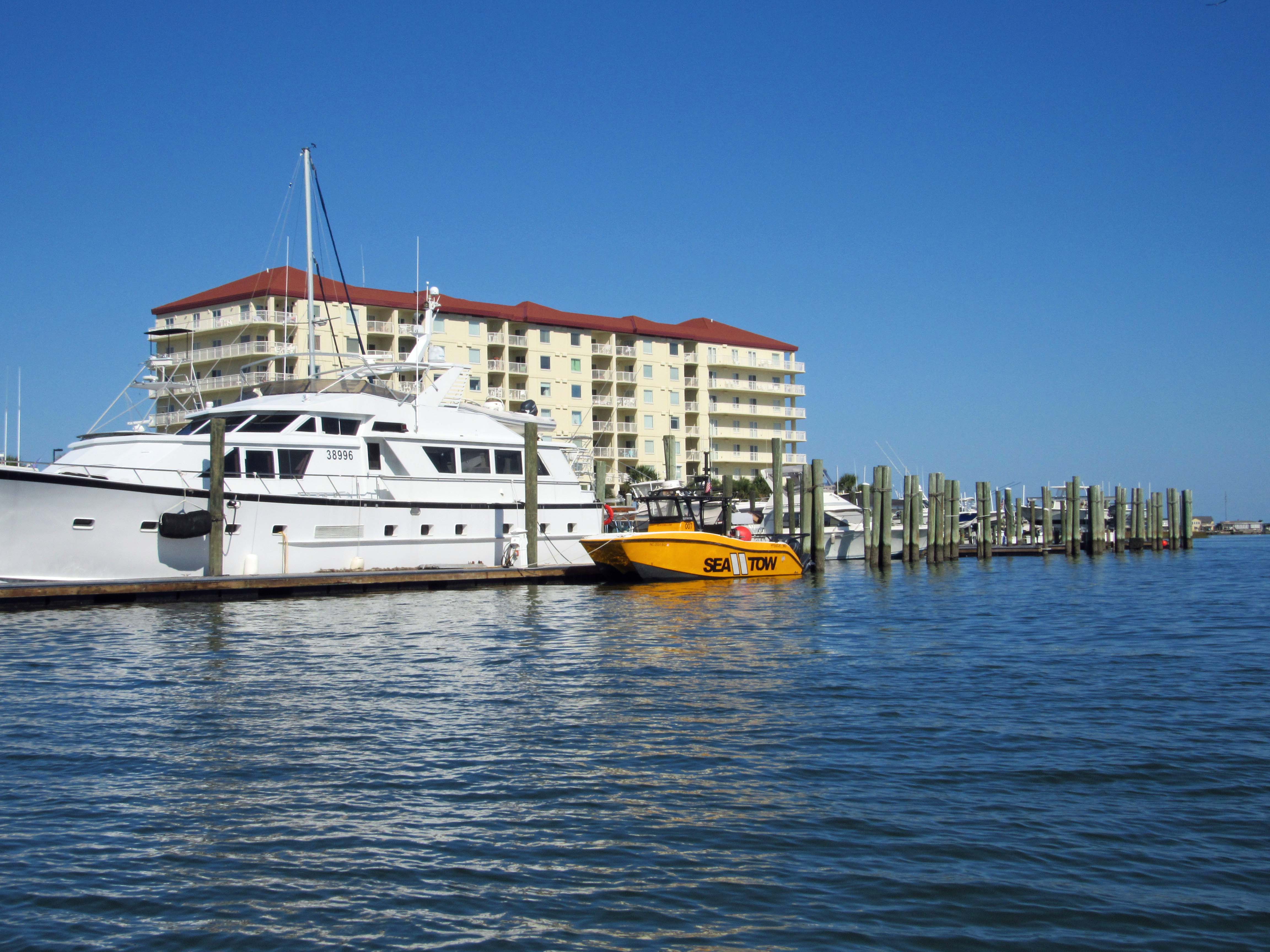
Left Shackleford and headed over to Beaufort. You need to swing around Rachel Carson Island. Shrimp boats everywhere.
Sea Tow is like AAA of the water.
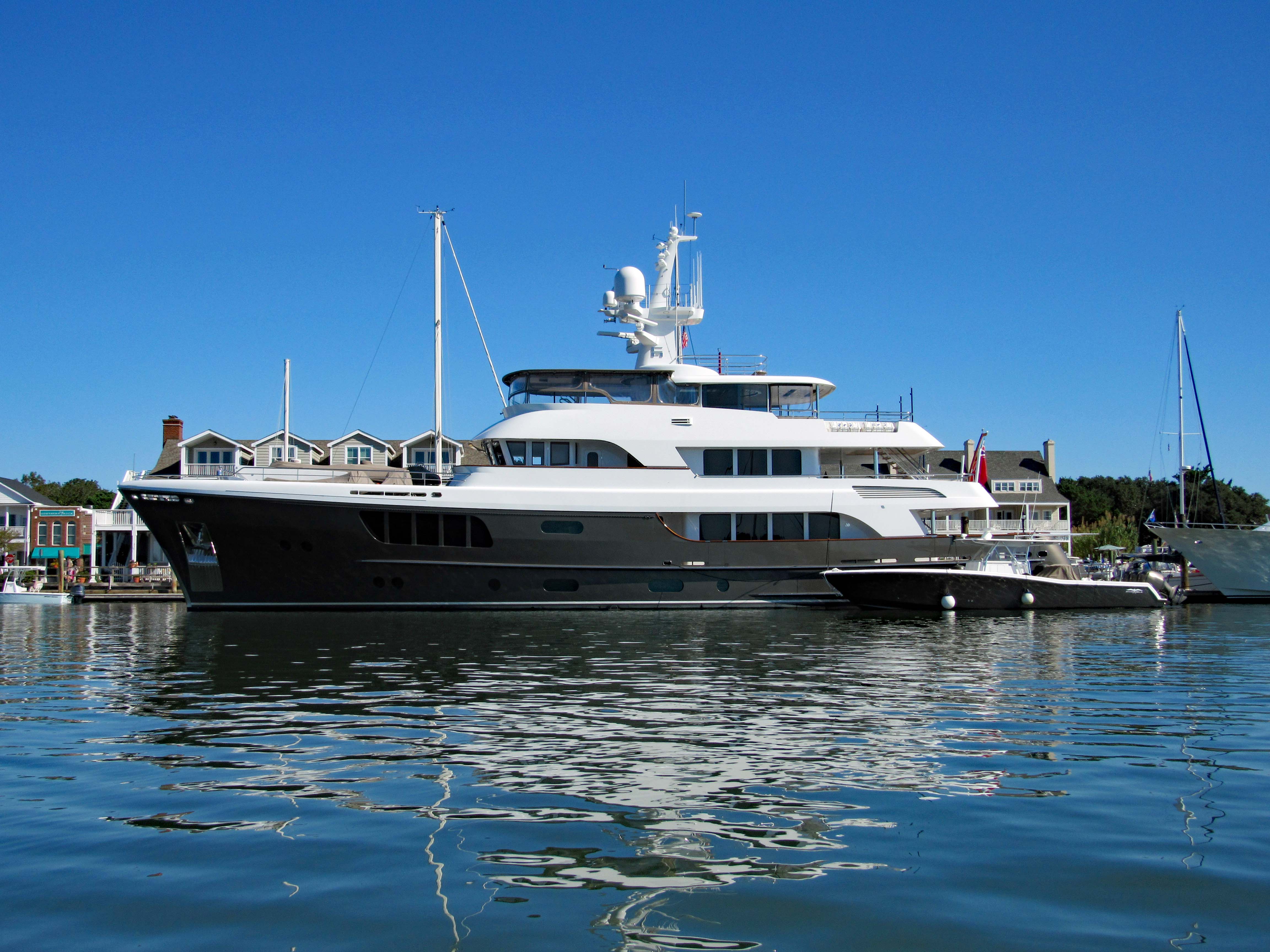
The CaryAli. Wow! A steel and aluminum ship. Built by Alloy Yachts in 2013. For just $25m she can be yours.
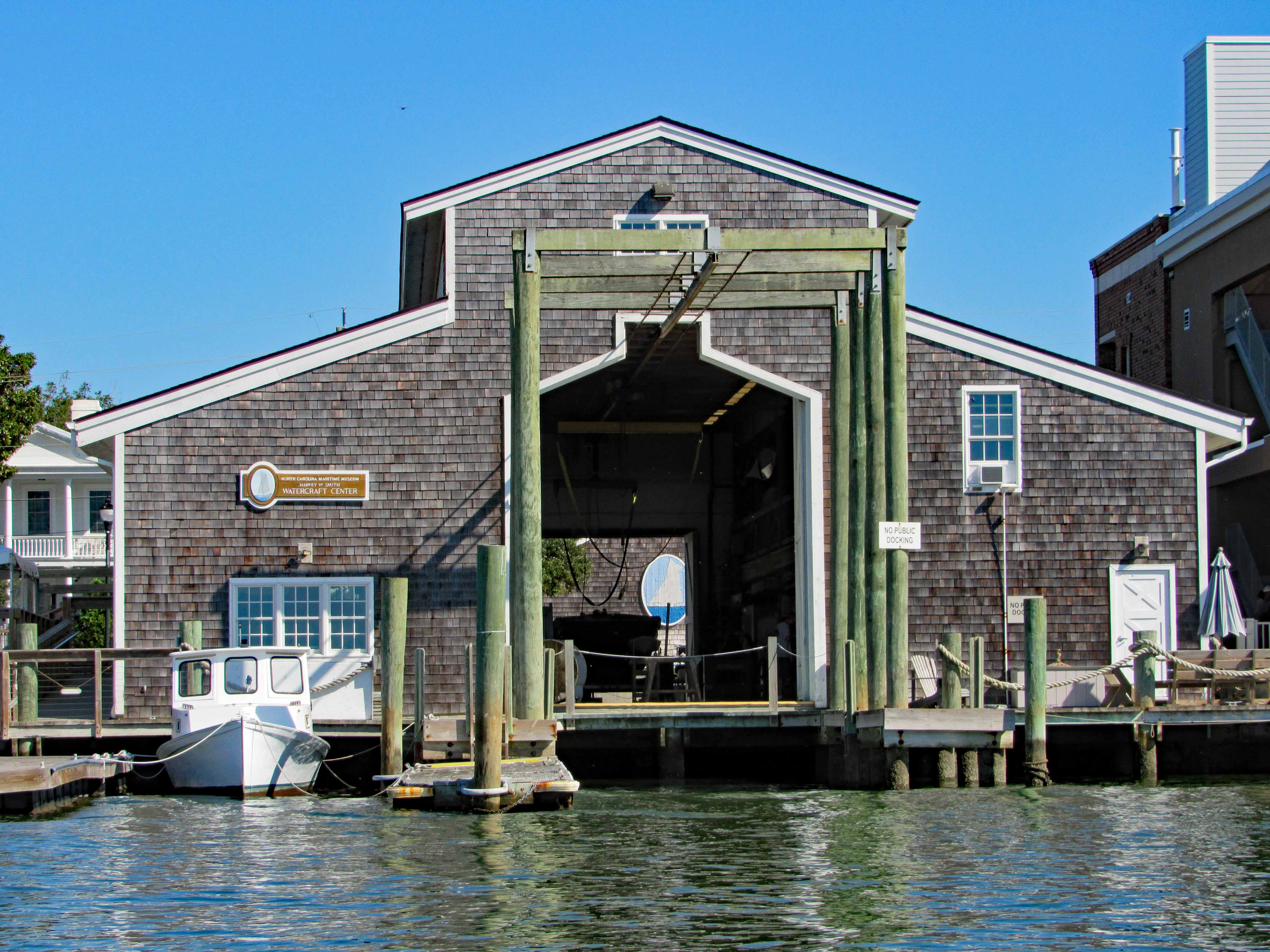
Looking through the Watercraft Center at a ship painted on a wall…
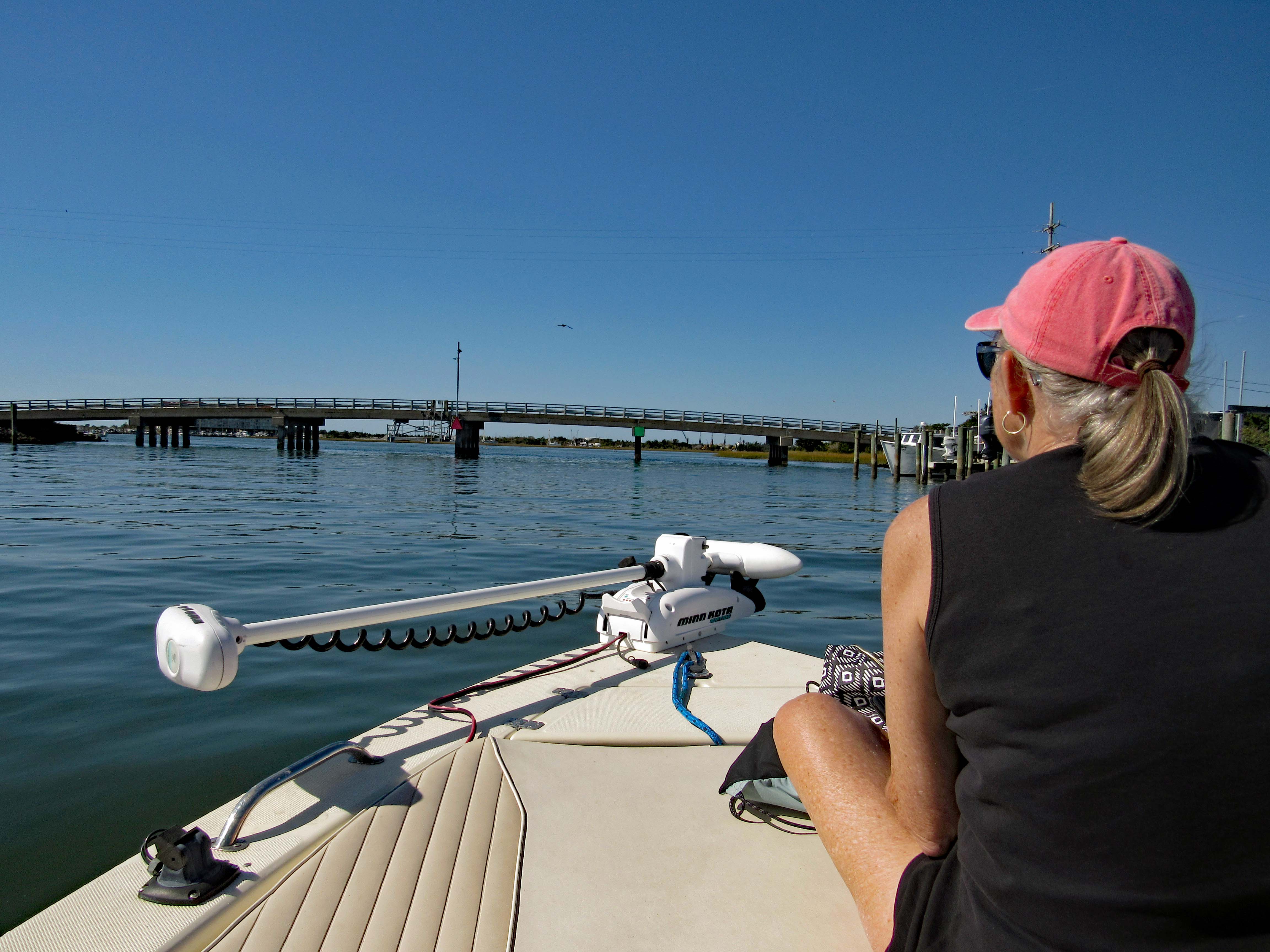
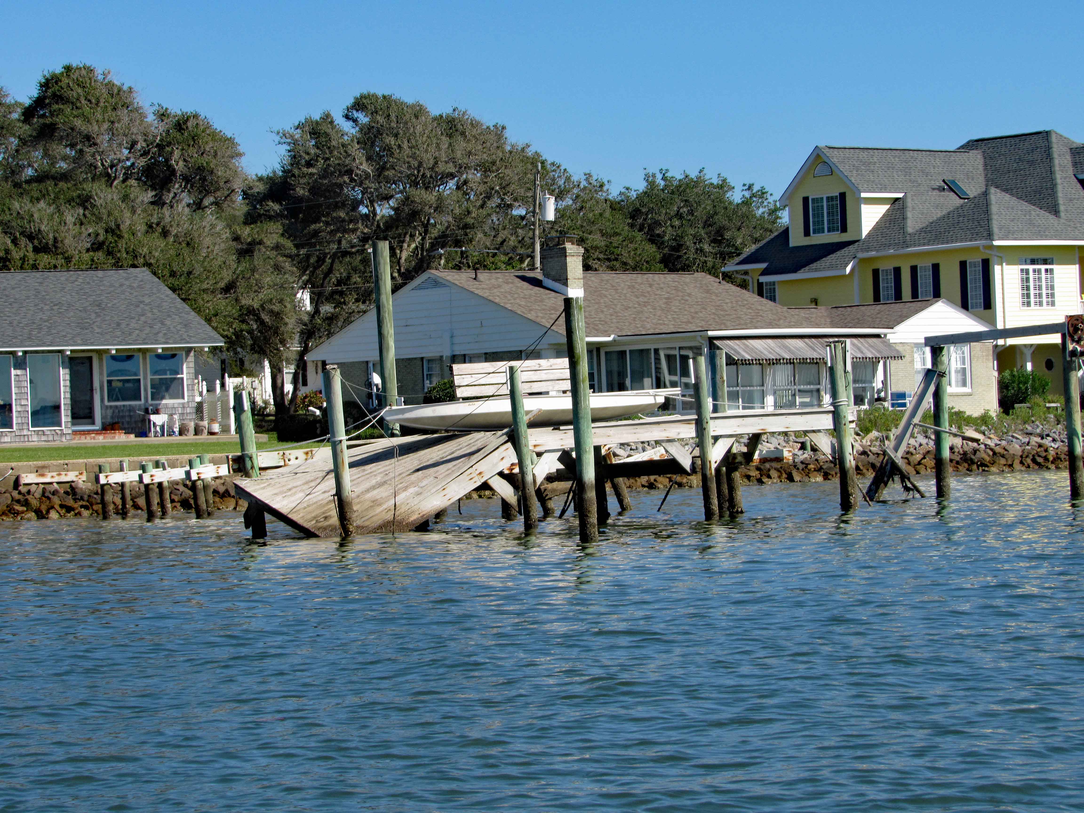
Went up Taylor Creek for a bit, looking at all the boats and quaint little houses. Turned around and headed to Pivers Island Road.
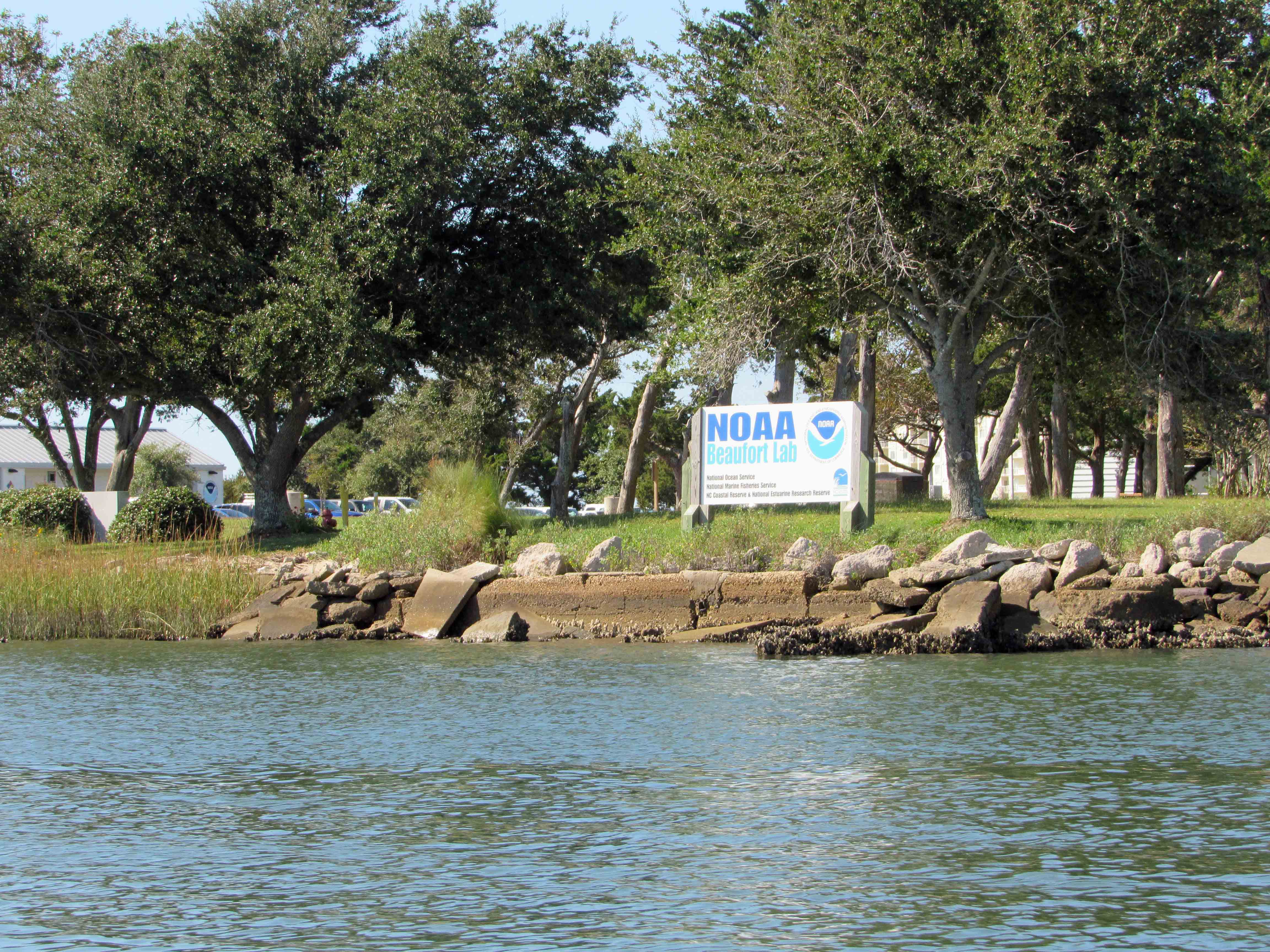
We made it under the bridge but then the water started getting shallow so we headed back to the Beaufort Channel and then towards Bogue Sound. Passing NOAA on the way. There are a lot of colleges and government research centers down here.
I guess it makes a good kayak launch?
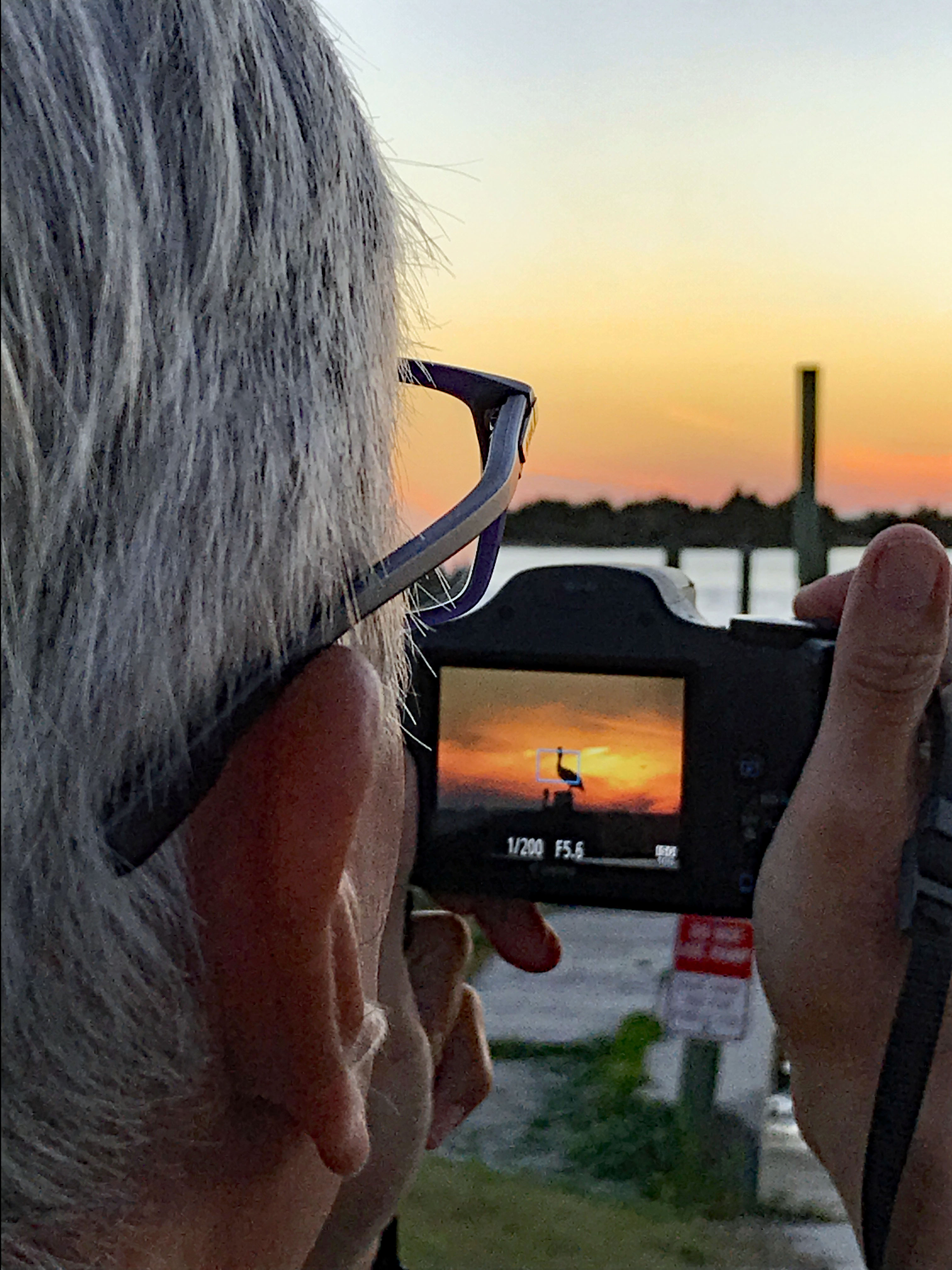
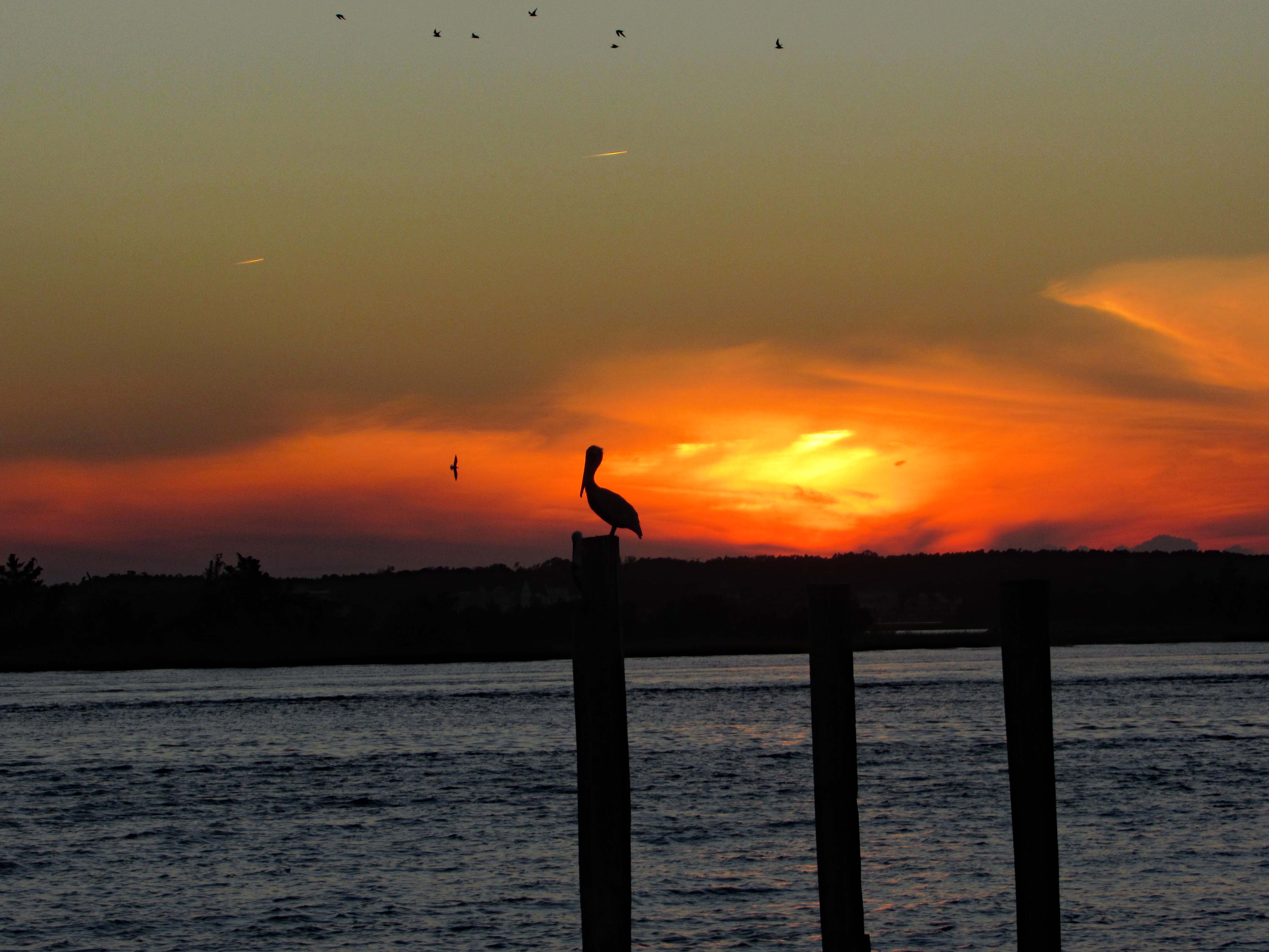
After John and Gail left, to go back home, Kathy and I went over to Swansboro to find a nice place to watch the sunset. Saturday night and the town was packed! So we left and the sun was heading west fast, so I pulled over at Dudley’s Marina on Rte. 24 and Kathy took a photo of me taking a photo of the pelican sunset.
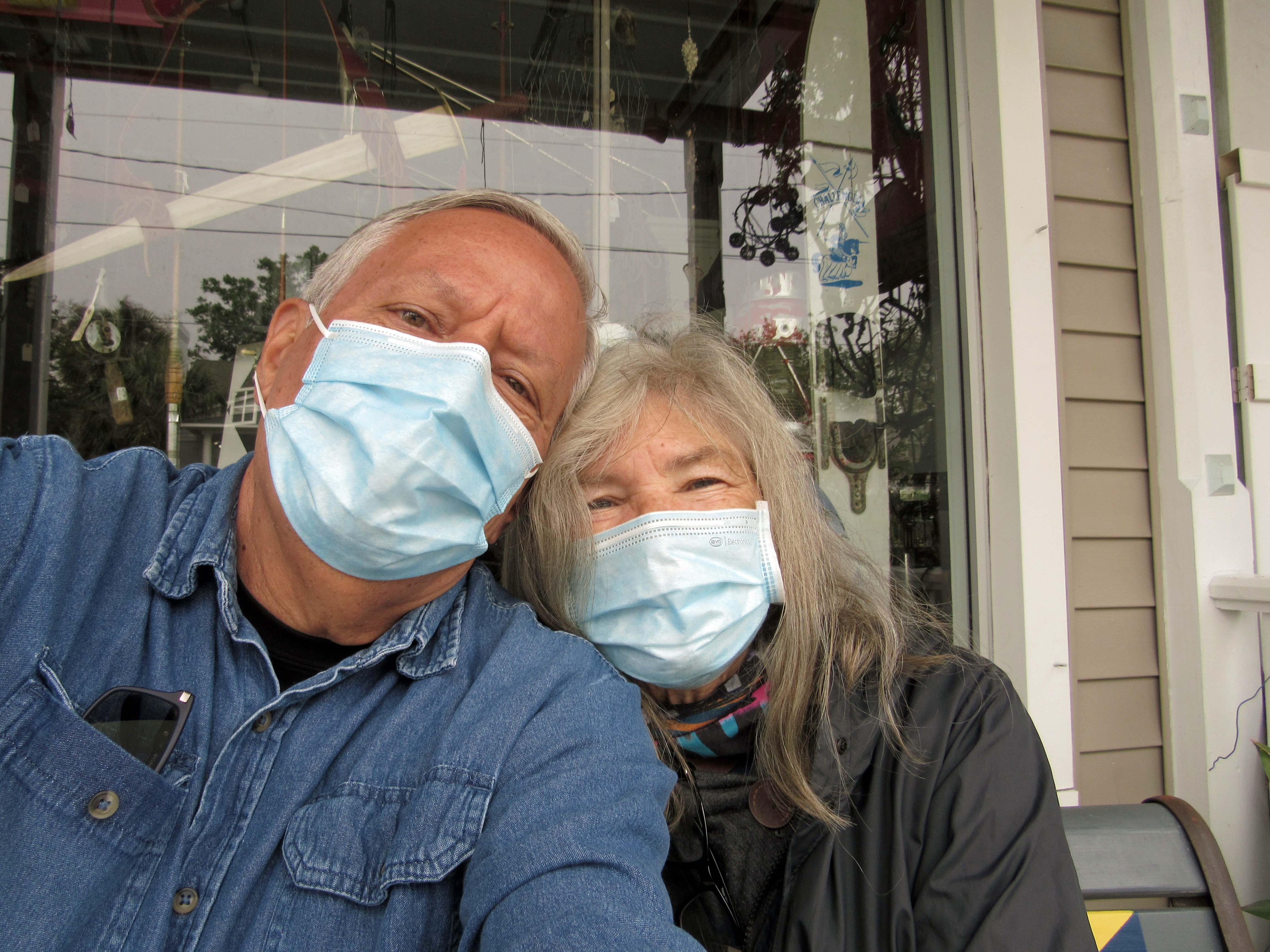
The ‘New Norm’ I hope not for too much longer. The next day we went back to Swansboro to look around
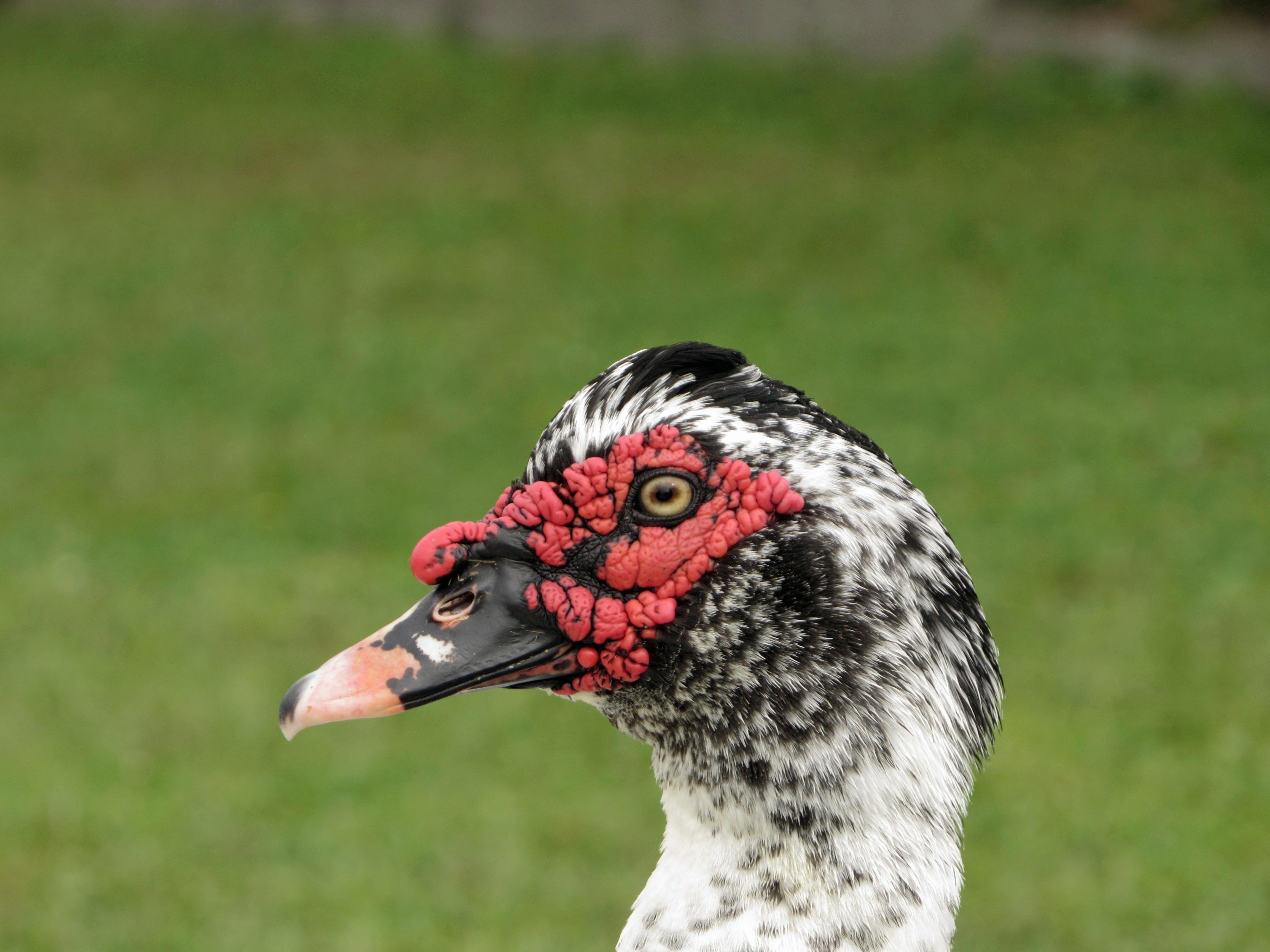
Domestic Muscovy Duck.
Another shrimp boat. Shrimp burgers from the food truck were huge, along with their oyster burgers and soft crab sandwiches.
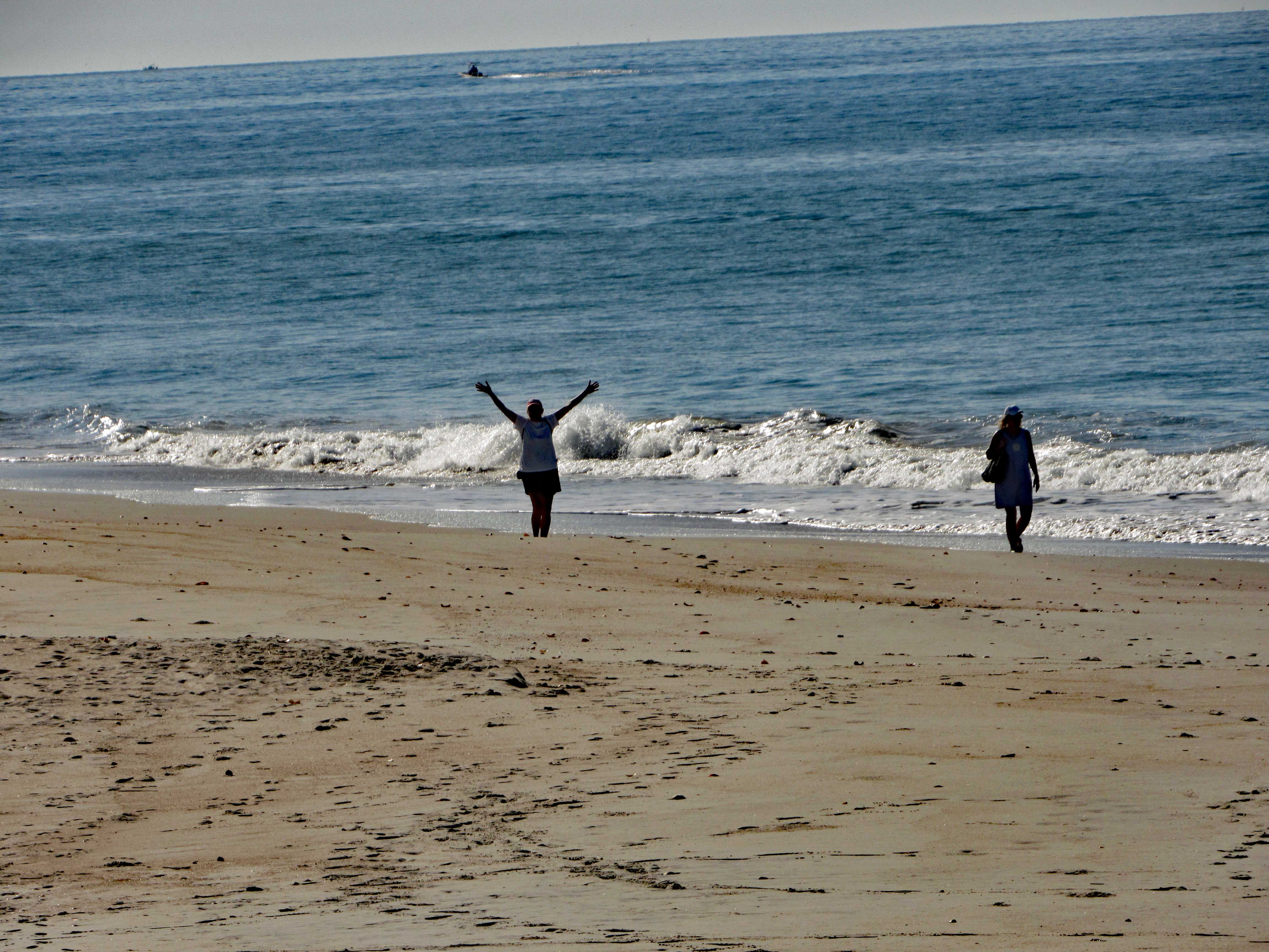
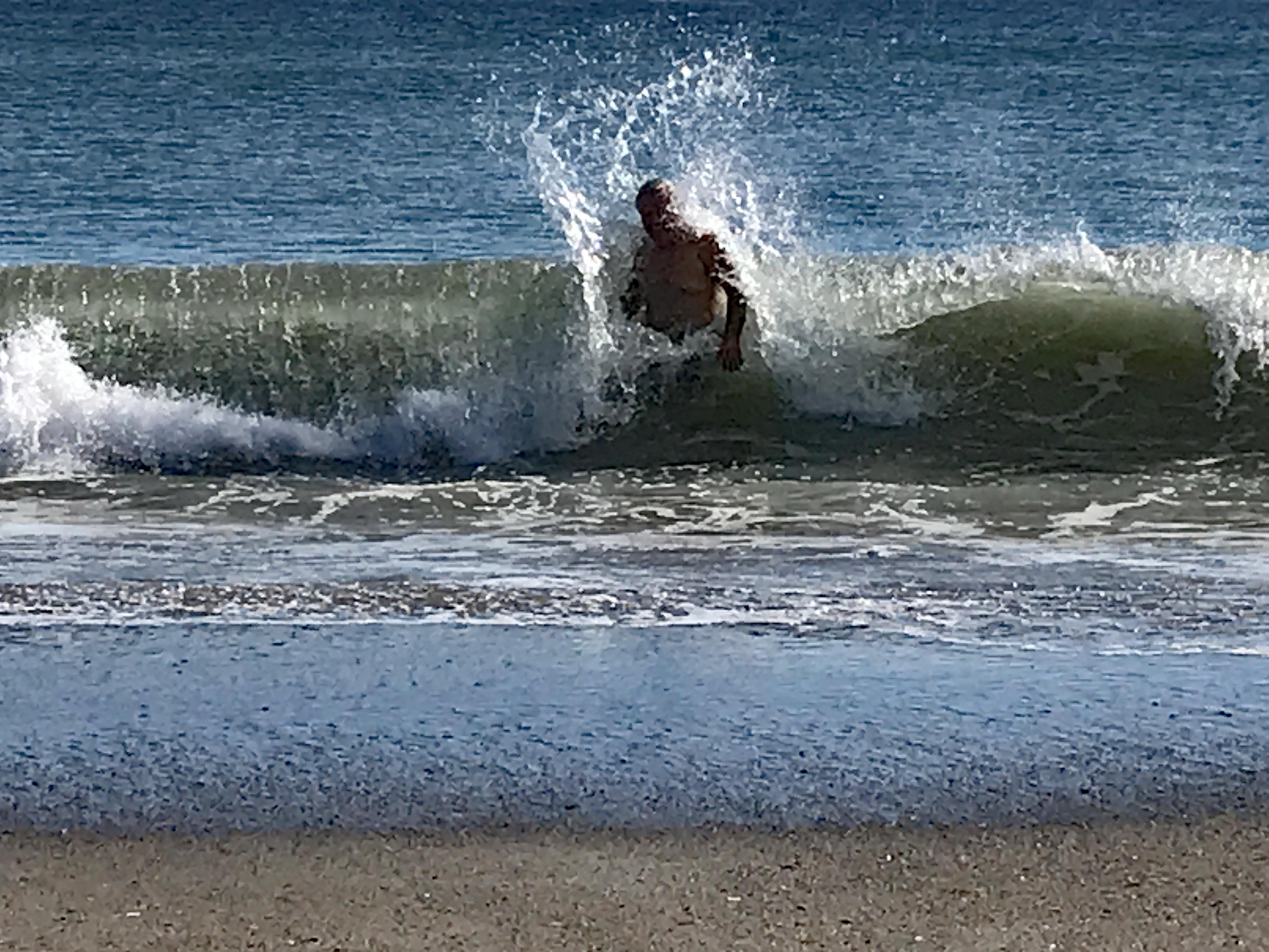
Love the water – when it isn’t freezing. Or knocking me on my butt!
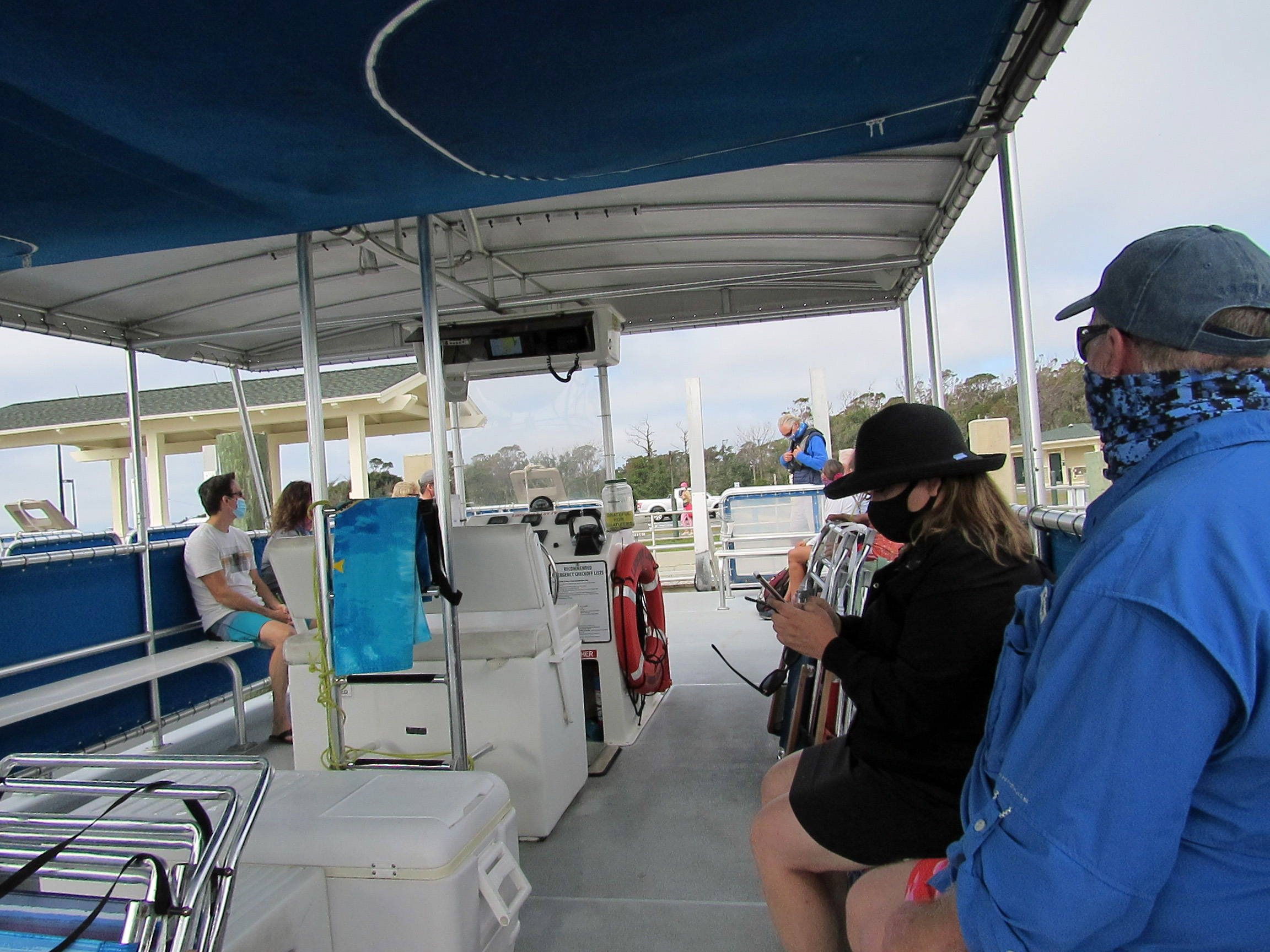
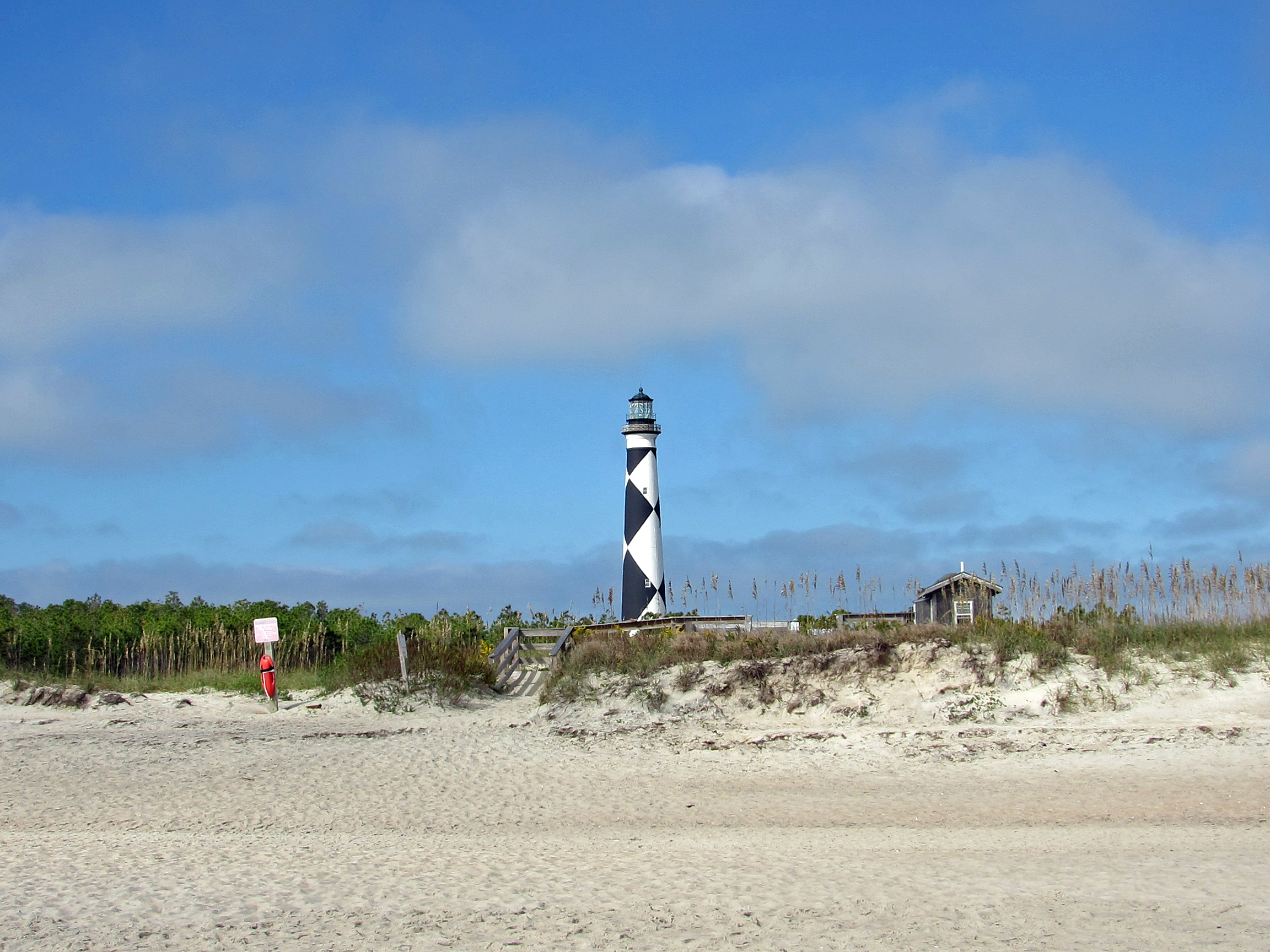
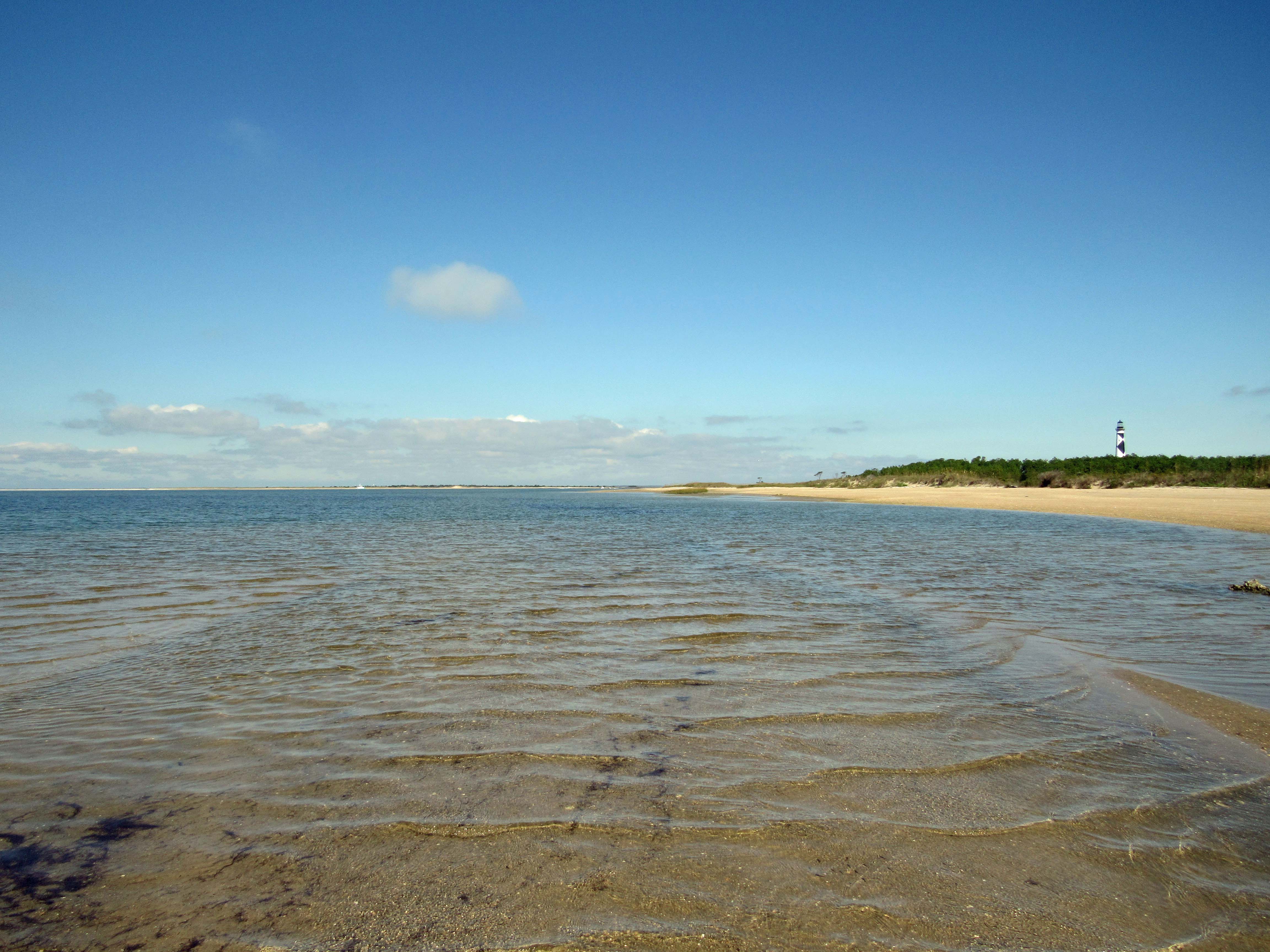
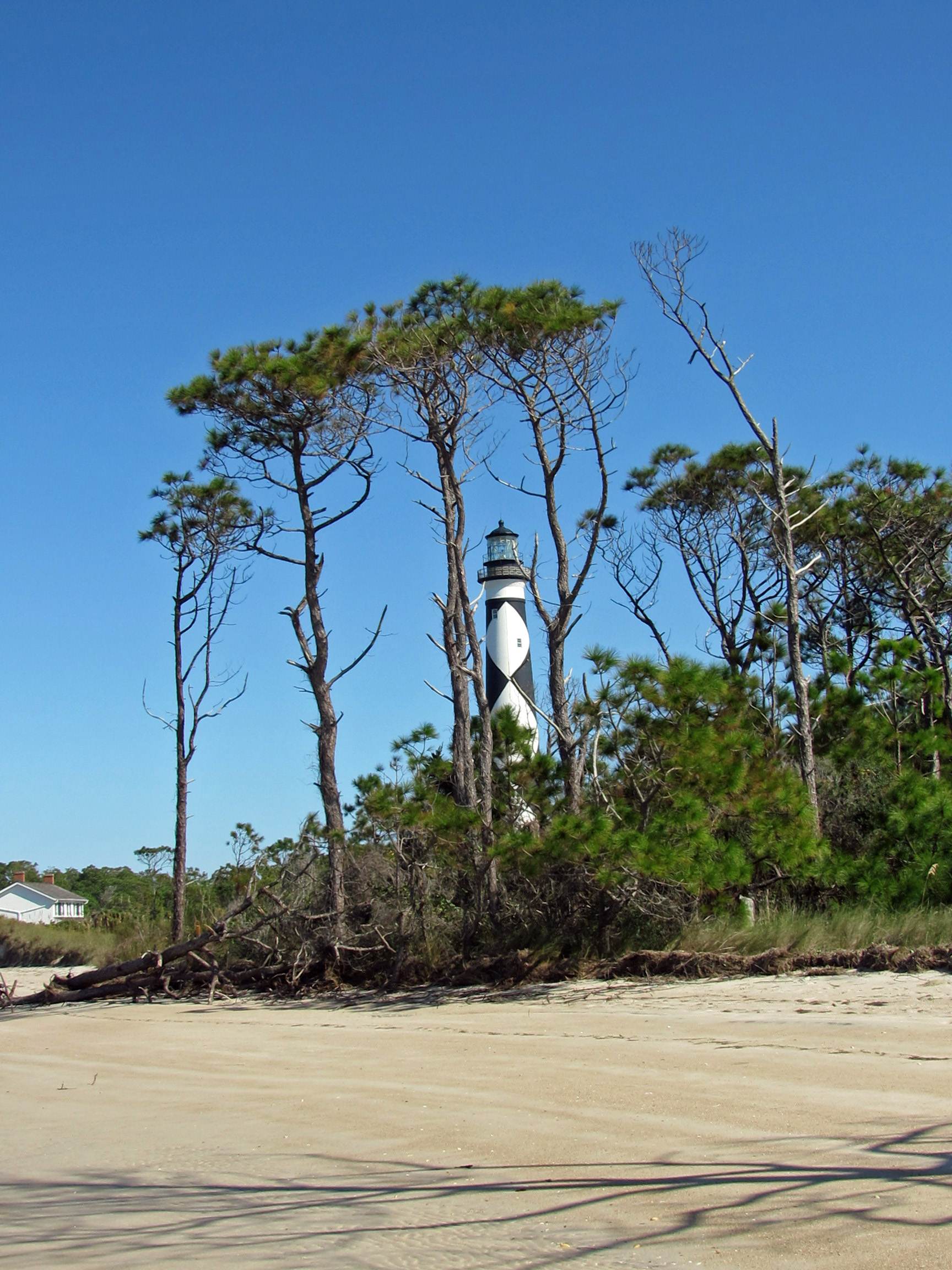
Our next adventure was to Cape Lookout Lighthouse, via a tour boat, where everyone was practicing social distancing, for the most part.
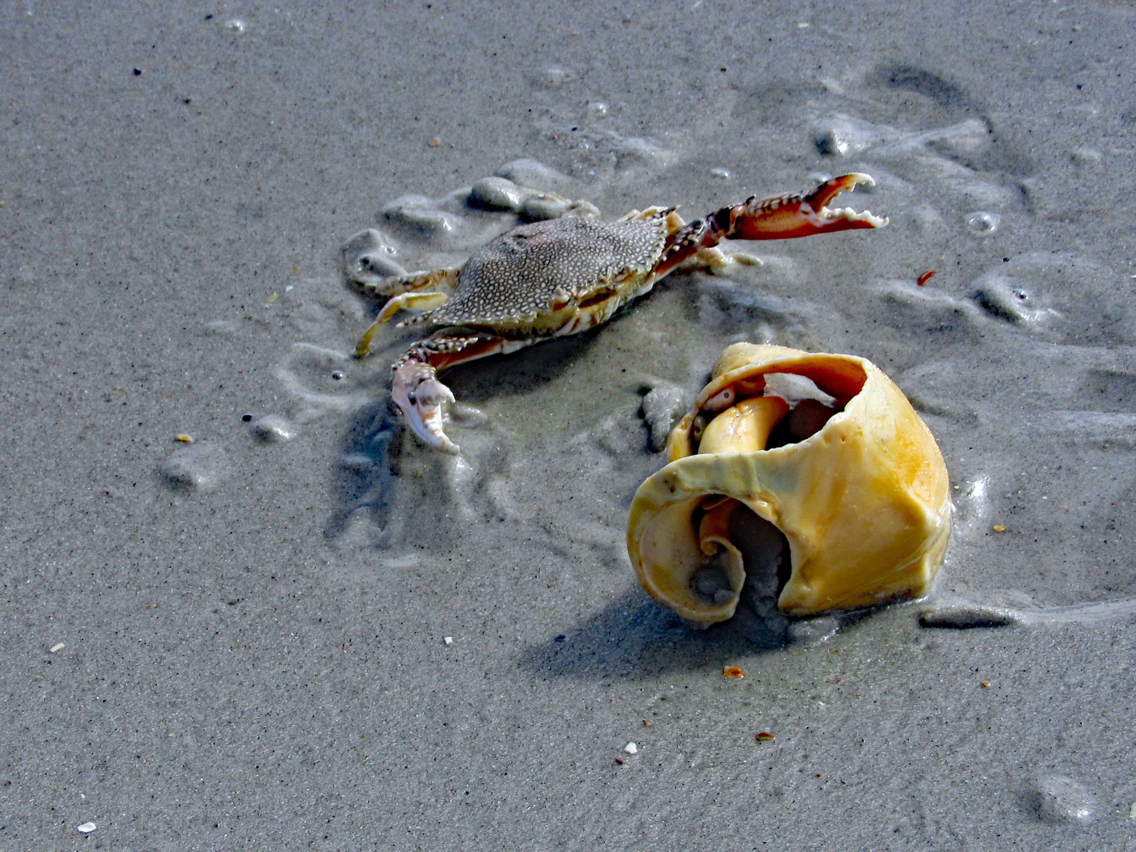
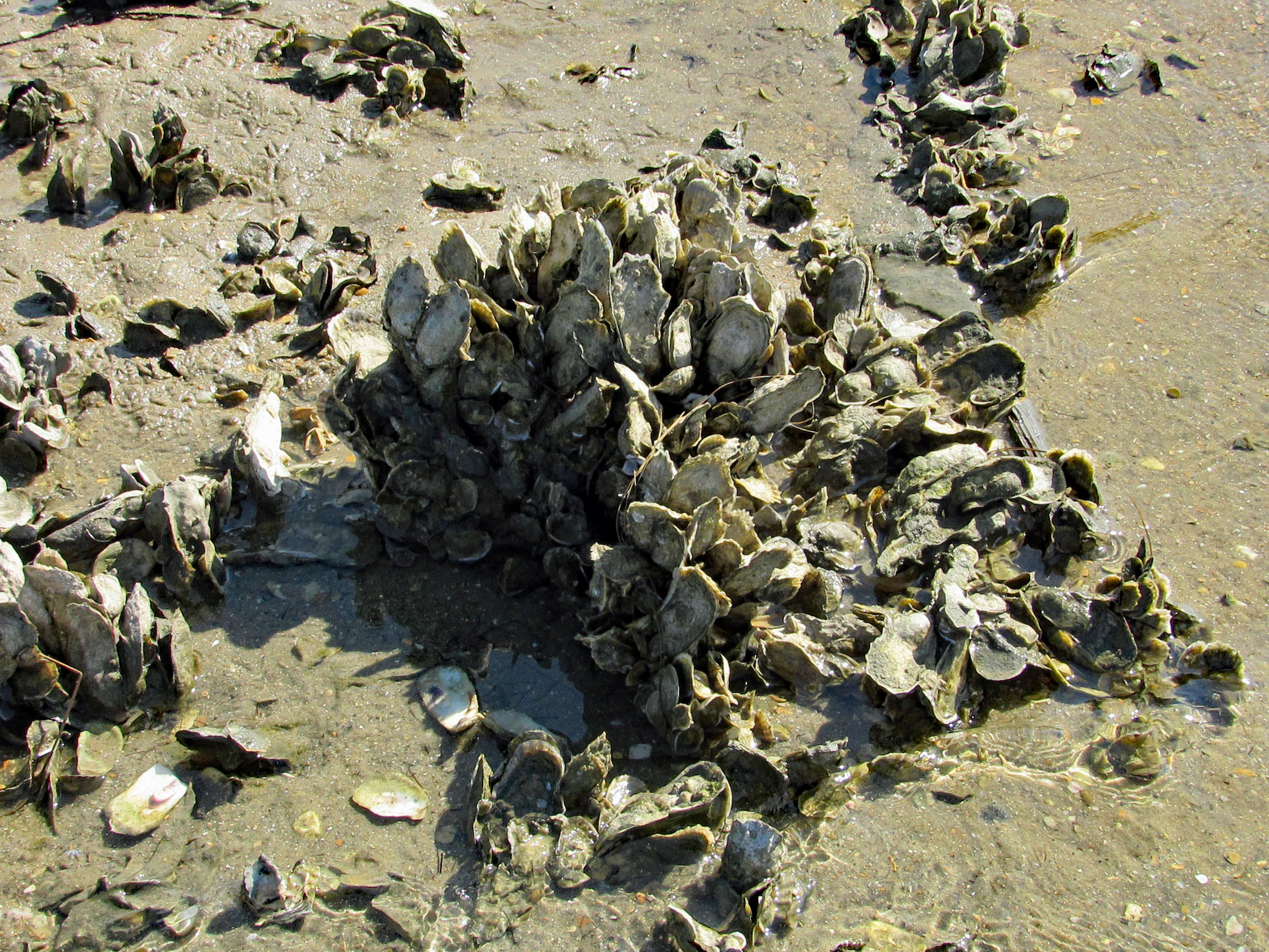
We cut over to the beach, hoping to find some 1/2 way decent shells. No luck.
Even some of the better shells were being fought over. This guy wasn’t giving up his shell find.
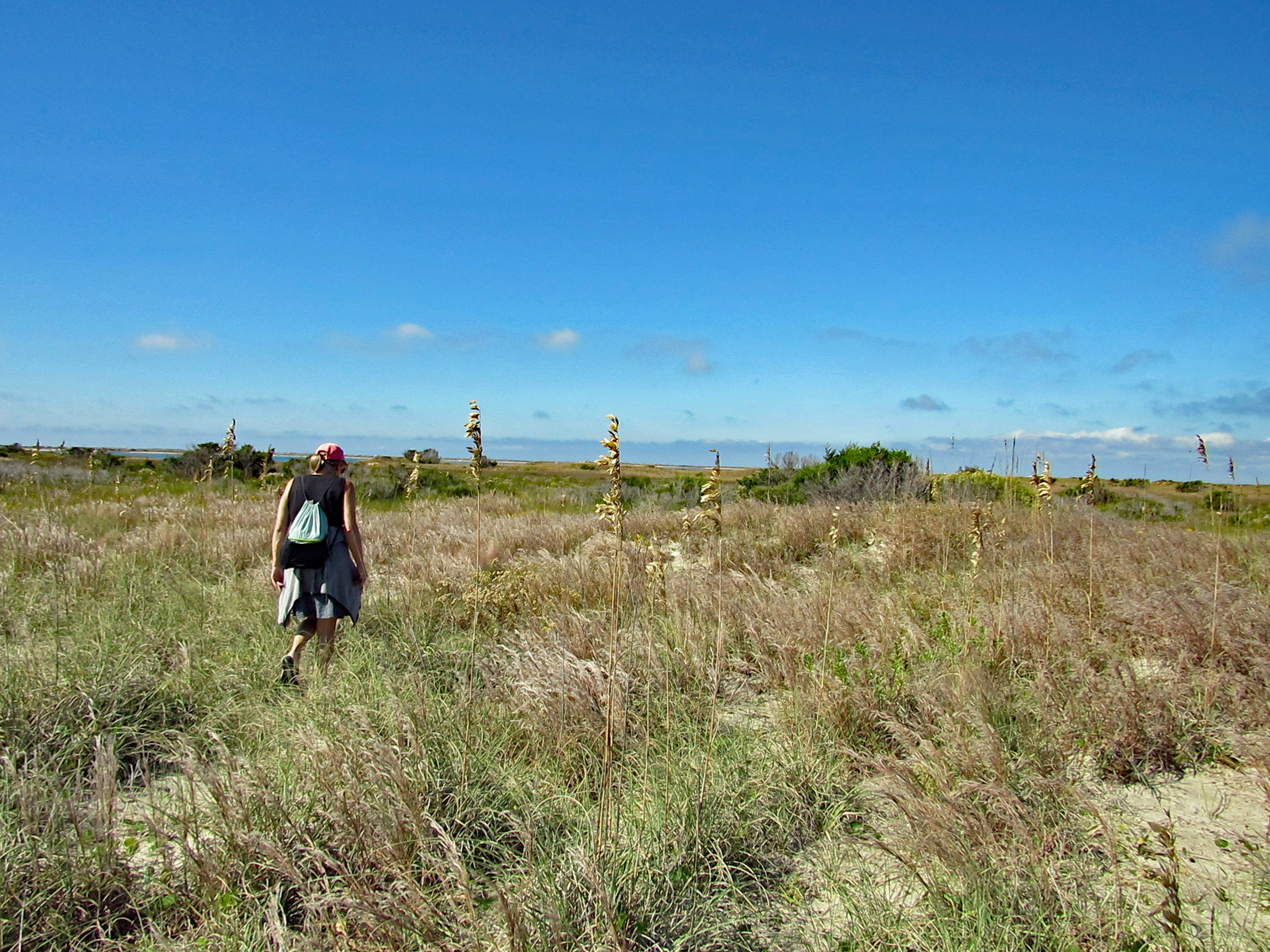
We leave the ocean side of the isle and head over to Wreck Point. Trudging through the dunes and marsh.
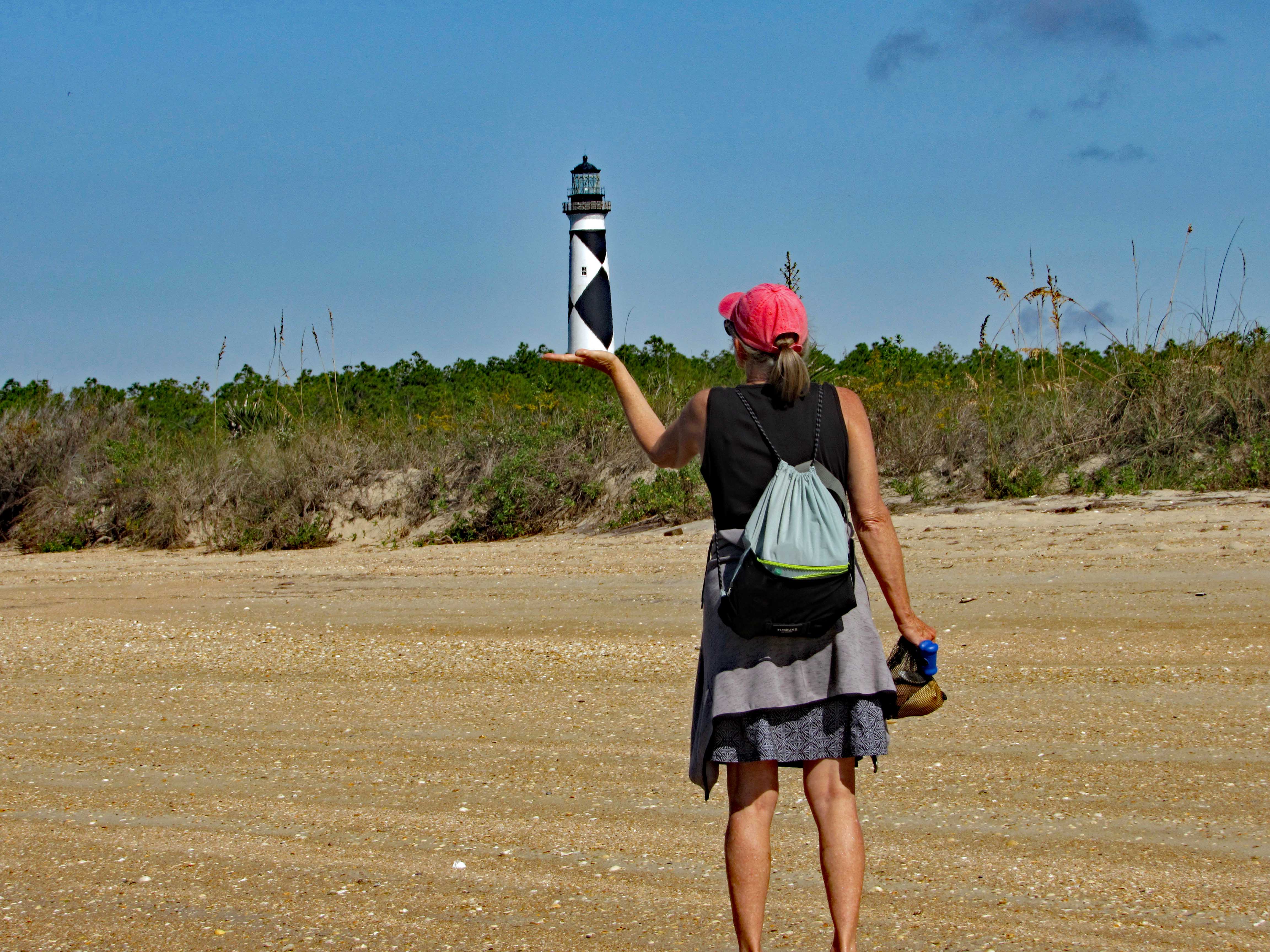
Balancing the Light.
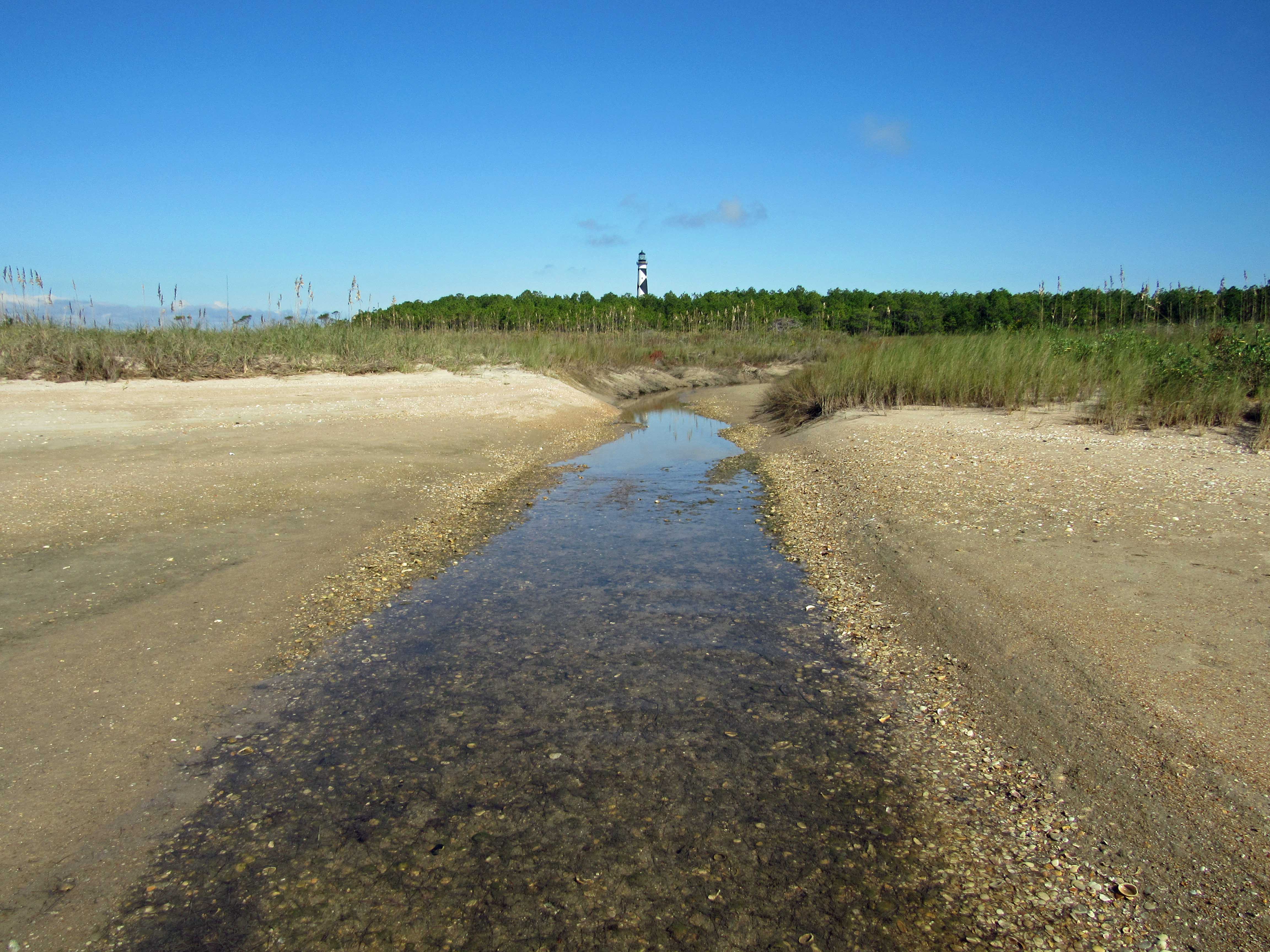
Heading back towards the lighthouse.
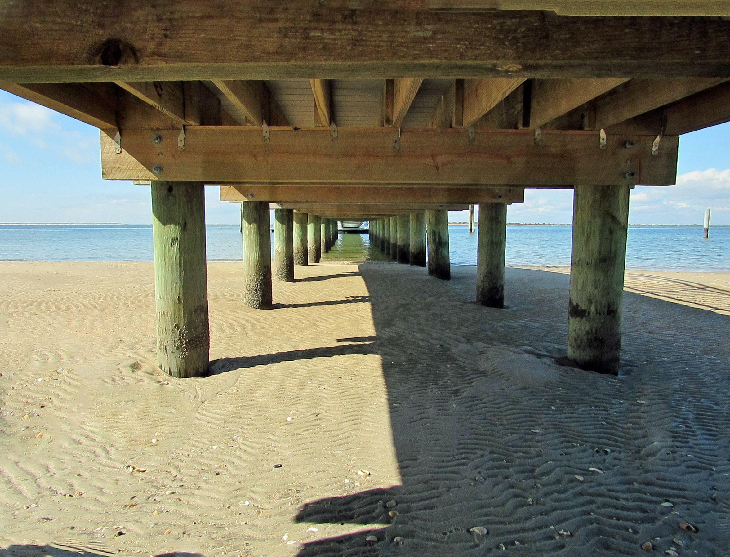
Checking out under the dock…
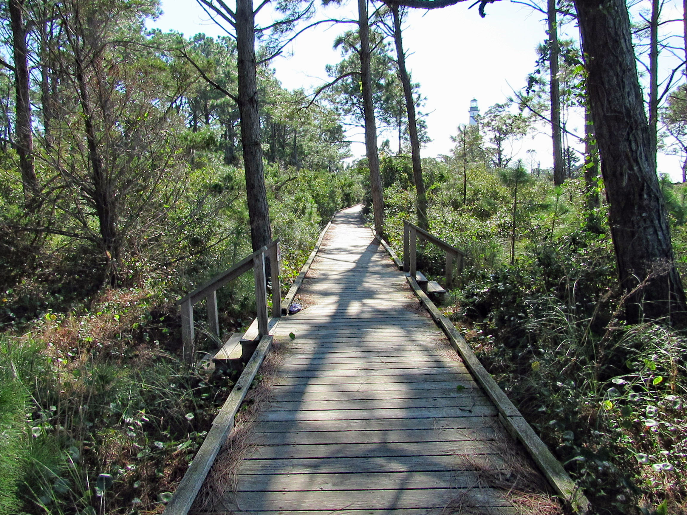
Boardwalk to the lighthouse area.
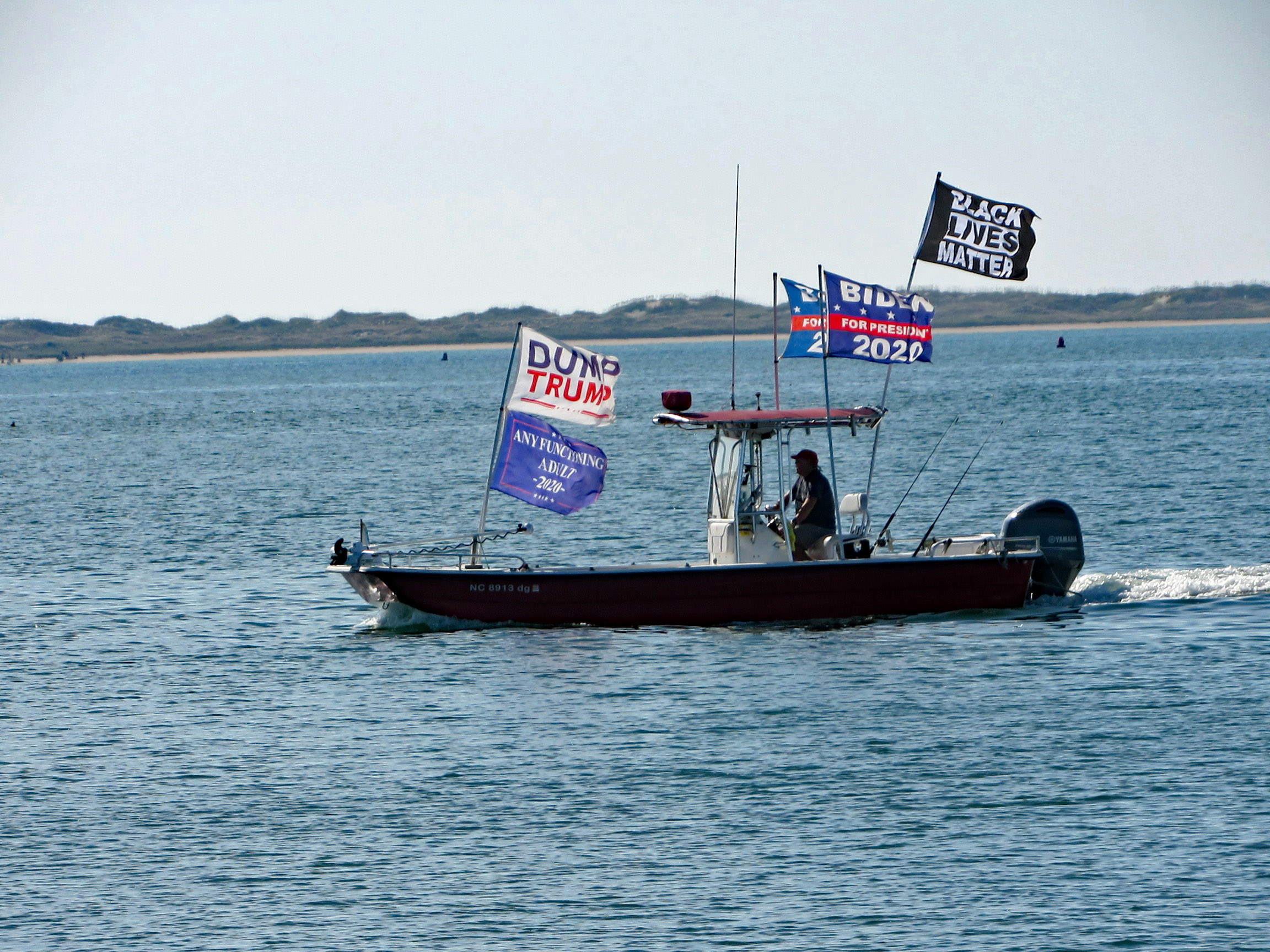
This guy was going close to shore and other boats blasting his horn and making all kinds of noises.
On the way back, on Shackleford Island. Scratching an itch with his food.
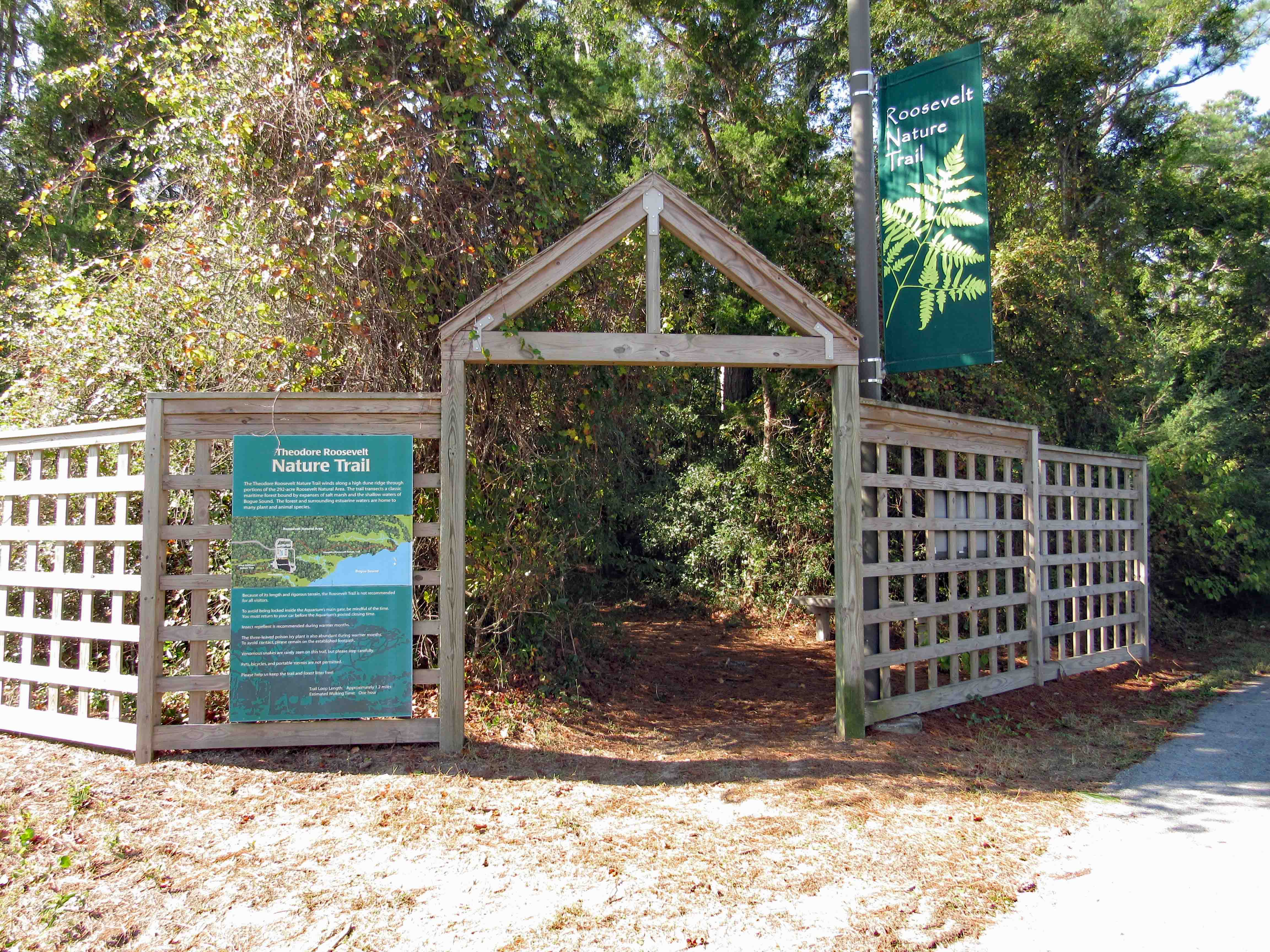
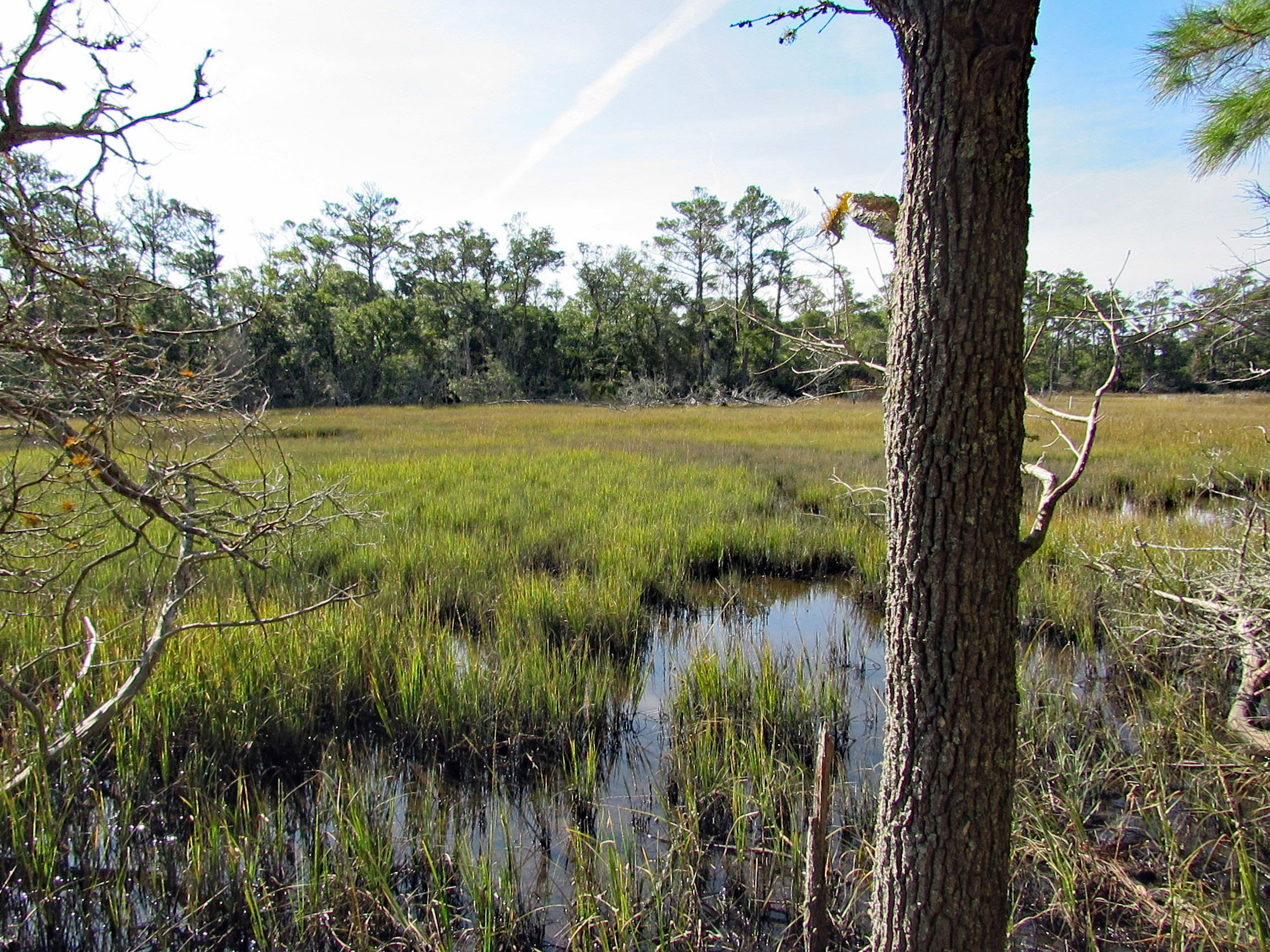
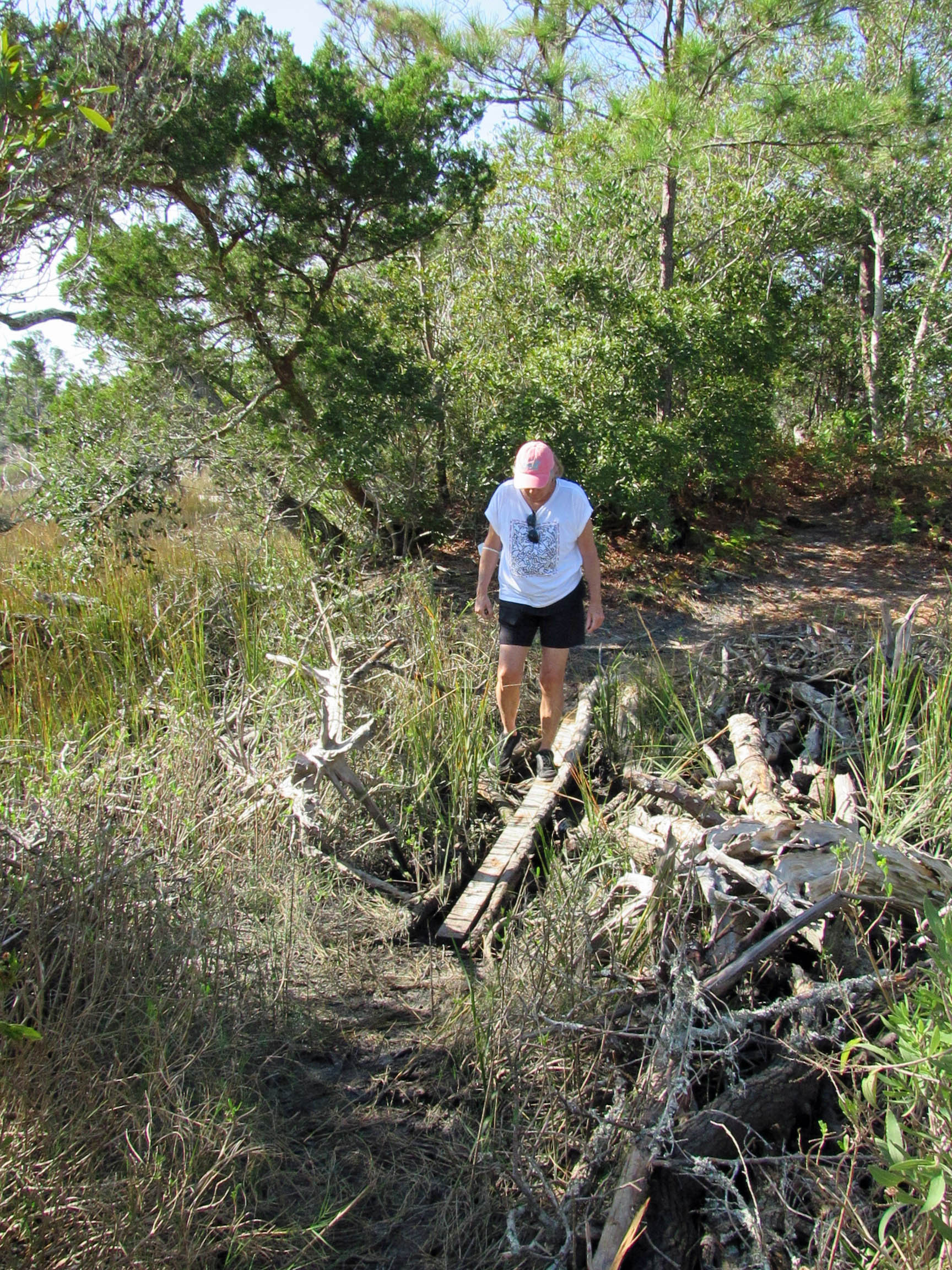
Another day, another adventure. Off to the side of the Pine Knoll Shores Aquarium is a nice little hiking trail. About 1.2 miles.
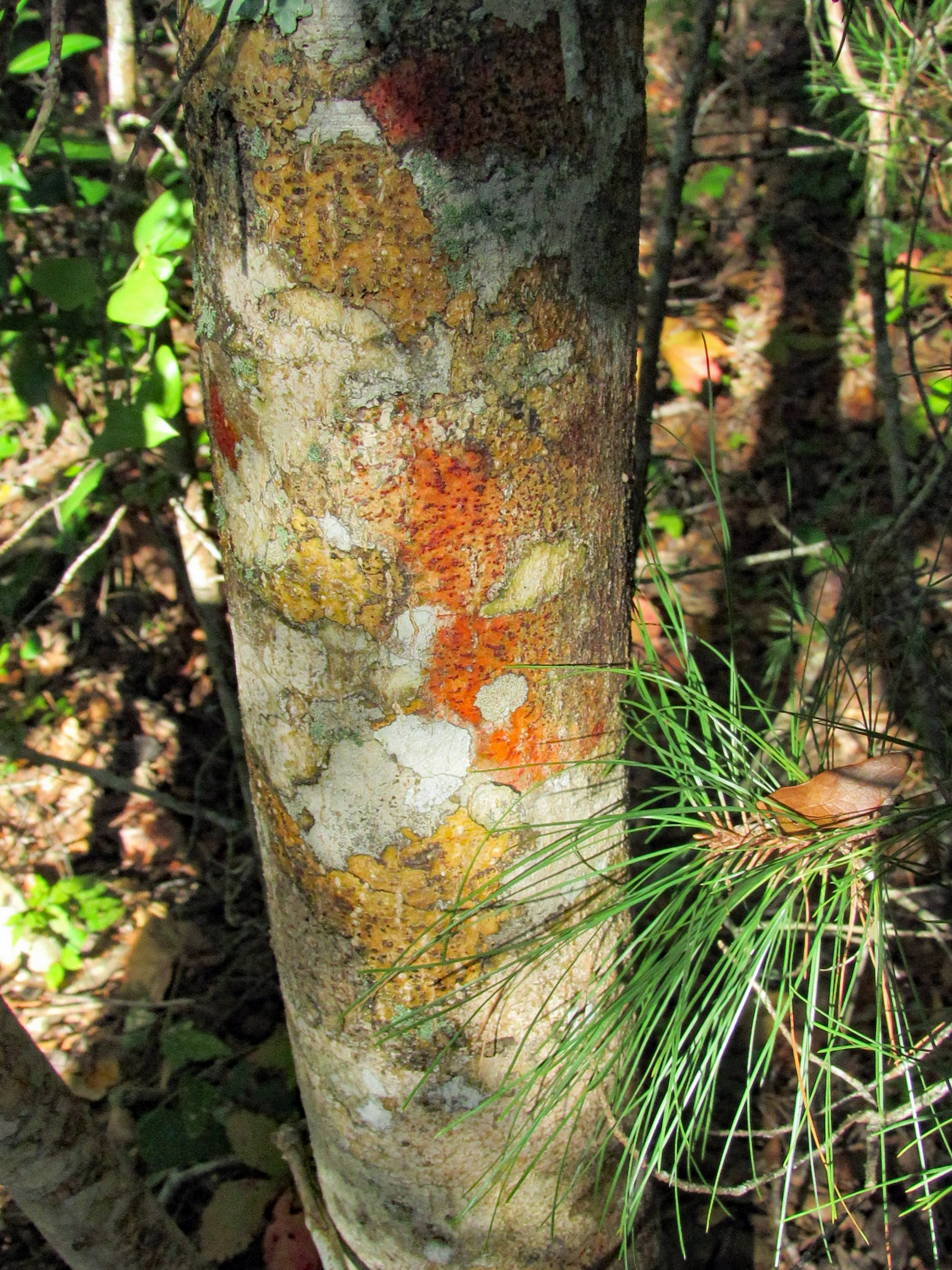
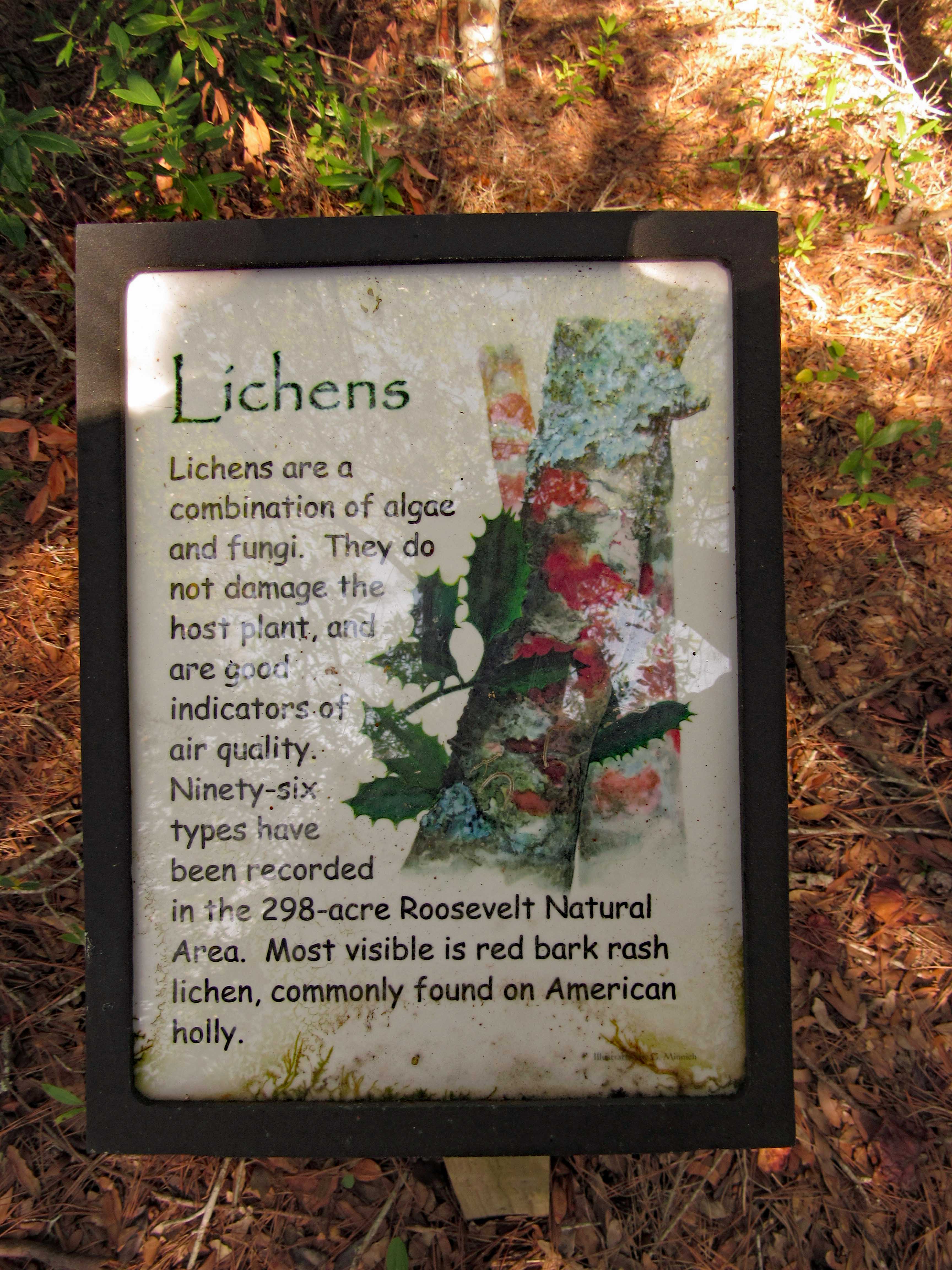
We thought this coloration was the tree itself (Holly)
But it is lichen. Nice info signs along the trail.
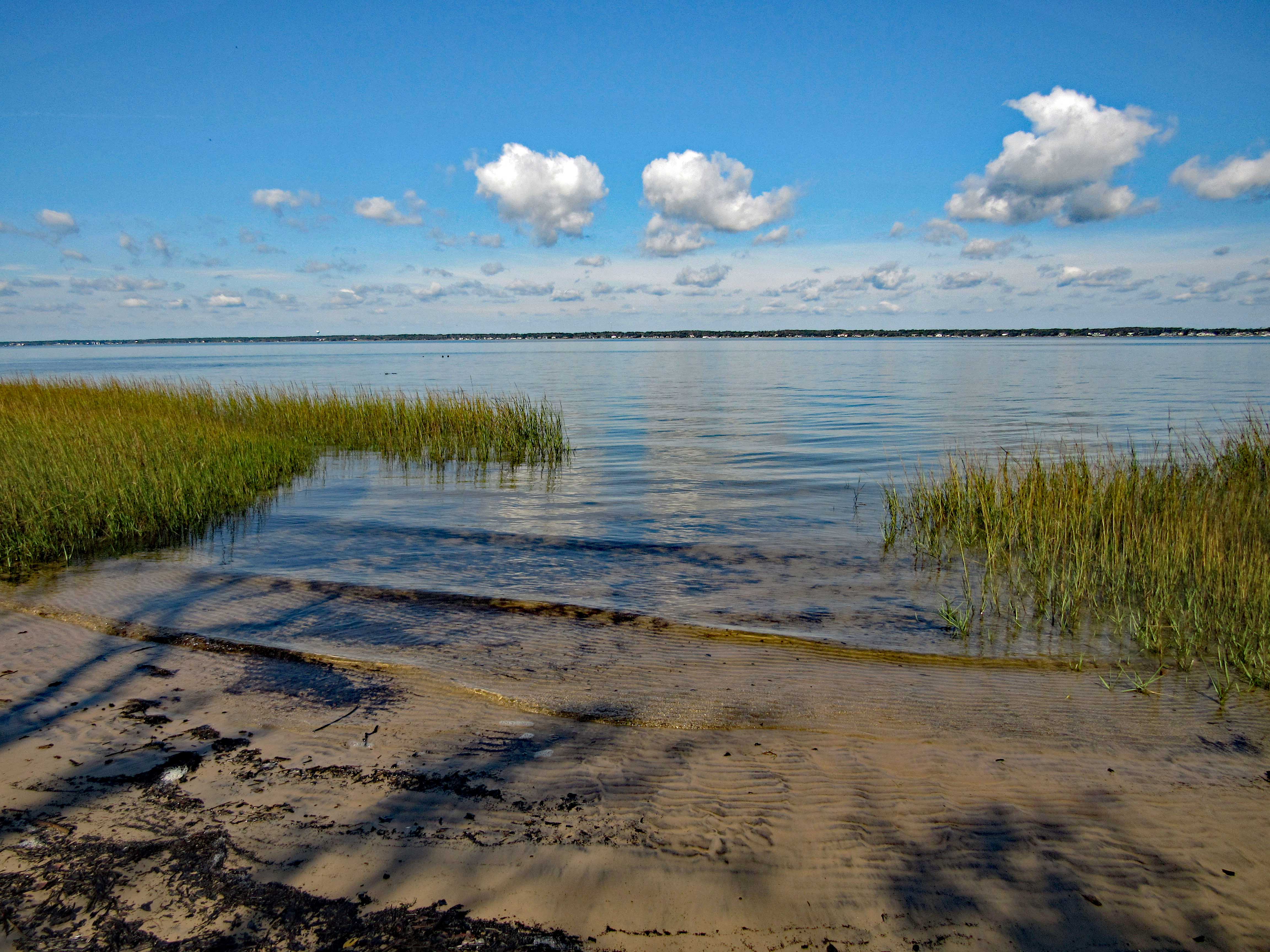
One side of the trail is a marsh. The other side is the Bogue Sound.
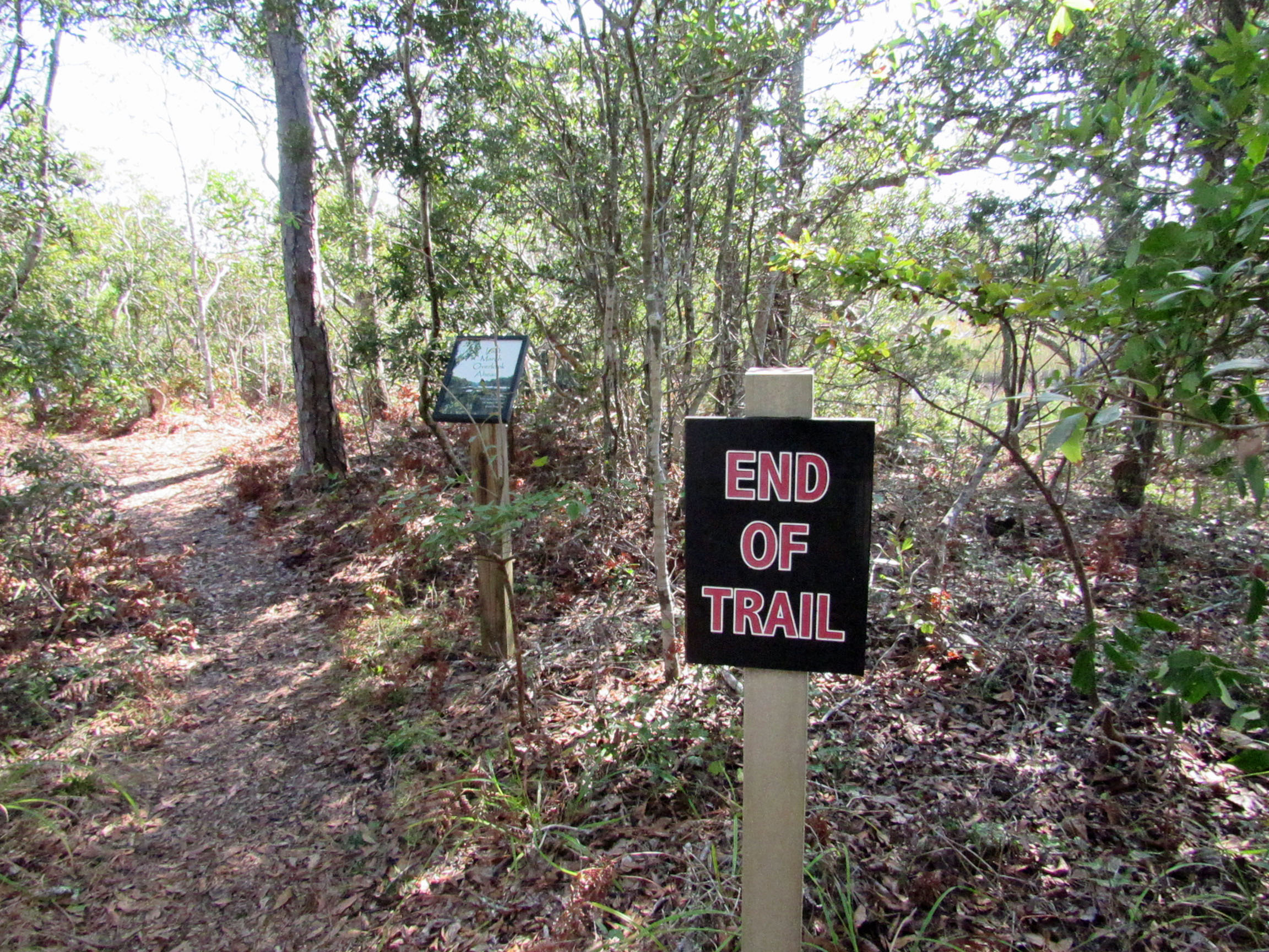
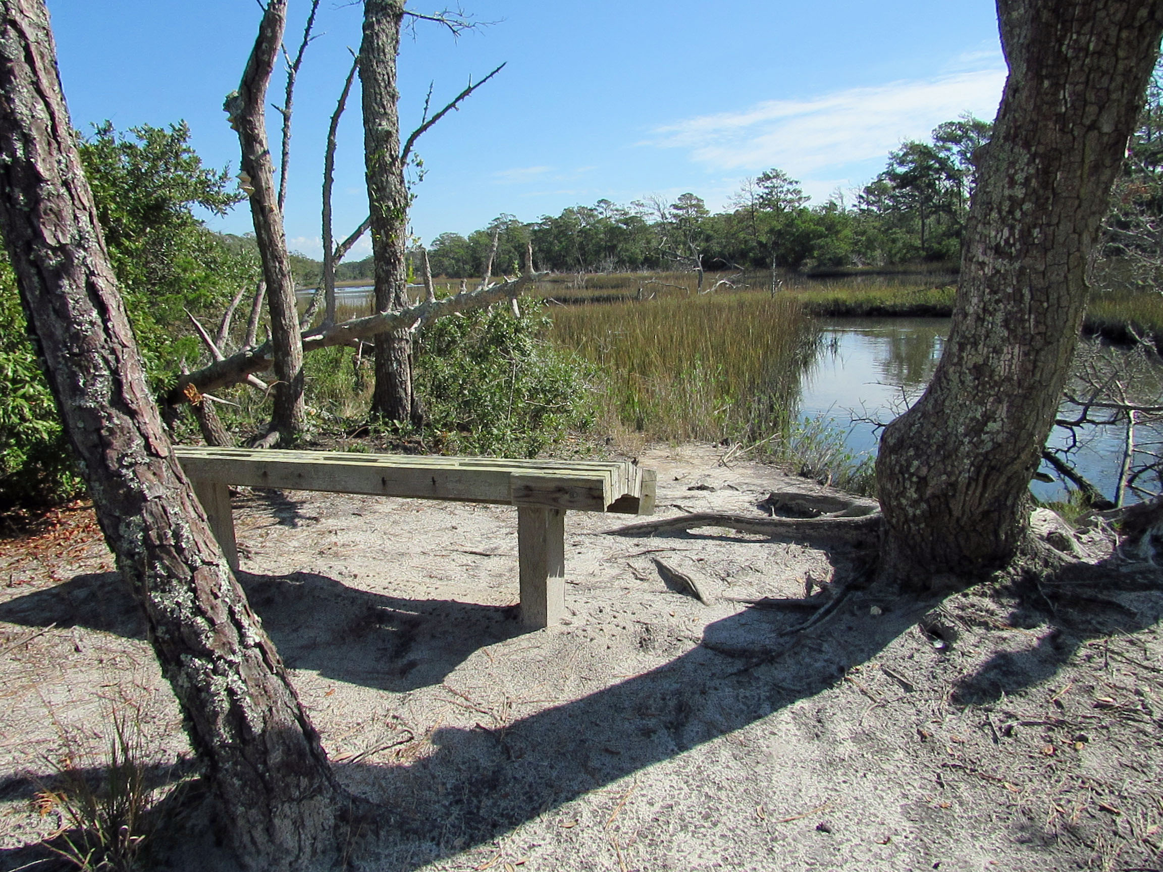
Sign in front says End of Trail. Sign behind it says Last Marsh Overlook Ahead?
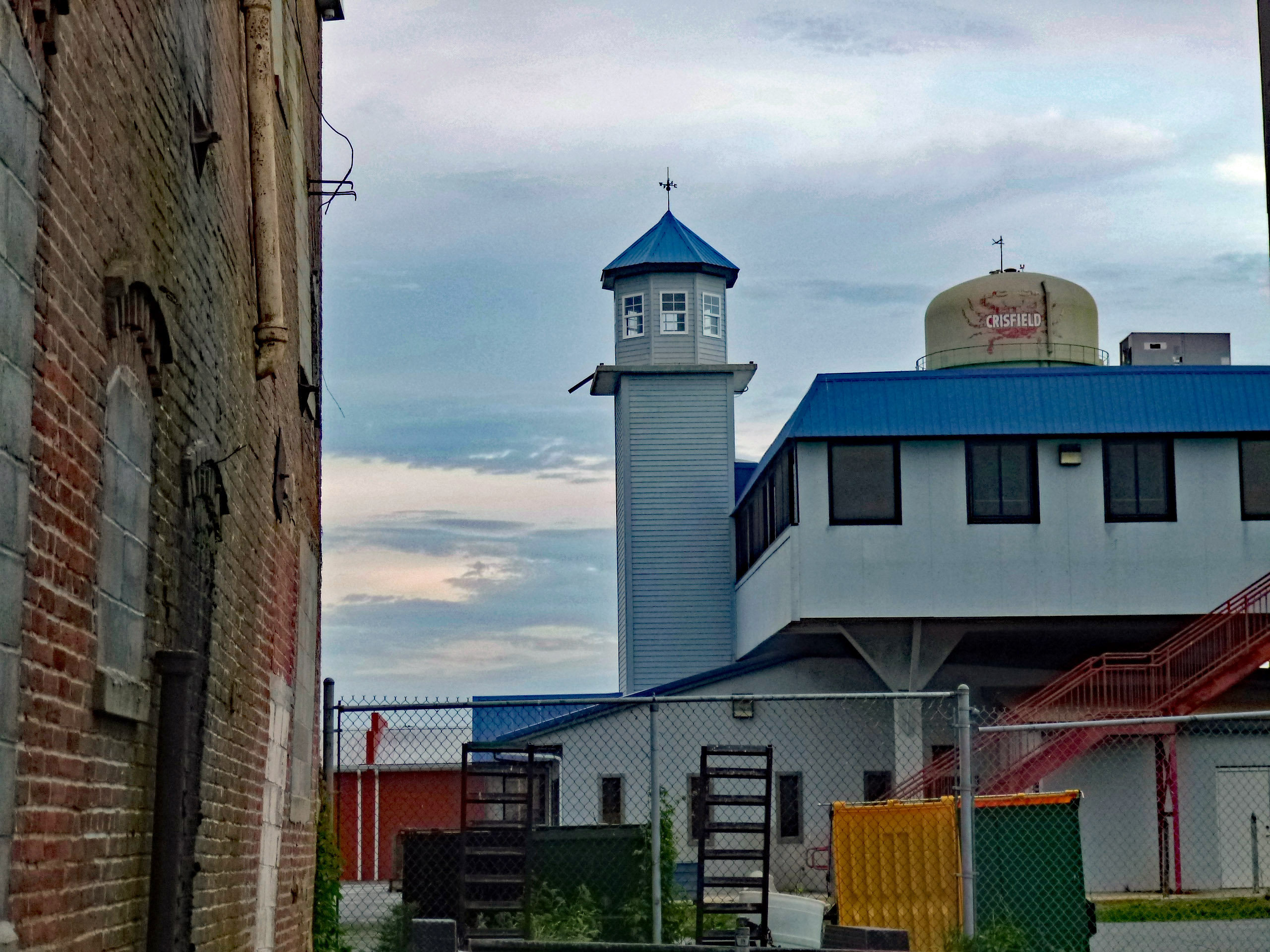
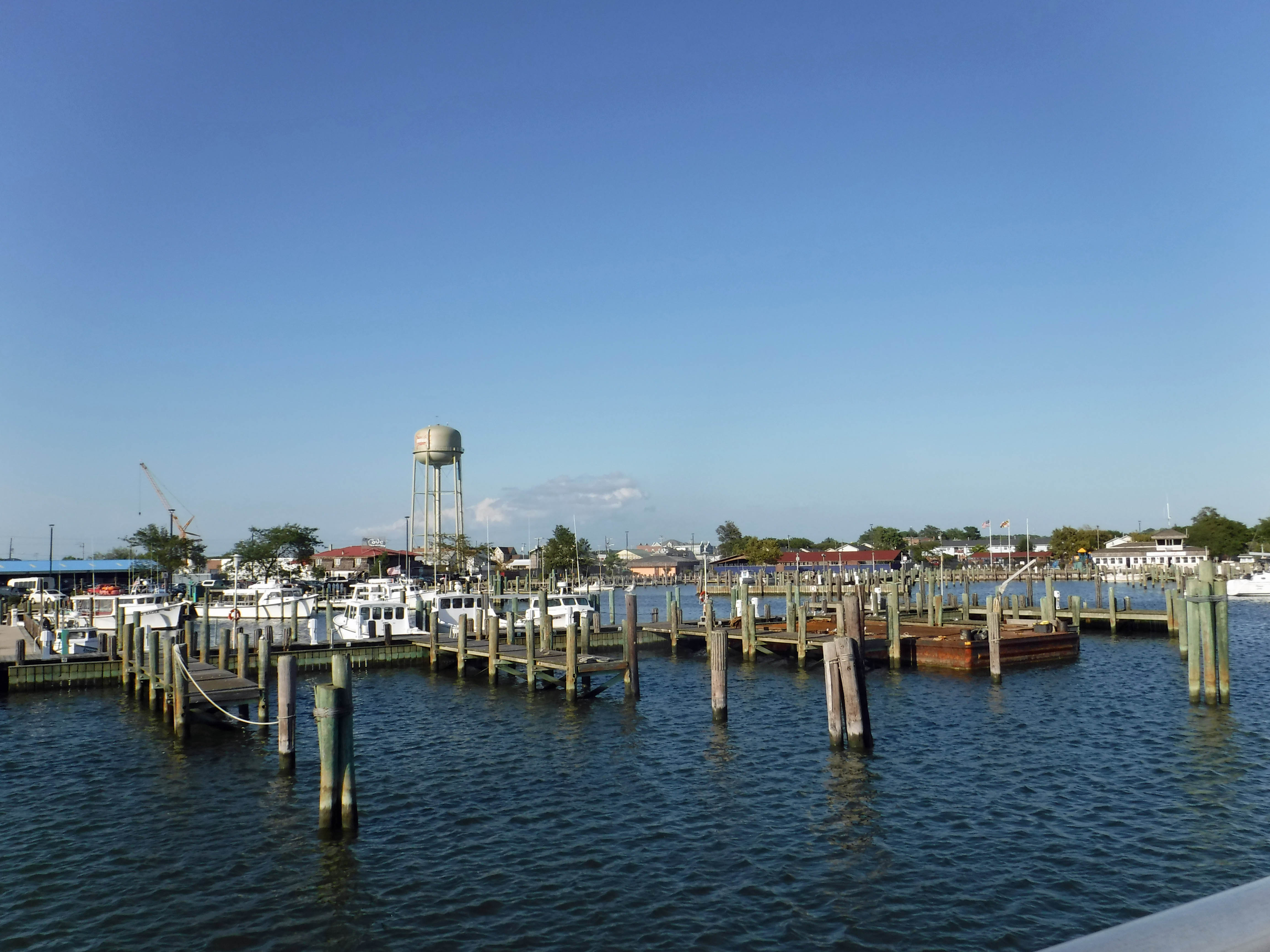
Headed to Crisfield for dinner on Saturday night, to celebrate John and Gail’s anniversary. Always a good time with Kathy’s family. First stop was the dock or maybe it is just a fishing pier?
Memorial Day weekend and the flags are flying.
Looking across Daugherty Creek towards Tangier Sound and the Chesapeake Bay.
Kathy enjoying the peace and solitude. Stars overhead.
A moral compass or a navigational one? Needs directions.
Is that someone’s house all the way out there?
Dinner time. The soft shell crab sandwich was excellent! The sauteed soft shell crabs, not so much. But overall a very nice restaurant. Glad to have been invited to what was traditionally a father-daughters eatery! Thanks Merrill.
The family.
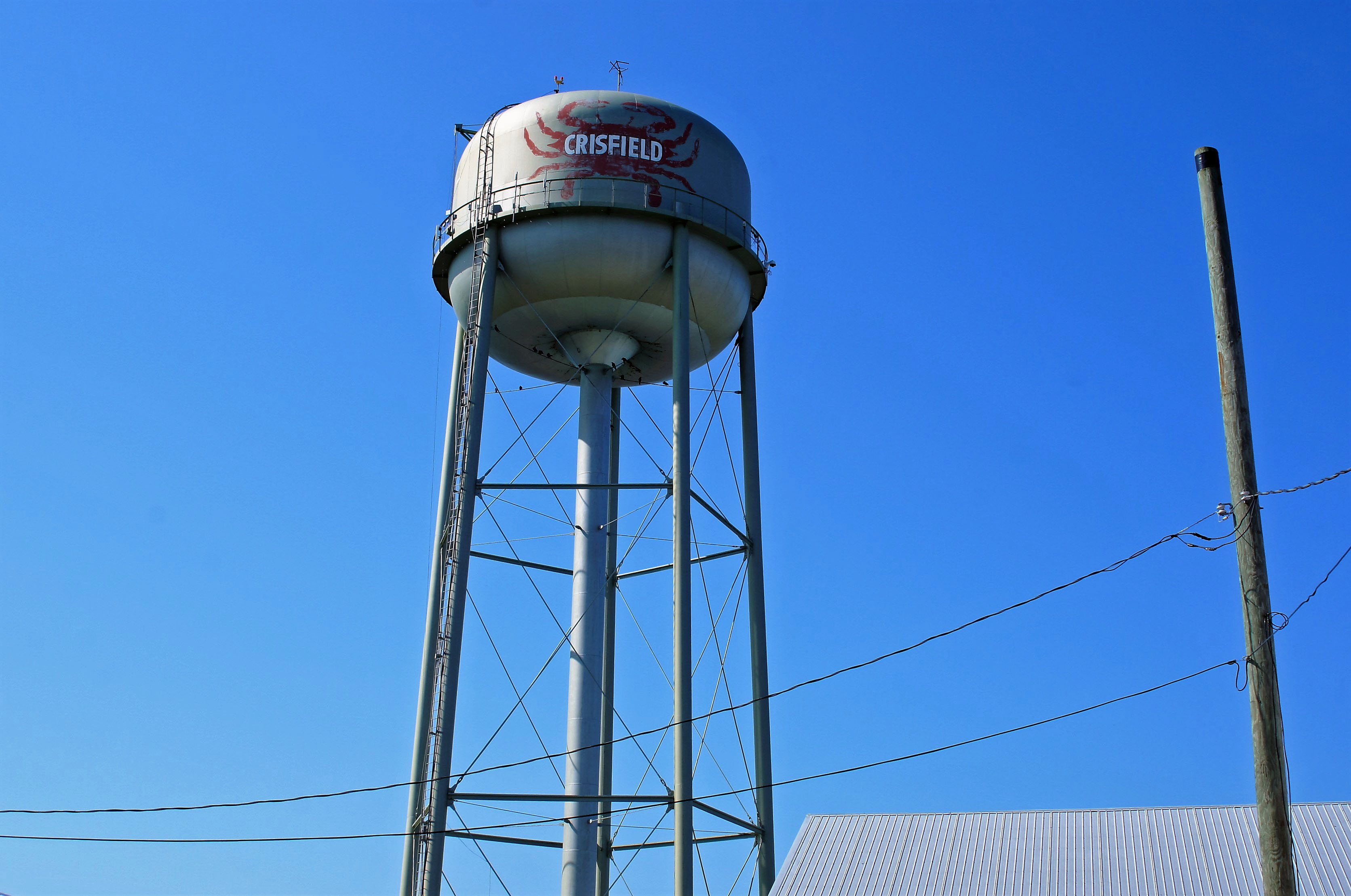
Random shot of a water tower – because this post is about water and me!
Got home in time for the deluge. Molly says to go ahead and she will catch up!
This side of the island was pretty beat up. They had a hurricane I believe back in October.
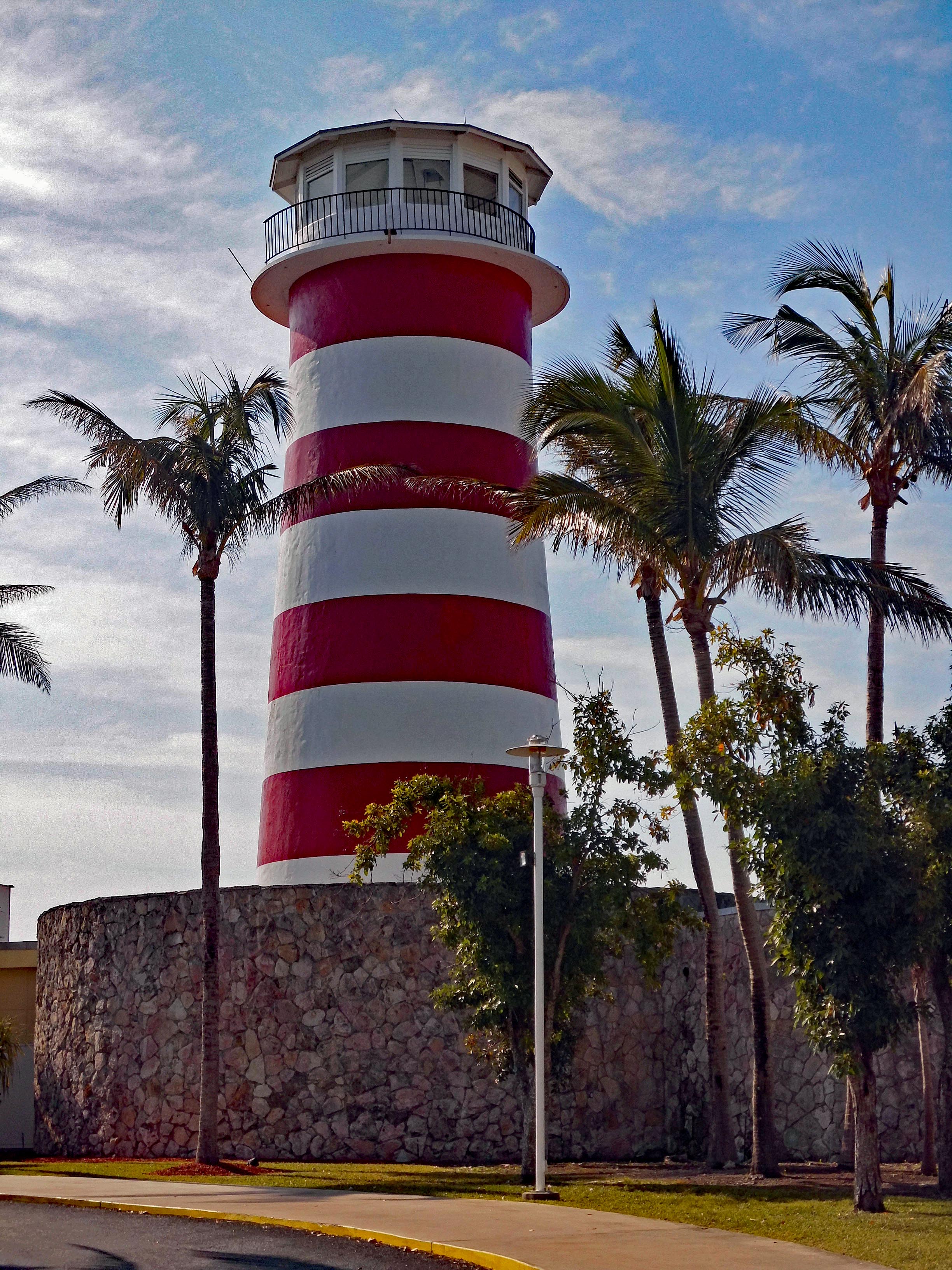
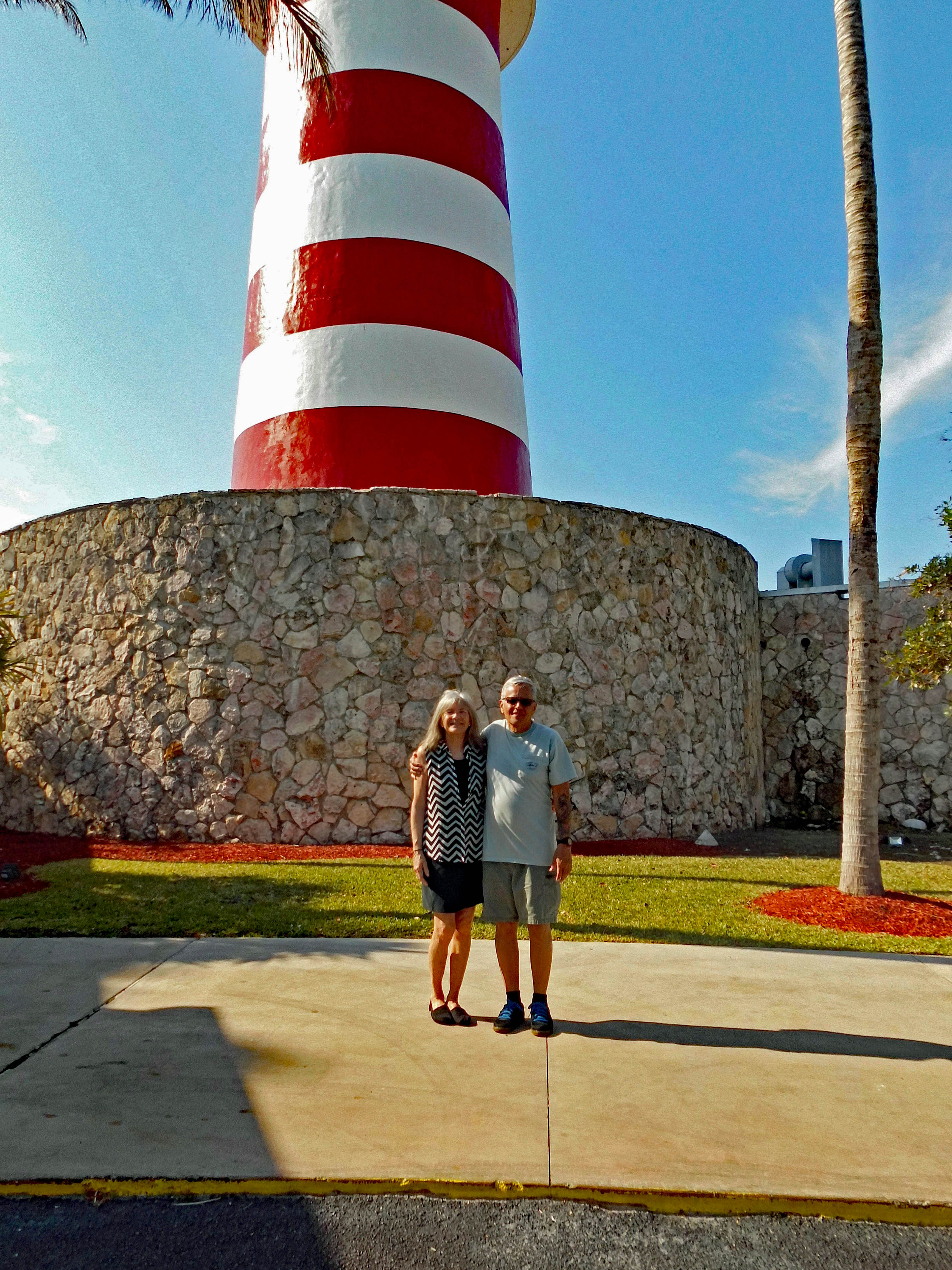
Not to be ones to follow the beaten path, we headed east to the end of the road. Hoping to get to climb this lighthouse.
The guard told us ‘no’ but said she would take our photograph. Damn Tourist!
We headed back to the tourist area. Nice shops.
Headed back west on Sea Horse Rd. and onto the beach. Place was deserted. A lot of people still hadn’t rebuilt from the hurricane. The main attraction, the casino, was still closed.
More closed buildings. And an empty beach.
Hope this didn’t come off of our ship!
A glimmer of life after the storm.
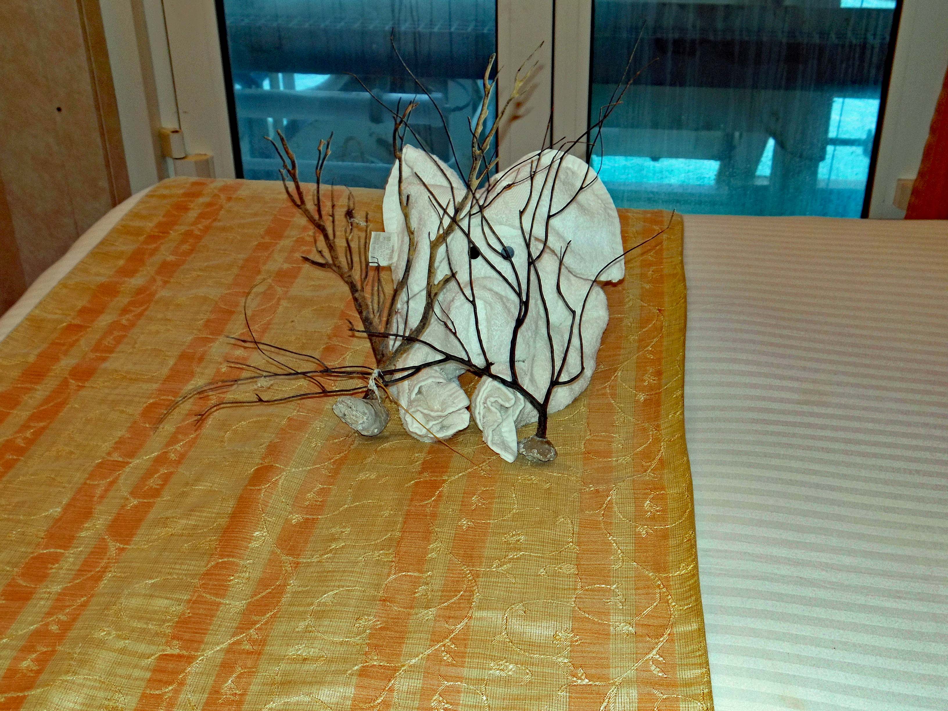
Back on board, Kathy’s island souvenirs attacked the towel elephant.
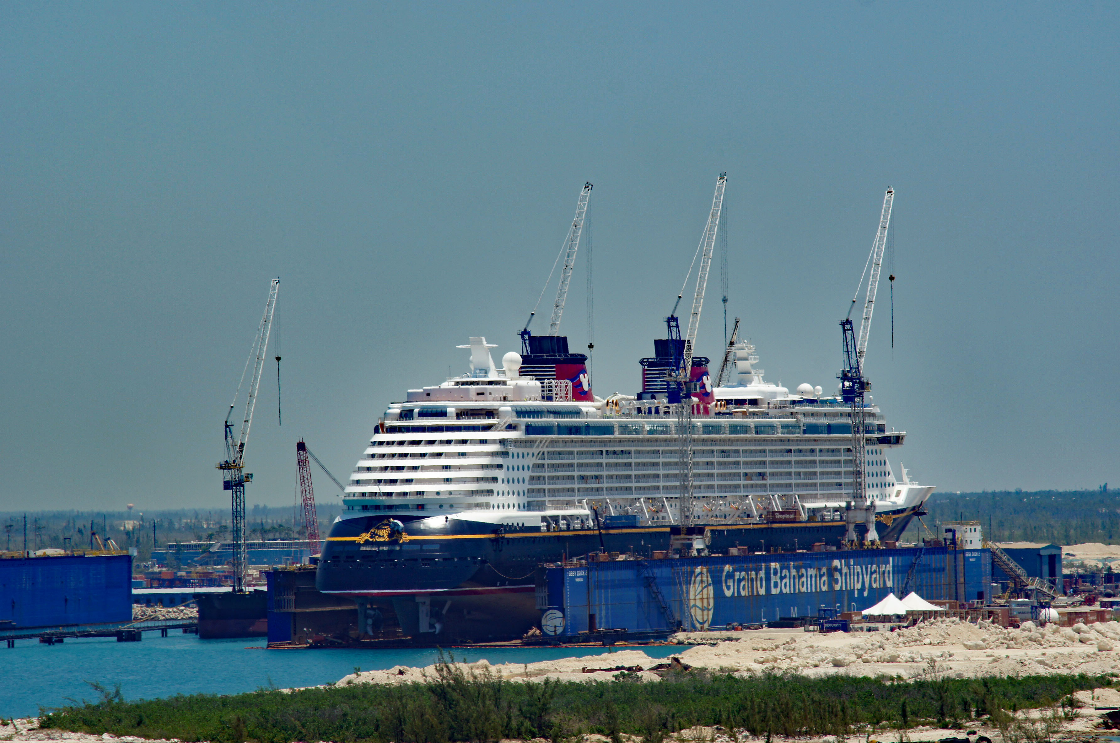
Repair work to the Disney Cruise ship.
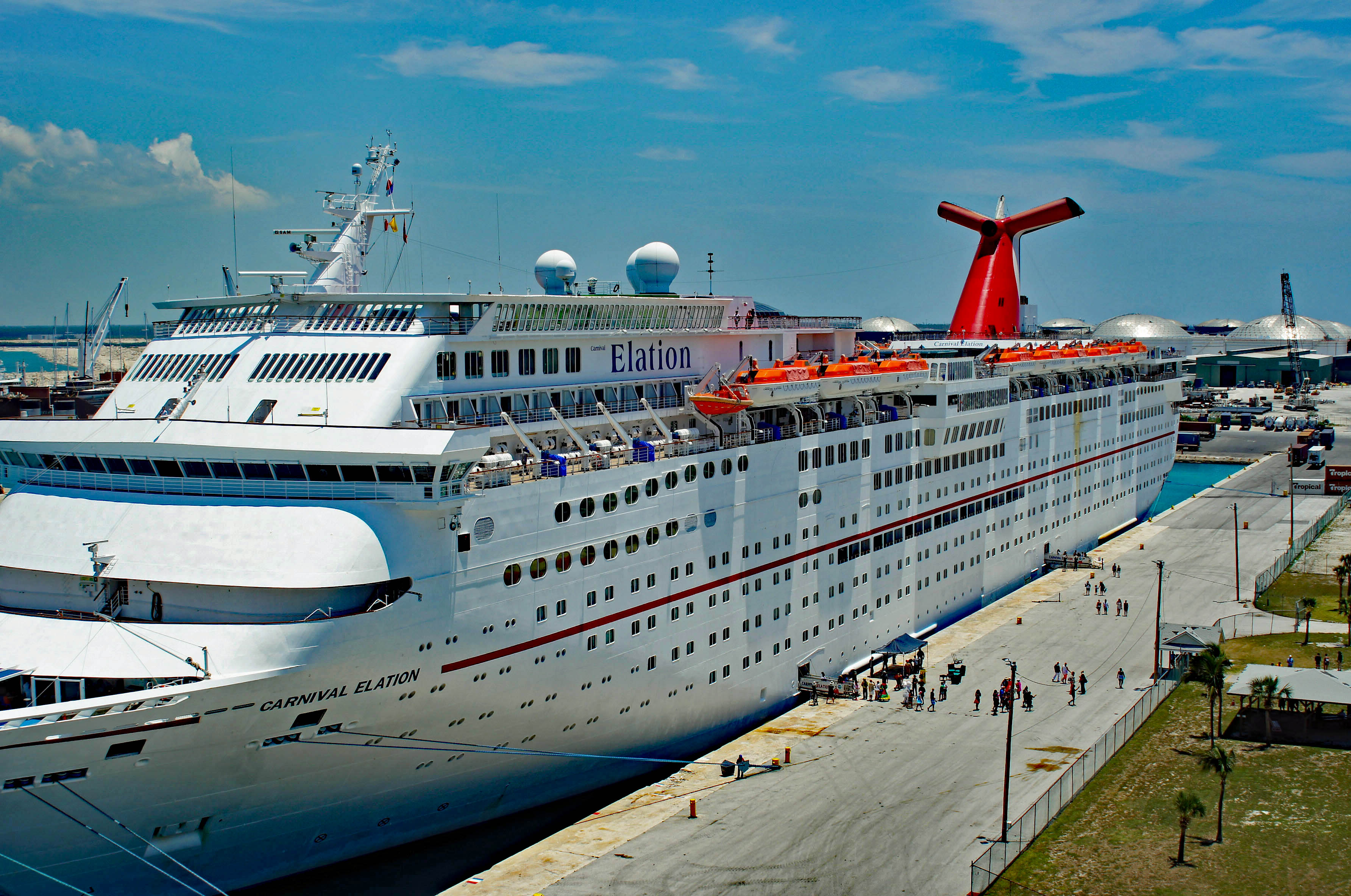
The Carnival Elation pulled into port.
Kind of reminds me of Baltimore.
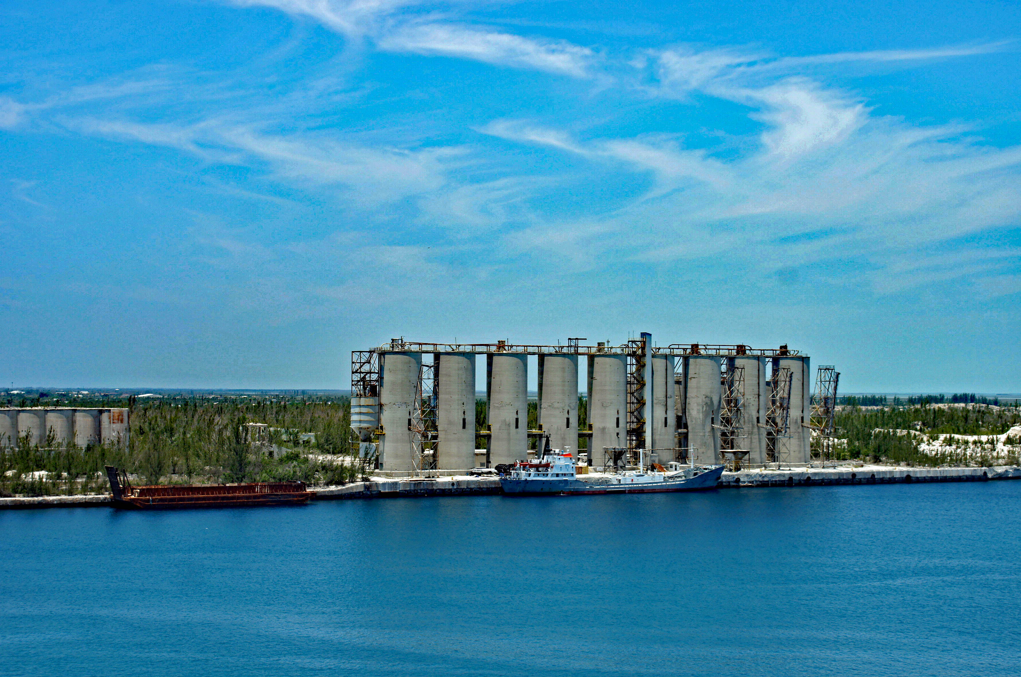
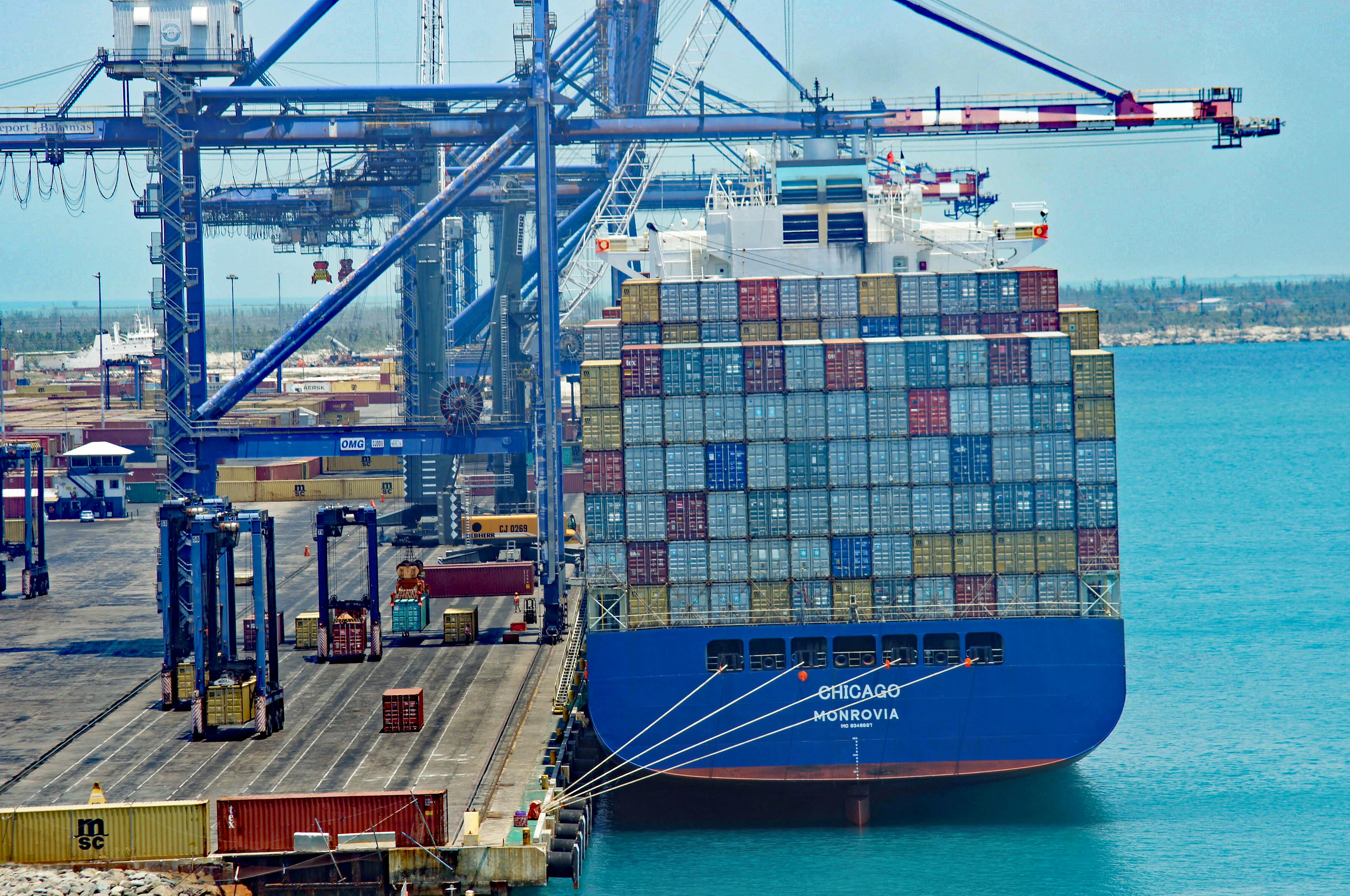
Busy unloading containers.
I think this is where tankers load/unload? From above, there are a bunch of fuel storage tanks on shore near here.
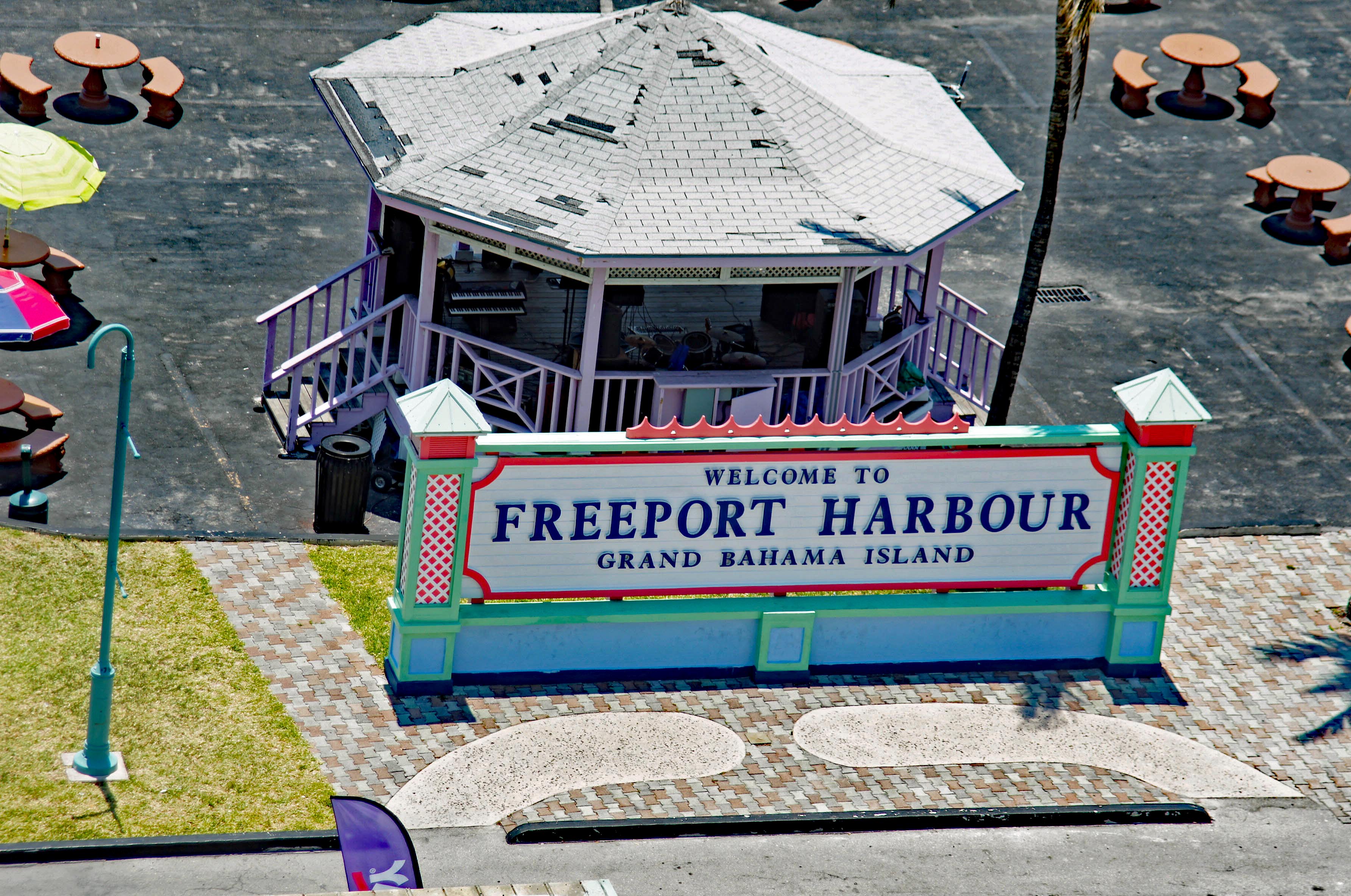
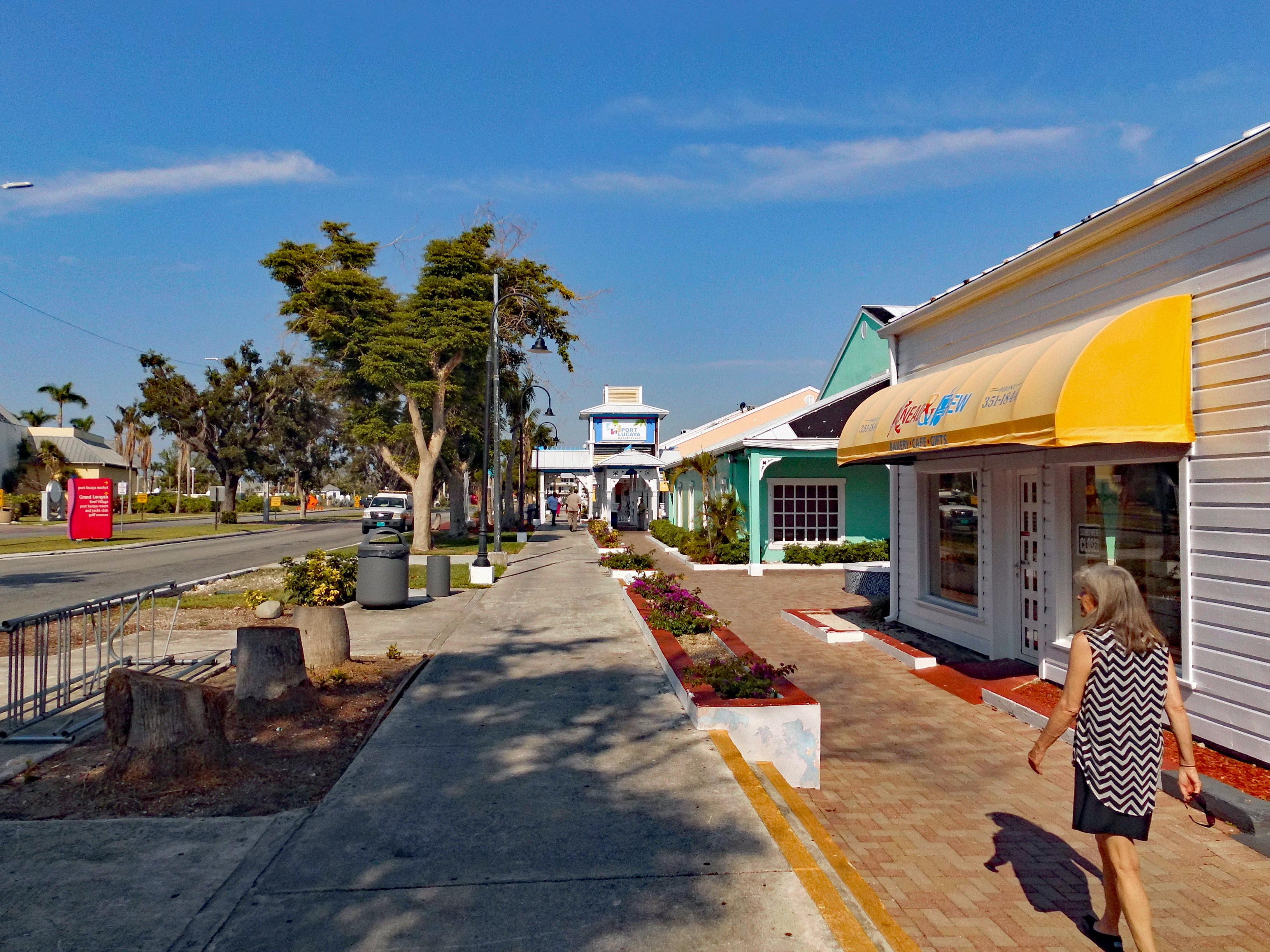
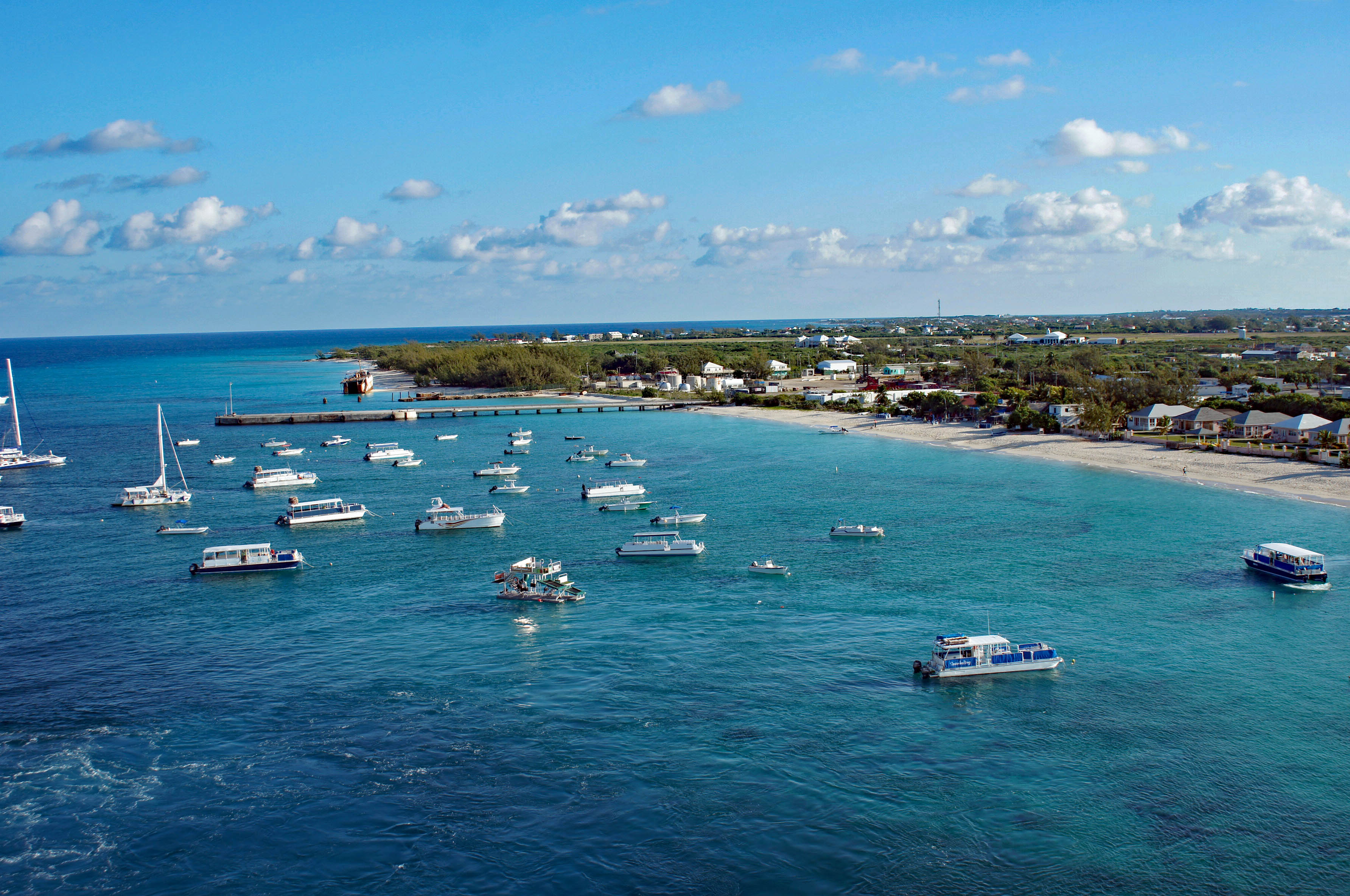
After two and a half days at sea we finally made port. This was a six and a half hour stop. Because I had gotten some sunburn, which is unusual for me, even though I had a ton of SPF50 on, we decided we would not spend all our shore time laying on the beach. I signed us up for a history tour of the island. Woo Hoo!!
Getting ready to dock about 8am. Look at that water.
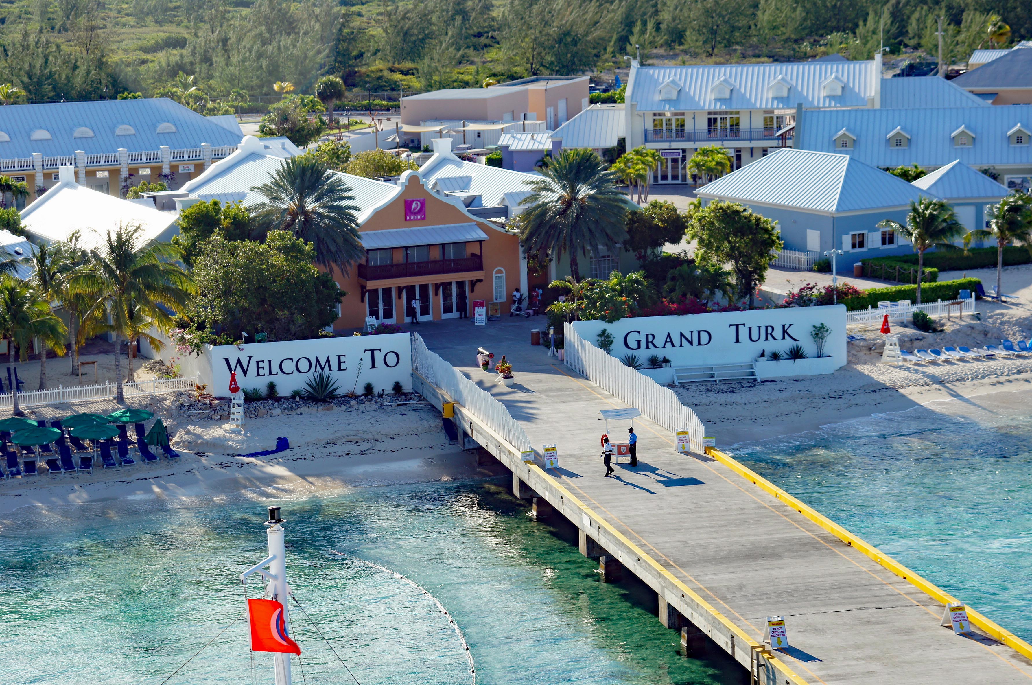
The dock and visitor center. Be sure to take your Boarding Pass and ID. And don’t cross the yellow lines on the pier!
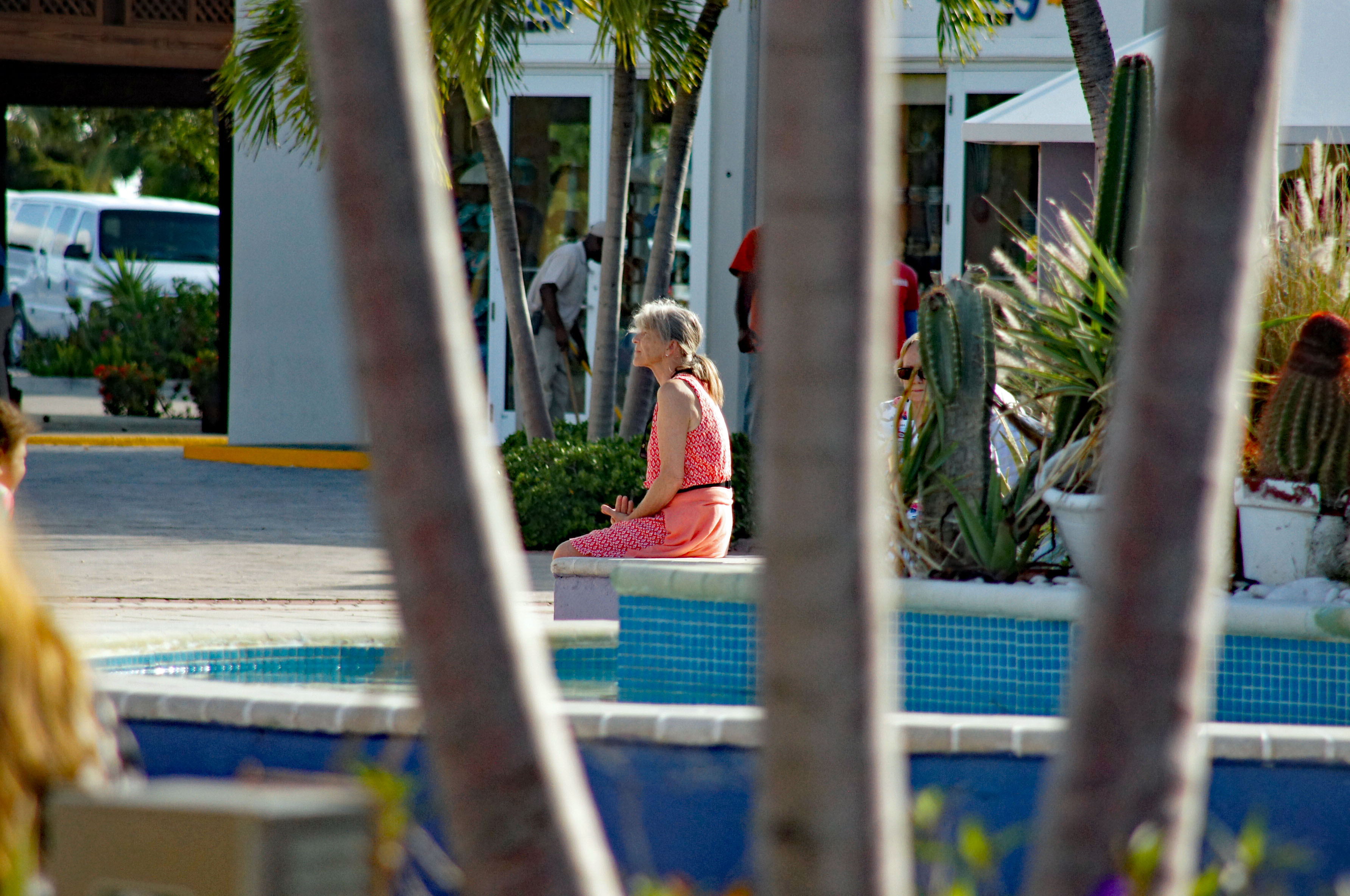
Kathy waiting for the tour bus…or me to to stop taking photos of everything!
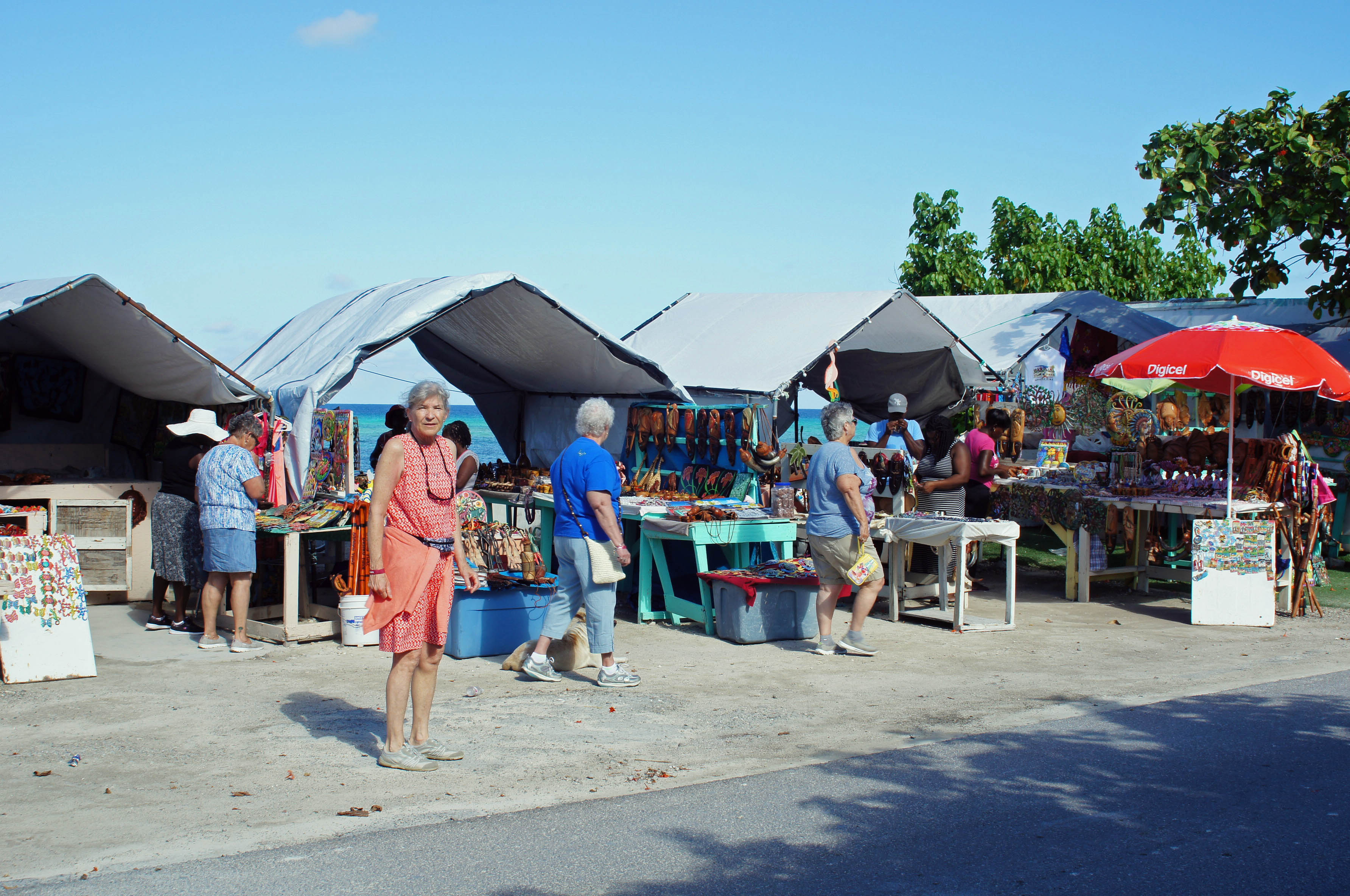
The tour was only supposed to be 1-1/2 hours in an air conditioned bus. it was more like 2 hours. First stop, an area outside of Cockburn Town (our tour guide got a kick out of saying “Cockburn” multiple times??) Above are some local shops.
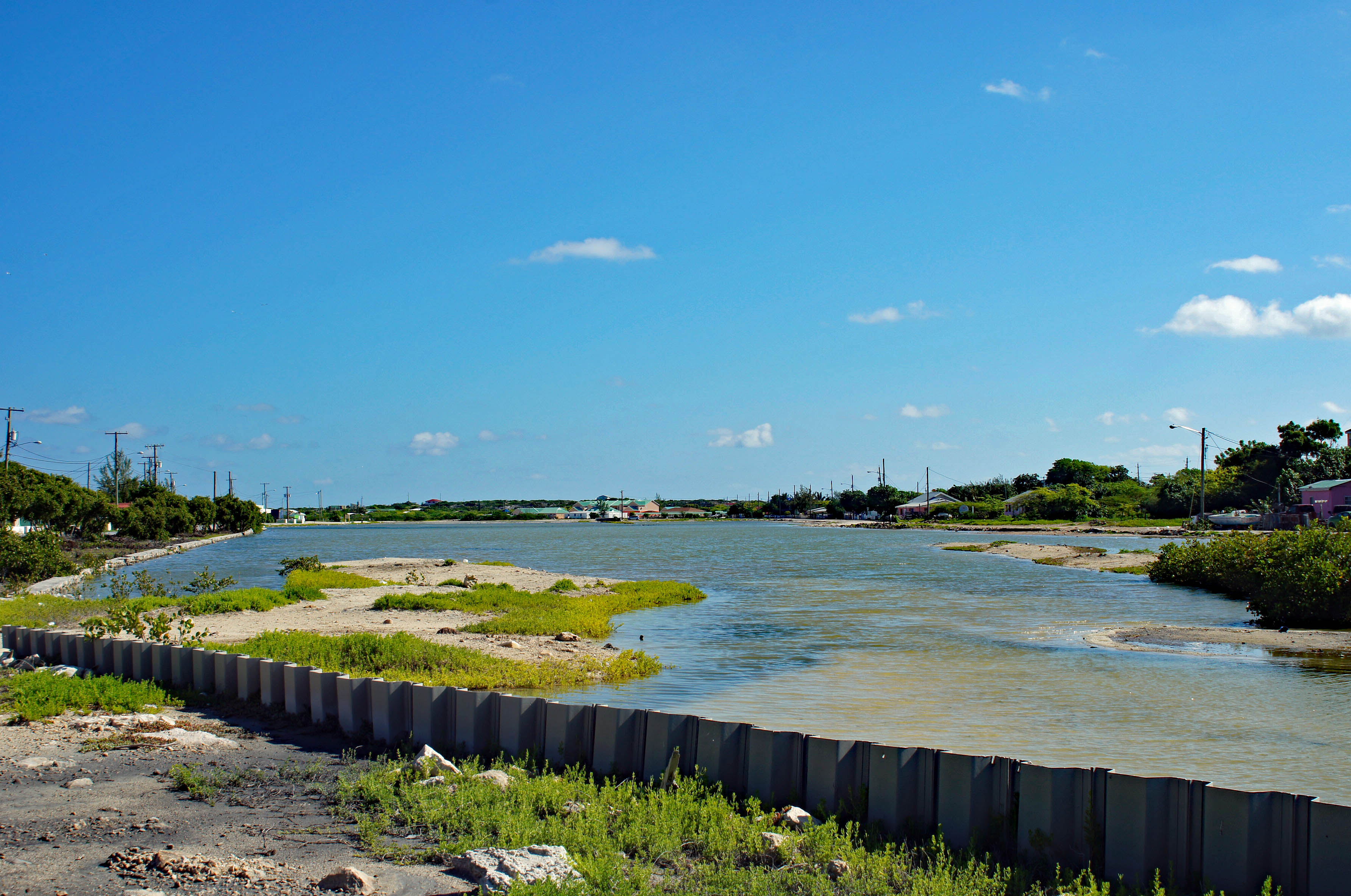
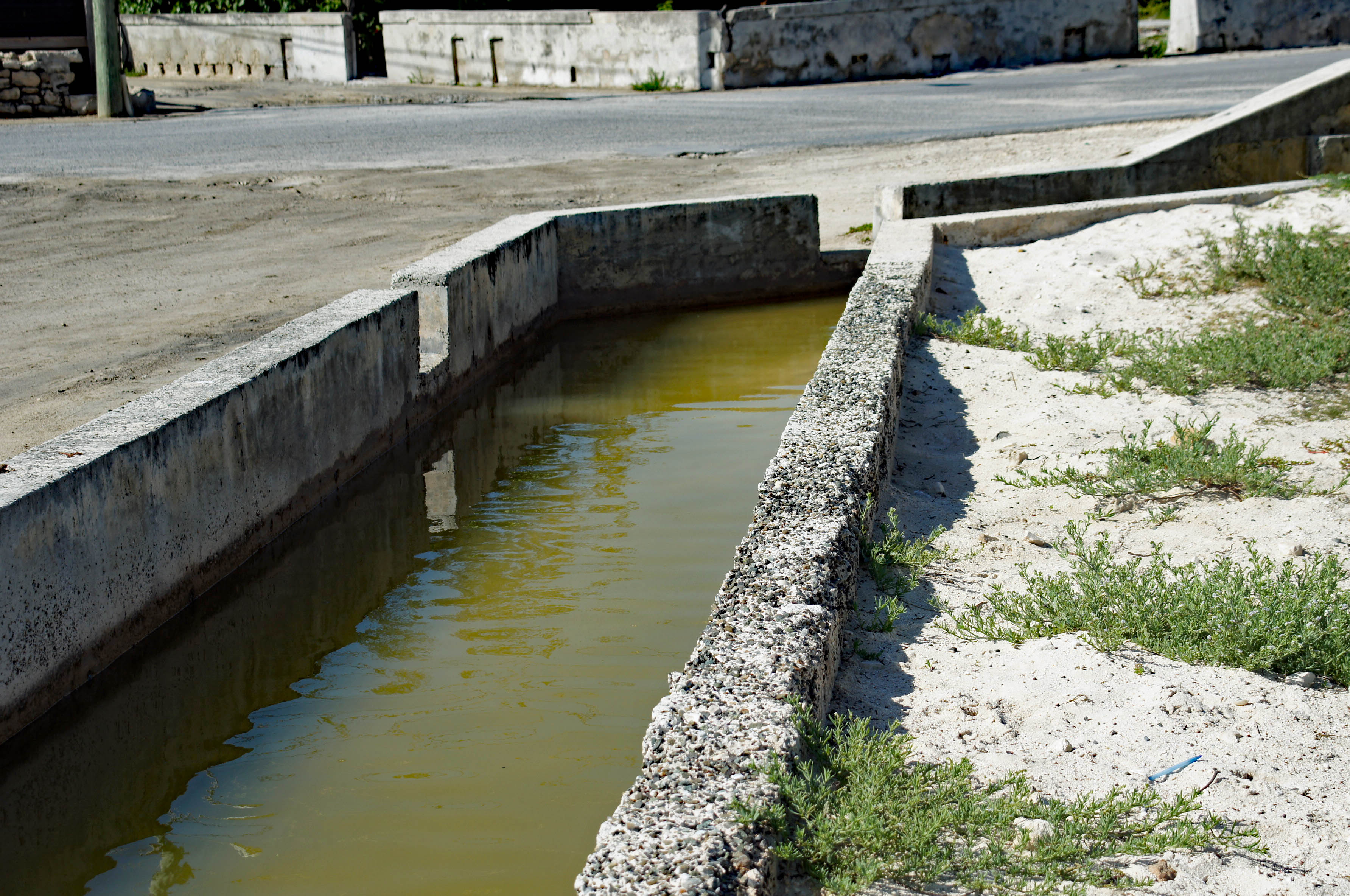
The first stop was 15 minutes long so we left the main strip and headed towards the salt ponds. Grand Turk was a salt producer.
Quite a few of these around. Raise and lower water in the salt ponds but more importantly, they divert flood waters off the island back into the sea.
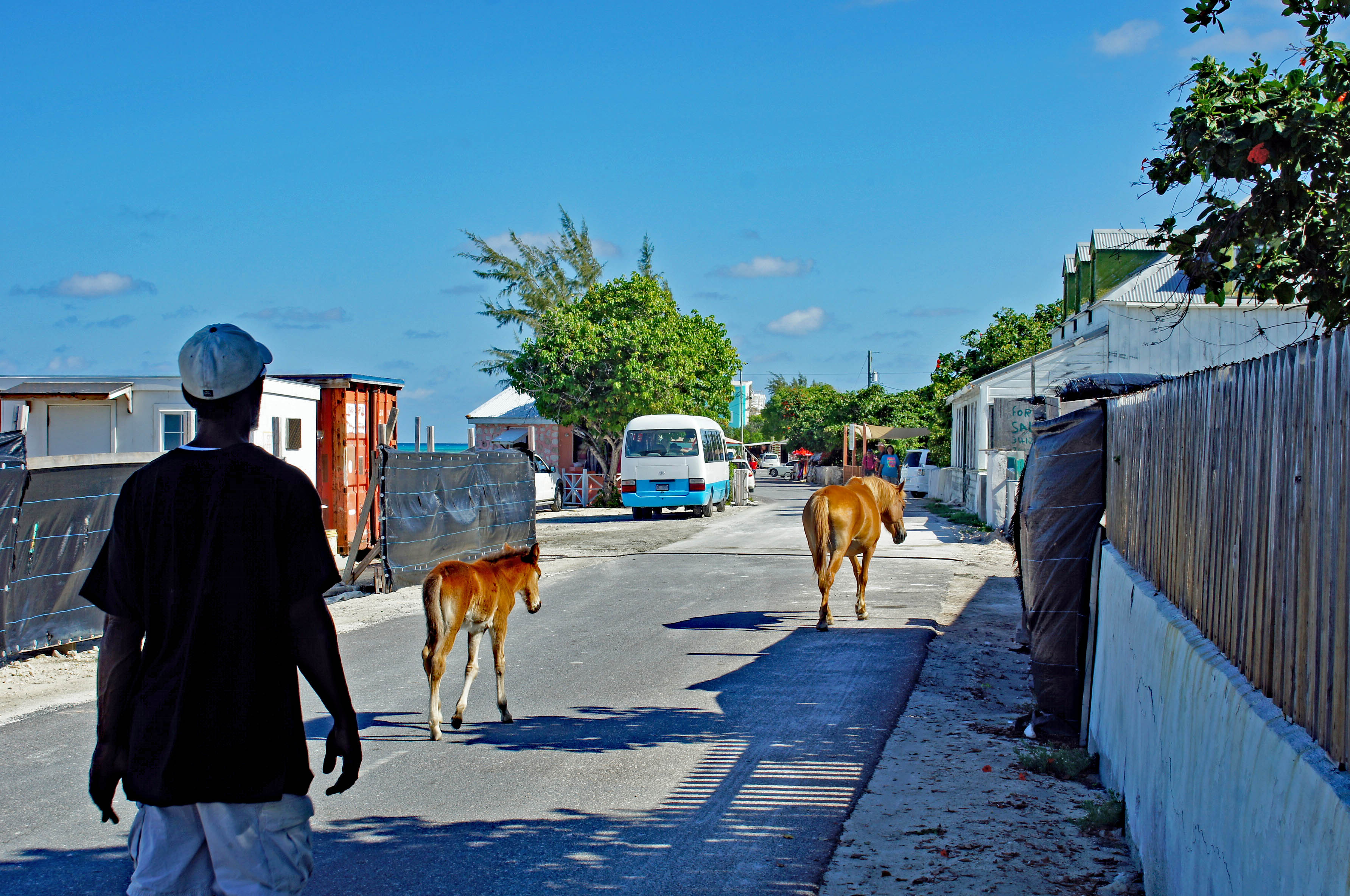
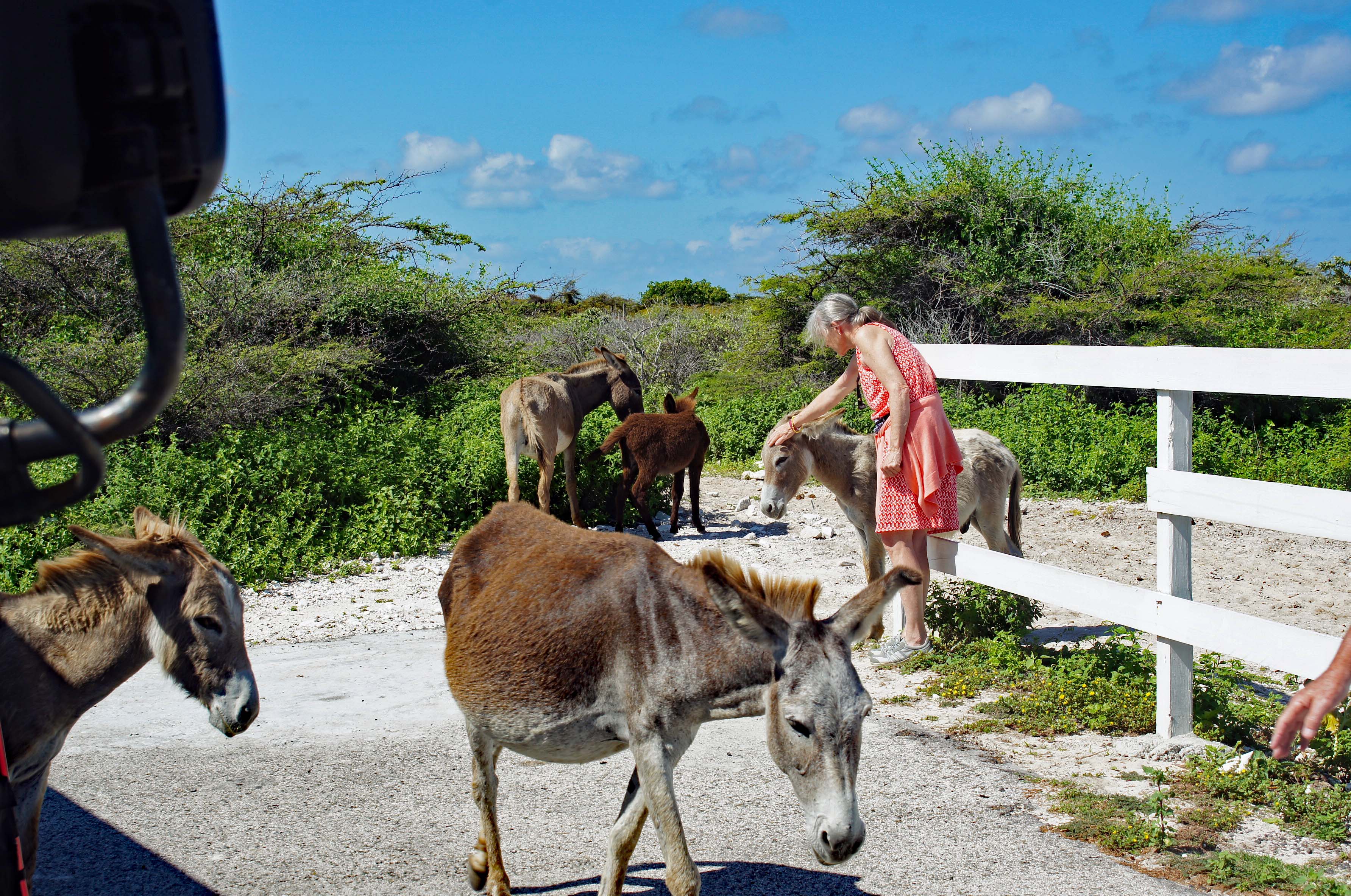
Horses and donkeys roam freely on the island. There is our tour bus.
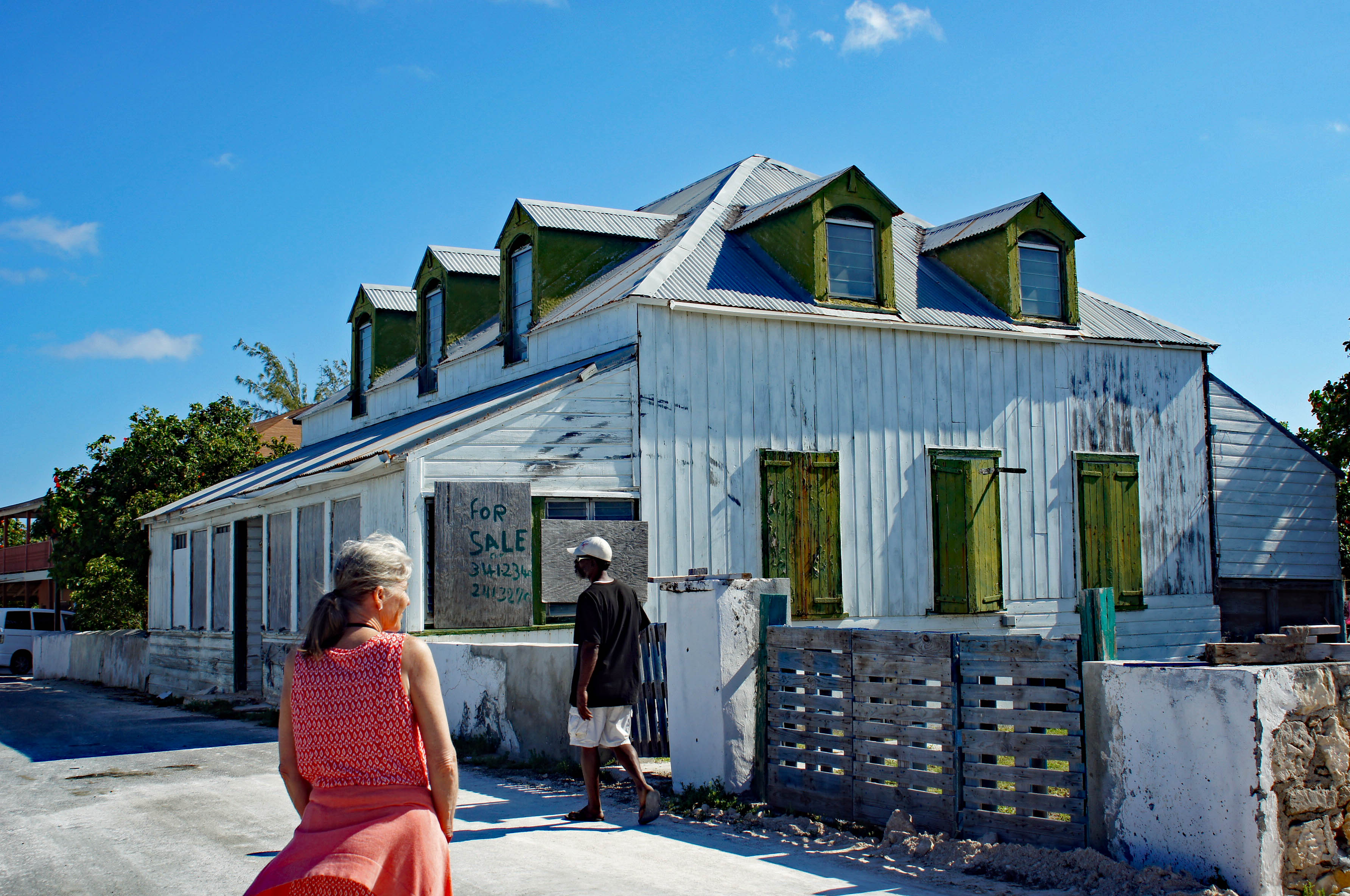
Kathy looking for our winter home. Tour guide said the wooden homes were built from shipwreck wood.
Some of the colorful buildings.
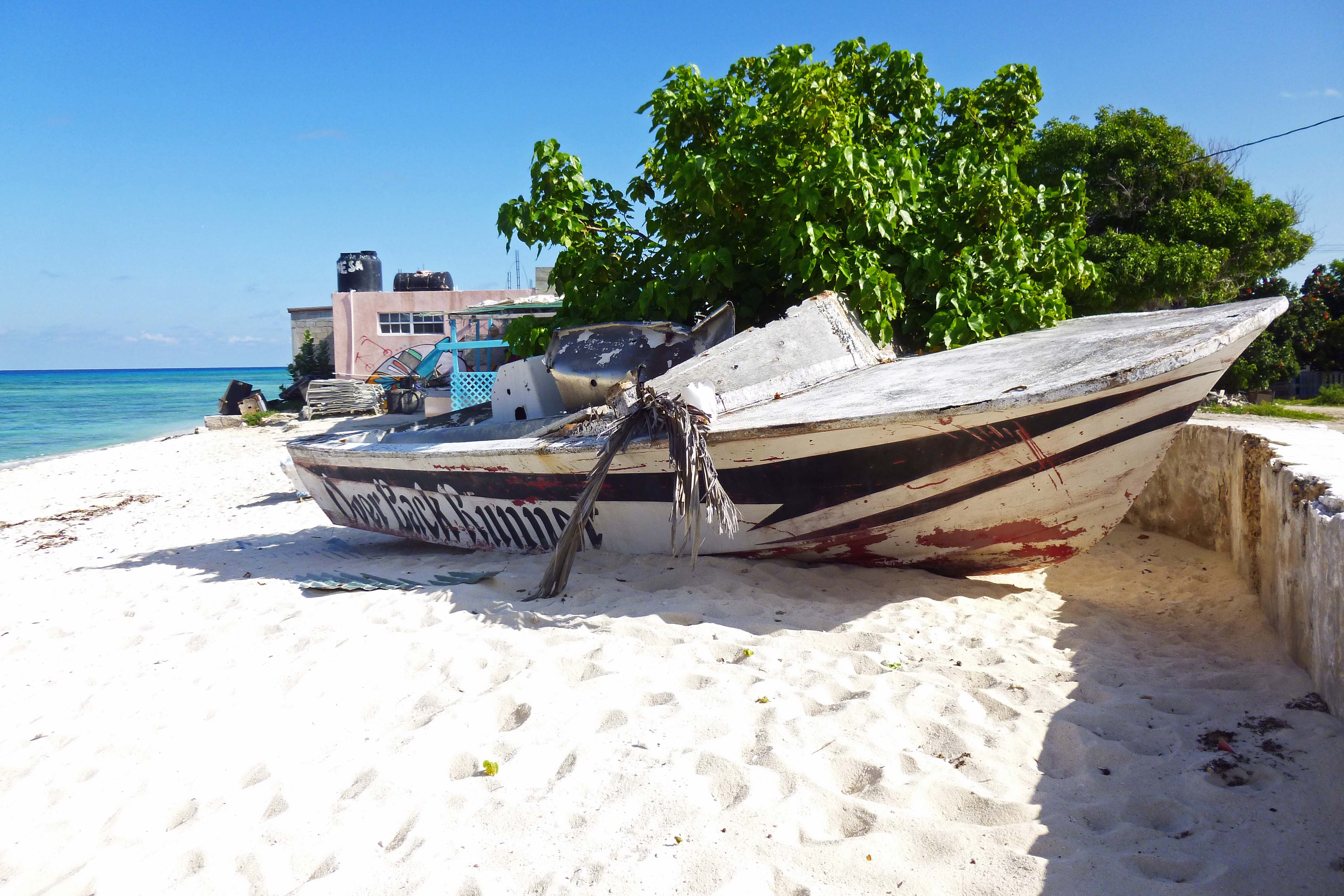
Boat on the beach.
Heading to our next stop we see a replica of John Glenn’s space capsule – don’t blink or you will miss it!
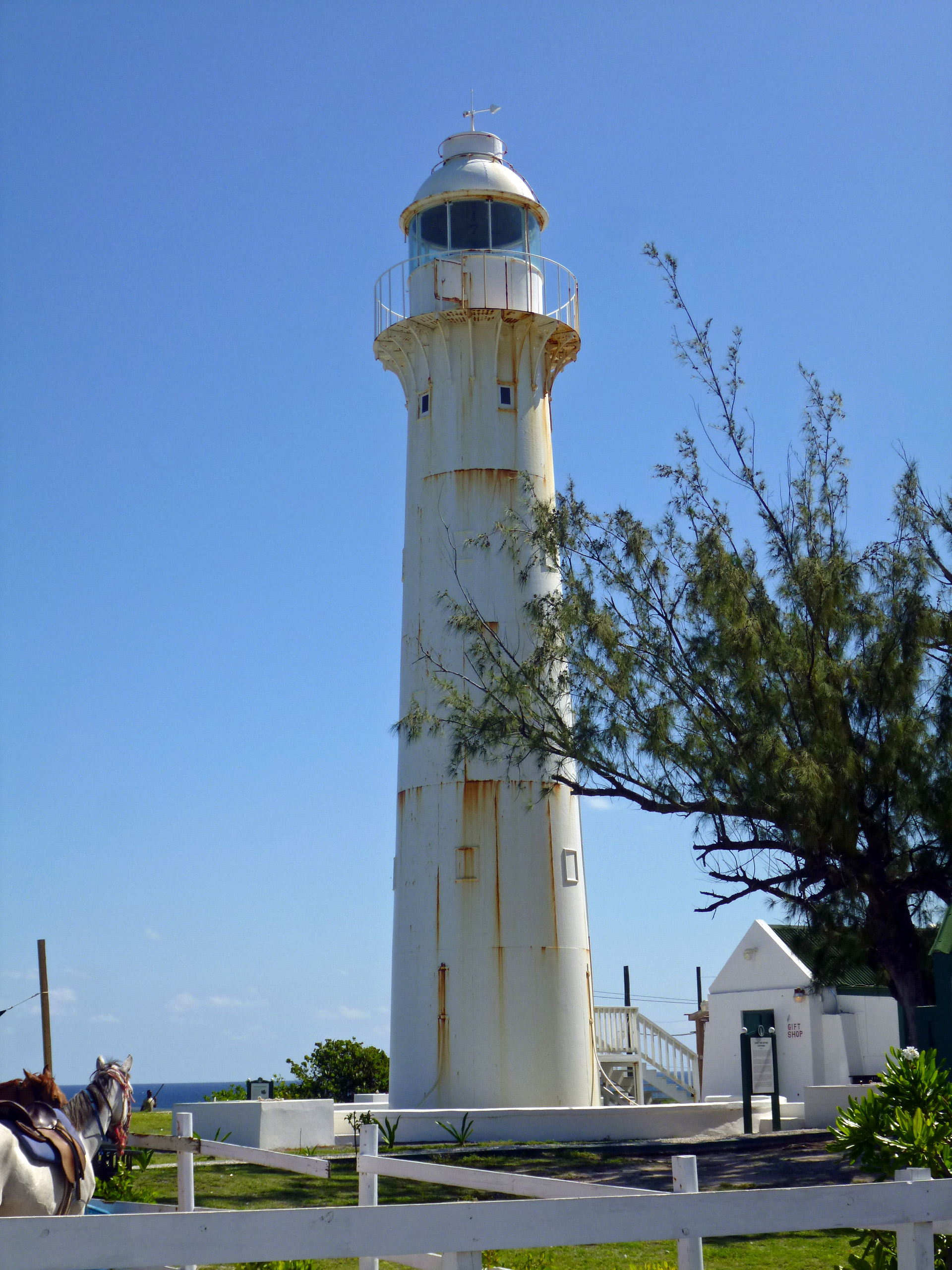
Our second stop was at the far end of the island. The light house. Because of the people who lag behind, that have to use the bathroom after 20 cups of coffee…we didn’t have enough time to go inside.
Kathy making some new friends.
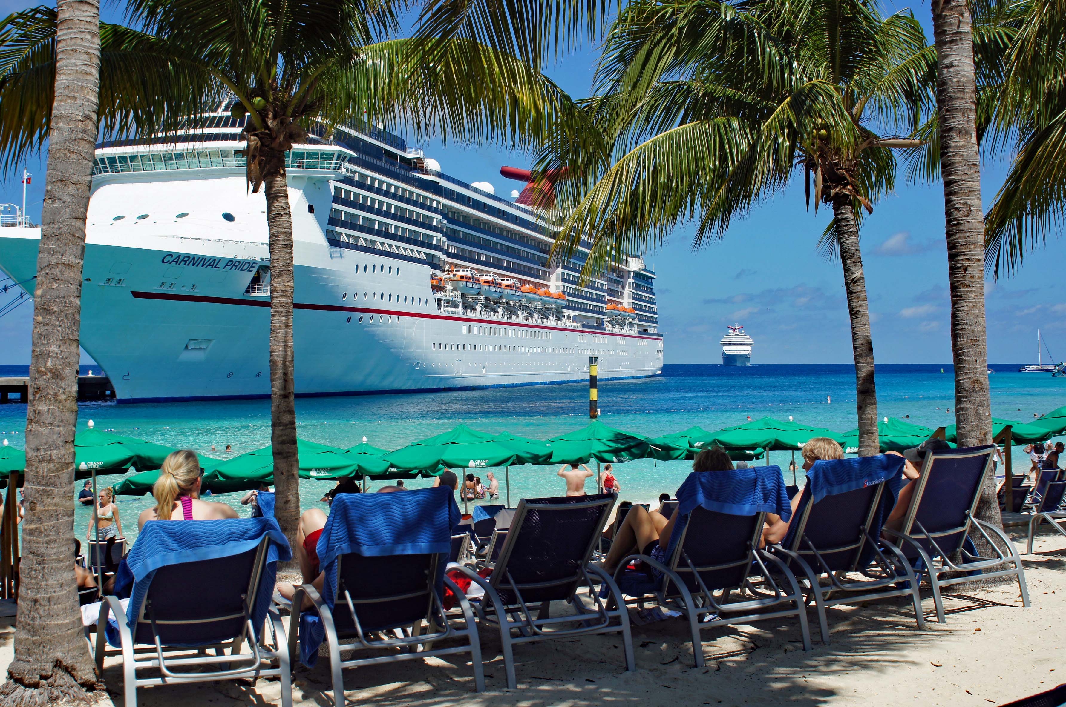
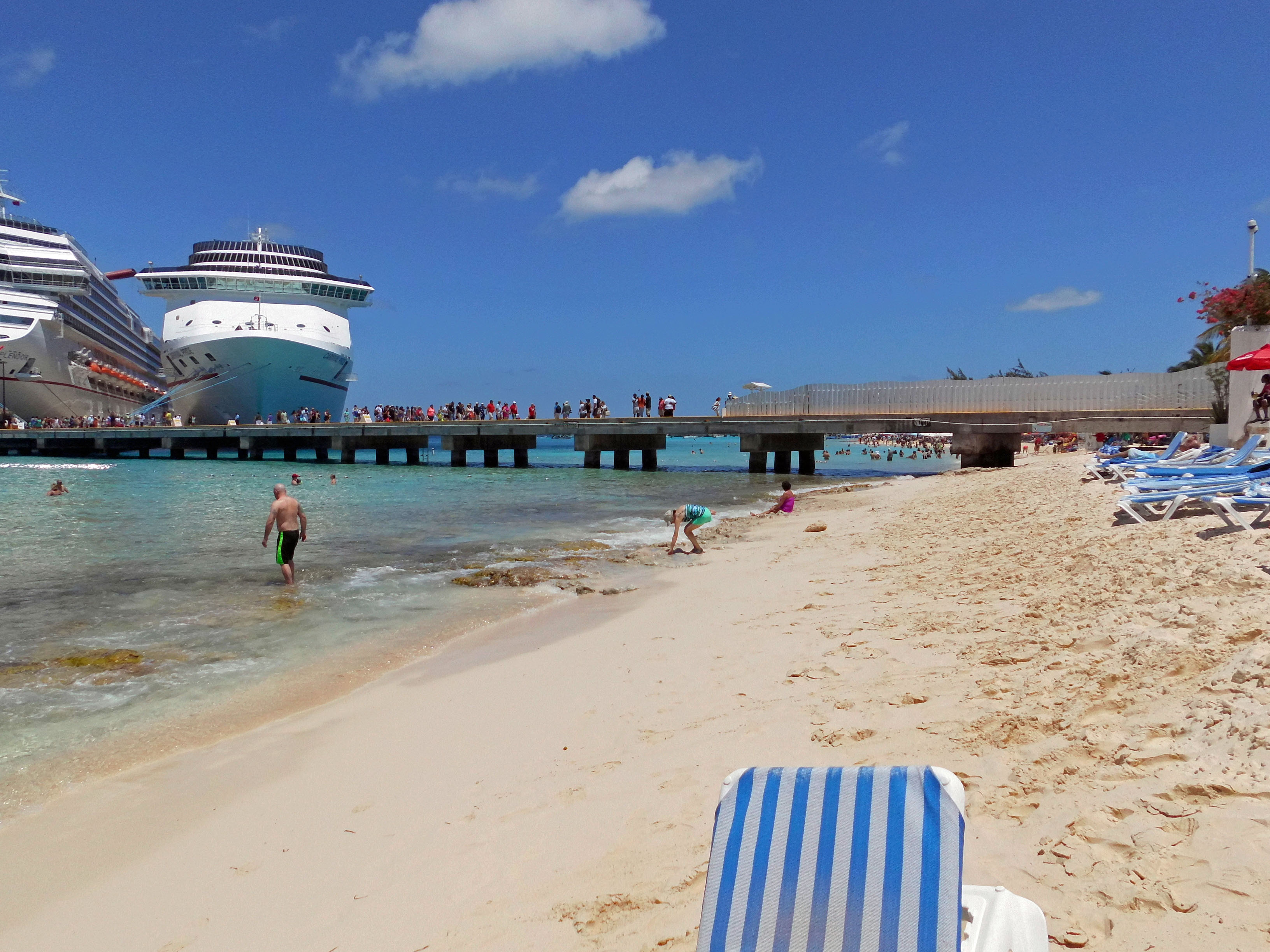
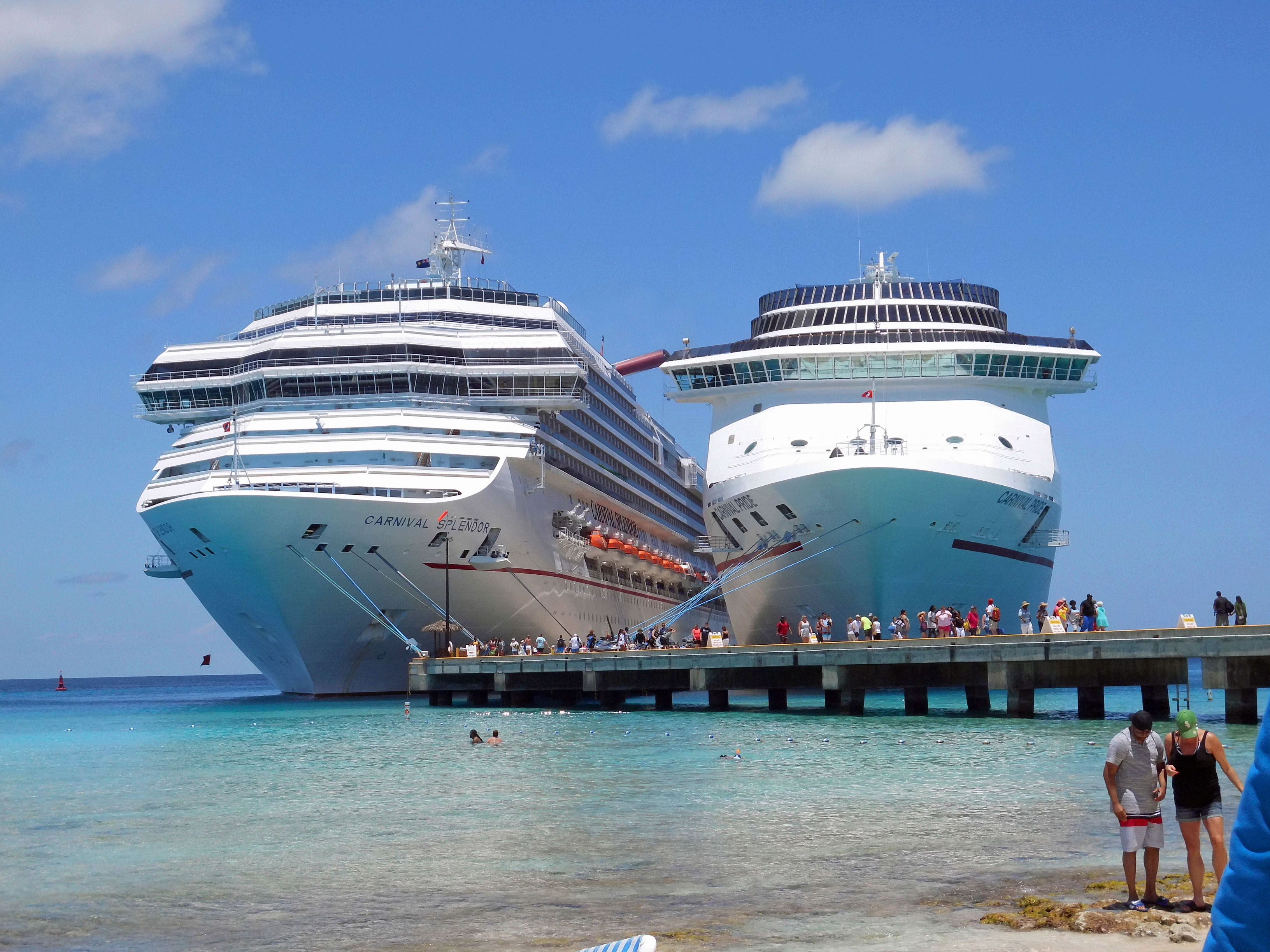
Tour is over and we head back to the ship to change our clothes for the beach. Here comes the Carnival Splendor.
Local took our pic for us. May have been one of the crew members?
Kathy looking for sea glass. Found some nice pieces. This side of the pier had more rock/coral under the water. Had to go out a ways to avoid it. Water was great!
Watching the people on the Splendor disembark. Big ass ship!
Time to set sail and one last memory of our stop on the island…On to Half Moon Cay
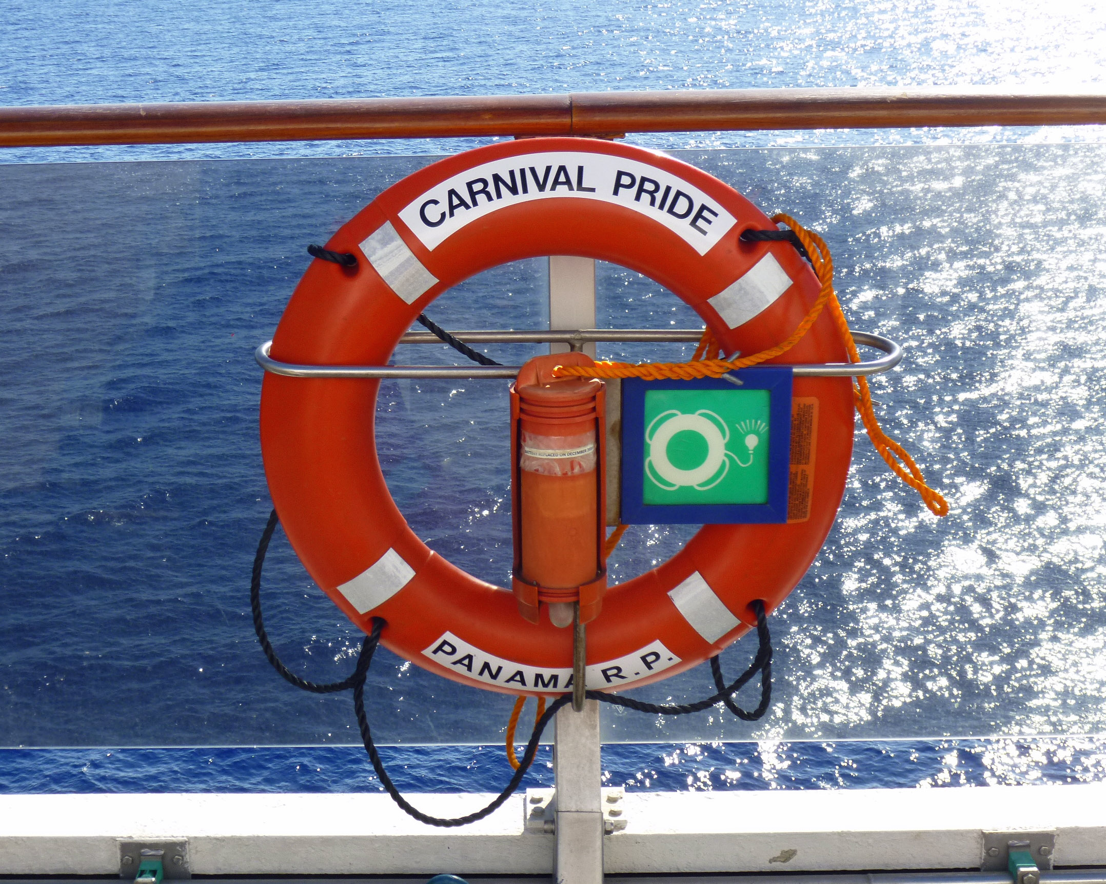
For Christmas I gave Kathy and myself a cruise to the Bahamas. Since Kathy is the one who showed me how to kayak and we have been going whenever we can, I thought how cool would it be to go kayaking in the Bahamas. So on Sunday we headed to the cruise ship Carnival Pride and set sail.
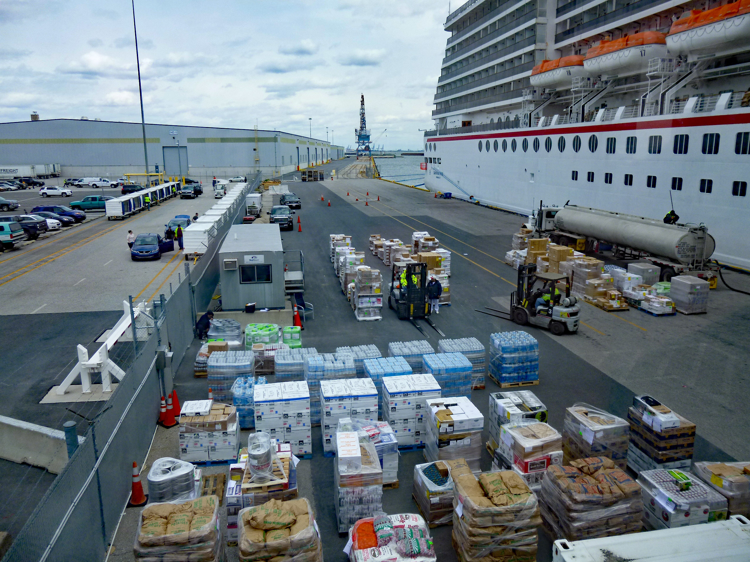
I think the worst part of any cruise is the waiting. It seemed like forever to get to the gang plank to get on board. It was fairly cool out so standing in line wasn’t too bad. Our boarding time was about 1pm and the boat set sail just after 5pm. Above we see them loading supplies and fueling up.
One mistake I made booking this cruise was to get an obstructed balcony (cheap bastard!) Next time will be a full balcony. The sign on the window said not to open door, but we did. Nothing like sleeping with the sound of waves breaking.
The suitcases were delivered really fast, so we unpacked and headed to one of my favorite sights – to see if the ship will pass under the Key Bridge without hitting it!
Yes it did!
Roamed around some – Kathy with a ‘K’ behind her.
One of these days I’m going to get out to that fort.
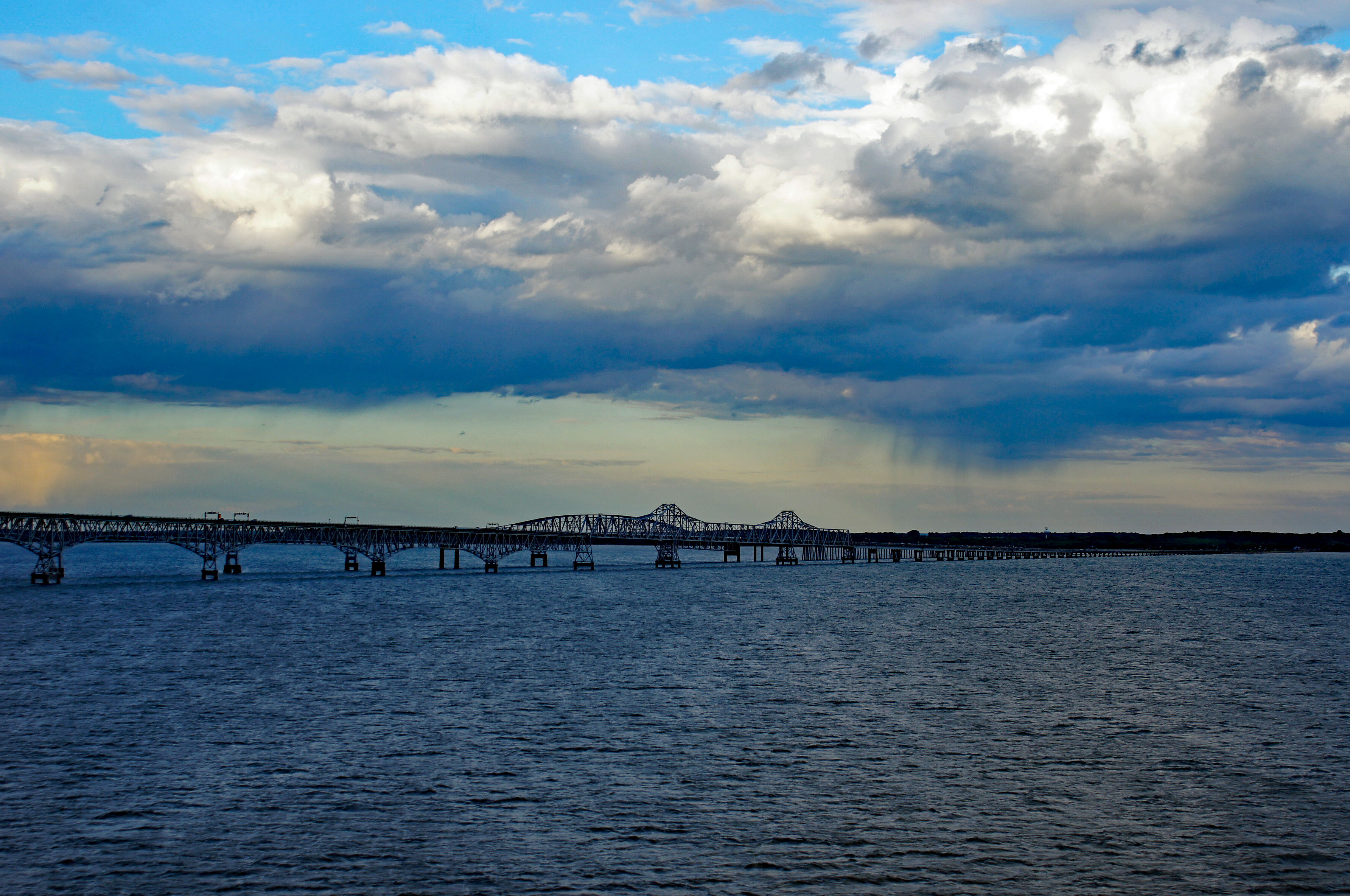
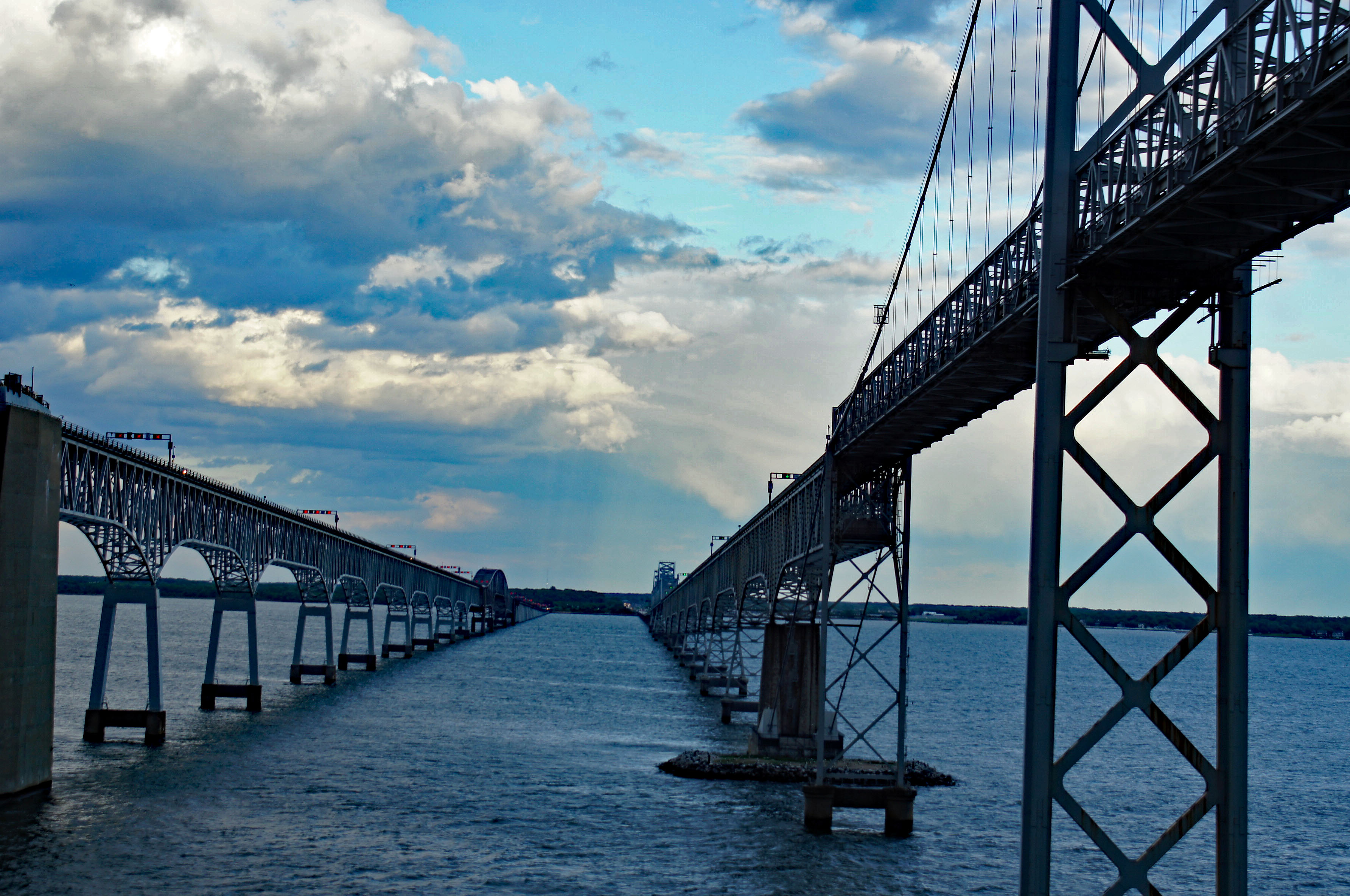
From the Key Bridge to the Chesapeake Bay Bridge – moving right along.
Raining off in the distance.
Chilling in a hammock.
Heading out into the open sea.
The water was unbelievably blue! Two and a half days at sea. Lots to do, plenty of food. Lots of sun and sunburn! (for me, not Kathy)
Hard to catch up on Facebook and WordPress posts after being away for a week. Sorry if I missed anyones birthday. I did check on occasion but was really too busy and really didn’t care about most of what I did see (political commentary). What did amaze me was that people started posting Happy Mothers Day post late Thursday night! What did I learn from my momma? To never look at this…but that’s where the fun is!
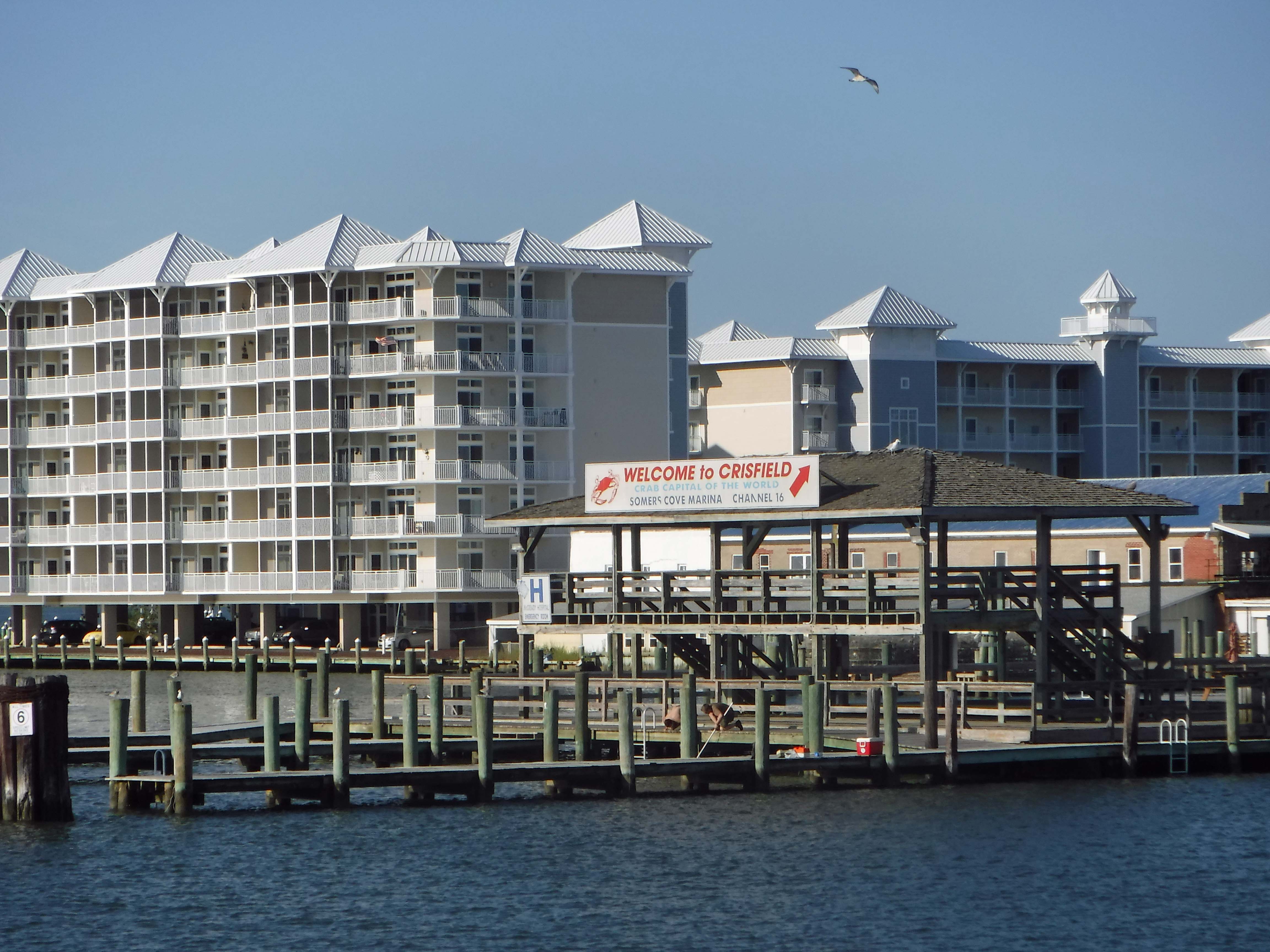
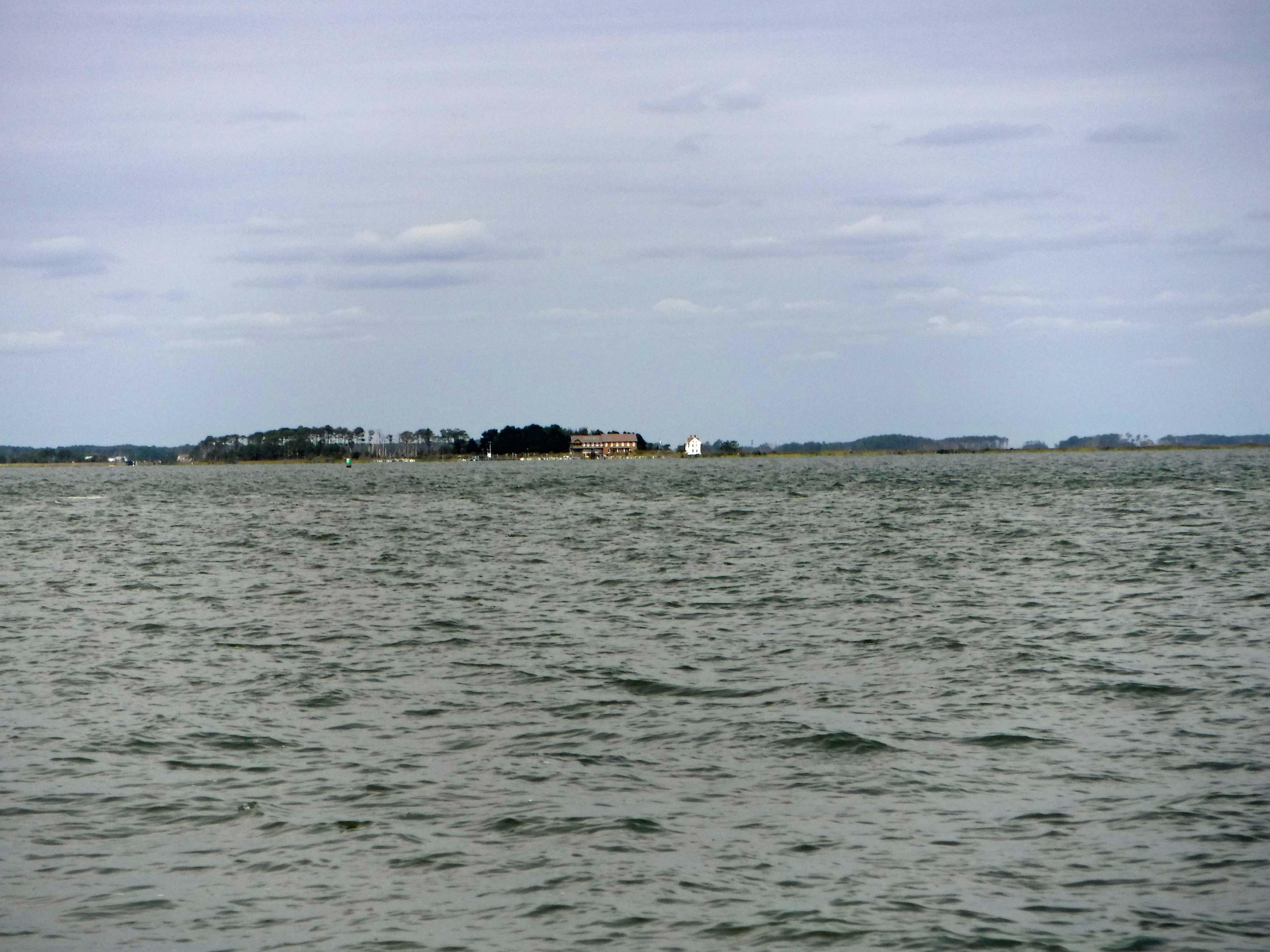
Alright, alright! I know! Way too many vacation photographs! This is the last of them (We already had another adventure since these were taken!) These photos are from our trip to Smith Island, via Crisfield.
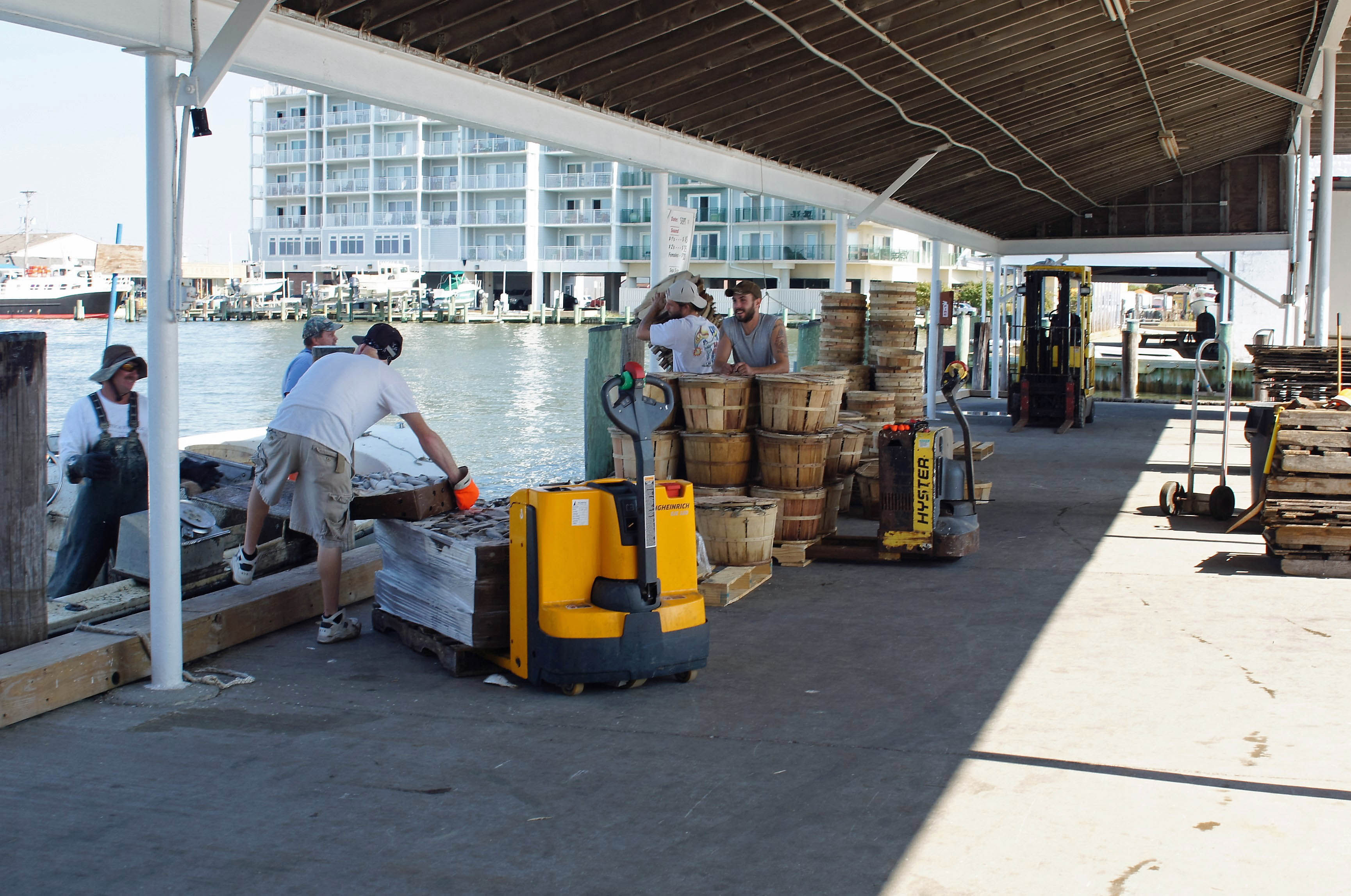
We did a short tour of Crisfield before getting on the tour boat.
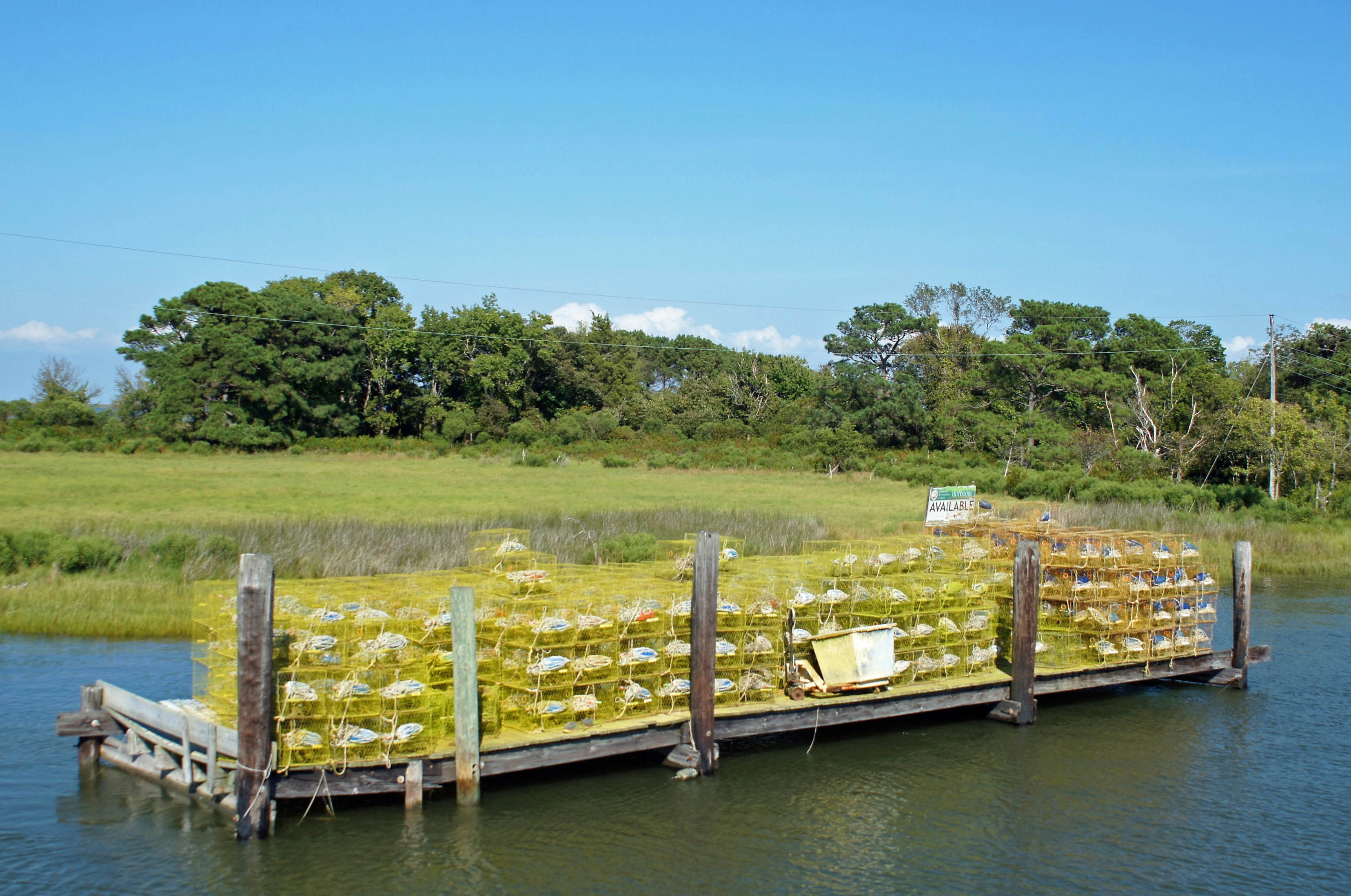
Watched the watermen unload their boats.
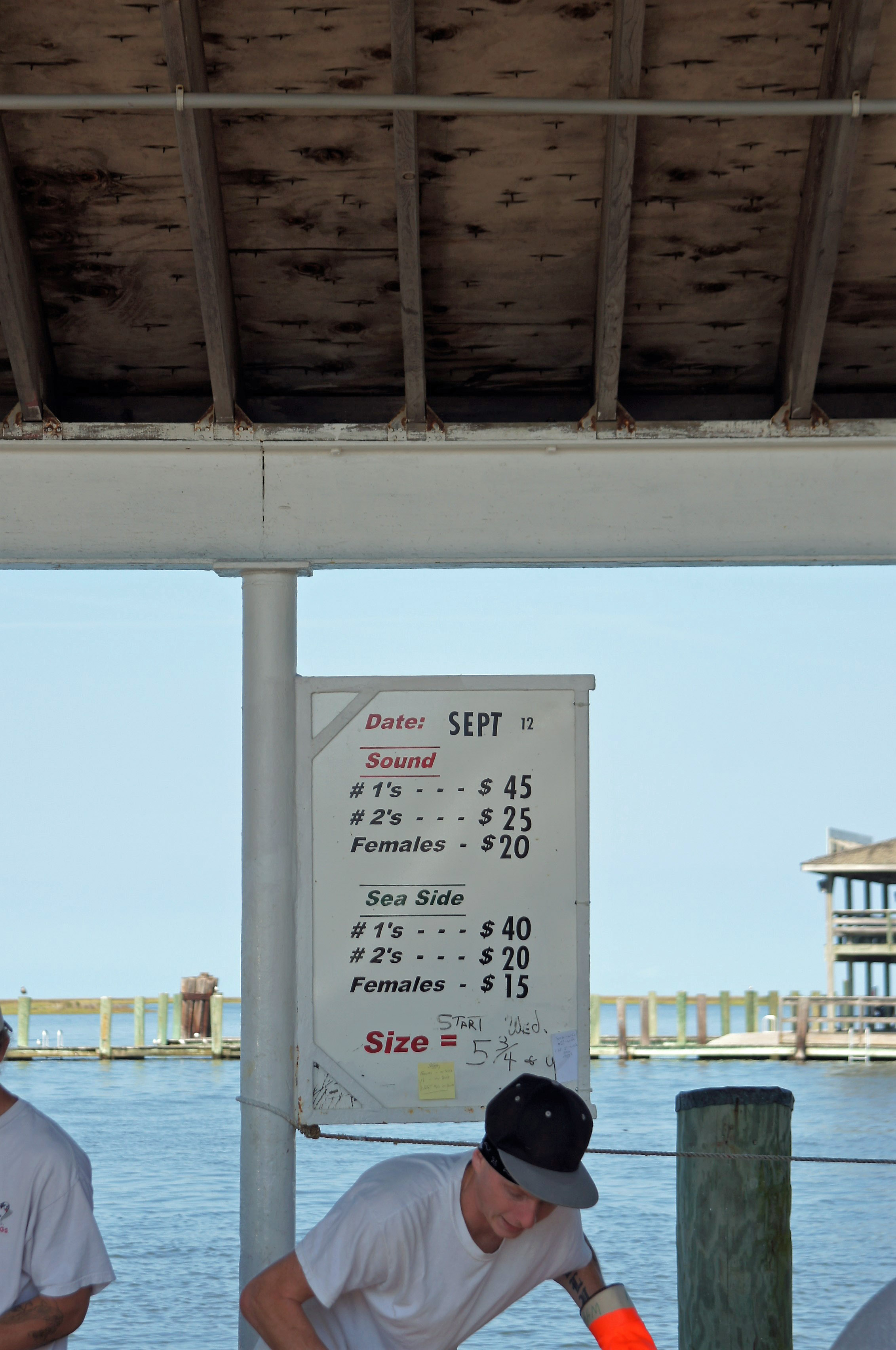
These are the prices the watermen are paid for their hard work. We paid $170 not too long ago for steamed crabs. Watermen aren’t making much money are they?
All we are saying…
Messy little fellow.
Got on the boat and started to head out to sea. Well, towards the bay at least.
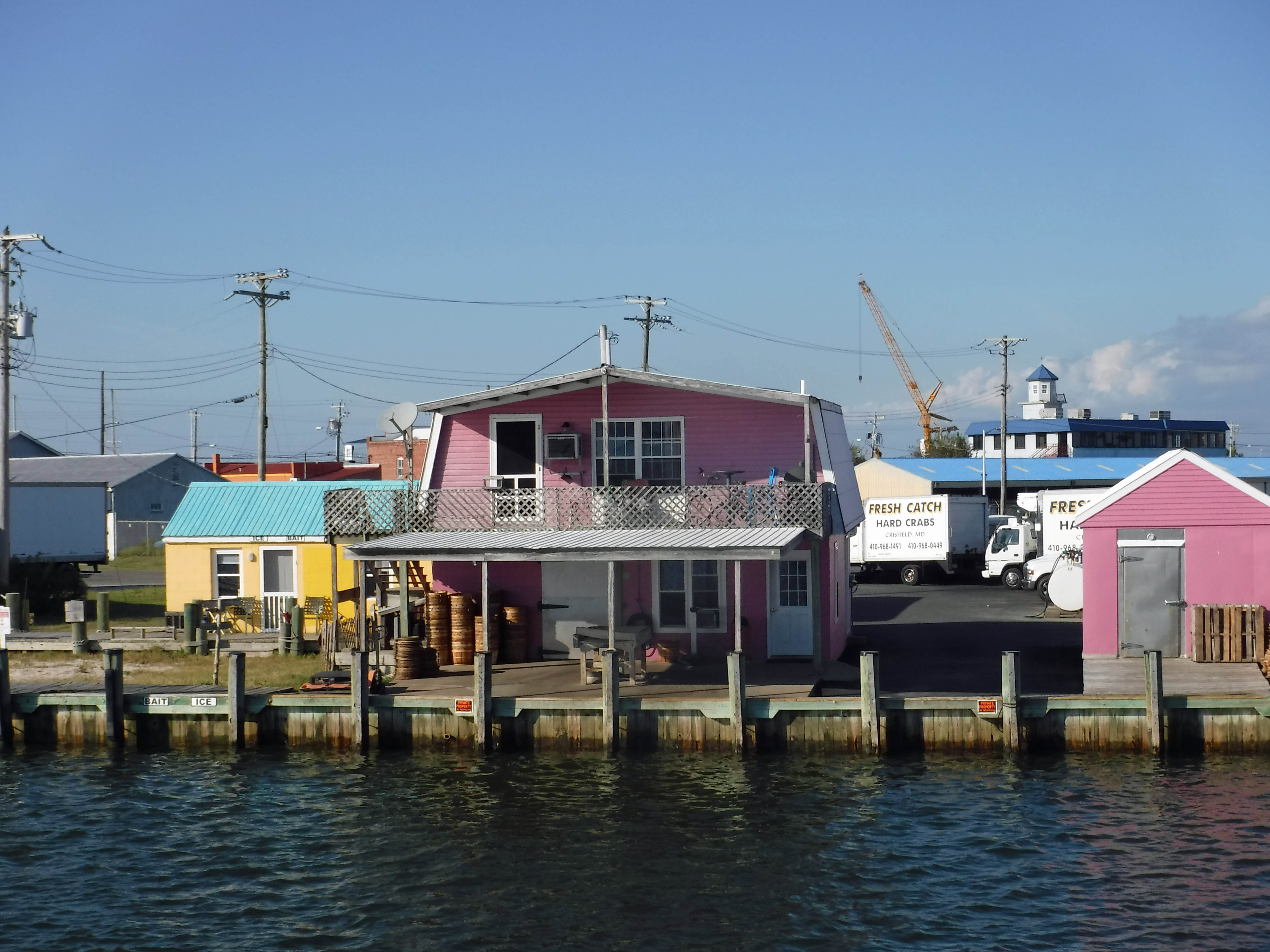
Little pink houses.
Now we are moving. It takes an hour to get to Smith Island.
Kathy and her parents. Great people.
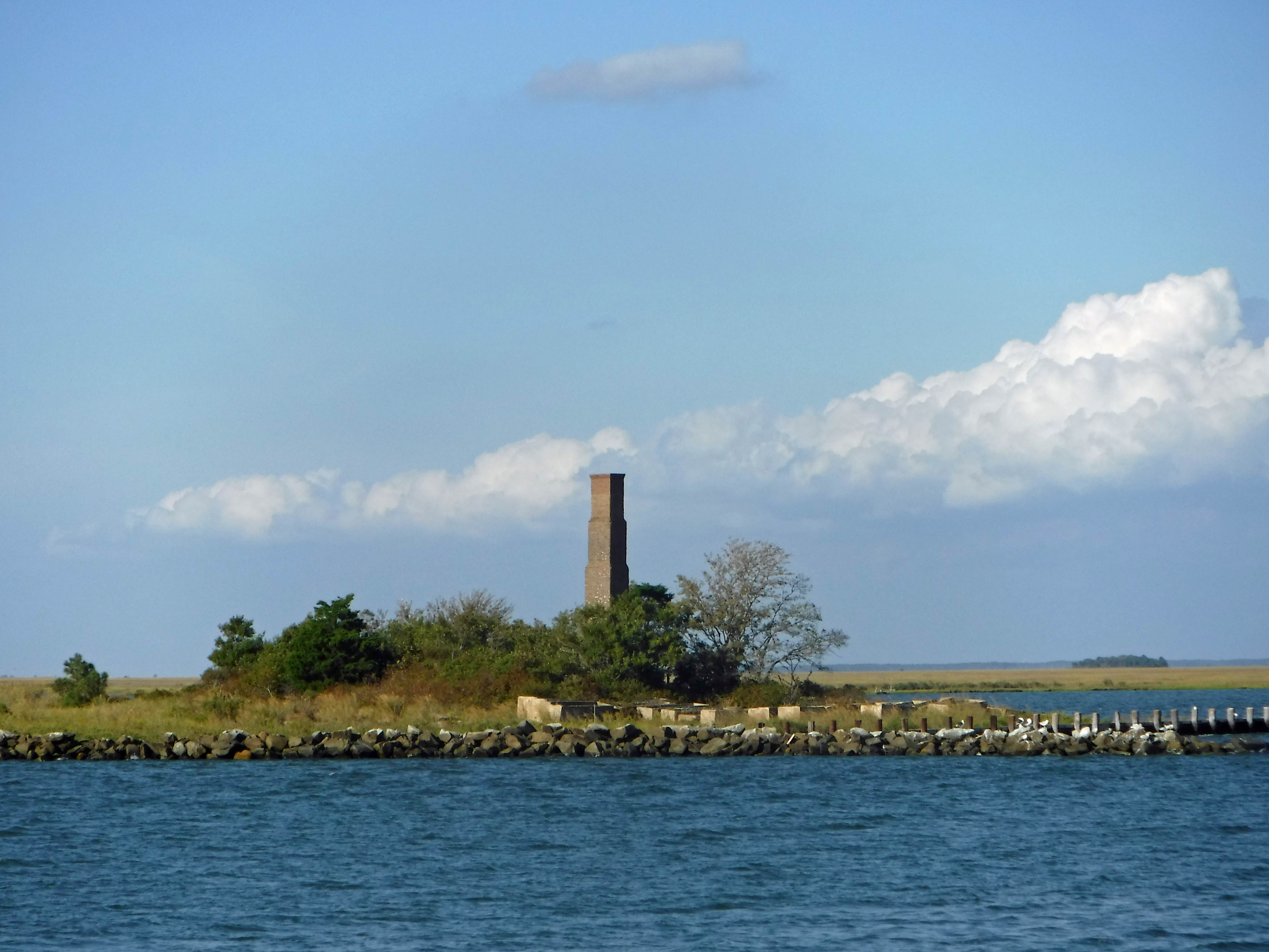
This is a rebuilt smoke stack, all that was left of the processing plant here. Rebuilt by park services in dedication to the person who left the land to them.
I love you a bushel and a peck!
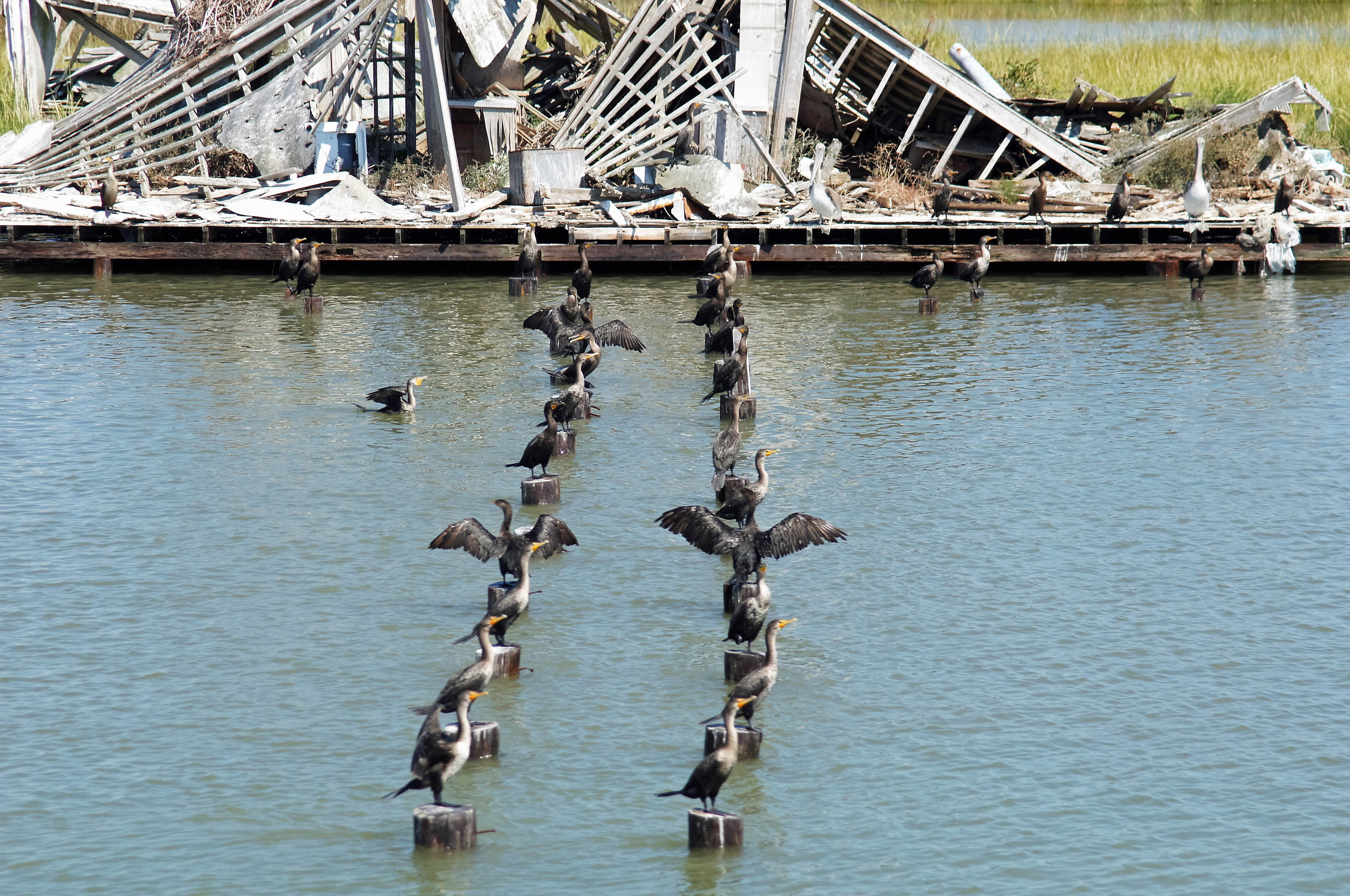
Passing a nature reserve island before Smith Island, the birds were all lined up, ready to dance.
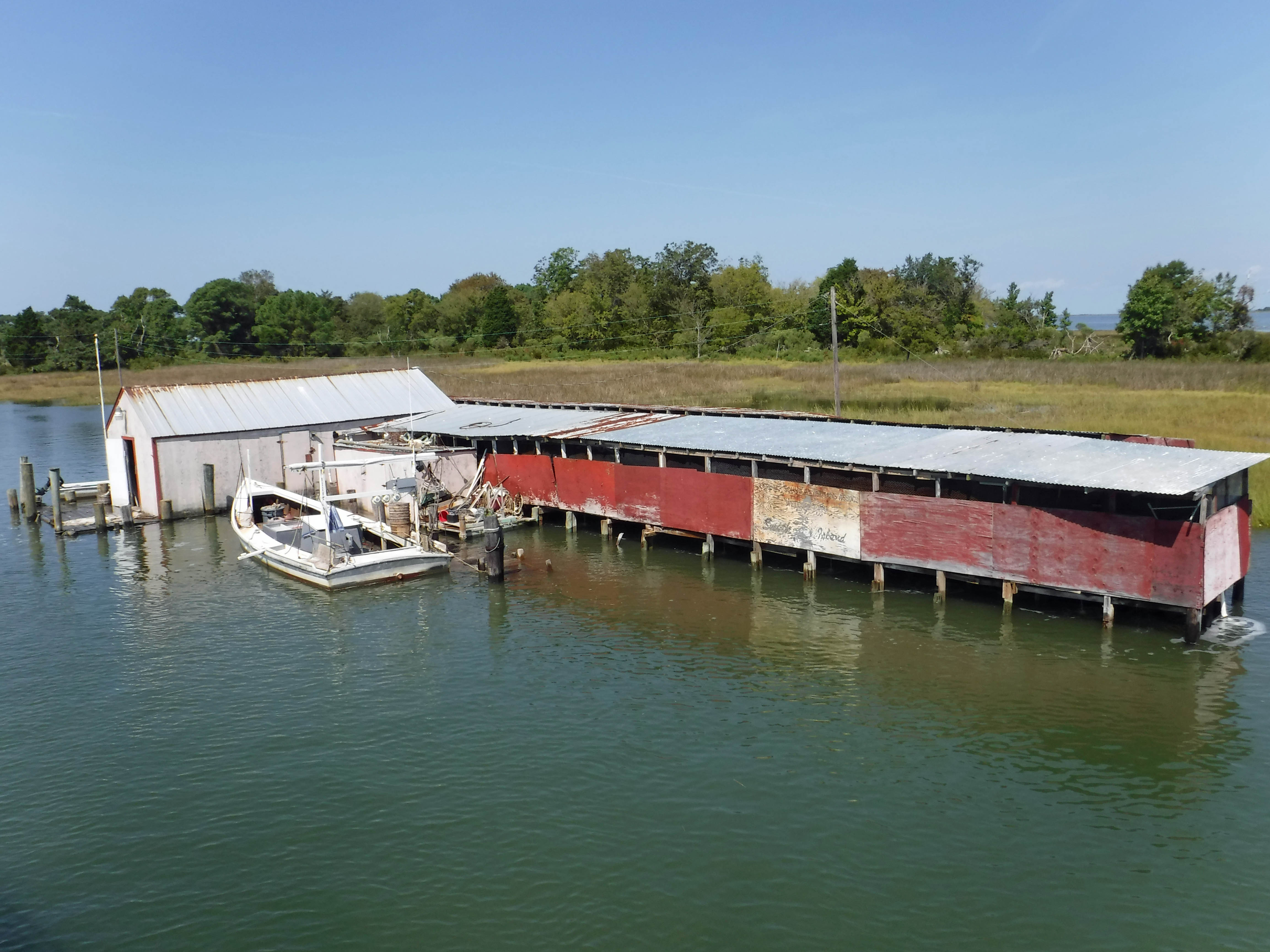
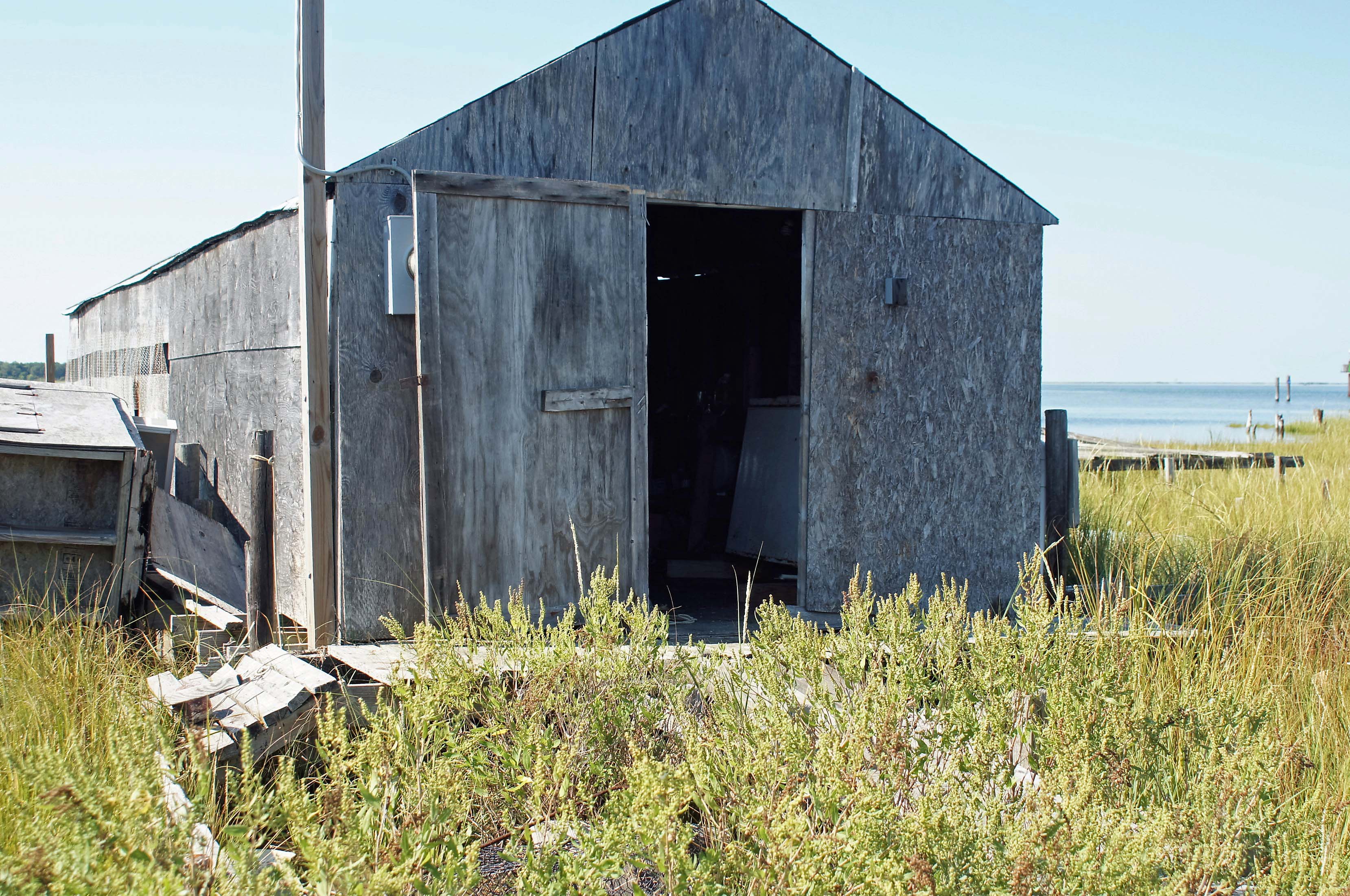
One of many waterman’s shacks.
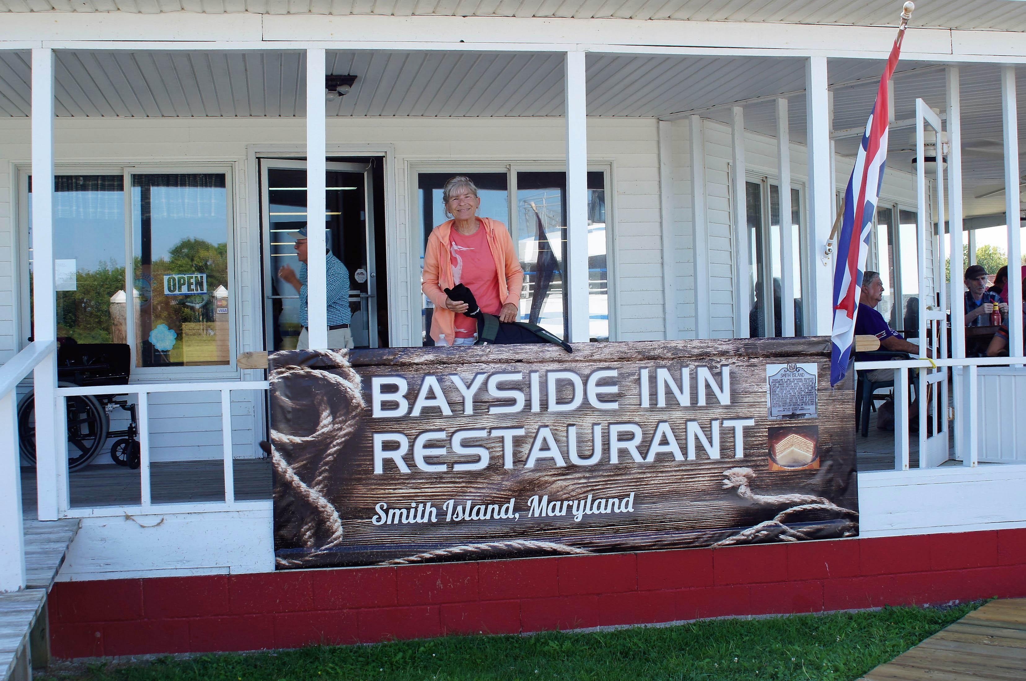
Kathy jumped off the boat to grab us a table at a restaurant that I believe is owned by the boat captain – “Make sure you stop at the Bayside Inn!”
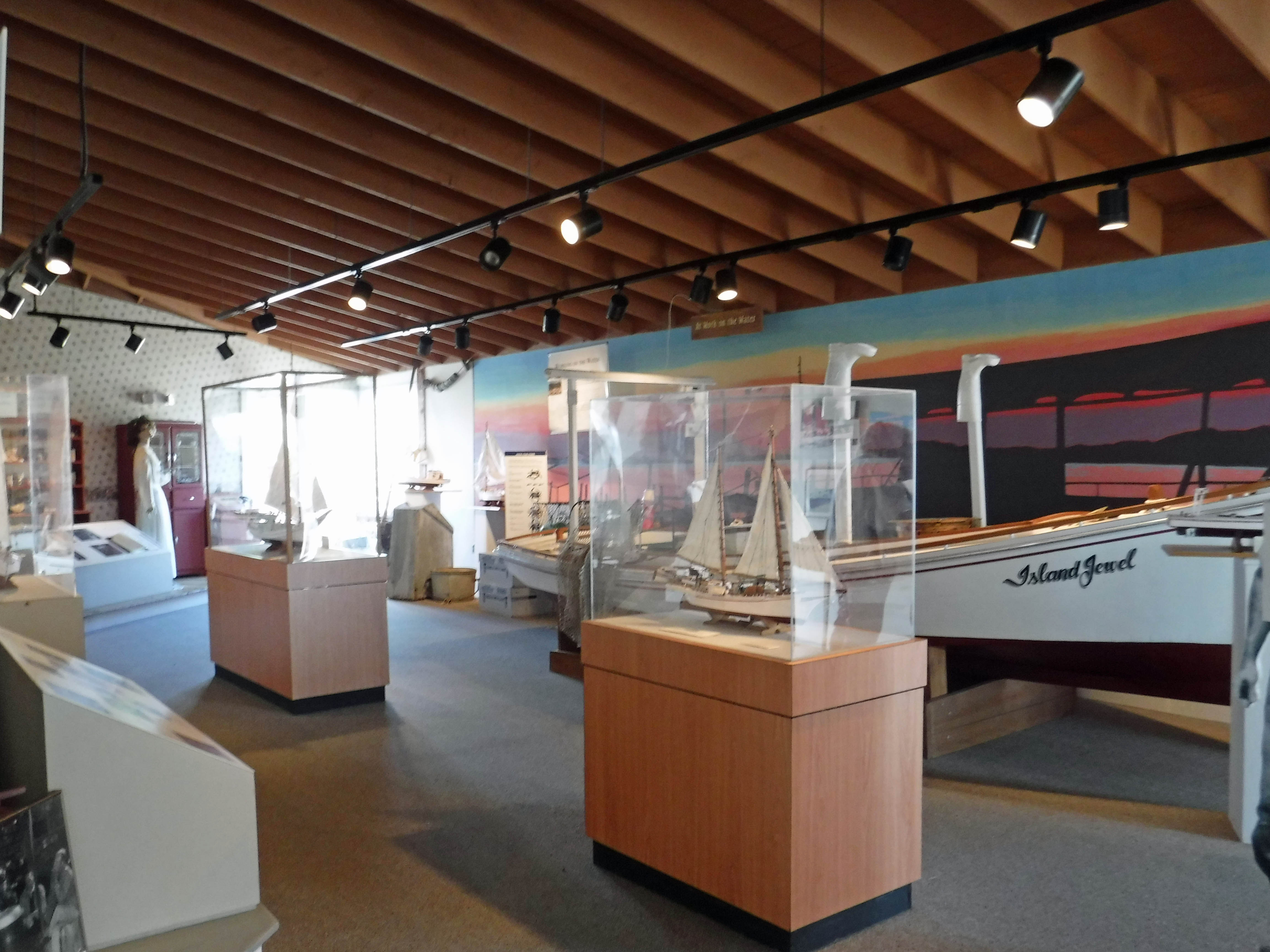
After some good food, we headed to the museum. Pretty nice.
Then took a walk around a partially submerged island! High tide.
I don’t think so.
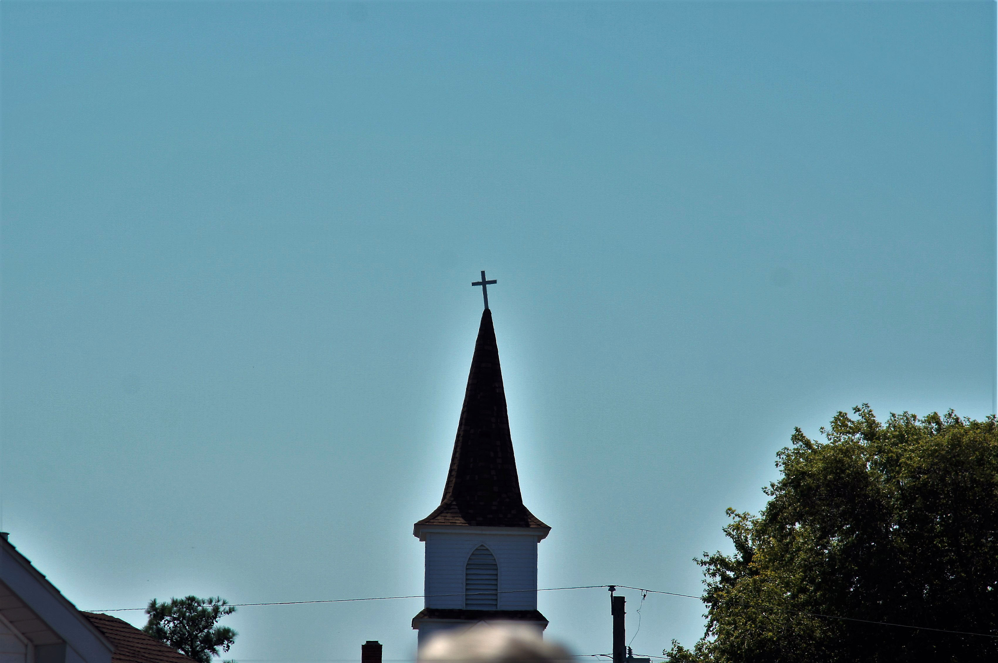
Church with a halo
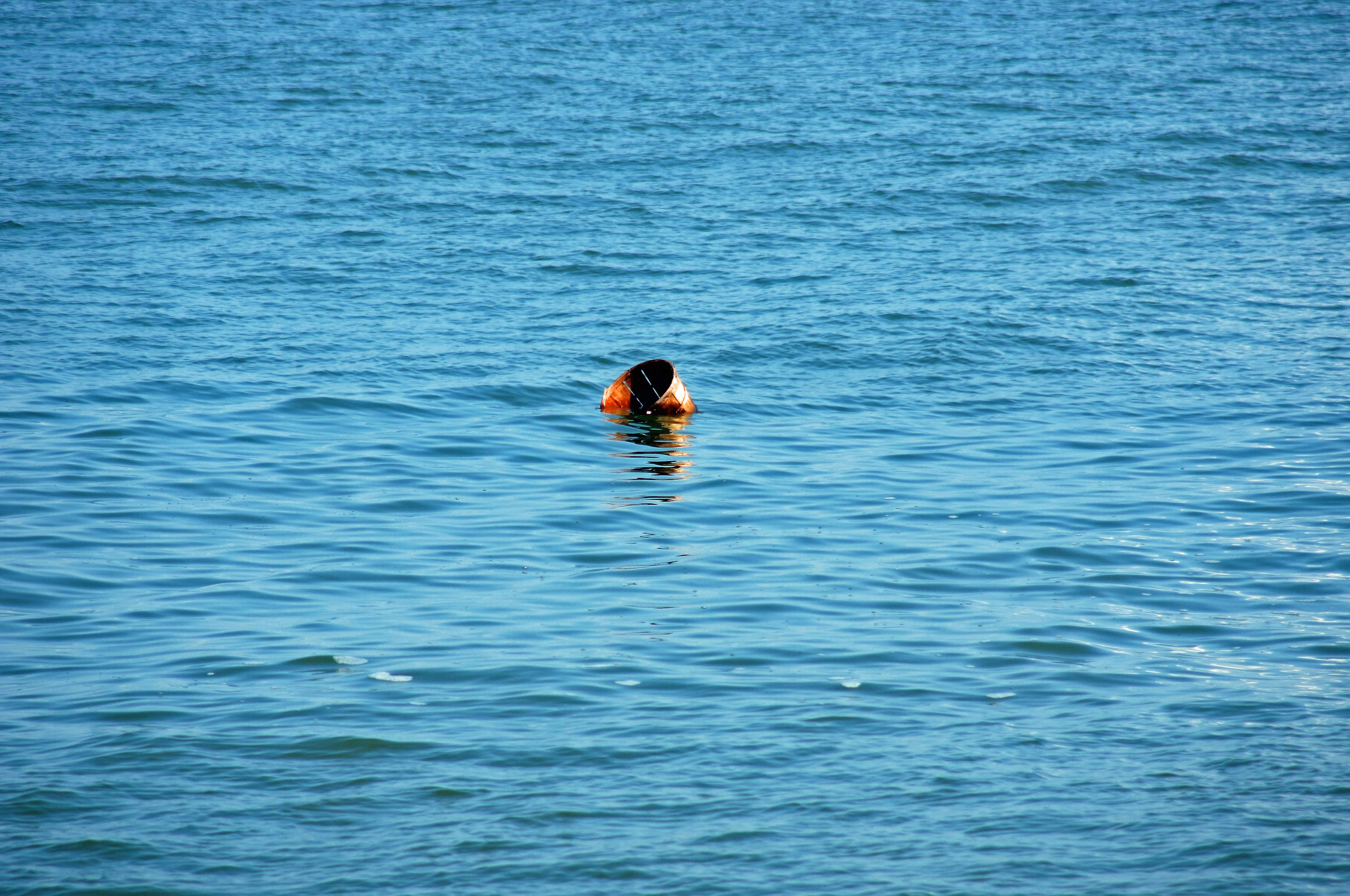
It has always amazed me that people abandon their boats wherever they want.
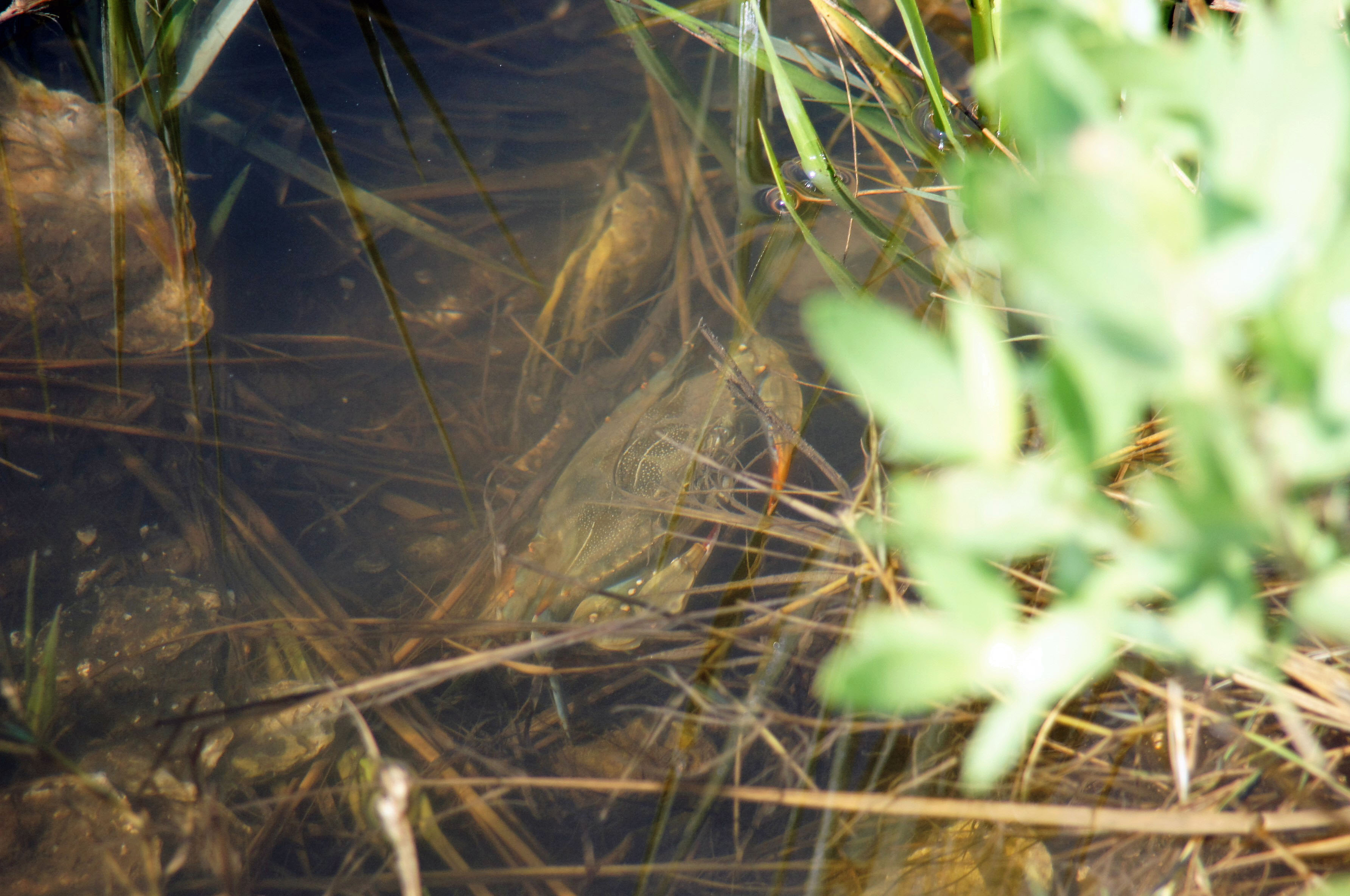
Crabby.
I thought this was another abandoned shack, but a few minutes after we sat down, the door closed.
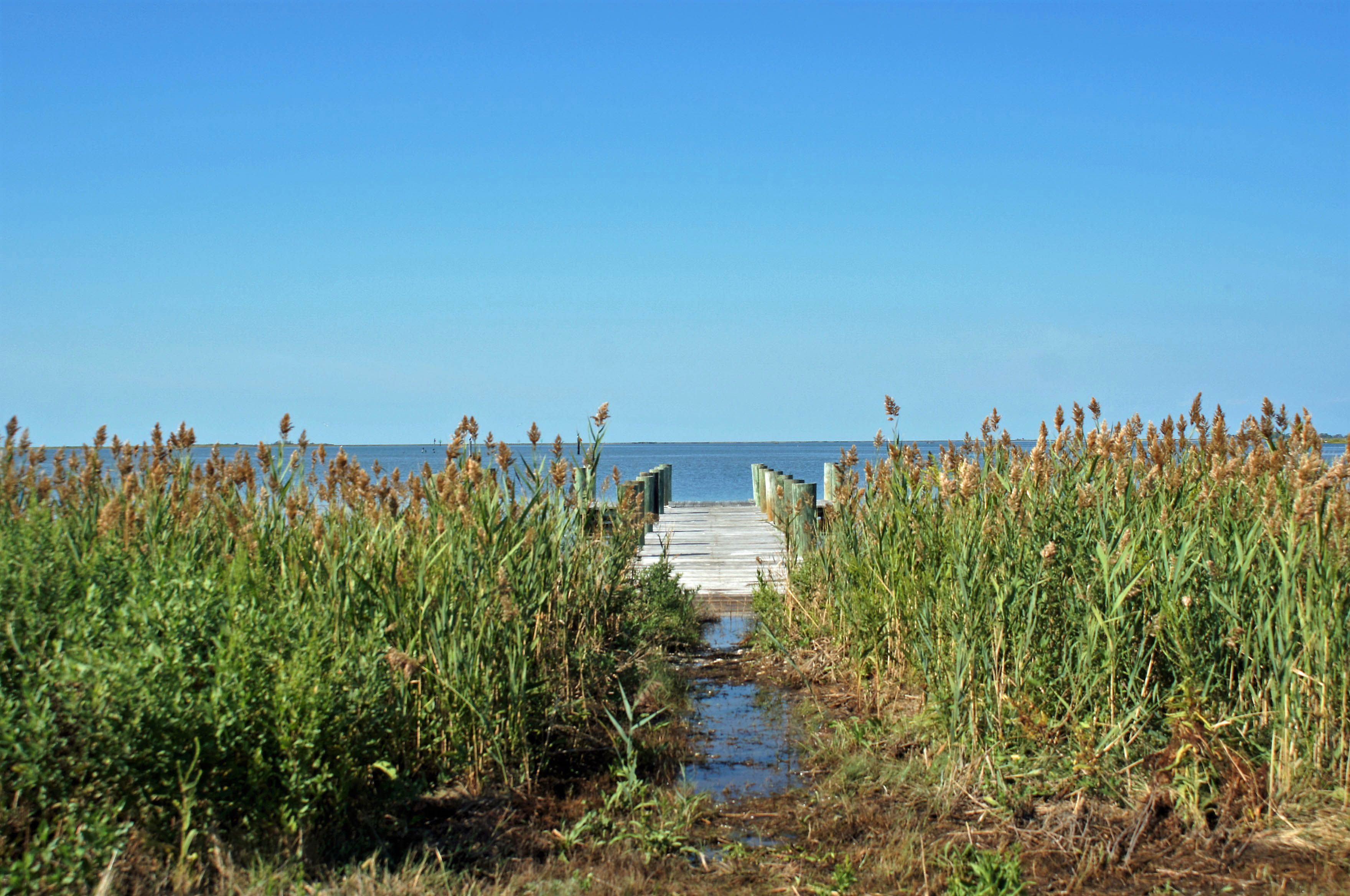
Nice little pier.
Kathy told me to lay down in the wet grass and get this photo. Oh, ok!
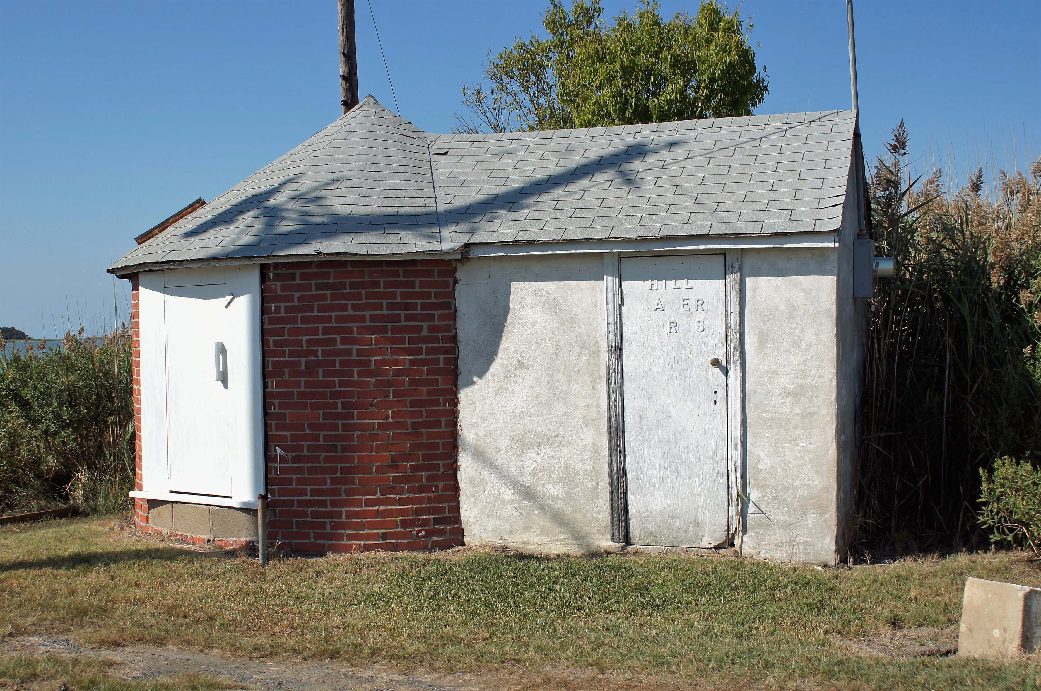
And here is one of two water works photos. Building is called Hill Water Works.
And here is the second – showing an old water tower.
Next day it was off to Deal Island for some fishing.
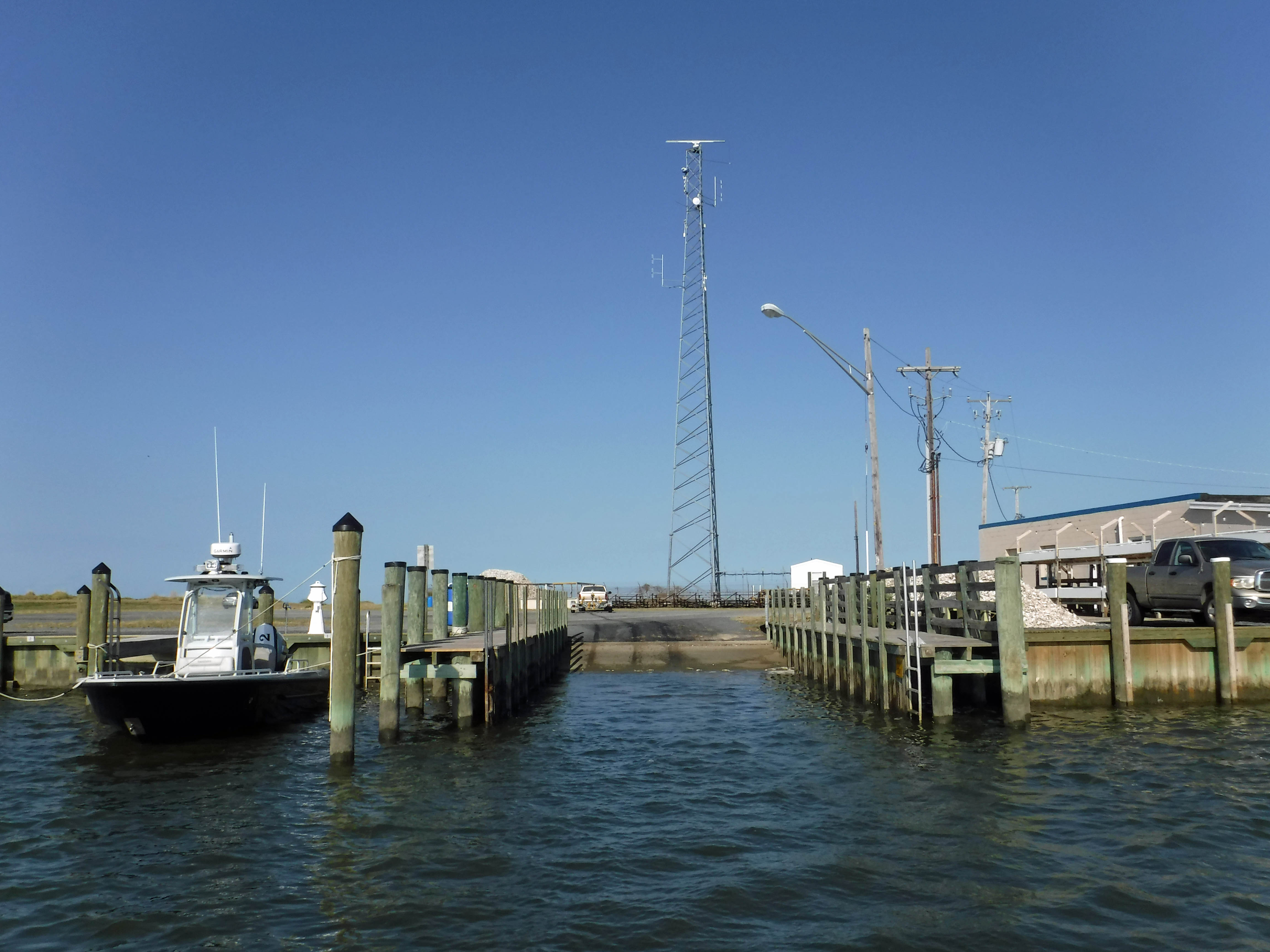
Leaving the boat ramp. Small landing but big phone tower and a big pile of oyster shells on the side.
Kathy taking the helm. I guess that is what it is called – at least it is on Star Trek – “Spock, take the helm. Scotty, you come with me.”
Deal Island bridge.
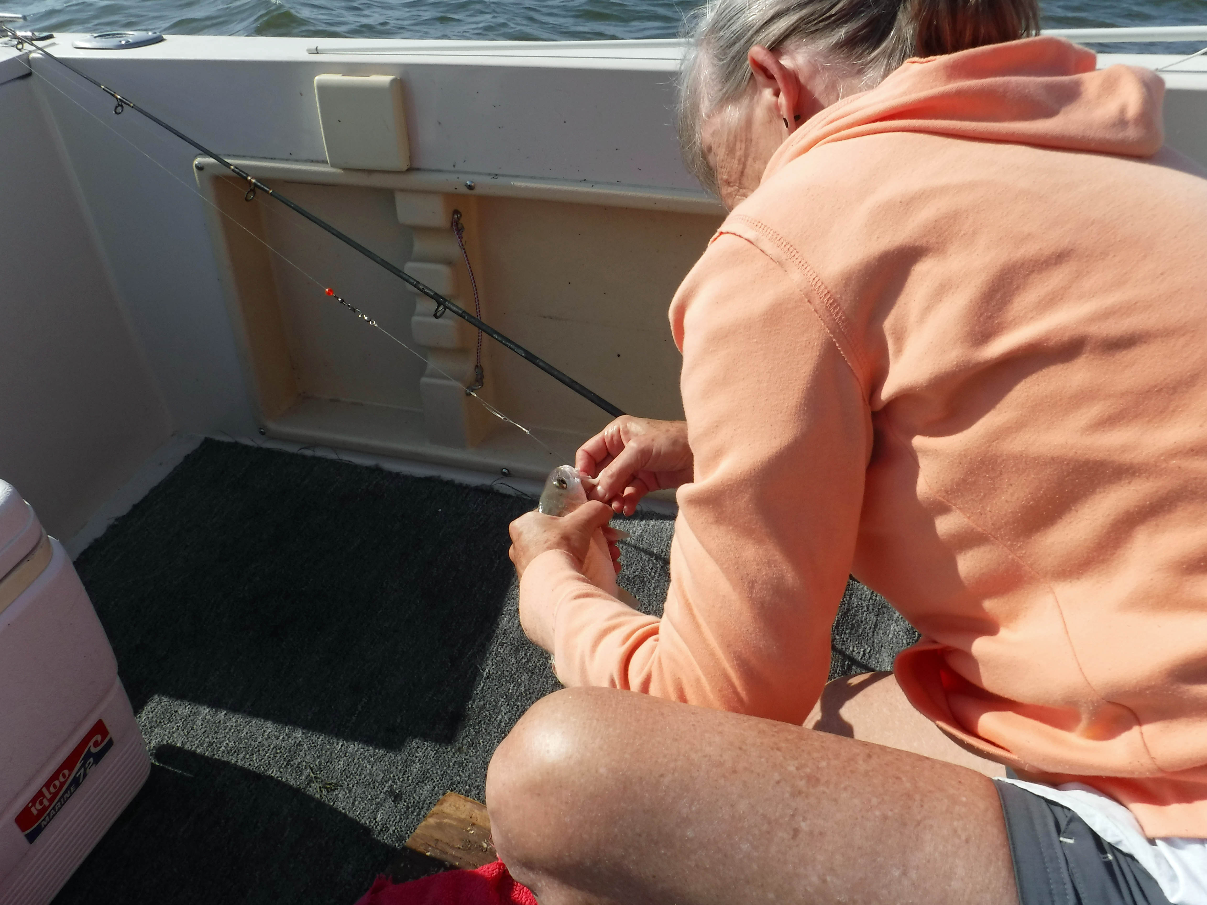
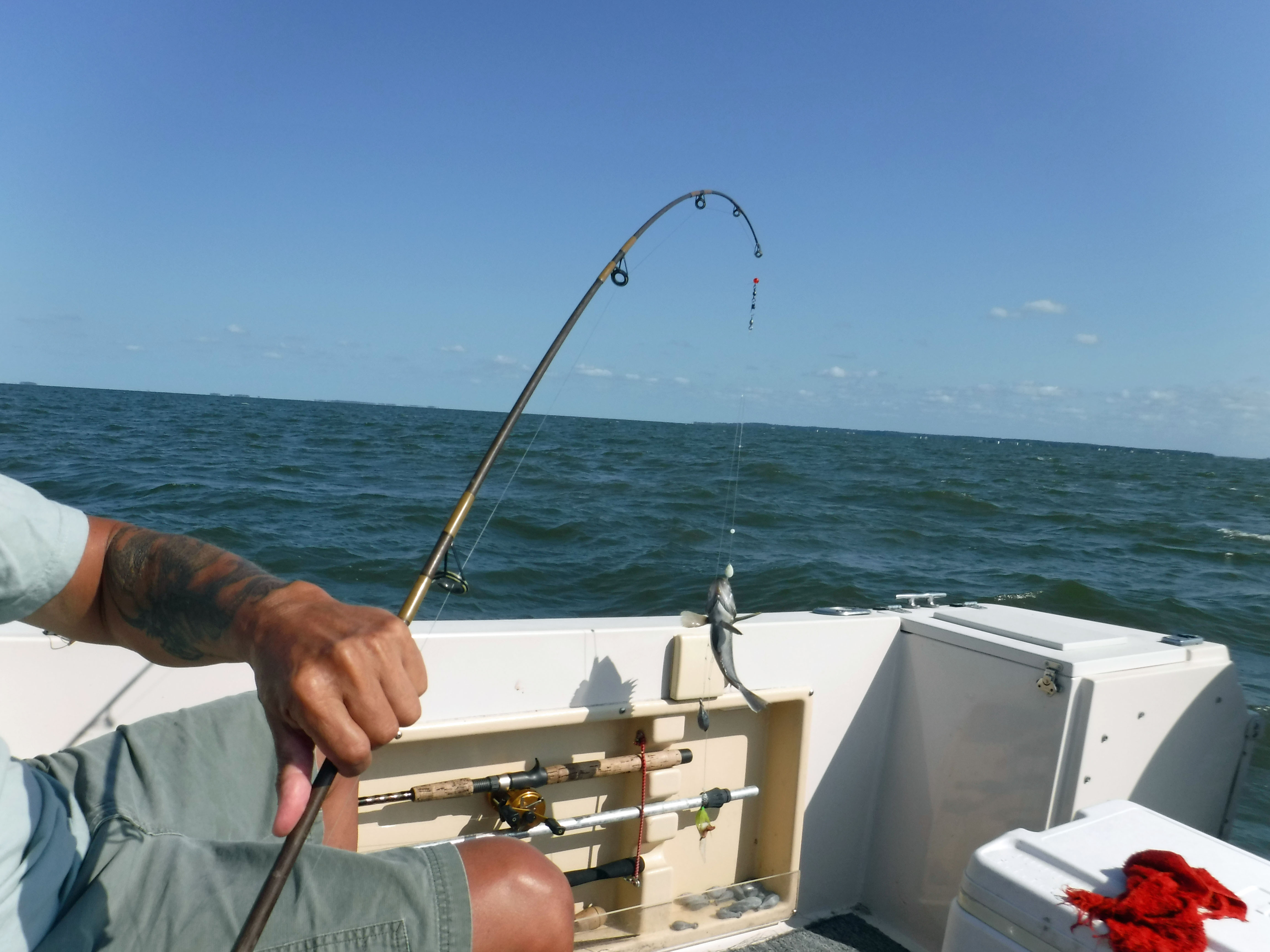
Kathy caught the first fish of the day…
…not as big as mine! Oh what a whopper! The weight almost snapped the rod!
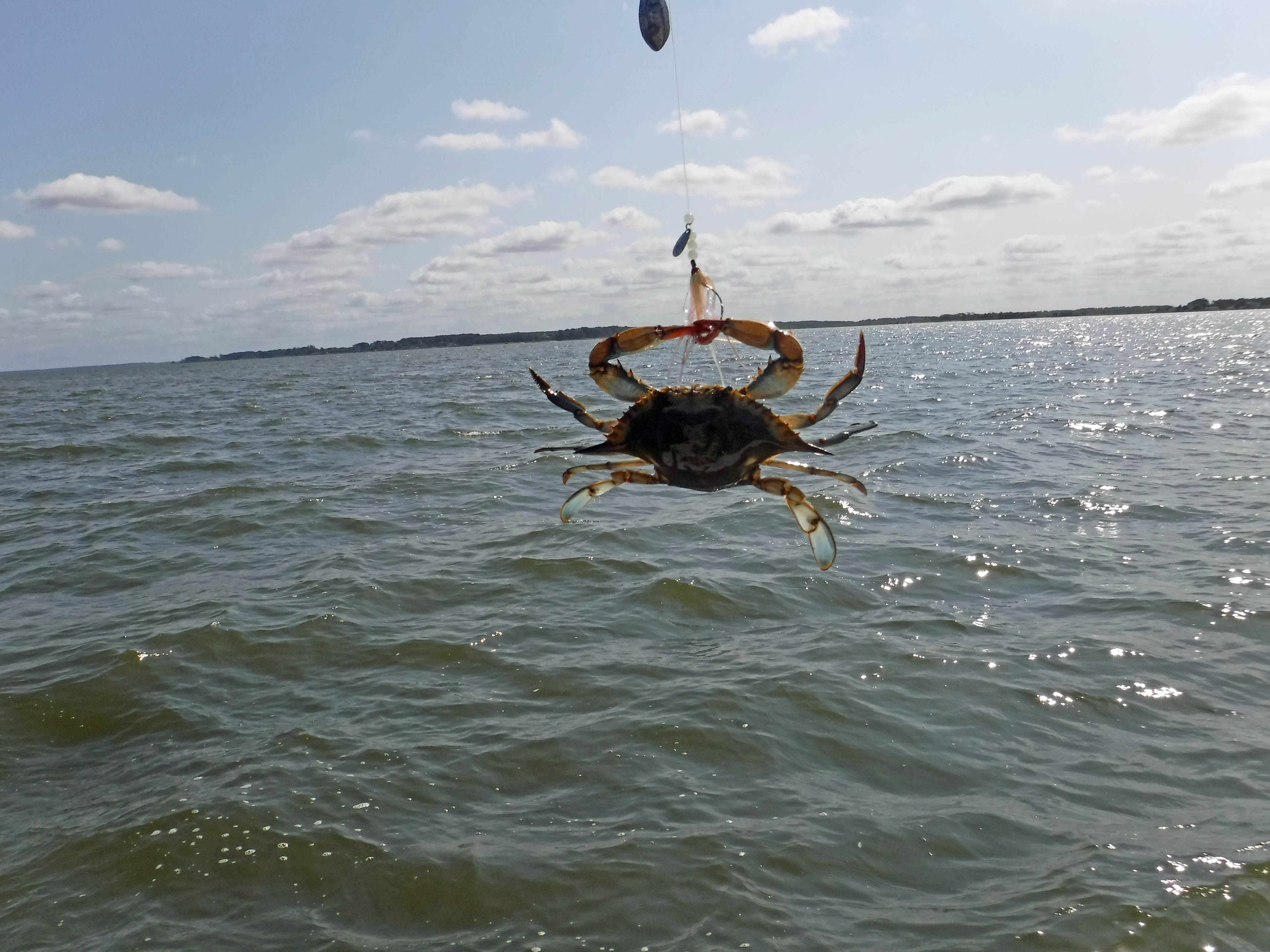
Kathy’s catch. Crab.
Then mine…alien looking thing. Where is Ripley? Everything that was caught was thrown back in.
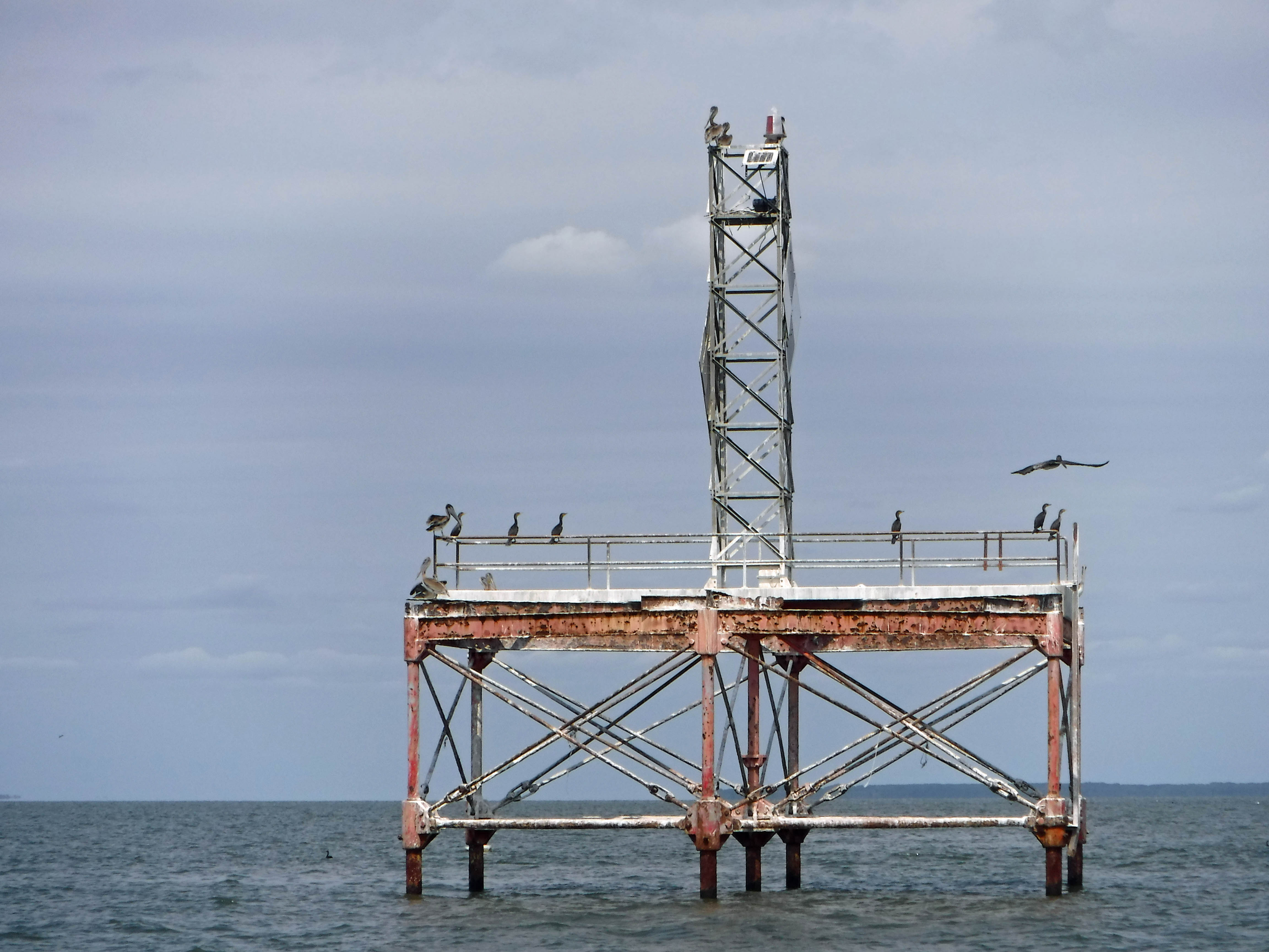
Abandoned except for the birds.
Karen Noonan Center, Chesapeake Bay Foundation. Classroom.
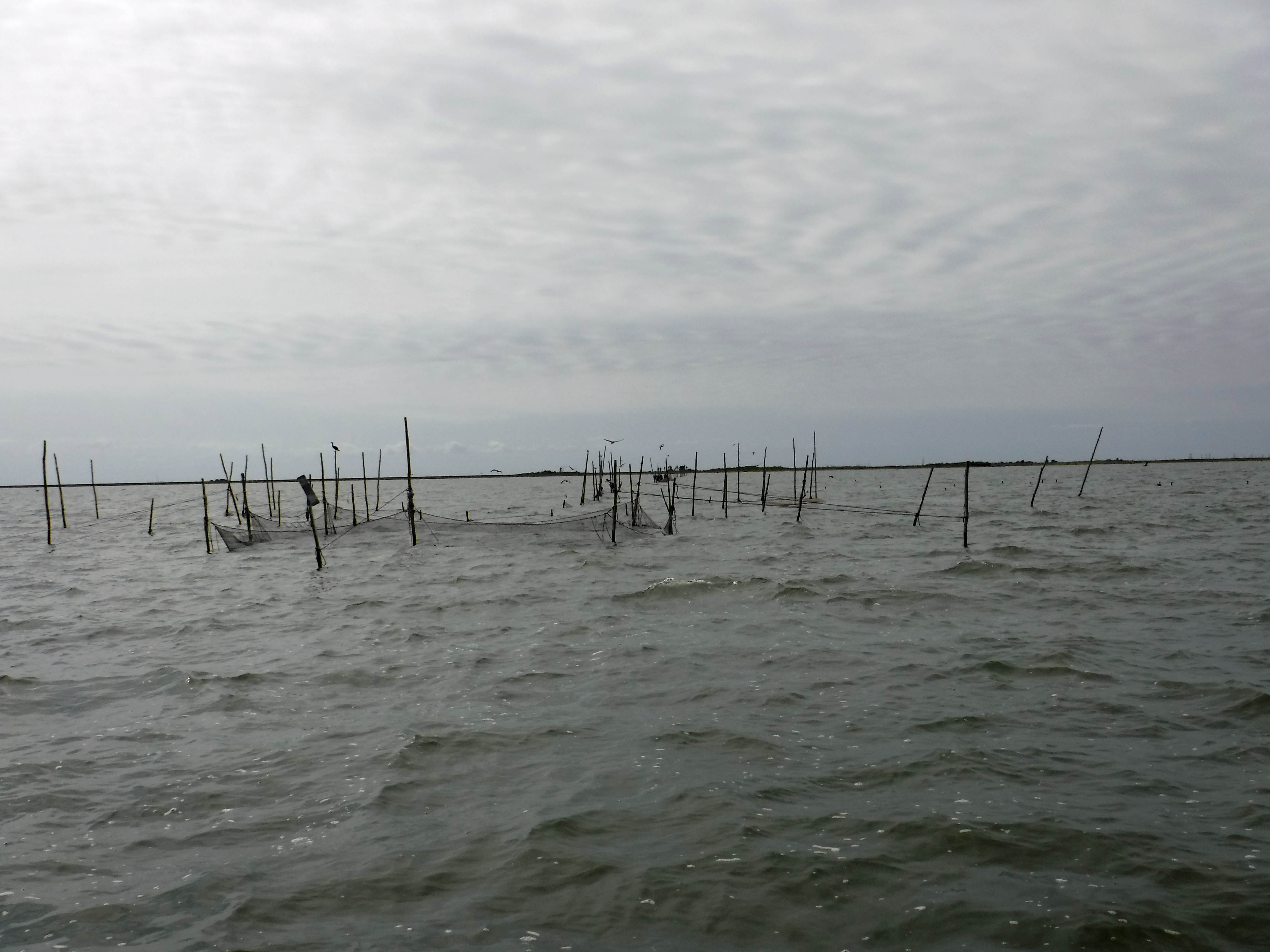
Fish nets off of Bloodsworth Island. On the navigational chart this area is off limits. Kathy’s dad told me the naval base drops bombs (Practice) on the island. If you do a close up Google Earth view, it looks like the moon in some spots – craters.