• About
  • History Writings

Water and Me

Water and Me

Tag Archives: Chesapeake Bay

Fourth Annual Christmas Adventure

11 Friday Dec 2020

Posted by Ronald Parks in Hiking, nature, Photography, Road Trips, Trails

≈ 2 Comments

Tags

Baltimore, bridges, Chesapeake Bay, Christmas, Cromwell Park, engineering, Gunpowder Falls, Hiking, Loch Raven, nature

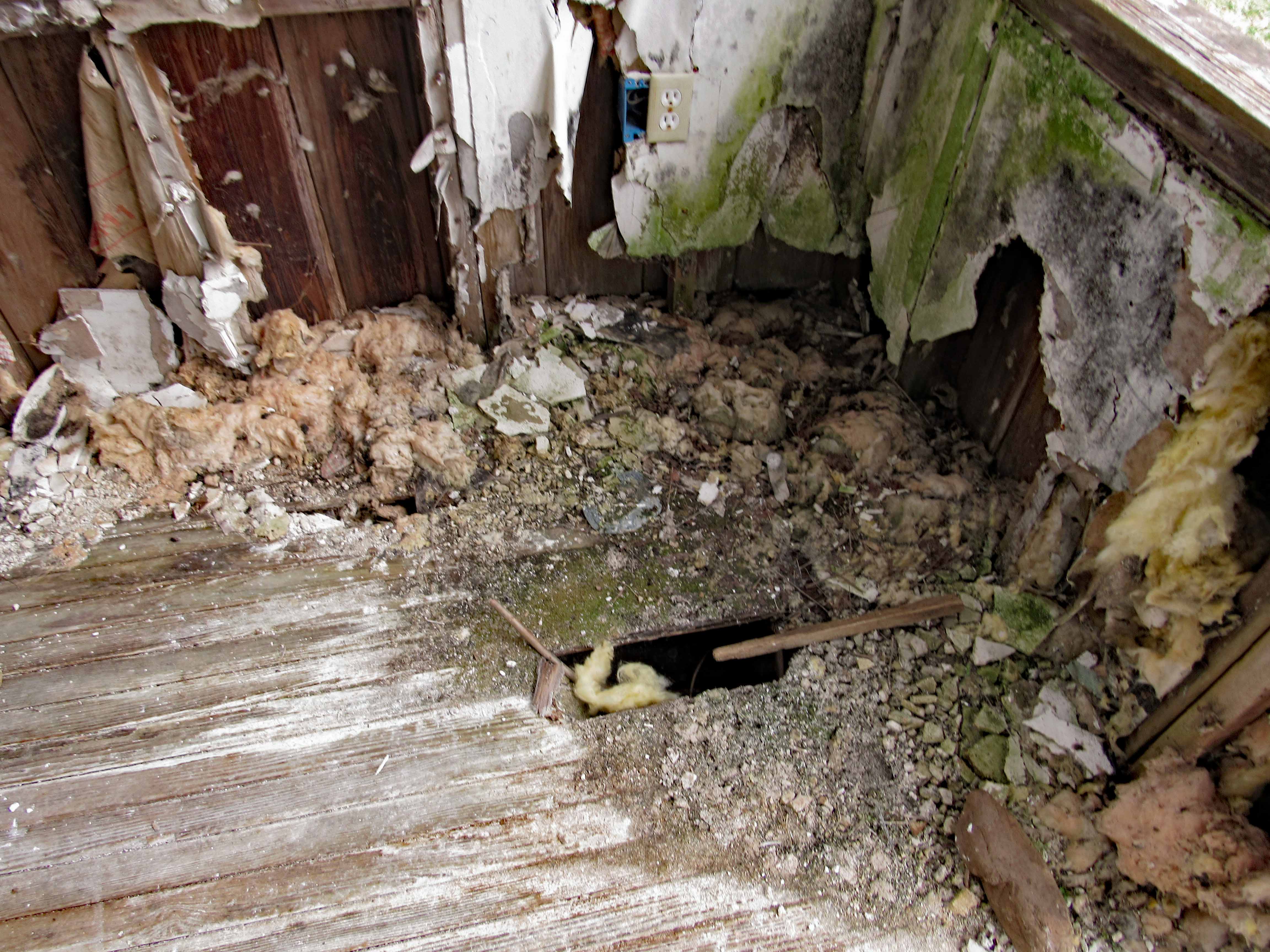
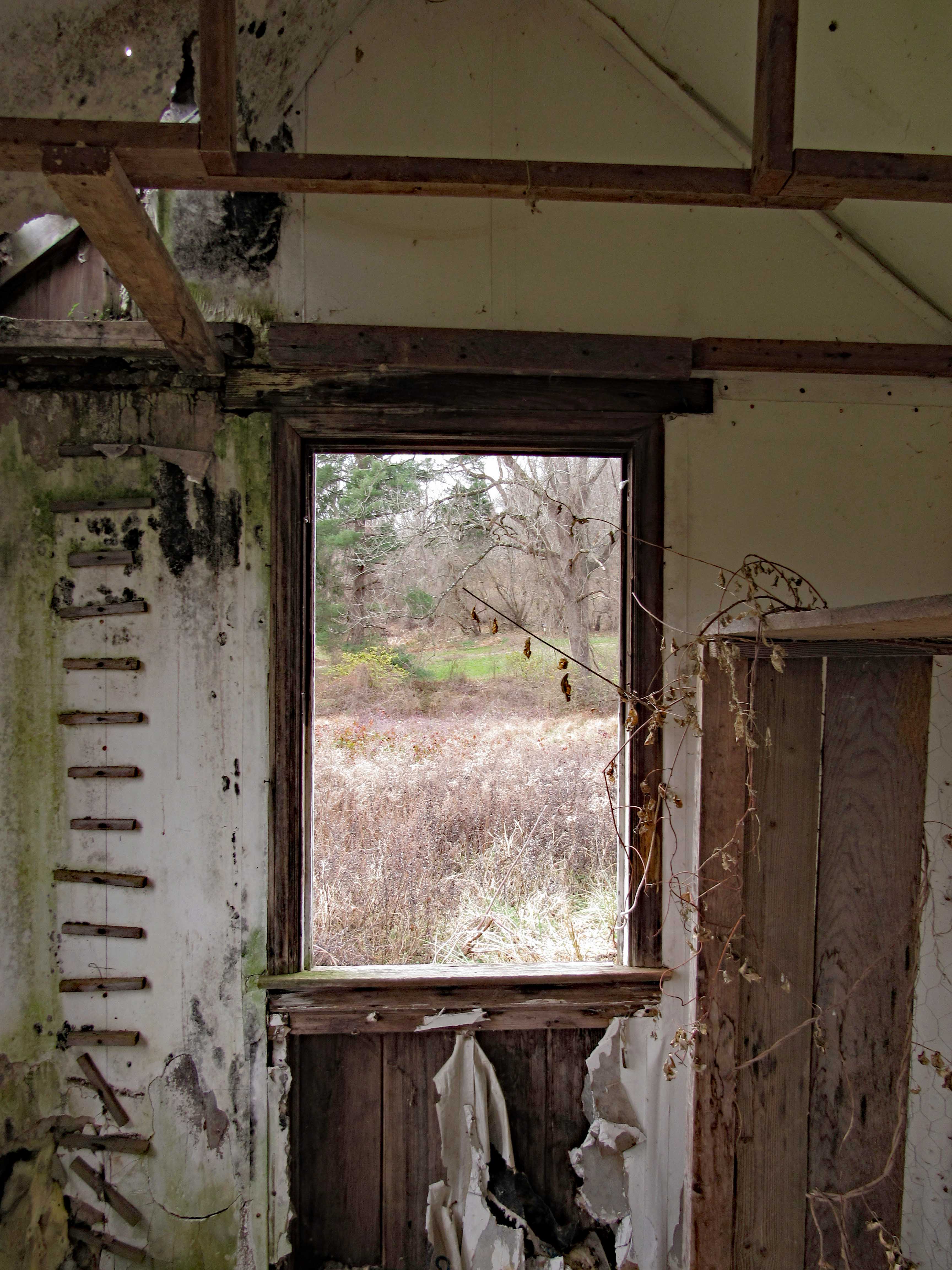
Wasn’t sure we would make it to Baltimore this year, to decorate our favorite building in our favorite park – Cromwell Valley Park. But we did! Heading across the field towards the Greenhouse Path (Not sure when they started calling it that), up in the distance we see the little house. Many years ago it was a bath house for the family that use to live near here.

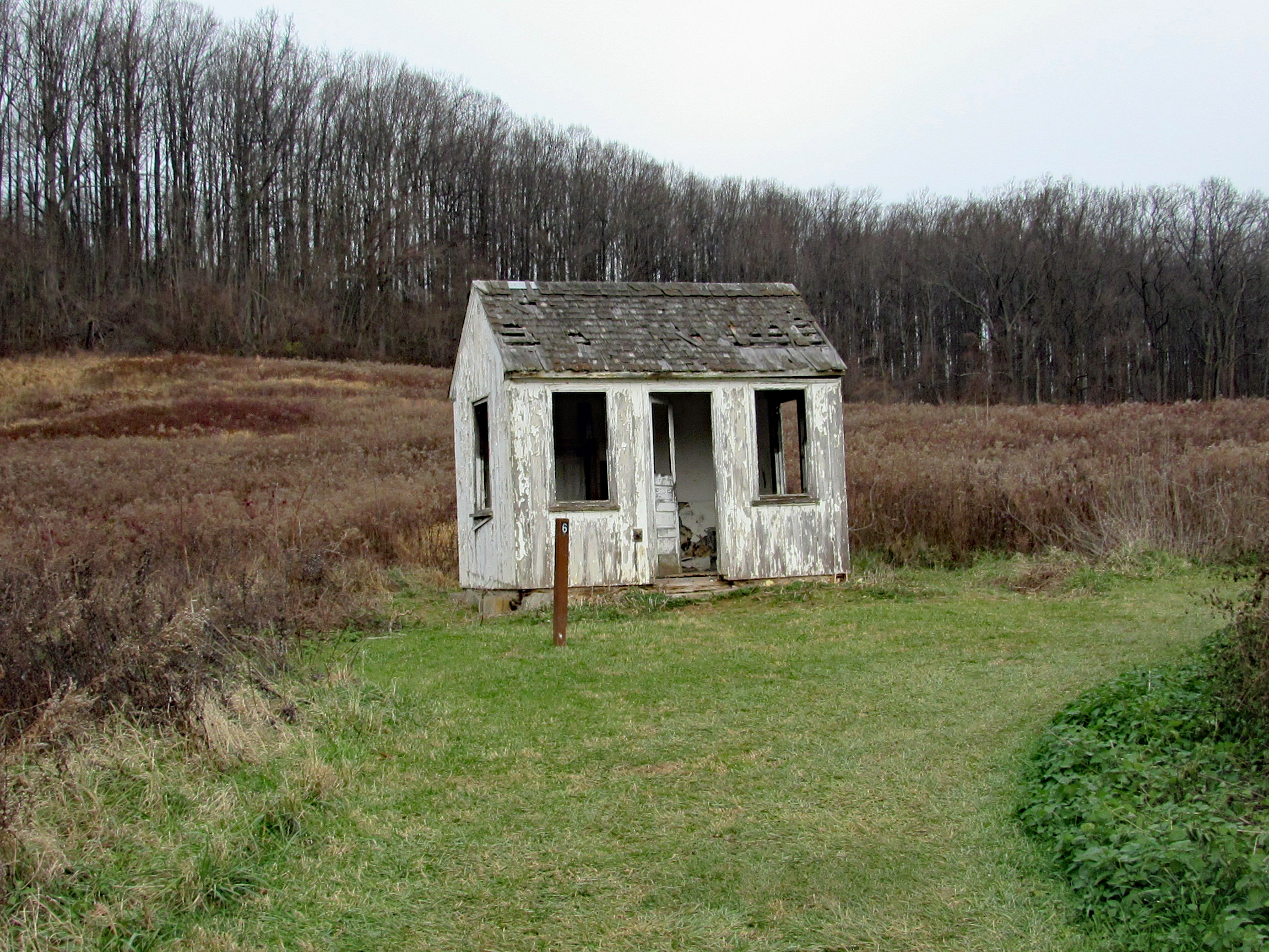
Wondering how many more years our little house will weather the storms. I wish there was a way myself or any of the park volunteers could restore it.

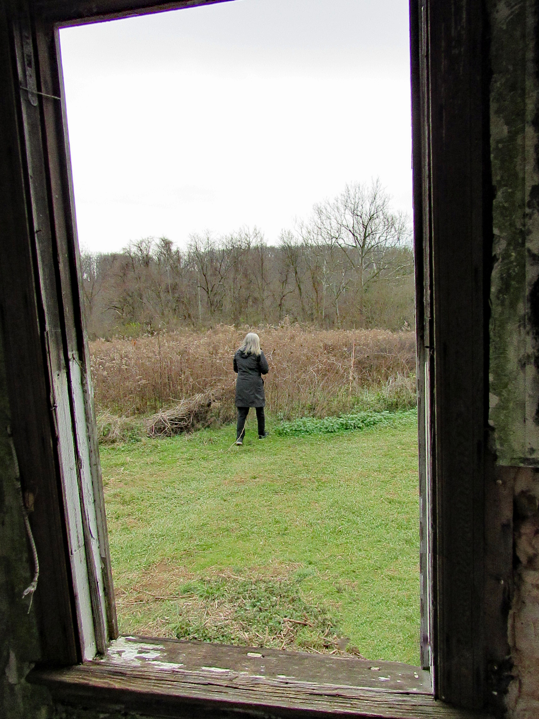
And here I am, decorating.

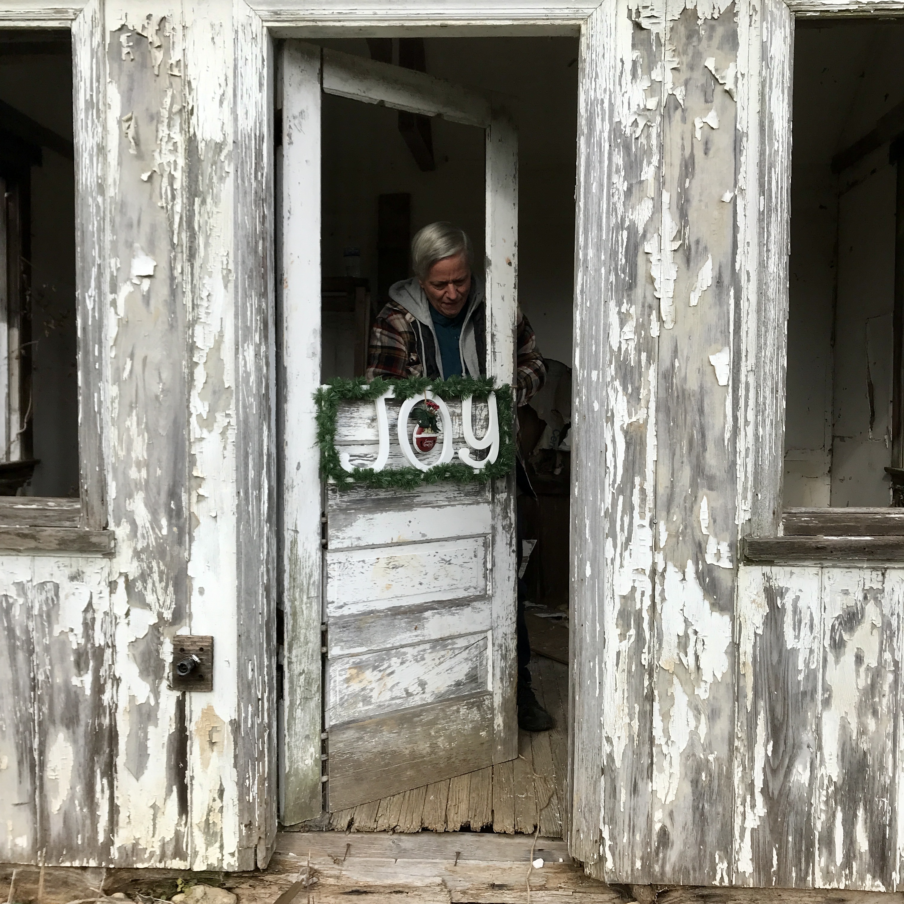
Our finished Christmas gift to the park.

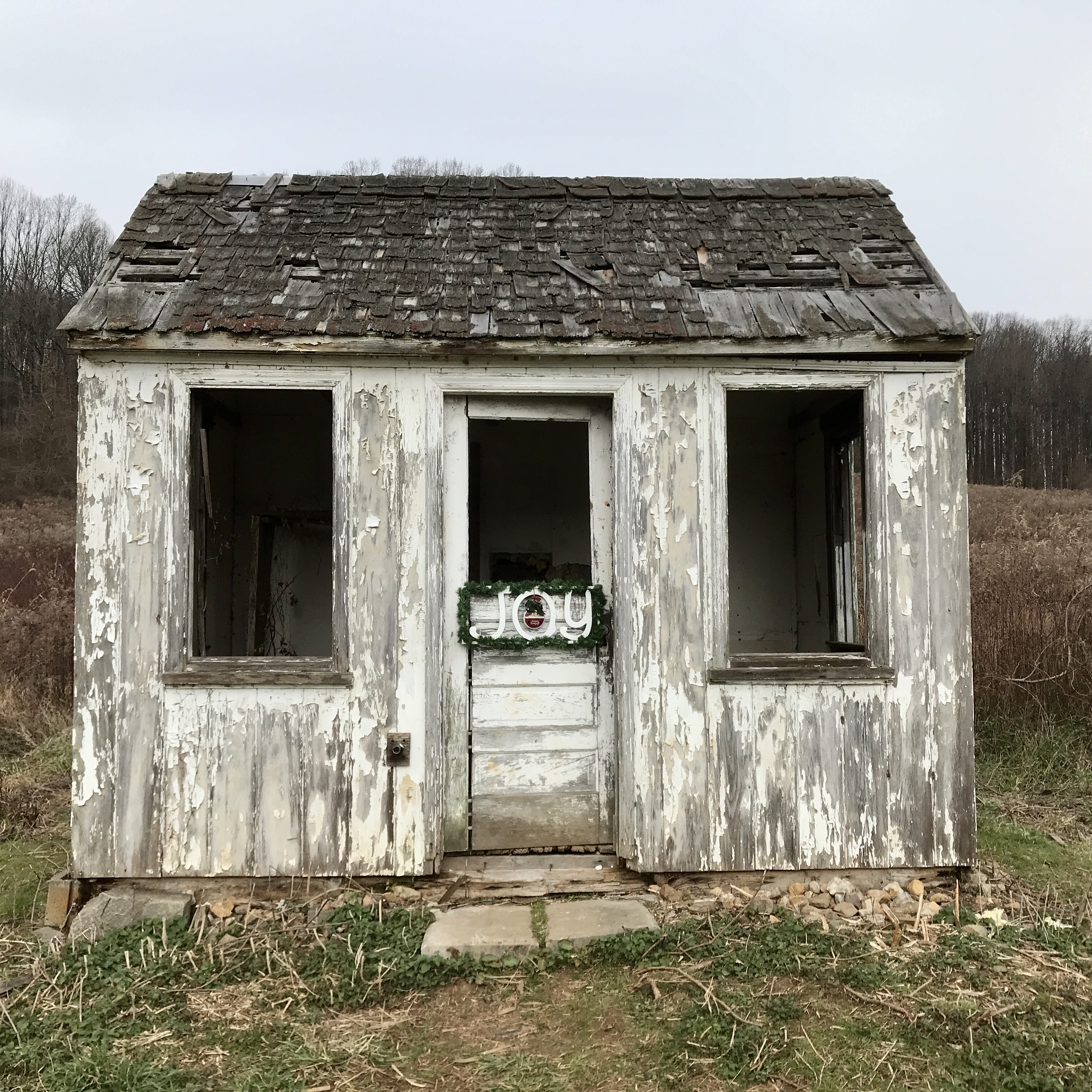
Time to make a Christmas wish…

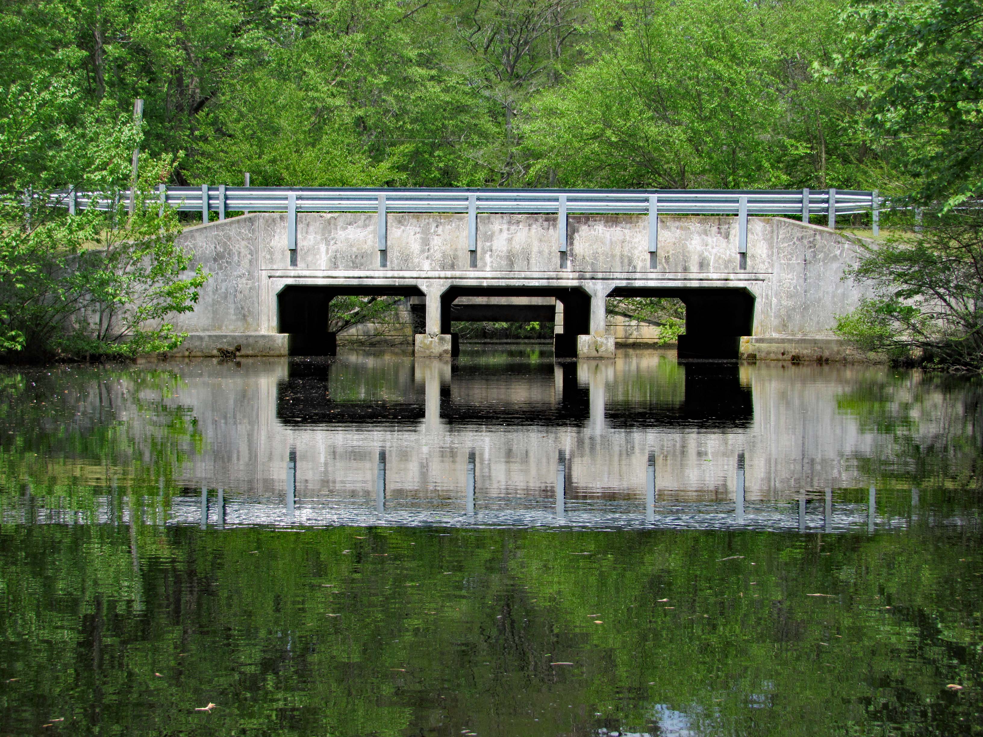
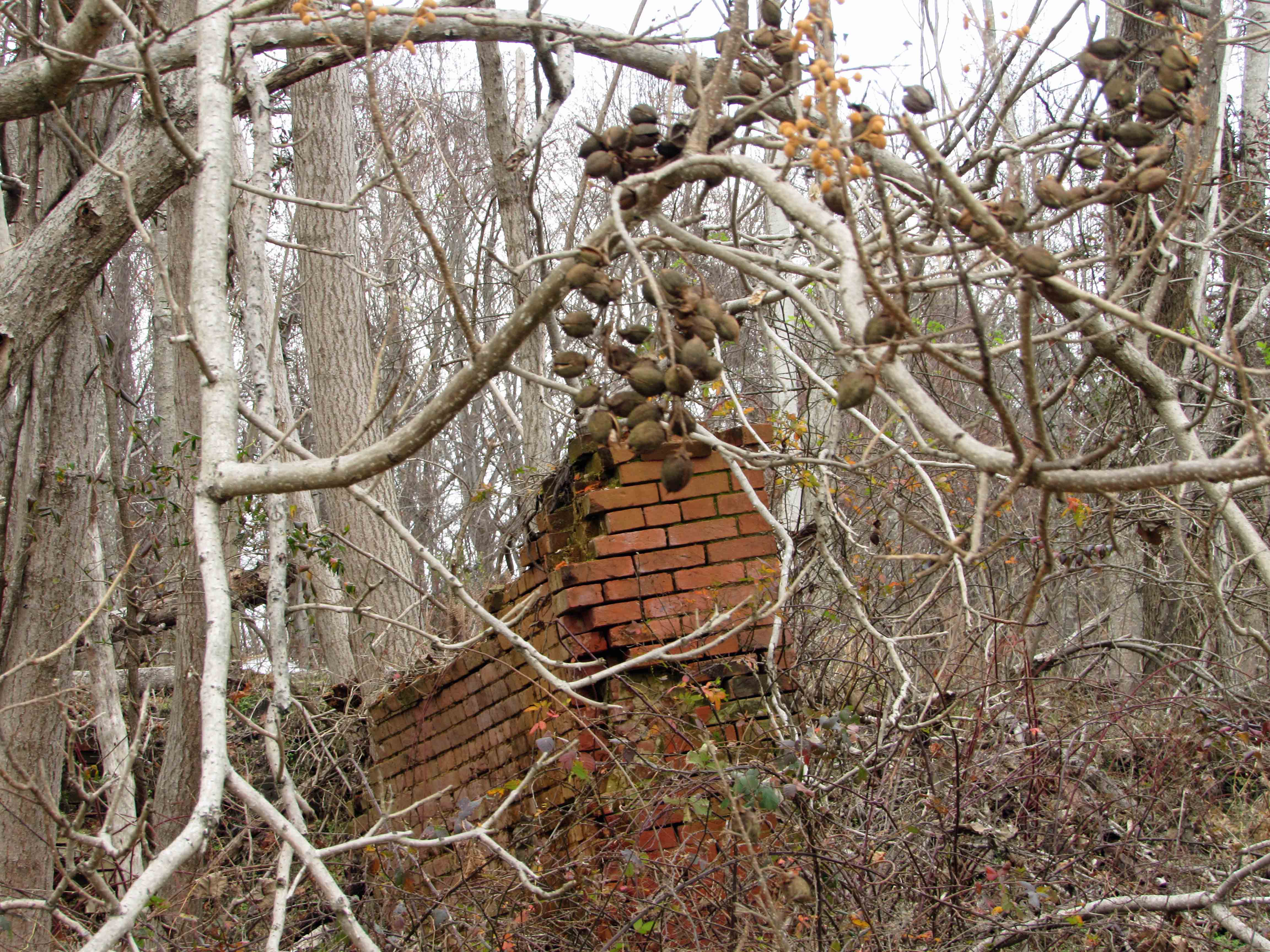
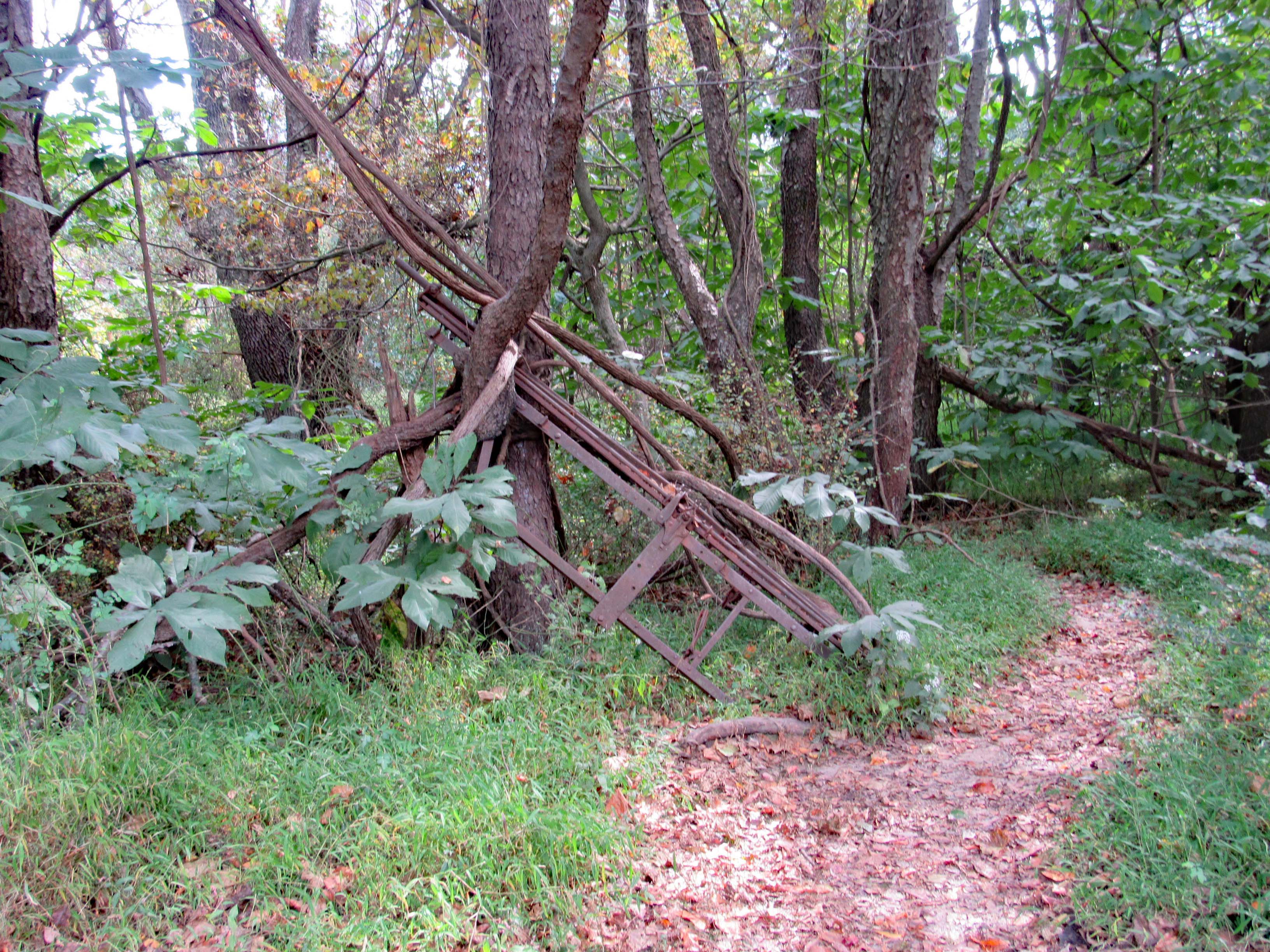
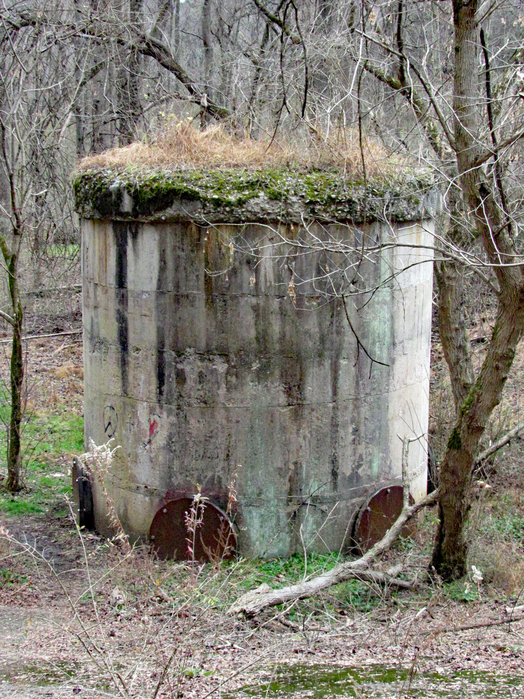
We walk the trail to the woods and then head through to the old balancing reservoir shaft.

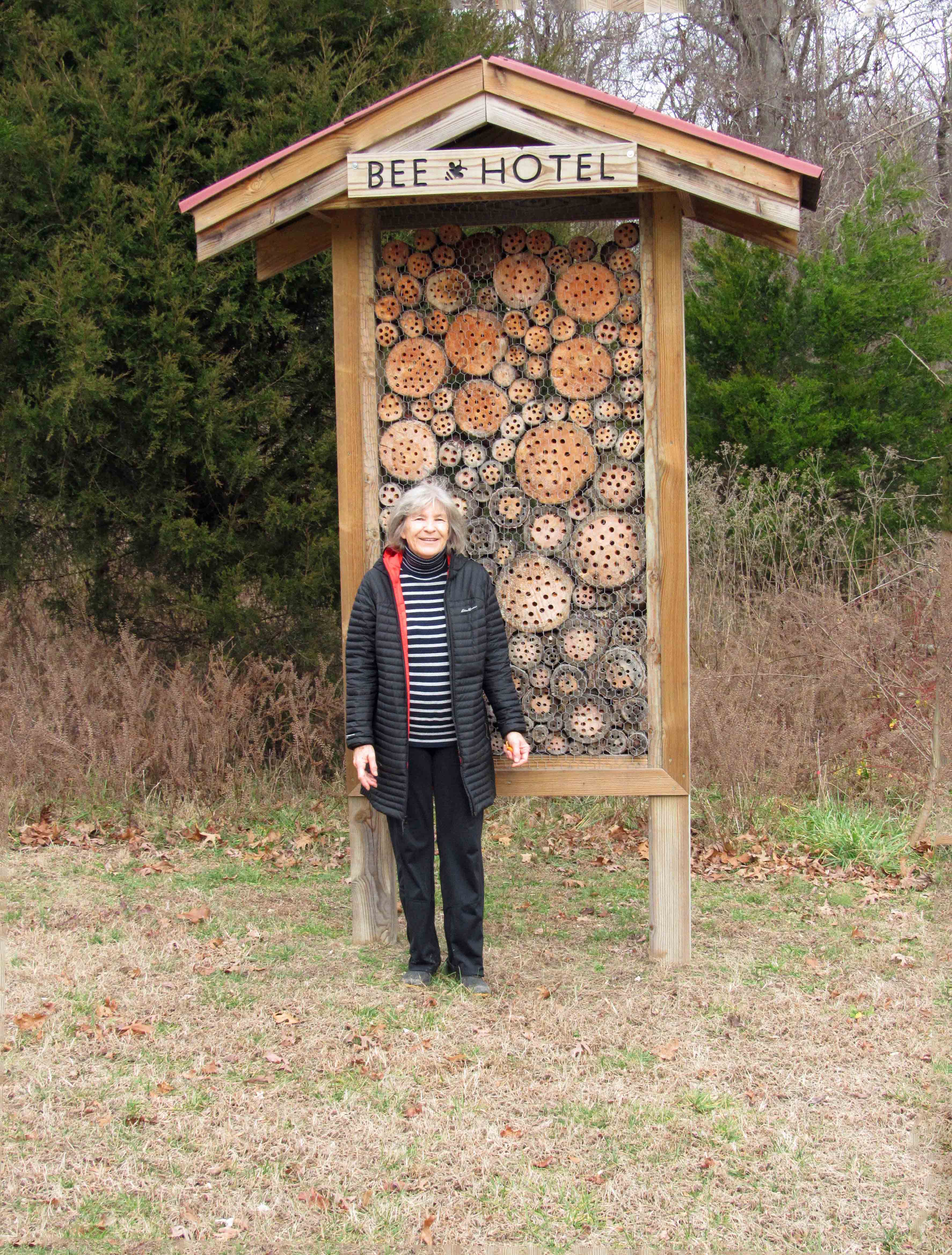
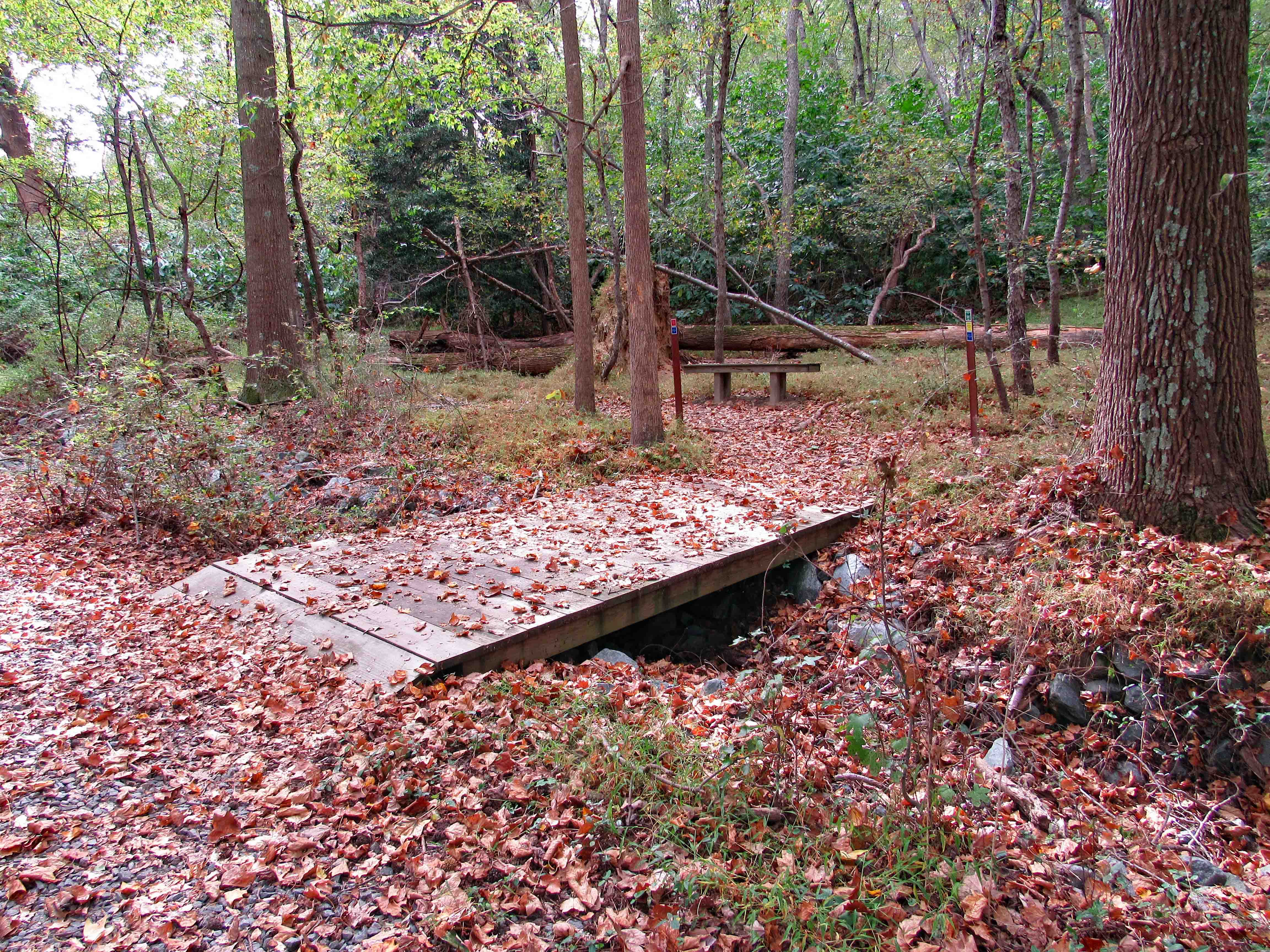
On to the Sycamore Trail

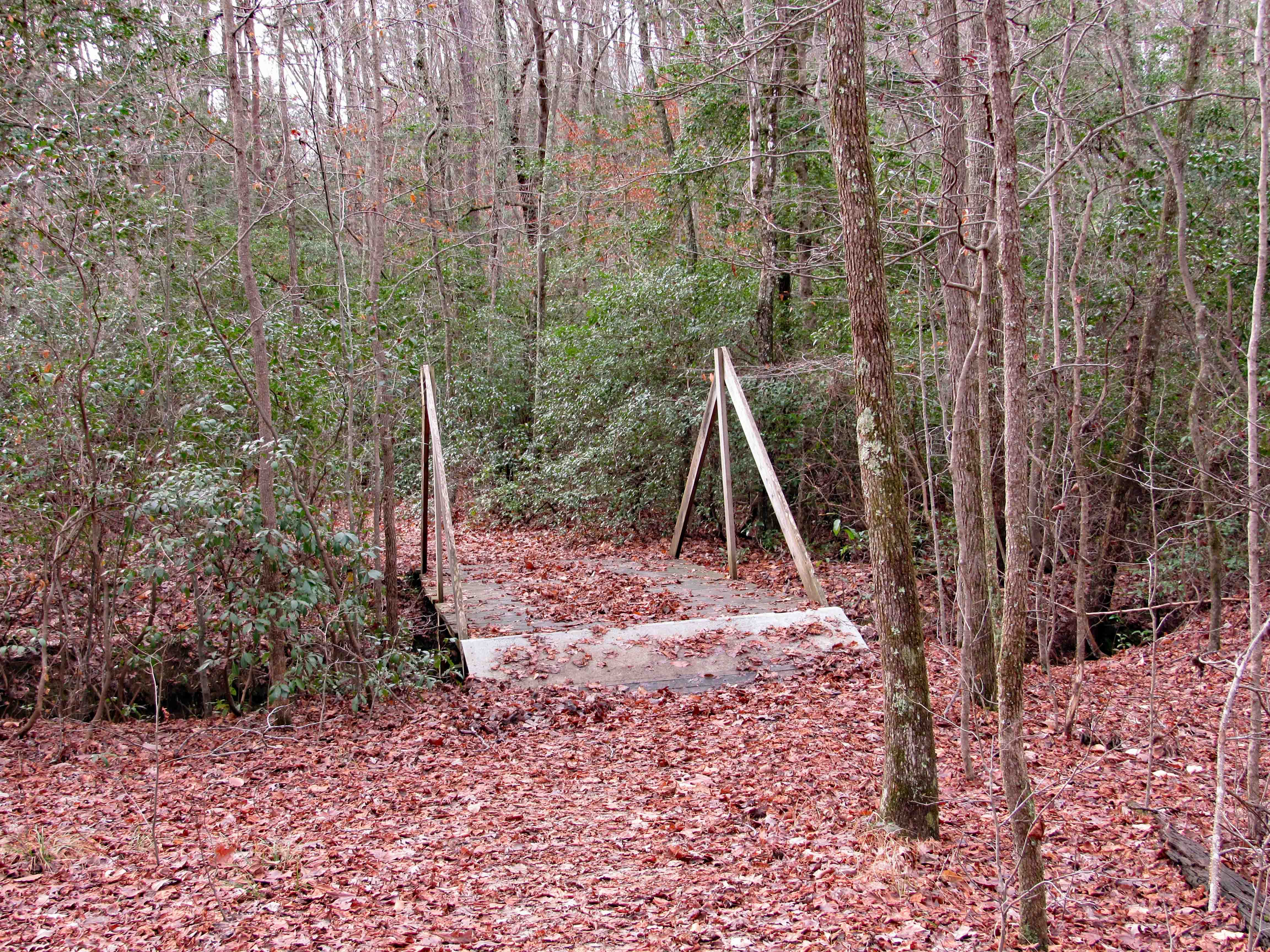
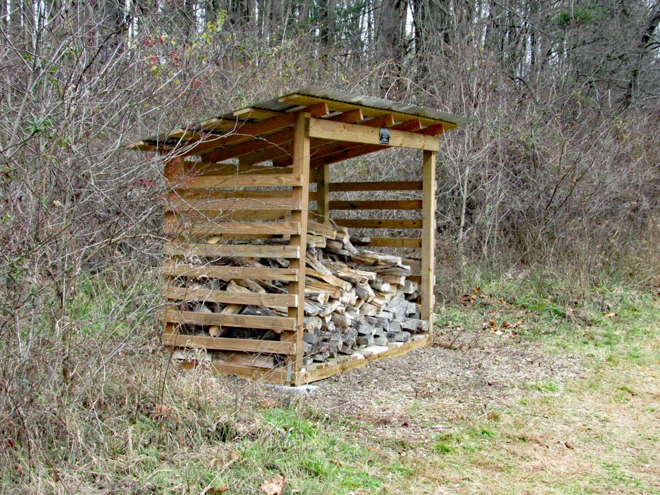
This is new. Built in 2019 by a Scout for his Eagle Scout Badge.

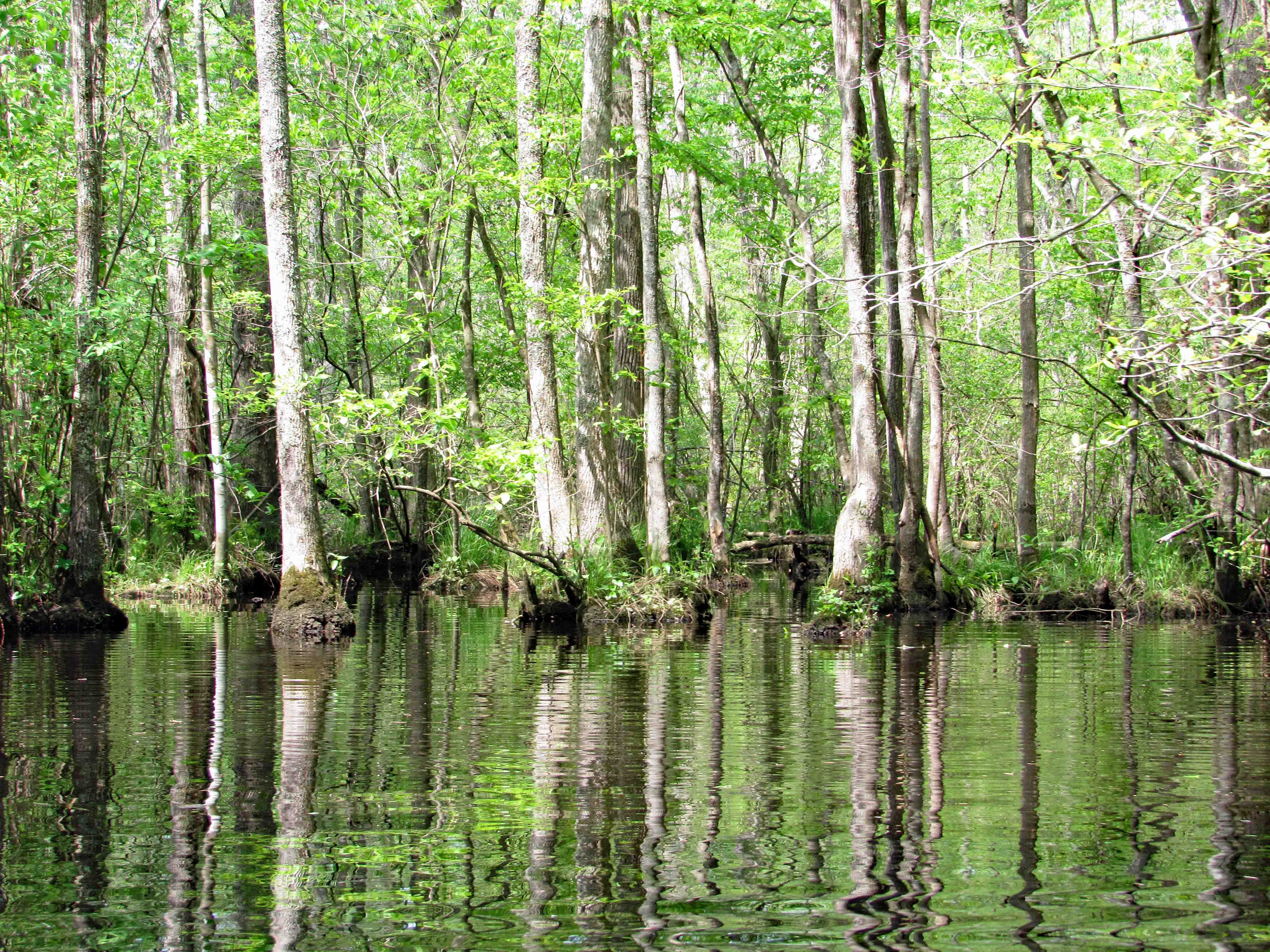
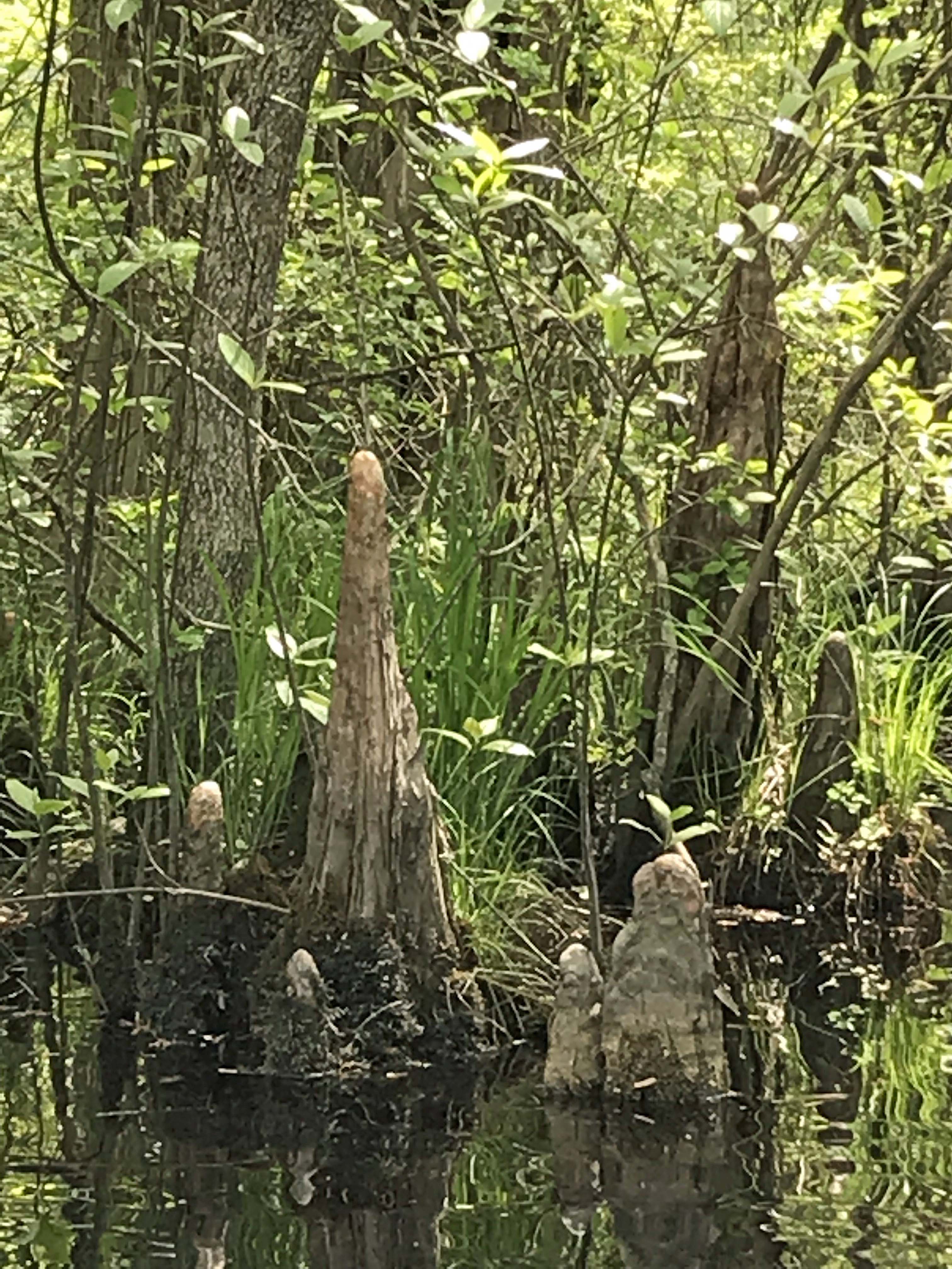
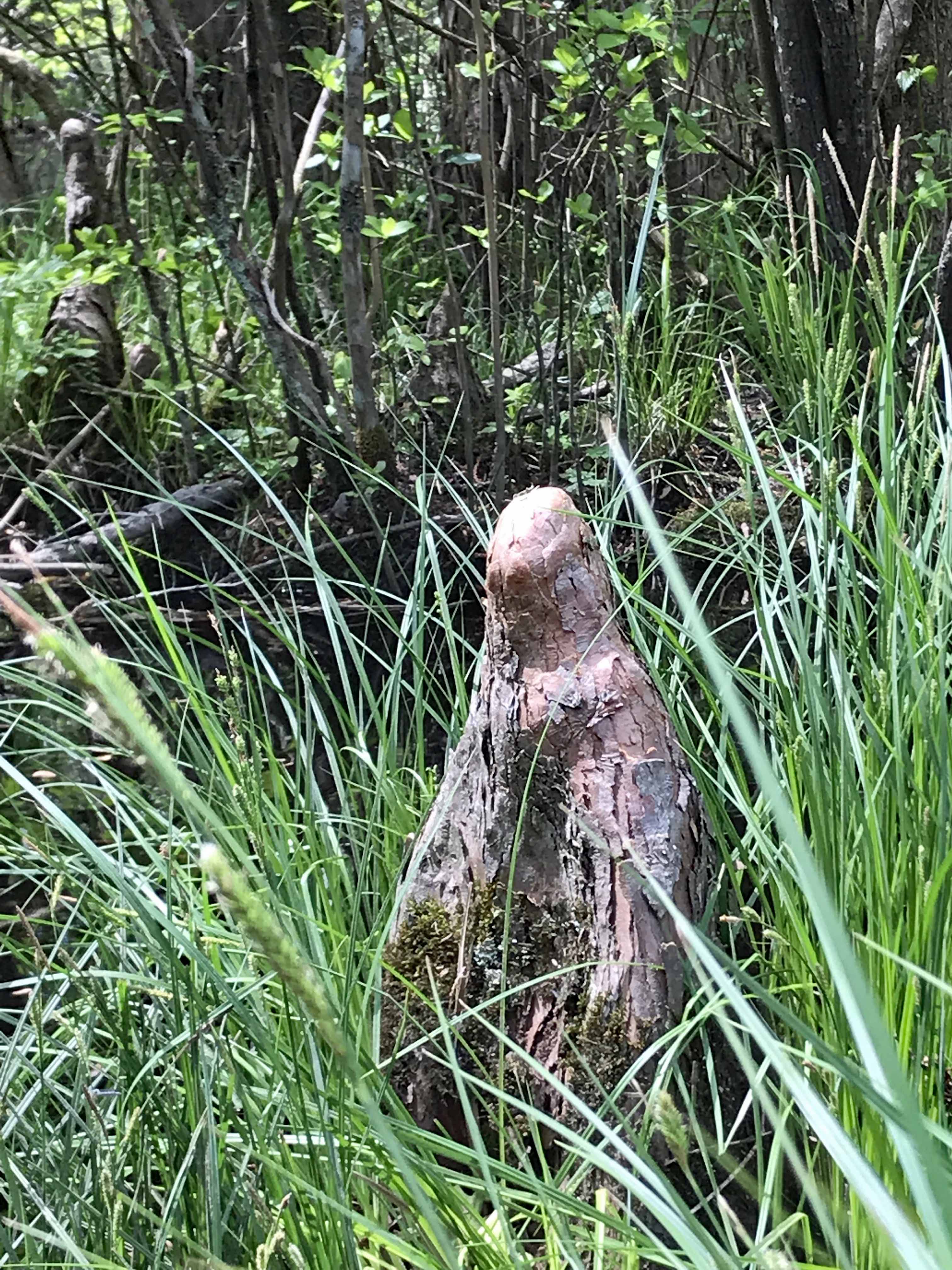
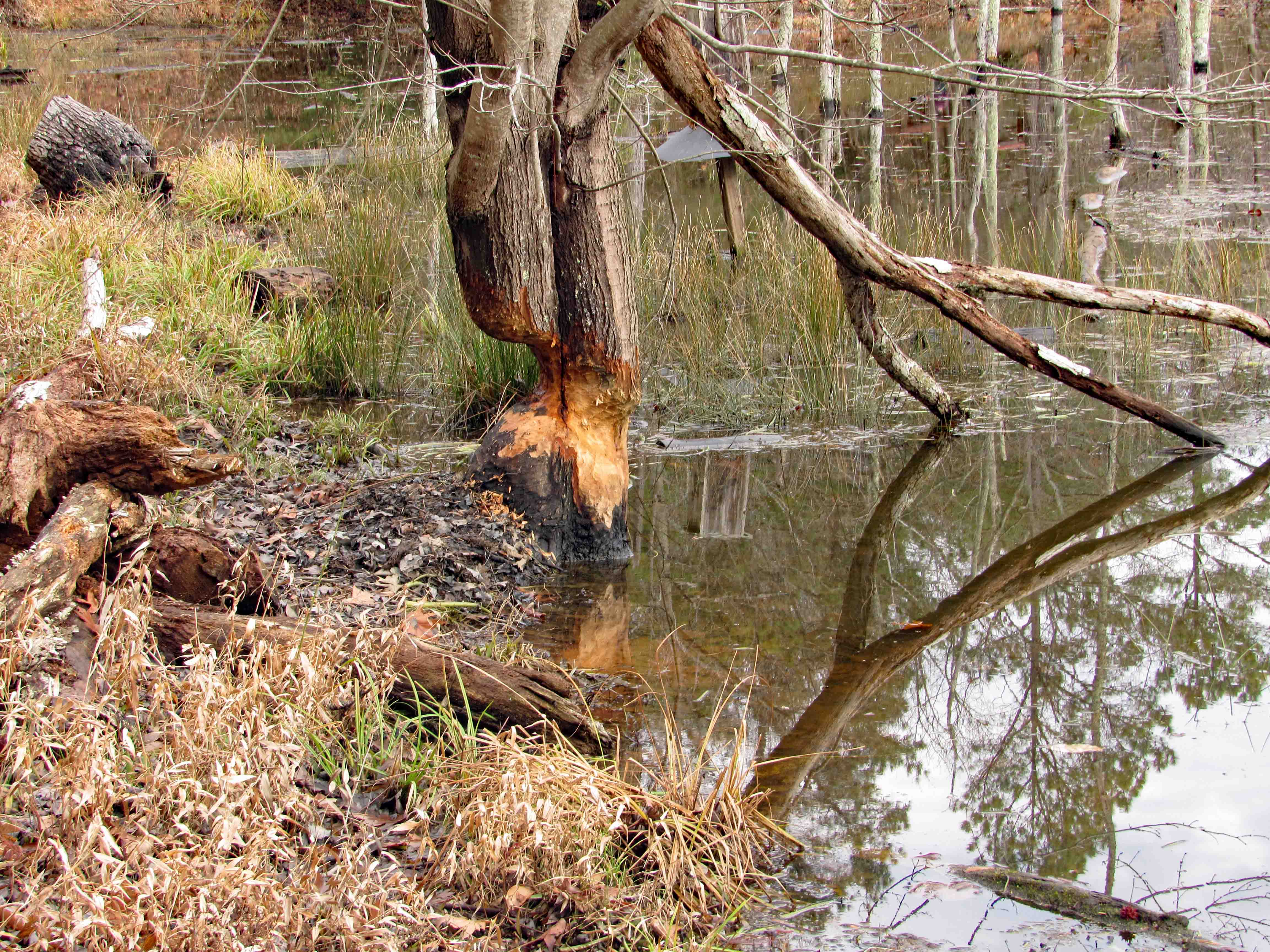
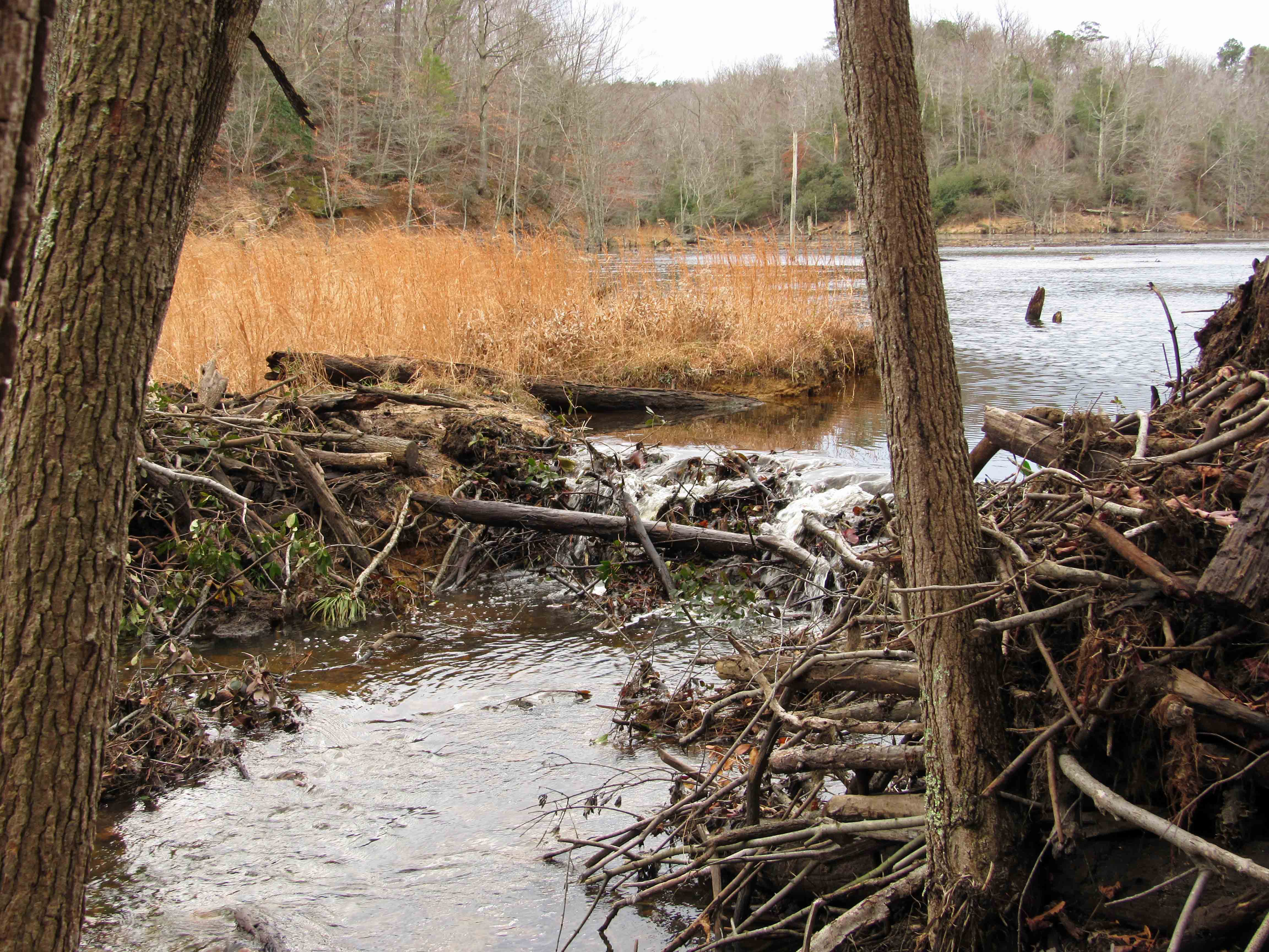
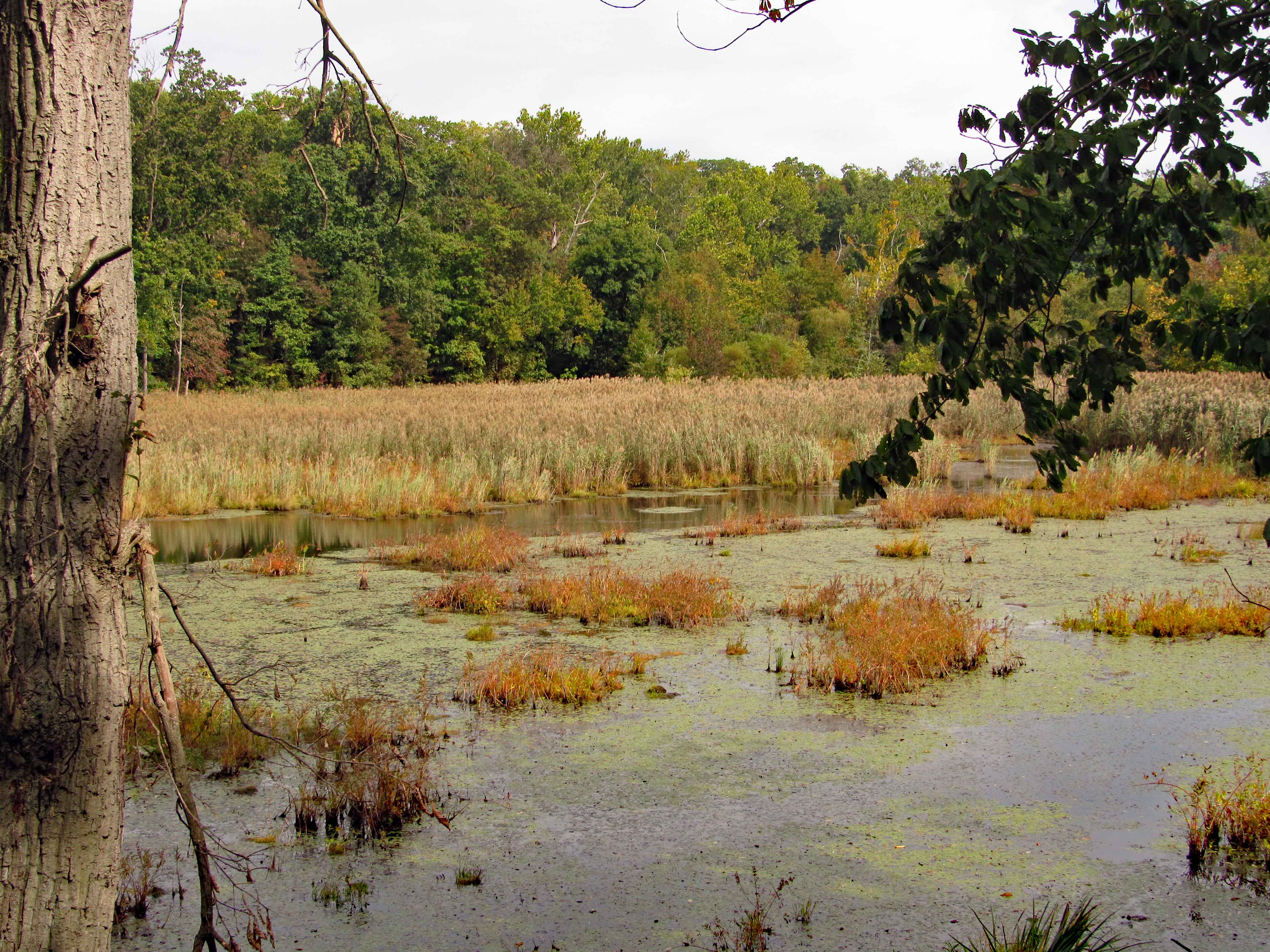
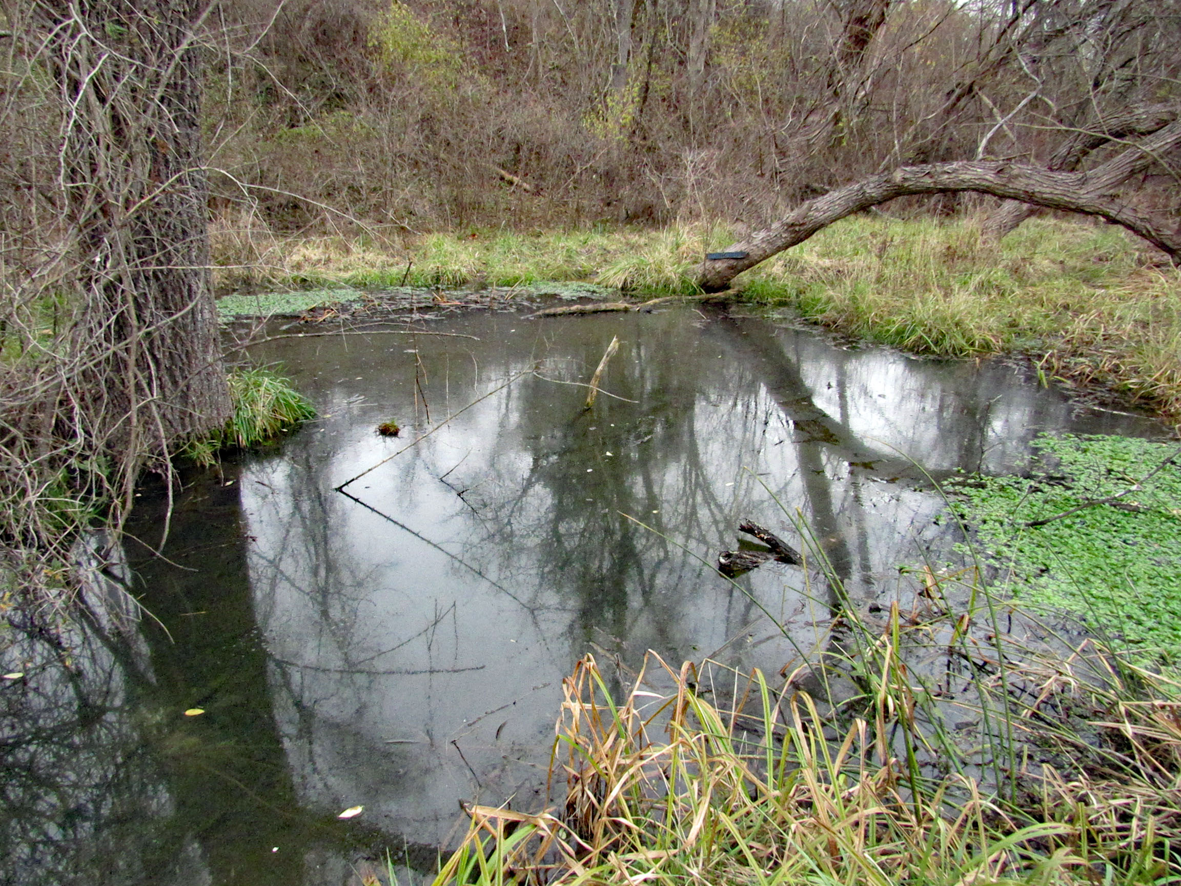
Hike towards Mine Bank Run. Can still tell this run continues to overflow it’s banks. Stopped to check out what I call the Bubbling Pond. They call it Marble Spring. It bubbles up from lime underground mixing with the water. Not much bubbling today.

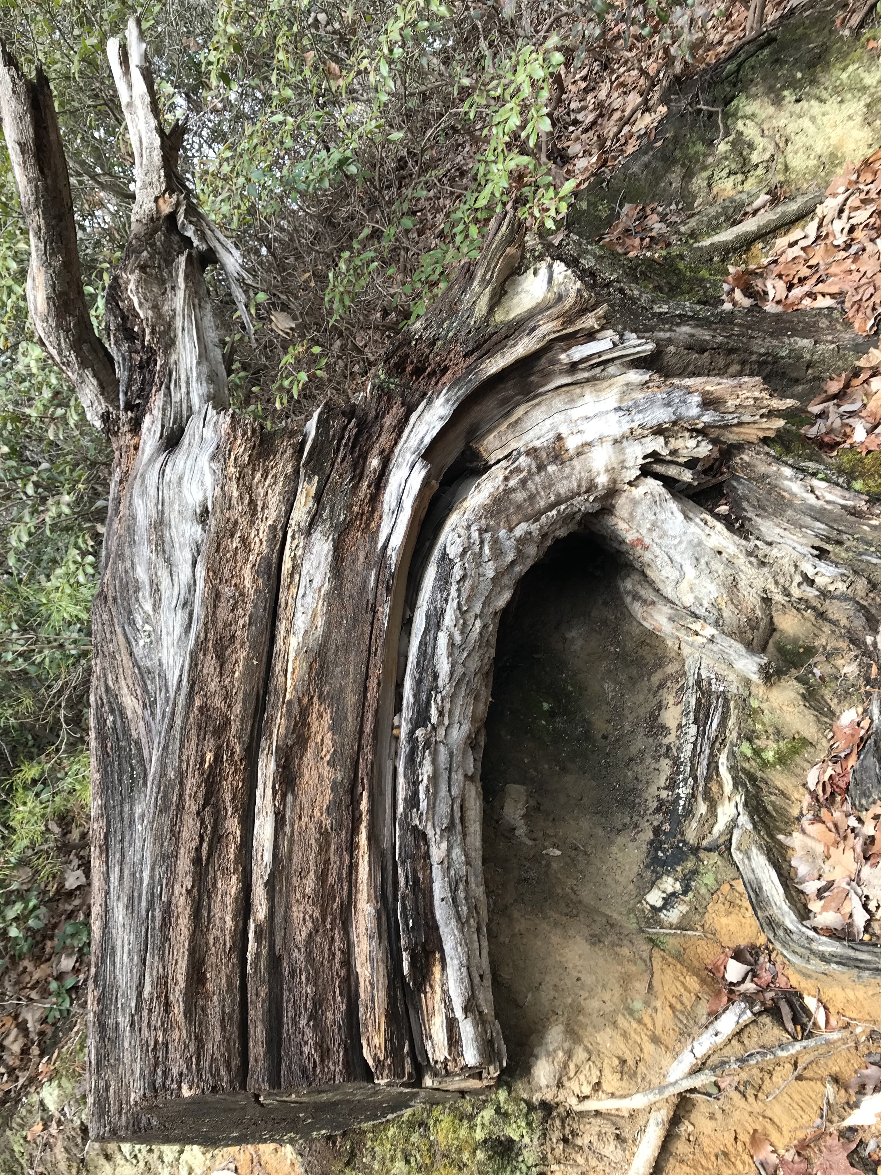
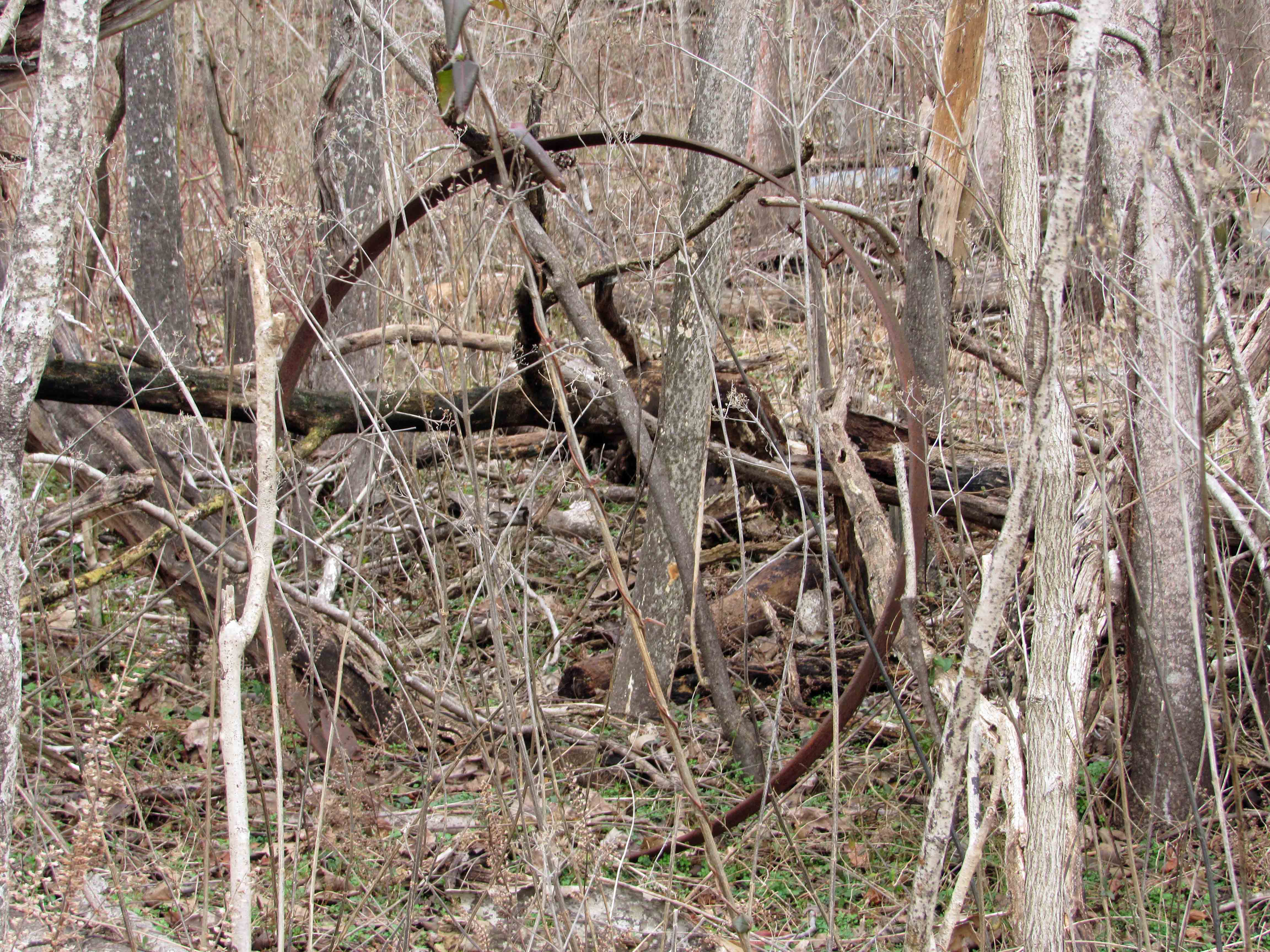
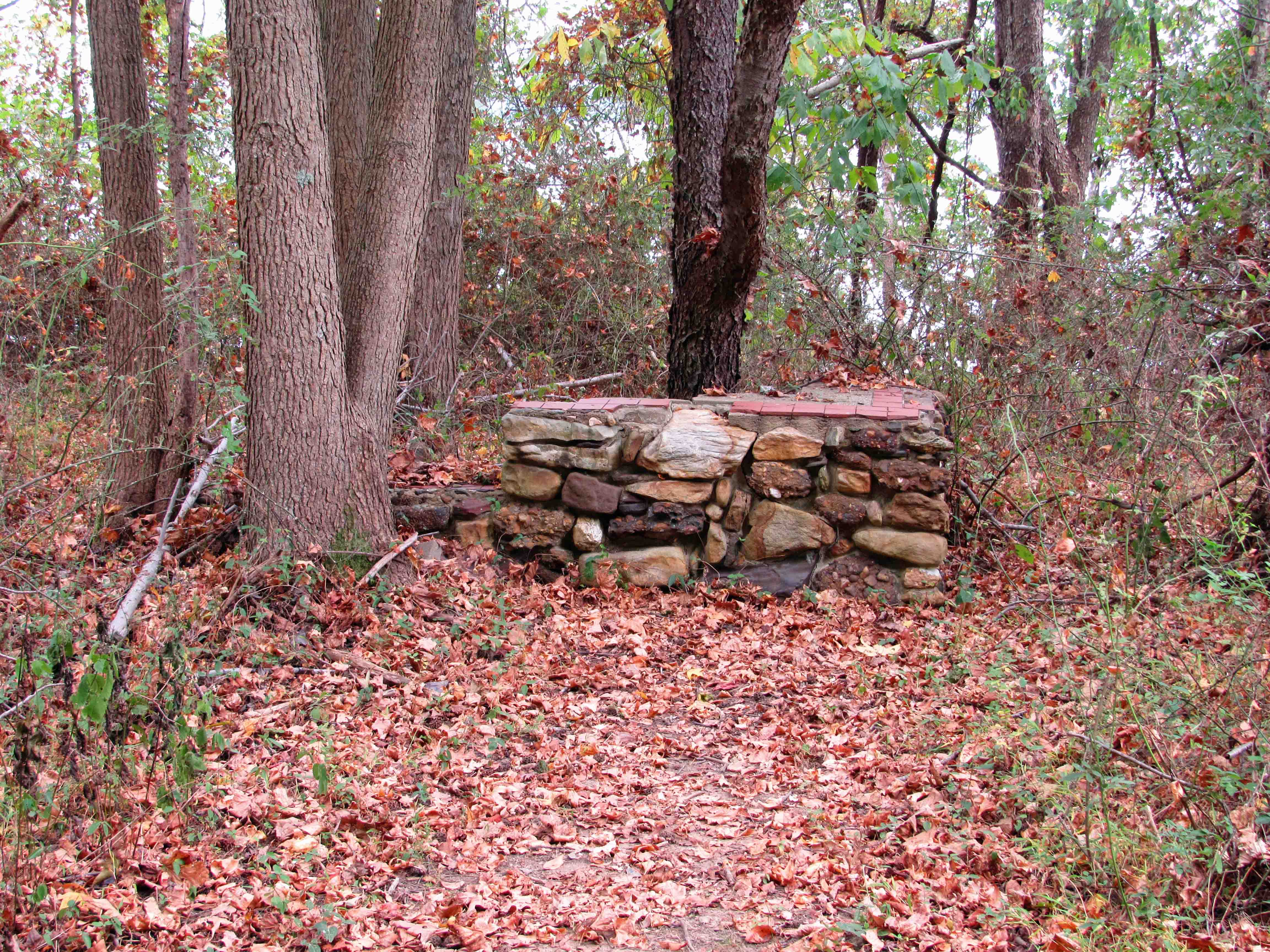
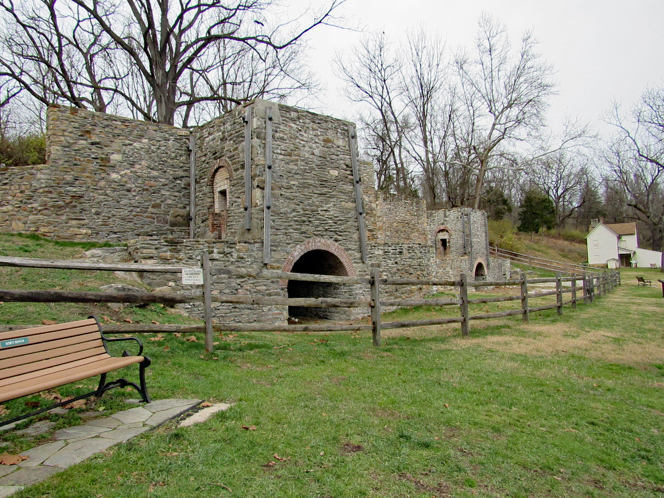
From Mine Bank to the Lime Kiln Trail. I am still amazed at how these were rebuilt.

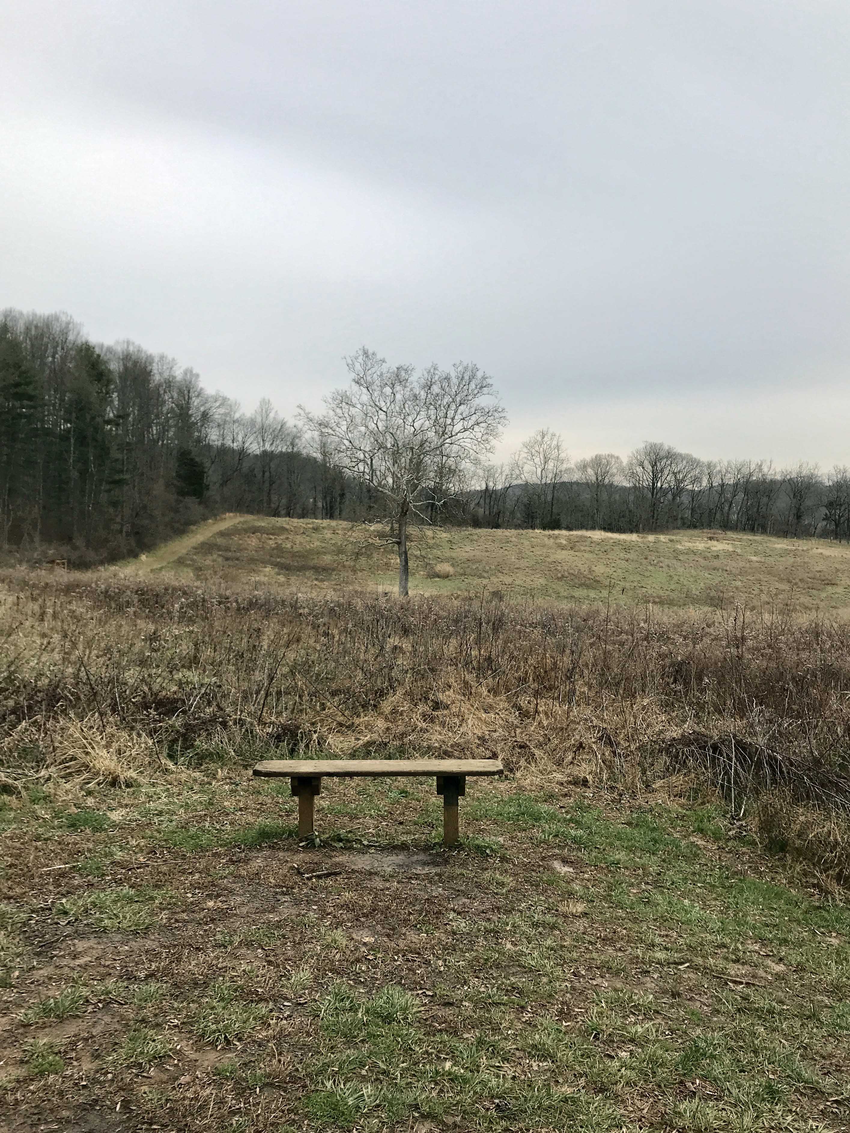
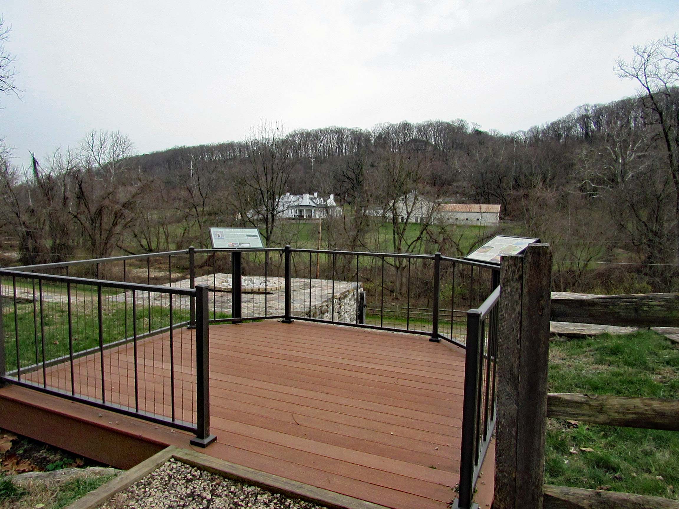
View from the top looking towards Long Island Farm.

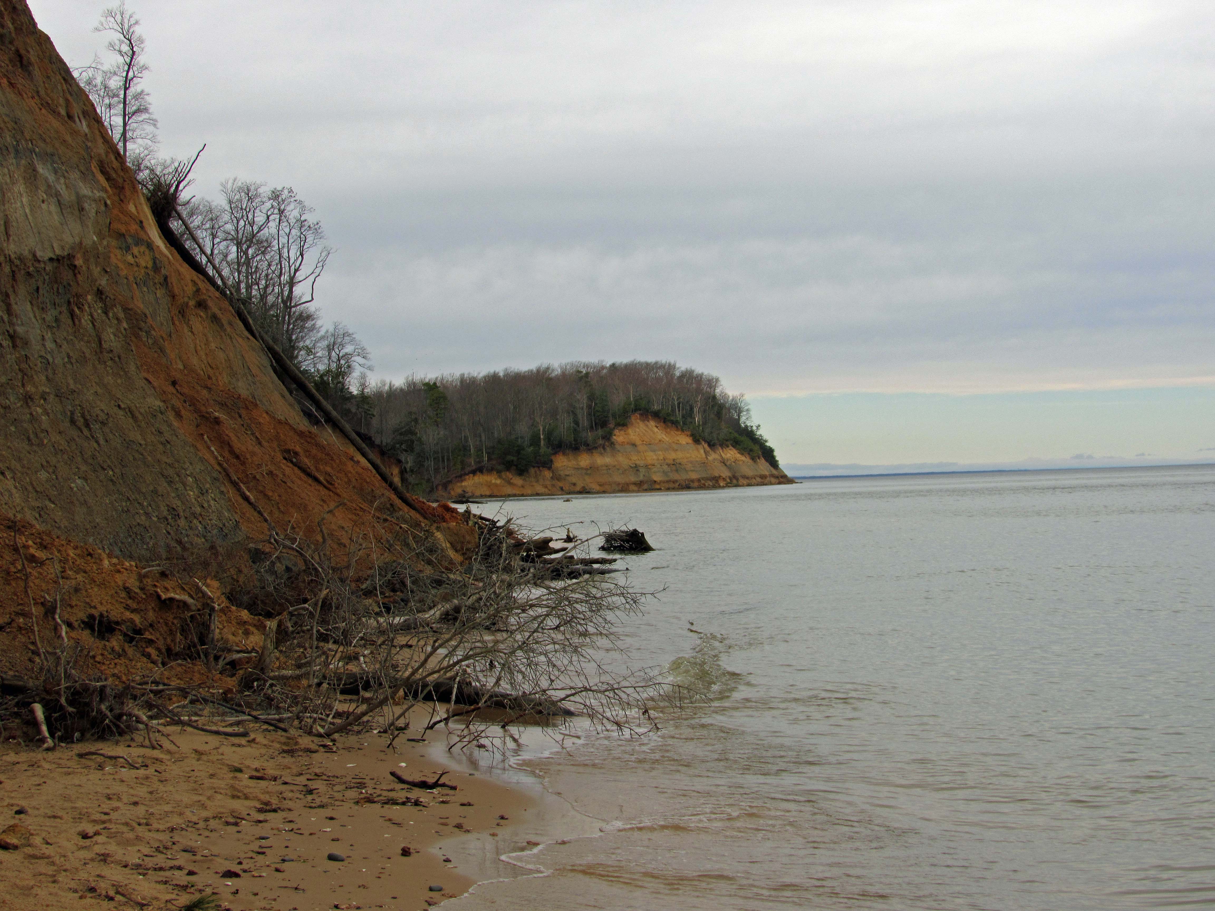
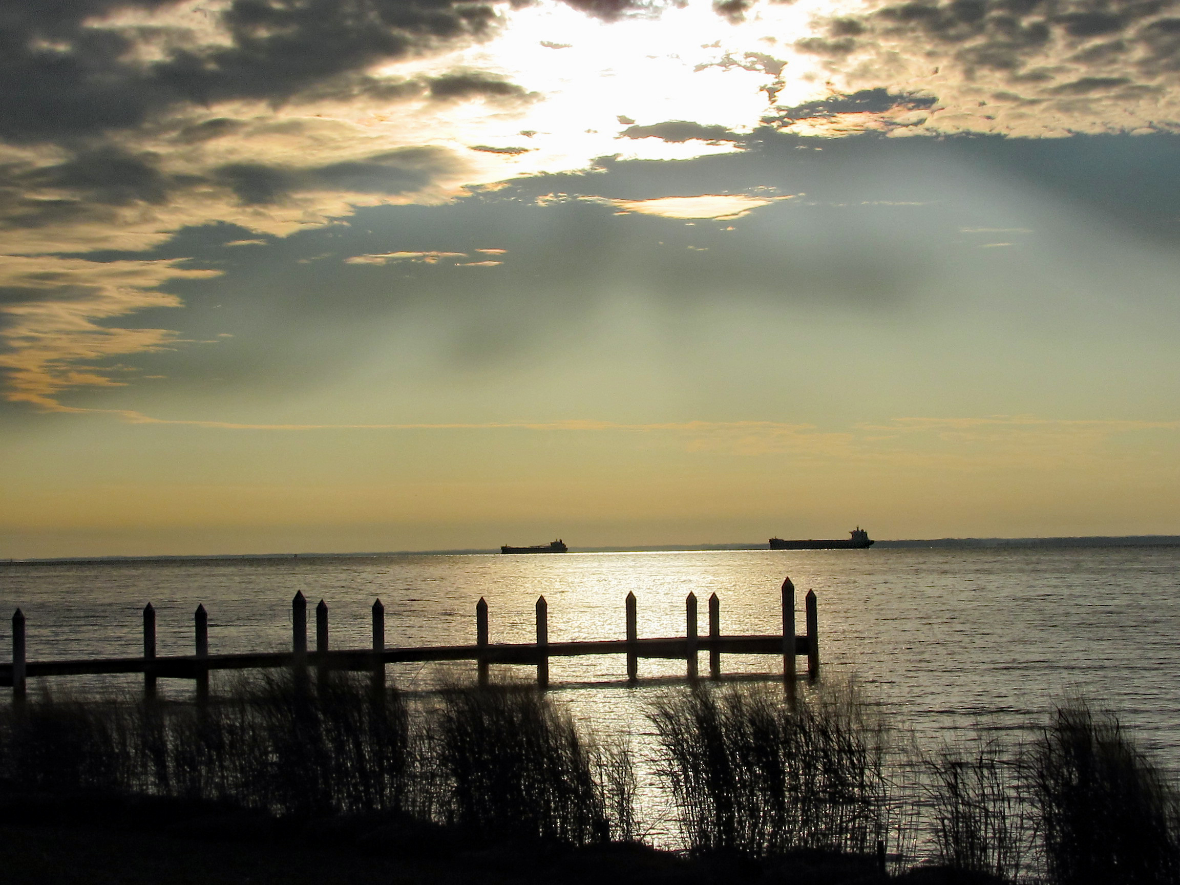
The sky was spectacular this evening. This is at the park.

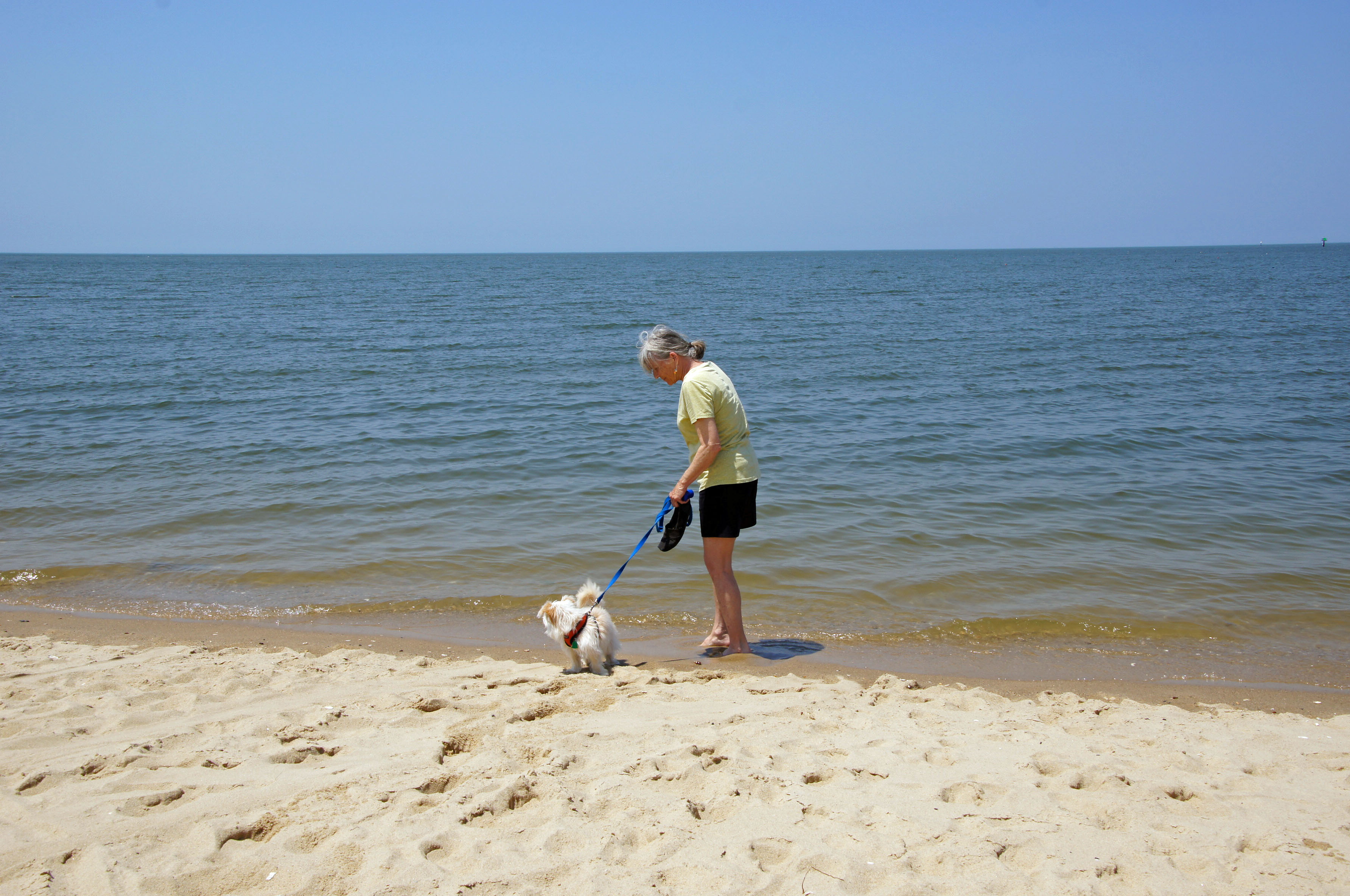
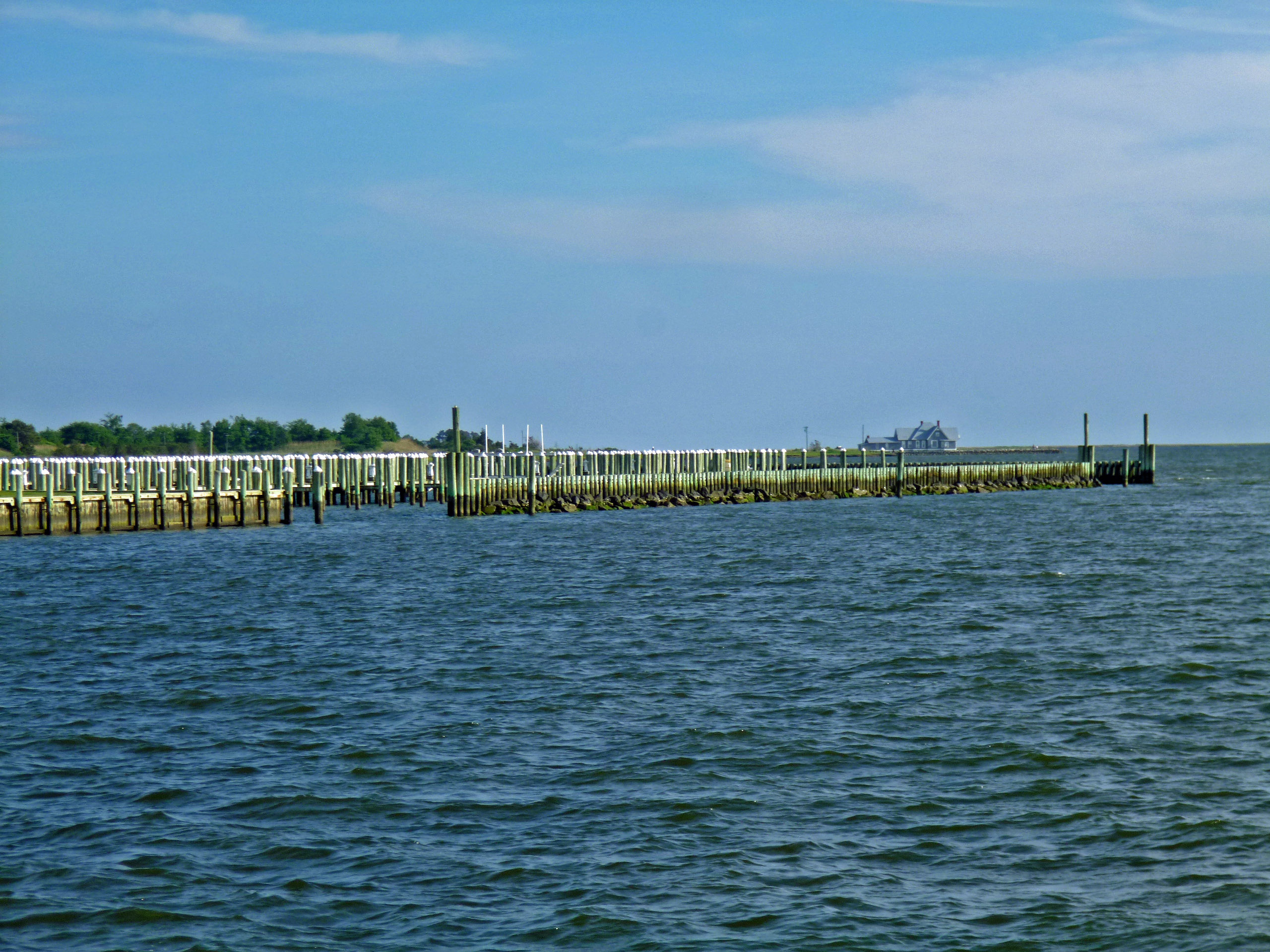
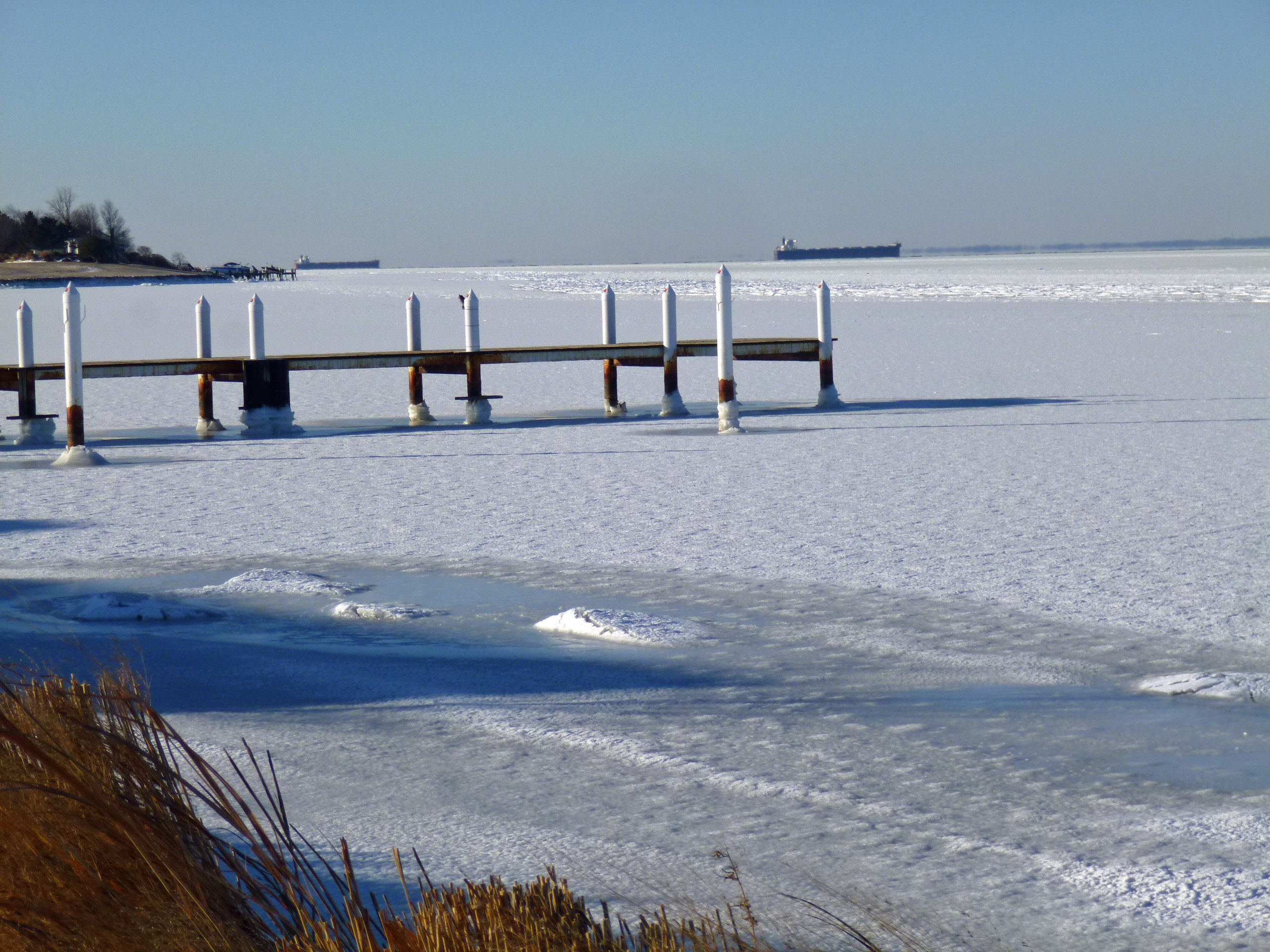
This one was taken from the Eastern Shore at the Bay Bridge. We pulled off of Rte. 50 to eat and look at the water and ships.

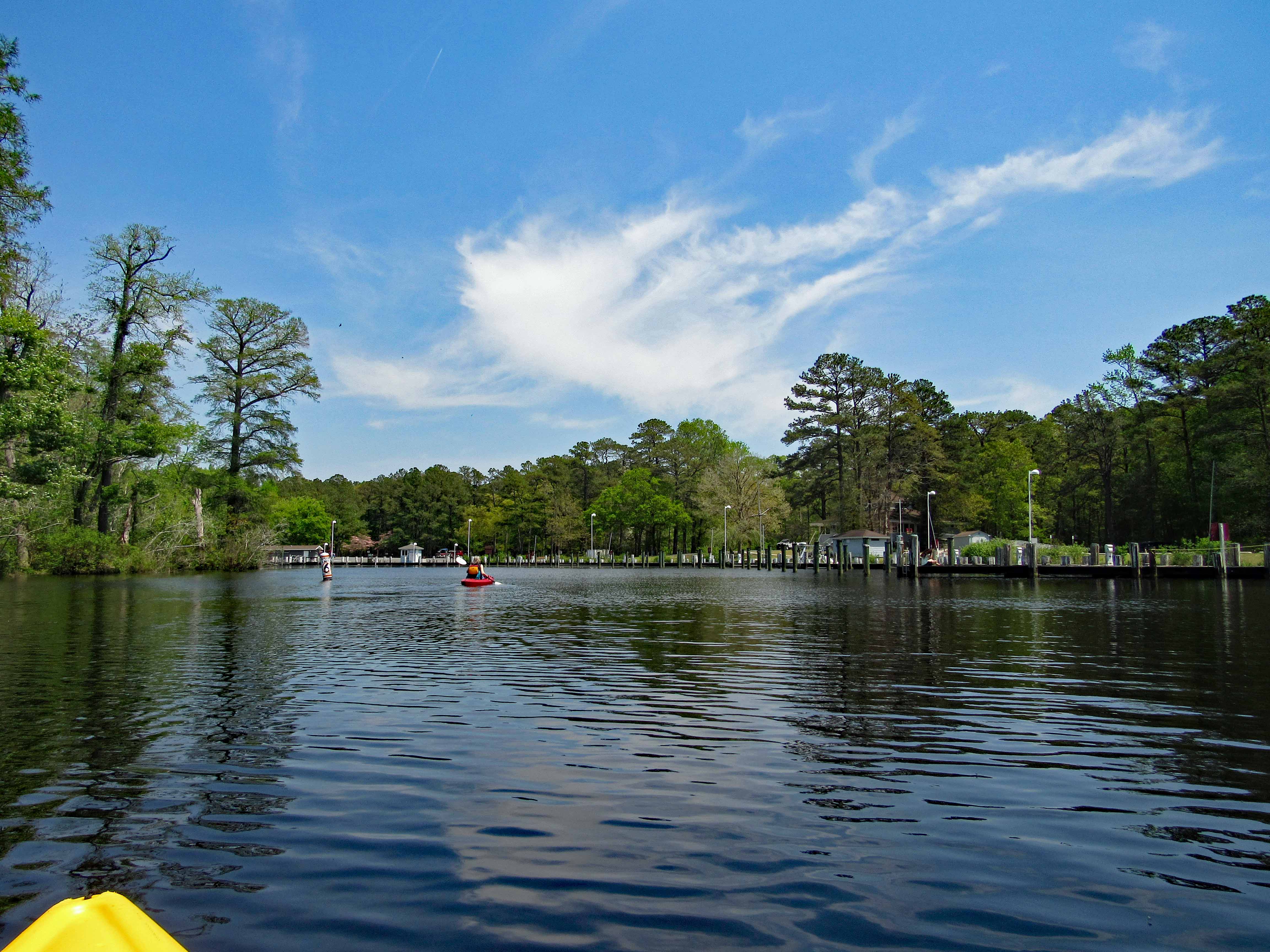
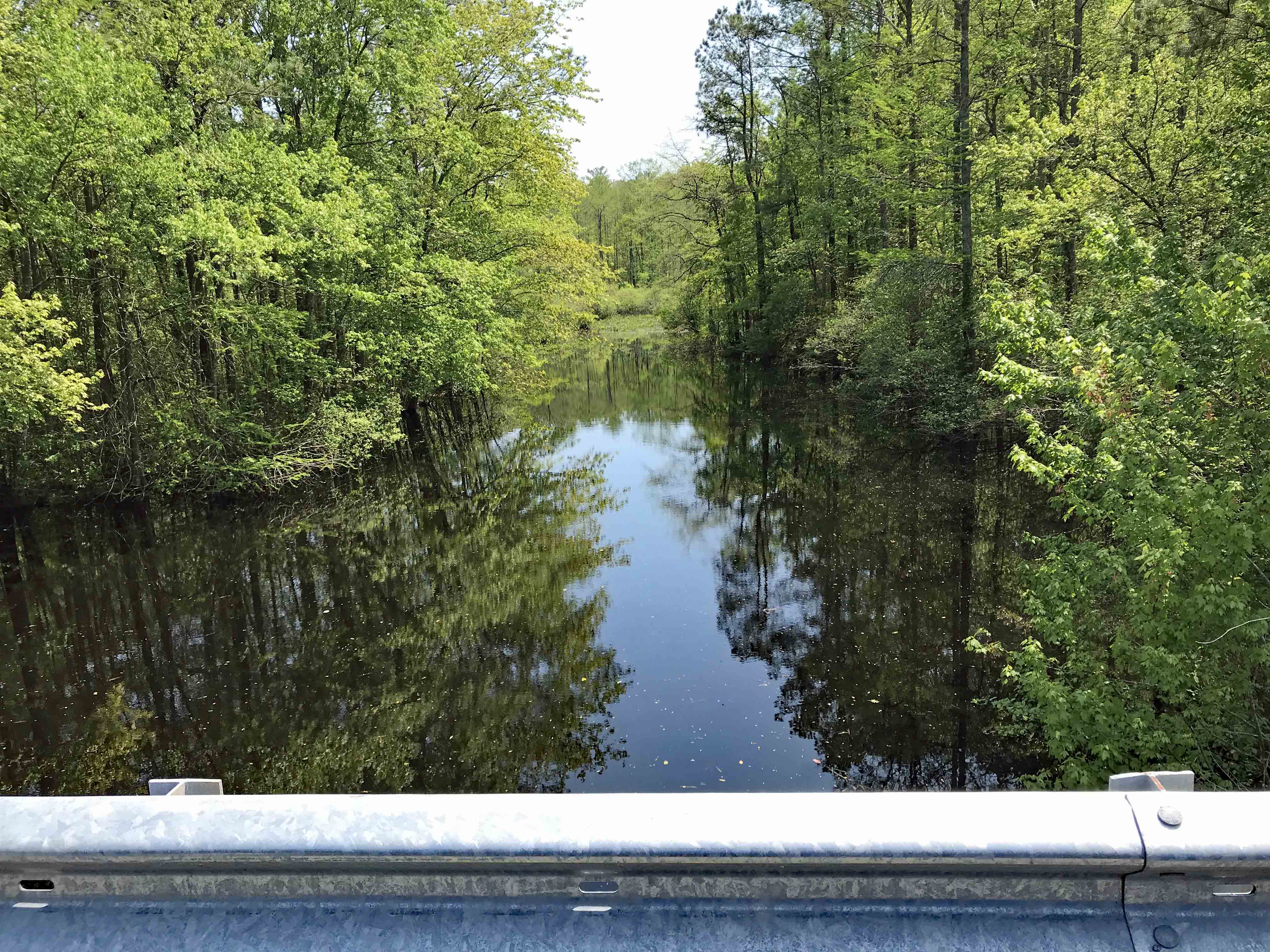
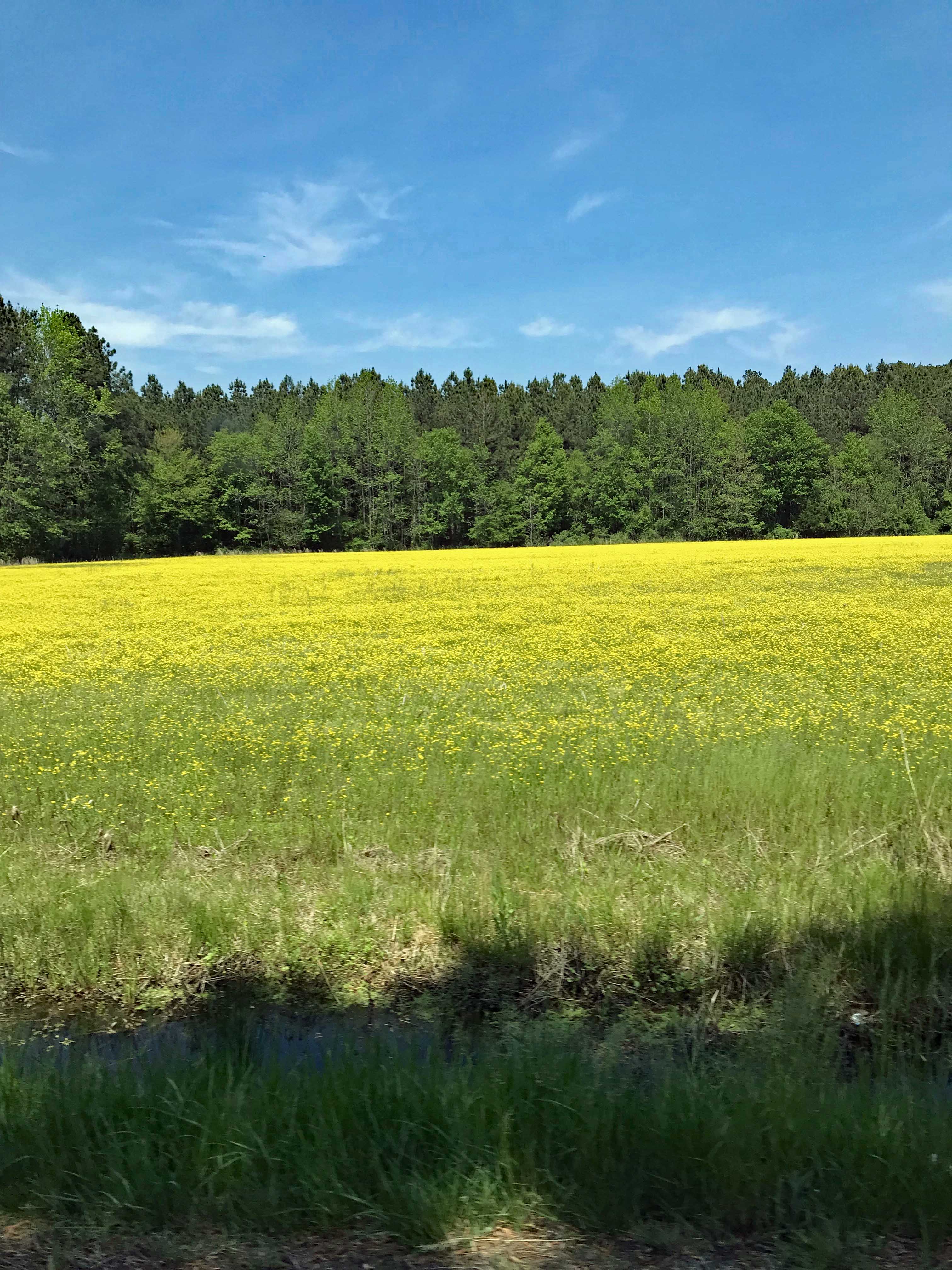
Kathy took this one from the car, heading towards Vienna.

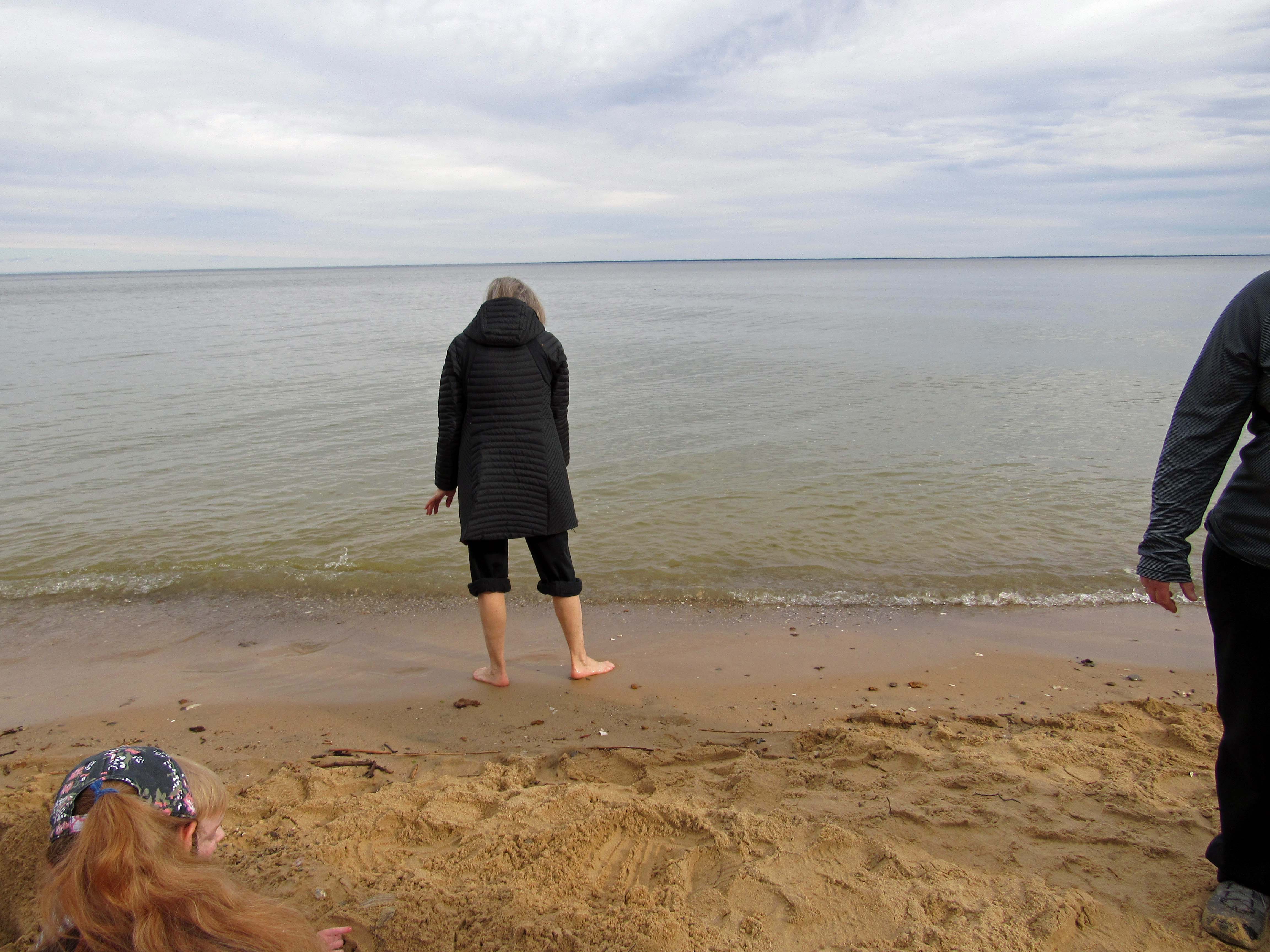
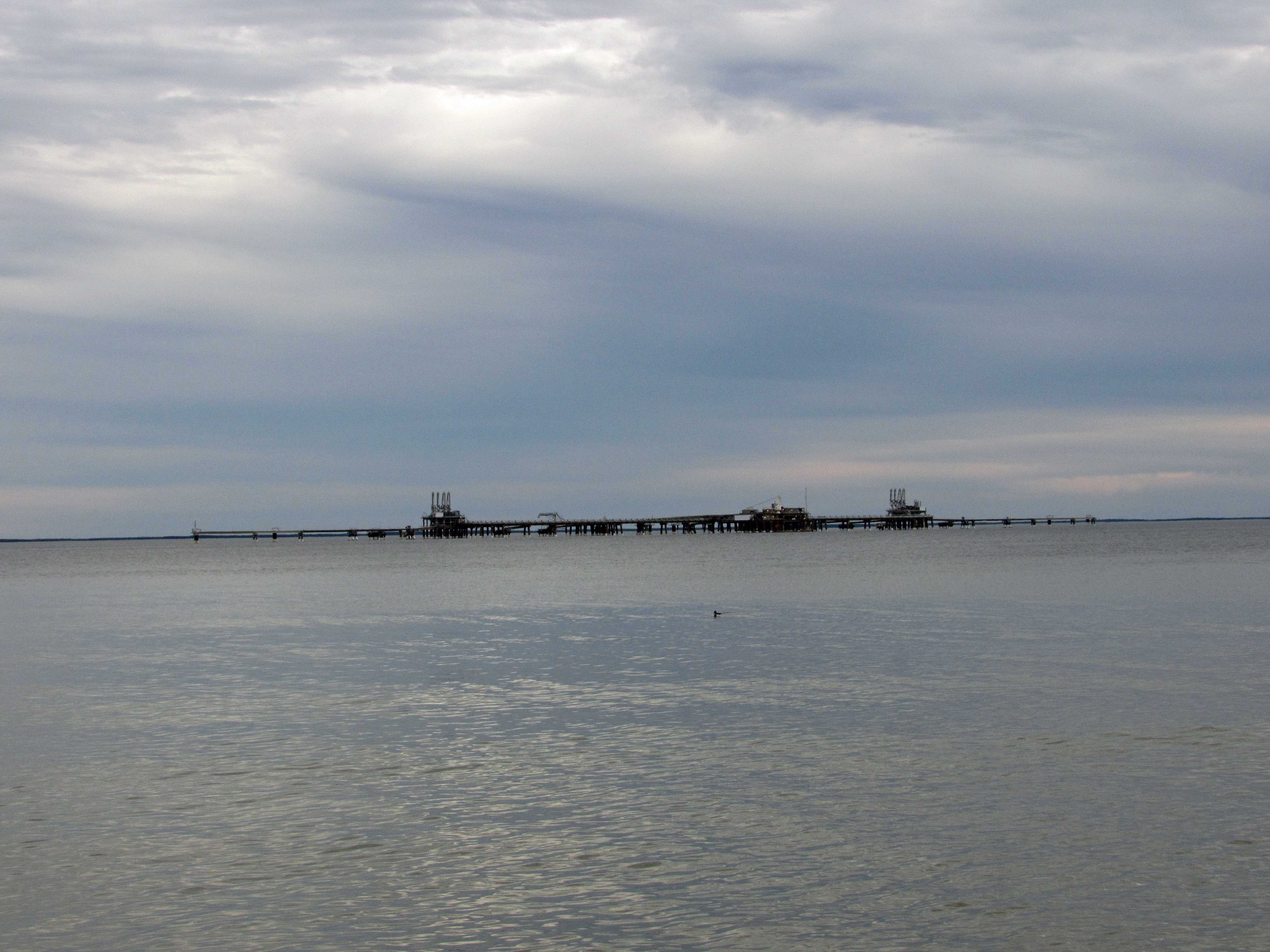
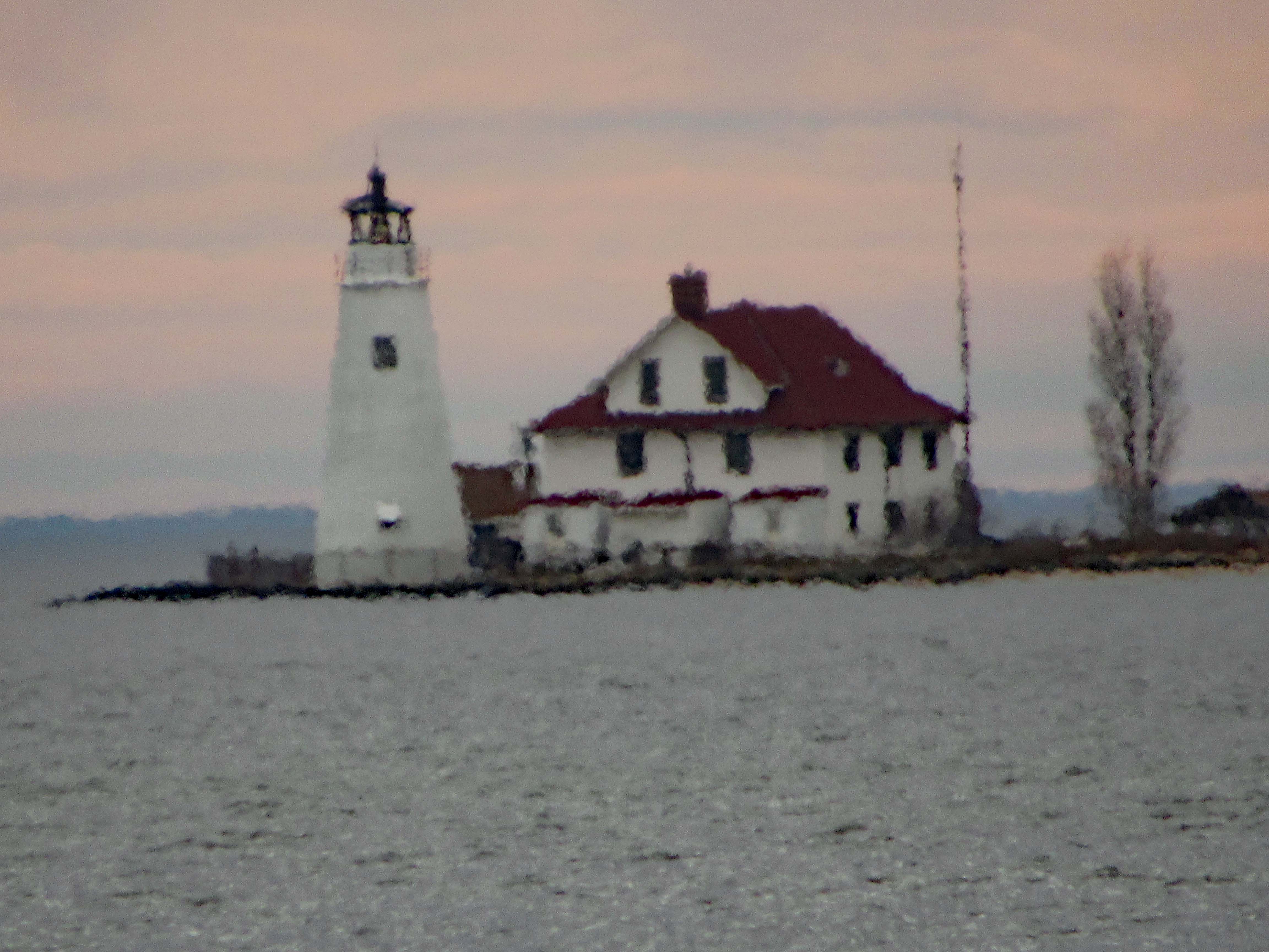
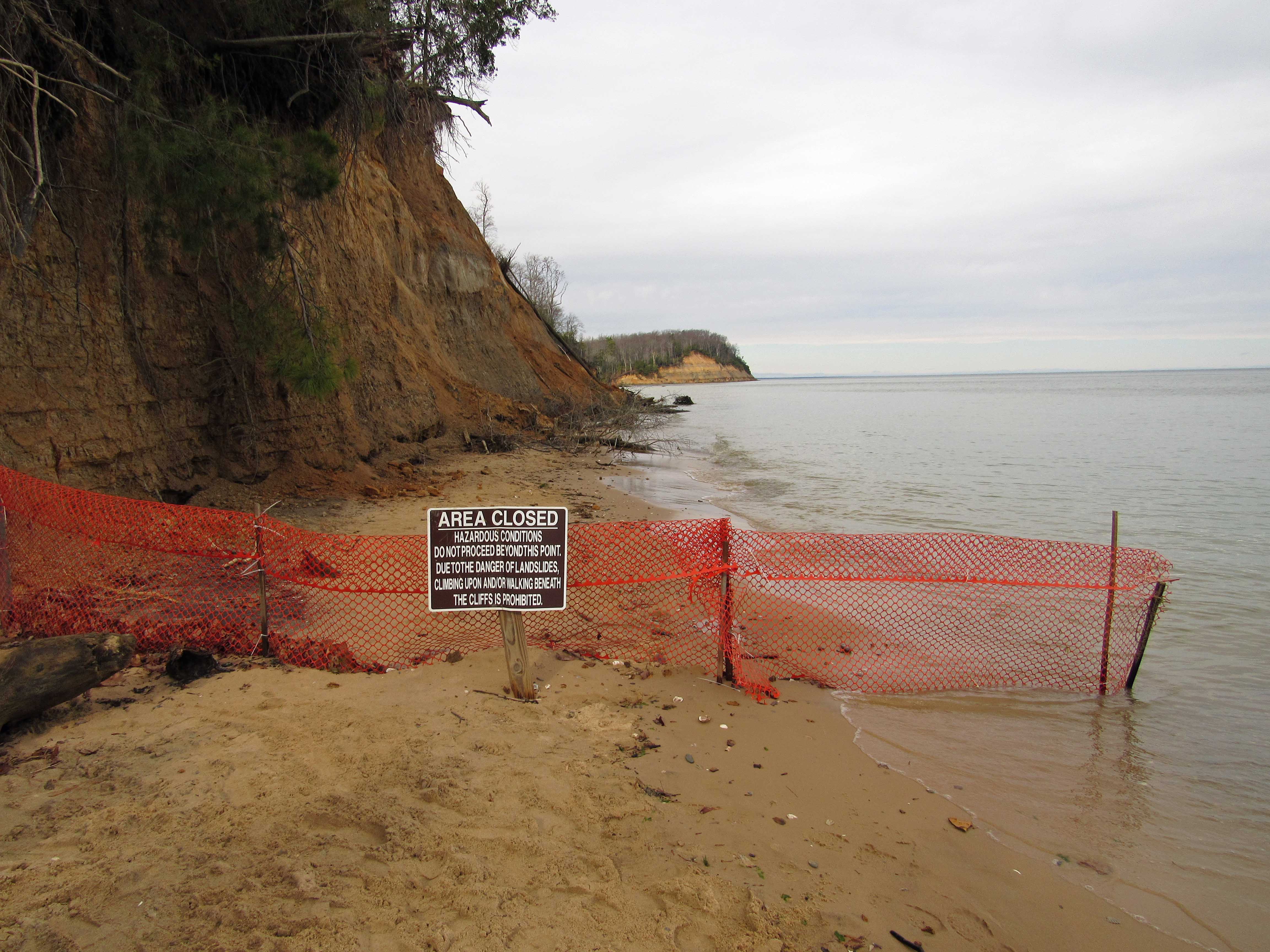
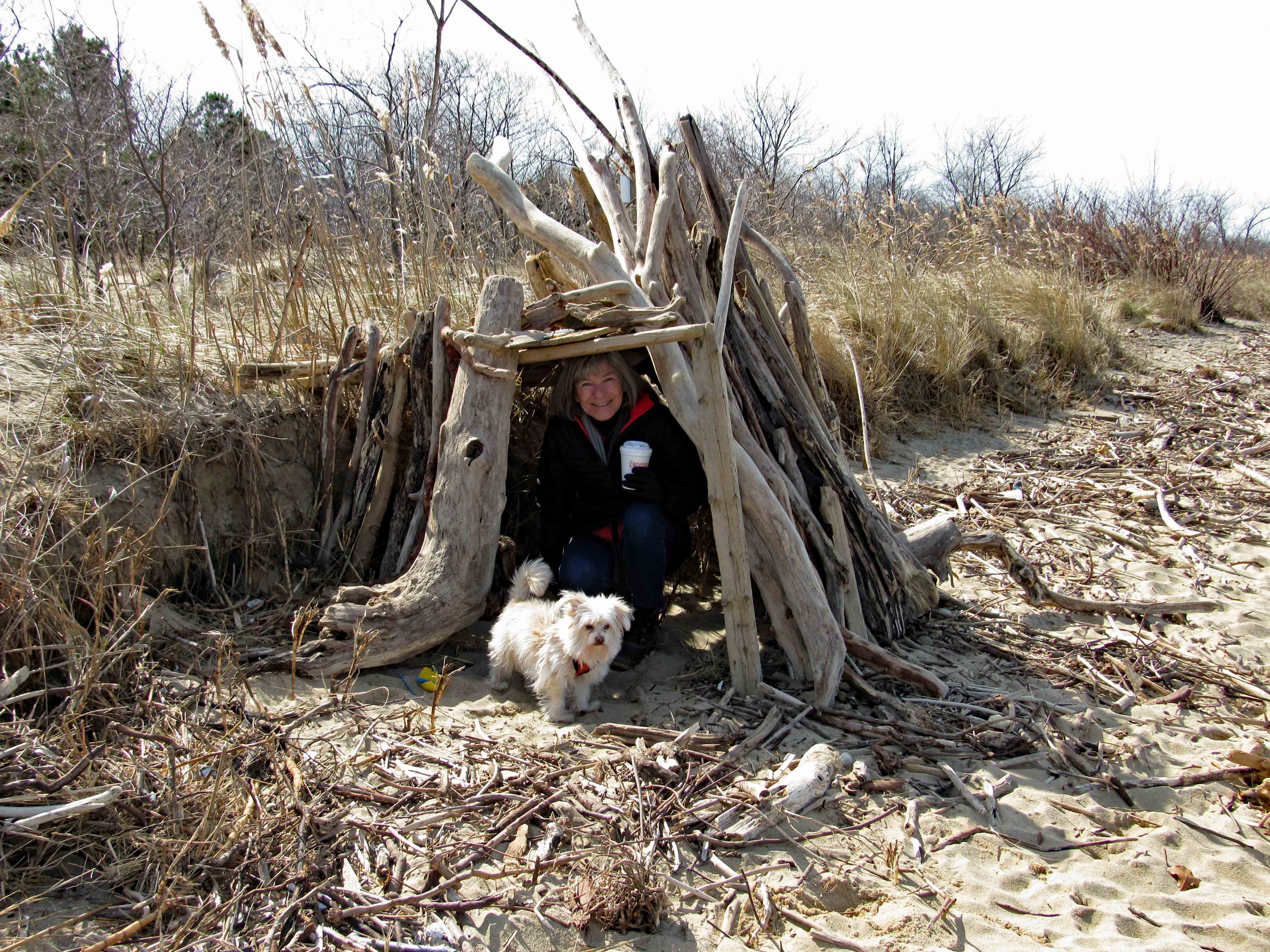
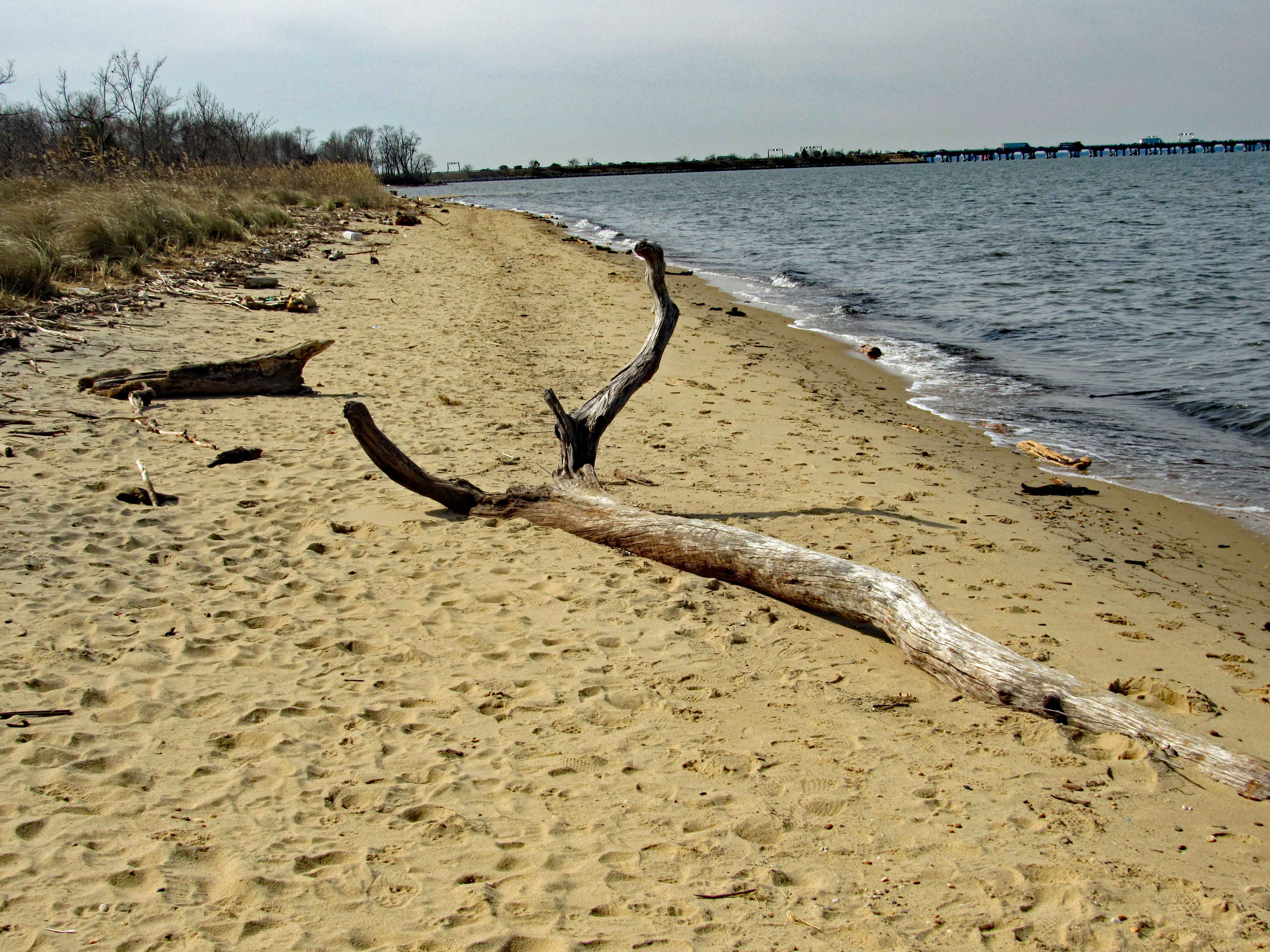
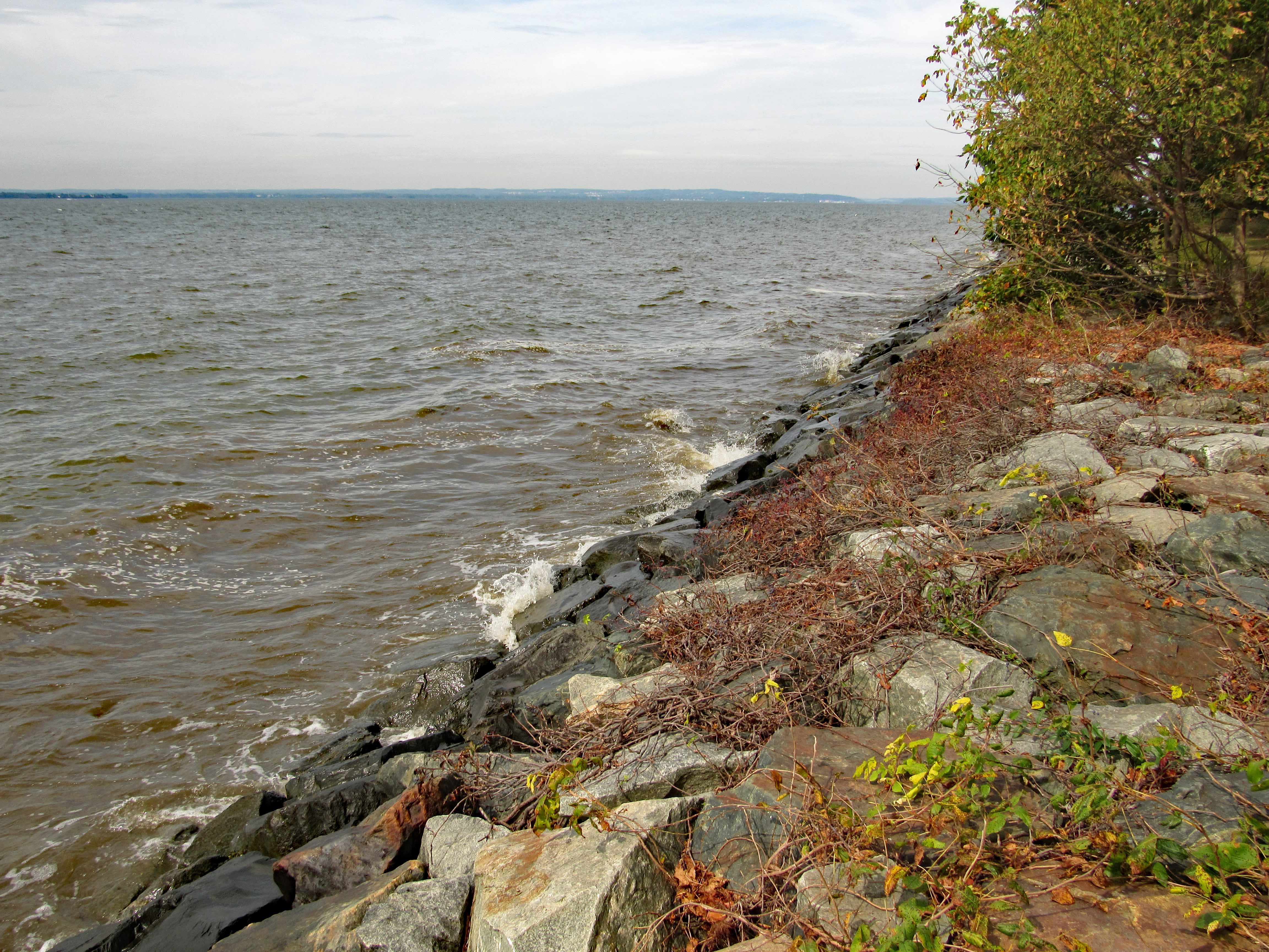
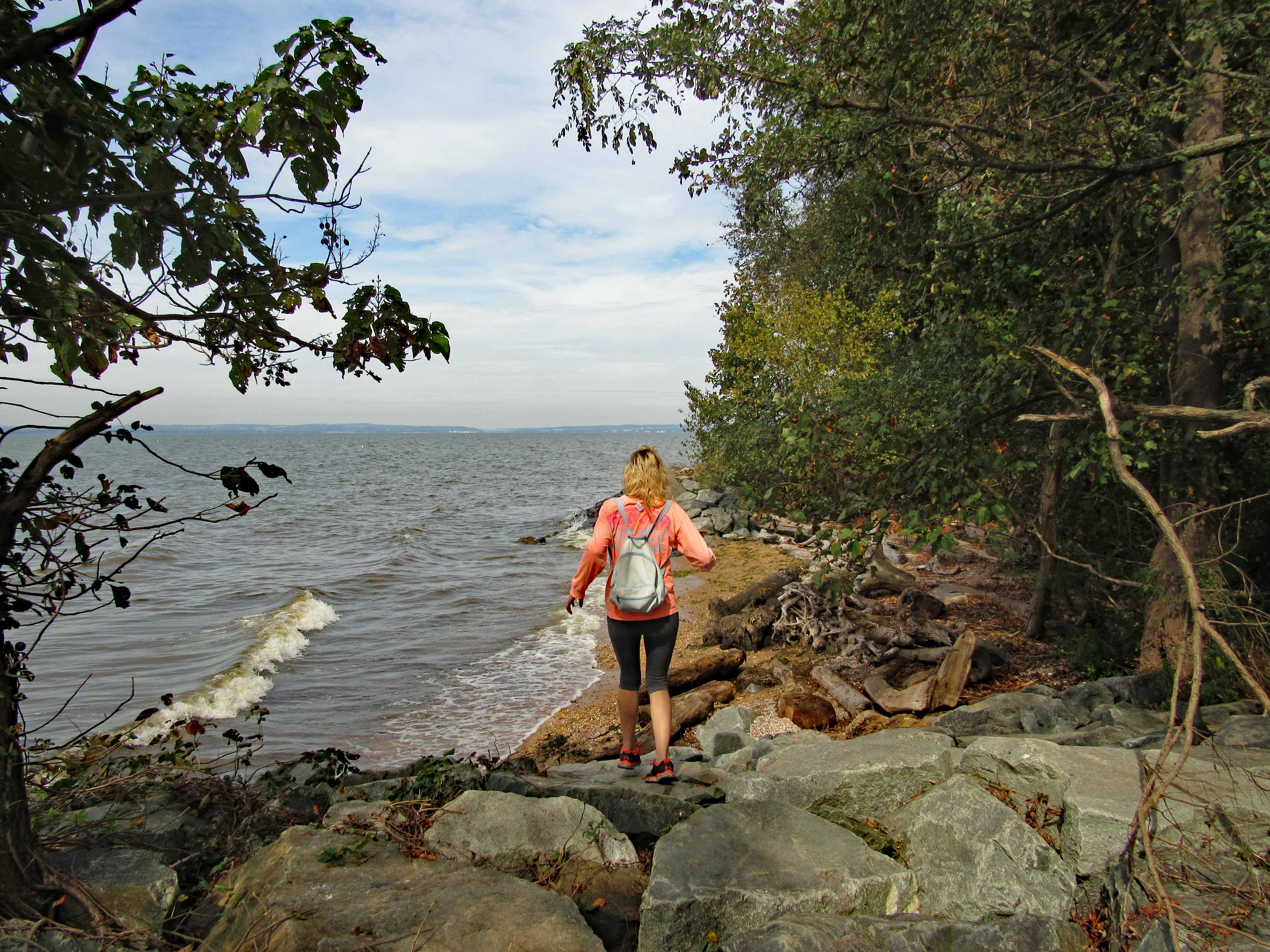
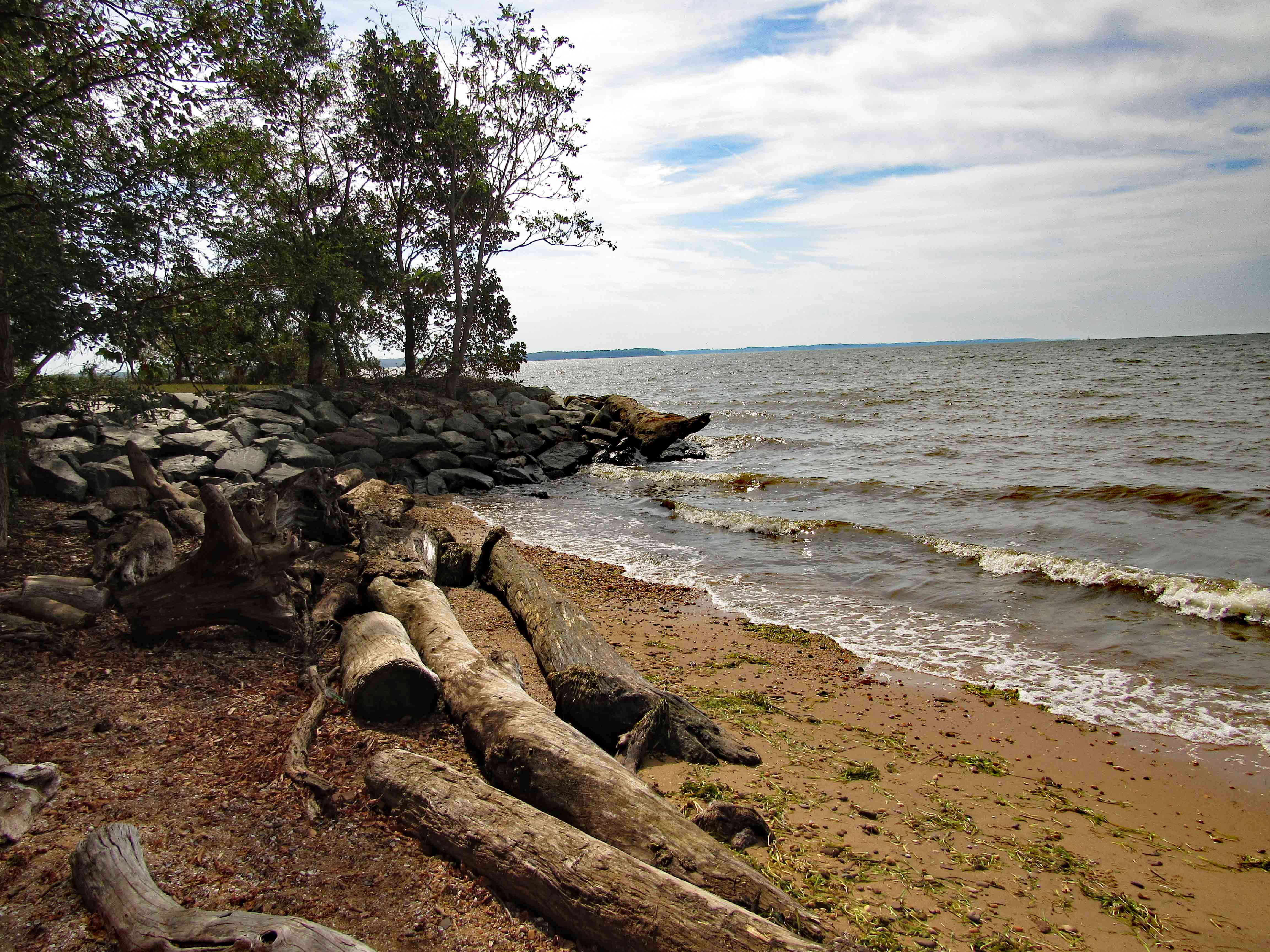
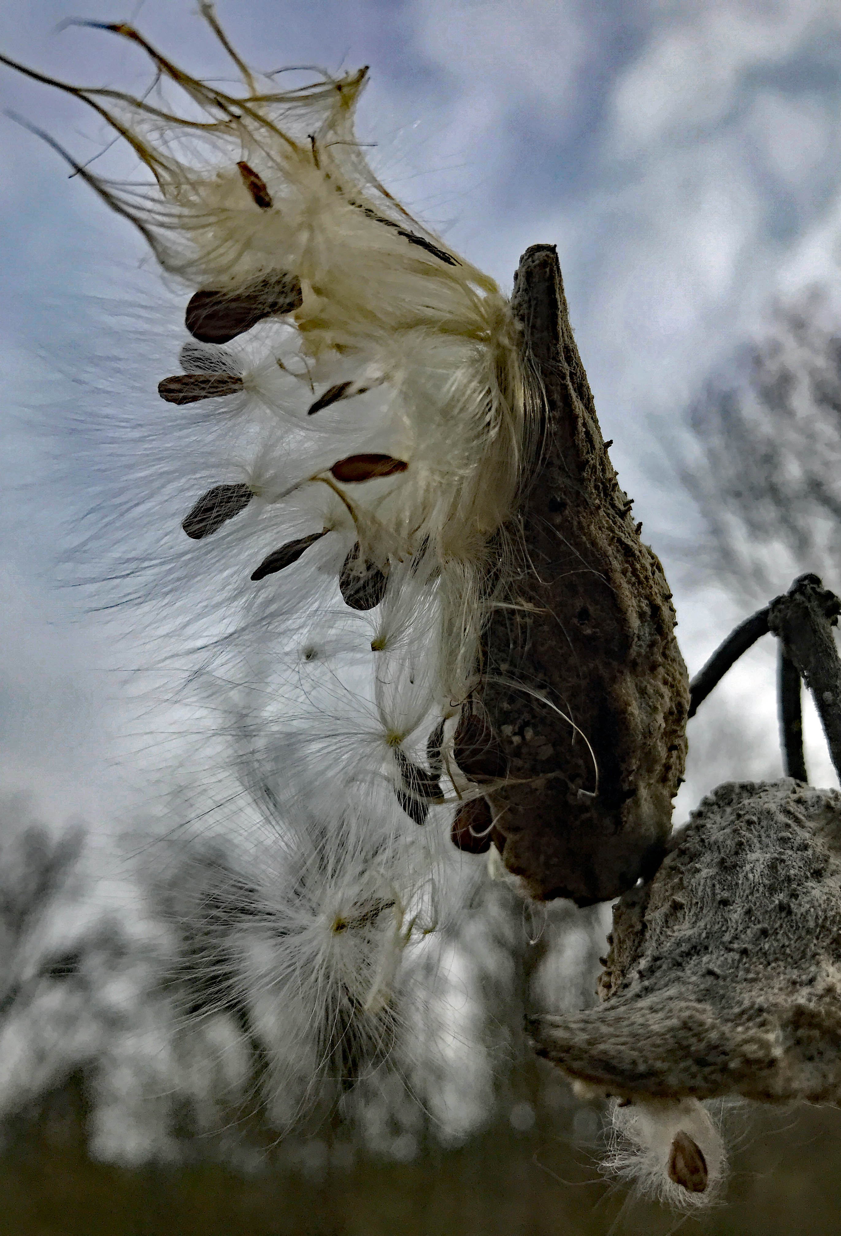
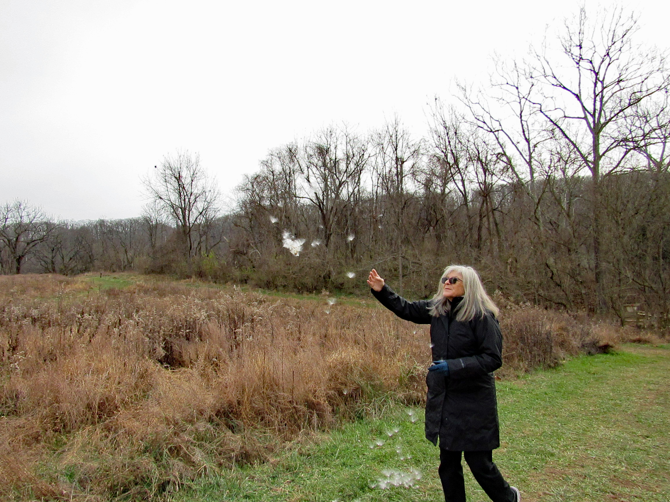
Beautiful day! Beautiful adventure!

It an’t the end of the world…

19 Sunday May 2019

Posted by Ronald Parks in Eastern Shore, nature, Road Trips

≈ Leave a comment

Tags

Beach Life, boats, bridges, Chesapeake Bay, Crabs, Hiking, nature, oysters, photography

The one thing I really love about the Eastern Shore is the abundance of new adventures that await Kathy and I. Today we headed to Deal Island. Lots to see here. Starting with a Wildlife Management Area.

We took a gravel road, passing marshes, seeing a gazillion dragon flies. They were feeding on all the mosquitoes. Looking out over the marsh.

We parked and headed across the marsh on foot. This may be duck hunters paradise.

So flat down here. There are water elevation levels throughout the island. Most read at 4″ above sea level.

A boat ramp in the middle of nowhere.

Molly lost track of where Kathy was so she headed into the water…

There she is!

A sandy path.

A place to rest and to meditate/contemplate.

Egg shells and a hole?

Molly needing a break.

And a little attention.

We leave the wildlife area and drive towards the end of Deal Island Road. A group of little communities along the way. Dames Quarters, Chance, Wenona. A couple historical markers.

Where Kathy’s family spent their summers.

Next was Deal Island Marina and beach. Molly has had enough of the water.

Best beach/trail sign ever.

A little windy but some kayakers were out.

Seafood processing – soft crab area?

Tons of oyster shells.

Heading down the road we came upon this church. Someone is trying to restore it. Google maps shows where restoration had once started but it seems to have stopped. The John Wesley Restoration Project.

Not too much further to the end. Another marina of sorts. Crab bushels waiting.

Many abandoned work houses. The water men and their businesses are dying off.

It looks like this bank has been converted into someone’s home.

A gargoyle to protect it.

And then, at the end of the road…

Heading back we decided to take the ferry.

Warning sign.

Ever vigilant.

On the other side of the Wicomico River.

Happy thoughts.

Another great adventure!

Shad Landing – Kayaking

01 Wednesday May 2019

Posted by Ronald Parks in kayaking, State Parks

≈ Leave a comment

Tags

bridges, Chesapeake Bay, cypress, kayaking, nature, photography, Pocomoke River, Shad Landing, Snow Hill

What a great day to take a break from doing ‘stuff’! Loaded the kayaks onto the truck and then headed to Shad Landing at the Pocomoke River State Park. Weatherman was calling for 80+ degrees. We did want to do an Assateague Island trip but the wind gust were to be 10-15mph. For our first time out this season we thought a more peaceful, relaxing trip would be better. Here is our map. Not a long distance trip but a fun one of almost 3 miles and 2-1/2 hours. 

There was hardly anyone there. The landing kind of reminded us of Mariner’s Point up in Joppa. Instead of doing the loop west-north then back southeast, we headed off to Rte. 113. Here is Kathy getting everything ready while I park the truck.

From the launch you paddle east, go around the pier and then head southwest. Pass by the lonely canoes on a rack, waiting for adventurers.

We did not see much wildlife, just some signs. Here it looks like a beaver wasn’t paying attention to what had already been gnawed upon.

There were some colorful flowers on shore like these little bells. Kathy knows most of the names for these things. I don’t.

Heading towards the left turn we wanted to make is this marker. Unlike Mariner’s Point, we didn’t have to get out of the way of any crazy boaters that don’t care about wakes.

The whole park seems like a giant swamp. Kathy’s brother Phil had me watch a show about the Pocomoke on Delmarva Life, a TV show down here – Back in the 1930’s-40’s they dredged the river and put the spoils along the shore, unbeknownst to them that the dikes they created stopped mother nature from holding and filtering the water before sending it down stream to the Bay, causing damage to the ecosystem. Right now they are in the process of removing the dikes for nine miles up near Rte. 50, to reverse 80 years of bad planning. Here is what the area should look like.

Lots of cypress.

An odd shaped knee to say the least. Looks like a worn out statue.

So we make our left hand turn and Kathy see’s this sign. It is halfway covered up. She goes in for a closer look and under ‘Canoe Trail’ is an arrow pointing right.

45 minutes later, on our return trip, the water had risen.

The water was high enough to take away the protection of the metal cones that protect the birds from predators. Also, the lily pads had come up, only to be submerged.

We did see a few turtles and one water snake.

Up ahead, Route 113. Water looks a little high but we came this far – 

Kathy wanted me to go through first. She don’t like spiders and snakes.

Kathy took a photo of me contemplating which arch to go thru-

Kathy then made it through safe and sound.

Looking back from the other side of Rte. 113.

Time to paddle back. Marina up ahead.

Leaving the park we headed south on 113 to see the river from up above.

Nice, as were all the fields of flowers on the drive home.

So glad we put a bunch of house stuff to the side for a while, to enjoy this wonderful adventure together. It was a very much needed escape.

First Hike 2019

02 Wednesday Jan 2019

Posted by Ronald Parks in Hiking, nature

≈ Leave a comment

Tags

Calvert Cliffs, Chesapeake Bay, Hiking, Lighthouse, nature, State Parks

A couple weeks ago, Kathy signed us up for a State Park First Hike at Calvert Cliffs. Although overcast, the weather was great for hiking. 

Here is the State Roads Commission historical marker.

The one thing about organized hikes, there are usually a lot of people. One of the rangers giving the tour said there were about 200 hikers here and about 50 dogs.

Heading down the path (like lemmings headed towards a cliff) it was somewhat congested.

But then, because of the different rates that people hike and how much a dog pulls you along, it started to thin out.

Trail was muddy but it was a really nice hike. About 3.6 miles. Many small streams that fed a lagoon. Geese frolicking in the water.

Nice boardwalk along the water.

An unnatural naturalist looking for wildlife.

Signs of beaver activity.


Looks like lightning struck this beaver feeding tree.

Not sure if the lagoon was man made or beaver made. 

A lone turtle trying to catch some sun.

The road to nowhere.

Actually, on the other side of the water is a natural gas company. We made it to the cliffs, beach, along with everyone else. Too many people for me.

But that didn’t stop Kathy from kicking off her hiking boots and going into the bay.

Out in the bay is this monster. A natural gas loading/unloading structure.

And off in the far distance there is a light house. Pretty bad shot, but got me curious.

A nice hike but disappointed that the cliffs were blocked off. 

I guess I was thinking they were more like the White Cliffs of Dover or something like that. Kind of small. 

When Kathy was finished playing in the water, we took a casual stroll back, enjoying the colors on a less crowded path. Then we came upon this guy. sitting alone, so we stopped to keep him company.

For a couple years we have been looking for natural letters from the alphabet. Kathy found a small r – 

And then an o – 

I told her she now needs to find an n! (she wanted to find a g also, because that is what I am – (W)rong!) Anyway, personal humor aside, we found this little bridge.

Then back out, beyond the ranger’s station, Kathy saw this metal hoop.

Looking closely about, we found an old structure. 

Another shot of the area.

Some purple/blue/black berries.

Then finally, a Bee Hotel and Kathy very happy at the end of our First Hike of 2019.

Leaving Calvert Cliffs we went in search of the light house. And here it is.

Locked up behind a fence!

All in all, a super nice day!

Thanks God.


Crisfield

29 Tuesday May 2018

Posted by Ronald Parks in Eastern Shore, Family, Travel

≈ Leave a comment

Tags

Chesapeake Bay, Crisfield, photography, vacation

Headed to Crisfield for dinner on Saturday night, to celebrate John and Gail’s anniversary. Always a good time with Kathy’s family. First stop was the dock or maybe it is just a fishing pier?

Memorial Day weekend and the flags are flying.

Looking across Daugherty Creek towards Tangier Sound and the Chesapeake Bay.

Kathy enjoying the peace and solitude. Stars overhead. 

A moral compass or a navigational one? Needs directions.

Is that someone’s house all the way out there?

Dinner time. The soft shell crab sandwich was excellent! The sauteed soft shell crabs, not so much. But overall a very nice restaurant. Glad to have been invited to what was traditionally a father-daughters eatery! Thanks Merrill. 

The family.

Random shot of a water tower – because this post is about water and me!

Got home in time for the deluge. Molly says to go ahead and she will catch up!


Terrapin Park

14 Wednesday Mar 2018

Posted by Ronald Parks in Hiking, National Parks, nature

≈ Leave a comment

Tags

Beach, bridges, Chesapeake Bay, Hiking, photography, Terrapin

The last couple of times we visited this park, last summer, we were unable to hike the trails – too many people and too many cars in the parking lot. It was packed. I like that people and families go to the parks to enjoy themselves, I just don’t like it when large groups of people set up camp and stay all day – not allowing others to enjoy the park. It was so bad last summer, that the park service had to install Spot-o-Pots along the beach path. Here is our path:

It was a short hike. We just wanted to see and enjoy the Bay.

Along the Cross Island Trail, we stopped long enough to enjoy some of the beauty that is all around us.

Hitting the beach, our first view is of a ship going under the Bay Bridge. I don’t know how many times we travelled over that bridge and saw anywhere from 4 to 12 ships just parked on the other side. This is the first time we saw one actually heading to points north.

We always did want a home on the Eastern Shore!

The recent storms that we had, left a lot of debris up on the dunes. And some along the beach.

I have my doubts that this was washed up on shore, along with a cantaloupe a few yards away. 

Constantly shifting, in and out of the pond.

Along with all the debris and driftwood, were some casualties from the storms – like this poor little fellow.

And this guy.

And another.

The breakwater walls seem to have broken.

Gnarly.

Waiting for its tenants. 

A few areas have eroded away along the beach. Nature just does her thing…

Ice

07 Sunday Jan 2018

Posted by Ronald Parks in National Parks, nature, Photography

≈ Leave a comment

Tags

boats, Chesapeake Bay, fishing, nature, photography

Trip this weekend to Salisbury. Nice ice.

Crossed the Bay Bridge heading east and Kathy says that we should stop on the shore and take a photo of the bridge. Go to Hemingway’s parking lot, I get out and say “Aren’t you coming?” No, too cold! And it was very cold with the breeze coming off of the icy bay.

Looking towards the container ships.

Most roads were pretty clear. A couple drifts on 50 between Easton and Cambridge. Then we made it. The Chokey or the woodshed?

The footbridge over the frozen pond.

A favorite meditation bench.

Molly only lasted out here, in her new coat, for just a couple minutes.

Unknown footprints into the pond.

On the way home we drove towards Blackwater Refuge. I say drove towards because we got kind of lost. We did end up at a part of the refuge we had never been to. The roads here were pretty clear also.


Black water – black sand…

We saw a few eagles and a couple herons.

And instead of turning towards the park, where the visitor center is, we ended up at Hearns Cove and Wingate Creek.

Boats frozen in place.

Dock in B/W

Nice little post office and name.


Turkey Point at Elk Neck

06 Friday Oct 2017

Posted by Ronald Parks in Hiking, nature, Photography

≈ Leave a comment

Tags

Chesapeake Bay, Hiking, Lighthouse, meditation, nature, photography, susquehanna, Trails

With Kathy at her sister’s for a week, I figured I’d see if my daughter wanted to go kayaking or hiking. She chose hiking so we went up to North East, Md. to Elk Neck State Park. Nice day for a hike. A little warm then started cooling off with the clouds moving in. I haven’t done this hike for about 5 years. Always nice to revisit places. This was a two part hike:

First we stopped at the lighthouse lot and walked the paths. Round trip here was about 2-1/2 miles.

A few of these signs scattered about.

With good reason. My daughter, Jules, has an app on her phone that measures distance. She said this cliff was 72′ up. This view is looking N.W. towards Havre De Grace. The head of the Chesapeake Bay. 

Nice path. The fields on both sides have grown over some since the last time.

Not sure what this was.

Jules staying away from the hawk viewing sign. Multiple wasp nest on this thing. We did see a couple eagles while roaming around.

Finally made it to the lighthouse. Five years ago I was able to go inside. Not today.

We followed the light house trail down to the bottom. Another area seriously grown over. Use to be able to follow this trail south to an area just under the light house and look up the cliff.

So we headed the other way. So nice and peaceful listening to the water lap against the rocks. I could sit here for hours.

A little beach up ahead.

Driftwood and seashells. 

Back up top.

No pee-call here! This spot-o-pot had a lot of stink bugs in it. Most fell off the roof, onto the toilet, when I opened the door. 

Onto the next leg of our hike – Rogues Harbor and the Beaver Pond. This was a short hike. When we got to the upper left there was a detour around a ravine. I’ve done this hike before and it takes quite a while. We could see enough from our vantage point on this side. The trail does go all the way around the pond.

First stop though was at the marina bathrooms. Looking east across the Elk River.

Buttonwood Beach RV Resort. From this view it looks like sardine villa. From Google Earth, they are well spaced and looks like a nice place to set up an RV (or trailer home)

Unknown ruins.

Swim? I don’t think I would put my kayak in here!

If I did, it would take a while to rinse it off! Beaver Pond.

Lots of trail markers and maps at each entrance.

Beaver House. 

It won’t be long before these invasive phragmites take over the whole pond. 

Little cutie. There were a group of these right here. Good eyesight for as small as they are. And they could jump about 3 feet. 

No bridges to burn on this trip…

Blogroll

  • Flouride Action Network
  • lulu
  • My Book
  • WordPress.com
  • WordPress.org

Recent Posts

  • Seaford and Cape Henlopen
  • Fourth Annual Christmas Adventure
  • Nassawango Creek at Low Tide
  • Wetipquin Kayaking
  • North Carolina October 2020

Blog at WordPress.com.

Cancel