• About
  • History Writings

Water and Me

Water and Me

Tag Archives: fishing

Blackwater Refuge to Hoopers Island

28 Tuesday Jan 2020

Posted by Ronald Parks in Eastern Shore, HISTORY, kayaking, nature, Road Trips

≈ Leave a comment

Tags

blackwater, bridges, Cemetery, deer, Eagles, egret, fishing, heron, Hoopers, kayaking, longhouse, photography, Tubman

This was a really nice road trip. A little over-cast but nice. The first time we visited BWR a couple years ago, we followed the not too smart, smart phone that directed us to the middle of a swamp and then to Crappo. Another time we traveled to Cambridge and then south to the Refuge. This time we decided to take the scenic back roads. I saw on a map that there were a couple kayak put-in spots so we thought we’d check them out.

We took Rte 50 to Vienna and headed south on Rte 192. On the map was Bestpitch Ferry Rd., showing a launch. What wasn’t on the map was this sign:

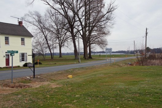
When you see a “Bridge Closed” sign, you should heed it! Na! We thought this was the bridge they were talking about. It wasn’t.

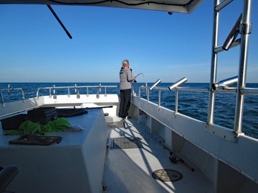
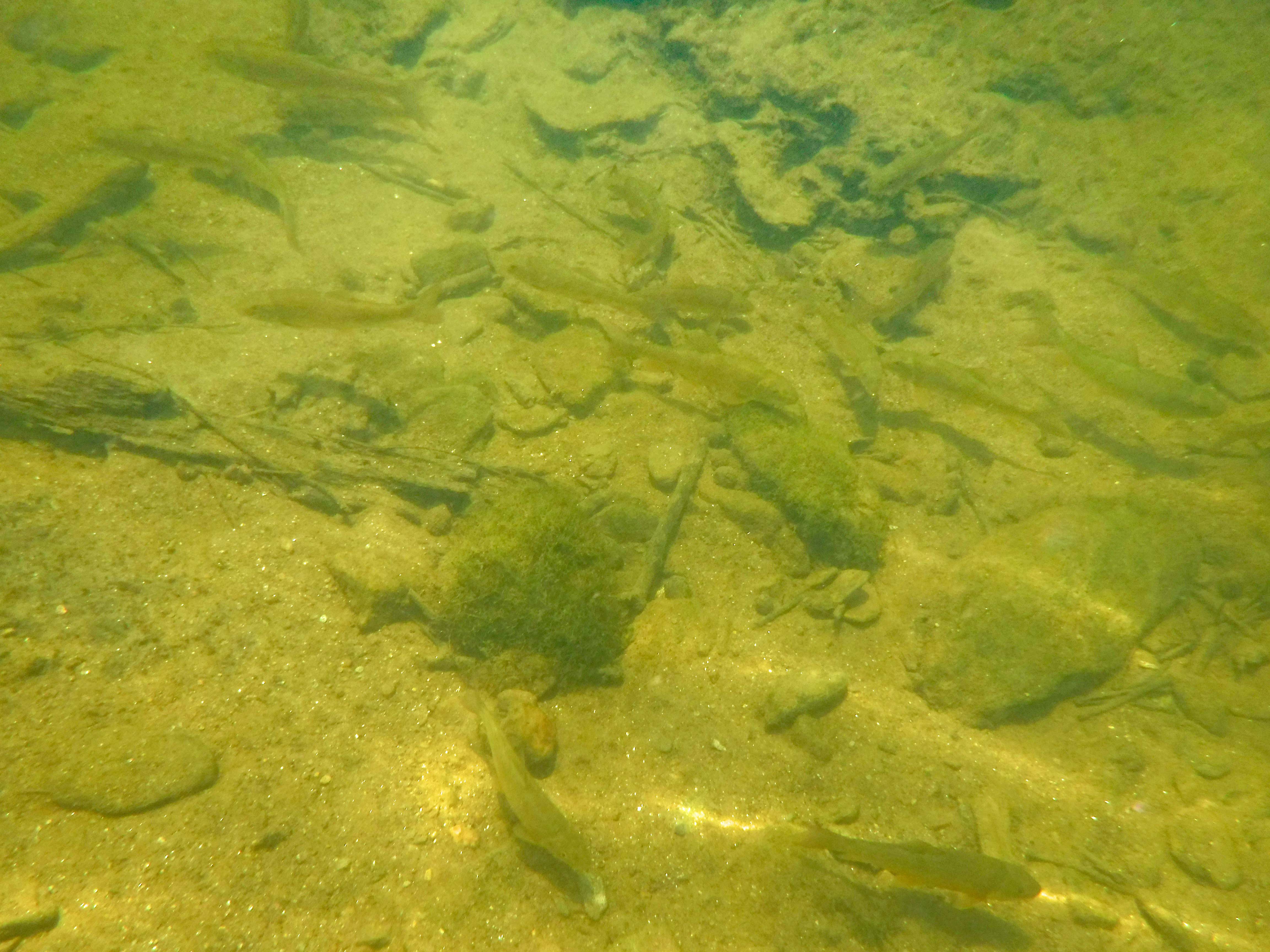
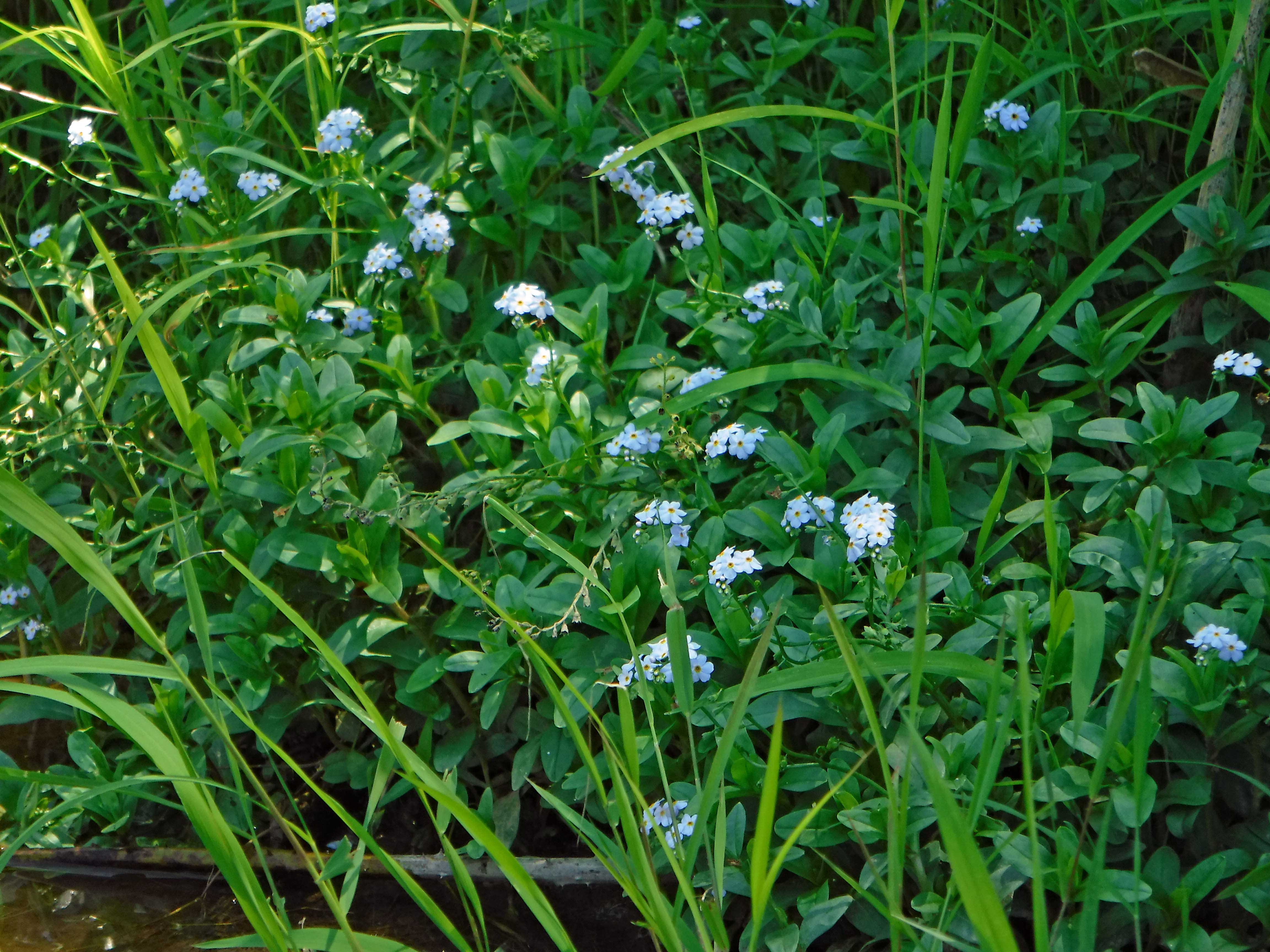
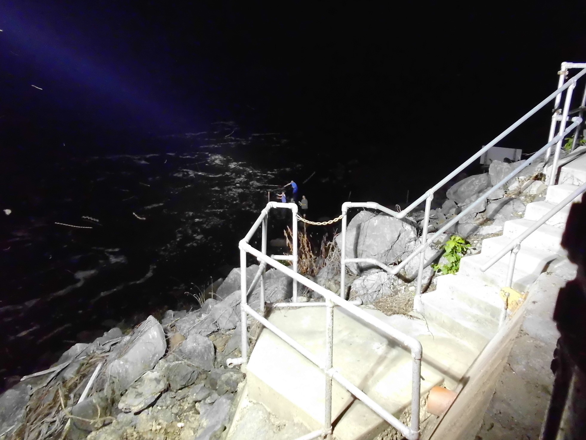
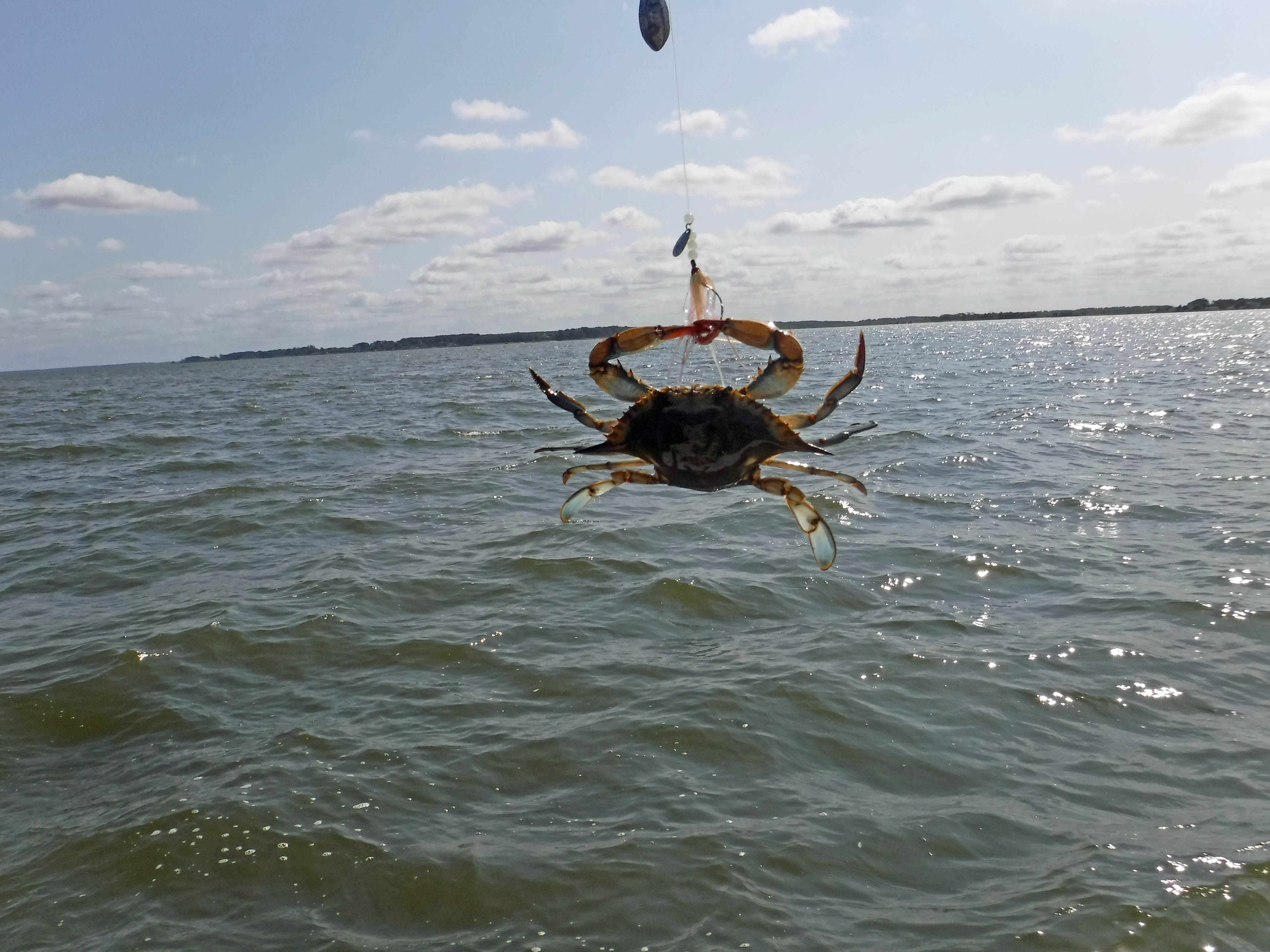
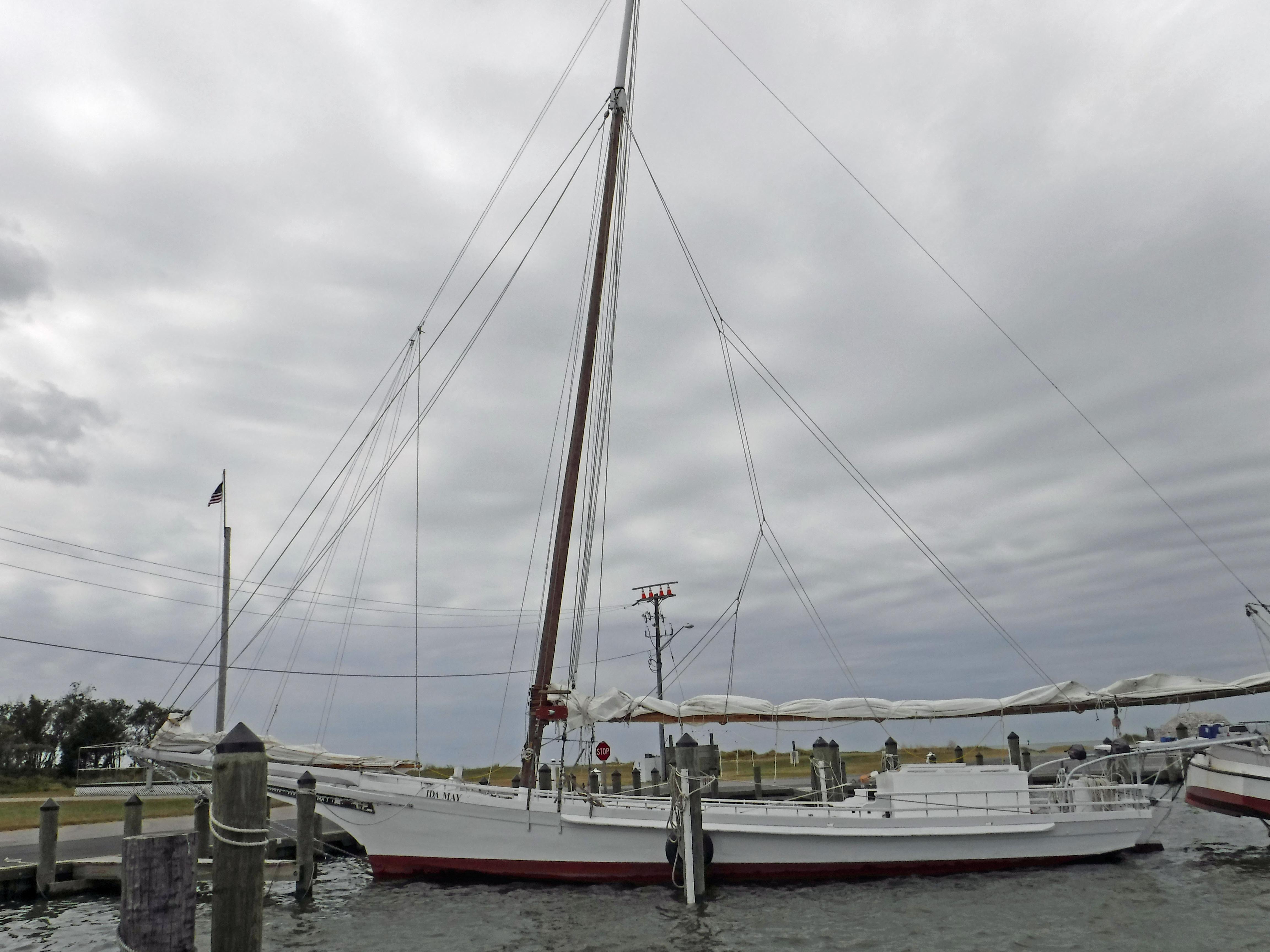
Electric wire fishermen.

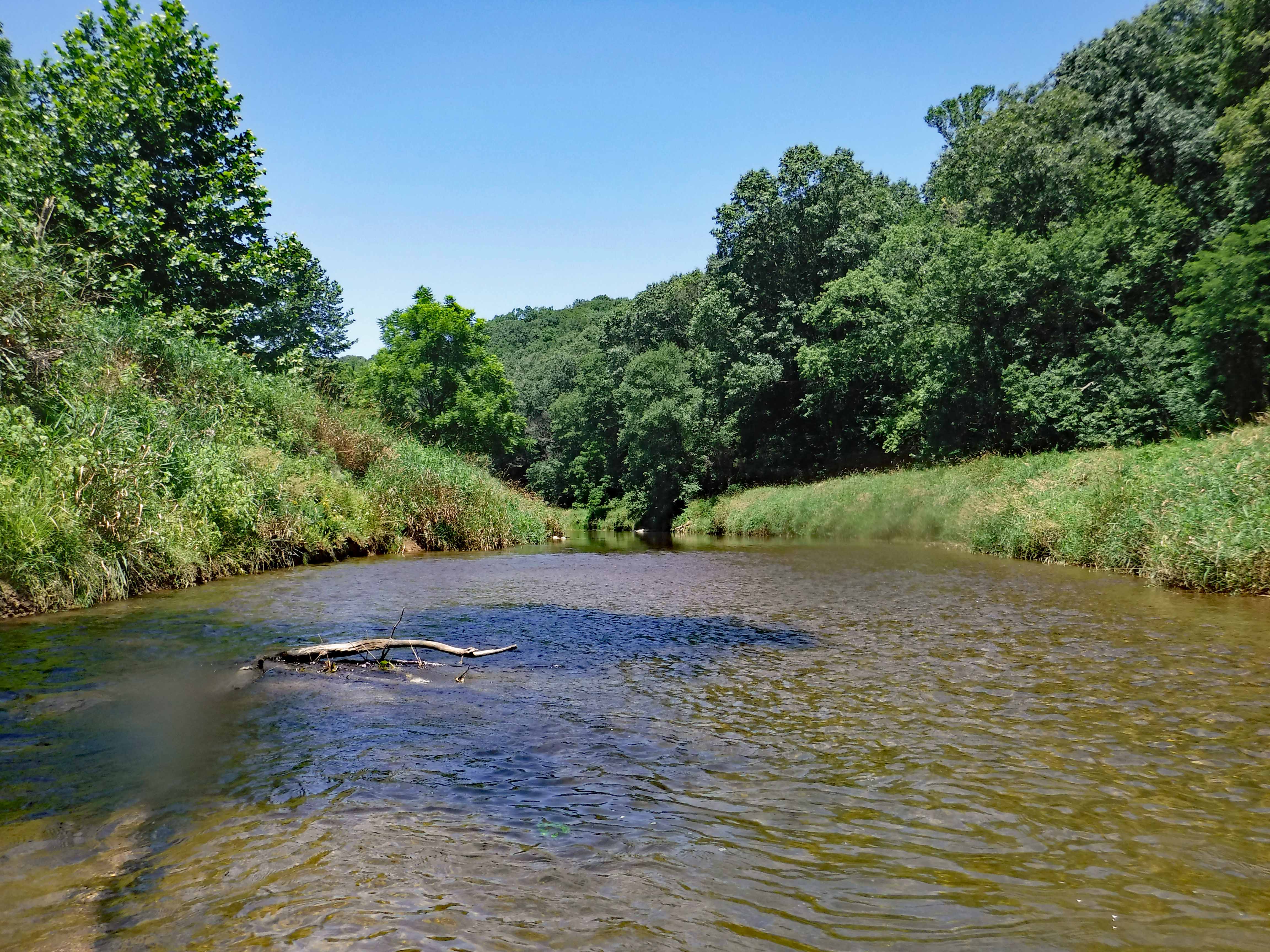
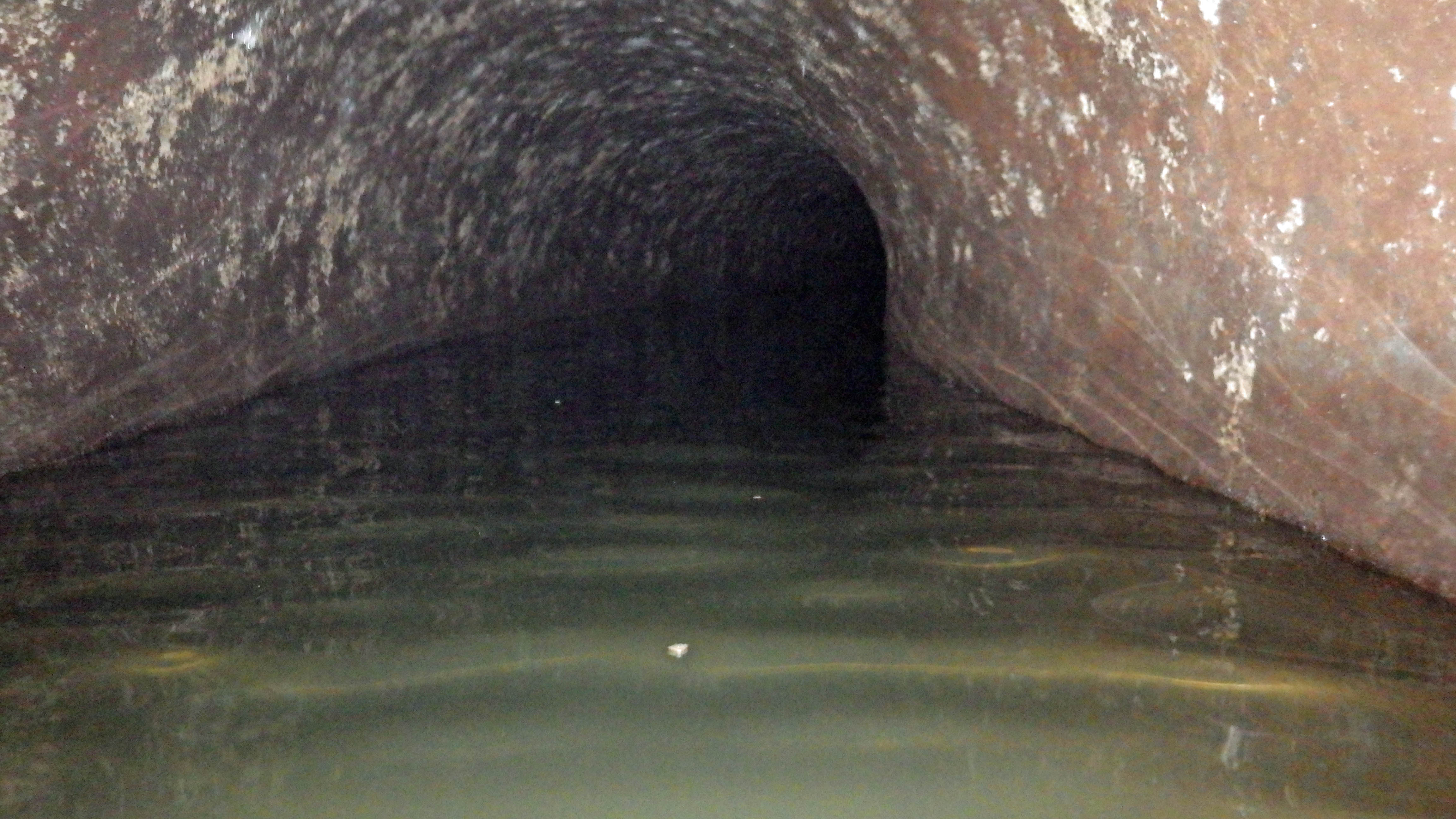
The road started to get a little hairy and we could see where it had been washed out in places. Then we came upon this.

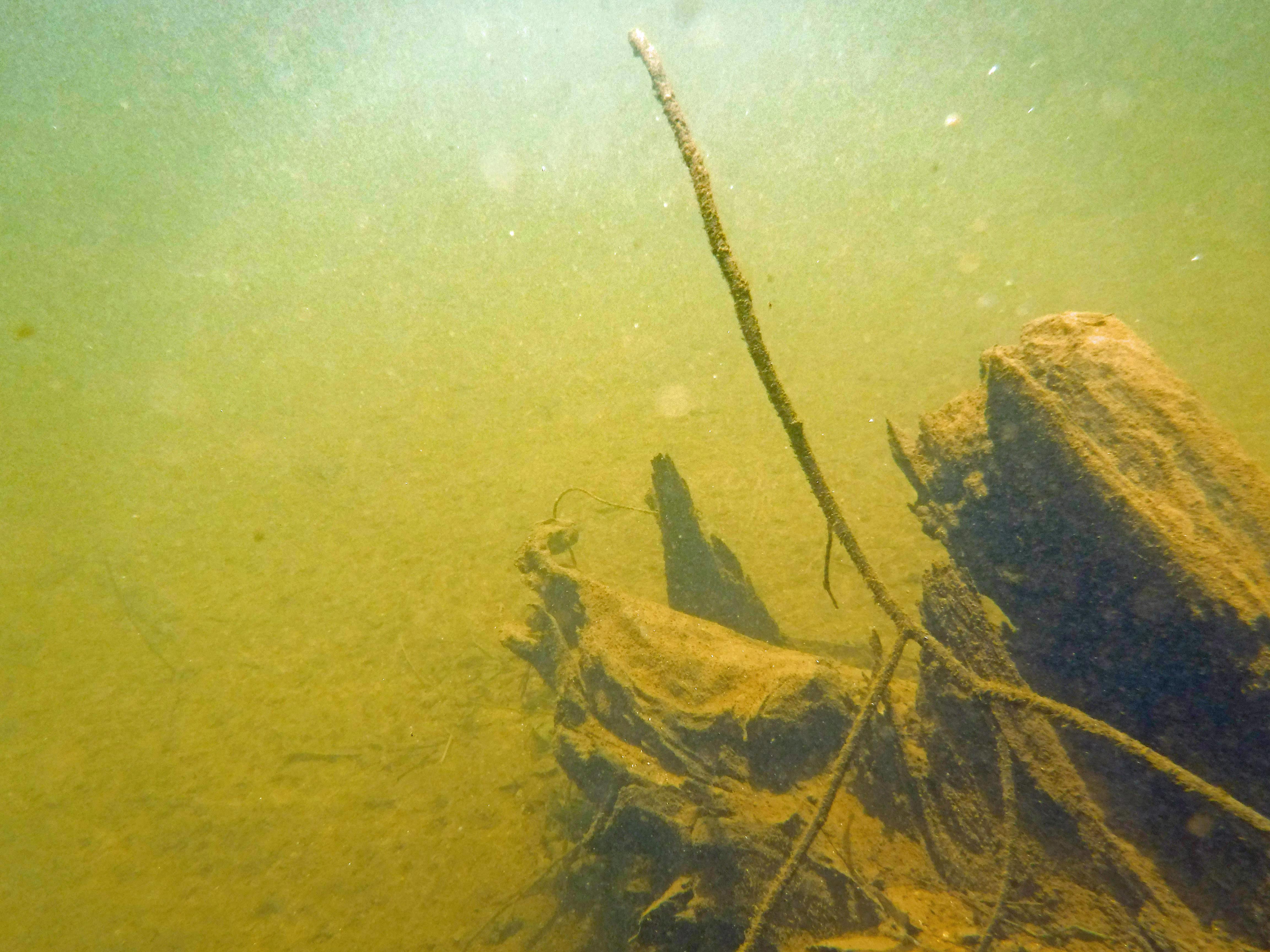
On the other side of the barrier a wood, one lane bridge. Looks alright to me.

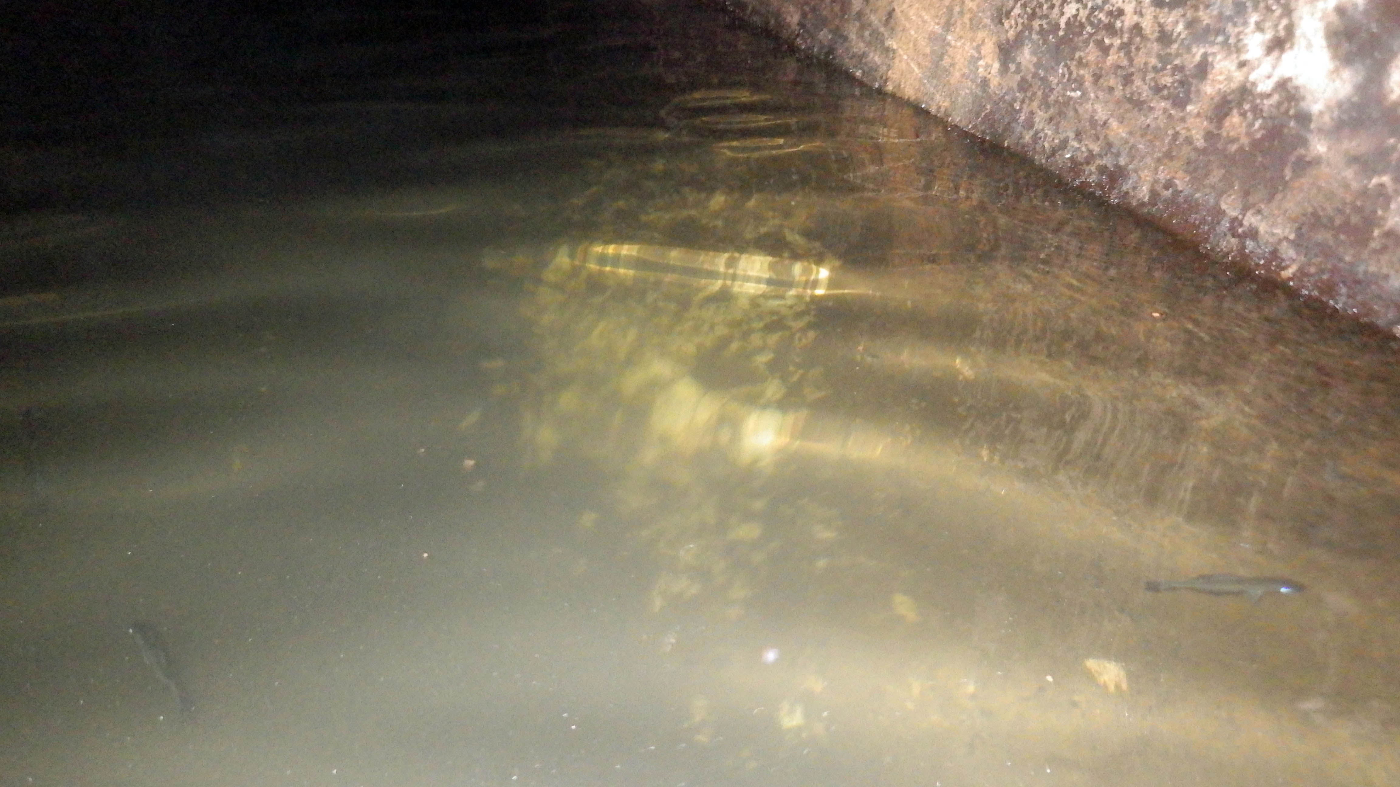
The kayak launch site is across the river, to the left. In the photo below it looks like a launch that has flooded out over the years.

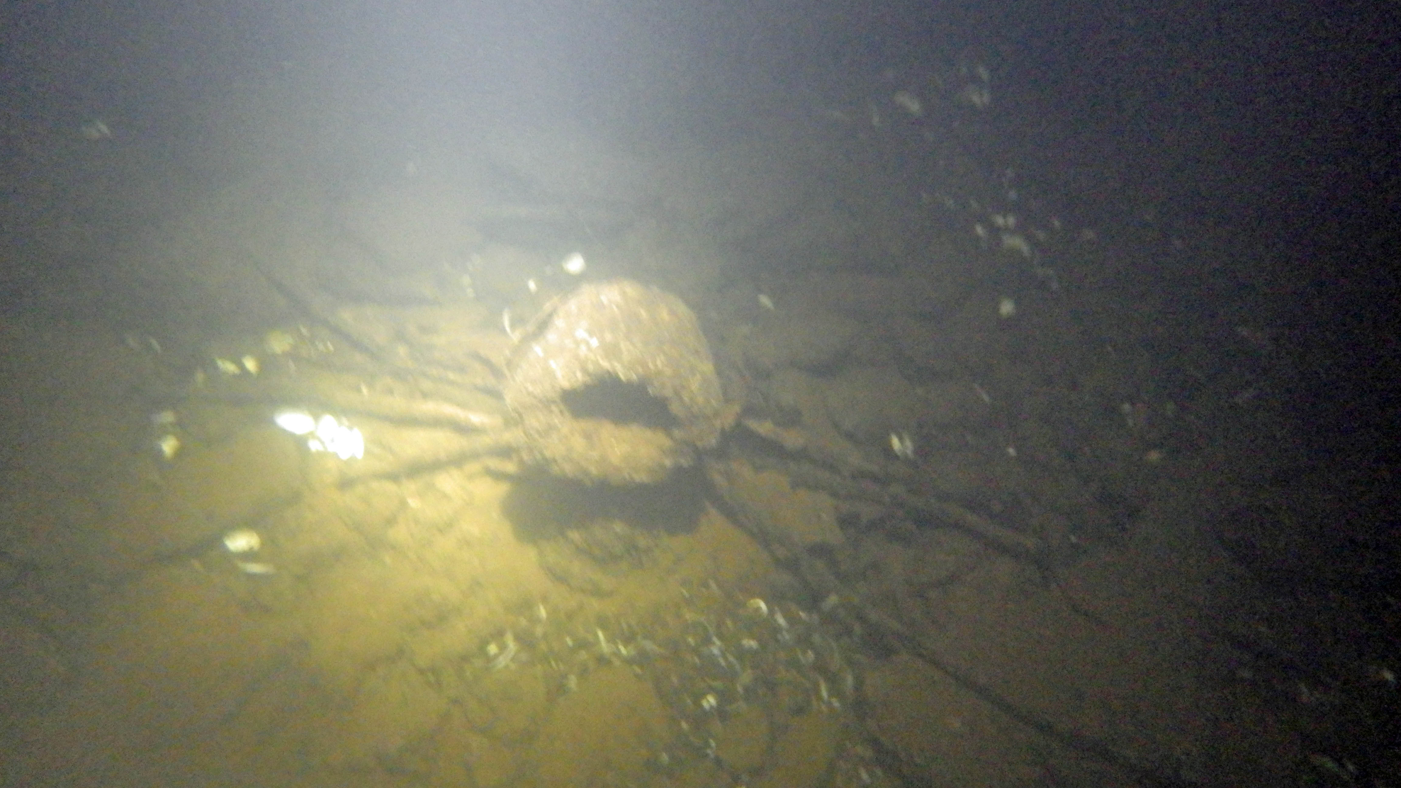
Time to turn around. Bridge blocked, road falling apart and now a fire.

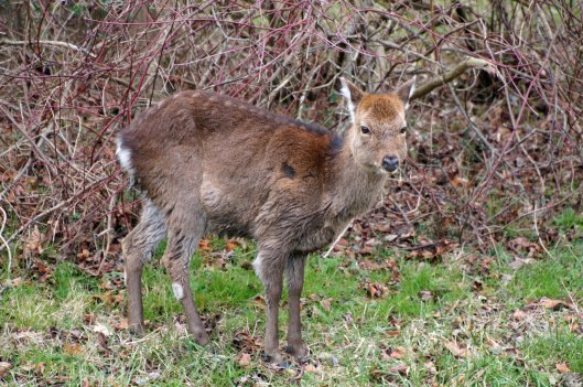
We make it thru the danger and head back to Decoursey Bridge Rd to Bucktown. On the way we came across this little, unafraid of the truck fellow.

Glad we had the detour. Some nice places to visit.

Harriet Tubman Underground Rail Road.

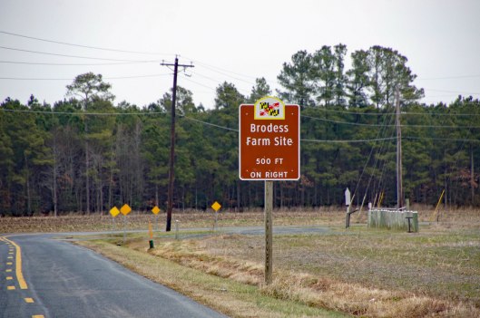
The Brodess Farm is where it was said HT was born. Other accounts say her mother and herself were brought (bought) here after she was born.

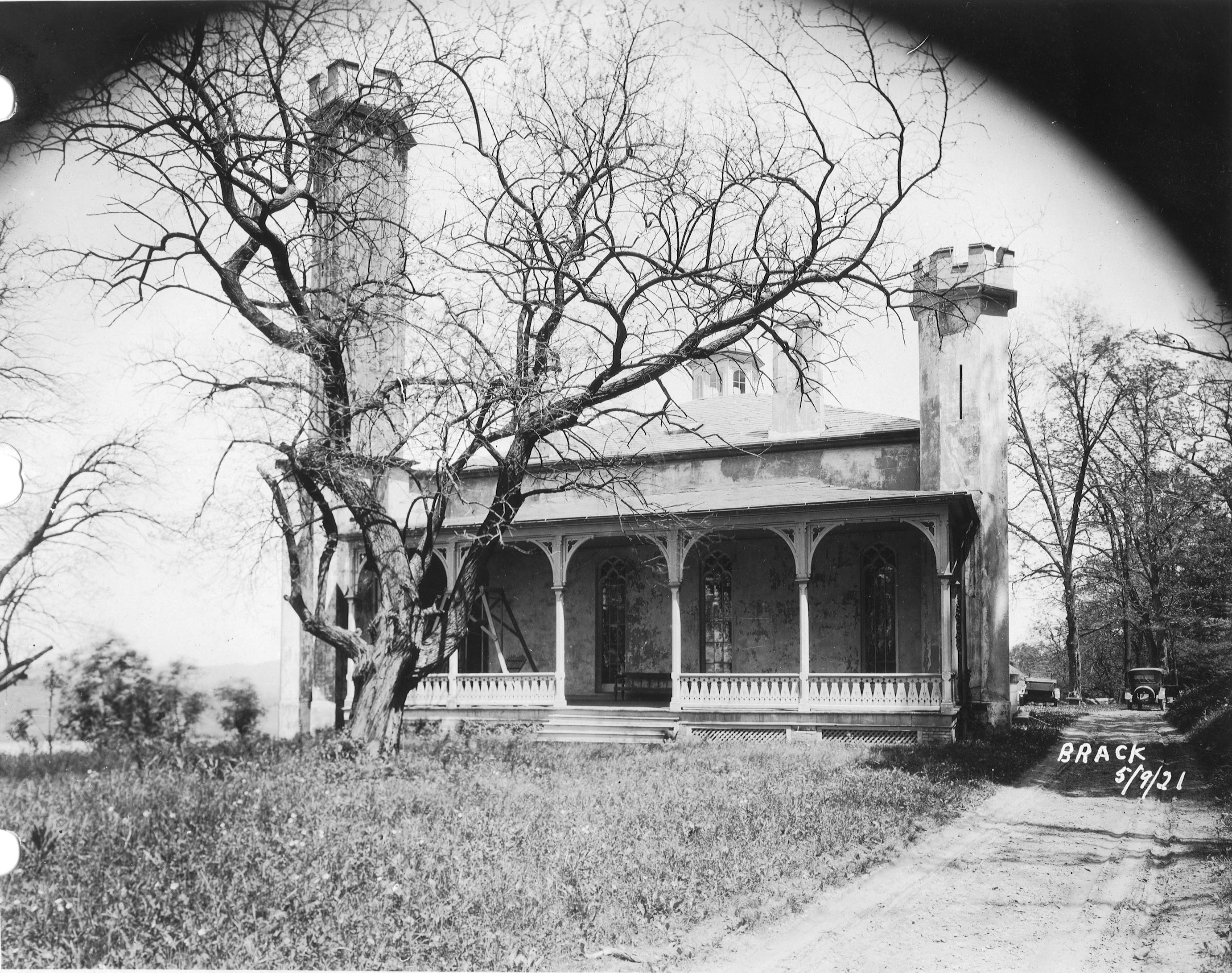
There is no trace of the original farm house, although this one is there. Private property, keep out.

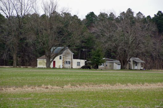
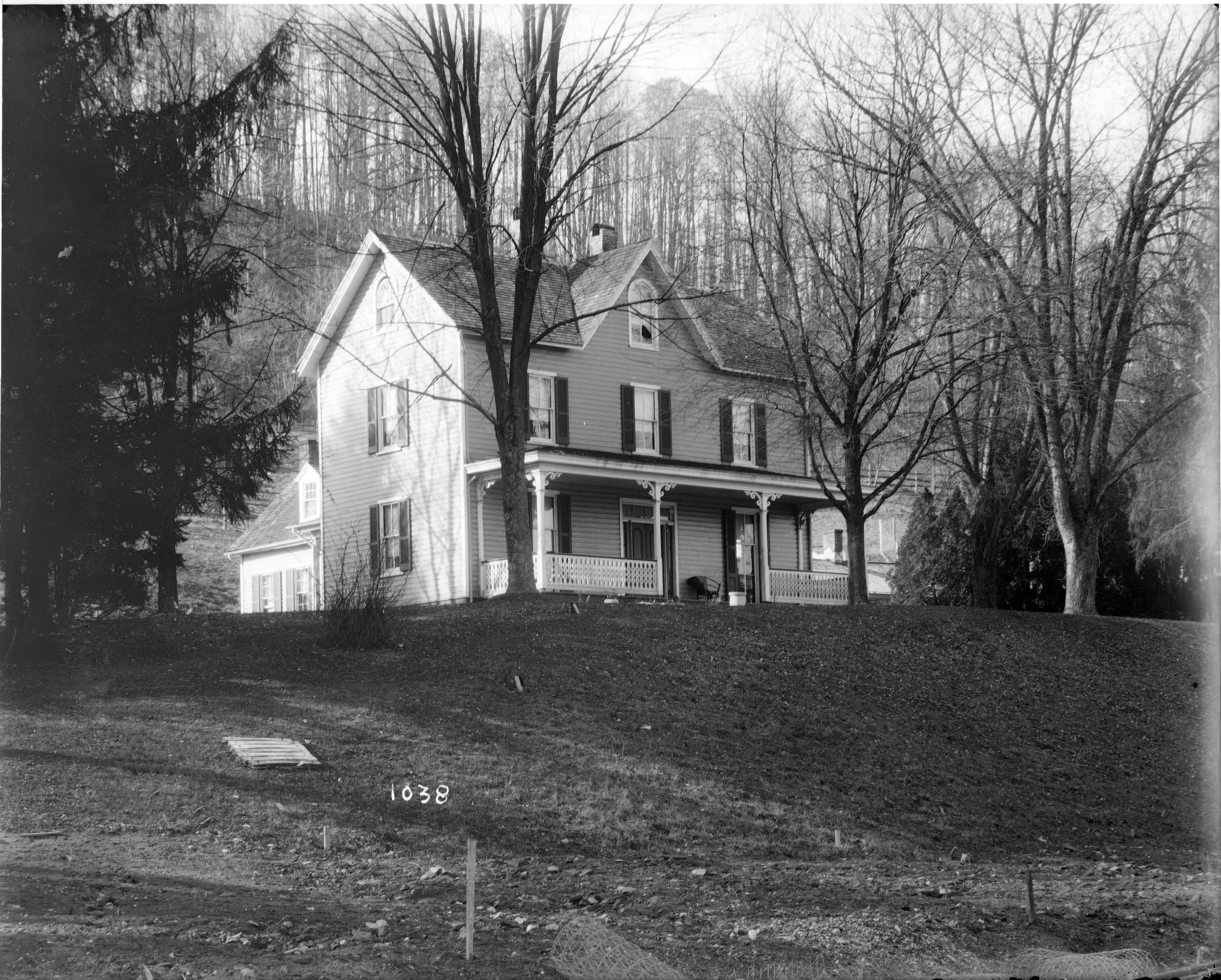
Heading down Greenbriar Rd to Maple Dam Rd, we came across this house. It was unmarked but looking at a couple history pamphlets, we found that this was the Nause-Waiwash Longhouse. It was an abandoned church before the Indians took it over. It looks a lot nicer in the brochure.

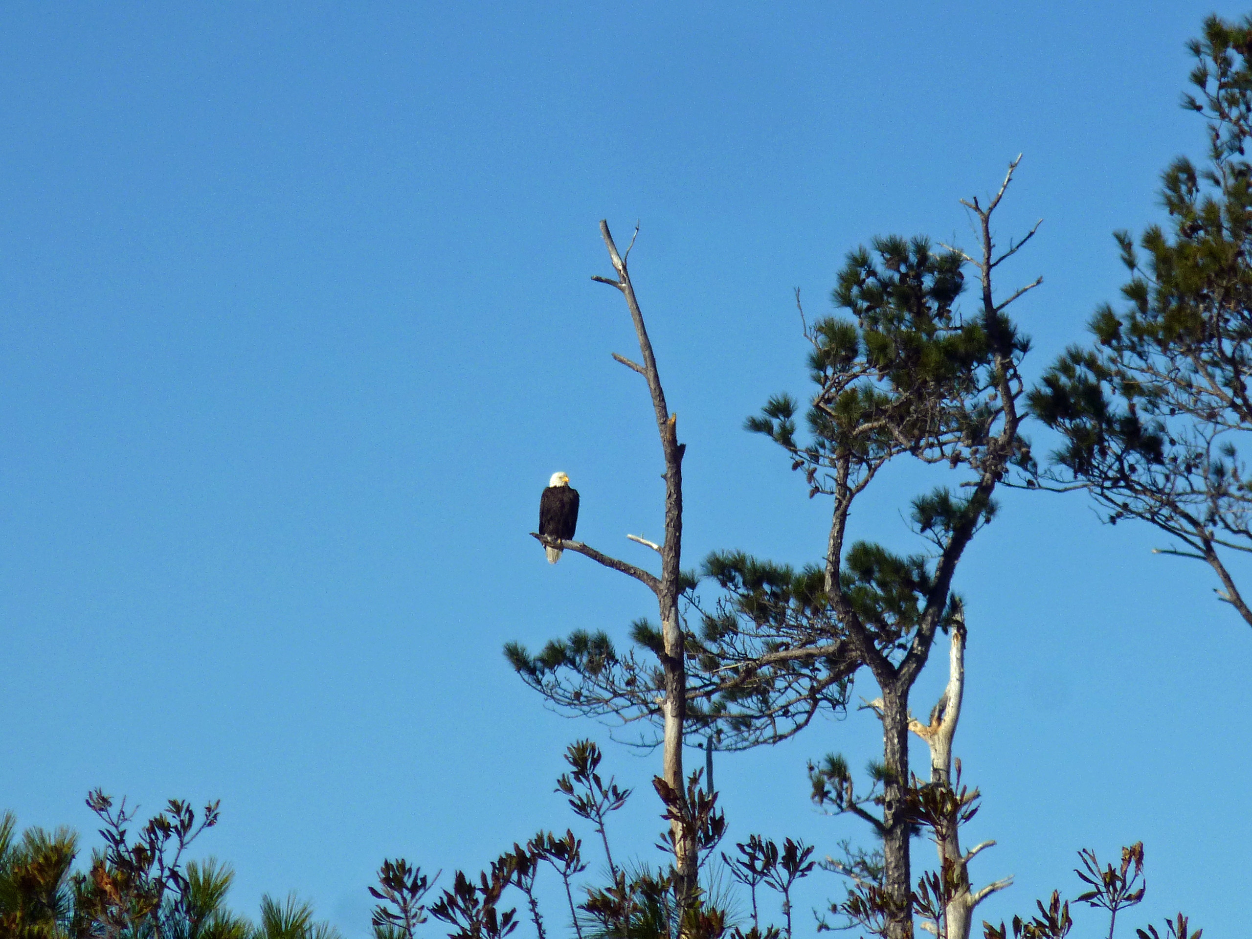
Moving along towards the refuge, we spot our first of many eagles. (We lost count at 9-10).

This guy was hanging out on the way to the visitor center.

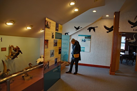
Kathy checking out the displays.

We leave the visitor center and head to the main entrance of the Wildlife Drive. Stopping to eat lunch at the observation deck. On the left of the road there is the Marsh Edge Trail and that was closed due to nesting eagles.

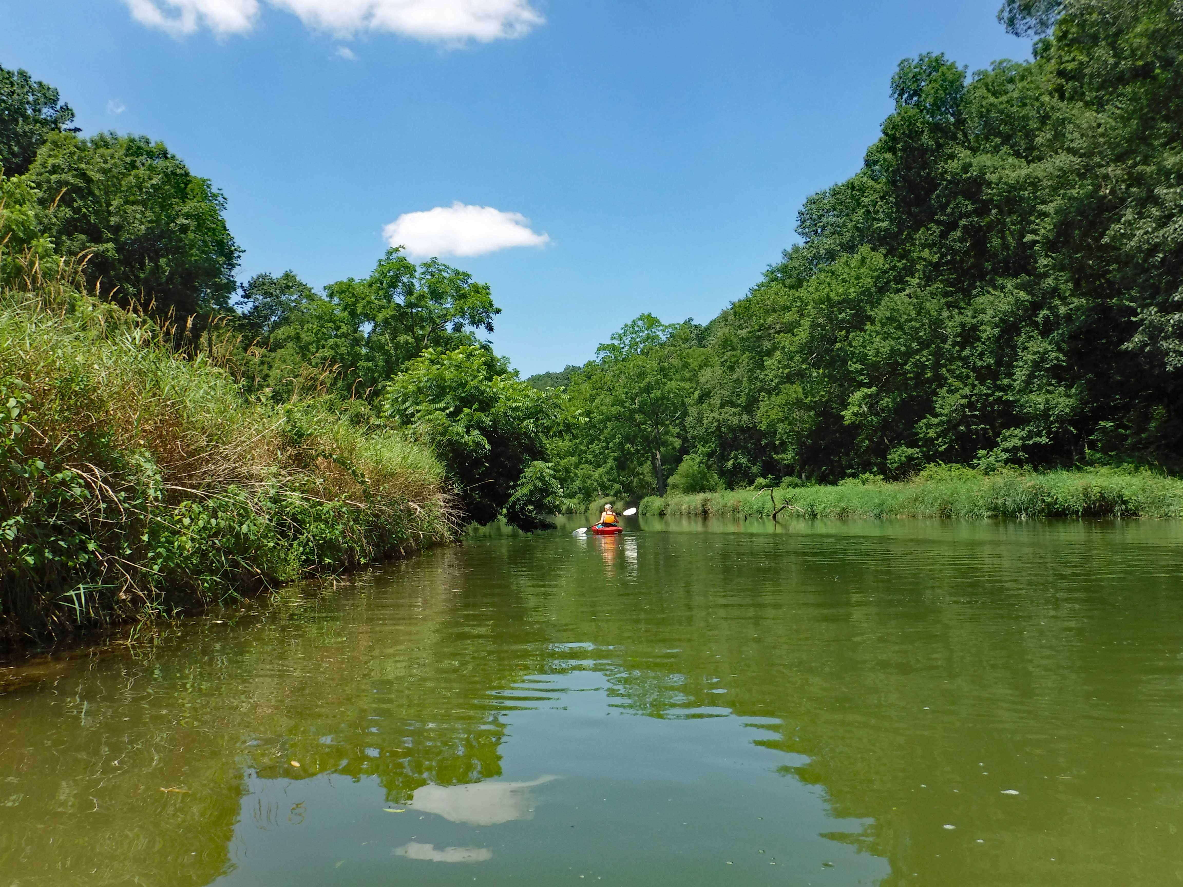
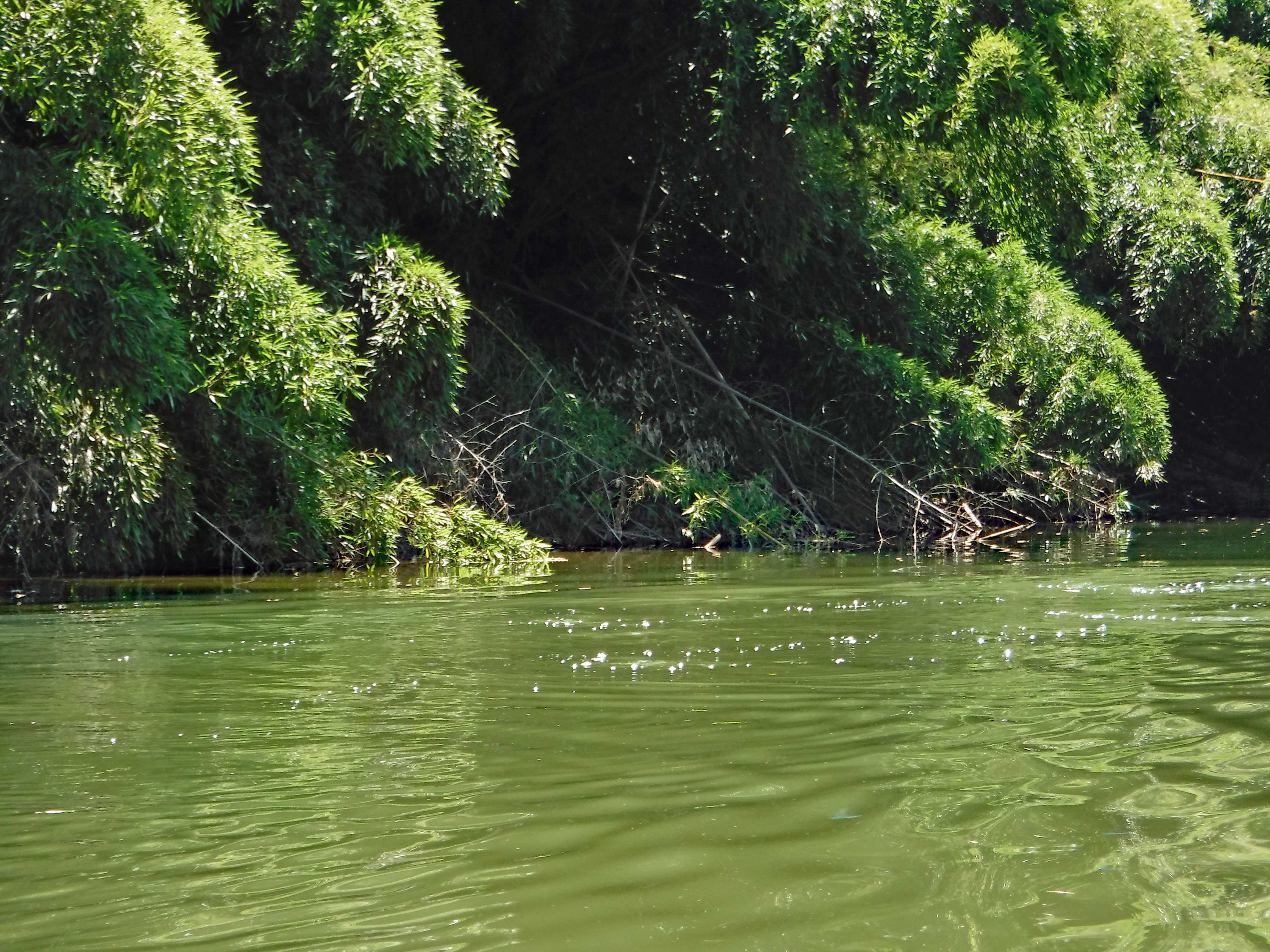
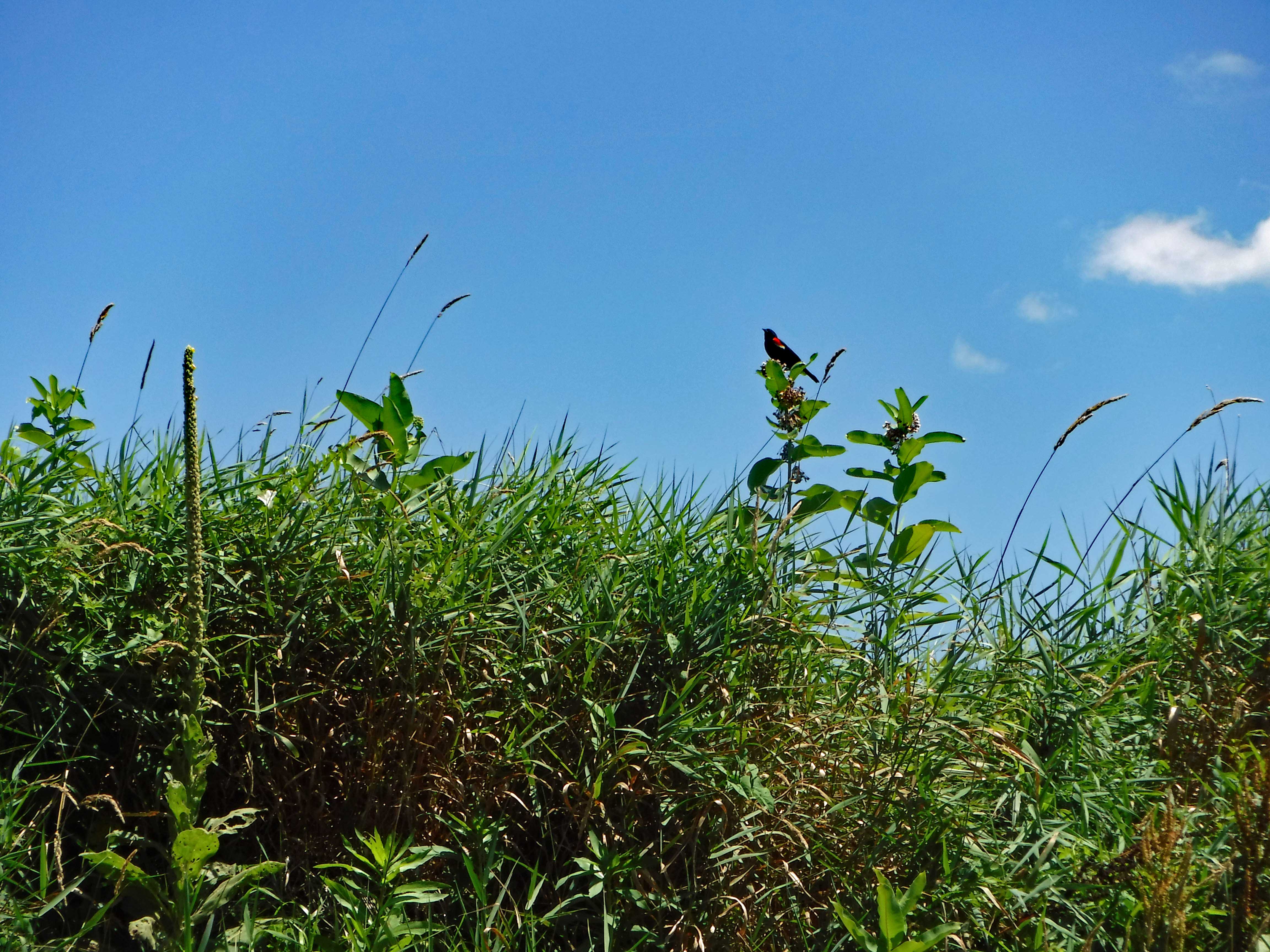
Here are some shots from the refuge.

One of Kathy’s pics. Nice!
I see you!
Me and my shadow
Another nice Kathy pic!

Leaving the refuge it was time to head to Hoopers Island. Rte 335. Heading down Hoopers Island road we came across this church. Originally the “Tubman Chapel”, it moved across the street. St. Mary Star of the Sea.

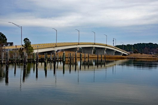
First bridge onto the islands is at Tyler Cove, Fishing Creek.

Taken from boat ramp.

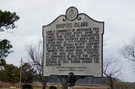
Another historical marker.

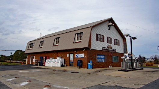
And another General Store

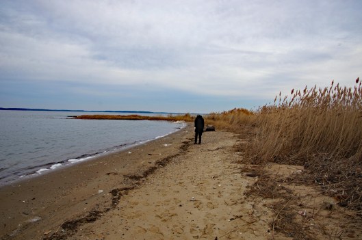
Behind here is a cemetery, which brings me to WHY we wanted to visit Hoopers Island. We want to see all this before it is completely submerged. There is a great video on the sinking of this island. You should watch it – High Tide in Dorchester – https://www.bayjournal.com/films

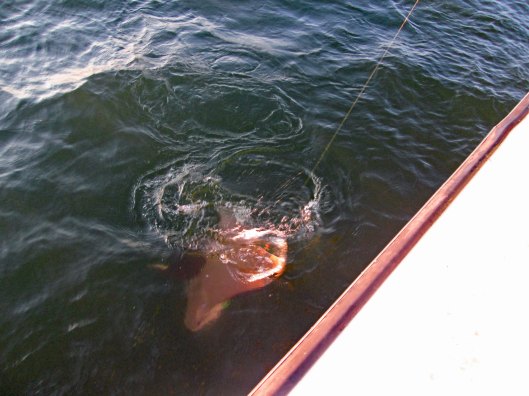
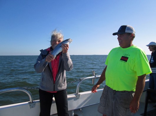
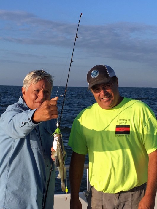
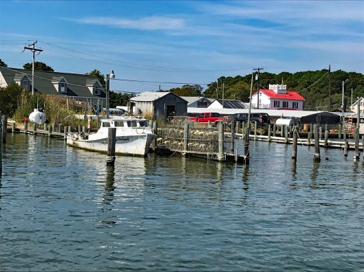
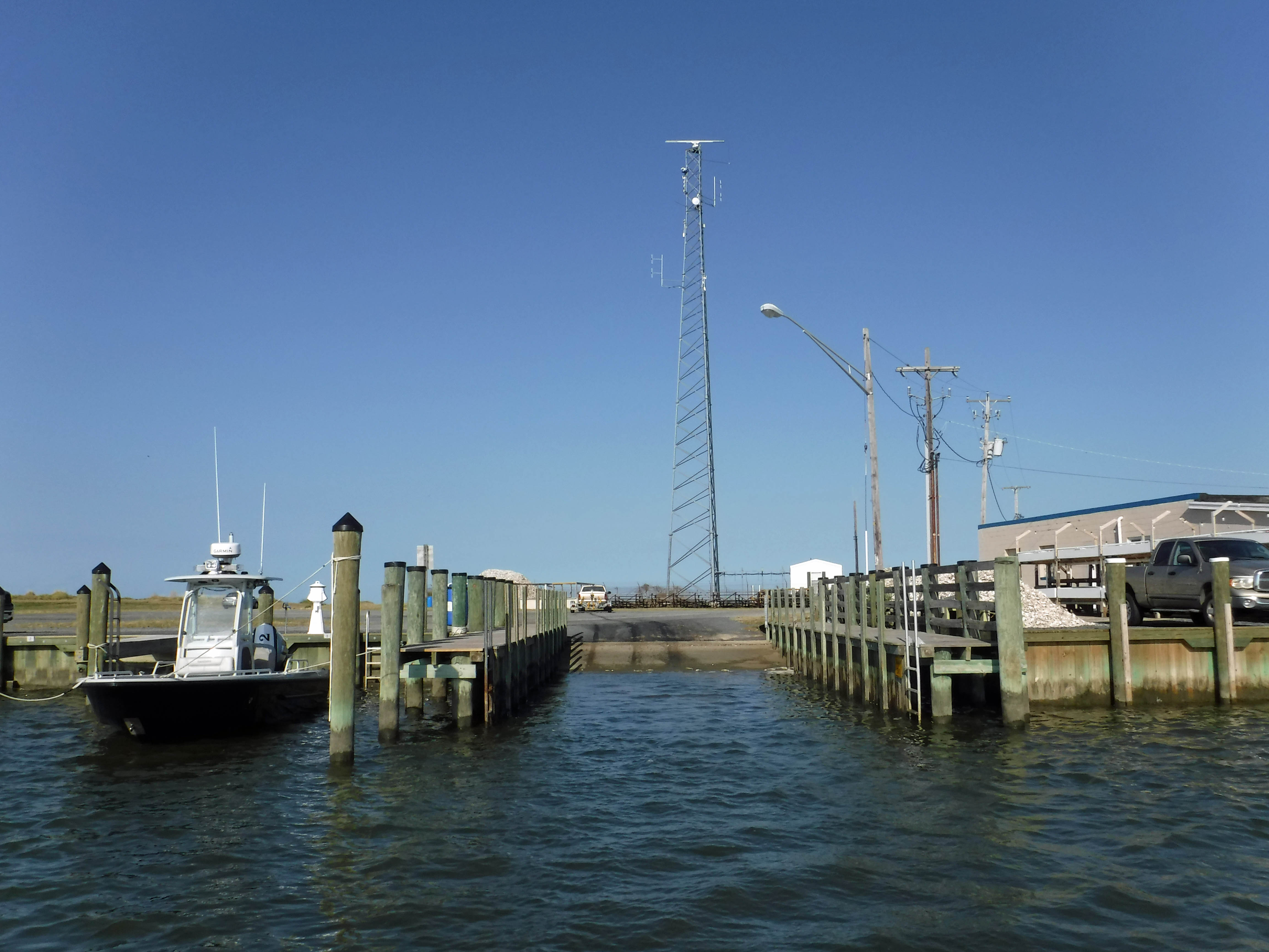
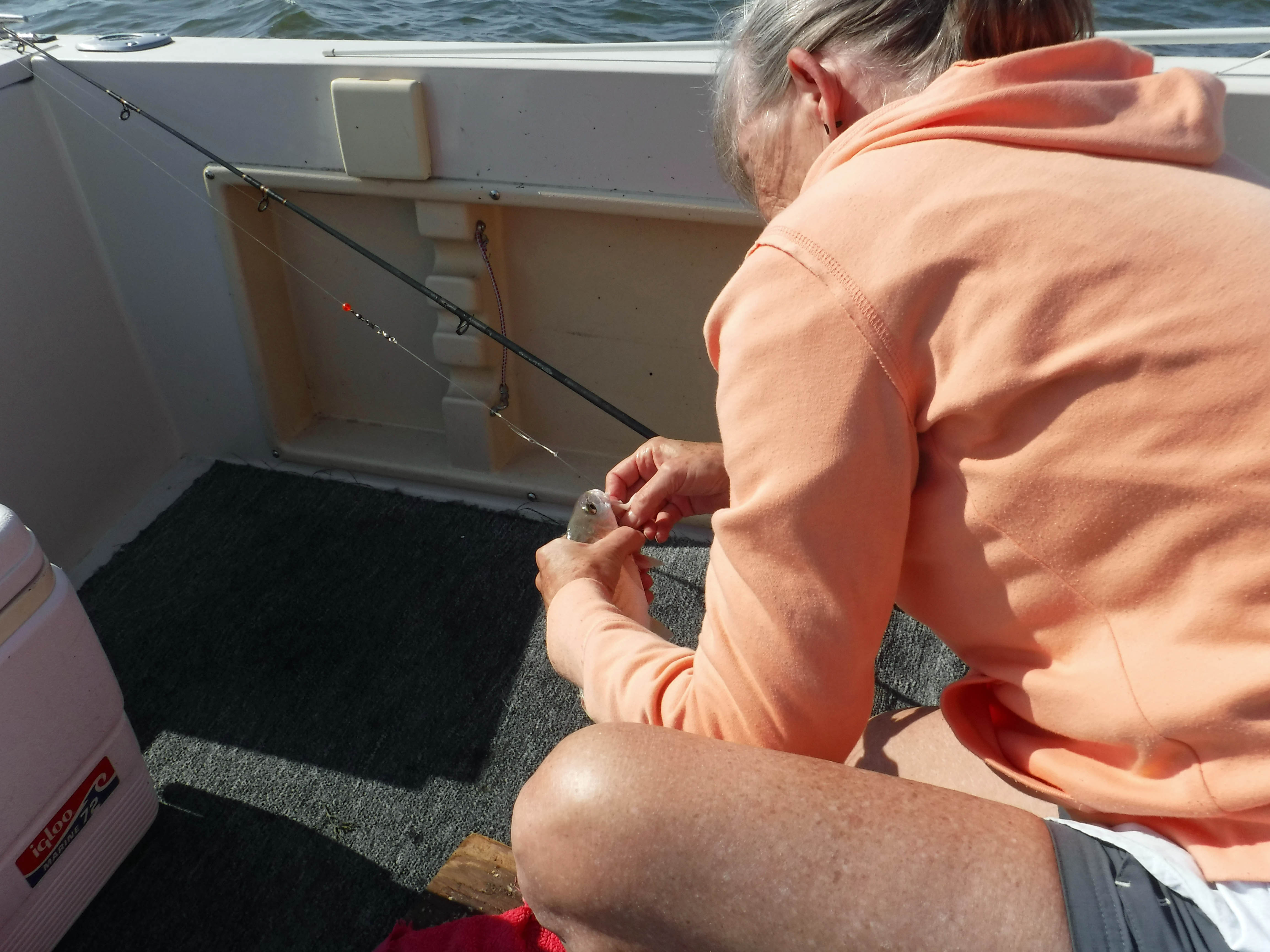
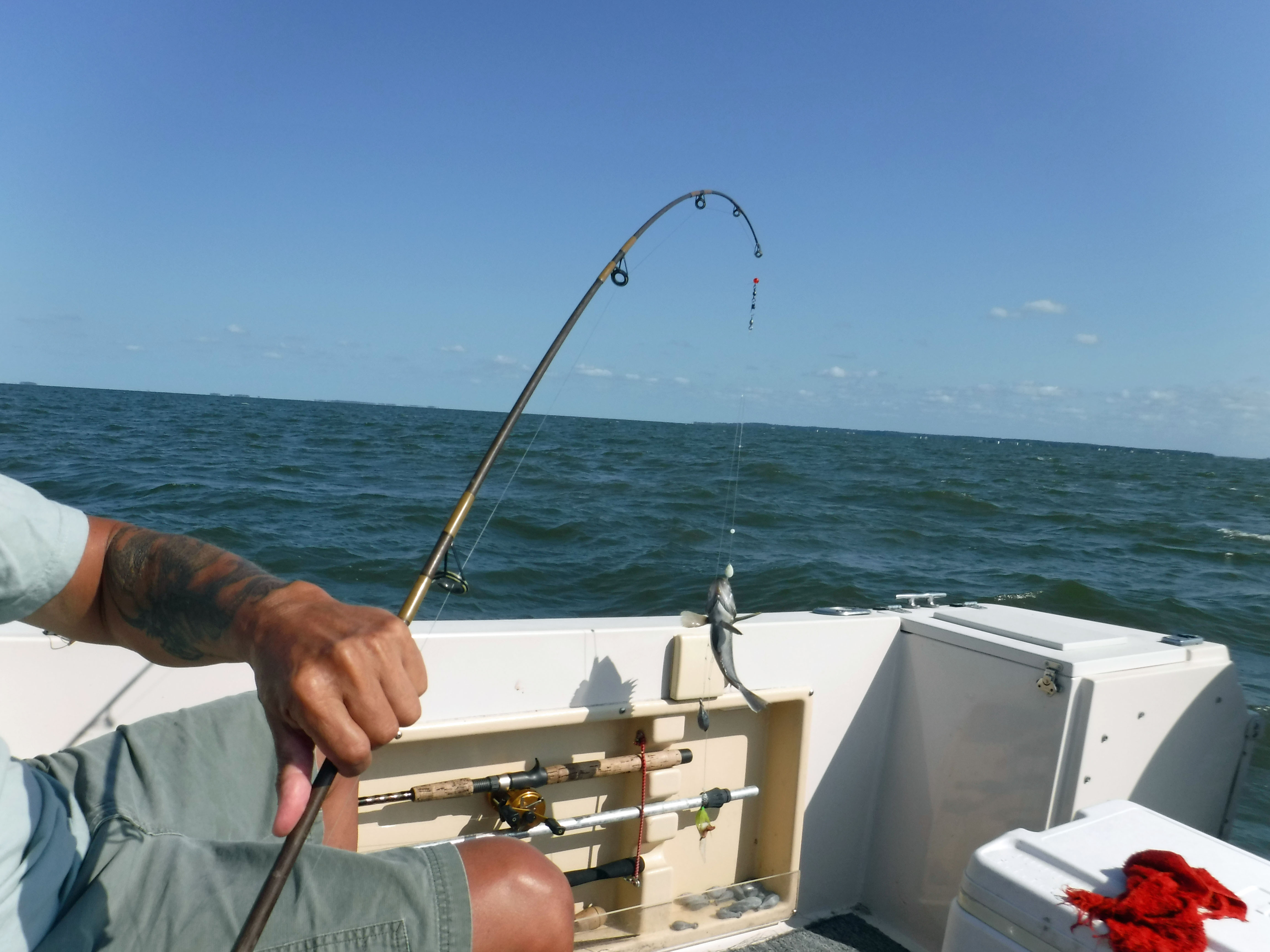
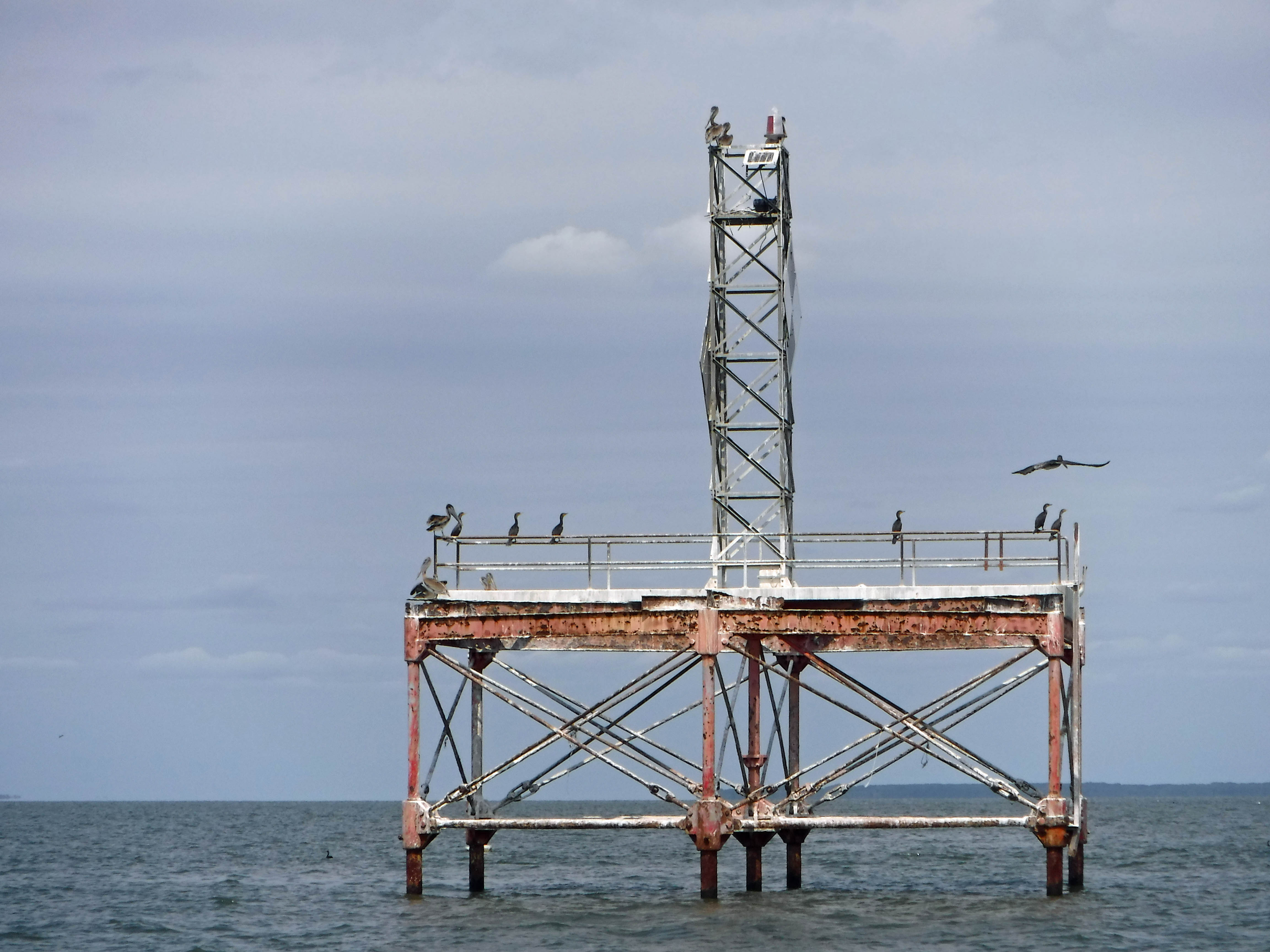
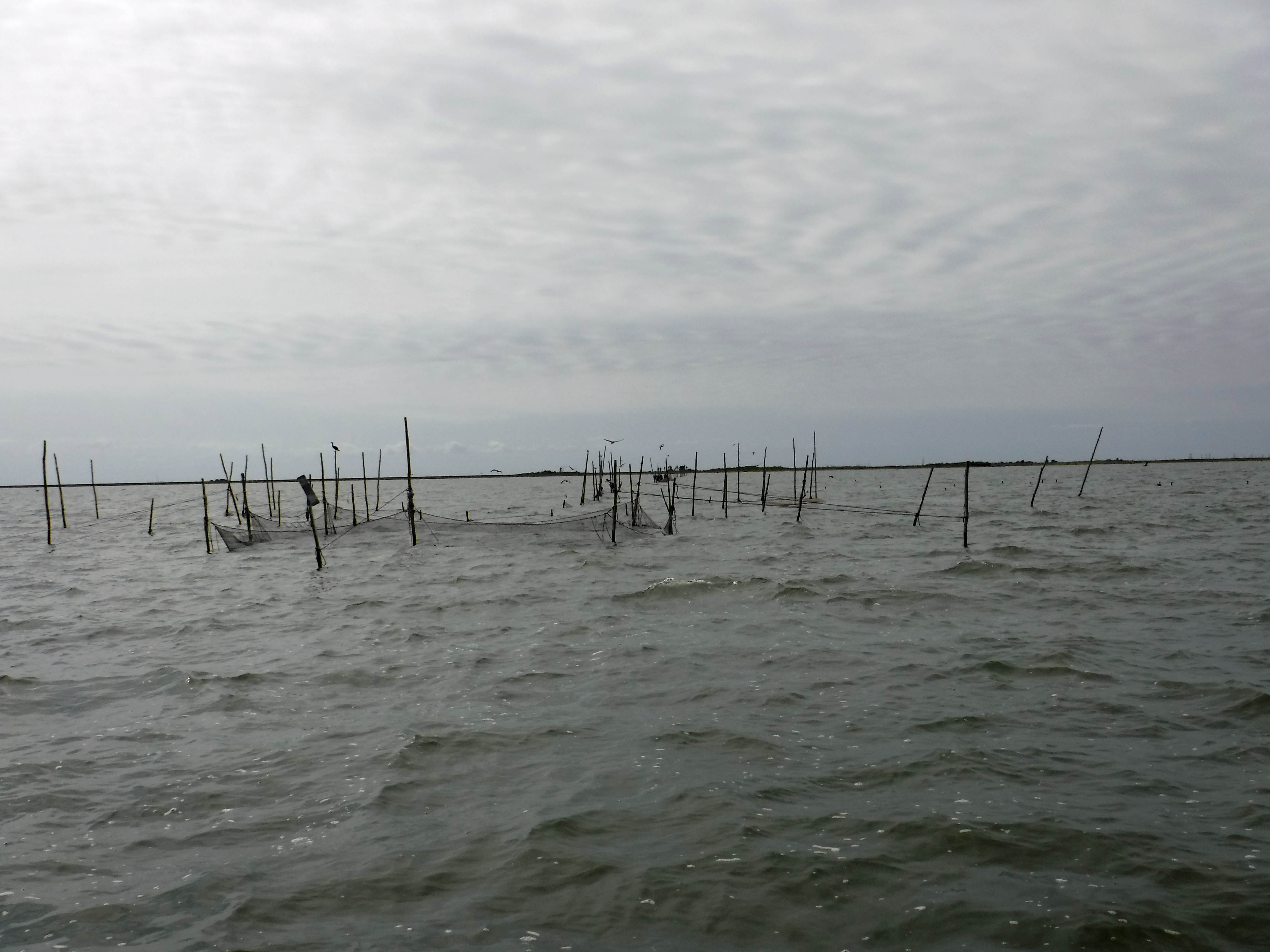
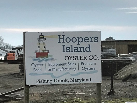
Lots of fishing and sea life down here. Hard to believe it was mostly farms at one tome.

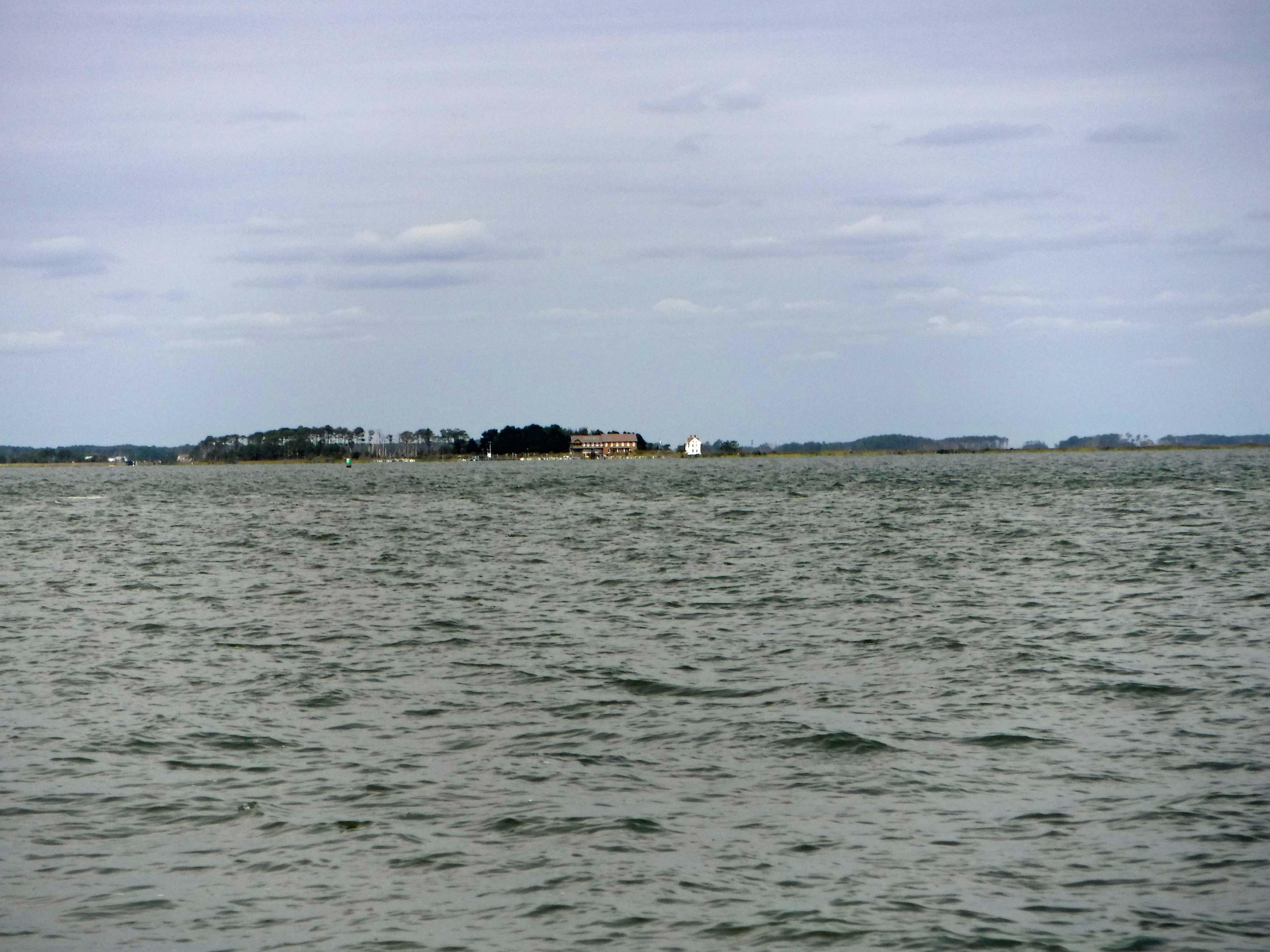
We headed south to the middle island. There are 3 islands, probably more at one time.

Roads flood in high tides and storms
Fishermen returning

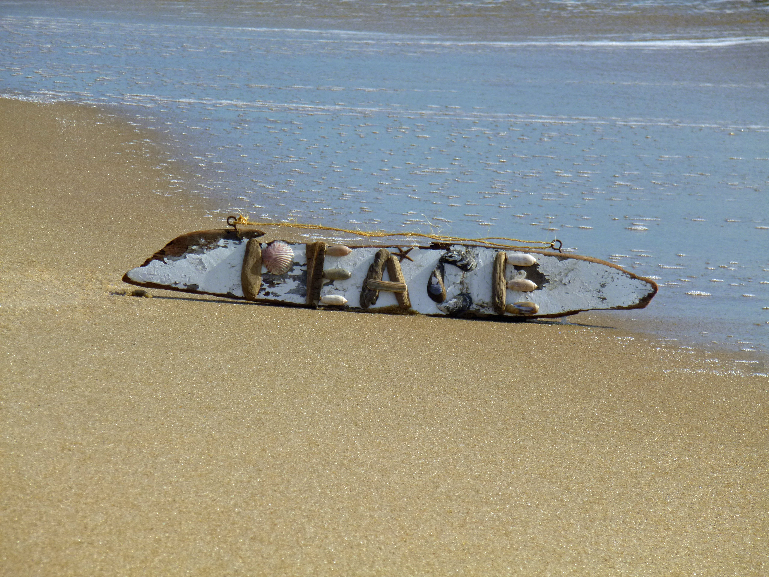
Pulled off the side to see what we could see – some sea glass, shells and debris.

Looks like 3 adults and one juvenile. Even with a 300mm lens, they were too far off.

Adult brought food to him.

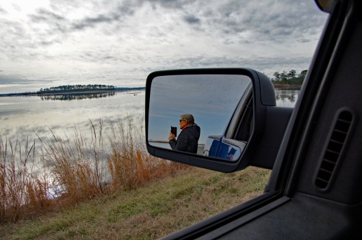
Our map. the lower island has no access.

Great day and so grateful that Kathy likes going on these eight hour adventures with me. For too long I did all this kind of stuff by myself.

Fishing Off Tangier Sound

15 Tuesday Oct 2019

Posted by Ronald Parks in Eastern Shore, Family, fishing, nature

≈ 2 Comments

Tags

Boat, Charter fishing, Crisfield, Deal Island, fishing, Rockfish, Tangier

Whoa! Who the heck gets up at 4:30am to go fishing!? Apparently I do now! But before I tell you about this great day of fishing, let me give you a little back story…

The last time I ate fish was April 20, 1993. That was the day my daughter Jules was born. Best day of my life and I thought it was going to be my last. Hungry and tired after a long day, with both her mother and Jules resting, I went to the cafeteria and ordered fish. I never eat fish in hospital cafeterias, but I did that night. After a few bites I started choking on a bone, got up and ran to the nurses station and struggling to say, “Fish! Bone! Choking!” Well, she got the gist of it, reached over to a used dinner tray on a cart and handed me a piece of someone’s dinner roll and said, “Here, eat this!” And I did and the bone slid down my throat. I swore off eating fish that night and haven’t had any since, until a couple weeks ago. A friend of Kathy’s had some trigger fish and her and Kathy’s family persuaded me to try some. Did so and I really enjoyed it. So now I am headed to be the great fisherman of the Eastern Shore!! Ha!!

Back to the story at hand – Up early and headed to Deal Island, Wenona for a fishing excursion. Started in the dark.

Our Boat The Lady Katy

The moon setting and the sun coming up over Fairmount.

1st cast of the day (Kathy photo)

I forget who tried to catch this huge skate – Gail? Well, he took everything when he was cut loose.

Gail did good, catching quite a few trout. but Kathy out did us all with her 19-1/2″ Rockfish.

Kathy, a rock and a Captain

I didn’t do too bad. The Captain kept coming over to give me some pointers (Damn City people!) He told me, “You’re doing pretty good – almost.” WTH! No, actually the Captain was very helpful. He kept re-baiting our lines and then removing the fish for us. Half the time he would unhook the fish and throw it back over the side. “Hey, I wanted him…” He was trying to make sure we had good sized fish for our limit.

Me and my trout

After a few hours out there, somewhere between Crisfield and Smith Island, it was time to head back.

Our catch for the day: 1 rock fish, a few Trout and 3 Spots. We caught a bunch of Spots and most of those were used for bait. Also caught a couple Oyster Toad fish and Croakers, which do make a croaking noise.

Time for cleaning.

Kathy’s mom asked what I was doing? I was supervising!

Great day with great family!

Ice

07 Sunday Jan 2018

Posted by Ronald Parks in National Parks, nature, Photography

≈ Leave a comment

Tags

boats, Chesapeake Bay, fishing, nature, photography

Trip this weekend to Salisbury. Nice ice.

Crossed the Bay Bridge heading east and Kathy says that we should stop on the shore and take a photo of the bridge. Go to Hemingway’s parking lot, I get out and say “Aren’t you coming?” No, too cold! And it was very cold with the breeze coming off of the icy bay.

Looking towards the container ships.

Most roads were pretty clear. A couple drifts on 50 between Easton and Cambridge. Then we made it. The Chokey or the woodshed?

The footbridge over the frozen pond.

A favorite meditation bench.

Molly only lasted out here, in her new coat, for just a couple minutes.

Unknown footprints into the pond.

On the way home we drove towards Blackwater Refuge. I say drove towards because we got kind of lost. We did end up at a part of the refuge we had never been to. The roads here were pretty clear also.


Black water – black sand…

We saw a few eagles and a couple herons.

And instead of turning towards the park, where the visitor center is, we ended up at Hearns Cove and Wingate Creek.

Boats frozen in place.

Dock in B/W

Nice little post office and name.


Peaceful Sunday Kayak

09 Sunday Jul 2017

Posted by Ronald Parks in kayaking, Photography

≈ 1 Comment

Tags

Dams, Deer Creek, fishing, kayaking, mills, nature, photography

Headed up to Deer Creek early this morning for an early kayak adventure. Not a lot of people there, which is the way we like it. Some people fishing off the bank. We saw lots of fish way up stream.

Heading up stream. Fisher-people to the right, casting in our direction.

Something swam across our path. I thought it was a beaver at first…

it was this raccoon. He swam to this side to get a drink!

There were so many red-winged blackbirds. What a variety of sounds they make! Mullein plant to the left. We did see a couple hawks, but they were too far up in the tree for me to get a good shot. I usually just take my underwater camera when kayaking. it doesn’t have a good telephoto lens on it.

Speaking of underwater – I just stuck it under, next to the kayak and saw a bunch of trout.

You do have to pay attention for the submerged logs.

Kathy collecting for our souvenirs. Only had to get out twice for shallow water. Water felt good.

This was as far as we were able to go – too shallow. Almost 2 miles up. You can practically drift all the way back to the mill.

Odd looking cocoon. Three leaves weaved together to make a pouch. Like a pea pod. There were a bunch in this tree.

Pretty little flowers.

Glad we went early. A crowd showed up. Nice day enjoying ourselves, nature and God.

Ghost in the Conduit

18 Thursday May 2017

Posted by Ronald Parks in Dams, engineering, HISTORY, water history

≈ 7 Comments

Tags

Baltimore, Dams, engineering, FILTRATION, fishing, Gunpowder Falls, HISTORY, Loch Raven, Montebello, Public Works, water history

Awhile back I had posted some photographs of the construction work at Loch Raven. The contractor hit and poked a hole through the ten foot conduit that supplies water to Baltimore from the Loch Raven Reservoir. Fortunately, another one of the conduits was in service, so the damage did not affect our drinking water supply. This conduit was installed in 1915. It is riveted, welded steel. Some portions are encased in concrete and a good portion is lined with cement.

I would like to thank Pure Technologies for giving me permission to use their photographs.

Pure crew heading into the conduit. This is near Mine Bank Run, heading towards the dam. The water would eventually be at chest level.

This was interesting and took a little research to figure it out. The smaller opening on the right connected to the 1880 rock and brick tunnel. In 1937 they built a parallel pipe line from Loch Raven to Baltimore and that is the conduit on the left. There is a valve in the smaller pipe stopping the flow of water towards Baltimore. Down stream further, the raw water pipeline becomes potable water from Baltimore, to Towson, at Cromwell.

Continuing the inspection of the conduit. Pretty good shape for being over 100 years old.

The fish like the water (Baltimore water finished in the top ten again this year in a national taste test)

Not sure what this is. Looking at the drawings I saw where there is a drainage system under the steel conduit. But didn’t see this in the drawings.

Pure finally reached their destination. The damage is a little more than we thought. The cement lining has been knocked off.

It is about a 3’x4′ section of damage.

This is the hole that the excavator punched through. There are also about 5-6 dents in the pipe.

When the inspection crew climbed out, I think they brought something with them…

Word of the Season

23 Friday Dec 2016

Posted by Ronald Parks in Baltimore, nature, Photography

≈ Leave a comment

Tags

art, Baltimore, Crafts, fishing, Gunpowder Falls, Hiking, Holidays, Montebello, Peace, photography, Public Works, water

From Kathy, Molly the mutt and myself….

p1070488

Loch Raven Property

10 Saturday Dec 2016

Posted by Ronald Parks in Baltimore, Dams, HISTORY

≈ 29 Comments

Tags

abandoned house, Baltimore, bricks, Eagles, engineering, FILTRATION, fishing, glass plate negatives, Gunpowder Falls, Hiking, HISTORY, Montebello, nature, photography, Public Works, water history

The day before taking off work for my daughter’s operation, I was contacted by CHAP – Commission for Historical and Architectural Preservation. They wanted to know if I knew anything about a fireplace mantle from Glenn Ellen Castle that was stored in a maintenance building downstream from the second dam? No. They were getting ready to tear down the buildings and were told by the contractors about the mantle.

tract2-3

This was Glenn Ellen prior to raising the dam from elevation 188′ to 240′. The reservoir did not reach this height but it was still on watershed property and taken by the City. I think only the foundation exists now.

003

Earlier this week a friend of mine, Thom, contacted me and told me about some signs he saw on the property as he was hiking behind the construction site. At first glance I thought they were bronze plaques so I met him and Wayne to go exploring.

001

The hiking trail is on the hill behind the silt fence. This is where the signs were. Turned out to be steel and not bronze, but still worth keeping a couple for history’s sake!

011

Saw some interesting items so took a closer look. I thought it was odd that the contractor cut the beams instead of just knocking this building down. Come to find out a company called Bricks And Boards came up a removed the wood to re-purpose. The boxes contain core bore samples. Not sure why the City didn’t want to keep these? They do me no good without the engineer’s records saying where the samples came from.

017

After rooting around in the barn we decided to head into the house. This is being knocked down also. A few years ago I was told there were lantern slides stored in here along with some old drawings. Back then, I wasn’t allowed in to look.

lochraven-1038

The house as it looked about the 1920-30s. I tried to find who was the original owner but had no luck. From a map of 1882 it has it listed as City Property. Adjacent to the Wisner, Shanklin properties. Further investigation is needed.

plate488

Wayne asked the date the house was built. Not sure but it shows up in a 1881 photo. Far right side just up from the Gunpowder River. This photo shows the dam near completion, ready to lay the last stone.

019

Back into the house. Entrance hall.

020

There are 3 fireplaces. One plastered over and two, like this one, with the mantles missing.

032

Kitchen.

034

Looking up the stairwell. Three floors.

037

Second floor to third floor

042

This was a nice design – up the stairs to a landing that will take you in both directions. This is a huge house.

071

Lots of rooms – curves and angles.

049

Chairs on a desk – watching…

067

One of the many views. Someone nailed a metal sign to the window? I would have loved to live here with this view. Two eagles were playing most of the morning over the lower reservoir. Nice!

072

Another room. Candles, a bed, money box and stuffed ducks that look like the turkey buzzards tore open – must of thought they were real!

Prologue: I asked the contractor to hold two of the signs for me until I can come back up. He said ok…but, between my visit and when I sent off the email, Brick and Boards came up and took them. Talked to Max from there and he said they are in his warehouse and I can come pick them up!

Their site: https://baltimorebrickbybrick.com/2016/08/04/brick-board-is-here/

Conowingo Dam

04 Tuesday Oct 2016

Posted by Ronald Parks in Baltimore, Dams, engineering, Photography

≈ Leave a comment

Tags

Baltimore, bridges, Conowingo, Dams, engineering, fishing, photography, Public Works, water history

My visit into the Conowingo Hydroelectric Plant. Built in about two years time with close to 4,500 men. 1926-1928. Built by the Arundel Corporation. It generates over 13, 000 volts and then steps it up to 220,000. We were not allowed to take photos in the control room but one thing interesting about that was a board that gives real time prices for electricity. The other thing in the control room was – I was asked, very sternly, Do Not Go Back There Or Touch Anything!! Sheesh!

conowingo-010

Got there early and looked around. Carved eagle in front. They have a photo contest every year for eagle photos. I didn’t bring a telephoto lens.

conowingo-012

Fishermen. How the heck do they not get their lines tangled?? Three turbines on. Roughest water up to the right was a large unit. Two smaller units are on, to the left of guys fishing.

conowingo-054

Time to go in and start the tour. Our tour guide is wearing the black hat. A continuous run movie on the building of the dam is playing. There is a nice one on Youtube called Conowingo: Then and Now.

conowingo-058

The real tour guide. The photos on the wall are all winners and submissions for the eagle photo contest last year.

conowingo-060

One of two fish lifts. This one was used to collect fish and then transport them by truck to hatcheries and fish farms to be released above all the dams (There are a few and about five years ago they all installed real fish lifts so the shad can just go up river to where they are supposed to)

conowingo-066

I believe our tour guide said these two generated power to run the plant. It was loud in there.

conowingo-068

Where they make electricity. Yellow light on the right wall means – put in your earplugs.

conowingo-077

Aerator. It sucks air into the water. The dissolved oxygen drops about 60% from the dam pool to the discharge side, so they add some air to the water.

conowingo-081

This little probe, just barely touching the turbine shaft measures for any distortion in the shaft. If it senses some, it will shut down the unit.

conowingo-087

Some old gauges.

conowingo-096

Spiders! They just cleaned these windows a couple months ago.

conowingo-104

Next level above the turbines – generators.

conowingo-120

Outside above the catwalk. Years ago, pre 9/11 you were allowed to fish off the catwalk. This is looking down towards Port Deposit.

conowingo-125

The tour group. I didn’t know a single one of these people.

conowingo-127

Need some lights changed on this sign.

conowingo-134

Lonely lamp right before the second fish lift. Do fish need to see to be lifted?

conowingo-141

In the very early 1960s I use to fish on that little rise at the bottom of the dam.

conowingo-142

Second fish lift. They swim into that lift and are free to swim out at the top. Supposedly there is someone who looks thru a plexiglass window and counts them? Since the other dams have installed lifts, no reason to truck them anywhere.

conowingo-147

Starting to get dark out.

conowingo-178

Back inside, on the way to the control room. Pit.

conowingo-202

Dark outside now, after control room. Guys are still fishing!

Dams

02 Sunday Oct 2016

Posted by Ronald Parks in Baltimore, Photography, Reservoir

≈ Leave a comment

Tags

Baltimore, bridges, Conowingo, engineering, fishing, Gunpowder Falls, Hiking, HISTORY, photography, Reservoir, Star Wars

Back in the beginning of September, I posted some photographs of my visit into Liberty Dam. The watershed manager, Clark, took me down to the bottom. It was quite an experience for me. Before leaving I made the comment that the Conowingo Dam will be my next adventure, to go inside. A couple weeks later, Clark sends me an email telling me that a group he belongs to, the Upper Western Shore Tributary Team, are going into Conowingo. That I should contact them and ask if I can go. A couple days later they sent me a yes answer. Very nice. So, here are some of the dams I’ve gone into. Not listed yet is Loch Raven. Not much to go into there but Clark said when they do the next inspection, I can go.

My first interior dam I visited was Hoover Dam in 2005. It was nice but a disappointment in that 3-1/2 years after 9/11, the lower portion was closed off. I only got to see the turbines from an observation deck.

hoover001

This was a quick looksy – “Alright people, back on the elevators.”

hoover004

Up on top.

hoover002

One side of the dam…

hoover006

to the other.

hoover003

Intake structures – actually more impressive than the one at Liberty!

hoover005

Reservoir getting low…and yet they are still building new homes in the area.

In 2013 I was able to go into Prettyboy Dam.

Looking down from the top.

What I like about this view are the memories of my father taking me down to the bottom – concrete slab – to go fishing.

We had to go down the steps, then climb over a fence and trek down the hillside to get to the fishing spot.

Time to head to the bottom of the dam. More steps.

I was able to go out onto the deck, where the valve was spewing forth water to my right. This is one of two fountains that don’t work. Contractor said it would cost over $100k to fix. Director says no.

The 45 degree pipe is what feeds the fountains. It goes under this floor into a chamber and then into more concrete. It is collapsed there and this is why it would cost so much to fix.

Tomorrow, if the dam Gods permit, I will be going into this dam – Conowingo! This is from 2011 when most of the flood gates were opened. I just bought a new telephoto lense for my camera and wanted to see how it works…

A little too well. I hope this guy shows up again for the tour!

Vac Pics #4

26 Monday Sep 2016

Posted by Ronald Parks in fishing, Travel, vacation

≈ Leave a comment

Tags

boats, bridges, Chesapeake, Crabs, fishing, photography

Next day it was off to Deal Island for some fishing.

001-2

Leaving the boat ramp. Small landing but big phone tower and a big pile of oyster shells on the side.

004-2

Kathy taking the helm. I guess that is what it is called – at least it is on Star Trek – “Spock, take the helm. Scotty, you come with me.”

102-2

Deal Island bridge.

016-2

Kathy caught the first fish of the day…

017-2

…not as big as mine! Oh what a whopper! The weight almost snapped the rod!

033-2

Kathy’s catch. Crab.

027-2

Then mine…alien looking thing. Where is Ripley? Everything that was caught was thrown back in.

071-2

Abandoned except for the birds.

084-2

Karen Noonan Center, Chesapeake Bay Foundation. Classroom.

090-2

Fish nets off of Bloodsworth Island. On the navigational chart this area is off limits. Kathy’s dad told me the naval base drops bombs (Practice) on the island. If you do a close up Google Earth view, it looks like the moon in some spots – craters.

110-2

Watermen heading back after a days work.

100-2

Skipjack, Ida May.


← Older posts

Blogroll

  • Flouride Action Network
  • lulu
  • My Book
  • WordPress.com
  • WordPress.org

Recent Posts

  • ICELAND April 2023
  • George Chalmers of Fochabers
  • In Search of The Skipjack Ada Mae
  • Trap Pond Kayak
  • Pusey Trail and Cemeteries

Blog at WordPress.com.

  • Follow Following
    • Water and Me
    • Join 226 other followers
    • Already have a WordPress.com account? Log in now.
    • Water and Me
    • Customize
    • Follow Following
    • Sign up
    • Log in
    • Report this content
    • View site in Reader
    • Manage subscriptions
    • Collapse this bar
 

Loading Comments...