Tags
Baltimore, engineering, FILTRATION, glass plate negatives, Gunpowder Falls, HISTORY, Lake Montebello, Loch Raven, Montebello, Public Works, Research, water history
A couple weeks ago the contractor called me over to the site because they struck something that is not on the drawings. This was about the 12th time in 10 days they hit something buried, not on the drawings. i go over and this is what I saw:

At first glance, it looks like an electrical ductbank, enclosed in concrete. I told the contractor I would go look in my drawings to see what I could come up with. When I retuned, unable to find anything, the contractor had cleared some more dirt from the concrete.

Am I hallucinating or does that thing have a curve to it?? Holy crap, that looks like the foundation to the old roundhouse, which was the Montebello Pumping Station, built in 1914-1915. More research to do.

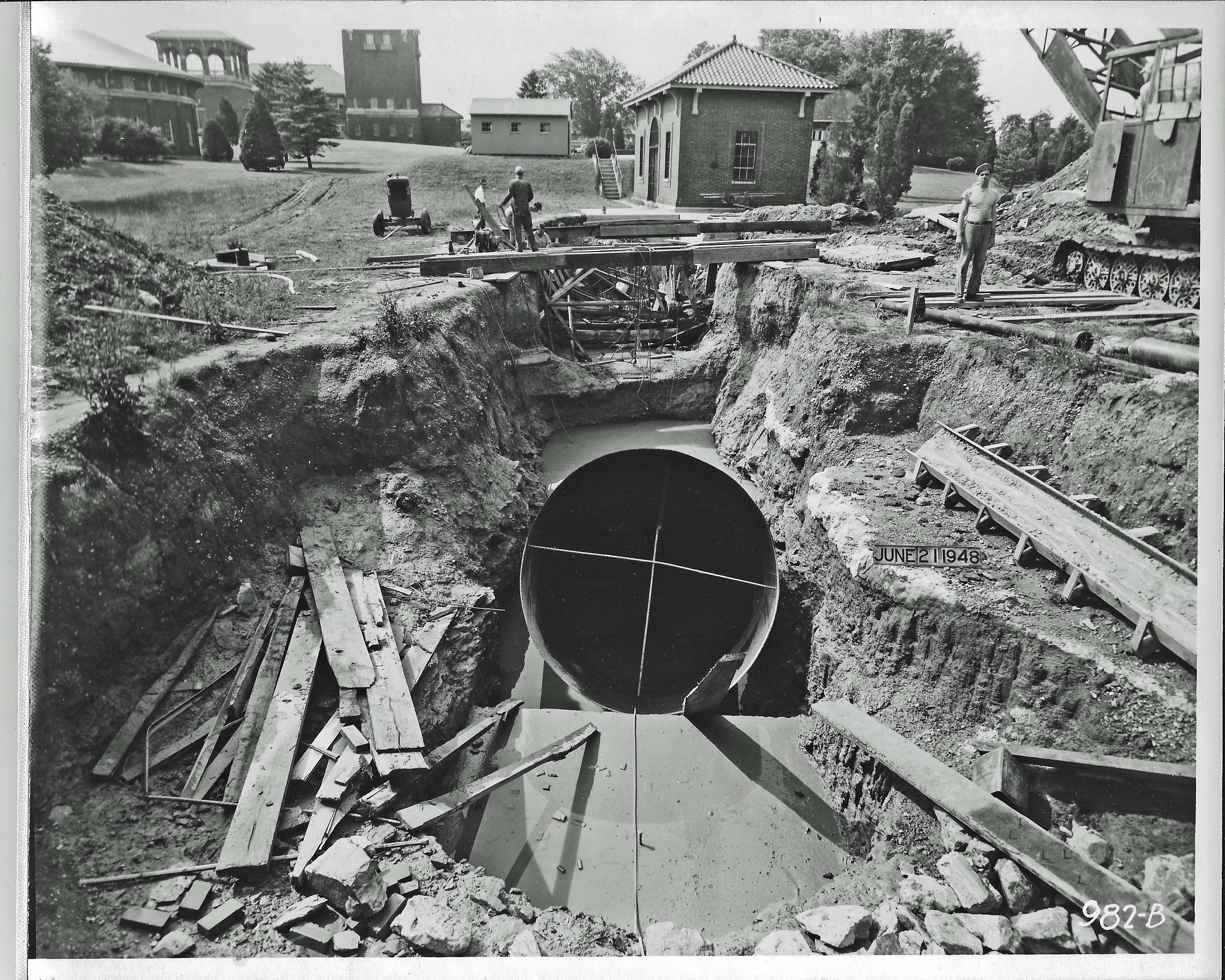
This hole was dug and goes about 75 feet down at which point they busted through the 1881 tunnel from Loch Raven. The pumping station was to be used to pump water from Loch Raven, into the filtration plant. This was due to the city not getting permission to raise the new dam above an elevation of 188′ (The new dam is now at 240′)

This photo shows the foundation for the pumps and the piping waiting to be placed.

Looking at the top tier here it can be seen the structure matches the first photo above. The hole in the center is the suction well.

View from the outside of the roundhouse. This is facing south towards the filtration building.

This is looking north from the the head house. The roundhouse foundation is flush with the ground level.

Nearing completion.
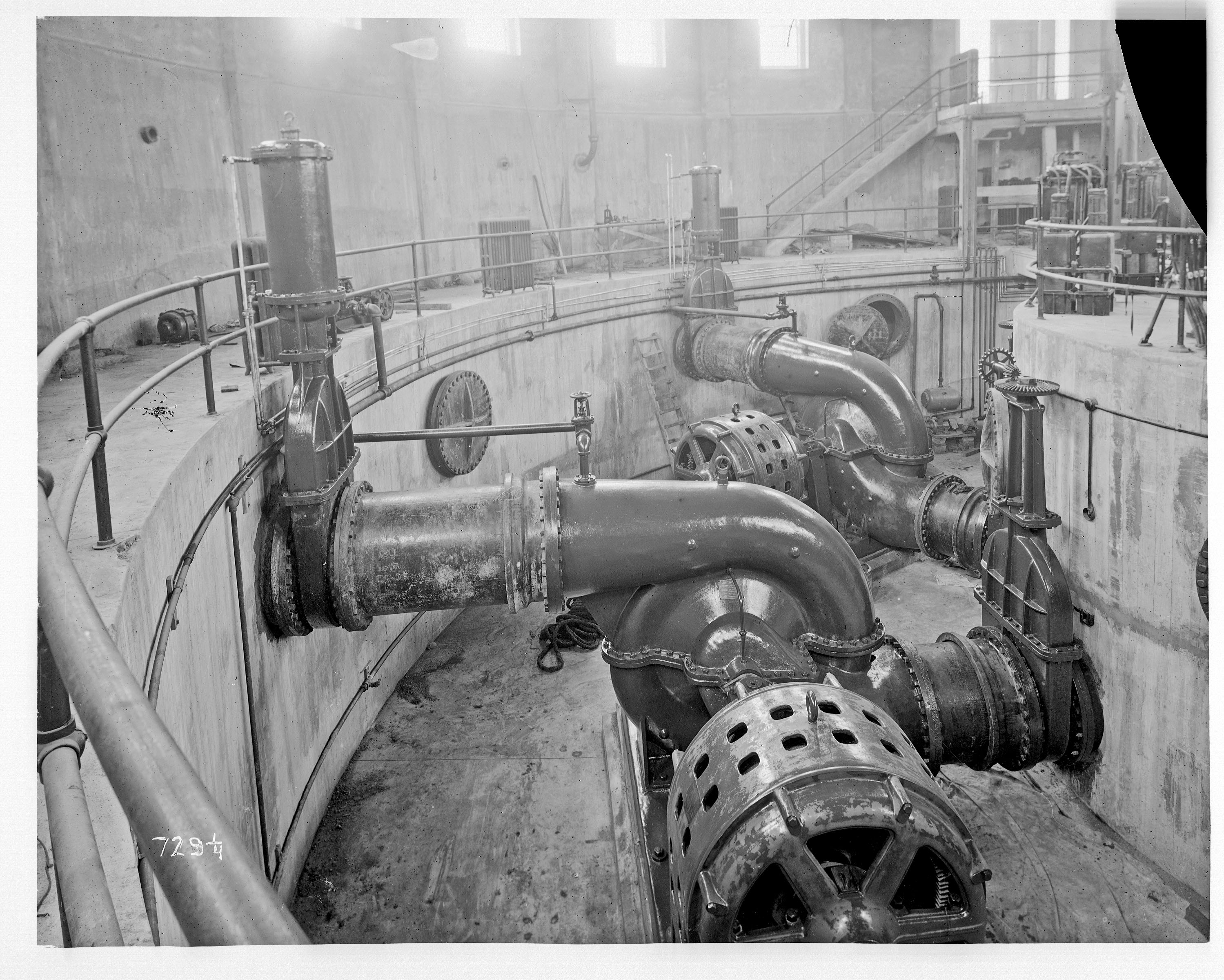
The pumps.
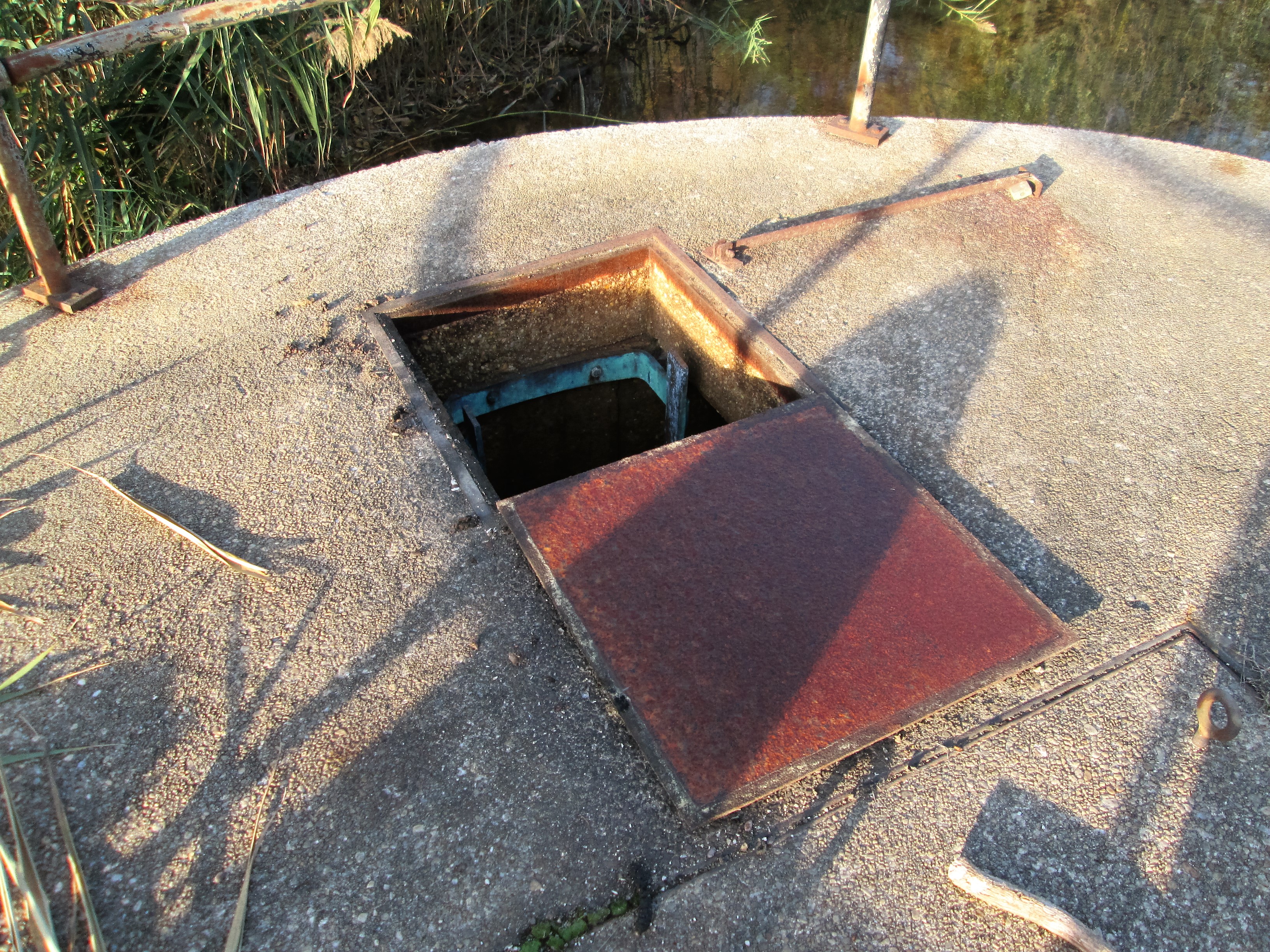
From the time this was built until about 1957, this pumping station had more than its fair share of problems – wrong size pumps, electrical problems, building being struck by lightening a few times, power surge from Holtwood Electric, water hammers that raised and cracked the foundation, etc. In 1963 the building was demolished but, the foundation remains. And now the problem is, what’s down there? Will this area support the weight of a generator and fuel tanks? And is that hole still open (there is an air vent coming out of dead center)? The tunnel underneath originally supplied water to Montebello from Loch Raven. Now this tunnel supplies drinking water to Towson, via the Cromwell Pumping Station.

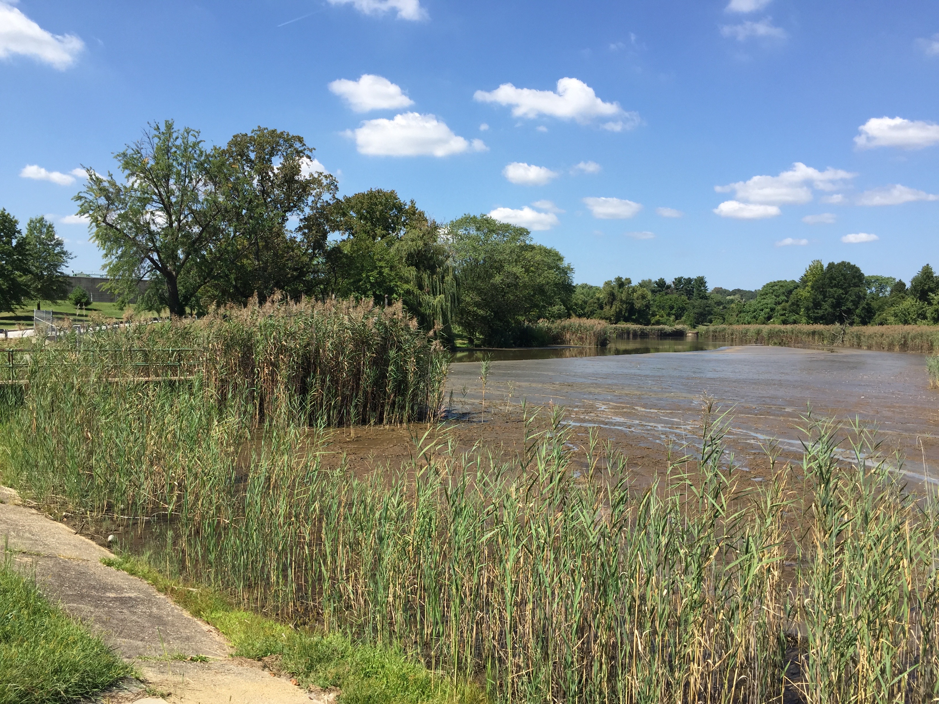
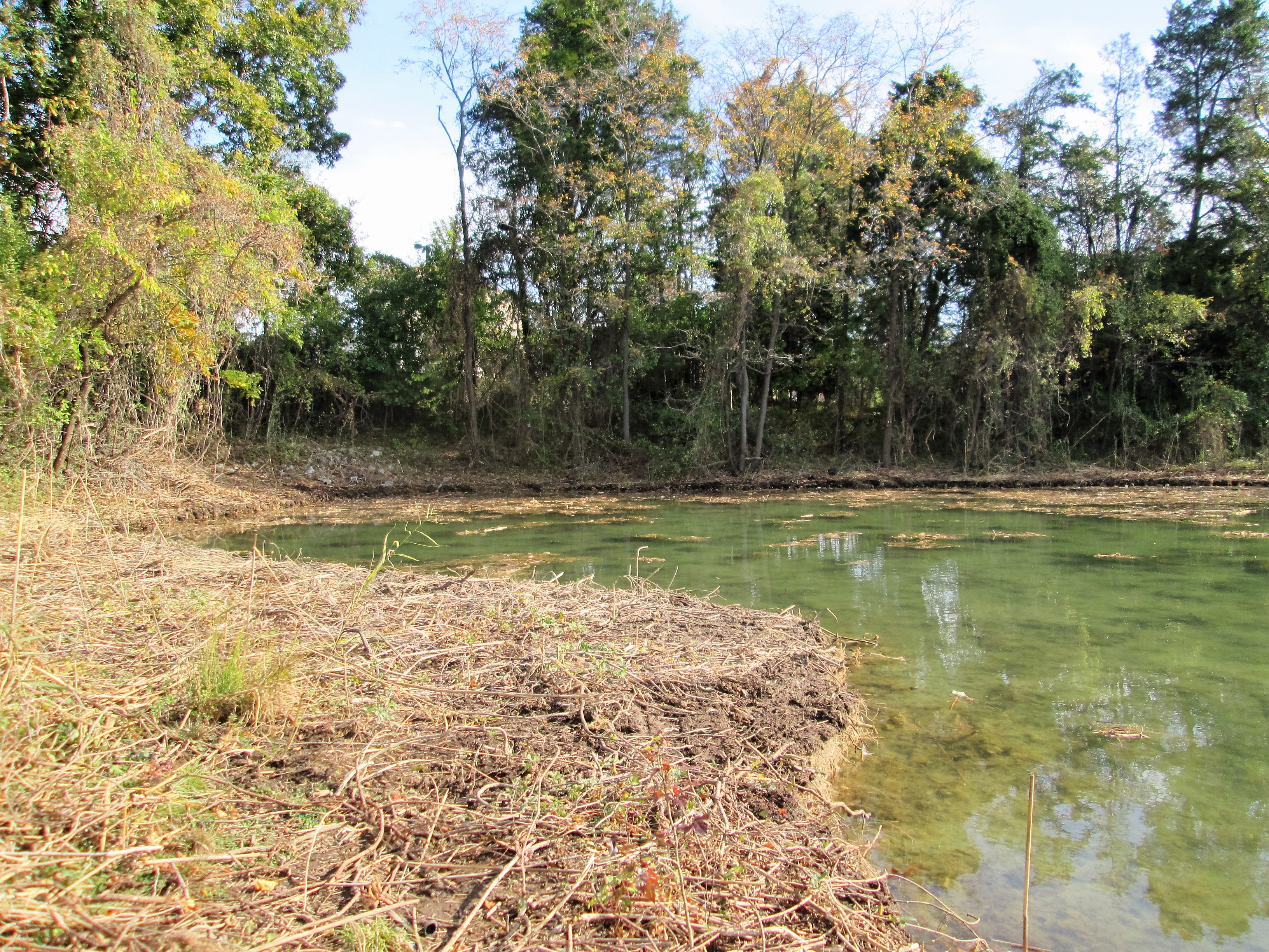
This shows where the roundhouse use to be, north of Filter building.