Tags
Baltimore, engineering, Farmers Market, food, HISTORY, Monuments, Mt Vernon, Museum, music, photography, Washington Monument
Living in Baltimore most of my life, there are but a few things that I have never done while living here: Visited the Peabody Library, climbed to the top of the Washington Monument and gone to the downtown Farmers Market. So, time to check those off my “To-Do” list.
First stop on Saturday morning was the Peabody. They are only opened a few hours on Saturday. 10a-1p. 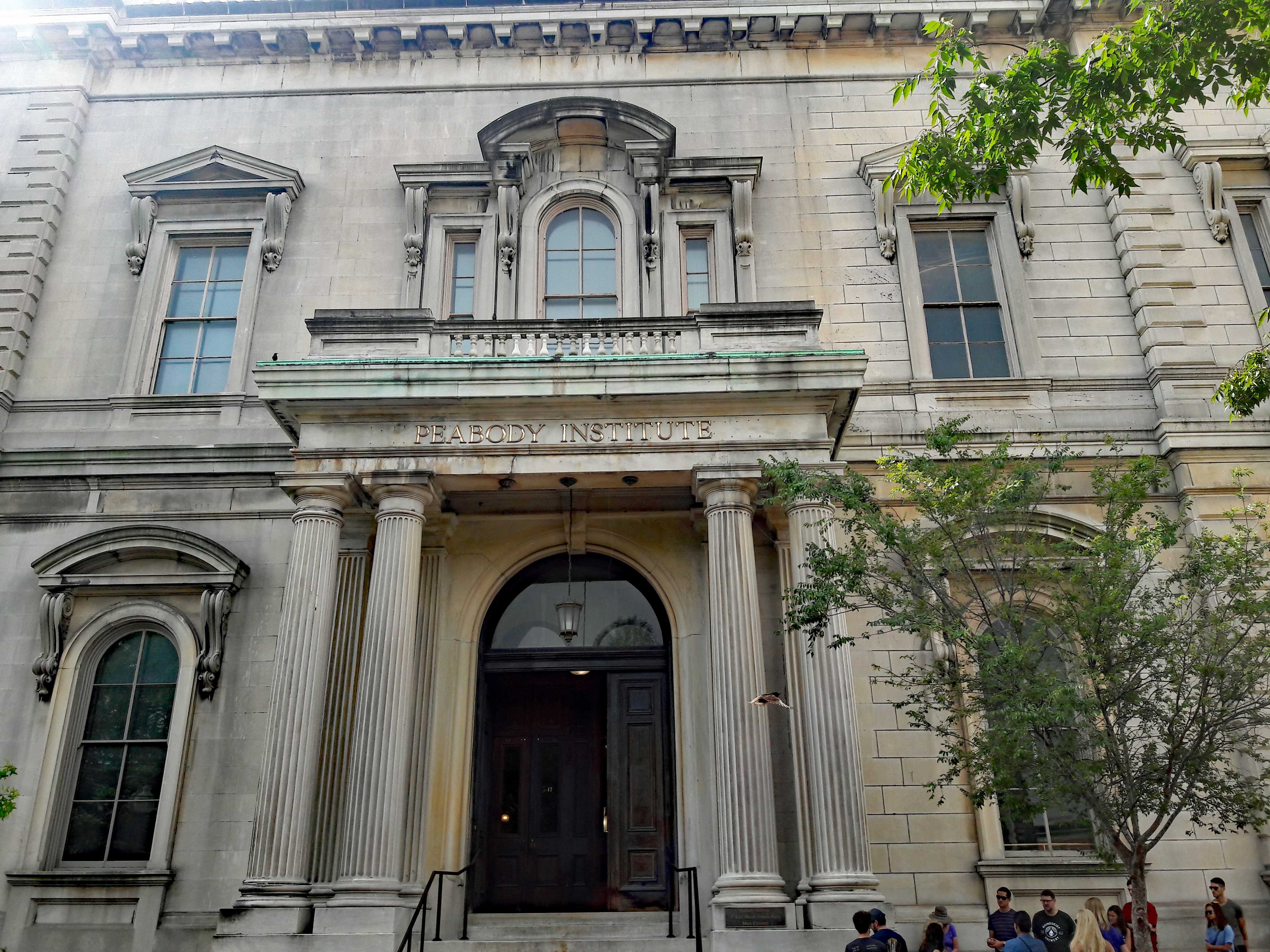
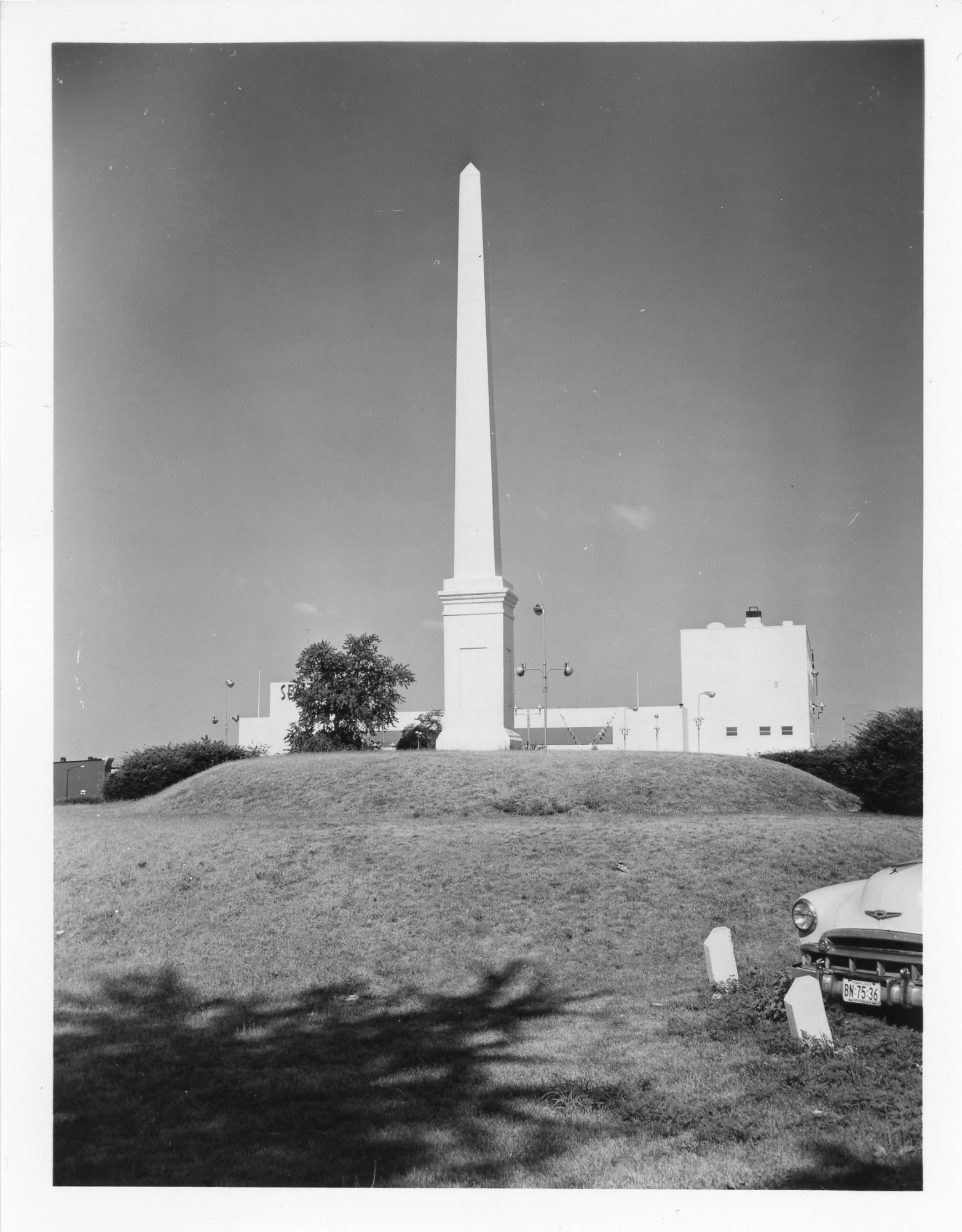
Before going in we took a shot of the Washington Monument. A lot of these photos Kathy took.
Heading towards the library.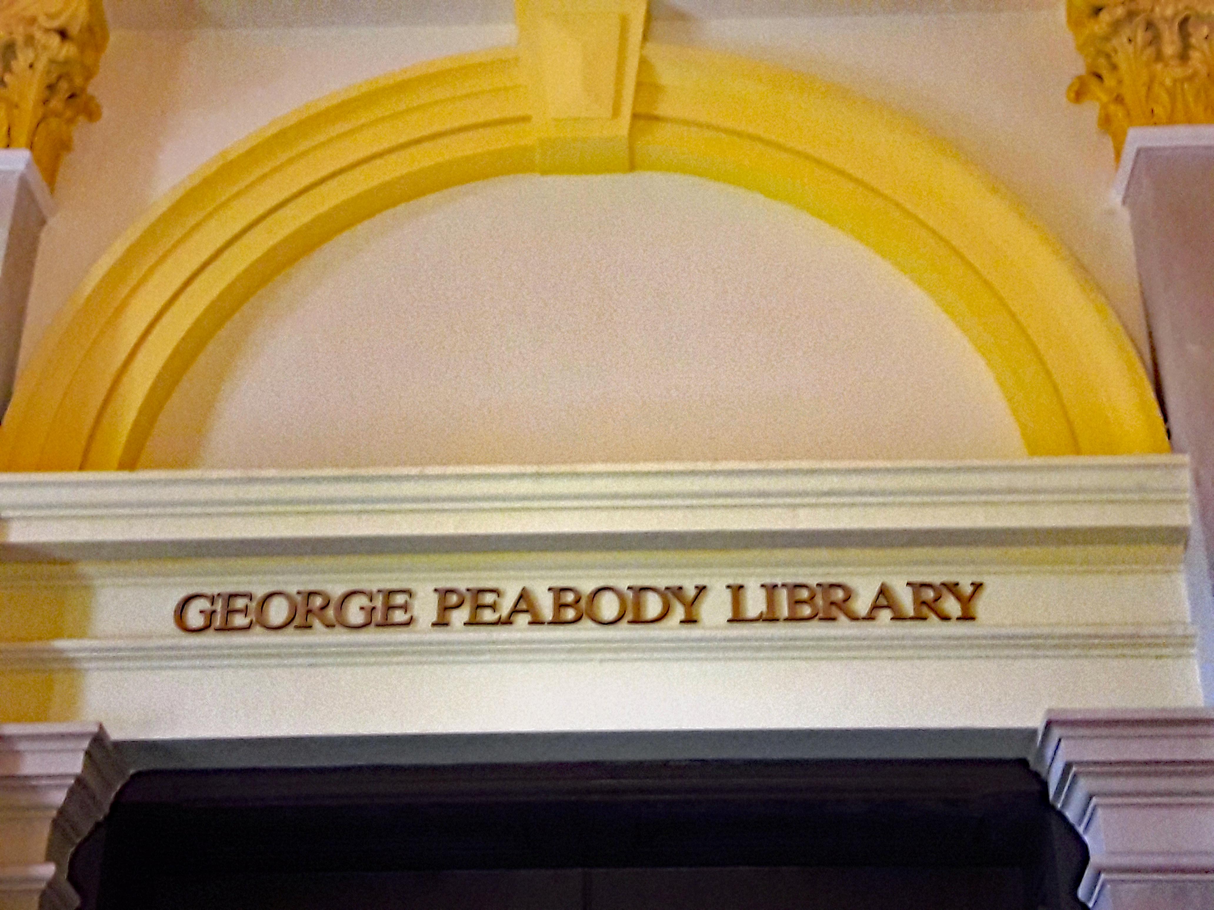
What a wonderful sight!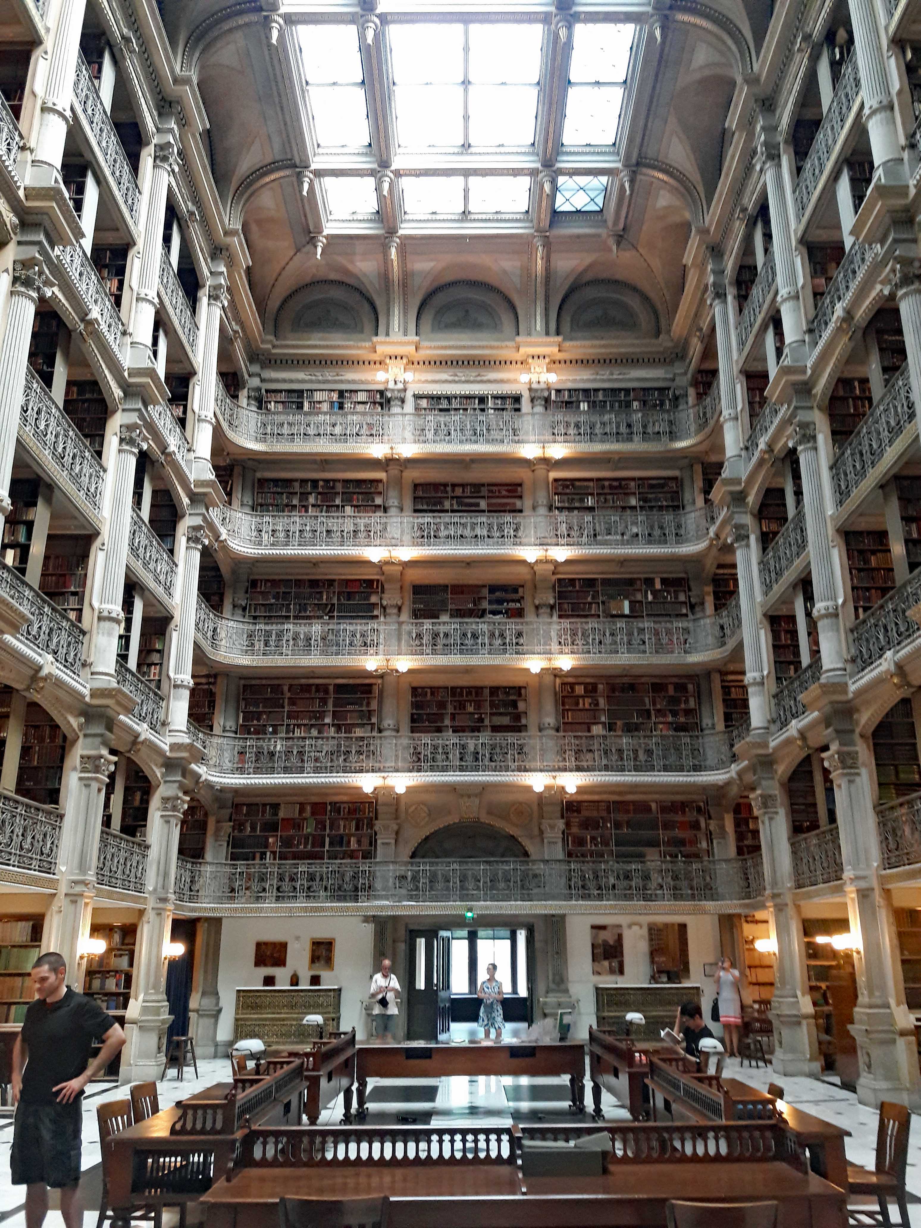
All these books! Old books!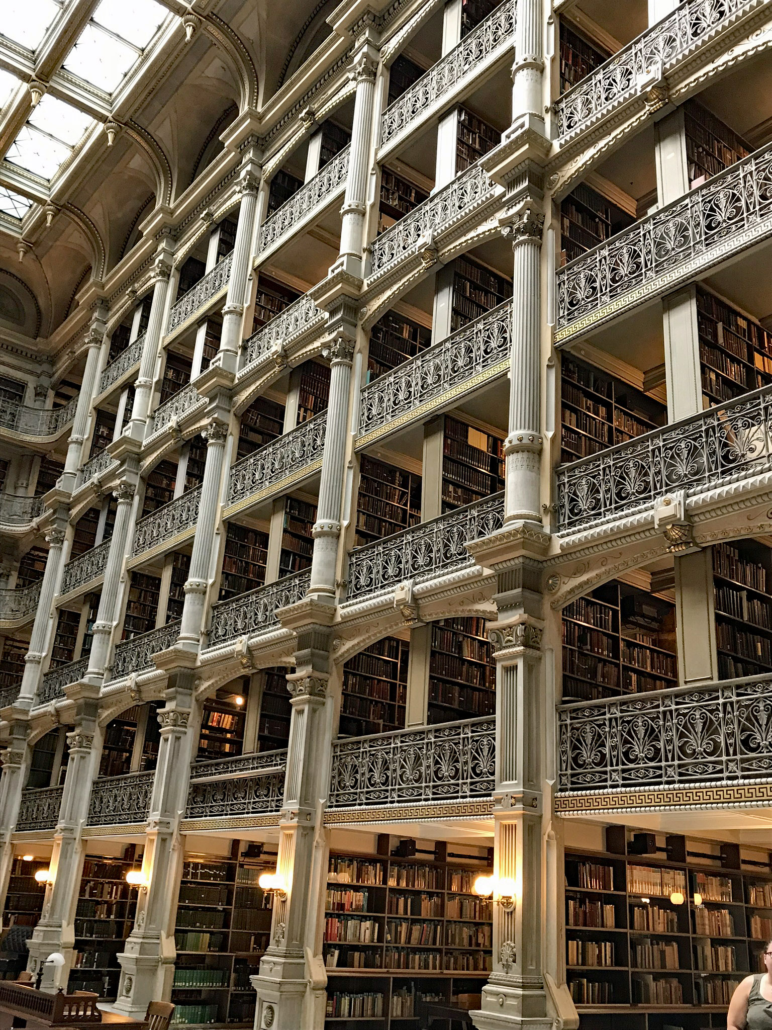
And the architecture is amazing.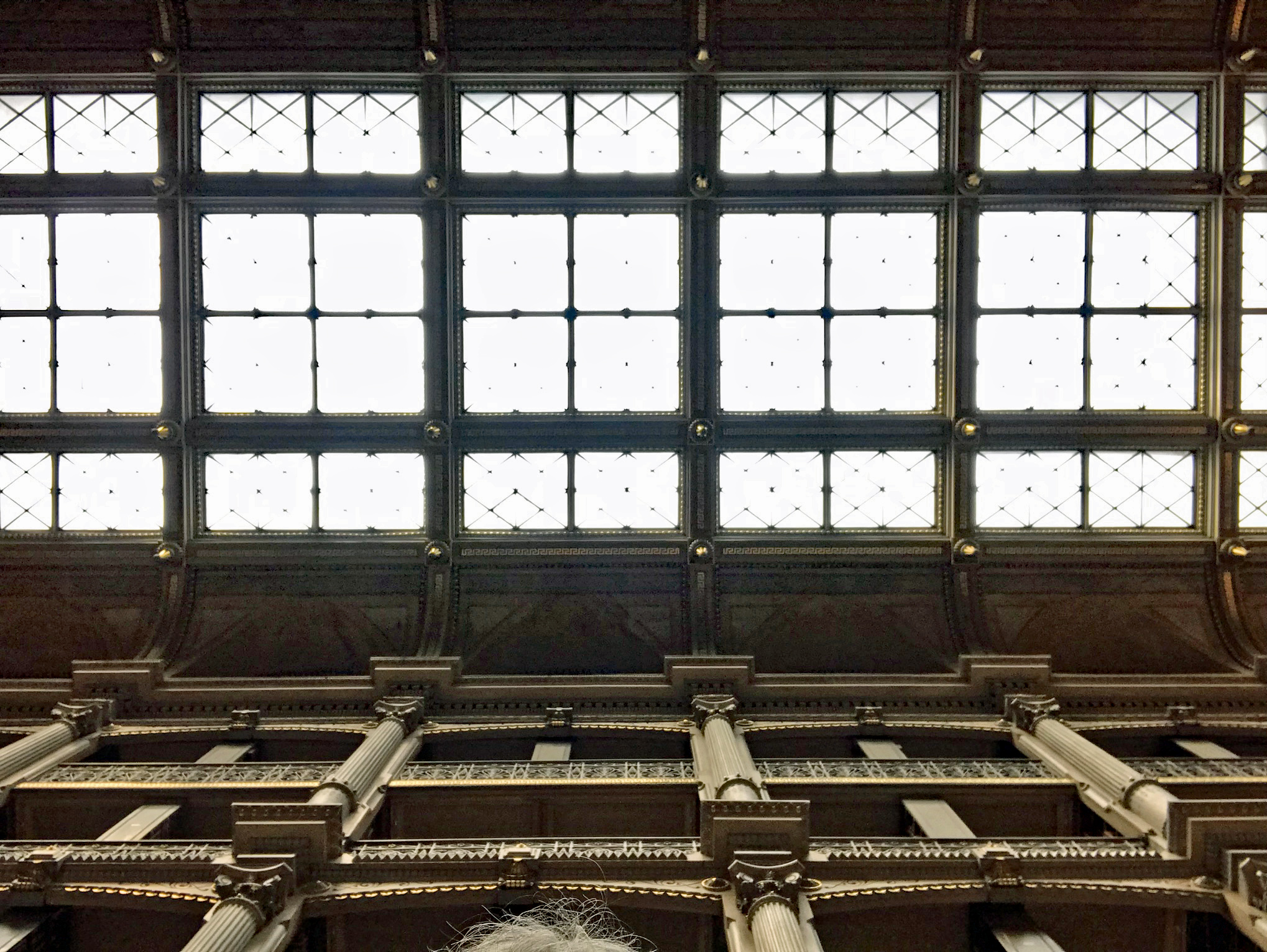
Of course, since you are not allowed to roam around the upper shelves, the next best thing to do is to look through the card catalogue. My name is there – but no listing of my books!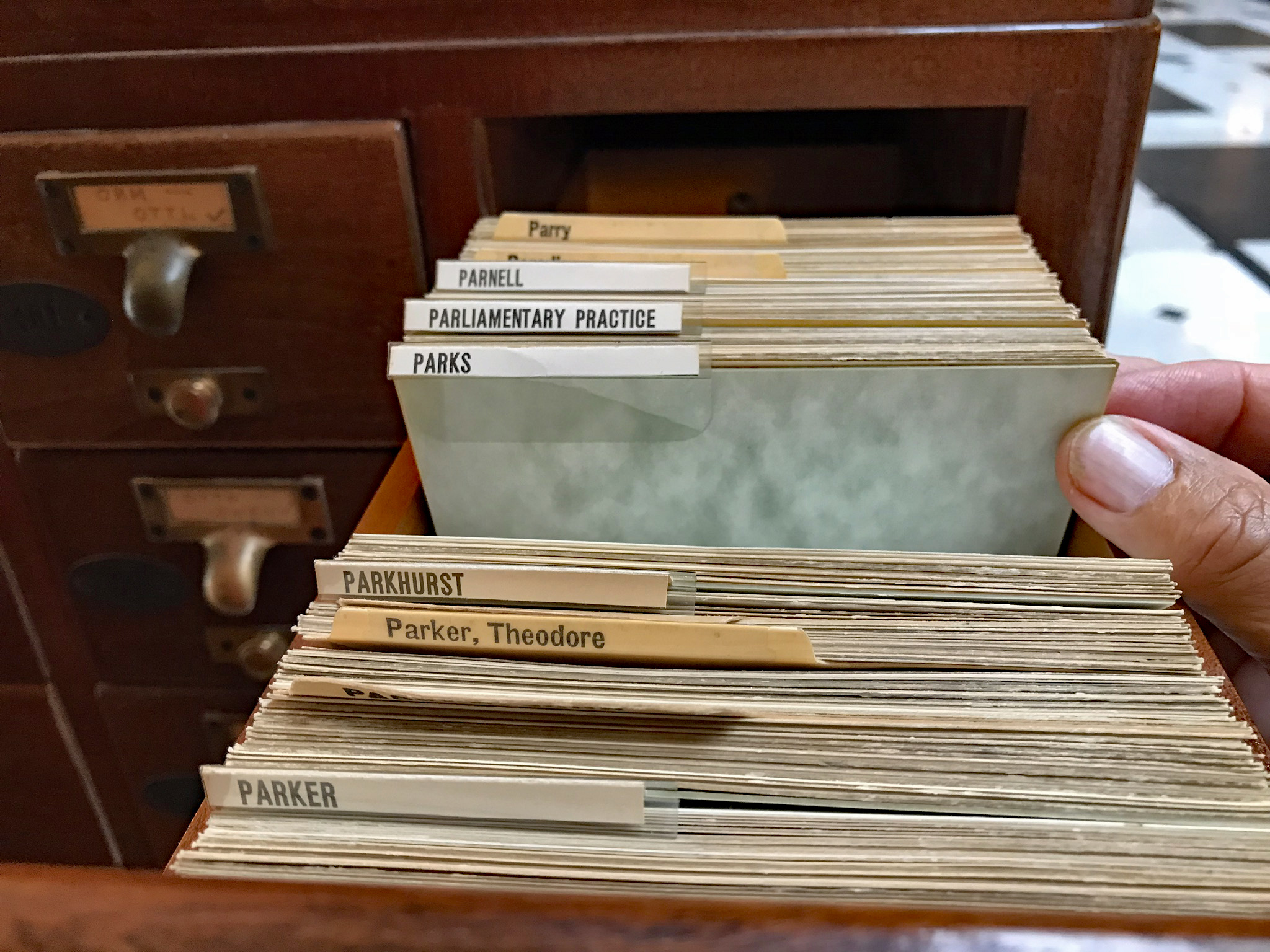
Kathy also has a listing.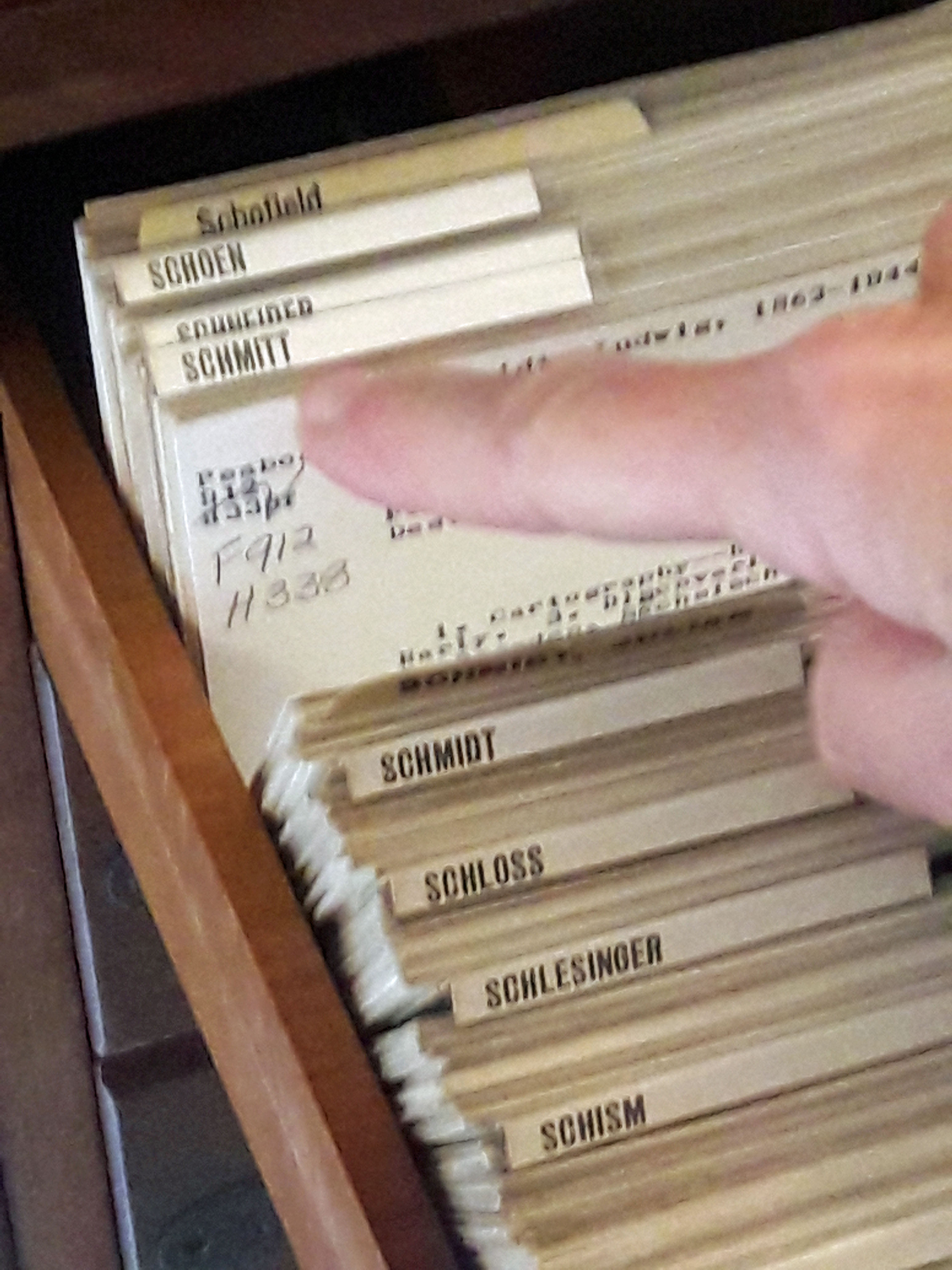
After a while of gazing in amazement at the library, we decided to roam around other parts of the building. The Peabody Music School is here also.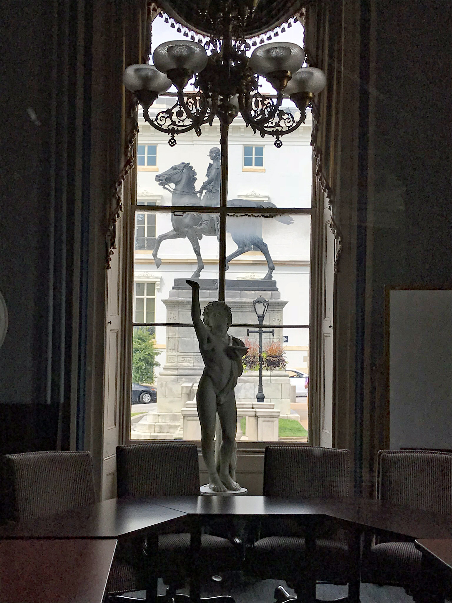
Looking up from the bottom…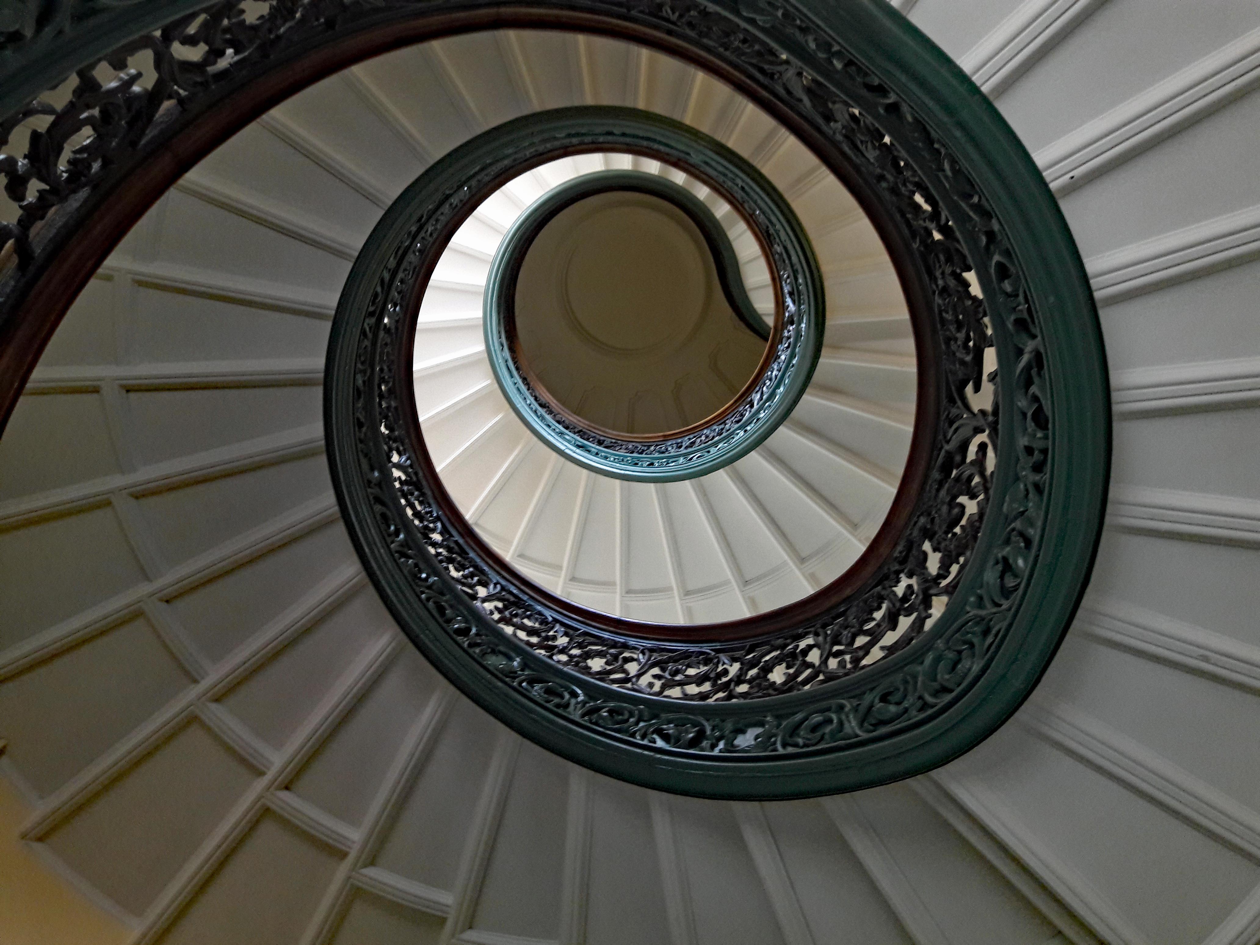
And then down from the top. Helter Skelter.
Kathy took this next photo. One of my favorites.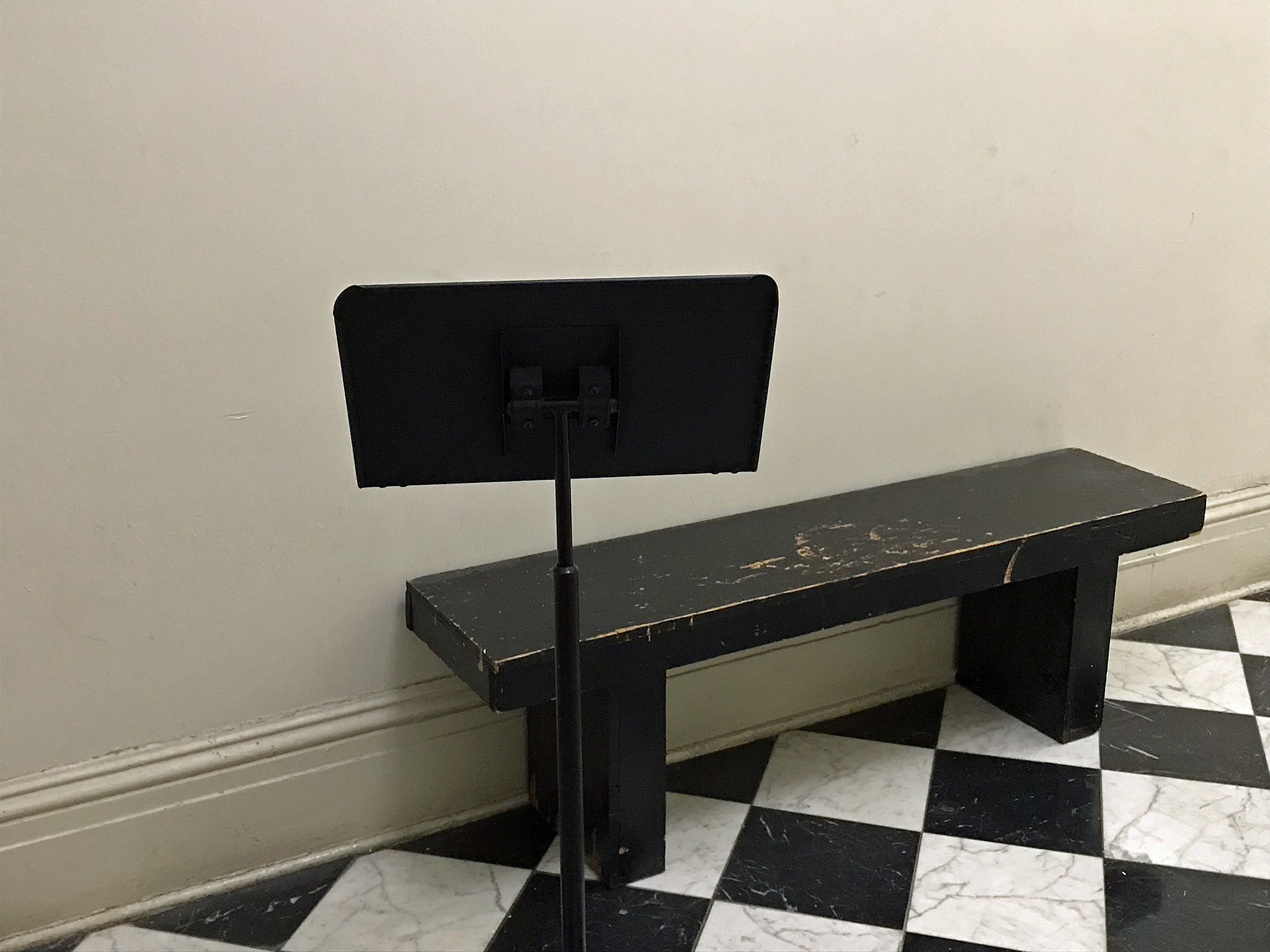
Up and down the halls. I was surprised at all the areas we could venture to.
A history of one of many violin makers.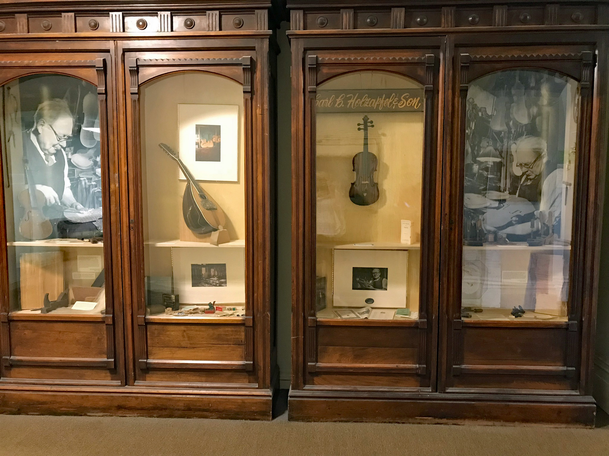
Random artwork.
Time to leave the Peabody and head outside. Looking at the Washington Monument I noticed that the gate was open! My heart started beating faster! I have always wanted to go in and climb to the top!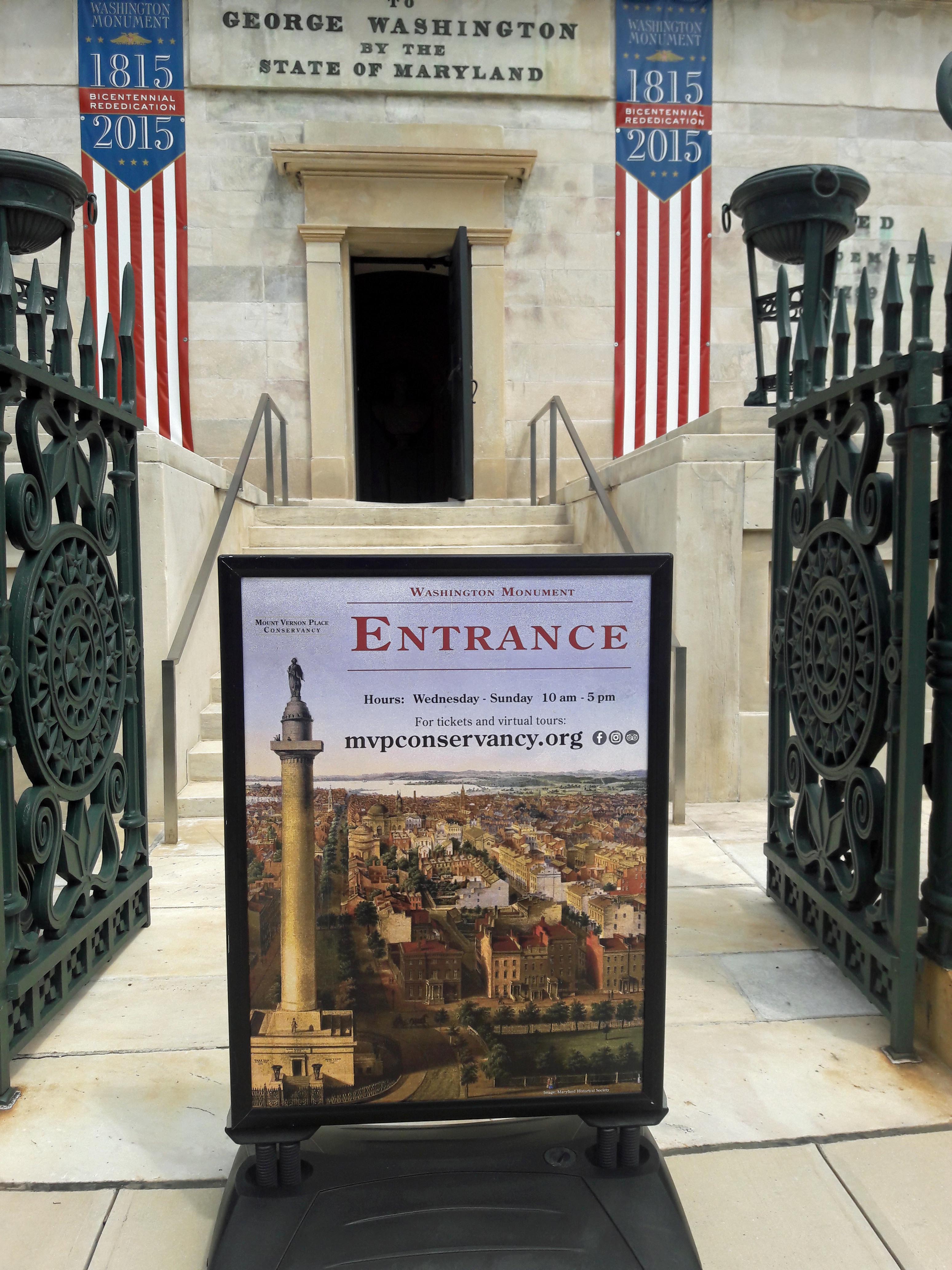
Yes! The steps are open! $6 is a small price to pay, to be able to go to the top! And I am off! (Kathy did not want to go, but she said she would take a photo of me looking out the window)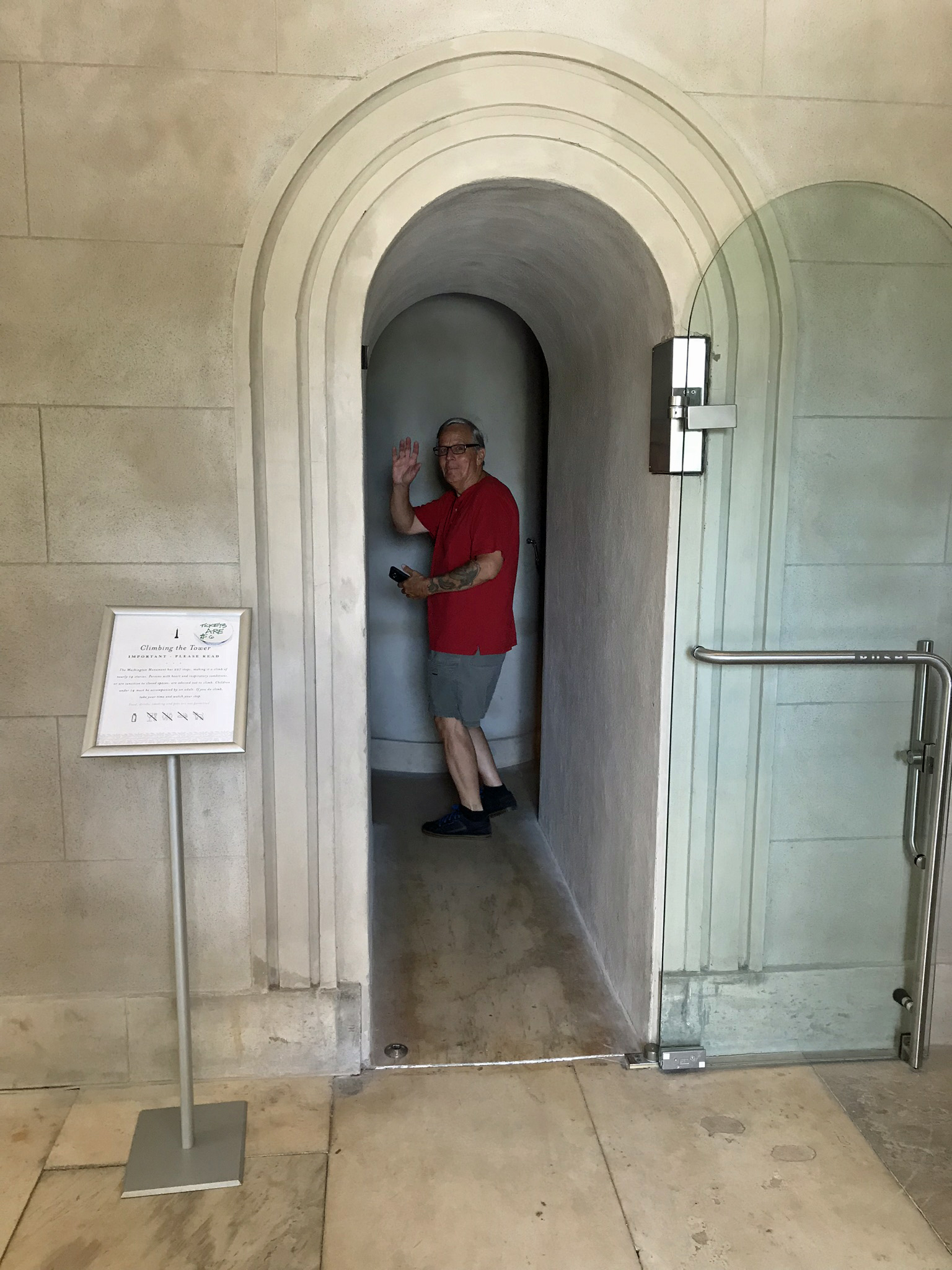
Holy crap! Am I going to make it??!!
Halfway there! Time to stop and catch my breath!!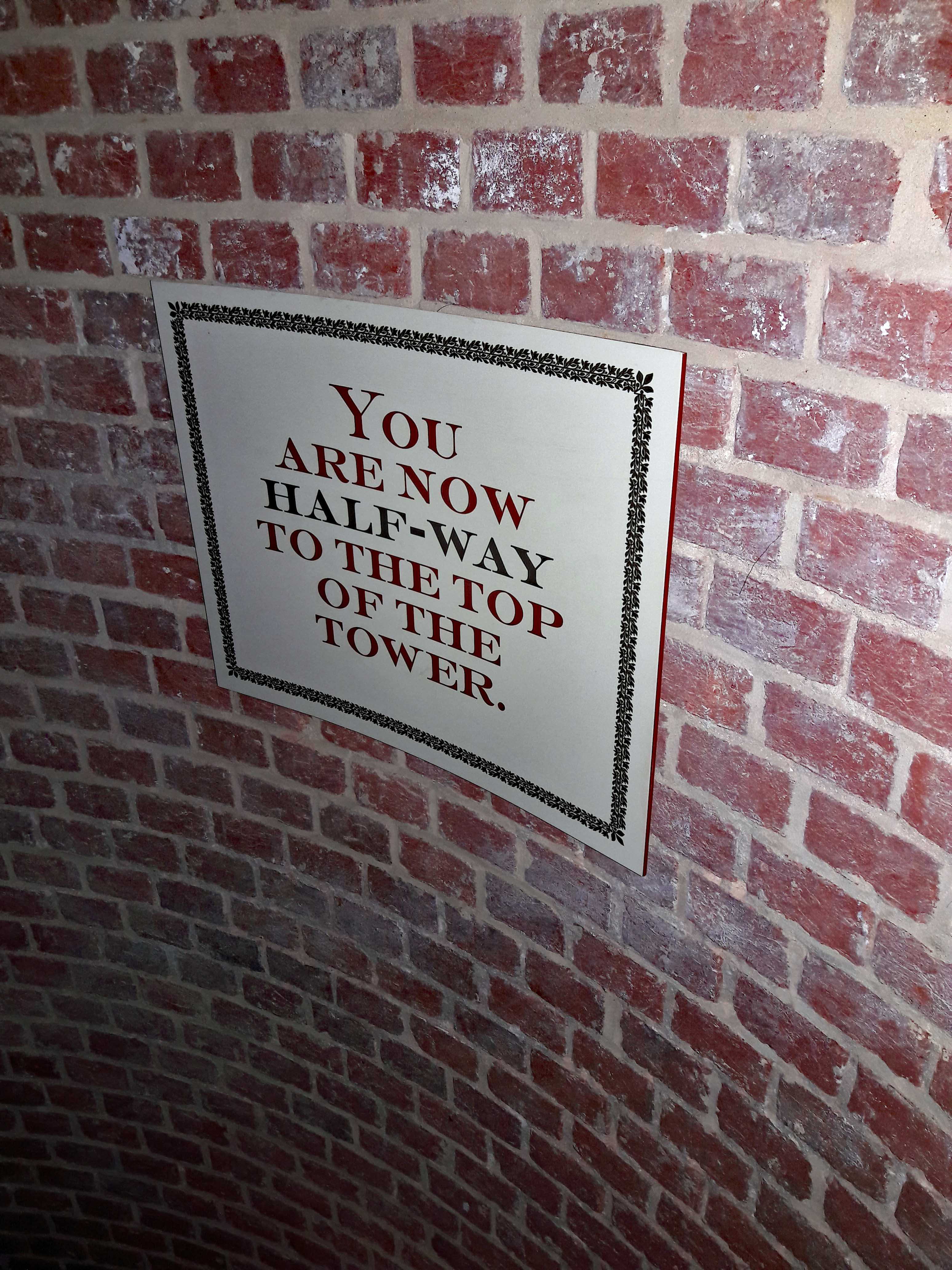
I knew aliens built this thing! 
So close!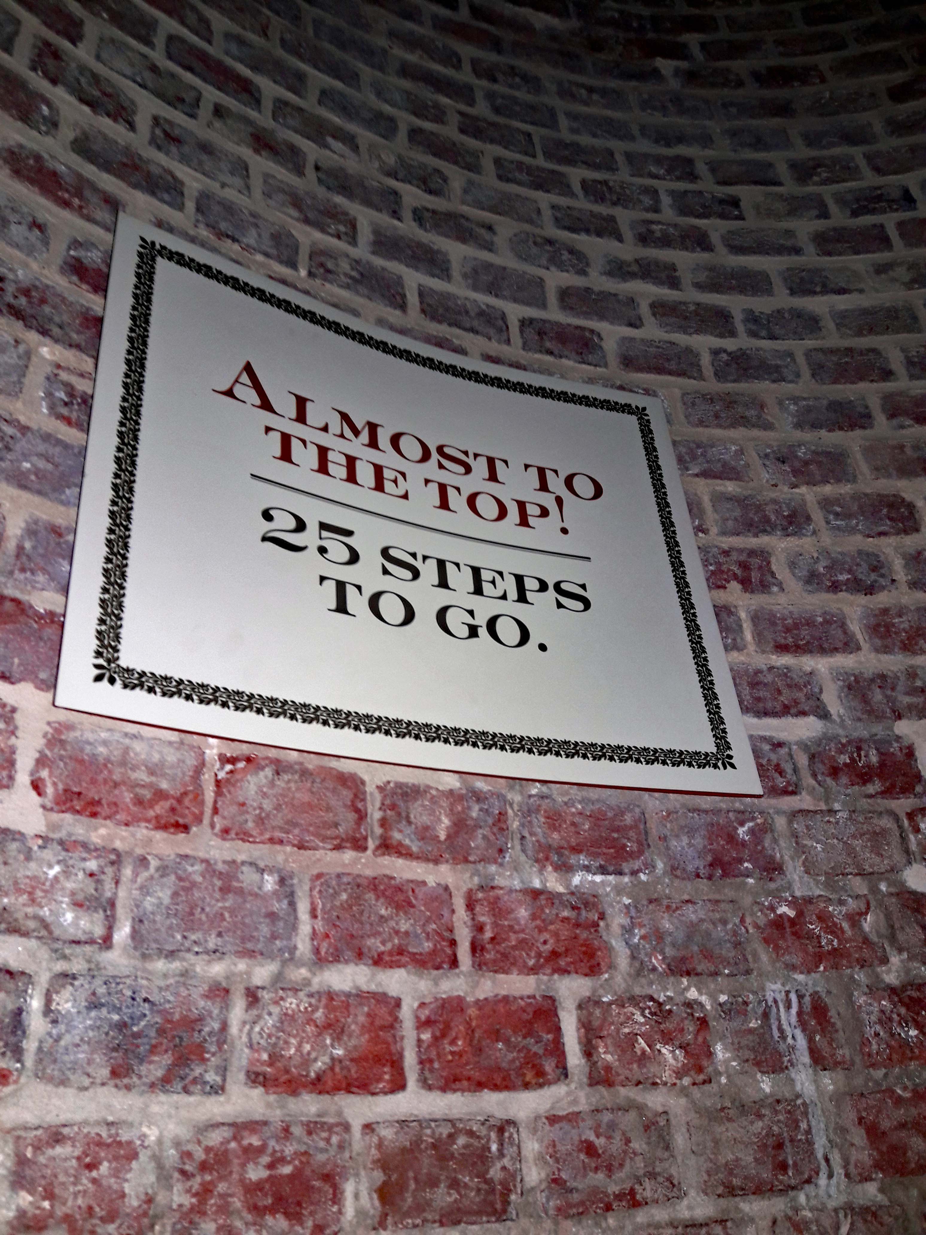
Wow! What a view. (I did take lots of pics, but seriously, you should try to make this trip yourself)!
Another view. I wonder how much longer this steeple will last?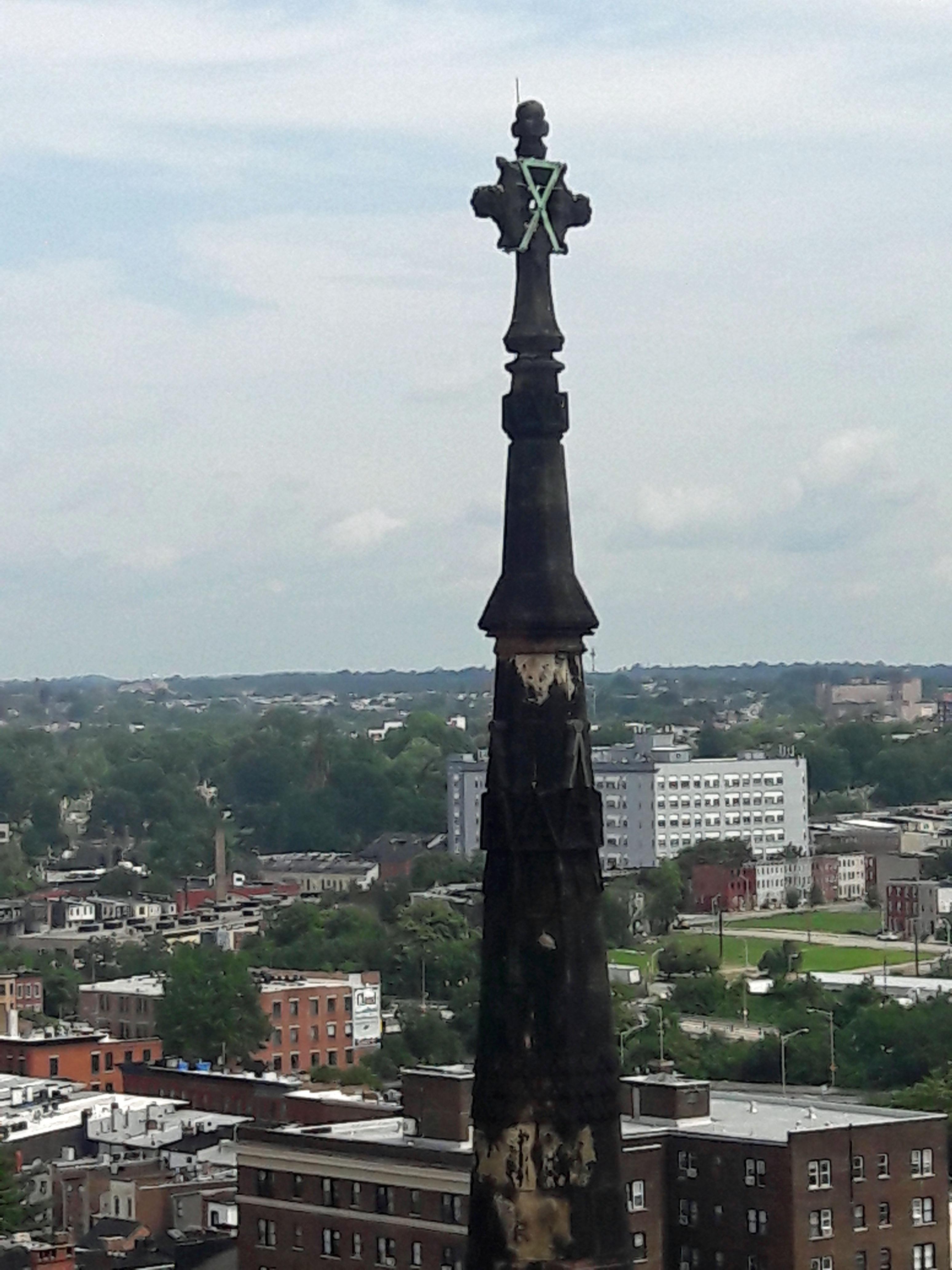
Where’s Kathy? Oh, there she is!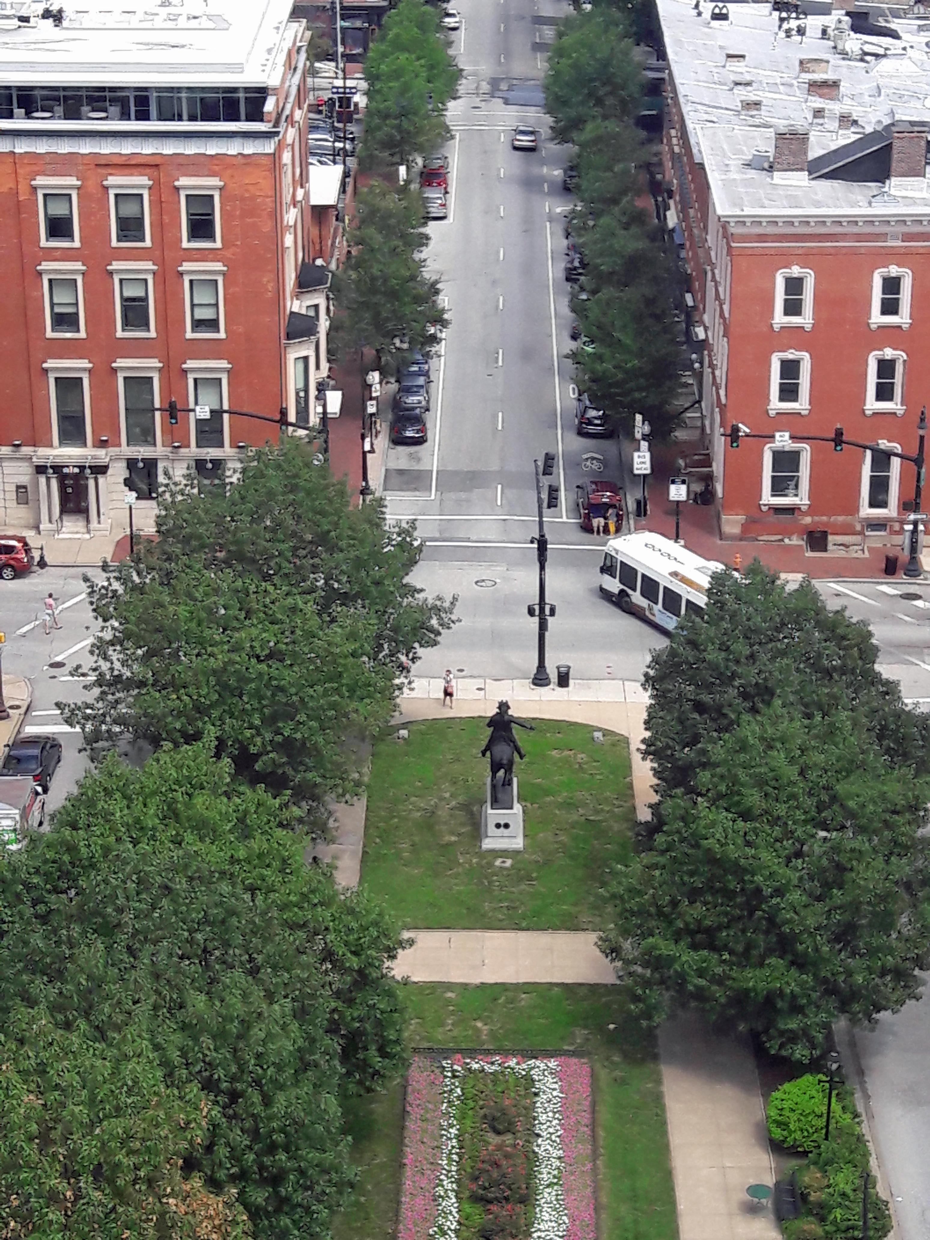
And her photo of me, waving through the window! I tried to enhance but there was just too much sun glare.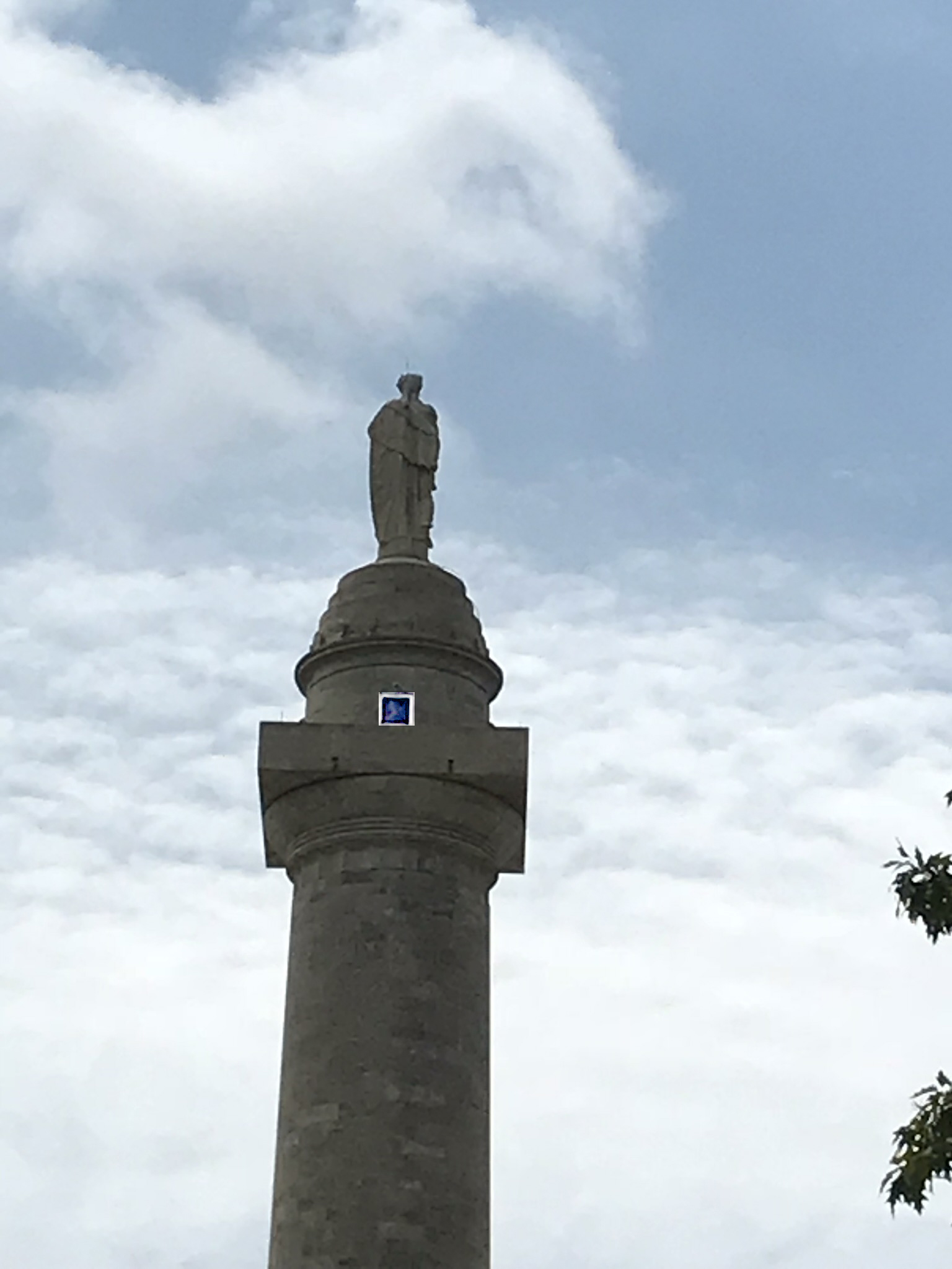
One happy camper!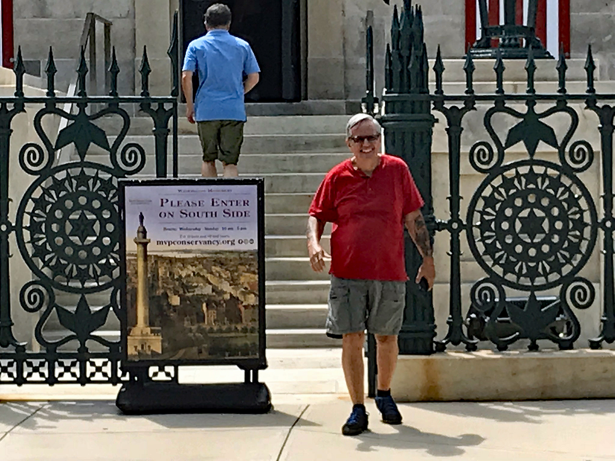
Another view of the monument.
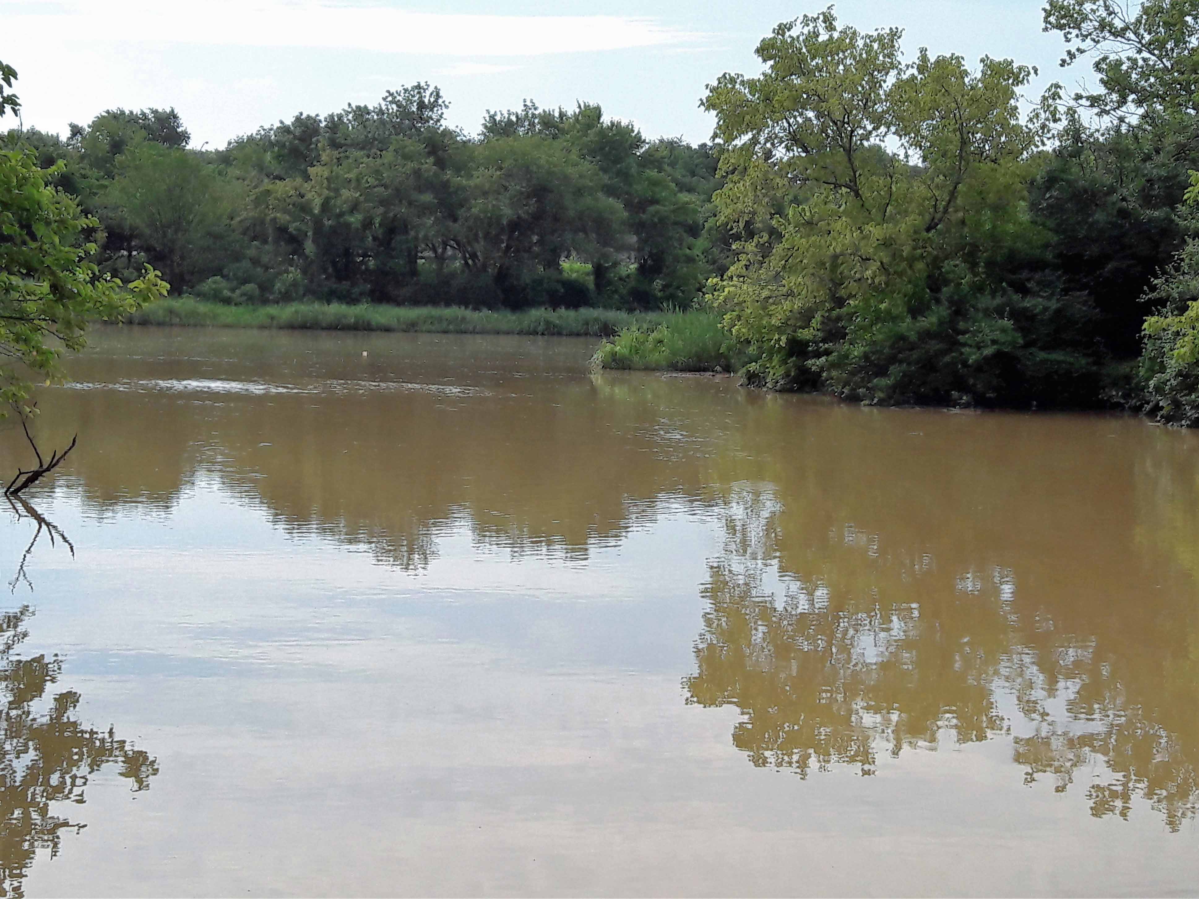
And still another, as I REFLECT on my trip up the steps and catch my breath!
And Kathy’s reflections.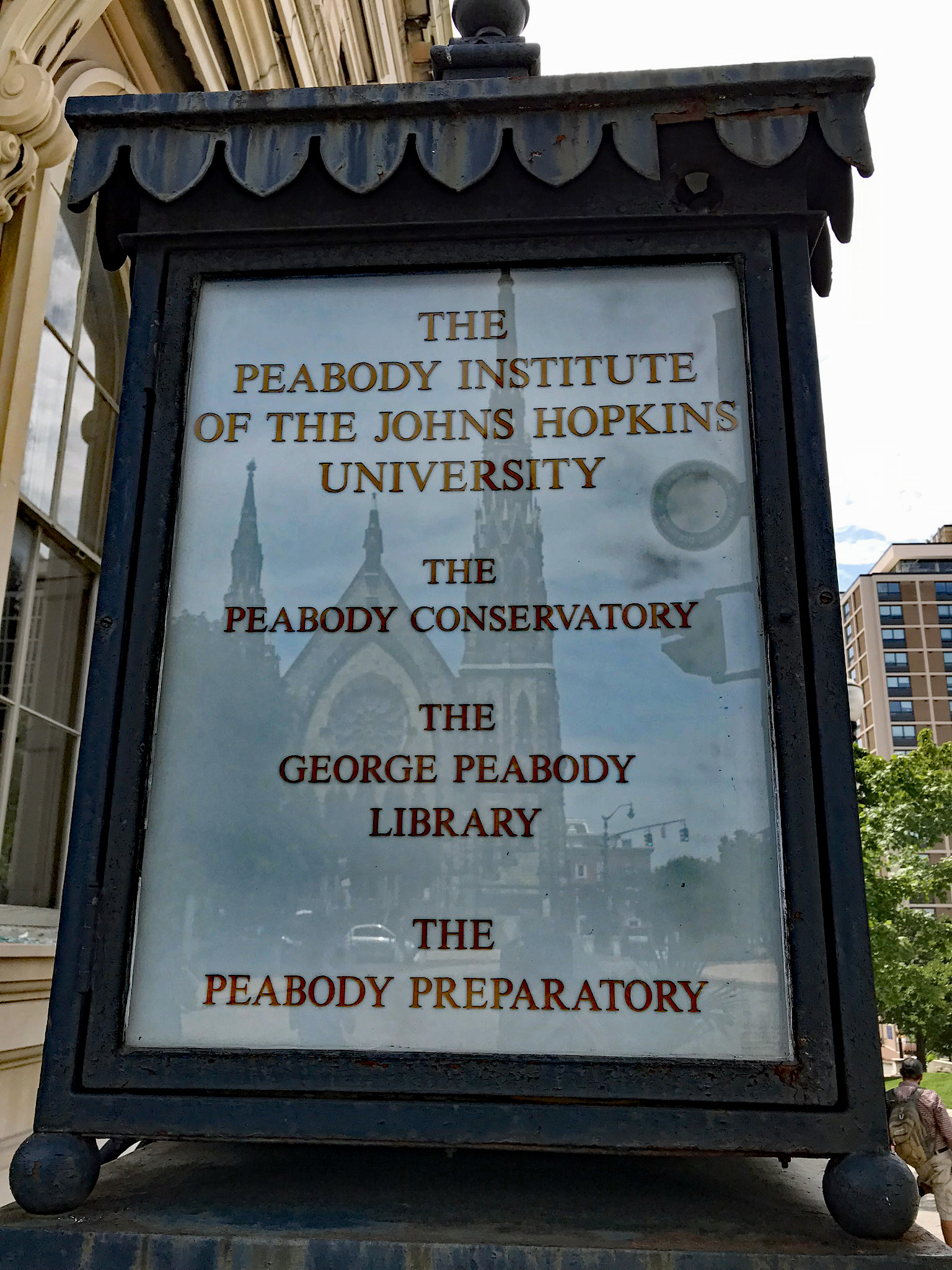
Worked up quite an appetite, so here is where we went. Great food. Highlandtown on Gough St.
That was all on Saturday. Sunday we headed to the Farmer’s Market.
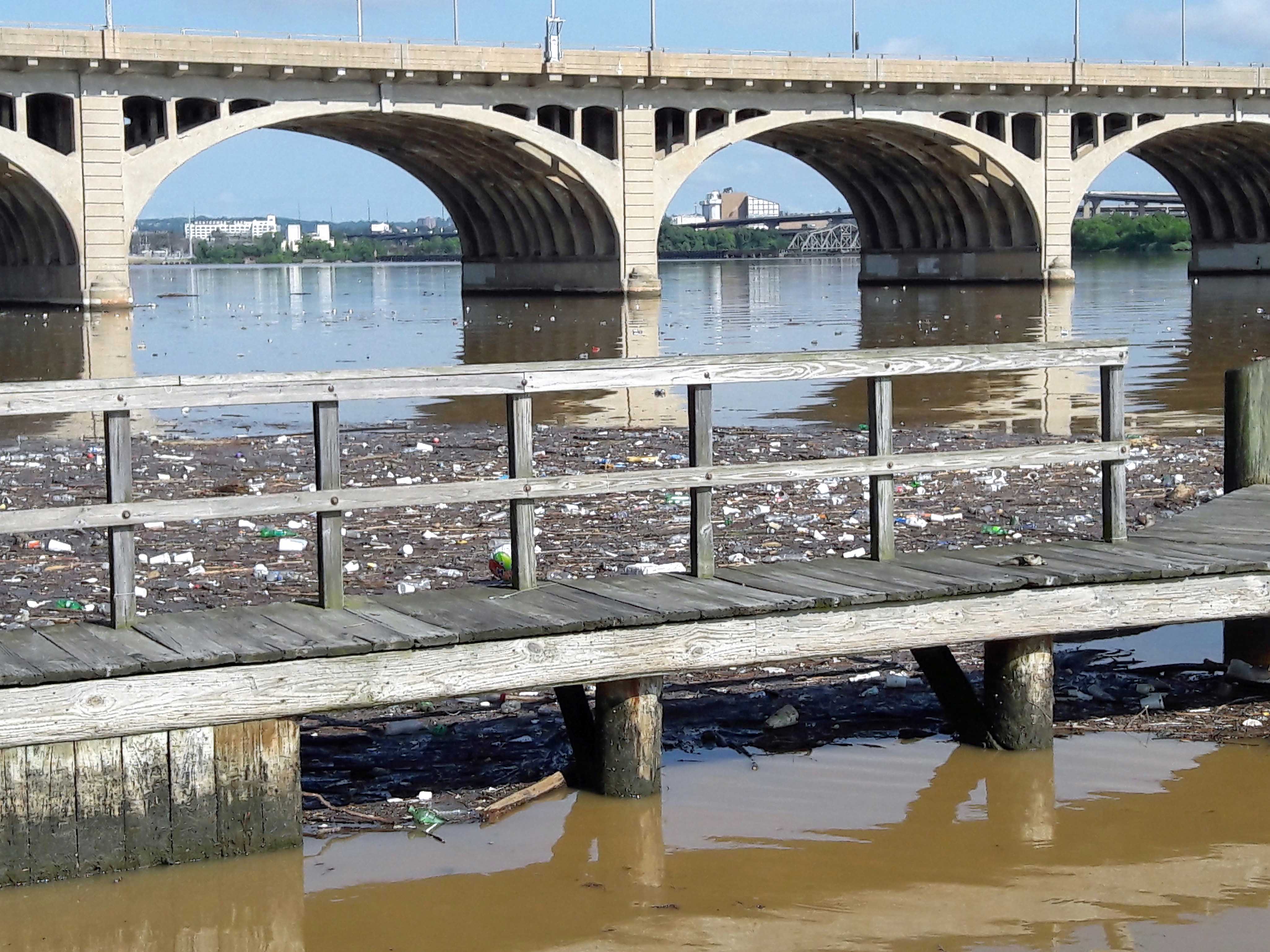
A preacher preaching under the overpass.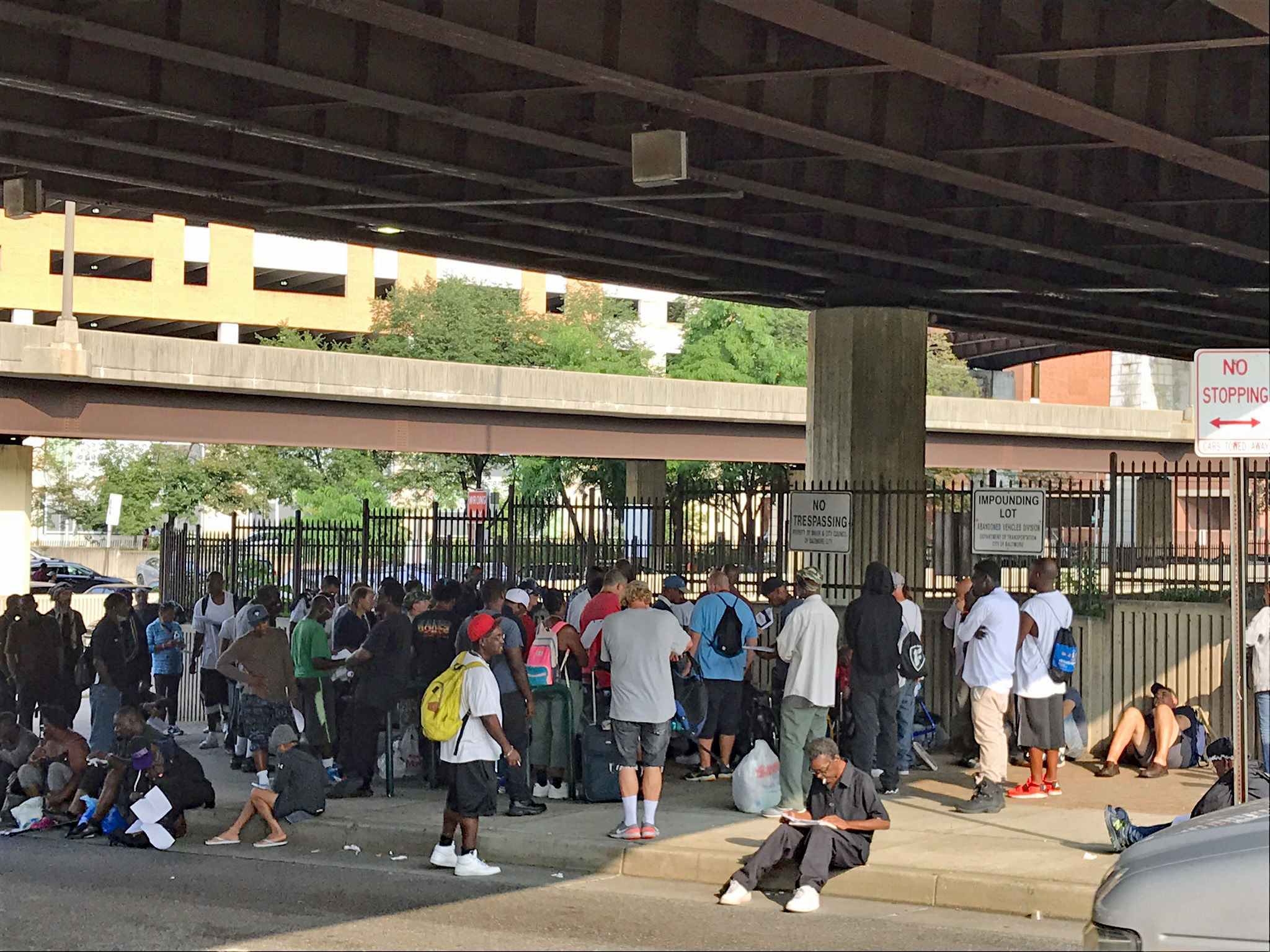
Lots of food and art work.
Murals everywhere. I liked both of these. It looks like it says “Horny, Angry Man”?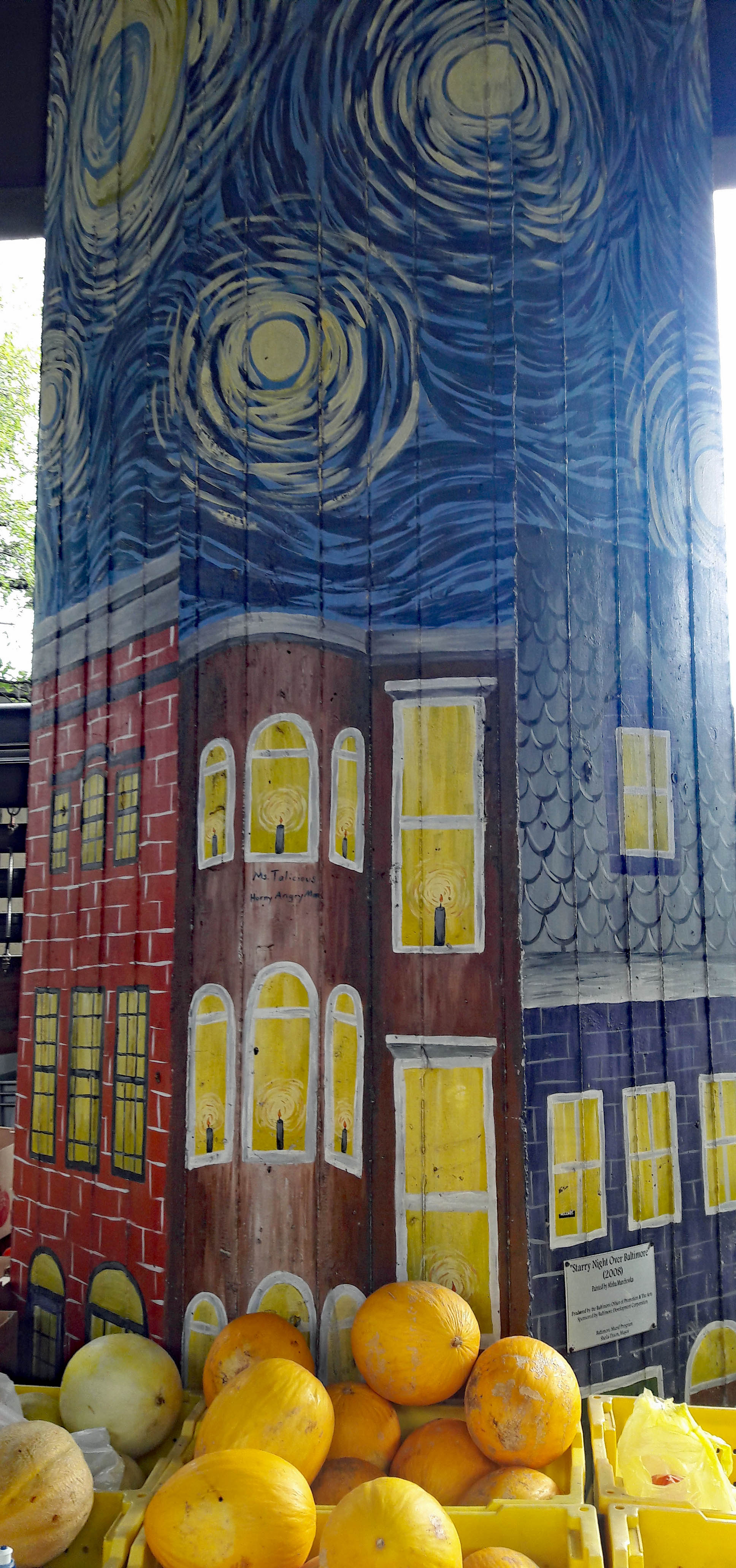
Lots of fruits and veggies. 
Shrooms!!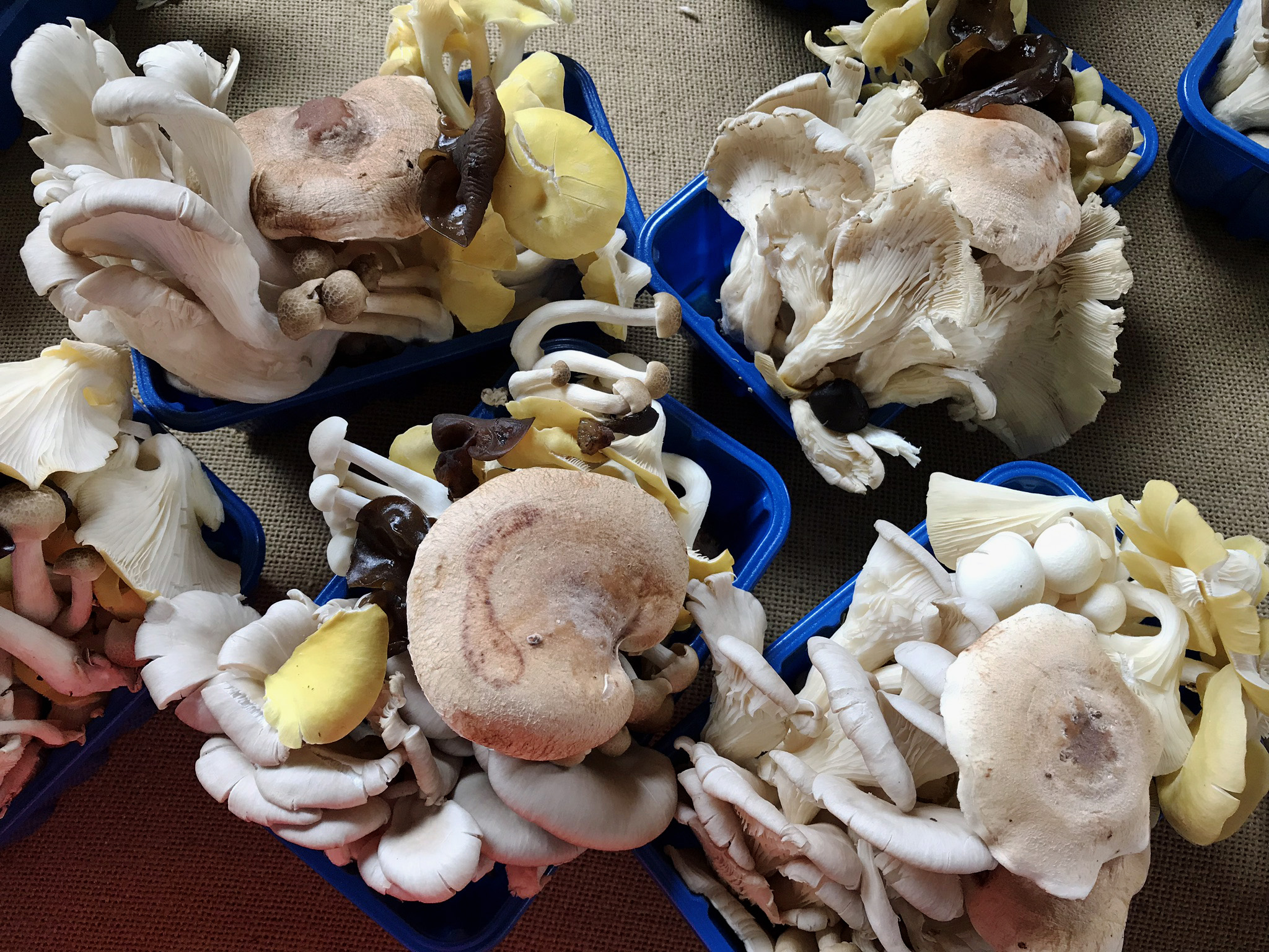
No, I do not!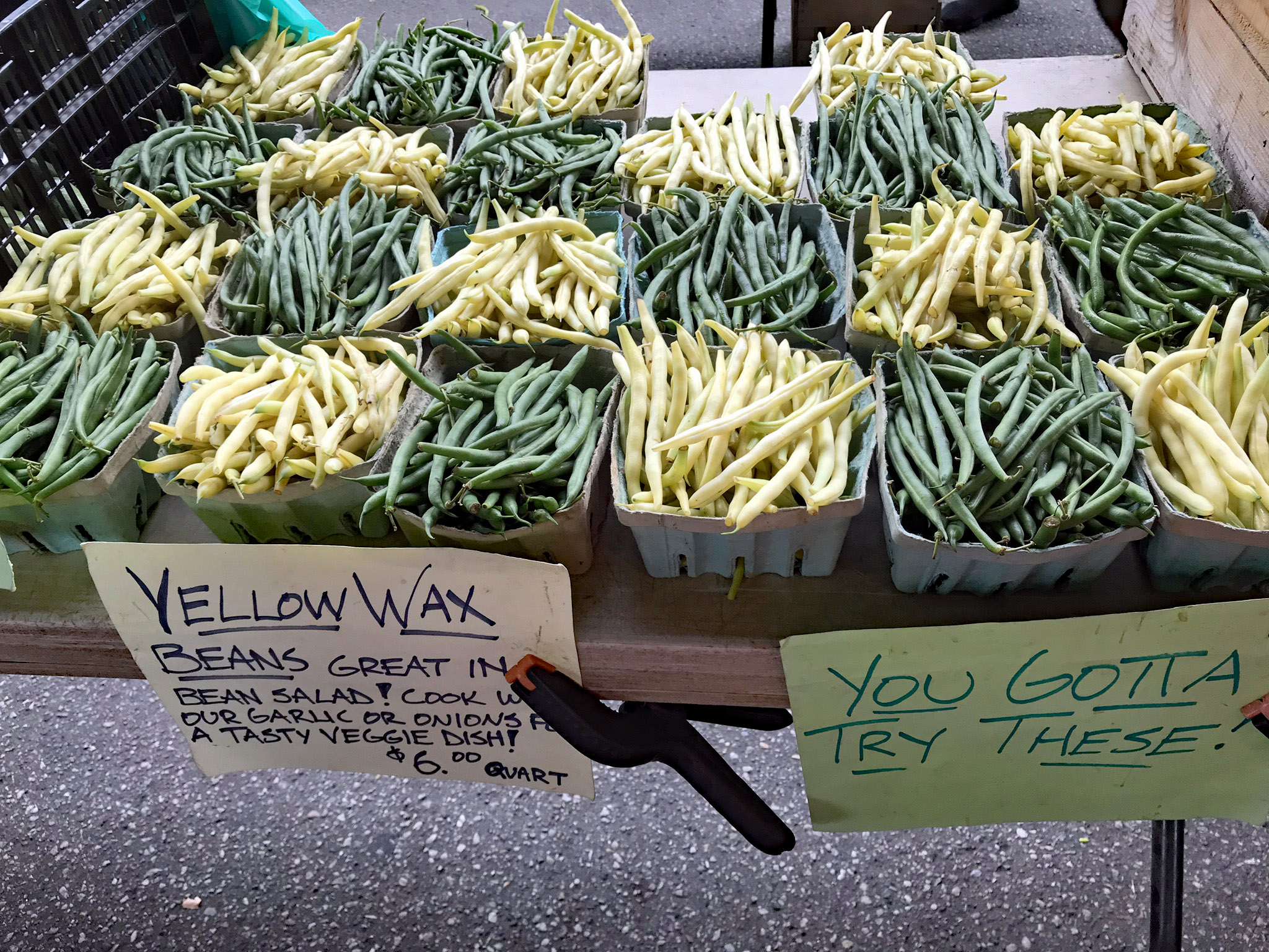
Nor these!
Time for breakfast. Crepes.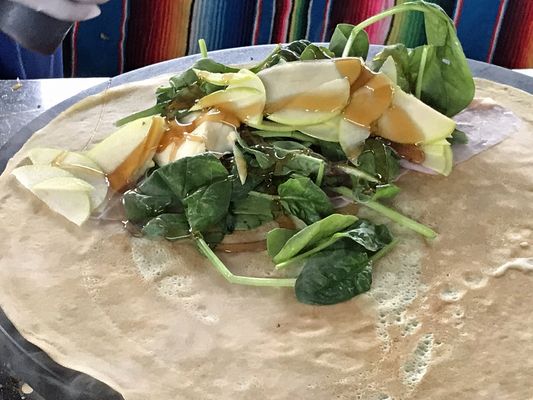
And a piece of art.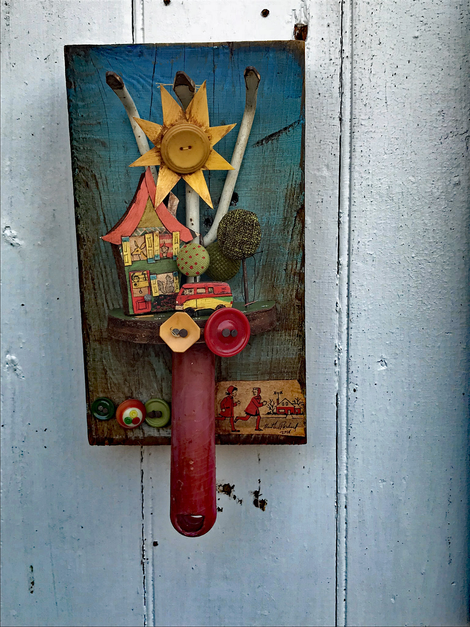
It was a great weekend in Baltimore. Thanks God and Kathy!!