• About
  • History Writings

Water and Me

Water and Me

Tag Archives: Pocomoke River

Nassawango Creek at Low Tide

29 Sunday Nov 2020

Posted by Ronald Parks in Eastern Shore, kayaking, nature

≈ Leave a comment

Tags

bridges, kayaking, Nassawango, photography, Pocomoke River, Reflections, tides

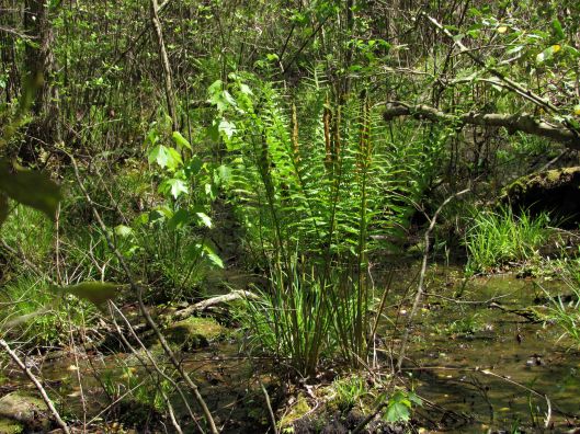
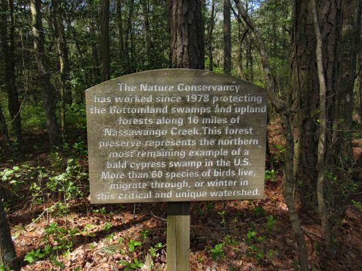
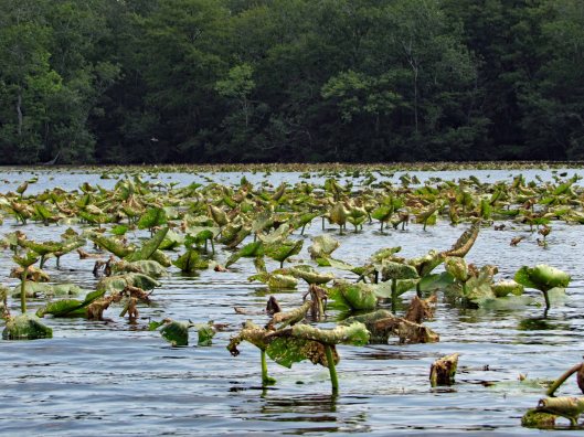
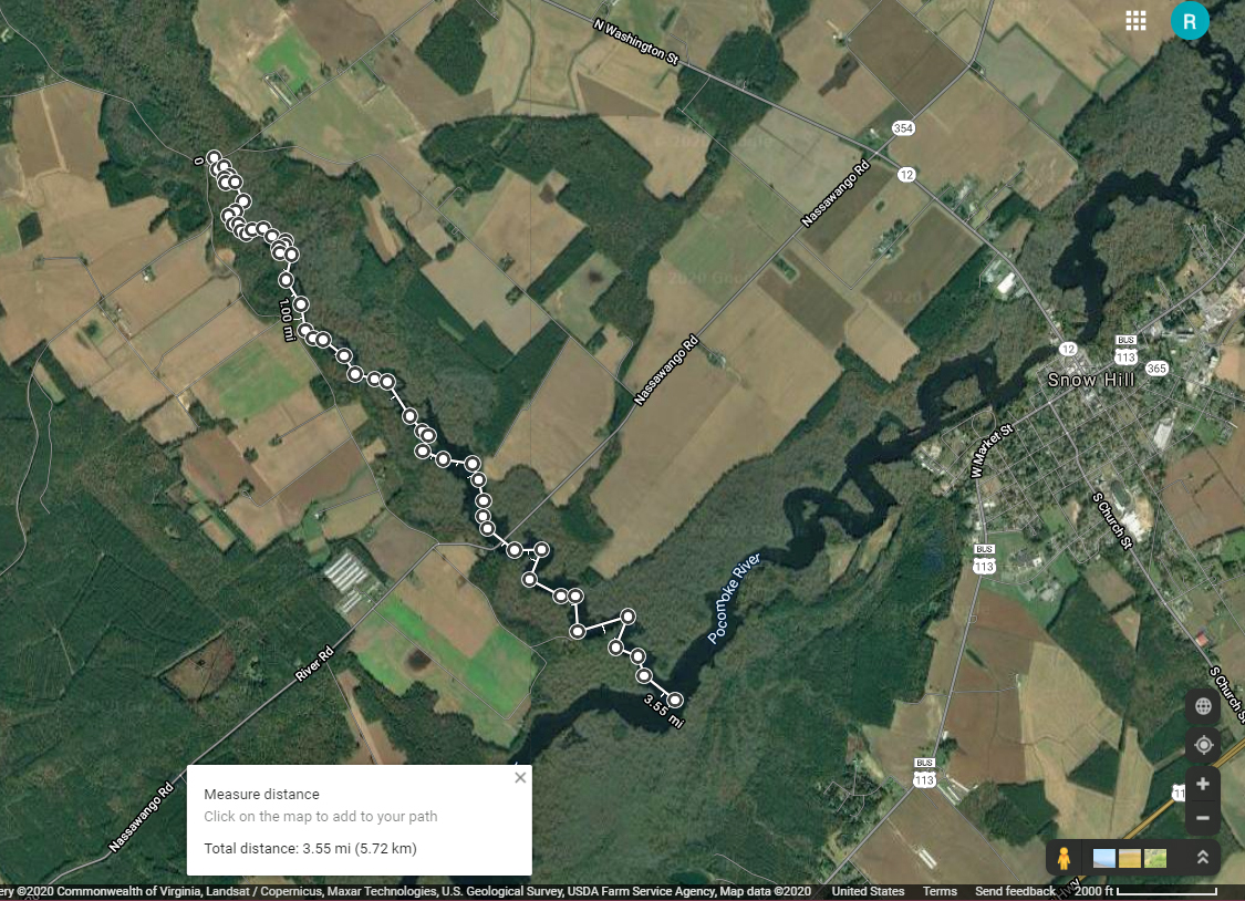
Headed out a little late for a long kayak adventure so we decided to go to a spot nearby – Nassawango Creek to the Pocomoke River. We have done both of these this past summer, but this is our first time going all the way down the Nassawango to the Pocomoke. The water was unbelievably low today and as we stood on shore looking, the creek was still flowing out, rather rapidly.

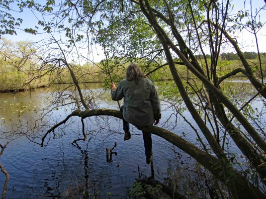
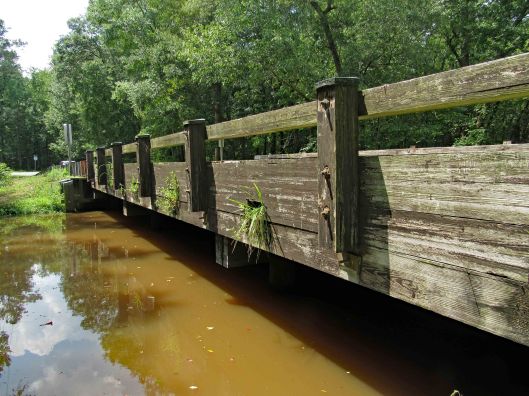
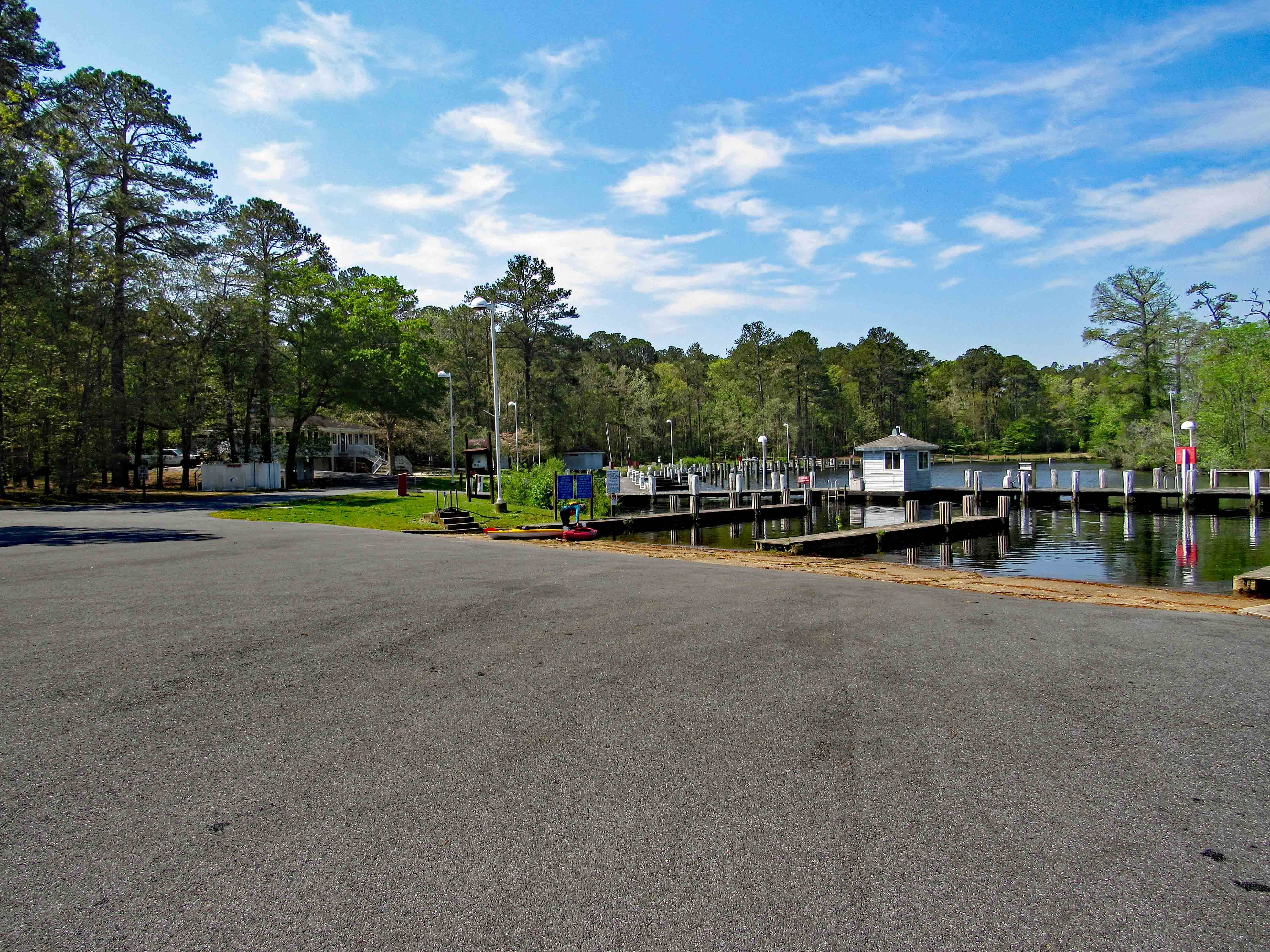
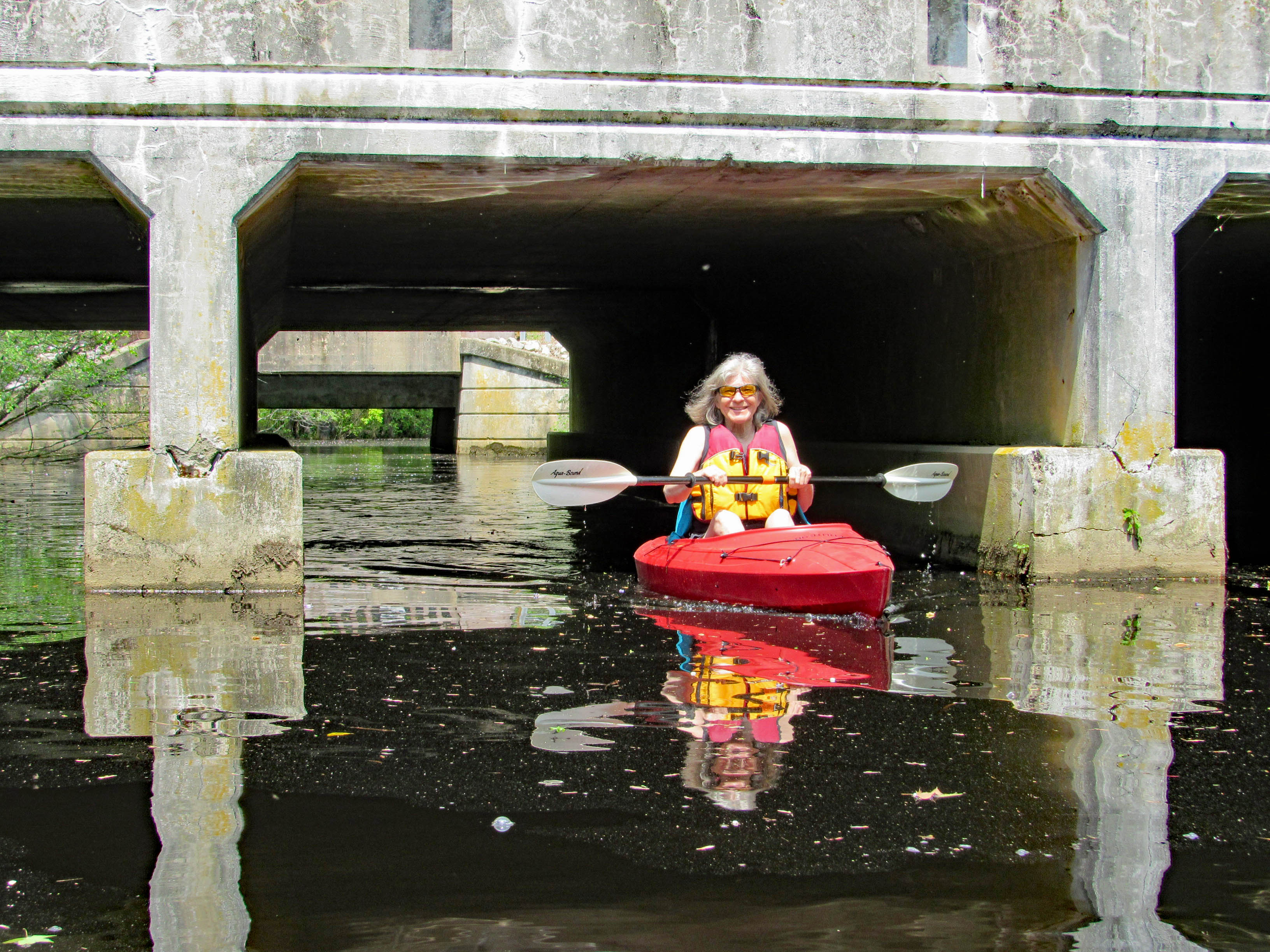
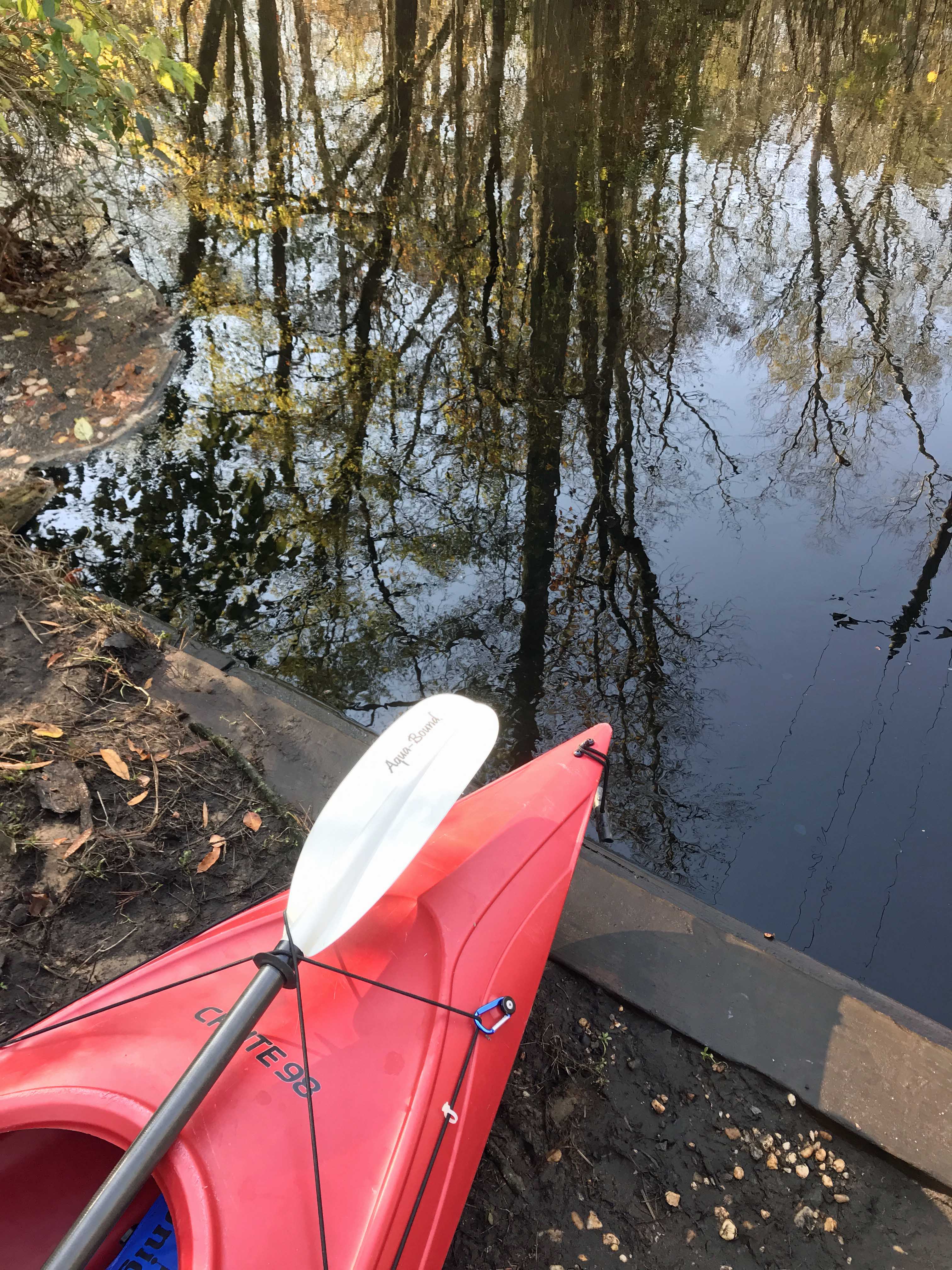
I prefer a ramp/launch to get in and out of my kayak. I know I risk scraping the bottom quite a bit, but I’d rather do that than fall in! The water being so low, you need to step down two steps. (This is my favorite photo, taken by Kathy)

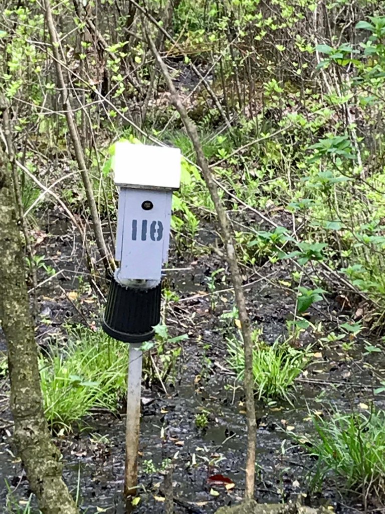
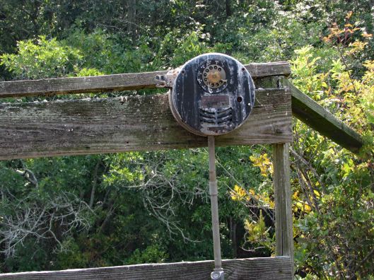
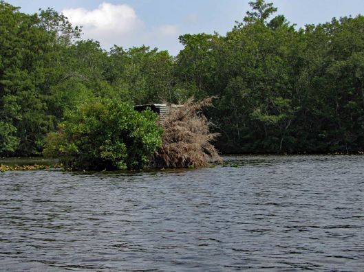
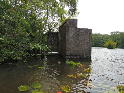
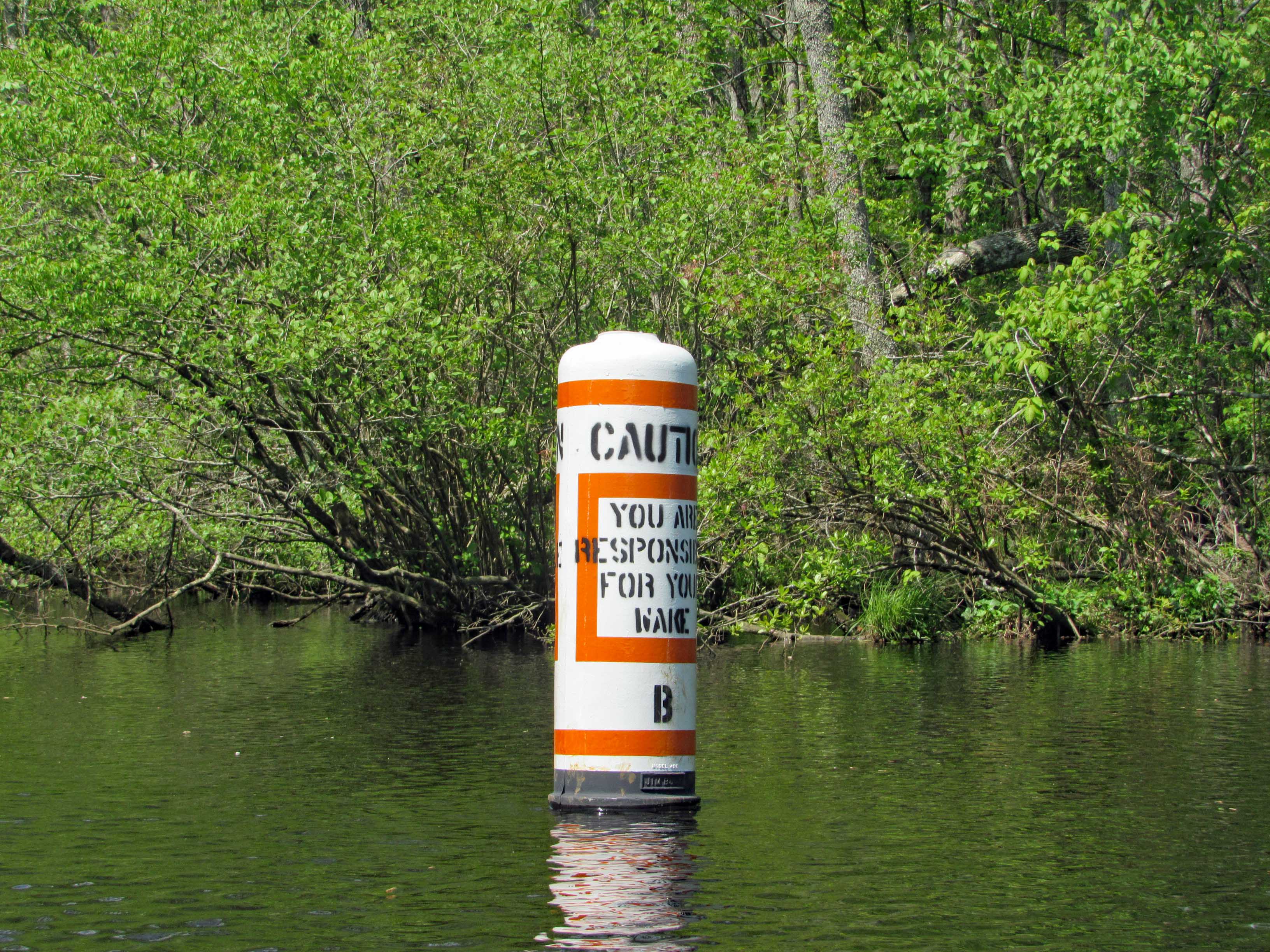
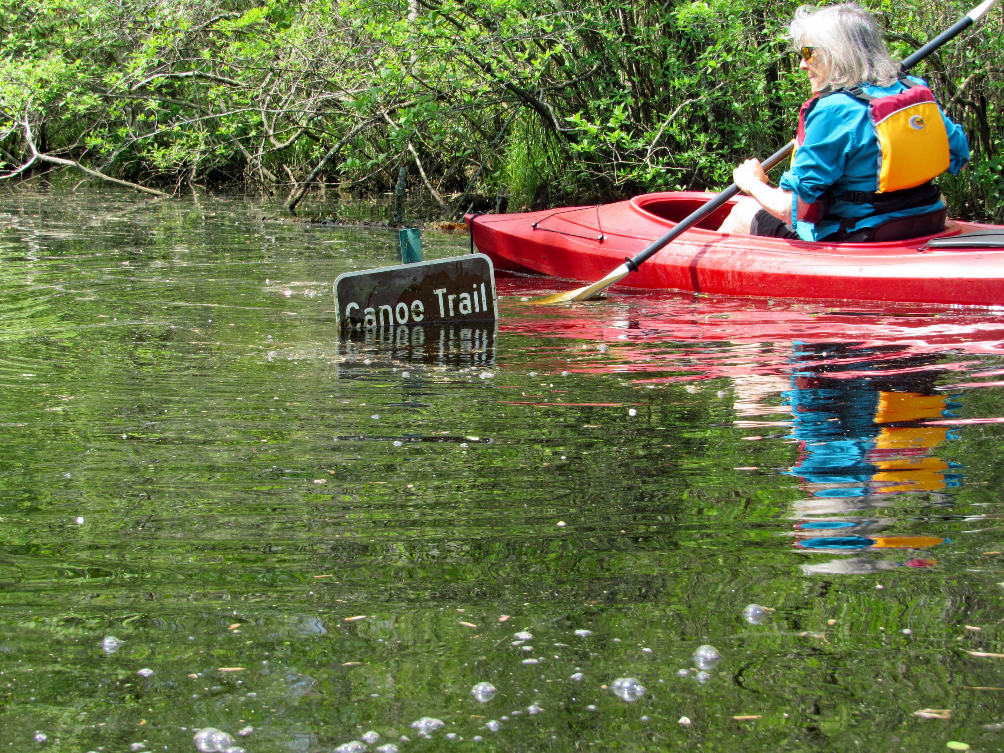
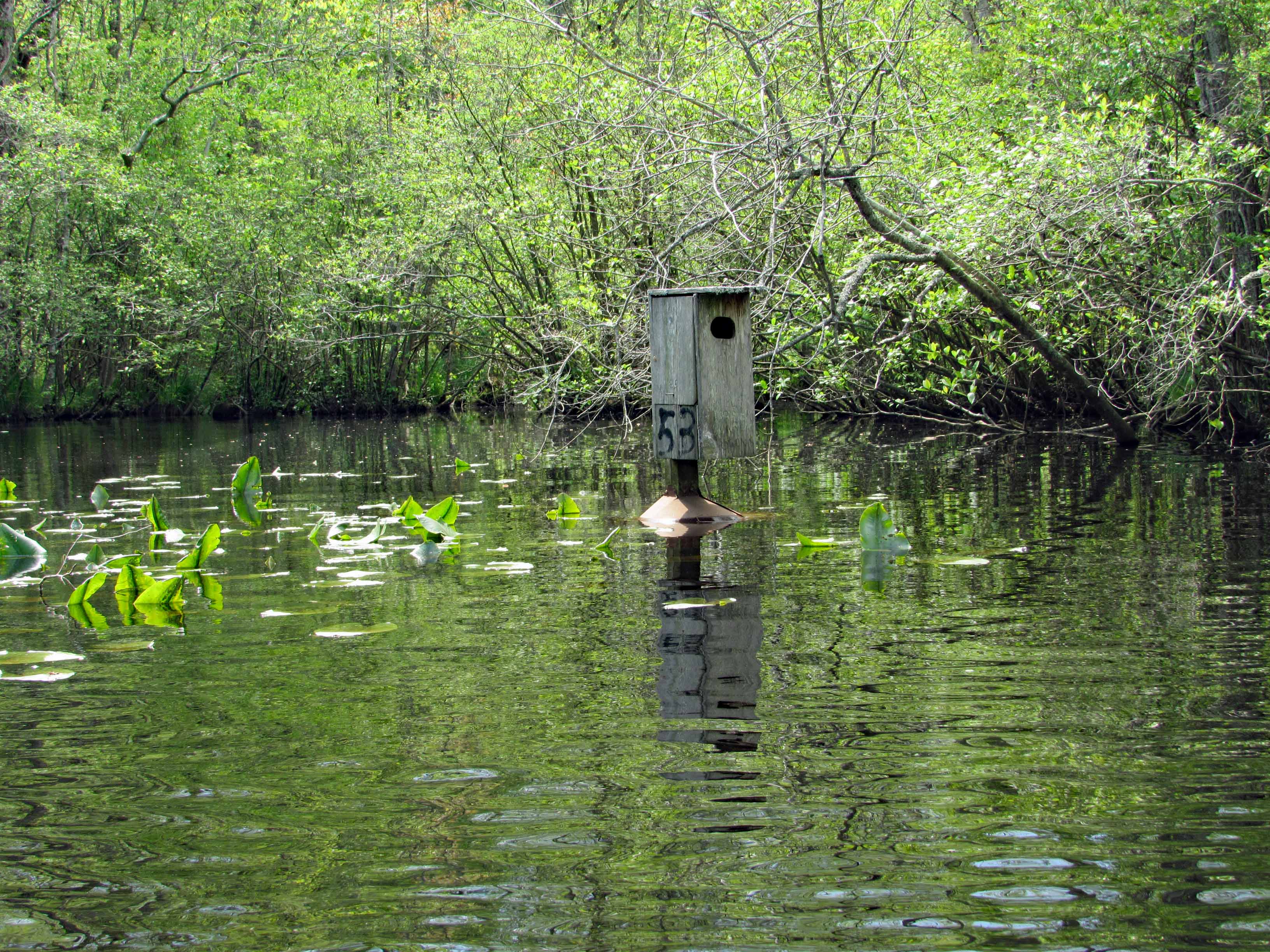
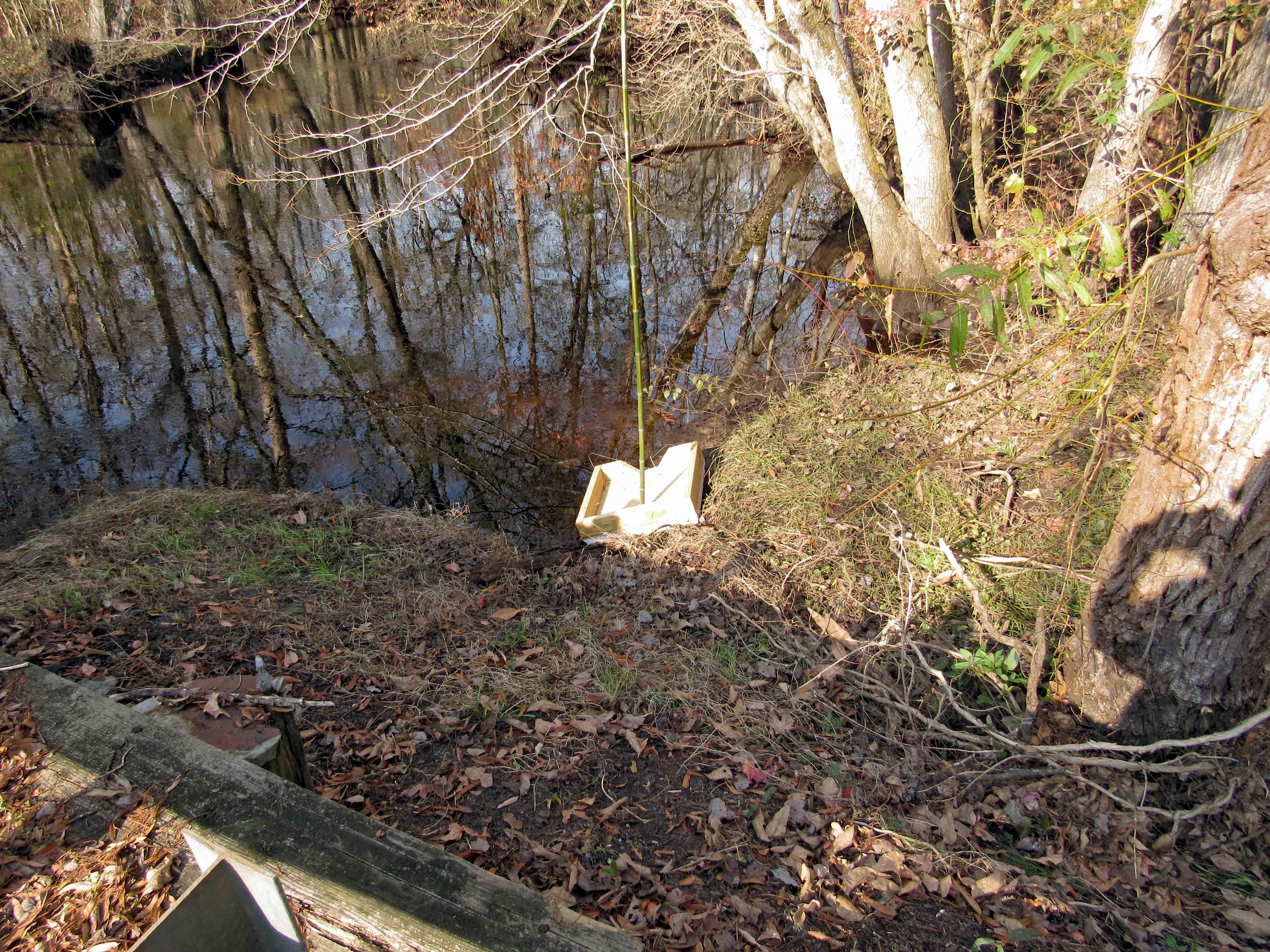
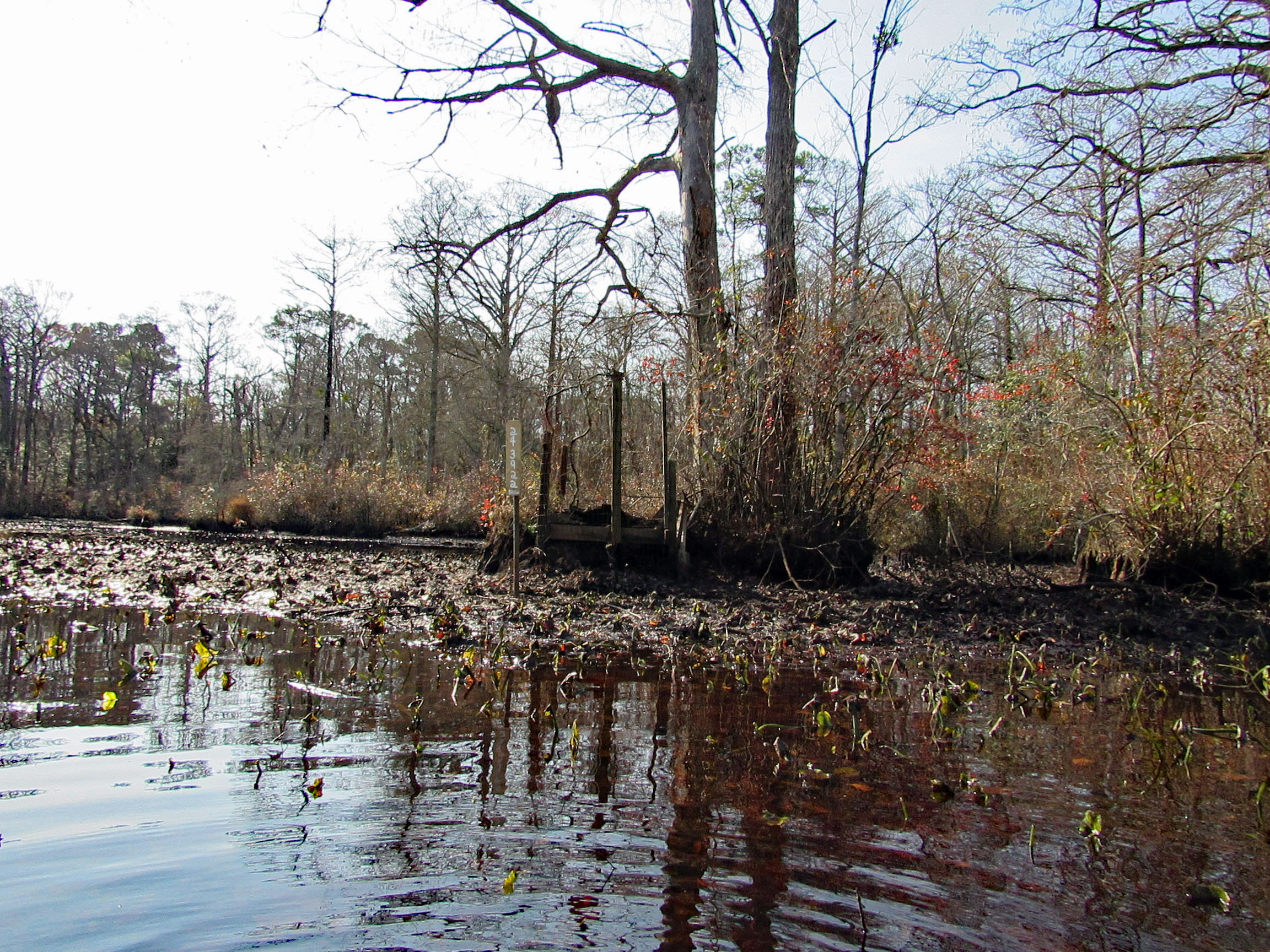
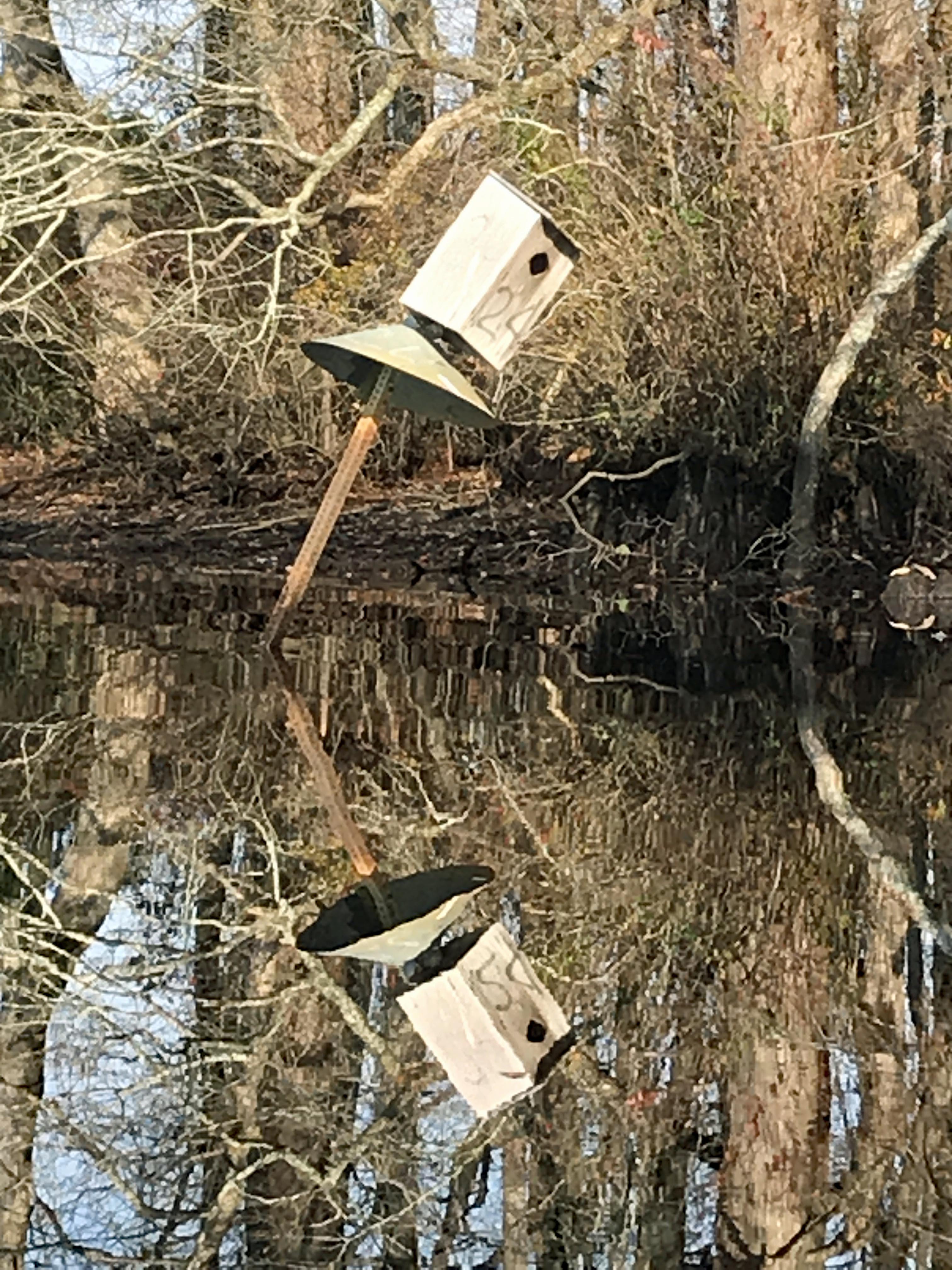
Kathy went in at the steps, I slid in next to this varmint box. A muddy mess here.

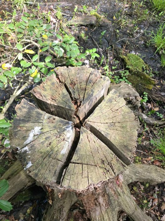
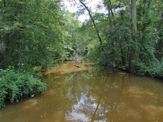
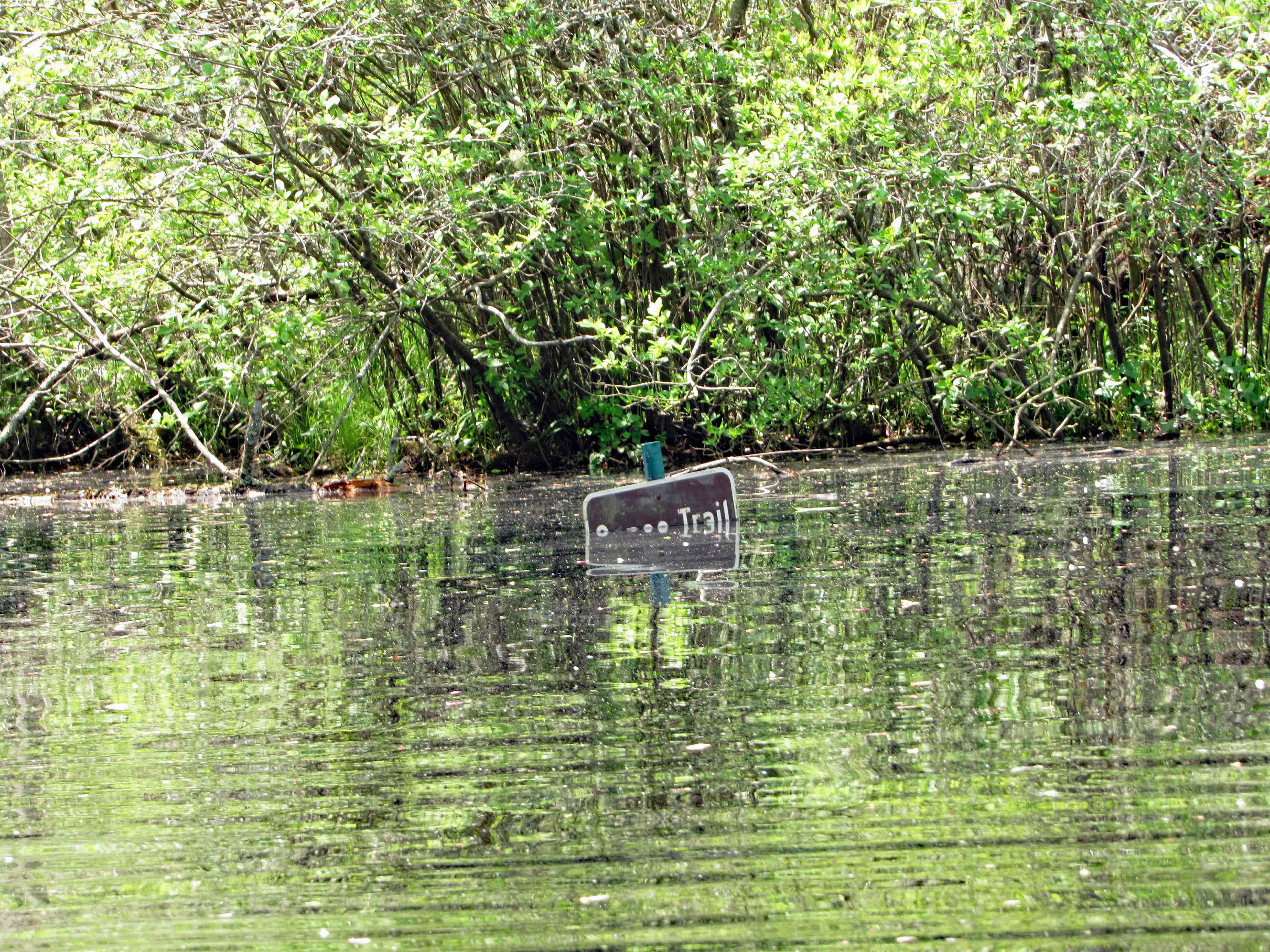
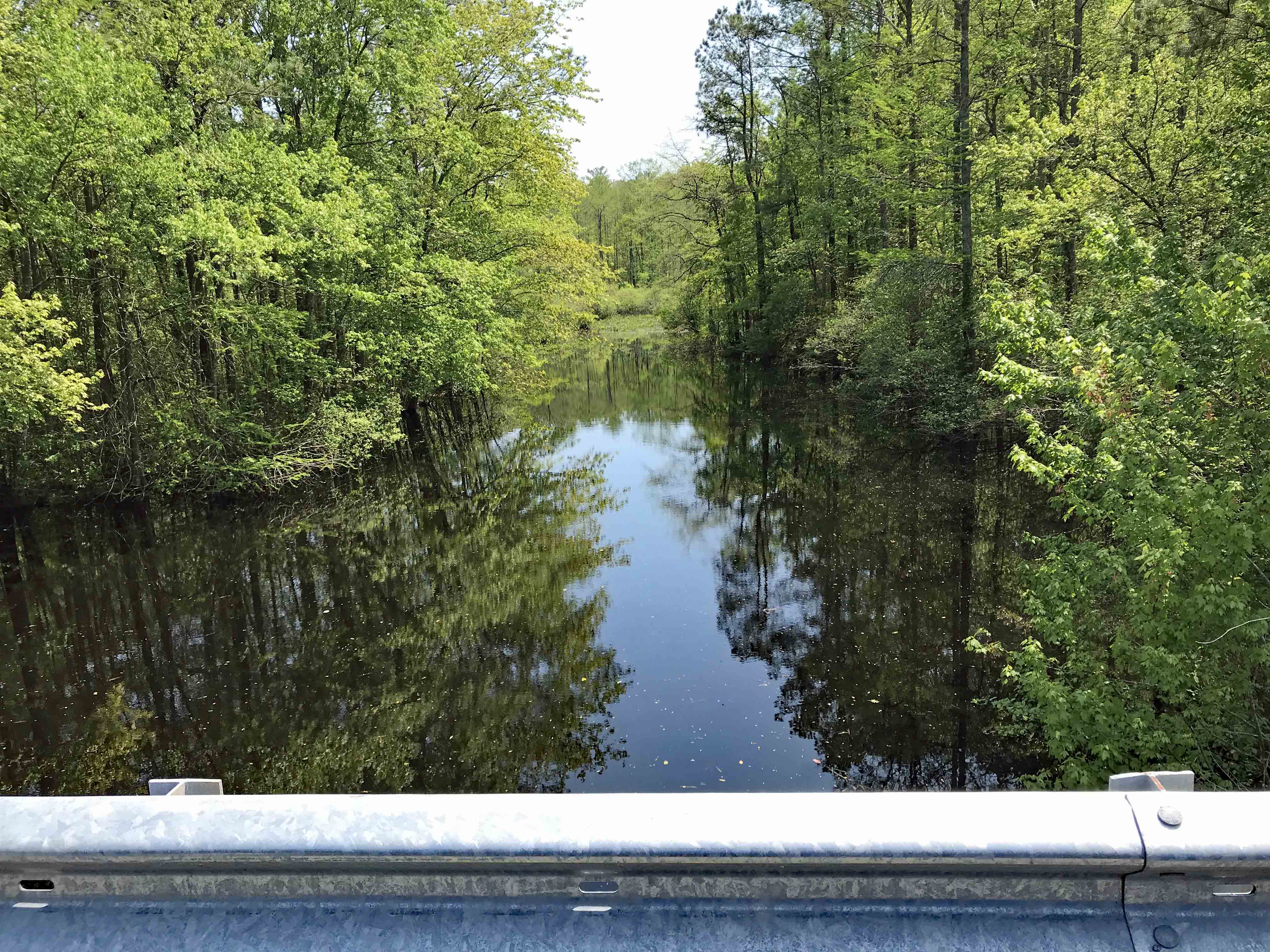
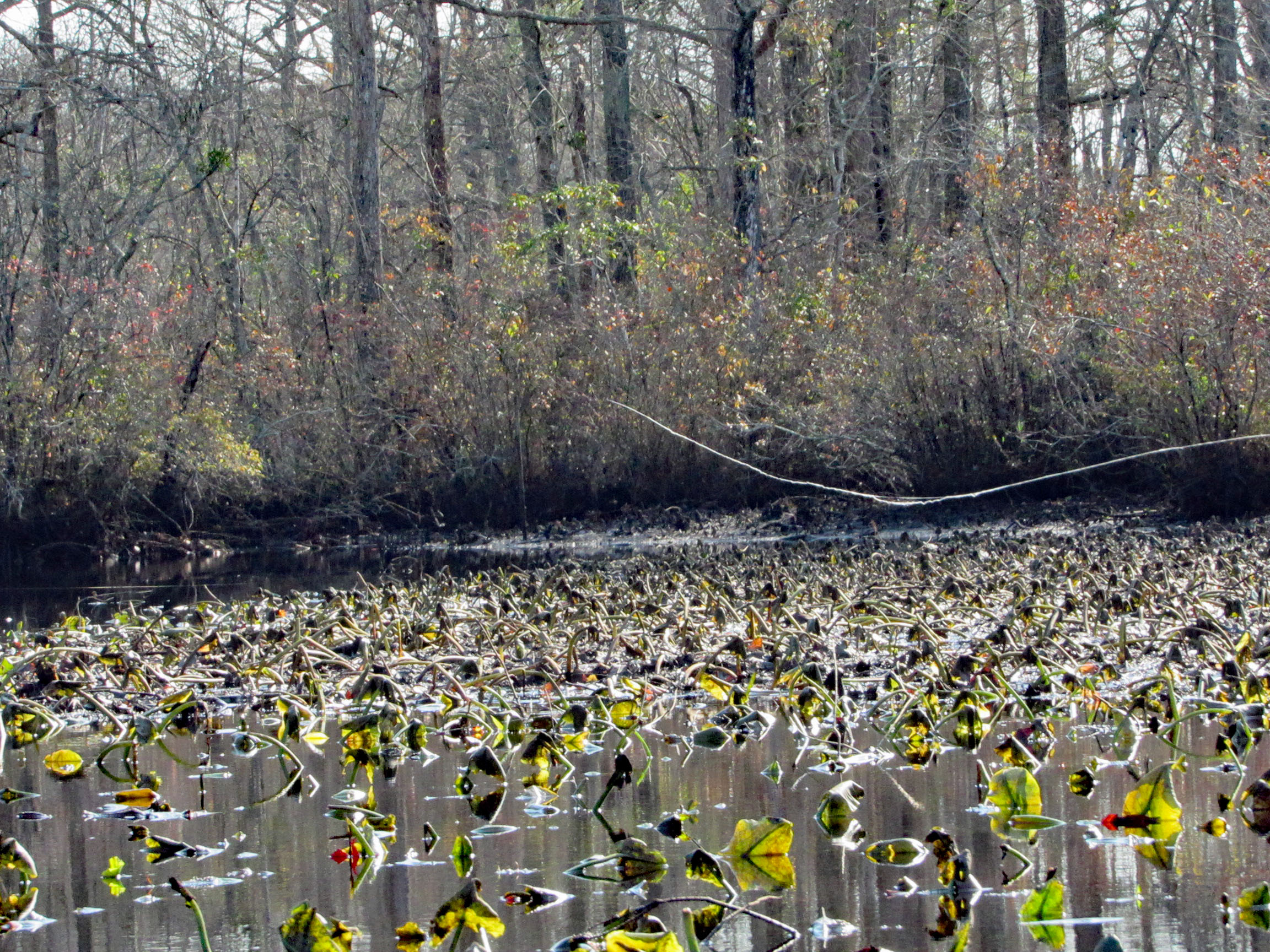
Low water for the whole trip, to and fro.

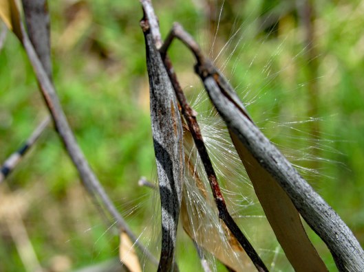
In the photo below there is a cobweb just floating along with us –

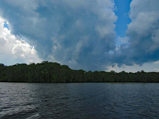
Alright, already we’ll all float on
Ok, don’t worry, we’ll all float on
Even if things get heavy, we’ll all float on… (modest mouse)

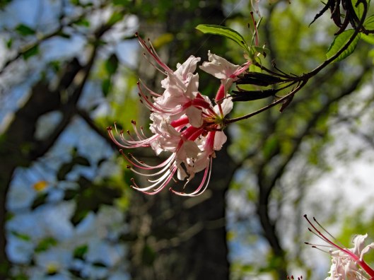
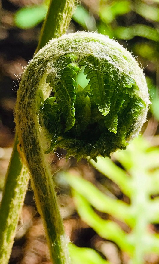
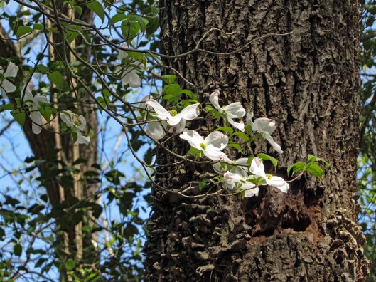
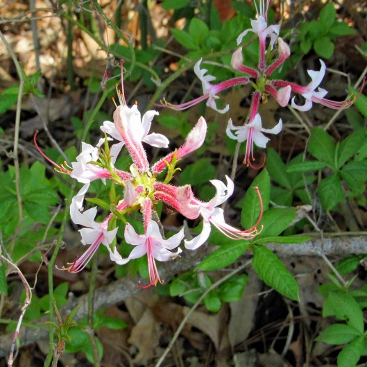
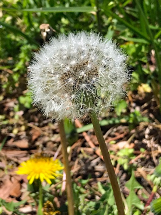
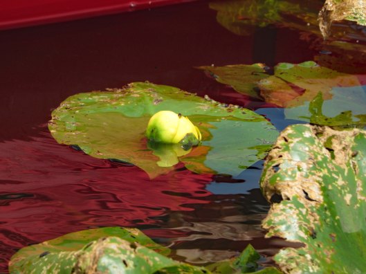
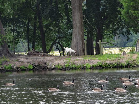
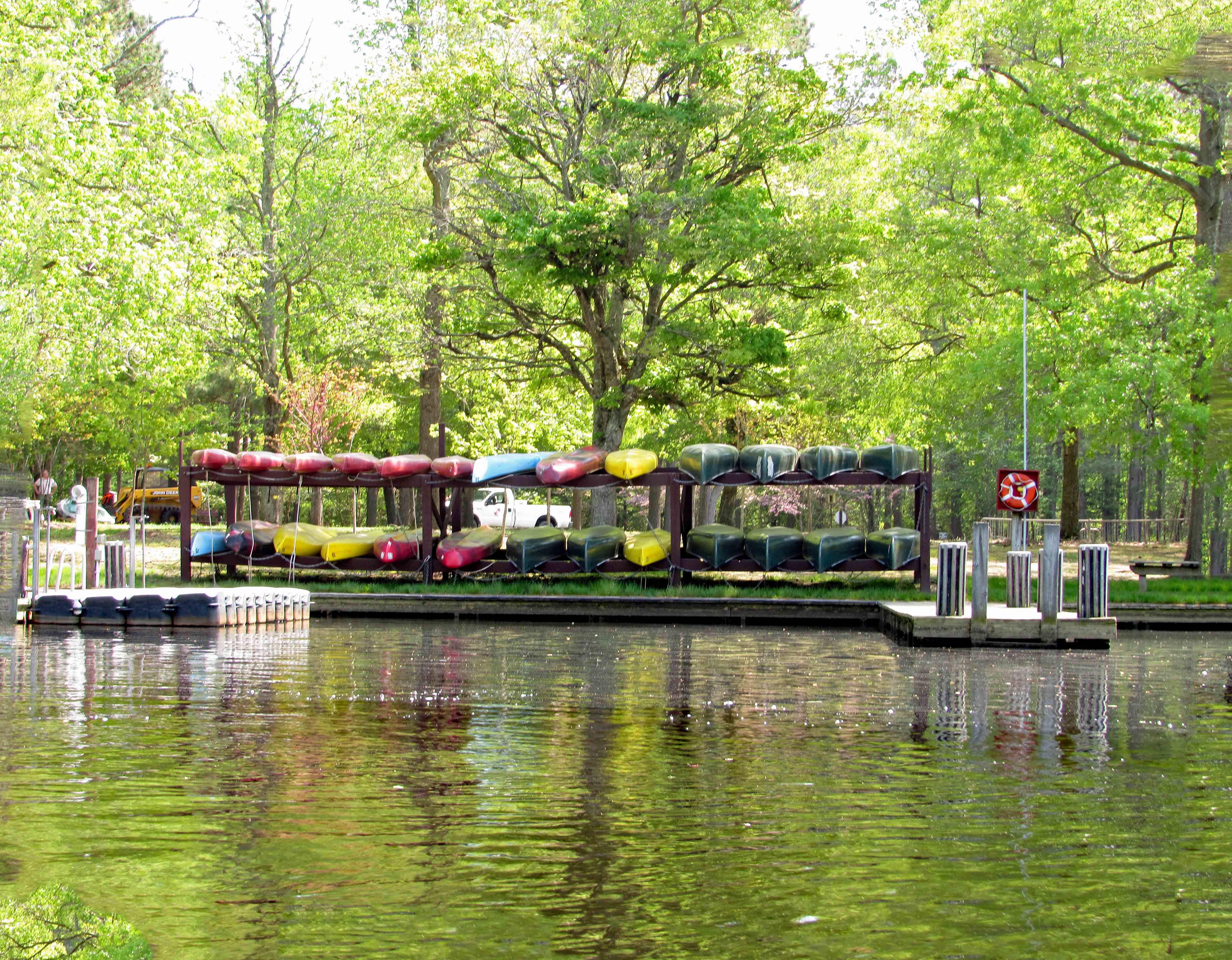
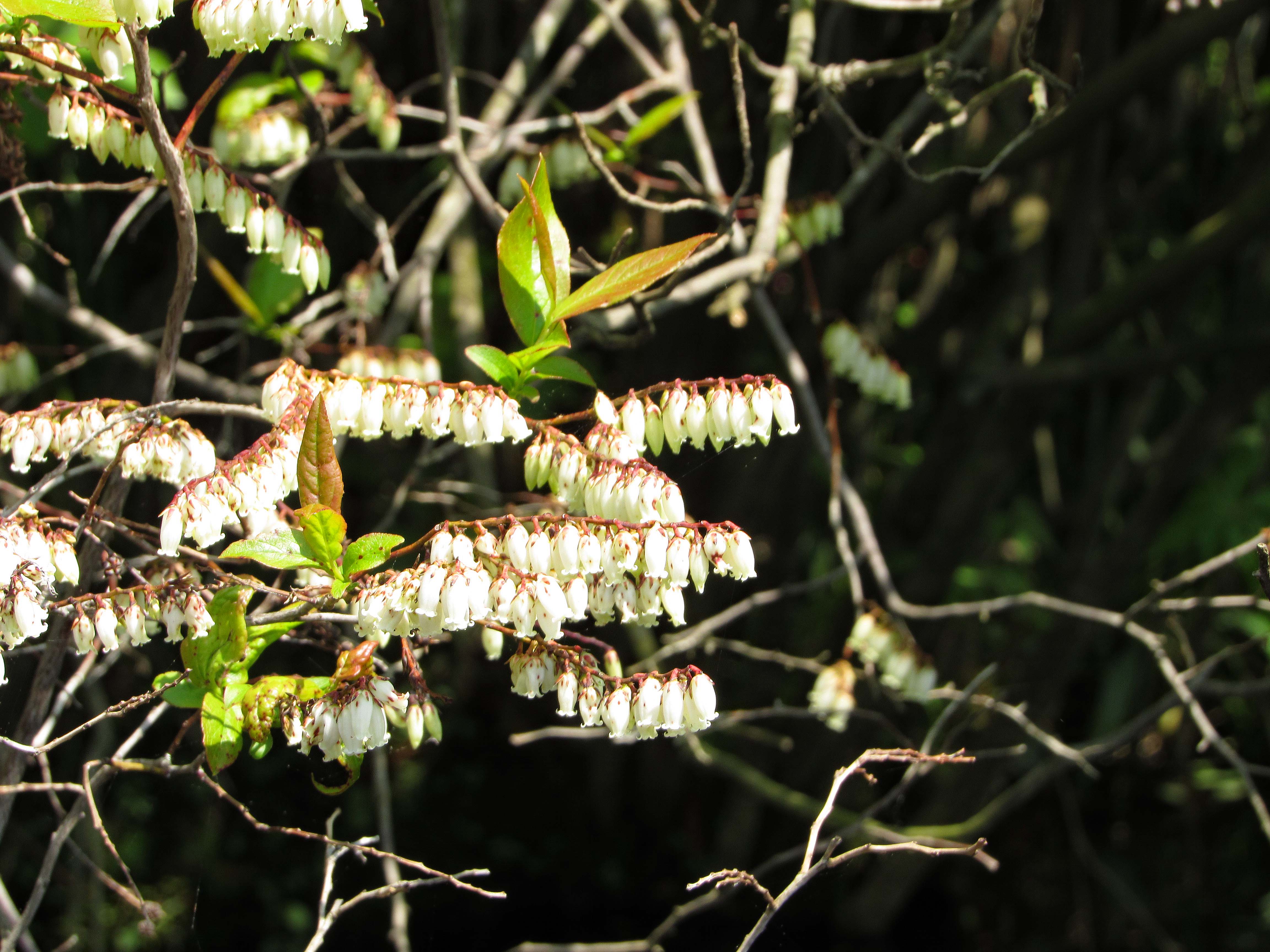
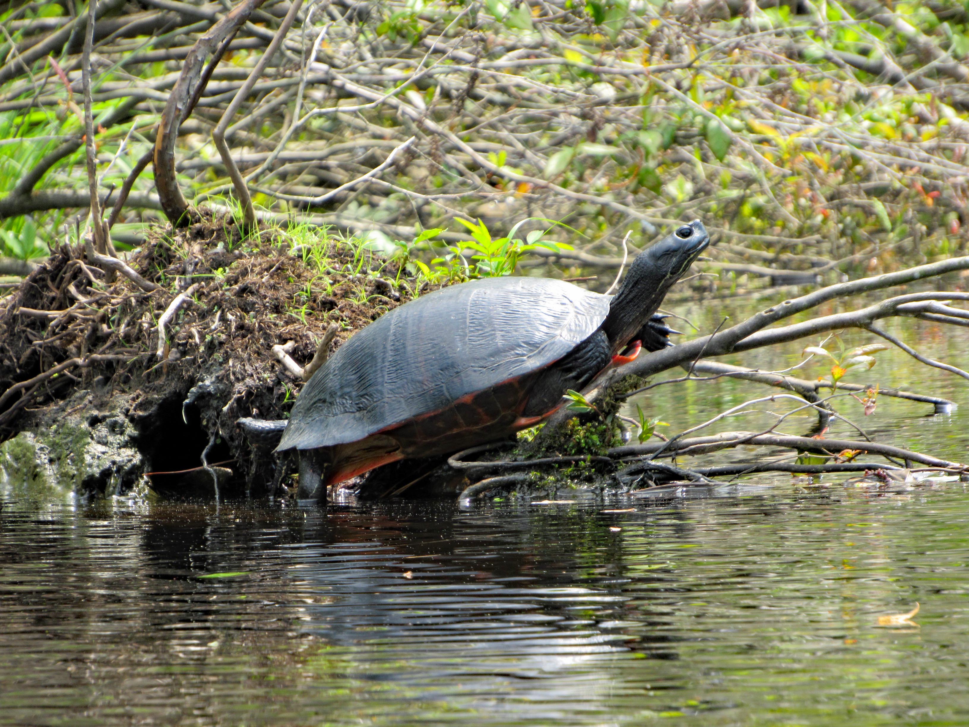
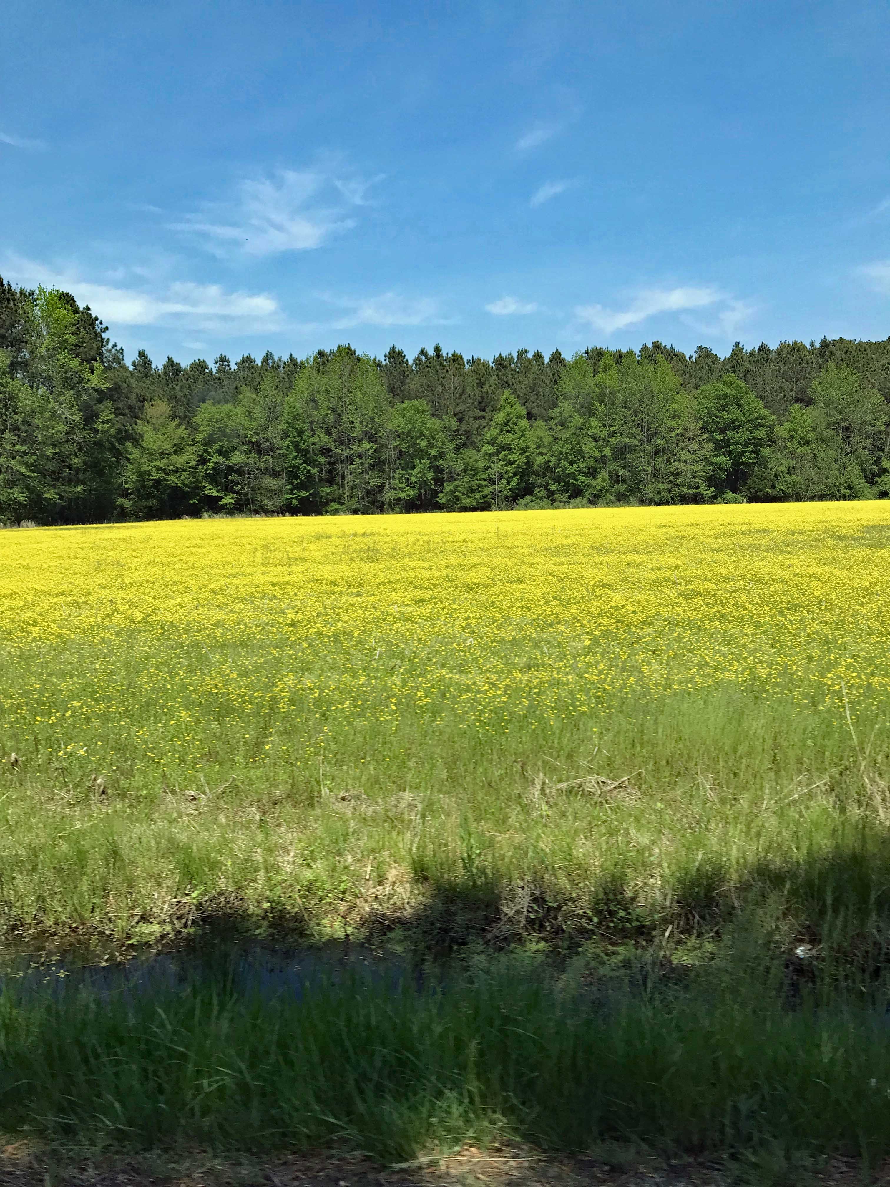
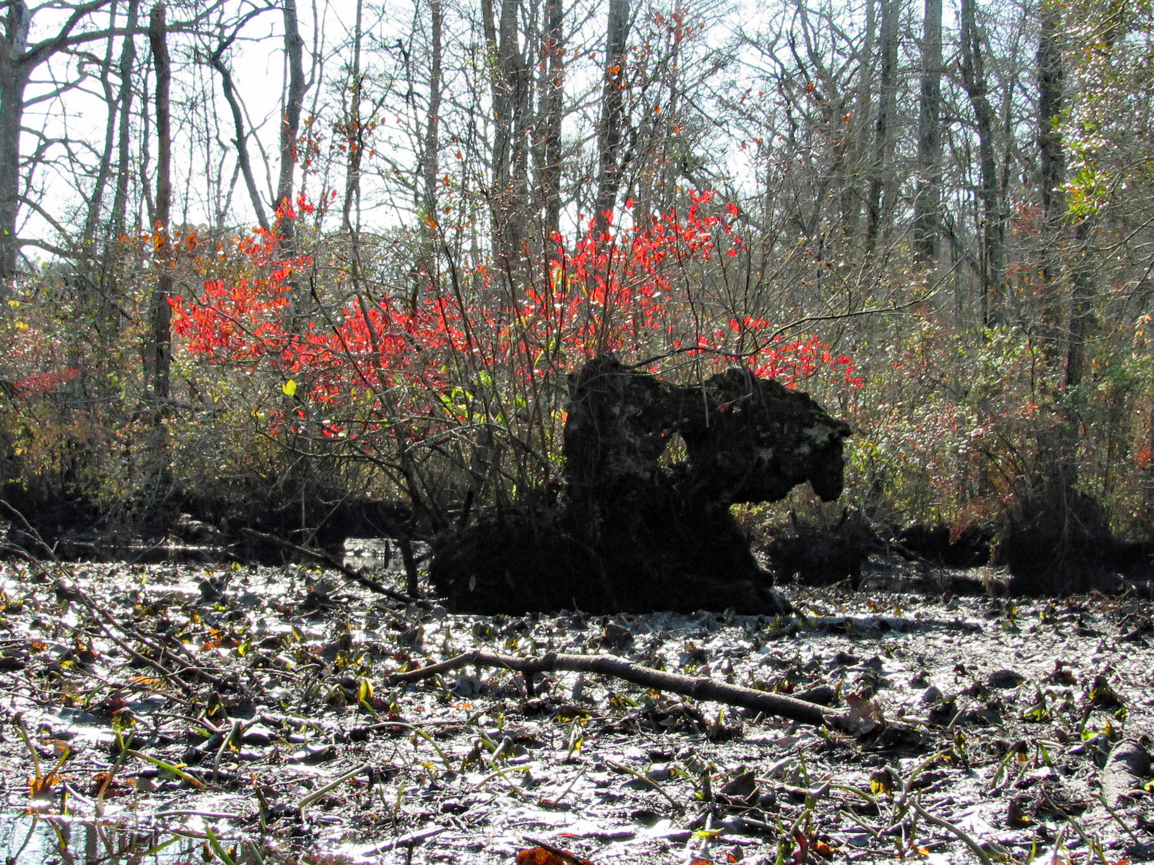
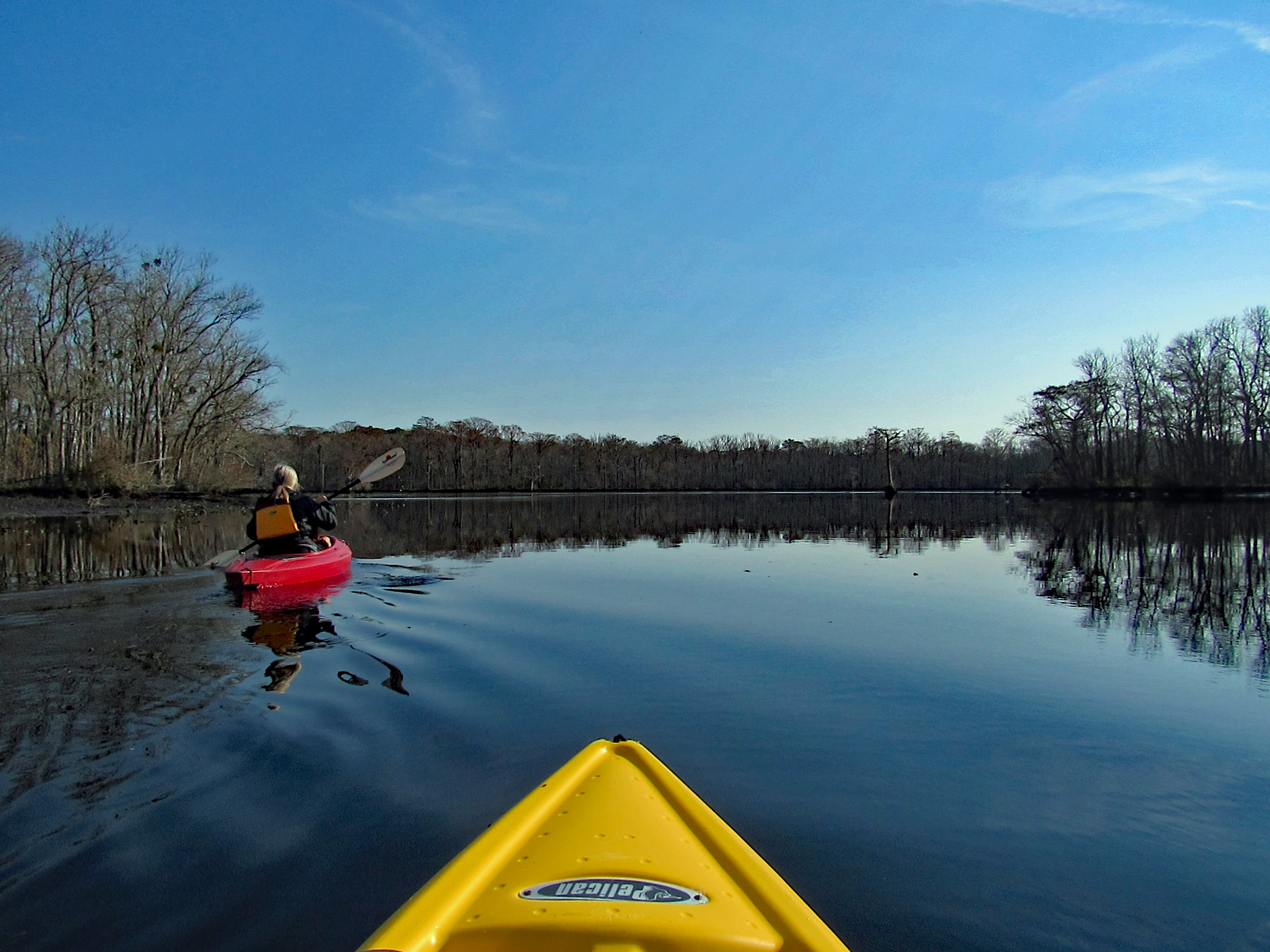
A splash of color to brighten the day.

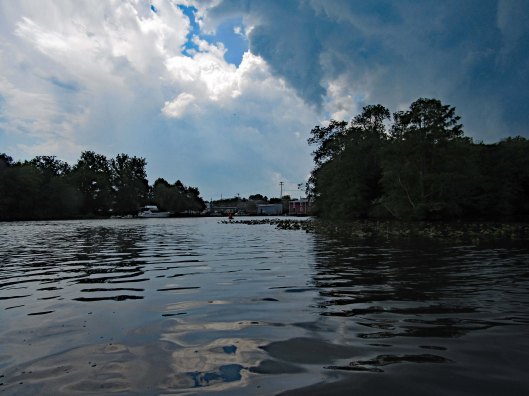
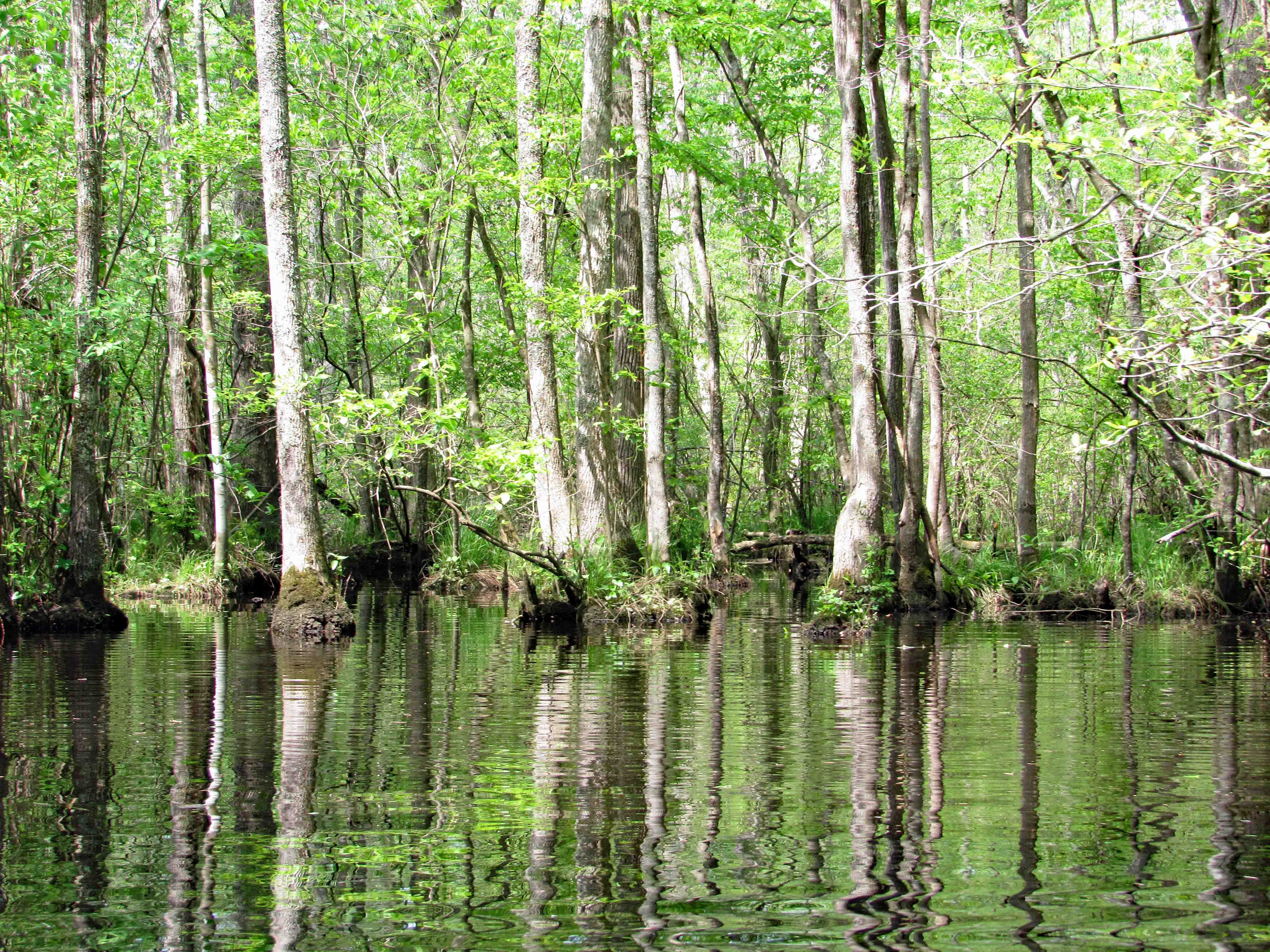
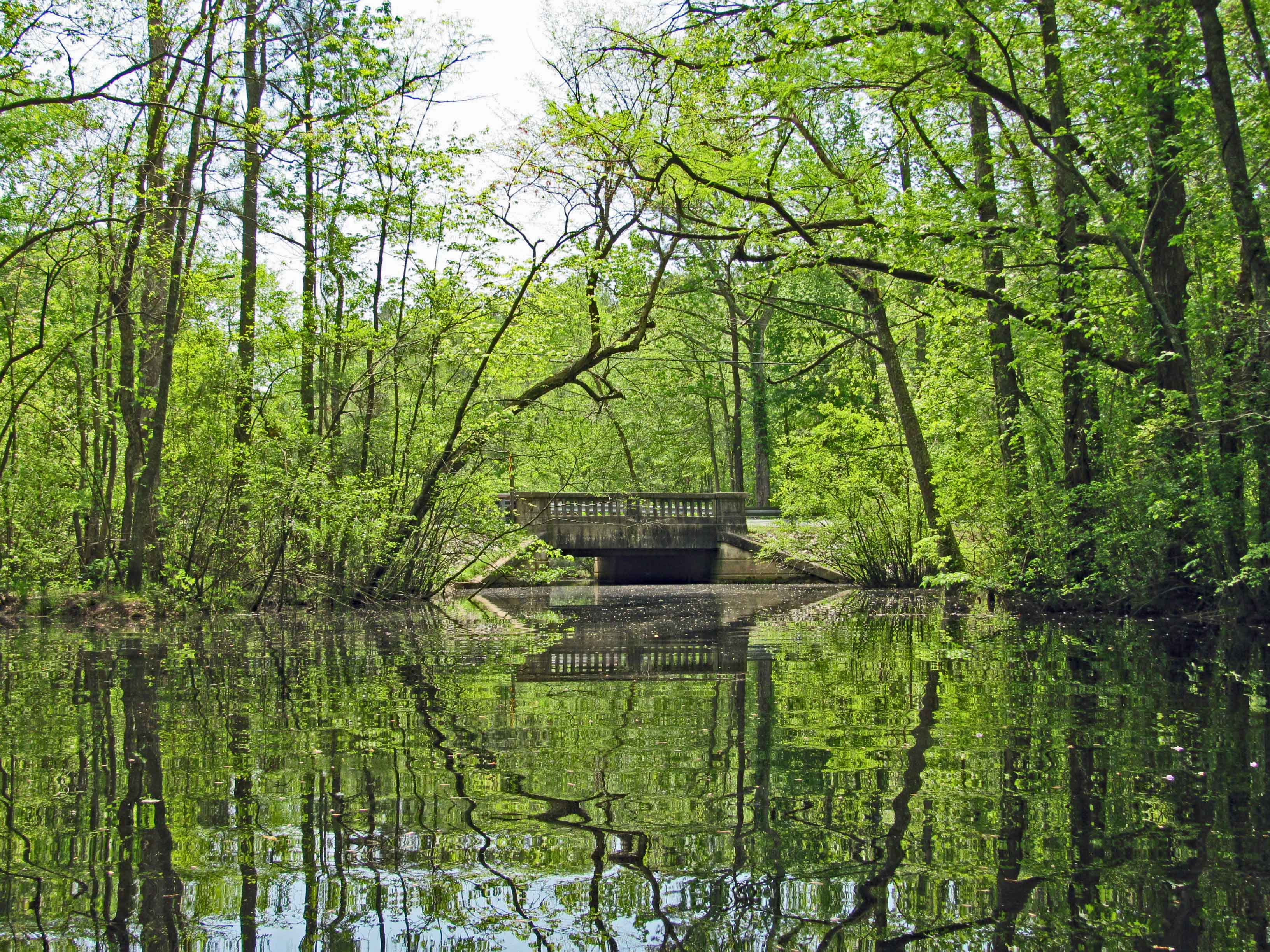
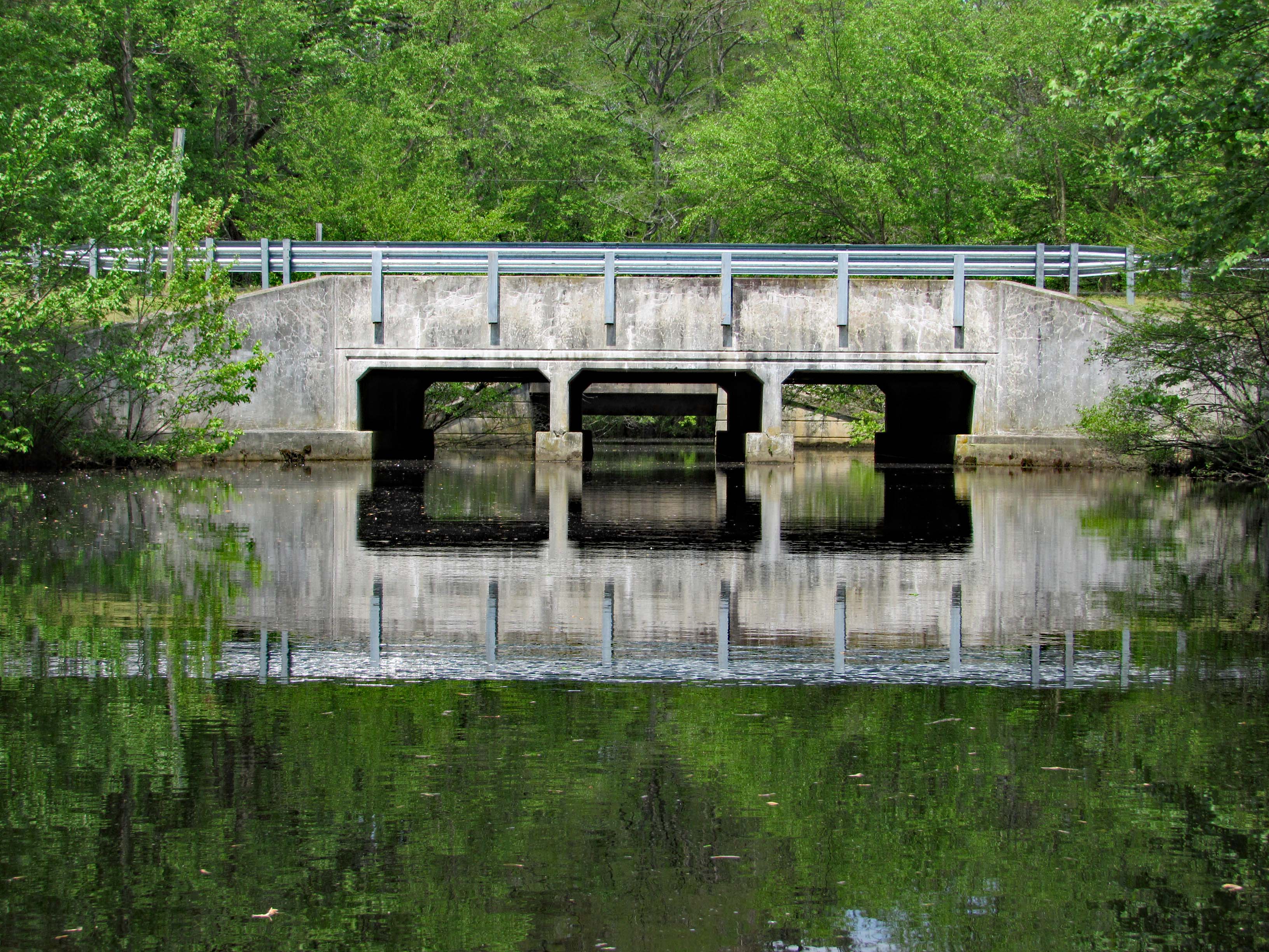
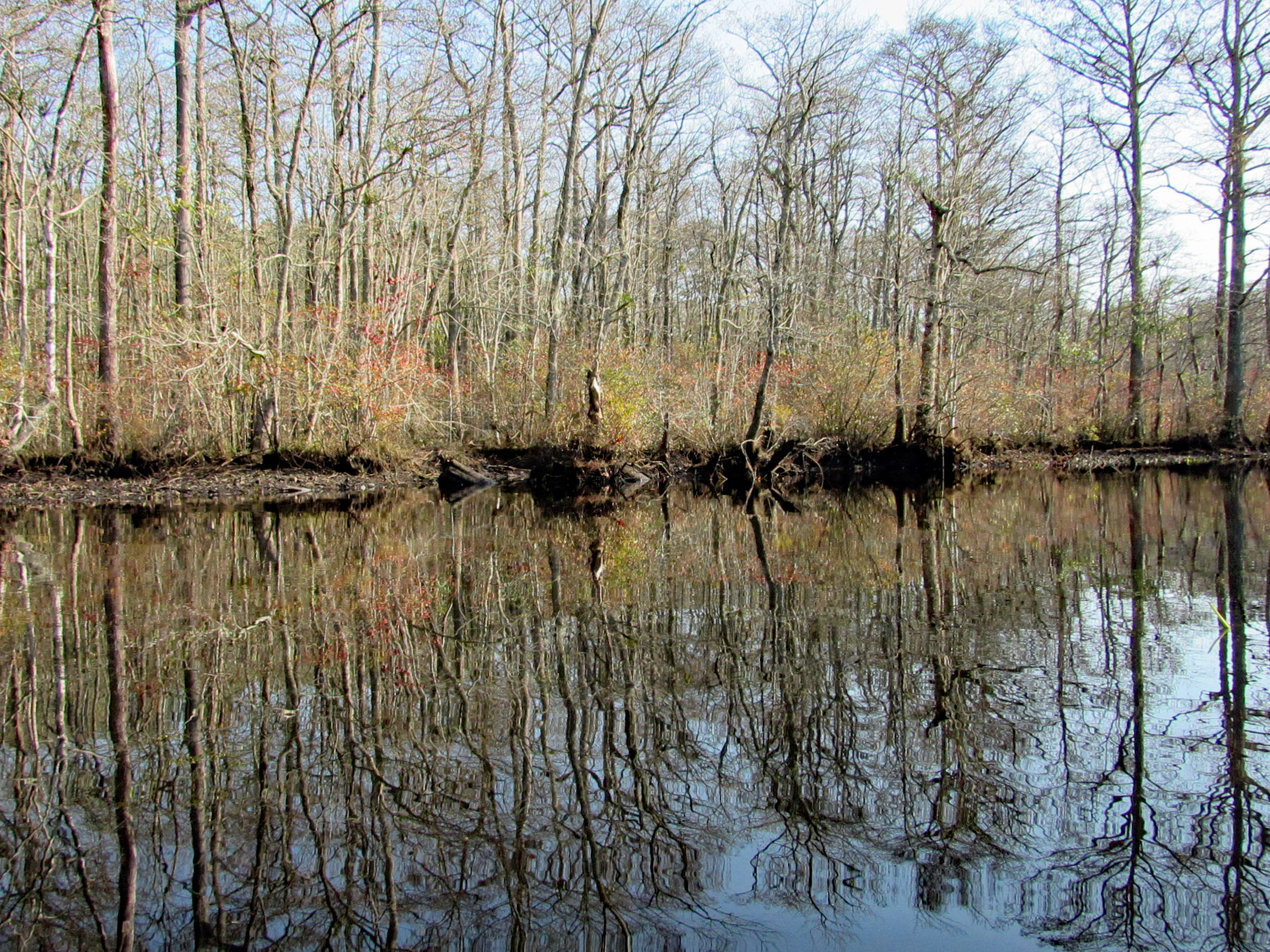
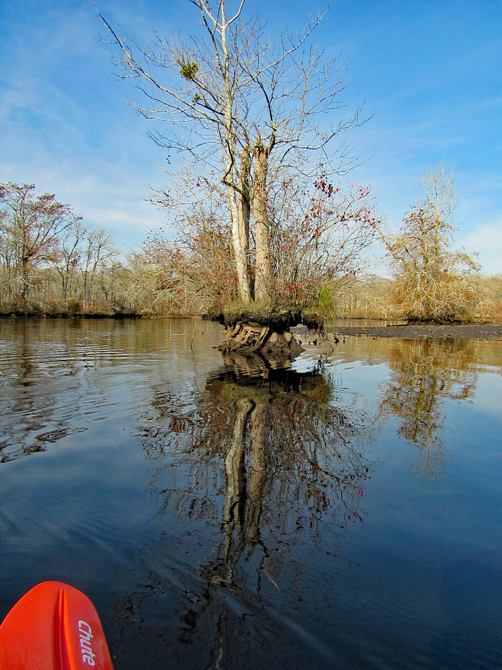
Some very nice reflections.

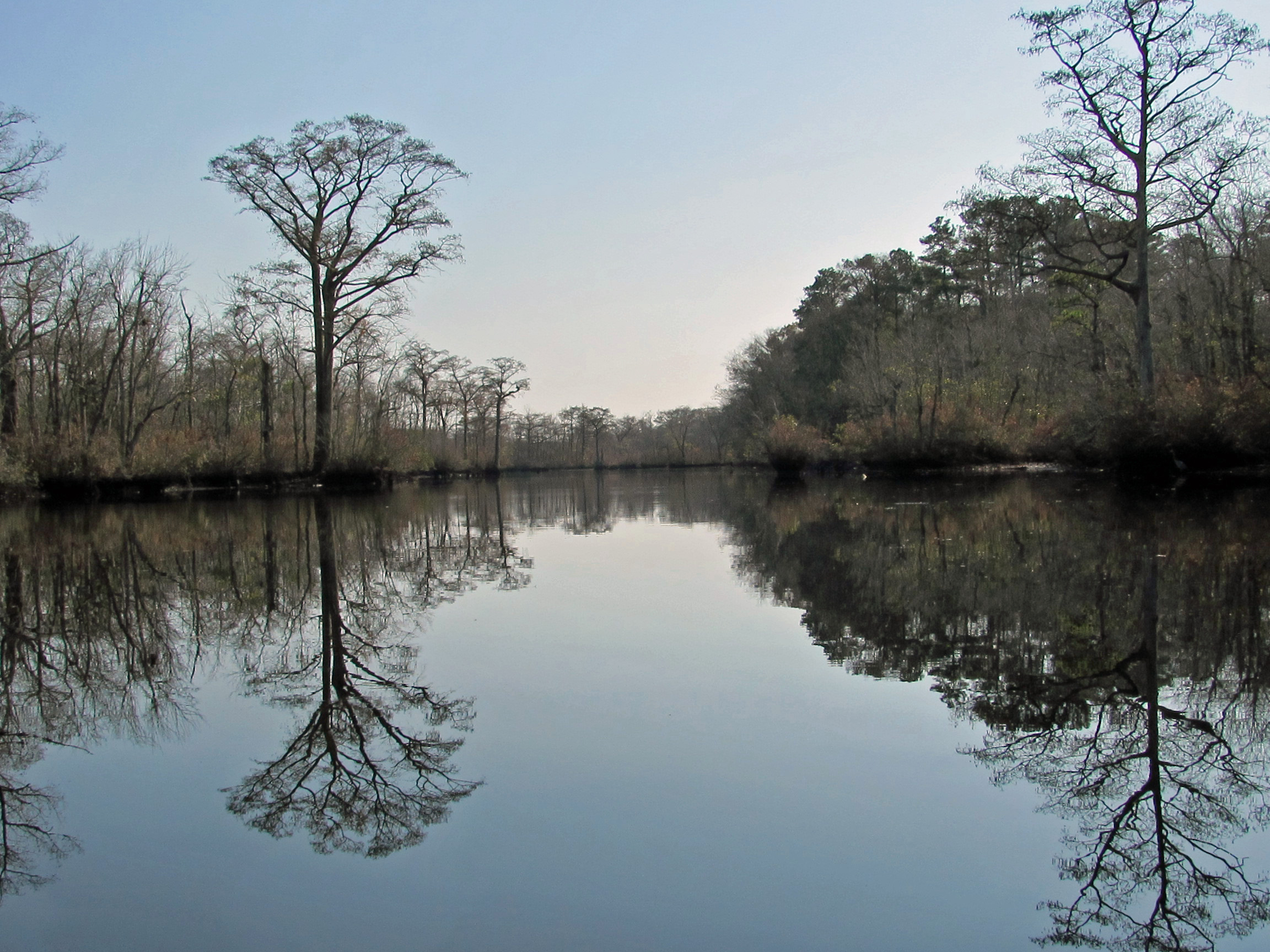
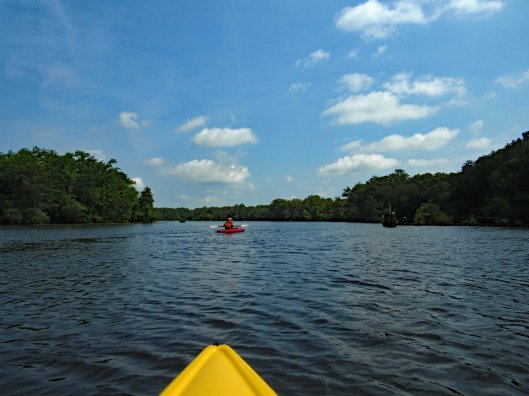
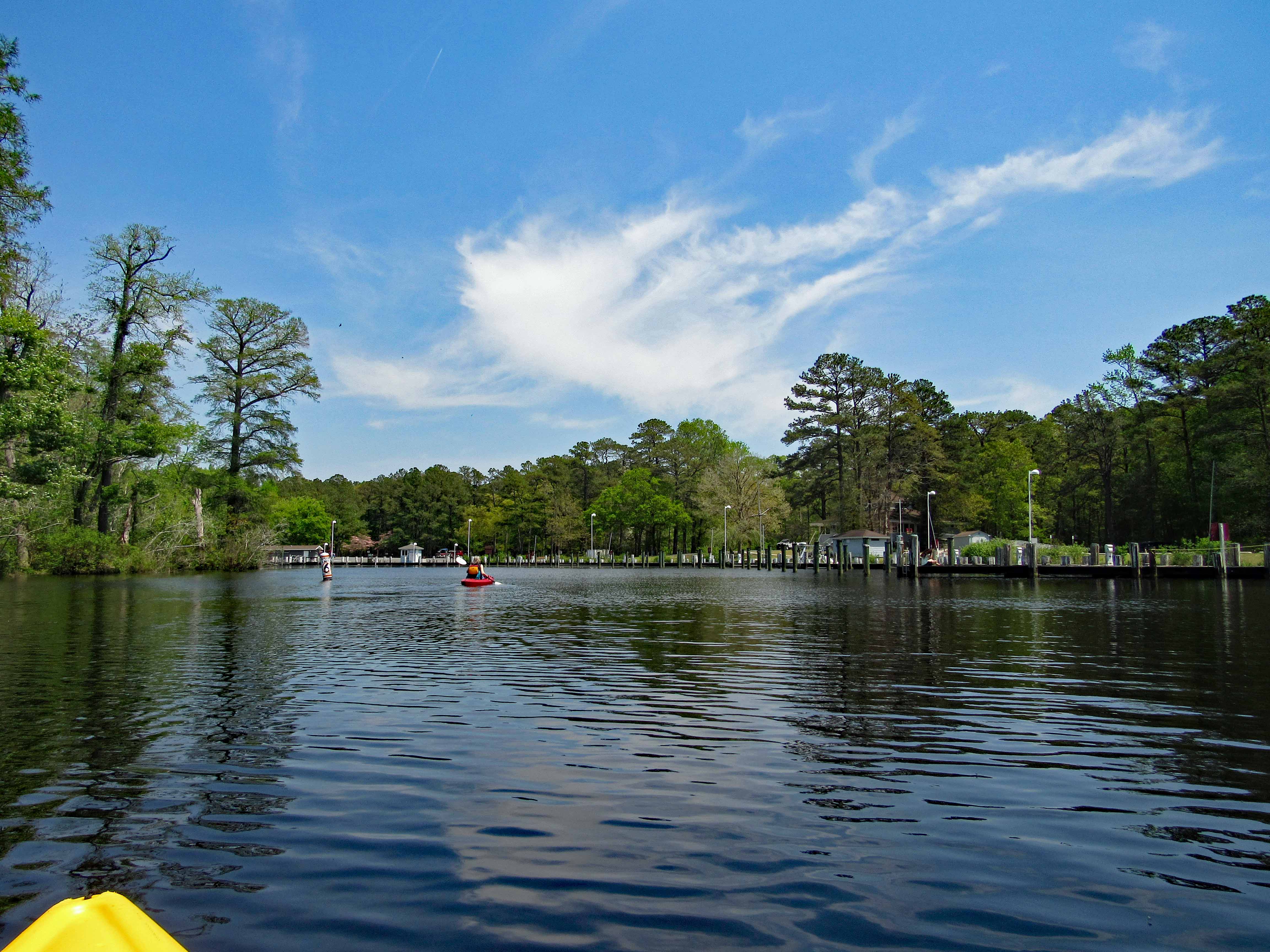
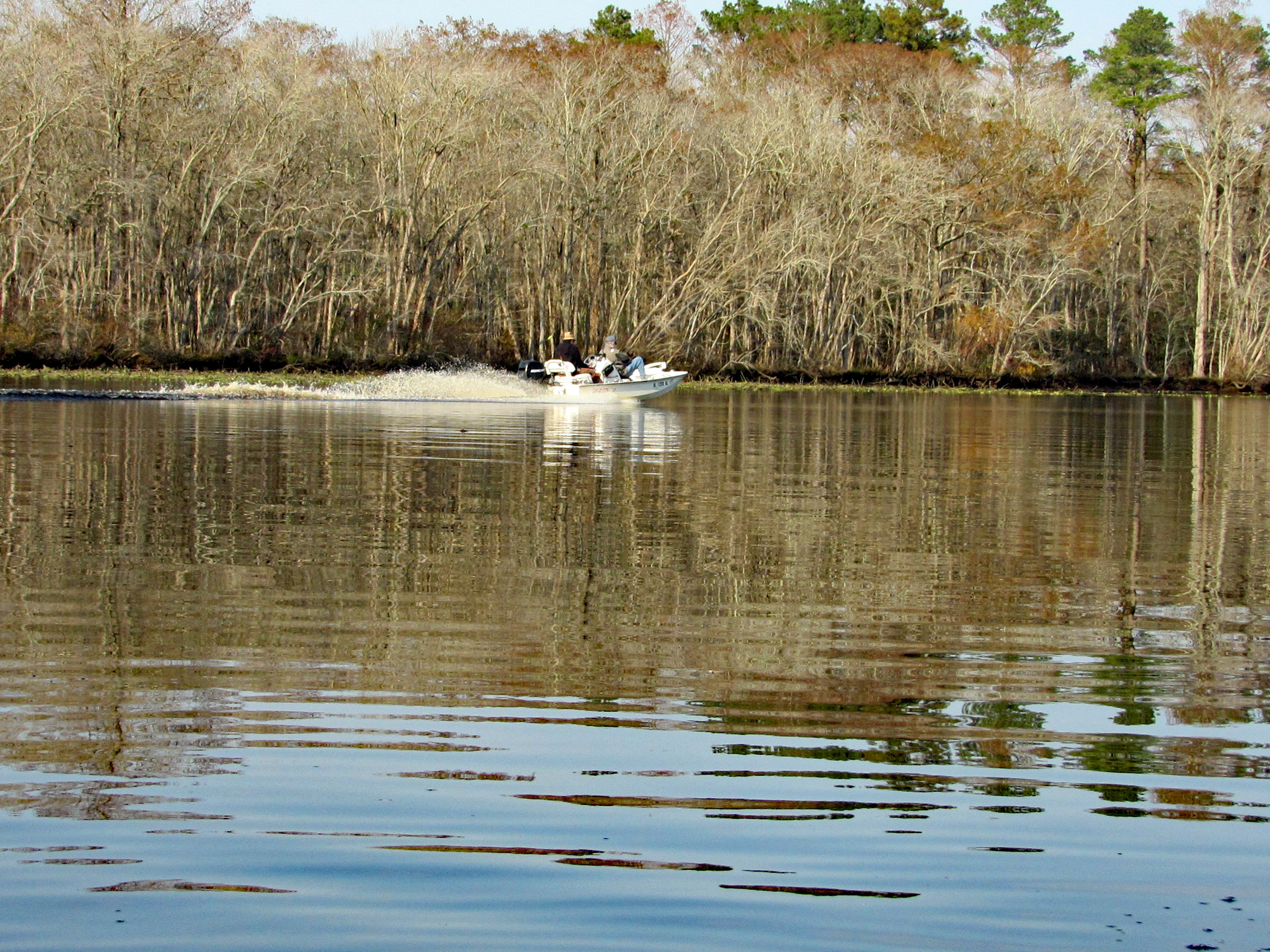
The Pocomoke River up ahead.

A couple speeding boats zipping by. Kayakers get no respect on this river.

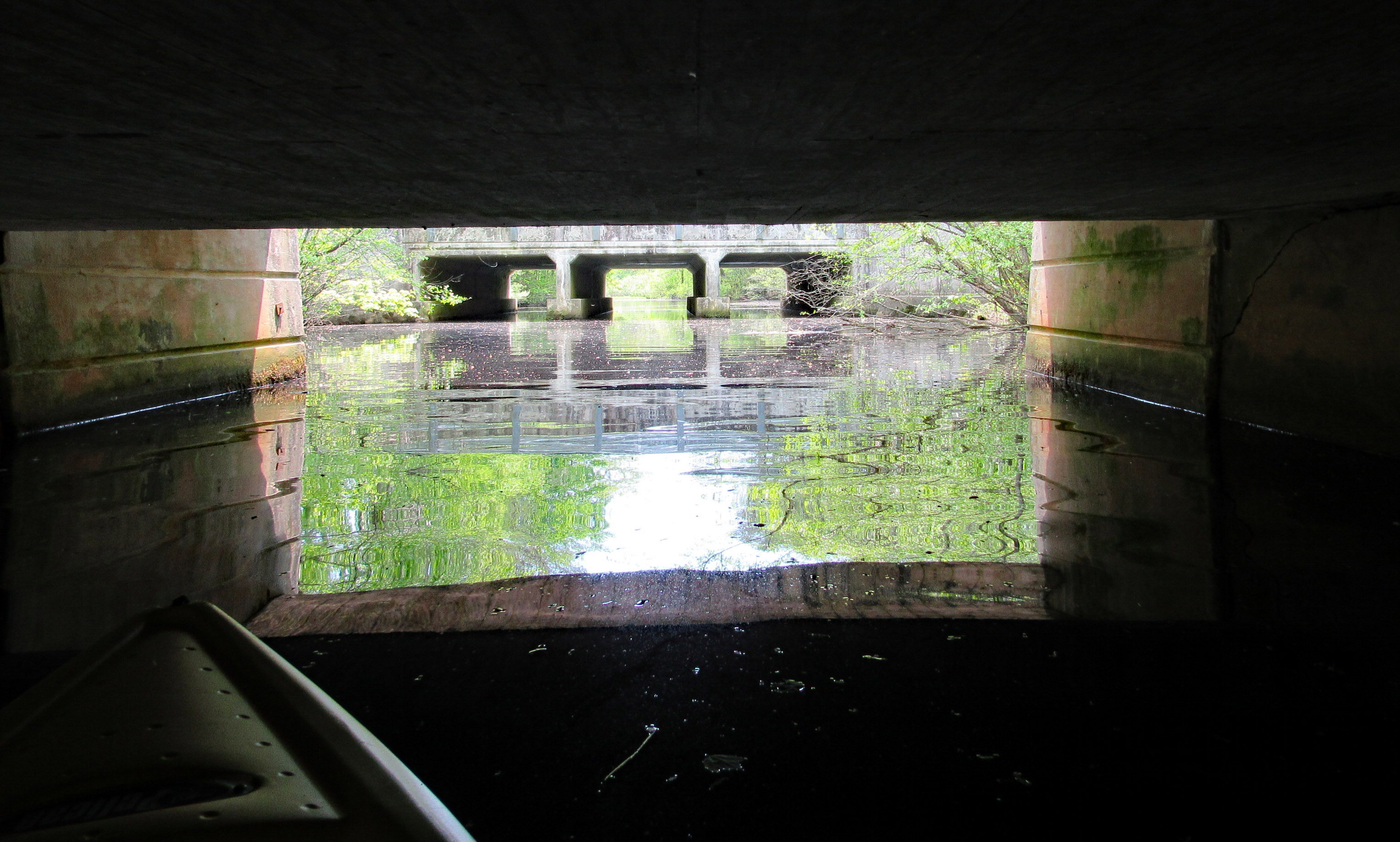
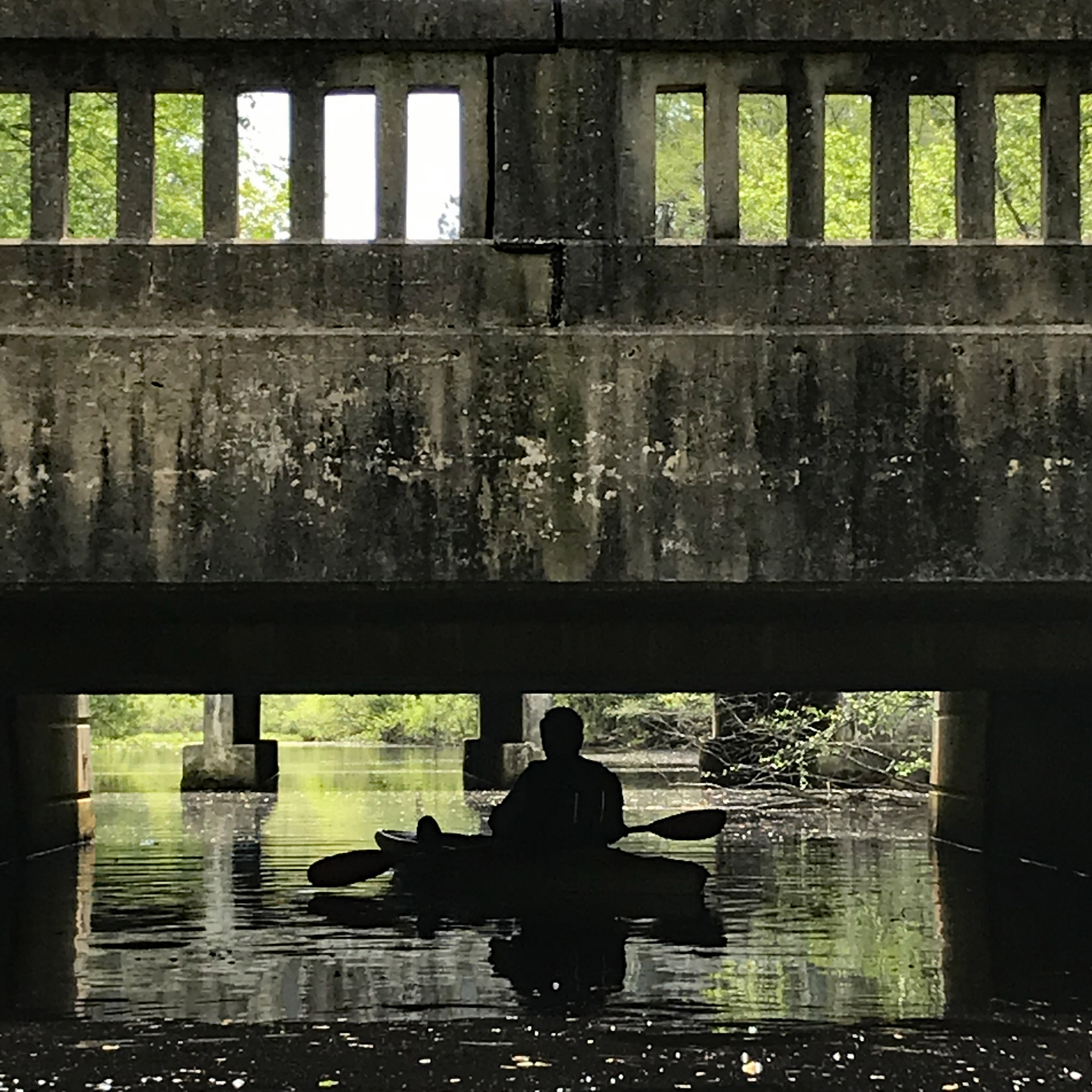
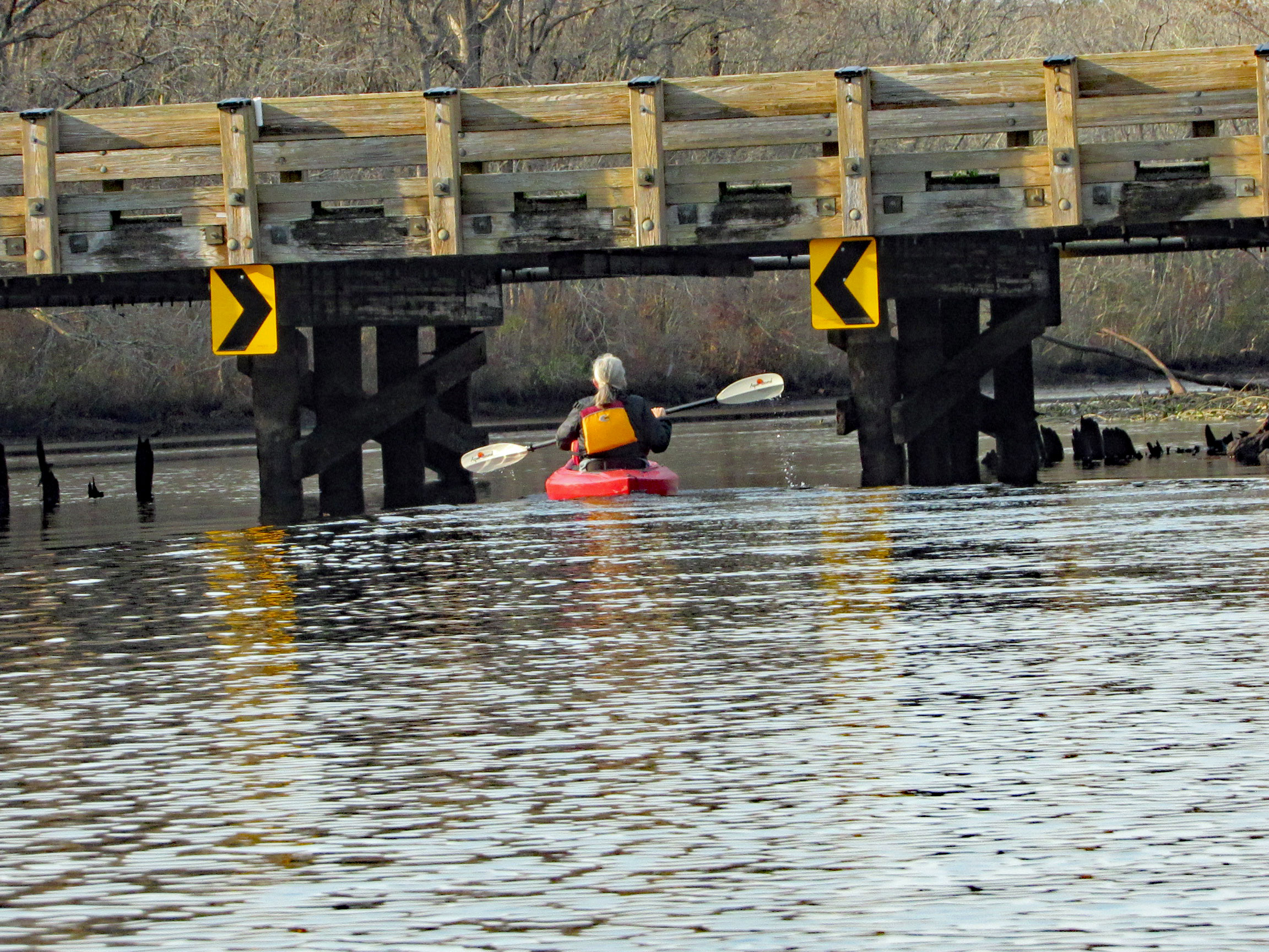
After about 3.5 miles, time to head back. Under the Nassawango Rd bridge.

Another nice reflection shot by Kathy.

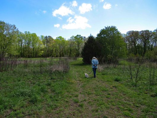
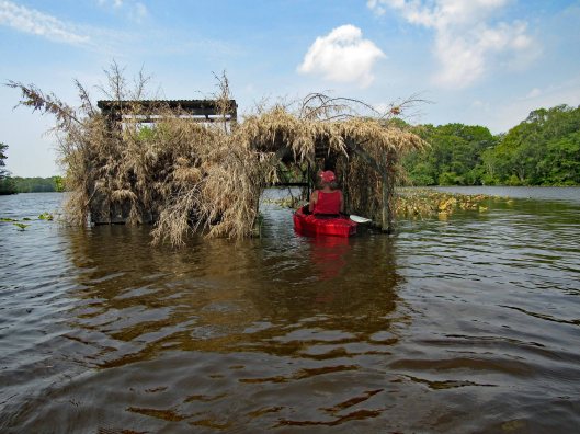
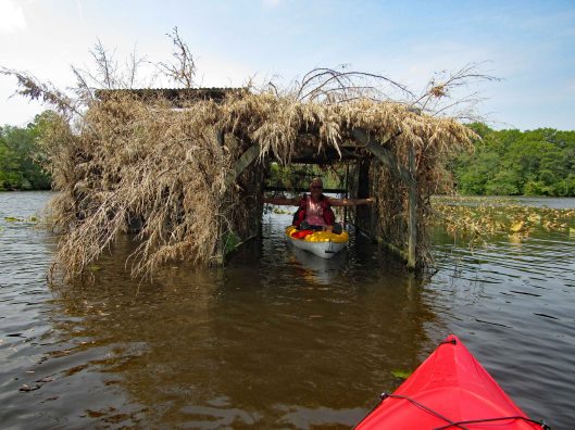
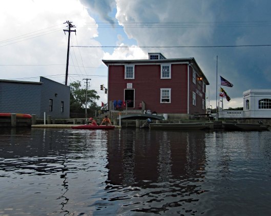
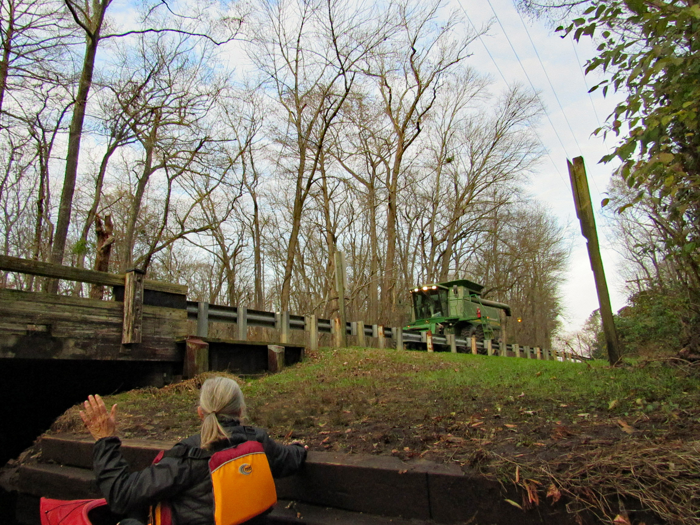
Two steps down and waiting for the combine to cross over.

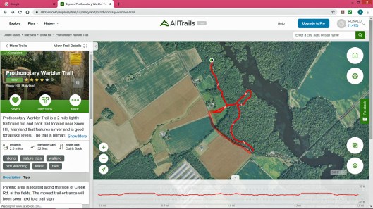
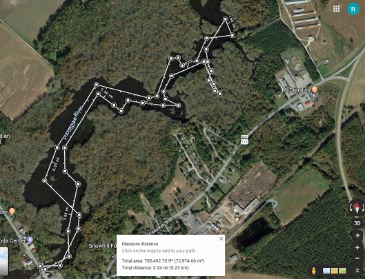
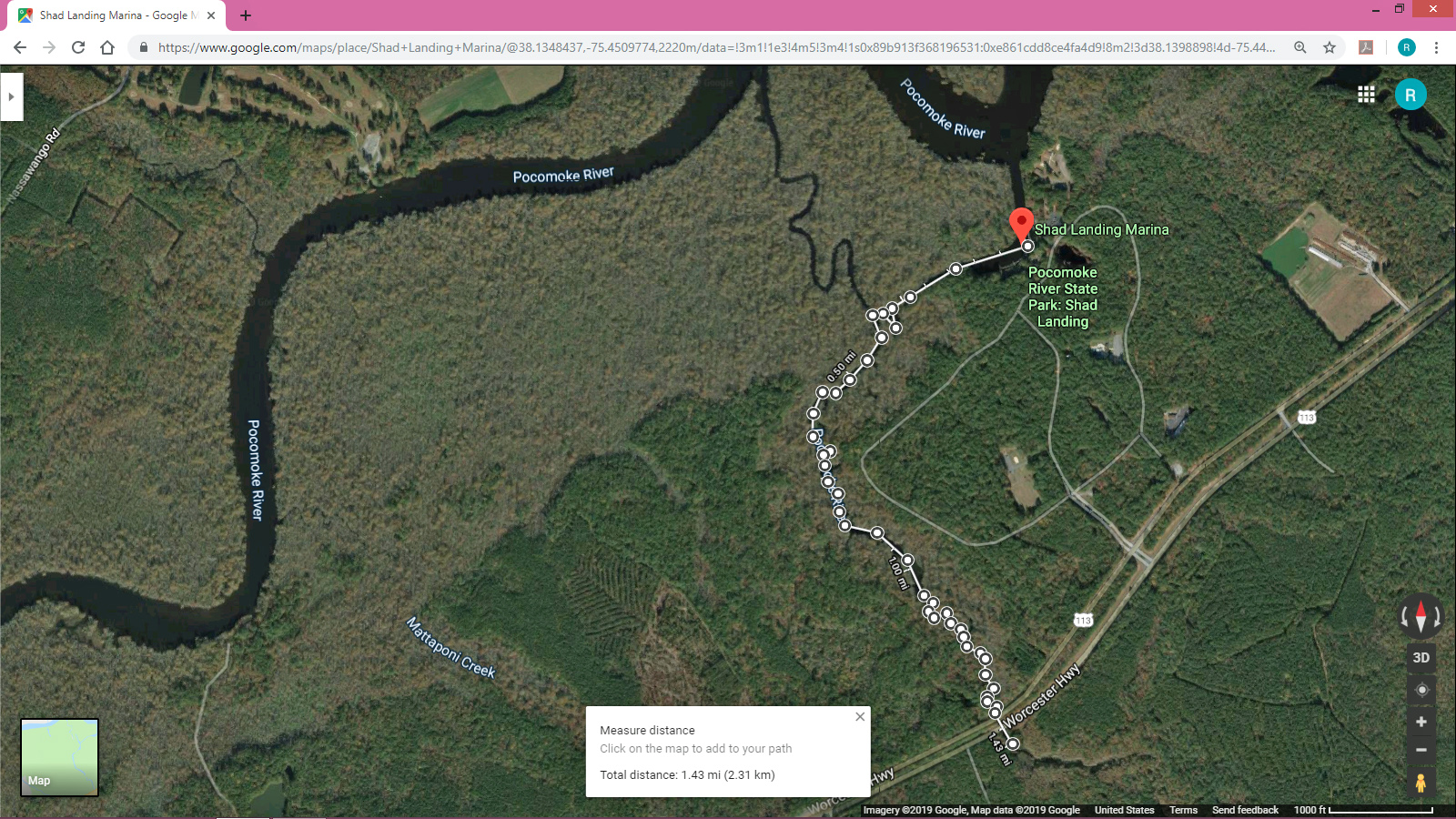
Our trip. Just over 7 miles with all the zig-zagging and crossing over the Pocomoke.

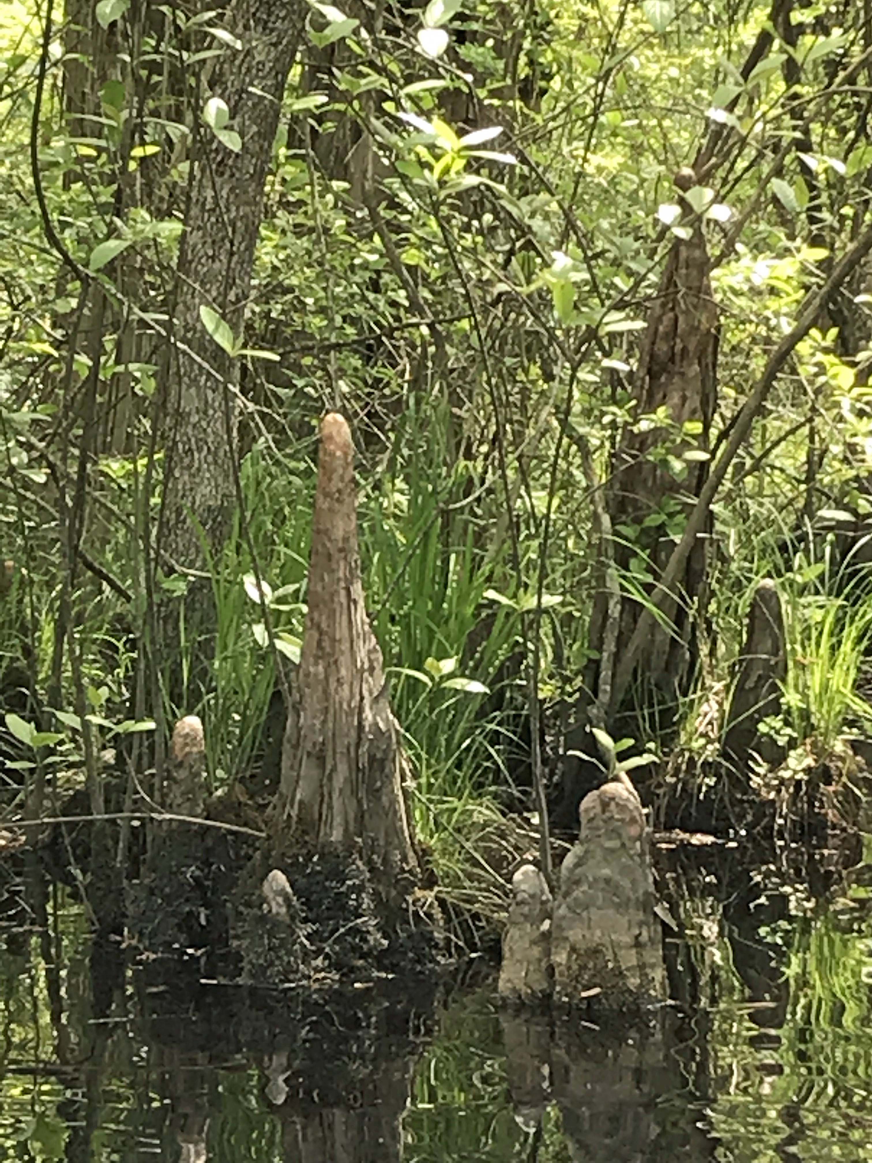
Another great kayak adventure. Next time we will need to check the tides. We hit a lot of submerged tree limbs and could not cut across the lily pads like we normally do. But it was still a great day to be out and grateful to be able to take these kind of trips.

Thanks God!

Prothonotary Warbler Trail

26 Sunday Apr 2020

Posted by Ronald Parks in Eastern Shore, Hiking, nature, Road Trips, State Parks, Trails

≈ Leave a comment

Tags

beaver, birds, flowers, Hiking, Nassawango, nature, Pocomoke River, prothonotary, Trails, warbler

Well that is a mouthful to say! Pronunciation is Pro-ton-o-tar-y, which by itself is a Chief Clerk in a court of law, which is apropos to what I have been going through the past couple of months (another story, another time). But with the warbler attachment, it is just that – a warbler. A trail full of them. This was a 2.3 mile hike.

For whatever reason, All Trails stopped recording our trip so I used their default map, adding an extra red line at the bottom left of the trail because we walked the road back. Not much parking. You need to park on the grass along the road. The guy that lives in the house to the left of the entrance trail was cutting the grass. He does a good job maintaining it. It is turkey hunting season and he wanted to know if we seen any? Glad this property belongs to the Nature Conservancy – No Hunting! I hate ducking bullets!

Entrance path

Some of the plants we saw

The path goes from Creek Rd. to Nassawango Creek. A nice trail with some boardwalks. No steep hills to climb. Molly did well and there were only 3 other people on the trail. We were spaced out accordingly.

It is part of a cypress swamp and the ‘knees’ always remind me of faceless people.

PEACE

Signage along the trail.

Nails in tree? and blaze.

More stuff along the way…

This was interesting. One of the bottles had AA written on it and I thought how weird is that? I looked it up and and it is an Ancient Age Bourbon Bottle. I immediately saw Alcoholics Anonymous!

Warbler in entrance hole

Well, Molly says enough of this. Although it has been a wonderful, peaceful hike, it is time to feed me! Thanks God for a wonderful hike with minimum people out there.

Quite a few of these photos were taken by Kathy. Thanks Kathy!

Snow Hill – Kayaking, Goat and Future Adventure

15 Thursday Aug 2019

Posted by Ronald Parks in Eastern Shore, kayaking, State Parks

≈ Leave a comment

Tags

kayaking, Nasawango, nature, Pocomoke River, Snow Hill

Kathy and I had previously gone kayaking on the Pocomoke at Snow Hill’s southwest side, below Rte 12. This day we headed to the northeast side, at the Pocomoke River Canoe Company. I called beforehand to see if they had a public launch and they do. It is more of a floating dock, of which I have never jumped in my kayak from before. I did ok – I didn’t fall in. (Usually I walk in from a ramp). The employees there are very nice and helpful.

Here is our path. It was about 3-1/4 miles round trip.

Some highlights:

Here comes the rain!

After a couple hours of kayaking and the rain forcing an early exit (Stupid weathermen were calling for rain after 4pm. We were there at about 10am), we decided to grab something to eat at a place called Down Under on Rte 12. Great cranberry/walnut chicken salad for me. Kathy got a cheese steak sub which she enjoyed. Instead of sitting in the parking lot, we headed back into Snow Hill, Byrd Park, to eat. Finally saw the Goat of Goat Island!

The canoe guys gave us a brochure listing other launches. On the way home we stopped at one, to check it out. This one is on Red House Road and is very small.

Thanks God for another day filled with adventures!!

Shad Landing – Kayaking

01 Wednesday May 2019

Posted by Ronald Parks in kayaking, State Parks

≈ Leave a comment

Tags

bridges, Chesapeake Bay, cypress, kayaking, nature, photography, Pocomoke River, Shad Landing, Snow Hill

What a great day to take a break from doing ‘stuff’! Loaded the kayaks onto the truck and then headed to Shad Landing at the Pocomoke River State Park. Weatherman was calling for 80+ degrees. We did want to do an Assateague Island trip but the wind gust were to be 10-15mph. For our first time out this season we thought a more peaceful, relaxing trip would be better. Here is our map. Not a long distance trip but a fun one of almost 3 miles and 2-1/2 hours. 

There was hardly anyone there. The landing kind of reminded us of Mariner’s Point up in Joppa. Instead of doing the loop west-north then back southeast, we headed off to Rte. 113. Here is Kathy getting everything ready while I park the truck.

From the launch you paddle east, go around the pier and then head southwest. Pass by the lonely canoes on a rack, waiting for adventurers.

We did not see much wildlife, just some signs. Here it looks like a beaver wasn’t paying attention to what had already been gnawed upon.

There were some colorful flowers on shore like these little bells. Kathy knows most of the names for these things. I don’t.

Heading towards the left turn we wanted to make is this marker. Unlike Mariner’s Point, we didn’t have to get out of the way of any crazy boaters that don’t care about wakes.

The whole park seems like a giant swamp. Kathy’s brother Phil had me watch a show about the Pocomoke on Delmarva Life, a TV show down here – Back in the 1930’s-40’s they dredged the river and put the spoils along the shore, unbeknownst to them that the dikes they created stopped mother nature from holding and filtering the water before sending it down stream to the Bay, causing damage to the ecosystem. Right now they are in the process of removing the dikes for nine miles up near Rte. 50, to reverse 80 years of bad planning. Here is what the area should look like.

Lots of cypress.

An odd shaped knee to say the least. Looks like a worn out statue.

So we make our left hand turn and Kathy see’s this sign. It is halfway covered up. She goes in for a closer look and under ‘Canoe Trail’ is an arrow pointing right.

45 minutes later, on our return trip, the water had risen.

The water was high enough to take away the protection of the metal cones that protect the birds from predators. Also, the lily pads had come up, only to be submerged.

We did see a few turtles and one water snake.

Up ahead, Route 113. Water looks a little high but we came this far – 

Kathy wanted me to go through first. She don’t like spiders and snakes.

Kathy took a photo of me contemplating which arch to go thru-

Kathy then made it through safe and sound.

Looking back from the other side of Rte. 113.

Time to paddle back. Marina up ahead.

Leaving the park we headed south on 113 to see the river from up above.

Nice, as were all the fields of flowers on the drive home.

So glad we put a bunch of house stuff to the side for a while, to enjoy this wonderful adventure together. It was a very much needed escape.

Blogroll

  • Flouride Action Network
  • lulu
  • My Book
  • WordPress.com
  • WordPress.org

Recent Posts

  • In Search of The Skipjack Ada Mae
  • Trap Pond Kayak
  • Pusey Trail and Cemeteries
  • Chandler Tract (White Trail) 4 3 21
  • Oyster Fritters, Antiques, a Hike (and a bad sign)

Blog at WordPress.com.

  • Follow Following
    • Water and Me
    • Join 226 other followers
    • Already have a WordPress.com account? Log in now.
    • Water and Me
    • Customize
    • Follow Following
    • Sign up
    • Log in
    • Report this content
    • View site in Reader
    • Manage subscriptions
    • Collapse this bar
 

Loading Comments...