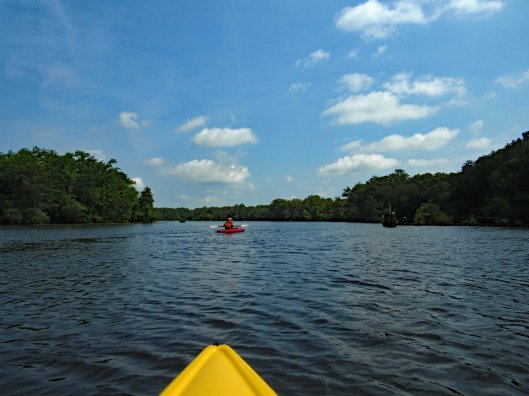
Early kayak adventure – it has been hot out so we got an early start! Kathy’s sister Gail was up from North Carolina so off we went to Snow Hill and a trip down the Pocomoke, around Goat Island. It was about 3 and 1/3 mile round trip.
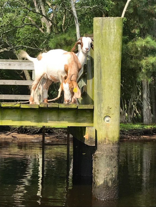
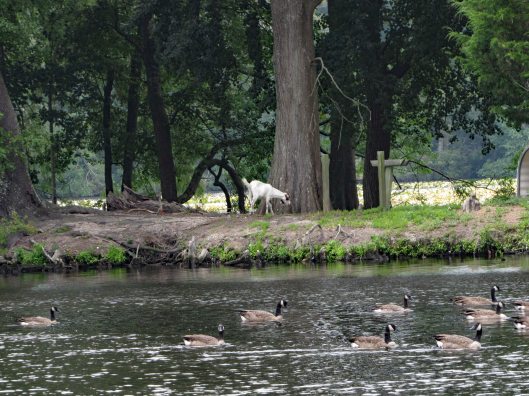
We usually enter the Pocomoke from the south ramp but for some reason I decided to park up by the north one. Glad we did! The goats of Goat Island were out.
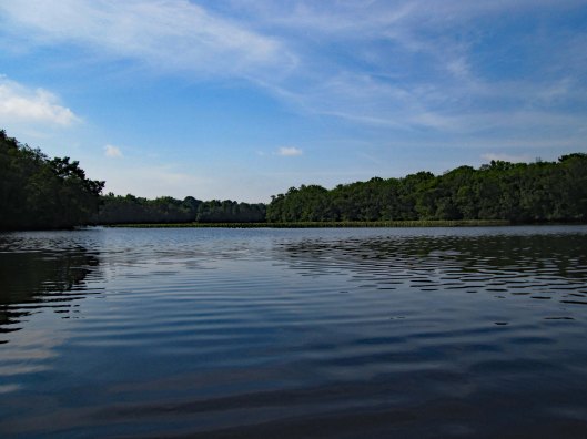
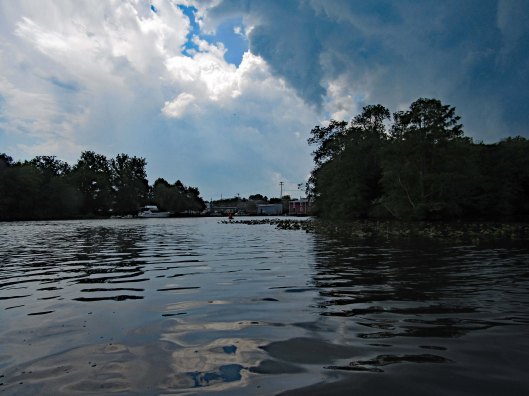
The water was like glass with very little wind.
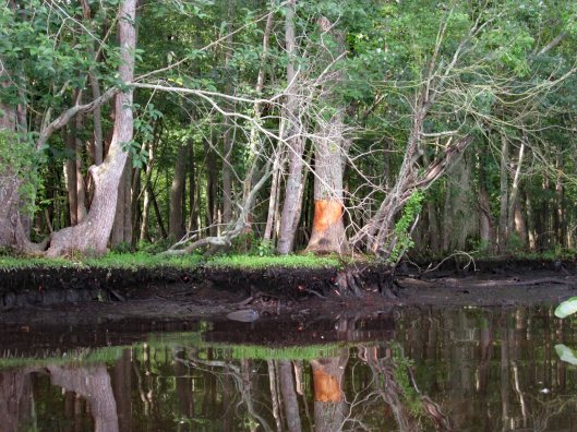
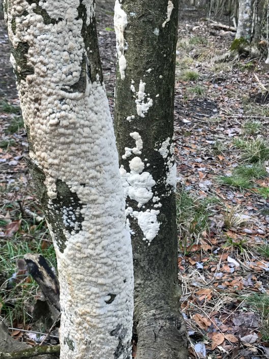
Someone has been rubbing against (or eating) this tree.
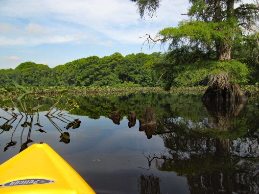
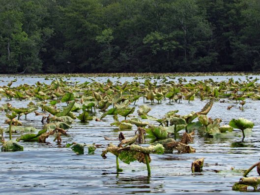
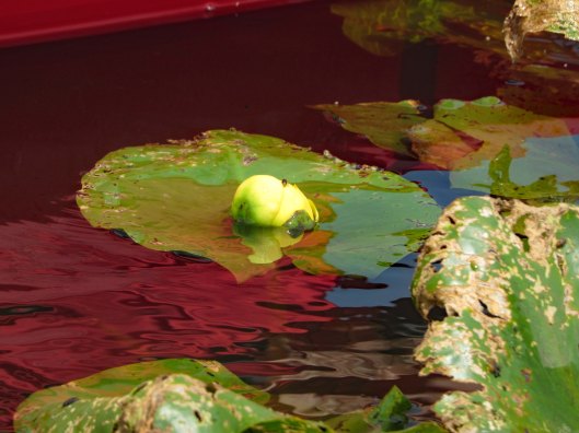
Lots of lily pads floating about. Tried to avoid and paddle around.
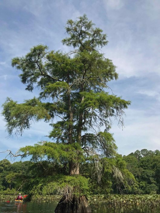
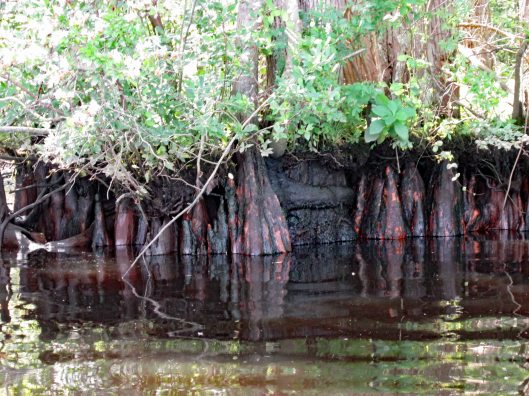
Big cypress.
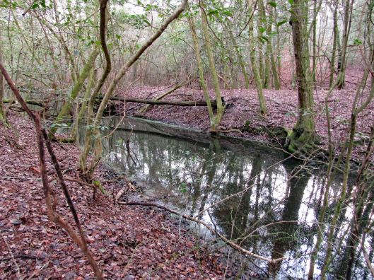
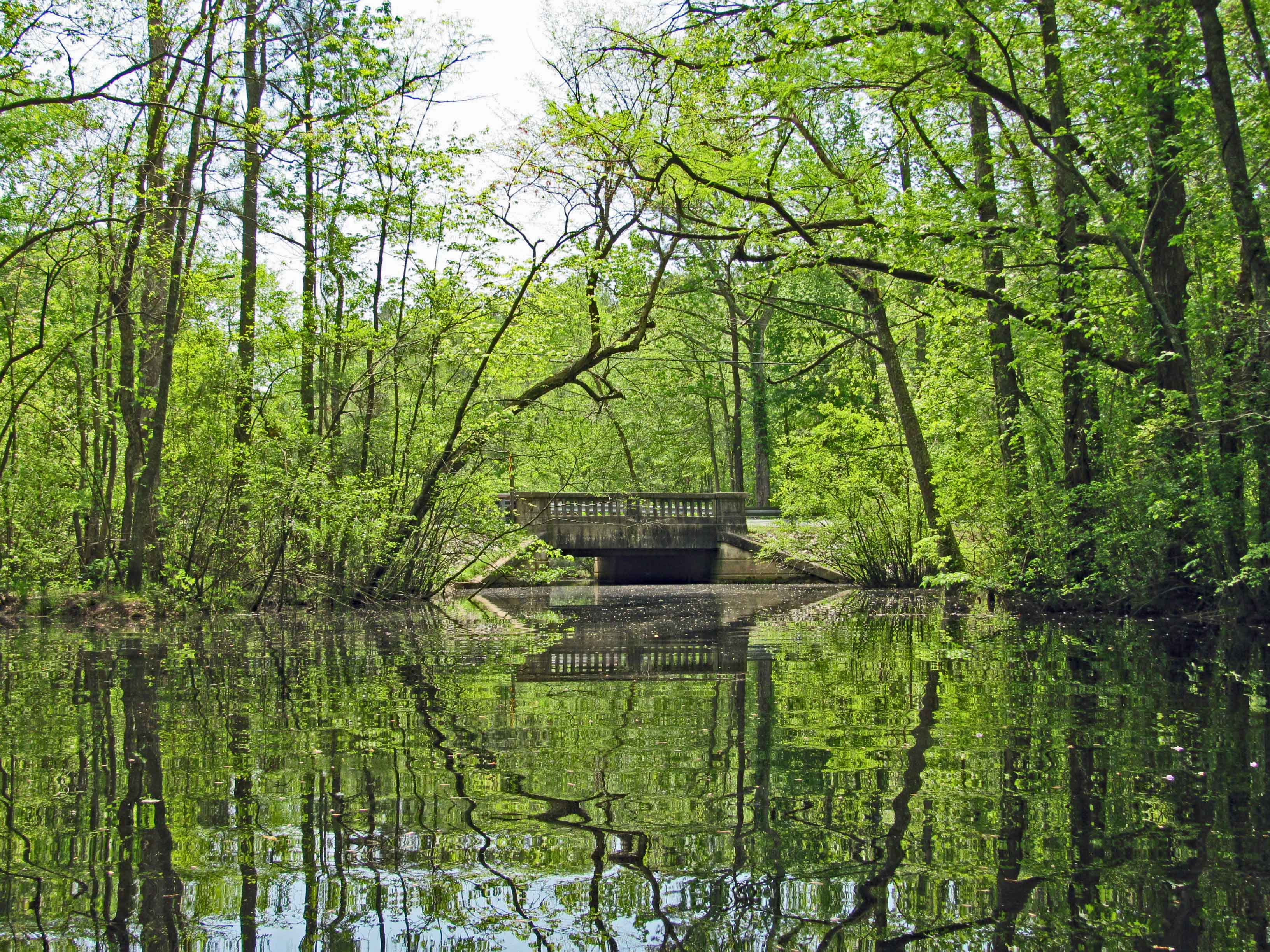
Through the obstacles and onto open water.
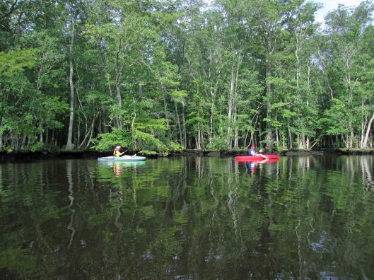
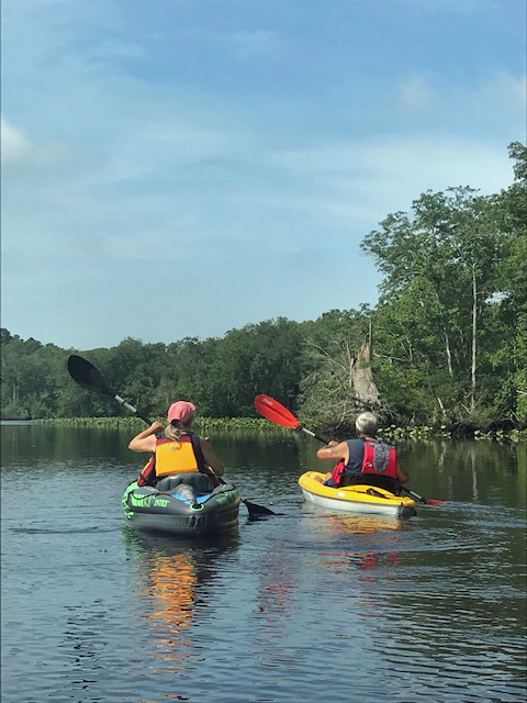
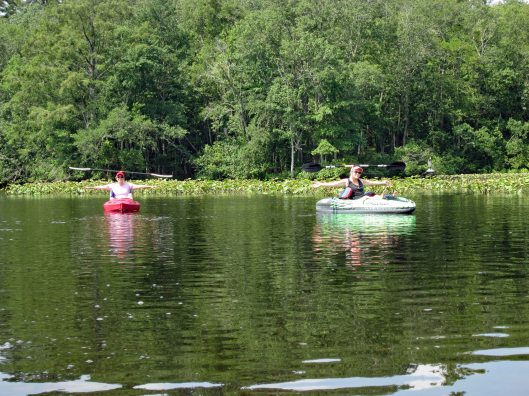
Not many photos of Kathy and I together on adventures, other than selfies. Gail took this one.
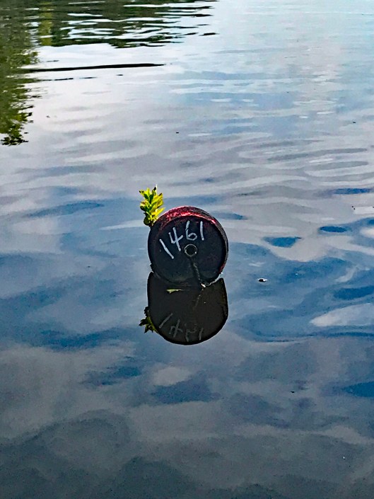
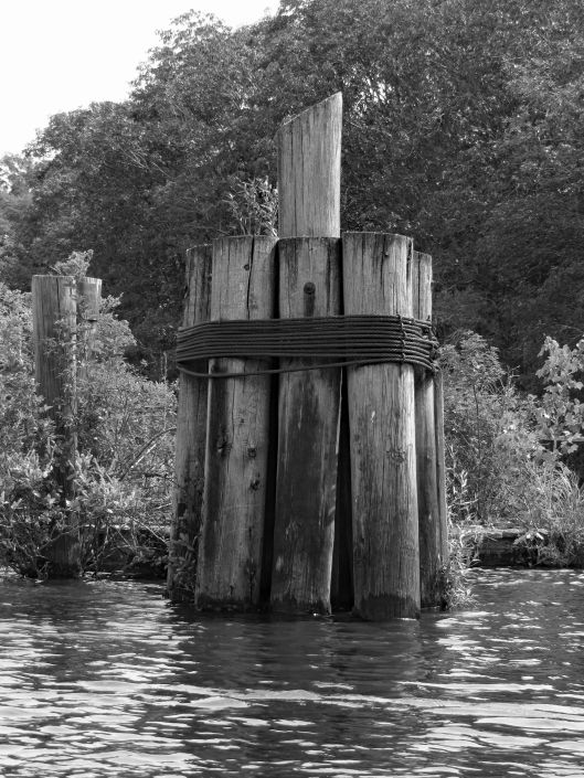
There were a few of these strung across the river?
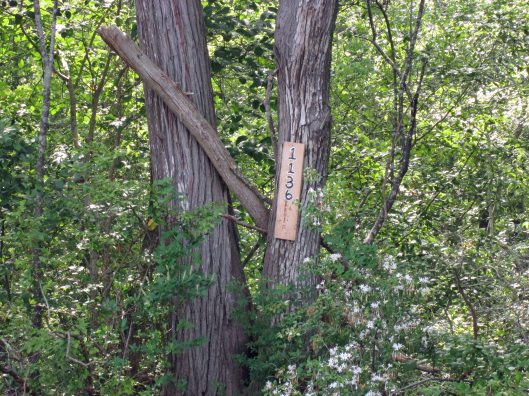
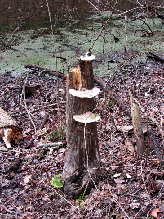
Another tree address…
Looks prehistoric.
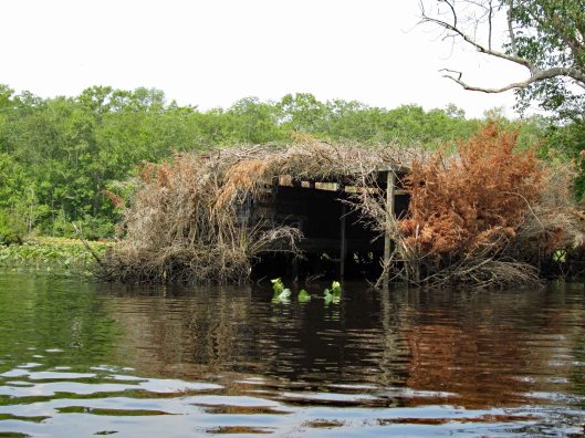
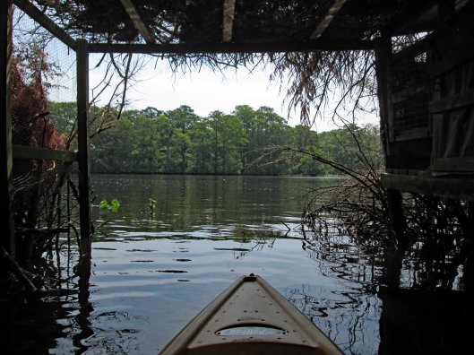
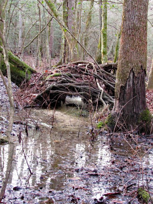
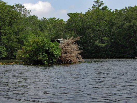
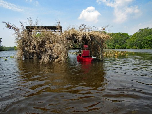
Duck blind.
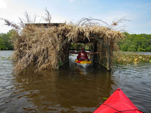
Inside looking out.
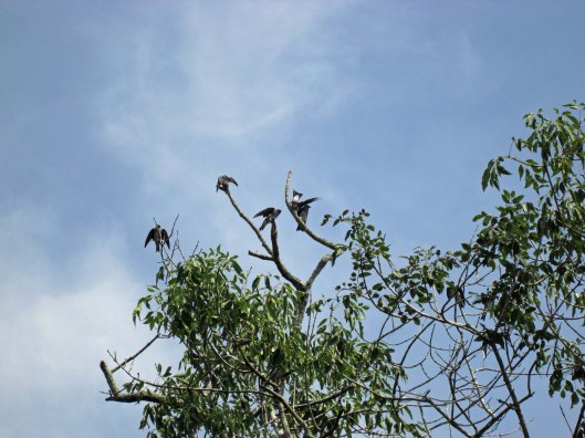
Tree swallows not too happy with me.
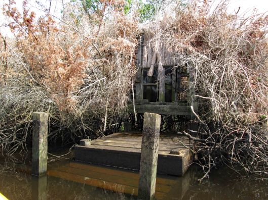
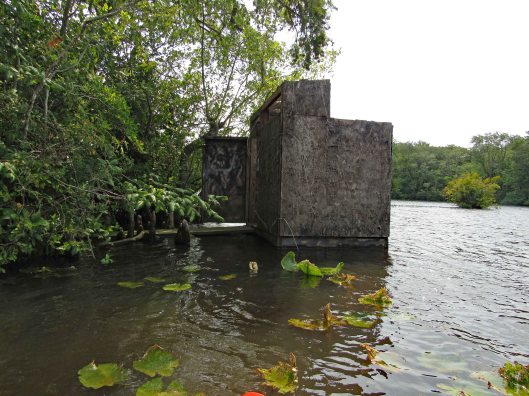
Side entrance to blind – needs some TLC.
So, i’m all the way down by the duck blind, about a quarter mile away from Kathy and Gail when I hear a whistle. So I paddle back as fast as I can to see if anything is wrong – “No, we just wanted you to see us balance the paddles on our heads!” Ha!!!
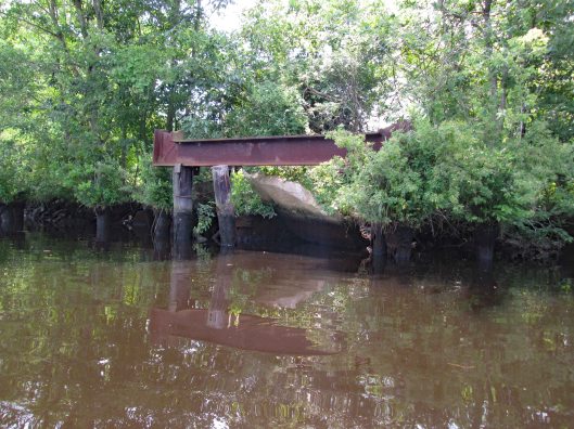
Looks to be the old outfall from the sewage plant.
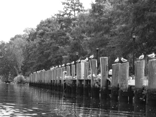
Heading back – seagulls looking for some Thrasher’s French Fries…
It was a really nice morning to go kayaking. Except for one little incident that happened – some jerk in a power boat was going too fast and about over-shot the curve. I was able to get out of his way but he was crazy and called us F’ing idiots!! I waved and told him to have a great day! I believe we had the right of way.
If the truth be told, I do miss doing historical research. So, when something of interest comes along, I will see what I can find out. Don’t get me wrong, I love being retired and enjoy doing the things that Kathy and I do. I really don’t have much time for writing and research. So when I can combine research and field trips, well, that makes retirement so much better!
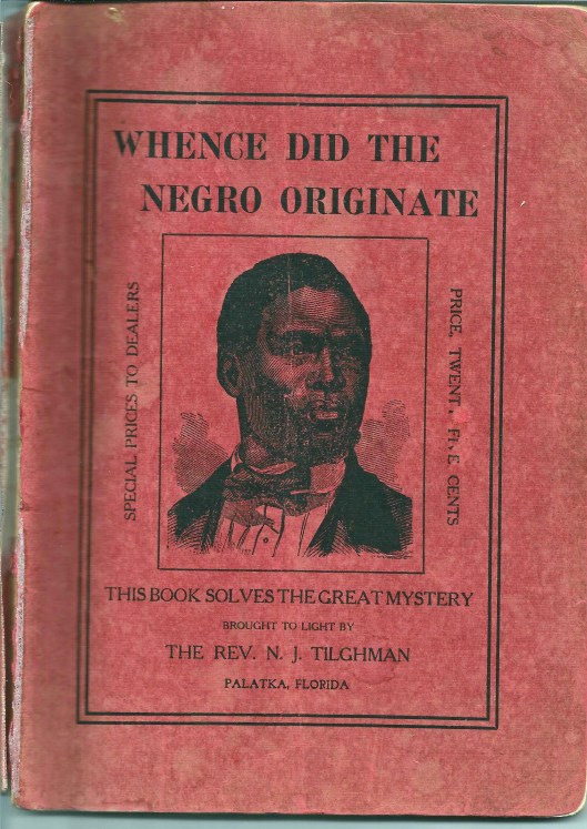
The other day someone passed along to me a booklet: Whence Did The Negro Originate. by NJ Tilghman. My first reaction was – Are you kidding me??
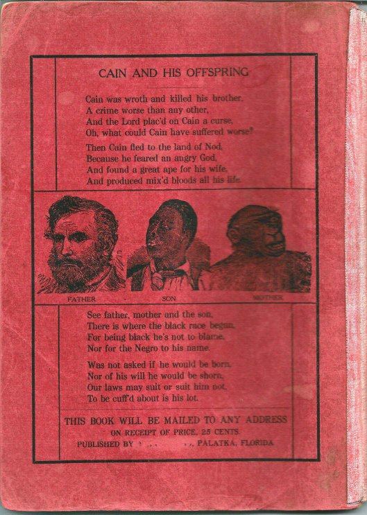
Rear Cover
There are a lot of Tilghman’s down here on the Eastern Shore, but this one says he is from Palatka Florida. Time to do some research on this very odd booklet. Here is the full title page:
Interesting about the above is that the Publisher has been cut off the page (and erased off the rear cover). Without going into a lot of detail about the book I will say this – This guy was crazy! The Readers Digest version: Adam and Eve had Cain and Abel. Cain kills Abel and is cast out into the wilderness where he takes up a wife…Wait!! Adam and Eve had no daughters?? So who became Cain’s wife?? Well according to the Reverend and his “reliable information” Cain married an Orangoutang (his spelling) or Gorilla. He goes on to prove his point which makes absolutely no sense.
Then the question of “What about the Great Flood”? You know, where Noah takes a few million species of animals in a boat? Notes: The N in NJ Tilgman stands for Noah. Also, Tilghman had a son who it appears built a boat that was called Noah’s Ark. So, the booklet goes on to say that “…But Negroes, offspring of Cain and the ape, were not pure men, but unclean and must be preserved in the Ark with the unclean beasts.”
After some more research I found out that Tilghman was originally from the Eastern Shore and is buried at a cemetery in Snow Hill. Kathy suggested a road trip to find it. Looking at the Findagrave website we found it. So off we went.
We placed his little booklet on his headstone. I wonder if after meeting God he “rolled in his grave” as they say??
Here is his Death Certificate. I had to contact the person who posted the grave info to ask about the cause of death. I could not make it out. She said it was “Exhaustion due to Prostatitis, Contributory – Enlarged Prostrate.
Why do obituaries always say nice things about people? His actually glorifies him, 8 years after he wrote this pamphlet. Here are some excerpts: Rev. Noah J. Tilghman (1828-1918), one of the best known and most highly esteemed citizens of Palatka…He was an earnest student of the Bible, and put into daily practice its great lessons of mortality and spirituality. He lived the life of practical Christianity, treating all men honestly and honorably, and so closely following “the golden rule” in his every act and endeavor as to make his example one worthy of emulation. Unbelievable!
A little further research found this information about this spiritual giant!
Source:State Archives of Florida: Series S12, Volume 01, Box 46 Description: Death warrant signed by Governor William S. Jennings. Date: January 16, 1901 Creator: Jennings, William Sherman, 1863-1920 Warrants Florida Boom and Progressive Era (1890-1926) General Note: On December 21, 1901, Governor William S. Jennings signed a death warrant listing Noah J. Tilghman as the man to be hanged. Tilghman’s name had been mistakenly written on the warrant. The death warrant was supposed to be issued for J. B. Brown, an African-American man wrongfully convicted of murdering white railroad engineer Harry E. Wesson. After the debacle with the death warrant, Brown was sentenced to life in prison. In 1913, Brown was exonerated. Tilghman wrote the Governor a few times about this.
After this we decided to roam around Snow Hill. There was some sort of Oyster Festival going on. We went into the Antique Toy store which was fun. Then to a really nice art studio with a wonderful artist named Nancy.
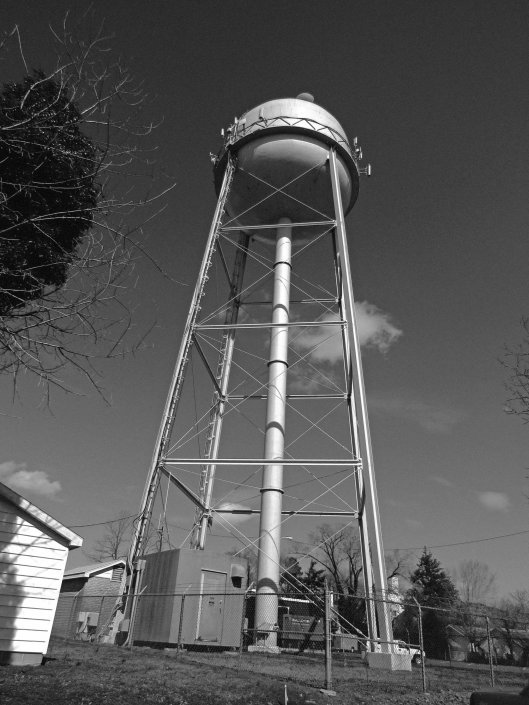
Water tower
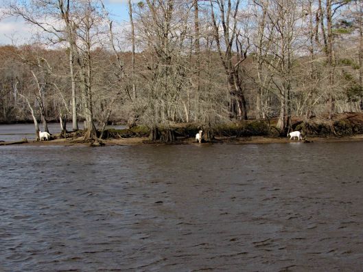
Grabbed some lunch at the Down Under carry-out, headed back to Byrd Park, ate and looked for the Goats of Goat Island.
The yellow tag says UMES 1995
A really nice combo road trip and research kind of day!
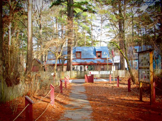
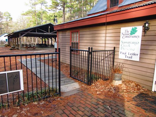
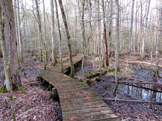
In my last blog, First Hike 2020, I spoke of looking for the Paul Leifer Trail at Furnace Town and how we thought the only access was from the gift shop, which closed in October. Well I sent an email to Furnace Town asking about access to the trail and they told us to go through the gate and then head to the trail, so we did.
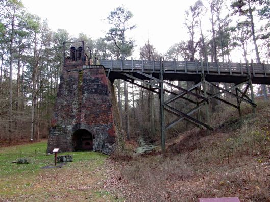
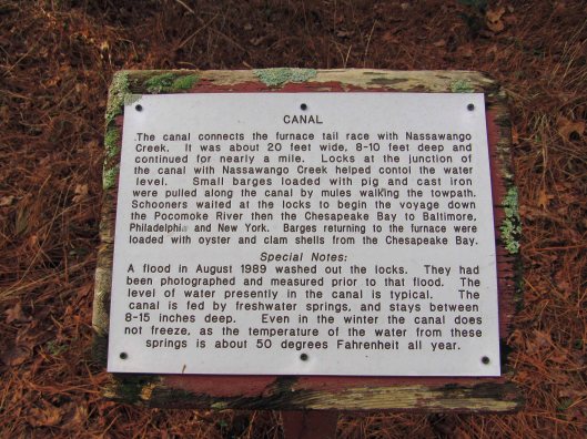
Through the gate and head to the right, where you will see the Iron Furnace. Go to the left and there is an information board with a map and cautions that the boardwalks are very slippery.
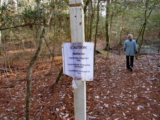
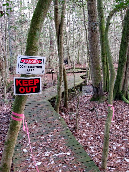
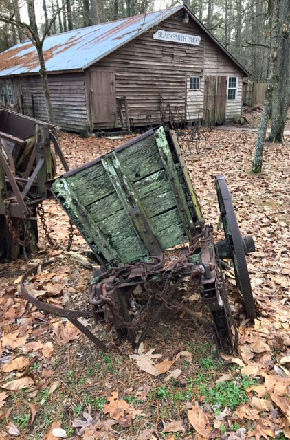
Some interesting signage and some not so interesting!
The boardwalks were not only very slick, some were falling apart.
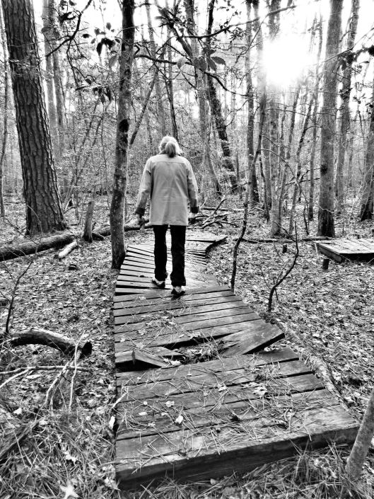
Molly didn’t mind and she did a lot better on this hike.
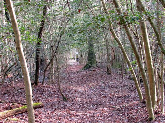
Some of the sights along our hike. It was very quiet here.
CrabbyA favorite sight of mine!2nd Geocache in as many weeks.Happy-Happy-Happy
Heading back out after about 1-1/2 hour hike. A couple shots in the ‘town’.
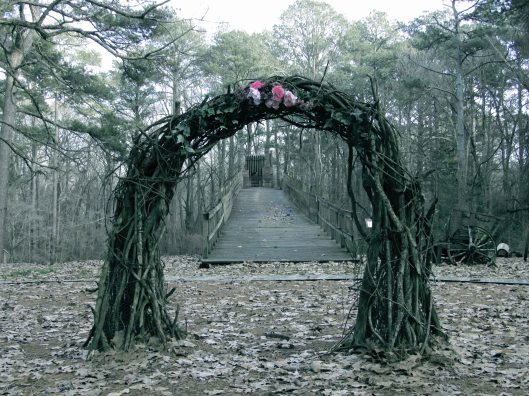
Wedding arch? Or sacrificial temple at the top?Nice pic from Kathy.
Our hike, via All trails: Under a mile but very adventurous!
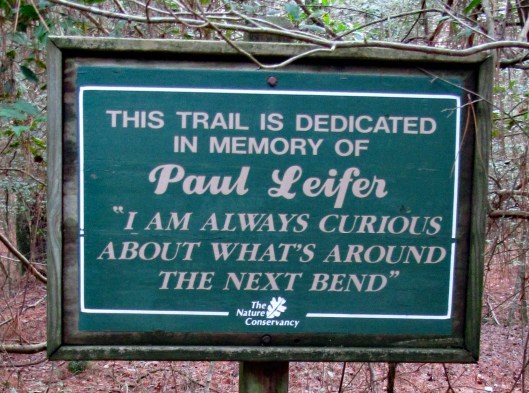
But the best sign was this one…
Life is full of next bends!! Thanks God for pointing the way to each and every bend, not that I am always paying attention to where you are pointing…
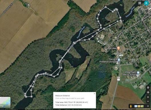
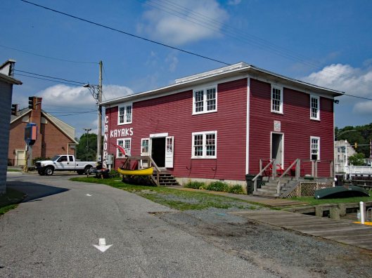
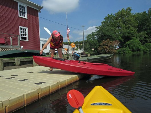
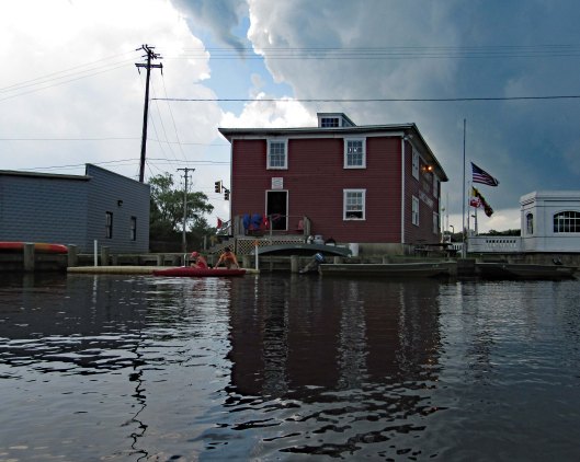
Kathy and I had previously gone kayaking on the Pocomoke at Snow Hill’s southwest side, below Rte 12. This day we headed to the northeast side, at the Pocomoke River Canoe Company. I called beforehand to see if they had a public launch and they do. It is more of a floating dock, of which I have never jumped in my kayak from before. I did ok – I didn’t fall in. (Usually I walk in from a ramp). The employees there are very nice and helpful.
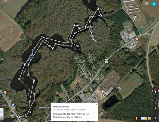
Here is our path. It was about 3-1/4 miles round trip.
Some highlights:
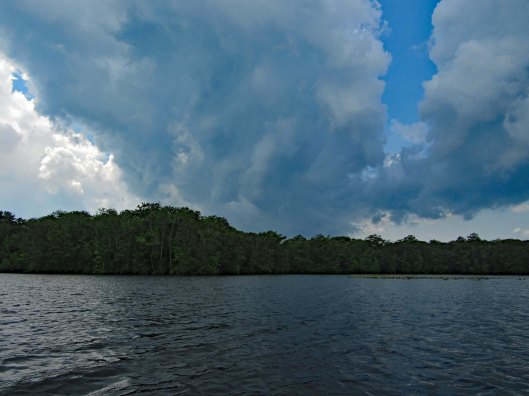
Here comes the rain!
After a couple hours of kayaking and the rain forcing an early exit (Stupid weathermen were calling for rain after 4pm. We were there at about 10am), we decided to grab something to eat at a place called Down Under on Rte 12. Great cranberry/walnut chicken salad for me. Kathy got a cheese steak sub which she enjoyed. Instead of sitting in the parking lot, we headed back into Snow Hill, Byrd Park, to eat. Finally saw the Goat of Goat Island!
The canoe guys gave us a brochure listing other launches. On the way home we stopped at one, to check it out. This one is on Red House Road and is very small.
Thanks God for another day filled with adventures!!
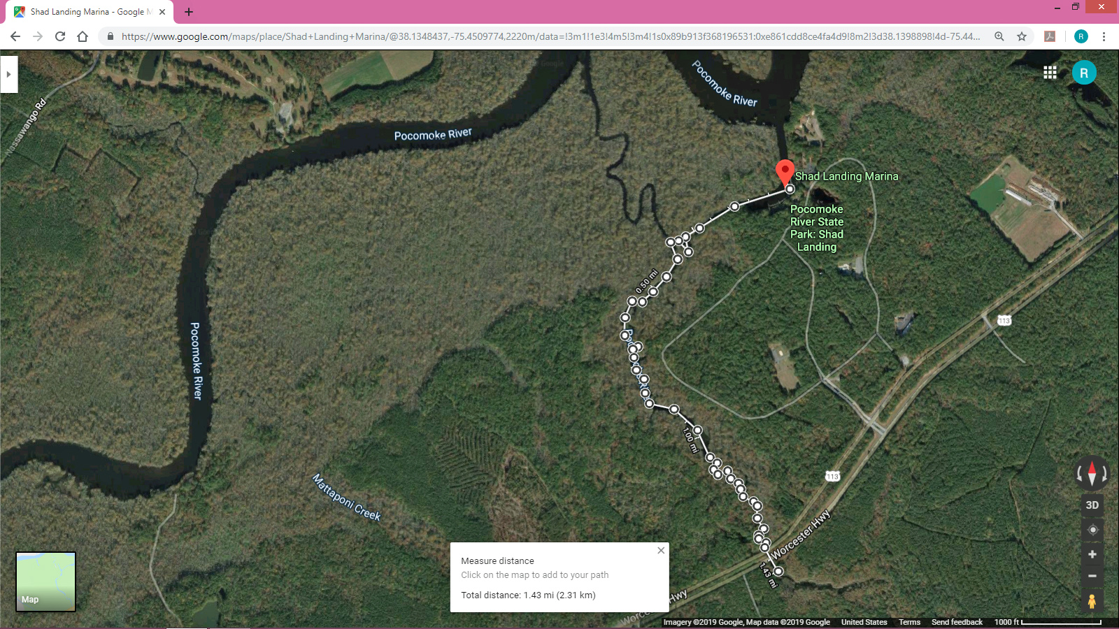
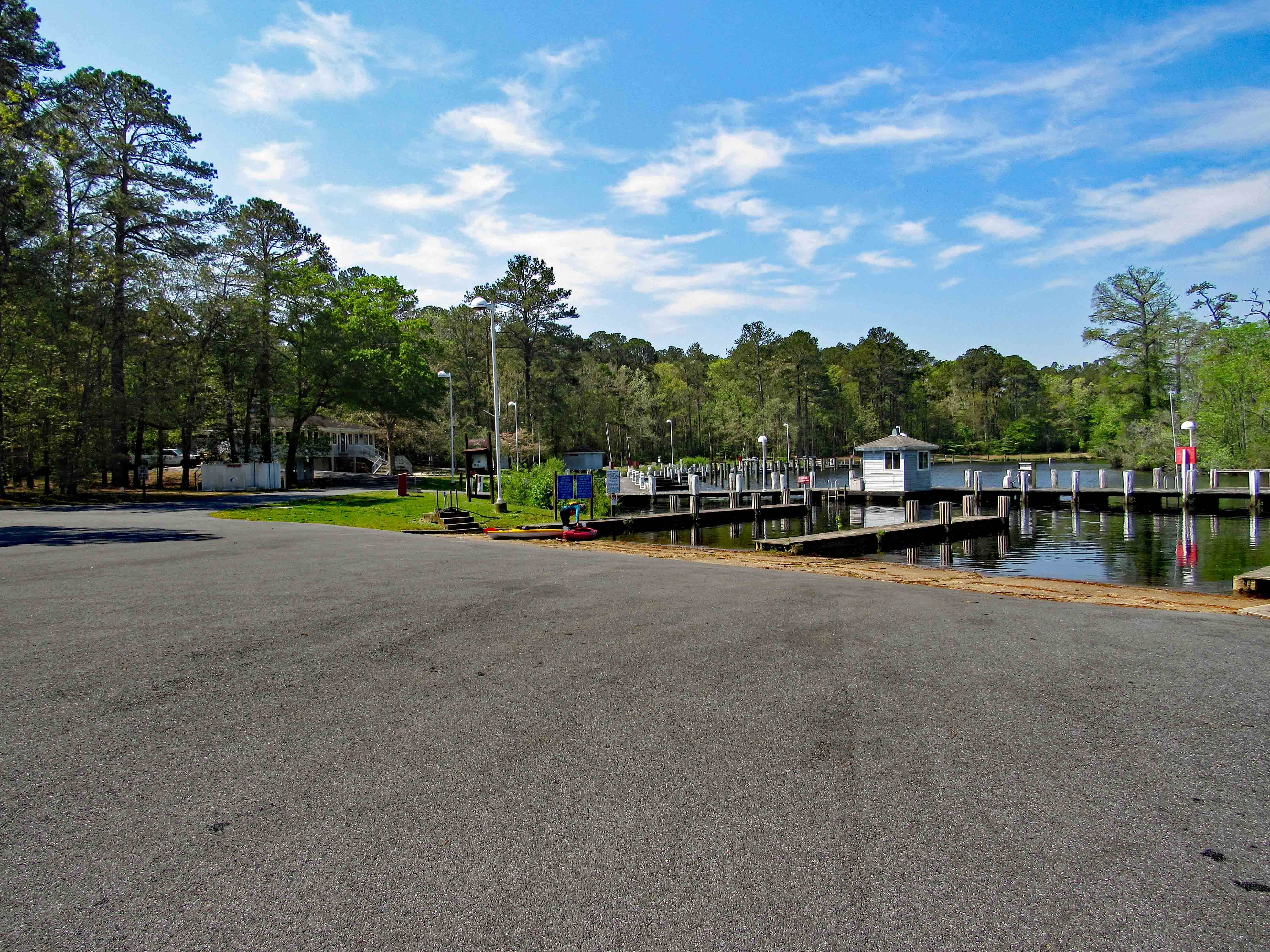
What a great day to take a break from doing ‘stuff’! Loaded the kayaks onto the truck and then headed to Shad Landing at the Pocomoke River State Park. Weatherman was calling for 80+ degrees. We did want to do an Assateague Island trip but the wind gust were to be 10-15mph. For our first time out this season we thought a more peaceful, relaxing trip would be better. Here is our map. Not a long distance trip but a fun one of almost 3 miles and 2-1/2 hours.
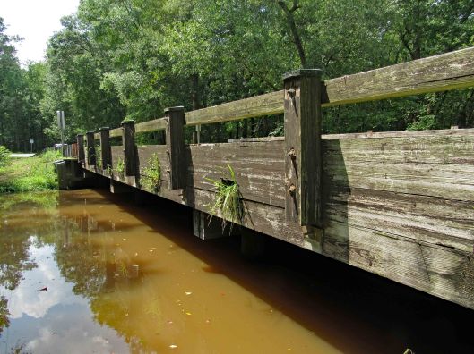
There was hardly anyone there. The landing kind of reminded us of Mariner’s Point up in Joppa. Instead of doing the loop west-north then back southeast, we headed off to Rte. 113. Here is Kathy getting everything ready while I park the truck.
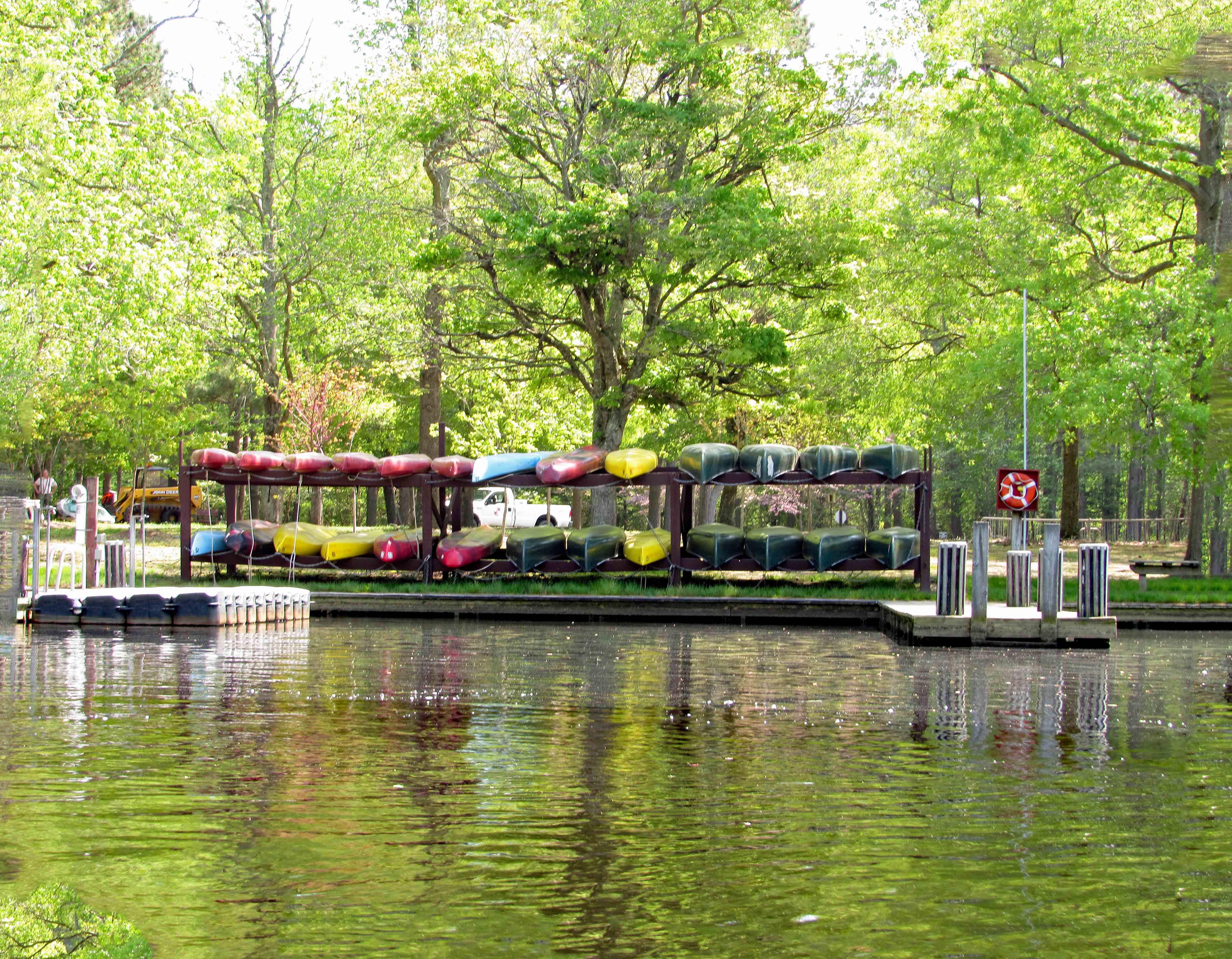
From the launch you paddle east, go around the pier and then head southwest. Pass by the lonely canoes on a rack, waiting for adventurers.
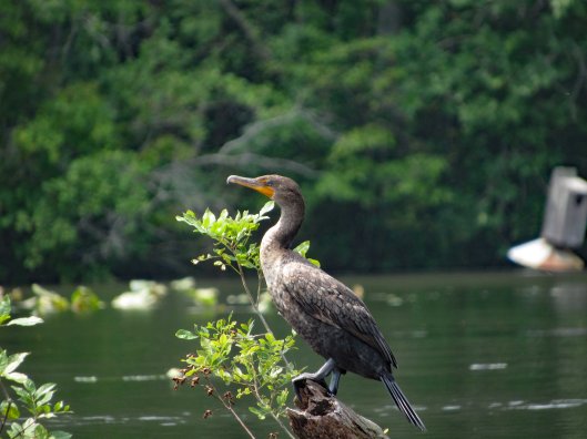
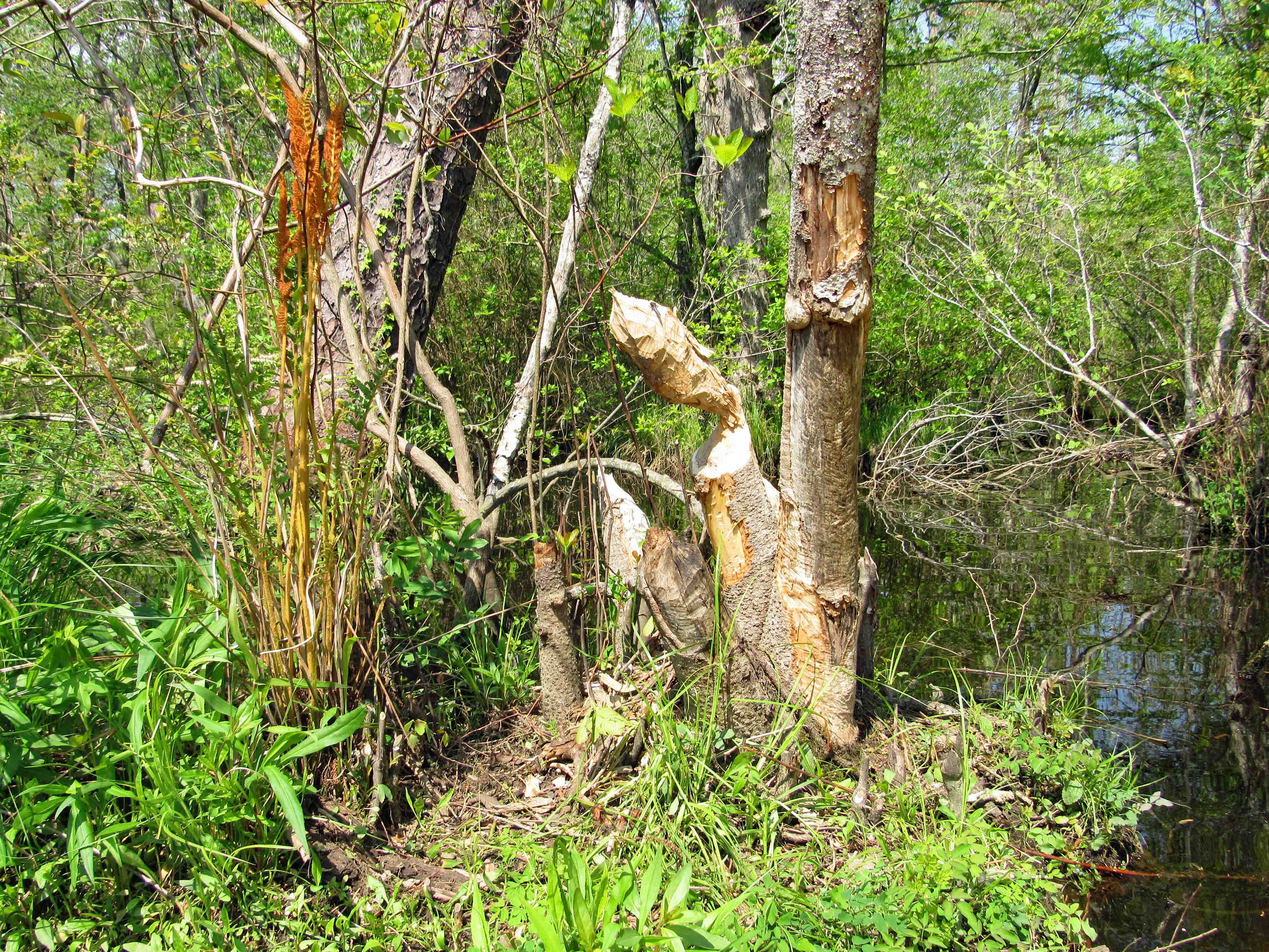
We did not see much wildlife, just some signs. Here it looks like a beaver wasn’t paying attention to what had already been gnawed upon.
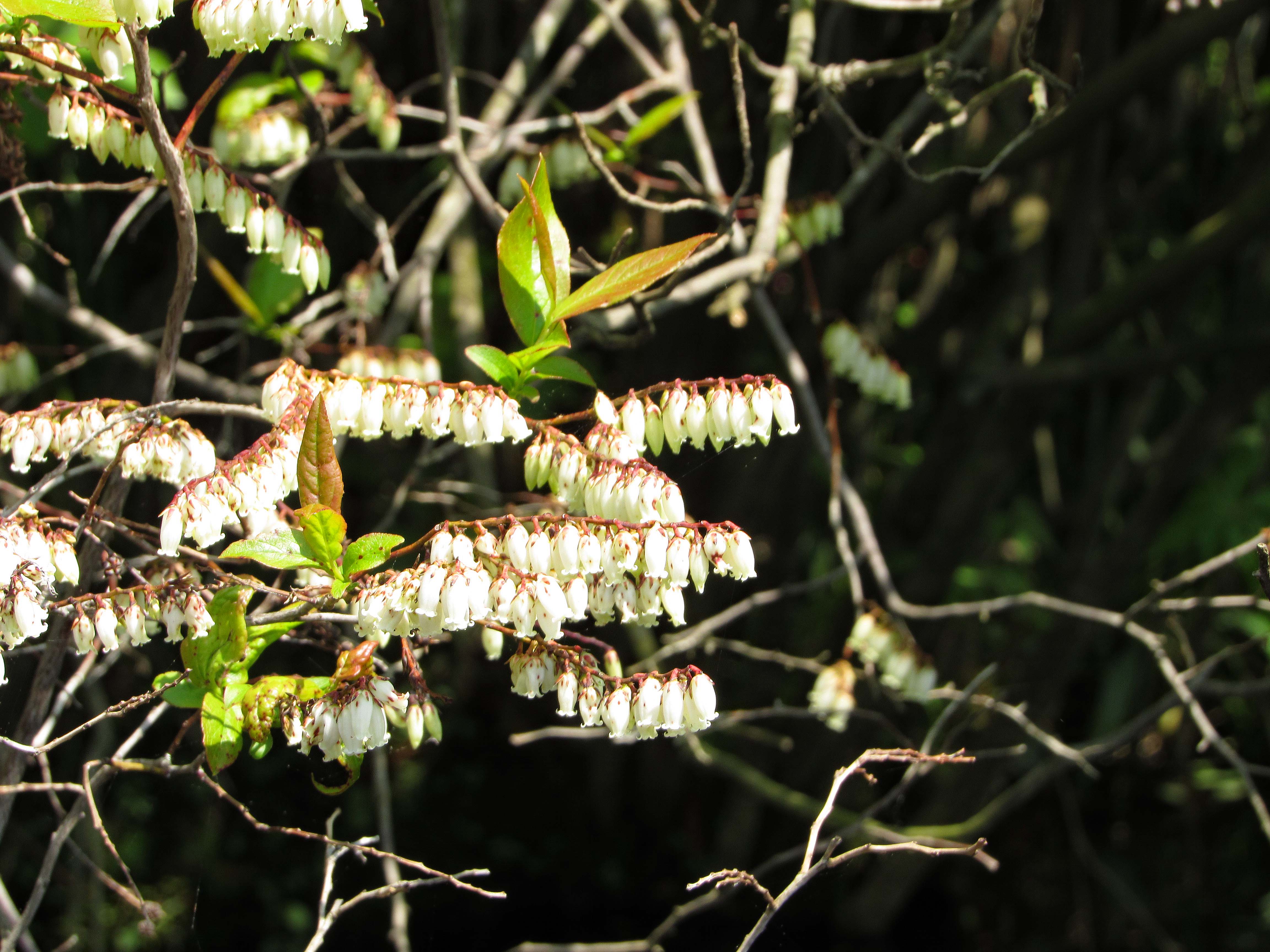
There were some colorful flowers on shore like these little bells. Kathy knows most of the names for these things. I don’t.
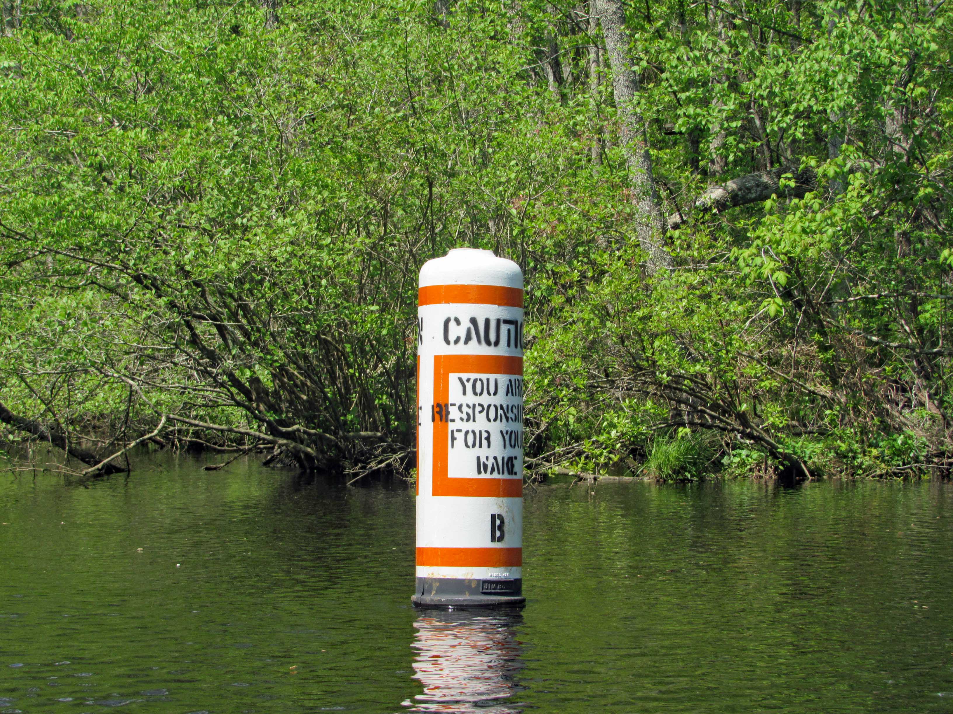
Heading towards the left turn we wanted to make is this marker. Unlike Mariner’s Point, we didn’t have to get out of the way of any crazy boaters that don’t care about wakes.
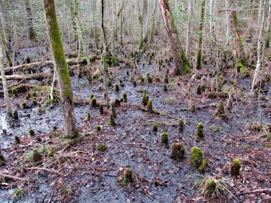
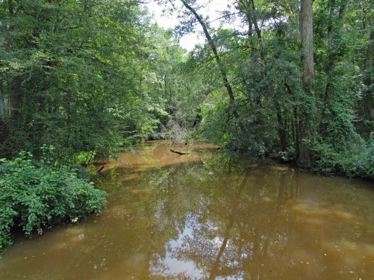
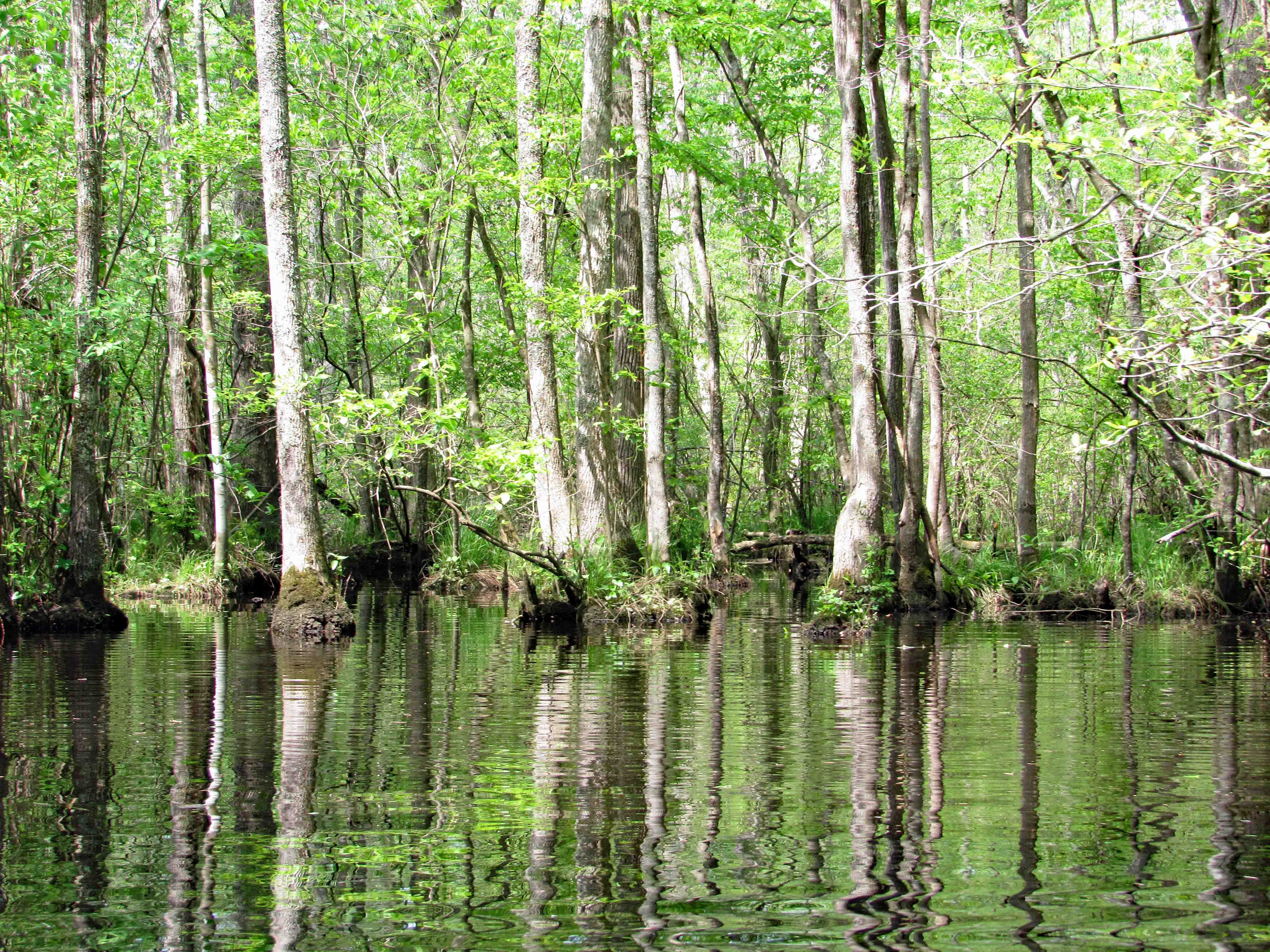
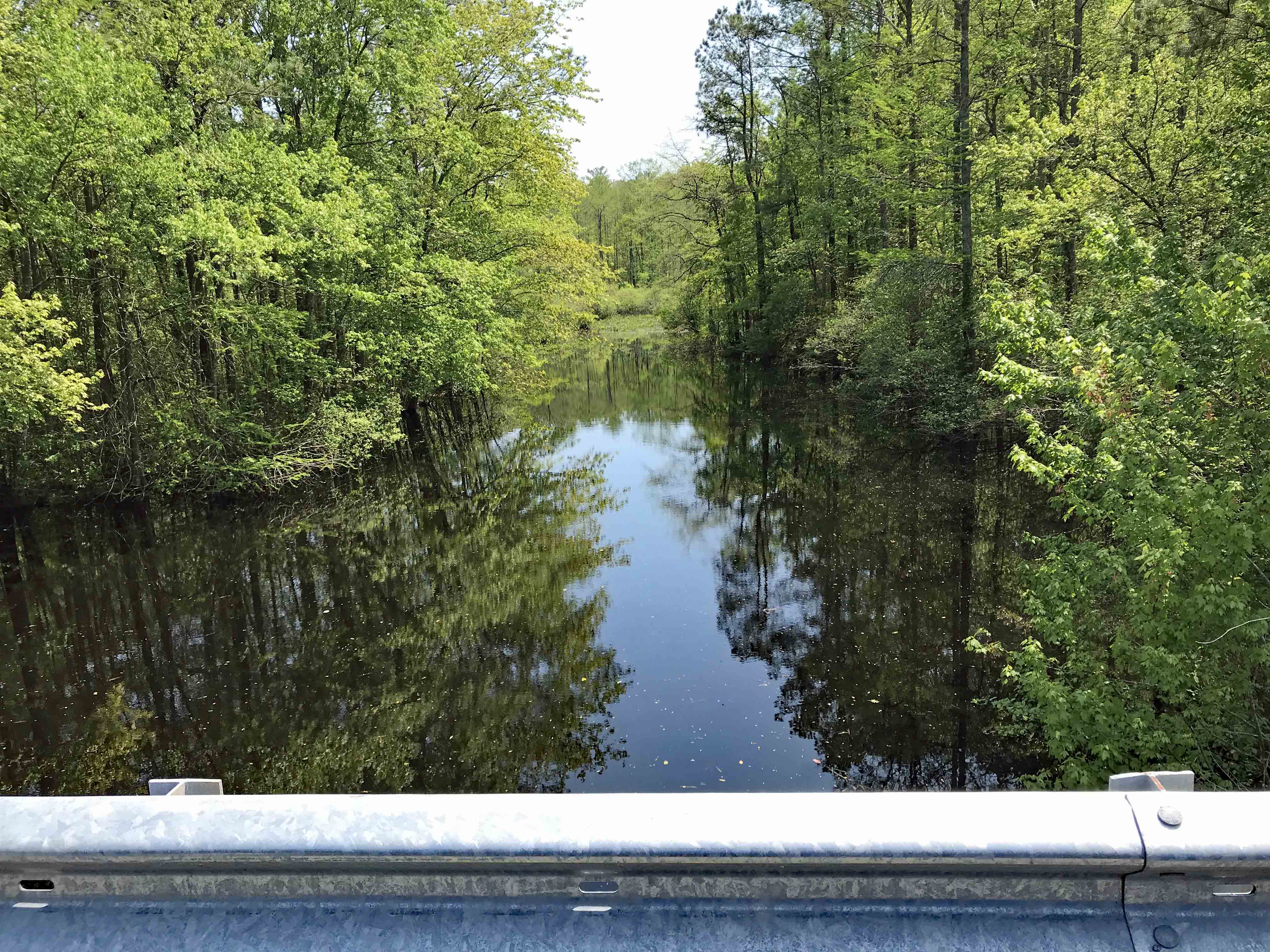
The whole park seems like a giant swamp. Kathy’s brother Phil had me watch a show about the Pocomoke on Delmarva Life, a TV show down here – Back in the 1930’s-40’s they dredged the river and put the spoils along the shore, unbeknownst to them that the dikes they created stopped mother nature from holding and filtering the water before sending it down stream to the Bay, causing damage to the ecosystem. Right now they are in the process of removing the dikes for nine miles up near Rte. 50, to reverse 80 years of bad planning. Here is what the area should look like.
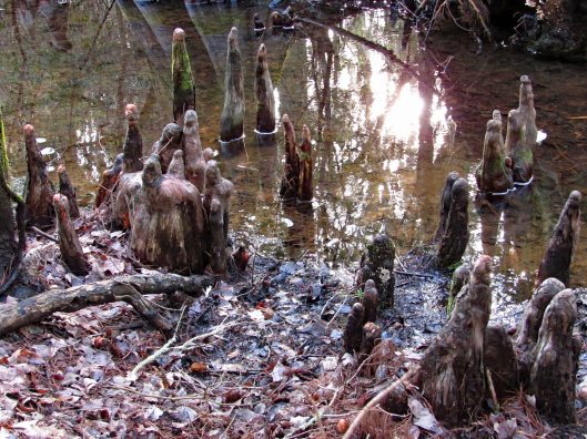
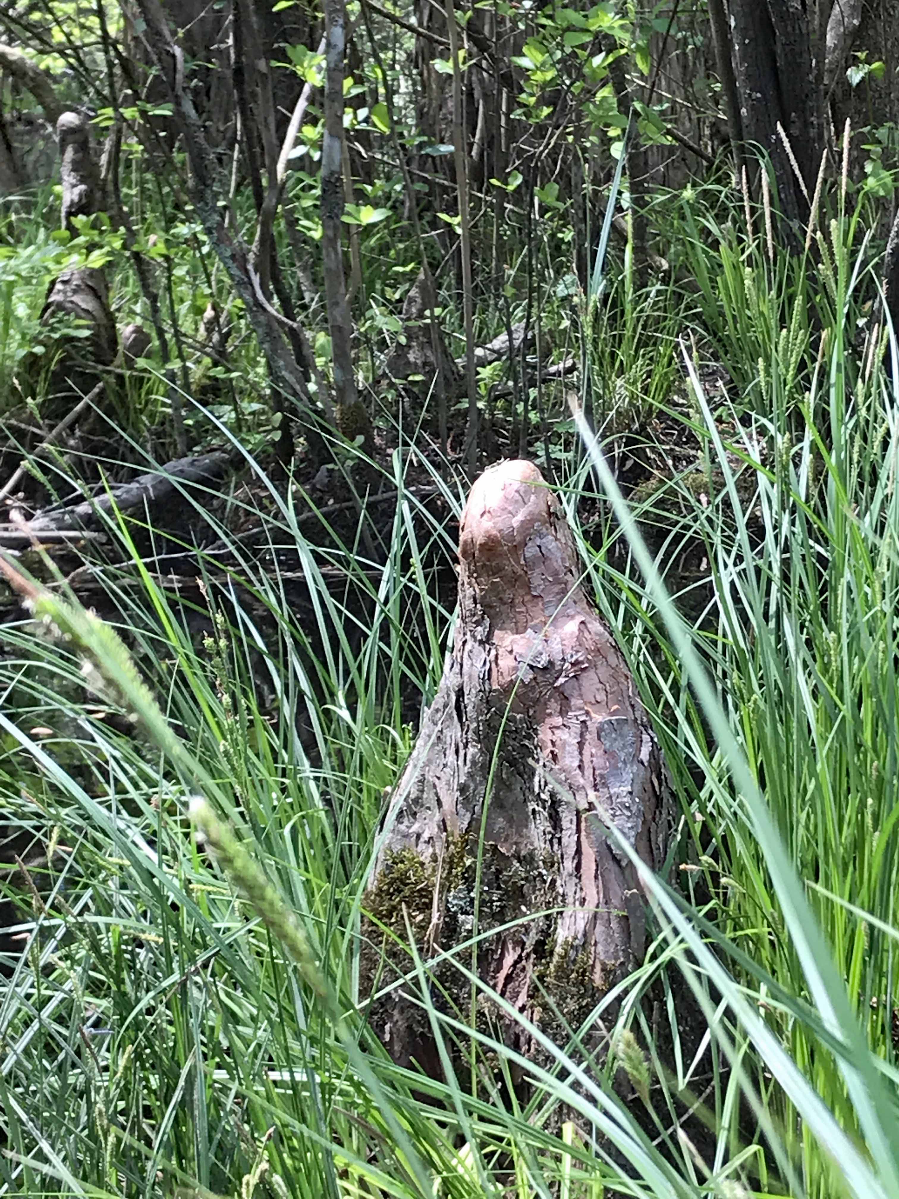
Lots of cypress.
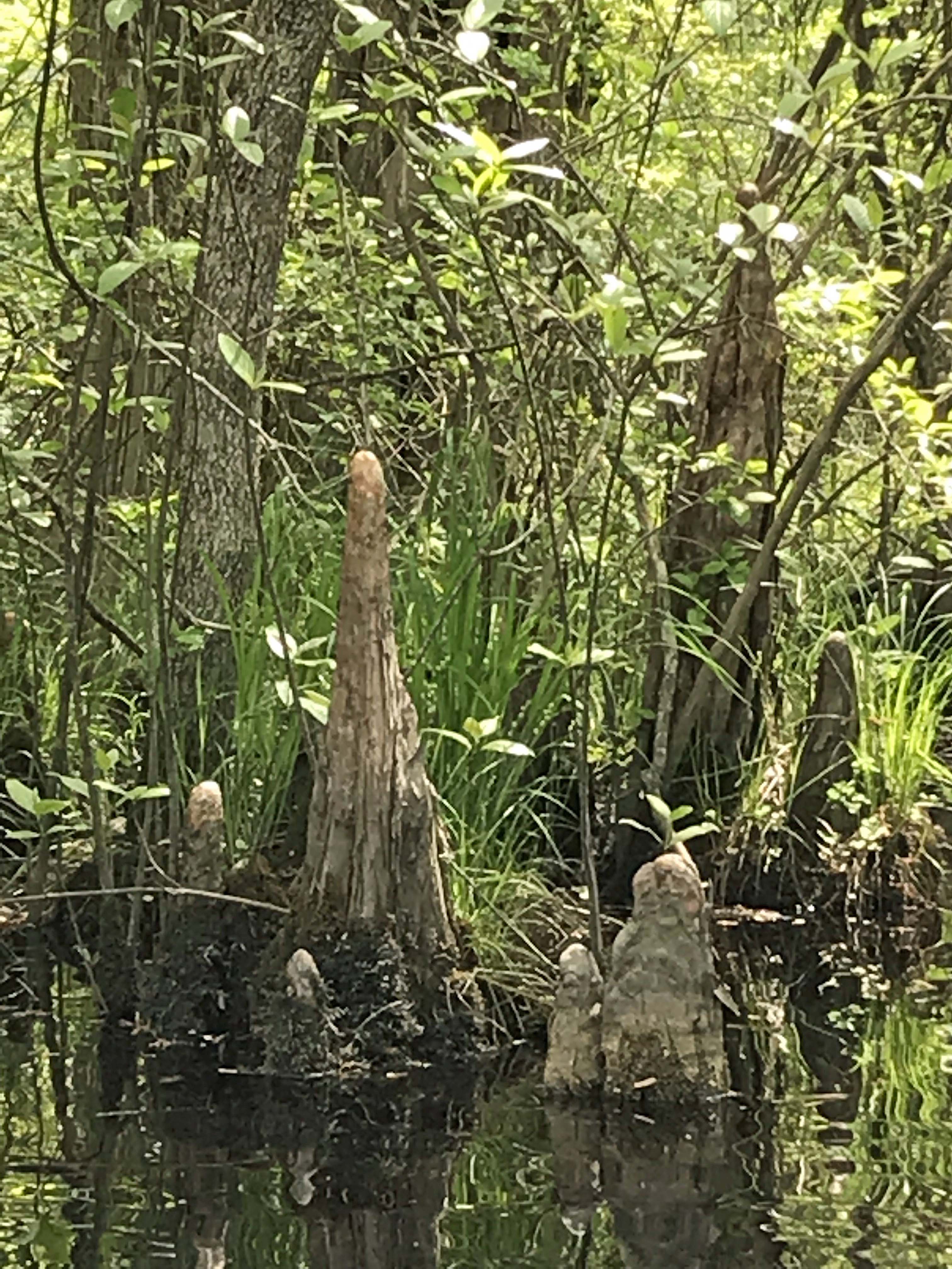
An odd shaped knee to say the least. Looks like a worn out statue.
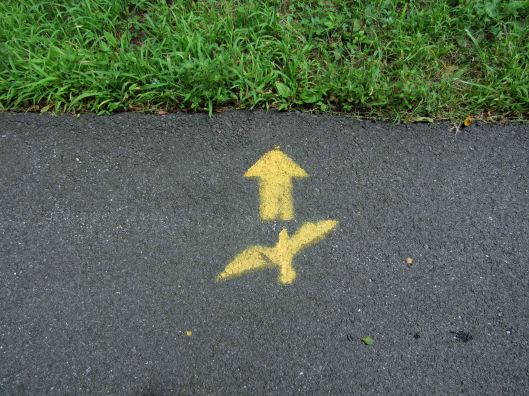
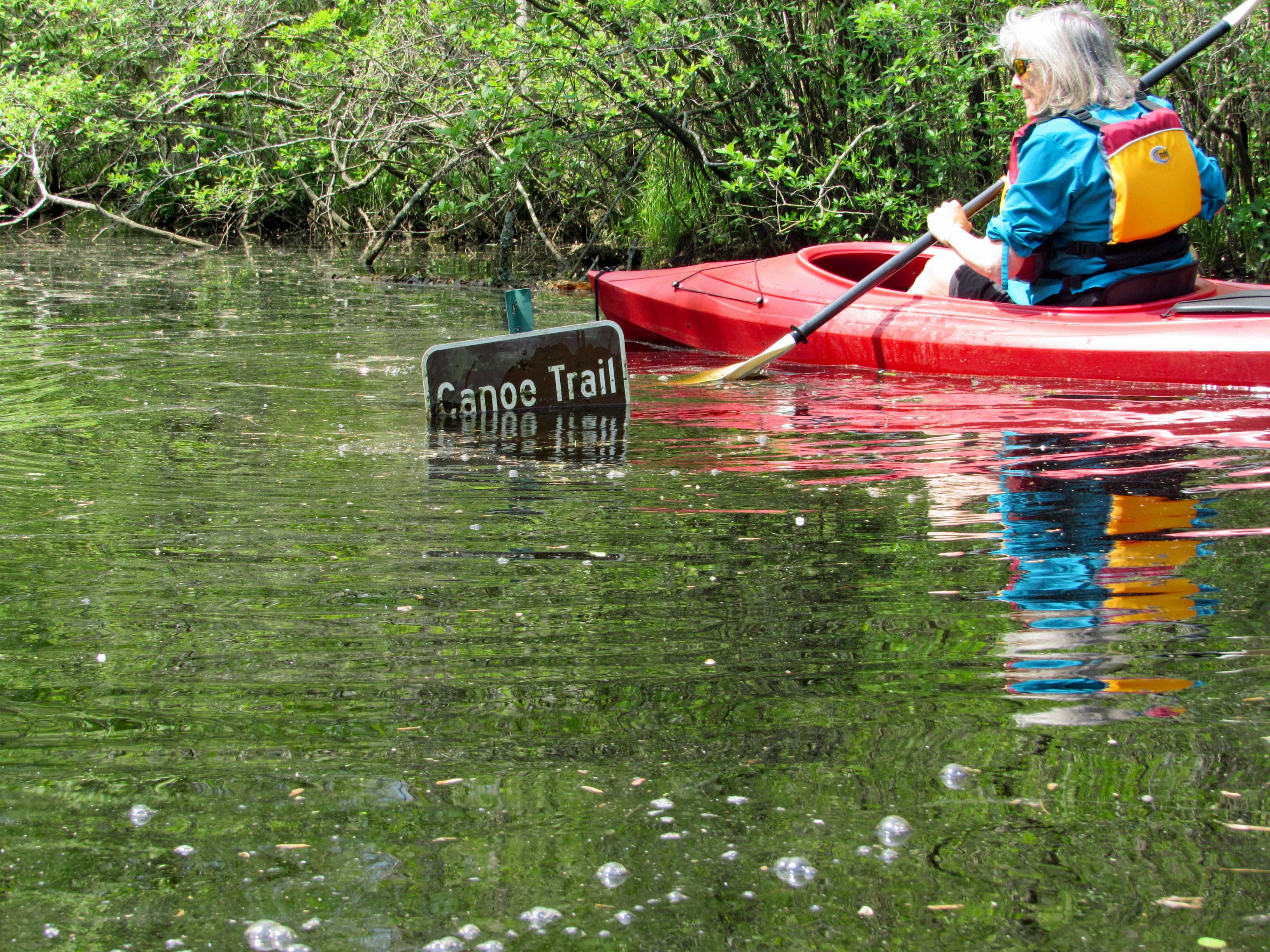
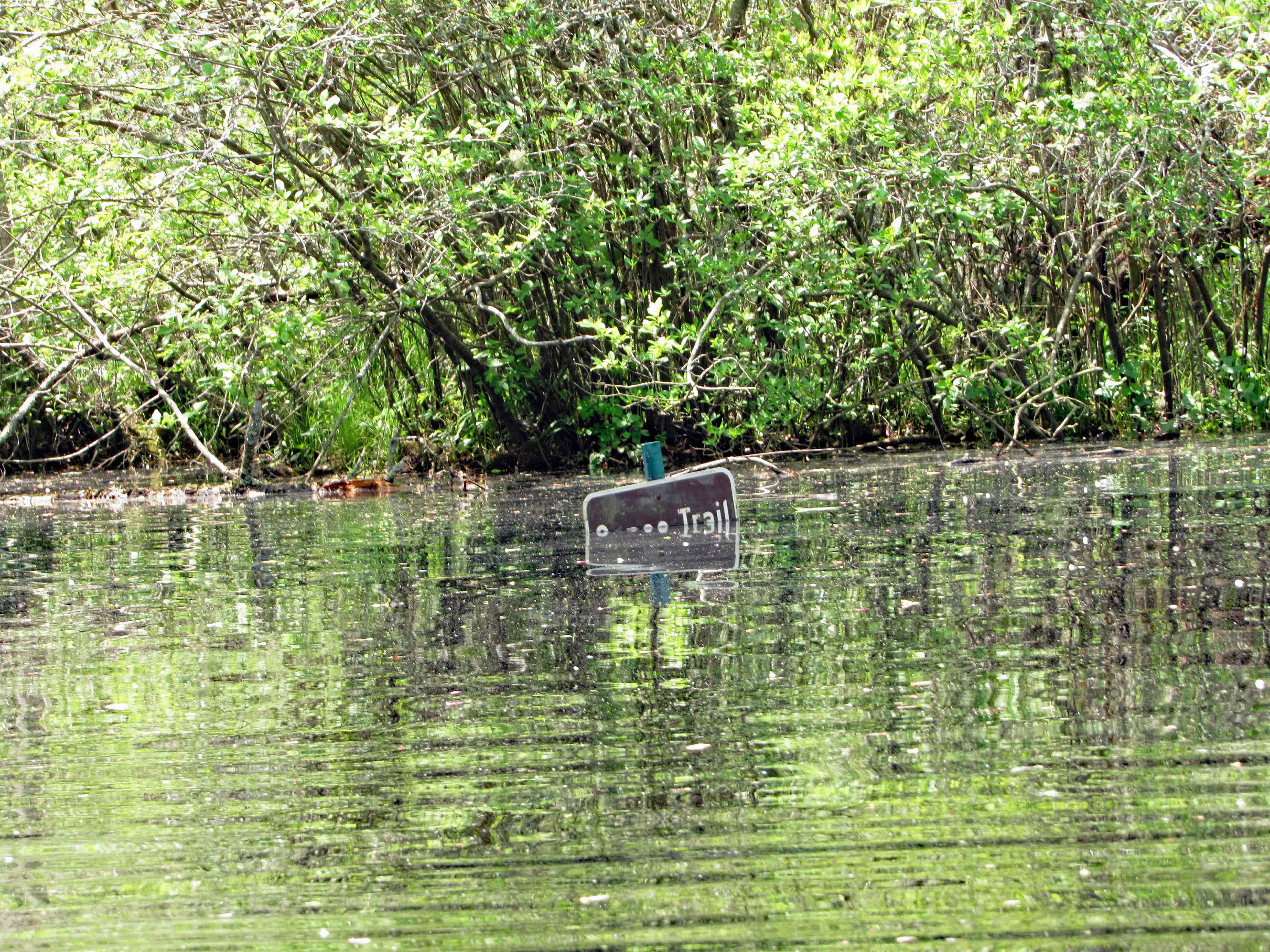
So we make our left hand turn and Kathy see’s this sign. It is halfway covered up. She goes in for a closer look and under ‘Canoe Trail’ is an arrow pointing right.
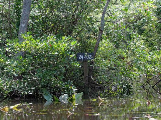
45 minutes later, on our return trip, the water had risen.
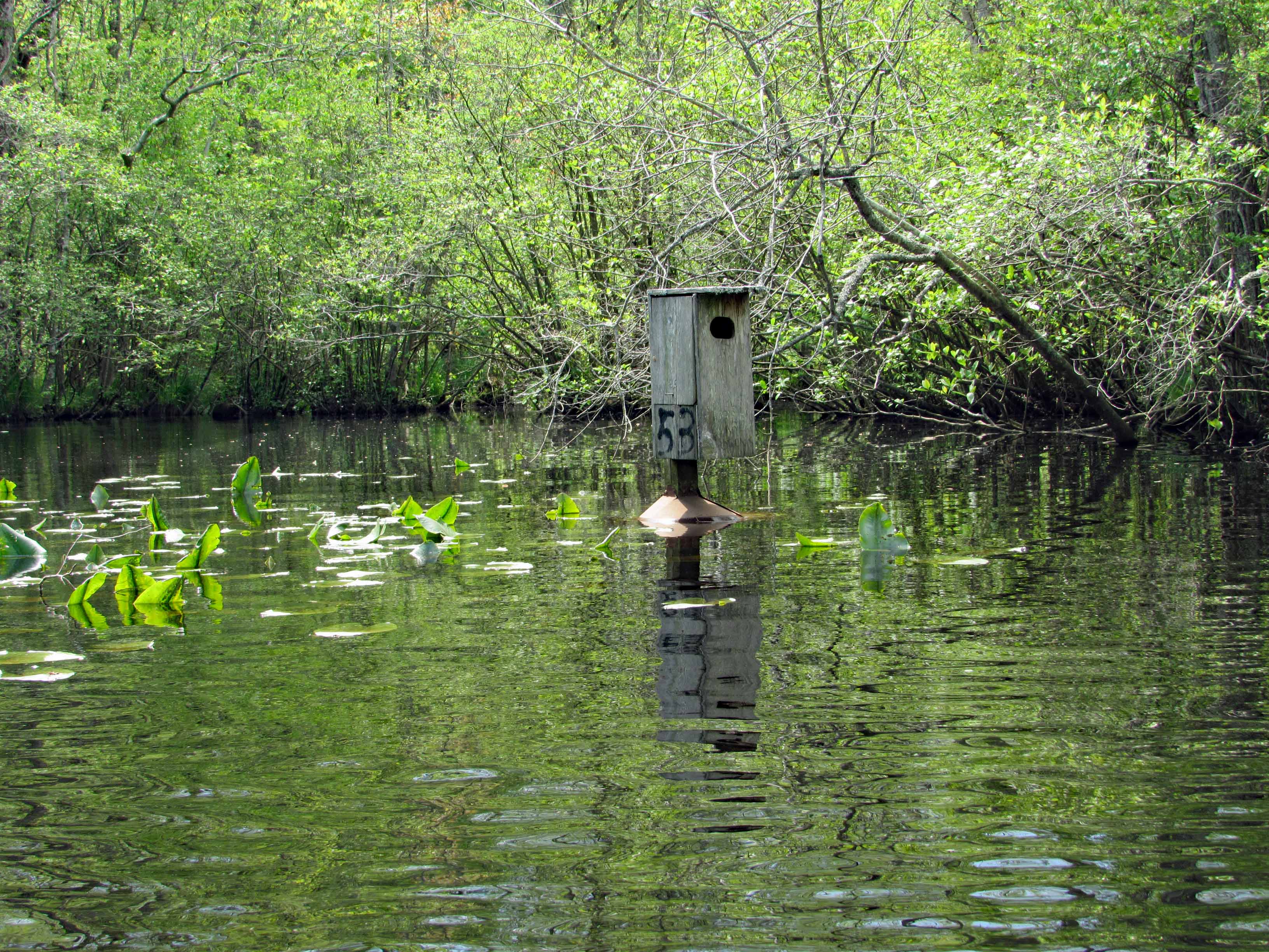
The water was high enough to take away the protection of the metal cones that protect the birds from predators. Also, the lily pads had come up, only to be submerged.
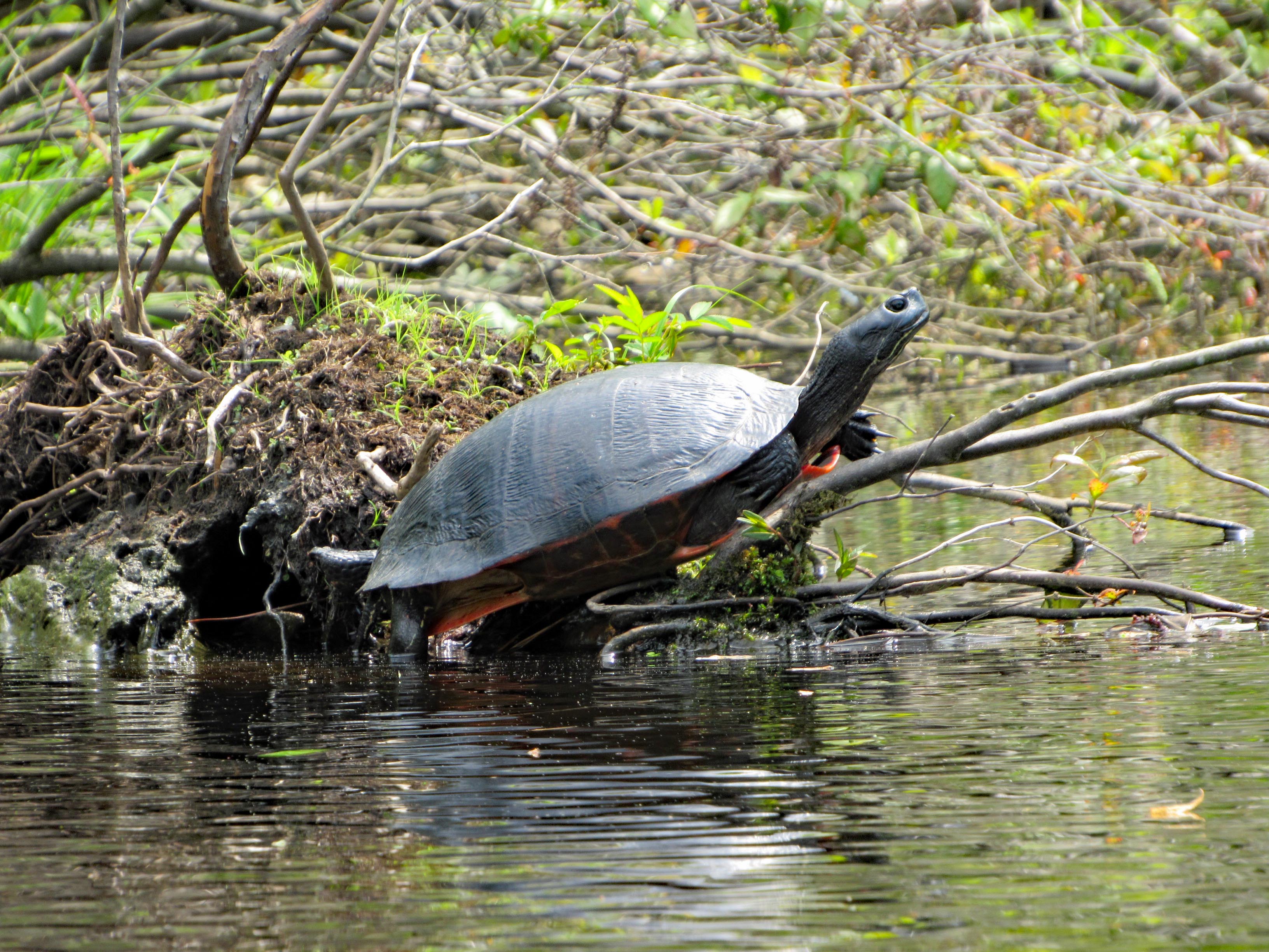
We did see a few turtles and one water snake.
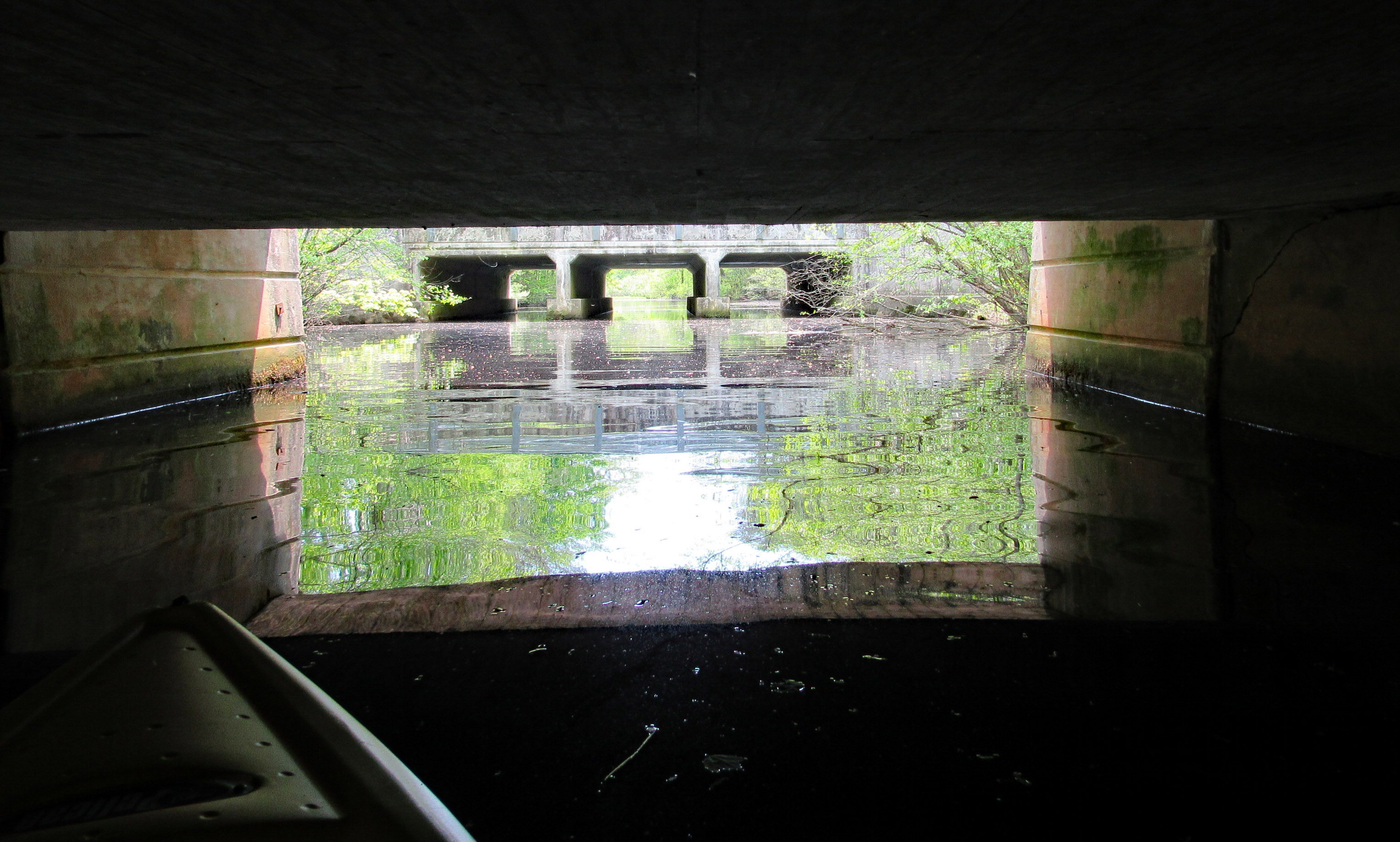
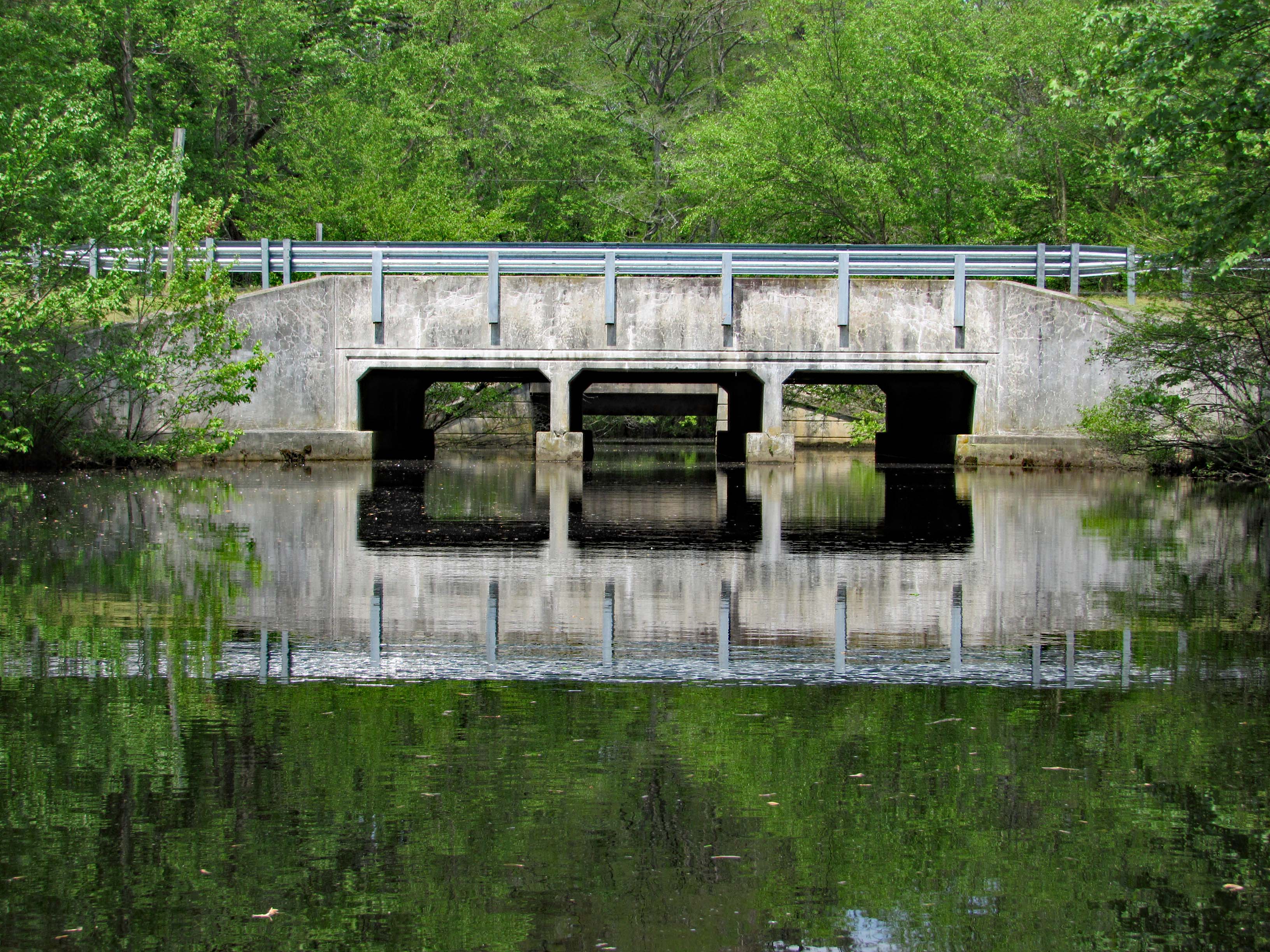
Up ahead, Route 113. Water looks a little high but we came this far –
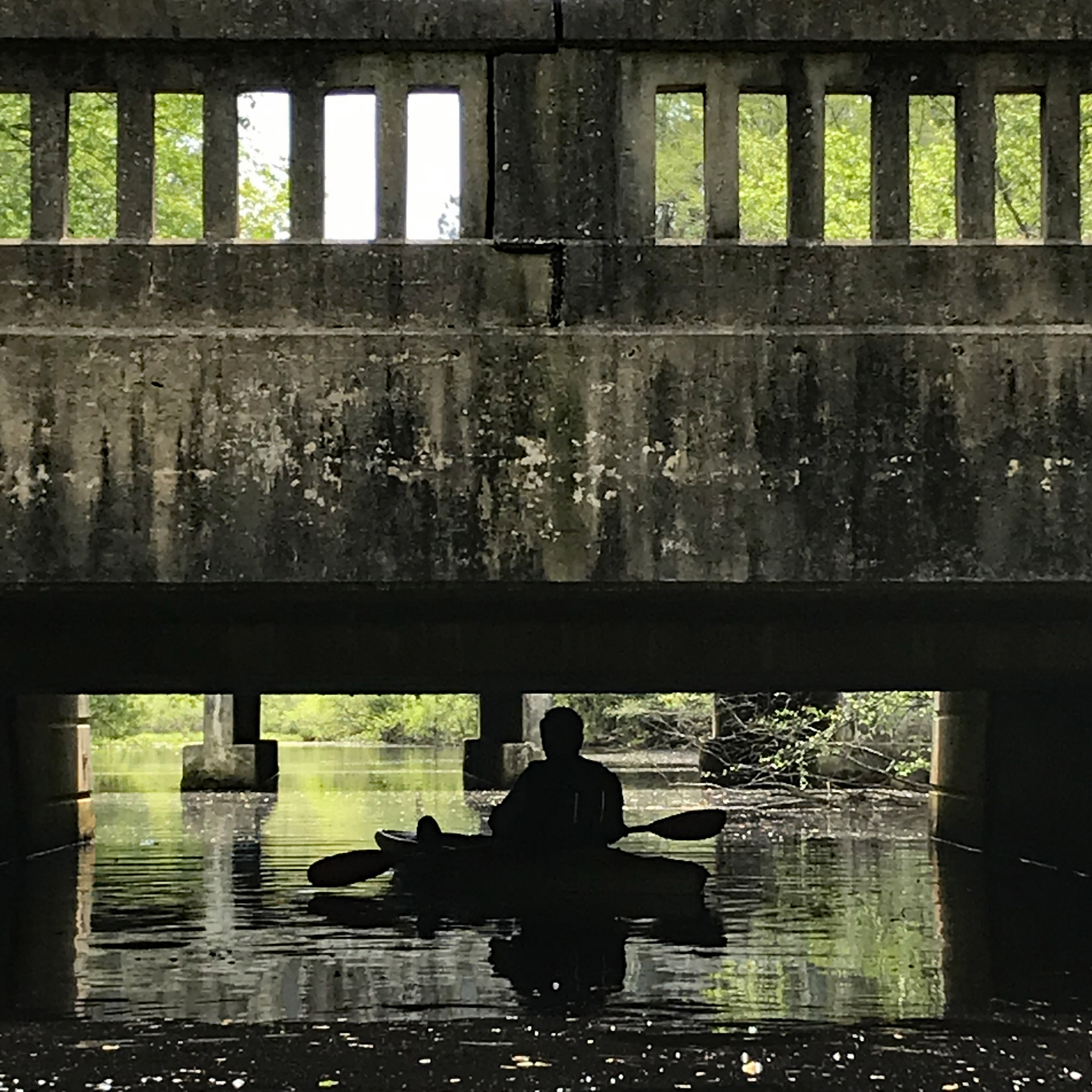
Kathy wanted me to go through first. She don’t like spiders and snakes.
Kathy took a photo of me contemplating which arch to go thru-
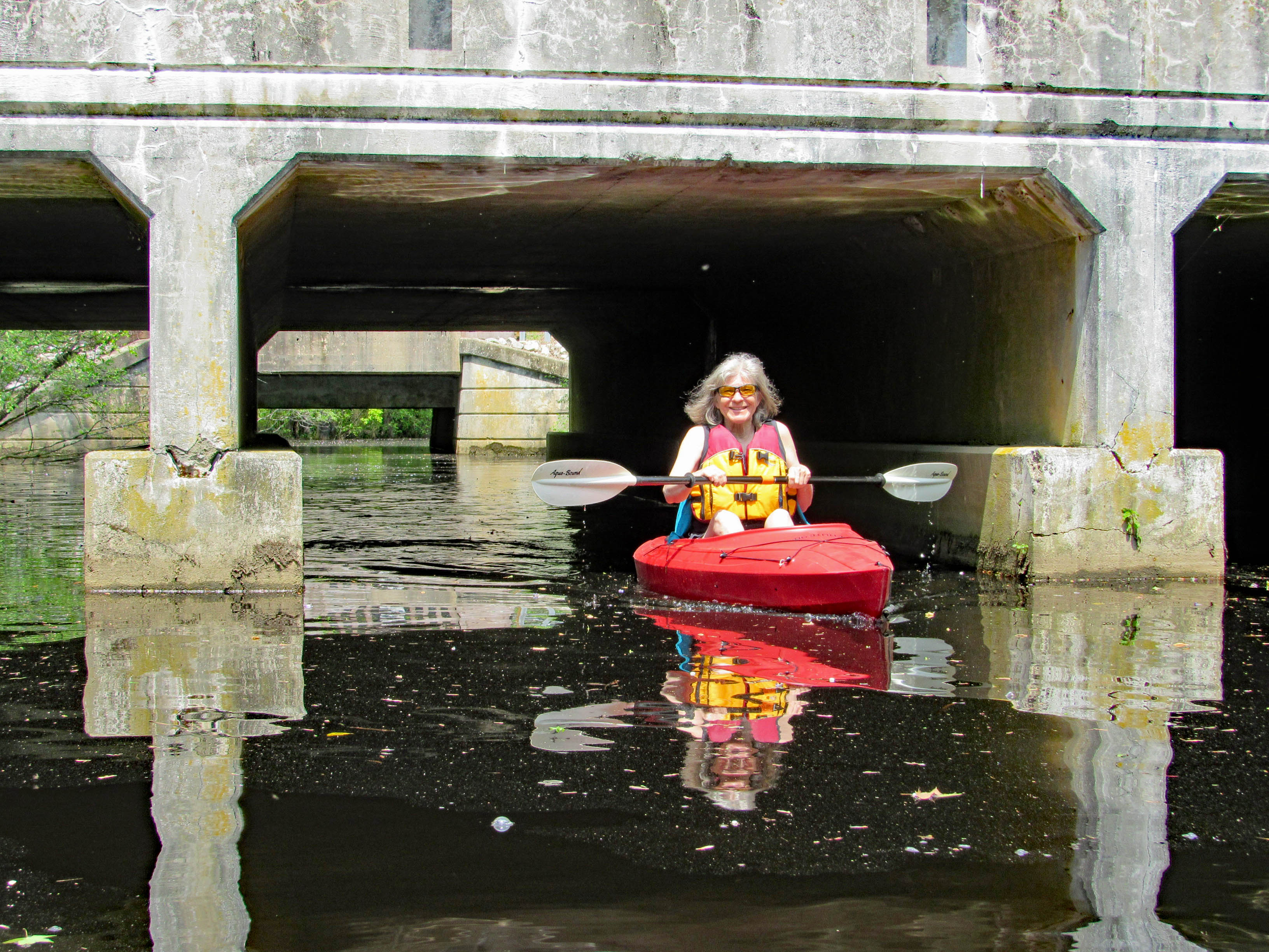
Kathy then made it through safe and sound.
Looking back from the other side of Rte. 113.
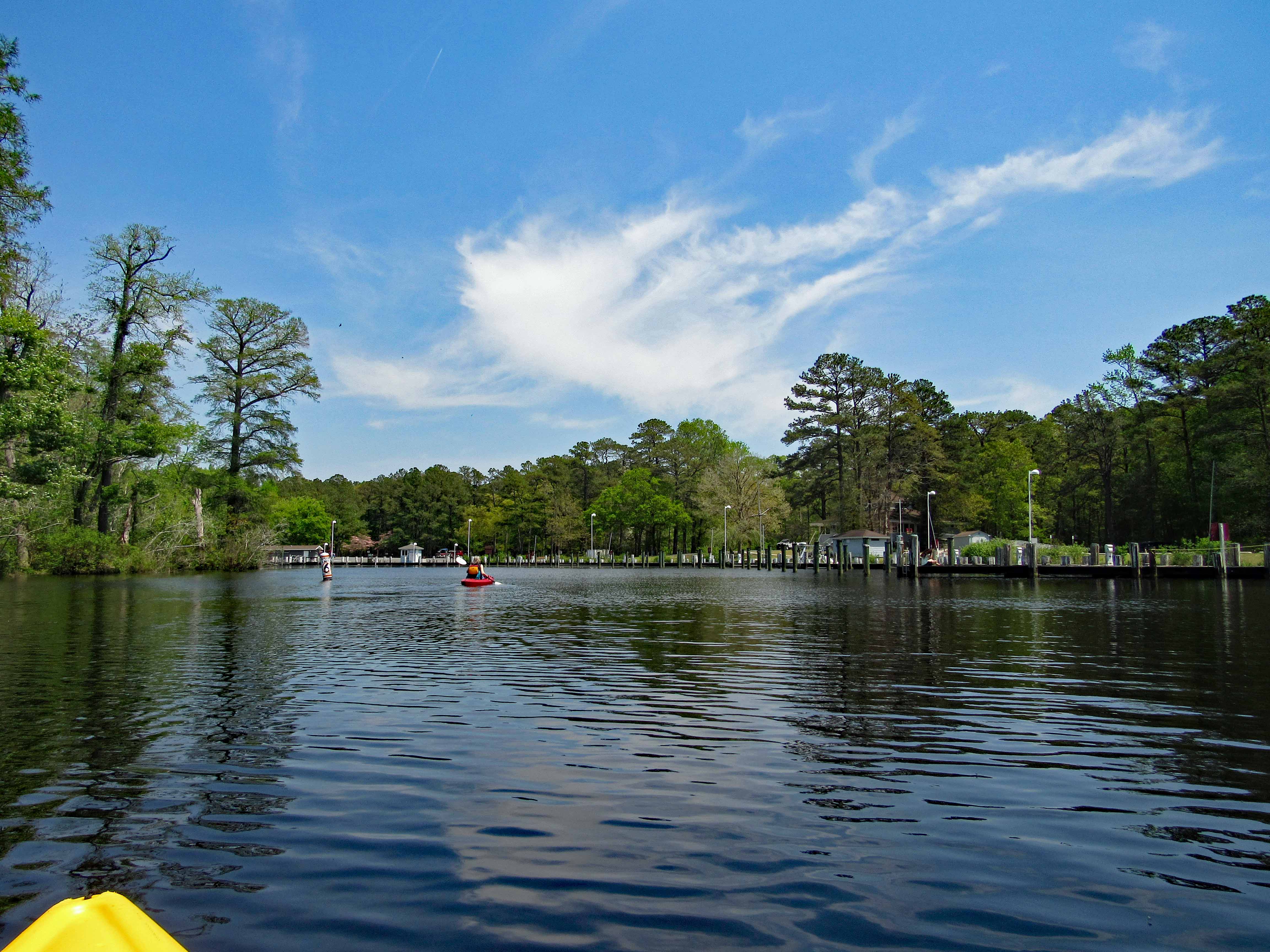
Time to paddle back. Marina up ahead.
Leaving the park we headed south on 113 to see the river from up above.
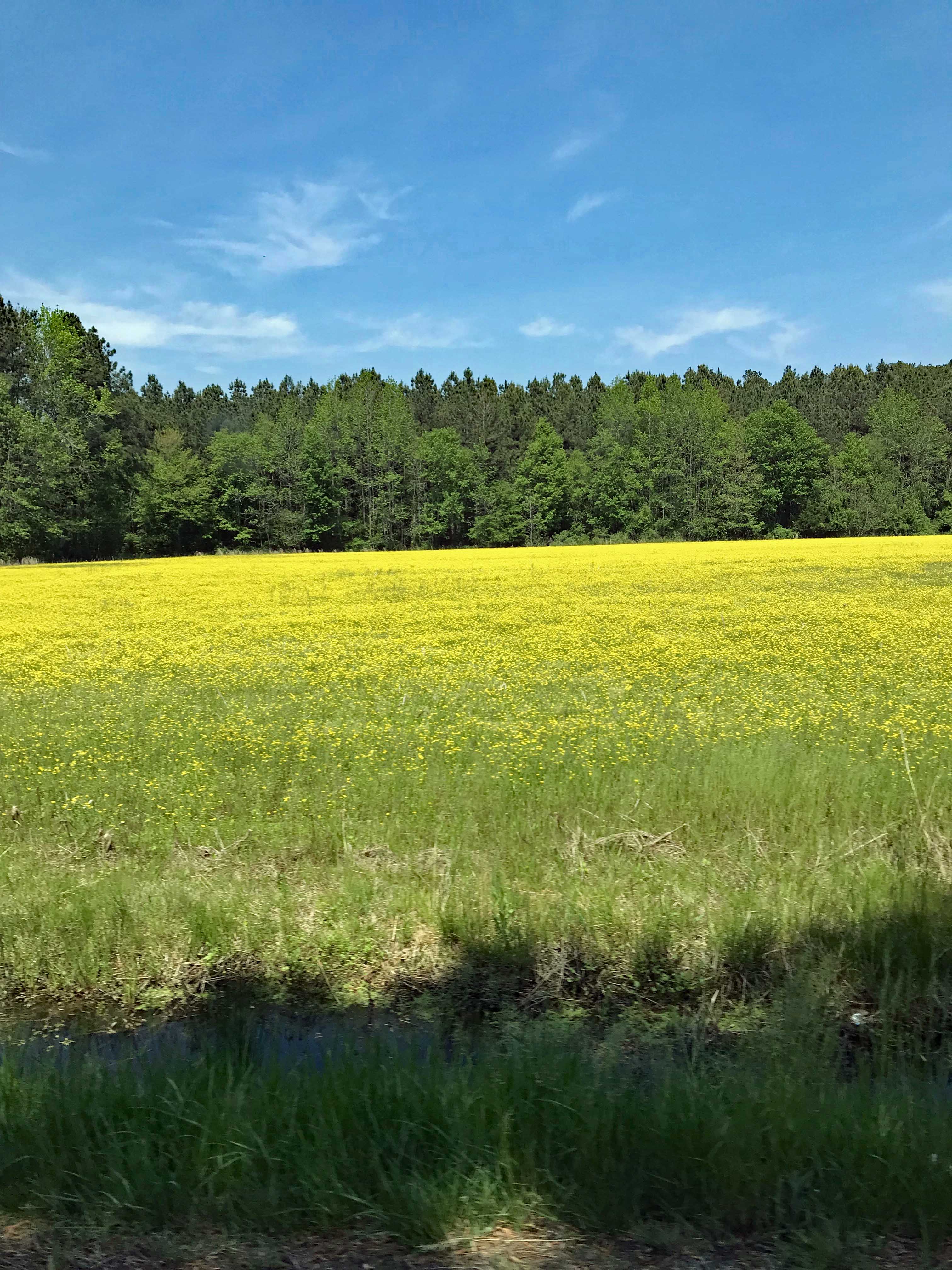
Nice, as were all the fields of flowers on the drive home.
So glad we put a bunch of house stuff to the side for a while, to enjoy this wonderful adventure together. It was a very much needed escape.