• About
  • History Writings

Water and Me

Water and Me

Author Archives: Ronald Parks

Pre-Black Friday Sale

23 Wednesday Nov 2016

Posted by Ronald Parks in Baltimore, water history, Writing

≈ Leave a comment

Tags

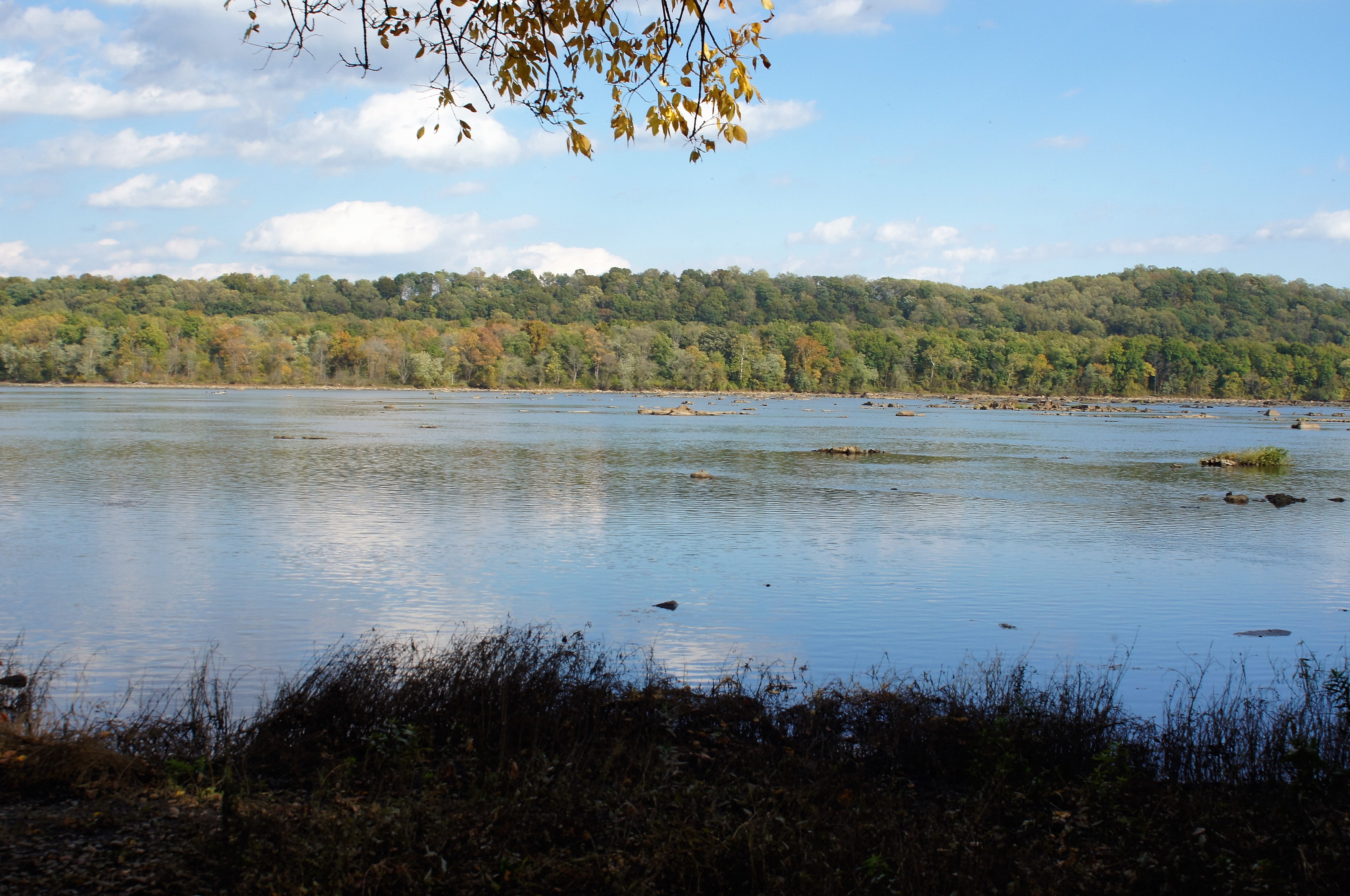
Baltimore, engineering, FILTRATION, fluoride, Gunpowder Falls, Health, HISTORY, Lake Montebello, Montebello, POLITICS, Public Works, Research, water, water history, writing

Ok, time to order now for Christmas! Nothing like a little self promoting during the Holiday Season. (Thanks to the person(s) that bought 3 copies this month! My sales report does not list the buyers so I have no way to know who to thank)

These books are cheaper on Amazon than they are on the publisher’s pages. ALL proceeds from the sale of these books goes to Water For People.

This first book is a crazy story about Chuck and Gary and the misadventures that happen because of the fluoride in their toothpaste! I think this may have been an LSD induced novel. But more likely comes from all the research I did concerning the subject that I didn’t know what else to do with!bookcoverimage-1


This next one is about, well, it’s about what the title says it’s about. Taken from the journals of the building inspectors. Ten miners killed in an explosion – called an accident, but I don’t think so…

bookcoverimage-2


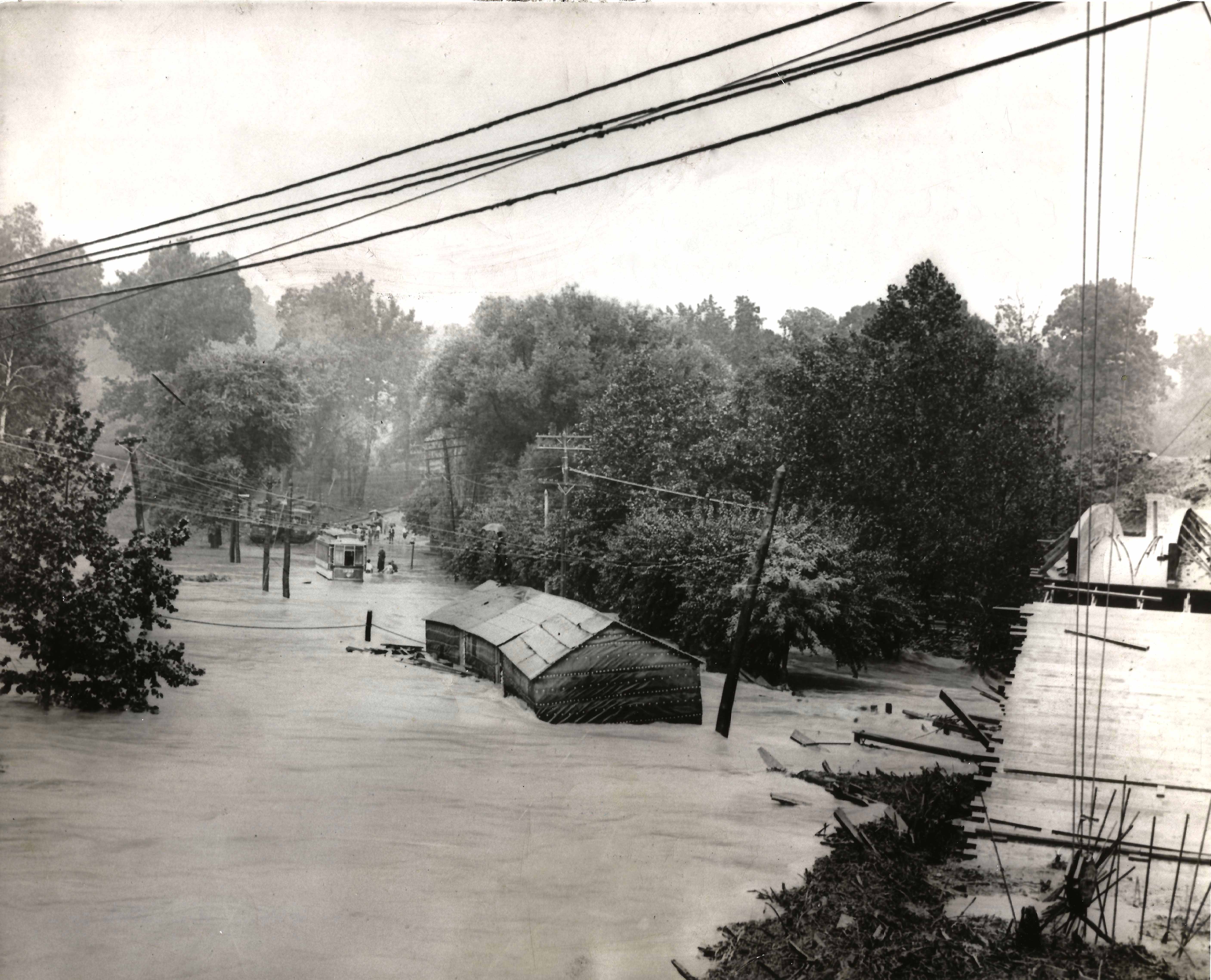
And this last one is also about what the title implies. Over 400 pages of more information you will probably ever need concerning water history. Plus a bunch of tidbits thrown in.bookcoverimage


Herring Run Walking (or running) Tour

21 Monday Nov 2016

Posted by Ronald Parks in Baltimore, HISTORY

≈ Leave a comment

Tags

Baltimore, bridges, engineering, Floods, HISTORY, Lake Montebello, Montebello, Public Works, water history

I was not the only one asked for information concerning Herring Run. All this info is for a walking tour on Black Friday. This instead of Mall Madness. Another submission of info:
The design for the Pedestrian Bridge at Sinclair Lane began in 2010 with final greenway plans dated on January 31, 2014. The bridge was designed by Wheeler in Bloomington, Minnesota and fabricated by Big R Bridge in Gresley, Colorado. A new pedestrian bridge was built in close proximity to Sinclair Road since the new ten foot wide greenway trail could not be accommodated using the existing Sinclair Road bridge. Also, the new pedestrian bridge location was selected to span the narrowest portion of the Herring Run Stream and the bridge length was determined to not encroach the Herring Run Stream’s 100 year flood elevation and cross over the existing DPW utility sanitary and 84” water pipes.
This info got me thinking about various reports I had read recently. Not concerning a 100 year flood, but about what would happen if the dam gave way at Montebello Lake??
August 2000 – Danger Reach Study for Lake Montebello MD Dam #107. Prepared for DPW, Bureau of Water and Wastewater. Has a lot of graphs, charts and data. ‘What if’ scenario of a dam failure at Lake Montebello, between Harford Rd and the Park. The consultants do not believe the water would go over the Harford Rd bridge, but under. They do believe it would overflow four feet above the Belair Rd bridge at Herring Run. It would overflow Manasota by two feet and Brehms lane by four feet. Sinclair Lane would be two feet under water. It would follow a path all the way to Moore’s Run. The dam is 600 feet long, 60 feet wide at top and 31 feet tall.
From the Emergency Action Plan 2016: Lake Montebello is an earthen dam built in 1880 as a water supply reservoir for the city of Baltimore. It contains approximately 410 million gallons of water, with a maximum storage of 606 million gallons. If the dam fails, this is what will be read by Emergency Management:
“Lake Montebello Dam, MD Dam No. 107, located northeast Baltimore City is failing. Repeat. Lake Montebello Dam, Dam No. 107, located northeast Baltimore City is failing. If you are in or near this area, proceed immediately to high ground away from Herring Run Park. Do not travel on the following roadways: Parkside Dr., Shannon Dr., Pulaski Hwy, North Point Rd, Bowleys Ln, Harford Rd, Mannasota Ave, Belair Rd and Sinclair Ln, in the vicinity of Herring Run Park. Avoid all residential roadways near the Park located in northeastern Baltimore City. Travel away from Herring Run Park. Avoid all residential roadways near the park. Do not return to your home to recover your possessions. You cannot outrun or drive away from the flood wave. Proceed immediately to high ground away from the area.”

dam-breach2

The dam in question is to the right of the lake. Shows the Harford Road bridge to the far right.

dam-breach5

This is how a rain induced flood looked many years ago, Harford rd. bridge to the right.

dam-breach3

Belair road bridge would be flooded 4′ above roadway.

dam-breach4

Brehms Lane bridge – would also be 4′ under. (Note: Bridge no longer looks like this and there are no longer any horse rides in the park)

Herring Run or Tiffany Run

17 Thursday Nov 2016

Posted by Ronald Parks in Baltimore, HISTORY, water history

≈ Leave a comment

Tags

Baltimore, engineering, glass plate negatives, Gunpowder Falls, HISTORY, Lake Montebello, Montebello, Public Works, Research, water history, writing

I was recently asked to do a brief history for the Friends of Herring Run Park, concerning the history of DPW activity in the park. More specifically – What is up with those concrete structures in the park that have pipes sticking out of them? They are air relief vaults for the Susquehanna pipeline. So, instead of a brief, one line answer, I decided to give them a Readers Digest version for the building of the Susquehanna pipeline.
As in most cases, when doing basic research, I always get distracted with other history facts I find. The story of my life (Well, the story of my life is another book I wrote, which is out of print. Too many people disagree with what I wrote about MY life and MY memories. I did however see a copy on Amazon for $354.00! Ha!)(See what I mean about getting distracted!!)
Anyway, I came across the below 1854 report that mentions Herring Run as a possible source of water for the City of Baltimore. If not a source, then possibly build a reservoir there. The author of the report, Alfred Duvall, who signs the report as a ‘Practical Engineer’ also suggests a reservoir on Tiffany Run, which is a stone’s throw away from Herring Run. By 1875 they decided on Tiffany Run for the new reservoir, that would be filled via tunnel from Loch Raven.

1854

Duvall’s 1854 report. Interesting read.

2bw

Tiffany Run, prior to the 1875-1881 construction of Lake Montebello

montgatehouse1u

Lake Montebello soon after construction. Gatehouse to the left received water from Loch Raven, where a dam was built during the same years.

Five Days at Hopkins

13 Sunday Nov 2016

Posted by Ronald Parks in Health, Hopkins

≈ 4 Comments

Tags

Baltimore, Cushings, GOD, Health, Hopkins, hospital, Jesus, photography, Recovery, Terps

After 5 days my daughter finally got to go home today. The surgery was a success. Now for the road to recovery. I thank those who sent prayers. And thanks to most of the staff at Hopkins. They were very caring and helpful. On different days, I roamed around to see what I could see. I like the older hospital section best.

20161110_160956

The evening sun brightening up the old building.

20161110_161242

One of many walkways that connects the various sections together. Nice hike.

20161112_065124

I see a cruise ship back there – that will be Kathy and I in a few months.

20161112_154830

Levels of the dome.

20161112_154726

Looking up at the dome. They pretty much let you walk all over the place in here. I was only stopped once – security thought I had a drone controller in my hand.

20161112_154715

I was told that Jesus’ foot is worn down by all the people that touch it for luck – I guess like the bronze turtle at College Park – I think it worked better for my daughter than it did this weekend for the football team!!

25594427d04098988c1fad2e5089f7d4

Terps at Byrd Stadium


20161112_160350

In the children’s hospital

20161113_130855

Nice balcony.

20161113_131131

Reminds me of a fort

20161113_131156

Nice little pond and garden

20161113_131327

No plaque. Maybe the first source of water for the hospital when it was built?

My daughter was very strong through all this, considering what was involved. Thanks God!!


Johns Hopkins

10 Thursday Nov 2016

Posted by Ronald Parks in Cushings, Health

≈ Leave a comment

Tags

disease, Health, hospital, Recovery, Research

Two days in icu with my daughter.

They just keep adding on to this hospital. The section we are in was built by a sheik in gratitude for them saving his daughter.

Rocks State Park – aka King and Queen Seat

06 Sunday Nov 2016

Posted by Ronald Parks in Hiking, Photography

≈ 1 Comment

Tags

Deer Creek, GOD, GRATITUDE, Hiking, nature, photography, water history


003

Some history on the seat.

005

Whoa! Just a few too many people on these rocks. People were camped out, basically stopping others from enjoying the view. Watch out for the climbers ropes.

006

I guess it’s a nice view. Need a couple traffic cops up here.

009

Line starts here for the view. Molly wasn’t too happy about being up here.

013

Ha! Turkey buzzards patiently waiting! Dinner is just 190 feet to the bottom!

017

Partial view.

019

Back in the 1930s the City of Baltimore considered building a dam just over that next ridge. (See earlier post on Eden Mill)

031

Too many people up top so we took off on the trails. White trail first and then back on the orange trail.

027

A lot of these scattered about, low in the woods.

033

A beautiful day for a hike. Peaceful and quiet. Thanks God!

L.G.F.

04 Friday Nov 2016

Posted by Ronald Parks in Hiking, nature, Photography

≈ 2 Comments

Tags

Gunpowder Falls, Hiking, nature, photography

Little Gunpowder Falls or Lotsa Green Foliage. In either case, it was a nice day for a hike. A few mountain bikes and a couple joggers. Otherwise very peaceful.

p1070696

Some tall trees and a lot of dead trees lying about. Kathy said it looked like a tornado rolled thru here.

p1070701

About at this point you can no longer hear the traffic on Belair Rd.

p1070709

Ha! A behind the head selfie!

p1070711

Right about here my camera started acting up. The lens cover wasn’t opening all the way upon start up? Well, it has lasted about 5 years.

p1070721

So peaceful.

p1070725

Molly. She never wants to stop. Her longest walk with us was about 8 miles. Not only does she keep up, she just keeps on going.

p1070735

This guy was moving a little slow. Water was chilly.

p1070749

Kathy’s mushroom condo.

p1070754

The veins almost look painted onto the leaf.

p1070763

Art in the park.

p1070776

If a tree falls in the woods and nobody’s around to hear it, does it still make a noise? Even though this one is long and skinny, it hit with some force, to cut thru that berm. I thought the berm was man made for a mill. (mill race) But I don’t think so. The Gunpowders overflow their banks with a tremendous amount of force, cutting new paths with every storm.

p1070780

The stream to the right and the berm to the left.

p1070784

More art in the park.

The Quarry

03 Thursday Nov 2016

Posted by Ronald Parks in Hiking, Photography, water history

≈ 4 Comments

Tags

engineering, Hiking, HISTORY, nature, photography, Research, water history

While doing research for my book a few years ago, I came across reports that mentioned a quarry on the filtration plant property. I had even seen glass plate negatives showing the quarry with its mills. But for the life of me, I could not find it or figure out where on this 300 acres it was located.

untitled-1

This 1894 map shows the quarry in relation to Lake Montebello.

mont-10-13-276

This photo taken in 1913 shows the quarry and mill.

mont-10-13-293

Another view of the quarry.

mont-10-13-286

And another.

OLYMPUS DIGITAL CAMERA

In 2011 I was on a mission – to find the quarry. I started roaming around in the woods, in search of it. I was not able to roam too much though – the area was really overgrown. From atop a rock, I saw water.

OLYMPUS DIGITAL CAMERA

So I climbed down to take a look. It was just too overgrown to make an accurate assessment as to whether or not this was it. I tried to match the rocks to the 1913 photos.

OLYMPUS DIGITAL CAMERA

One of my bosses back then said that he remembered the quarry in the late 60s. That his father and others in the neighborhood use to dump stuff in there. He believed that the quarry was filled in back in the early 70s.

OLYMPUS DIGITAL CAMERA

Then in 2013 the Federal Government said all the sewers in Baltimore needed improvement. A contractor went to the area and moved the sewer pipe out of Herring Run stream and into this area. In the process, clearing the area I was unable to get to before. Doesn’t look much like a quarry.

OLYMPUS DIGITAL CAMERA

Another view.

049

The other day I went back down to see how it looked. Soon it will look like it did in 2011. In just 3 years it is becoming overgrown.

087

Another view.

052

The one good thing about my job – I get to hike thru areas like this!

100

My lucky day!  A green Mushroom!

Waste Lake Chronicles

31 Monday Oct 2016

Posted by Ronald Parks in Baltimore, Hiking, water history

≈ Leave a comment

Tags

Baltimore, boats, engineering, FILTRATION, Hiking, HISTORY, Lake Montebello, Montebello, Public Works, water history

Checking on the contractors the other day, I saw that they had pretty much cleared most of the shoreline…nice day for a hike around the lake.

wl1

Started on the SW side looking towards Morgan State University.

wl2

Headed up to the far end, closest to Hillen Road. The old surge shaft from Loch Raven is to the right. The dredge and barges could not get this far up.

wl3

Looking down from on top – the sludge. This is a by-product of what goes on in the filtration plant. Lots of sand at this point. The sand is used to filter the drinking water and when the filter becomes clogged, we backwash it. Unfortunately the pressure from backwashing pushes sand into the drain and ends up here.

wl4

More sand and sludge.

wl5

Since I was up here, I figured I would look down the hatch. The contractor had some concerns about getting too close to this structure. He said they could see a pipe that I told them to stay away from.

wl6

The pipe coming thru the wall at the top, is laid in the waste lake bed. It is about 10′ under the water surface. Although capped off, it would still cause problems if broken. I was supposed to climb out of this shaft a while ago…after an inspection of the old 1880 Loch Raven tunnel. (5-1/2 mile hike). Cancelled due to safety concerns.

wl7

Heading down the NE side. Watching the small barge and excavator get as close as he can.

wl10

The large excavator and barges. These barges are only about 5 feet tall. They displace only 2 feet of water. That just amazes me.

wl8

Soon, we will be testing pumps up on Deer Creek. This will be water from the Susquehanna River. It is very dirty water so we will just dump it instead of letting it go into the plant. See that tower in the background? That is the Susquehanna Surge shaft. When the DC pumps come on and the water flows 36 miles to this point, closing the valves to not let it in, well, the water has to go somewhere. It goes up that shaft and then out thru the drain you see to the left of the boat. 50-60mgd. The dredging should be done by then and their equipment removed. If not, they better tie that stuff down!

wl9

Continuing my hike down the shoreline.

wl11

Some spots were a little rough to navigate across.

wl12

Here is that cove I mentioned in an earlier post. Deer tracks everywhere.

wl13

The 4 million dollar problem – already rearing its head in the warm sun!

Oxford Pa. and Stafford Md.

28 Friday Oct 2016

Posted by Ronald Parks in Hiking, Photography

≈ 3 Comments

Tags

books, bridges, Conowingo, engineering, HISTORY, nature, photography, trains, Travel

The other day Kathy, Molly and I decided to take a ride to Oxford, to an old used bookstore just south of town. It has been a couple years since I was there. I met the author, Mark Bowden (Black Hawk Down) the last time I visited. The place has changed since then, but still nice. (Anywhere that sells old books is nice!) We left there and roamed around town some. Being a Sunday, most shops were closed.

The old train station now converted into Borough Hall?

Molly smells food and is wondering where the gravy train is (Sorry Molly, Purina does not make Gravy Train!)

Historic Marker

Niblock Alley train over-pass.

We left Oxford and decided to head to Stafford on the Susquehanna Trail. This was a nice 4-1/2 mile hike. Unfortunately – no Fall Foliage.

Uncertain of which way to go…back into the woods then.

Not sure the purpose of this fence, but I like it.

The path is over old train tracks. These tracks were put here when the Conowingo Dam was built. Carried supplies and men to and from town.

The Stafford Flint Furnace. This structure is a couple hundred years old. It took a beating during the great quake of 2011.

As can be seen in this photo. They put seismic measuring devices on it. That won’t save it.

Triple headed shrooms and our hike is done! Nice day!

← Older posts
Newer posts →

Blogroll

  • Flouride Action Network
  • lulu
  • My Book
  • WordPress.com
  • WordPress.org

Recent Posts

  • Bermuda 2023
  • ICELAND April 2023
  • George Chalmers of Fochabers
  • In Search of The Skipjack Ada Mae
  • Trap Pond Kayak

Blog at WordPress.com.

  • Subscribe Subscribed
    • Water and Me
    • Join 231 other subscribers
    • Already have a WordPress.com account? Log in now.
    • Water and Me
    • Subscribe Subscribed
    • Sign up
    • Log in
    • Report this content
    • View site in Reader
    • Manage subscriptions
    • Collapse this bar
 

Loading Comments...