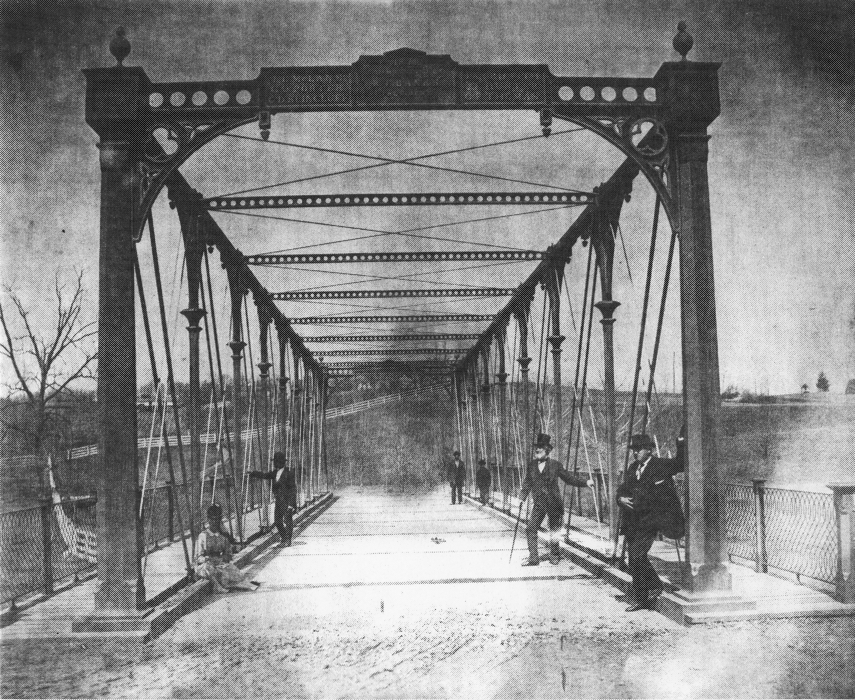
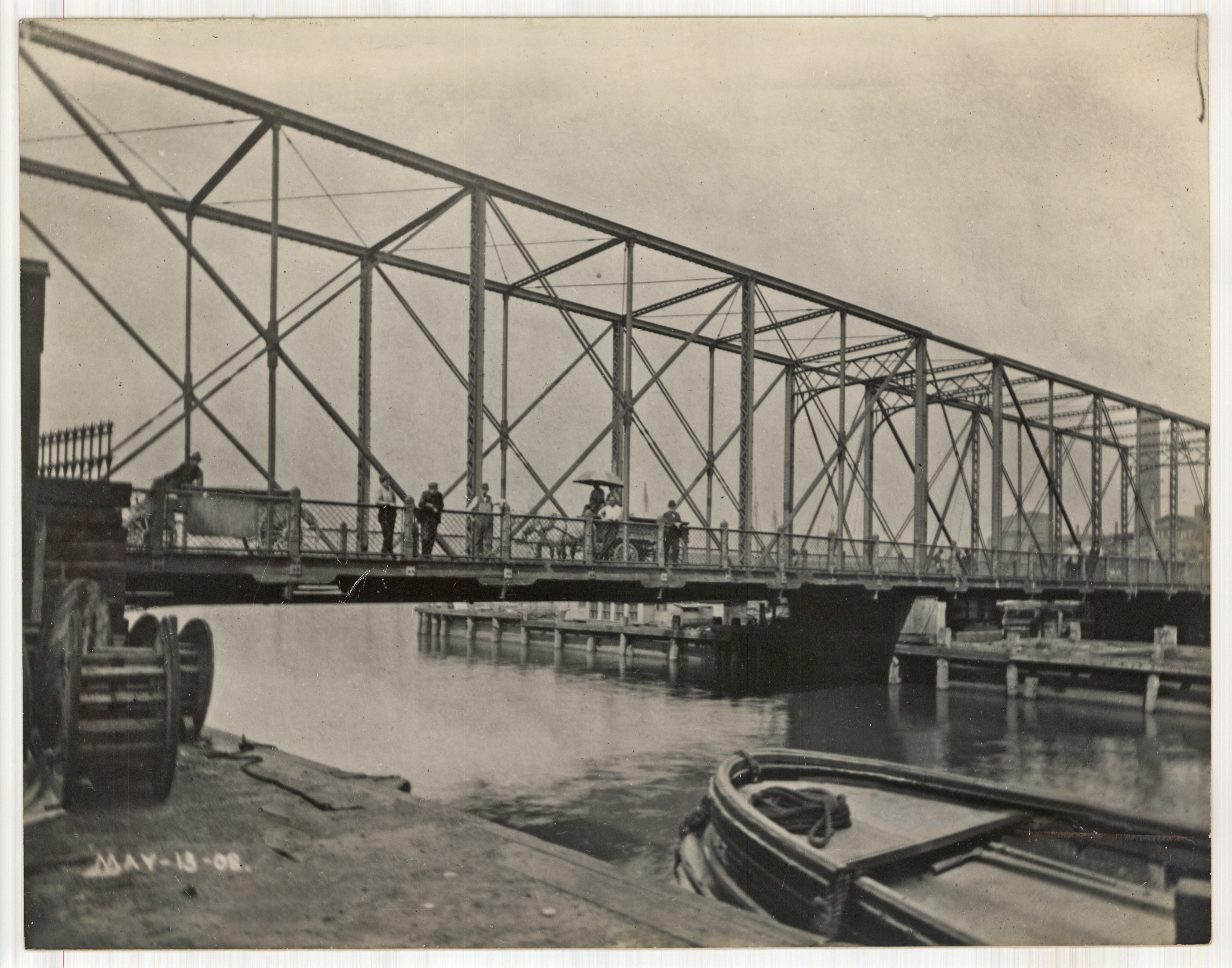
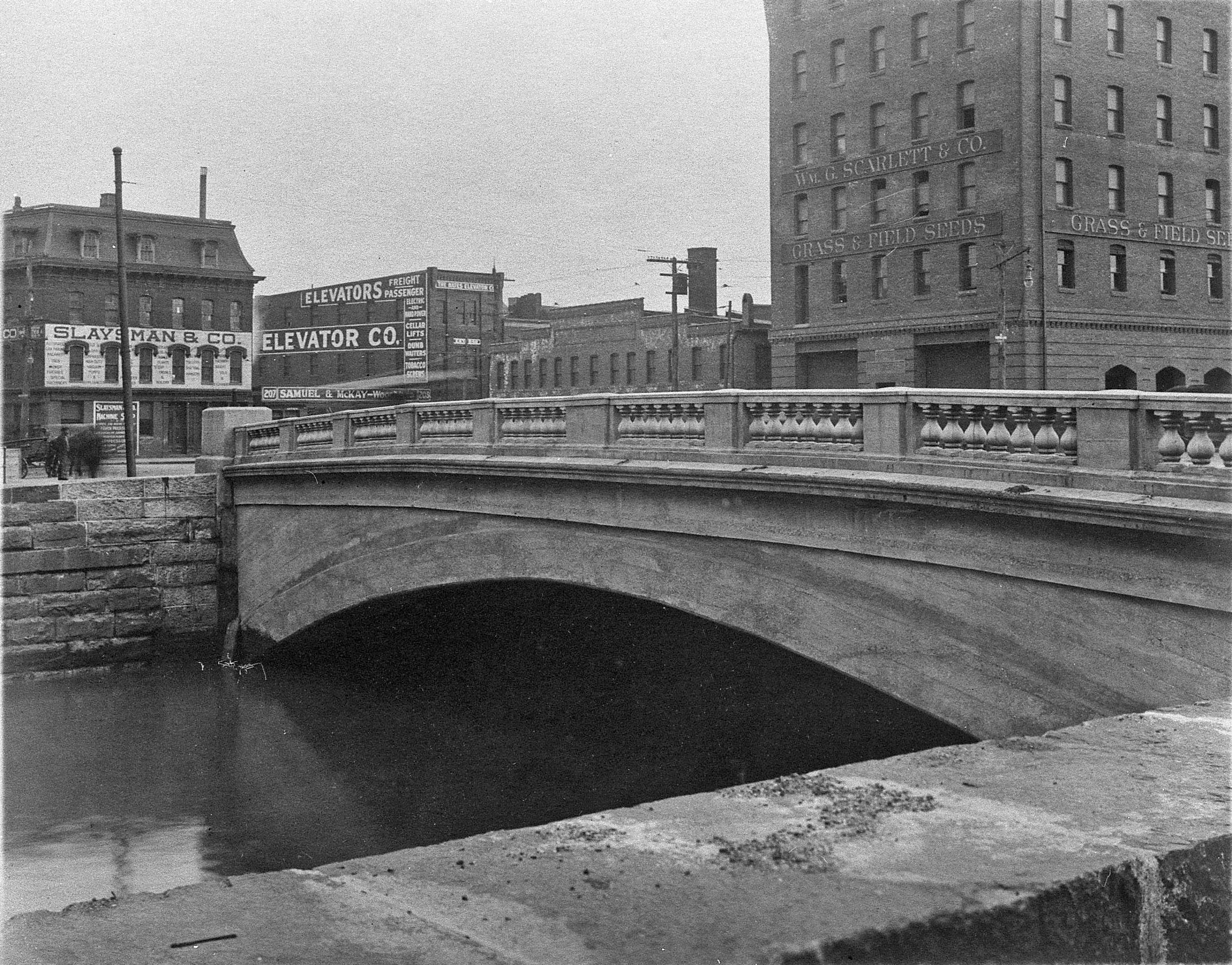
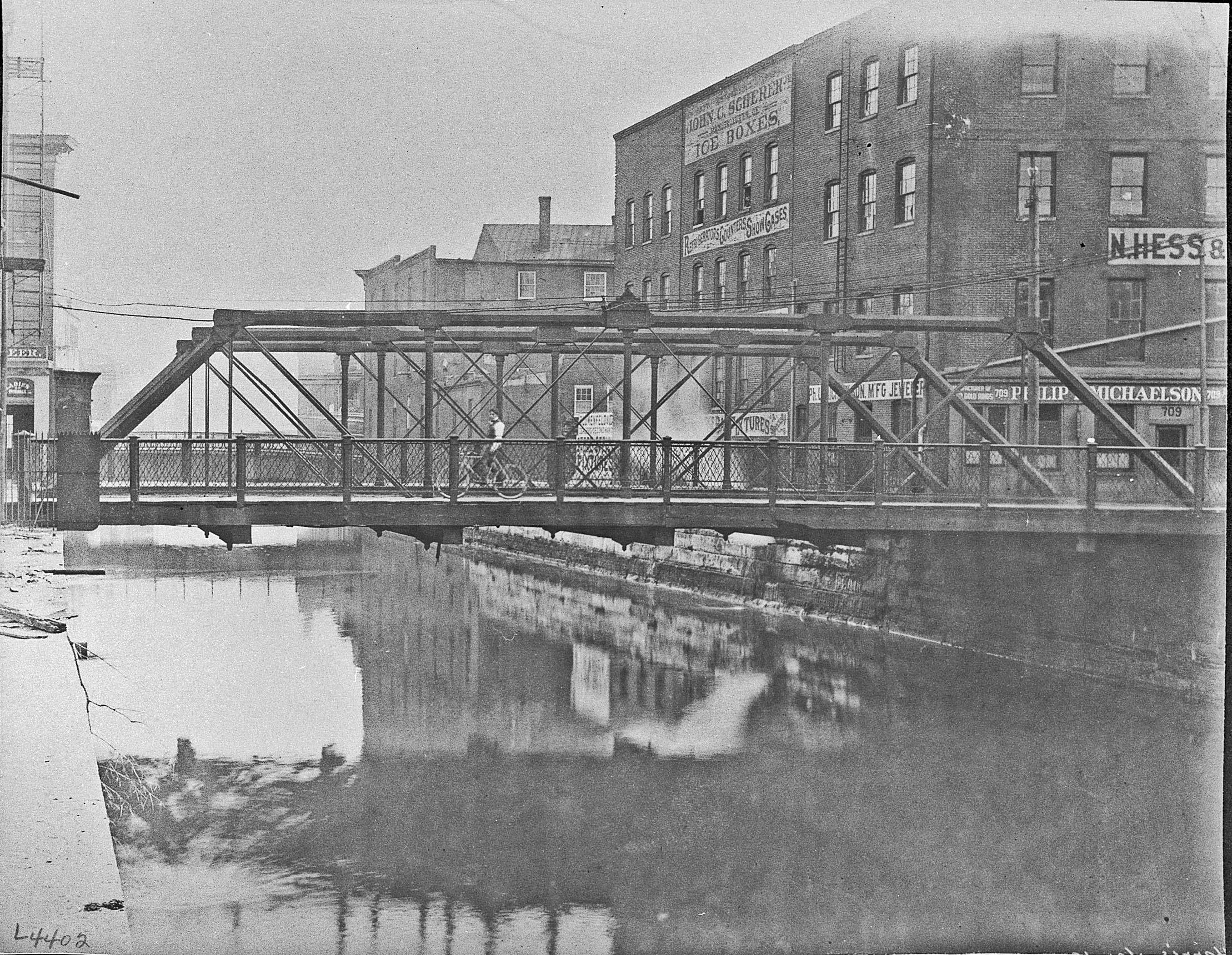
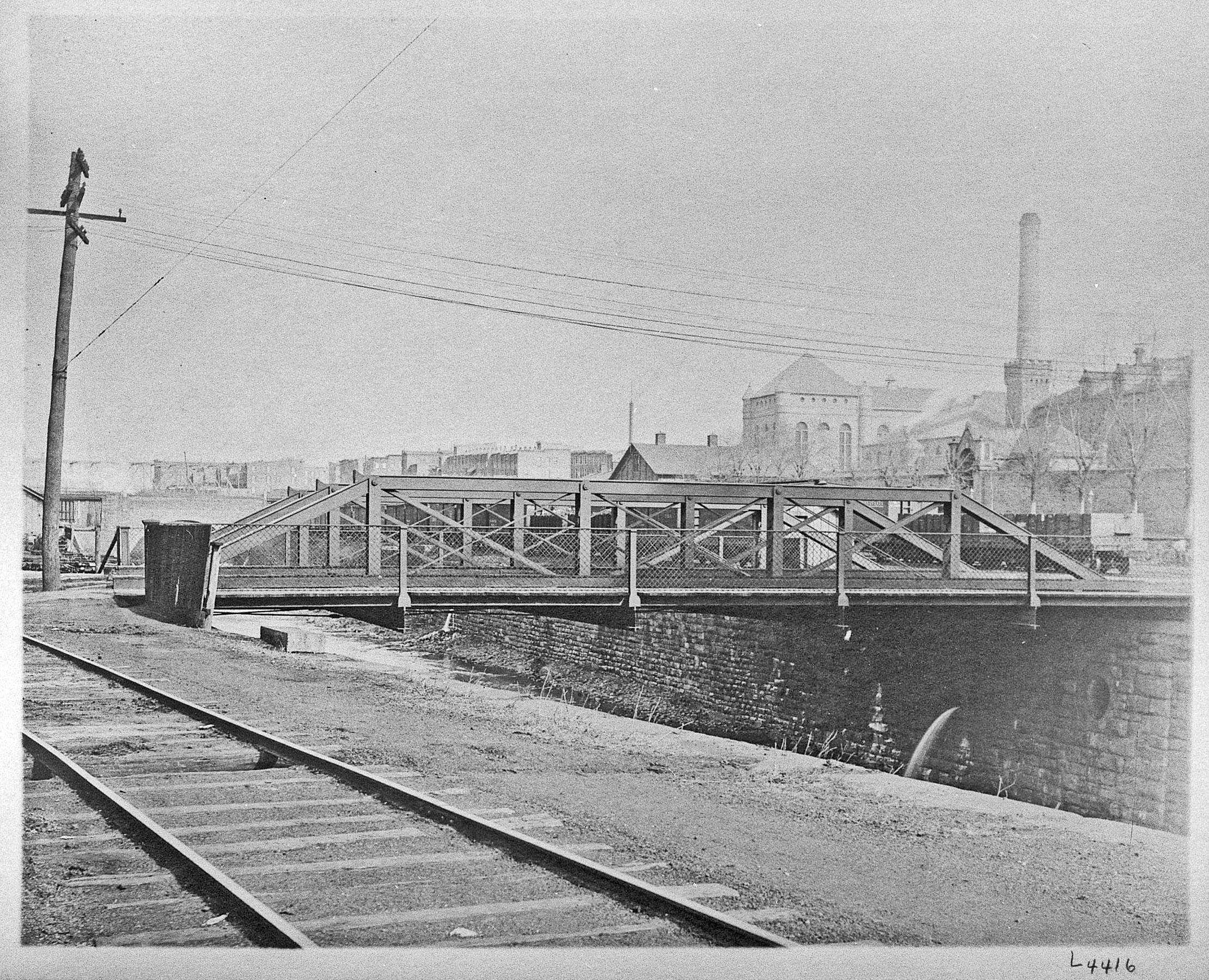
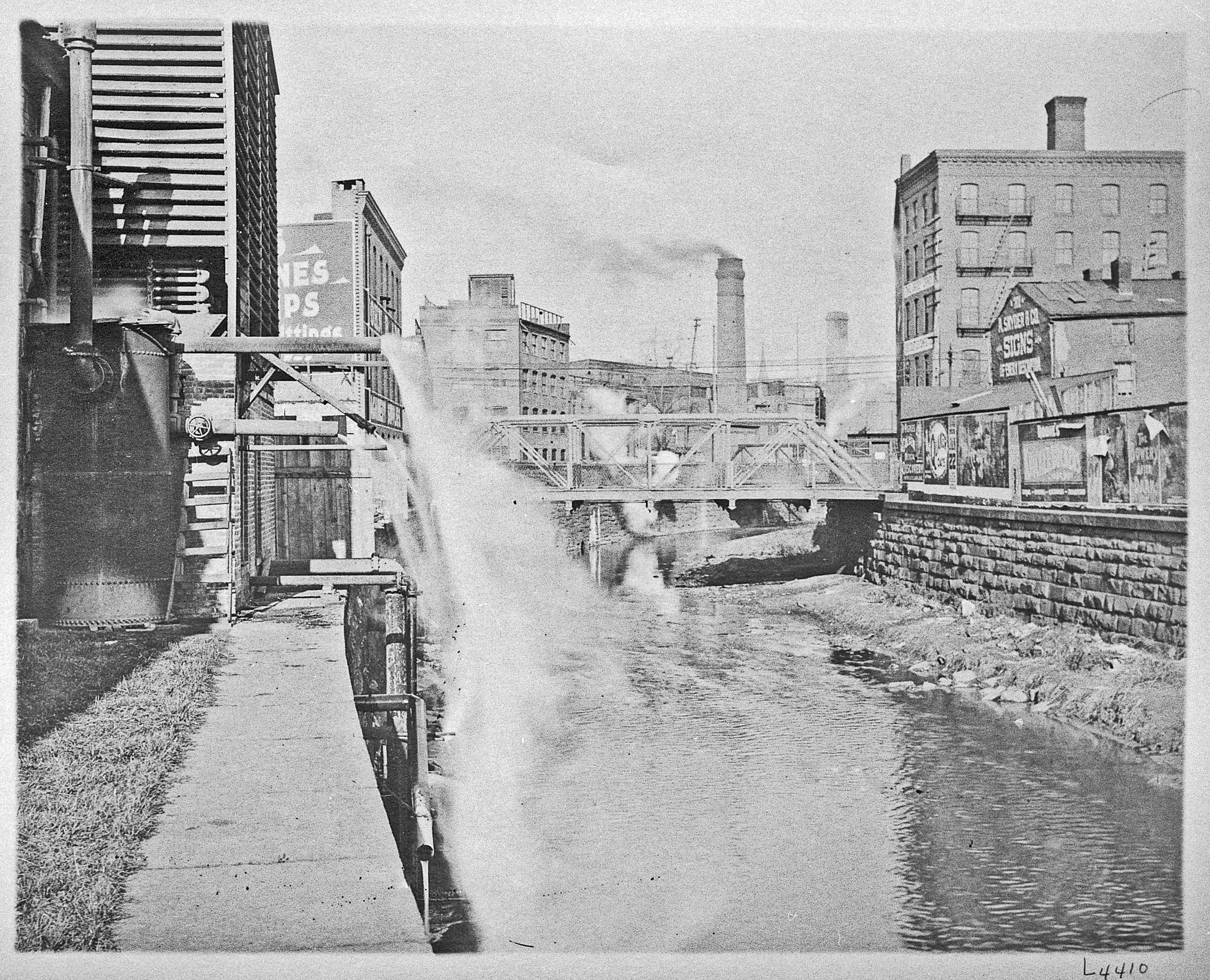
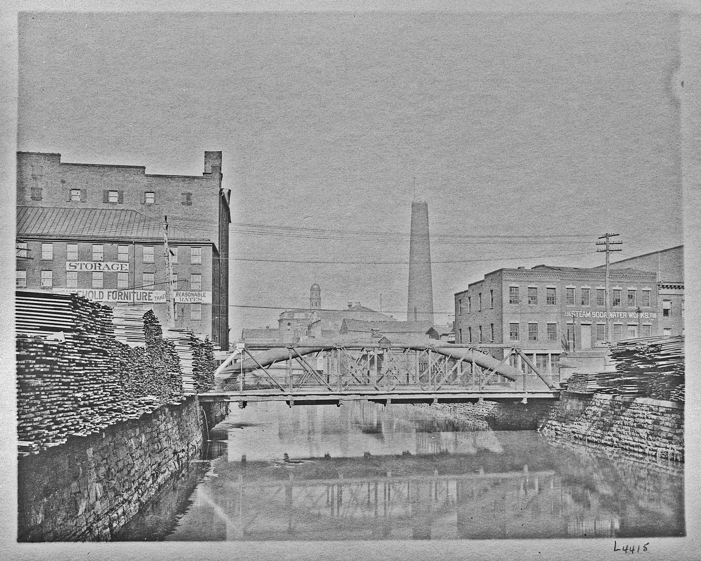
• About
  • History Writings

Water and Me

Water and Me

Tag Archives: water history

What Baltimore Could Have Looked Like 1916

30 Thursday Jun 2016

Posted by Ronald Parks in Baltimore, HISTORY, water history

≈ Leave a comment

Tags

Baltimore, engineering, Geology, HISTORY, Jones Falls, maps, POLITICS, Public Works, water history

Here is a 1916 map of the Geological Survey showing the proposals of Senators Ogden and Campbell. They each had their own ideas on how Baltimore should look back then.

BaltiEnlarg1916r

I like how this map shows the reservoirs and the water supply conduits. Of interest to me is the reservoir at Philadelphia Rd. and the Mt Royal Reservoir. There was another Mt Royal one built in 1845. This new one received a name change for some reason.

1845 Original Mount Royal Reservoir:  Started construction of a new reservoir on the east side of Jones Falls above the Belvedere Bridge.

1846 Original Mount Royal Reservoir: The new reservoir replaced the old reservoir located on Calvert Street, and in addition, supplied water to the section of the City east of Jones Falls.  The new reservoir was 18 feet deep, with seven acres of water surface, and a capacity of 15 million gallons.  According to the Maryland Historical Trust Maryland Inventory of Historic Properties Form for the City of Baltimore, Loch Raven Dam, submitted to MHT 1-17-96, this 15 million gallon reservoir was also known as Mount Royal Reservoir.  This Mount Royal Reservoir was built near the location known in the year 1996 as Pennsylvania Station. By 1862, this Mount Royal Reservoir would be abandoned; and, the name of the Mount Royal Reservoir would be transferred to a new reservoir at a different location. (From early water history notes, R. Vann)

Bridges Along the Jones Falls

17 Friday Jun 2016

Posted by Ronald Parks in Baltimore, HISTORY, Sewage History

≈ 3 Comments

Tags

Baltimore, boats, bridges, engineering, glass plate negatives, Health, HISTORY, Jones Falls, POLITICS, Public Works, sewage, Sewage History, water history

Here are some photos from the DPW collection of various bridges along the Jones Falls. These negatives were all in an unmarked box. I posted them on Facebook a while ago and people told me the names as best they could guess. I am no longer on FB and unfortunately I did not write down the names they told me. Some are marked. Some are duplicates from other views – north to south or south to north.

If you can correctly name these bridges I will send you a copy of my book – Baltimore’s Water Supply History. Thanks.

img075

br045

img517

img515

img511

img510img509

img507

img506

img504

img501

img395c

img395b

img003b

img001e

img001d

img001a

81_6_1338

Possible Treasure Trove

10 Friday Jun 2016

Posted by Ronald Parks in Baltimore, HISTORY, Sewage History

≈ Leave a comment

Tags

Baltimore, engineering, FILTRATION, HISTORY, Jones Falls, Museum, photography, Public Works, sewage, Sewage History, water history

A few years ago, before I was asked to relocate the DPW Museum Archives, I was researching Baltimore’s Water History. I knew there were files kept down at Back River, in the museum storage area and after repeatedly pestering people to let me have access to the building, I was told ok – the only problem being, they sent me to the wrong ‘archives’ area. This building was old, dark, damp and a disaster. I was unable to find anything I could use. (It was so dark, I had to use my camera’s flash to get around!) I told the admin down there that if they were to put in some lights, I would volunteer to clean, organize and document the files. No response. A while later I was given access to the museum files, the ones I originally wanted to see.

For my Sewerage History, I again asked for access to the old building. The museum files have since been moved to my work location, but I knew there were others down at Back River, in that original building I was sent to. The place is still a mess but at least I could see inside. The boards on the windows have rotted and fallen down. Sunlight filtered in. There are a lot of old records in there that need preserving. Maybe someone will give me permission this time to do what needs to be done.

019

Early contracts, specification books and drawings.

011 (2)

Three floors of Early Sewerage History!

003

There are even photographs from water filtration. These are of the renovations at Ashburton. Why they are at Back River is beyond me!

The Conduit from Loch Raven (aka my favorite workers GPN)

08 Wednesday Jun 2016

Posted by Ronald Parks in Baltimore, water history

≈ Leave a comment

Tags

Baltimore, engineering, glass plate negatives, Gunpowder Falls, HISTORY, Lake Montebello, photography, Public Works, water history

Since I started scanning and documenting the huge collection of Glass Plate Negatives (GPN) at work, there has always been a few that really caught my eye and became my favorites. Such being the one below. I would take the 8″ x 10″ GPN out of its falling apart sleeve, hold it up to the light and see what it was and in which collection it belonged. Most of these negatives were in the original boxes. Some not, just thrown into other boxes. I had to take a second look at this one. Is that a foot I see? I scanned it and blew it up and it sure does look like a foot! And a couple of workers taking a smoke break.

The original 1881 tunnel from the first dam to Lake Montebello was dug through rock. The new dam of 1915, just upstream from the old dam, was connected to the old tunnel by a steel conduit. The second picture below shows the steel conduit dropping down to meet the old one.

LochRaven 5-15 686a copy

I enlarged the center section and superimposed onto the corner.

LochRaven 5-15 683

Workers posing, which makes me wonder how much work would slow down if the cell phone/selfie was around back then?

Lime

24 Tuesday May 2016

Posted by Ronald Parks in Baltimore, Sewage History, water history

≈ Leave a comment

Tags

Baltimore, engineering, FILTRATION, Gunpowder Falls, Health, HISTORY, Lake Montebello, Montebello, Public Works, sewage, Sewage History, water, water history

As can be seen from the list below, Lime has been used as a disinfectant for many years as far as the sewerage system and health goes.

1865 – Board of Health: The general health account shows an expenditure of $2,918.11. This account includes the appropriation for enclosing the Eastern Potter’s Field, erecting a dead house &c. and that for lime and incidentals.

1866 – Board of Health: 11,000 oysters were thrown away (This was in response to a cholera epidemic where 9 of 10 cases were found from eating oysters). We have used lime, Ridgewood’s and Sim’s disinfectant, and carbolic acid freely in the alleys and sewers.

1880 – General Superintendent of Streets: Your instructions in reference to the free use of lime in all alleys, gutters, vacant lots and places where stagnant pools of water were to be found, have been faithfully carried out.

1886 – Health Department: Disinfection – There was distributed in the streets, lanes, and alleys six hundred and thirty-seven cart-loads of lime. In addition, the Department manufactured and distributed twenty-two (22) tons of disinfectants; the principal portion of which was used in sewers and inlets.

1888 – Assistant Health Commissioner’s Report – During the year six thousand and thirty-one (6031) cart loads of refuse were removed from sewers, inlets and covered gutters. Six hundred and ten loads of lime and twelve tons of carbolate of lime were distributed for the purposes of purification and disinfection.

Liming against Asiatic Cholera.

Lime1

In 1910 Baltimore used chloride of lime (along with calcium hypochlorite and intermittent applications of alum sulfate) as a disinfectant in the water supply. And in 1922 it was specifically used for corrosion control.

Mont 8-12 050

The above photo, from a previous post, was before the Montebello Filtration Plant was built. The water supply came from the Gunpowder River (7 miles away), directly to this gate house and emptied into the Montebello Lake.

As can be seen, too much lime is not a good thing.

Lime2

This is after about 10 years of lime application, under the clear-well at Plant 1 Montebello.

OLYMPUS DIGITAL CAMERA

And this is after about 20 years. No clear-well at Plant 2, this pipe goes directly to the reservoir. There is about a 6″ pipe overhead that drops lime directly into this conduit.

Harper’s Waste Weir

03 Tuesday May 2016

Posted by Ronald Parks in Baltimore, HISTORY, water history

≈ Leave a comment

Tags

Baltimore, engineering, FILTRATION, HISTORY, Jones Falls, Lake Roland, Public Works, water, water history

The Jones Falls became nothing more than an open cesspool that emptied into the Inner Harbor in the early 1800s. It was decided to build a reservoir upstream, outside of town and use conduit to carry drinking and fire fighting water to the public.

In 1858, work begins to increase the supply of water from the Jones Falls by building a dam. The reservoir to be created would be called Swann Lake, later to be renamed Lake Roland. A conduit would connect the reservoir to the Mount Royal Reservoir, and the water would flow by gravity through a 3-mile-long elliptical bricked tunnel. A Valve House was installed on top of the conduit and was originally known as the “Harper Waste Weir” (later to be referred to as “The Cross Keys Valve House”); and its construction would be completed in 1860. The Harper Waste Weir was located between Swann Lake and the Influent Gatehouse at the Hampden Reservoir. The Influent Gatehouse to the Hampden Reservoir pipe configuration was such that Swann Lake water could flow to the Mount Royal Reservoir or to the Hampden Reservoir. The Harper Waste Weir structure was one of three stone Greek Revival gatehouses to be built as part of the Baltimore’s City municipal water system along a conduit that would run from Swann Lake to Mount Royal Reservoir. The other two gatehouse structures (construction would be completed in 1862), being the effluent gatehouse at Swann Lake and the influent gatehouse to the Hampden Reservoir.

WasteWeir2

By doing this, the amount of natural water flow down the Jones Falls was impeded and this lack of flow created a worse  situation for Baltimore – the Jones Falls and the Harbor could not be flushed out on a regular basis (except during storms, which caused severe flooding).

WasteWeir

The structure on the left is the original Waste Weir. The wooden portion was built later to hold alum, which was added to the water by hand.

img009-392

This building still exists and has recently been added to Baltimore’s list of historic places.

img008-390

Odorless Excavating Apparatus

29 Friday Apr 2016

Posted by Ronald Parks in Baltimore, Health, Sewage History

≈ Leave a comment

Tags

Baltimore, engineering, FILTRATION, garbage, Health, HISTORY, Jones Falls, Lake Roland, POLITICS, Public Works, sewage, Sewage History, water, water history

Baltimore, situated as she is, with one main water course through her center (Jones Falls), she had plenty of water for the people. Pure, clean drinking water….until people started dumping their sewage into it. Many Health Commissioner’s Reports talk about what to do with the sewage of Baltimore. Contractors were hired to haul it away. Here are a couple HCRs on what happened over a few short years in Baltimore, until a proper system of sewage could be built.

1865 – The withdrawal of a large share of the water flowing in this stream (Jones Falls), by the completion of the lake and storage reservoirs (Lake Roland, originally called Swann Lake), with the extension of the water works in the city, has left too small a portion of water to keep the original course clean if nothing was thrown into it; but to this deficiency of water add its use as a receptacle for every species of offal from factories, foundries, tanneries, stables and dwelling houses, and we are not surprised at its present condition. We have had one of these sources of nuisance carefully examined, and find that not only are most of the privies attached to dwellings on the streets adjoining the Falls drained into it, by means of private sewers, but that wherever a sewer leading to it can be reached, this sewer is connected with privies for drainage purposes.

1873 – The late City Council have distinguished their administration by the passage of an ordinance permitting the use of the “odorless excavating apparatus” for emptying privies in the day time. This is the inauguration of a new era, and destined to prove one of the greatest blessings of the age. As stated in a communication on this subject to the late City Council, your Commissioner holds that a large proportion of the cases of cholera infantum occurring in all large cities during the heated term are to be ascribed to the ancient and vile mode of doing this work, as well as to its transportation through the streets of the city, poisoning the air which is wafted into every open window.

1875 Odorless Apparatus2

1875 Odorless Apparatus1888 – The adoption of a proper system of sewers for the present privy-wells will assist the Health Department in its endeavor to bring the City to a point where the ordinary sanitary condition will be such that epidemics of disease, resulting from or aggravated by filth, could be avoided or reduced to a minimum. The danger is greater than the people realize; the trouble is deep-seated and not to be reached by the Spring ‘cleaning up’ nor even by inspection. In most of the houses of this City there exists a latent power for evil, which is liable when its hour arrives to exert itself to the full of its terrible might.

I don’t believe that this apparatus lasted too long. It is no longer mentioned after the 1876 report.

Montebello Lake

25 Monday Apr 2016

Posted by Ronald Parks in Baltimore, filtration, HISTORY, water history

≈ 1 Comment

Tags

Baltimore, engineering, FILTRATION, Health, HISTORY, Lake Montebello, Montebello, photography, Public Works, water, water history

Last week I received a request from my boss to check out the Montebello Lake. That it was reported that someone was seen dumping petroleum and chlorine into the lake. My first question was – “Did the person who spotted this call the police?” It is a crime to tamper with the water supply, let alone dump toxic chemicals into a lake on our property. This lake is no longer part of the city water supply system, other than being a settling basin for what goes on in the filtration plant. It is a by-product of filtration, waiting to settle out before flowing into Herring Run. Most people, even the neighbors don’t know this. They still believe the lake is drinking water. It hasn’t been drinking water since 1915.

I go and check out the lake but didn’t find anything amiss. (Not only do people NOT call the police, but after 35 years of being here, I learn to take those calls for lake problems with a grain of salt. Most are not true and unsubstantiated, but they do need to be checked out)

004

This is the view across the lake towards the gate house. The brown you see in the water is sludge build-up. This lake was dredged in 2005-2007, but the contractors only did a small portion of the smaller lake where most plant sludge is collected before flowing to this lake. That lake will soon be dredged. (It should be every 3-5 years, with the big lake not needing to be done for 30 years)

040 031 006

The ducks, turtles, fish and other wildlife all seem to be fine. No effects from a toxic dump here. I also did not see any dead growth on the grass which would indicate dumping.

tiffanyrThis is one of the original drawings from 1875 showing the lake being built over Tiffany Run, which dumps into Herring Run. The run was diverted into a tunnel from the gate house, lower left of lake then heads along, marked as drain conduit to Herring Run.

016

This is the original 1880s Tiffany Run drain. It has been relined a couple times since being built.

011

Channel from Tiffany drain to Herring Run. This is probably the best part of my job, other than historical research – getting to roam around in the woods. All 300 acres.

Dumps and Incinerators

21 Thursday Apr 2016

Posted by Ronald Parks in Baltimore, HISTORY, Sewage History

≈ Leave a comment

Tags

Baltimore, engineering, garbage, glass plate negatives, Health, HISTORY, Jones Falls, POLITICS, Public Works, sewage, Sewage History, water history

In the 1884 Street Cleaning report are listed the following five dumps: Canton, Spring Garden, Back Basin, Eager St. and South Baltimore. By the 1920s, Baltimore was burning its garbage at two incinerators. One at Sisson and 28th street. The other on Philadelphia road. What does this have to do with sewage? Both places are on streams. Sisson street on Jones Falls, which still has a household hazardous waste collection site (original building appears to be gone). And Philadelphia road, as seen in the one photo below dumped right into Herring Run, which empties into Back River then on to the Chesapeake Bay. These photographs come from glass plate negatives that were broken due to improper storage. If you have GPNs, handle them with care.

img008r

The horse drawn cart was replaced by the modern dump truck. Here they are backing into the Sisson Street Incinerator, also known as #1 incinerator.

img002r

Instead of just piling the refuse into a dump, hoping somehow it would disappear, the garbage was sorted and then burned. #2 Incinerator on Pulaski Highway.

img010r

Pulaski Highway #2 Incinerator showing how any liquids and washed down materials were dumped into Herring Run. And yes, there use to be Herring in that stream.

Jones Falls Flooding and Proposed Improvements

14 Thursday Apr 2016

Posted by Ronald Parks in Baltimore, HISTORY, Sewage History

≈ Leave a comment

Tags

Baltimore, engineering, Health, HISTORY, Jones Falls, maps, Public Works, sewage, Sewage History, water history

First map – July 1868. Showing Plat and Sections of Streets Submerged by Flood Exhibiting Proposed Changes Projected to Relieve the City Against Future Overflow by Latrobe, Trimble and Tegmeyer, Commissioners.

The area between the green lines is the flooded zone. The blue is the proposed changes. The grey being the actual Jones Falls. The smaller diagrams show the various streets and how high the water was when they flooded. It appears that the Falls rose about 20 feet in spots. The lower left diagram shows the proposed changes to streets.

A few things I find interesting is; the drawing of the skating pond as being the former City Reservoir (Possibly the second Mt. Royal?), The number of small dams, and all the businesses along the Falls that contributed to the pollution – gas, coal and oil factories, tannery, brewery, sugar refinery, lime kilns, oyster packing and taverns. Not to mention all the residences along the Falls. The City Dock and Block St. drawbridge I will write about later.

Plat and Sections of Streets Submerged

Second map – April 8, 1869. Revised Design for the Improvement of the Channel of Jones Falls and Drainage to Adjacent Portions of the City by H. Tyson. Note in upper left – The original design for this improvement will be found in the report made at the request of the Committee of Property holders of the Flooded District on the 31st of July, 1868.

This map shows the flooded area in a darker tan with numbers indicating the depth of water in feet, i.e. 15’ at Saratoga and Holliday. The proposed Falls is in pink with proposed sewers in red. The Falls is green.

Interesting with this map are the cut-away views showing sewers of Brooklyn, NY and of London. Also the cut-away views of the new retaining walls with sewers running along the Falls. I especially like the Baltimore St Bridge drawing with boat. (They dredged the Falls a lot for the passage of ships to merchants. More on that later) Note the wooden pavements above the sewers in the lower diagrams to the left. Houses and businesses were also built over the sewers. If you are from Baltimore, note that Alice Ann St. was 2 words. Now it is Aliceanna. Canton Ave. is now Fleet St. The note/drawing on bottom shows bridges, then and proposed over the Falls.

Revised Design for the Improvement of the Channel

← Older posts
Newer posts →

Blogroll

  • Flouride Action Network
  • lulu
  • My Book
  • WordPress.com
  • WordPress.org

Recent Posts

  • Bermuda 2023
  • ICELAND April 2023
  • George Chalmers of Fochabers
  • In Search of The Skipjack Ada Mae
  • Trap Pond Kayak

Blog at WordPress.com.

  • Subscribe Subscribed
    • Water and Me
    • Join 231 other subscribers
    • Already have a WordPress.com account? Log in now.
    • Water and Me
    • Subscribe Subscribed
    • Sign up
    • Log in
    • Report this content
    • View site in Reader
    • Manage subscriptions
    • Collapse this bar
 

Loading Comments...