First kayak adventure of the season at Delaware’s Trap Pond State Park in Delaware. It usually costs us $8 to park at the boat launch. This year we decided to go ahead and get a yearly, out-of-state permit (for seniors) since we like hiking, biking and kayaking there. The permit covers all state parks in Delaware except Fort Delaware State Park and Pea Patch Island.
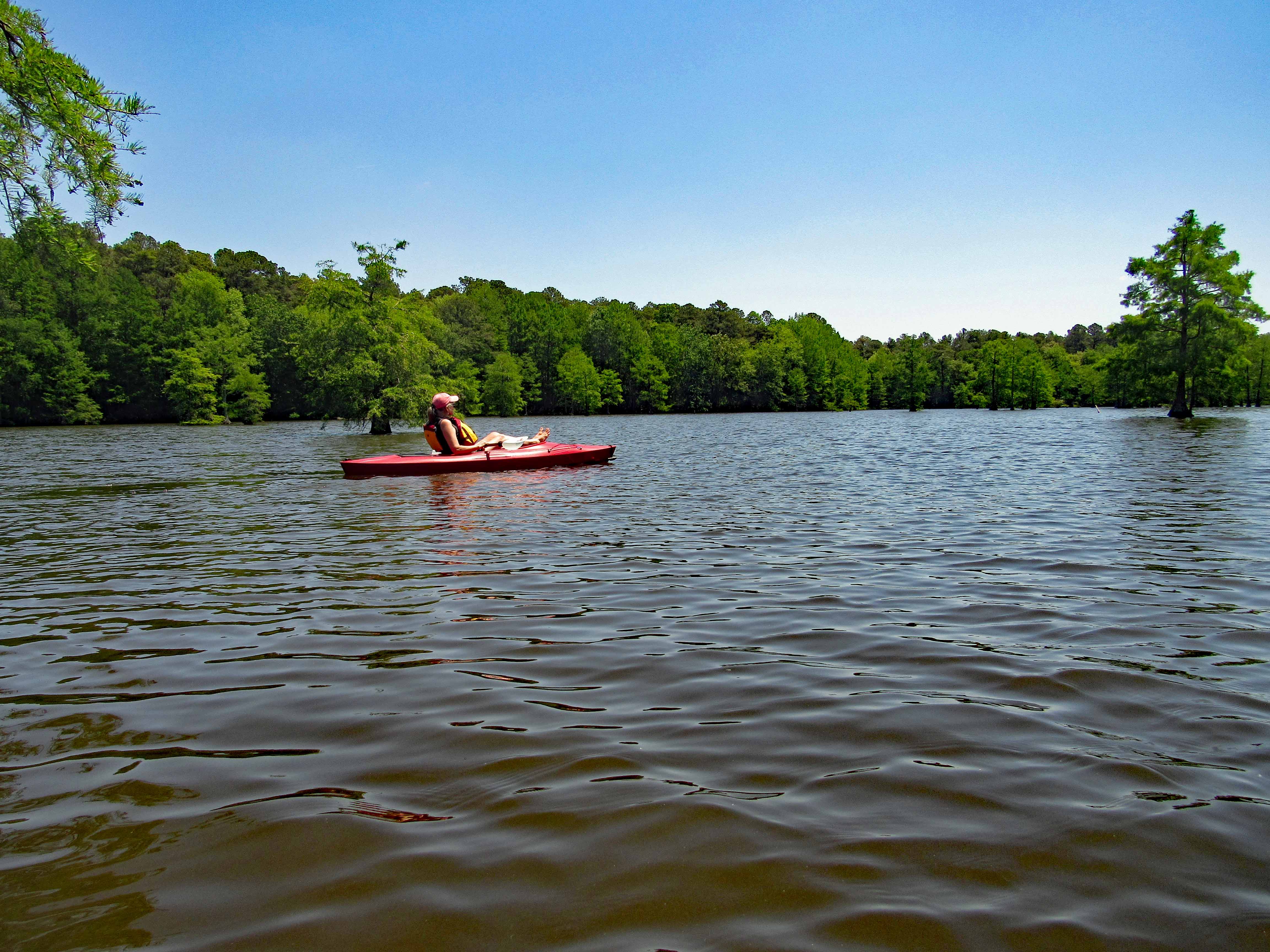
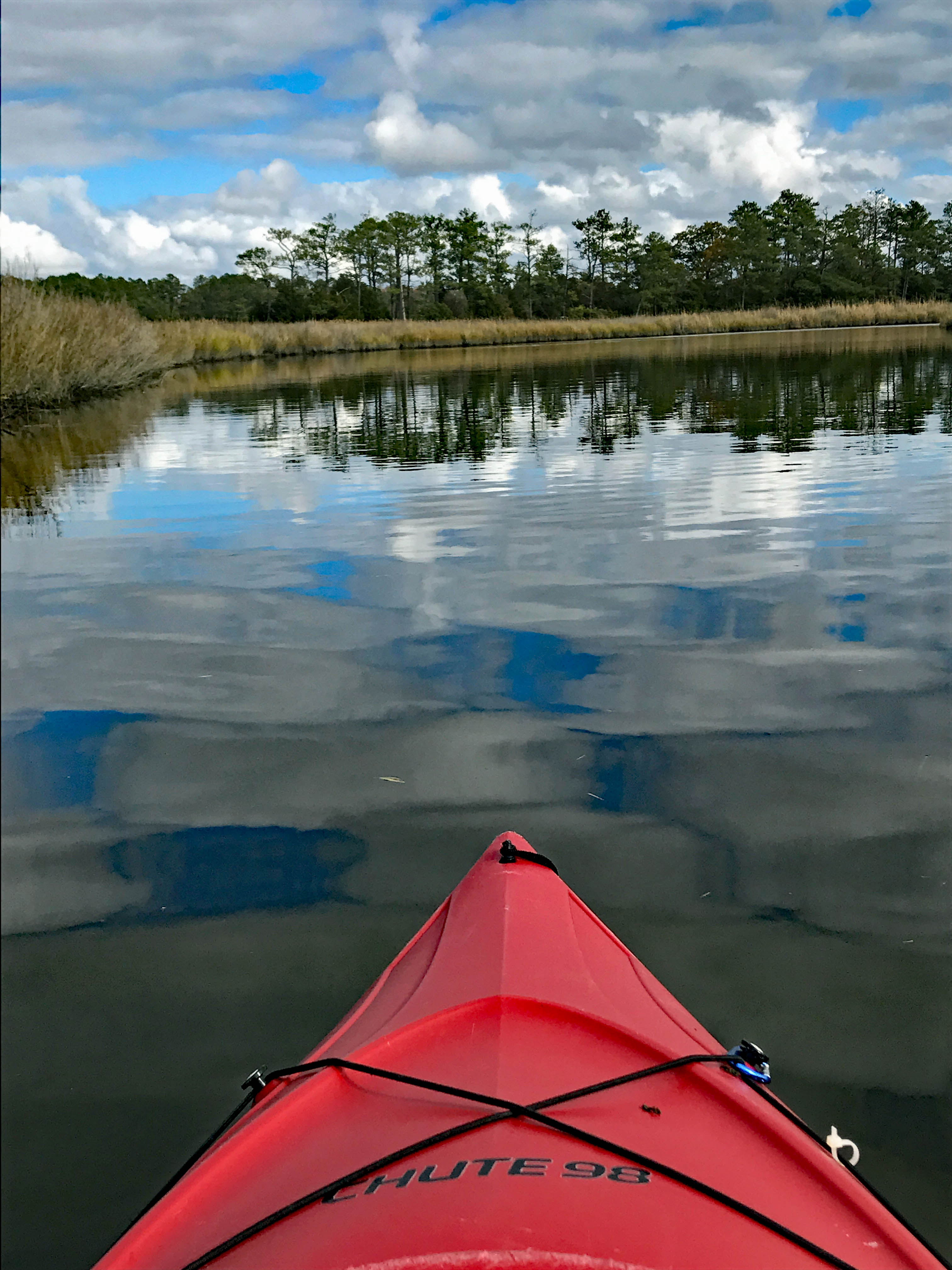
Water was calm. And since it was a very nice day weather wise, there were a few people on the water. We paddled a little over 3 miles.
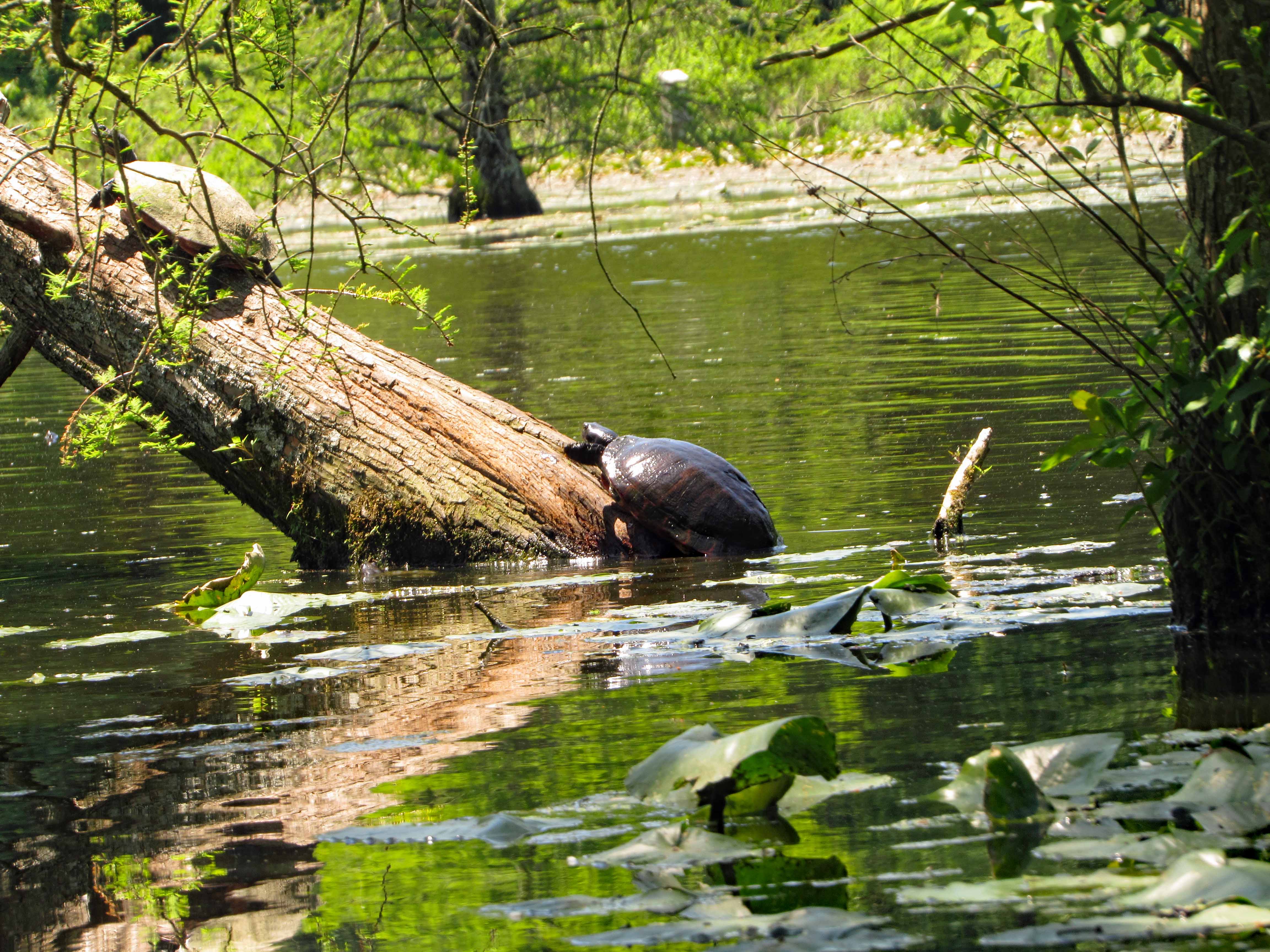
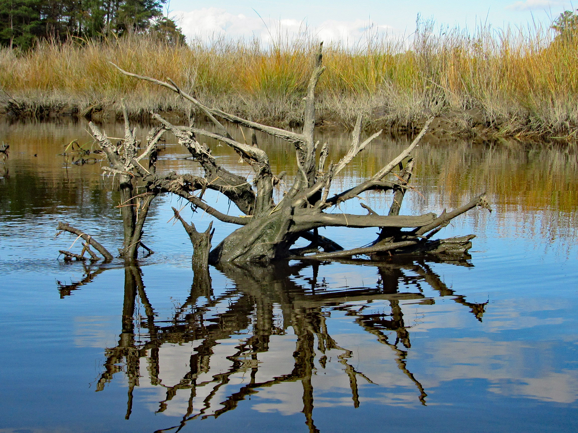
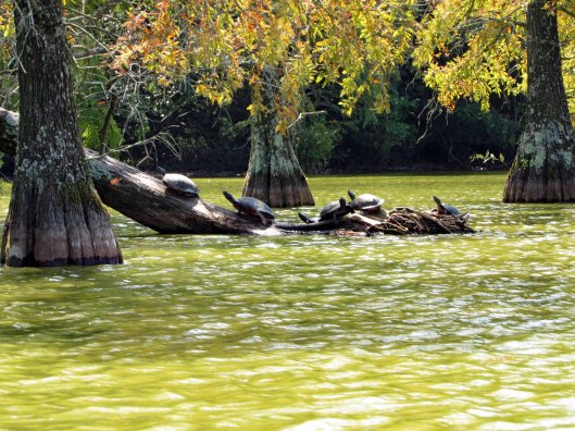
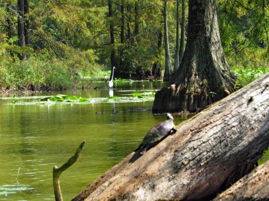
As usual there were a lot of turtles sunning themselves.
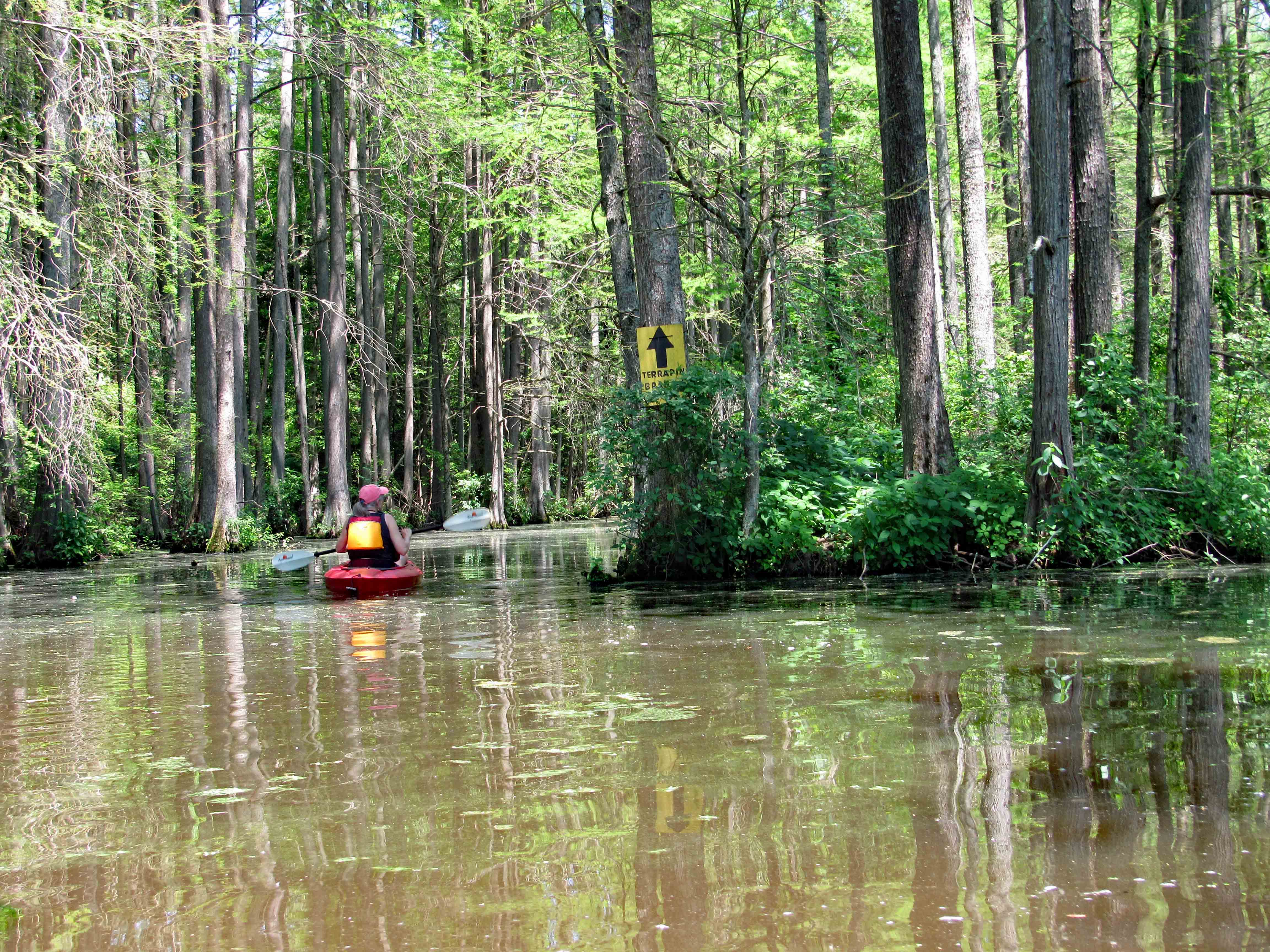
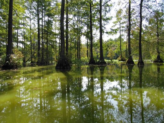
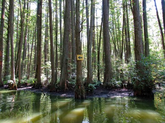
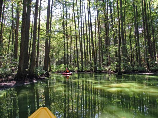
Into the cypress swamp. Arrows pointing the way to Terrapin Branch. On Google maps this is called Thompson Branch.
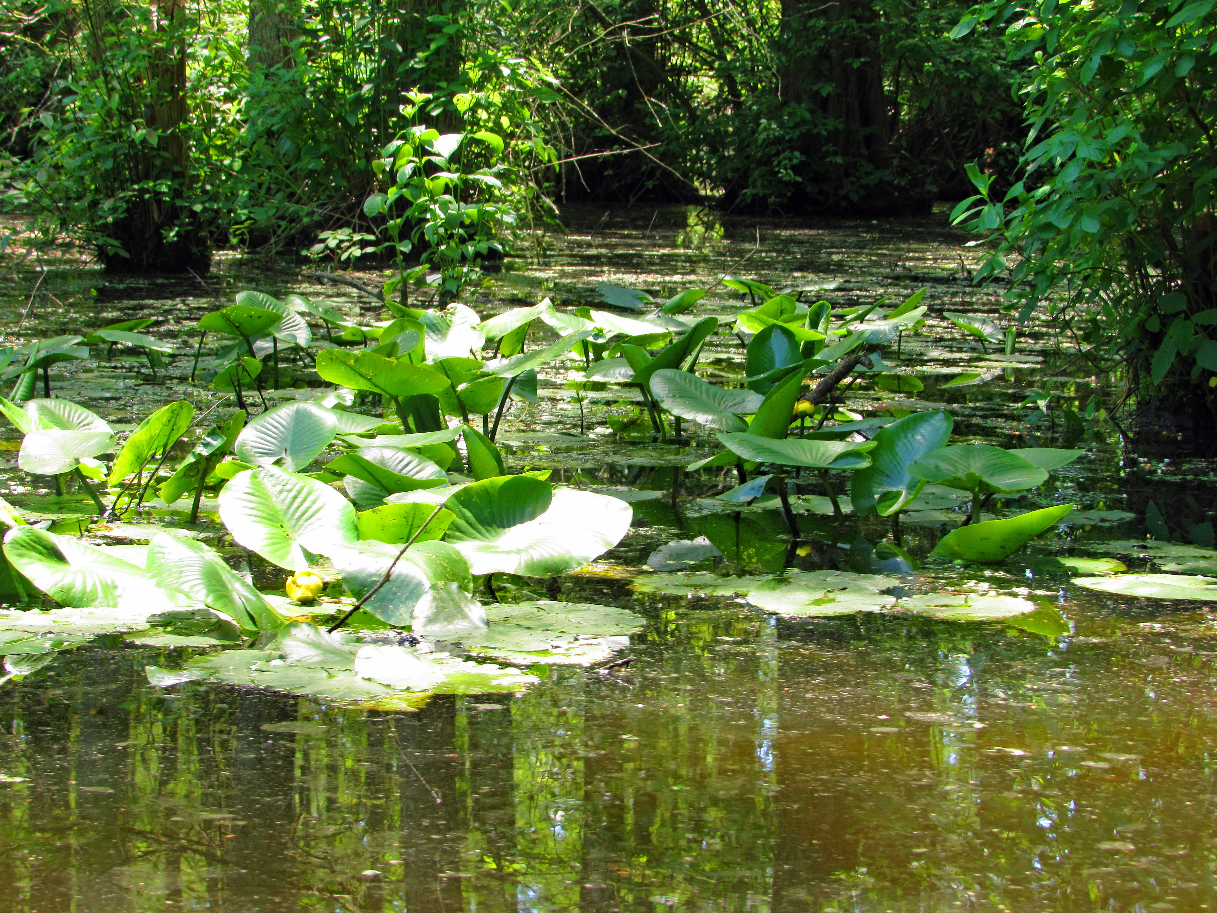
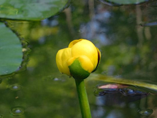
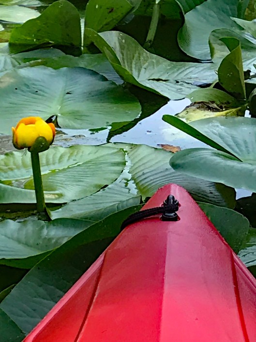
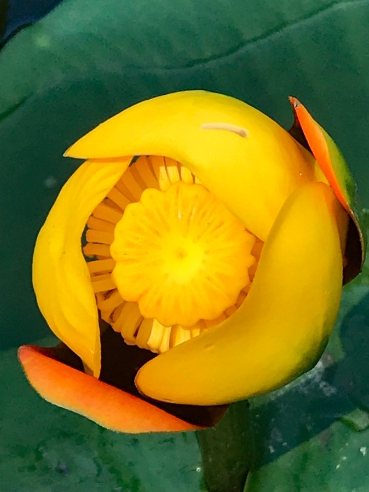
Flowers already in bloom on the lily pads.
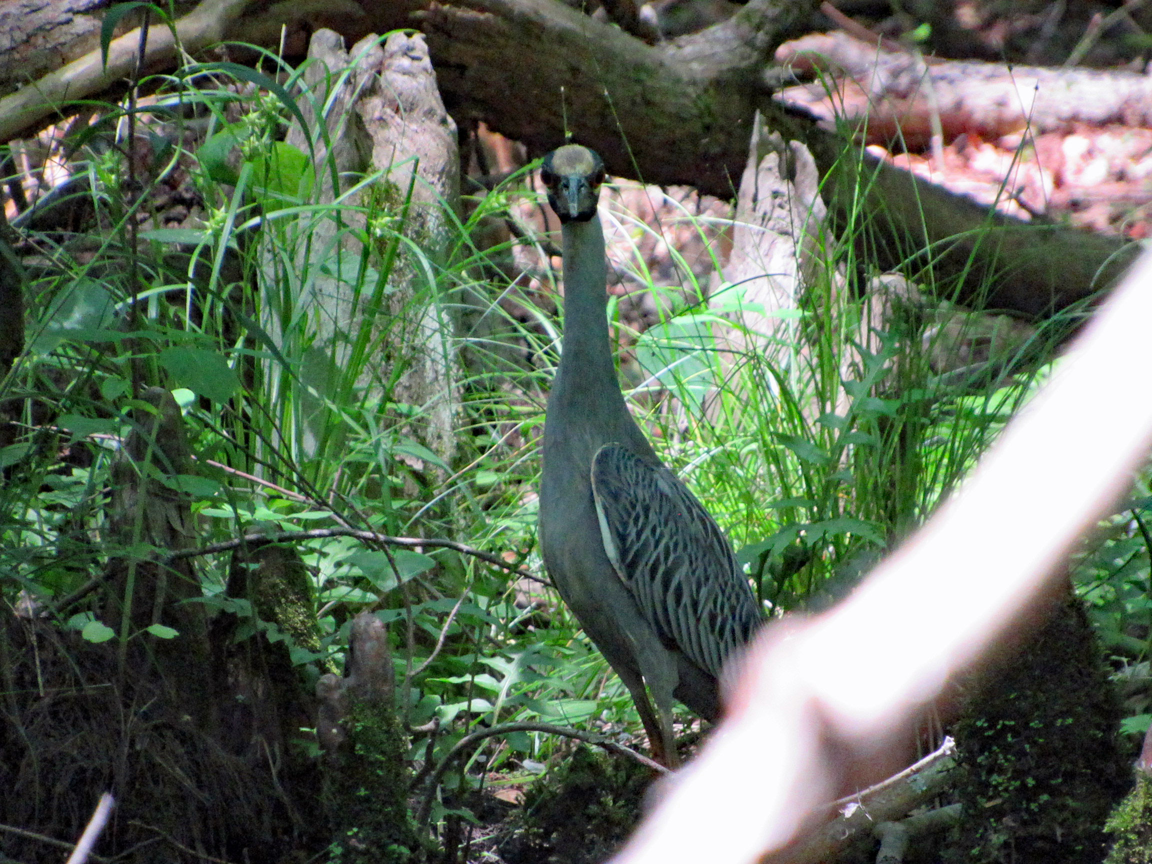
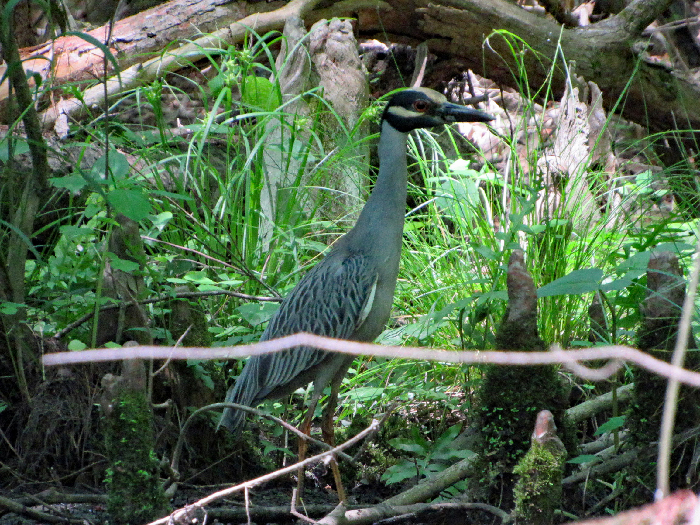
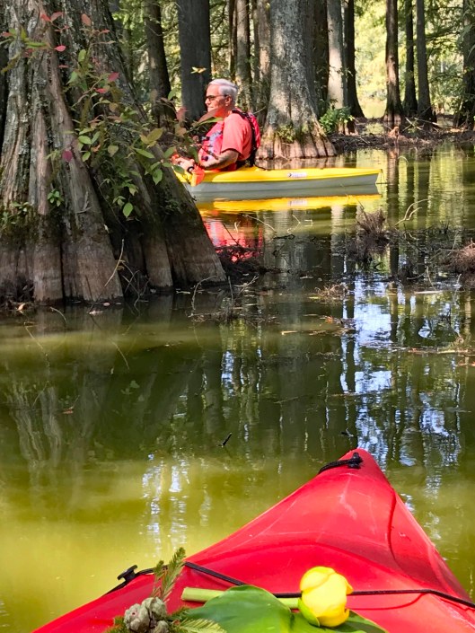
Looking at me looking at him.
Google Lens app says this is a Yellow Crowned Night Heron? Not sure.
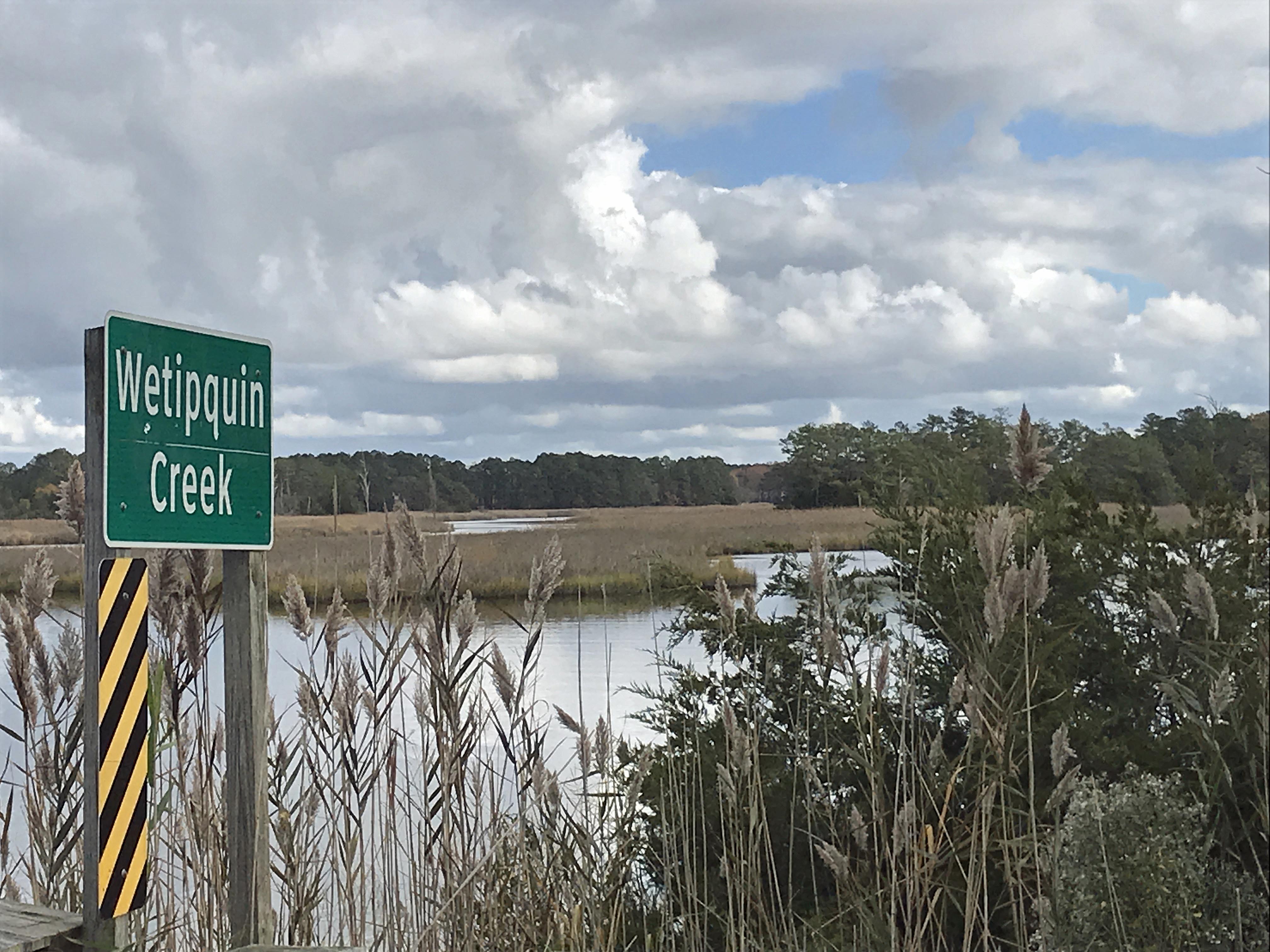
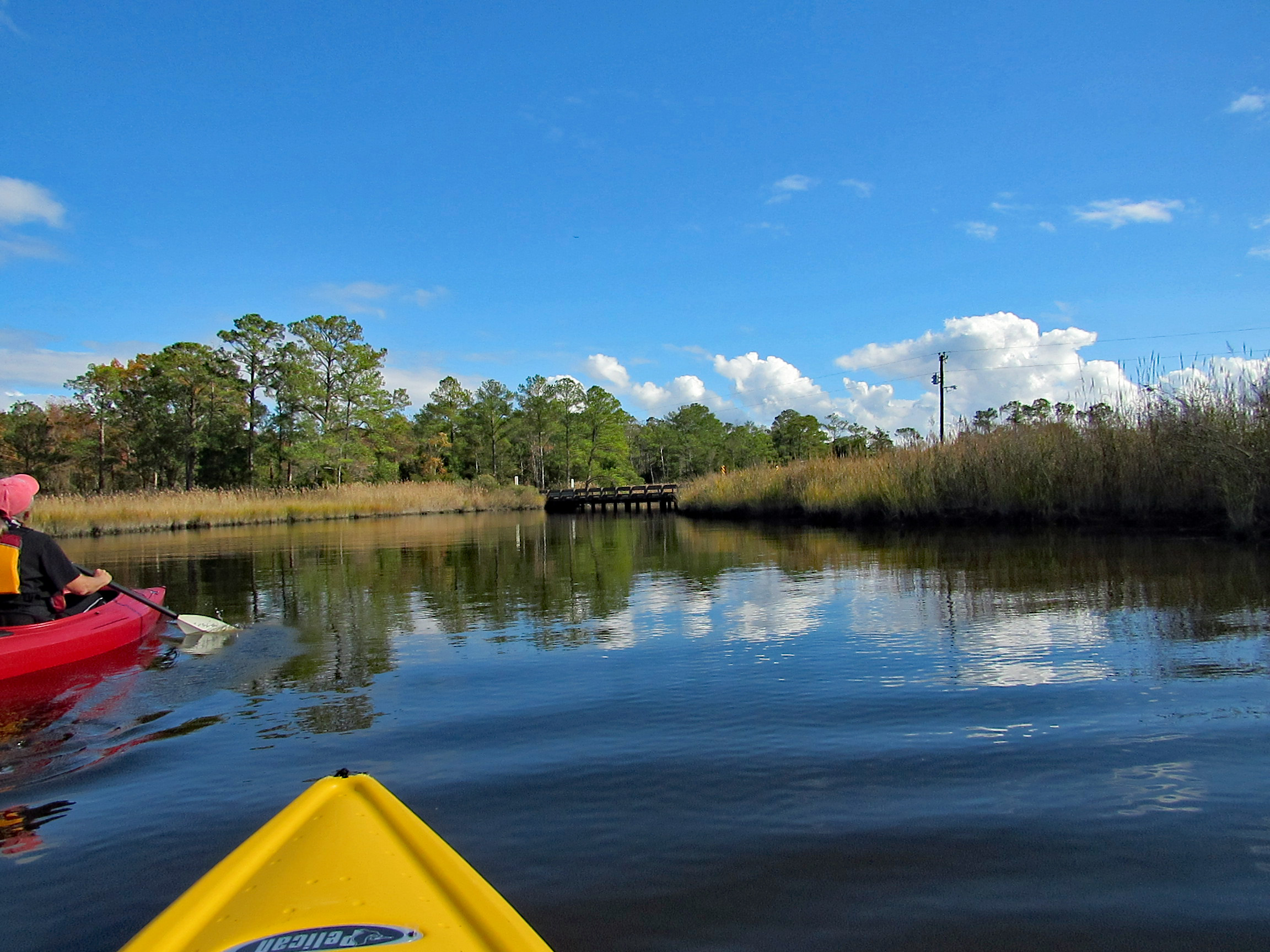
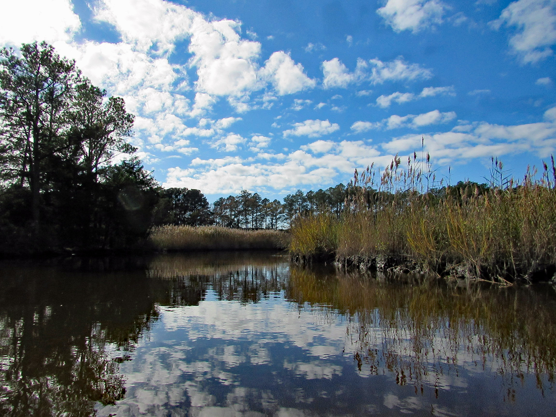
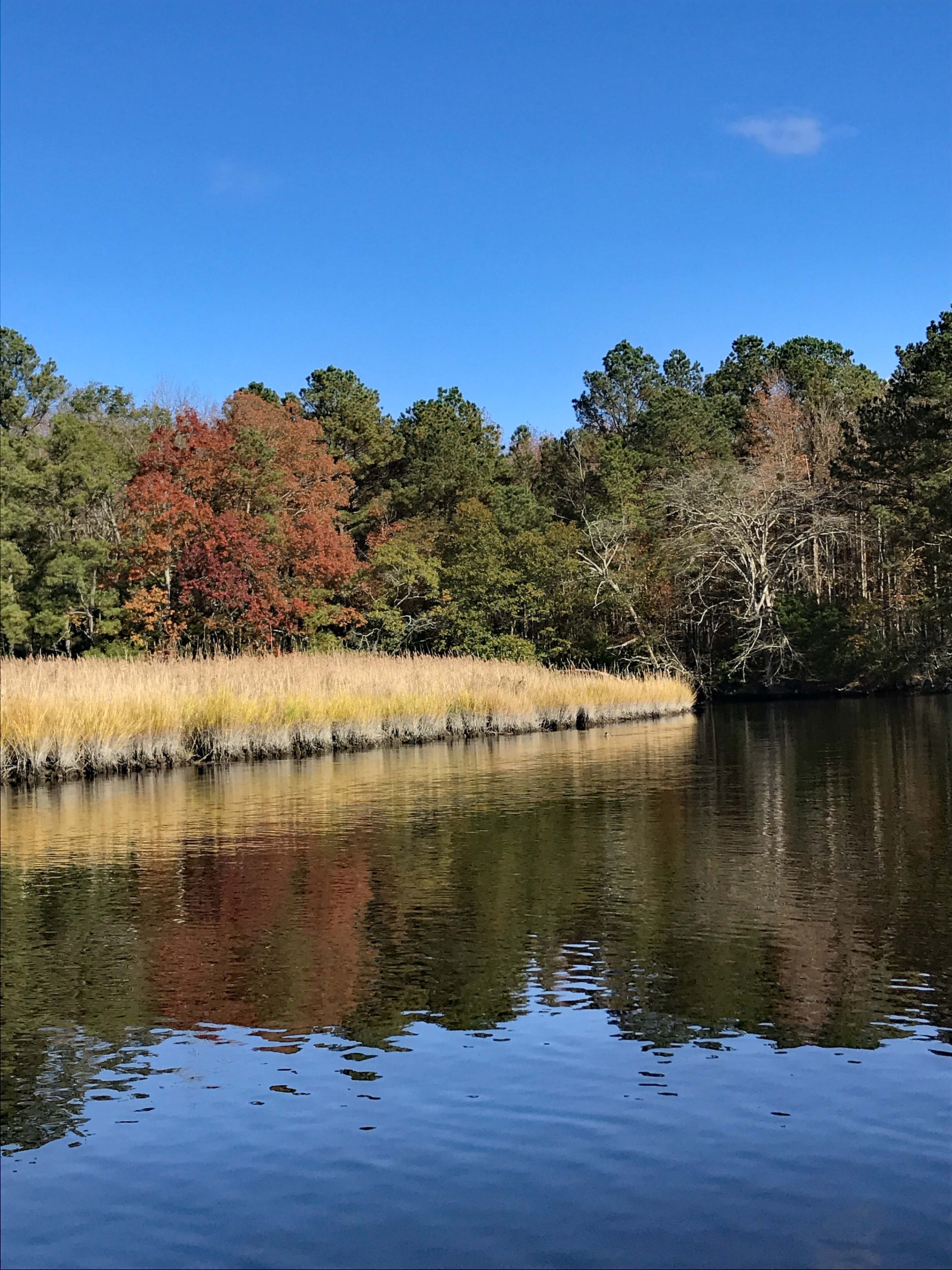
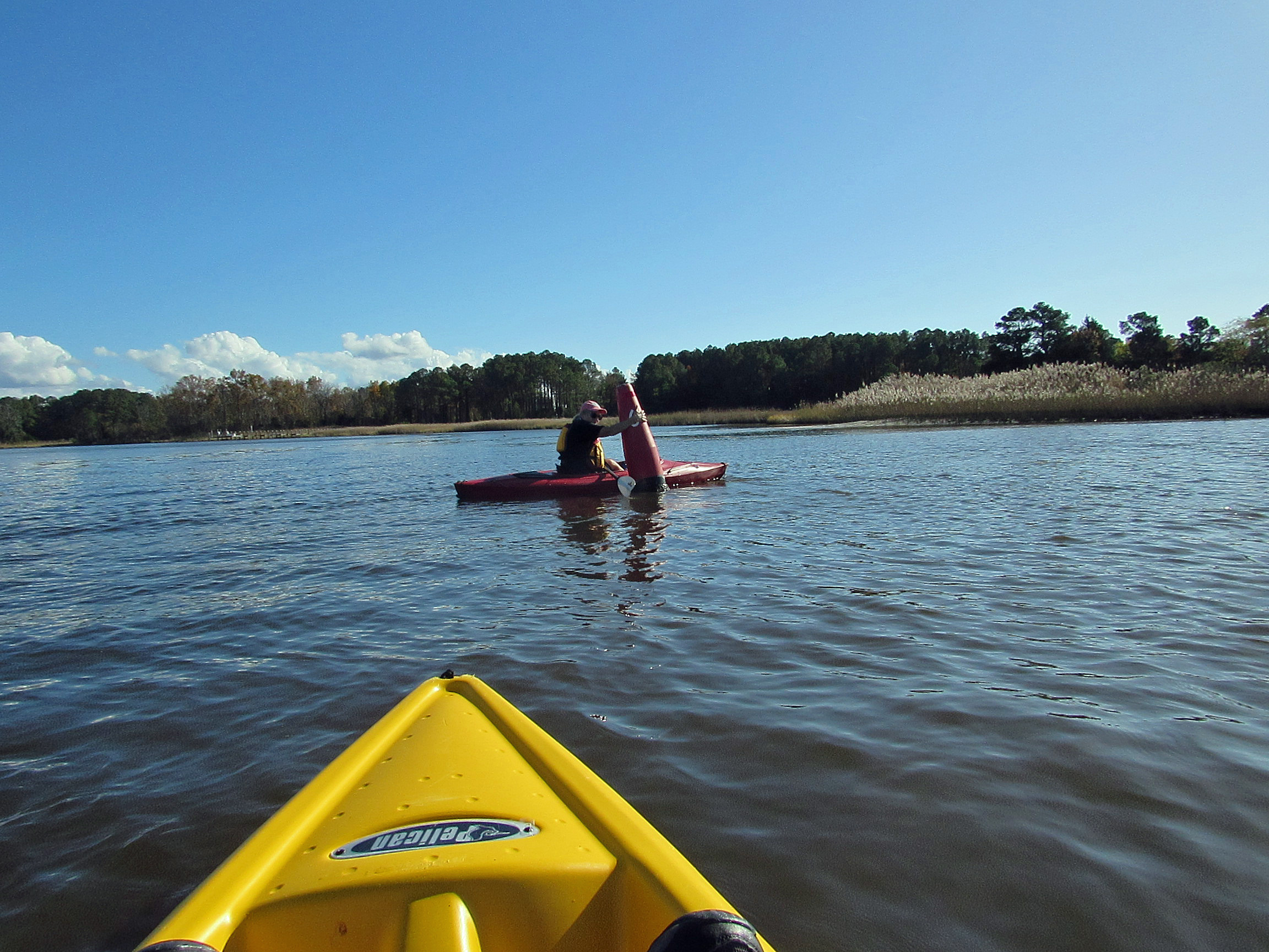
The temperature was heading into the mid to upper 70’s, so we headed out to kayak at Wetipquin Creek, off the Nanticoke River. We were a couple miles from here when we went fishing.
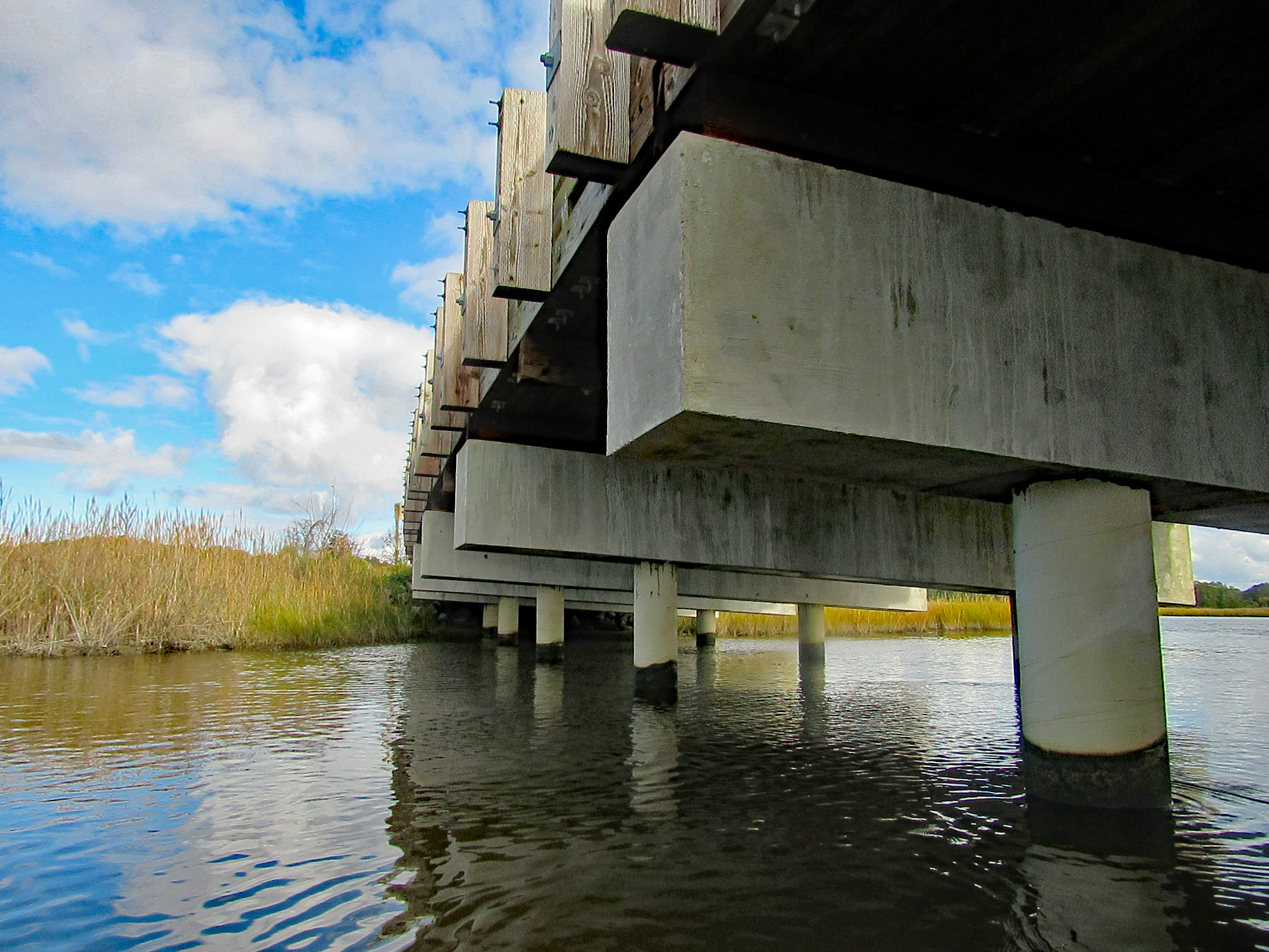
The boat ramp is nice and extends far into the water. Head to the right and go under the Wetipquin Rd. bridge.
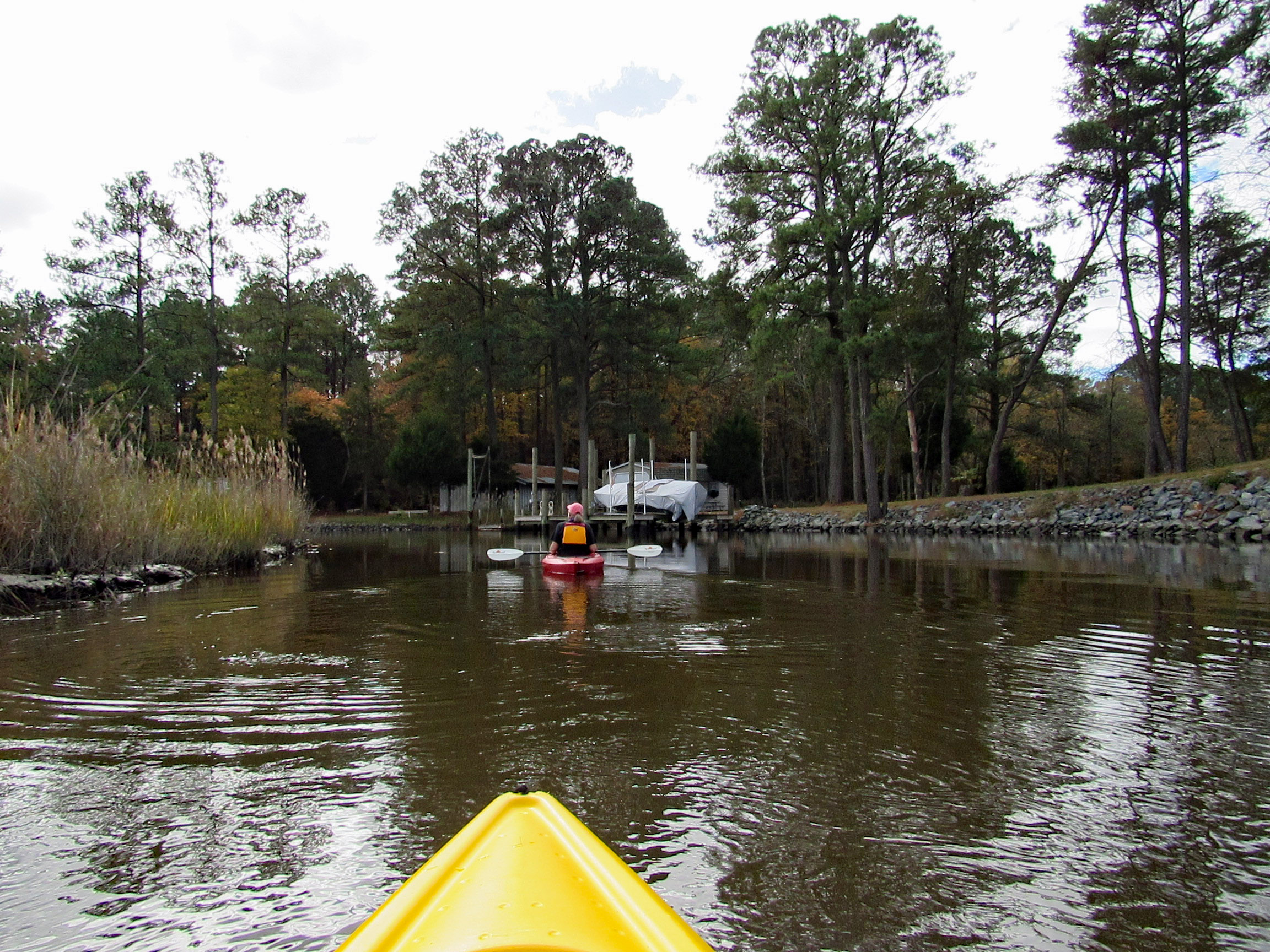
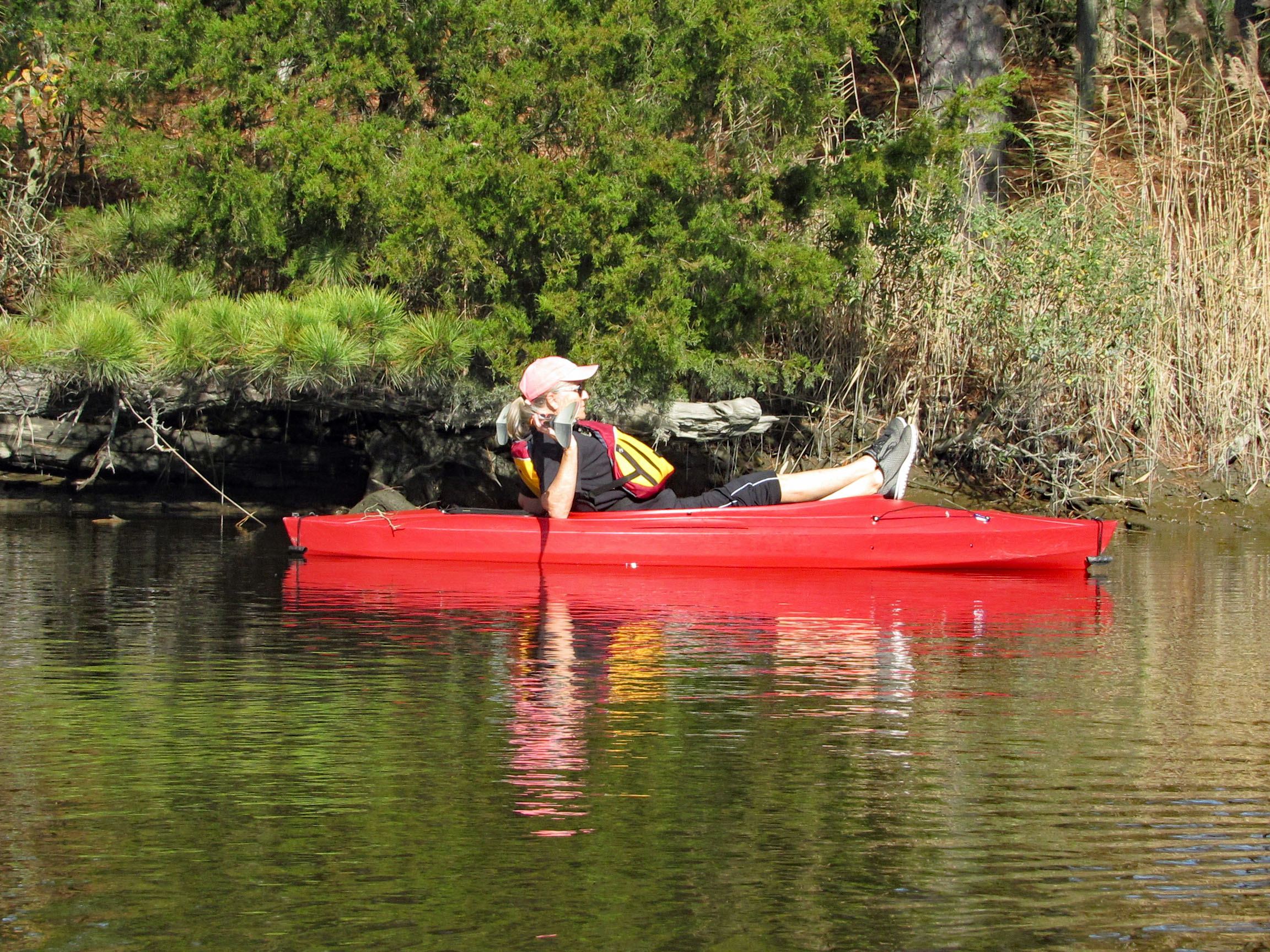
Some pics from Kathy before starting to kayak.
Start our adventure and Kathy stops to look at the Big screen TVs.
I like this one of Kathy’s
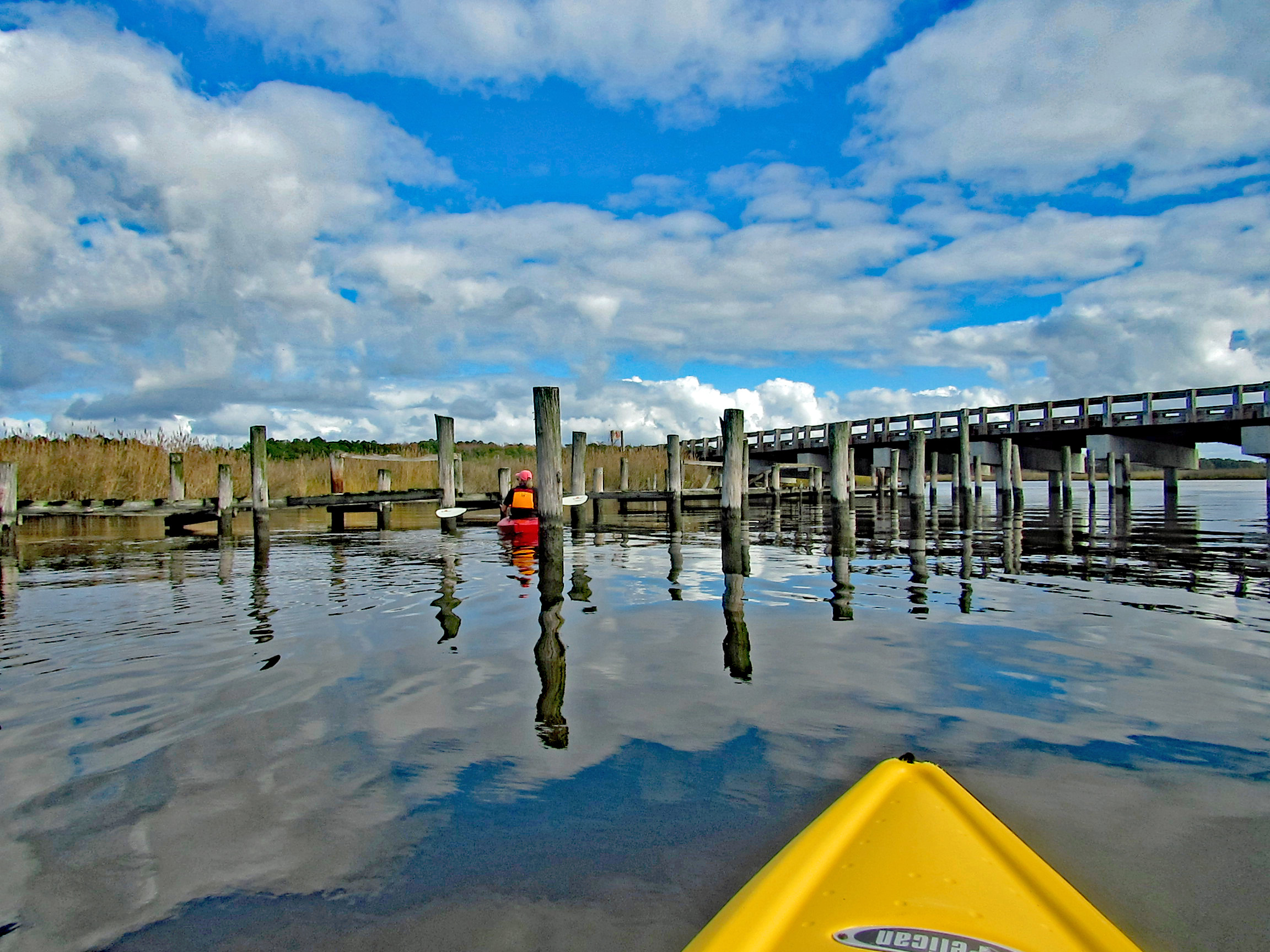
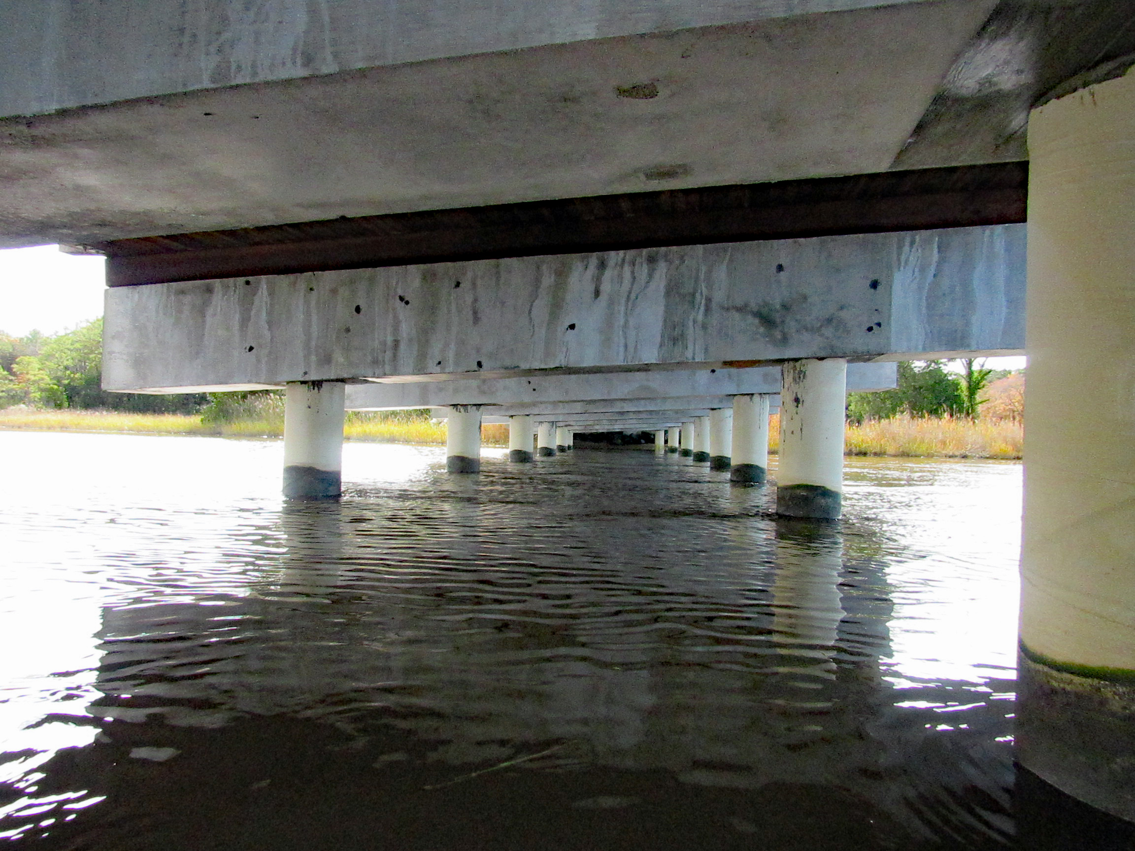
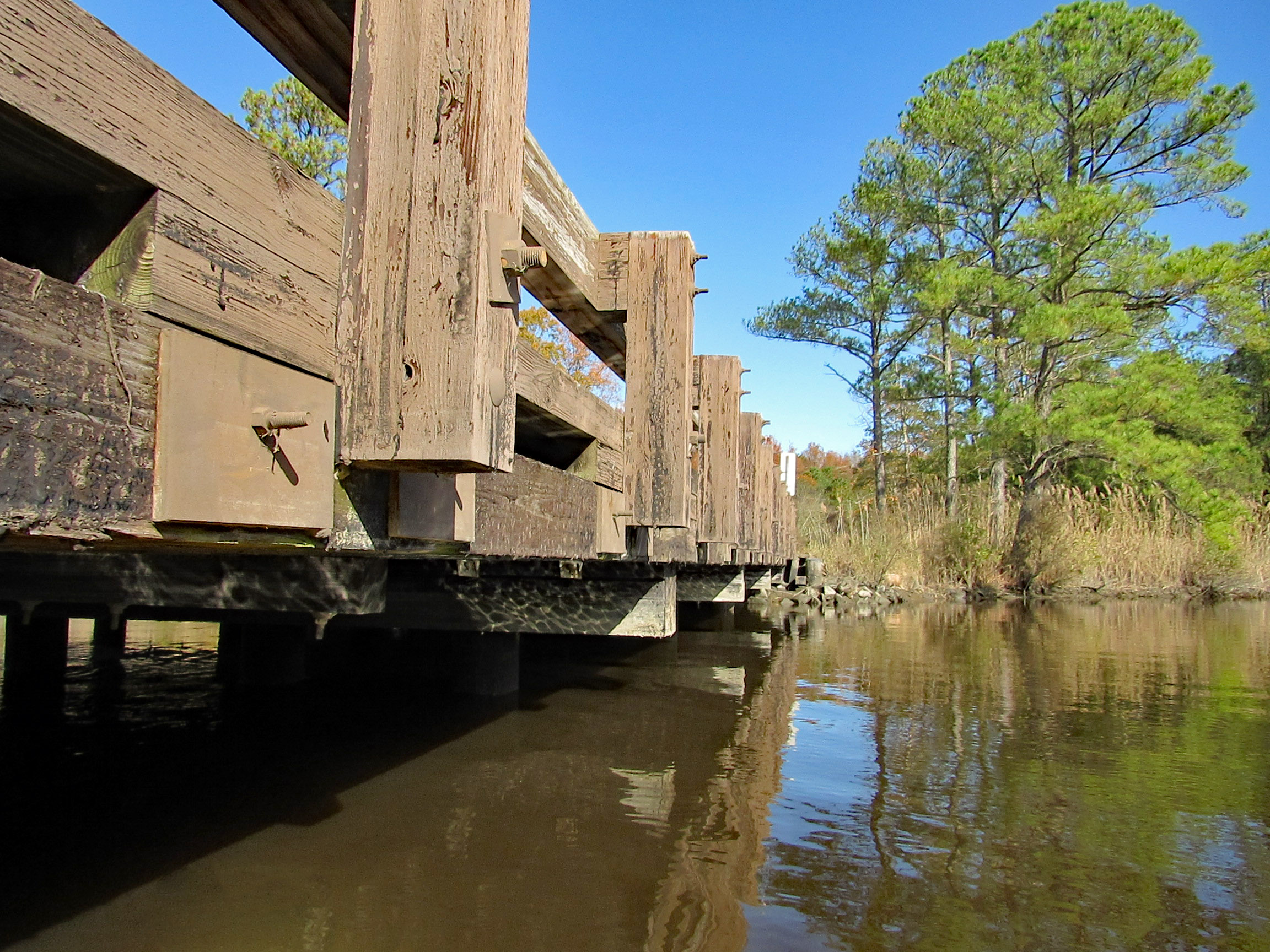
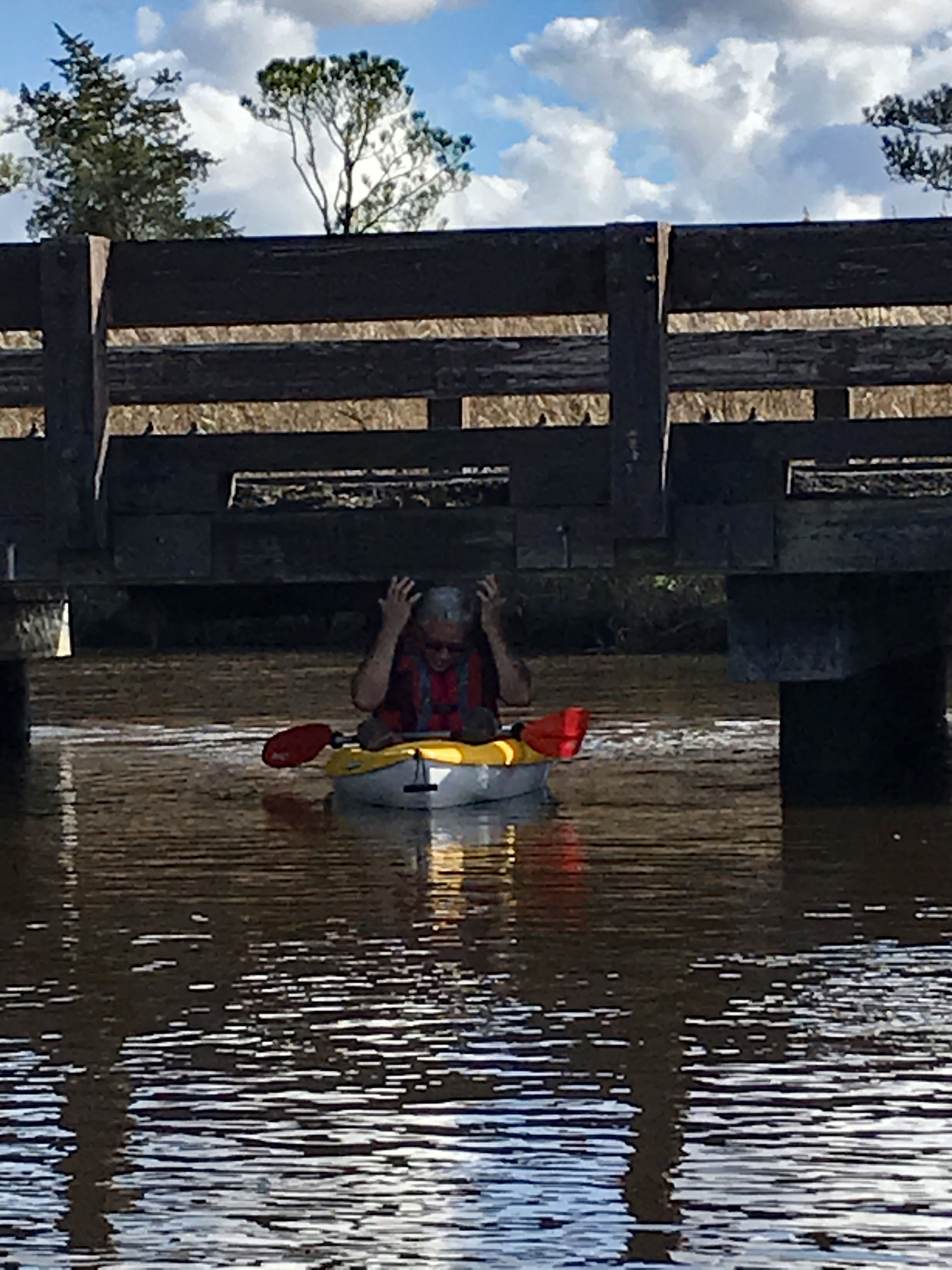
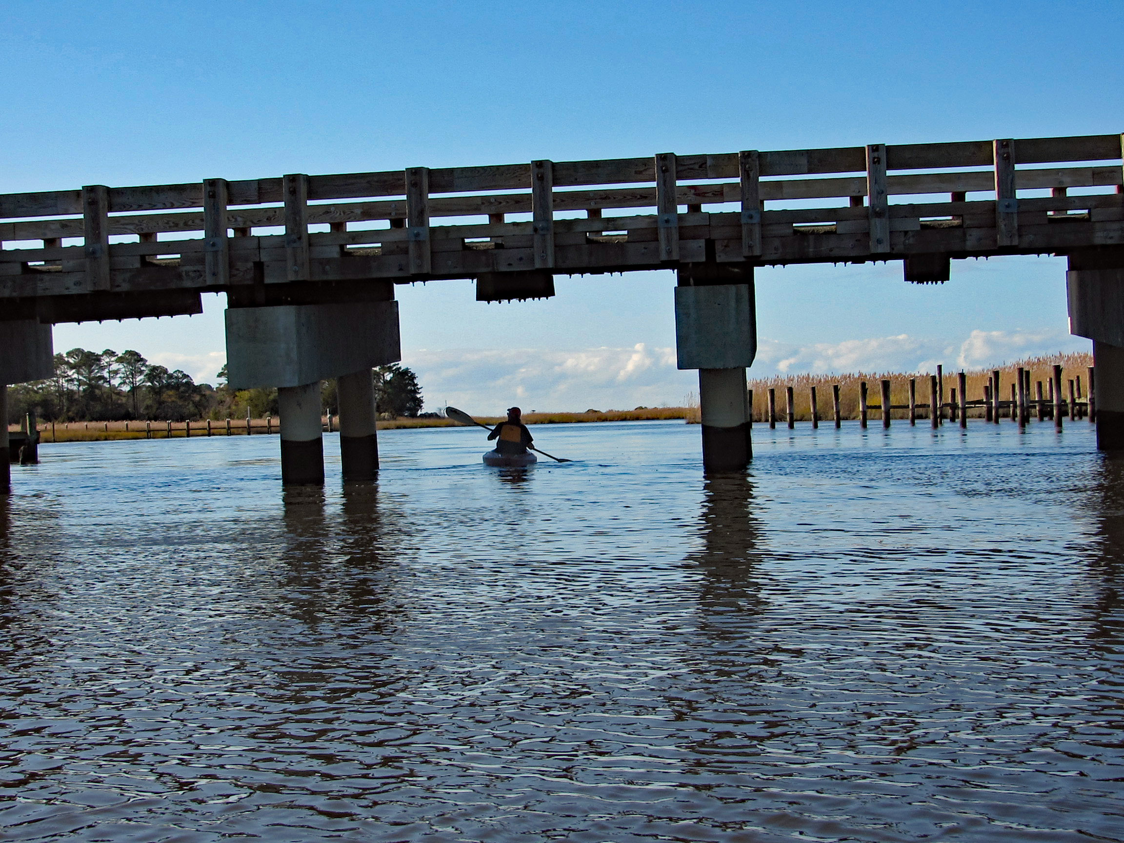
Time to head under the bridge. Kind of on a tilt but high enough to easily get under.
We soon come to a fork in the creek. Left will take us up the Wetipquin and right onto the Tyaskin Creek. We headed right.
Saw this boat and was wondering how they get under the bridge we just passed under?
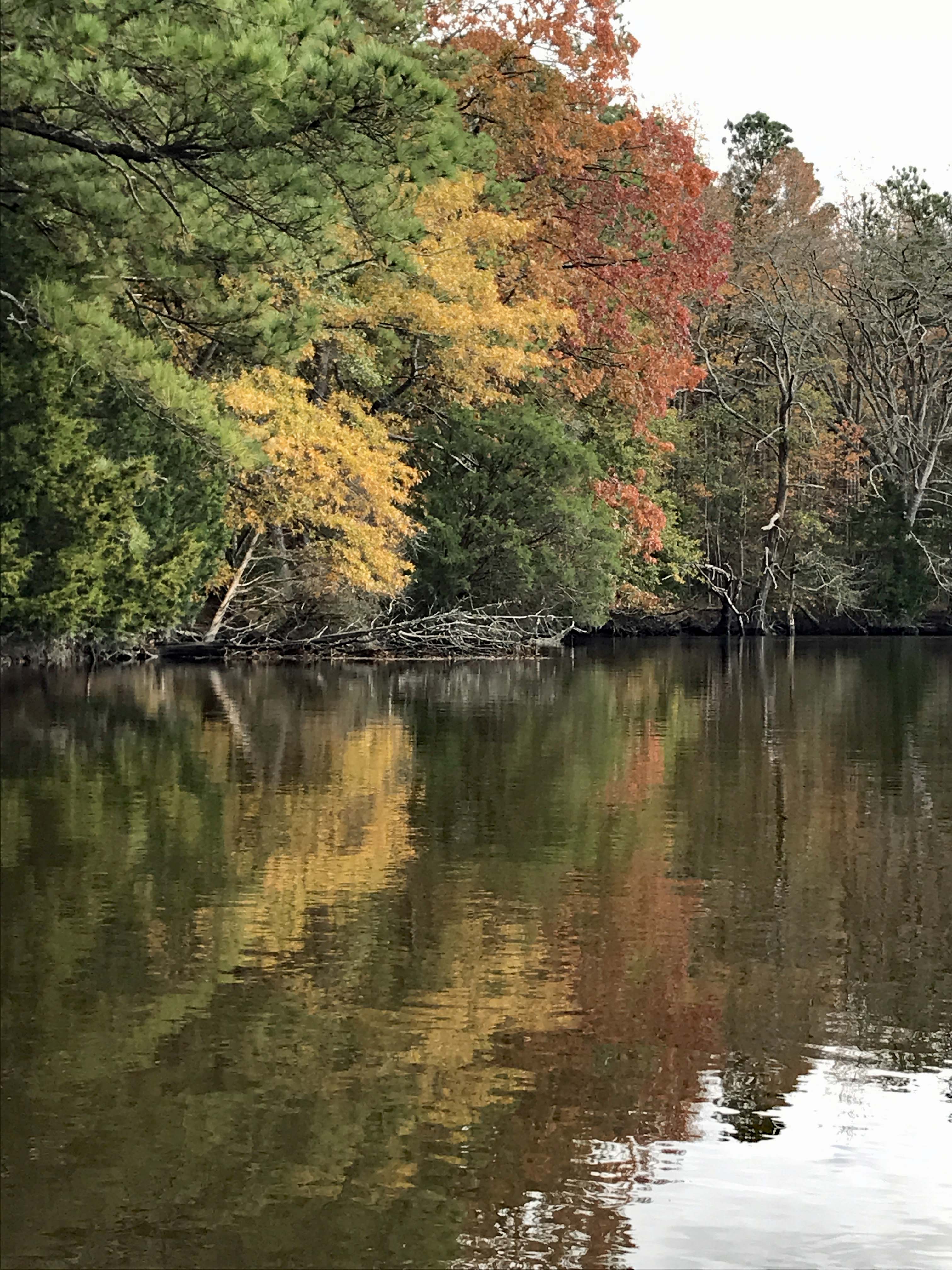
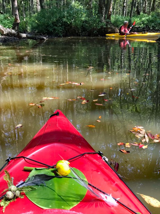
I think we missed most of the fall foliage, but still very beautiful and peaceful.
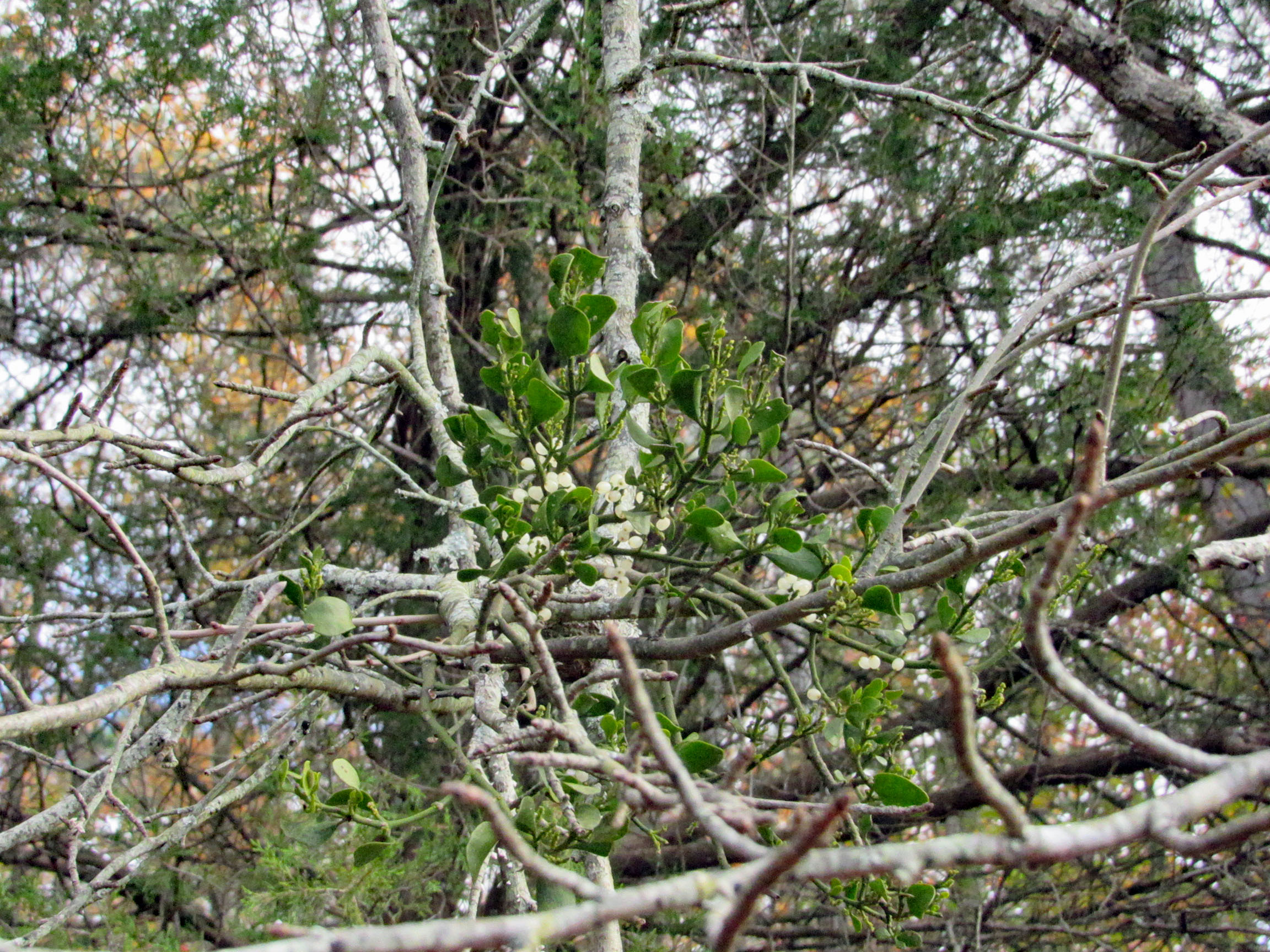
Fooling around with the mistletoe. Amazing how this stuff grows right out of the tree.
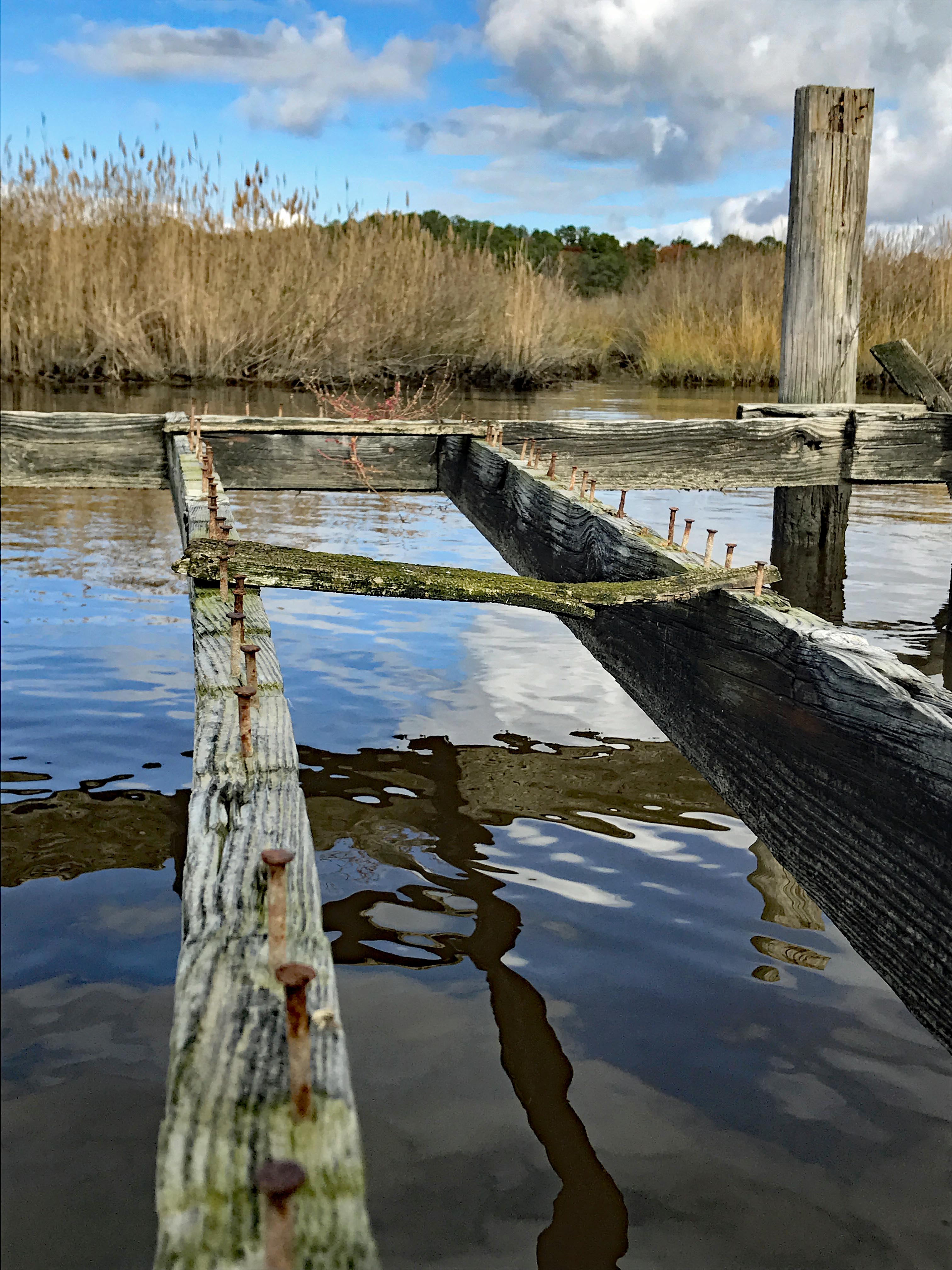
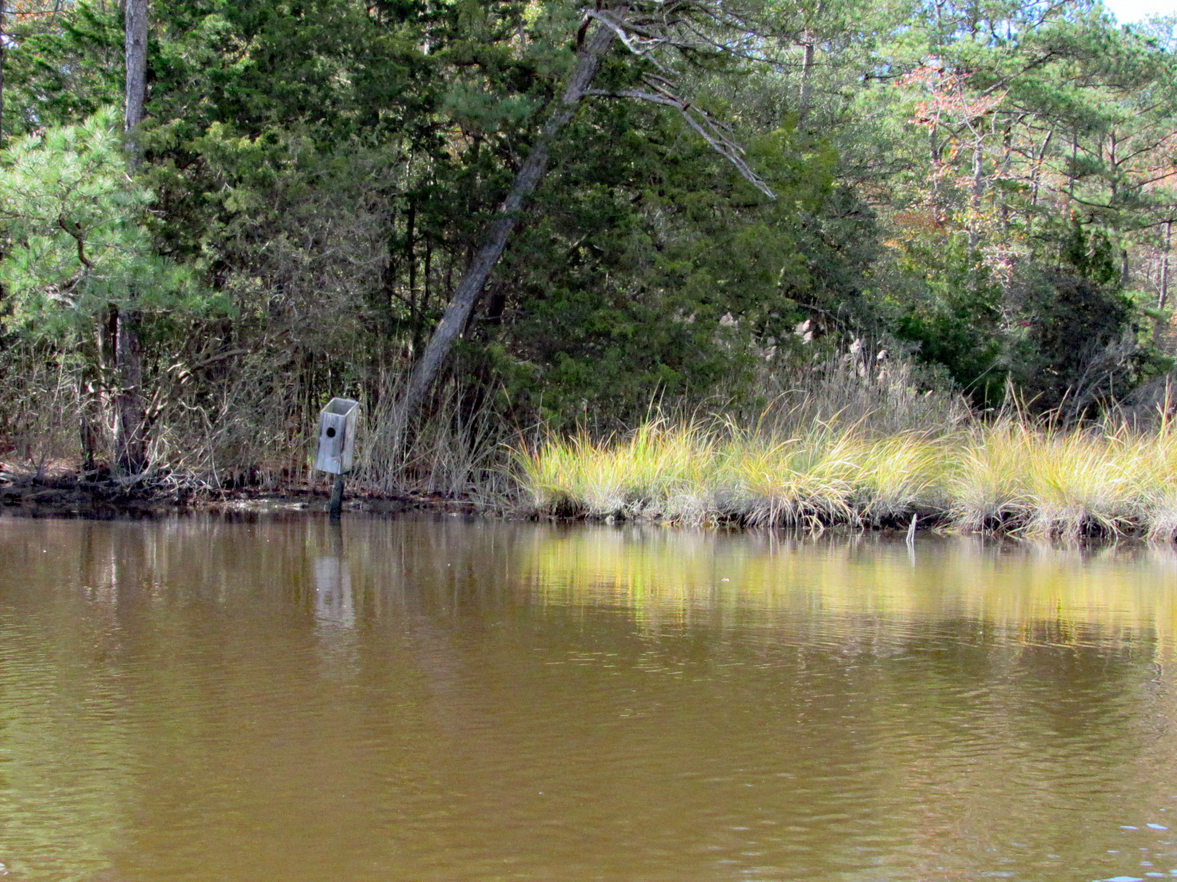
Saw two bird boxes and the tops were missing off of both of them.
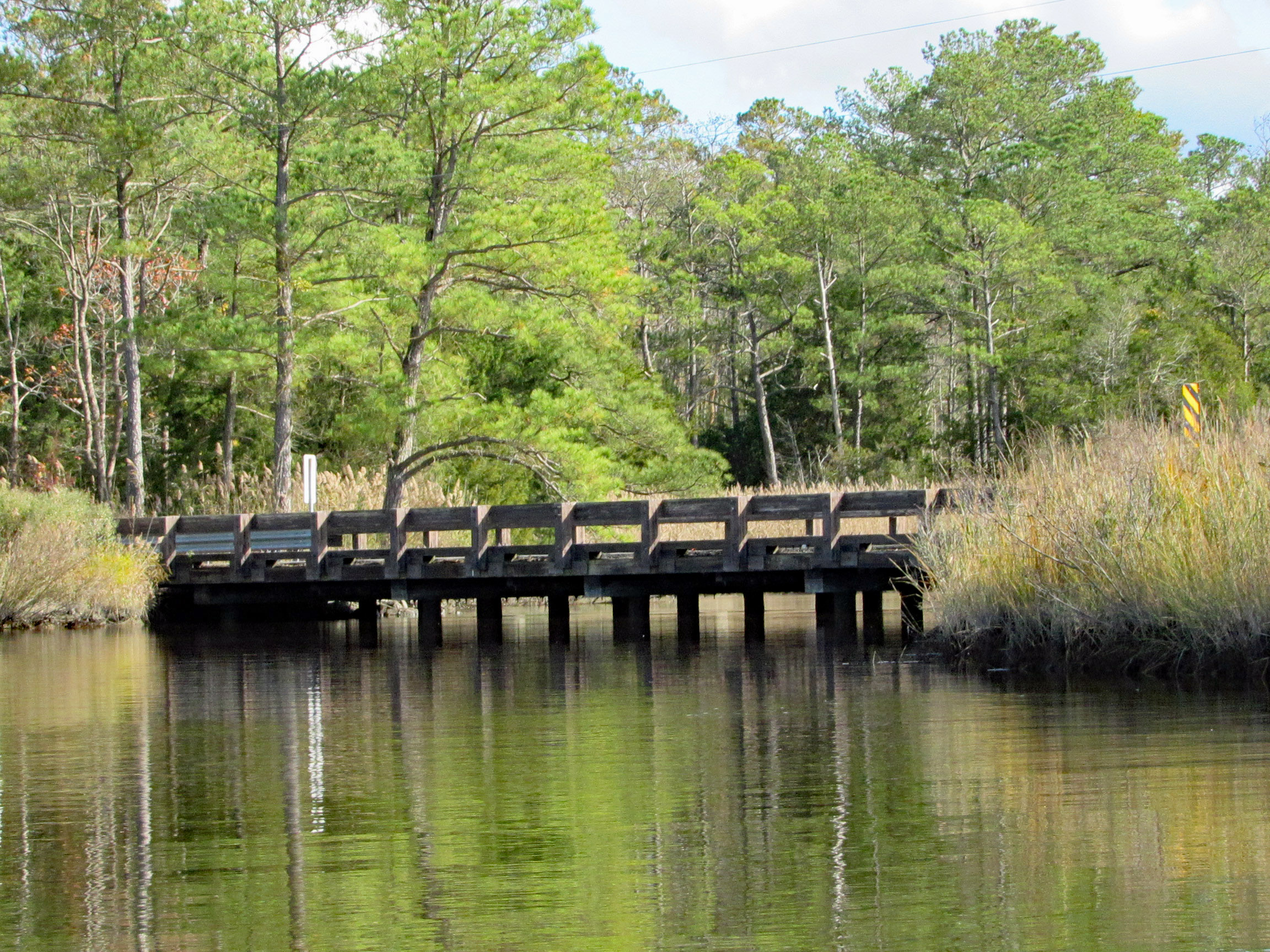
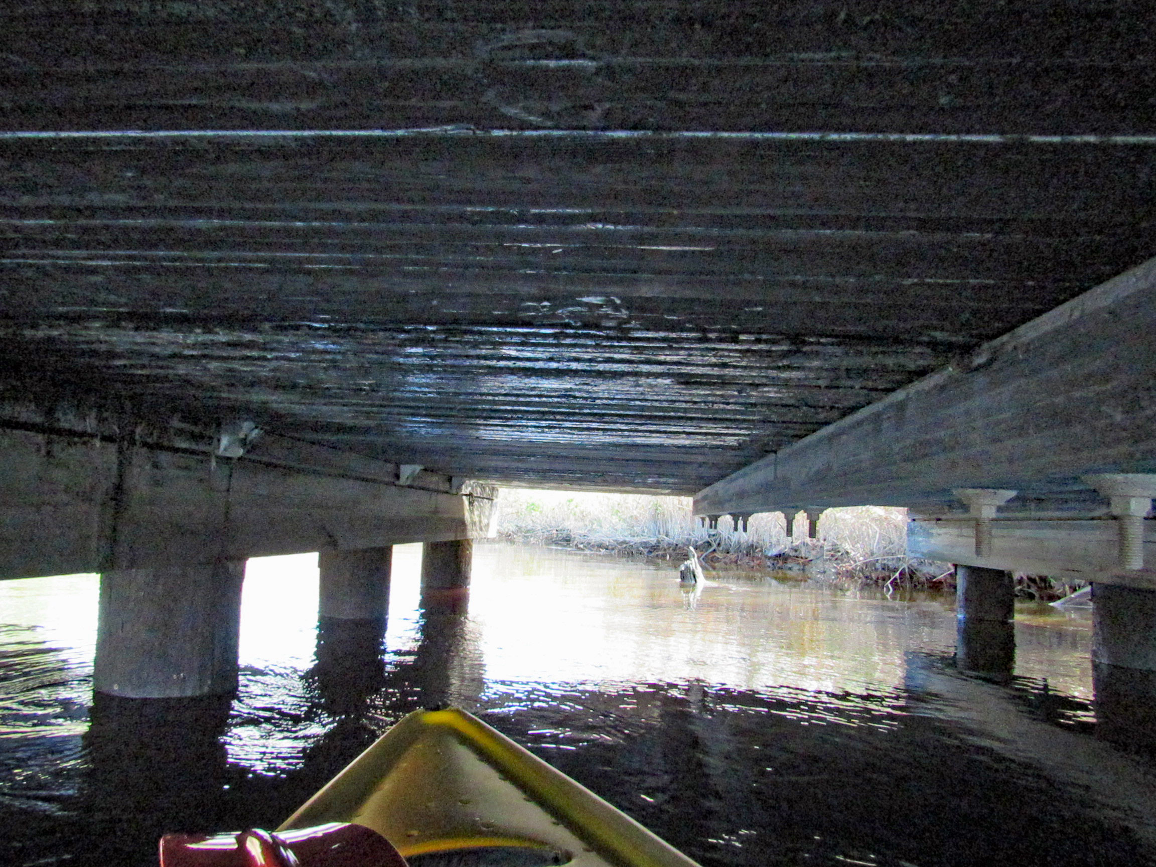
Approaching Deep Branch Rd. bridge. Looks low…
…but not too low!
On the other side and checking out up stream a little ways.
Kathy waiting for me back at the bridge, taking photos.
Sights.
Waiting for me to catch up.
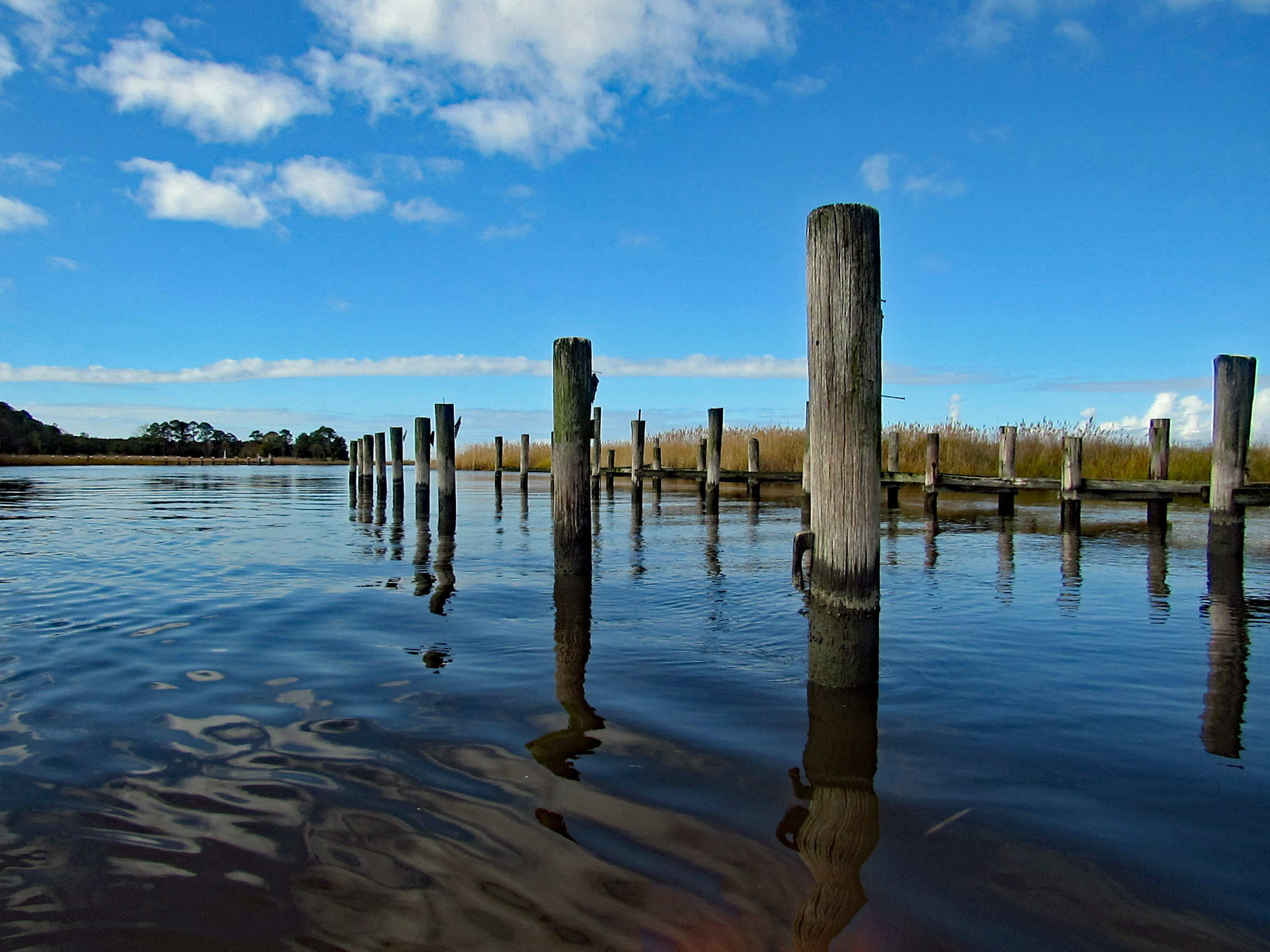
Back under Wetipquin bridge, heading to the Nanticoke.
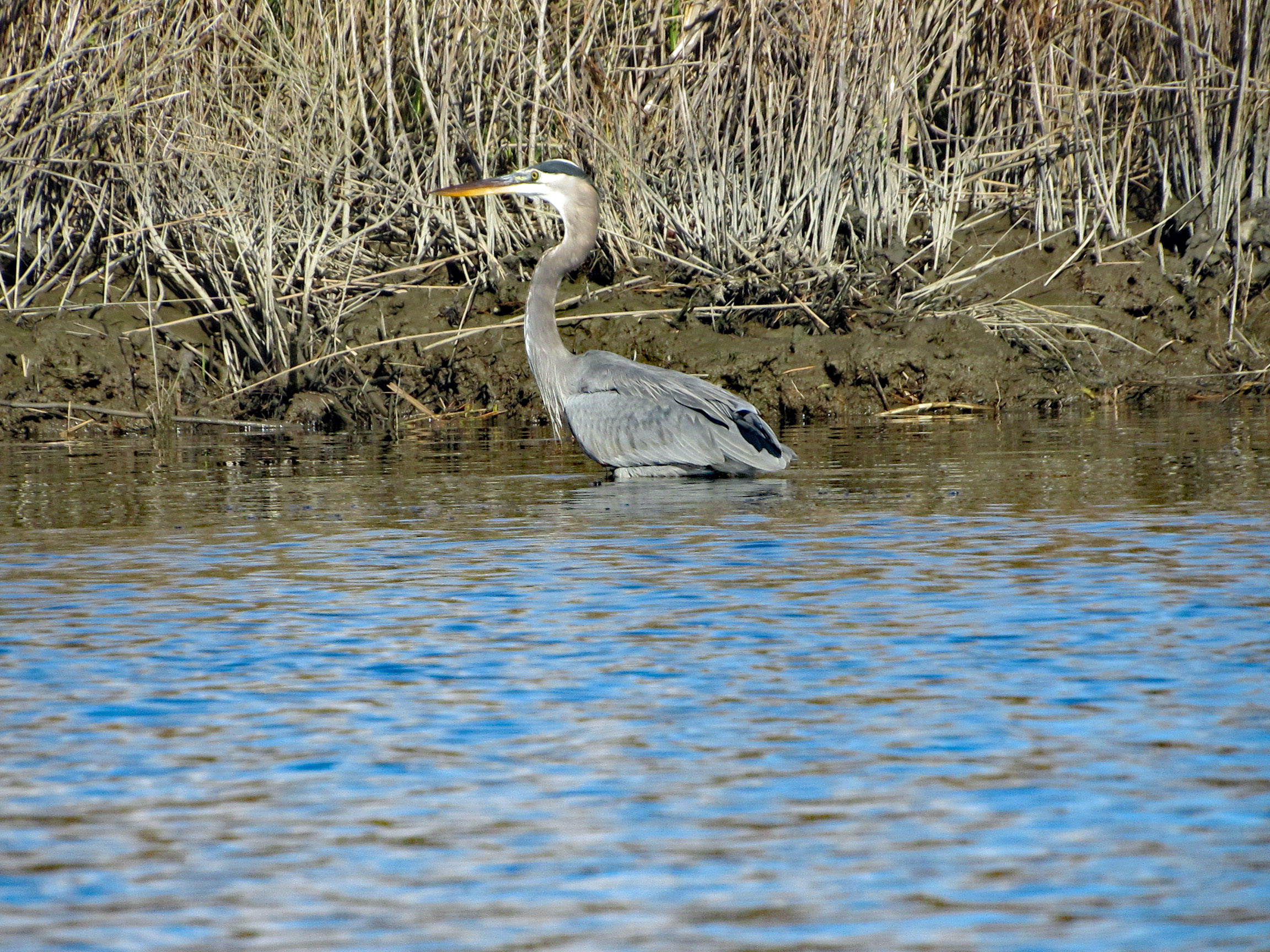
We didn’t see any wildlife until we headed to open water.
Geez Kathy, what are you doing to that boy?
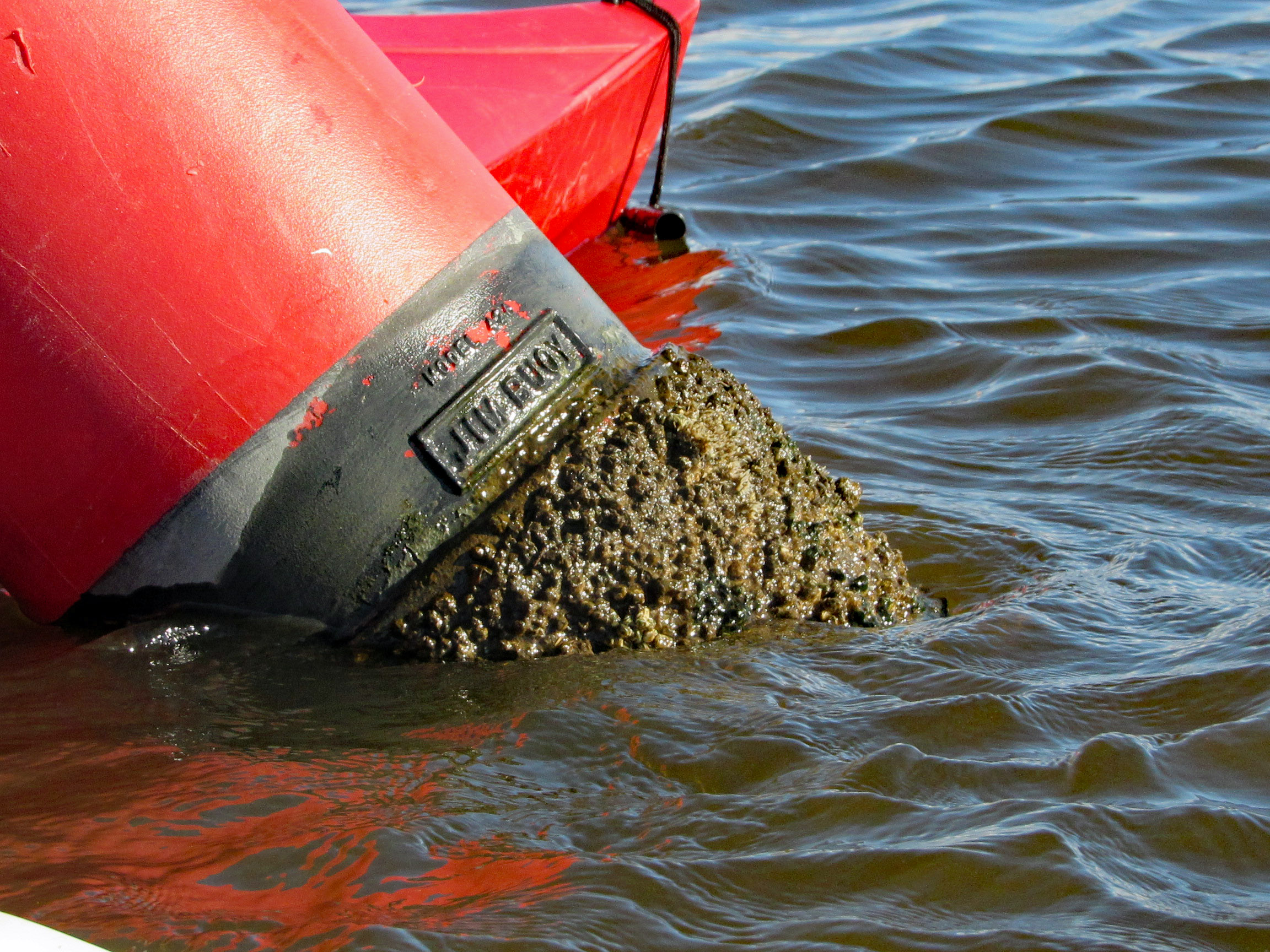
Meet my new friend – Buoy, Jim Buoy!
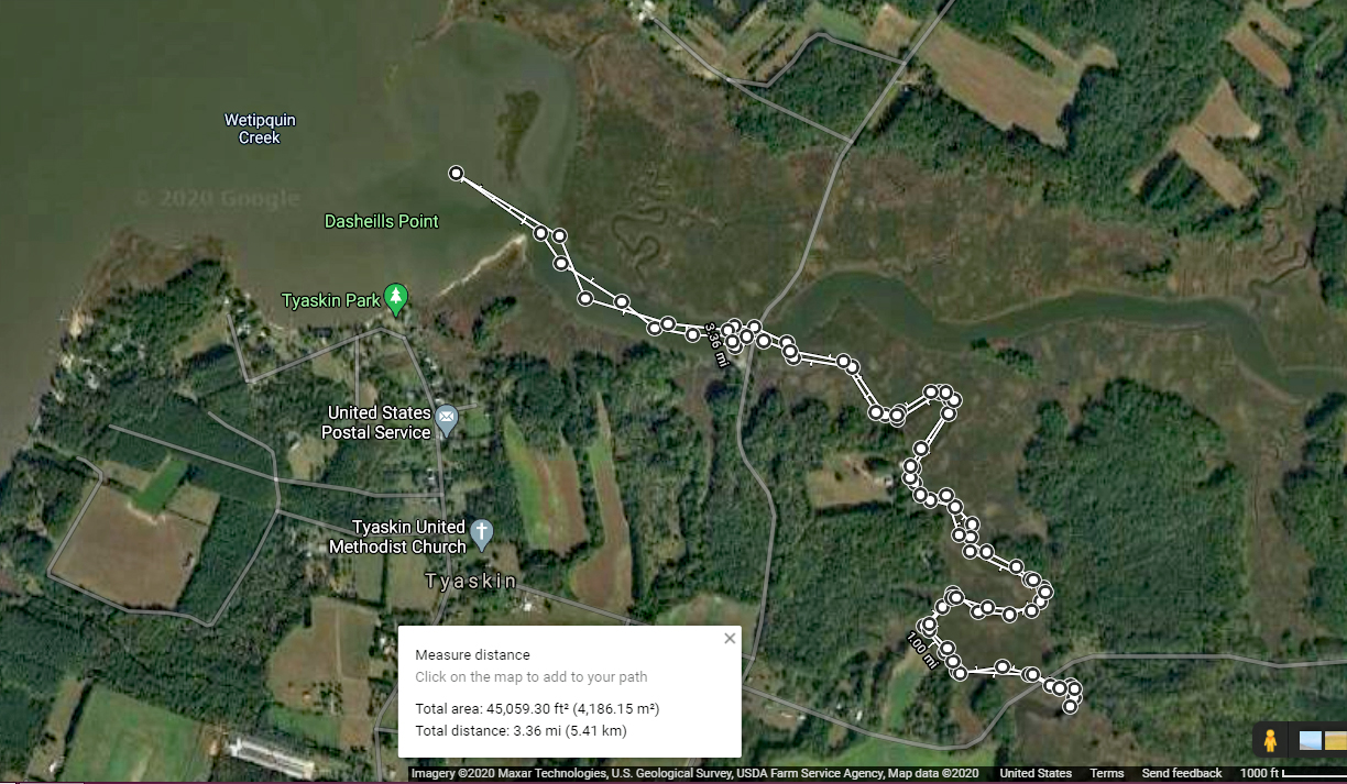
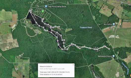
Our path. A beautiful day on the water! Thanks God!
This was a really nice road trip. A little over-cast but nice. The first time we visited BWR a couple years ago, we followed the not too smart, smart phone that directed us to the middle of a swamp and then to Crappo. Another time we traveled to Cambridge and then south to the Refuge. This time we decided to take the scenic back roads. I saw on a map that there were a couple kayak put-in spots so we thought we’d check them out.
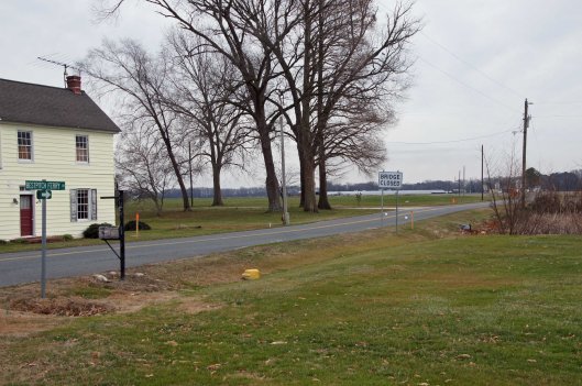
We took Rte 50 to Vienna and headed south on Rte 192. On the map was Bestpitch Ferry Rd., showing a launch. What wasn’t on the map was this sign:
When you see a “Bridge Closed” sign, you should heed it! Na! We thought this was the bridge they were talking about. It wasn’t.
Electric wire fishermen.
The road started to get a little hairy and we could see where it had been washed out in places. Then we came upon this.
On the other side of the barrier a wood, one lane bridge. Looks alright to me.
The kayak launch site is across the river, to the left. In the photo below it looks like a launch that has flooded out over the years.
Time to turn around. Bridge blocked, road falling apart and now a fire.
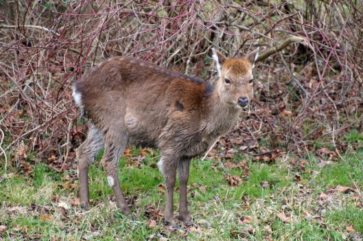
We make it thru the danger and head back to Decoursey Bridge Rd to Bucktown. On the way we came across this little, unafraid of the truck fellow.
Glad we had the detour. Some nice places to visit.
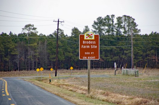
Harriet Tubman Underground Rail Road.
The Brodess Farm is where it was said HT was born. Other accounts say her mother and herself were brought (bought) here after she was born.
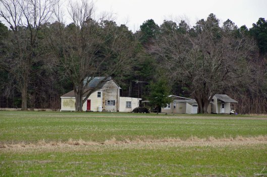
There is no trace of the original farm house, although this one is there. Private property, keep out.
Heading down Greenbriar Rd to Maple Dam Rd, we came across this house. It was unmarked but looking at a couple history pamphlets, we found that this was the Nause-Waiwash Longhouse. It was an abandoned church before the Indians took it over. It looks a lot nicer in the brochure.
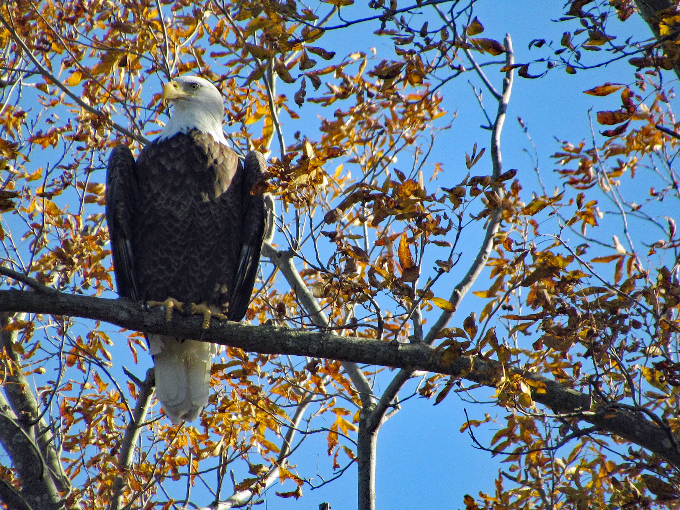
Moving along towards the refuge, we spot our first of many eagles. (We lost count at 9-10).
This guy was hanging out on the way to the visitor center.
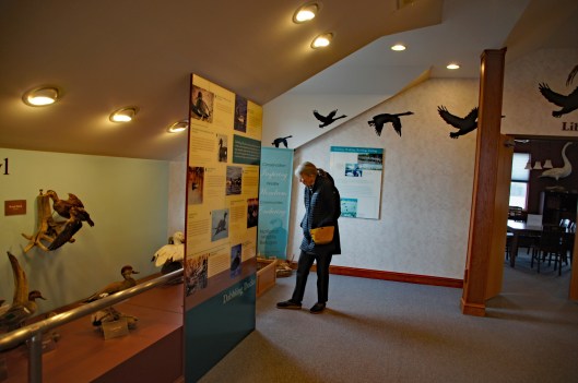
Kathy checking out the displays.
We leave the visitor center and head to the main entrance of the Wildlife Drive. Stopping to eat lunch at the observation deck. On the left of the road there is the Marsh Edge Trail and that was closed due to nesting eagles.
Here are some shots from the refuge.
One of Kathy’s pics. Nice!I see you!Me and my shadowAnother nice Kathy pic!
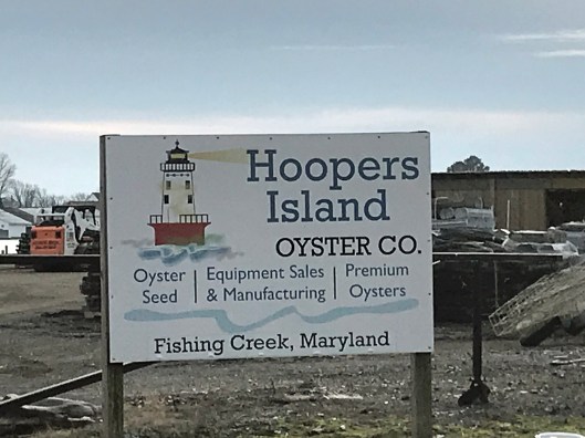
Leaving the refuge it was time to head to Hoopers Island. Rte 335. Heading down Hoopers Island road we came across this church. Originally the “Tubman Chapel”, it moved across the street. St. Mary Star of the Sea.
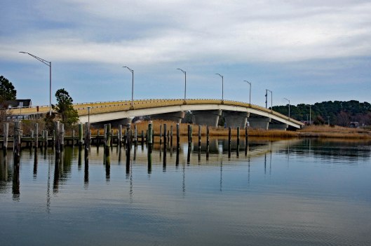
First bridge onto the islands is at Tyler Cove, Fishing Creek.
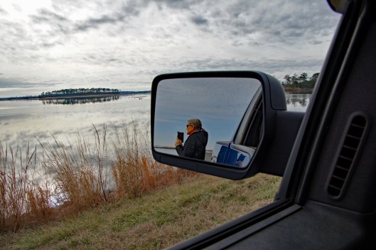
Taken from boat ramp.
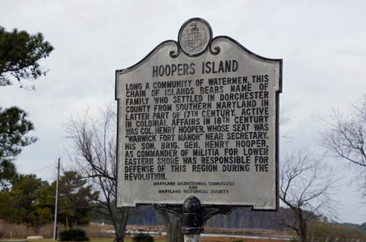
Another historical marker.
And another General Store
Behind here is a cemetery, which brings me to WHY we wanted to visit Hoopers Island. We want to see all this before it is completely submerged. There is a great video on the sinking of this island. You should watch it – High Tide in Dorchester – https://www.bayjournal.com/films
Lots of fishing and sea life down here. Hard to believe it was mostly farms at one tome.
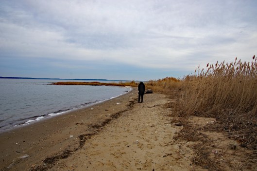
We headed south to the middle island. There are 3 islands, probably more at one time.
Roads flood in high tides and stormsFishermen returning
Pulled off the side to see what we could see – some sea glass, shells and debris.
Looks like 3 adults and one juvenile. Even with a 300mm lens, they were too far off.
Adult brought food to him.
Our map. the lower island has no access.
Great day and so grateful that Kathy likes going on these eight hour adventures with me. For too long I did all this kind of stuff by myself.
First off, I would like to thank the team @KayakingDelmarva for writing and documenting their trips/adventures to places I had no idea about. Because of them, Kathy and I have been able to follow their paths on our own adventures. Thank you!
I had previously written about Trap Pond a while ago when we were looking for a new place to hike, but because it was $8 to enter, we passed. Seems crazy to pay to go hiking. Kayaking and use of a boat launch is worth it though.
In the above photo is a yellow sign to the left:
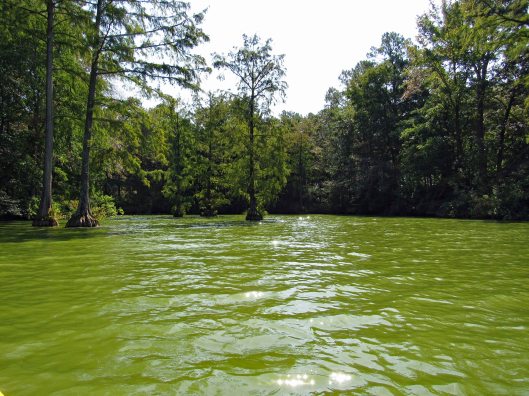
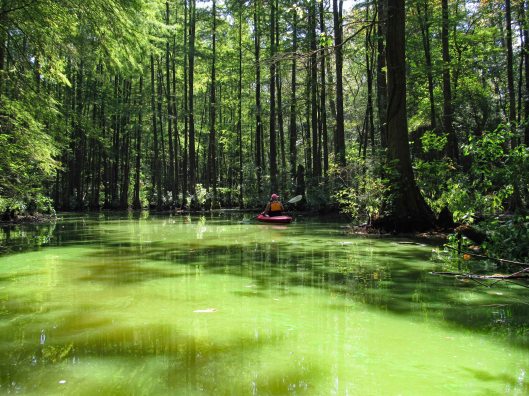
The water was nasty looking and we did everything in our power not to touch it!
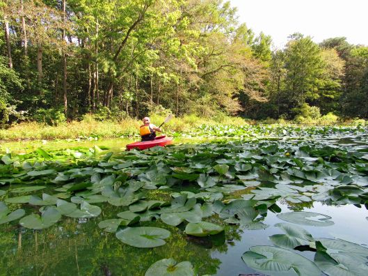
We followed the shore, passing the camping sites, into the first creek.
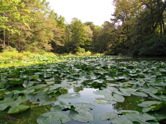
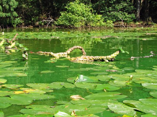
Dead endFloating root system of lily-pads
Turned around and headed back along the shore, occasionally heading out into the open water, then back into the cypress.
Lots of turtles
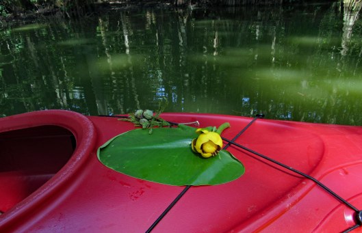
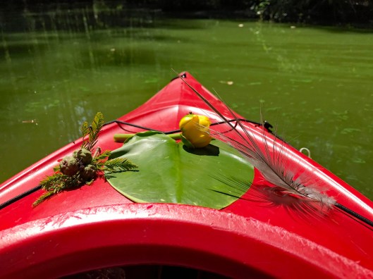
Kathy took some nice pics of the flowers and nature, adorning her kayak.
And of course me photo-bombing her pics!
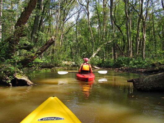
We then headed into another creek. A sign says this is Terrapin Branch. On Google maps it is noted as Thompson Branch. Lots of signs pointing you in the right direction.
Only became aware of this guy because of all the noise he was making.
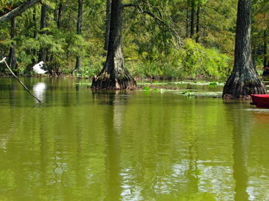
Water still green back here
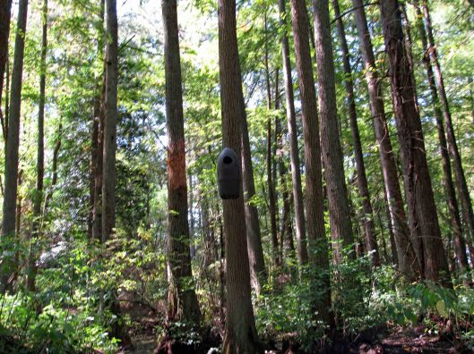
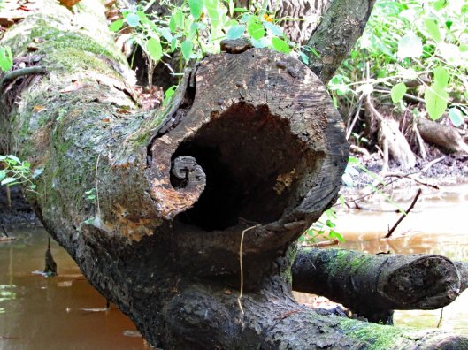
Various nests (or spy cameras?). Also odd markings on trees. Looks like scrapings from falling trees maybe?
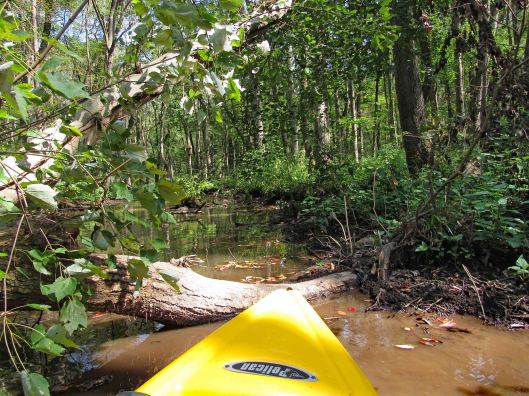
Uh-oh! End of the road? A fallen tree in the way. There were a lot of trees down but for the most part, people had cut them out of the way.
My kayak will fit under, but I won’t.
So, I tried backing up and going full speed, to get my kayak to leap over it! No luck – just bounced off!
Time to turn around and go back.
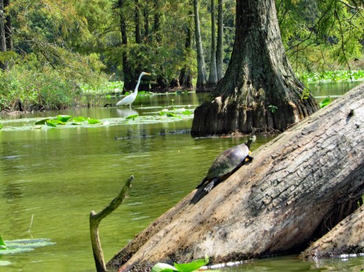
He saw us first.Turtle very still – “Please don’t look at me!”“Are you looking at me?”Cypress reflections
After about 4 hours out there, back to the launch. It will take quite a while to clean the kayaks off.
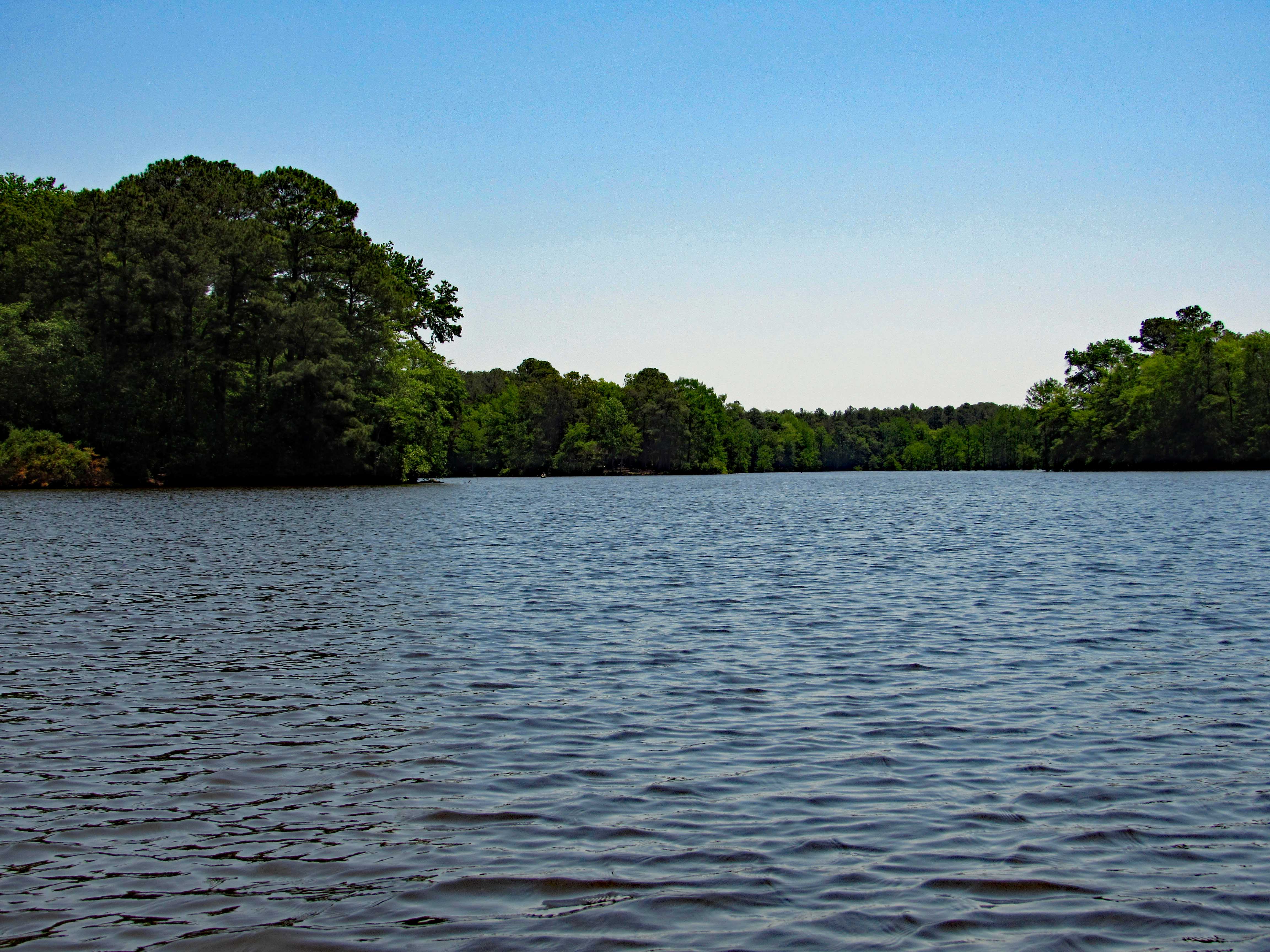
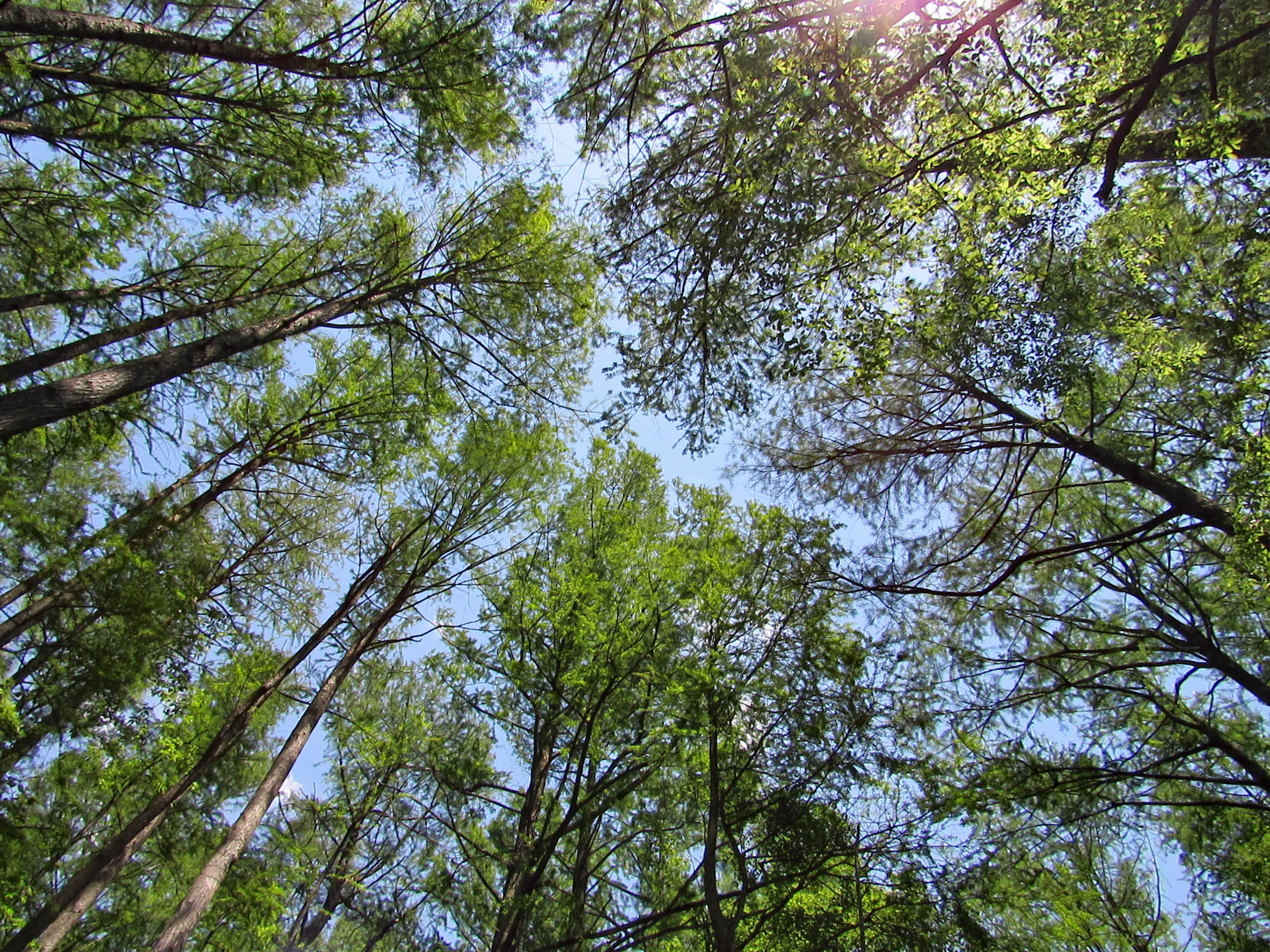
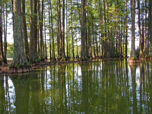
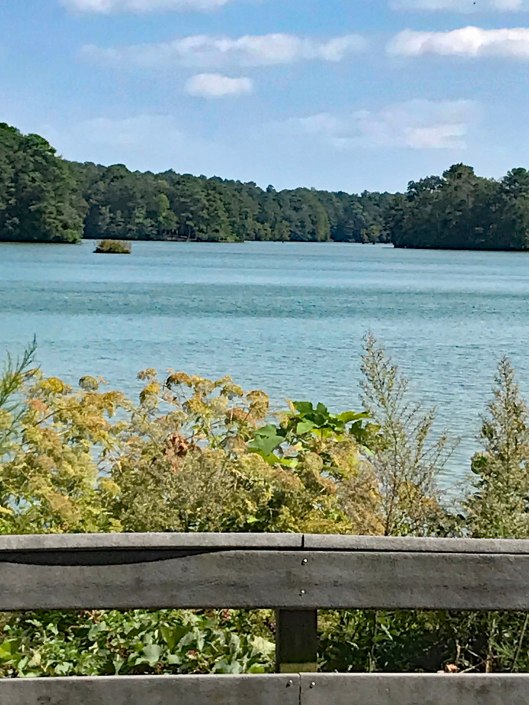
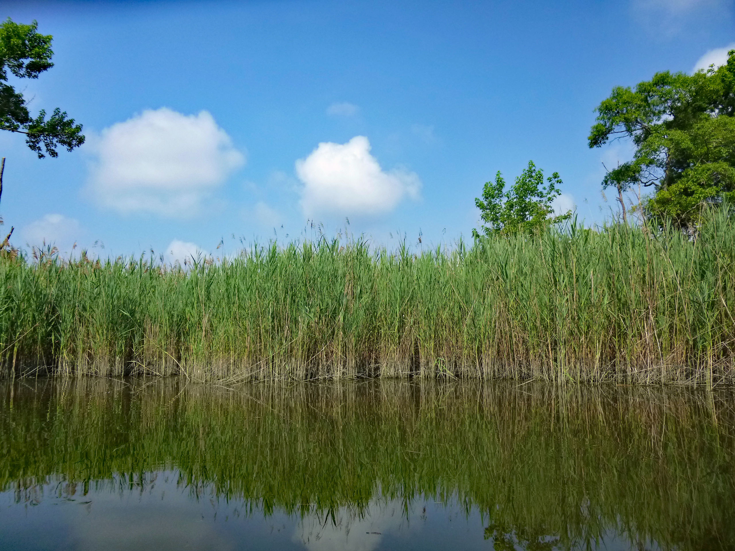
Nice pond to say the least!
Our path. Not really sure of the ending point only because I had no GPS signal. Very nice day. Thanks God for another great one!
Up early on the 4th and headed out for our first kayak adventure of the year. A lot of busy-ness going on in Kathy and my life, so today was our first chance to get a little kayaking in. Being a holiday we thought it best to get out there early and glad we did.
The sand landing at Dundee Marina is small but easy to get in and out of. Ultimate Water Sports use to be here but now it is Eastern Watersports. The people running it said it is the same prices and types of equipment. We have our own but I was just checking.
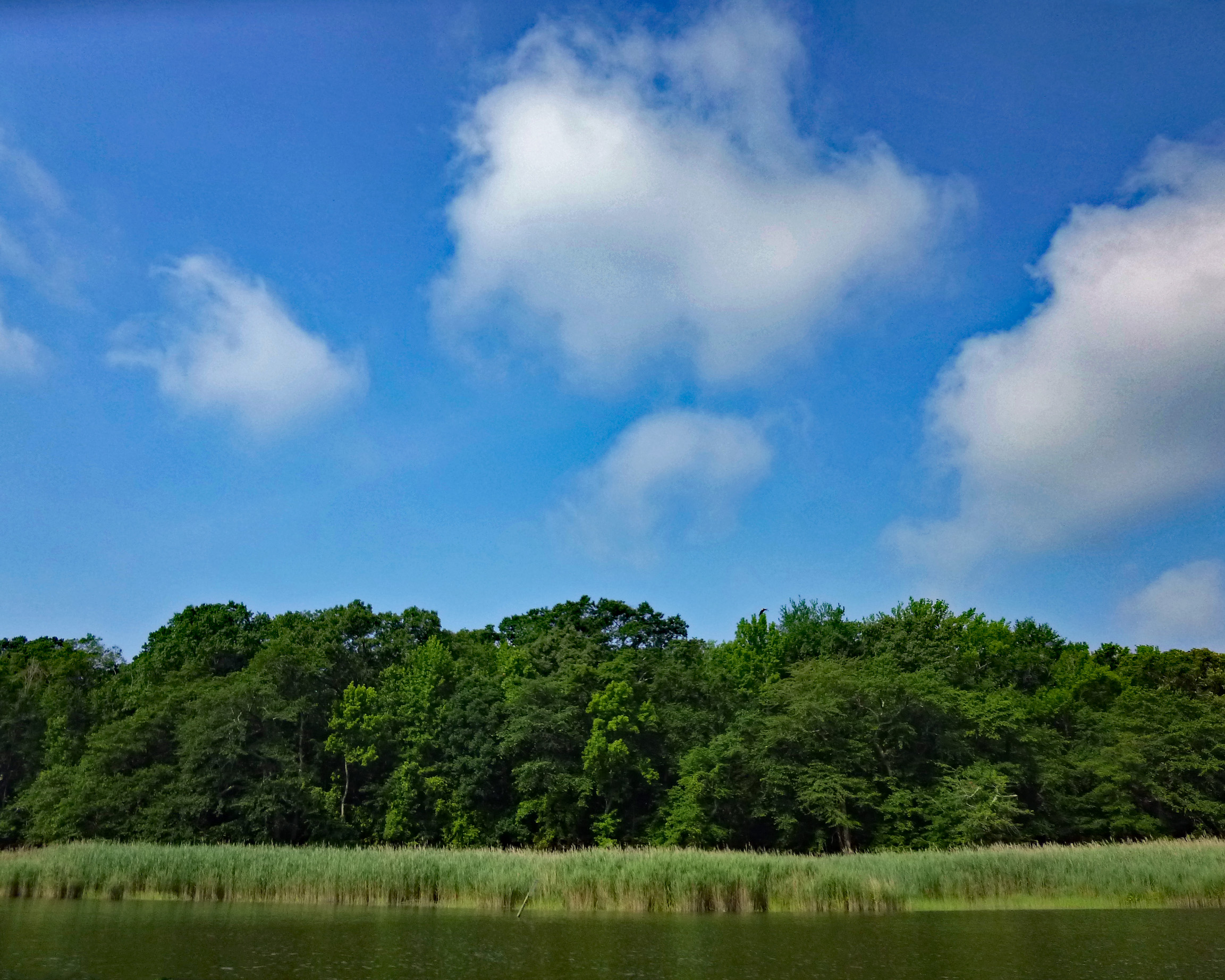
What a beautiful day. Glad I wore sunscreen because it was hot out there. Every once in a while we would catch a nice breeze. The water was calm.
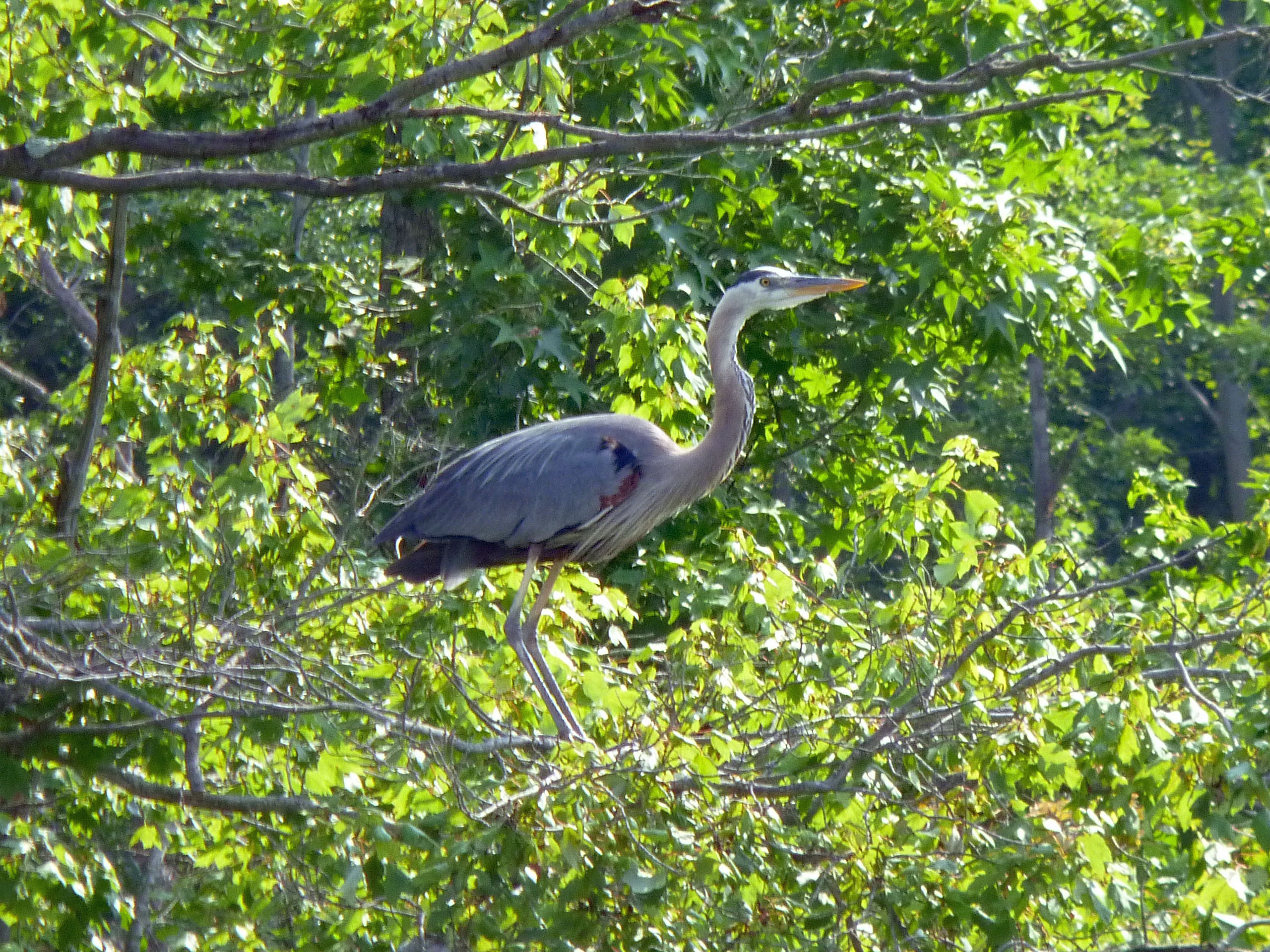
Quite a bit of wildlife here today. Glad Kathy is with me, to remind me of my past and to be grateful of my present – “From Heroin to Heron!” Yes indeedy! Although I had to laugh. Years ago in my active days down the Lombard Street Projects, I kept hearing the guys saying ‘Hair-ron’! At first I thought they were saying ‘Hey Ron’ How the hell did they know my name and that I was down there trying to cop??!!
This little pier marks the entrance to a little cove. I think Kathy and I are the only ones that know about it. Never see anyone else in there.
It seems that recent storms have knocked over some trees, but that usually doesn’t stop us.
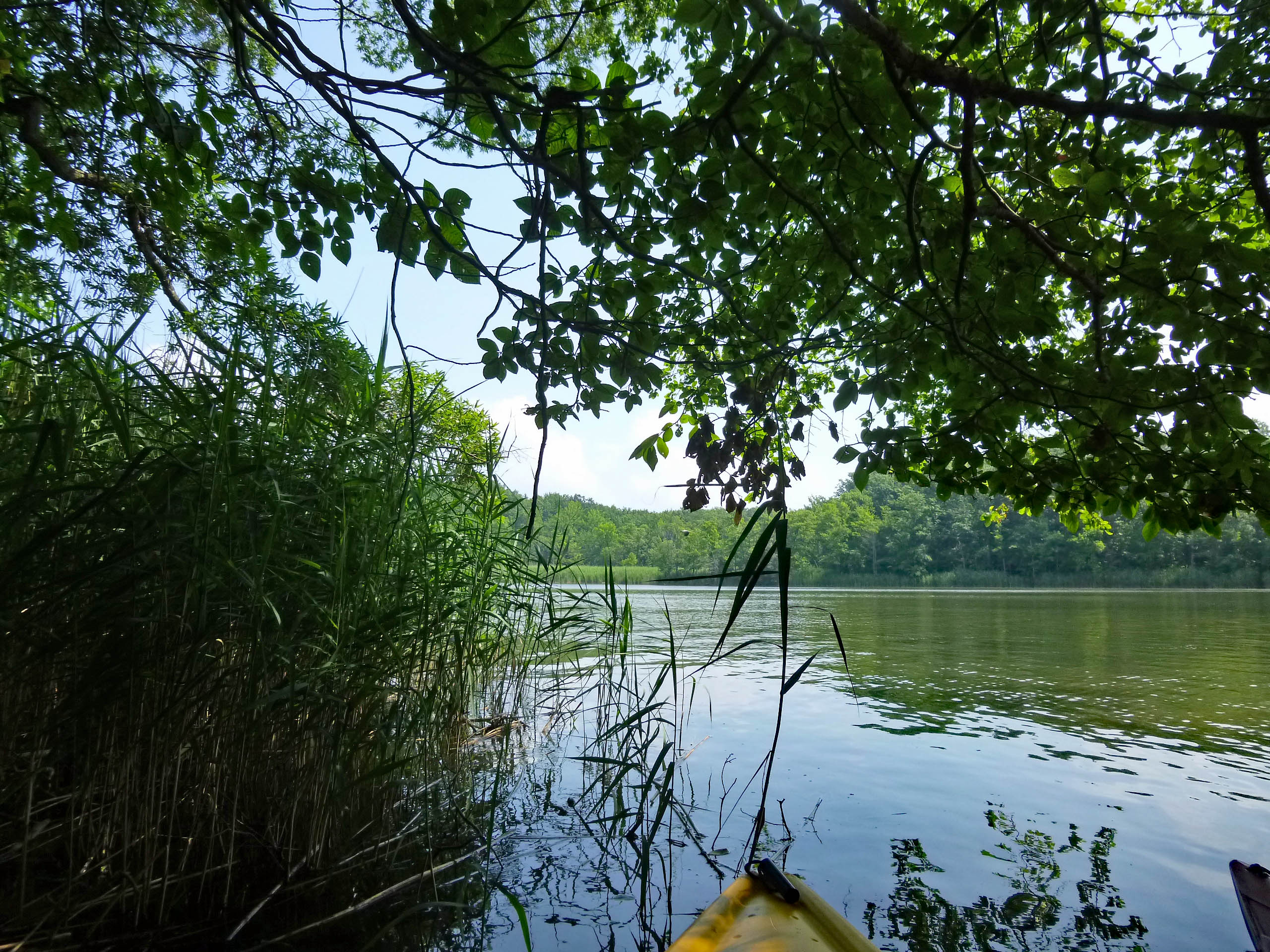
Nice little kayaking path.
And this is what surrounds you once inside. So peaceful and quiet.
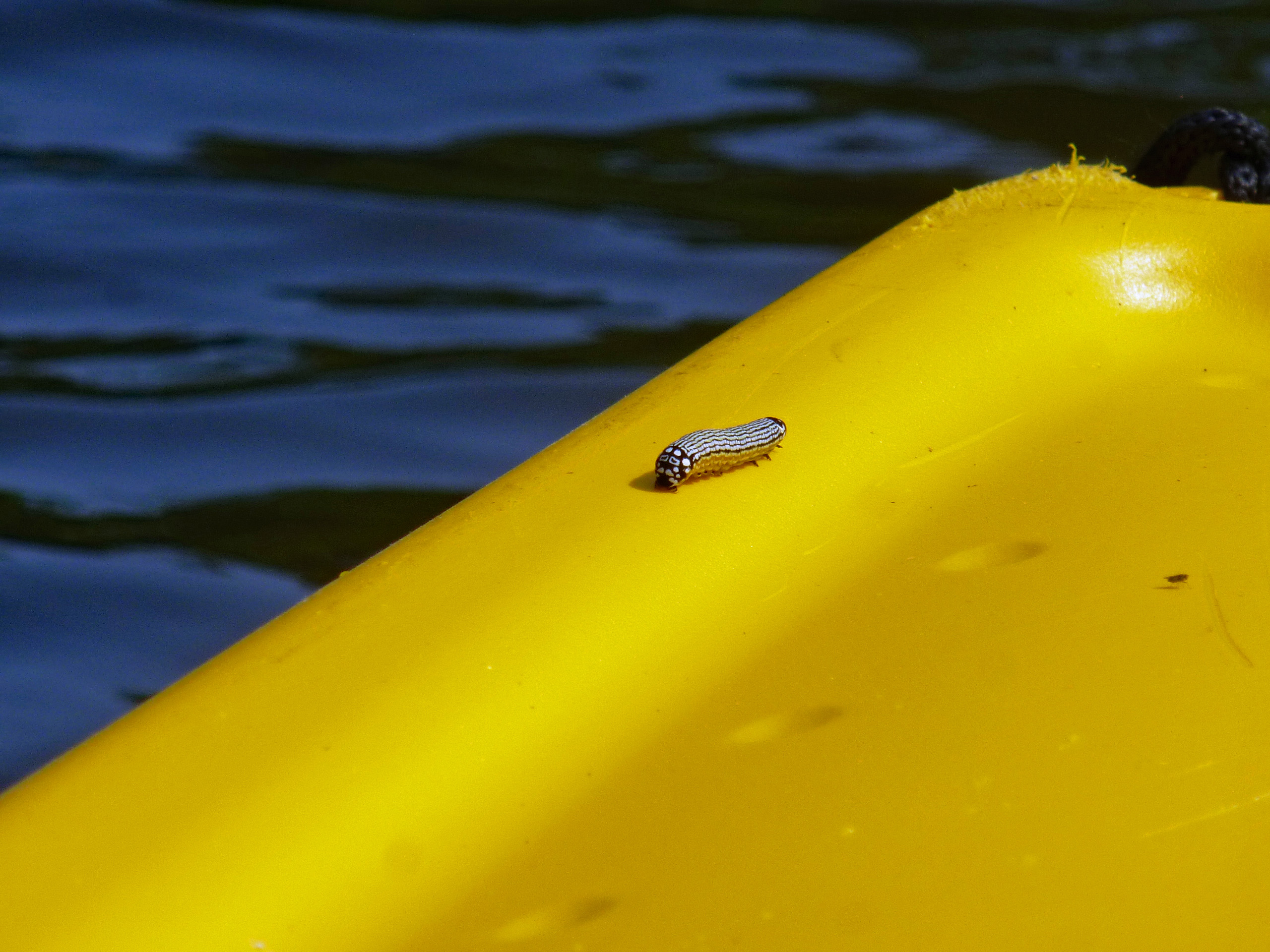
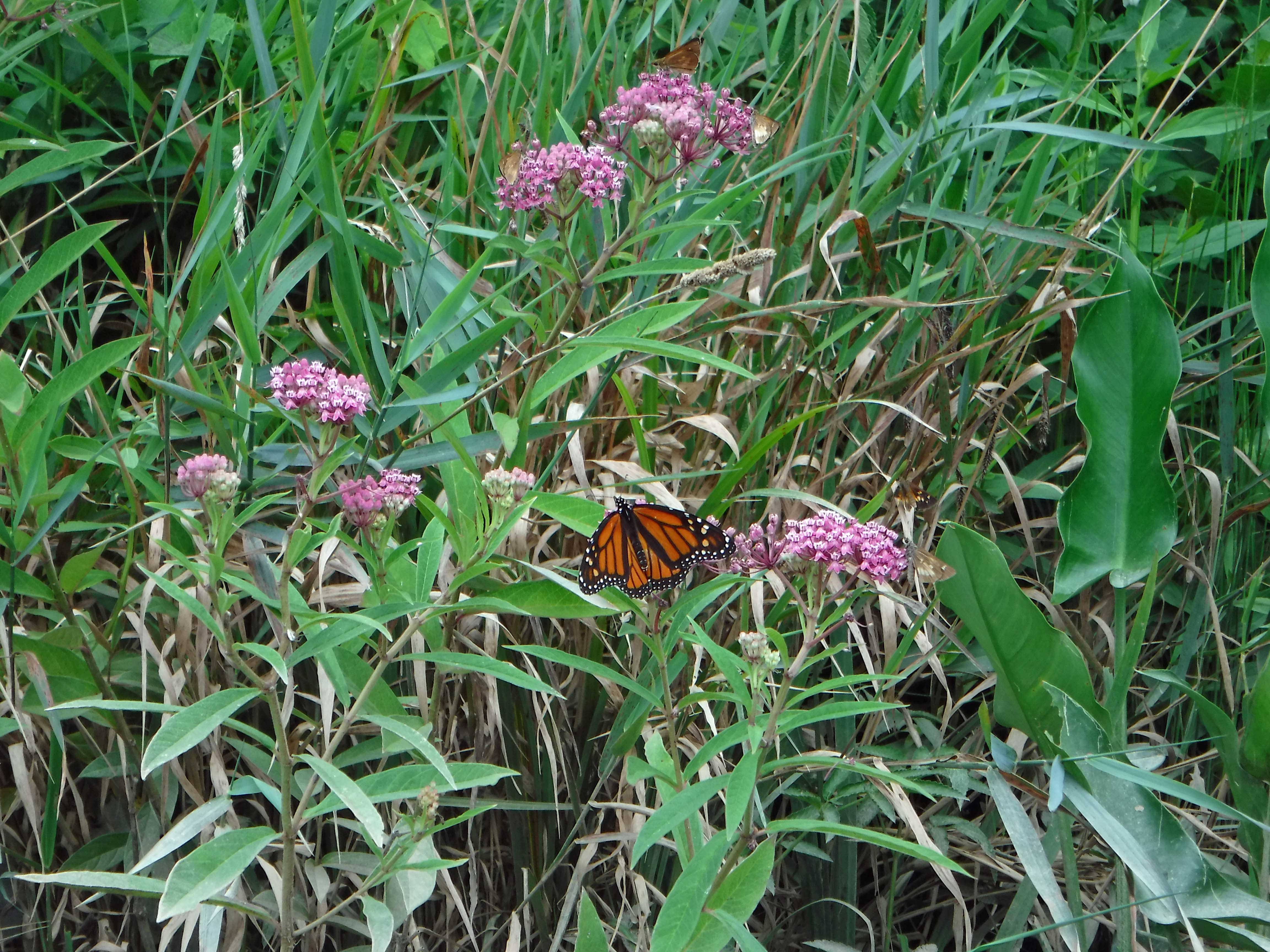
I picked up this hitch-hiker in our little cove. Kathy came over and got him, to place him on a reed – hoping he will turn into a beautiful butterfly. Damn, looked like fish food to me! Our kayaks are getting a little beat up over the years, as we look for little waterways to explore.
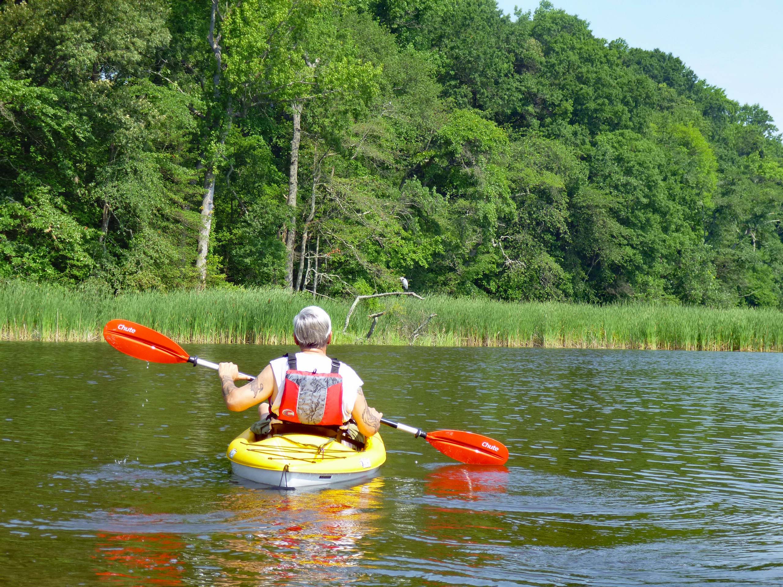
Me, chasing that heron.
Up to the left of the heron was Mr. America himself. Happy Birthday America!
After about an hour and a half of open water, we headed to a shady spot.
Then we headed out again to follow the shoreline and found this poser.
Two hours for a first trip was enough. Headed back to the beach and it was getting crowded. I have never seen people picnicing at the landing before.
On the way home, coming out of the park (Part of Gunpowder State Park) there were quite a few DNR Police, diverting and stopping traffic. By 12:30 most of the parks were full and people were being turned away. Glad we go early. Topped the day off with some steamed crabs and corn on the cob.
Thanks God for another day clean and another adventure with Kathy!
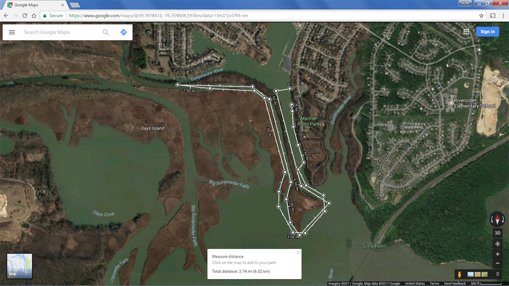
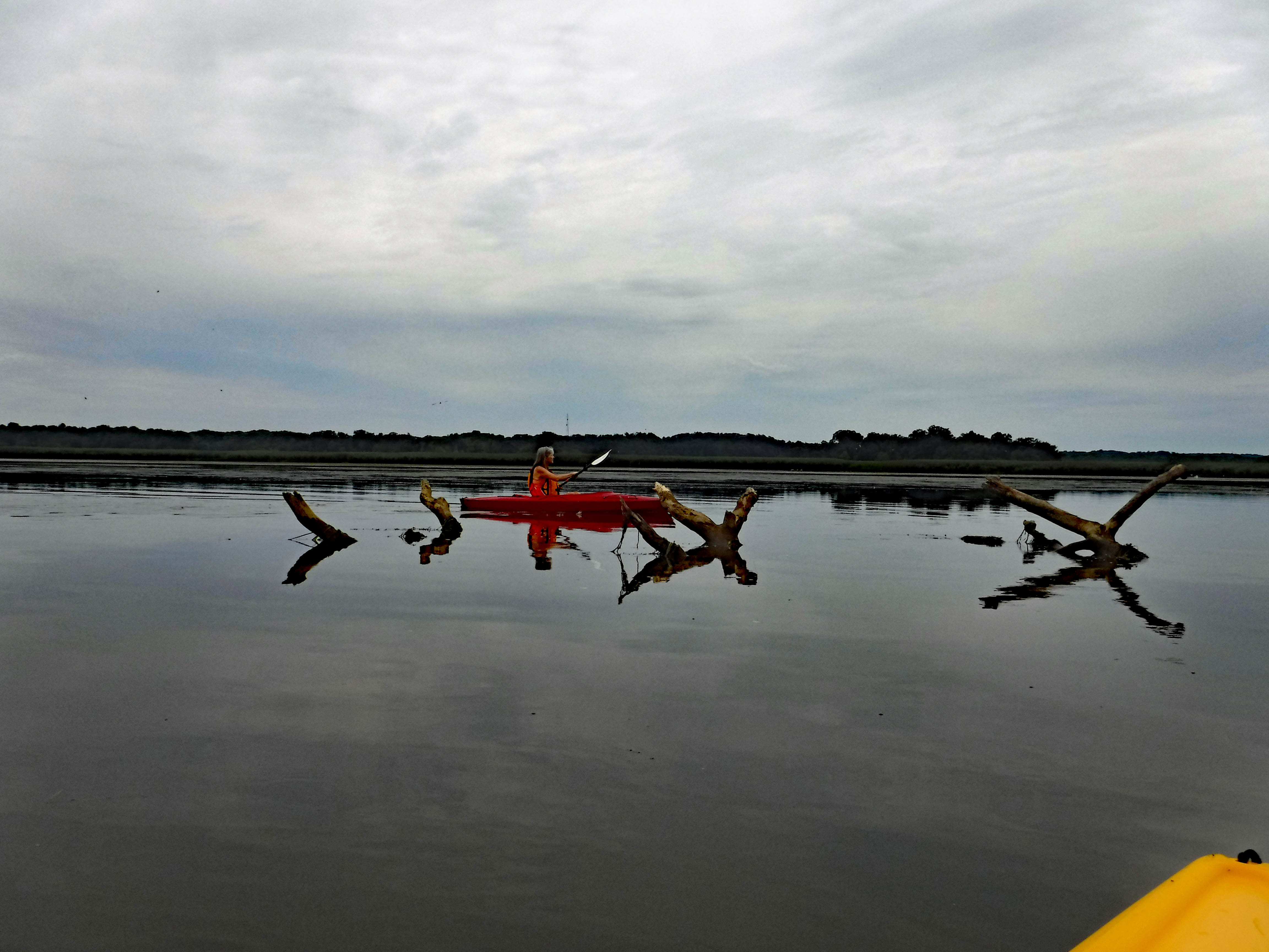
Although it was somewhat overcast, it was still a great day to be out kayaking.
This was our path. About 3.75 miles and took 2-1/2 hours. We love to stop and look at everything nature has to offer. It was a lot!
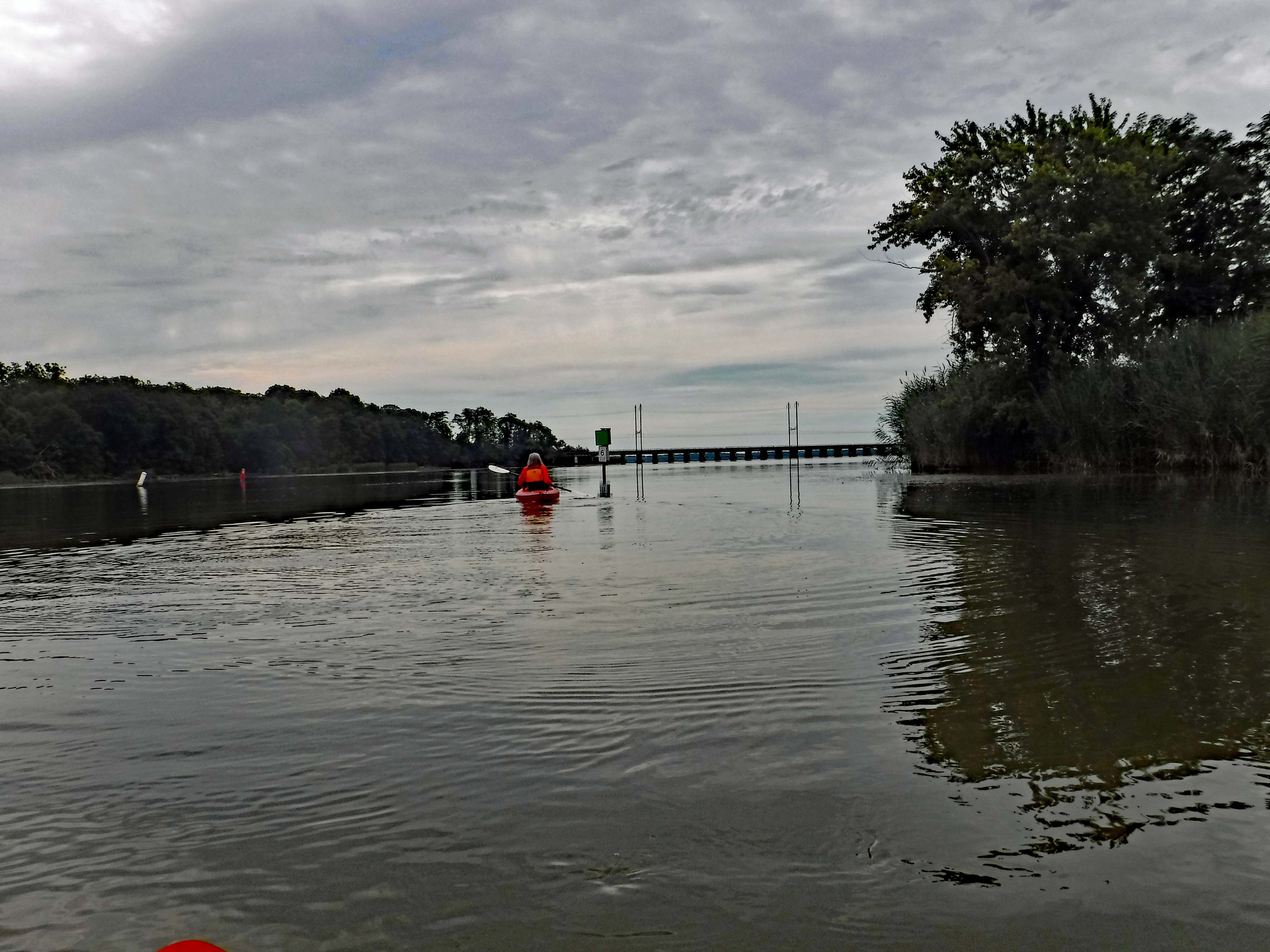
As I said, it was dreary out. This is leaving the boat launch, looking towards the train bridge. Last year we headed there after going left up into a cove. This year we explored to the right – Gunpowder Rivers.
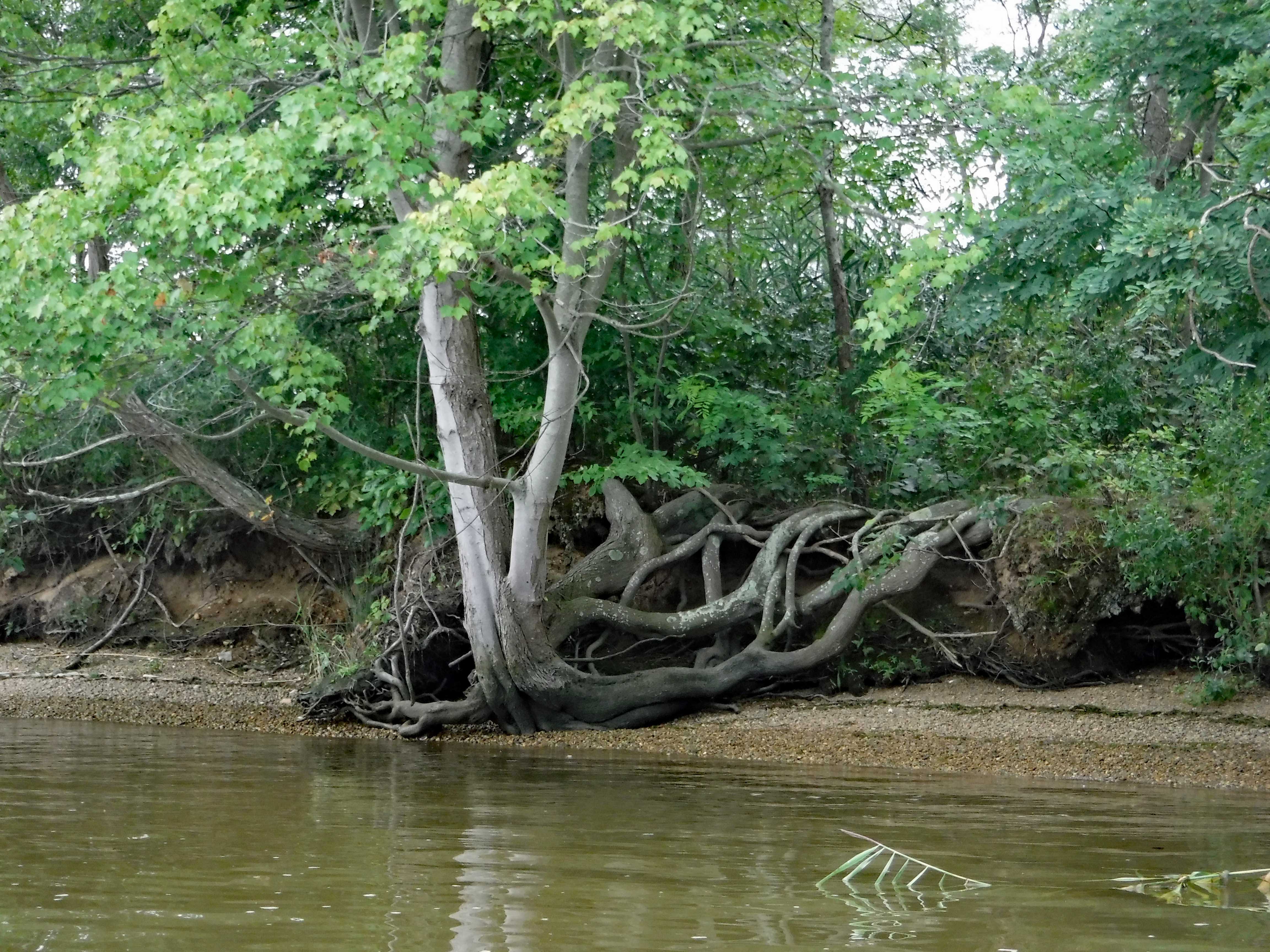
A tree hanging on for dear life.
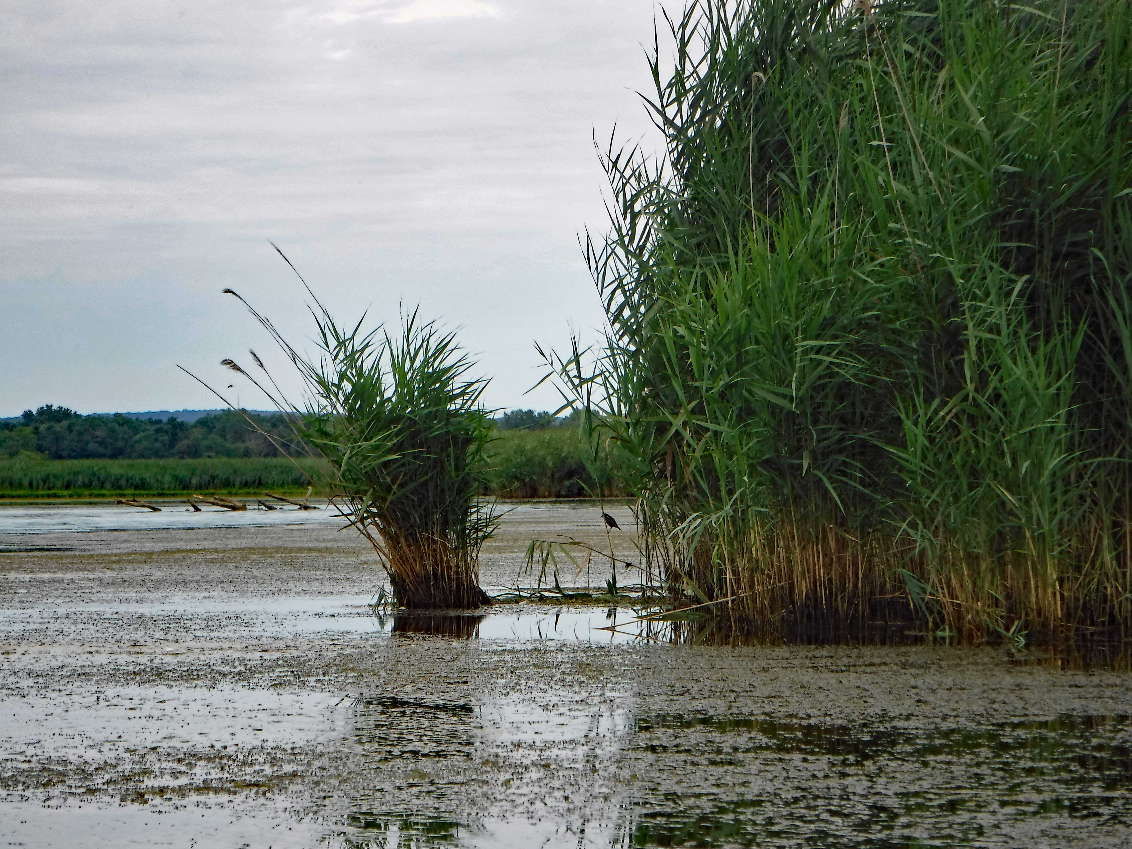
Along the shore and spreading out to the channel was a lot of sea grass. This young Red Winged Black Bird didn’t mind. Neither did we even though it took more energy to paddle through.
Avoiding the tree debris.
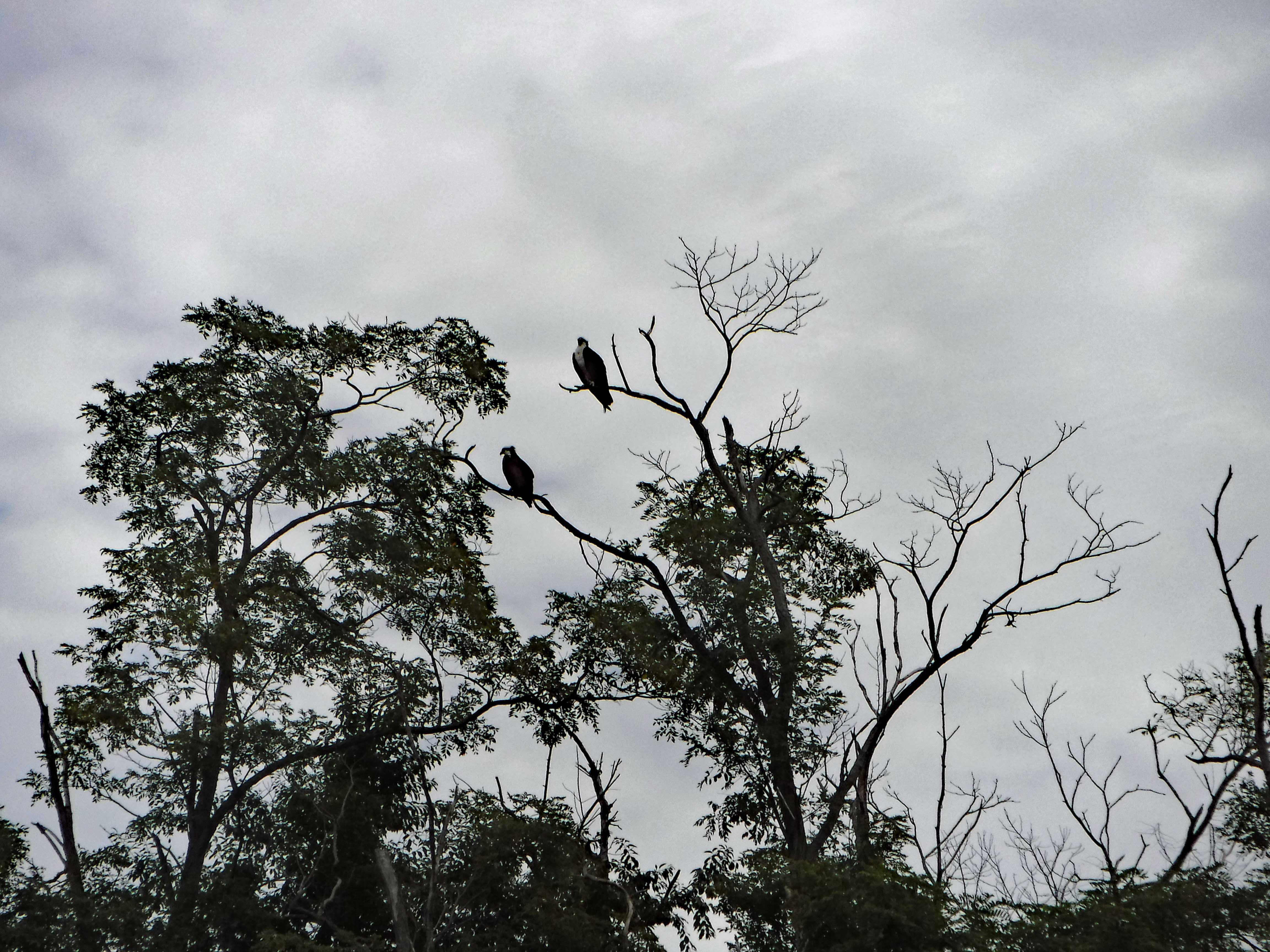
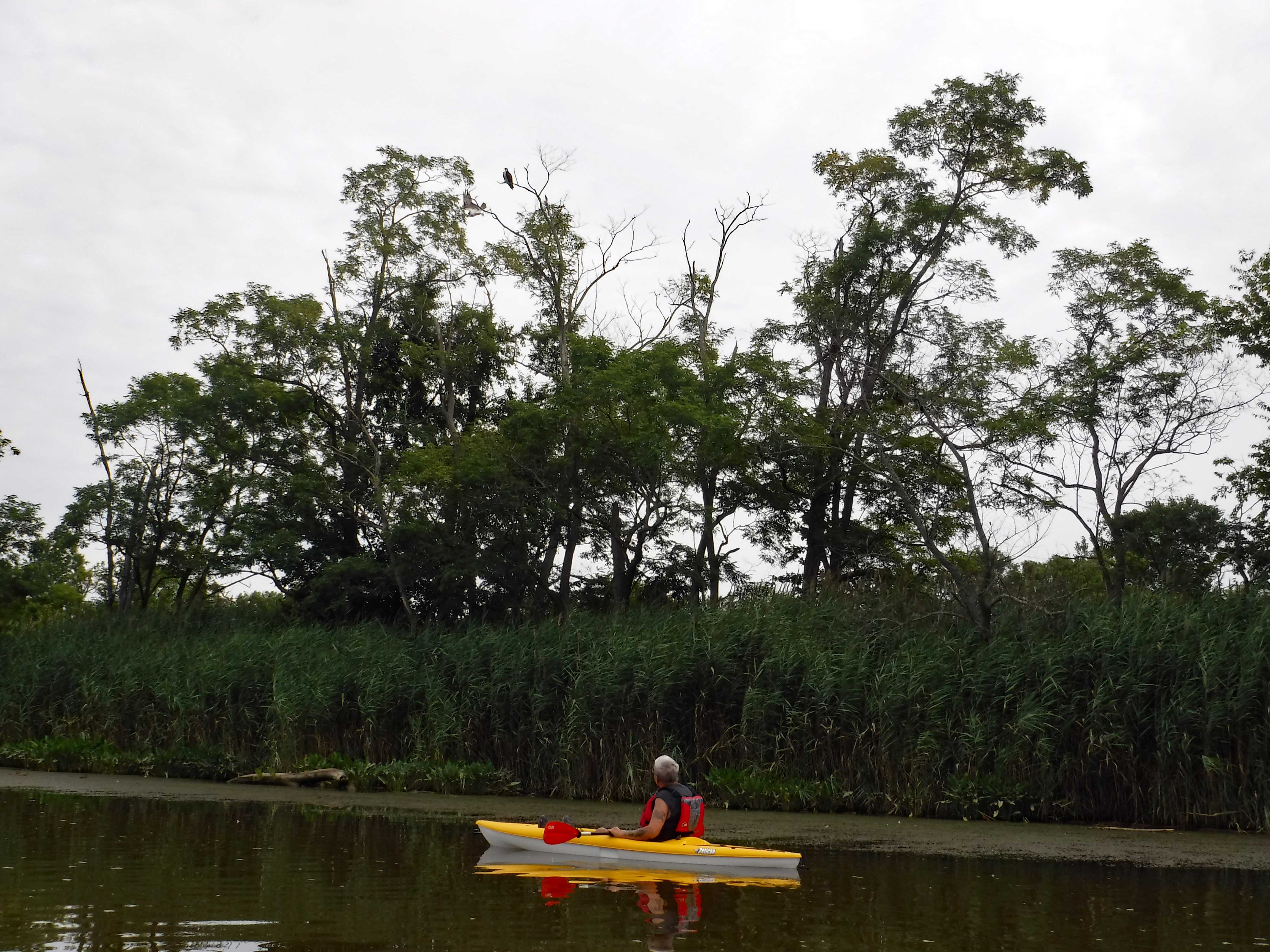
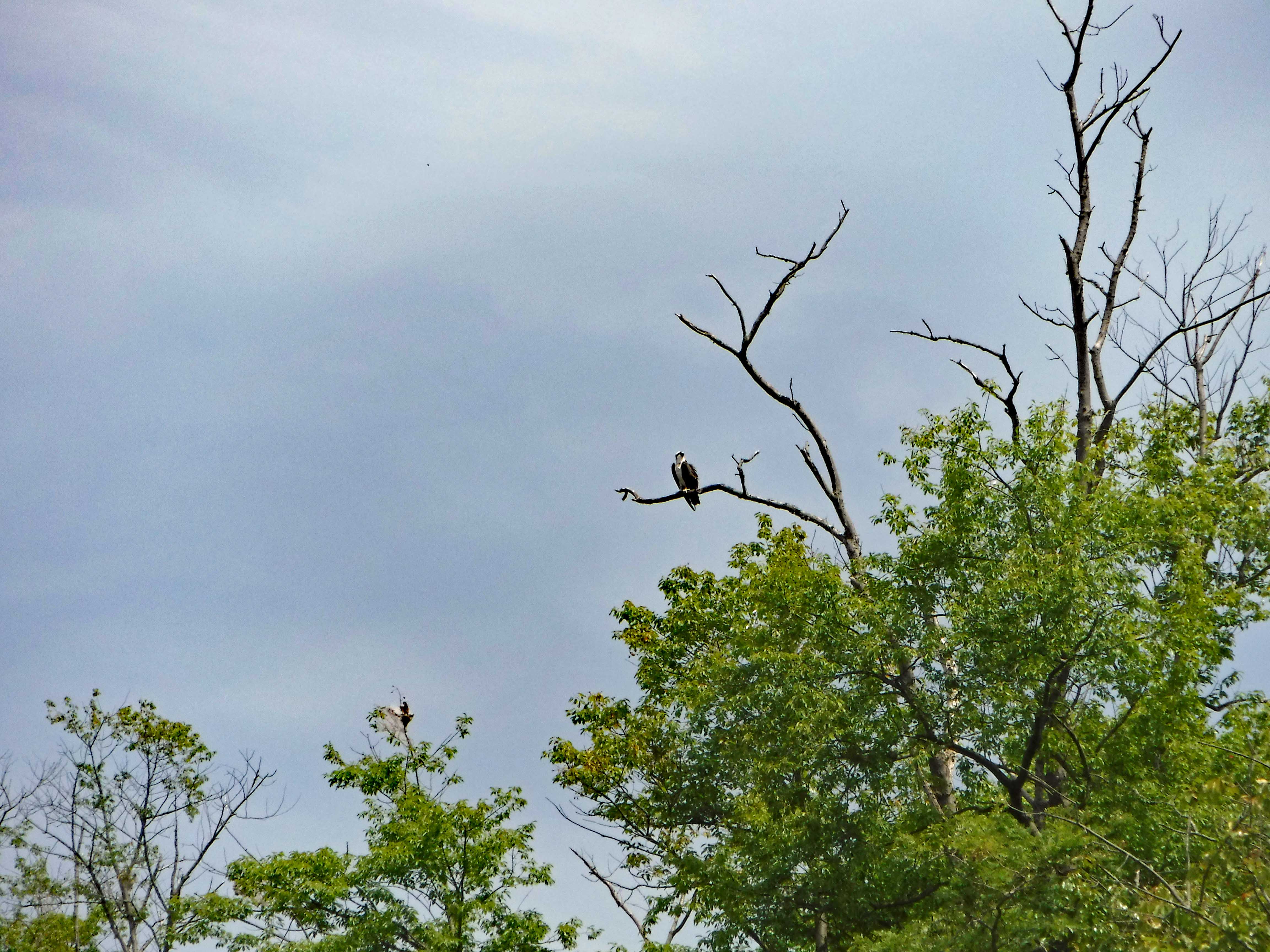
We counted up to about 12 Osprey on the back path of our trip. Hard to count because they kept zigzagging right over us.
Me looking up at an Osprey, or him looking down at me?
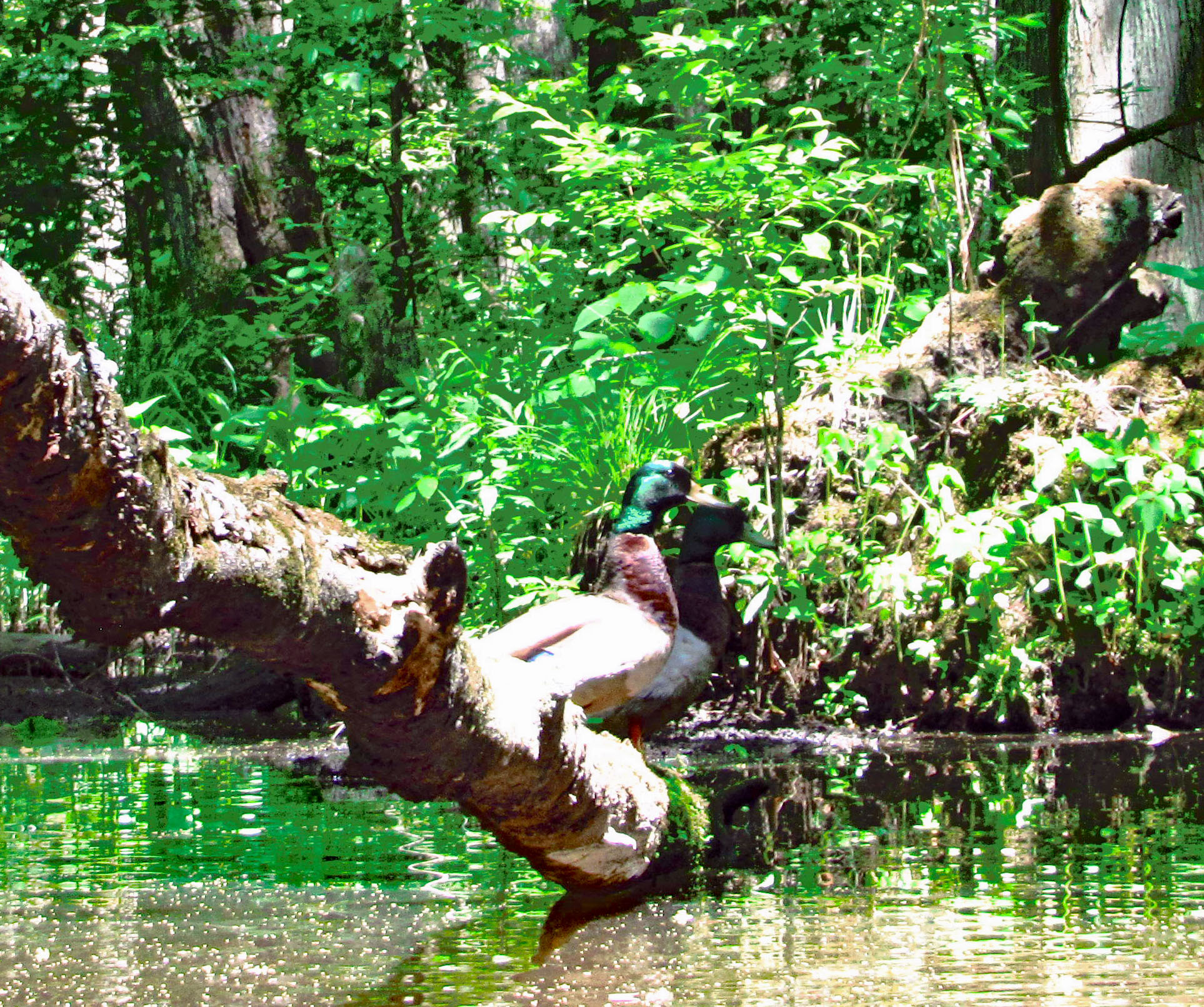
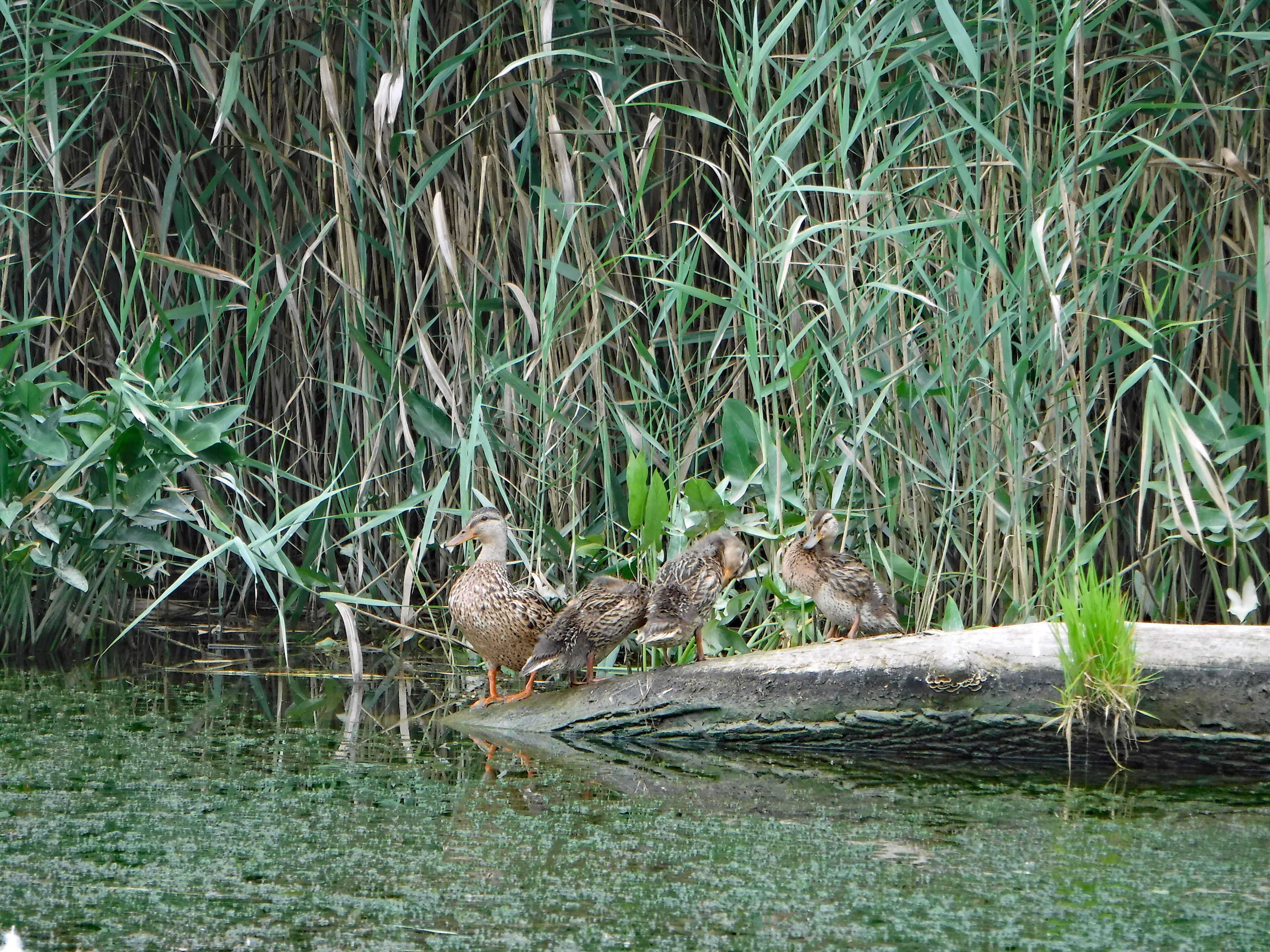
One of two families of ducks spotted.
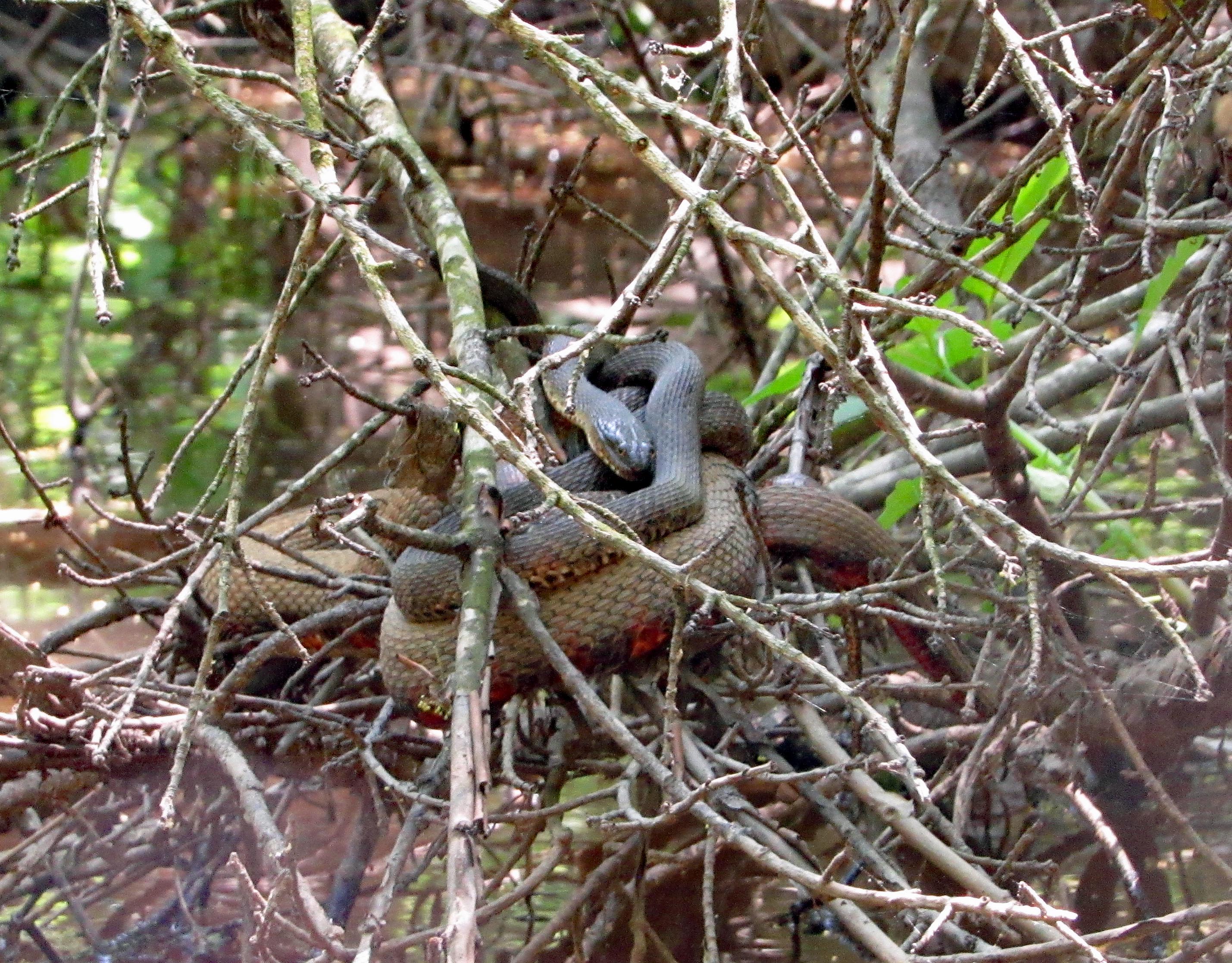
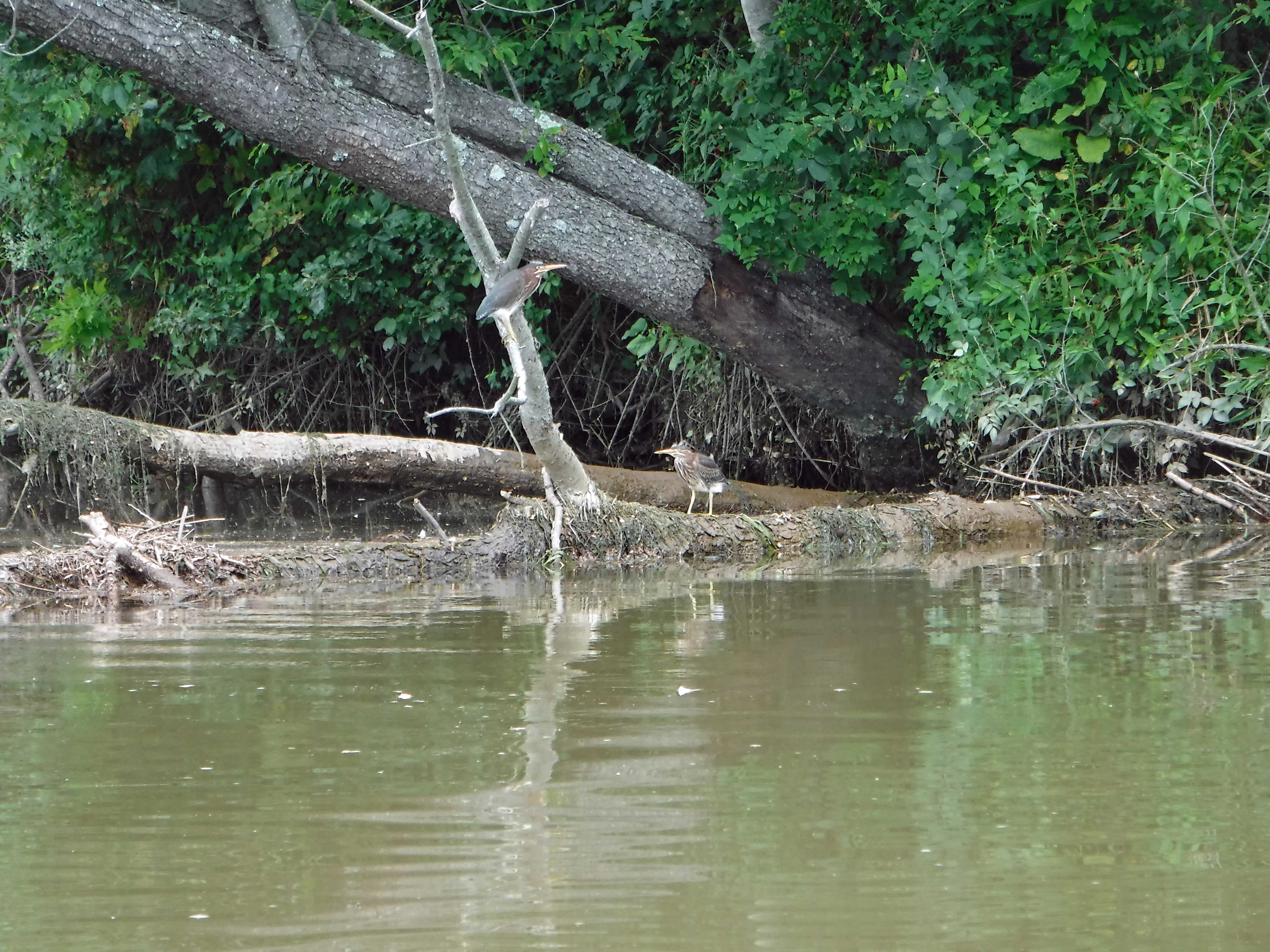
Two of these hanging out at different spots.
Kathy told me twice what these guys are called, but I forget!
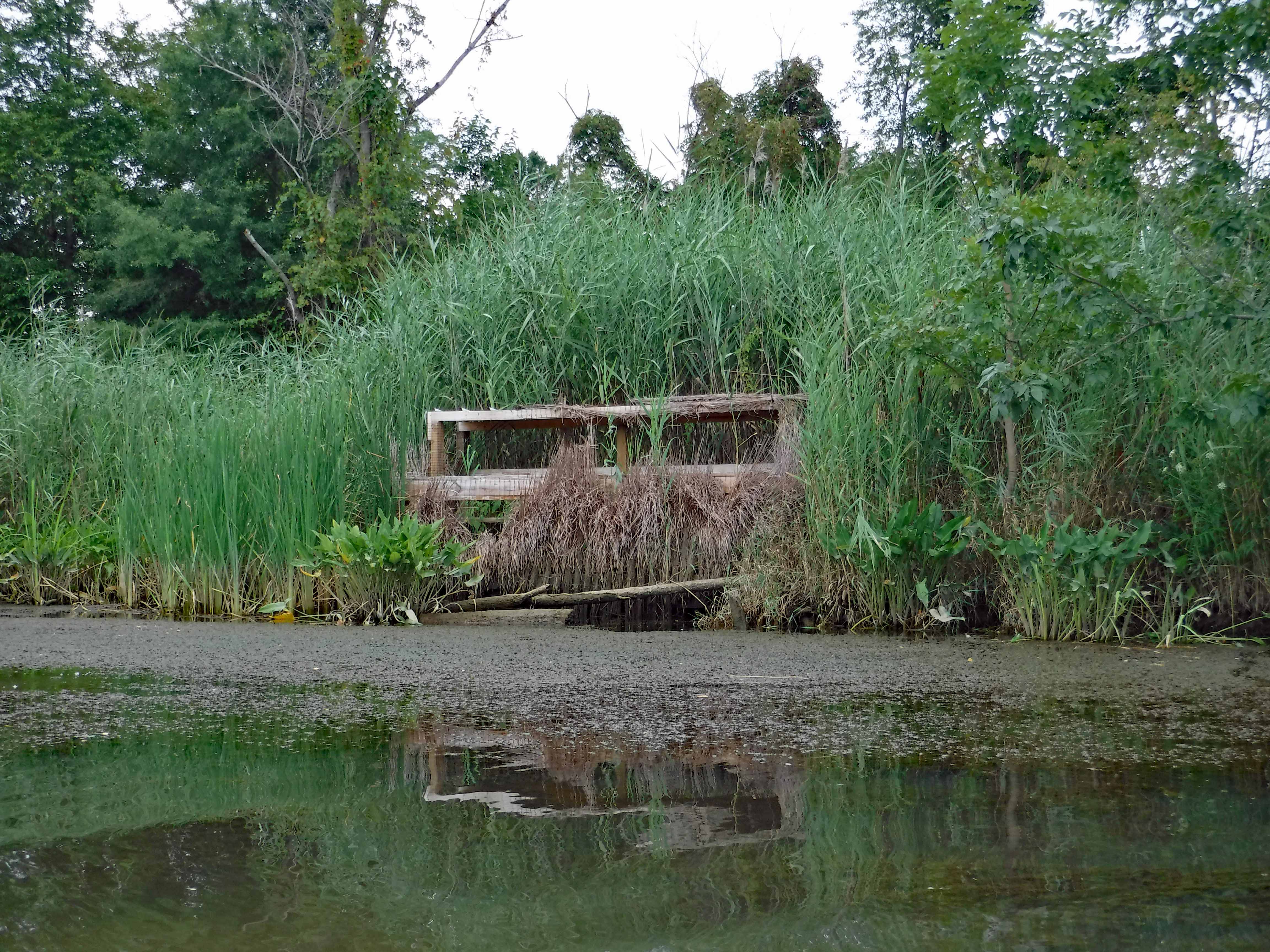
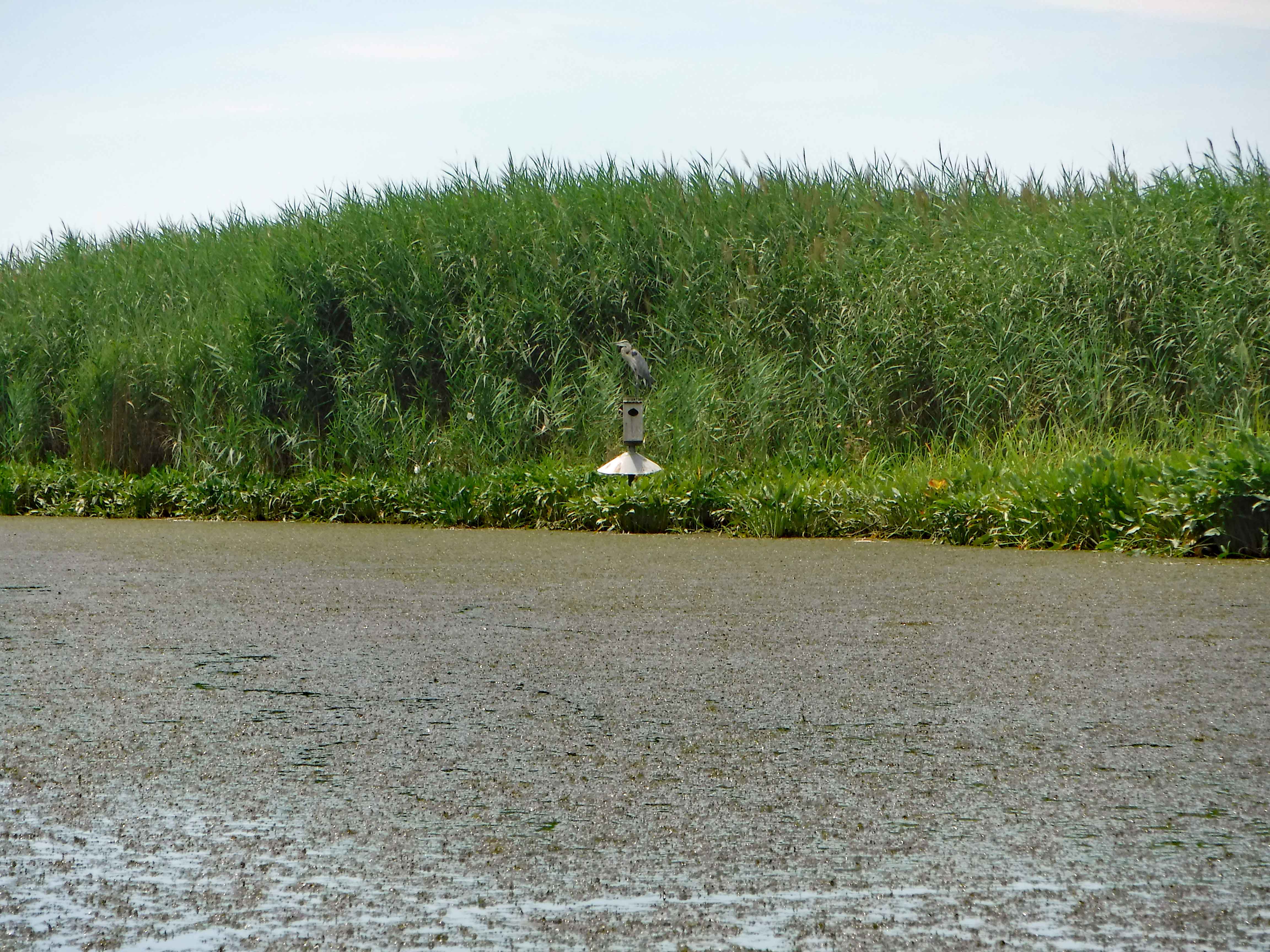
Old duck blind?
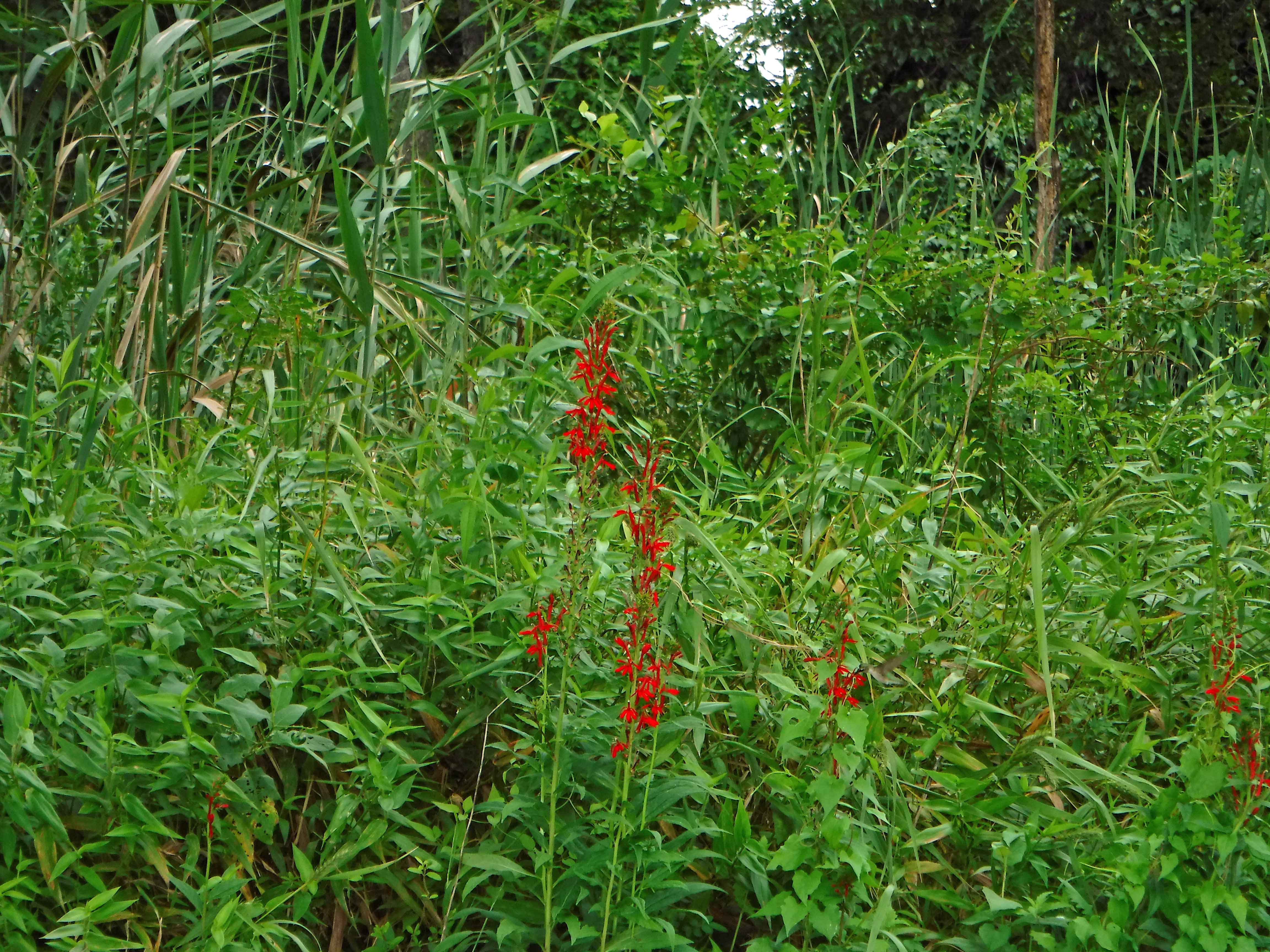
Looking close at the lone flower, off center right, you can see the humming bird.
Lots of butterflies.
They were still checking us out. We didn’t see anyone else on this part of the river.
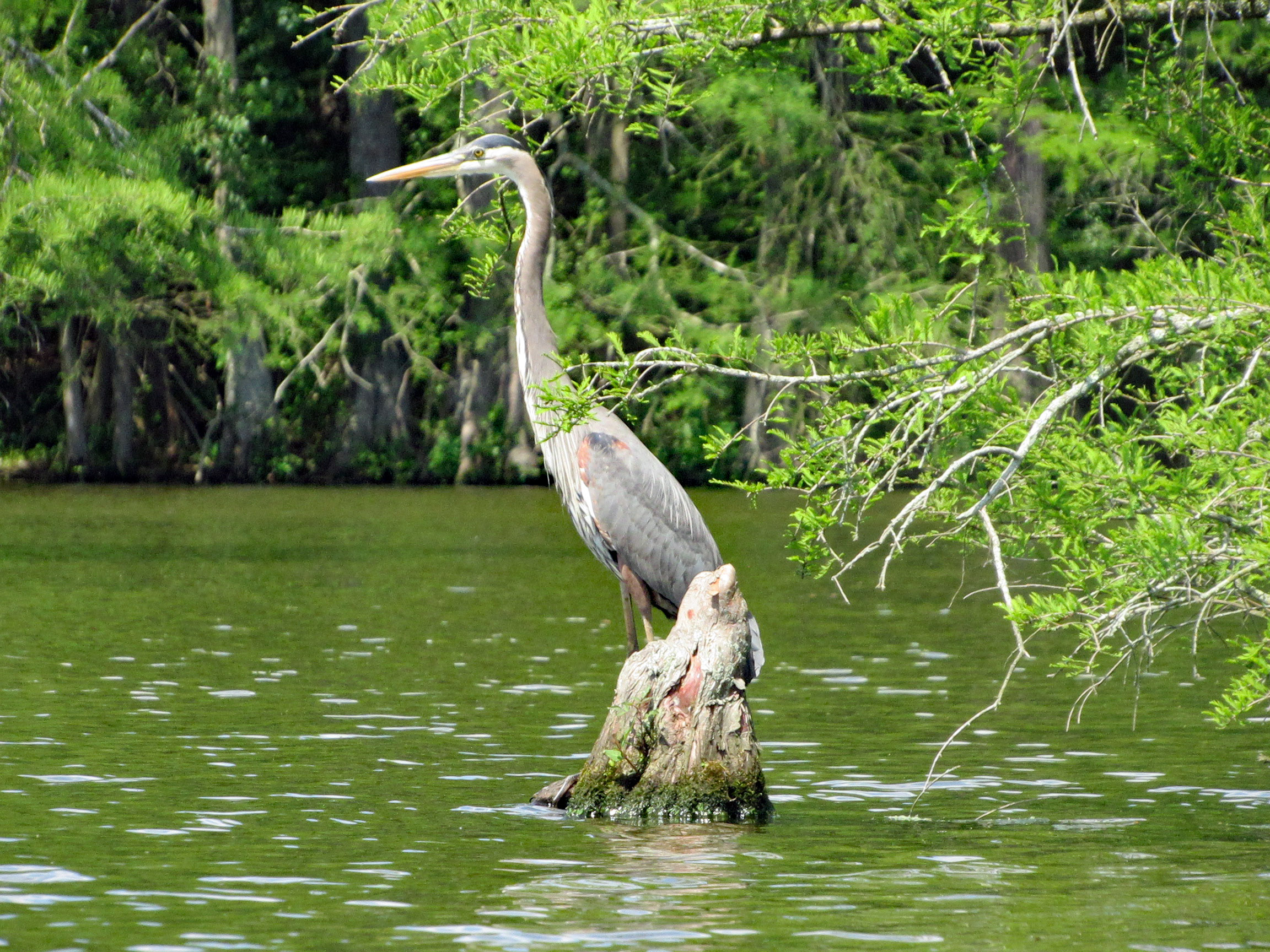
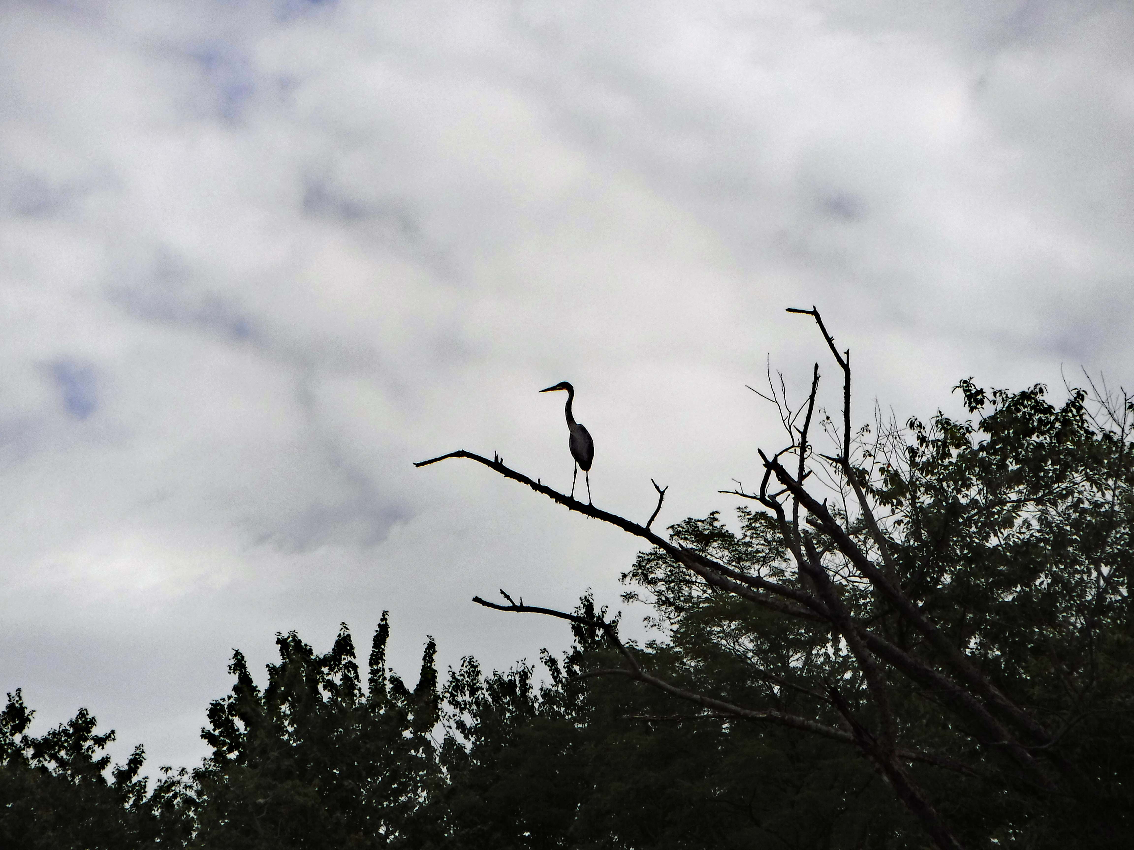
The other heron. He flew off immediately as we approached his little area. Rough paddling here.
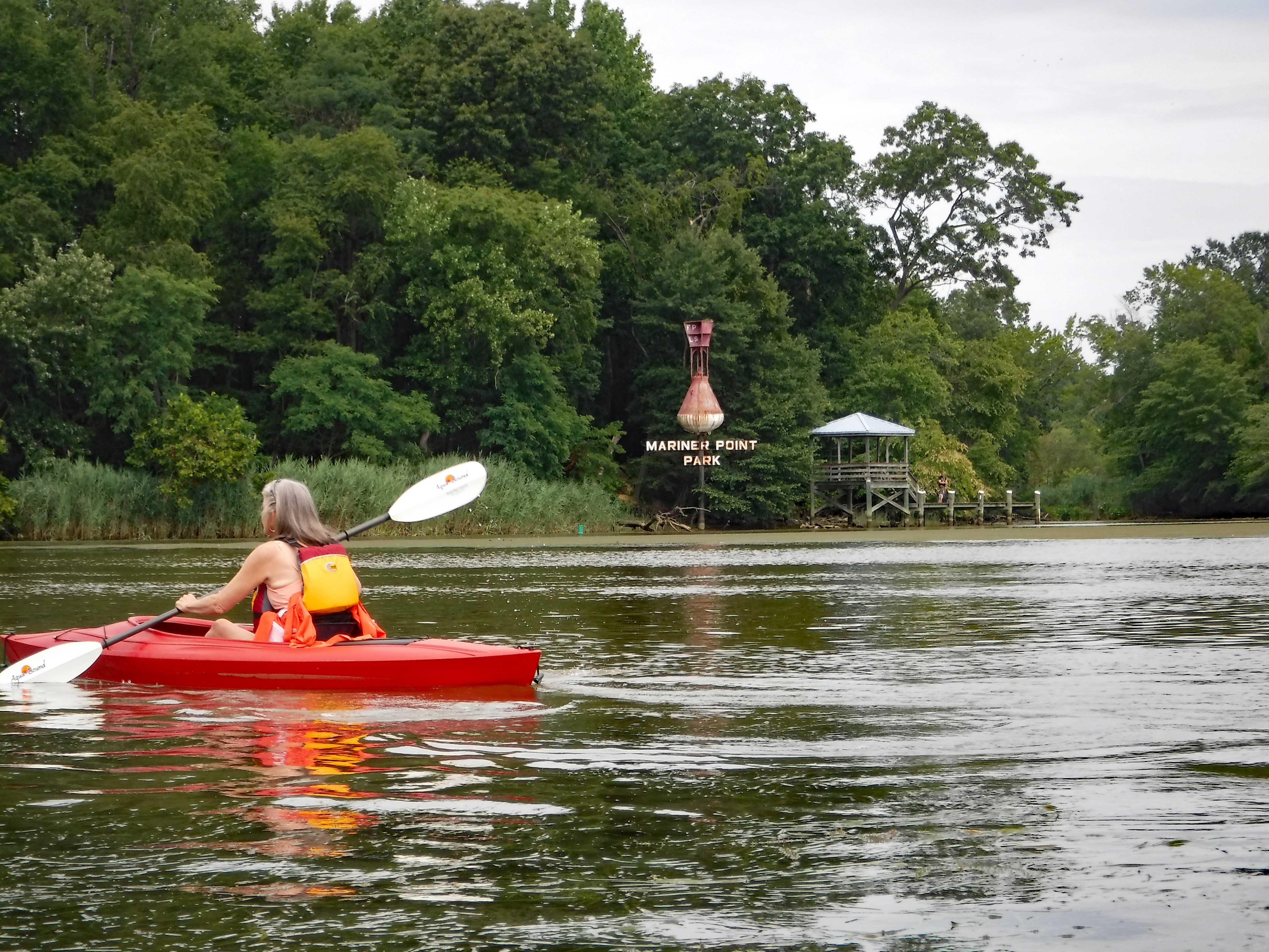
Heading back to the boat ramp. Lots of bigger boats zooming by.
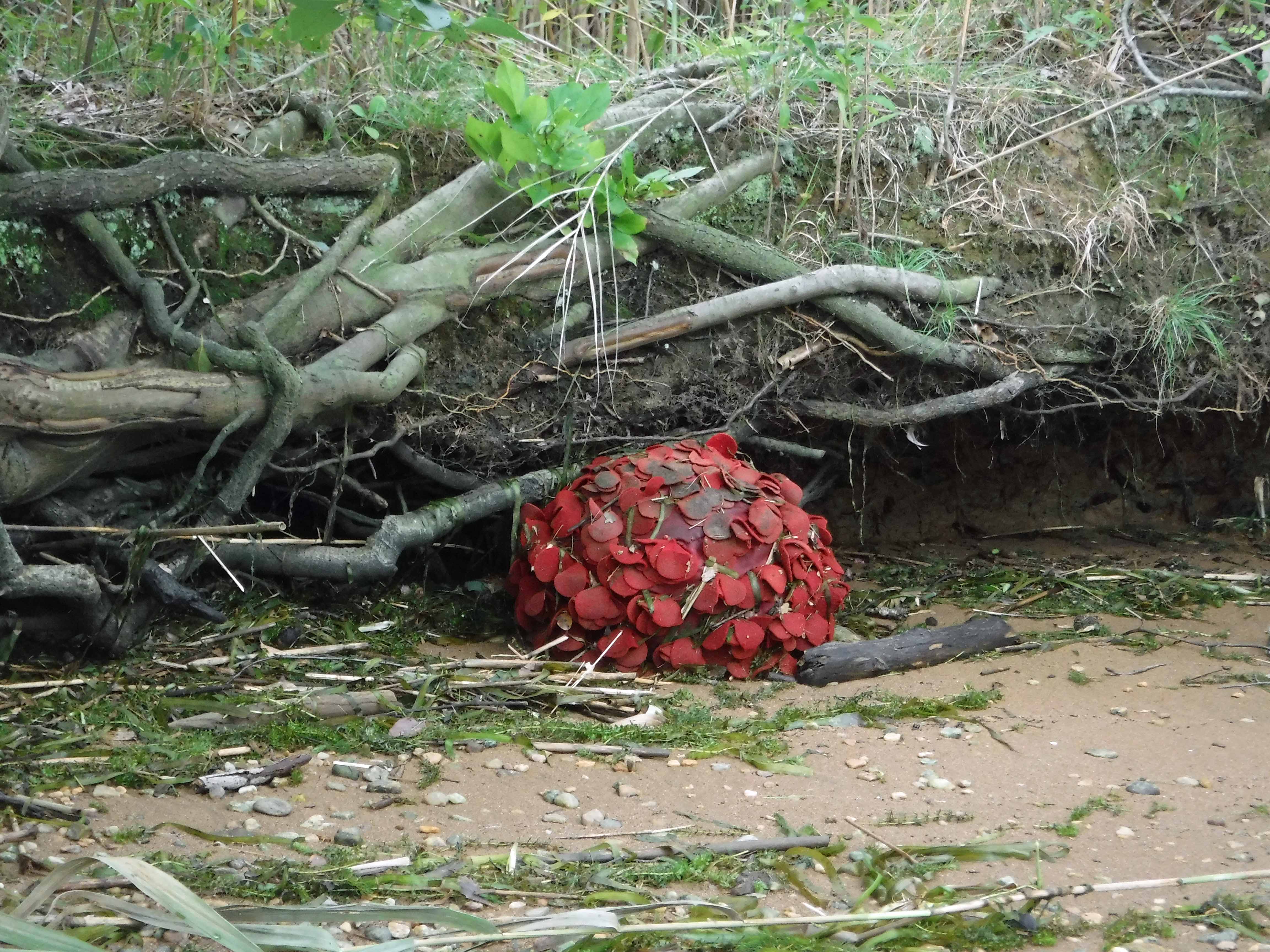
We have no idea what this is!? It is bigger than a basketball.
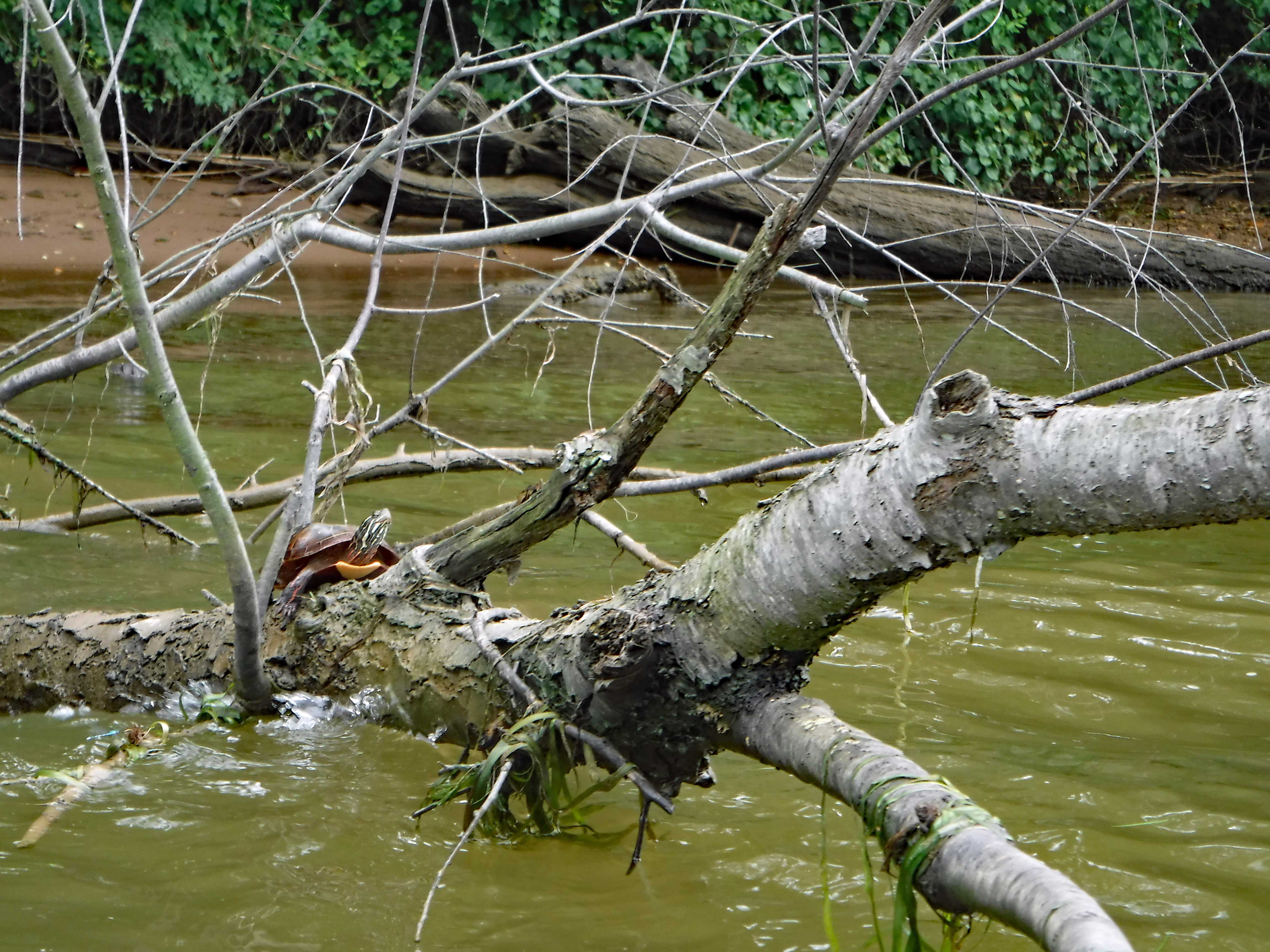
We saw a few turtles along the way.
Because of how crowded the ramp was, we exited at this small landing. They have cleared it out since last time. 4 steps up and you are at the parking lot.
Until next time nature!
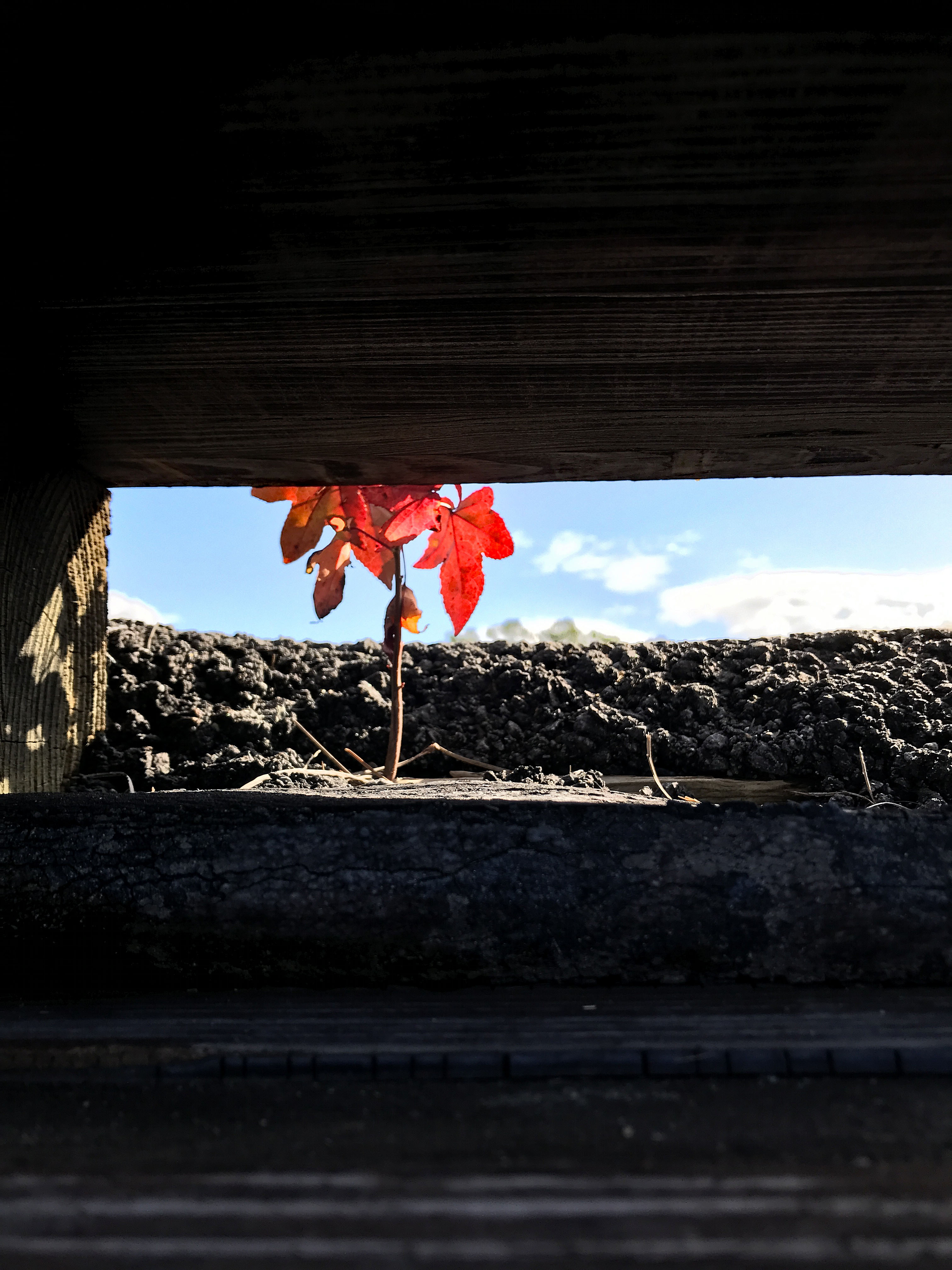
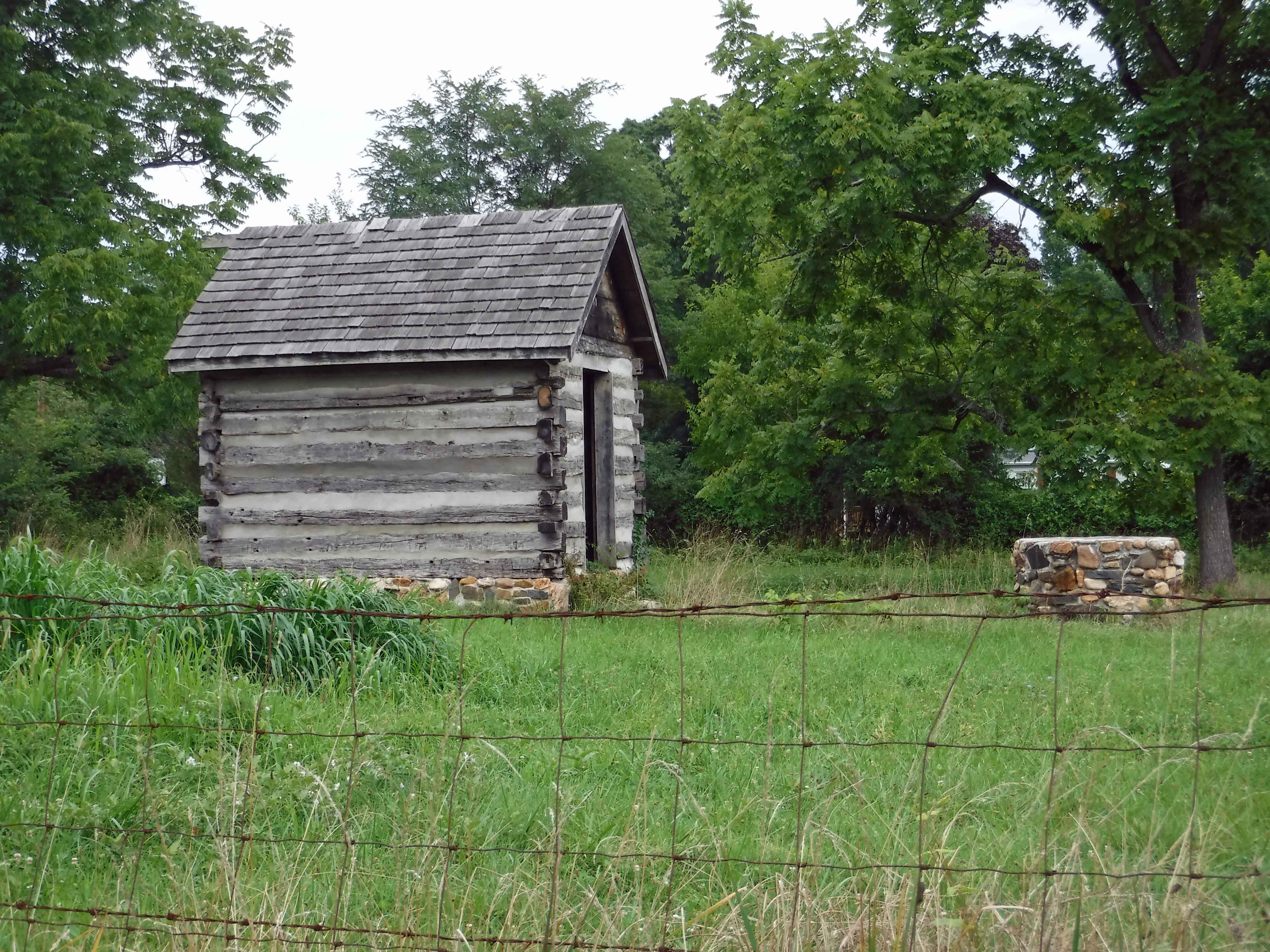
Saw this on Jones Road at Route 7.
It was a really nice day. The park needs more parking for the kayakers. Lots of parking for boat trailers. Kayakers drop off and have to go 1/4 mile to park. After kayaking we went to Big Gunpowder Falls for some pit beef. I haven’t been there in over 30 years. Lots of bikers and a live band outside. Thanks God for another great day!!