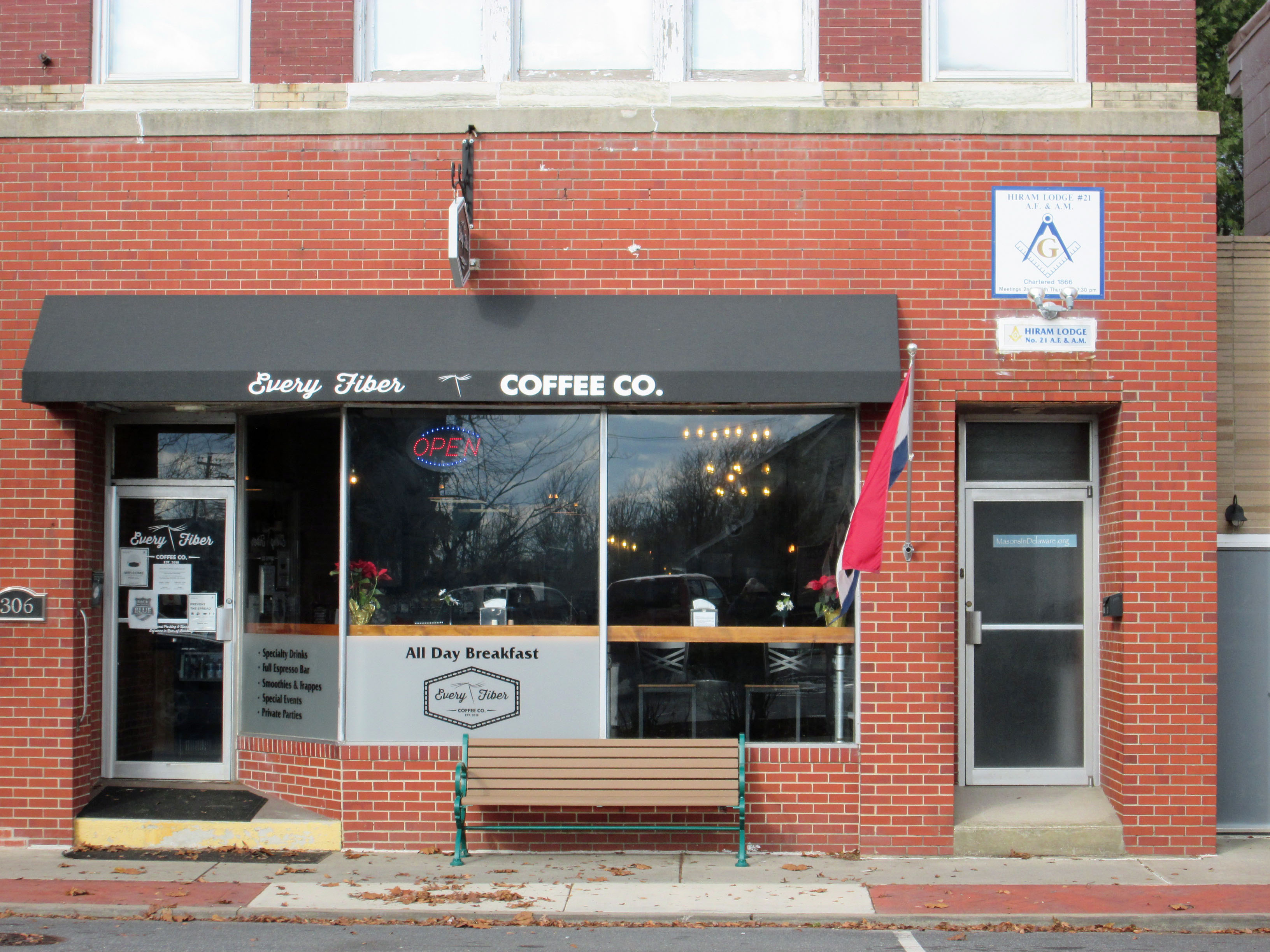
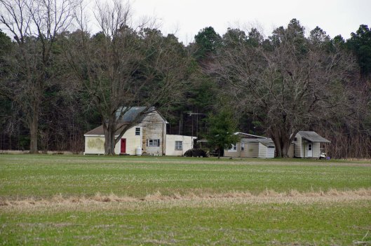
Drove up to Seaford Delaware to visit a family friend we haven’t seen in a while. Nice little town. Met at the local coffee shop, Every Fiber. Staff very pleasant. The upstairs is a meeting hall for the local Masons, which were established at Seaford in 1866. They moved to this location in 1912.
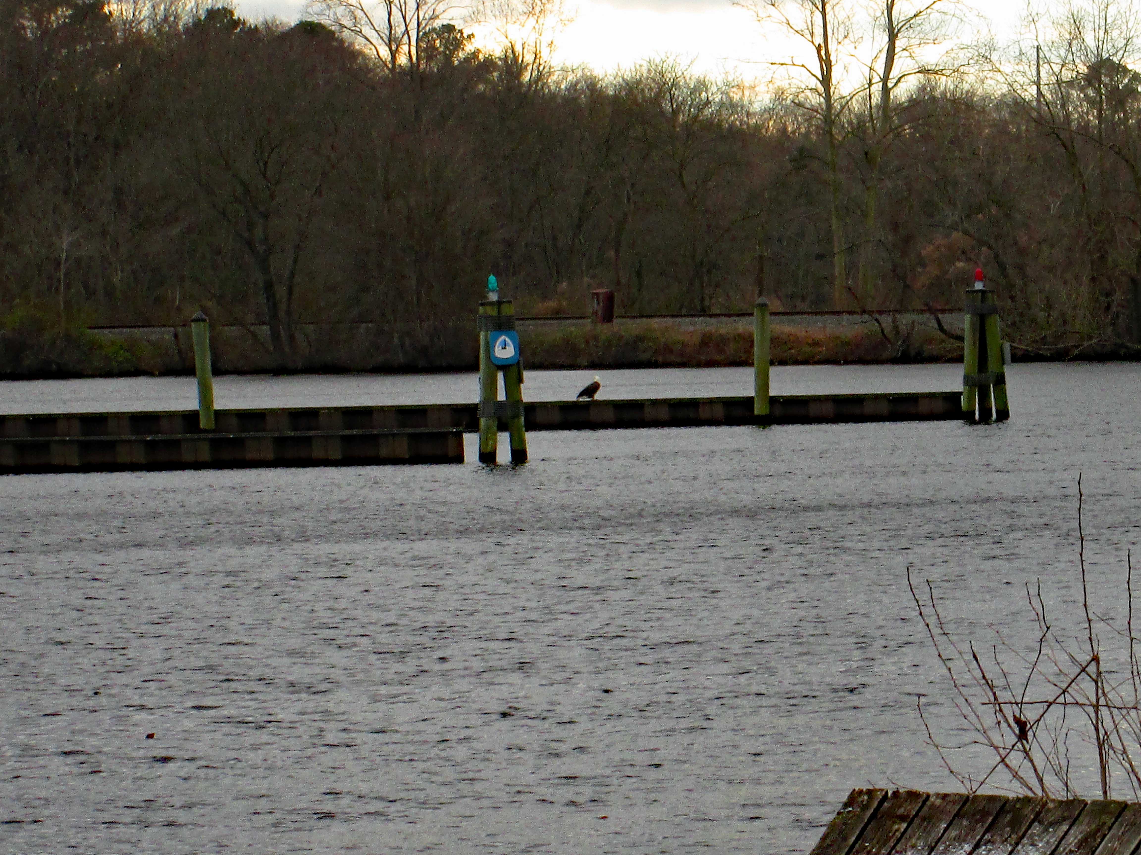
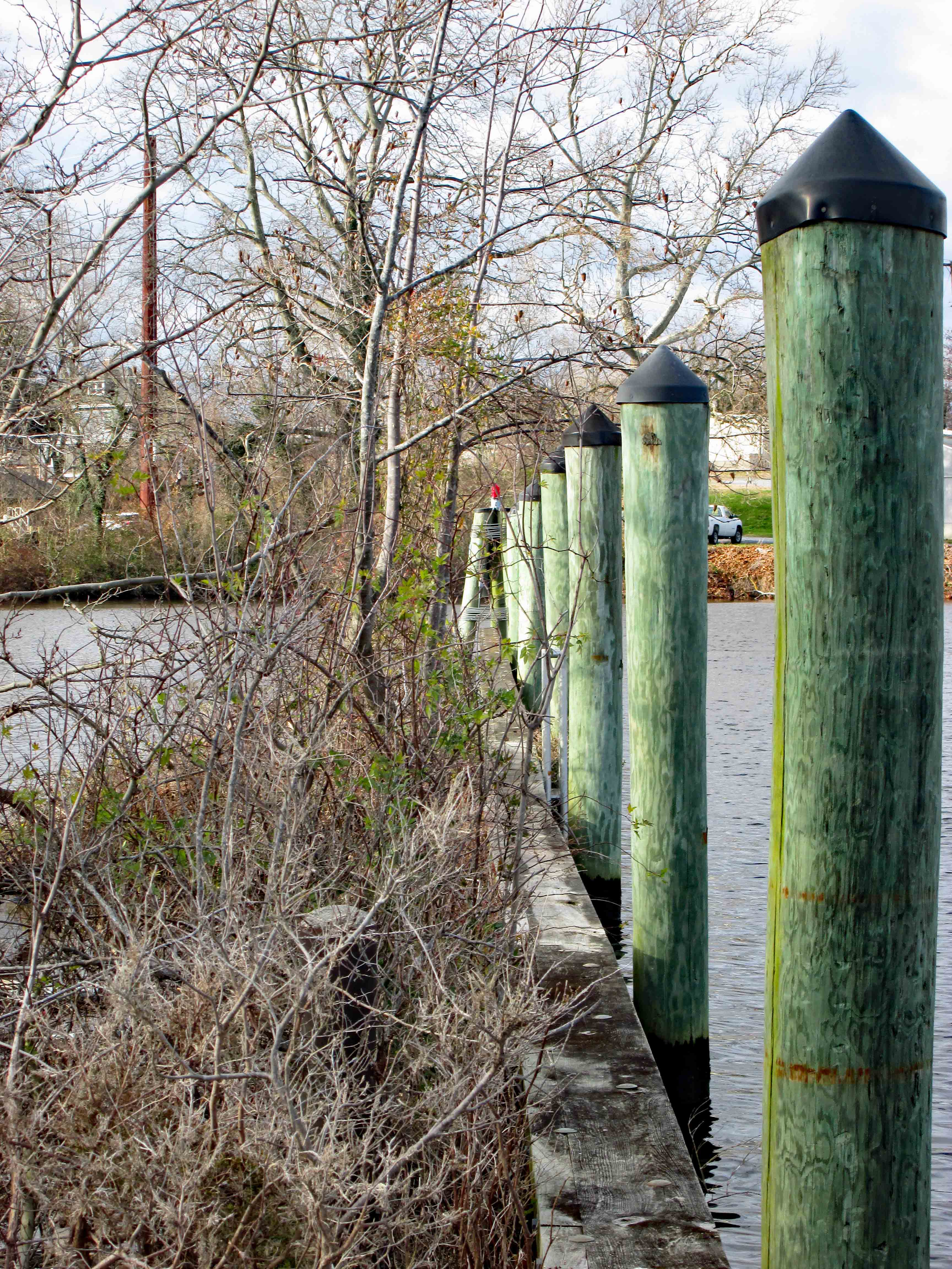
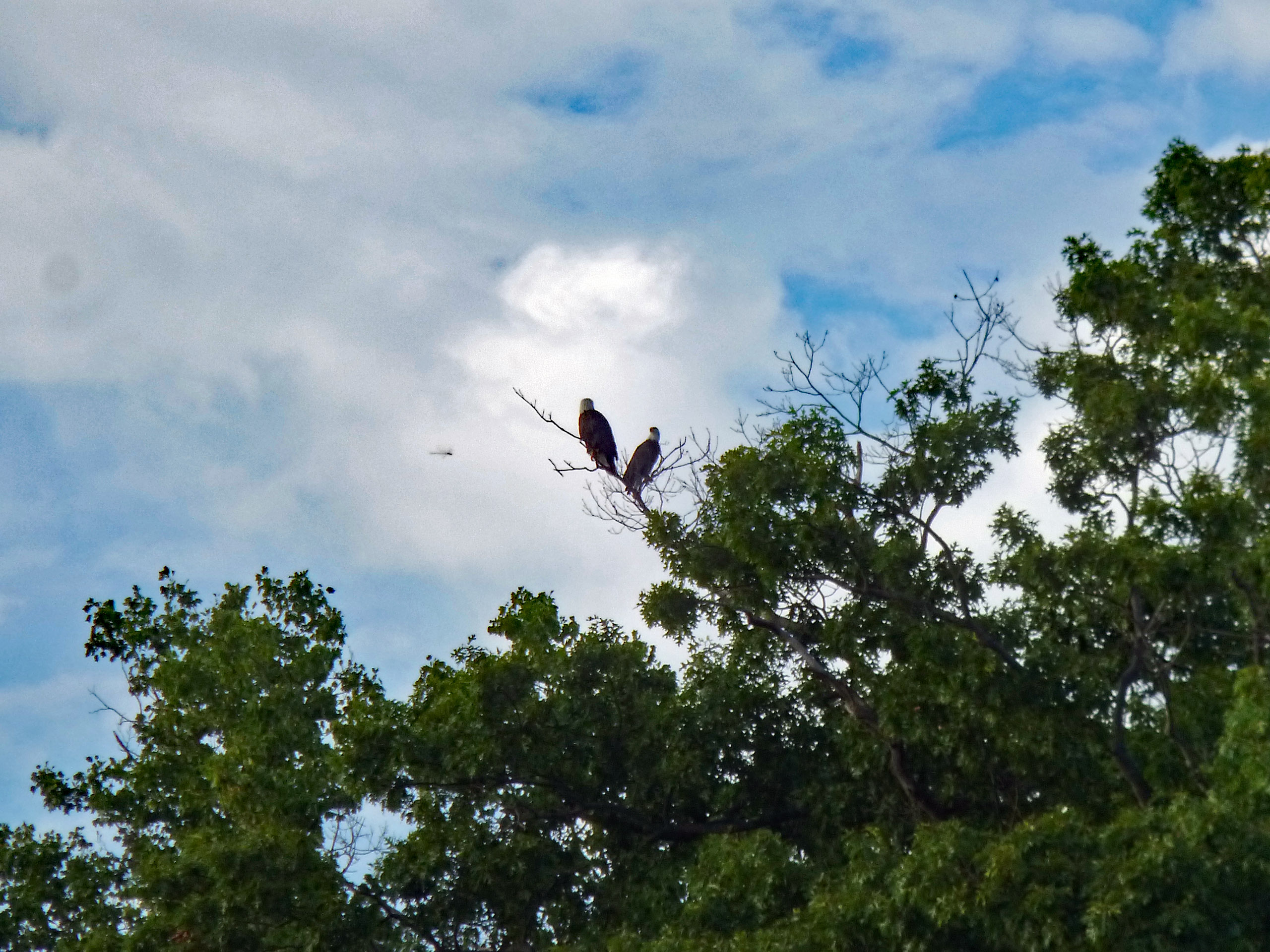
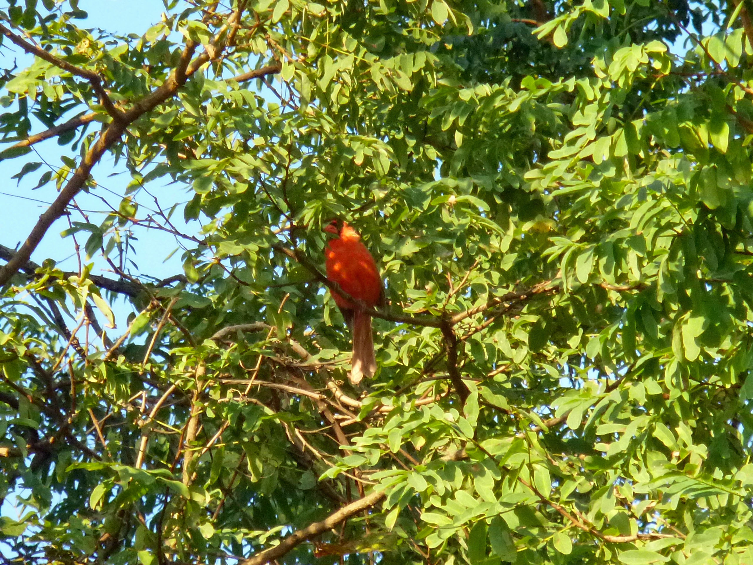
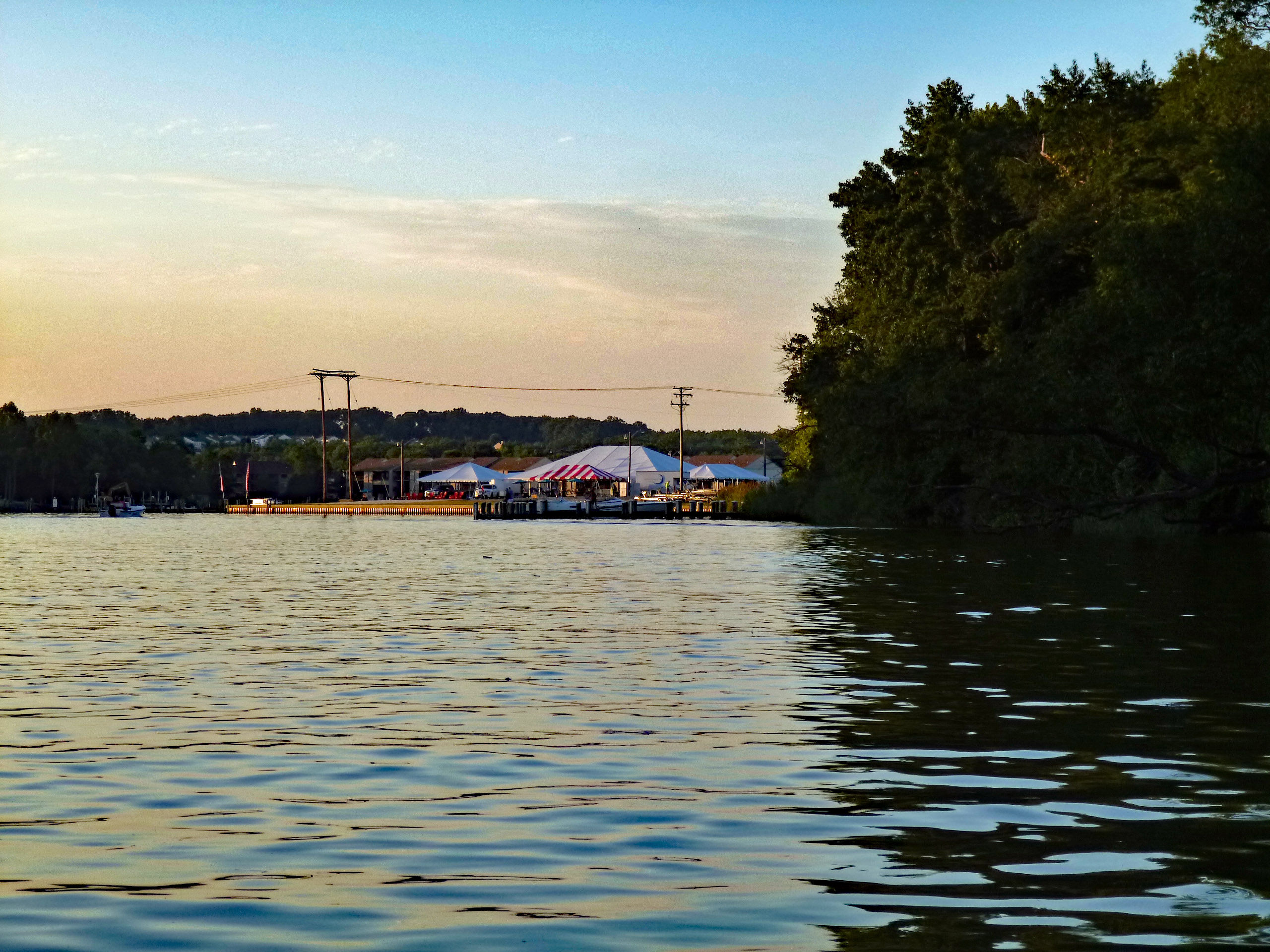
After our visit we drove around to check out the town. They are in the process of building a new park on the Nanticoke river. Across from which, we saw this big guy sitting there (Once again I leave the house, forgetting my good camera, only having my Canon point and shoot!)
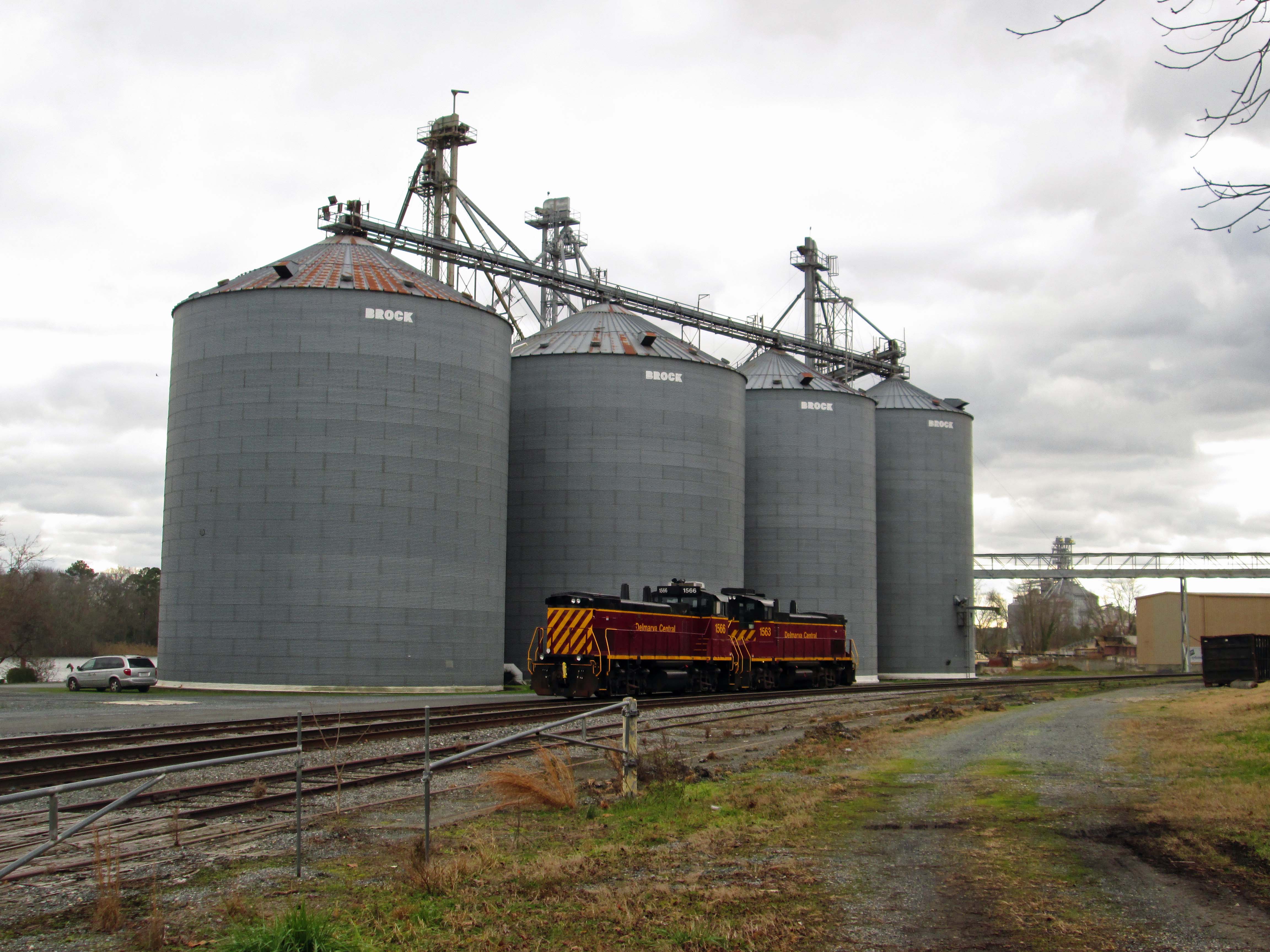
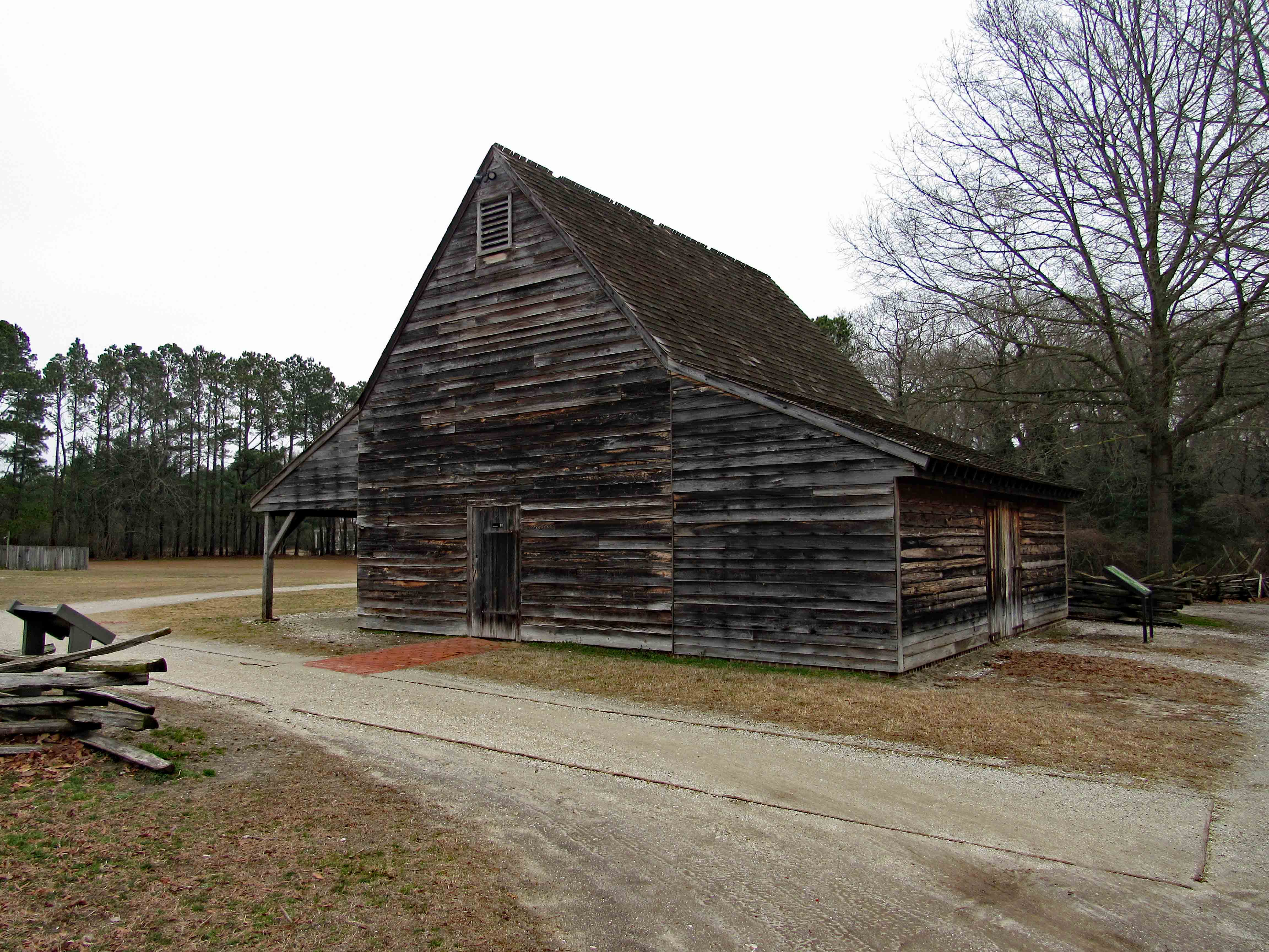
Old granary with a couple locomotives.
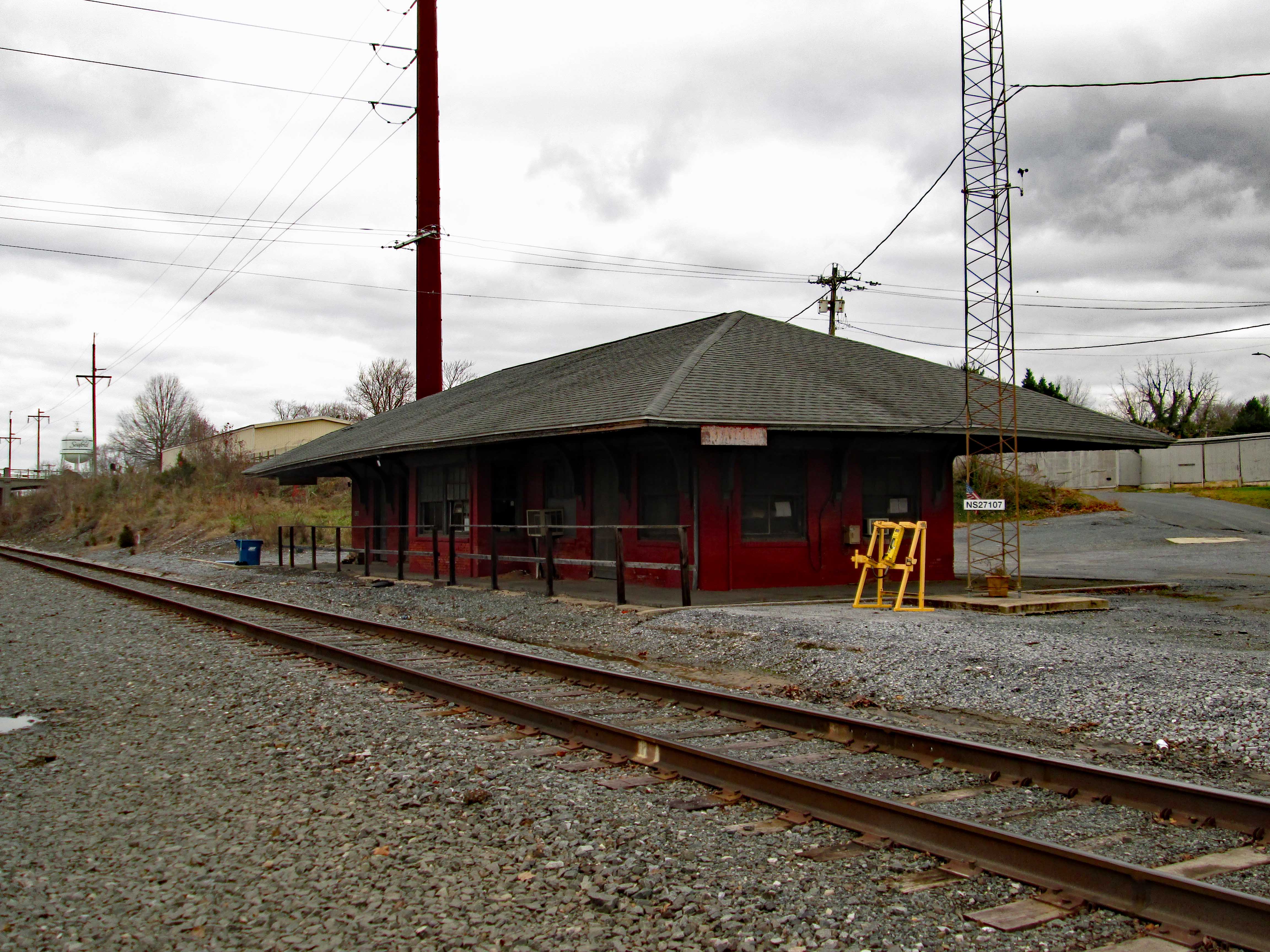
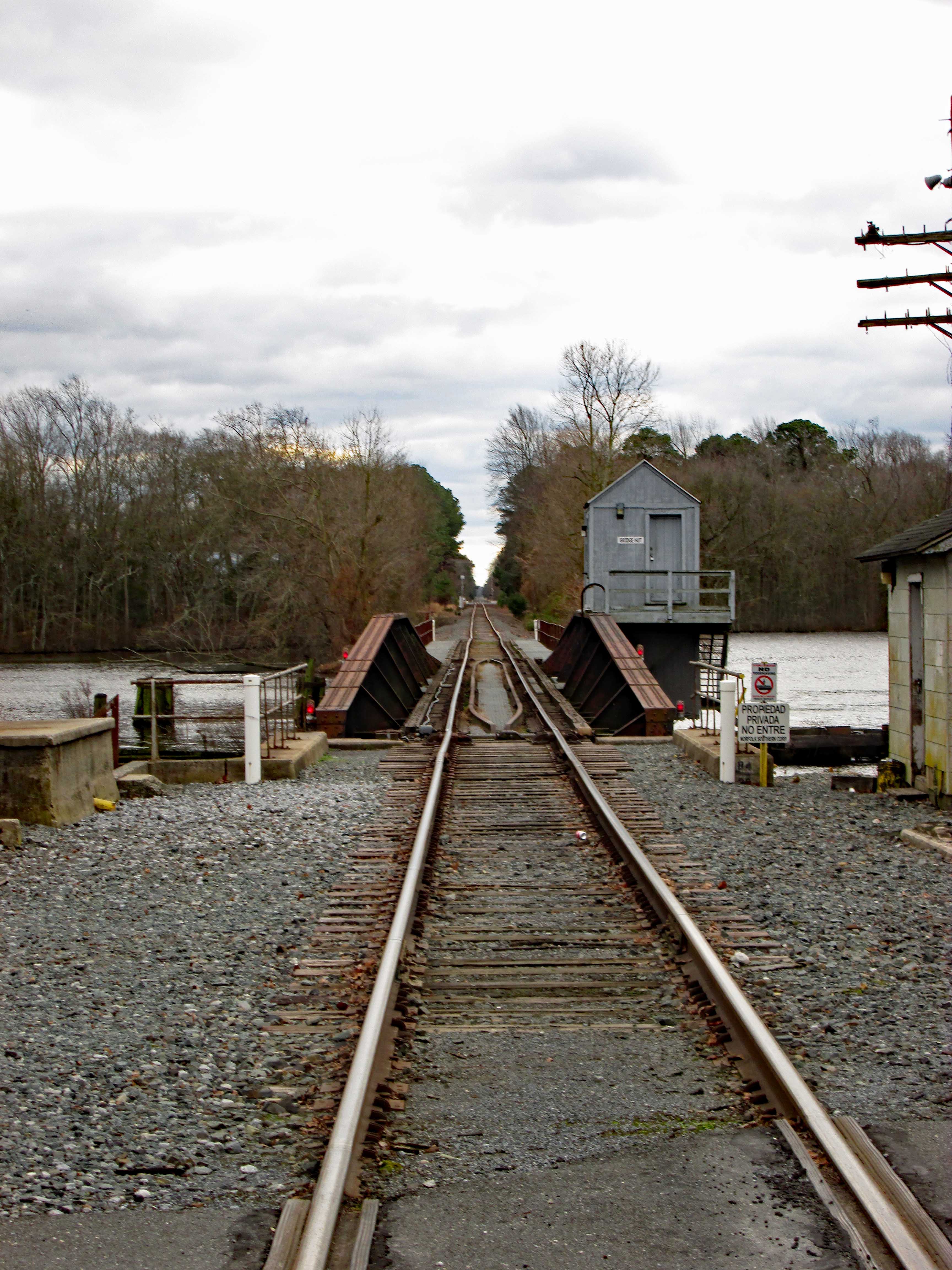
Old Seaford train station and tracks.
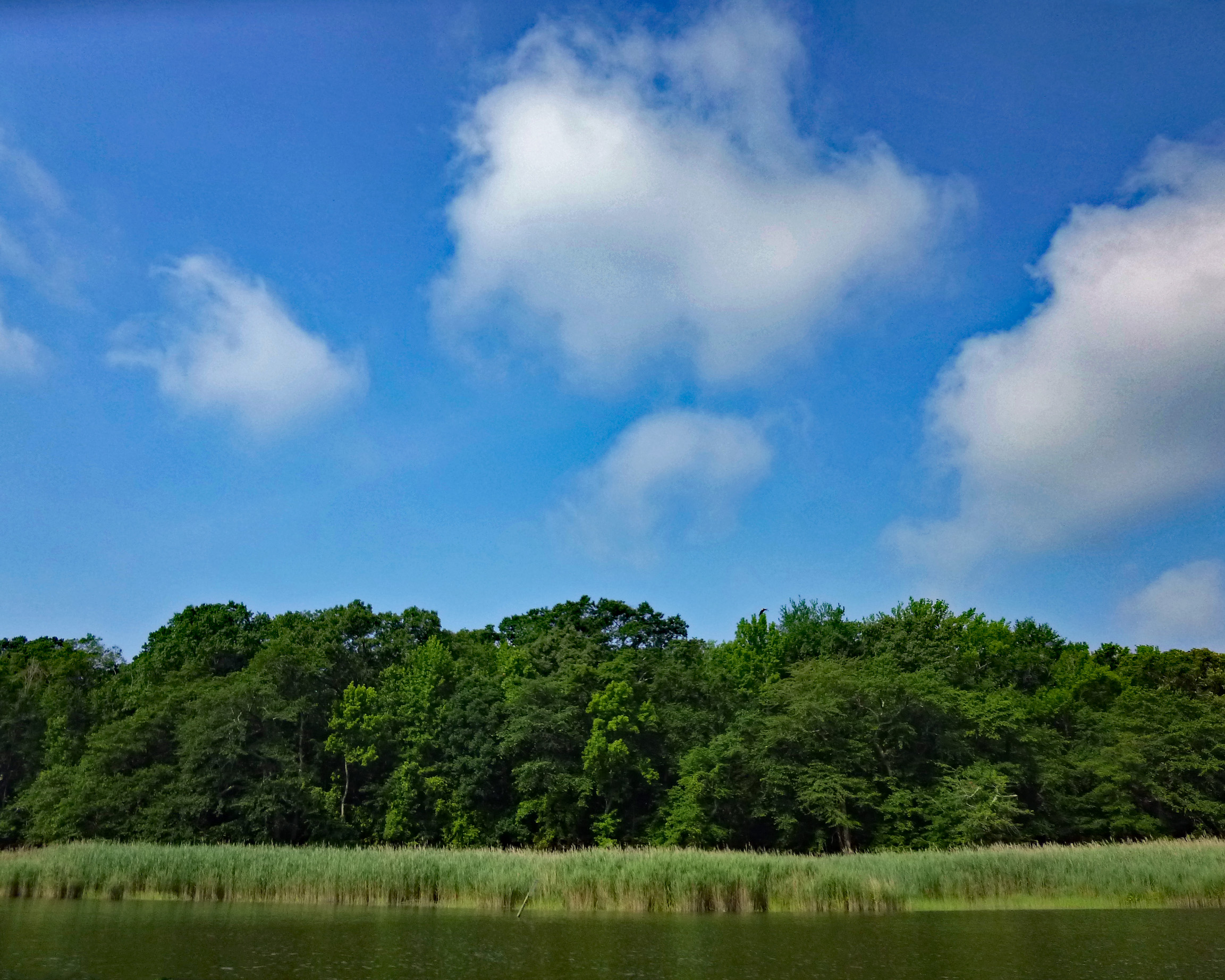
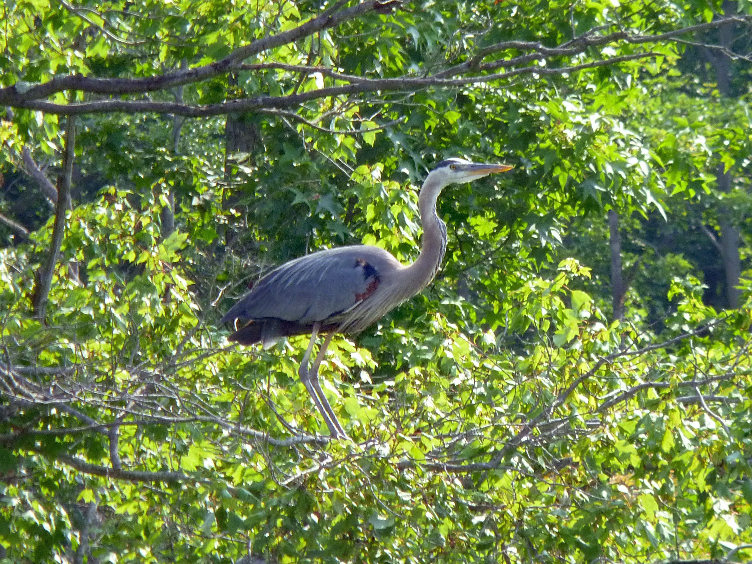
Headed to the other side of the river to see if I could sneak up on the eagle for a close up. Nope…I startled a heron and when he flew off, the eagle flew away also. Got a photo of where he was resting though!
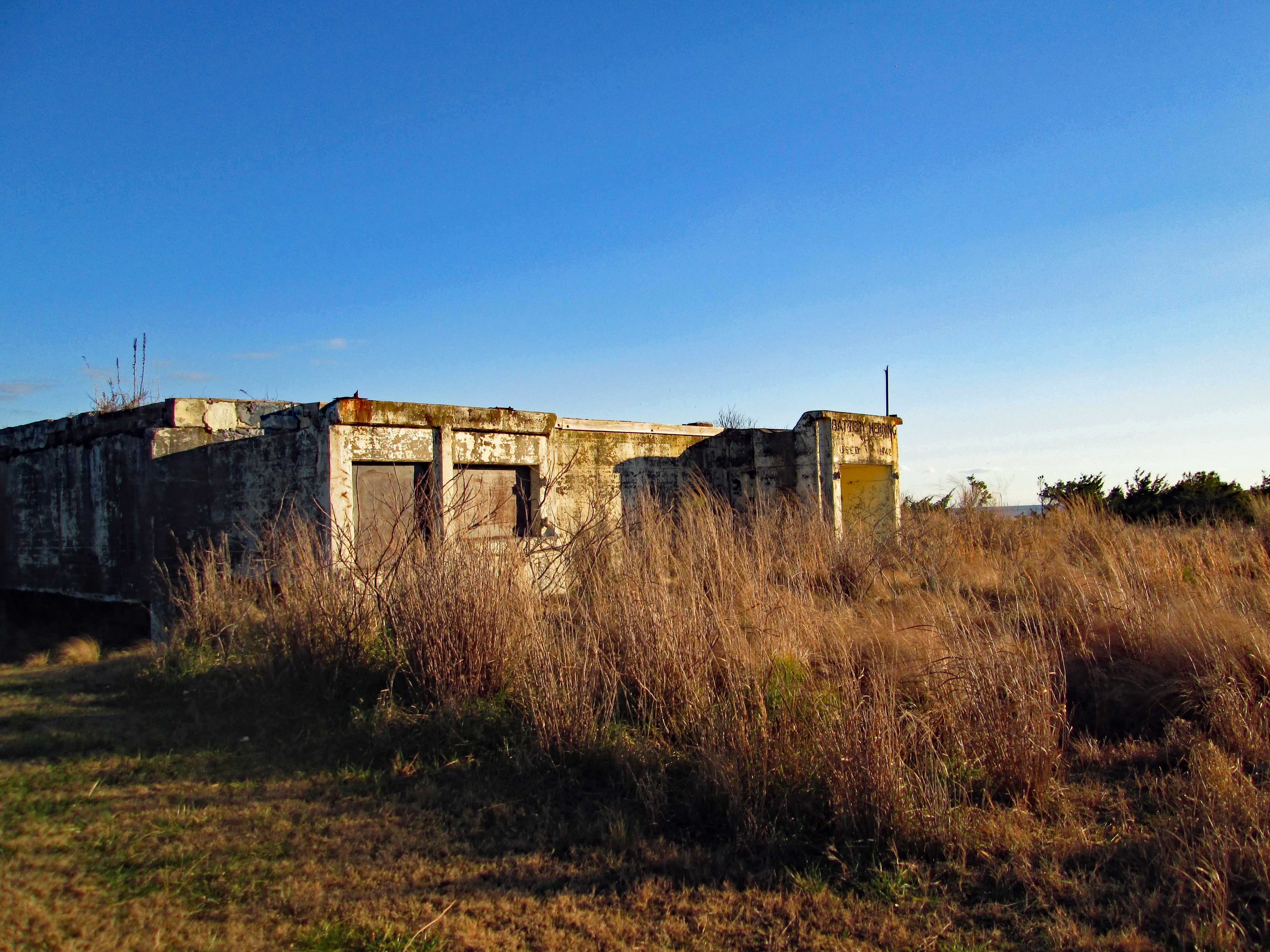
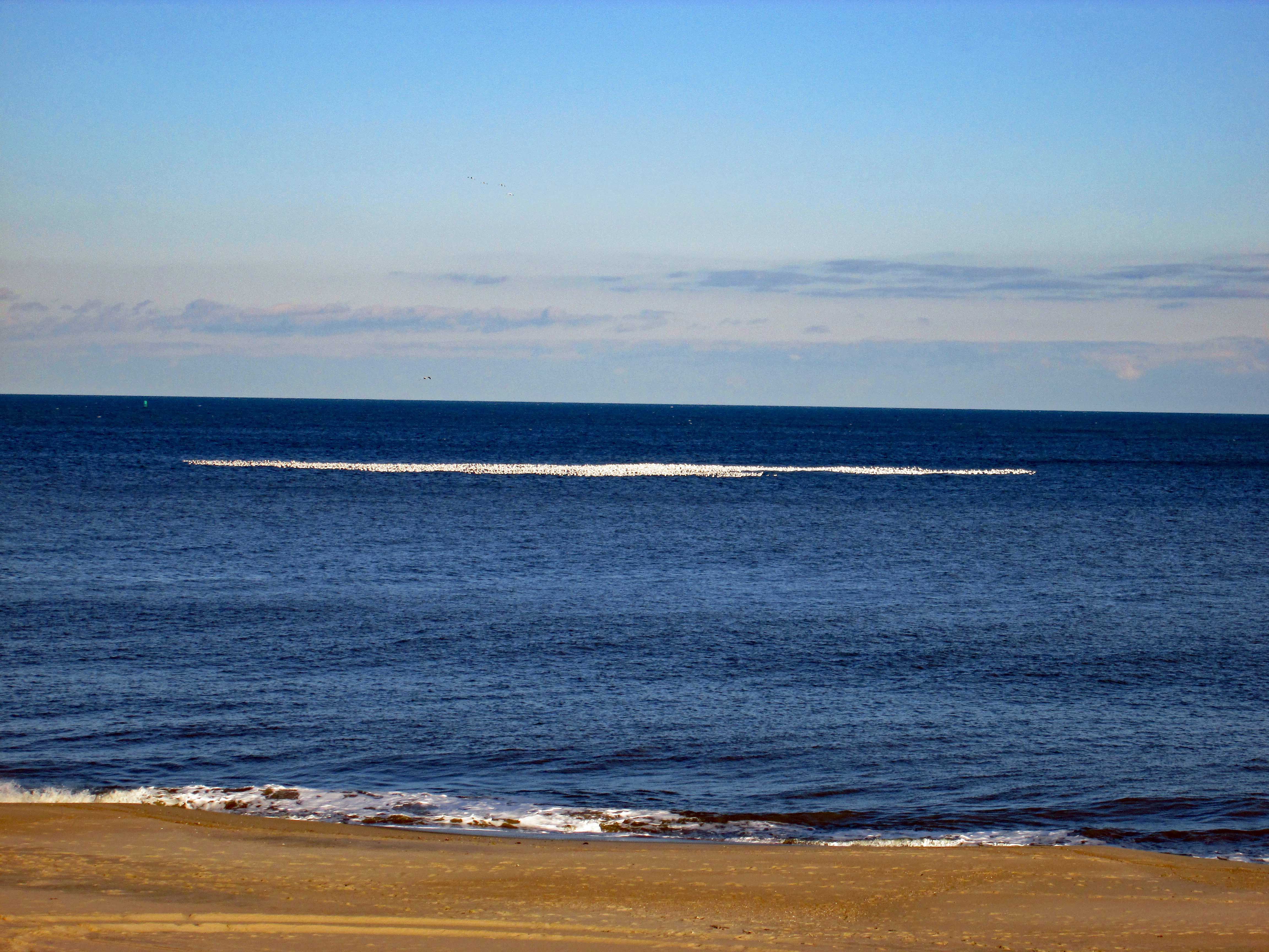
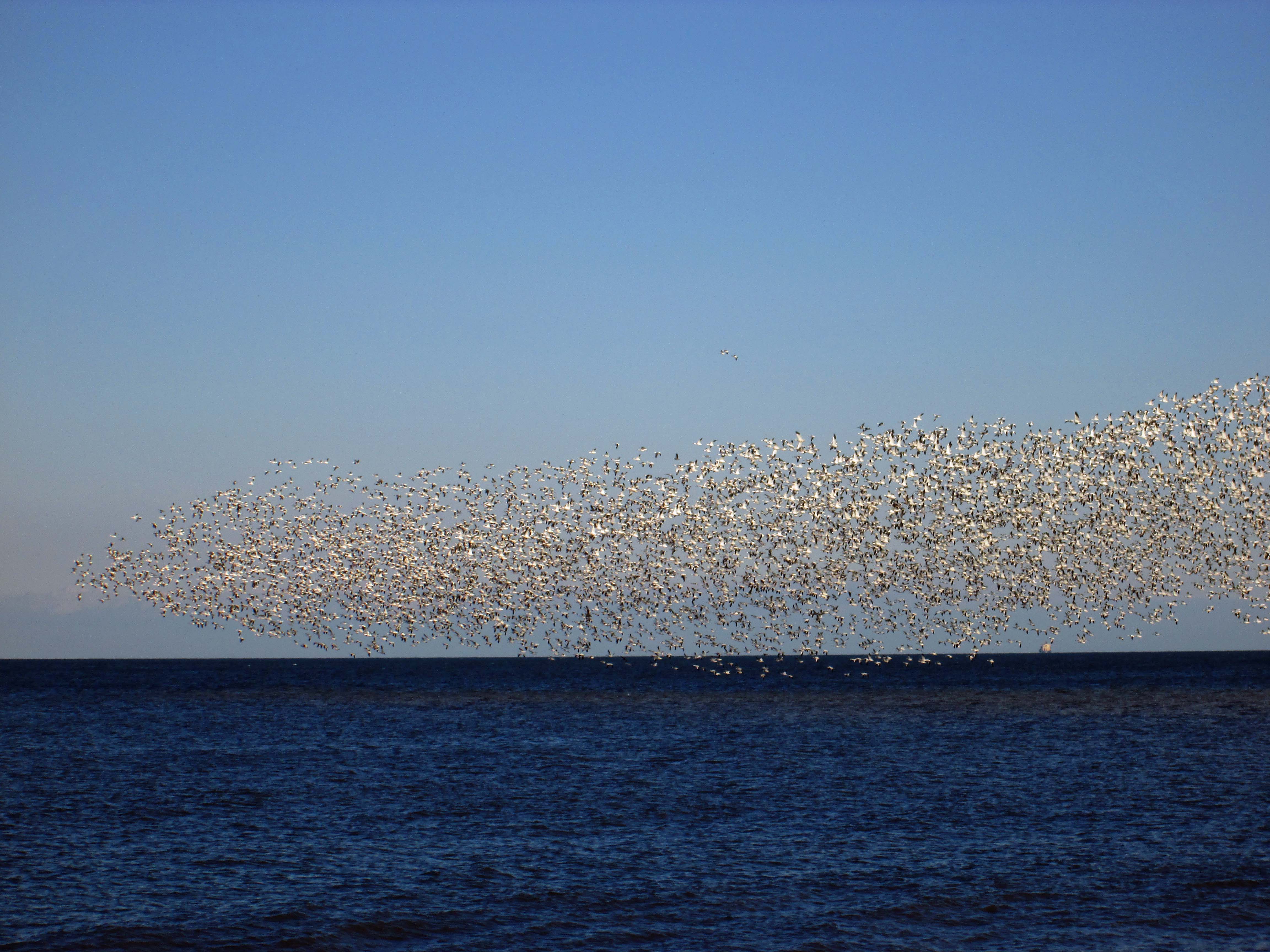
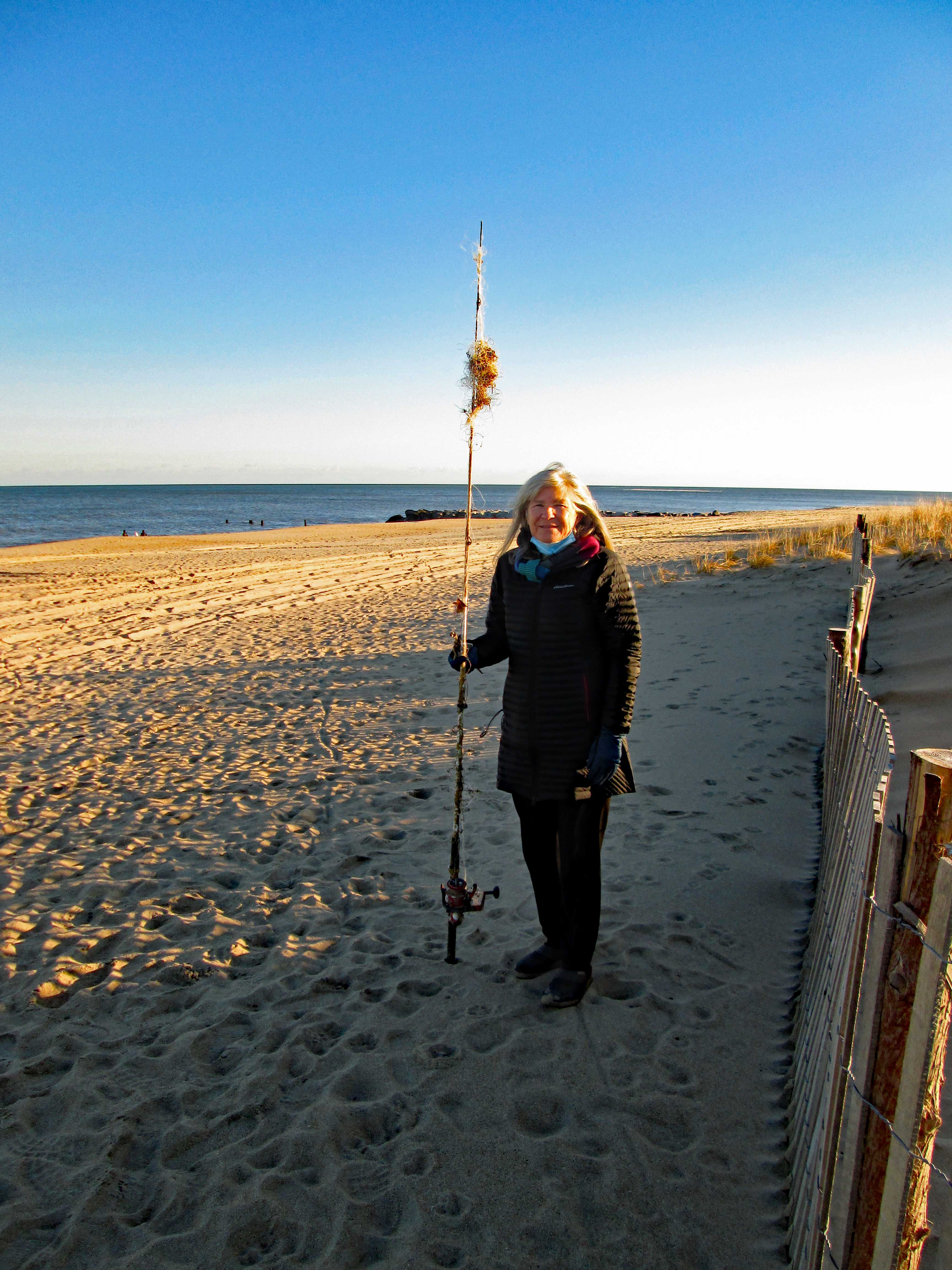
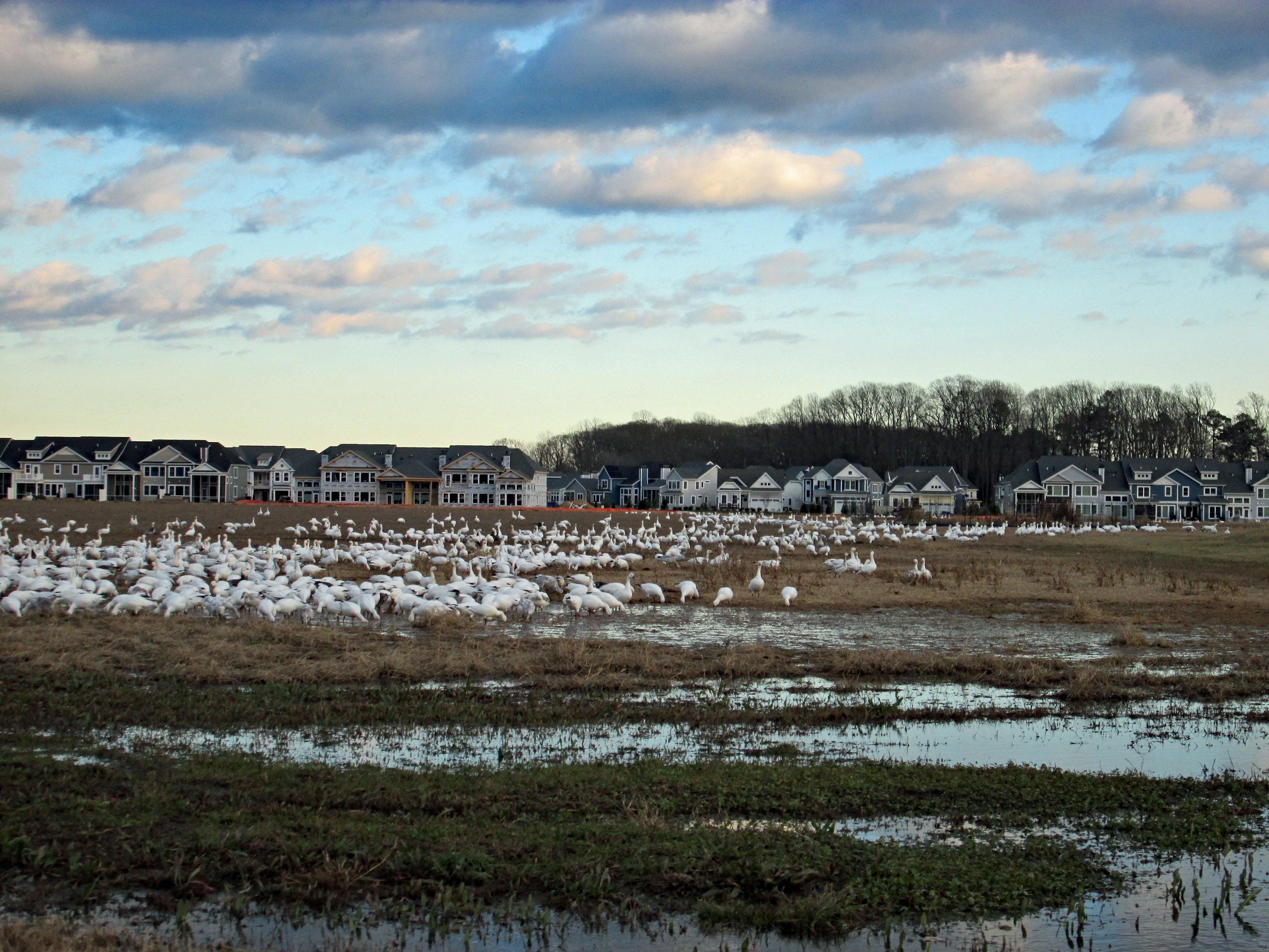
Left there and headed to Lewis. We were going to check out the ferry but decided to go see the sea at Henlopen State Park. Lots of snow Geese flying overhead. First thing we came upon was an old Battery – Herring Battery.
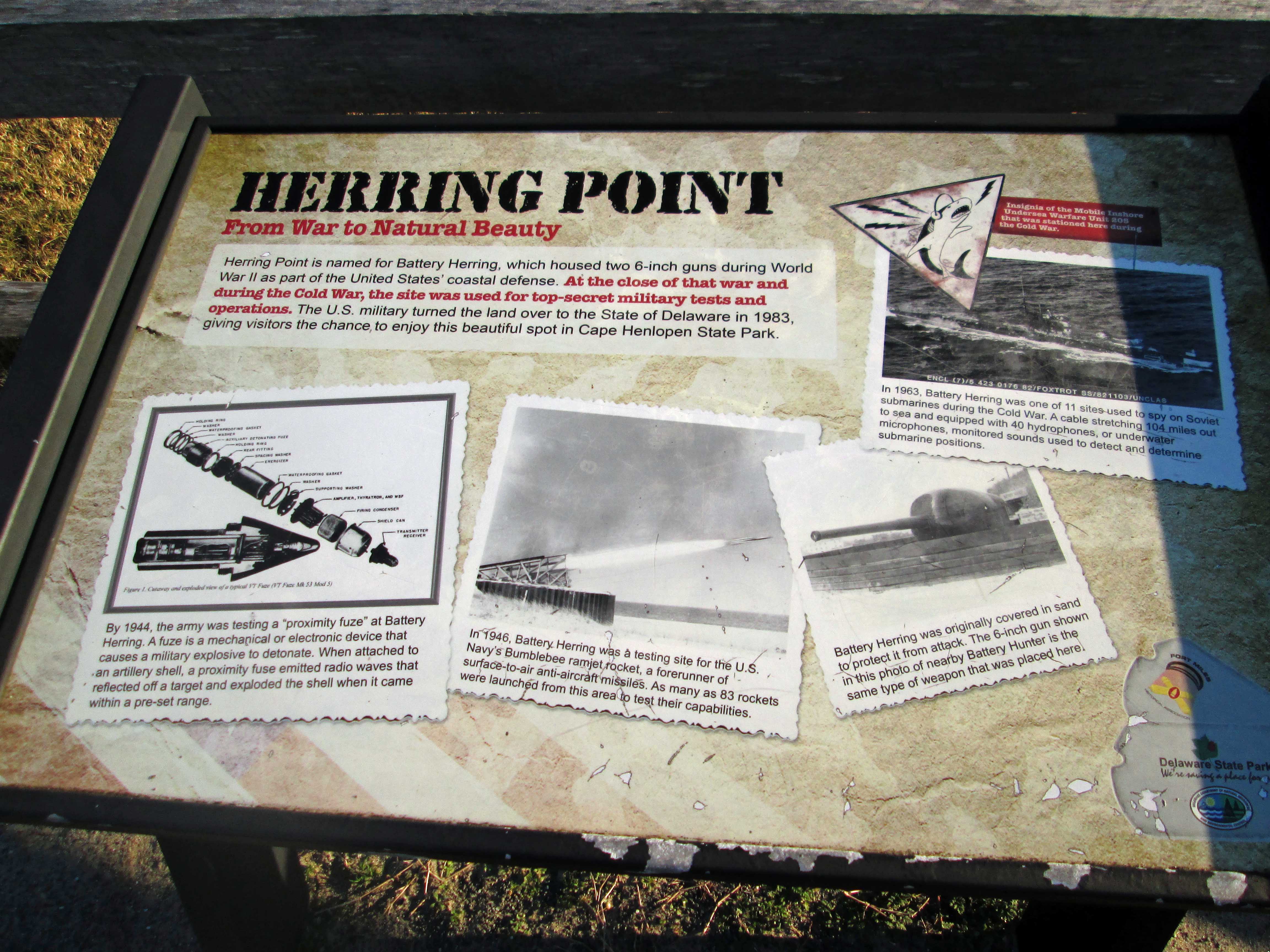
Historical sign describing its use.
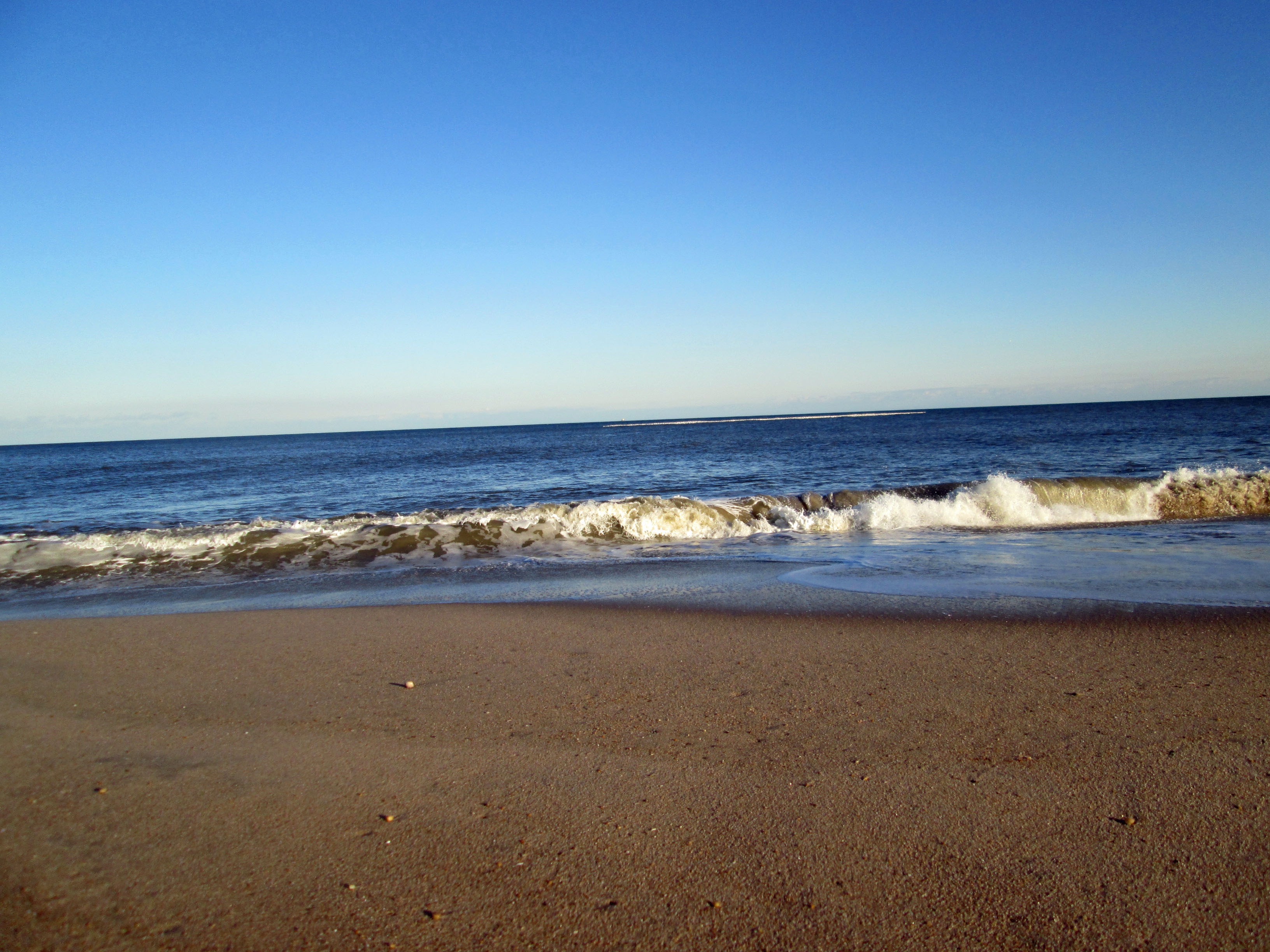
Standing at the top of the dune we saw all these groups of white on the ocean – thousands of Snow Geese!
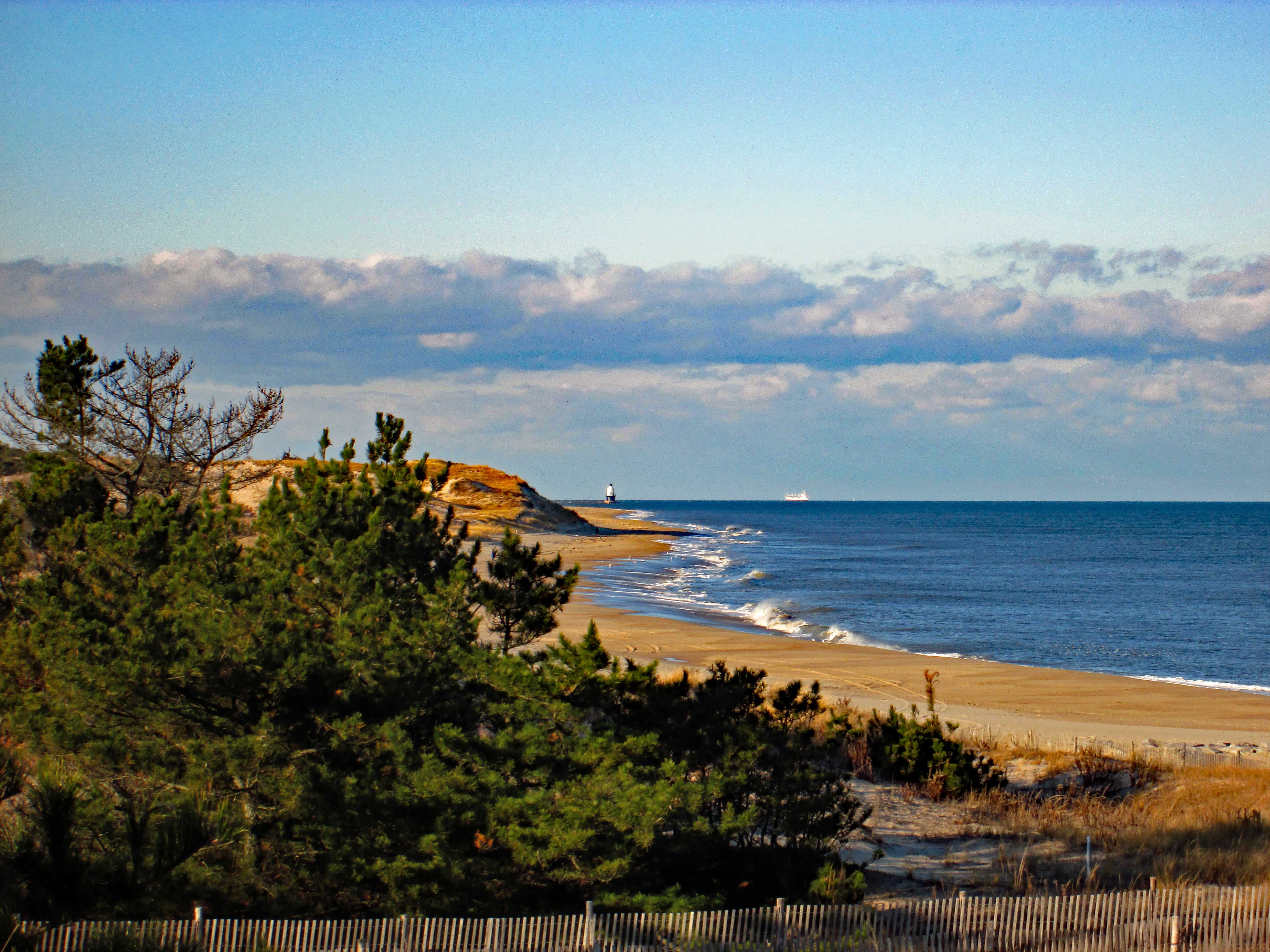
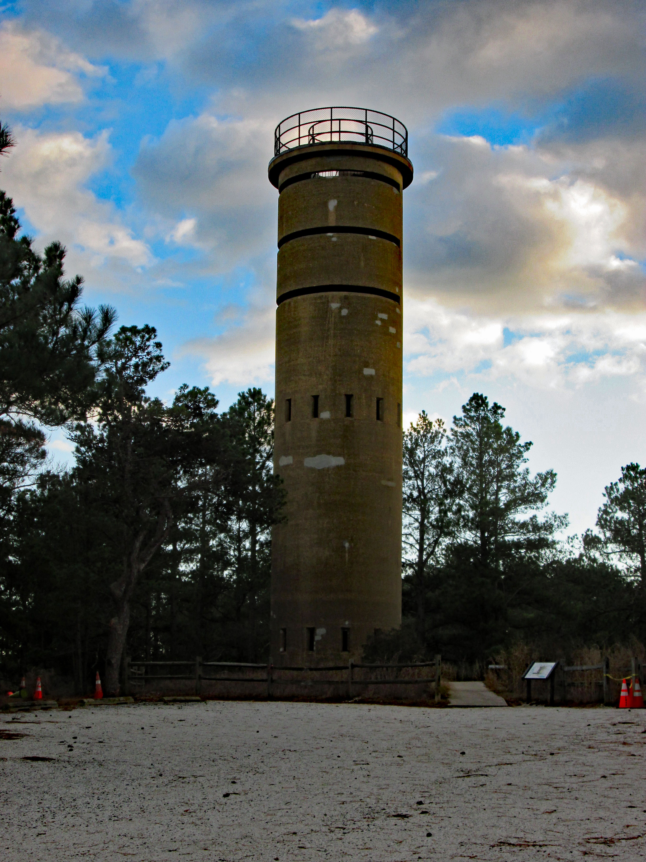
Views from the Battery – towards lighthouse and then towards Rehobeth.
Walked down the path to get a closer view of the geese.
And there they go!
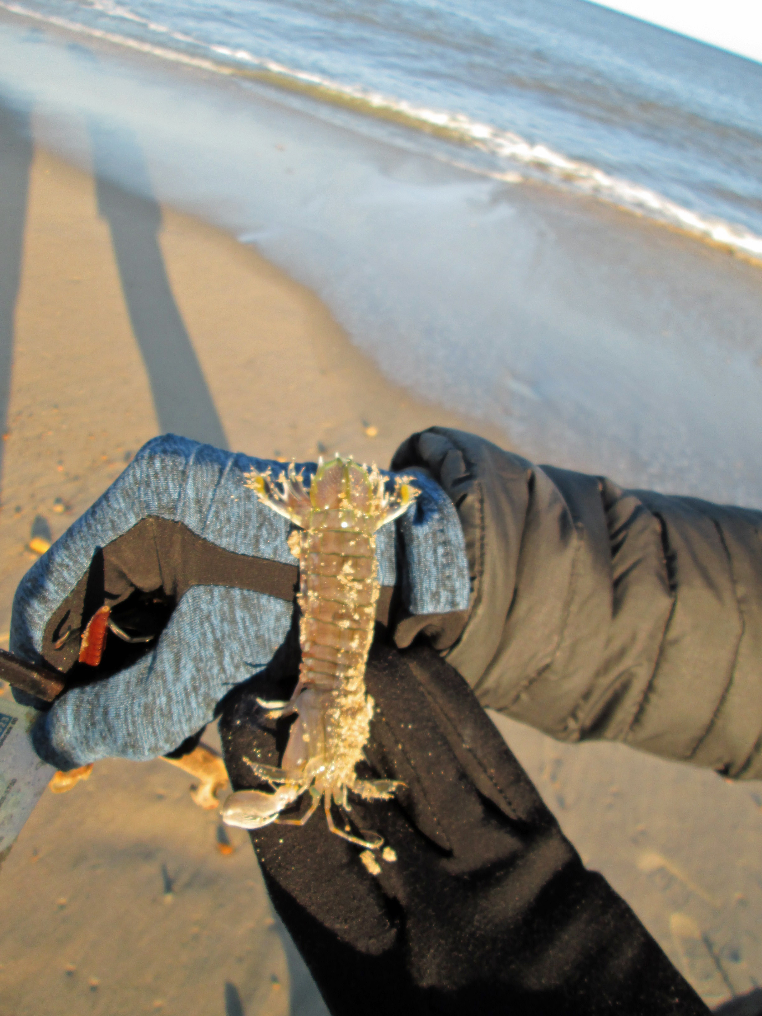
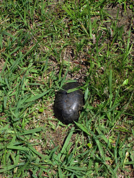
Found this guy on the beach. Not sure what he is – prawn, shrimp, mini-lobster? But he was still alive. No sooner than Kathy puts it back in the ocean, an eagle swooped down and snatched him – Where’s the camera!!??
Looks like this washed up on shore. As did someone’s driver’s license. Tried to find the person on the internet, but no luck. Need to turn in to the police.
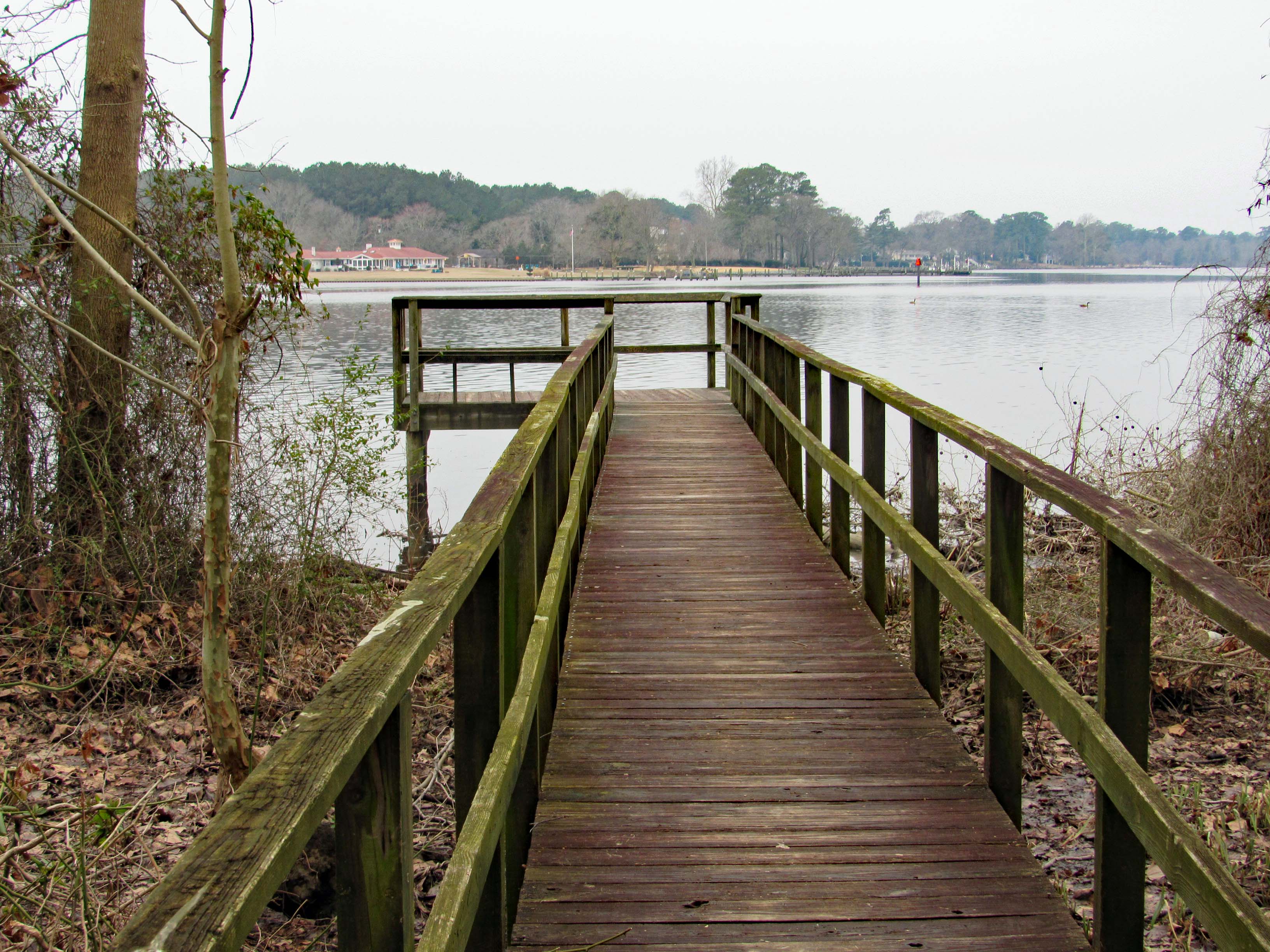
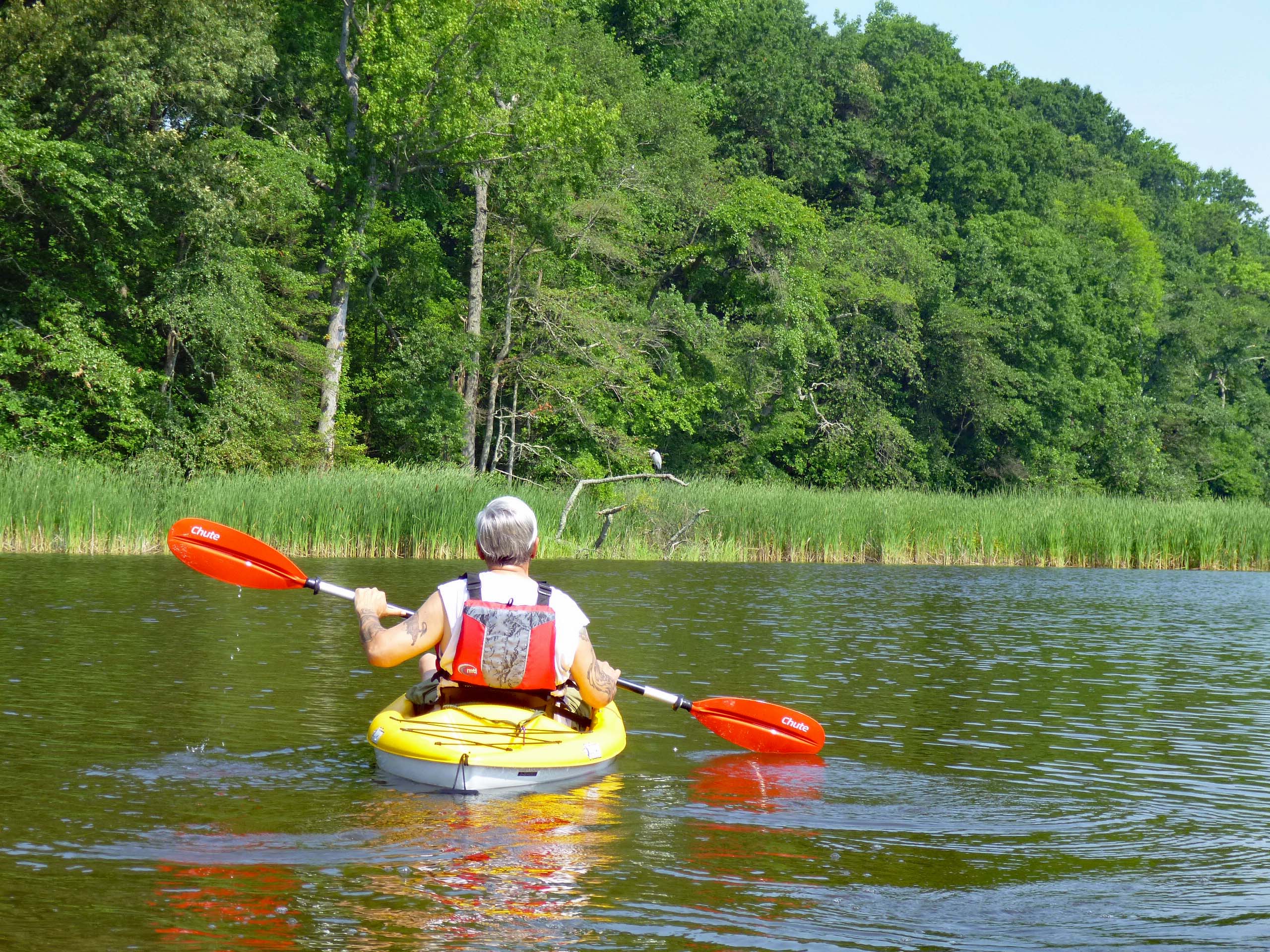
This was a really nice road trip. A little over-cast but nice. The first time we visited BWR a couple years ago, we followed the not too smart, smart phone that directed us to the middle of a swamp and then to Crappo. Another time we traveled to Cambridge and then south to the Refuge. This time we decided to take the scenic back roads. I saw on a map that there were a couple kayak put-in spots so we thought we’d check them out.
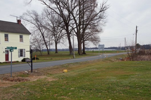
We took Rte 50 to Vienna and headed south on Rte 192. On the map was Bestpitch Ferry Rd., showing a launch. What wasn’t on the map was this sign:
When you see a “Bridge Closed” sign, you should heed it! Na! We thought this was the bridge they were talking about. It wasn’t.
Electric wire fishermen.
The road started to get a little hairy and we could see where it had been washed out in places. Then we came upon this.
On the other side of the barrier a wood, one lane bridge. Looks alright to me.
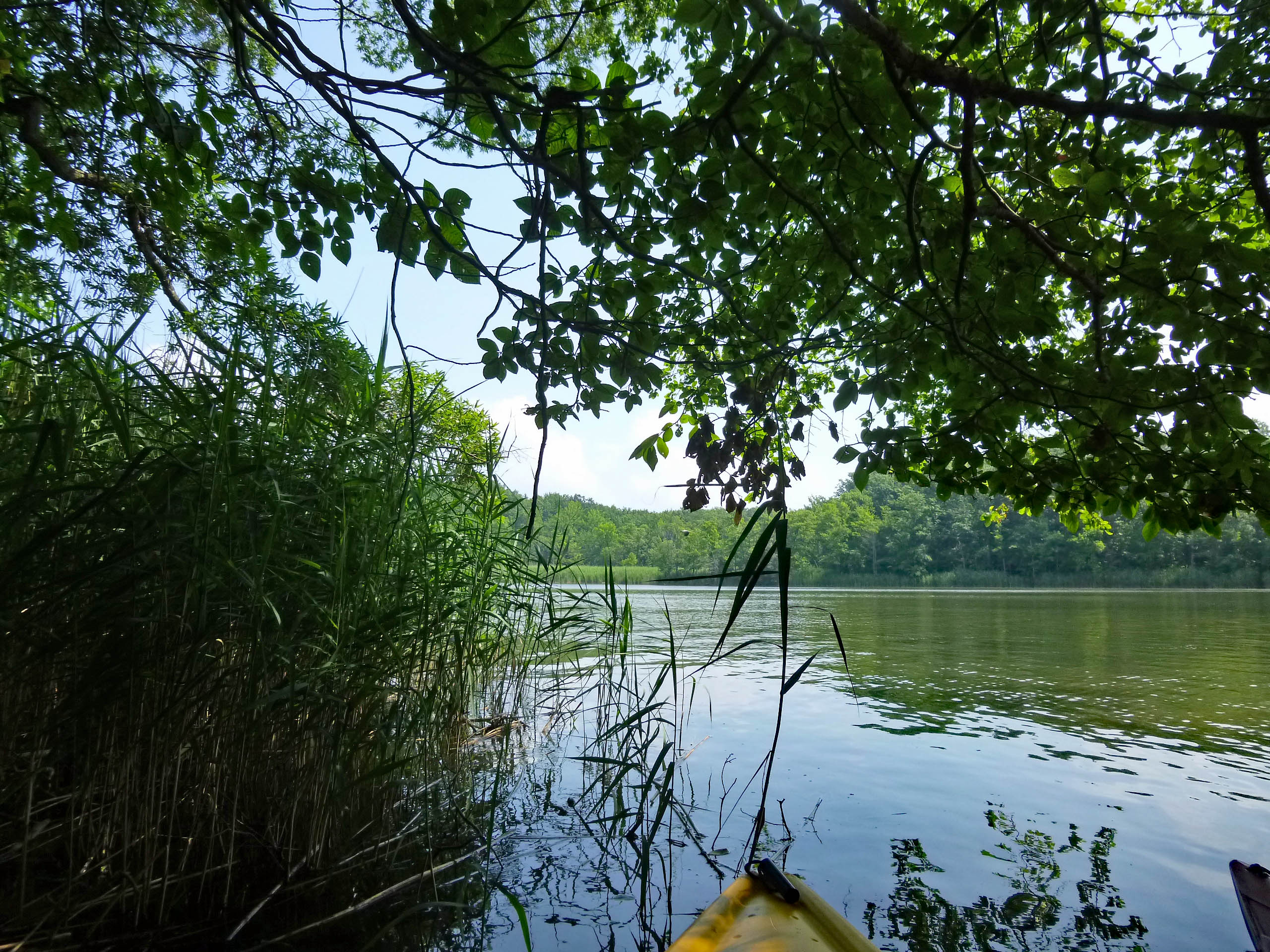
The kayak launch site is across the river, to the left. In the photo below it looks like a launch that has flooded out over the years.
Time to turn around. Bridge blocked, road falling apart and now a fire.
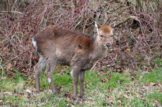
We make it thru the danger and head back to Decoursey Bridge Rd to Bucktown. On the way we came across this little, unafraid of the truck fellow.
Glad we had the detour. Some nice places to visit.
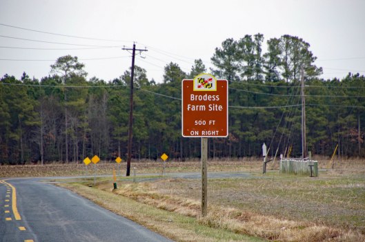
Harriet Tubman Underground Rail Road.
The Brodess Farm is where it was said HT was born. Other accounts say her mother and herself were brought (bought) here after she was born.
There is no trace of the original farm house, although this one is there. Private property, keep out.
Heading down Greenbriar Rd to Maple Dam Rd, we came across this house. It was unmarked but looking at a couple history pamphlets, we found that this was the Nause-Waiwash Longhouse. It was an abandoned church before the Indians took it over. It looks a lot nicer in the brochure.
Moving along towards the refuge, we spot our first of many eagles. (We lost count at 9-10).
This guy was hanging out on the way to the visitor center.
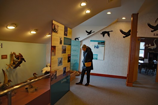
Kathy checking out the displays.
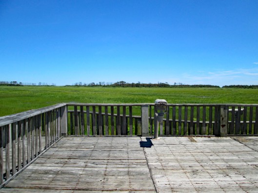
We leave the visitor center and head to the main entrance of the Wildlife Drive. Stopping to eat lunch at the observation deck. On the left of the road there is the Marsh Edge Trail and that was closed due to nesting eagles.
Here are some shots from the refuge.
One of Kathy’s pics. Nice!I see you!Me and my shadowAnother nice Kathy pic!
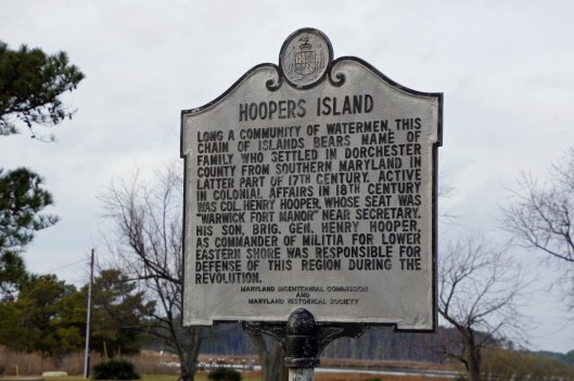
Leaving the refuge it was time to head to Hoopers Island. Rte 335. Heading down Hoopers Island road we came across this church. Originally the “Tubman Chapel”, it moved across the street. St. Mary Star of the Sea.
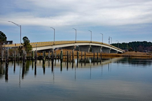
First bridge onto the islands is at Tyler Cove, Fishing Creek.
Taken from boat ramp.
Another historical marker.
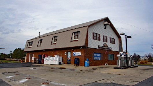
And another General Store
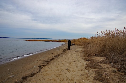
Behind here is a cemetery, which brings me to WHY we wanted to visit Hoopers Island. We want to see all this before it is completely submerged. There is a great video on the sinking of this island. You should watch it – High Tide in Dorchester – https://www.bayjournal.com/films
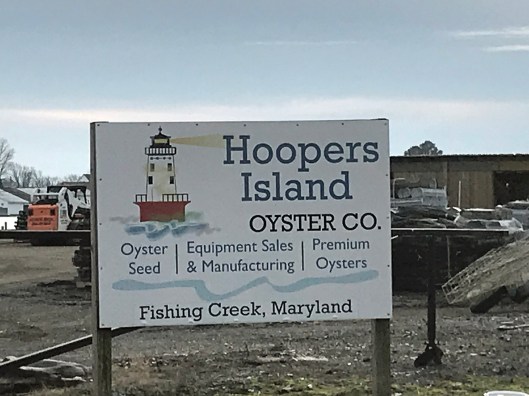
Lots of fishing and sea life down here. Hard to believe it was mostly farms at one tome.
We headed south to the middle island. There are 3 islands, probably more at one time.
Roads flood in high tides and stormsFishermen returning
Pulled off the side to see what we could see – some sea glass, shells and debris.
Looks like 3 adults and one juvenile. Even with a 300mm lens, they were too far off.
Adult brought food to him.
Our map. the lower island has no access.
Great day and so grateful that Kathy likes going on these eight hour adventures with me. For too long I did all this kind of stuff by myself.
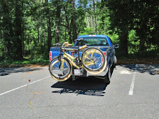
Whenever I ride my bike, a variety of songs pop into my head – “I ride my bike, I roller skate don’t drive no car” (Brand New Key by Melanie). But we needed to drive my truck to get to ride our bikes!
Then pops in: “I’ve got a bike. You can ride it if you like It’s got a basket, a bell that rings and Things to make it look good I’d give it to you if I could, but I borrowed it.” (Bike by Pink Floyd) But we took the basket off of Kathy’s and she hasn’t got a bell yet.
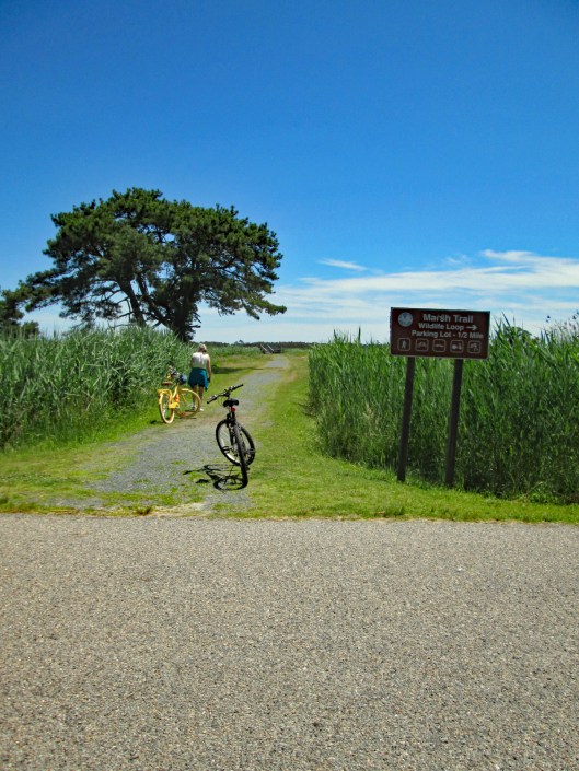
So I guess we will just settle on “Bicycle, bicycle, bicycle, I want to ride my bicycle” (Bicycle Race by Queen). We headed to Chincoteague for our first outing together. I use to ride my bike around Montebello Lake when I was working. This is my first time out this year. Kathy’s co-workers gave her money to buy a bike when she retired. She picked out a cruiser.
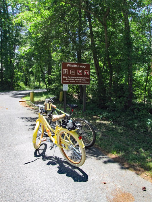
The Wildlife Loop is a 3.2 mile adventure. We went around twice. Kathy looking for the eagles. Saw the nest. None of the eagle babies survived this year.
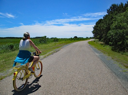
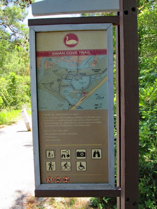
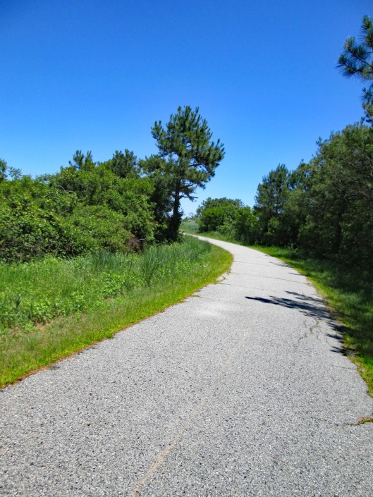
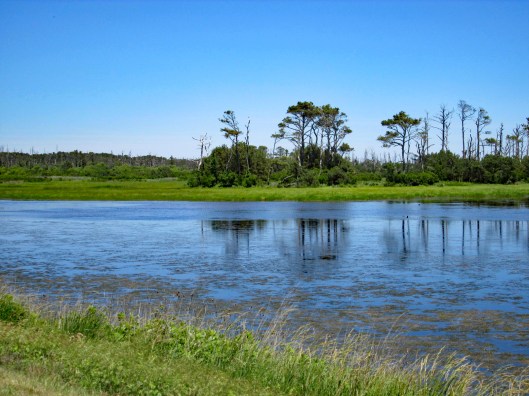
Next stop is the Swan Cove Trail, which is 1 mile round trip.
Nice path that takes you to the ocean.
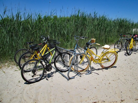
Park the bikes…
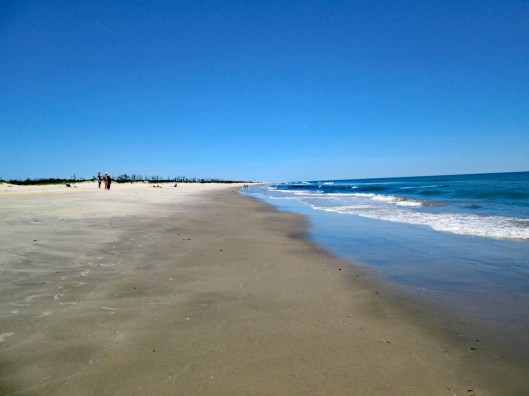
…and walk over the dunes to this.
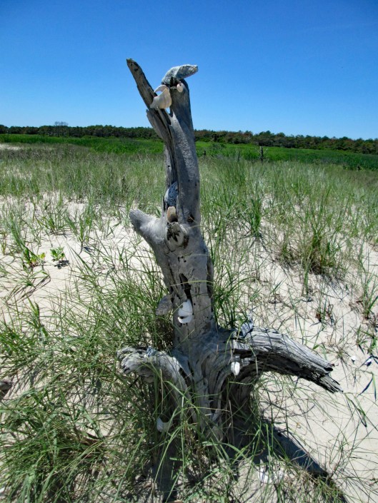
An old stump with seashell ornaments.
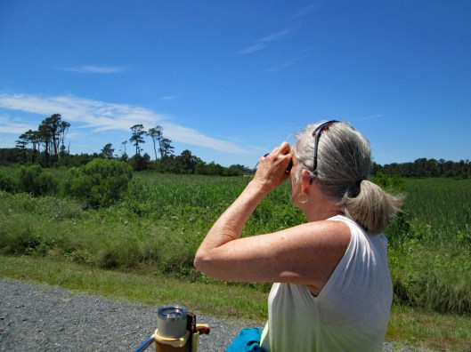
Back on the bikes to continue the loop. Saw lots of egrets, ducks and red wing blackbirds.
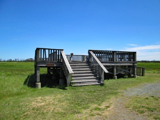
Another pit stop along the way. An observation platform. No bikes allowed.
Retirement has been hard work and it seems like forever since we have been able to find the time to enjoy a really nice hike. It was really cold and windy when we hiked Chincoteague a couple of weeks ago. Today did not seem like a good day to hike with the impending storm on the way, but we said the hell with it. We need to get out!
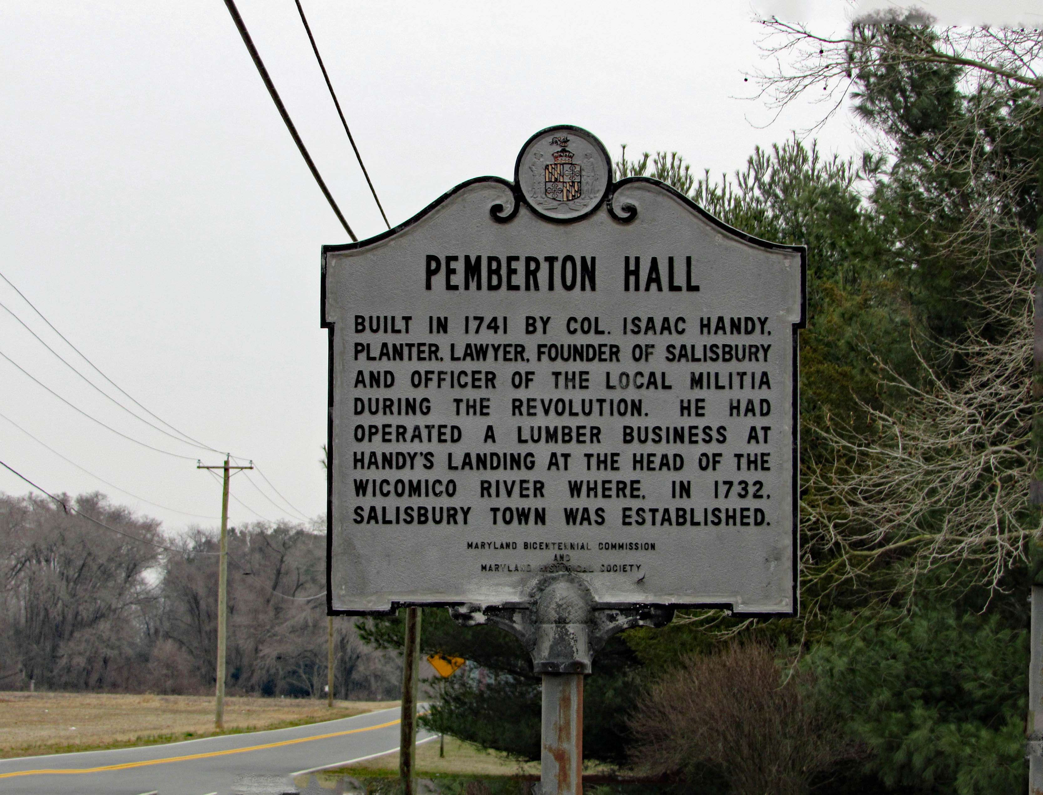
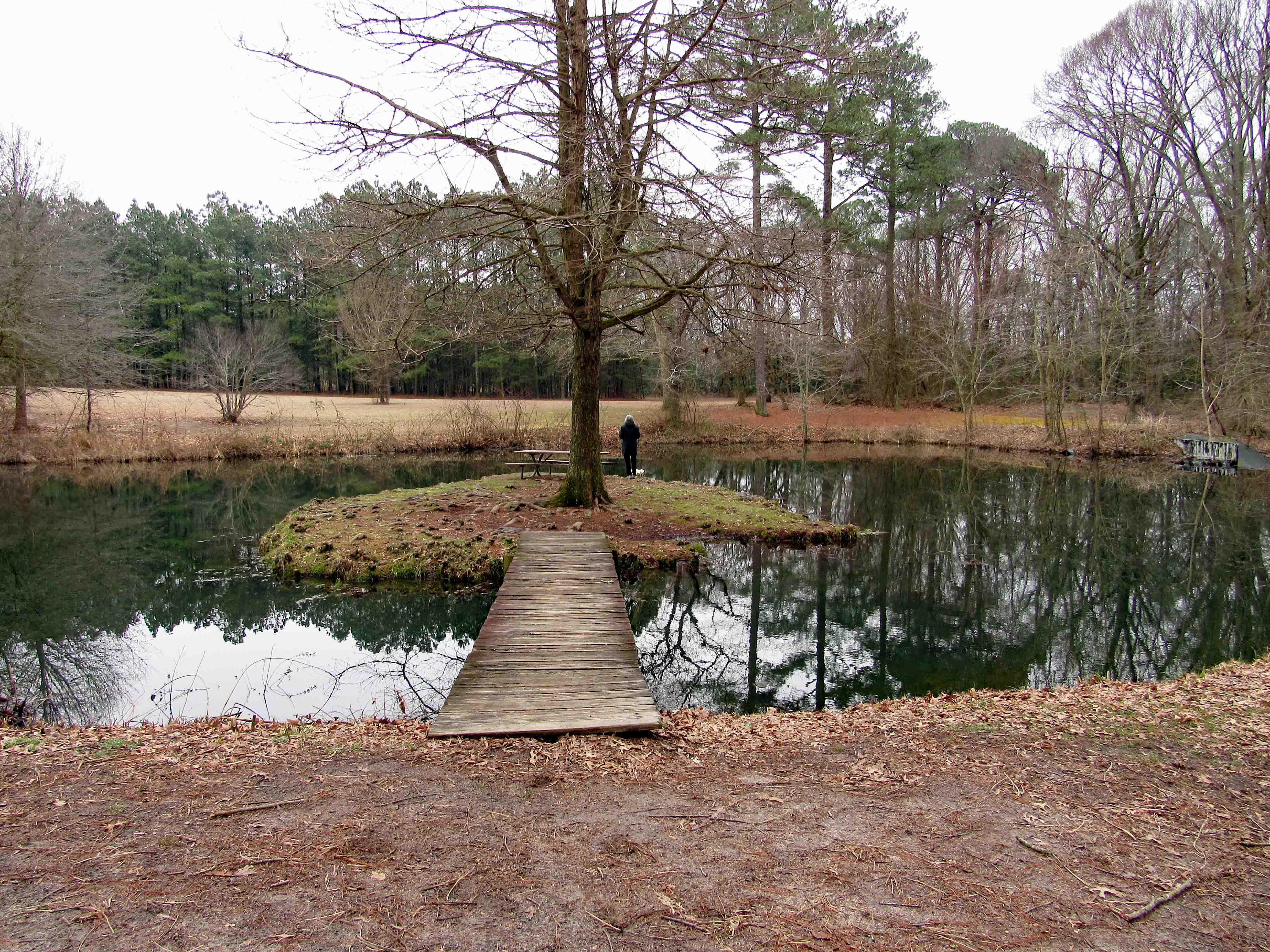
So off we went. We decided on somewhere local in case the weather took a turn for the worse. Pemberton Historical Park is just southwest of Salisbury and just a few minute drive from home. Here is the historical marker as you enter the park.
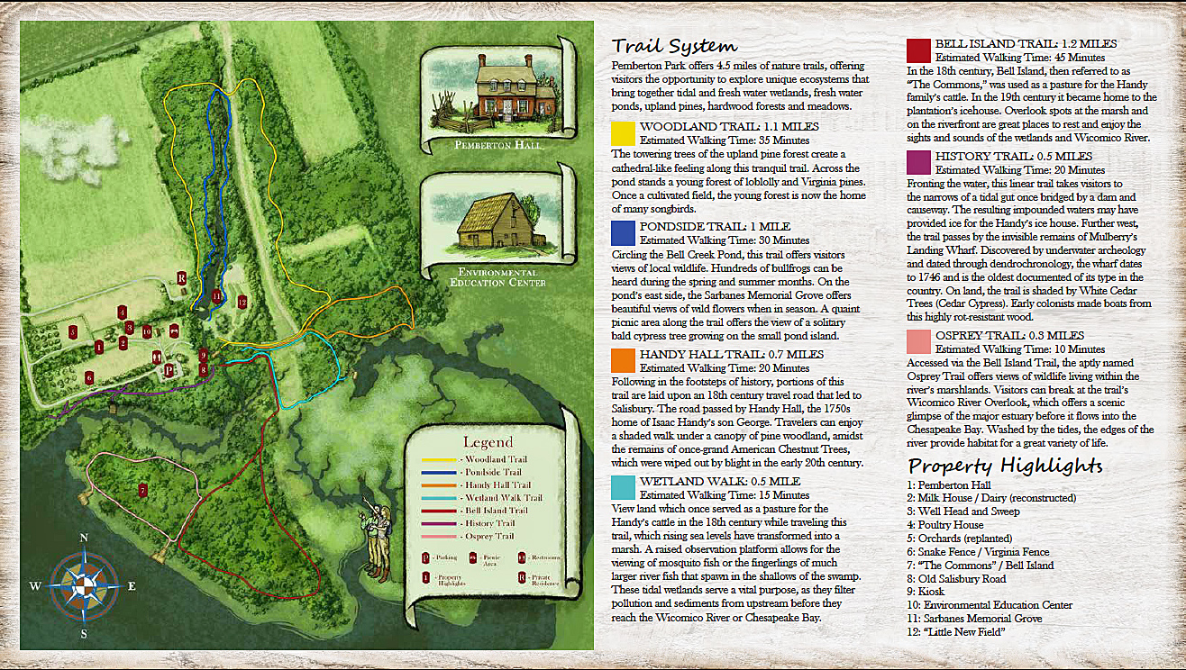
Sme more history can be found on their website. Very interesting. The trail map below. We hiked the Bell Island, Osprey and History trails, along with part of the Handy Hall Trail.
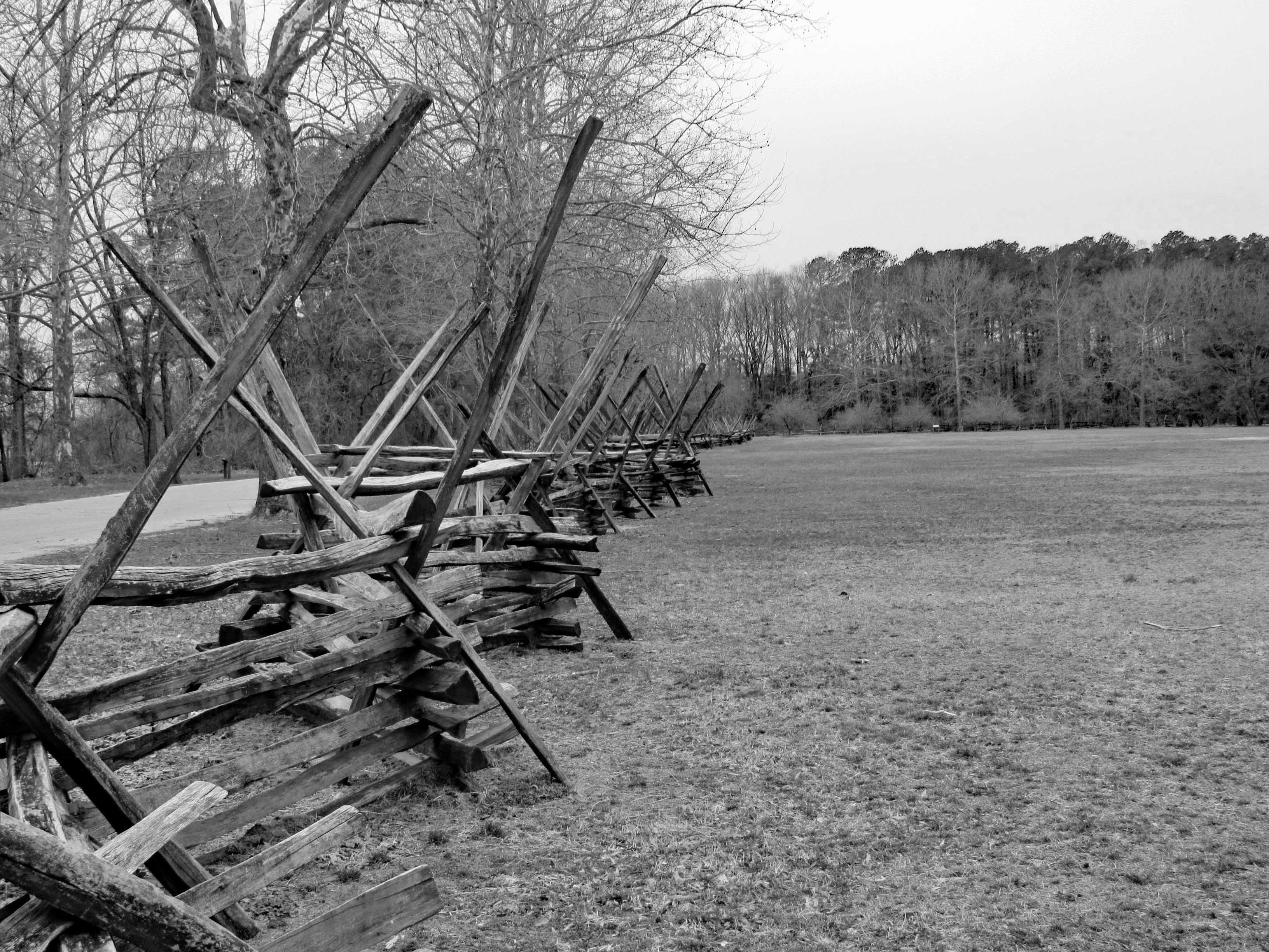
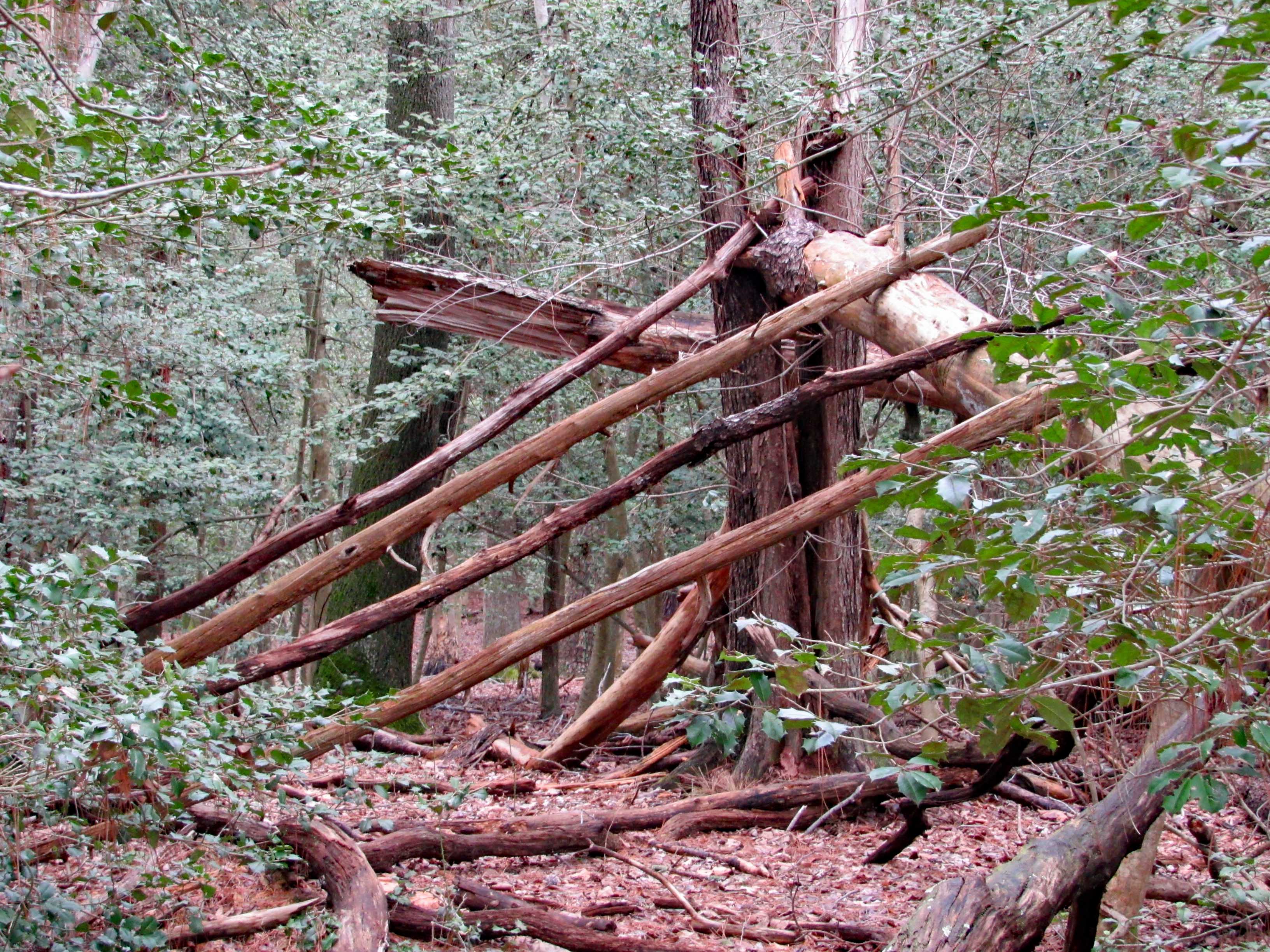
Entering the park is a nice fence…
A man-made fence vs. a fence Mother Nature is making…
The trail head consists of various older buildings. Including this restroom.
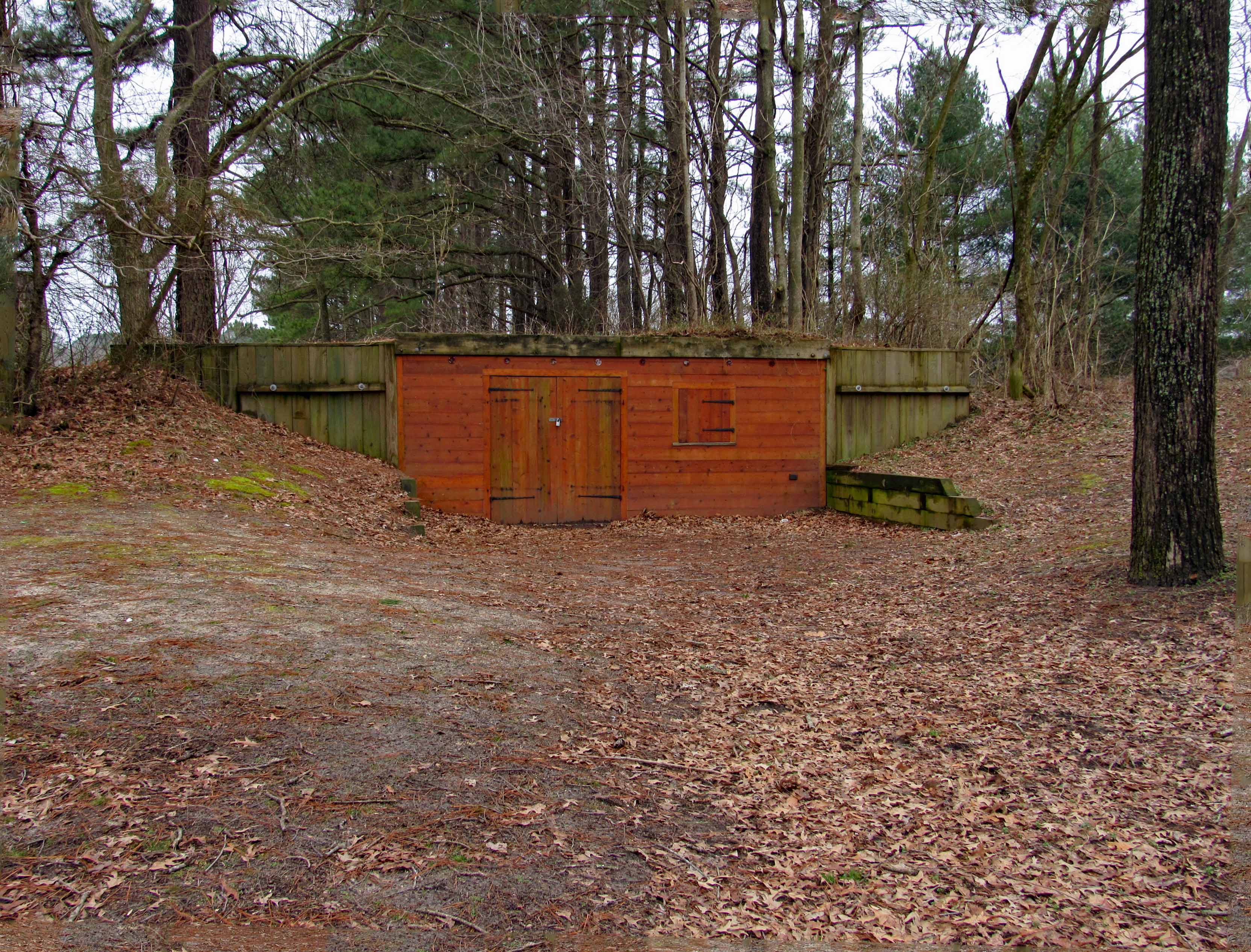
This looks to be an old bunker/storage building of some sorts.
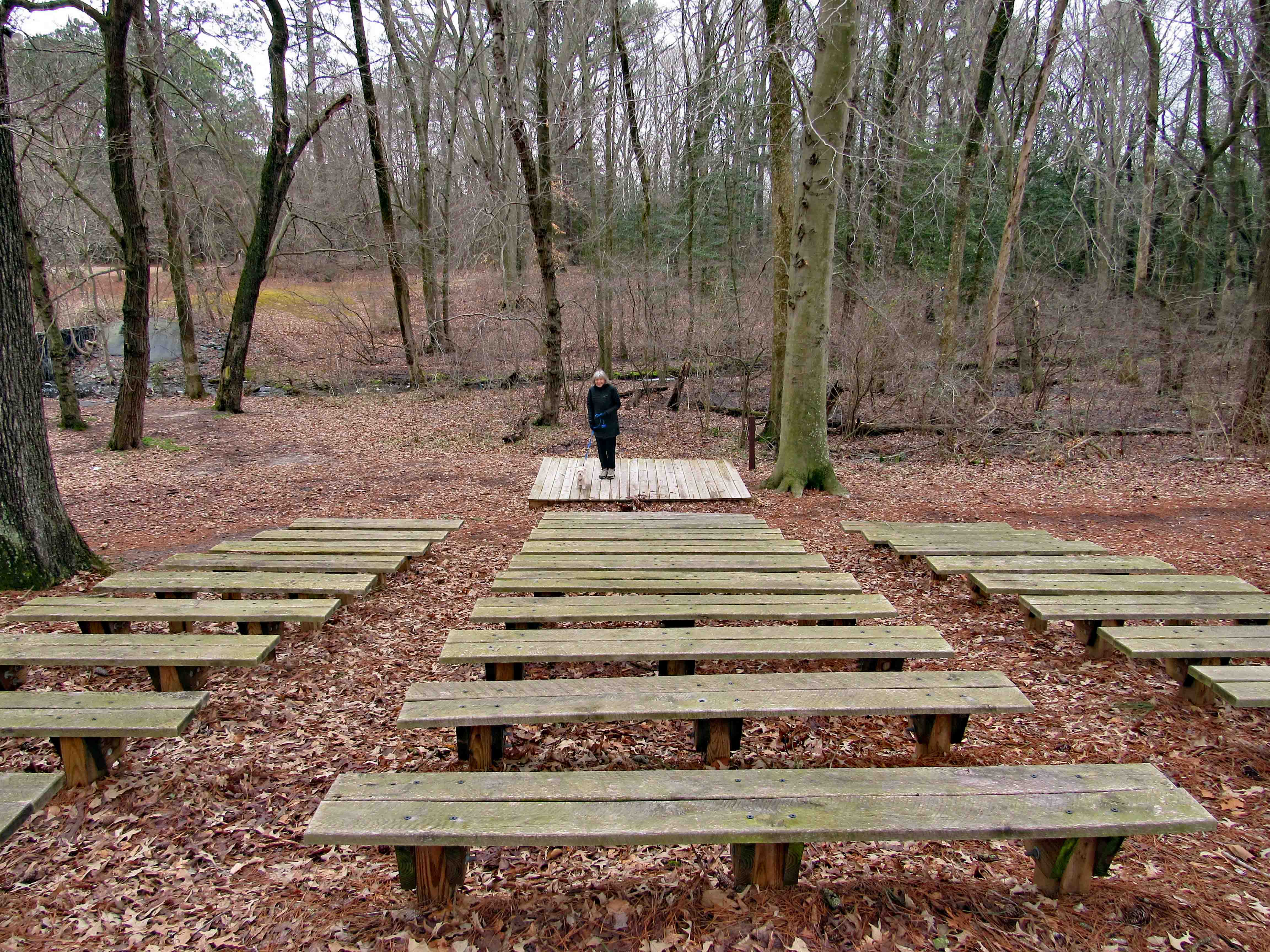
A nice theater.
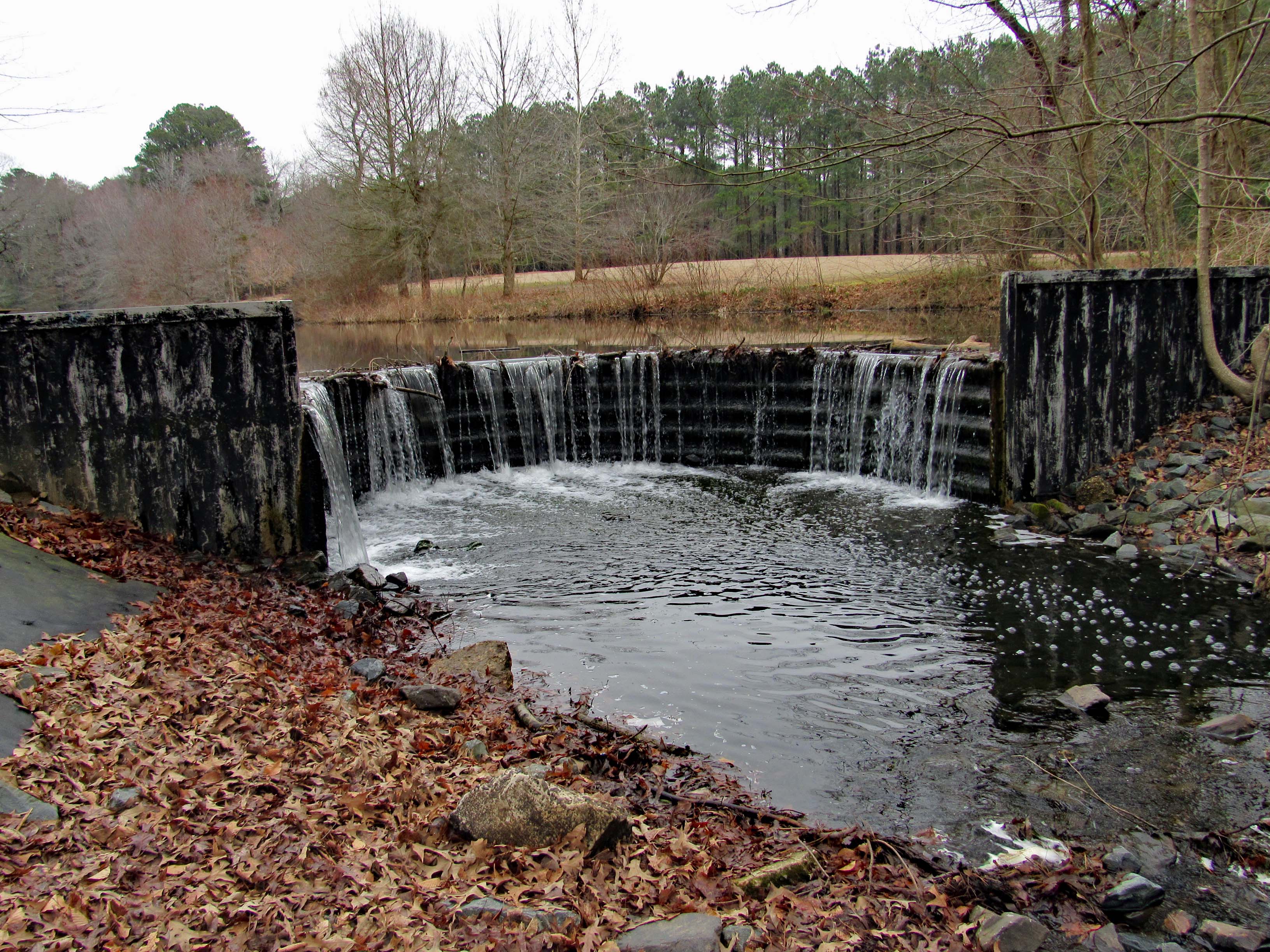
And a rounded dam. I can almost picture years ago this being made of wood and then maybe stone.
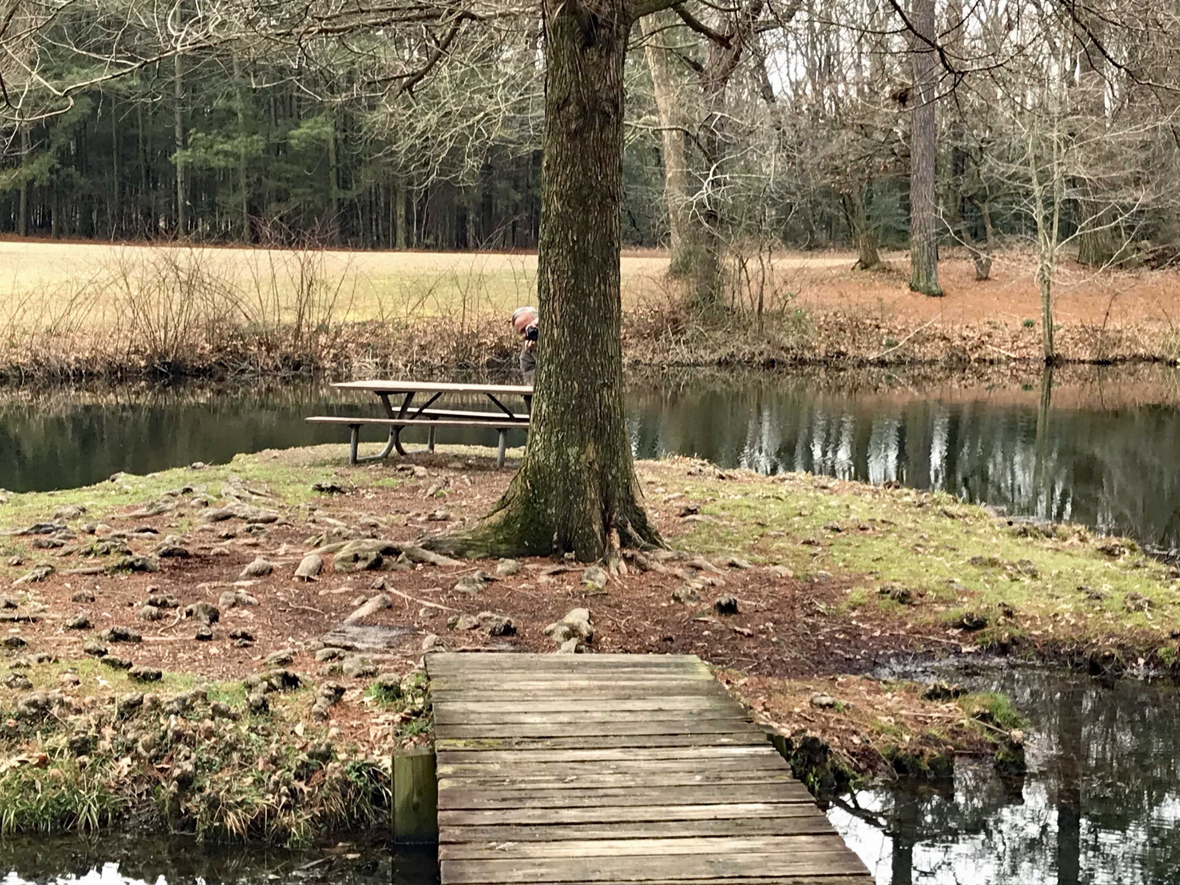
A little island picnic area.
Kathy taking a photo of me…
taking one of her.
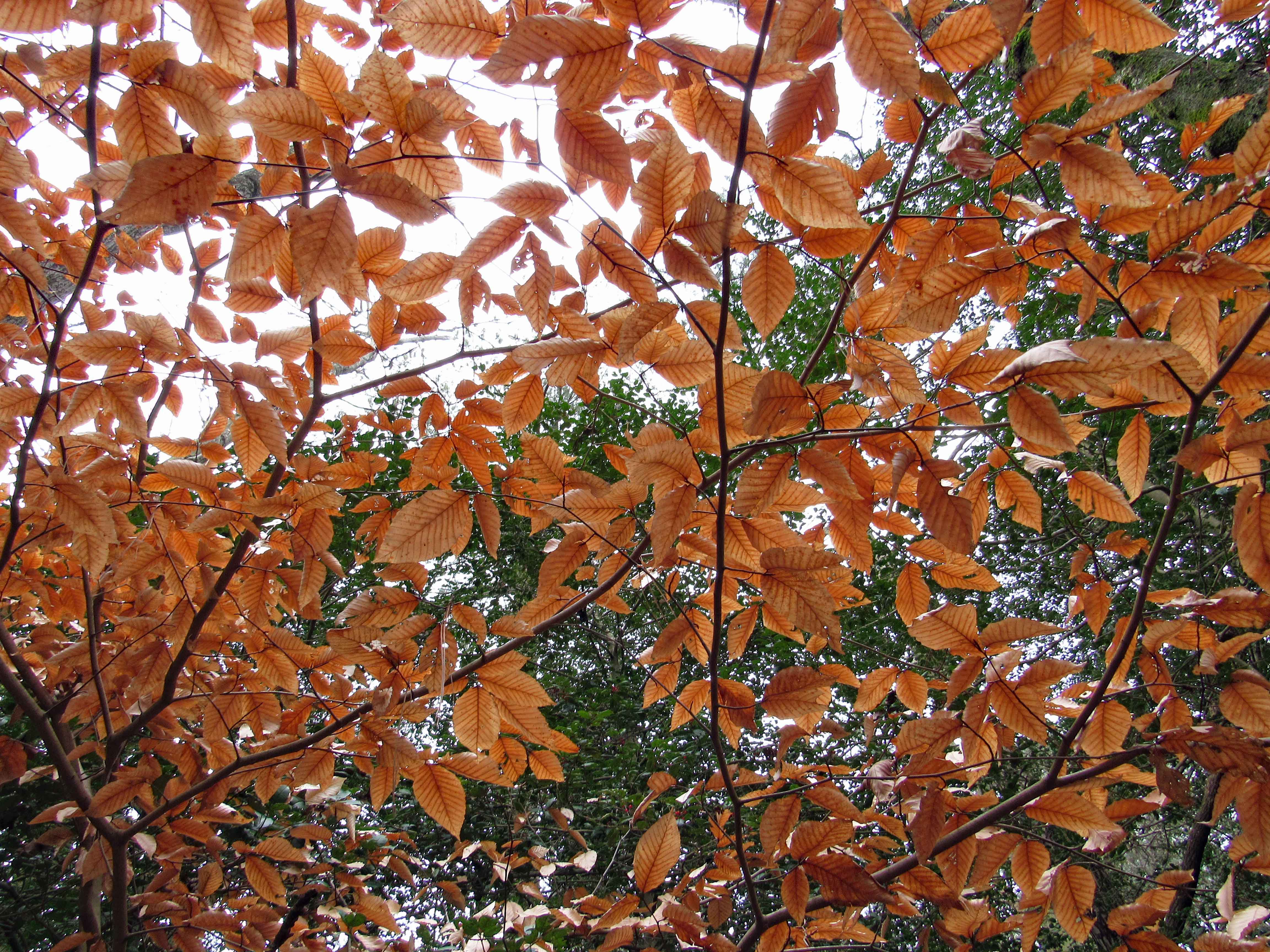
Dreary yet some nice colors.
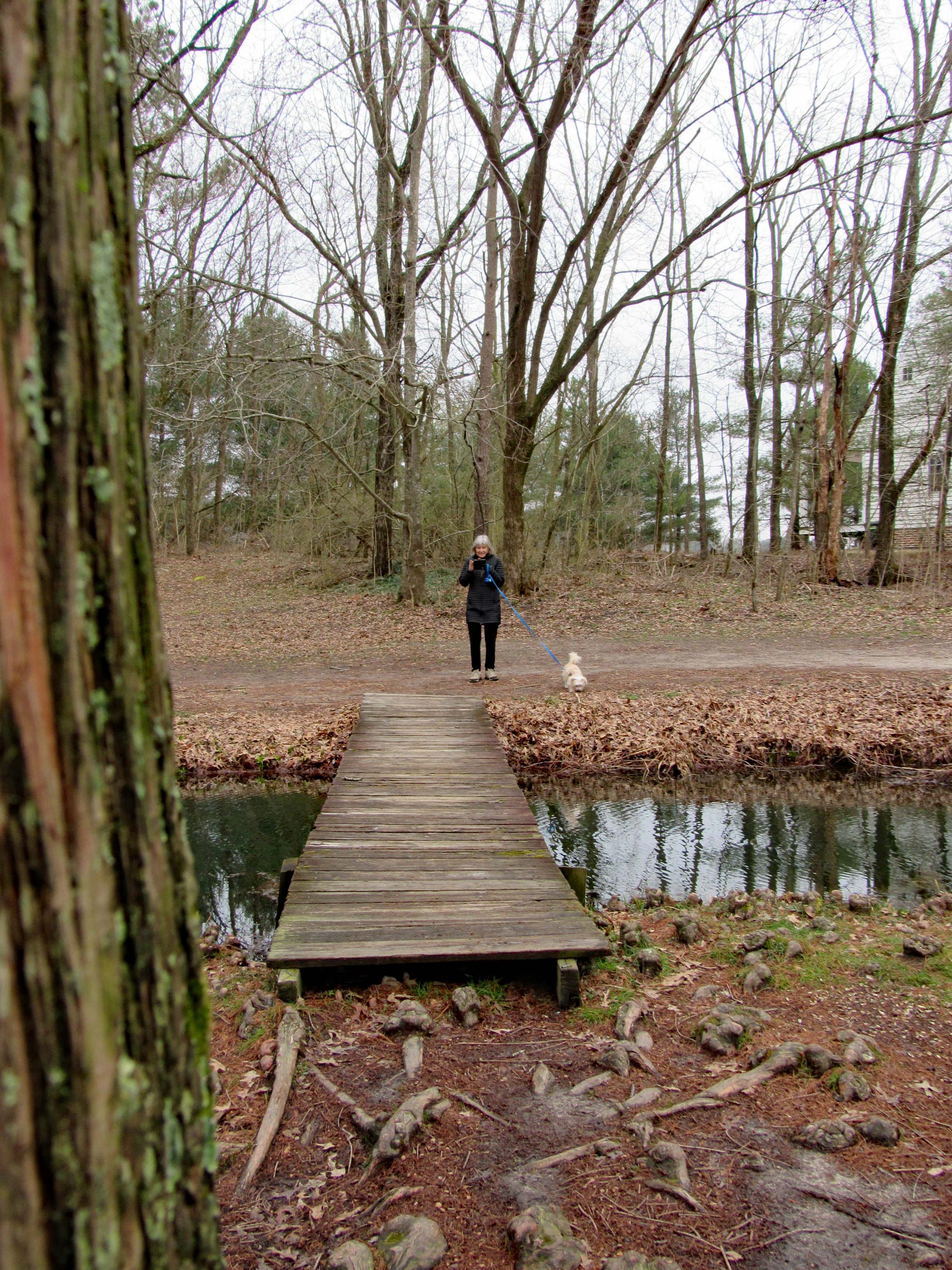
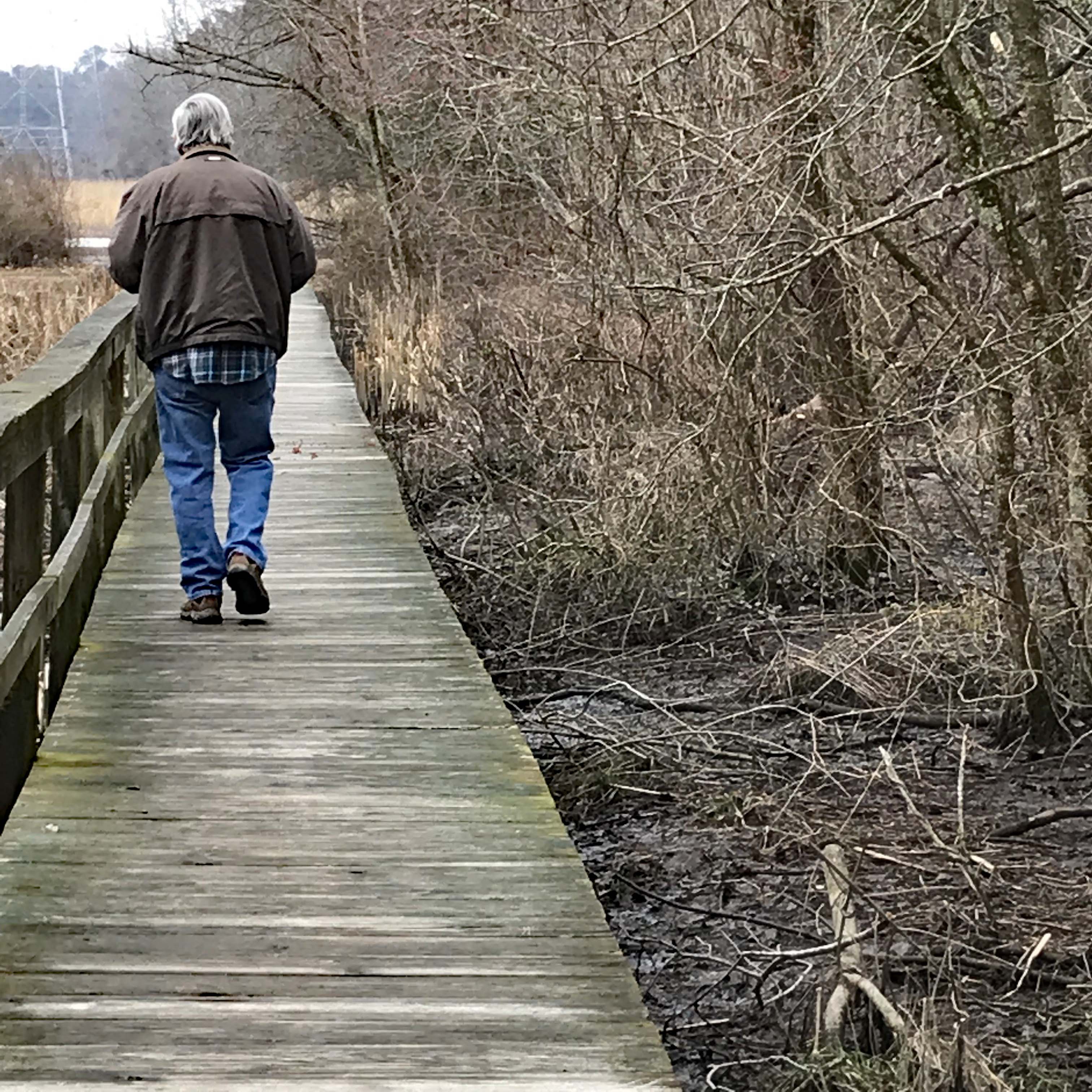
Boardwalks
and bird boxes.
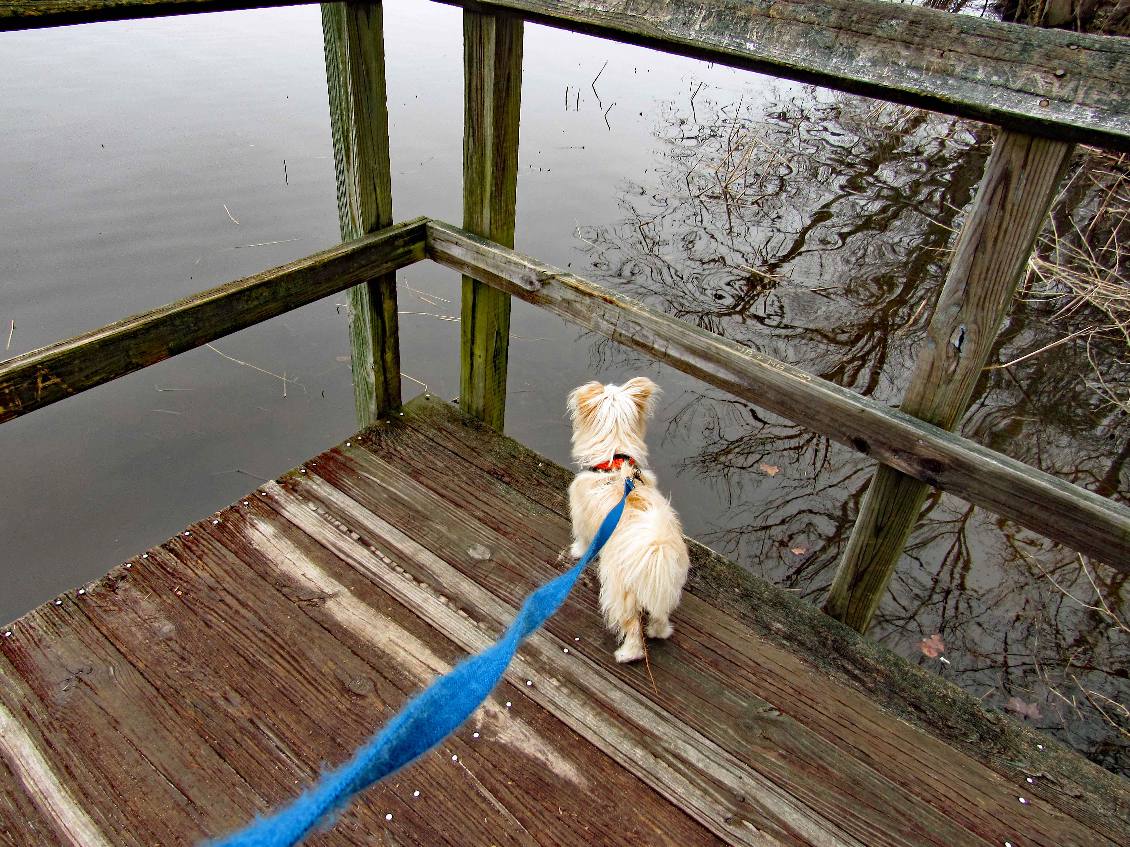
Molly hears it…
I see it.
And kathy sees it.
An eagle on the top of the lone tree dead center
Hard to get a good shot this far away. (I do not carry a bunch of lenses and stuff with me when hiking)
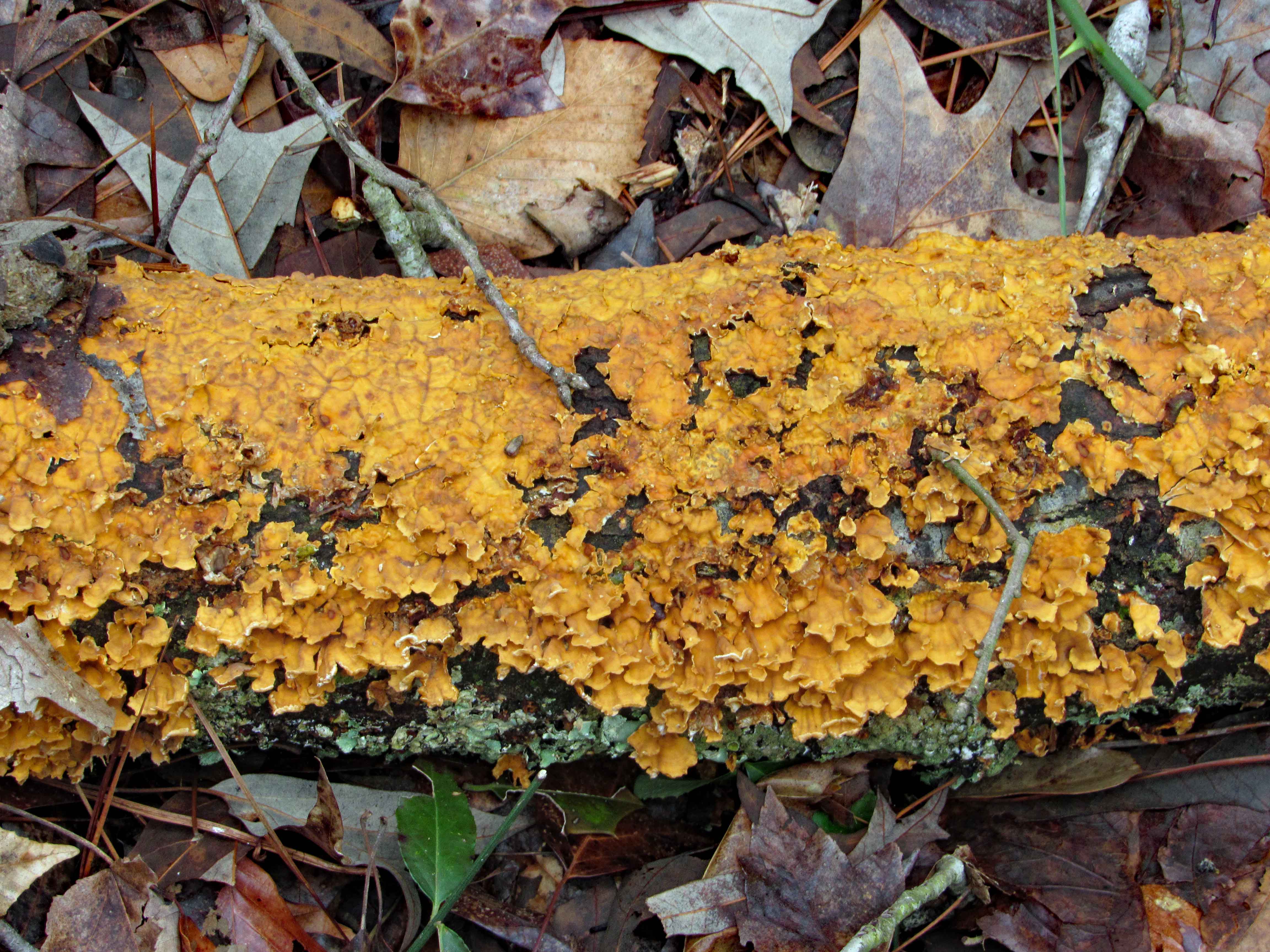
More colors.
This was in the path. nicely strange. Kathy took this one.
When one tree fell, I guess it took the other one with it.
Dead center and this thing was humming.
Lone growth up in the trees.
A beaver house.
As I walk away…
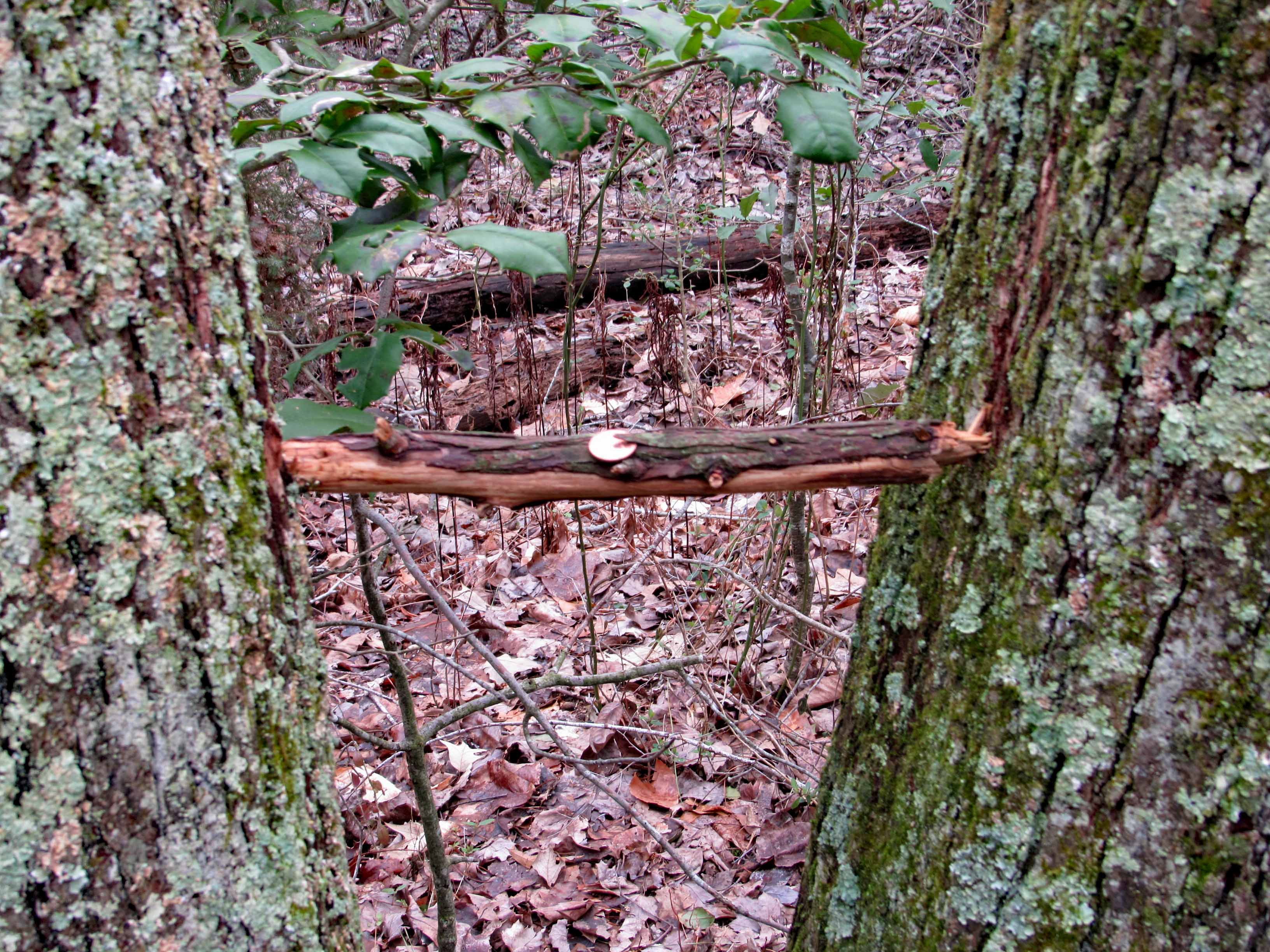
A penny for your thoughts (I’m thinking – Don’t touch it! It looks like a booby-trap!)
A wonderful adventure in our new neck of the woods!!
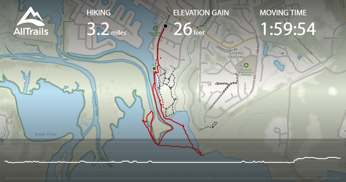
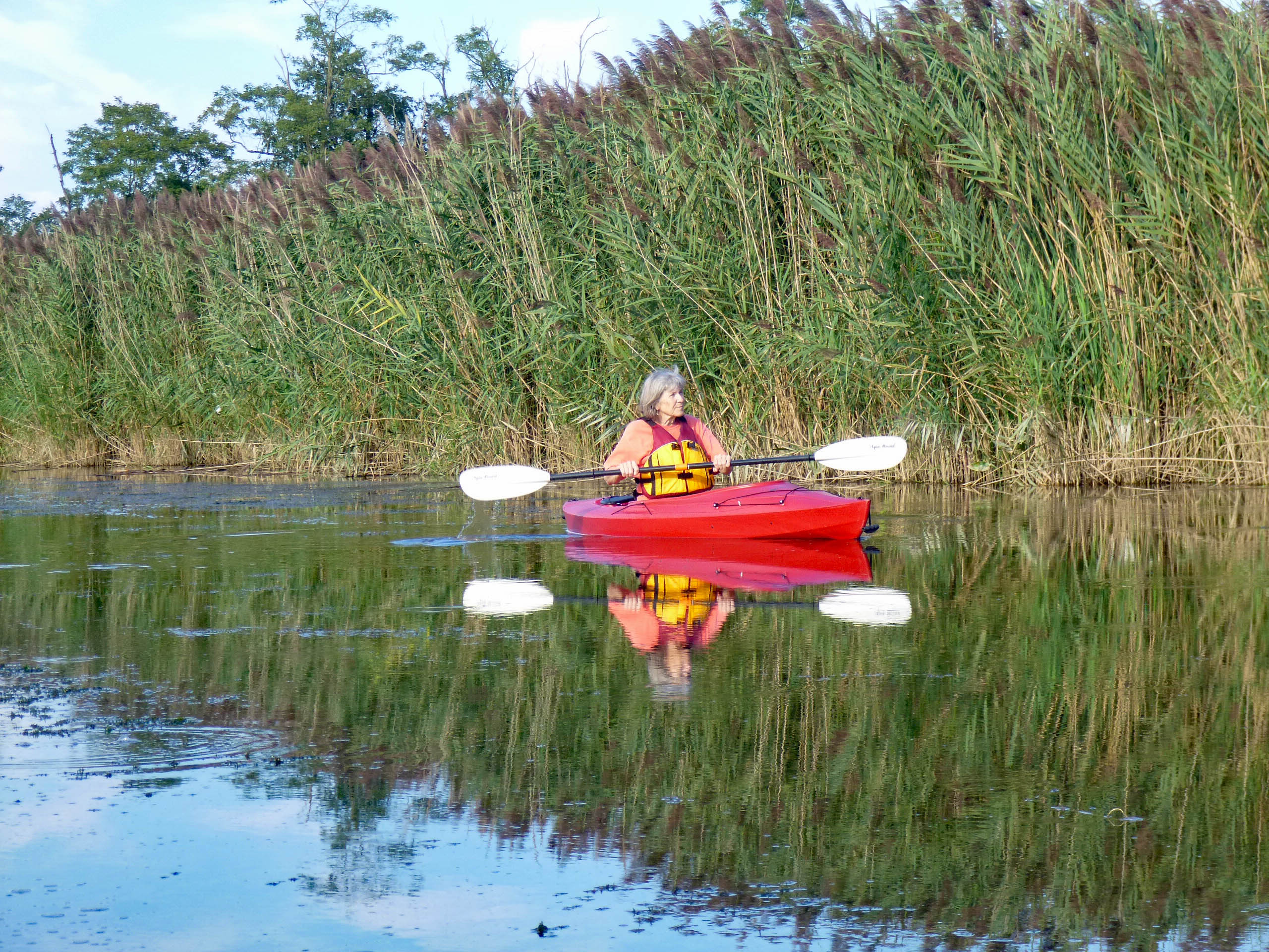
Beautiful weather and time to go for an evening kayaking trip at Mariner Point Park up in Joppatowne. We were hoping to see a lot of birds, but only saw a few. Lots of boats and noise going on in the park. Here is our path. (The green dot to the black dot is me forgetting to turn off AllTrails when leaving!)
Heck of a time parking anywhere. The lots were full with boat trailers and there was a party going on at the pavillion. I wrote the park service and the county executive last year about this problem and was more or less told – oh well. Into the kayaks and headed out.
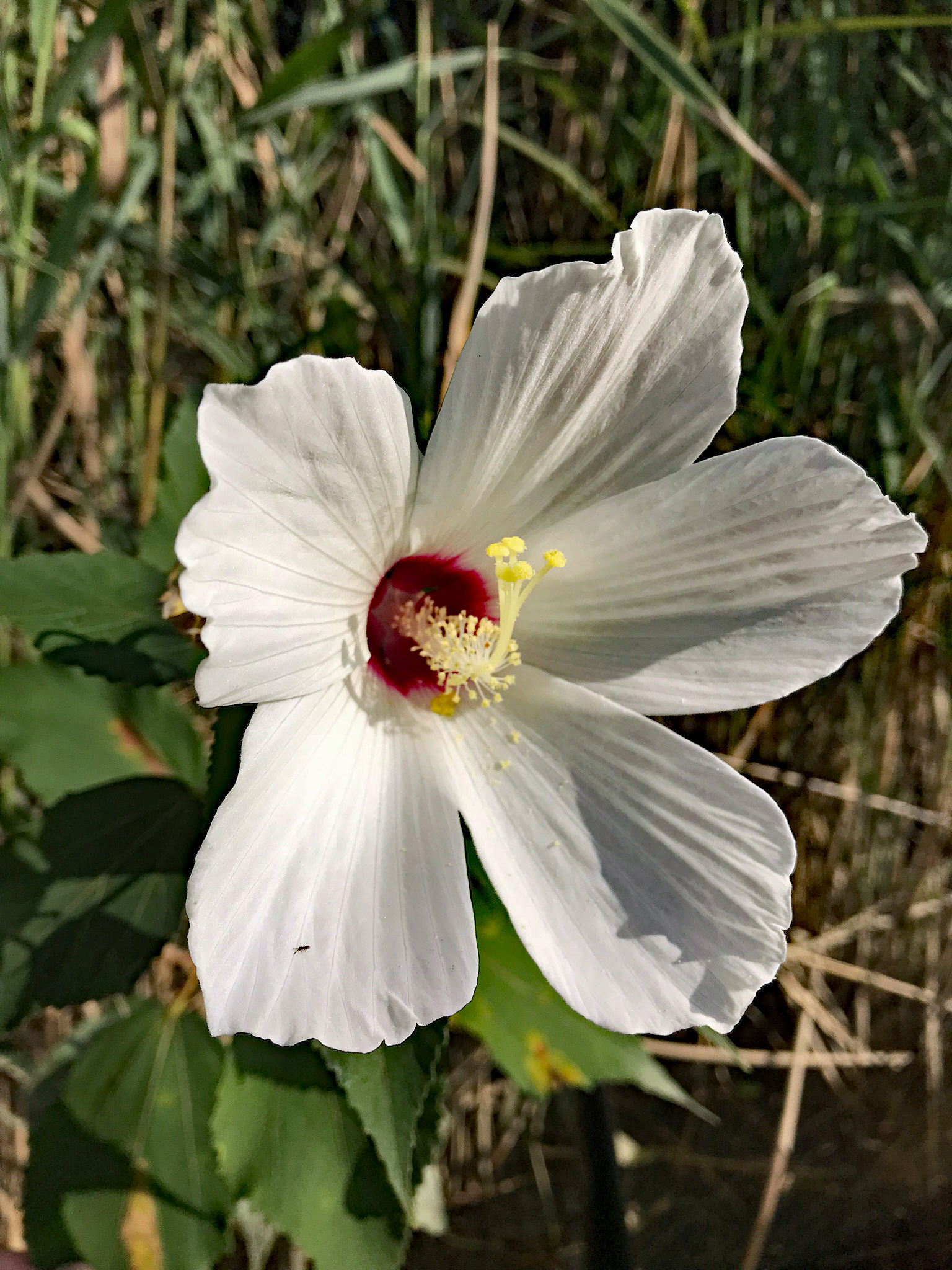
Kathy took a bunch of these photos. Only a couple flowers along the shoreline.
Leaving the boat ramp, heading south then a right turn and back north. We actually went further up than the map shows. It also doesn’t show us cutting thru a waterway to the other side. It has us going across land. Lots of sea grass makes paddling a little more work.
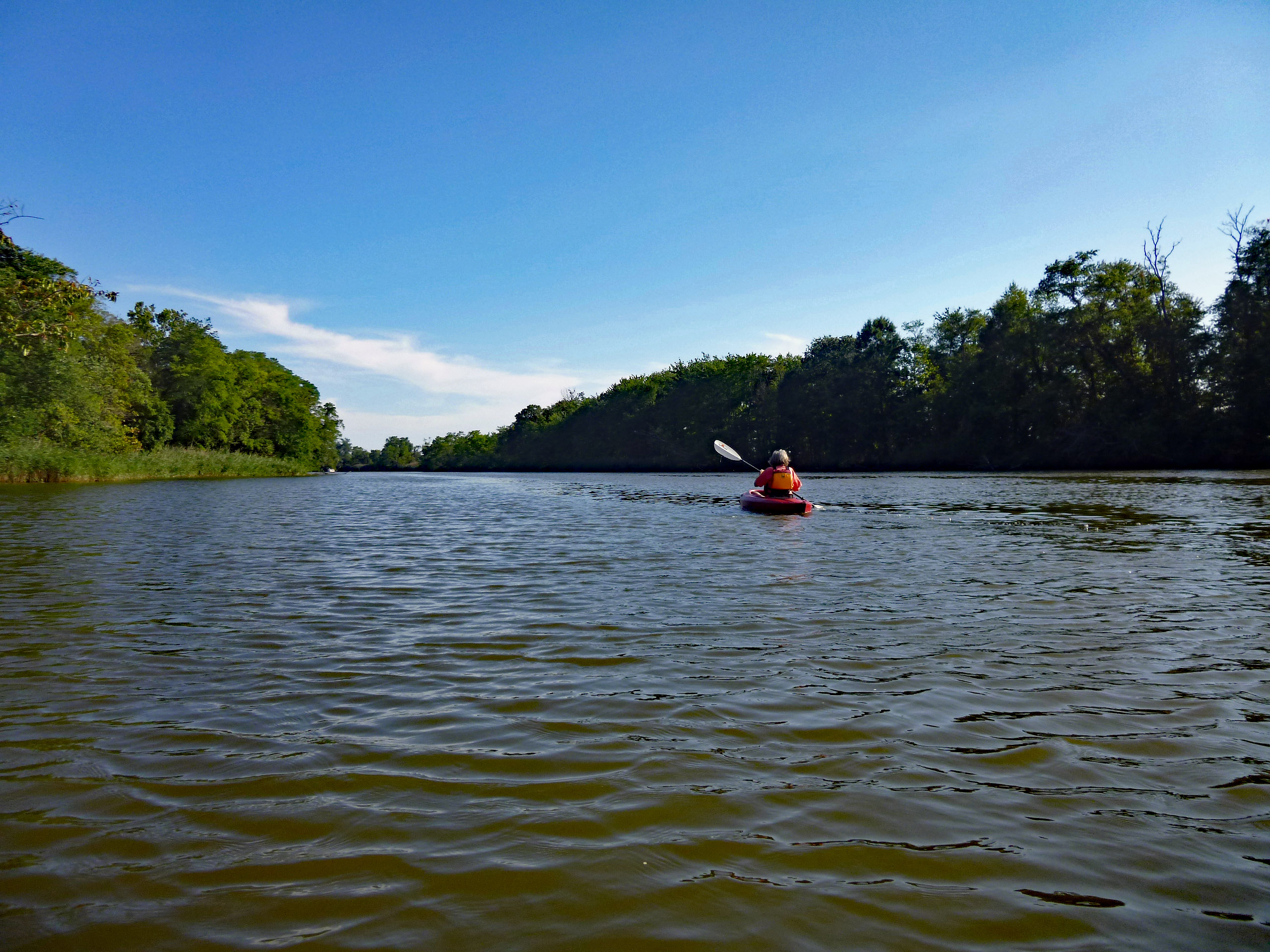
Kathy doing the double paddle reflective stroke!
Me trying to avoid eye contact with that heron watching me.
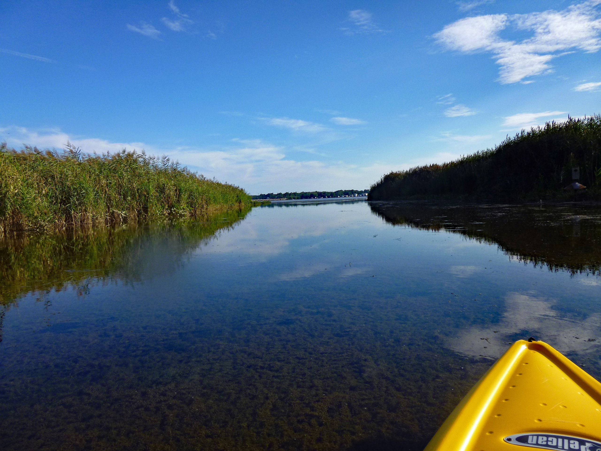
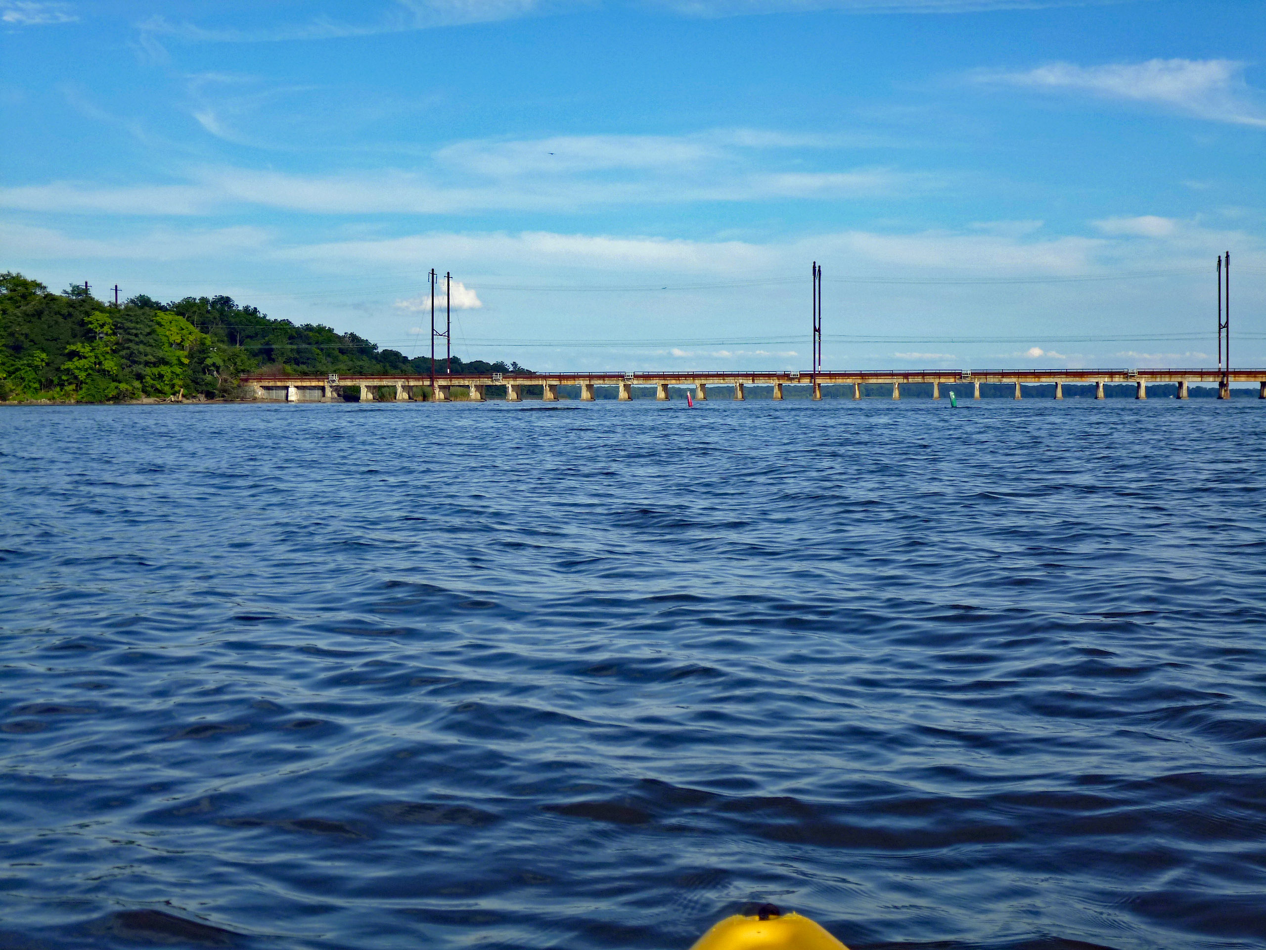
After some paddling in the little waterways (The Gunpowder Rivers/Falls), we headed to open water. Towards the railroad bridge. Watch out for boats!
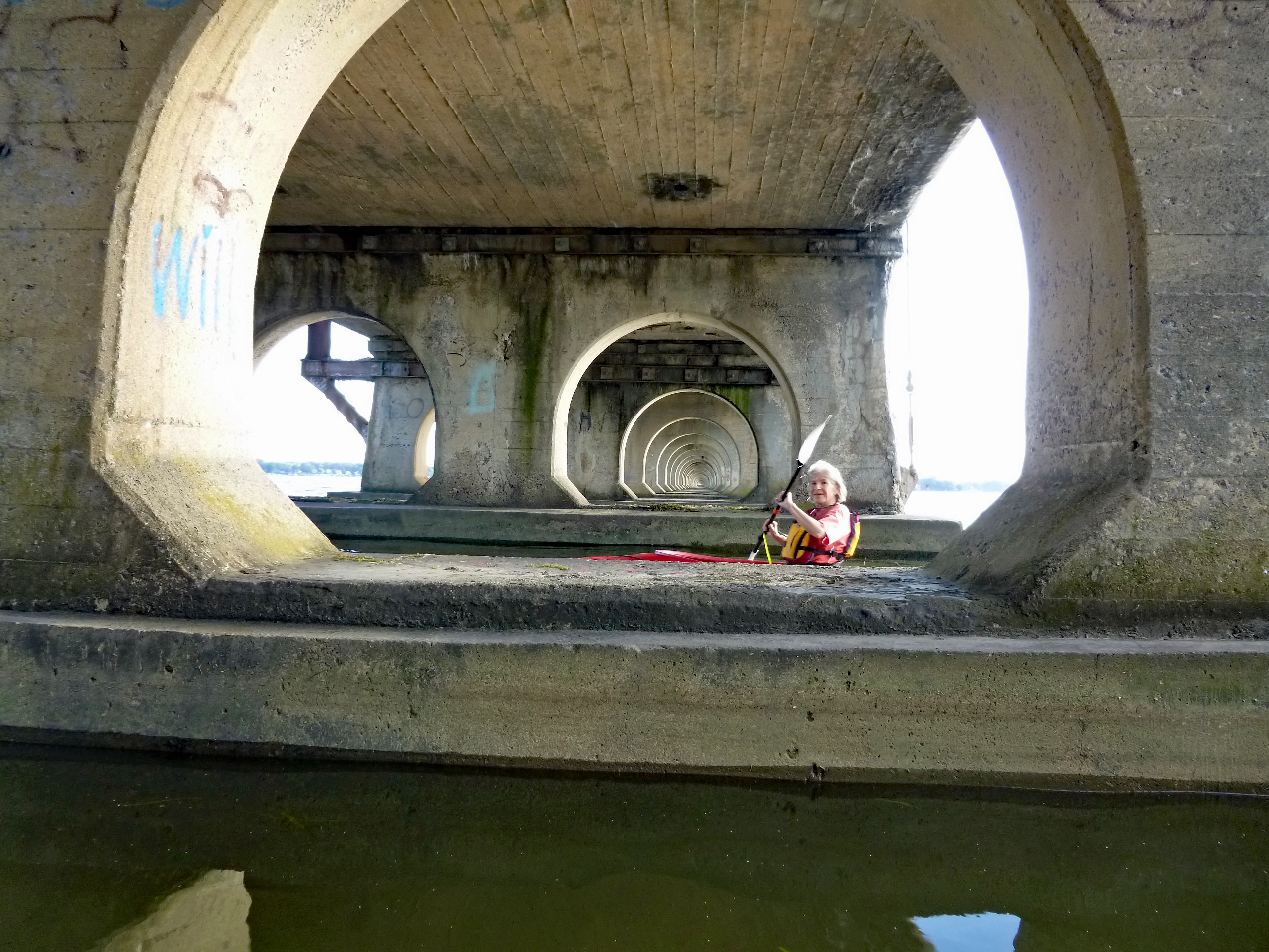
I always like going under this thing, and hearing the trains go whizzing by overhead.
Kathy should wear a hardhat under here.
Time for some leisurely paddling back to the ramp, waiting for the sun to go down. Up in the trees we see these guys.
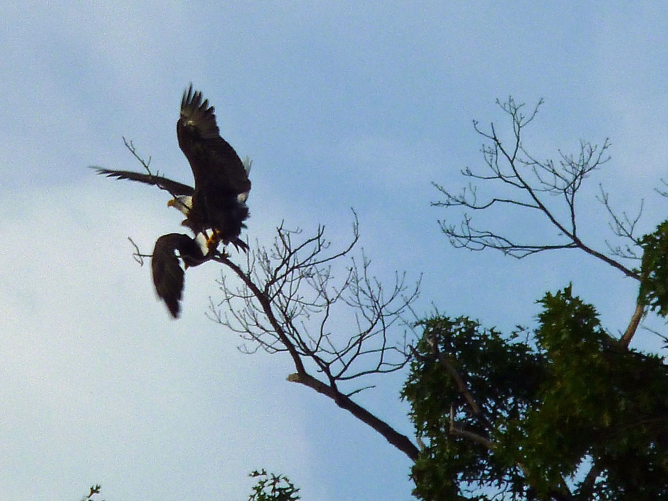
Looking close you can see a dragonfly photobomb this pic! Not sure if we scared the eagles off or the dragonfly, but the one eagle almost knocked the other eagle off its perch.
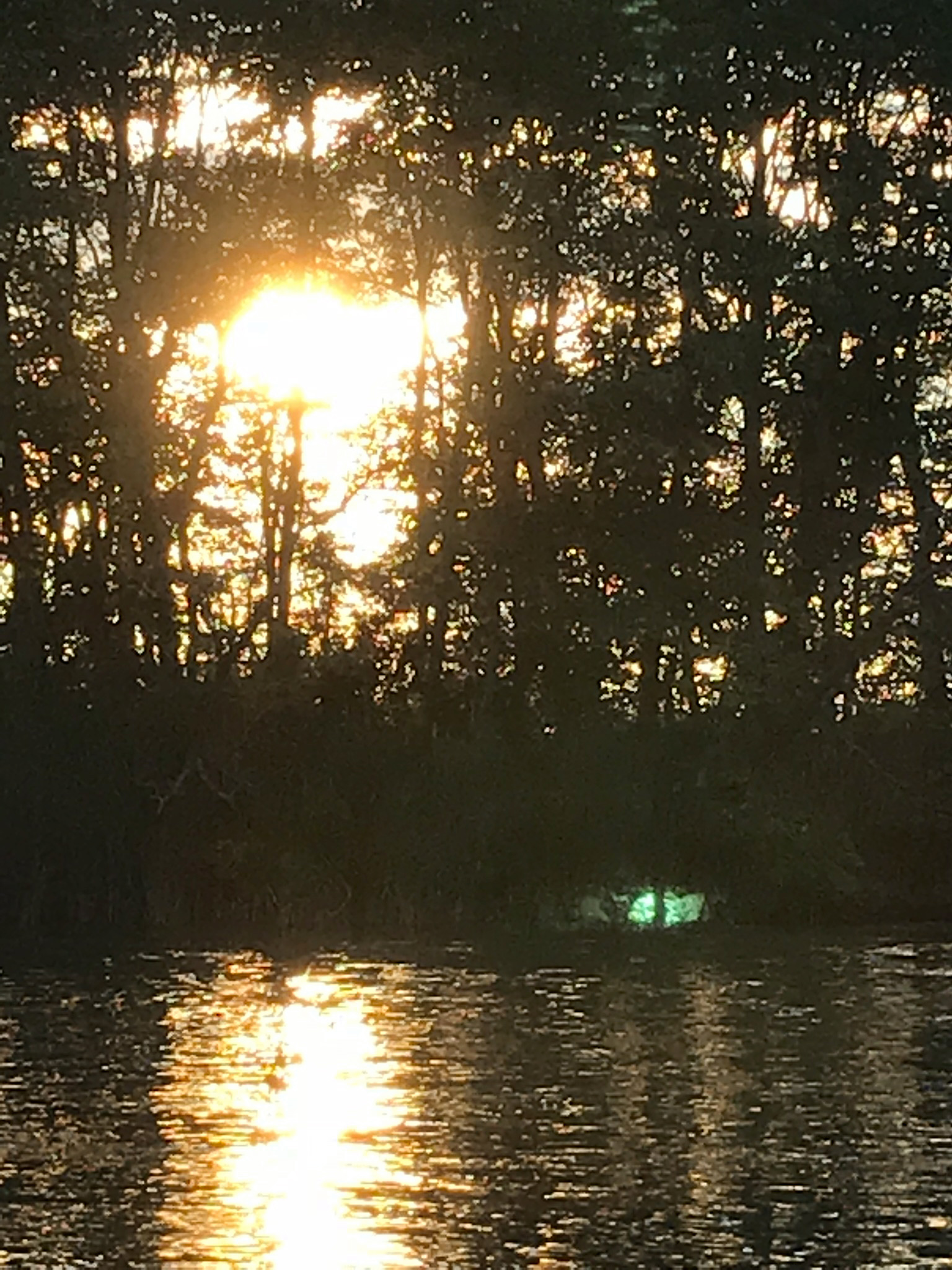
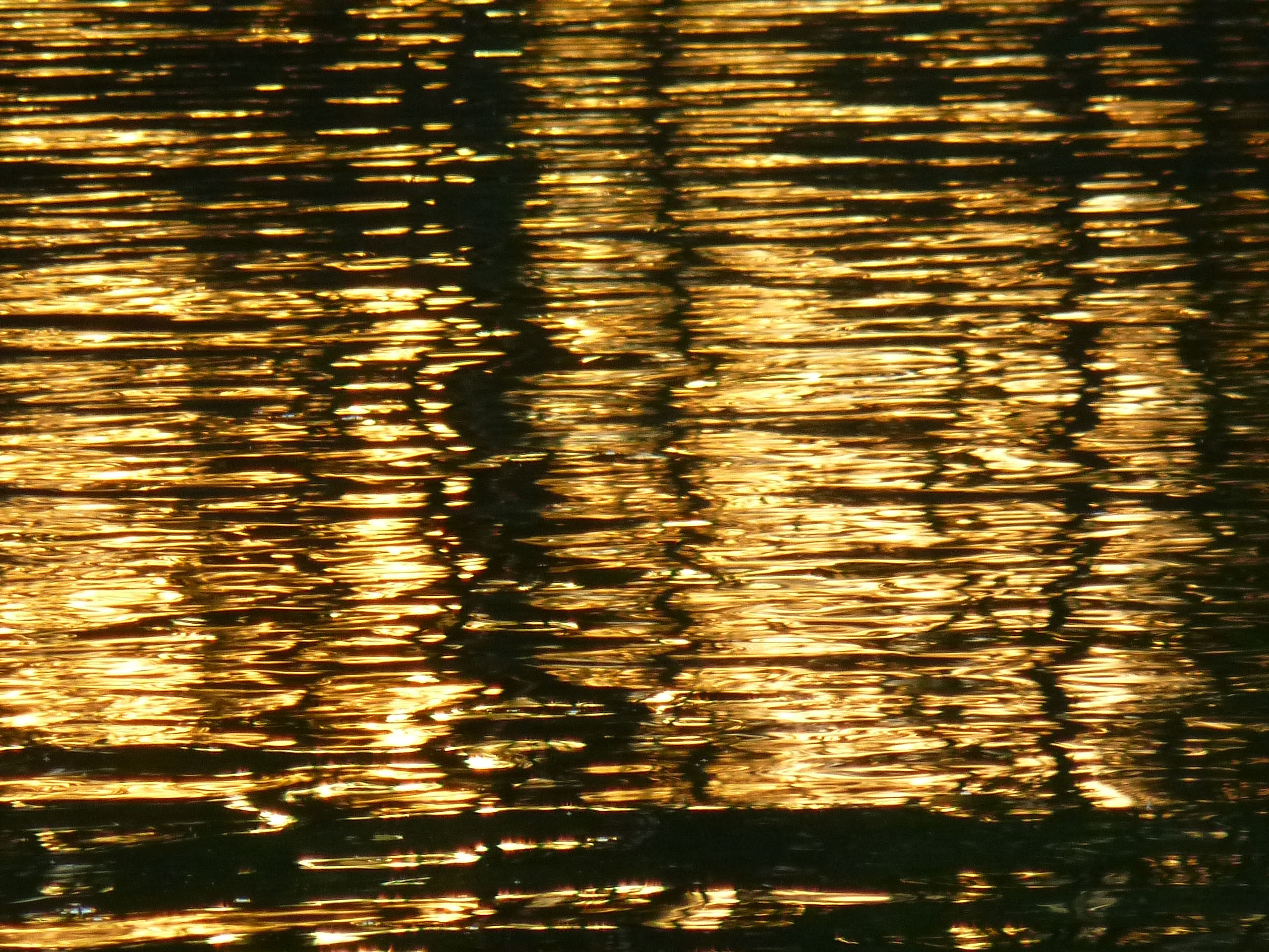
Back in the boat lane, Kathy took a photo of me using her iphone. Strange green glow coming from somewhere.
And another green glow.
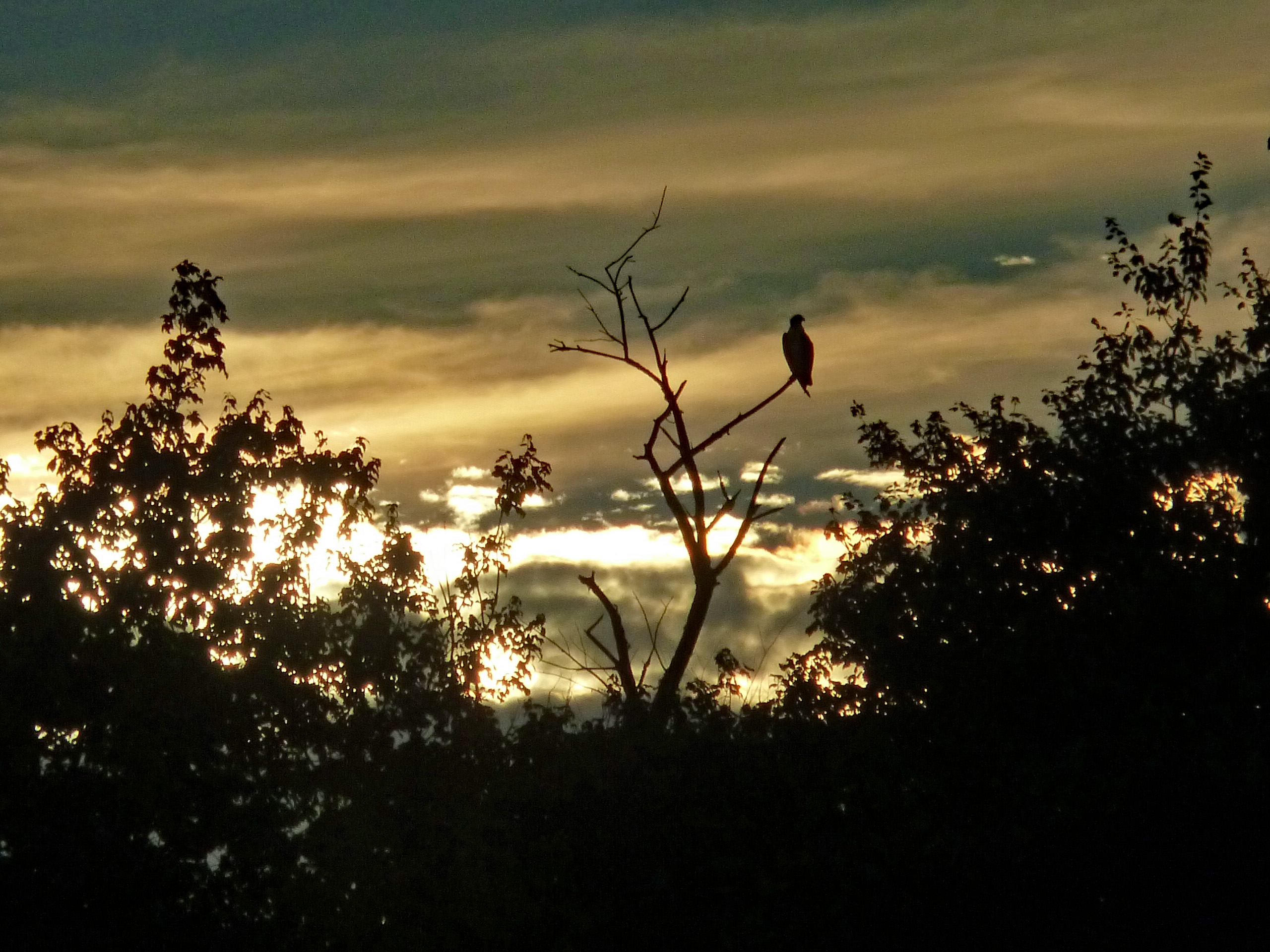
The sunset side of the river was dark, yet on the other side it was still fairly light. Caught a glimpse of him up in the trees. As fat as he is, I thought it was a parrot at first.
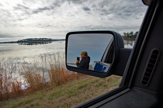
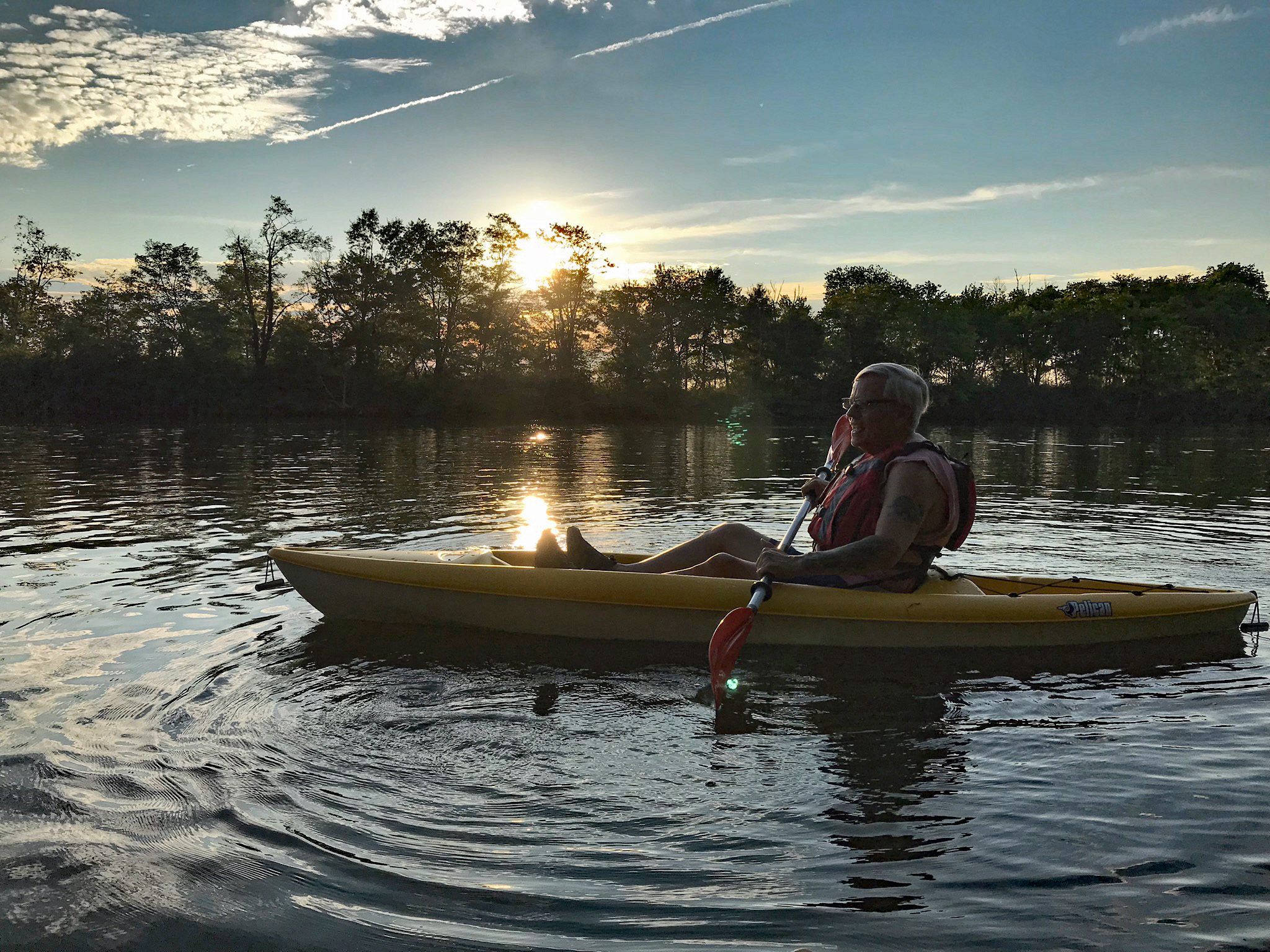
Kathy enjoying the peacefulness of the sunset. It is hard to get a good shot with a point and shoot camera, especially when boats are going by, causing wakes. Only one boater slowed down as they approached our location.
One thing about my P&S camera, in auto, it compensates for the low light and pretty much does its own thing. Like this water shot.
And this lone osprey shot.
Time to head back. Too many boats at the launch so we pulled up and out at a smaller launch area in the woods. The party was just winding down near the launch site.
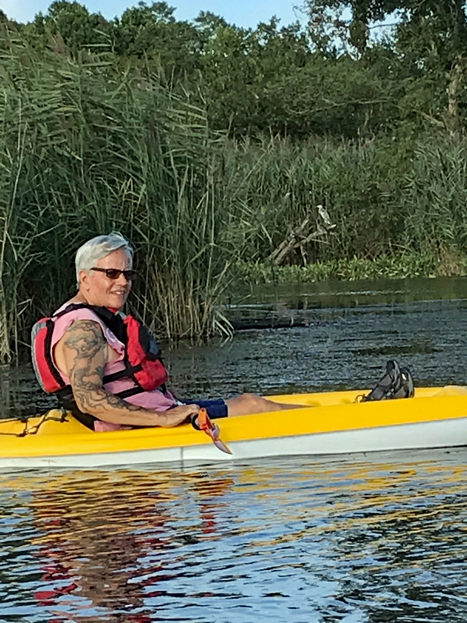
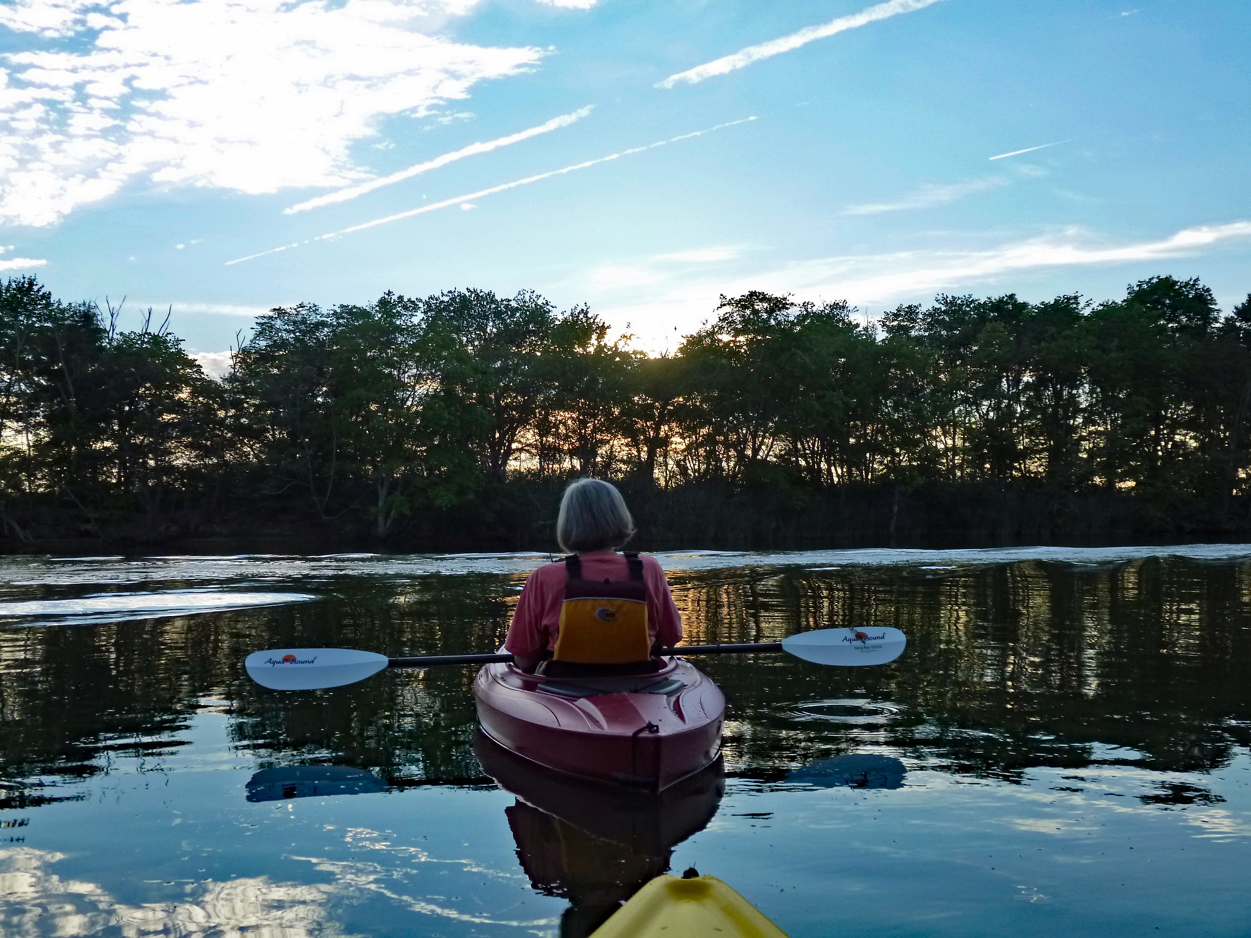
Up early on the 4th and headed out for our first kayak adventure of the year. A lot of busy-ness going on in Kathy and my life, so today was our first chance to get a little kayaking in. Being a holiday we thought it best to get out there early and glad we did.
The sand landing at Dundee Marina is small but easy to get in and out of. Ultimate Water Sports use to be here but now it is Eastern Watersports. The people running it said it is the same prices and types of equipment. We have our own but I was just checking.
What a beautiful day. Glad I wore sunscreen because it was hot out there. Every once in a while we would catch a nice breeze. The water was calm.
Quite a bit of wildlife here today. Glad Kathy is with me, to remind me of my past and to be grateful of my present – “From Heroin to Heron!” Yes indeedy! Although I had to laugh. Years ago in my active days down the Lombard Street Projects, I kept hearing the guys saying ‘Hair-ron’! At first I thought they were saying ‘Hey Ron’ How the hell did they know my name and that I was down there trying to cop??!!
This little pier marks the entrance to a little cove. I think Kathy and I are the only ones that know about it. Never see anyone else in there.
It seems that recent storms have knocked over some trees, but that usually doesn’t stop us.
Nice little kayaking path.
And this is what surrounds you once inside. So peaceful and quiet.
I picked up this hitch-hiker in our little cove. Kathy came over and got him, to place him on a reed – hoping he will turn into a beautiful butterfly. Damn, looked like fish food to me! Our kayaks are getting a little beat up over the years, as we look for little waterways to explore.
Me, chasing that heron.
Up to the left of the heron was Mr. America himself. Happy Birthday America!
After about an hour and a half of open water, we headed to a shady spot.
Then we headed out again to follow the shoreline and found this poser.
Two hours for a first trip was enough. Headed back to the beach and it was getting crowded. I have never seen people picnicing at the landing before.
On the way home, coming out of the park (Part of Gunpowder State Park) there were quite a few DNR Police, diverting and stopping traffic. By 12:30 most of the parks were full and people were being turned away. Glad we go early. Topped the day off with some steamed crabs and corn on the cob.
Thanks God for another day clean and another adventure with Kathy!
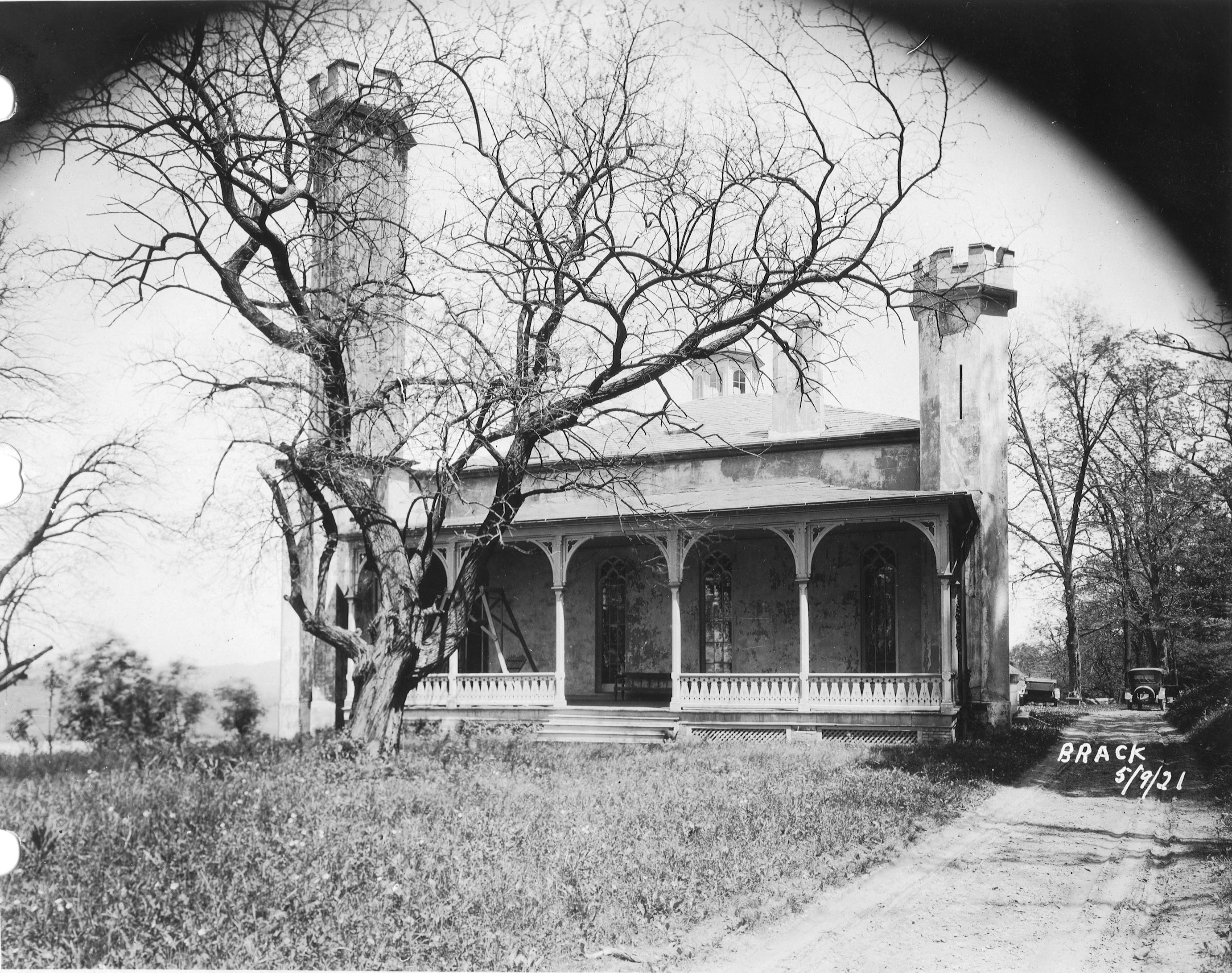
The day before taking off work for my daughter’s operation, I was contacted by CHAP – Commission for Historical and Architectural Preservation. They wanted to know if I knew anything about a fireplace mantle from Glenn Ellen Castle that was stored in a maintenance building downstream from the second dam? No. They were getting ready to tear down the buildings and were told by the contractors about the mantle.
This was Glenn Ellen prior to raising the dam from elevation 188′ to 240′. The reservoir did not reach this height but it was still on watershed property and taken by the City. I think only the foundation exists now.
Earlier this week a friend of mine, Thom, contacted me and told me about some signs he saw on the property as he was hiking behind the construction site. At first glance I thought they were bronze plaques so I met him and Wayne to go exploring.
The hiking trail is on the hill behind the silt fence. This is where the signs were. Turned out to be steel and not bronze, but still worth keeping a couple for history’s sake!
Saw some interesting items so took a closer look. I thought it was odd that the contractor cut the beams instead of just knocking this building down. Come to find out a company called Bricks And Boards came up a removed the wood to re-purpose. The boxes contain core bore samples. Not sure why the City didn’t want to keep these? They do me no good without the engineer’s records saying where the samples came from.
After rooting around in the barn we decided to head into the house. This is being knocked down also. A few years ago I was told there were lantern slides stored in here along with some old drawings. Back then, I wasn’t allowed in to look.
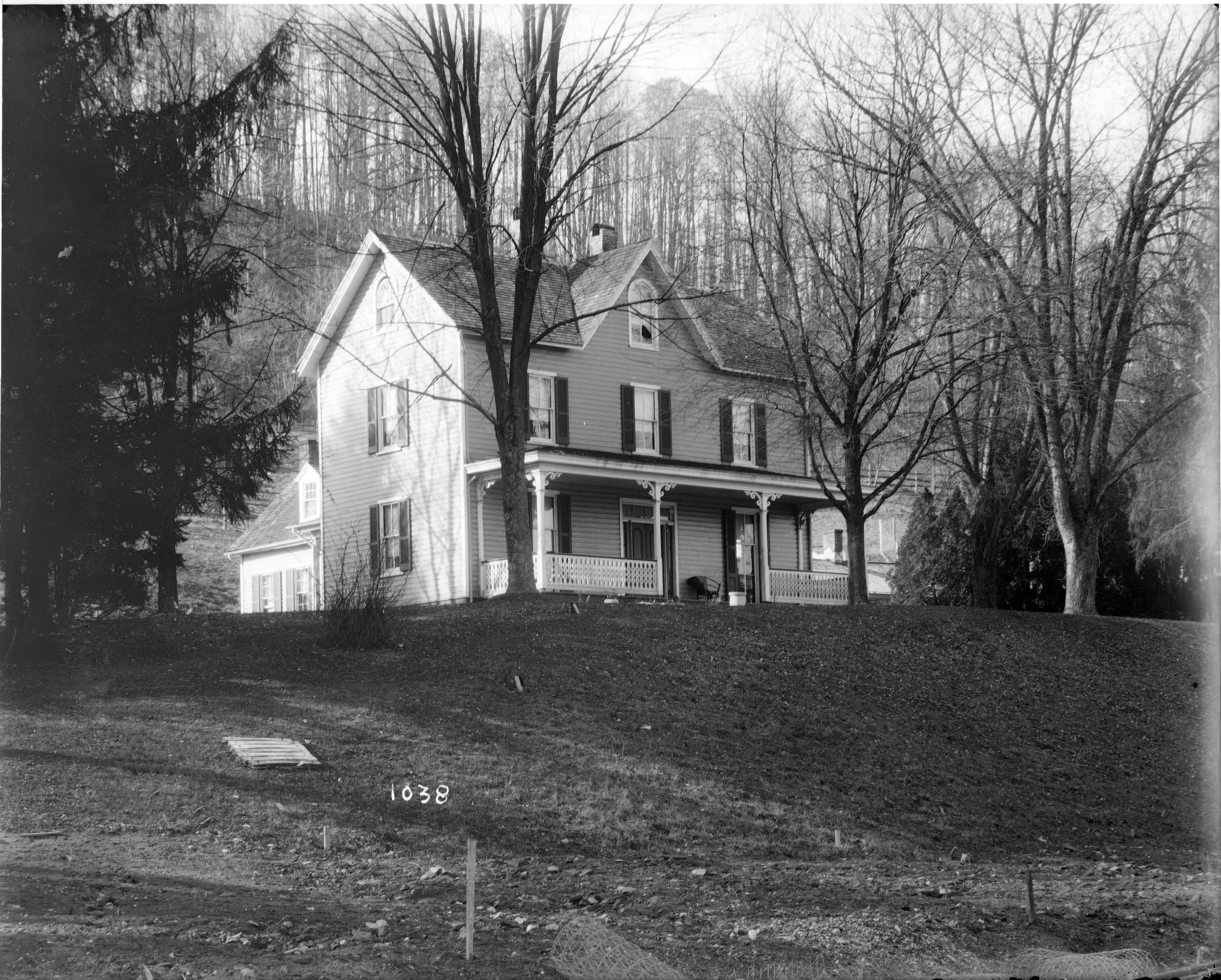
The house as it looked about the 1920-30s. I tried to find who was the original owner but had no luck. From a map of 1882 it has it listed as City Property. Adjacent to the Wisner, Shanklin properties. Further investigation is needed.
Wayne asked the date the house was built. Not sure but it shows up in a 1881 photo. Far right side just up from the Gunpowder River. This photo shows the dam near completion, ready to lay the last stone.
Back into the house. Entrance hall.
There are 3 fireplaces. One plastered over and two, like this one, with the mantles missing.
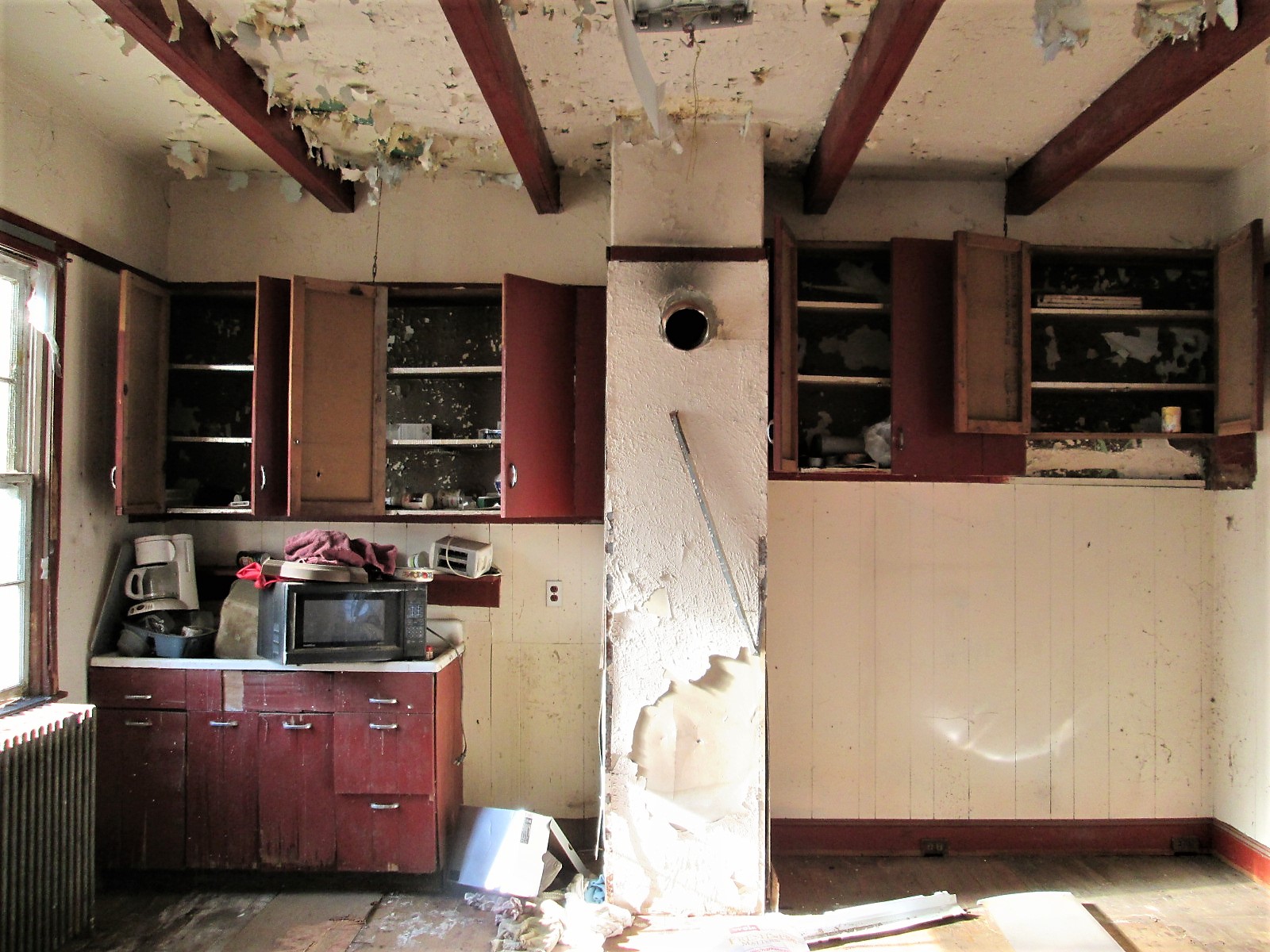
Kitchen.
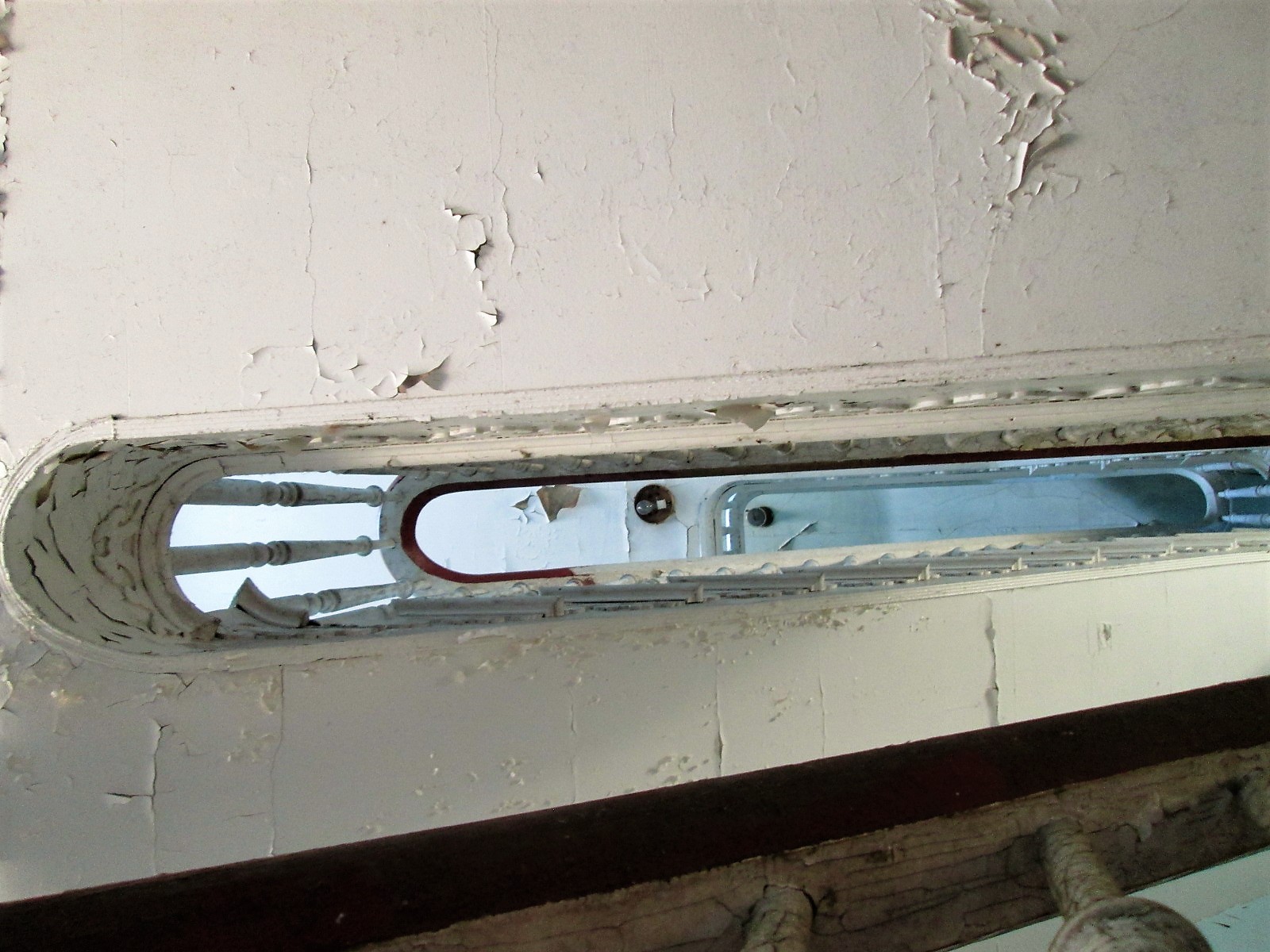
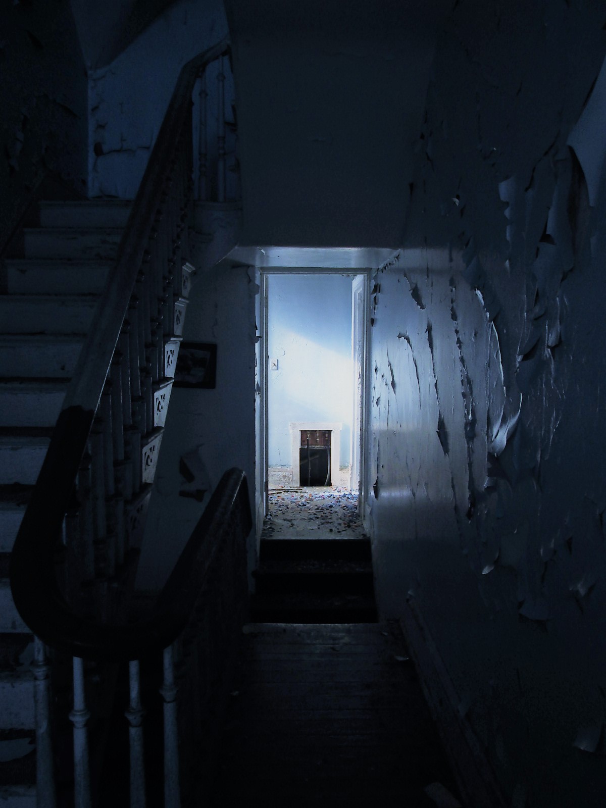
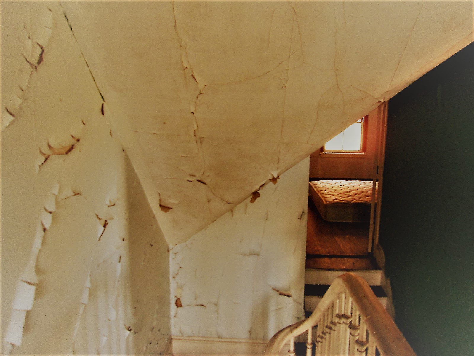
Looking up the stairwell. Three floors.
Second floor to third floor
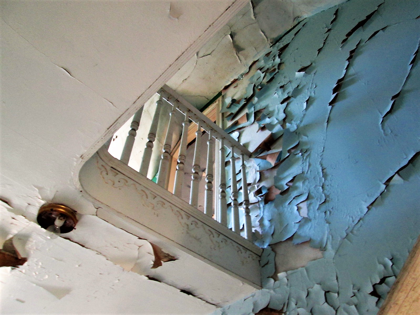
This was a nice design – up the stairs to a landing that will take you in both directions. This is a huge house.
Lots of rooms – curves and angles.
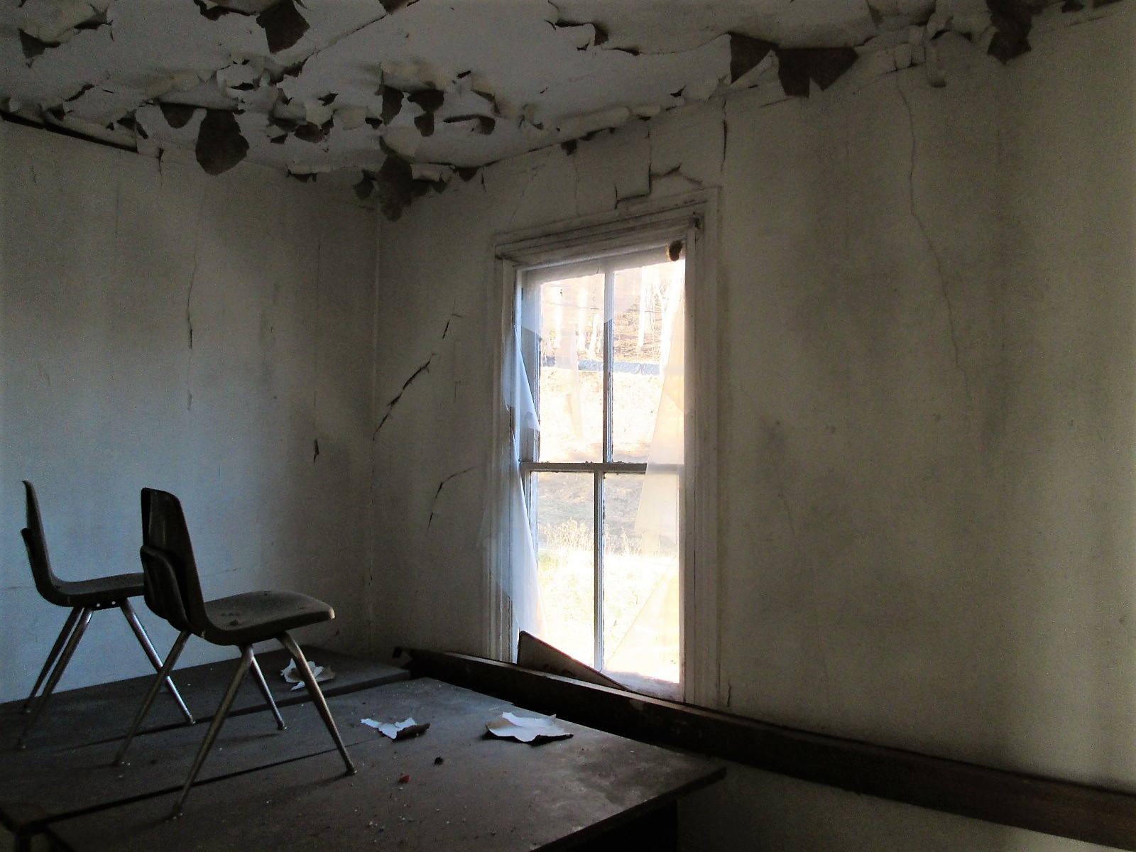
Chairs on a desk – watching…
One of the many views. Someone nailed a metal sign to the window? I would have loved to live here with this view. Two eagles were playing most of the morning over the lower reservoir. Nice!
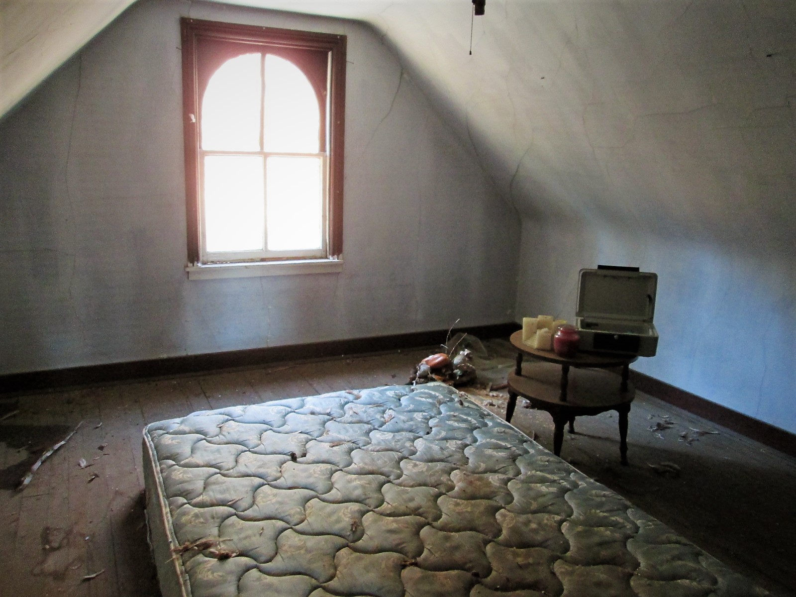
Another room. Candles, a bed, money box and stuffed ducks that look like the turkey buzzards tore open – must of thought they were real!
Prologue: I asked the contractor to hold two of the signs for me until I can come back up. He said ok…but, between my visit and when I sent off the email, Brick and Boards came up and took them. Talked to Max from there and he said they are in his warehouse and I can come pick them up!
Their site: https://baltimorebrickbybrick.com/2016/08/04/brick-board-is-here/