Tags
Hiking, HISTORY, Living History, Nassawango, nature, photography, Printing, Weaving
Sunday has become Kathy and my day of rest time, but since neither of us can sit still for too long – Road Trip! Called the people at Furnace Town and they are open with free admission for Easter.
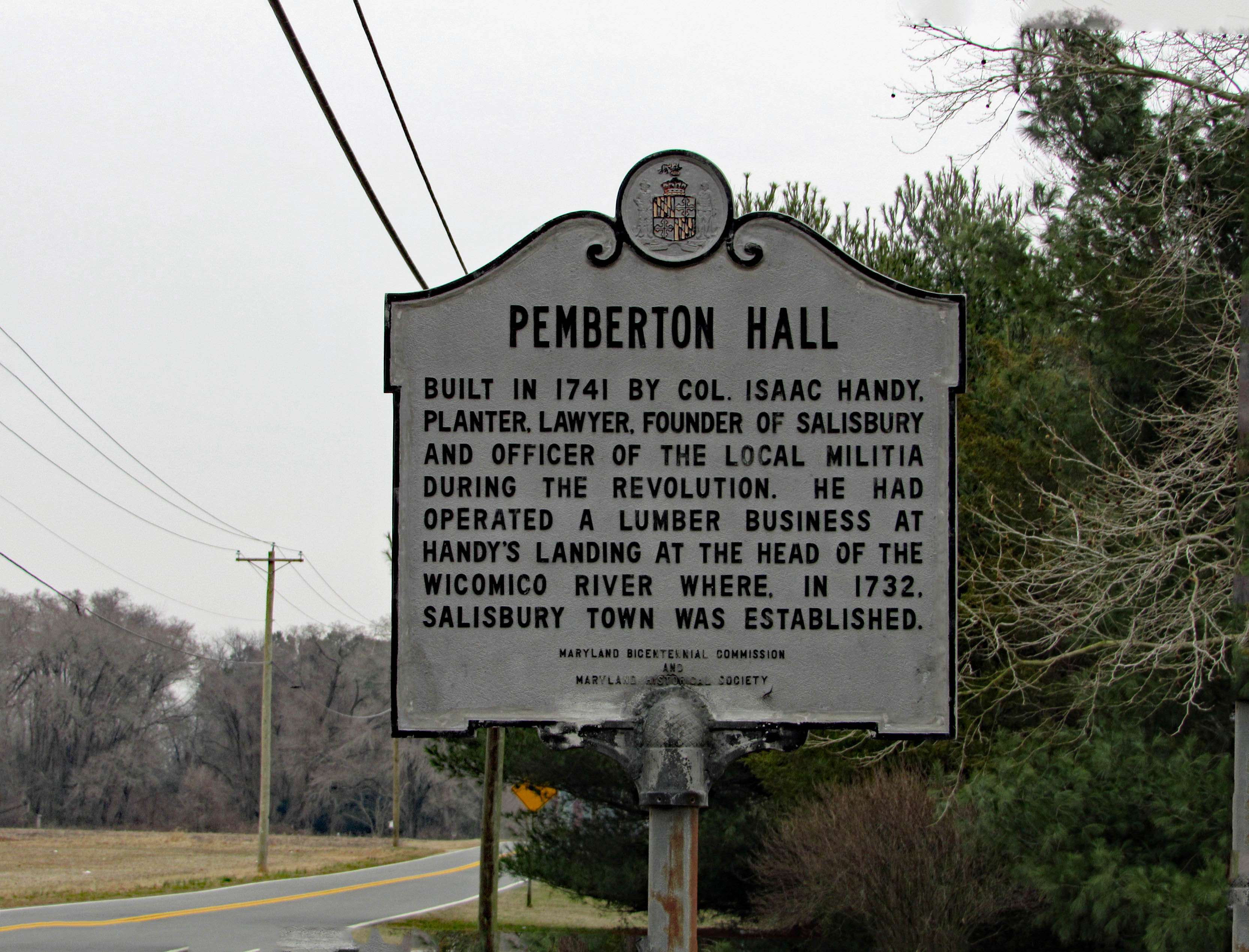
Here is the History Marker on Rte. 12. 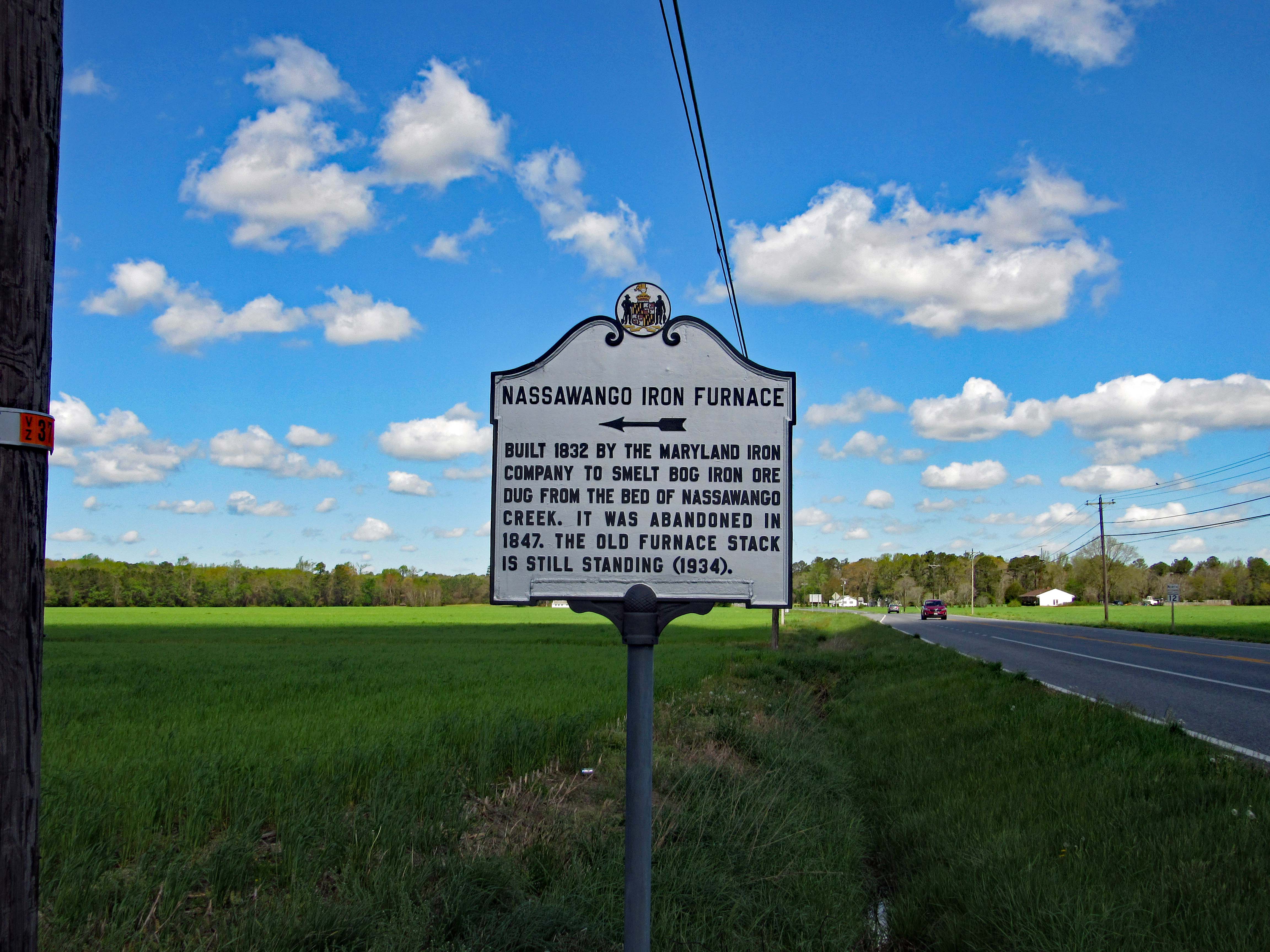
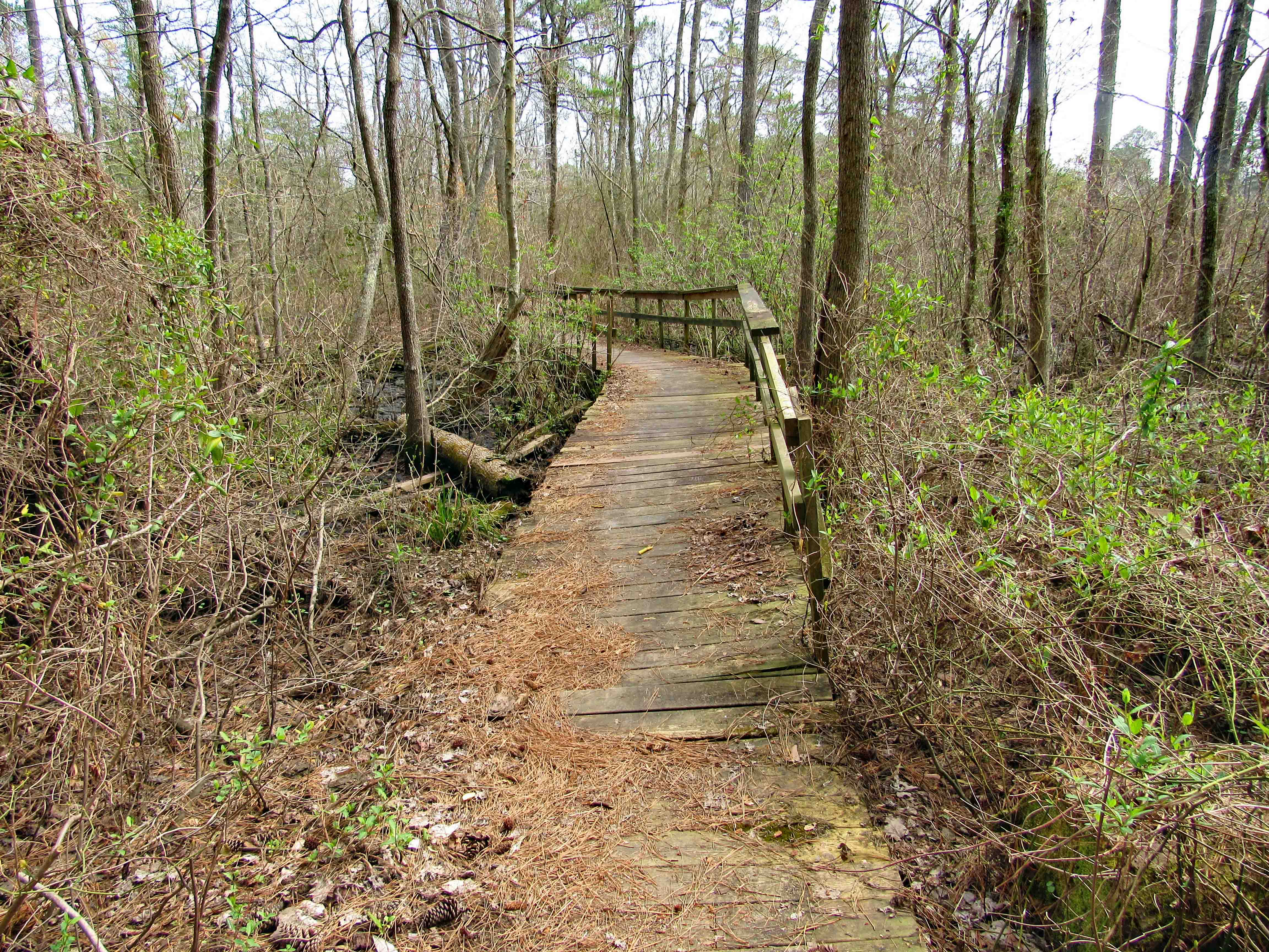
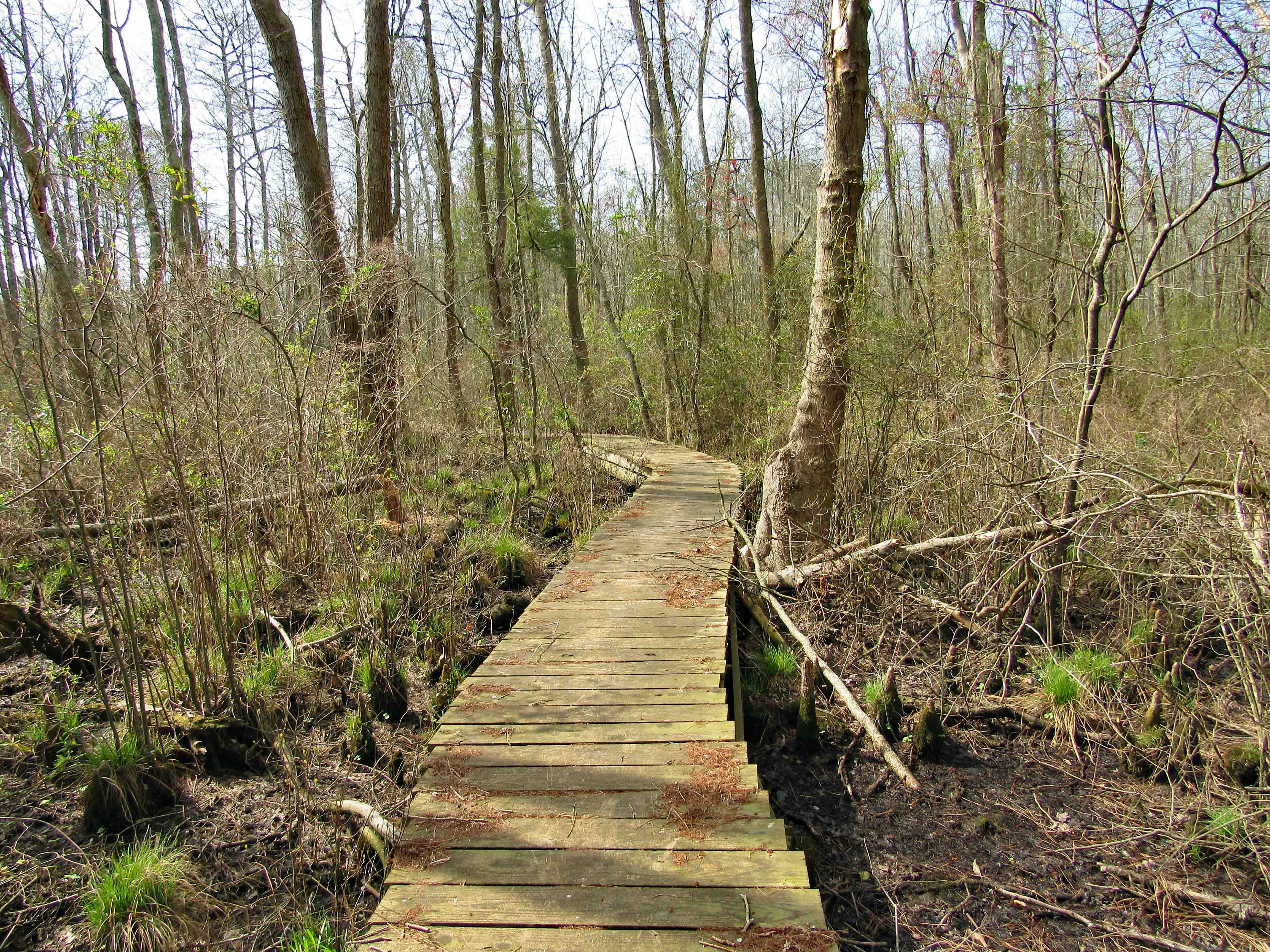
Two other times we were here it was closed and I had previously posted photos of the visitor center, so I will spare the repetition. The area is about 300 acres, a Living History Village with an old iron furnace and remnants of the town that use to be there, along with some buildings moved there from other locations.
Before hiking over to the furnace itself we were treated to a nice talk and history lesson by Jessica, the director of the Village and Visitor Center. Then onto the various buildings. Being Easter Sunday our first stop was the church.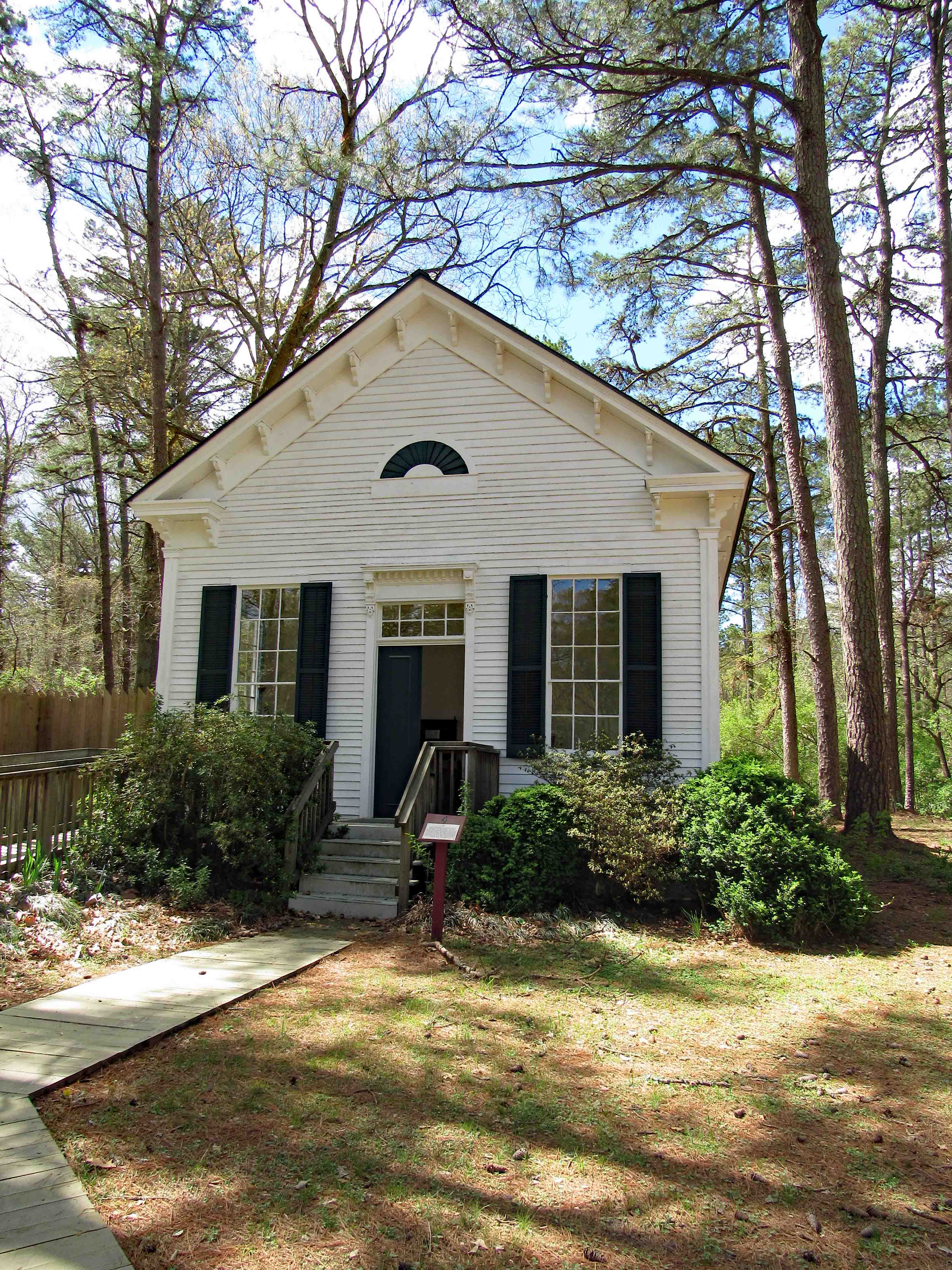
It was a very simple time back then but I am sure life was somewhat rough. The church was built in 1874 and then relocated to the Village in 1980. Here is an interior view.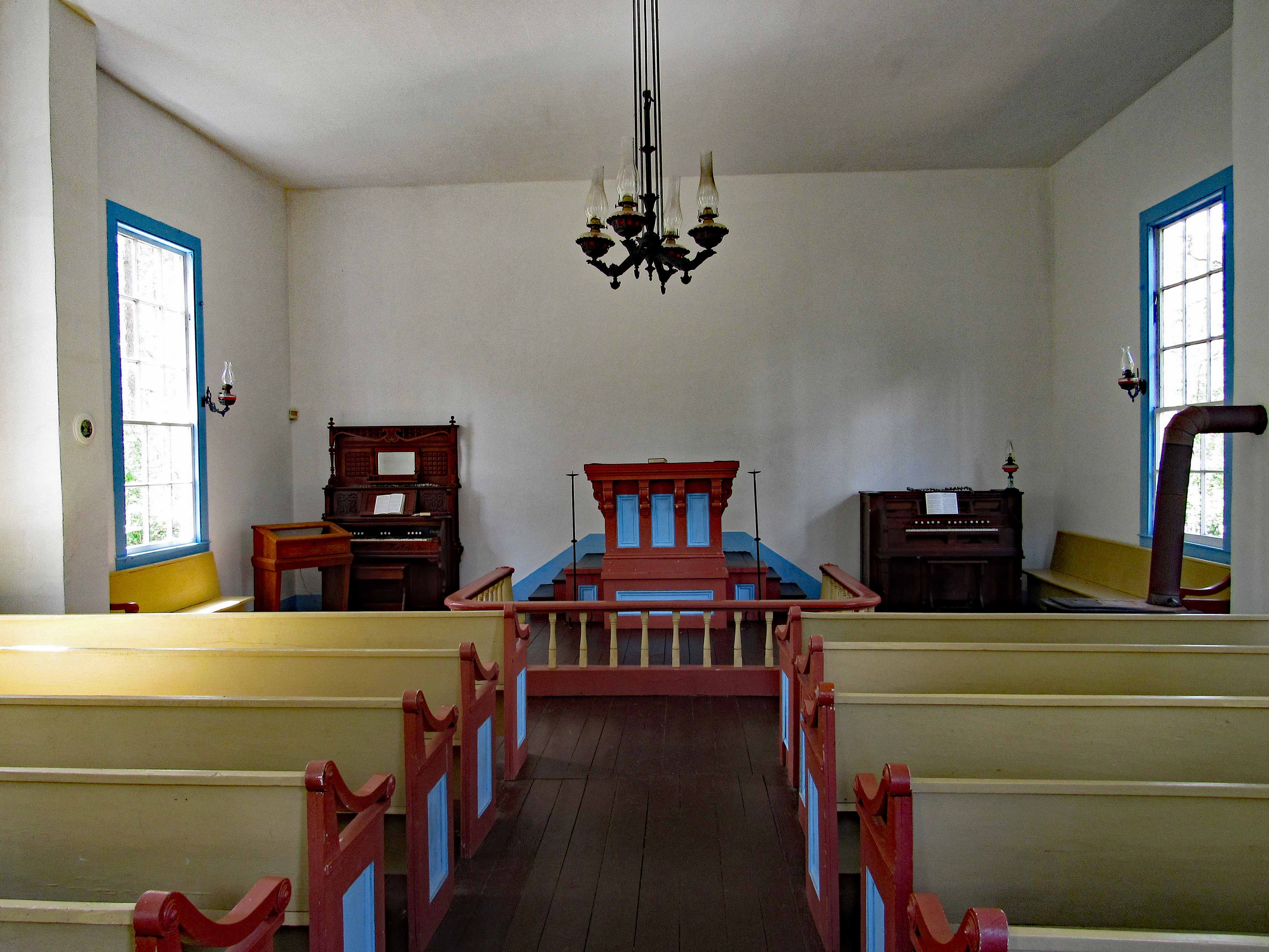
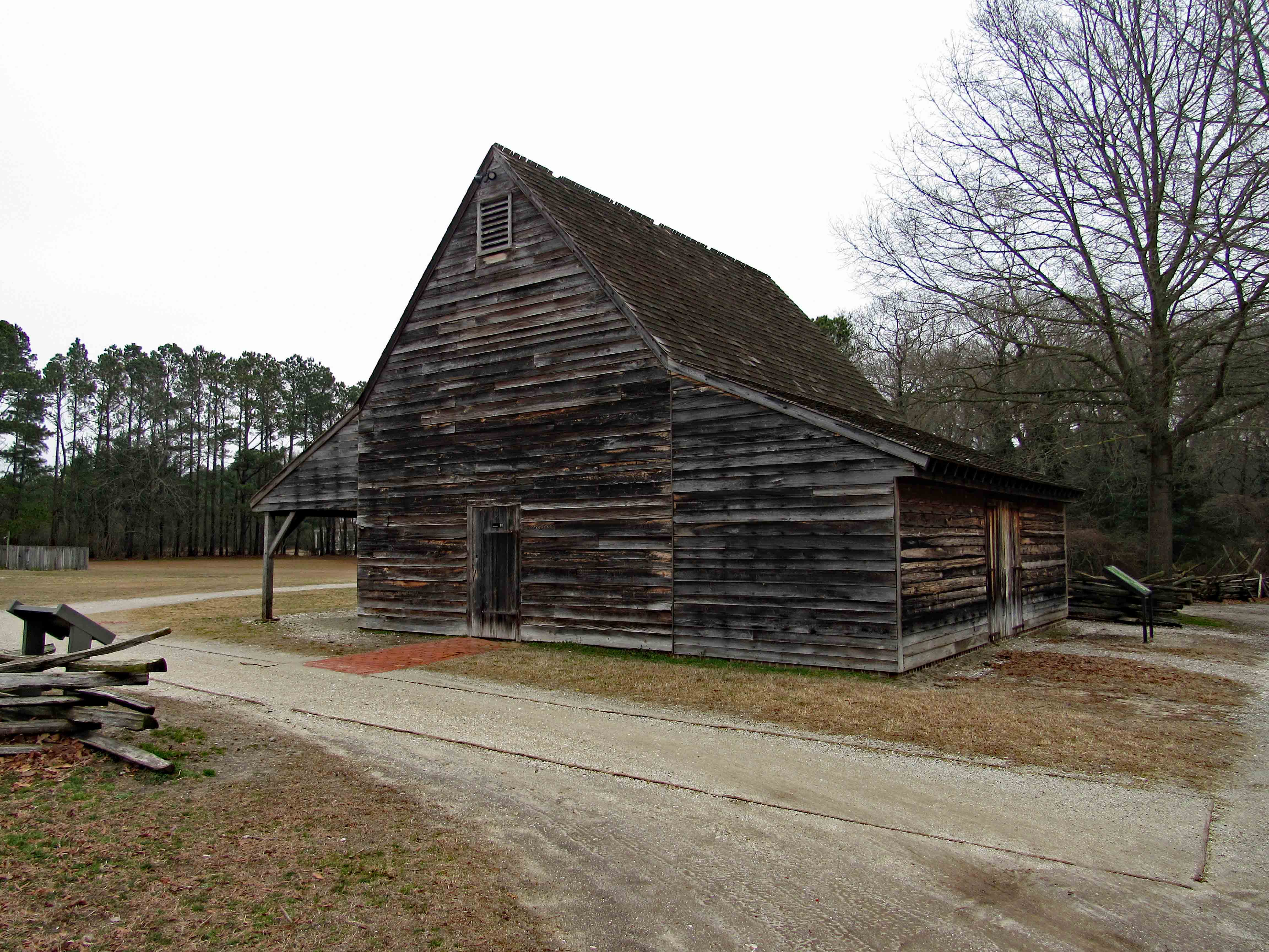
Next stop was the wood shop. 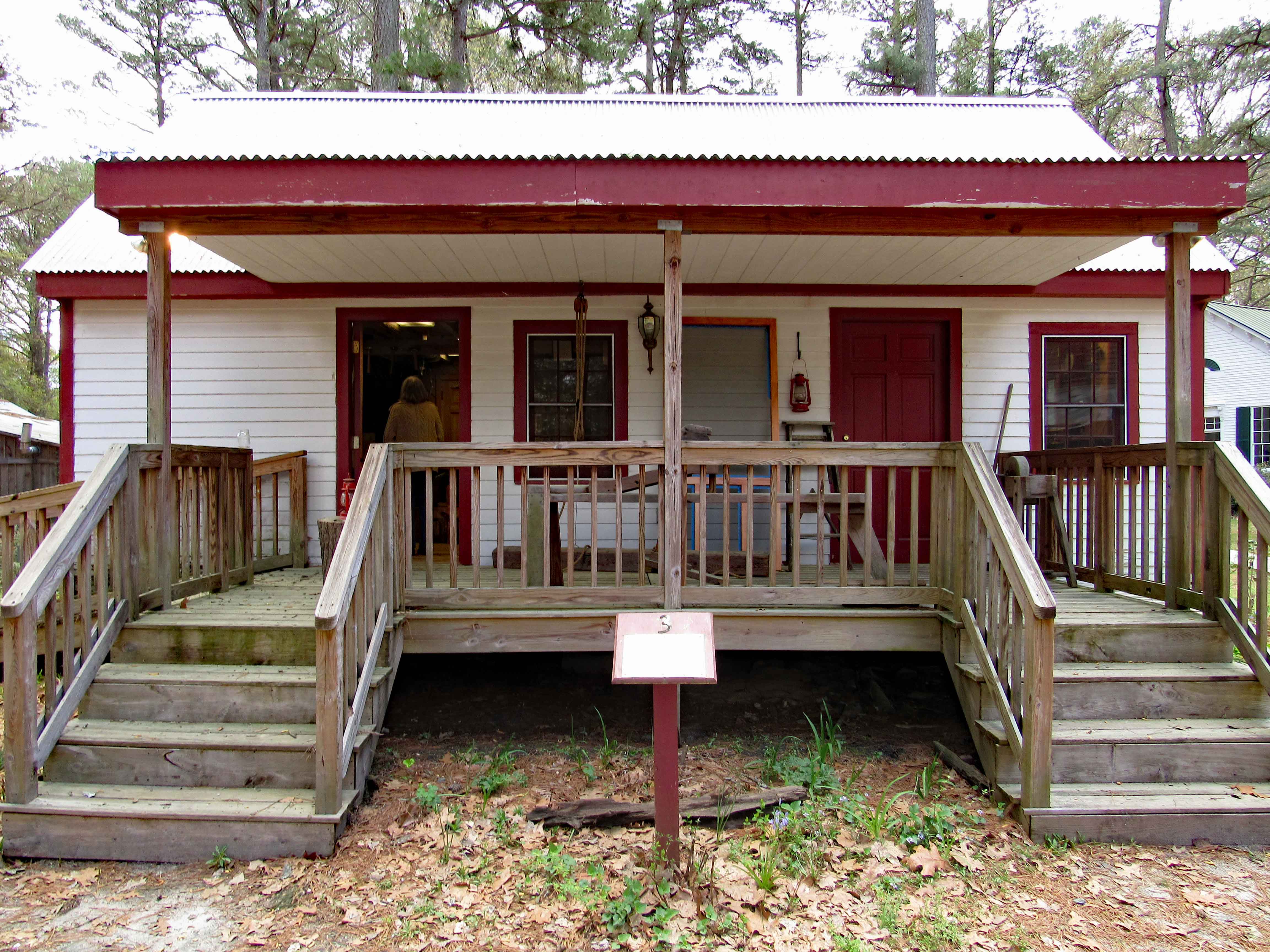
And the interior view.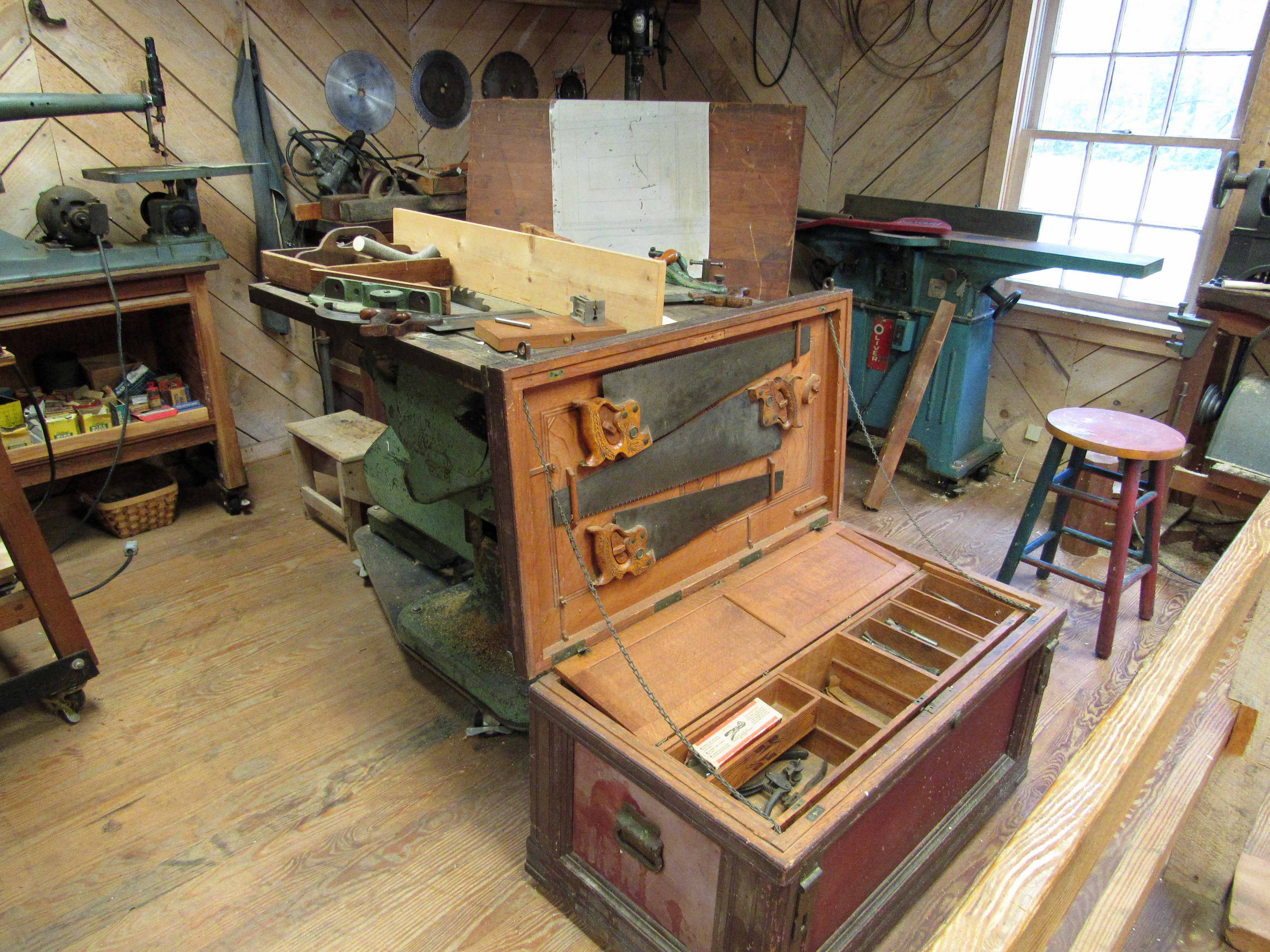
On to the next building – The Blacksmith’s Shop.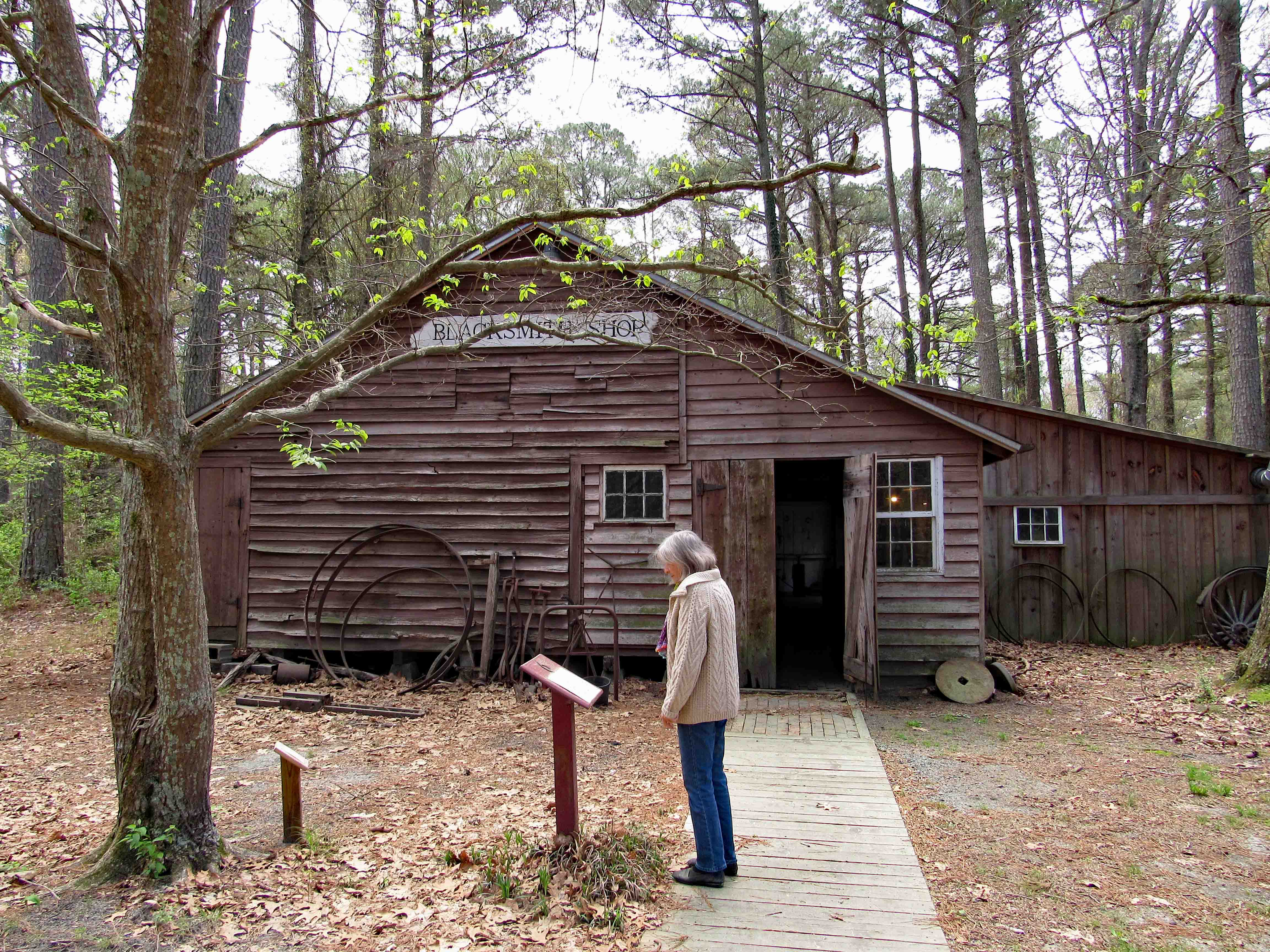
For those who don’t know, a Living History Village has demonstrations and classes on the various trades back then. Here you can learn all about being a blacksmith. The work they do here is scattered throughout the area and some for sale in the visitor center.
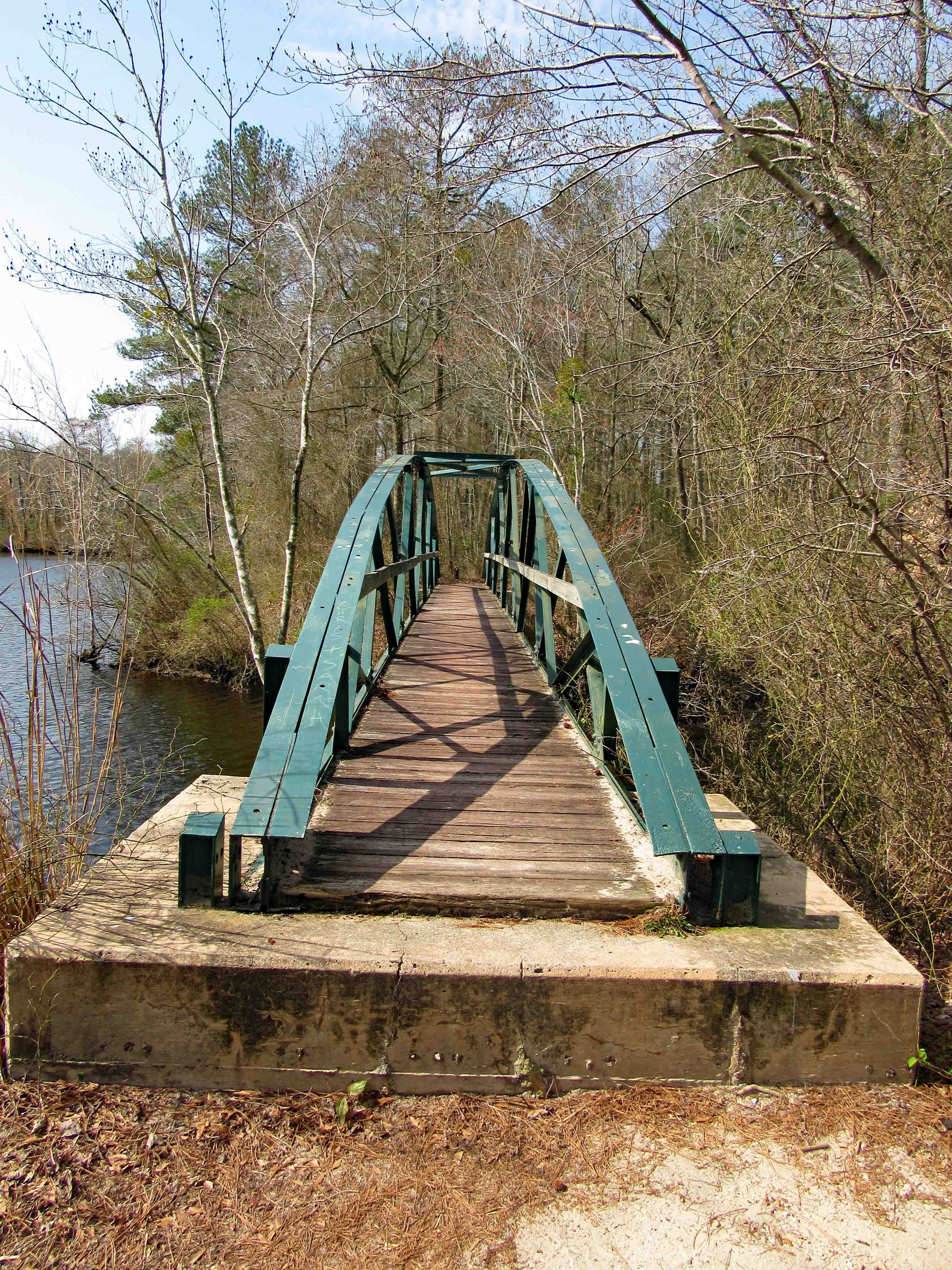
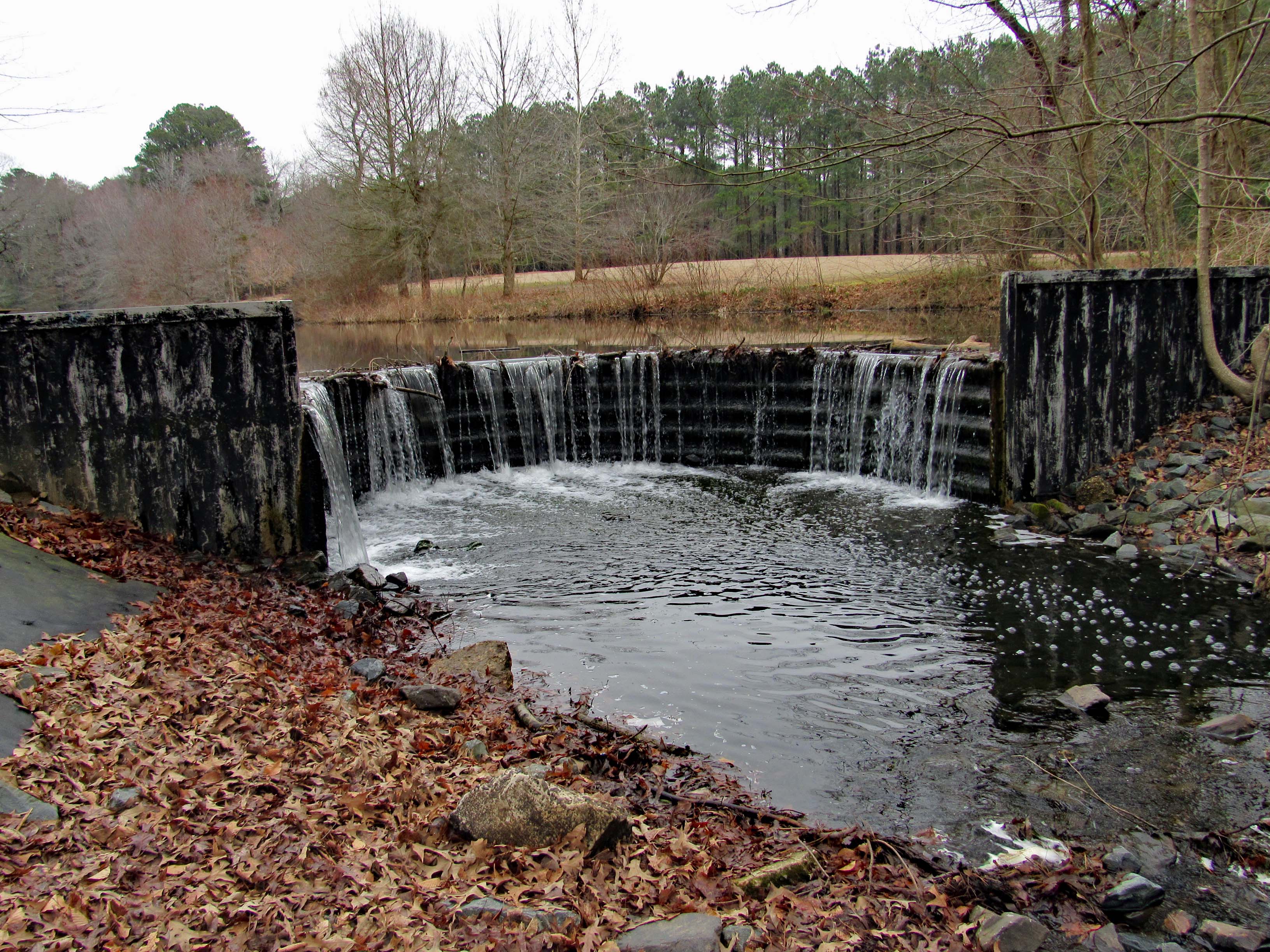
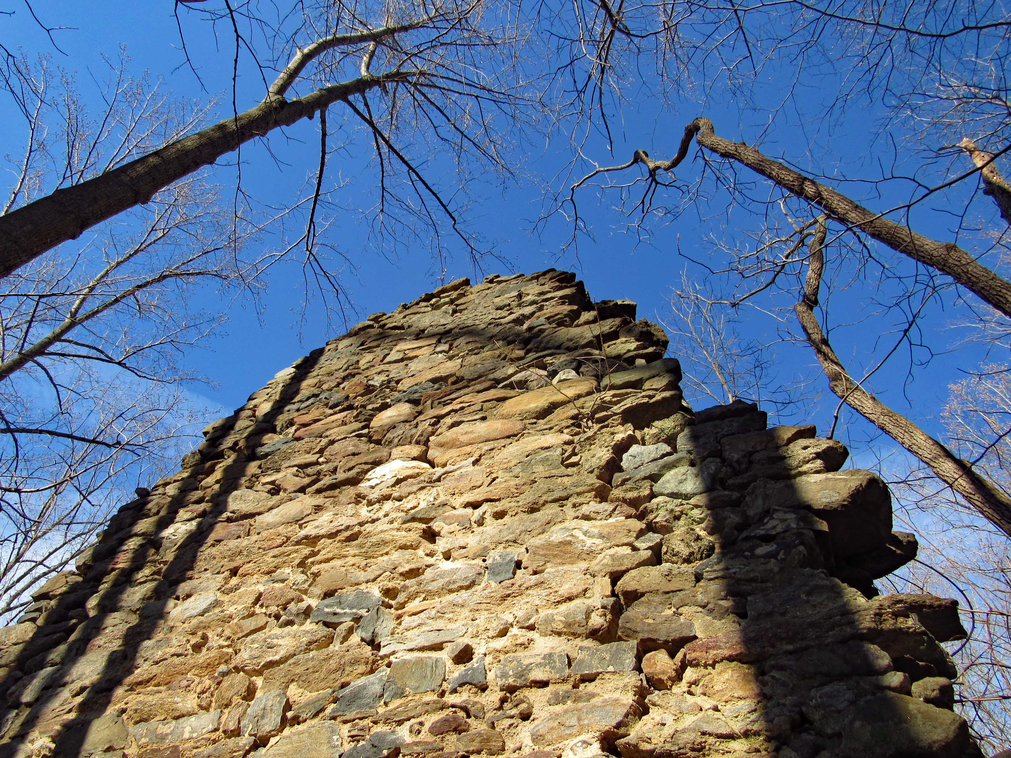
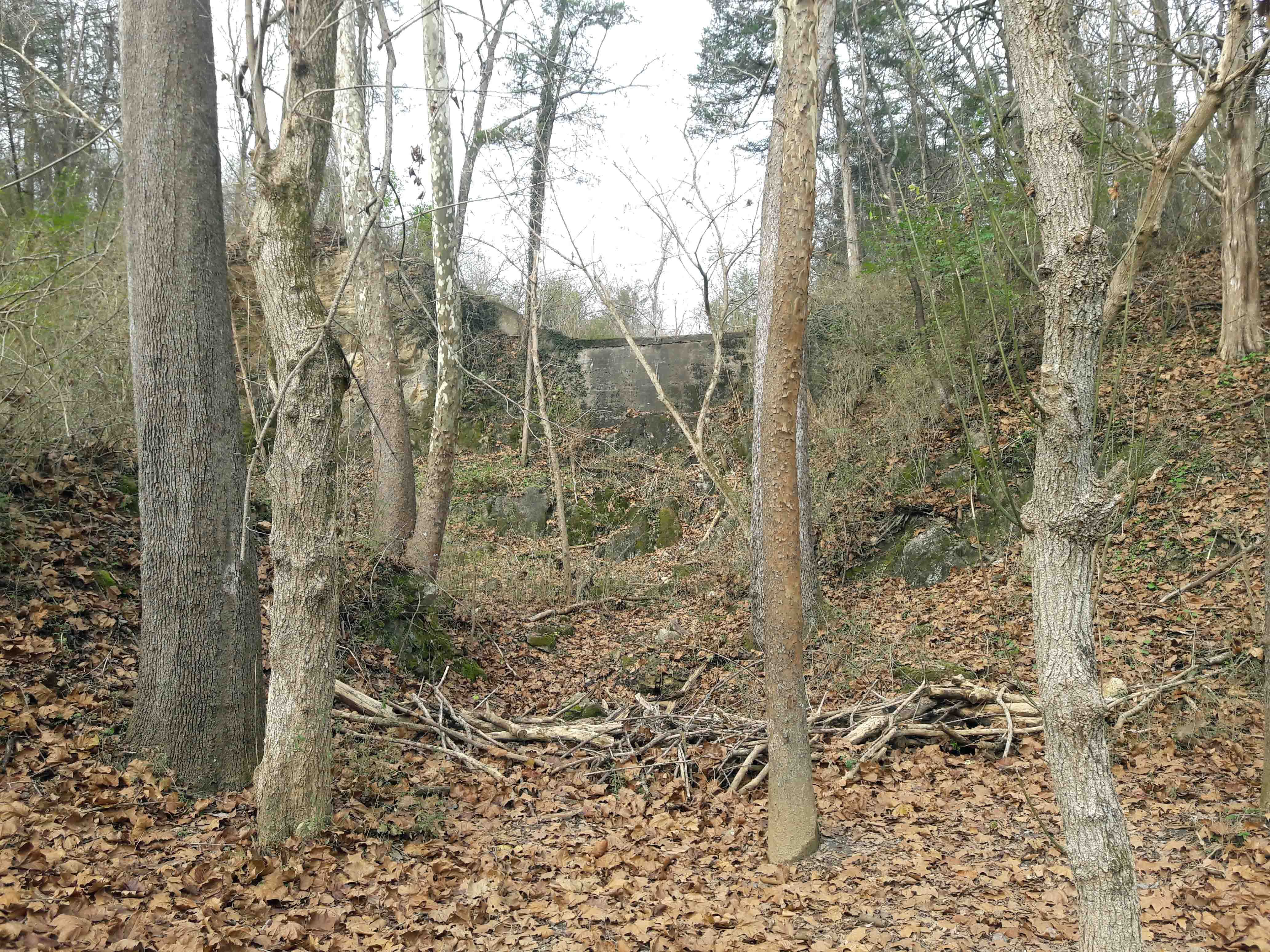
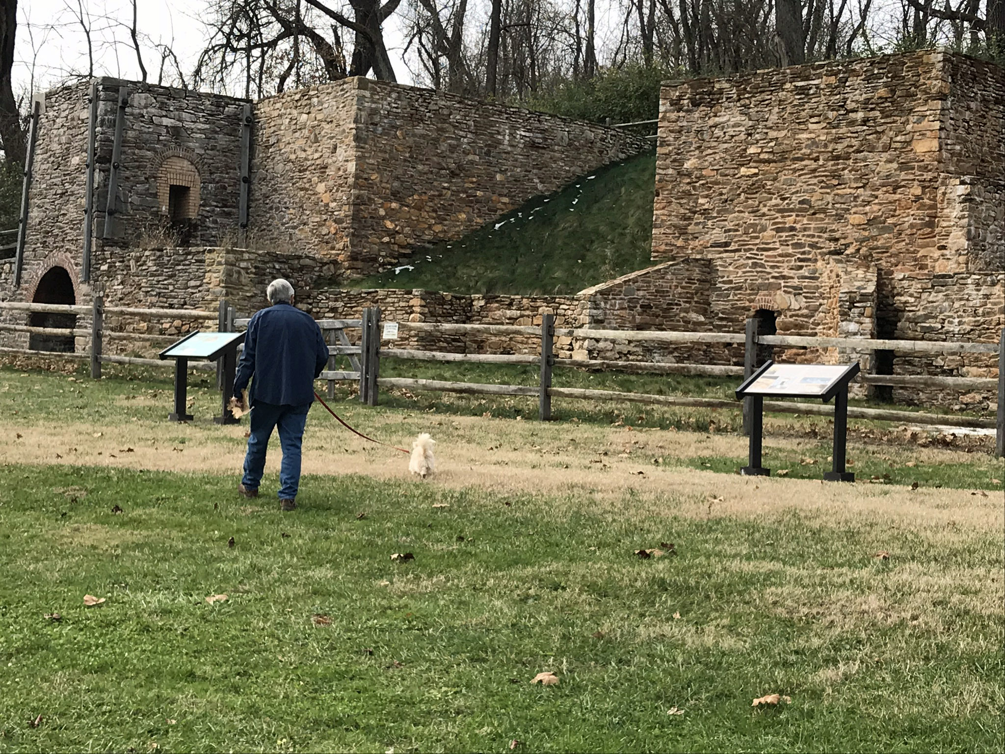
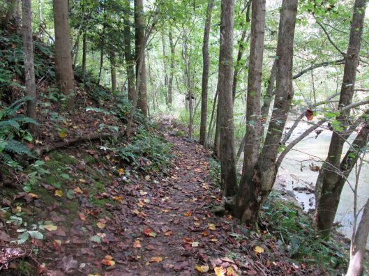
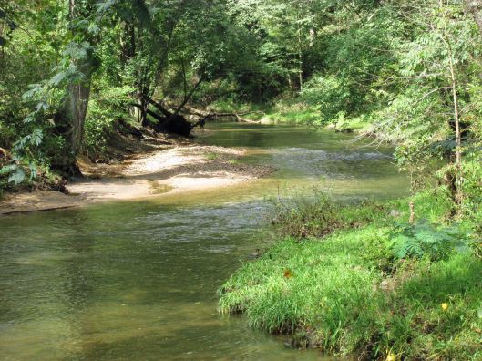
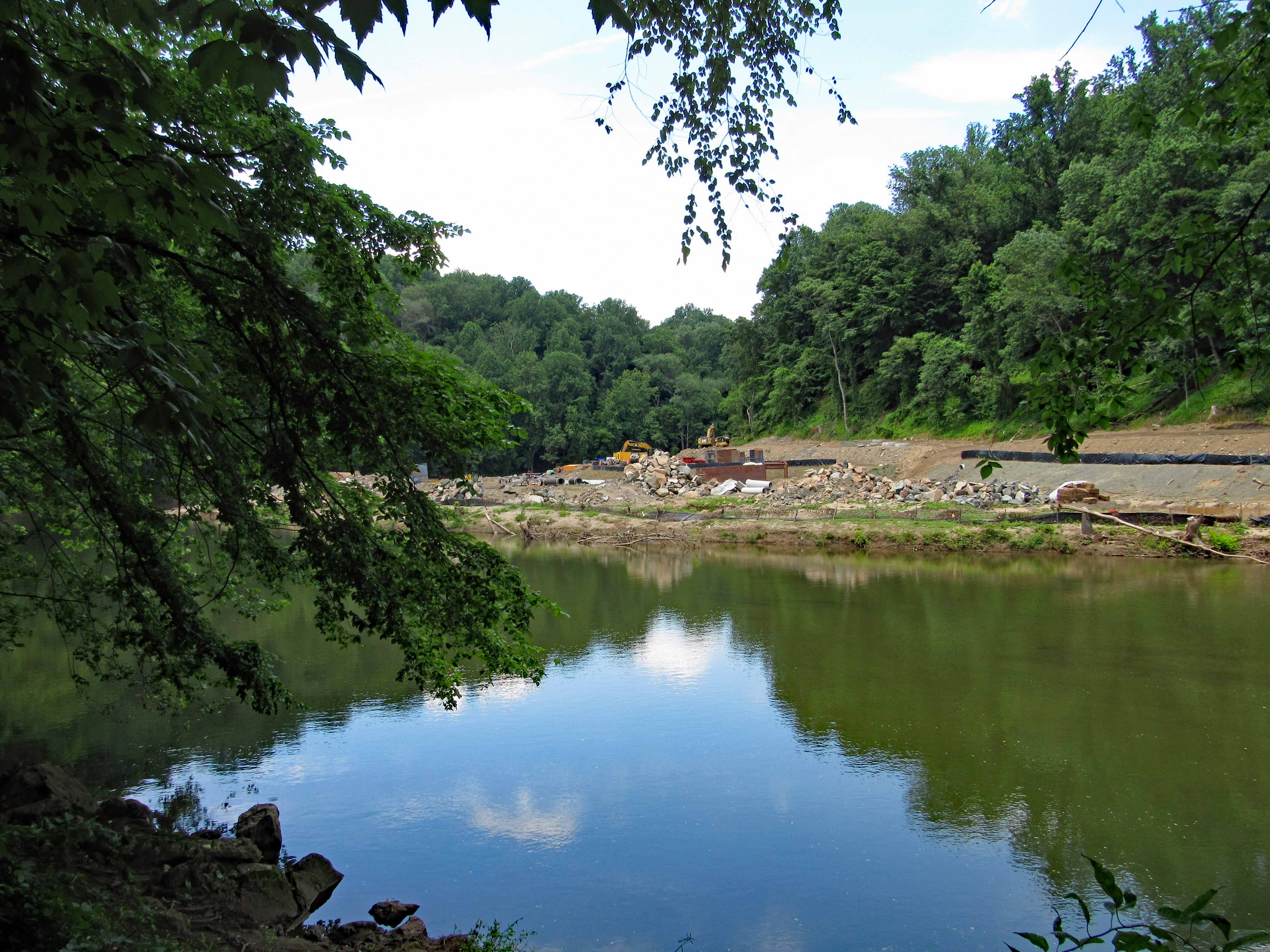
Now to where I’ve been waiting to go – the Furnace.
View heading up the ramp. The white placards on the post are names of the donors who contributed to the rebuilding.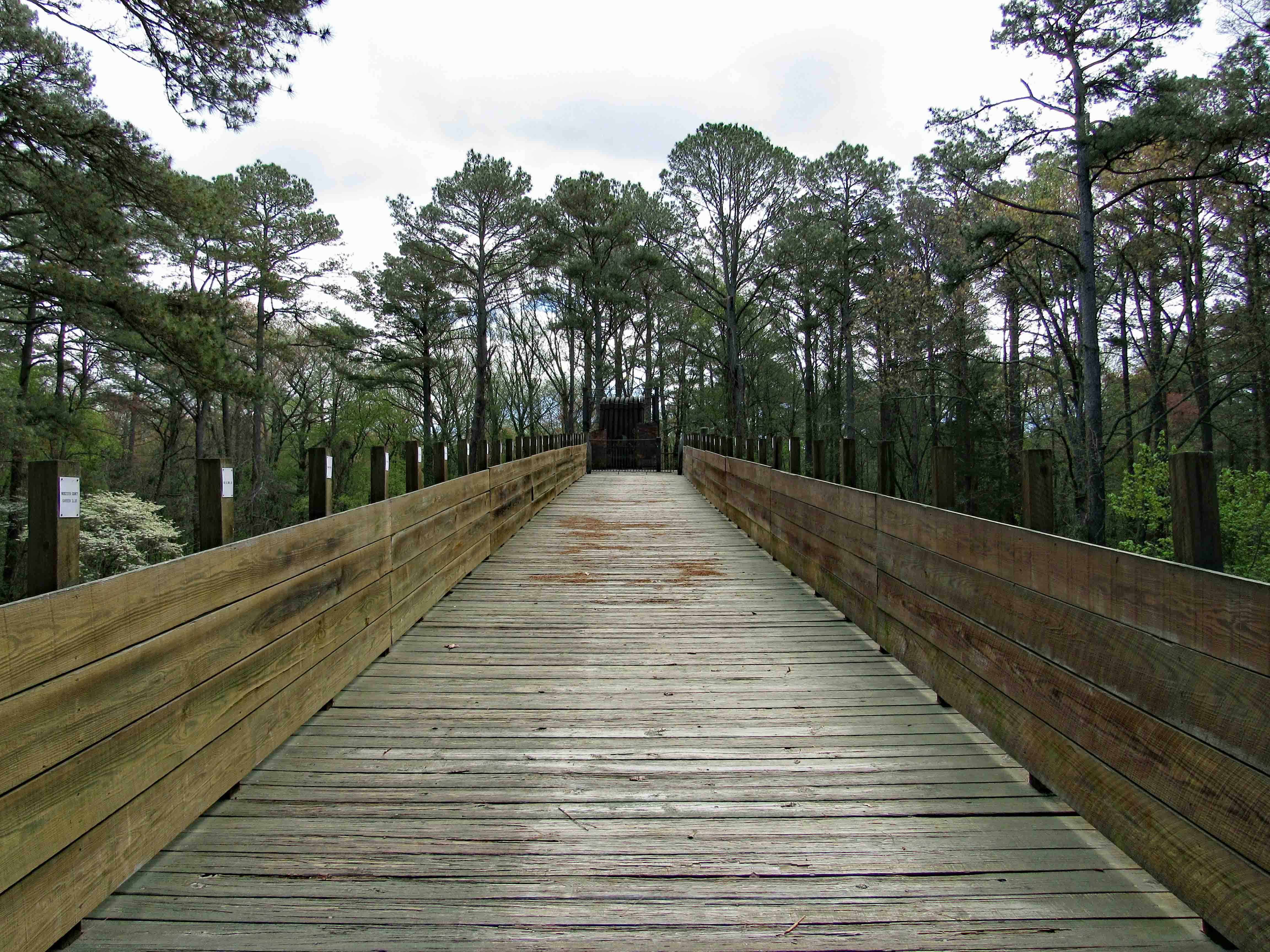
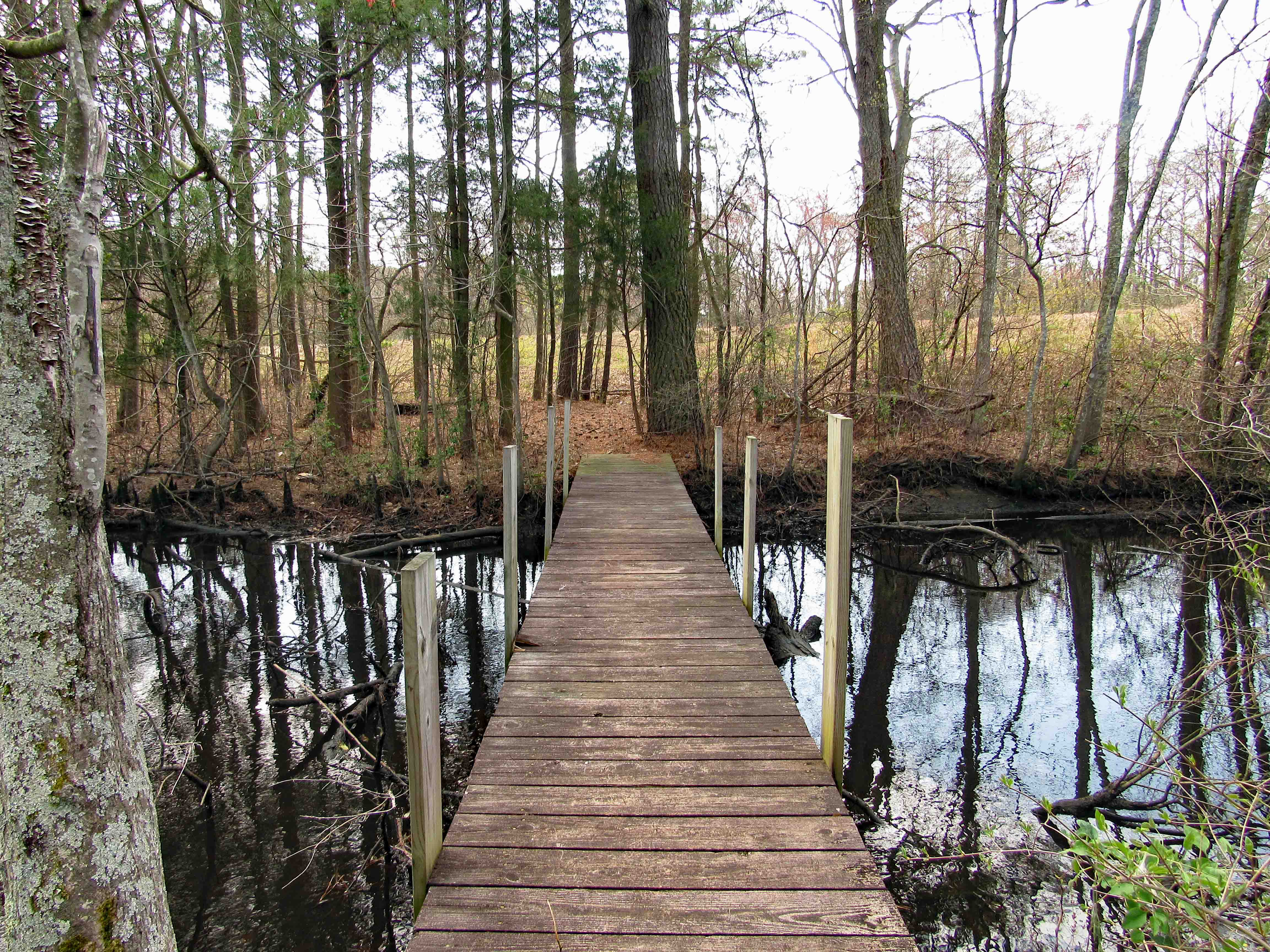
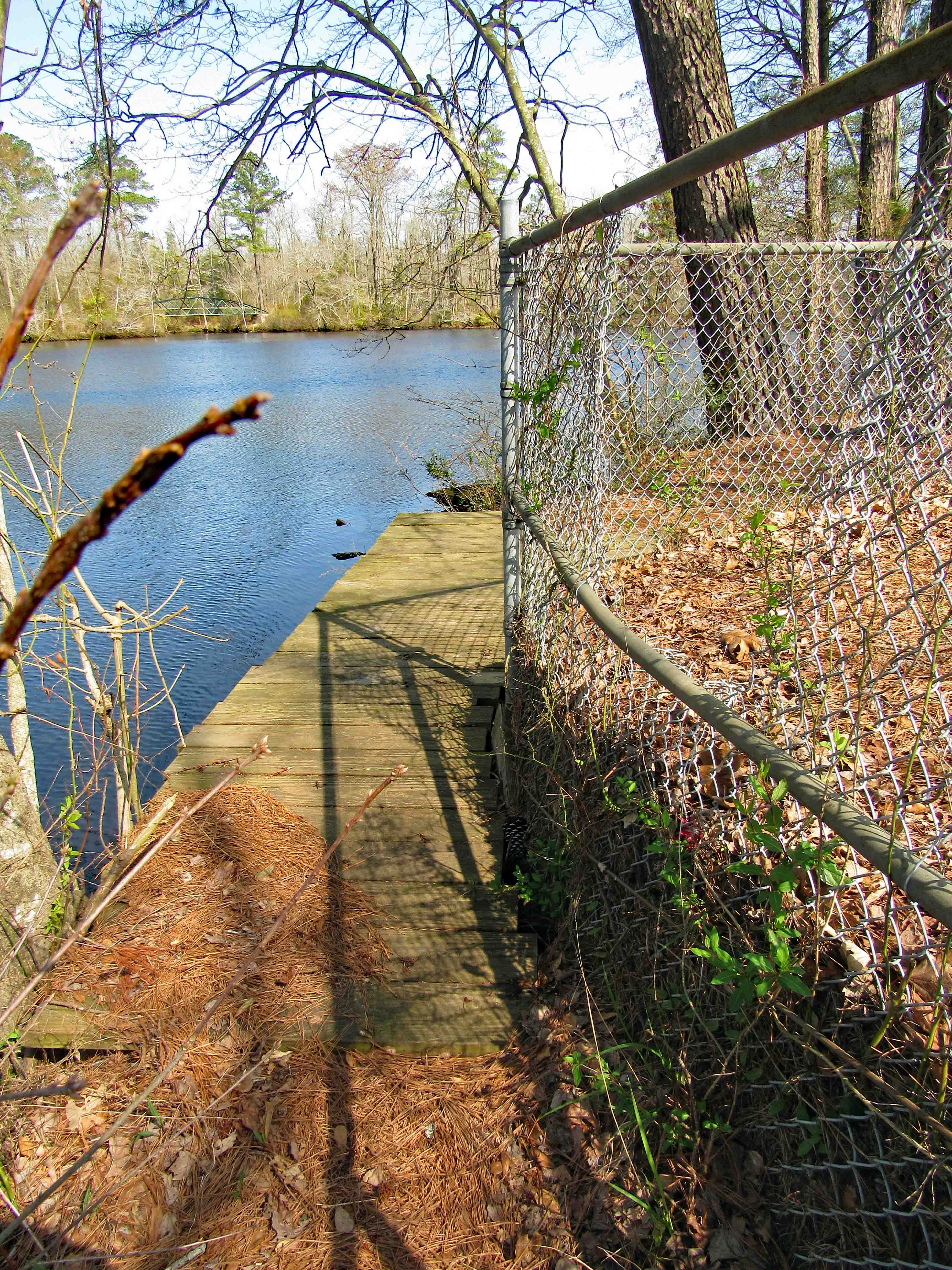
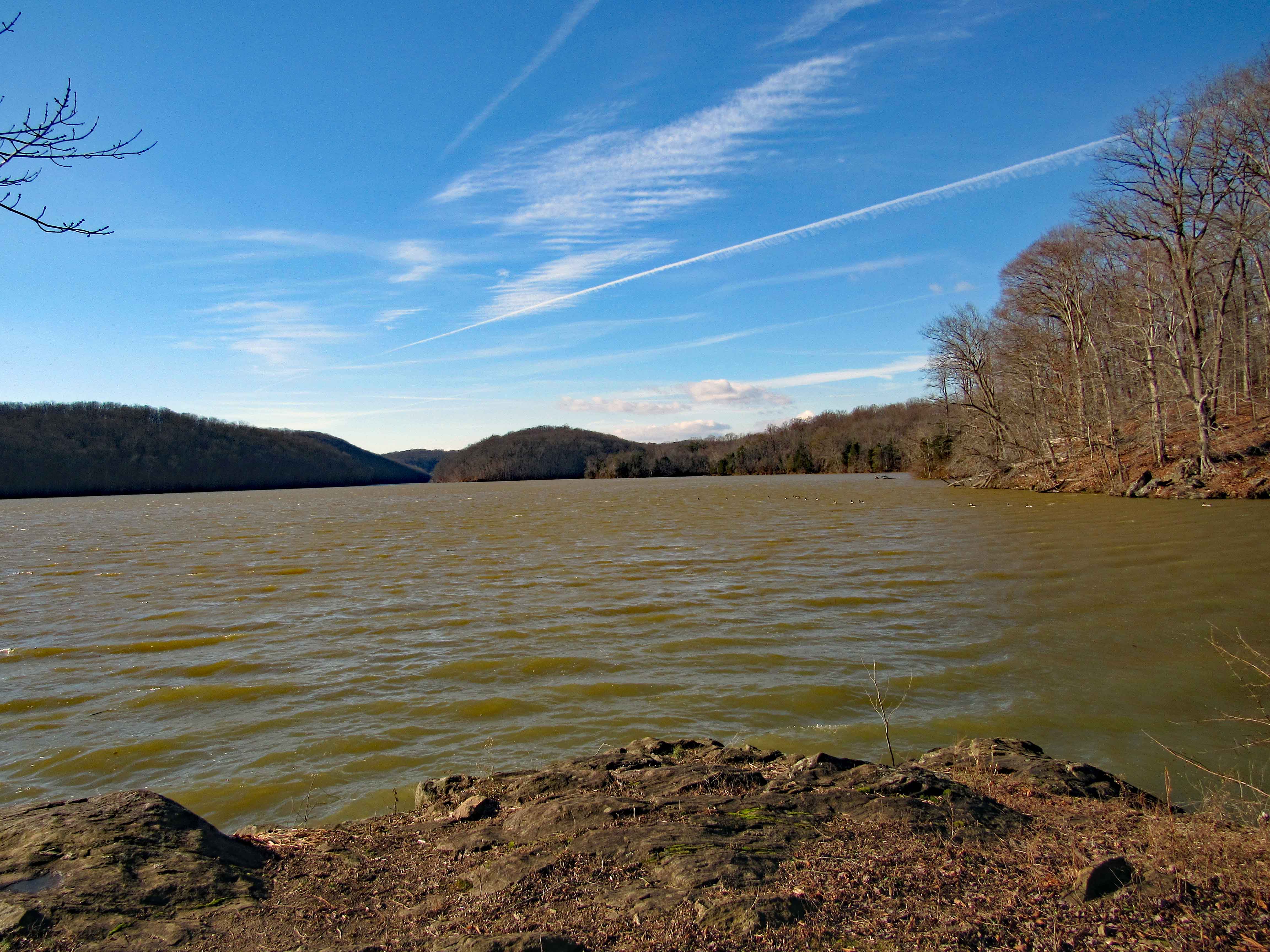
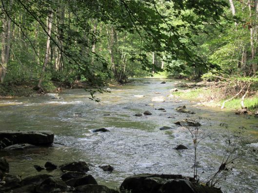
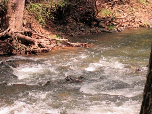
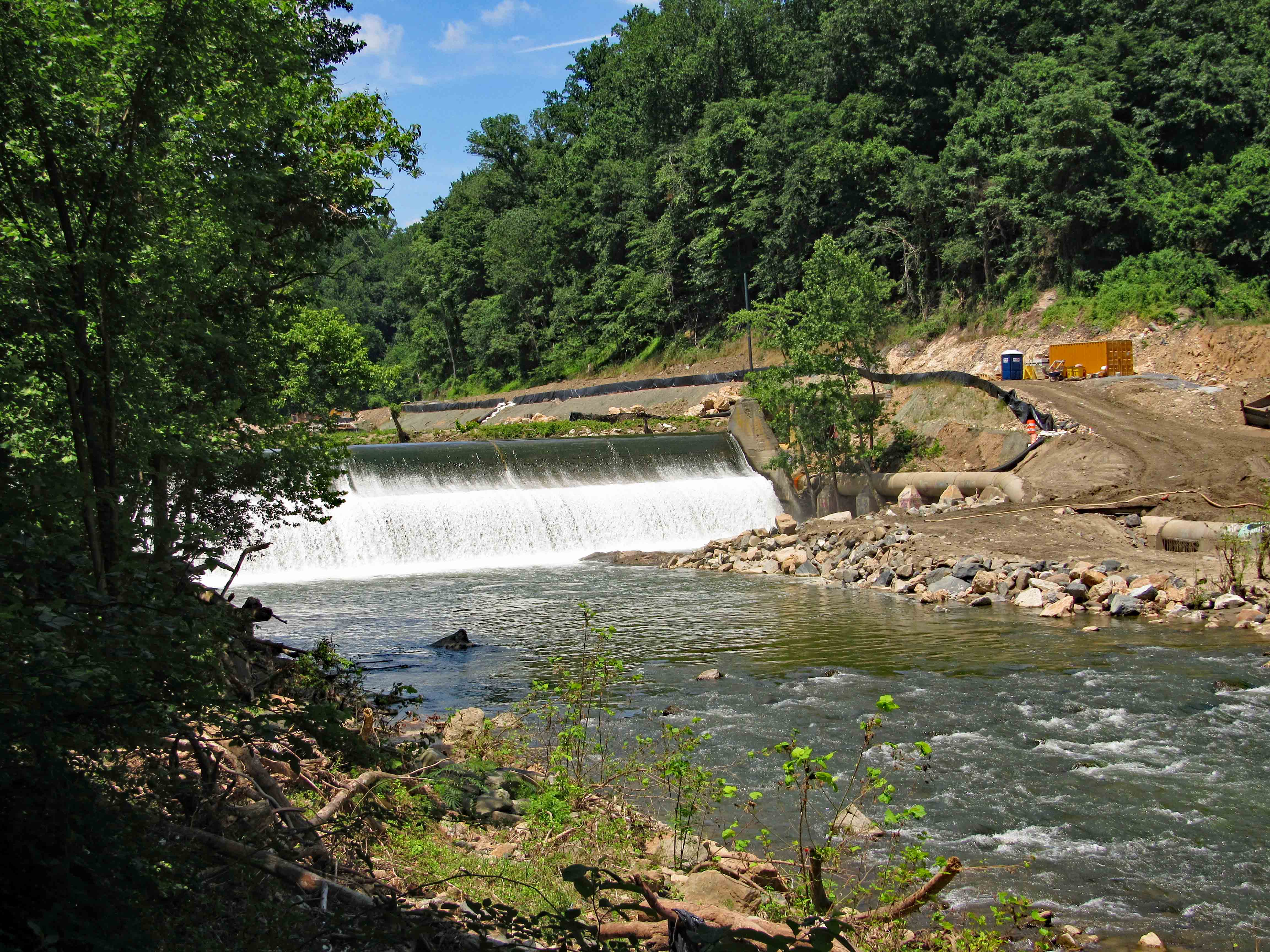
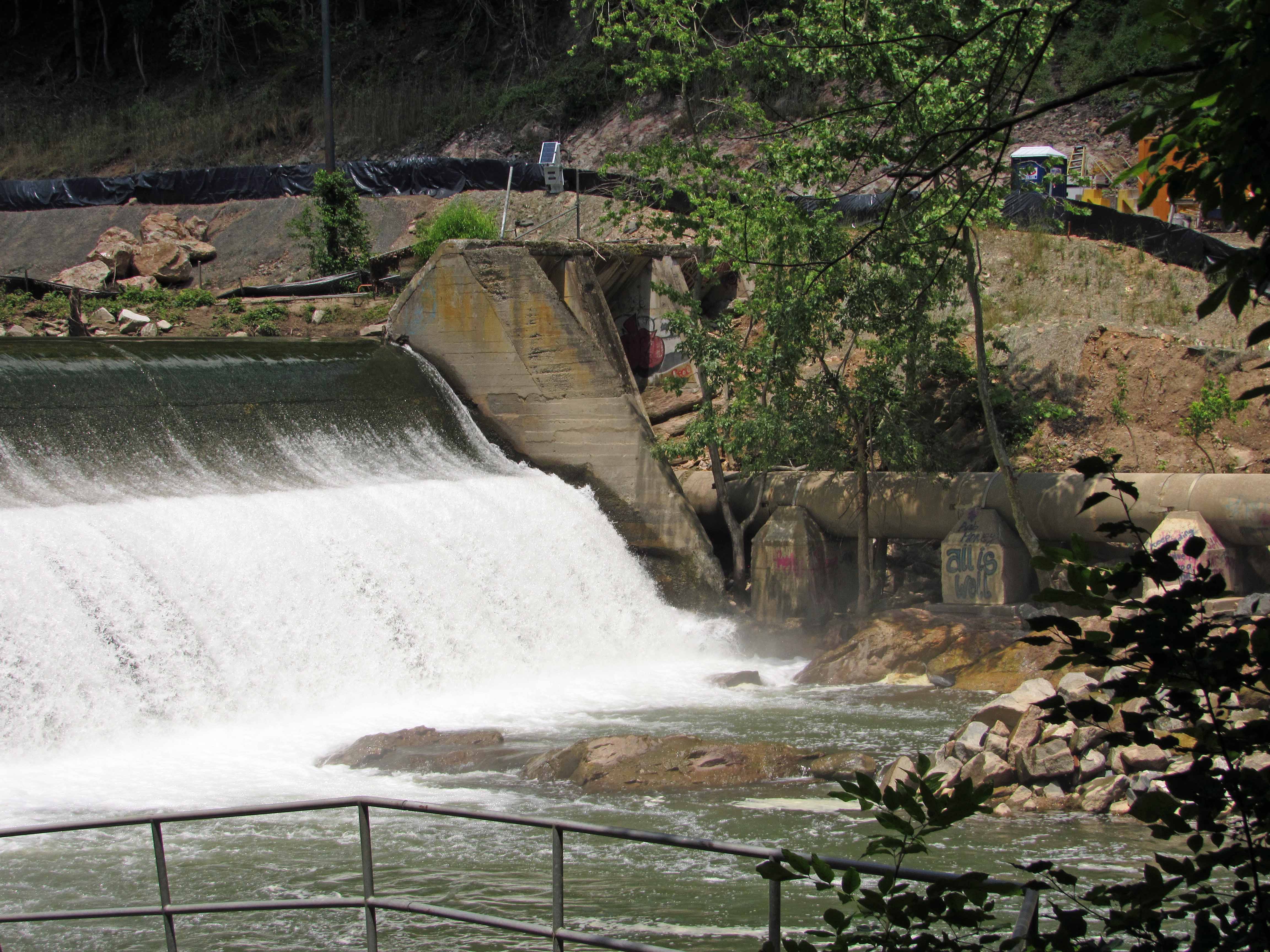
The mill race underneath.
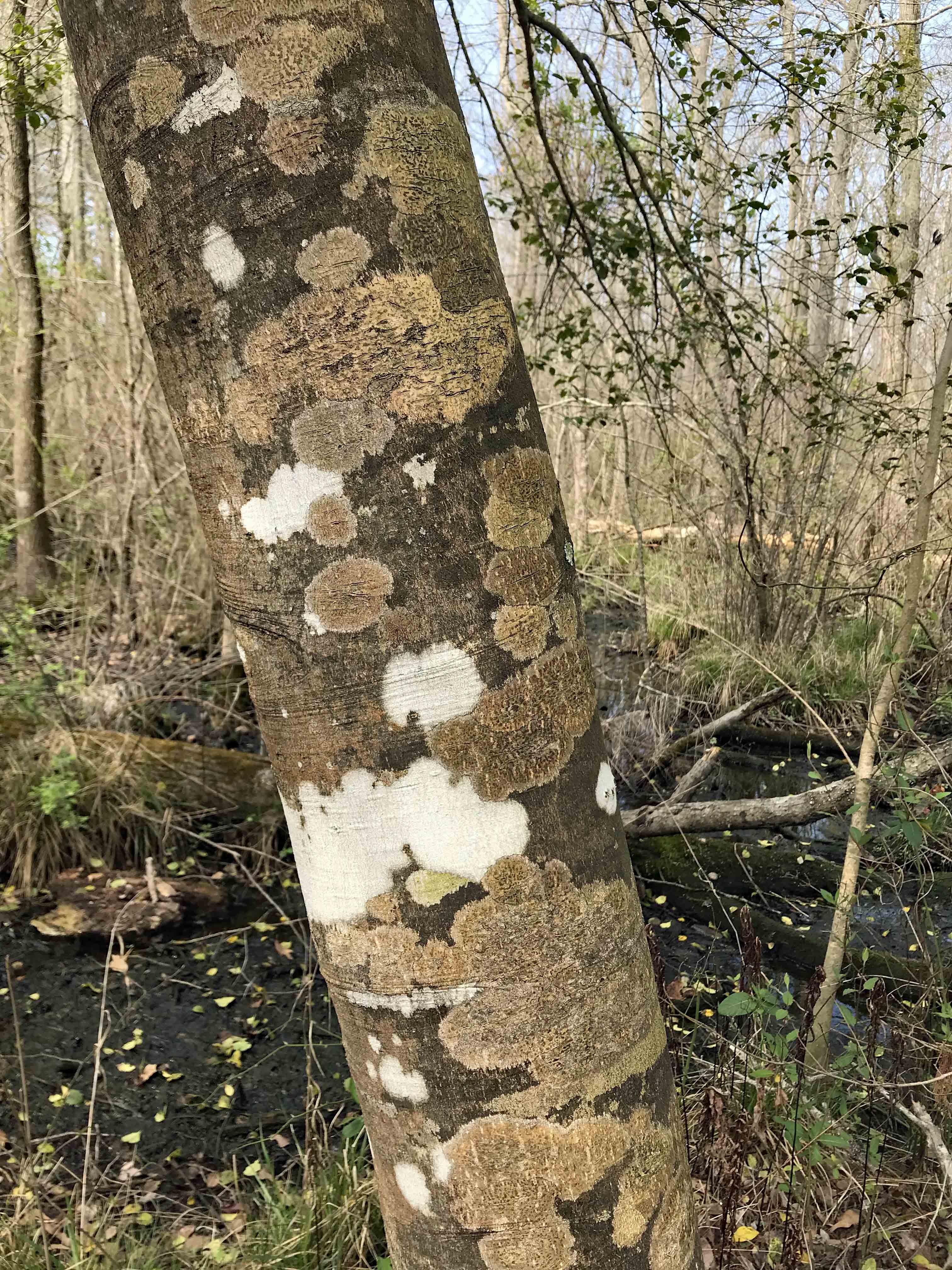
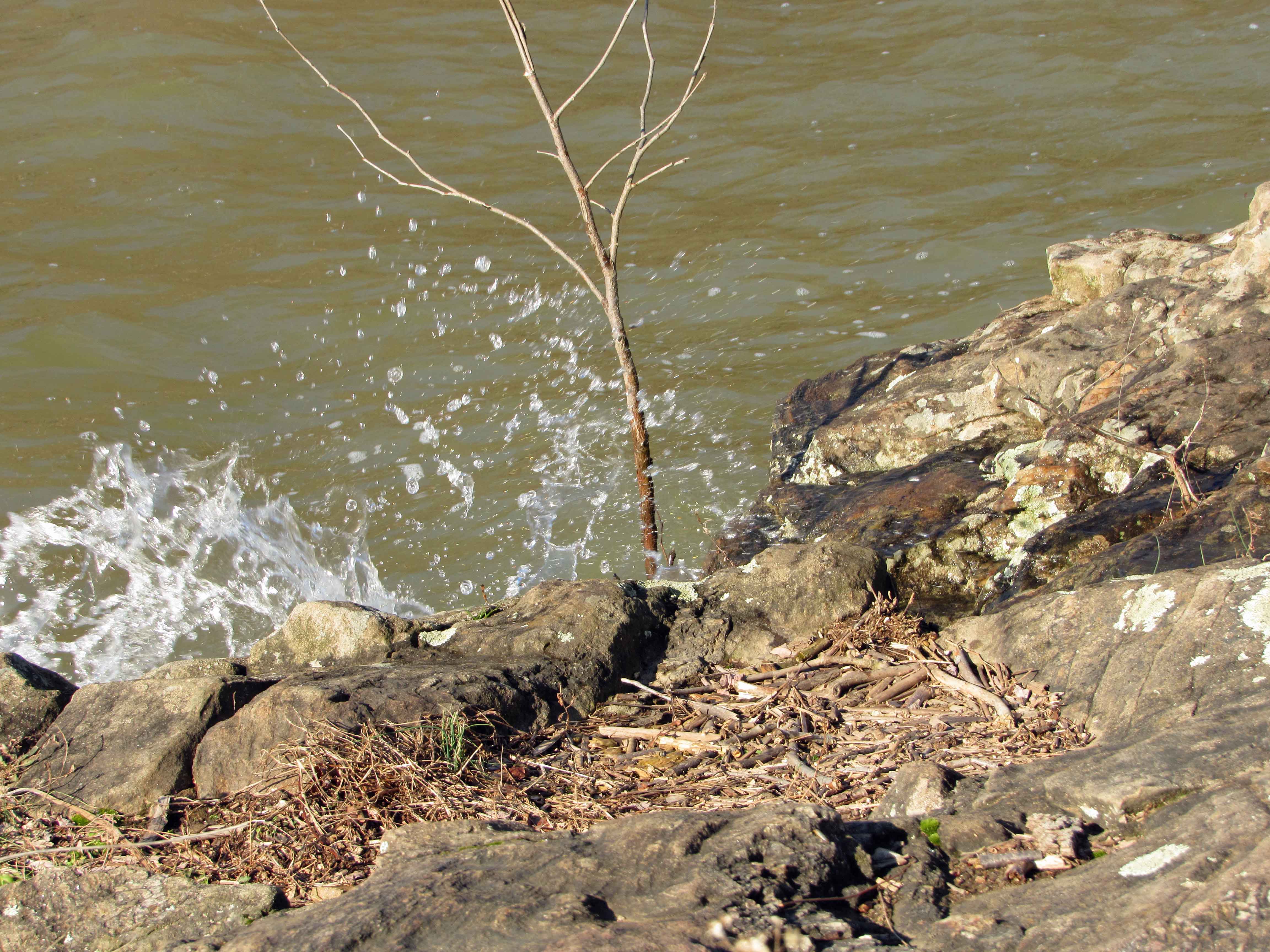
A close-up of the water.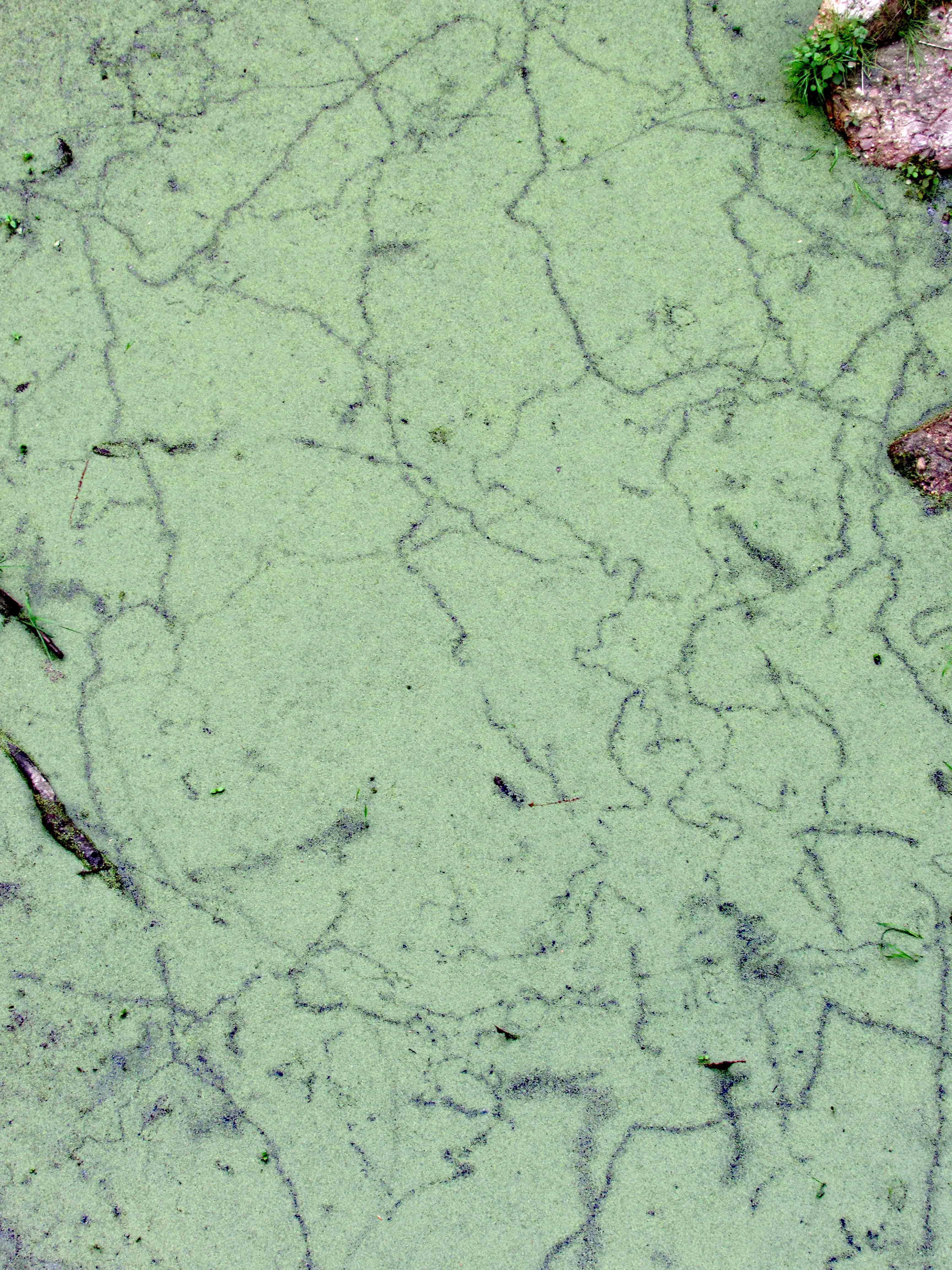
Historical plague.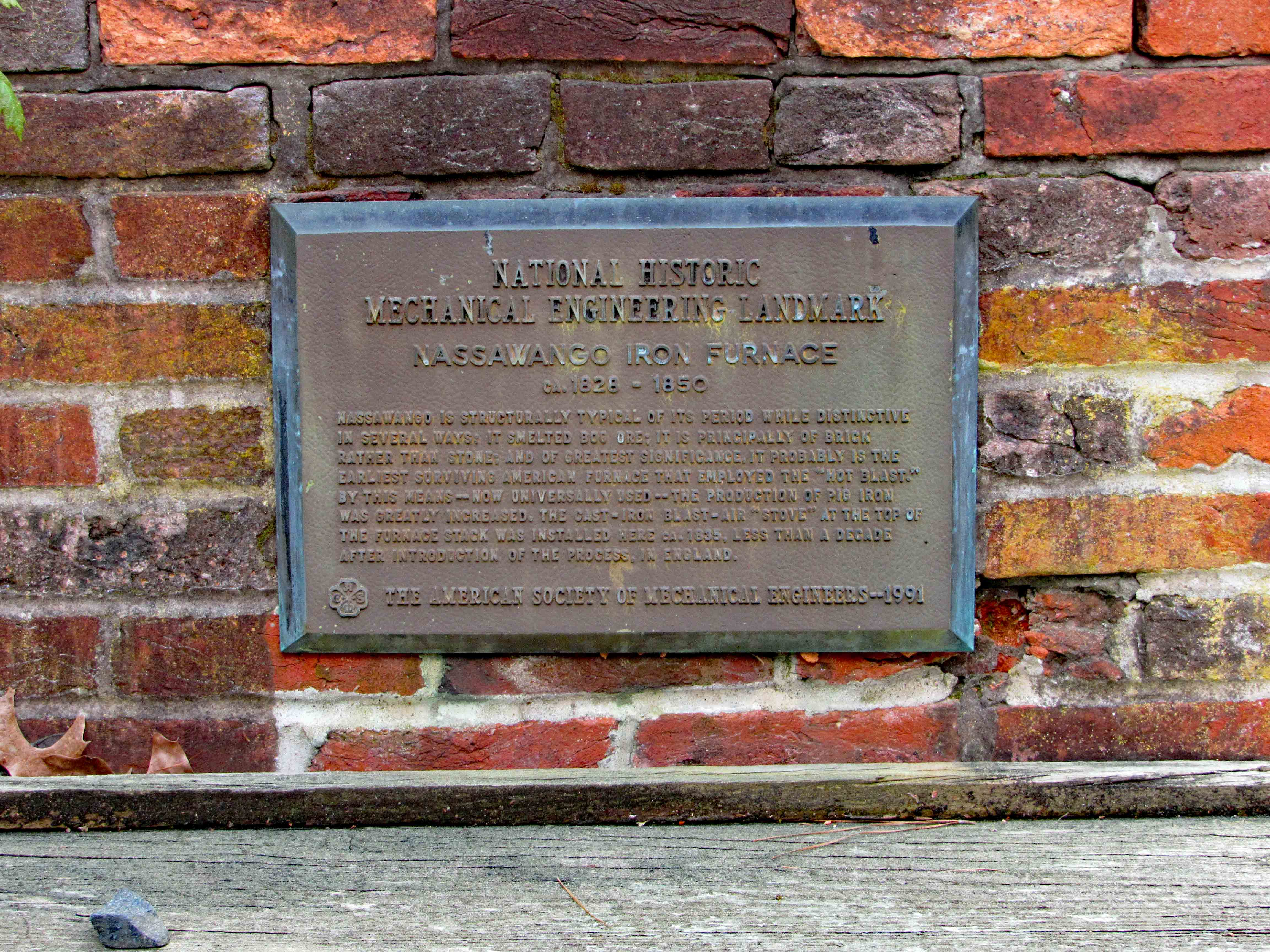
The furnace with a mirror to see downwards from the top.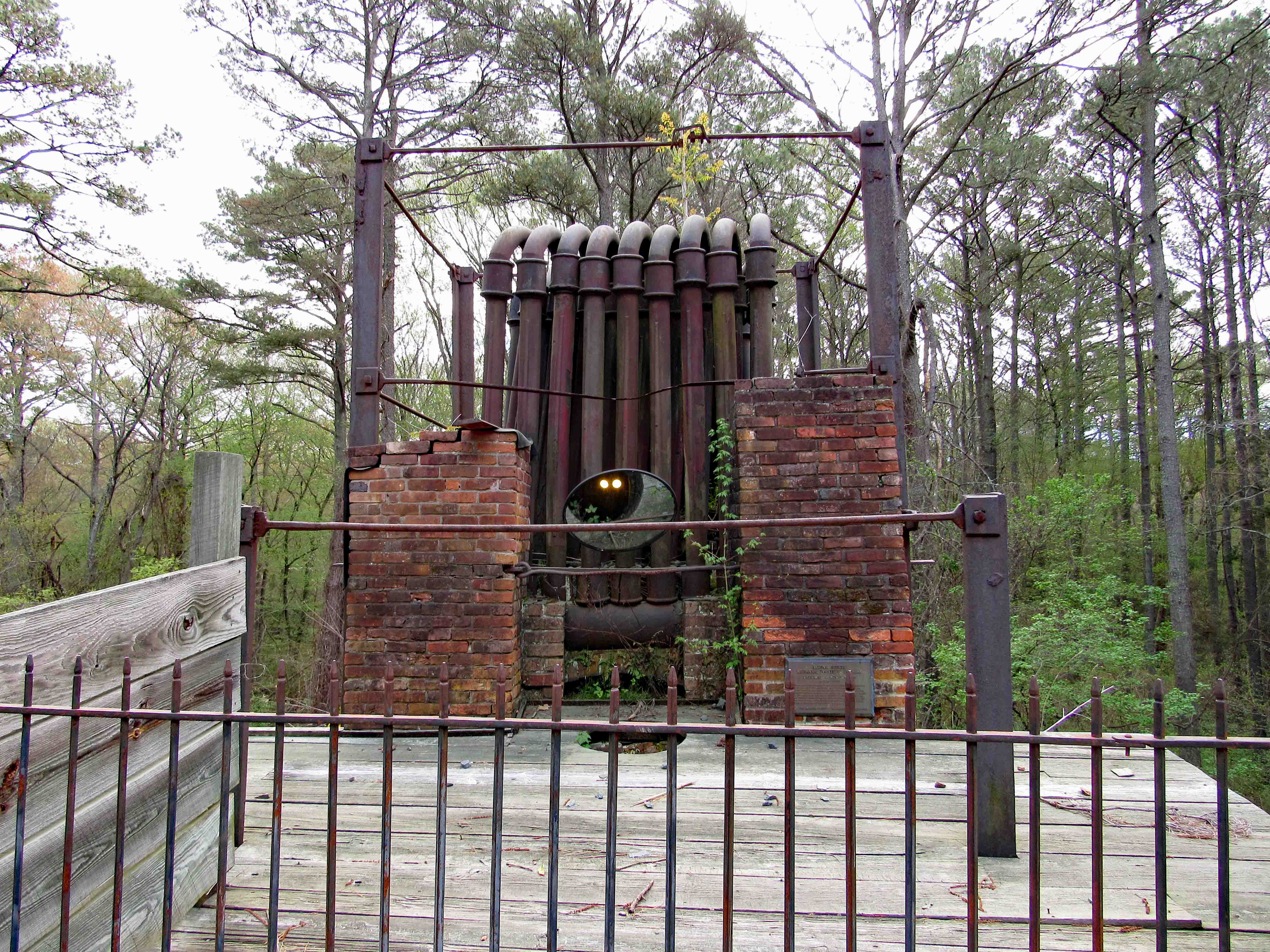
Underneath.
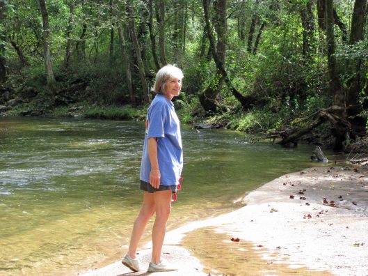
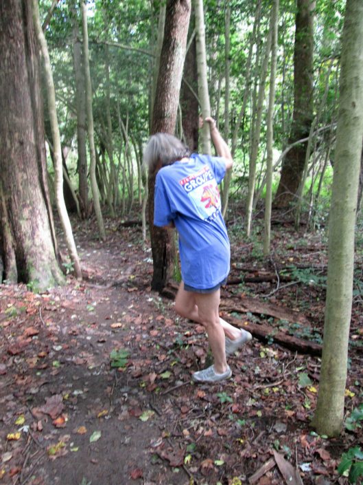
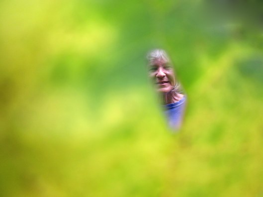
Side view. Kathy’s photo with a Dandelion.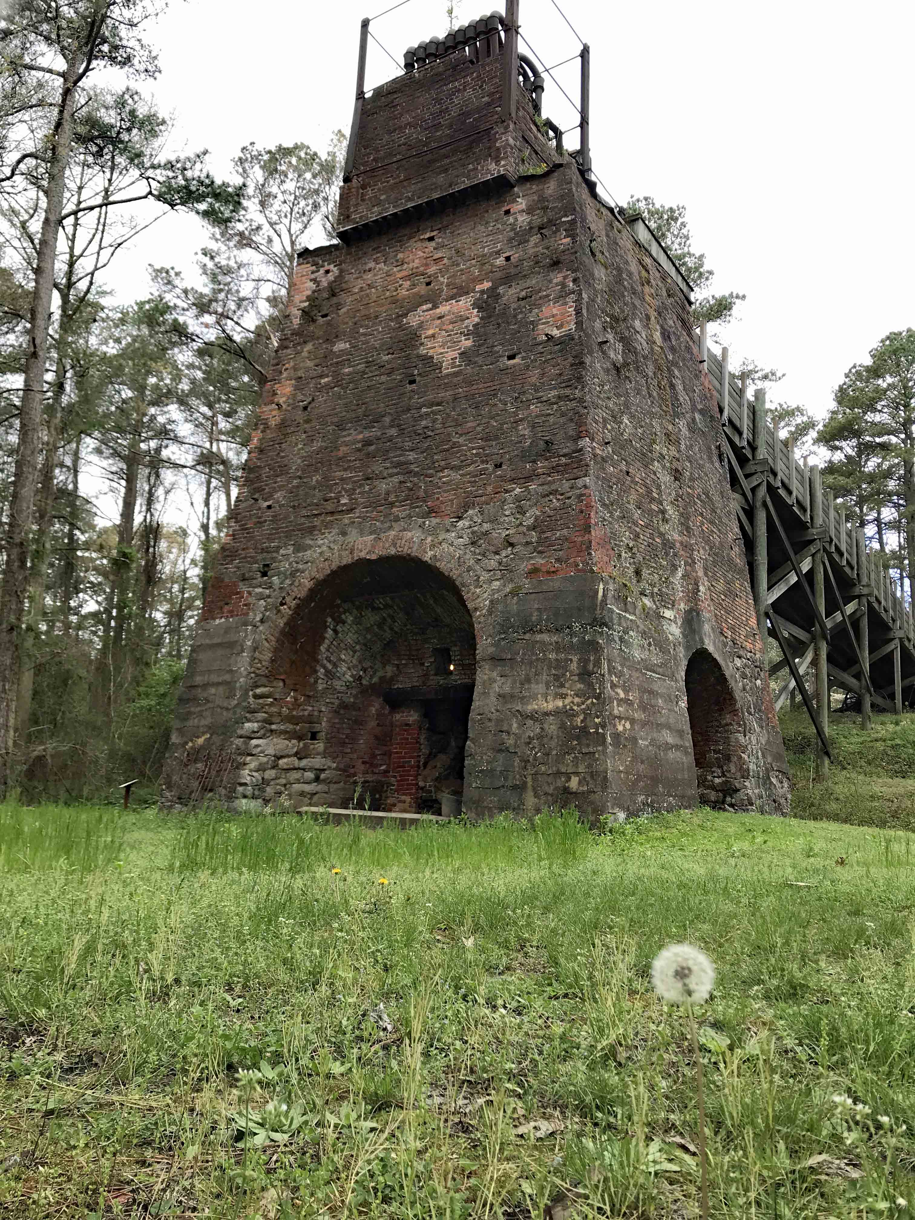
Different view.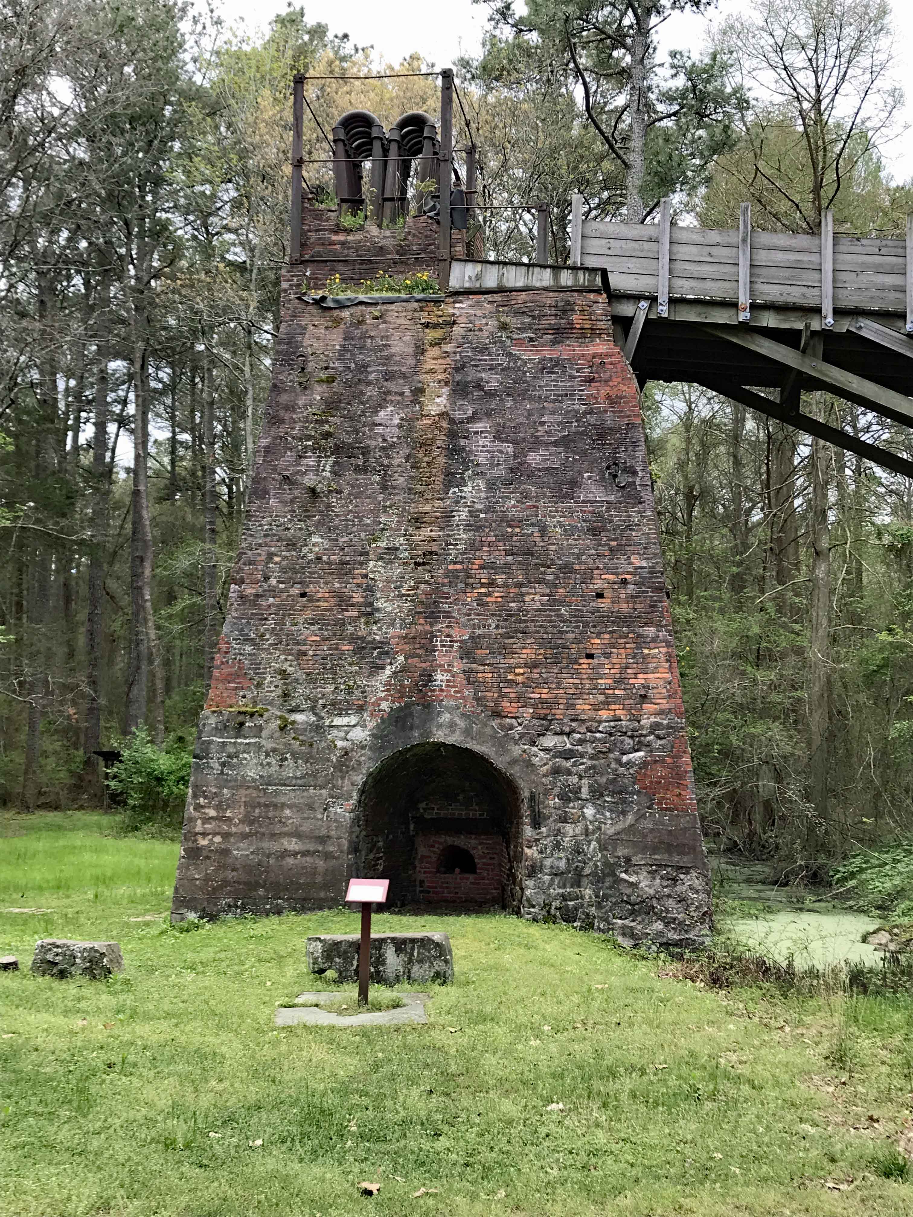
And another.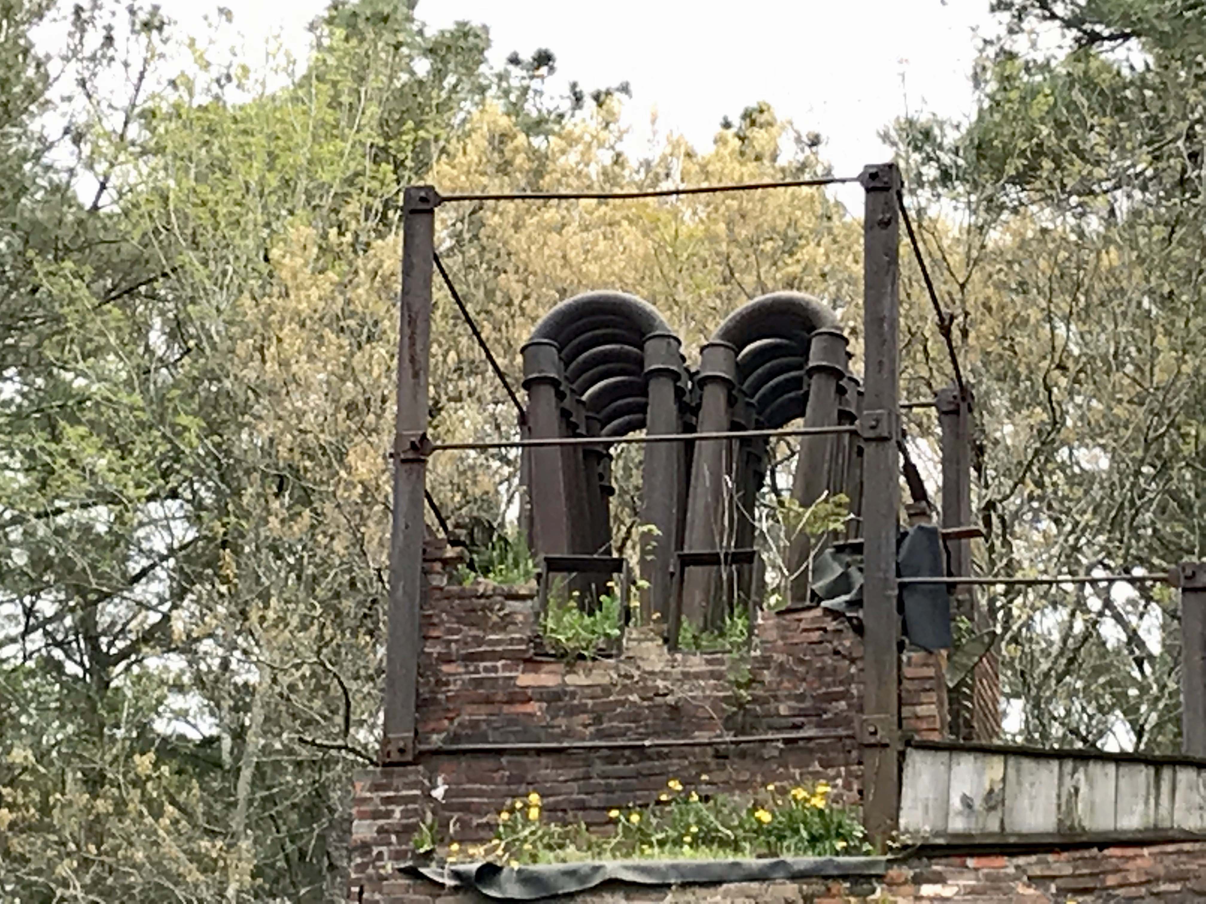
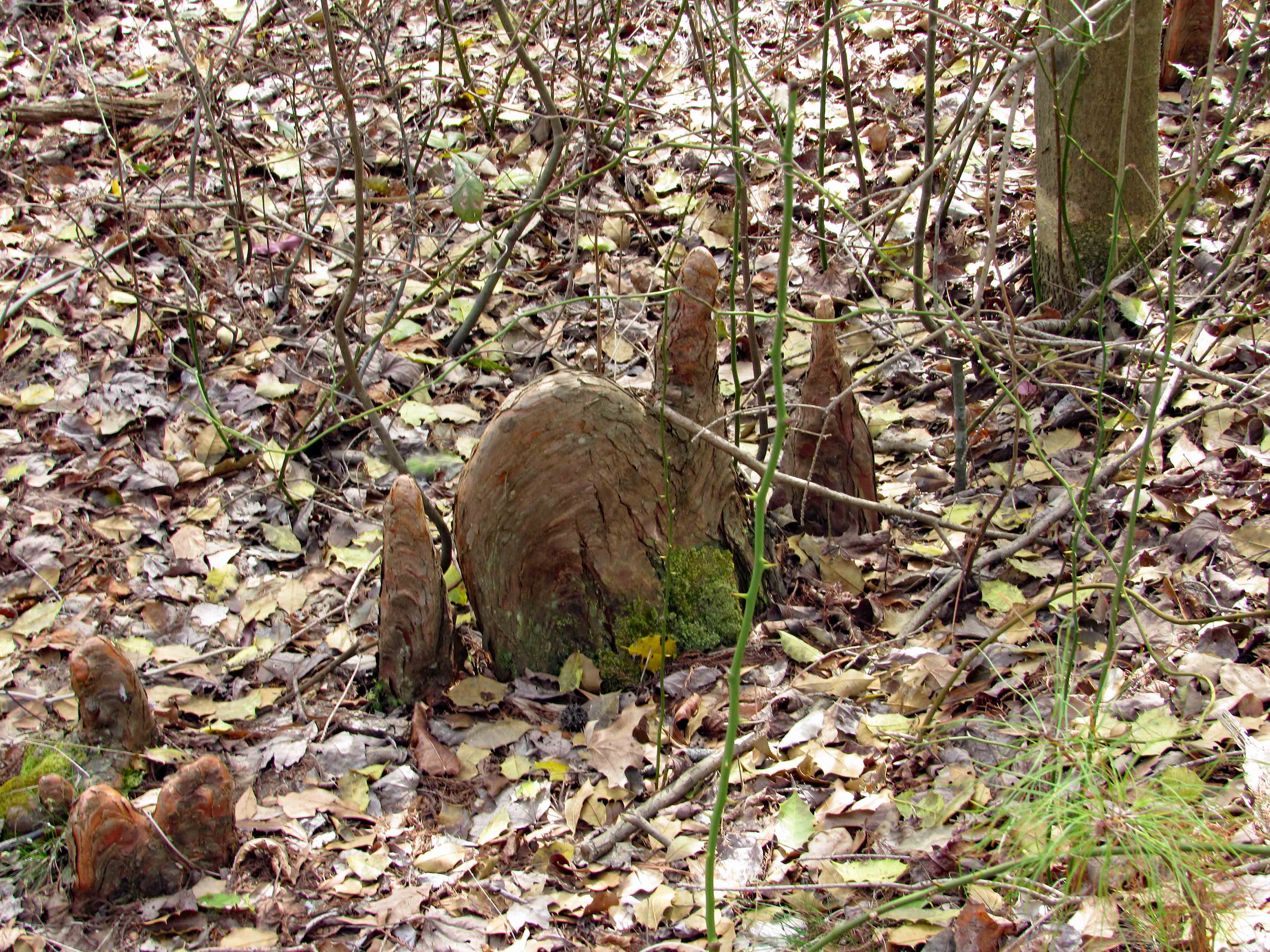
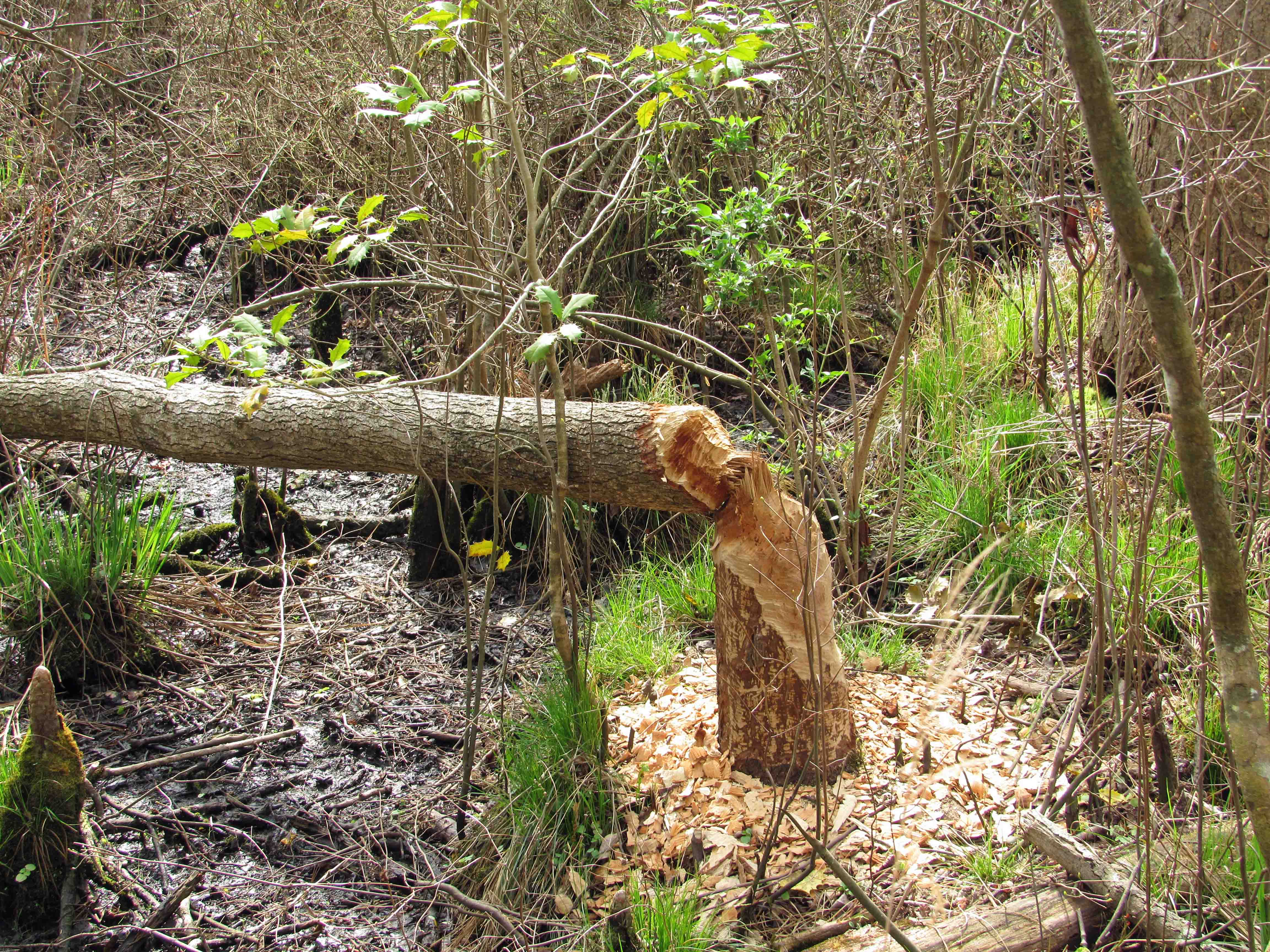
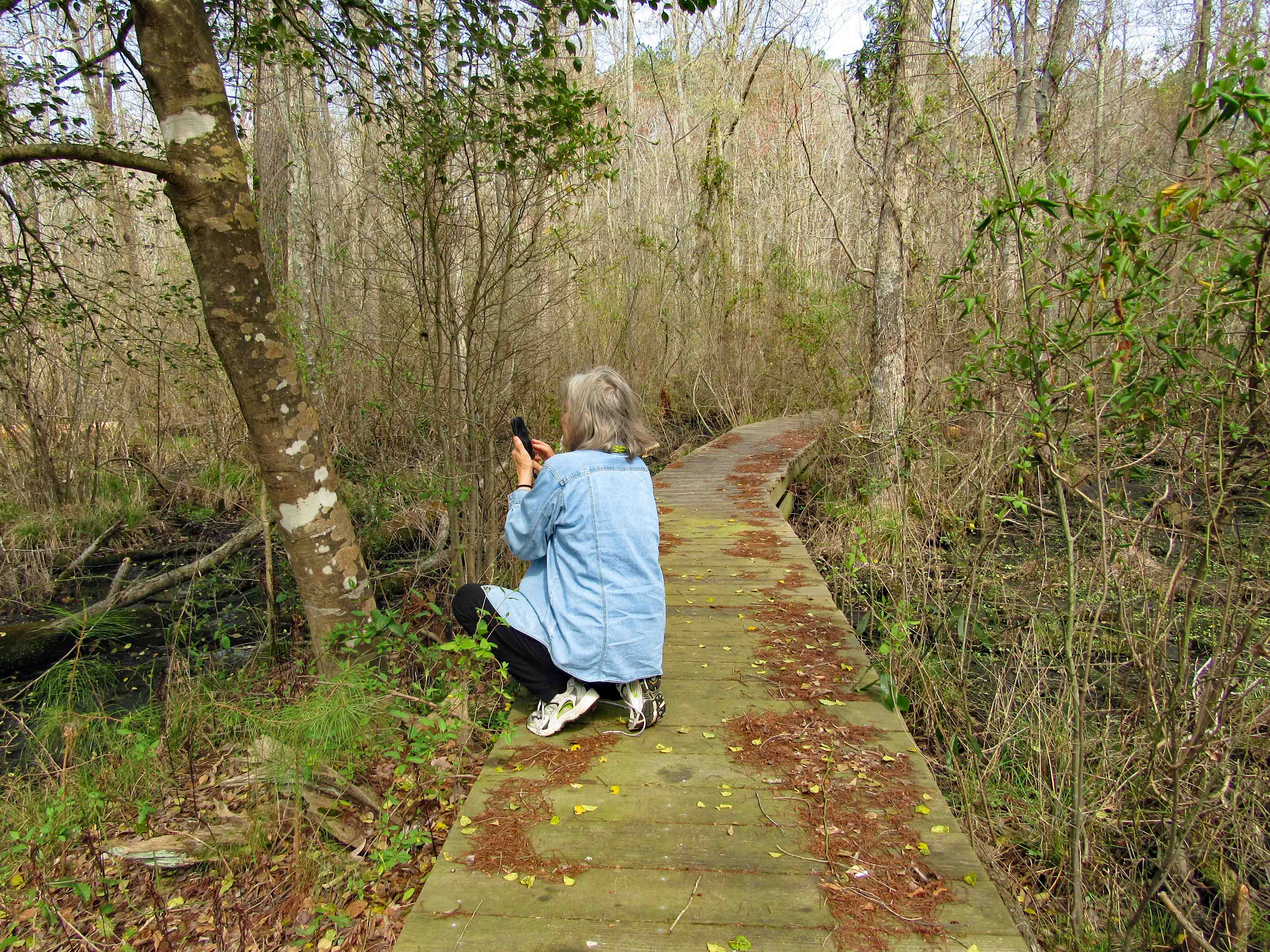
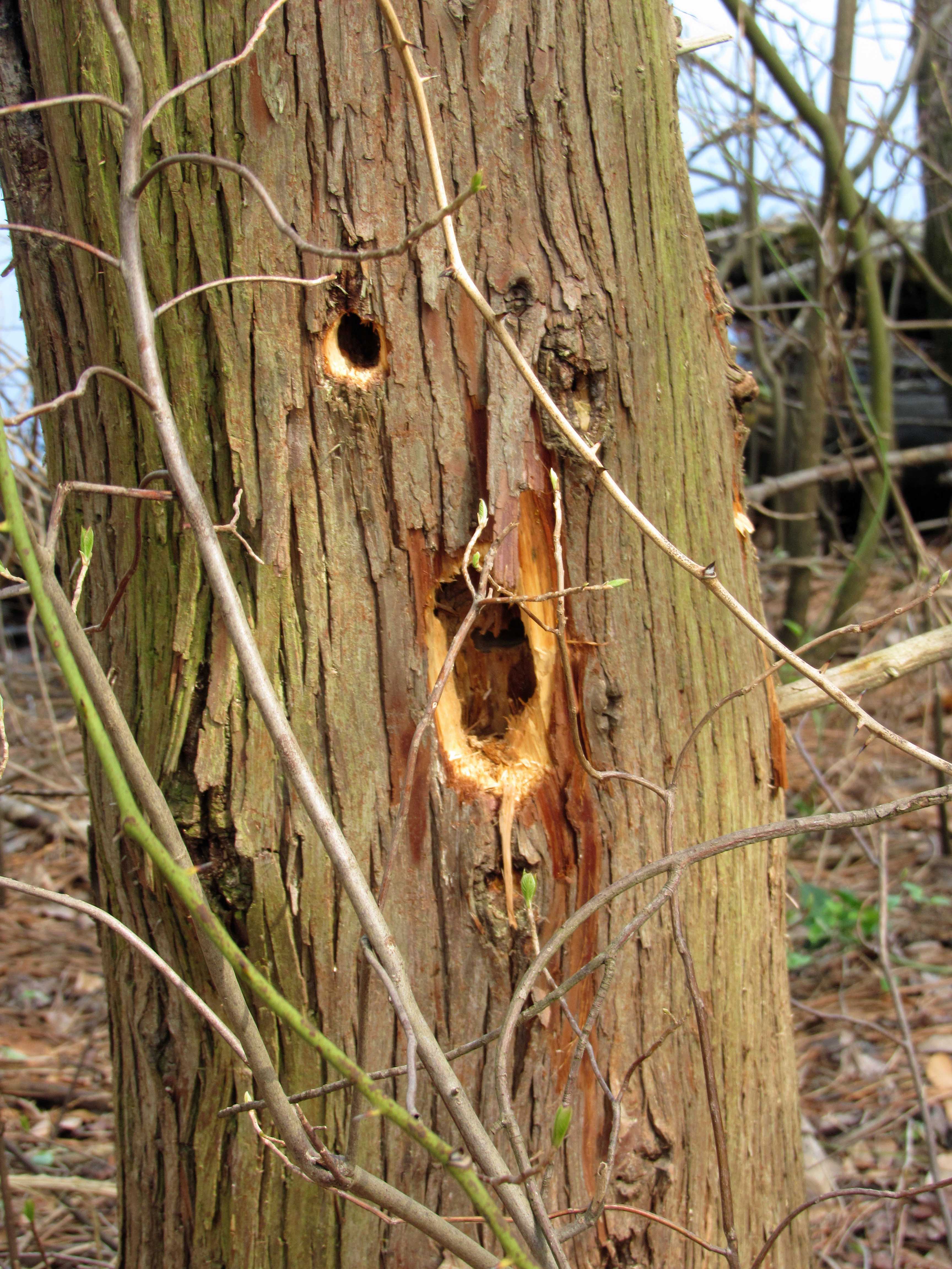
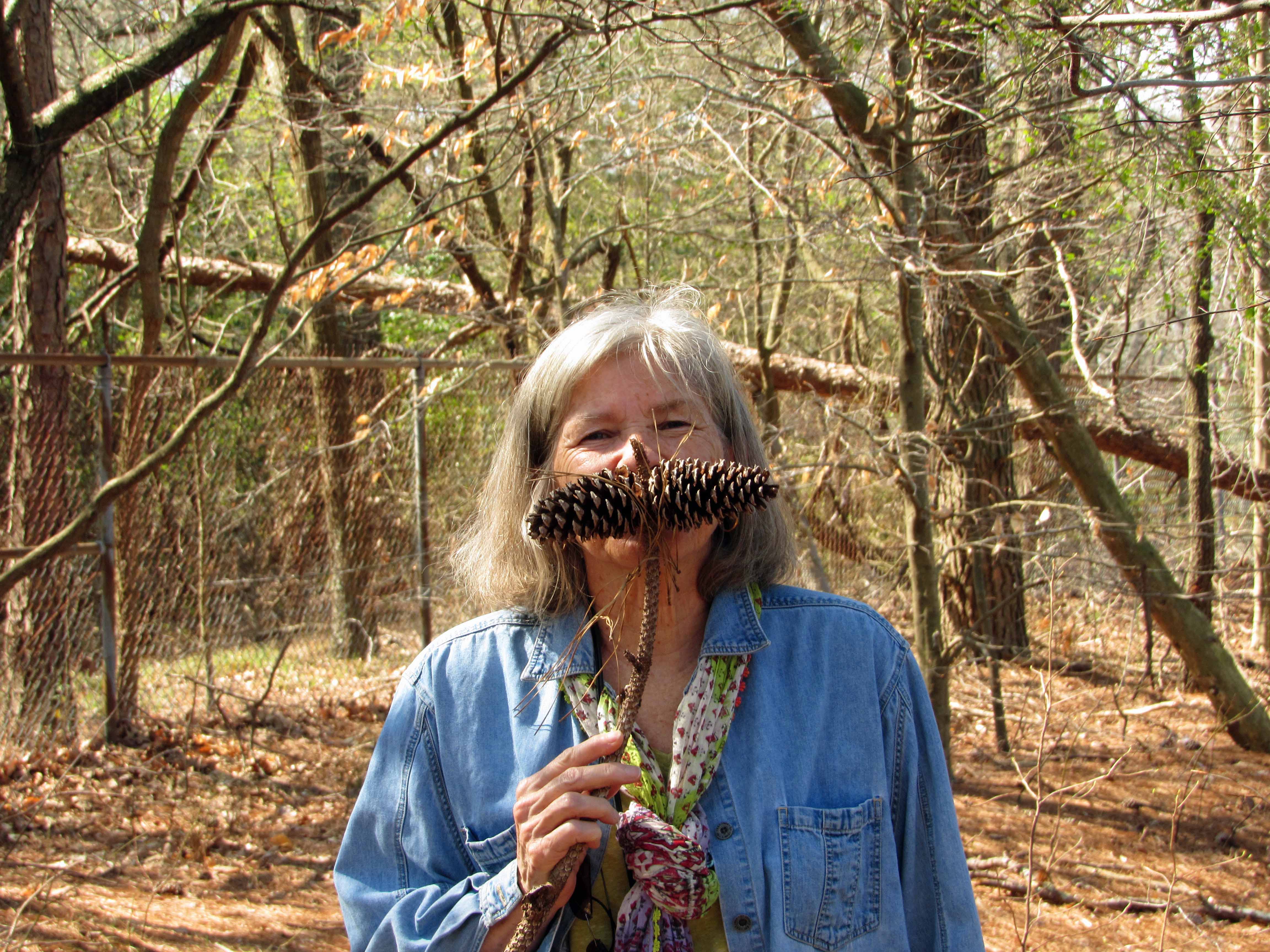
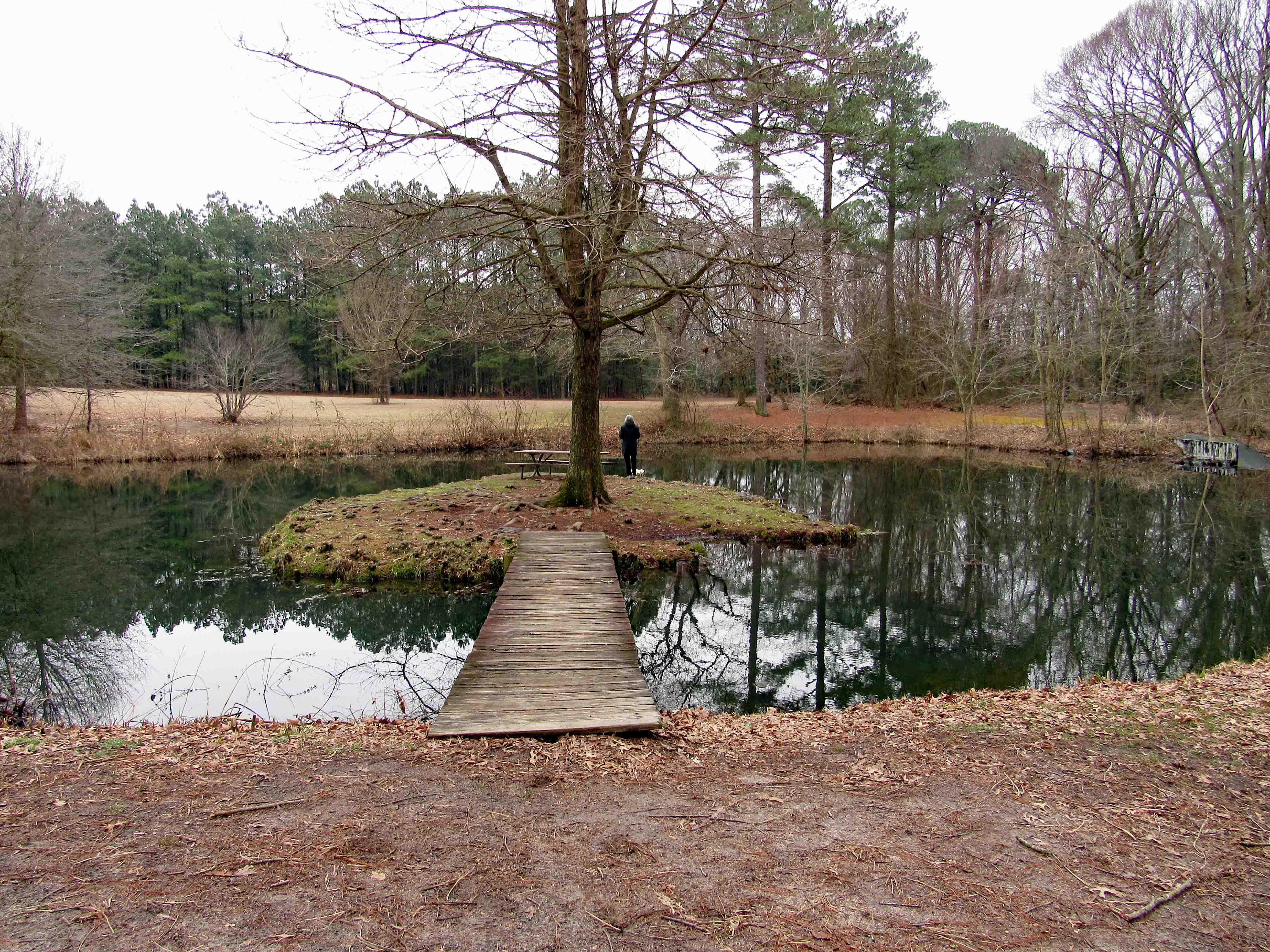
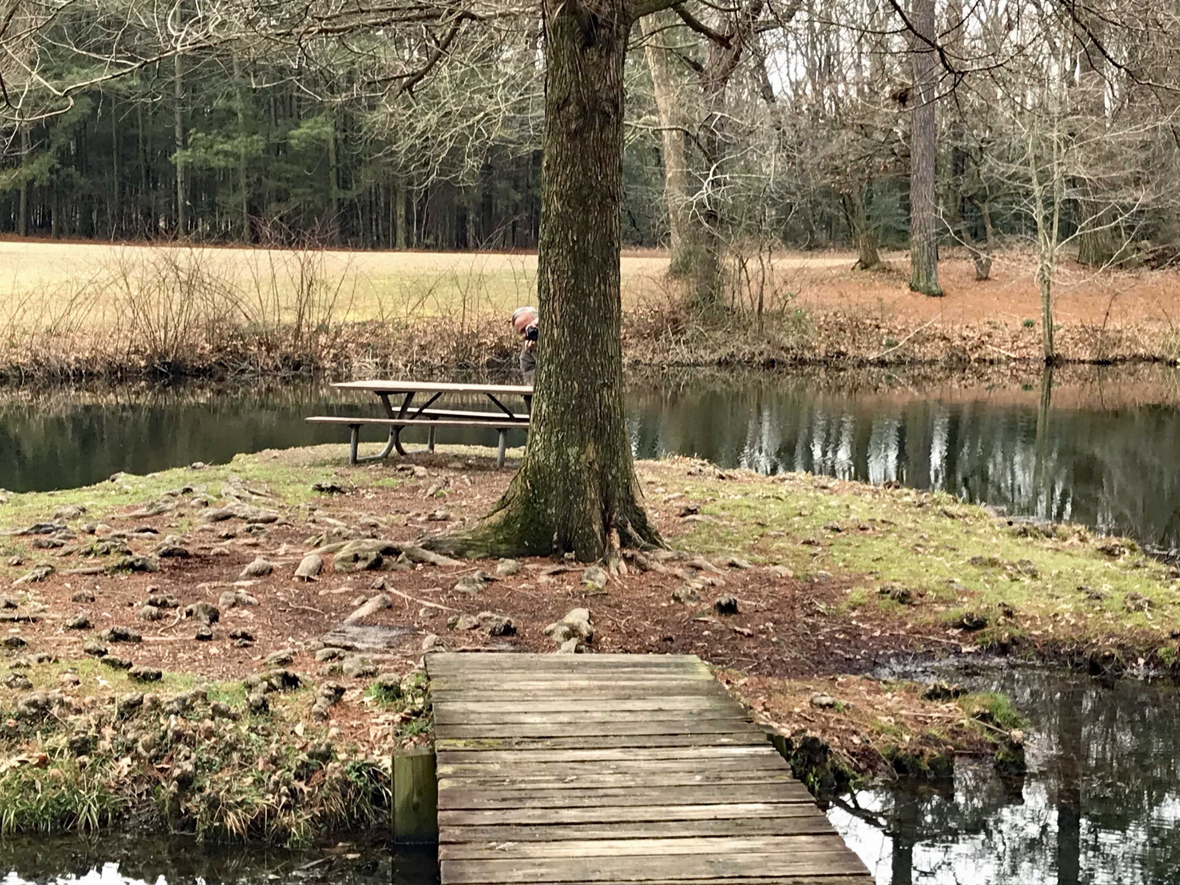
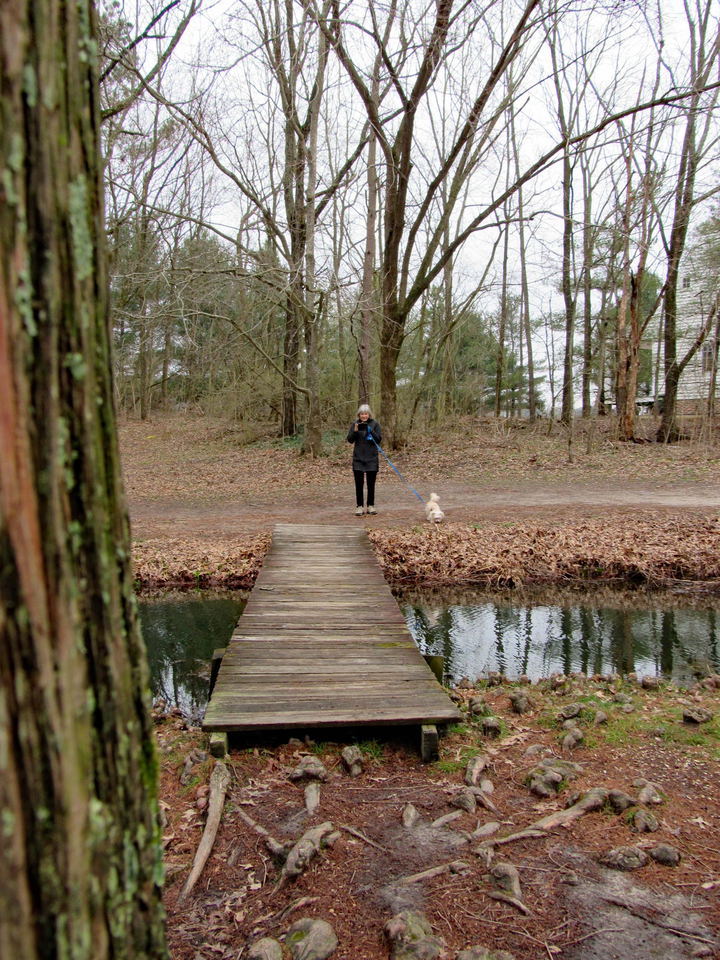
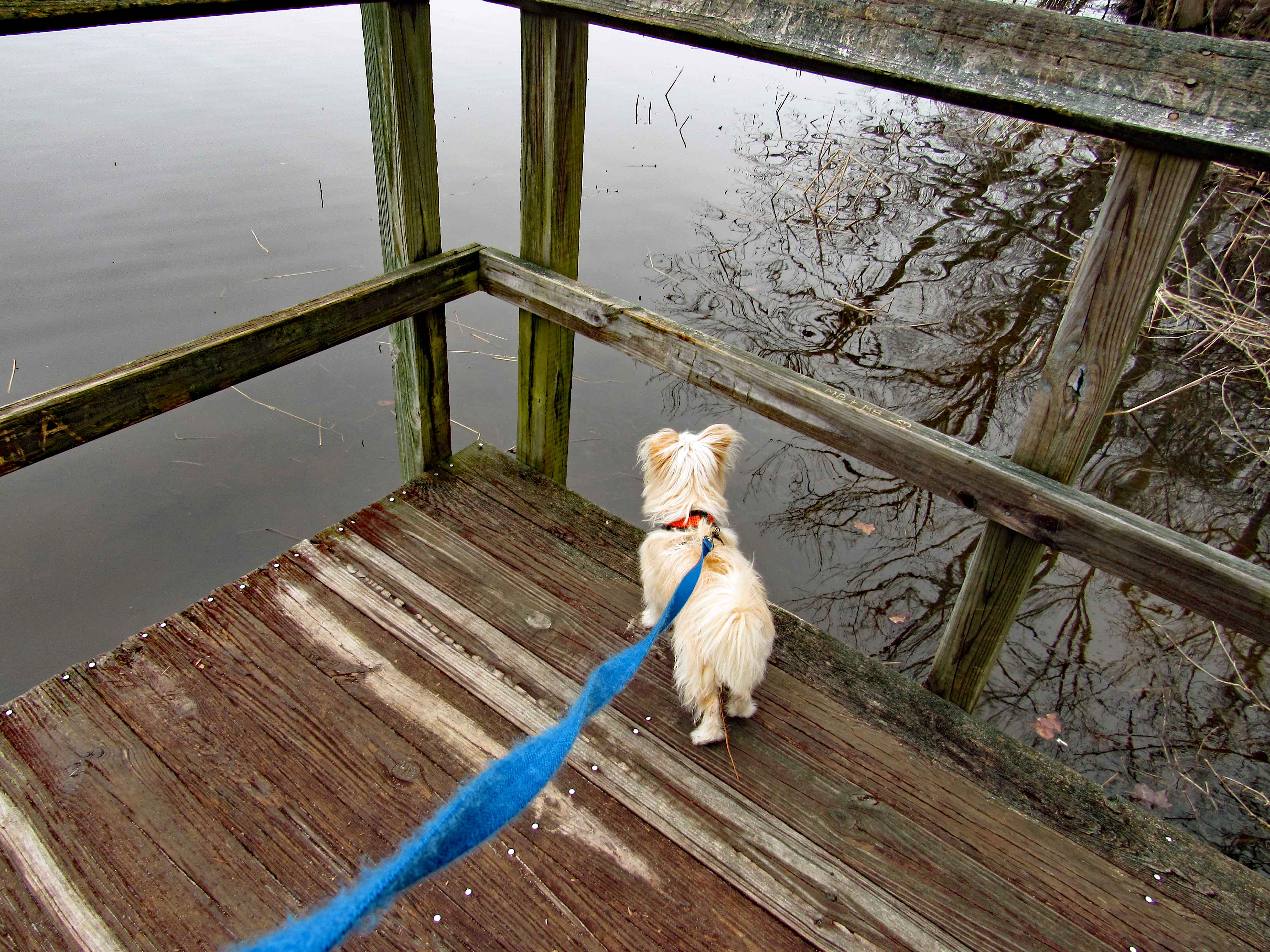
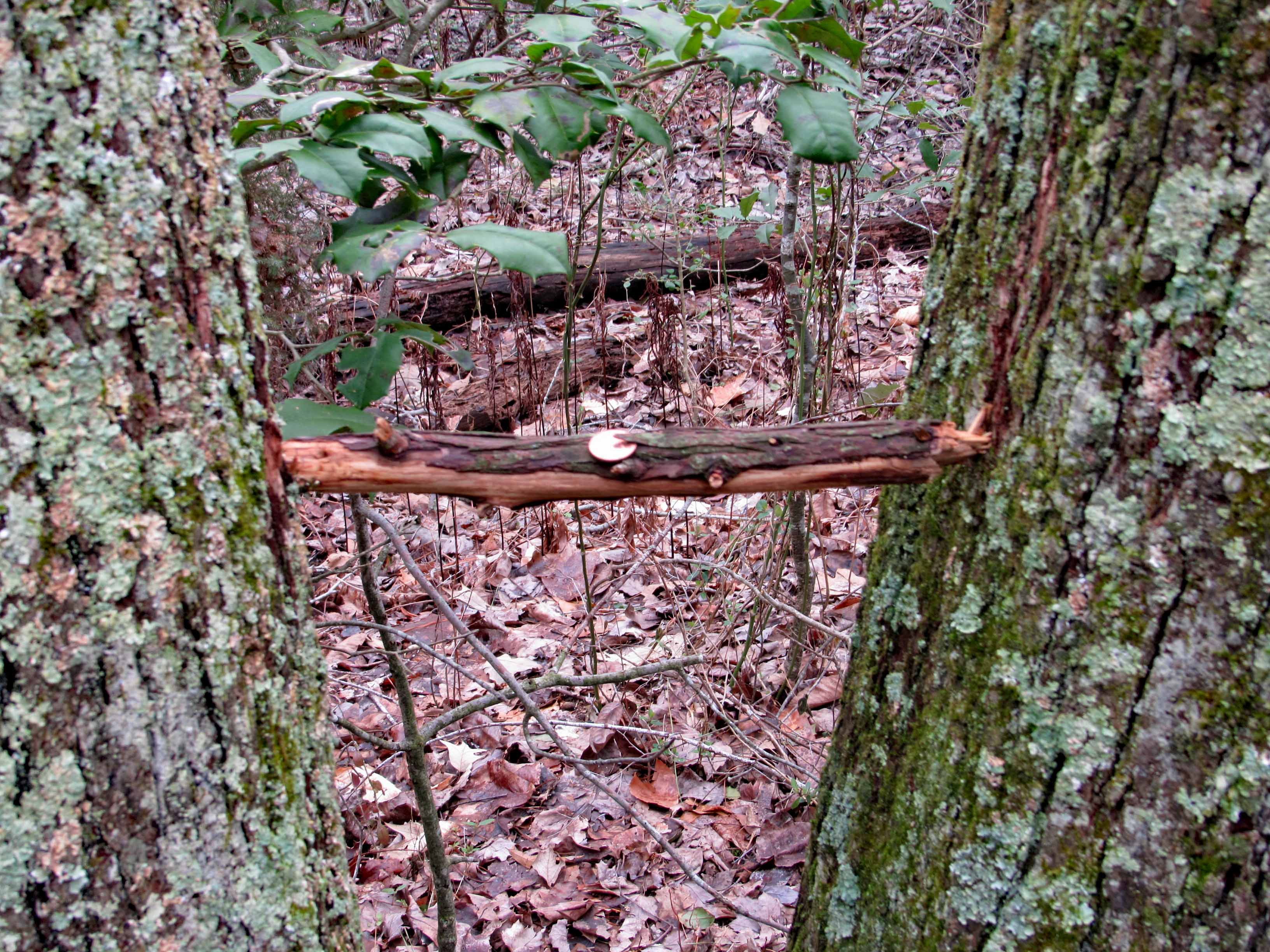
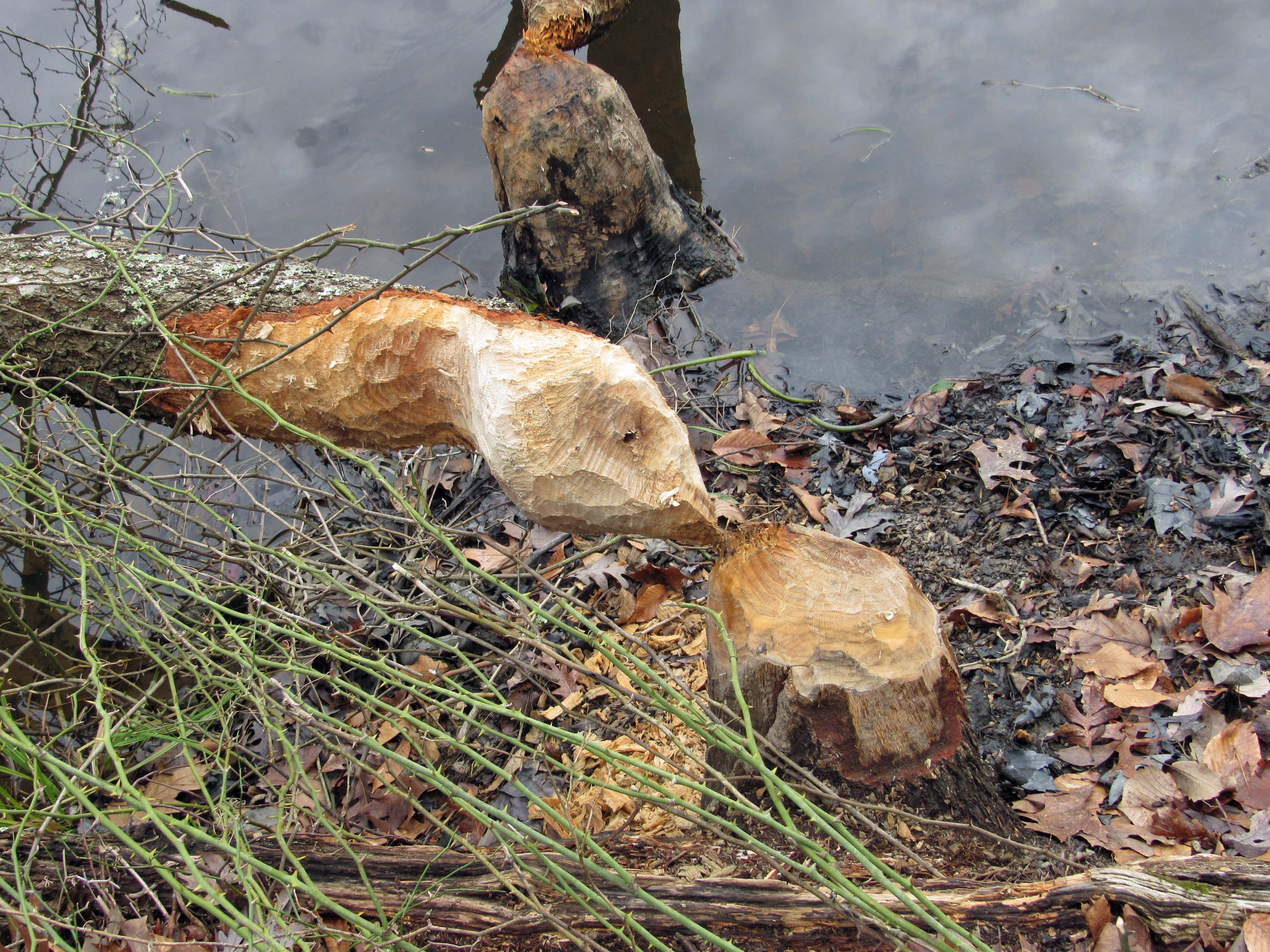
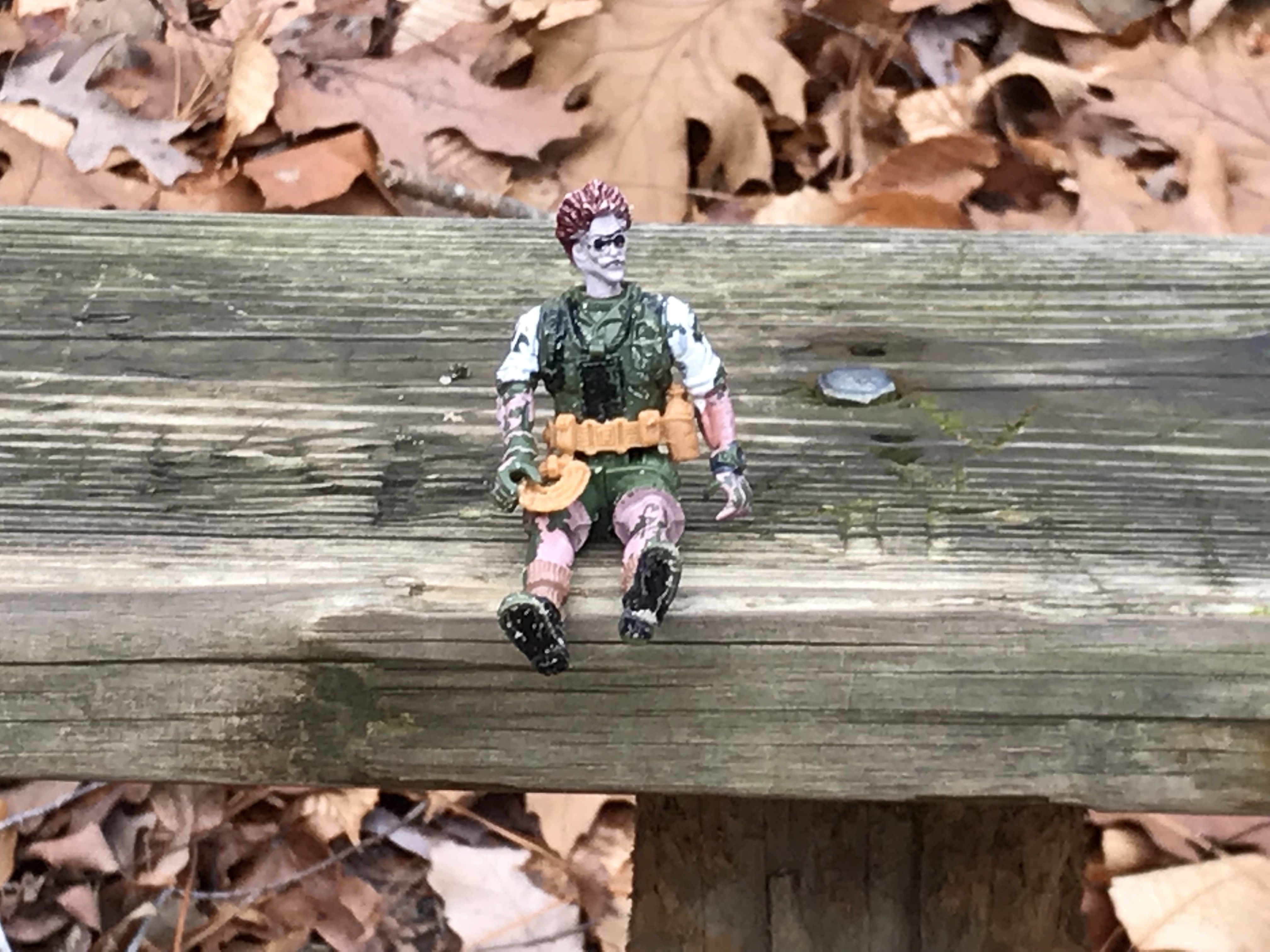
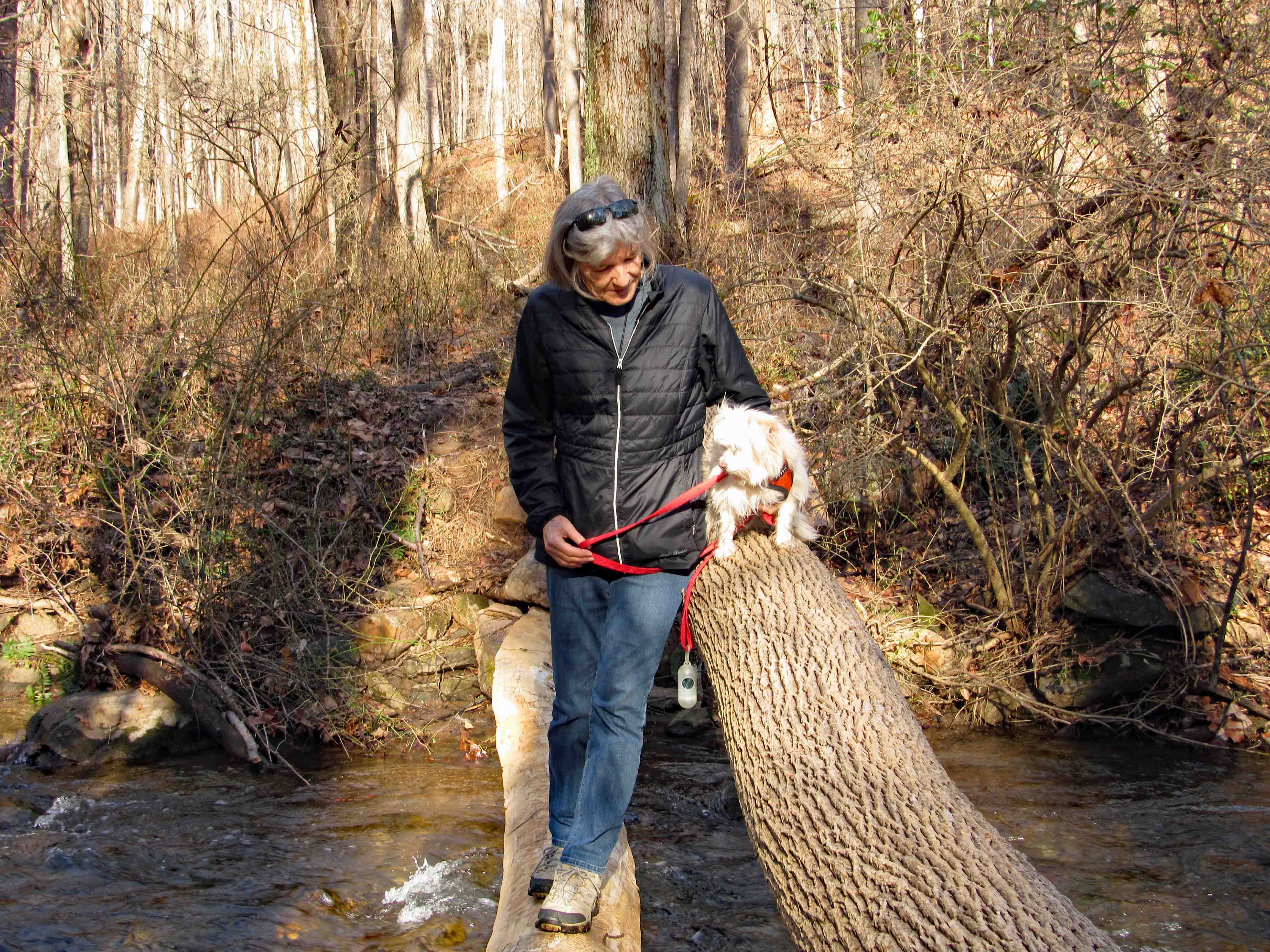
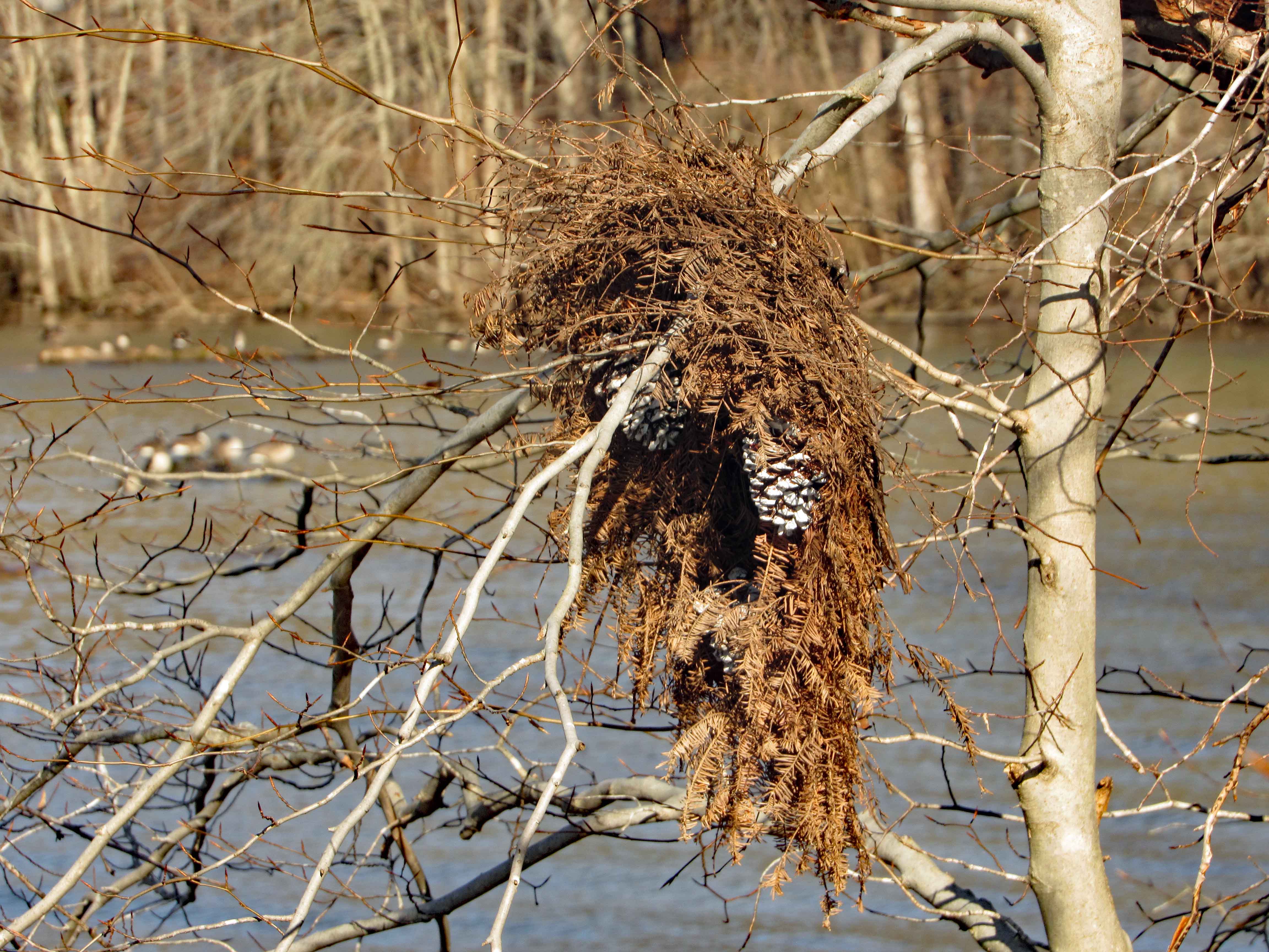
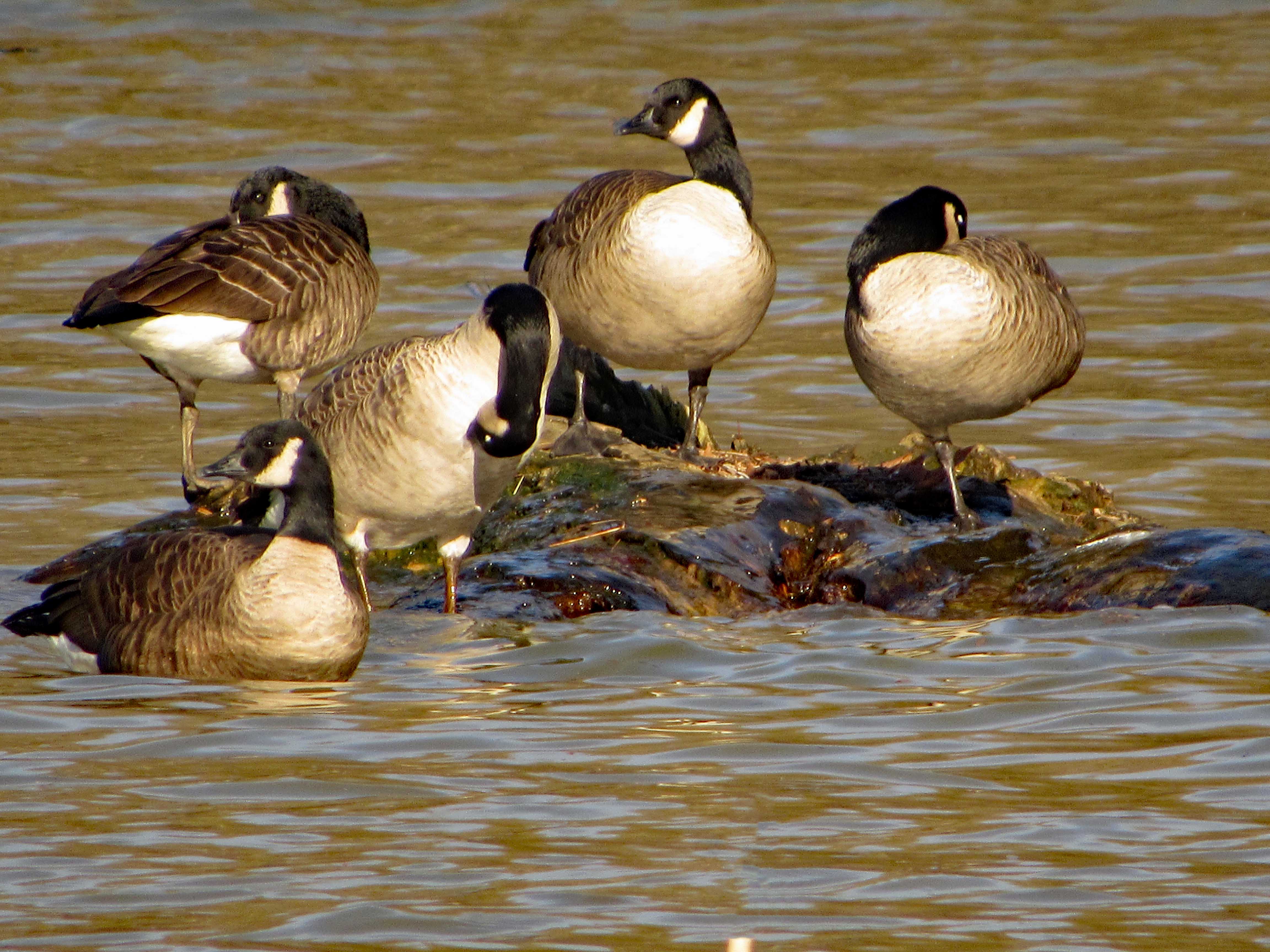
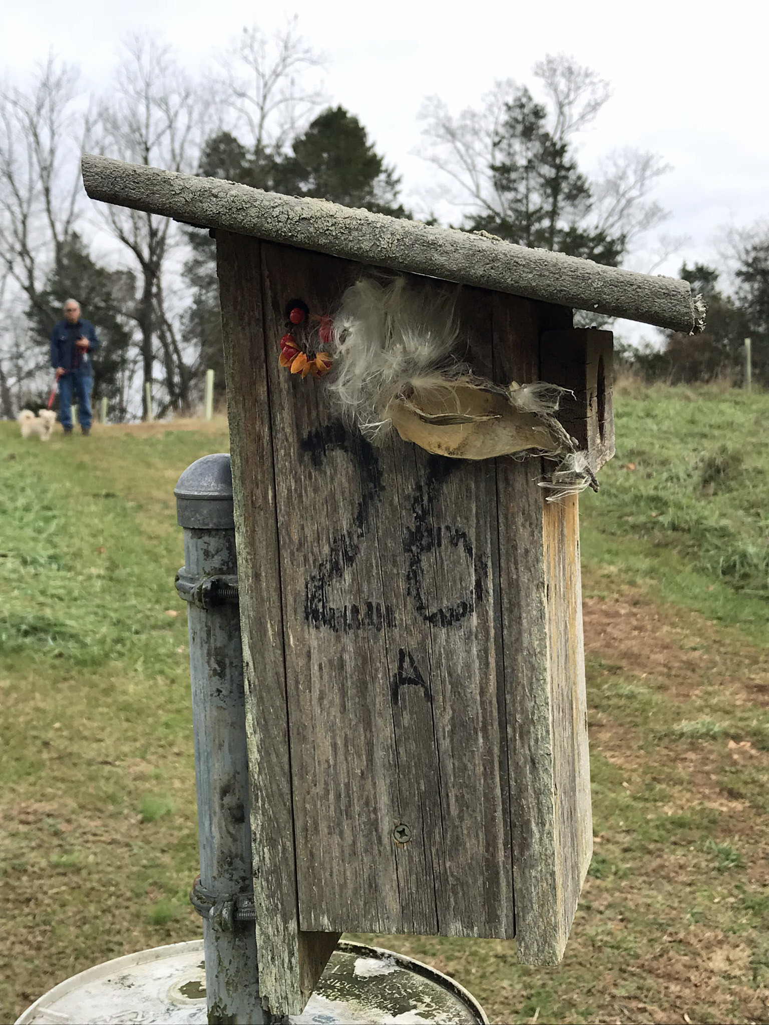
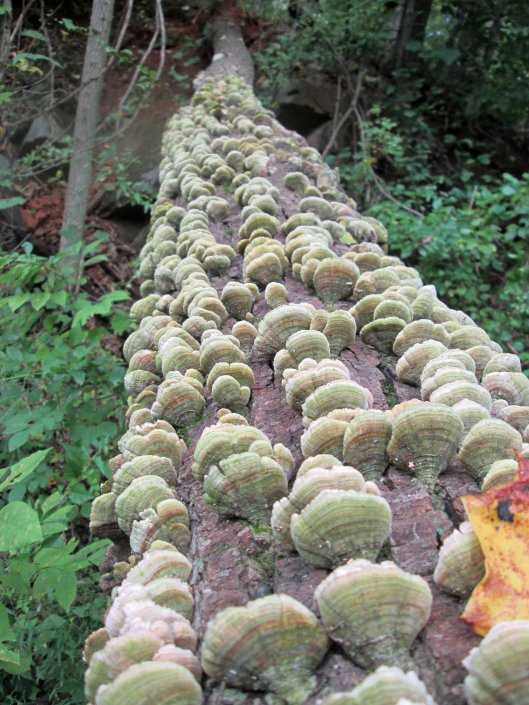
While down the bottom of the furnace, by the mill race, Kathy ran into this guy.
Moving on, here is the interior of the Weave House.
The Museum Building looks more like a church to me.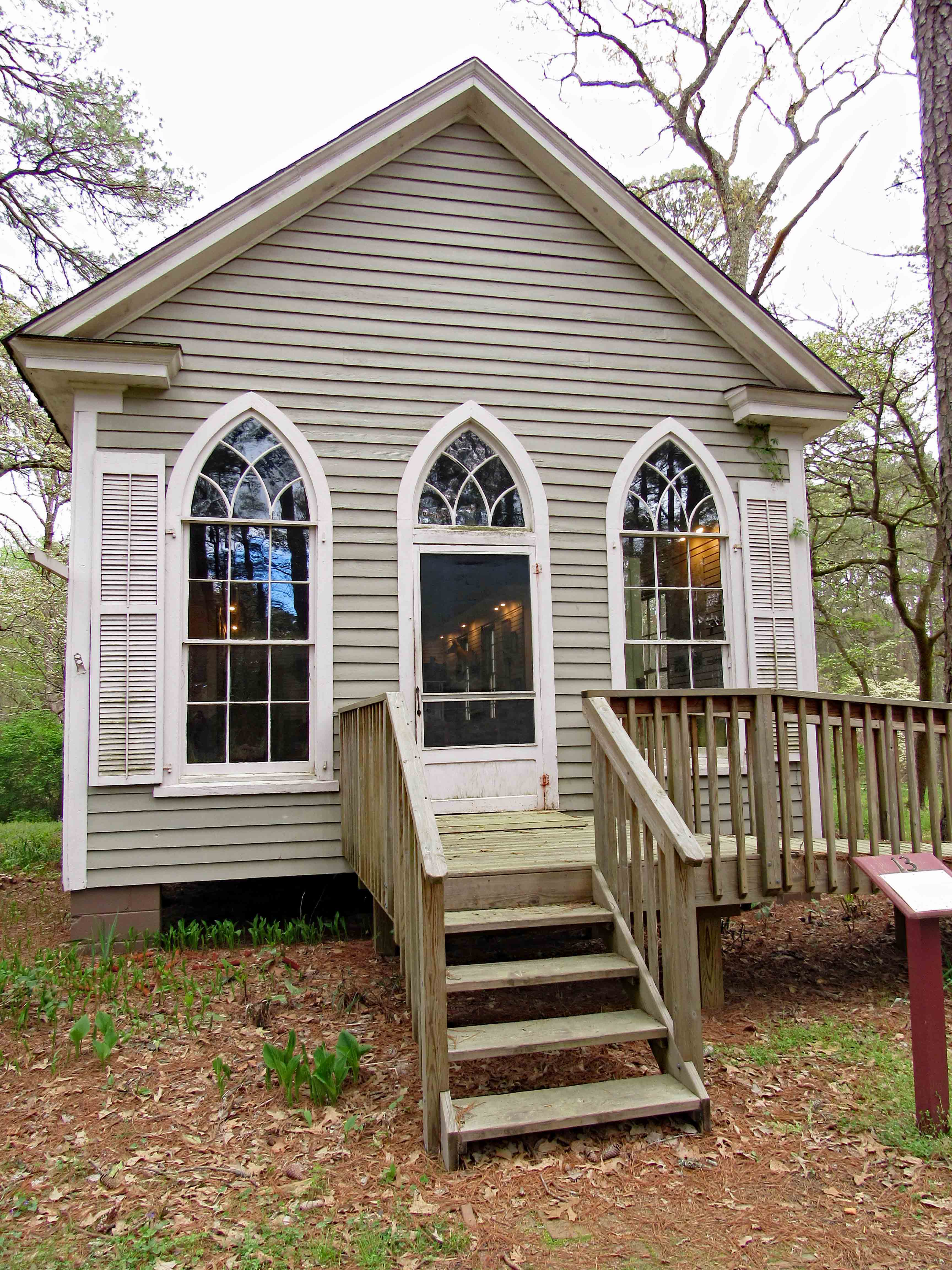
A replica of a building that is no longer there.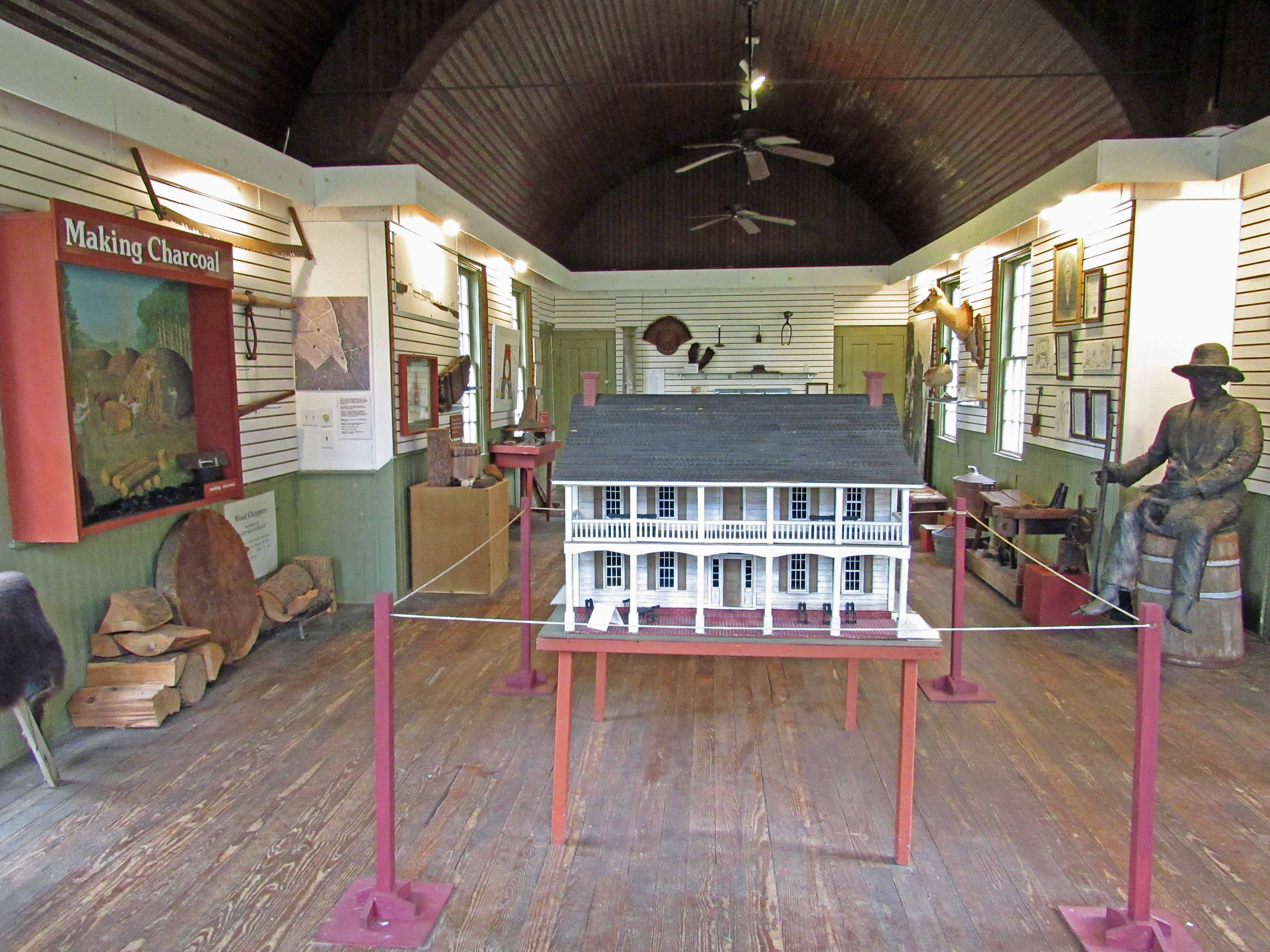
Then there is this guy.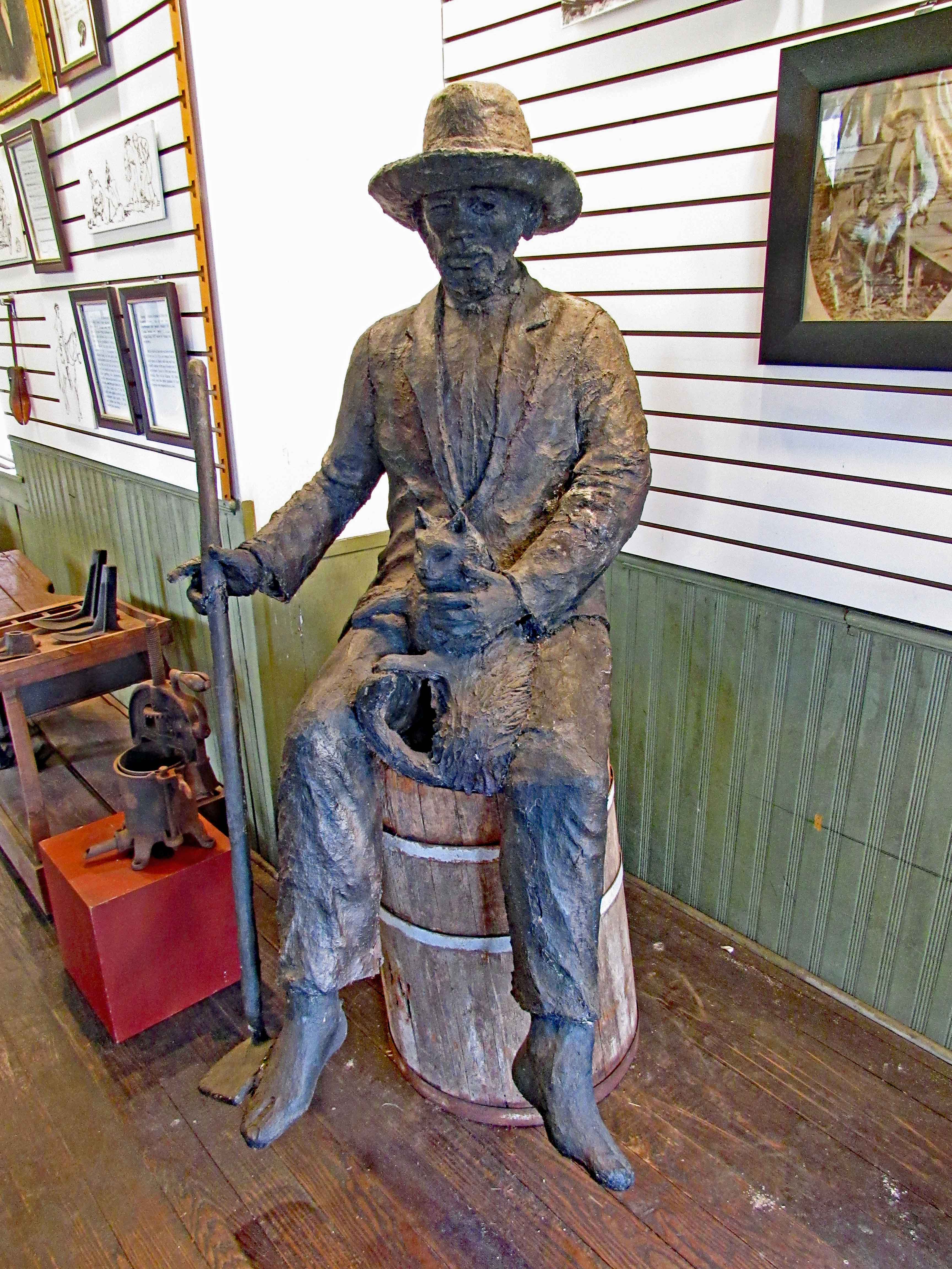
And who he was…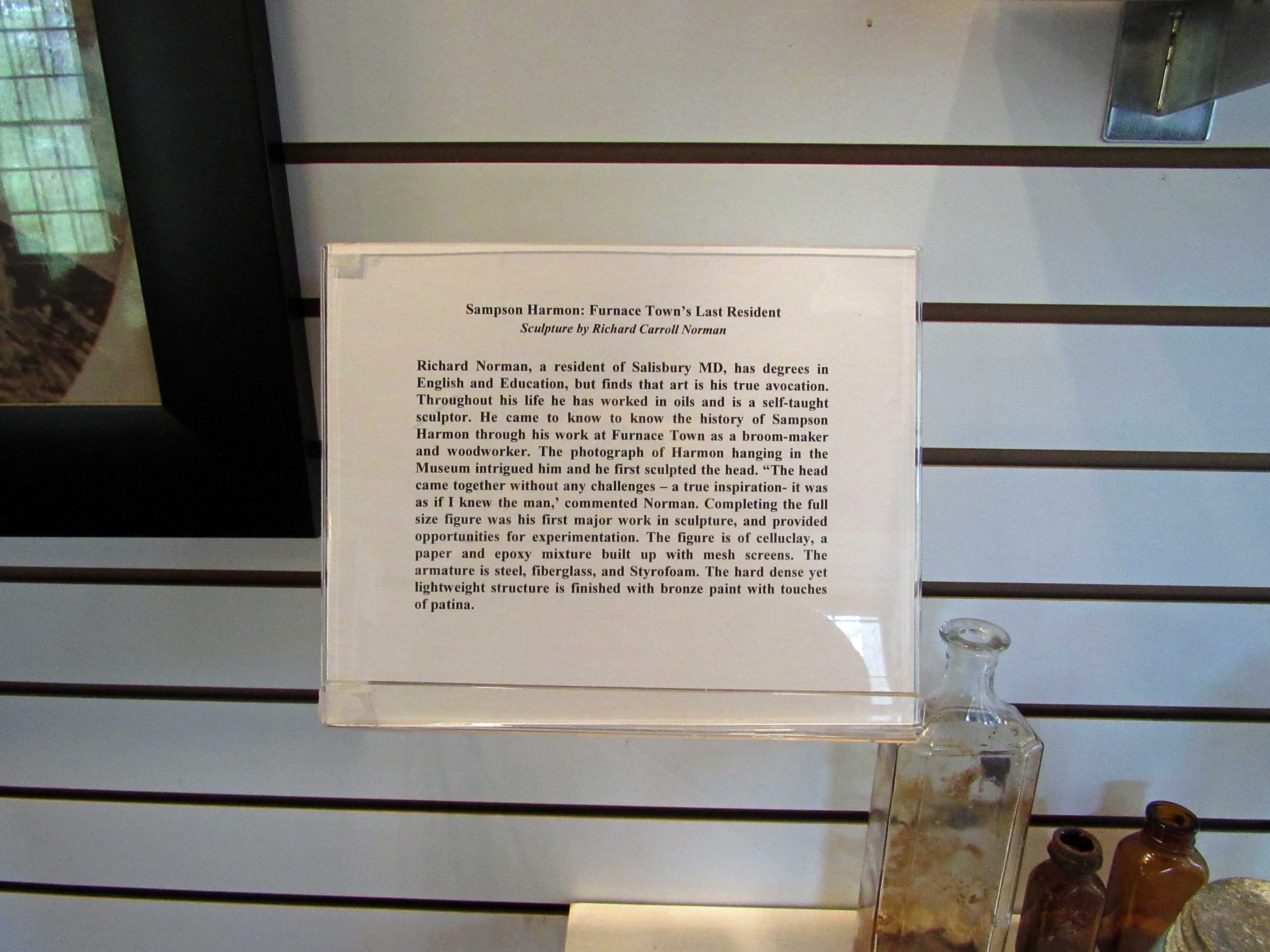
The Broom House.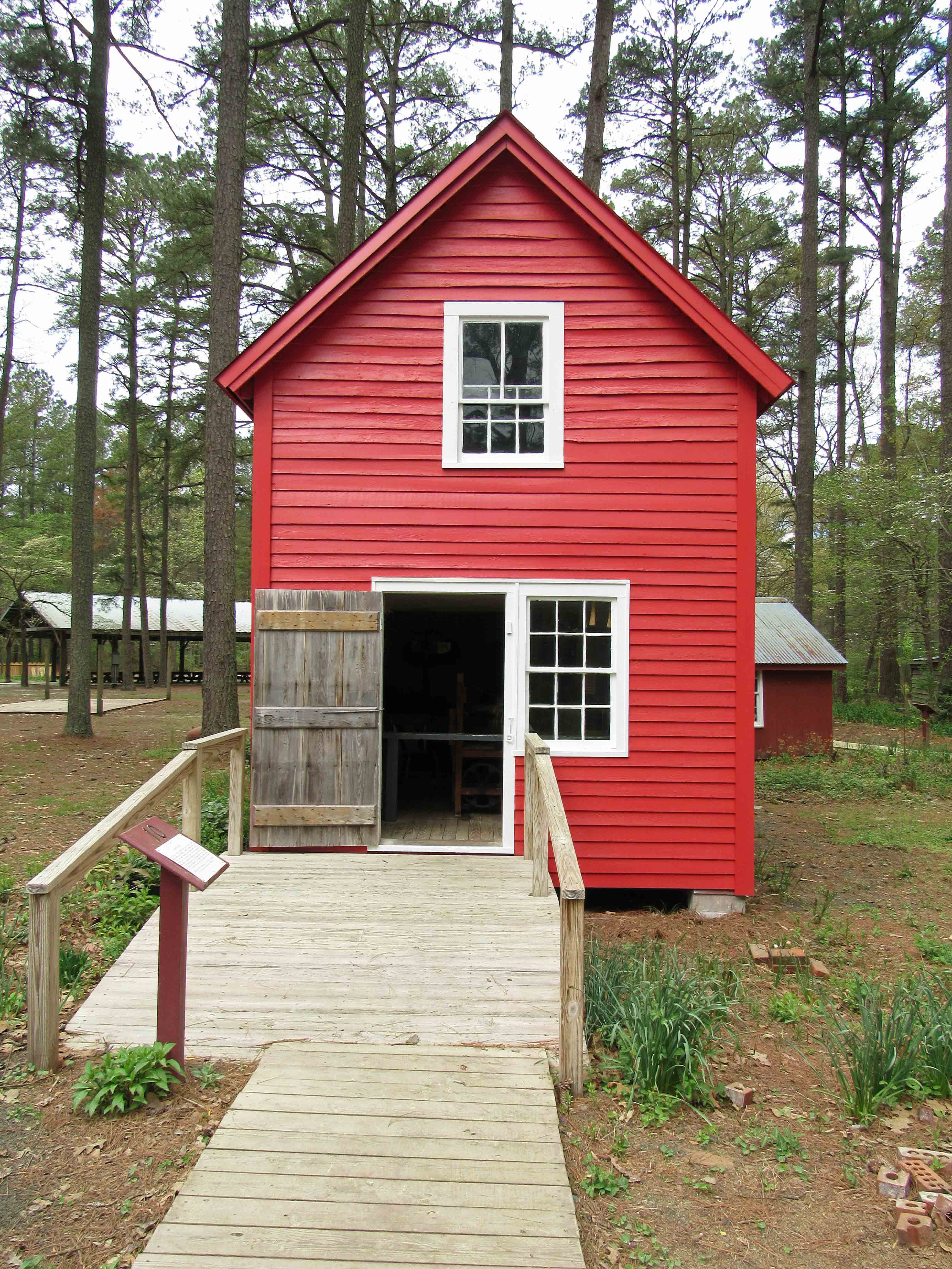
And what they made.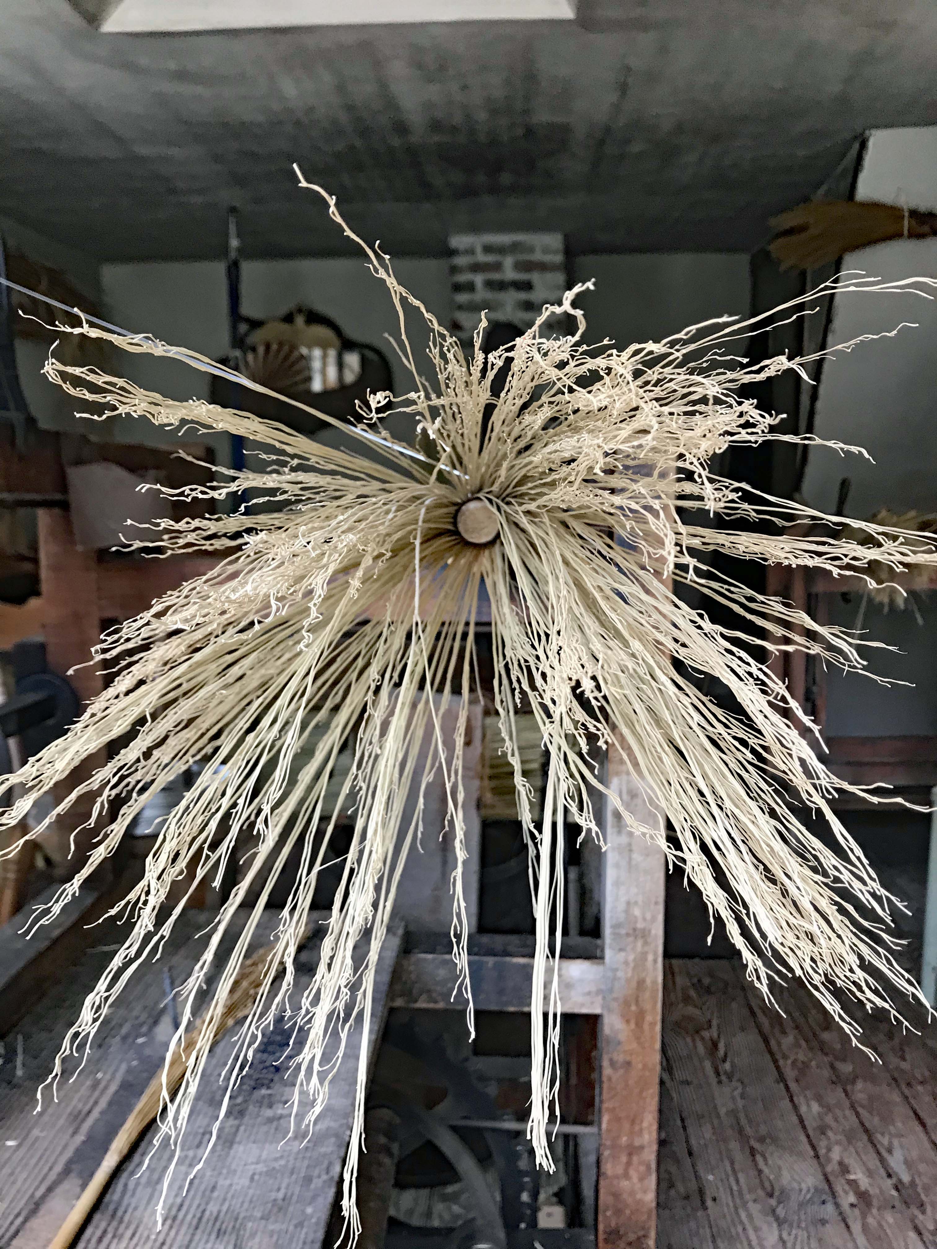
Almost finished.
Tools of the trade for hogs.
Sign.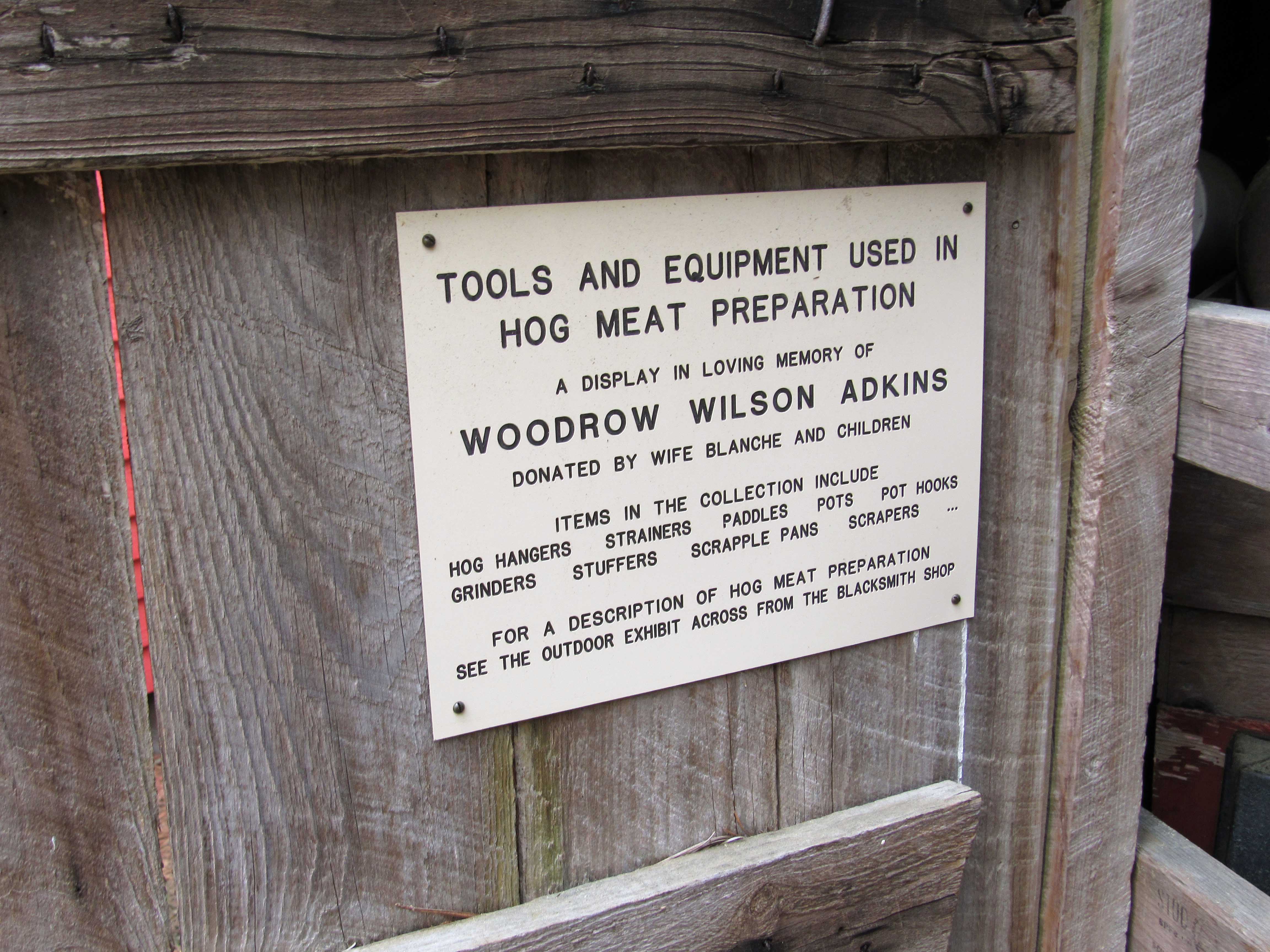
Next was one of my favorites – Print shop.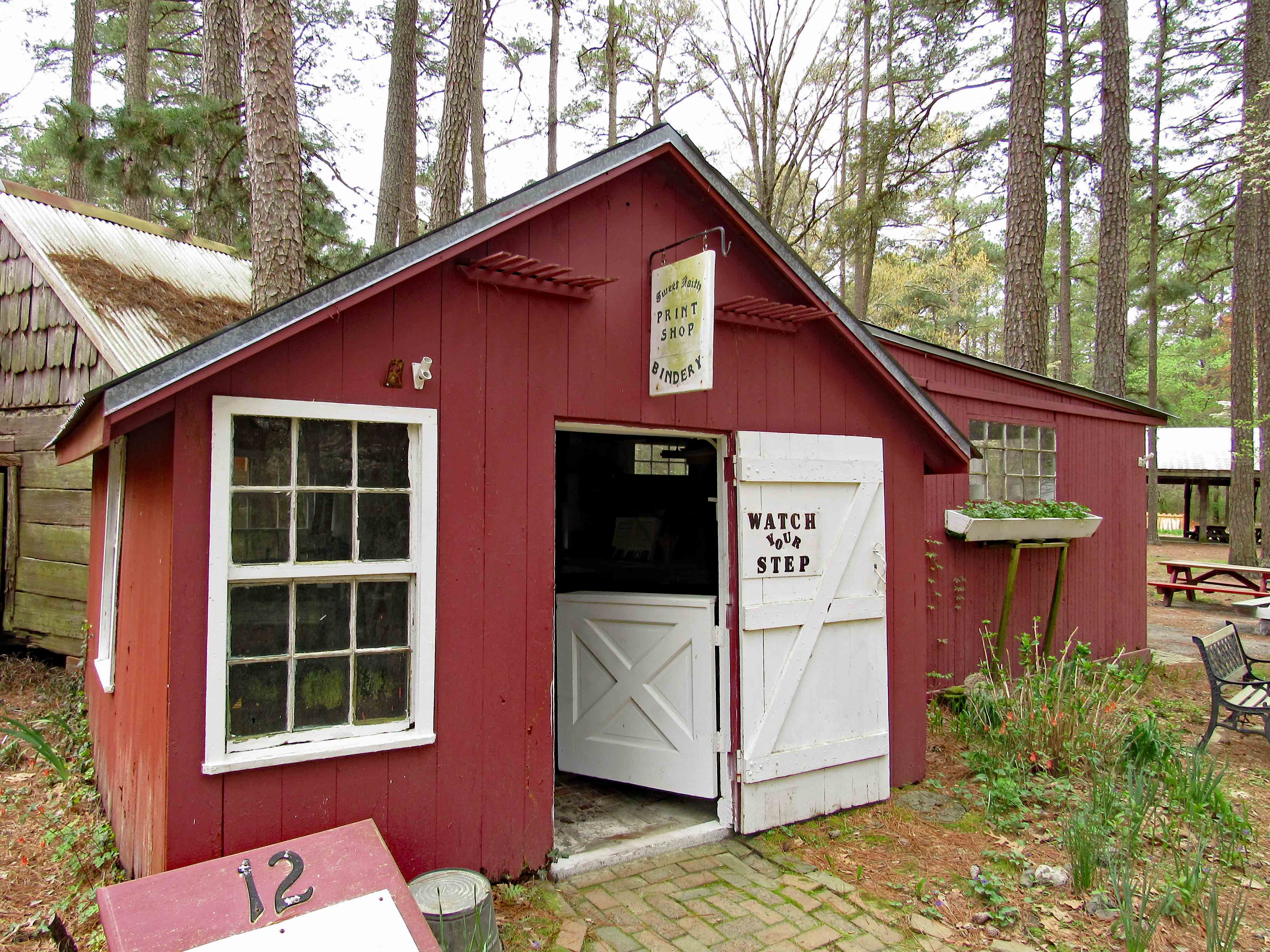
Kathy checking it out.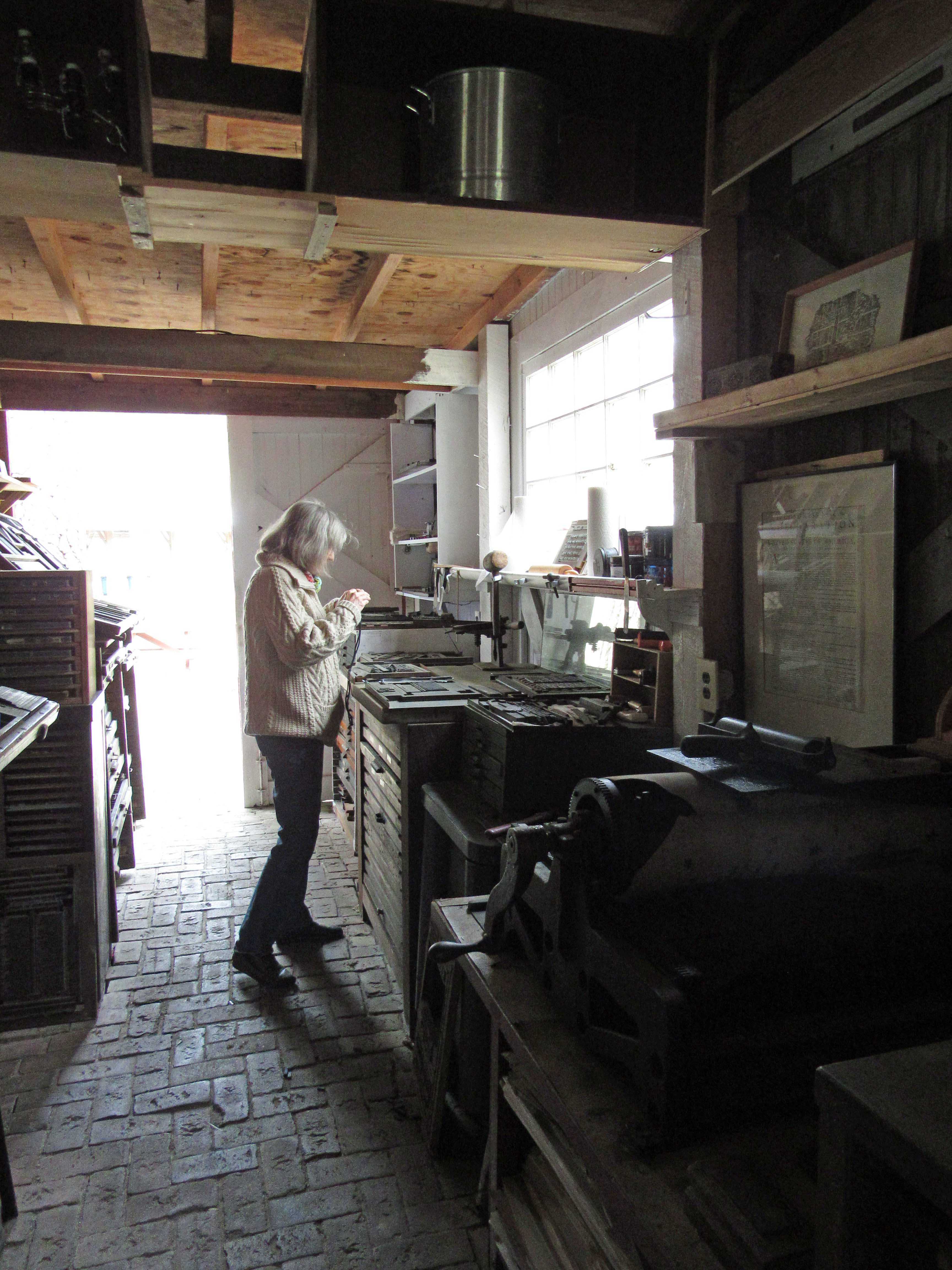
Tools of the trade.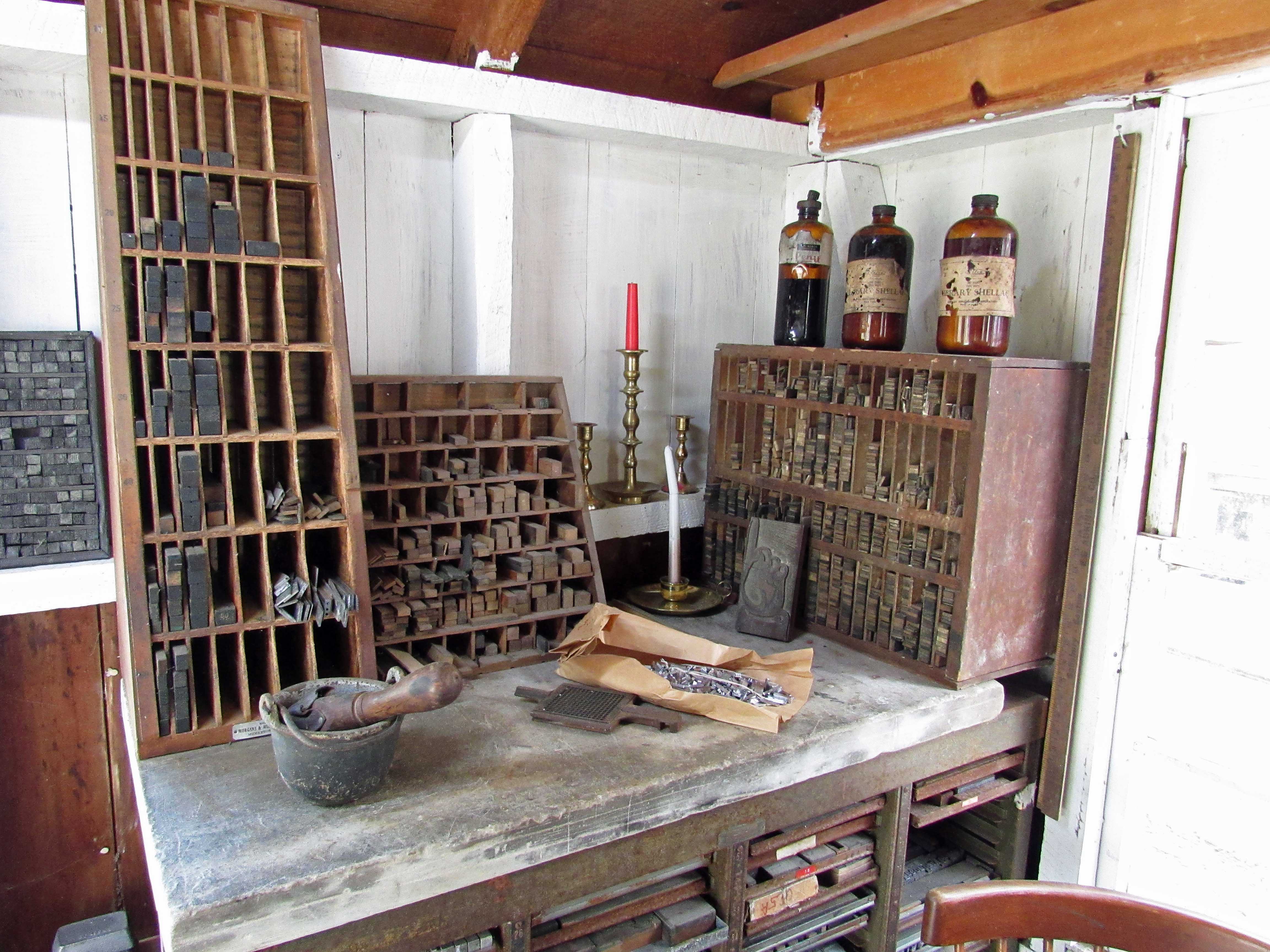
Me checking it out.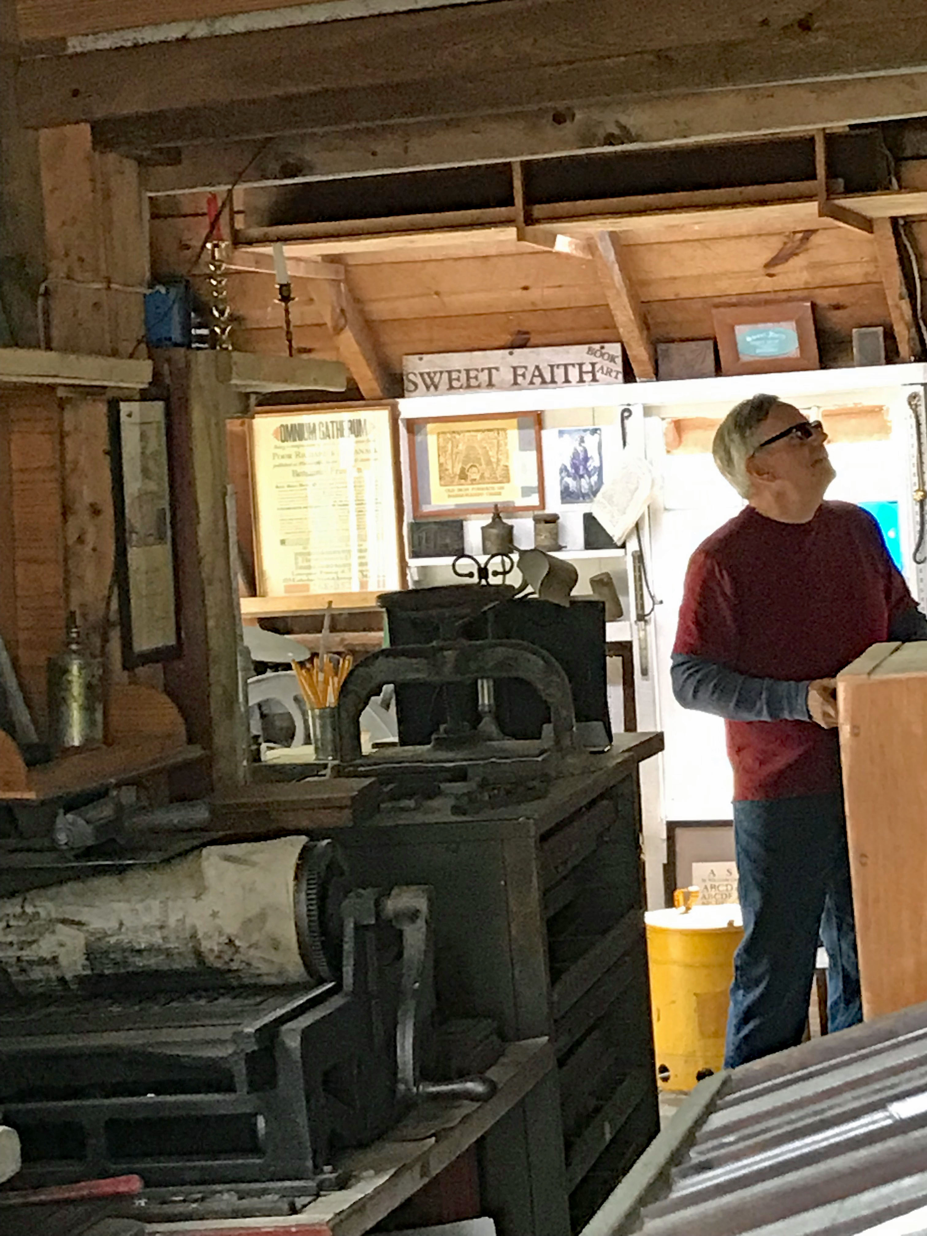
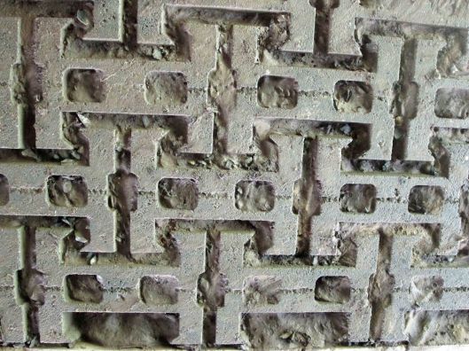
Some of the things they print up.
And.
And… it looks like some pieces are missing from this one.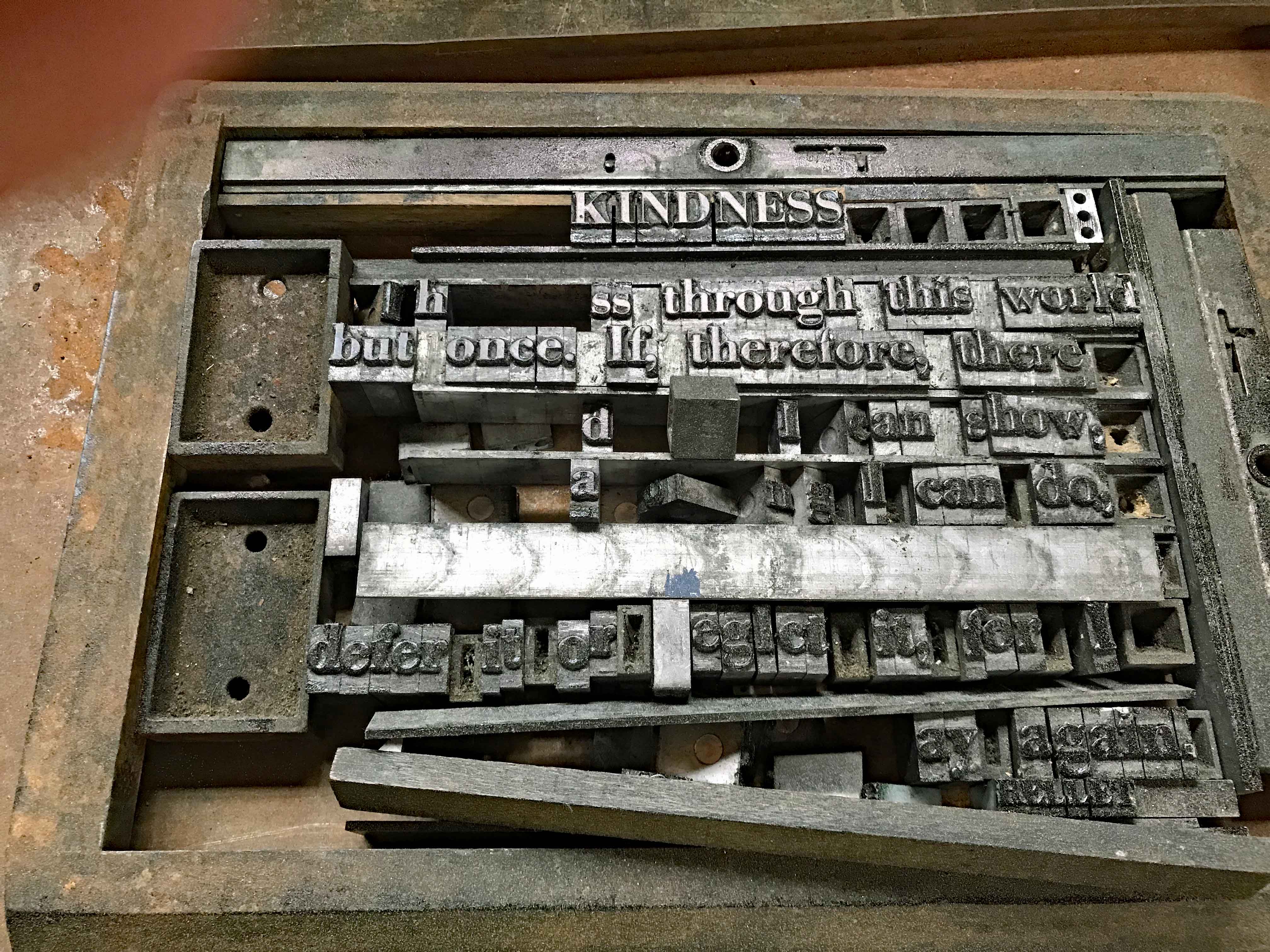
Ye Olde Out House.
Gardener’s Shed.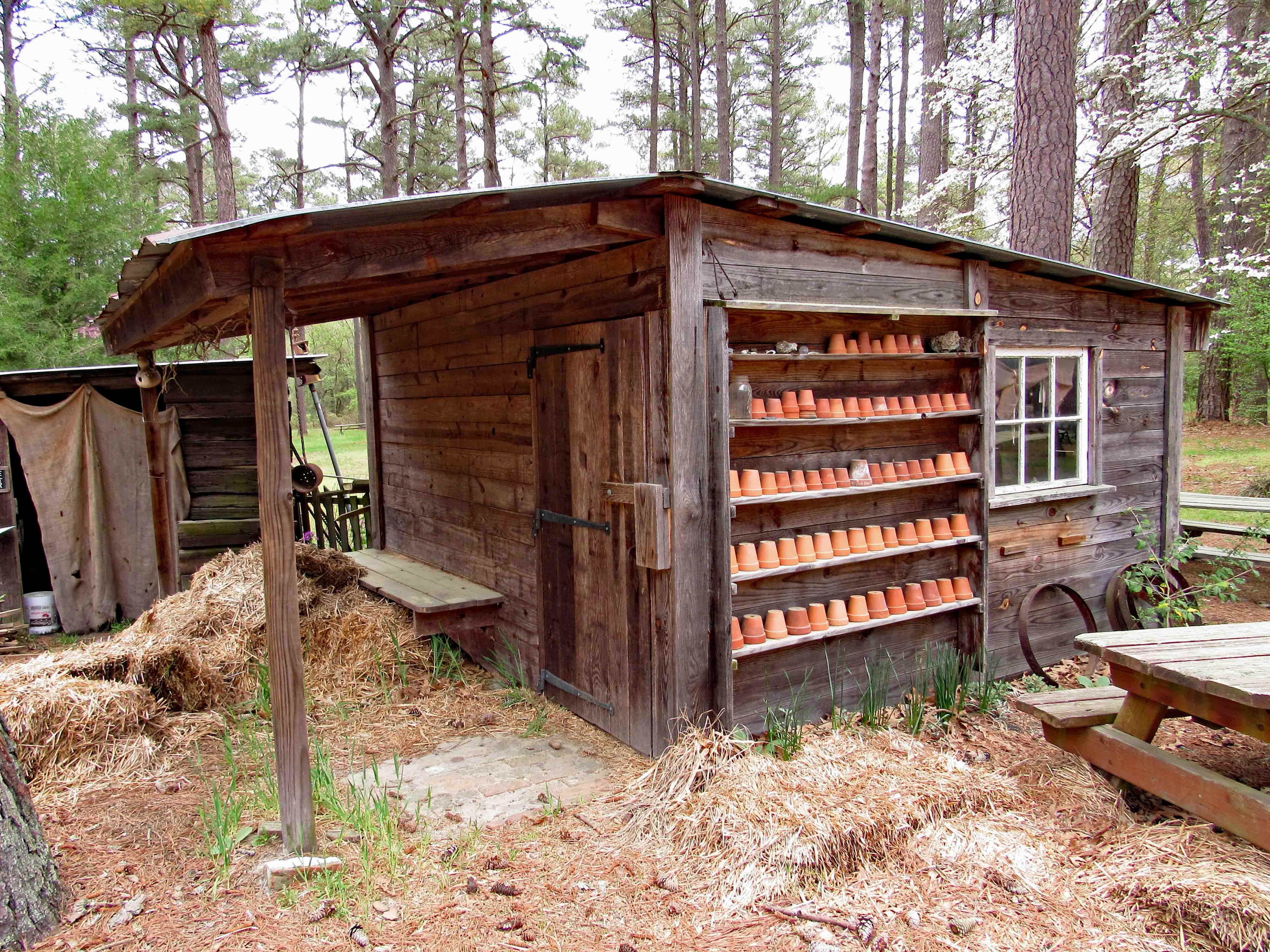
One room school house. Built in 1869 near Whiton Md. Closed in 1931, moved to Snow Hill in 1959, then to the village in 2015.
Simple, basic education.
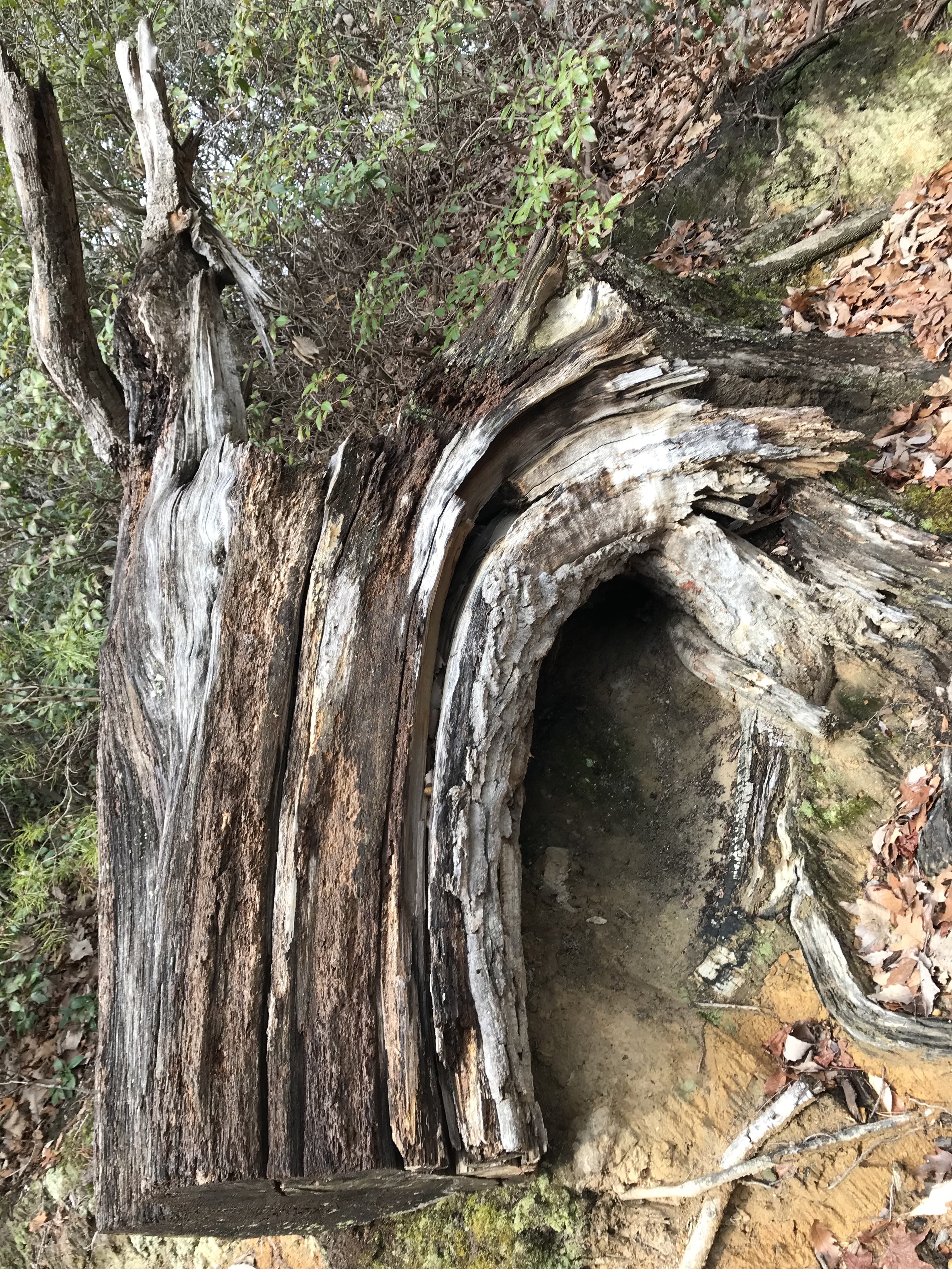
A shadow of a less complicated time.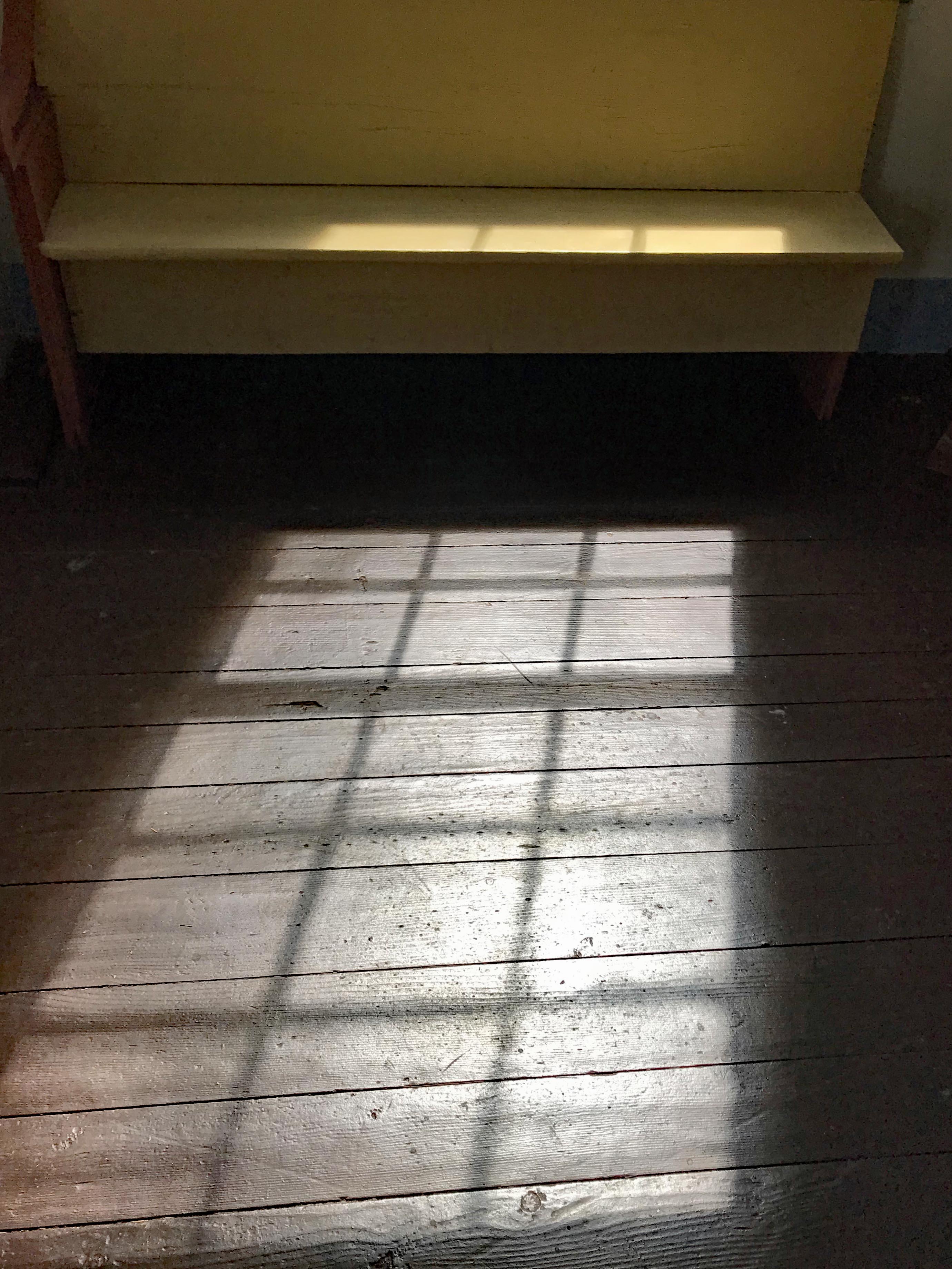
But surely still having its fair share of misfits.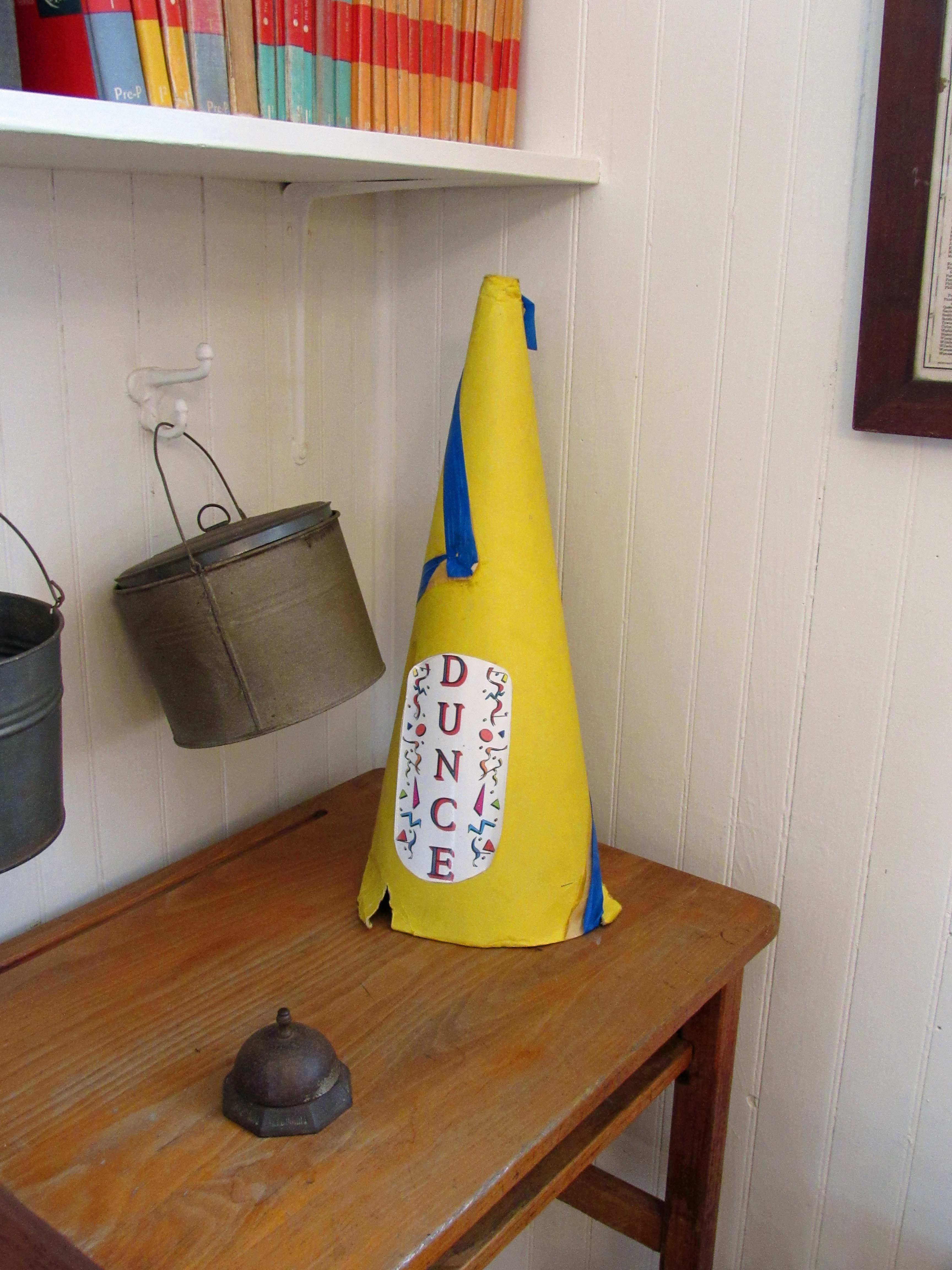
This sculpture would be a great idea to be done for the lime kilns at Cromwell Valley Park. If I was more artistic, I would build it.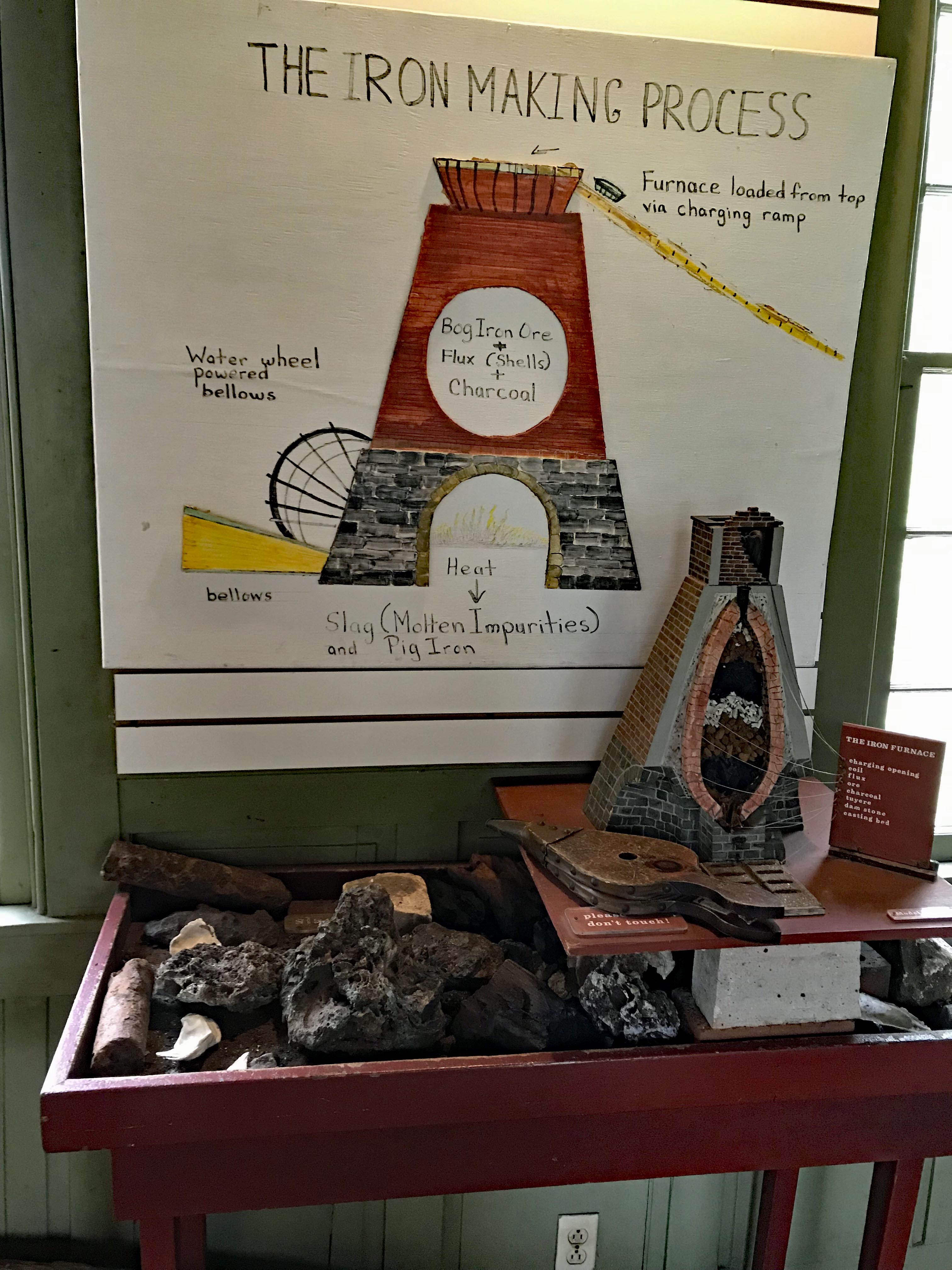
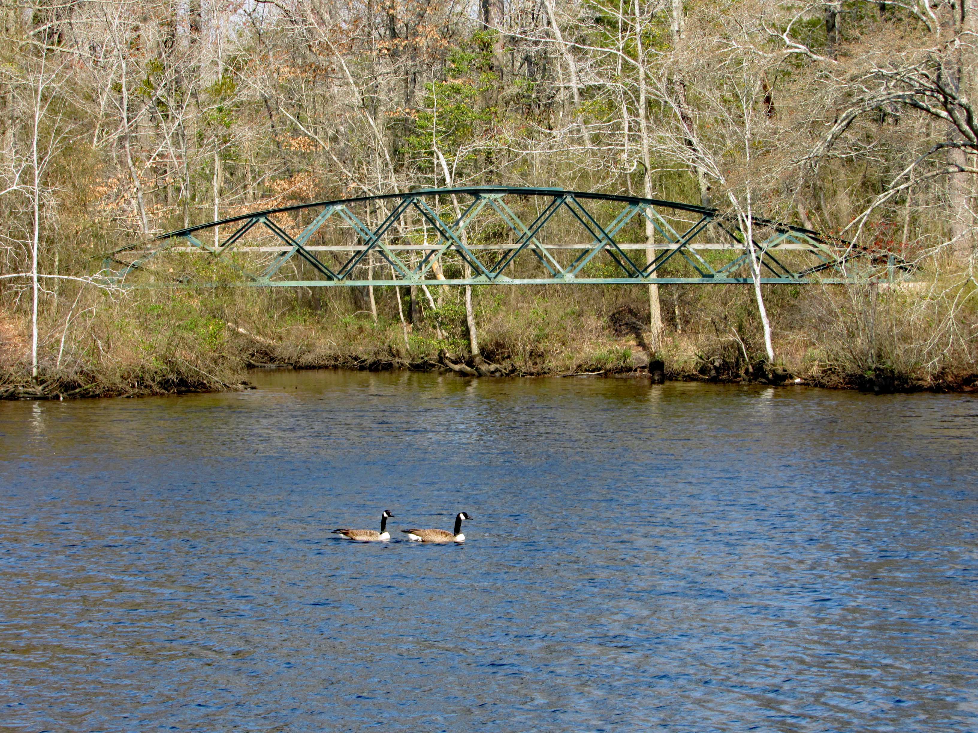
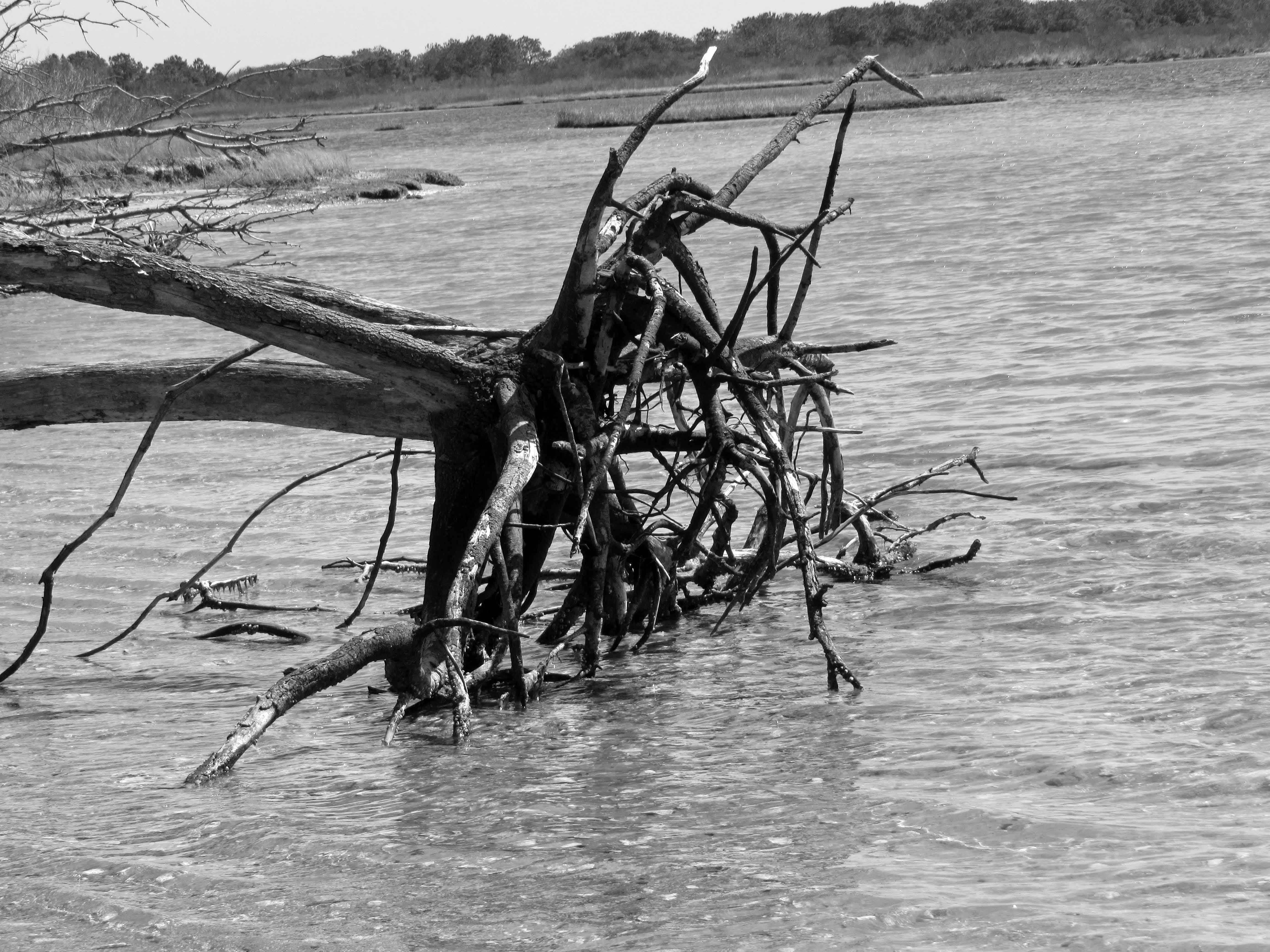
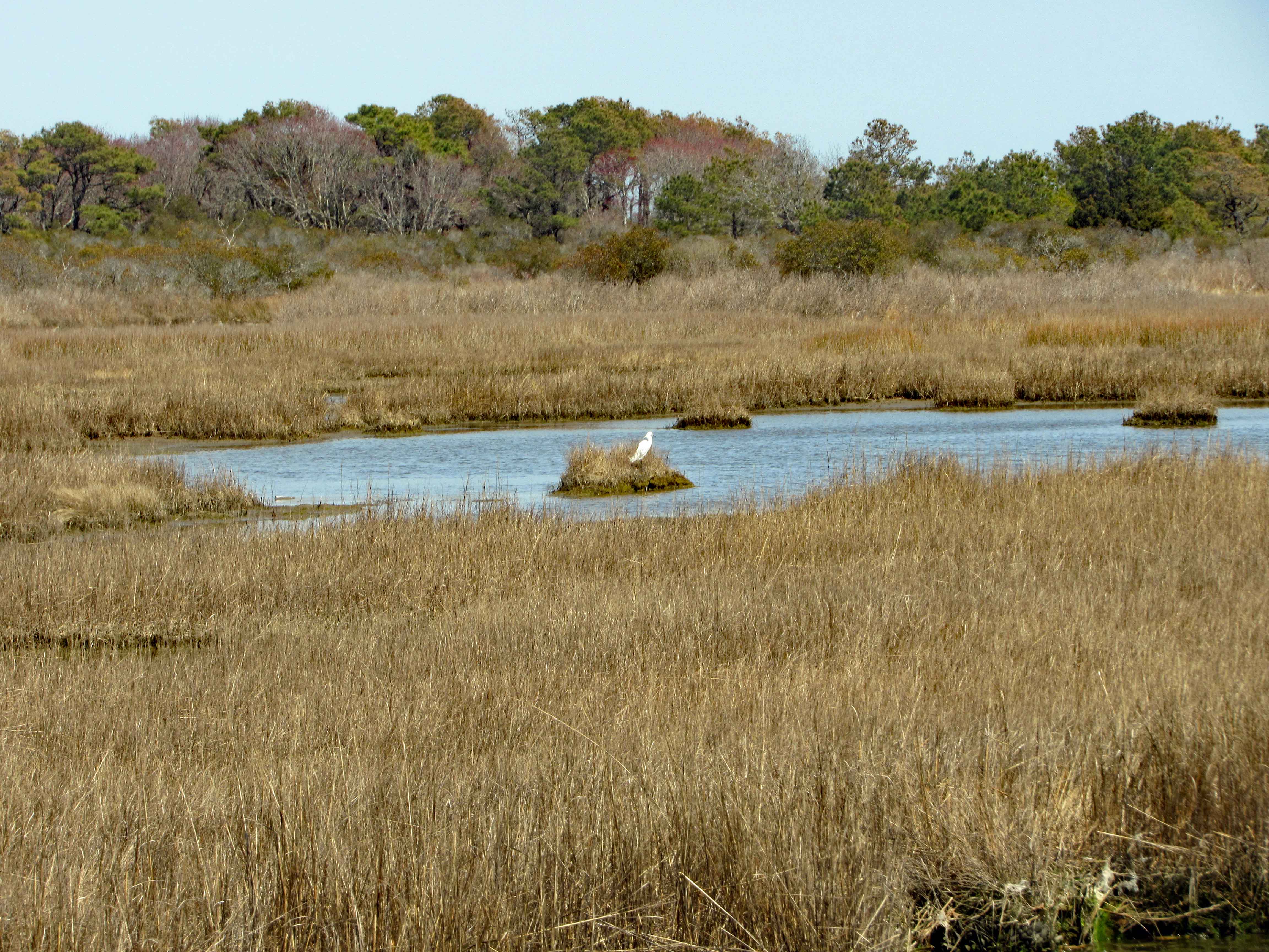
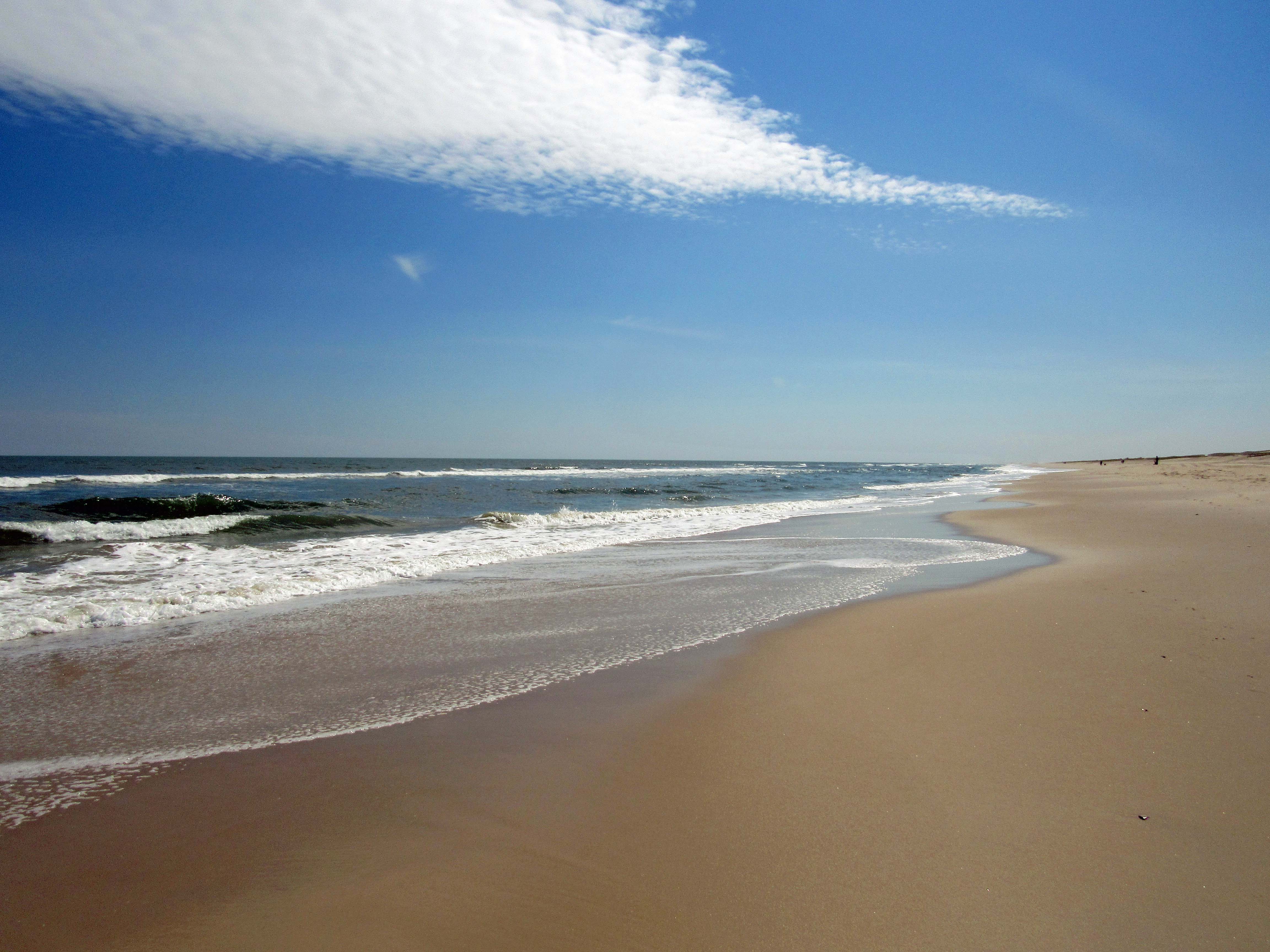
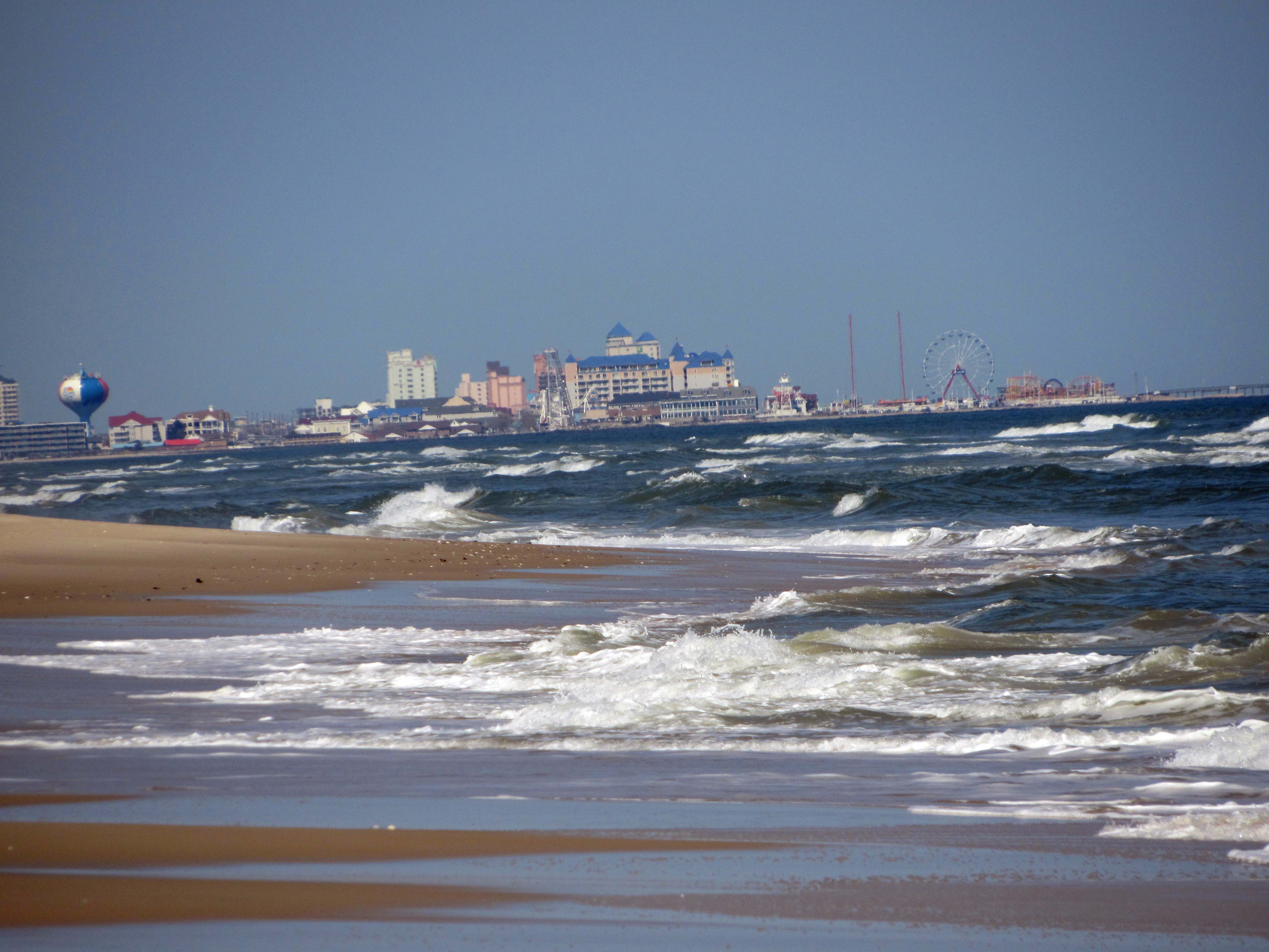
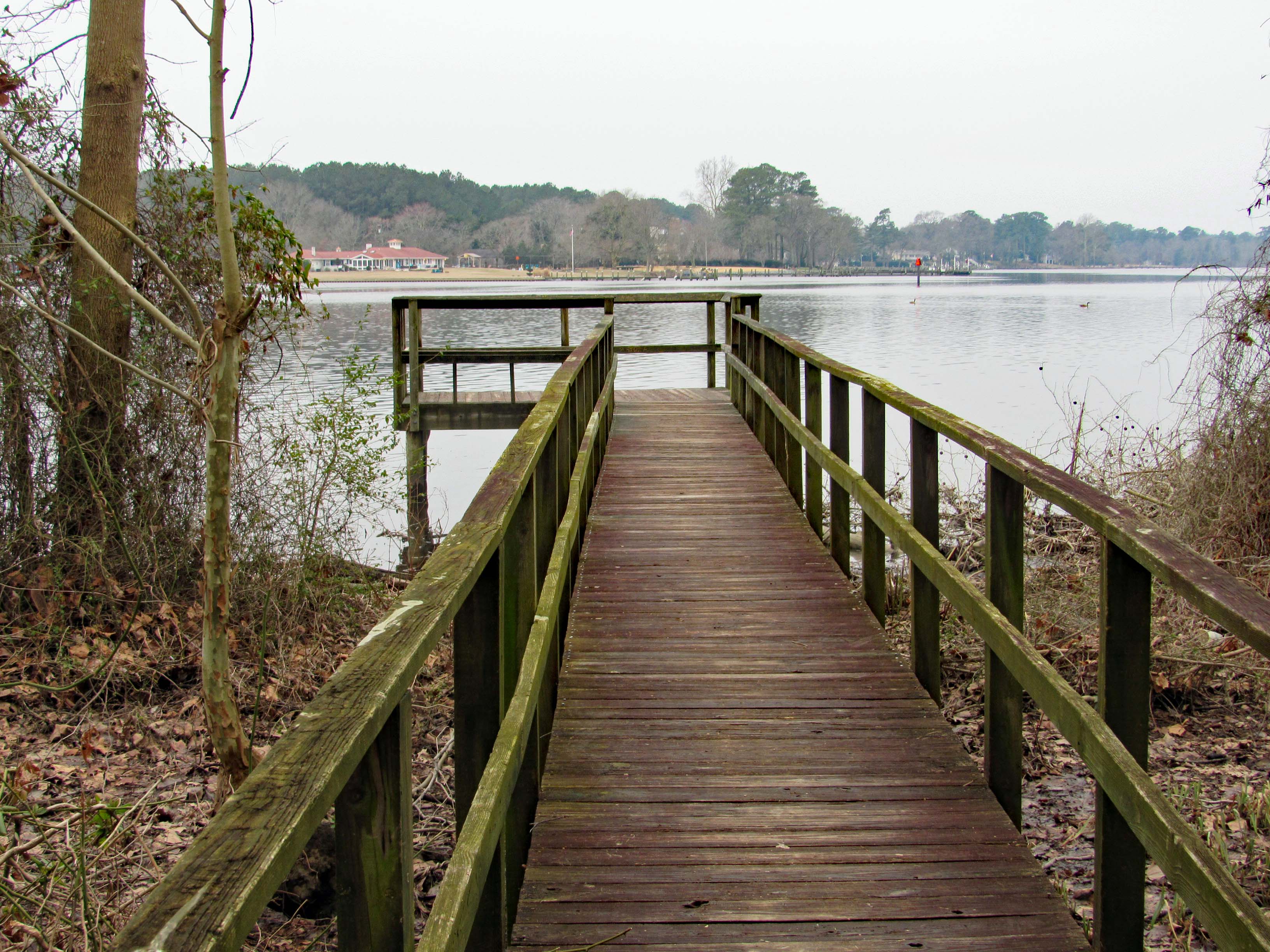
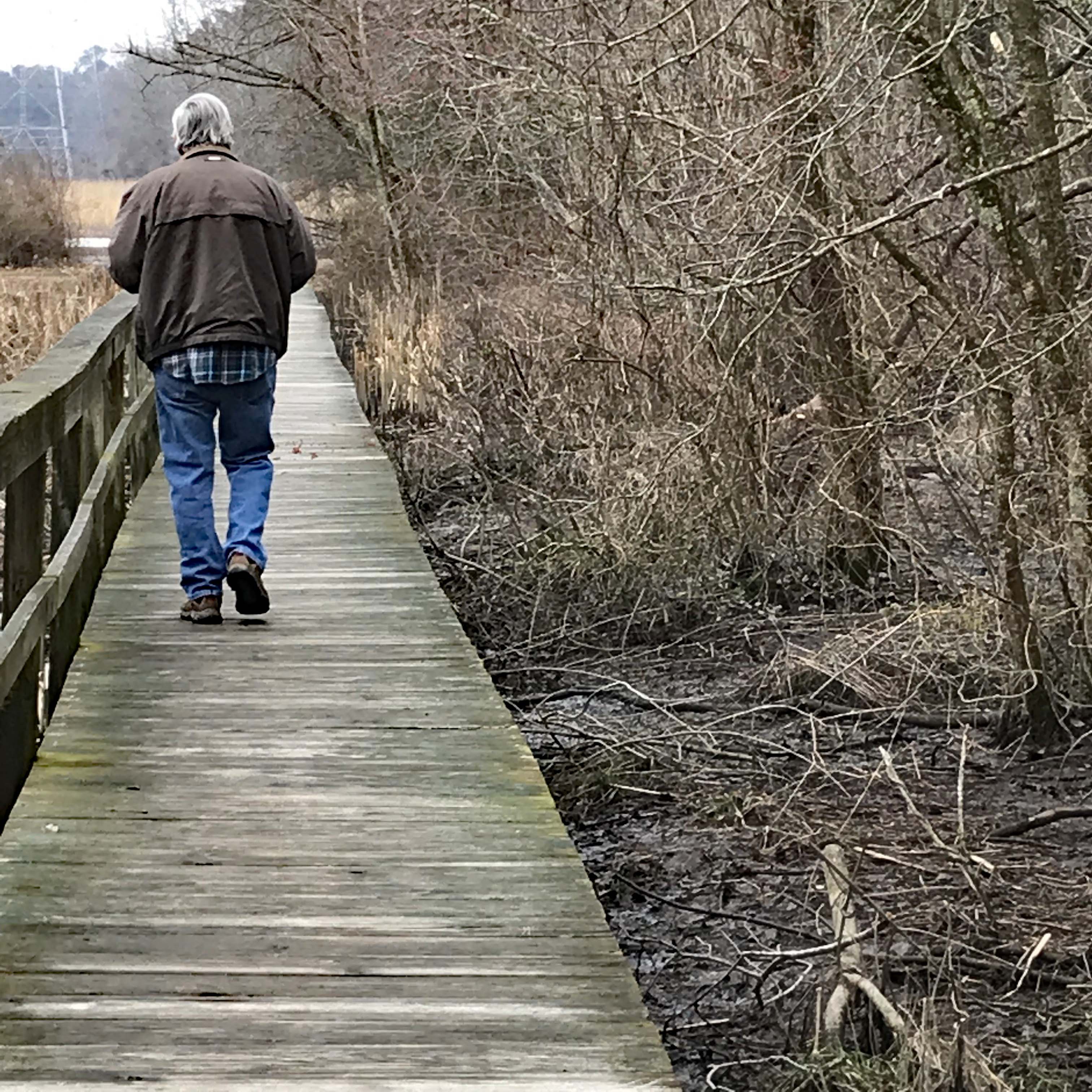
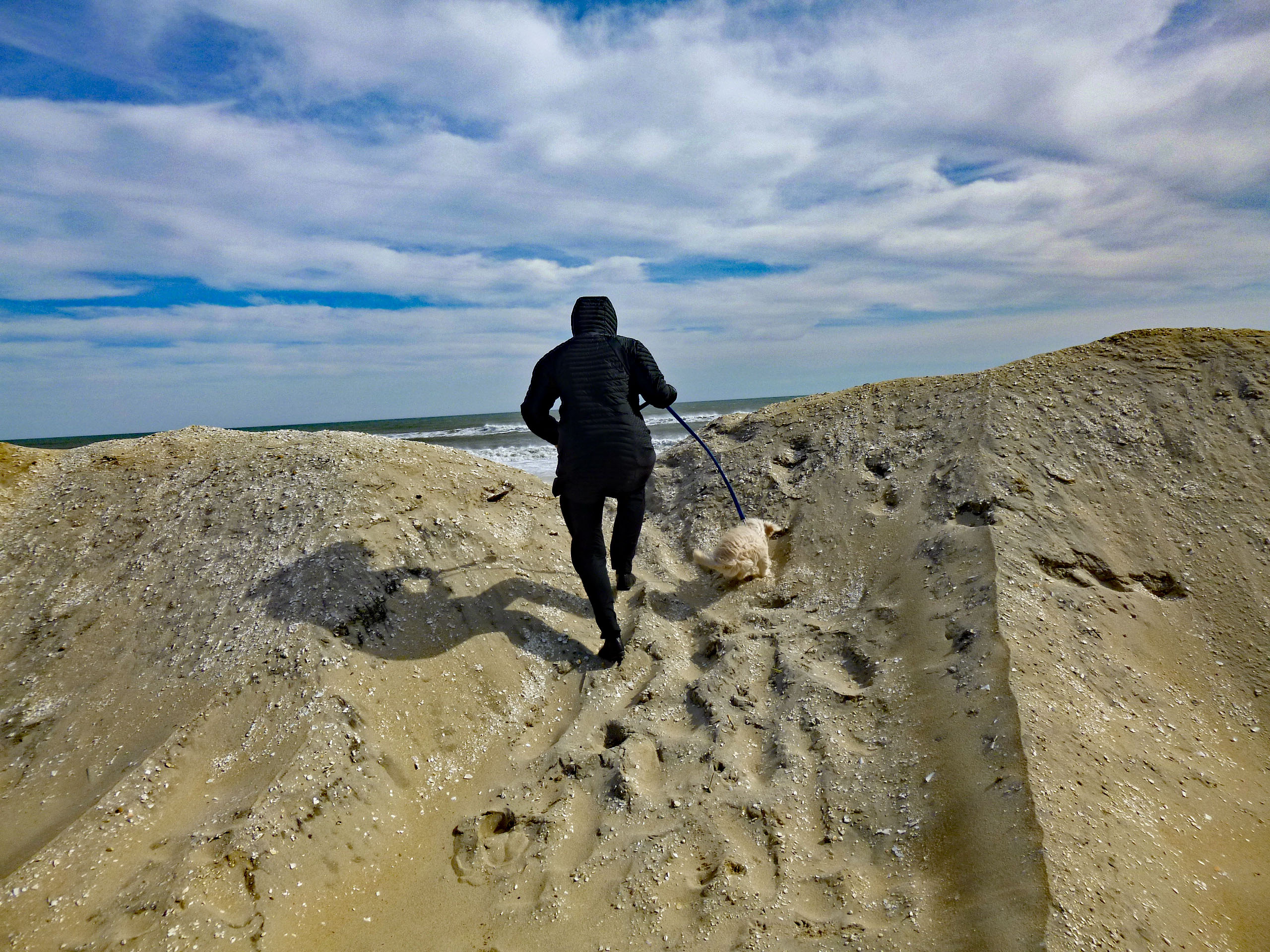
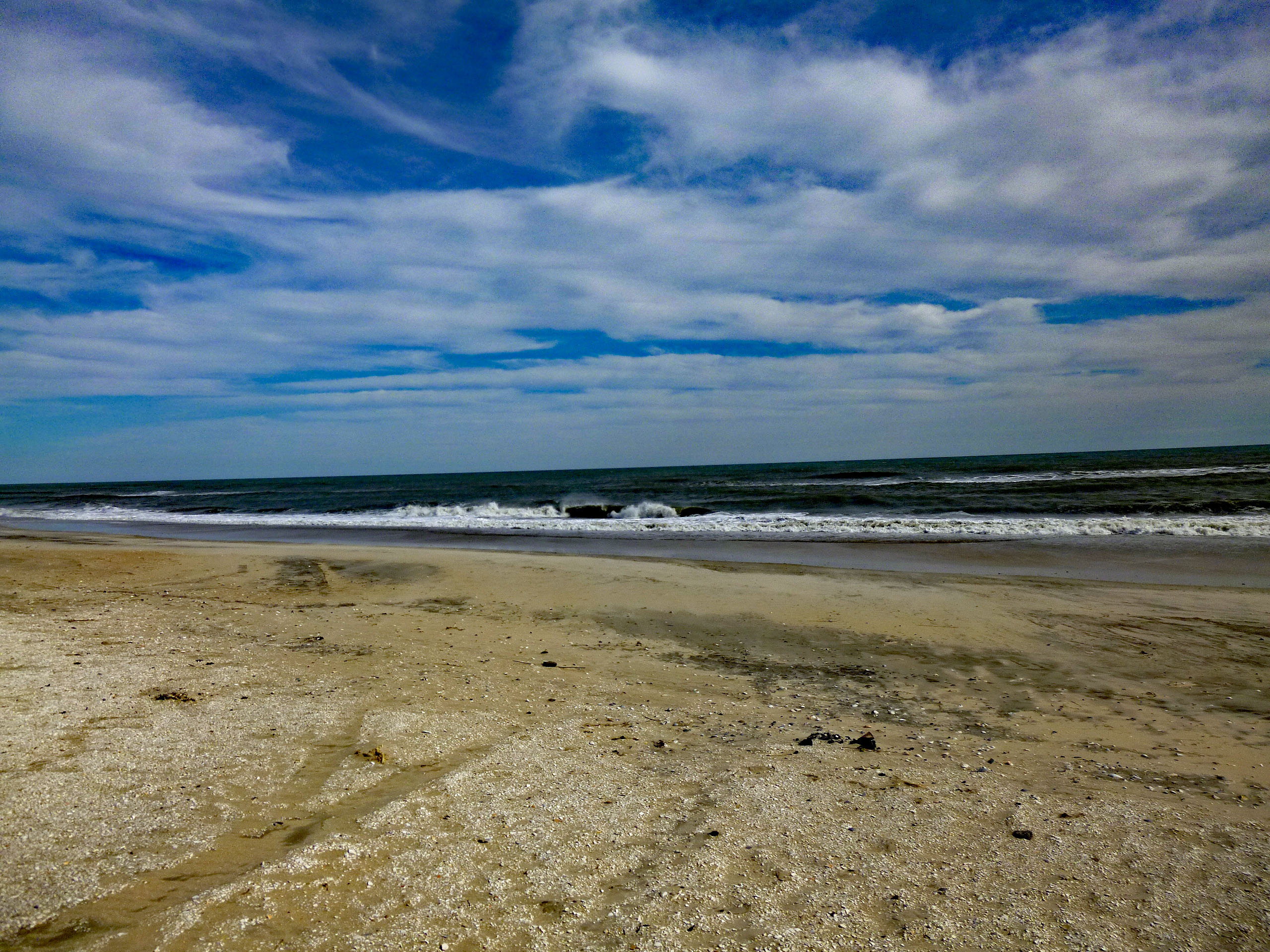
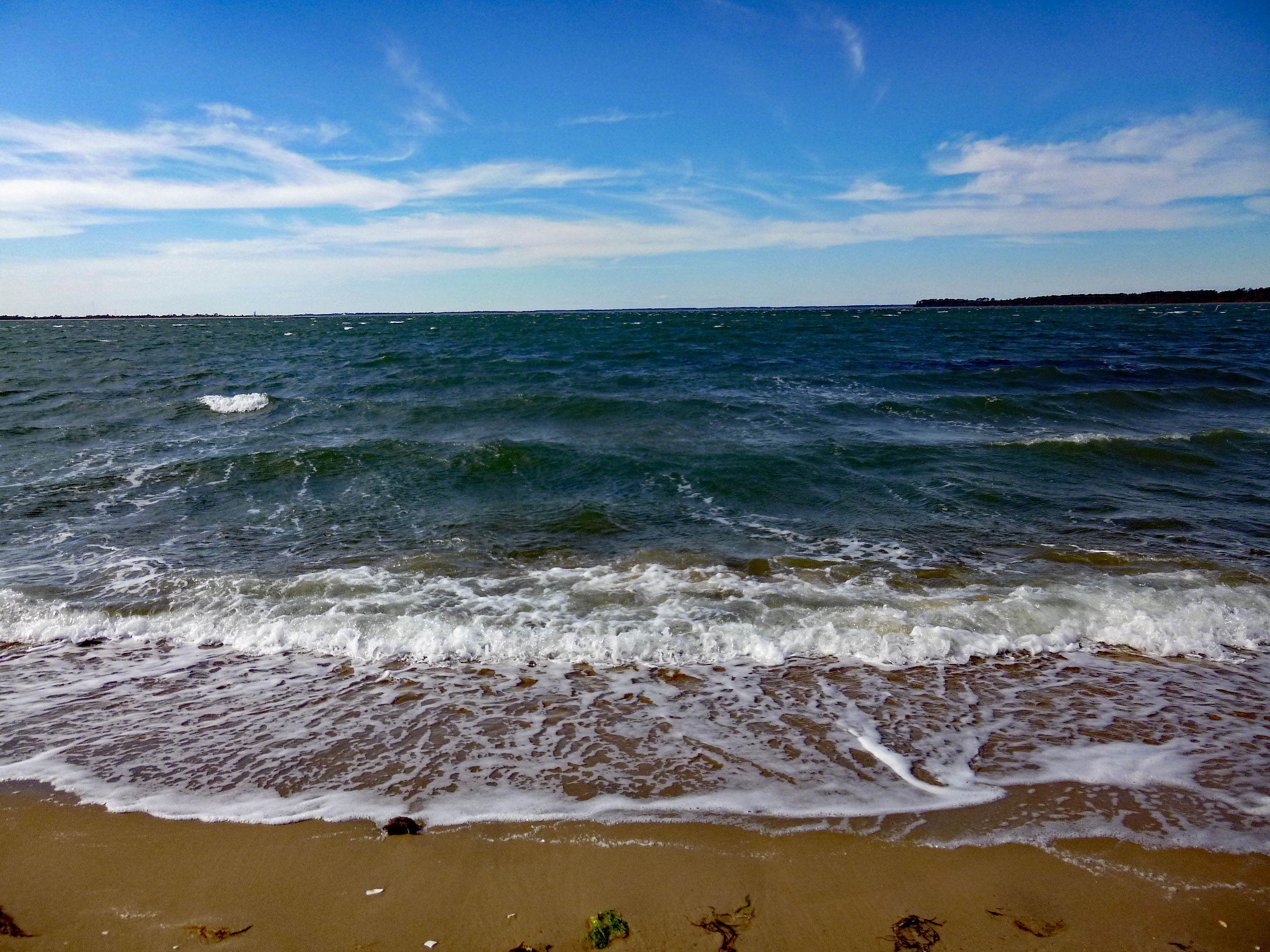
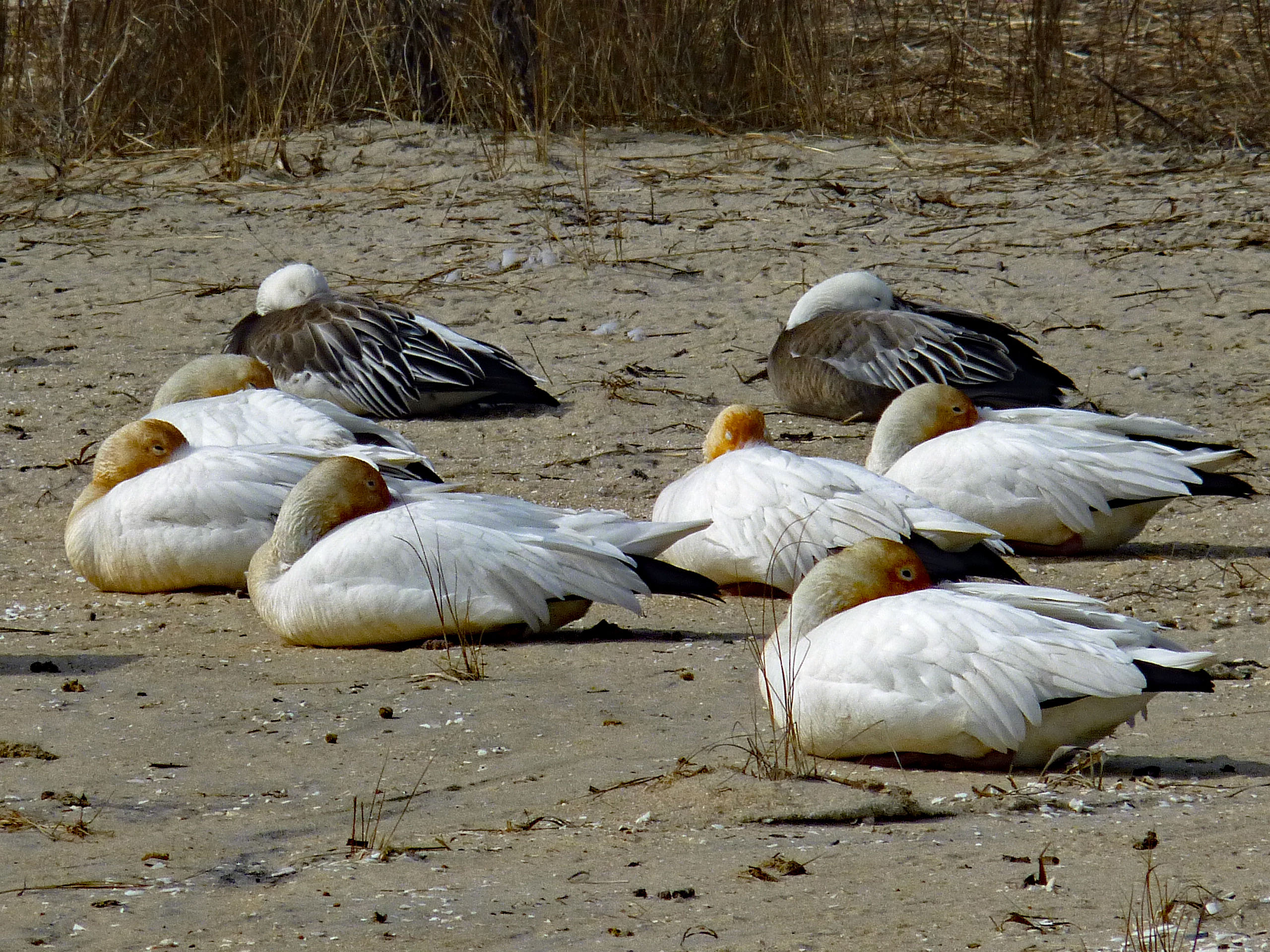
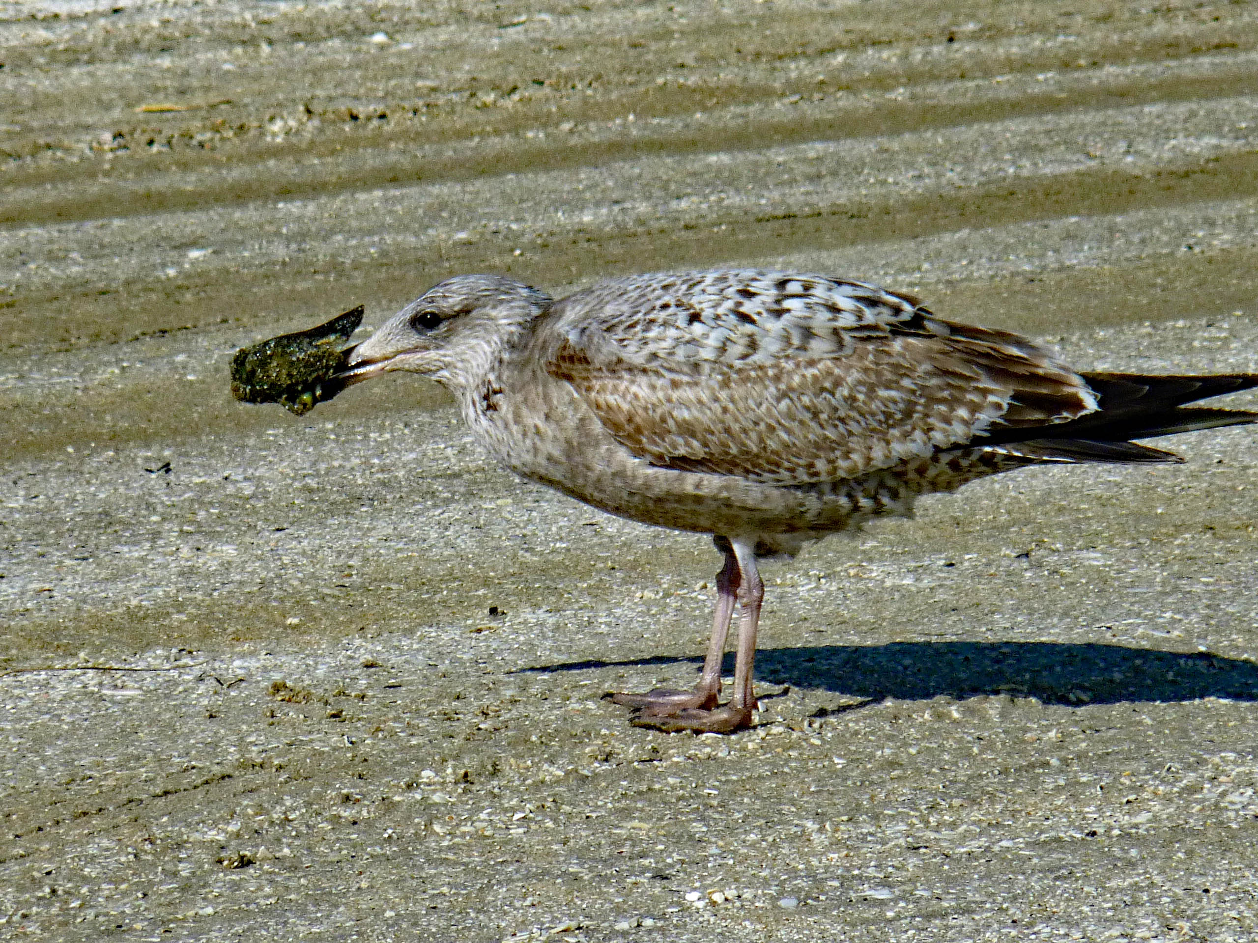
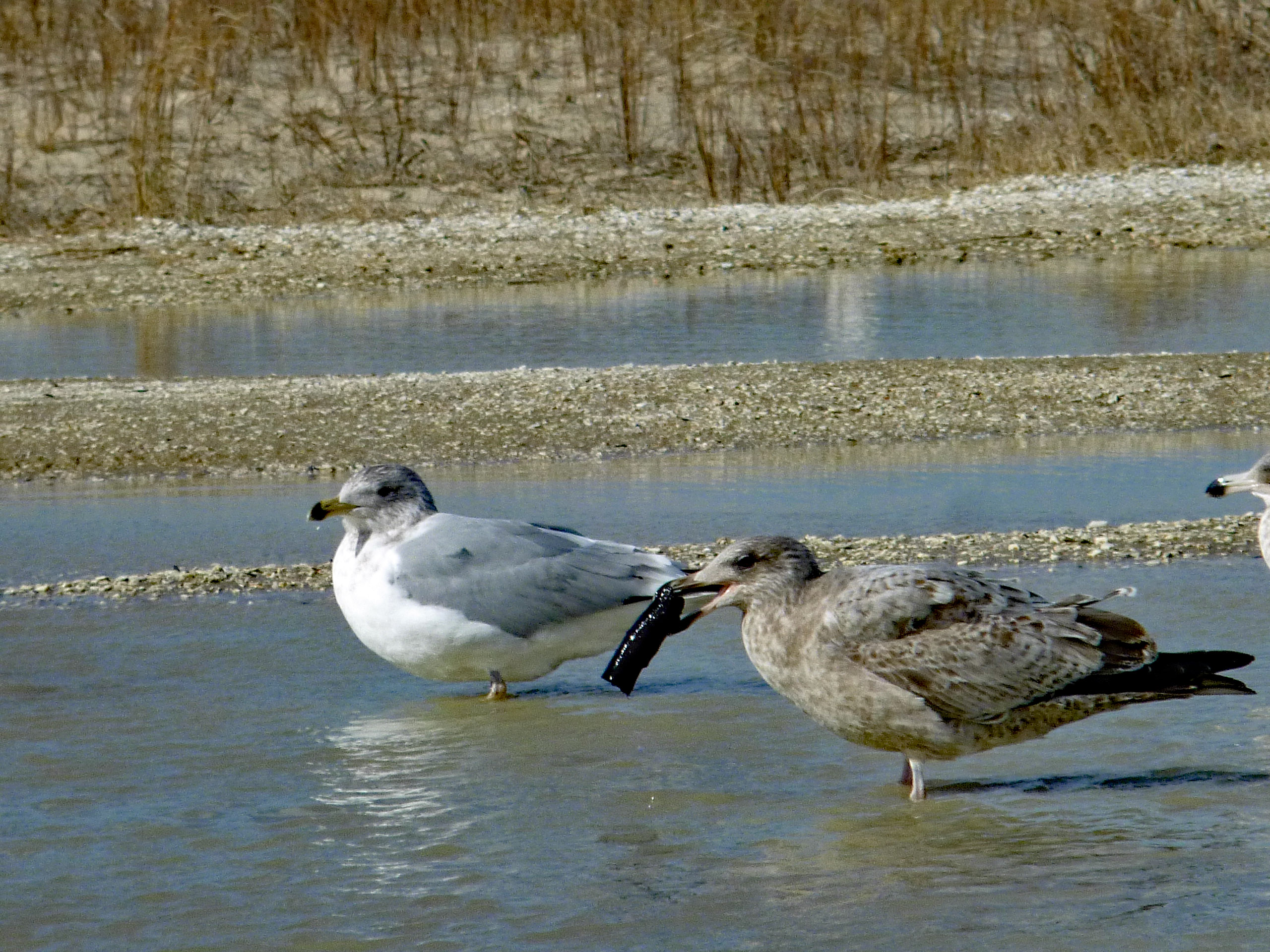
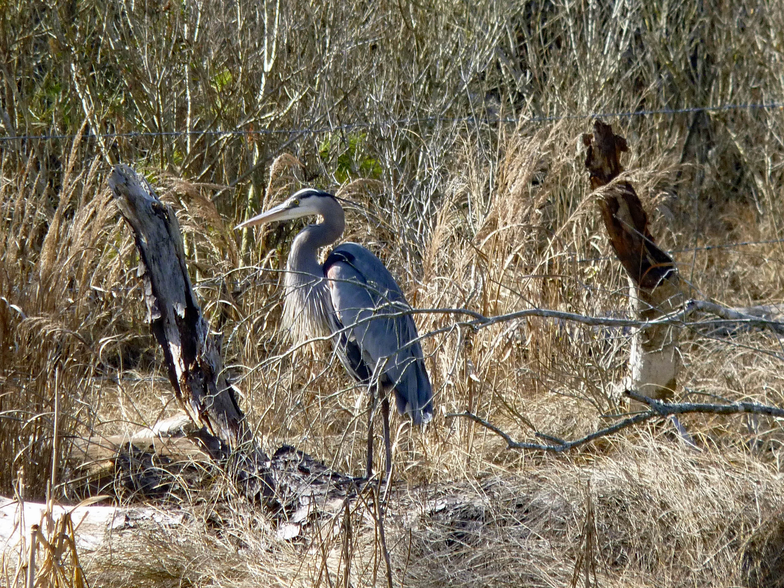
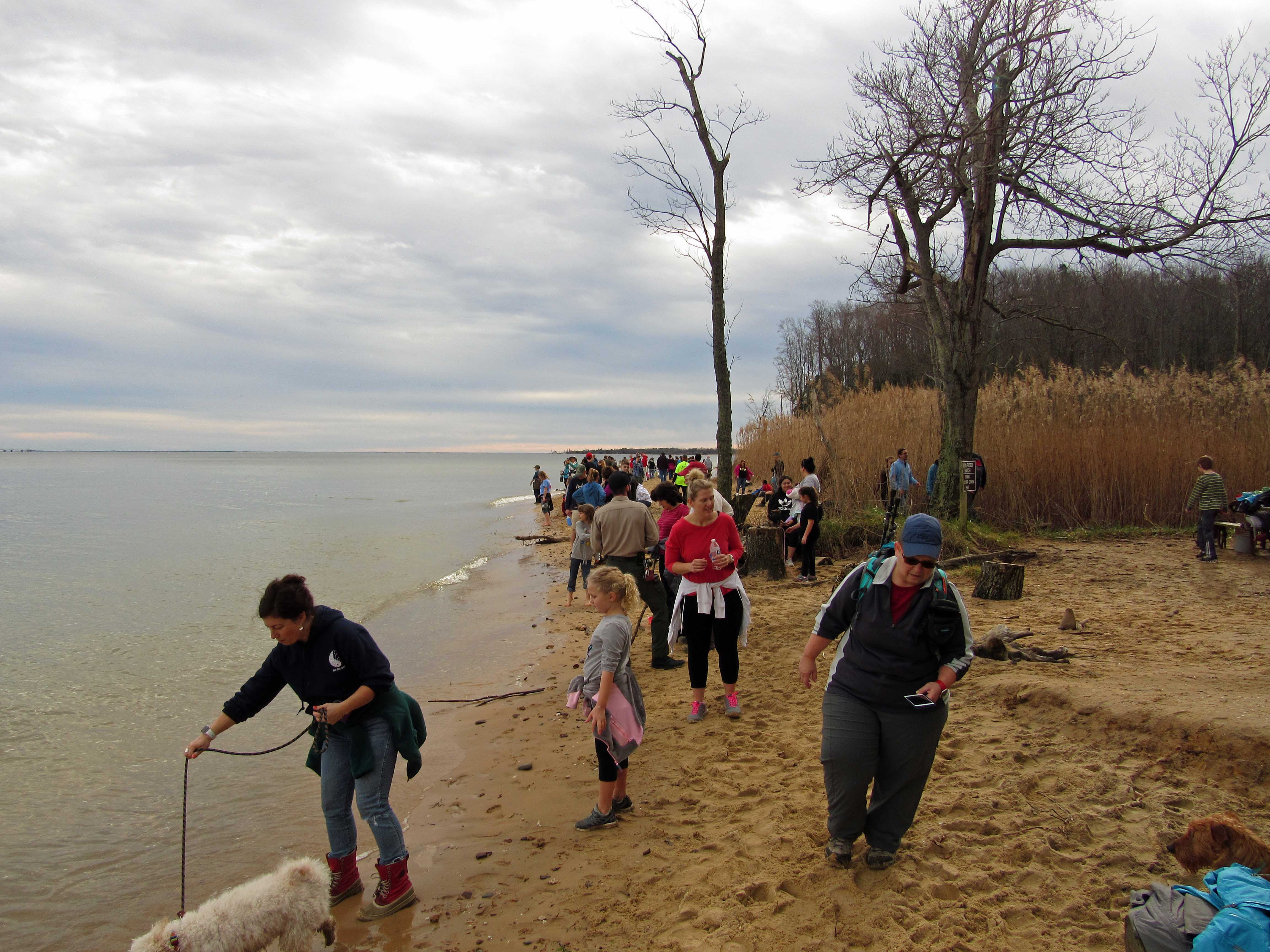
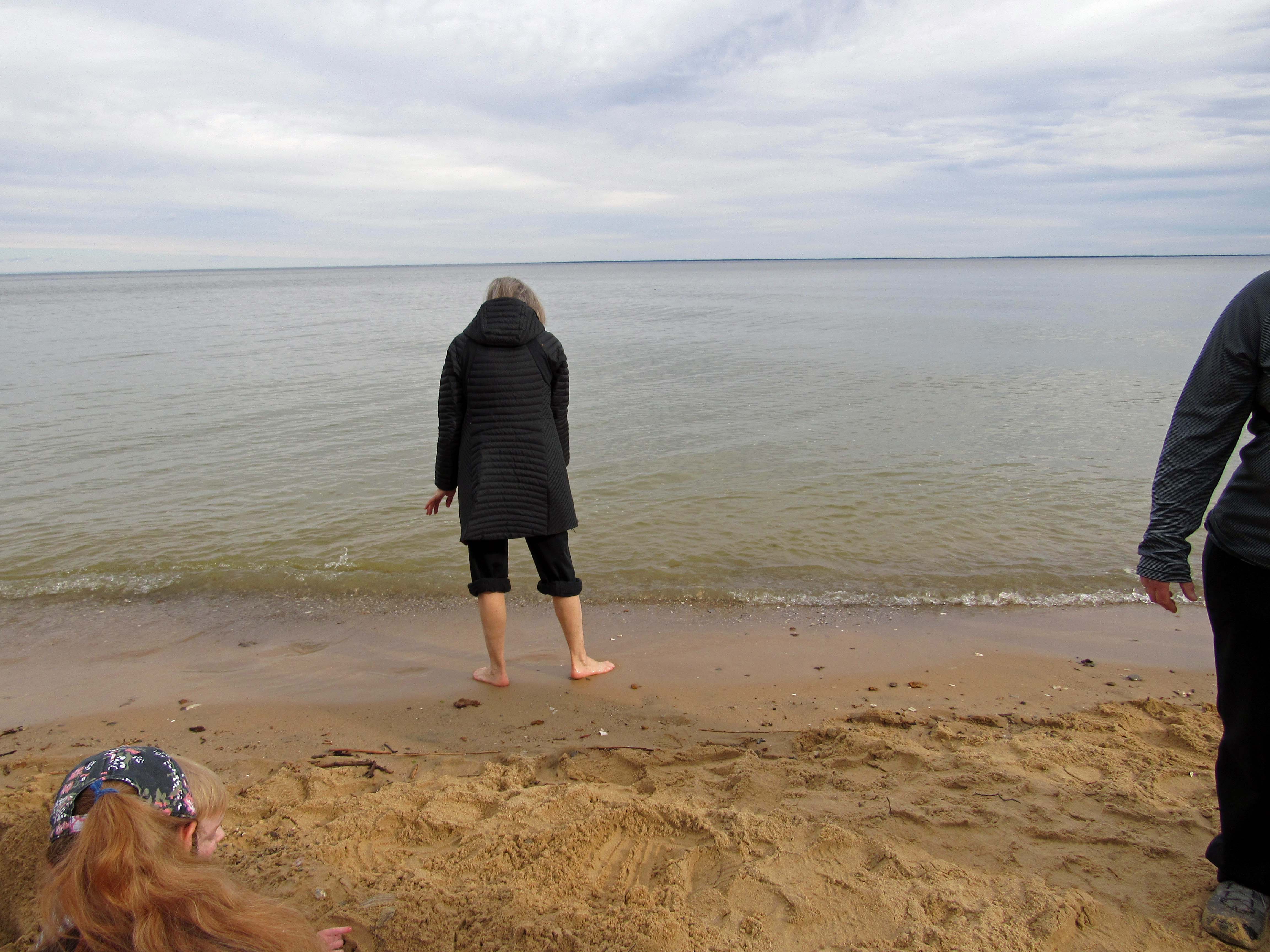
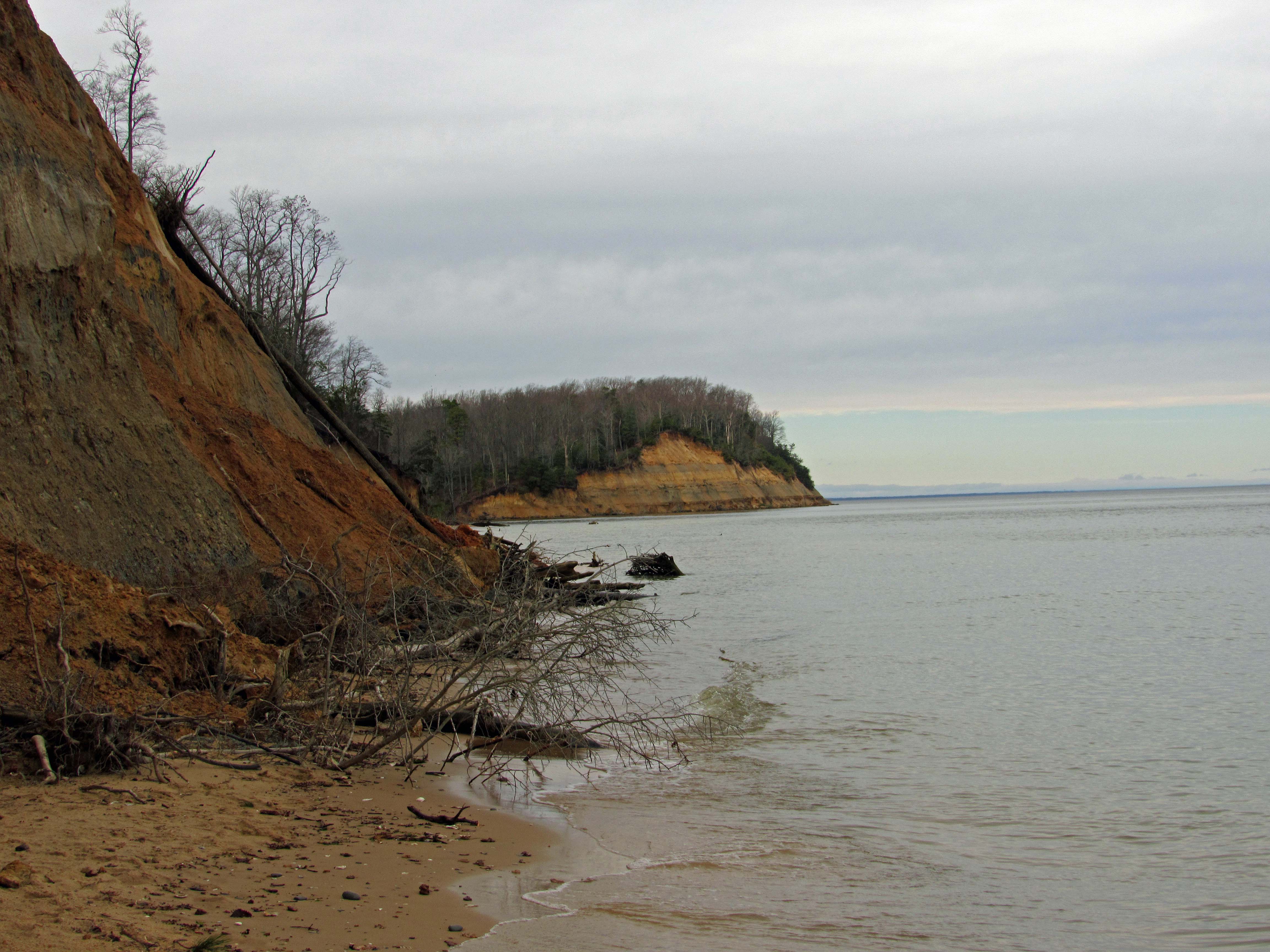
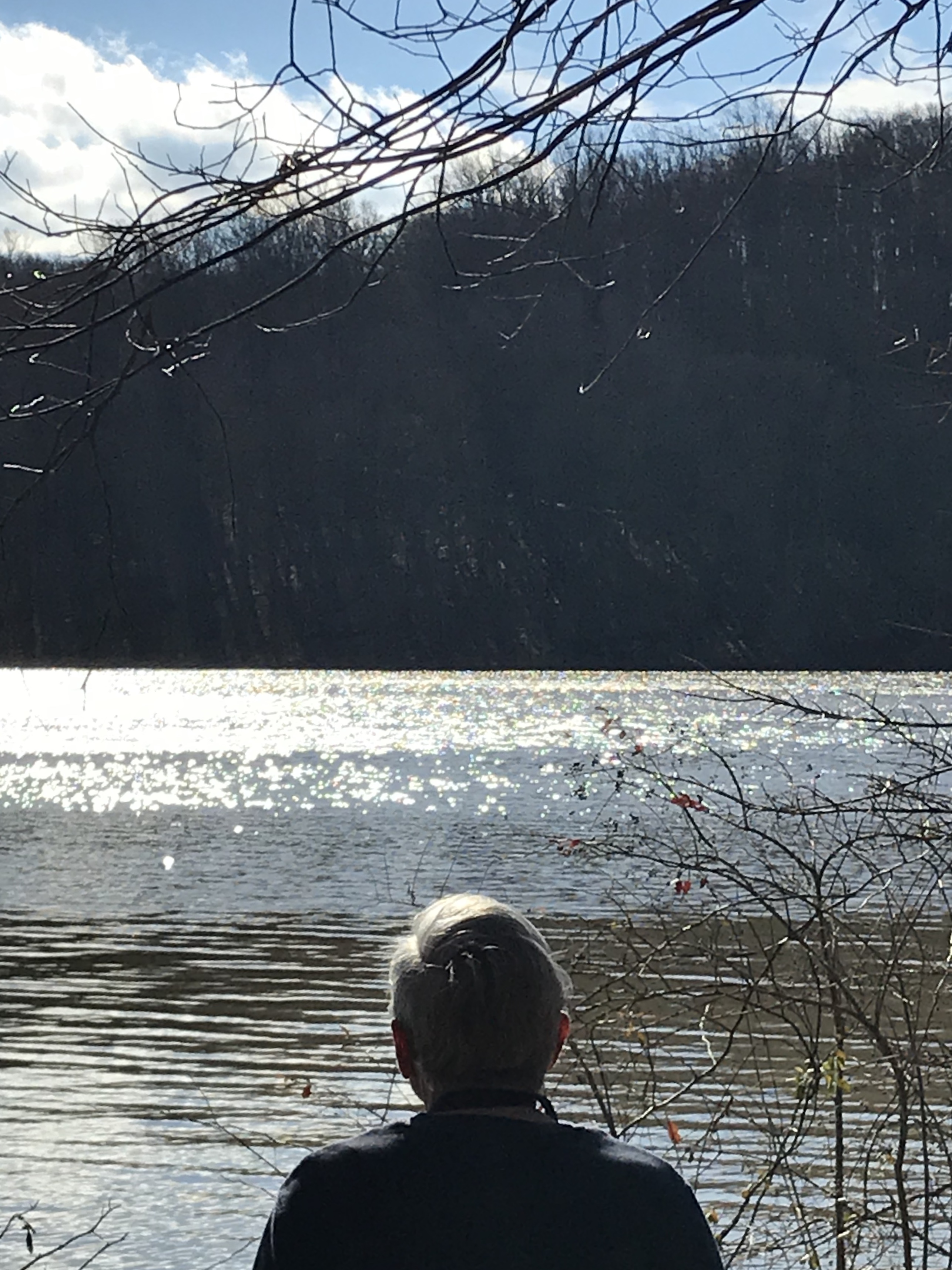
From here we headed to Chincoteague for some lunch on the beach.
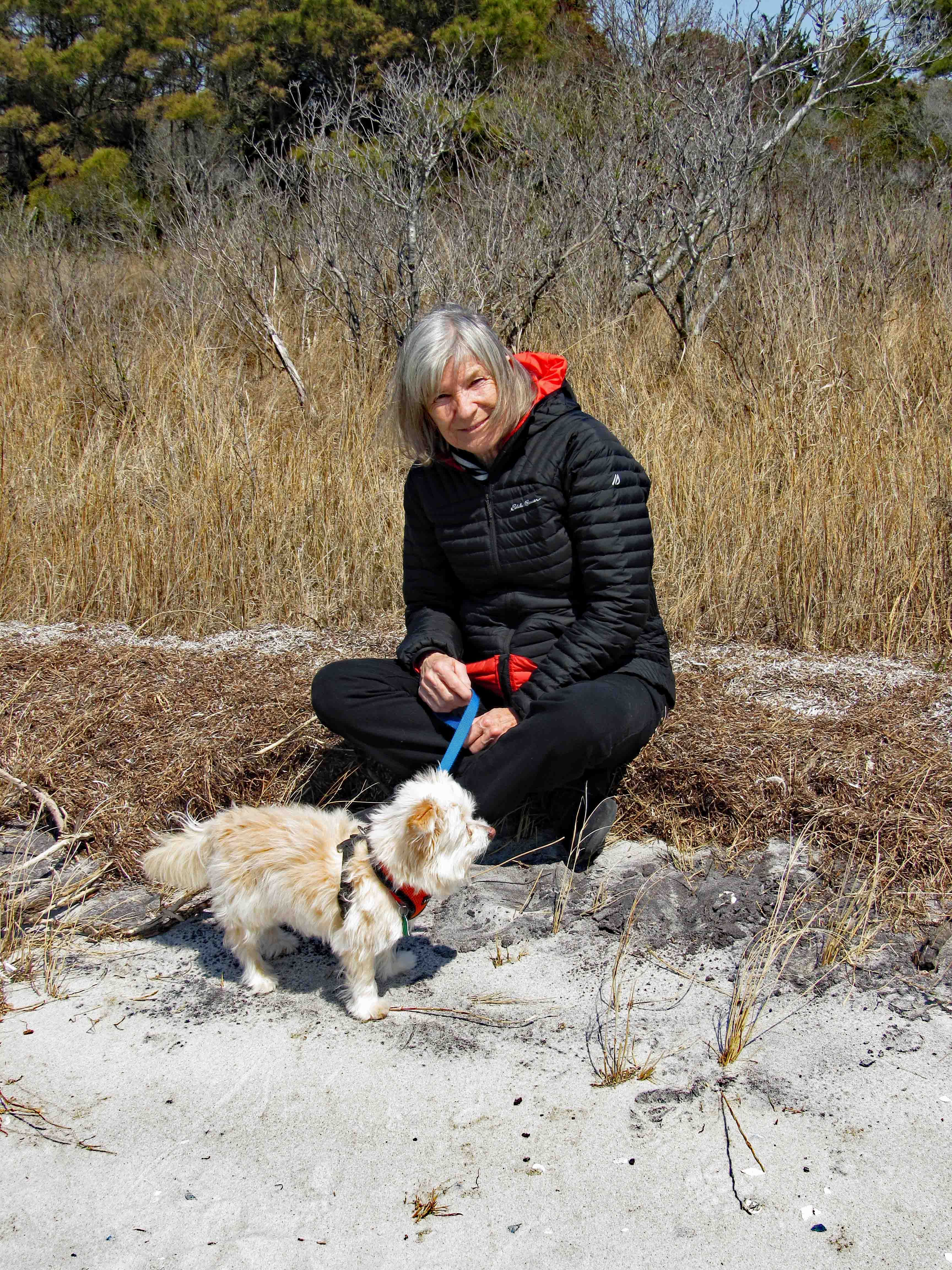
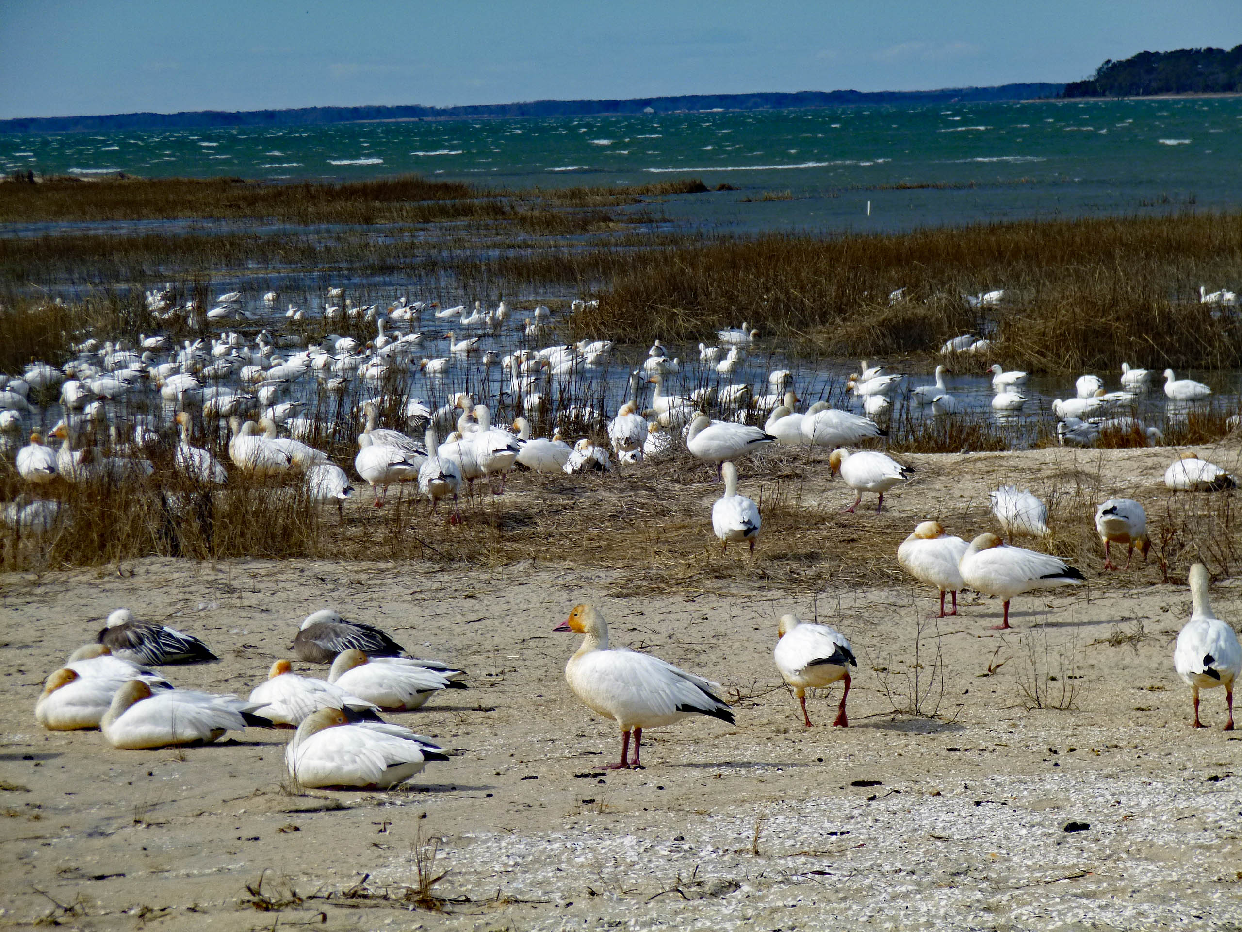
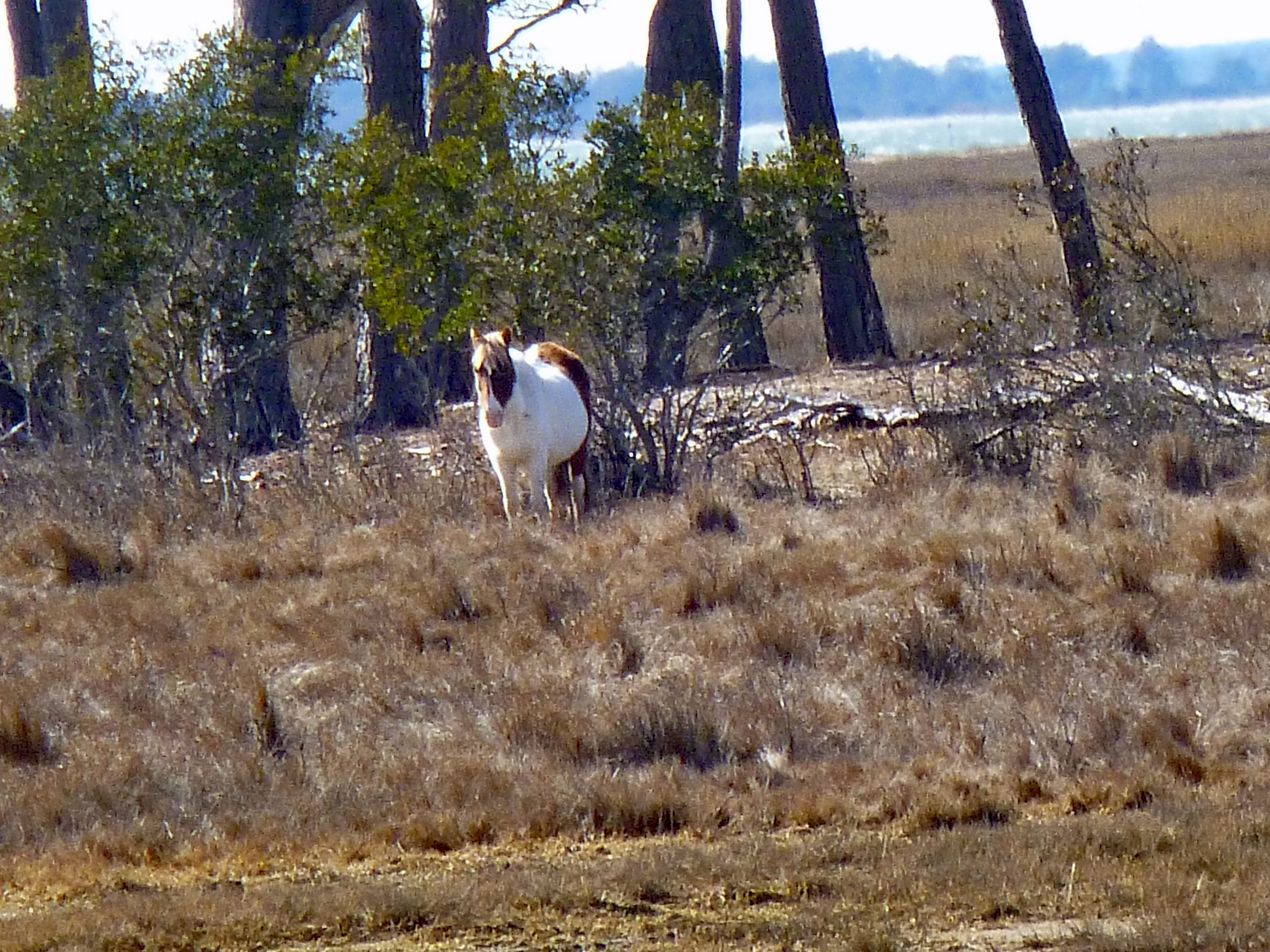
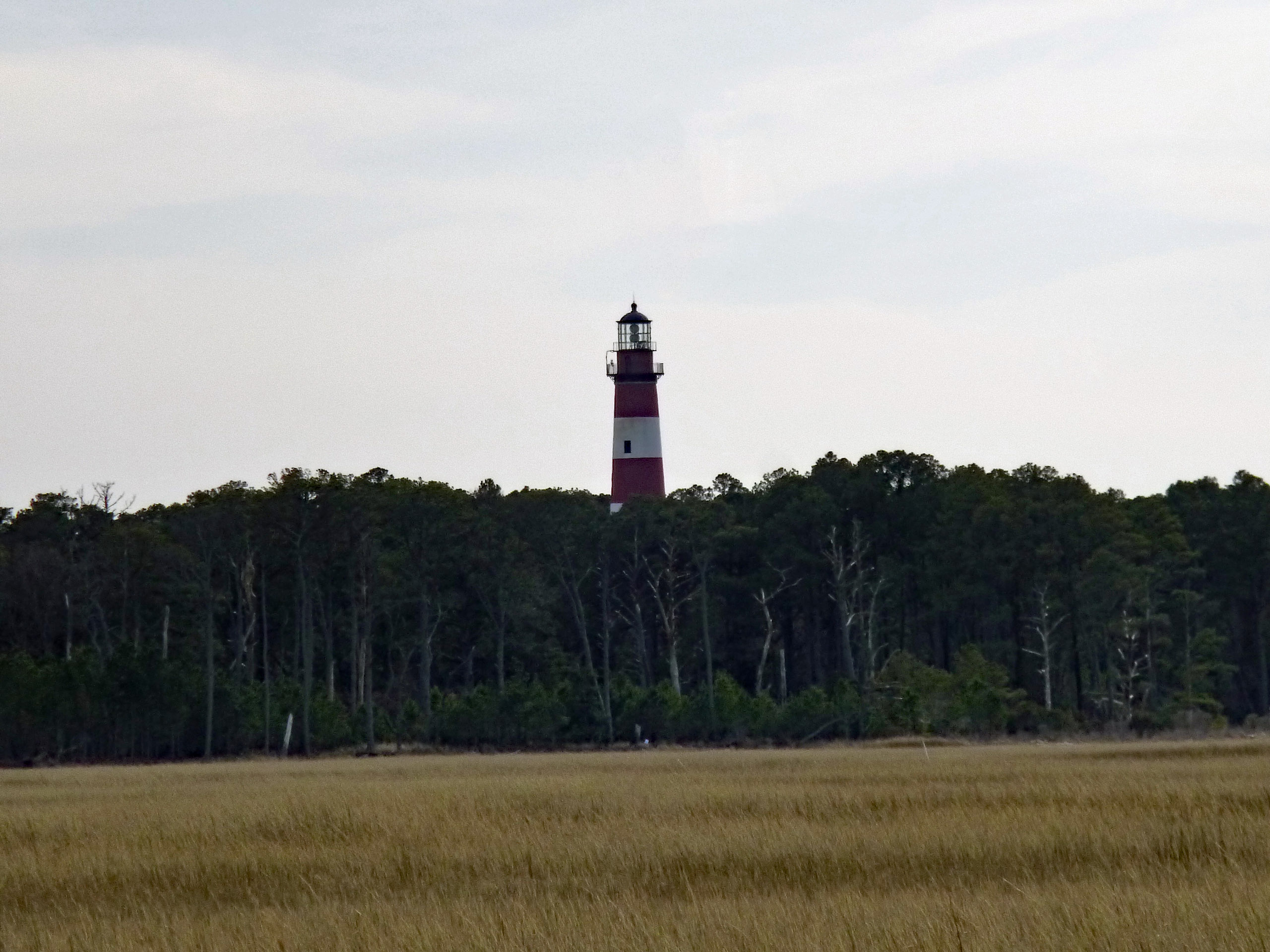
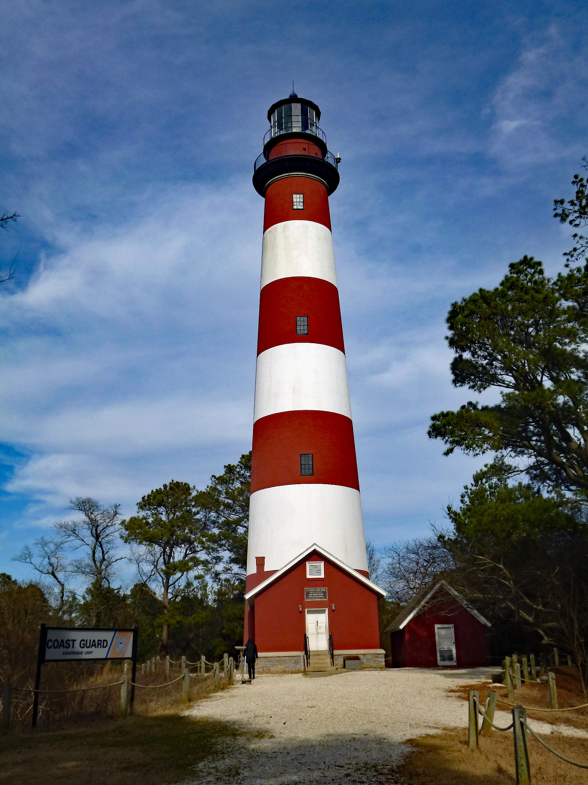
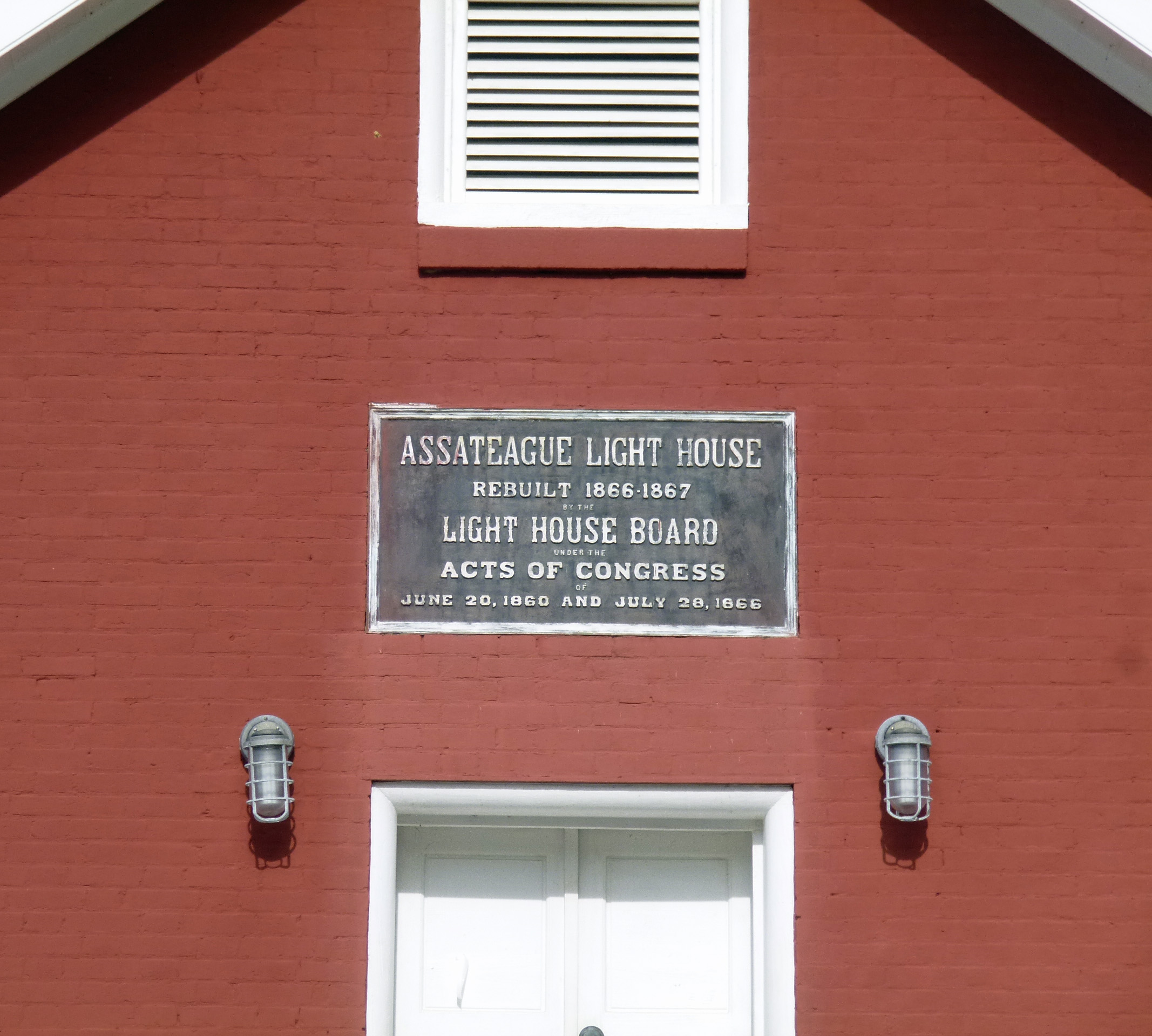
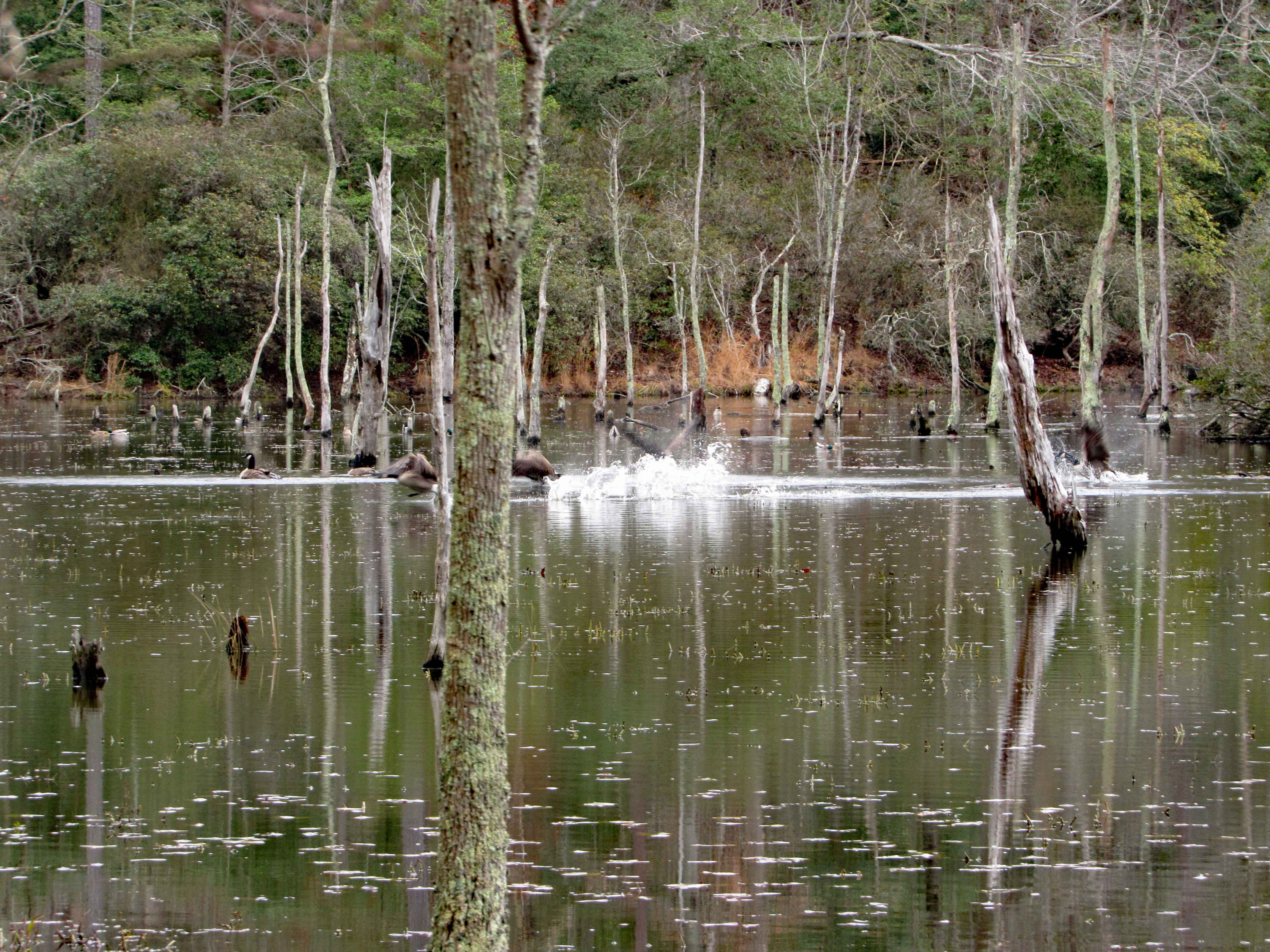
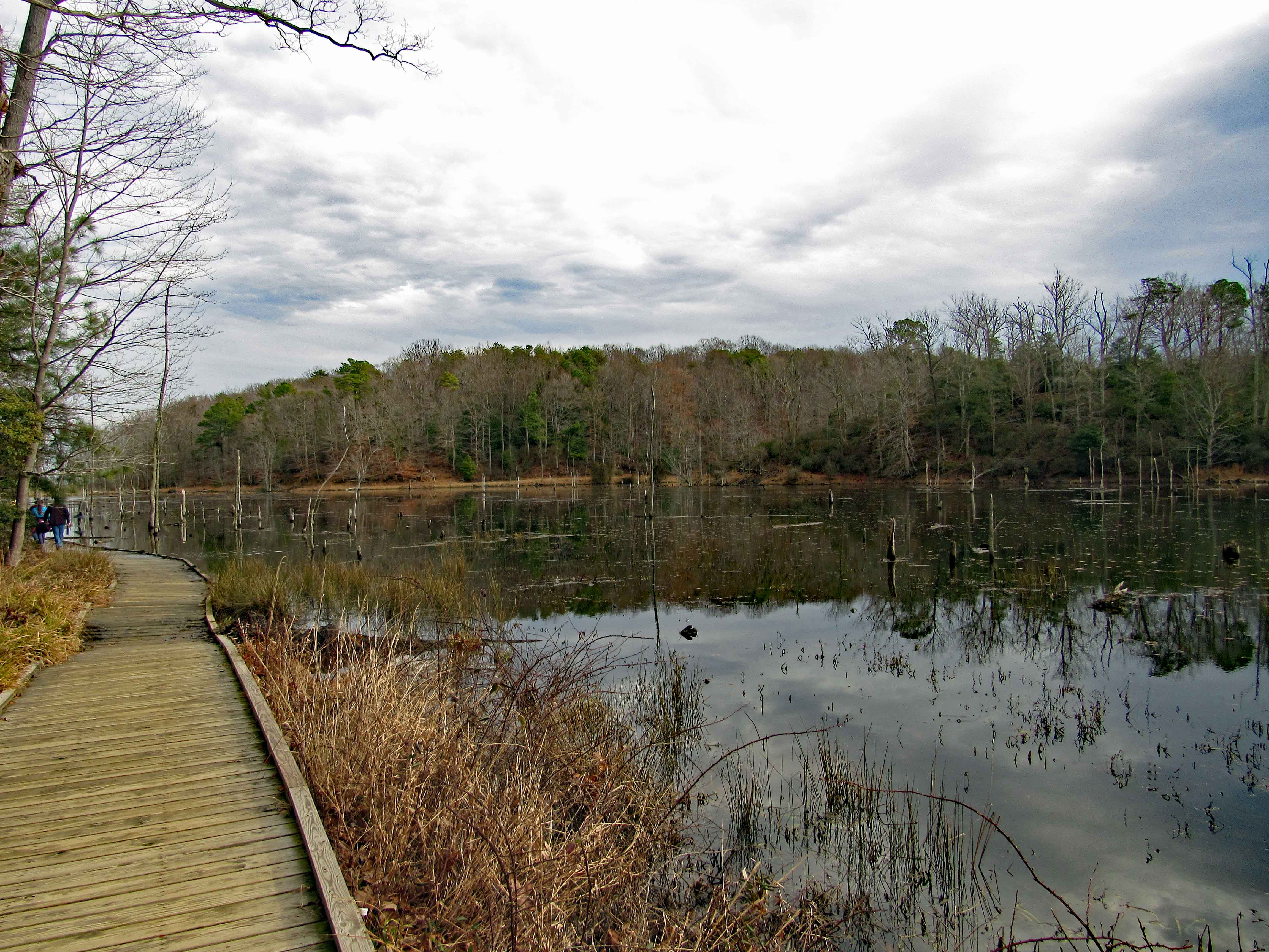
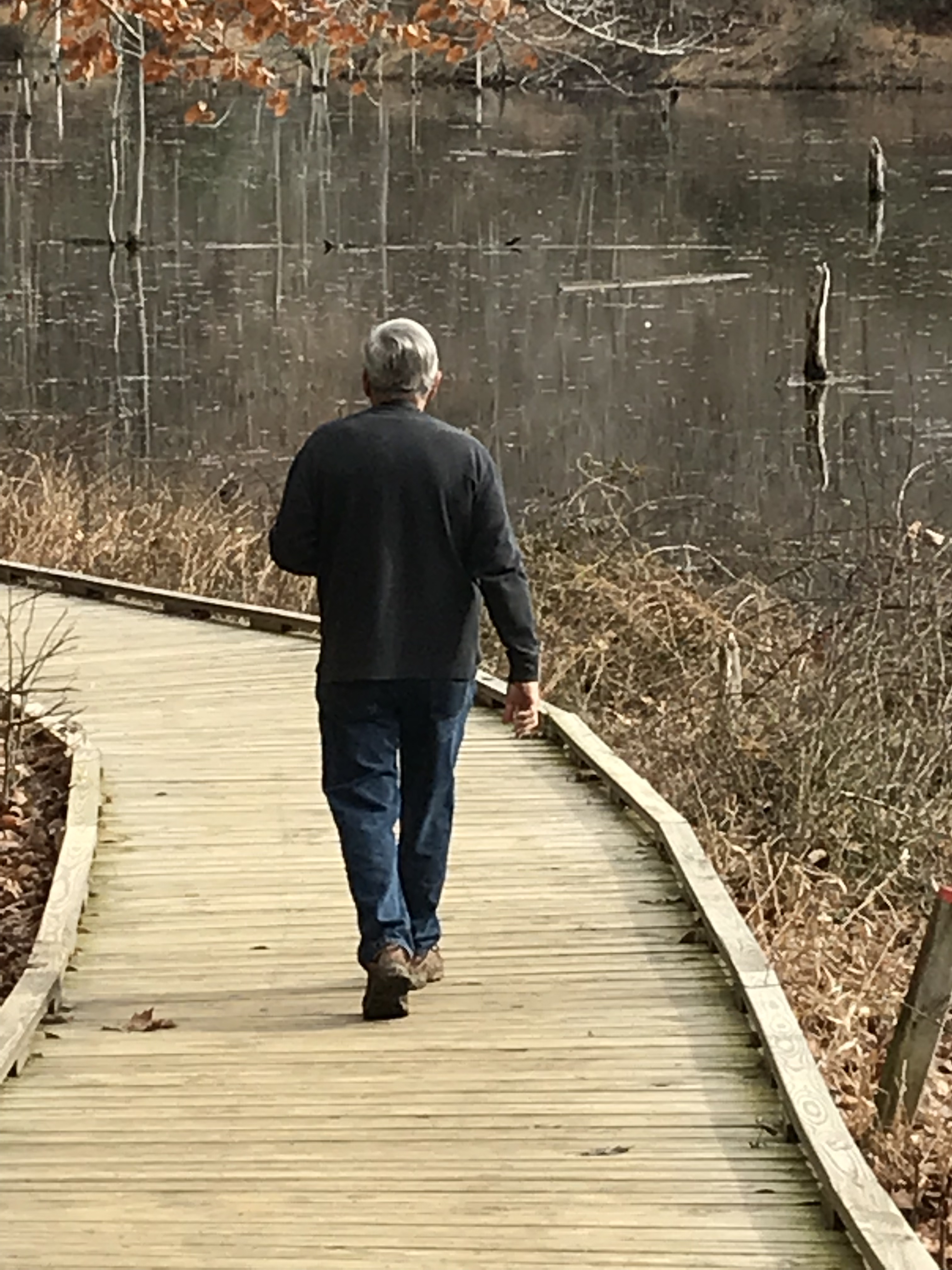
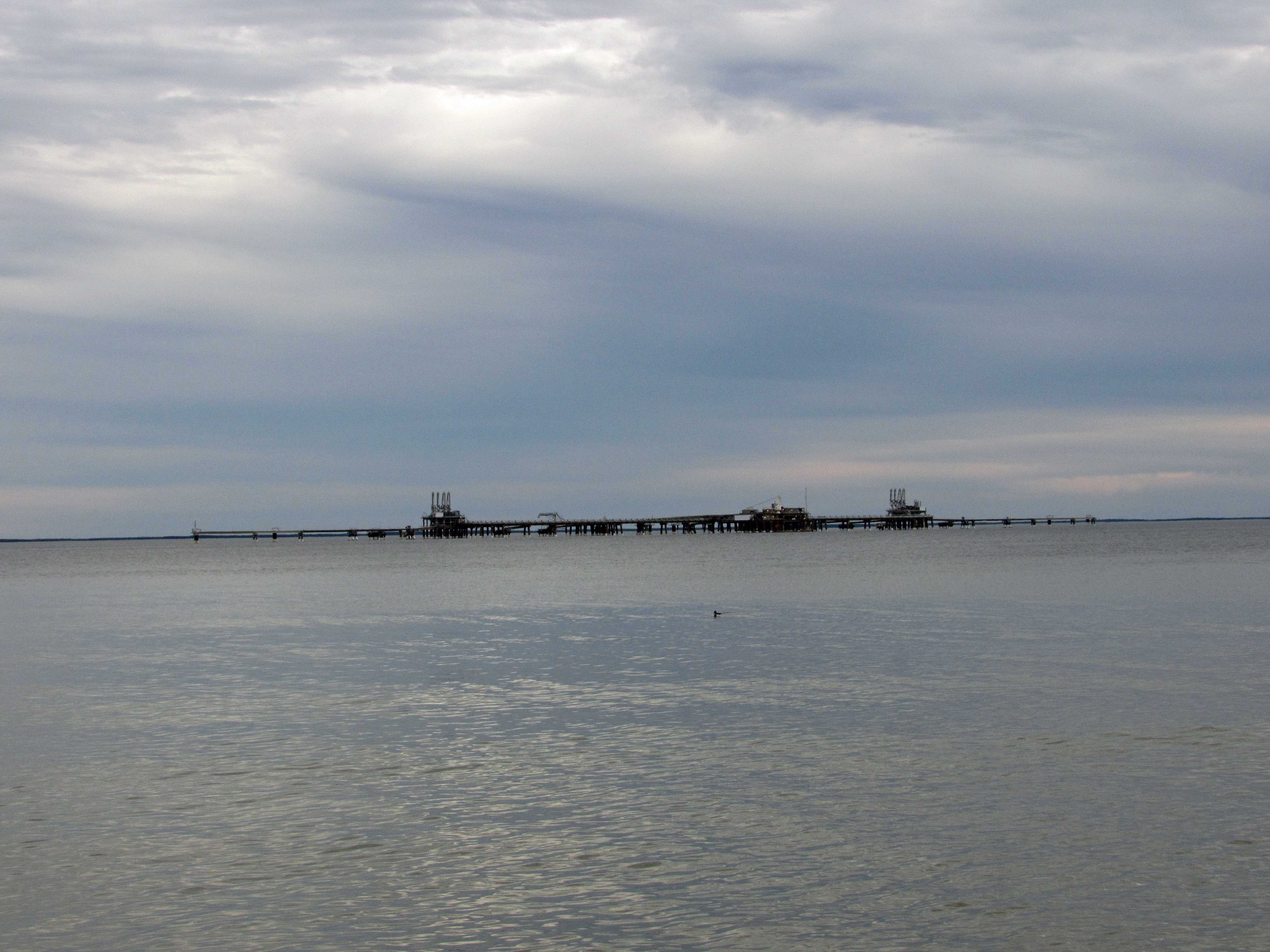
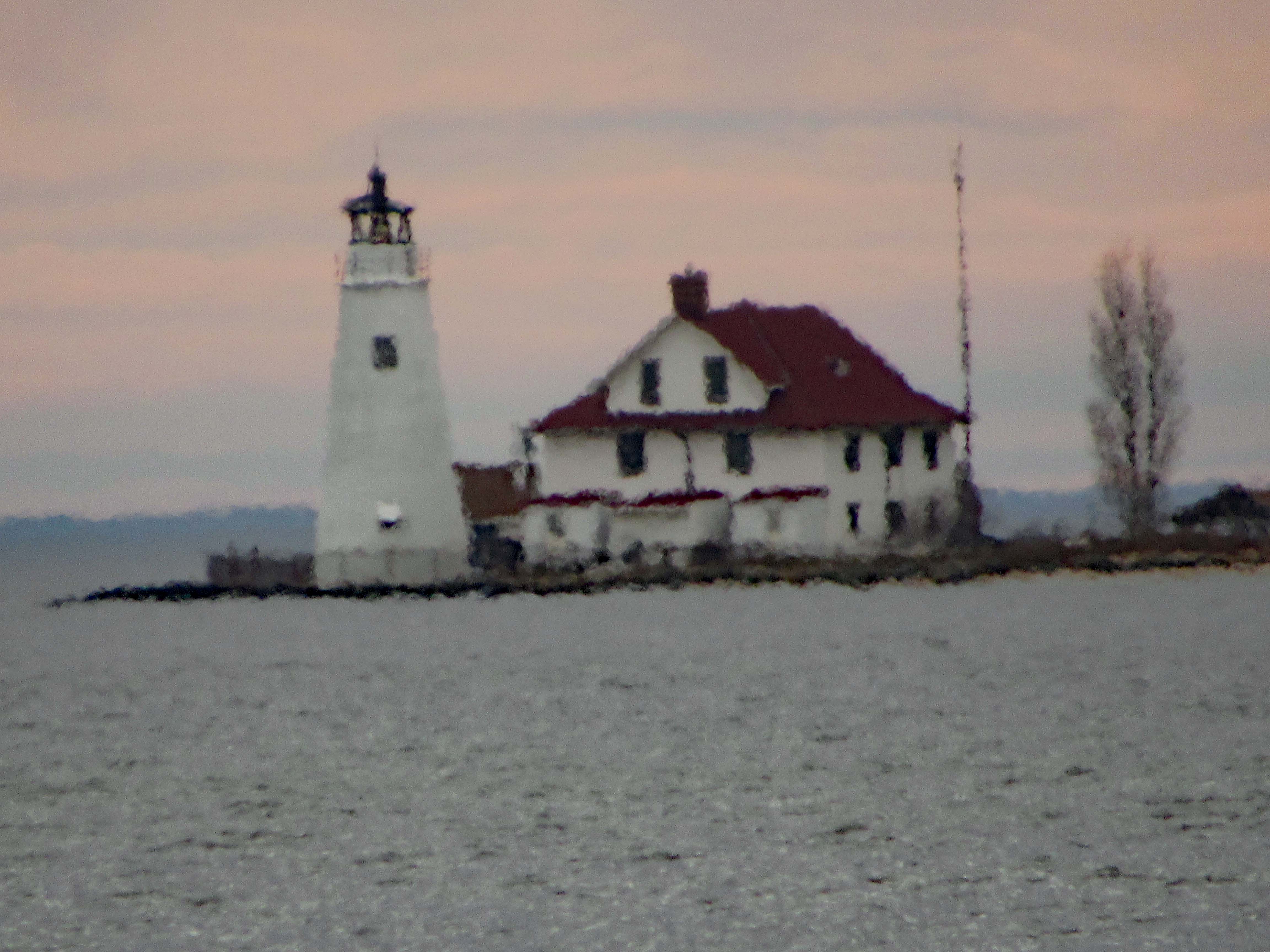
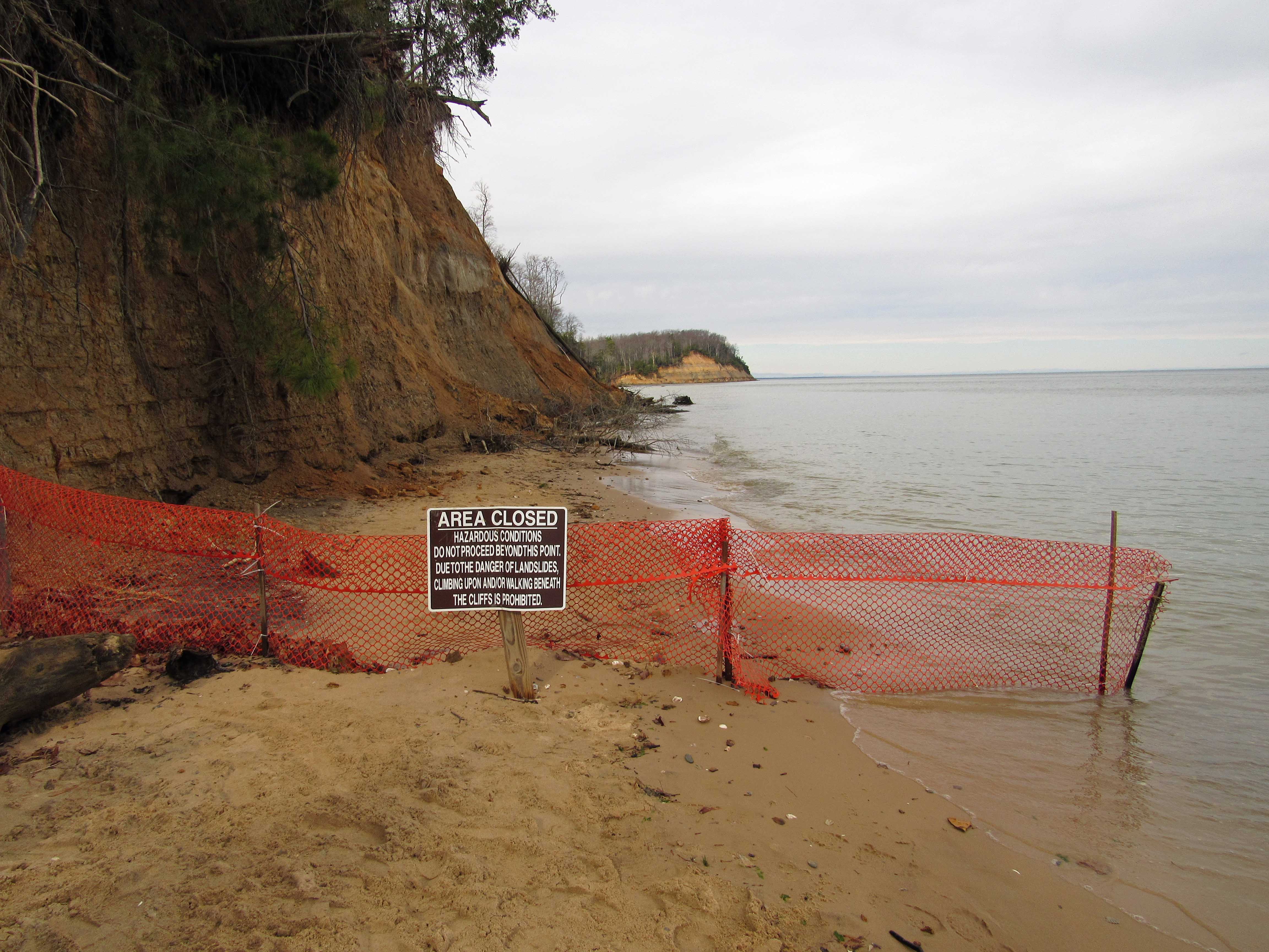
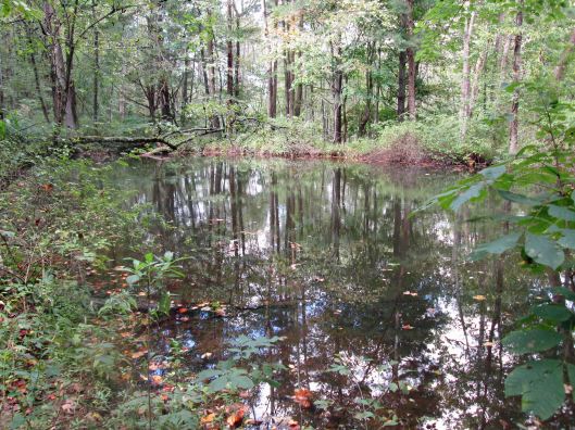
And then a nature loop ride through the preserve.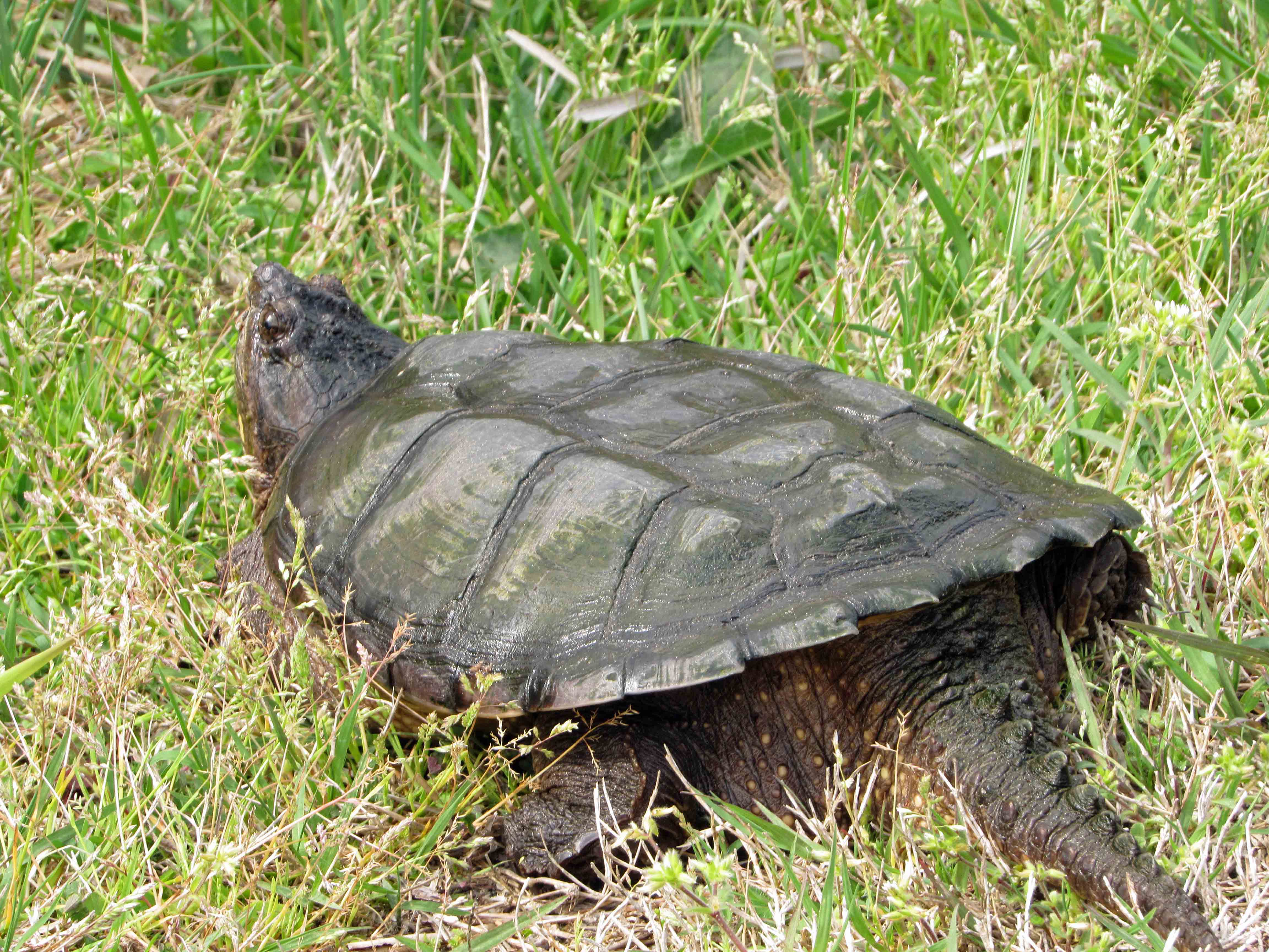
Another great adventure! Thanks God.