Alright, alright! I know! Way too many vacation photographs! This is the last of them (We already had another adventure since these were taken!) These photos are from our trip to Smith Island, via Crisfield.

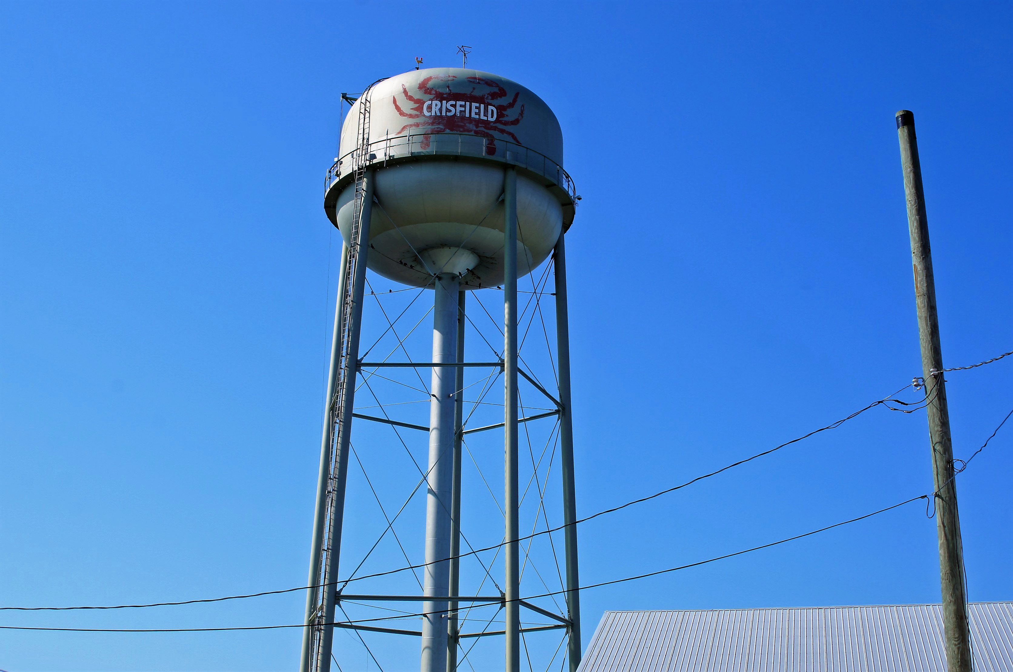
We did a short tour of Crisfield before getting on the tour boat.

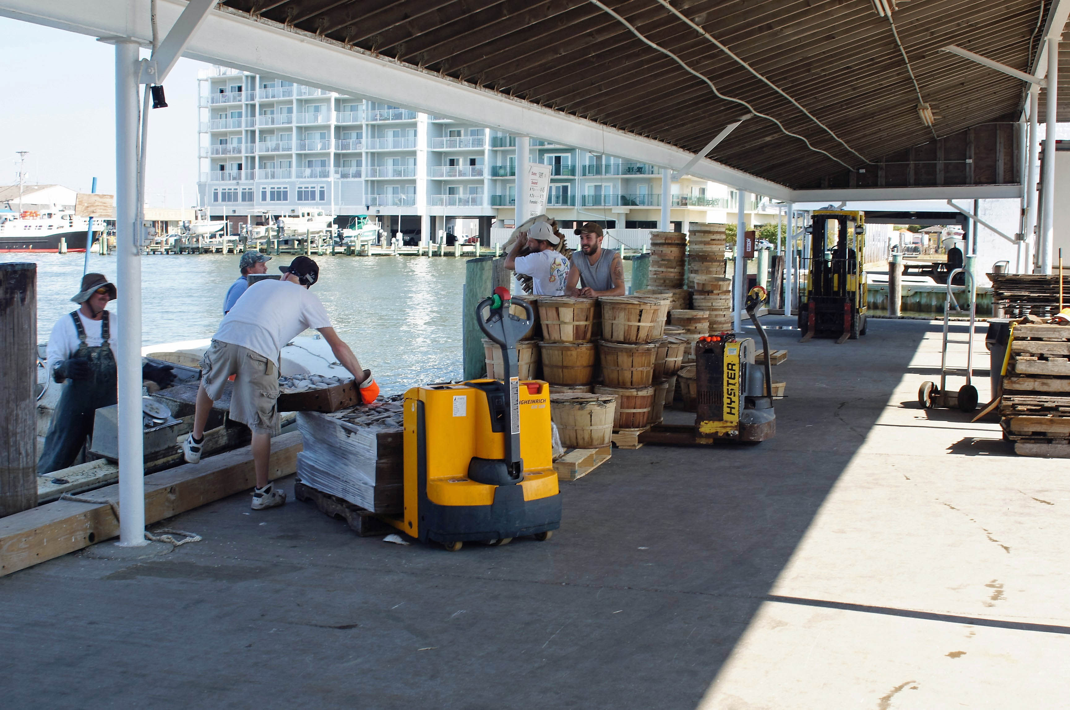
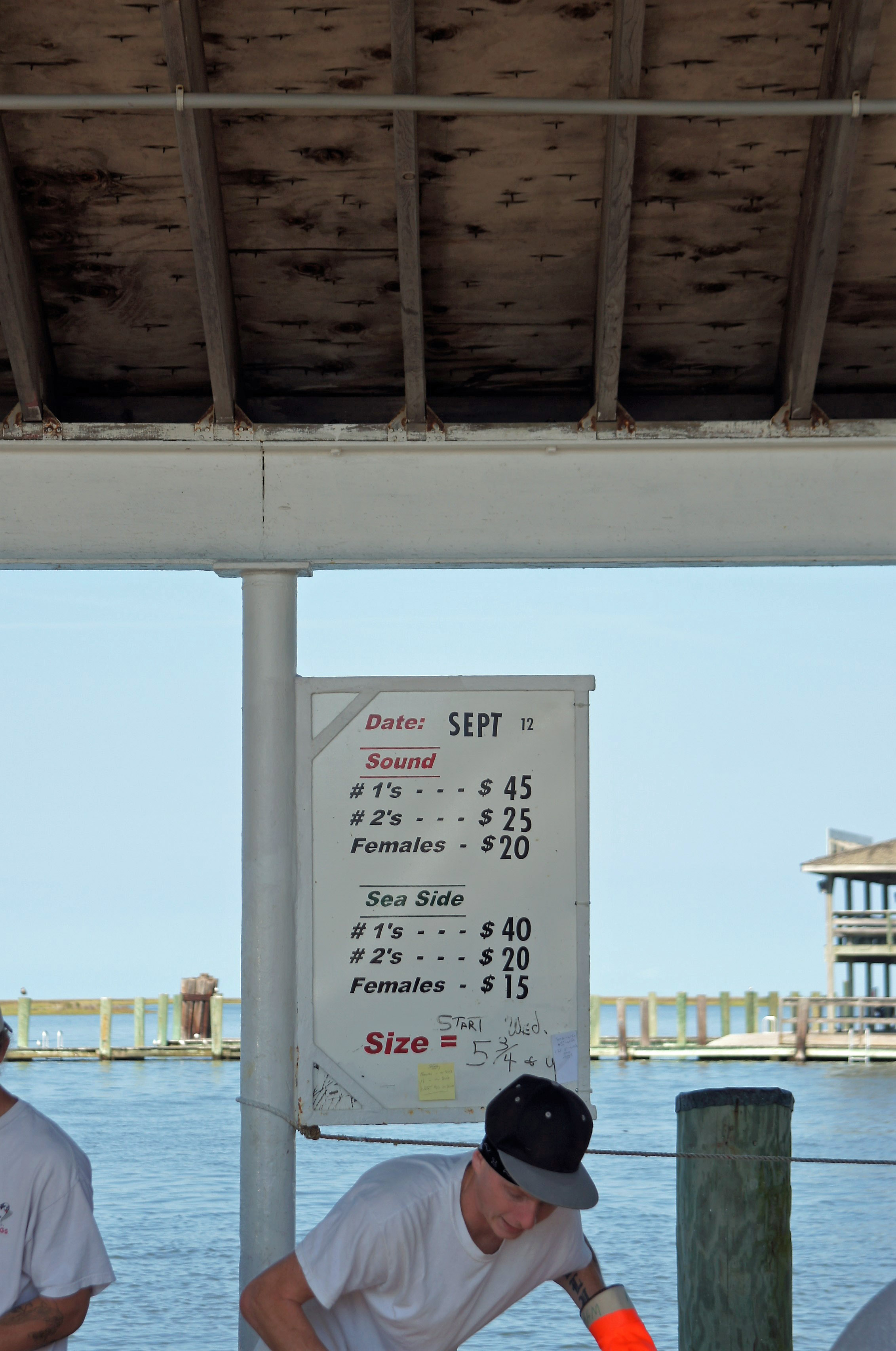
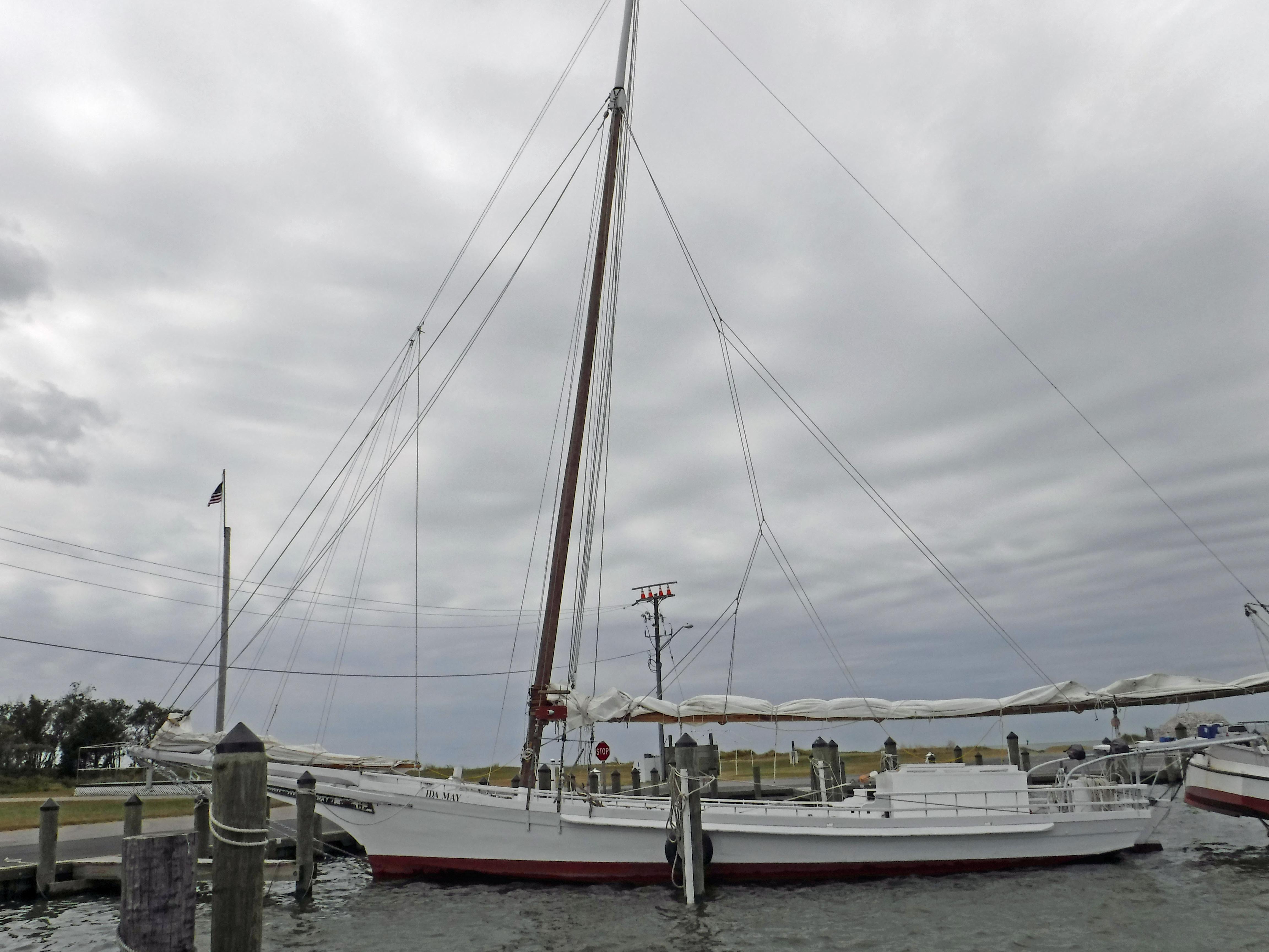
Watched the watermen unload their boats.

These are the prices the watermen are paid for their hard work. We paid $170 not too long ago for steamed crabs. Watermen aren’t making much money are they?

All we are saying…

Messy little fellow.

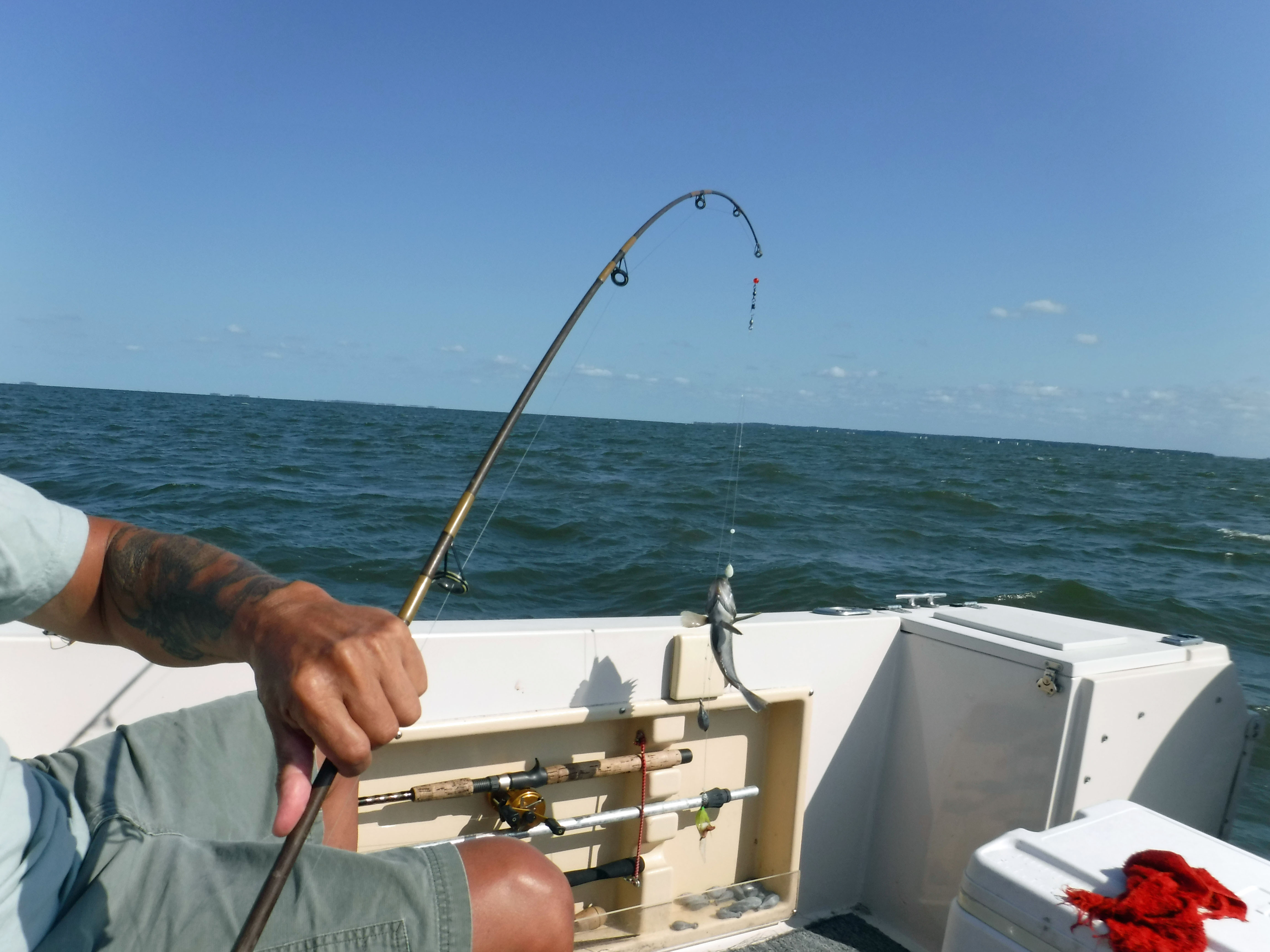
Got on the boat and started to head out to sea. Well, towards the bay at least.

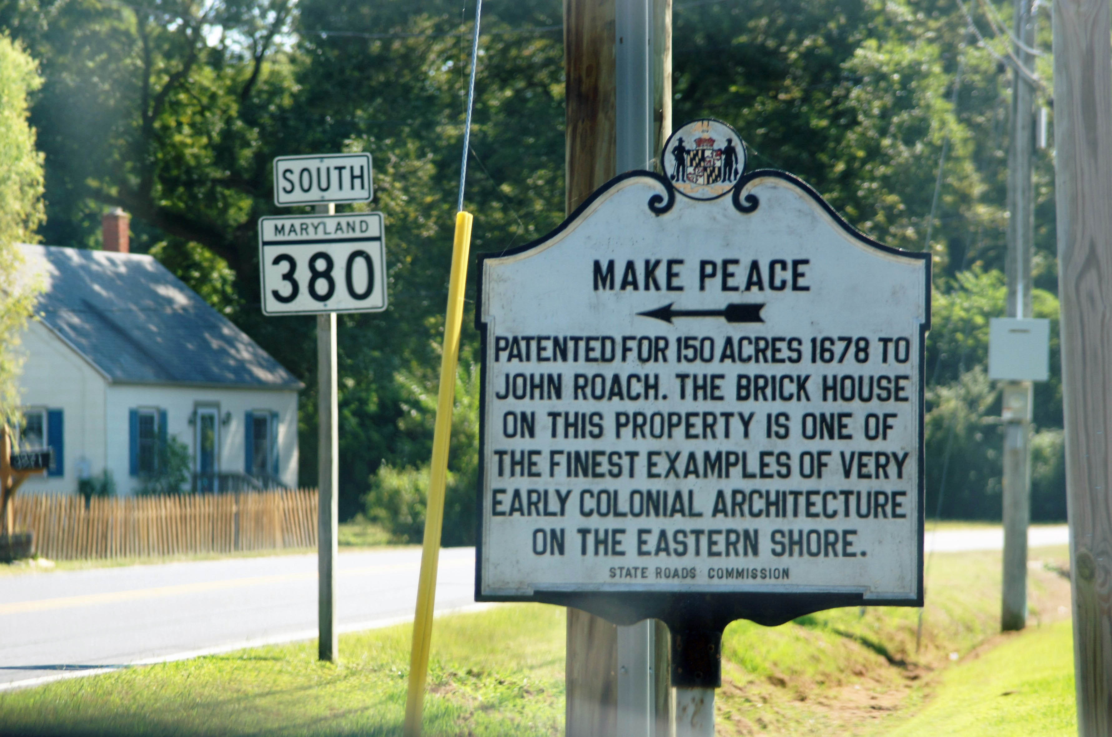
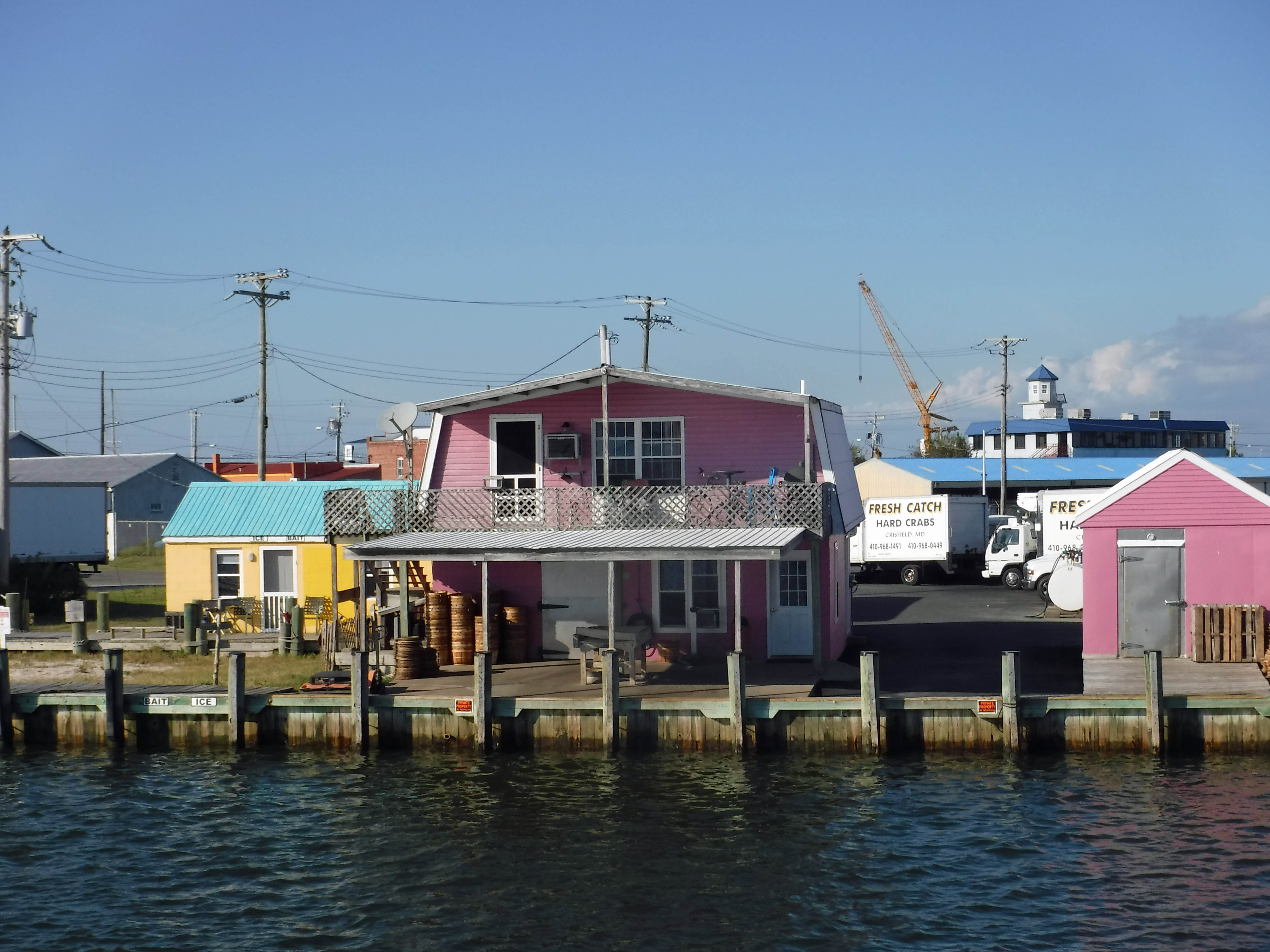
Little pink houses.

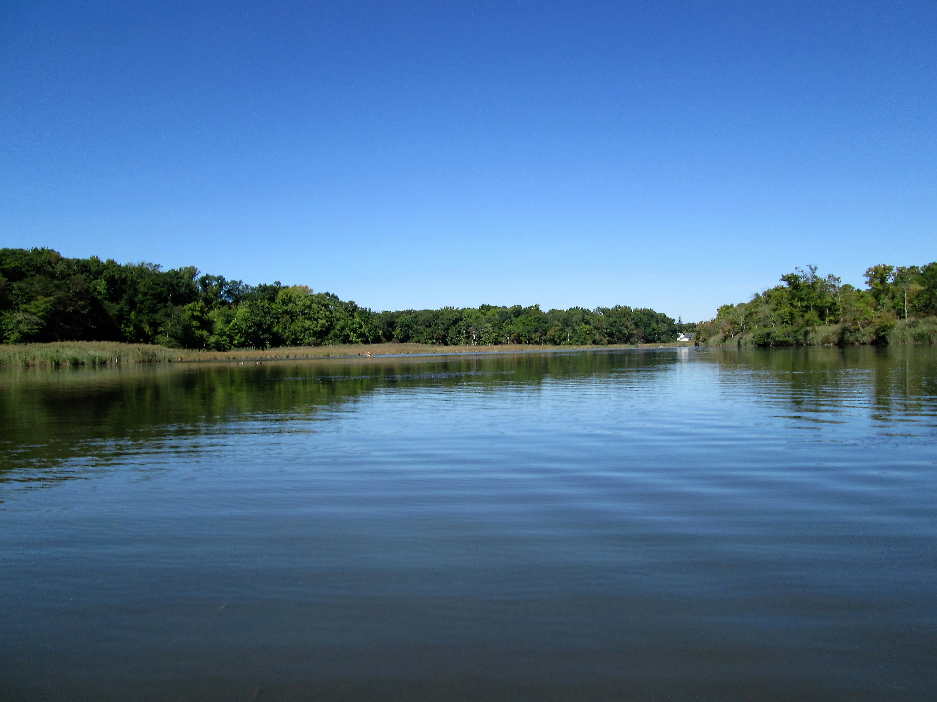
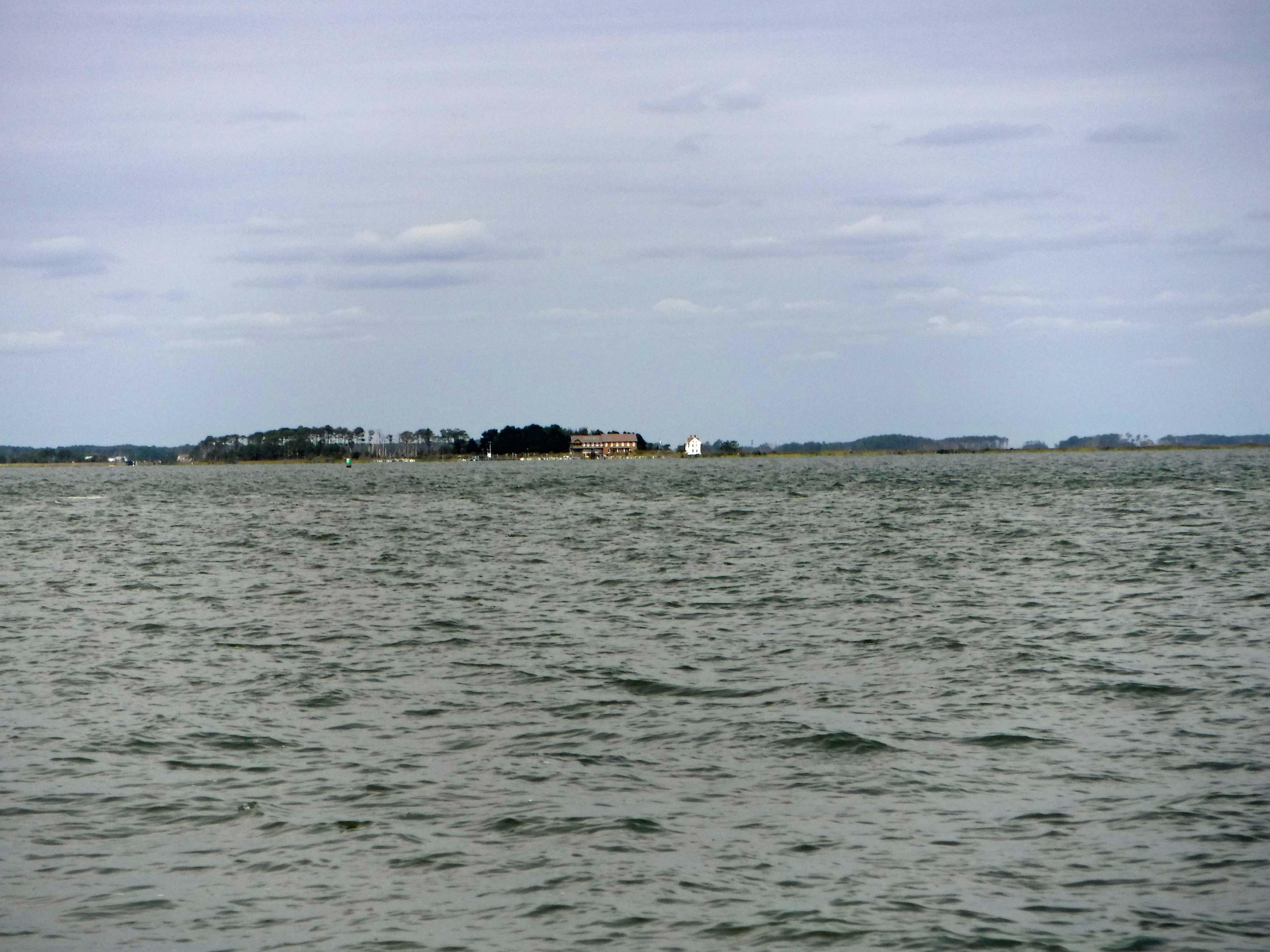
Now we are moving. It takes an hour to get to Smith Island.

Kathy and her parents. Great people.

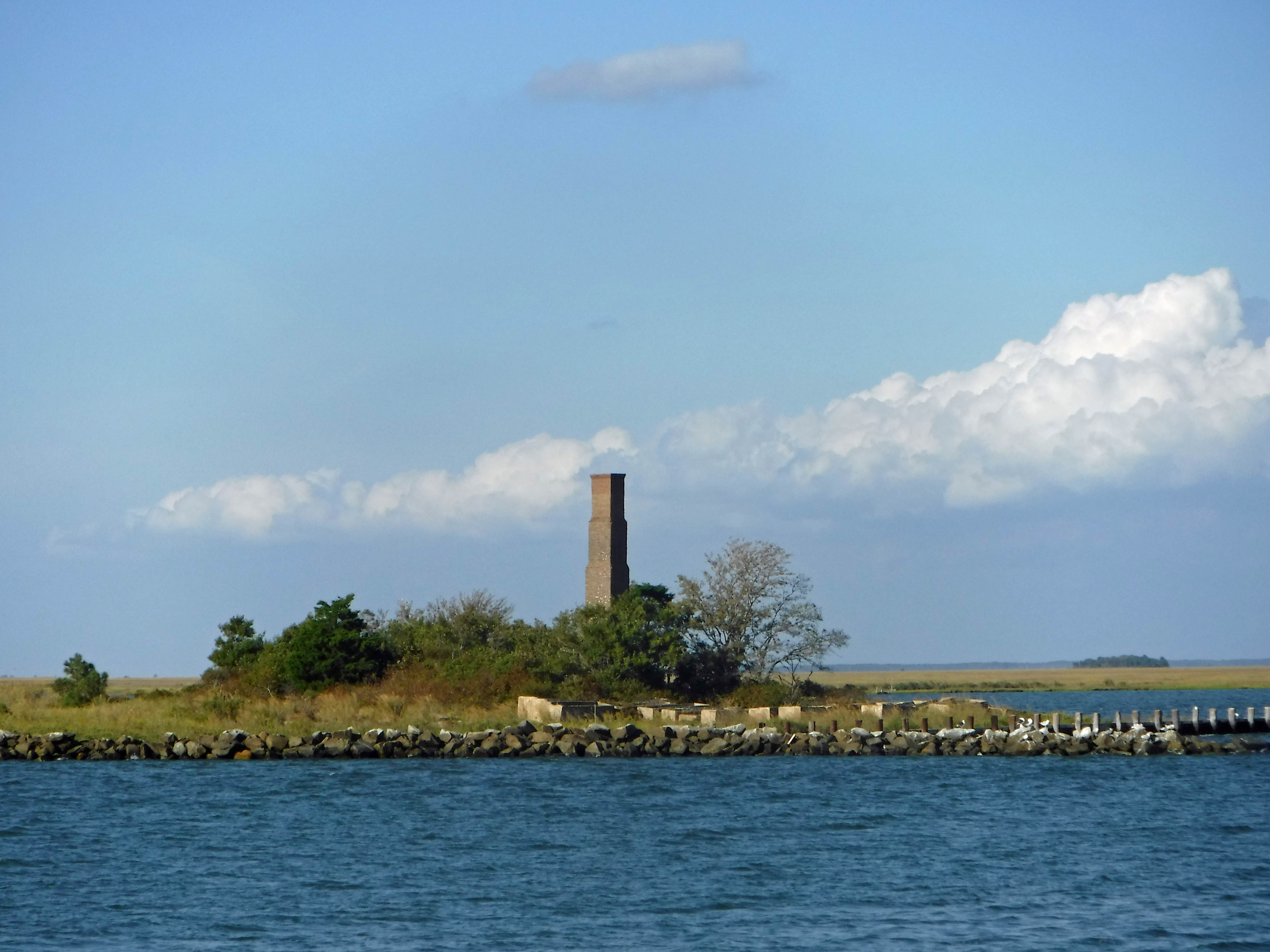
This is a rebuilt smoke stack, all that was left of the processing plant here. Rebuilt by park services in dedication to the person who left the land to them.

I love you a bushel and a peck!

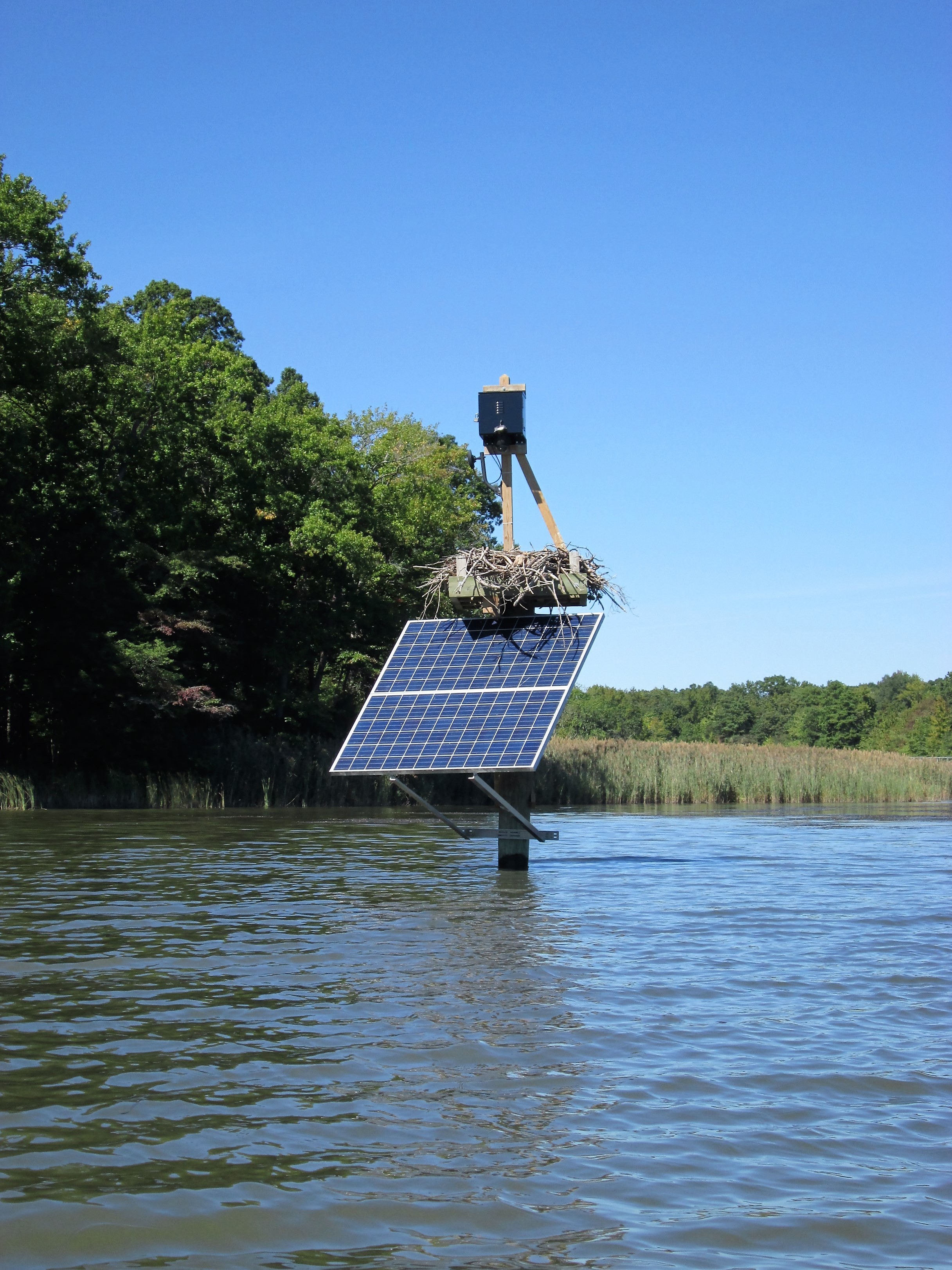
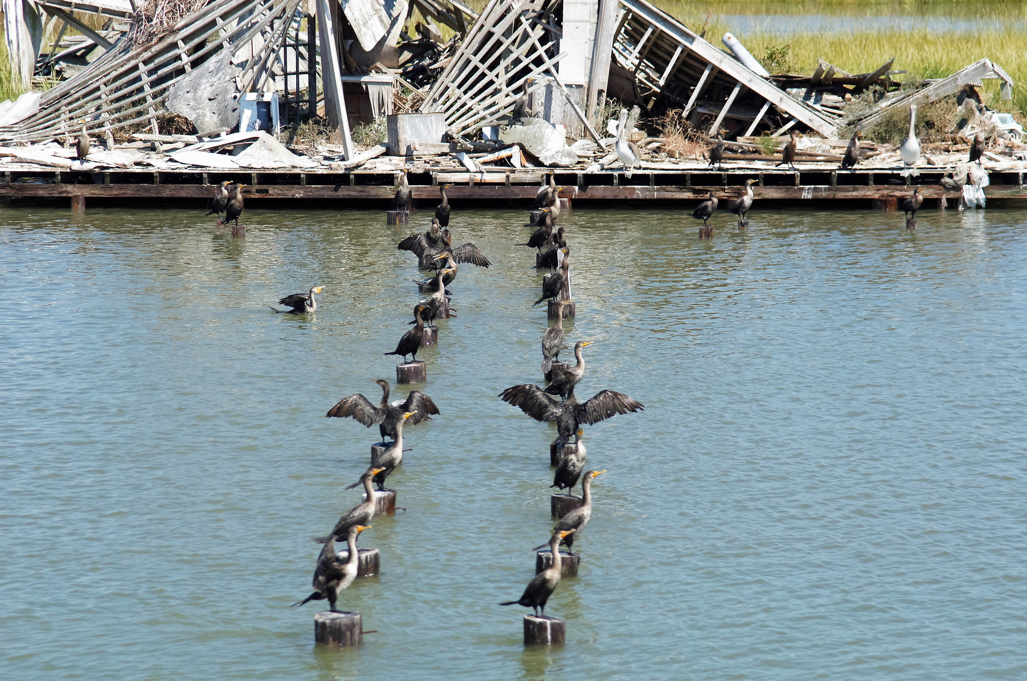
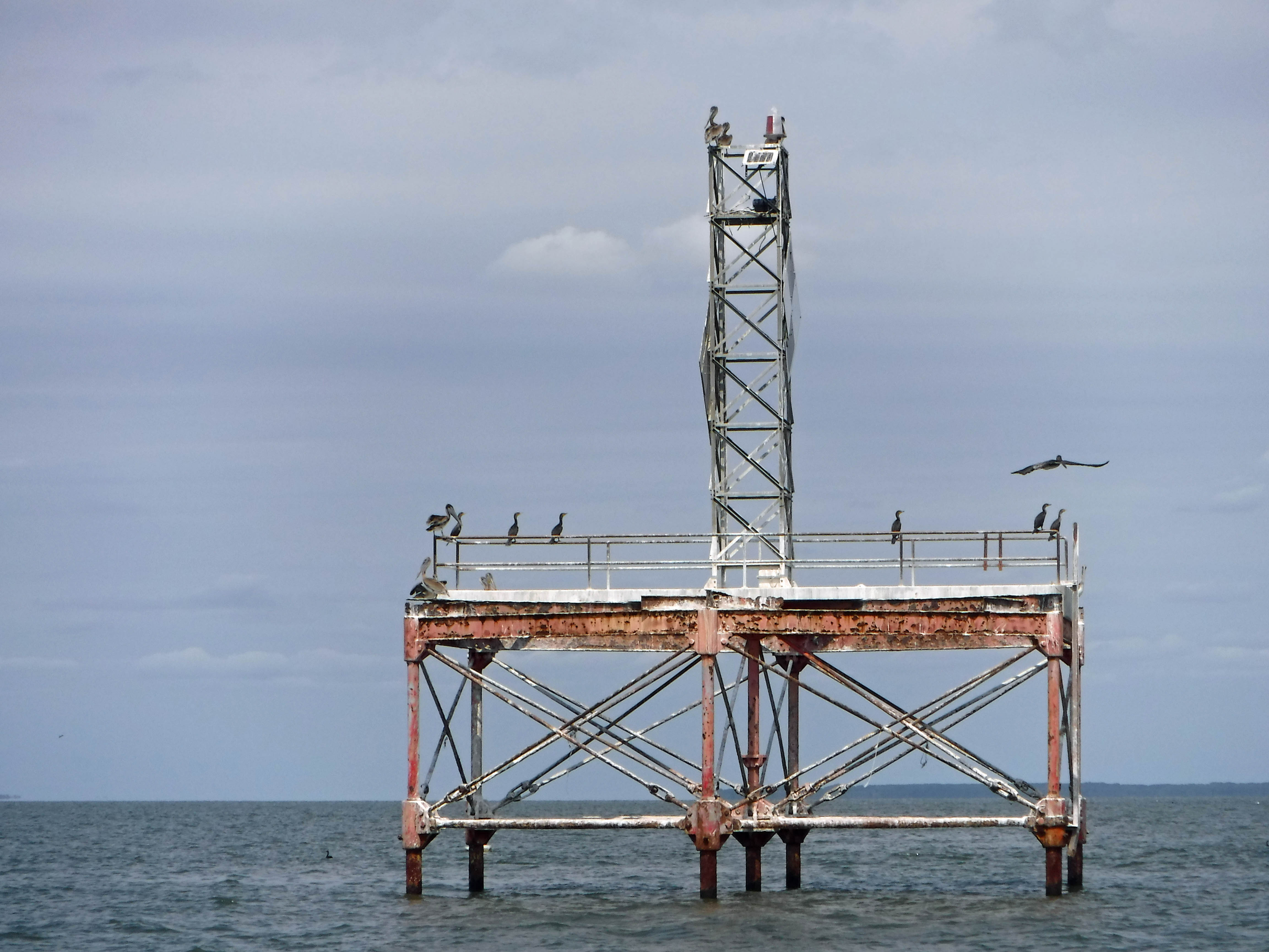
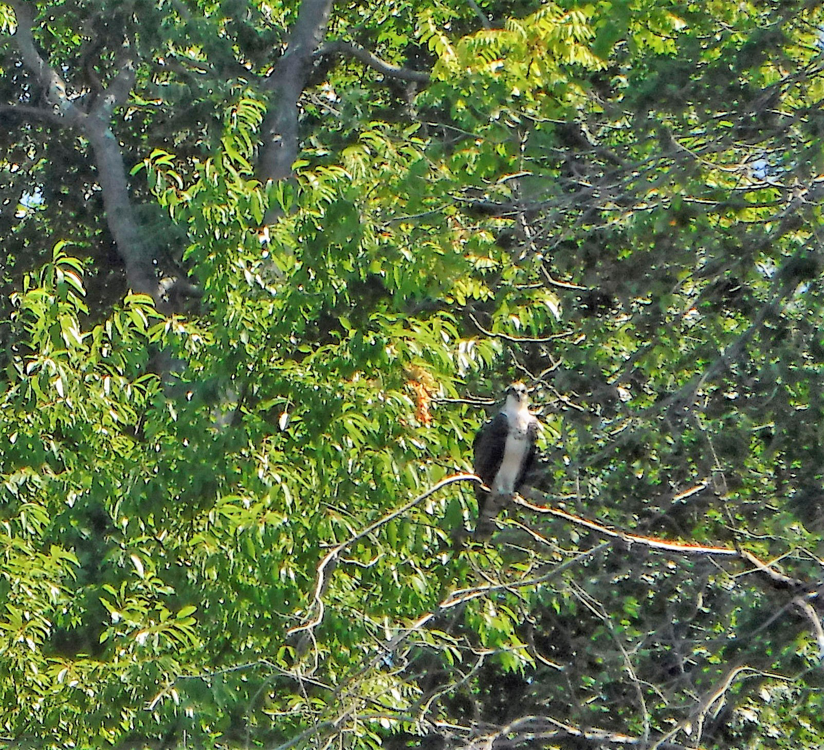
Passing a nature reserve island before Smith Island, the birds were all lined up, ready to dance.

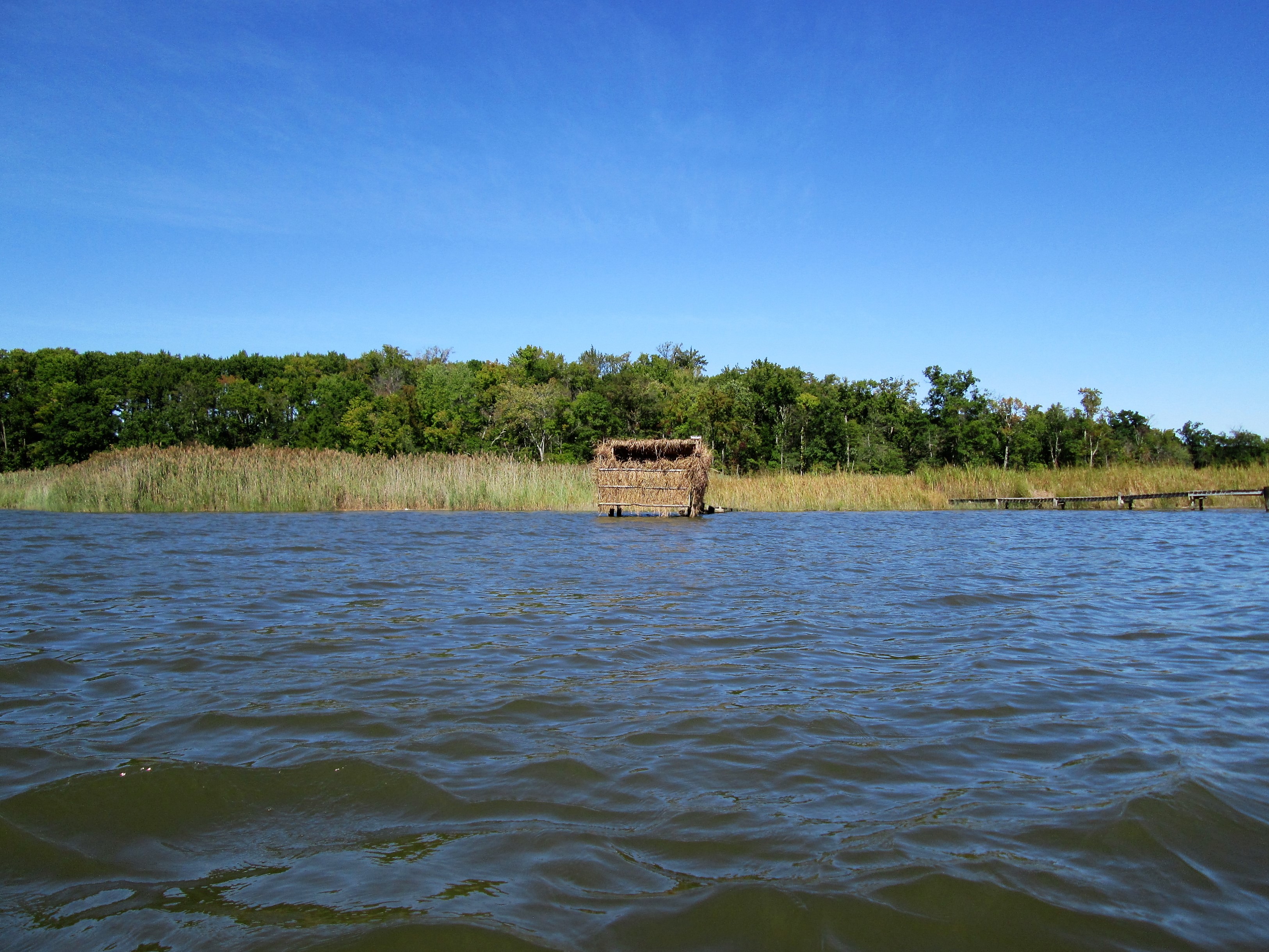
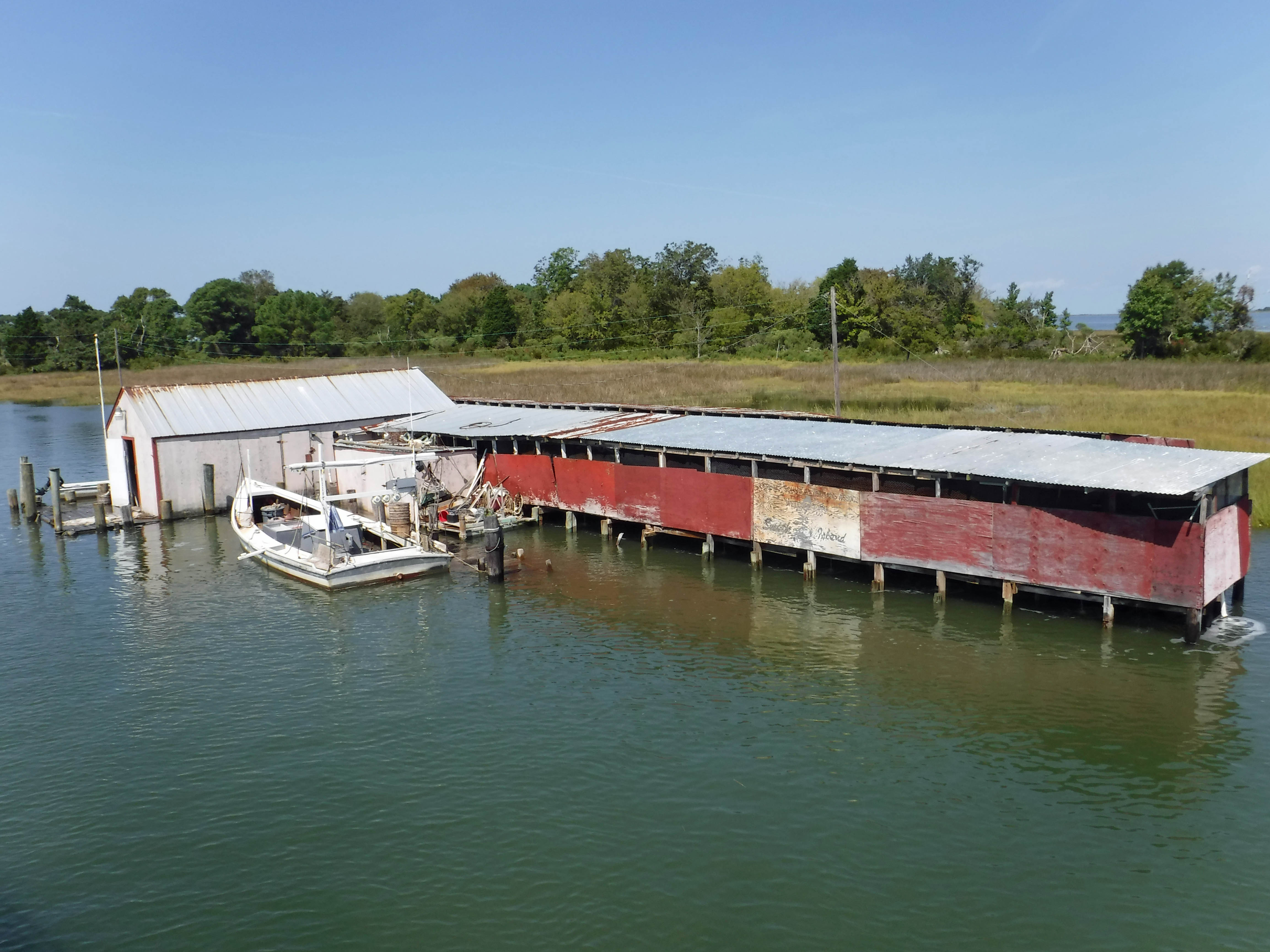
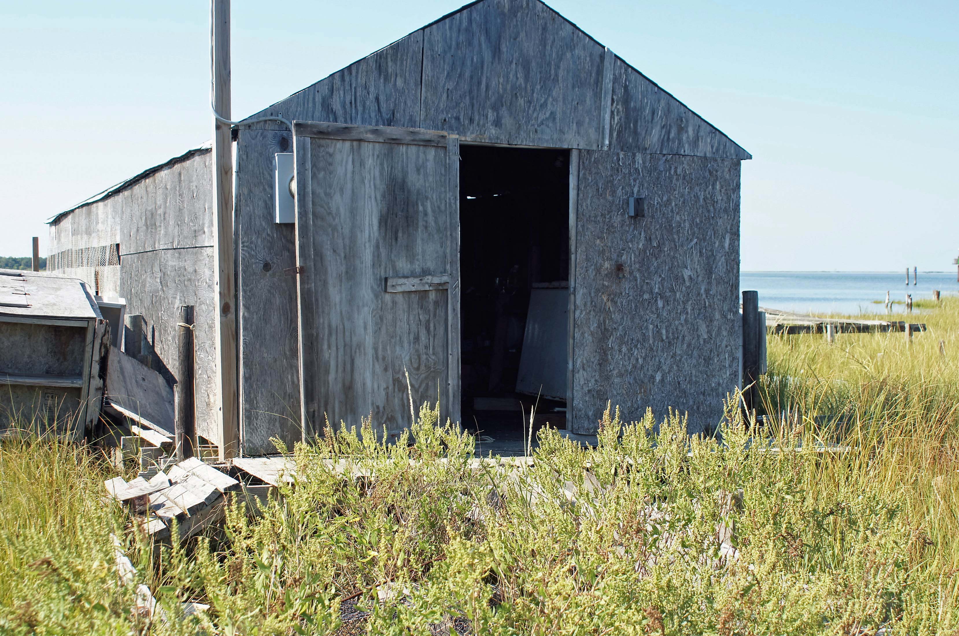
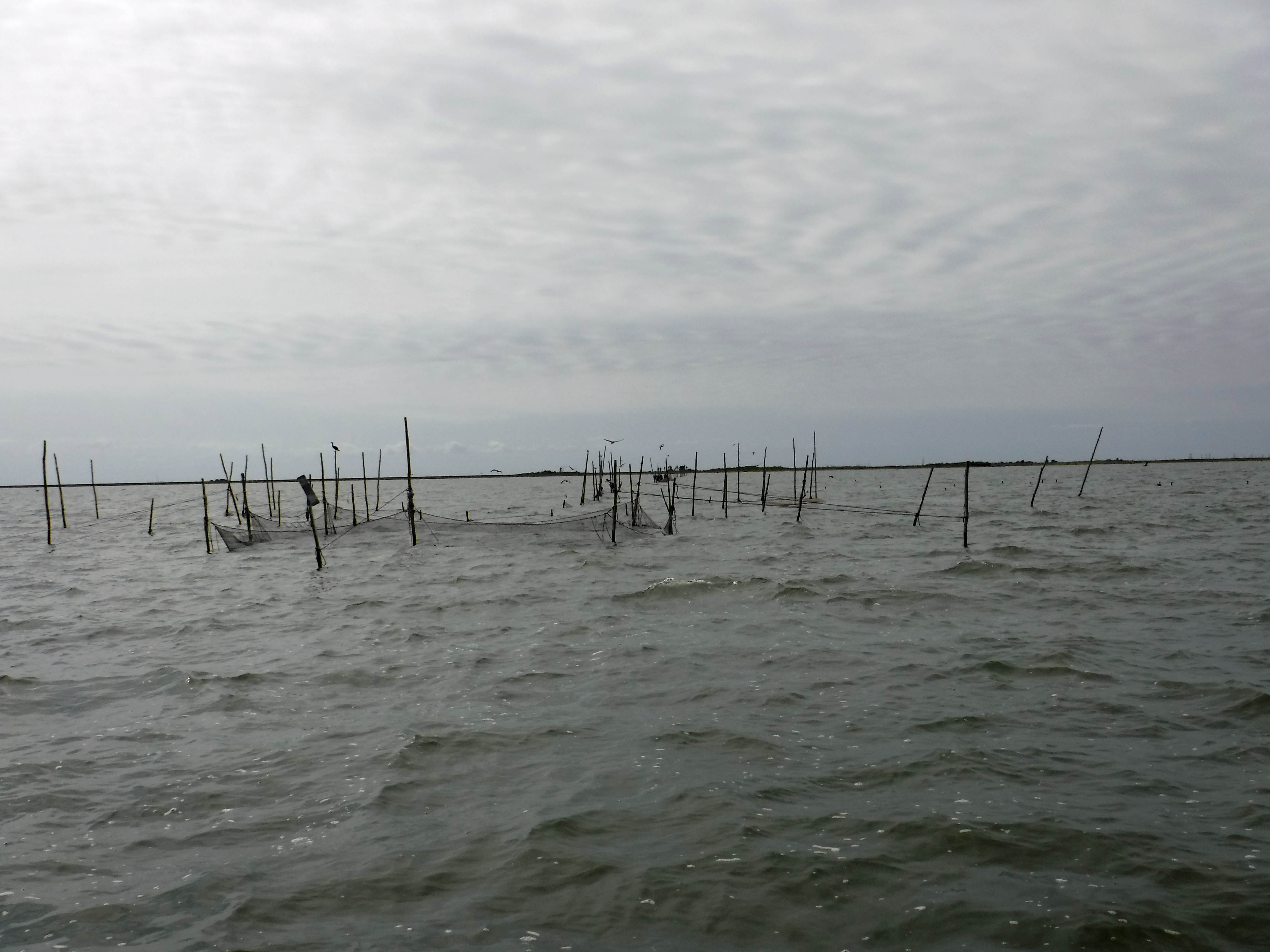
One of many waterman’s shacks.

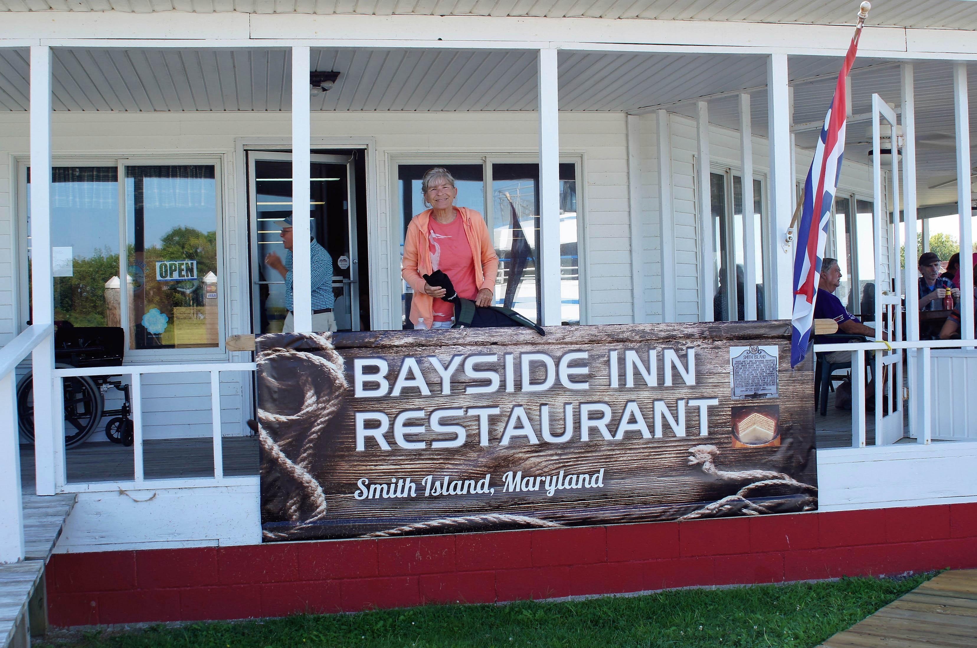
Kathy jumped off the boat to grab us a table at a restaurant that I believe is owned by the boat captain – “Make sure you stop at the Bayside Inn!”

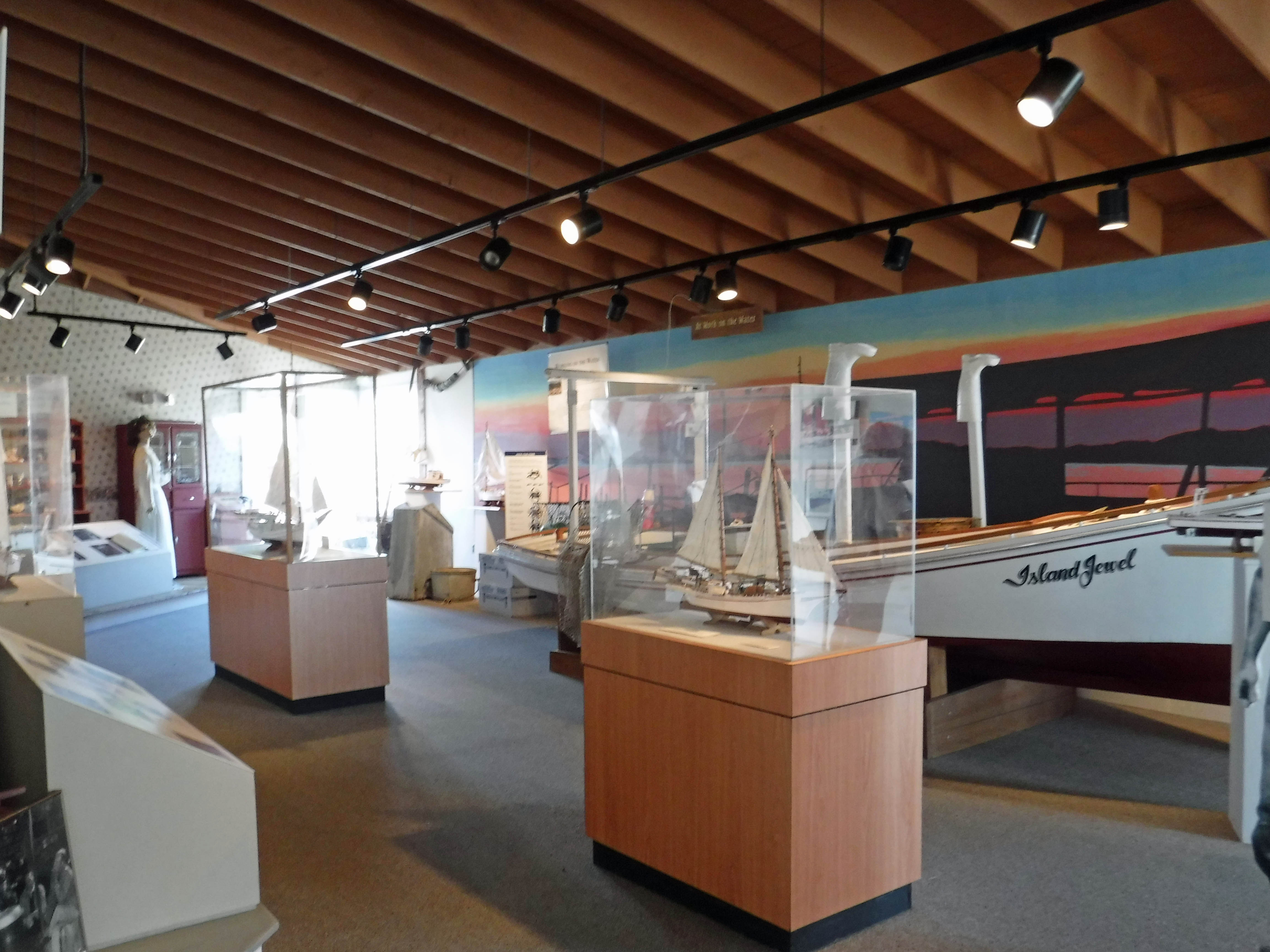
After some good food, we headed to the museum. Pretty nice.

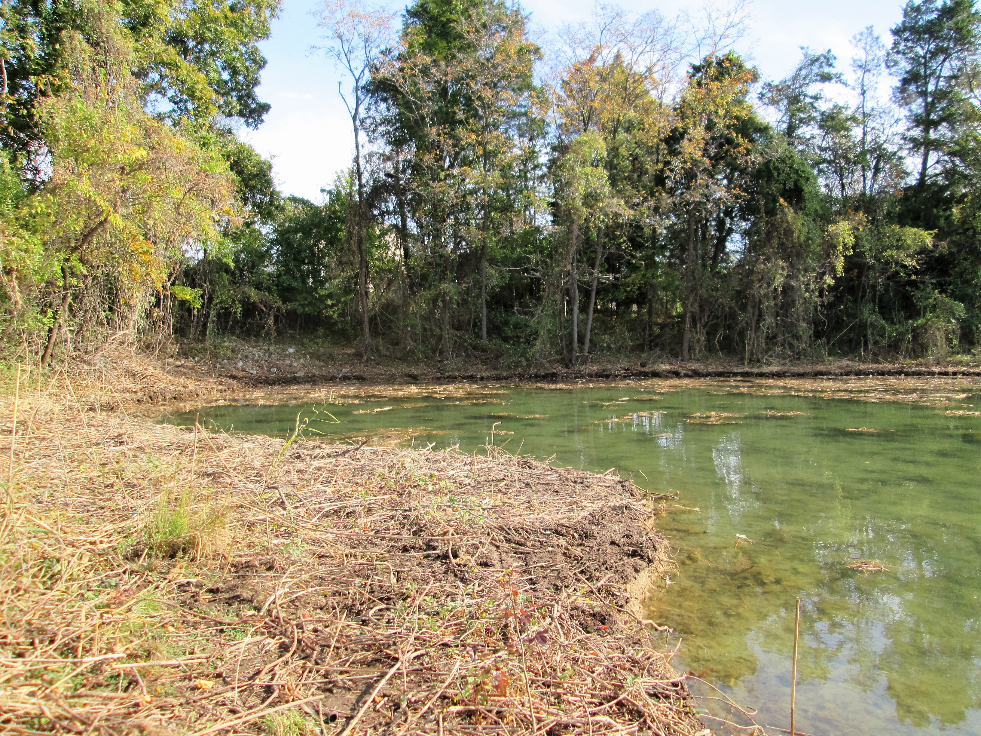
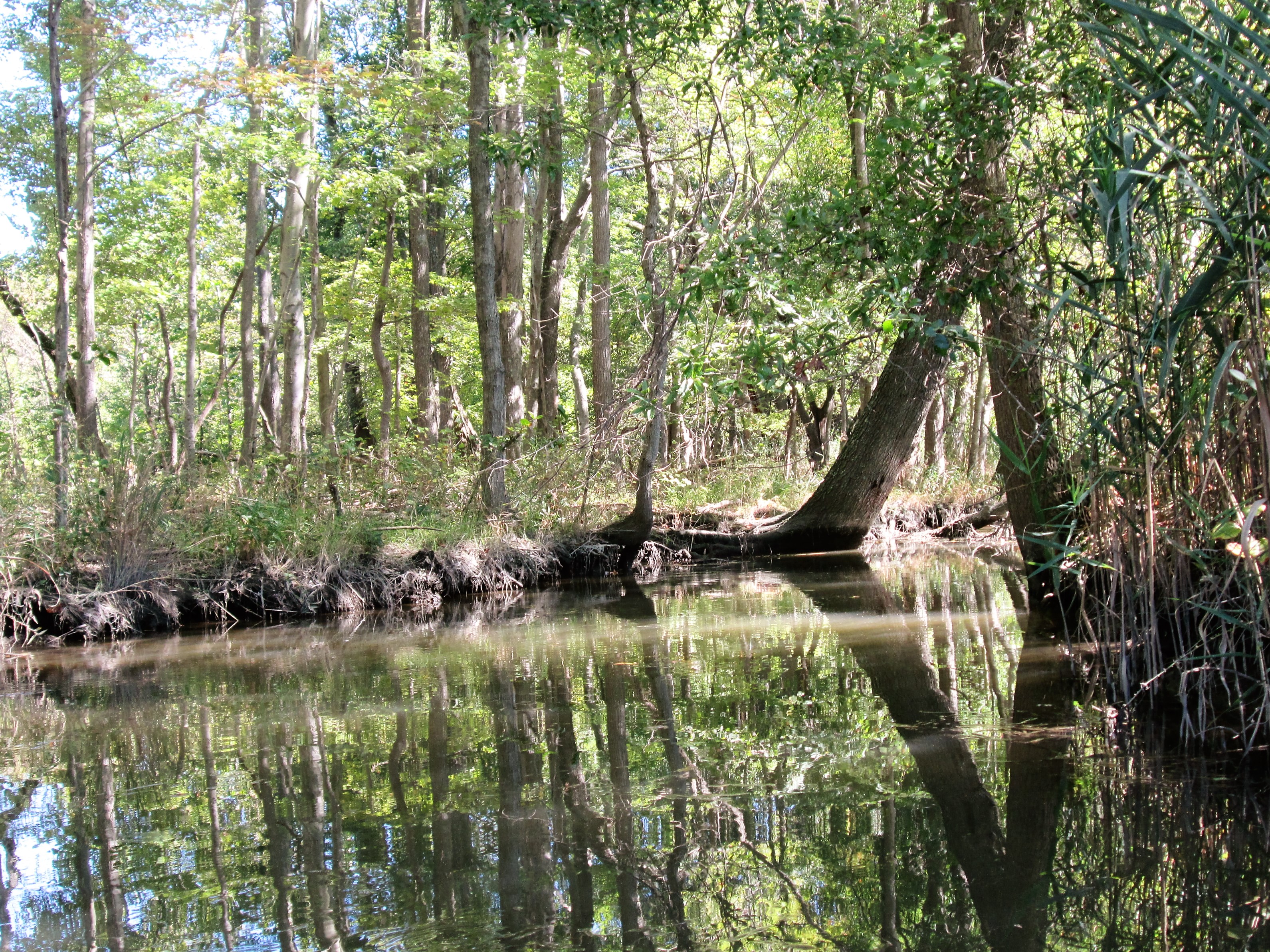
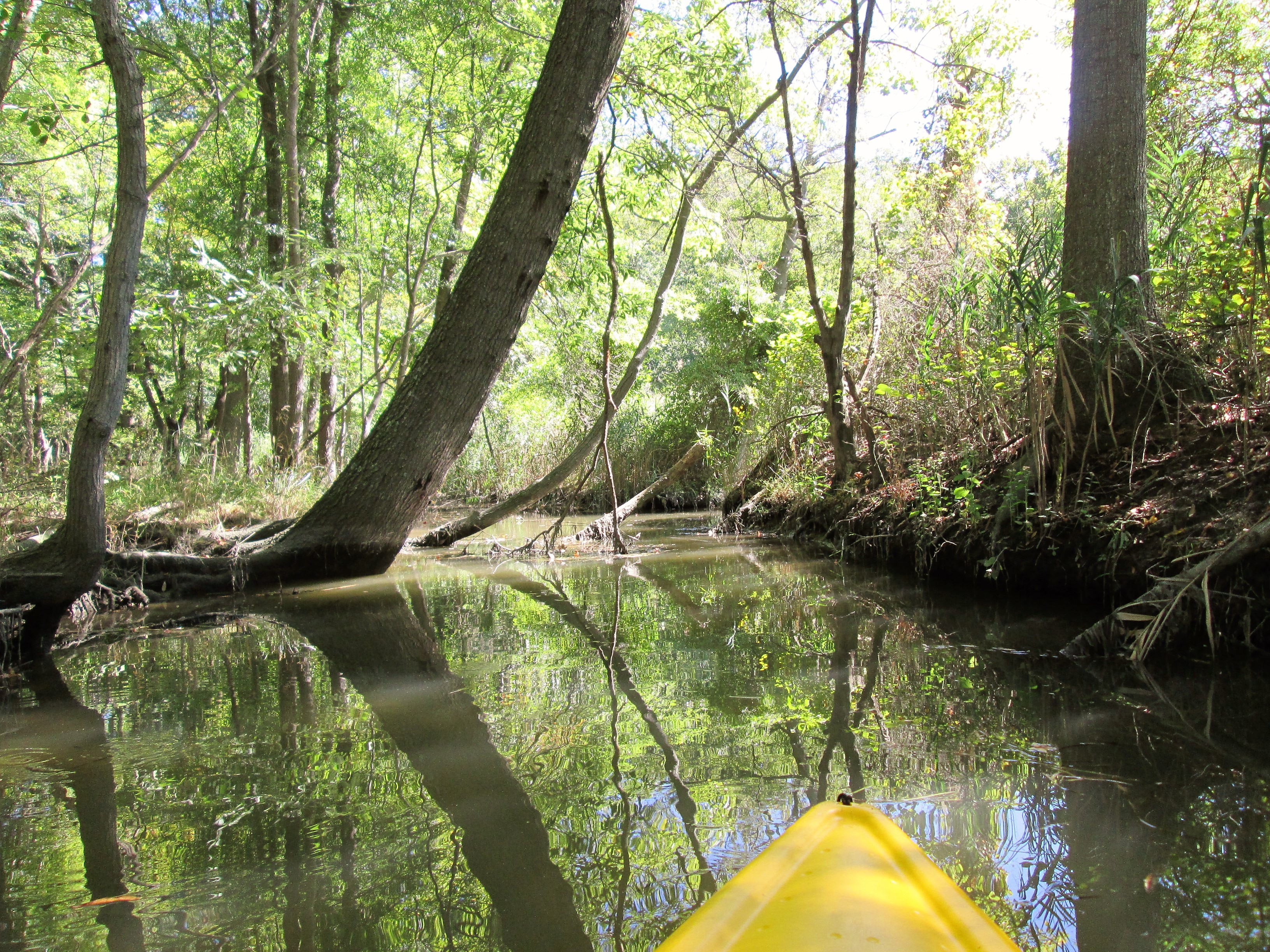
Then took a walk around a partially submerged island! High tide.

I don’t think so.

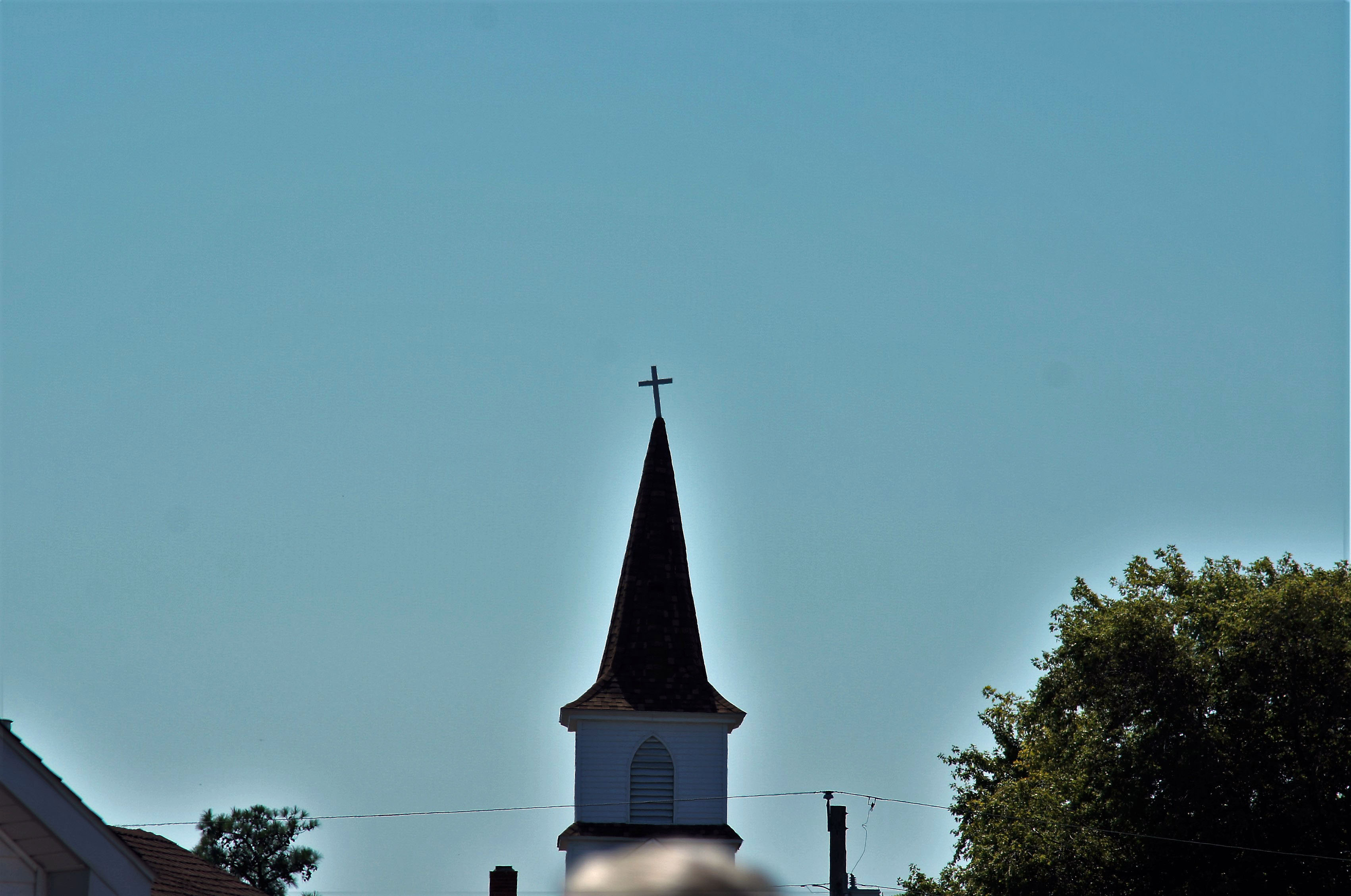
Church with a halo

It has always amazed me that people abandon their boats wherever they want.

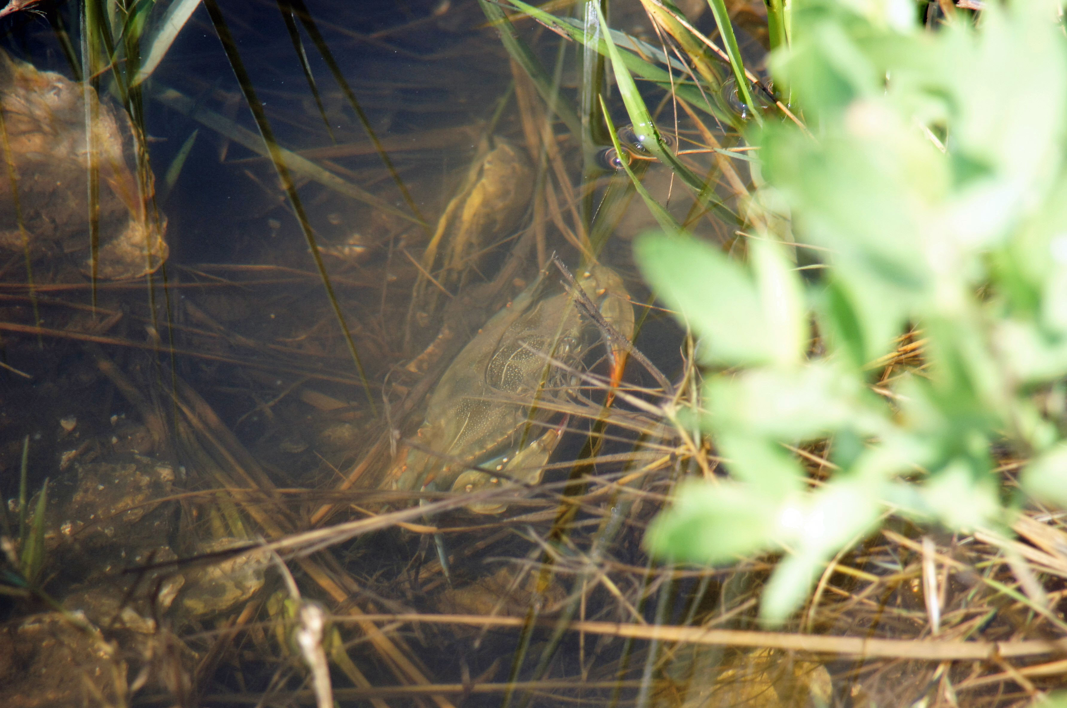
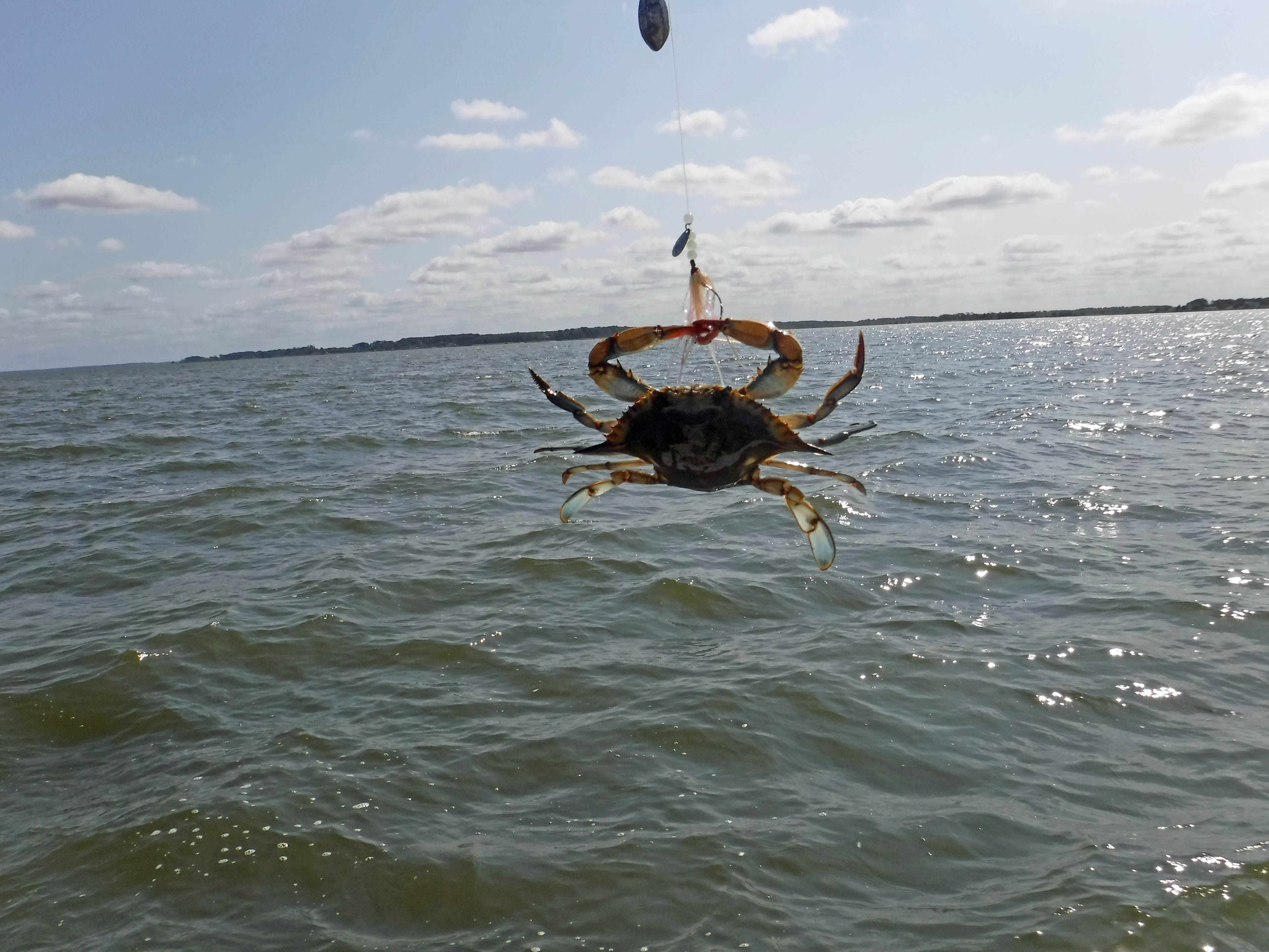
Crabby.

I thought this was another abandoned shack, but a few minutes after we sat down, the door closed.

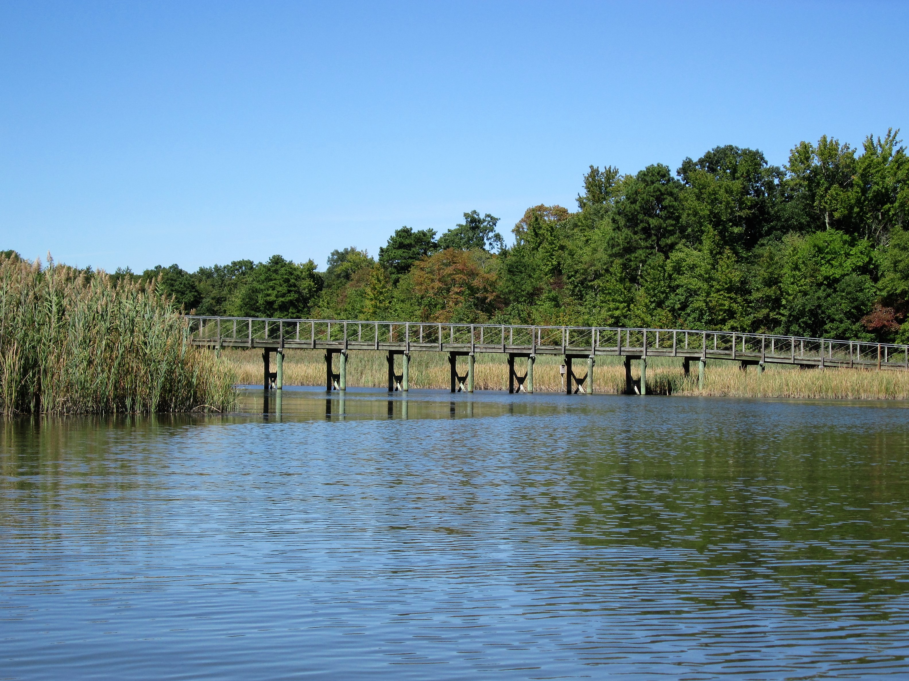
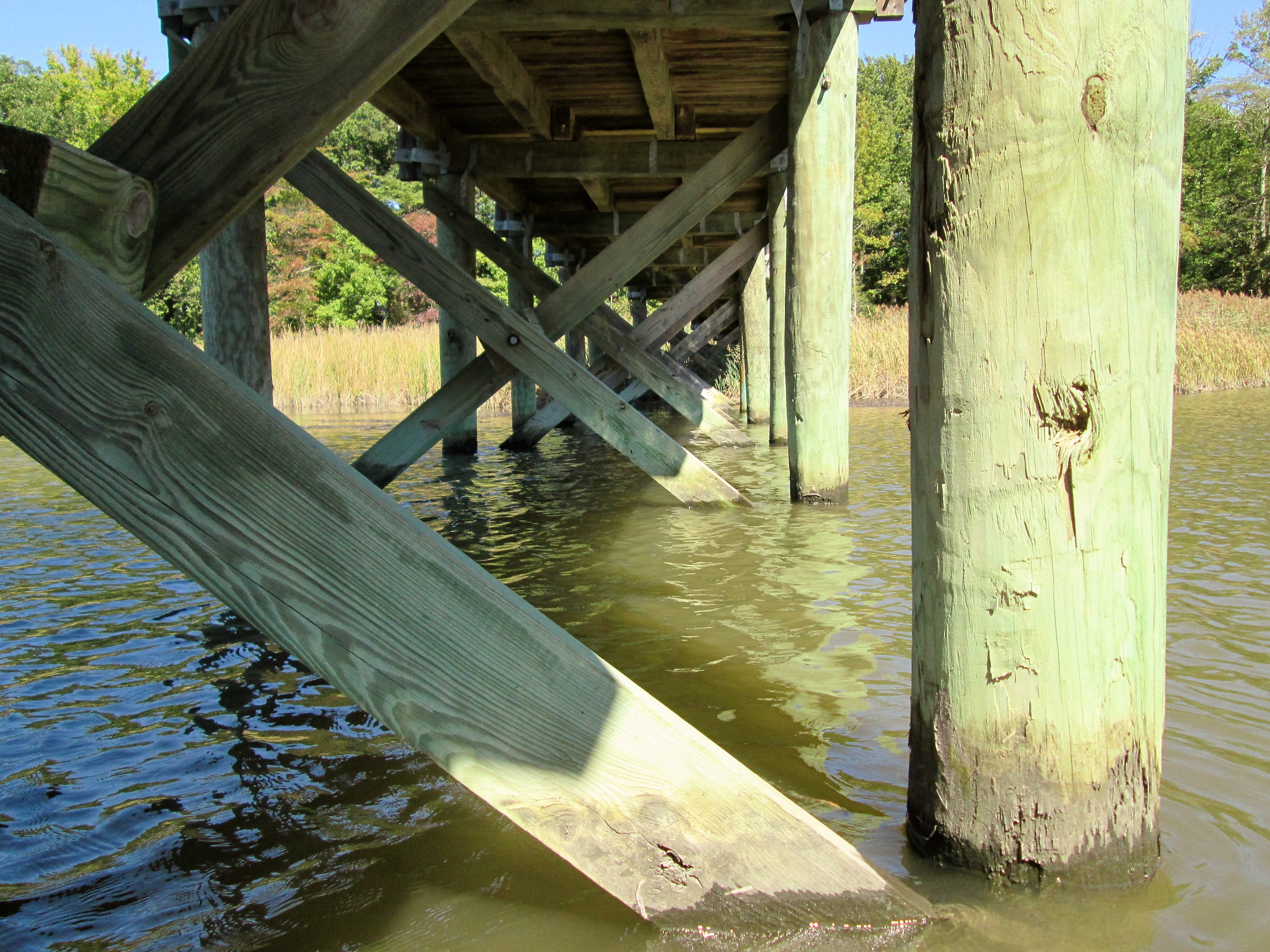
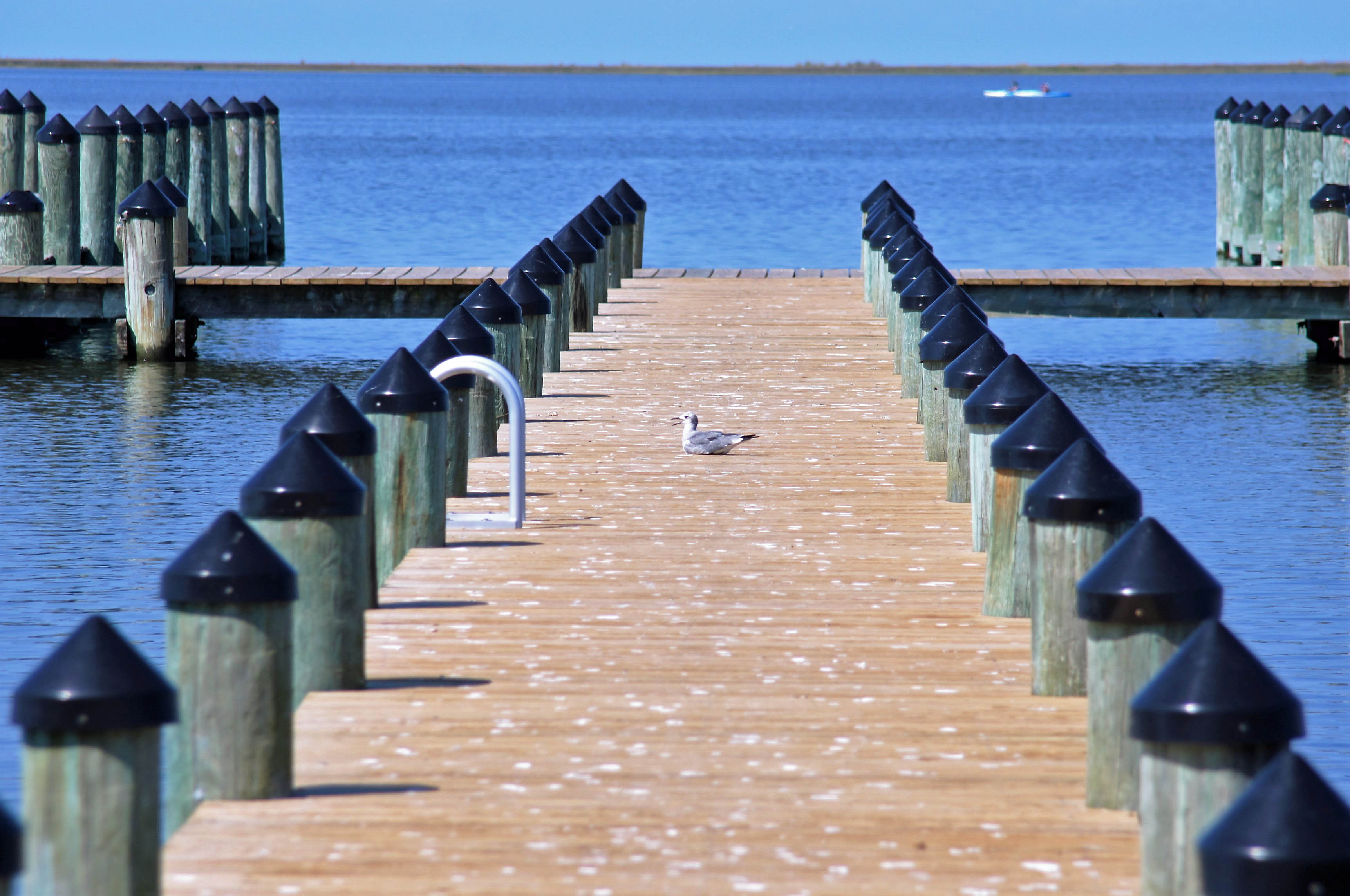
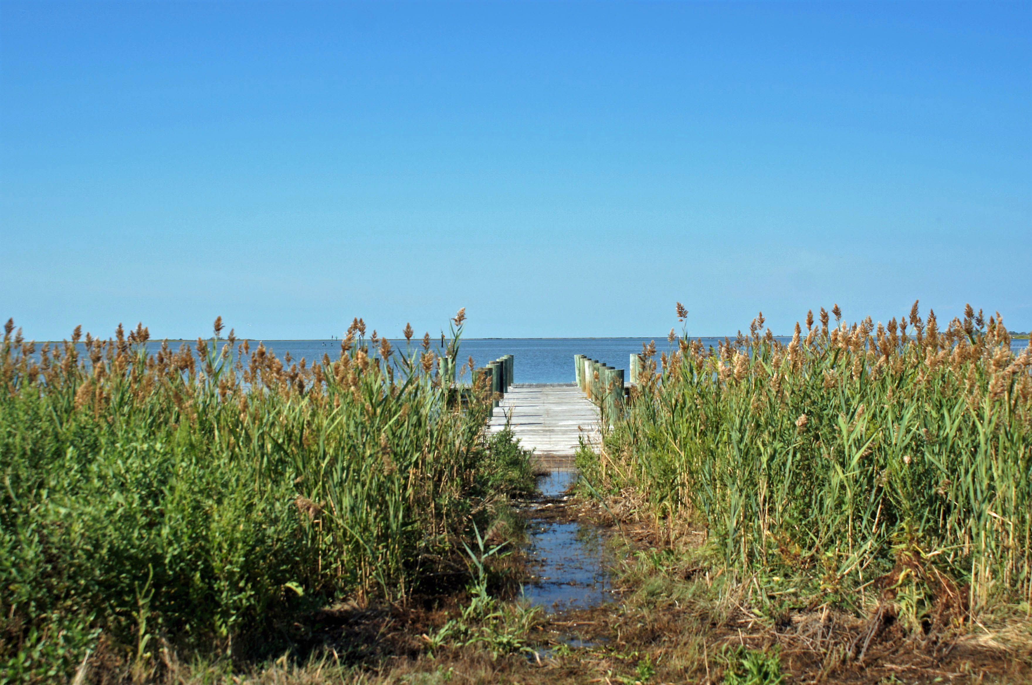
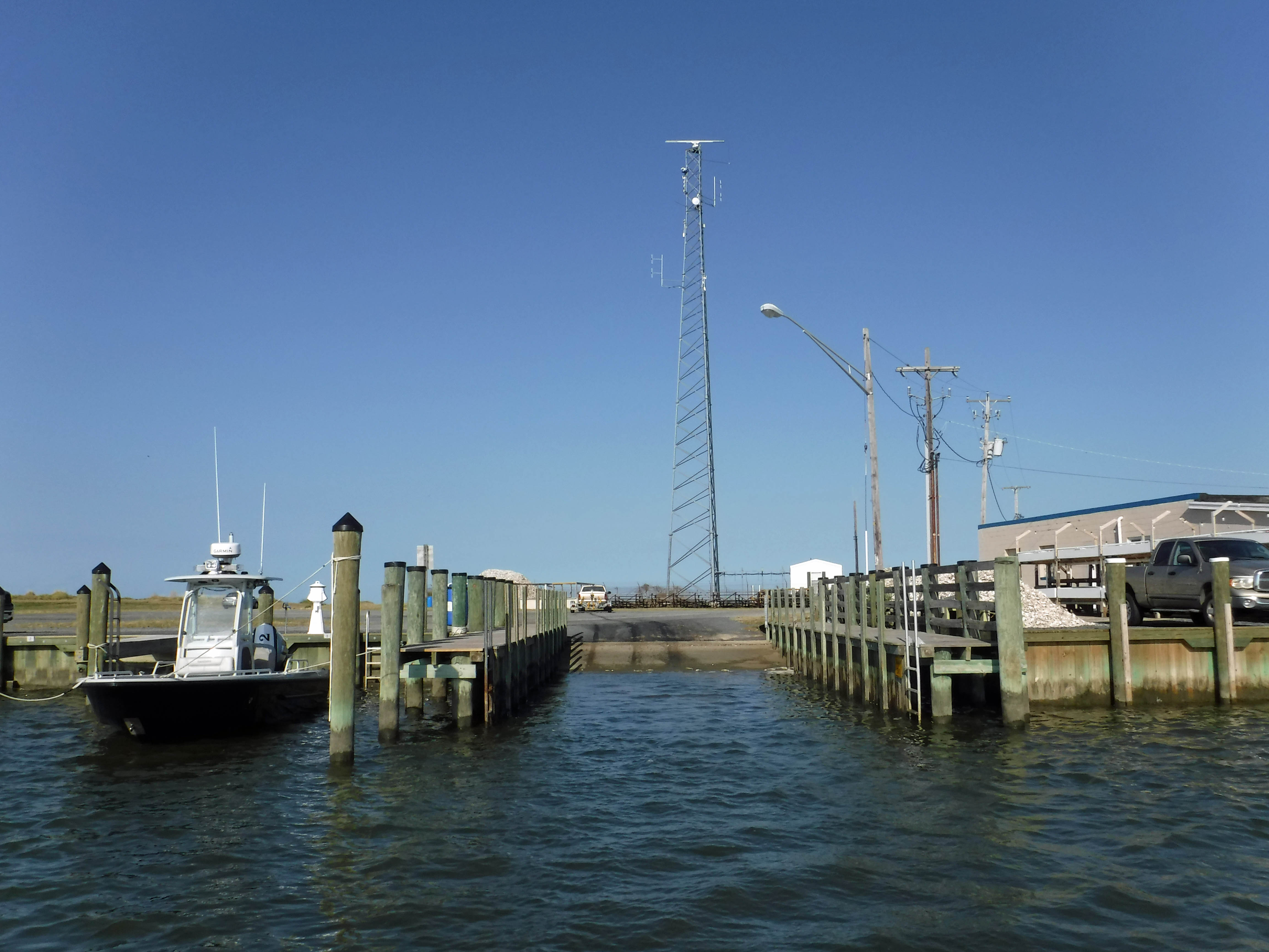
Nice little pier.

Kathy told me to lay down in the wet grass and get this photo. Oh, ok!
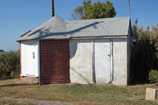
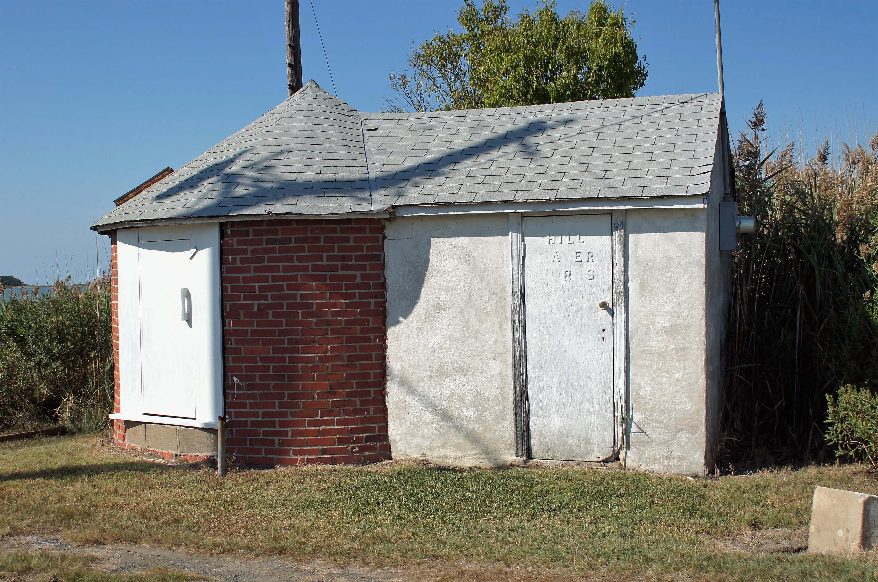
And here is one of two water works photos. Building is called Hill Water Works.

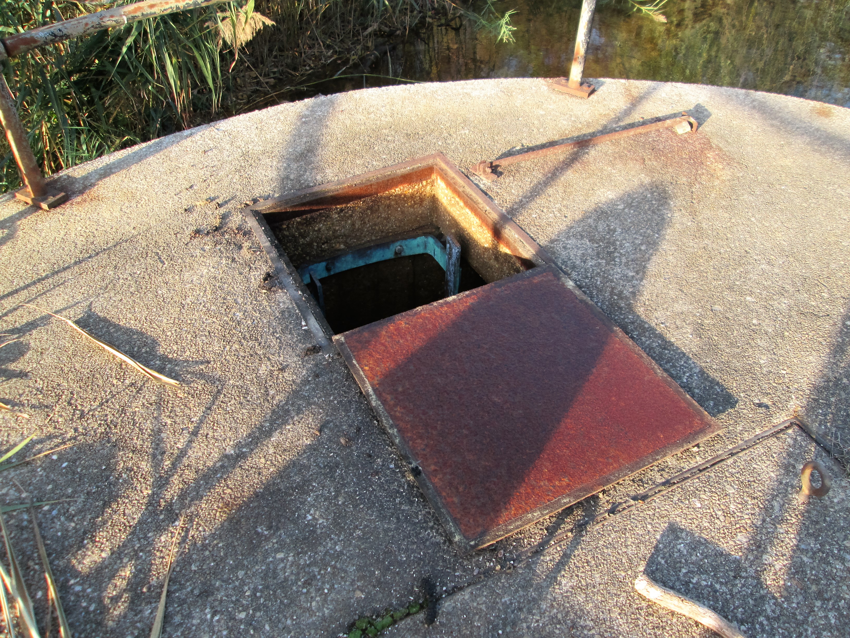
And here is the second – showing an old water tower.
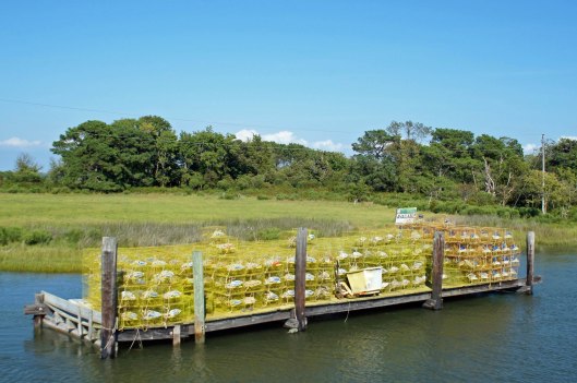
Watermen’s stuff.

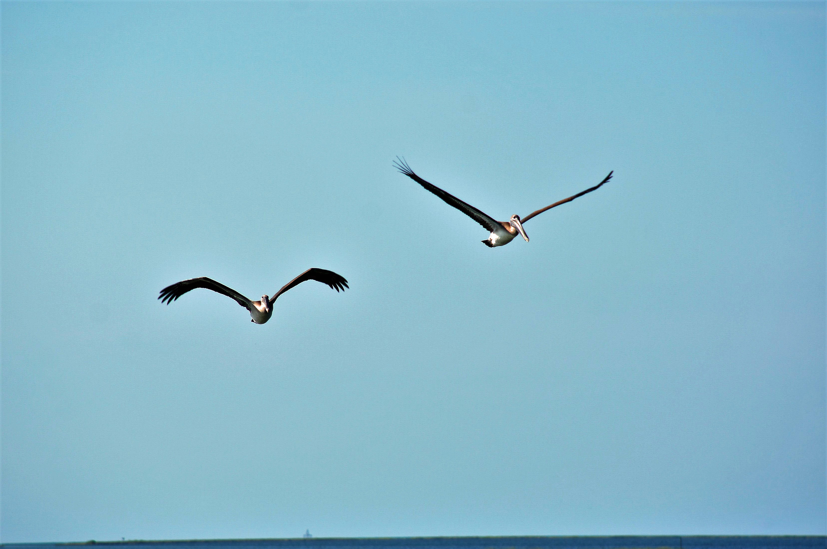
Pelicans…

…who do not land gracefully in the water!

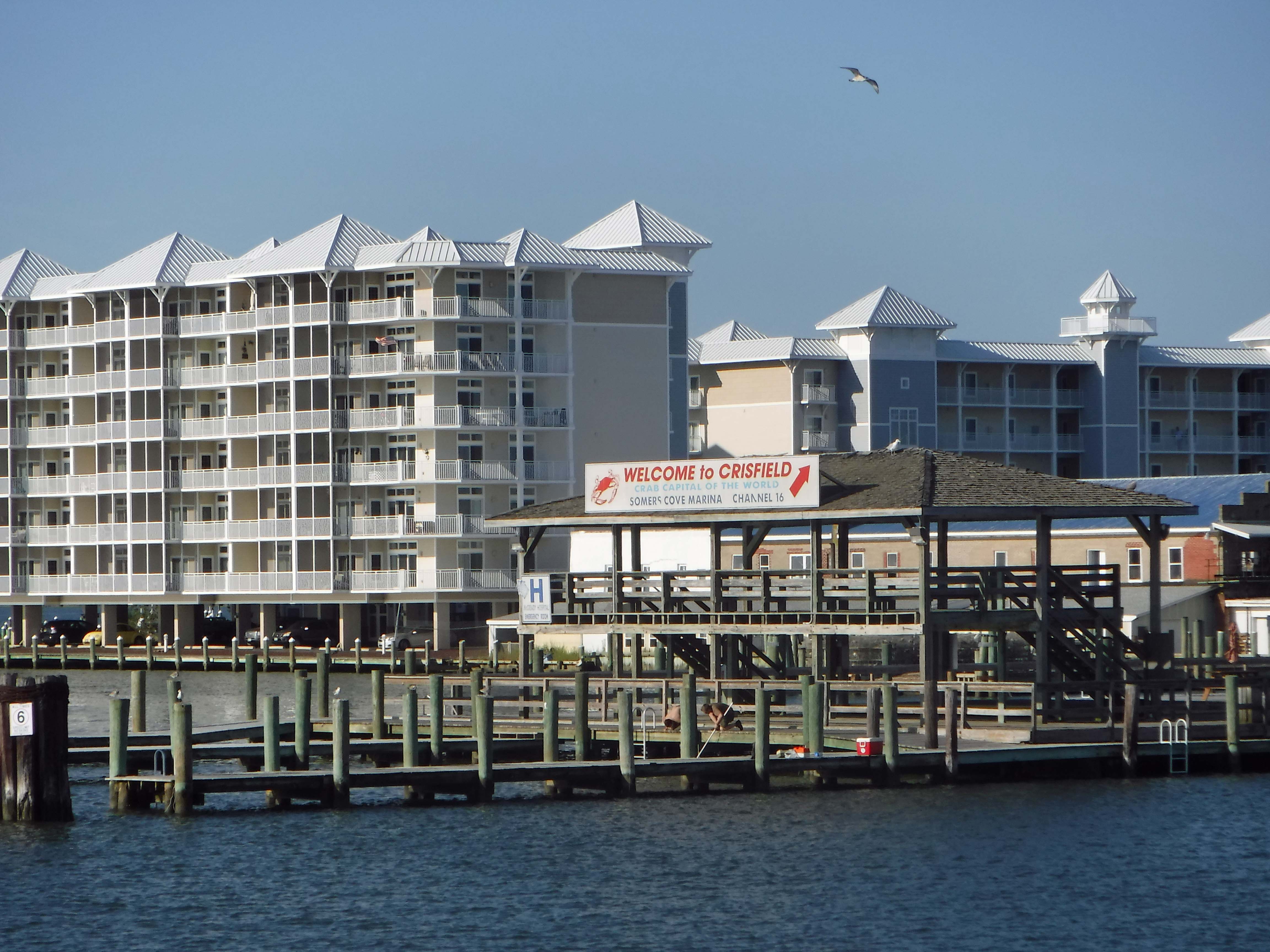
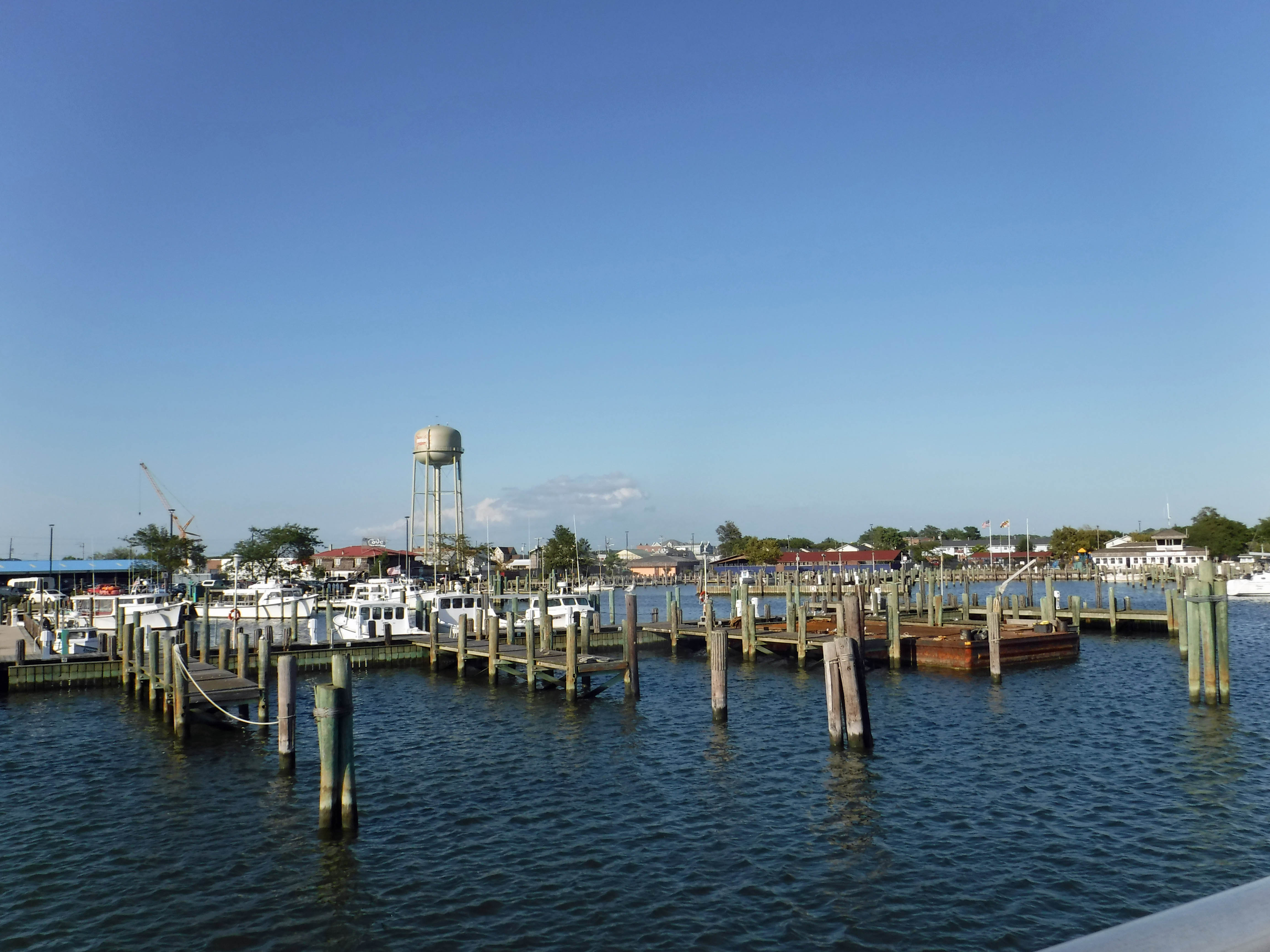
Returning to crisfield.