• About
  • History Writings

Water and Me

Water and Me

Tag Archives: Hiking

Last Hike – First Hike

02 Monday Jan 2017

Posted by Ronald Parks in Hiking, HISTORY, Photography

≈ Leave a comment

Tags

Baltimore, Cromwell Park, engineering, Gunpowder Falls, Hiking, HISTORY, lime kiln, Loch Raven, nature, photography, Public Works, water history

The state parks around Maryland promote the First Hike of the year. The way Kathy and I look at it – any day is a good day to hike! And the weather couldn’t have been better! Last day of the year and the first day of the year hikes.

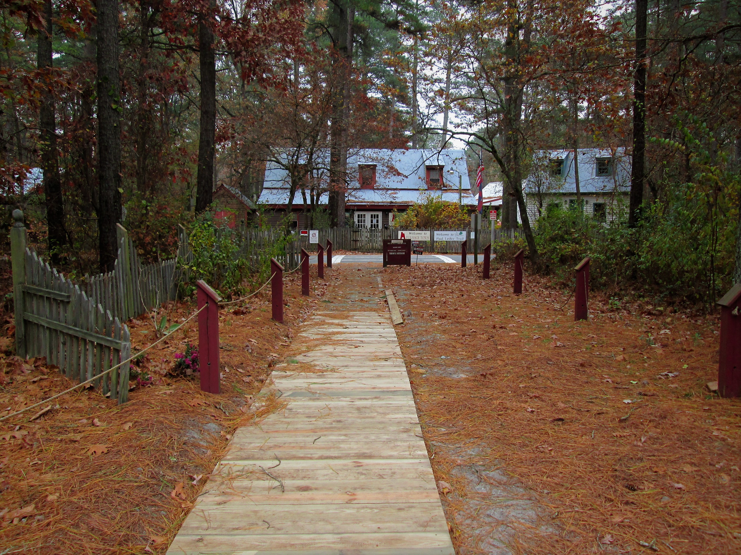
On Saturday we did a small hike at a park we never hiked before. Kathy came up with the idea to hike somewhere we never have for the last hike of the year and somewhere we have hiked for the first hike of the new year. Louis Krause Memorial Park was the last of 2016

001

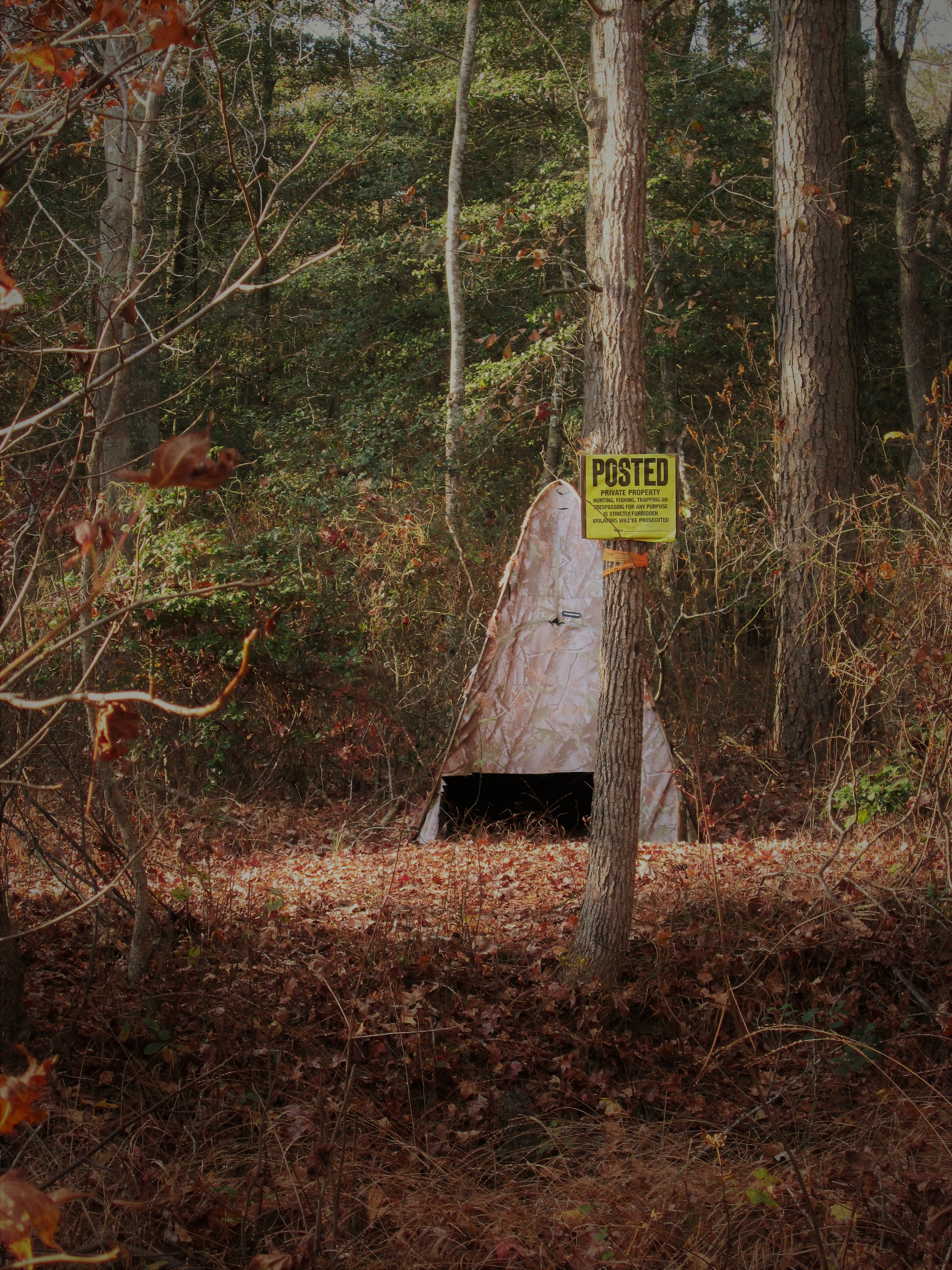
When trees hunt no hunting signs

003

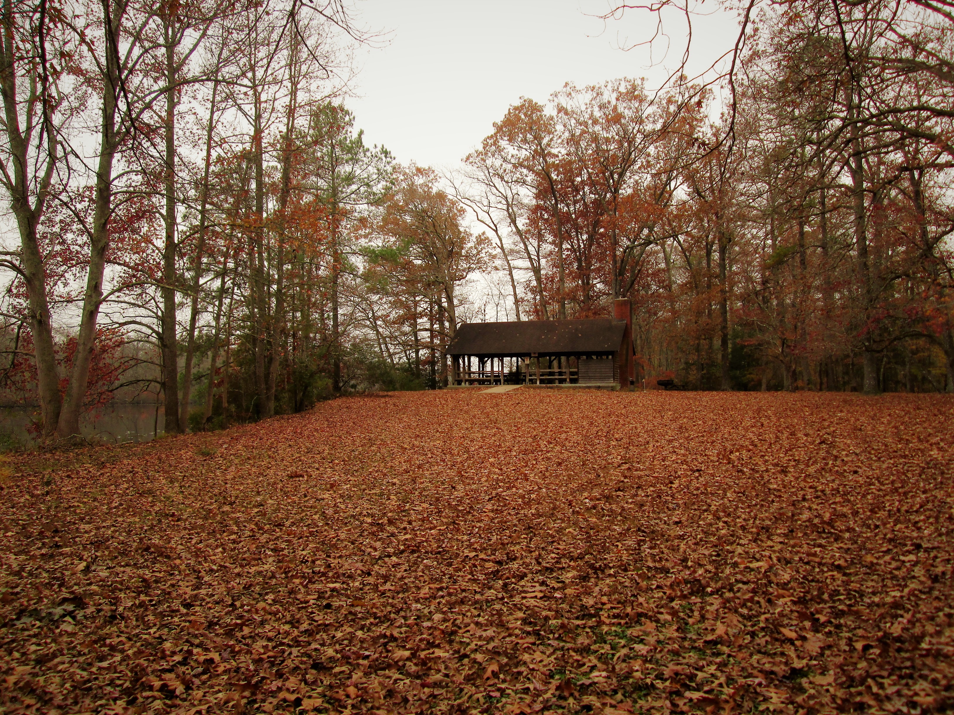
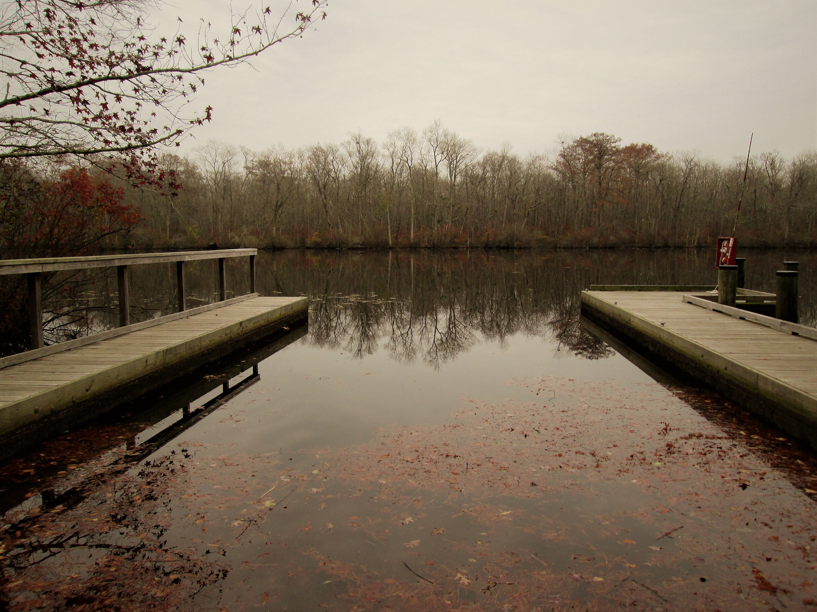
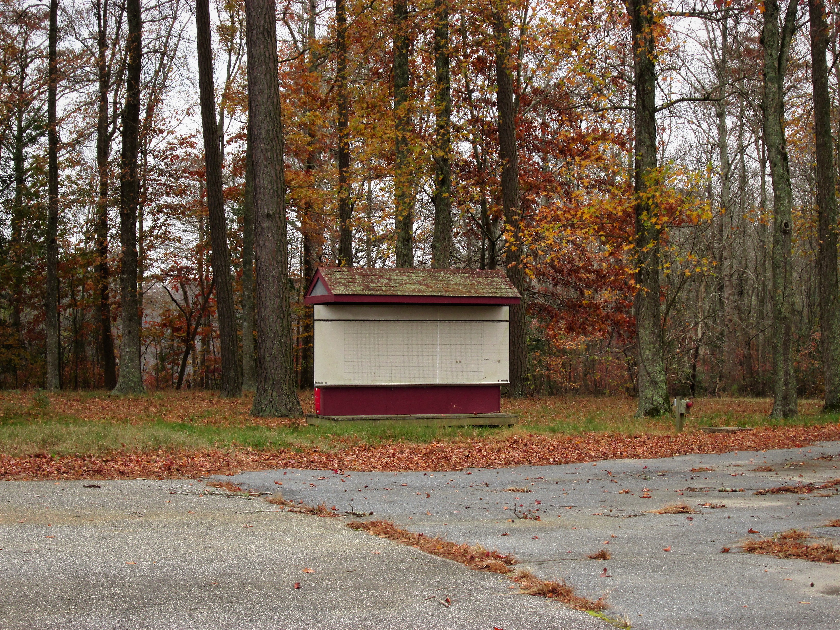
Small park wit a couple roundabout paths

006

After a complete circuit, leaving the woods we came upon these steps.

008

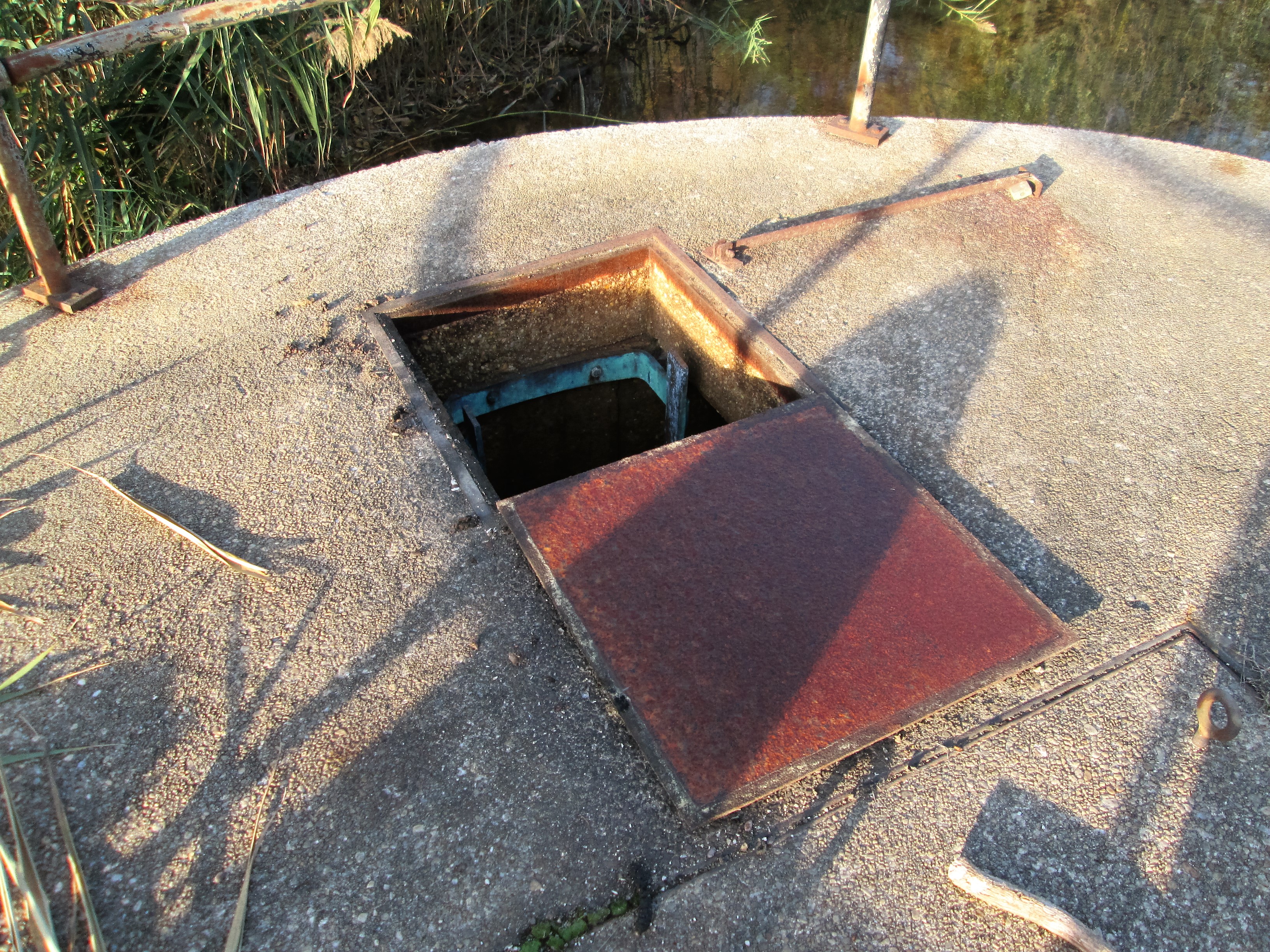
The top of a lime kiln

007

A kissing bench. (If you have been paying attention to my post, most hikes have benches)

013

An old kiln. This one is a lot smaller than the ones at Cromwell Valley Park.

016

Some history on the kiln

The next day, New Year’s, we took a hike at our favorite place to hike – Cromwell Valley Park. Lots of first day hikers there – it was crowded.

022

First stop – the big sycamore tree.

026

Kathy told me to lie down on the picnic table and take one straight up – ok, I’m easy!

030

Another type of view of the tree, using a filter.

031

A smaller kiln at CVP. A lot of people don’t even know this one is here. Can’t find any history on it.

036

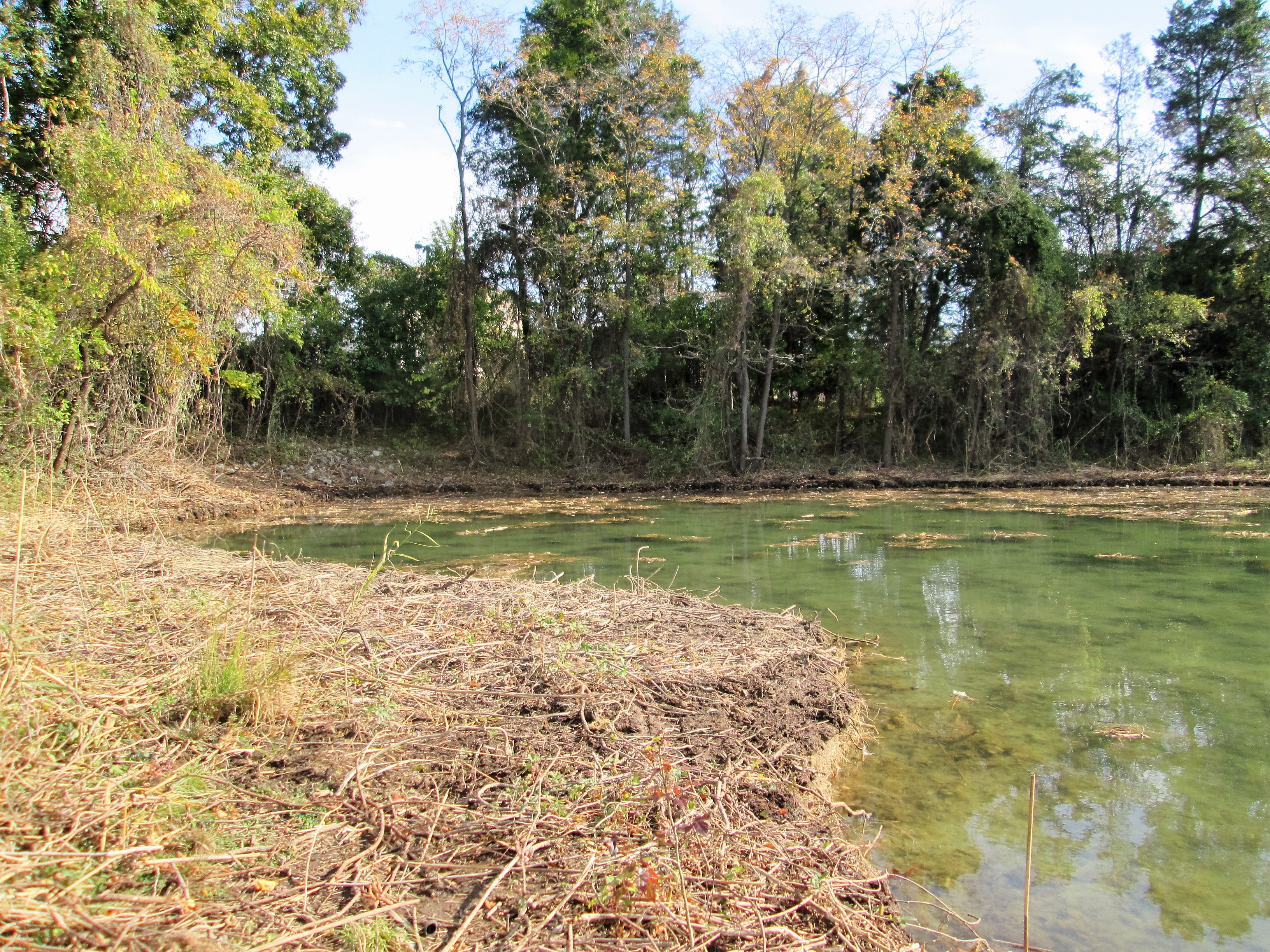
Marble Spring. I’ve always called it bubbling brook. Usually there is some movement in here from the lime stone underneath meeting up with the spring. Watercress floating on top.

044

Almost done rebuilding the lime kilns. Just 6 years ago these were covered in vines and trees, crumbling apart. Amazing job these guys are doing.

045

New observation deck up on top.

047

The old log cabin

049

Simulated limestone in the top of the kiln. Across Mine Bank Run is the old Long Island Farm. Almost bought up by the City for Watershed property.

051

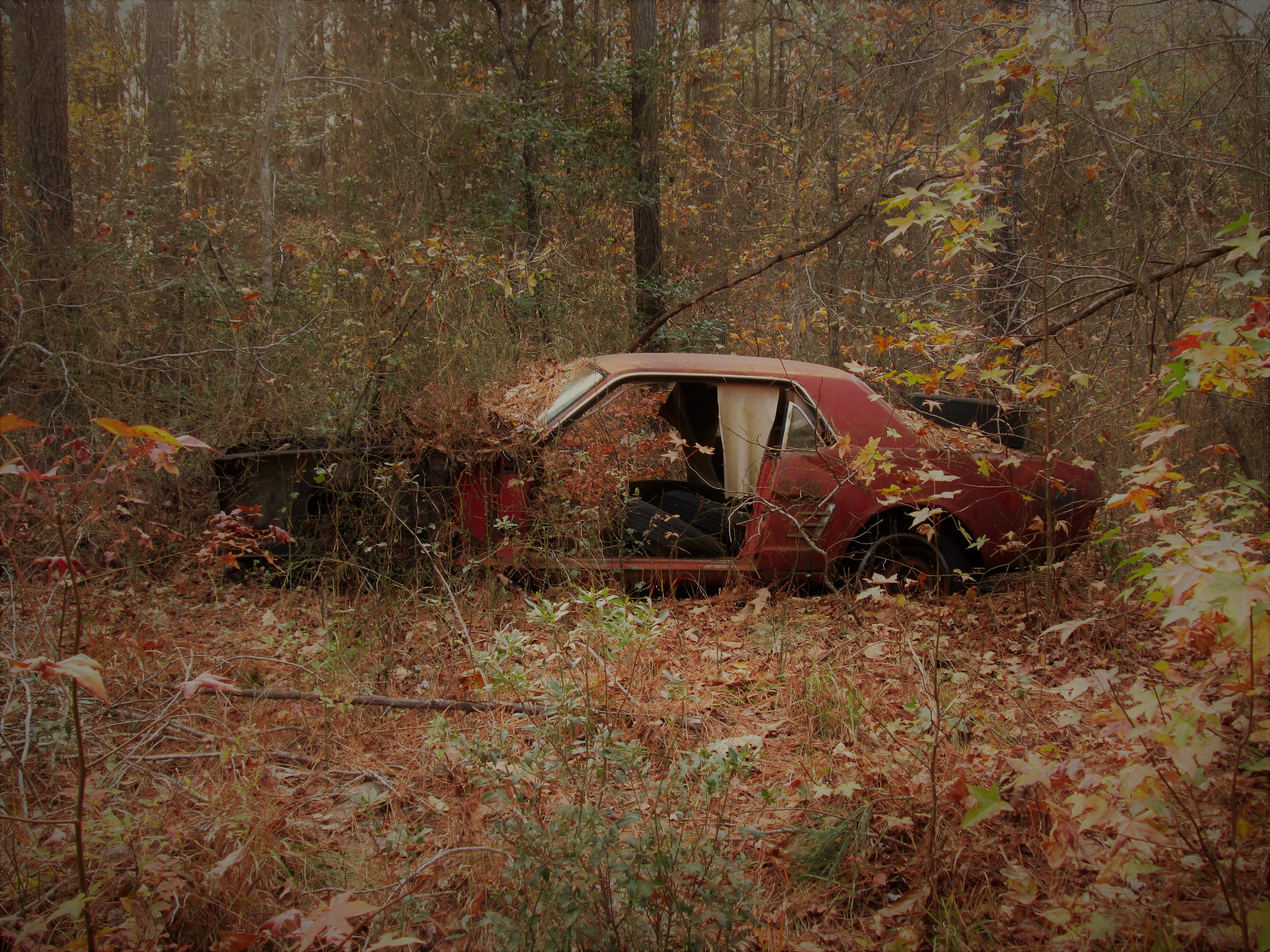
Steve Jobs first garage where he came up with the idea of a computer – I think? Maybe not!

Favorite Photograph of 2016

31 Saturday Dec 2016

Posted by Ronald Parks in nature, Photography, vacation

≈ Leave a comment

Tags

art, Hiking, nature, North Carolina, ocean, photography

…and it’s not even one I took!

007

Taken by Kathy’s sister Gail, in North Carolina. Love the water tower in the background…and Kathy’s not bad either!

Word of the Season

23 Friday Dec 2016

Posted by Ronald Parks in Baltimore, nature, Photography

≈ Leave a comment

Tags

art, Baltimore, Crafts, fishing, Gunpowder Falls, Hiking, Holidays, Montebello, Peace, photography, Public Works, water

From Kathy, Molly the mutt and myself….

p1070488

Loch Raven Property

10 Saturday Dec 2016

Posted by Ronald Parks in Baltimore, Dams, HISTORY

≈ 31 Comments

Tags

abandoned house, Baltimore, bricks, Eagles, engineering, FILTRATION, fishing, glass plate negatives, Gunpowder Falls, Hiking, HISTORY, Montebello, nature, photography, Public Works, water history

The day before taking off work for my daughter’s operation, I was contacted by CHAP – Commission for Historical and Architectural Preservation. They wanted to know if I knew anything about a fireplace mantle from Glenn Ellen Castle that was stored in a maintenance building downstream from the second dam? No. They were getting ready to tear down the buildings and were told by the contractors about the mantle.

tract2-3

This was Glenn Ellen prior to raising the dam from elevation 188′ to 240′. The reservoir did not reach this height but it was still on watershed property and taken by the City. I think only the foundation exists now.

003

Earlier this week a friend of mine, Thom, contacted me and told me about some signs he saw on the property as he was hiking behind the construction site. At first glance I thought they were bronze plaques so I met him and Wayne to go exploring.

001

The hiking trail is on the hill behind the silt fence. This is where the signs were. Turned out to be steel and not bronze, but still worth keeping a couple for history’s sake!

011

Saw some interesting items so took a closer look. I thought it was odd that the contractor cut the beams instead of just knocking this building down. Come to find out a company called Bricks And Boards came up a removed the wood to re-purpose. The boxes contain core bore samples. Not sure why the City didn’t want to keep these? They do me no good without the engineer’s records saying where the samples came from.

017

After rooting around in the barn we decided to head into the house. This is being knocked down also. A few years ago I was told there were lantern slides stored in here along with some old drawings. Back then, I wasn’t allowed in to look.

lochraven-1038

The house as it looked about the 1920-30s. I tried to find who was the original owner but had no luck. From a map of 1882 it has it listed as City Property. Adjacent to the Wisner, Shanklin properties. Further investigation is needed.

plate488

Wayne asked the date the house was built. Not sure but it shows up in a 1881 photo. Far right side just up from the Gunpowder River. This photo shows the dam near completion, ready to lay the last stone.

019

Back into the house. Entrance hall.

020

There are 3 fireplaces. One plastered over and two, like this one, with the mantles missing.

032

Kitchen.

034

Looking up the stairwell. Three floors.

037

Second floor to third floor

042

This was a nice design – up the stairs to a landing that will take you in both directions. This is a huge house.

071

Lots of rooms – curves and angles.

049

Chairs on a desk – watching…

067

One of the many views. Someone nailed a metal sign to the window? I would have loved to live here with this view. Two eagles were playing most of the morning over the lower reservoir. Nice!

072

Another room. Candles, a bed, money box and stuffed ducks that look like the turkey buzzards tore open – must of thought they were real!

Prologue: I asked the contractor to hold two of the signs for me until I can come back up. He said ok…but, between my visit and when I sent off the email, Brick and Boards came up and took them. Talked to Max from there and he said they are in his warehouse and I can come pick them up!

Their site: https://baltimorebrickbybrick.com/2016/08/04/brick-board-is-here/

Random

30 Wednesday Nov 2016

Posted by Ronald Parks in Hiking, HISTORY, kayaking, Photography

≈ 1 Comment

Tags

golf, Hiking, HISTORY, kayaking, nature, photography

055

 NASSAWANGO IRON FURNACE:From 1828-1850 the Nassawango Iron Furnace was in its heyday. Many workers – miners, sawyers, colliers, molders, draymen, and bargemen – labored to make iron. They gathered bog ore from Nassawango swamp, brought clam and oyster shells up the canal via the Pocomoke River from the Chesapeake Bay, and made charcoal in the Pocomoke Forest. These raw materials were loaded into the Iron Furnace from the top, heated to 3,000 degrees, and the two resulting liquids were drawn off at the bottom of the furnace. Slag was cooled and tossed into the swamp. Iron was poured into molds and loaded onto barges which were towed down the canal by mule to waiting ships for transport to Baltimore, Philadelphia, and New York.

054

It was closed! Closed on October 31st.

079

Left there and went to Milburn Landing on the Pocomoke. Glad I don’t have to rake all those leaves!

076

The landing. A couple reviews I read said it doesn’t get crowded. Kayak time!

090

After that we found an abandoned golf course – Nassawango. The club house.

081

Leader board?

083

I prefer Putt-Putt

086

But I don’t remember seeing one of these at Putt-Putt? Ball warmer?

098

Then heading back to the farm we spotted a couple eagles – and this is why I’m not an animals in nature photographer!

130

Inside the barn. Nice visit with Kathy’s family.

Pre-Deer Hunt Walk

27 Sunday Nov 2016

Posted by Ronald Parks in nature, Photography

≈ Leave a comment

Tags

bridges, Hiking, hunting, nature, photography

Our last walk in the woods prior to all the hunters showing up.

029

Deer stand or condo?

032

Tee-pee hunting lodge? It is in direct sight of the one above. Wonder if they ever shoot at each other?

030

Deer trap ahead – corn laying on the ground.

031

Someone shot a Mustang by mistake and left it there

034

Path next to the farm property. I personally do not hunt but I do understand why the land owners allow hunters on their property. The deer will totally destroy the crops and everything else that is edible.

035

The old barn.

046

Pond and woodshed

048

Wind powered pump.

A couple of these photos I used a filter called sunscreen. Gives a softness to the pics that I like.

Rocks State Park – aka King and Queen Seat

06 Sunday Nov 2016

Posted by Ronald Parks in Hiking, Photography

≈ 1 Comment

Tags

Deer Creek, GOD, GRATITUDE, Hiking, nature, photography, water history


003

Some history on the seat.

005

Whoa! Just a few too many people on these rocks. People were camped out, basically stopping others from enjoying the view. Watch out for the climbers ropes.

006

I guess it’s a nice view. Need a couple traffic cops up here.

009

Line starts here for the view. Molly wasn’t too happy about being up here.

013

Ha! Turkey buzzards patiently waiting! Dinner is just 190 feet to the bottom!

017

Partial view.

019

Back in the 1930s the City of Baltimore considered building a dam just over that next ridge. (See earlier post on Eden Mill)

031

Too many people up top so we took off on the trails. White trail first and then back on the orange trail.

027

A lot of these scattered about, low in the woods.

033

A beautiful day for a hike. Peaceful and quiet. Thanks God!

L.G.F.

04 Friday Nov 2016

Posted by Ronald Parks in Hiking, nature, Photography

≈ 2 Comments

Tags

Gunpowder Falls, Hiking, nature, photography

Little Gunpowder Falls or Lotsa Green Foliage. In either case, it was a nice day for a hike. A few mountain bikes and a couple joggers. Otherwise very peaceful.

p1070696

Some tall trees and a lot of dead trees lying about. Kathy said it looked like a tornado rolled thru here.

p1070701

About at this point you can no longer hear the traffic on Belair Rd.

p1070709

Ha! A behind the head selfie!

p1070711

Right about here my camera started acting up. The lens cover wasn’t opening all the way upon start up? Well, it has lasted about 5 years.

p1070721

So peaceful.

p1070725

Molly. She never wants to stop. Her longest walk with us was about 8 miles. Not only does she keep up, she just keeps on going.

p1070735

This guy was moving a little slow. Water was chilly.

p1070749

Kathy’s mushroom condo.

p1070754

The veins almost look painted onto the leaf.

p1070763

Art in the park.

p1070776

If a tree falls in the woods and nobody’s around to hear it, does it still make a noise? Even though this one is long and skinny, it hit with some force, to cut thru that berm. I thought the berm was man made for a mill. (mill race) But I don’t think so. The Gunpowders overflow their banks with a tremendous amount of force, cutting new paths with every storm.

p1070780

The stream to the right and the berm to the left.

p1070784

More art in the park.

The Quarry

03 Thursday Nov 2016

Posted by Ronald Parks in Hiking, Photography, water history

≈ 4 Comments

Tags

engineering, Hiking, HISTORY, nature, photography, Research, water history

While doing research for my book a few years ago, I came across reports that mentioned a quarry on the filtration plant property. I had even seen glass plate negatives showing the quarry with its mills. But for the life of me, I could not find it or figure out where on this 300 acres it was located.

untitled-1

This 1894 map shows the quarry in relation to Lake Montebello.

mont-10-13-276

This photo taken in 1913 shows the quarry and mill.

mont-10-13-293

Another view of the quarry.

mont-10-13-286

And another.

OLYMPUS DIGITAL CAMERA

In 2011 I was on a mission – to find the quarry. I started roaming around in the woods, in search of it. I was not able to roam too much though – the area was really overgrown. From atop a rock, I saw water.

OLYMPUS DIGITAL CAMERA

So I climbed down to take a look. It was just too overgrown to make an accurate assessment as to whether or not this was it. I tried to match the rocks to the 1913 photos.

OLYMPUS DIGITAL CAMERA

One of my bosses back then said that he remembered the quarry in the late 60s. That his father and others in the neighborhood use to dump stuff in there. He believed that the quarry was filled in back in the early 70s.

OLYMPUS DIGITAL CAMERA

Then in 2013 the Federal Government said all the sewers in Baltimore needed improvement. A contractor went to the area and moved the sewer pipe out of Herring Run stream and into this area. In the process, clearing the area I was unable to get to before. Doesn’t look much like a quarry.

OLYMPUS DIGITAL CAMERA

Another view.

049

The other day I went back down to see how it looked. Soon it will look like it did in 2011. In just 3 years it is becoming overgrown.

087

Another view.

052

The one good thing about my job – I get to hike thru areas like this!

100

My lucky day!  A green Mushroom!

Waste Lake Chronicles

31 Monday Oct 2016

Posted by Ronald Parks in Baltimore, Hiking, water history

≈ Leave a comment

Tags

Baltimore, boats, engineering, FILTRATION, Hiking, HISTORY, Lake Montebello, Montebello, Public Works, water history

Checking on the contractors the other day, I saw that they had pretty much cleared most of the shoreline…nice day for a hike around the lake.

wl1

Started on the SW side looking towards Morgan State University.

wl2

Headed up to the far end, closest to Hillen Road. The old surge shaft from Loch Raven is to the right. The dredge and barges could not get this far up.

wl3

Looking down from on top – the sludge. This is a by-product of what goes on in the filtration plant. Lots of sand at this point. The sand is used to filter the drinking water and when the filter becomes clogged, we backwash it. Unfortunately the pressure from backwashing pushes sand into the drain and ends up here.

wl4

More sand and sludge.

wl5

Since I was up here, I figured I would look down the hatch. The contractor had some concerns about getting too close to this structure. He said they could see a pipe that I told them to stay away from.

wl6

The pipe coming thru the wall at the top, is laid in the waste lake bed. It is about 10′ under the water surface. Although capped off, it would still cause problems if broken. I was supposed to climb out of this shaft a while ago…after an inspection of the old 1880 Loch Raven tunnel. (5-1/2 mile hike). Cancelled due to safety concerns.

wl7

Heading down the NE side. Watching the small barge and excavator get as close as he can.

wl10

The large excavator and barges. These barges are only about 5 feet tall. They displace only 2 feet of water. That just amazes me.

wl8

Soon, we will be testing pumps up on Deer Creek. This will be water from the Susquehanna River. It is very dirty water so we will just dump it instead of letting it go into the plant. See that tower in the background? That is the Susquehanna Surge shaft. When the DC pumps come on and the water flows 36 miles to this point, closing the valves to not let it in, well, the water has to go somewhere. It goes up that shaft and then out thru the drain you see to the left of the boat. 50-60mgd. The dredging should be done by then and their equipment removed. If not, they better tie that stuff down!

wl9

Continuing my hike down the shoreline.

wl11

Some spots were a little rough to navigate across.

wl12

Here is that cove I mentioned in an earlier post. Deer tracks everywhere.

wl13

The 4 million dollar problem – already rearing its head in the warm sun!

← Older posts
Newer posts →

Blogroll

  • Flouride Action Network
  • lulu
  • My Book
  • WordPress.com
  • WordPress.org

Recent Posts

  • Bermuda 2023
  • ICELAND April 2023
  • George Chalmers of Fochabers
  • In Search of The Skipjack Ada Mae
  • Trap Pond Kayak

Blog at WordPress.com.

  • Subscribe Subscribed
    • Water and Me
    • Join 231 other subscribers
    • Already have a WordPress.com account? Log in now.
    • Water and Me
    • Subscribe Subscribed
    • Sign up
    • Log in
    • Report this content
    • View site in Reader
    • Manage subscriptions
    • Collapse this bar
 

Loading Comments...