• About
  • History Writings

Water and Me

Water and Me

Tag Archives: photography

L.G.F.

04 Friday Nov 2016

Posted by Ronald Parks in Hiking, nature, Photography

≈ 2 Comments

Tags

Gunpowder Falls, Hiking, nature, photography

Little Gunpowder Falls or Lotsa Green Foliage. In either case, it was a nice day for a hike. A few mountain bikes and a couple joggers. Otherwise very peaceful.

p1070696

Some tall trees and a lot of dead trees lying about. Kathy said it looked like a tornado rolled thru here.

p1070701

About at this point you can no longer hear the traffic on Belair Rd.

p1070709

Ha! A behind the head selfie!

p1070711

Right about here my camera started acting up. The lens cover wasn’t opening all the way upon start up? Well, it has lasted about 5 years.

p1070721

So peaceful.

p1070725

Molly. She never wants to stop. Her longest walk with us was about 8 miles. Not only does she keep up, she just keeps on going.

p1070735

This guy was moving a little slow. Water was chilly.

p1070749

Kathy’s mushroom condo.

p1070754

The veins almost look painted onto the leaf.

p1070763

Art in the park.

p1070776

If a tree falls in the woods and nobody’s around to hear it, does it still make a noise? Even though this one is long and skinny, it hit with some force, to cut thru that berm. I thought the berm was man made for a mill. (mill race) But I don’t think so. The Gunpowders overflow their banks with a tremendous amount of force, cutting new paths with every storm.

p1070780

The stream to the right and the berm to the left.

p1070784

More art in the park.

The Quarry

03 Thursday Nov 2016

Posted by Ronald Parks in Hiking, Photography, water history

≈ 4 Comments

Tags

engineering, Hiking, HISTORY, nature, photography, Research, water history

While doing research for my book a few years ago, I came across reports that mentioned a quarry on the filtration plant property. I had even seen glass plate negatives showing the quarry with its mills. But for the life of me, I could not find it or figure out where on this 300 acres it was located.

untitled-1

This 1894 map shows the quarry in relation to Lake Montebello.

mont-10-13-276

This photo taken in 1913 shows the quarry and mill.

mont-10-13-293

Another view of the quarry.

mont-10-13-286

And another.

OLYMPUS DIGITAL CAMERA

In 2011 I was on a mission – to find the quarry. I started roaming around in the woods, in search of it. I was not able to roam too much though – the area was really overgrown. From atop a rock, I saw water.

OLYMPUS DIGITAL CAMERA

So I climbed down to take a look. It was just too overgrown to make an accurate assessment as to whether or not this was it. I tried to match the rocks to the 1913 photos.

OLYMPUS DIGITAL CAMERA

One of my bosses back then said that he remembered the quarry in the late 60s. That his father and others in the neighborhood use to dump stuff in there. He believed that the quarry was filled in back in the early 70s.

OLYMPUS DIGITAL CAMERA

Then in 2013 the Federal Government said all the sewers in Baltimore needed improvement. A contractor went to the area and moved the sewer pipe out of Herring Run stream and into this area. In the process, clearing the area I was unable to get to before. Doesn’t look much like a quarry.

OLYMPUS DIGITAL CAMERA

Another view.

049

The other day I went back down to see how it looked. Soon it will look like it did in 2011. In just 3 years it is becoming overgrown.

087

Another view.

052

The one good thing about my job – I get to hike thru areas like this!

100

My lucky day!  A green Mushroom!

Oxford Pa. and Stafford Md.

28 Friday Oct 2016

Posted by Ronald Parks in Hiking, Photography

≈ 3 Comments

Tags

books, bridges, Conowingo, engineering, HISTORY, nature, photography, trains, Travel

The other day Kathy, Molly and I decided to take a ride to Oxford, to an old used bookstore just south of town. It has been a couple years since I was there. I met the author, Mark Bowden (Black Hawk Down) the last time I visited. The place has changed since then, but still nice. (Anywhere that sells old books is nice!) We left there and roamed around town some. Being a Sunday, most shops were closed.

The old train station now converted into Borough Hall?

Molly smells food and is wondering where the gravy train is (Sorry Molly, Purina does not make Gravy Train!)

Historic Marker

Niblock Alley train over-pass.

We left Oxford and decided to head to Stafford on the Susquehanna Trail. This was a nice 4-1/2 mile hike. Unfortunately – no Fall Foliage.

Uncertain of which way to go…back into the woods then.

Not sure the purpose of this fence, but I like it.

The path is over old train tracks. These tracks were put here when the Conowingo Dam was built. Carried supplies and men to and from town.

The Stafford Flint Furnace. This structure is a couple hundred years old. It took a beating during the great quake of 2011.

As can be seen in this photo. They put seismic measuring devices on it. That won’t save it.

Triple headed shrooms and our hike is done! Nice day!

Conowingo Dam

04 Tuesday Oct 2016

Posted by Ronald Parks in Baltimore, Dams, engineering, Photography

≈ Leave a comment

Tags

Baltimore, bridges, Conowingo, Dams, engineering, fishing, photography, Public Works, water history

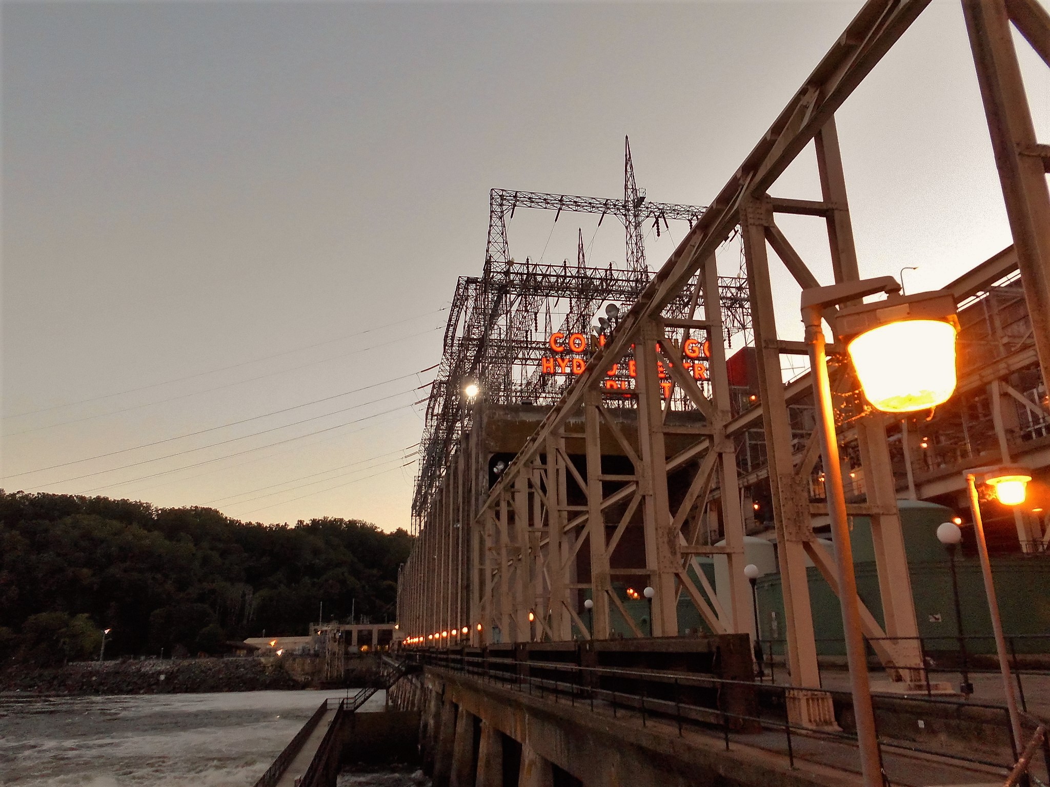
My visit into the Conowingo Hydroelectric Plant. Built in about two years time with close to 4,500 men. 1926-1928. Built by the Arundel Corporation. It generates over 13, 000 volts and then steps it up to 220,000. We were not allowed to take photos in the control room but one thing interesting about that was a board that gives real time prices for electricity. The other thing in the control room was – I was asked, very sternly, Do Not Go Back There Or Touch Anything!! Sheesh!

conowingo-010

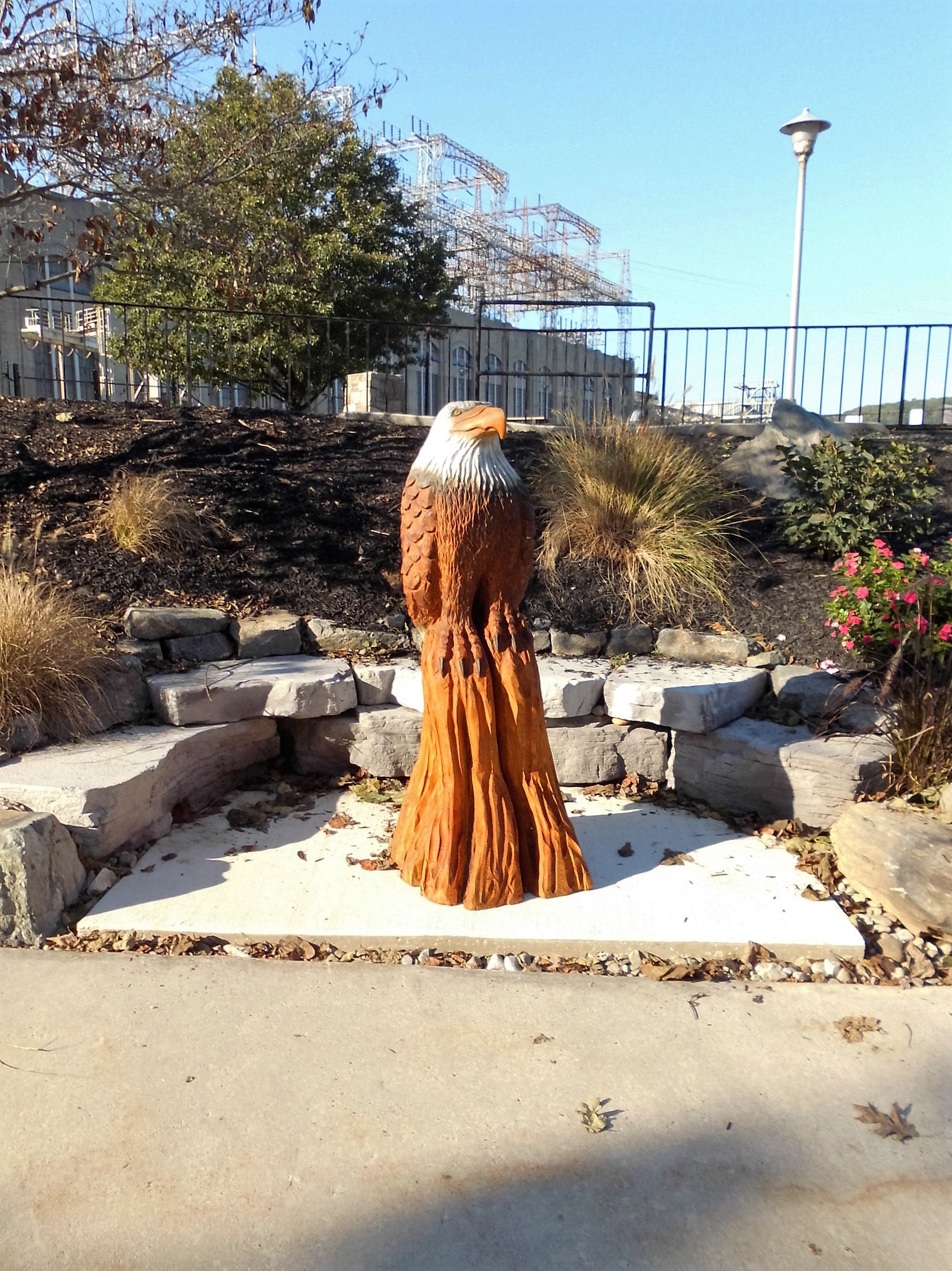
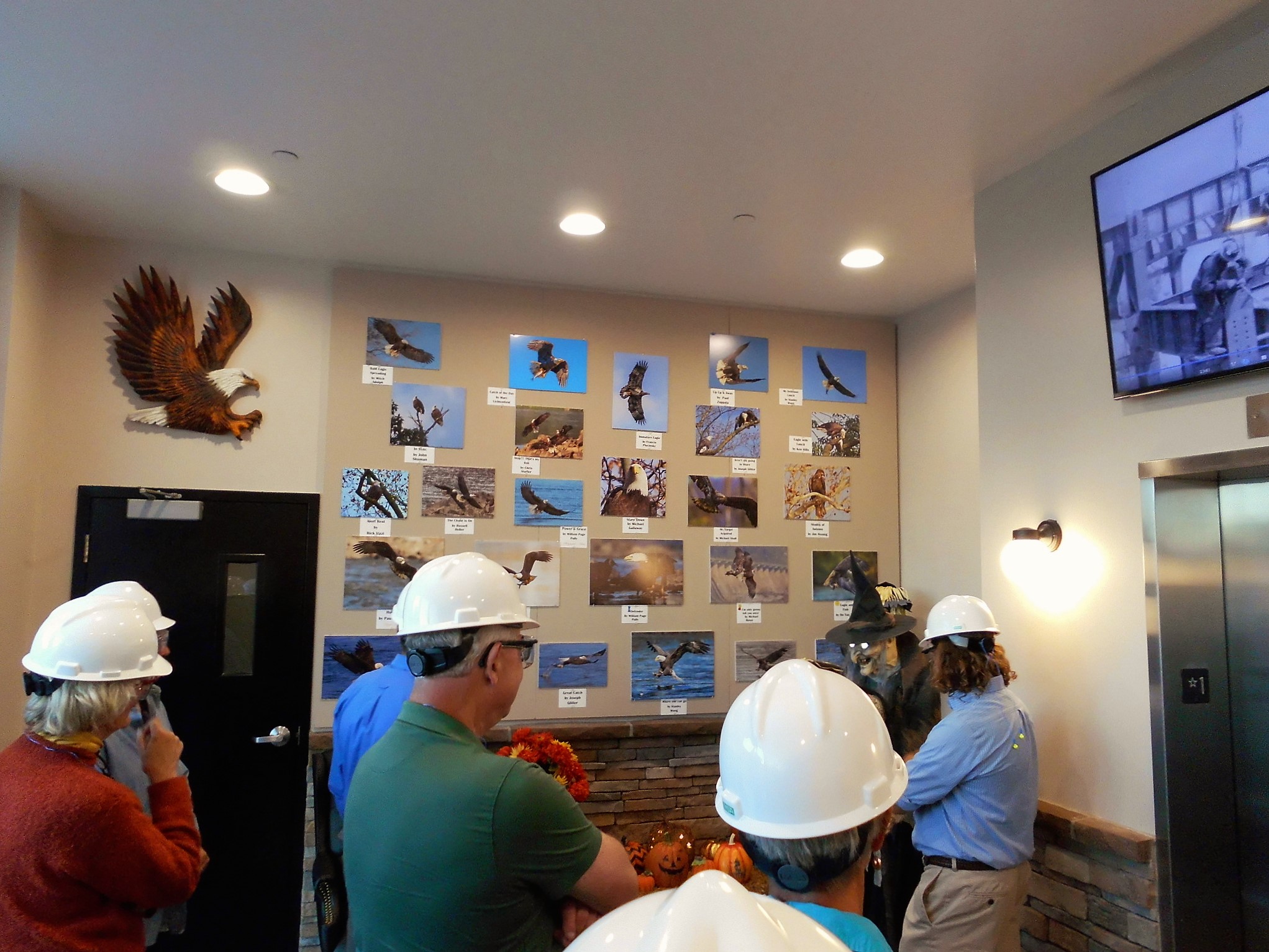
Got there early and looked around. Carved eagle in front. They have a photo contest every year for eagle photos. I didn’t bring a telephoto lens.

conowingo-012

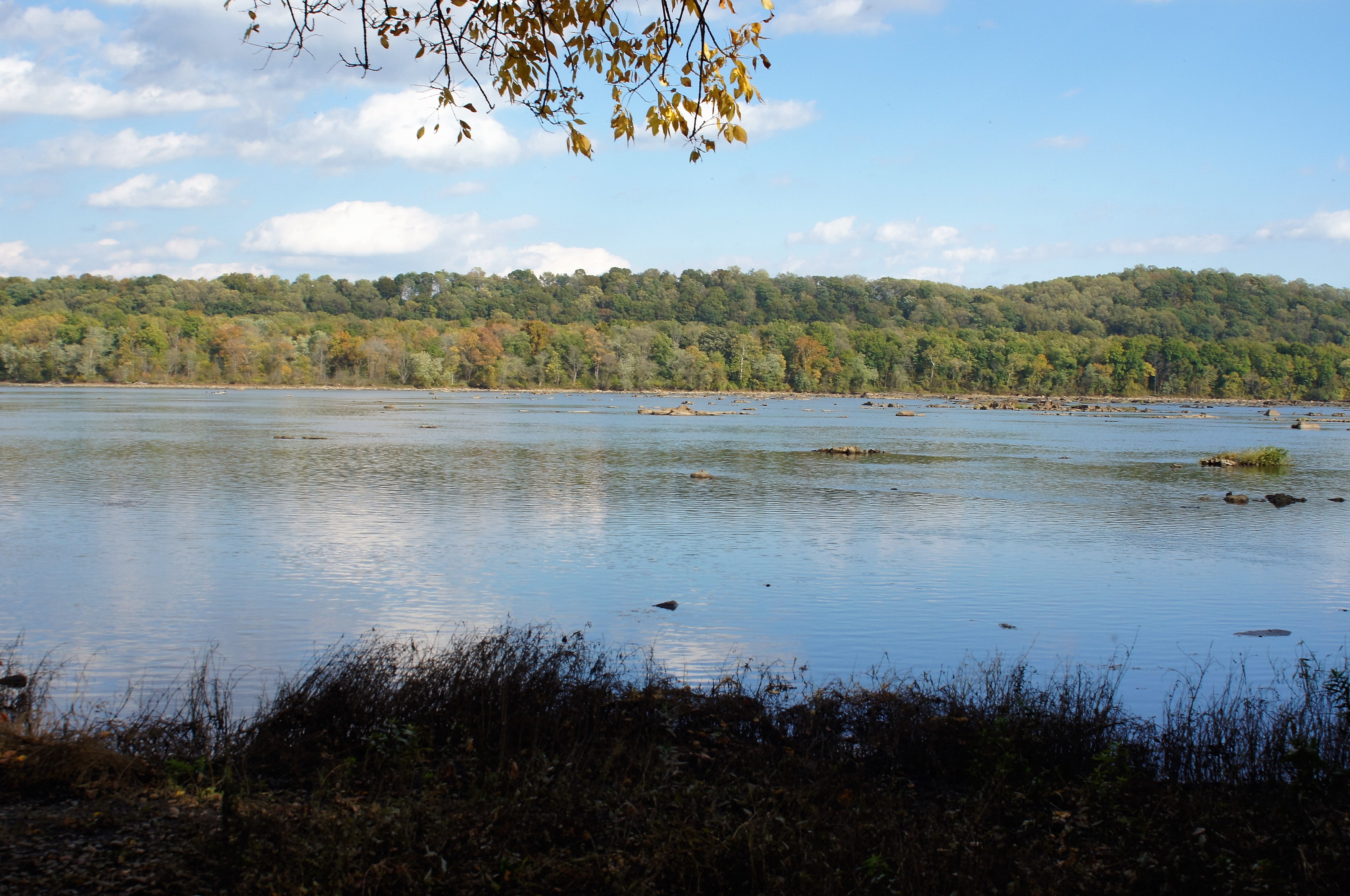
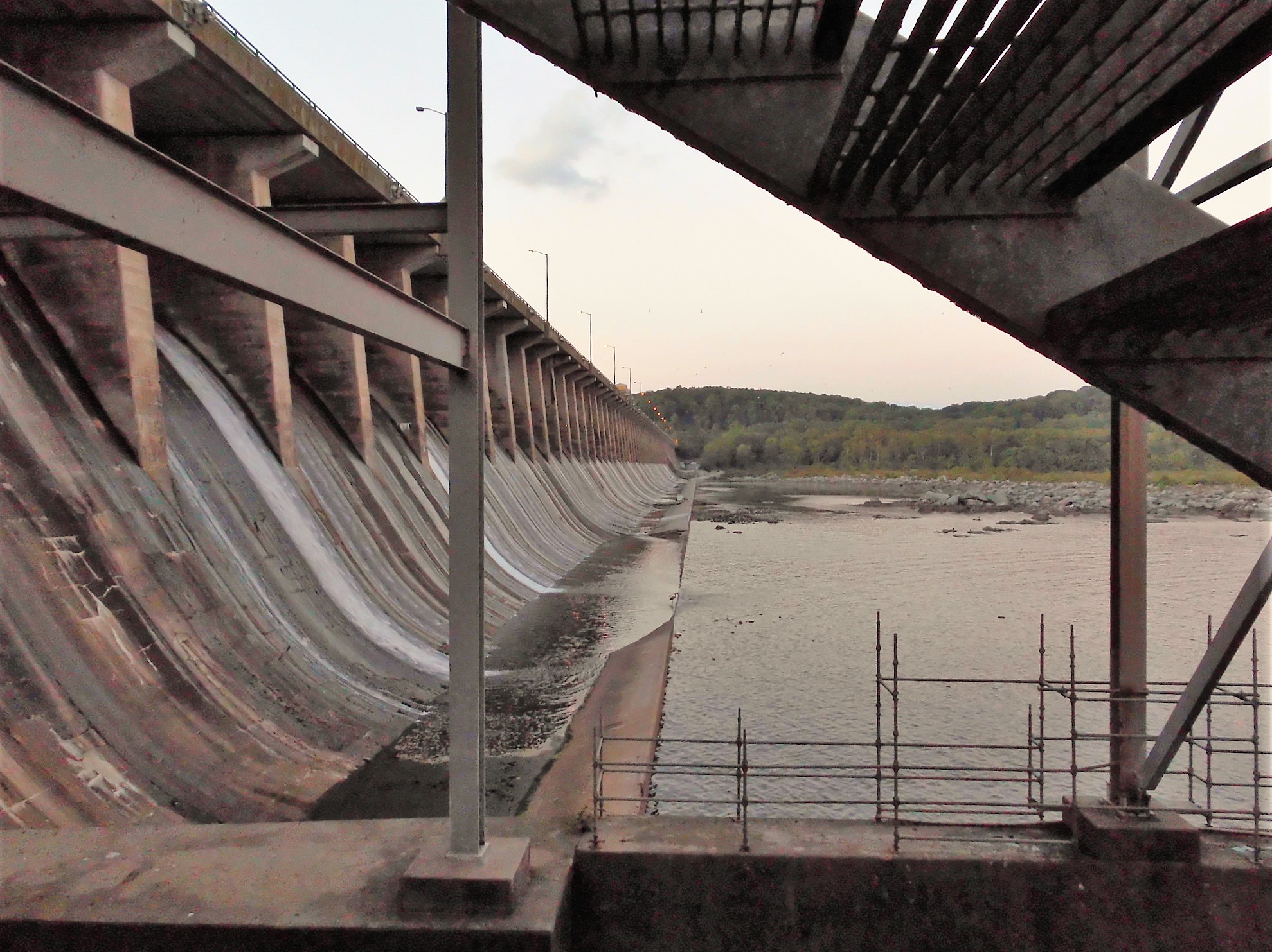
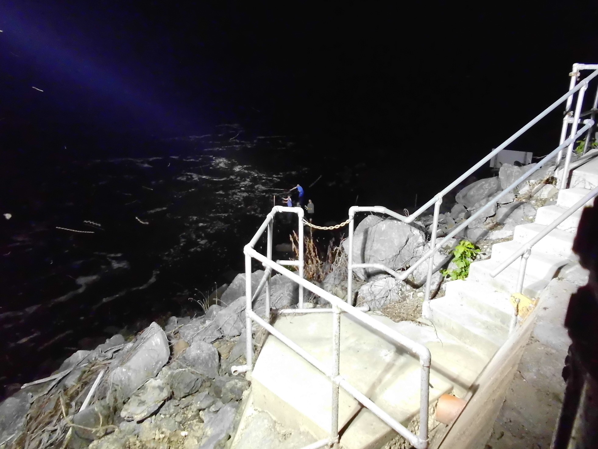
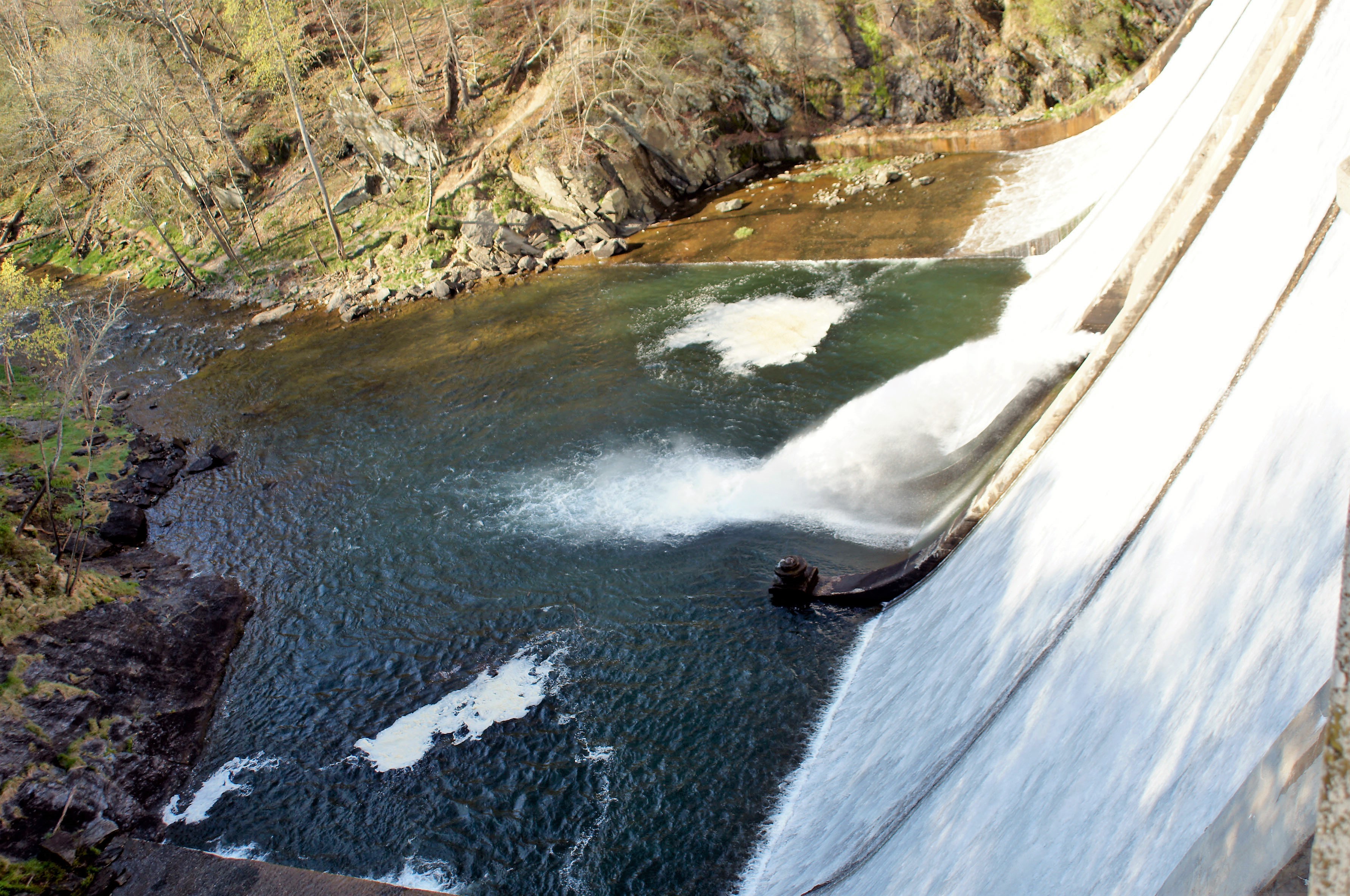
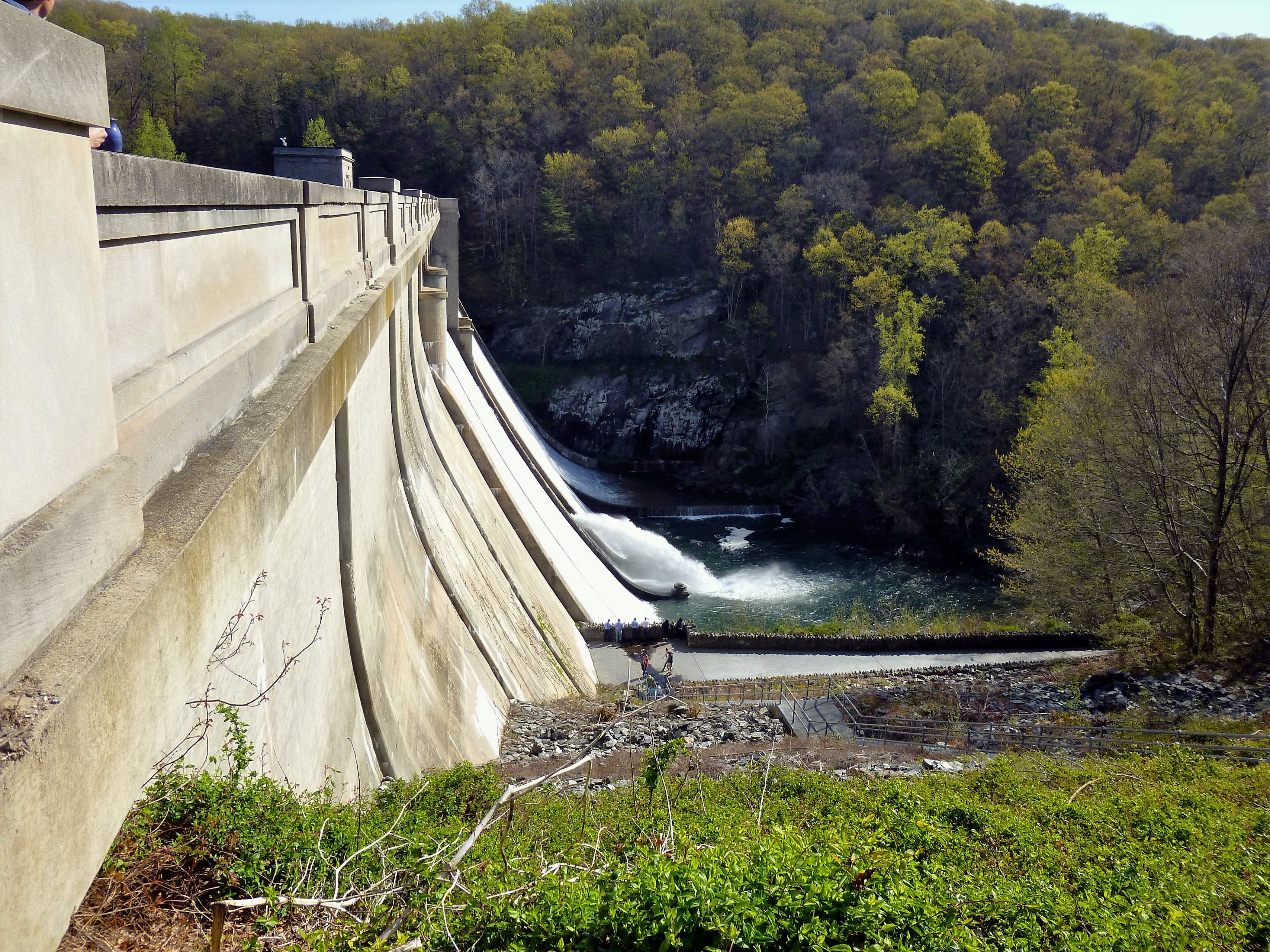
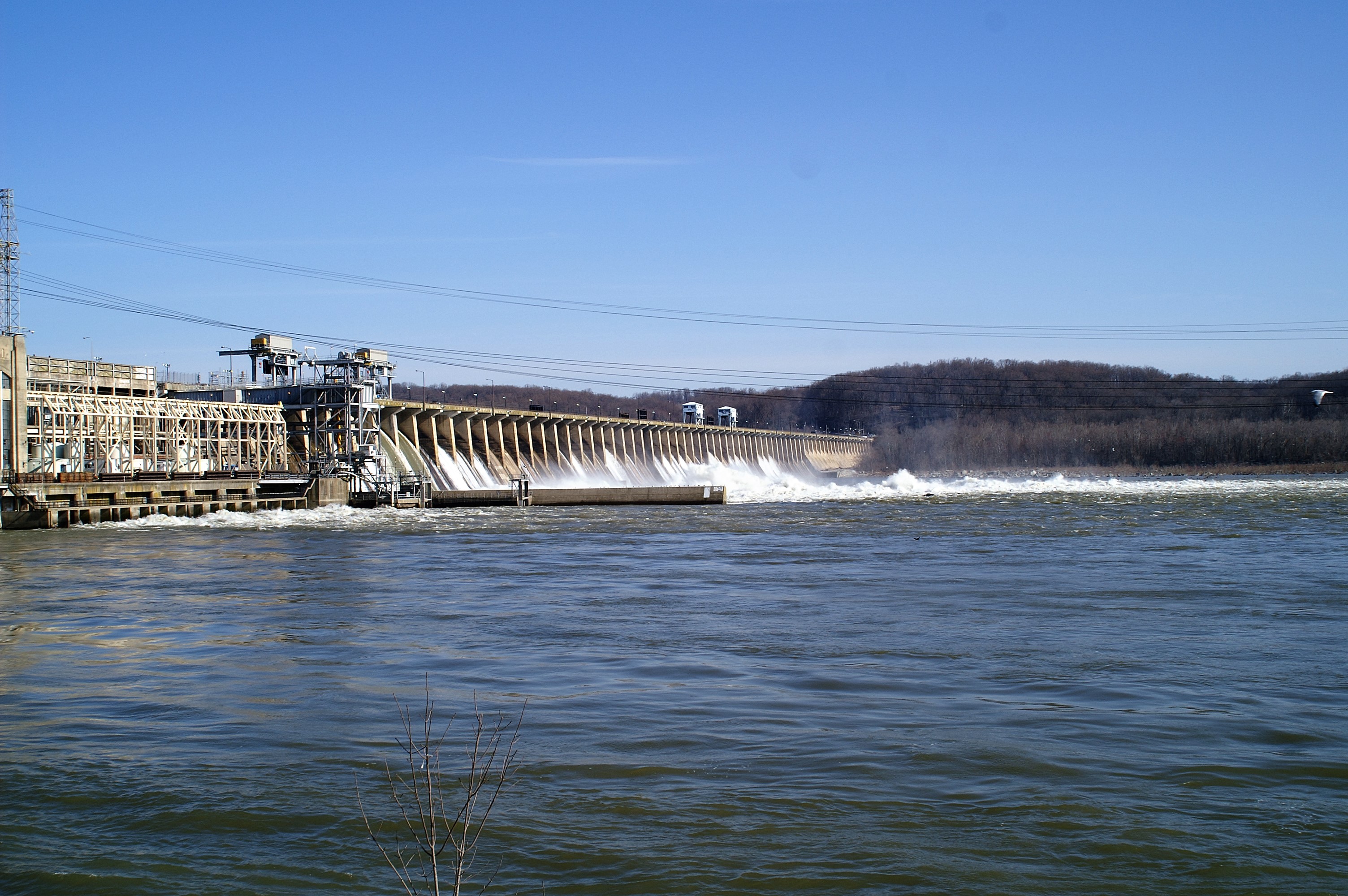
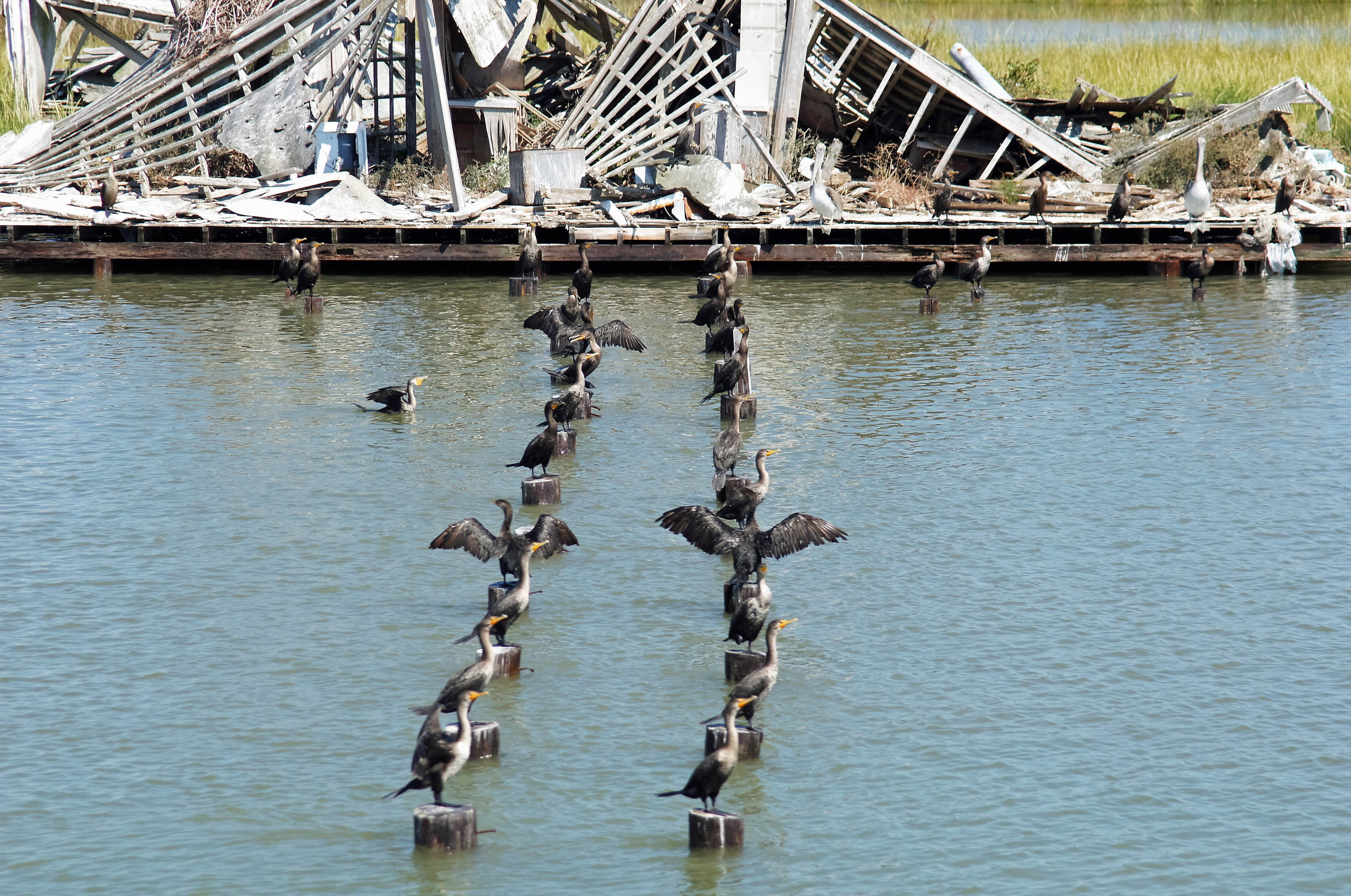
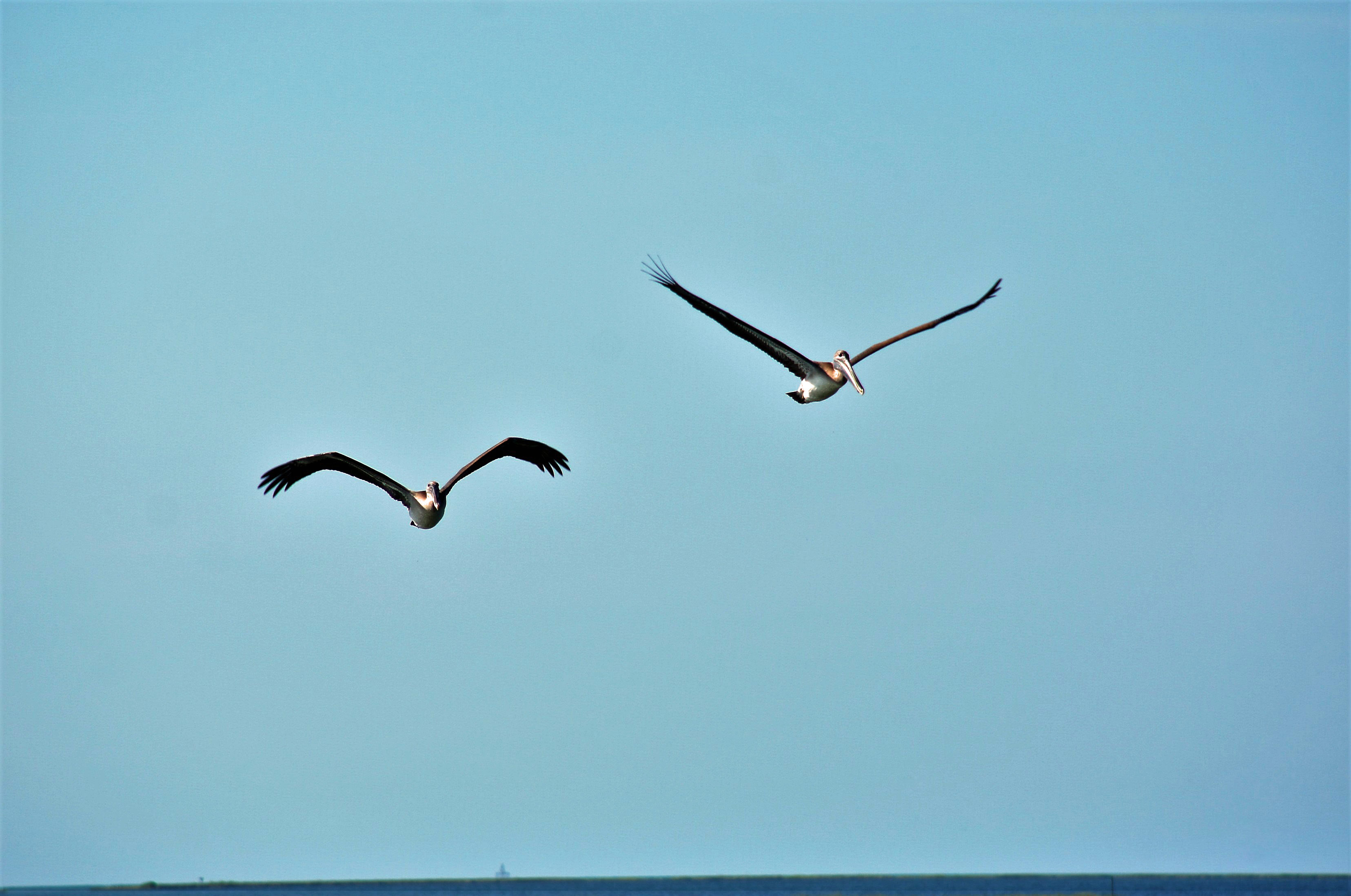
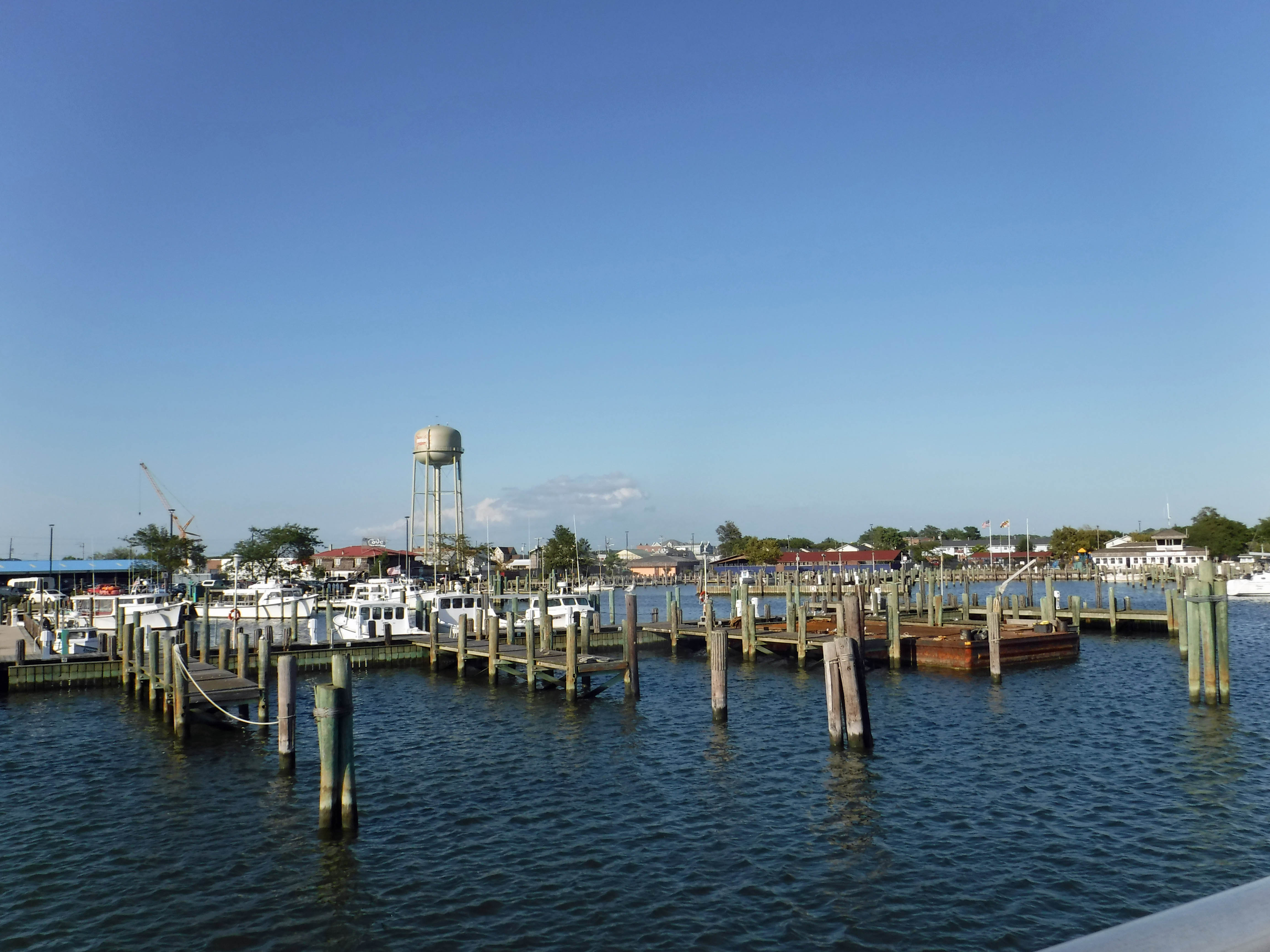
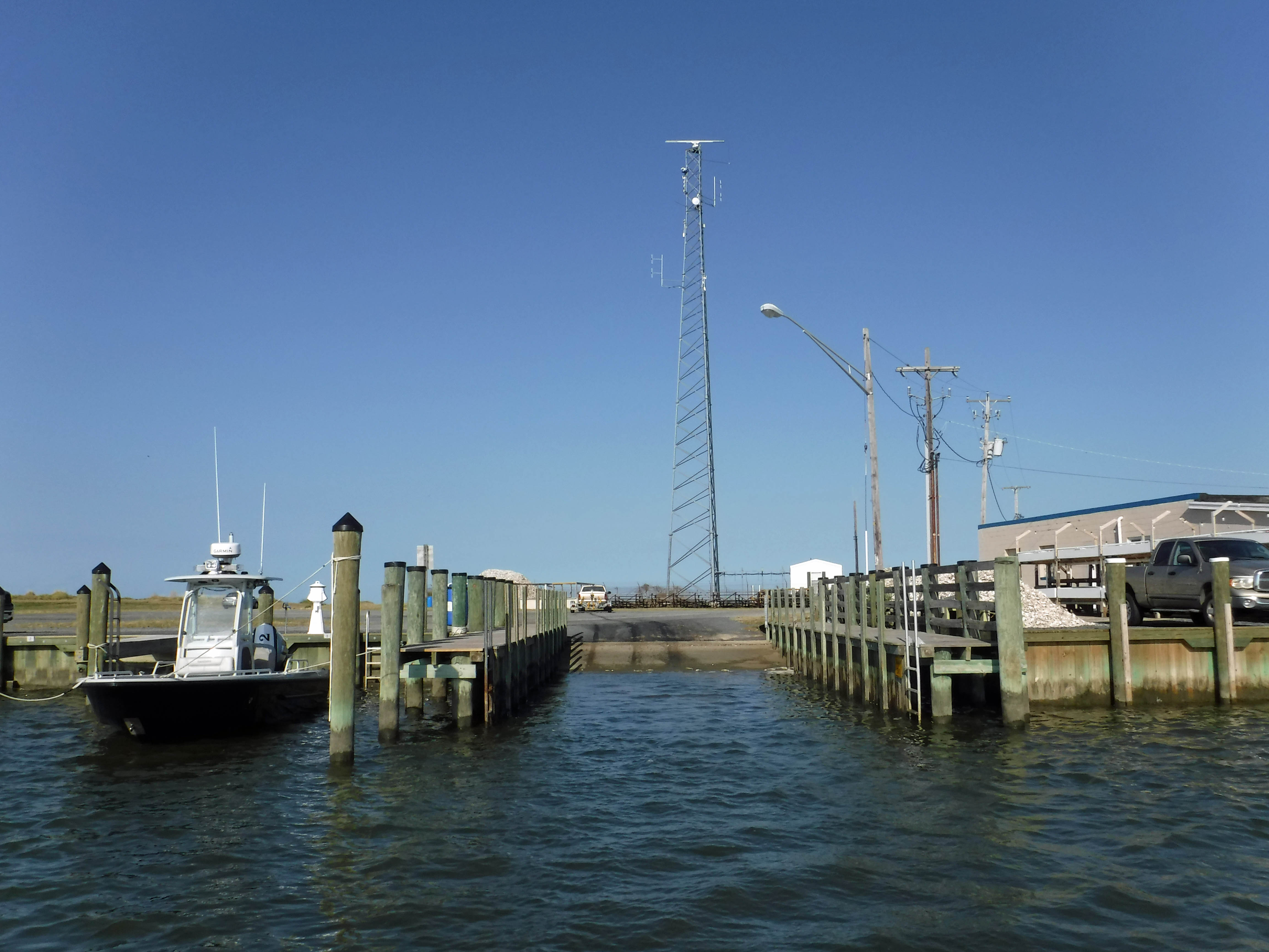
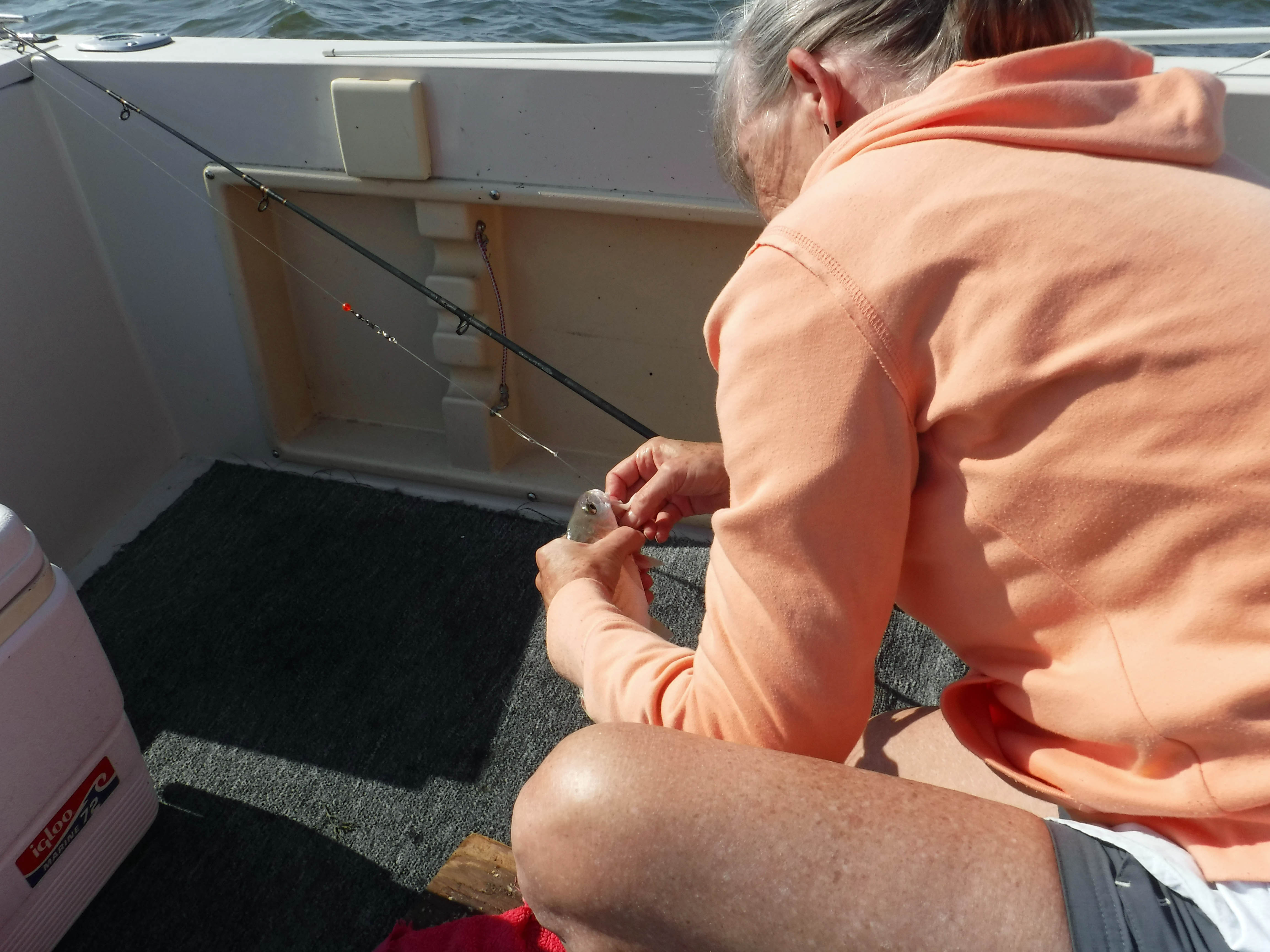
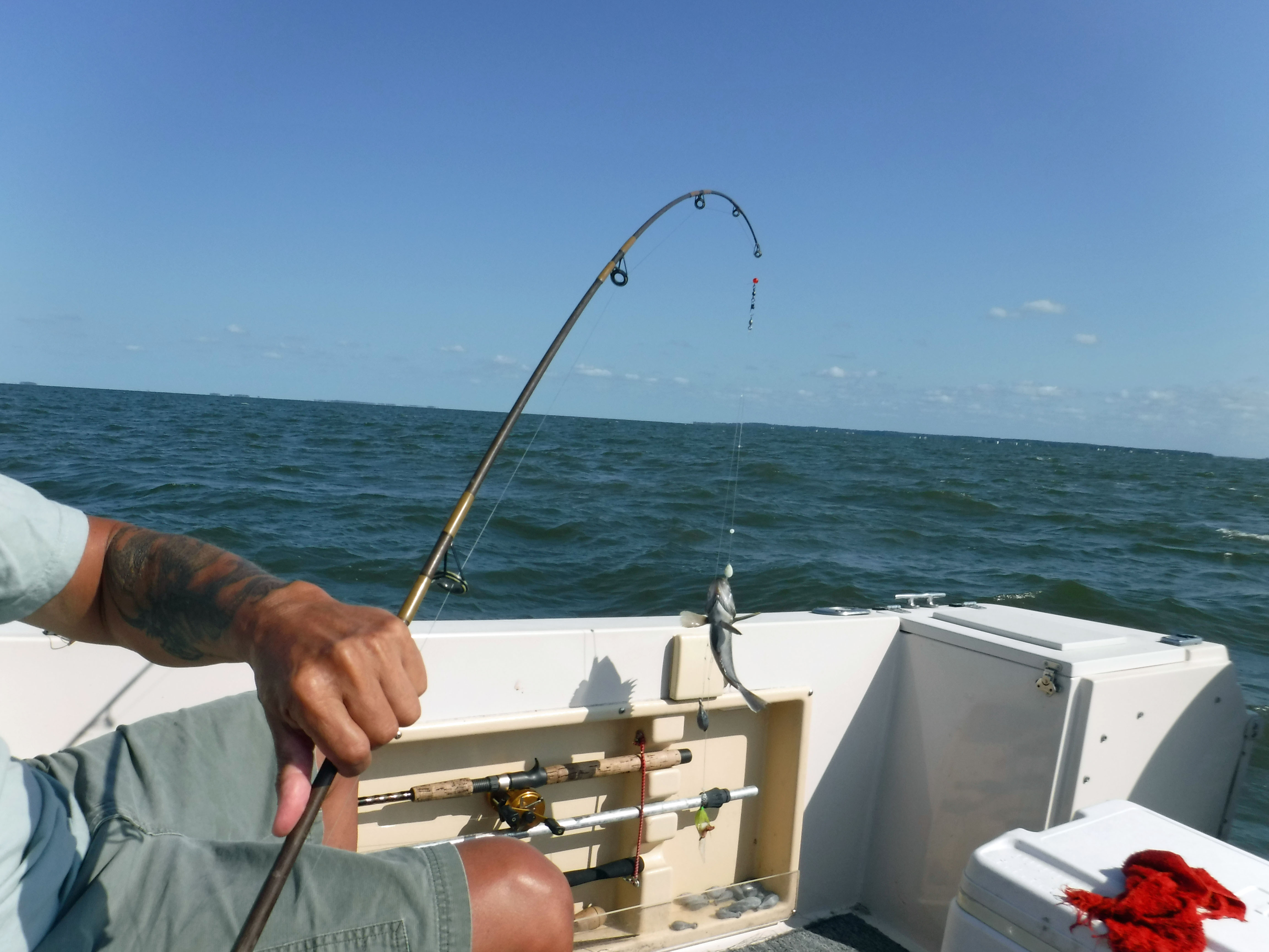
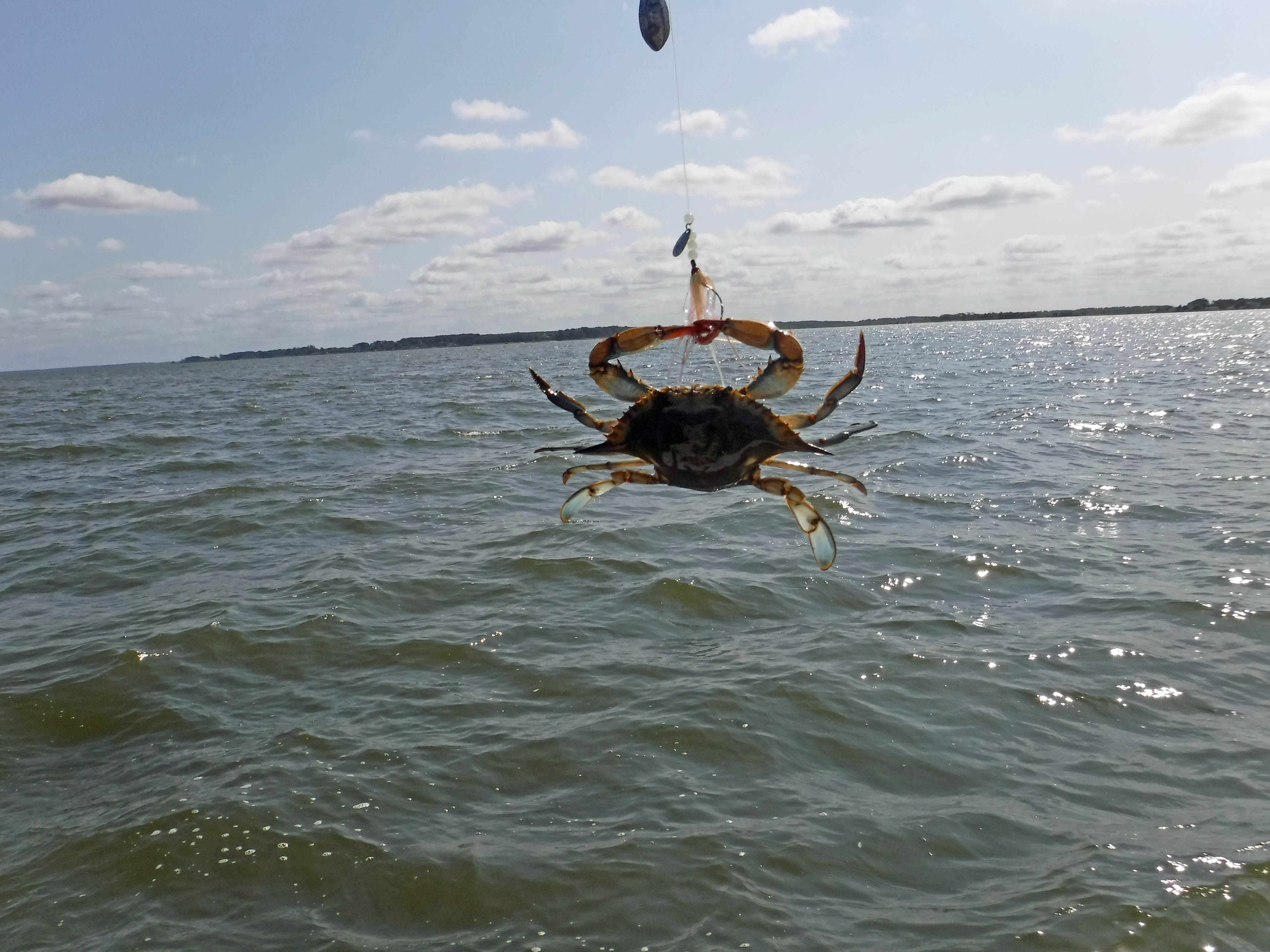
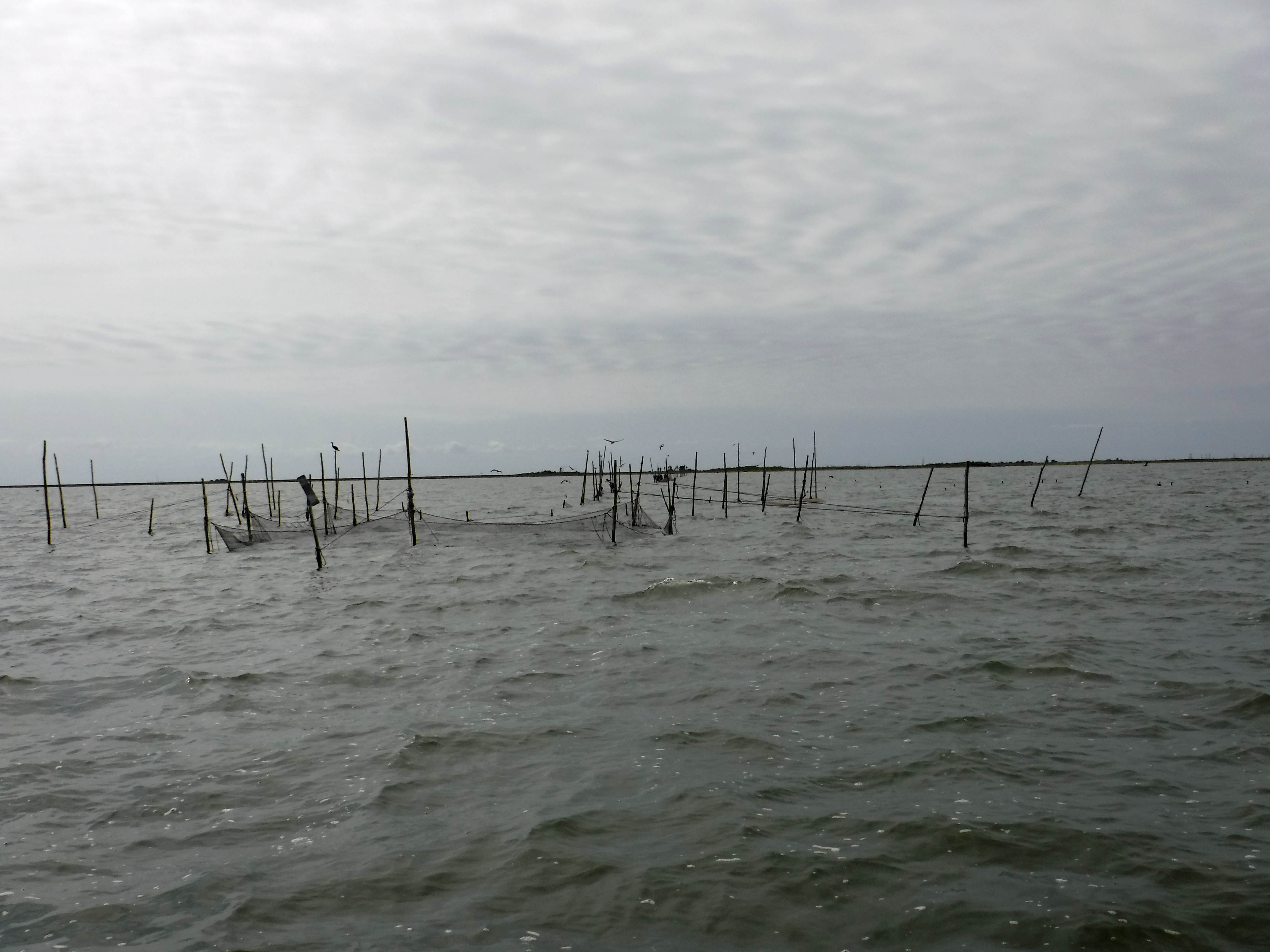
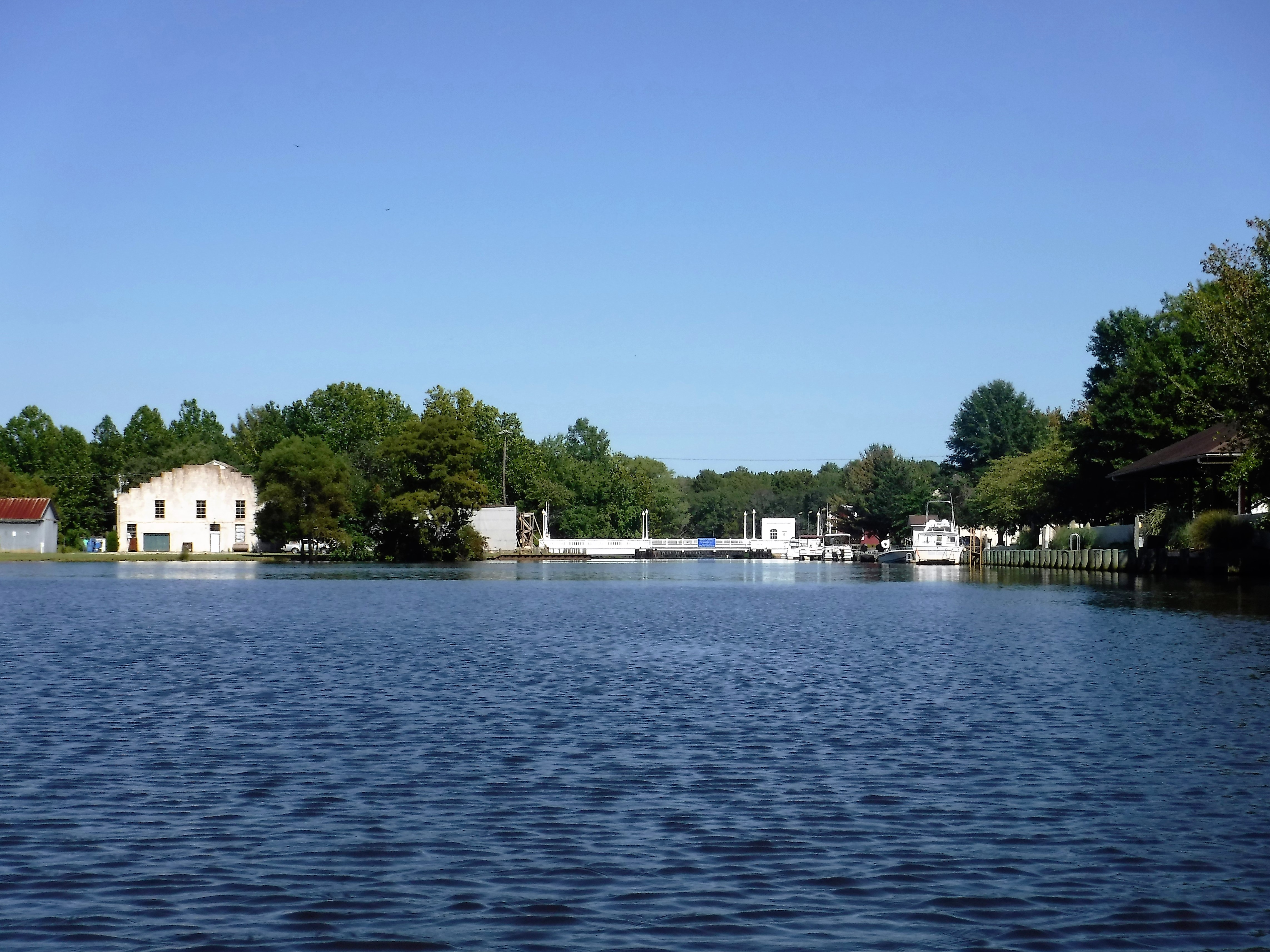
Fishermen. How the heck do they not get their lines tangled?? Three turbines on. Roughest water up to the right was a large unit. Two smaller units are on, to the left of guys fishing.

conowingo-054

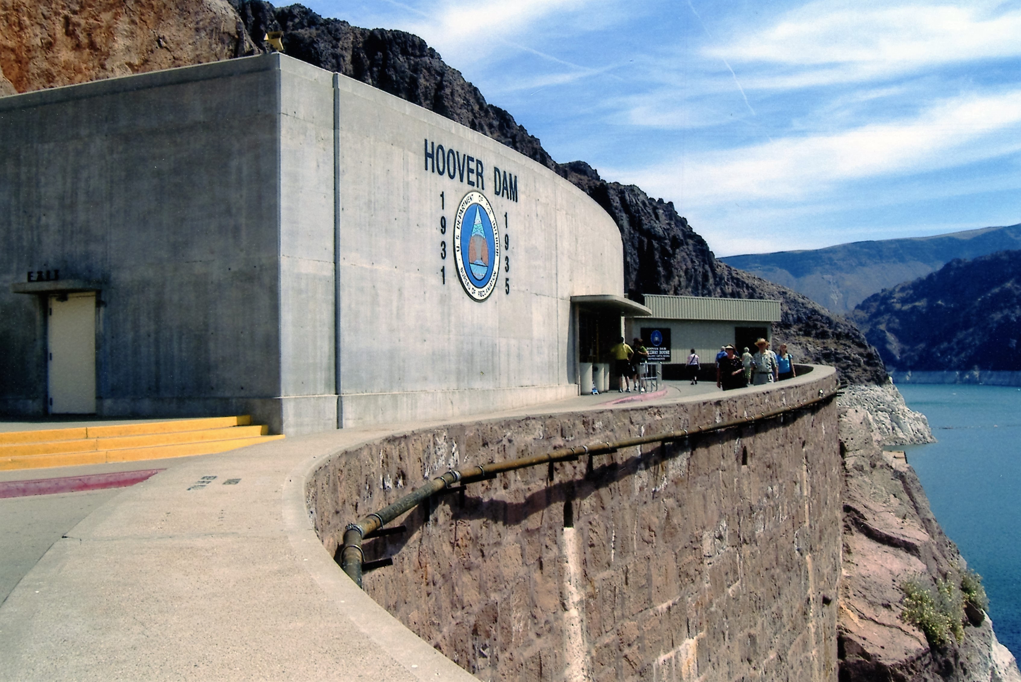
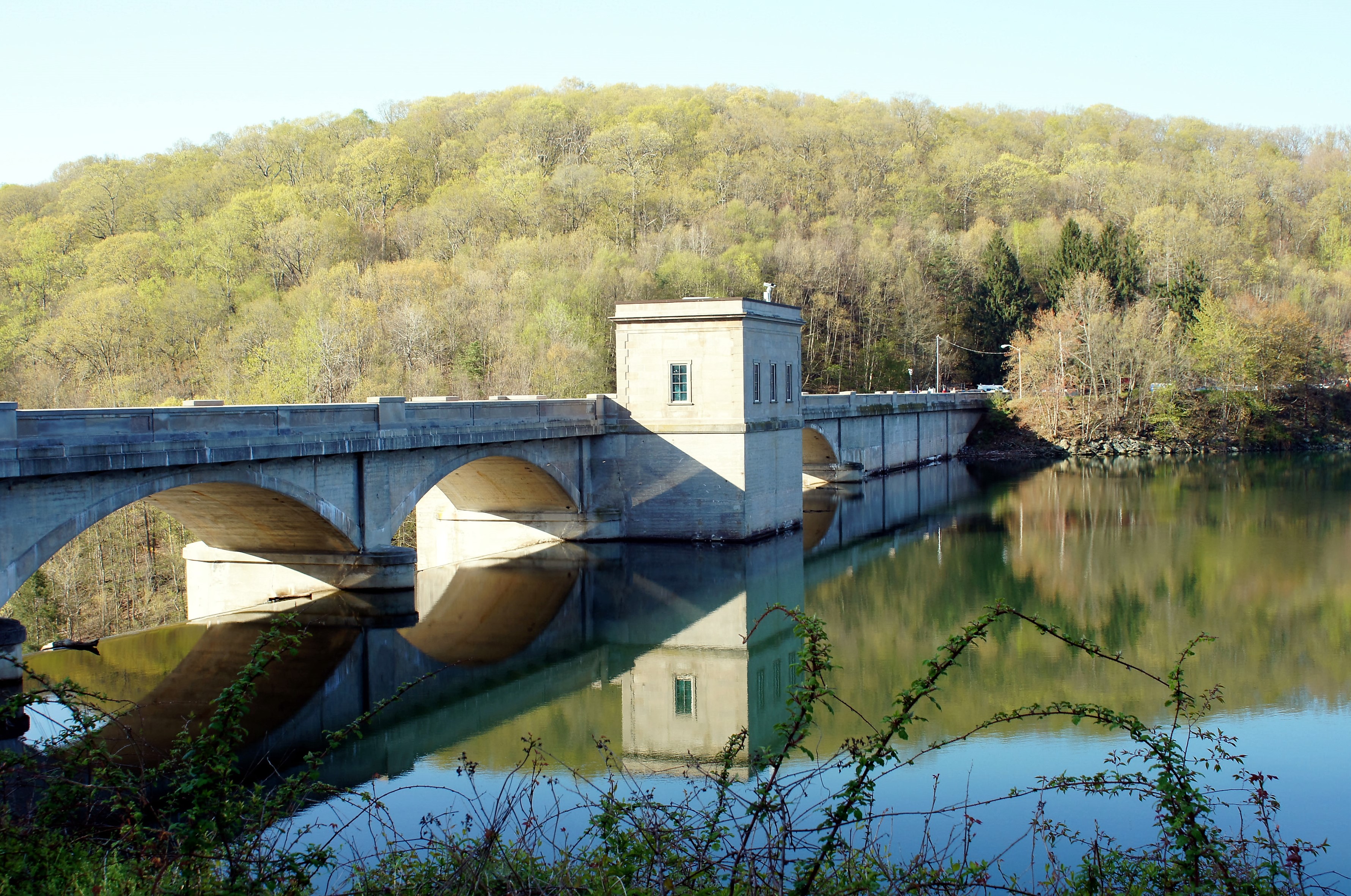
Time to go in and start the tour. Our tour guide is wearing the black hat. A continuous run movie on the building of the dam is playing. There is a nice one on Youtube called Conowingo: Then and Now.

conowingo-058

The real tour guide. The photos on the wall are all winners and submissions for the eagle photo contest last year.

conowingo-060

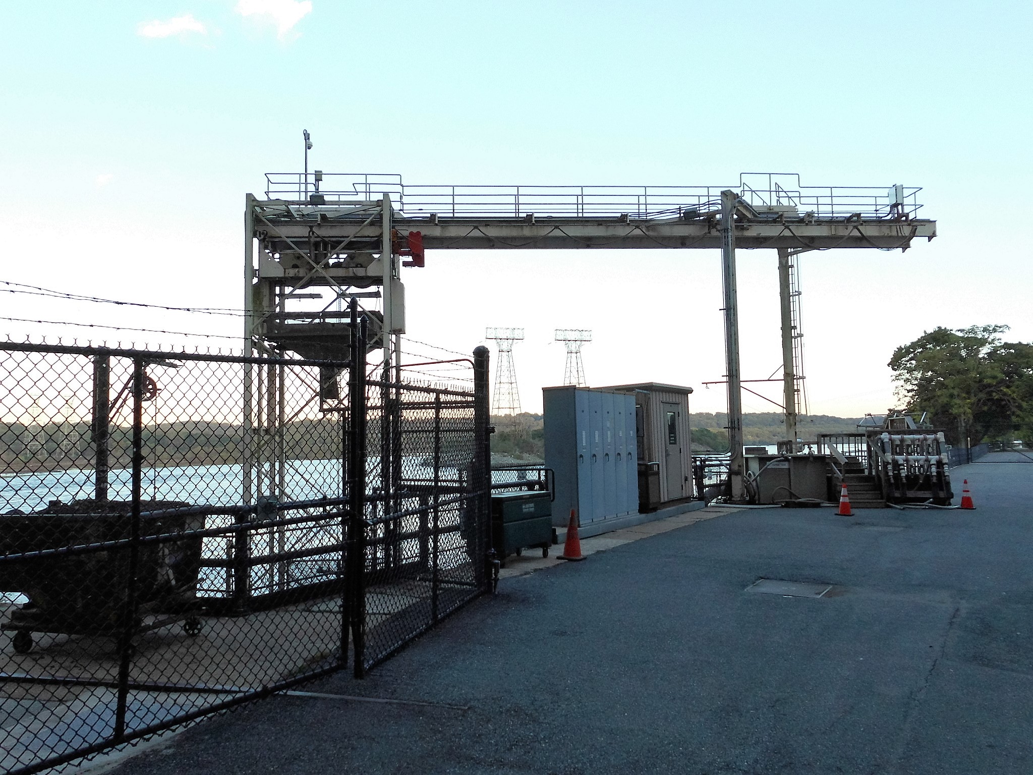
One of two fish lifts. This one was used to collect fish and then transport them by truck to hatcheries and fish farms to be released above all the dams (There are a few and about five years ago they all installed real fish lifts so the shad can just go up river to where they are supposed to)

conowingo-066

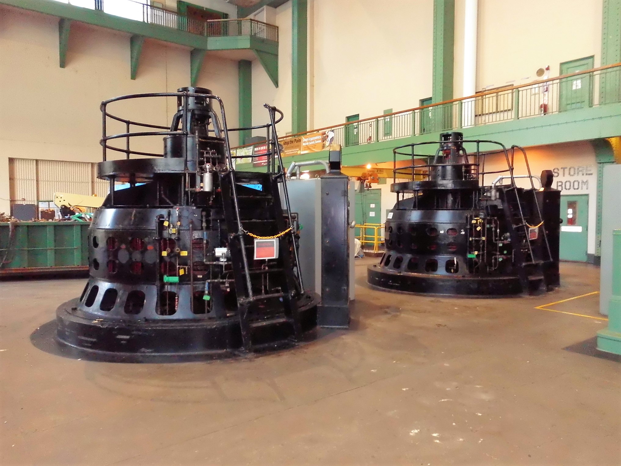
I believe our tour guide said these two generated power to run the plant. It was loud in there.

conowingo-068

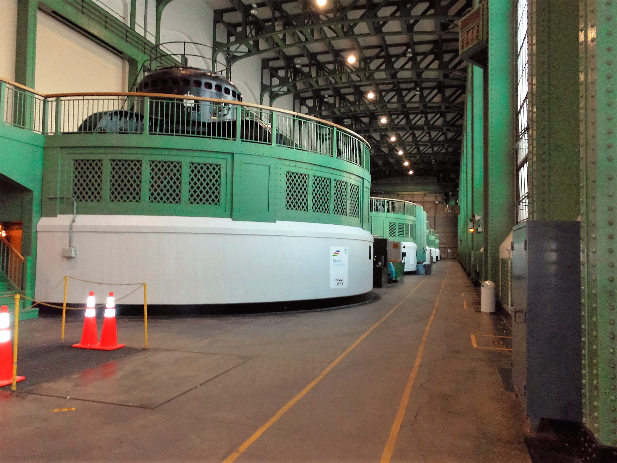
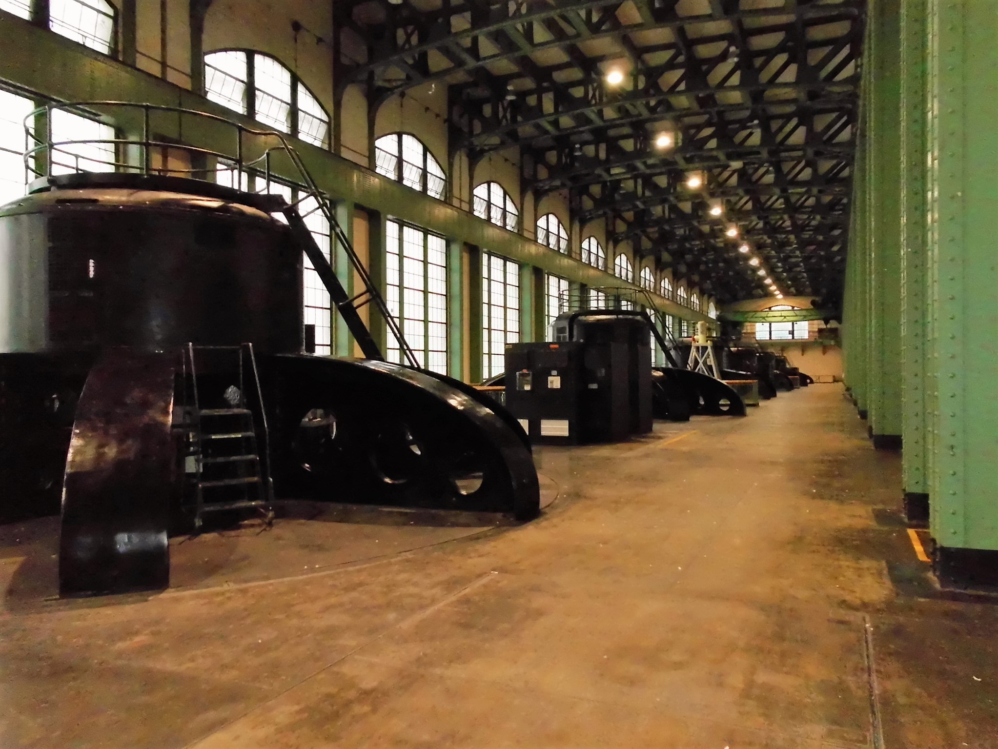
Where they make electricity. Yellow light on the right wall means – put in your earplugs.

conowingo-077

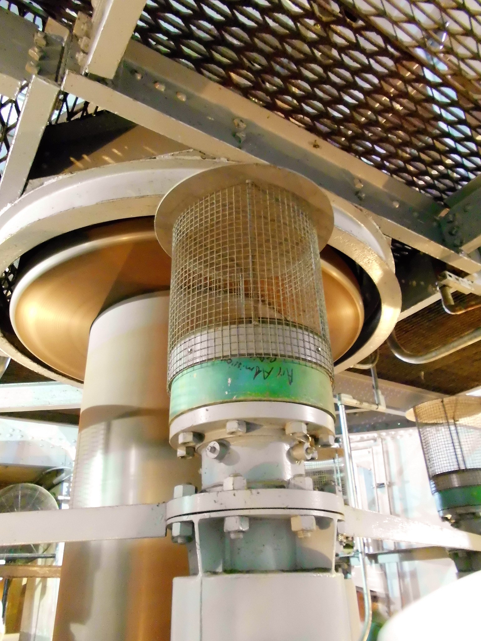
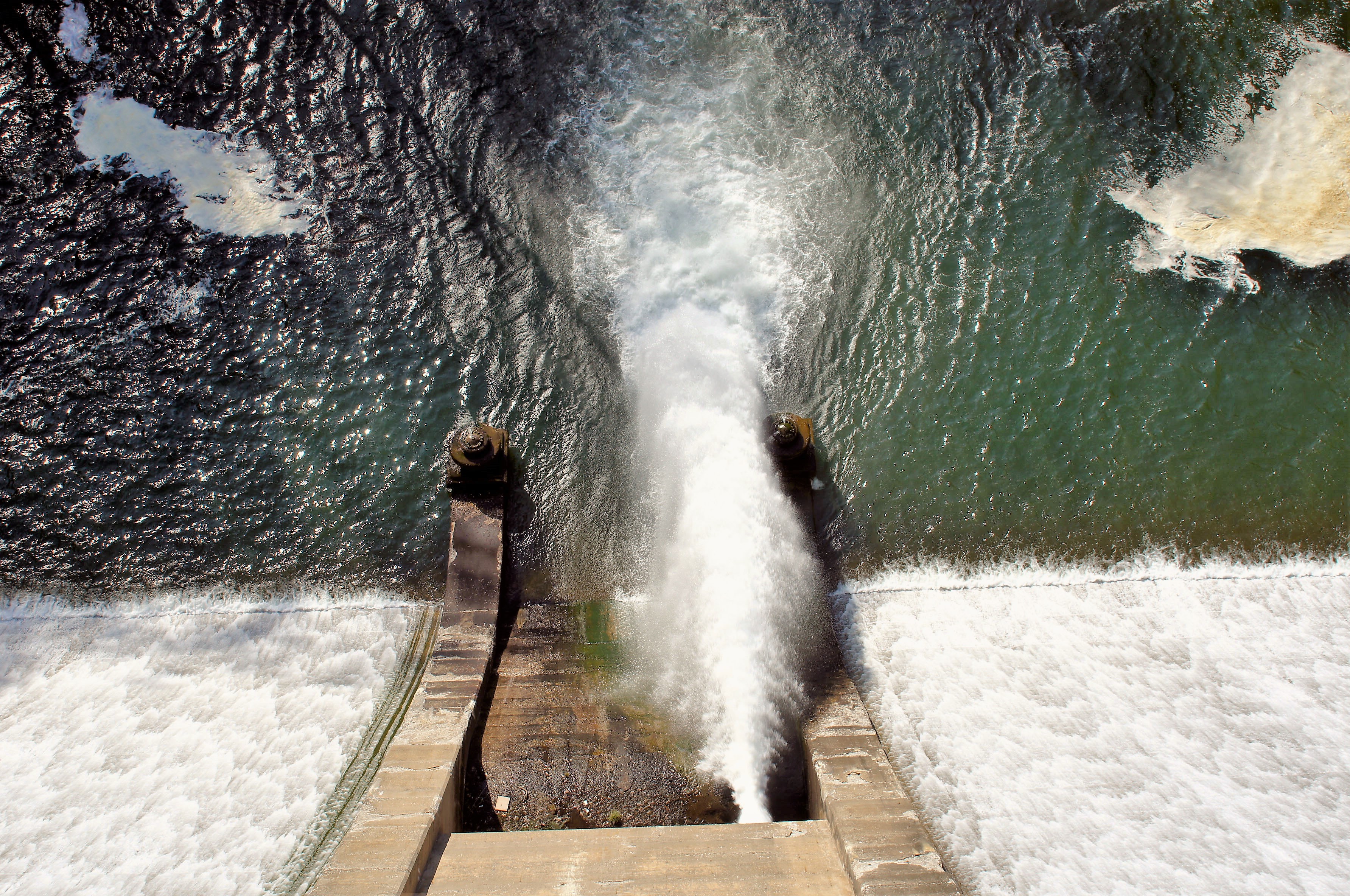
Aerator. It sucks air into the water. The dissolved oxygen drops about 60% from the dam pool to the discharge side, so they add some air to the water.

conowingo-081

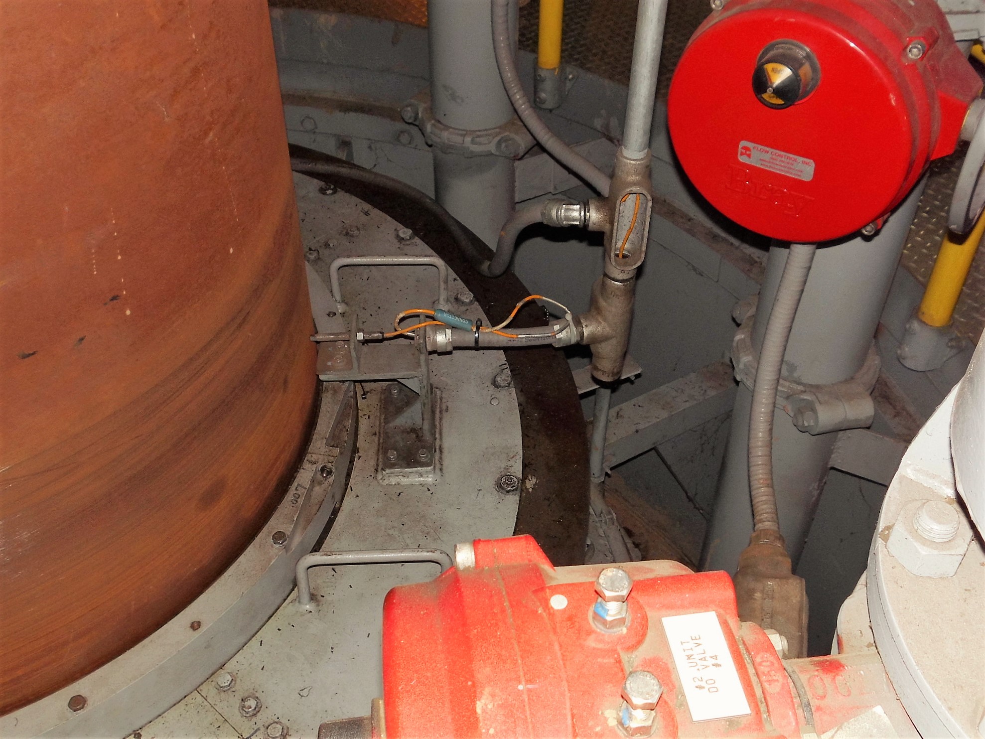
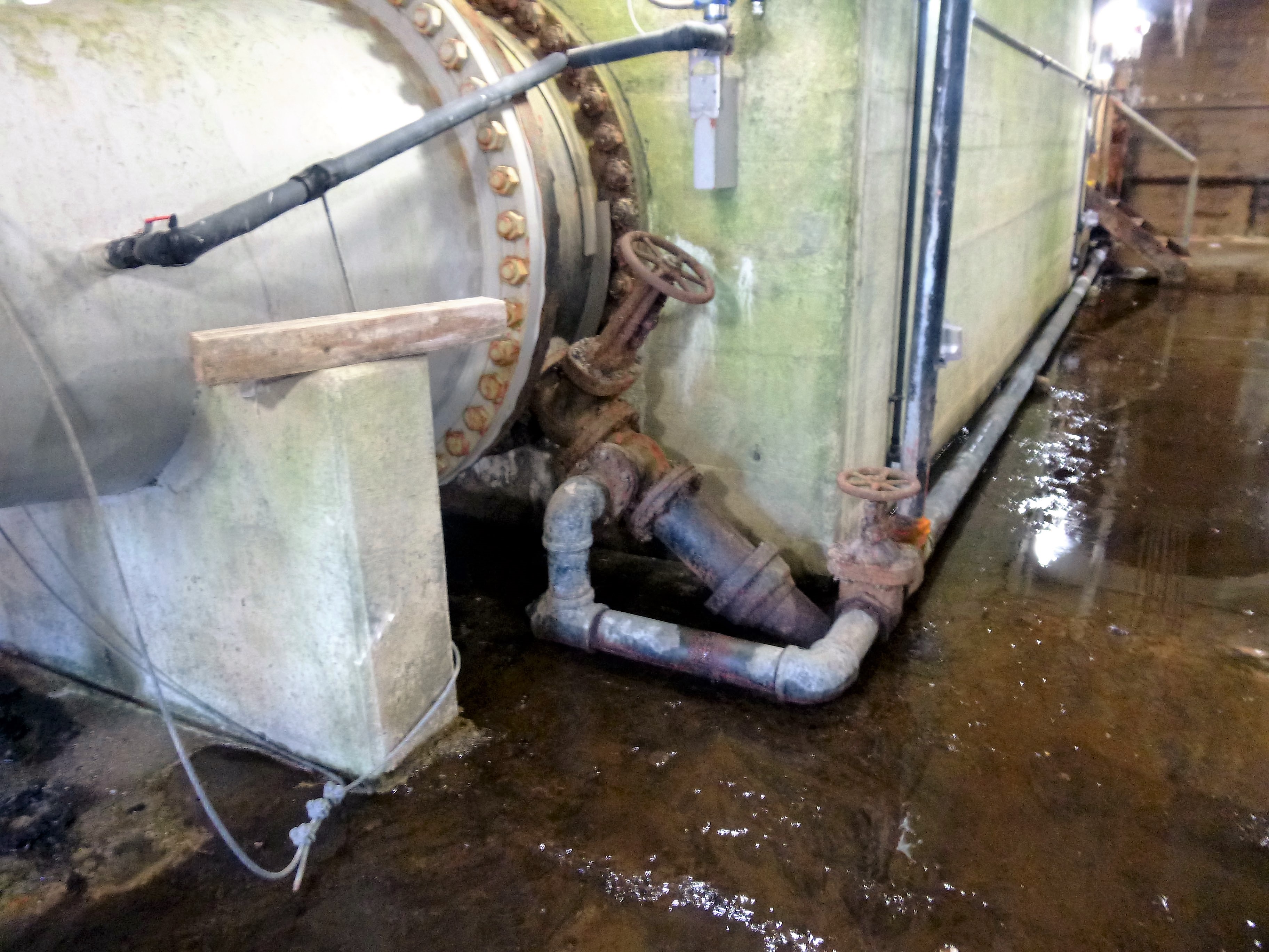
This little probe, just barely touching the turbine shaft measures for any distortion in the shaft. If it senses some, it will shut down the unit.
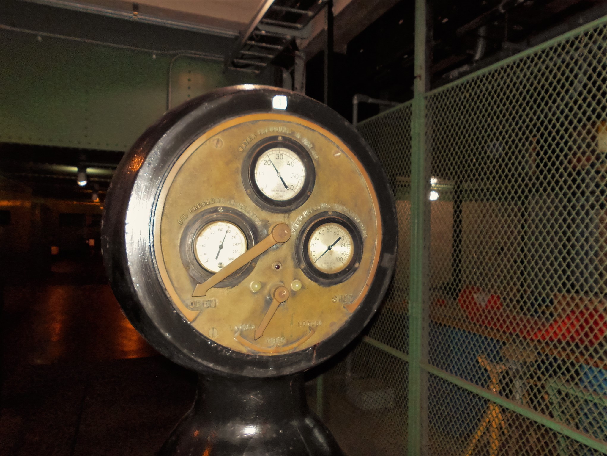
conowingo-087

Some old gauges.

conowingo-096

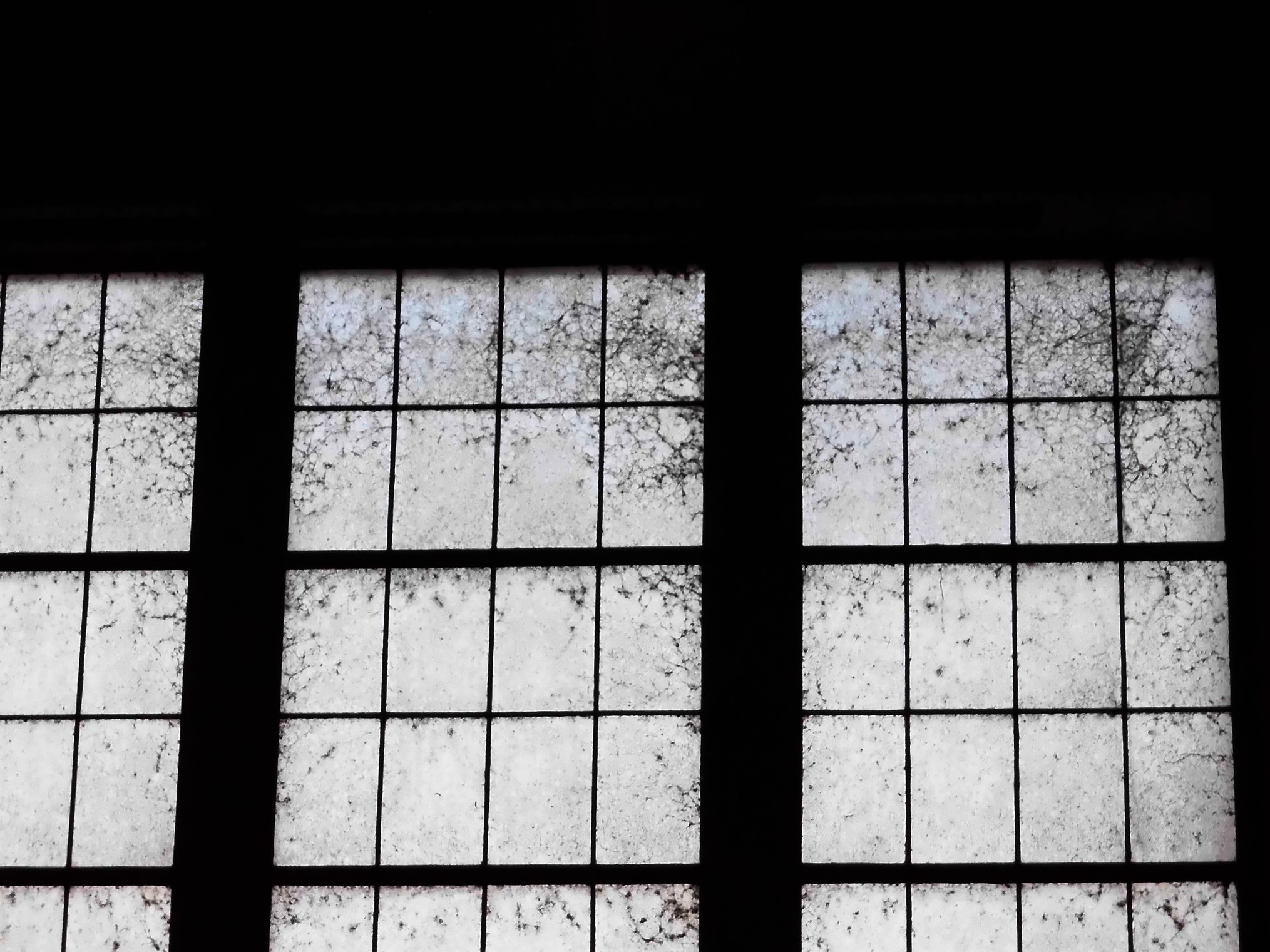
Spiders! They just cleaned these windows a couple months ago.

conowingo-104

Next level above the turbines – generators.

conowingo-120

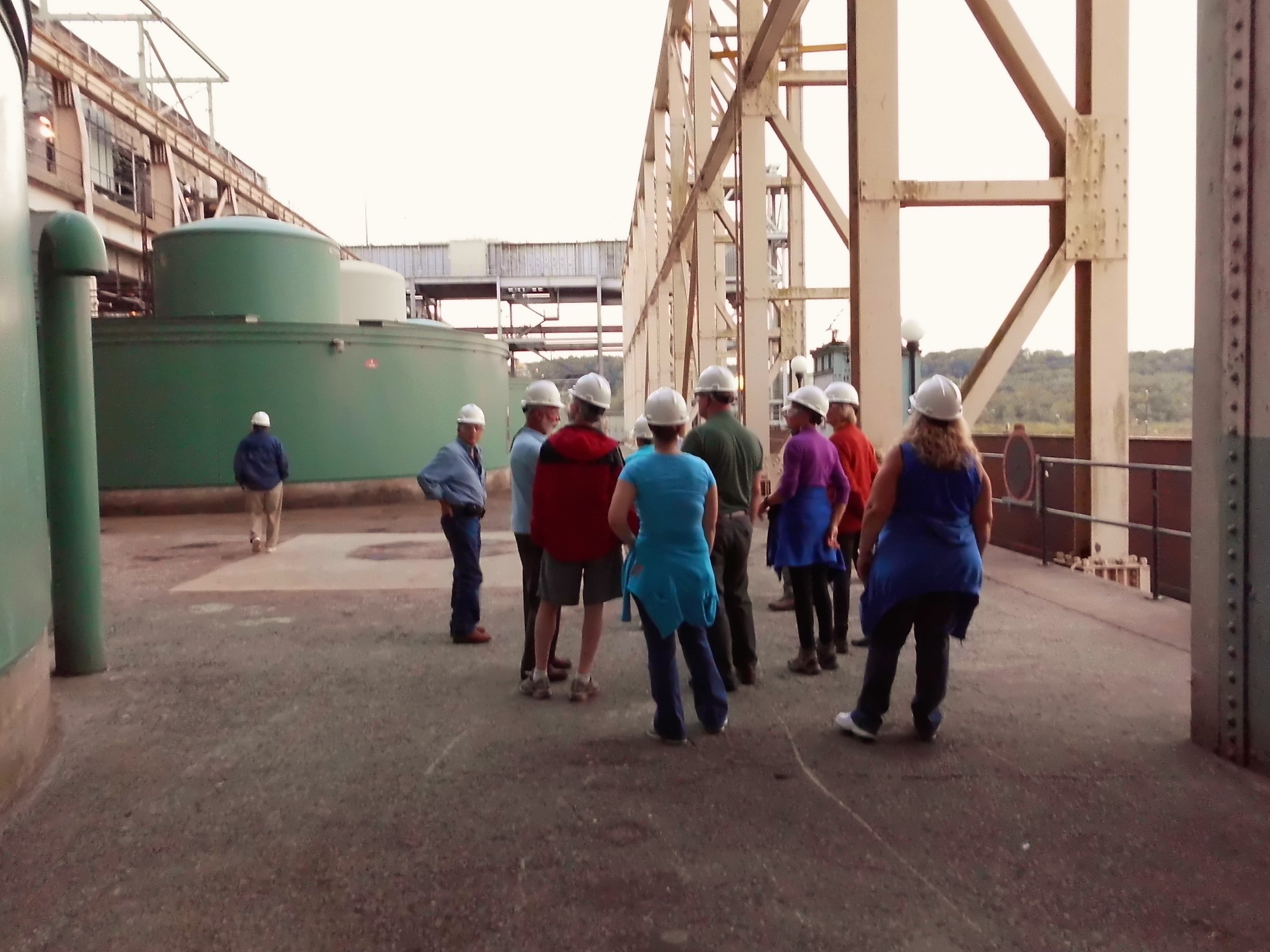
Outside above the catwalk. Years ago, pre 9/11 you were allowed to fish off the catwalk. This is looking down towards Port Deposit.

conowingo-125

The tour group. I didn’t know a single one of these people.

conowingo-127

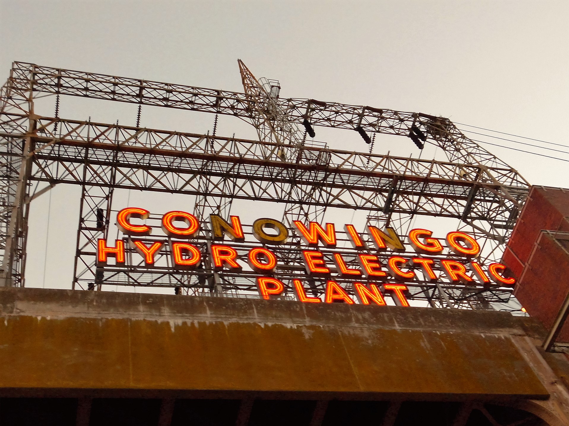
Need some lights changed on this sign.

conowingo-134

Lonely lamp right before the second fish lift. Do fish need to see to be lifted?

conowingo-141

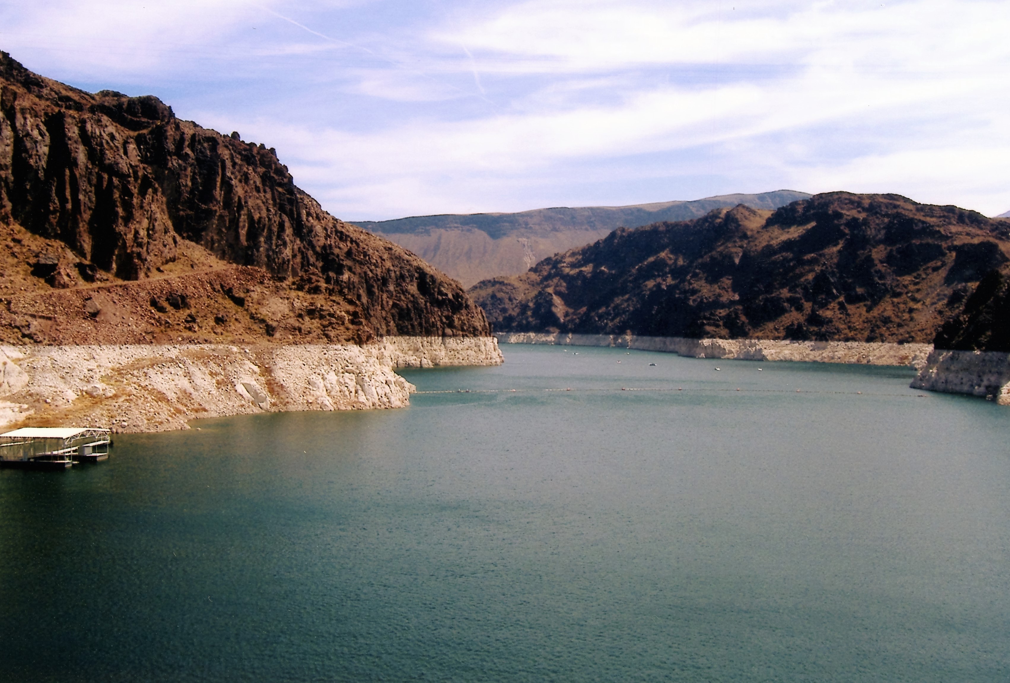
In the very early 1960s I use to fish on that little rise at the bottom of the dam.

conowingo-142

Second fish lift. They swim into that lift and are free to swim out at the top. Supposedly there is someone who looks thru a plexiglass window and counts them? Since the other dams have installed lifts, no reason to truck them anywhere.

conowingo-147

Starting to get dark out.

conowingo-178

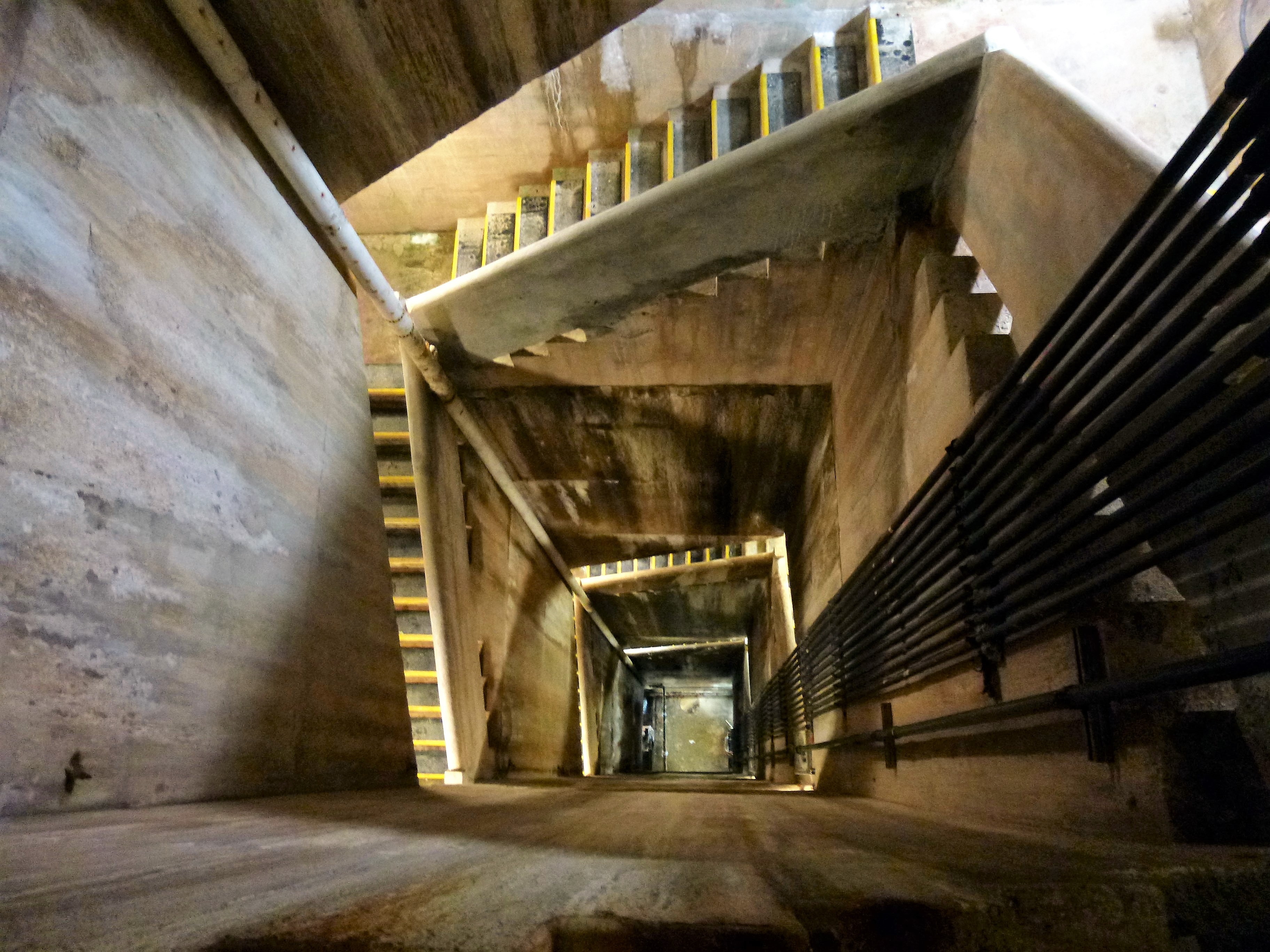
Back inside, on the way to the control room. Pit.

conowingo-202

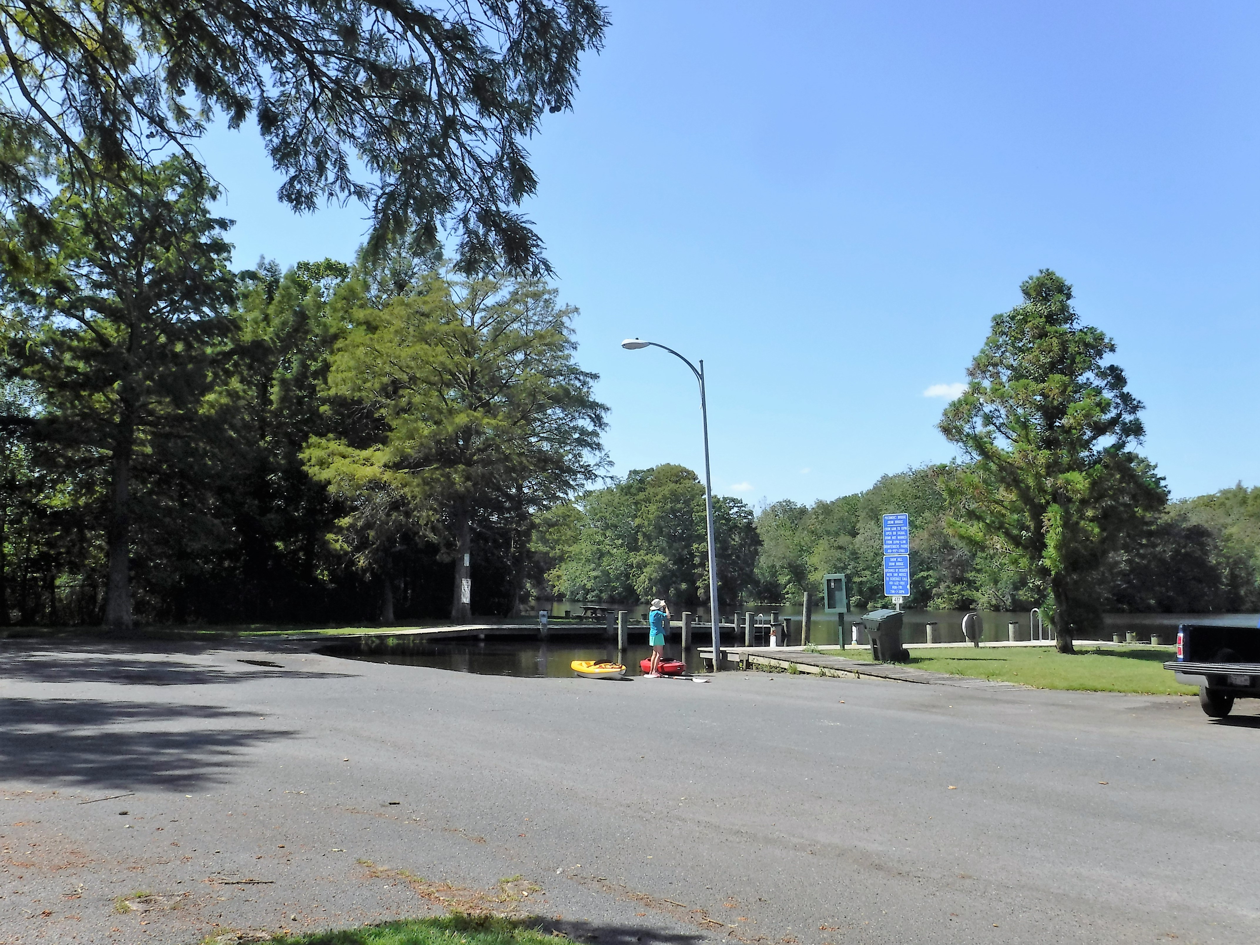
Dark outside now, after control room. Guys are still fishing!

Dams

02 Sunday Oct 2016

Posted by Ronald Parks in Baltimore, Photography, Reservoir

≈ Leave a comment

Tags

Baltimore, bridges, Conowingo, engineering, fishing, Gunpowder Falls, Hiking, HISTORY, photography, Reservoir, Star Wars

Back in the beginning of September, I posted some photographs of my visit into Liberty Dam. The watershed manager, Clark, took me down to the bottom. It was quite an experience for me. Before leaving I made the comment that the Conowingo Dam will be my next adventure, to go inside. A couple weeks later, Clark sends me an email telling me that a group he belongs to, the Upper Western Shore Tributary Team, are going into Conowingo. That I should contact them and ask if I can go. A couple days later they sent me a yes answer. Very nice. So, here are some of the dams I’ve gone into. Not listed yet is Loch Raven. Not much to go into there but Clark said when they do the next inspection, I can go.

My first interior dam I visited was Hoover Dam in 2005. It was nice but a disappointment in that 3-1/2 years after 9/11, the lower portion was closed off. I only got to see the turbines from an observation deck.

hoover001

This was a quick looksy – “Alright people, back on the elevators.”

hoover004

Up on top.

hoover002

One side of the dam…

hoover006

to the other.

hoover003

Intake structures – actually more impressive than the one at Liberty!

hoover005

Reservoir getting low…and yet they are still building new homes in the area.

In 2013 I was able to go into Prettyboy Dam.

Looking down from the top.

What I like about this view are the memories of my father taking me down to the bottom – concrete slab – to go fishing.

We had to go down the steps, then climb over a fence and trek down the hillside to get to the fishing spot.

Time to head to the bottom of the dam. More steps.

I was able to go out onto the deck, where the valve was spewing forth water to my right. This is one of two fountains that don’t work. Contractor said it would cost over $100k to fix. Director says no.

The 45 degree pipe is what feeds the fountains. It goes under this floor into a chamber and then into more concrete. It is collapsed there and this is why it would cost so much to fix.

Tomorrow, if the dam Gods permit, I will be going into this dam – Conowingo! This is from 2011 when most of the flood gates were opened. I just bought a new telephoto lense for my camera and wanted to see how it works…

A little too well. I hope this guy shows up again for the tour!

Dundee Creek

30 Friday Sep 2016

Posted by Ronald Parks in kayaking, Photography

≈ 1 Comment

Tags

boats, bridges, Gunpowder Falls, kayaking, nature, Parks, photography

After our vacation to the Eastern Shore, we returned to one of our favorite kayaking spots – Dundee Creek. My first time there was to paddleboard. I did not like that at all. Just couldn’t find my center of balance and I kept falling off. The following week, Kathy showed me about kayaking. I had never done that before. I enjoy it immensely! So peaceful and relaxing. Dundee Creek merges with Saltpeter Creek and then into the Gunpowder River and then onto the Chesapeake Bay.

001

Before heading out to open water, we always like to head into the cove. Calm waters that dead-end at a stream and bulkhead.

012

As many times that we have been here, neither one of us noticed this little opening.

013

Nice and quiet. Looks like some logs up to the right.

016

I went up and moved them out of the way.

017

Kathy was then able to pass under the trees, along the shoreline.

021

Once through, I let Kathy go first – you know, in case there were alligators, wild boars or Adrienne Barbeau.

030

We found our own little cove. Not very big but nice.

054

After a while there, we headed out towards Marshy Point. This is the Marshy Point Osprey Cam. It is shut down now – the osprey have all headed south. This is fun to watch when they come back. So is the Osprey Cam on the Chesapeake Bay.

061

Favorite little foot bridge at Marshy Point Nature Center.

083

Under the bridge we go.

084

After the bridge and spending time watching life in the marsh, we headed back to the marina. Water was getting a little choppy. Duck blind.

Vac Pics #5

27 Tuesday Sep 2016

Posted by Ronald Parks in Photography, Travel, vacation

≈ 4 Comments

Tags

boats, Museum, photography, vacation, water

Alright, alright! I know! Way too many vacation photographs! This is the last of them (We already had another adventure since these were taken!) These photos are from our trip to Smith Island, via Crisfield.

We did a short tour of Crisfield before getting on the tour boat.

Watched the watermen unload their boats.

These are the prices the watermen are paid for their hard work. We paid $170 not too long ago for steamed crabs. Watermen aren’t making much money are they?

All we are saying…

Messy little fellow.

Got on the boat and started to head out to sea. Well, towards the bay at least.

Little pink houses.

Now we are moving. It takes an hour to get to Smith Island.

Kathy and her parents. Great people.

This is a  rebuilt smoke stack, all that was left of the processing plant here. Rebuilt by park services in dedication to the person who left the land to them.

I love you a bushel and a peck!

Passing a nature reserve island before Smith Island, the birds were all lined up, ready to dance.

One of many waterman’s shacks.

Kathy jumped off the boat to grab us a table at a restaurant that I believe is owned by the boat captain – “Make sure you stop at the Bayside Inn!”

After some good food, we headed to the museum. Pretty nice.

Then took a walk around a partially submerged island! High tide.

I don’t think so.

Church with a halo

It has always amazed me that people abandon their boats wherever they want.

Crabby.

I thought this was another abandoned shack, but a few minutes after we sat down, the door closed.

Nice little pier.

Kathy told me to lay down in the wet grass and get this photo. Oh, ok!

And here is one of two water works photos. Building is called Hill Water Works.

And here is the second – showing an old water tower.

Watermen’s stuff.

Pelicans…

…who do not land gracefully in the water!

Returning to crisfield.

Vac Pics #4

26 Monday Sep 2016

Posted by Ronald Parks in fishing, Travel, vacation

≈ Leave a comment

Tags

boats, bridges, Chesapeake, Crabs, fishing, photography

Next day it was off to Deal Island for some fishing.

001-2

Leaving the boat ramp. Small landing but big phone tower and a big pile of oyster shells on the side.

004-2

Kathy taking the helm. I guess that is what it is called – at least it is on Star Trek – “Spock, take the helm. Scotty, you come with me.”

102-2

Deal Island bridge.

016-2

Kathy caught the first fish of the day…

017-2

…not as big as mine! Oh what a whopper! The weight almost snapped the rod!

033-2

Kathy’s catch. Crab.

027-2

Then mine…alien looking thing. Where is Ripley? Everything that was caught was thrown back in.

071-2

Abandoned except for the birds.

084-2

Karen Noonan Center, Chesapeake Bay Foundation. Classroom.

090-2

Fish nets off of Bloodsworth Island. On the navigational chart this area is off limits. Kathy’s dad told me the naval base drops bombs (Practice) on the island. If you do a close up Google Earth view, it looks like the moon in some spots – craters.

110-2

Watermen heading back after a days work.

100-2

Skipjack, Ida May.


Vac Pics #3

23 Friday Sep 2016

Posted by Ronald Parks in kayaking, Photography, water

≈ Leave a comment

Tags

Hiking, kayaking, photography, vacation

The next day we were off to Assateague Island for more kayaking

p1070559

We entered the water at the beach, end of Ferry Landing Rd. Got there before the crowds did.

p1070554

We headed north and hit a dead end, turned around and went south – lots of little islands and coves.

p1070542

Lots of these guys around.

p1070584

Tree as we headed back north on the other side of the first section.

p1070588

Old duck blind

p1070593

Heading towards the beach.

p1070611

The beach is at the end of the “Life of the Marsh Boardwalk”.

p1070594

Not sure what that guy was. Hard to get good photographs on a kayak. I also don’t care for this new camera of mine. Fuji underwater camera.

p1070597

Make sure you wear your shoes when getting out of the kayak.

p1070601

Kathy and I are the Great Adventurers!

p1070608

Island life.

p1070624

Foamy beach on the other side of the beach we landed on.

p1070649

Fluffy and soft

p1070652

Horses down where the first egret was. Like I said – hard to get a good shot on a kayak with a camera I don’t like.

p1070658

Leaving the park. Another nice adventure!


Vac Pics #2

22 Thursday Sep 2016

Posted by Ronald Parks in kayaking, Photography, vacation

≈ Leave a comment

Tags

goat, islands, kayaking, photography, sewage, vacation

After returning from Ocean City, we loaded up the kayaks and headed to Goat Island on the Pocomoke River, Snow Hill Md. Byrd Park was nicely deserted and the water was calm.

It was high tide. The water was up the ramp into the parking lot.

And there she be – Goat Island.

What have we here? Goat’s name and address?

It was about a 1/2 mile paddle to circumnavigate the island – I felt like Magellan!

Goat house – but no goat. Didn’t see a single goat. Well, to be fair, I think there is only one living there.

After the island we headed to the Rte. 12 drawbridge. No going under that. You need to give them a five hour notice to have it raised.

On the other side there is a kayak rental place. There were quite a few people on that side (we saw them as we were crossing back over the bridge leaving)

Heading down or was it up? the river.

Buoy markers, open water and lilly-pads is what we pretty much saw for the near three hours we were out there. And that was fine by me. Peaceful.

Although a smell did lead us here – the waste water treatment plant.

← Older posts
Newer posts →

Blogroll

  • Flouride Action Network
  • lulu
  • My Book
  • WordPress.com
  • WordPress.org

Recent Posts

  • Bermuda 2023
  • ICELAND April 2023
  • George Chalmers of Fochabers
  • In Search of The Skipjack Ada Mae
  • Trap Pond Kayak

Blog at WordPress.com.

  • Subscribe Subscribed
    • Water and Me
    • Join 231 other subscribers
    • Already have a WordPress.com account? Log in now.
    • Water and Me
    • Subscribe Subscribed
    • Sign up
    • Log in
    • Report this content
    • View site in Reader
    • Manage subscriptions
    • Collapse this bar
 

Loading Comments...