• About
  • History Writings

Water and Me

Water and Me

Tag Archives: Hiking

Easter Weekend in OC and on the Farm

02 Monday Apr 2018

Posted by Ronald Parks in Hiking, ocean city

≈ 2 Comments

Tags

deer, Farm, Hiking, nature, ocean city, photography

Friday we went to Kathy’s parents down the Eastern Shore. It is always nice to spend time with her family. They treat me like family. After a few hours of chores, time for dinner and relaxing. Saturday we headed down to Ocean City. Went early enough to beat most of the holiday traffic. 

The Easter Bunny was there, taking carriage rides with visitors.

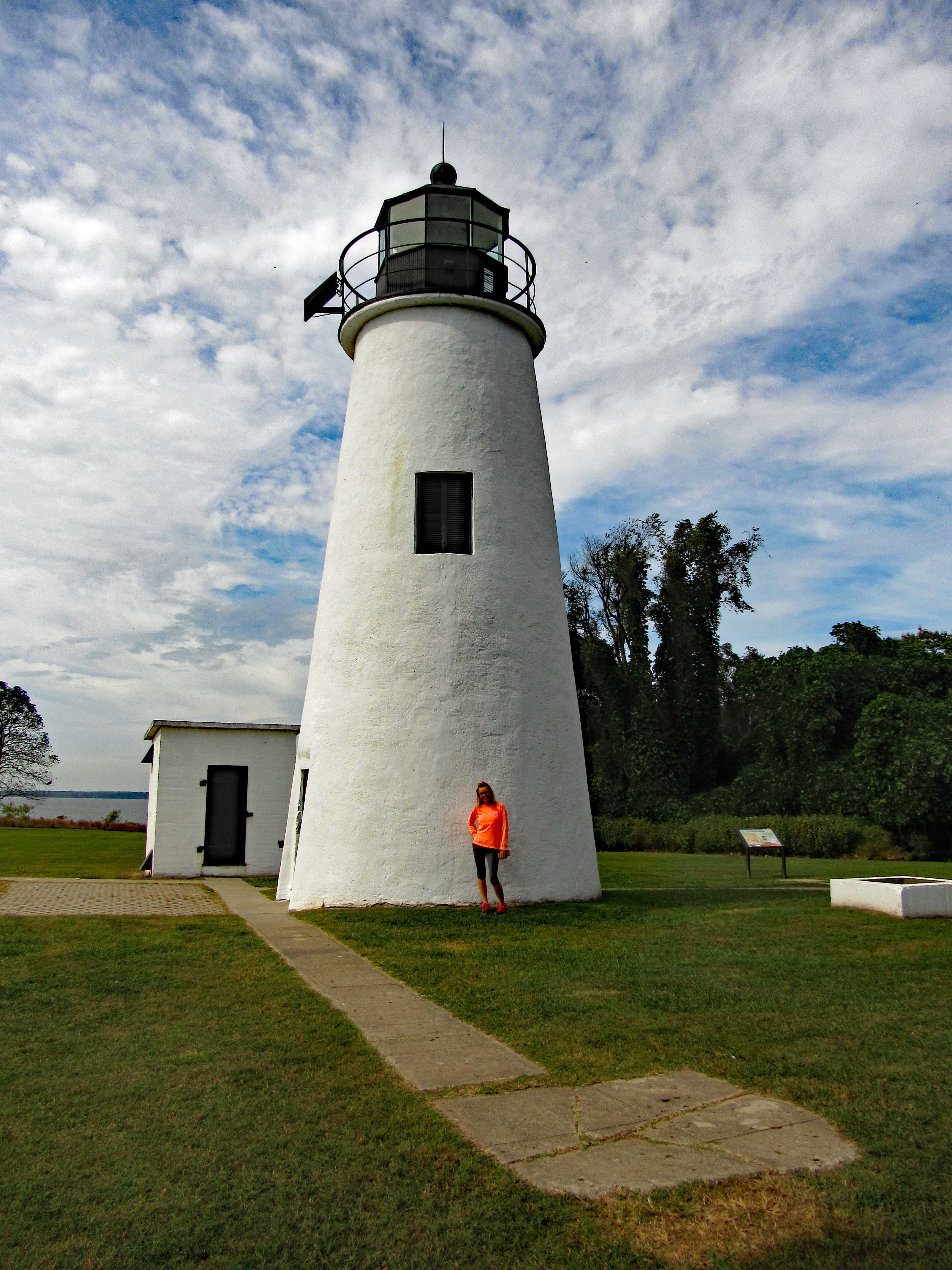
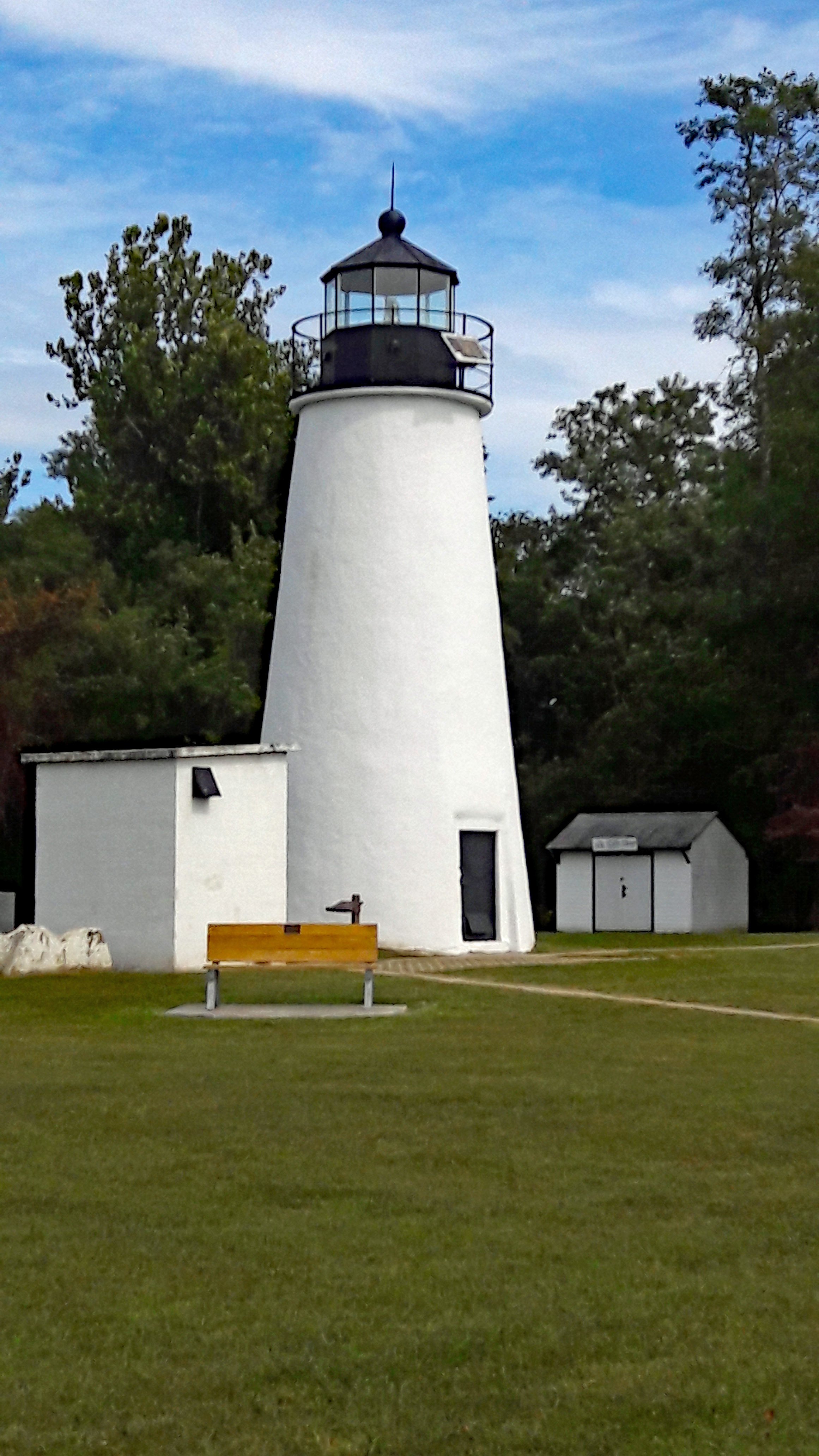
Started our walk at the Life Saving Museum.

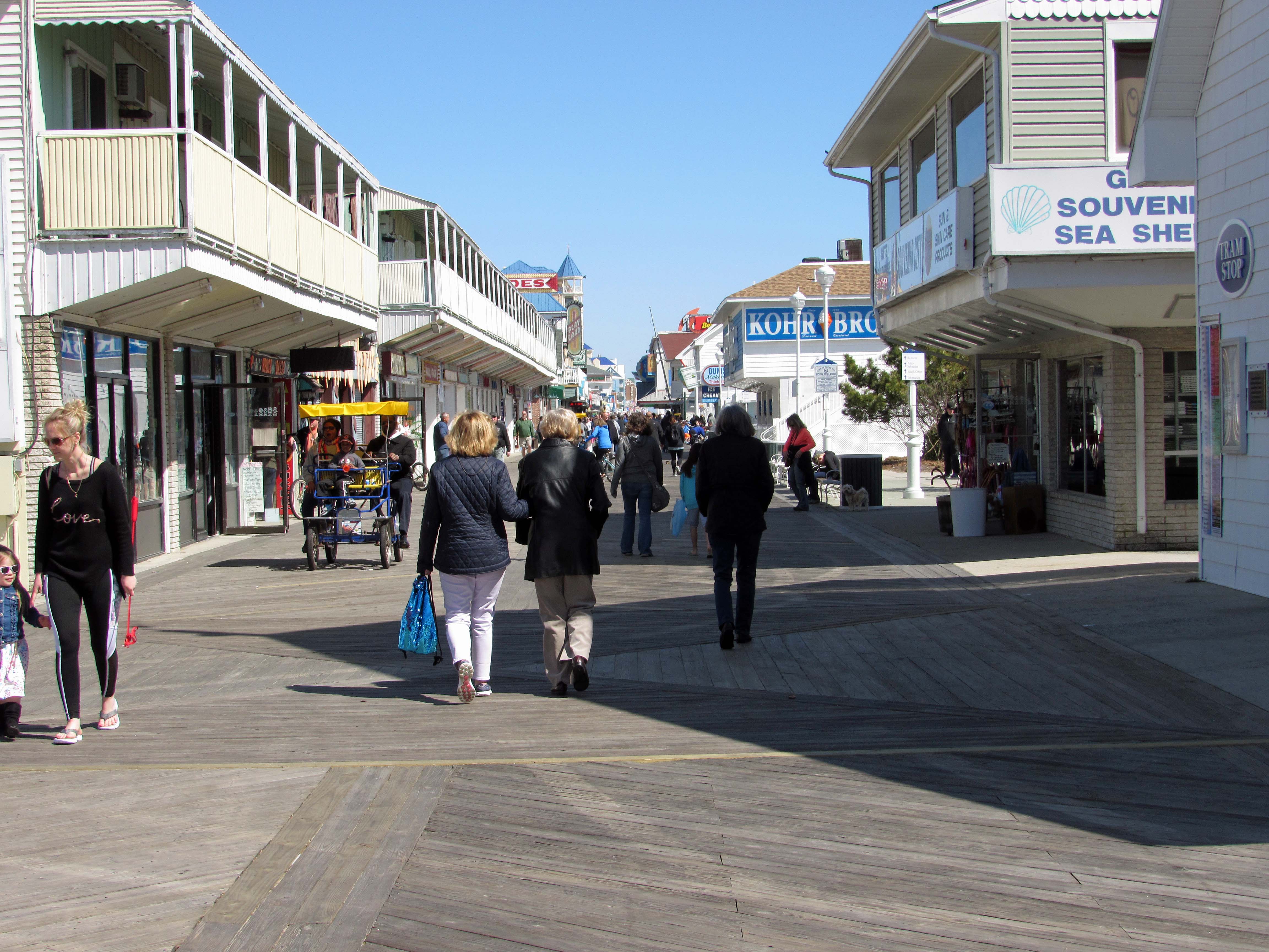
Not a bad crowd for Easter weekend. I know them three ladies! The inlet and other municipal lots have a new system of charging for parking. Seems like it is going to be a pain, having to remember you license plate # and it is going to be expensive – but today it was free. People were still feeding the new meter. OC must have made a ton of money on Saturday. New meters went into effect on Sunday.

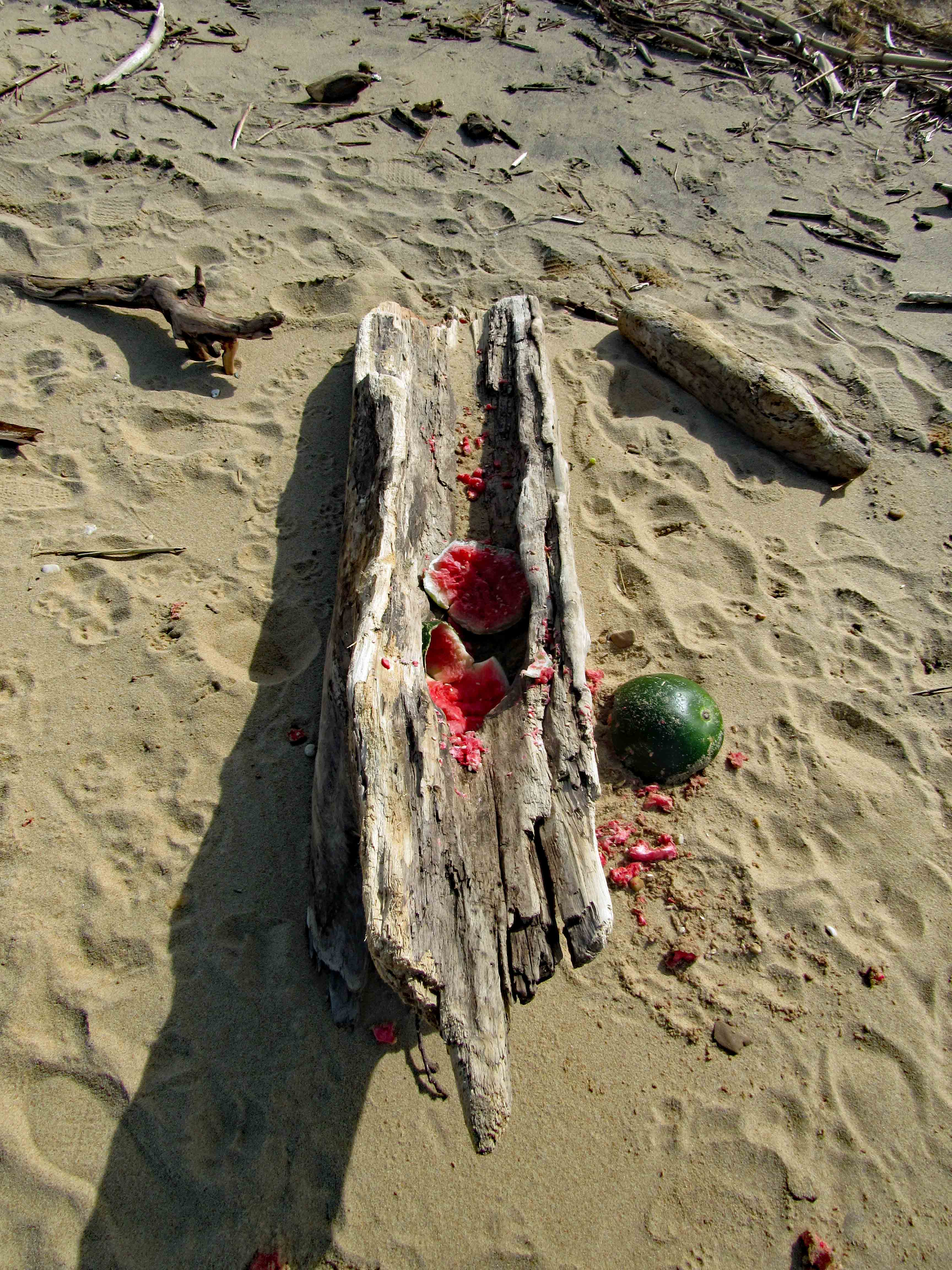
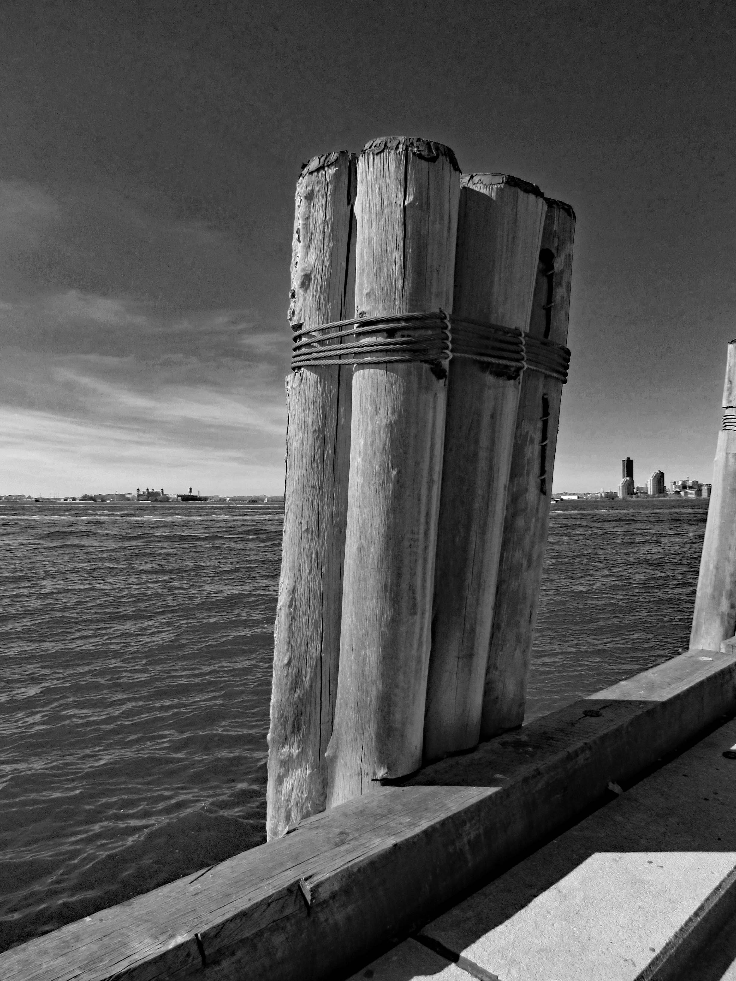
While Kathy, her sister and mom headed to some shops, I headed to the water. You have got to touch the ocean while there! The fishing pier.

The inlet from the jetty. After the storms a couple weeks ago, they said this sand bar was sticking 20+ feet into the channel. 

Looking south from the pier, towards the jetty.

Looking north. This sandbar went under the pier. 

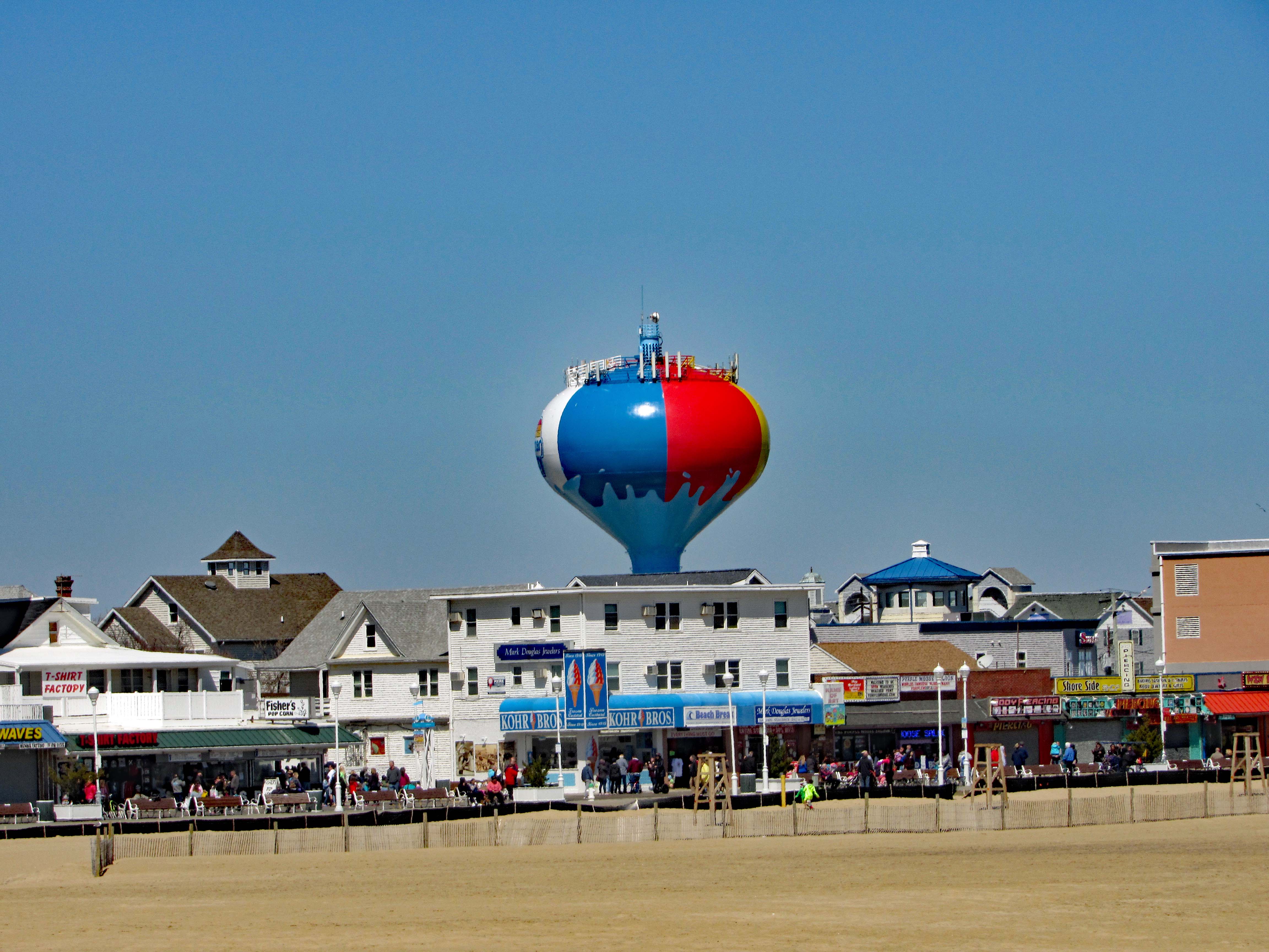
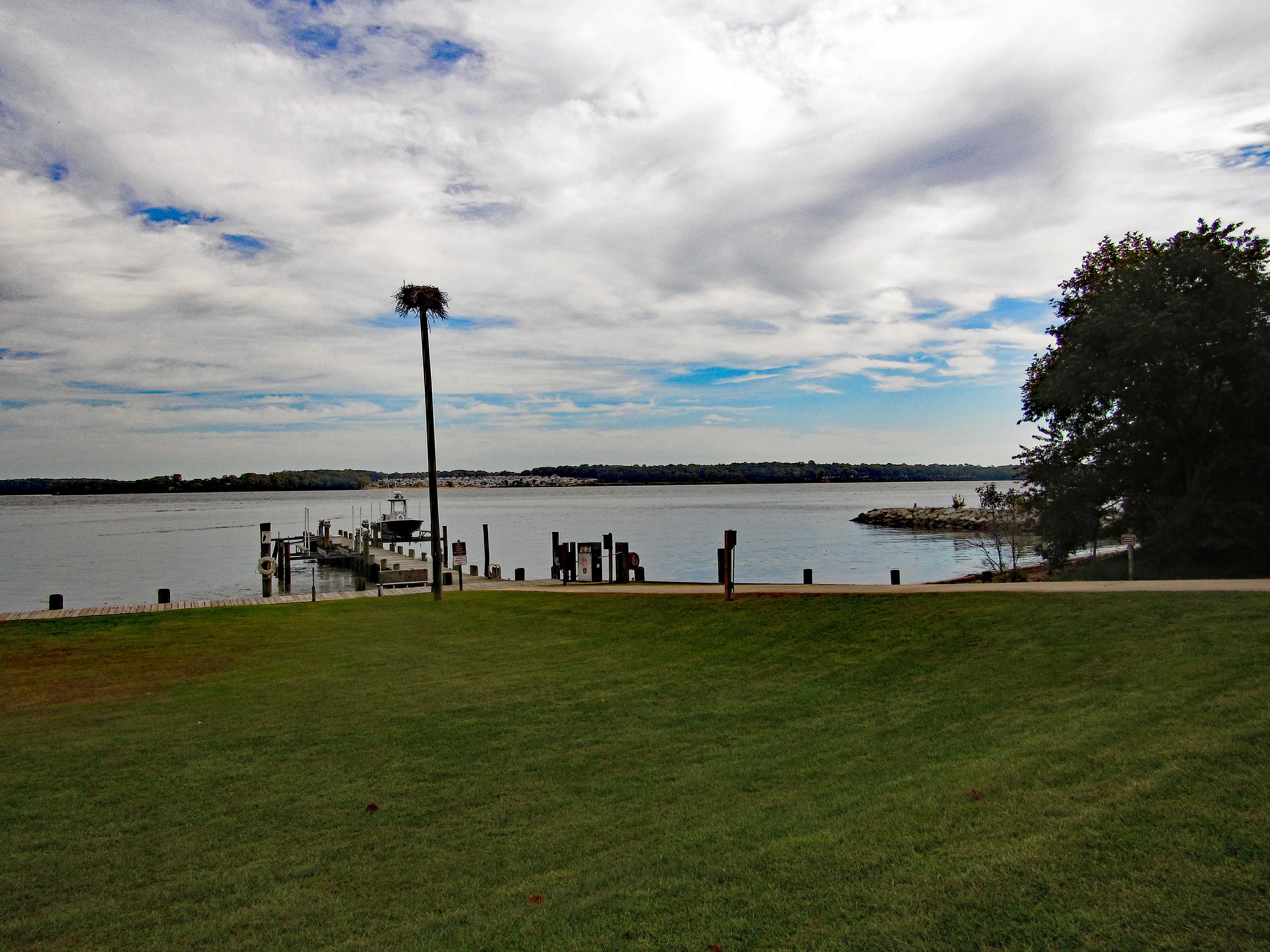
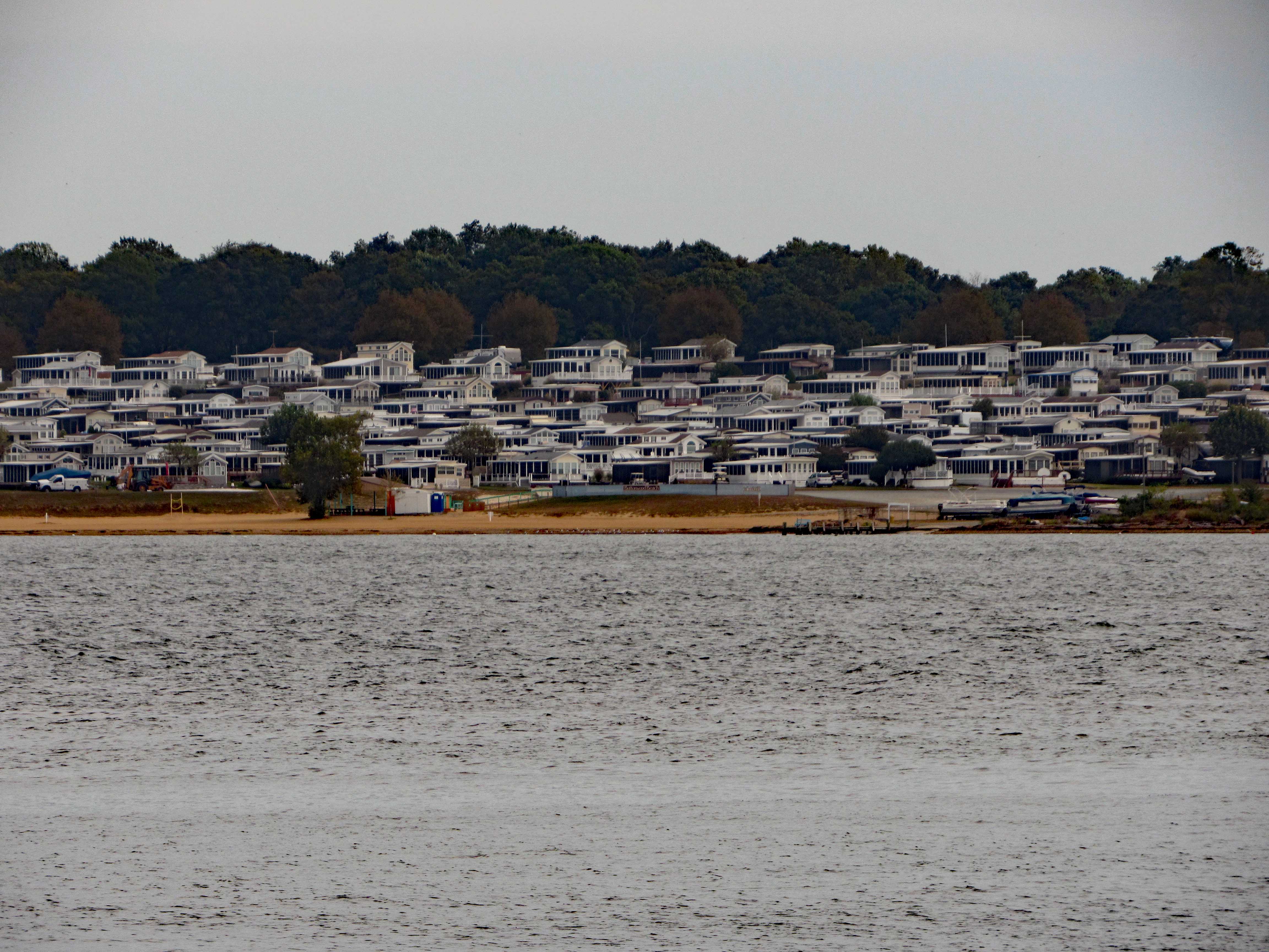
Heading back to the Boardwalk. The last time we were here, they had just started painting the water tank. Looks good.

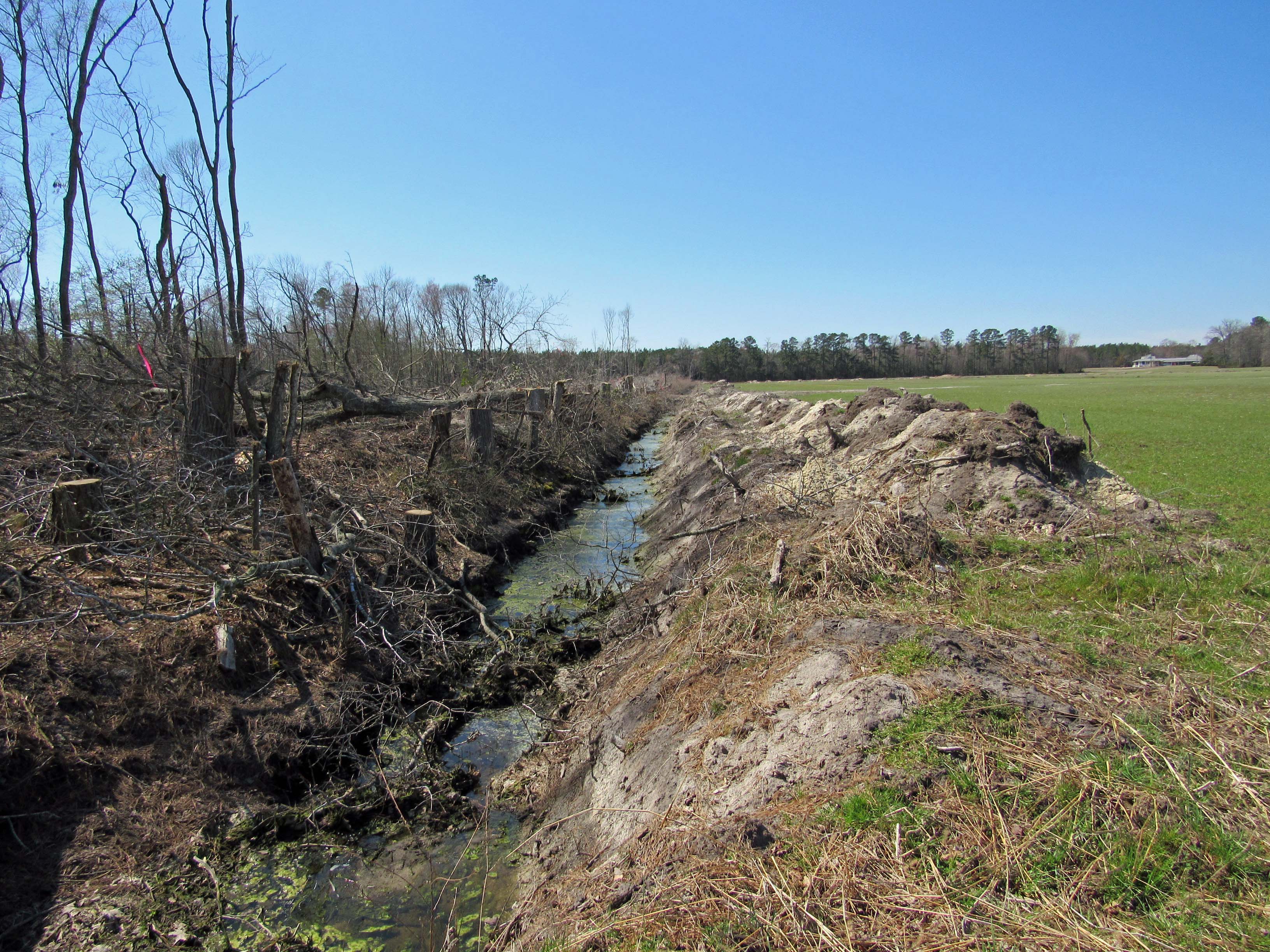
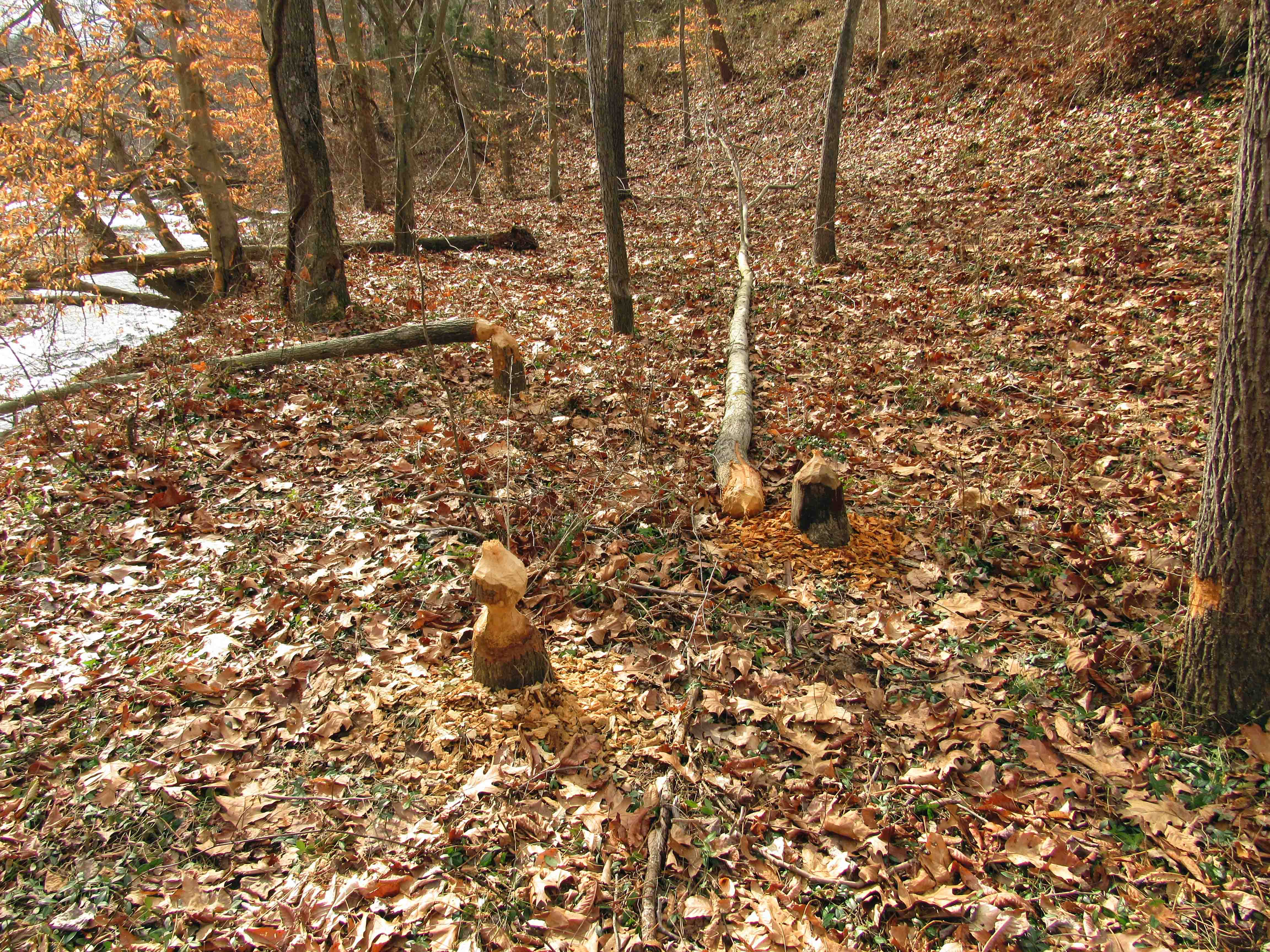
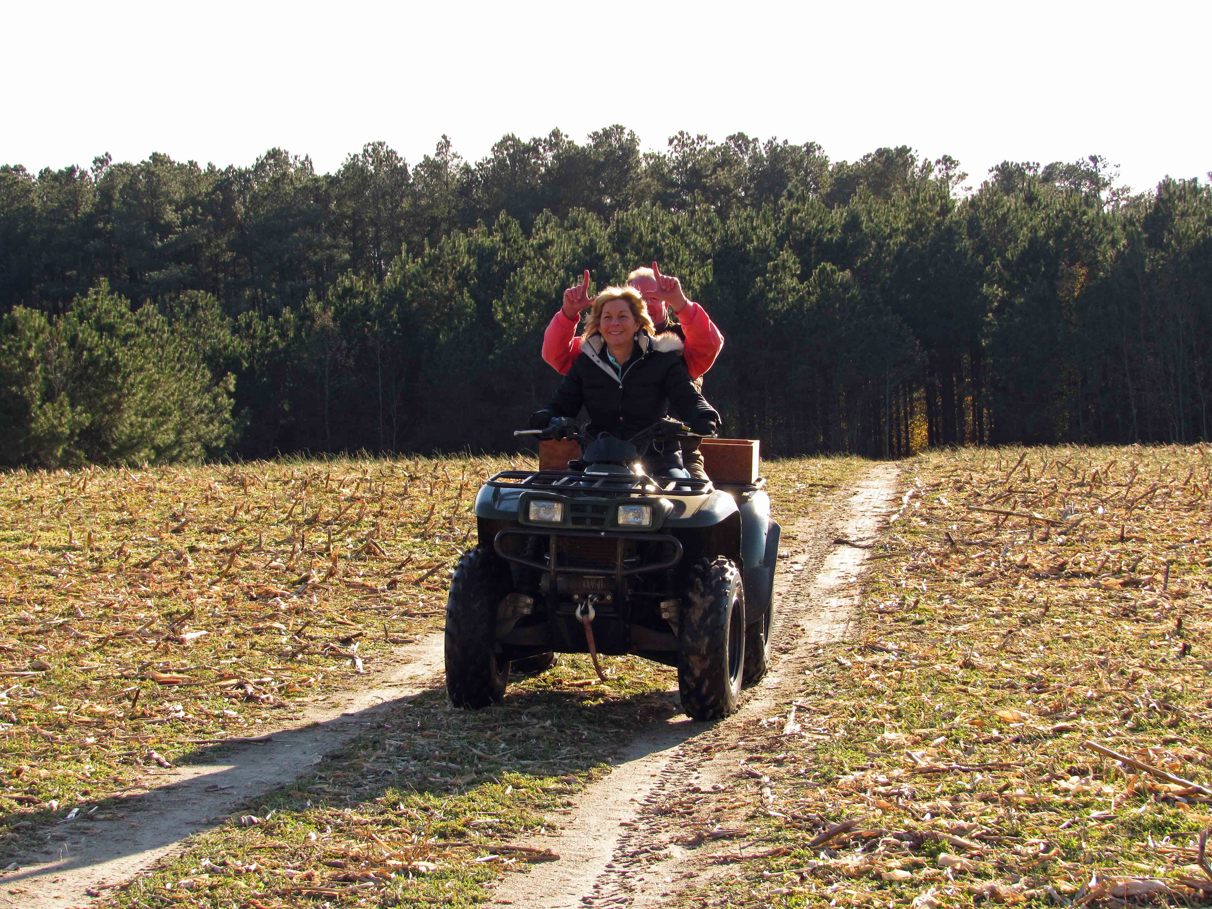
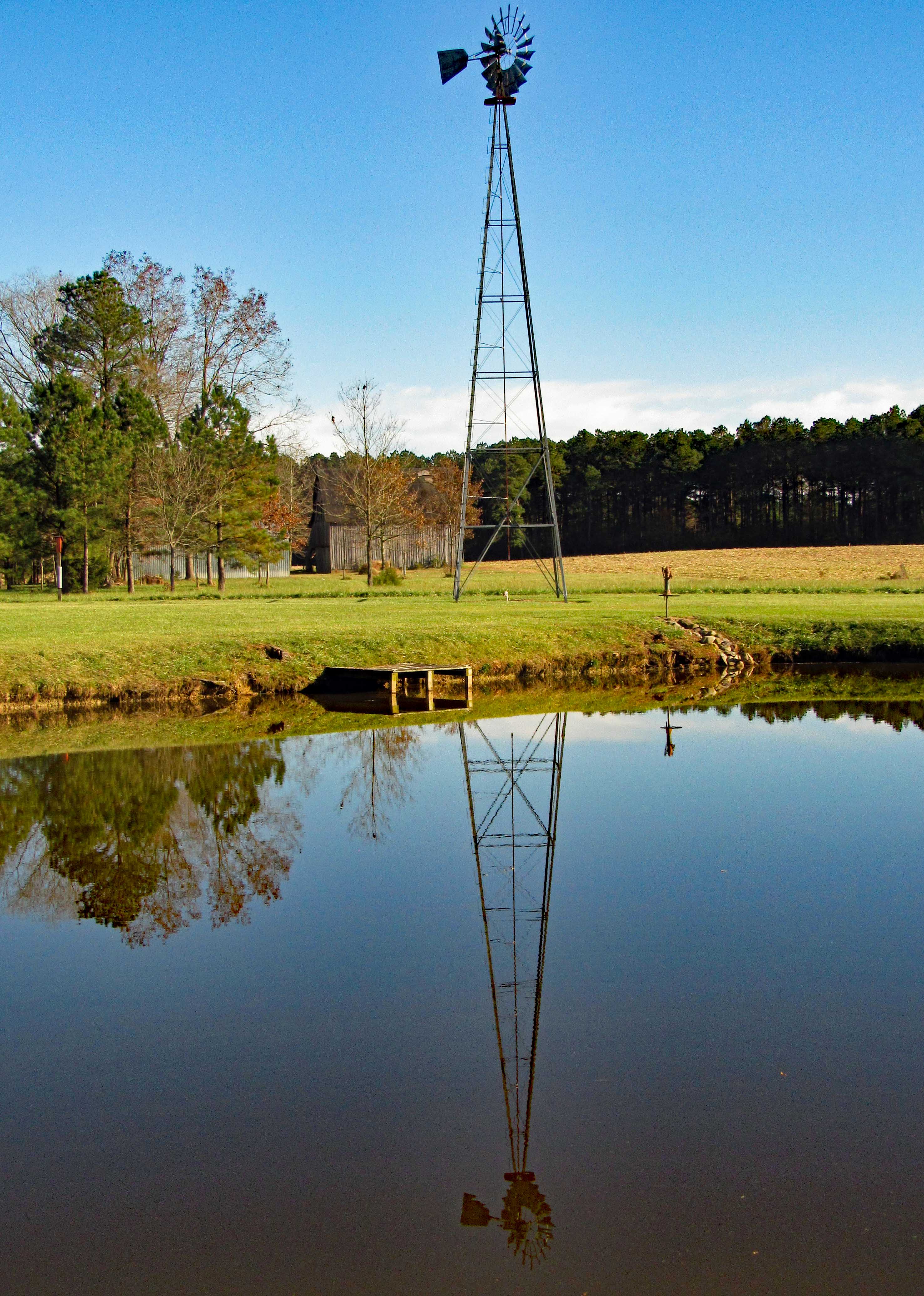
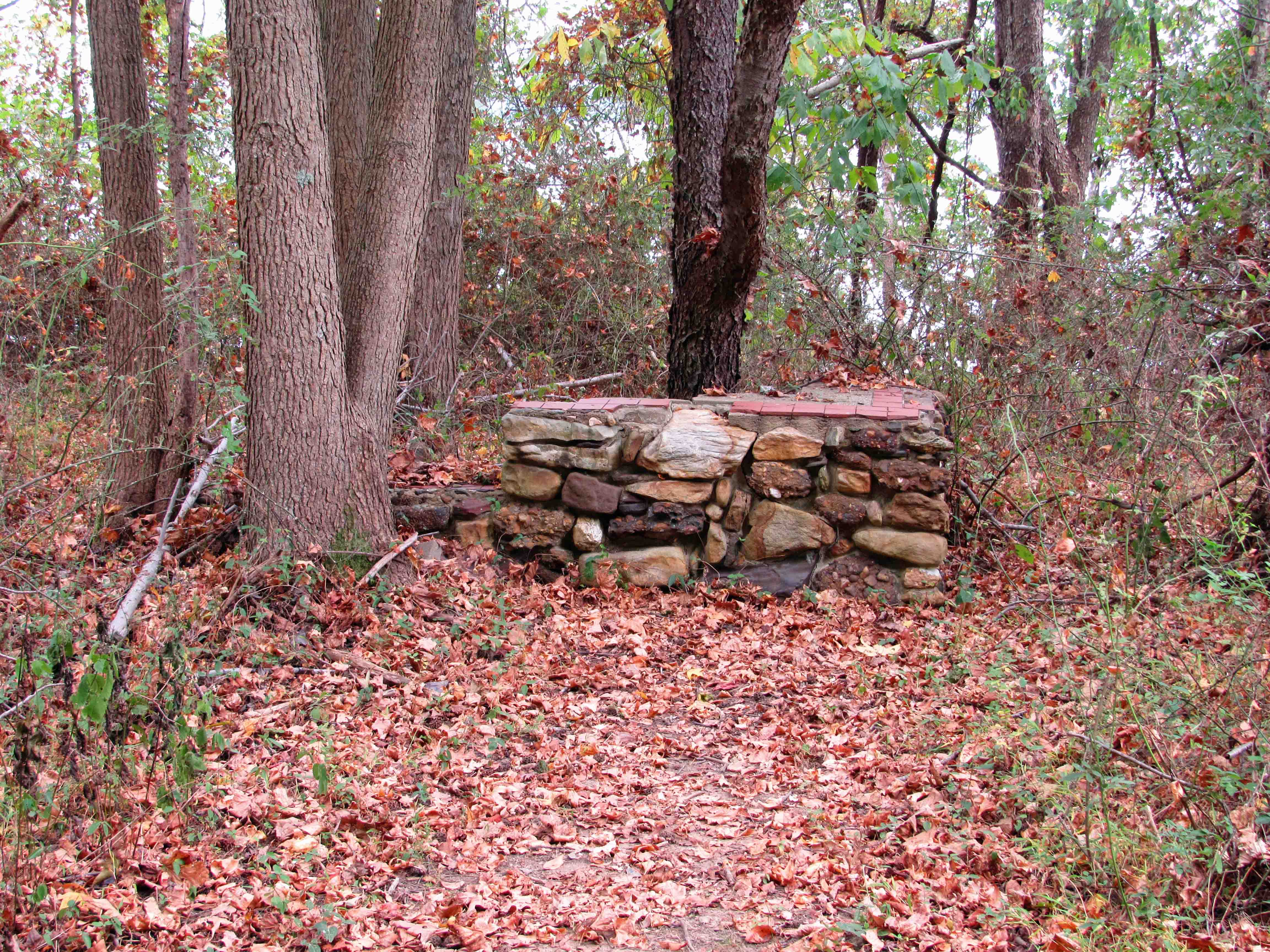
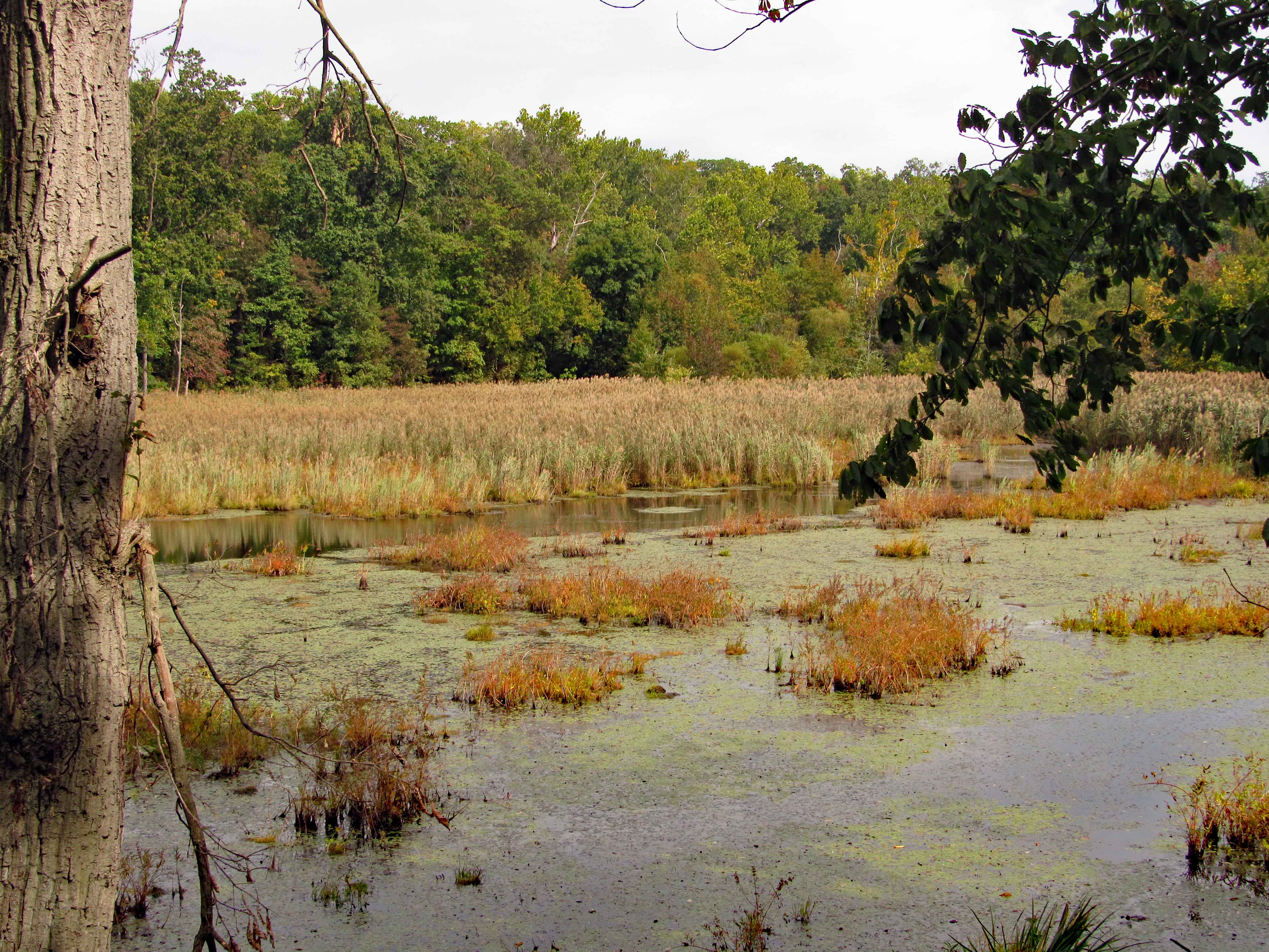
So back to the farm and after some chores, I decided to take a hike around the property. The farm next door, the guy has cut a lot of trees down and deepened his storm water trench. Merrill says the guy plans to plant pines back there.

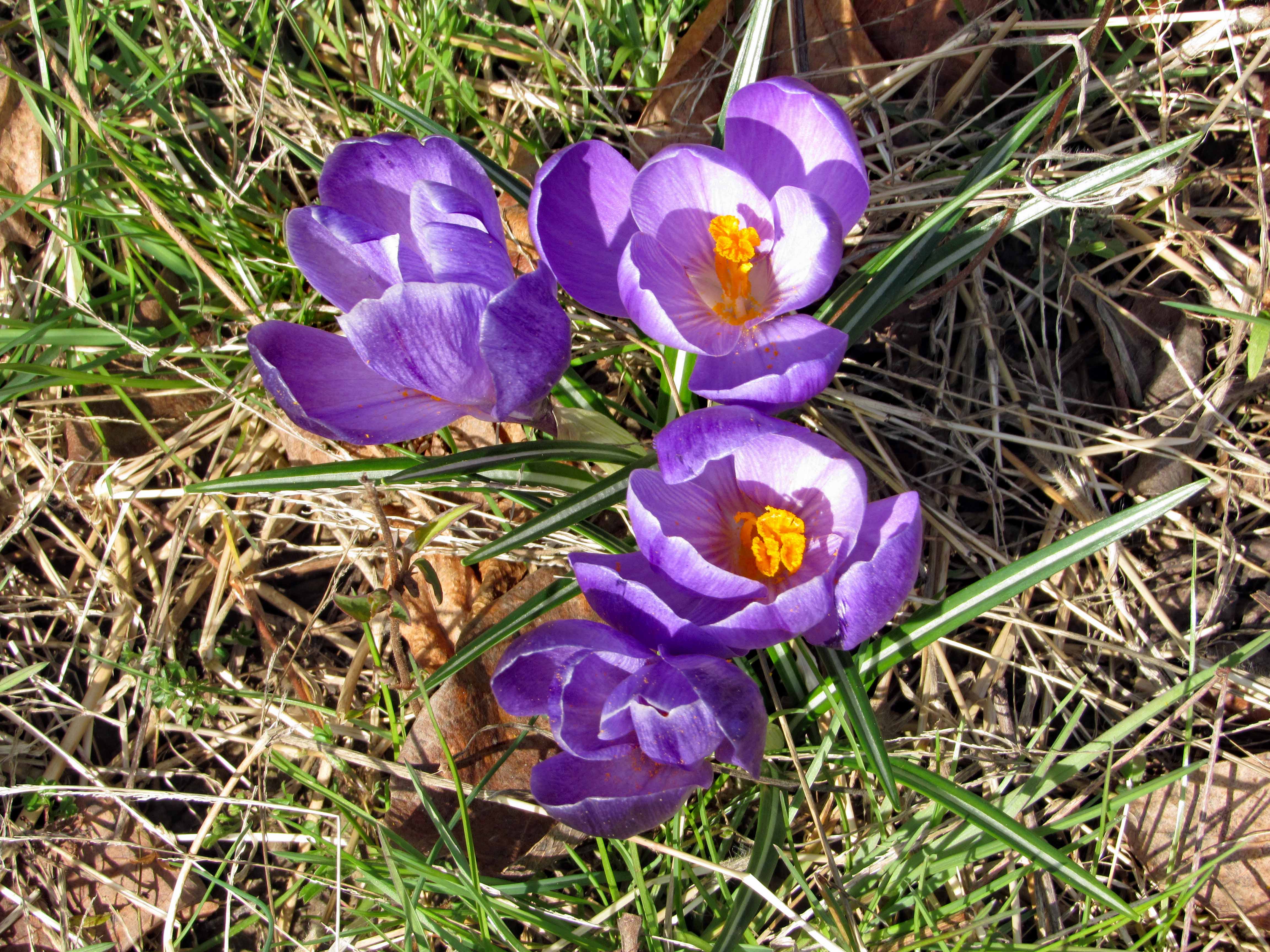
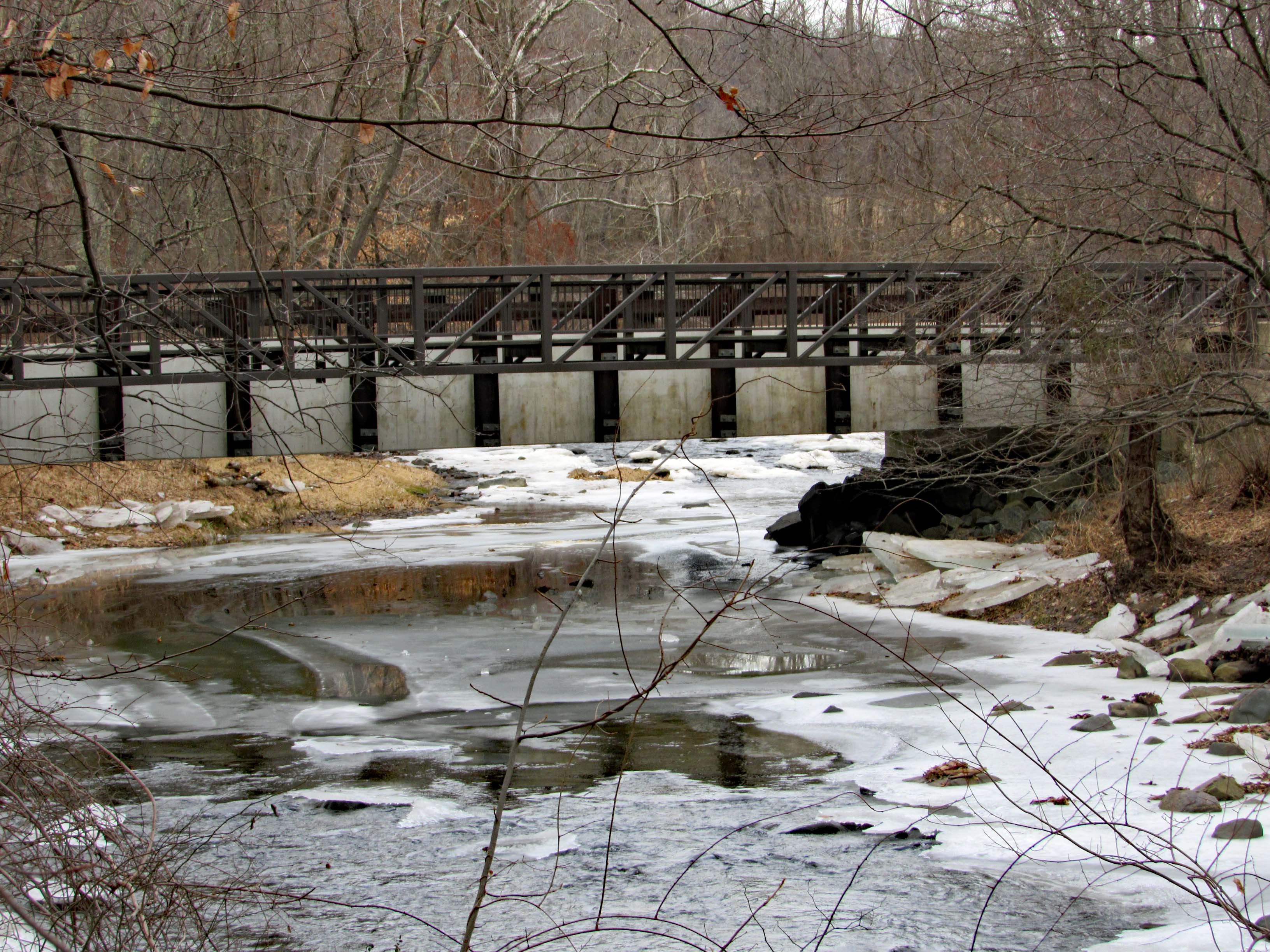
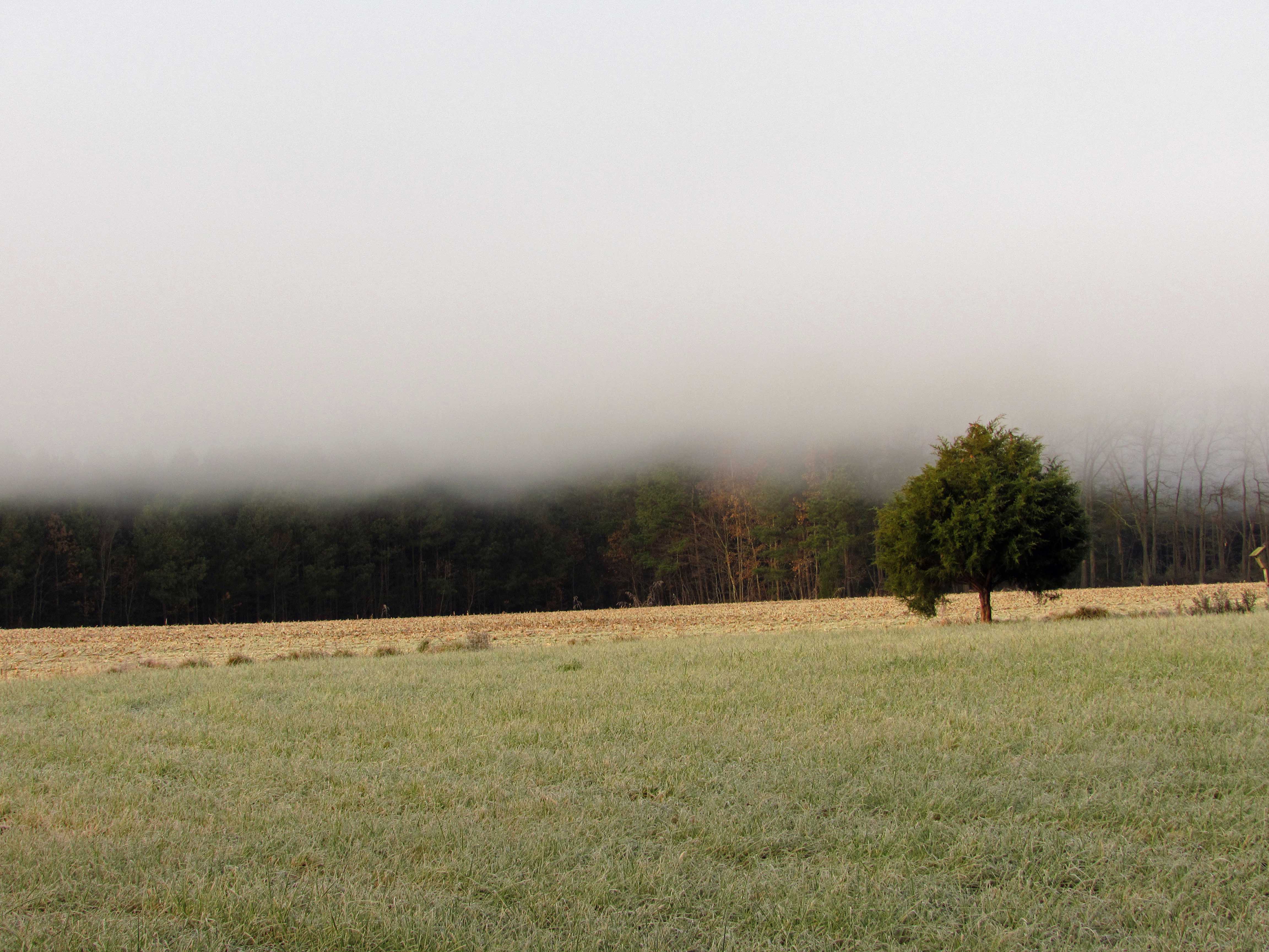
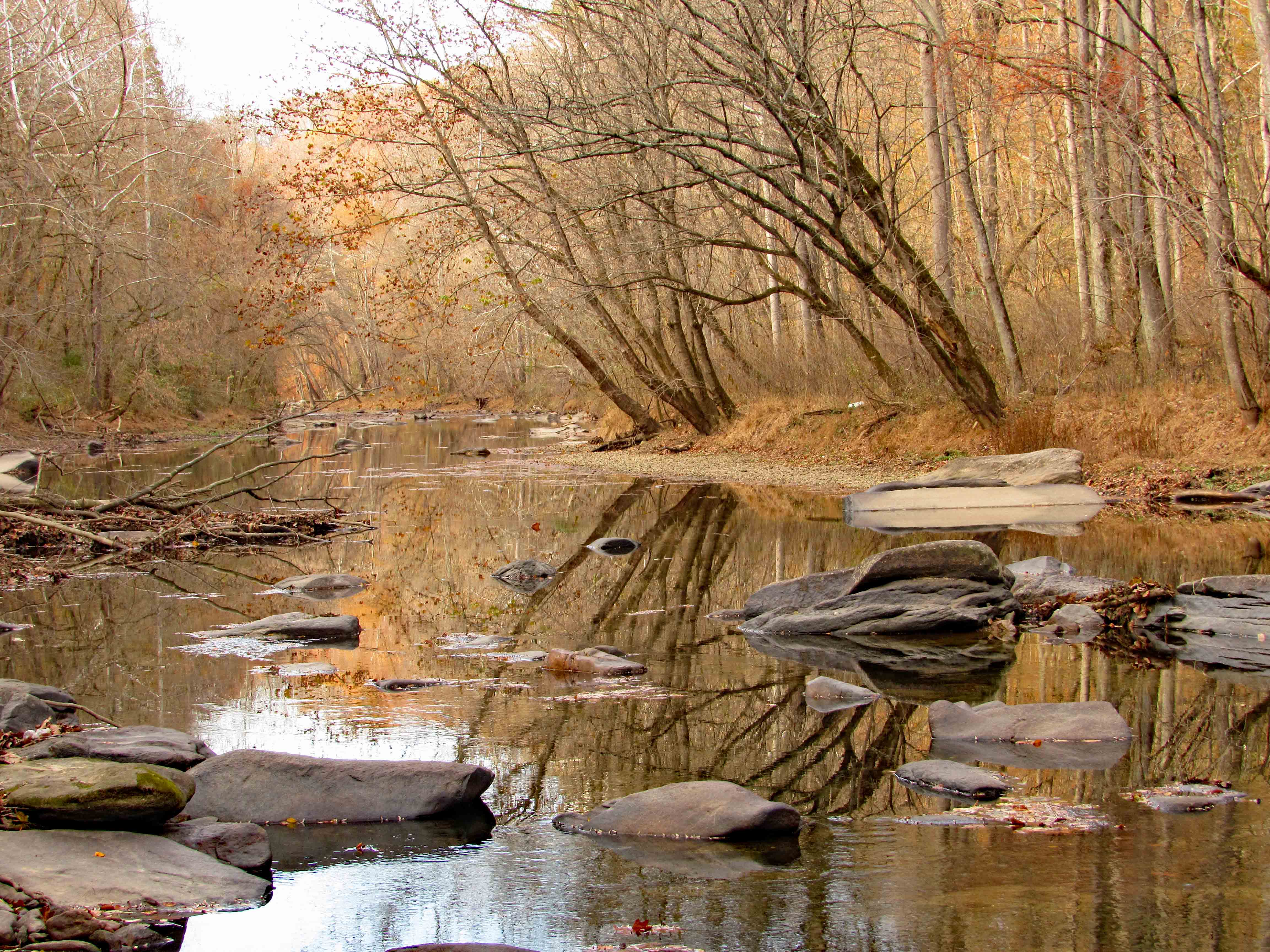
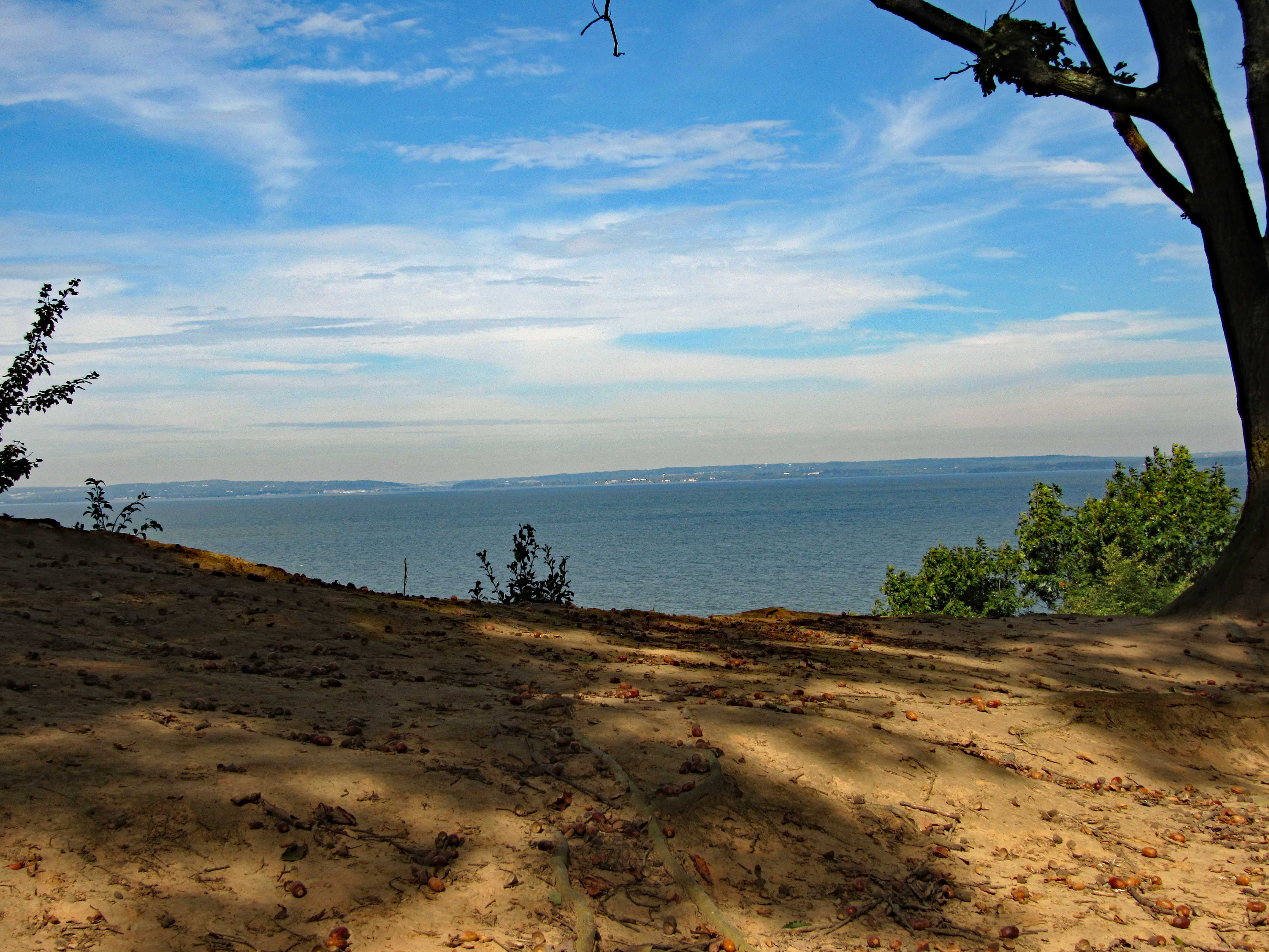
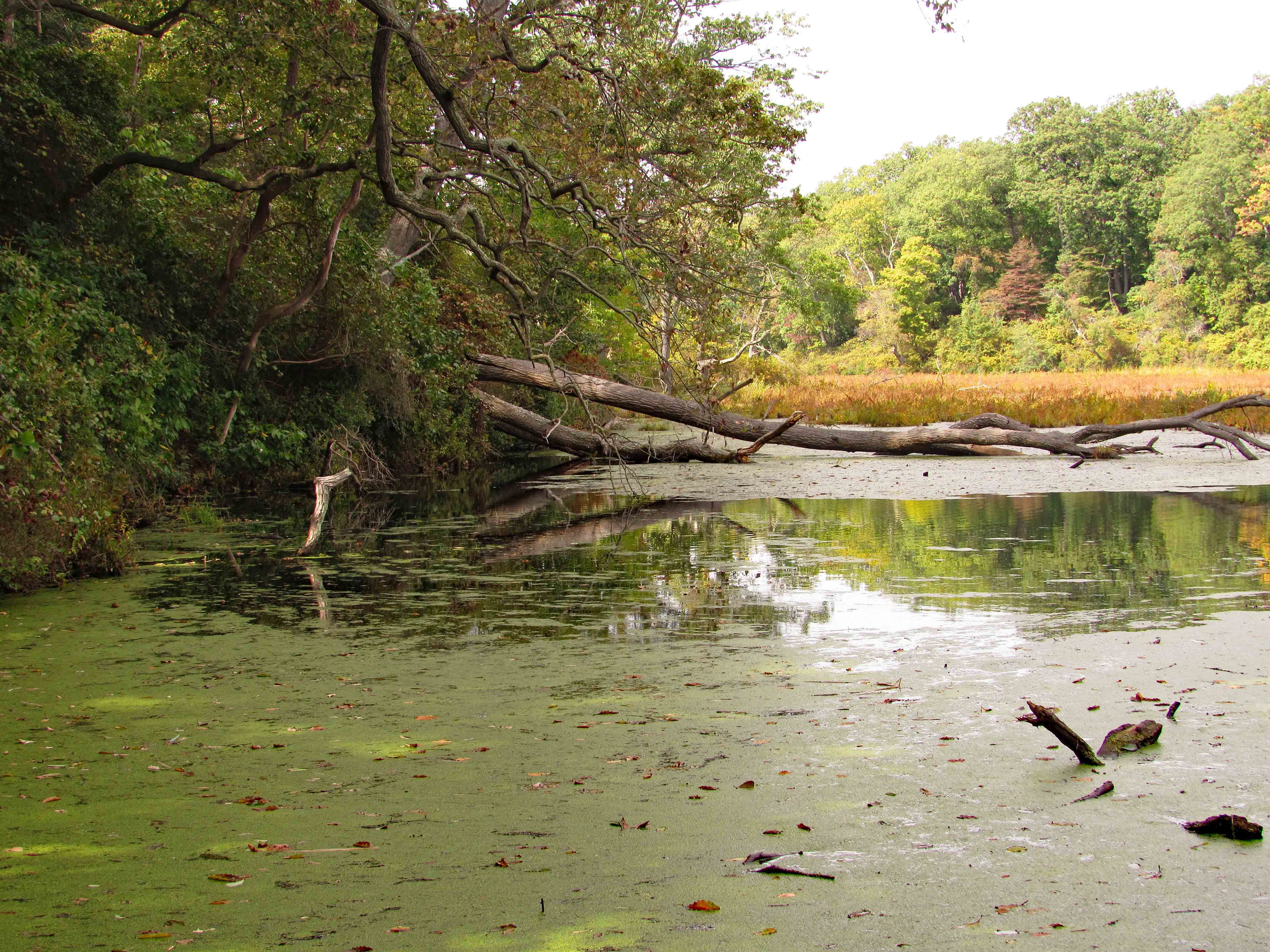
Nice green color. Lots of water throughout the woods. 
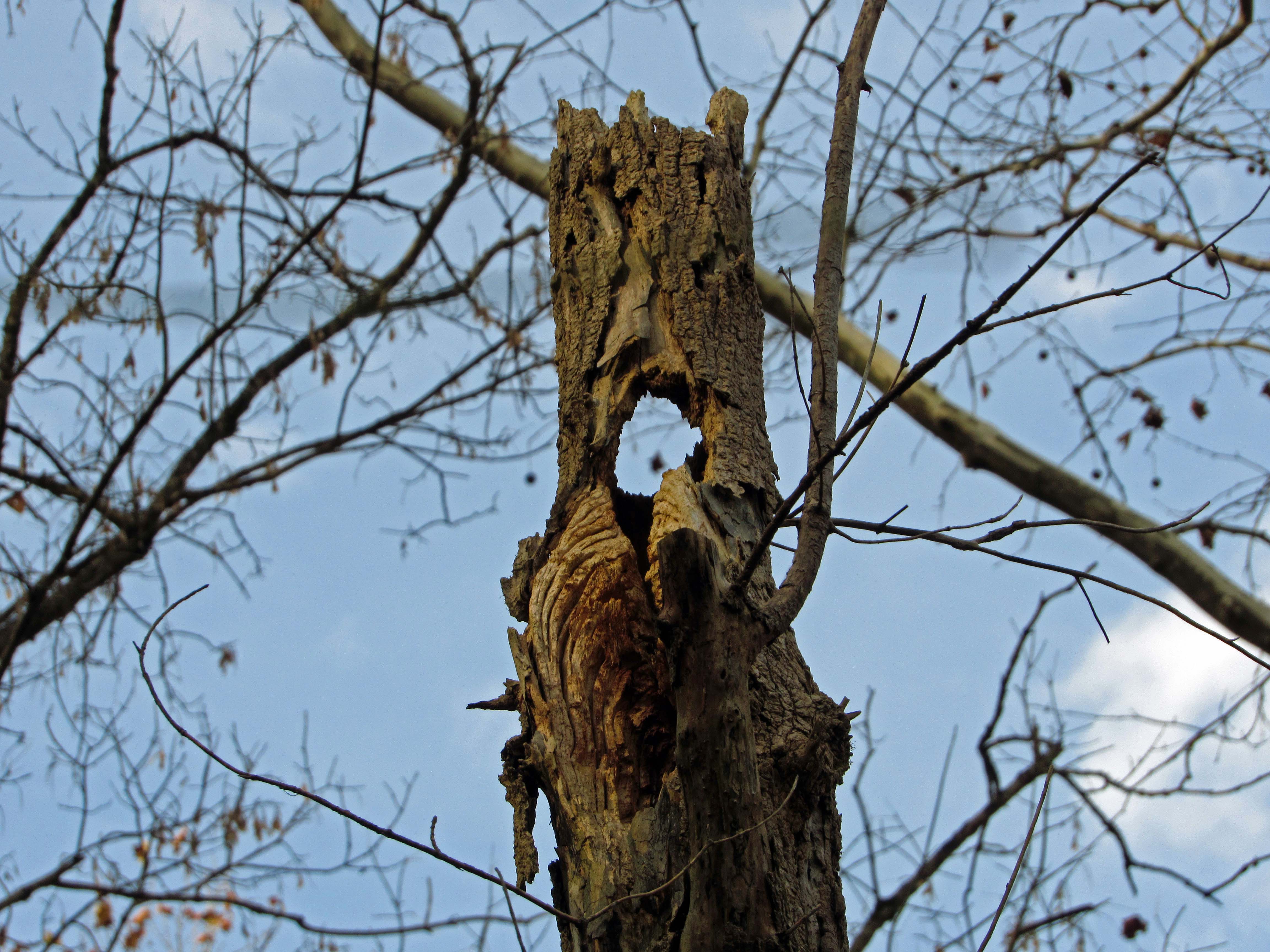
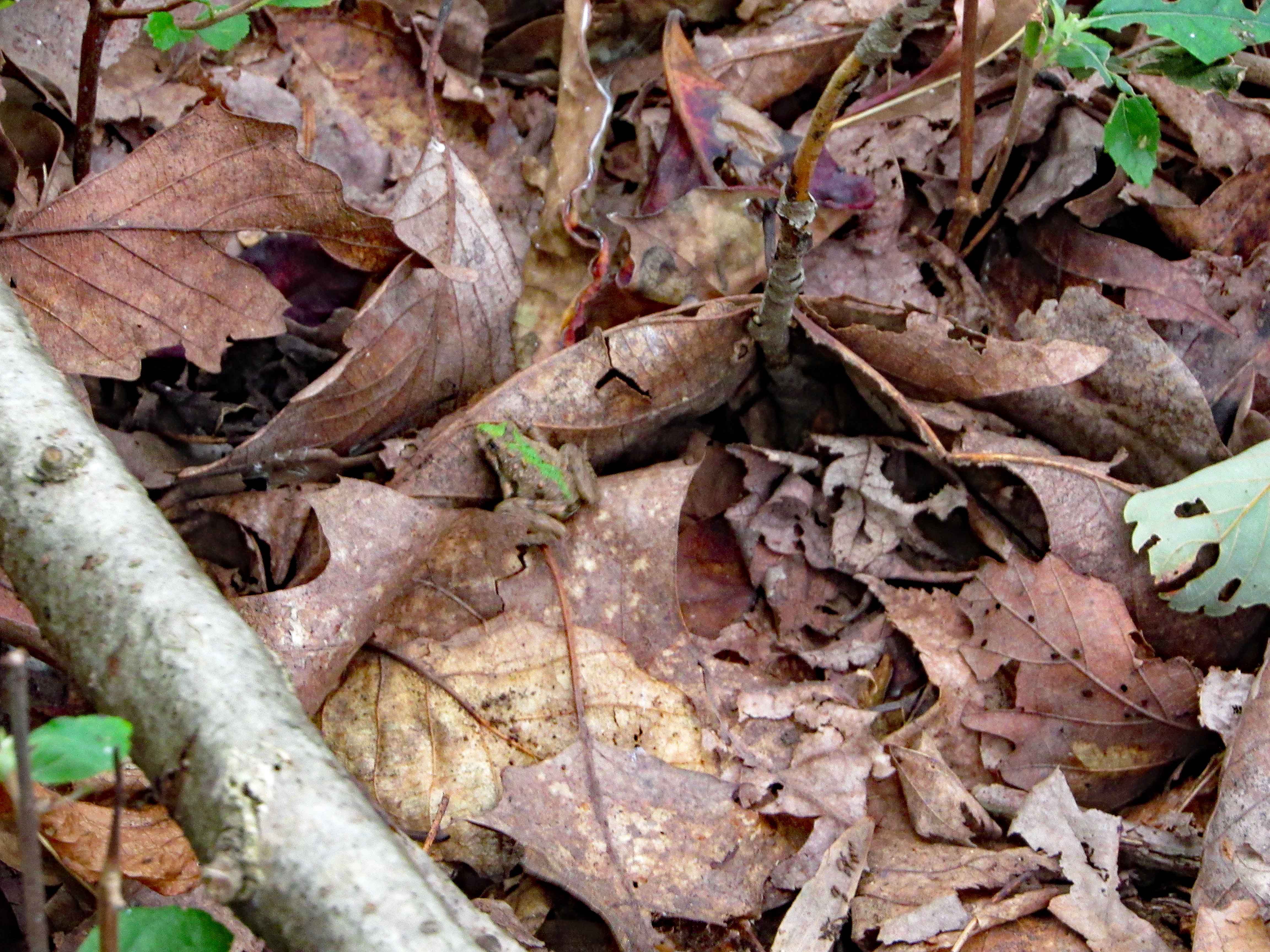
Woodpecker condo?

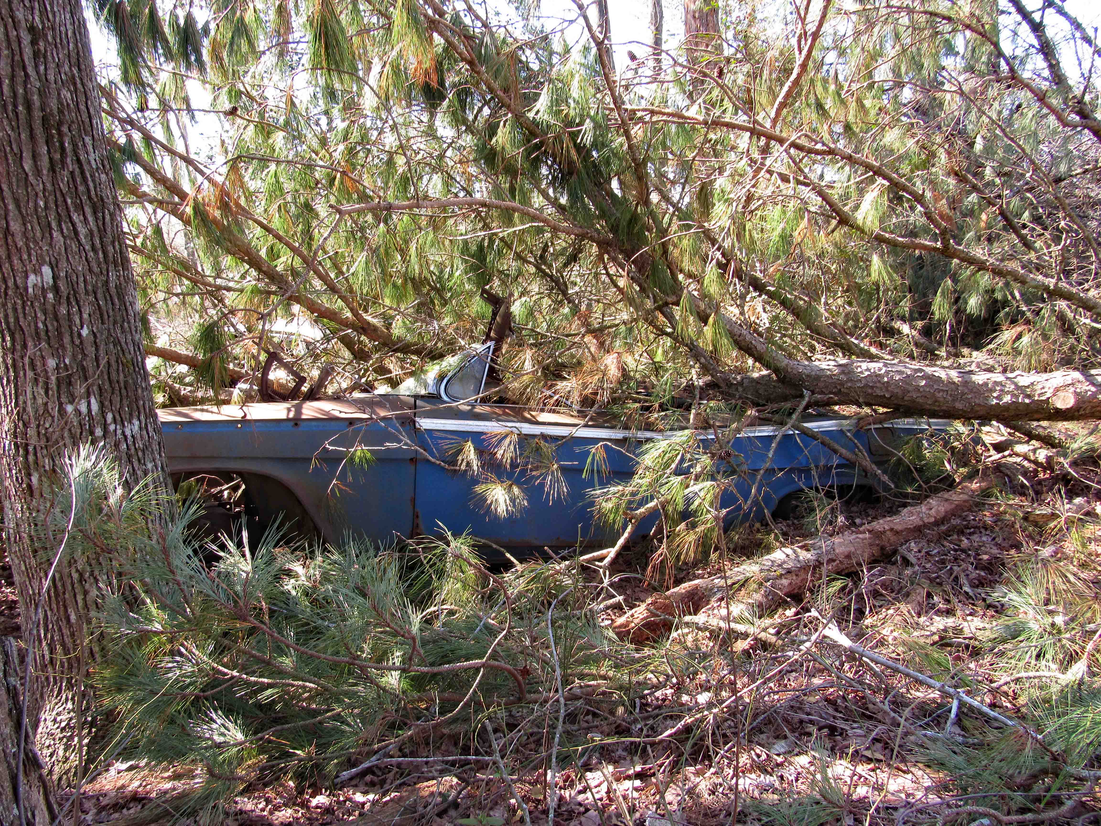
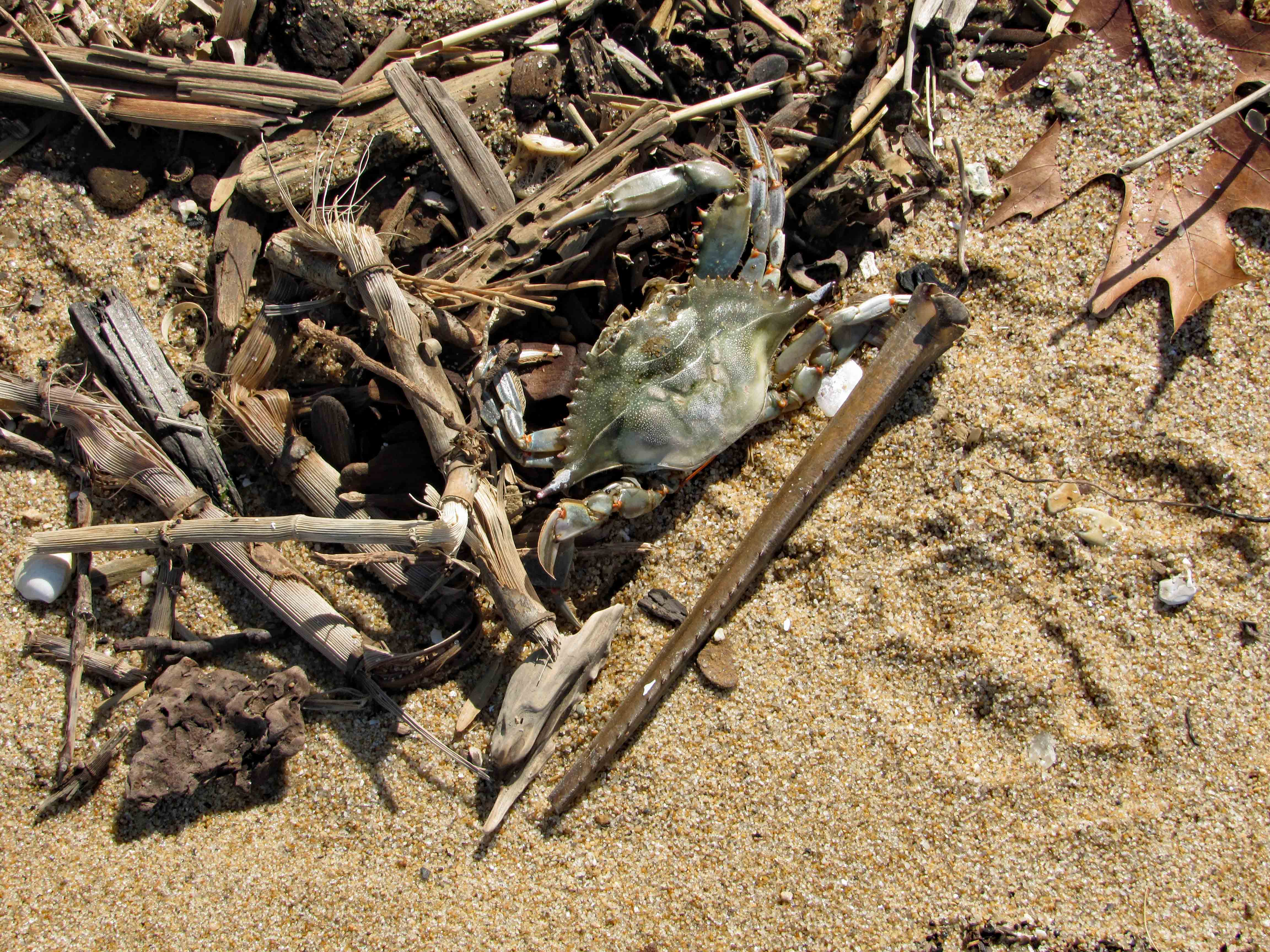
No car or truck research today.

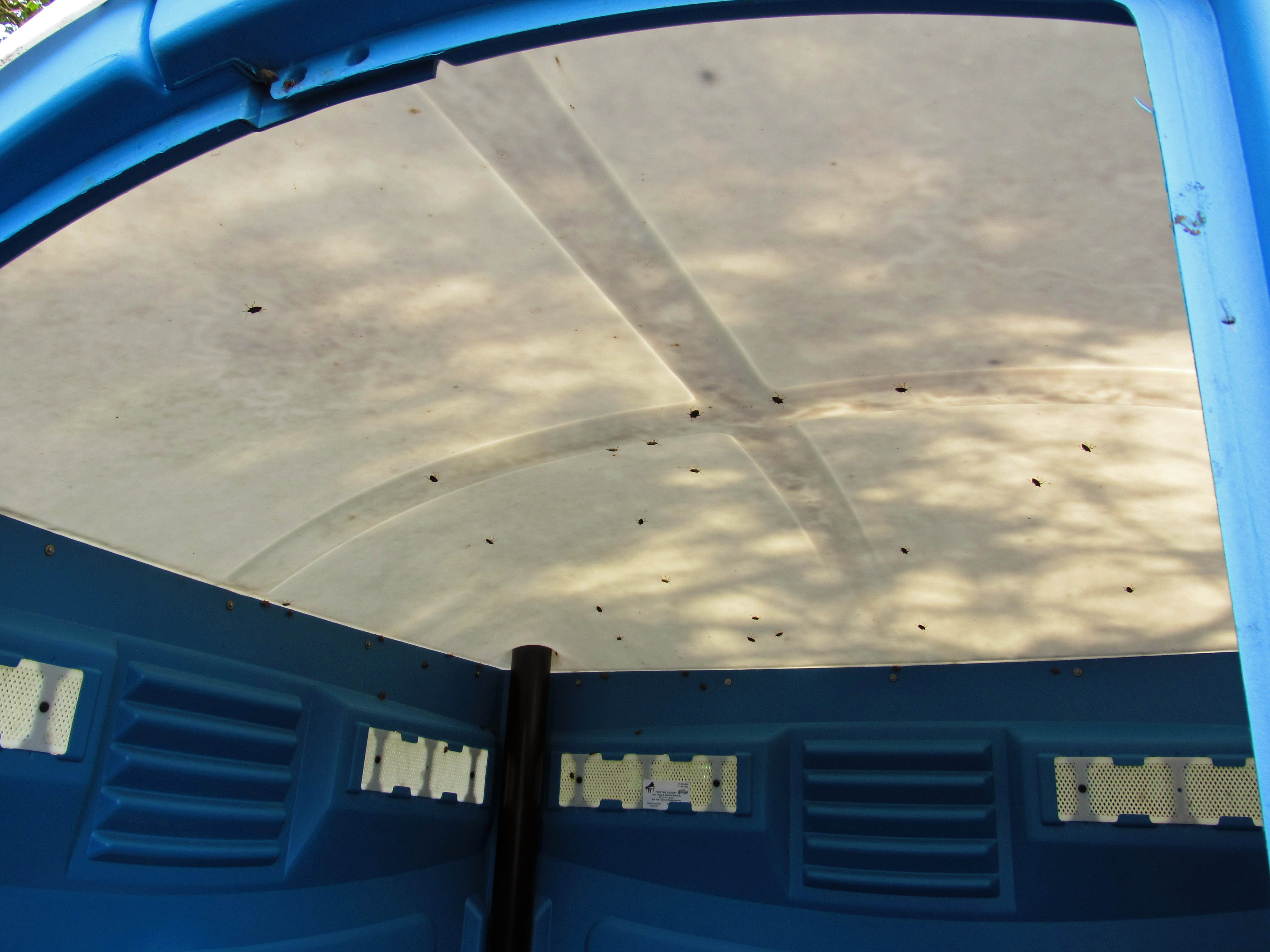
Looking through the trucks engine compartment to another car.

Car from another view.

This one does say Cosmopolitan.
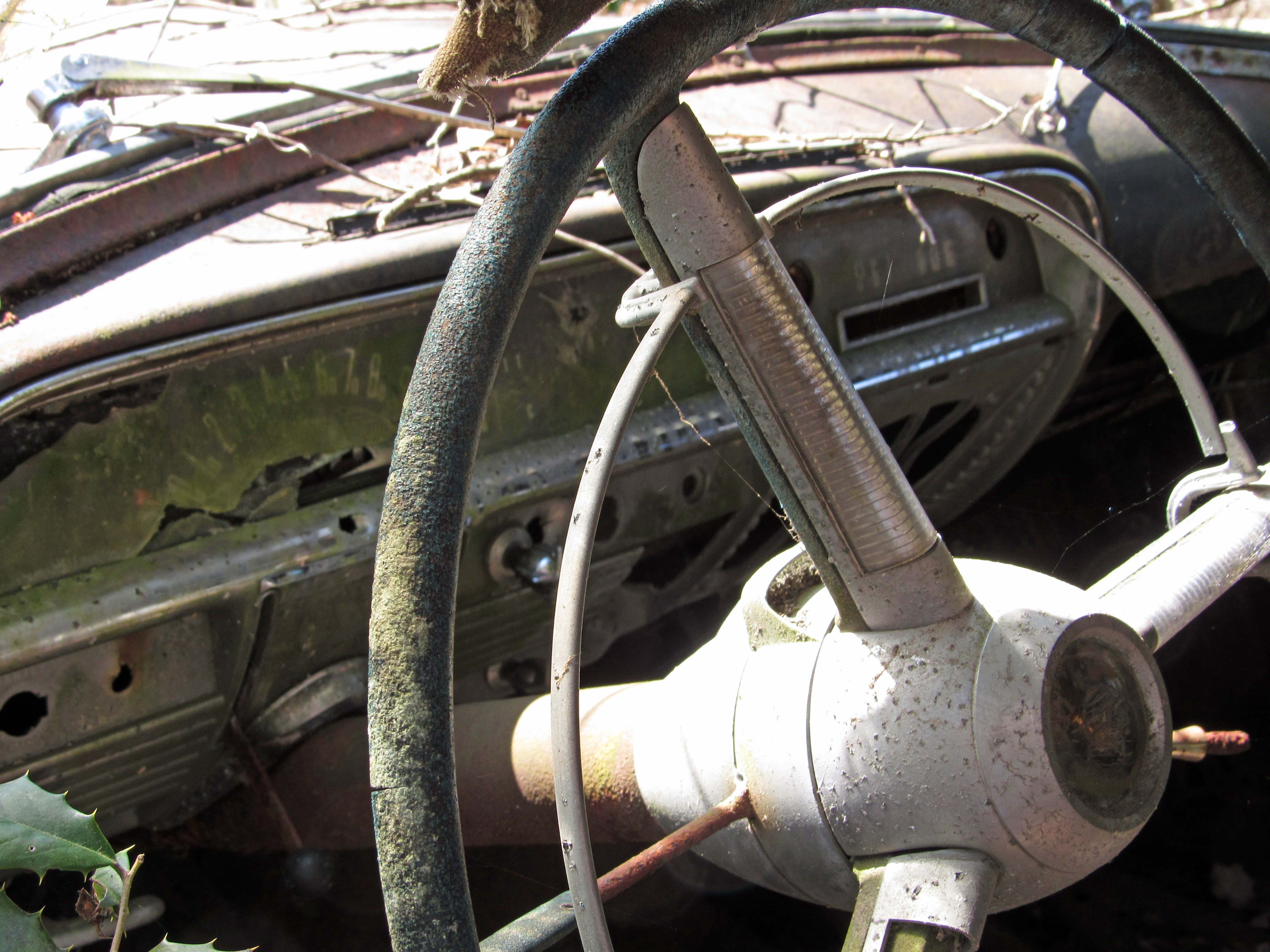
Nice dash.

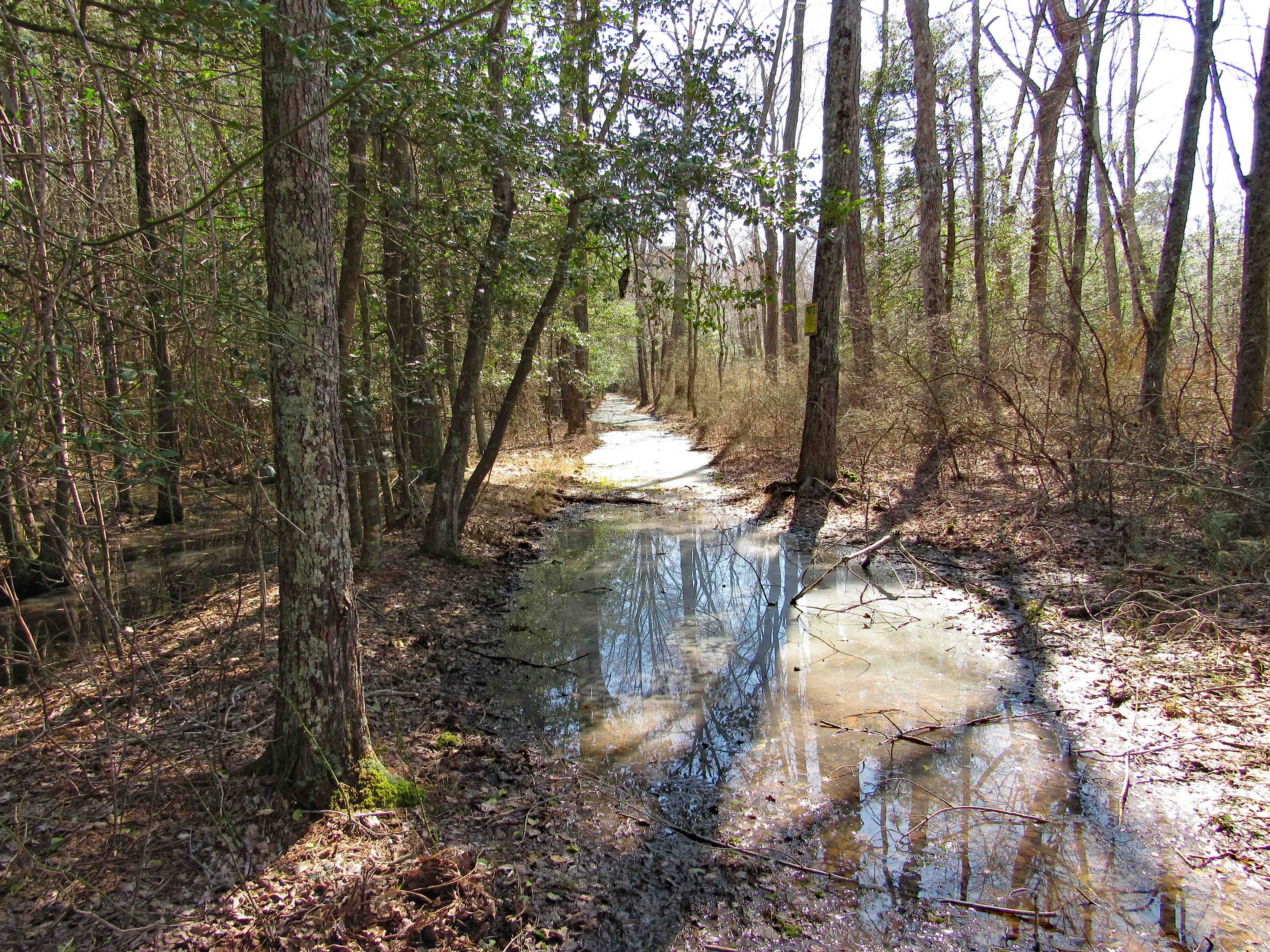
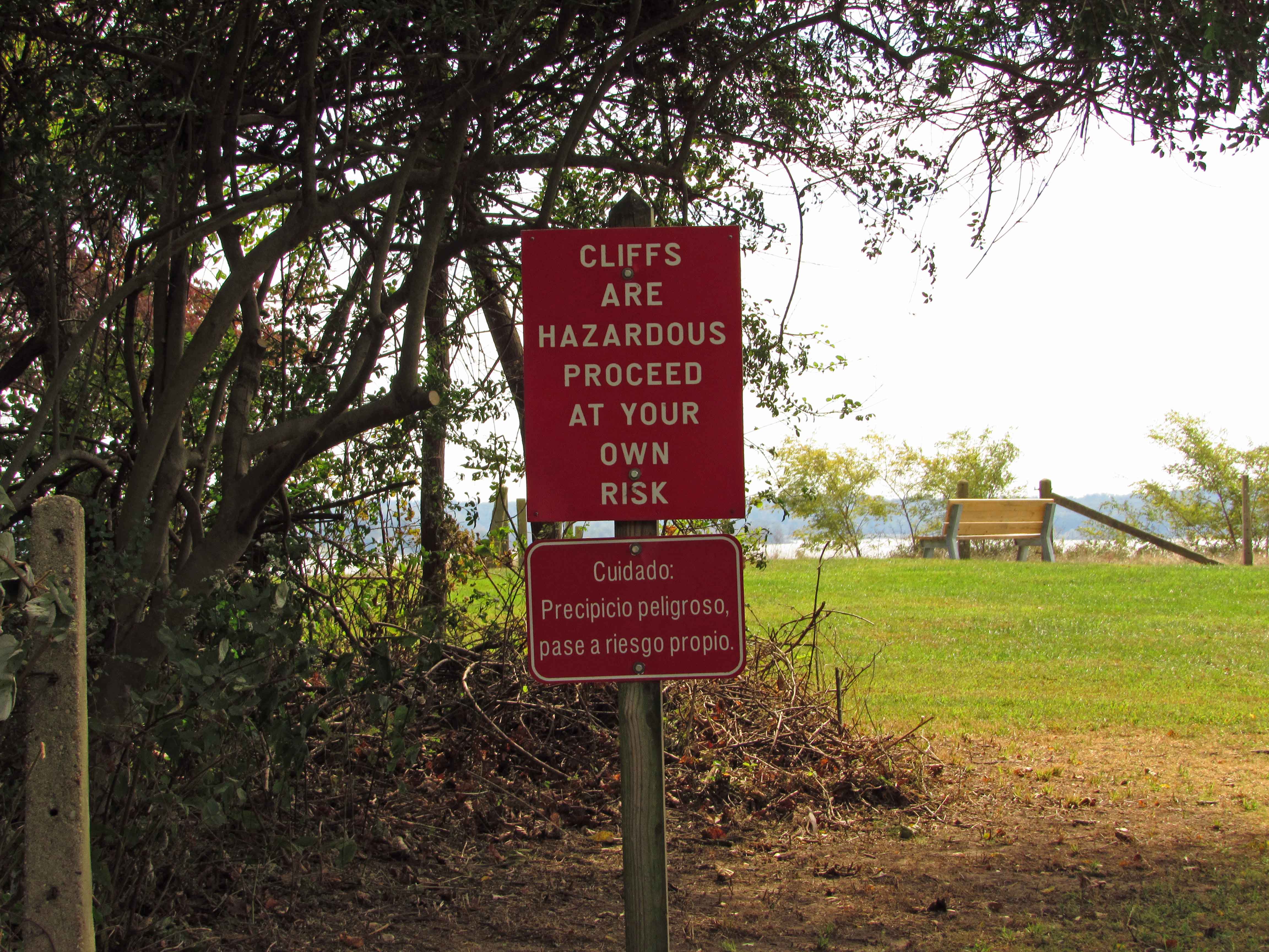
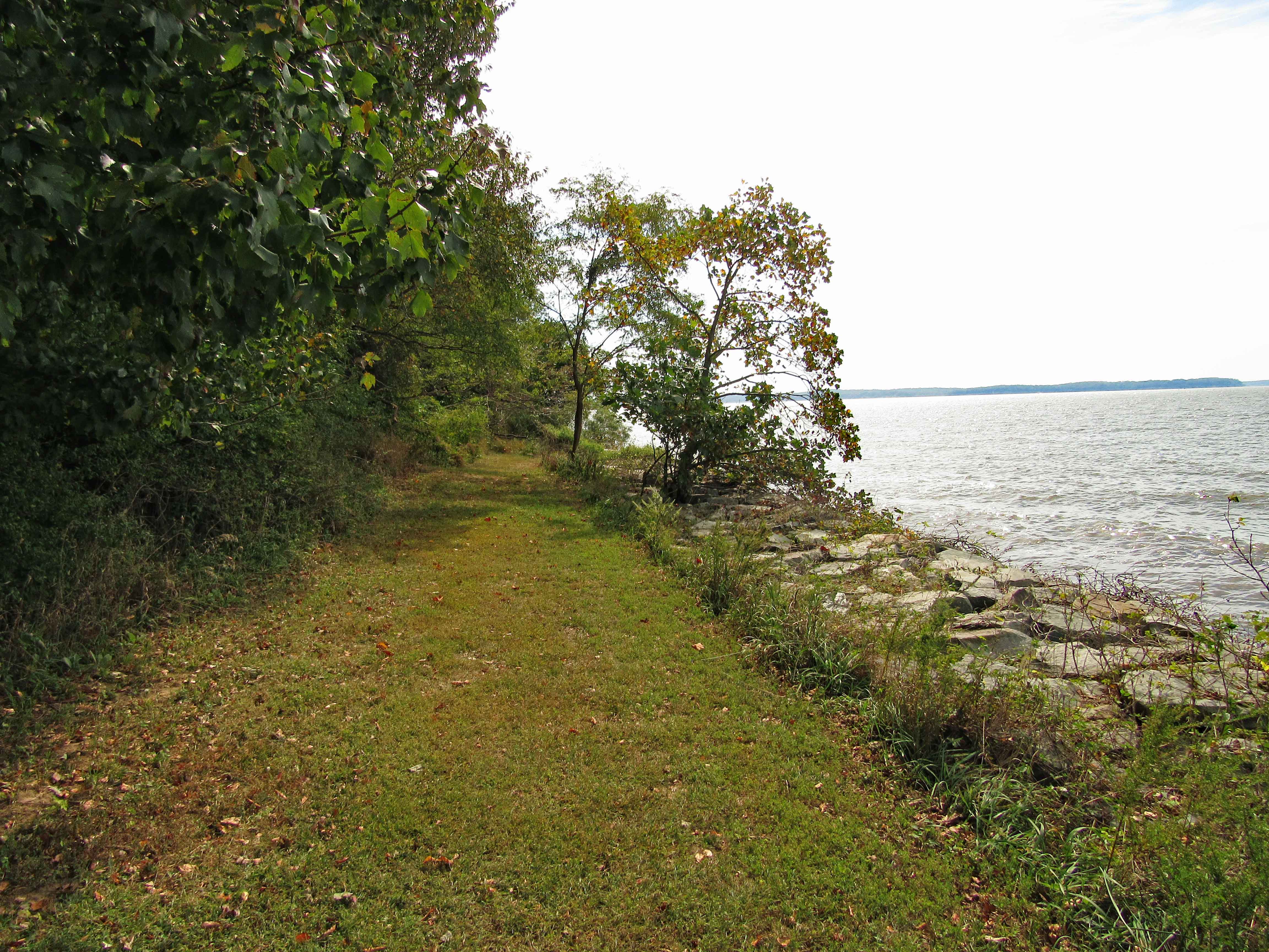
Left the car cemetery and thought I could take a path not taken before – too much water. I did have my water proof boots on but this was a little deep and muddy. Private property on the right and water on the left.

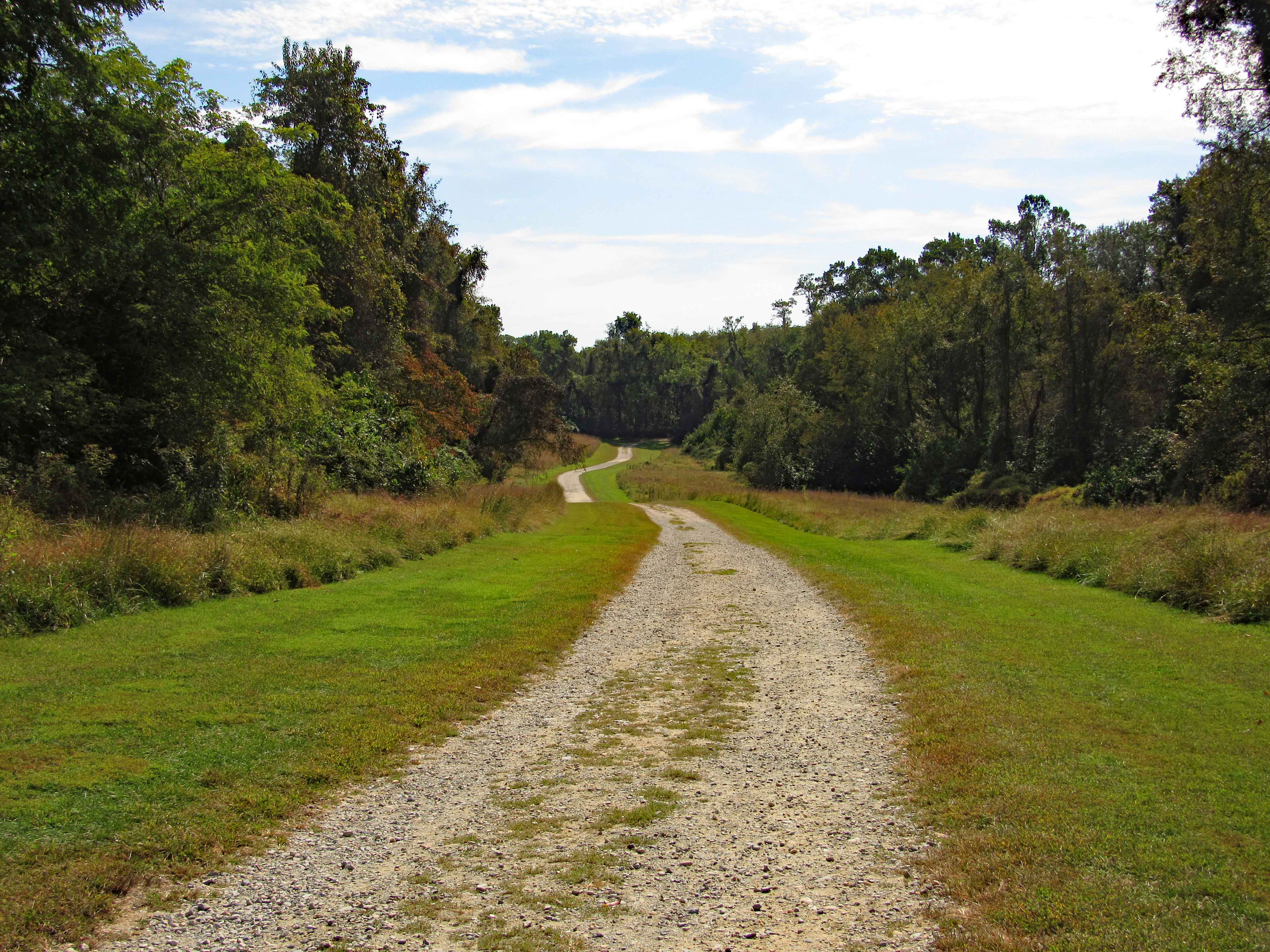
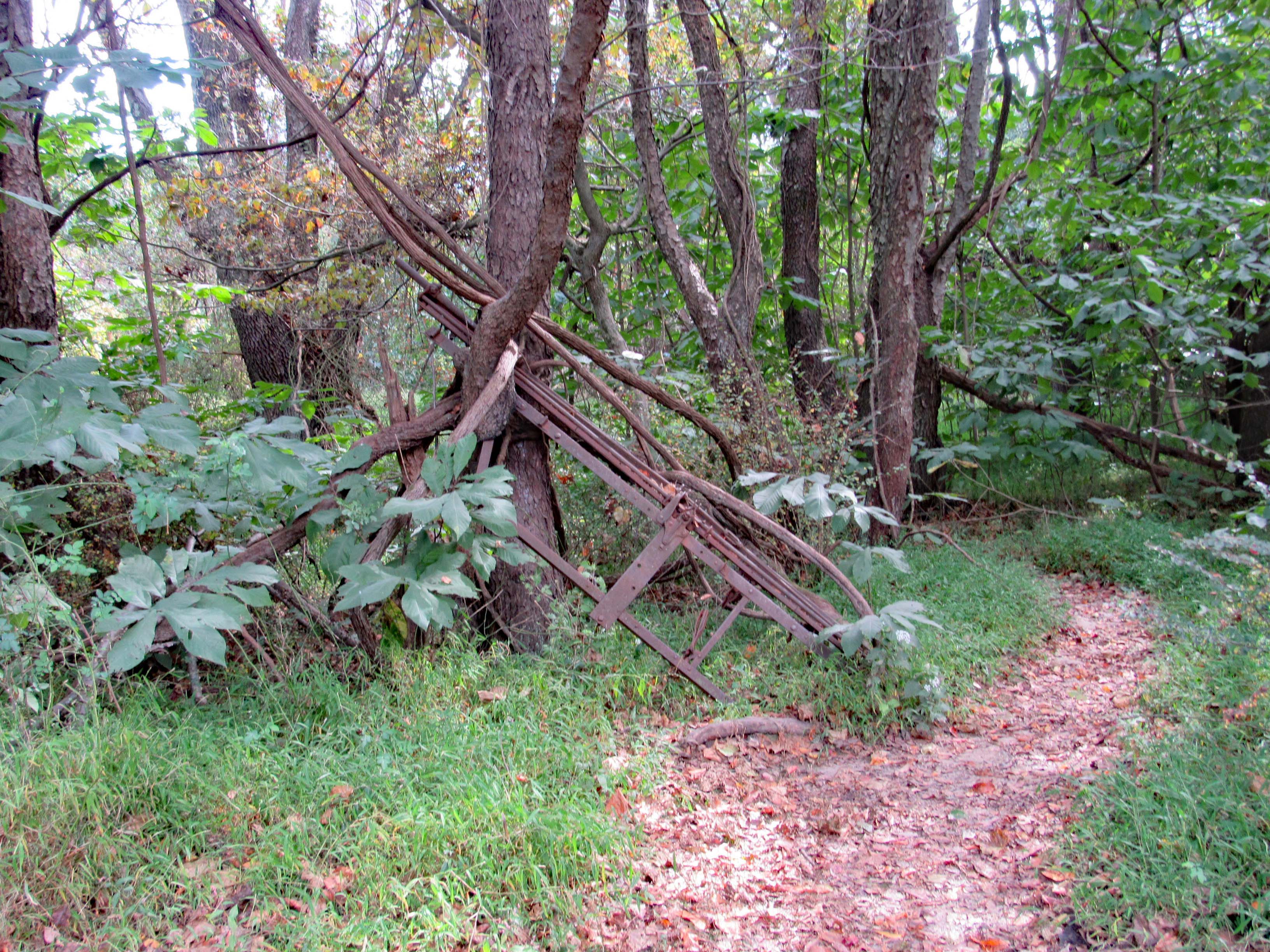
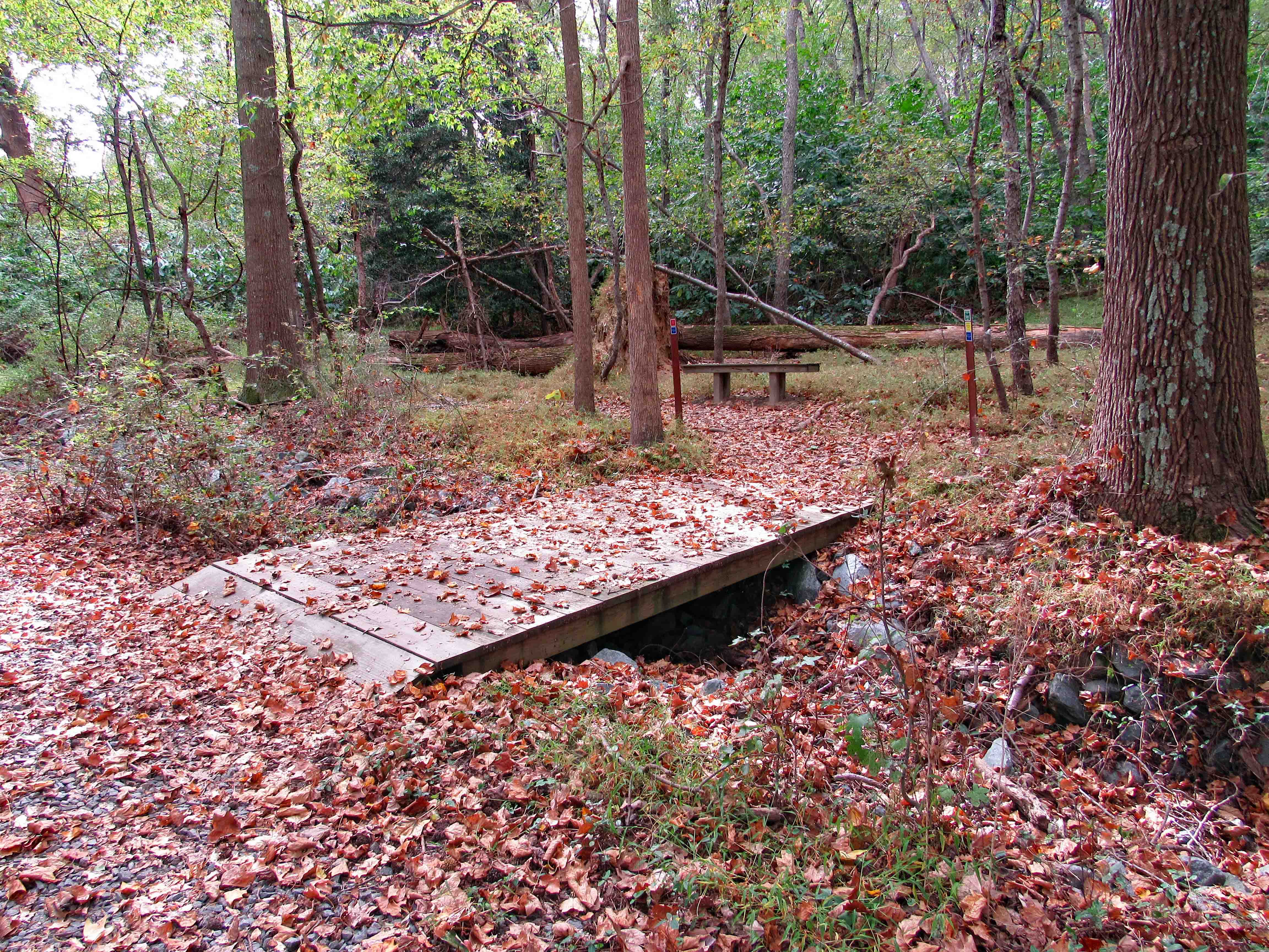
Headed back and took another trail. (Lots or trails back there. Merrill does a great job keeping them clear). A new sniper stand. 

Hit another pool of water so I cut across and found this path. 

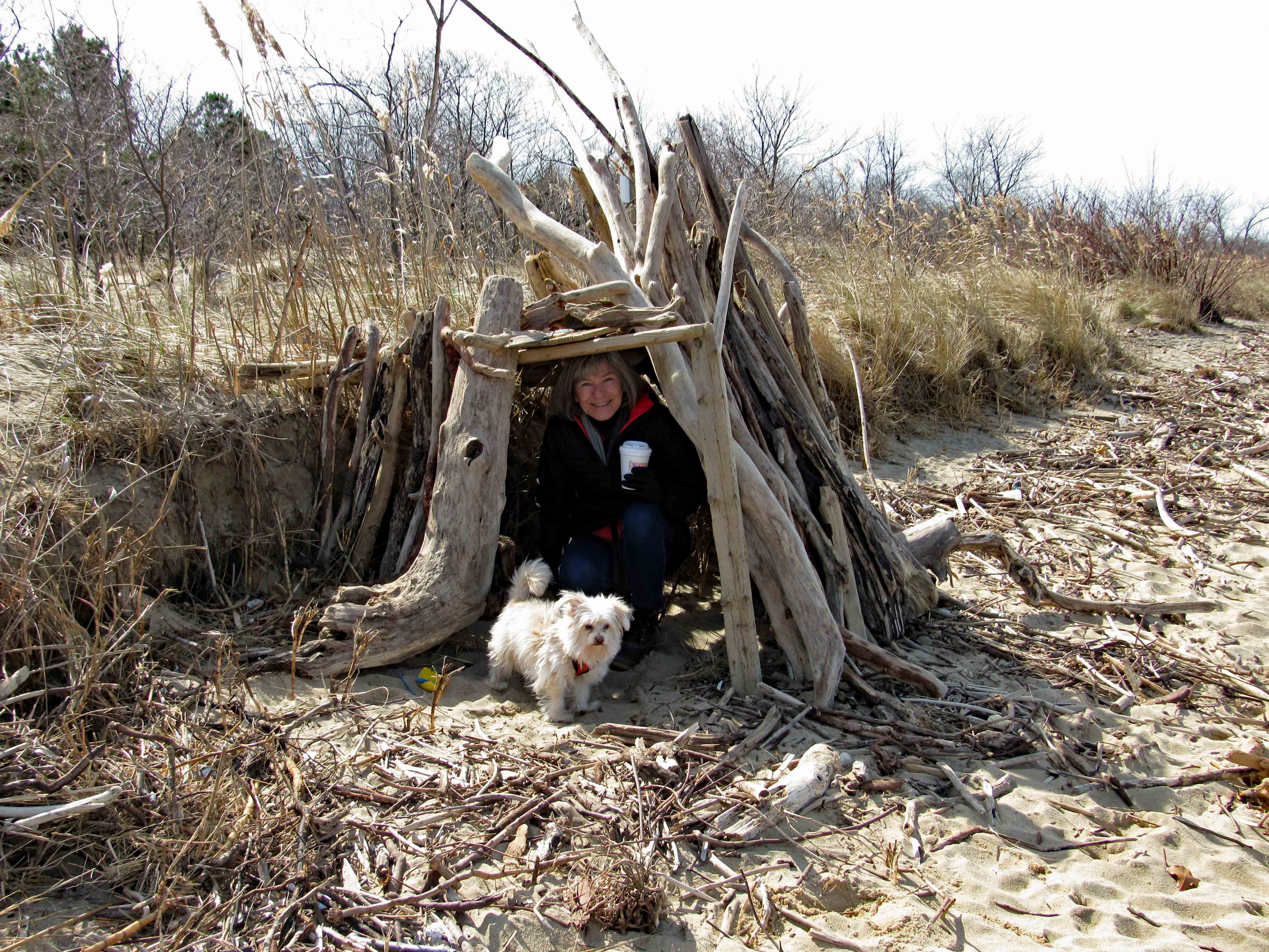
Am I laying on my back, looking up? Or is this tiny house laying on its back?

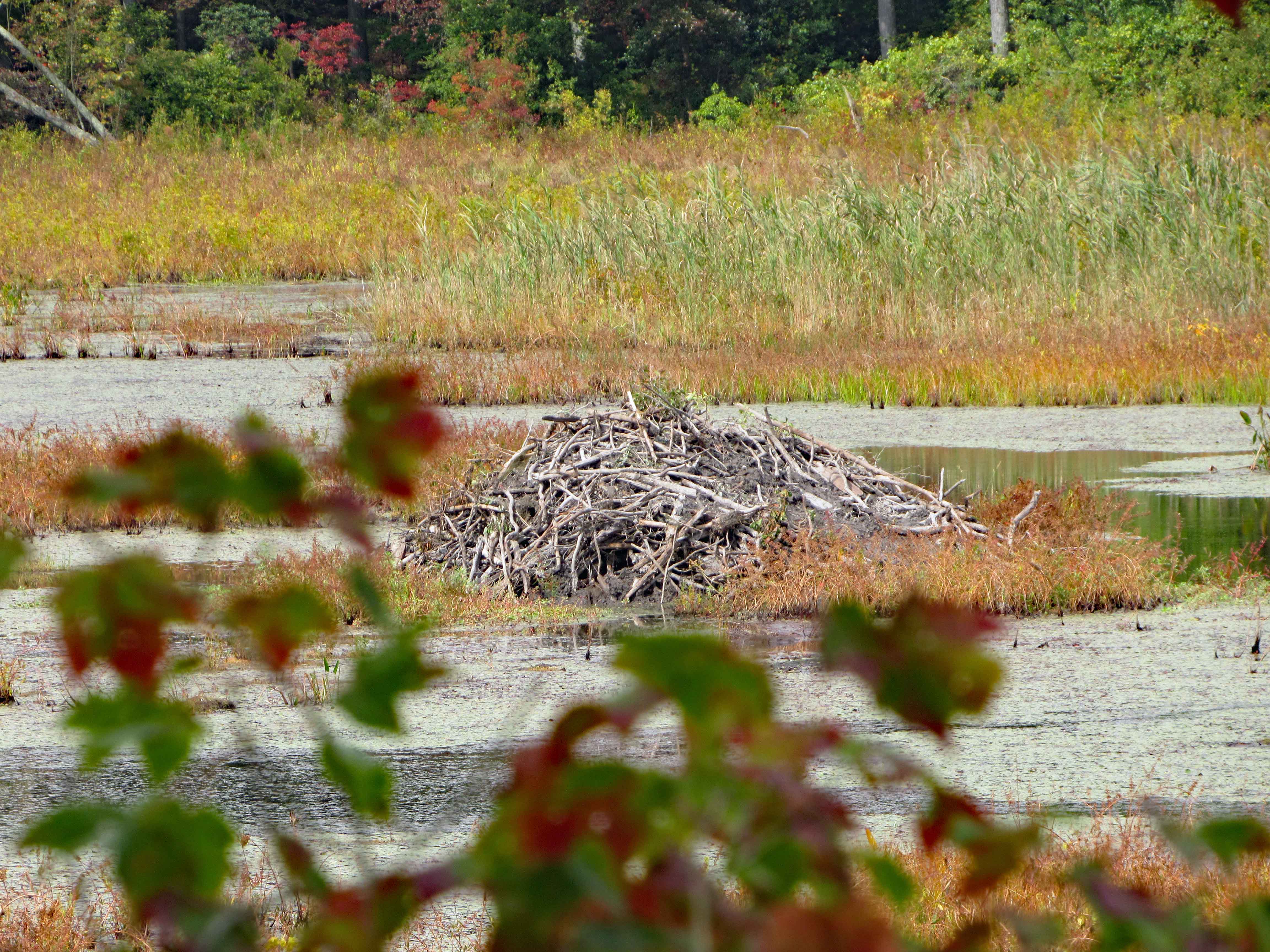
Passing the little house, I see an open field and a fairly large storm water ditch and these two guys. They didn’t see me for a couple minutes and I just stood there watching them. Always a peaceful feeling to see nature at her best.

After a couple minutes of watching, I turned the corner and these three were on the other side of the ditch. After posing for a couple pics, they took off.

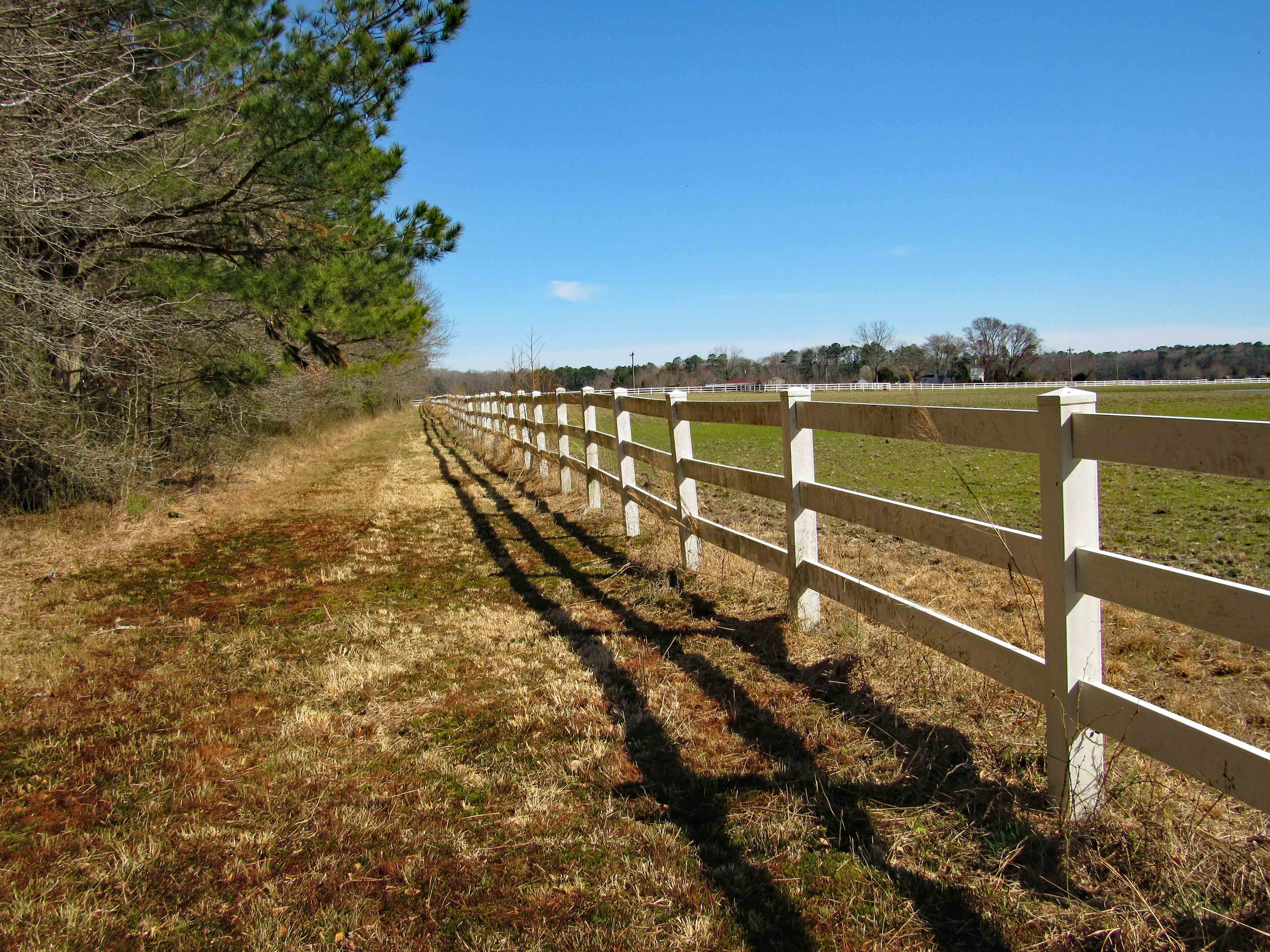
This fence heads to the road, but I wanted to head back to the farm through the woods. 

But unfortunately I hit more water. I was going to follow my path back the way I came but Kathy texted me and wanted to know if I was alright? It was about 2 hours of hiking and enjoying nature! 

I followed the above fence to the road, and came across an old farm. Being a guest at some ones home, I thought it best not to trespass to get a better look. 

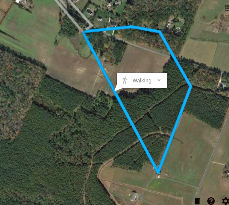
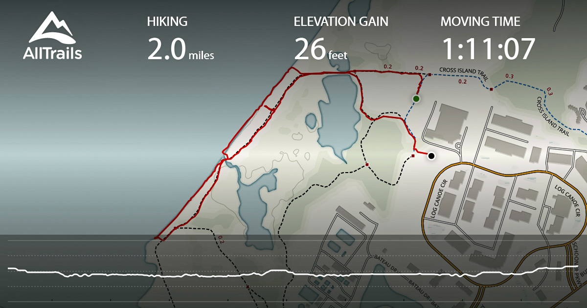
This is the path my Not-So-Smart phone said I took. (Just watched a show about a girl who followed her smart phones directions and ended up lost in the desert for a few days)

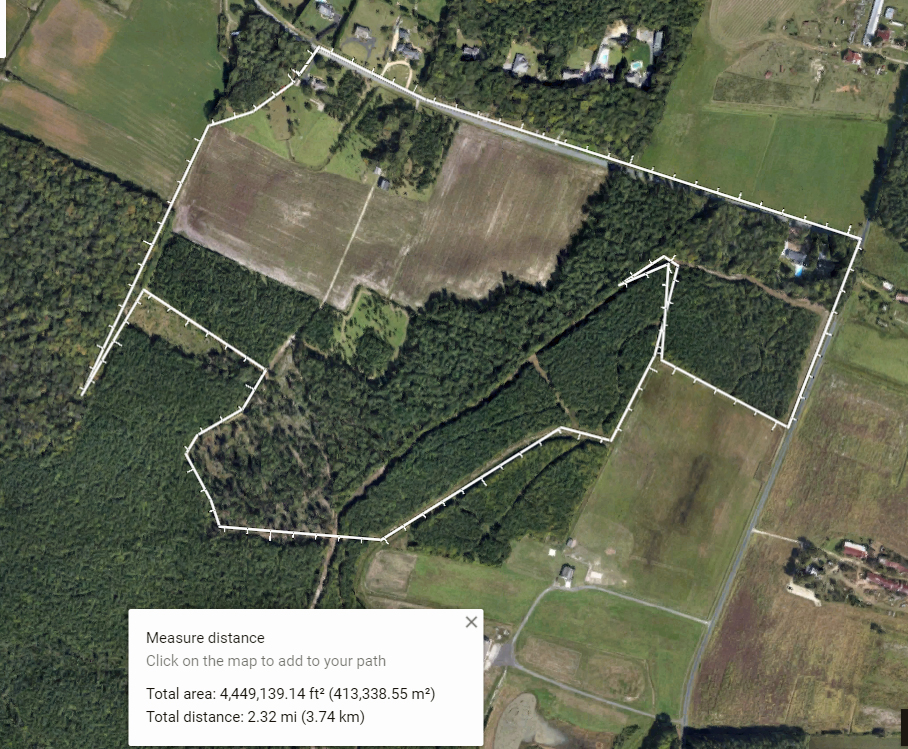
And this is my path, I shall follow this path, come what may. And here I will find peace.

Terrapin Park

14 Wednesday Mar 2018

Posted by Ronald Parks in Hiking, National Parks, nature

≈ Leave a comment

Tags

Beach, bridges, Chesapeake Bay, Hiking, photography, Terrapin

The last couple of times we visited this park, last summer, we were unable to hike the trails – too many people and too many cars in the parking lot. It was packed. I like that people and families go to the parks to enjoy themselves, I just don’t like it when large groups of people set up camp and stay all day – not allowing others to enjoy the park. It was so bad last summer, that the park service had to install Spot-o-Pots along the beach path. Here is our path:

It was a short hike. We just wanted to see and enjoy the Bay.

Along the Cross Island Trail, we stopped long enough to enjoy some of the beauty that is all around us.

Hitting the beach, our first view is of a ship going under the Bay Bridge. I don’t know how many times we travelled over that bridge and saw anywhere from 4 to 12 ships just parked on the other side. This is the first time we saw one actually heading to points north.

We always did want a home on the Eastern Shore!

The recent storms that we had, left a lot of debris up on the dunes. And some along the beach.

I have my doubts that this was washed up on shore, along with a cantaloupe a few yards away. 

Constantly shifting, in and out of the pond.

Along with all the debris and driftwood, were some casualties from the storms – like this poor little fellow.

And this guy.

And another.

The breakwater walls seem to have broken.

Gnarly.

Waiting for its tenants. 

A few areas have eroded away along the beach. Nature just does her thing…

Corvair 95

12 Monday Mar 2018

Posted by Ronald Parks in Hiking, HISTORY

≈ 5 Comments

Tags

car, Corvair, Hiking, van

By no means am I any sort of Car Buff, but while walking through the woods on Saturday, Kathy and I came across this and it piqued my curiosity. 

It kind of looked like some sort of converted van. 

Getting closer I could see that it was a Corvair 95. Never heard of it.

A quick internet search and this is what it is. This version, sitting in the woods, is the 1962-1963 Rampside. It has both a side ramp and a regular truck tailgate.

The tailgate end of this vehicle sits higher than the front end. The engine is in the rear. 

The rampside is visible from this view, on the opposite side.

And here is what a running one looks like. These vehicles cost $2,212 new, but they weren’t well received. Only 2,046 were sold. A place in Minnesota is selling one for $5,500.

History Hike Part 2

23 Tuesday Jan 2018

Posted by Ronald Parks in Baltimore, Dams, water history

≈ 4 Comments

Tags

Baltimore, Dams, engineering, Gunpowder Falls, Hiking, HISTORY, mills, nature, POLITICS, Public Works, Research, water history

Now the good stuff! In yesterday’s post I shared about our hike along the Little Gunpowder Falls, from Jerusalem Mill to the old iron bridge at Franklinville. On the way we stopped and explored an abandoned mill race and structure that appeared to be for valving or damming up the water flow. Back at my office on Monday I found a report from 1933 concerning the mill and property.

Here is a photograph of the mill that use to be there:

The 1933 report gives this description of the mill – Wm. Barton Mill in Franklinville, Little Gunpowder Falls. Several mill buildings used for the manufacturing of cotton duck. Mill race and dam have been broken thru since about 1926. Mill was built in 1883. All manufacturing equipment has been removed except for turbine. Barton purchased property from Mt. Vernon-Woodberry Mills on August 5, 1930. Information is sketchy on ownership. 1899 sold to Mt. Vernon-Woodberry Mills, yet they sold it twice. Once to Oak Tire and Rubber in 1925 and to Barton, but notes ownership to Marvin Merryman in 1929. No info on size of mill pond since dam was broken through. Supplementary water reservoir of 20,000 gallons in center of square in tenement section to furnish water for automatic sprinkler system in mills. Dam, made of timber, was about 800’ from mill. There was a water wheel at one time, with 140hp capacity.
Buildings at mill included: the main mill, waste house, store house, boiler house, and wheel house. There were also 3, two family two story houses on property. And more, according to tax records at Baltimore county. Records mention a mill adjacent to this one, to the north, known as Jericho mill. no traces of mill could be found.
Along with the report is this plat which shows the layout of the buildings:


And this plat:


As stated before, we climbed down into the mill race where we saw holes in the structure. I told Kathy I believed them to be supports to hold valves or gates.

In the report was this photo. The center part of this structure on the left is missing, along with the dam itself on the right.

Below is a photograph of the area today, where the mill use to be. A sign on the fence says it is managed by Carnegie Express Construction Managers, Builders and Developers:

What does this have to do with Baltimore’s Water Supply History?

Typhoid cases, which had decreased by the mid-1920s, would re-emerge by the early 1930s along with a long period of drought. In 1932, the City Government hires consultants to review the status of its water supply. These consultants would form a board of engineers known as The Advisory Engineers on Water Supply. The engineers were Messrs. John H. Gregory, Gustav J. Requardt and Abel Wolman9. On December 19, 1934, the Advisory Engineers released their report:
1) Immediate construction of a new Gunpowder Falls Montebello Tunnel.
2) Immediately following the completion of the new Gunpowder Falls – Montebello Tunnel, the existing Loch Raven – Montebello Tunnel should be strengthened.
3) Conduct surveys, land purchases, sub-surface explorations and preparation of plans and specifications for the development of an additional water supply should be undertaken at once. (Areas of development looked at by the Board were the Patapsco River; the Little Gunpowder Falls, Winters Run and Deer Creek, and the Susquehanna River).

They were going to dam up the Little Gunpowder Falls and all the mills and property along the Falls would need to be bought (or taken). It was decided to go with Item #1 above.


History Hike Part 1

22 Monday Jan 2018

Posted by Ronald Parks in Hiking, nature

≈ 2 Comments

Tags

bridges, Dams, Gunpowder Falls, Hiking, mills, nature, photography

Between the work on our houses and going to Salisbury, yesterday was our first opportunity to take a hike. A little over-cast but a very nice day. The map shows we walked about 3-1/2 miles on the Little Gunpowder Trail, starting at Jerusalem Mill.

We headed thru the field to first look at the progress of the old stone structure. Not much done.

From there onto the Jericho Covered Bridge.

Interior of bridge.

Since this was a short walk, we decided to follow the road for a bit instead of taking the other trail back. Here is a roadside attraction.

Overlooking the stream. 

A nice ice floe with some blue ice.

Beavers getting their fill. First time I have seen a double gnawing on a tree?

Another view of the ice floe.

A small stream feeding into the Falls.

And what do we have here?

An old mill race. Kathy could see that I was excited to see this, so she prodded me on for us to go down there and take a look. 

So we did. Molly wasn’t too enthused about this. Ice hanging off the rocks.

The mill race valve structure (More later on the mill)

Molly was pretty much done with walking on the ice, so I picked her up and still managed to get some photos while Kathy was taking my pic.

Out of the mill and headed farther south. Sign about the town of Franklinville.

Nice place to be.

Passing thru Franklinville and onto the old iron bridge.

From the bridge. Looking north.

Then looking south. Kathy took a great photo of this. Hoping she shares soon!

Time to head back. Saw this guy on the way.

A leaf left its mark in the asphalt, with the help of a lot of salt.

This is a long narrow road. Most drivers were very cautious approaching us. Nice fence.

The covered bridge from the west side.

Molly back on the ice, floating around.

If you are still long enough, you can hear the ice crack.

How much longer can this tree hold on?

Jerusalem Mill road. Bridge over stream.

Later I will write about the history portion of our hike. Some interesting stuff!!


Willow Grove at Cromwell Valley

09 Saturday Dec 2017

Posted by Ronald Parks in Hiking, nature, Photography

≈ 2 Comments

Tags

Cromwell Park, Gunpowder Falls, Hiking, Loch Raven, nature, photography

Nice day for a walk in the park. Let it snow!

The nature center is decorated, so why not the Little House?

Bells, bows and garland, from us to you.

While Kathy is decorating the door, I enjoy the cold view through the window.

The barn in B/W. Thanks God for the snow! It lets us be grateful for the sunny days.

Thanksgiving Fog

26 Sunday Nov 2017

Posted by Ronald Parks in Hiking, nature, Photography

≈ Leave a comment

Tags

Barn, bridges, dogs, GOD, Hiking, nature, photography

Wonderful weekend with Kathy’s family down the Eastern Shore.

Sunset on the farm.

Gail and John 4-wheeling.

Back again looking for fish.

Time for a hike before deer season starts. Molly trying to flush out some birds.

A hawk surrounded by crows.

Grey barn roof on blue sky.

Reflections on the pond.

Kathy’s reflection.

Reflecting, contemplating…

Winter Robins.

And then the fog rolled in.

Like a loose blanket.

The barn. Soft coating of ice on everything.

The lone tree fighting off the shroud.

Dirt road to the heart of the fog.

It started to retreat from the pines.

Sniper house. New addition to the farm.

Walking through here, the trees’ upper branches, bathed in sunlight, let go a rain storm of melted frost.

Under the tree, a real bird dog.

Fog and steam mixing together.

Thanks given to God for all this.

A Walk In The Woods

14 Tuesday Nov 2017

Posted by Ronald Parks in Hiking, Photography

≈ 4 Comments

Tags

bridges, engineering, Gunpowder Falls, Hiking, meditation, nature, photography

That was actually a pretty good movie, with Robert Redford and Nick Nolte. But for us, it wasn’t the misadventures while walking the Appalachian Trail. It was just a peaceful, late afternoon stroll along the Big Gunpowder Falls. 

I always like checking out the bridges. Quite a few bandaids on it and should be rebuilt. This is where Harford Rd. crosses the Falls.

Here we have Molly not wanting to get her feet wet. This is crossing over Jenifer’s Branch. We did that hike once before so we stuck with the Gunpowder on this trip. 

Can’t blame Molly for not wanting to get wet – the water was cold.

Ice in early November.

Even though it was cold, this little guy was reaching for the sun, trying to stay alive.

I don’t think this stuff ever dies.

Daily black and white. Some b/w make the day dreary looking. Our days hiking are always fun. We stay positive. And Kathy has shown me how to be aware of the goodness of the hike (as opposed to my just trudging through, seeing how many cool photos I can take, to post on FaceBook!!)

I now take the time to reflect on what I am seeing – to look across and up in the trees.

Sitting pretty.

Just need to focus on what is around me, on that which is in front of me, on what is important. To be in the moment. Mindful Walking.

Kathy’s gift to the tree. Art in the park.

Our map of the trip. The one thing about AllTrails is, it shows how long you are out there while recording (over 2 hours) but when you save it, it only shows how long you were actually moving. Guess I better check the settings or will probably have to upgrade.

N.Y. Trip

30 Monday Oct 2017

Posted by Ronald Parks in Hiking, New York, Photography

≈ Leave a comment

Tags

art, engineering, Hiking, HISTORY, nature, photography, Public Works

Another day trip to New York. Always a lot of fun and a lot of walking. You cannot beat the Groupon $33 round trip price. Our driver just flies up the highway. Went thru the Holland Tunnel and got off at 8th and 45th. Went to the City Kitchen then headed over to the subway. 

It was a lot cleaner than I thought it would be. Lots of people in N.Y. for some reason.

Looking down at one of the trains.

Our first stop was at the 9/11 memorial. This is some sort of mall?

Inside view.

Bright sunny day with lots of reflections.

More reflections.

Reflecting pool. Hard to believe there once was a building here – full of people.

Kathy left her cellphone at work, so I’m not sure who she is talking to – on a cloaked phone.

The Survivor Tree. Discovered amidst the wreckage of 9/11 – transplanted and cared for, then brought back to be planted here.

An art sculpture from the wreckage at WTC Plaza. 1971 “The Sphere”

Back on the subway and headed to Staten Island Ferry. The subway card did not work after Kathy went thru – a woman held the gate open for me! Niceness in NY!

From outside the ferry terminal you can see the Brooklyn Bridge.

Leaving the terminal and watching a million people standing in line for the ferry, we walked over to Battery Park. Besides being able to see Lady Liberty from there, they have many statues around.

My B&W post of the day.

This was a strange one – called The Immigrants. 

Castle Clinton. Had some nice dioramas inside.

Another statue. This was blocked off and we couldn’t read what it was about.

Korean War Memorial – Got his camos on.

The Seaglass Carousel. 

Leaves are slow to turn up here.

After Battery Park we caught another subway to Chelsea Market. Building on the way.

This place was packed. Halloween stuff going on.

Halloween stuff!Left the market and headed to the High Line.

Another view. This is at 14th Street.

And here is an old time view. Interesting history about this. Plenty of articles on Google.

The High Line was old train tracks above the City, turned into a garden.

Finally some fall colors.

From 14th street we headed south to the end. Kathy got a kick out of me wanting to keep walking. This is at Gansevoort St. From here on, the rails were destroyed.

Besides being a nice hike, you get to see so much on the High Line.

I saw an old time photo of this. Didn’t think one still existed!

Lots of art work around and to be seen from an eye level view.

On the way heading north.

We are almost at the end and we come across this, just before 34th St.

Lots of new construction going on. This is Hudson Yard.

Leave the High Line and head back to the Theater District. Sights on the way.

Ha! Ralph Kramden!

Times Square is always a treat. Guy flipping over tourist.

Nice day and lots of people. We ate at Shake Shack, went to Muji and just hung out until it was time to head home.

Turkey Point at Elk Neck

06 Friday Oct 2017

Posted by Ronald Parks in Hiking, nature, Photography

≈ Leave a comment

Tags

Chesapeake Bay, Hiking, Lighthouse, meditation, nature, photography, susquehanna, Trails

With Kathy at her sister’s for a week, I figured I’d see if my daughter wanted to go kayaking or hiking. She chose hiking so we went up to North East, Md. to Elk Neck State Park. Nice day for a hike. A little warm then started cooling off with the clouds moving in. I haven’t done this hike for about 5 years. Always nice to revisit places. This was a two part hike:

First we stopped at the lighthouse lot and walked the paths. Round trip here was about 2-1/2 miles.

A few of these signs scattered about.

With good reason. My daughter, Jules, has an app on her phone that measures distance. She said this cliff was 72′ up. This view is looking N.W. towards Havre De Grace. The head of the Chesapeake Bay. 

Nice path. The fields on both sides have grown over some since the last time.

Not sure what this was.

Jules staying away from the hawk viewing sign. Multiple wasp nest on this thing. We did see a couple eagles while roaming around.

Finally made it to the lighthouse. Five years ago I was able to go inside. Not today.

We followed the light house trail down to the bottom. Another area seriously grown over. Use to be able to follow this trail south to an area just under the light house and look up the cliff.

So we headed the other way. So nice and peaceful listening to the water lap against the rocks. I could sit here for hours.

A little beach up ahead.

Driftwood and seashells. 

Back up top.

No pee-call here! This spot-o-pot had a lot of stink bugs in it. Most fell off the roof, onto the toilet, when I opened the door. 

Onto the next leg of our hike – Rogues Harbor and the Beaver Pond. This was a short hike. When we got to the upper left there was a detour around a ravine. I’ve done this hike before and it takes quite a while. We could see enough from our vantage point on this side. The trail does go all the way around the pond.

First stop though was at the marina bathrooms. Looking east across the Elk River.

Buttonwood Beach RV Resort. From this view it looks like sardine villa. From Google Earth, they are well spaced and looks like a nice place to set up an RV (or trailer home)

Unknown ruins.

Swim? I don’t think I would put my kayak in here!

If I did, it would take a while to rinse it off! Beaver Pond.

Lots of trail markers and maps at each entrance.

Beaver House. 

It won’t be long before these invasive phragmites take over the whole pond. 

Little cutie. There were a group of these right here. Good eyesight for as small as they are. And they could jump about 3 feet. 

No bridges to burn on this trip…

← Older posts
Newer posts →

Blogroll

  • Flouride Action Network
  • lulu
  • My Book
  • WordPress.com
  • WordPress.org

Recent Posts

  • Bermuda 2023
  • ICELAND April 2023
  • George Chalmers of Fochabers
  • In Search of The Skipjack Ada Mae
  • Trap Pond Kayak

Blog at WordPress.com.

  • Subscribe Subscribed
    • Water and Me
    • Join 231 other subscribers
    • Already have a WordPress.com account? Log in now.
    • Water and Me
    • Subscribe Subscribed
    • Sign up
    • Log in
    • Report this content
    • View site in Reader
    • Manage subscriptions
    • Collapse this bar
 

Loading Comments...