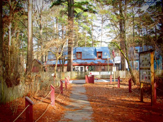
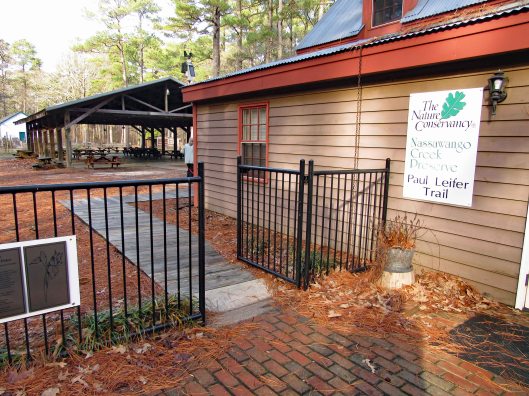
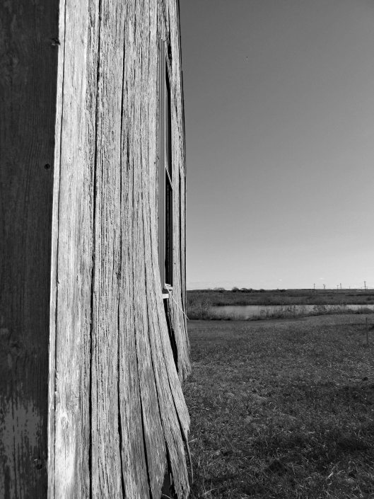
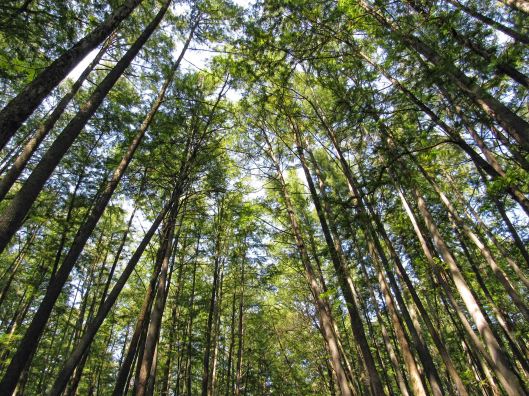
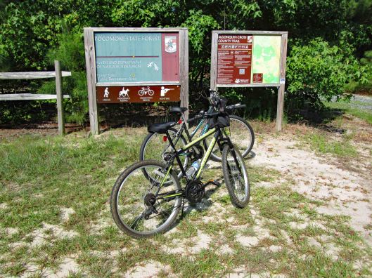
In my last blog, First Hike 2020, I spoke of looking for the Paul Leifer Trail at Furnace Town and how we thought the only access was from the gift shop, which closed in October. Well I sent an email to Furnace Town asking about access to the trail and they told us to go through the gate and then head to the trail, so we did.
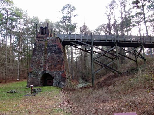
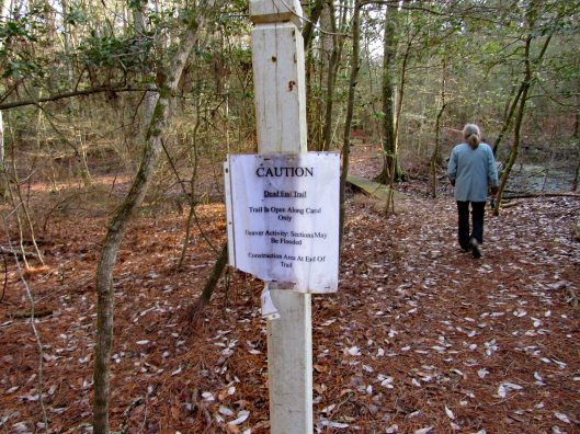
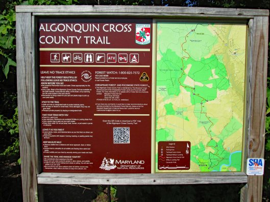
Through the gate and head to the right, where you will see the Iron Furnace. Go to the left and there is an information board with a map and cautions that the boardwalks are very slippery.
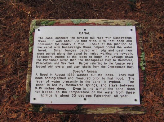
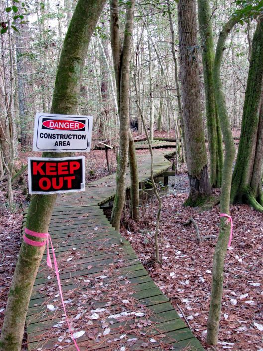
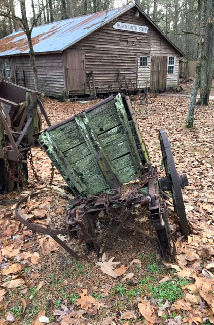
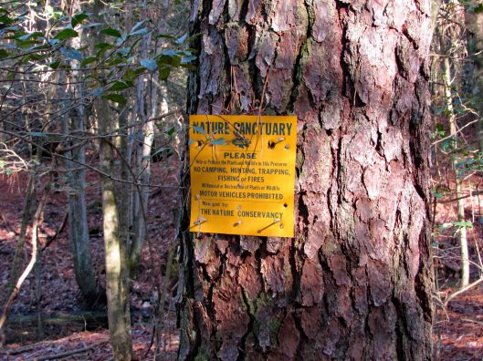
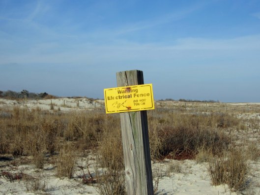
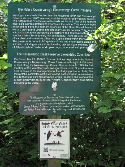
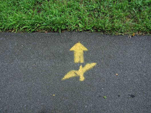
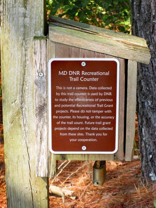
Some interesting signage and some not so interesting!
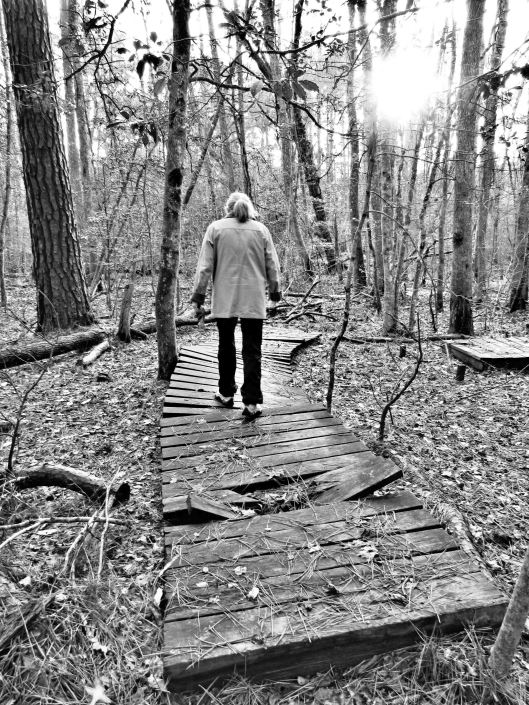
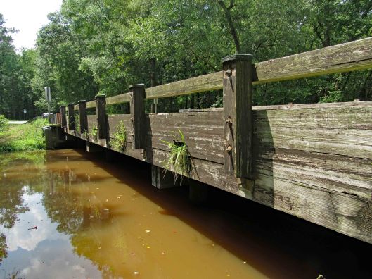
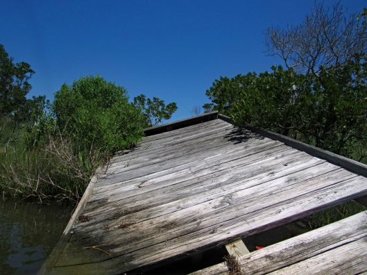
The boardwalks were not only very slick, some were falling apart.
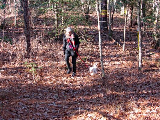
Molly didn’t mind and she did a lot better on this hike.
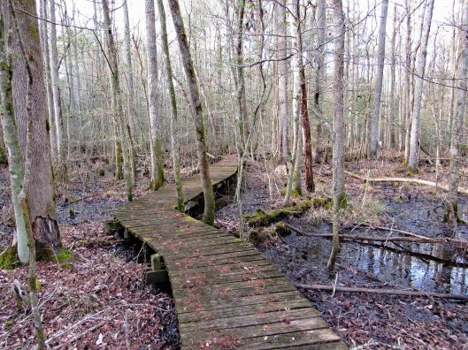
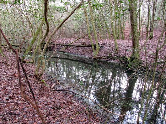
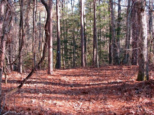
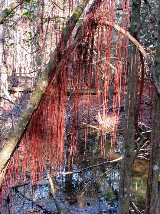
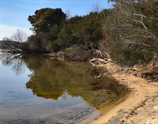
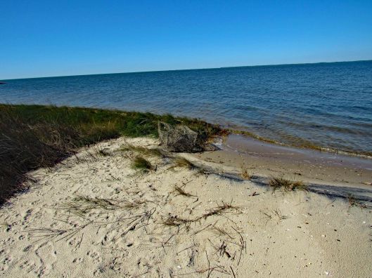
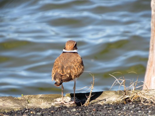
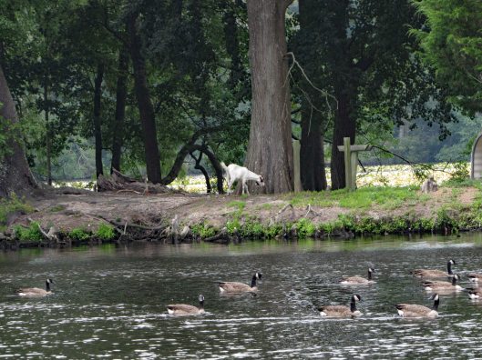
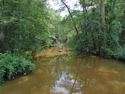
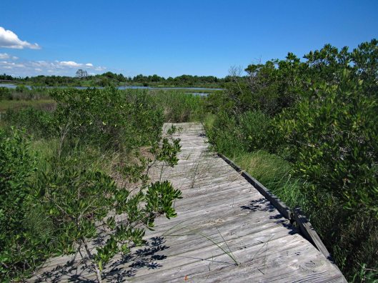
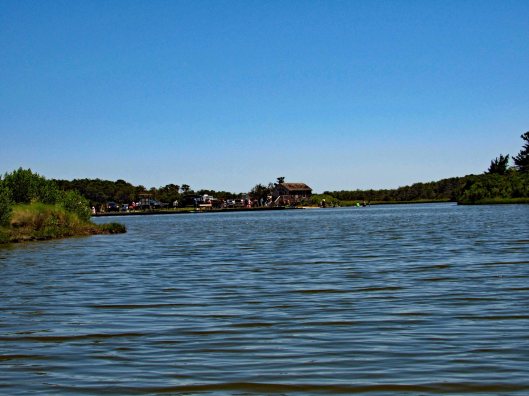
Some of the sights along our hike. It was very quiet here.
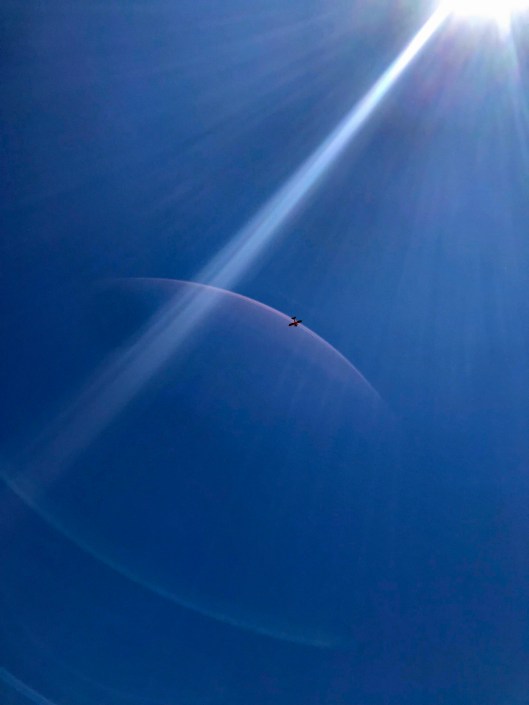
CrabbyA favorite sight of mine!2nd Geocache in as many weeks.Happy-Happy-Happy
Heading back out after about 1-1/2 hour hike. A couple shots in the ‘town’.
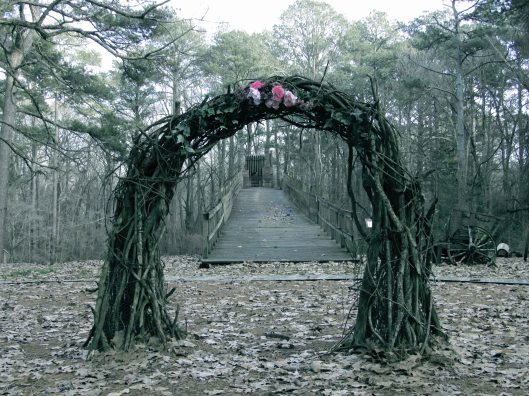
Wedding arch? Or sacrificial temple at the top?Nice pic from Kathy.
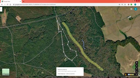
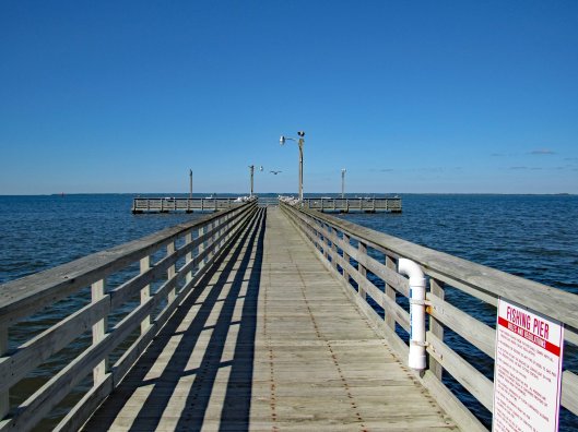
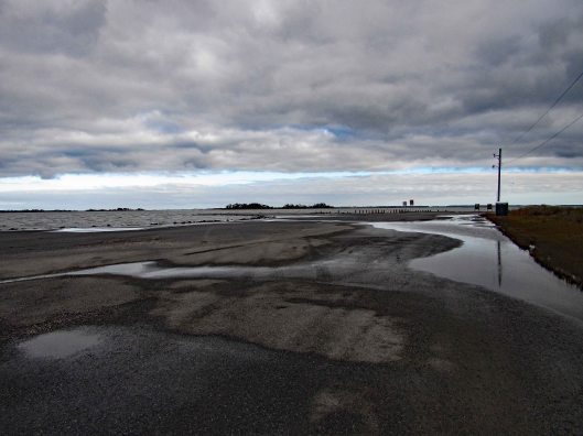
Our hike, via All trails: Under a mile but very adventurous!
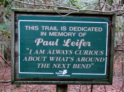
But the best sign was this one…
Life is full of next bends!! Thanks God for pointing the way to each and every bend, not that I am always paying attention to where you are pointing…
I hope our first hike of 2020 is not indicative of the rest of our hikes this year. This was a very non-descript hike – just a short path through the woods near Furnace Town. We were hoping to do the Paul Leifer Trail but you need to go through the Furnace Town gift shop/museum to access it. That closed on October 31st!
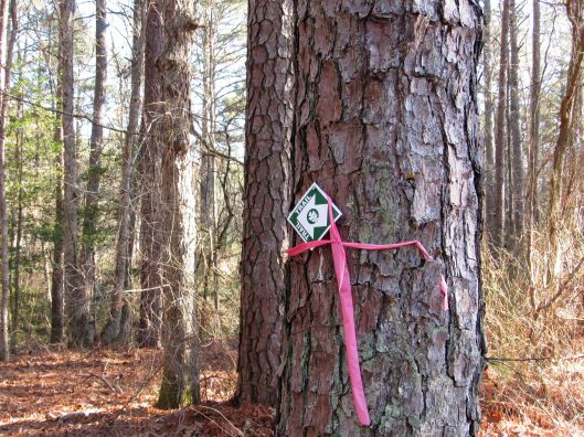
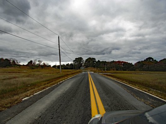
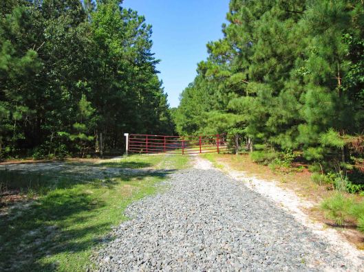
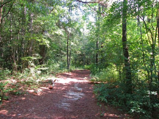
To access the trail we hiked, we headed down Millville Rd to an opening in the woods. The trail was marked with these little signs. Quite a few scattered every 20 yards or so.
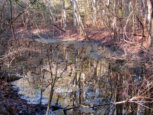
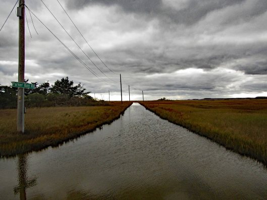
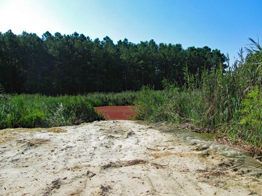
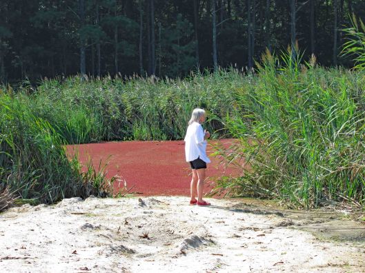
We saw some water down the hill, away from the trail so we headed for it.
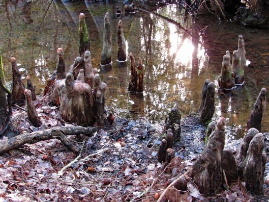
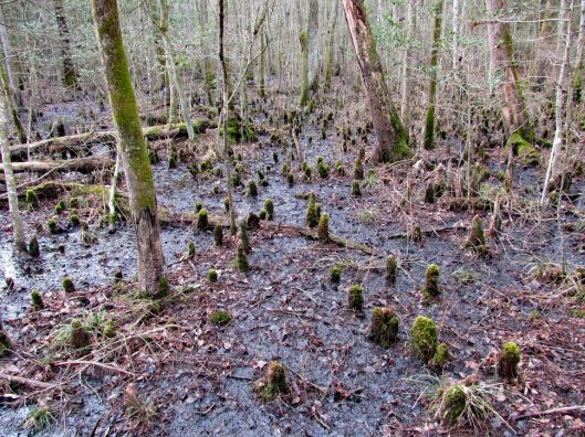
Part of the Cypress swamp.
This was probably the first hike that Molly struggled to keep up. She will be 15 soon and has not been feeling well. When I first started hiking with Kathy and Molly about 4-1/2 years ago, Molly could do 6-8 miles without any problem. Now, not so much. We end up carrying her for a good portion.
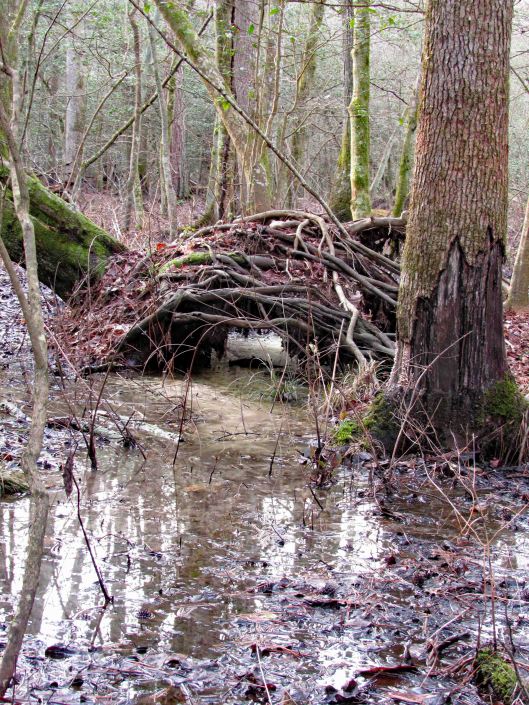
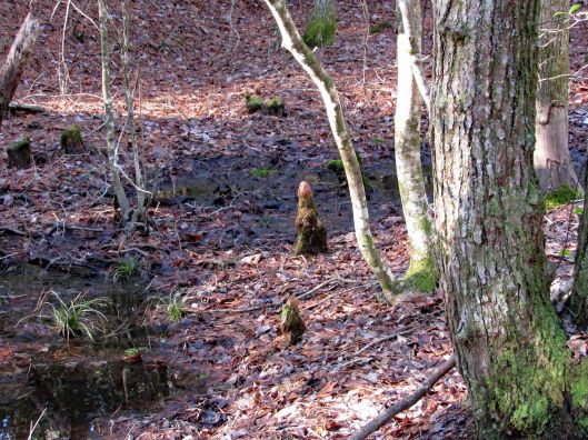
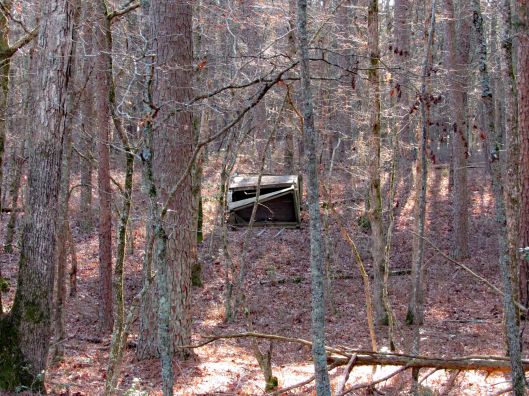
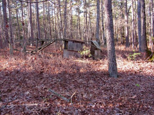
Up over the hill was this.
When deer attack!
A little green on a drab day.
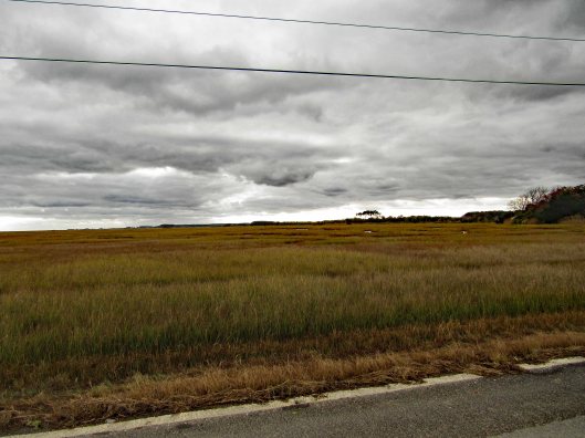
So the trail heads into the woods, just this side of the canal and then back up to Millville Rd and puts you on the road for a bit.
On the map below, to the east of the yellow line is where we should have been but couldn’t. But that is ok. Any day you can get a hike in, short or long, picturesque or drab, flat or hilly, rain or shine – it is all good. We can’t think of a better way to start the new year!!
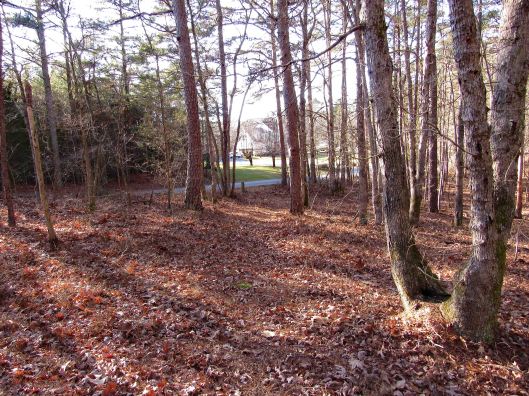
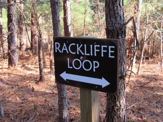
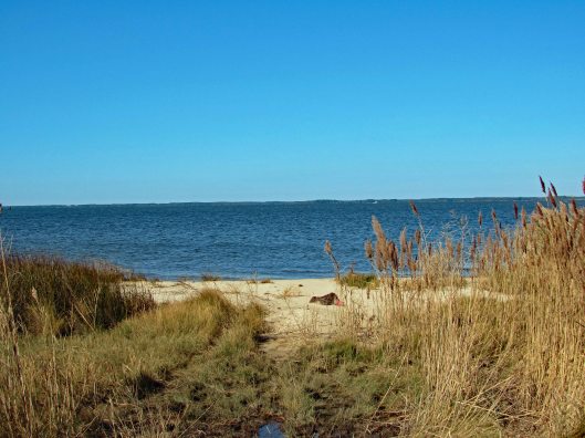
It was a beautiful day Saturday, December 28, 2019 and there is nothing better than taking a hike on a beautiful day. If we had known it was going to be as warm as it was, maybe we could have went kayaking instead! Next time. We have a lot of favorite hikes that we do, but sometimes we look for new places. Although we have been to the Assateague area many times, we saw a spot on the map we never have been to – Rackliffe House and trail:
This historic site is behind the visitor center. There are 2 trails that lead there. We chose the wooded one instead of the asphalt.
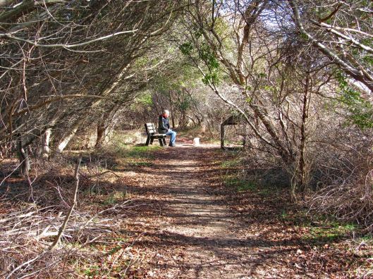
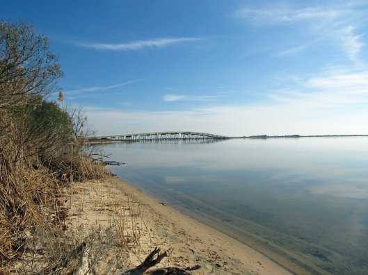
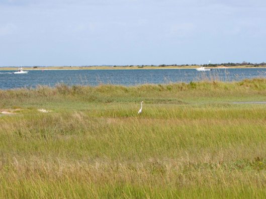
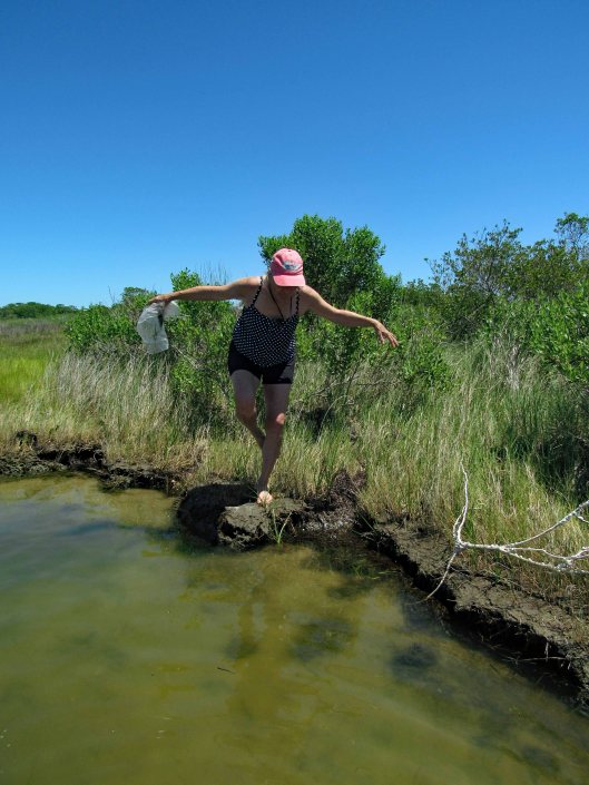
Across from where Kathy is sitting is a path to Sinepuxent Bay with the Verrazano Bridge in the distance.
A very short beach hike.
Kathy picKathy pic
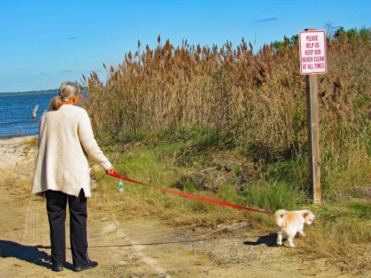
Leaving the beach we head towards the house, passing the golf course.
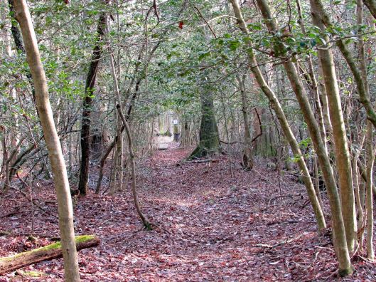
Nice tree tunnel
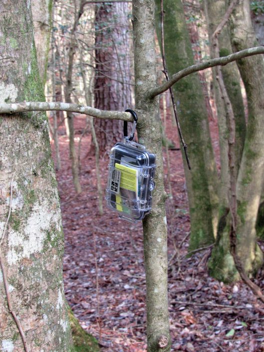
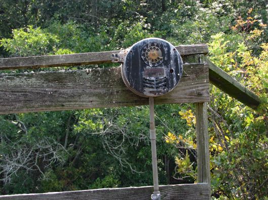
This Geo-cache was hanging in plain site. At first I thought it was a wildlife camera.
Always nice to have a choice in the paths we take in life.
Historic house – from their website:
Rackliffe House, a 1740s merchant-planter’s home overlooking Assateague Island and scenic Sinepuxent Bay. Rackliffe House was constructed in the 1740s by Captain Charles Rackliffe, the merchant-planter grandson of one of the earliest English immigrants to Maryland’s seaside. The large two-story, three-bay Manor House features Flemish bond brickwork with random glazed headers, a steeply pitched gabled roof with kicked eaves, and large windows. Captain Rackliffe intended the house to be seen across the water. He built it on a prominent ridge atop a man-made terrace with expansive views of the water and island.
In its time, Rackliffe House has witnessed marauding Spanish galleons, Barbary pirate ships, and English men-of-war. The house has stood through the Revolutionary War, the War of 1812, and the Civil War. Today, thanks to the restoration efforts of the Rackliffe House Trust and the Maryland Department of Natural Resources, historic Rackliffe House now serves as a coastal museum that interprets 18th-century life along Maryland’s seaside.
View through the house
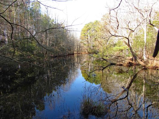
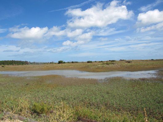
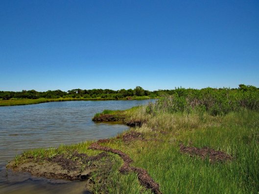
The second part of the loop includes a pond and a stream
Brave Molly stepped over Kathy’s feet to cross over
I thought all the bugs died off during the last freeze. Termites.
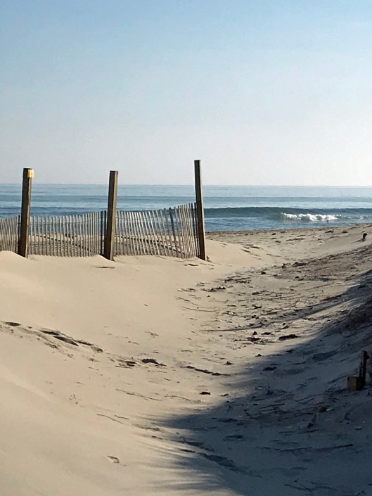
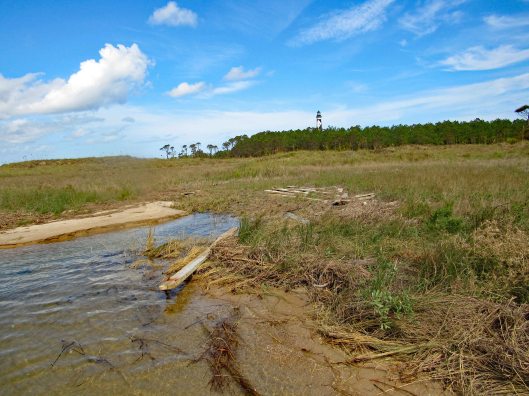
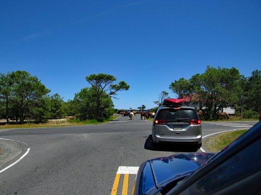
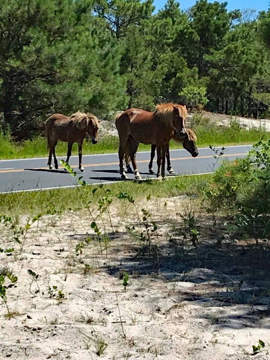
We leave the visitors center and the Rackliffe Loop and head over to the ocean. Always a favorite. And again we sought out an area we have never hiked. North of the Youth Group Areas. We hiked behind the sand dune and saw this. Who they keeping out or in?
Rounding the corner to the beach.
Kathy pic
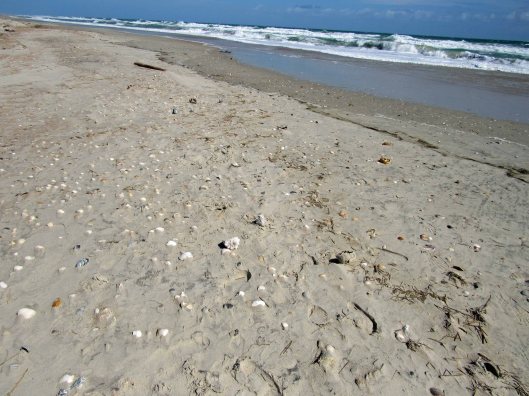
The beach with not a lot of shells, just this small group;
Getting ready for the new year.
Not that we run around nude on the beach a lot, but this sign makes you wonder! Kathy says this use to be an unauthorized nude beach many years ago.
Beautiful day, beautiful hike and beautiful beach! Thanks God for another beauty!
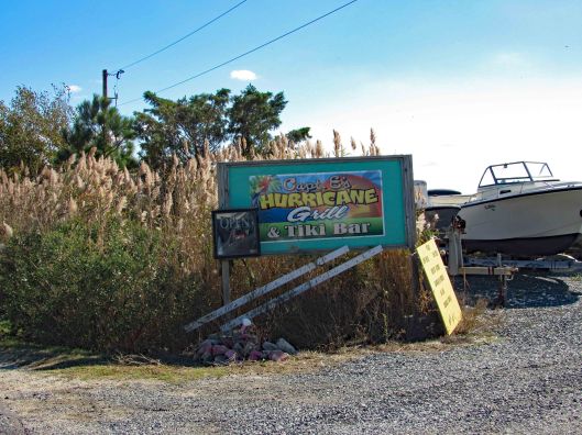
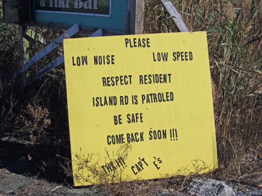
A Facebook group I follow shares information concerning Chincoteague and the surrounding areas. The other day the topic of ‘sea glass’ came up. Kathy and I very rarely find any sea glass while walking the beaches of Assateague. A couple people suggested that the best place to find any is at Saxis Island, which is about 20 miles west of Chincoteague, facing the Pocomoke Sound. So off we went.
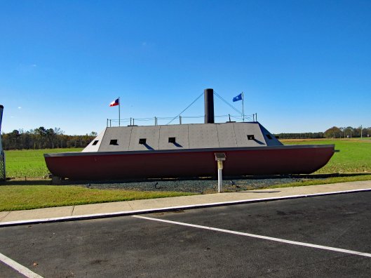
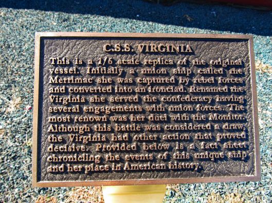
On Route 13, right at the Maryland-Virginia border we came across this while getting gas.
As the plaque states, it is a 1/6th scale of the Union Merrimac aka the C.S.S. Virginia.
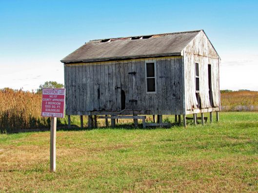
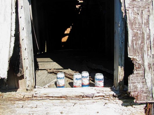
Before going into Saxis itself, a person on the Chincoteague page suggested turning onto Mathews Rd., following that to the end where a beach is. We found this fixer-upper at the turn-off. $39,000 for a 2 bedroom waterfront lot. I looked inside and there is a 240v breaker box.
If I still drank, these unopened beers would have been in my car.
At the end of Matthews Rd we found the beach. A small beach and of course it was high tide.
Molly has no respect for signs like these – when she has to go, she goes.
Walked thru the seagrass to get to another section of the beach. Found a few pieces of sea glass.
Save the sea turtles.
After roaming around here a bit we headed to Dennis Drive. On the right are some homes, on the left is a huge mound. Looks like a covered over landfill.
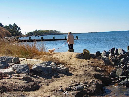
Looking back towards Saxis.
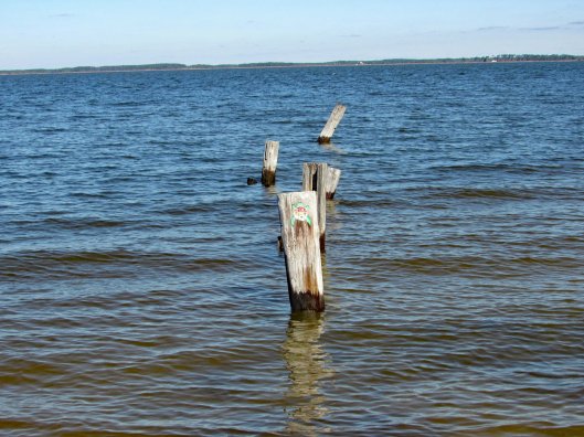
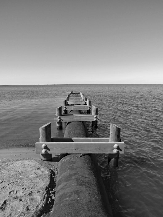
Reaching the beach there are three discharge pipes that appear to be coming from the mound. The one behind Kathy is above water. In front of her partially submerged and off in the distance, fully submerged.
They kind of remind me of the outfalls at Back River Wastewater Treatment Plant.
We did find a bunch of glass but as to whether or not it is real sea glass is debatable. Kathy brought up an interesting point – if the mound was at one time a landfill and being from the Eastern Shore, she told me that years ago people would just ride to the ends of streets like these and dump their household trash. So, possibly after a county cleanup of the area and getting people to stop dumping, the glass we found may be no more than someones trash. (But isn’t that what all sea glass is??)
Museum was closed. No one to ask there.
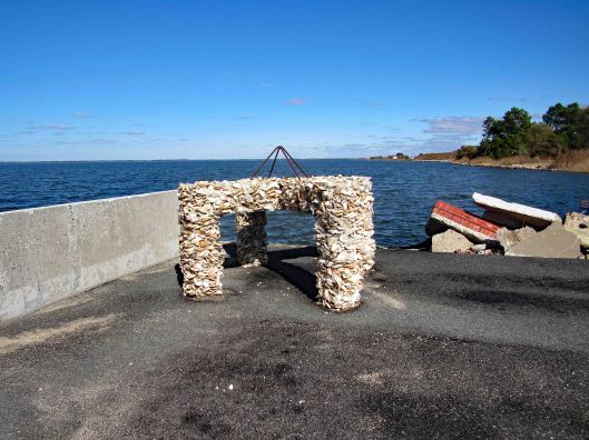
Headed to the end of Saxis Rd. to see what was there. This was interesting. Cement and sea shells.
Minding his own business
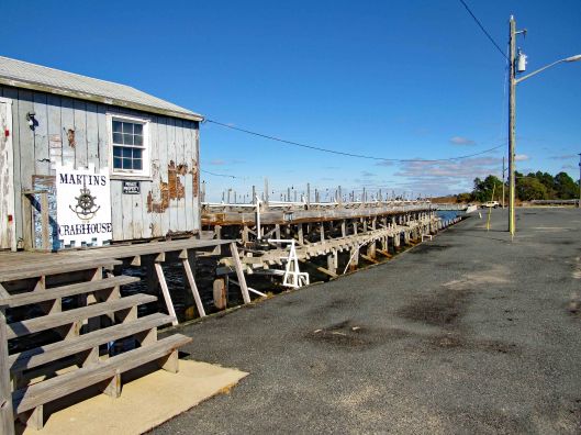
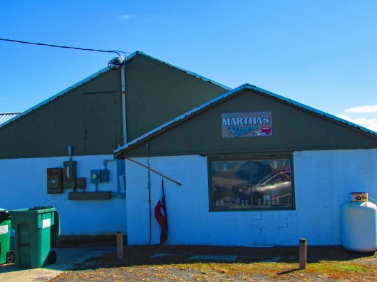
They say Martha’s is a great place to eat.
Not too sure about this place.
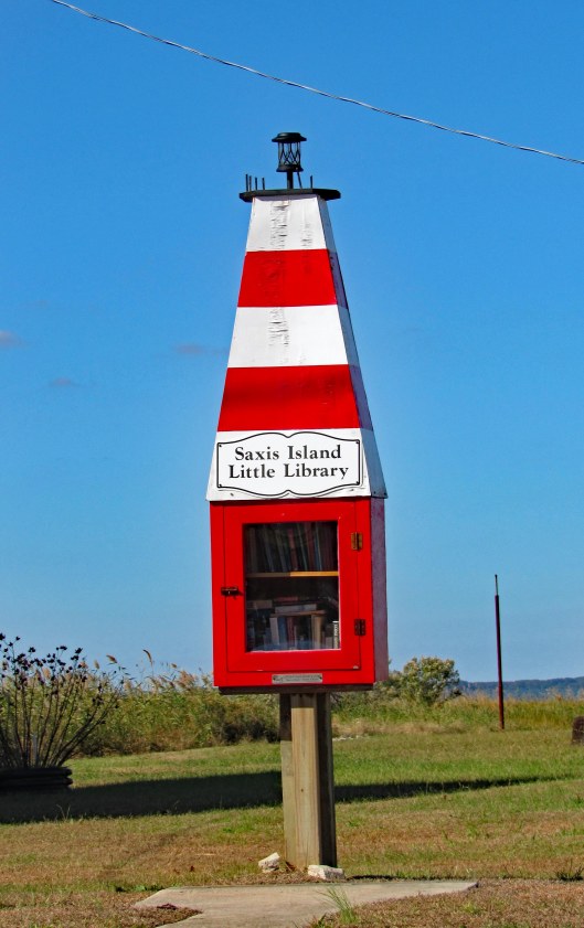
Love these little libraries.
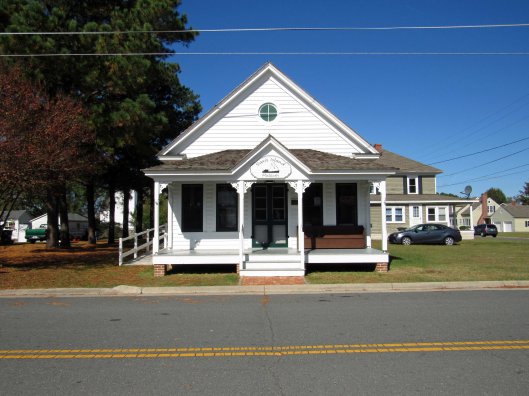
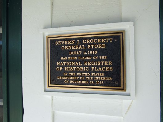
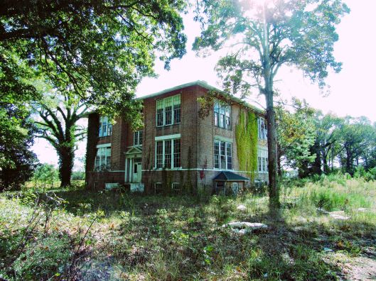
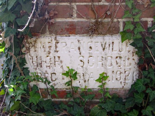
Took a different route back to 13 and found this school.
Temperanceville High School, erected 1921
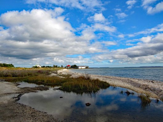
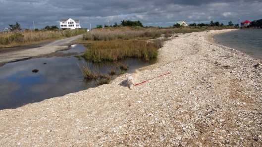
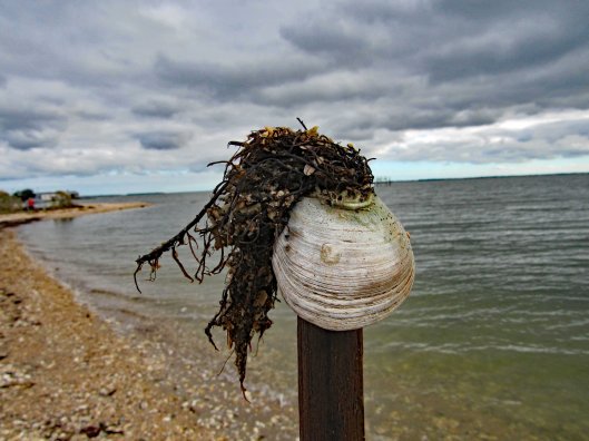
Since we were out and about, we thought we would revisit Greenbackville to look for oyster shells.
Shells everywhere. Molly not too happy to walk on them.
Mr Rays (You need to be from Baltimore to get it!)
From there to George’s Island Landing.
More high tide
Parker Bay Rd. is the one we took to the oyster house last time. Not today though.
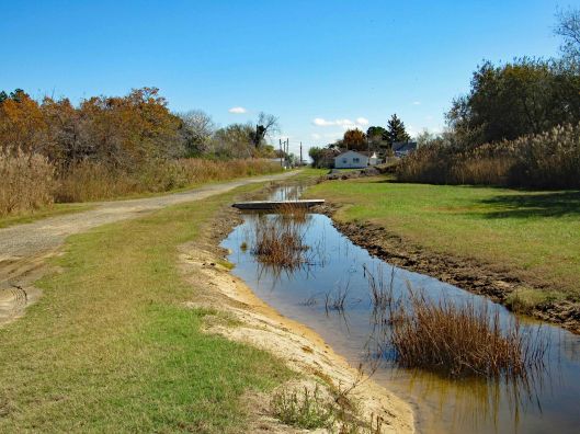
The road out, flooded.
Nice day to be alive and in God’s Country. Thanks God.
While at Indian Beach, North Carolina, we decided to visit the Cape Lookout National Park. To get there we needed to catch the ferry from Harkers Island. They have a nice visitors center there. A few blocks away is/was a museum, Core Sound Waterfowl Museum. It is still closed from the storm of a year ago.
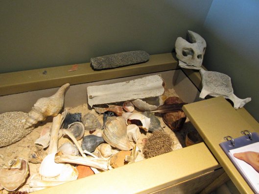
Visitor Center, anchor from ship that sank in 1902Beach artifacts
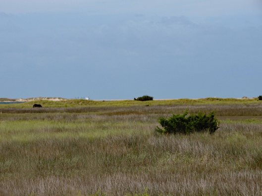
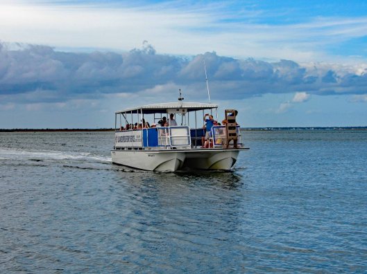
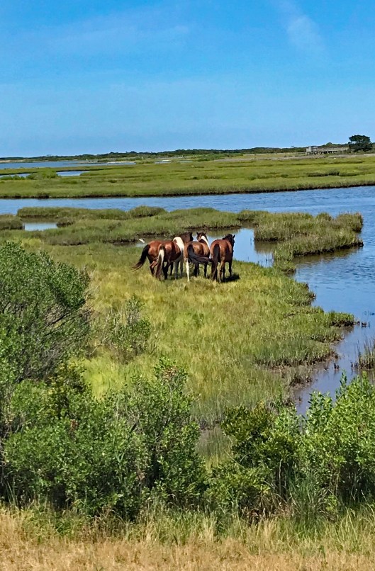
it was about a 4-1/2 mile ferry ride, making one stop at Shackleford Banks. People like to stop there and look at the 100+ wild horses on the island. Kathy and I visited the western end of this island back in June. Nice trip. Didn’t see any horses though.
Pelicans doing pelican stuff.One of the shy horses
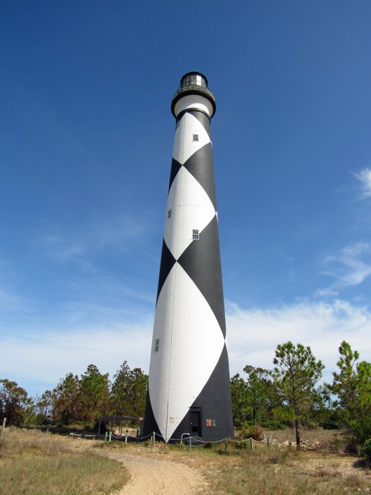
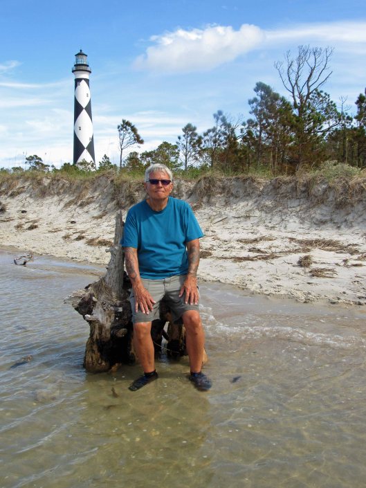
Arrived at our destination and stopped at the Keepers House first.
We missed being able to climb up to the top by about a month.
Black diamonds face north and south. White, east and west.. So, not only does the light shine 24/7, you can also get your bearings by the diamonds.Random black and white
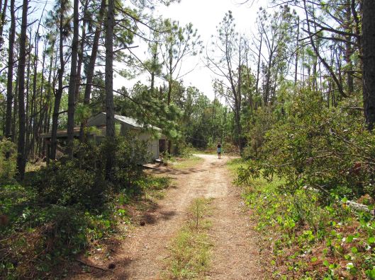
Instead of taking the boardwalk to the ocean, we took a service road.
The ocean. Too many people before us so the pickings were slim for seashells.
So, Kathy decides instead of us walking back up the beach, we should cut across to the bay side. “Are you sure?” “Yes” Ok!
Sand first……and then all marsh.
Not just a marsh but also a bunch of inlets of rushing water. I didn’t know we were doing this kind of hike or I would have worn my water shoes and not my Tevas!
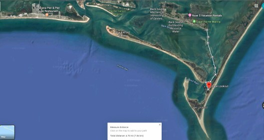
Spooked this guyThe lighthouse looks far awayLooking back from where we came from. It was actually a nice hike.Finally to the beachUnknown structureGetting closerAnd so we restBack to the dockRandom camera colorization of image. It does this sometimes.The ferry coming to drop off people and pick us up.The map of our trip
Although I was only at the beach for about 4 days, it was so nice to get away! Ha! Get away from what??!! Kathy and I always go to the beach! A wonderful trip. Thanks Gail and John.
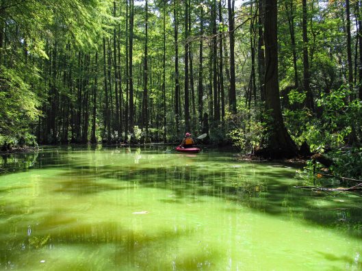
First off, I would like to thank the team @KayakingDelmarva for writing and documenting their trips/adventures to places I had no idea about. Because of them, Kathy and I have been able to follow their paths on our own adventures. Thank you!
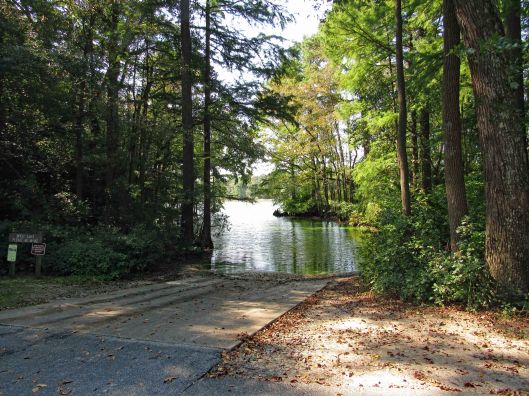
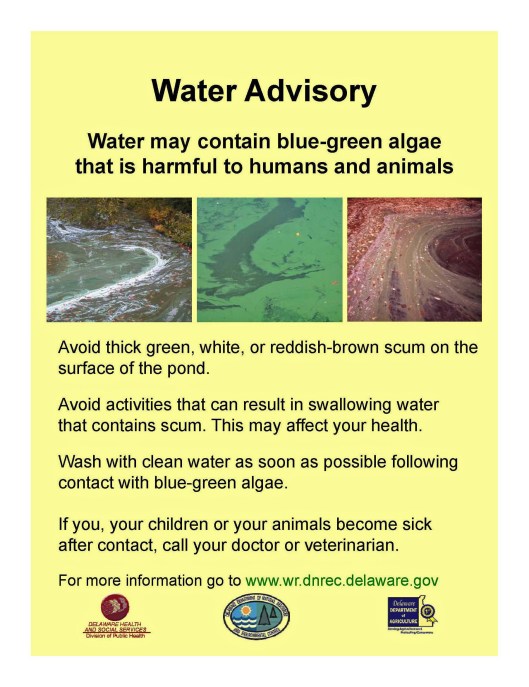
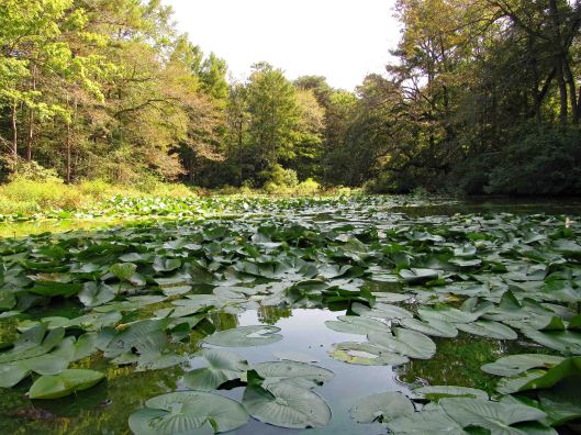
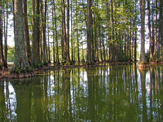
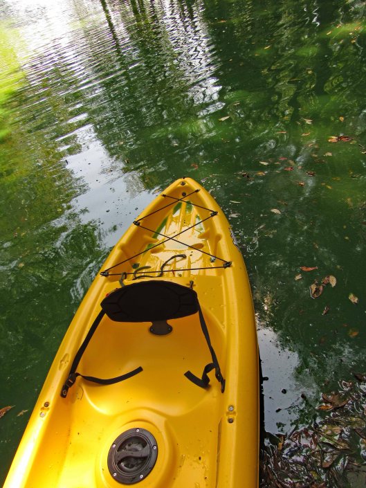
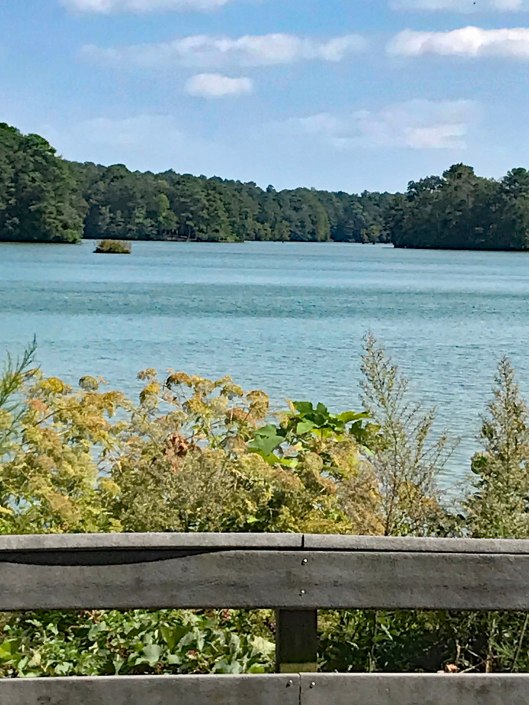
I had previously written about Trap Pond a while ago when we were looking for a new place to hike, but because it was $8 to enter, we passed. Seems crazy to pay to go hiking. Kayaking and use of a boat launch is worth it though.
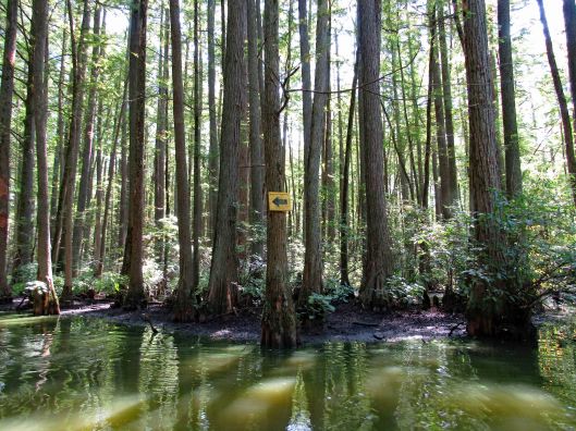
In the above photo is a yellow sign to the left:
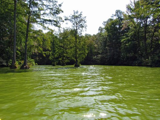
The water was nasty looking and we did everything in our power not to touch it!
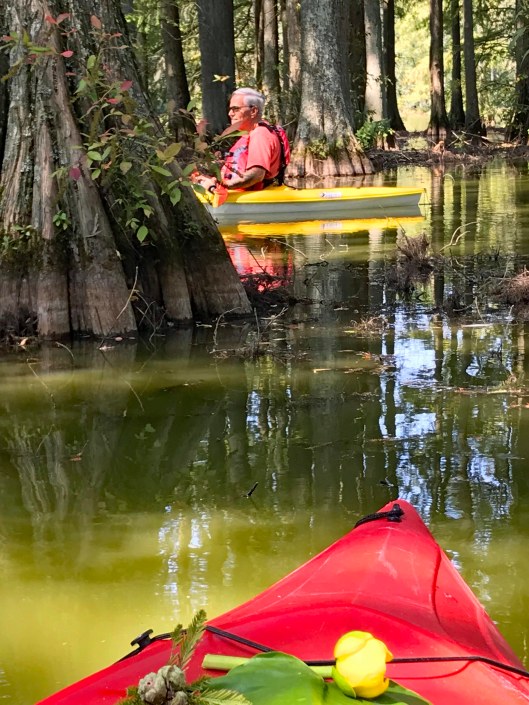
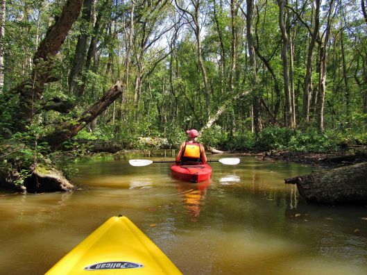
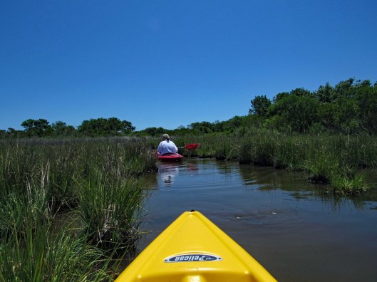
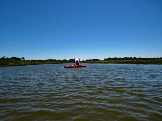
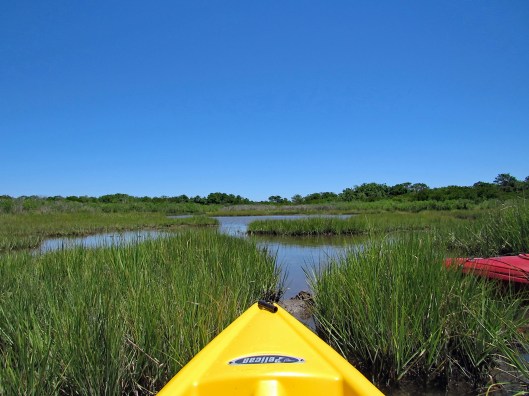
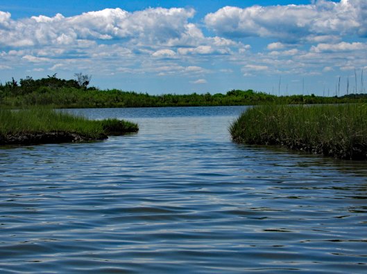
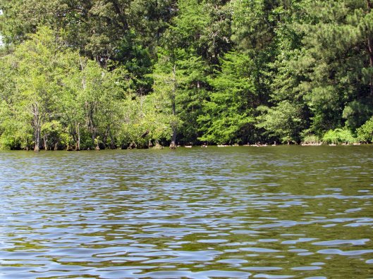
We followed the shore, passing the camping sites, into the first creek.
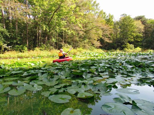
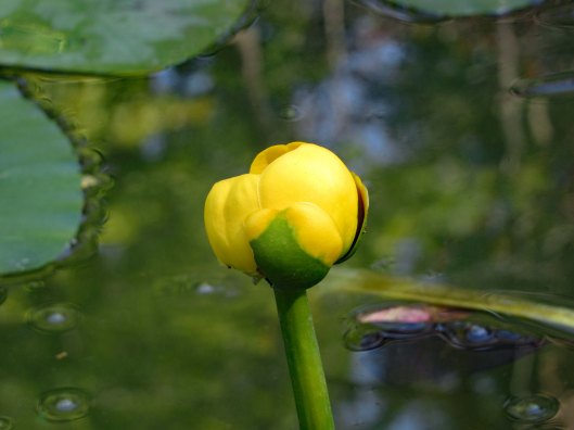
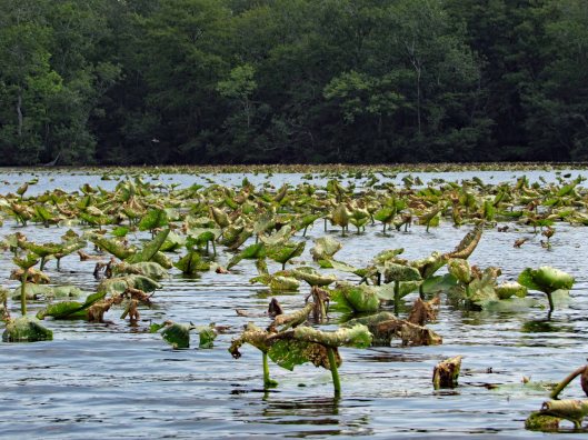
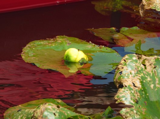
Dead endFloating root system of lily-pads
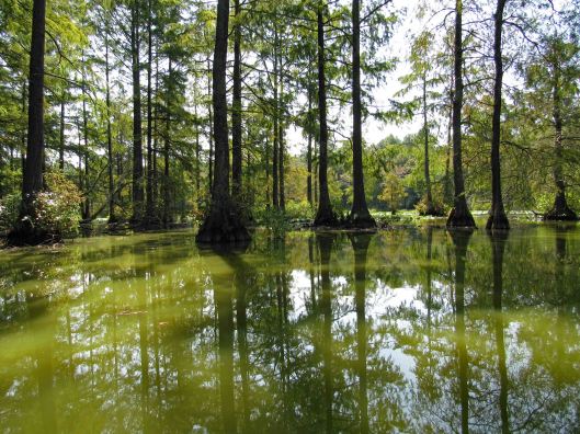
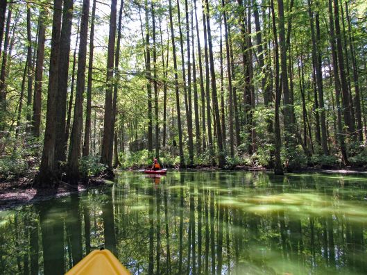
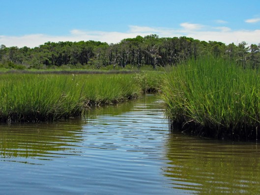
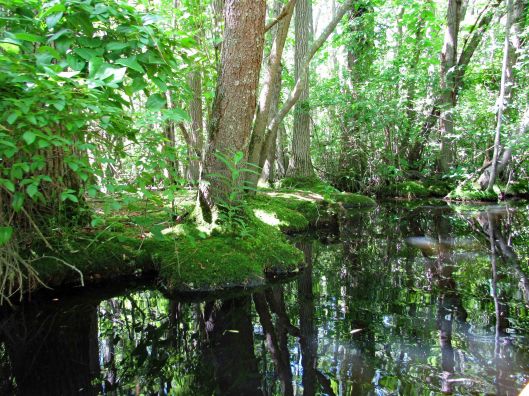
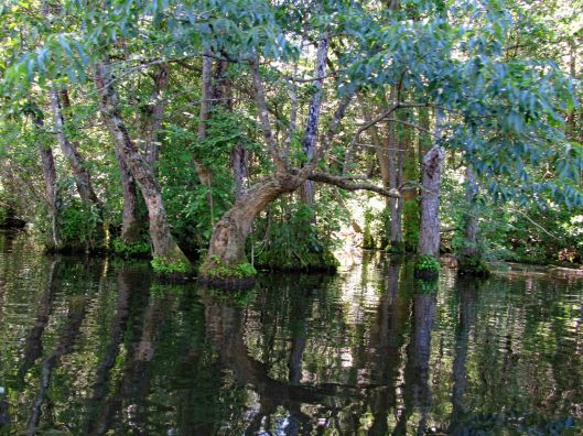
Turned around and headed back along the shore, occasionally heading out into the open water, then back into the cypress.
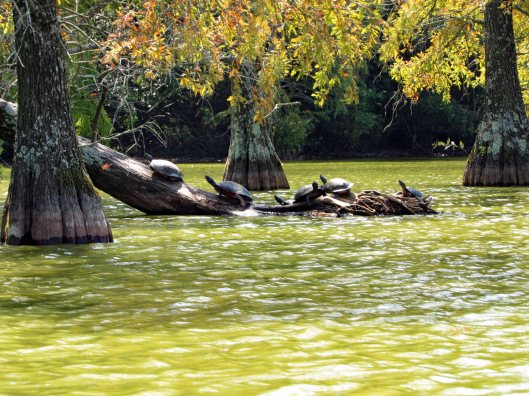
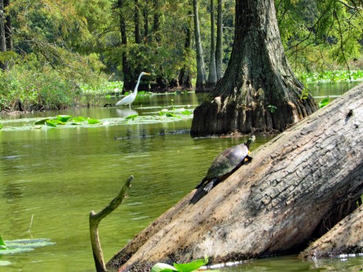
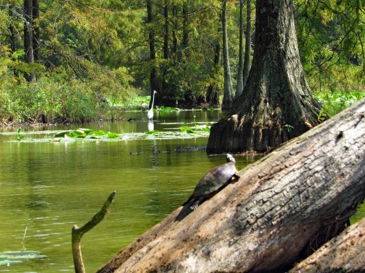
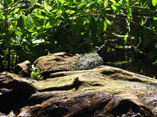
Lots of turtles
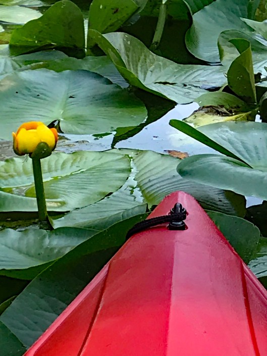
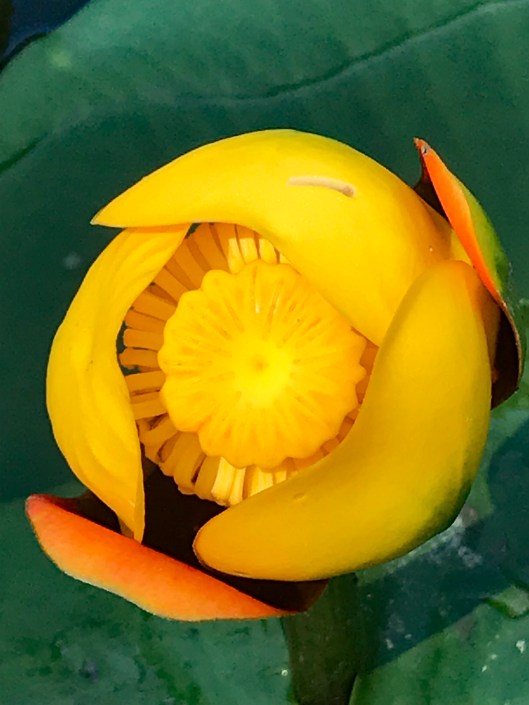
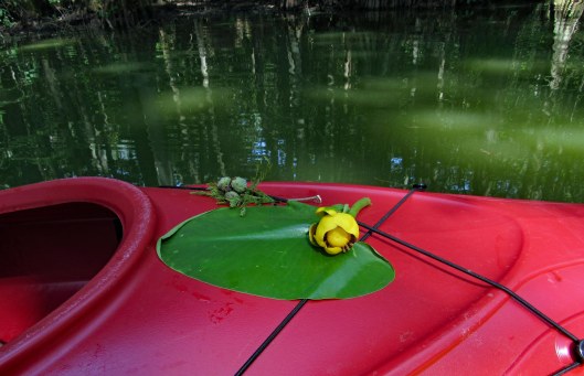
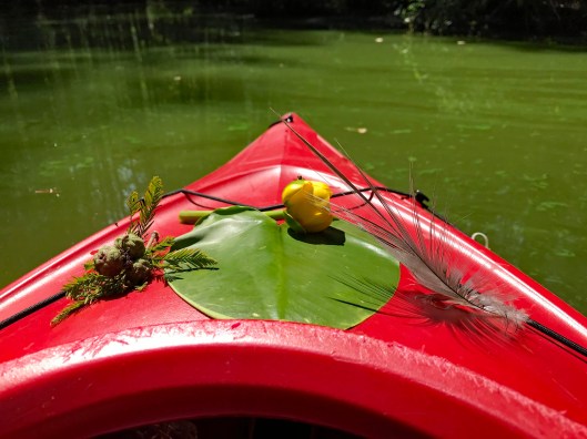
Kathy took some nice pics of the flowers and nature, adorning her kayak.
And of course me photo-bombing her pics!
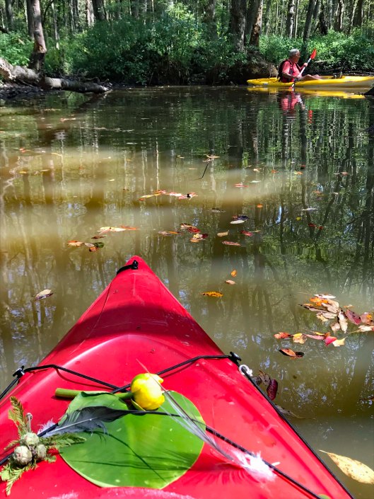
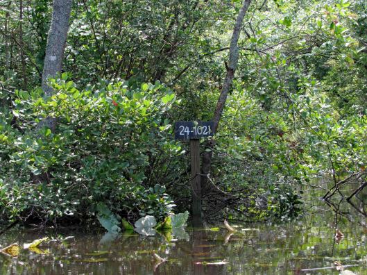
We then headed into another creek. A sign says this is Terrapin Branch. On Google maps it is noted as Thompson Branch. Lots of signs pointing you in the right direction.
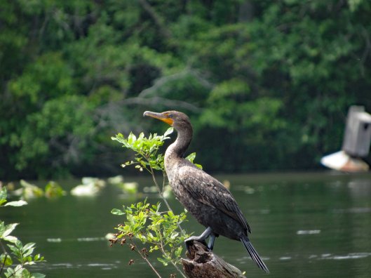
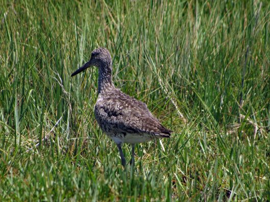
Only became aware of this guy because of all the noise he was making.
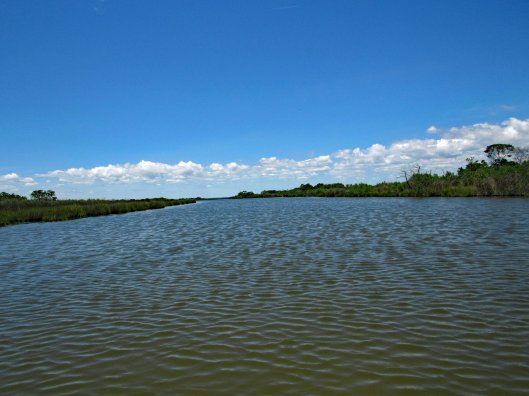
Water still green back here
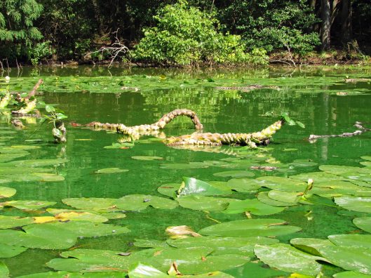
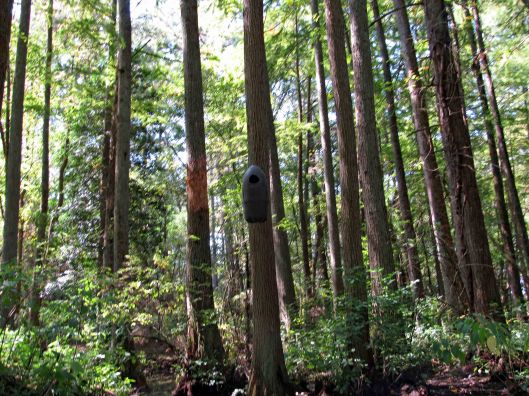
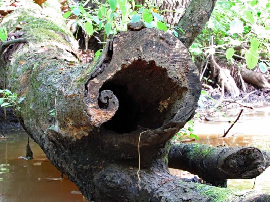
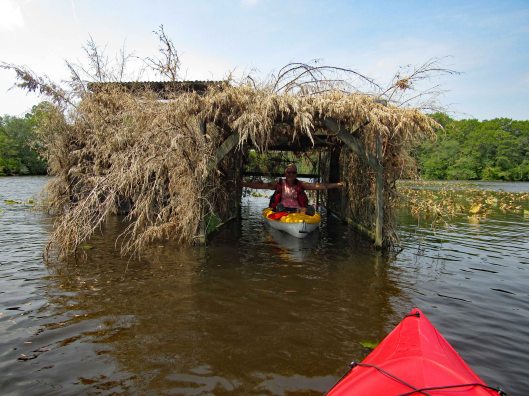
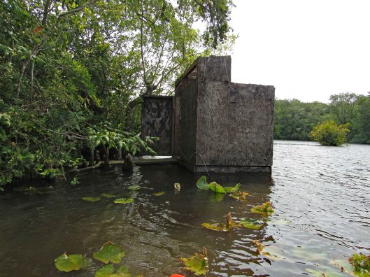
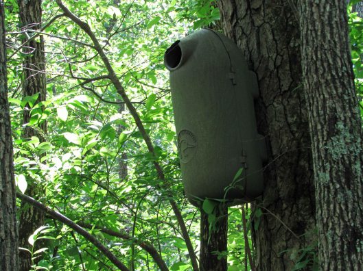
Various nests (or spy cameras?). Also odd markings on trees. Looks like scrapings from falling trees maybe?
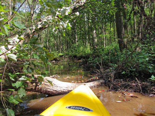
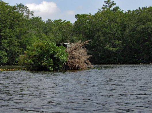
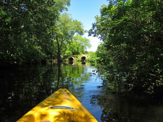
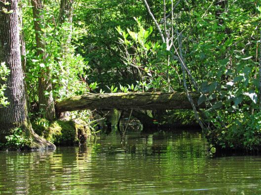
Uh-oh! End of the road? A fallen tree in the way. There were a lot of trees down but for the most part, people had cut them out of the way.
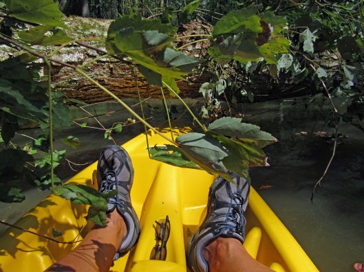
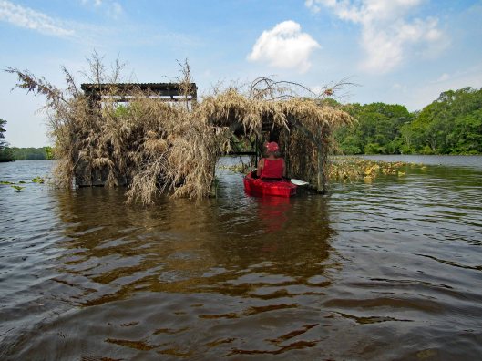
My kayak will fit under, but I won’t.
So, I tried backing up and going full speed, to get my kayak to leap over it! No luck – just bounced off!
Time to turn around and go back.
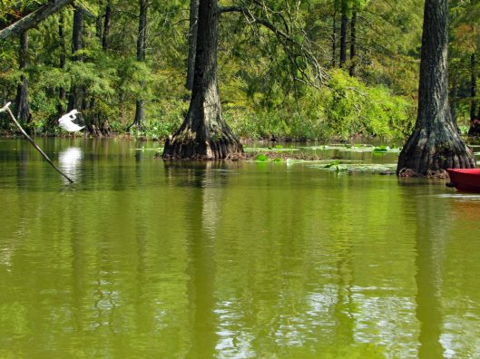
He saw us first.Turtle very still – “Please don’t look at me!”“Are you looking at me?”Cypress reflections
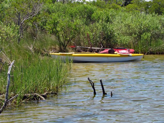
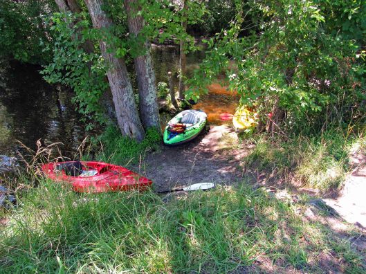
After about 4 hours out there, back to the launch. It will take quite a while to clean the kayaks off.
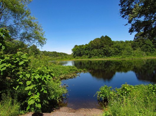
Nice pond to say the least!
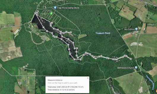
Our path. Not really sure of the ending point only because I had no GPS signal. Very nice day. Thanks God for another great one!
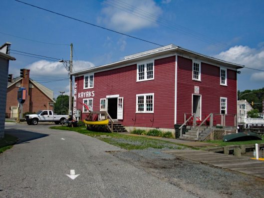
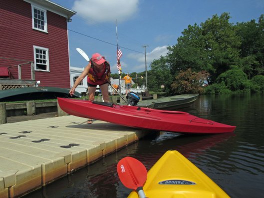
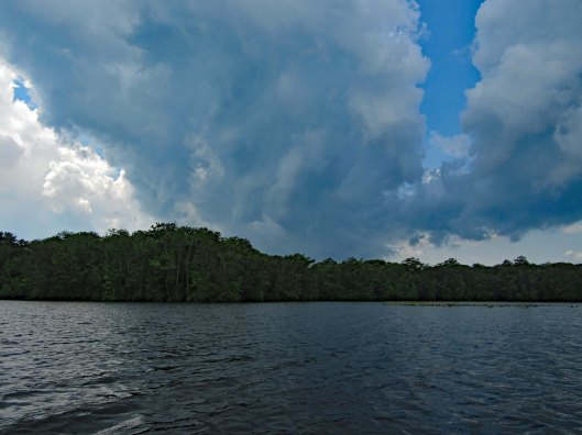
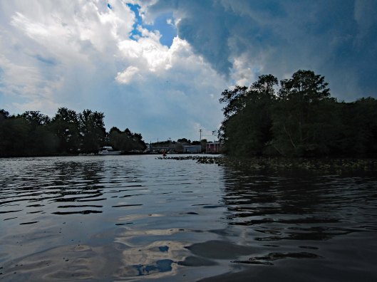
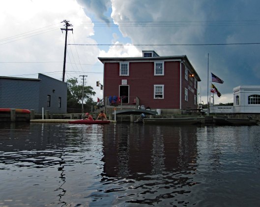
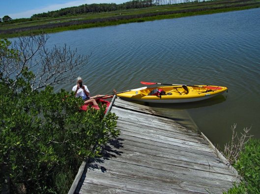
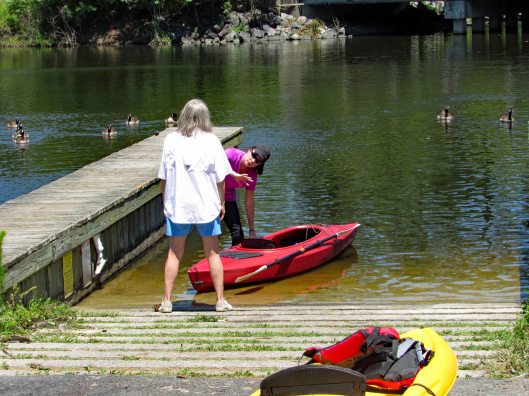
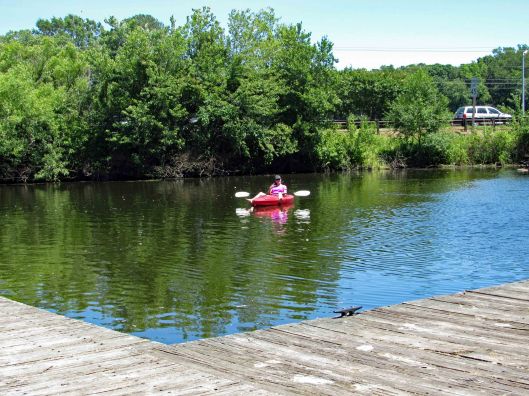
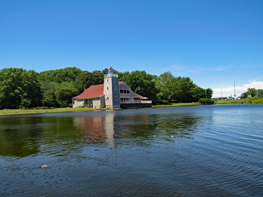
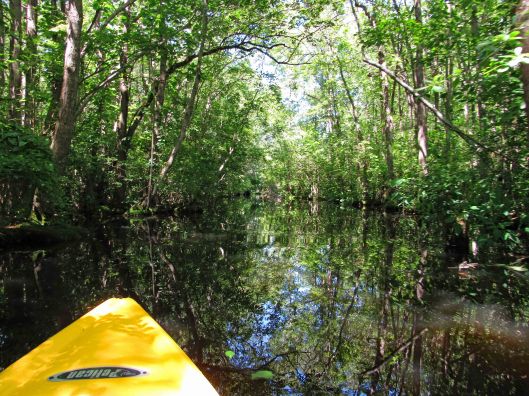
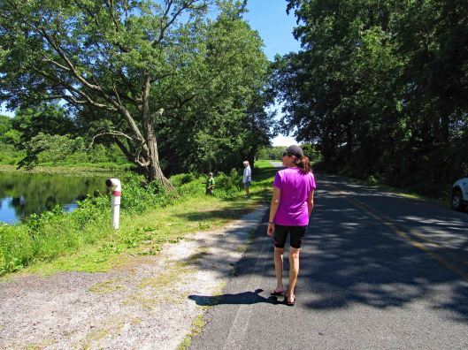
Kathy and I had previously gone kayaking on the Pocomoke at Snow Hill’s southwest side, below Rte 12. This day we headed to the northeast side, at the Pocomoke River Canoe Company. I called beforehand to see if they had a public launch and they do. It is more of a floating dock, of which I have never jumped in my kayak from before. I did ok – I didn’t fall in. (Usually I walk in from a ramp). The employees there are very nice and helpful.
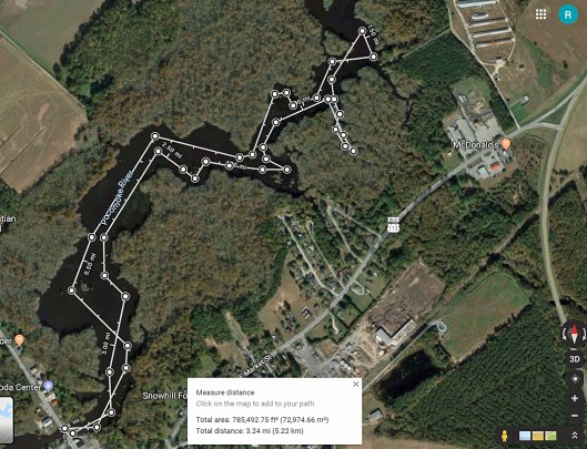
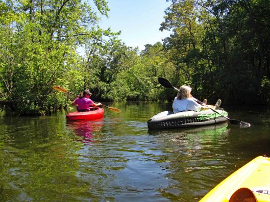
Here is our path. It was about 3-1/4 miles round trip.
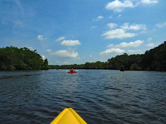
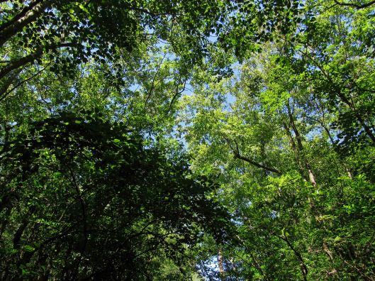
Some highlights:
Here comes the rain!
After a couple hours of kayaking and the rain forcing an early exit (Stupid weathermen were calling for rain after 4pm. We were there at about 10am), we decided to grab something to eat at a place called Down Under on Rte 12. Great cranberry/walnut chicken salad for me. Kathy got a cheese steak sub which she enjoyed. Instead of sitting in the parking lot, we headed back into Snow Hill, Byrd Park, to eat. Finally saw the Goat of Goat Island!
The canoe guys gave us a brochure listing other launches. On the way home we stopped at one, to check it out. This one is on Red House Road and is very small.
Thanks God for another day filled with adventures!!
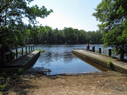
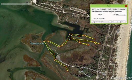
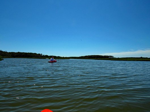
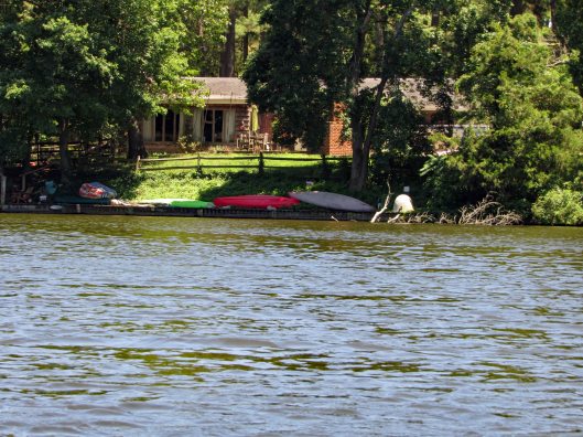
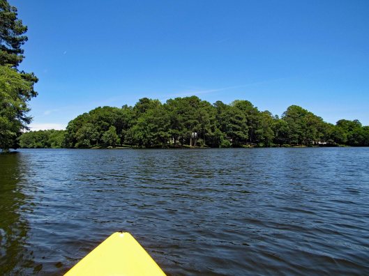
Return trip to Assateague State Park for some more kayaking. Paddled a little over 2-1/2 miles and were out there for a few hours. Nice day with a slight breeze, enough to keep the bugs off. We put in at the Old Ferry Landing. A few people there. By the time we returned, there were a lot more people. We pretty much went to a couple isolated waterways, opting not to head out on open water to the islands. Mostly hugged the shoreline.
Headed south-east which was a dead end.
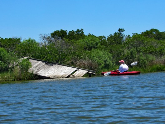
Turned and headed north east, passing by the landing, towards the nature trail. Came across this.
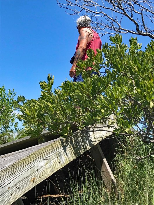
Got close to check it out, then climb up on it.
It dead ends. Must have washed up here during a storm.
Taking a picture of Kathy taking my picture.
It was harder getting up and down that thing than it looks. Once I was able to crawl back into my kayak, we headed into a cove.
Then backed out to head to another.
Wind picked up so Kathy made a sail.
Could not find this in my bird book. May be immature and not be fully colored.
Back into another little waterway and as far as we could go.
Although we could only go so far, it was really nice and peaceful back here.
Parked the kayaks to chill in the water some.
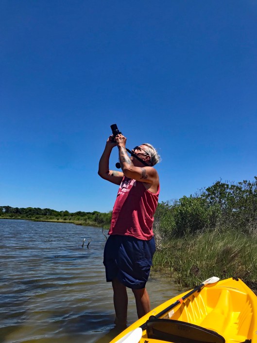
Kathy’s pic of me trying to take a photo of a bi-plane flying overhead. Red Baron.
Kathy’s pic. My hands shake to much to get a good shot that far away.
Not only does Kathy do a good Ralph Macchio, she also picks up other people’s trash along the beach.
After some walking around looking at crabs and various shellfish, back into the kayaks for another cove.
Another dead end.
A shortcut on the return.
Lots of people. I think the ranger was giving crabbing lessons.
Nice day on the water and we then run into a traffic jam leaving the park.
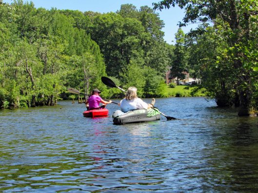
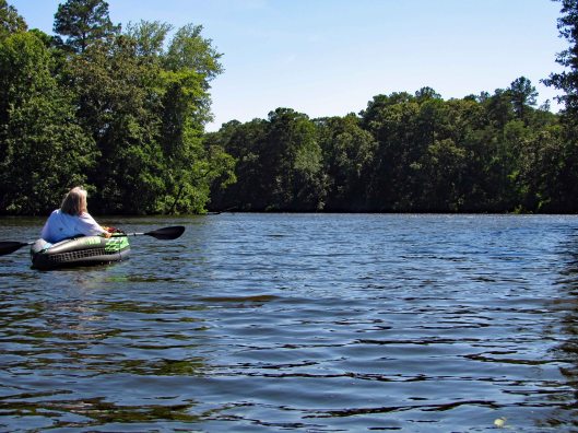
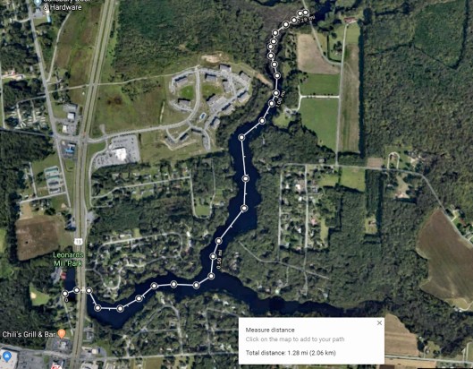
Kathy’s friend from many years ago is in town so we asked if she would like to go kayaking with us? Off to Leonard’s Mill Pond we went. Kathy and Lisa strategizing our adventure.
Lisa waiting for us.
As we leave the smaller portion of the pond, where the visitor center is.
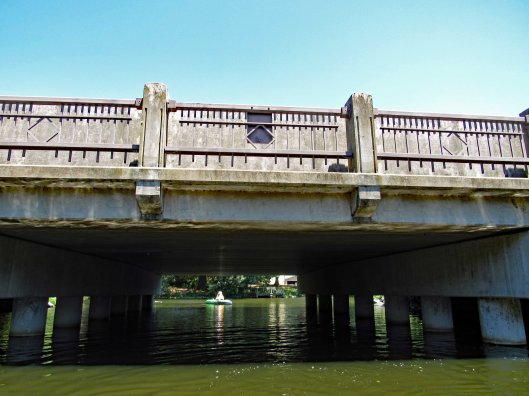
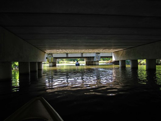
Under the bridges of Rte. 13 to the open water of the pond.
Idle canoes and kayaks.
A fork in the road, so to speak. Looking at a map before heading out, the left (north branch) goes to another pond (Williams Mill). That will be our route. The south branch looked like it just fizzles out in the woods.
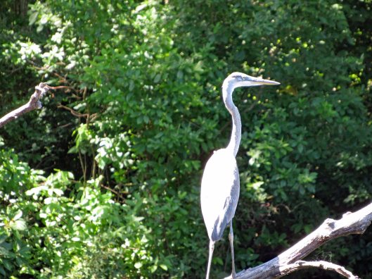
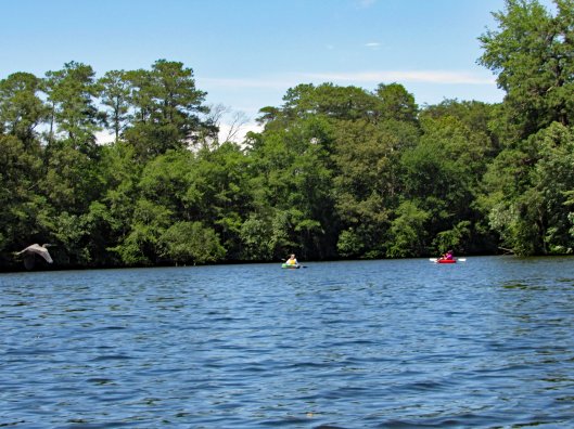
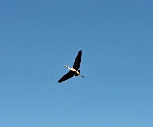
Waiting to attack.
Heron to the left and unsuspecting kayakers to the right.
At the last minute he flew off.
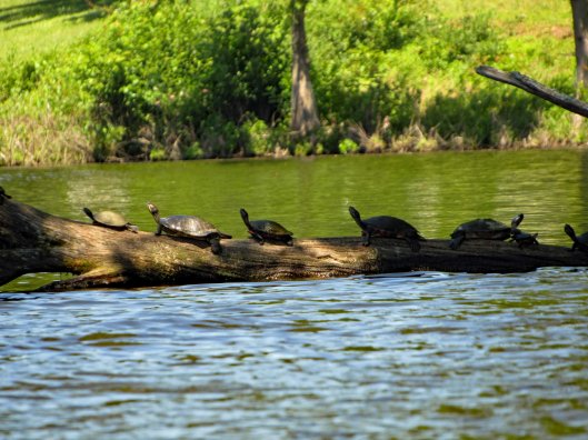
We’ve never seen this many turtles in one day before.
X-Men Turtle.
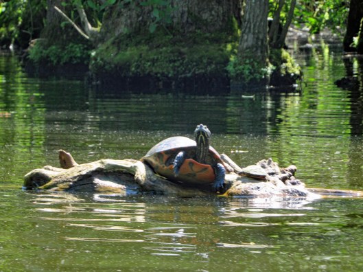
The small guy jumped on the big guys back and the big turtle started clapping.
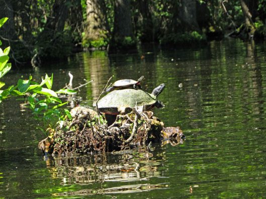
This guy has stuff growing on his back.
The north branch splits up into 2 other branches. The right side was guarded by geese. Lisa took this way. Up a ways you can cross thru to the left side. We went back and forth through the trees.
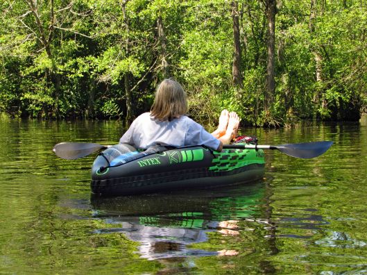
Kathy used the inflatable kayak again today. I was surprised at how tough it is. There are quite a few semi-submerged branches and trees in the water.
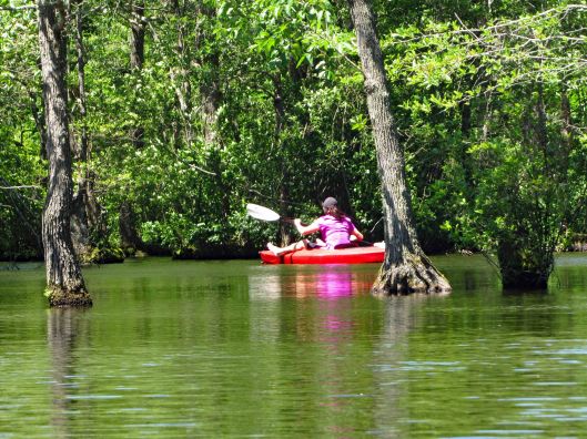
Heading through the trees.
The trees and reflections just sort of merge together. Seems like we are just floating in air.
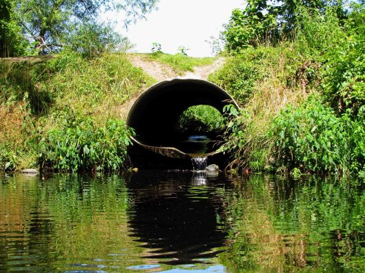
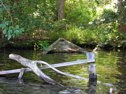
Up ahead, the end or a new beginning?
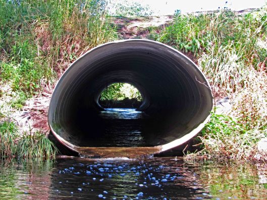
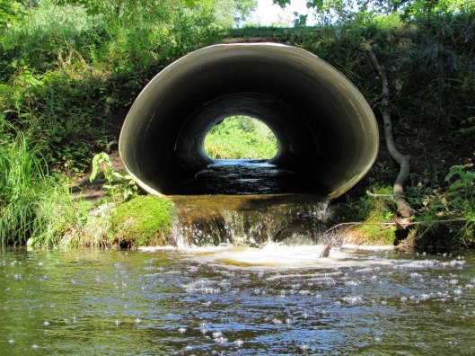
Three pipes. Can we fit?
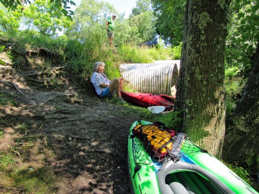
No we can not. But we needed to get out to look at what is on the other side.
Park the kayaks and head up the hill to the road (Williams Mill Road).
Williams Mill Pond. With launch area! New adventures await!
Time to head back.
Some sights along the return trip.
A Ducks Unlimited hidden camera.
Back towards open water.
The wind had picked up and it was a lot of work to get back.
Shipwreck.
Under the highway were a lot of barn swallows. Making it through without incident.
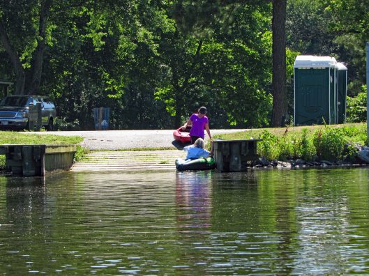
At the launch site.
The map of our trip. It was just over 2-1/2 miles round trip. Great day with a new friend and another new adventure!