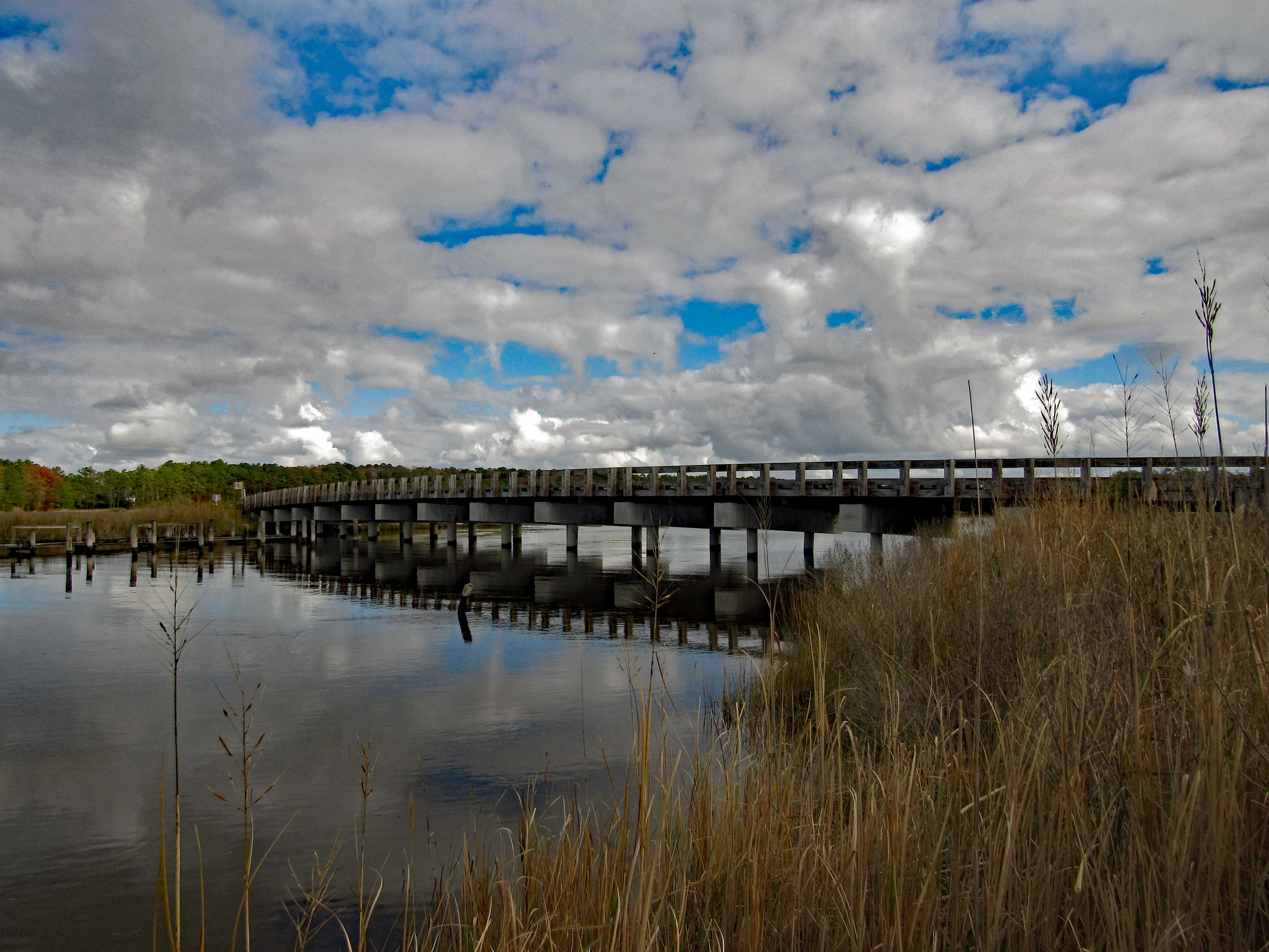
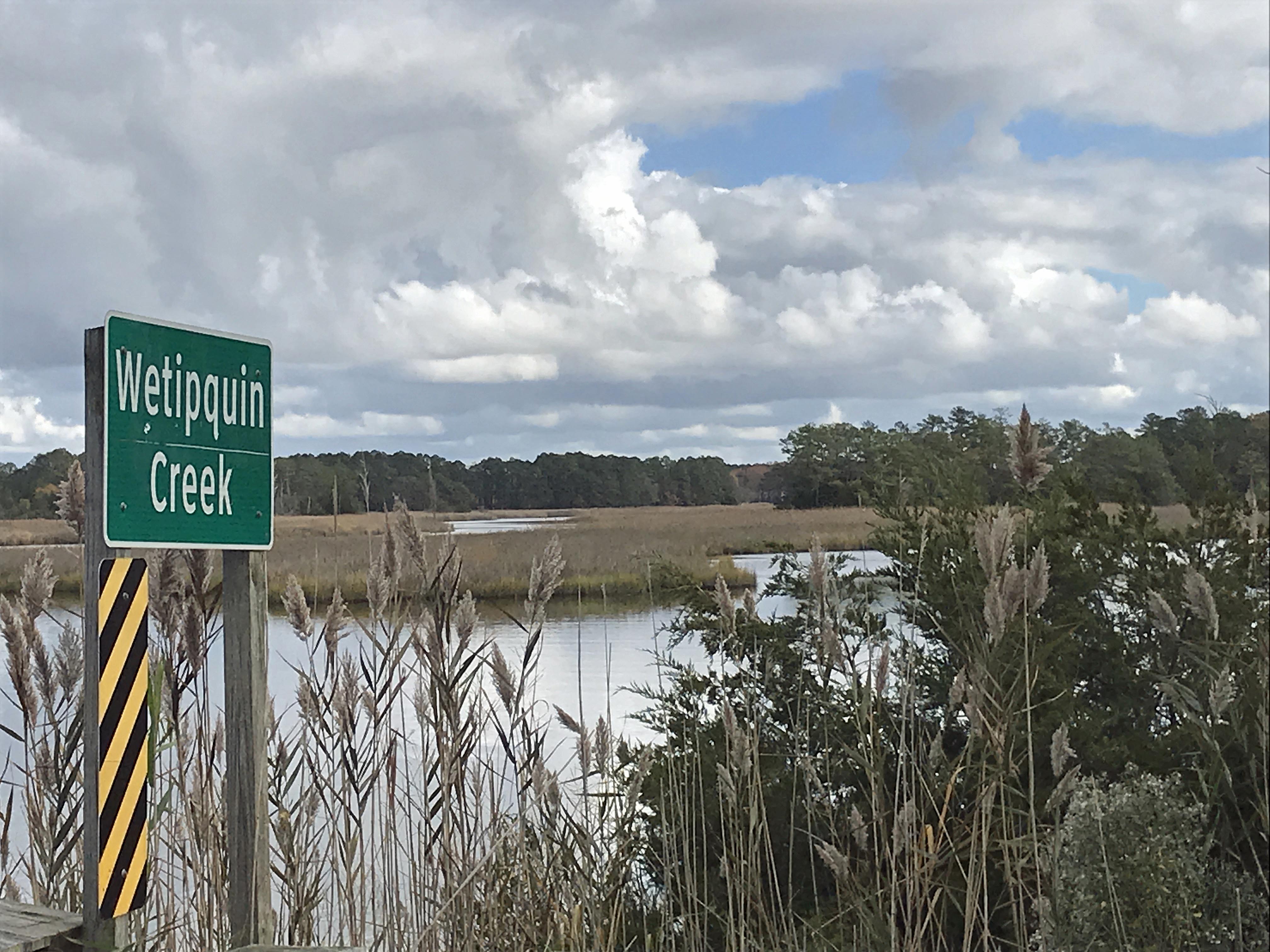
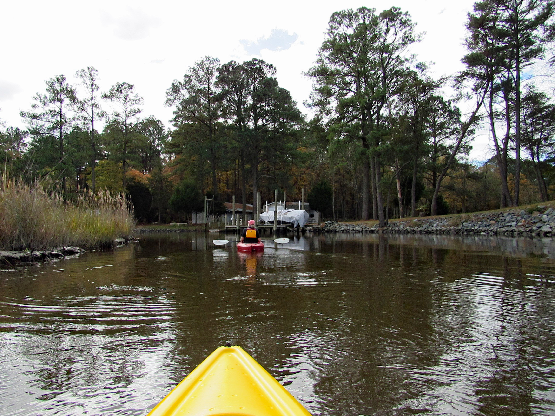
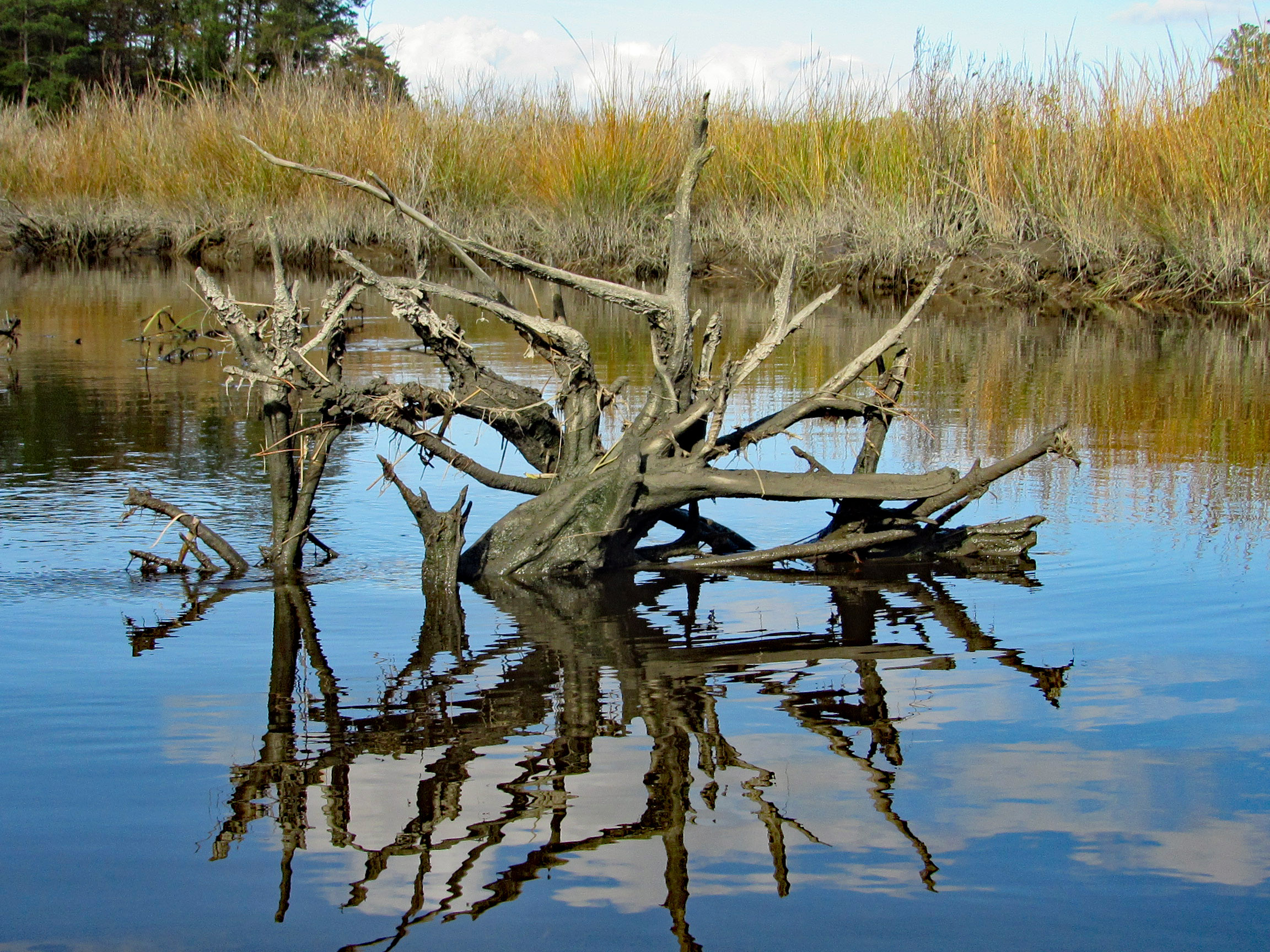
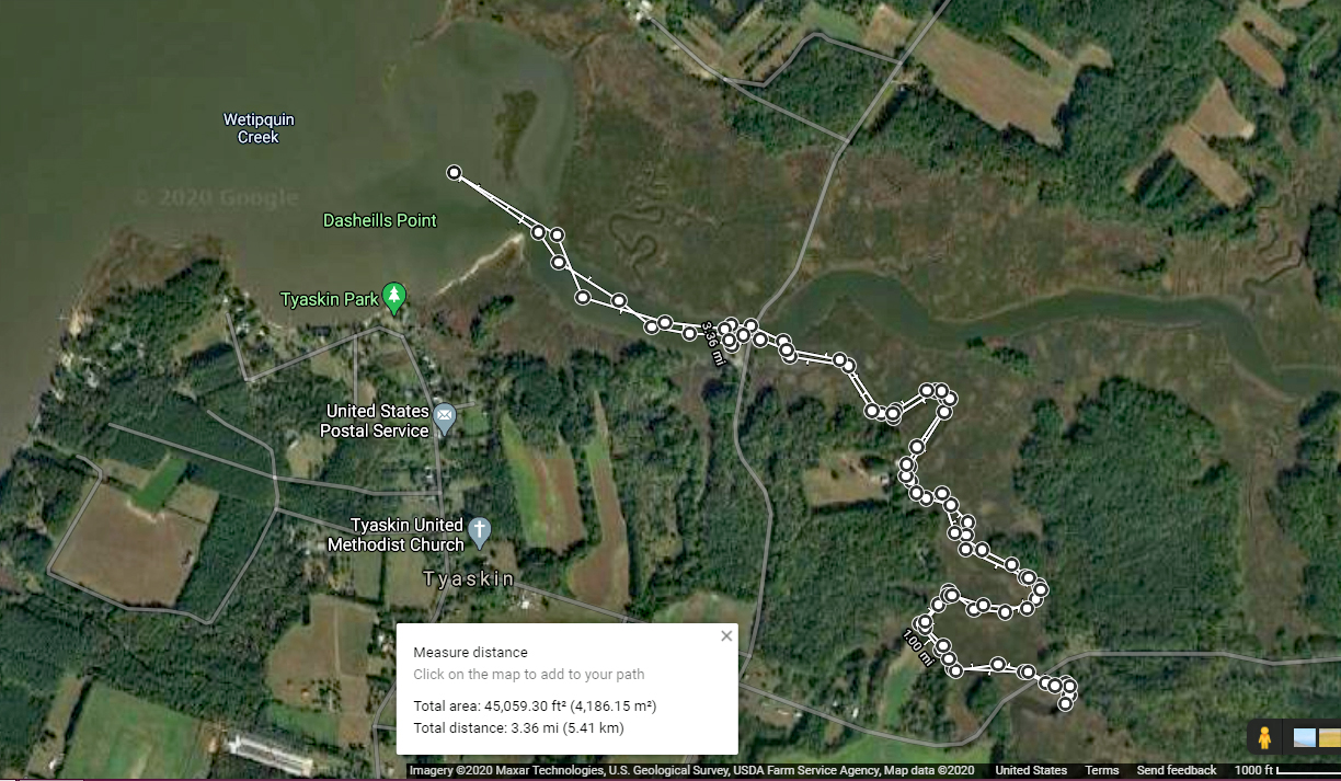
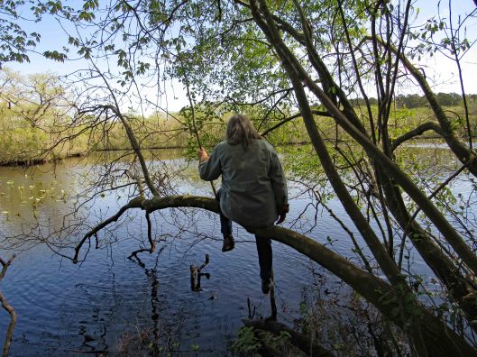
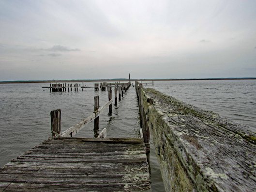
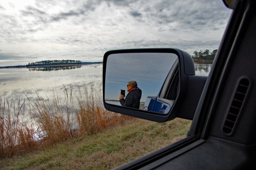
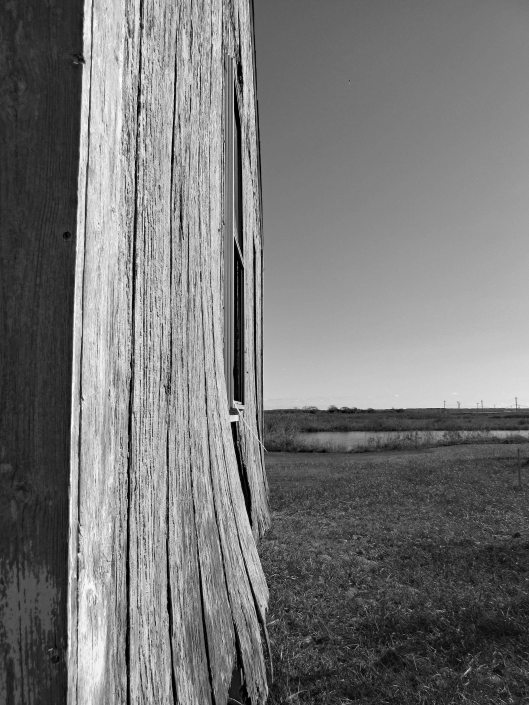
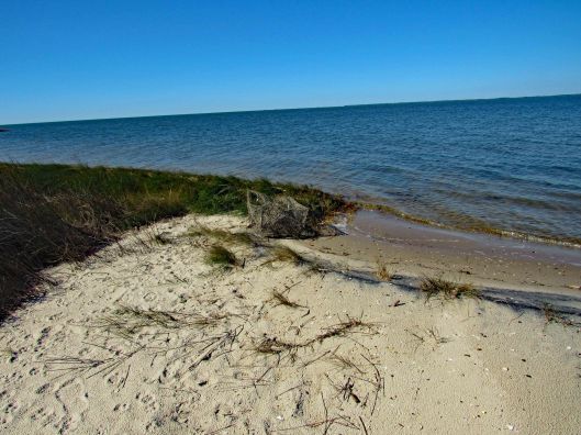
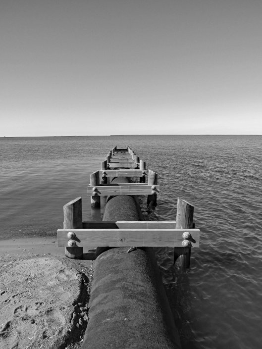
The temperature was heading into the mid to upper 70’s, so we headed out to kayak at Wetipquin Creek, off the Nanticoke River. We were a couple miles from here when we went fishing.
The boat ramp is nice and extends far into the water. Head to the right and go under the Wetipquin Rd. bridge.
Some pics from Kathy before starting to kayak.
Start our adventure and Kathy stops to look at the Big screen TVs.
I like this one of Kathy’s
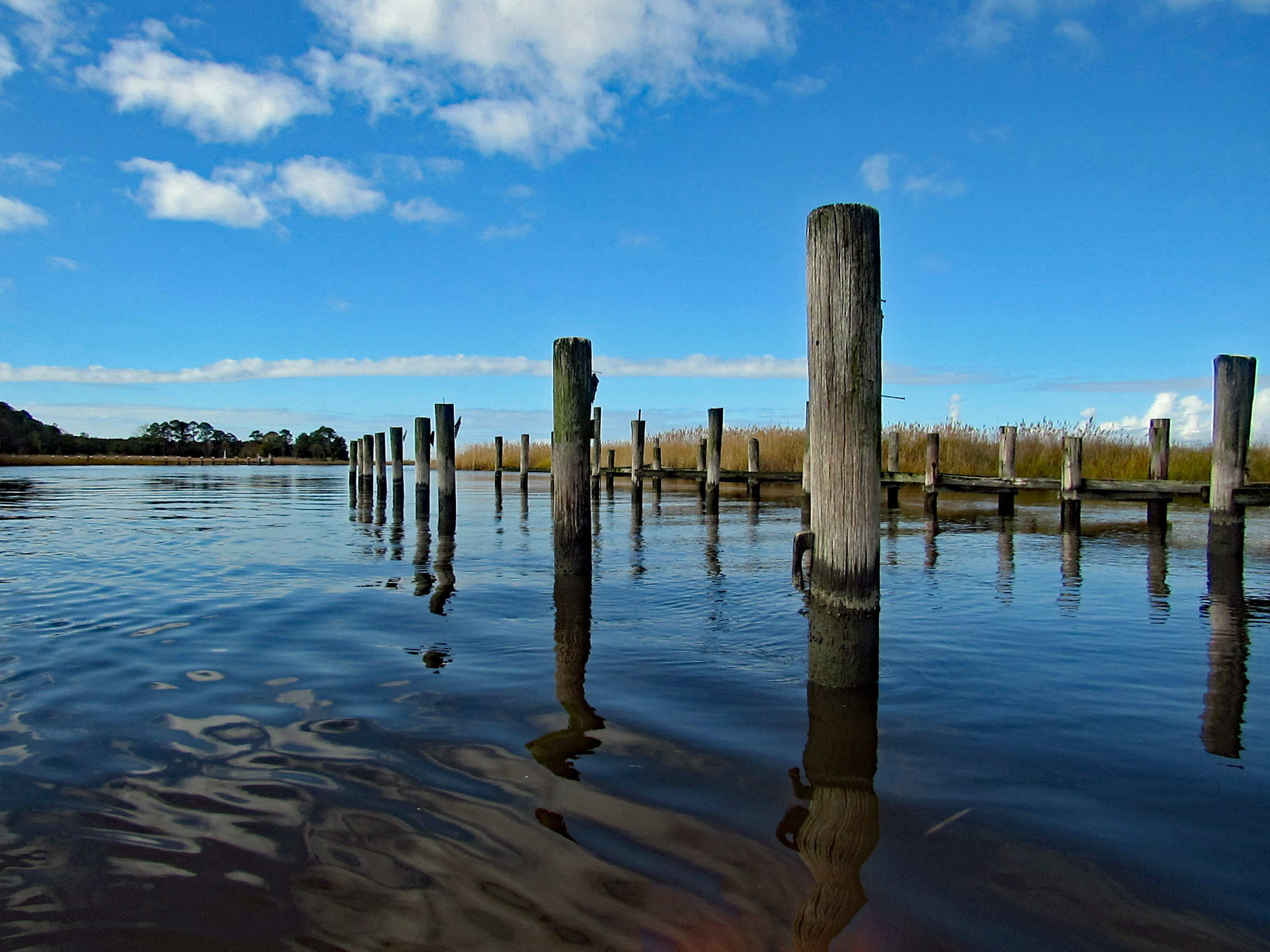
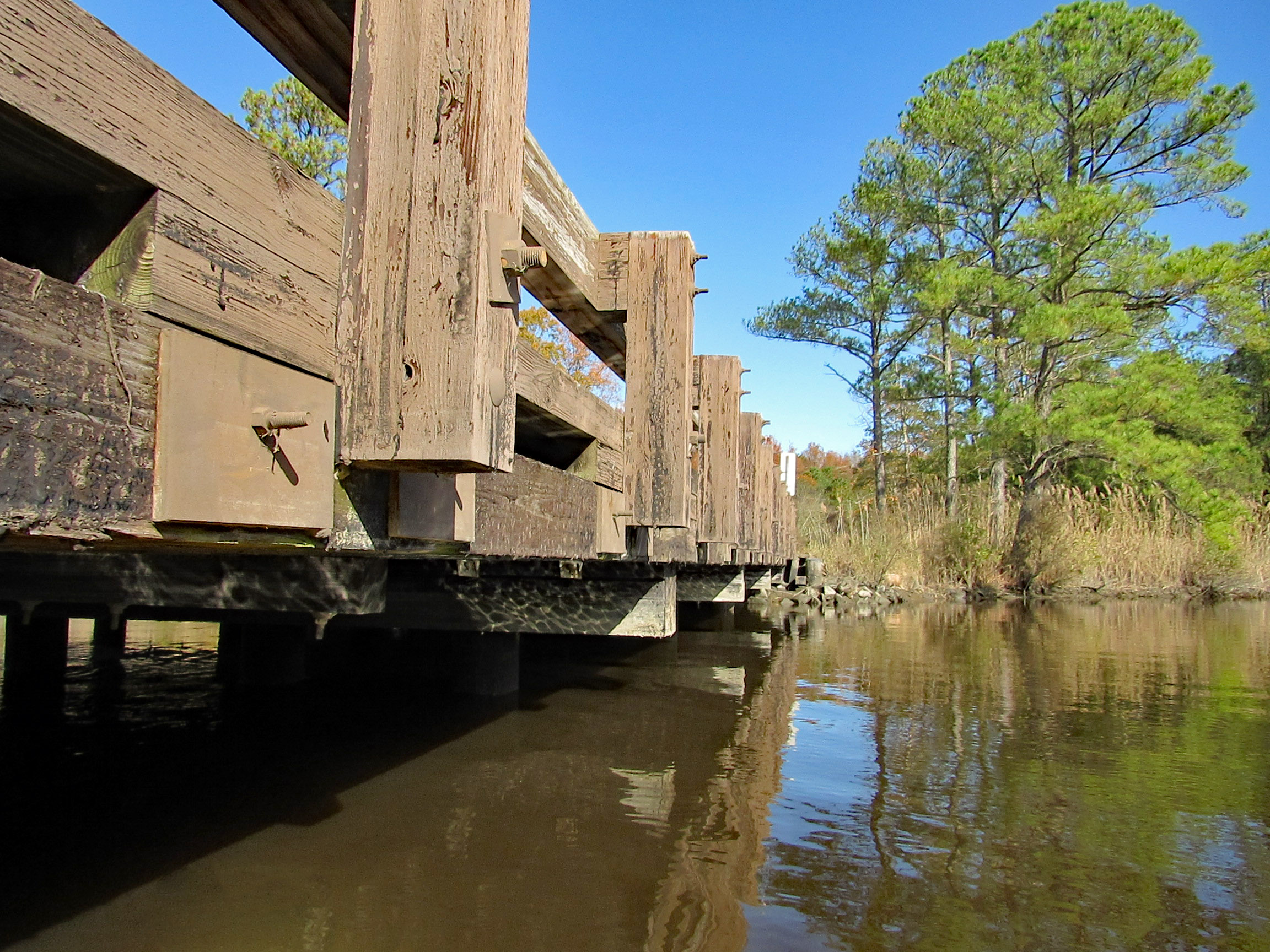
Time to head under the bridge. Kind of on a tilt but high enough to easily get under.
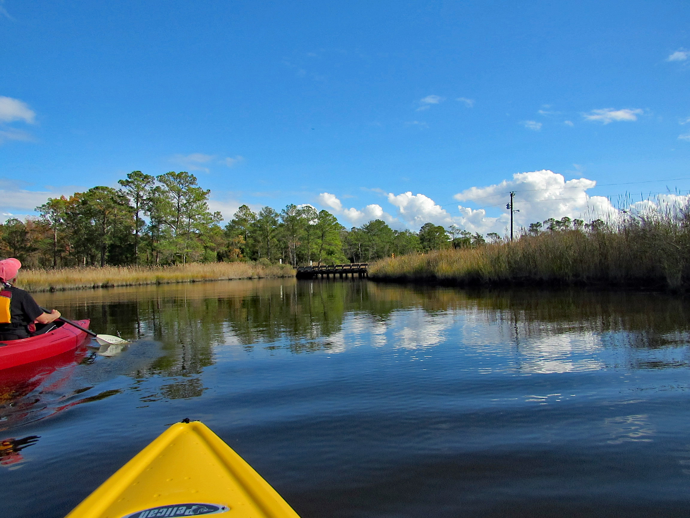
We soon come to a fork in the creek. Left will take us up the Wetipquin and right onto the Tyaskin Creek. We headed right.
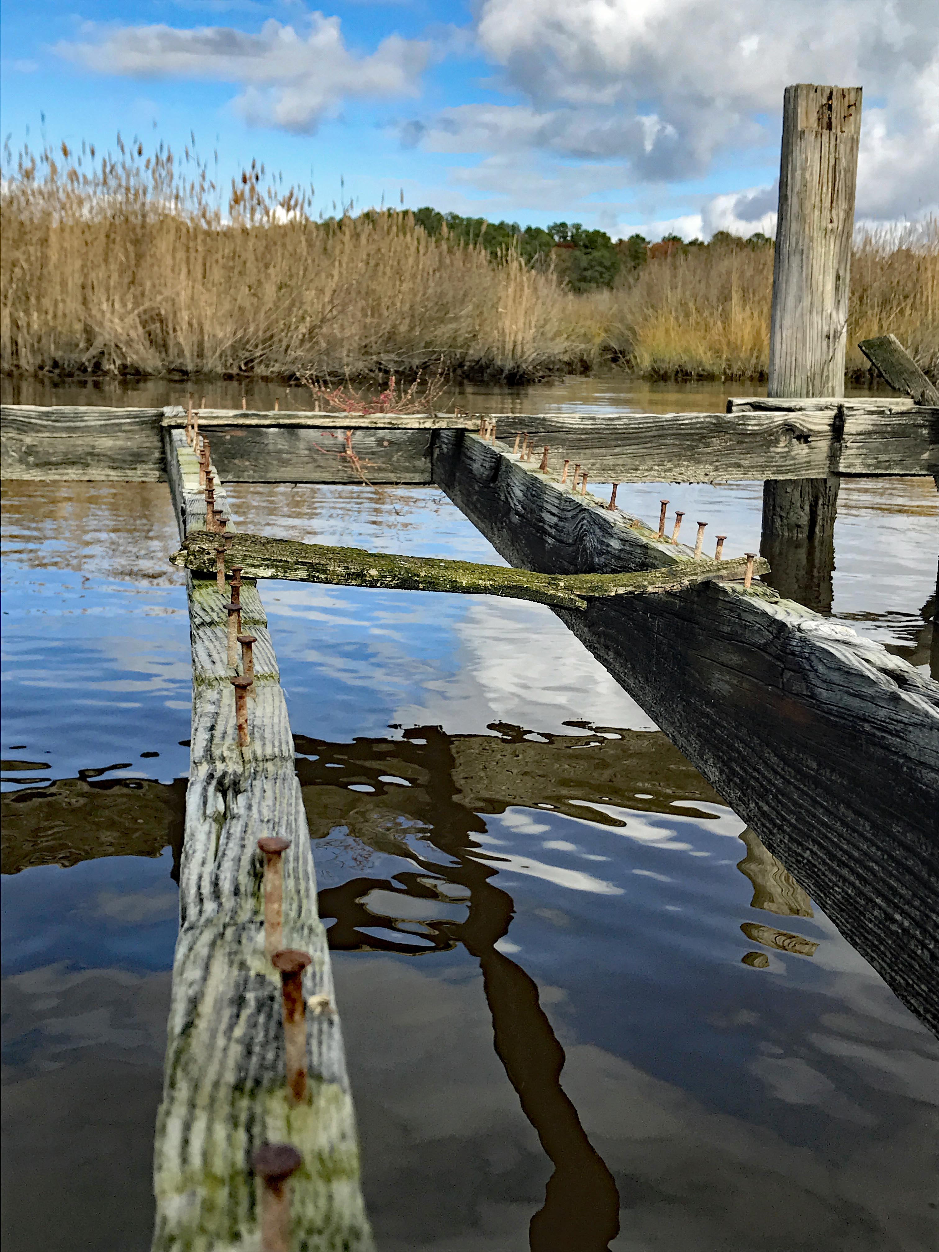
Saw this boat and was wondering how they get under the bridge we just passed under?
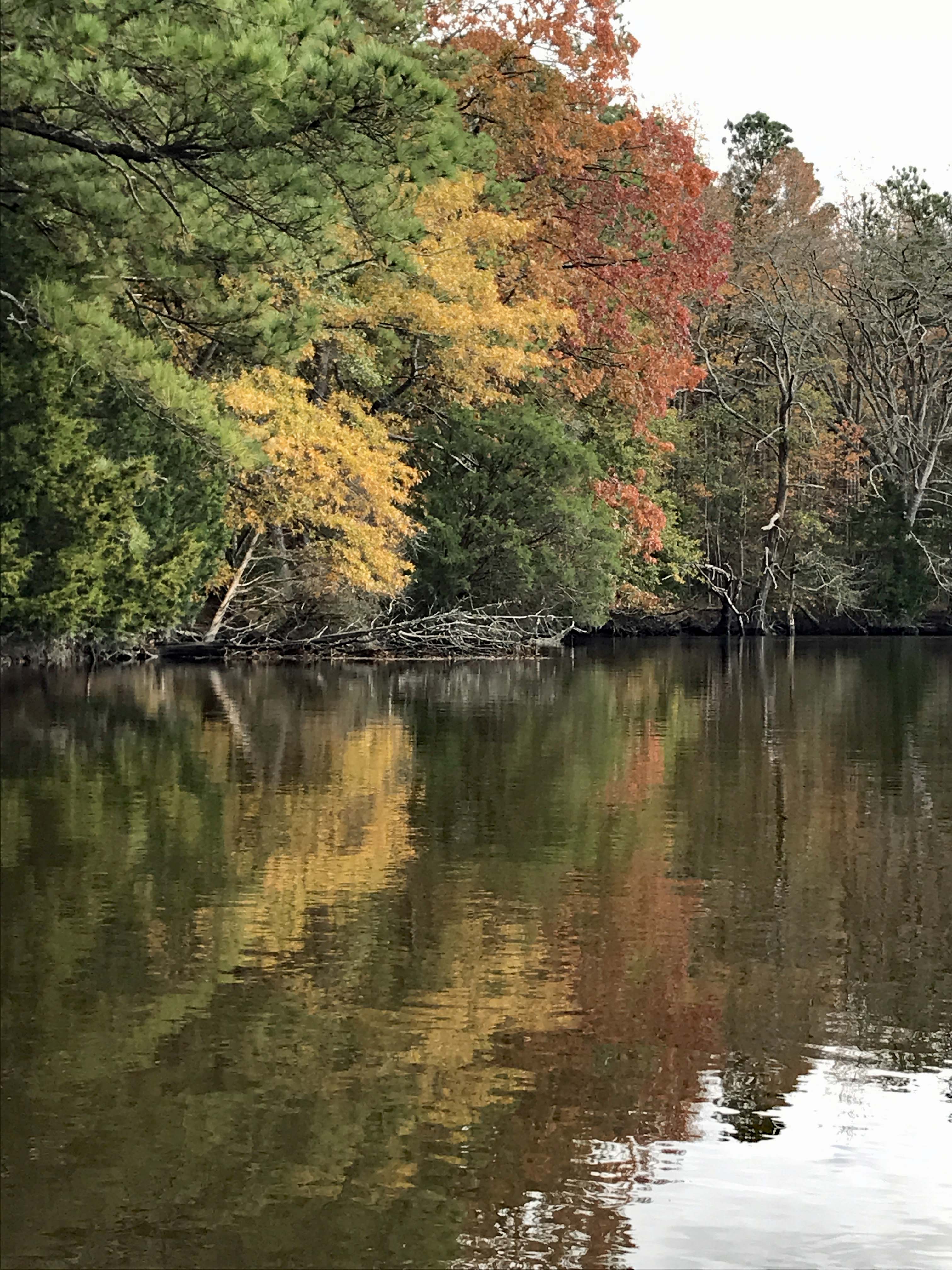
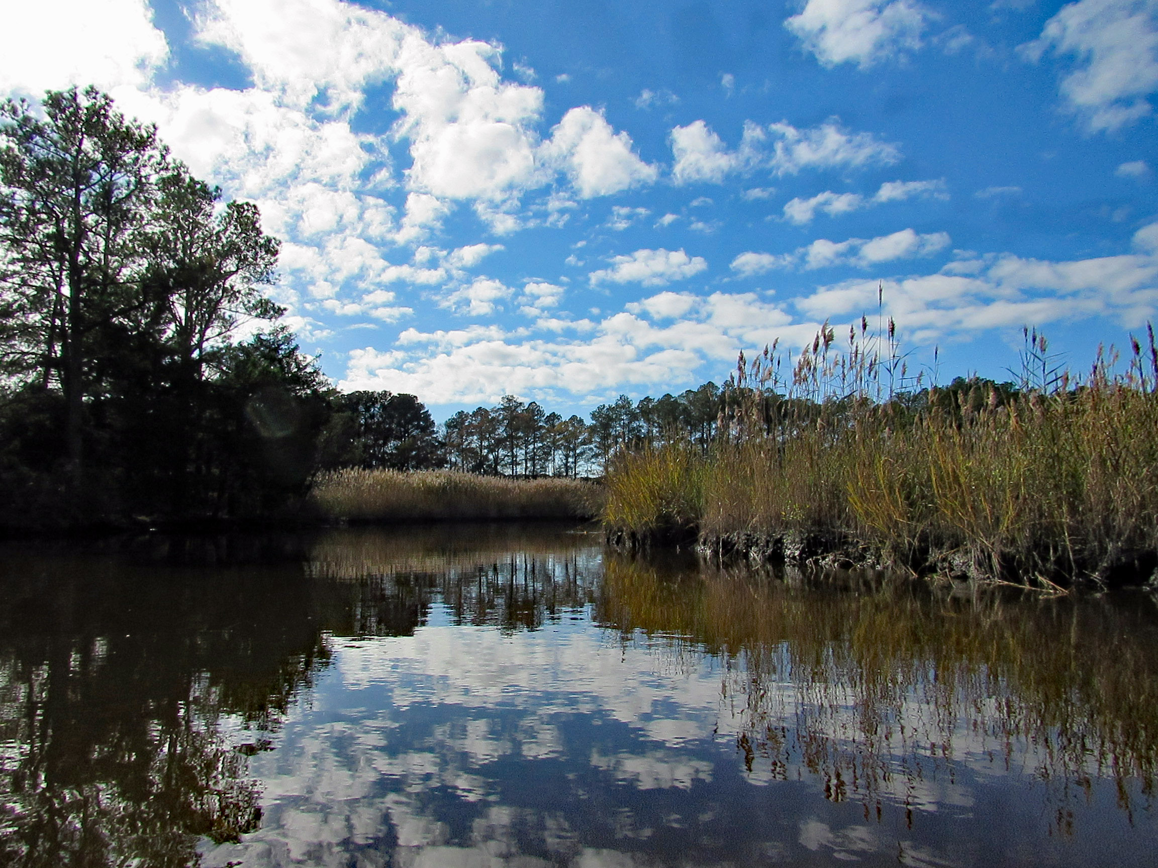
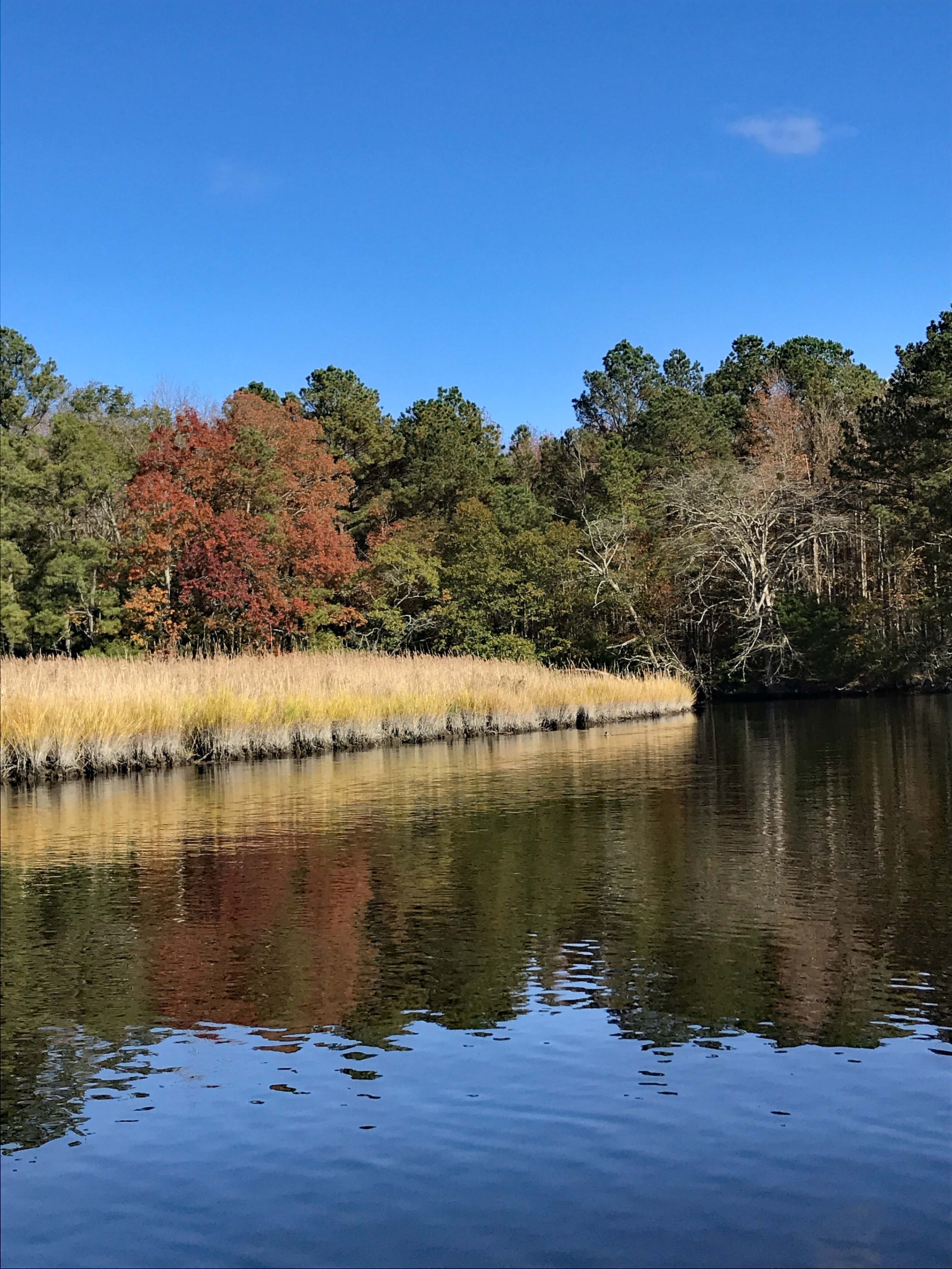
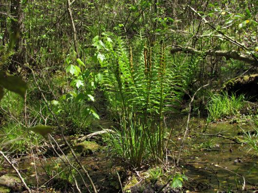
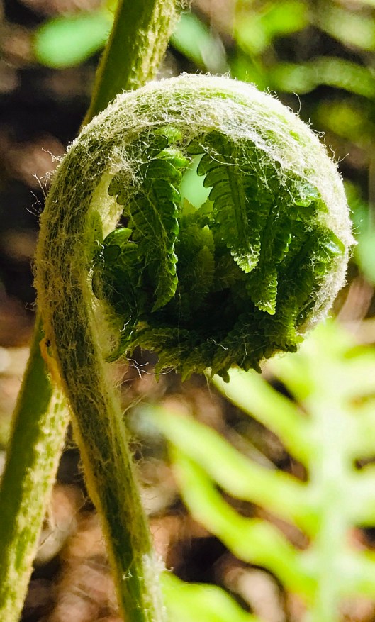
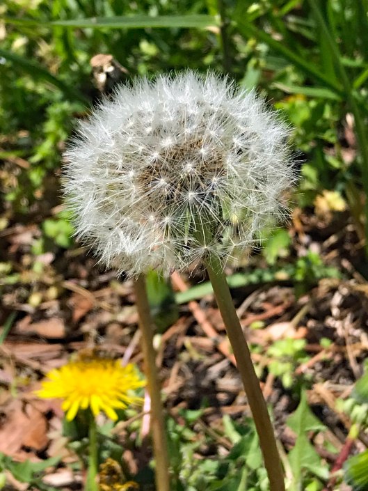
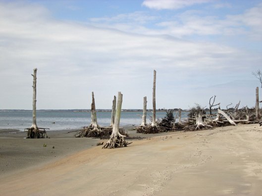
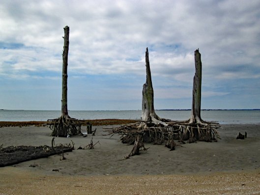
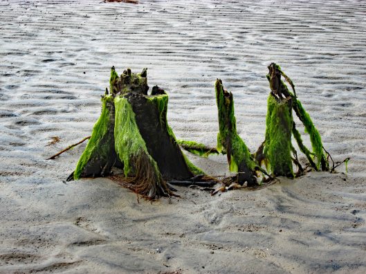
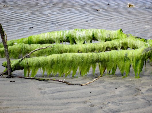
I think we missed most of the fall foliage, but still very beautiful and peaceful.
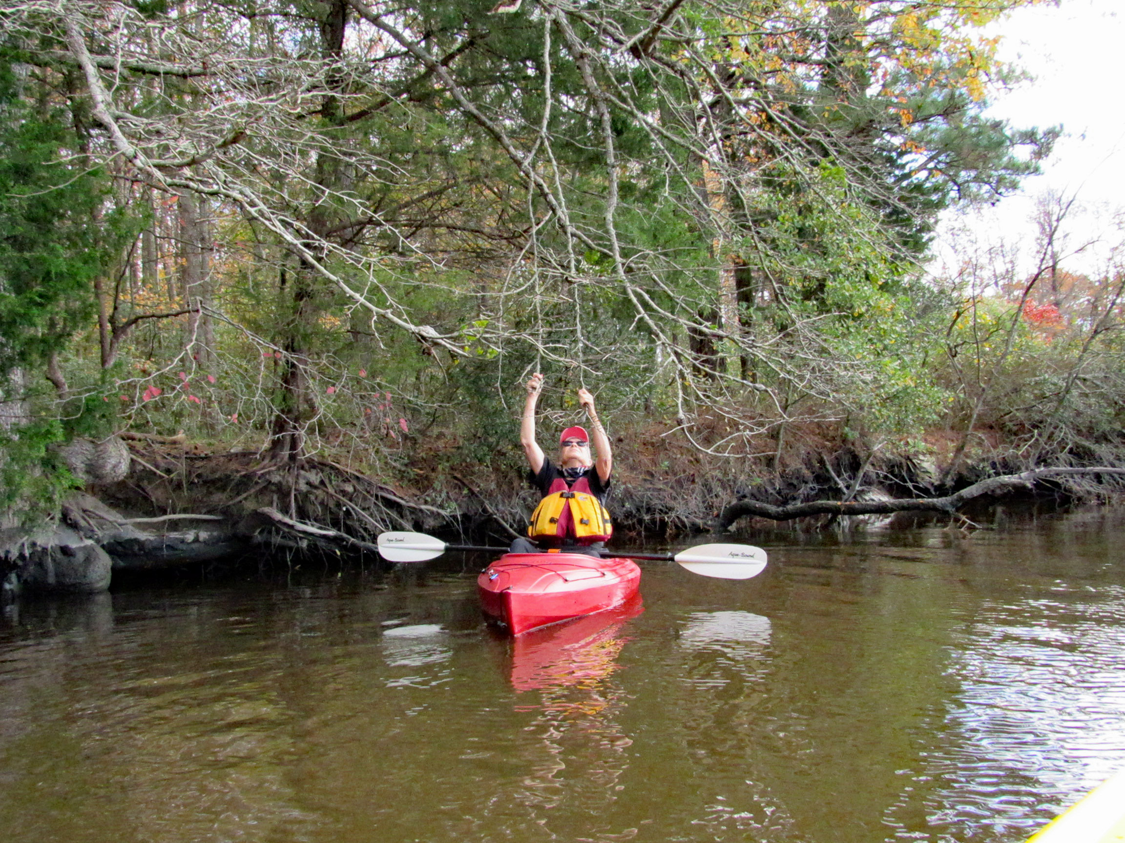
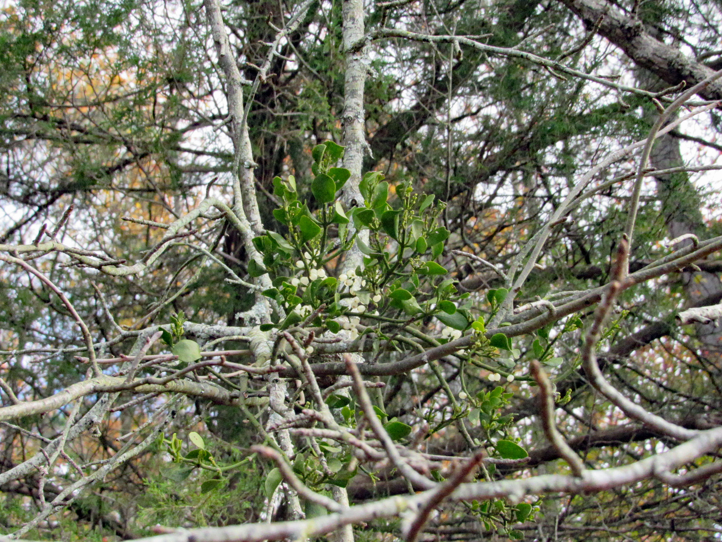
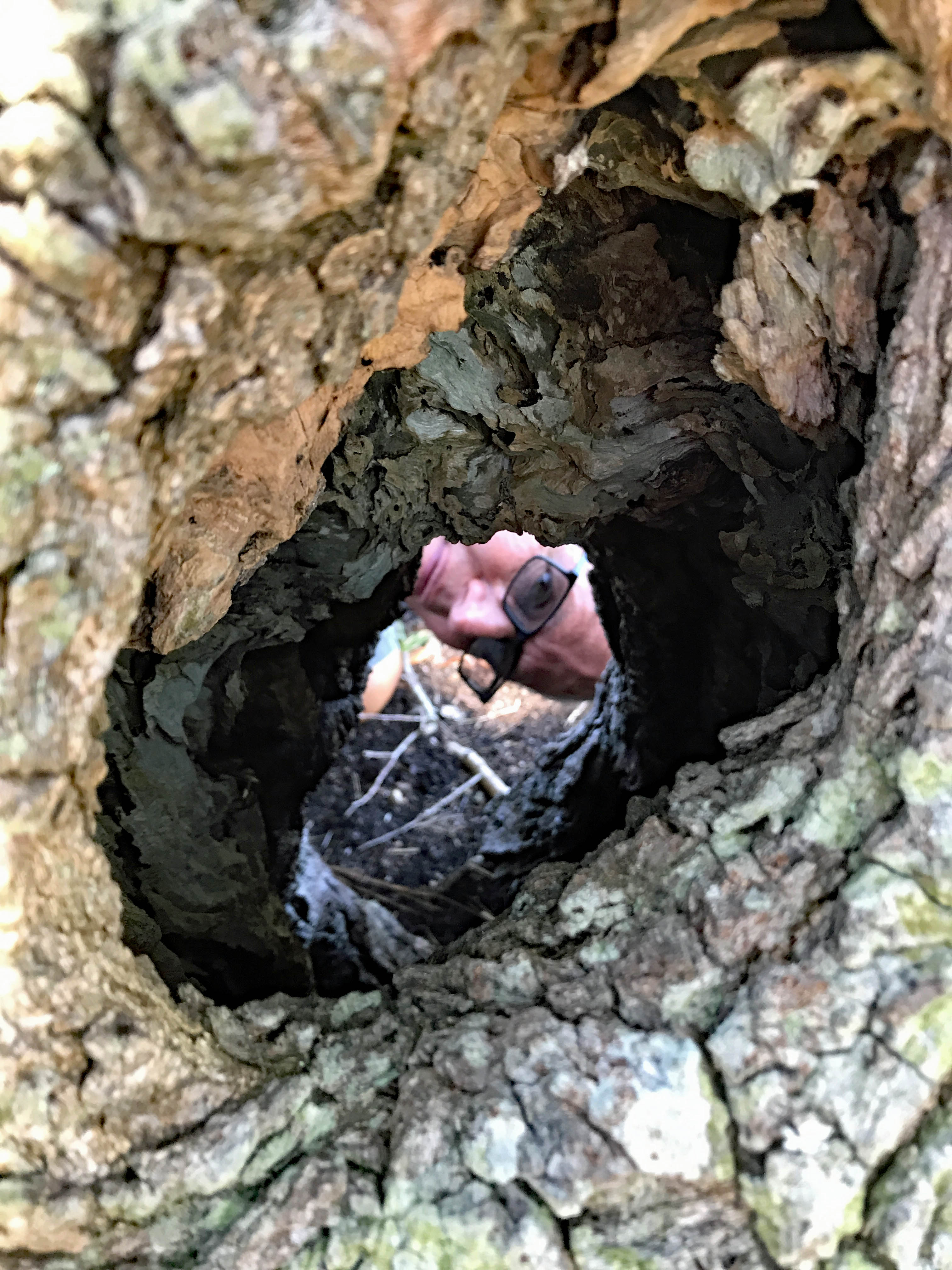
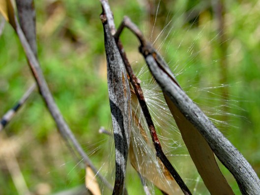
Fooling around with the mistletoe. Amazing how this stuff grows right out of the tree.
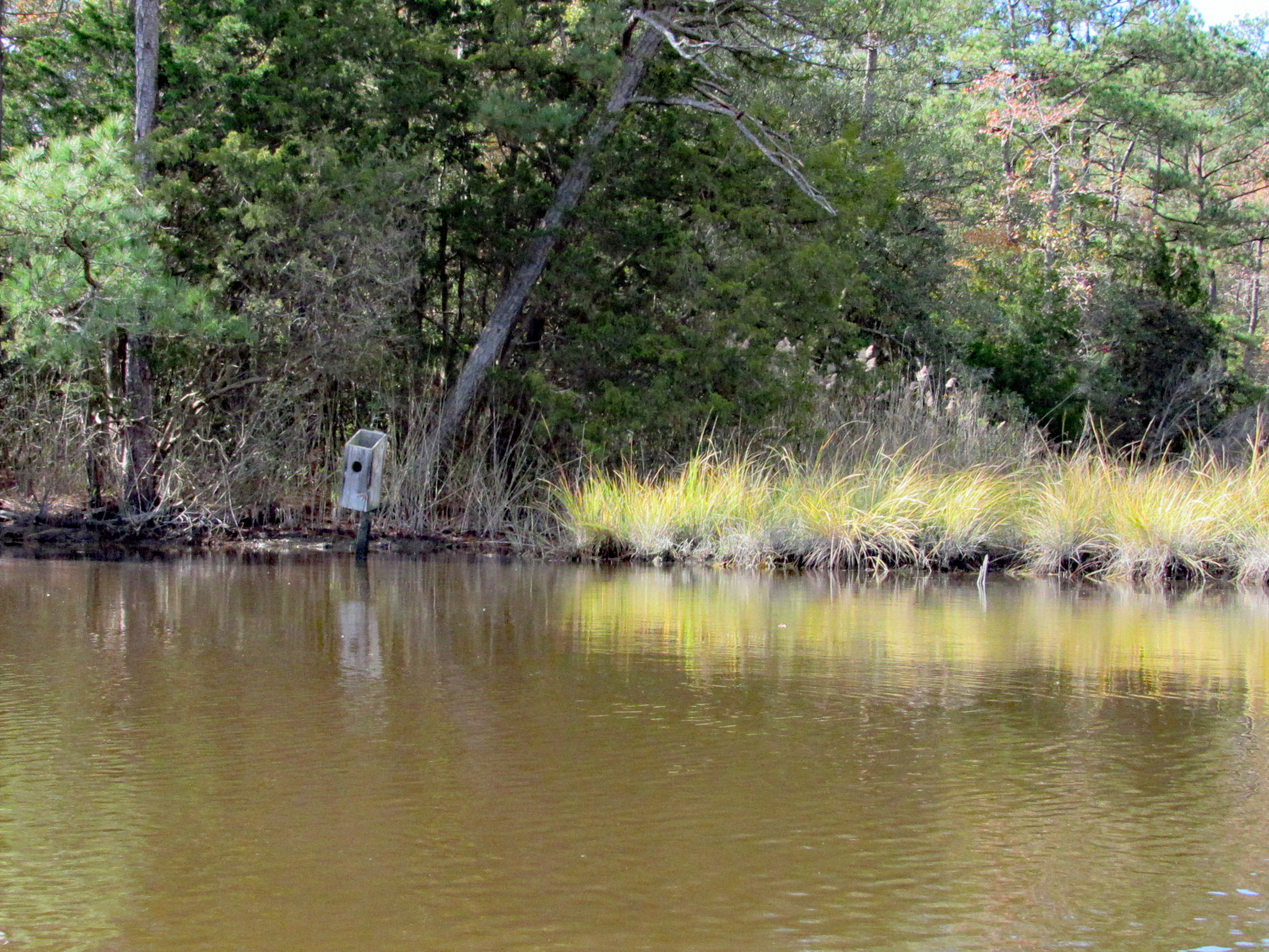
Saw two bird boxes and the tops were missing off of both of them.
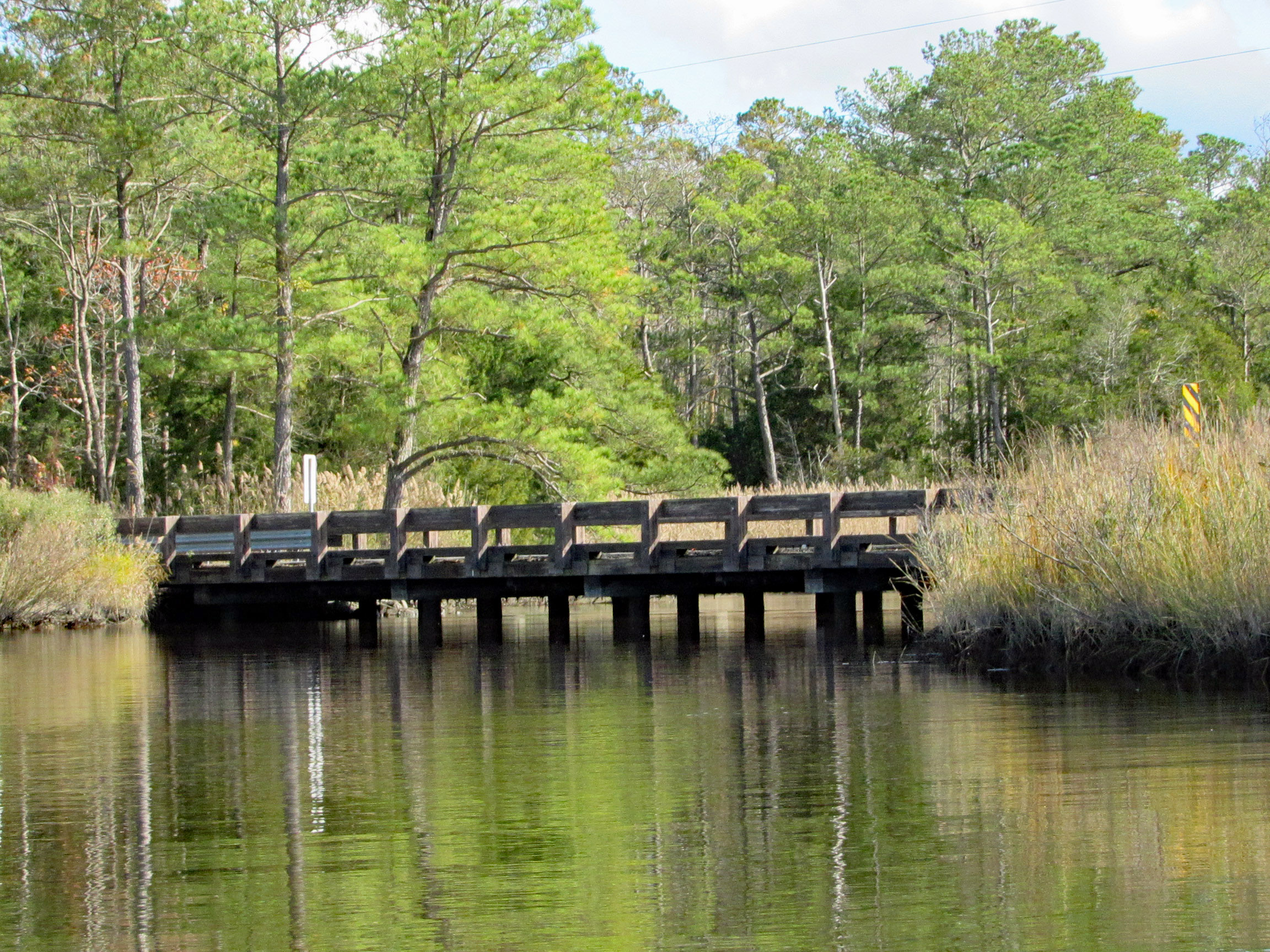
Approaching Deep Branch Rd. bridge. Looks low…
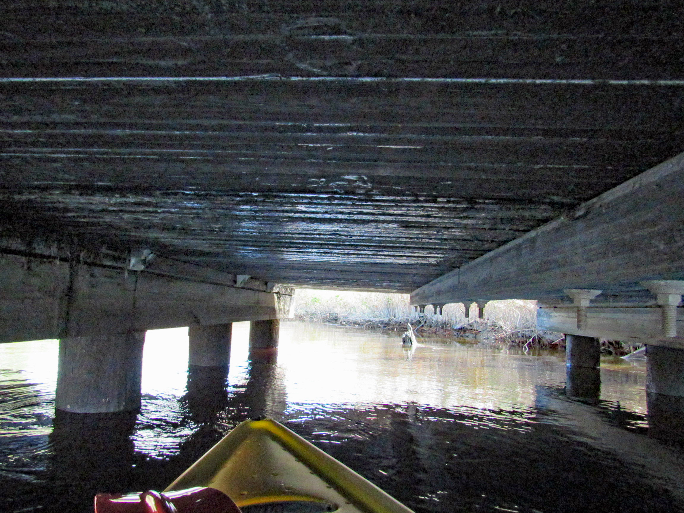
…but not too low!
On the other side and checking out up stream a little ways.
Kathy waiting for me back at the bridge, taking photos.
Sights.
Waiting for me to catch up.
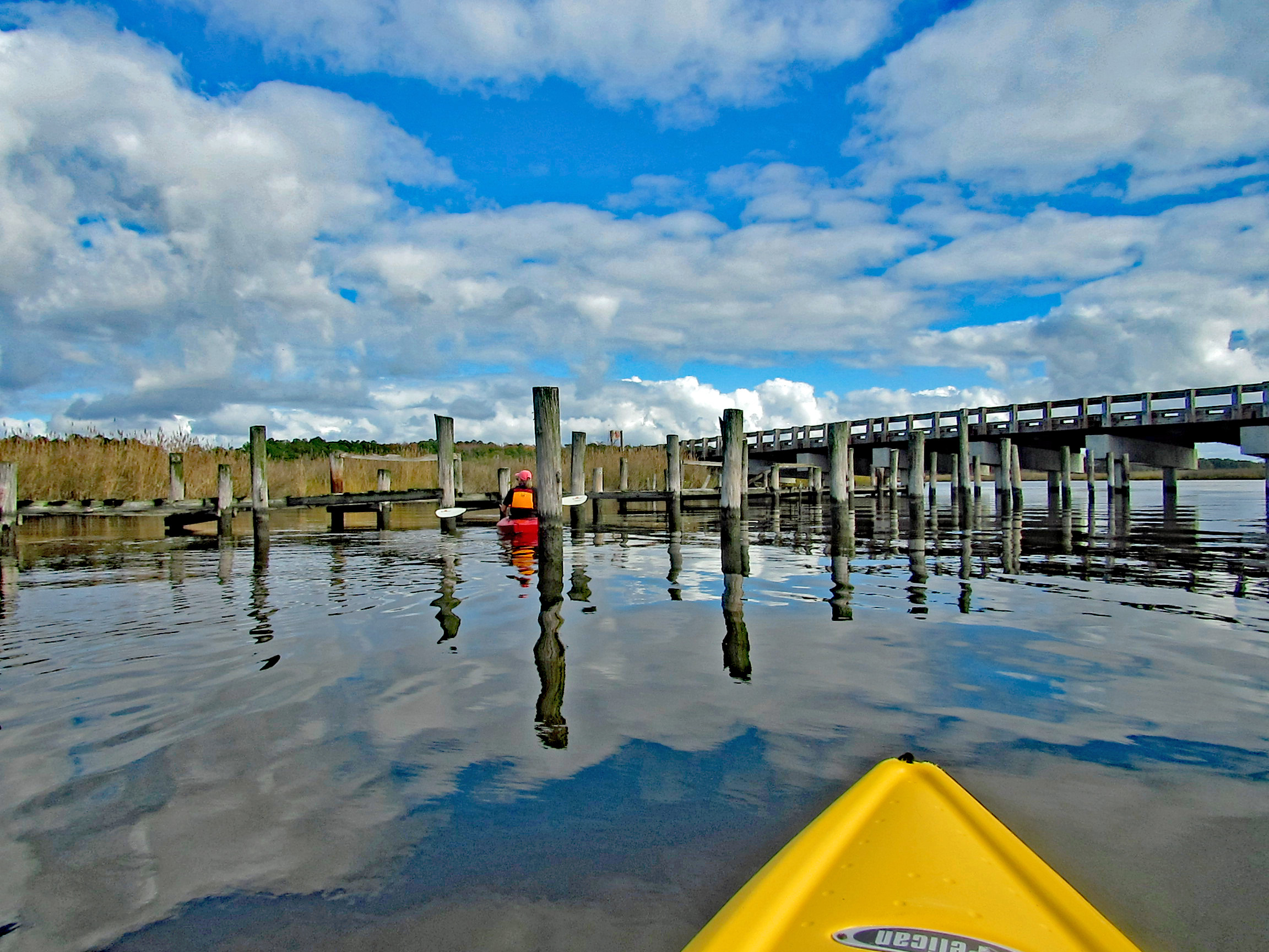
Back under Wetipquin bridge, heading to the Nanticoke.
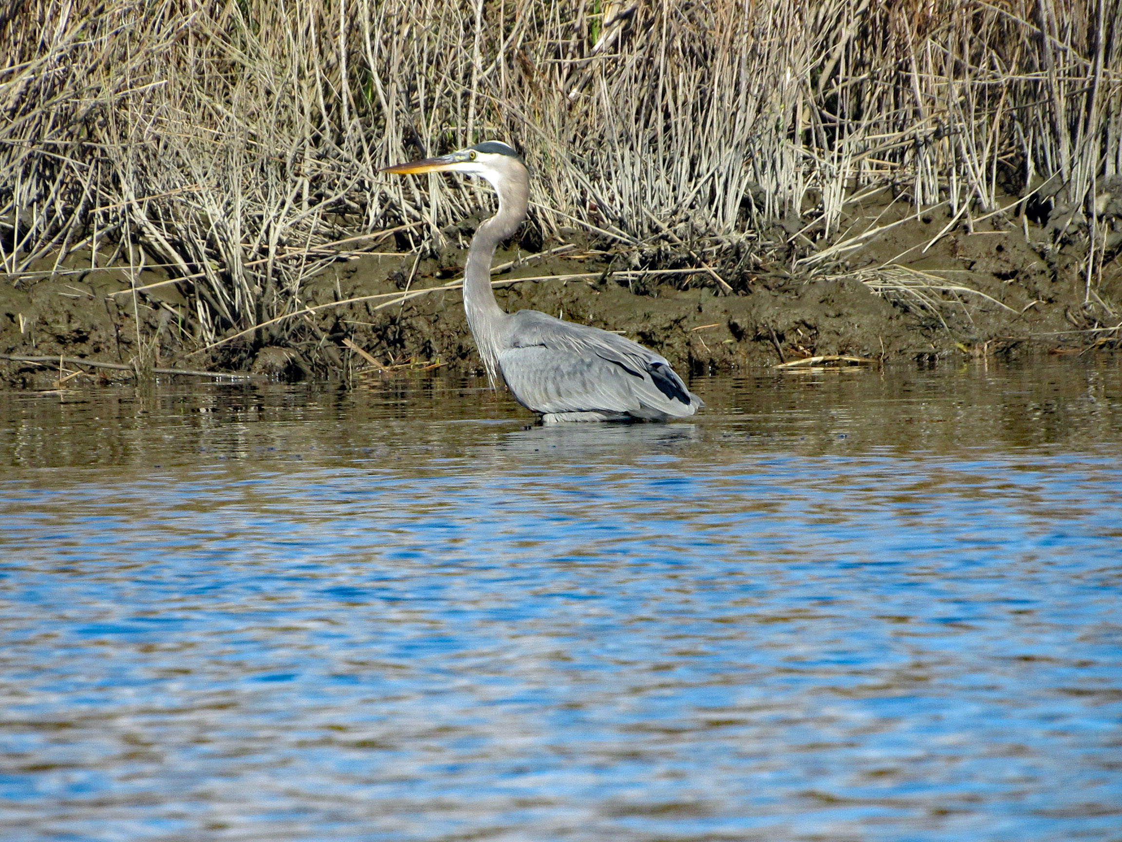
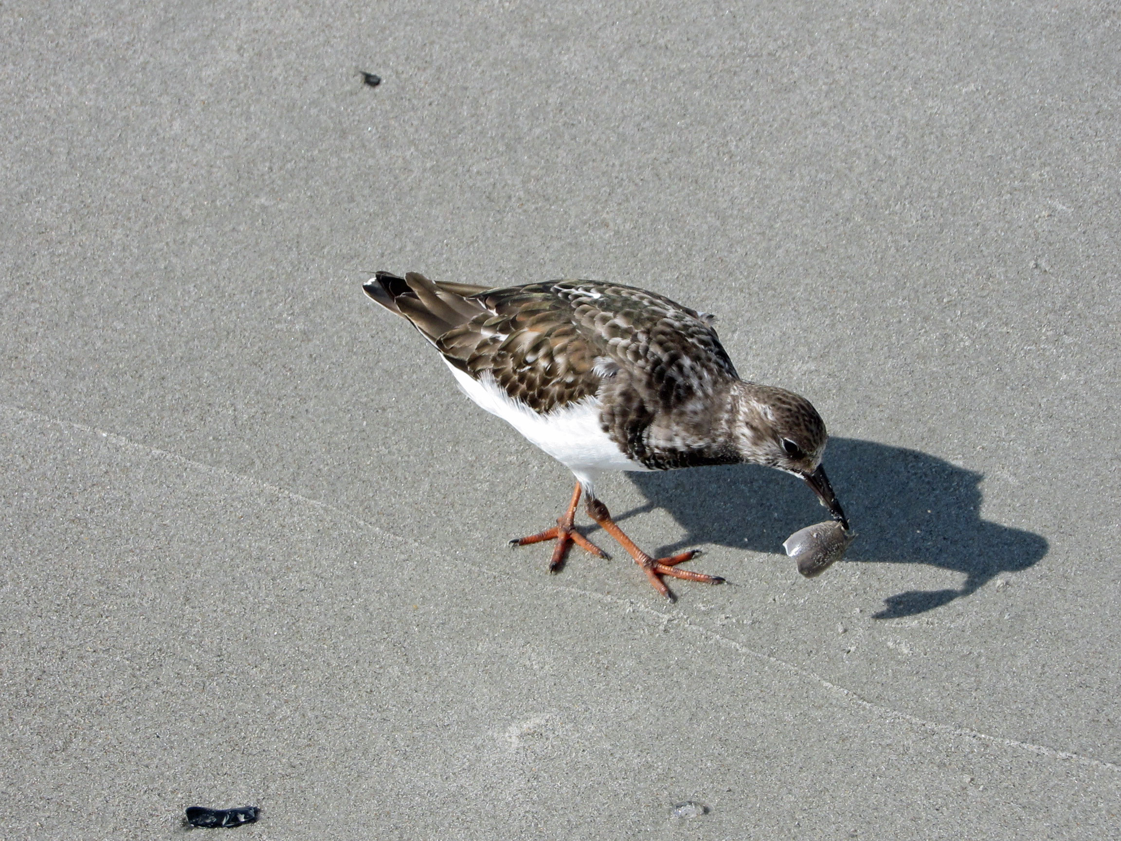
We didn’t see any wildlife until we headed to open water.
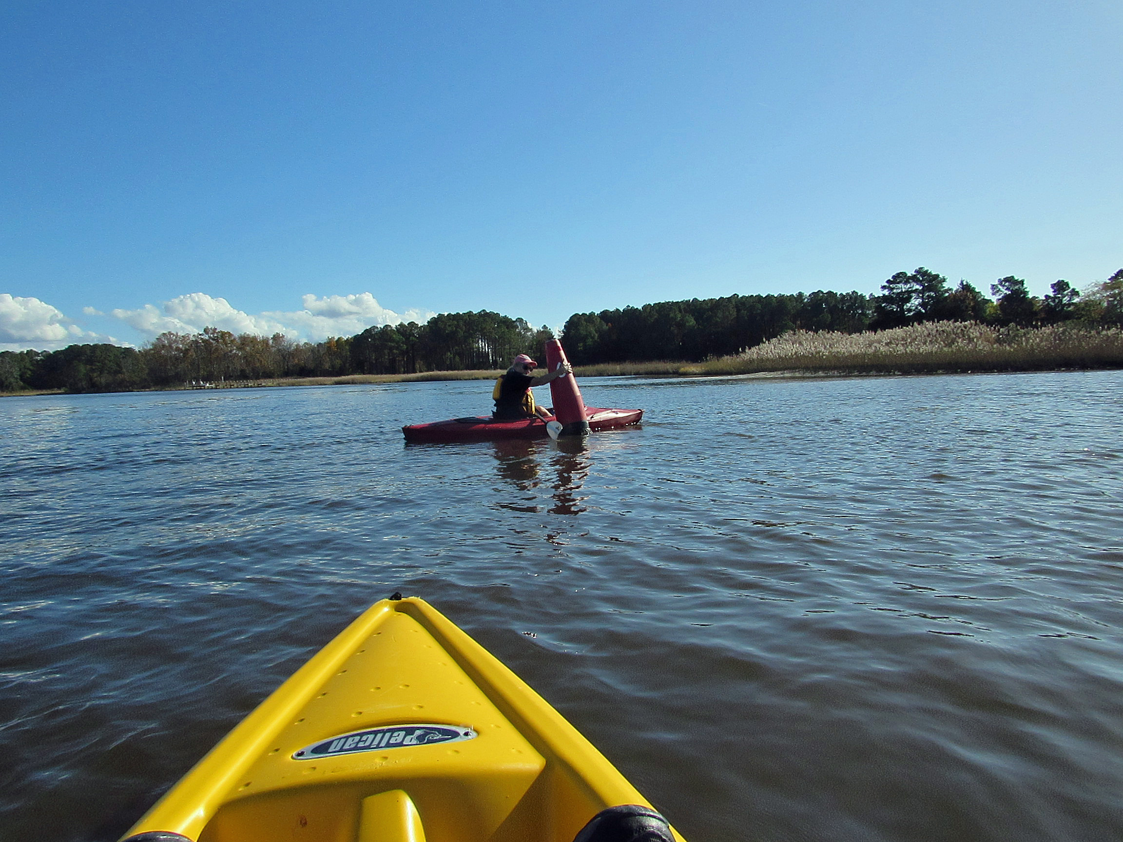
Geez Kathy, what are you doing to that boy?
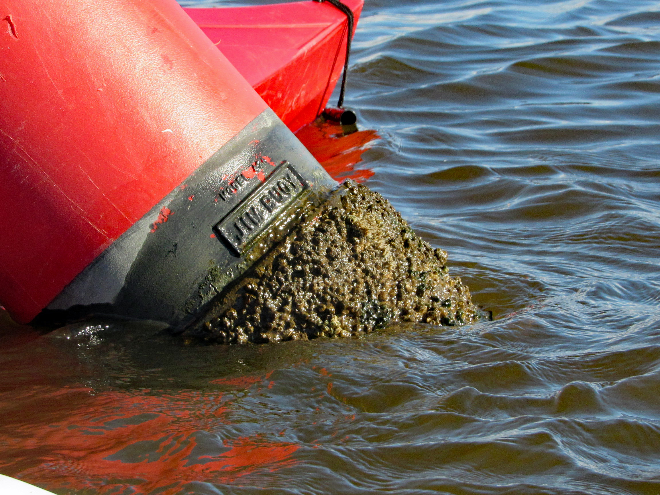
Meet my new friend – Buoy, Jim Buoy!
Our path. A beautiful day on the water! Thanks God!
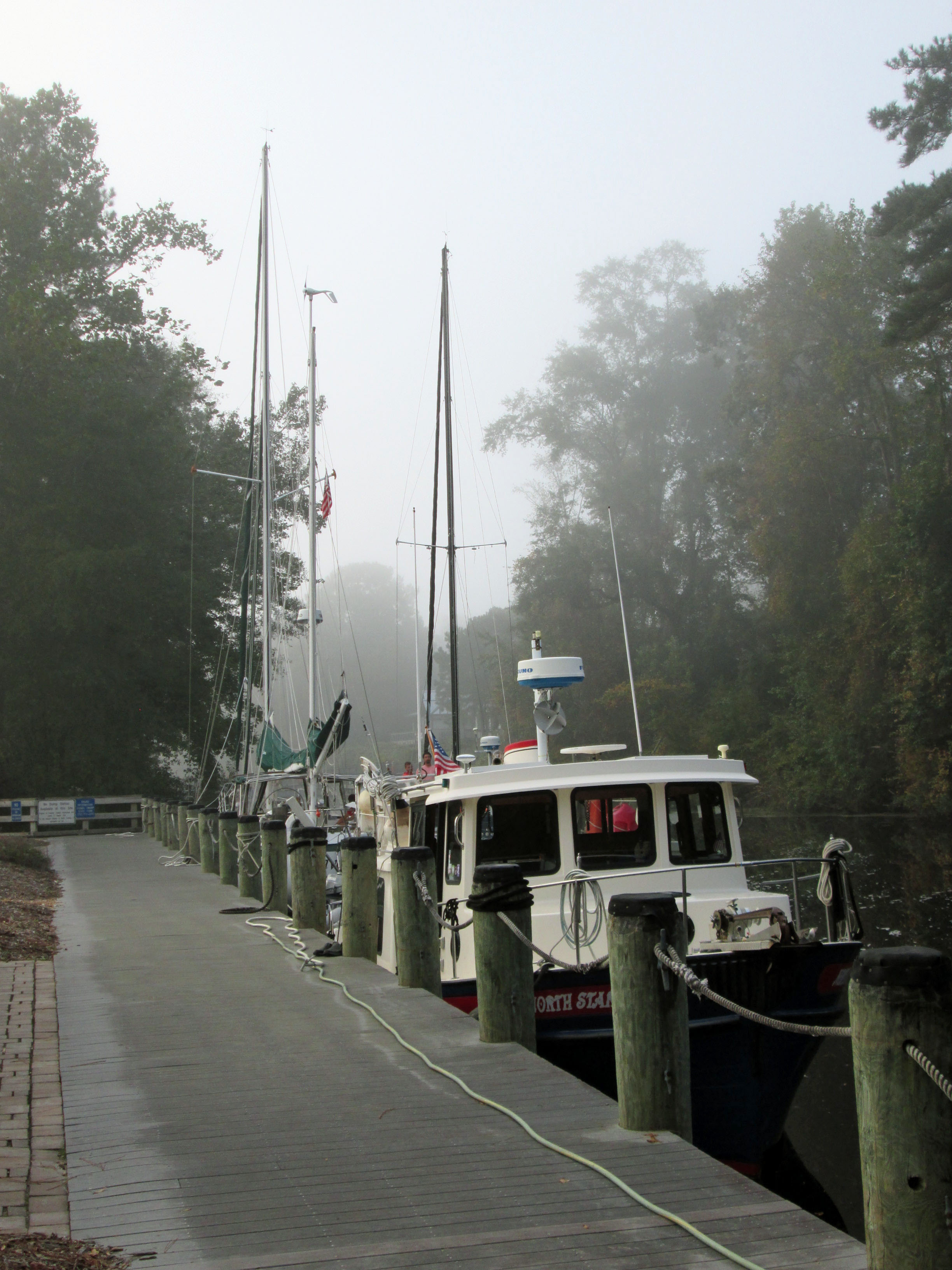
Another great road trip to North Carolina. Kathy already there for a week before I headed down to pick her up. I was to stay a week also but the weather took a turn for the worse and we came back a couple days early.
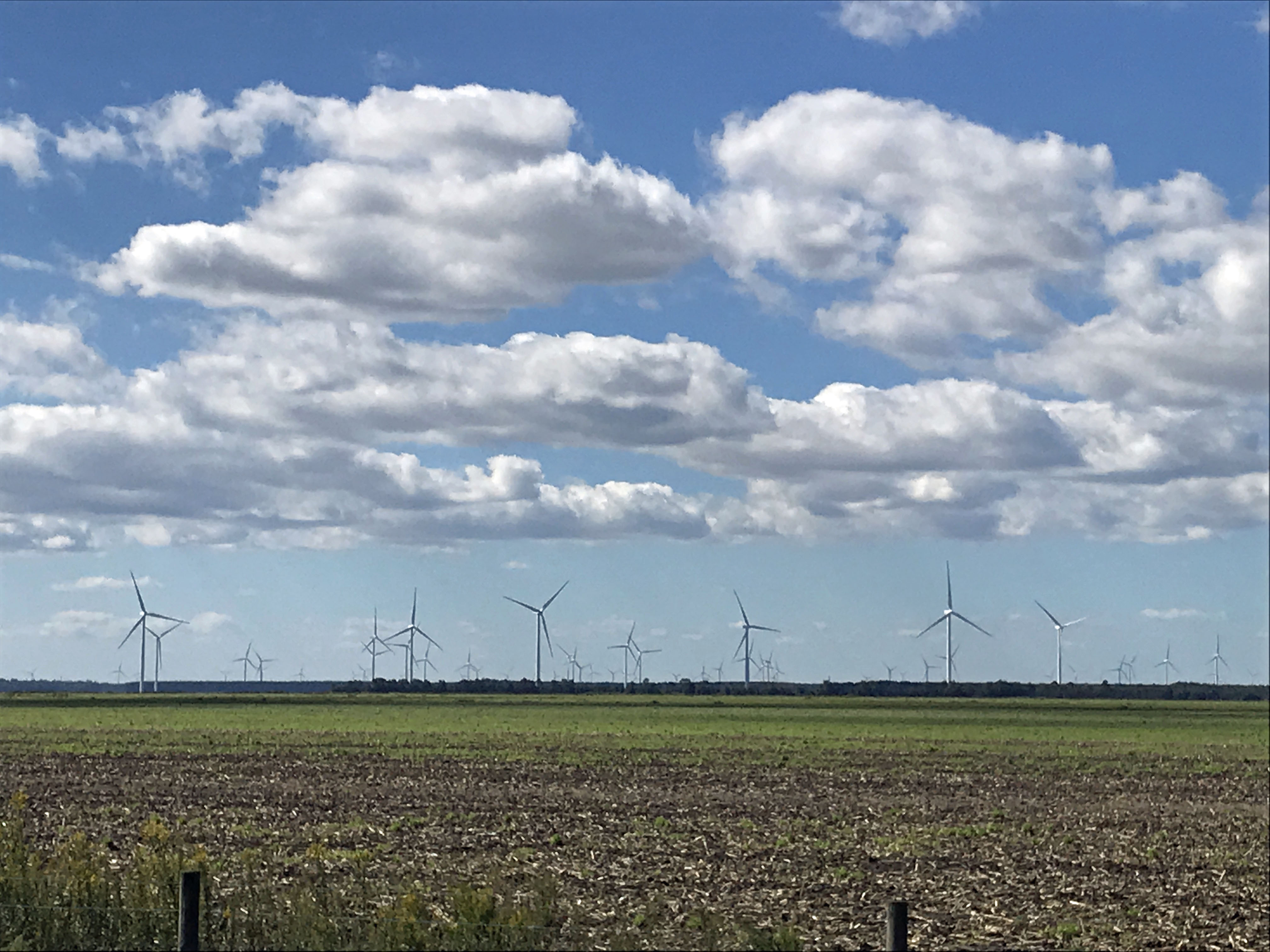
It was very foggy when I left Salisbury, Md. to head south. The fog did not dissipate until well after Edenton. I missed the windmill farm, but Kathy got a photo of it.
One of my favorite stops is at the Dismal Swamp. About 1/2 way there.
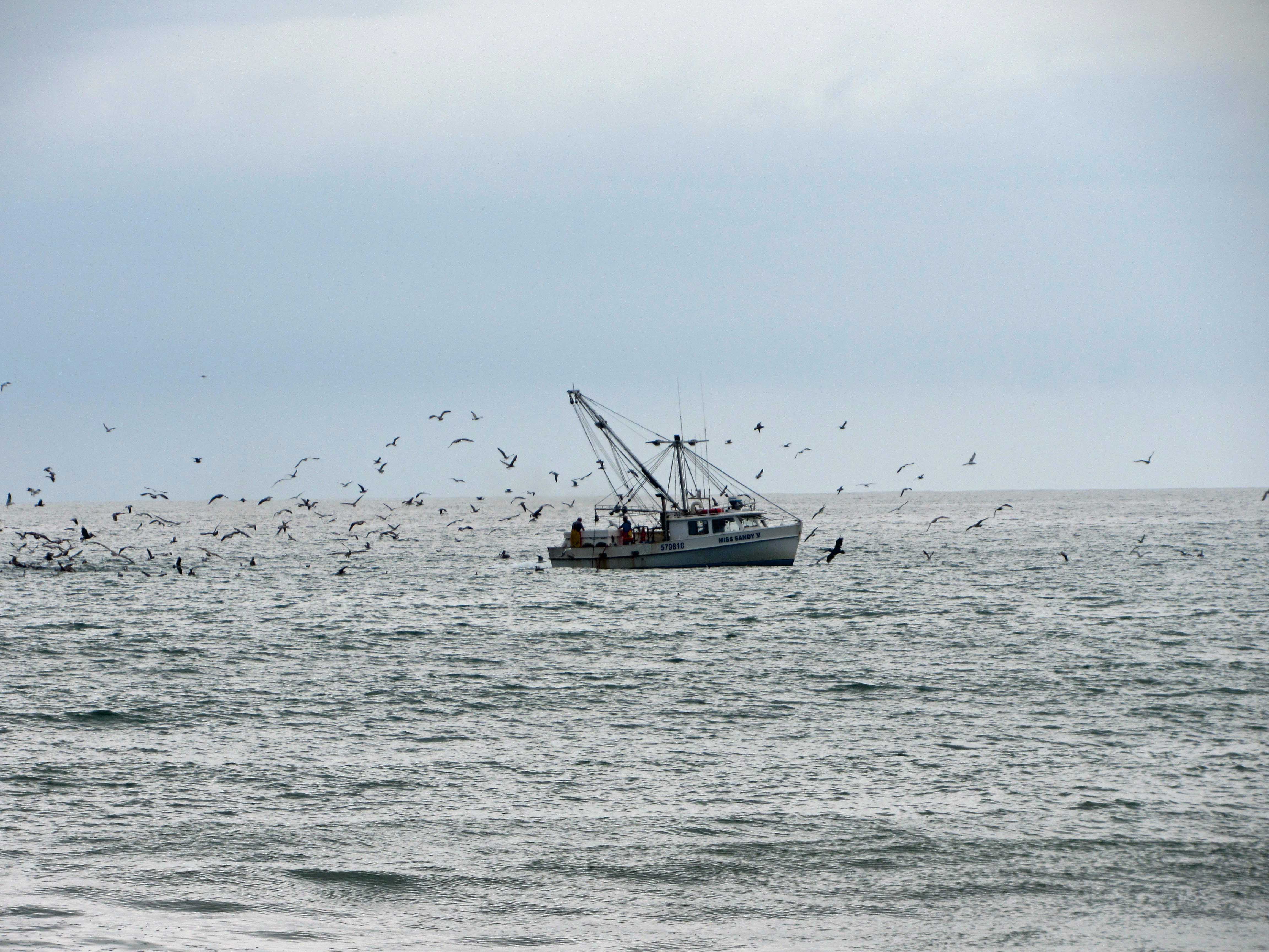
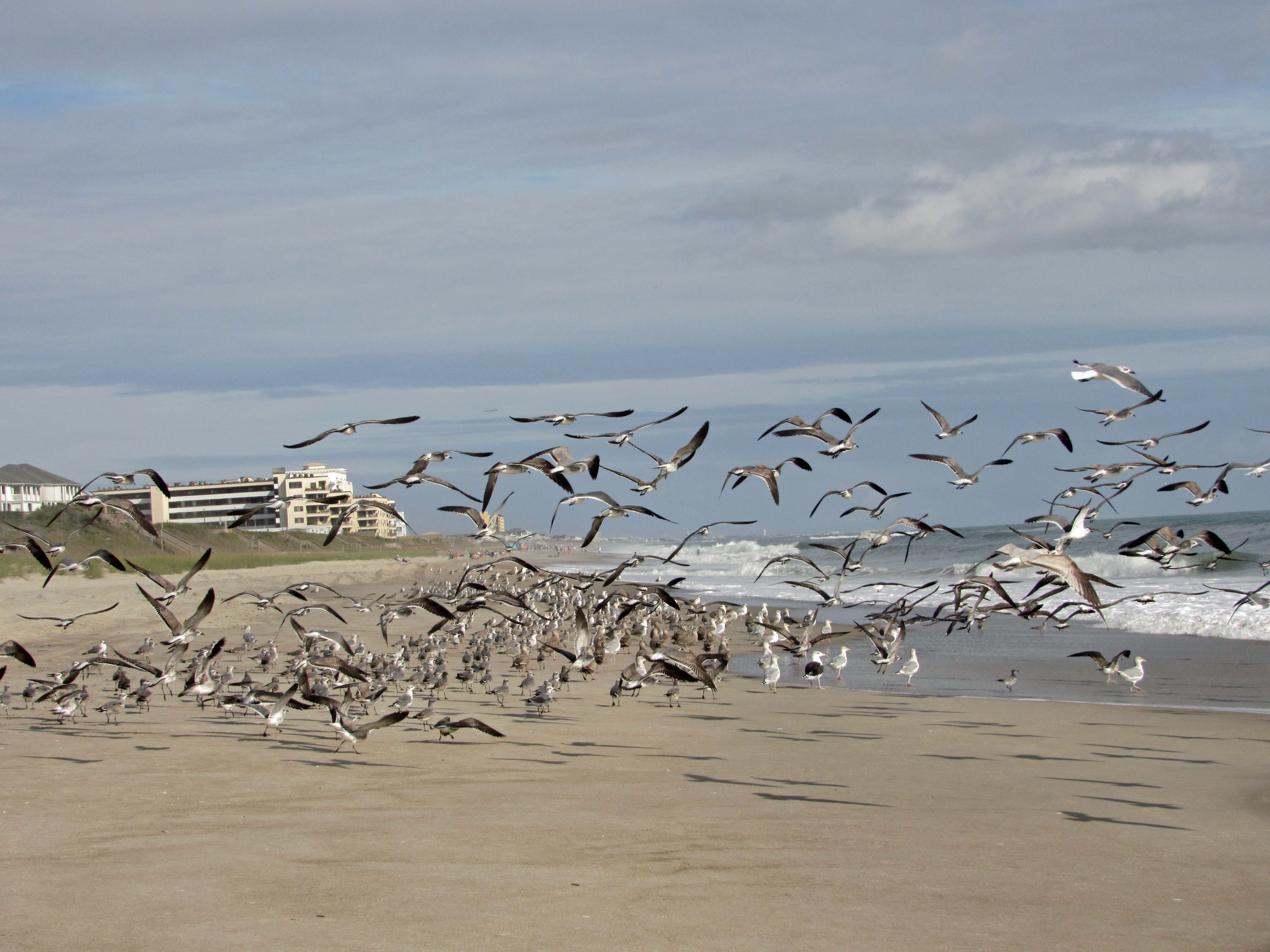
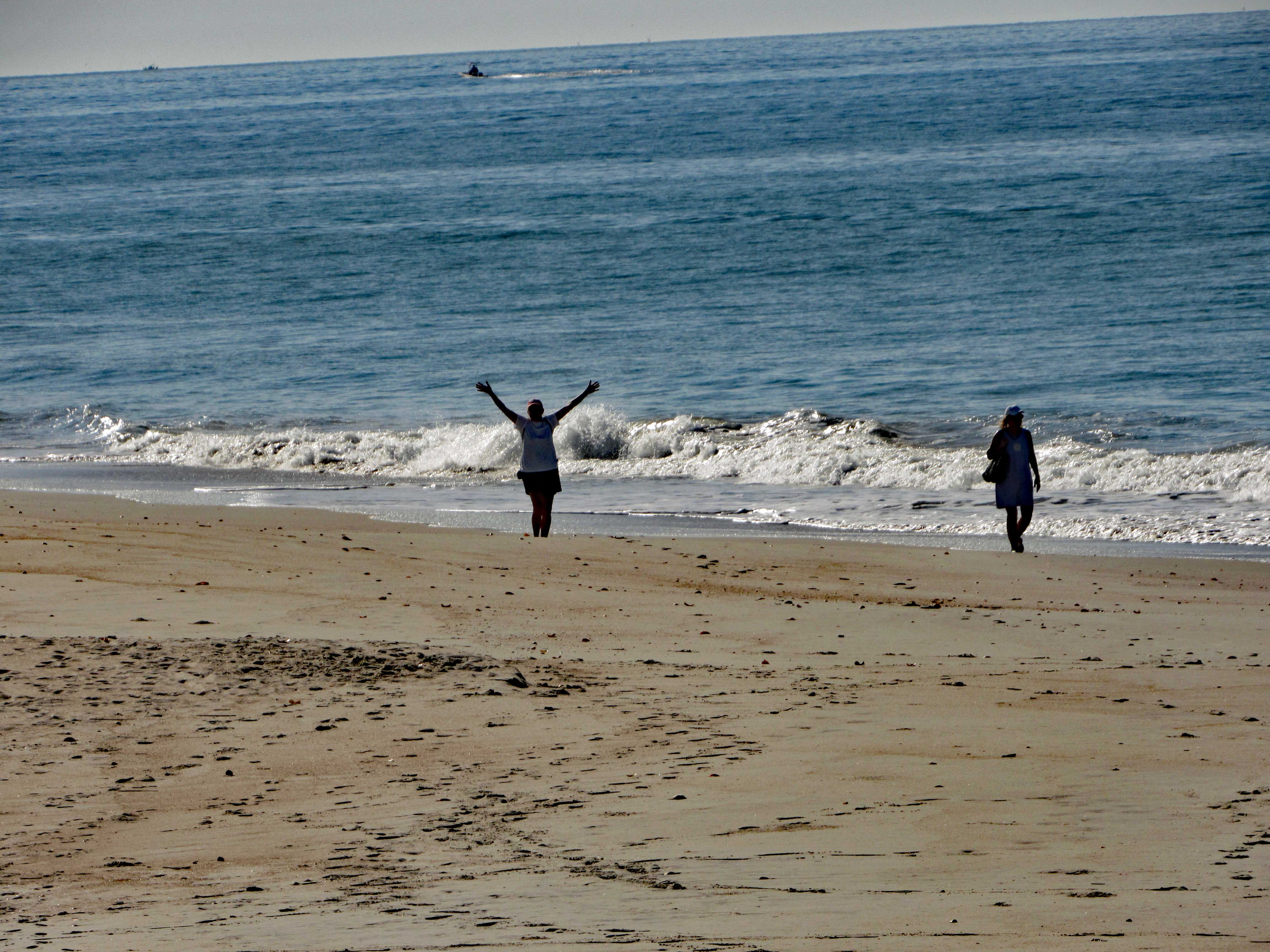
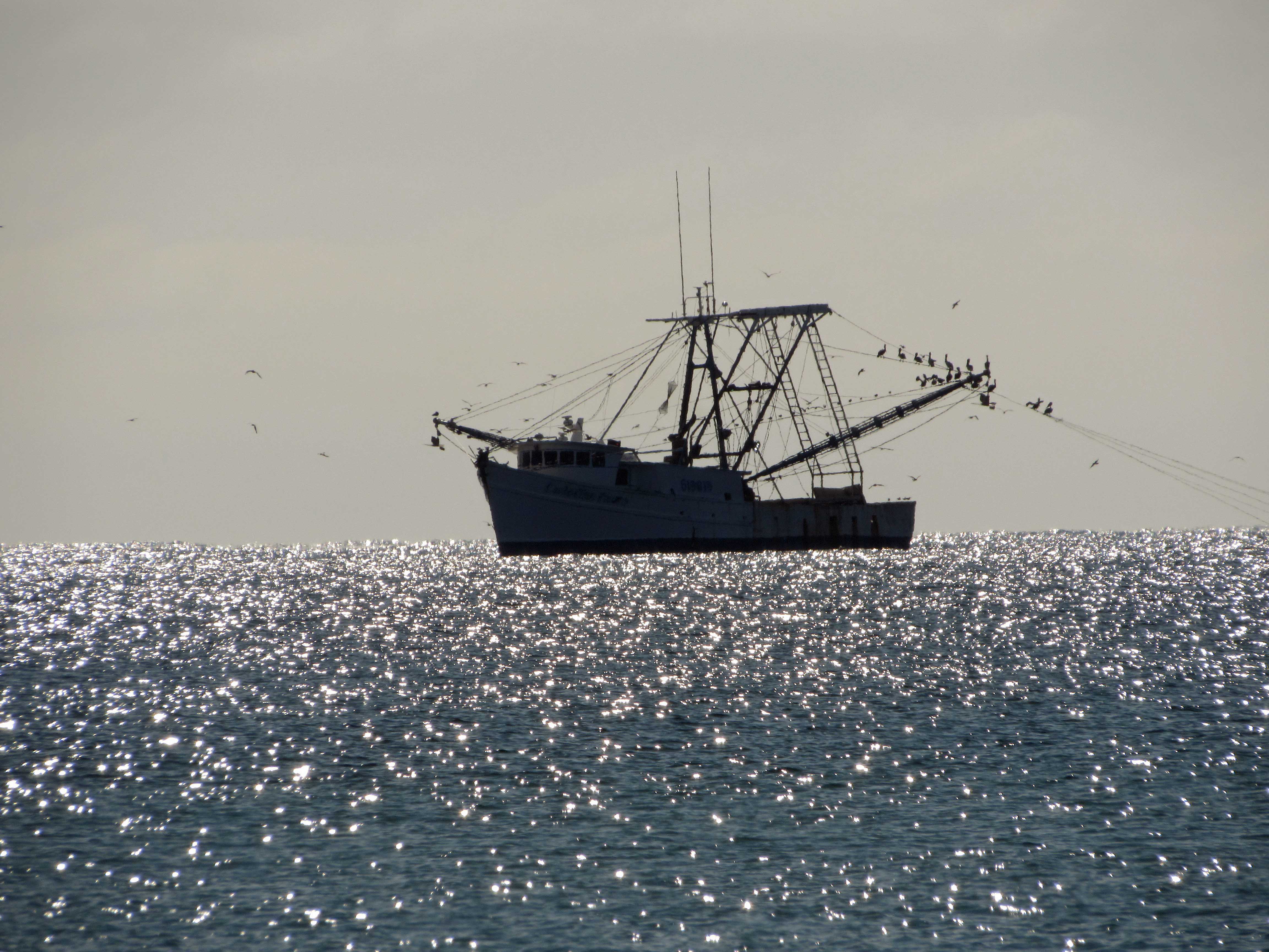
Arrived at Indian Beach, N.C. and we took a walk. Shrimp boat.
The seagulls here are unlike the ones in Maryland that will hover over you waiting for food.
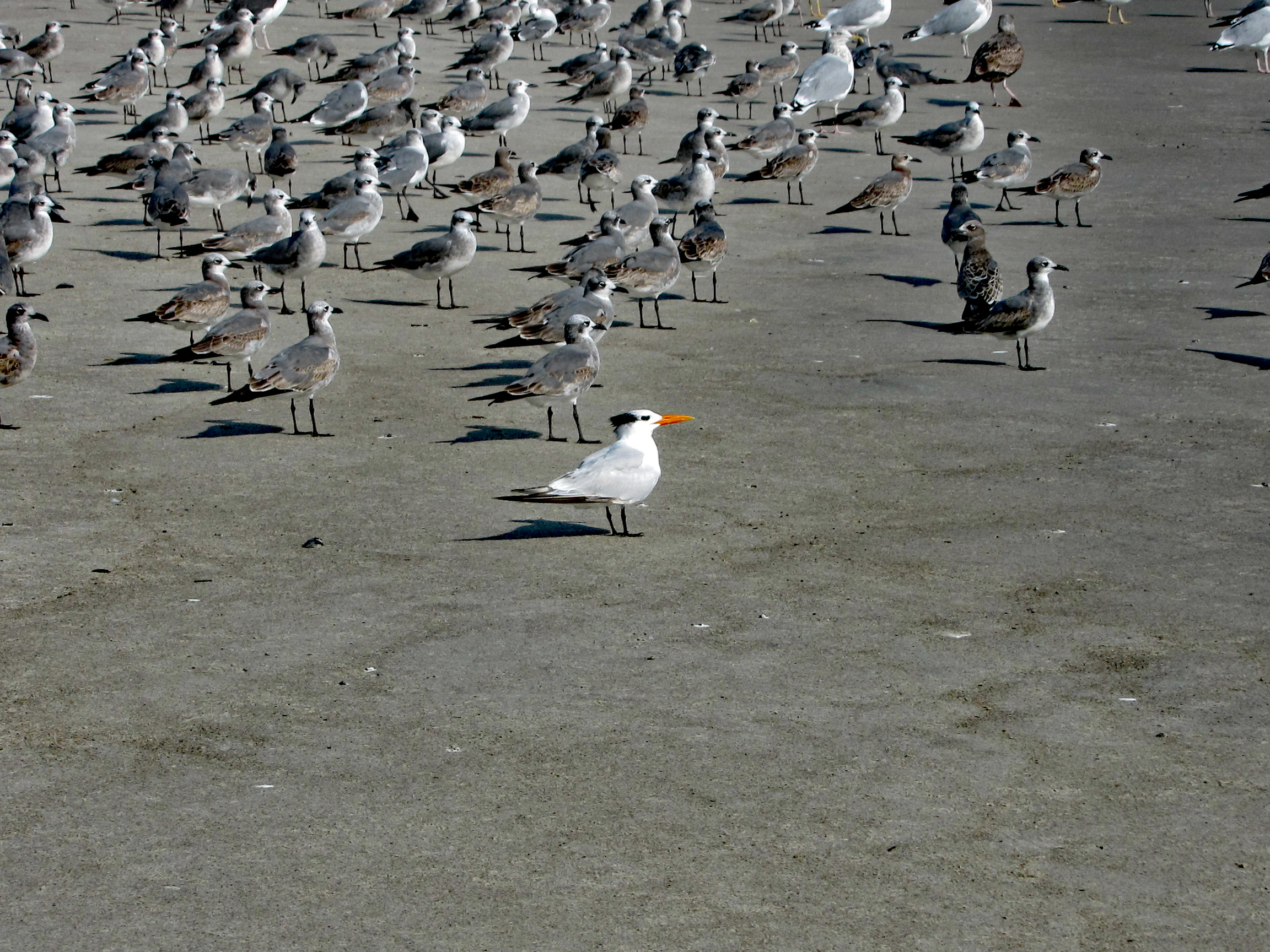
A Royal Tern
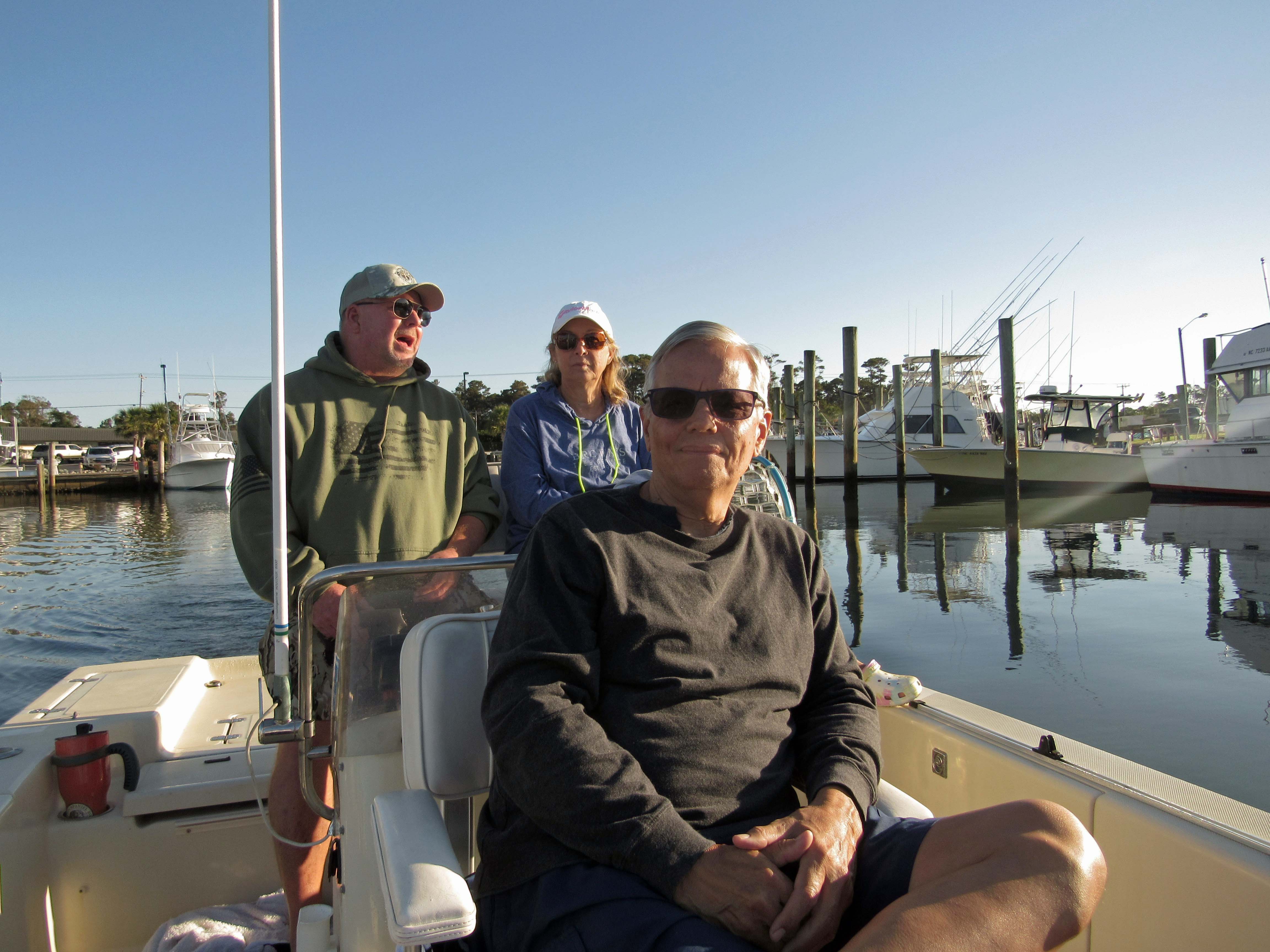
The next day John came down to take us out on their boat. That was very nice of him. With all this Covid stuff going on, we hardly see each other.
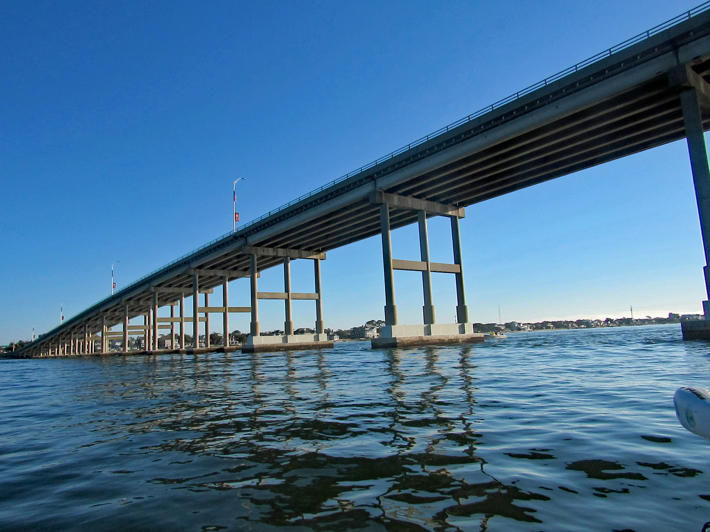
Heading under the Atlantic Bridge Causeway.
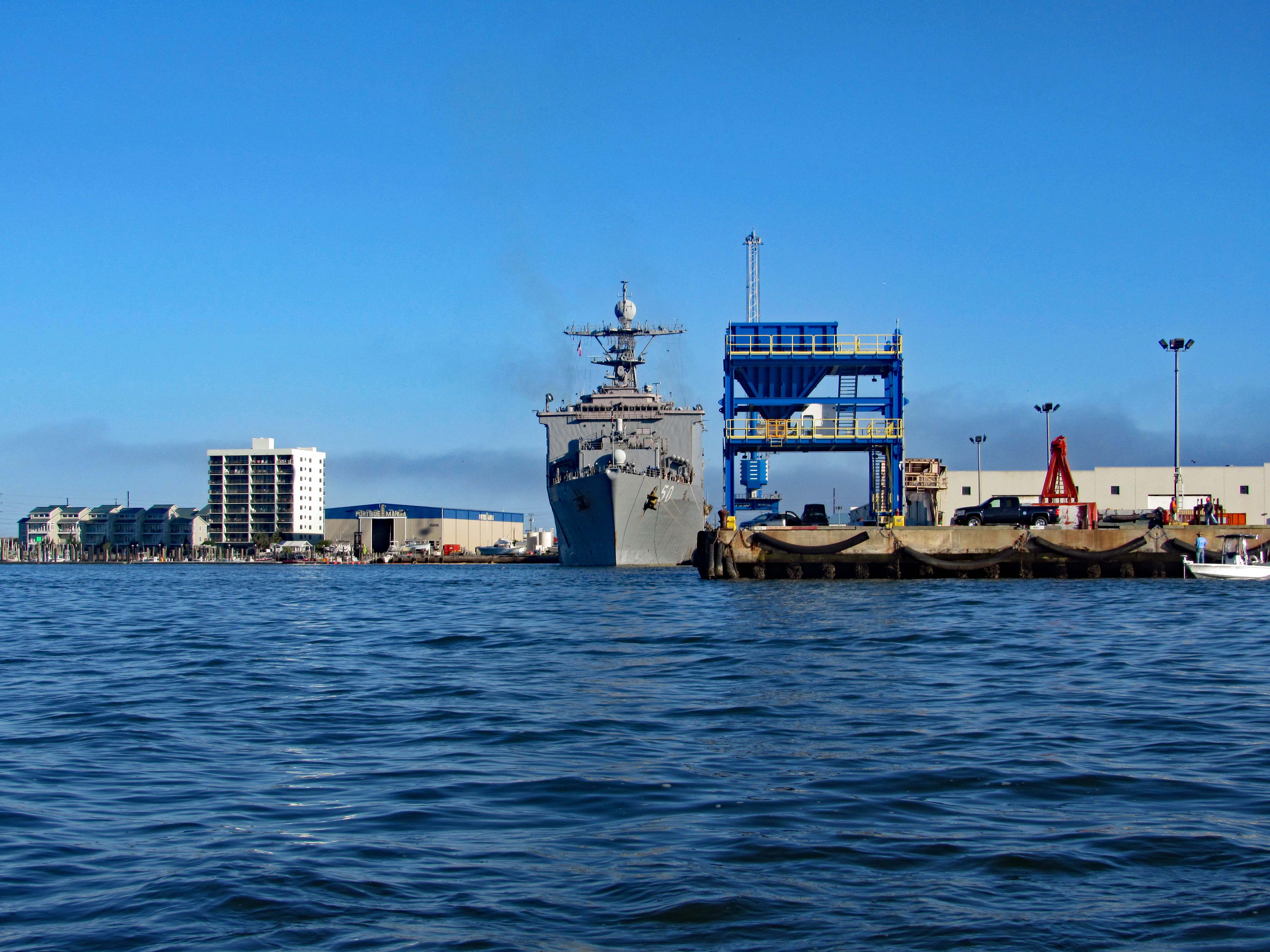
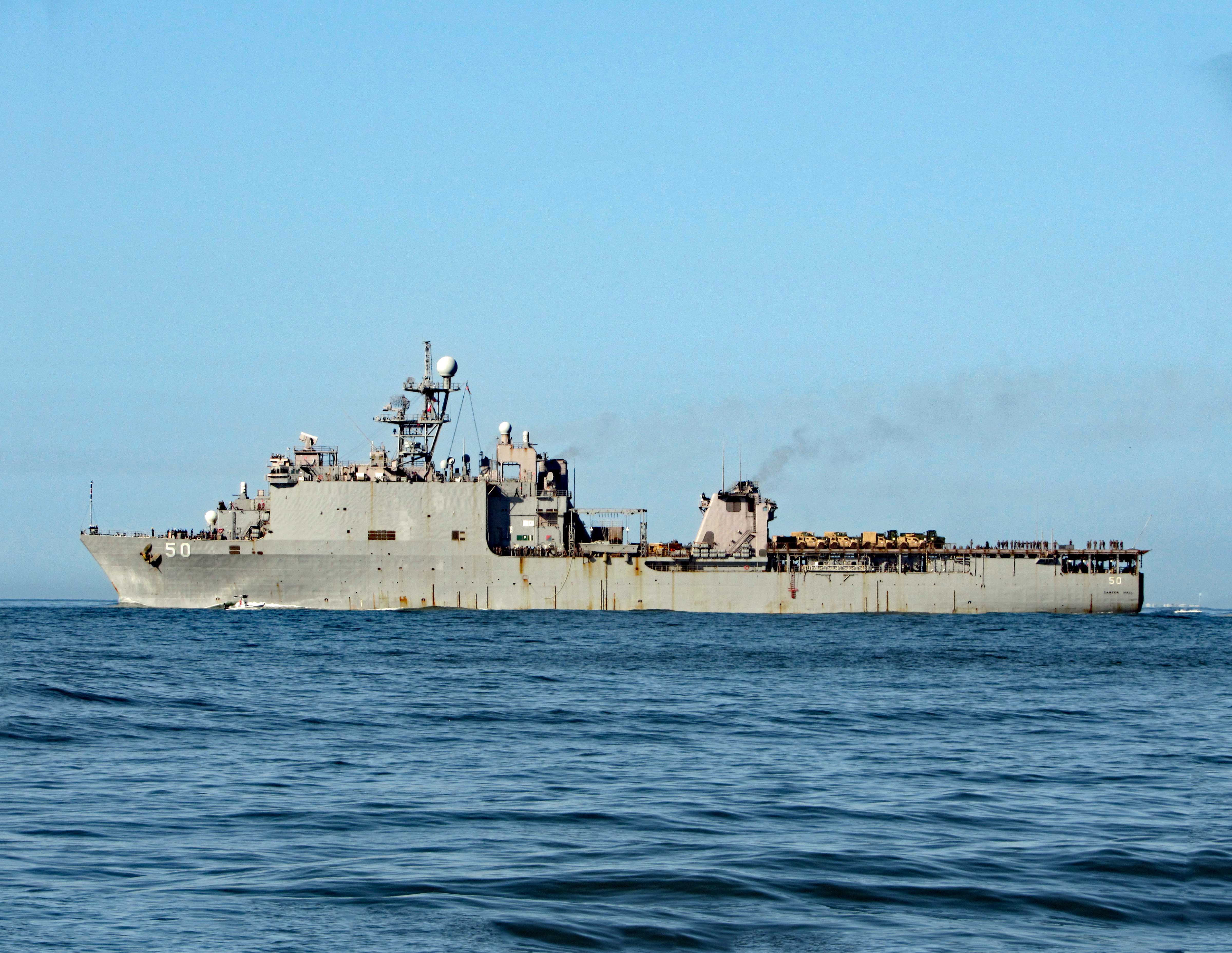
Easing past Sugarloaf Island, headed towards the N.C. Port. Docked there for the time being is the USS 50 (LSD-50), Carter Hall. Landing Ship Dock.
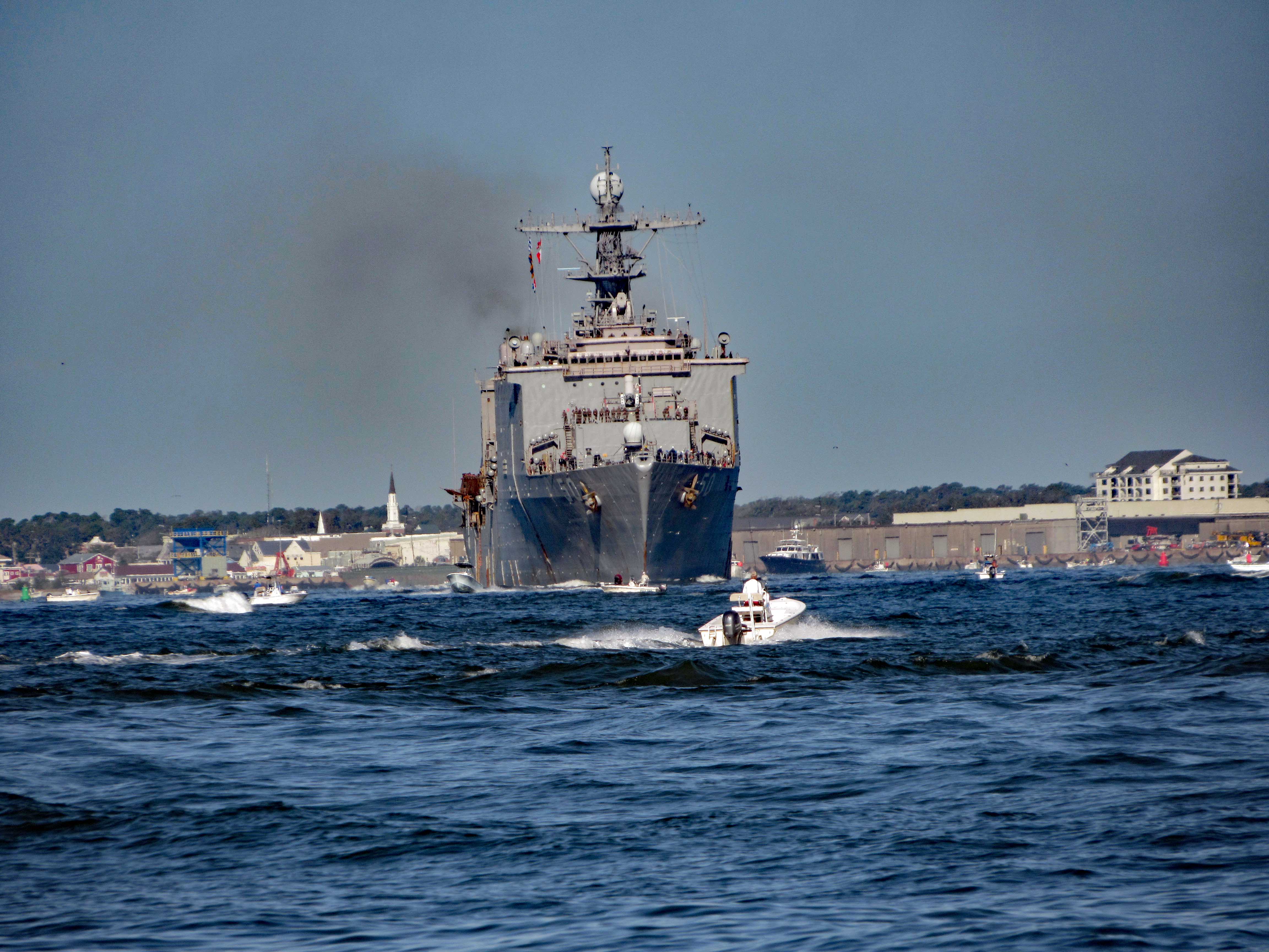
Here she is a little while later pulling out of port.
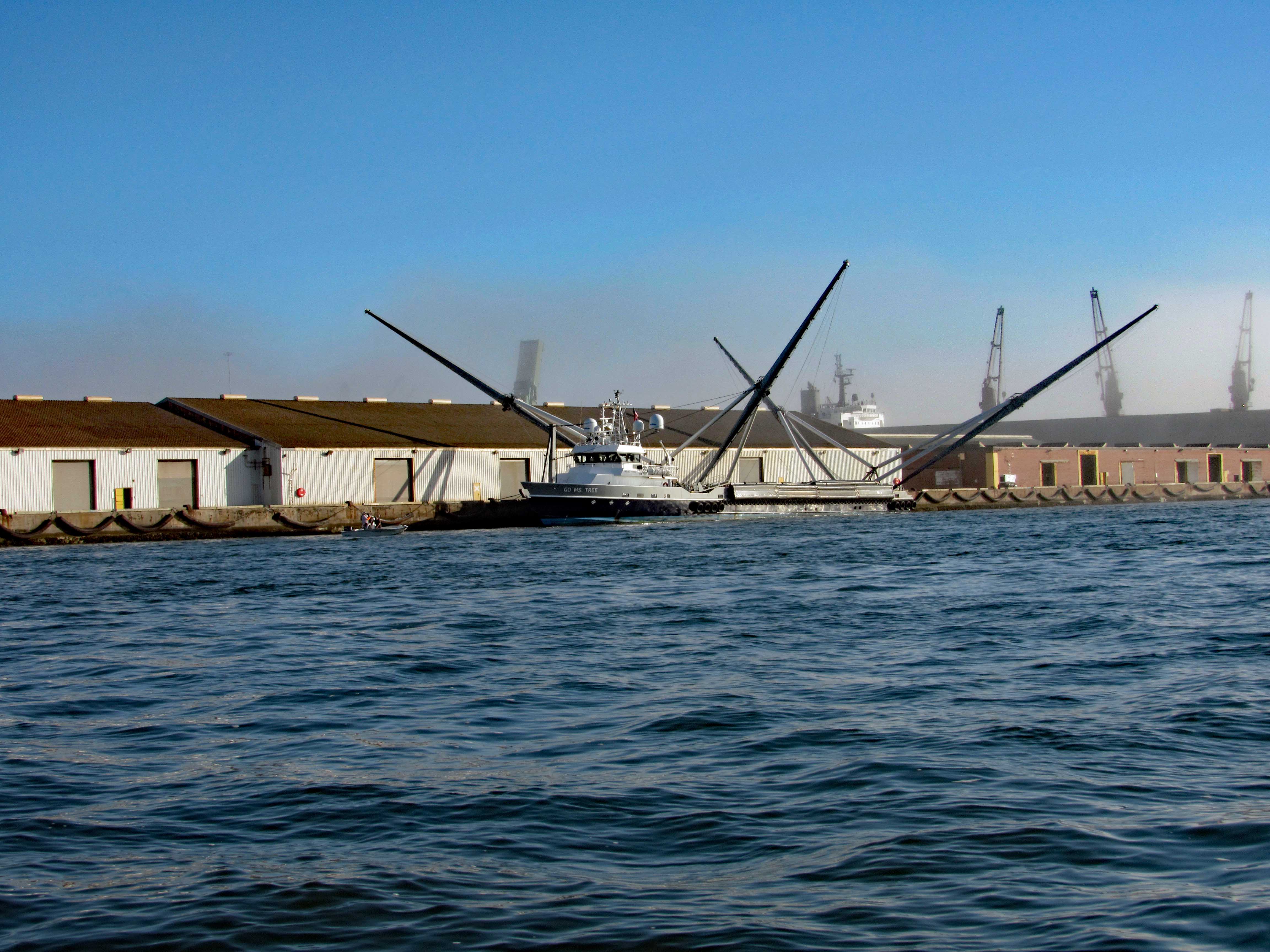
Not far from her is this interesting vessel – Go Ms Tree. Formerly named Mr. Steven. GO Ms. Tree – often shortened to Ms. Tree – is a fast, highly maneuverable vessel that was chartered by SpaceX in 2017 to support their fairing recovery program. The ship has been heavily modified by SpaceX so that it now has a large net structure designed to catch fairing halves as they descend. The name ‘Ms. Tree’ is a pun of the word ‘Mystery’. (from SpaceX website)
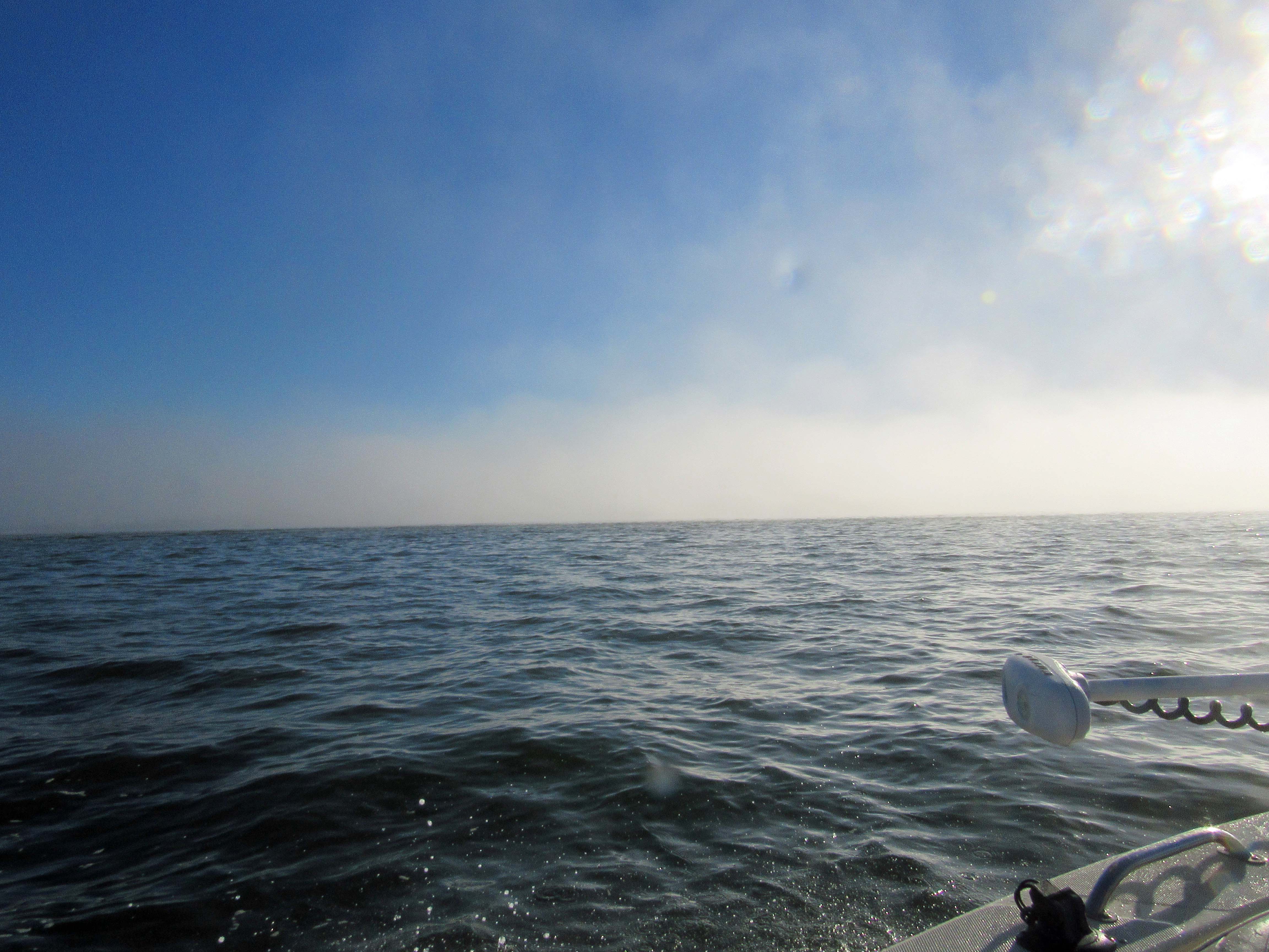
Pass this area of the port and ran smack dab into a fog bank.
Made it through there and we all, except John, got off onto Shackleford Banks.
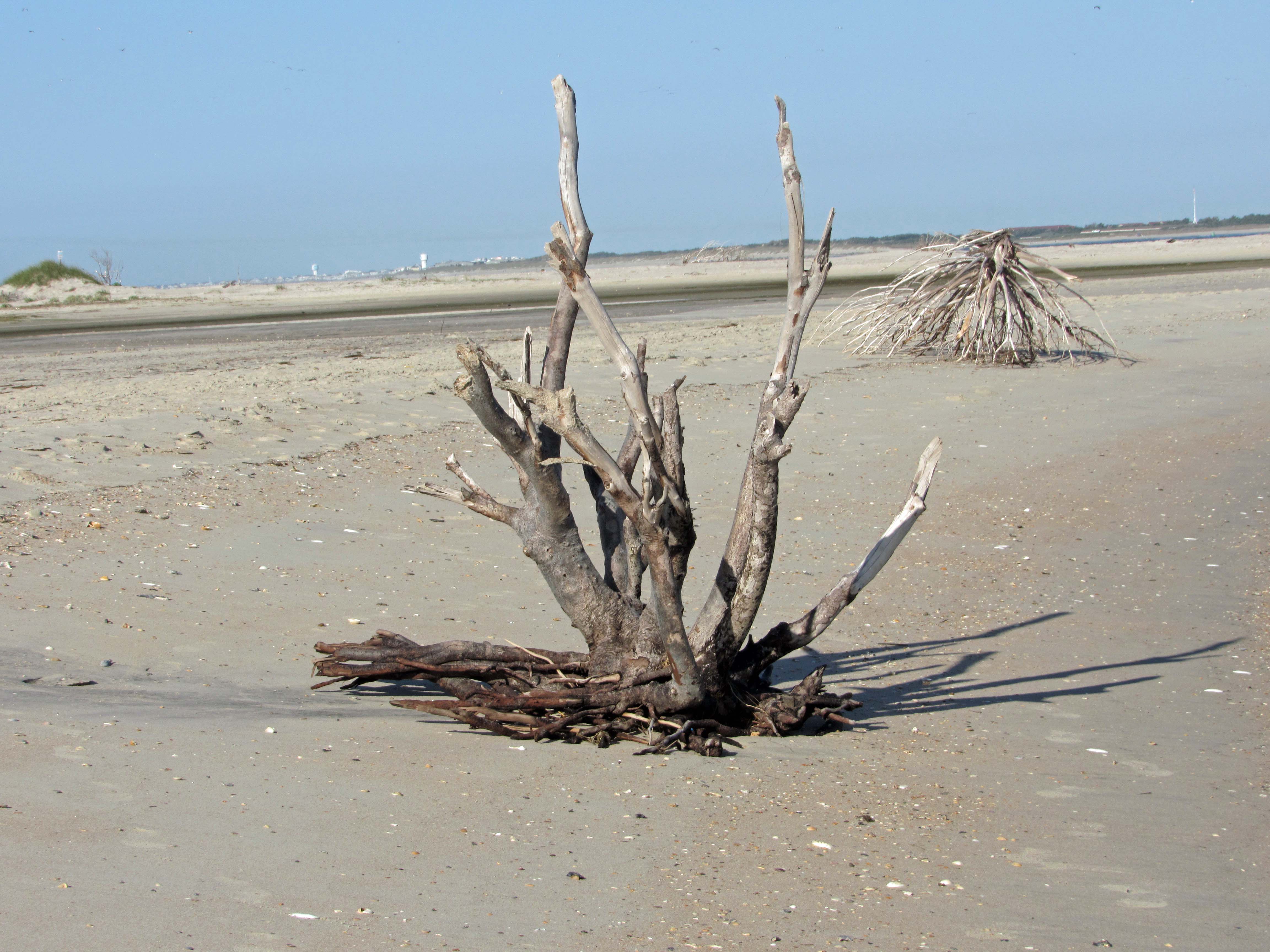
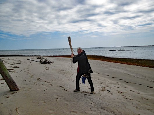
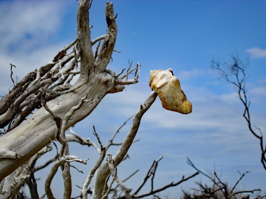
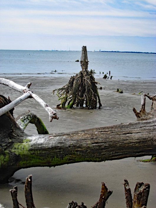
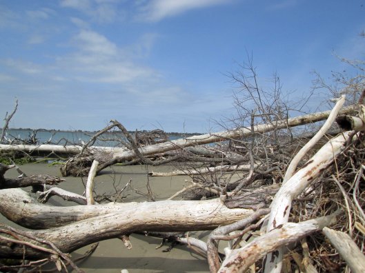
Nice driftwood.
My shot of Kathy and Gail, from up on a dune.
Kathy stepped on a couple Hermit Crabs.
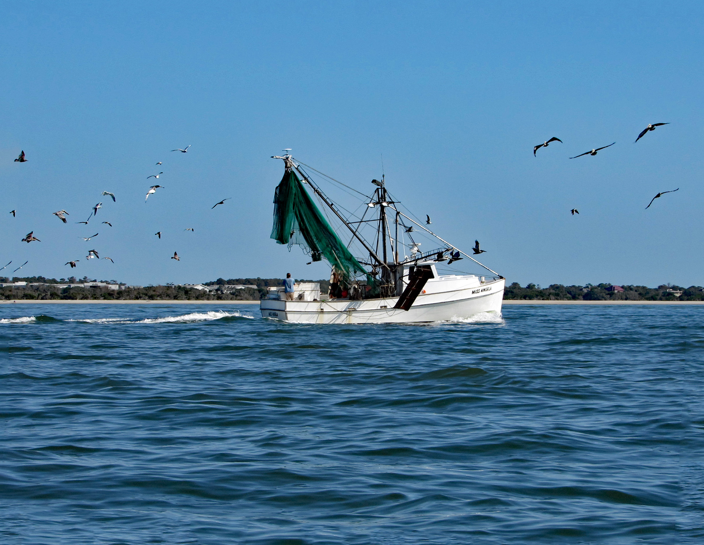
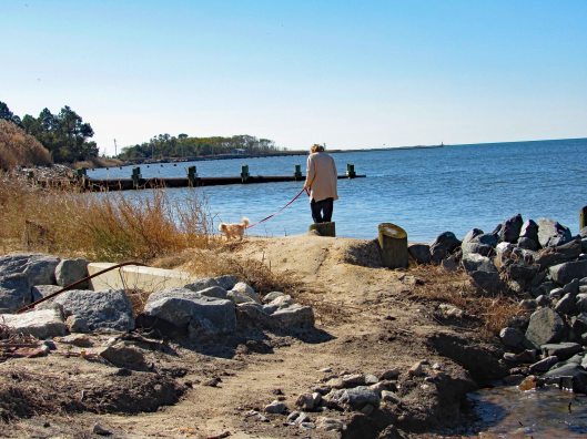
Left Shackleford and headed over to Beaufort. You need to swing around Rachel Carson Island. Shrimp boats everywhere.
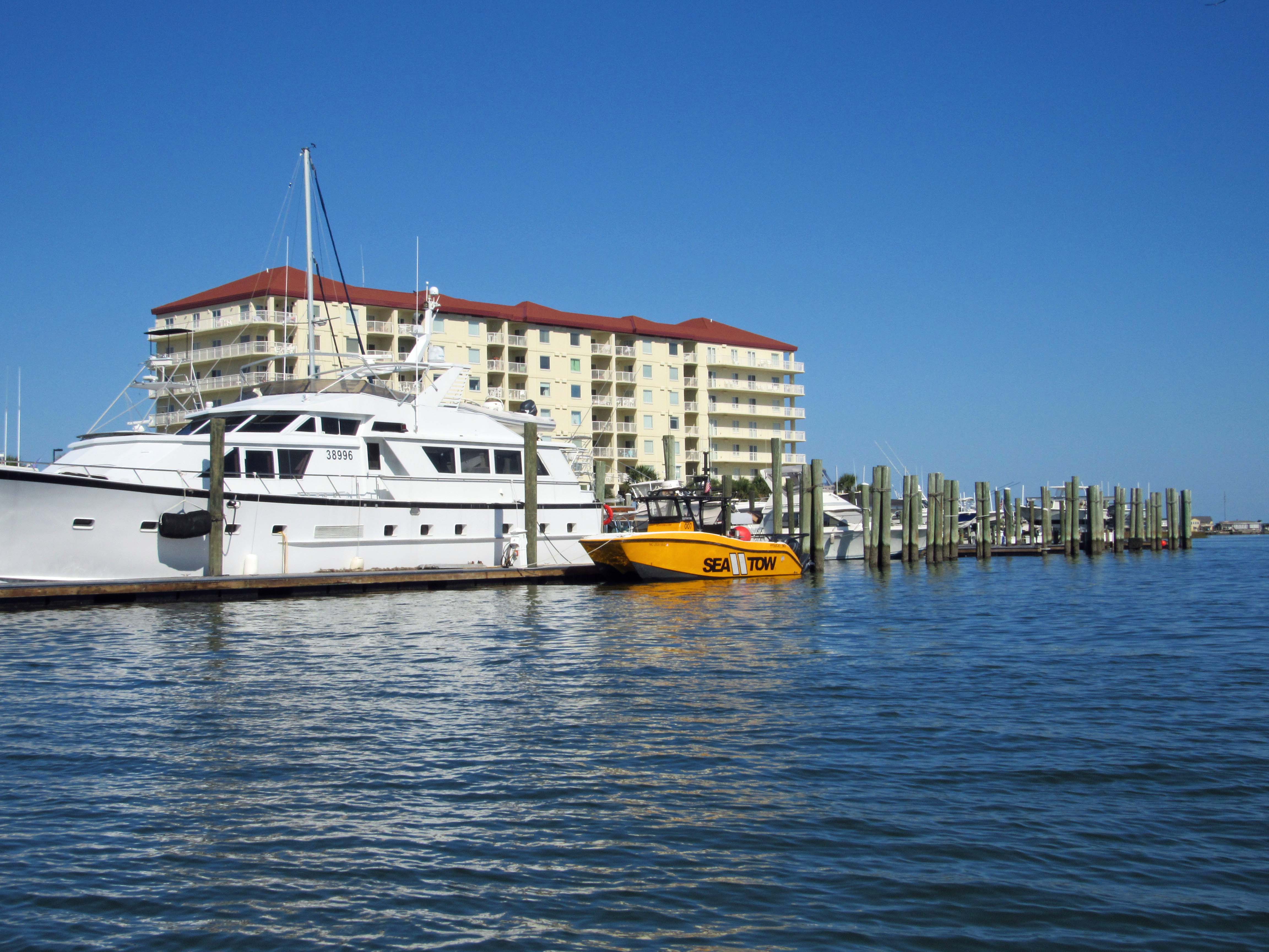
Sea Tow is like AAA of the water.
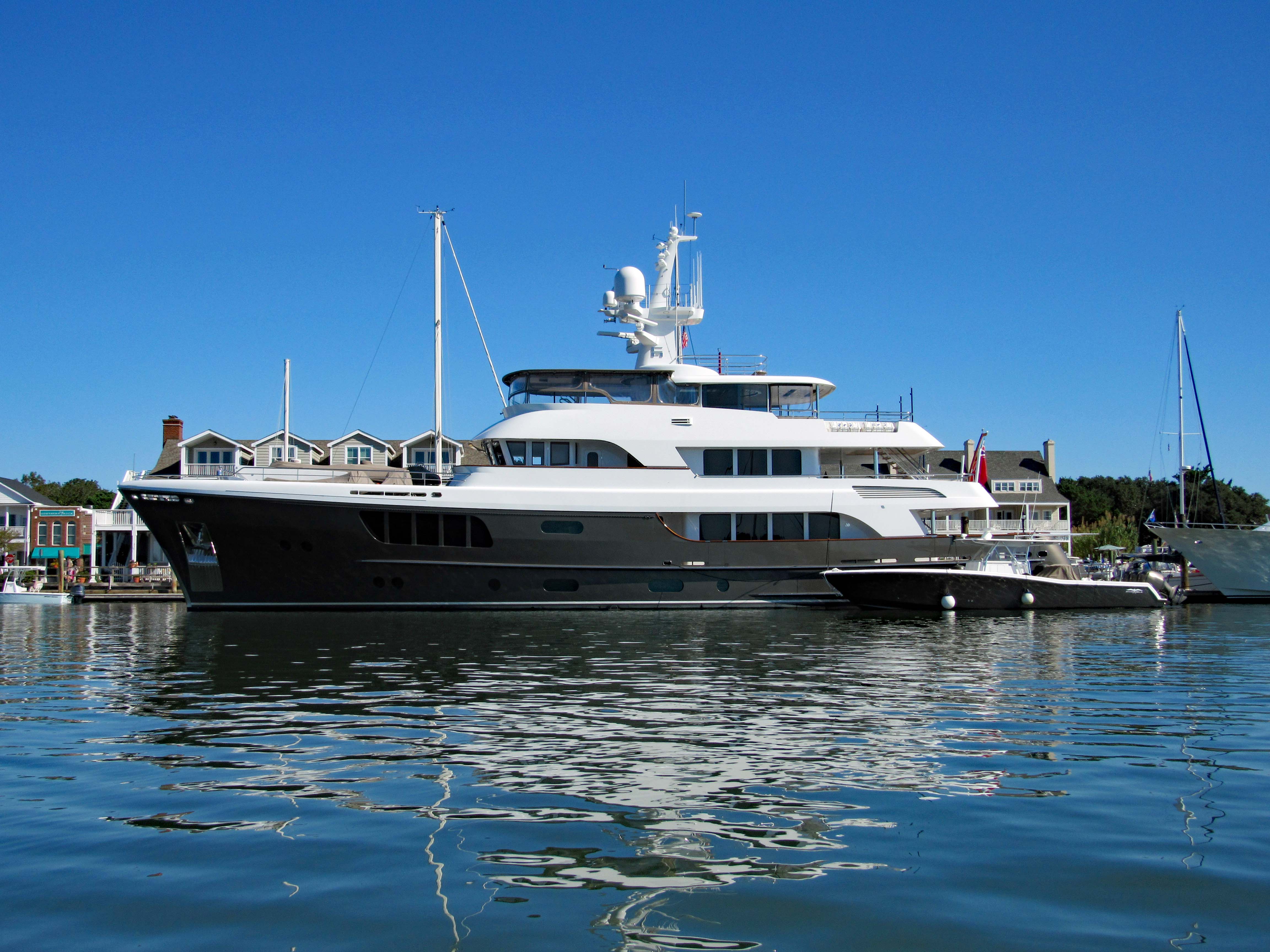
The CaryAli. Wow! A steel and aluminum ship. Built by Alloy Yachts in 2013. For just $25m she can be yours.
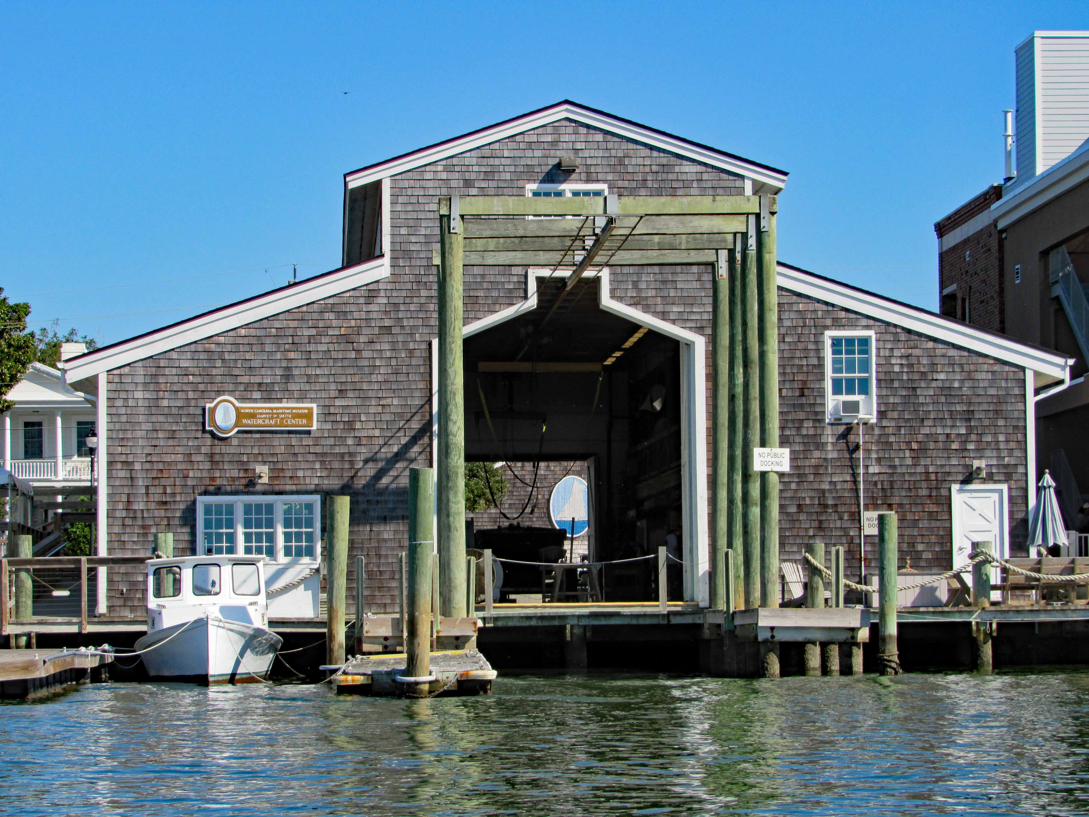
Looking through the Watercraft Center at a ship painted on a wall…
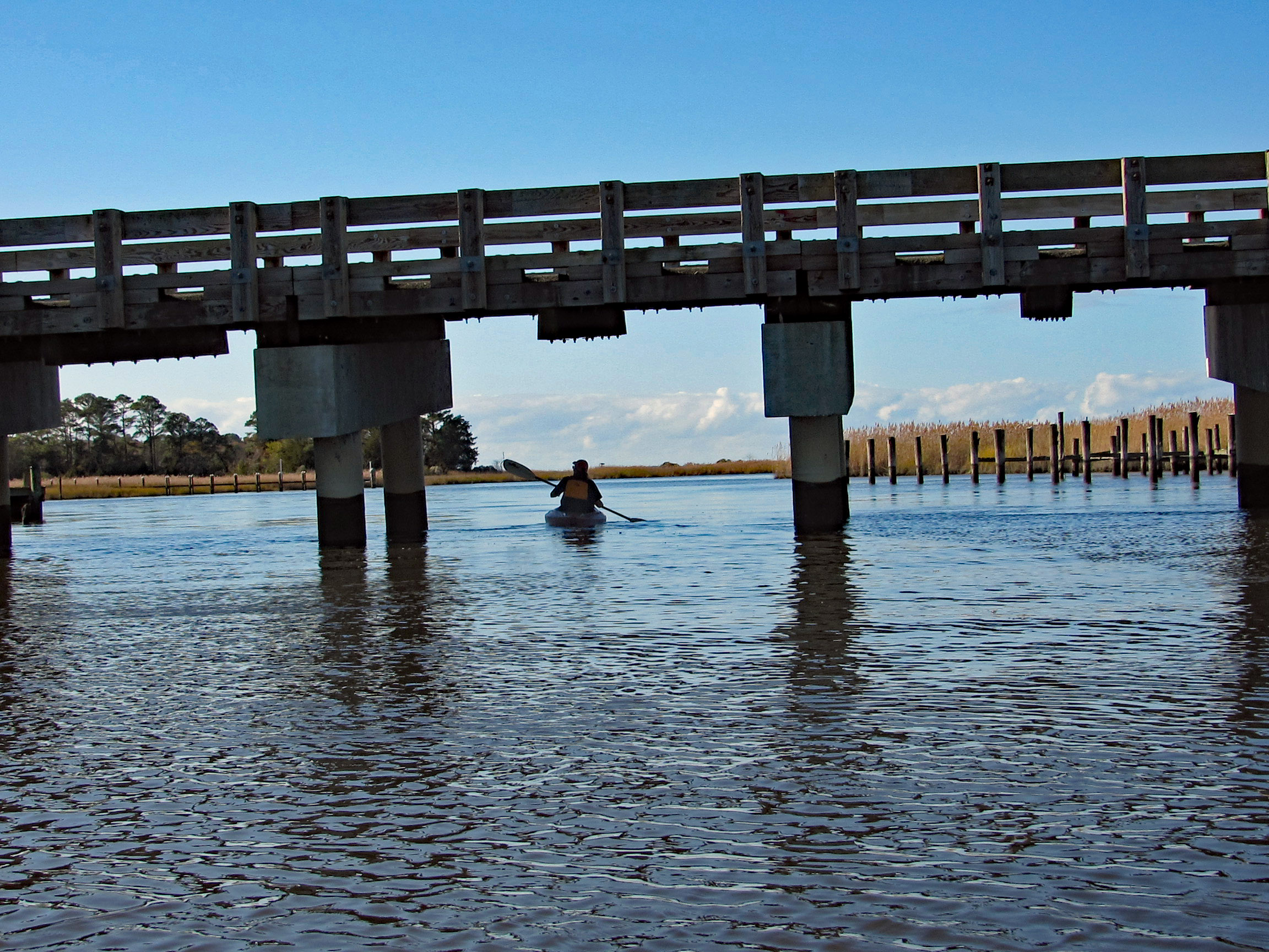
Went up Taylor Creek for a bit, looking at all the boats and quaint little houses. Turned around and headed to Pivers Island Road.
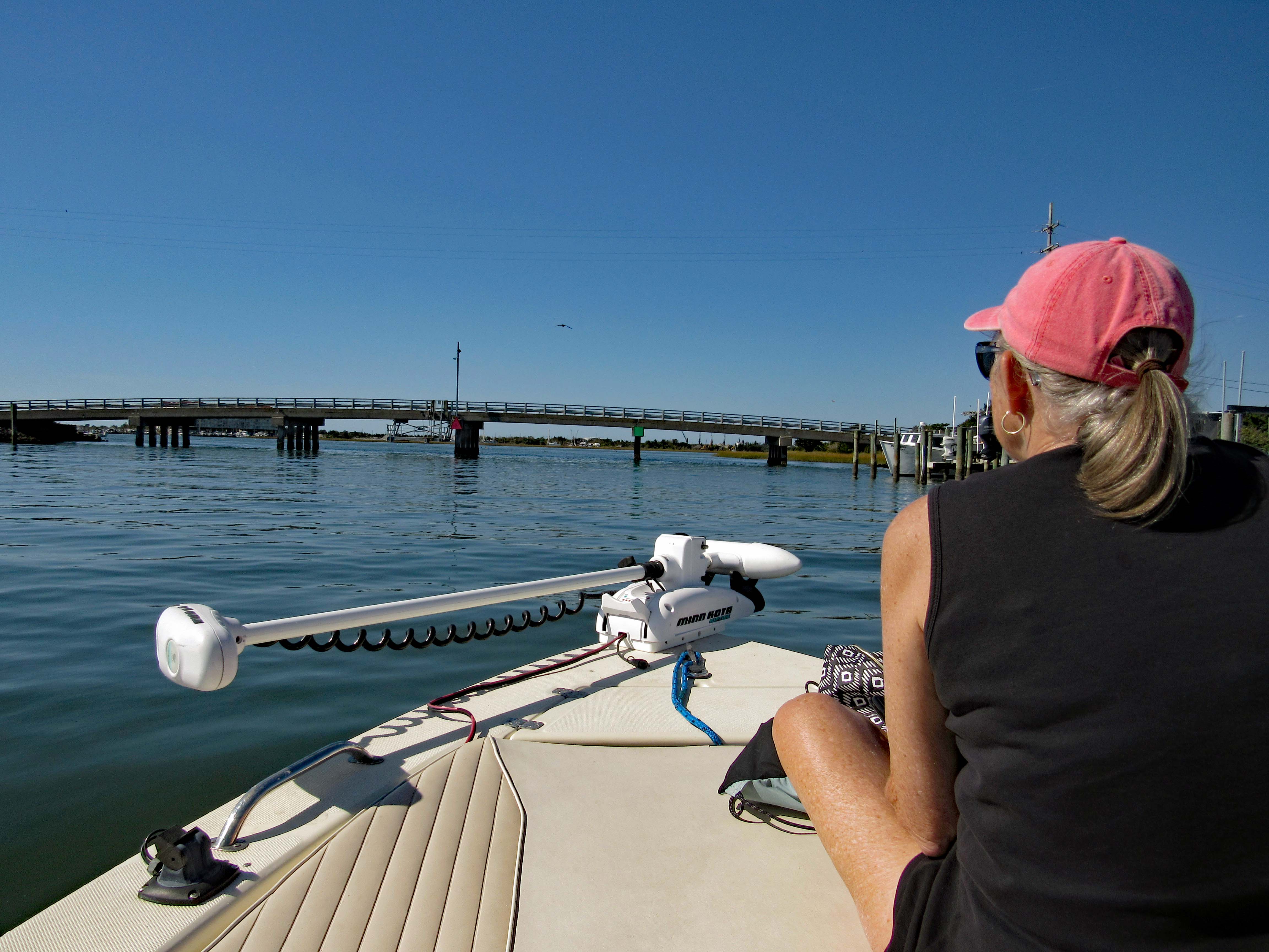
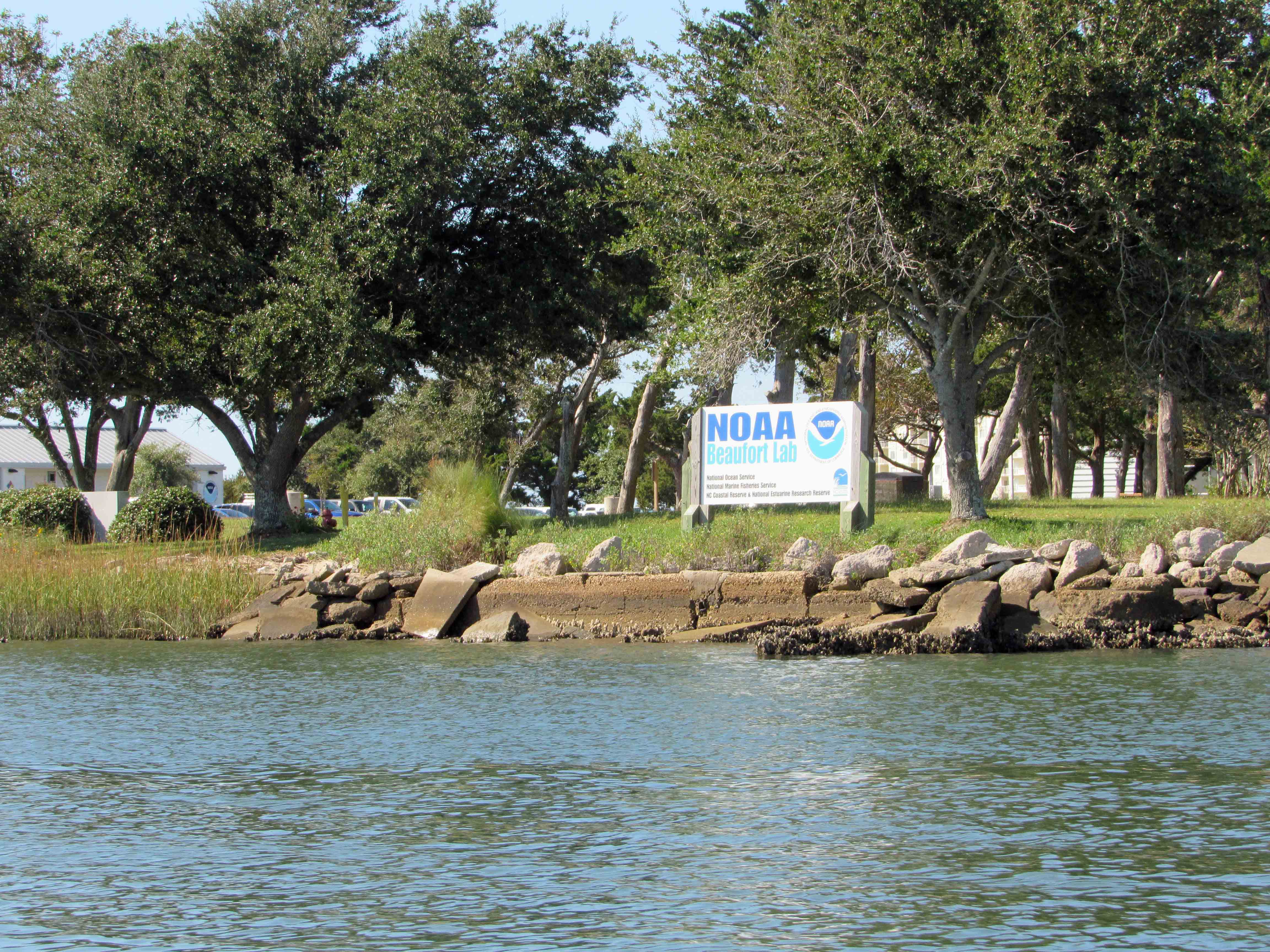
We made it under the bridge but then the water started getting shallow so we headed back to the Beaufort Channel and then towards Bogue Sound. Passing NOAA on the way. There are a lot of colleges and government research centers down here.
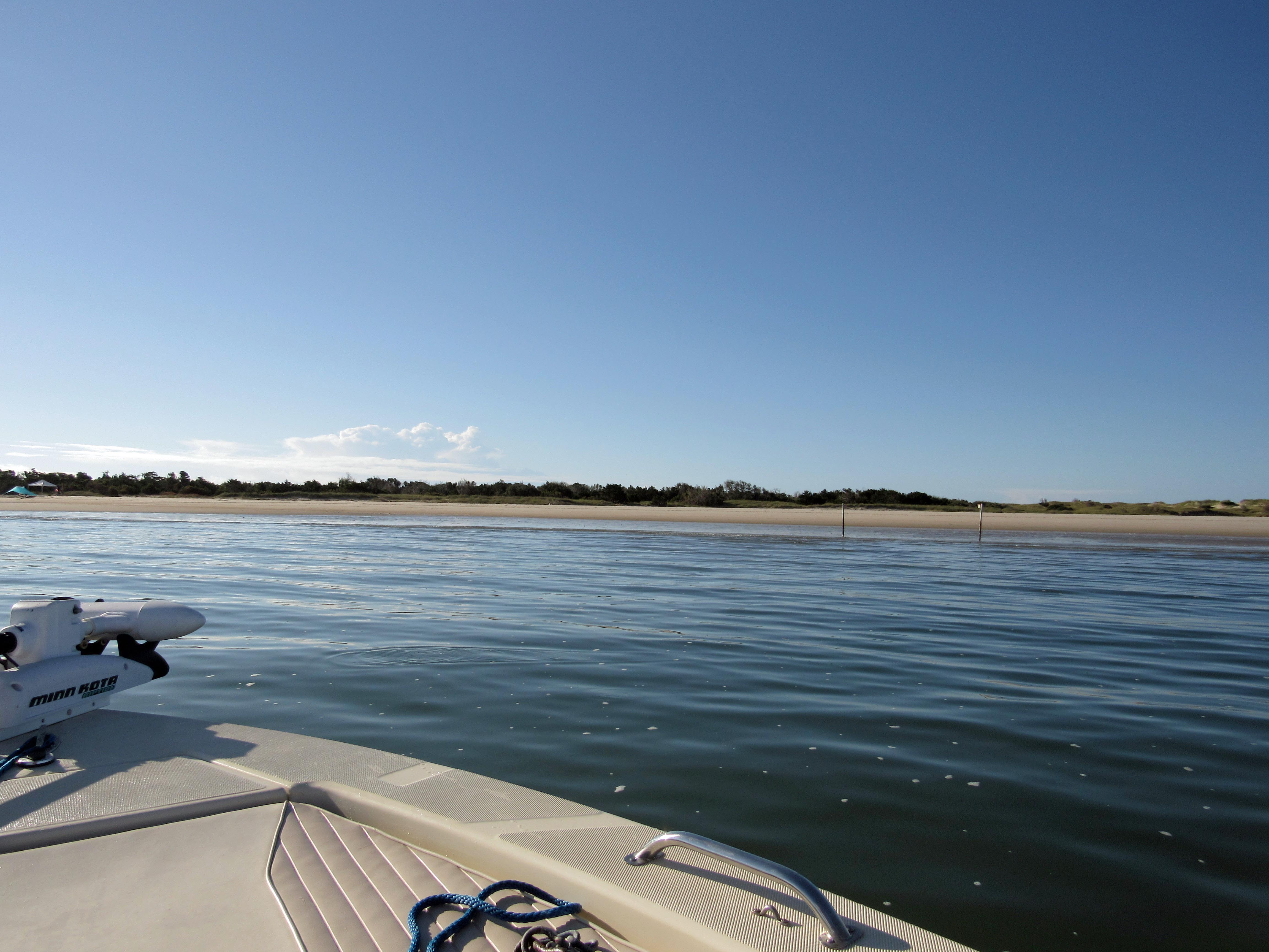
I guess it makes a good kayak launch?
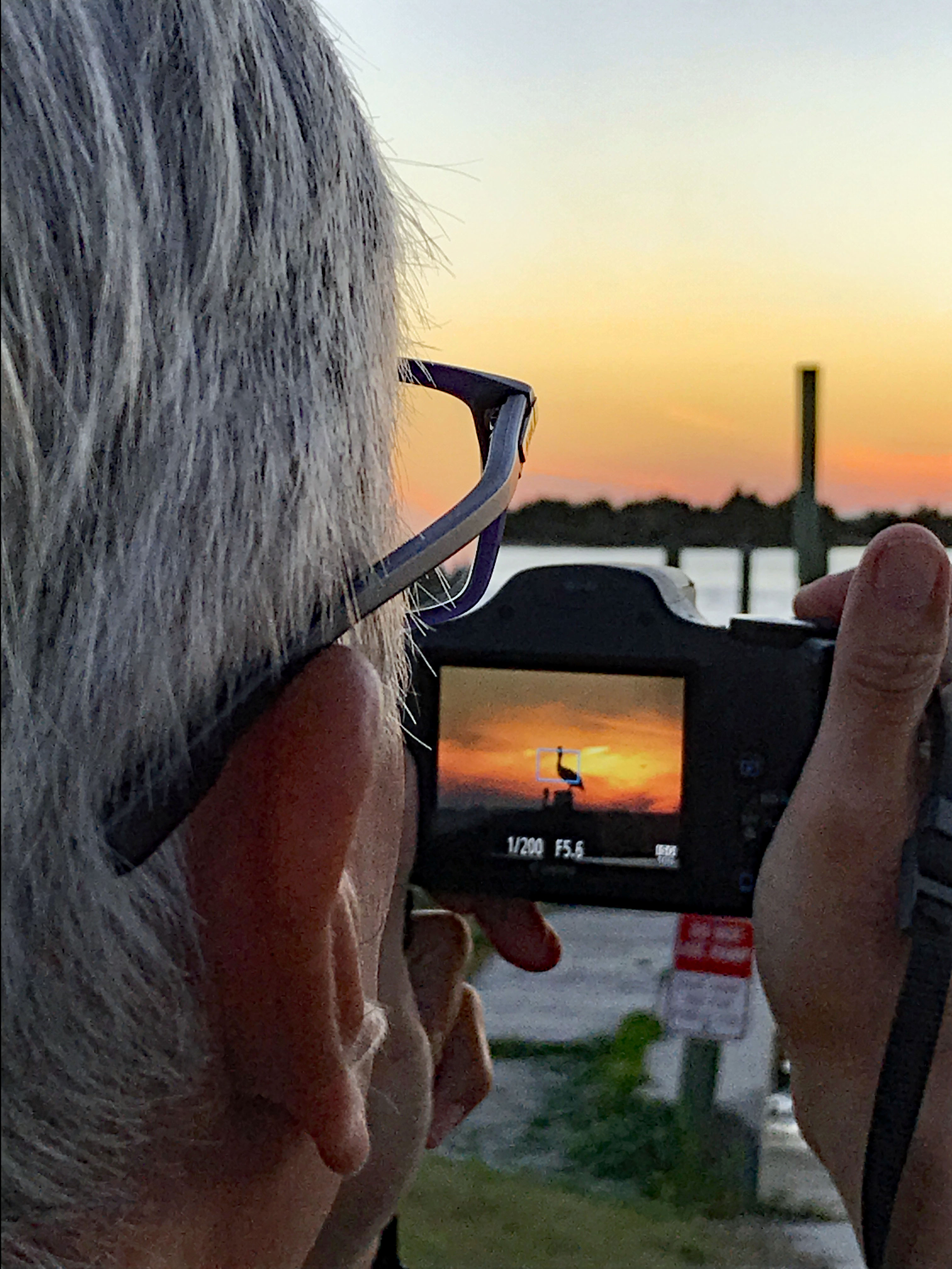
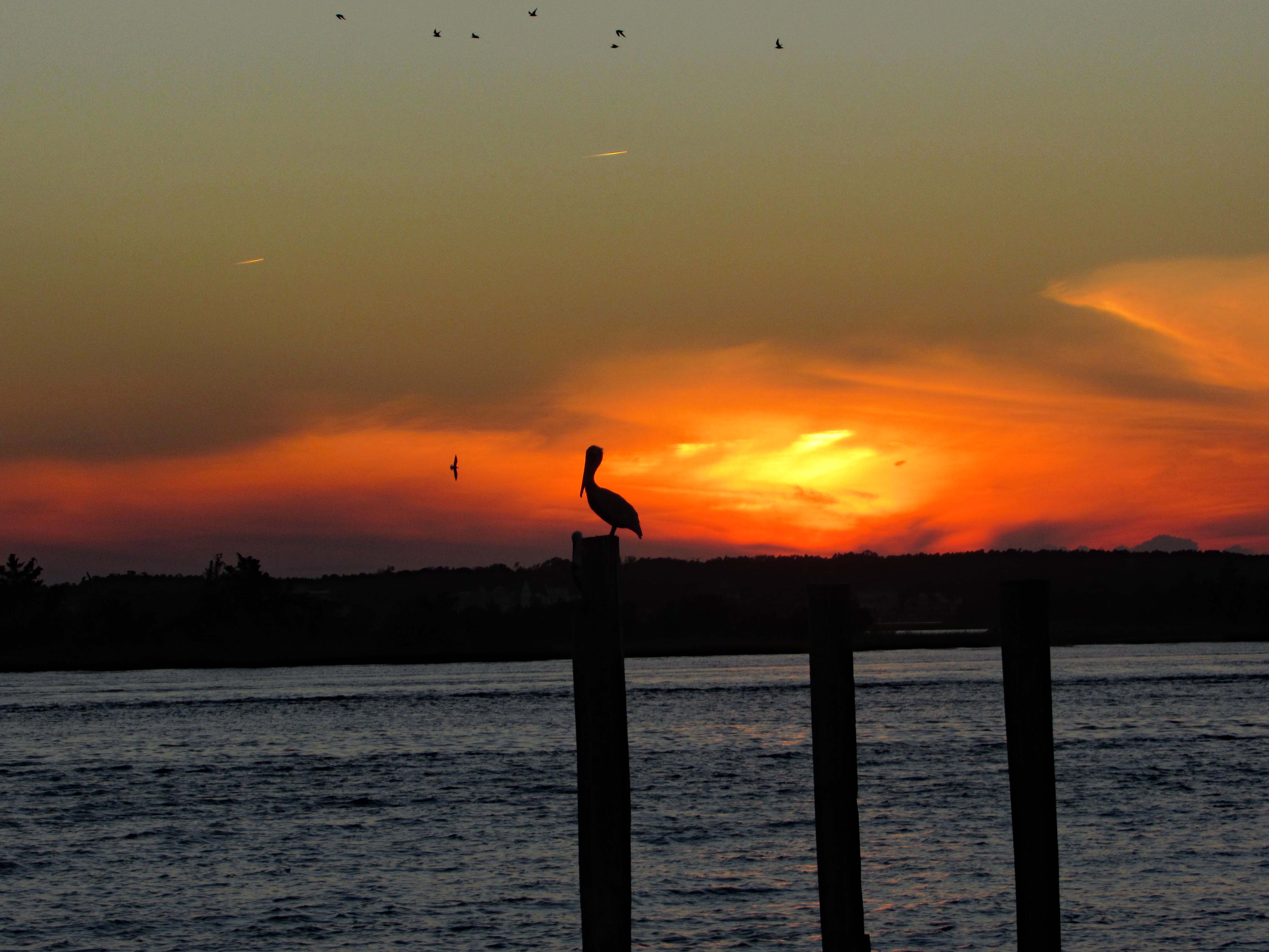
After John and Gail left, to go back home, Kathy and I went over to Swansboro to find a nice place to watch the sunset. Saturday night and the town was packed! So we left and the sun was heading west fast, so I pulled over at Dudley’s Marina on Rte. 24 and Kathy took a photo of me taking a photo of the pelican sunset.
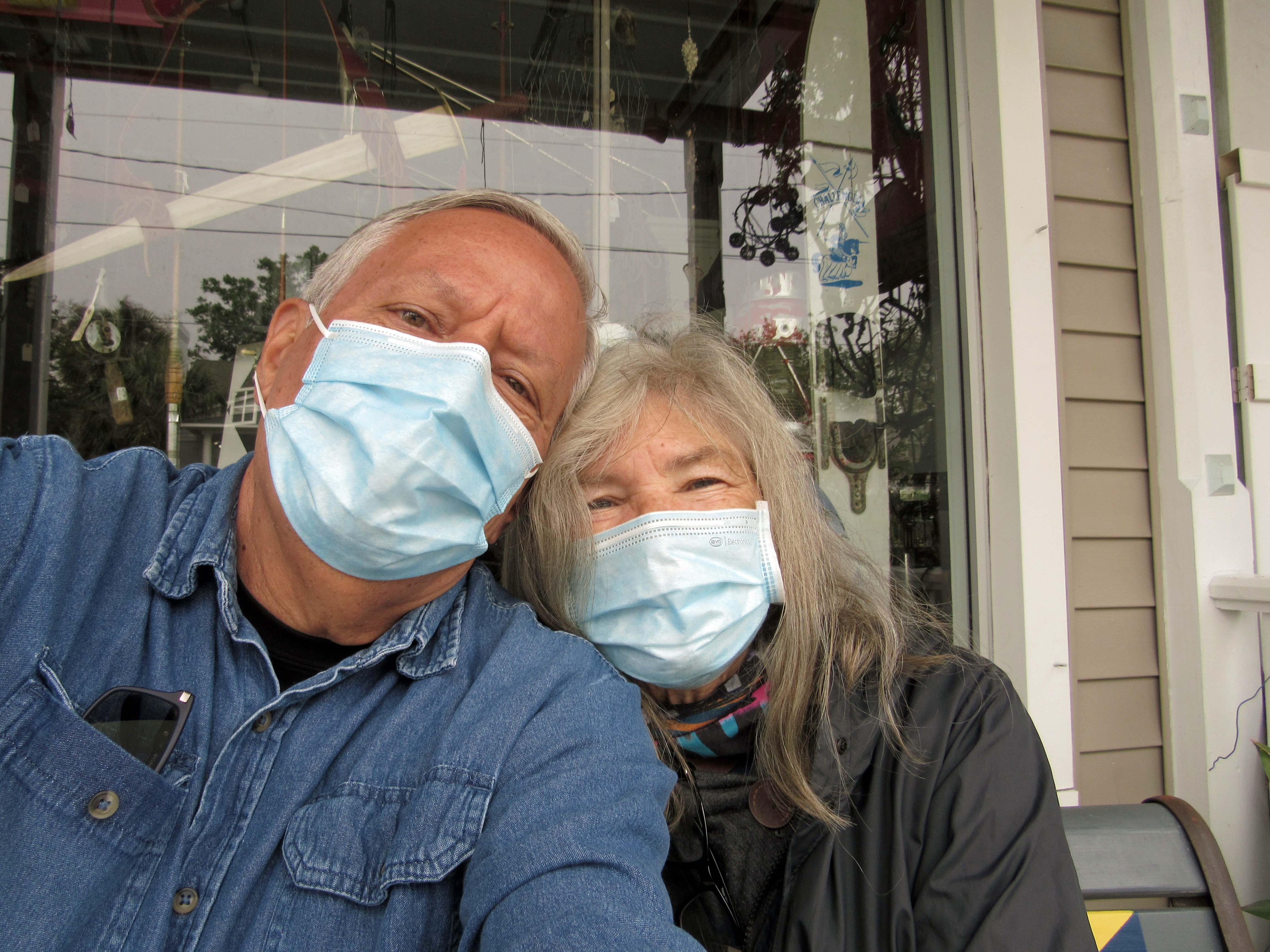
The ‘New Norm’ I hope not for too much longer. The next day we went back to Swansboro to look around
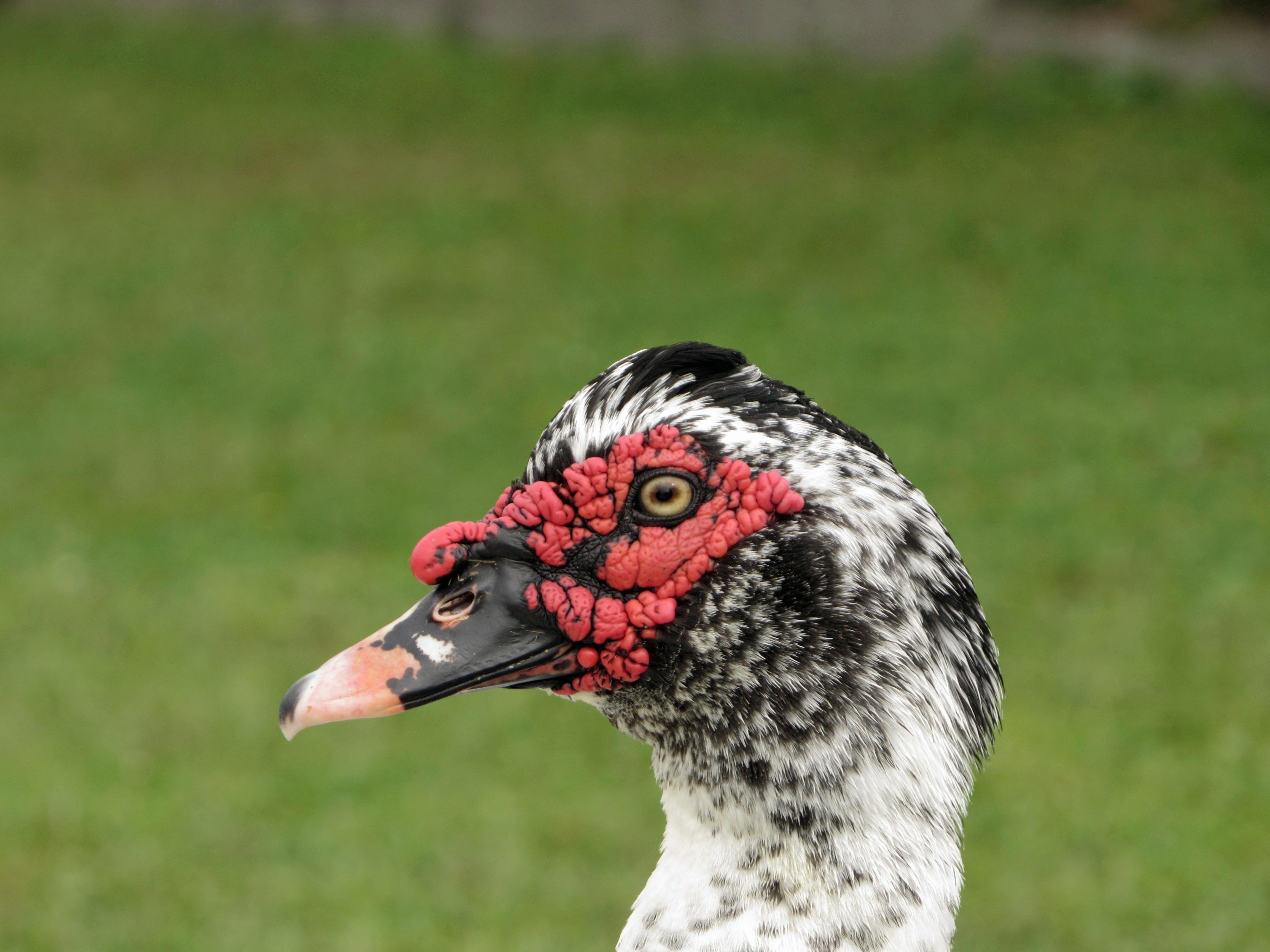
Domestic Muscovy Duck.
Another shrimp boat. Shrimp burgers from the food truck were huge, along with their oyster burgers and soft crab sandwiches.
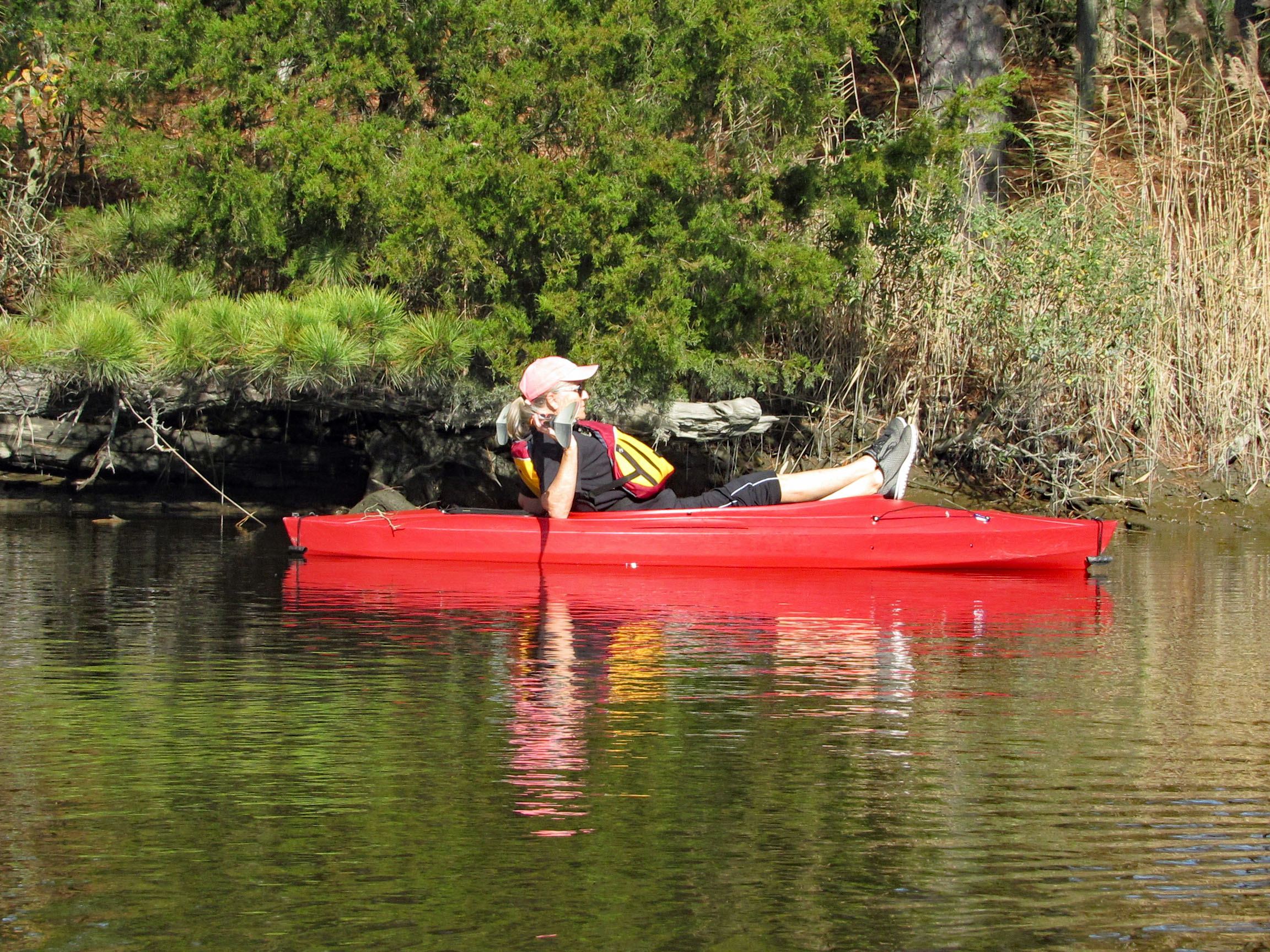
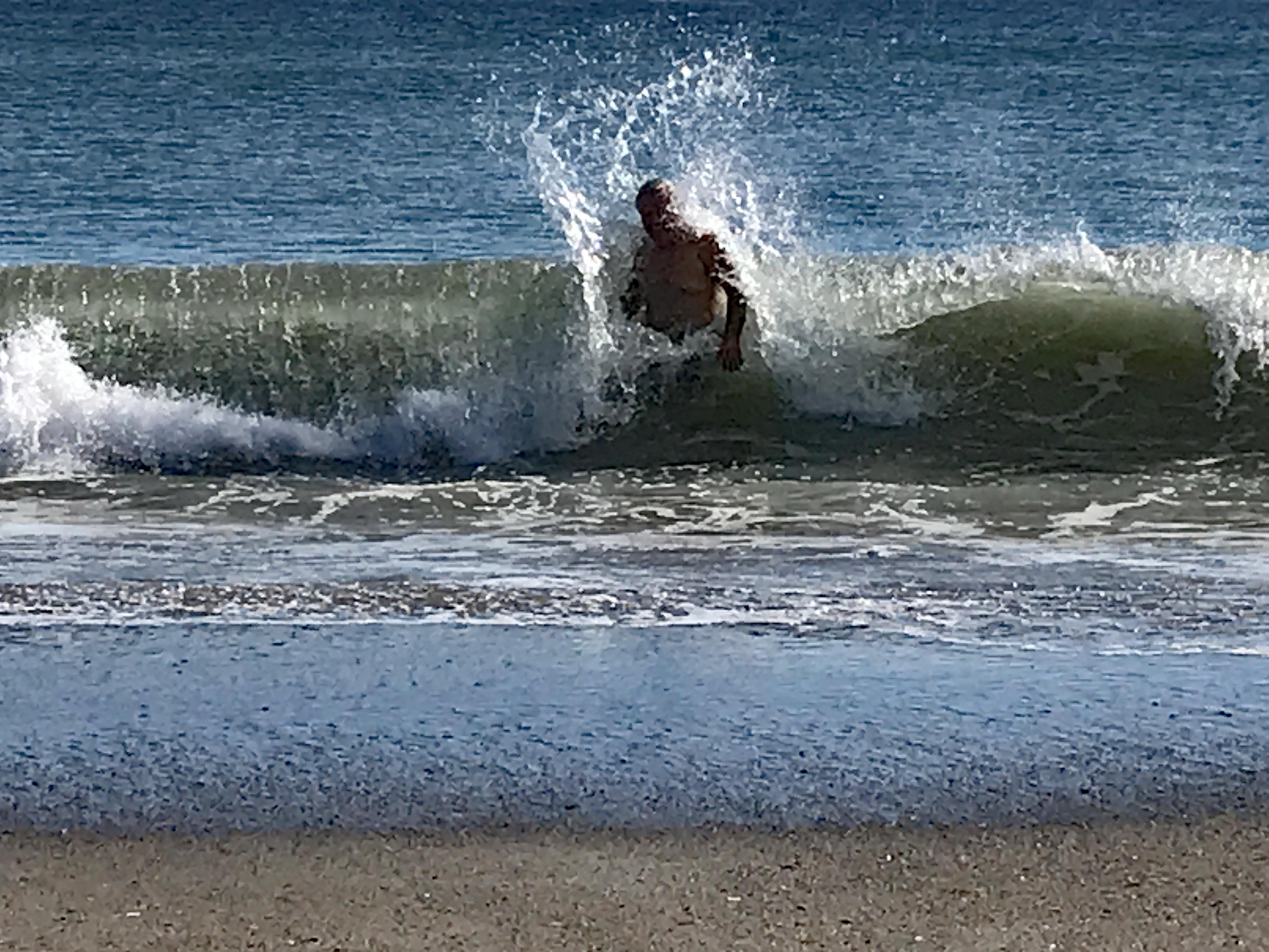
Love the water – when it isn’t freezing. Or knocking me on my butt!
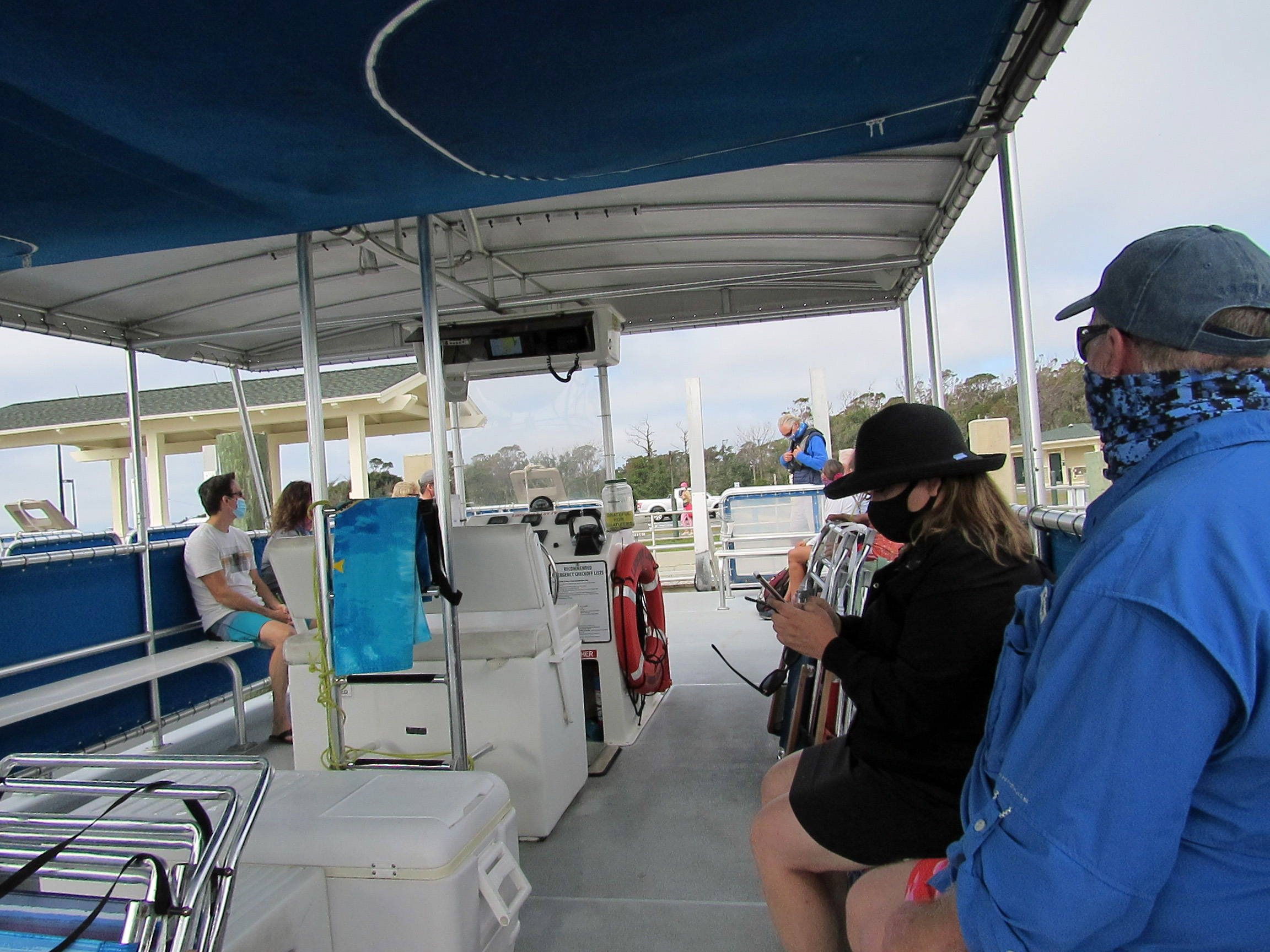
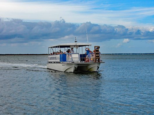
Our next adventure was to Cape Lookout Lighthouse, via a tour boat, where everyone was practicing social distancing, for the most part.
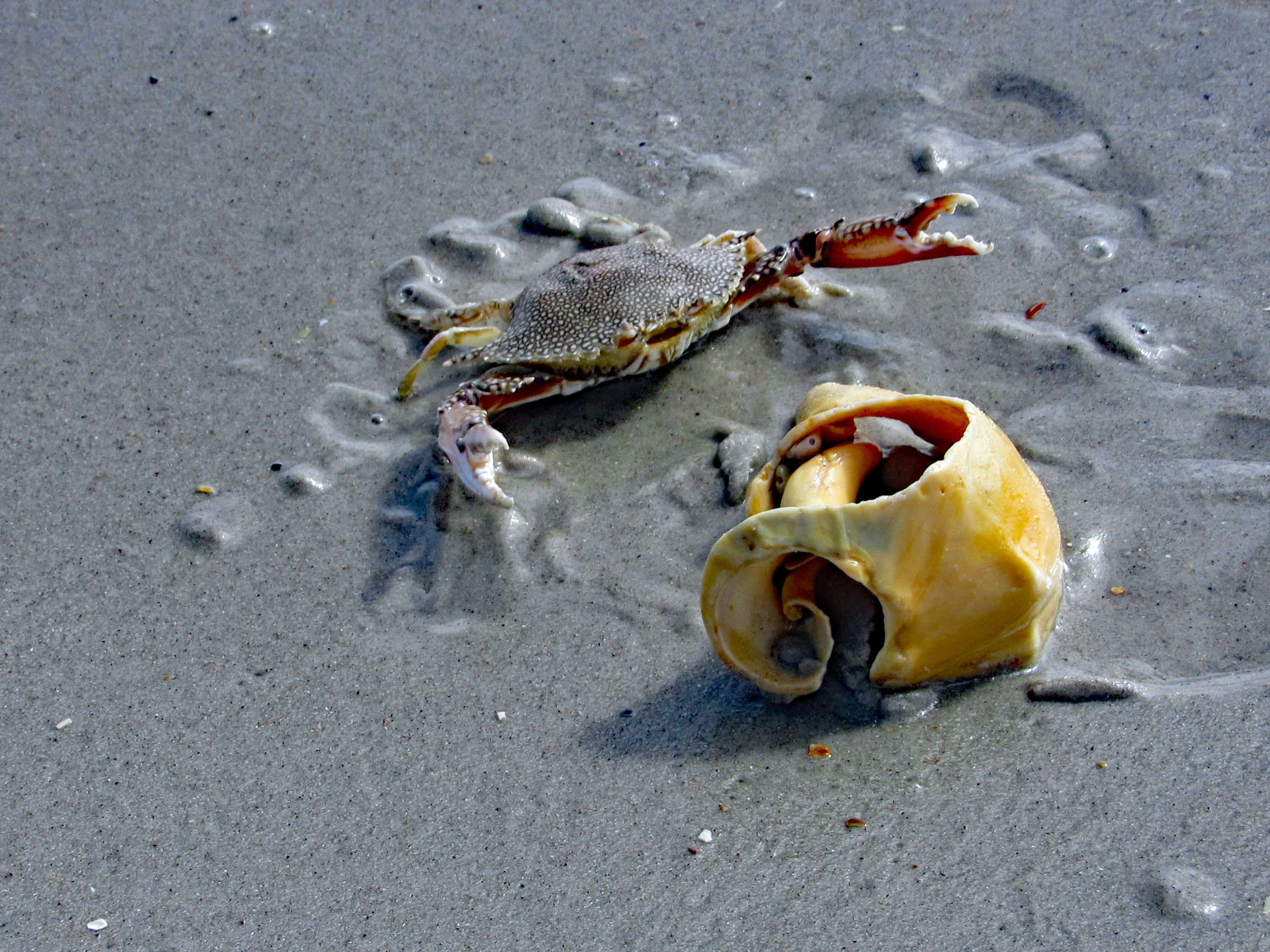
We cut over to the beach, hoping to find some 1/2 way decent shells. No luck.
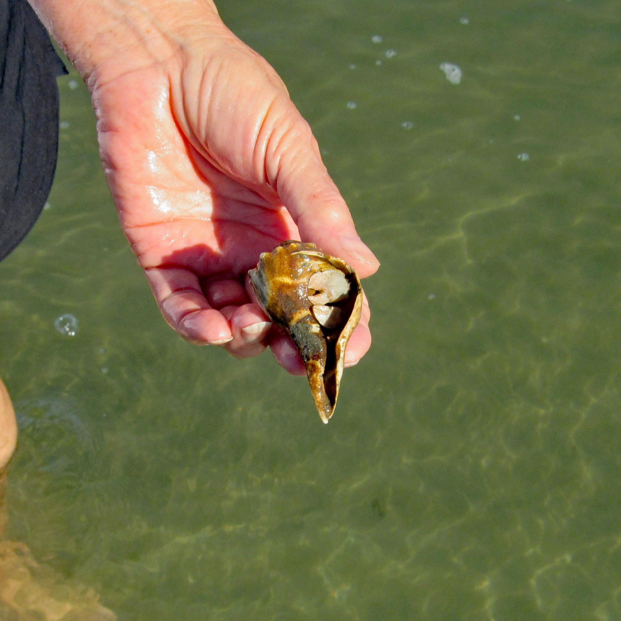
Even some of the better shells were being fought over. This guy wasn’t giving up his shell find.
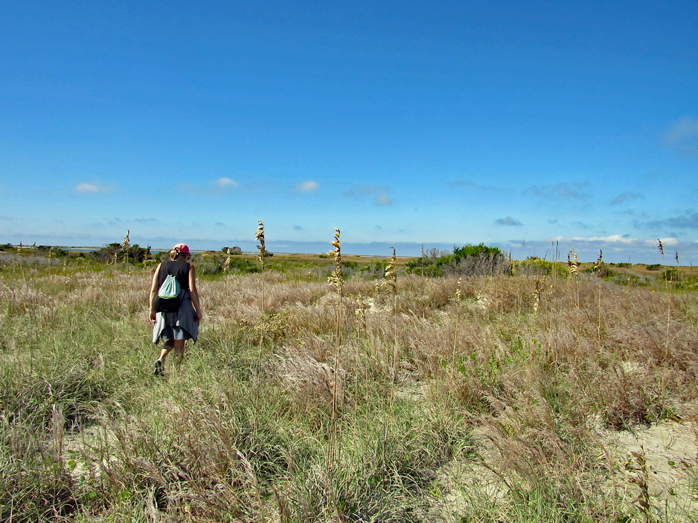
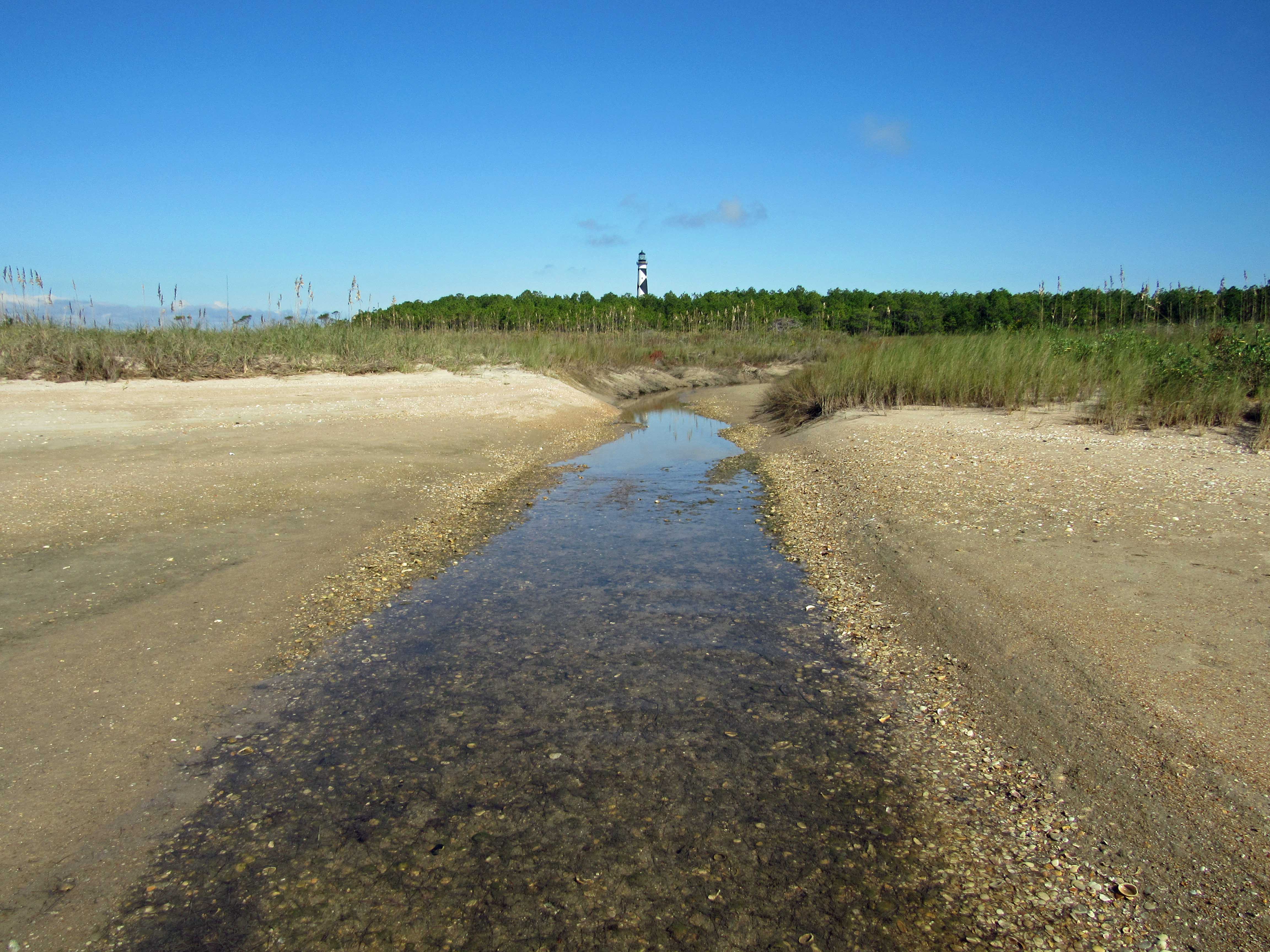
We leave the ocean side of the isle and head over to Wreck Point. Trudging through the dunes and marsh.
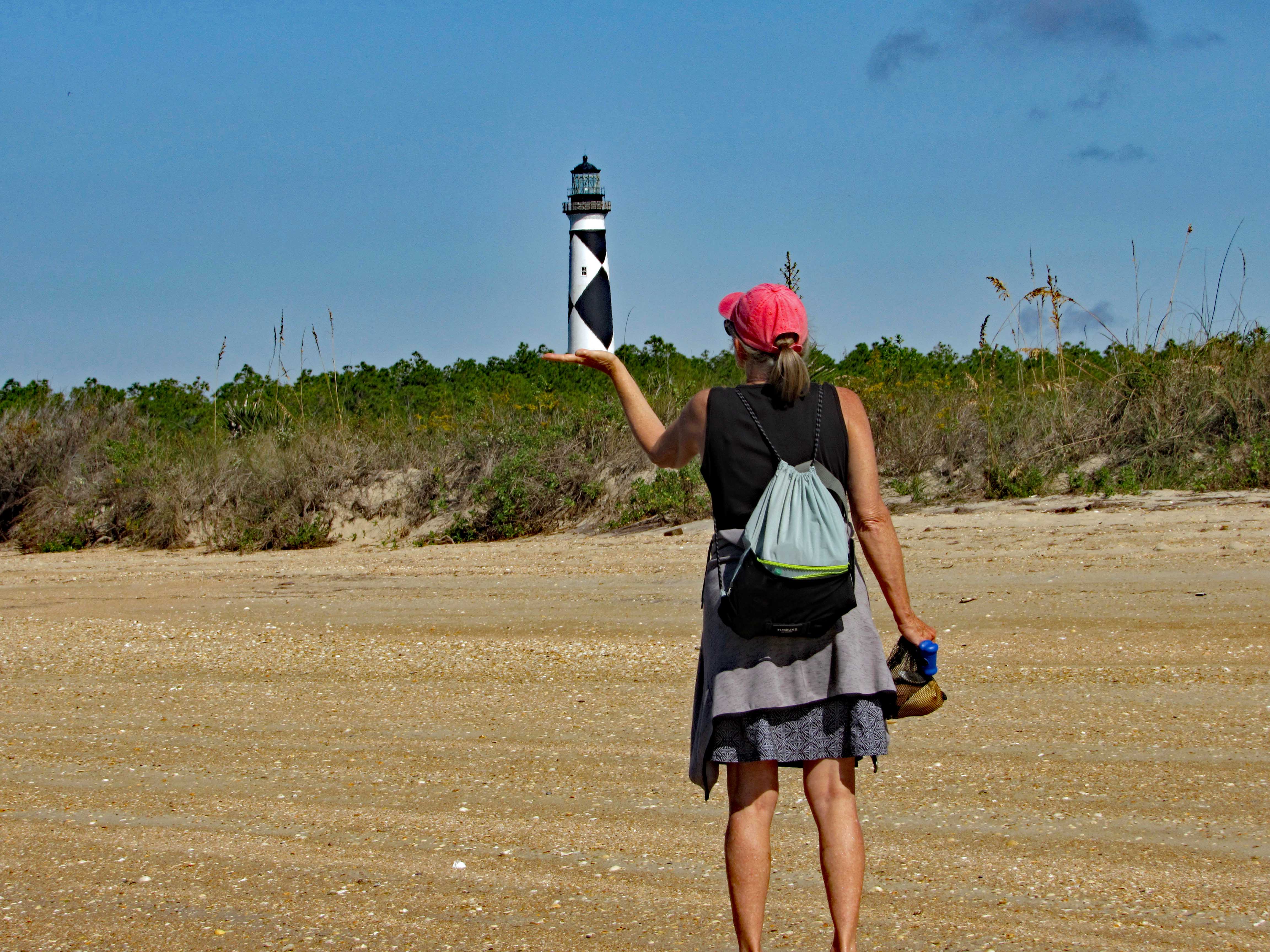
Balancing the Light.
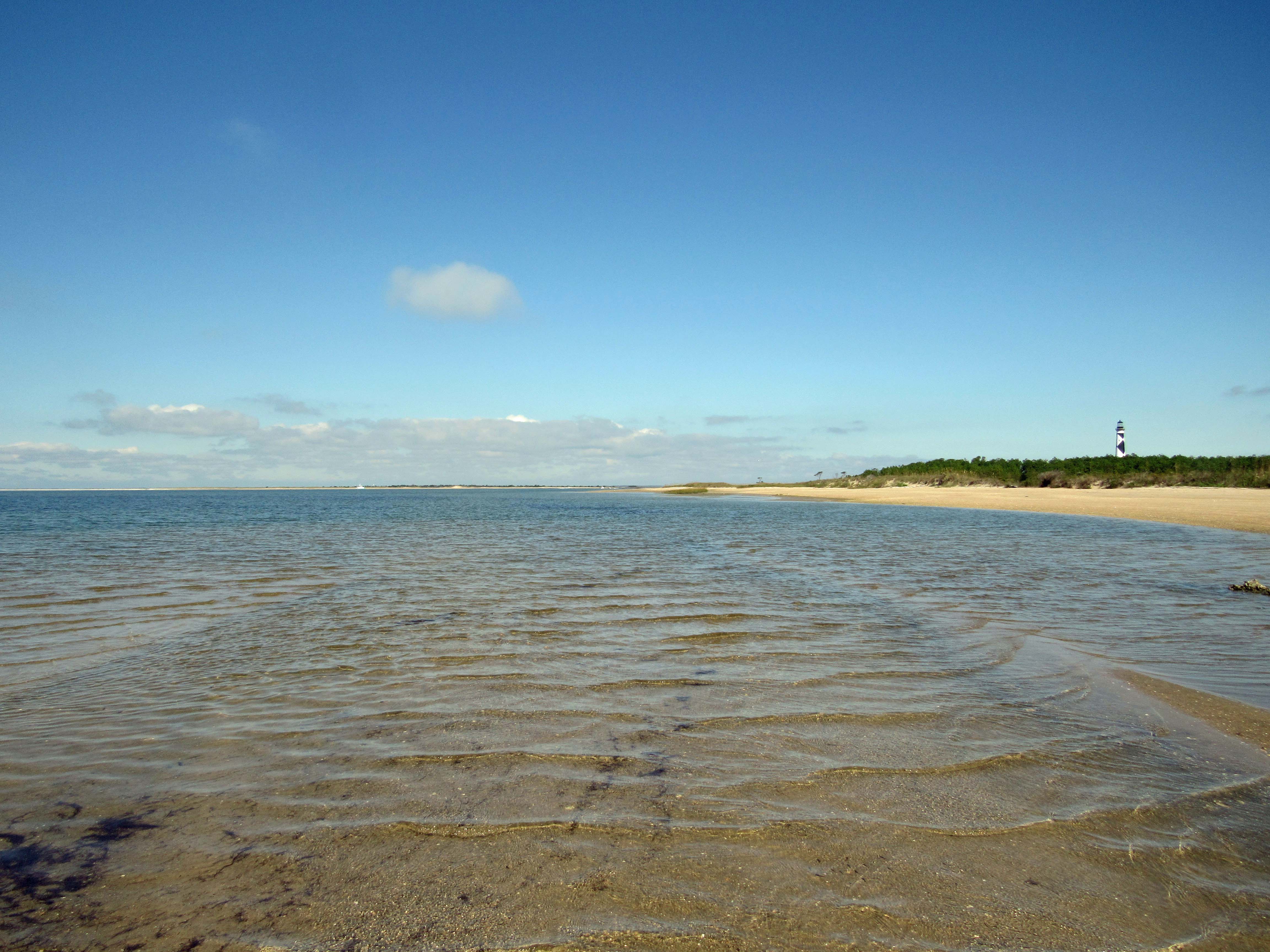
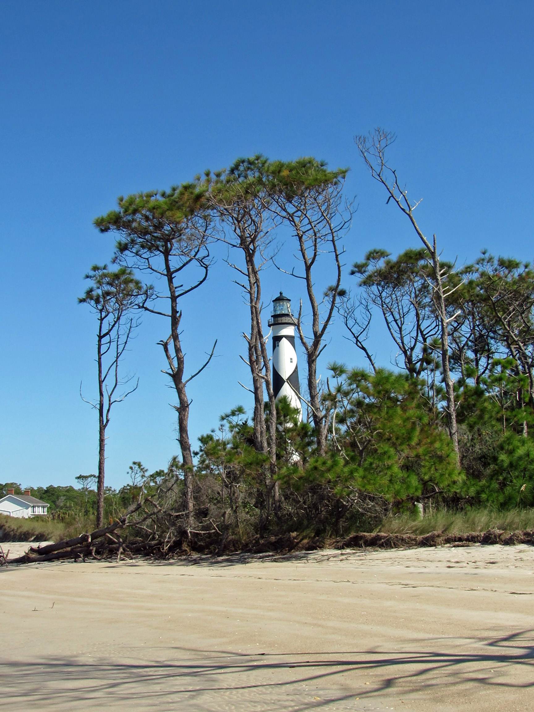
Heading back towards the lighthouse.
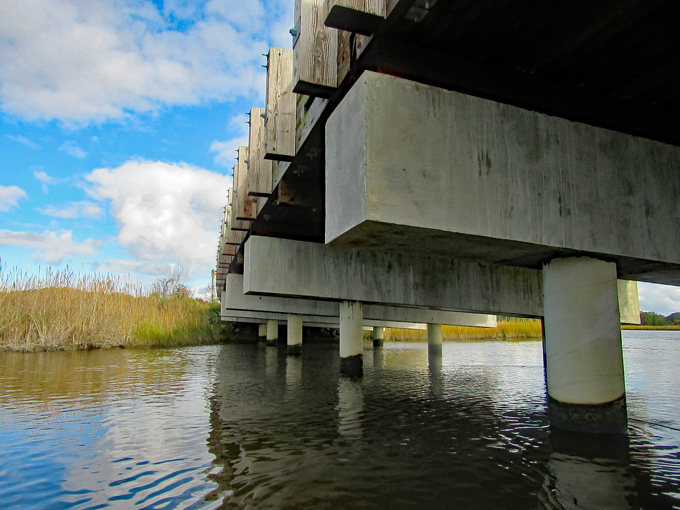
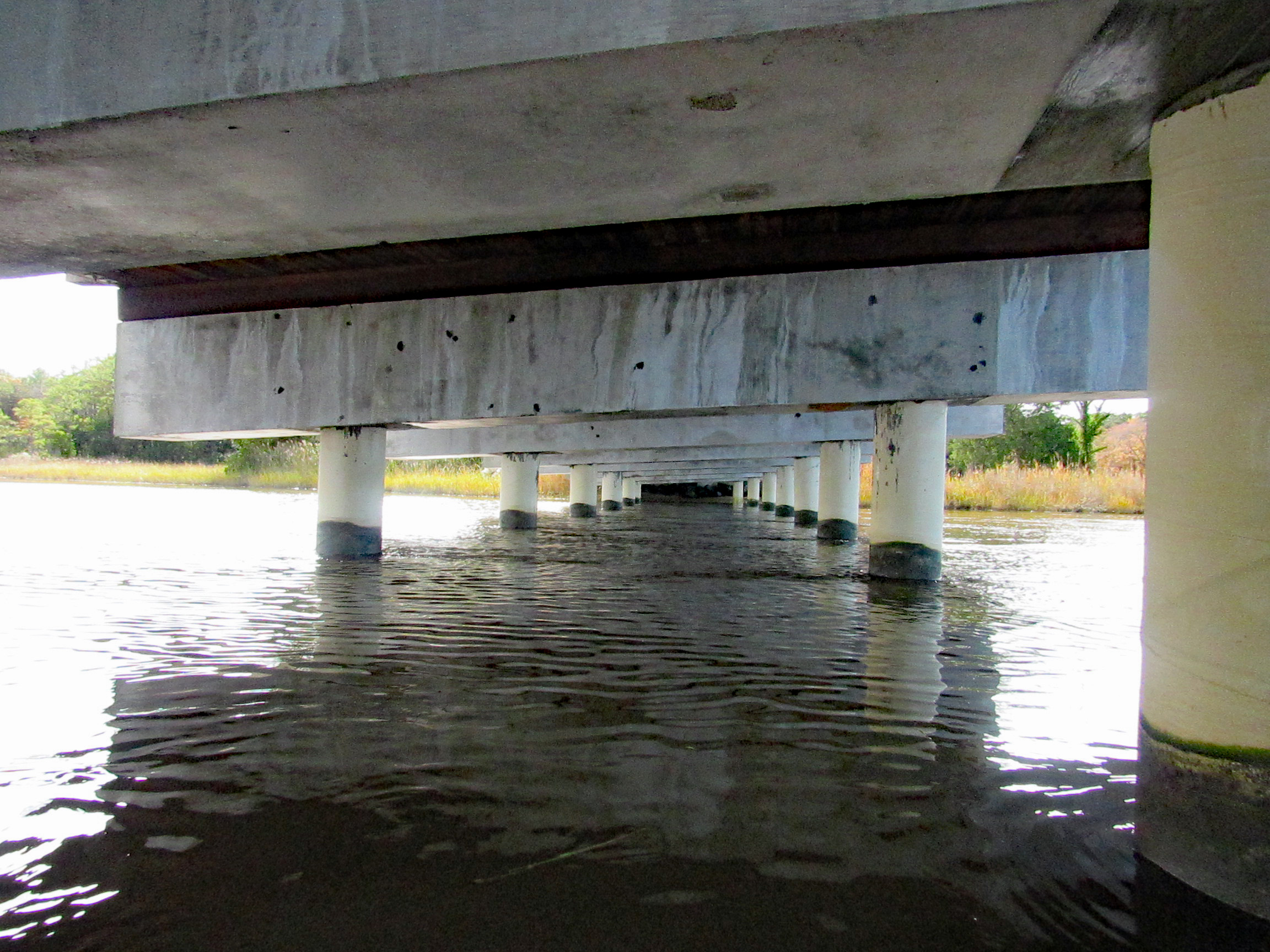
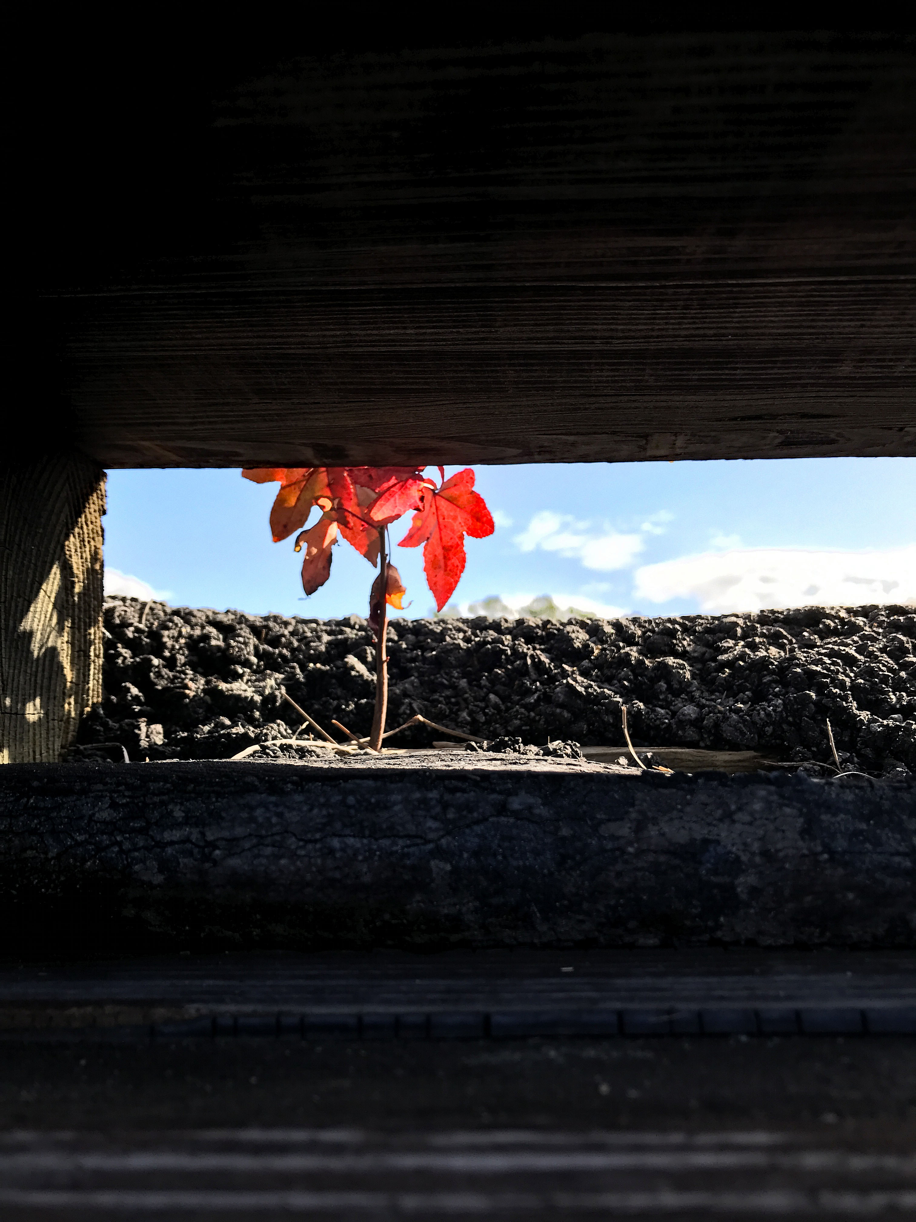
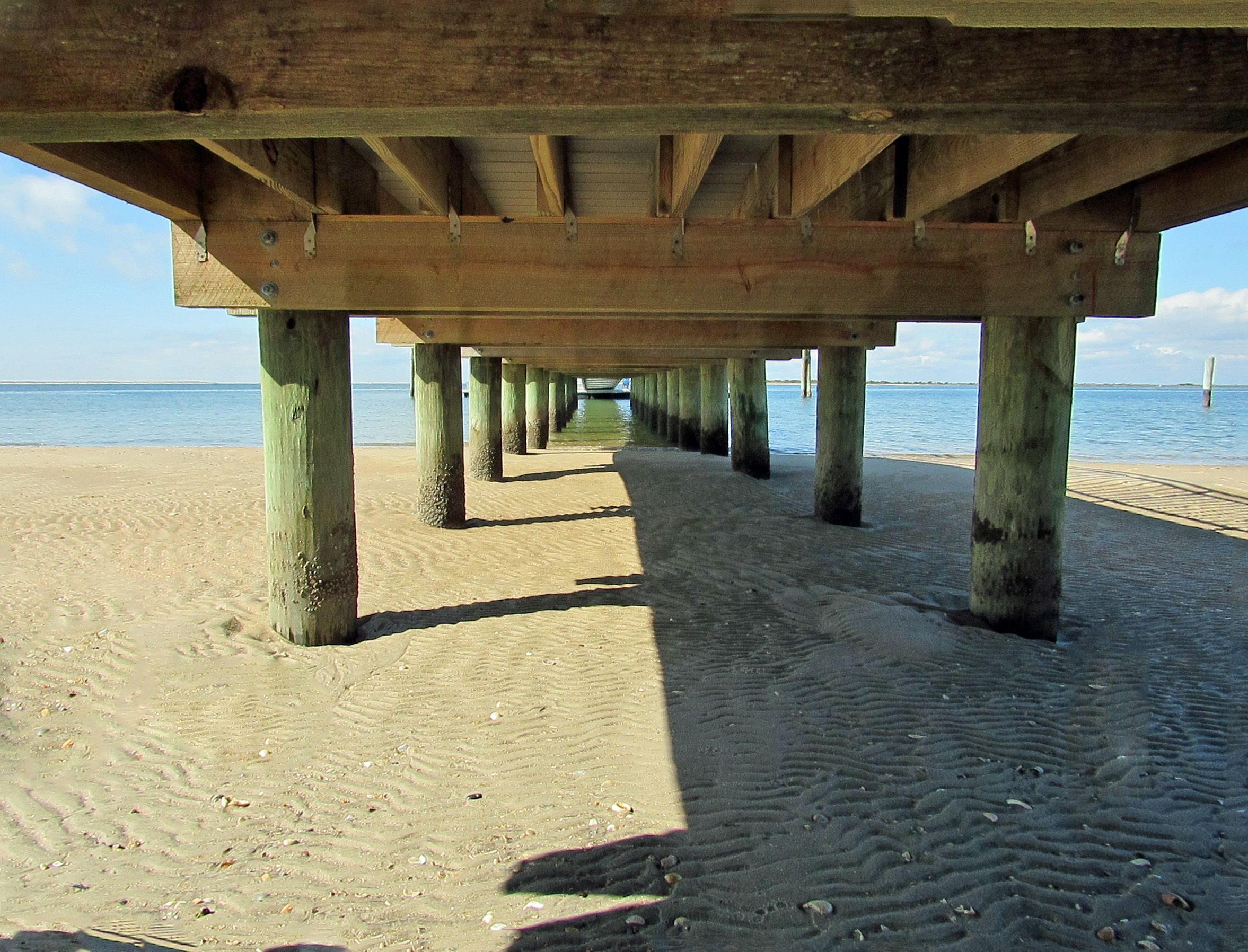
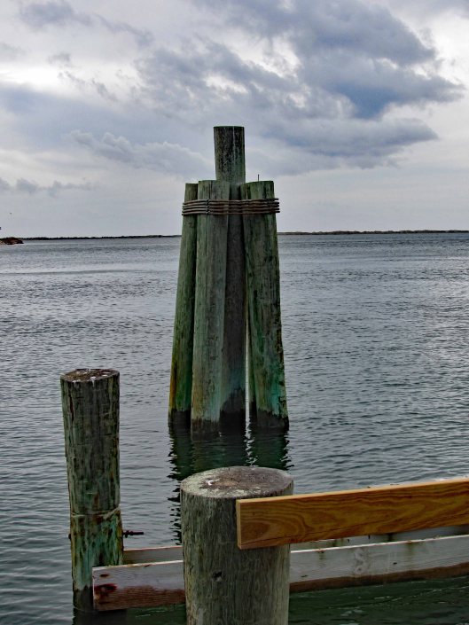
Checking out under the dock…
Boardwalk to the lighthouse area.
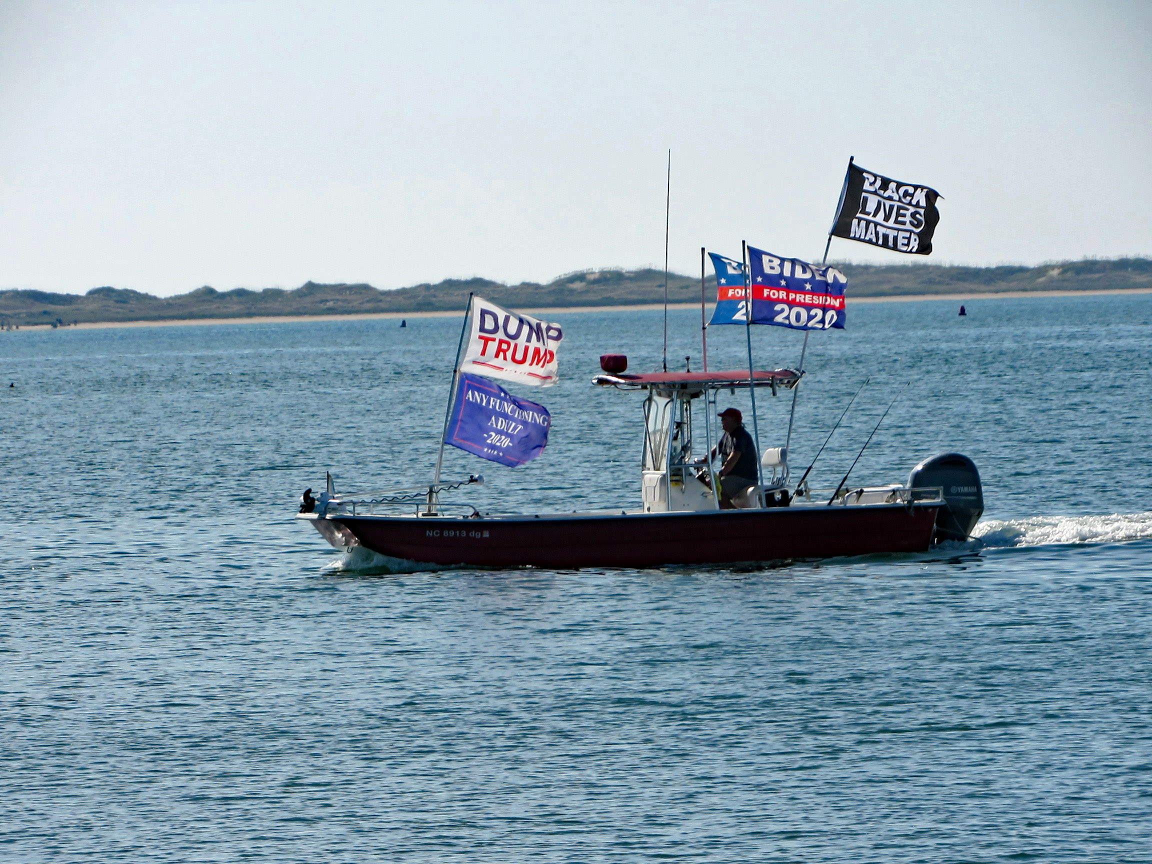
This guy was going close to shore and other boats blasting his horn and making all kinds of noises.
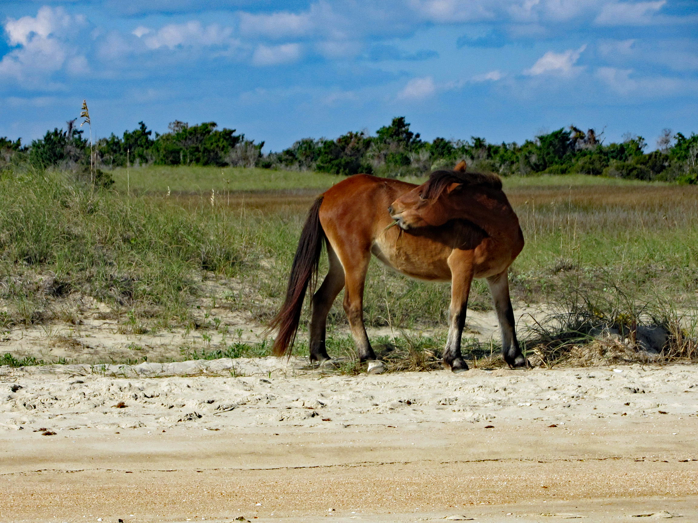
On the way back, on Shackleford Island. Scratching an itch with his food.
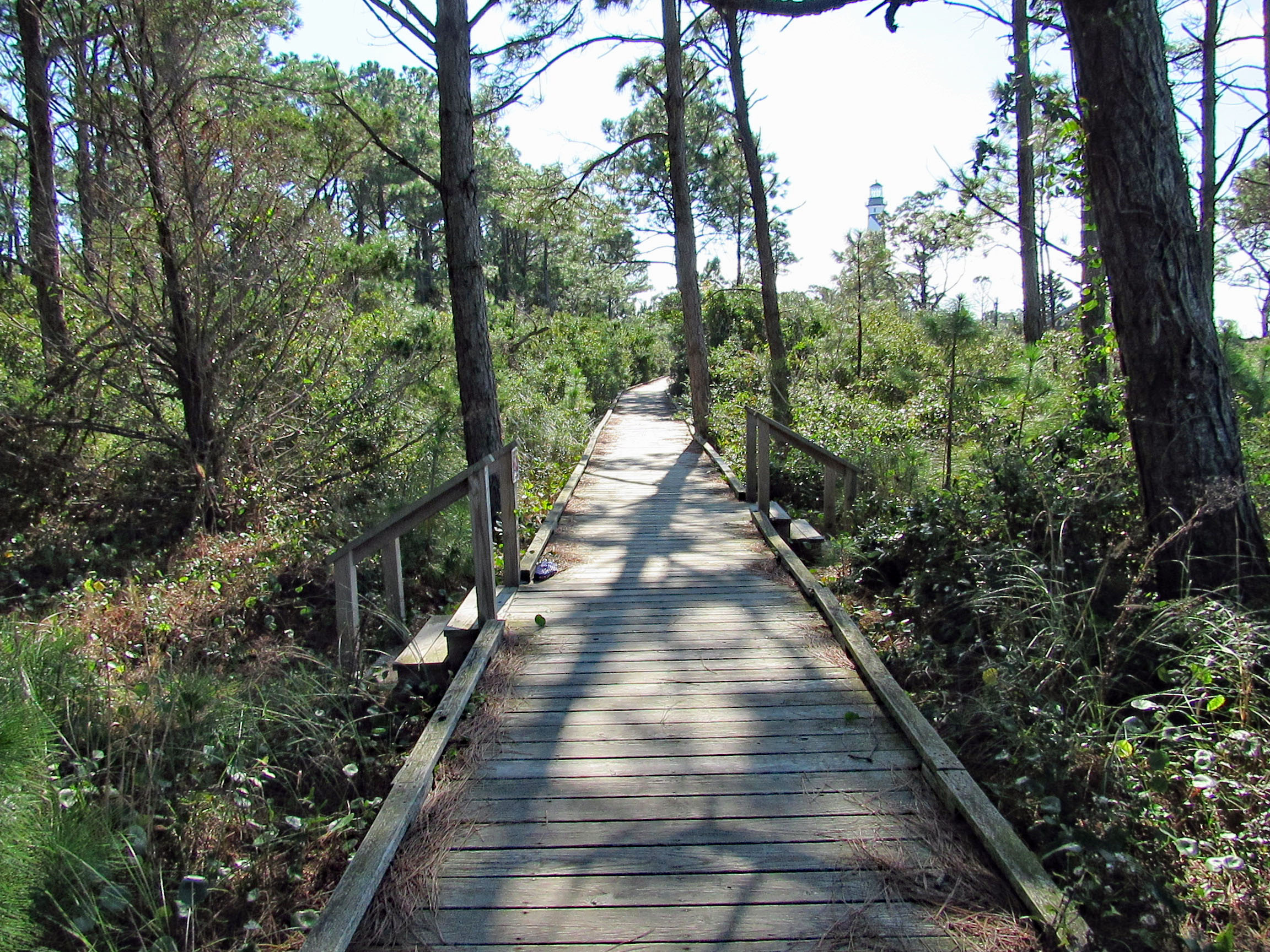
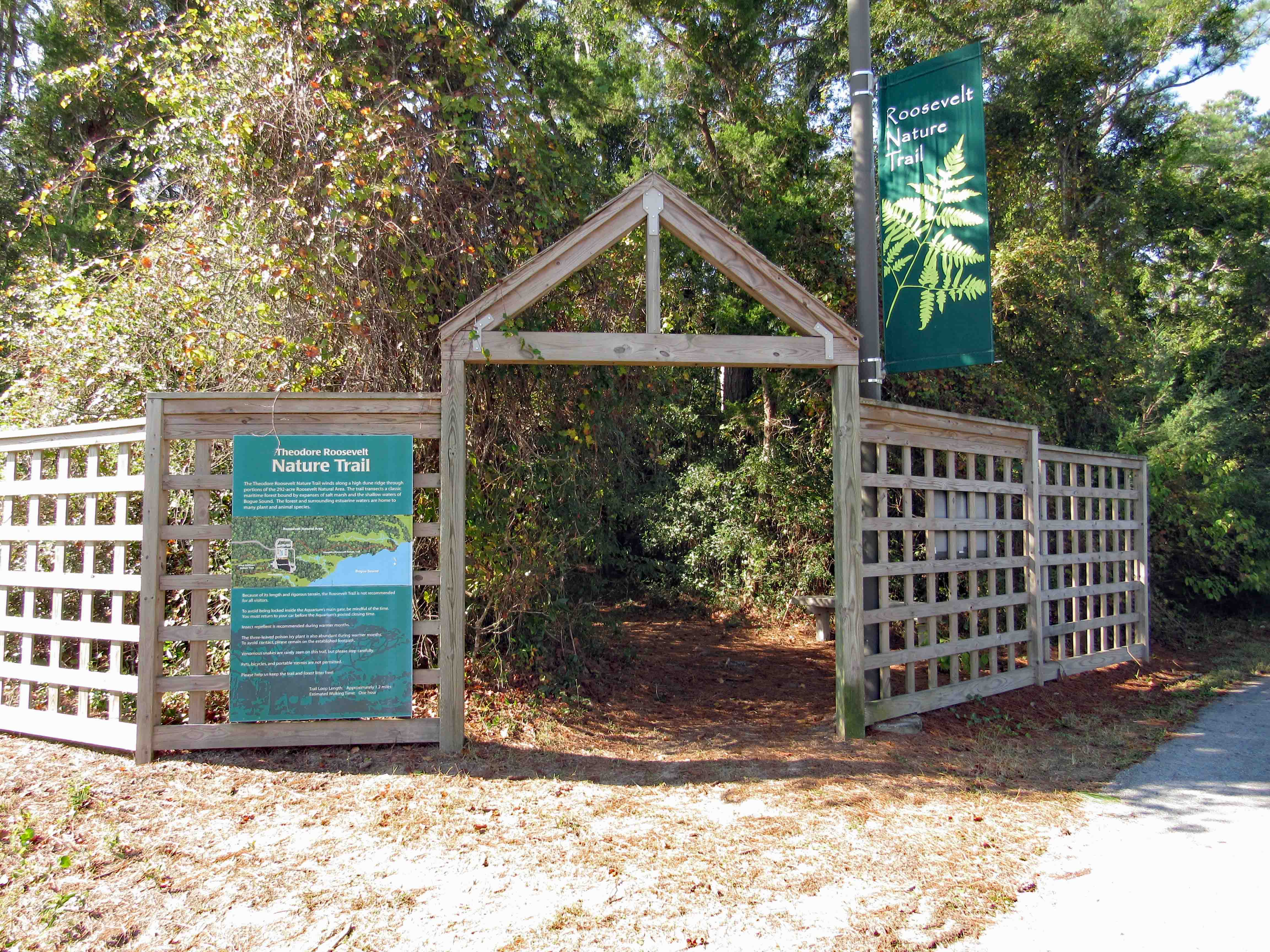
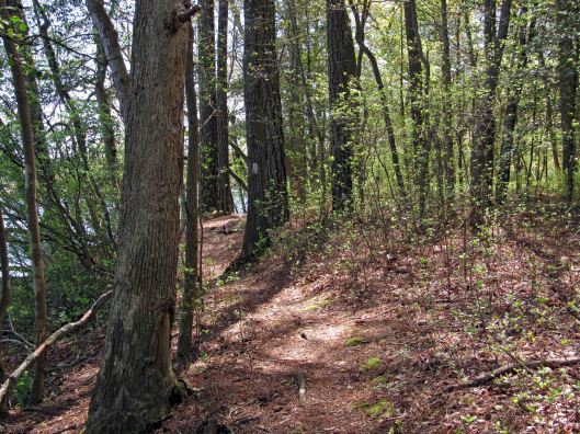
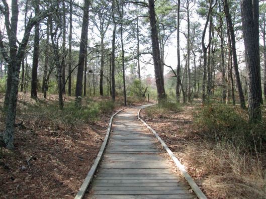
Another day, another adventure. Off to the side of the Pine Knoll Shores Aquarium is a nice little hiking trail. About 1.2 miles.
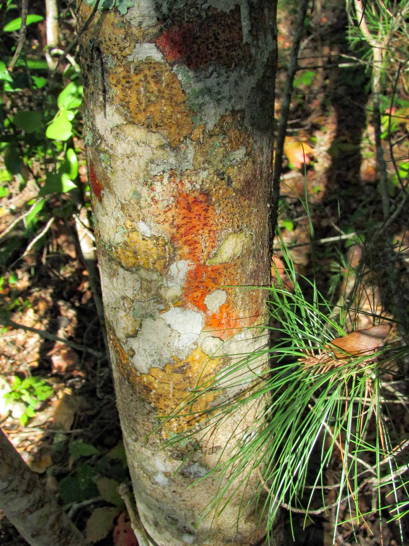
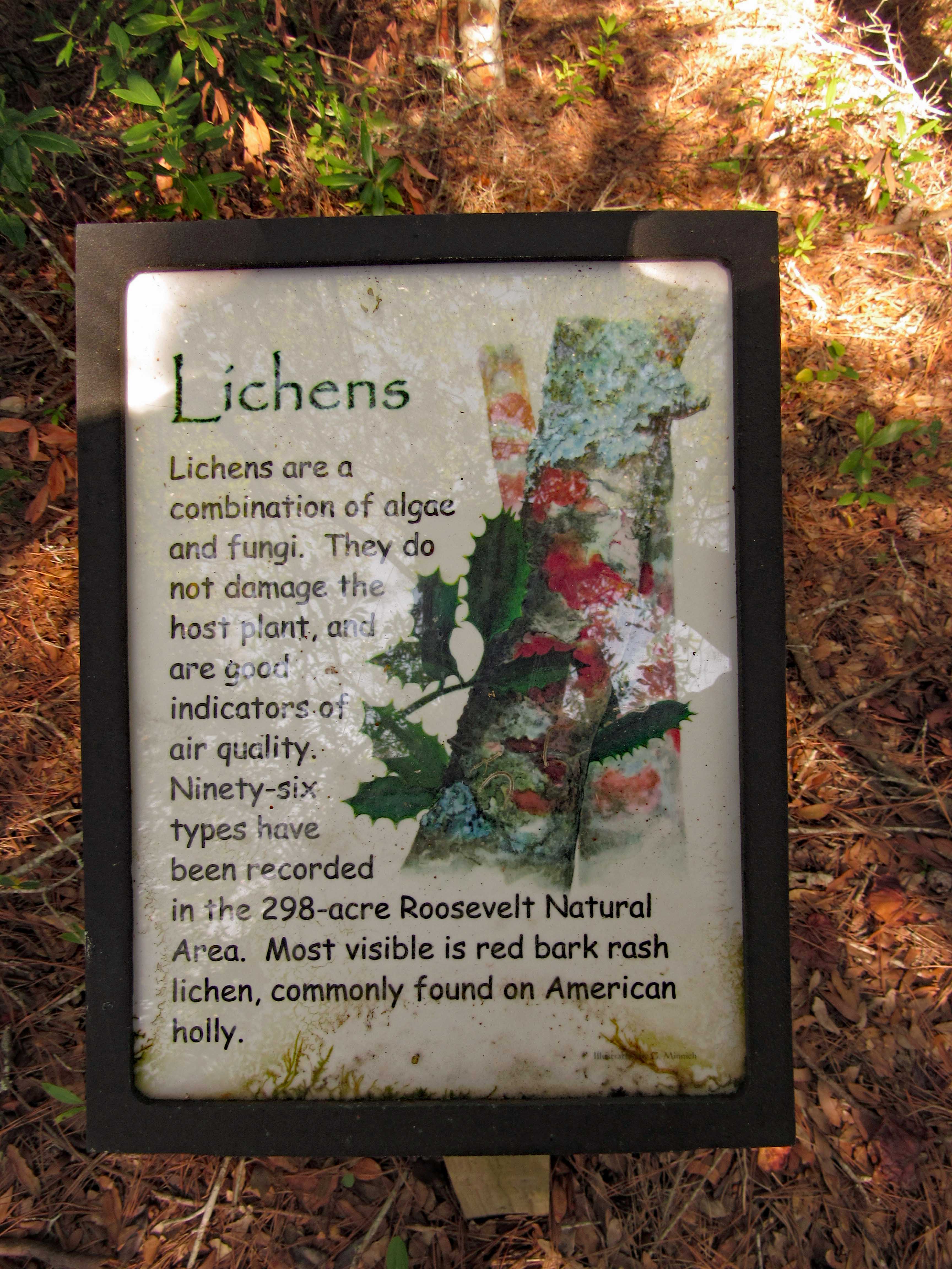
We thought this coloration was the tree itself (Holly)
But it is lichen. Nice info signs along the trail.
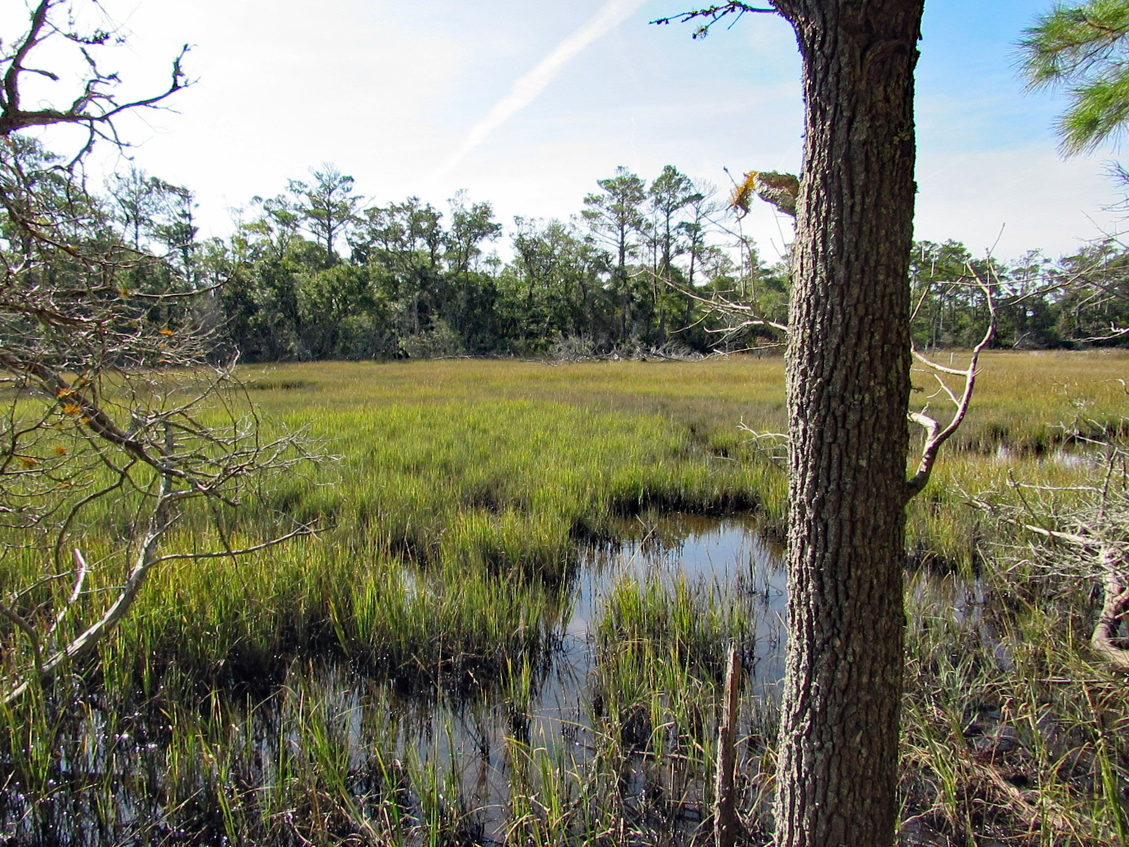
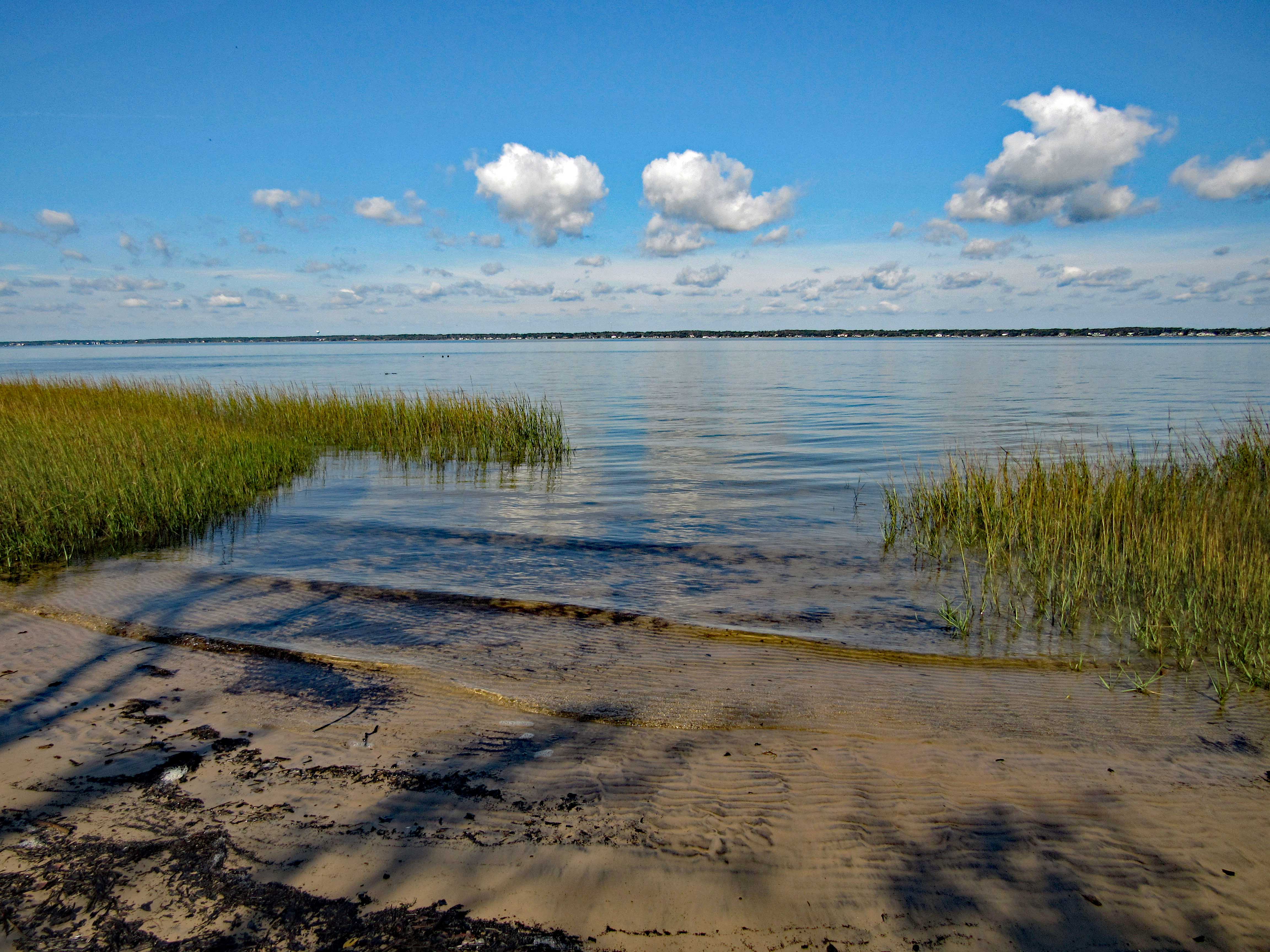
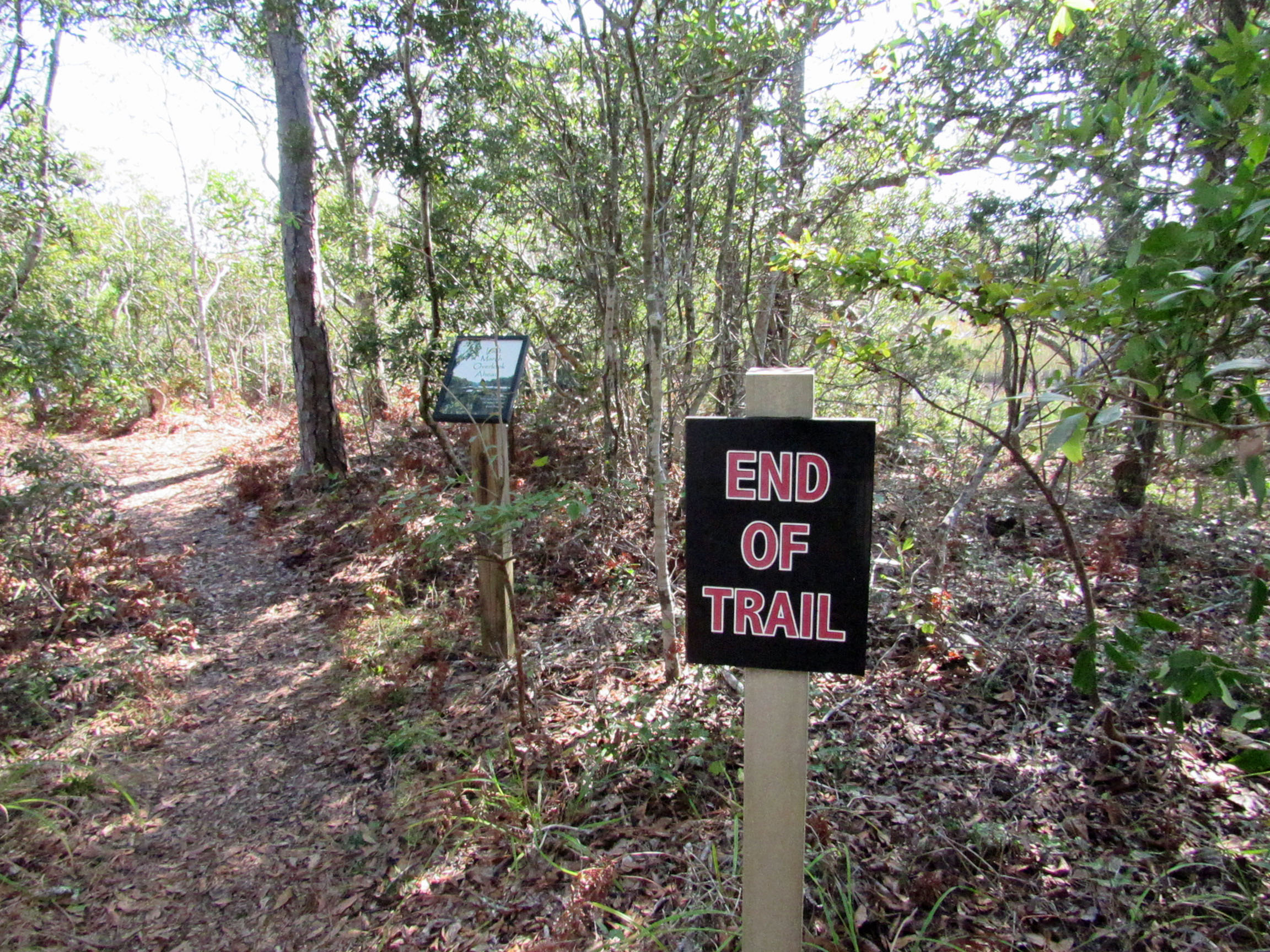
One side of the trail is a marsh. The other side is the Bogue Sound.
Sign in front says End of Trail. Sign behind it says Last Marsh Overlook Ahead?
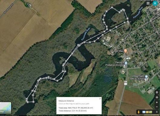
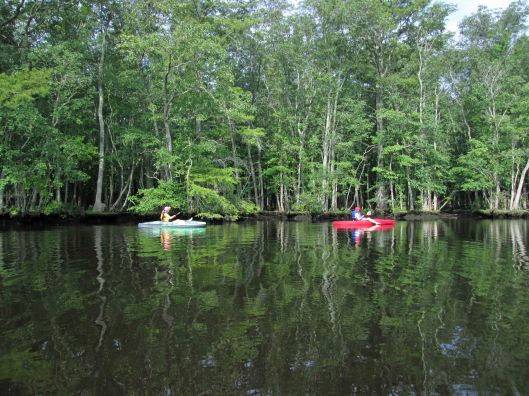
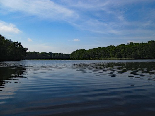
Early kayak adventure – it has been hot out so we got an early start! Kathy’s sister Gail was up from North Carolina so off we went to Snow Hill and a trip down the Pocomoke, around Goat Island. It was about 3 and 1/3 mile round trip.
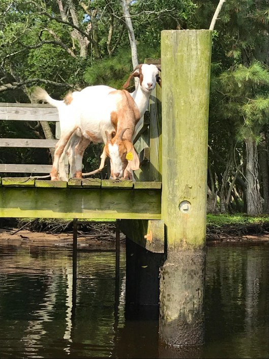
We usually enter the Pocomoke from the south ramp but for some reason I decided to park up by the north one. Glad we did! The goats of Goat Island were out.
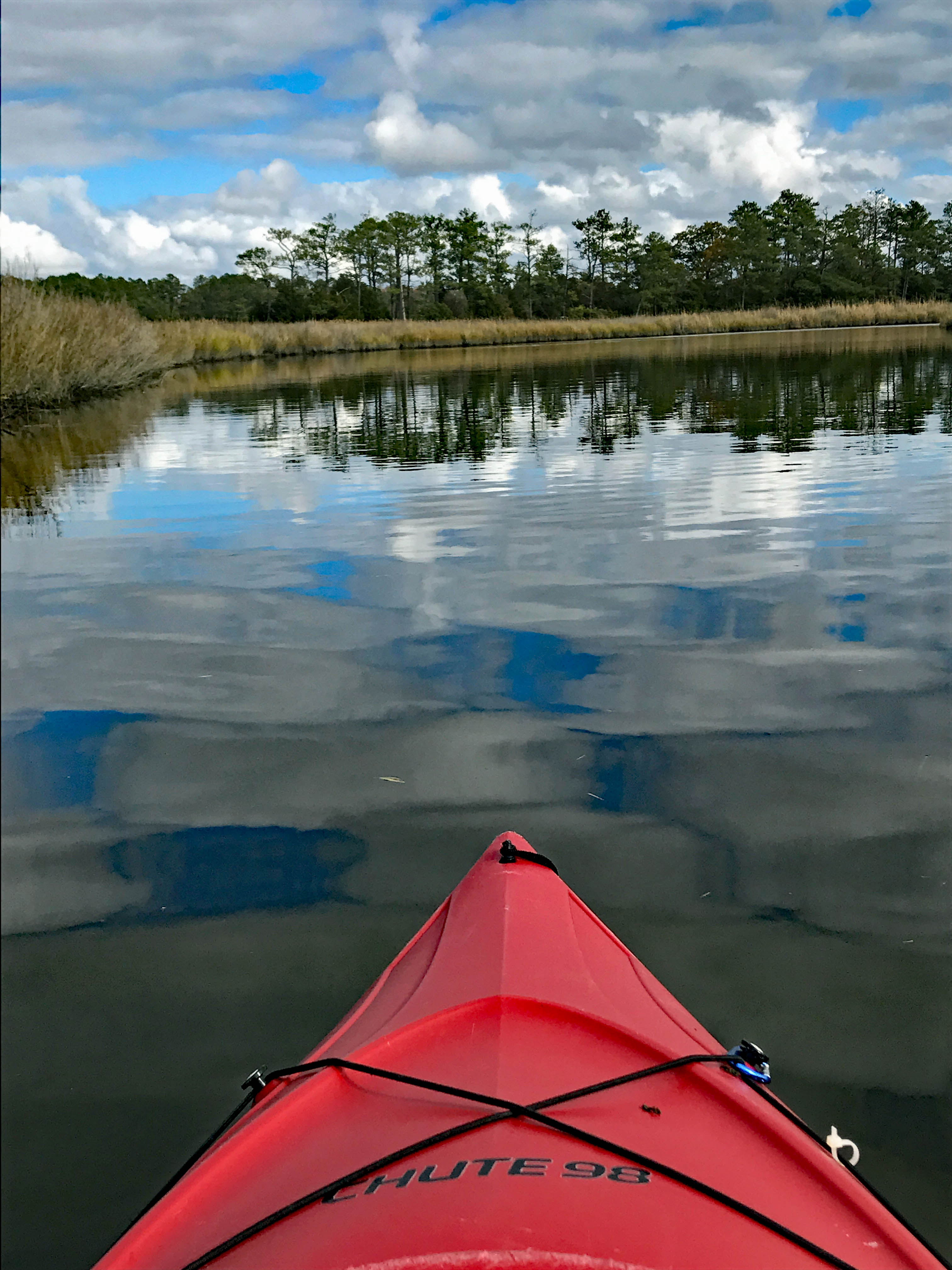
The water was like glass with very little wind.
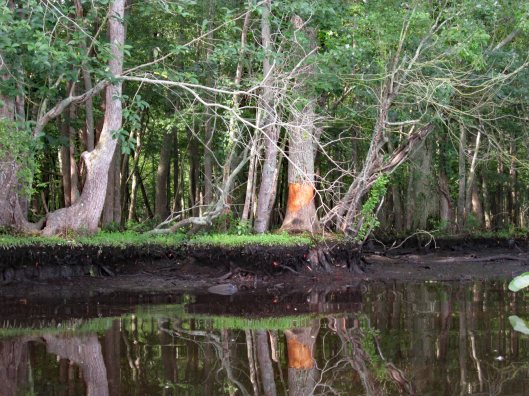
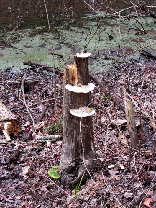
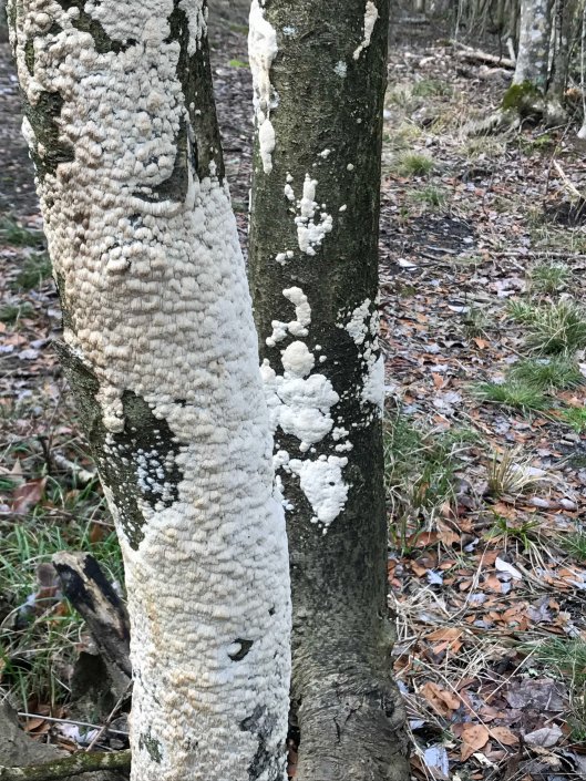
Someone has been rubbing against (or eating) this tree.
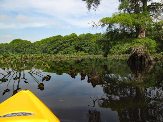
Lots of lily pads floating about. Tried to avoid and paddle around.
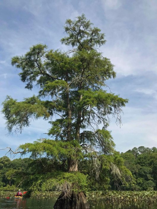
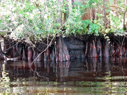
Big cypress.
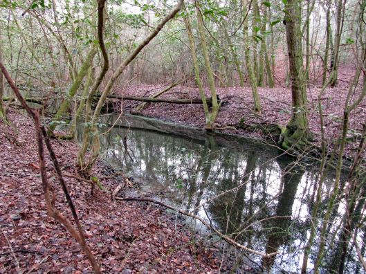
Through the obstacles and onto open water.
Not many photos of Kathy and I together on adventures, other than selfies. Gail took this one.
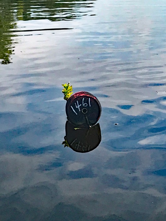
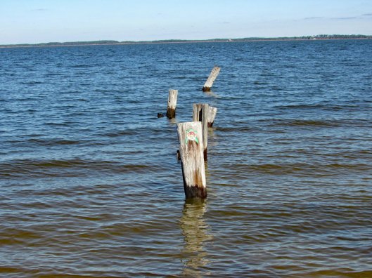
There were a few of these strung across the river?
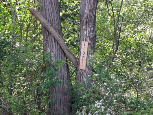
Another tree address…
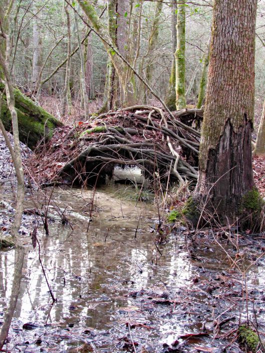
Looks prehistoric.
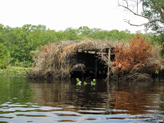
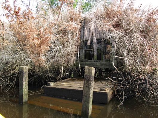
Duck blind.
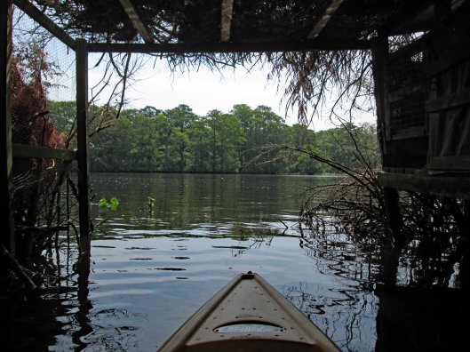
Inside looking out.
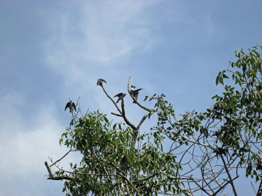
Tree swallows not too happy with me.
Side entrance to blind – needs some TLC.
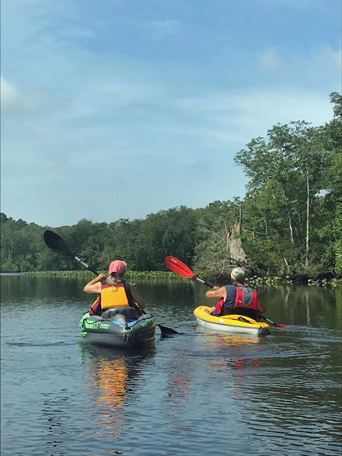
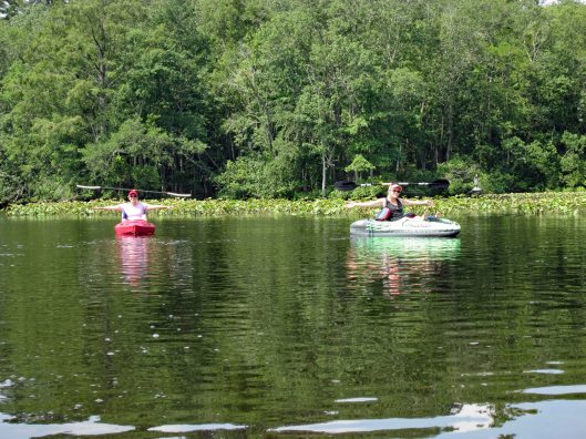
So, i’m all the way down by the duck blind, about a quarter mile away from Kathy and Gail when I hear a whistle. So I paddle back as fast as I can to see if anything is wrong – “No, we just wanted you to see us balance the paddles on our heads!” Ha!!!
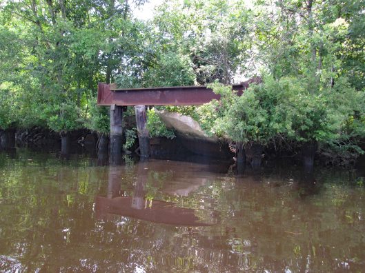
Looks to be the old outfall from the sewage plant.
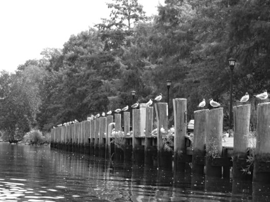
Heading back – seagulls looking for some Thrasher’s French Fries…
It was a really nice morning to go kayaking. Except for one little incident that happened – some jerk in a power boat was going too fast and about over-shot the curve. I was able to get out of his way but he was crazy and called us F’ing idiots!! I waved and told him to have a great day! I believe we had the right of way.
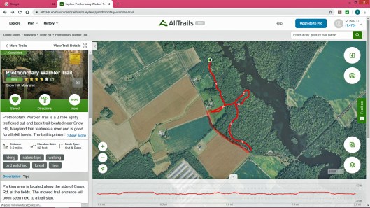
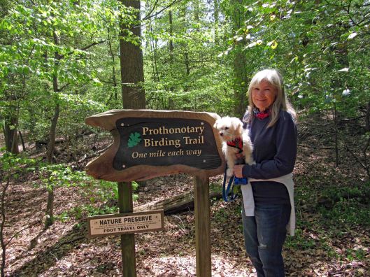
Well that is a mouthful to say! Pronunciation is Pro-ton-o-tar-y, which by itself is a Chief Clerk in a court of law, which is apropos to what I have been going through the past couple of months (another story, another time). But with the warbler attachment, it is just that – a warbler. A trail full of them. This was a 2.3 mile hike.
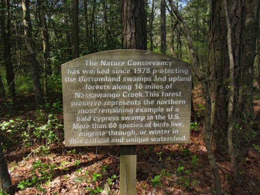
For whatever reason, All Trails stopped recording our trip so I used their default map, adding an extra red line at the bottom left of the trail because we walked the road back. Not much parking. You need to park on the grass along the road. The guy that lives in the house to the left of the entrance trail was cutting the grass. He does a good job maintaining it. It is turkey hunting season and he wanted to know if we seen any? Glad this property belongs to the Nature Conservancy – No Hunting! I hate ducking bullets!
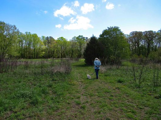
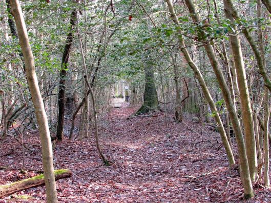
Entrance path
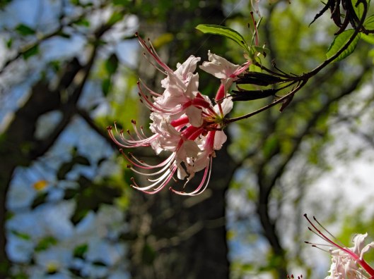
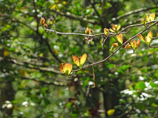
Some of the plants we saw
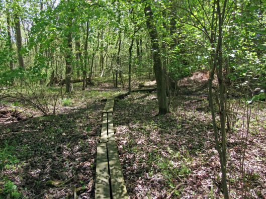
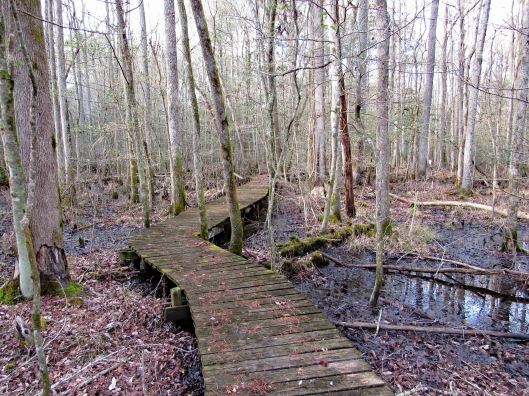
The path goes from Creek Rd. to Nassawango Creek. A nice trail with some boardwalks. No steep hills to climb. Molly did well and there were only 3 other people on the trail. We were spaced out accordingly.
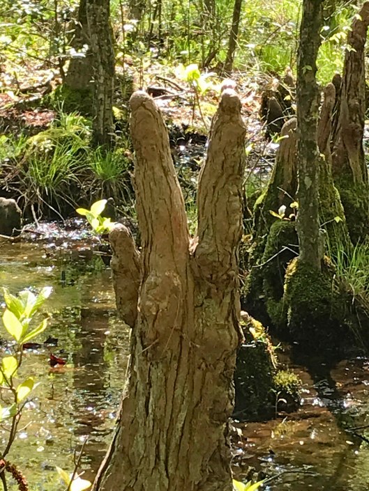
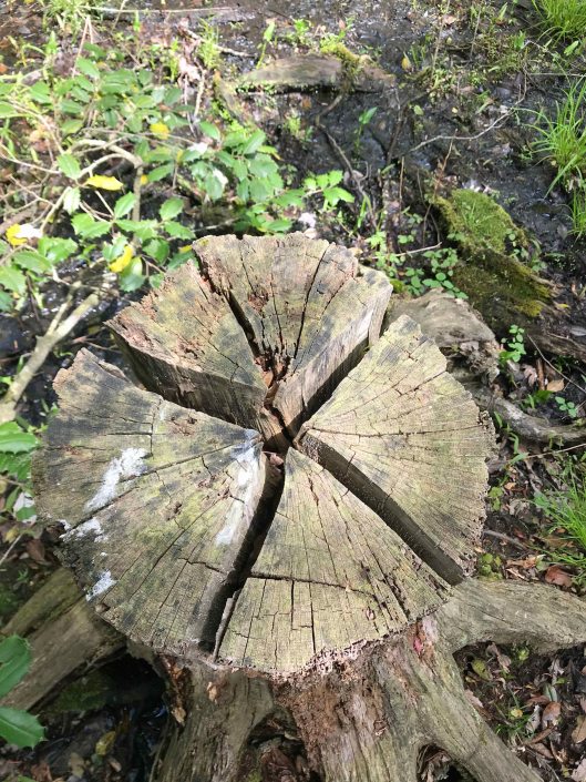
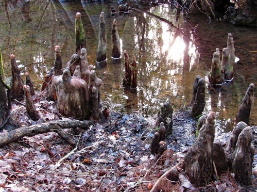
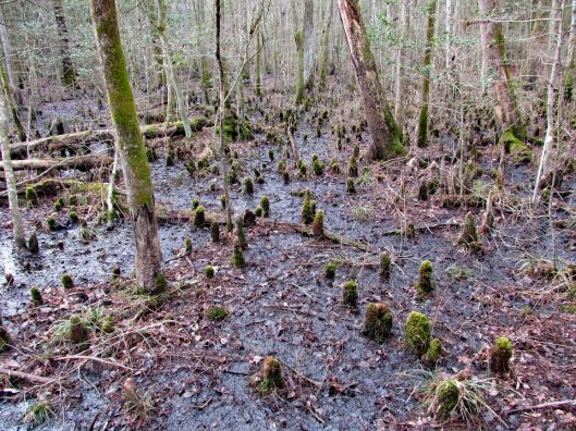
It is part of a cypress swamp and the ‘knees’ always remind me of faceless people.
PEACE
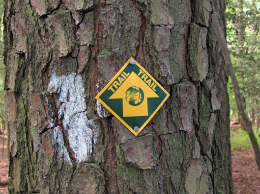
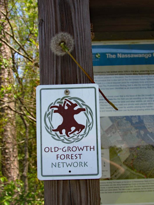
Signage along the trail.
Nails in tree? and blaze.
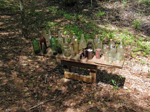
More stuff along the way…
This was interesting. One of the bottles had AA written on it and I thought how weird is that? I looked it up and and it is an Ancient Age Bourbon Bottle. I immediately saw Alcoholics Anonymous!
Warbler in entrance hole
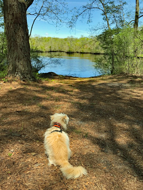
Well, Molly says enough of this. Although it has been a wonderful, peaceful hike, it is time to feed me! Thanks God for a wonderful hike with minimum people out there.
Quite a few of these photos were taken by Kathy. Thanks Kathy!
Kathy and I kind of guessed that our hiking days would be put on hold for a while and even though the weather looked bleak, we decided to head out. And we were right. On March 30, 2020 Governor Hogan said it was no longer a suggestion, that it is now a Directive – Stay at Home.
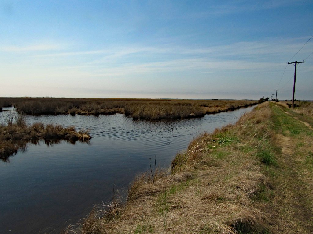
On the 29th we drove to the Deal Island Wildlife Management Area. Down the one path and back is about 4 and 3/4 miles. The other path is about 10 miles. We will bring our bikes for that one.
From the map you can see that it is pretty flat and a lot of marsh area. A nice trail though. We may bring our kayaks here one day. There is a boat ramp to the right, a few hundred feet over.
Molly leading the way
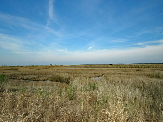
It suddenly turned from a management area to a Refuge.
Not a lot of wildlife to be seen. A few geese, a bunch of Red Wing Blackbirds…
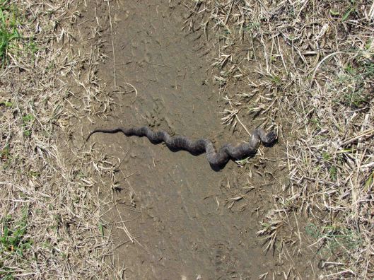
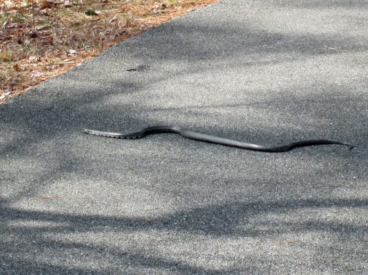
And a couple snakes on the trail.
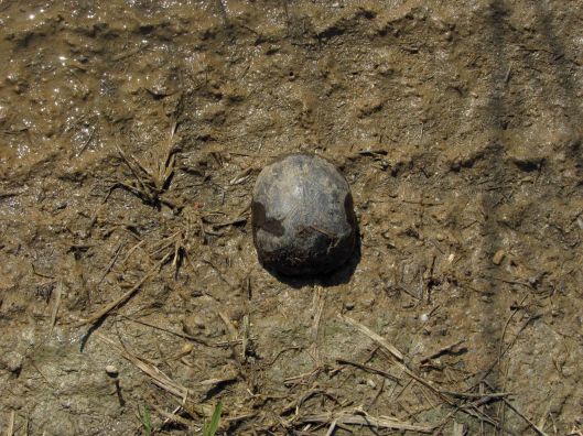
Also a possible mud turtle?
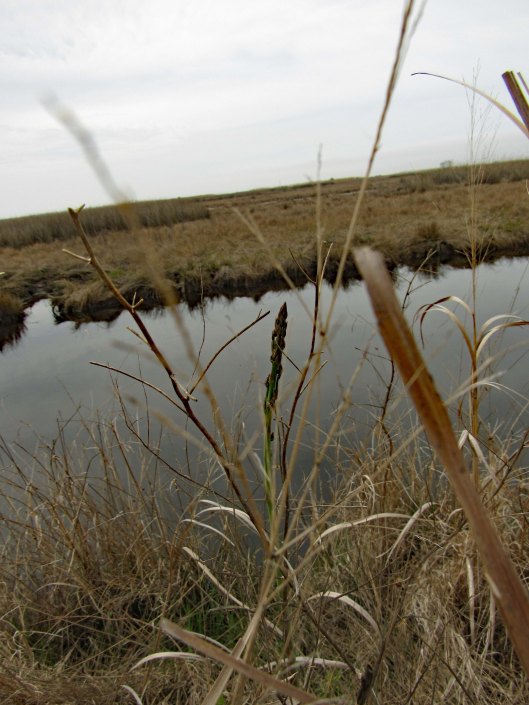
We did come across some wild asparagus, which Kathy had me taste, just in case we need to go into survival mode in the near future. Heck with that Bear Grylls crap! I will use my cell and have food delivered!
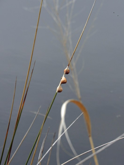
Not sure about these guys. There were hundreds of snails on the shore and low on the grasses. Looking close at the middle one, I see eyes or something…
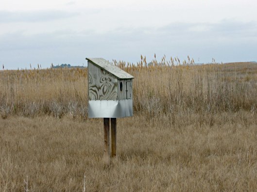
Big bird house.
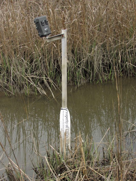
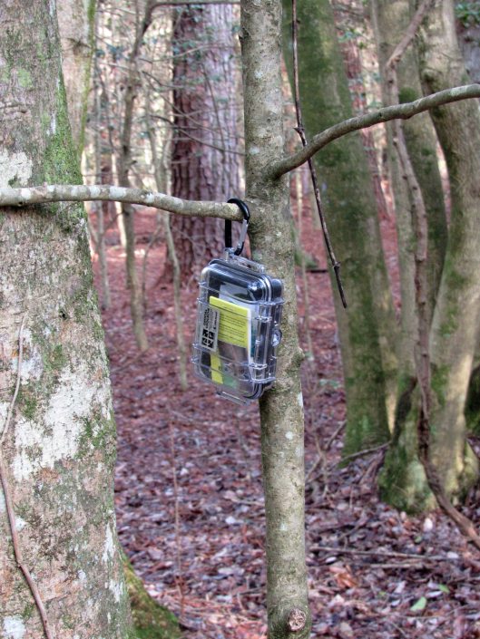
Nature camera.
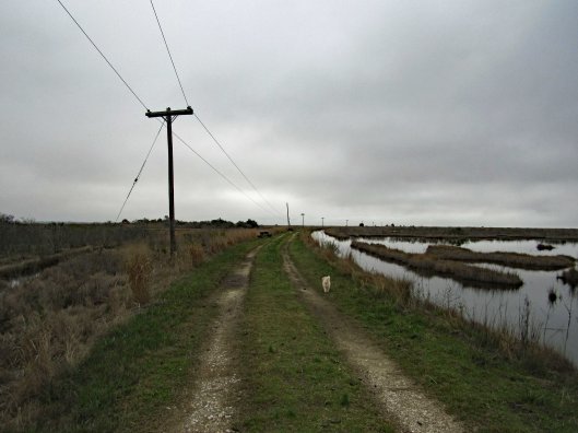
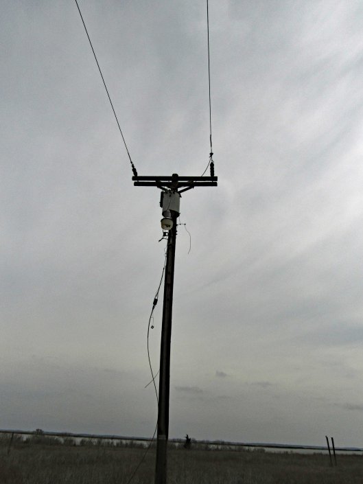
In the first photo you will notice the telephone poles. We followed these all the way to the end. And that is what they did – ended.
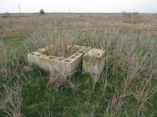
I spent a few hours looking at old maps and Googling Lodges and Oyster Houses on the Manokin River and Broad Point, but had no luck. This electric and the below well pump stand, had to be to something…
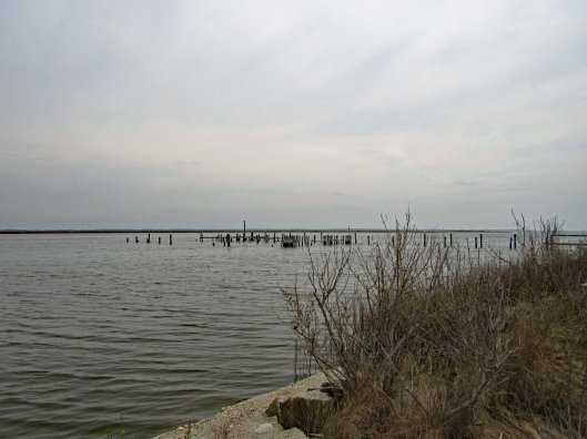
I did not see any building foundations but we did see a pier.
Up close and from Google Earth it looks like there once were boat slips here.
Of course, as we were heading back, the sun started to come out.
A nice day for our “Last day to hike in the parks” We now take strolls around our neighbor hood.
On Friday the 13th, while at the gym, I asked one of the trainers what was the gym going to do about the current situation – Corona-virus? He said it was the main office’s call. I told him it was a pain in the ass for Kathy and I to wipe off our equipment, not only after we use it (which we have always done) but also before, because so many idiots do not wipe theirs down. Sunday night we decided we would not be going back to the gym. Monday afternoon the Governor announced all gyms to be closed. So now we hike and luckily there are a lot of places here on the Eastern Shore to go to having very little contact with people.
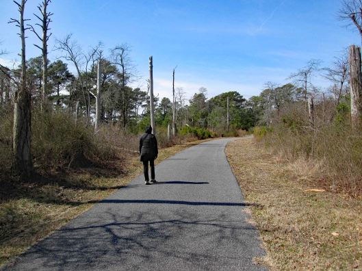
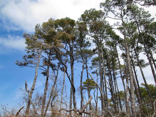
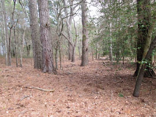
First hike Monday was the Salisbury Park which includes the Zoo. Short hike of 1.8 miles but a very brisk one.
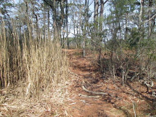
Wednesday was a hike at Chincoteague. We usually ride our bikes there but opted to hike. This hike was about 3-1/2 miles at the Woodland Loop, Bi-valve trail and then along the bay.
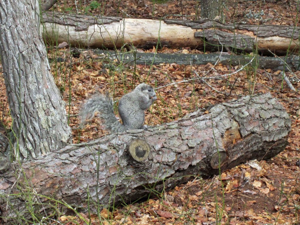
Woodland trailTo the Pony ObservationSnake!Pine cone slow pitchwigShortcut thru woods, nopeDelmarva Fox Squirrel
Glad to be able to hike and I wish all to be well.
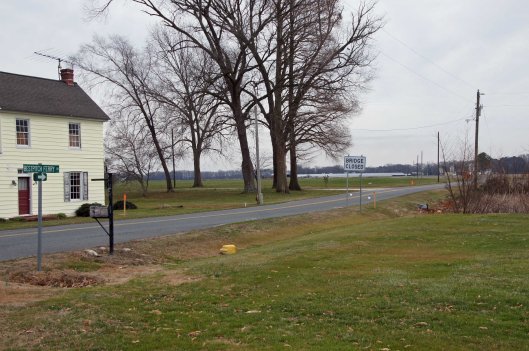
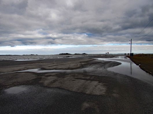
This was a really nice road trip. A little over-cast but nice. The first time we visited BWR a couple years ago, we followed the not too smart, smart phone that directed us to the middle of a swamp and then to Crappo. Another time we traveled to Cambridge and then south to the Refuge. This time we decided to take the scenic back roads. I saw on a map that there were a couple kayak put-in spots so we thought we’d check them out.
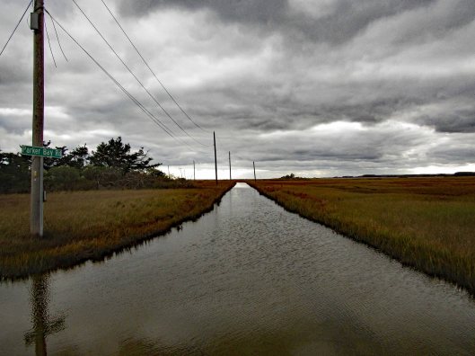
We took Rte 50 to Vienna and headed south on Rte 192. On the map was Bestpitch Ferry Rd., showing a launch. What wasn’t on the map was this sign:
When you see a “Bridge Closed” sign, you should heed it! Na! We thought this was the bridge they were talking about. It wasn’t.
Electric wire fishermen.
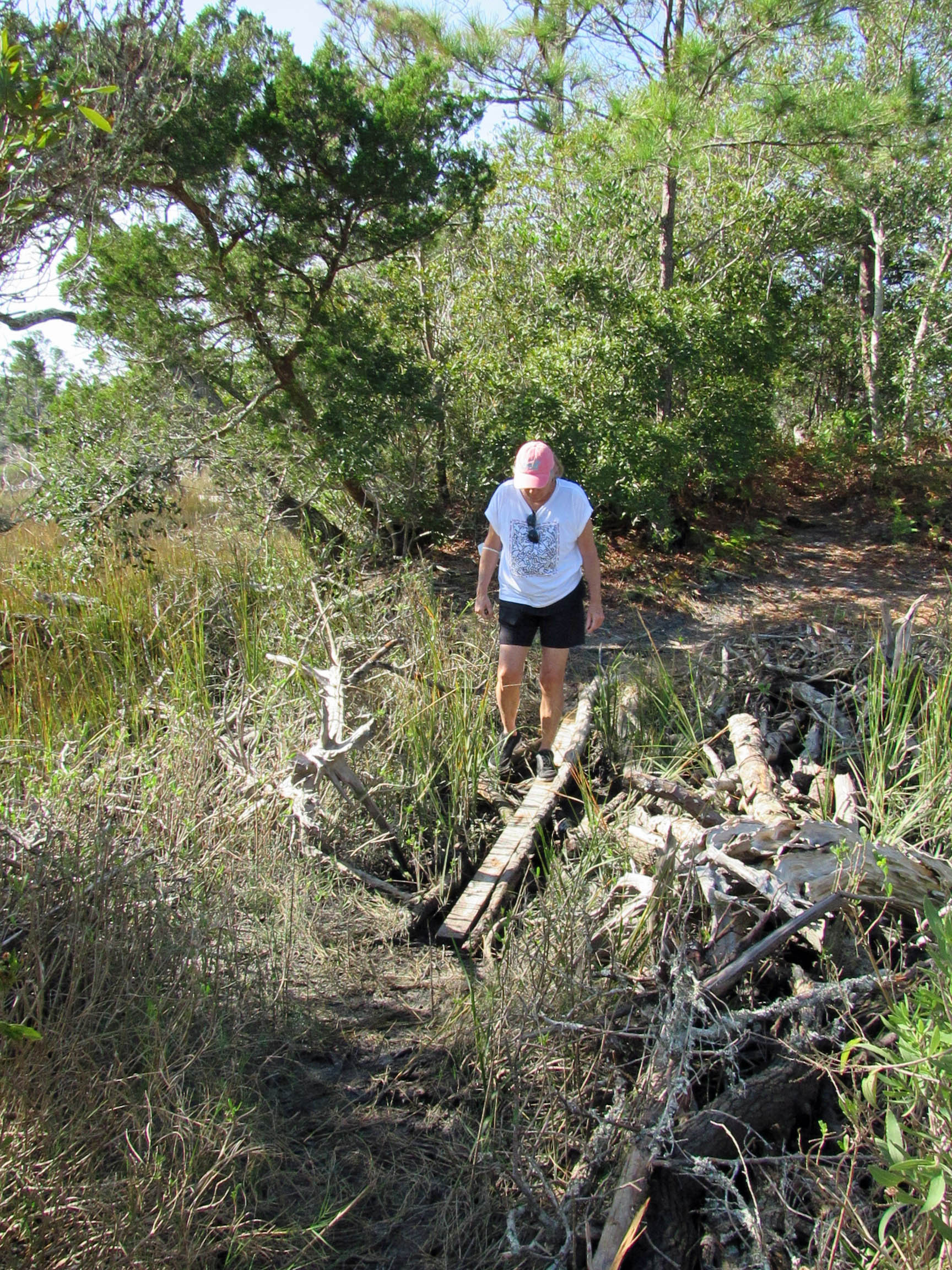
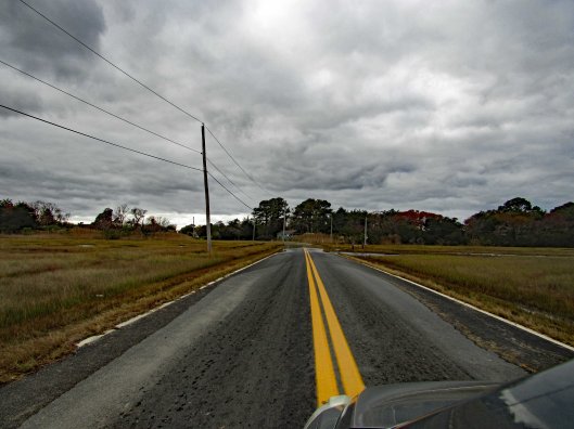
The road started to get a little hairy and we could see where it had been washed out in places. Then we came upon this.
On the other side of the barrier a wood, one lane bridge. Looks alright to me.
The kayak launch site is across the river, to the left. In the photo below it looks like a launch that has flooded out over the years.
Time to turn around. Bridge blocked, road falling apart and now a fire.
We make it thru the danger and head back to Decoursey Bridge Rd to Bucktown. On the way we came across this little, unafraid of the truck fellow.
Glad we had the detour. Some nice places to visit.
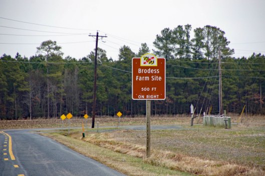
Harriet Tubman Underground Rail Road.
The Brodess Farm is where it was said HT was born. Other accounts say her mother and herself were brought (bought) here after she was born.
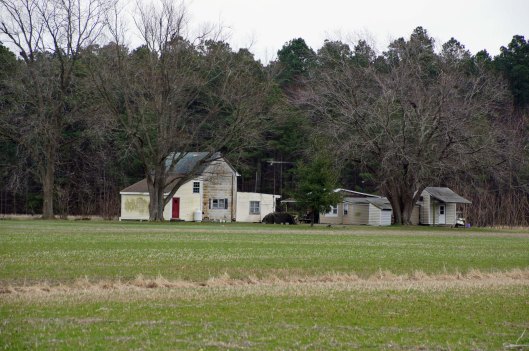
There is no trace of the original farm house, although this one is there. Private property, keep out.
Heading down Greenbriar Rd to Maple Dam Rd, we came across this house. It was unmarked but looking at a couple history pamphlets, we found that this was the Nause-Waiwash Longhouse. It was an abandoned church before the Indians took it over. It looks a lot nicer in the brochure.
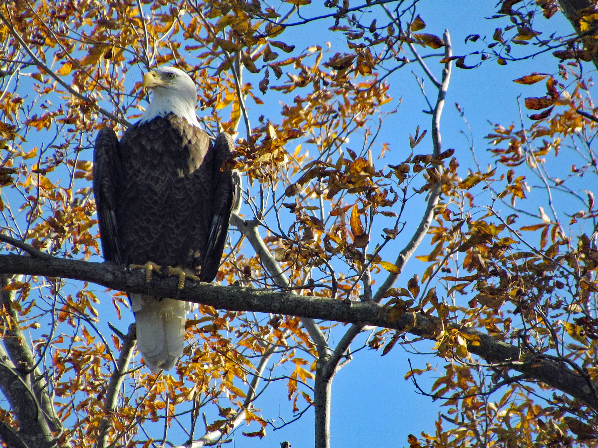
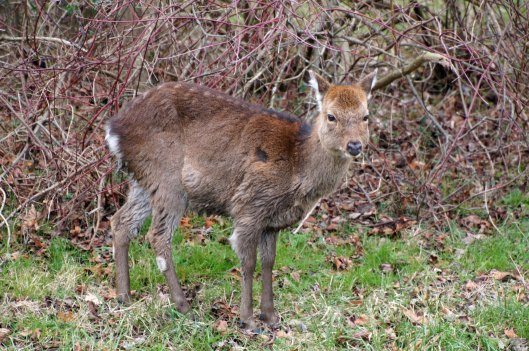
Moving along towards the refuge, we spot our first of many eagles. (We lost count at 9-10).
This guy was hanging out on the way to the visitor center.
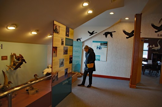
Kathy checking out the displays.
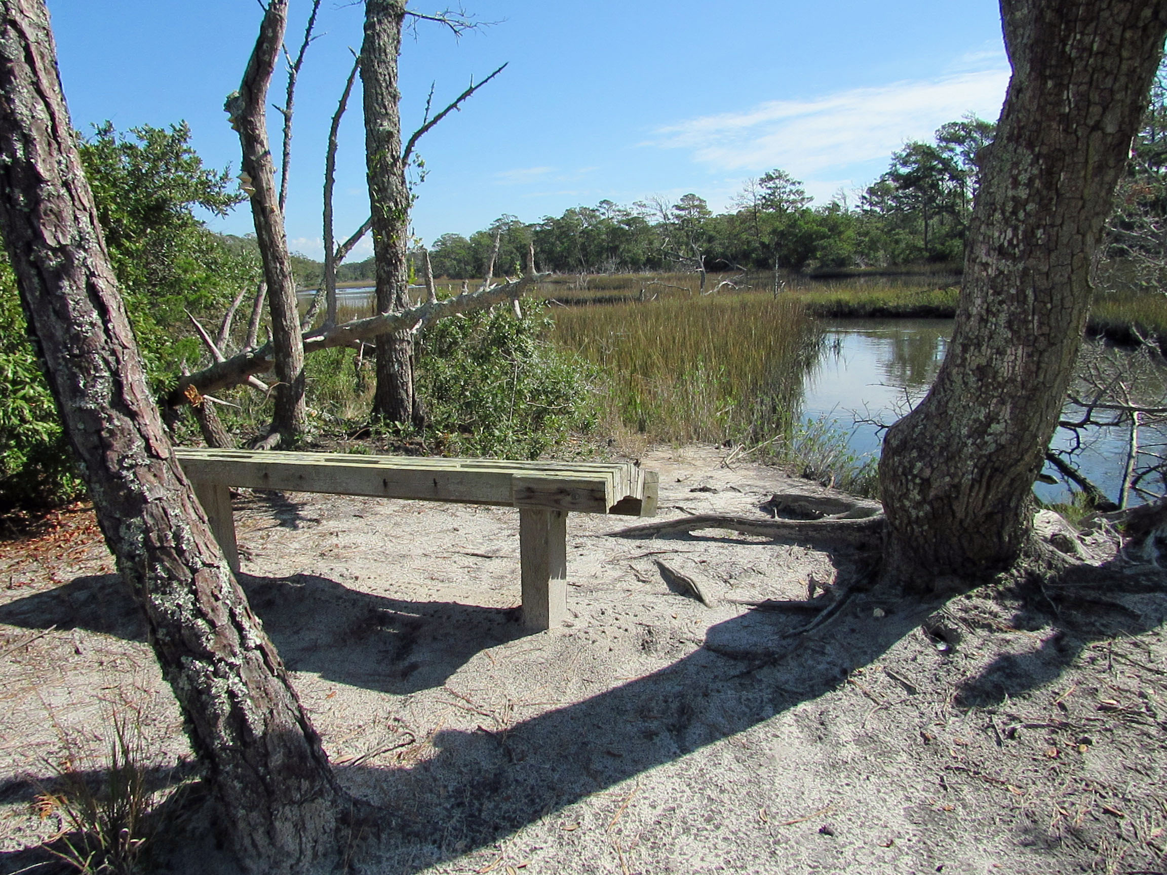
We leave the visitor center and head to the main entrance of the Wildlife Drive. Stopping to eat lunch at the observation deck. On the left of the road there is the Marsh Edge Trail and that was closed due to nesting eagles.
Here are some shots from the refuge.
One of Kathy’s pics. Nice!I see you!Me and my shadowAnother nice Kathy pic!
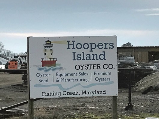
Leaving the refuge it was time to head to Hoopers Island. Rte 335. Heading down Hoopers Island road we came across this church. Originally the “Tubman Chapel”, it moved across the street. St. Mary Star of the Sea.
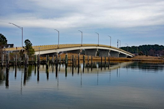
First bridge onto the islands is at Tyler Cove, Fishing Creek.
Taken from boat ramp.
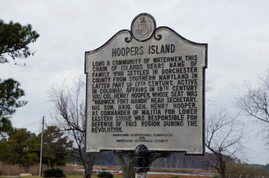
Another historical marker.
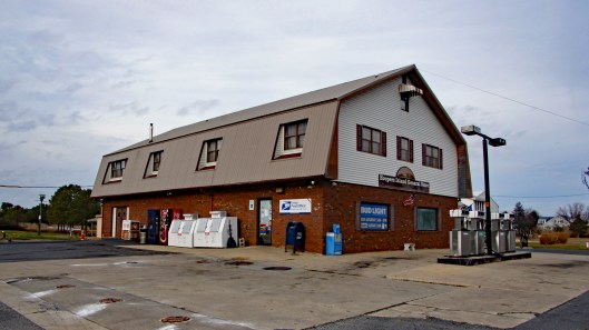
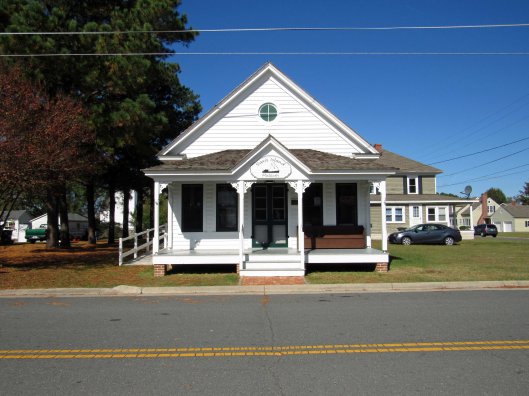
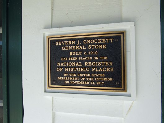
And another General Store
Behind here is a cemetery, which brings me to WHY we wanted to visit Hoopers Island. We want to see all this before it is completely submerged. There is a great video on the sinking of this island. You should watch it – High Tide in Dorchester – https://www.bayjournal.com/films
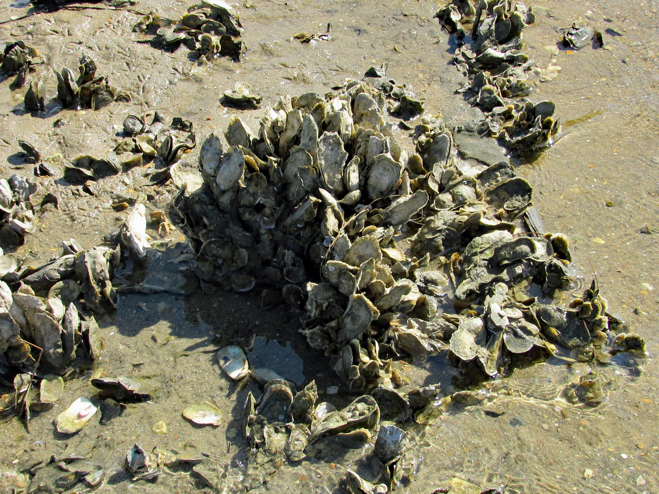
Lots of fishing and sea life down here. Hard to believe it was mostly farms at one tome.
We headed south to the middle island. There are 3 islands, probably more at one time.
Roads flood in high tides and stormsFishermen returning
Pulled off the side to see what we could see – some sea glass, shells and debris.
Looks like 3 adults and one juvenile. Even with a 300mm lens, they were too far off.
Adult brought food to him.
Our map. the lower island has no access.
Great day and so grateful that Kathy likes going on these eight hour adventures with me. For too long I did all this kind of stuff by myself.
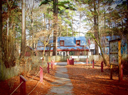
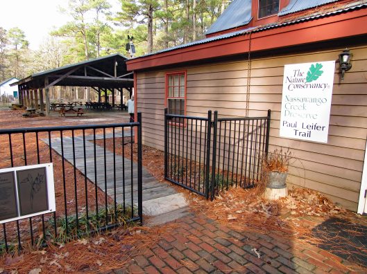
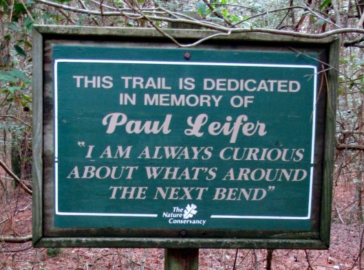
In my last blog, First Hike 2020, I spoke of looking for the Paul Leifer Trail at Furnace Town and how we thought the only access was from the gift shop, which closed in October. Well I sent an email to Furnace Town asking about access to the trail and they told us to go through the gate and then head to the trail, so we did.
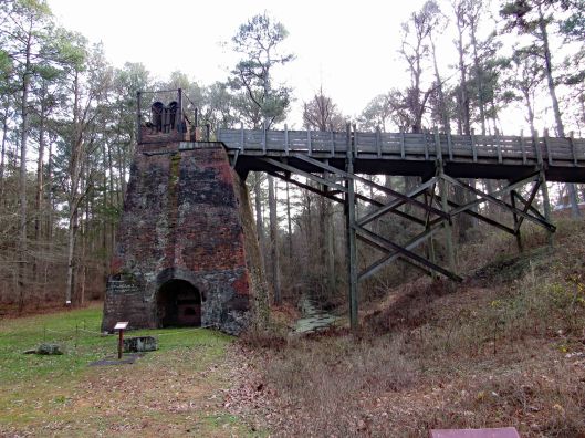
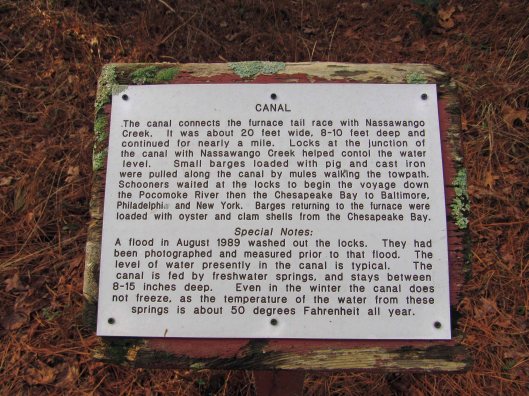
Through the gate and head to the right, where you will see the Iron Furnace. Go to the left and there is an information board with a map and cautions that the boardwalks are very slippery.
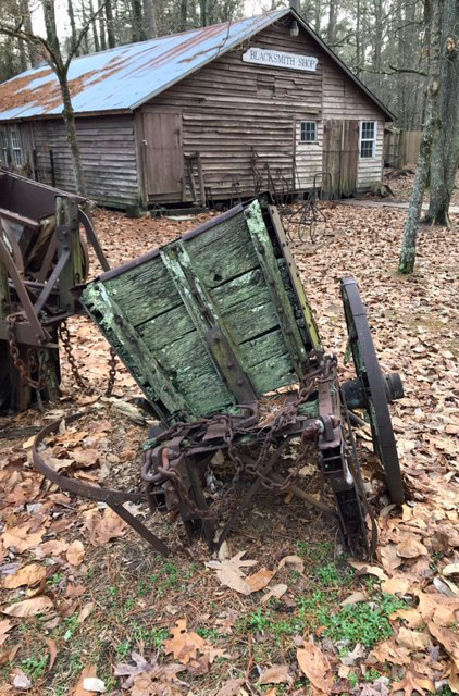
Some interesting signage and some not so interesting!
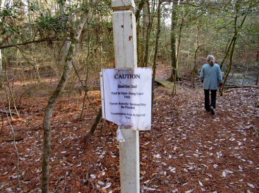
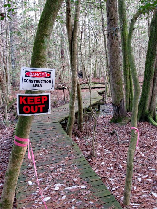
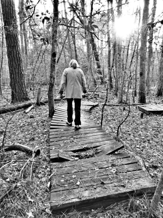
The boardwalks were not only very slick, some were falling apart.
Molly didn’t mind and she did a lot better on this hike.
Some of the sights along our hike. It was very quiet here.
CrabbyA favorite sight of mine!2nd Geocache in as many weeks.Happy-Happy-Happy
Heading back out after about 1-1/2 hour hike. A couple shots in the ‘town’.
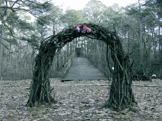
Wedding arch? Or sacrificial temple at the top?Nice pic from Kathy.
Our hike, via All trails: Under a mile but very adventurous!
But the best sign was this one…
Life is full of next bends!! Thanks God for pointing the way to each and every bend, not that I am always paying attention to where you are pointing…
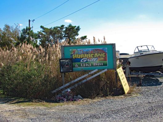
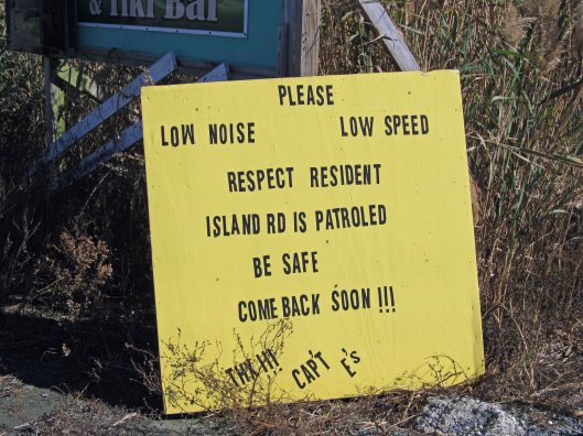
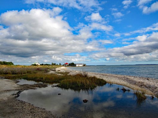
A Facebook group I follow shares information concerning Chincoteague and the surrounding areas. The other day the topic of ‘sea glass’ came up. Kathy and I very rarely find any sea glass while walking the beaches of Assateague. A couple people suggested that the best place to find any is at Saxis Island, which is about 20 miles west of Chincoteague, facing the Pocomoke Sound. So off we went.
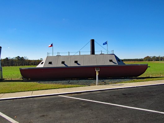
On Route 13, right at the Maryland-Virginia border we came across this while getting gas.
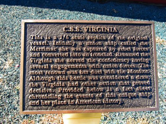
As the plaque states, it is a 1/6th scale of the Union Merrimac aka the C.S.S. Virginia.
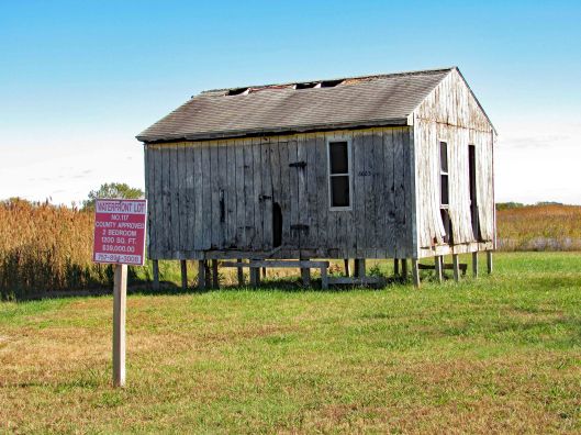
Before going into Saxis itself, a person on the Chincoteague page suggested turning onto Mathews Rd., following that to the end where a beach is. We found this fixer-upper at the turn-off. $39,000 for a 2 bedroom waterfront lot. I looked inside and there is a 240v breaker box.
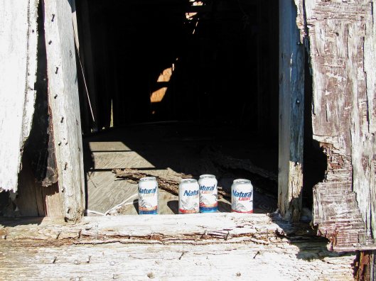
If I still drank, these unopened beers would have been in my car.
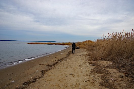
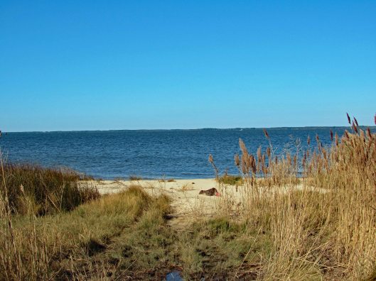
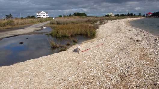
At the end of Matthews Rd we found the beach. A small beach and of course it was high tide.
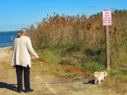
Molly has no respect for signs like these – when she has to go, she goes.
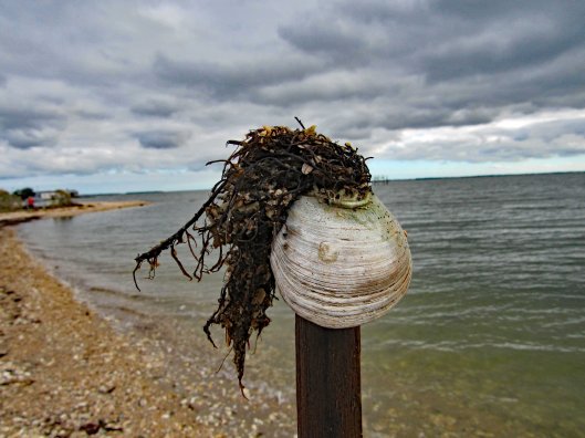
Walked thru the seagrass to get to another section of the beach. Found a few pieces of sea glass.
Save the sea turtles.
After roaming around here a bit we headed to Dennis Drive. On the right are some homes, on the left is a huge mound. Looks like a covered over landfill.
Looking back towards Saxis.
Reaching the beach there are three discharge pipes that appear to be coming from the mound. The one behind Kathy is above water. In front of her partially submerged and off in the distance, fully submerged.
They kind of remind me of the outfalls at Back River Wastewater Treatment Plant.
We did find a bunch of glass but as to whether or not it is real sea glass is debatable. Kathy brought up an interesting point – if the mound was at one time a landfill and being from the Eastern Shore, she told me that years ago people would just ride to the ends of streets like these and dump their household trash. So, possibly after a county cleanup of the area and getting people to stop dumping, the glass we found may be no more than someones trash. (But isn’t that what all sea glass is??)
Museum was closed. No one to ask there.
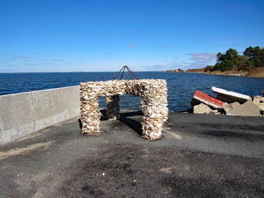
Headed to the end of Saxis Rd. to see what was there. This was interesting. Cement and sea shells.
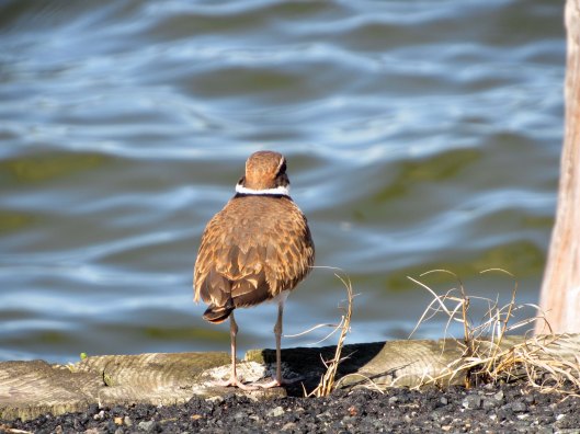
Minding his own business
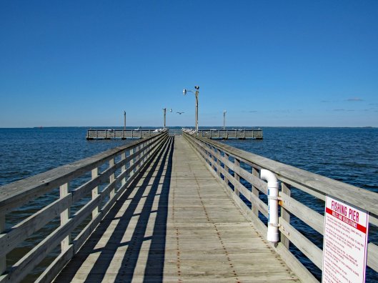
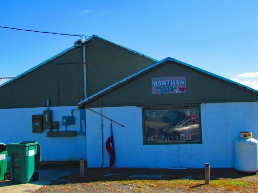
They say Martha’s is a great place to eat.
Not too sure about this place.
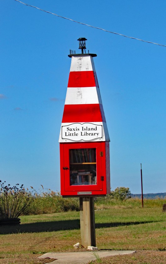
Love these little libraries.
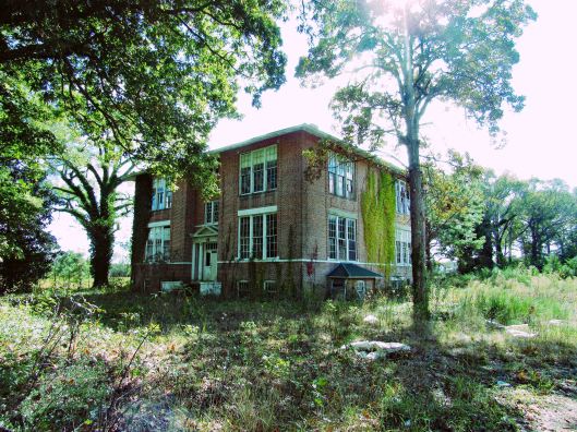
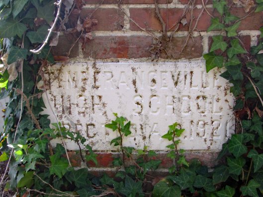
Took a different route back to 13 and found this school.
Temperanceville High School, erected 1921
Since we were out and about, we thought we would revisit Greenbackville to look for oyster shells.
Shells everywhere. Molly not too happy to walk on them.
Mr Rays (You need to be from Baltimore to get it!)
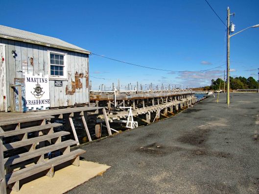
From there to George’s Island Landing.
More high tide
Parker Bay Rd. is the one we took to the oyster house last time. Not today though.
The road out, flooded.
Nice day to be alive and in God’s Country. Thanks God.
While at Indian Beach, North Carolina, we decided to visit the Cape Lookout National Park. To get there we needed to catch the ferry from Harkers Island. They have a nice visitors center there. A few blocks away is/was a museum, Core Sound Waterfowl Museum. It is still closed from the storm of a year ago.
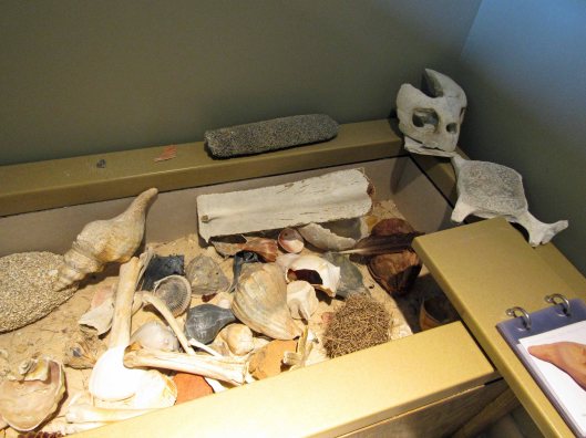
Visitor Center, anchor from ship that sank in 1902Beach artifacts
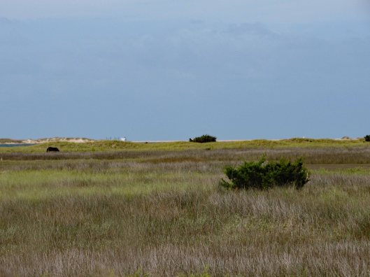
it was about a 4-1/2 mile ferry ride, making one stop at Shackleford Banks. People like to stop there and look at the 100+ wild horses on the island. Kathy and I visited the western end of this island back in June. Nice trip. Didn’t see any horses though.
Pelicans doing pelican stuff.One of the shy horses
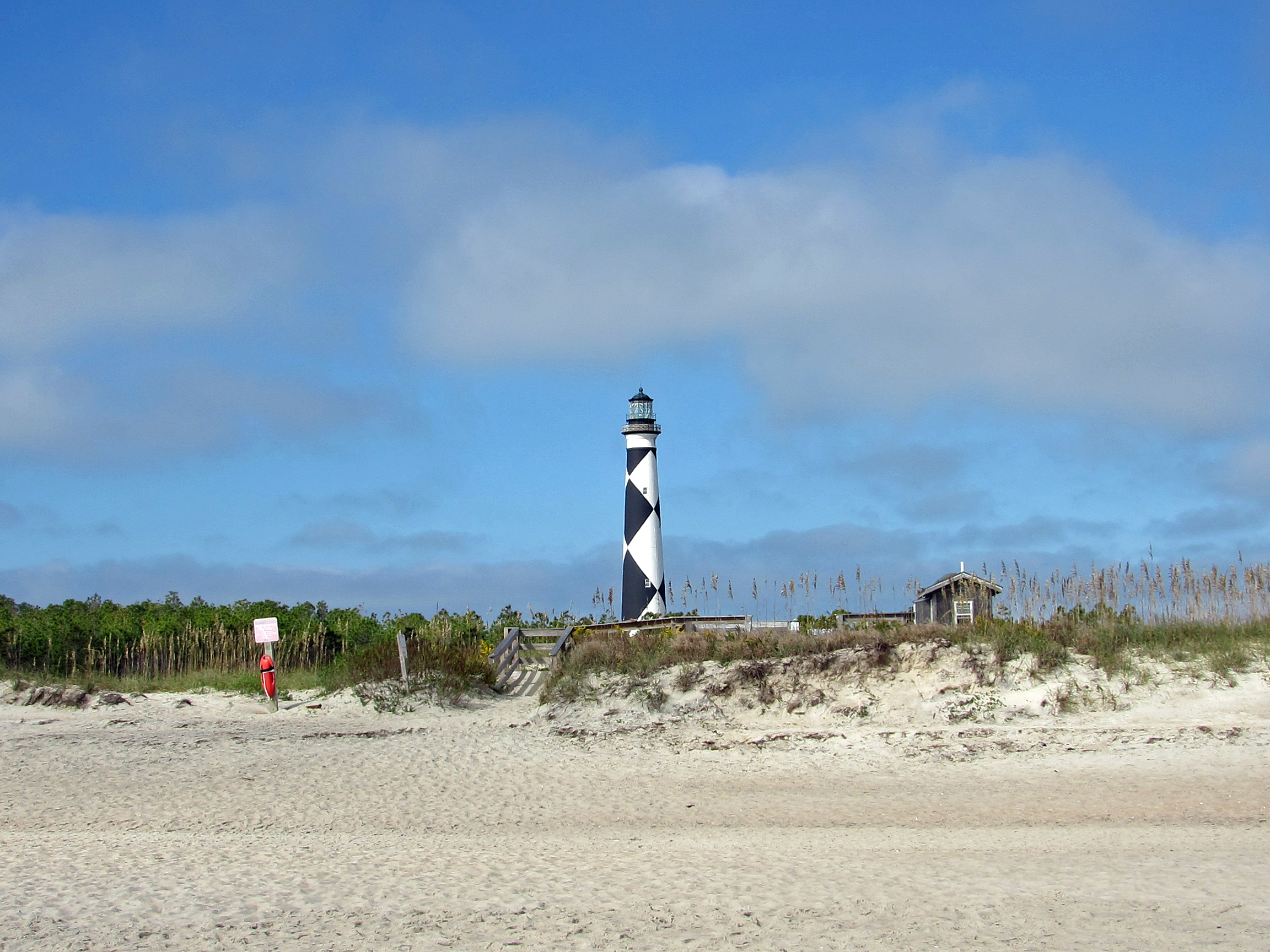
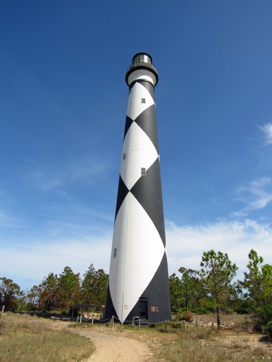
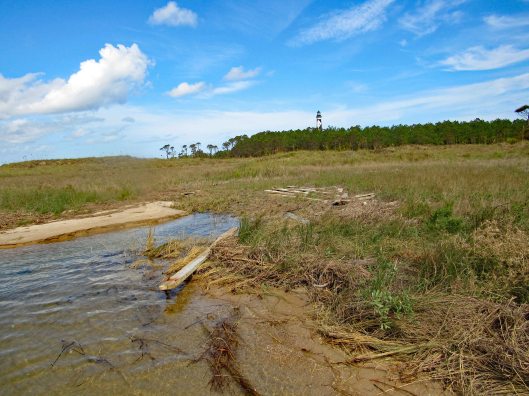
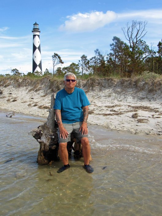
Arrived at our destination and stopped at the Keepers House first.
We missed being able to climb up to the top by about a month.
Black diamonds face north and south. White, east and west.. So, not only does the light shine 24/7, you can also get your bearings by the diamonds.Random black and white
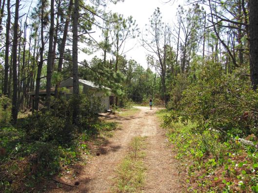
Instead of taking the boardwalk to the ocean, we took a service road.
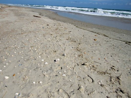
The ocean. Too many people before us so the pickings were slim for seashells.
So, Kathy decides instead of us walking back up the beach, we should cut across to the bay side. “Are you sure?” “Yes” Ok!
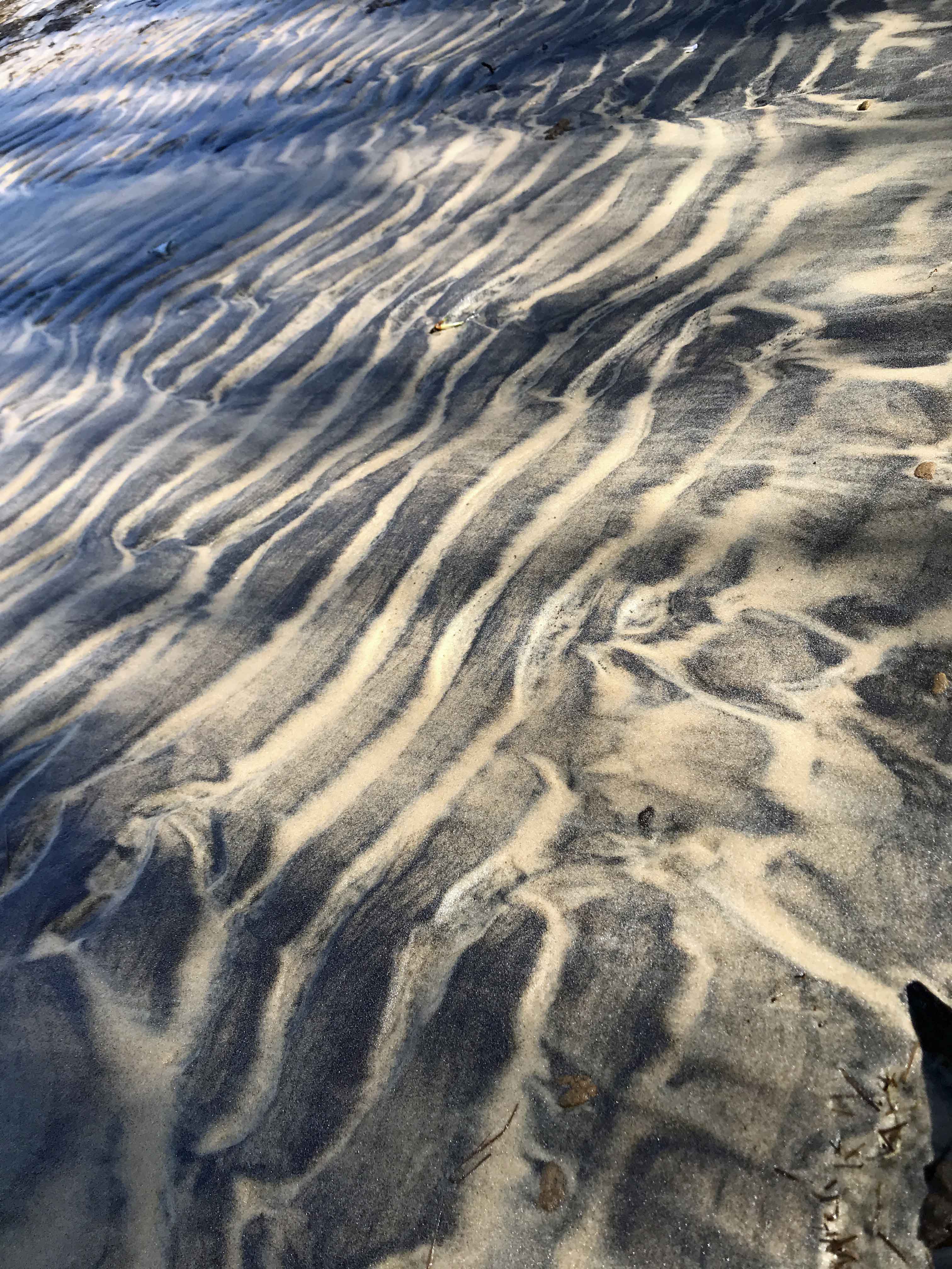
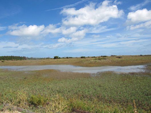
Sand first……and then all marsh.
Not just a marsh but also a bunch of inlets of rushing water. I didn’t know we were doing this kind of hike or I would have worn my water shoes and not my Tevas!
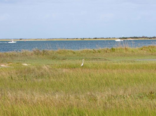
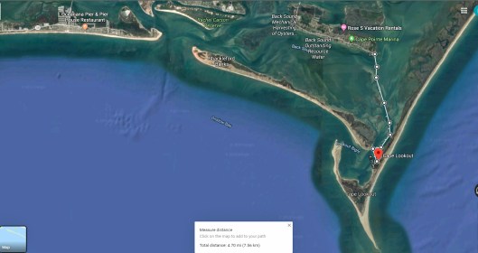
Spooked this guyThe lighthouse looks far awayLooking back from where we came from. It was actually a nice hike.Finally to the beachUnknown structureGetting closerAnd so we restBack to the dockRandom camera colorization of image. It does this sometimes.The ferry coming to drop off people and pick us up.The map of our trip
Although I was only at the beach for about 4 days, it was so nice to get away! Ha! Get away from what??!! Kathy and I always go to the beach! A wonderful trip. Thanks Gail and John.