Tags
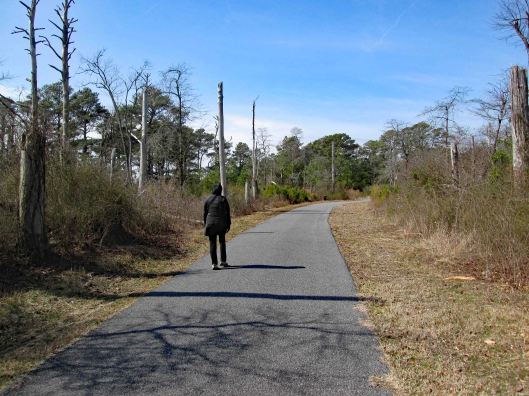
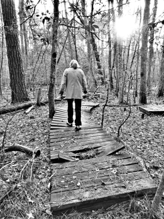
Kathy and I kind of guessed that our hiking days would be put on hold for a while and even though the weather looked bleak, we decided to head out. And we were right. On March 30, 2020 Governor Hogan said it was no longer a suggestion, that it is now a Directive – Stay at Home.
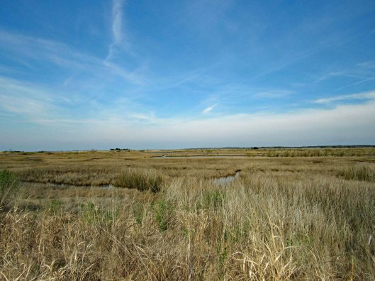
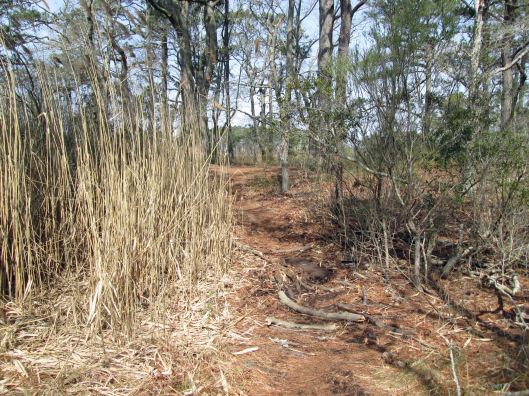
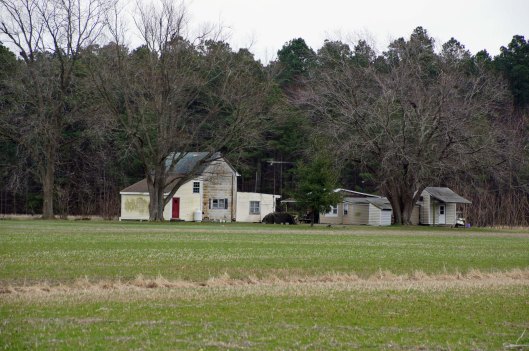
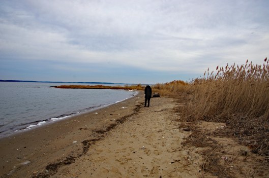
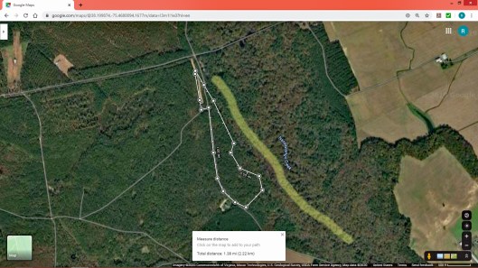
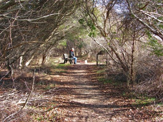
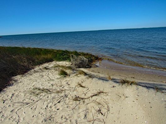
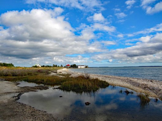
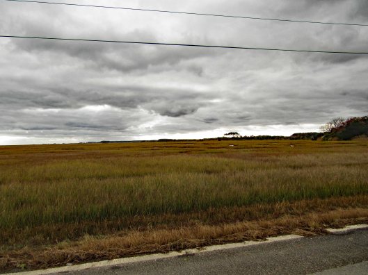
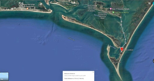
On the 29th we drove to the Deal Island Wildlife Management Area. Down the one path and back is about 4 and 3/4 miles. The other path is about 10 miles. We will bring our bikes for that one.

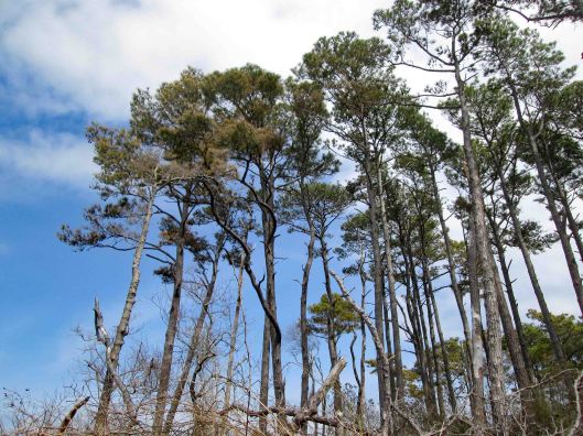
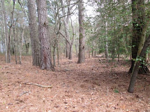
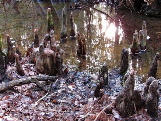
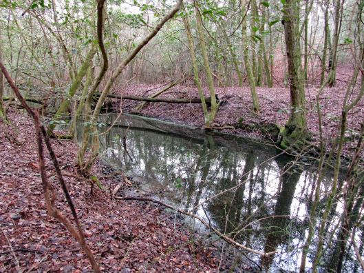
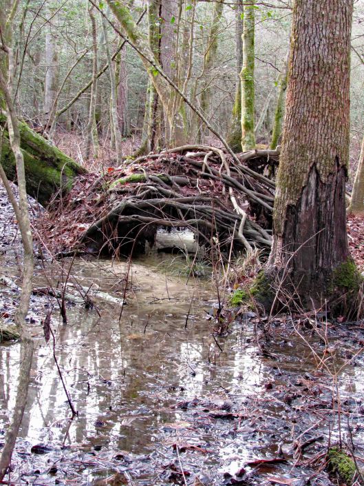
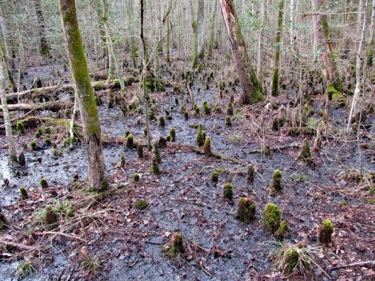
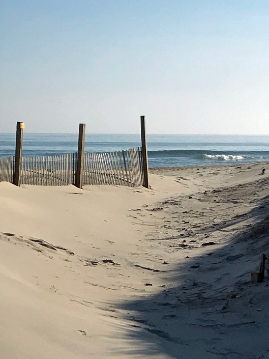
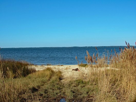
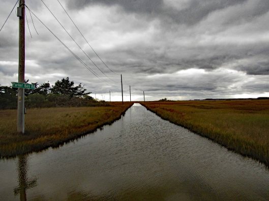
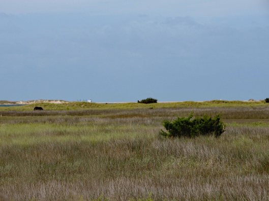
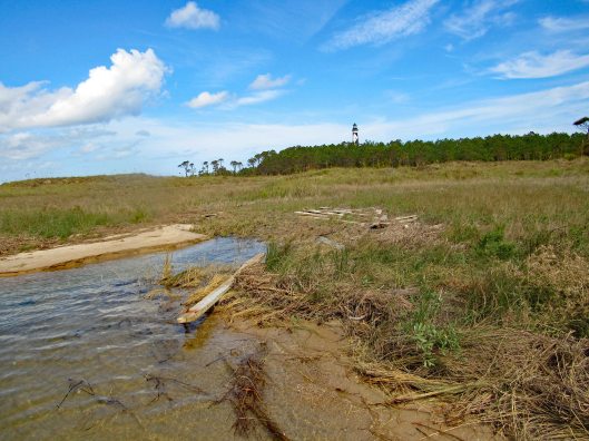
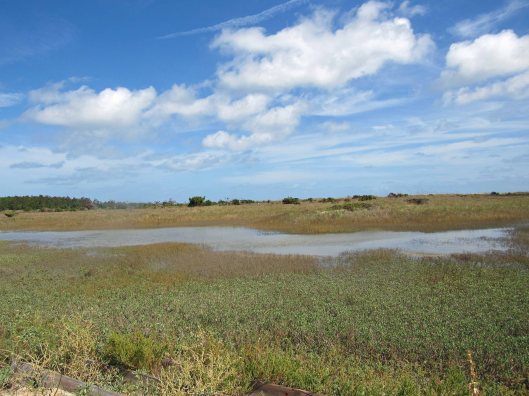
From the map you can see that it is pretty flat and a lot of marsh area. A nice trail though. We may bring our kayaks here one day. There is a boat ramp to the right, a few hundred feet over.
It suddenly turned from a management area to a Refuge.

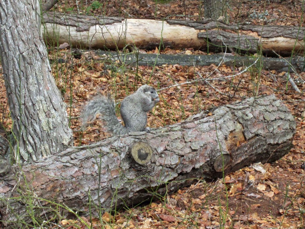
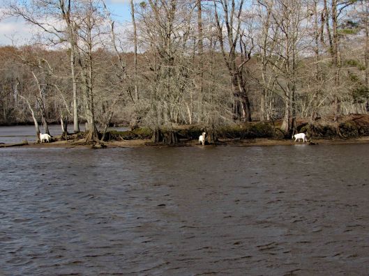
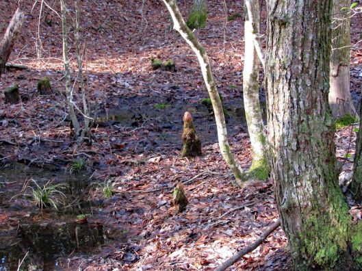
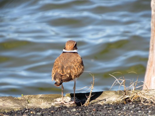
Not a lot of wildlife to be seen. A few geese, a bunch of Red Wing Blackbirds…

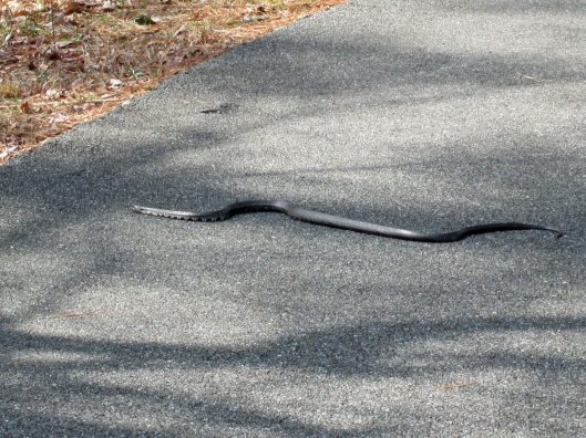
And a couple snakes on the trail.

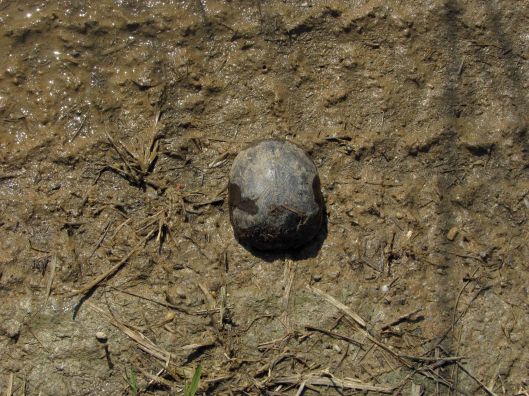
Also a possible mud turtle?
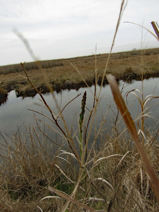
We did come across some wild asparagus, which Kathy had me taste, just in case we need to go into survival mode in the near future. Heck with that Bear Grylls crap! I will use my cell and have food delivered!
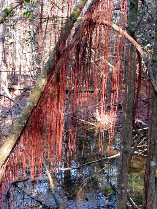
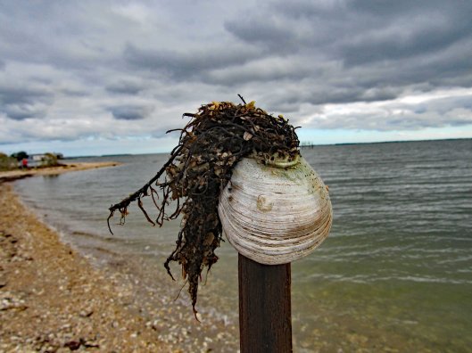
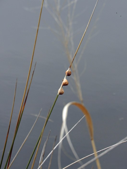
Not sure about these guys. There were hundreds of snails on the shore and low on the grasses. Looking close at the middle one, I see eyes or something…
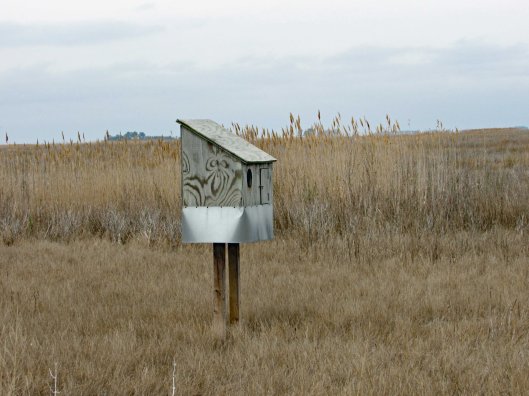
Big bird house.
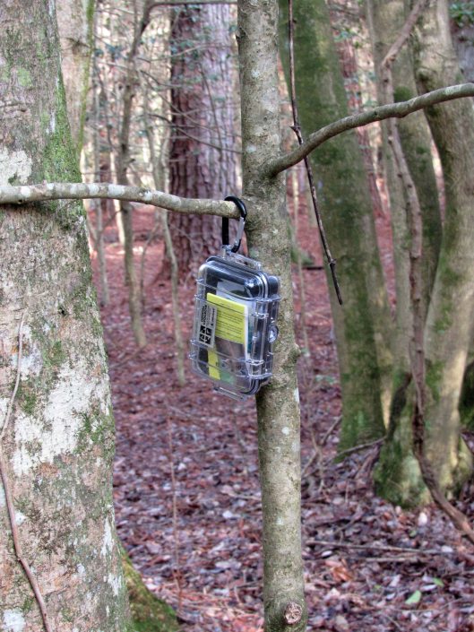
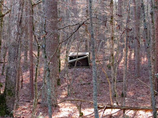
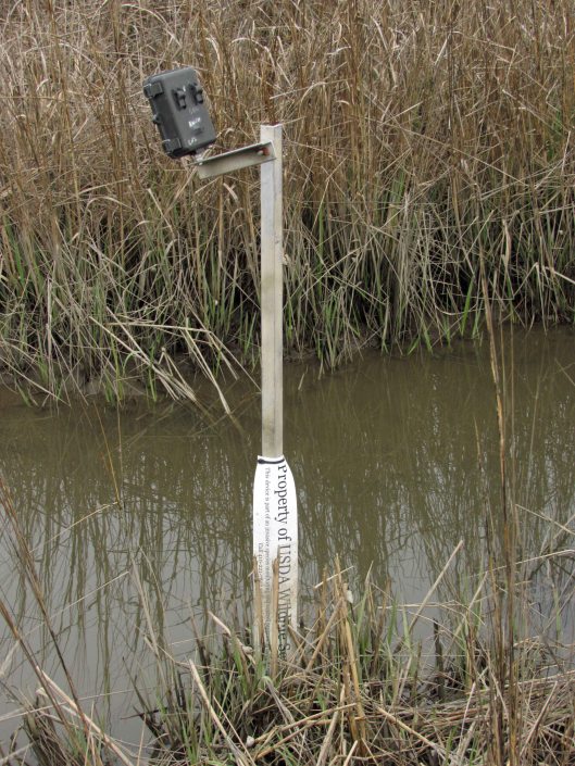
Nature camera.
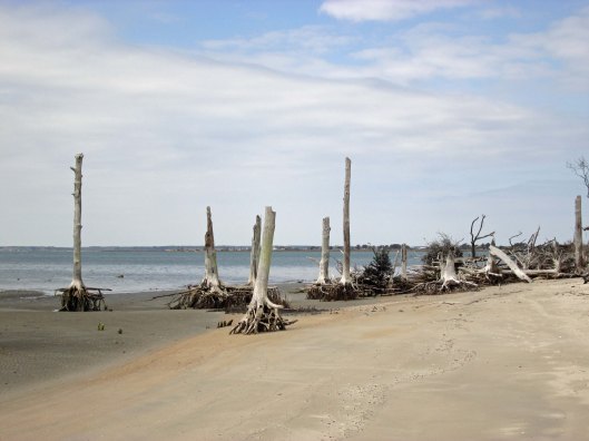
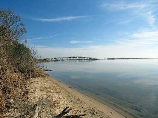
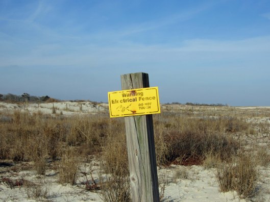
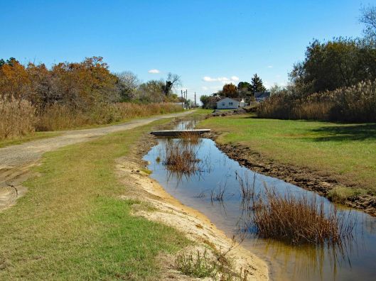
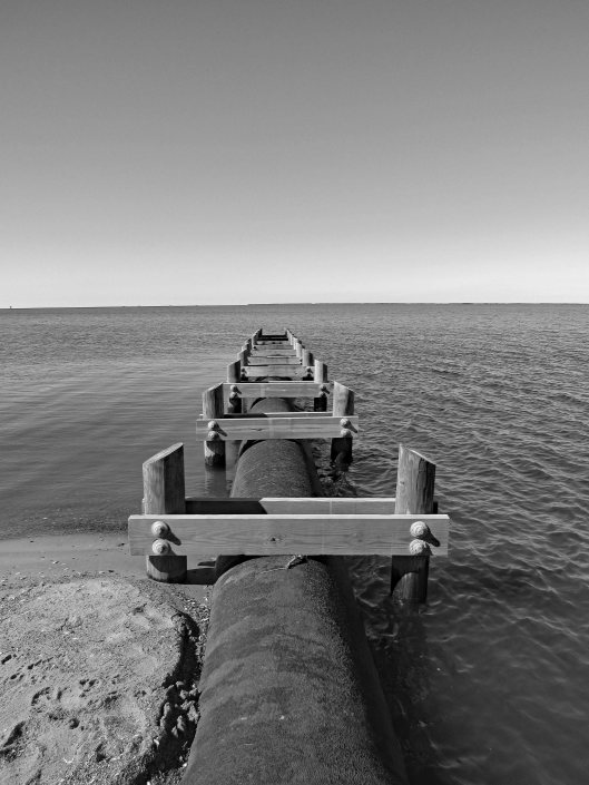
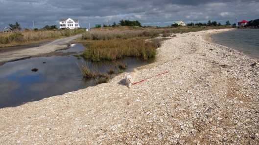
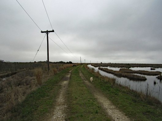
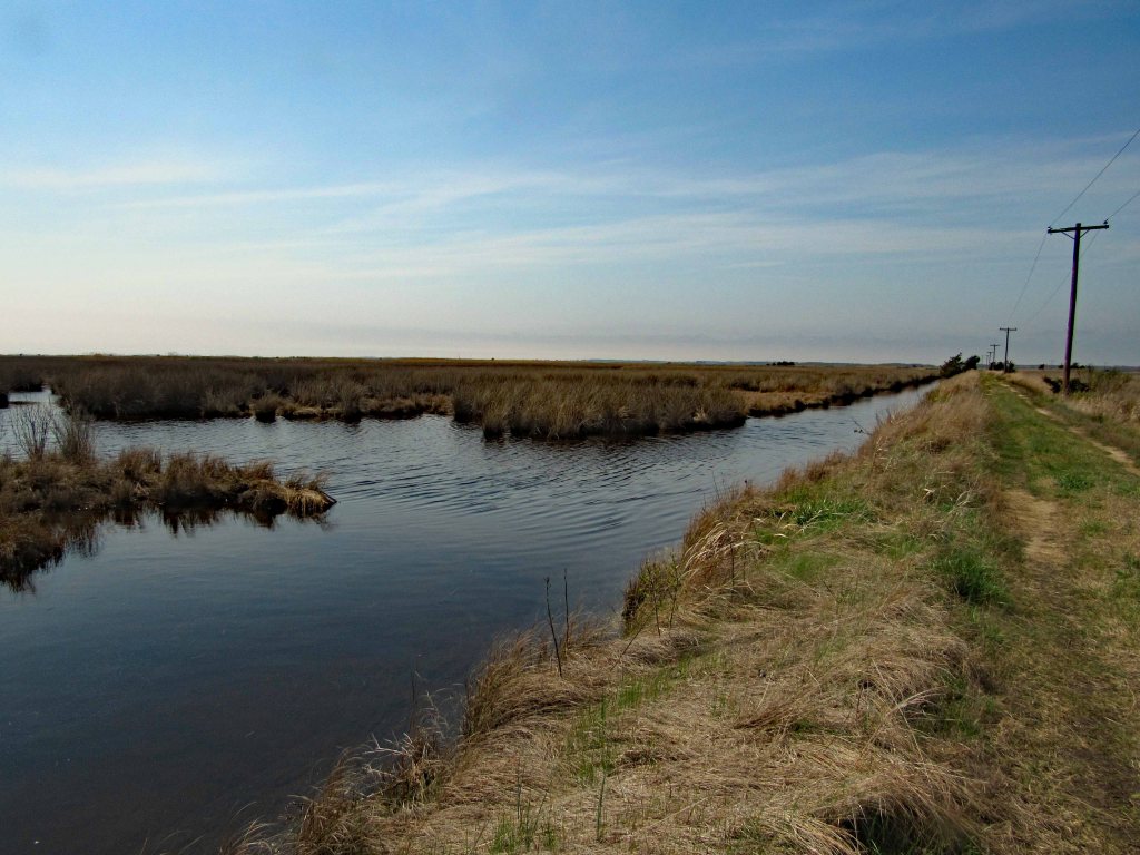
In the first photo you will notice the telephone poles. We followed these all the way to the end. And that is what they did – ended.
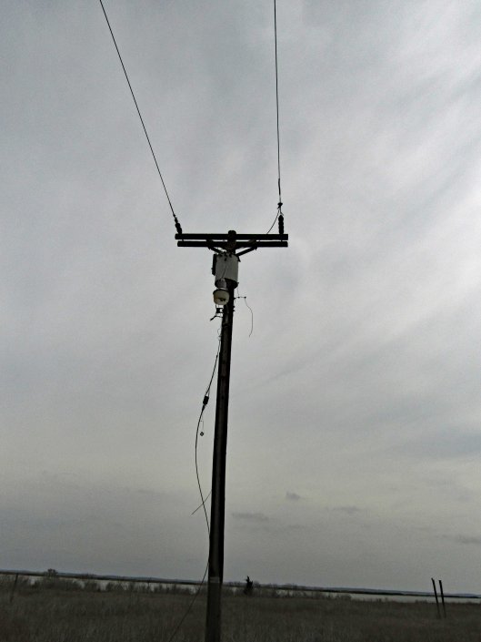
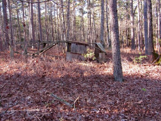
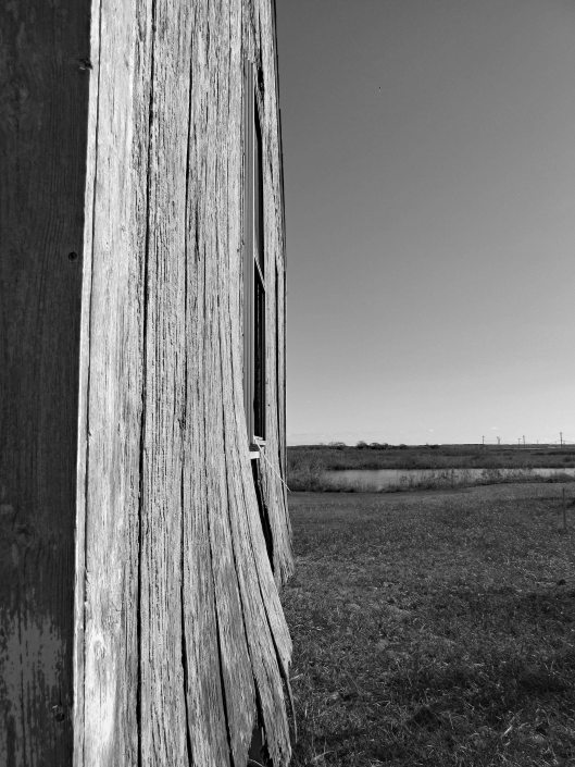
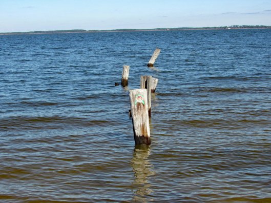
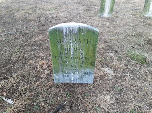
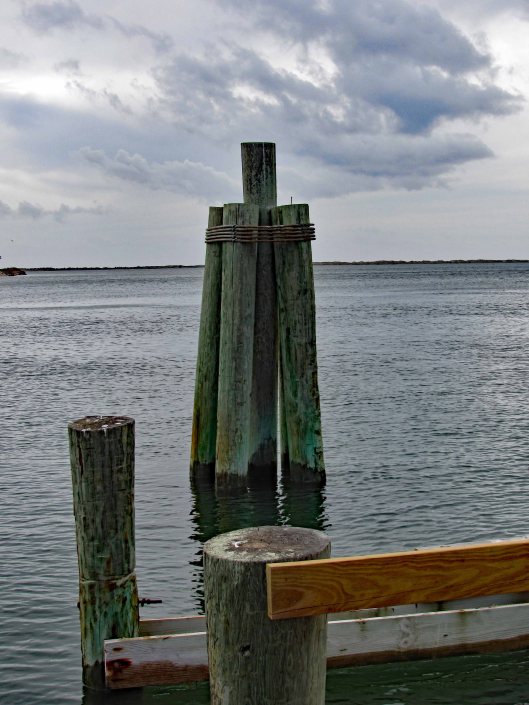
I spent a few hours looking at old maps and Googling Lodges and Oyster Houses on the Manokin River and Broad Point, but had no luck. This electric and the below well pump stand, had to be to something…
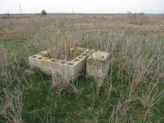
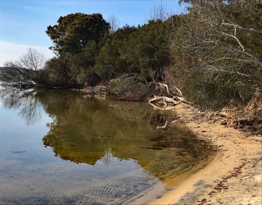
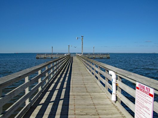
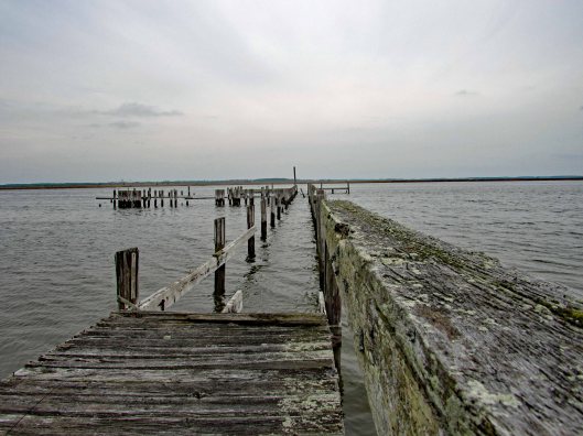
I did not see any building foundations but we did see a pier.
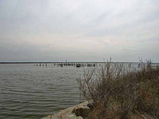
Up close and from Google Earth it looks like there once were boat slips here.
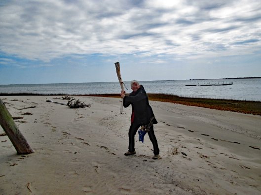
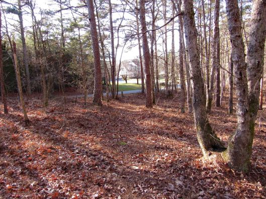
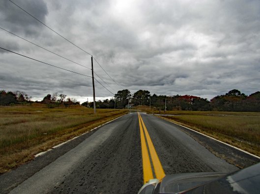
Of course, as we were heading back, the sun started to come out.
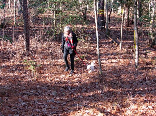
A nice day for our “Last day to hike in the parks” We now take strolls around our neighbor hood.