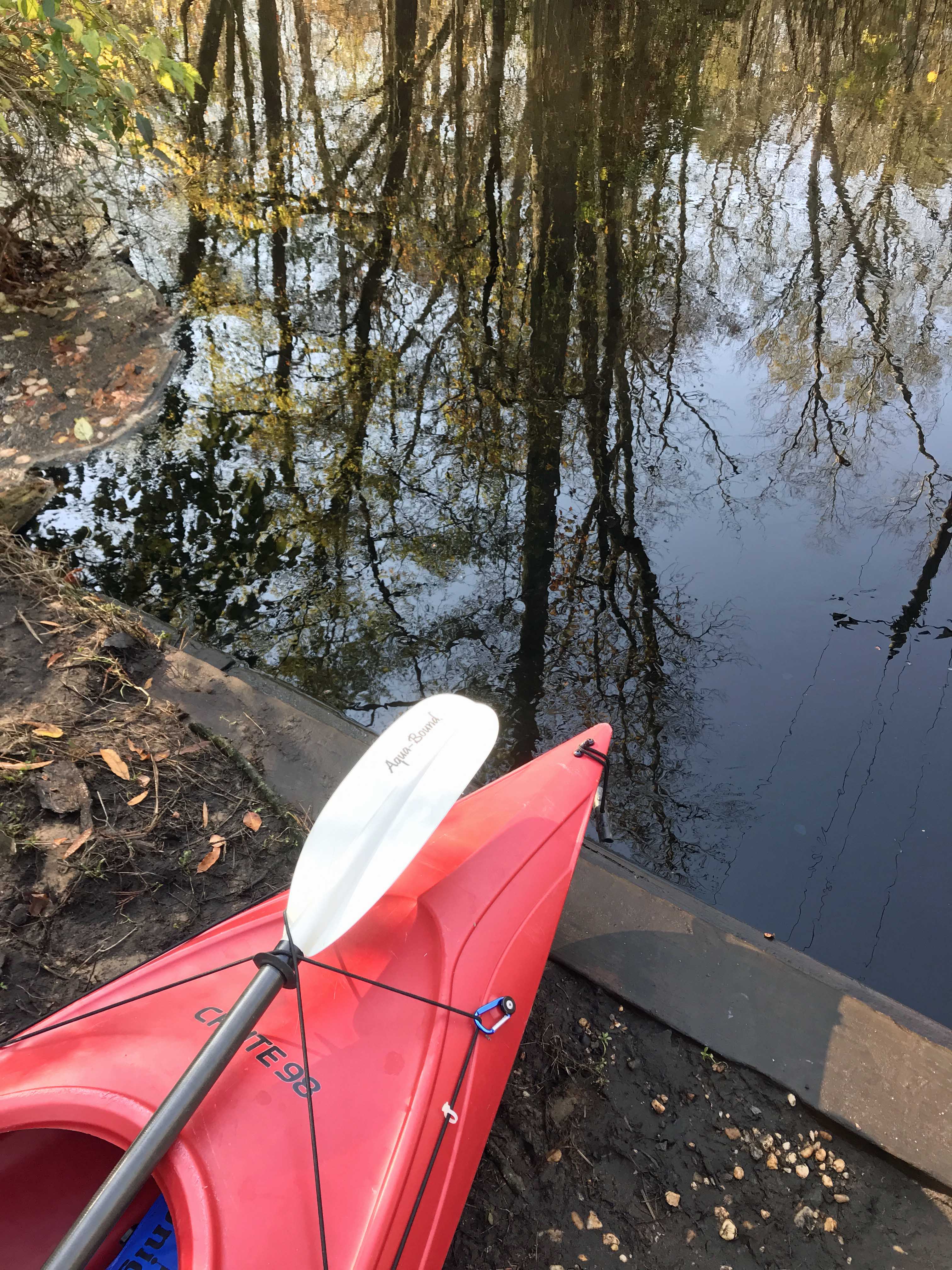
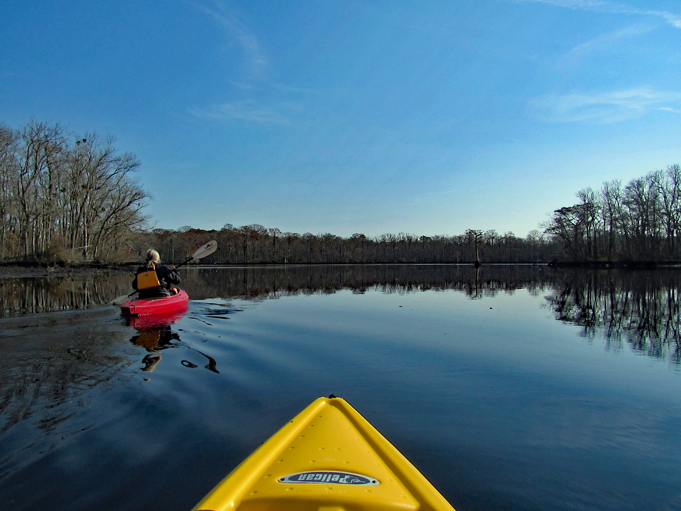
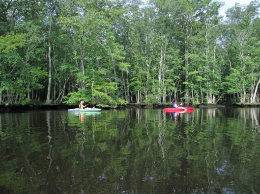
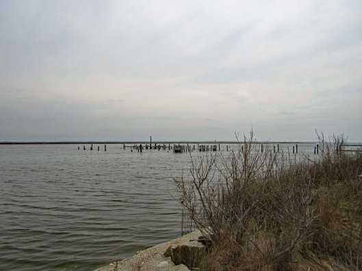
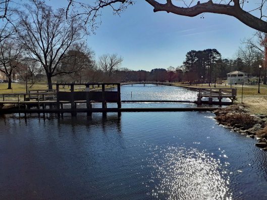
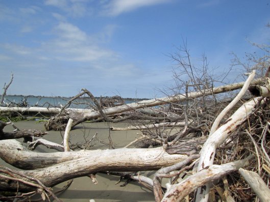
Headed out a little late for a long kayak adventure so we decided to go to a spot nearby – Nassawango Creek to the Pocomoke River. We have done both of these this past summer, but this is our first time going all the way down the Nassawango to the Pocomoke. The water was unbelievably low today and as we stood on shore looking, the creek was still flowing out, rather rapidly.
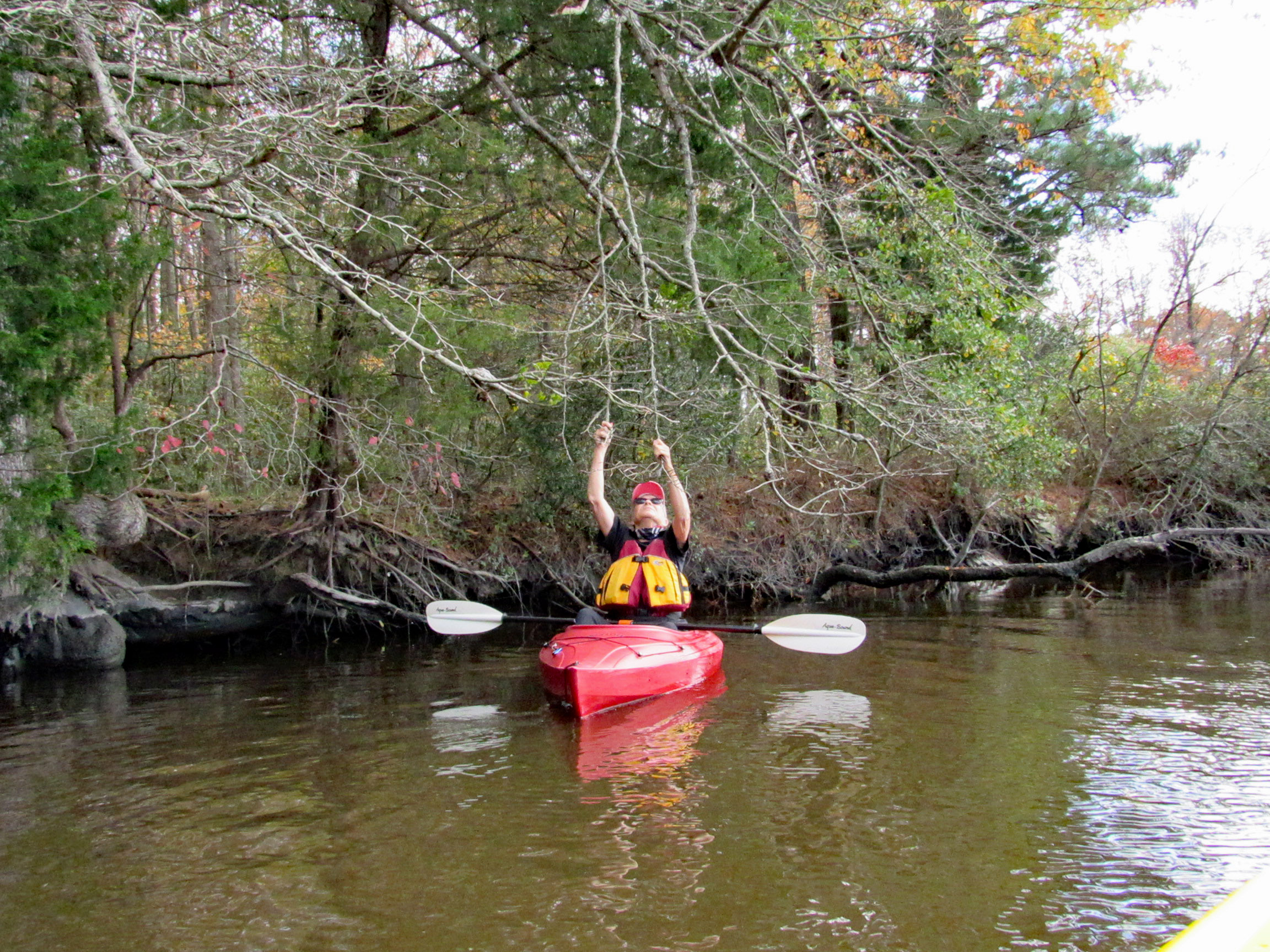
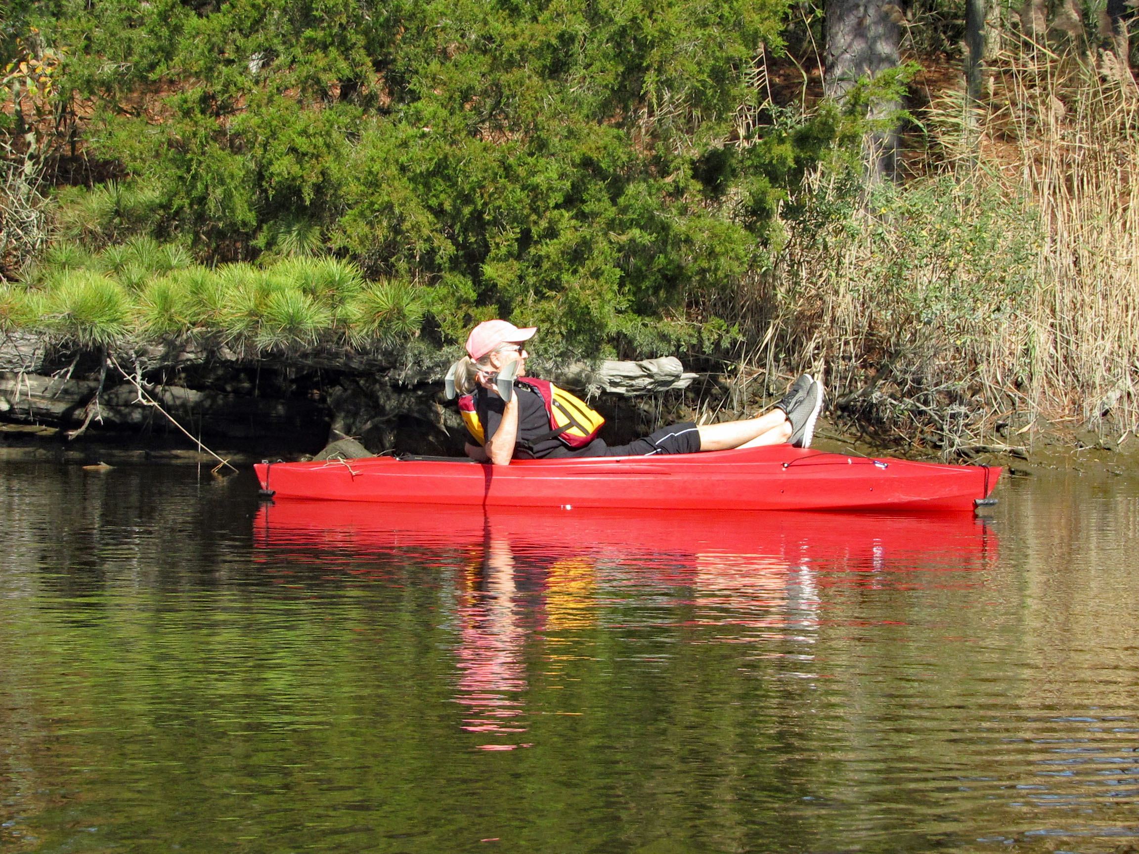
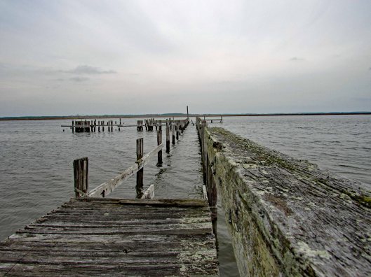
I prefer a ramp/launch to get in and out of my kayak. I know I risk scraping the bottom quite a bit, but I’d rather do that than fall in! The water being so low, you need to step down two steps. (This is my favorite photo, taken by Kathy)
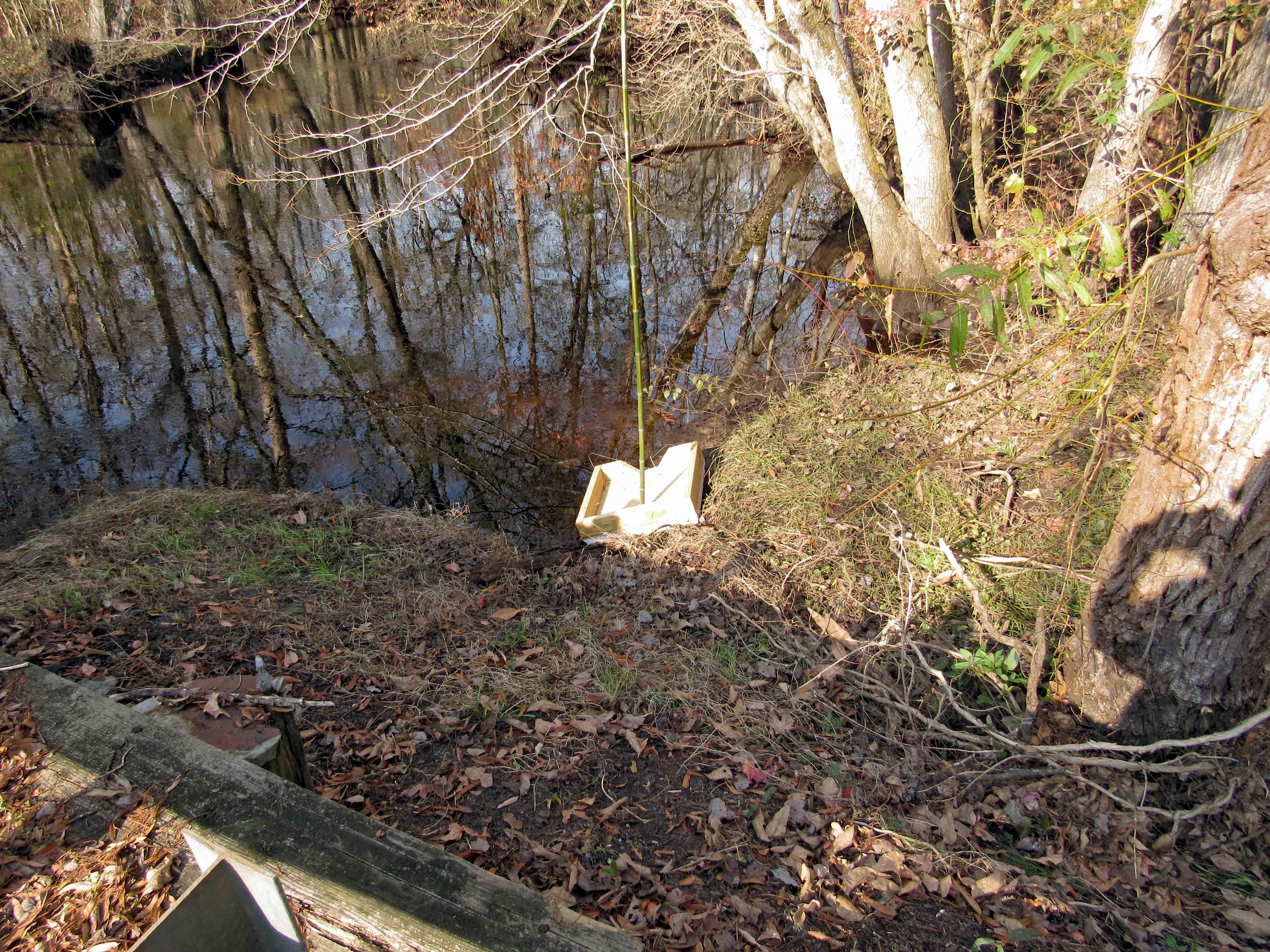
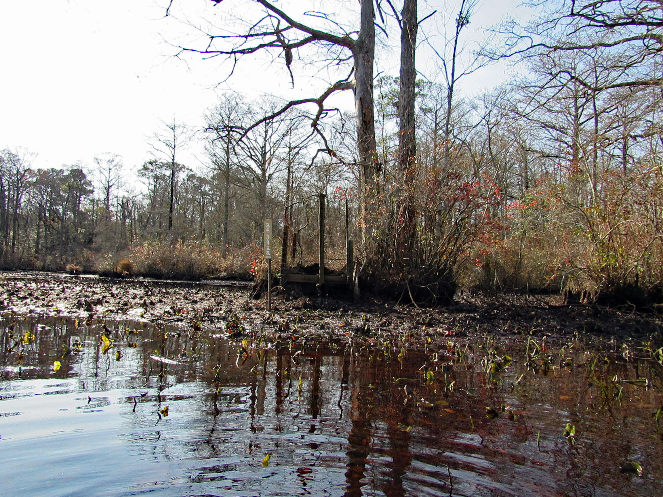
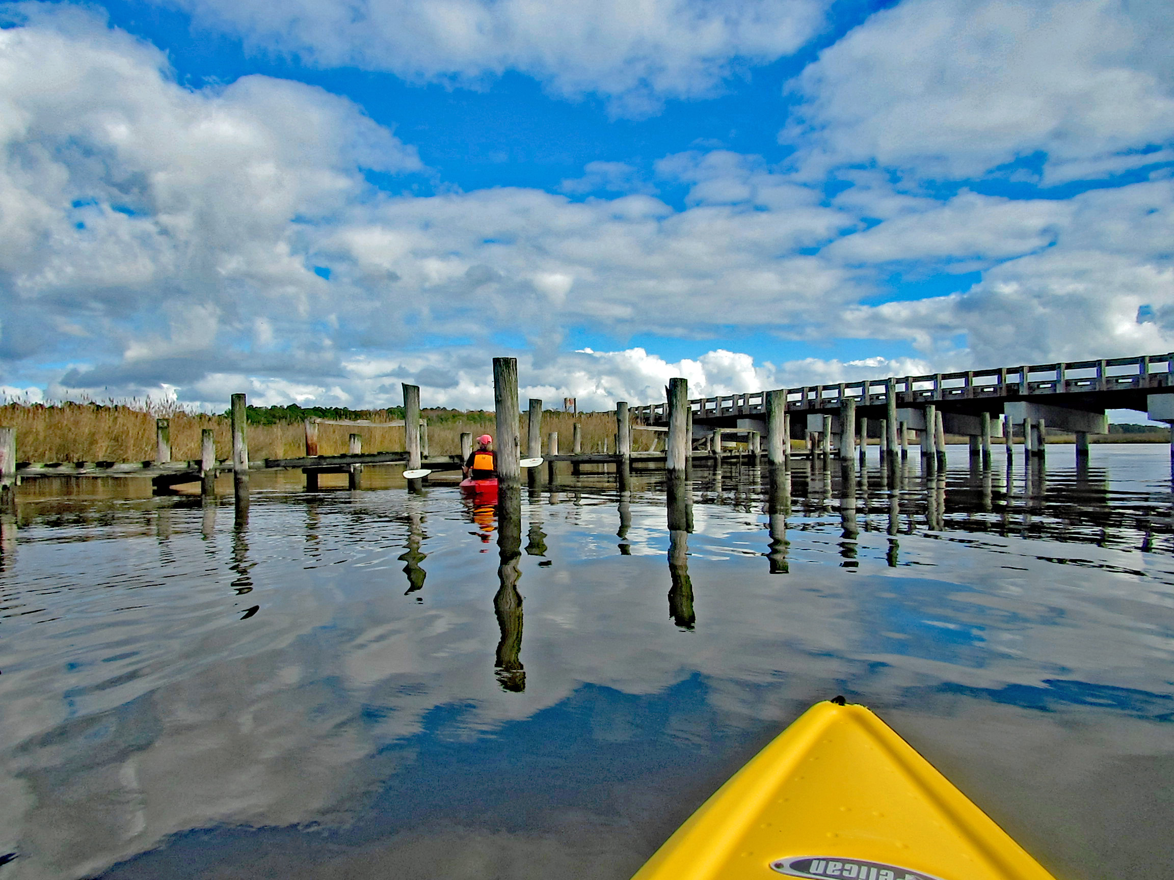
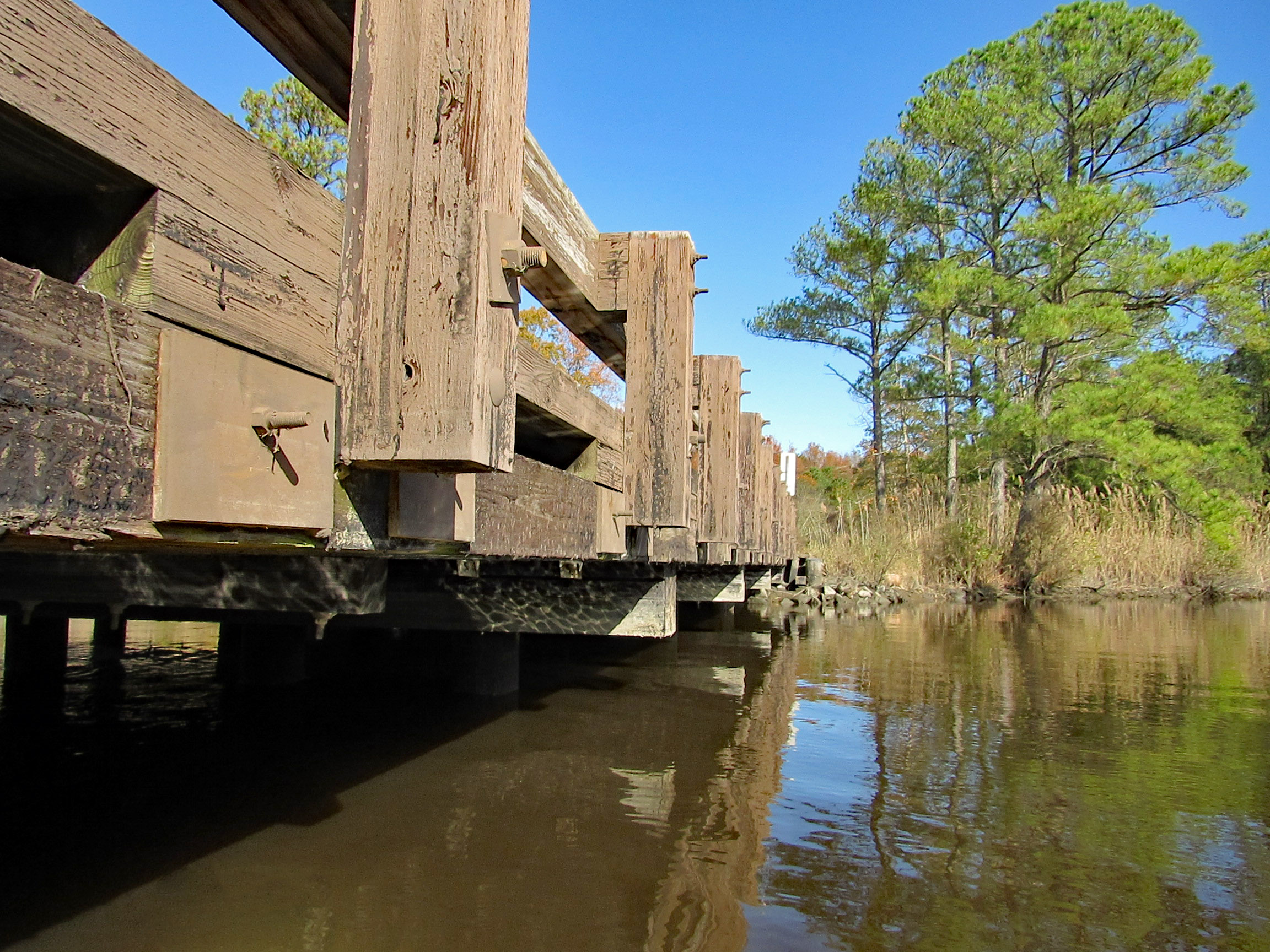
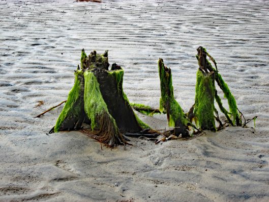
Kathy went in at the steps, I slid in next to this varmint box. A muddy mess here.
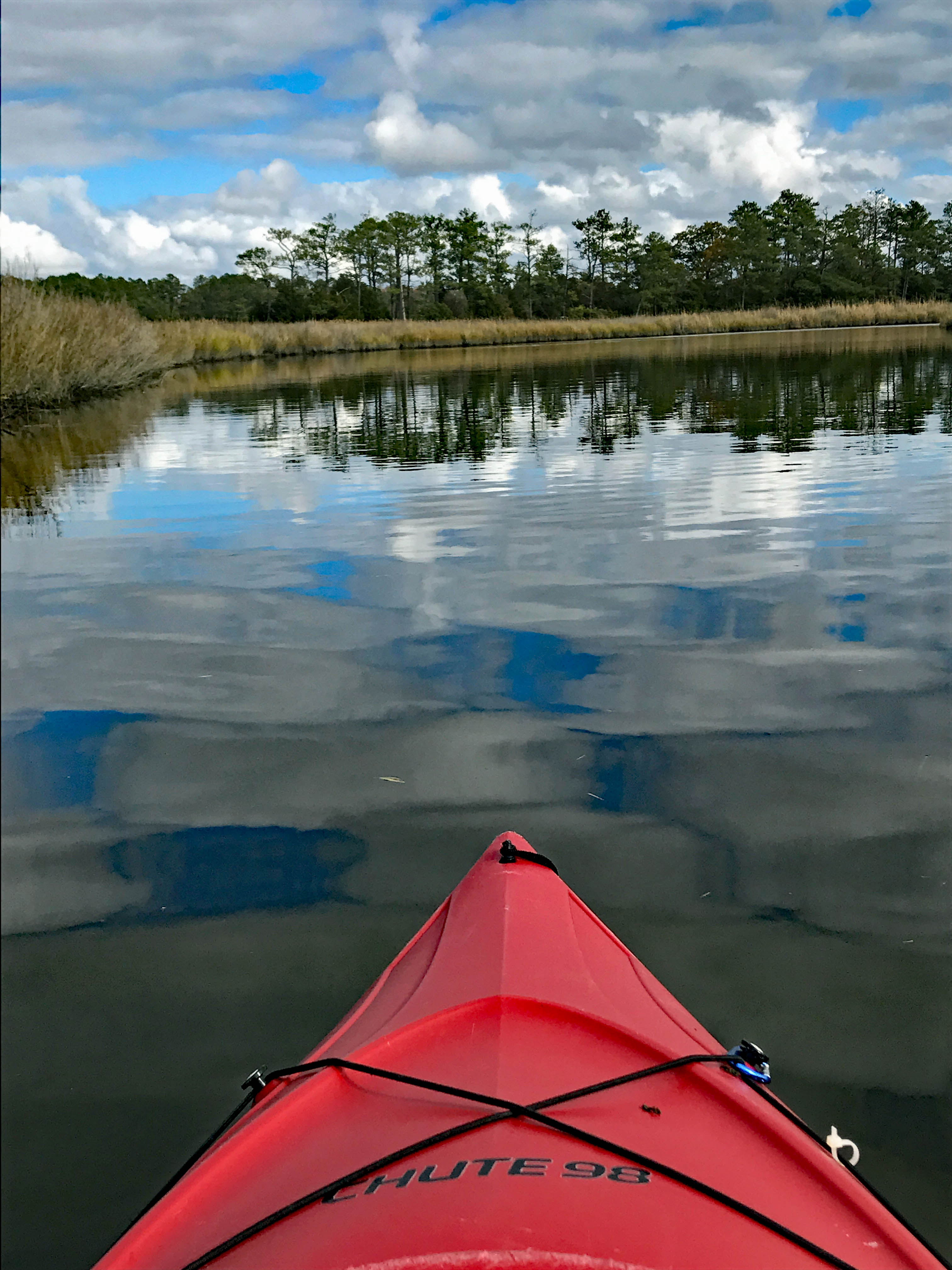
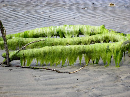
Low water for the whole trip, to and fro.
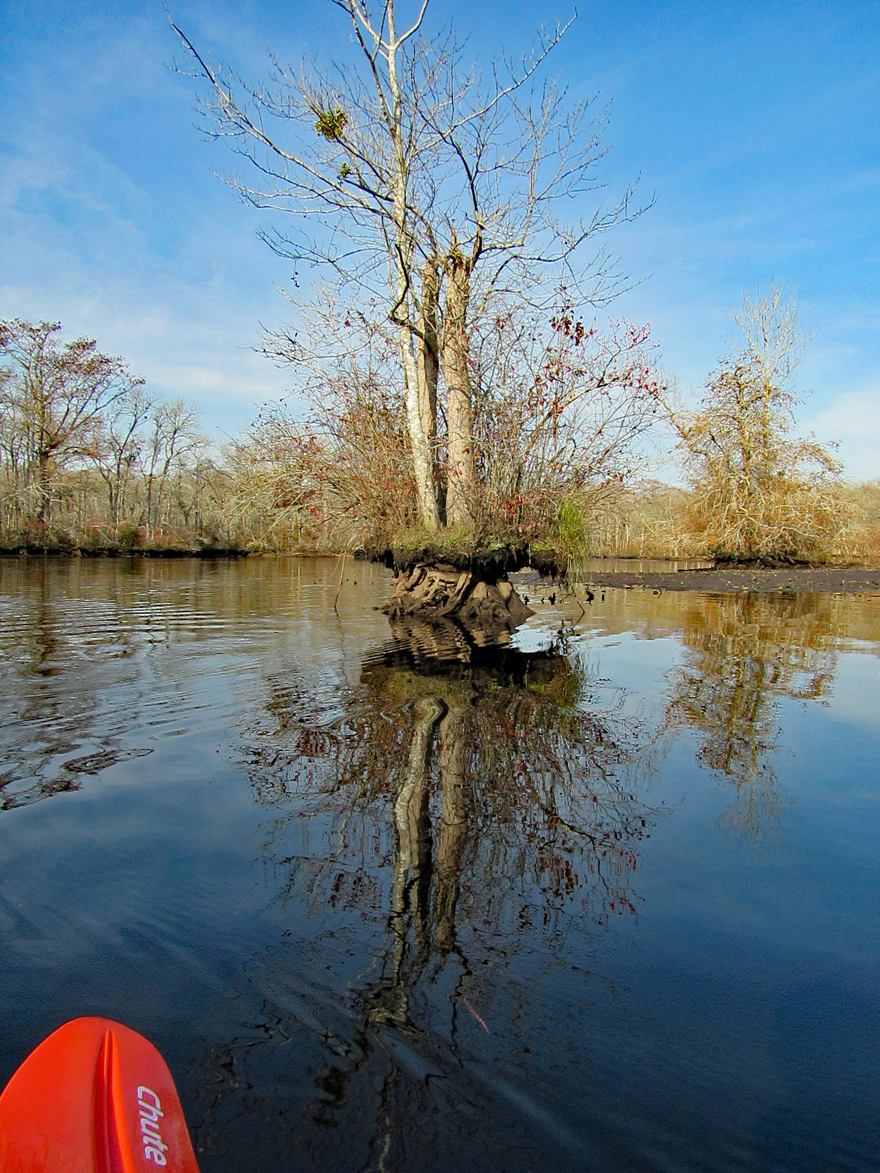
In the photo below there is a cobweb just floating along with us –
Alright, already we’ll all float on Ok, don’t worry, we’ll all float on Even if things get heavy, we’ll all float on… (modest mouse)
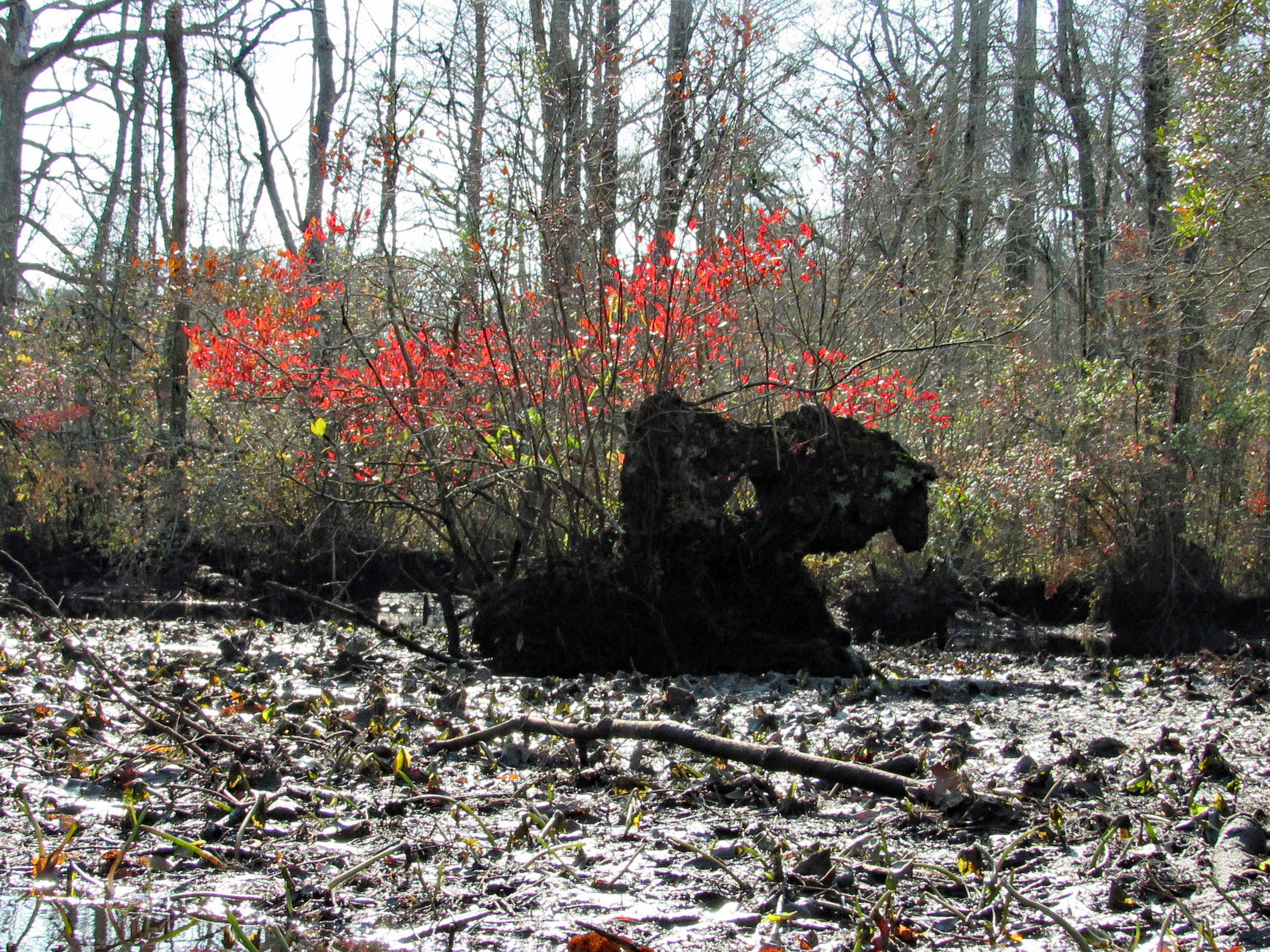
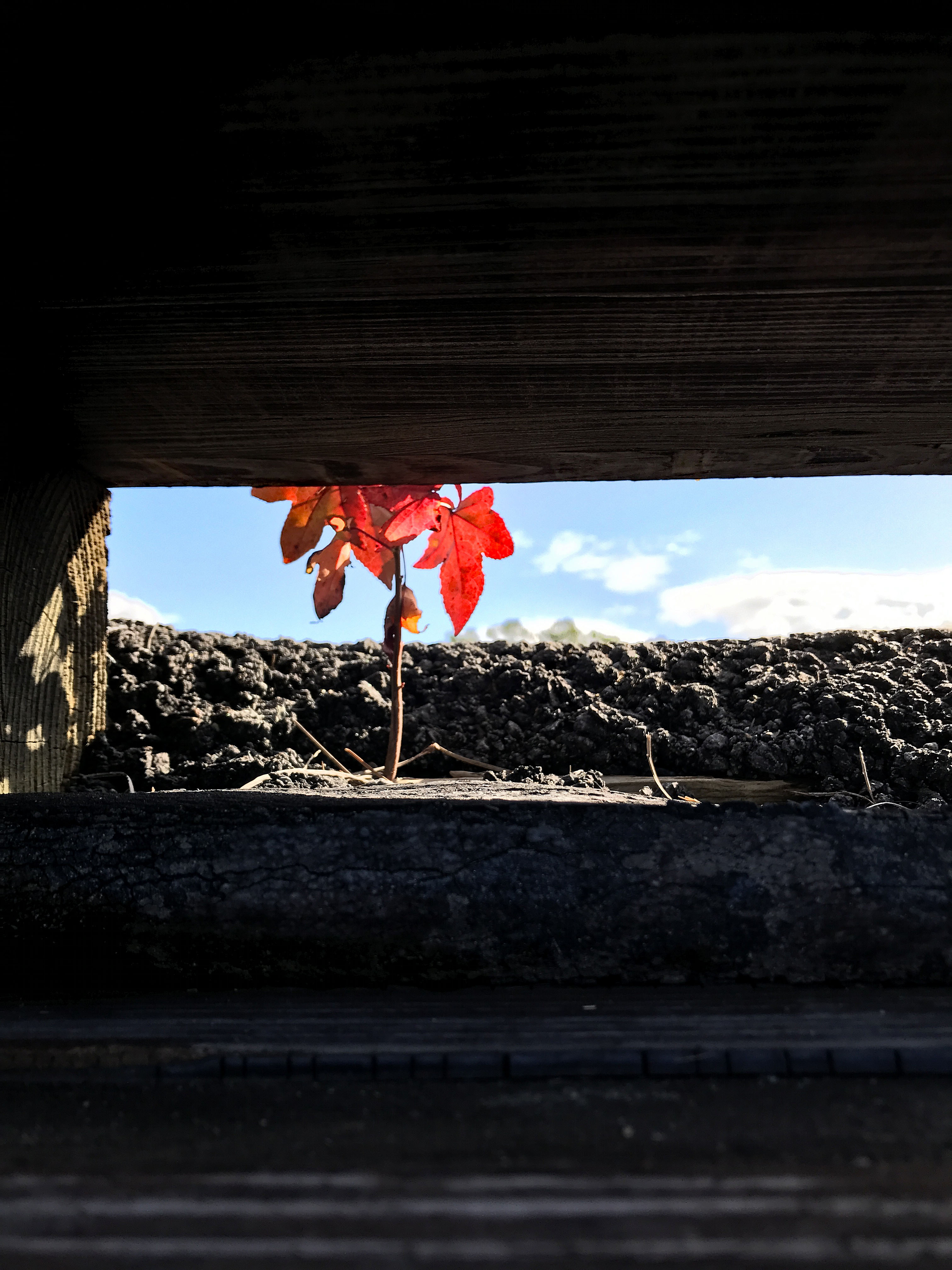
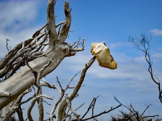
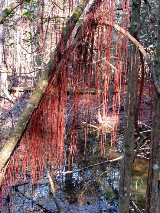
A splash of color to brighten the day.
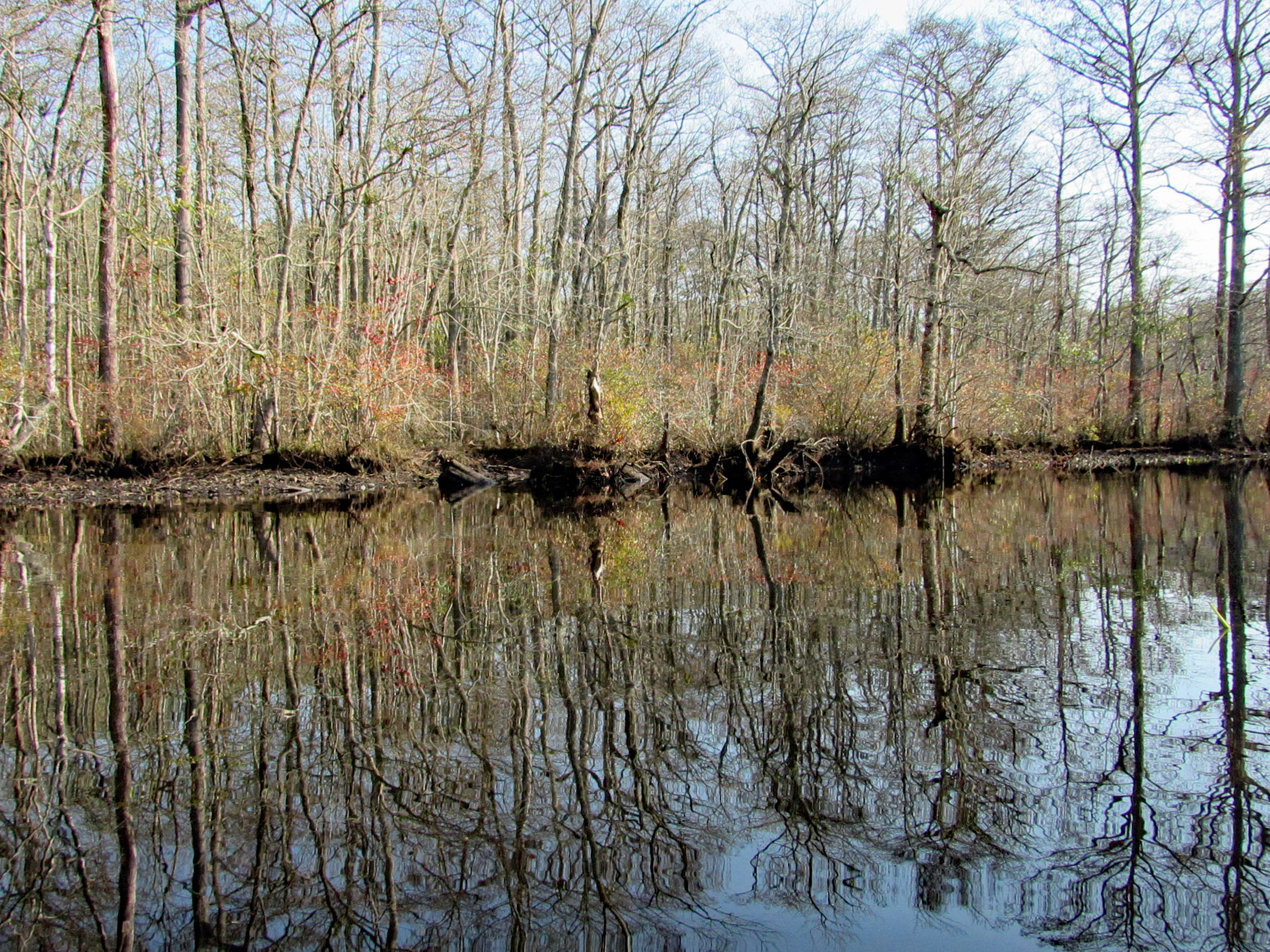
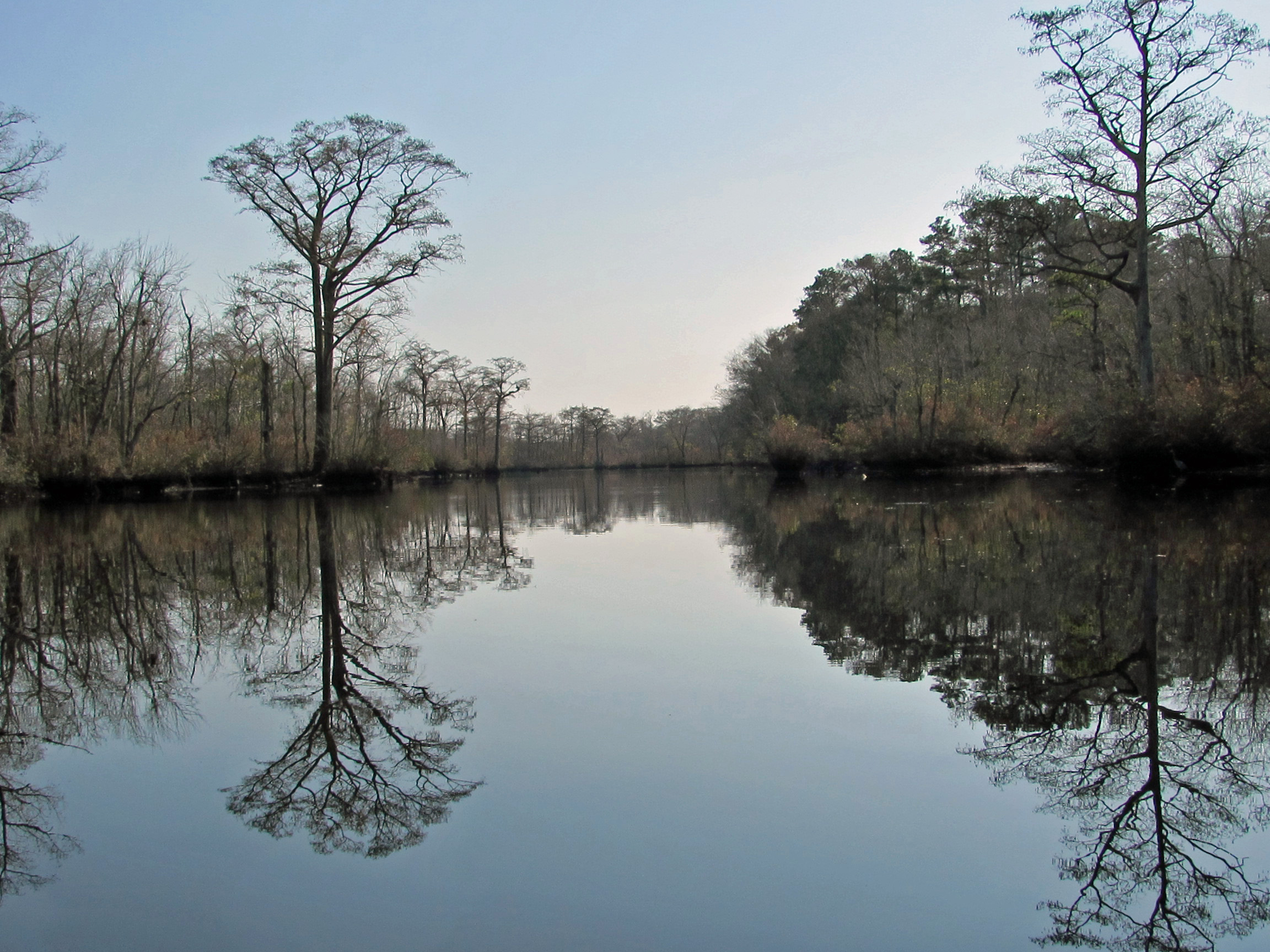
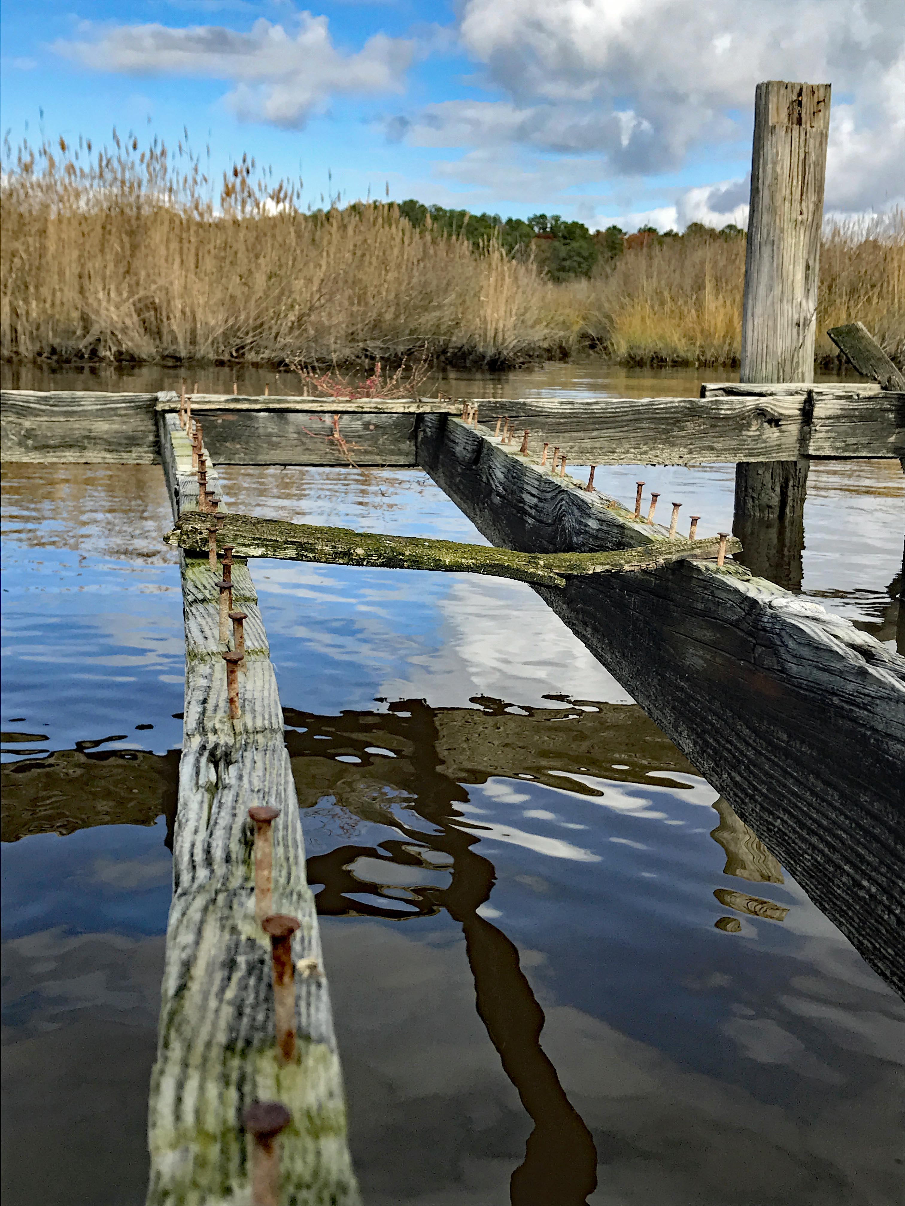
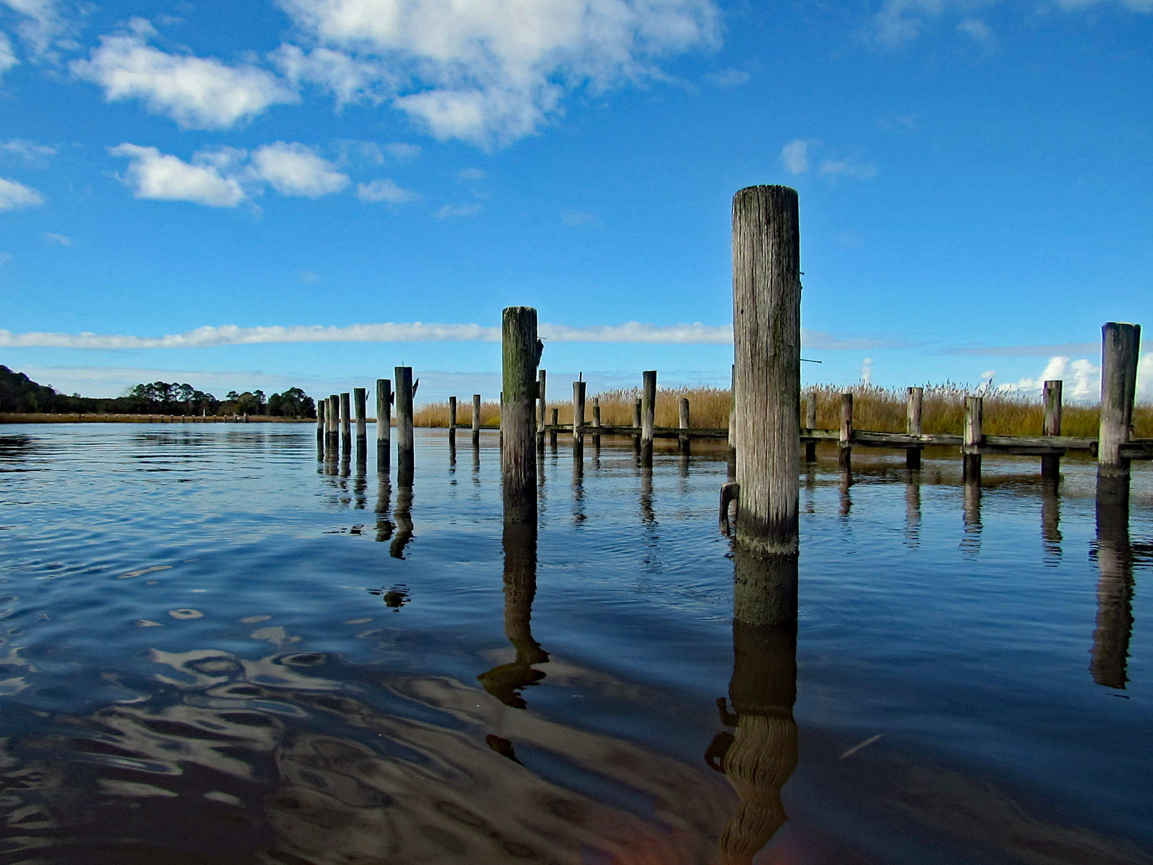
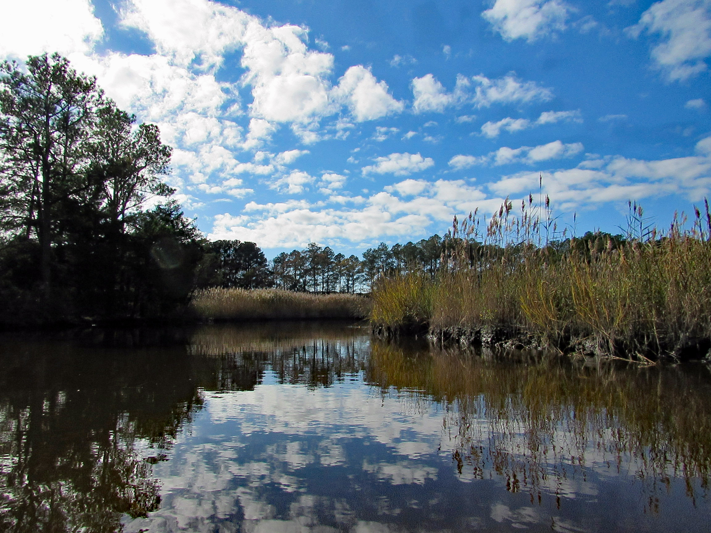
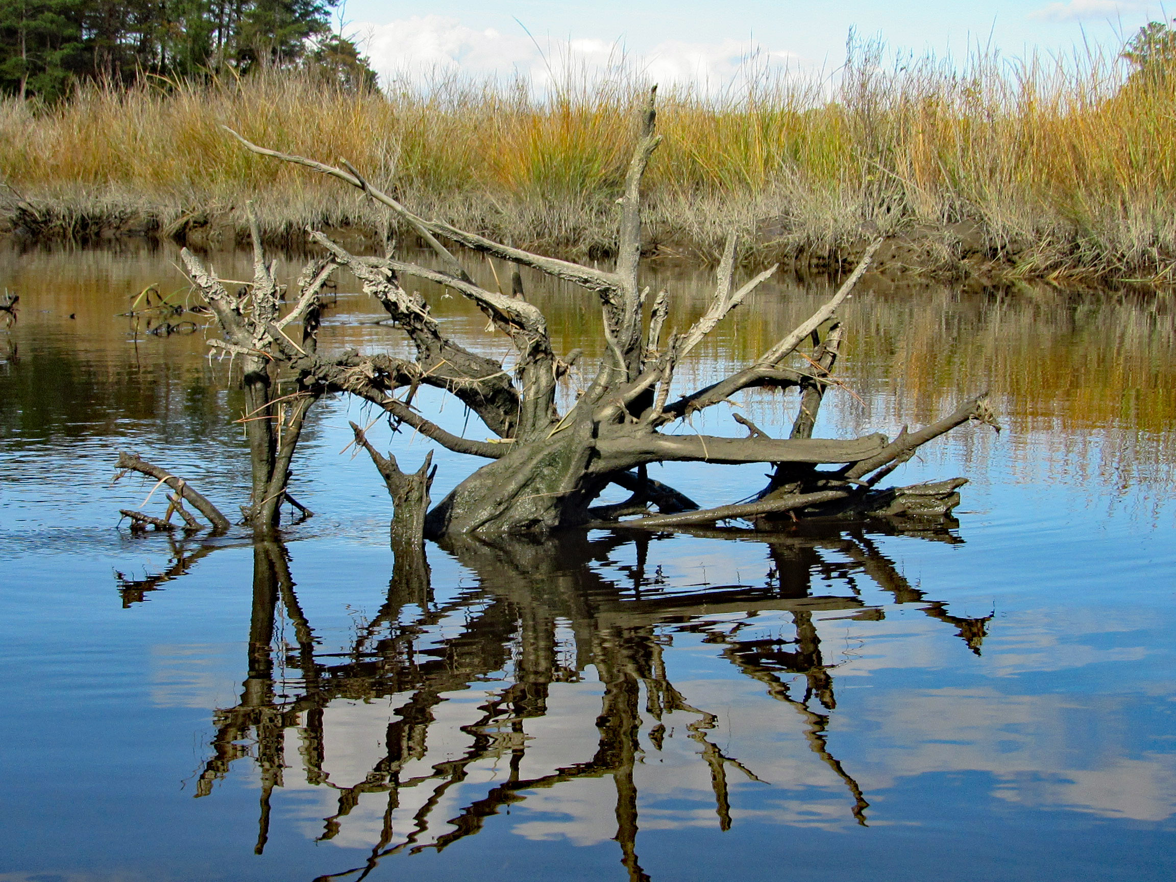
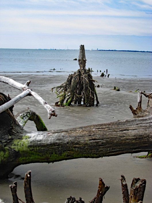
Some very nice reflections.
The Pocomoke River up ahead.
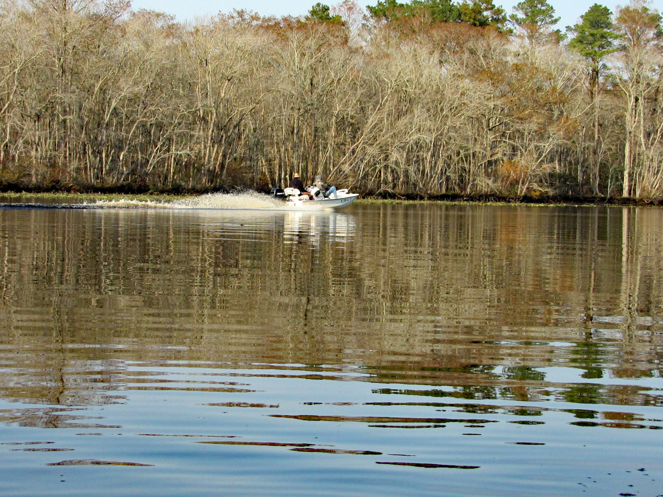
A couple speeding boats zipping by. Kayakers get no respect on this river.
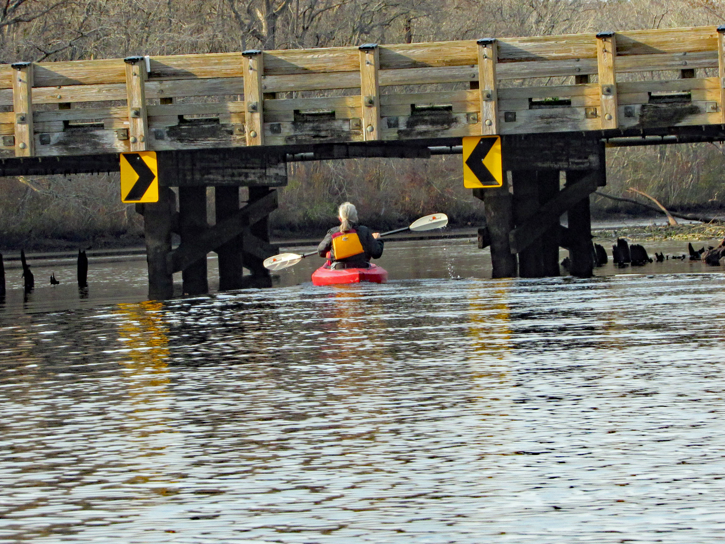
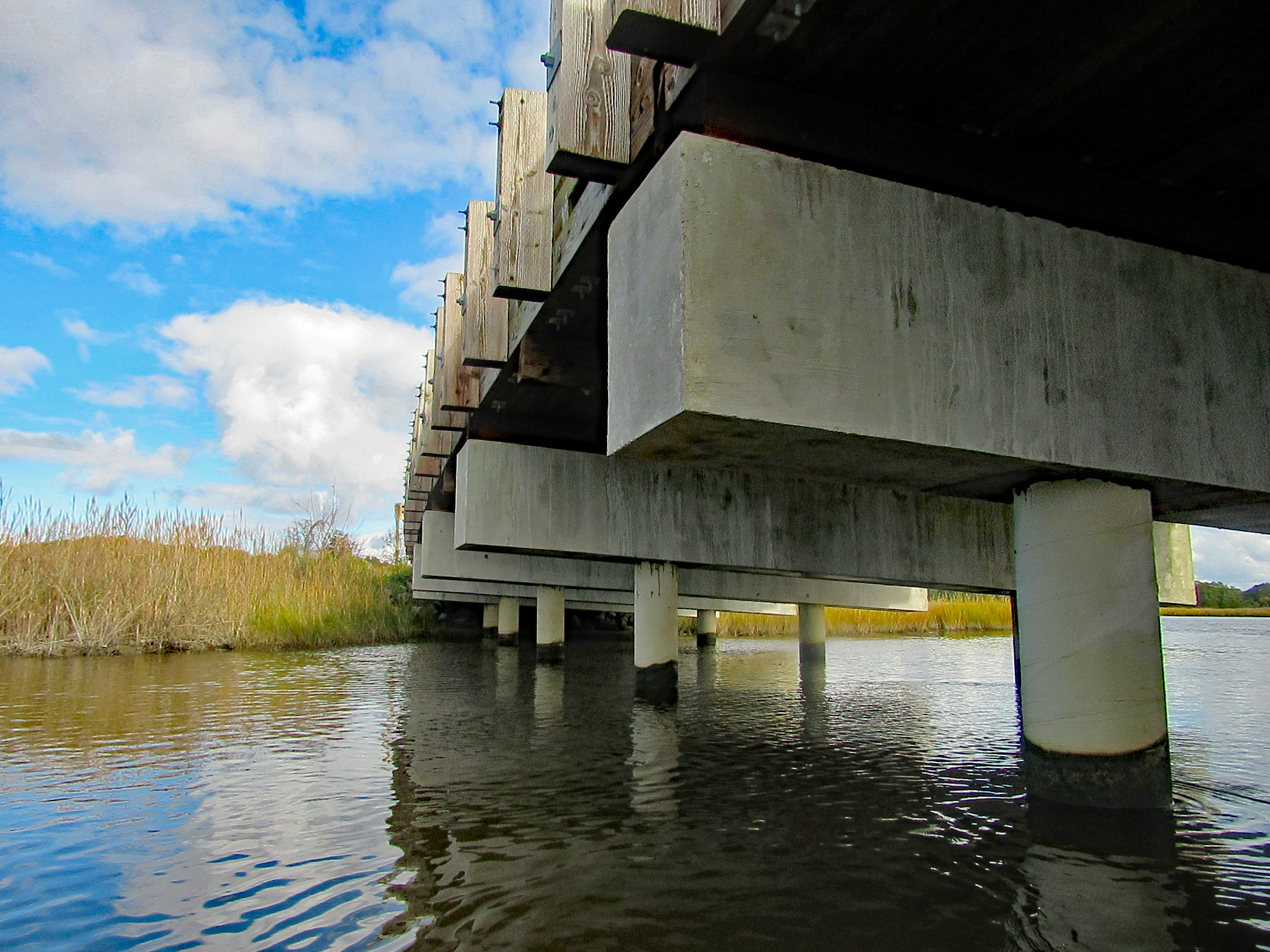
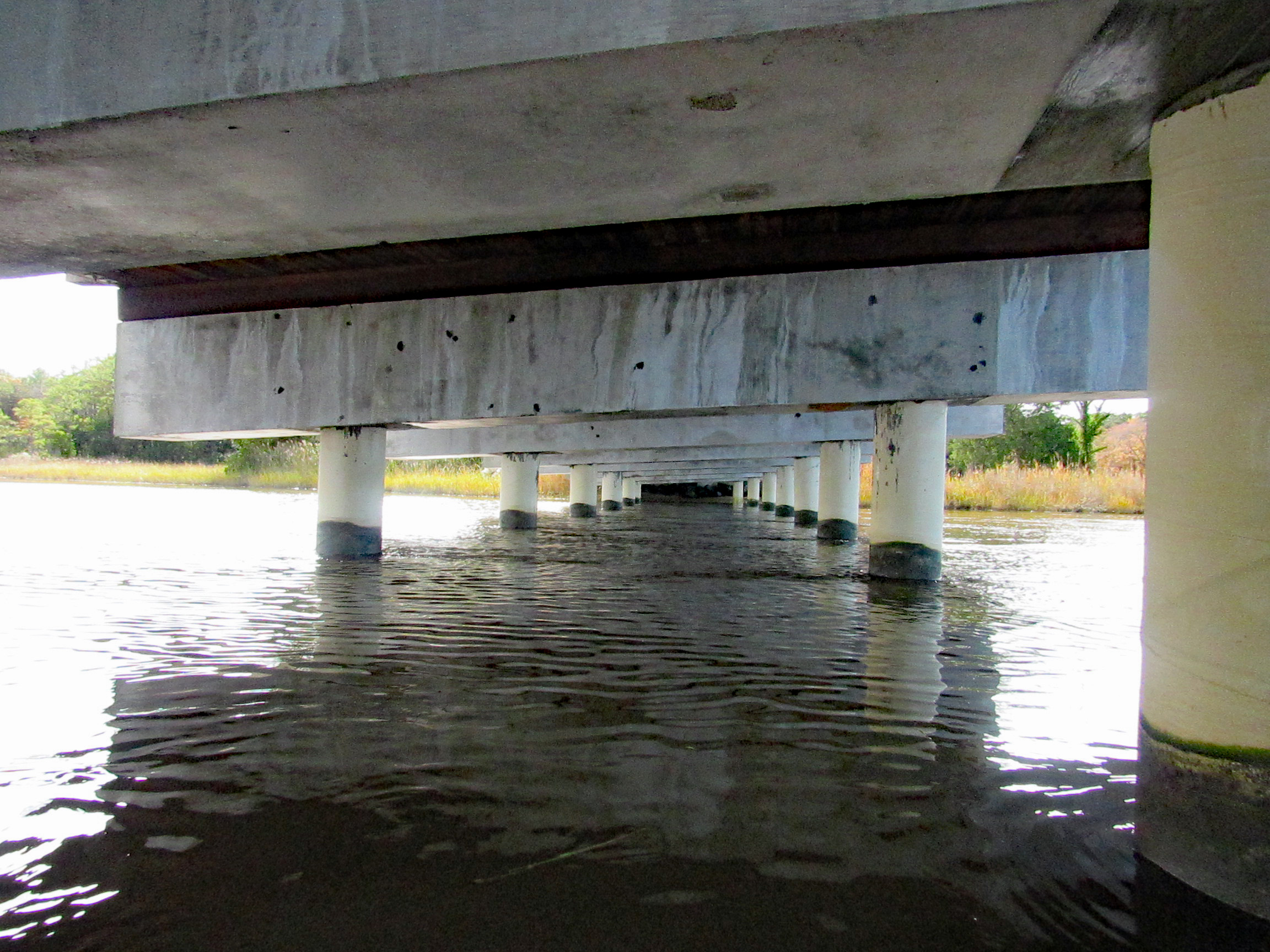
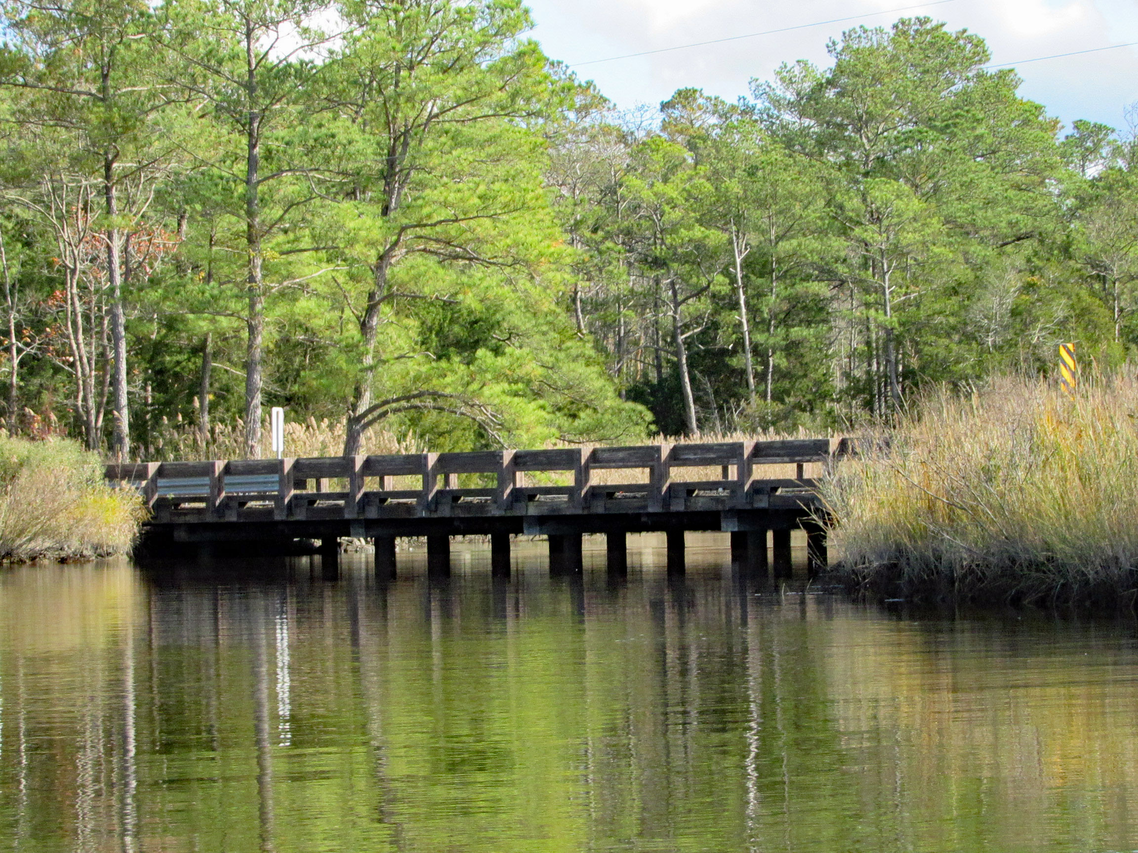
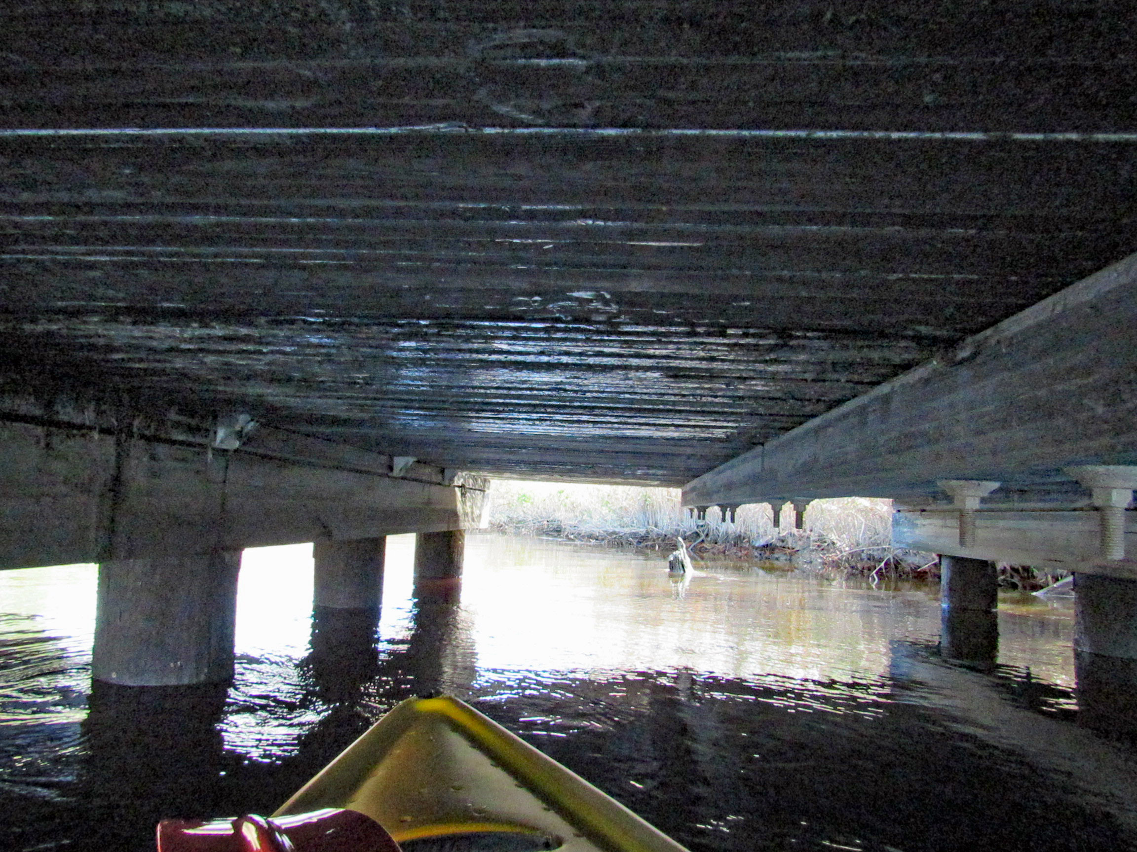
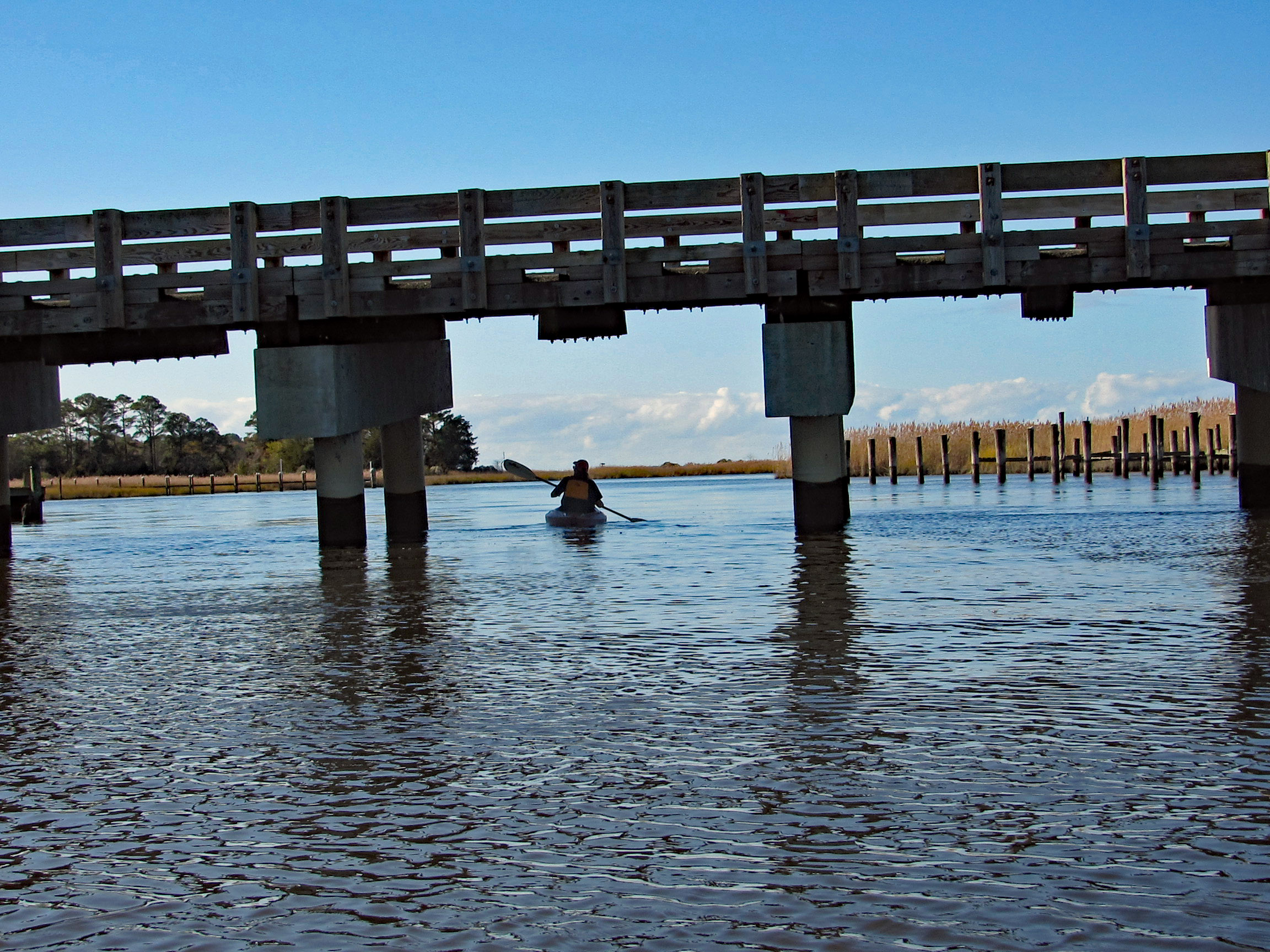
After about 3.5 miles, time to head back. Under the Nassawango Rd bridge.
Another nice reflection shot by Kathy.
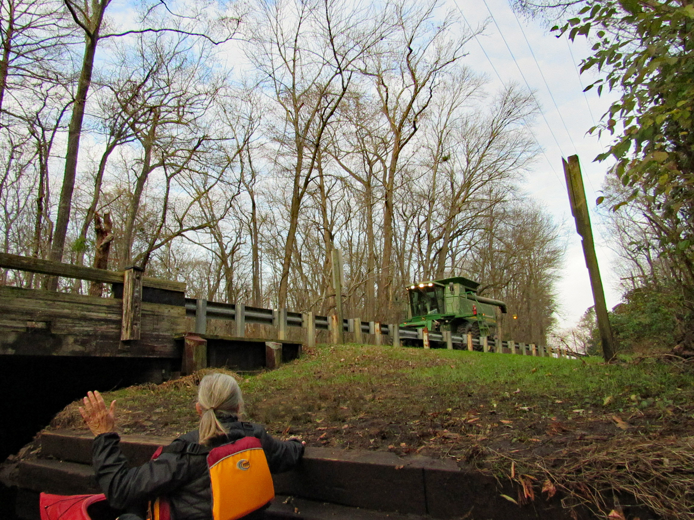
Two steps down and waiting for the combine to cross over.
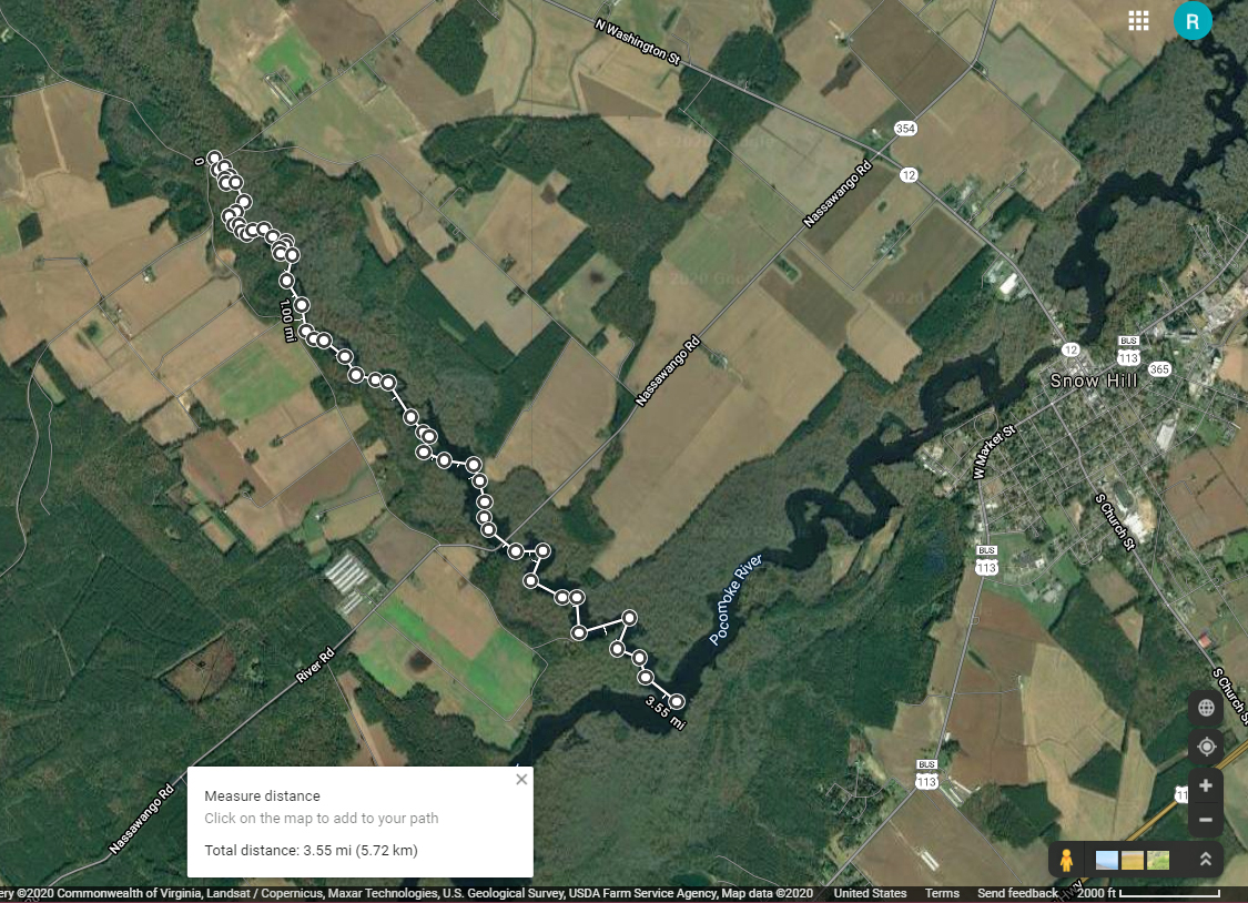
Our trip. Just over 7 miles with all the zig-zagging and crossing over the Pocomoke.
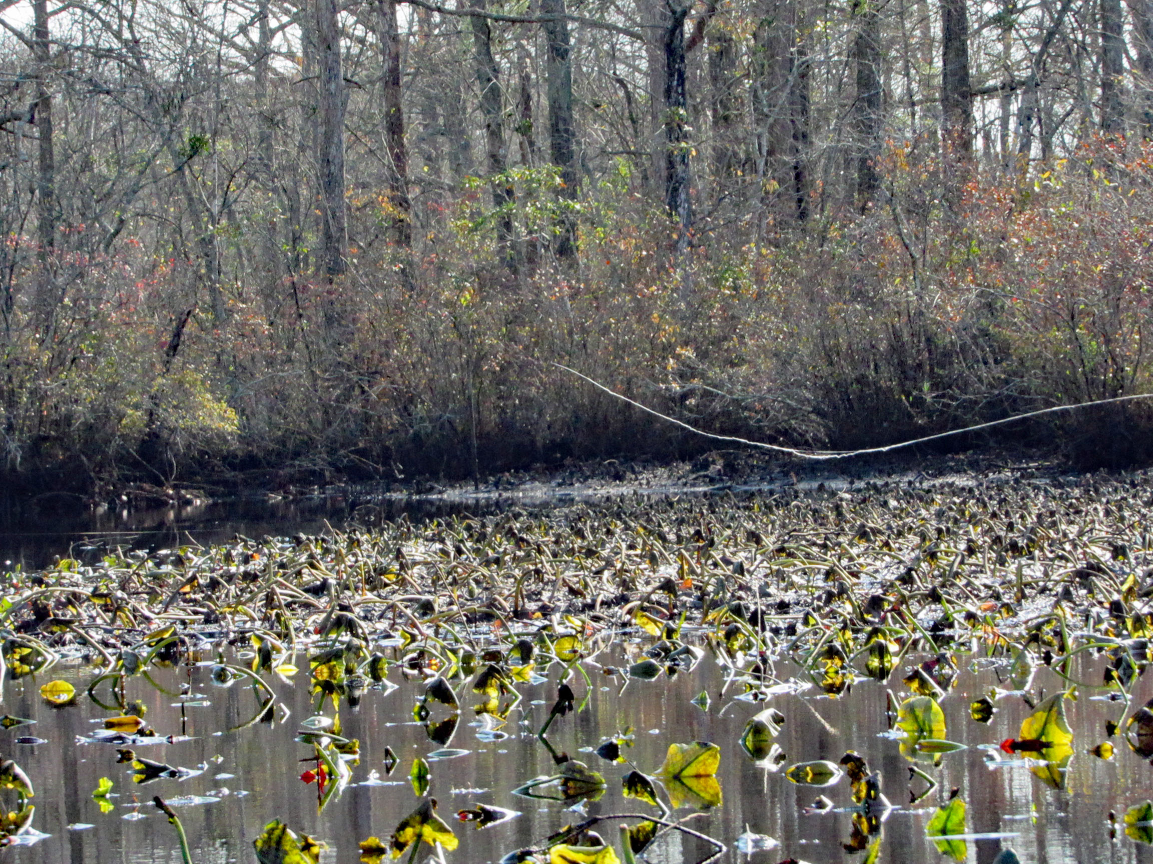
Another great kayak adventure. Next time we will need to check the tides. We hit a lot of submerged tree limbs and could not cut across the lily pads like we normally do. But it was still a great day to be out and grateful to be able to take these kind of trips.
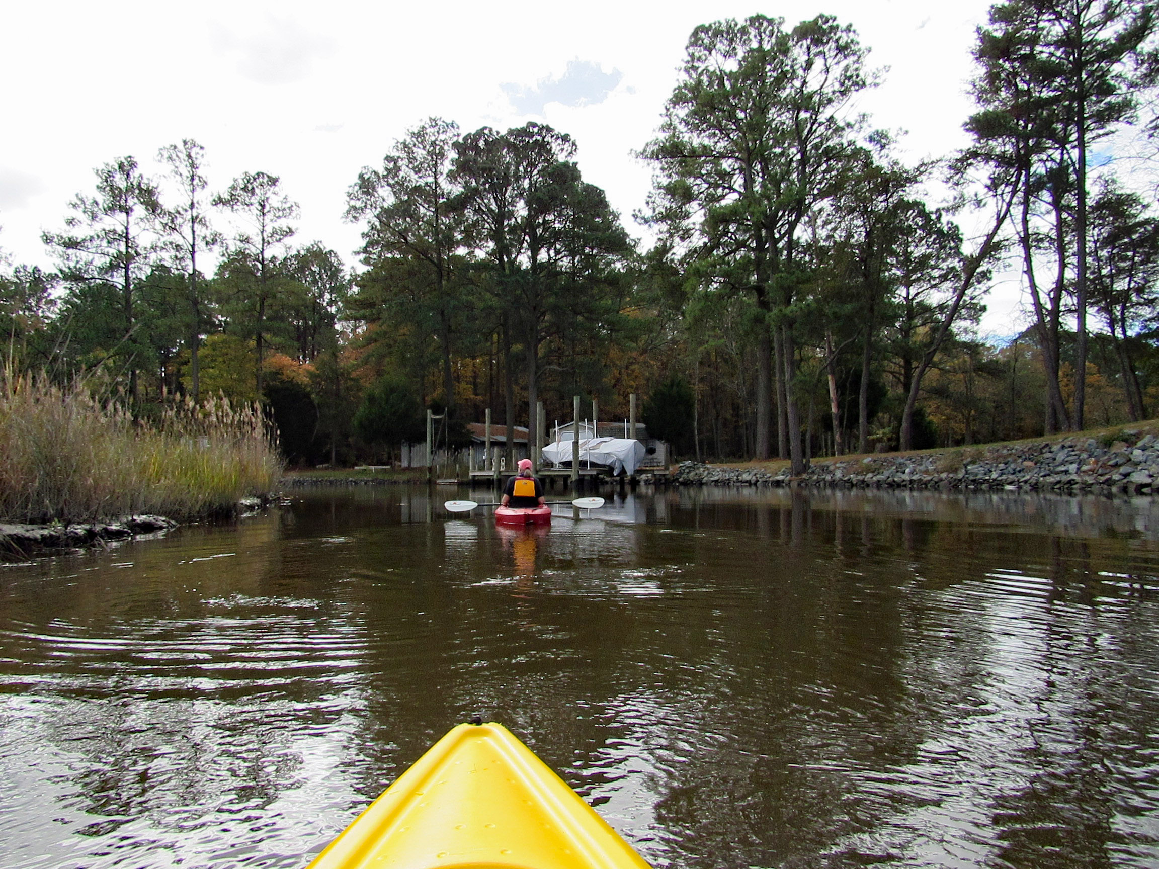
The temperature was heading into the mid to upper 70’s, so we headed out to kayak at Wetipquin Creek, off the Nanticoke River. We were a couple miles from here when we went fishing.
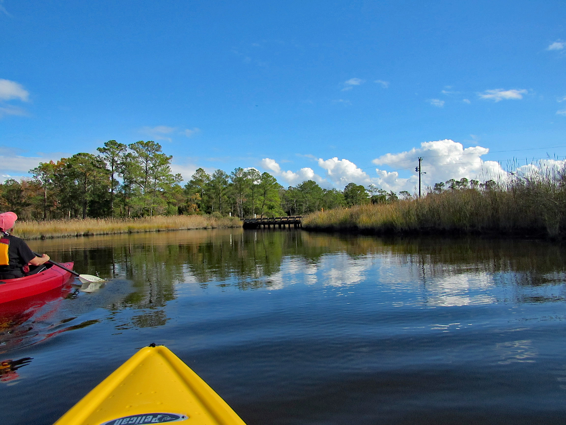
The boat ramp is nice and extends far into the water. Head to the right and go under the Wetipquin Rd. bridge.
Some pics from Kathy before starting to kayak.
Start our adventure and Kathy stops to look at the Big screen TVs.
I like this one of Kathy’s
Time to head under the bridge. Kind of on a tilt but high enough to easily get under.
We soon come to a fork in the creek. Left will take us up the Wetipquin and right onto the Tyaskin Creek. We headed right.
Saw this boat and was wondering how they get under the bridge we just passed under?
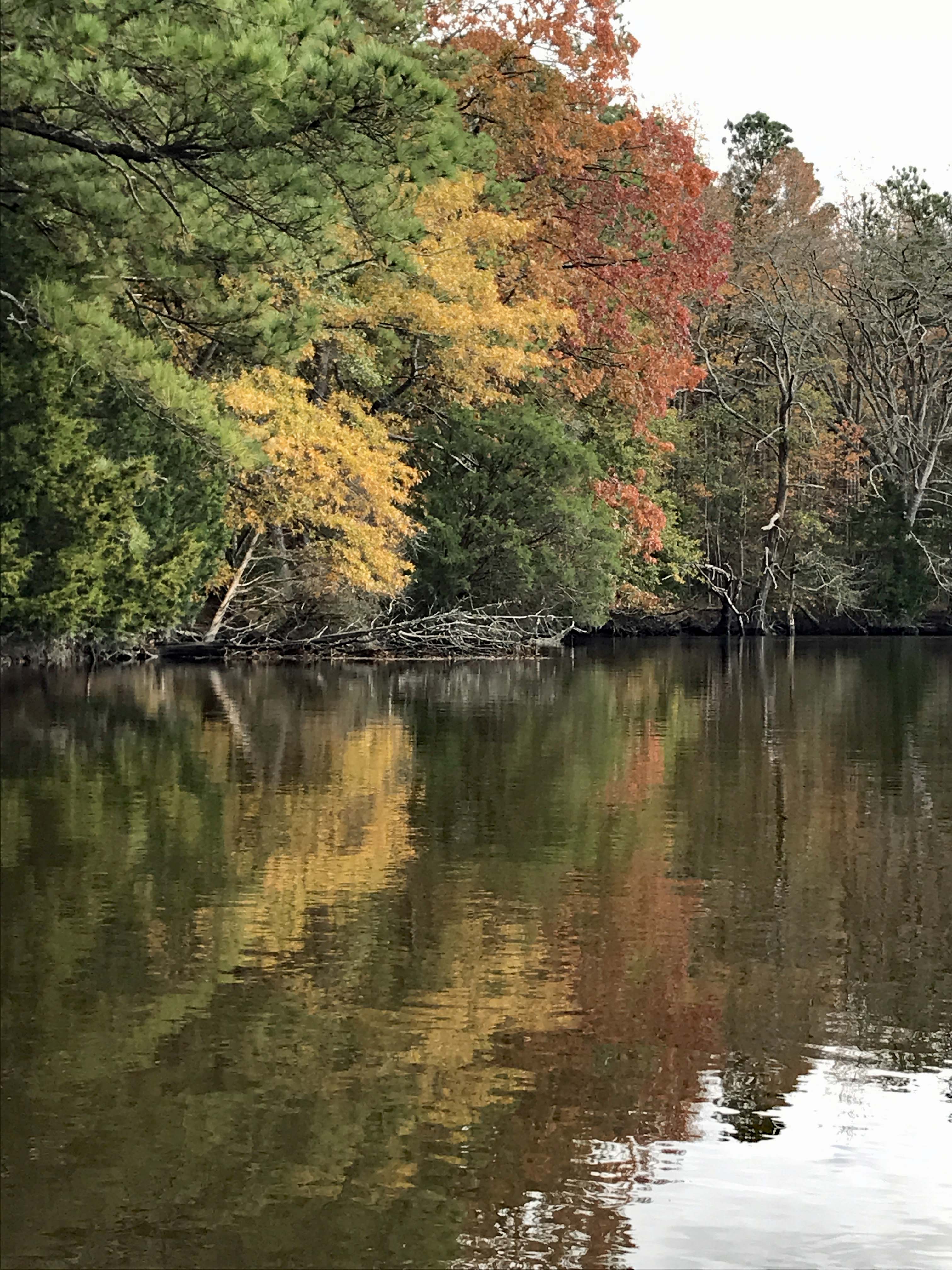
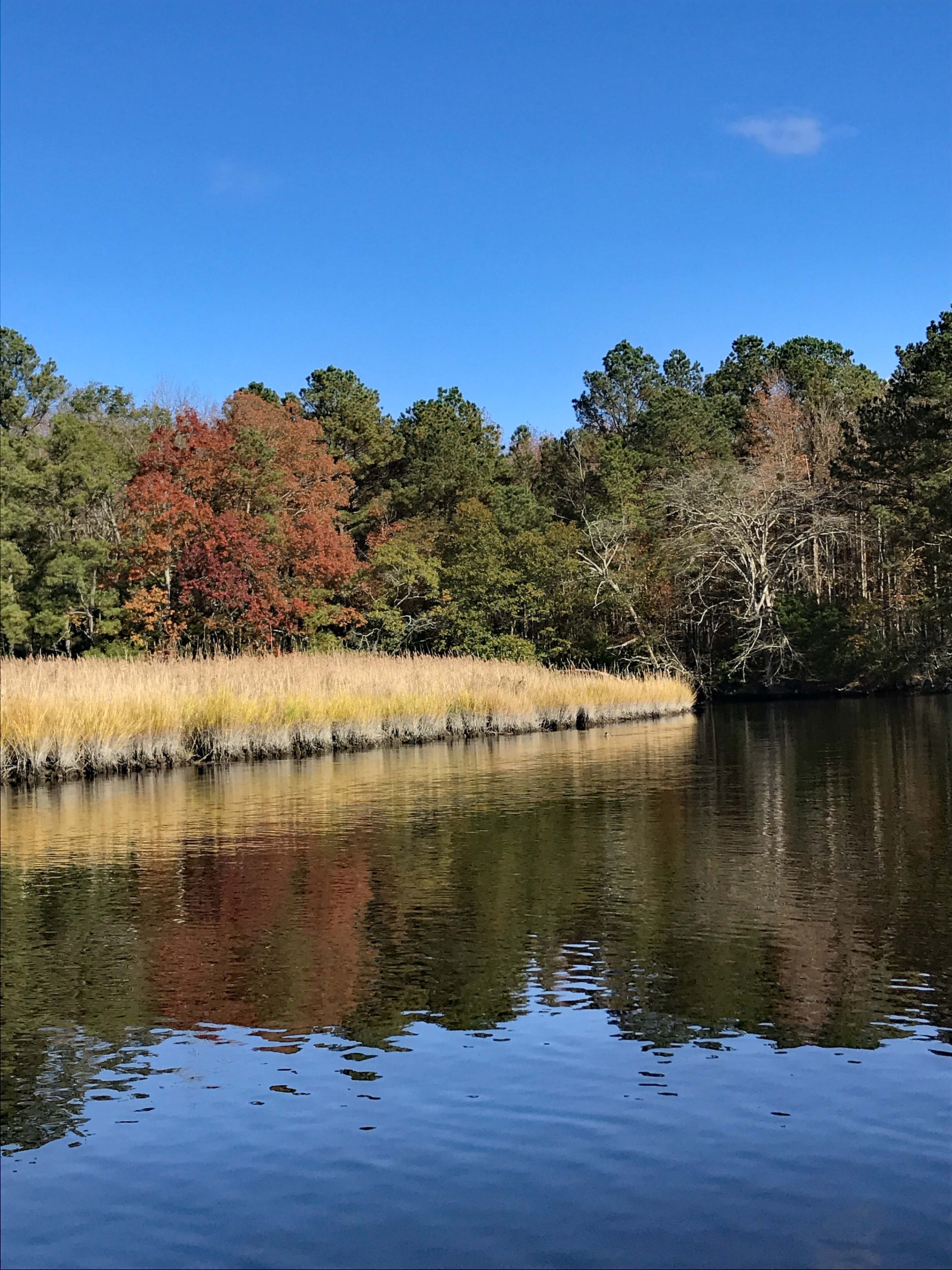
I think we missed most of the fall foliage, but still very beautiful and peaceful.
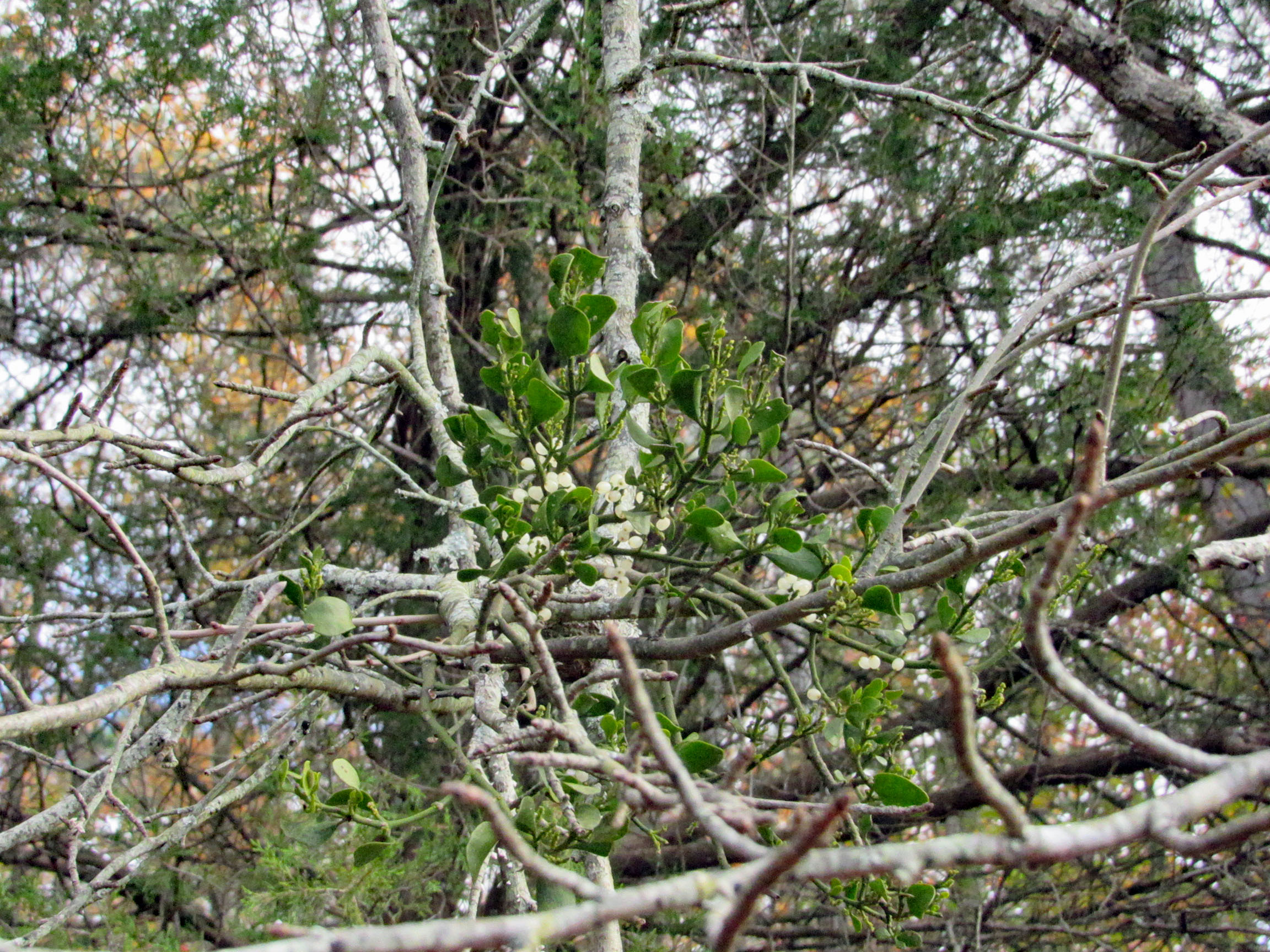
Fooling around with the mistletoe. Amazing how this stuff grows right out of the tree.
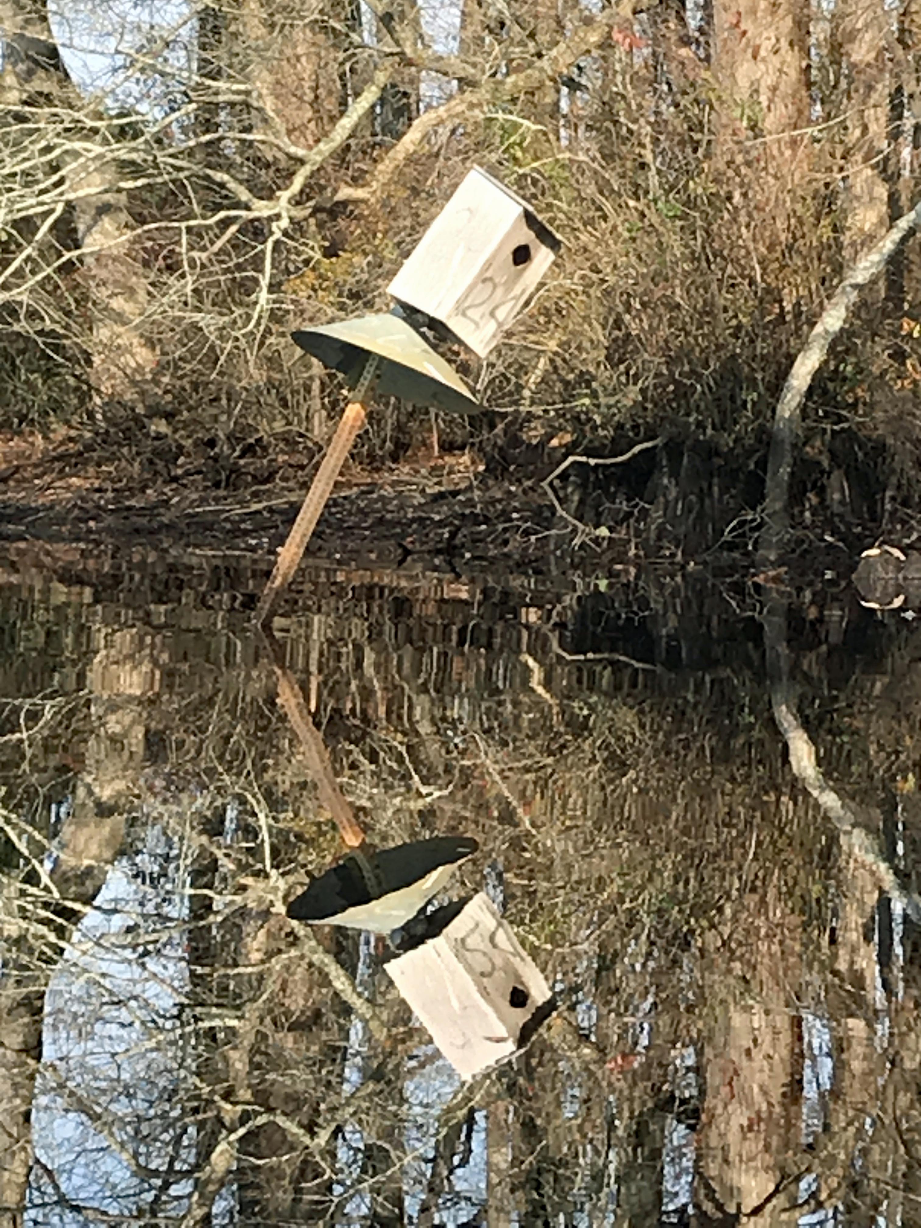
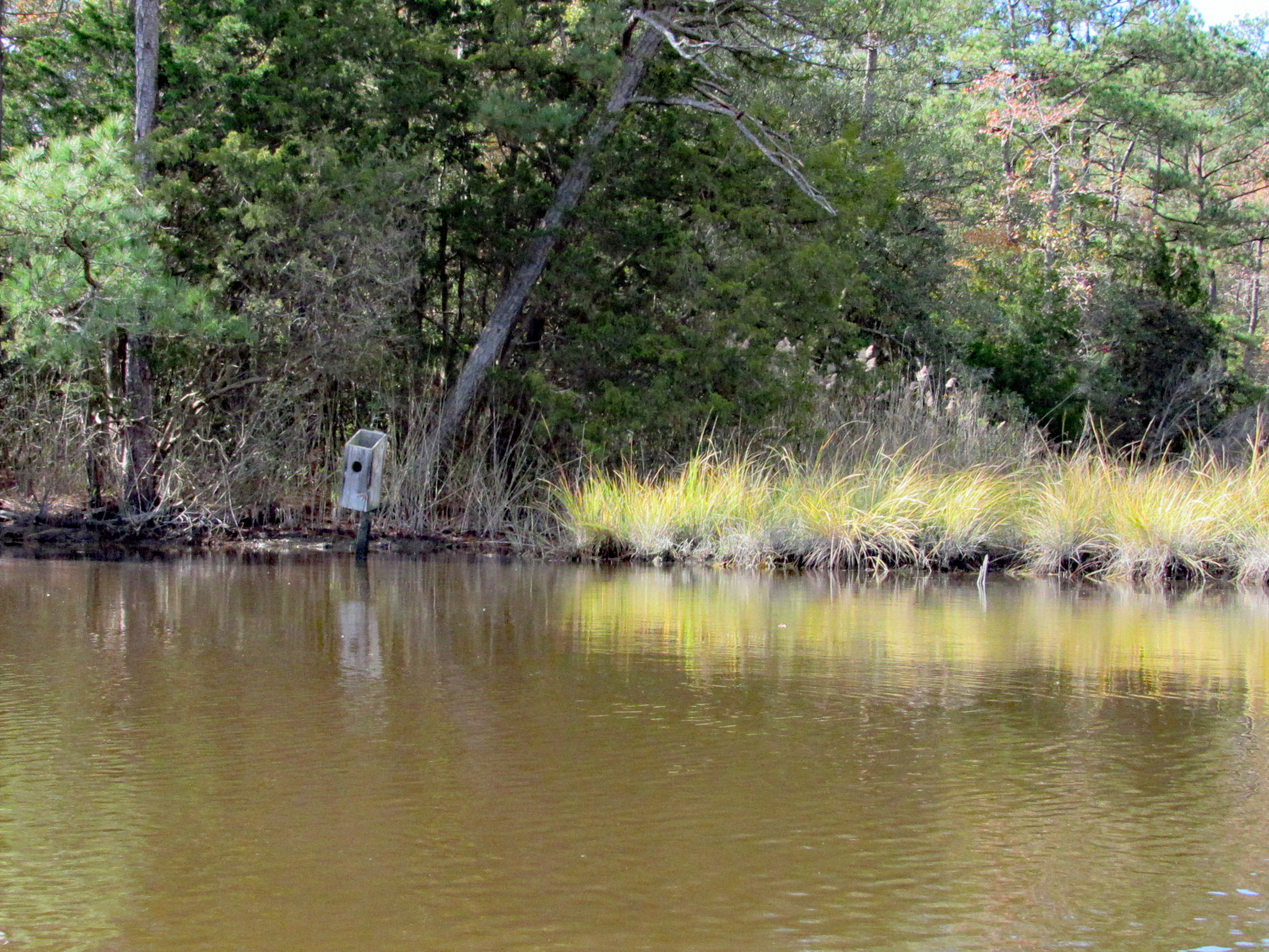
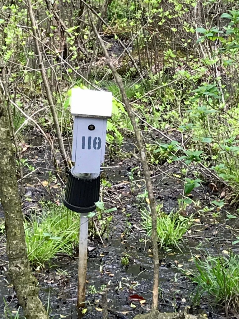
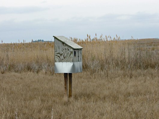
Saw two bird boxes and the tops were missing off of both of them.
Approaching Deep Branch Rd. bridge. Looks low…
…but not too low!
On the other side and checking out up stream a little ways.
Kathy waiting for me back at the bridge, taking photos.
Sights.
Waiting for me to catch up.
Back under Wetipquin bridge, heading to the Nanticoke.
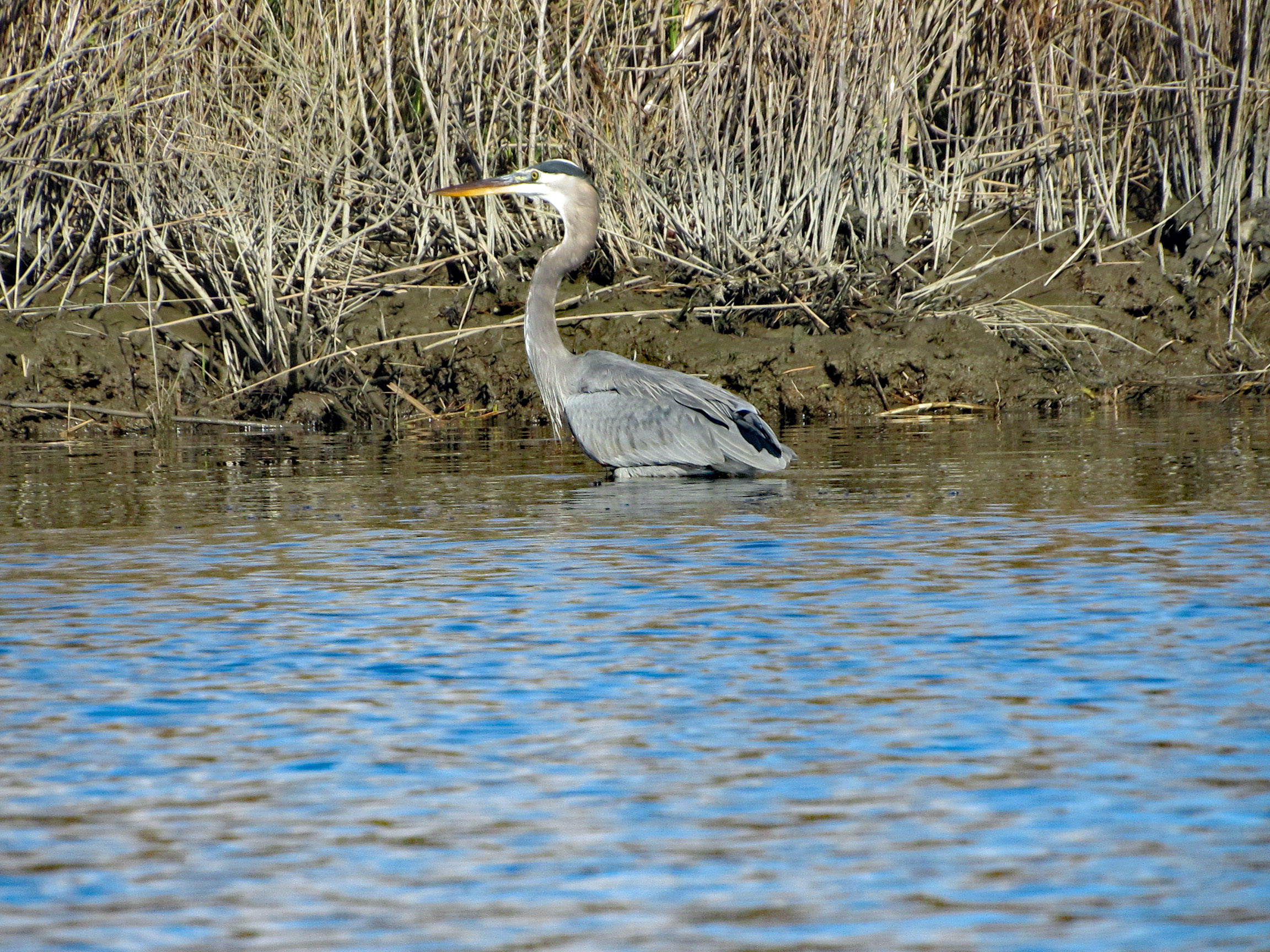
We didn’t see any wildlife until we headed to open water.
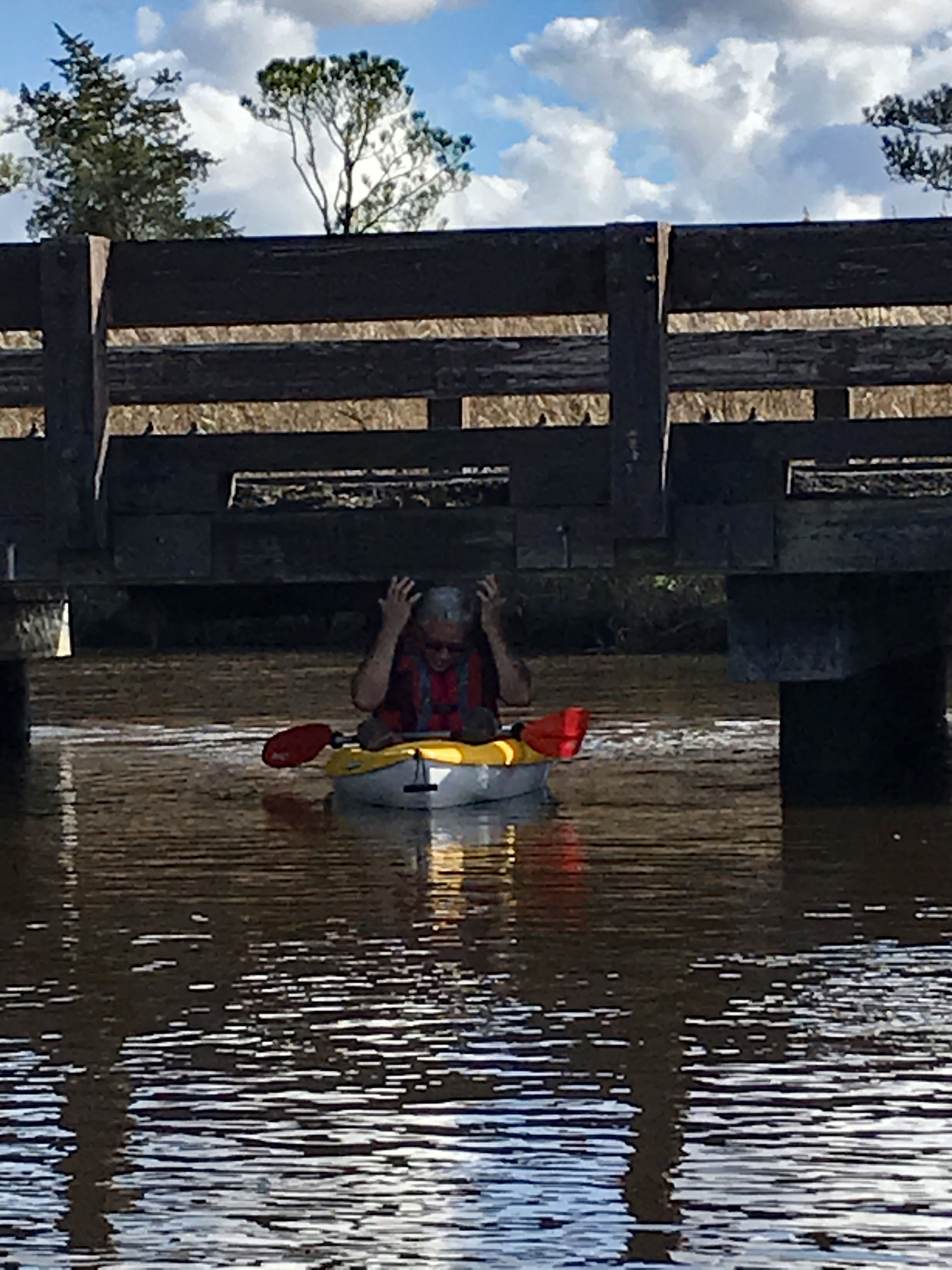
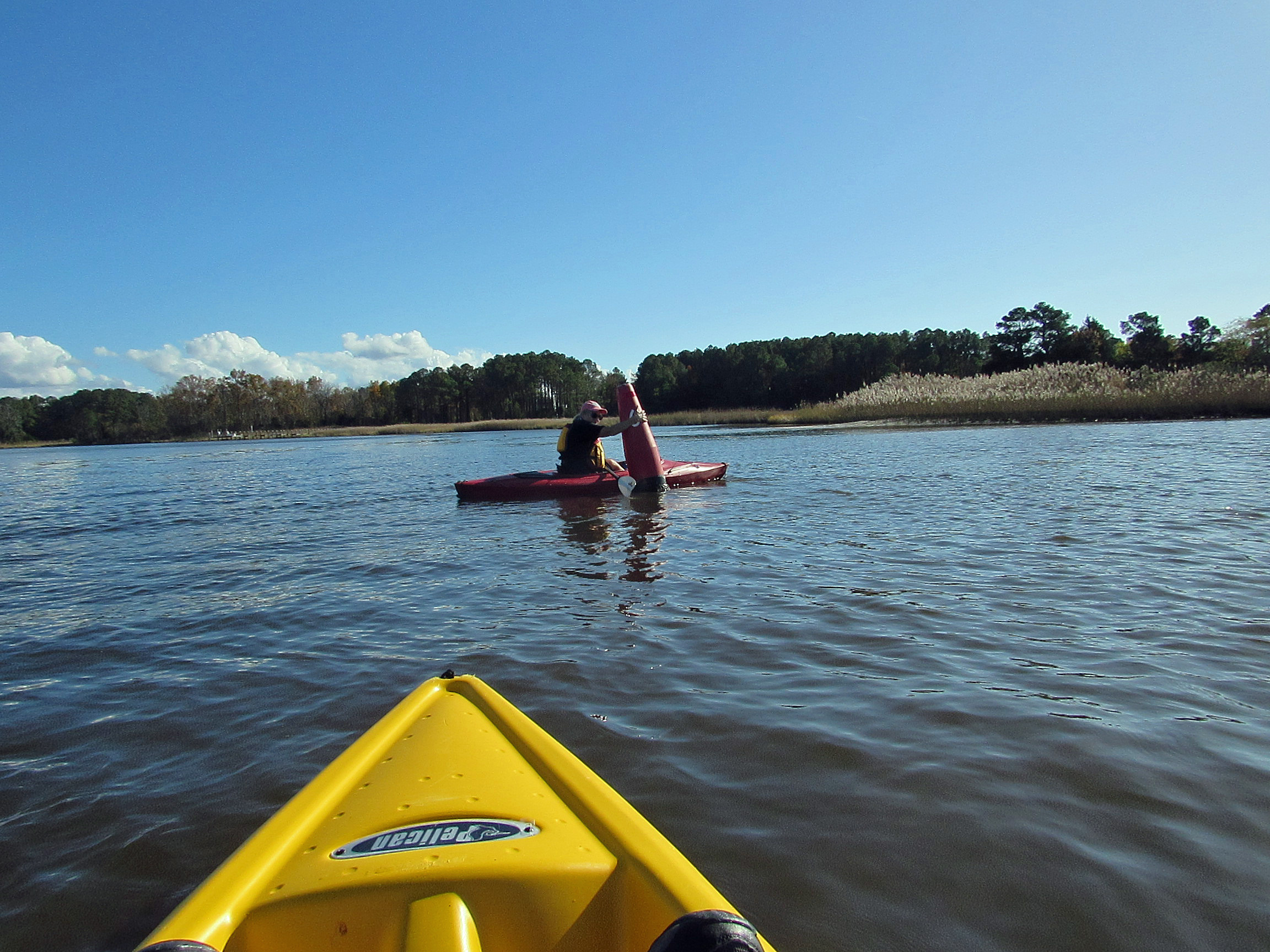
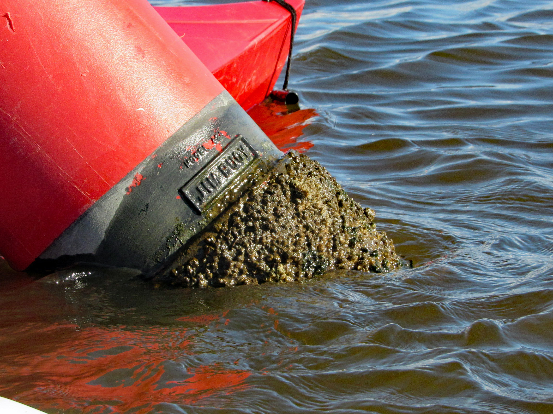
Geez Kathy, what are you doing to that boy?
Meet my new friend – Buoy, Jim Buoy!
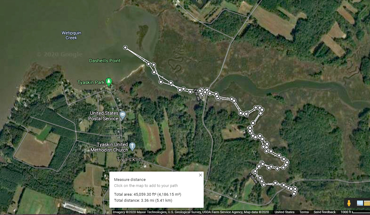
Our path. A beautiful day on the water! Thanks God!
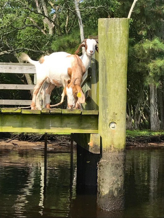
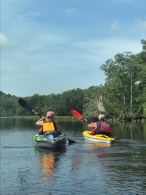
Early kayak adventure – it has been hot out so we got an early start! Kathy’s sister Gail was up from North Carolina so off we went to Snow Hill and a trip down the Pocomoke, around Goat Island. It was about 3 and 1/3 mile round trip.
We usually enter the Pocomoke from the south ramp but for some reason I decided to park up by the north one. Glad we did! The goats of Goat Island were out.
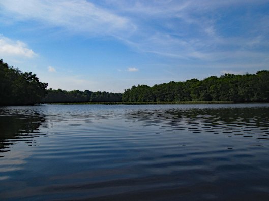
The water was like glass with very little wind.
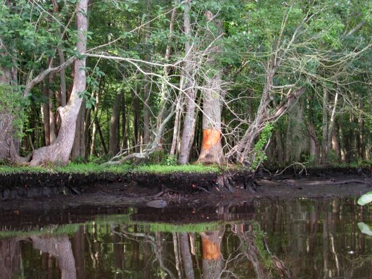
Someone has been rubbing against (or eating) this tree.
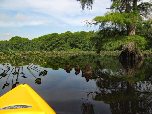
Lots of lily pads floating about. Tried to avoid and paddle around.
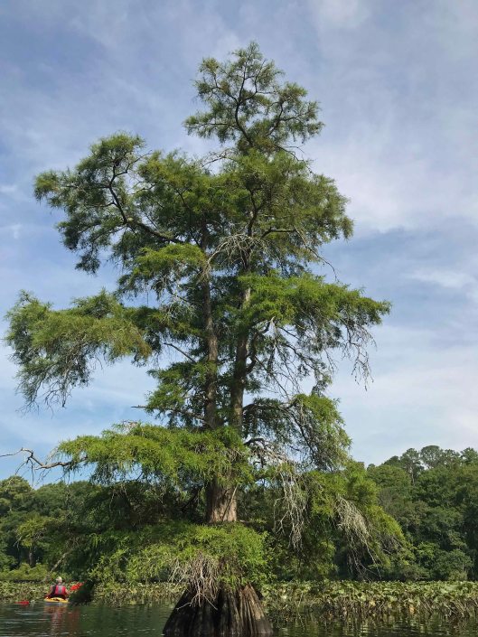
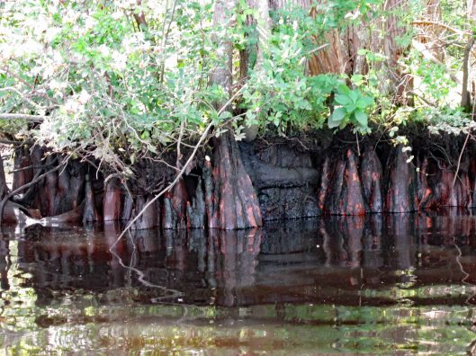
Big cypress.
Through the obstacles and onto open water.
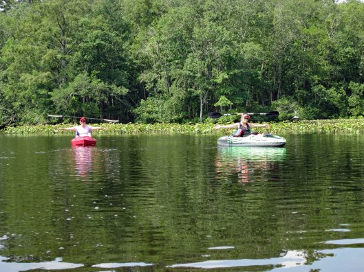
Not many photos of Kathy and I together on adventures, other than selfies. Gail took this one.
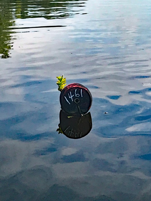
There were a few of these strung across the river?
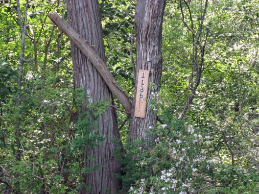
Another tree address…
Looks prehistoric.
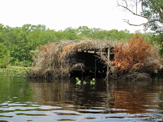
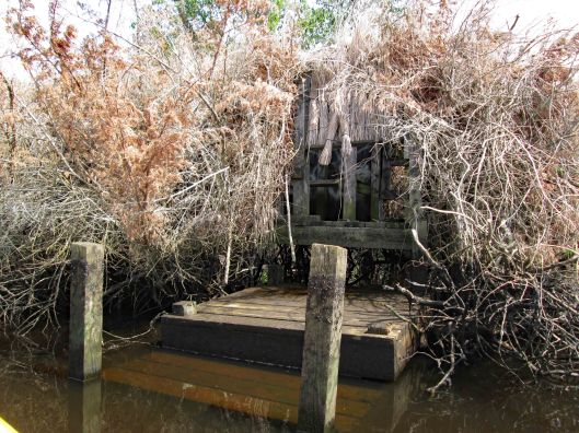
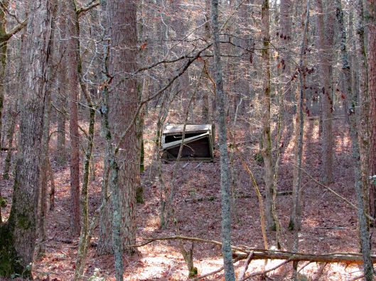
Duck blind.
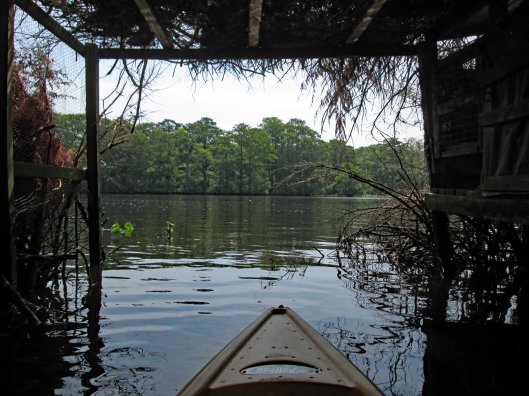
Inside looking out.
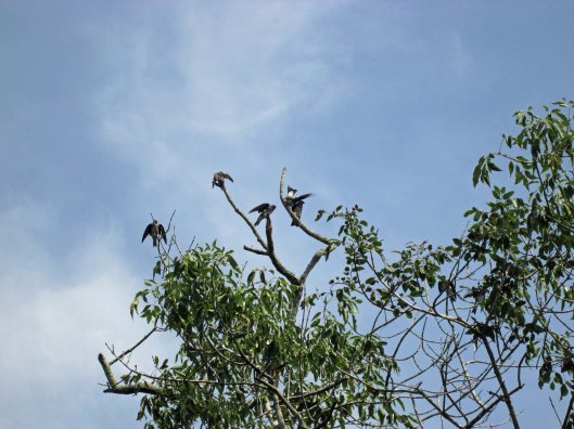
Tree swallows not too happy with me.
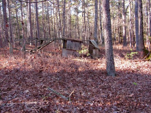
Side entrance to blind – needs some TLC.
So, i’m all the way down by the duck blind, about a quarter mile away from Kathy and Gail when I hear a whistle. So I paddle back as fast as I can to see if anything is wrong – “No, we just wanted you to see us balance the paddles on our heads!” Ha!!!
Looks to be the old outfall from the sewage plant.
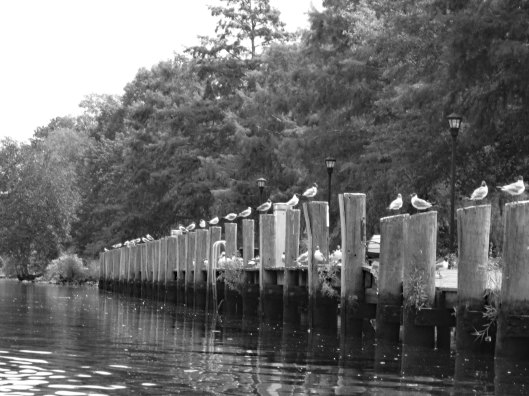
Heading back – seagulls looking for some Thrasher’s French Fries…
It was a really nice morning to go kayaking. Except for one little incident that happened – some jerk in a power boat was going too fast and about over-shot the curve. I was able to get out of his way but he was crazy and called us F’ing idiots!! I waved and told him to have a great day! I believe we had the right of way.
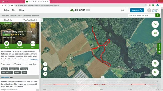
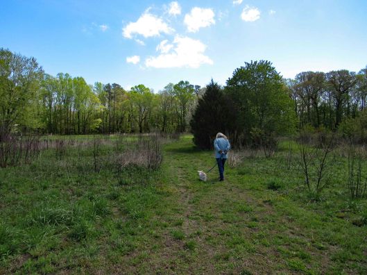
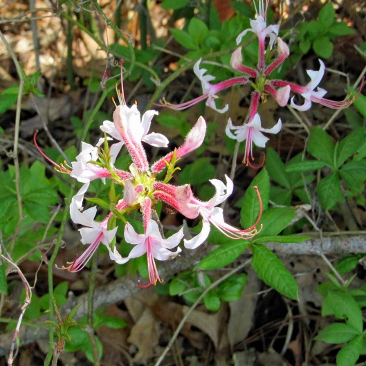
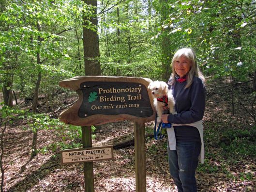
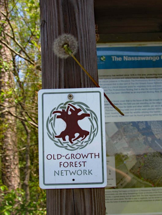
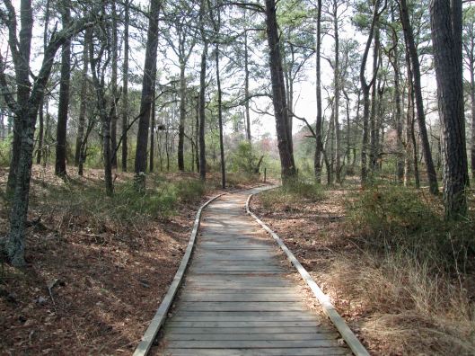
Well that is a mouthful to say! Pronunciation is Pro-ton-o-tar-y, which by itself is a Chief Clerk in a court of law, which is apropos to what I have been going through the past couple of months (another story, another time). But with the warbler attachment, it is just that – a warbler. A trail full of them. This was a 2.3 mile hike.
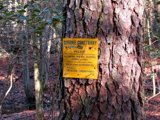
For whatever reason, All Trails stopped recording our trip so I used their default map, adding an extra red line at the bottom left of the trail because we walked the road back. Not much parking. You need to park on the grass along the road. The guy that lives in the house to the left of the entrance trail was cutting the grass. He does a good job maintaining it. It is turkey hunting season and he wanted to know if we seen any? Glad this property belongs to the Nature Conservancy – No Hunting! I hate ducking bullets!
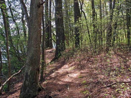
Entrance path
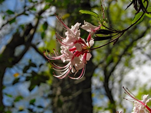
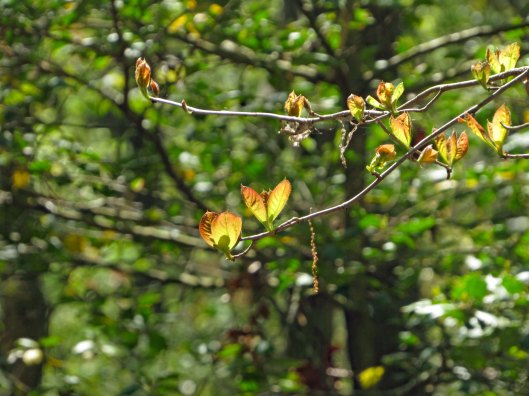
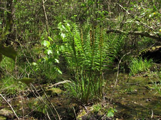
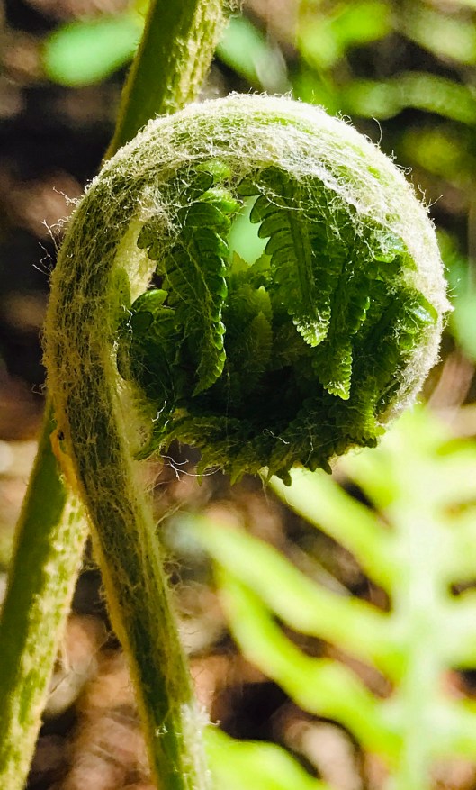
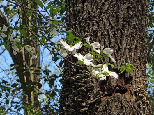
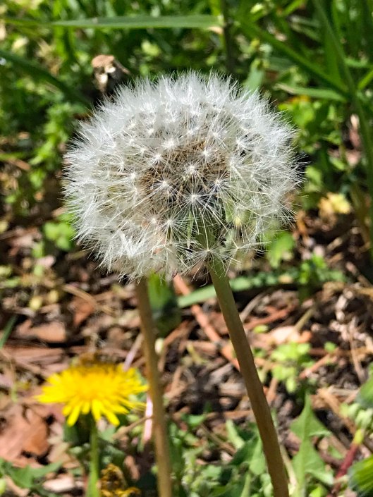
Some of the plants we saw
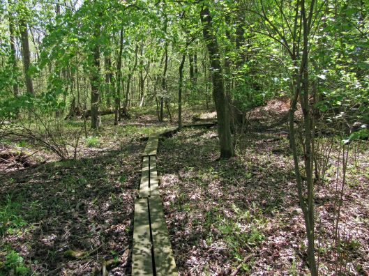
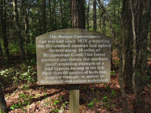
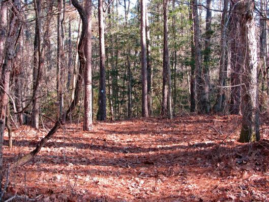
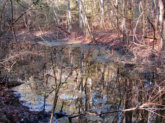
The path goes from Creek Rd. to Nassawango Creek. A nice trail with some boardwalks. No steep hills to climb. Molly did well and there were only 3 other people on the trail. We were spaced out accordingly.
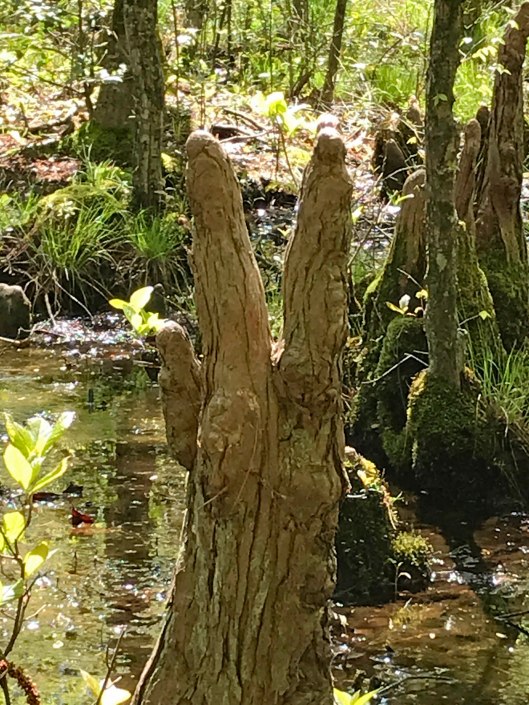
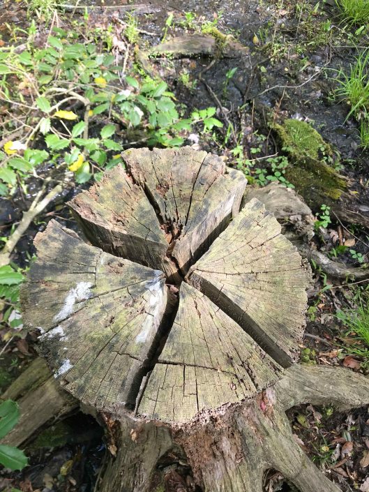
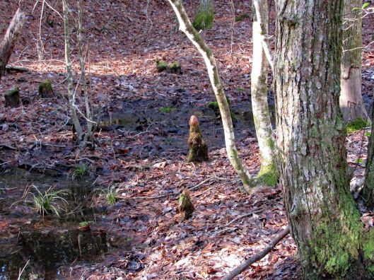
It is part of a cypress swamp and the ‘knees’ always remind me of faceless people.
PEACE
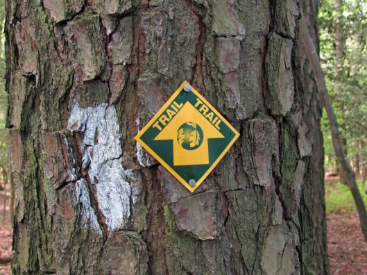
Signage along the trail.
Nails in tree? and blaze.
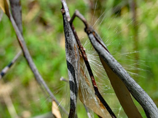
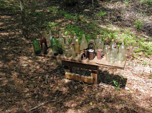
More stuff along the way…
This was interesting. One of the bottles had AA written on it and I thought how weird is that? I looked it up and and it is an Ancient Age Bourbon Bottle. I immediately saw Alcoholics Anonymous!
Warbler in entrance hole
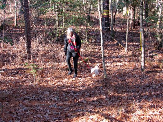
Well, Molly says enough of this. Although it has been a wonderful, peaceful hike, it is time to feed me! Thanks God for a wonderful hike with minimum people out there.
Quite a few of these photos were taken by Kathy. Thanks Kathy!
Kathy and I kind of guessed that our hiking days would be put on hold for a while and even though the weather looked bleak, we decided to head out. And we were right. On March 30, 2020 Governor Hogan said it was no longer a suggestion, that it is now a Directive – Stay at Home.
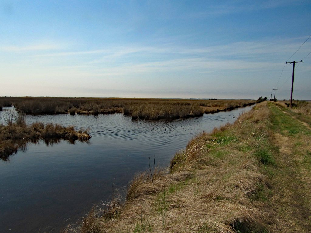
On the 29th we drove to the Deal Island Wildlife Management Area. Down the one path and back is about 4 and 3/4 miles. The other path is about 10 miles. We will bring our bikes for that one.
From the map you can see that it is pretty flat and a lot of marsh area. A nice trail though. We may bring our kayaks here one day. There is a boat ramp to the right, a few hundred feet over.
Molly leading the way
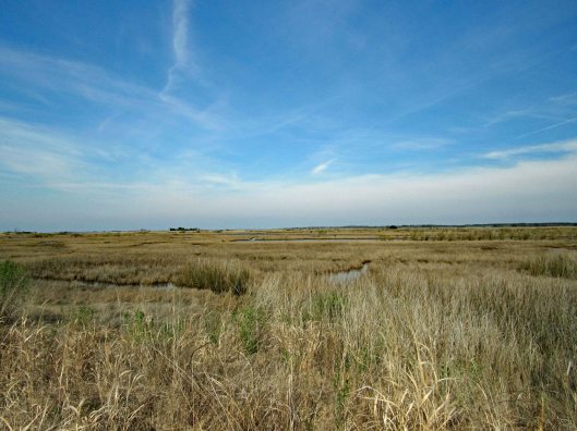
It suddenly turned from a management area to a Refuge.
Not a lot of wildlife to be seen. A few geese, a bunch of Red Wing Blackbirds…
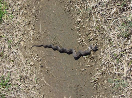
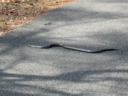
And a couple snakes on the trail.
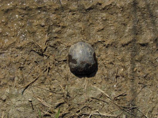
Also a possible mud turtle?
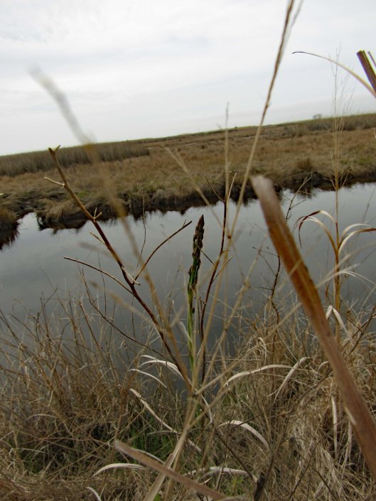
We did come across some wild asparagus, which Kathy had me taste, just in case we need to go into survival mode in the near future. Heck with that Bear Grylls crap! I will use my cell and have food delivered!
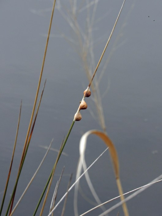
Not sure about these guys. There were hundreds of snails on the shore and low on the grasses. Looking close at the middle one, I see eyes or something…
Big bird house.
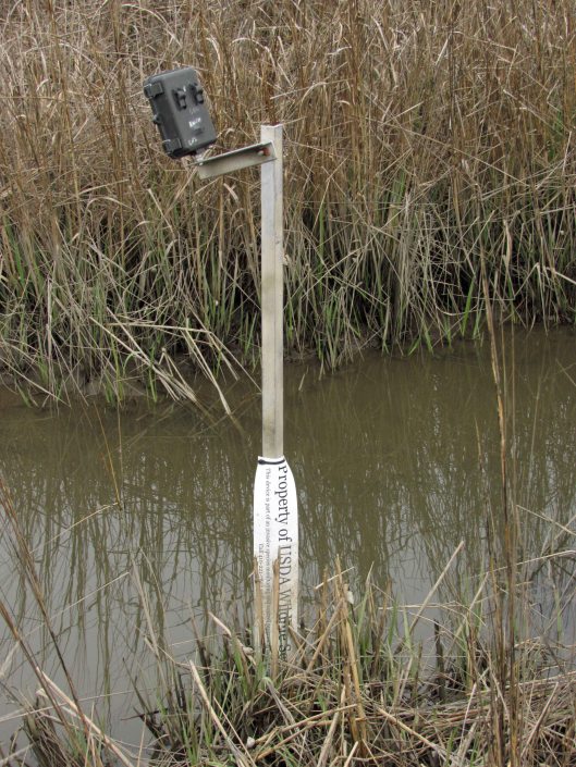
Nature camera.
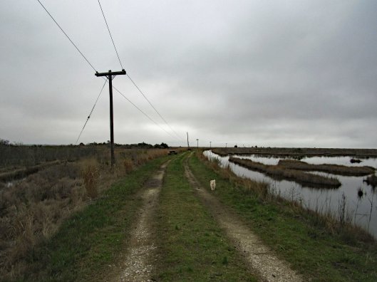
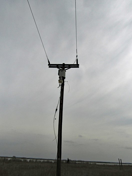
In the first photo you will notice the telephone poles. We followed these all the way to the end. And that is what they did – ended.
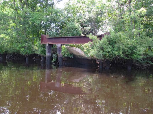
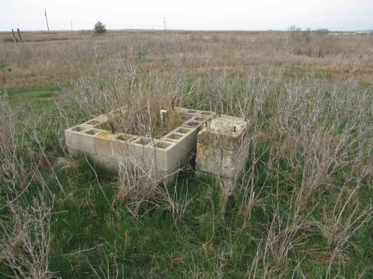
I spent a few hours looking at old maps and Googling Lodges and Oyster Houses on the Manokin River and Broad Point, but had no luck. This electric and the below well pump stand, had to be to something…
I did not see any building foundations but we did see a pier.
Up close and from Google Earth it looks like there once were boat slips here.
Of course, as we were heading back, the sun started to come out.
A nice day for our “Last day to hike in the parks” We now take strolls around our neighbor hood.
On Friday the 13th, while at the gym, I asked one of the trainers what was the gym going to do about the current situation – Corona-virus? He said it was the main office’s call. I told him it was a pain in the ass for Kathy and I to wipe off our equipment, not only after we use it (which we have always done) but also before, because so many idiots do not wipe theirs down. Sunday night we decided we would not be going back to the gym. Monday afternoon the Governor announced all gyms to be closed. So now we hike and luckily there are a lot of places here on the Eastern Shore to go to having very little contact with people.
First hike Monday was the Salisbury Park which includes the Zoo. Short hike of 1.8 miles but a very brisk one.
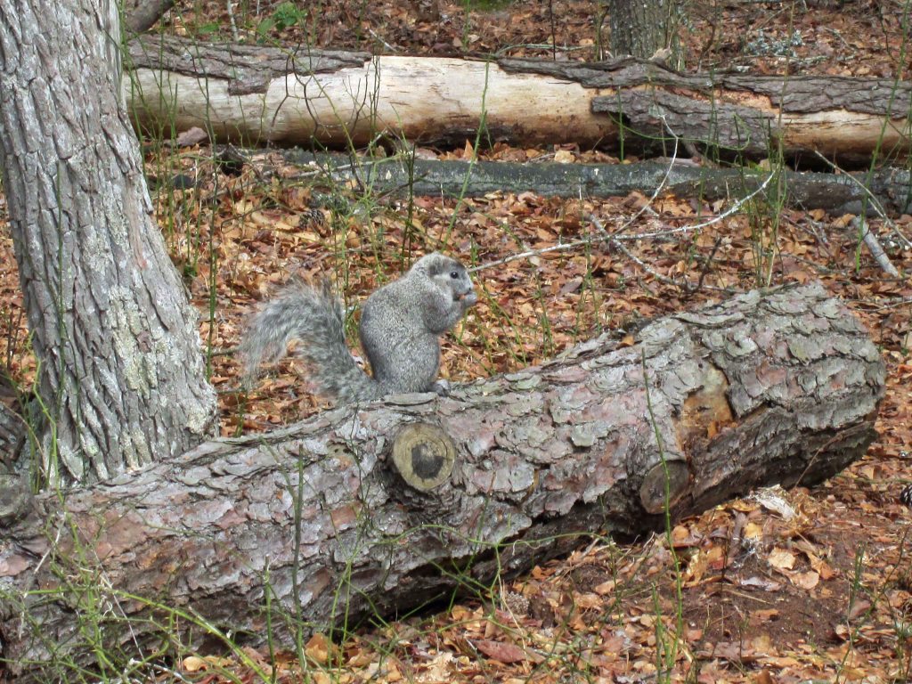
Wednesday was a hike at Chincoteague. We usually ride our bikes there but opted to hike. This hike was about 3-1/2 miles at the Woodland Loop, Bi-valve trail and then along the bay.
Woodland trailTo the Pony ObservationSnake!Pine cone slow pitchwigShortcut thru woods, nopeDelmarva Fox Squirrel
Glad to be able to hike and I wish all to be well.
If the truth be told, I do miss doing historical research. So, when something of interest comes along, I will see what I can find out. Don’t get me wrong, I love being retired and enjoy doing the things that Kathy and I do. I really don’t have much time for writing and research. So when I can combine research and field trips, well, that makes retirement so much better!
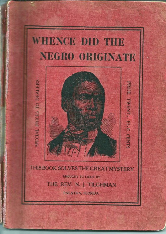
The other day someone passed along to me a booklet: Whence Did The Negro Originate. by NJ Tilghman. My first reaction was – Are you kidding me??
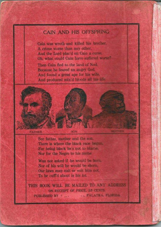
Rear Cover
There are a lot of Tilghman’s down here on the Eastern Shore, but this one says he is from Palatka Florida. Time to do some research on this very odd booklet. Here is the full title page:
Interesting about the above is that the Publisher has been cut off the page (and erased off the rear cover). Without going into a lot of detail about the book I will say this – This guy was crazy! The Readers Digest version: Adam and Eve had Cain and Abel. Cain kills Abel and is cast out into the wilderness where he takes up a wife…Wait!! Adam and Eve had no daughters?? So who became Cain’s wife?? Well according to the Reverend and his “reliable information” Cain married an Orangoutang (his spelling) or Gorilla. He goes on to prove his point which makes absolutely no sense.
Then the question of “What about the Great Flood”? You know, where Noah takes a few million species of animals in a boat? Notes: The N in NJ Tilgman stands for Noah. Also, Tilghman had a son who it appears built a boat that was called Noah’s Ark. So, the booklet goes on to say that “…But Negroes, offspring of Cain and the ape, were not pure men, but unclean and must be preserved in the Ark with the unclean beasts.”
After some more research I found out that Tilghman was originally from the Eastern Shore and is buried at a cemetery in Snow Hill. Kathy suggested a road trip to find it. Looking at the Findagrave website we found it. So off we went.
We placed his little booklet on his headstone. I wonder if after meeting God he “rolled in his grave” as they say??
Here is his Death Certificate. I had to contact the person who posted the grave info to ask about the cause of death. I could not make it out. She said it was “Exhaustion due to Prostatitis, Contributory – Enlarged Prostrate.
Why do obituaries always say nice things about people? His actually glorifies him, 8 years after he wrote this pamphlet. Here are some excerpts: Rev. Noah J. Tilghman (1828-1918), one of the best known and most highly esteemed citizens of Palatka…He was an earnest student of the Bible, and put into daily practice its great lessons of mortality and spirituality. He lived the life of practical Christianity, treating all men honestly and honorably, and so closely following “the golden rule” in his every act and endeavor as to make his example one worthy of emulation. Unbelievable!
A little further research found this information about this spiritual giant!
Source:State Archives of Florida: Series S12, Volume 01, Box 46 Description: Death warrant signed by Governor William S. Jennings. Date: January 16, 1901 Creator: Jennings, William Sherman, 1863-1920 Warrants Florida Boom and Progressive Era (1890-1926) General Note: On December 21, 1901, Governor William S. Jennings signed a death warrant listing Noah J. Tilghman as the man to be hanged. Tilghman’s name had been mistakenly written on the warrant. The death warrant was supposed to be issued for J. B. Brown, an African-American man wrongfully convicted of murdering white railroad engineer Harry E. Wesson. After the debacle with the death warrant, Brown was sentenced to life in prison. In 1913, Brown was exonerated. Tilghman wrote the Governor a few times about this.
After this we decided to roam around Snow Hill. There was some sort of Oyster Festival going on. We went into the Antique Toy store which was fun. Then to a really nice art studio with a wonderful artist named Nancy.
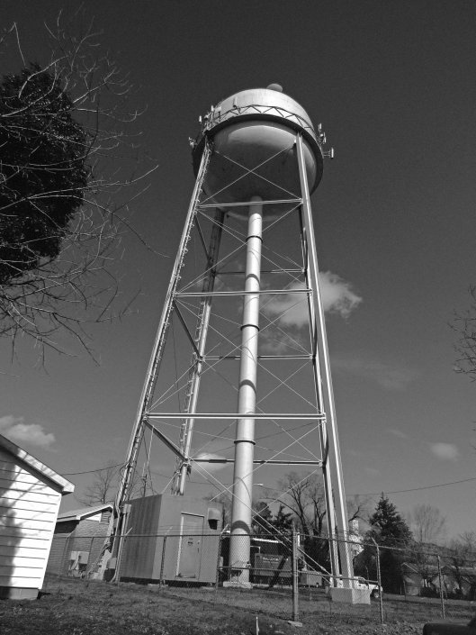
Water tower
Grabbed some lunch at the Down Under carry-out, headed back to Byrd Park, ate and looked for the Goats of Goat Island.
The yellow tag says UMES 1995
A really nice combo road trip and research kind of day!
This was a really nice road trip. A little over-cast but nice. The first time we visited BWR a couple years ago, we followed the not too smart, smart phone that directed us to the middle of a swamp and then to Crappo. Another time we traveled to Cambridge and then south to the Refuge. This time we decided to take the scenic back roads. I saw on a map that there were a couple kayak put-in spots so we thought we’d check them out.
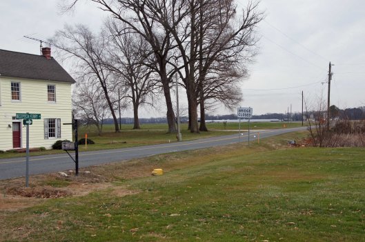
We took Rte 50 to Vienna and headed south on Rte 192. On the map was Bestpitch Ferry Rd., showing a launch. What wasn’t on the map was this sign:
When you see a “Bridge Closed” sign, you should heed it! Na! We thought this was the bridge they were talking about. It wasn’t.
Electric wire fishermen.
The road started to get a little hairy and we could see where it had been washed out in places. Then we came upon this.
On the other side of the barrier a wood, one lane bridge. Looks alright to me.
The kayak launch site is across the river, to the left. In the photo below it looks like a launch that has flooded out over the years.
Time to turn around. Bridge blocked, road falling apart and now a fire.
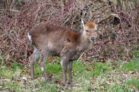
We make it thru the danger and head back to Decoursey Bridge Rd to Bucktown. On the way we came across this little, unafraid of the truck fellow.
Glad we had the detour. Some nice places to visit.
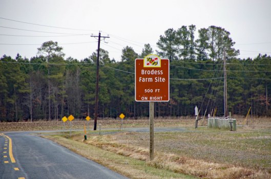
Harriet Tubman Underground Rail Road.
The Brodess Farm is where it was said HT was born. Other accounts say her mother and herself were brought (bought) here after she was born.
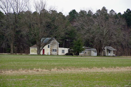
There is no trace of the original farm house, although this one is there. Private property, keep out.
Heading down Greenbriar Rd to Maple Dam Rd, we came across this house. It was unmarked but looking at a couple history pamphlets, we found that this was the Nause-Waiwash Longhouse. It was an abandoned church before the Indians took it over. It looks a lot nicer in the brochure.
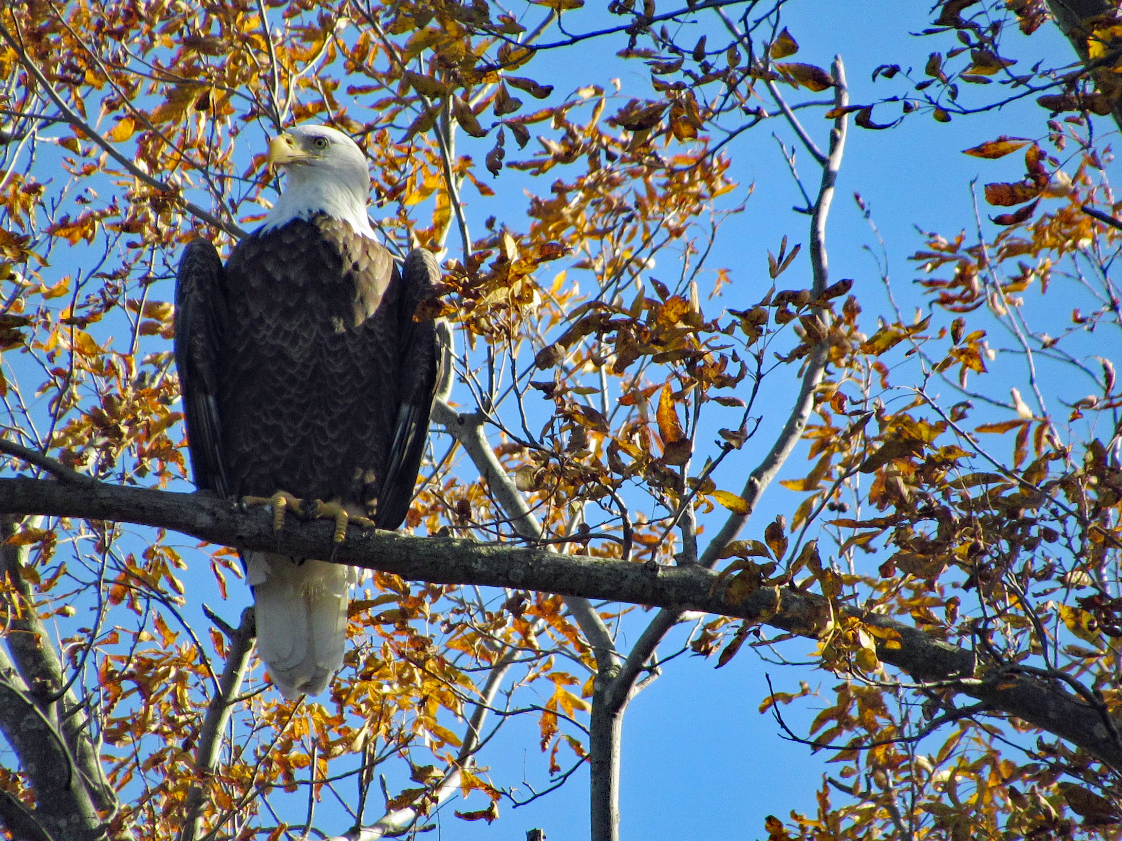
Moving along towards the refuge, we spot our first of many eagles. (We lost count at 9-10).
This guy was hanging out on the way to the visitor center.
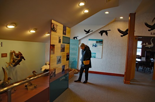
Kathy checking out the displays.
We leave the visitor center and head to the main entrance of the Wildlife Drive. Stopping to eat lunch at the observation deck. On the left of the road there is the Marsh Edge Trail and that was closed due to nesting eagles.
Here are some shots from the refuge.
One of Kathy’s pics. Nice!I see you!Me and my shadowAnother nice Kathy pic!
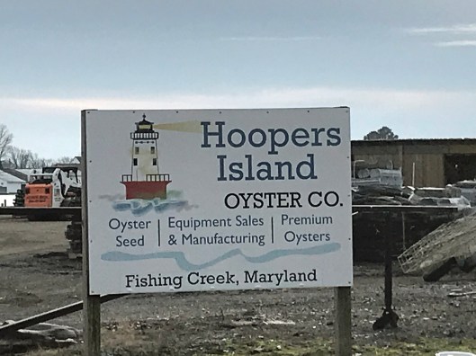
Leaving the refuge it was time to head to Hoopers Island. Rte 335. Heading down Hoopers Island road we came across this church. Originally the “Tubman Chapel”, it moved across the street. St. Mary Star of the Sea.
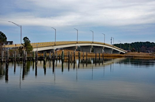
First bridge onto the islands is at Tyler Cove, Fishing Creek.
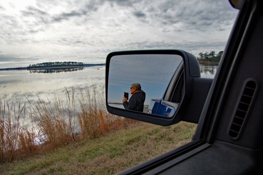
Taken from boat ramp.
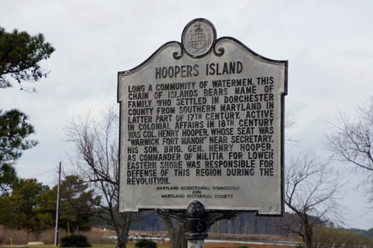
Another historical marker.
And another General Store
Behind here is a cemetery, which brings me to WHY we wanted to visit Hoopers Island. We want to see all this before it is completely submerged. There is a great video on the sinking of this island. You should watch it – High Tide in Dorchester – https://www.bayjournal.com/films
Lots of fishing and sea life down here. Hard to believe it was mostly farms at one tome.
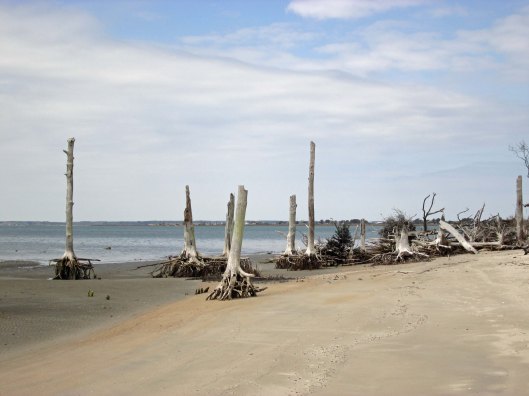
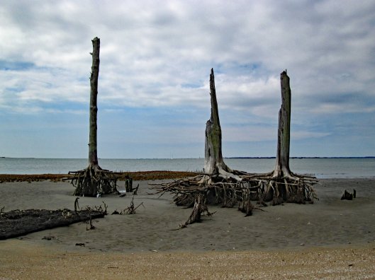
We headed south to the middle island. There are 3 islands, probably more at one time.
Roads flood in high tides and stormsFishermen returning
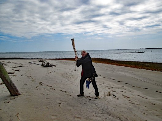
Pulled off the side to see what we could see – some sea glass, shells and debris.
Looks like 3 adults and one juvenile. Even with a 300mm lens, they were too far off.
Adult brought food to him.
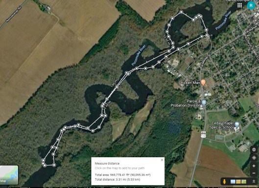
Our map. the lower island has no access.
Great day and so grateful that Kathy likes going on these eight hour adventures with me. For too long I did all this kind of stuff by myself.
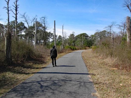
I hope our first hike of 2020 is not indicative of the rest of our hikes this year. This was a very non-descript hike – just a short path through the woods near Furnace Town. We were hoping to do the Paul Leifer Trail but you need to go through the Furnace Town gift shop/museum to access it. That closed on October 31st!
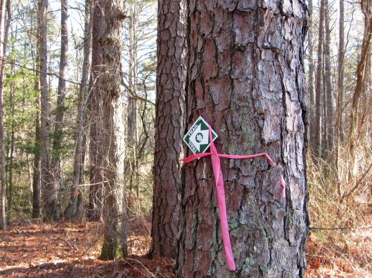
To access the trail we hiked, we headed down Millville Rd to an opening in the woods. The trail was marked with these little signs. Quite a few scattered every 20 yards or so.
We saw some water down the hill, away from the trail so we headed for it.
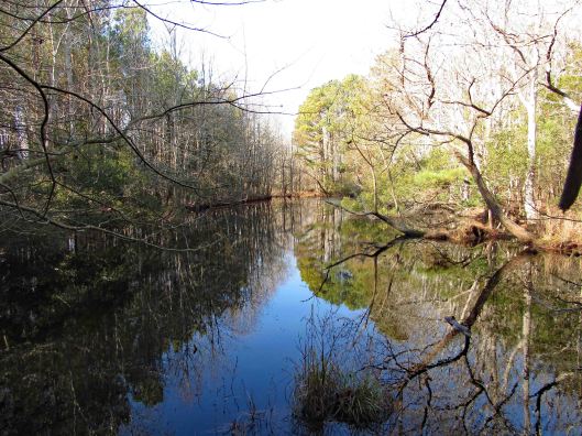
Part of the Cypress swamp.
This was probably the first hike that Molly struggled to keep up. She will be 15 soon and has not been feeling well. When I first started hiking with Kathy and Molly about 4-1/2 years ago, Molly could do 6-8 miles without any problem. Now, not so much. We end up carrying her for a good portion.
Up over the hill was this.
When deer attack!
A little green on a drab day.
So the trail heads into the woods, just this side of the canal and then back up to Millville Rd and puts you on the road for a bit.
On the map below, to the east of the yellow line is where we should have been but couldn’t. But that is ok. Any day you can get a hike in, short or long, picturesque or drab, flat or hilly, rain or shine – it is all good. We can’t think of a better way to start the new year!!
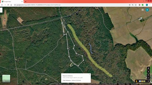
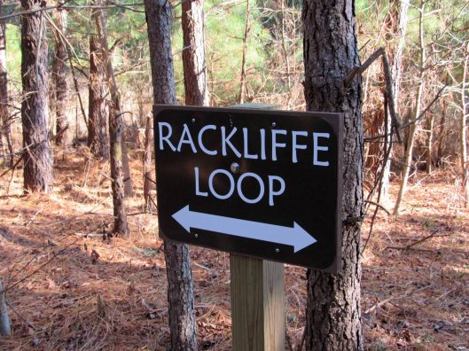
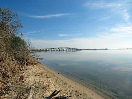
It was a beautiful day Saturday, December 28, 2019 and there is nothing better than taking a hike on a beautiful day. If we had known it was going to be as warm as it was, maybe we could have went kayaking instead! Next time. We have a lot of favorite hikes that we do, but sometimes we look for new places. Although we have been to the Assateague area many times, we saw a spot on the map we never have been to – Rackliffe House and trail:
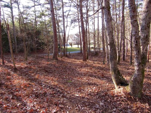
This historic site is behind the visitor center. There are 2 trails that lead there. We chose the wooded one instead of the asphalt.
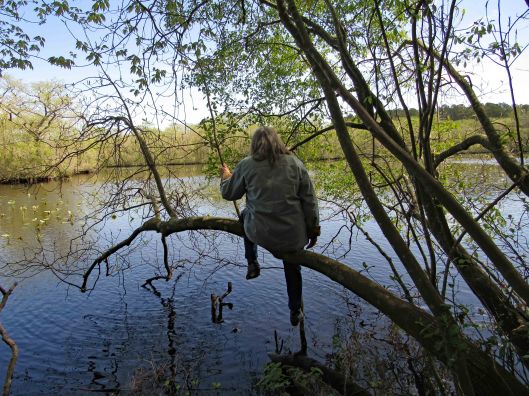
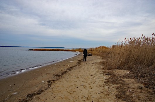
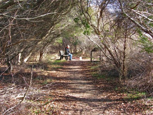
Across from where Kathy is sitting is a path to Sinepuxent Bay with the Verrazano Bridge in the distance.
A very short beach hike.
Kathy picKathy pic
Leaving the beach we head towards the house, passing the golf course.
Nice tree tunnel
This Geo-cache was hanging in plain site. At first I thought it was a wildlife camera.
Always nice to have a choice in the paths we take in life.
Historic house – from their website:
Rackliffe House, a 1740s merchant-planter’s home overlooking Assateague Island and scenic Sinepuxent Bay. Rackliffe House was constructed in the 1740s by Captain Charles Rackliffe, the merchant-planter grandson of one of the earliest English immigrants to Maryland’s seaside. The large two-story, three-bay Manor House features Flemish bond brickwork with random glazed headers, a steeply pitched gabled roof with kicked eaves, and large windows. Captain Rackliffe intended the house to be seen across the water. He built it on a prominent ridge atop a man-made terrace with expansive views of the water and island.
In its time, Rackliffe House has witnessed marauding Spanish galleons, Barbary pirate ships, and English men-of-war. The house has stood through the Revolutionary War, the War of 1812, and the Civil War. Today, thanks to the restoration efforts of the Rackliffe House Trust and the Maryland Department of Natural Resources, historic Rackliffe House now serves as a coastal museum that interprets 18th-century life along Maryland’s seaside.
View through the house
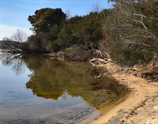
The second part of the loop includes a pond and a stream
Brave Molly stepped over Kathy’s feet to cross over
I thought all the bugs died off during the last freeze. Termites.
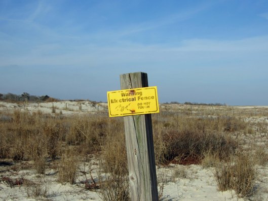
We leave the visitors center and the Rackliffe Loop and head over to the ocean. Always a favorite. And again we sought out an area we have never hiked. North of the Youth Group Areas. We hiked behind the sand dune and saw this. Who they keeping out or in?
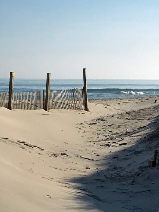
Rounding the corner to the beach.
Kathy pic
The beach with not a lot of shells, just this small group;
Getting ready for the new year.
Not that we run around nude on the beach a lot, but this sign makes you wonder! Kathy says this use to be an unauthorized nude beach many years ago.
Beautiful day, beautiful hike and beautiful beach! Thanks God for another beauty!