Retirement has been hard work and it seems like forever since we have been able to find the time to enjoy a really nice hike. It was really cold and windy when we hiked Chincoteague a couple of weeks ago. Today did not seem like a good day to hike with the impending storm on the way, but we said the hell with it. We need to get out!
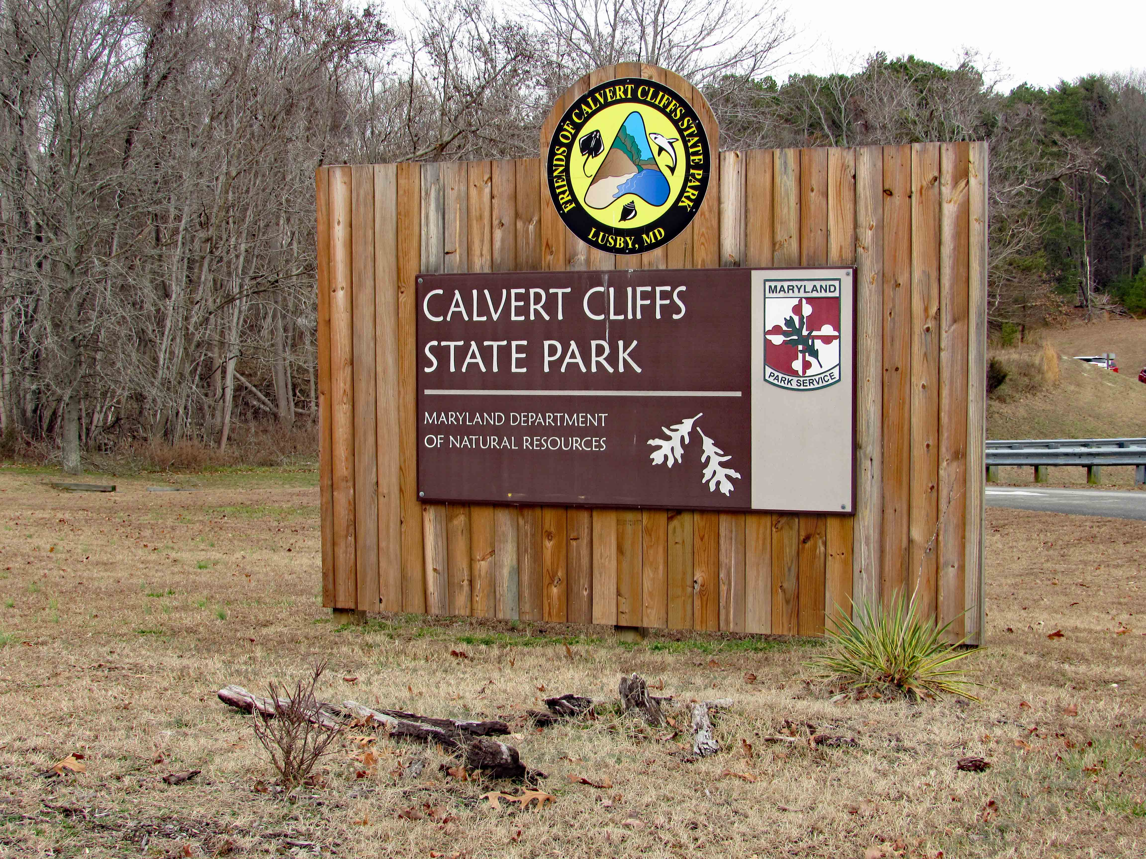
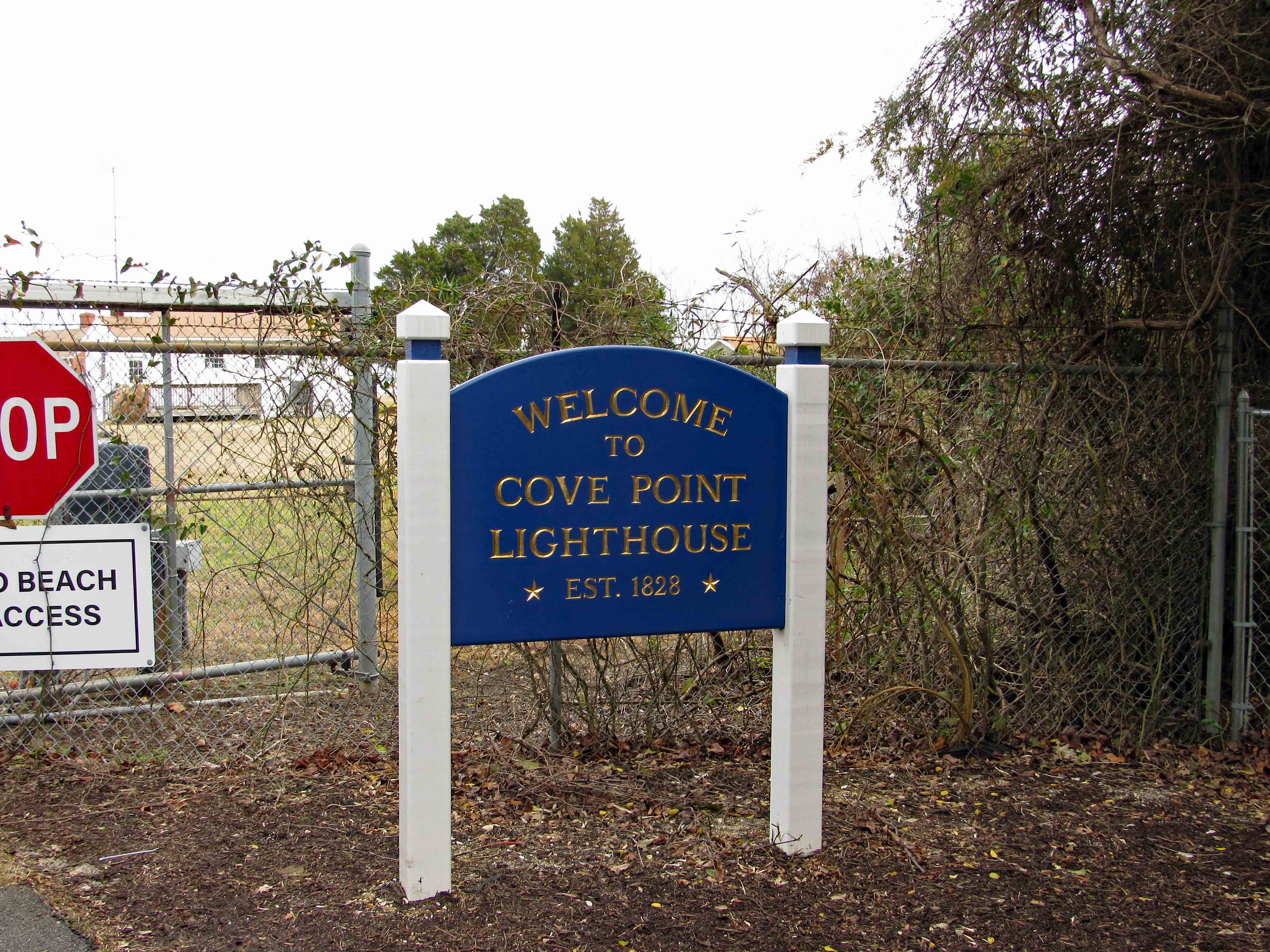
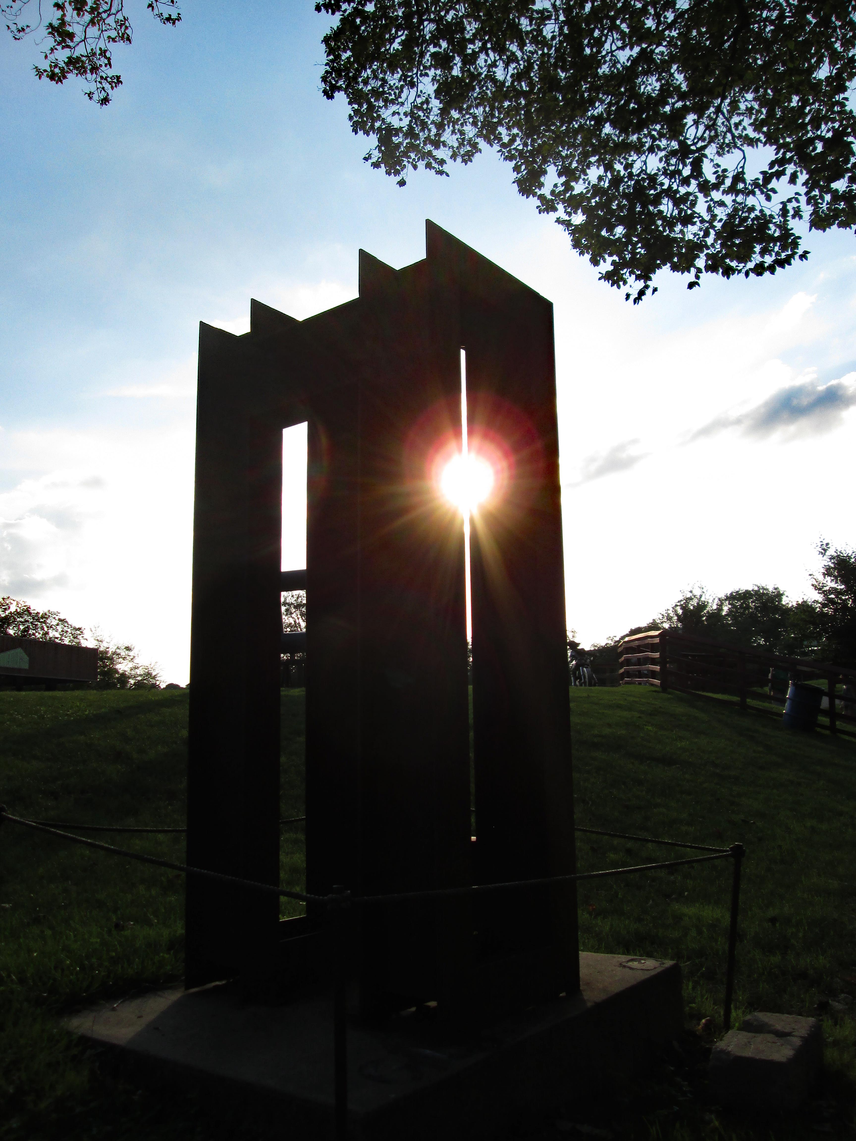
So off we went. We decided on somewhere local in case the weather took a turn for the worse. Pemberton Historical Park is just southwest of Salisbury and just a few minute drive from home. Here is the historical marker as you enter the park.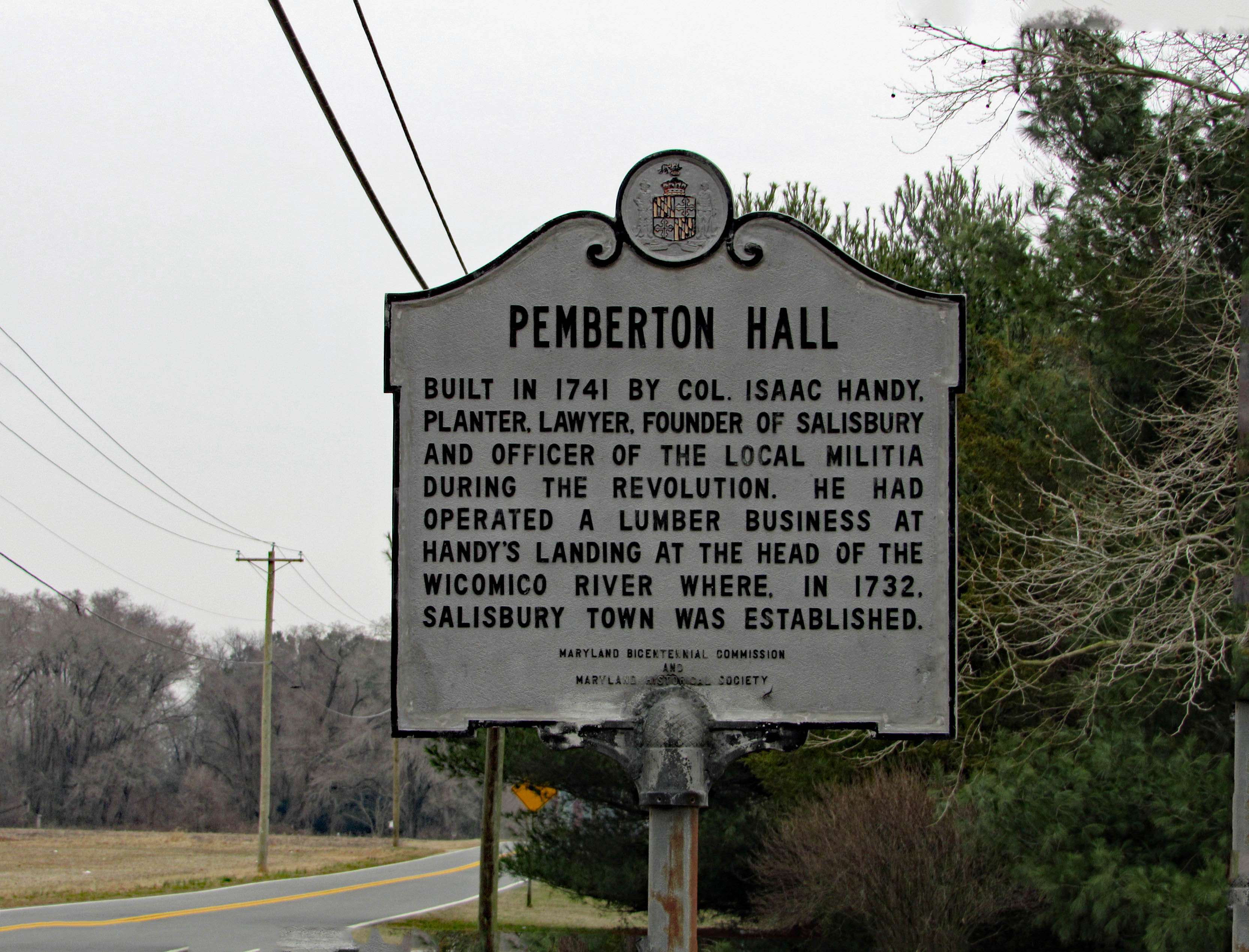
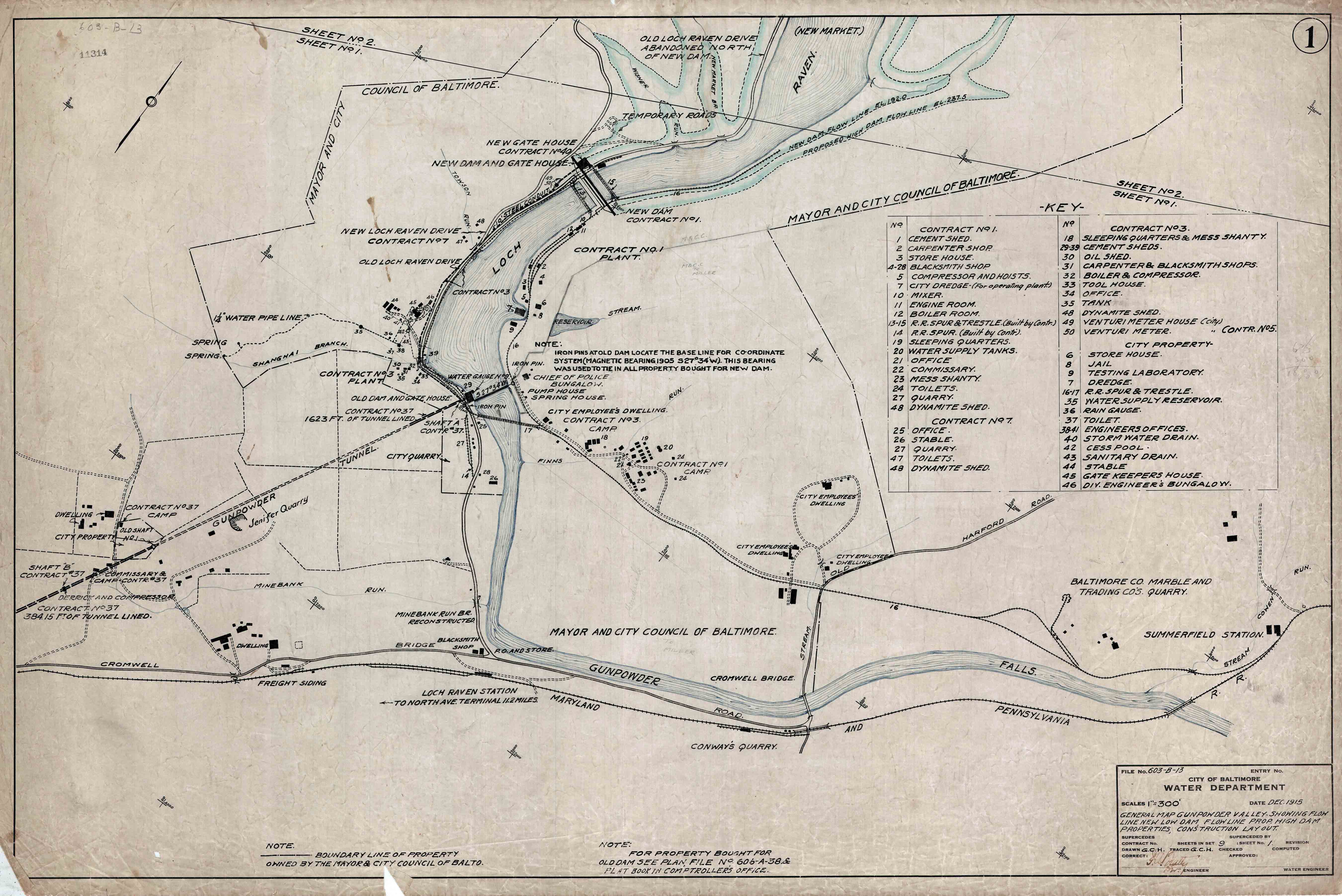
Sme more history can be found on their website. Very interesting. The trail map below. We hiked the Bell Island, Osprey and History trails, along with part of the Handy Hall Trail.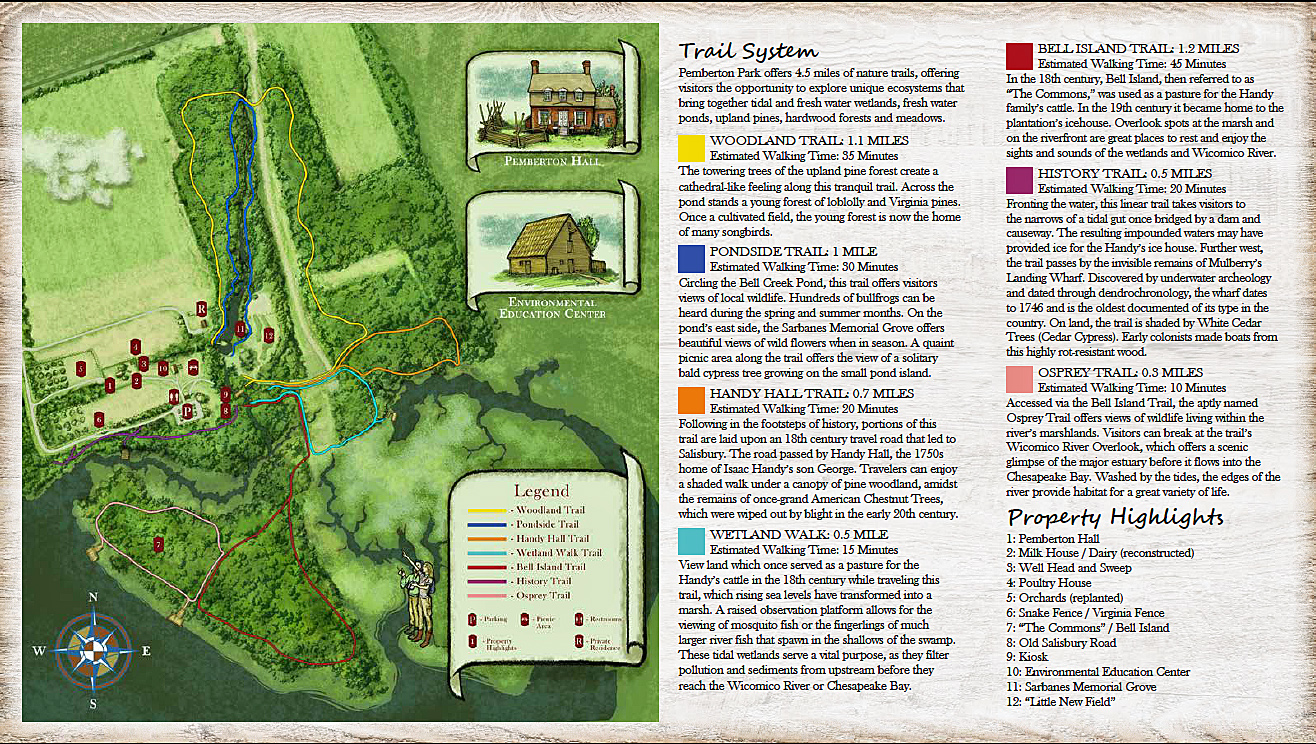
Entering the park is a nice fence…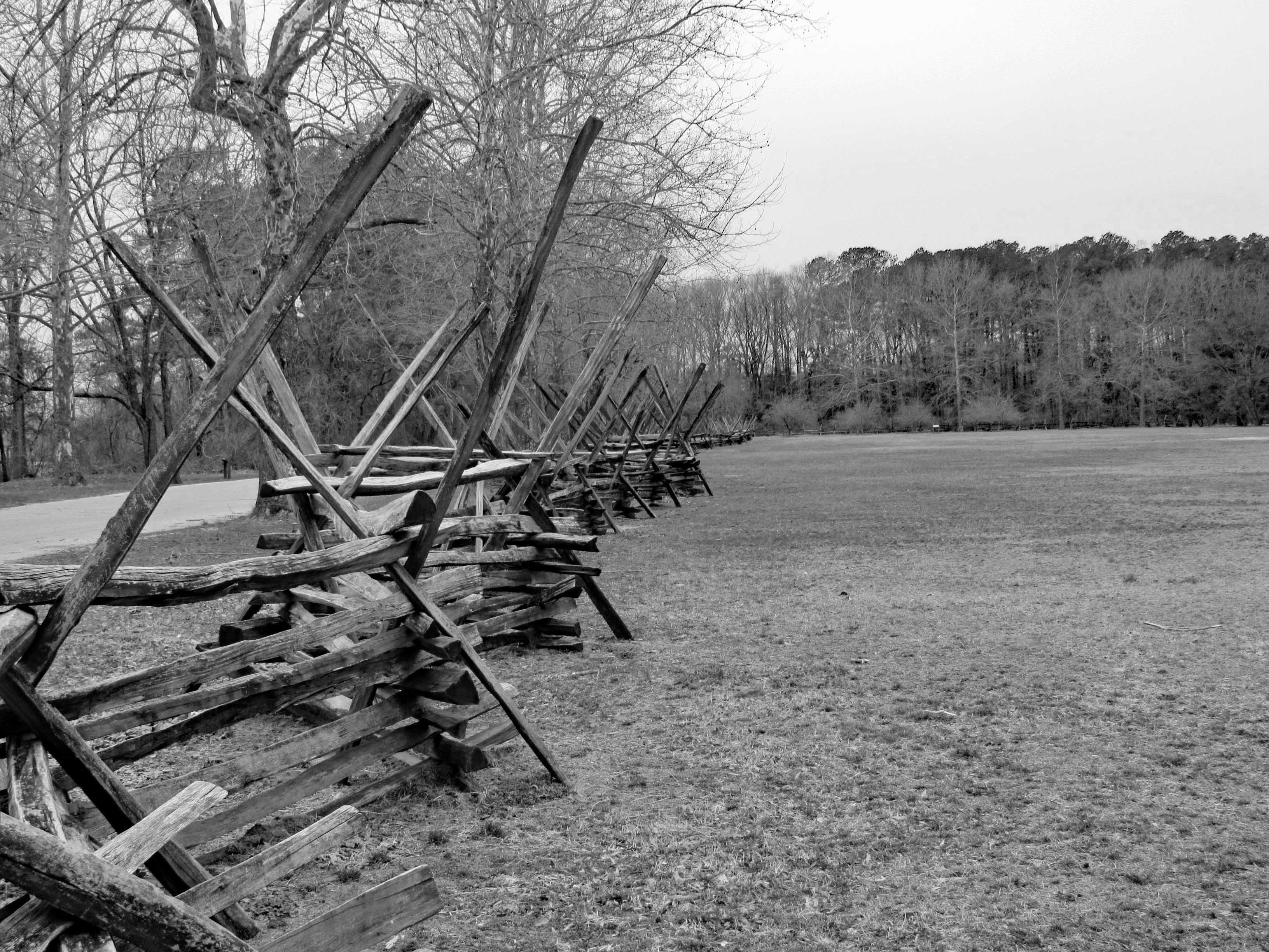
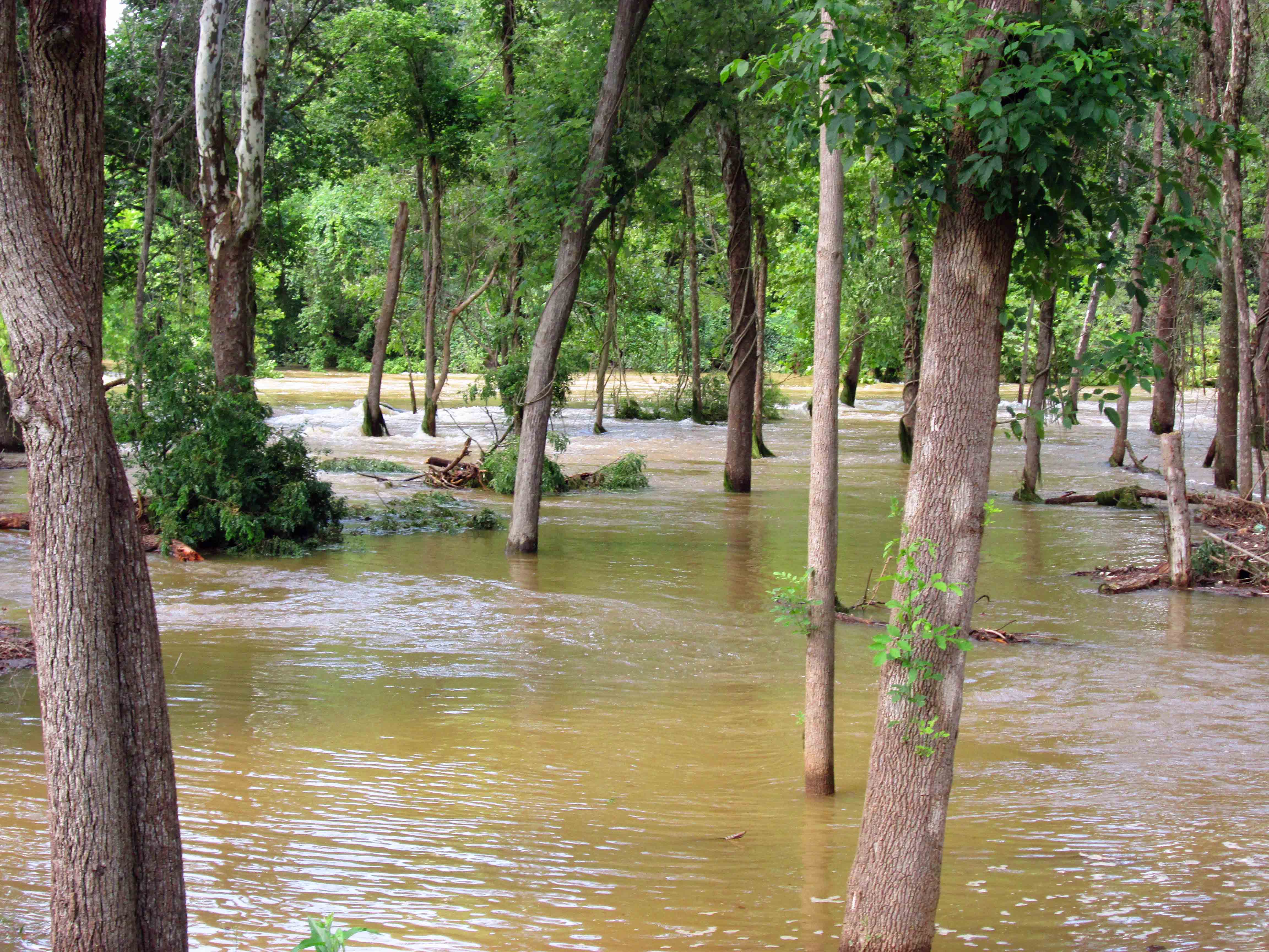
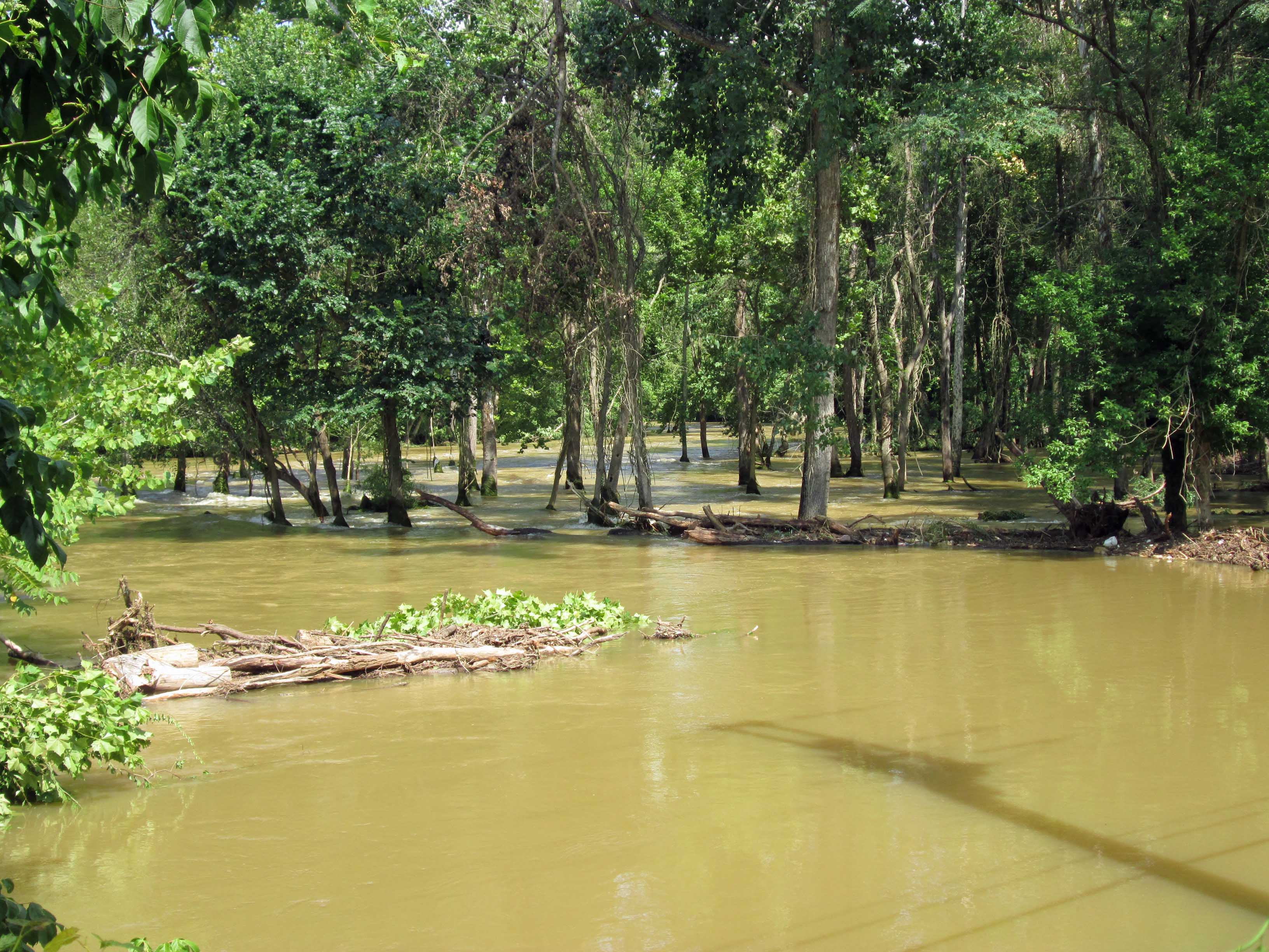
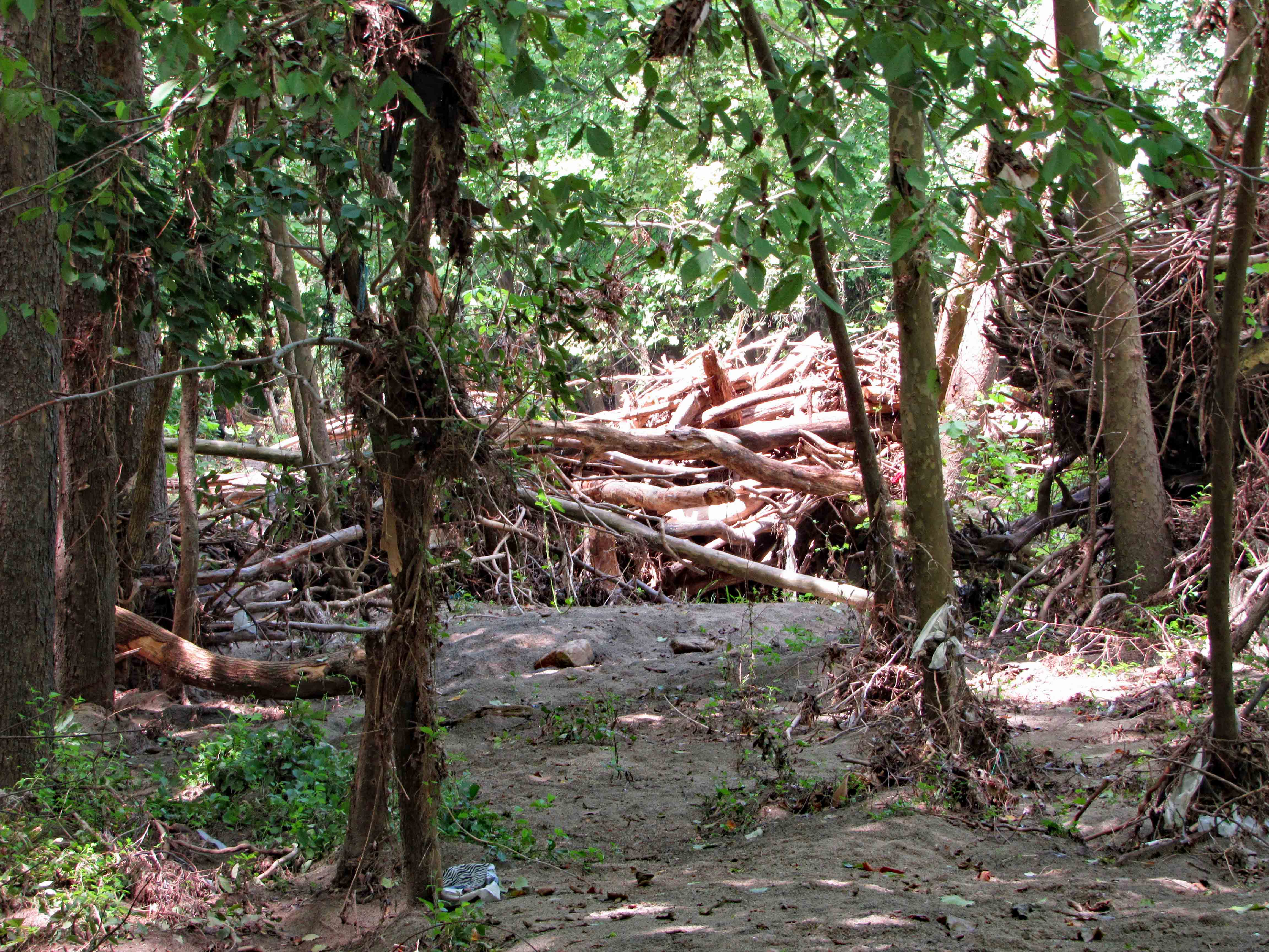
A man-made fence vs. a fence Mother Nature is making…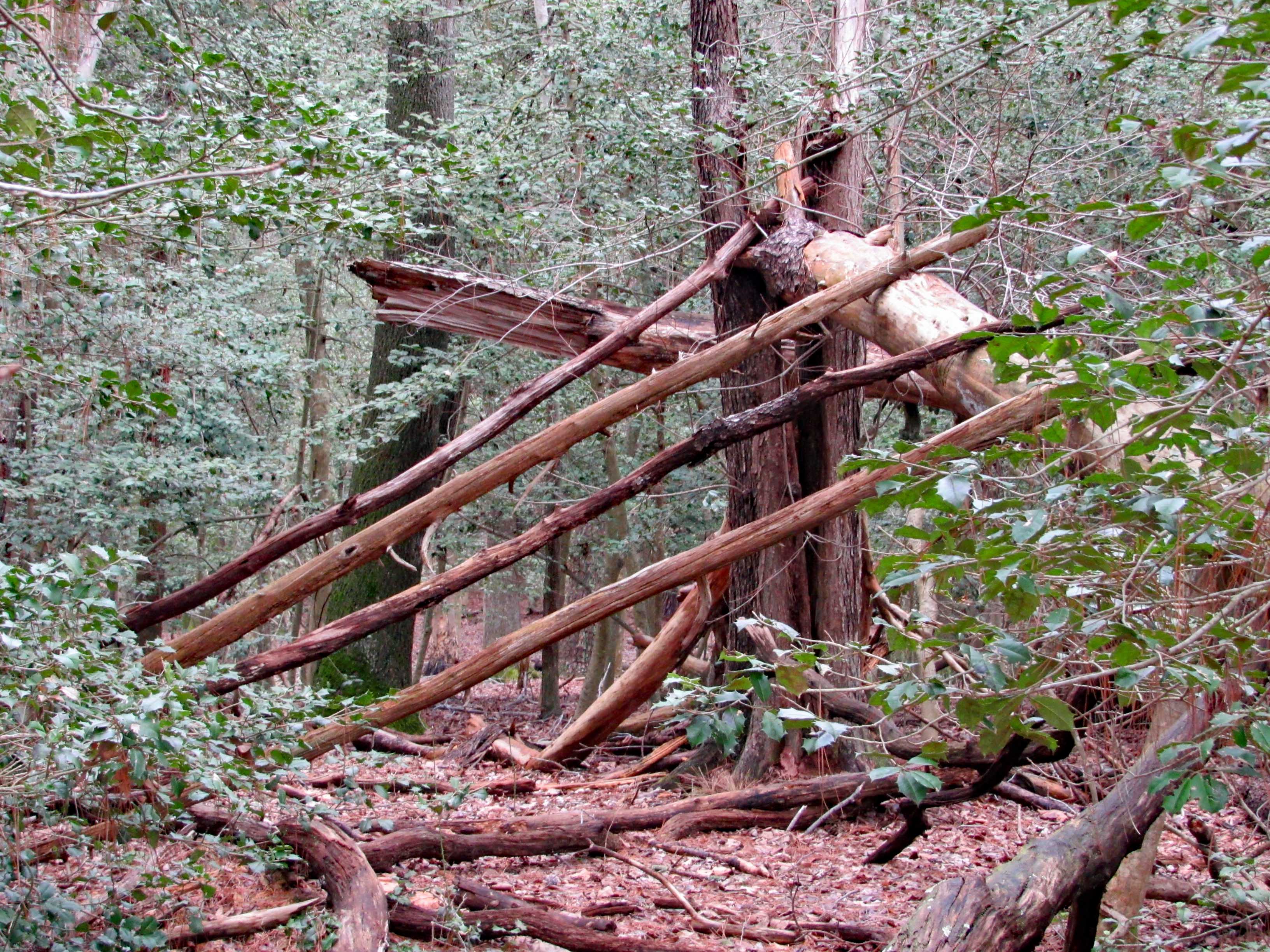
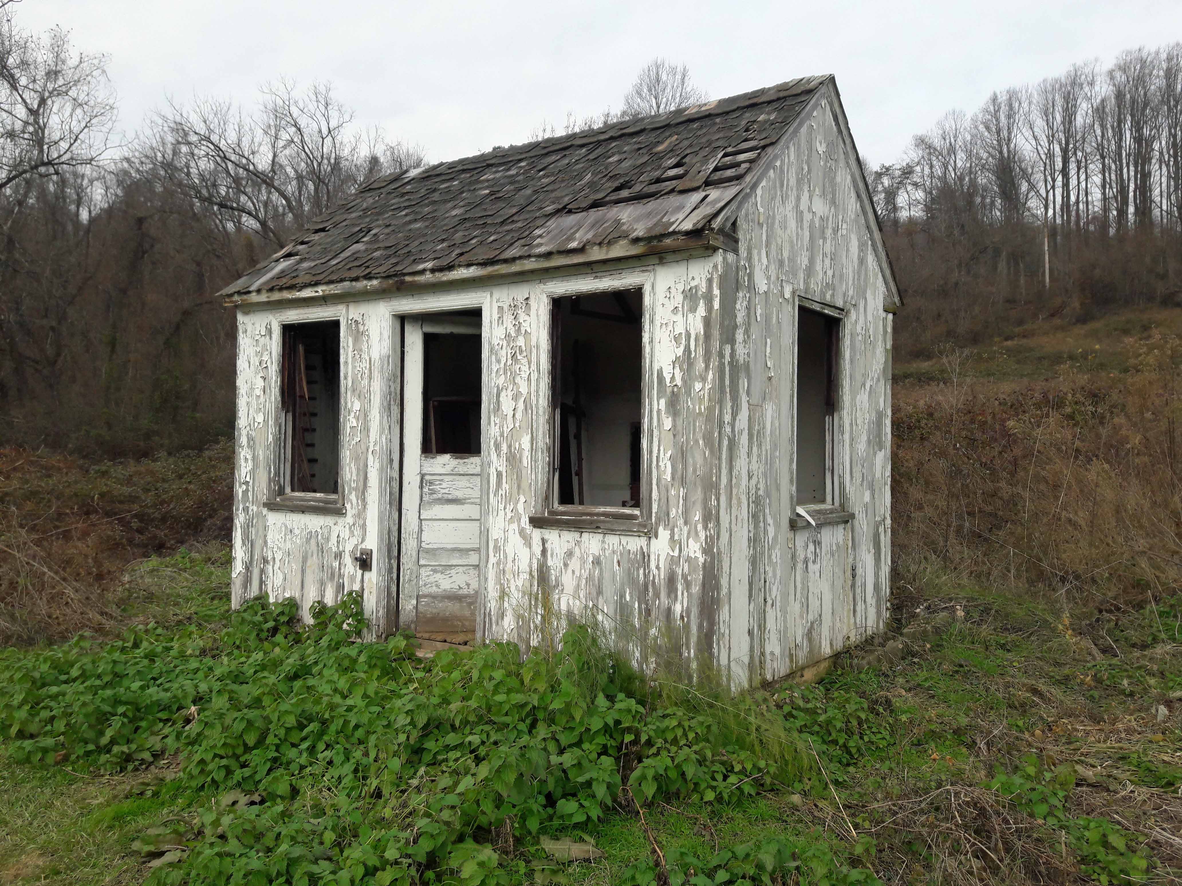
The trail head consists of various older buildings. Including this restroom.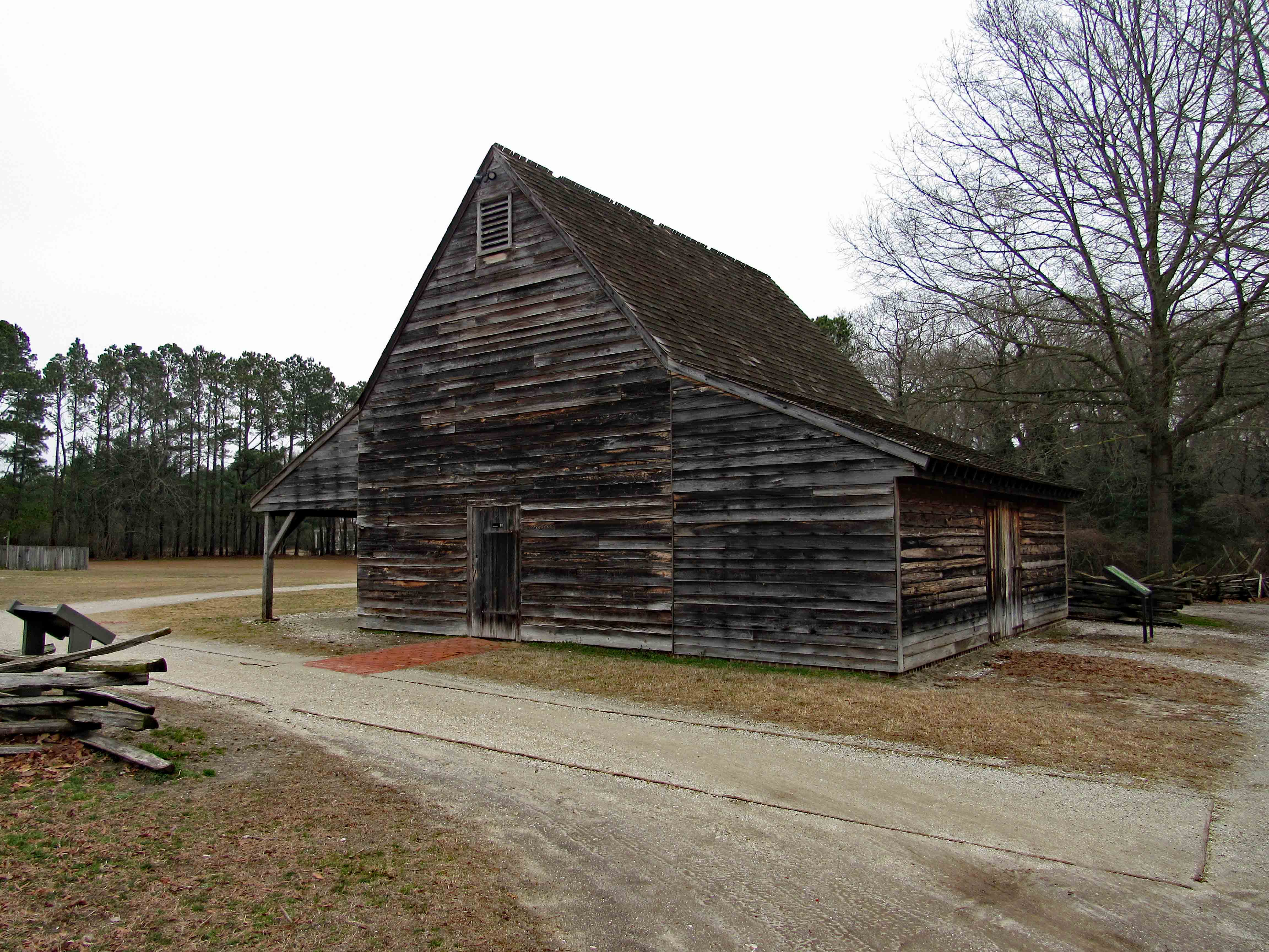
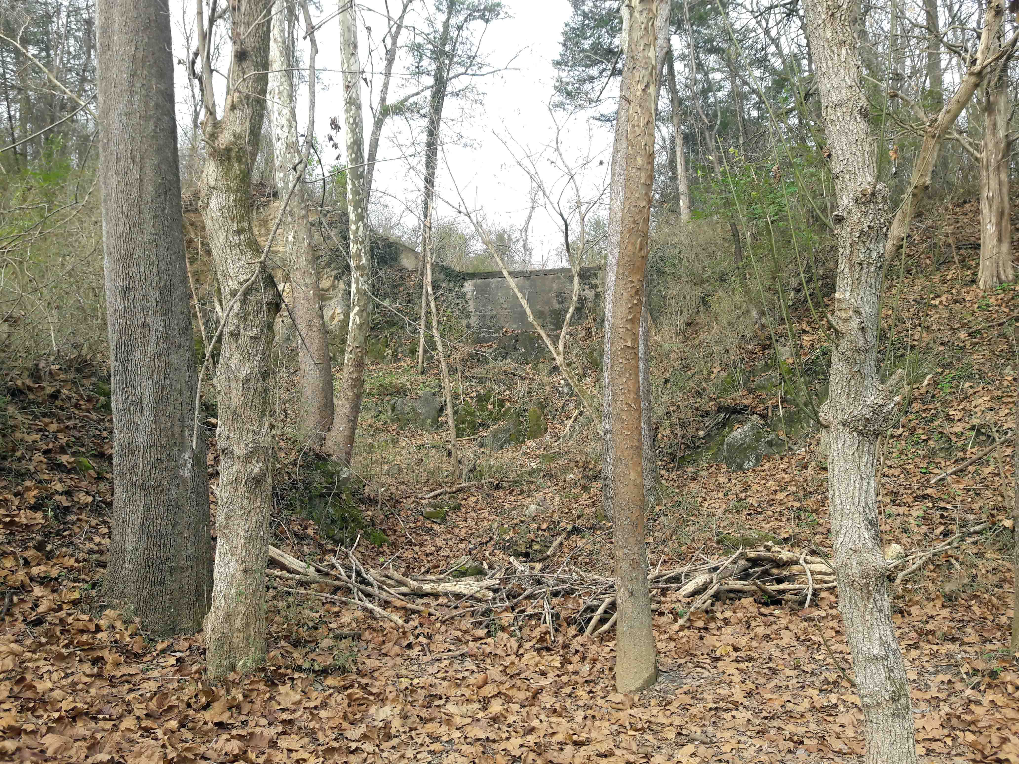
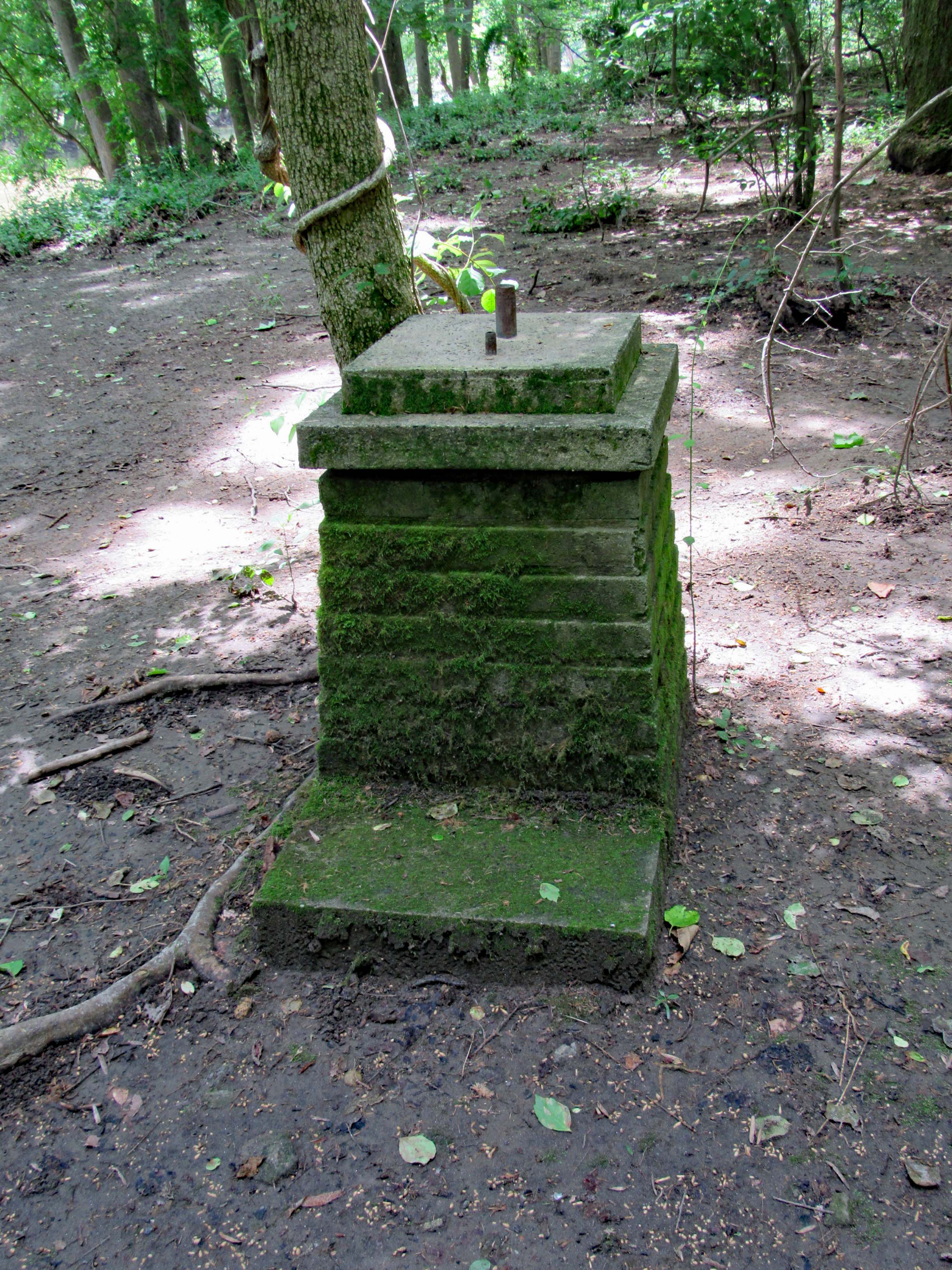
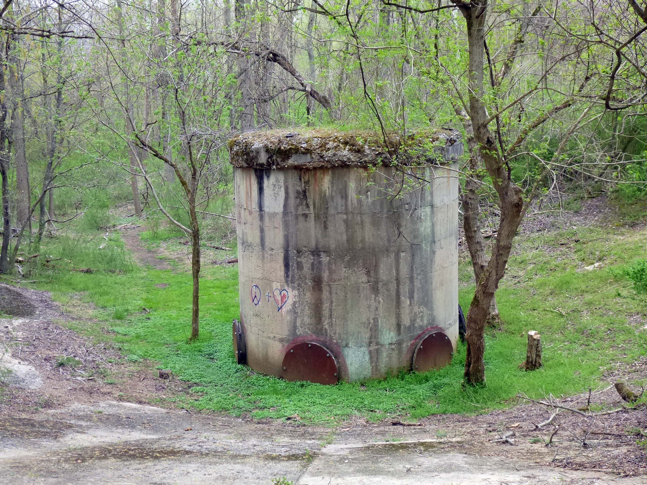
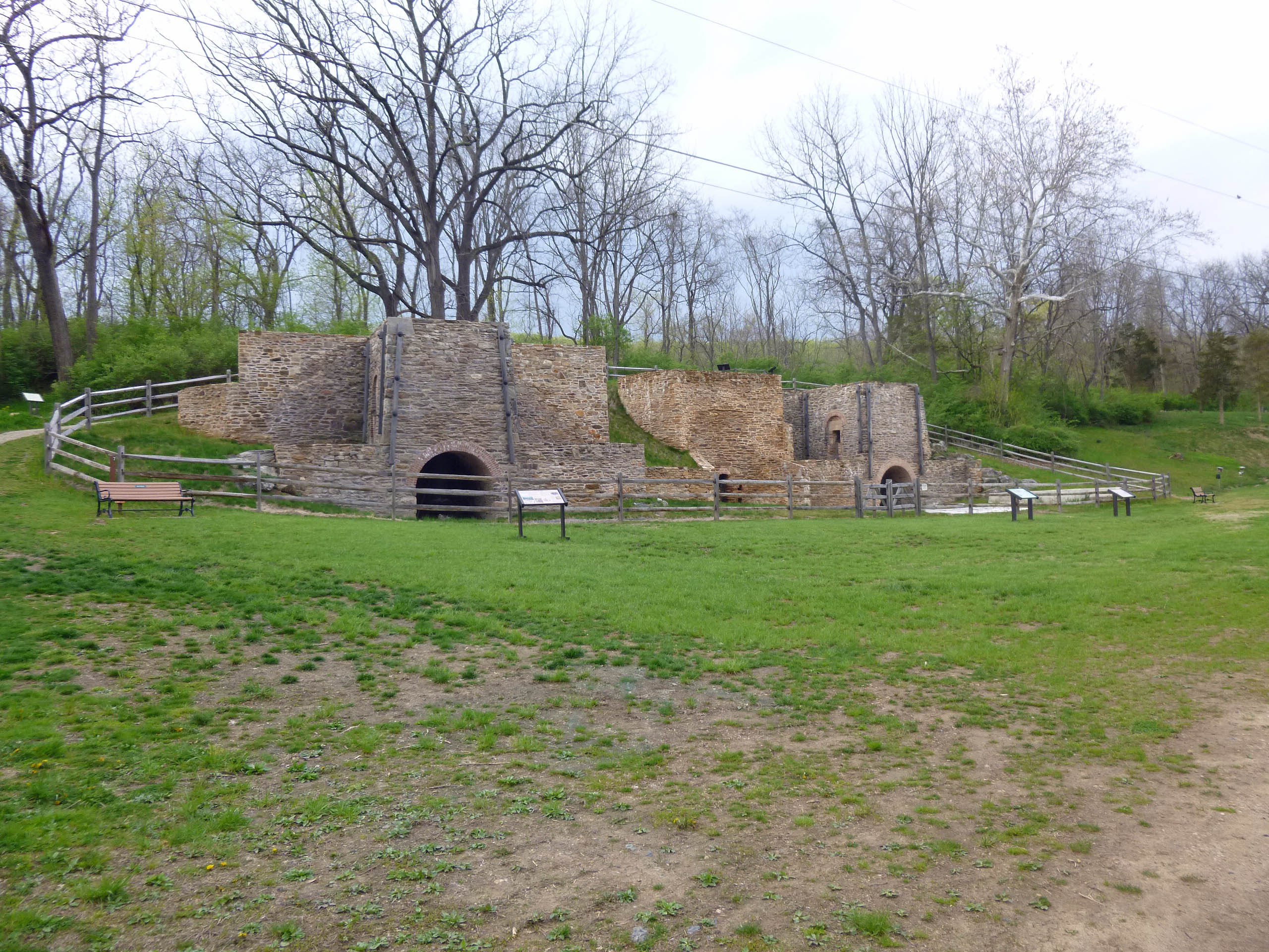
This looks to be an old bunker/storage building of some sorts.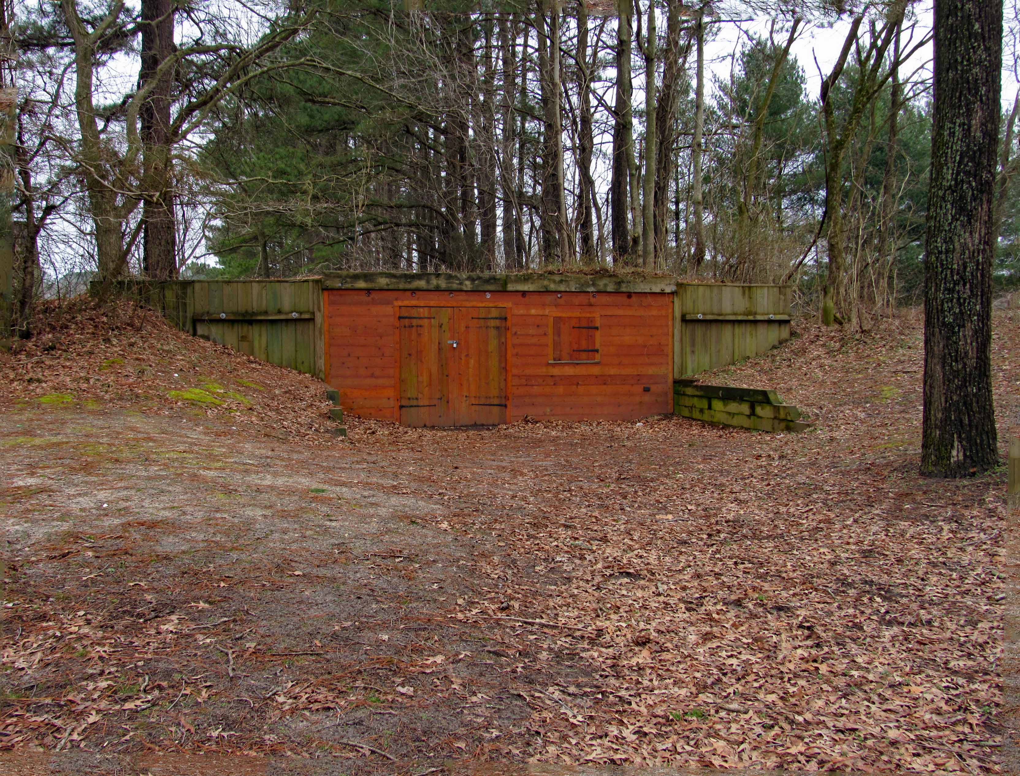
A nice theater.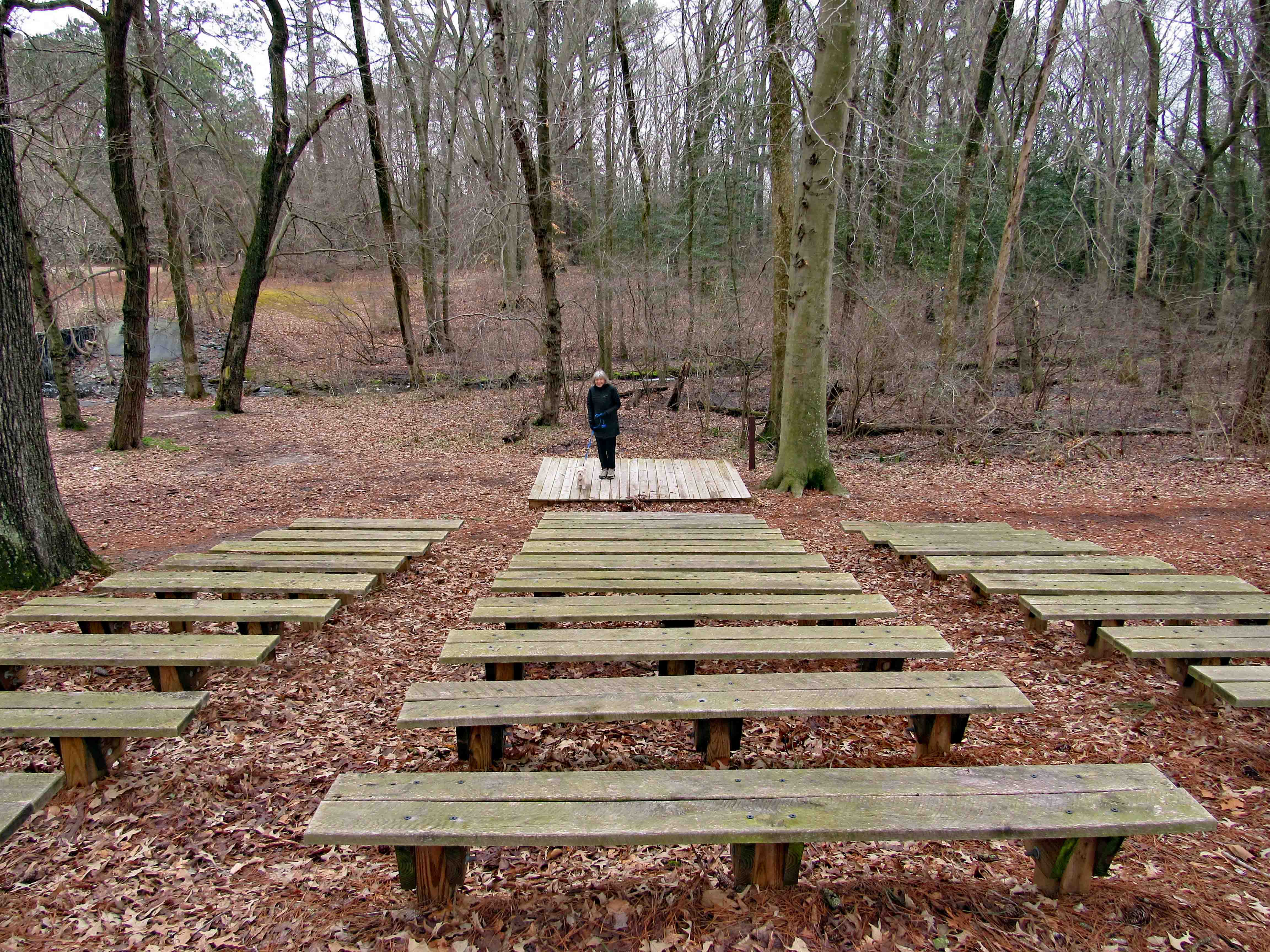
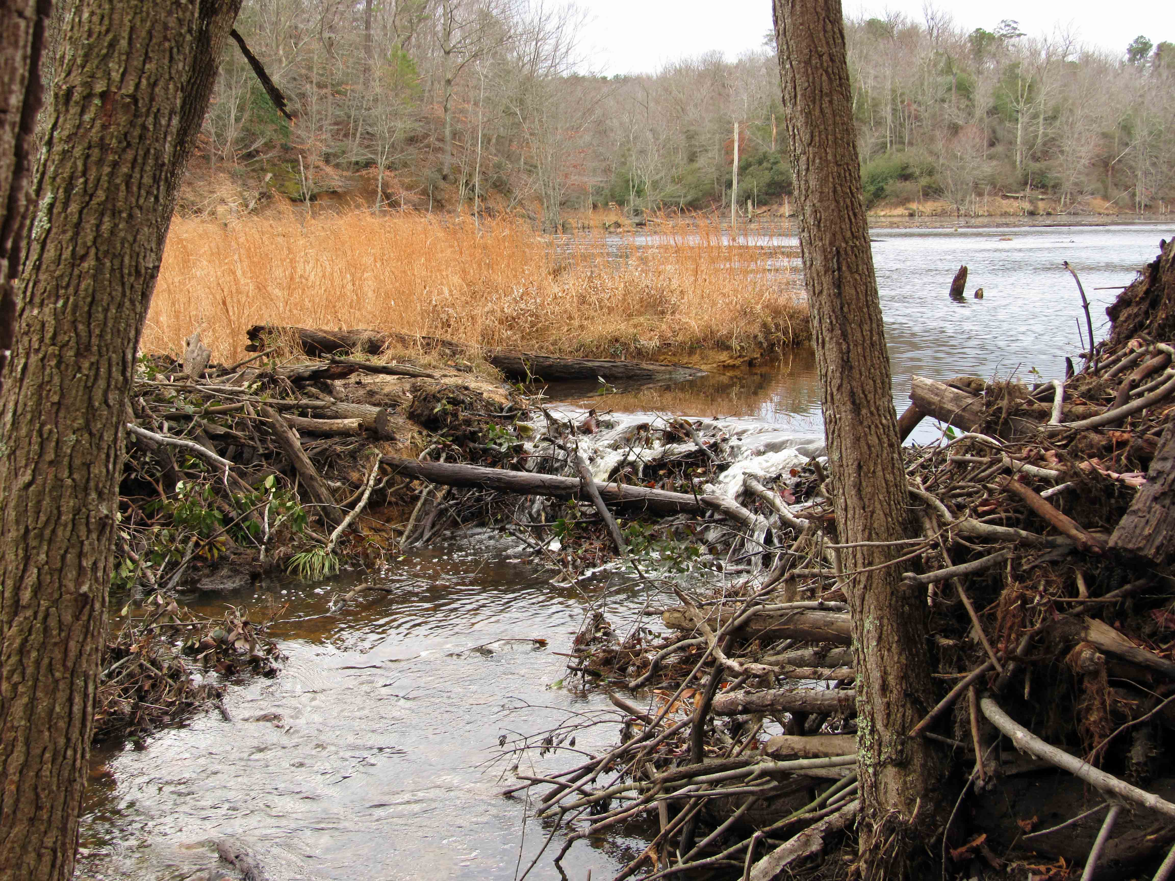
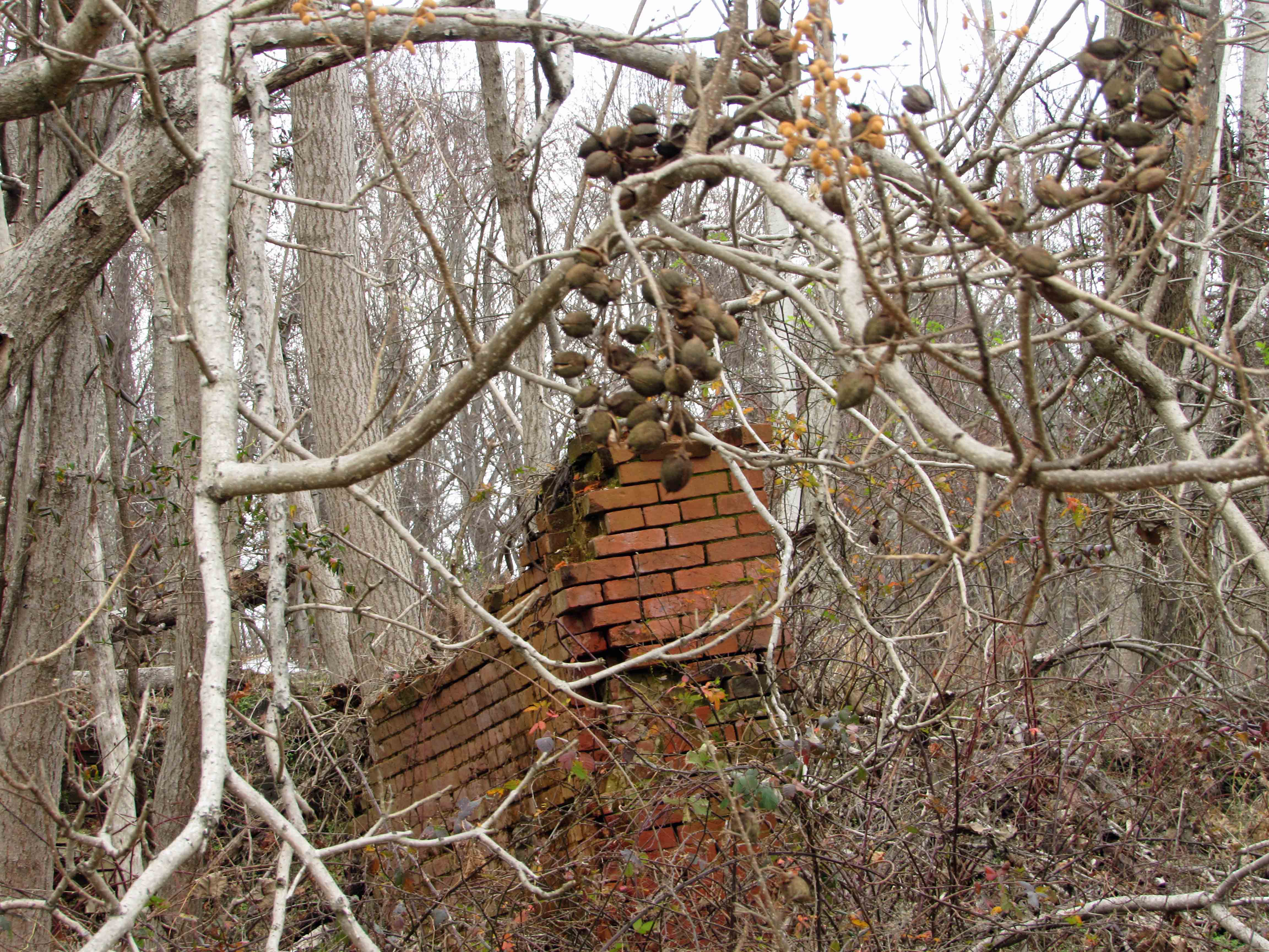
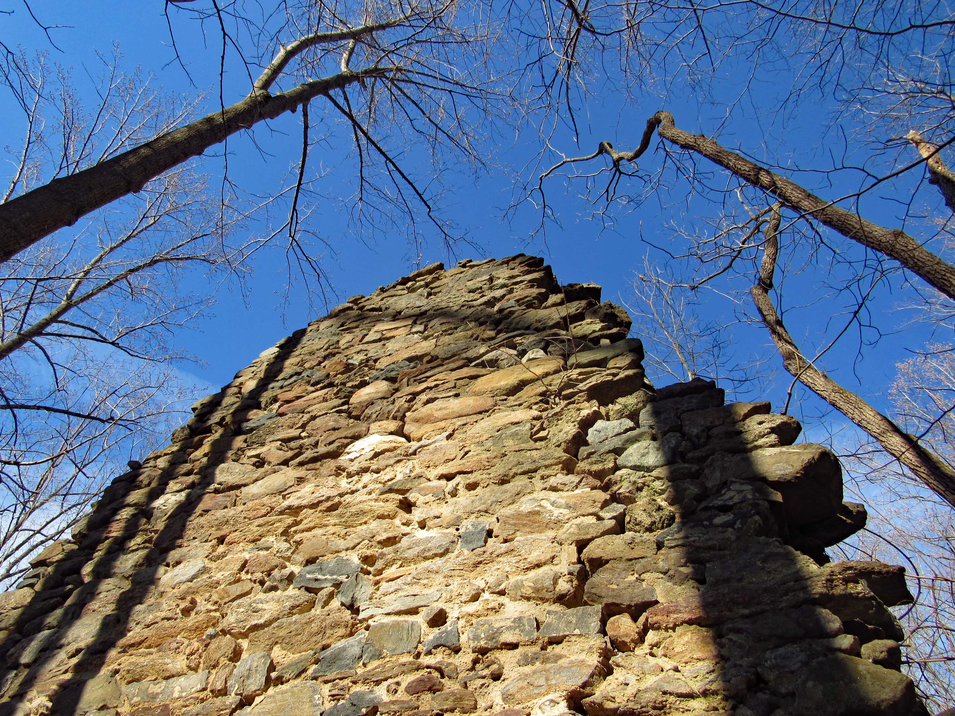
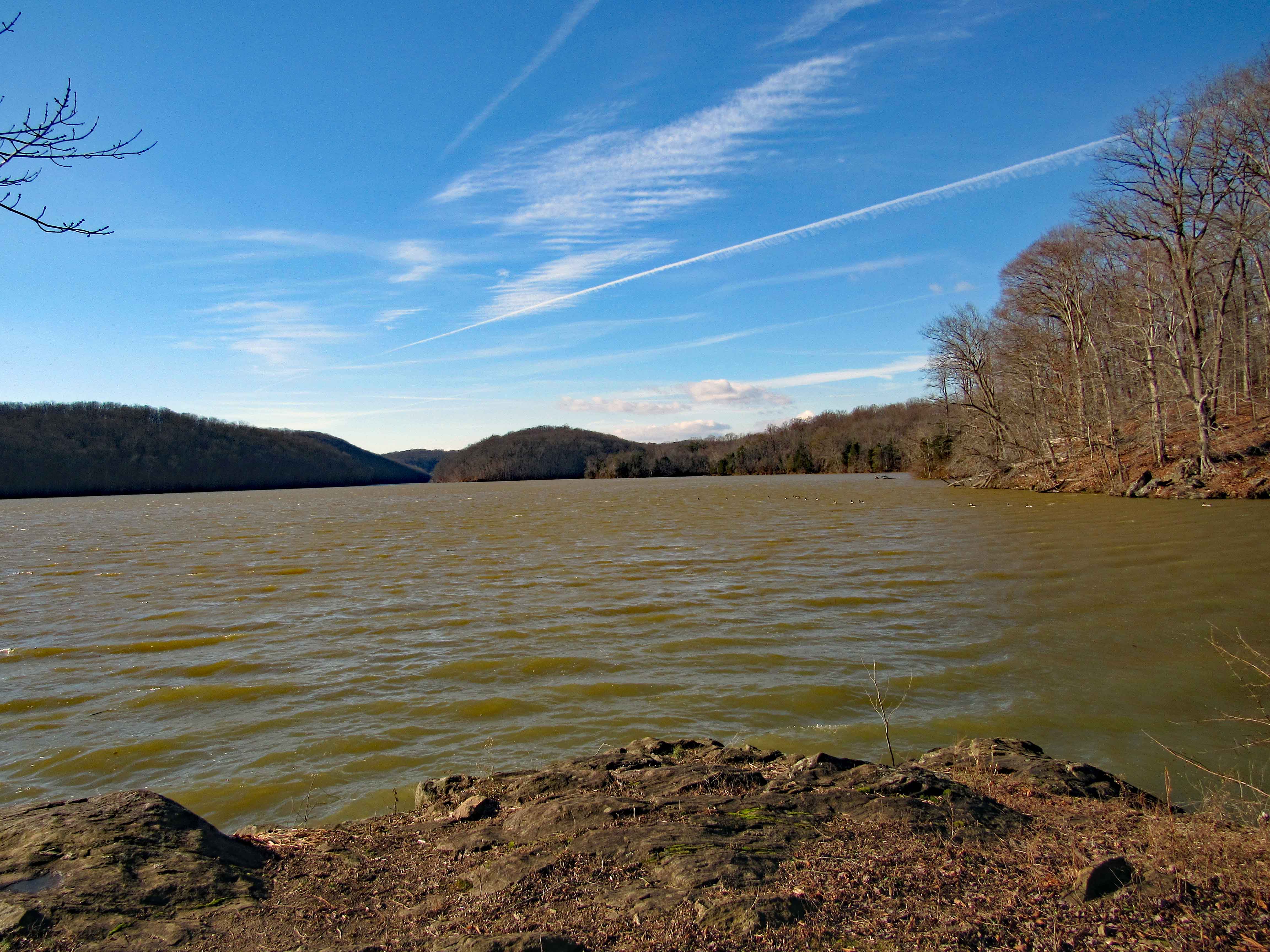
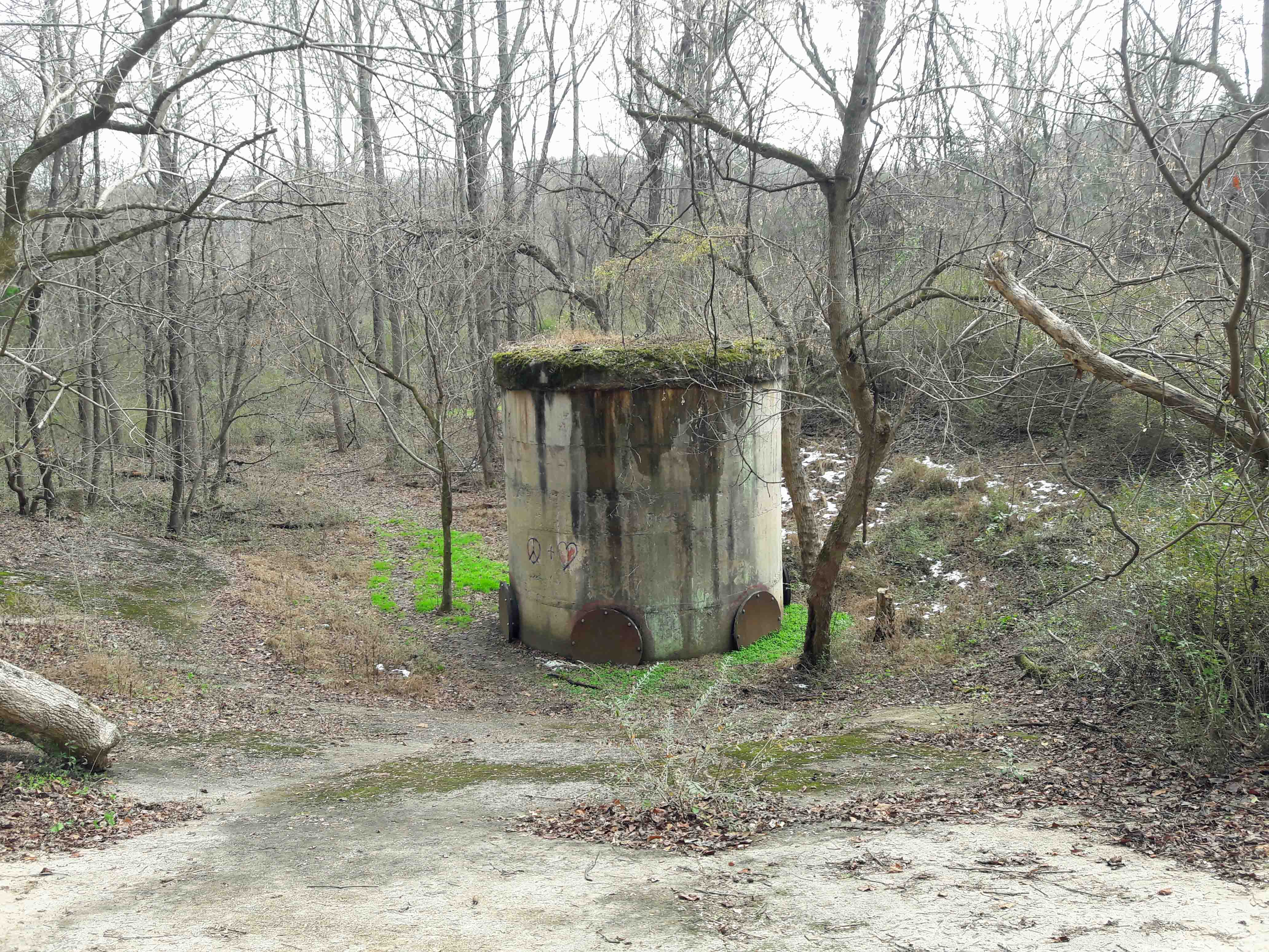
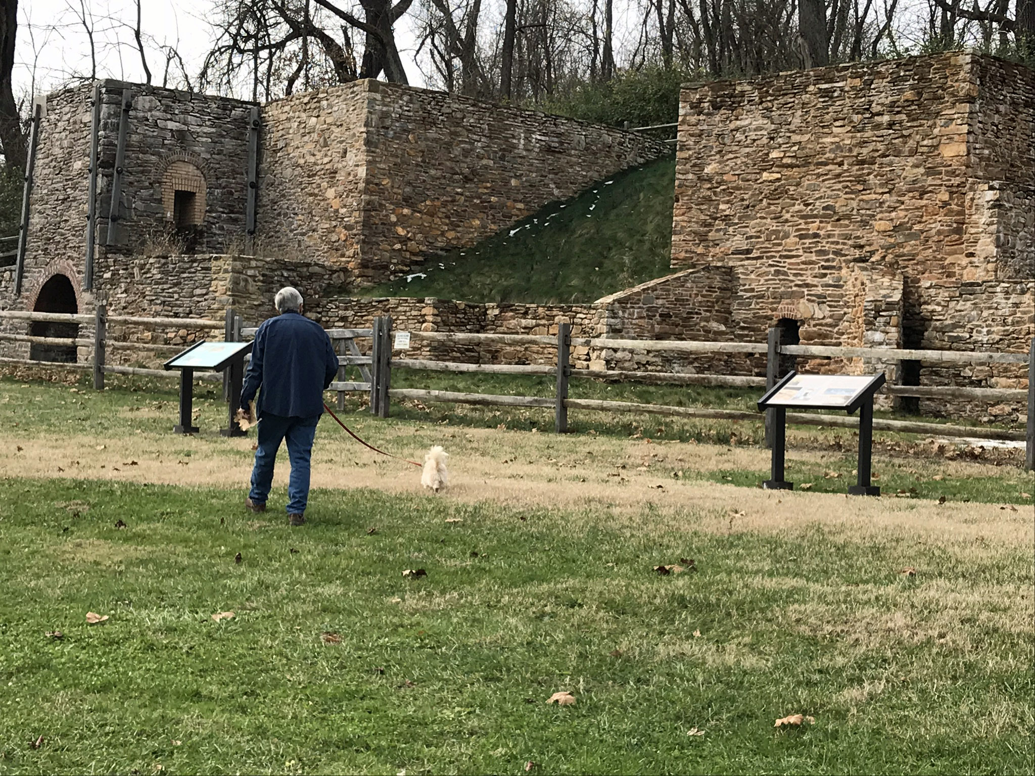
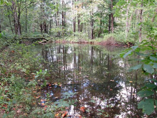
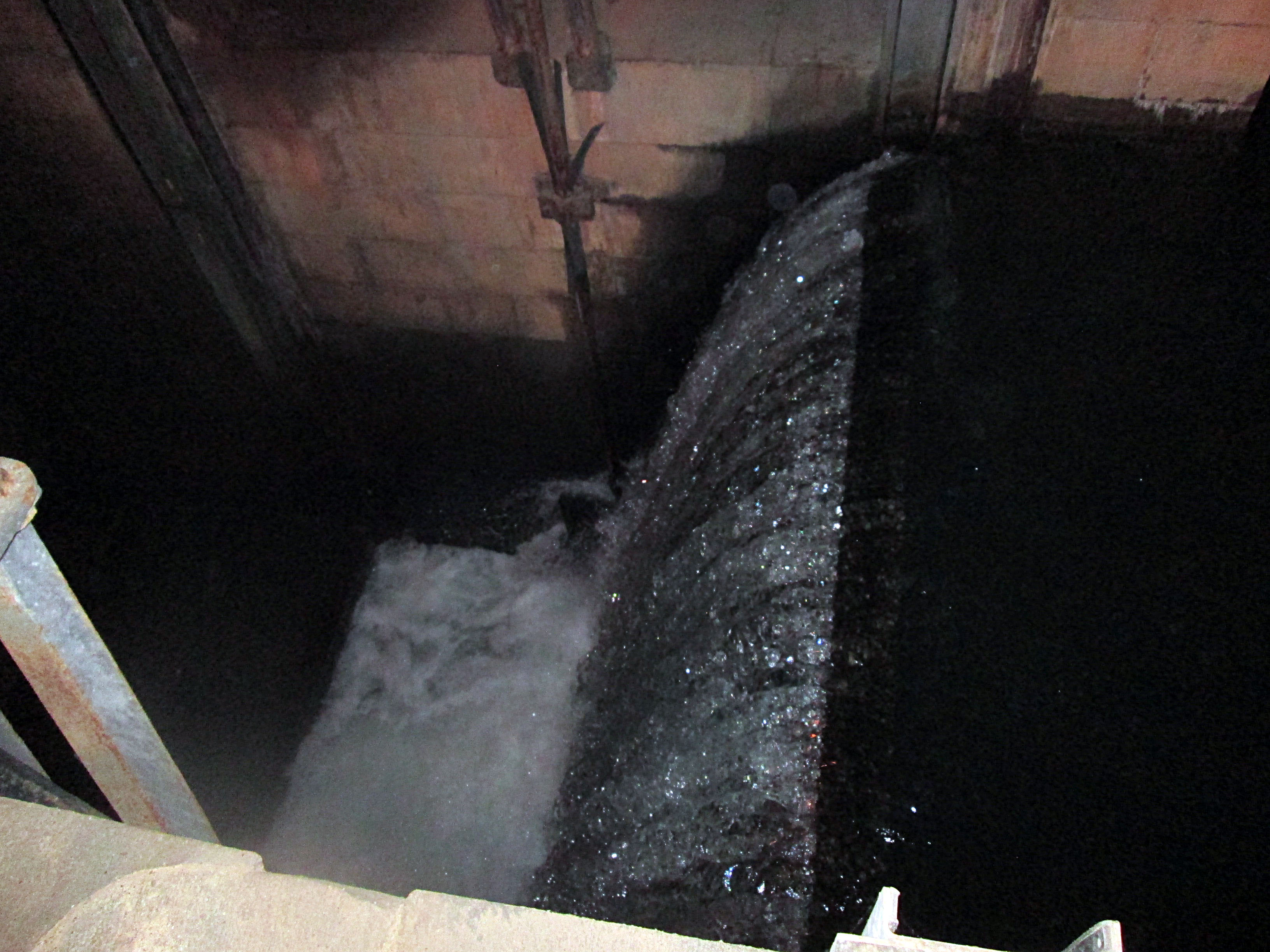
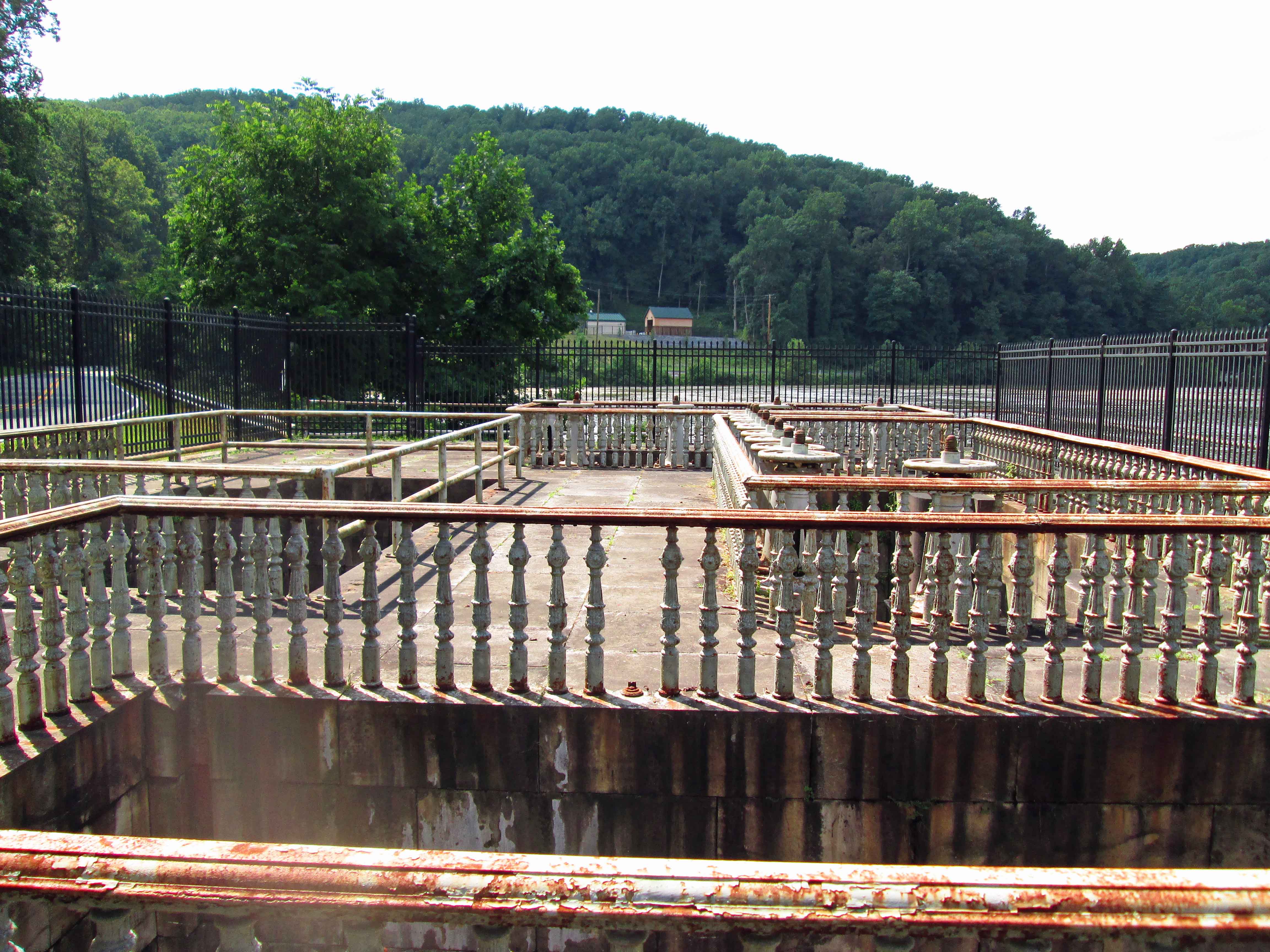
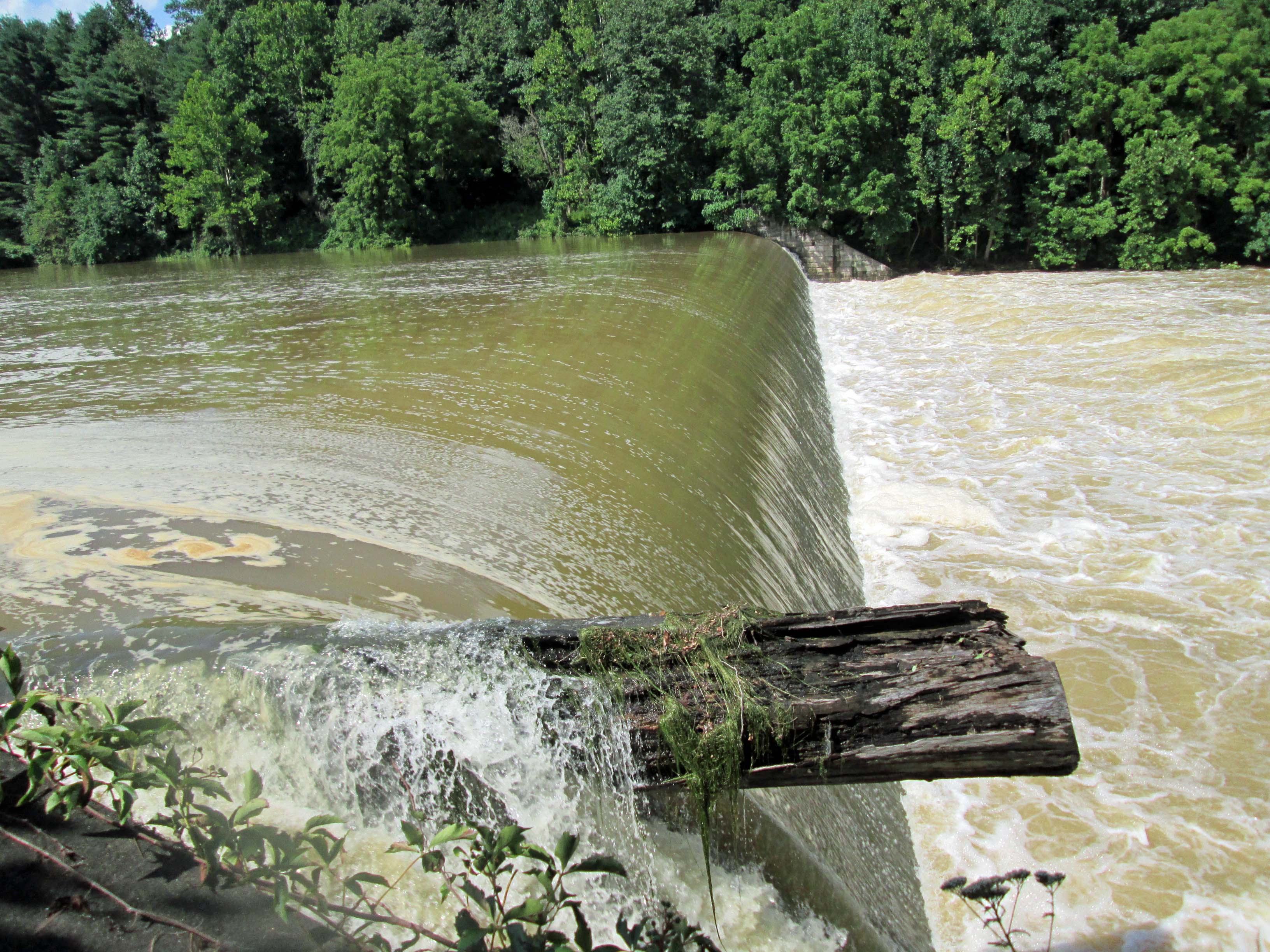
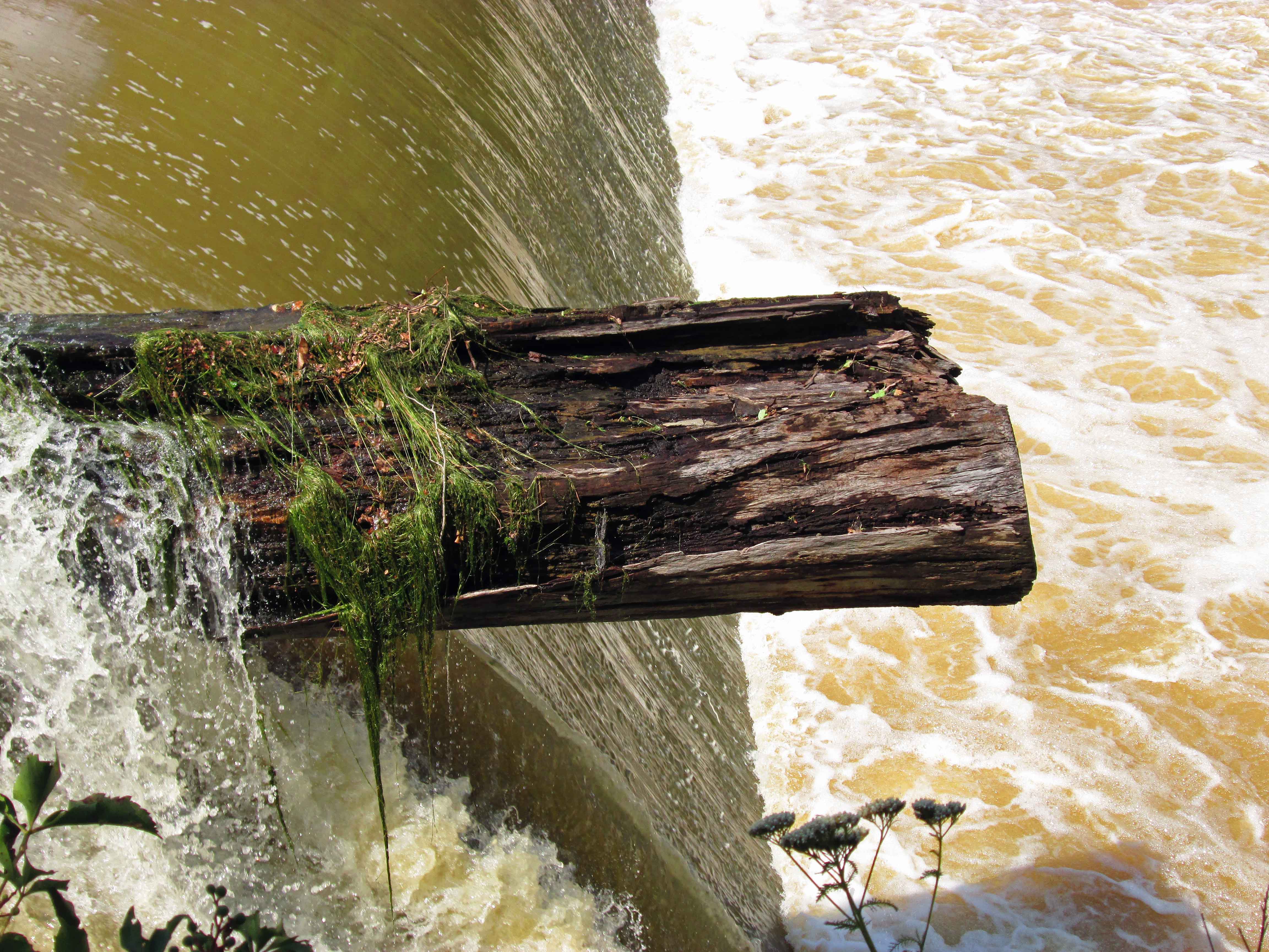
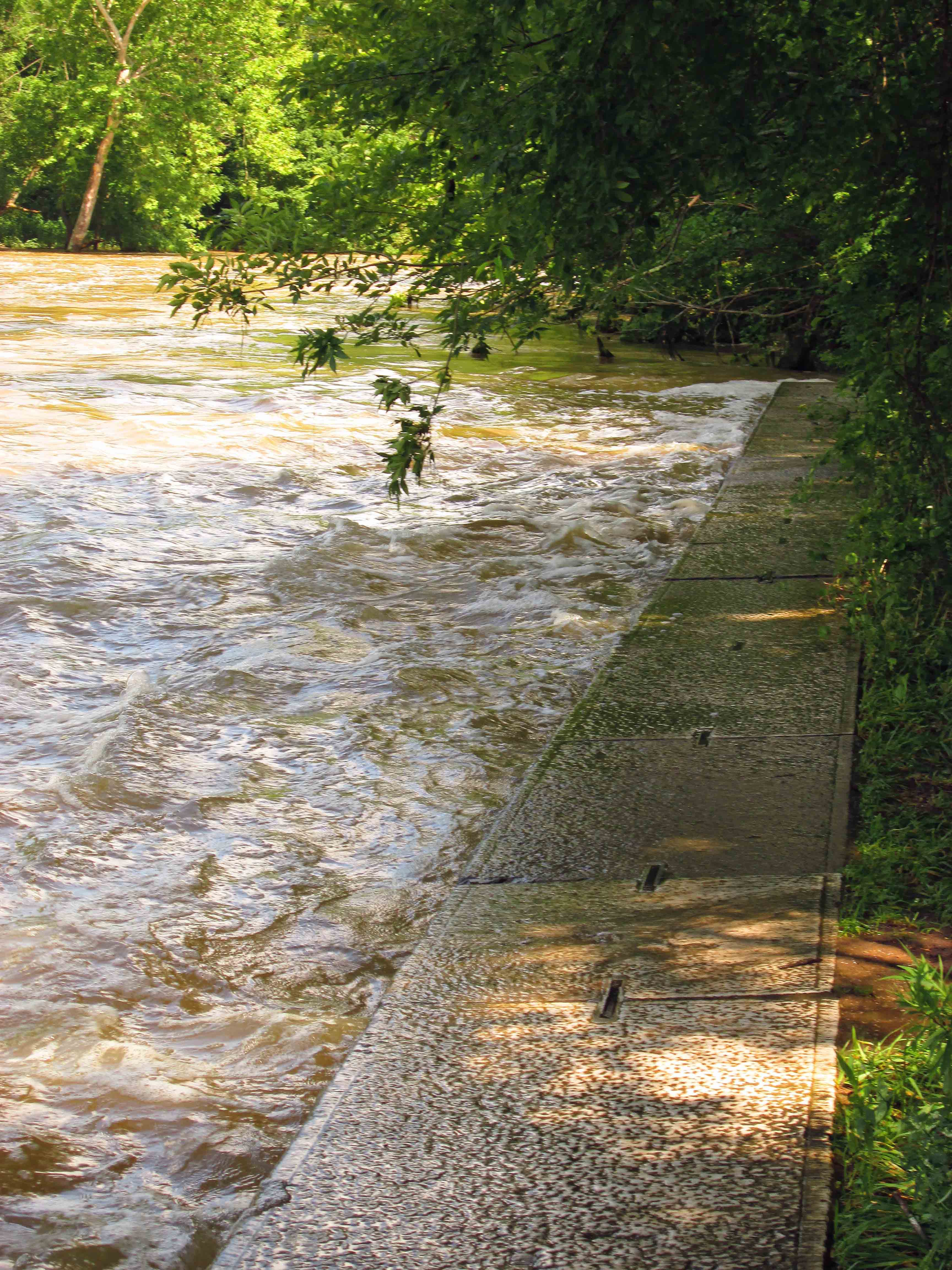
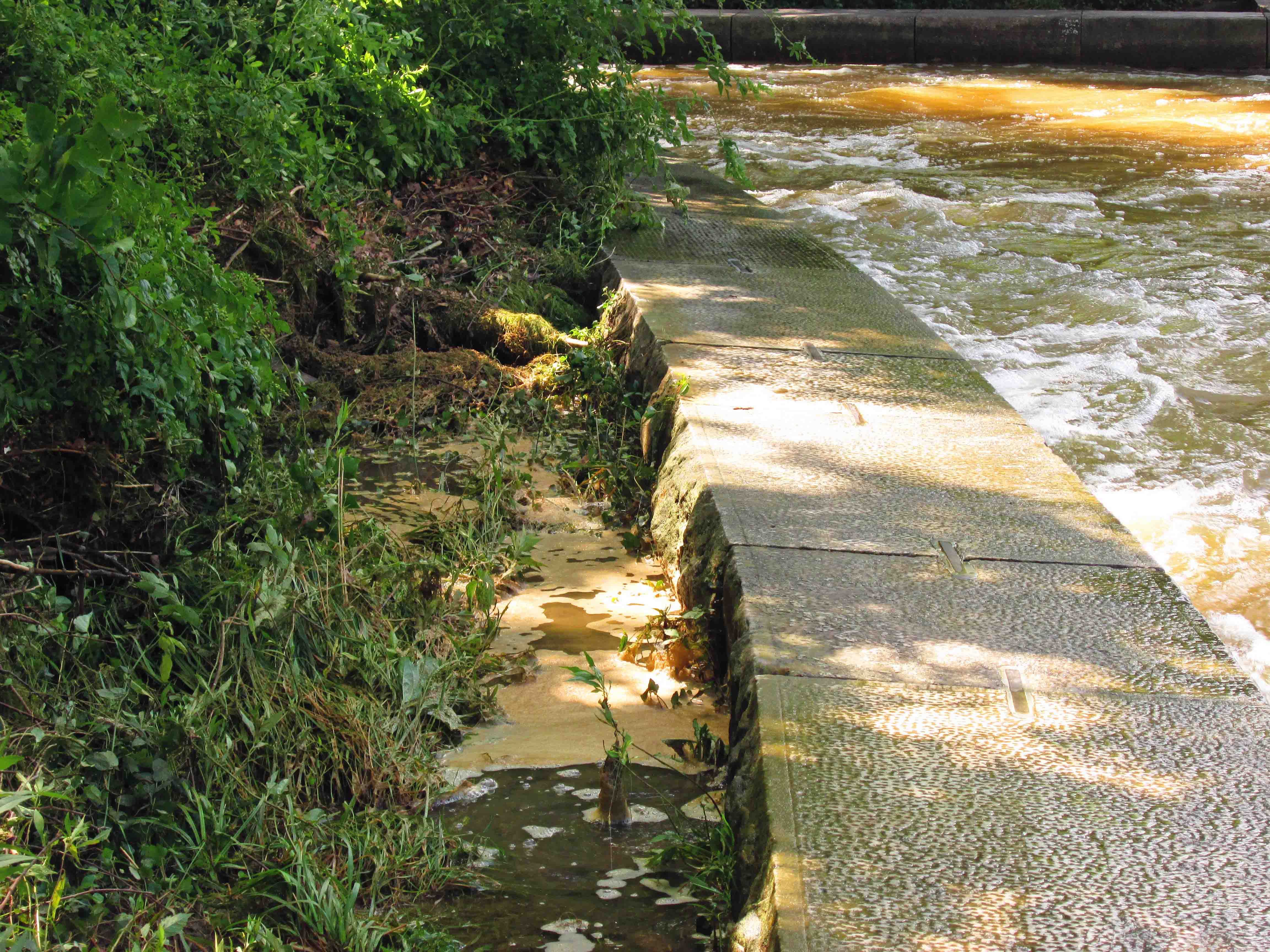
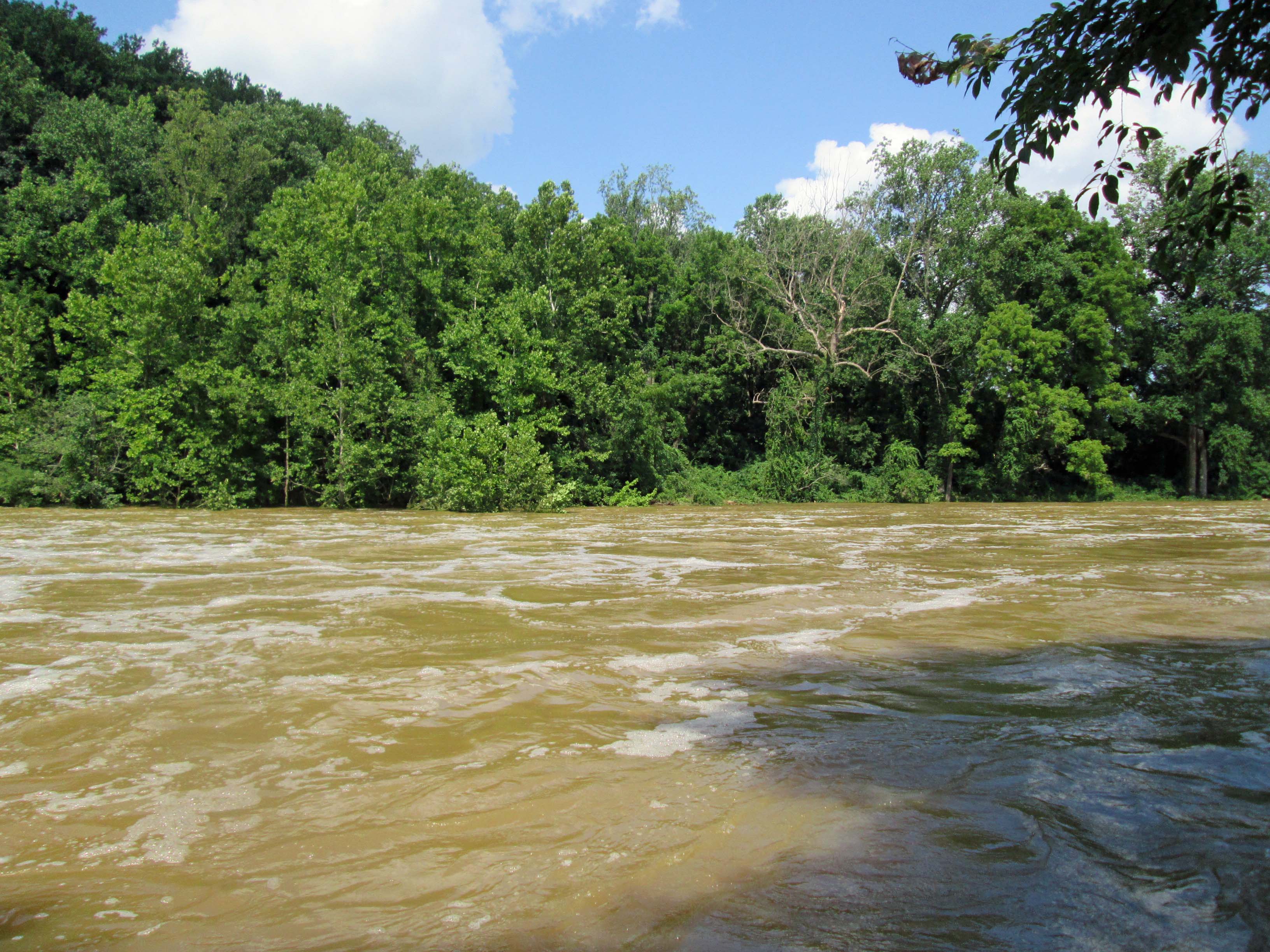
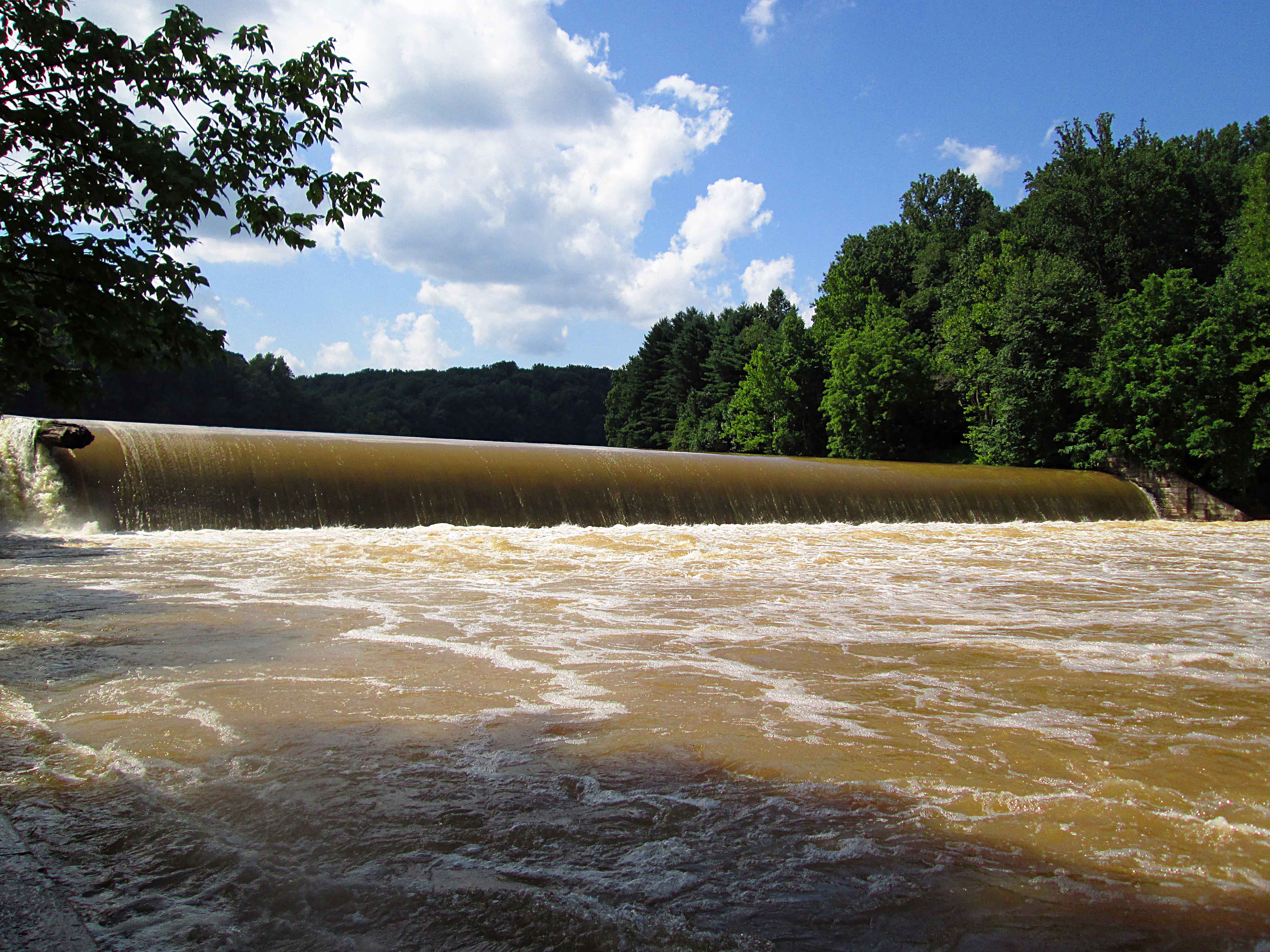
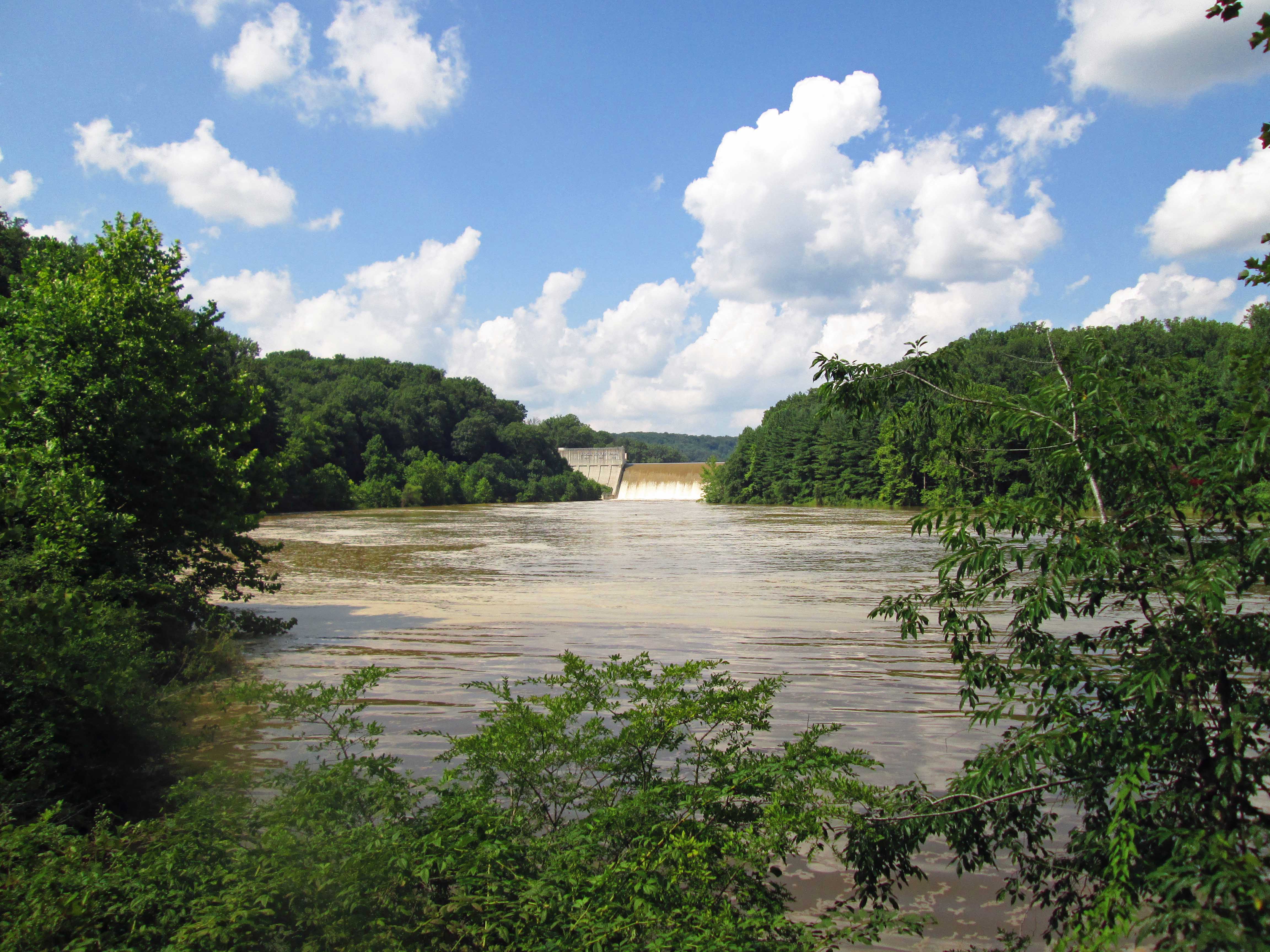
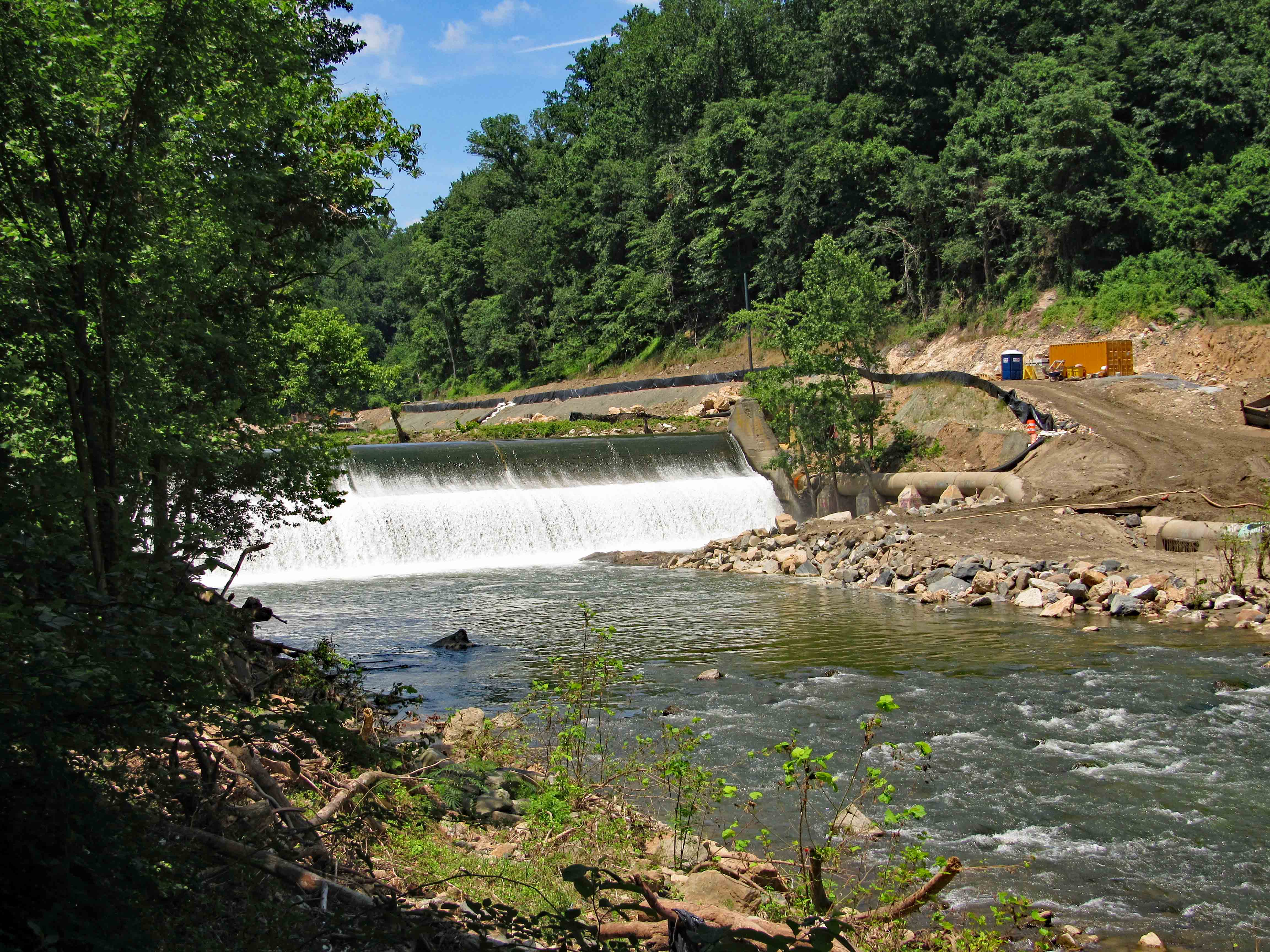
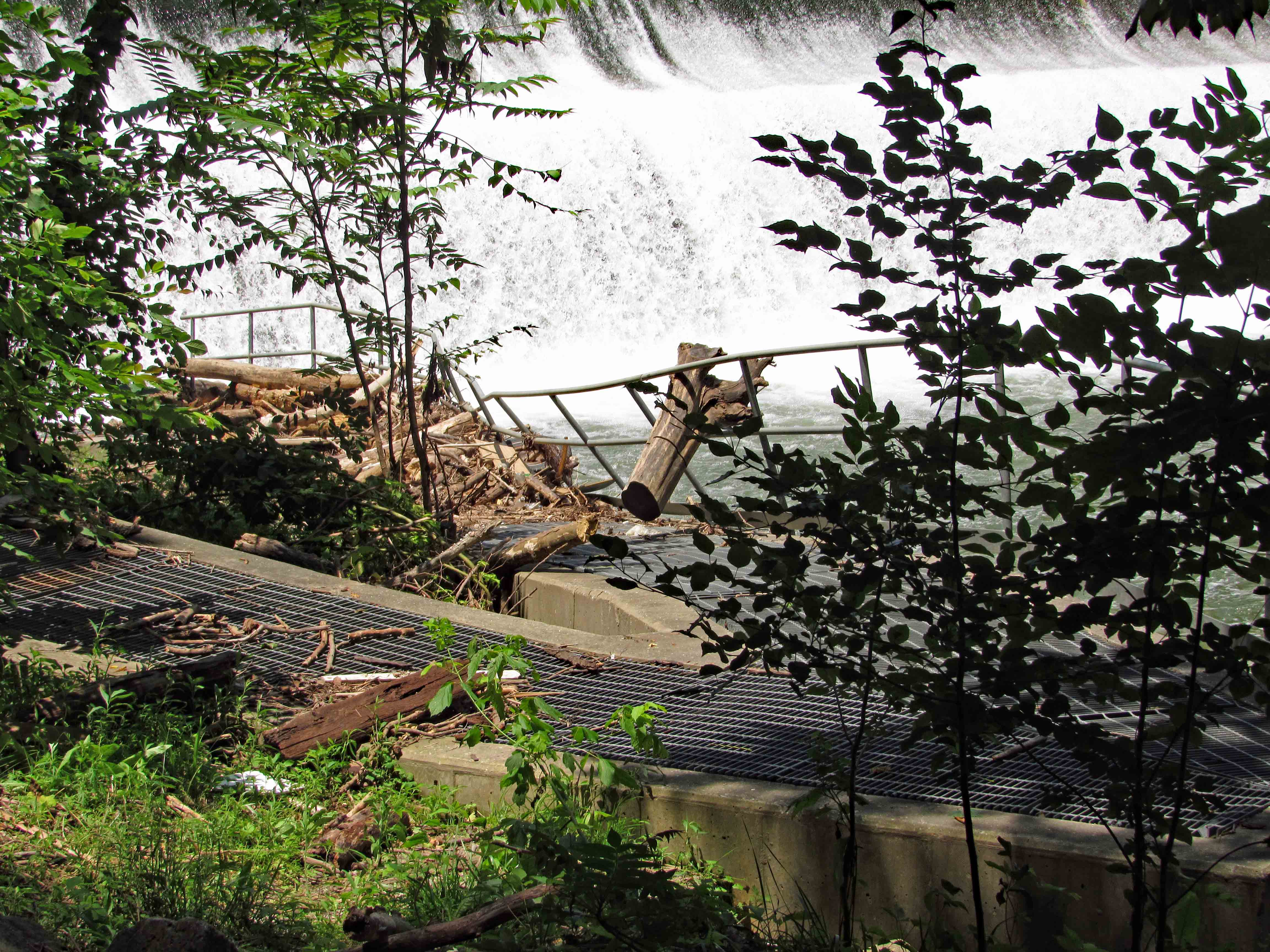
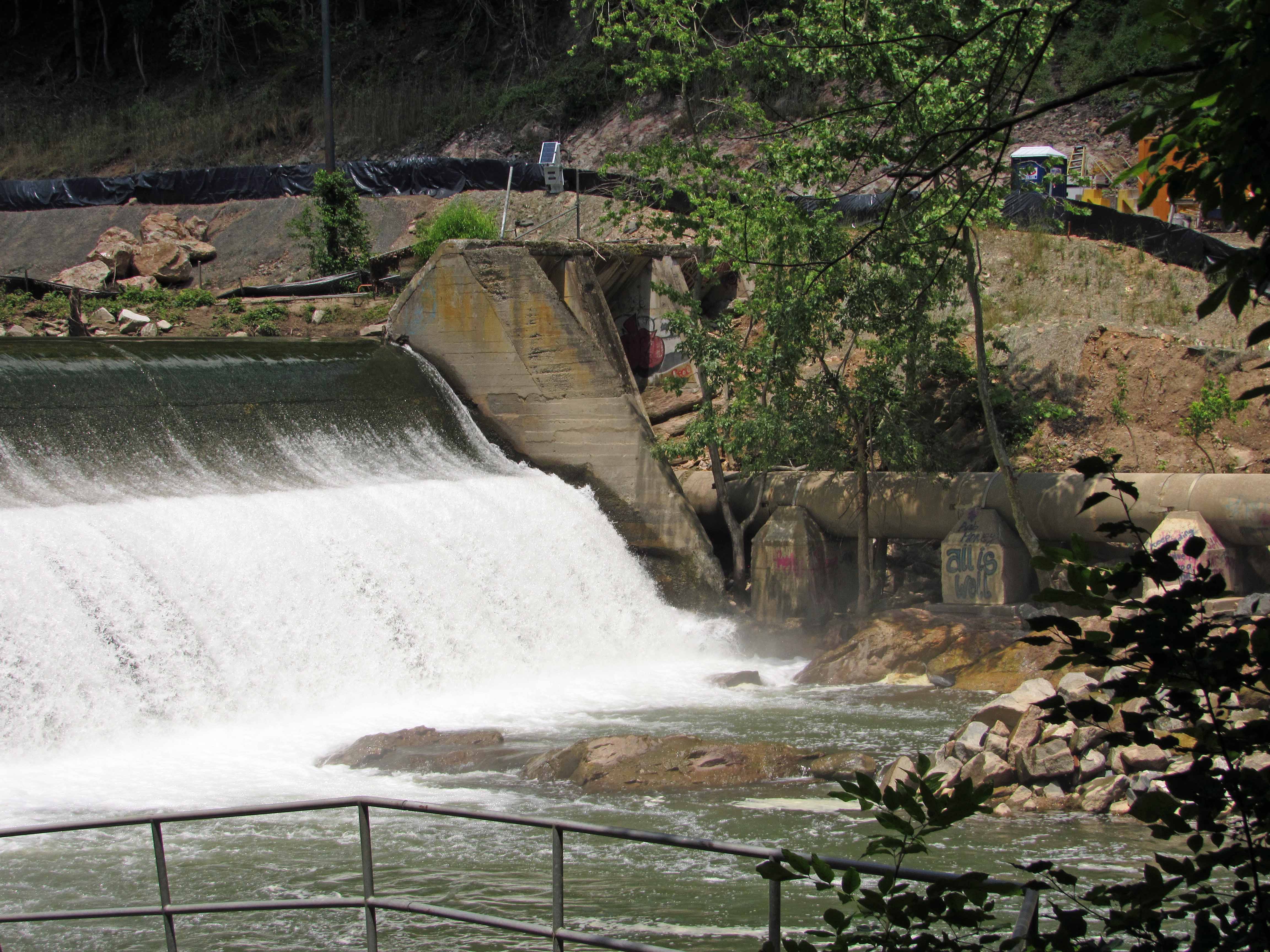
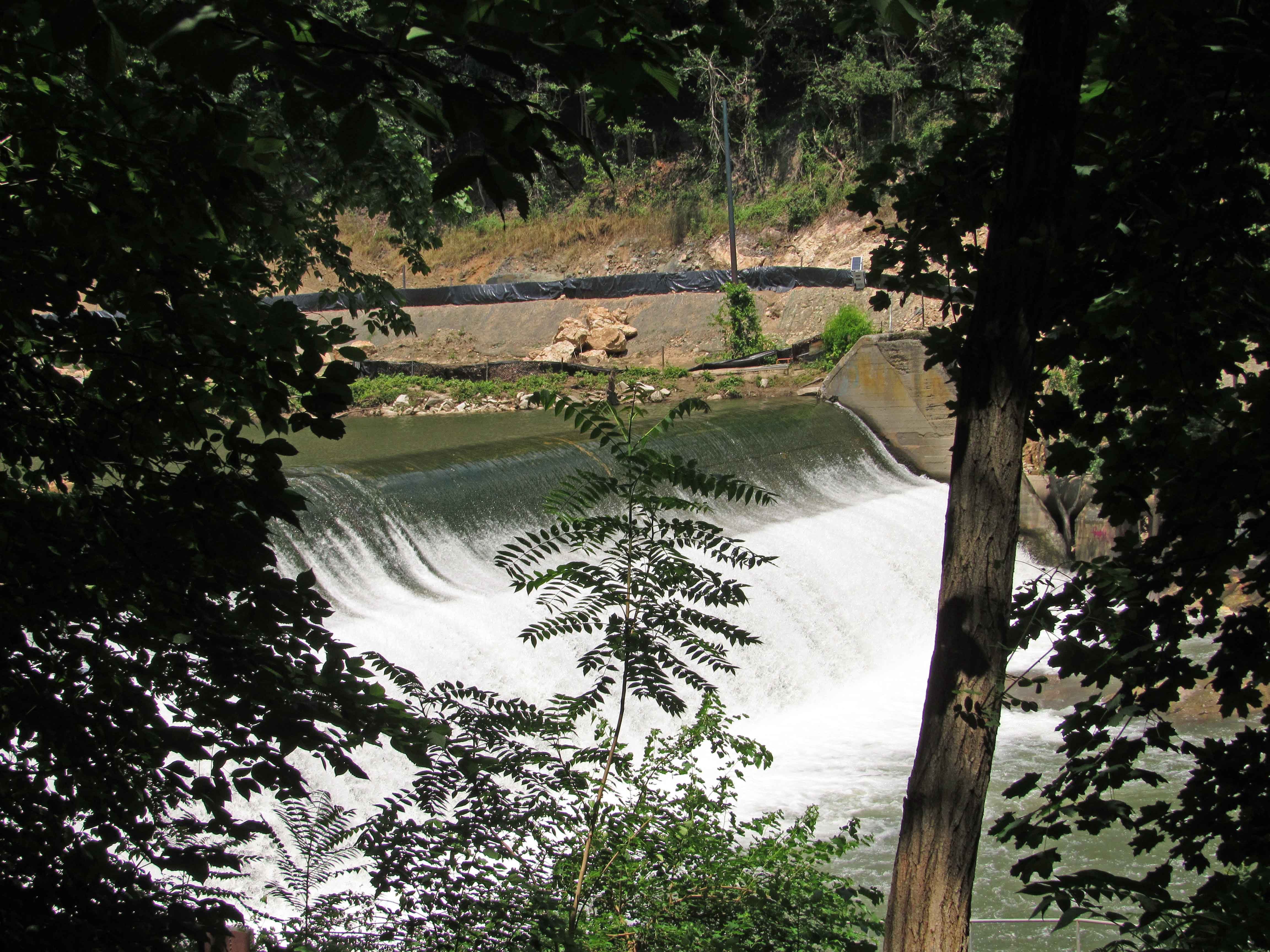
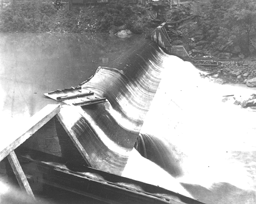
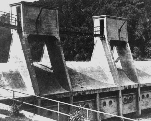
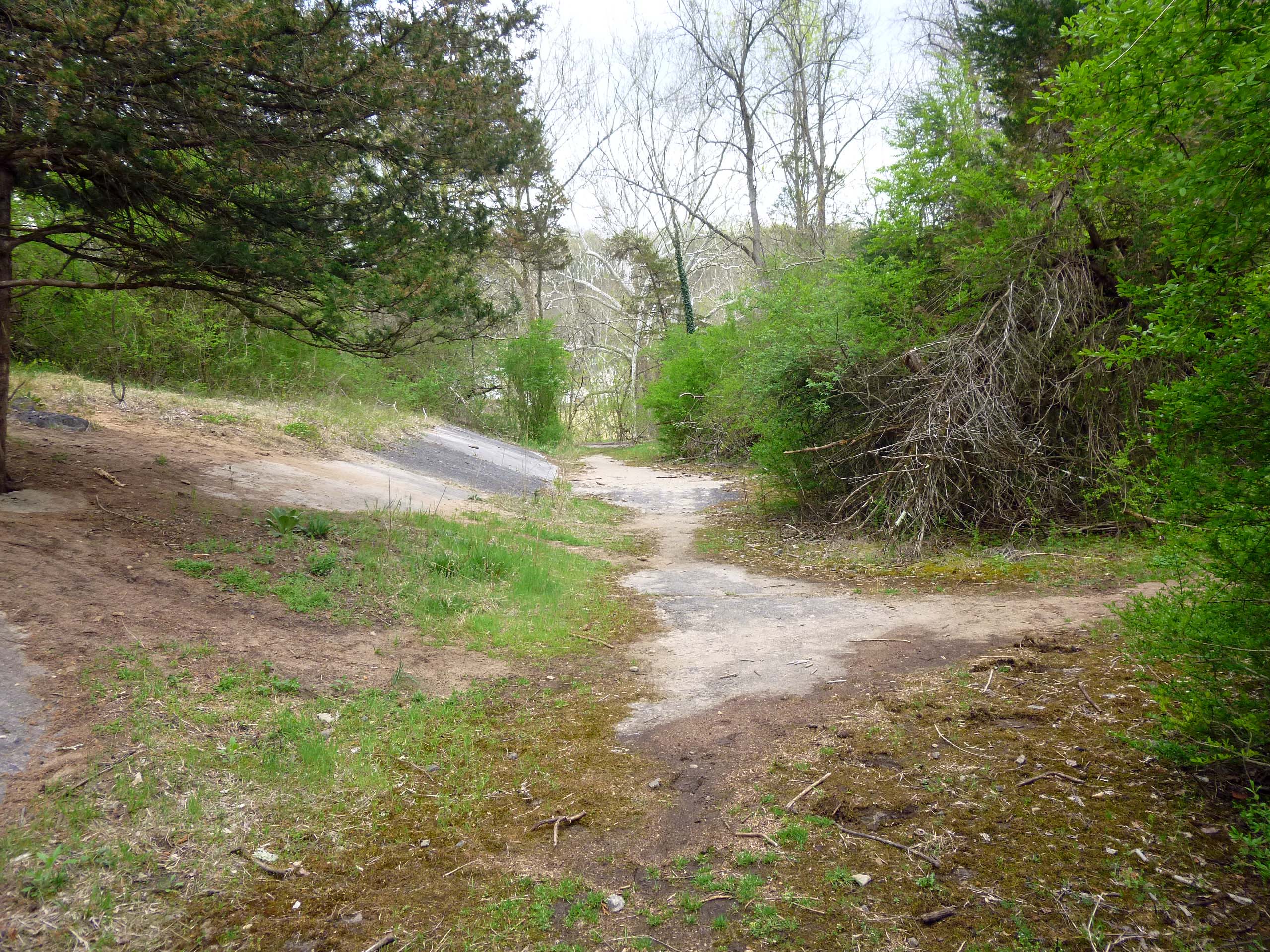
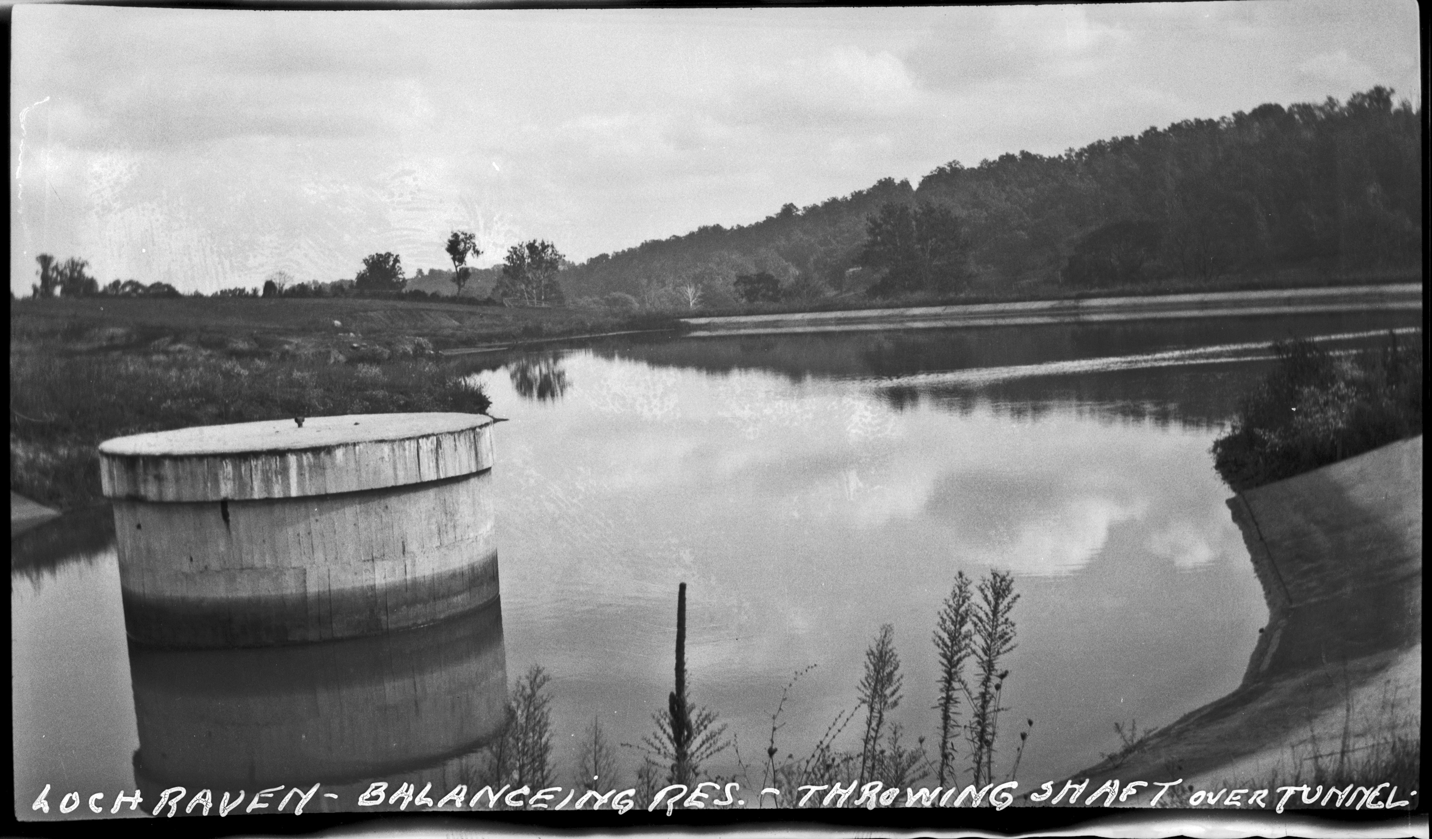
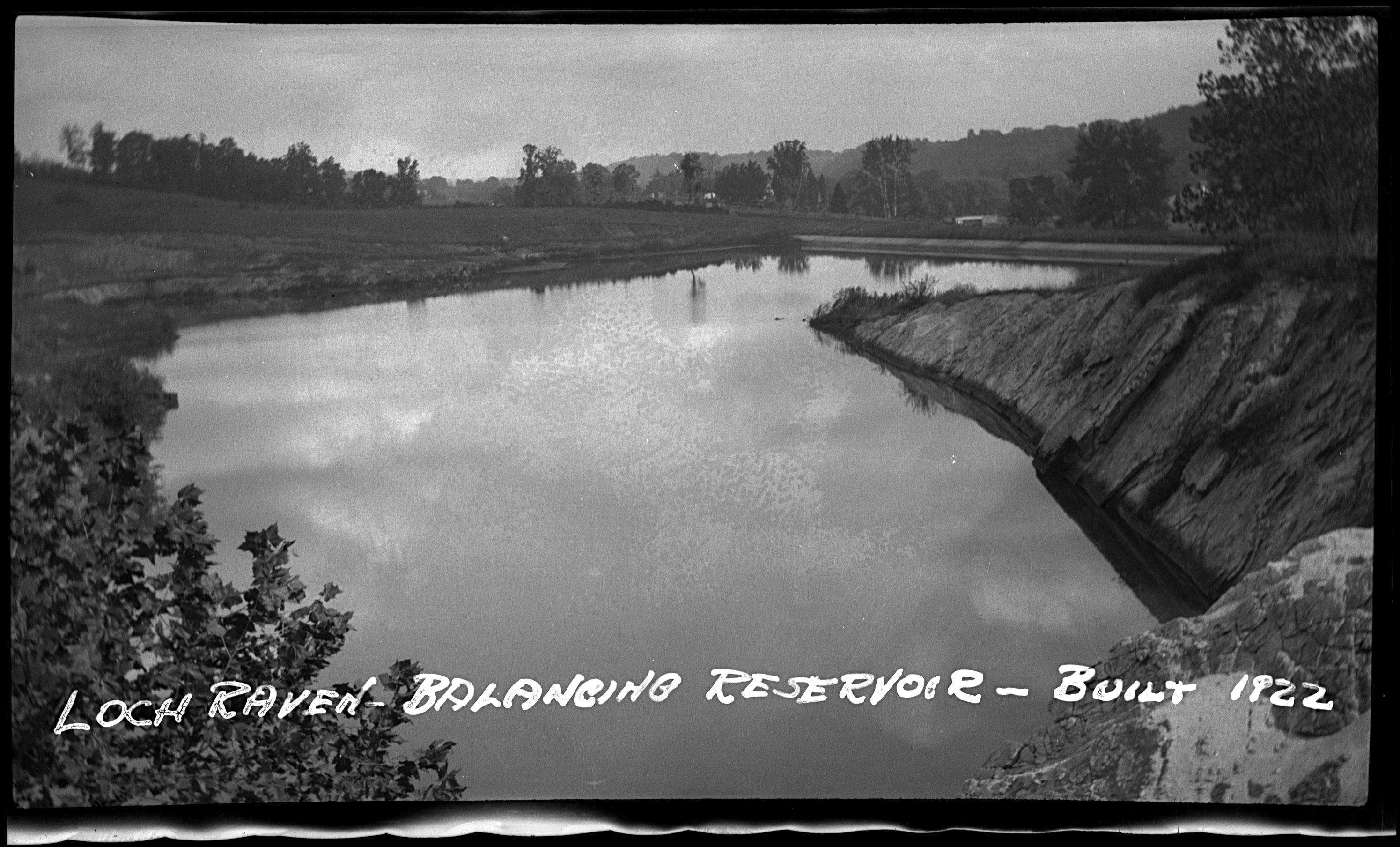
And a rounded dam. I can almost picture years ago this being made of wood and then maybe stone. 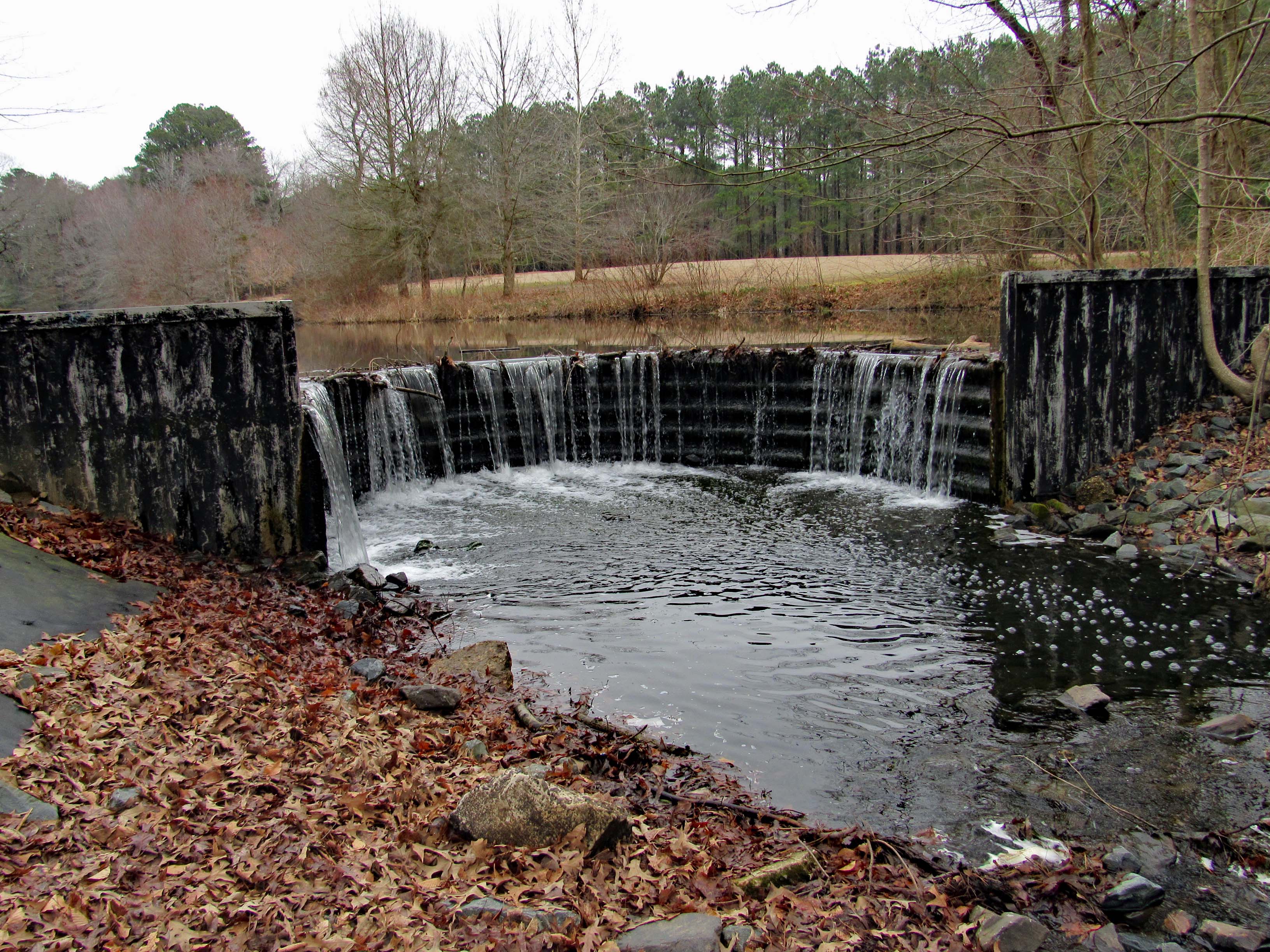
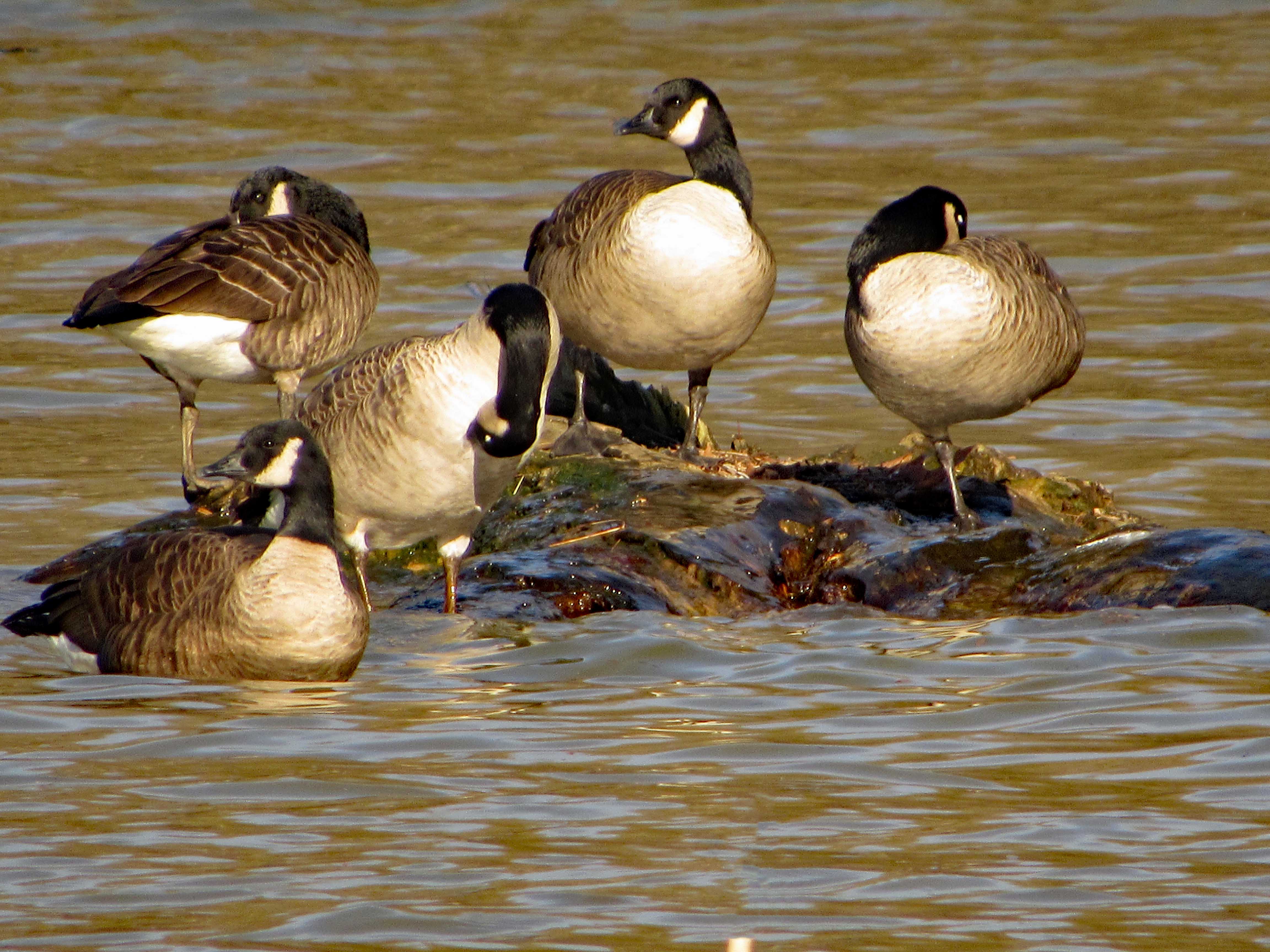
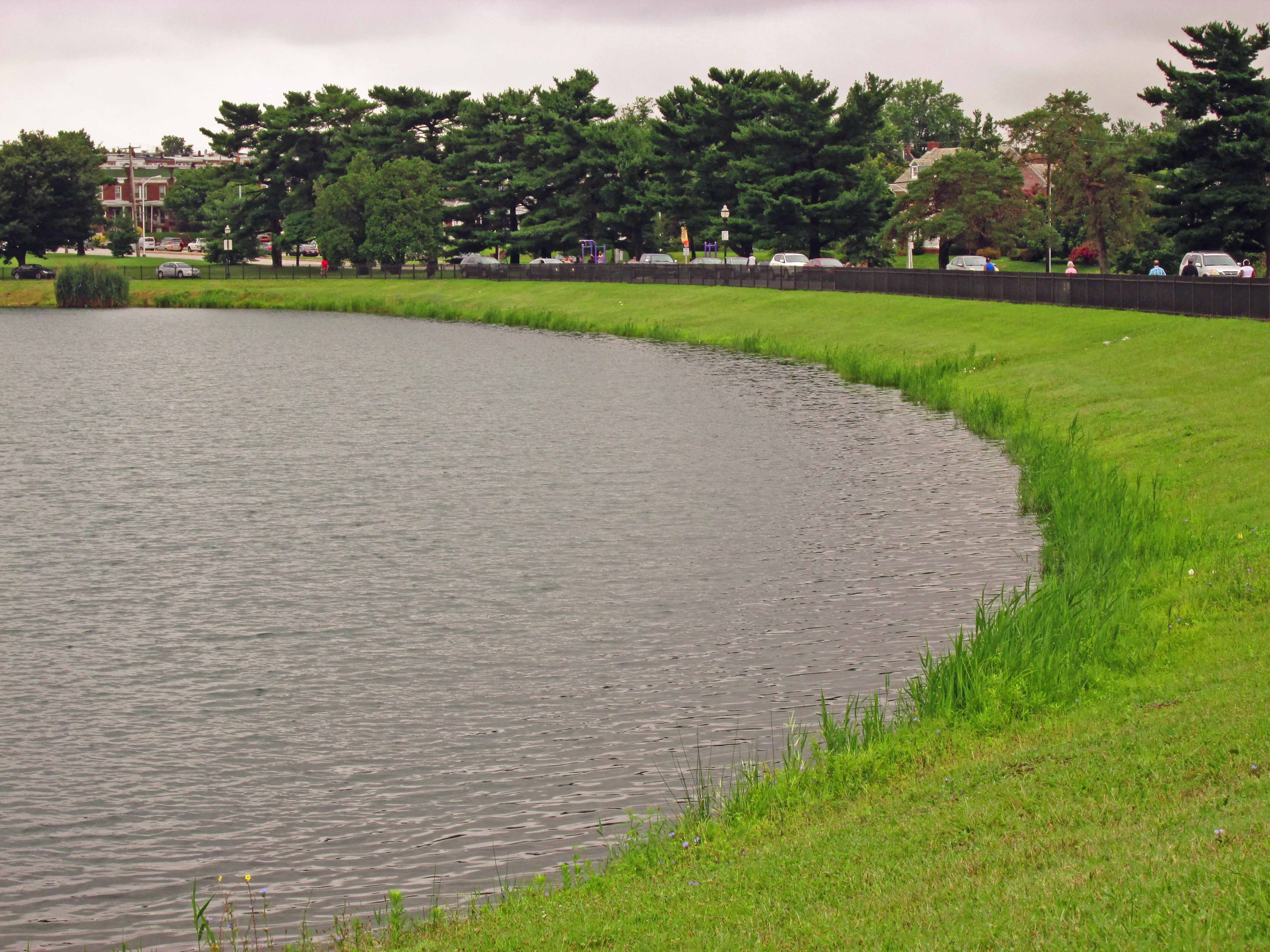
A little island picnic area.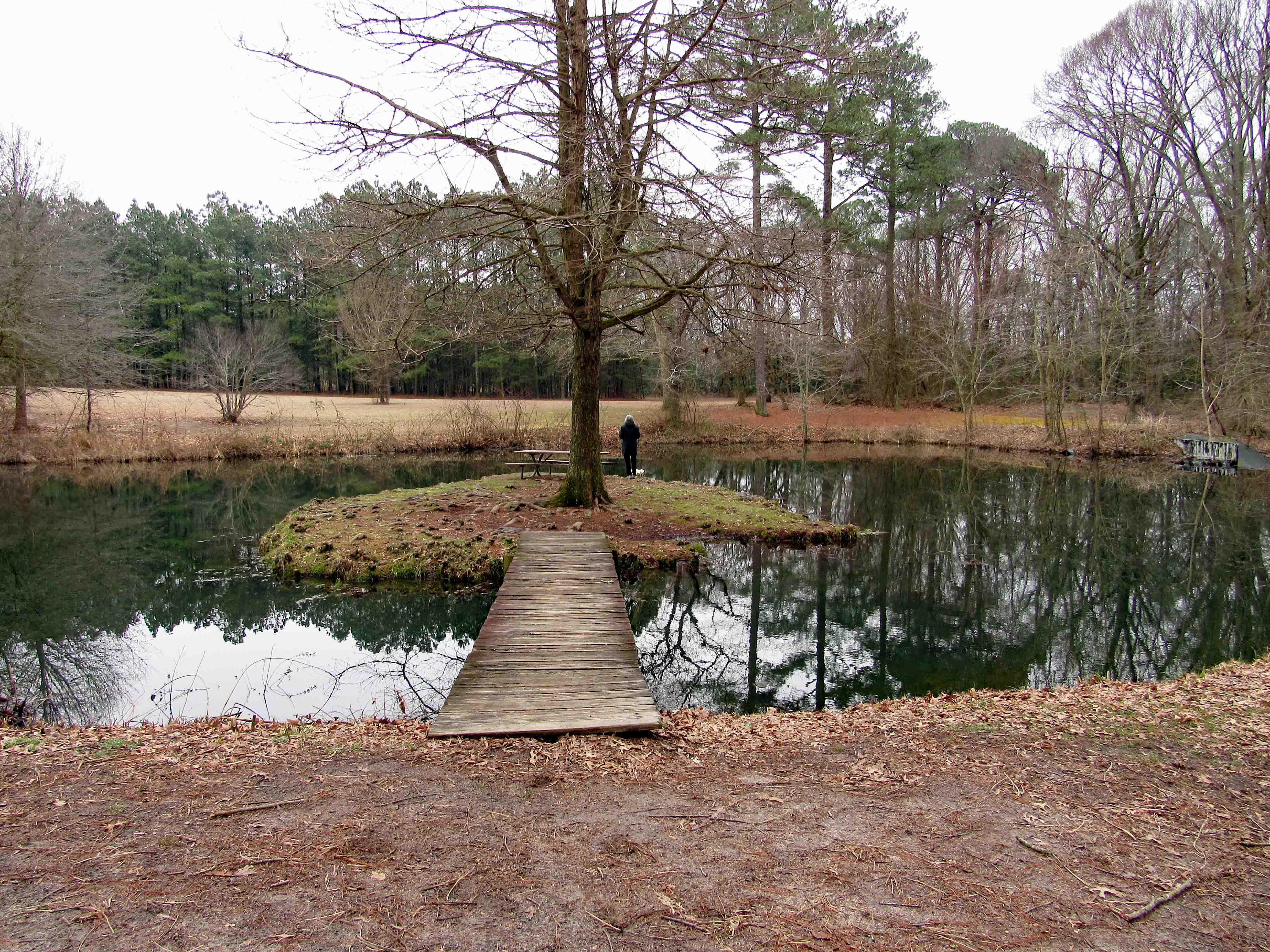
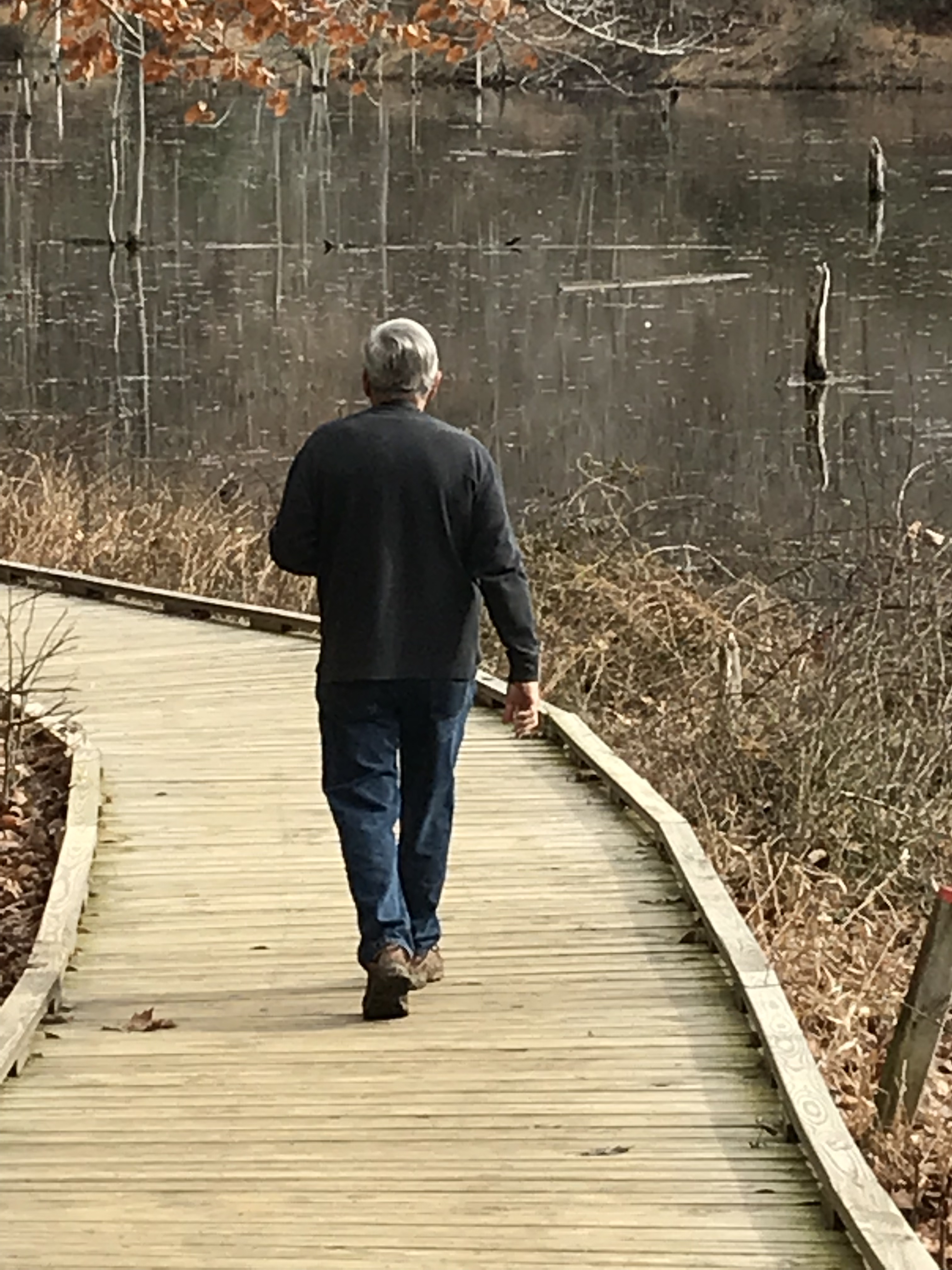
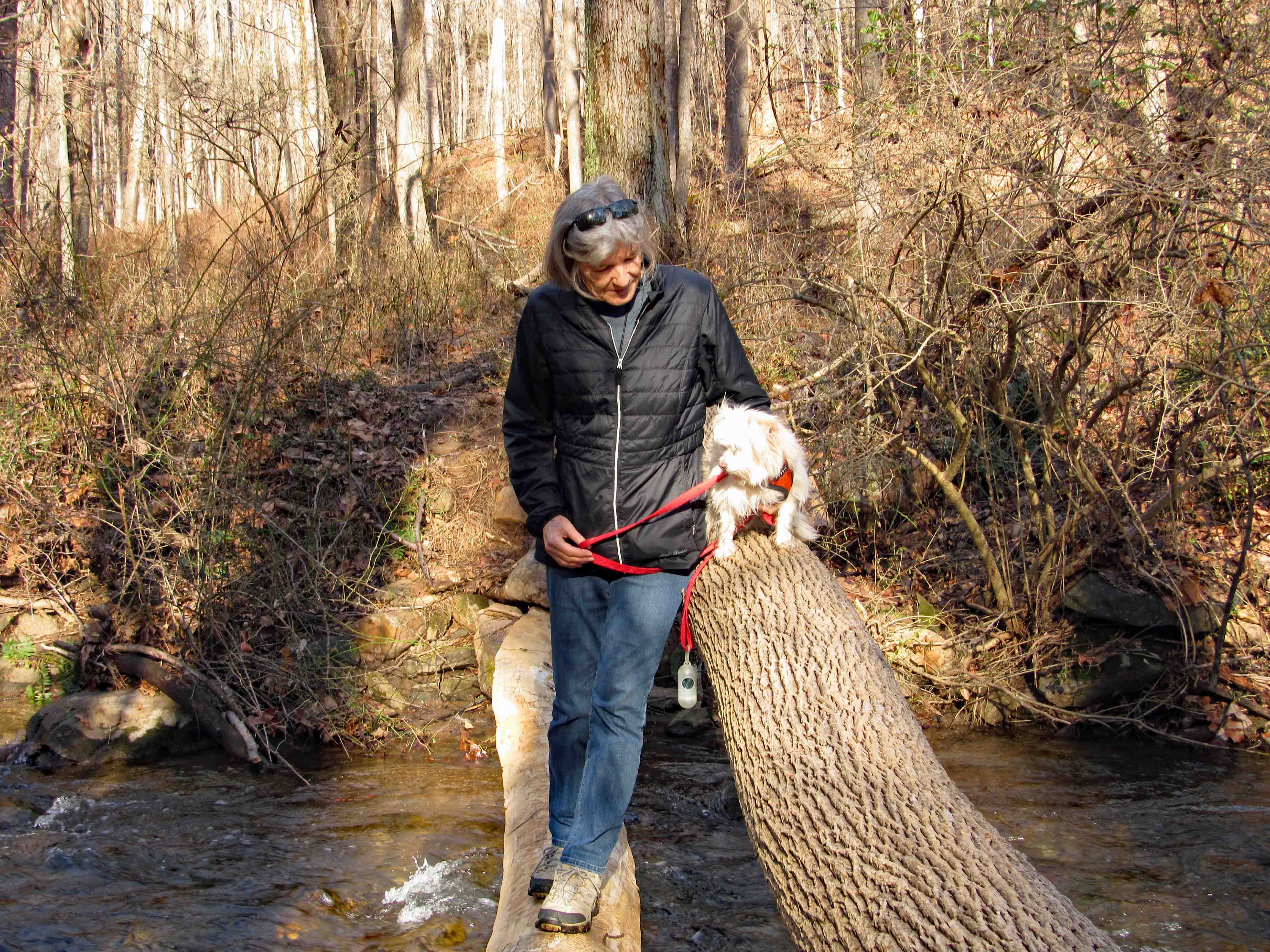
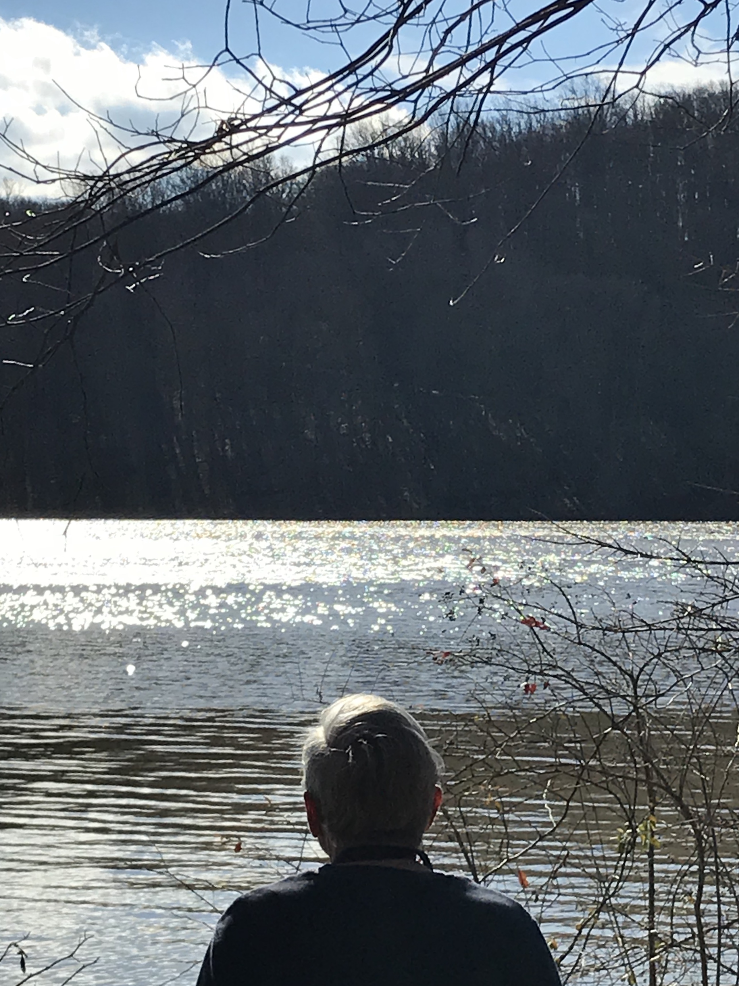
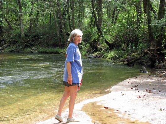
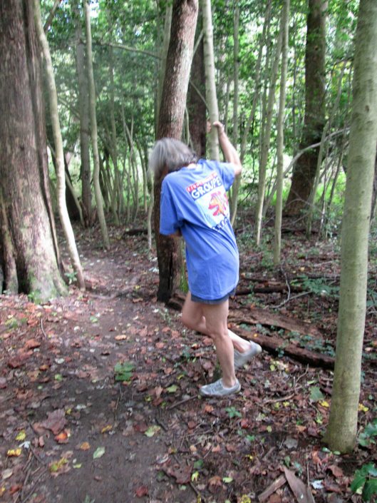
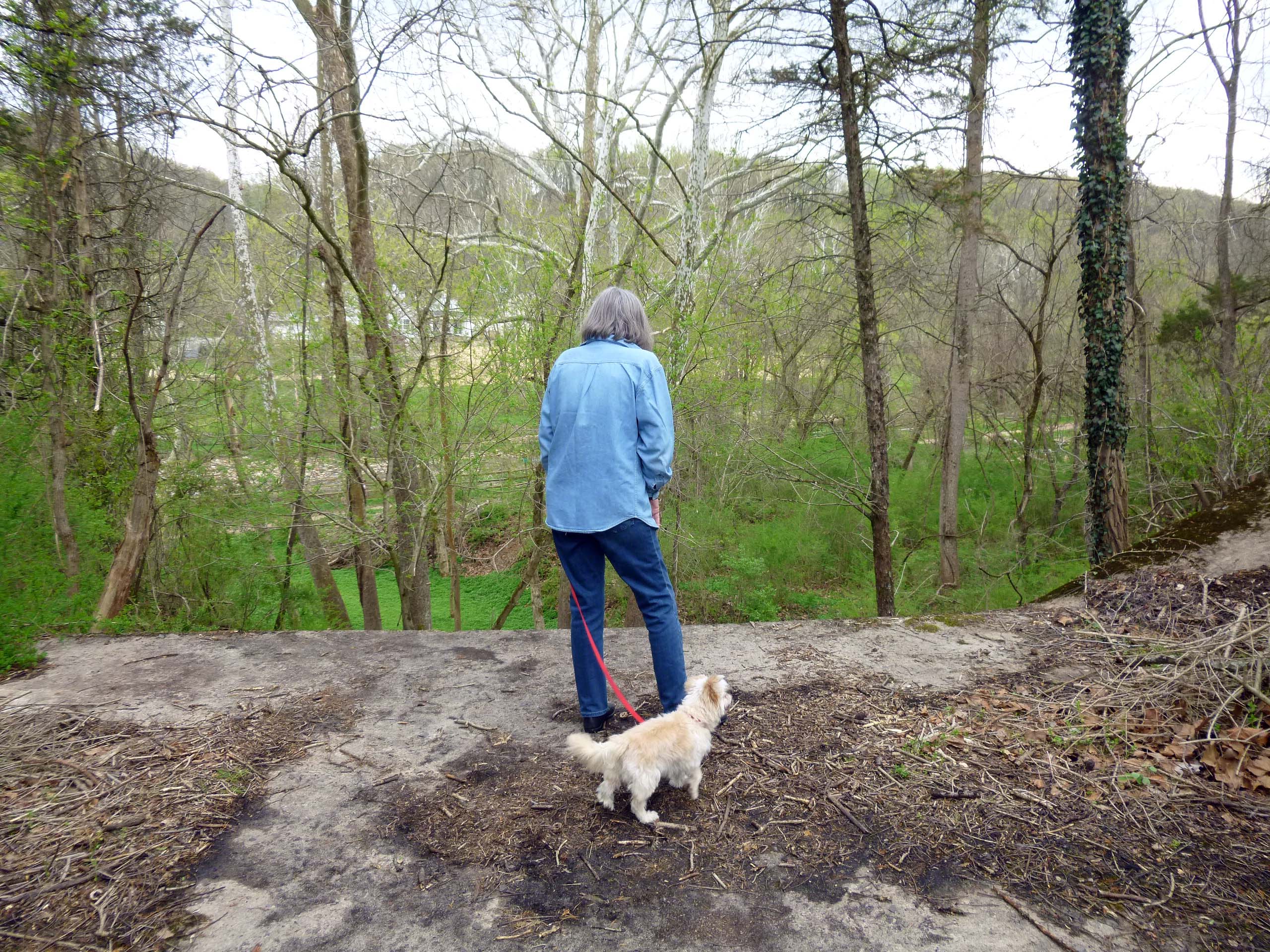
Kathy taking a photo of me…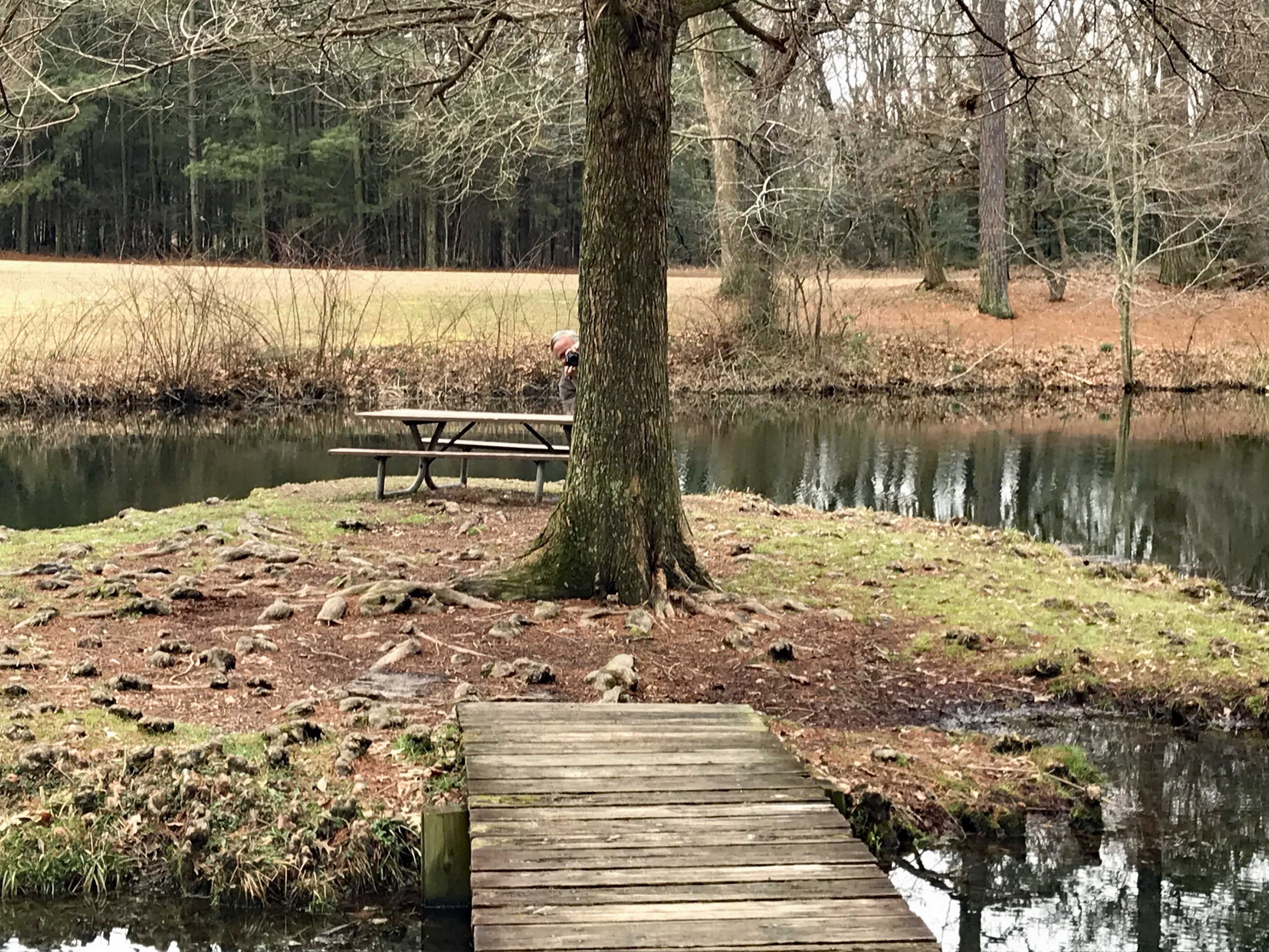
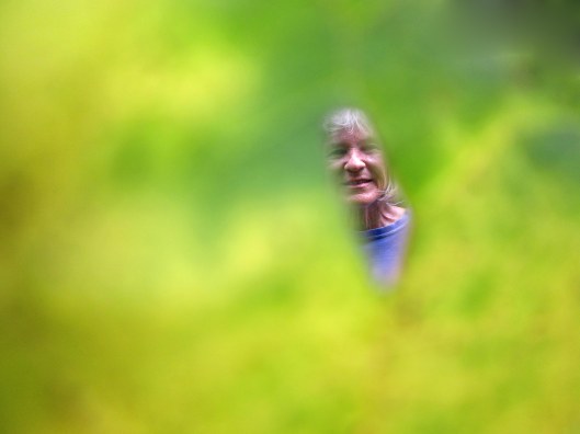
taking one of her.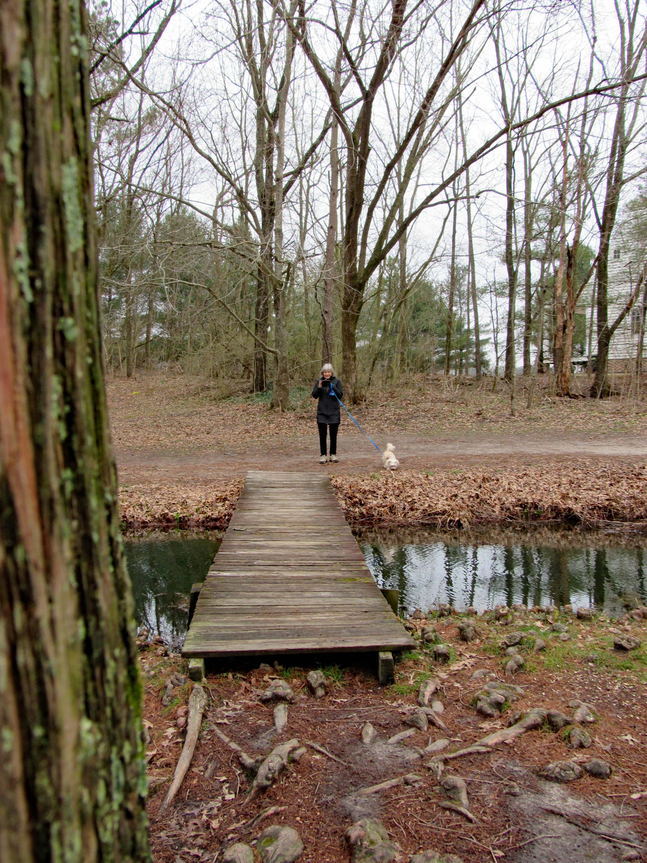
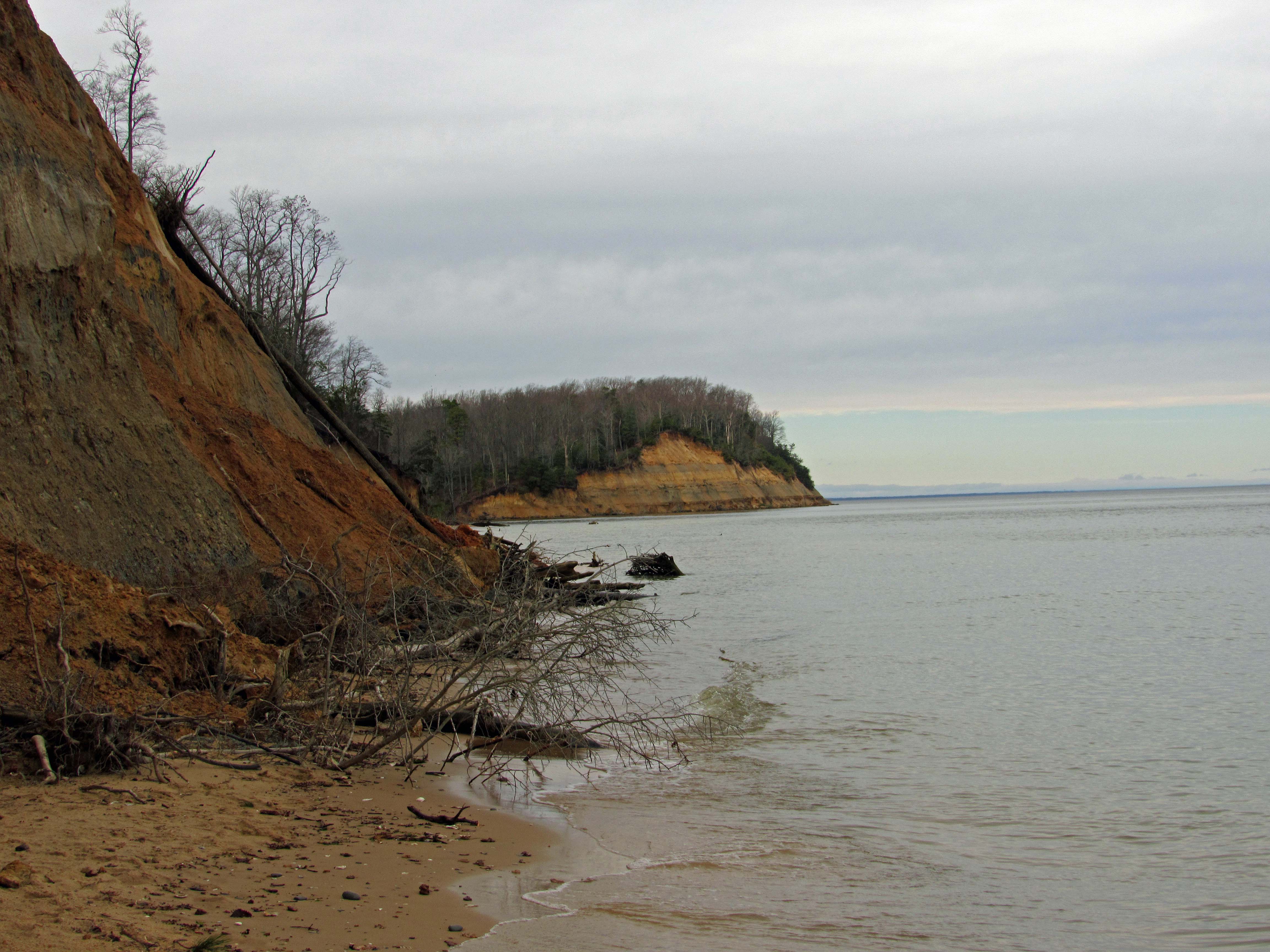
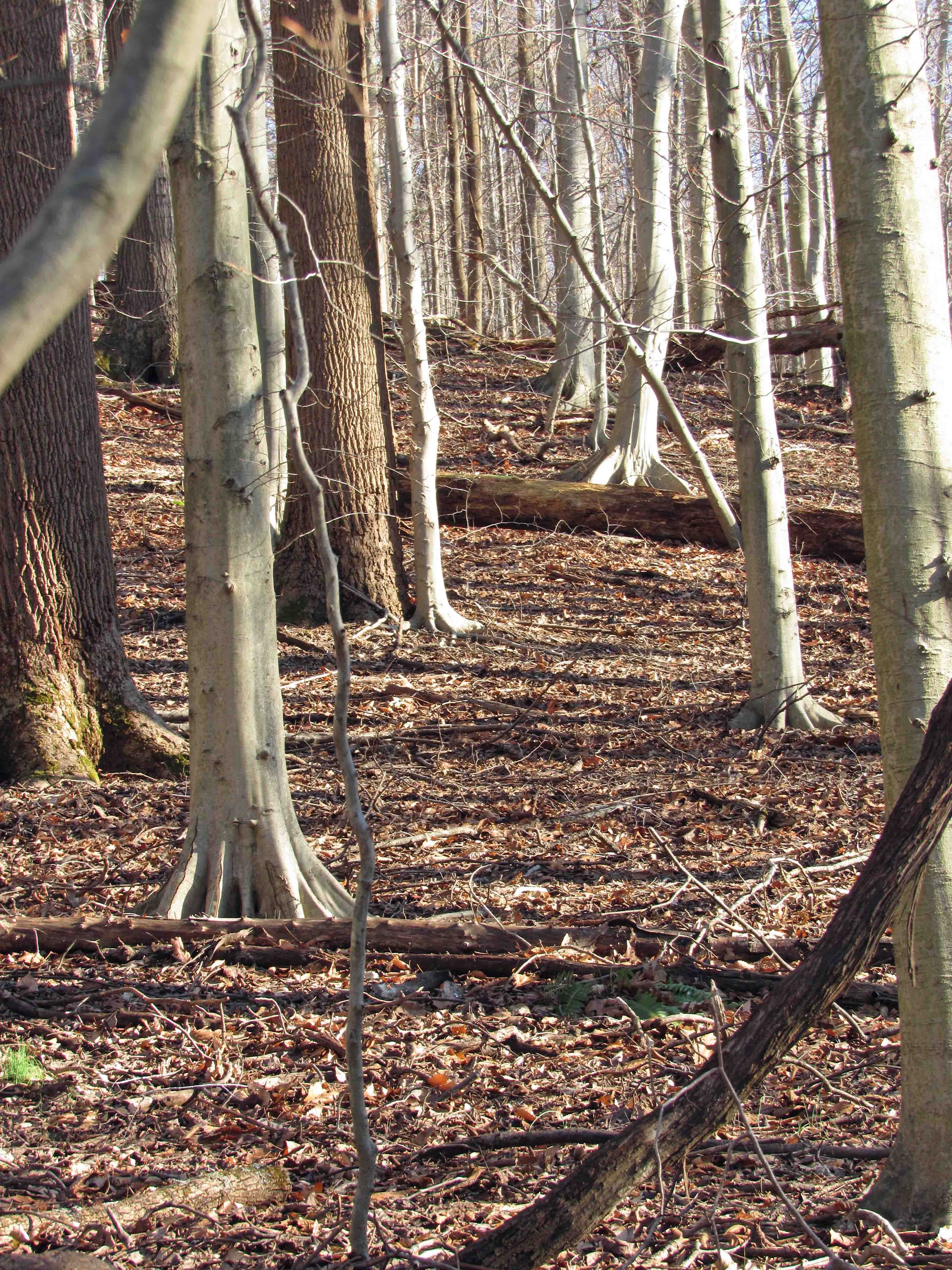
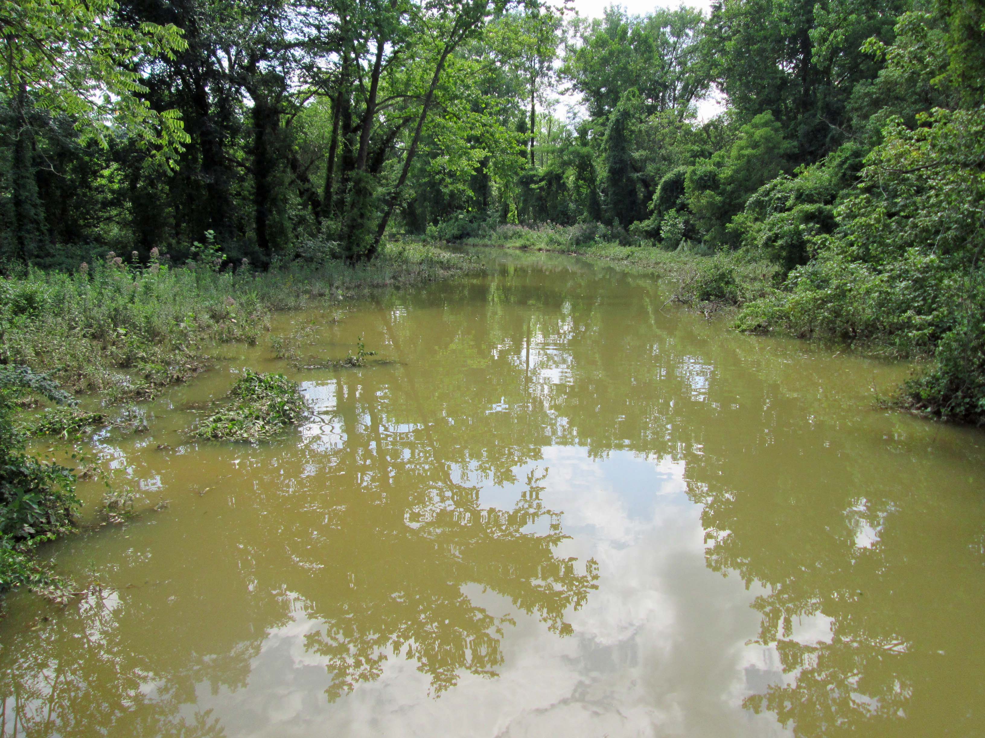
Dreary yet some nice colors.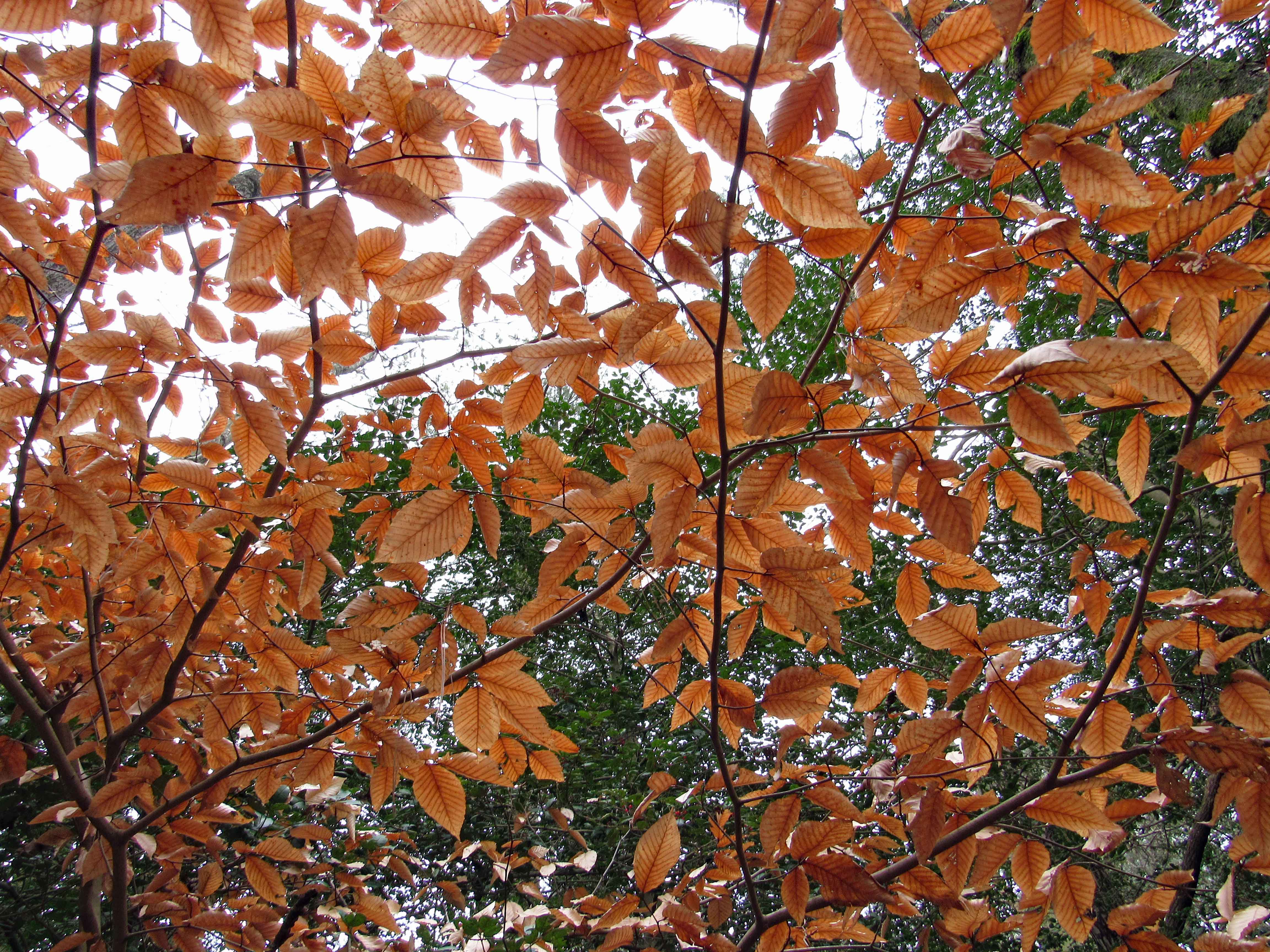
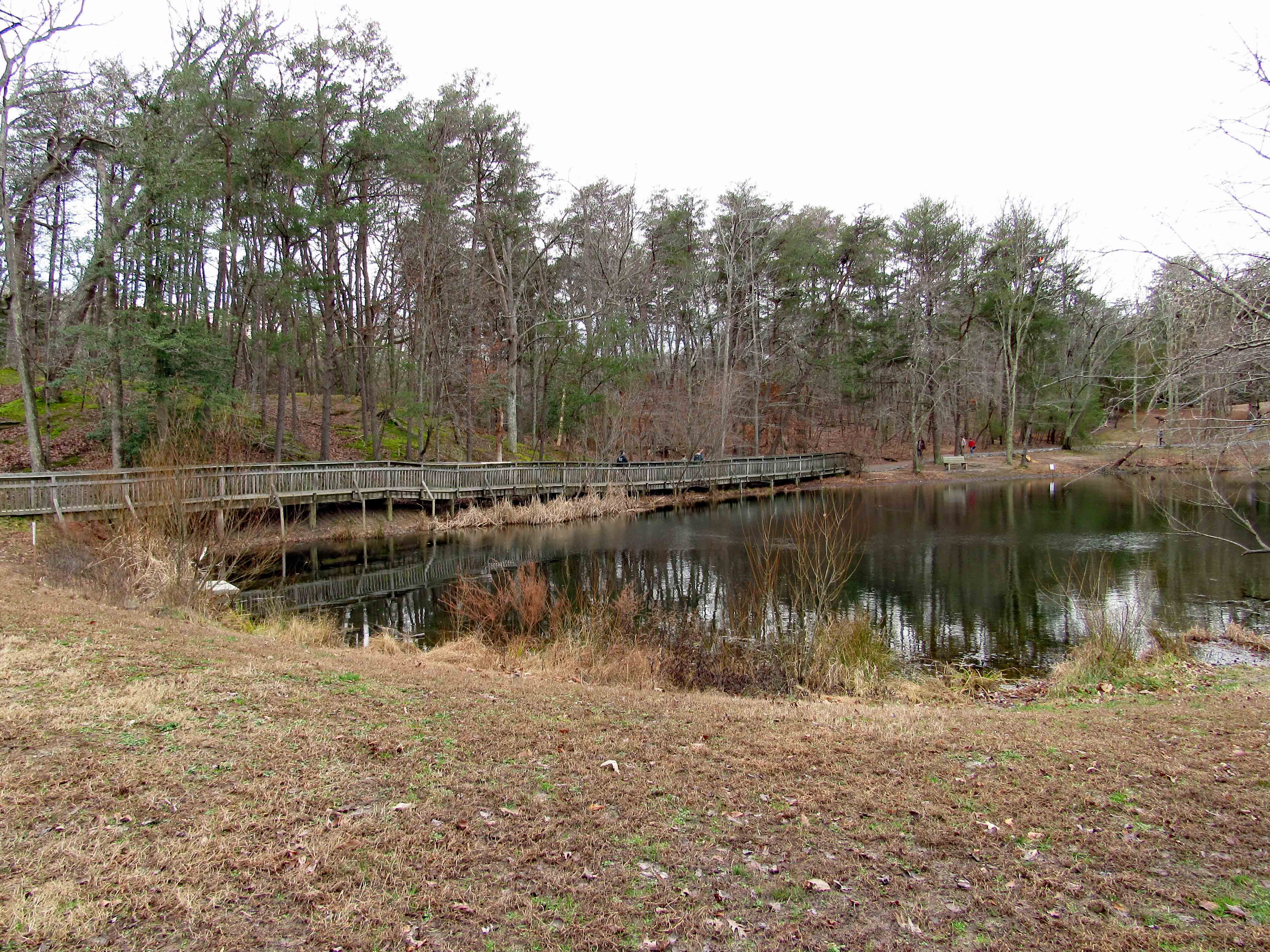
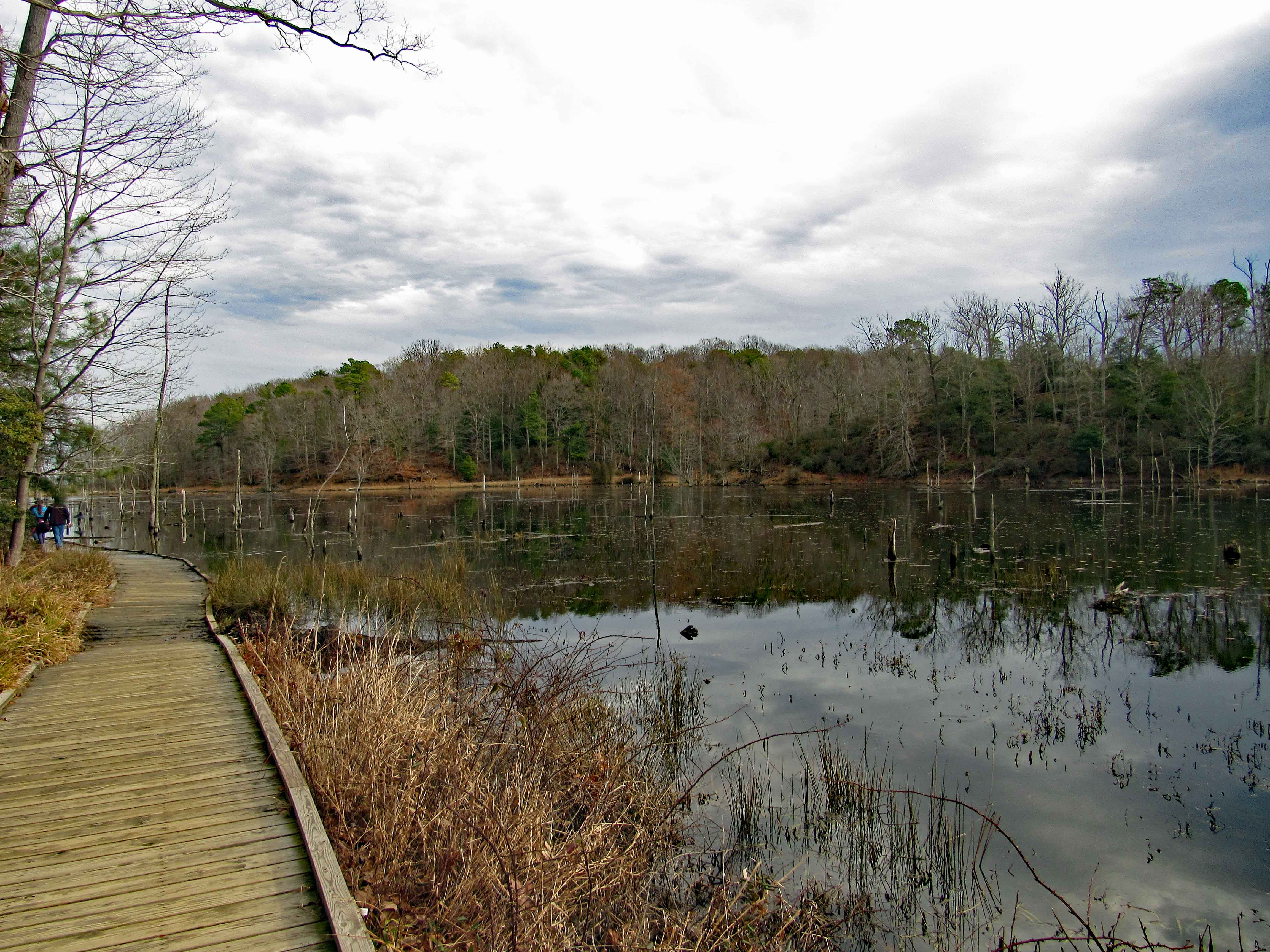
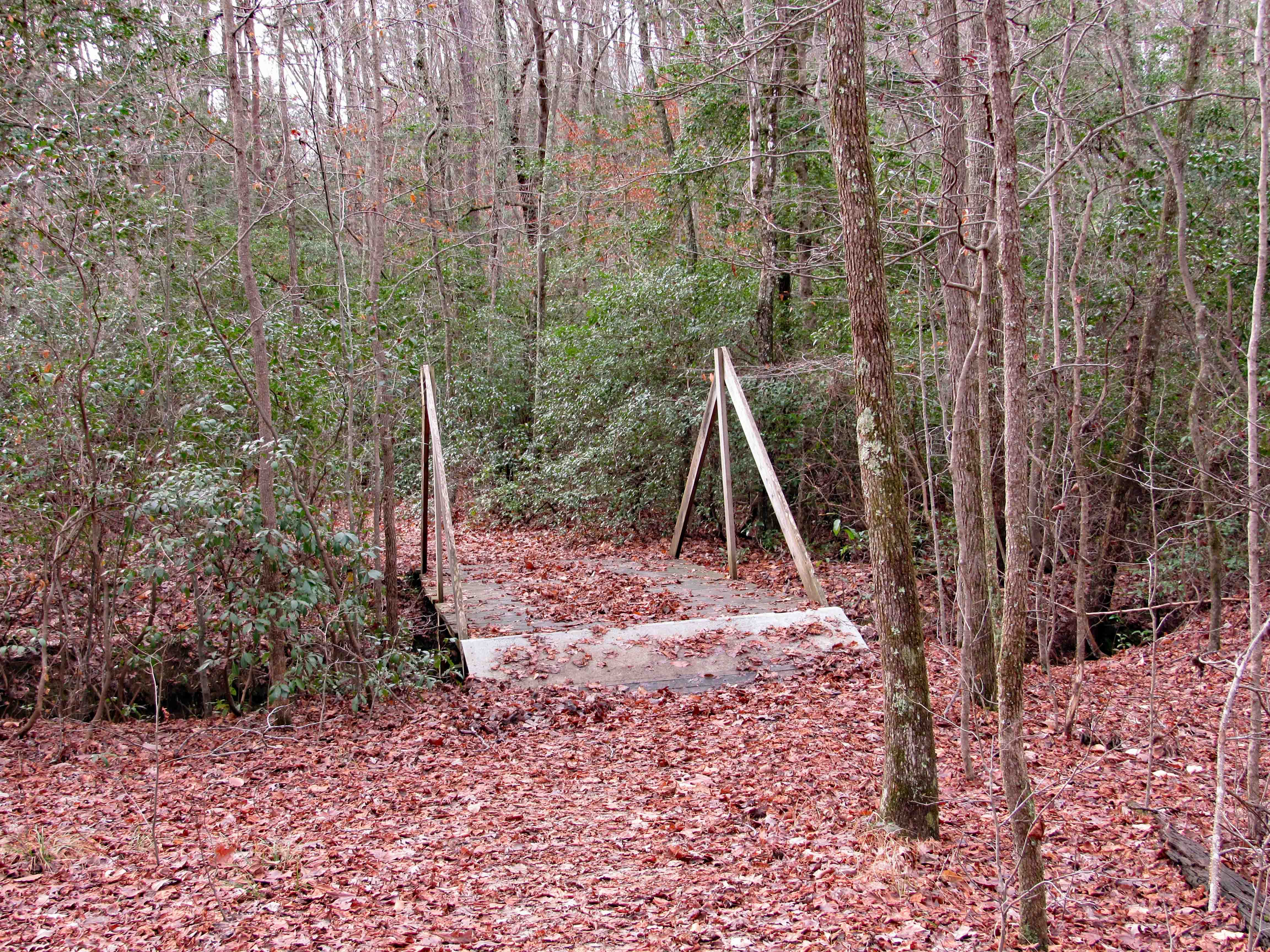
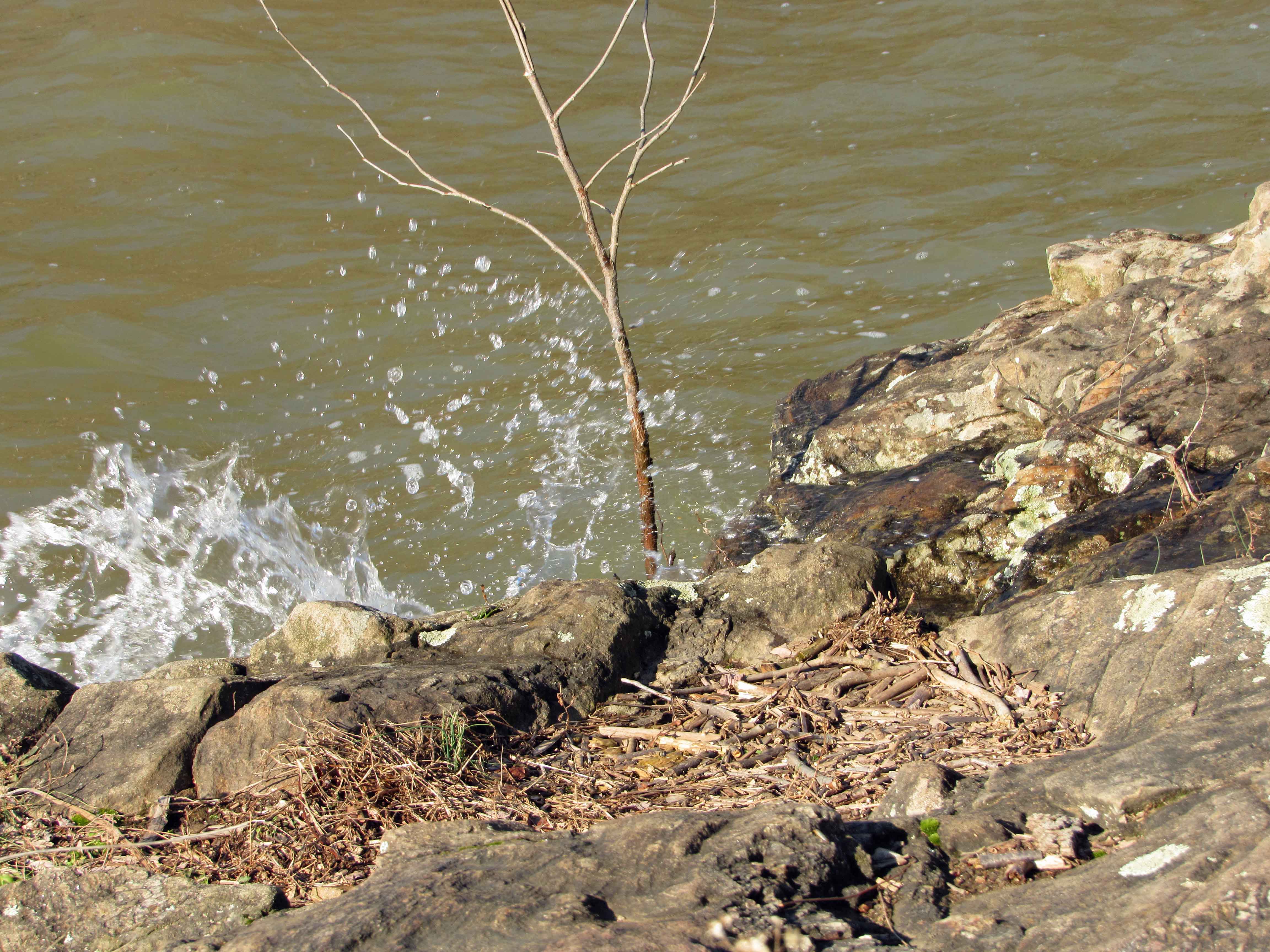
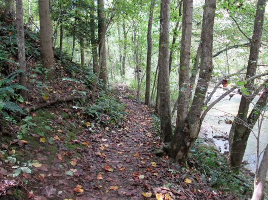
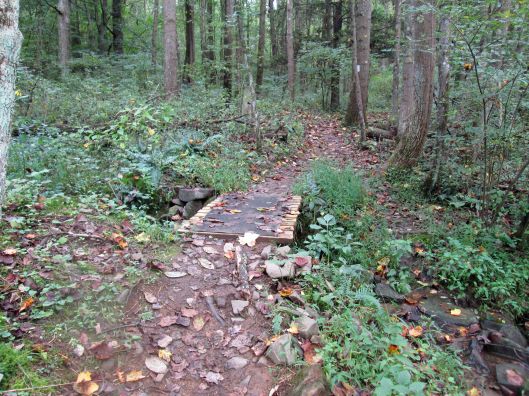
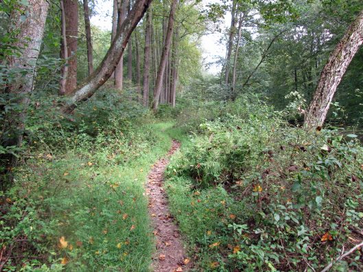
Boardwalks 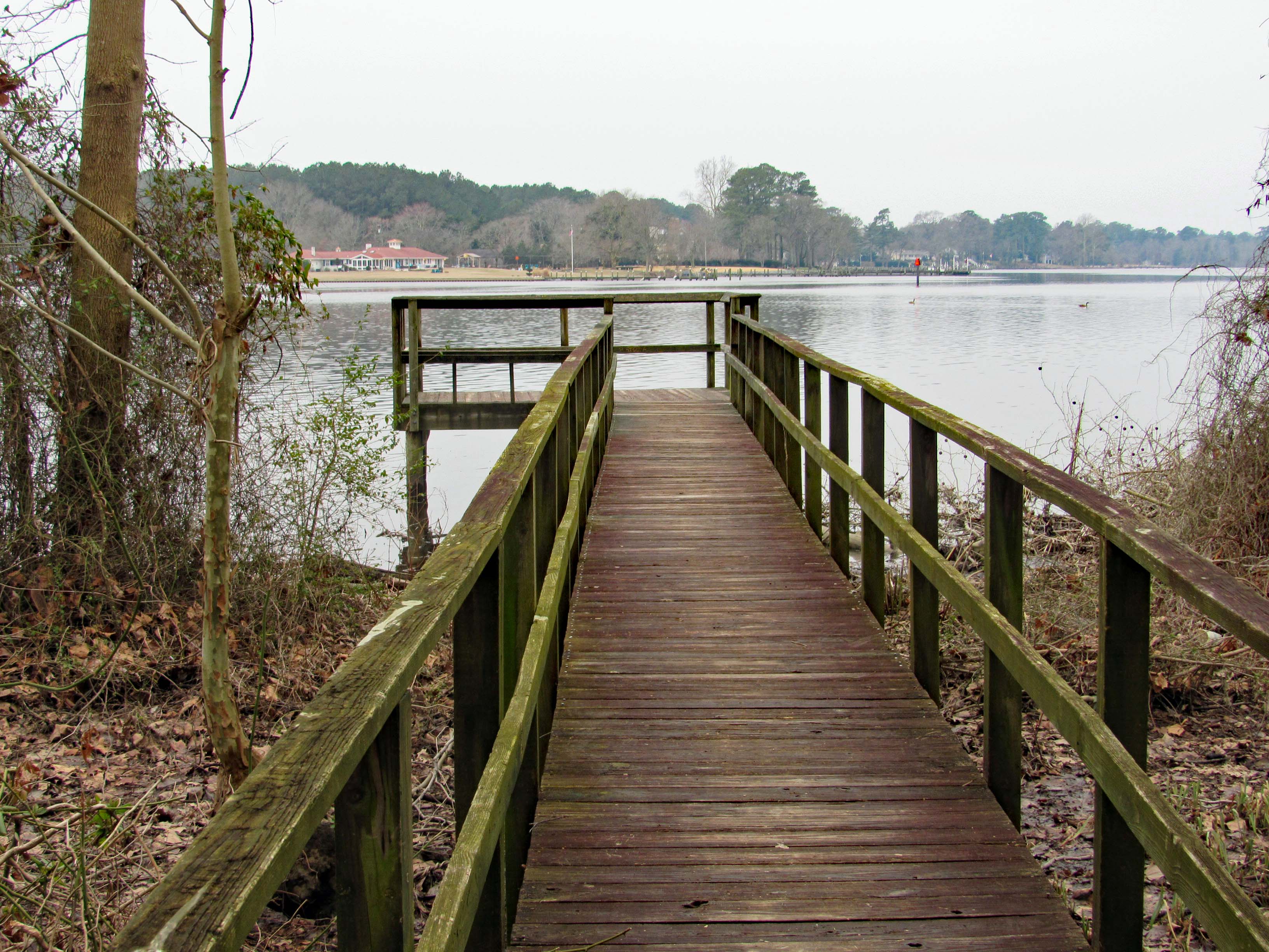
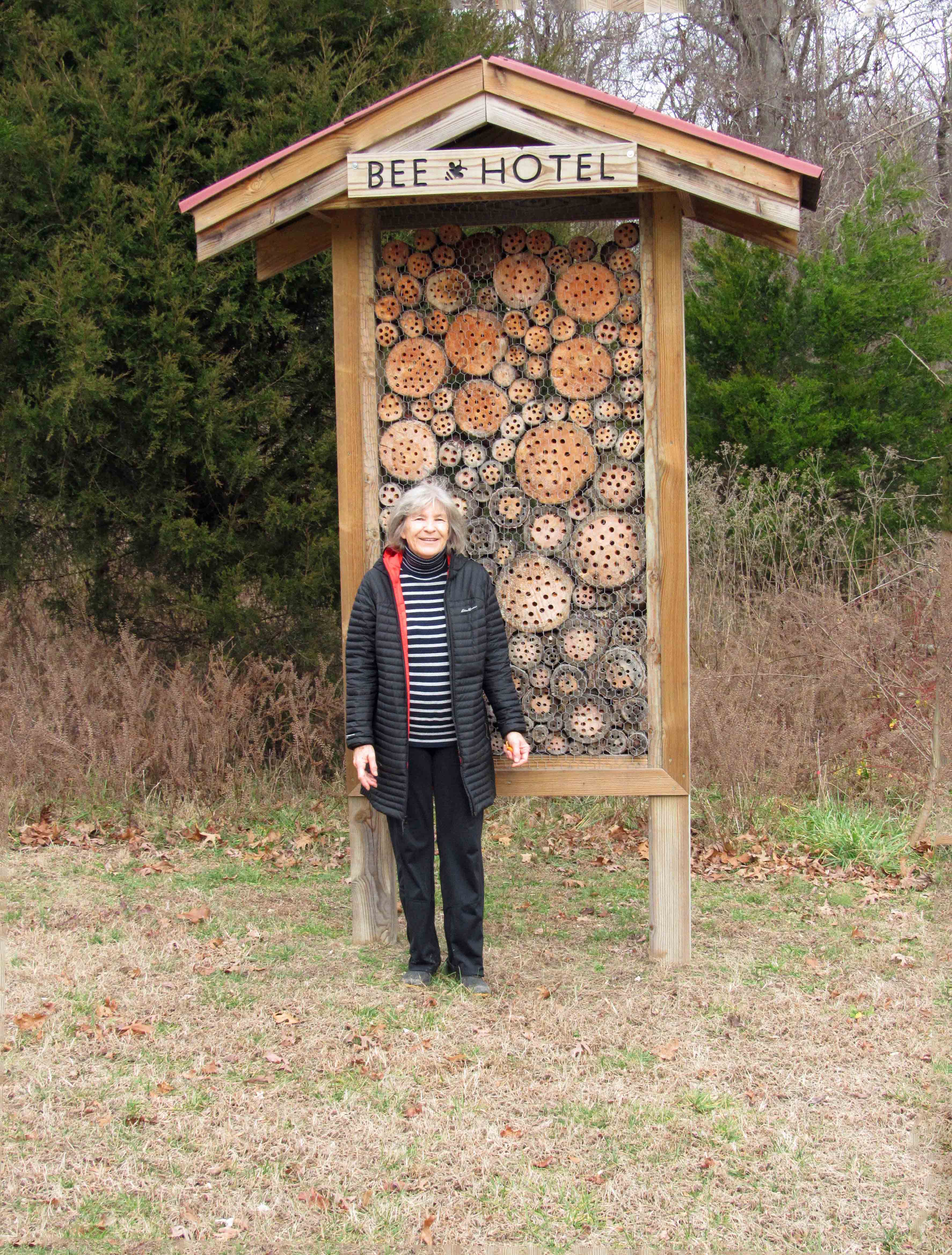
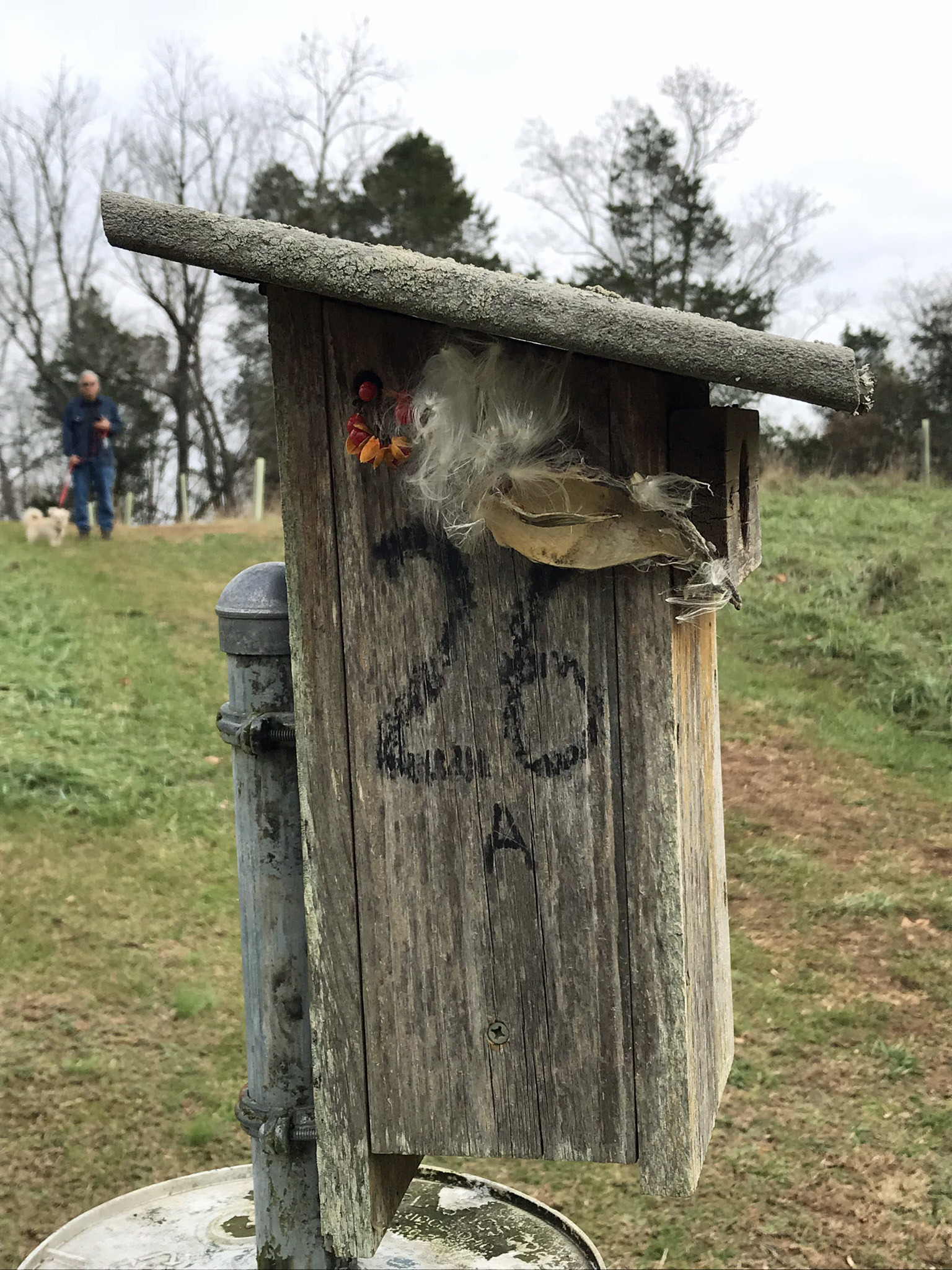
and bird boxes.
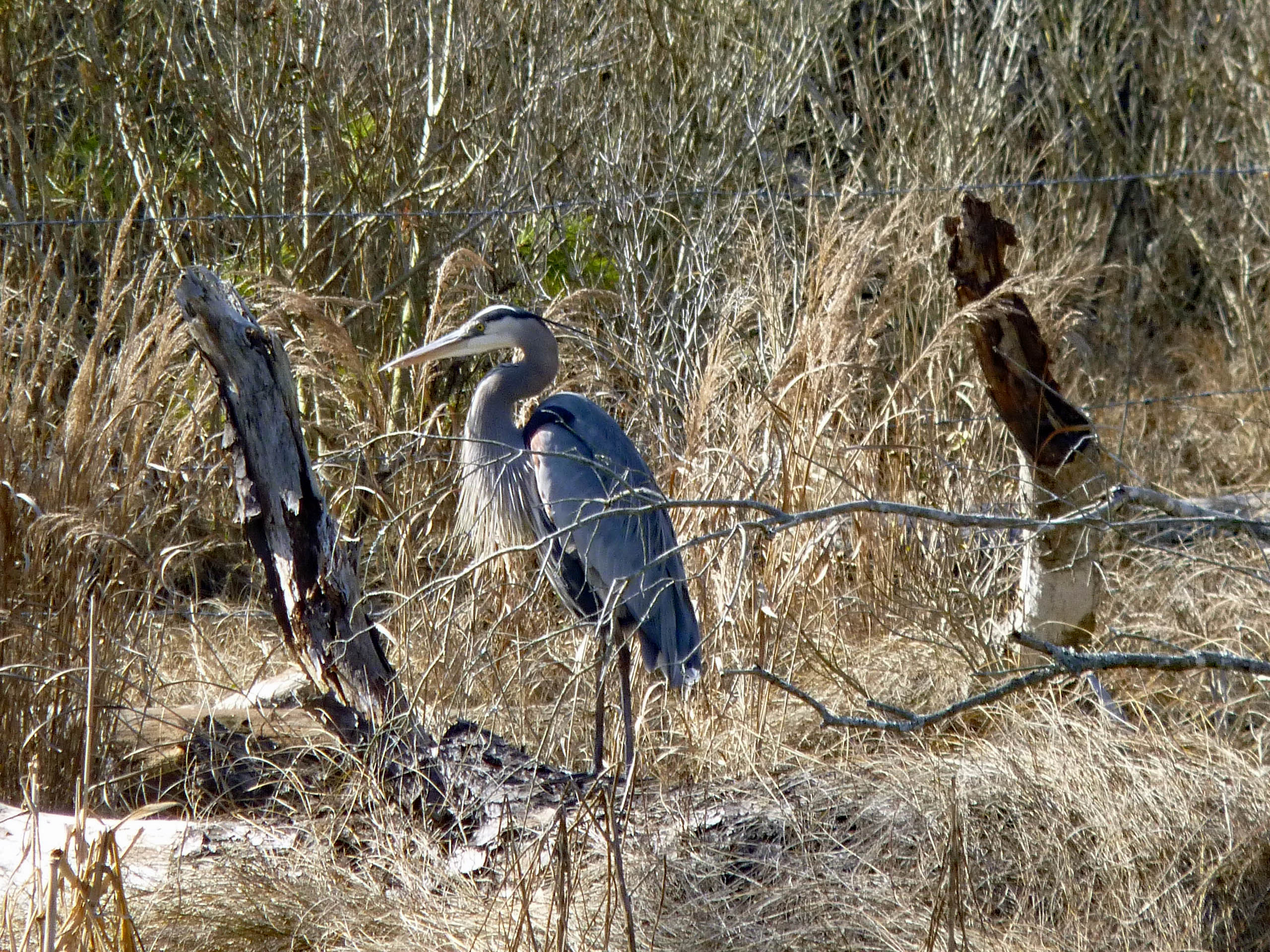
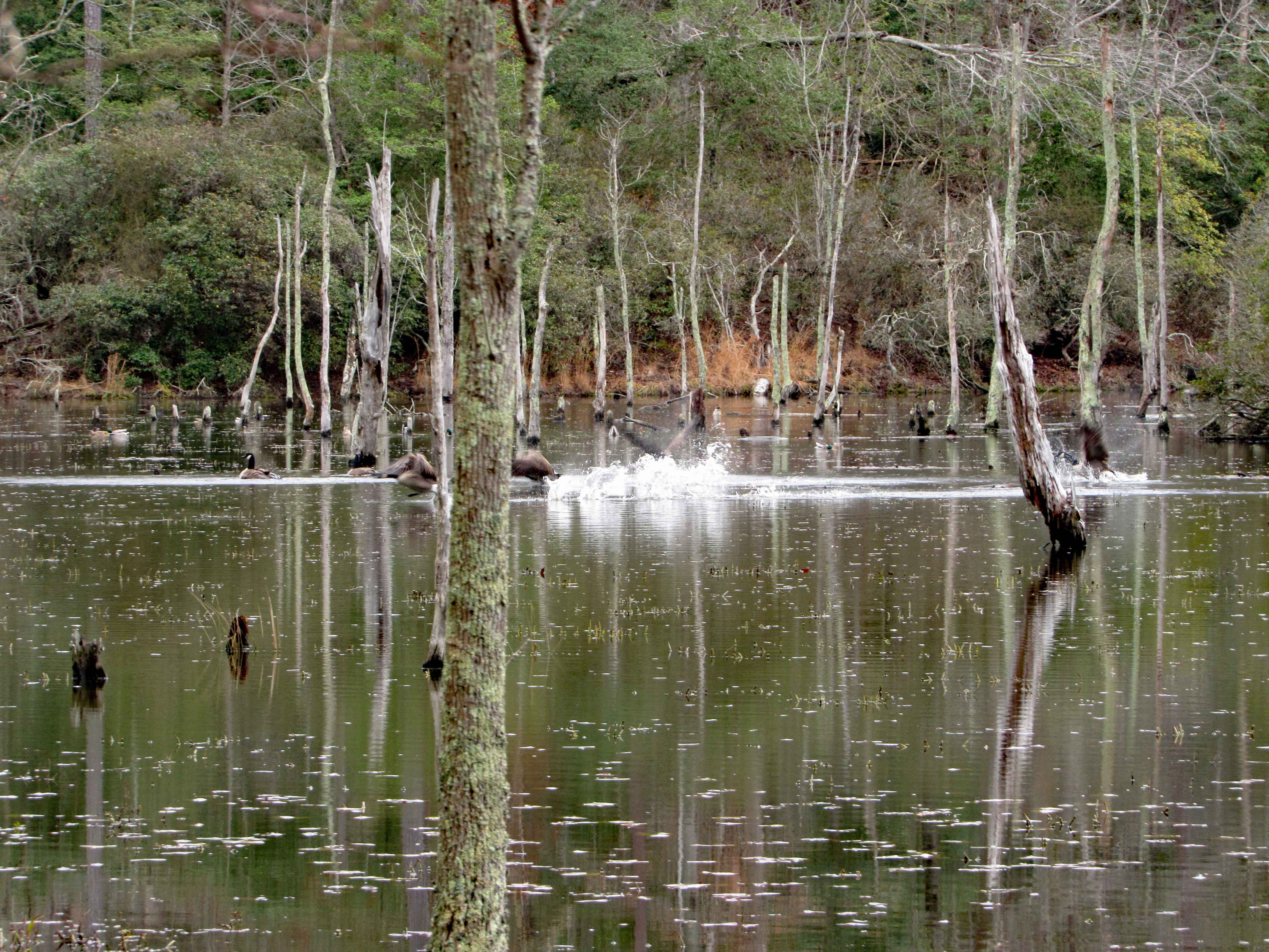
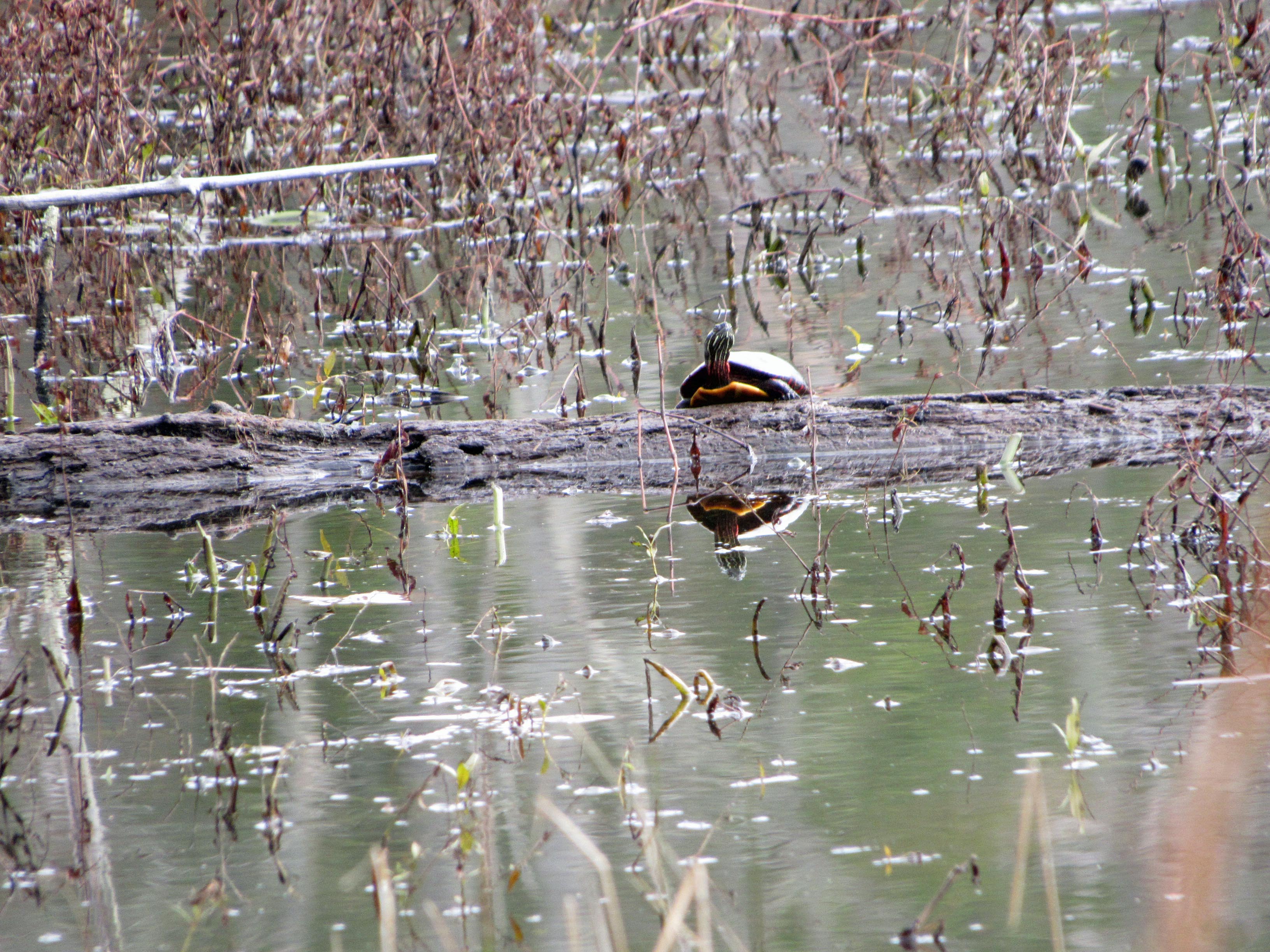
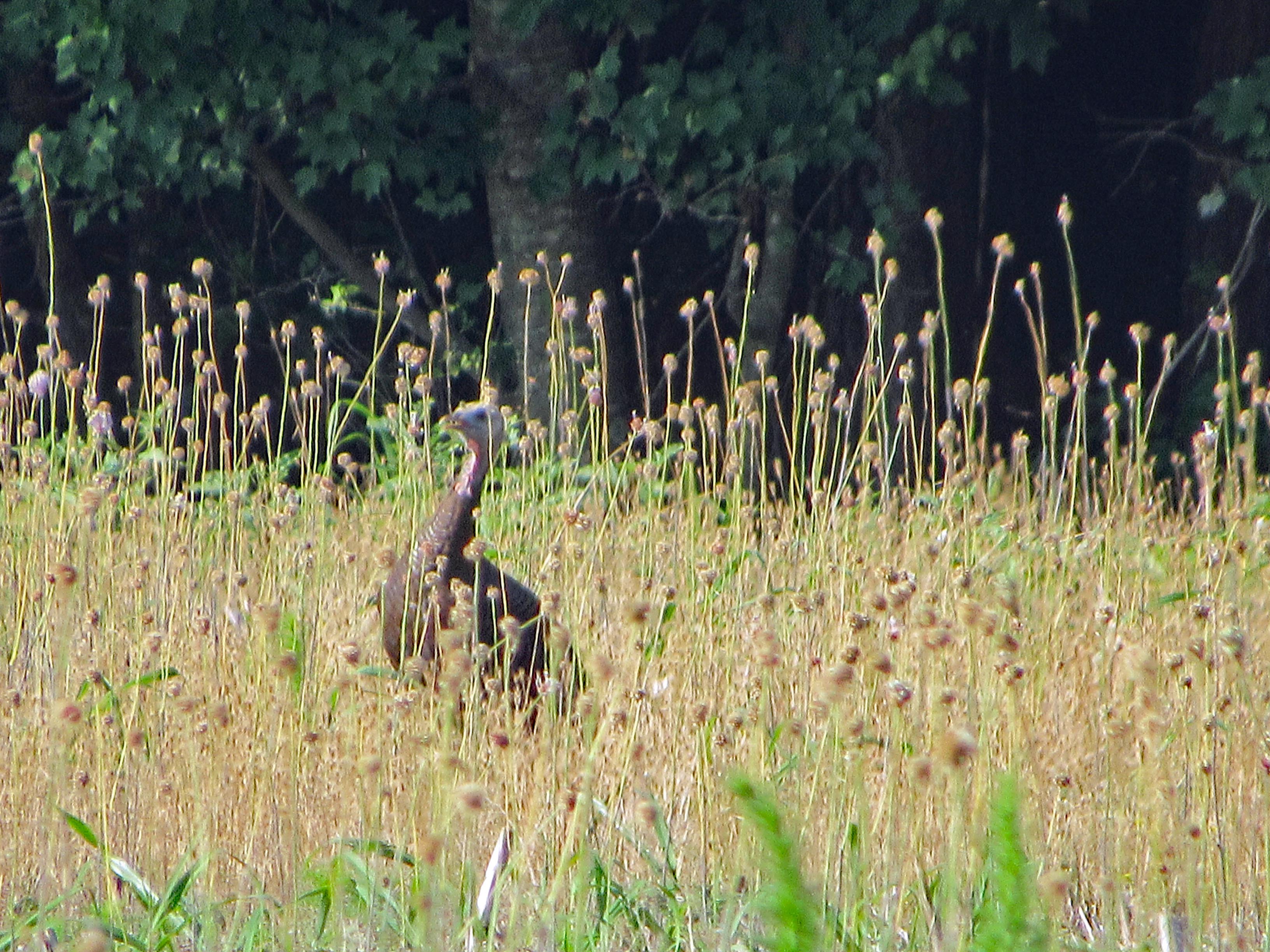
Molly hears it…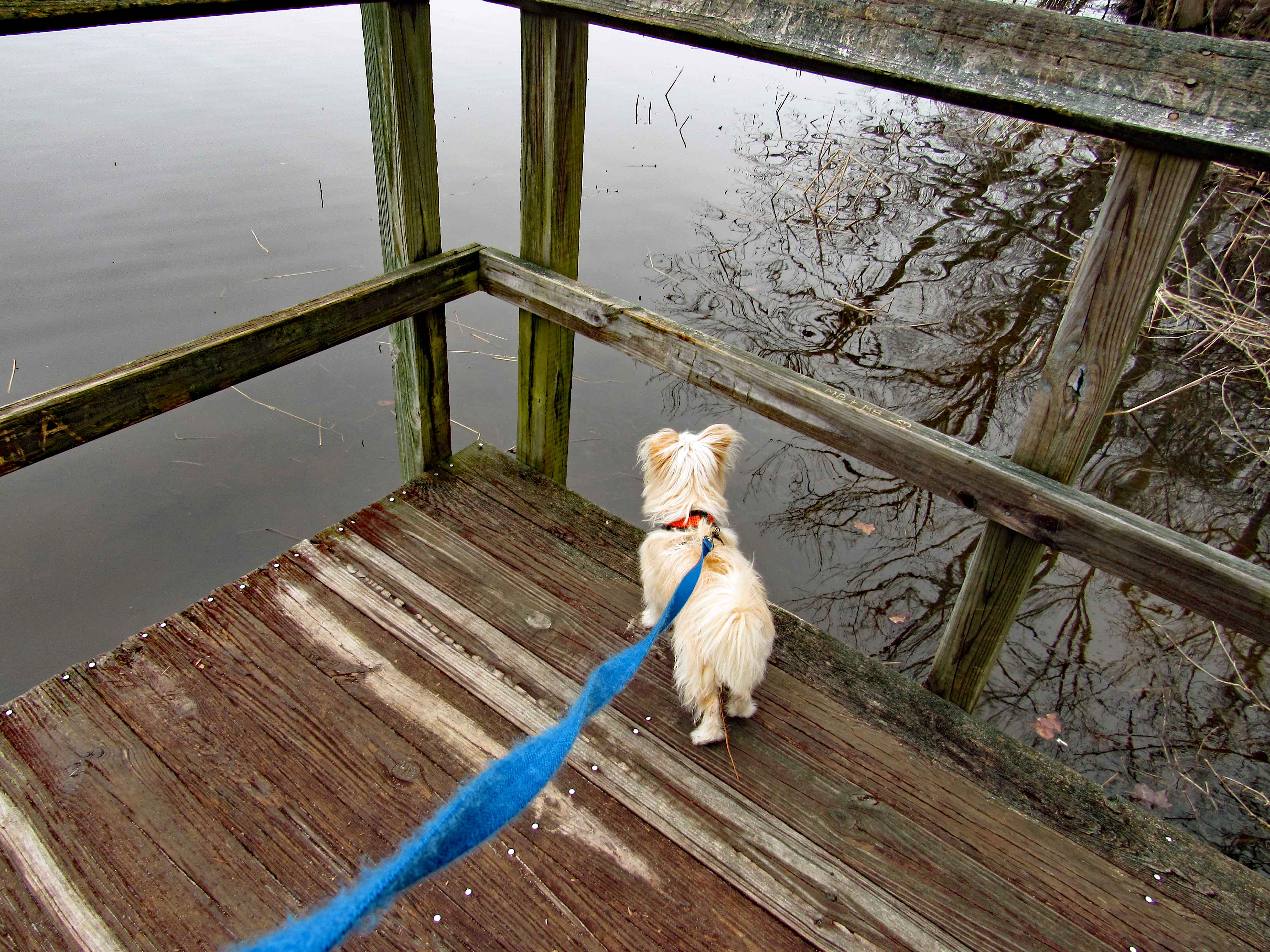
I see it.
And kathy sees it.
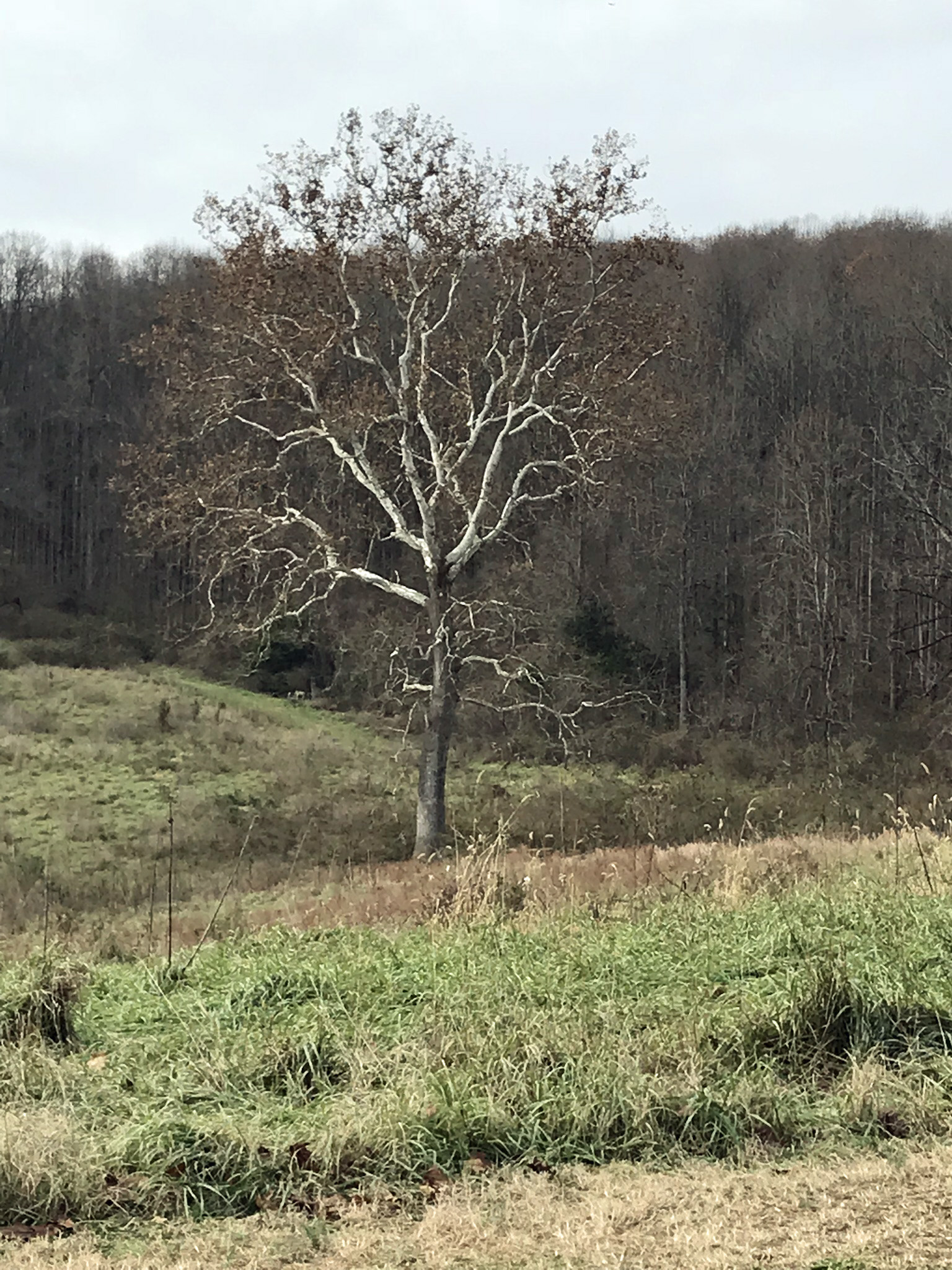
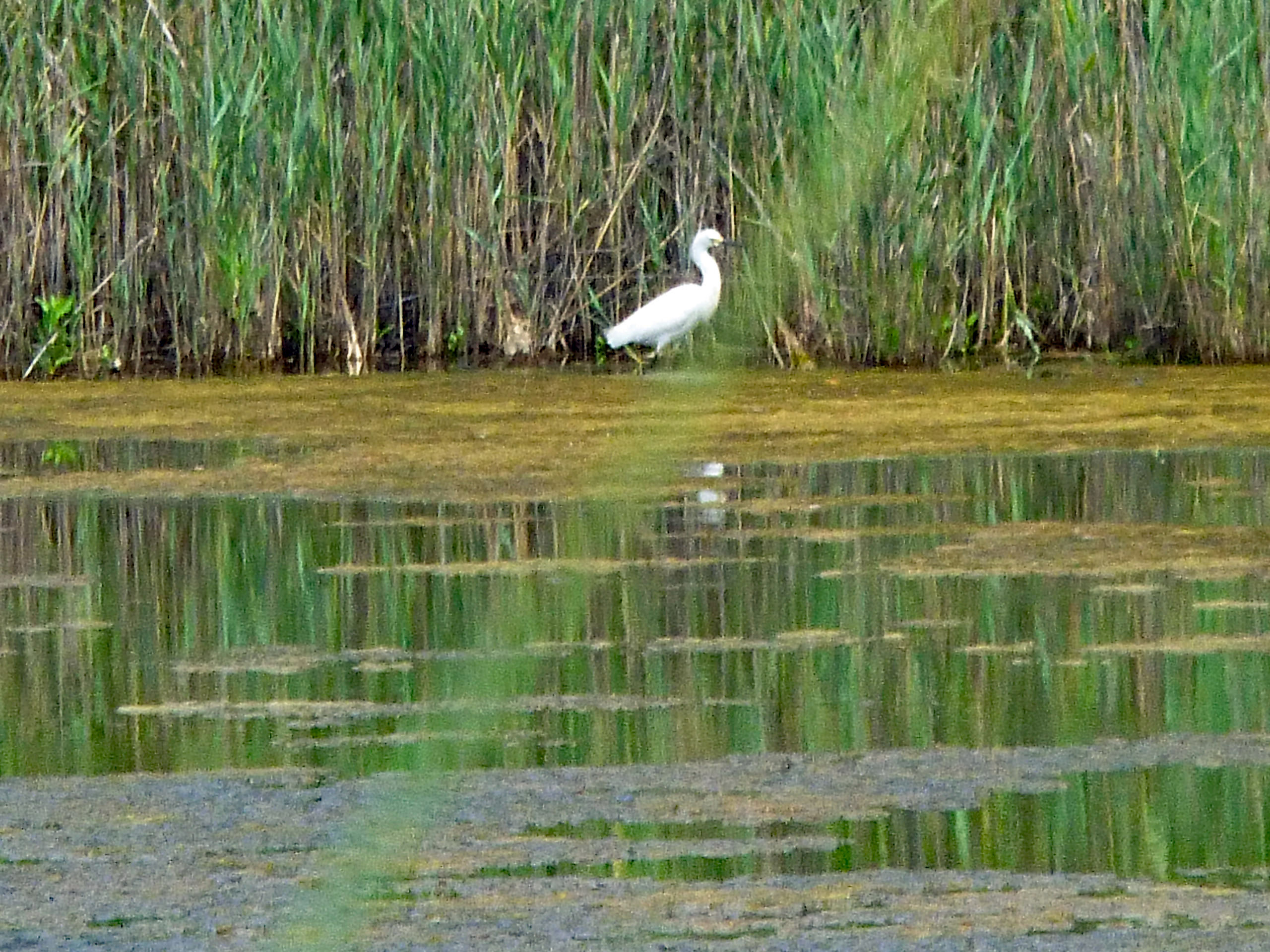
An eagle on the top of the lone tree dead center
Hard to get a good shot this far away. (I do not carry a bunch of lenses and stuff with me when hiking)
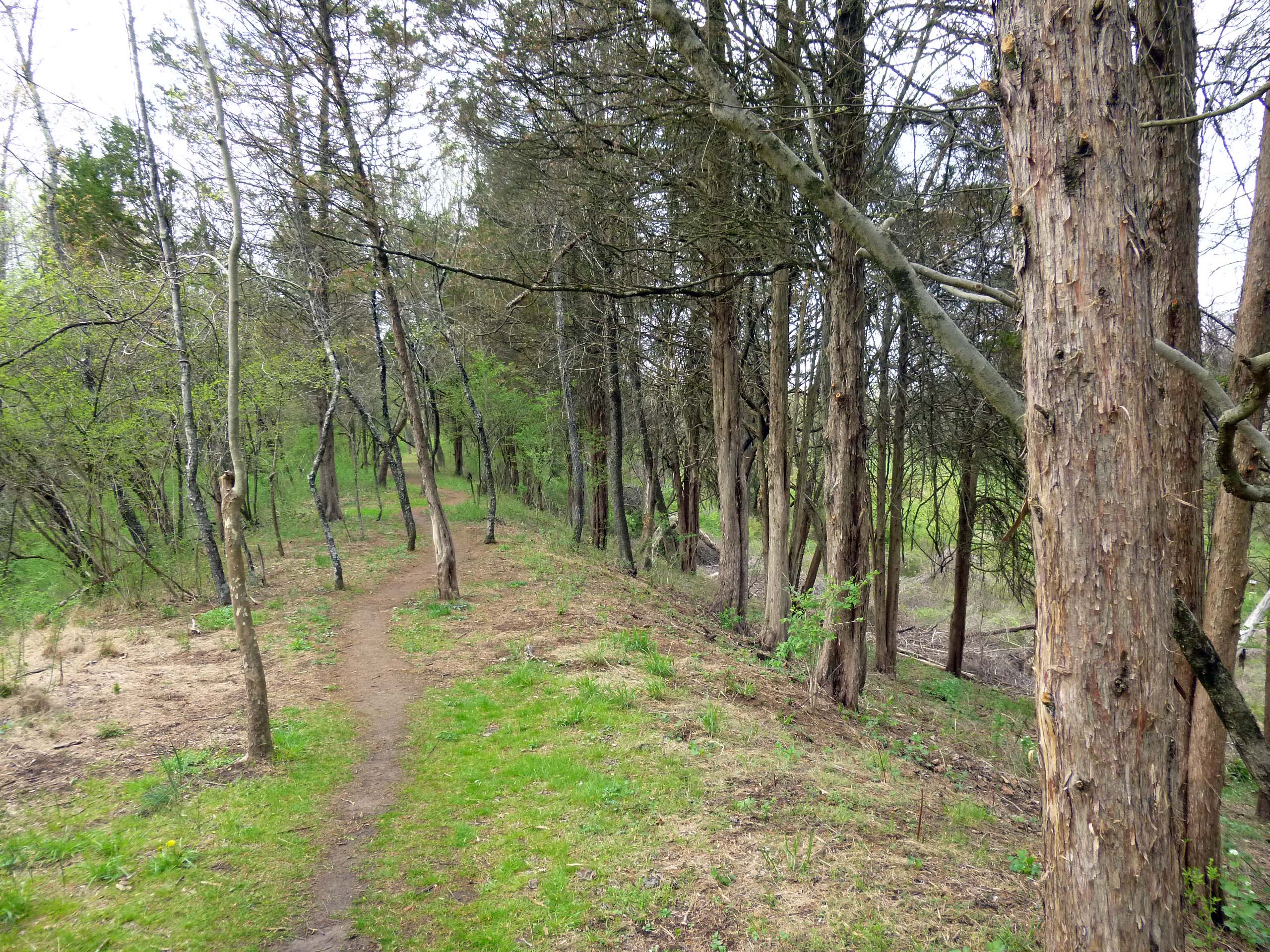
More colors.
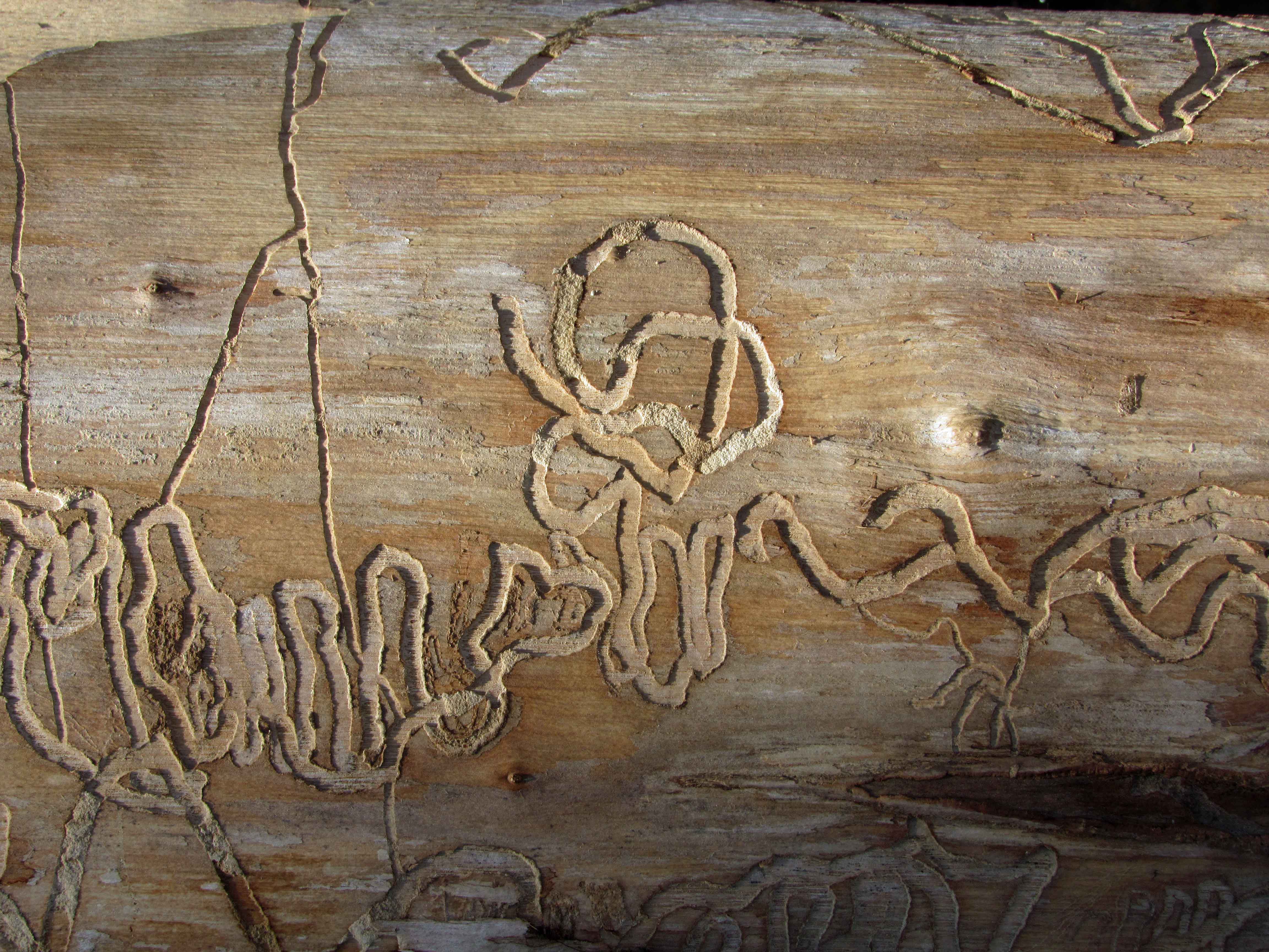
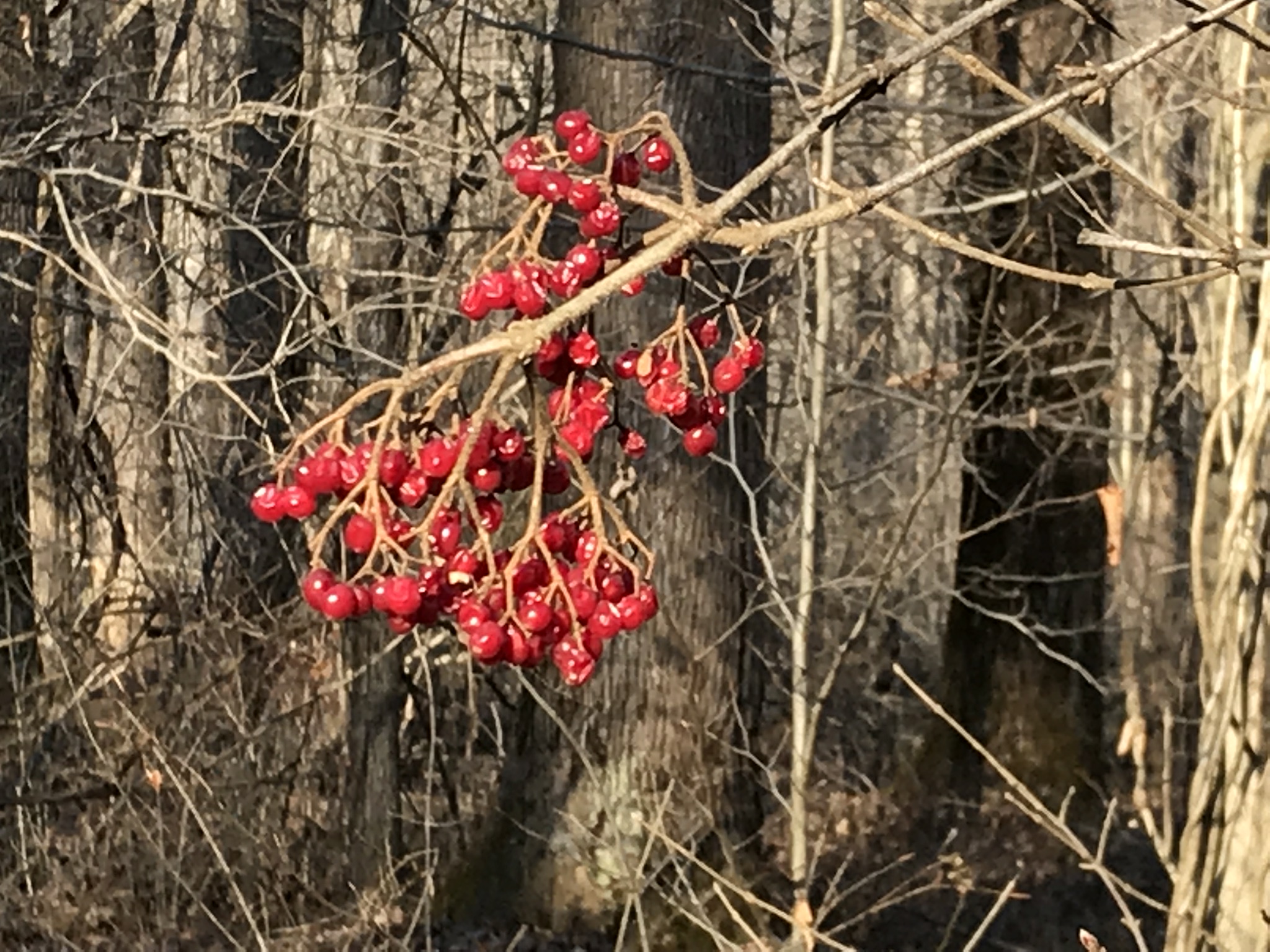
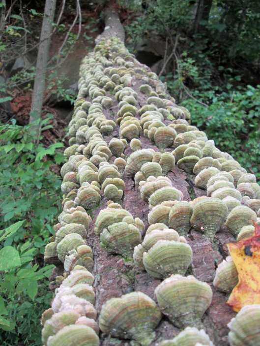
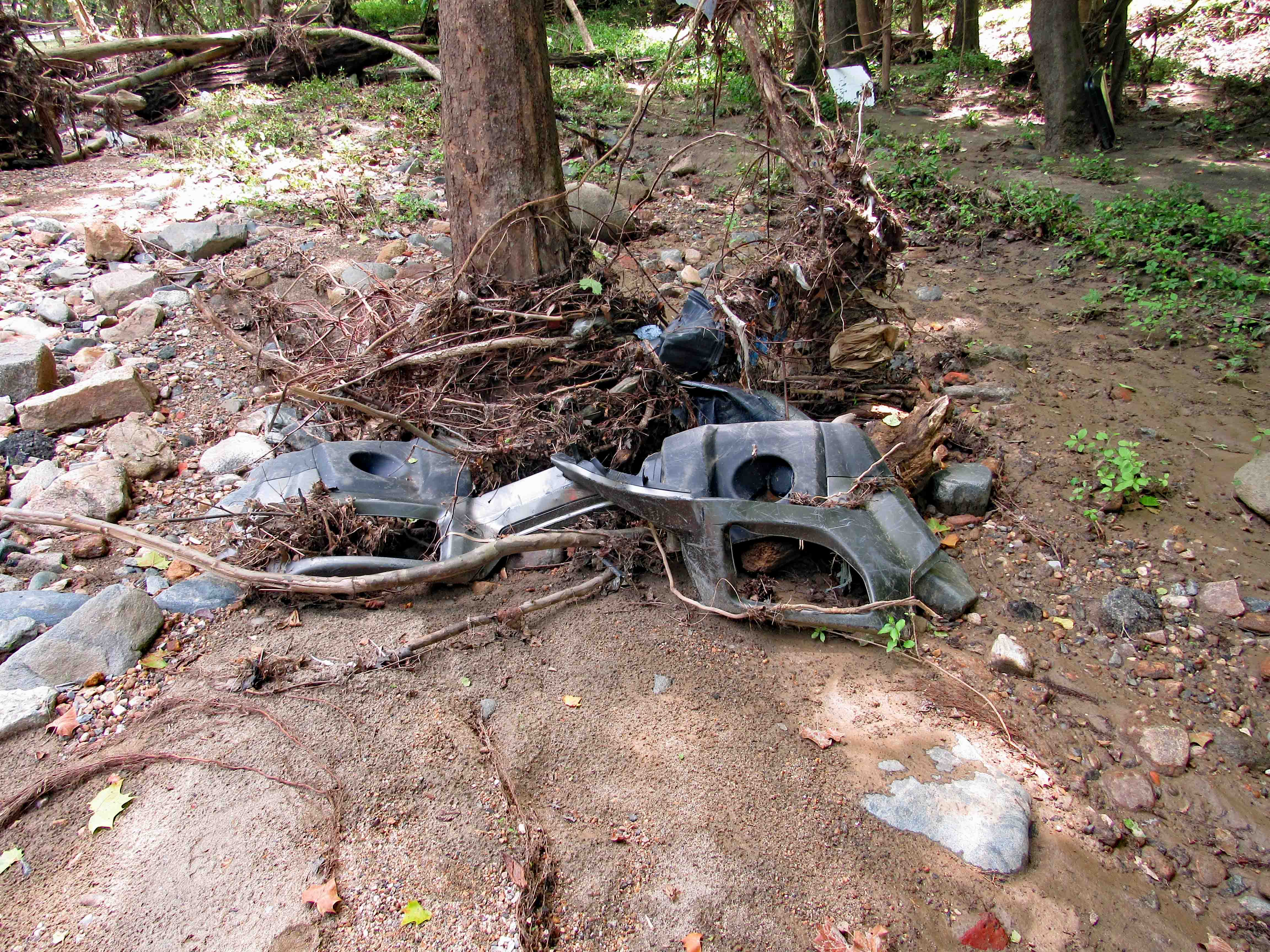
This was in the path. nicely strange. Kathy took this one.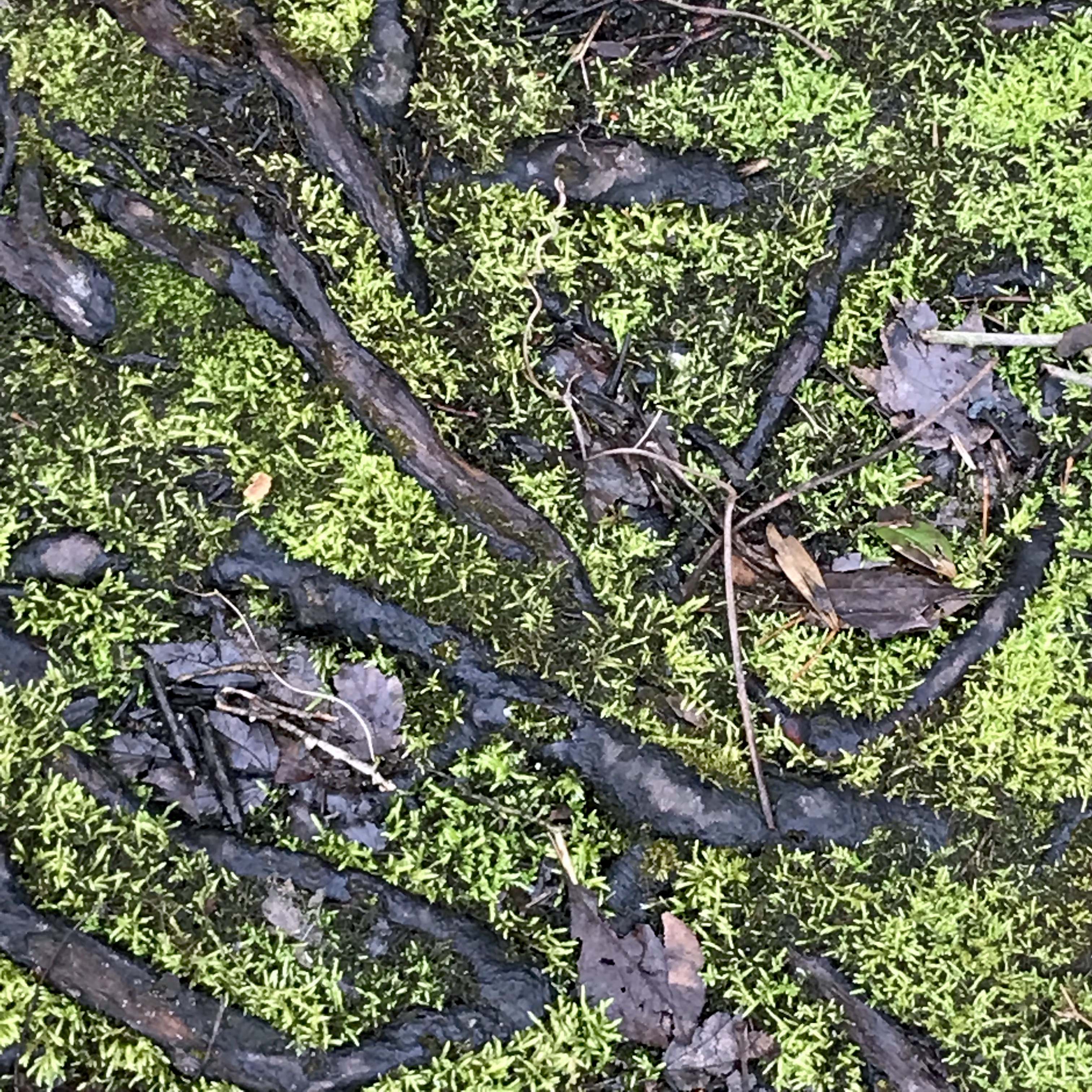
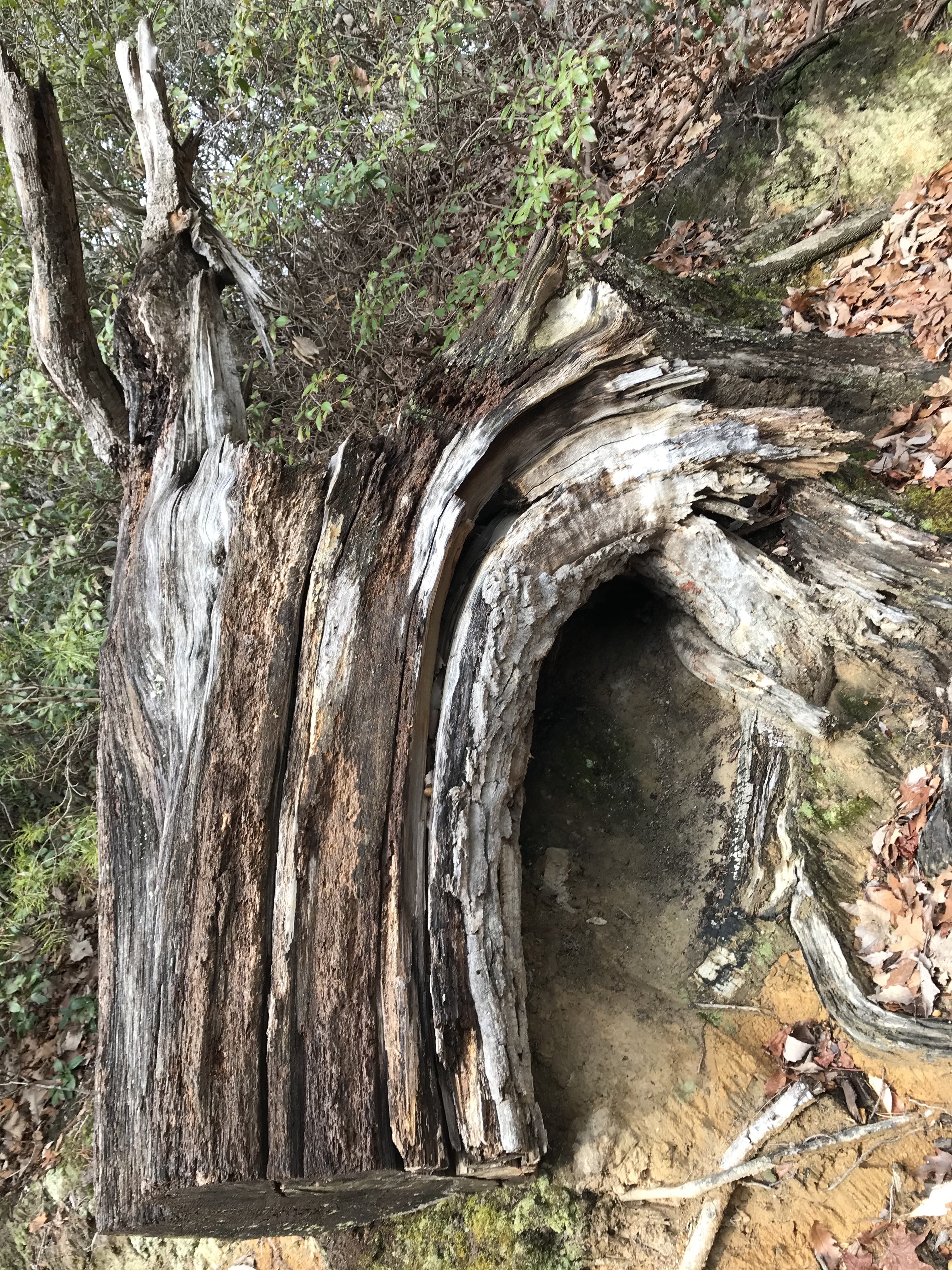
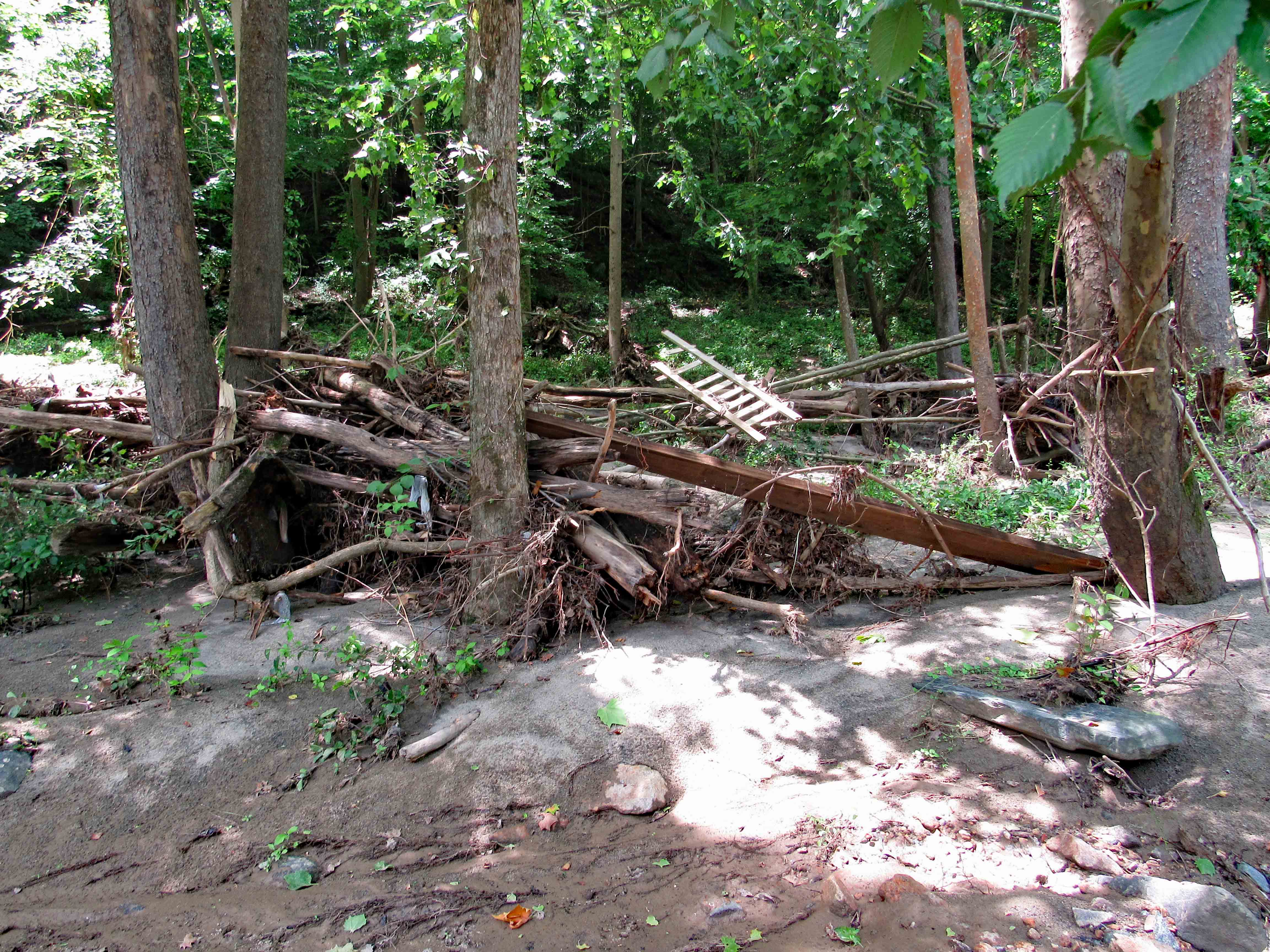
When one tree fell, I guess it took the other one with it.
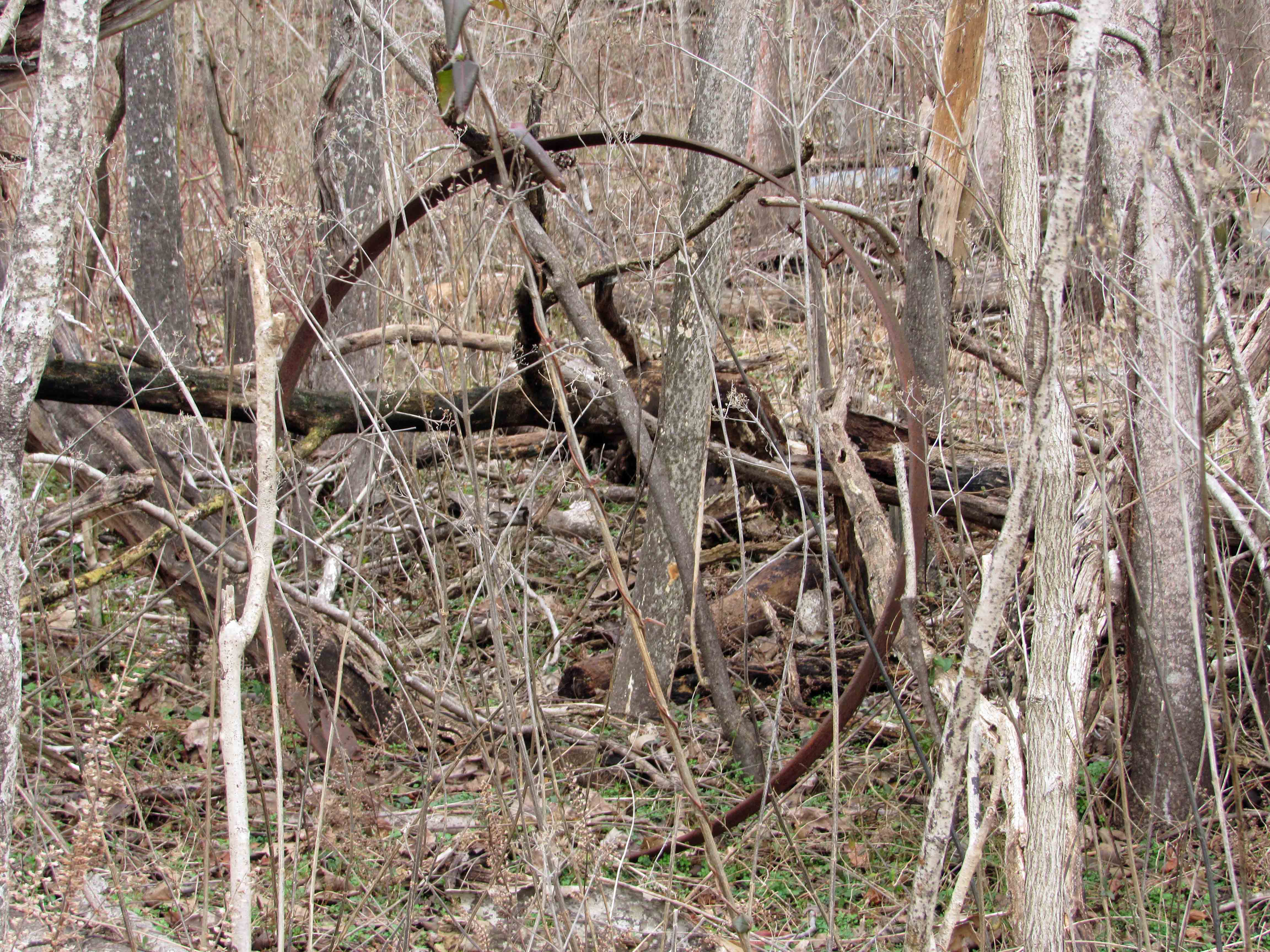
Dead center and this thing was humming.
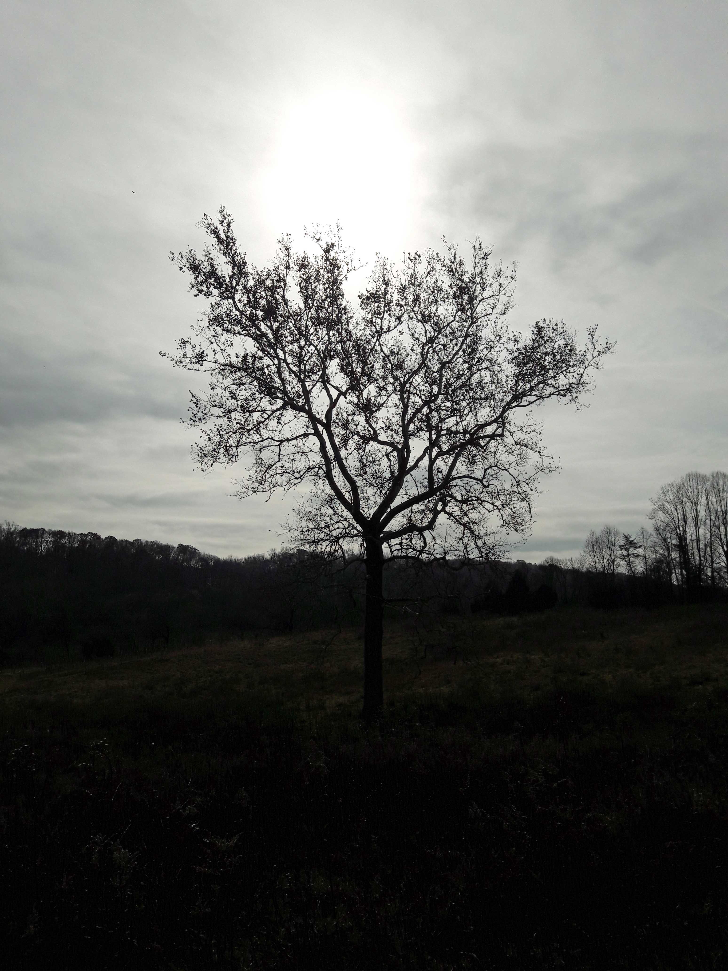
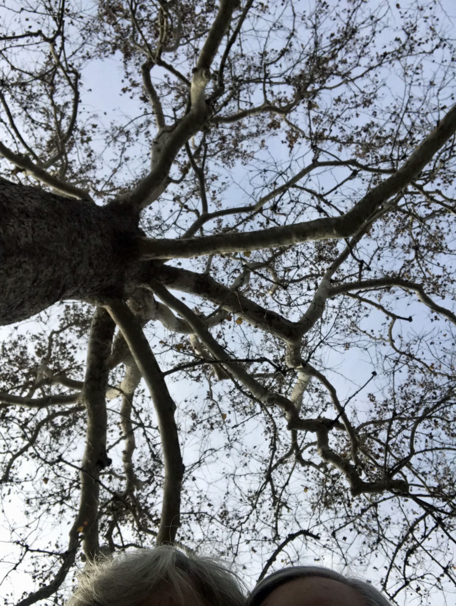
Lone growth up in the trees.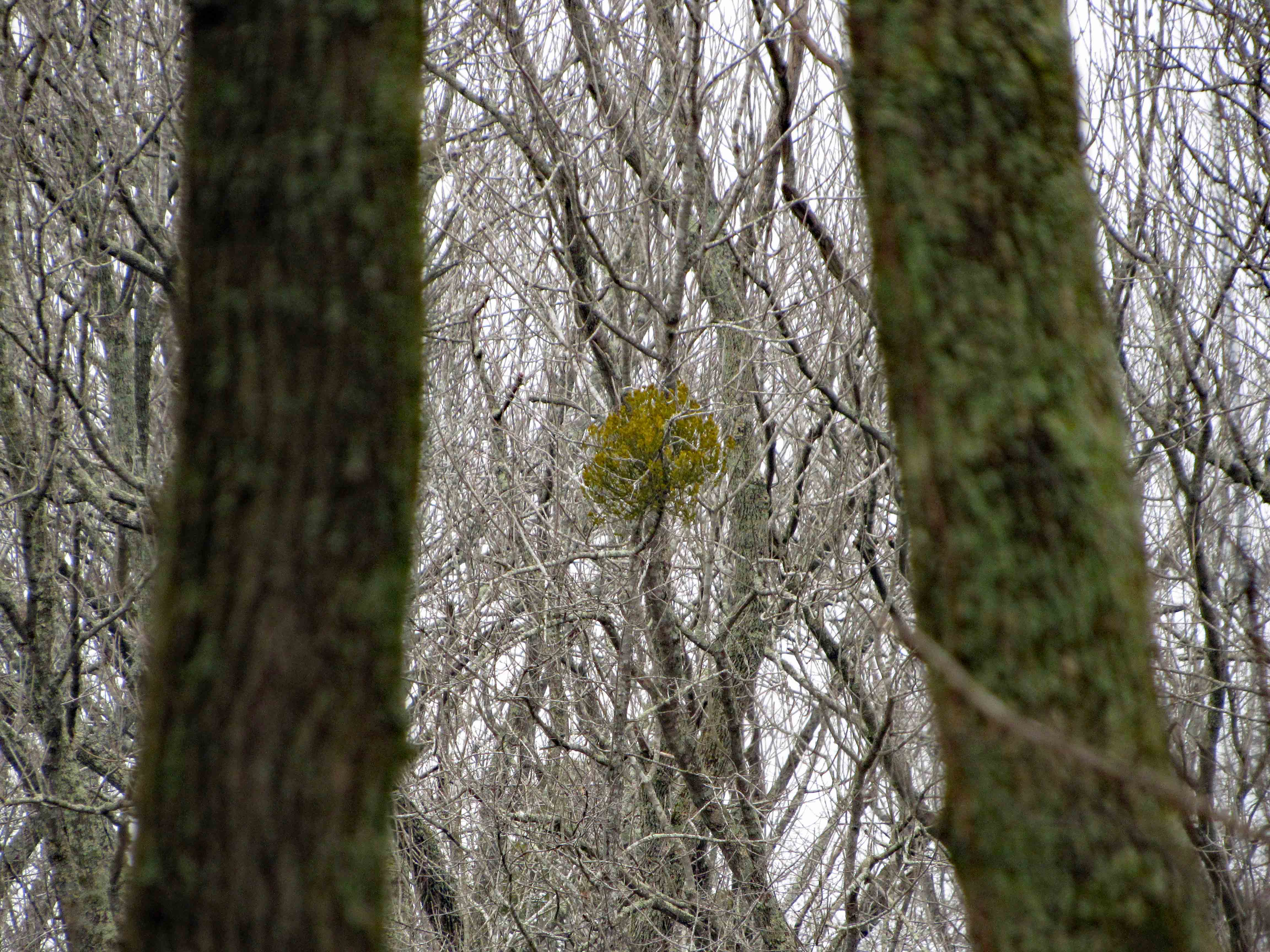
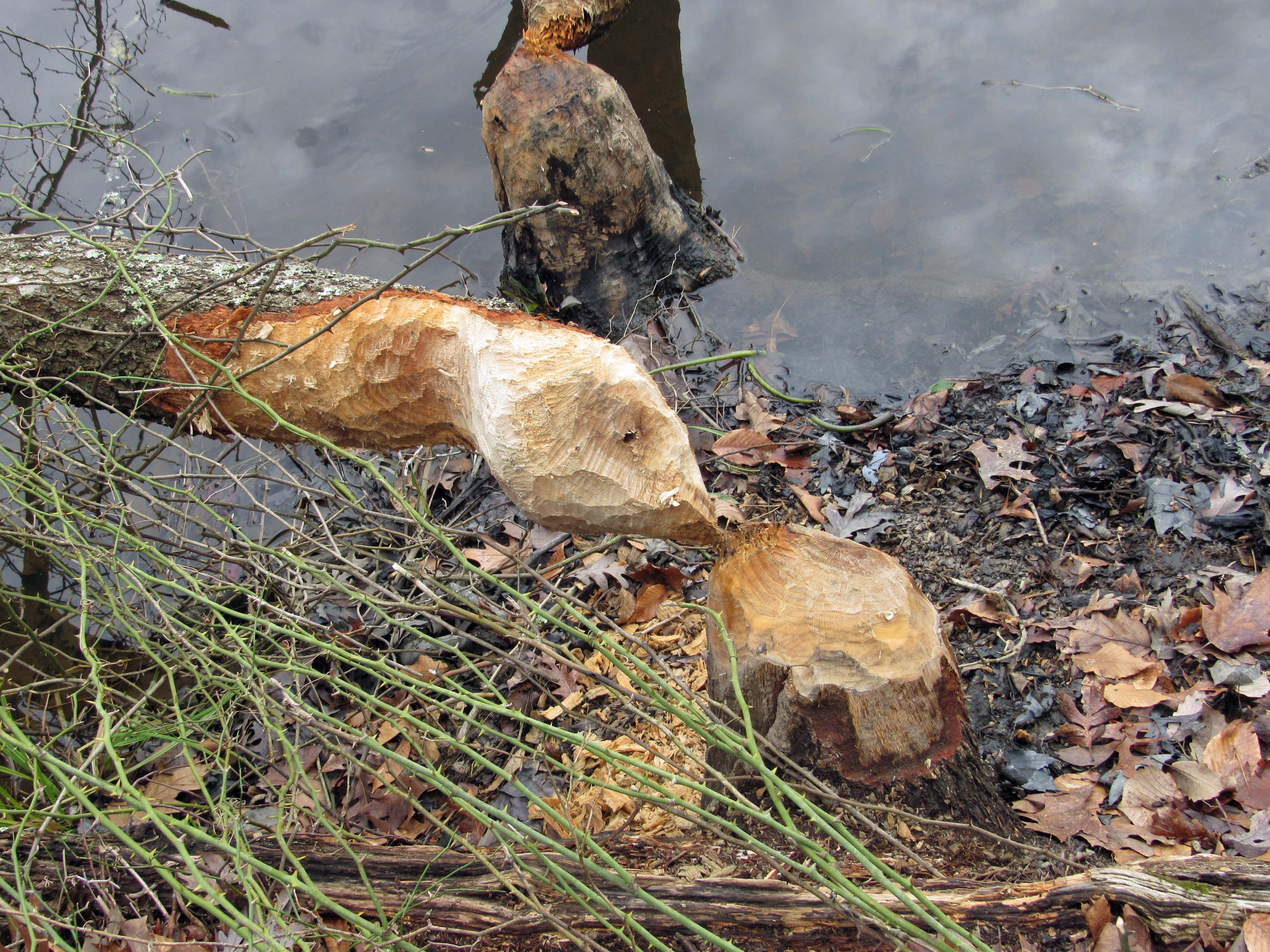
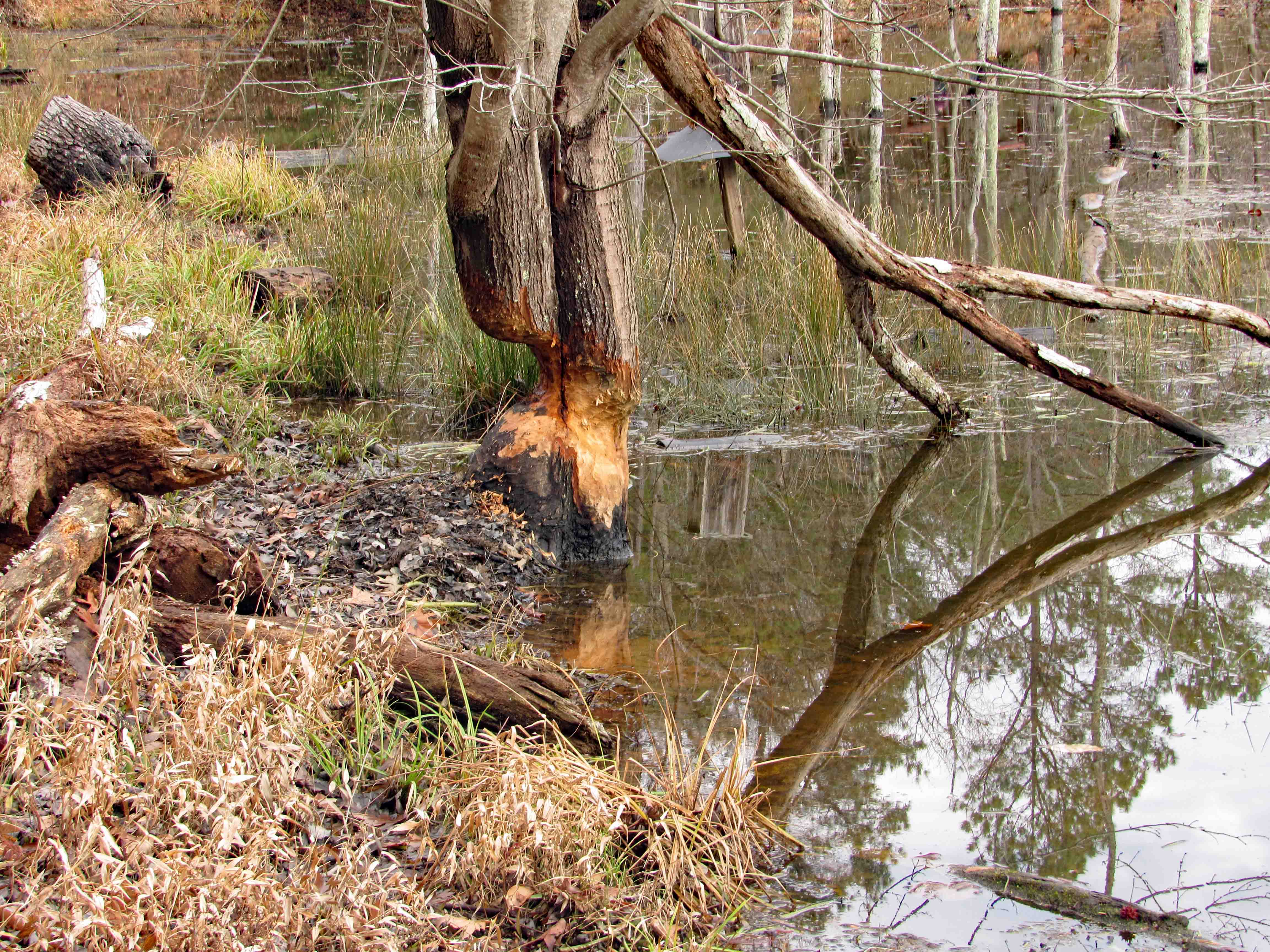
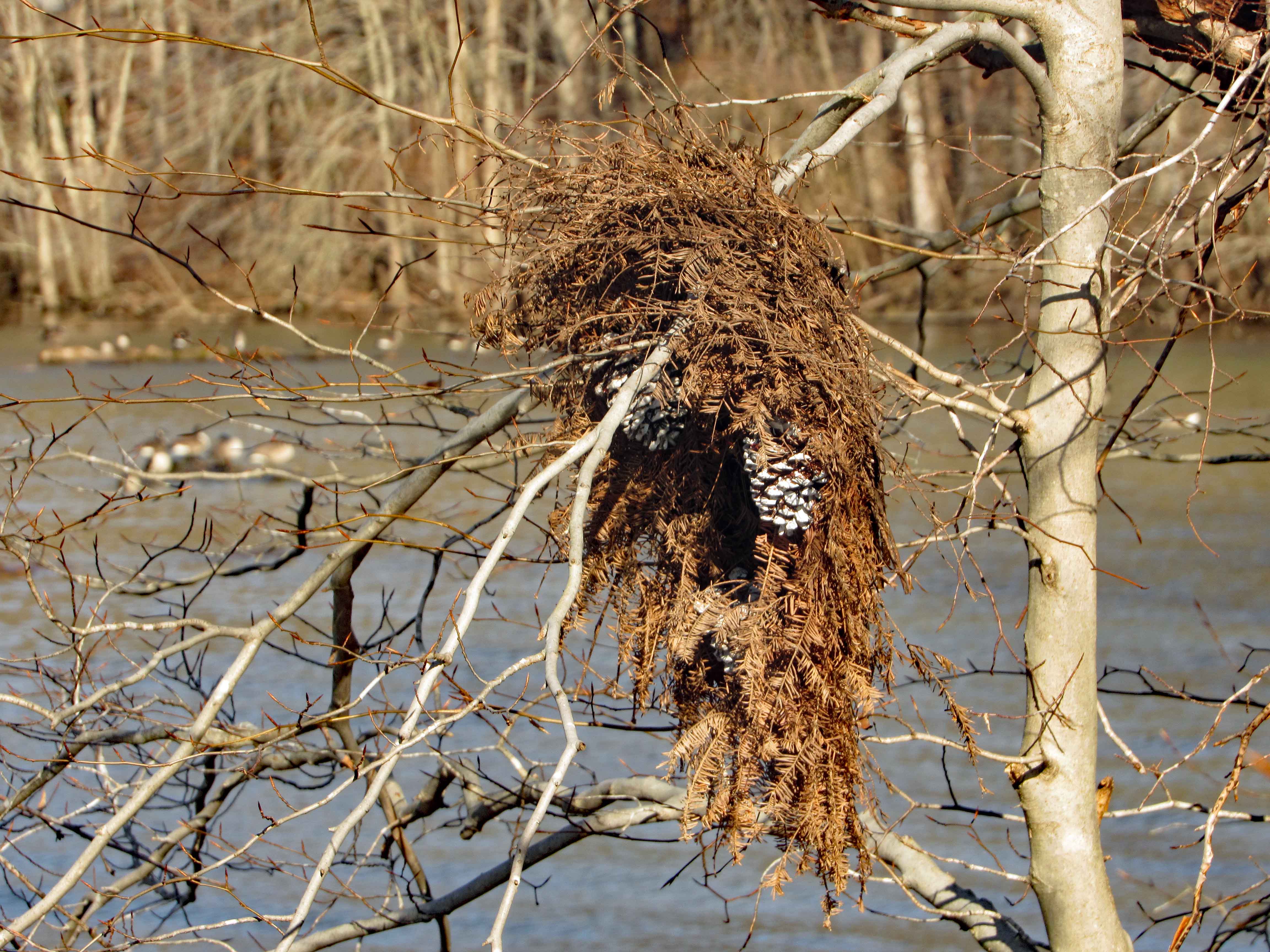
A beaver house.
As I walk away…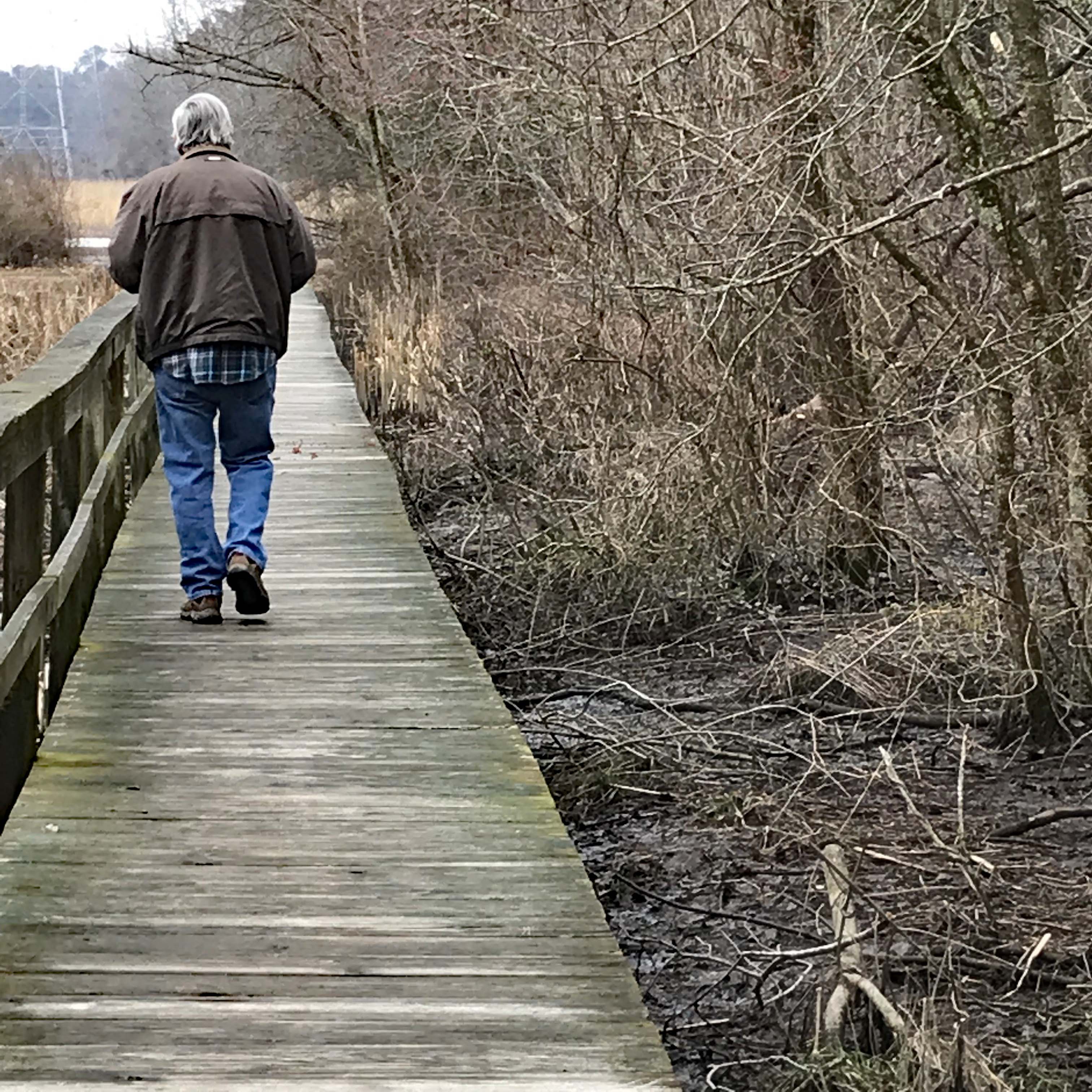
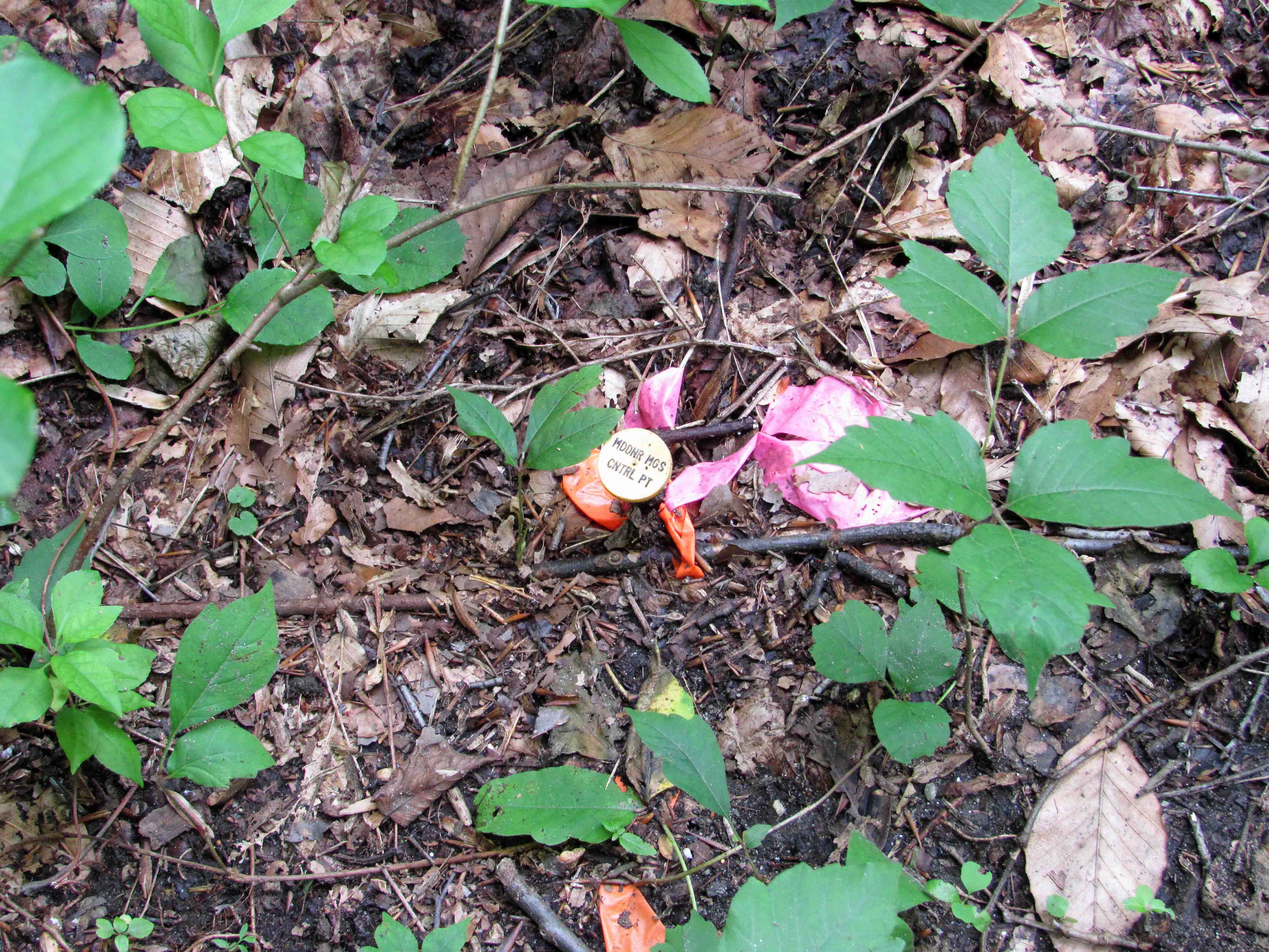
A penny for your thoughts (I’m thinking – Don’t touch it! It looks like a booby-trap!)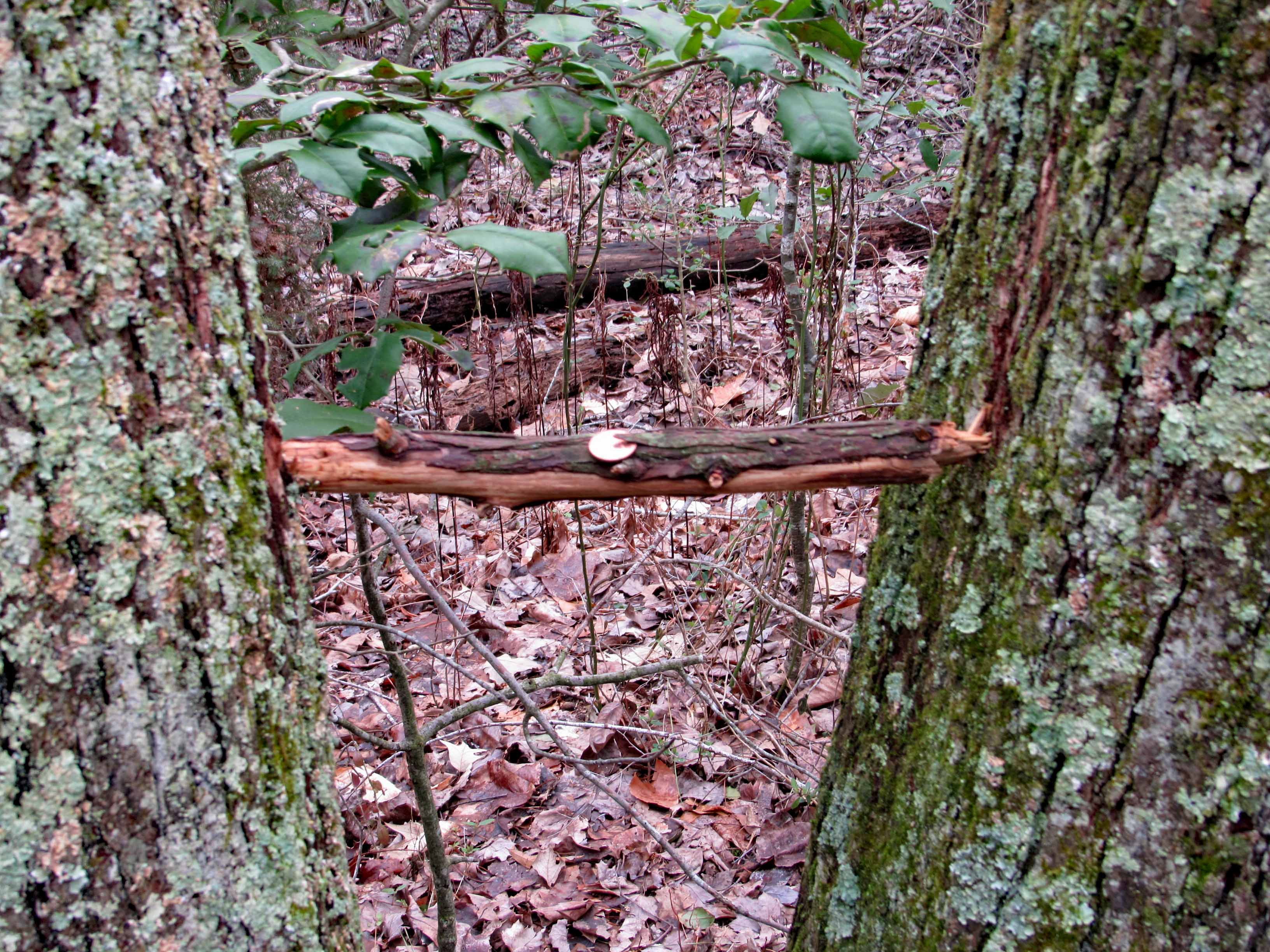
A wonderful adventure in our new neck of the woods!!
Thanks God.