Tags
church, geysers, glacier, Hiking, HISTORY, Iceland, lighthouses, nature, photography, rainbows, sculptures, tomatoes, volcano, water falls
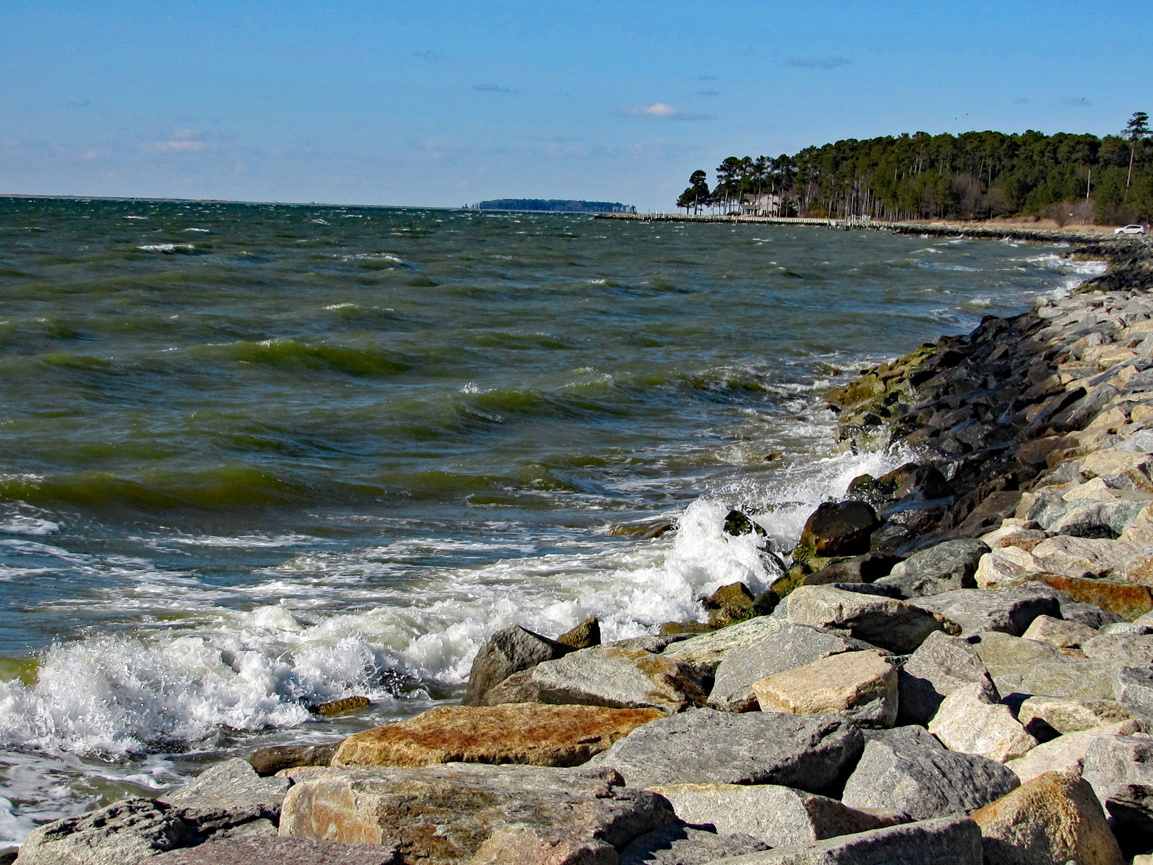
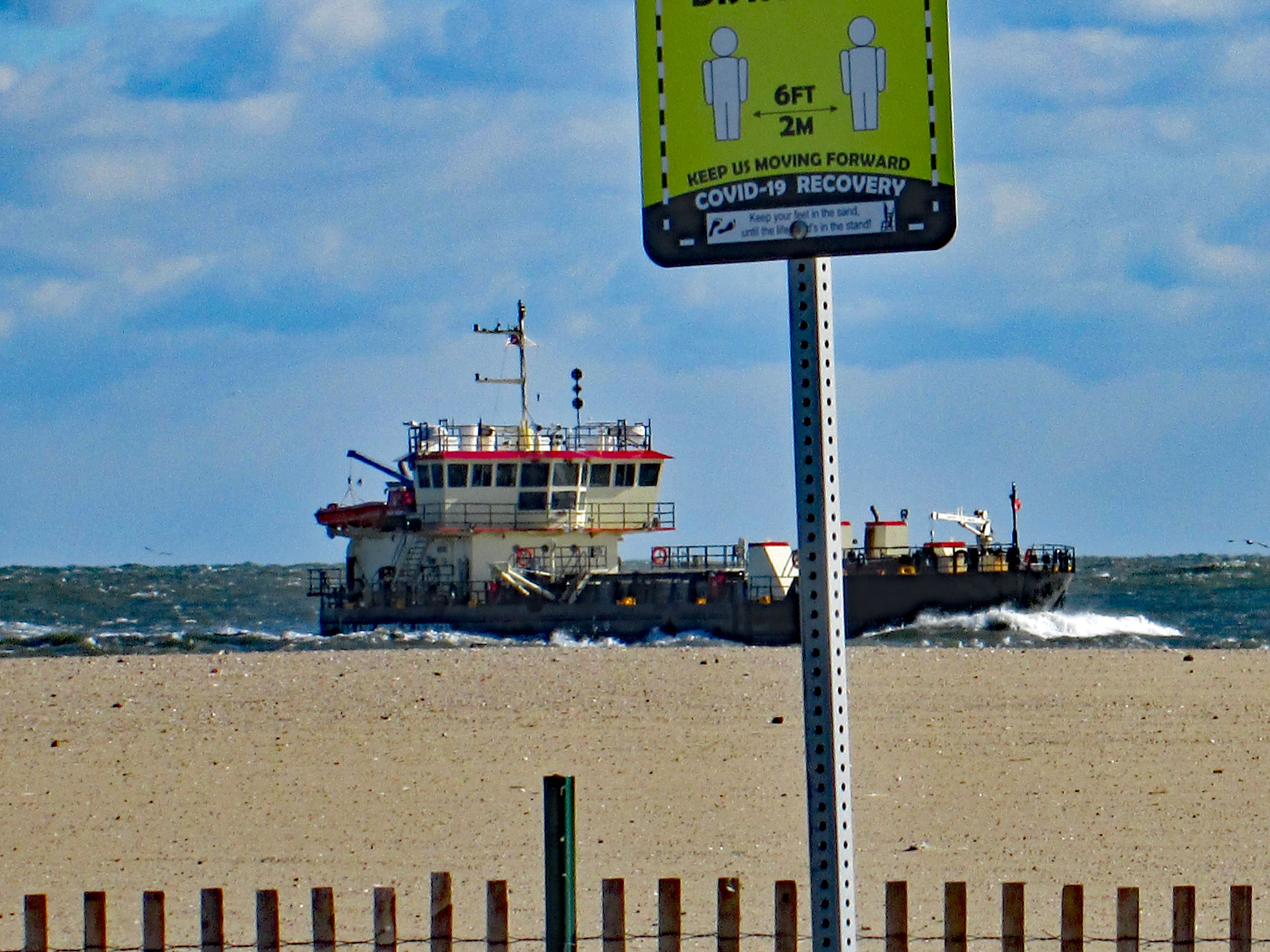
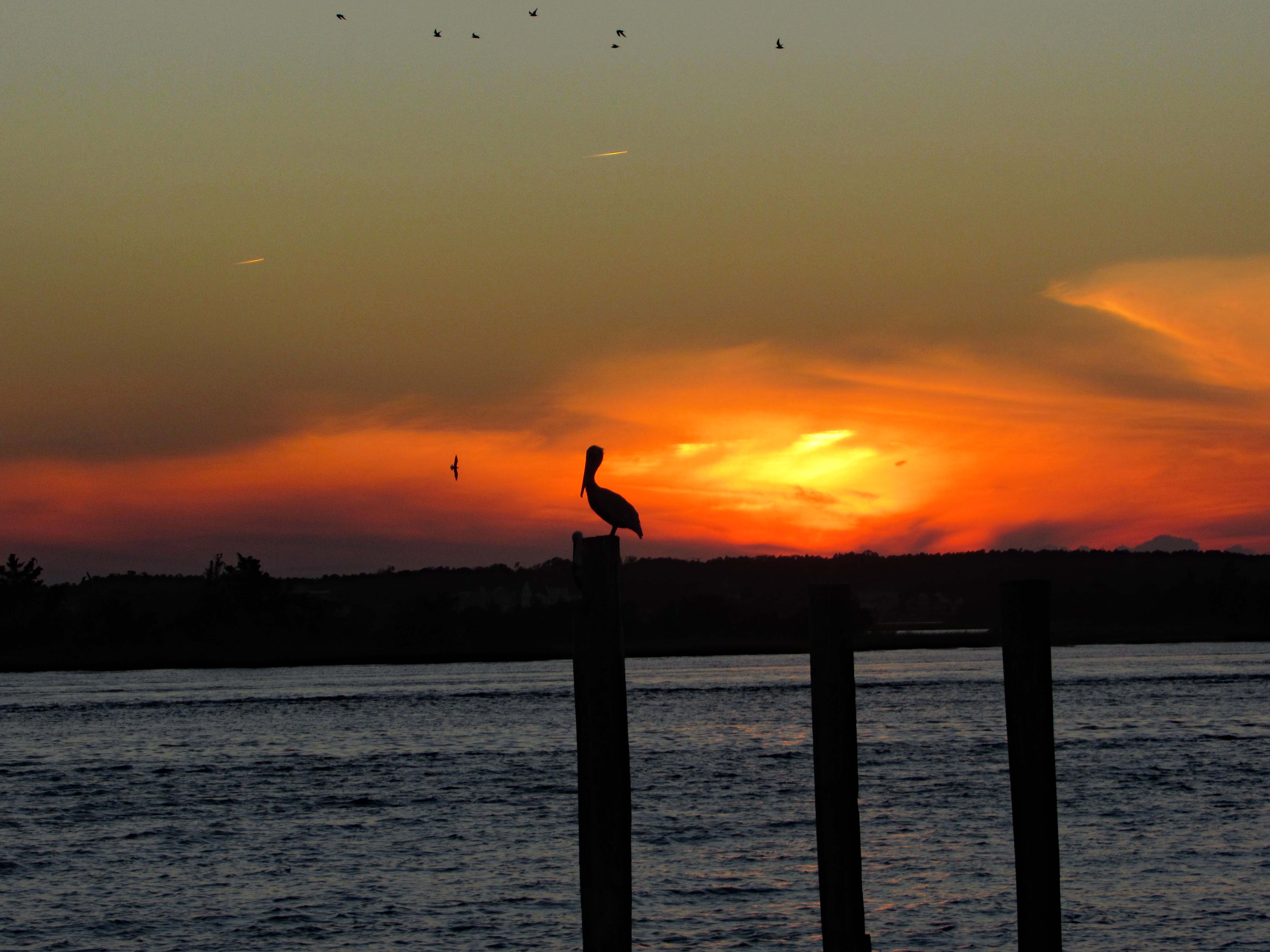
In April 2023 we took a trip to Iceland. Although the weather for the most part was not the best, all the beauty and wonder made the trip an unforgettable experience. Then again, the weather here on the Eastern Shore was not that great – two days before we left, tornadoes touched down just north of here. Volcanoes, blizzards and continental drifts are the norm in Iceland. We did see evidence of global warming.
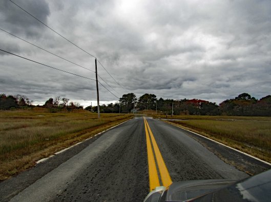
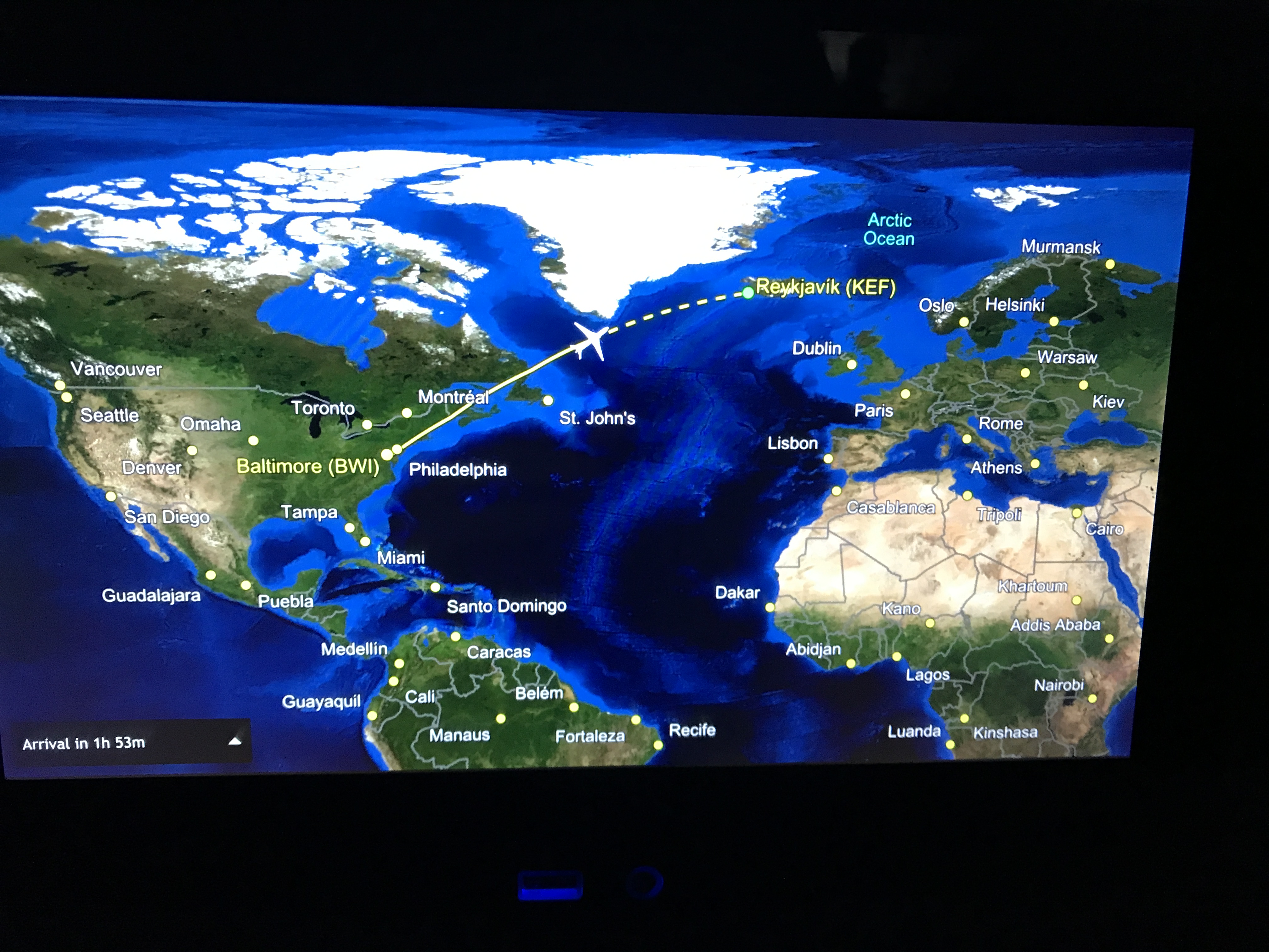
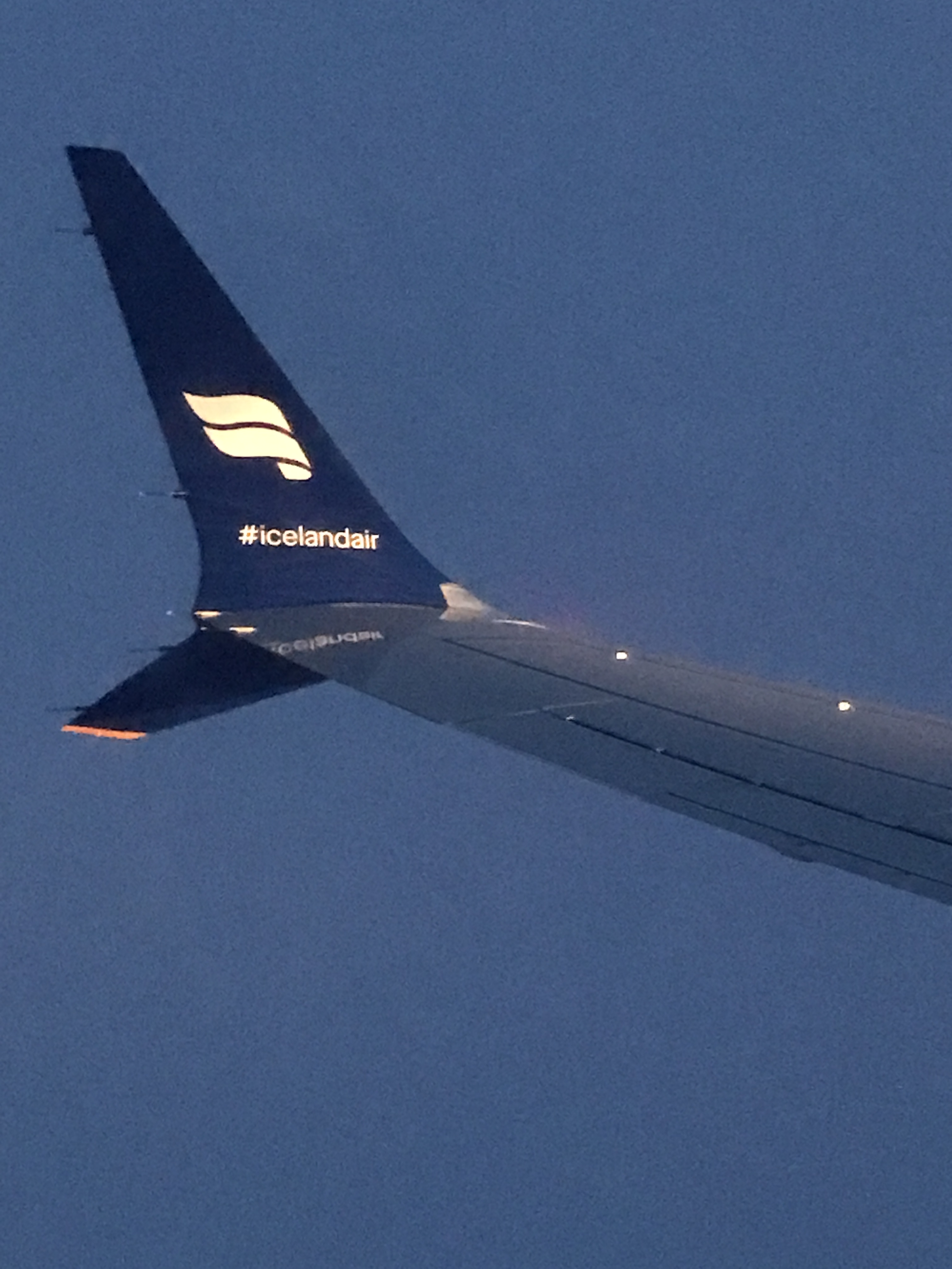
We flew out of BWI Airport Sunday April 2nd on a direct flight. I do not believe I am yet awake from the time-zone differences. Our flight left BWI at 8:35pm. We arrived in Iceland April 3rd at 6:30am.

We arrive at the Keflavik airport which was about a 40 minute shuttle drive to our hotel, The Hotel Klettur (some locals say Klettur means ‘rock’, others say it means ‘cliff’).

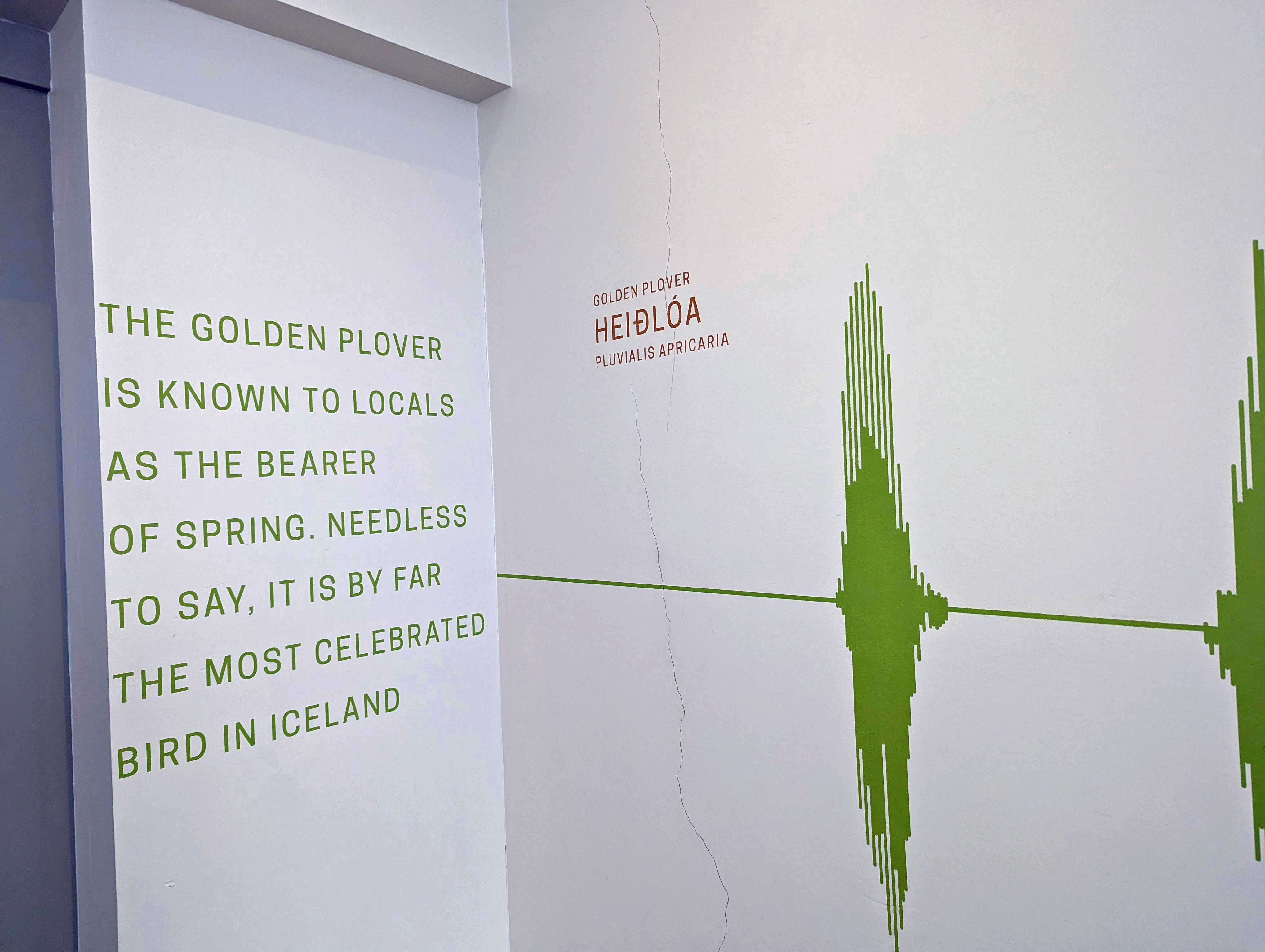
Most walls outside the elevators had some information about local wildlife an/or ecology. Icelanders are very ecological in their thinking and doing.
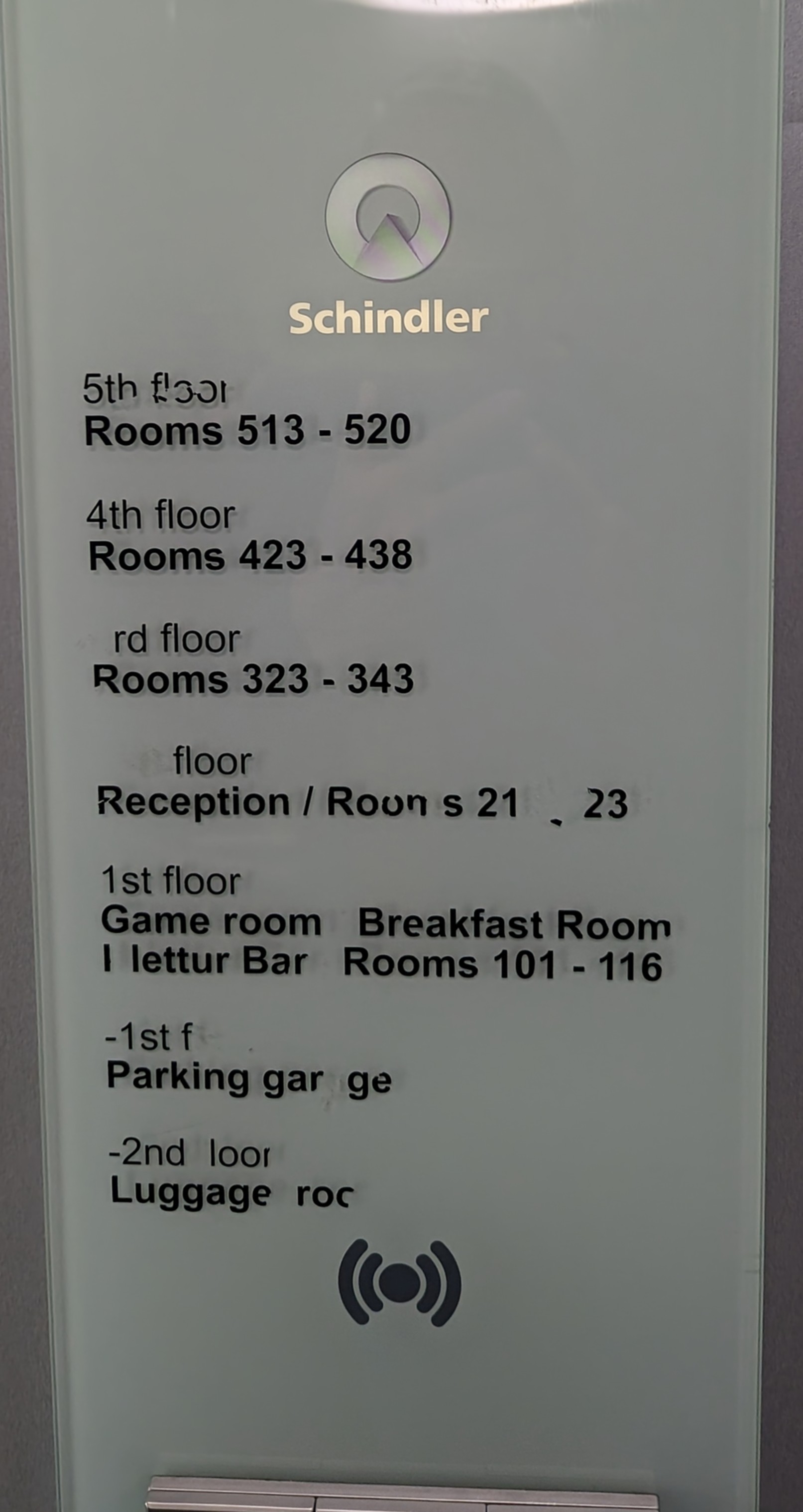
Schindler’s Lift
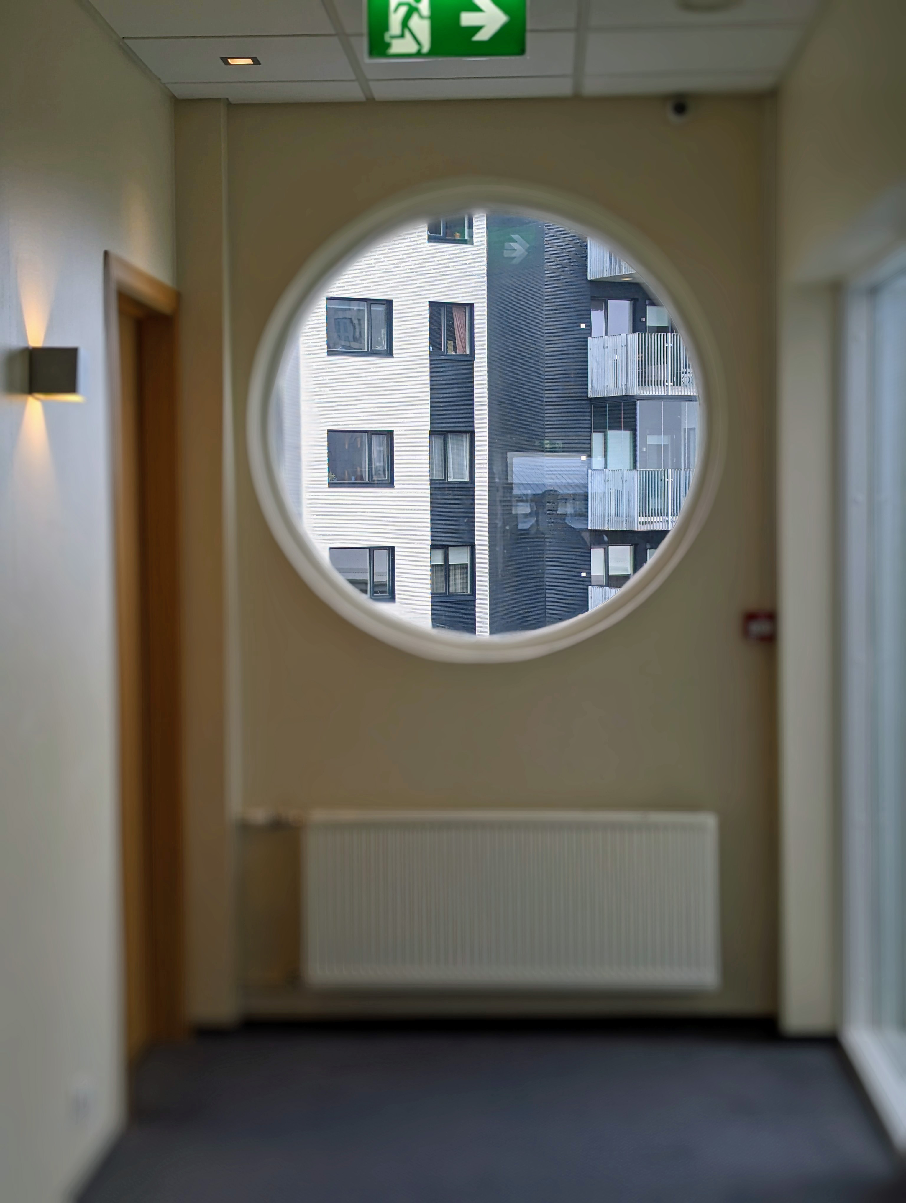

Wonderful view outside our window.

You are given 2 keys to your room. One gets inserted into this holder. It turns on the electricity for the room. So, if you have food in your refrigerator, you have to leave one key behind.

We had a nice room. Our original hotel was overbooked so they sent us here. With an upgrade. And closer to downtown.

I don’t usually show photos of the bathroom, but something interesting here is the heating system. They use geothermal heat. Very hot water flows through that radiator. You regulate it with a valve, not a thermostat. No ac. Most people had their windows opened.
Since we could not check in right away, we took a 3 hour city tour. (The hotel has a luggage storage room to put our bags in). It was actually a really good tour. Our tour guide Dominique was very knowledgeable and took us everywhere.

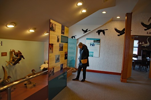
First stop was the Northern Lights Center called Aurora. The guide in here filled our heads with wonderful photos, information and videos.
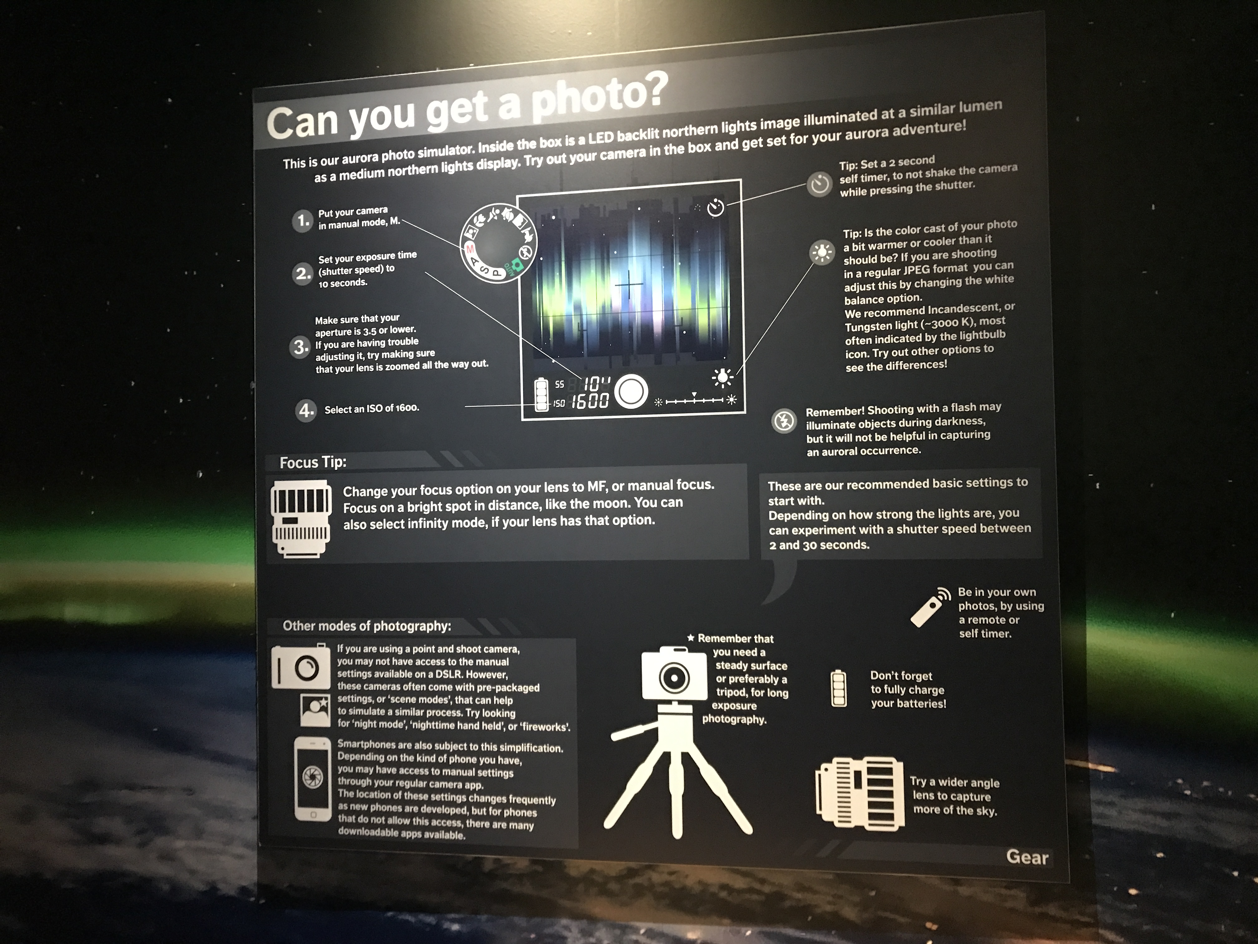
She also told us the best way to get a perfect shot of the Northern Lights. Nothing more than making sure the flash is off and set it for a 3-4 second exposure. Holding steady!
While waiting outside for the rest of the group, he was there in front of the Saga Museum. (The Sagas of Icelanders is supposed to be a literary classic? I bought it but haven’t read it yet – 781 pages)
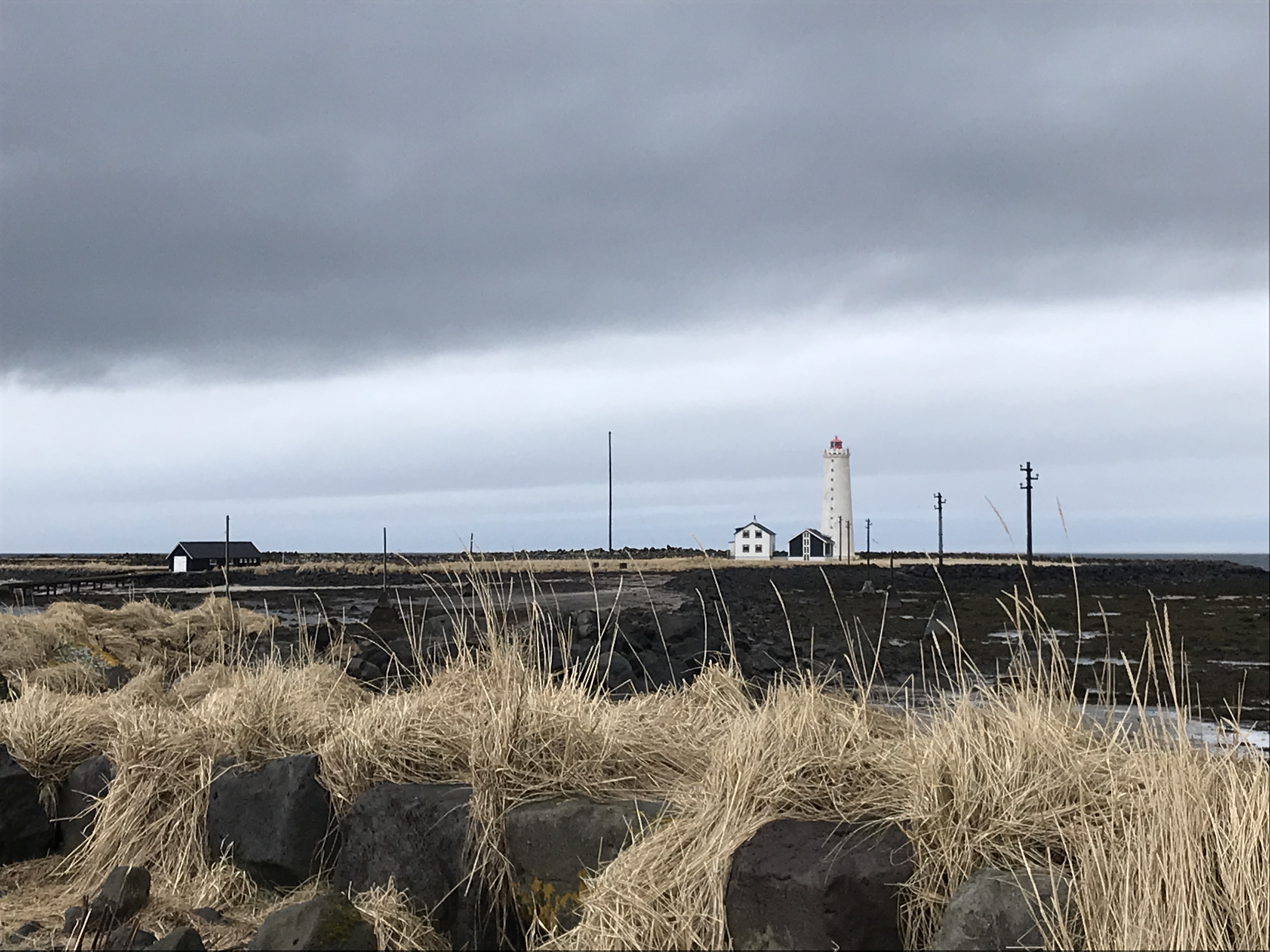
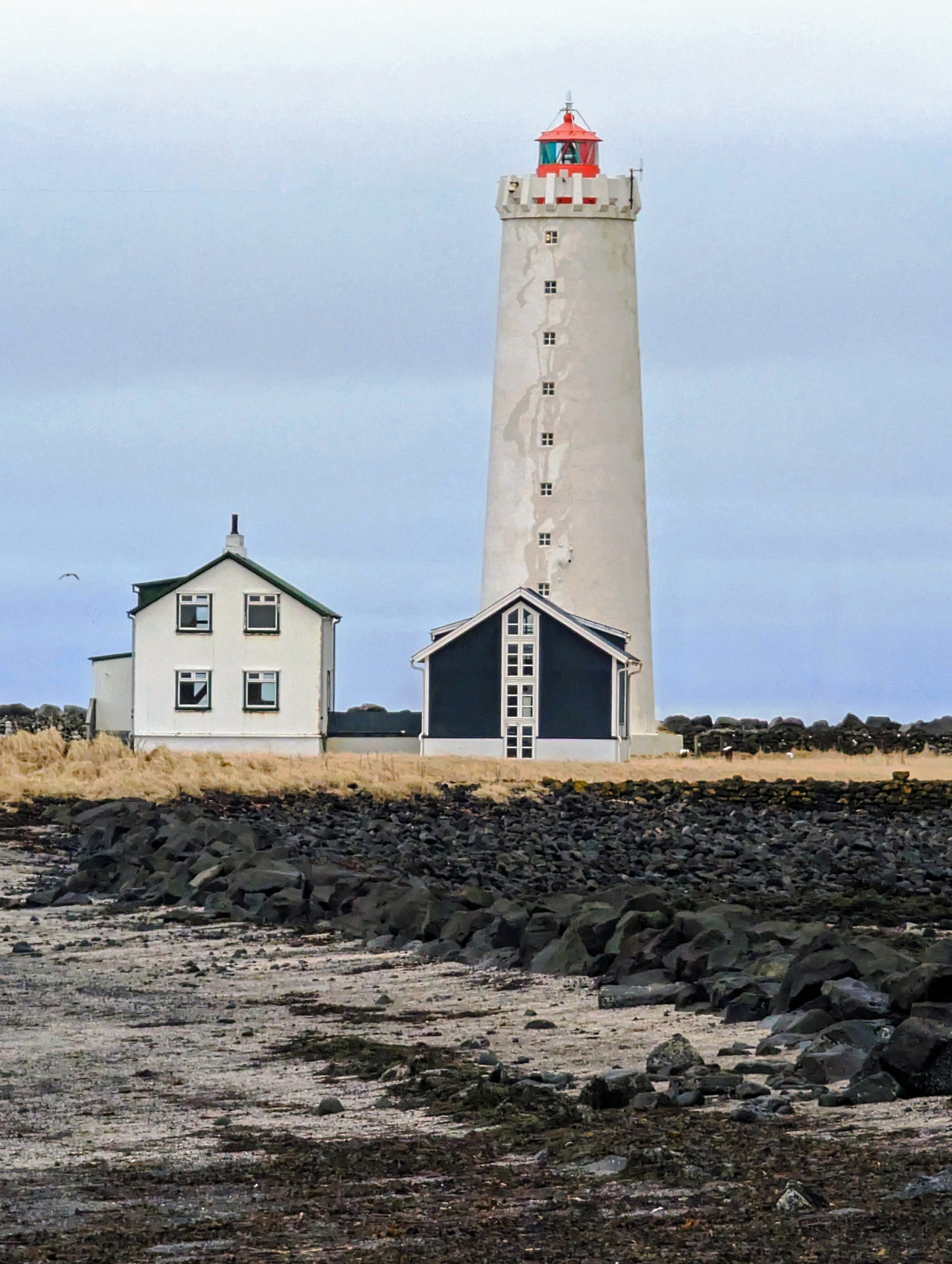
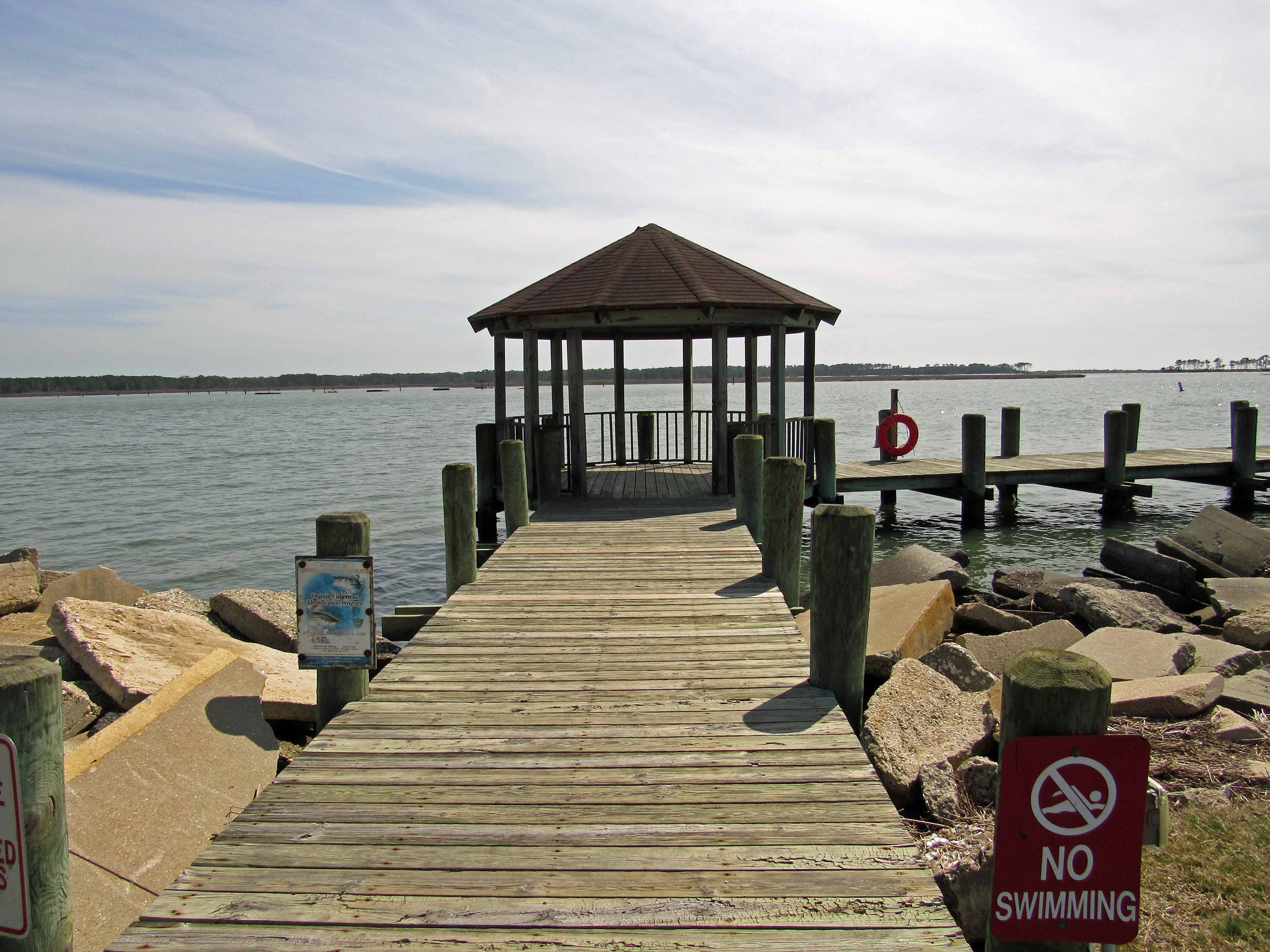
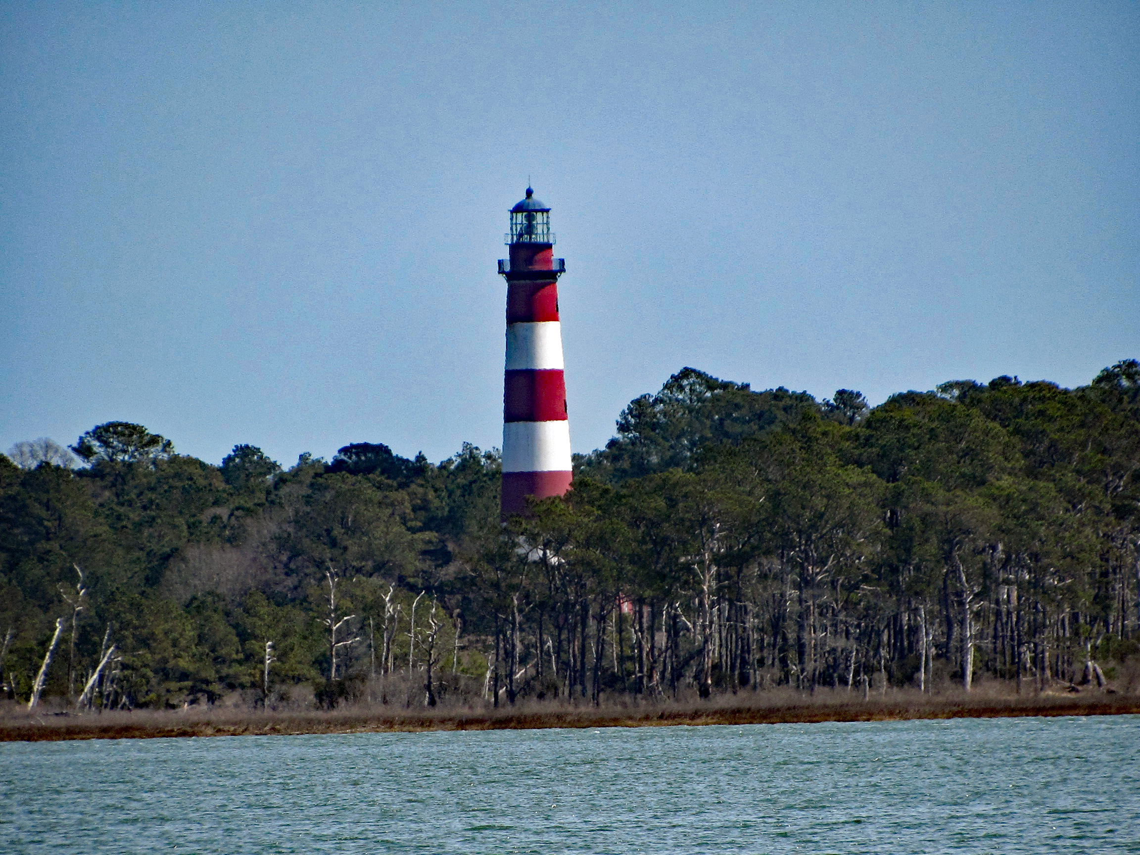
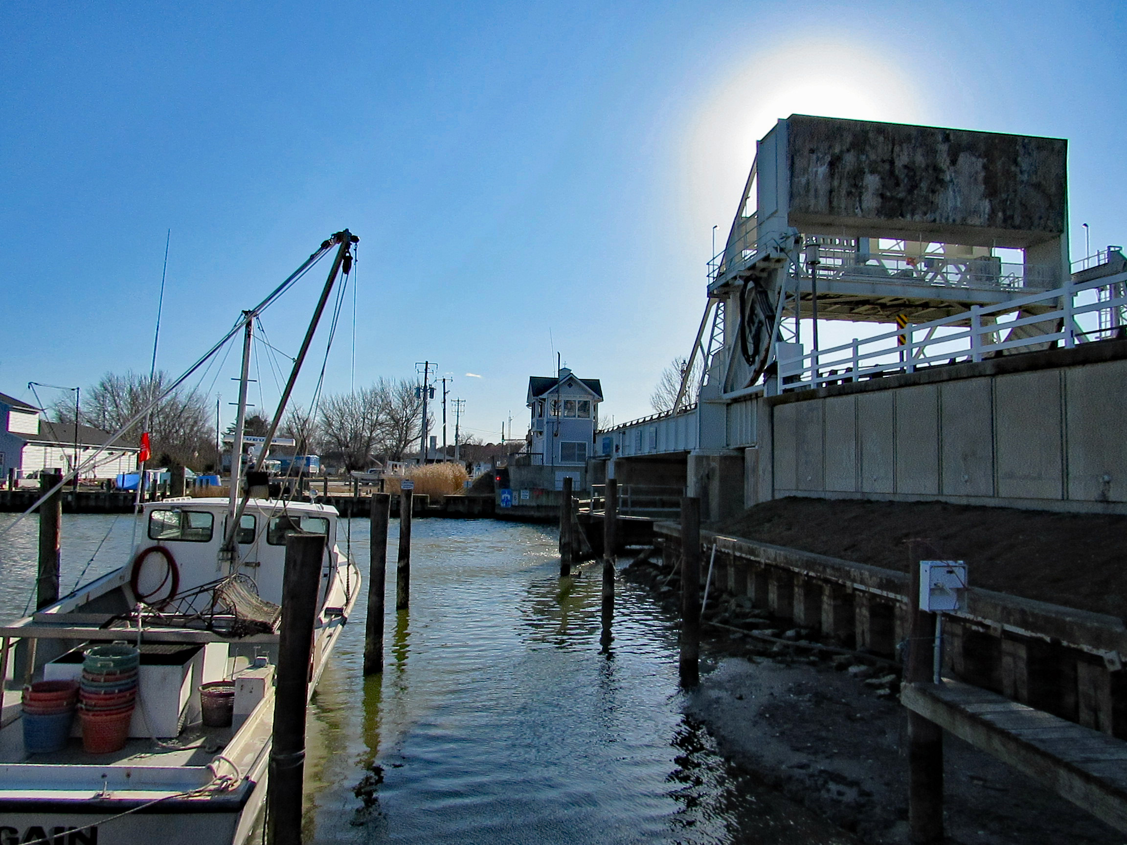
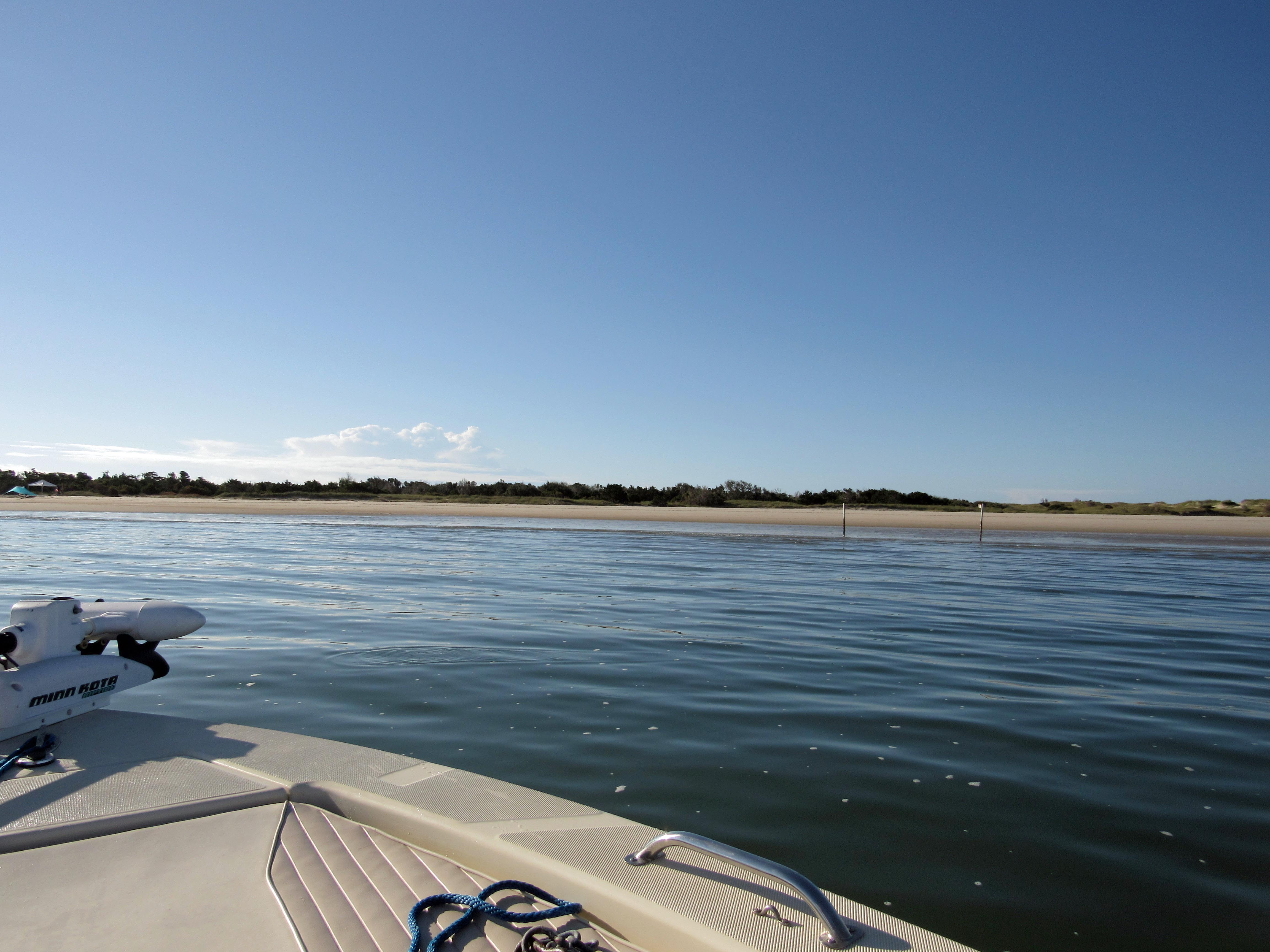
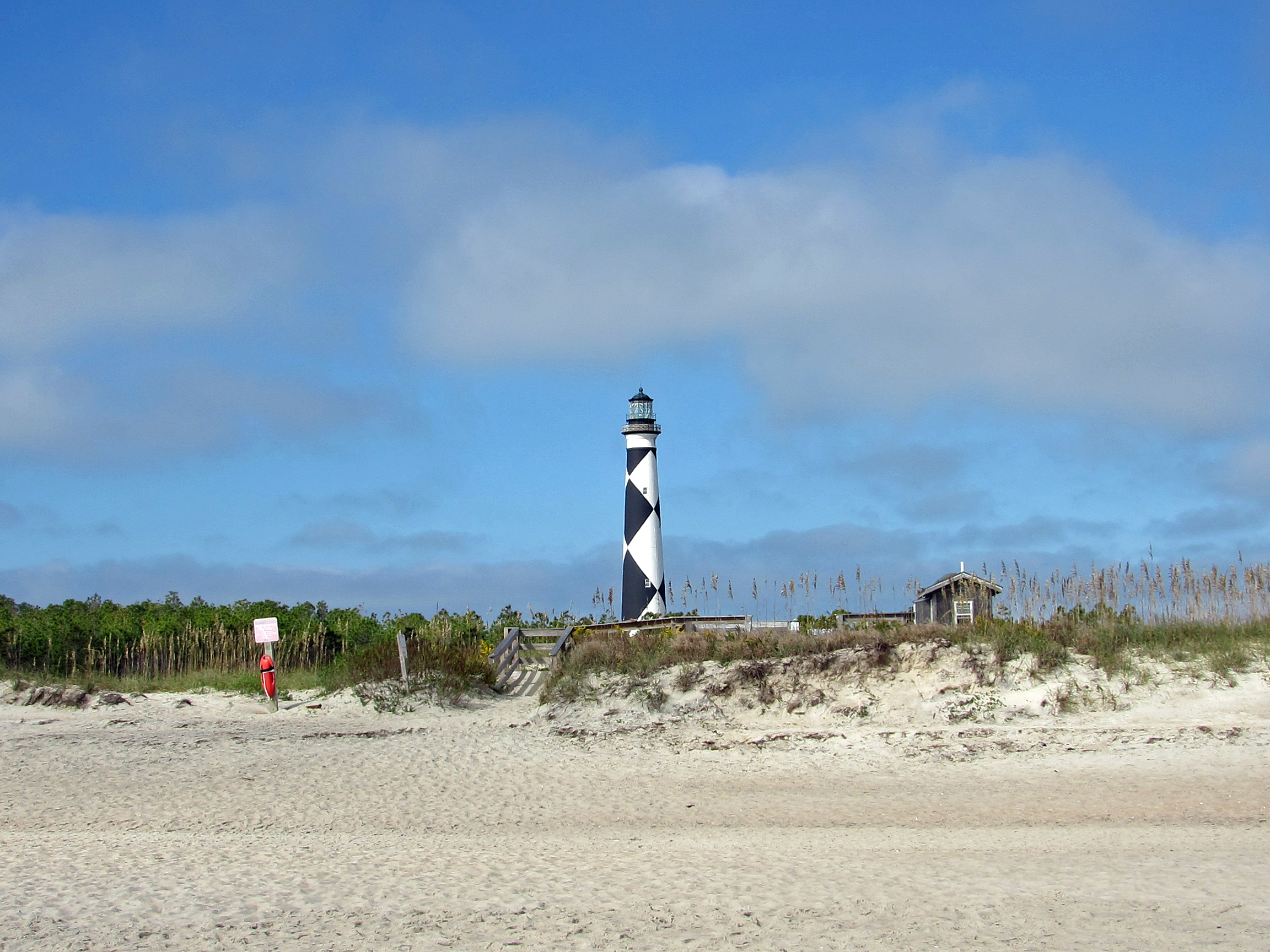
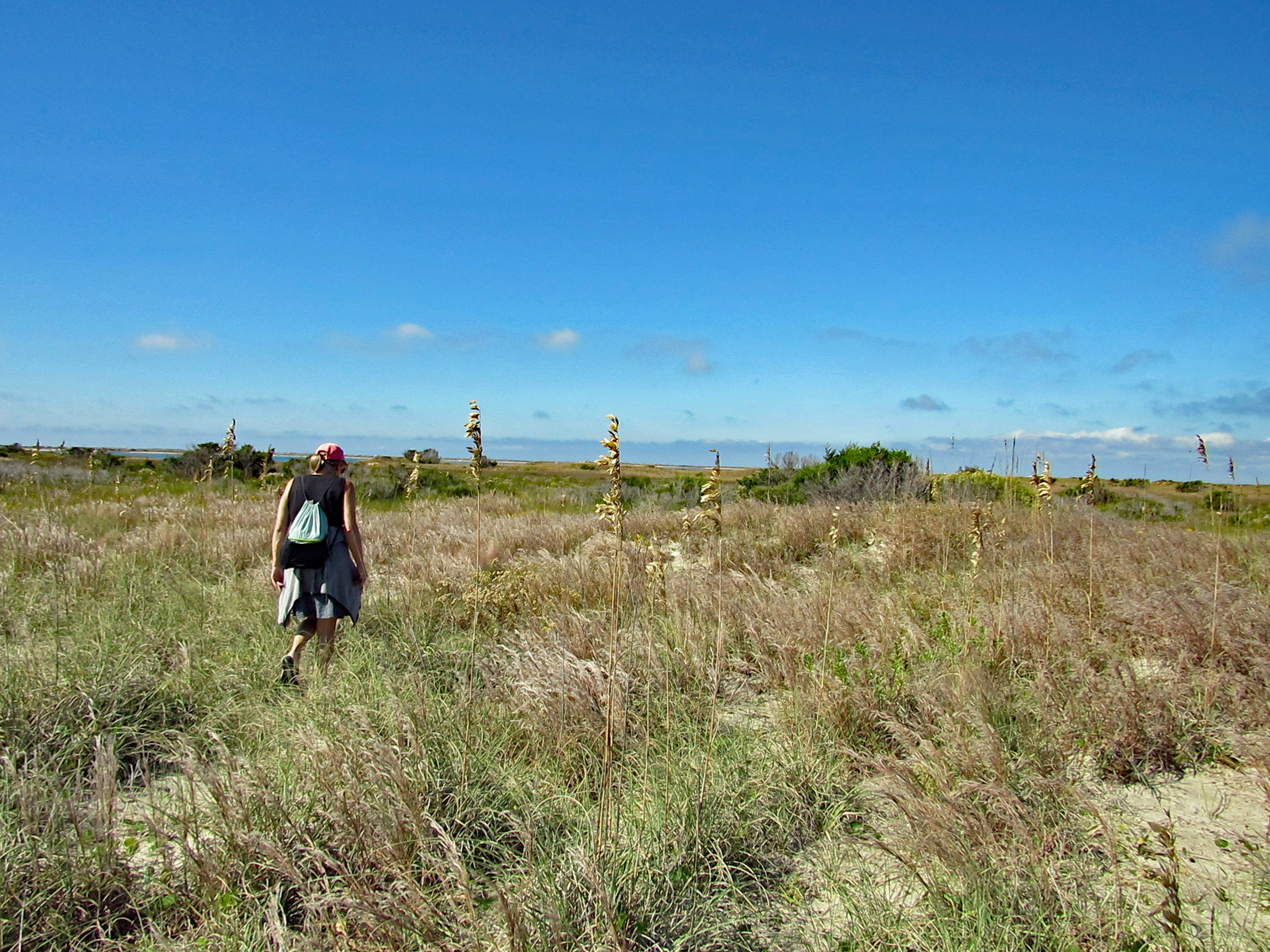
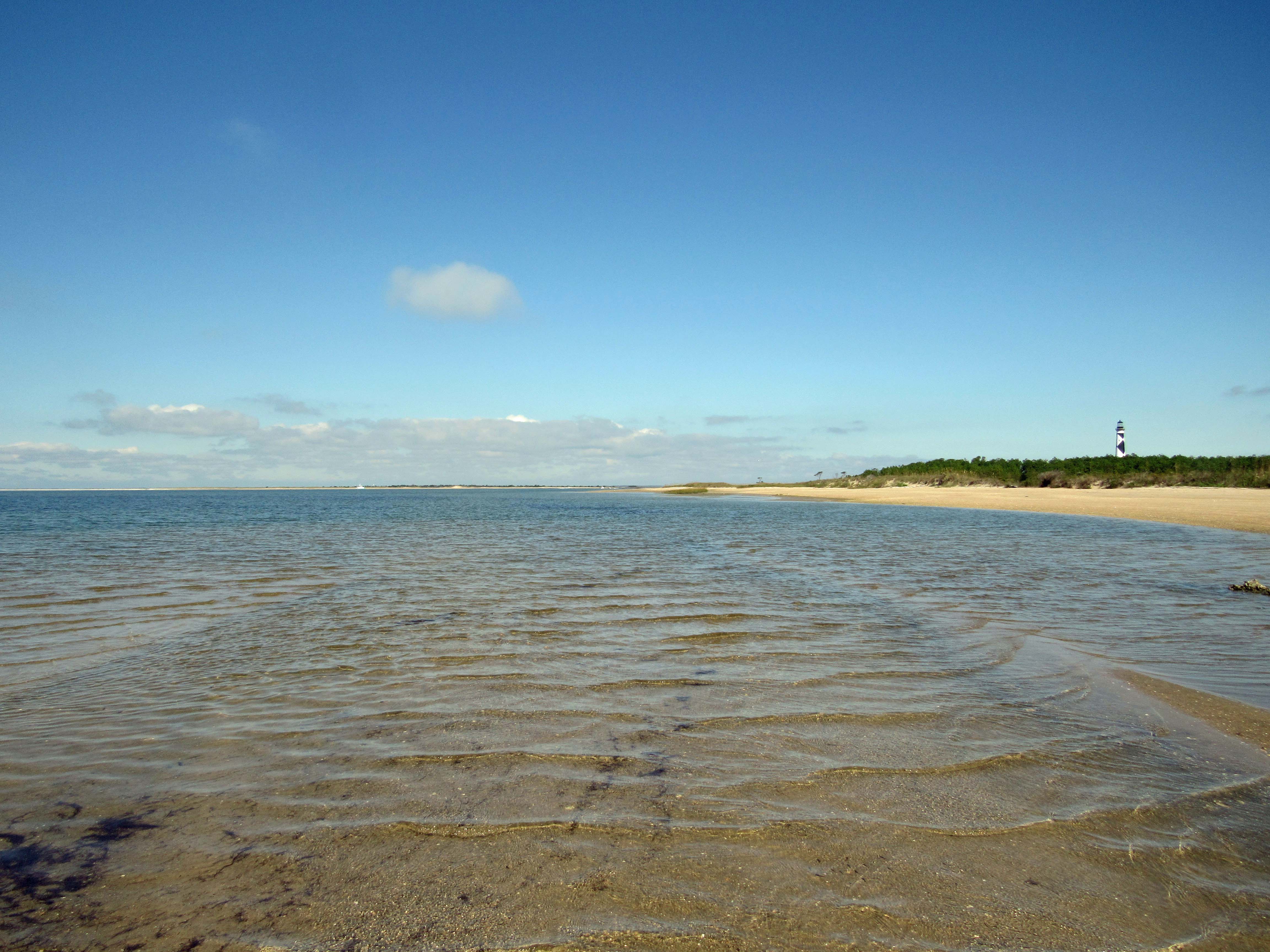
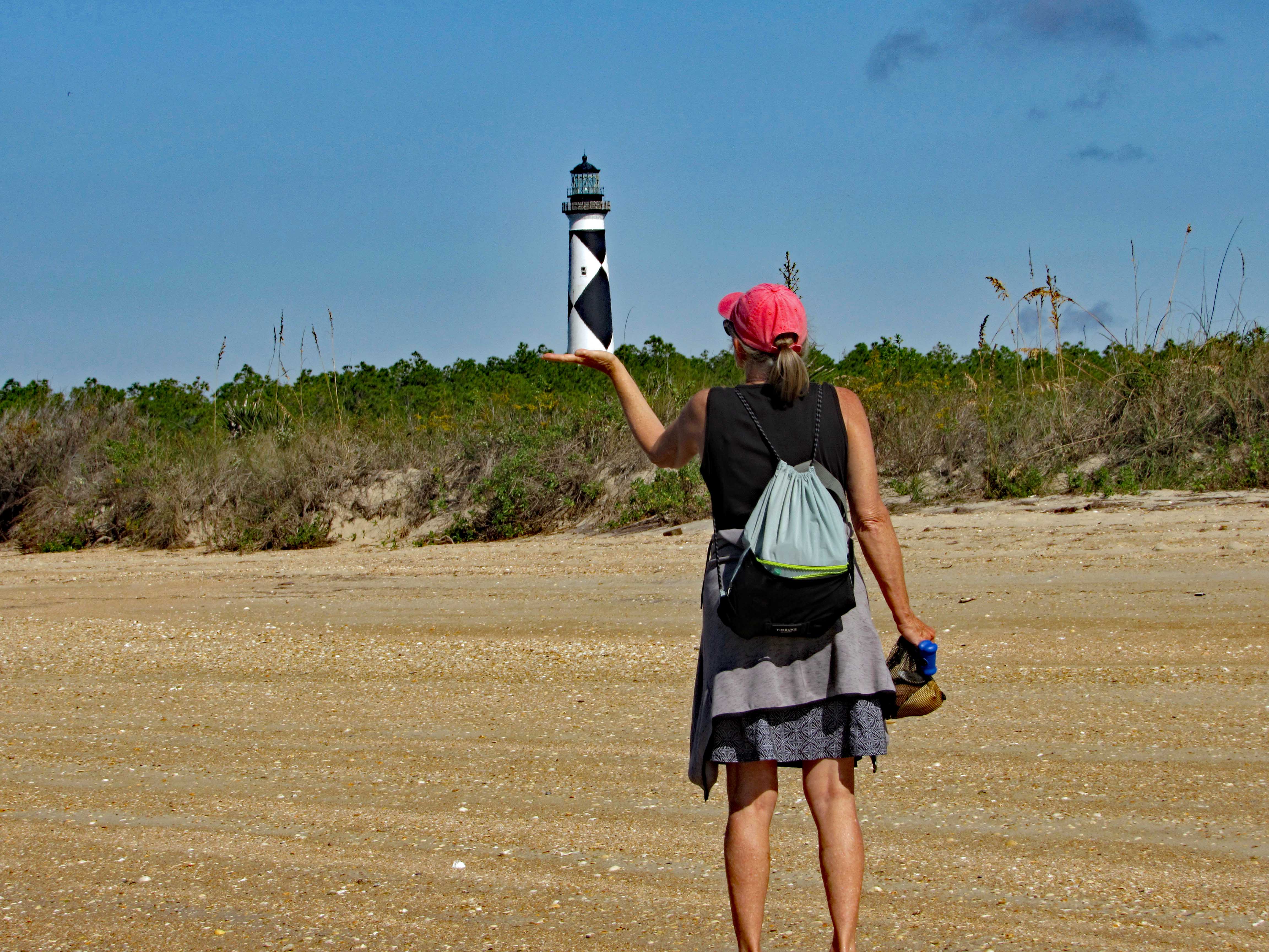
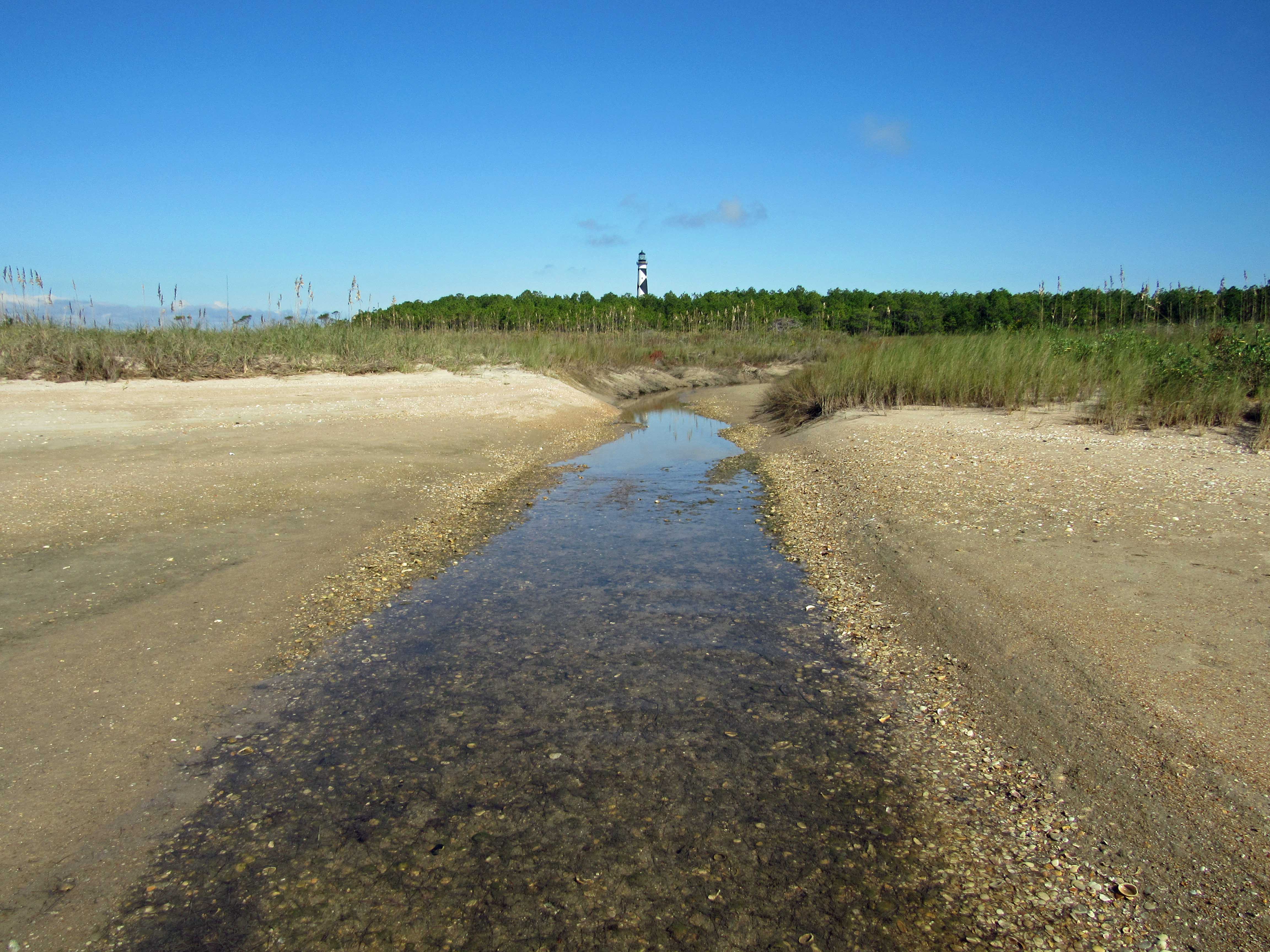
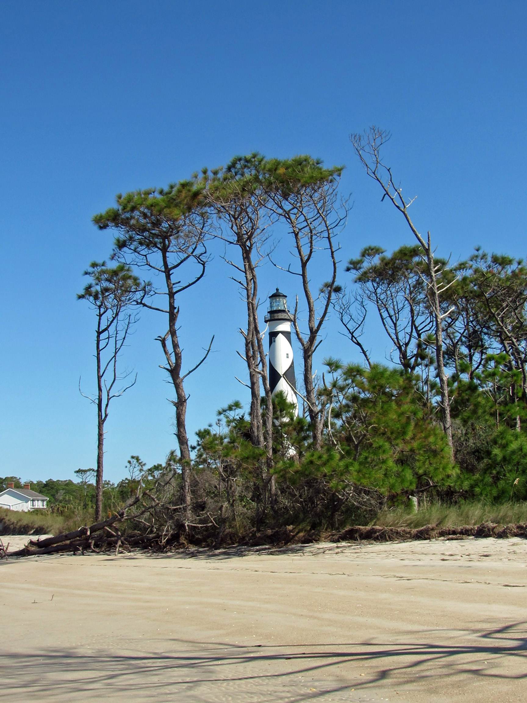
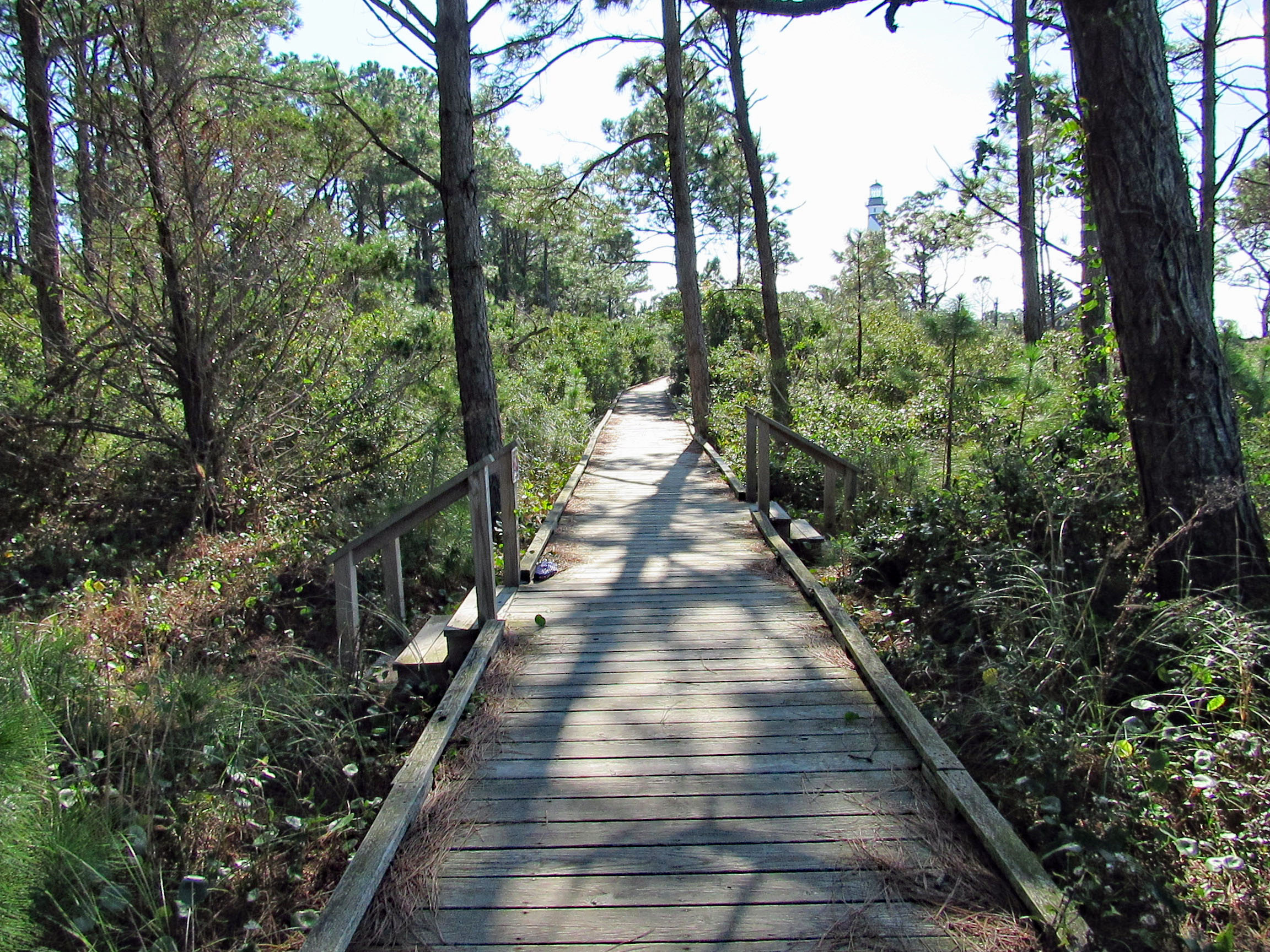
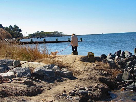
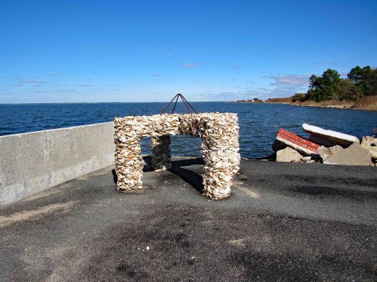
He drove us to see one of the many lighthouses next. This lighthouse can only be accessed by foot during low tide.
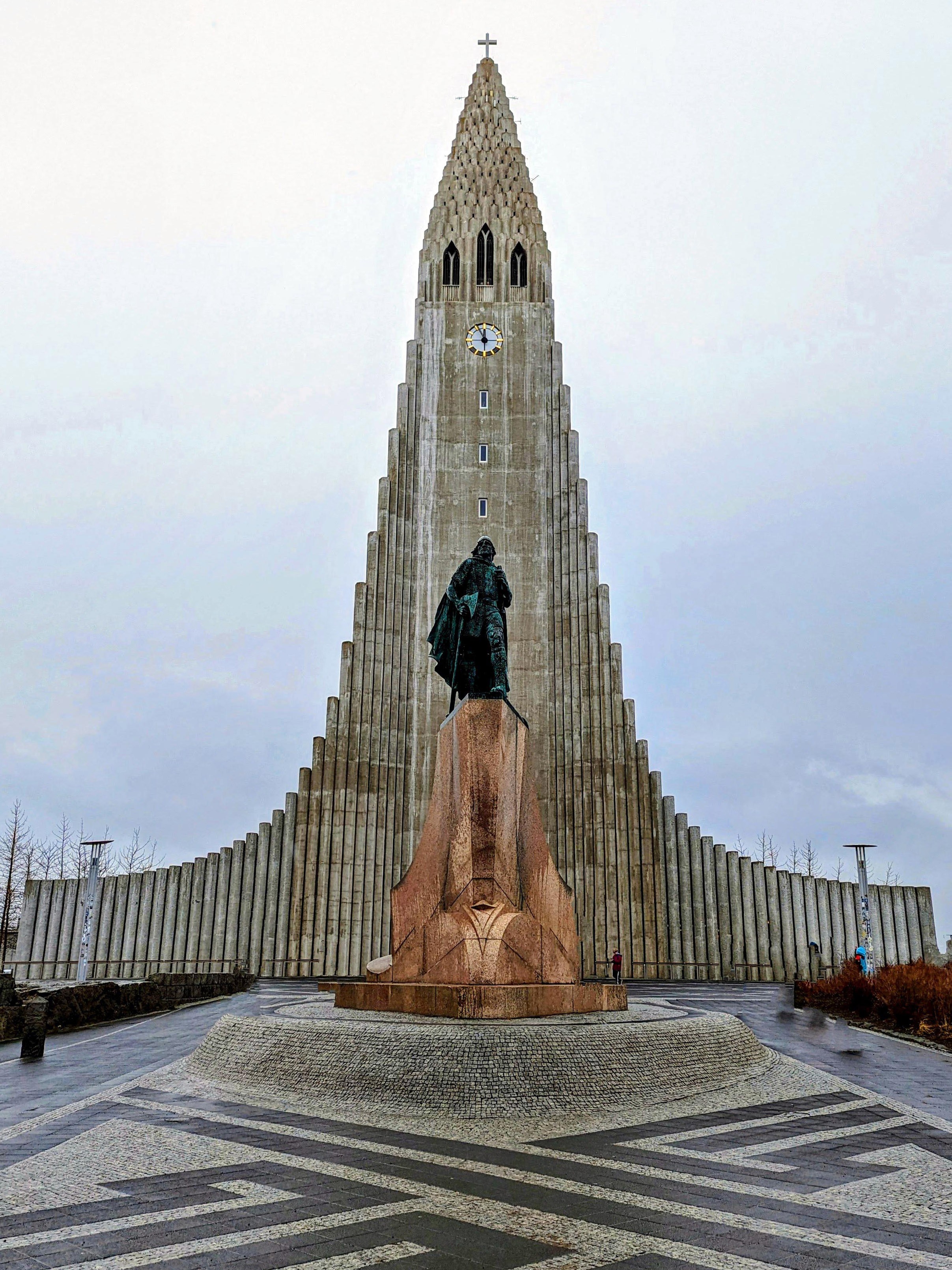
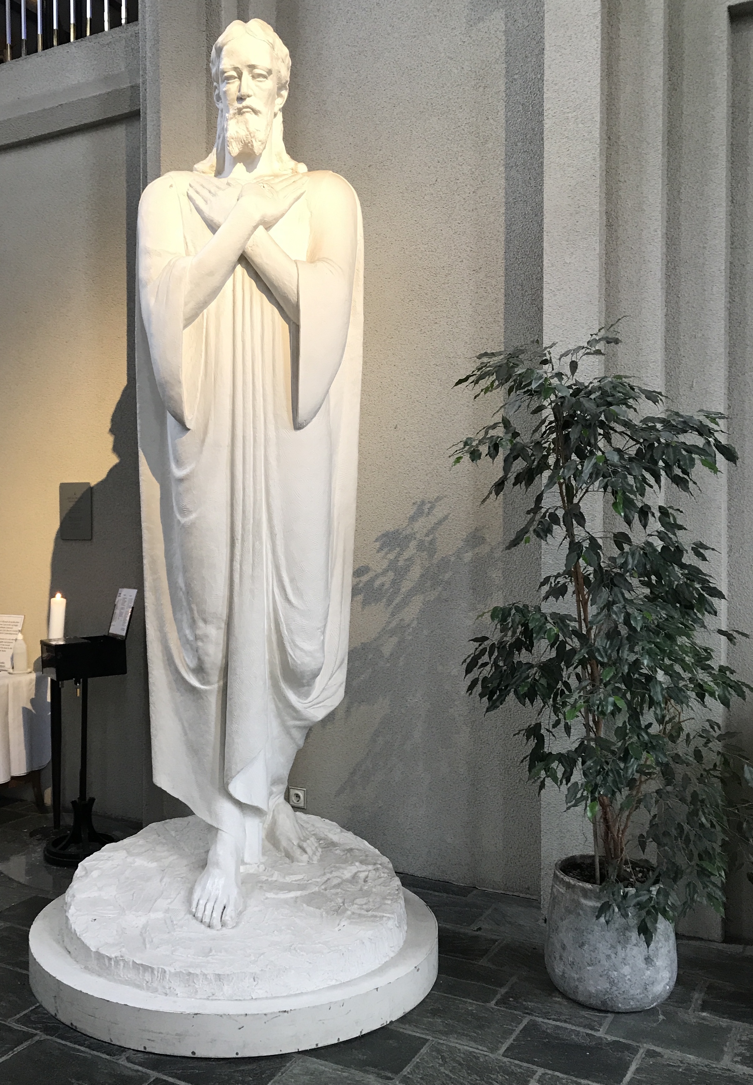
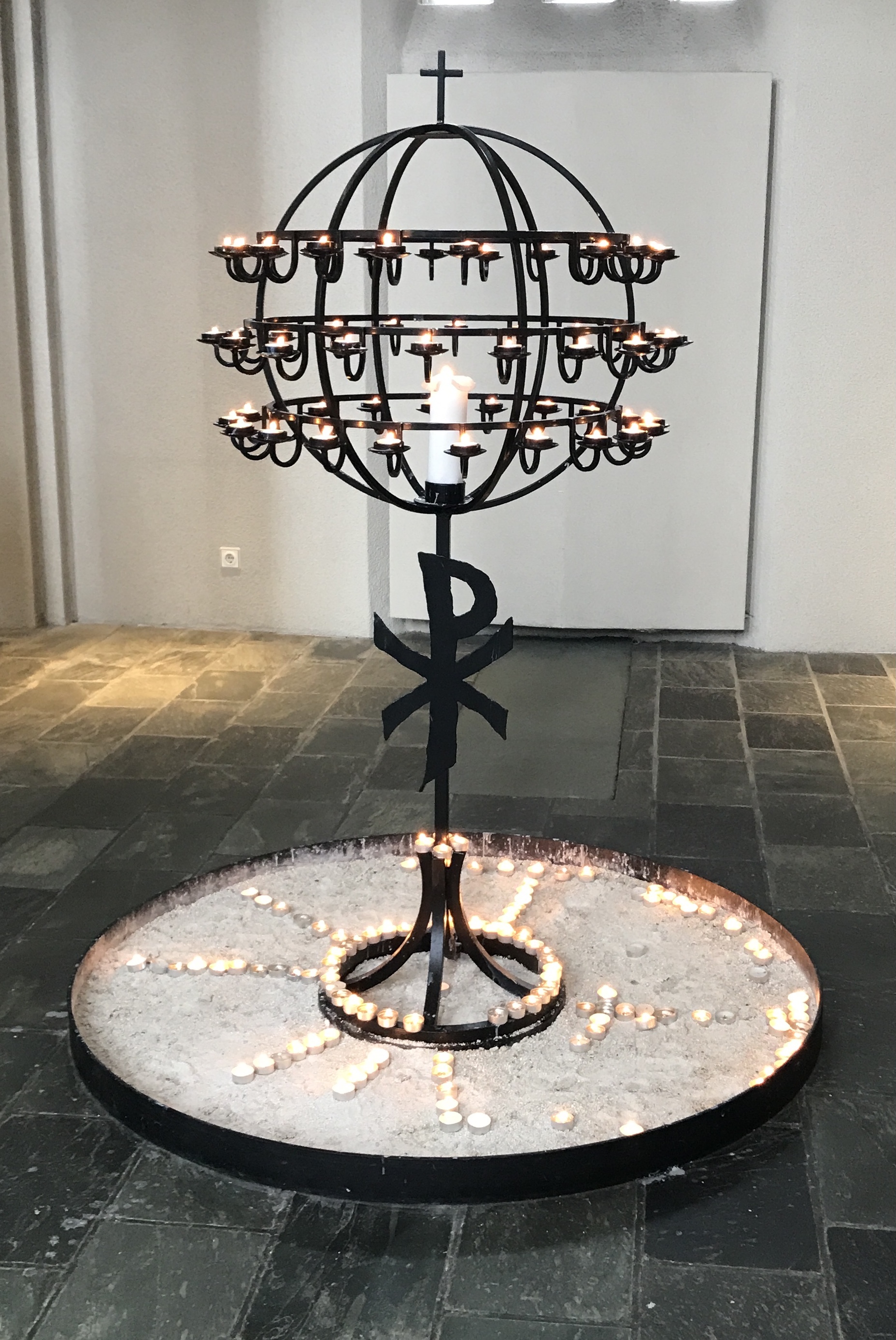
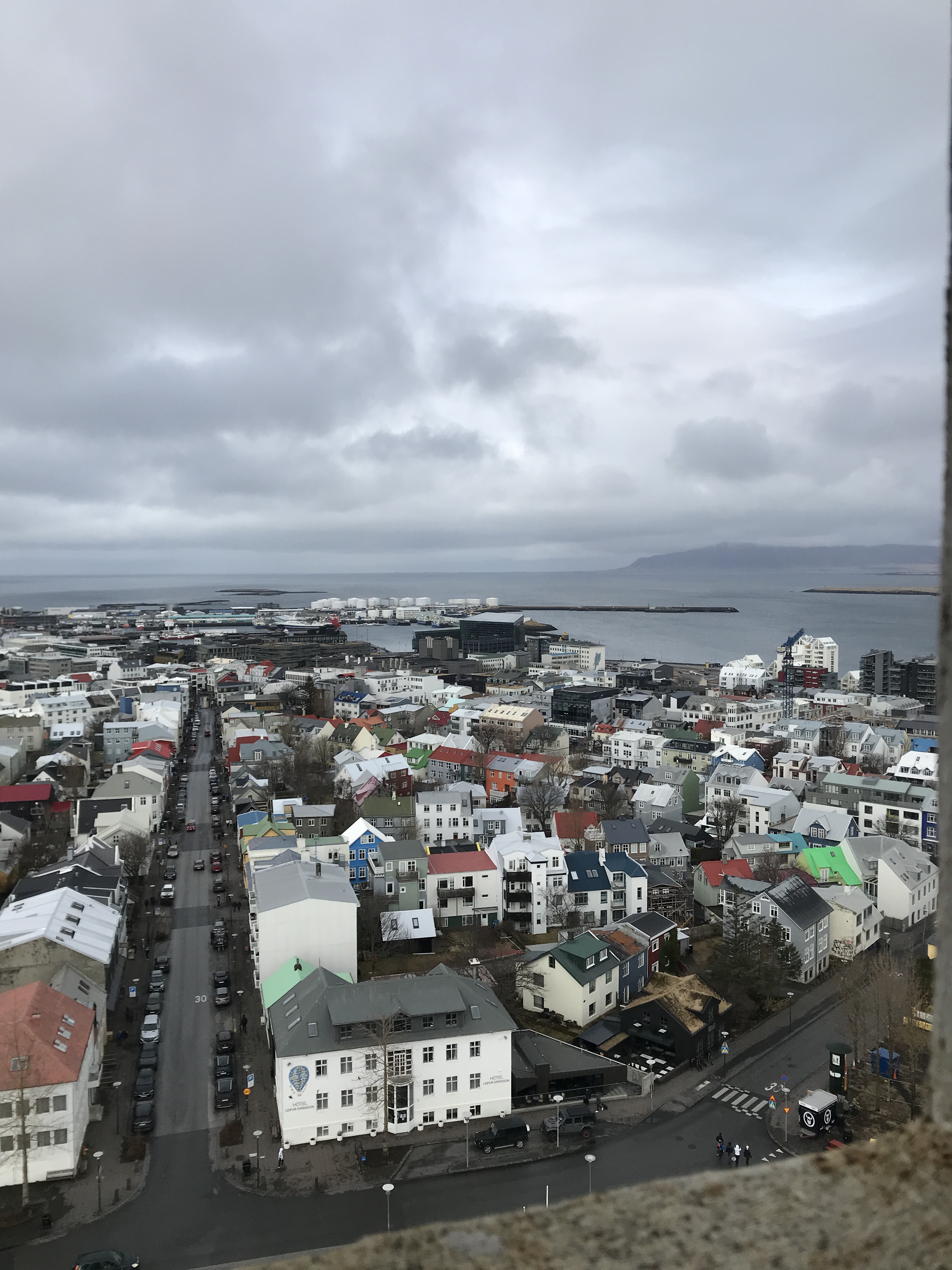
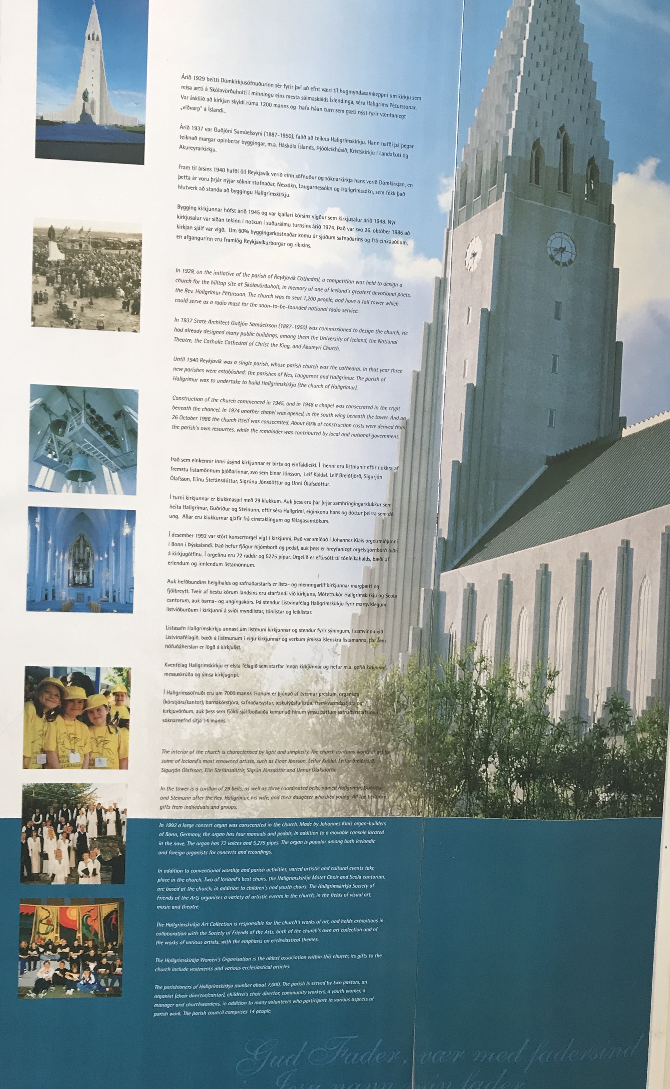
The Hallgrimskirkja Lutheran Church with a statue of Leifur Eiricksson in front. The largest church in Iceland. The statue was donated by the US. There is an identical statue in Newport, Va. Here are some random photos. We went back a second day so we could go up into the tower. I grouped all the photos together here.
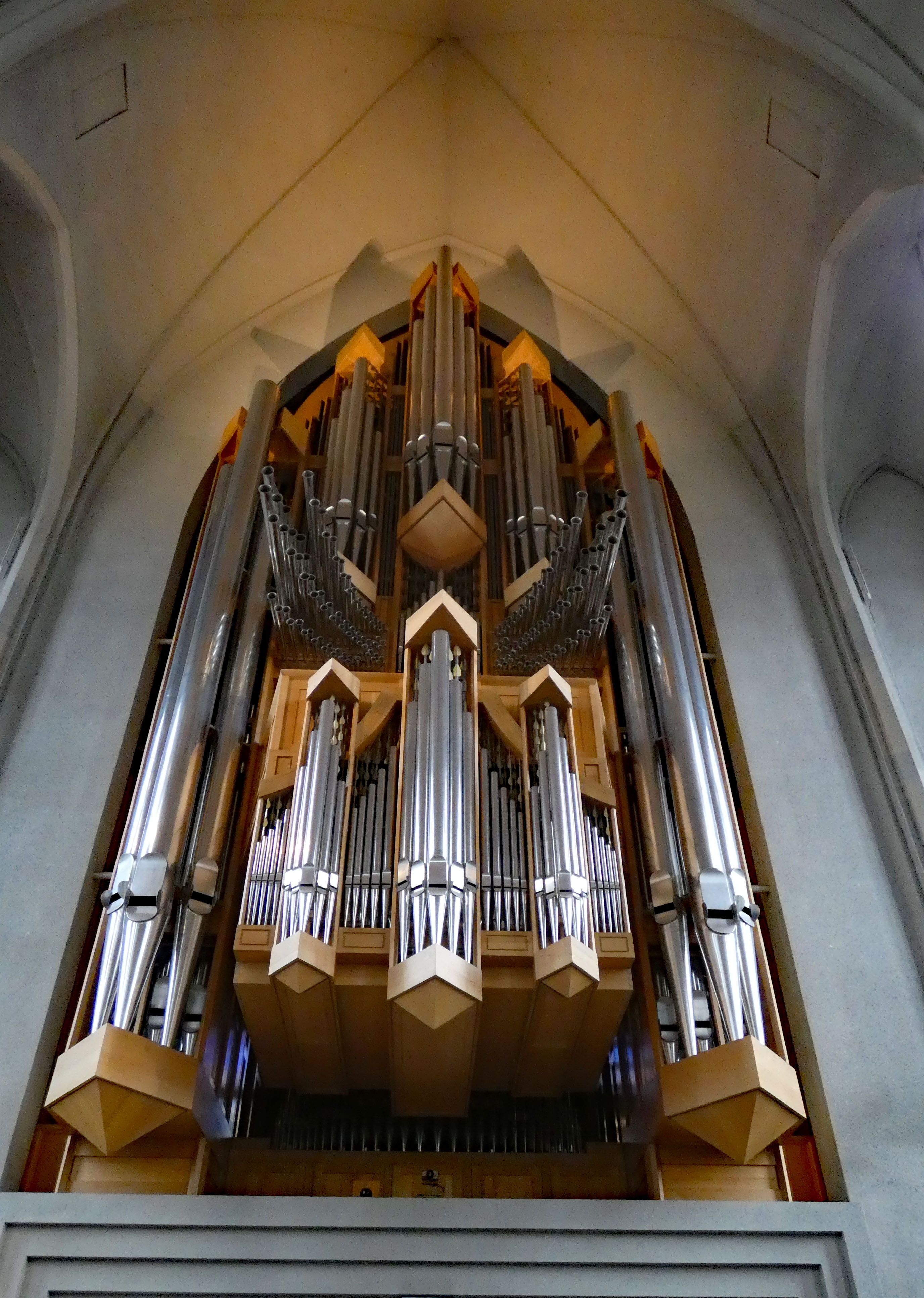


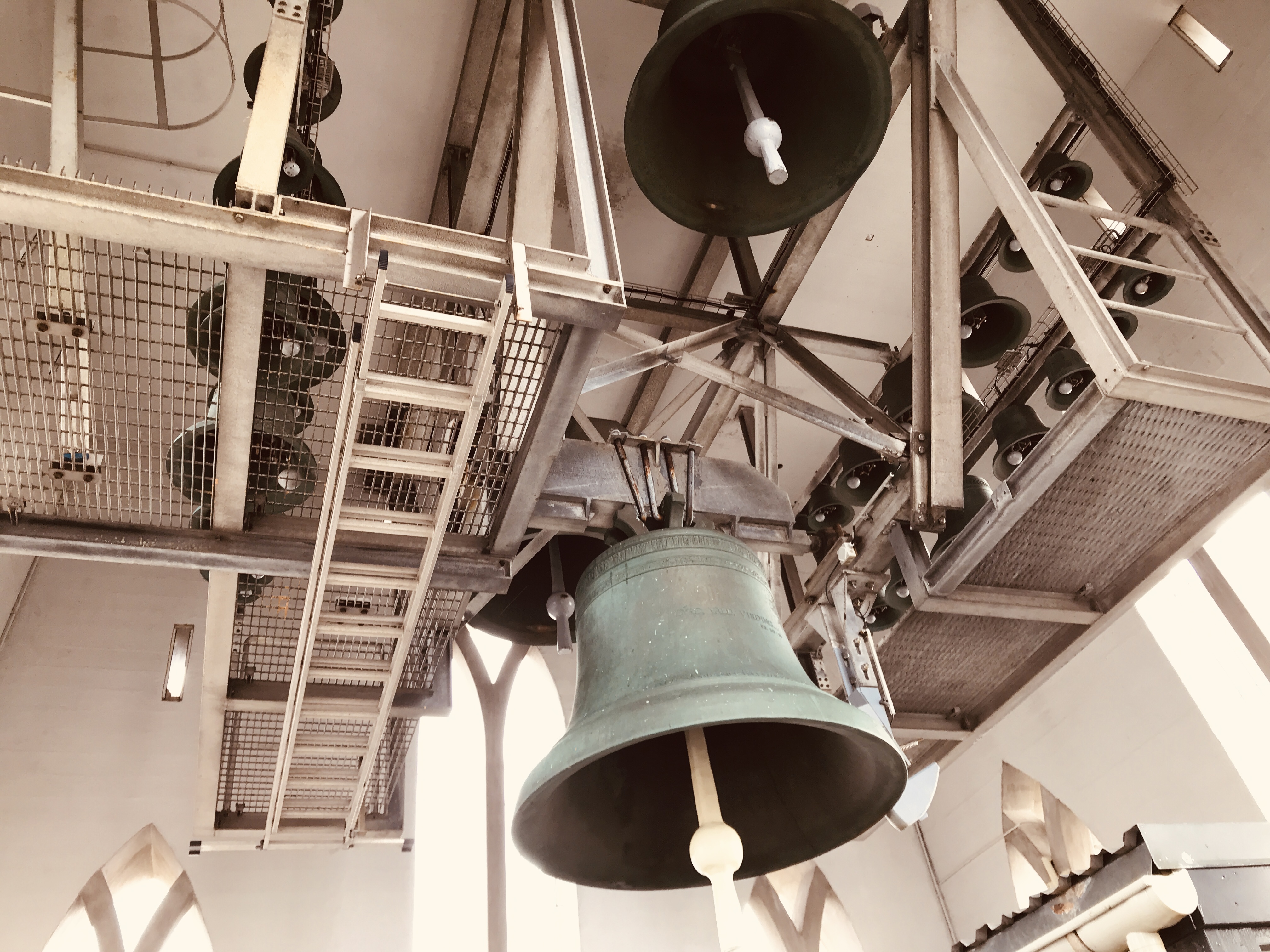
No sooner we walked through the tower doors, the bells started ringing! Very loud!


Misc info

Onto our next destination
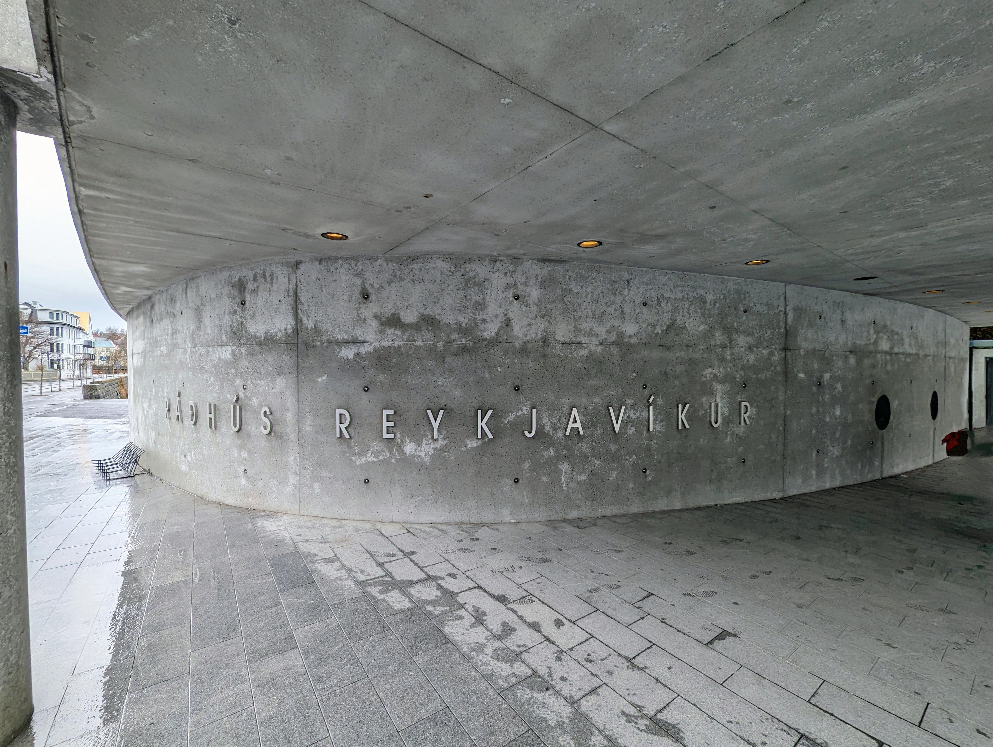
Town Hall
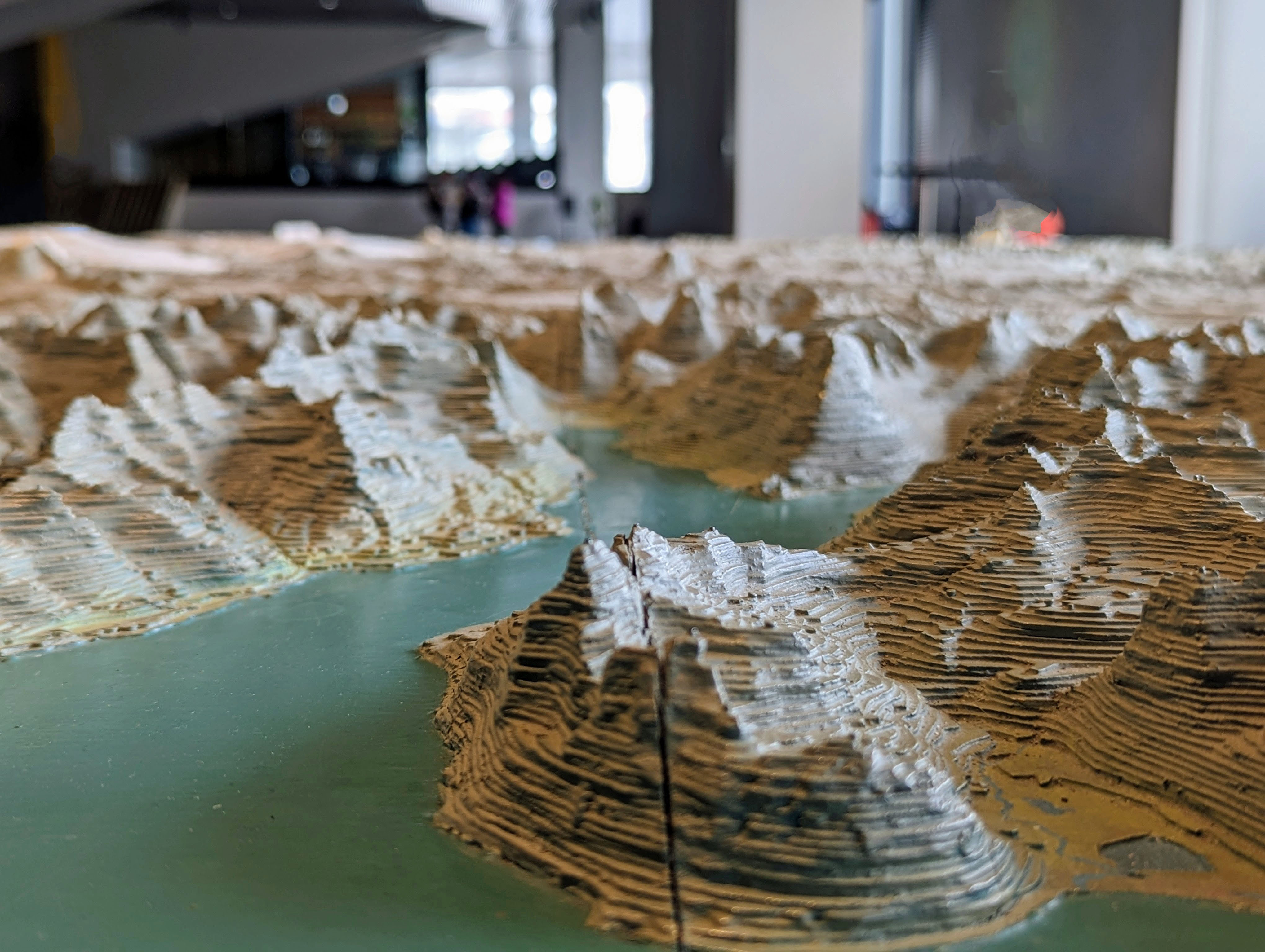
Large relief map of Iceland
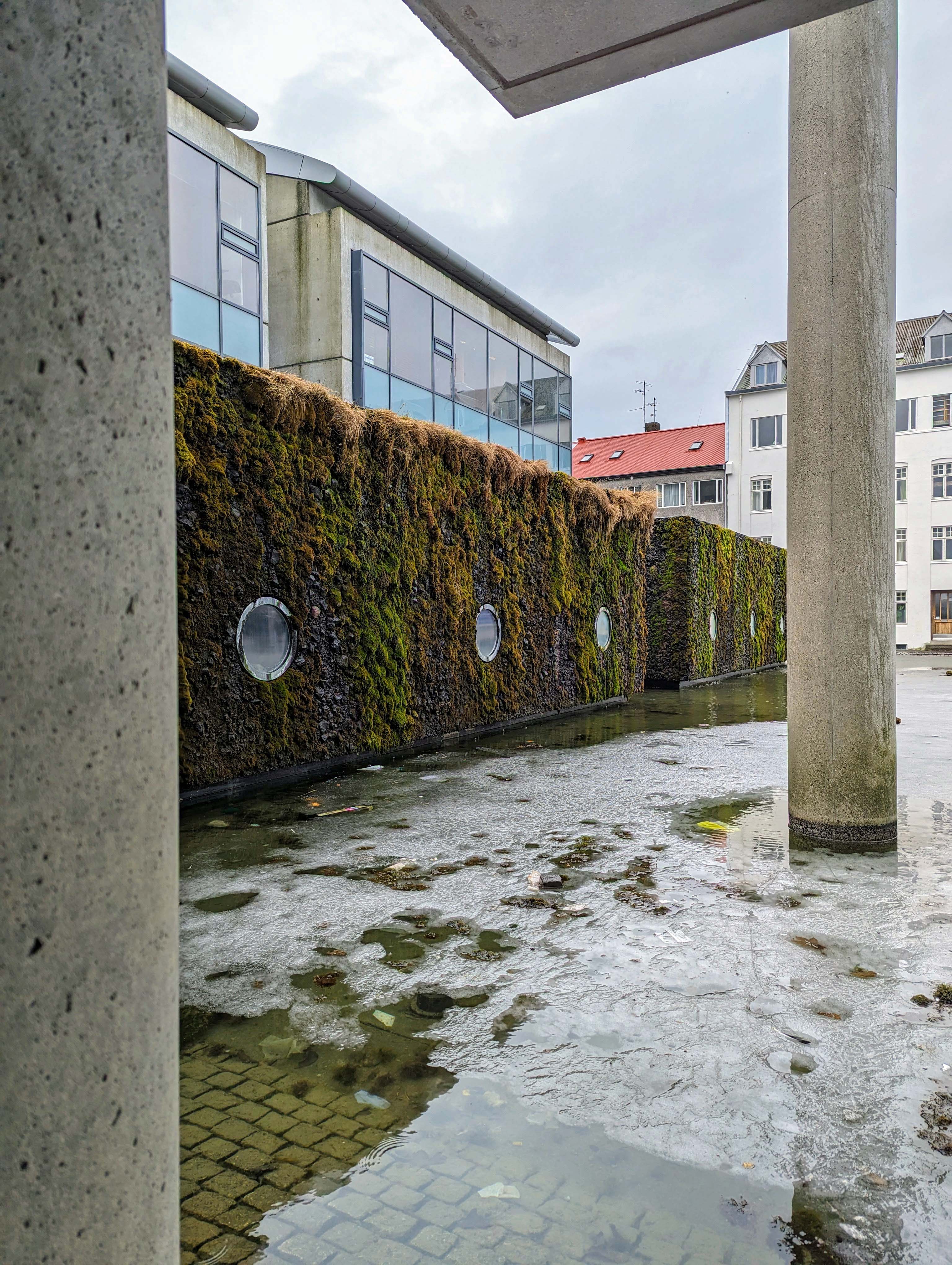
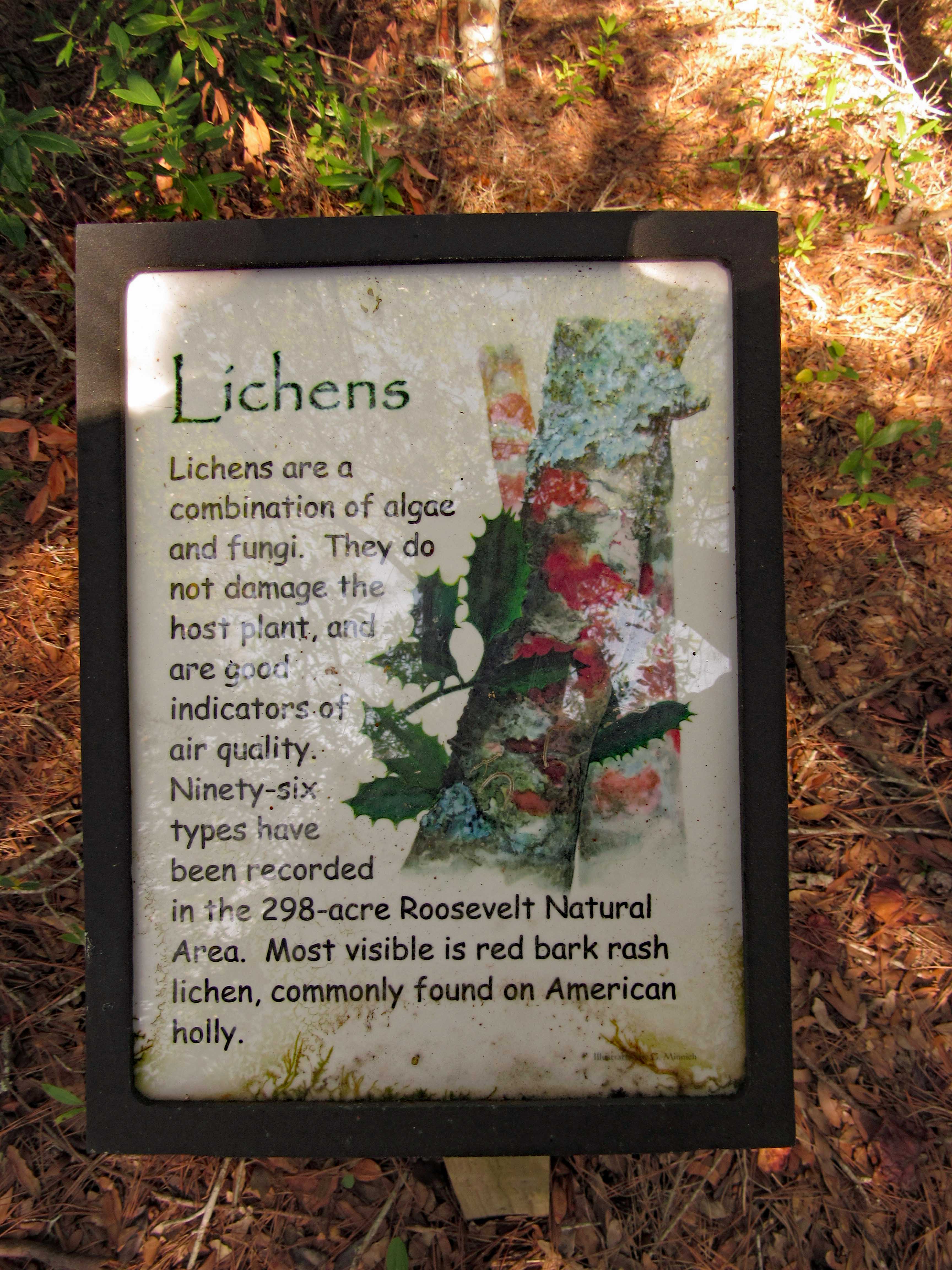
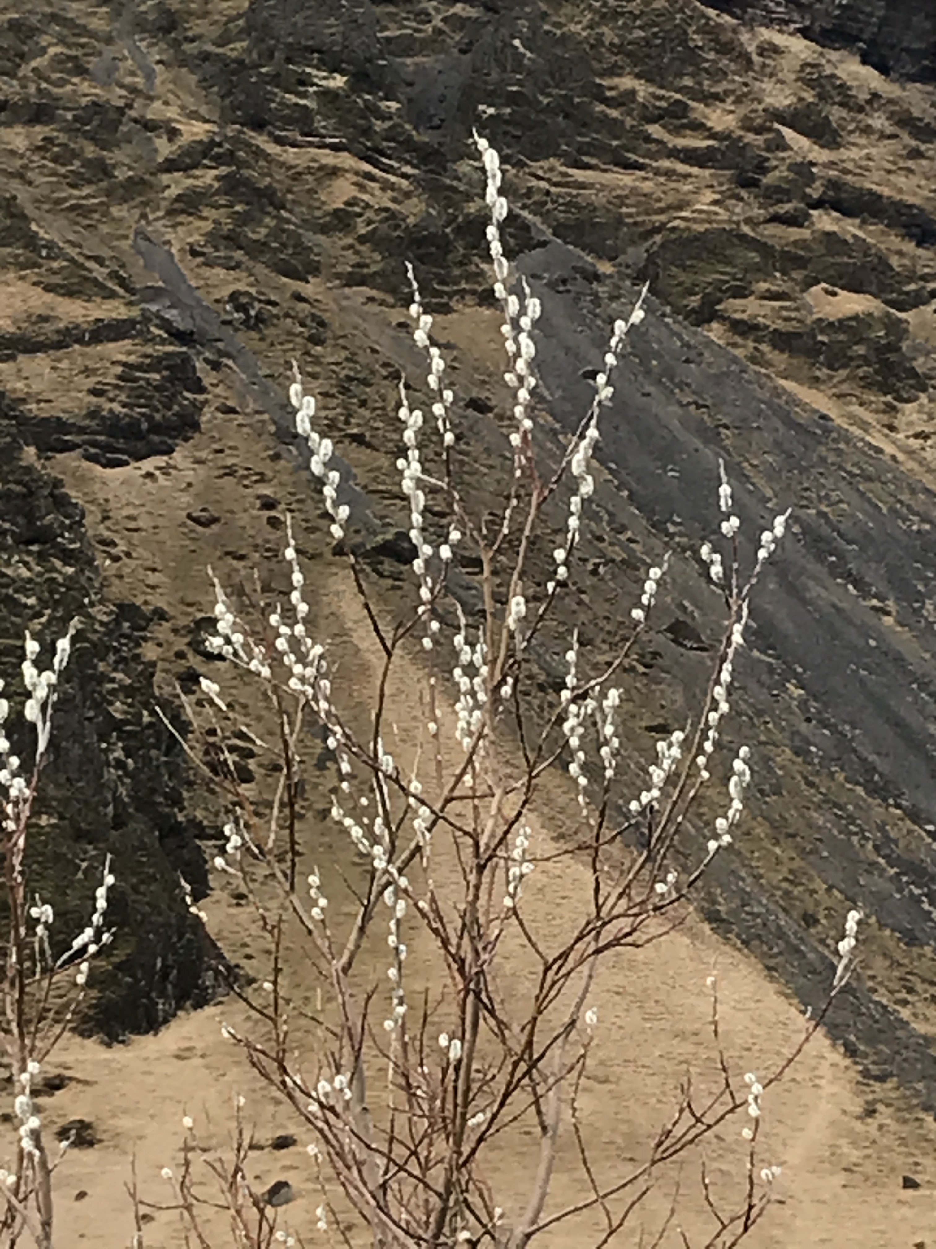
Moss may not grow on a rolling stone, but it does grow on lava rock.
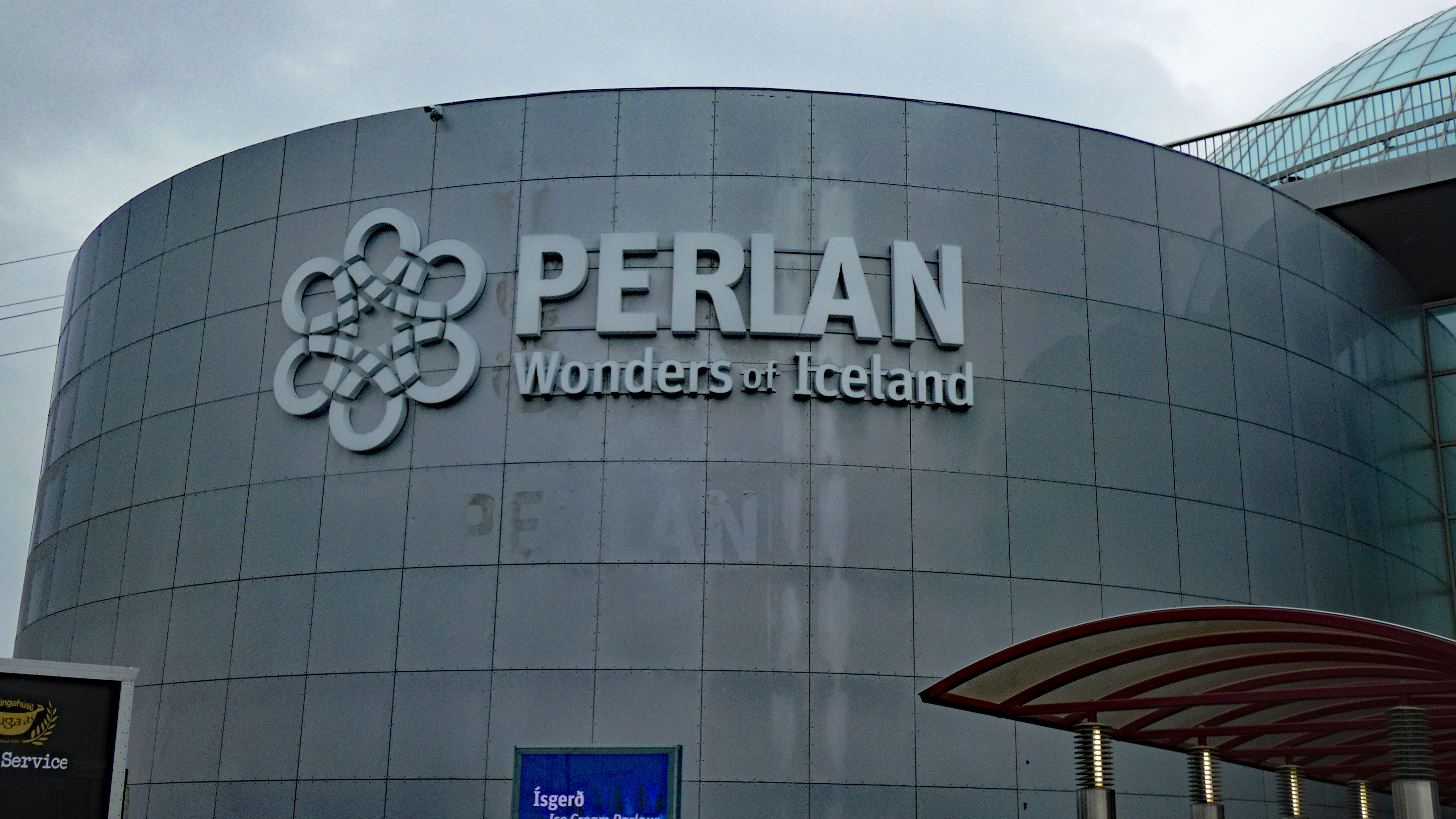
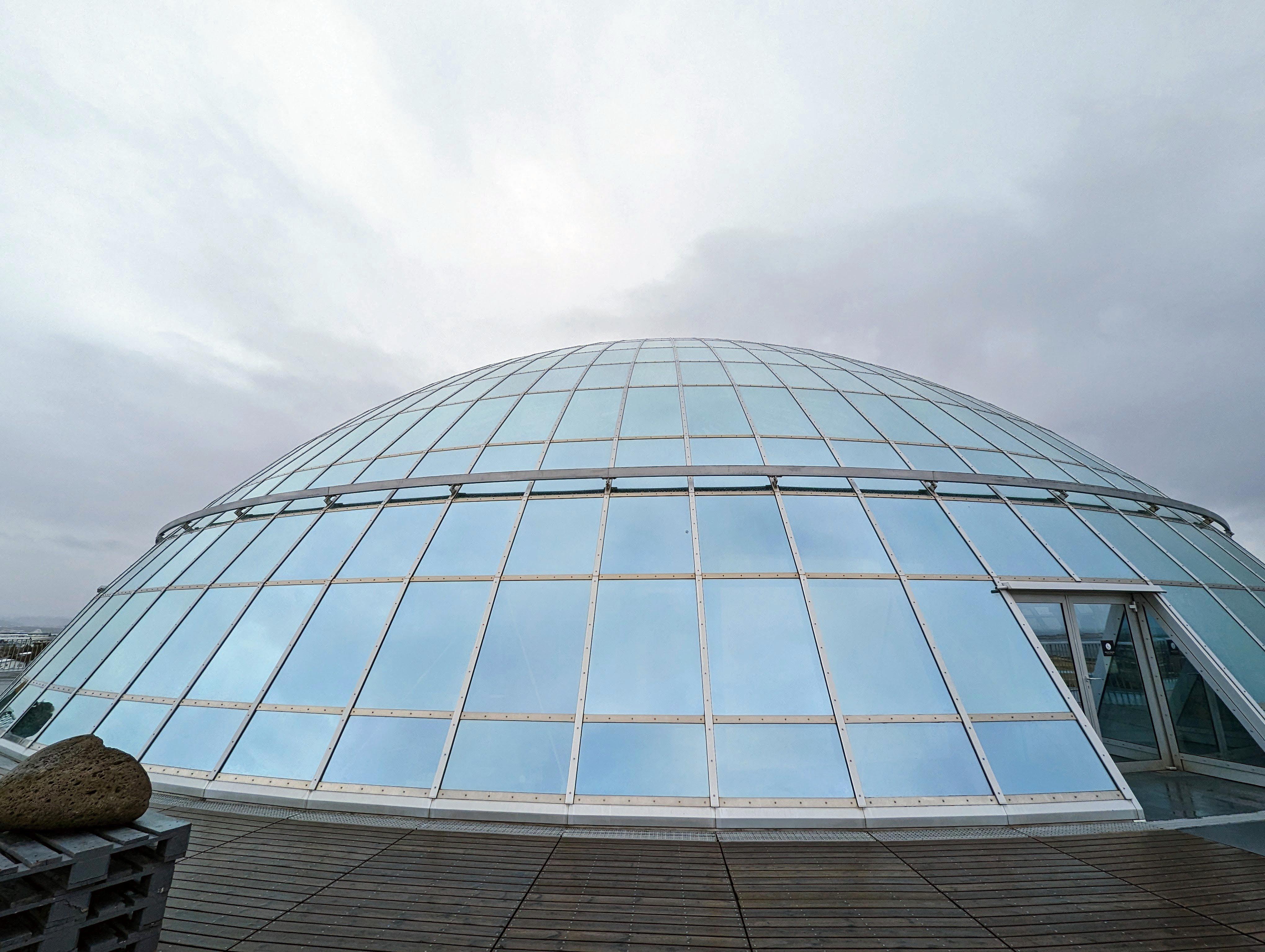
Next stop, the Perlan Museum
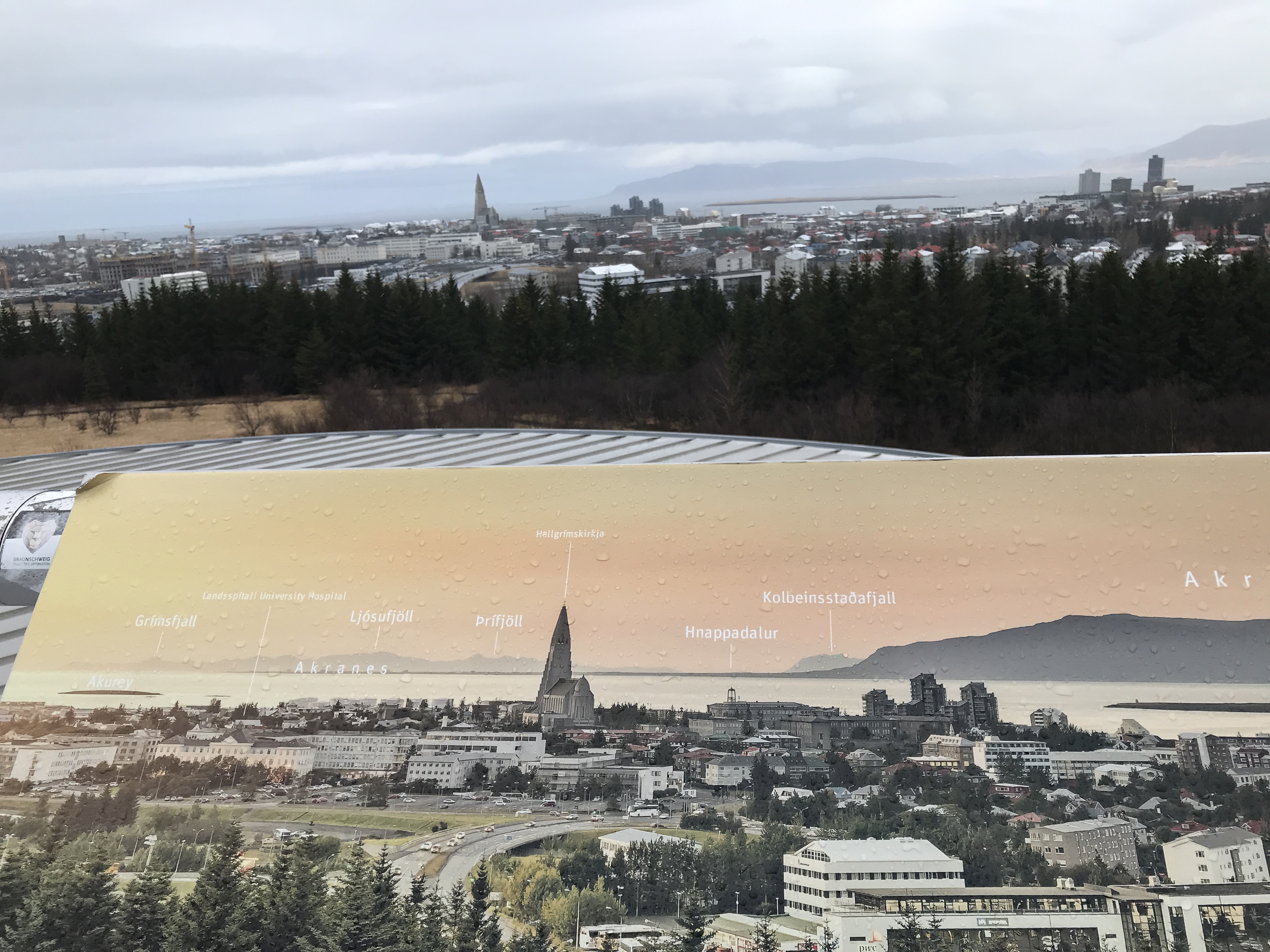

There were photos explaining what you were viewing.

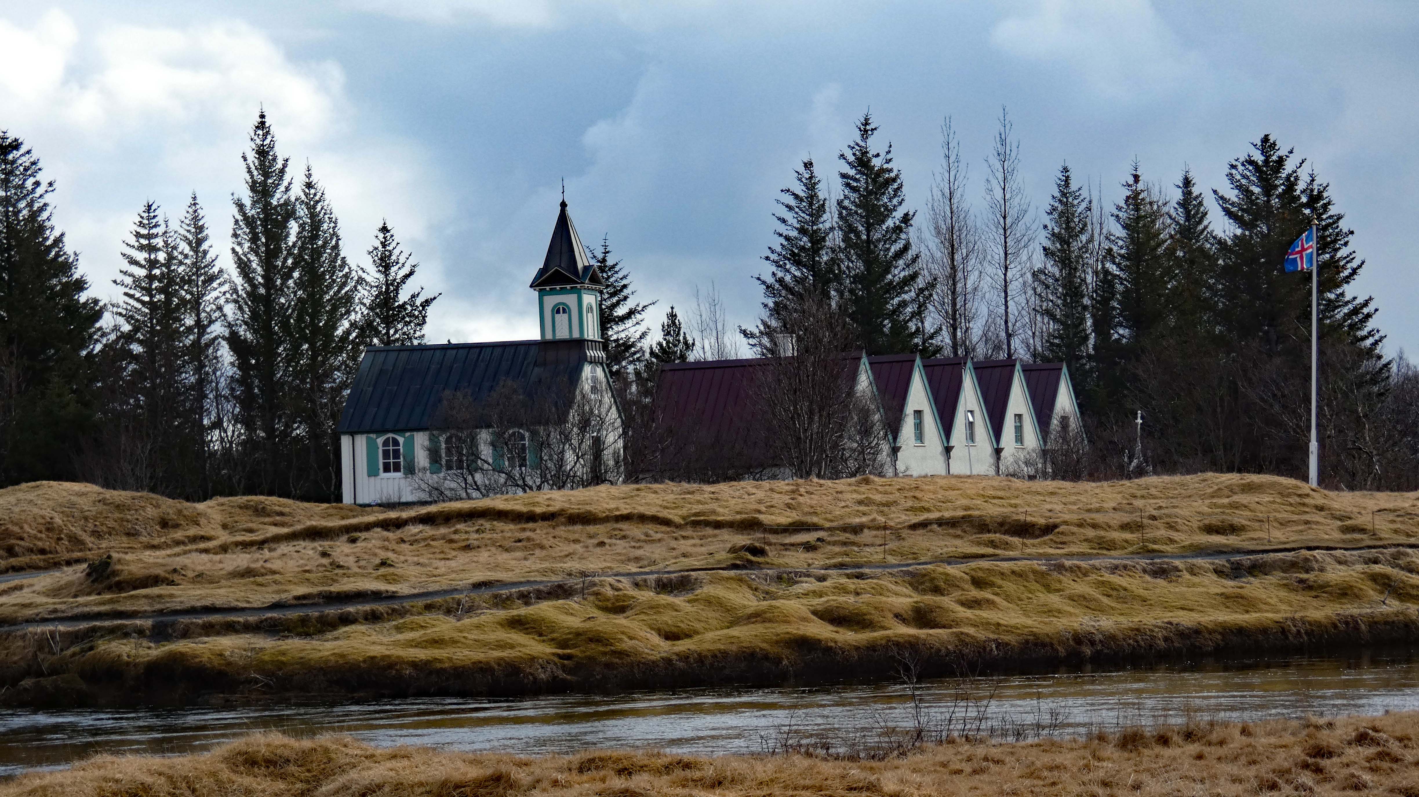
Lots of churches. They left Paganism 1,000+ years ago.

All of this on our first day! Before we checked in. Will tomorrow be a day of rest – nope!
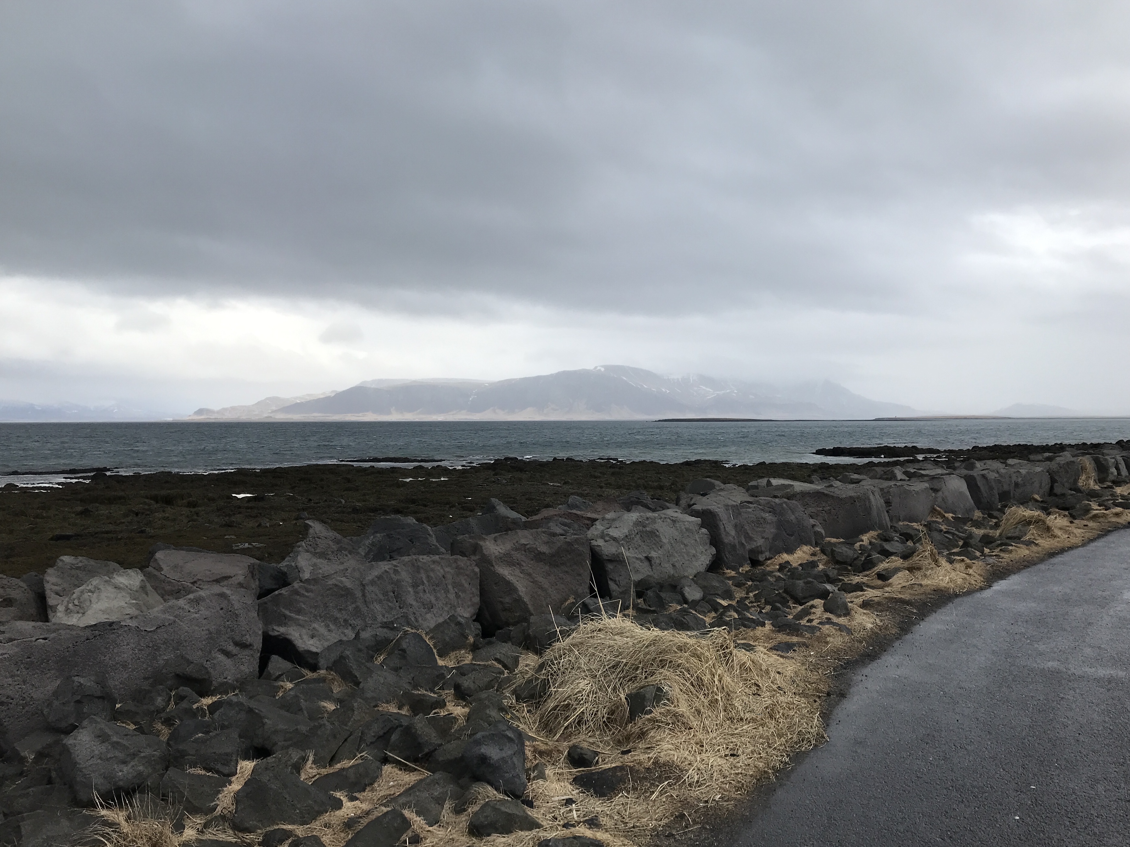
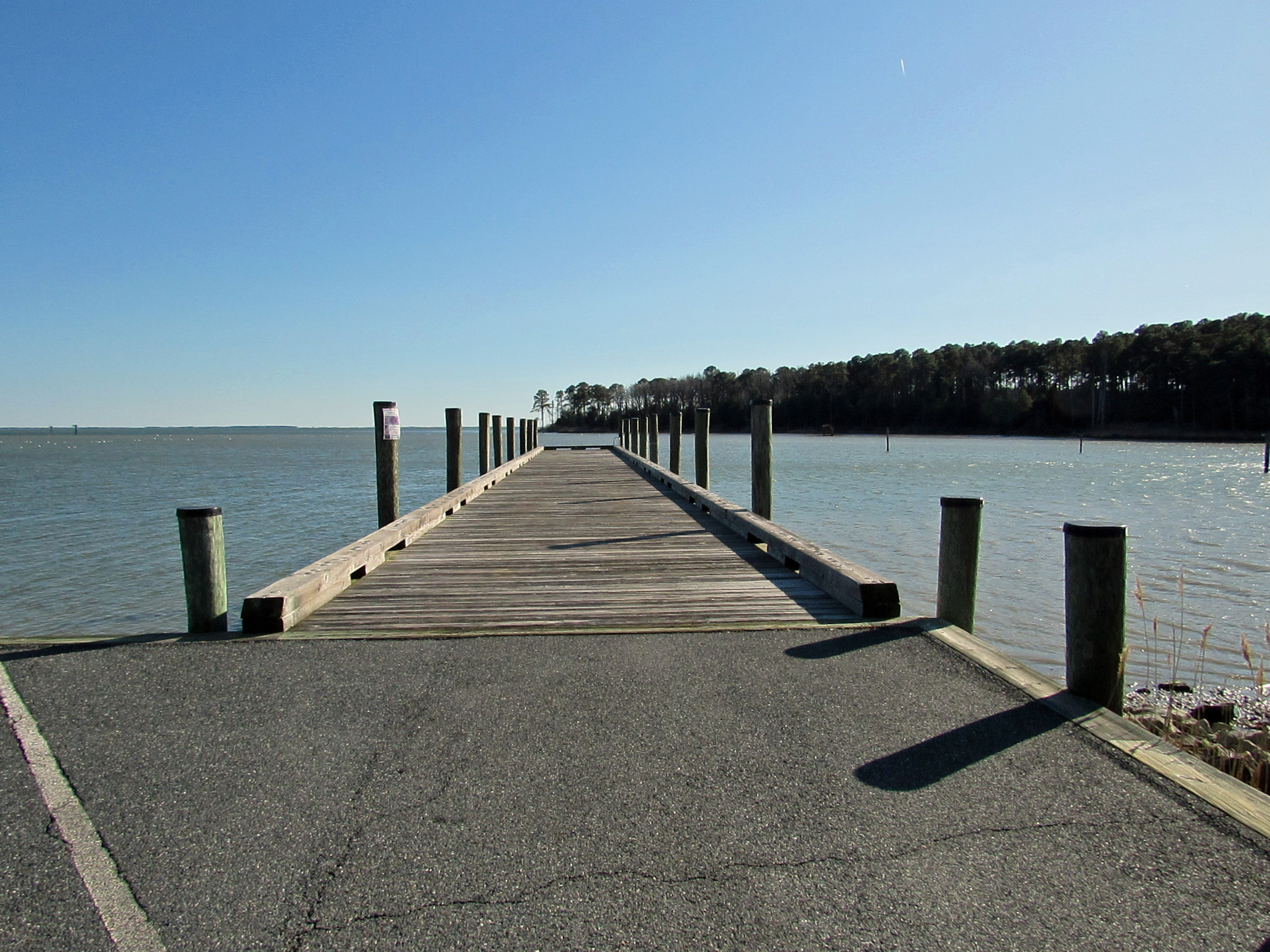
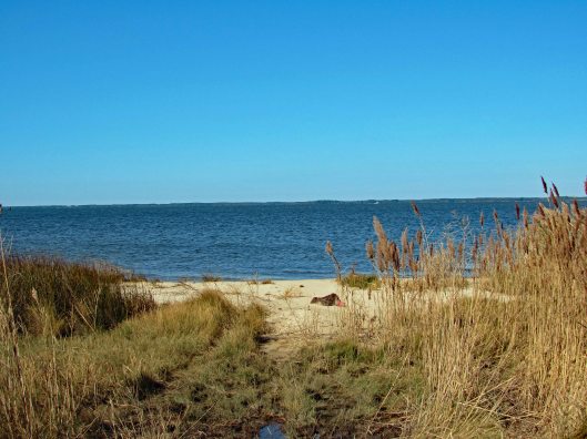
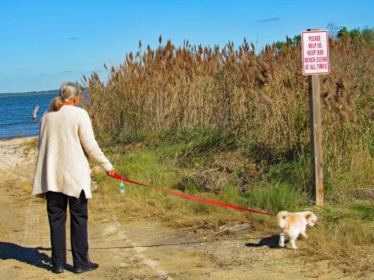
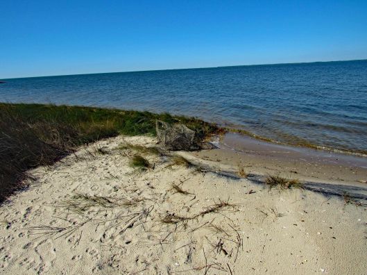
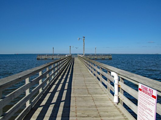
A walk along the shoreline. They have two paths -one for pedestrians and one for cyclists.
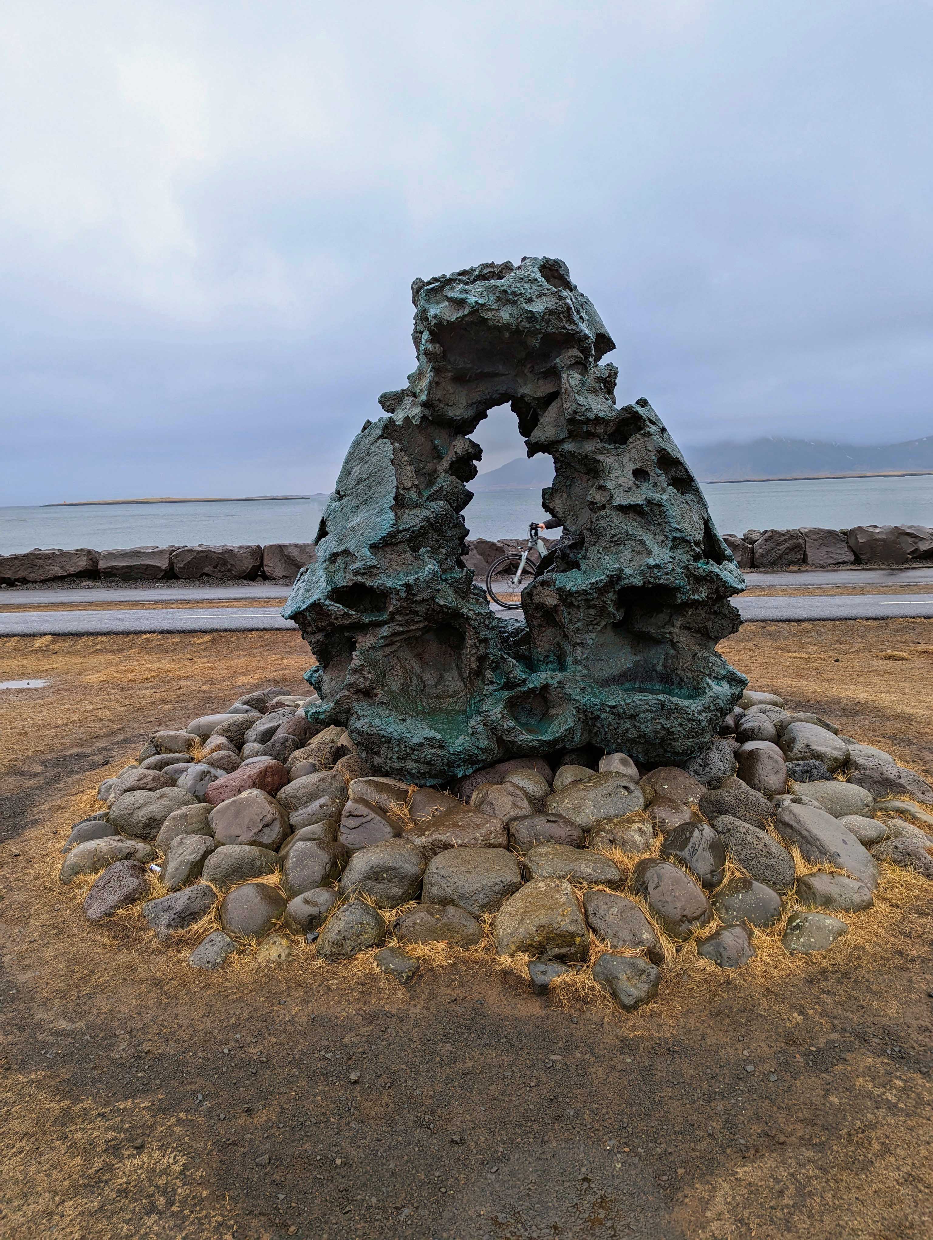
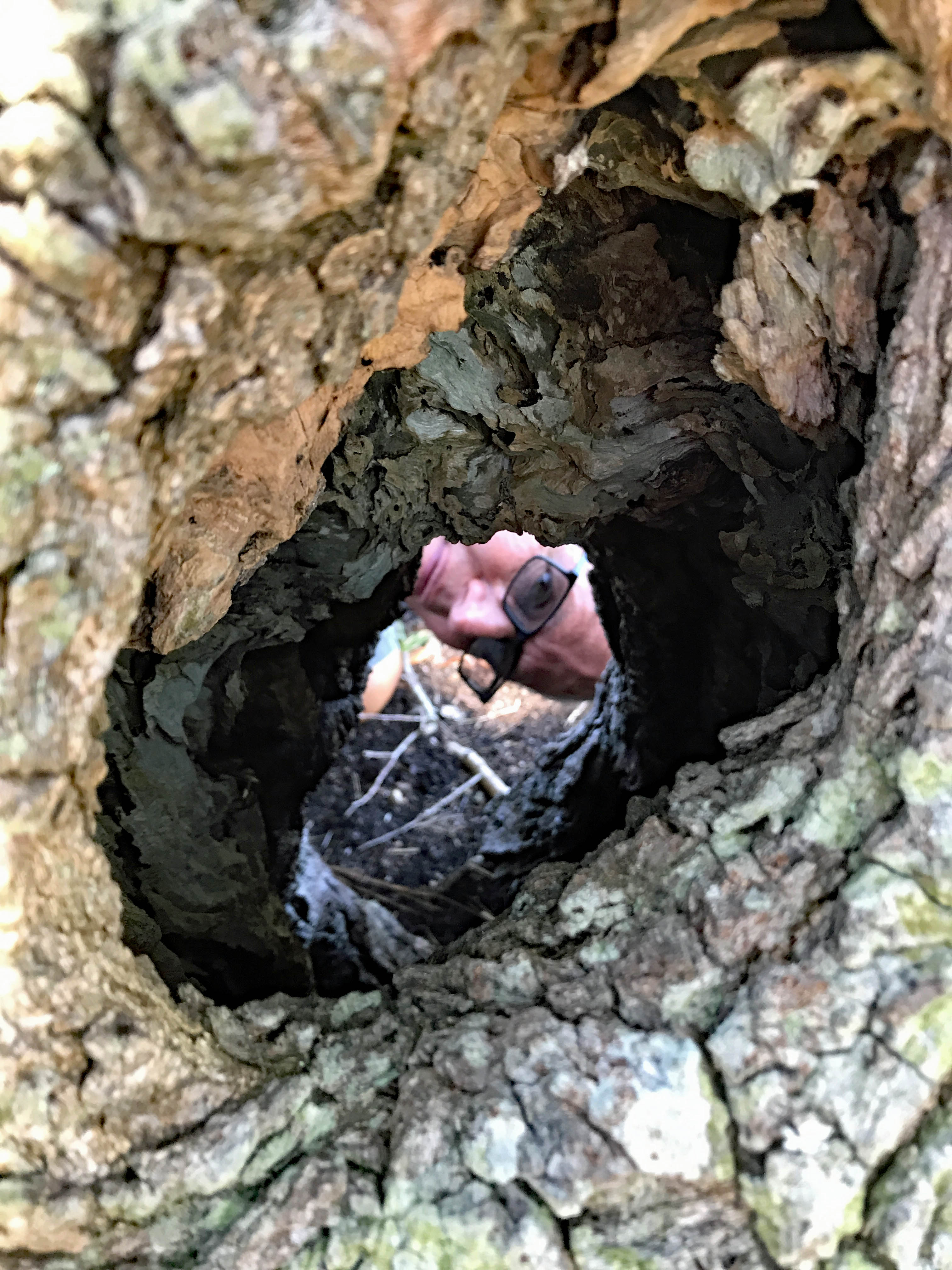
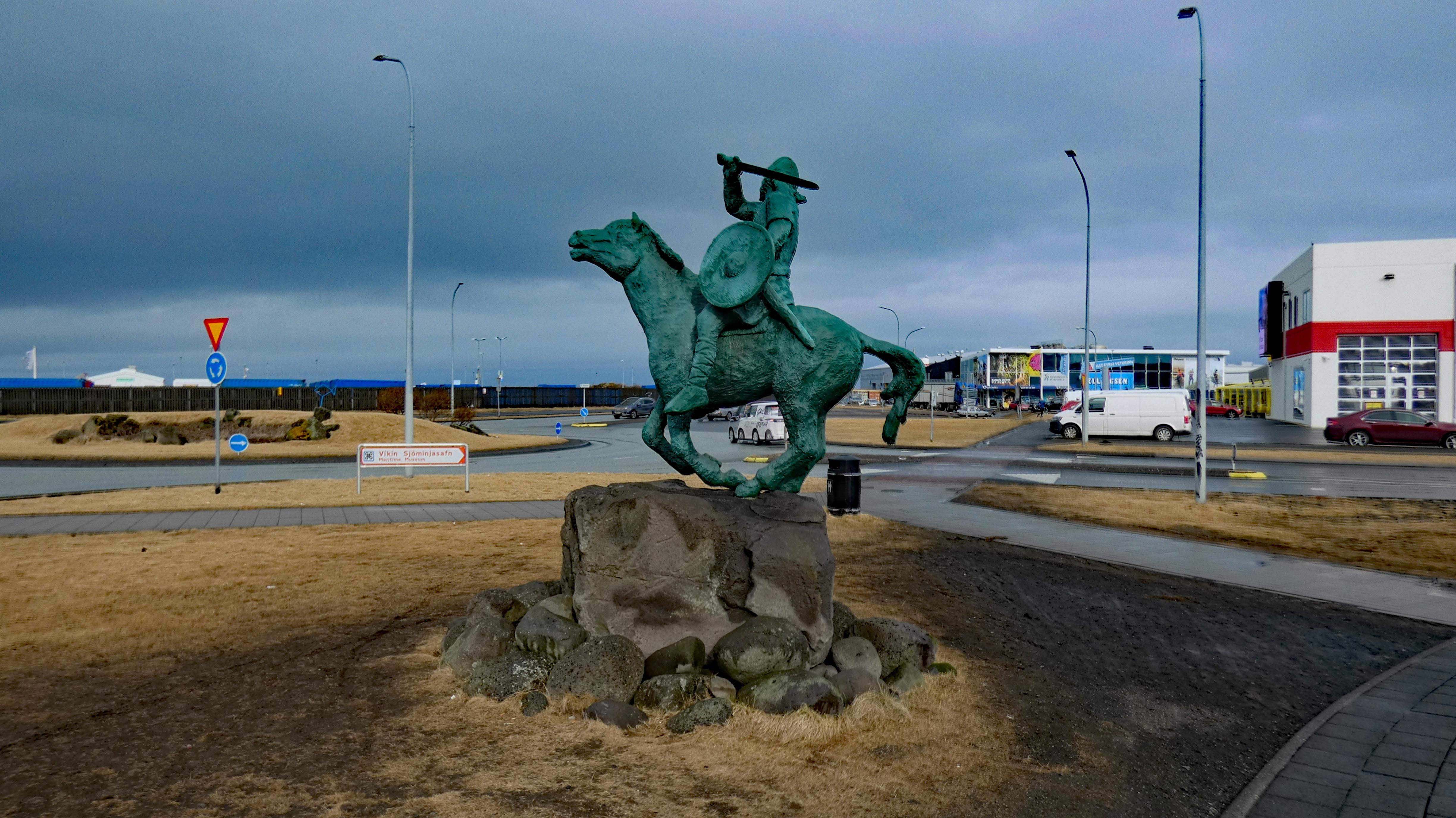
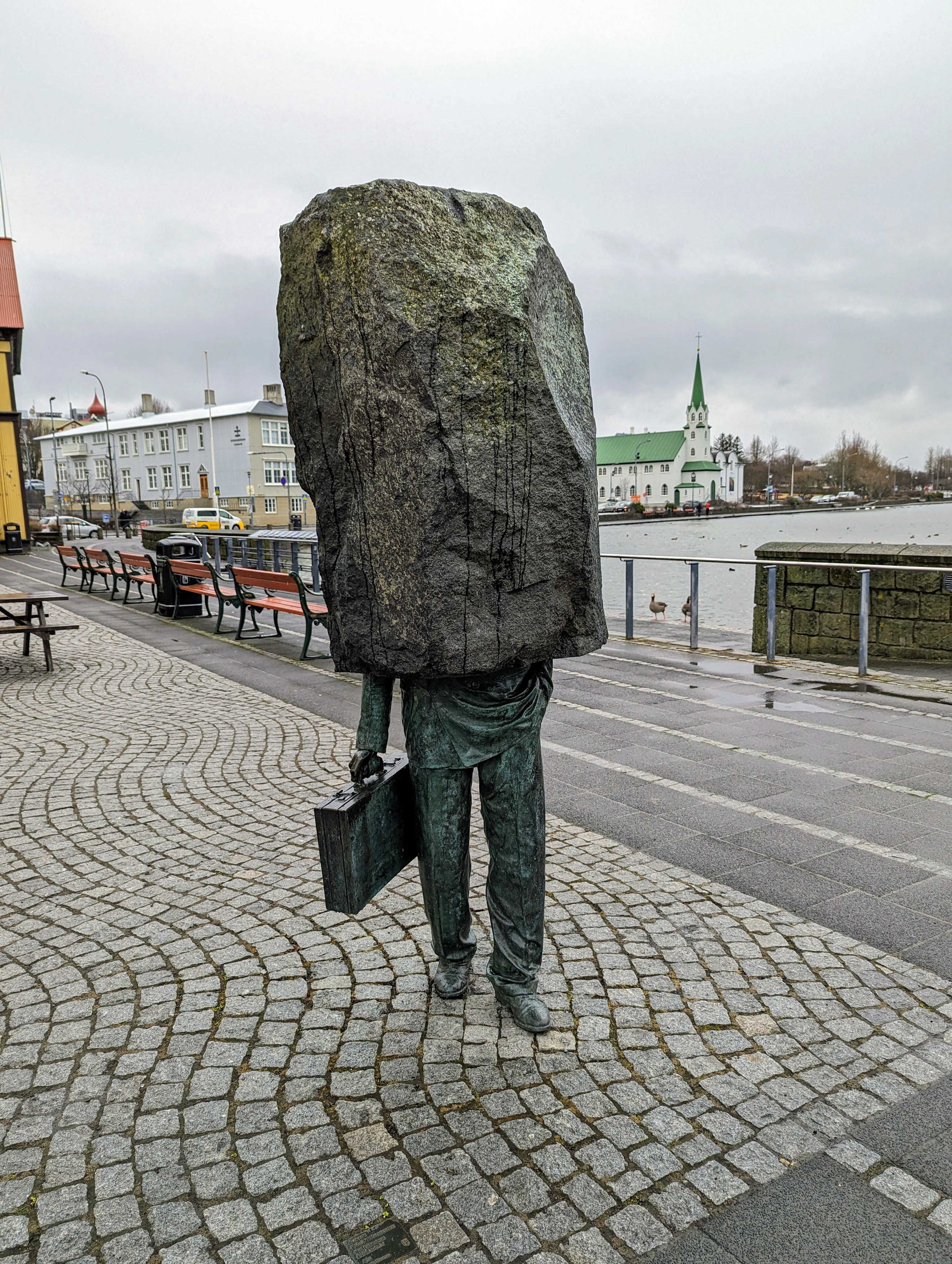
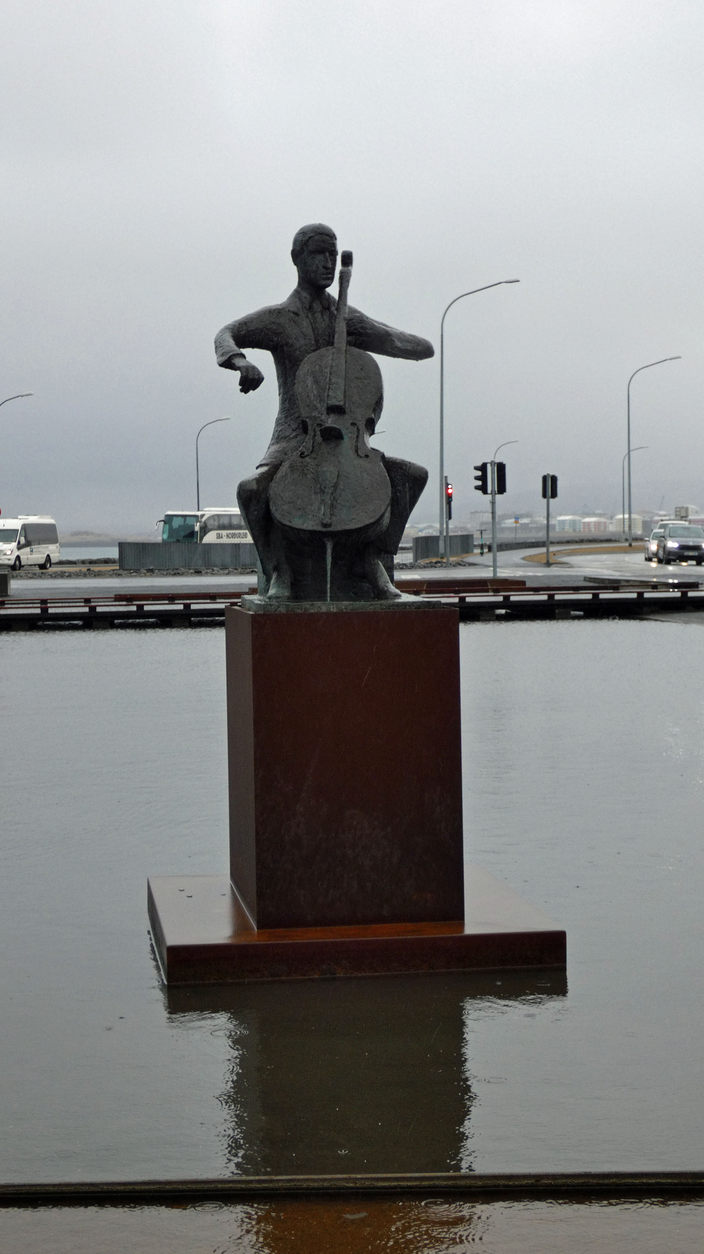
Almost got a shot of her face in the hole. There are 100’s of statues and sculptures everywhere.

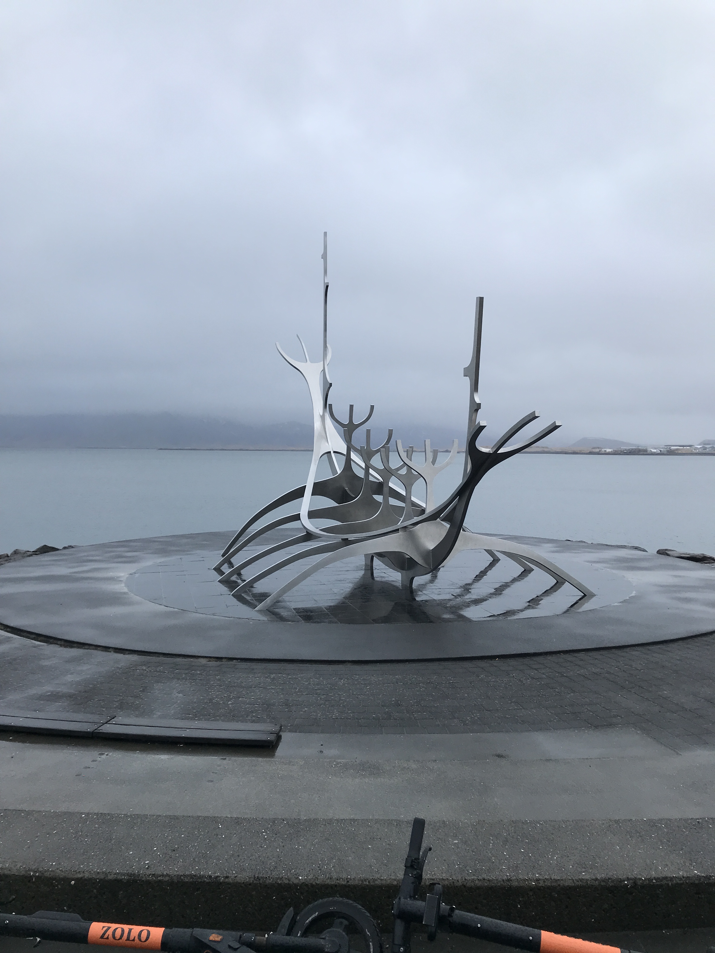
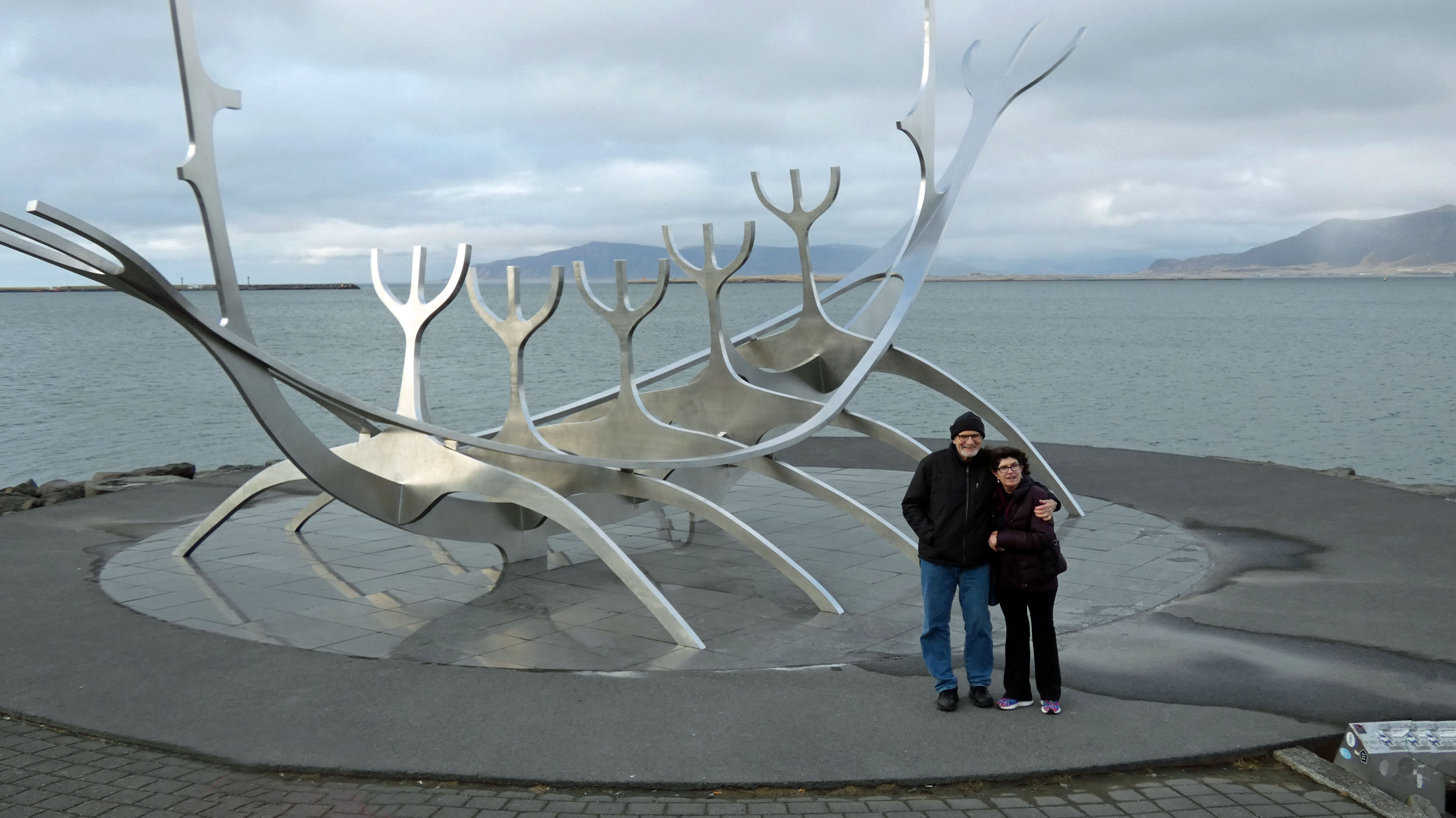
The Sun Voyager sculpture.
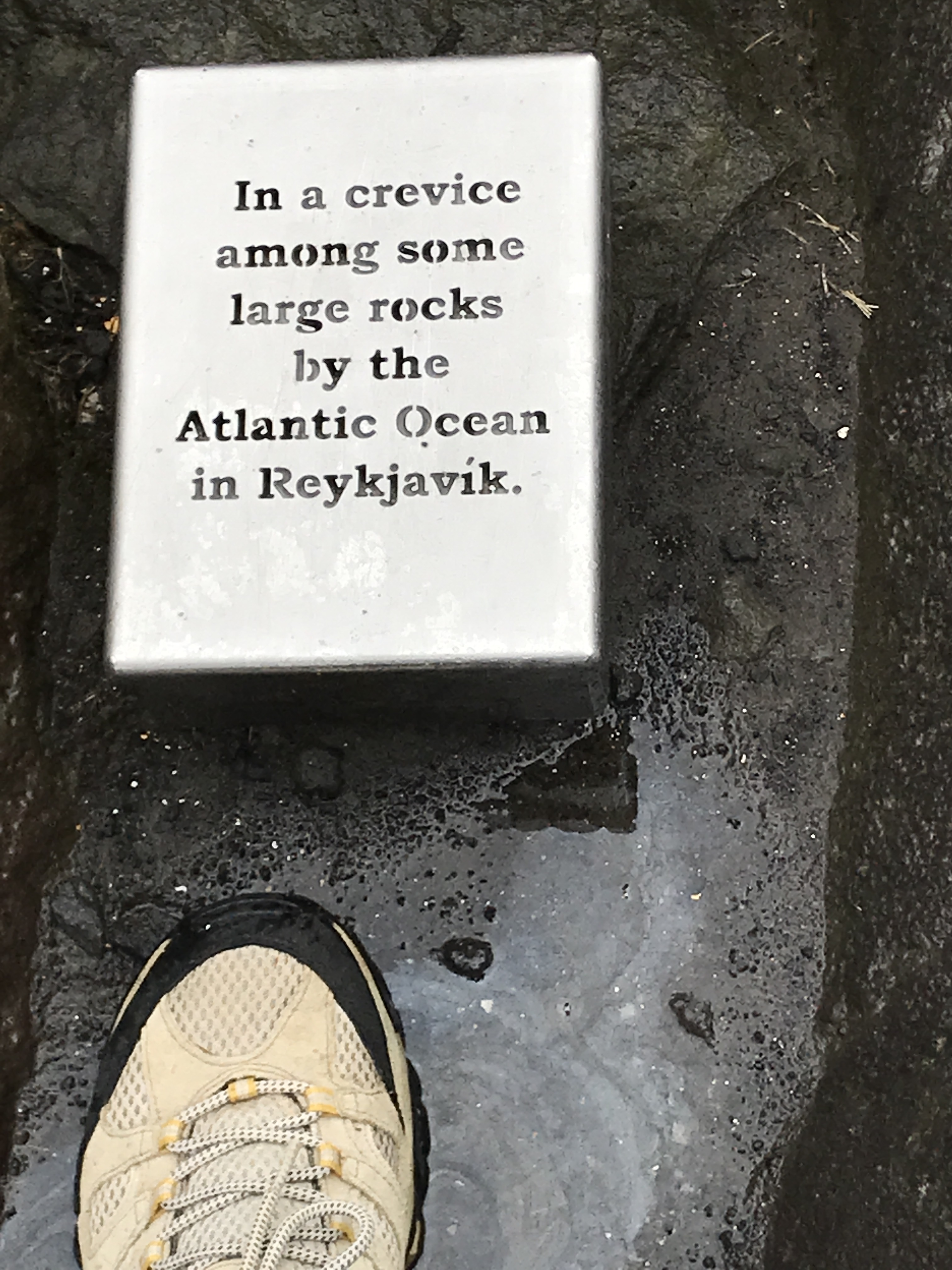
…is where Kathy put her foot down…

Mini lighthouse.
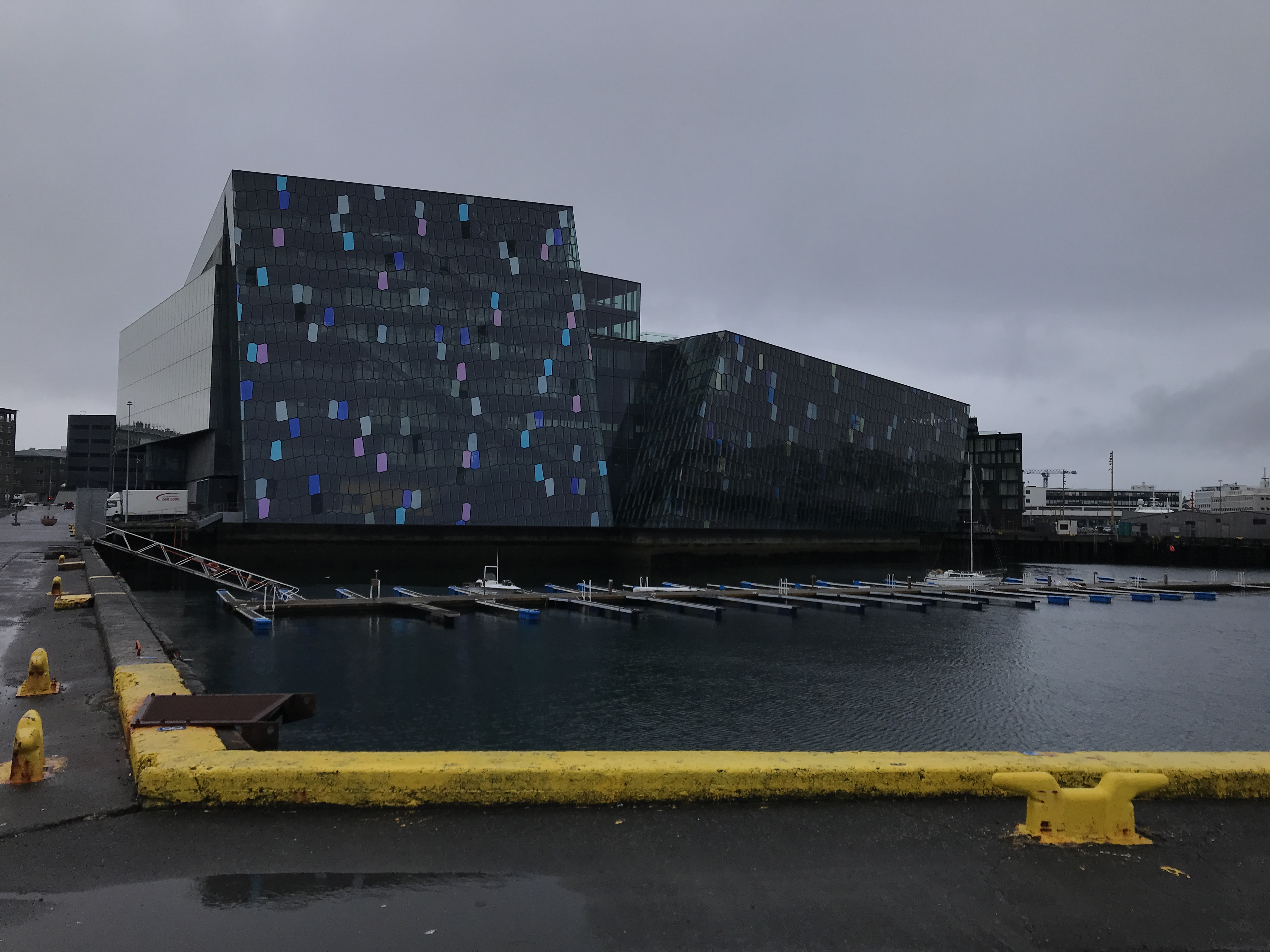
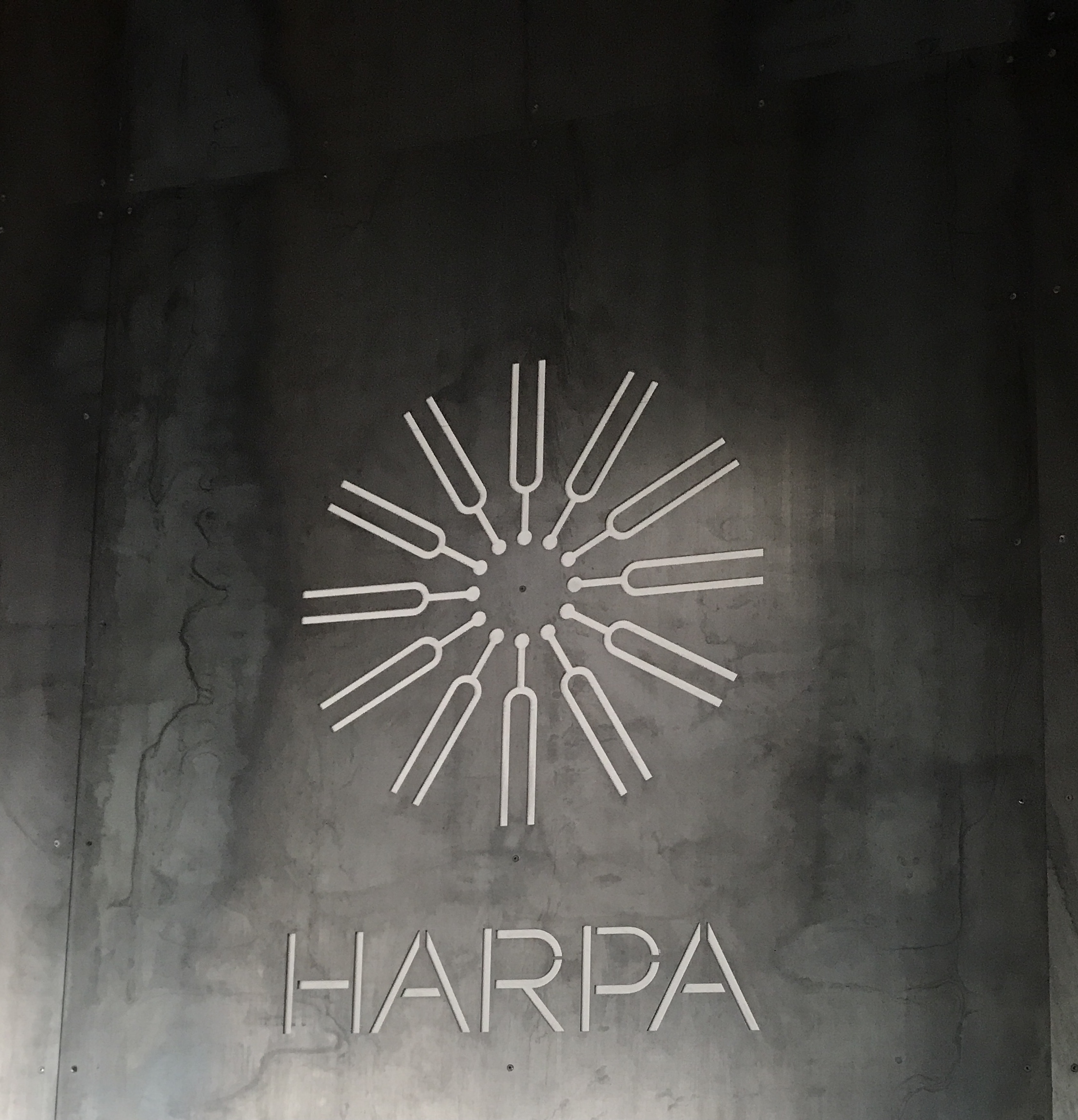
Performing arts center

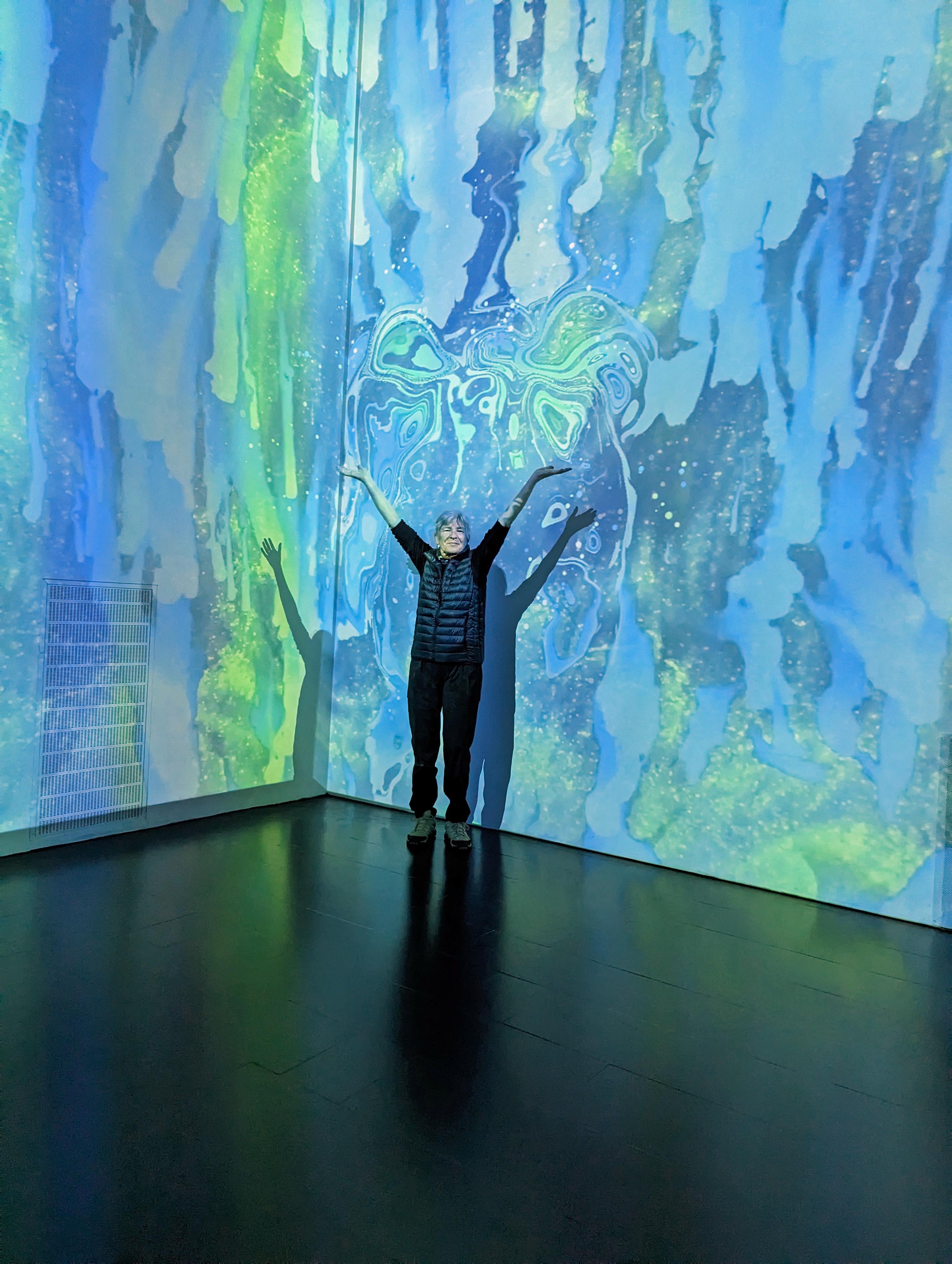
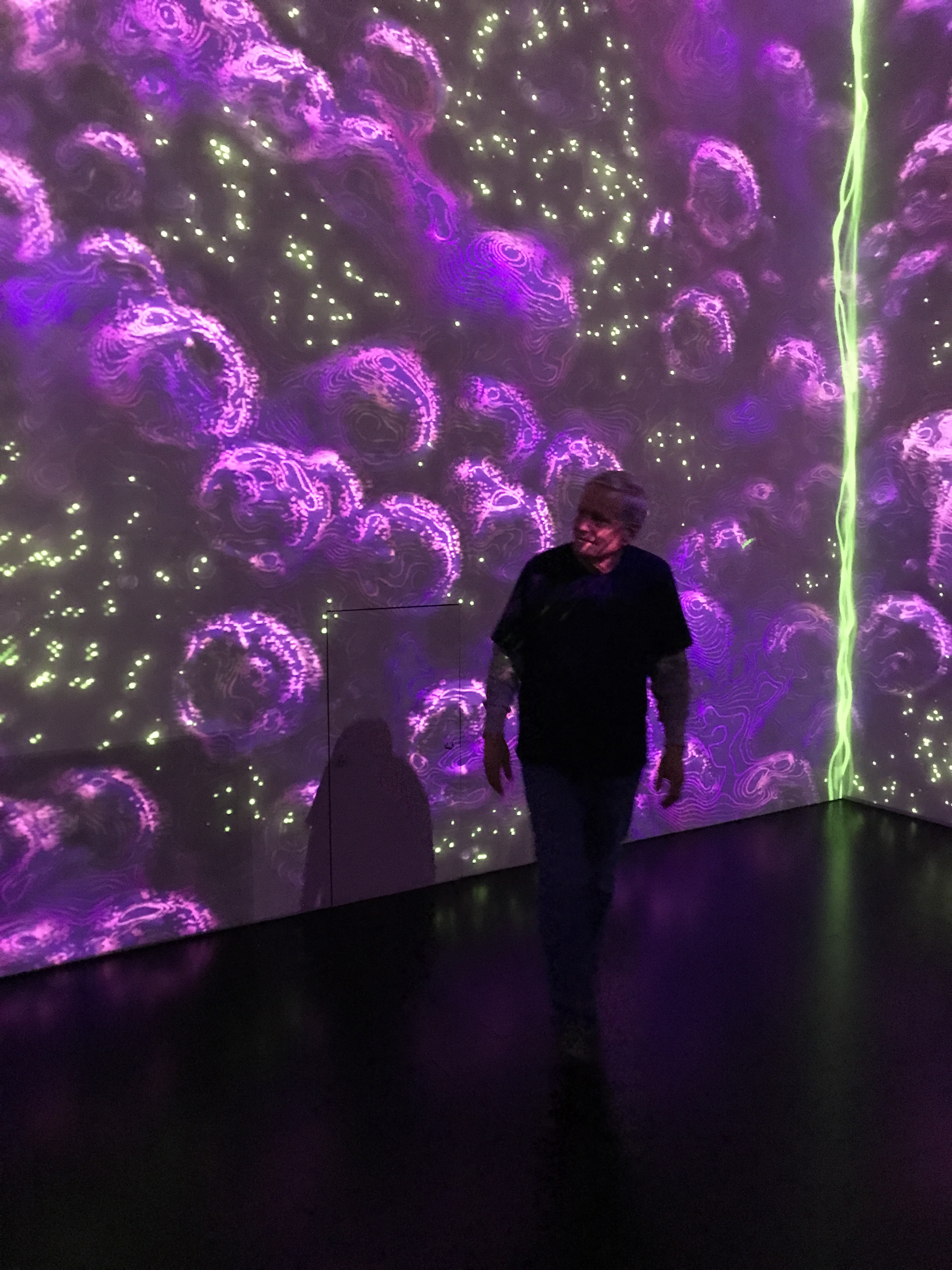
Interesting Immersive Light Show.
Taking a walk around town.
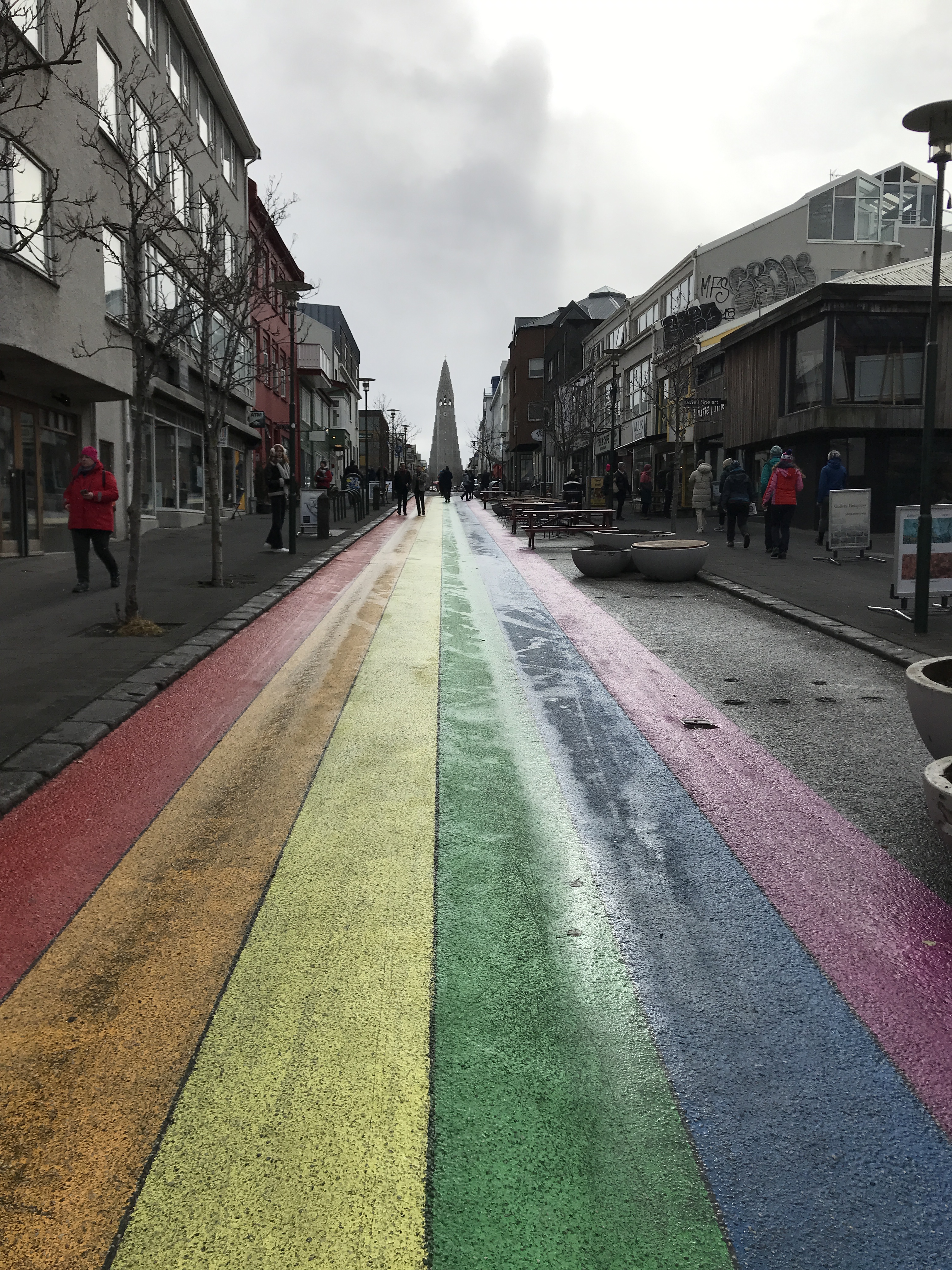

Rainbow road with view of church.

Another statue of another famous dude (If I can’t pronounce your name, chances are I won’t remember you!)
2,082 miles from home and Kathy runs into some friends.

We all went to dinner after this. More on eating later.
Now onto day 3. This will be an 8 hour tour of the Golden Circle. Lots of riding, short stops except when money was involved (rest stop, souvenirs, food, etc.)
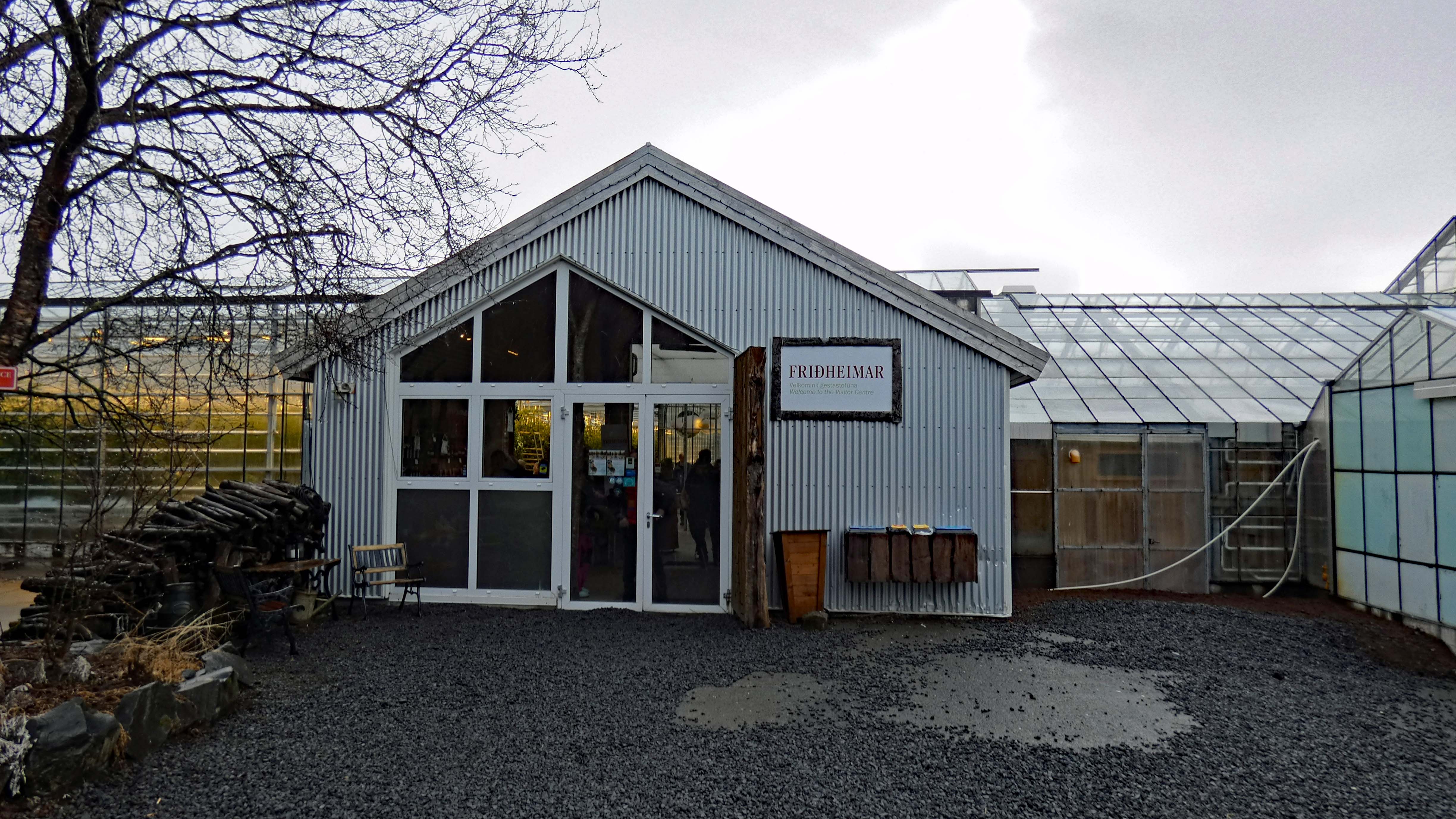
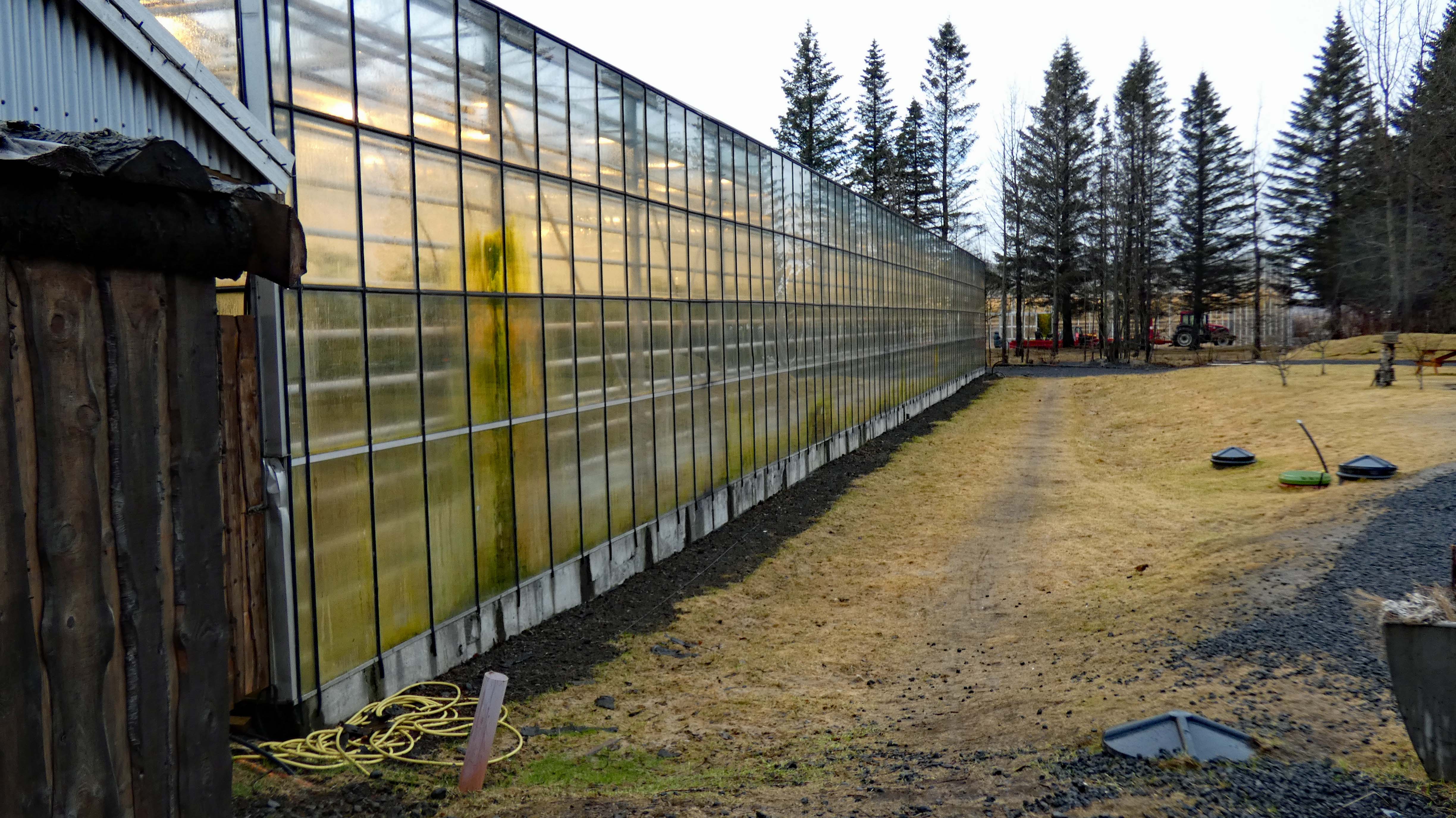
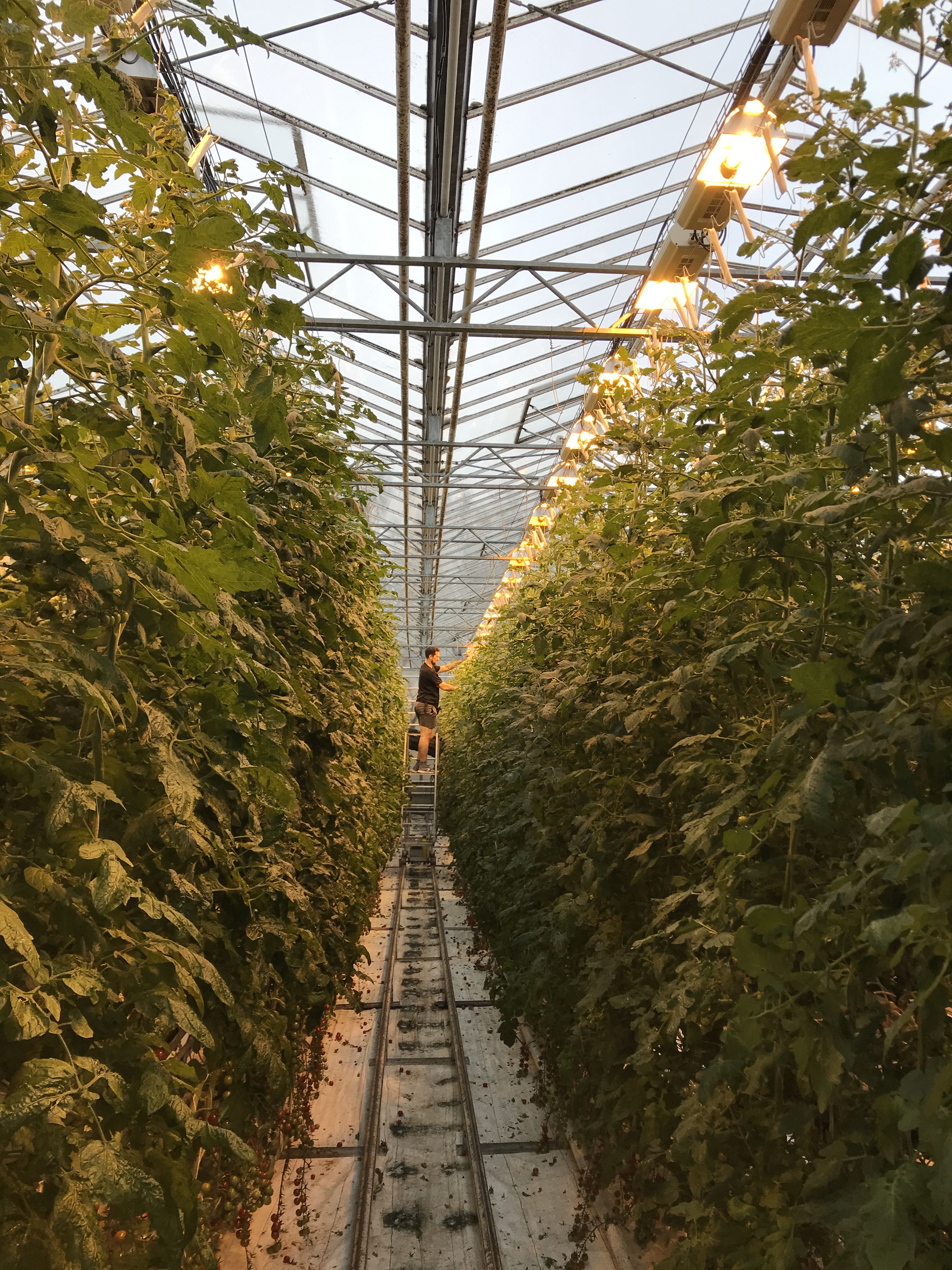
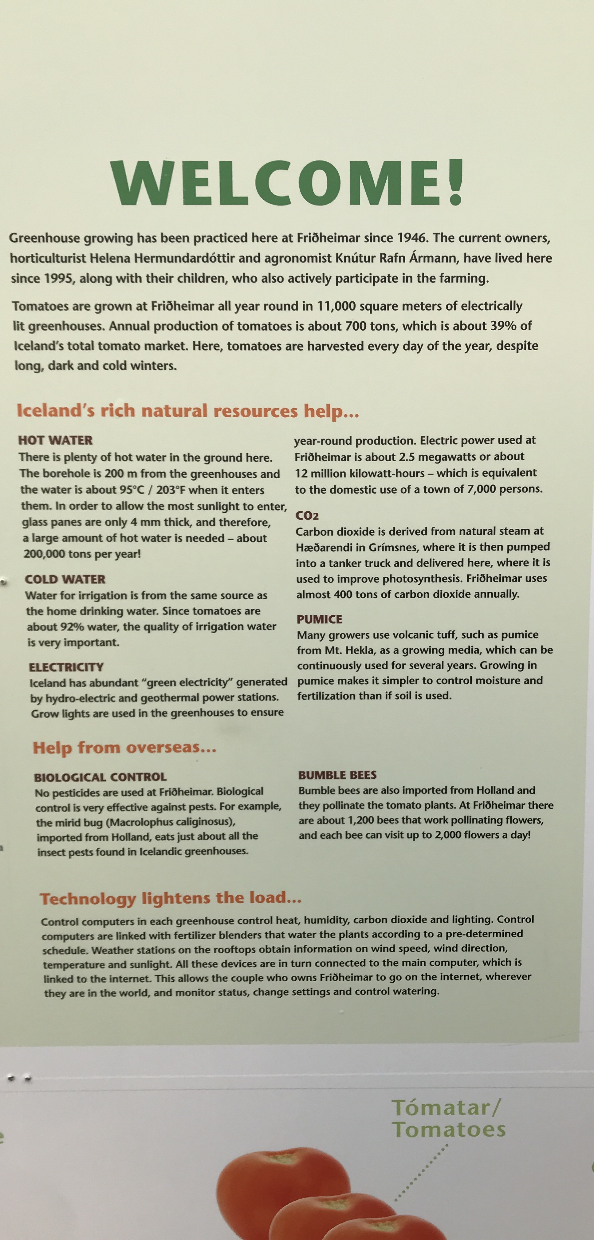
Green House. Mostly tomatoes.
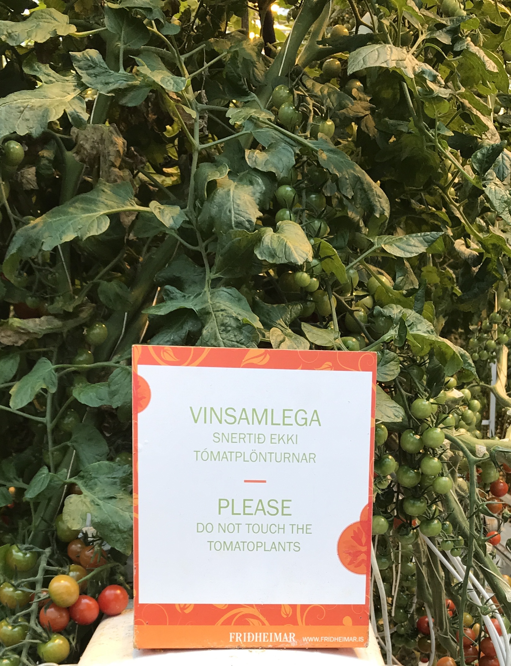
Some people just cannot read – ooohhh look, tomatoes, snap.


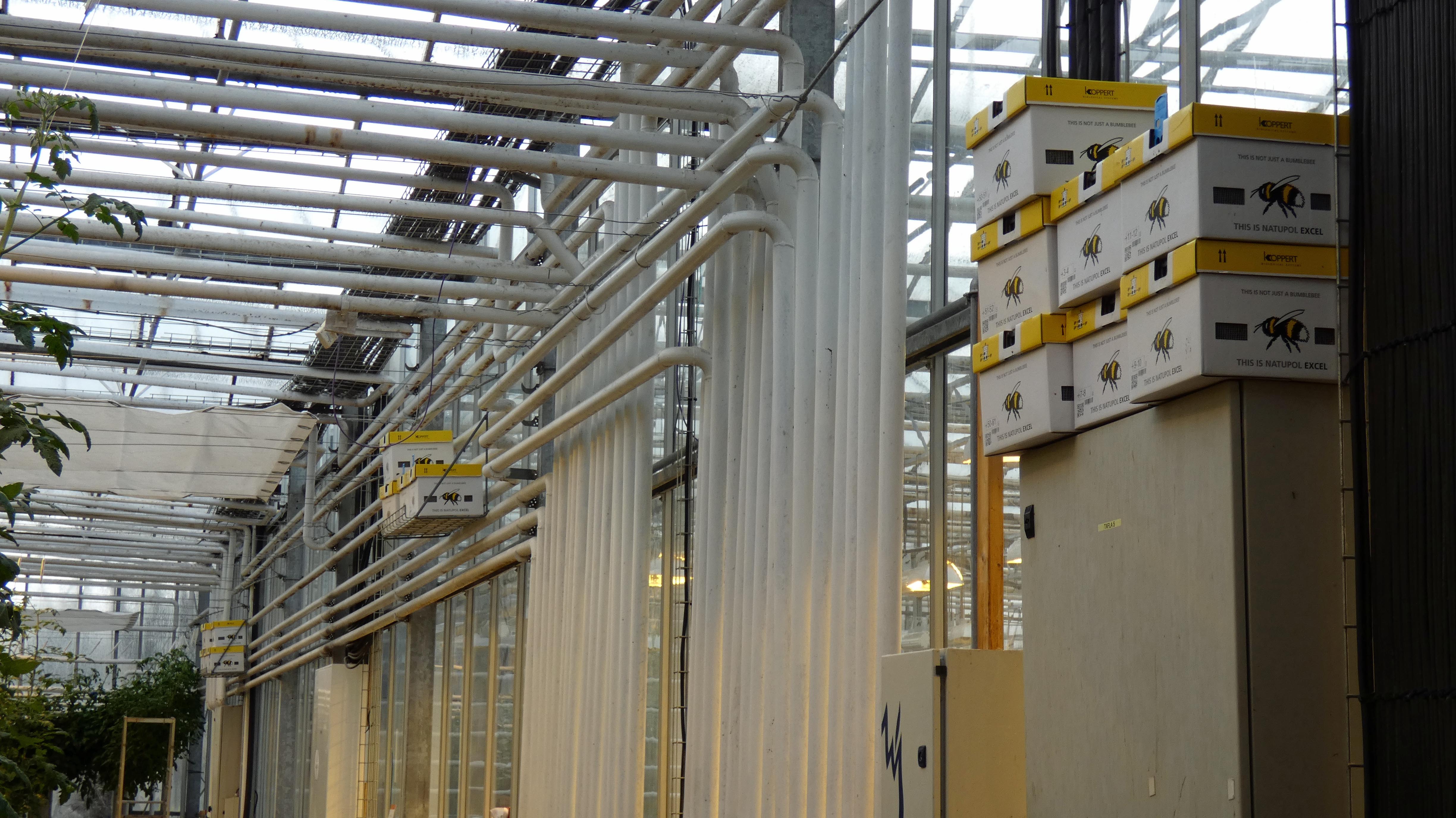
Bees – imported. More thermal heating pipes and hydroponics.

Tomato soup and bread. Good stuff here!

No soup for him. There were quite a few horse farms around.
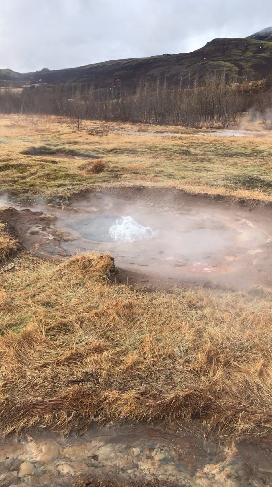
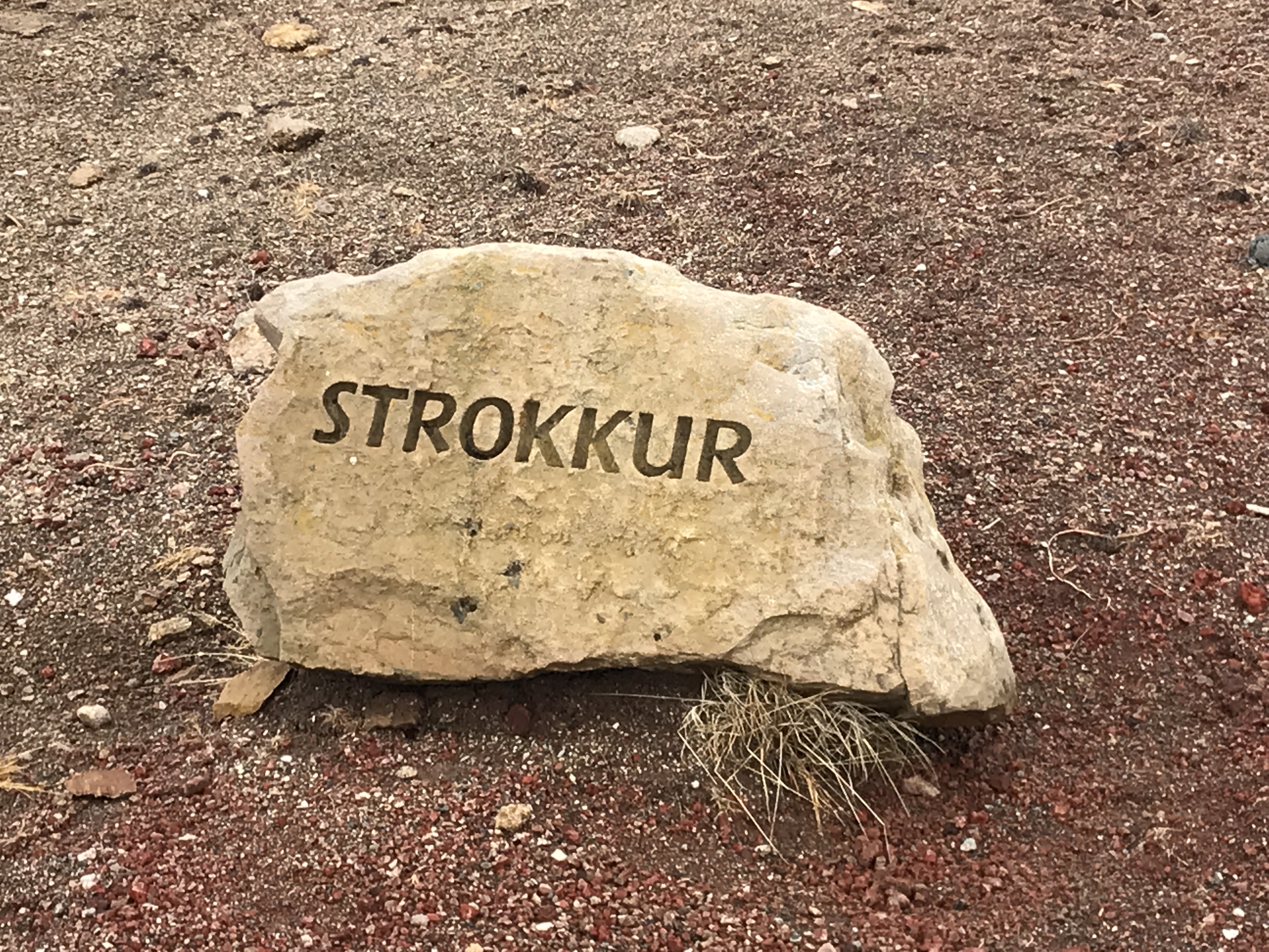
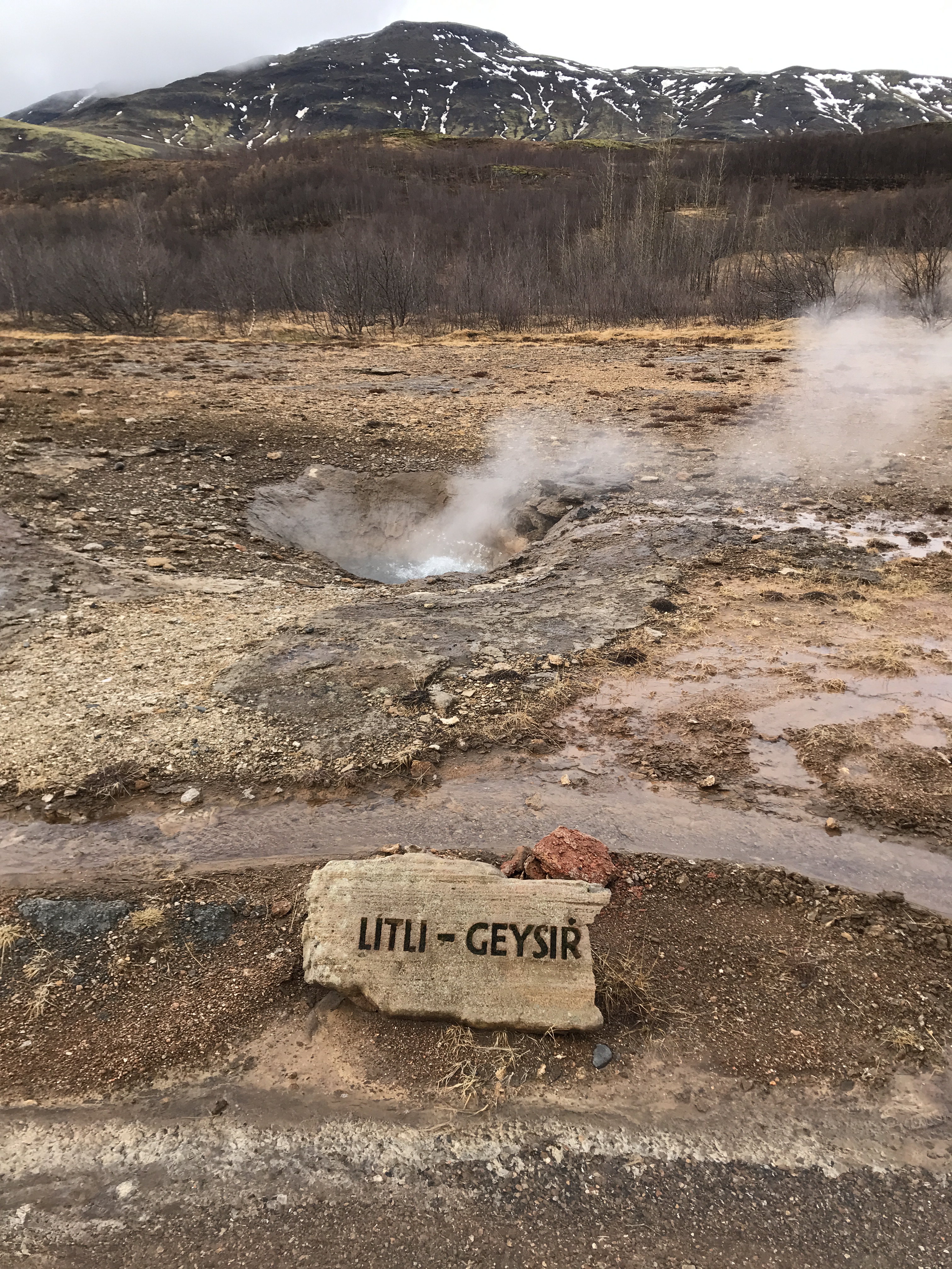
Next stop – geysers.
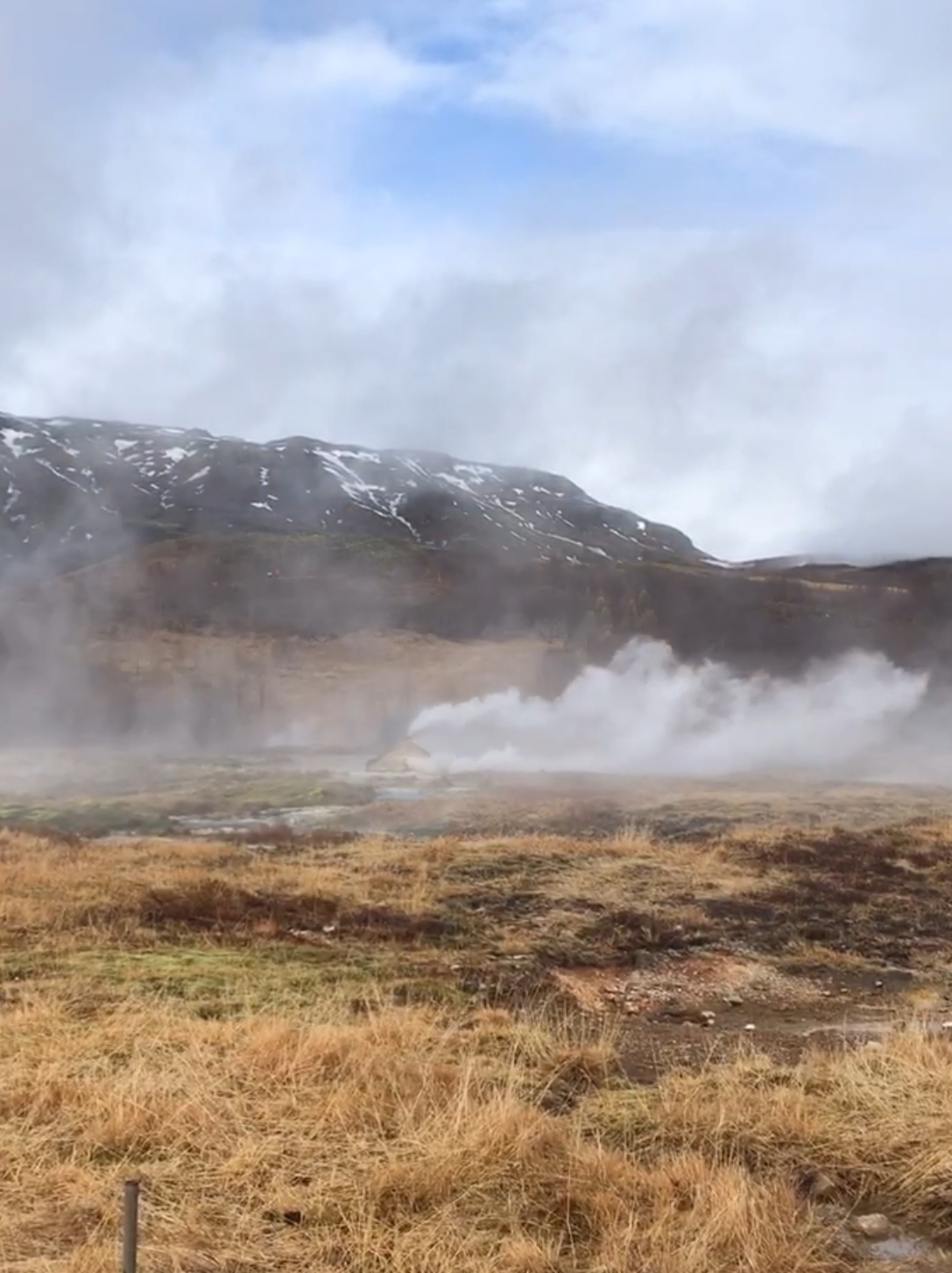
Our guide today was very good – Inga. But, when we got to the geysers, she neglected to tell us that the active one was up the hill some. We watched this steam up for about 15 minutes!
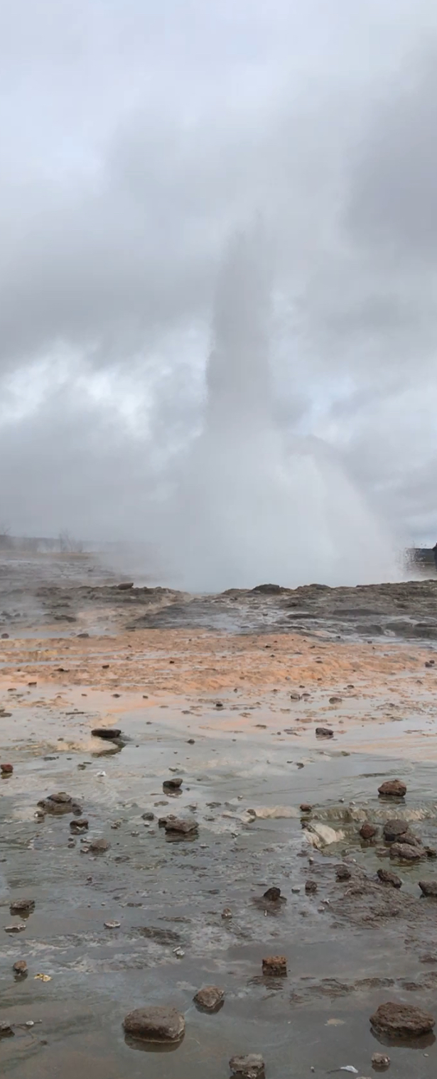
There she blows!

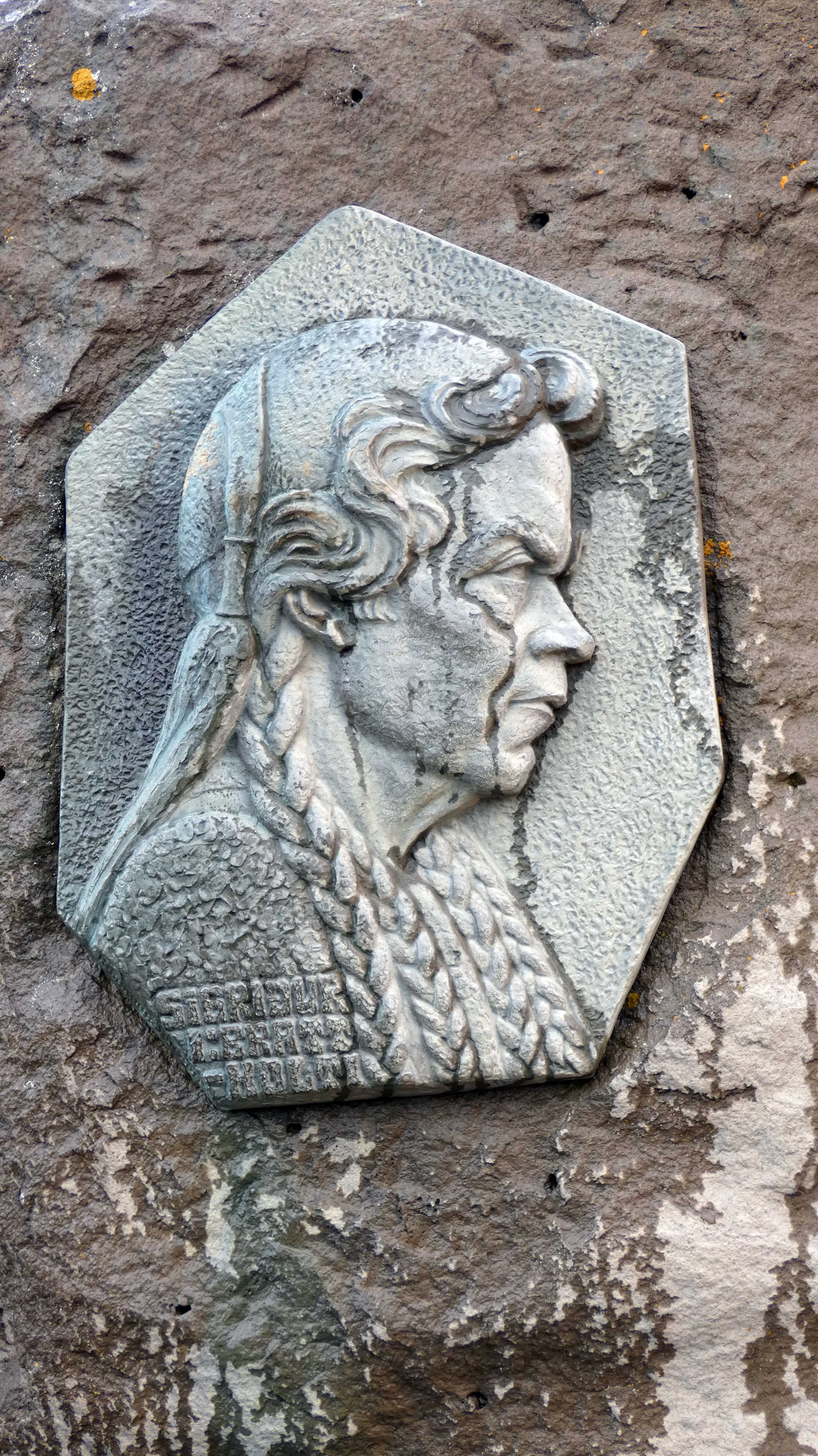
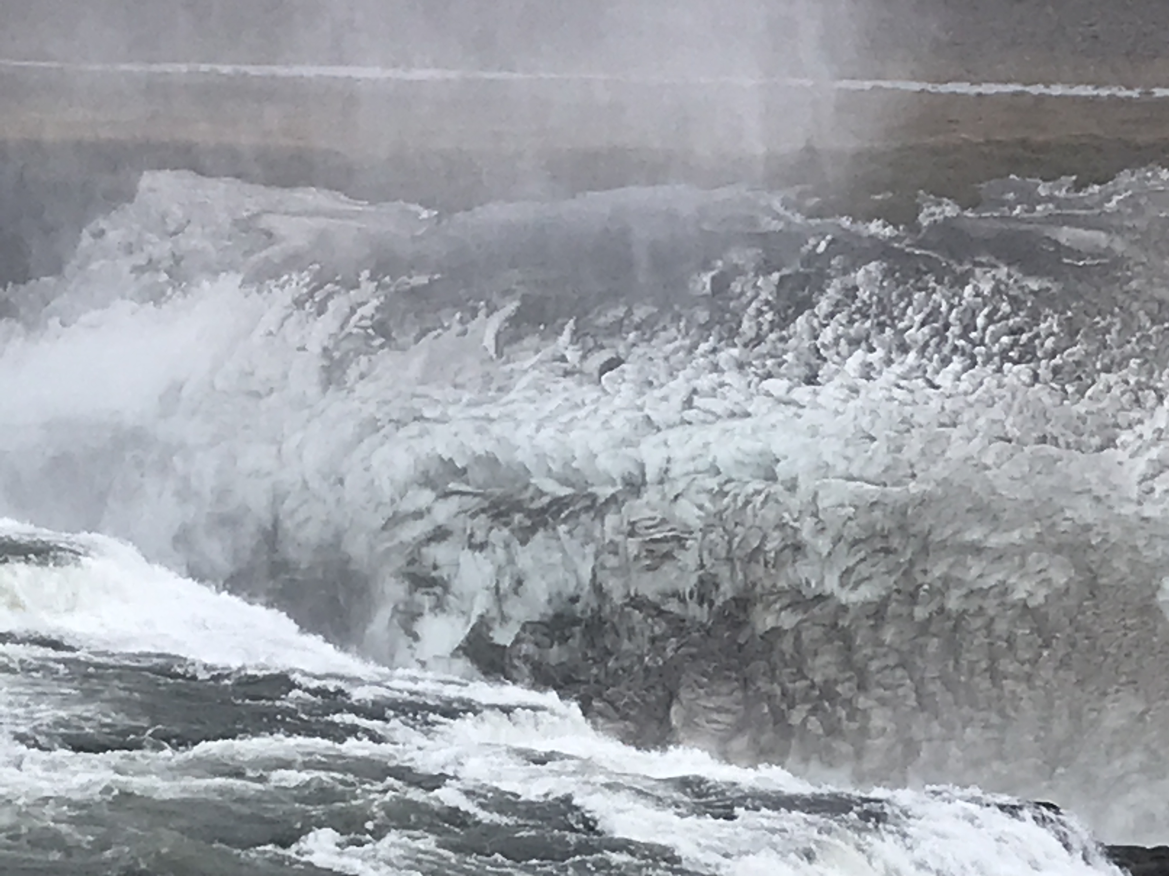
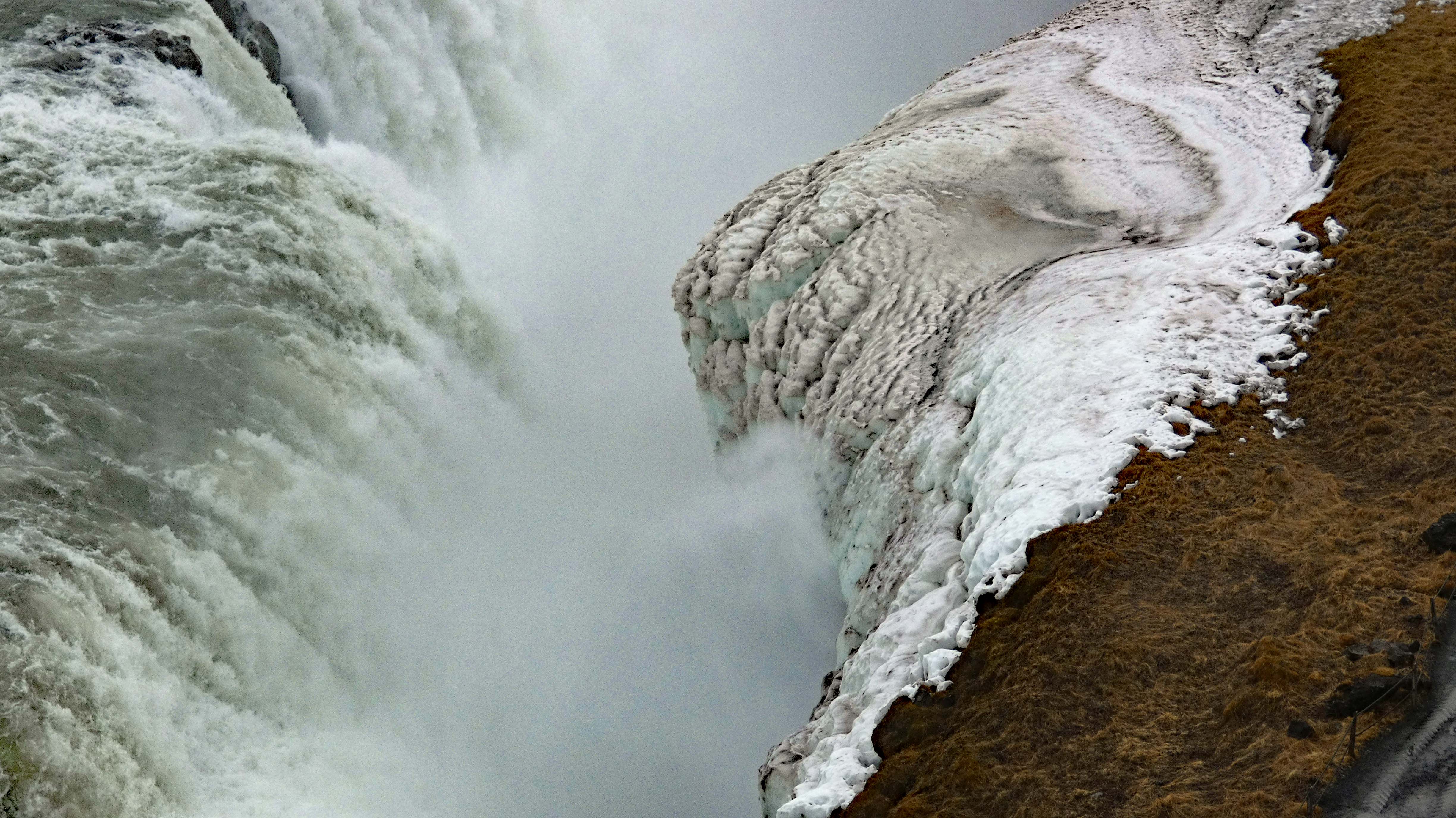
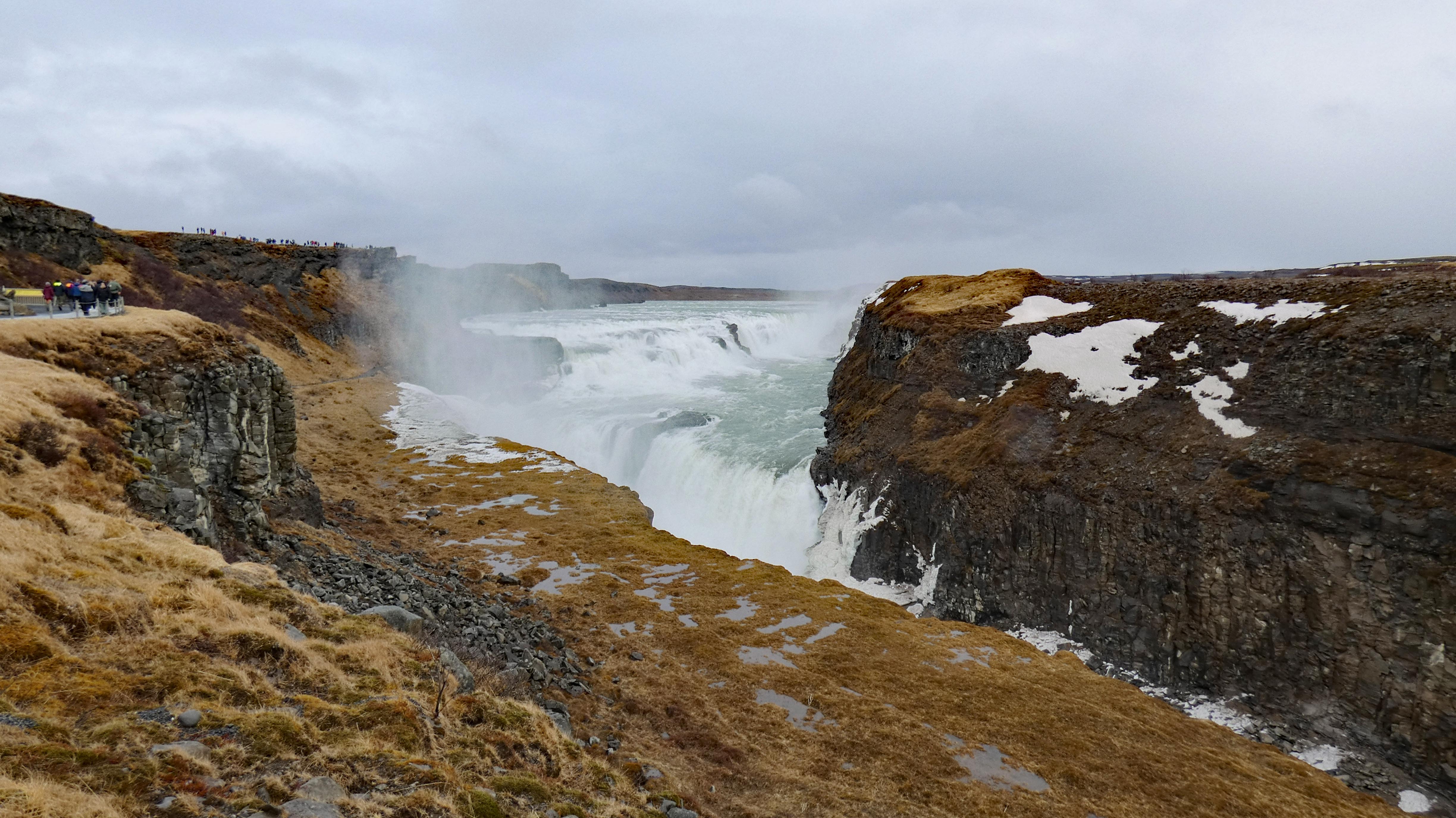
Next up – a fairly large water fall. And a woman who protested and won, the building of a new power plant on the falls. Her name was Sigriour Tomasdottir. She was the daughter of the farmer that owned the waterfall.
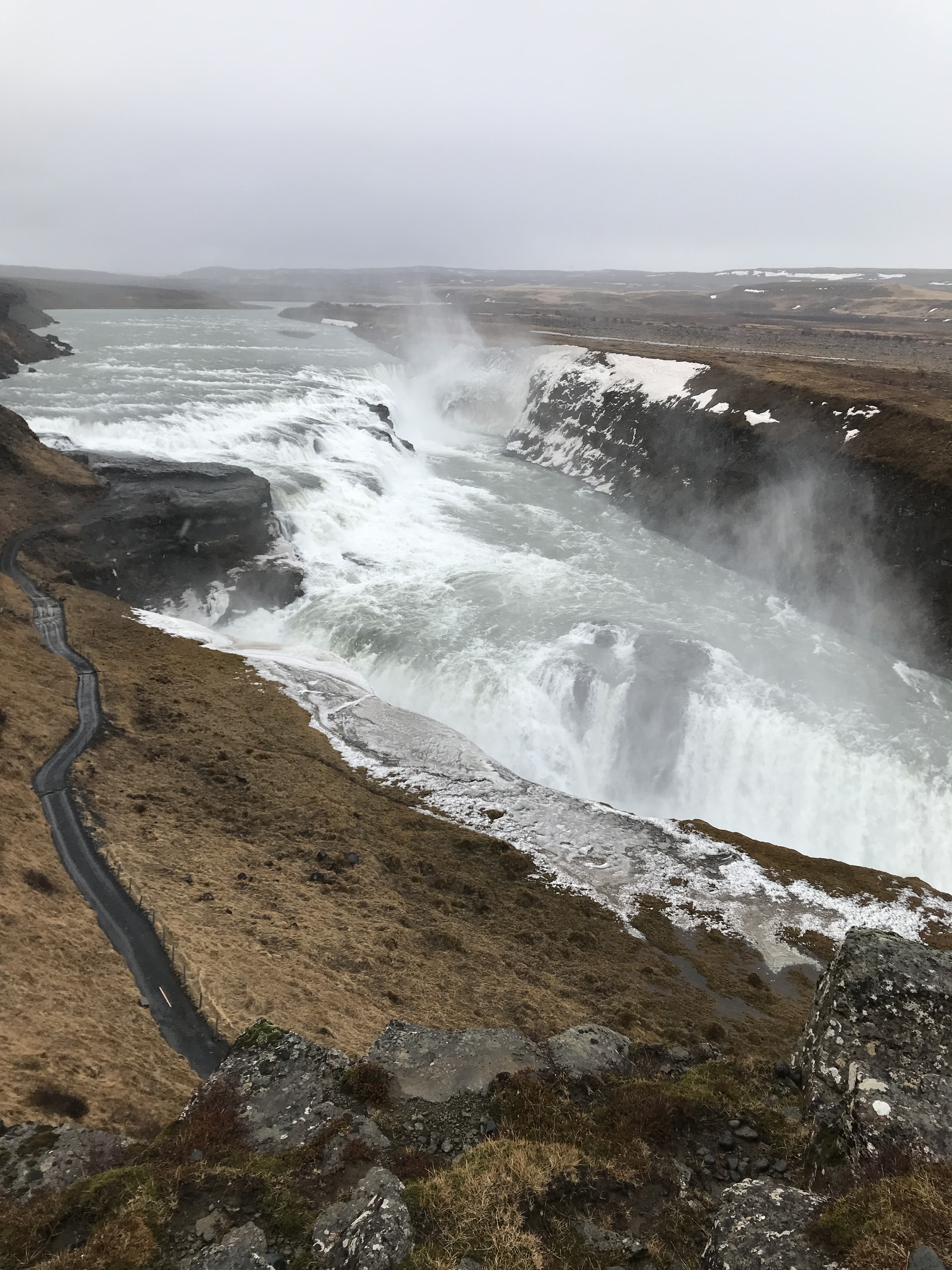
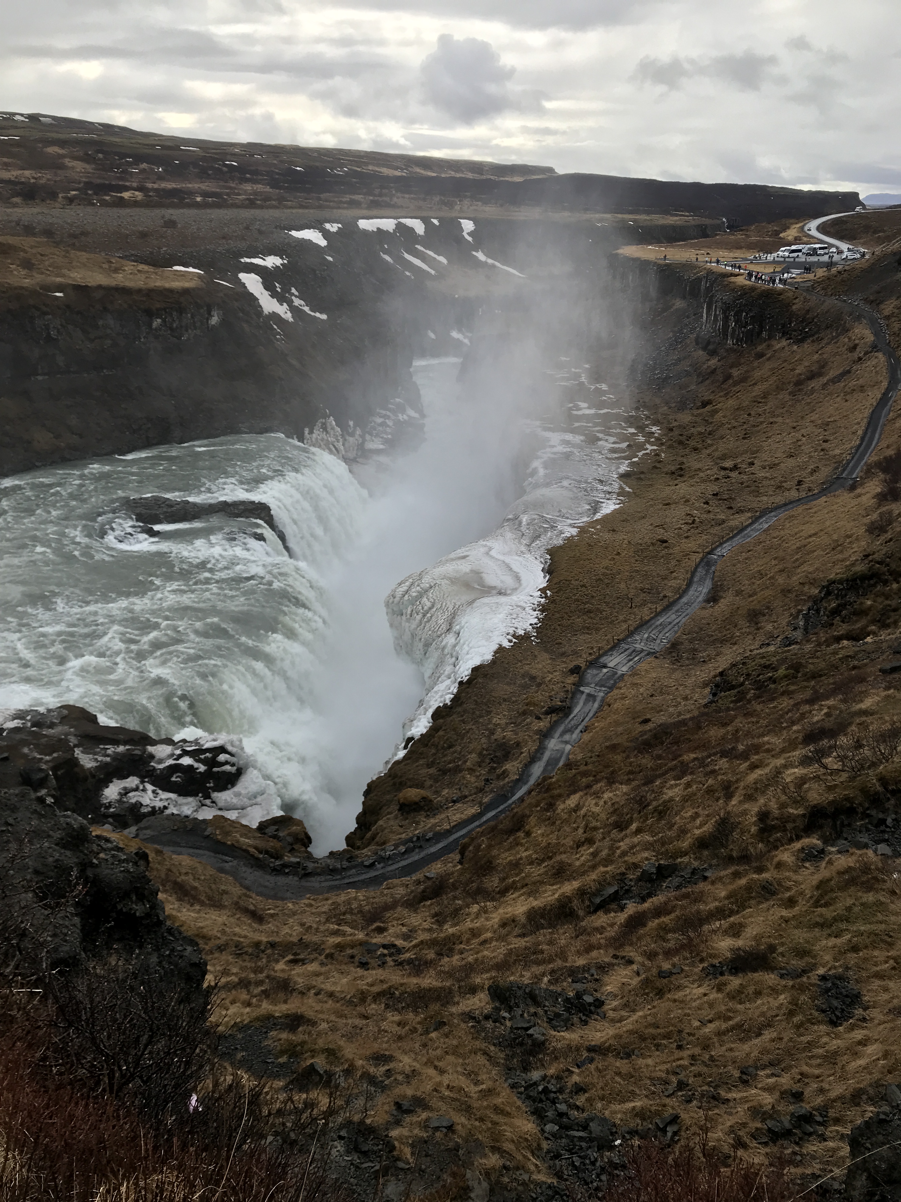
Walking down to the bottom was closed off.


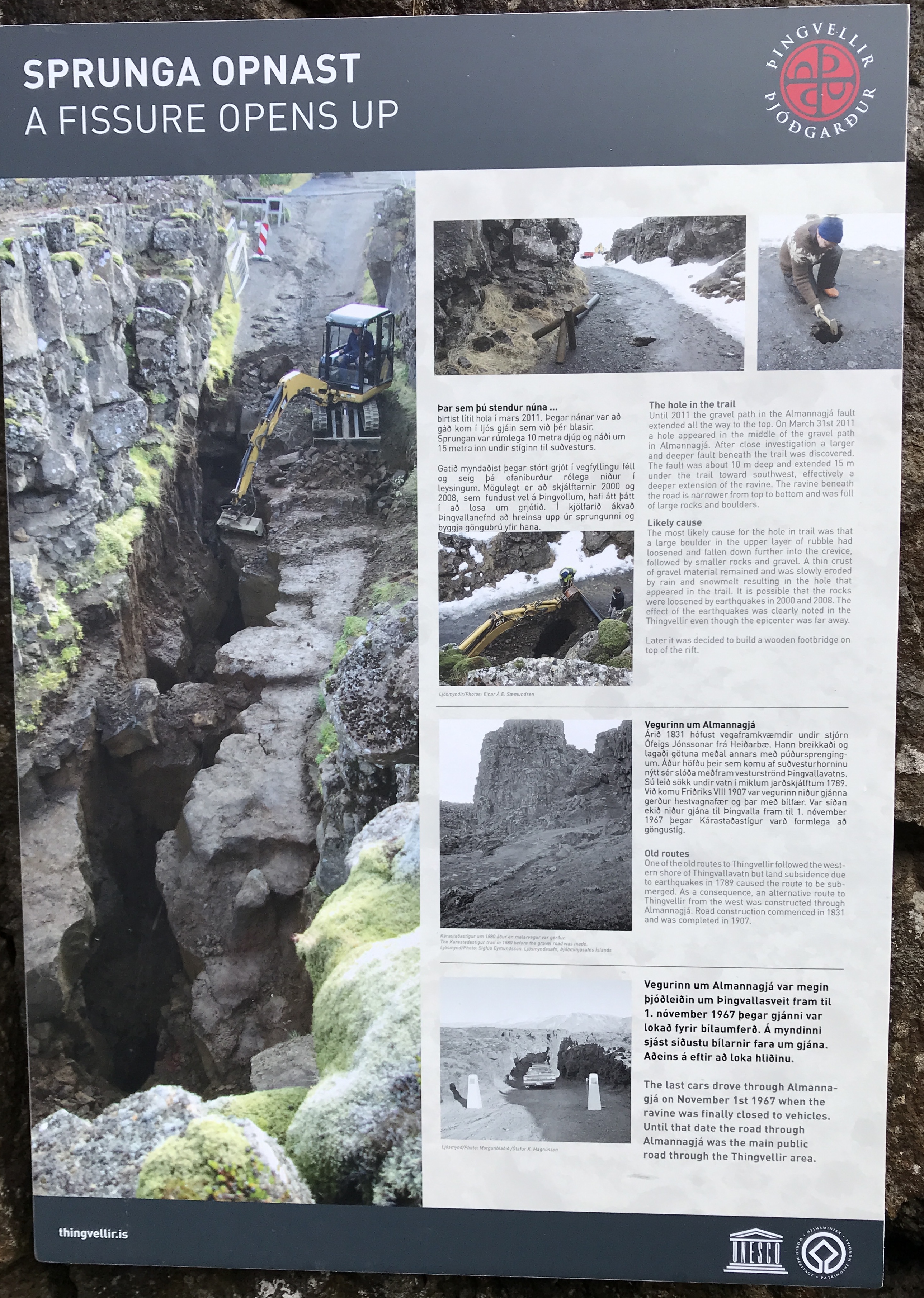
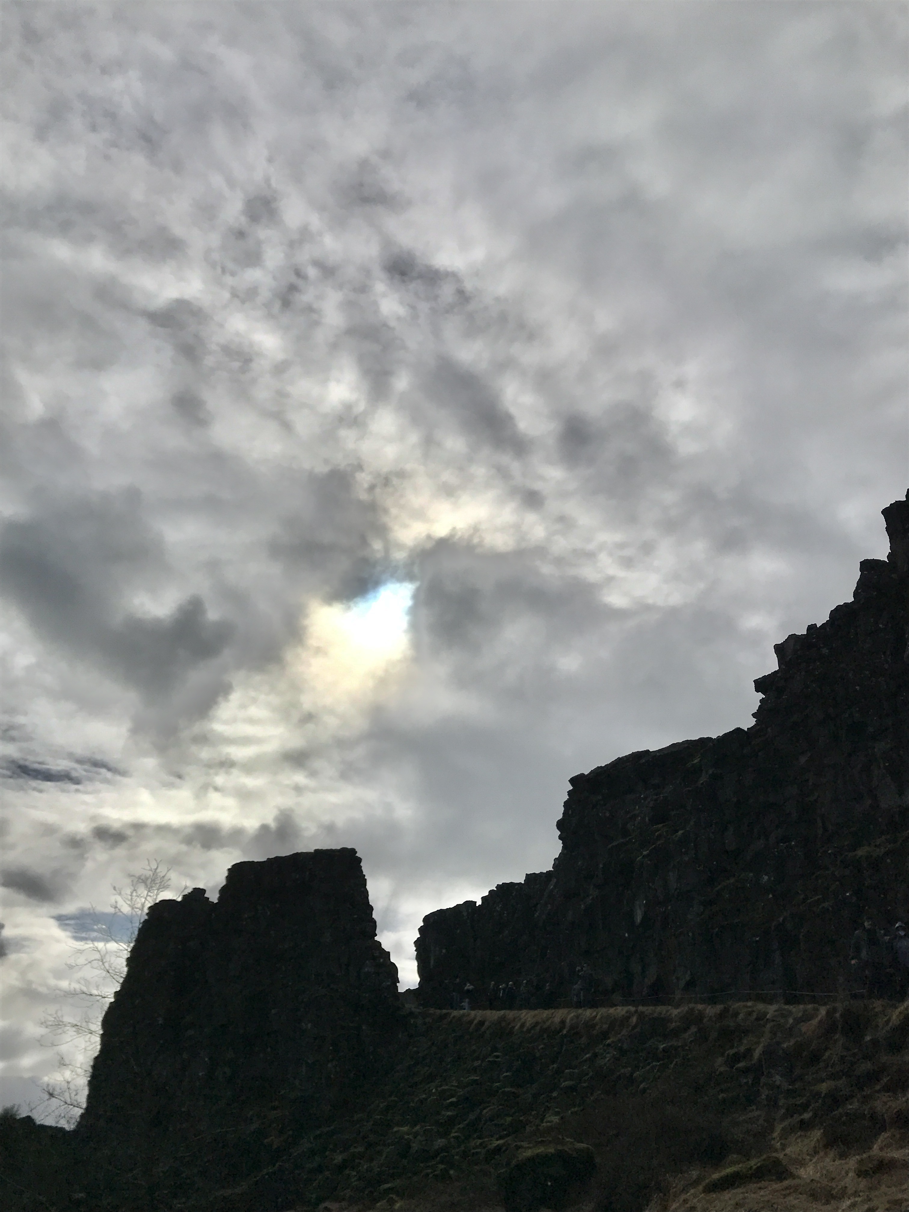
On to the next adventure – tectonic plates of North America and Eurasia. This is the only place on earth you will see 2 tectonic plates meeting above water.

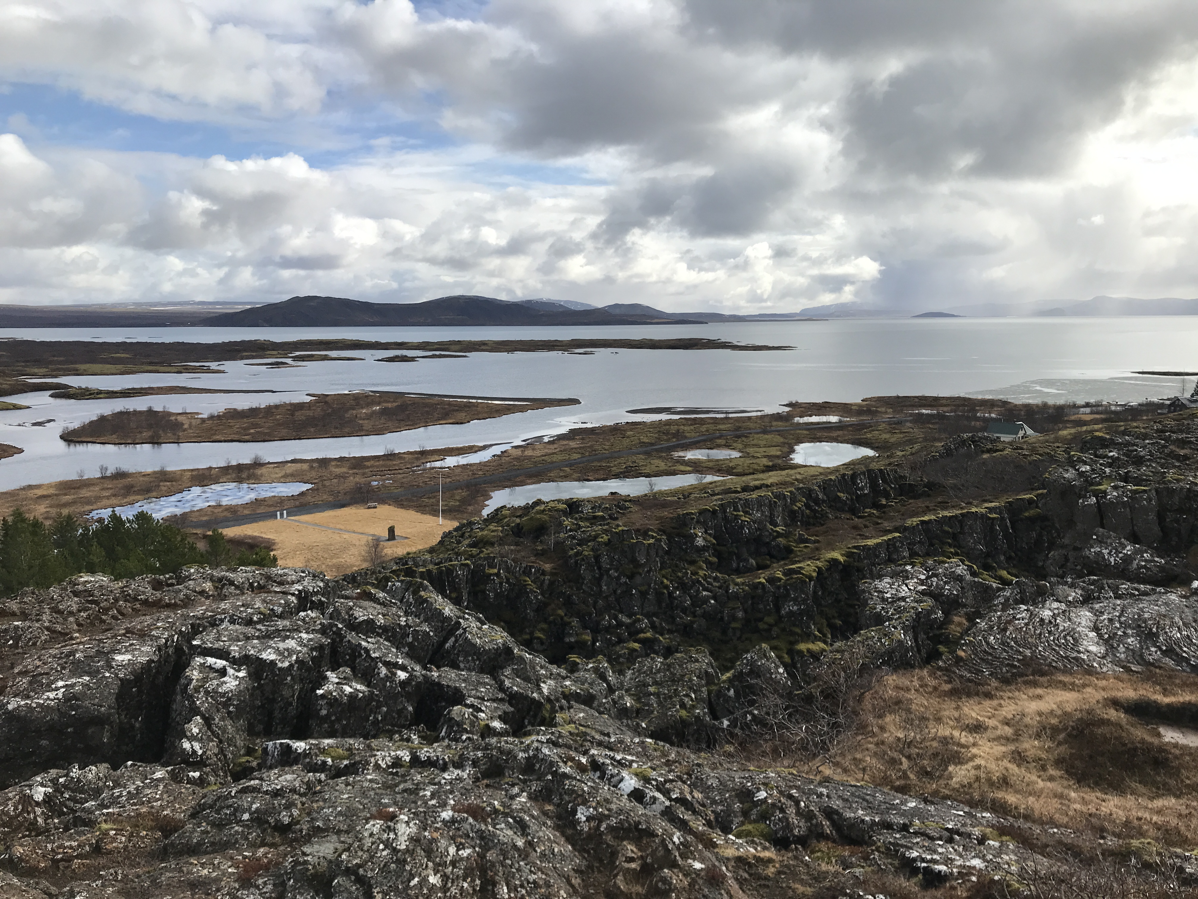

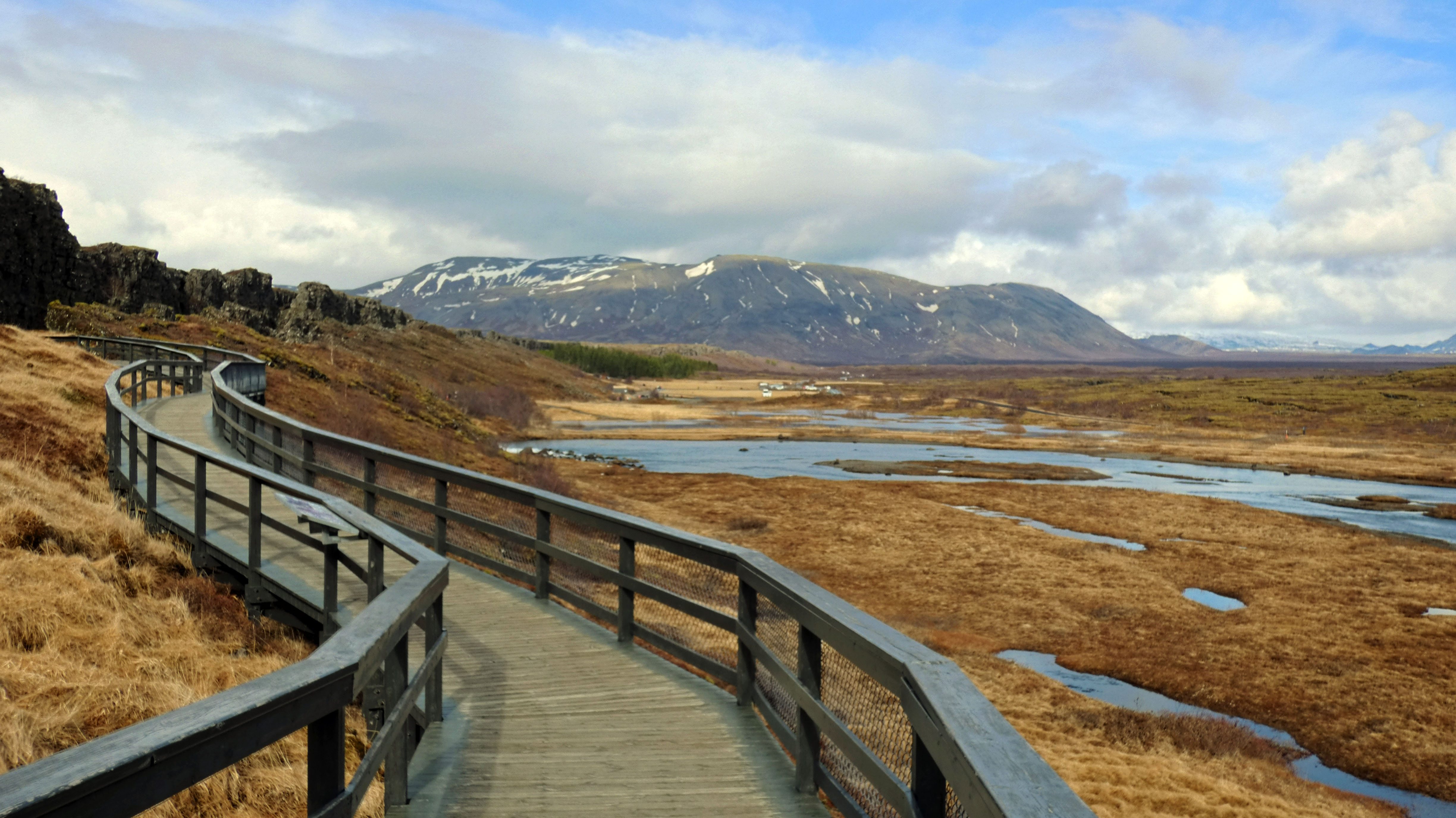
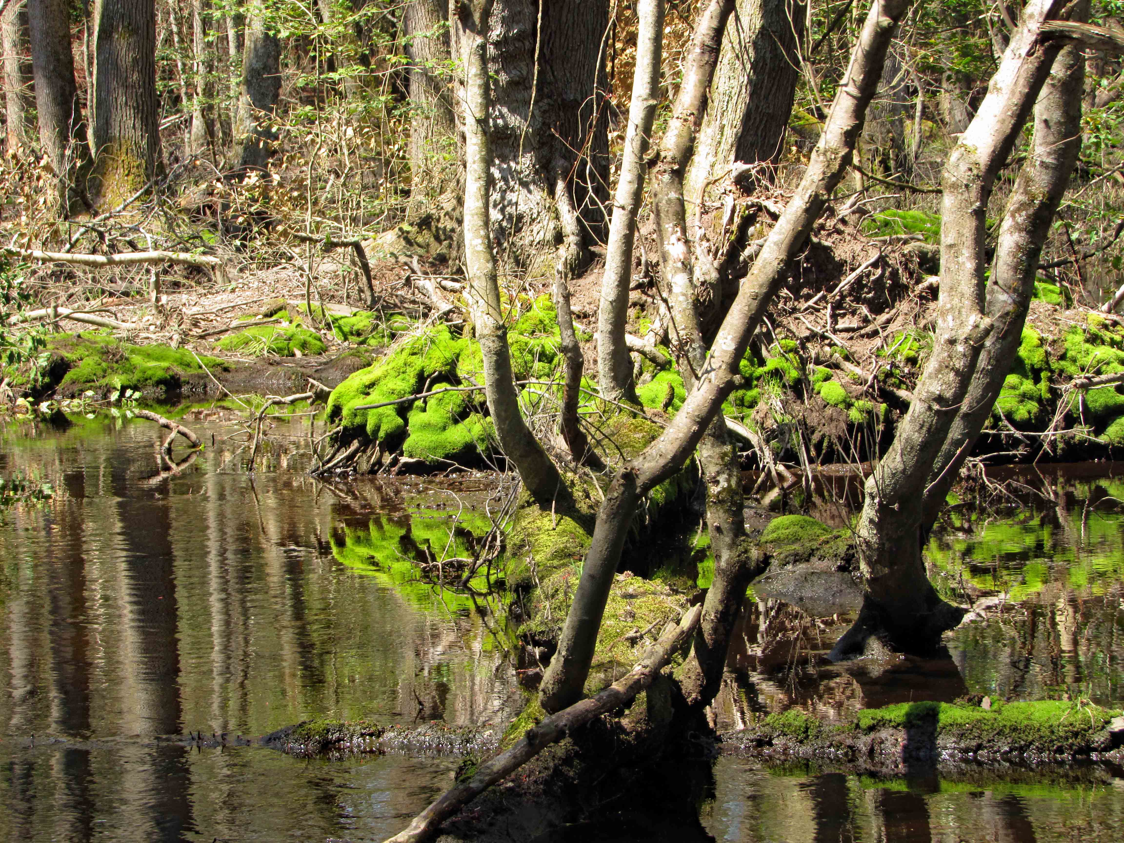
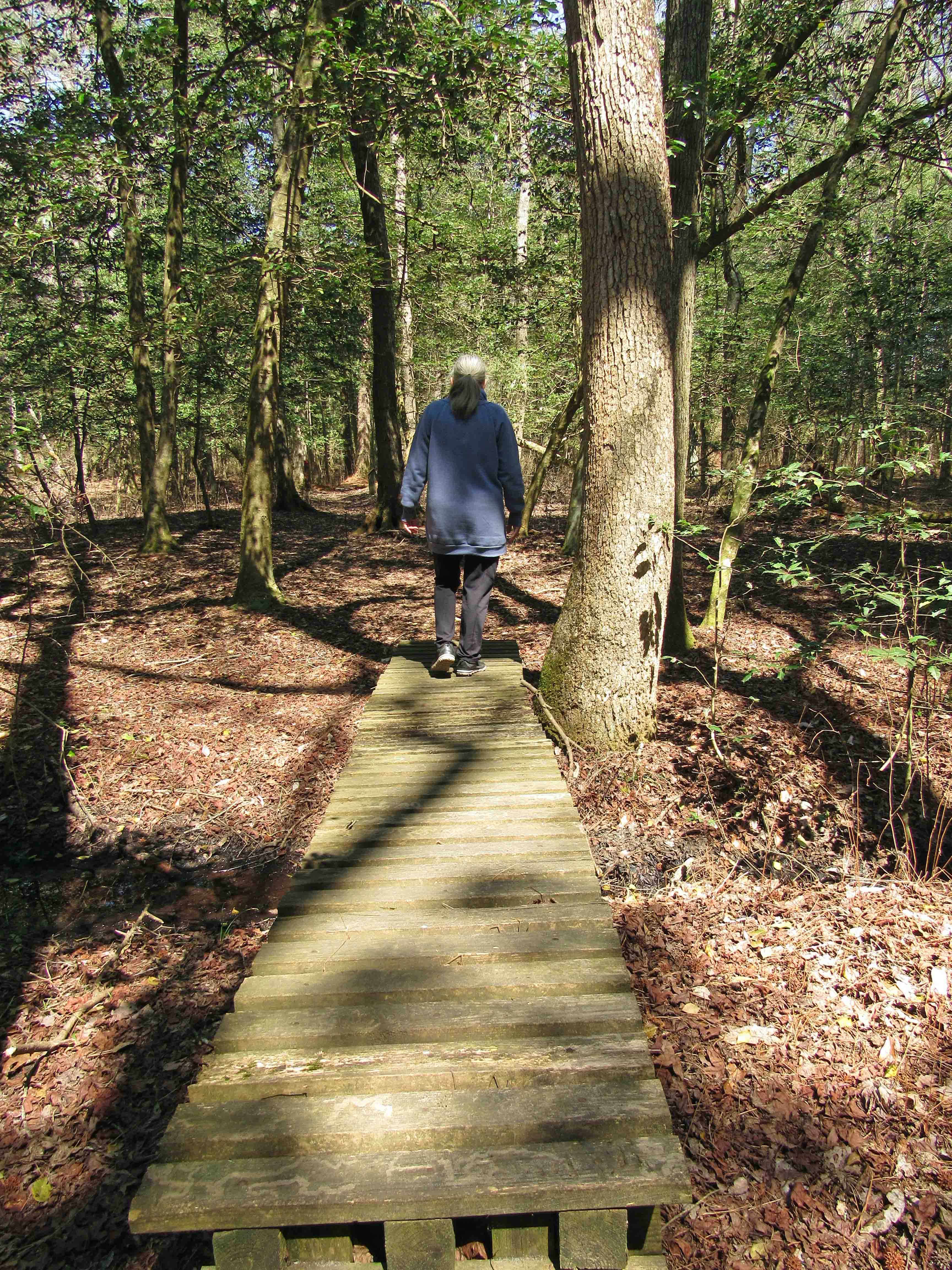
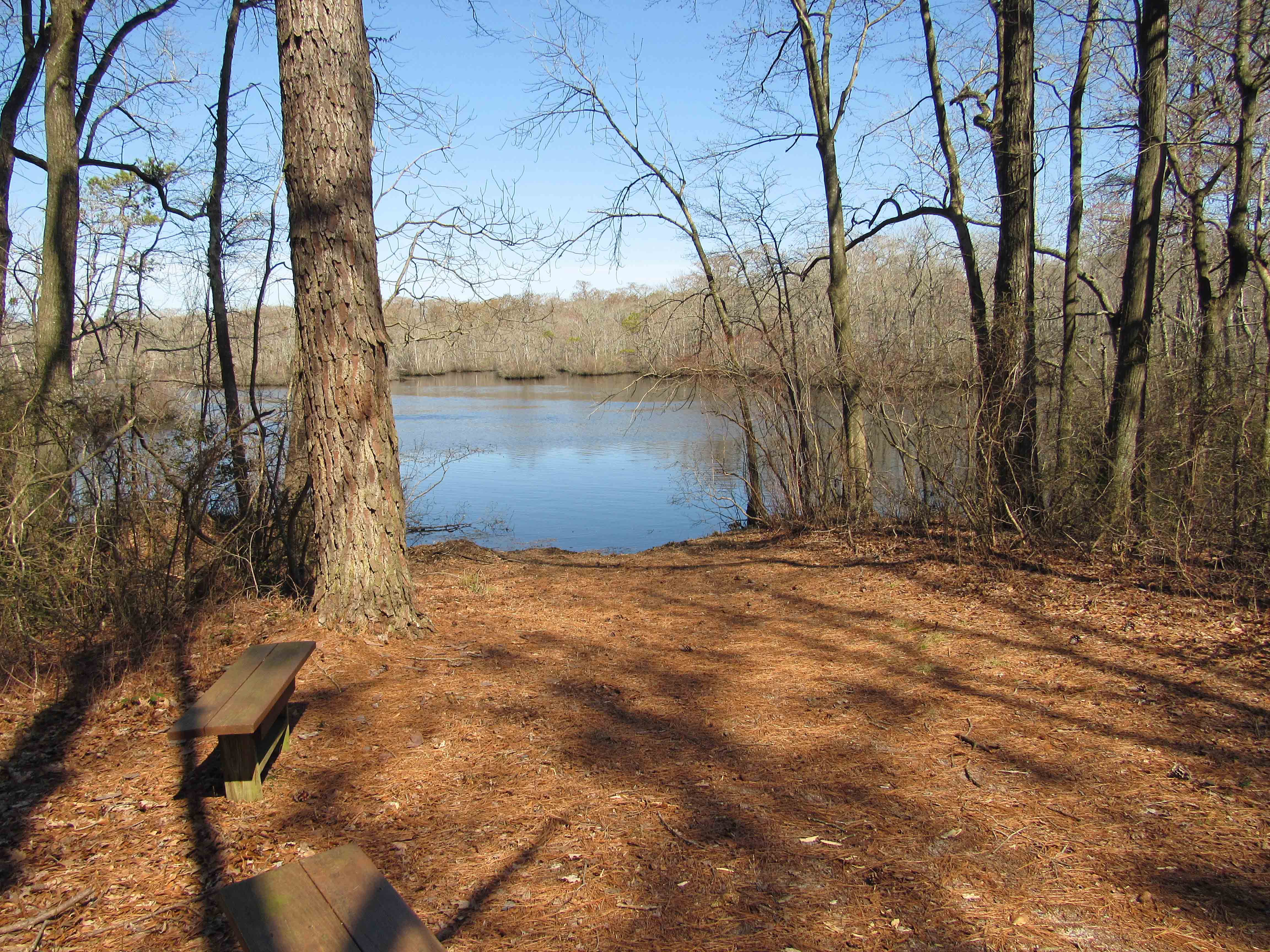
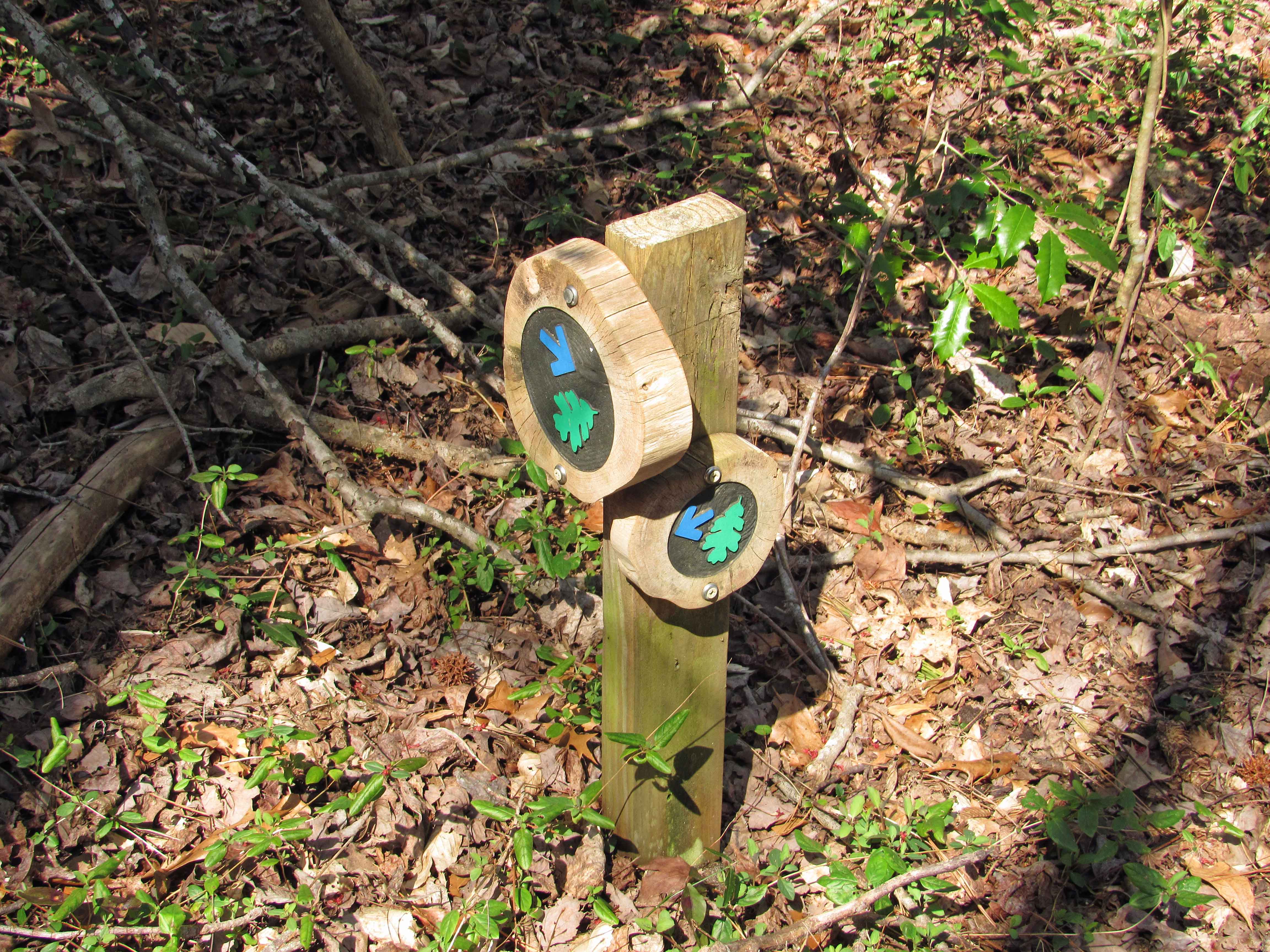
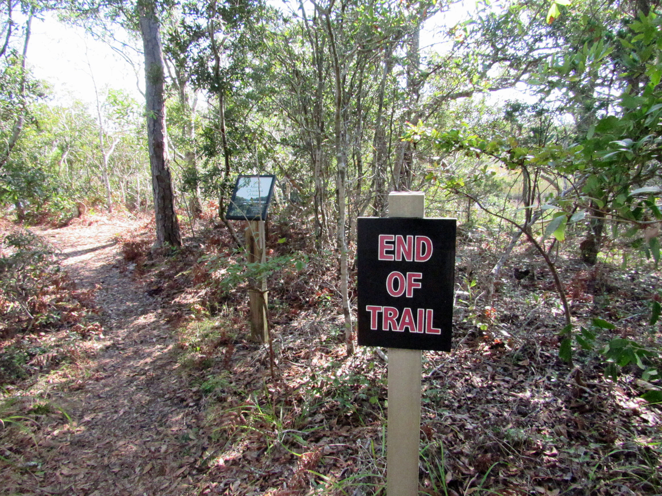
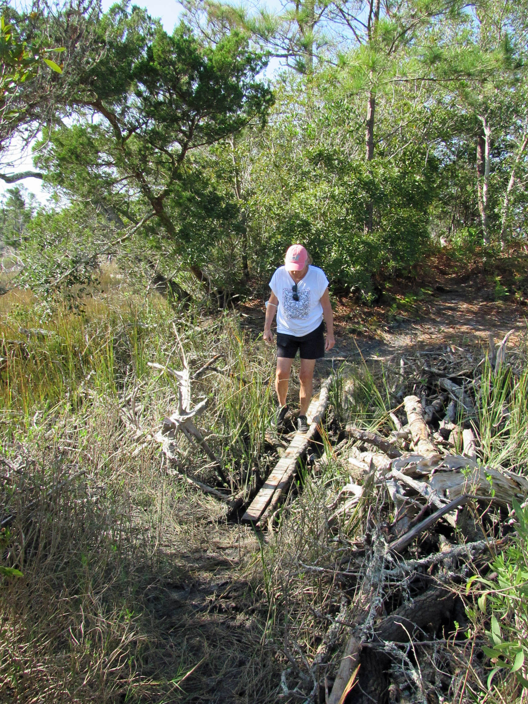
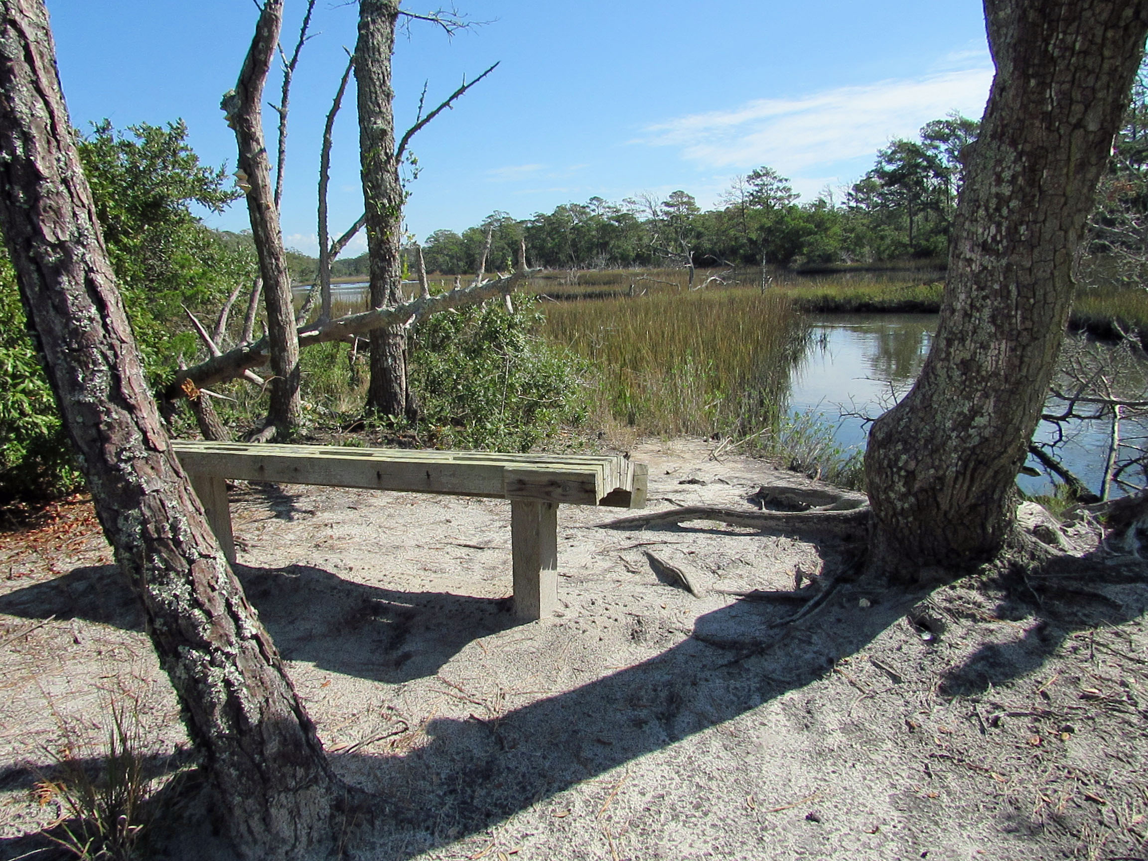
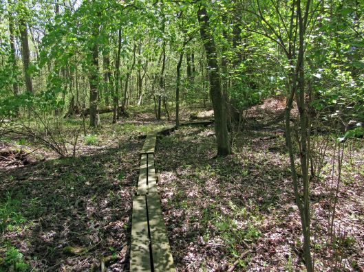
Nice paths and boardwalks all over the place.
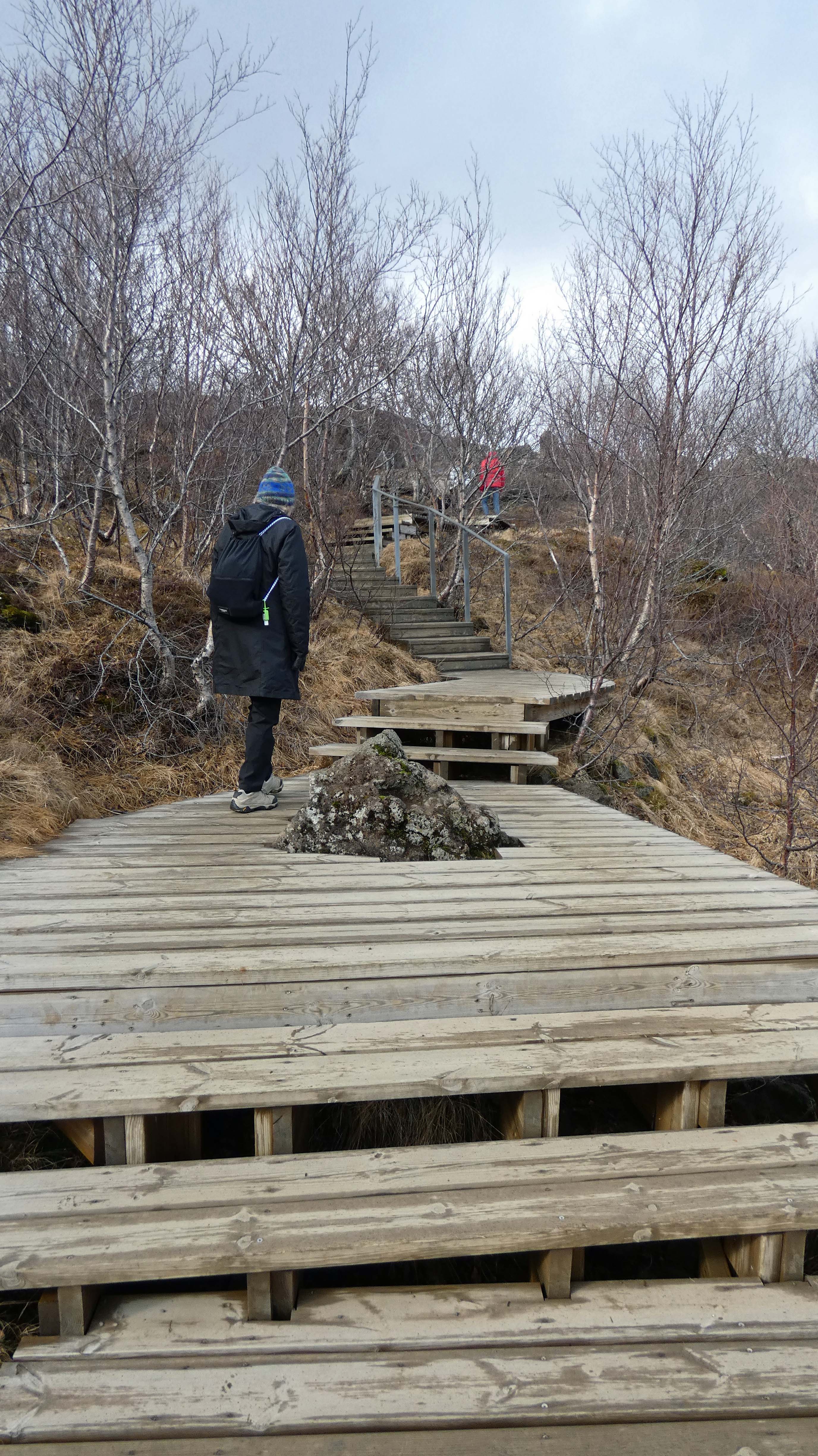
A line of people heading to the bottom, where the land splits.


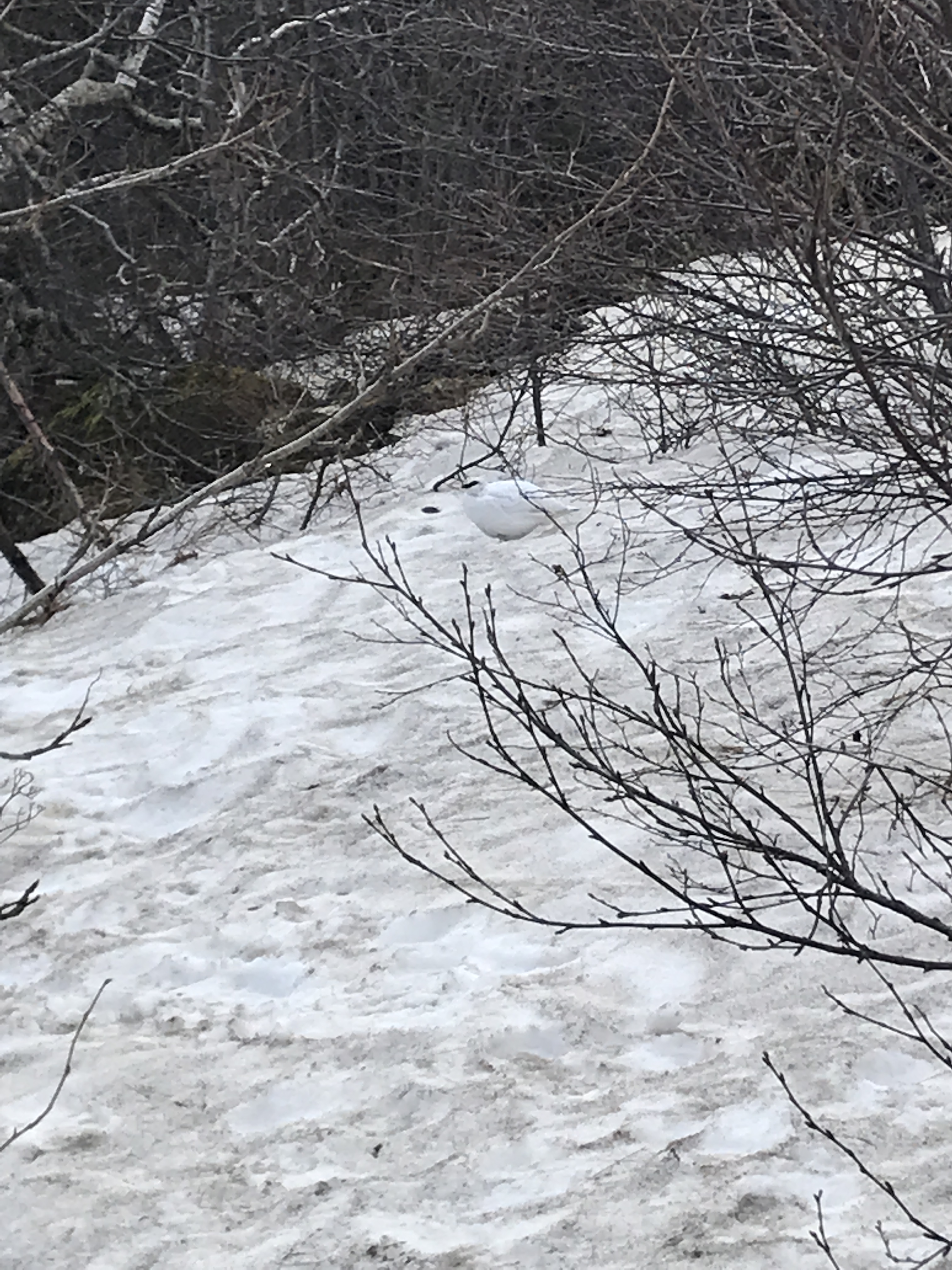
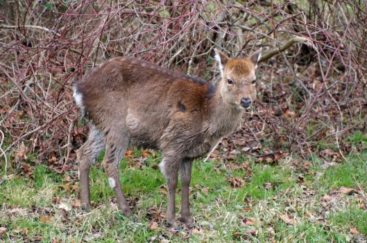
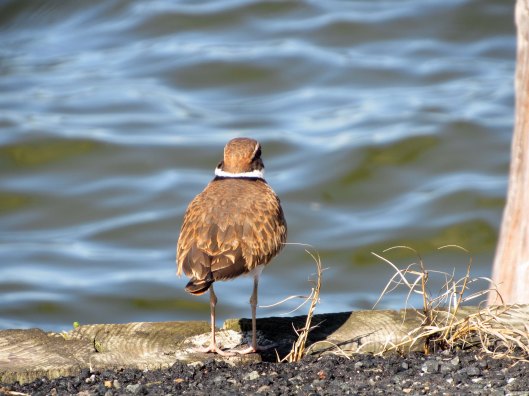
Was hard to see this bird – Rock Ptarmigan. Icelanders and snow foxes eat them.

A flag between continents.

On the ride home – long day.
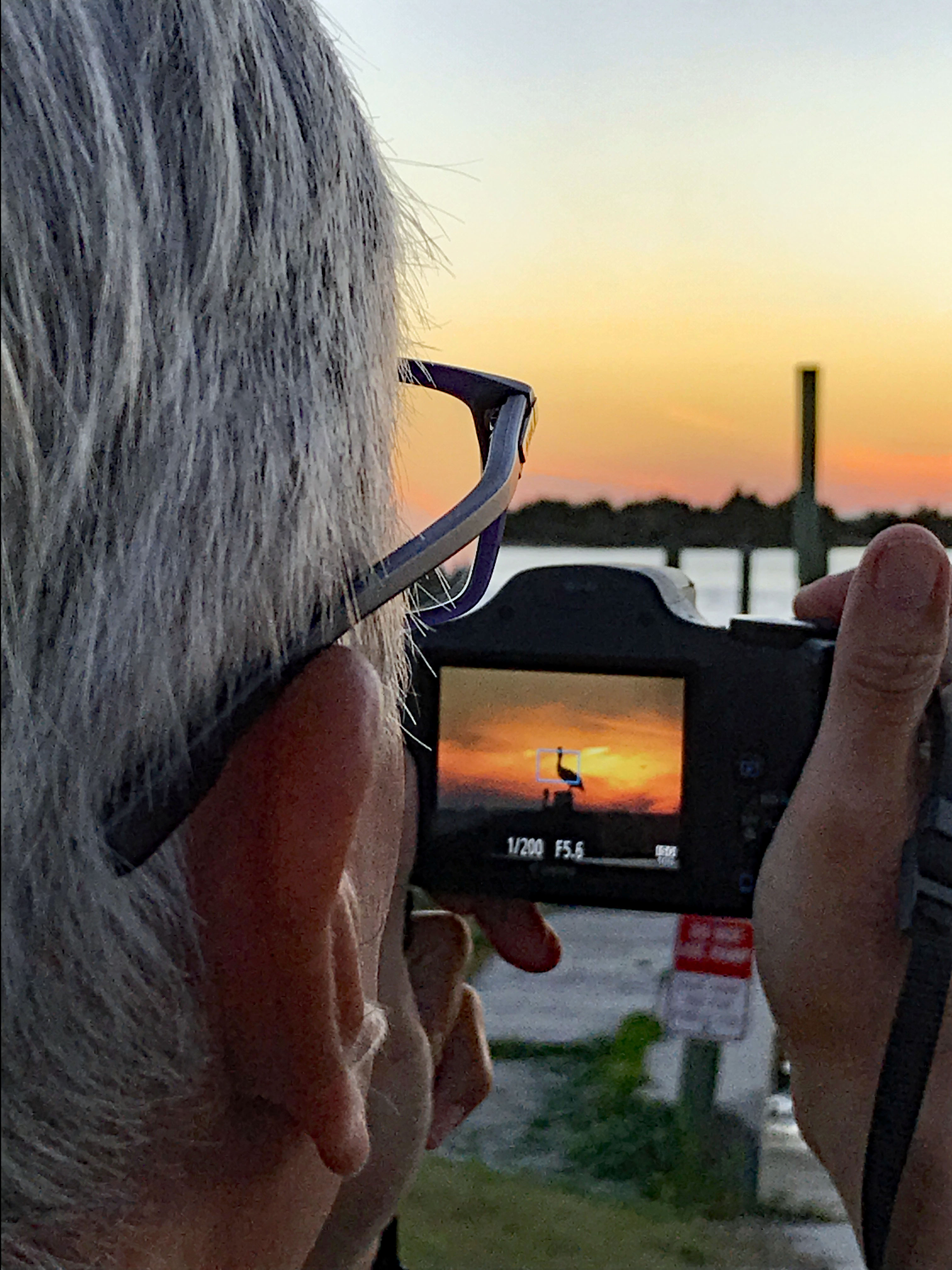
We were supposed to see the Northern Lights two nights ago but the tour kept getting postponed because of weather. This night we went…
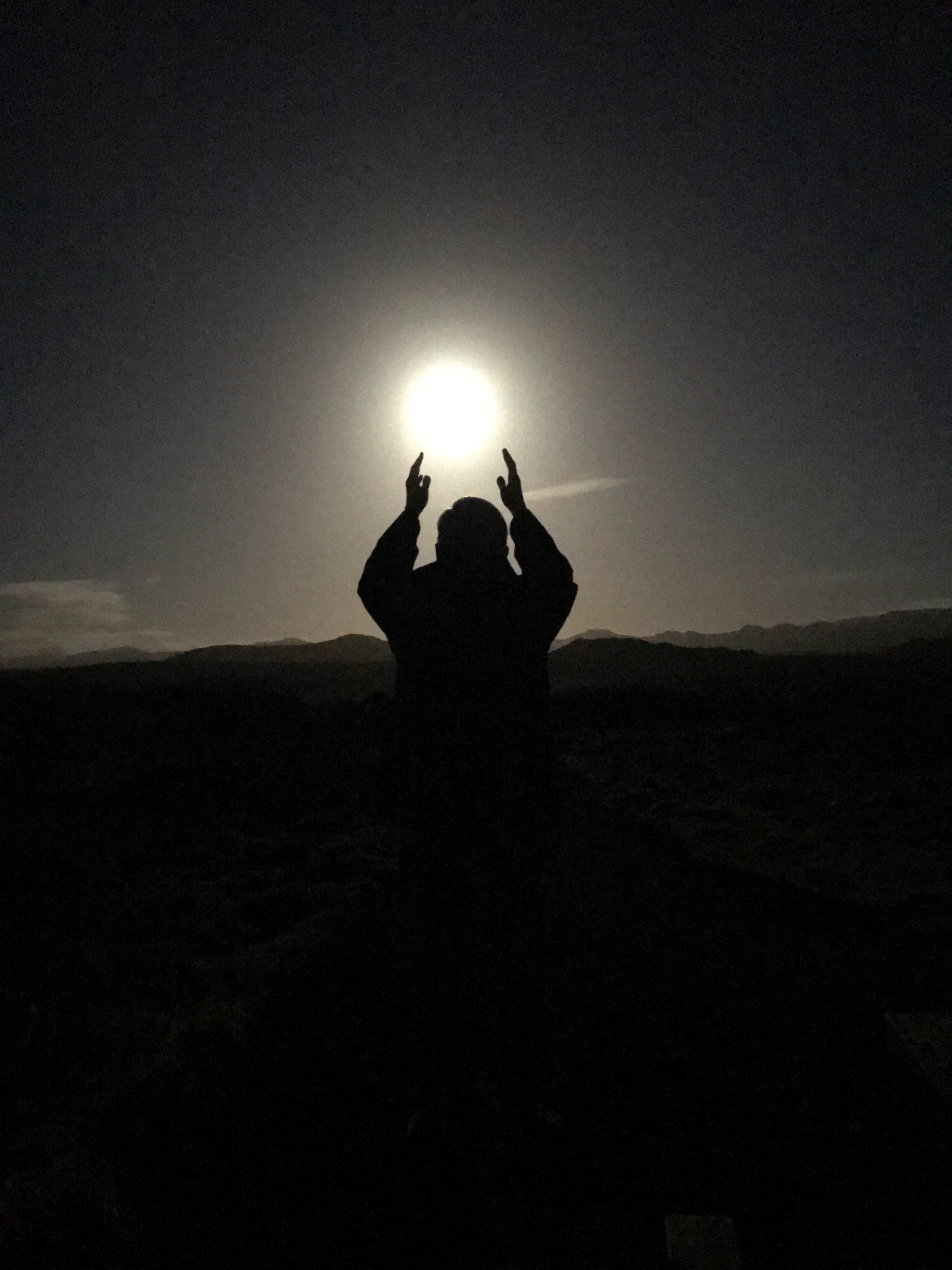
The full moon gave off a lot of light.
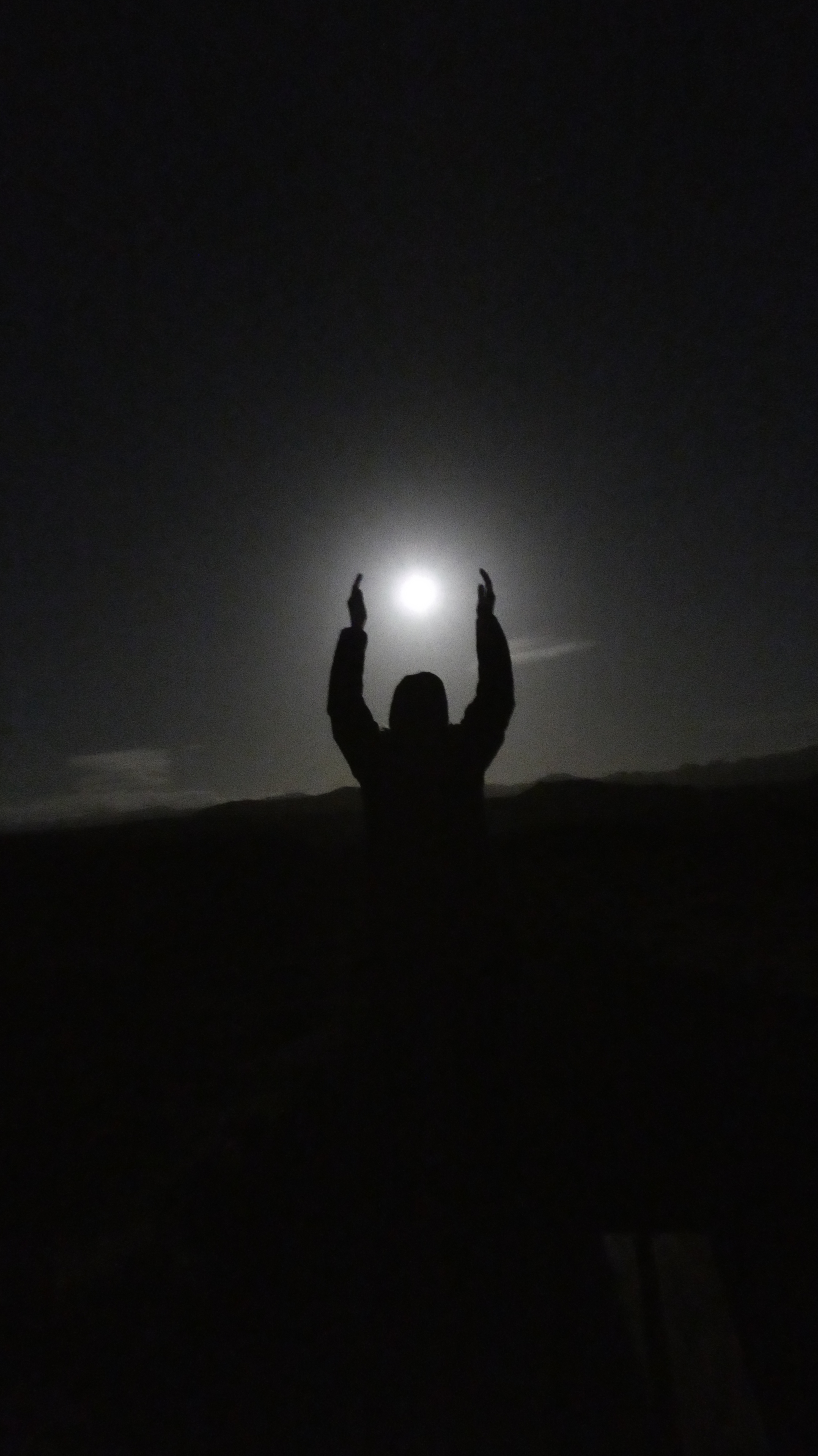

Lots of moonlight but an eerie beauty over the landscape.


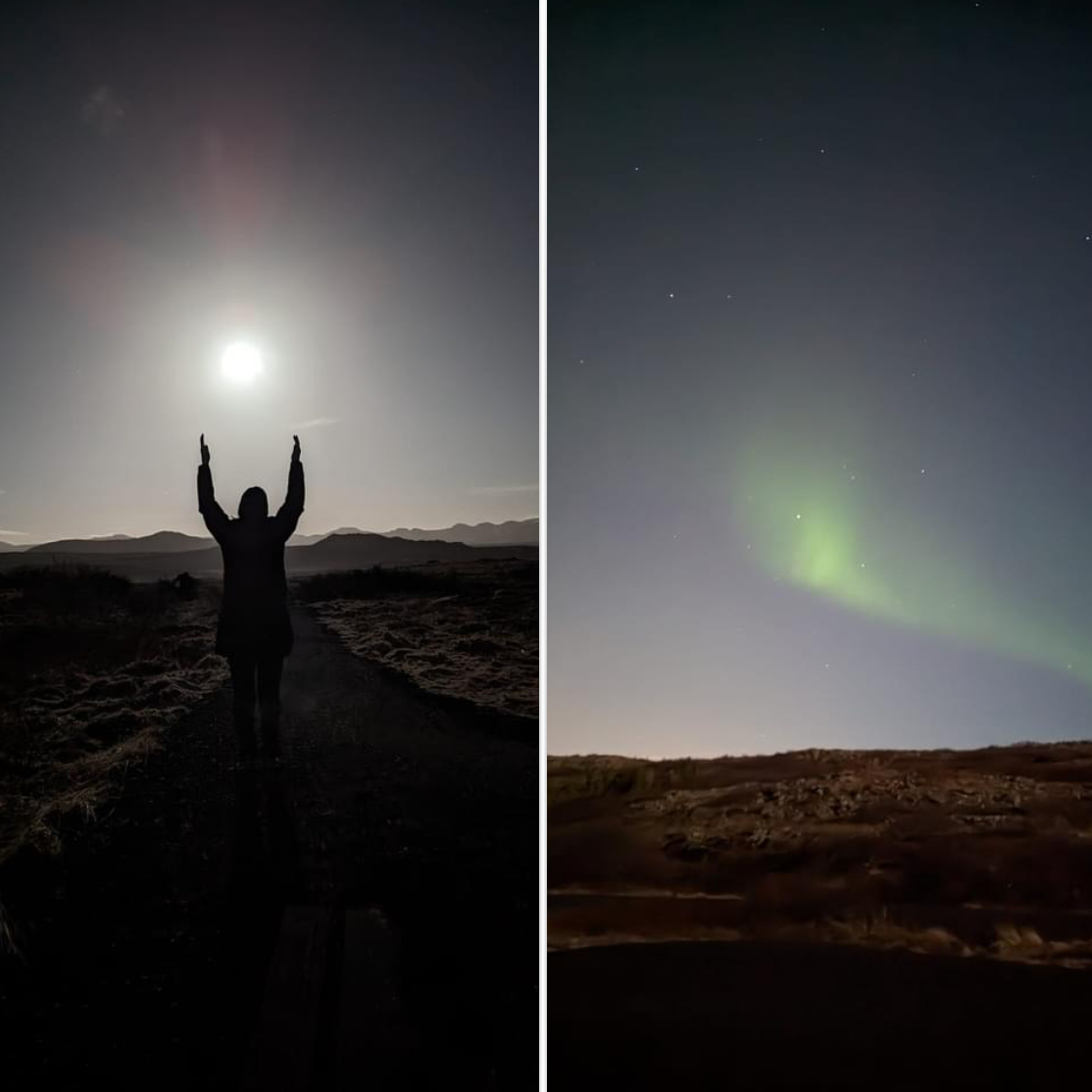
A wisp, but a Northern Light to behold. Went out about 9, saw them about midnight.
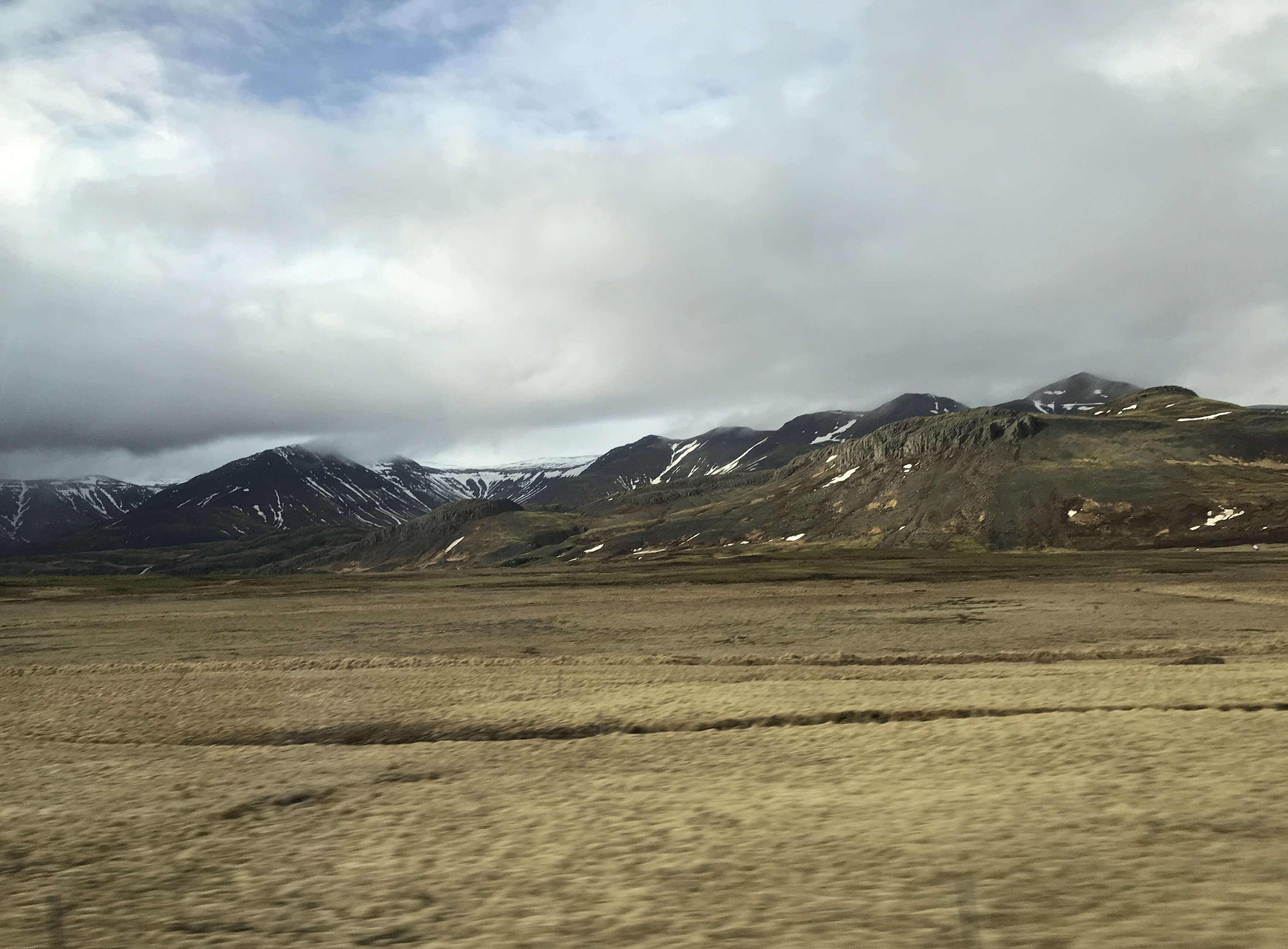
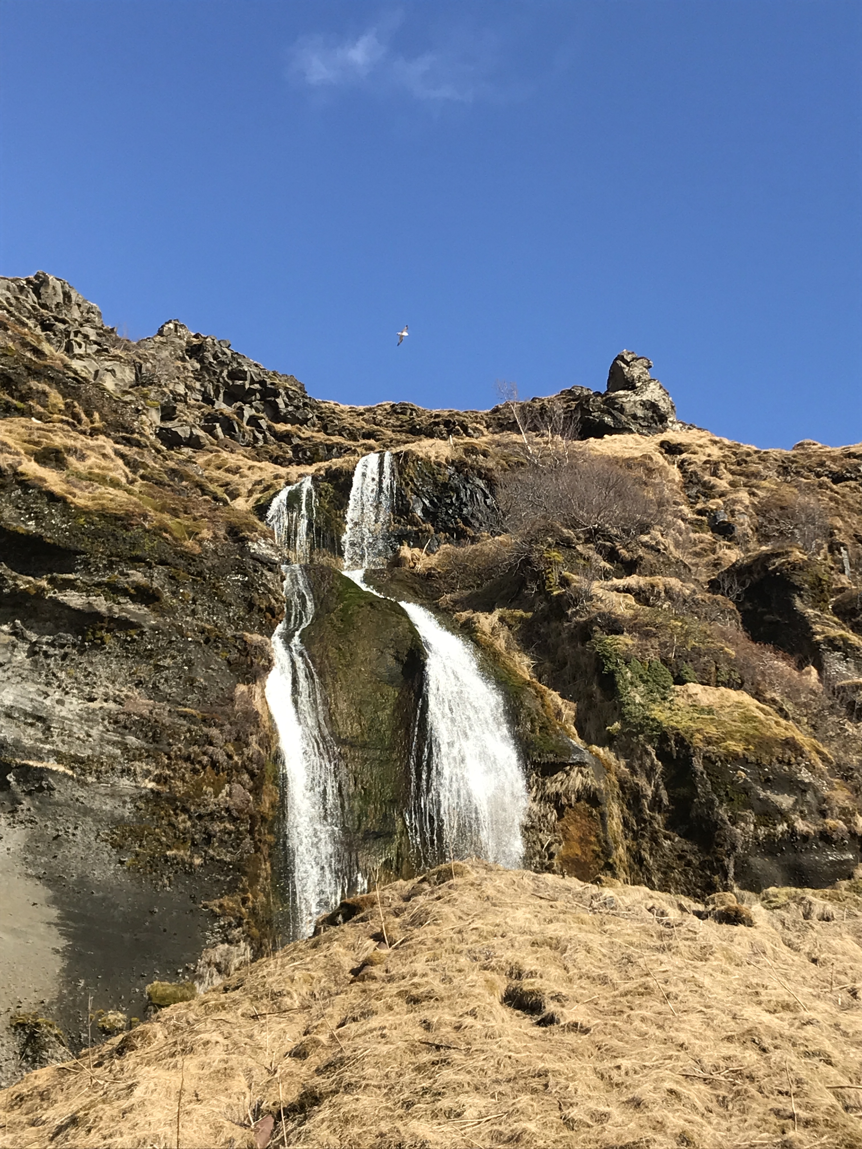
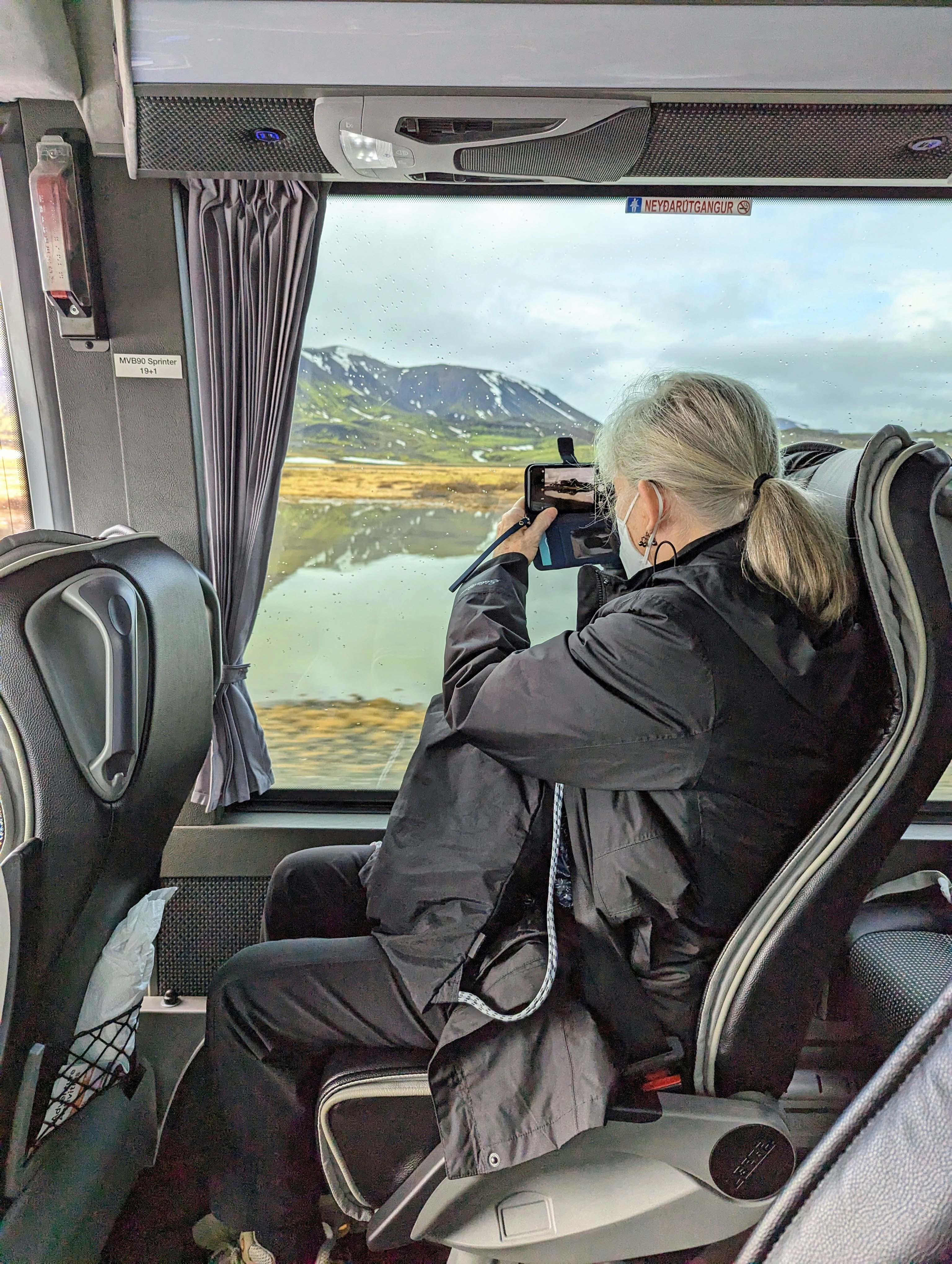
Thursday is the South Shore Adventure. We will get to see waterfalls and glaciers. And it snowed! Some pics on the ride out.

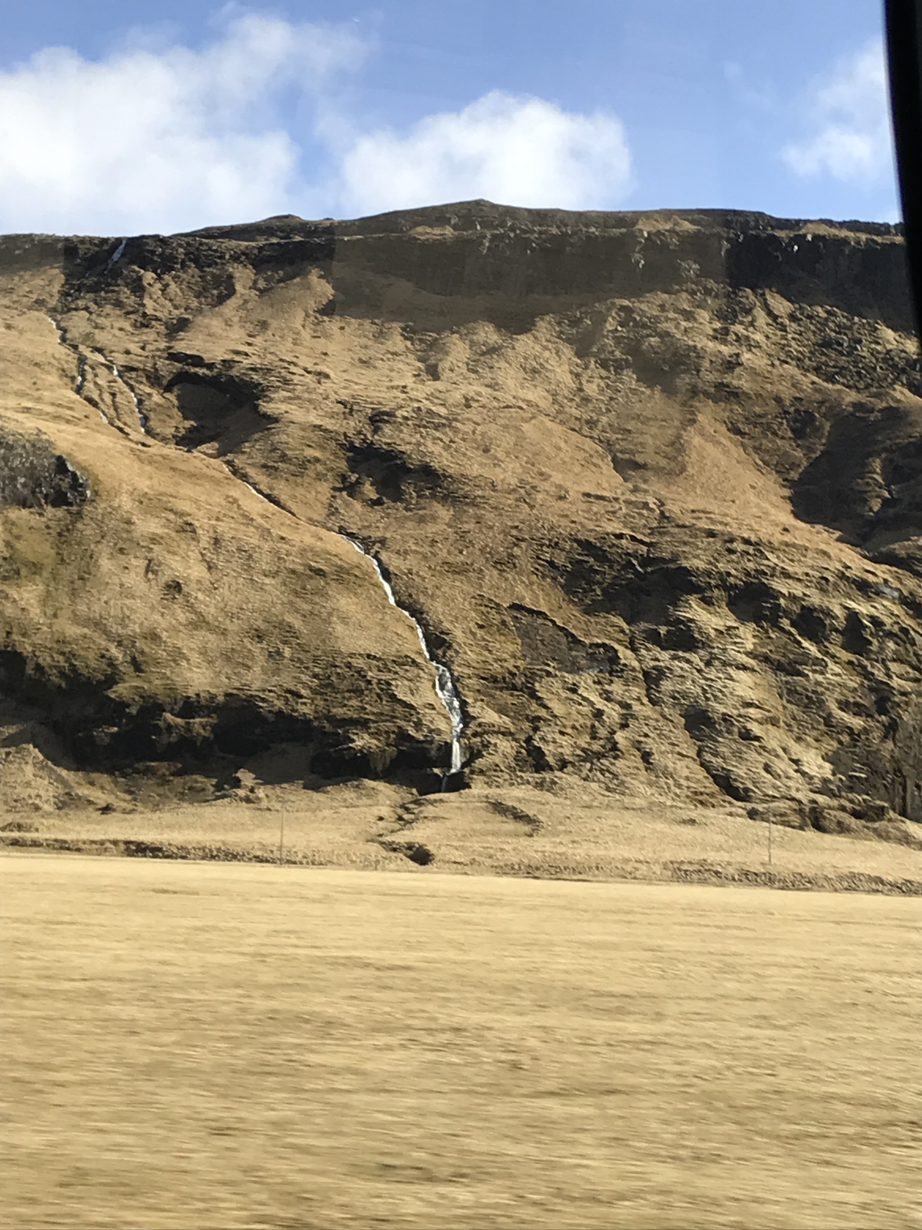

Waterfalls everywhere.
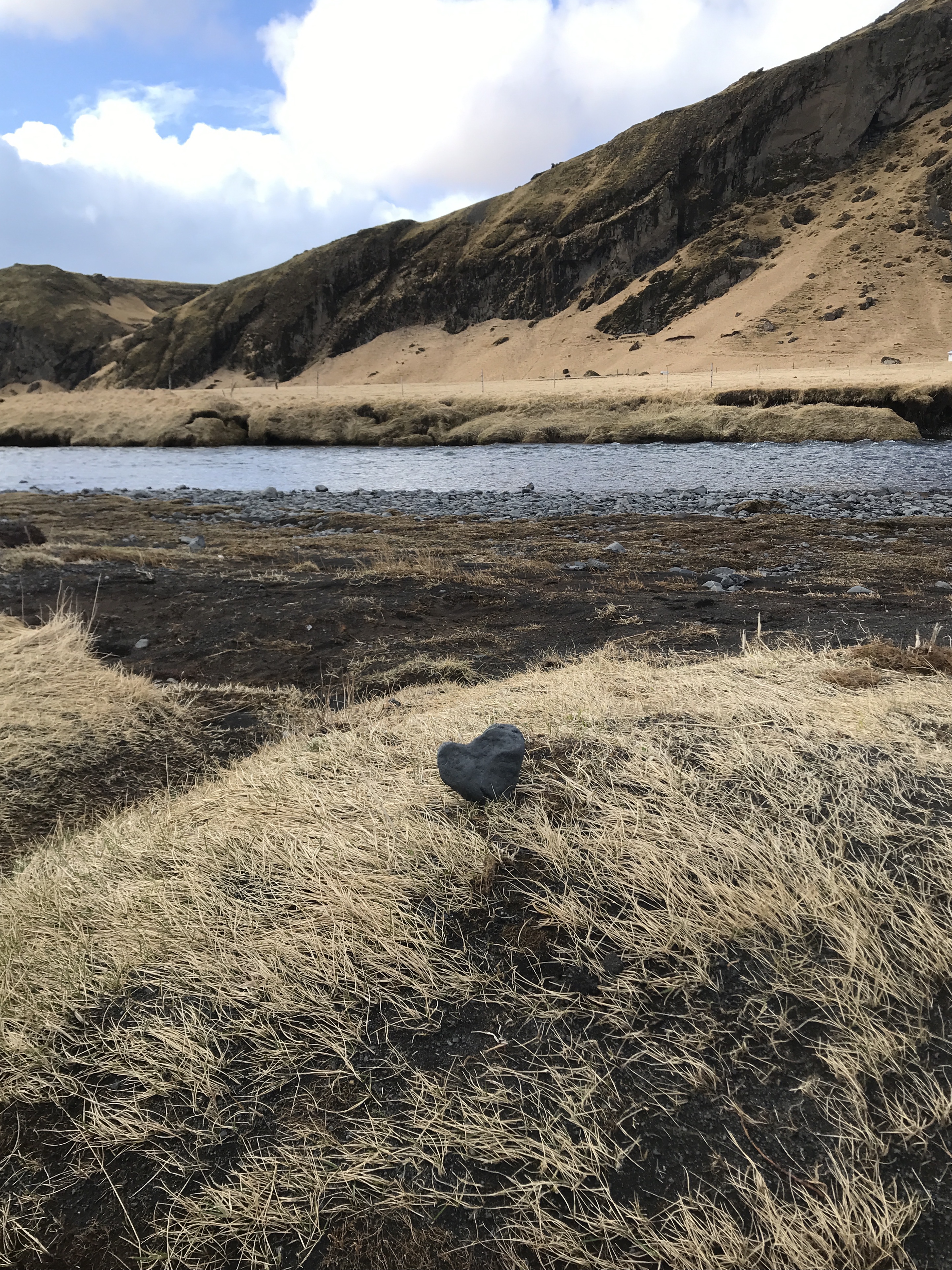
Did we leave our heart in Iceland? Yes.
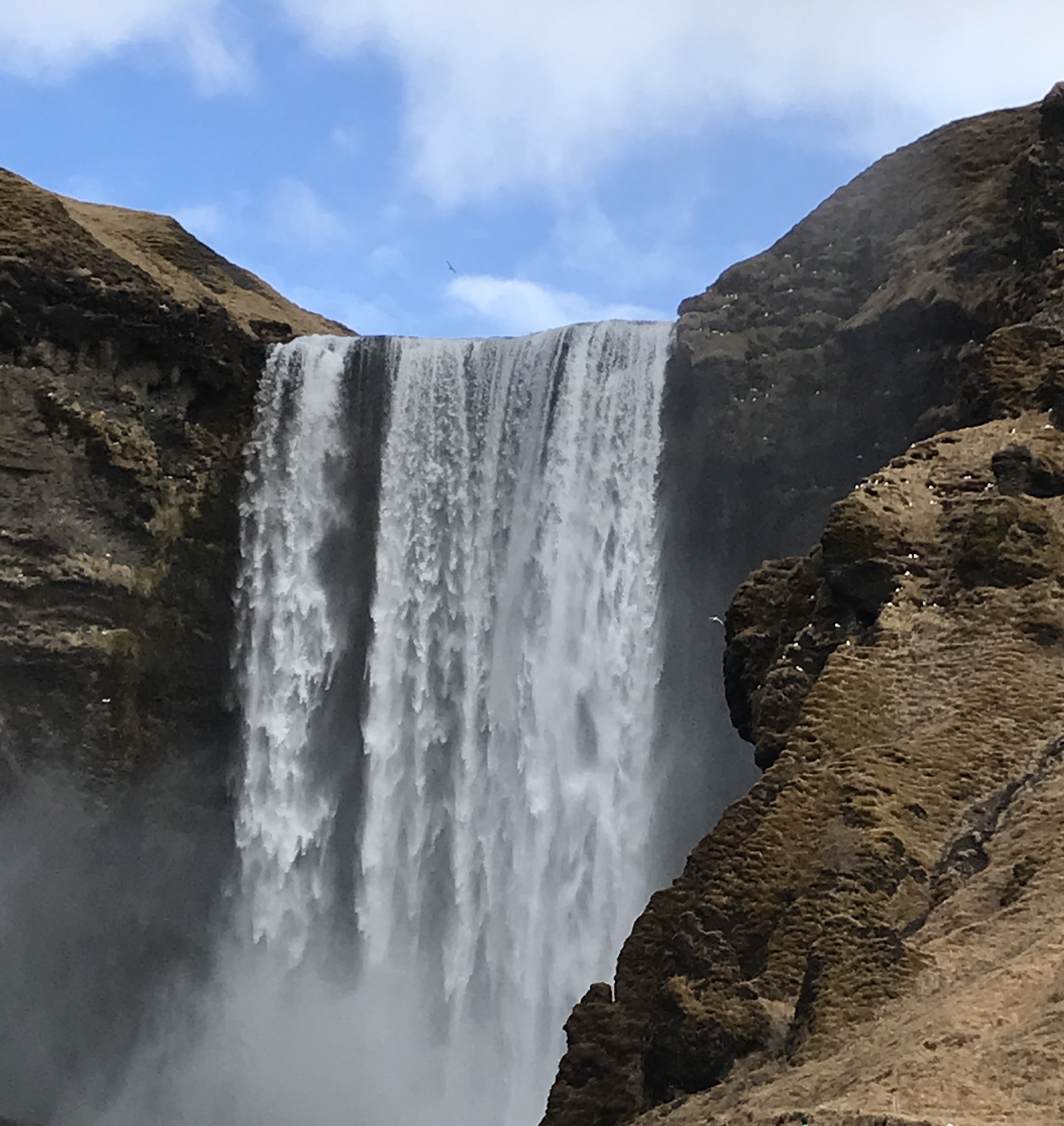
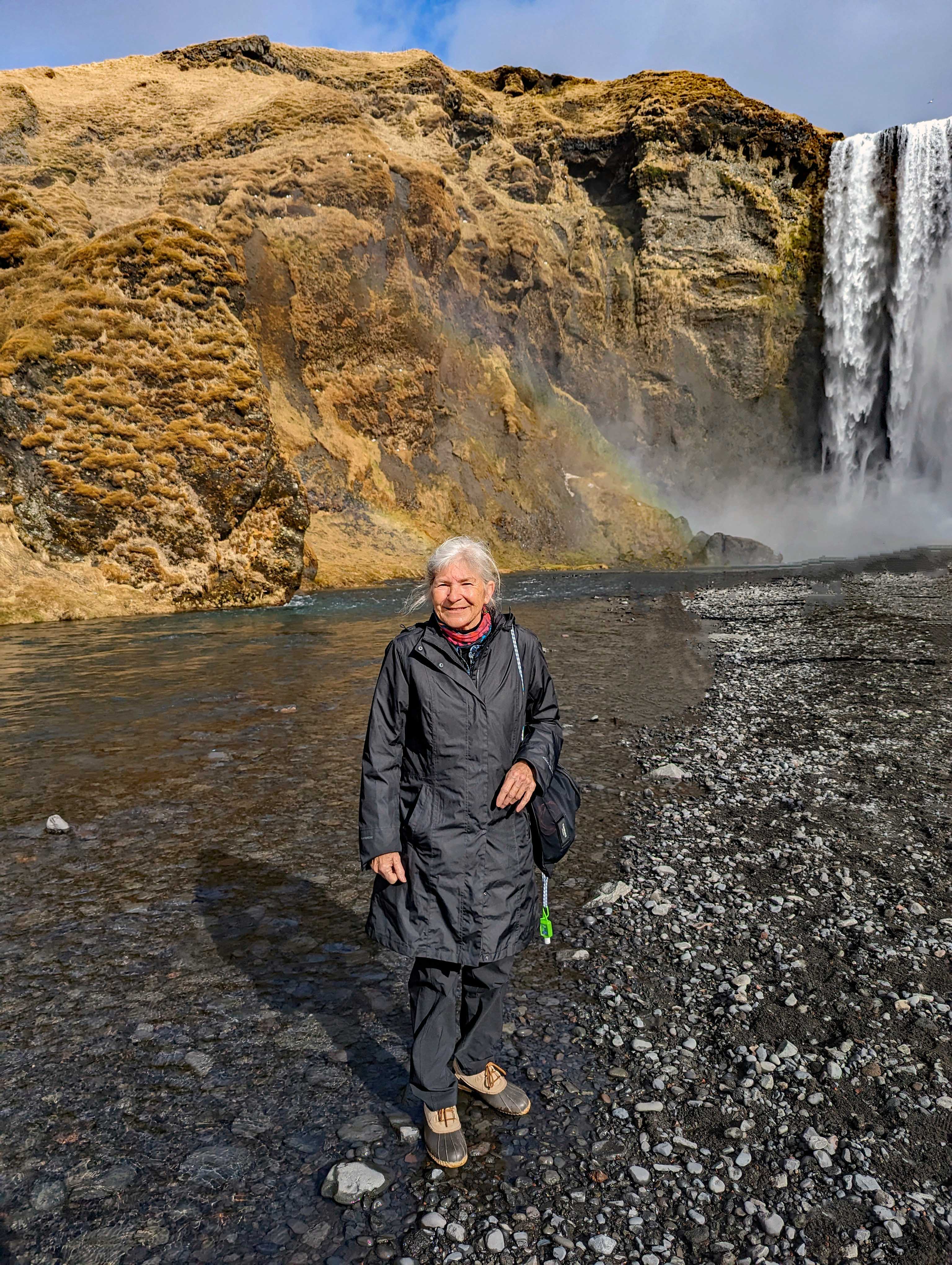
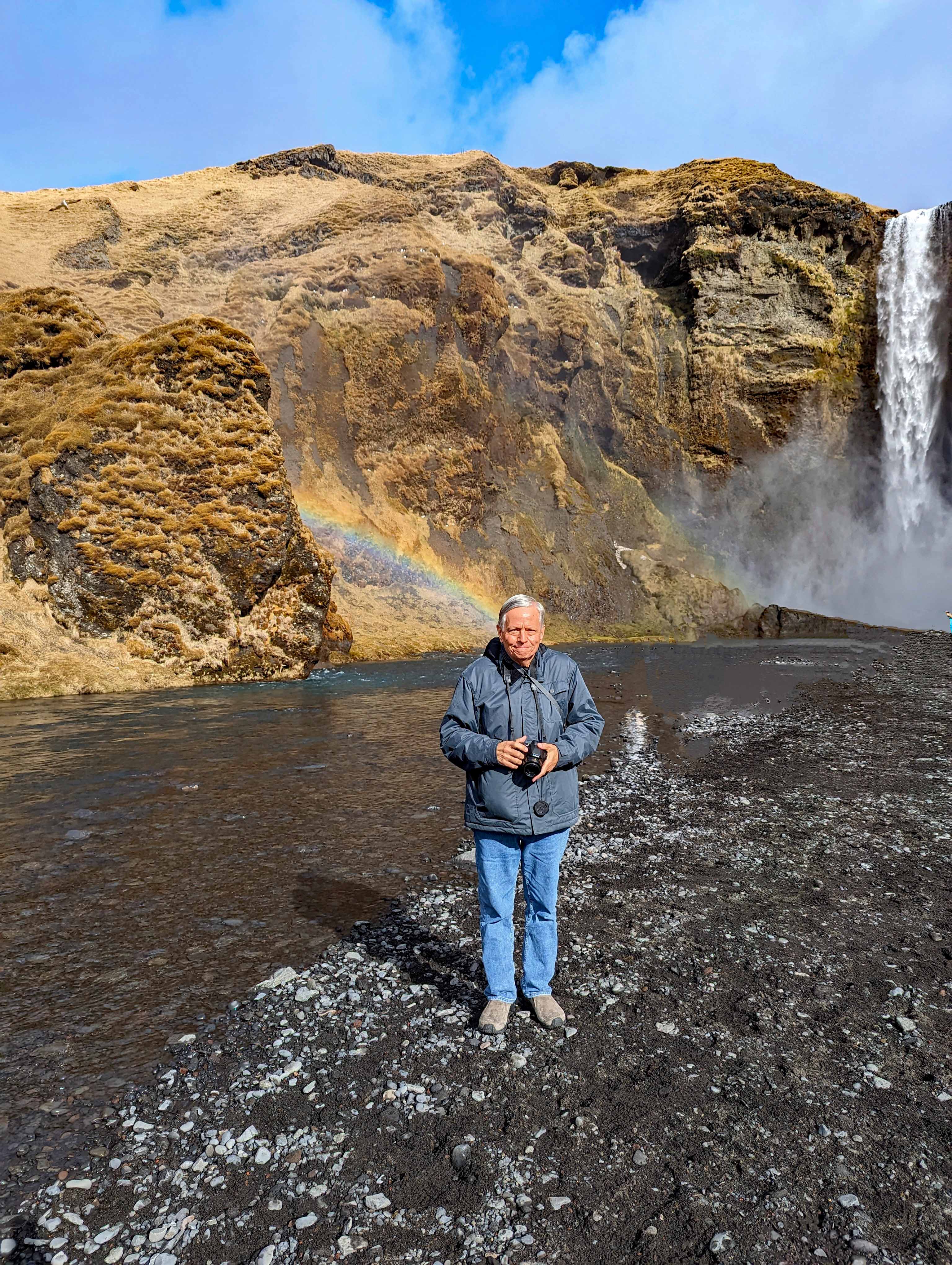
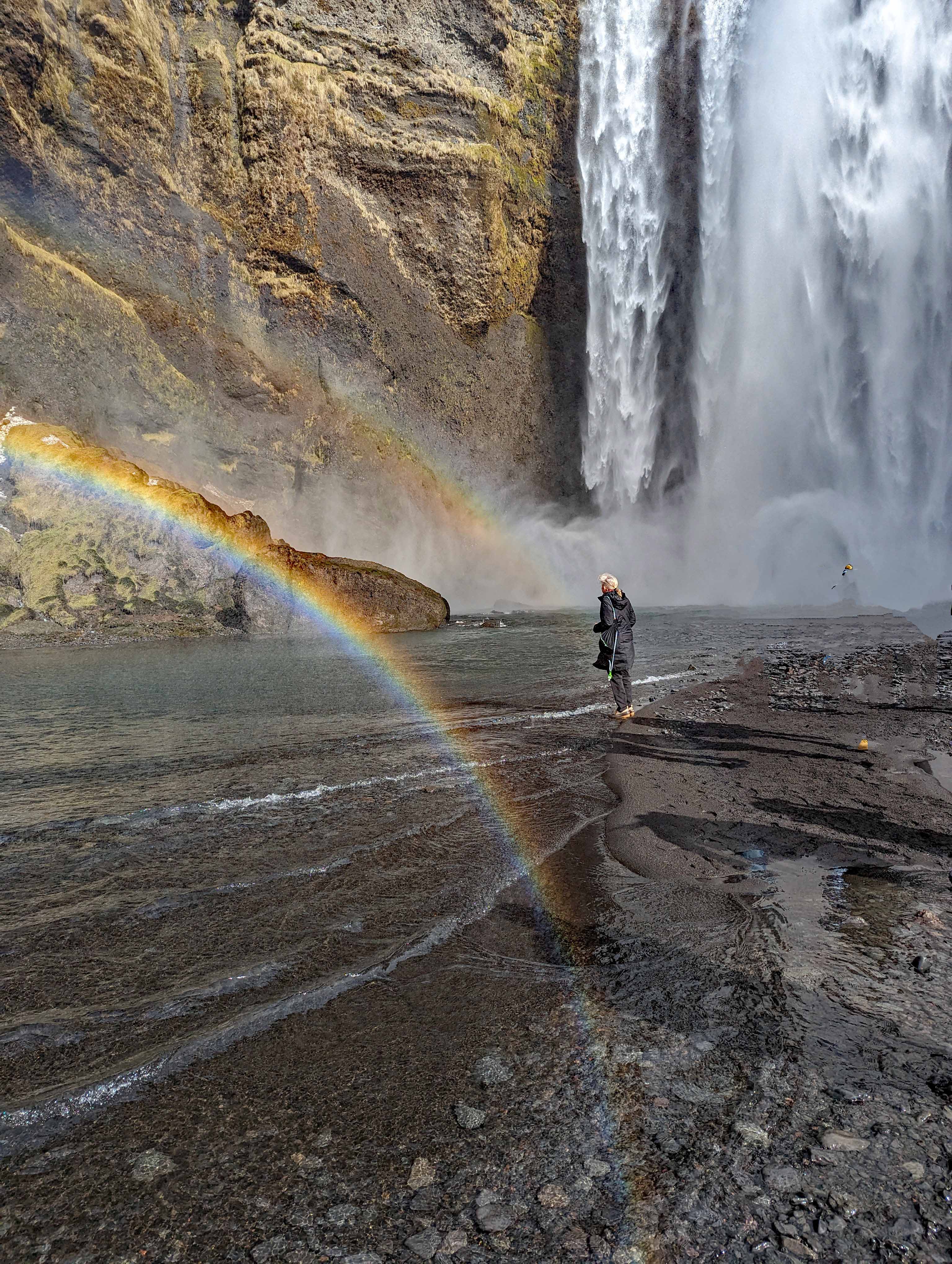
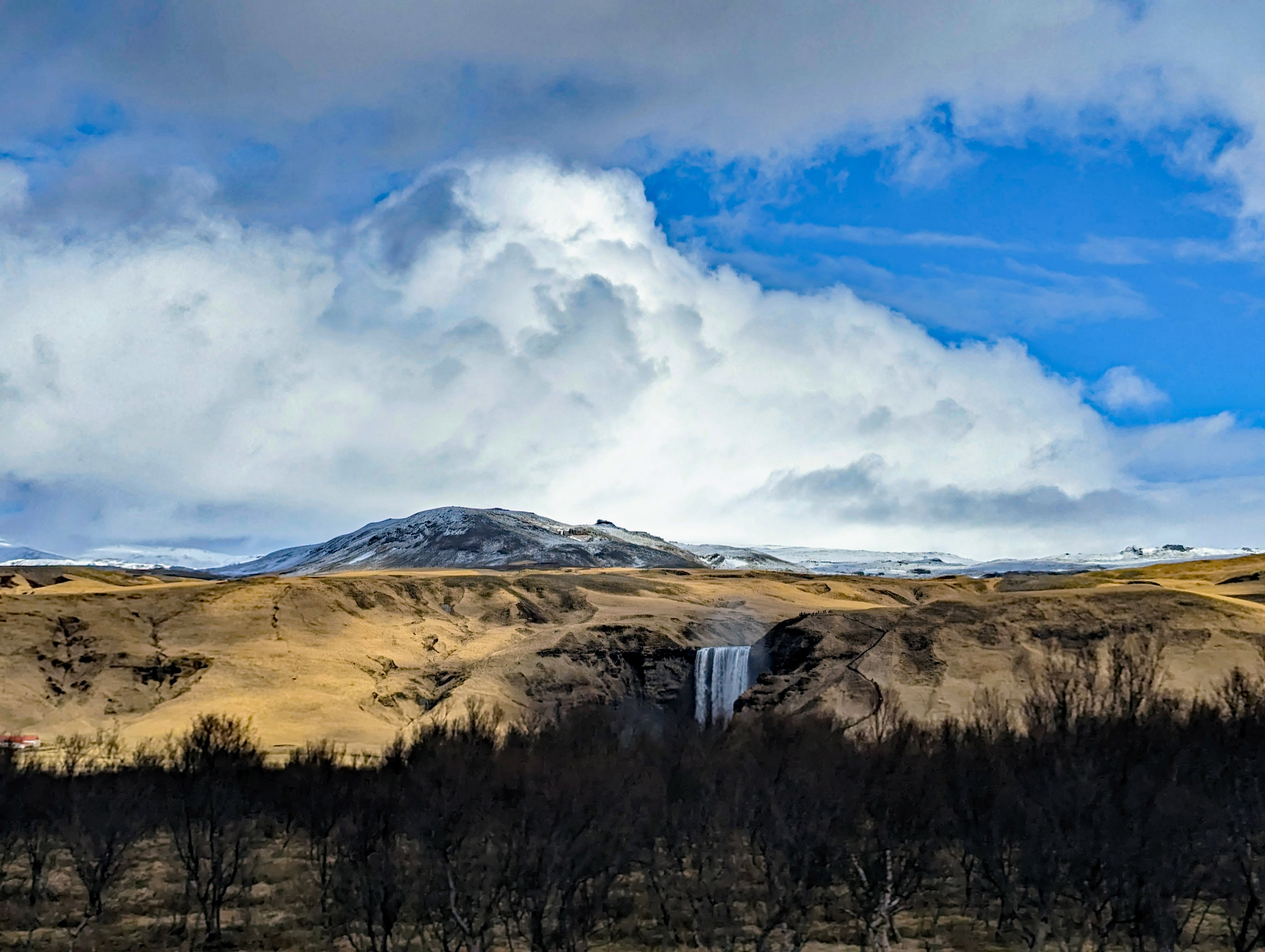
Skogafoss Waterfall.

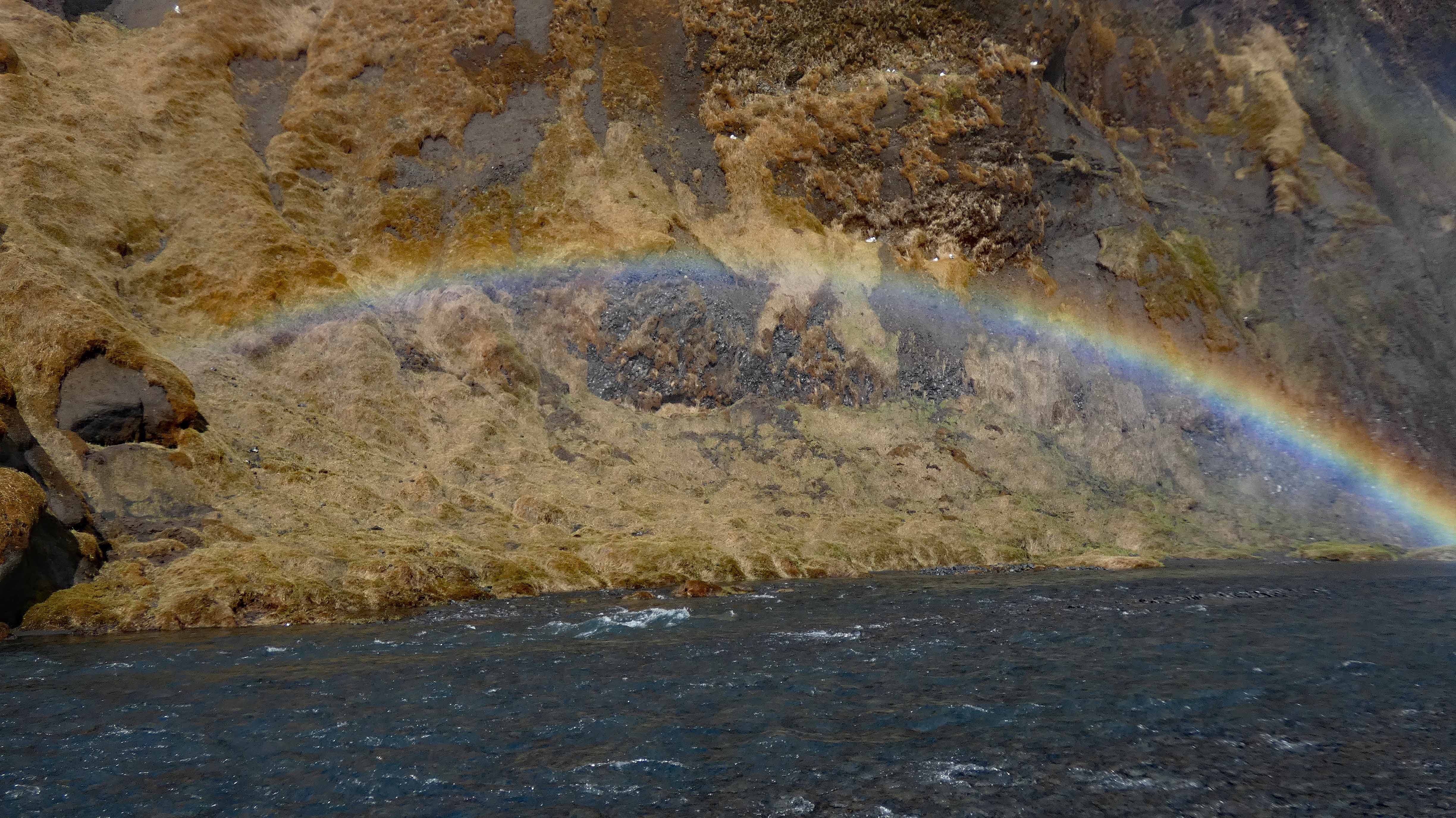
A double rainbow and a triple dose of tourist.


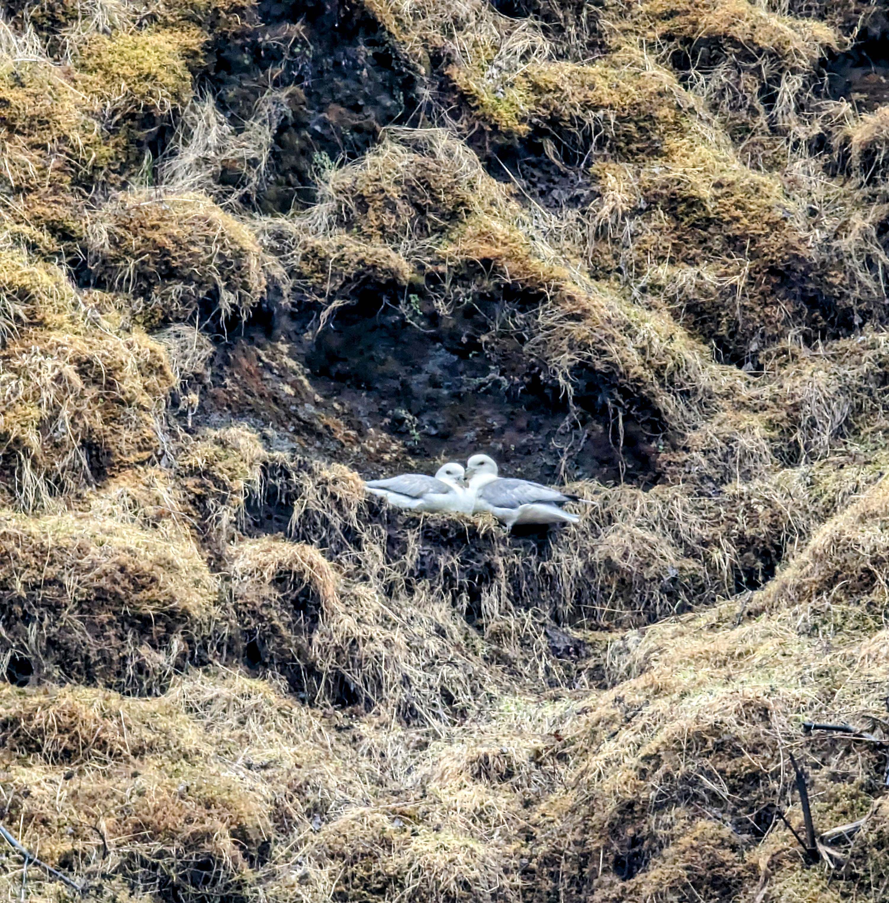
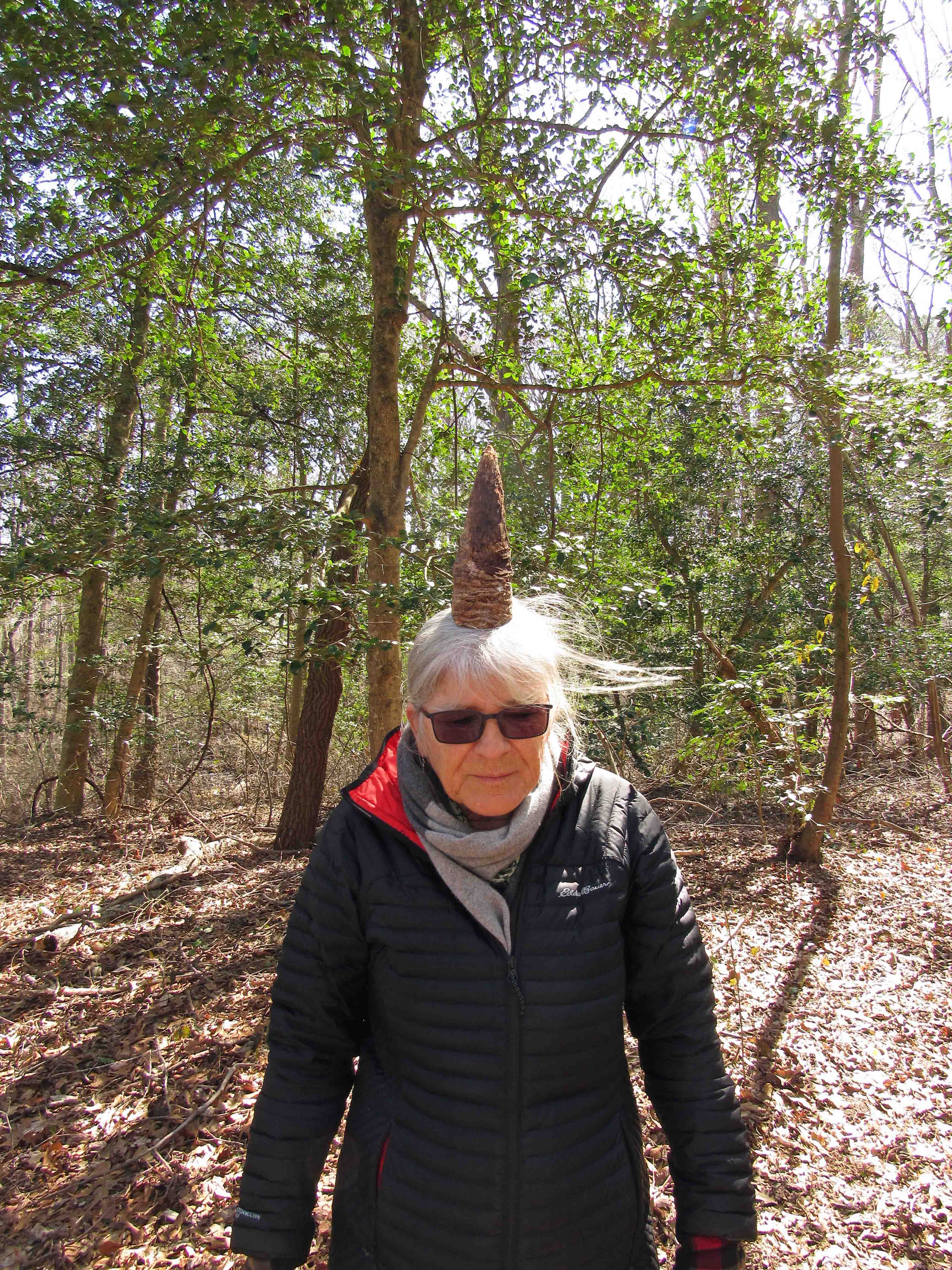
Up in the cliffs, hiding from people.
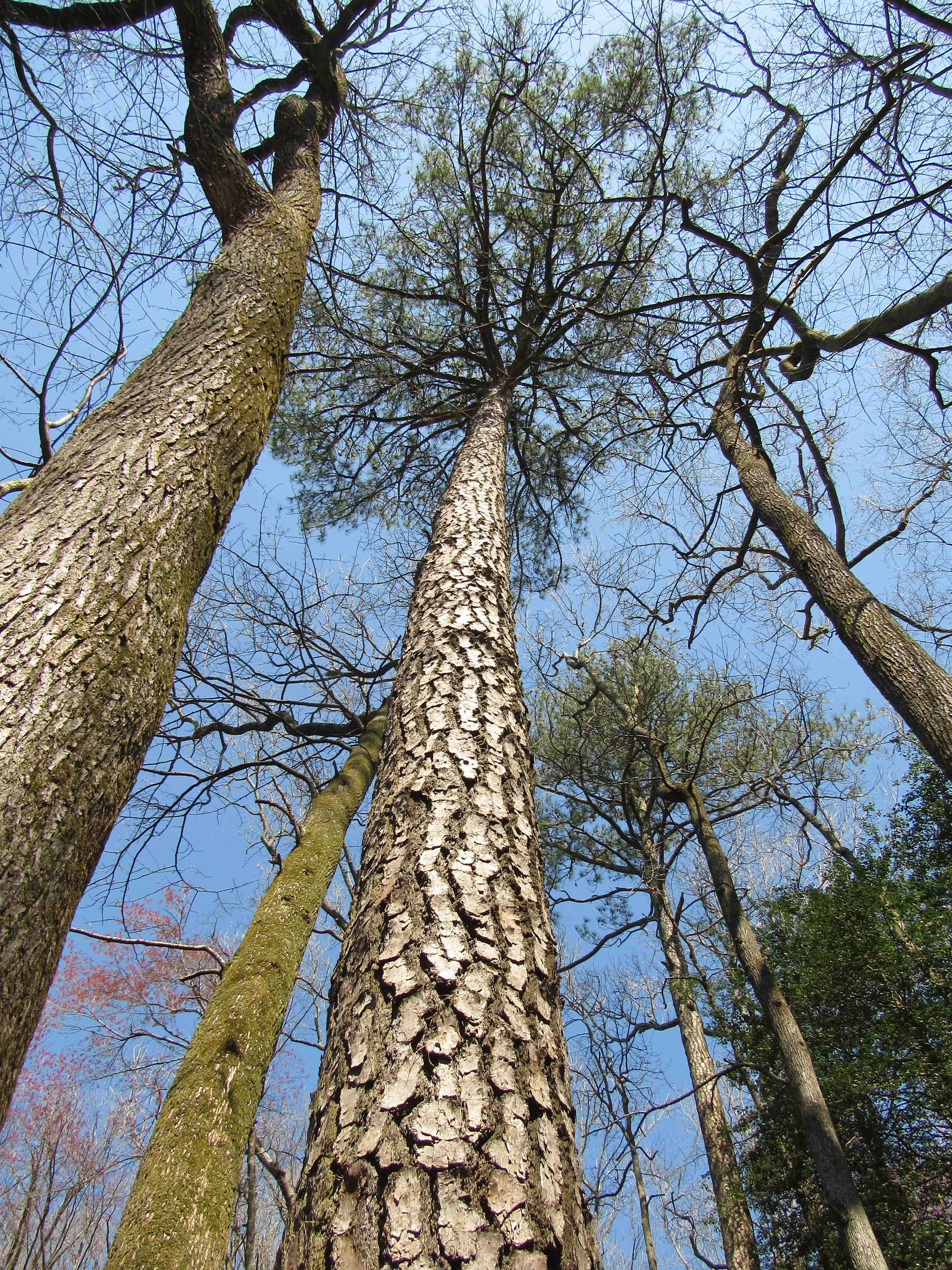
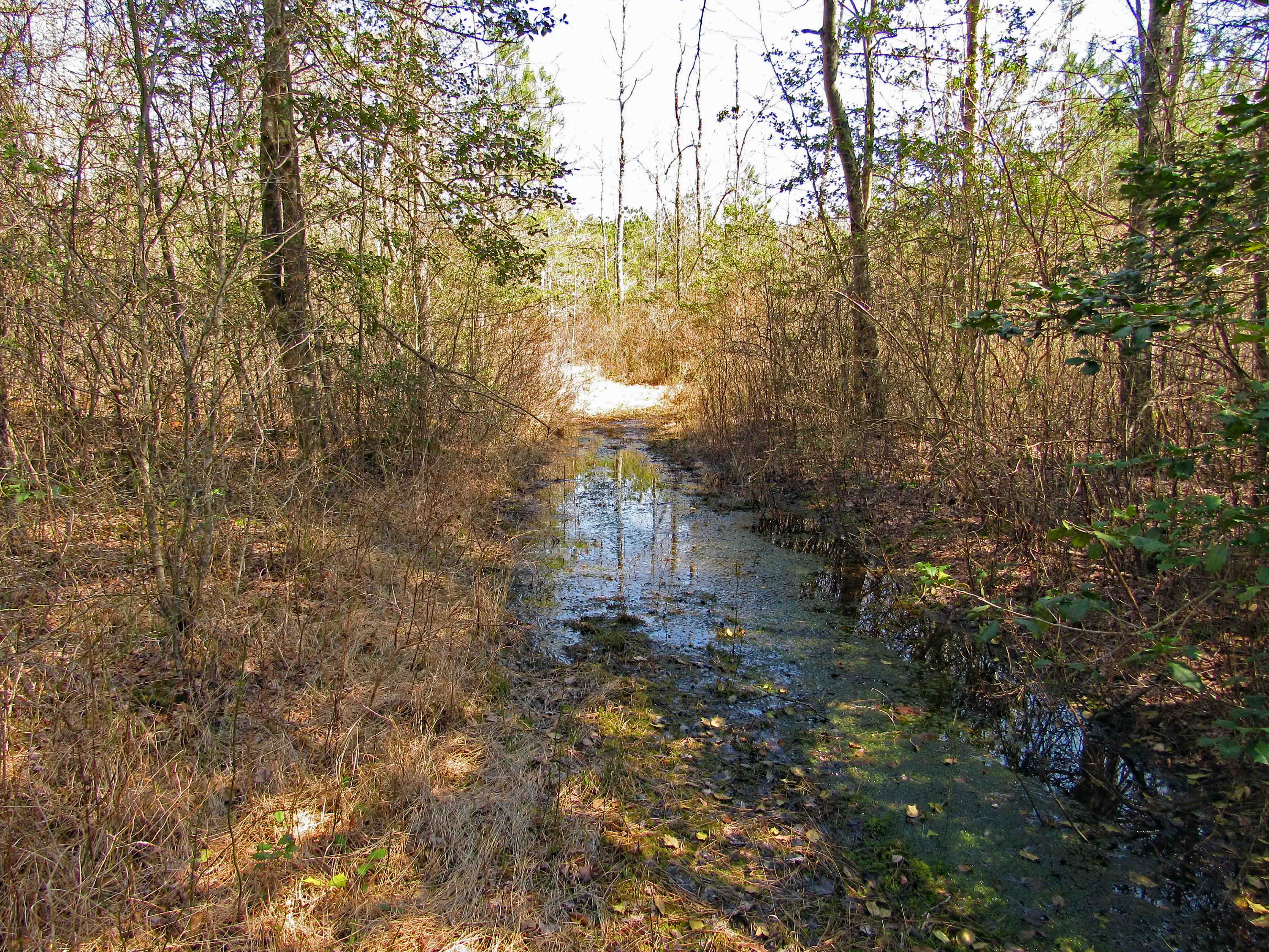
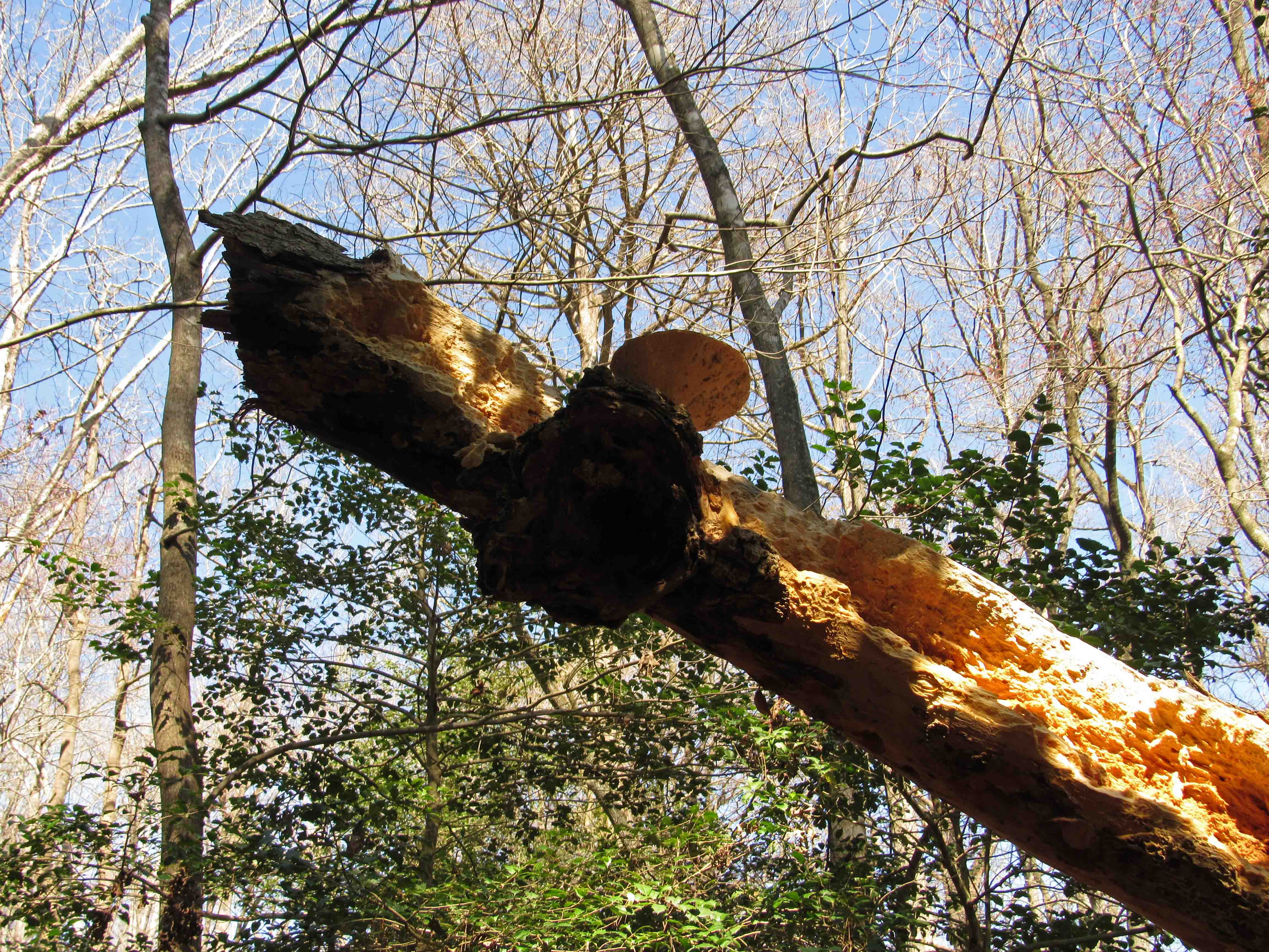
More to nature than the obvious.
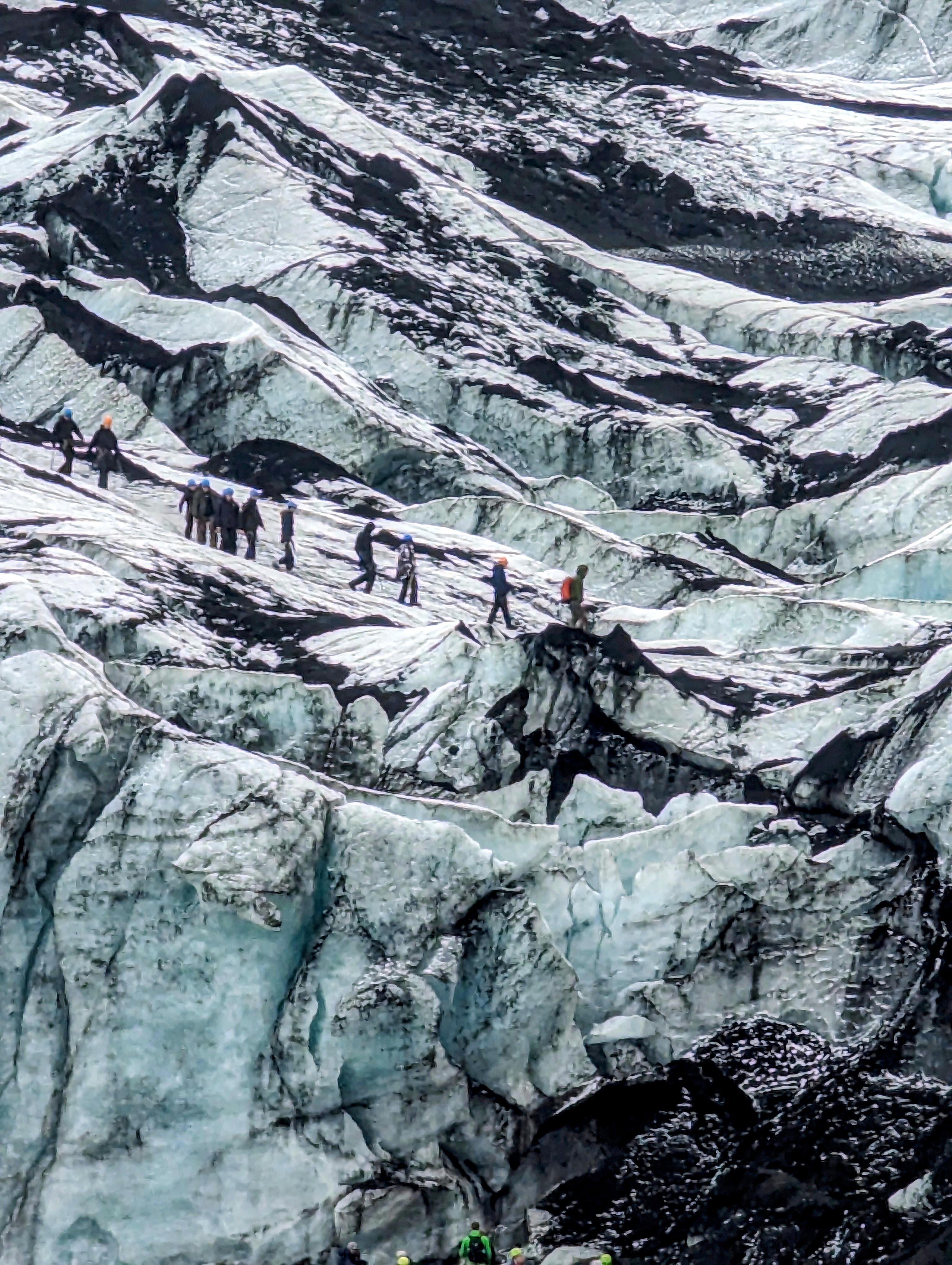
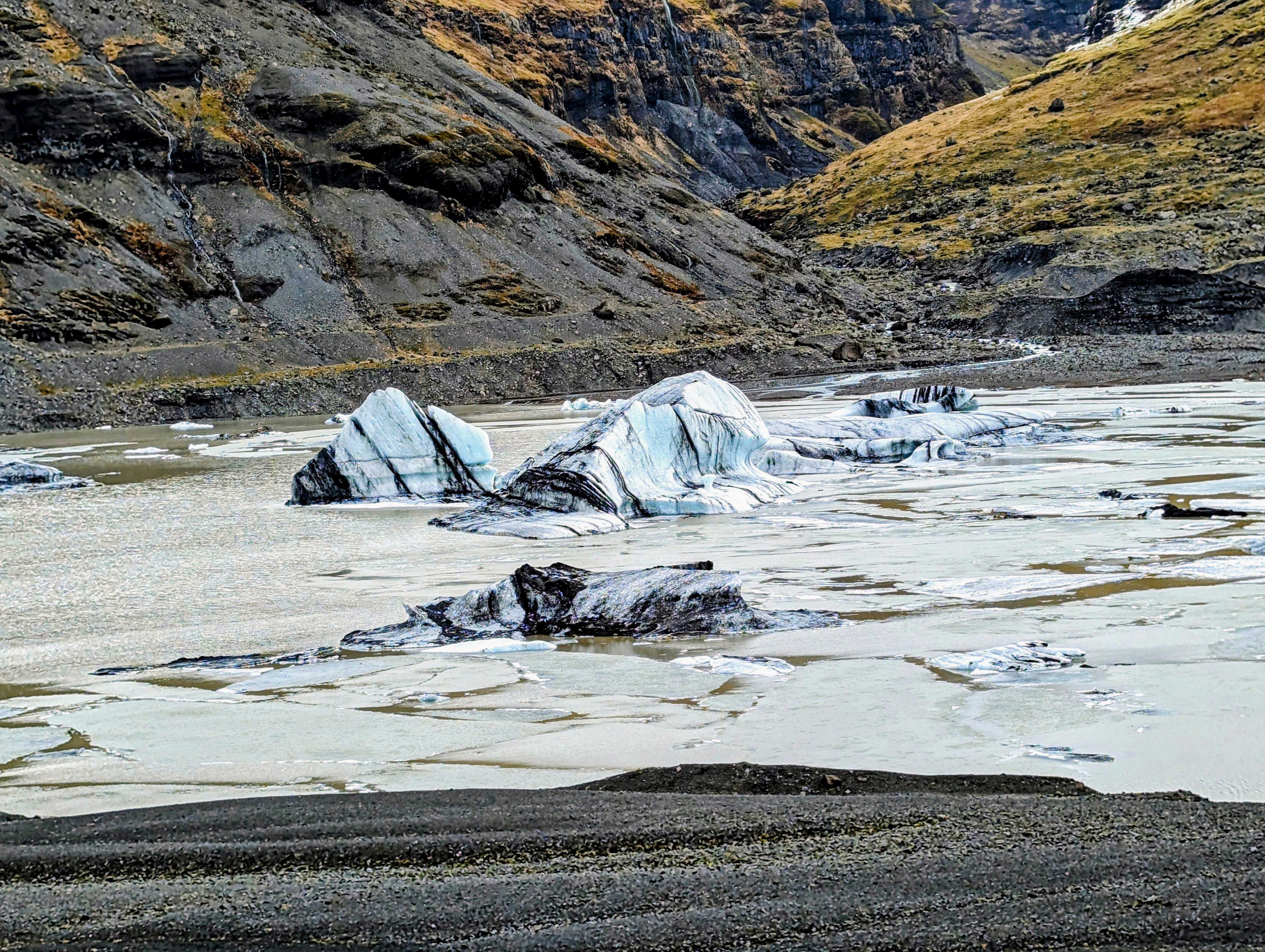
Riding away from one waterfall, heading to a glacier.

Peeled off parts of the Solheimajokull Glacier. The black lines are volcanic ash that were covered over again and again for thousands of years.

Another tour group on the glacier.
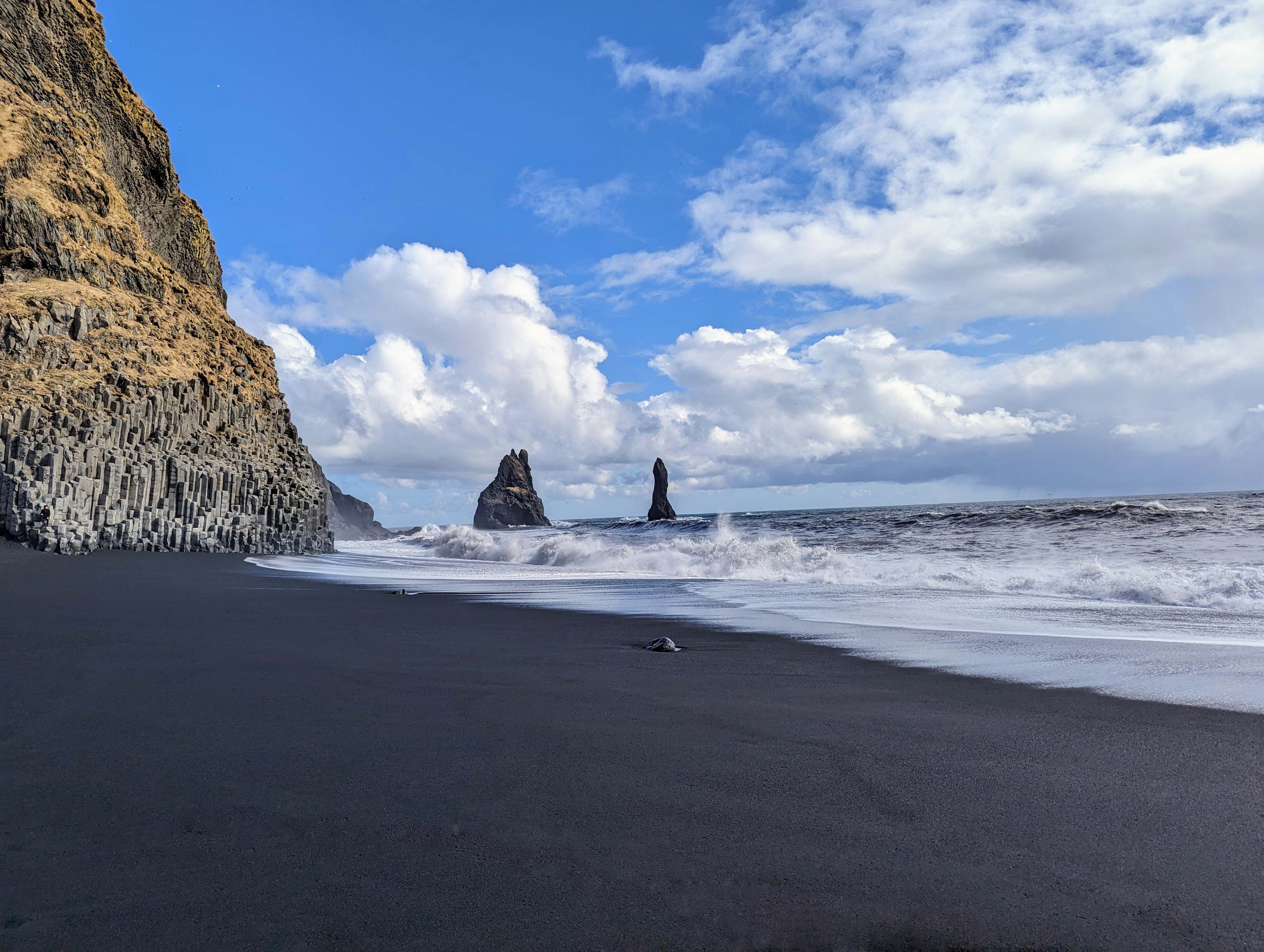
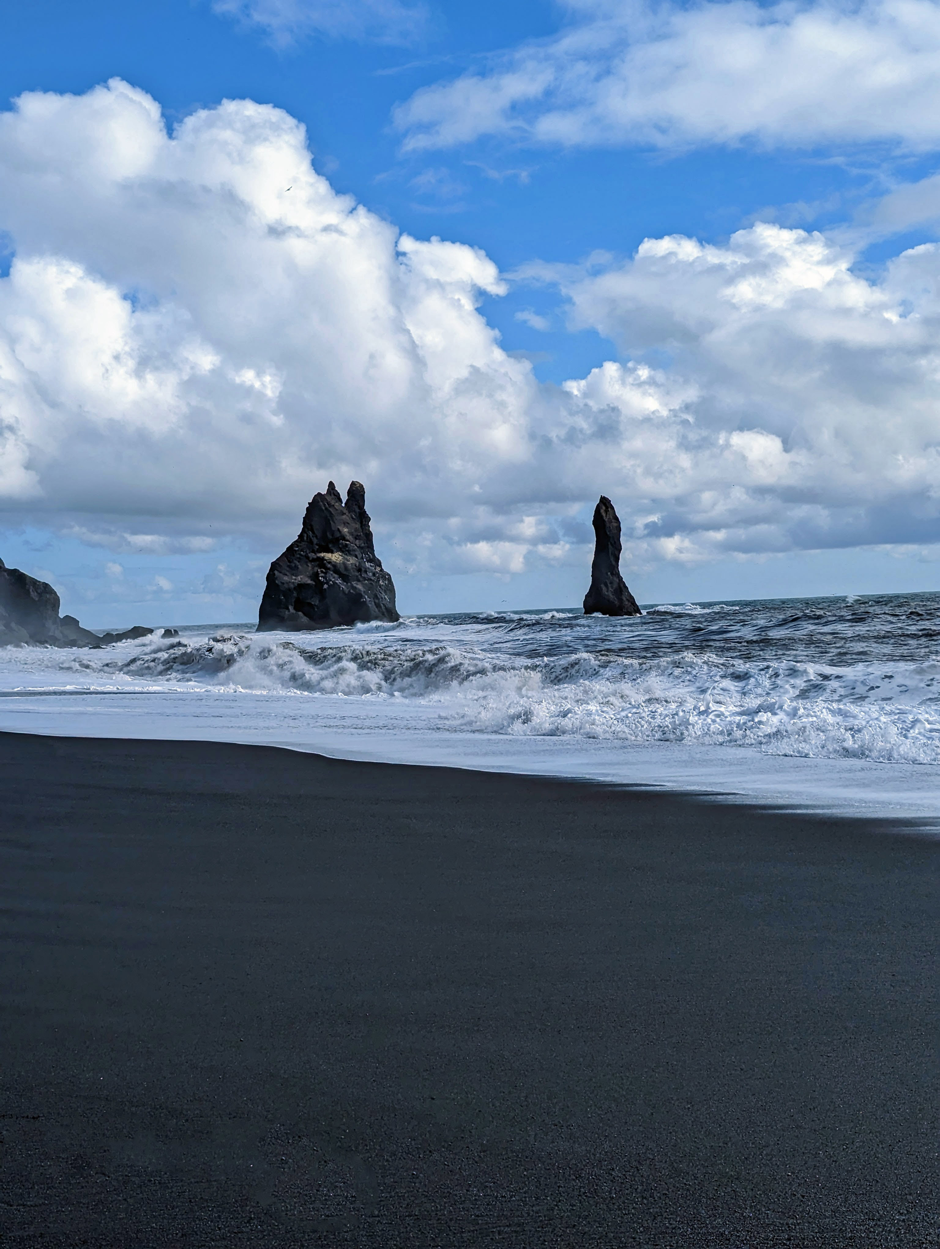
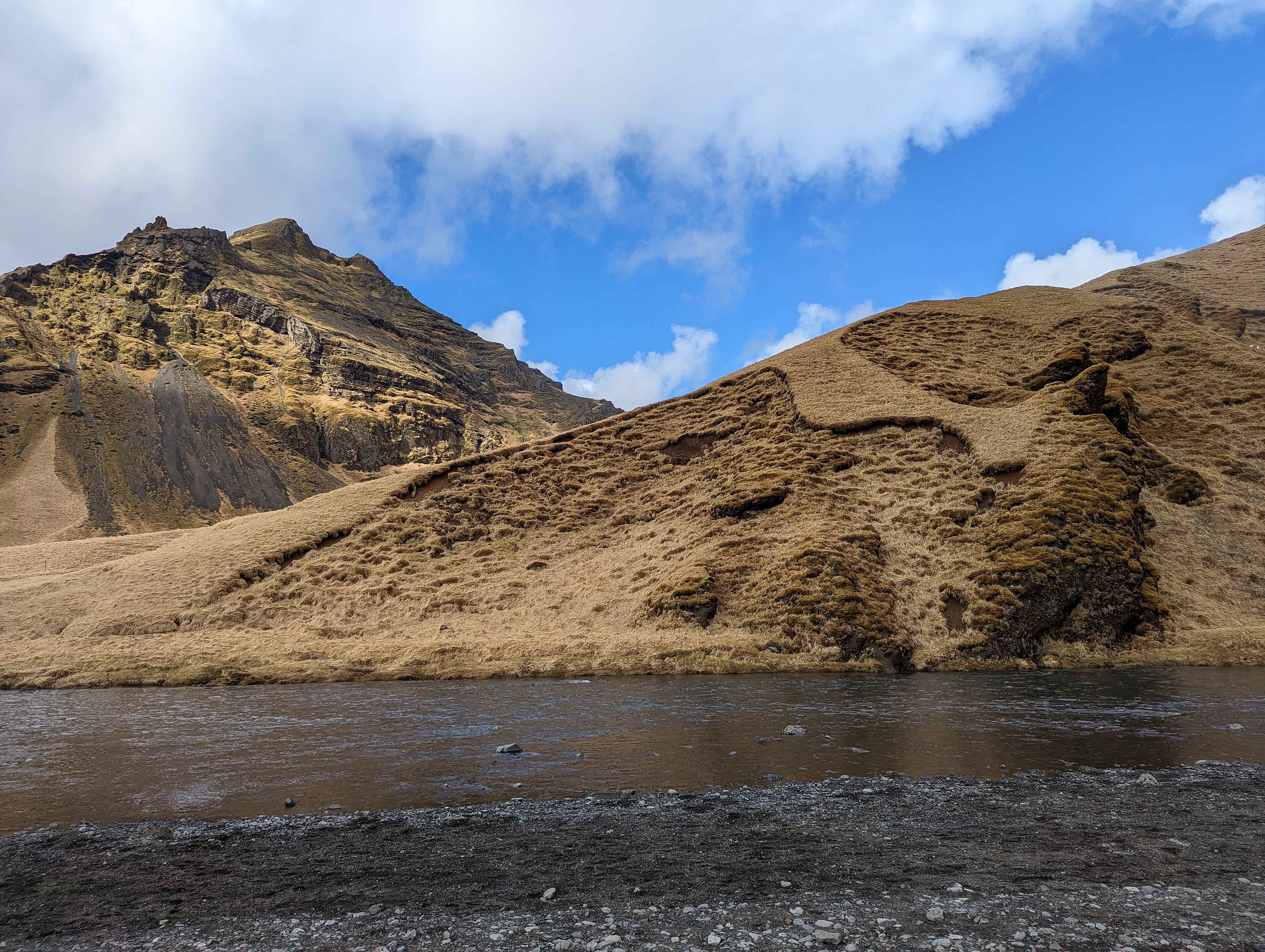
On to the town of Vik.

The giants – King and Queen on a ship. We will next head around that mountain to the Black Sand Beaches.


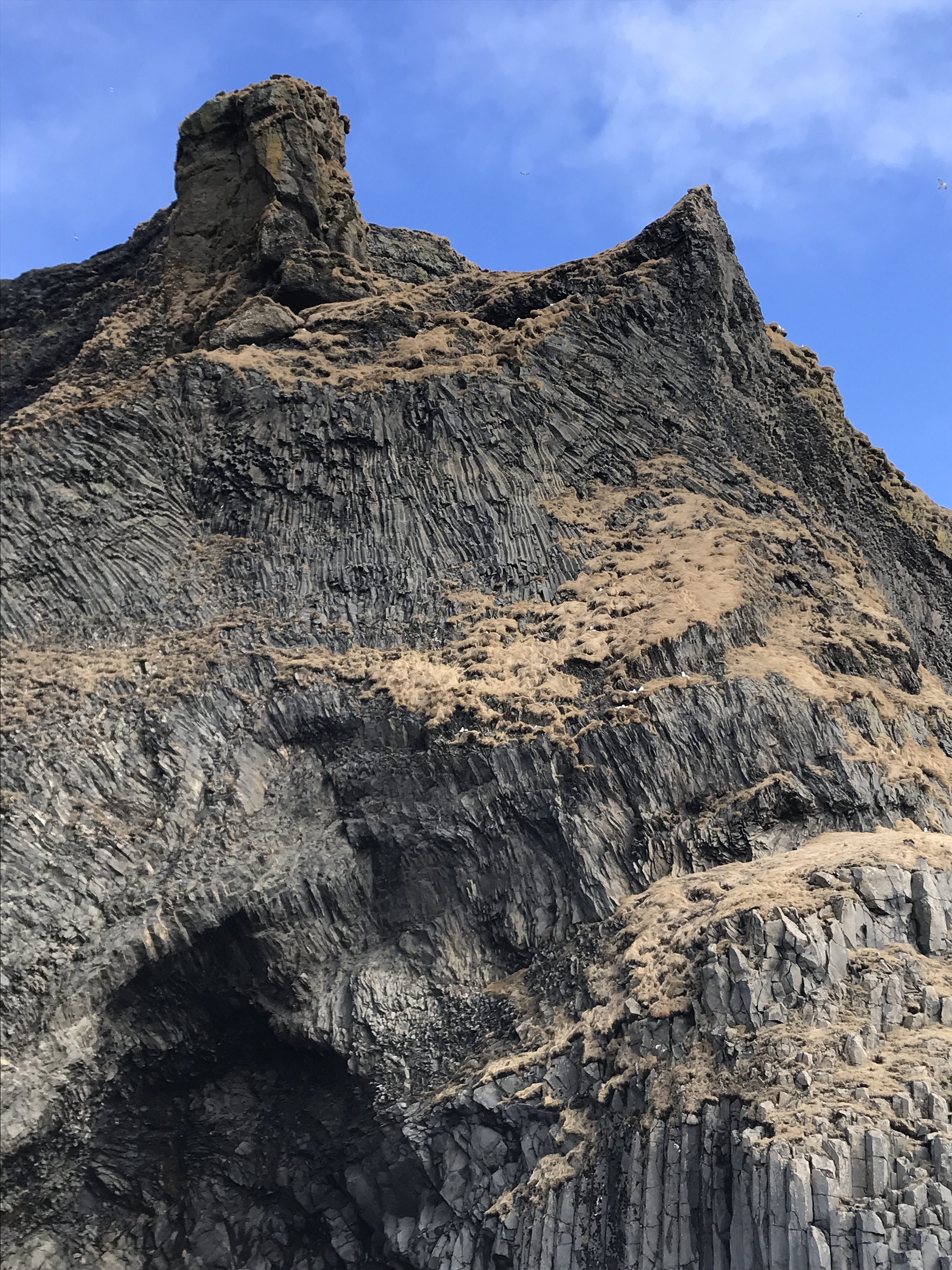
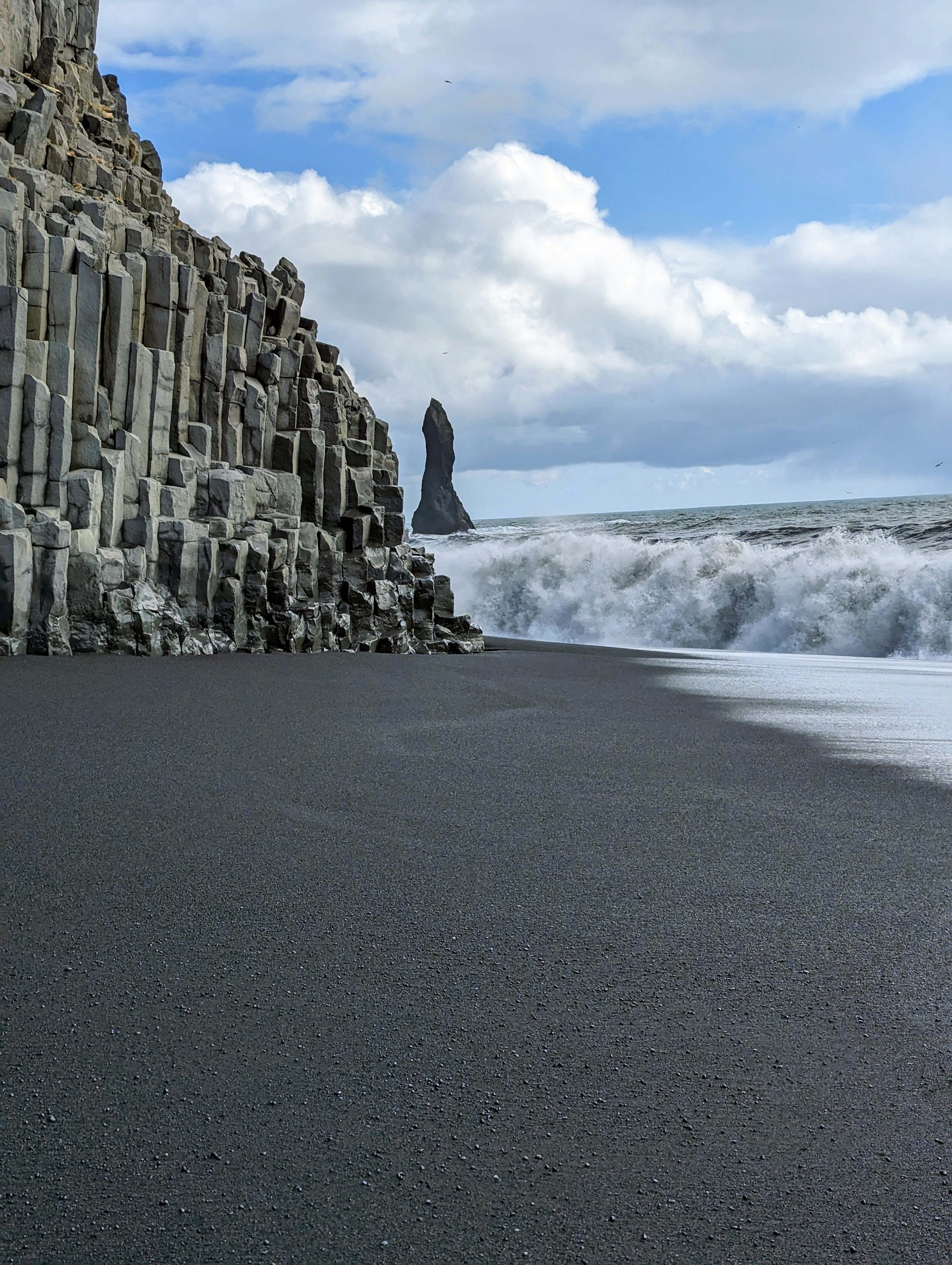
Like the Giant’s Causeway of Northern Ireland.


Our guide told us that stunt pilots love to fly through that hole in the cliff.
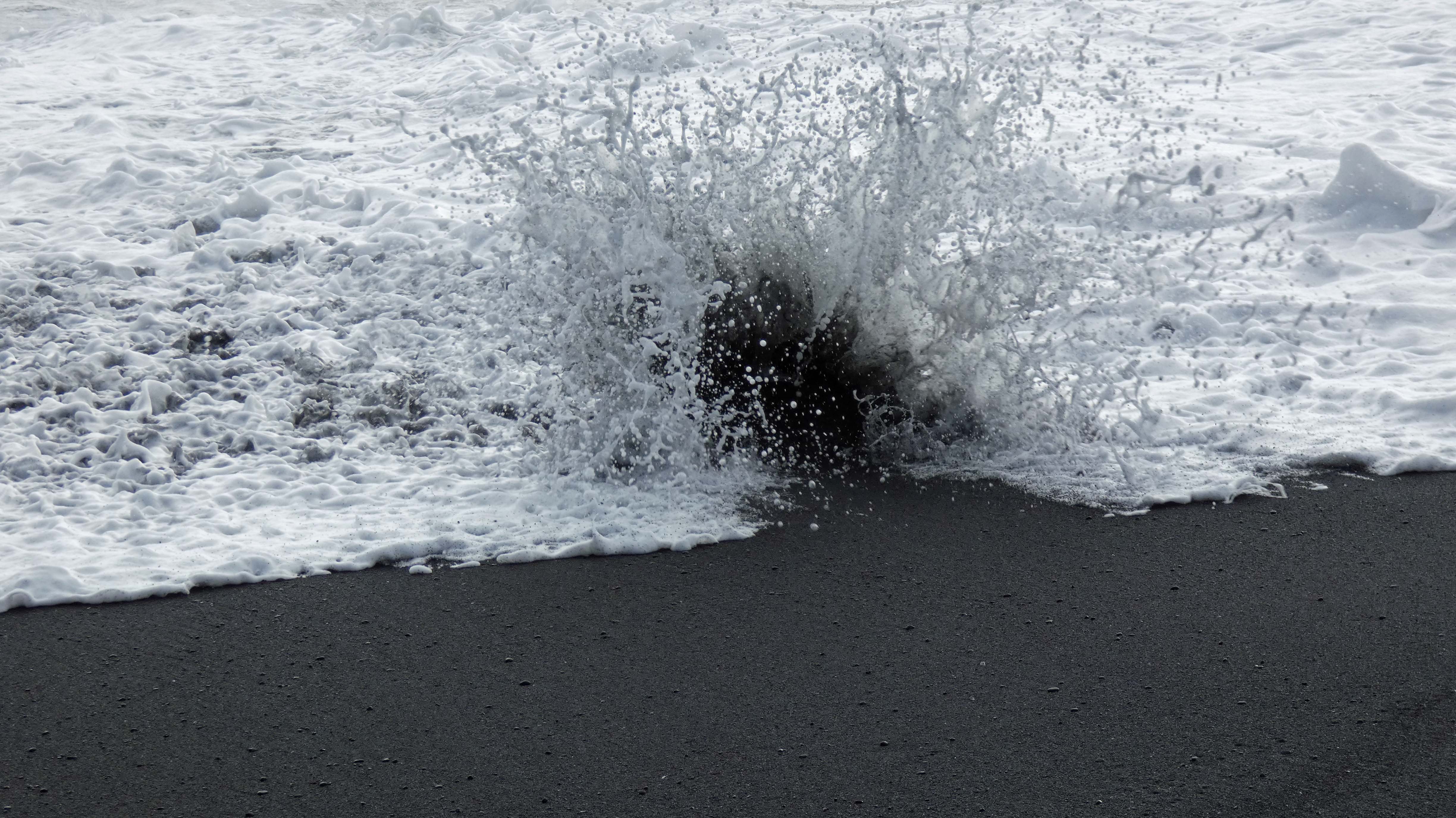
This is the one that got us wet.
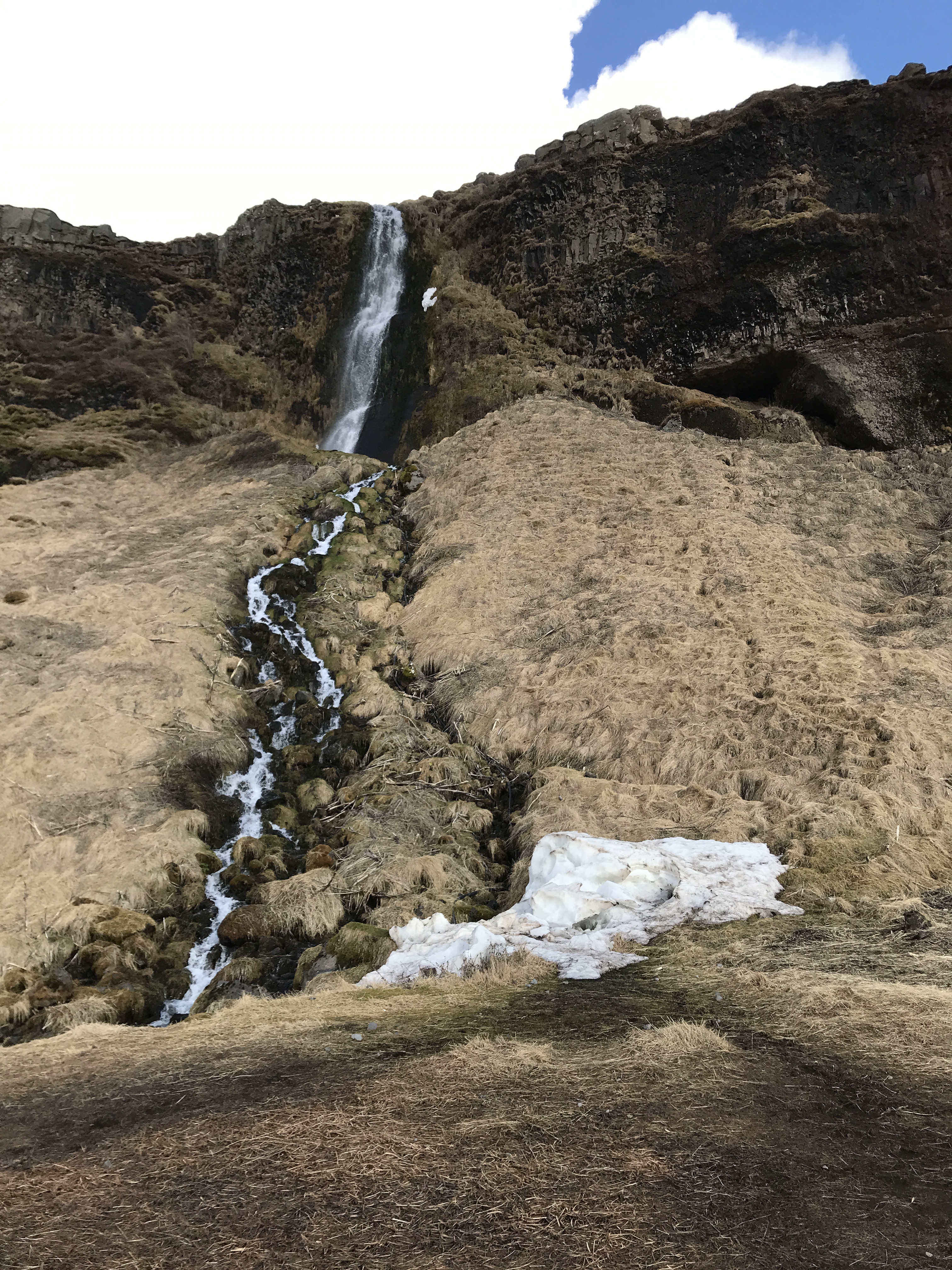
On the way back to town we stopped at another waterfall. Seljandsfoss.

More rainbows.
It was easy to get wet here.

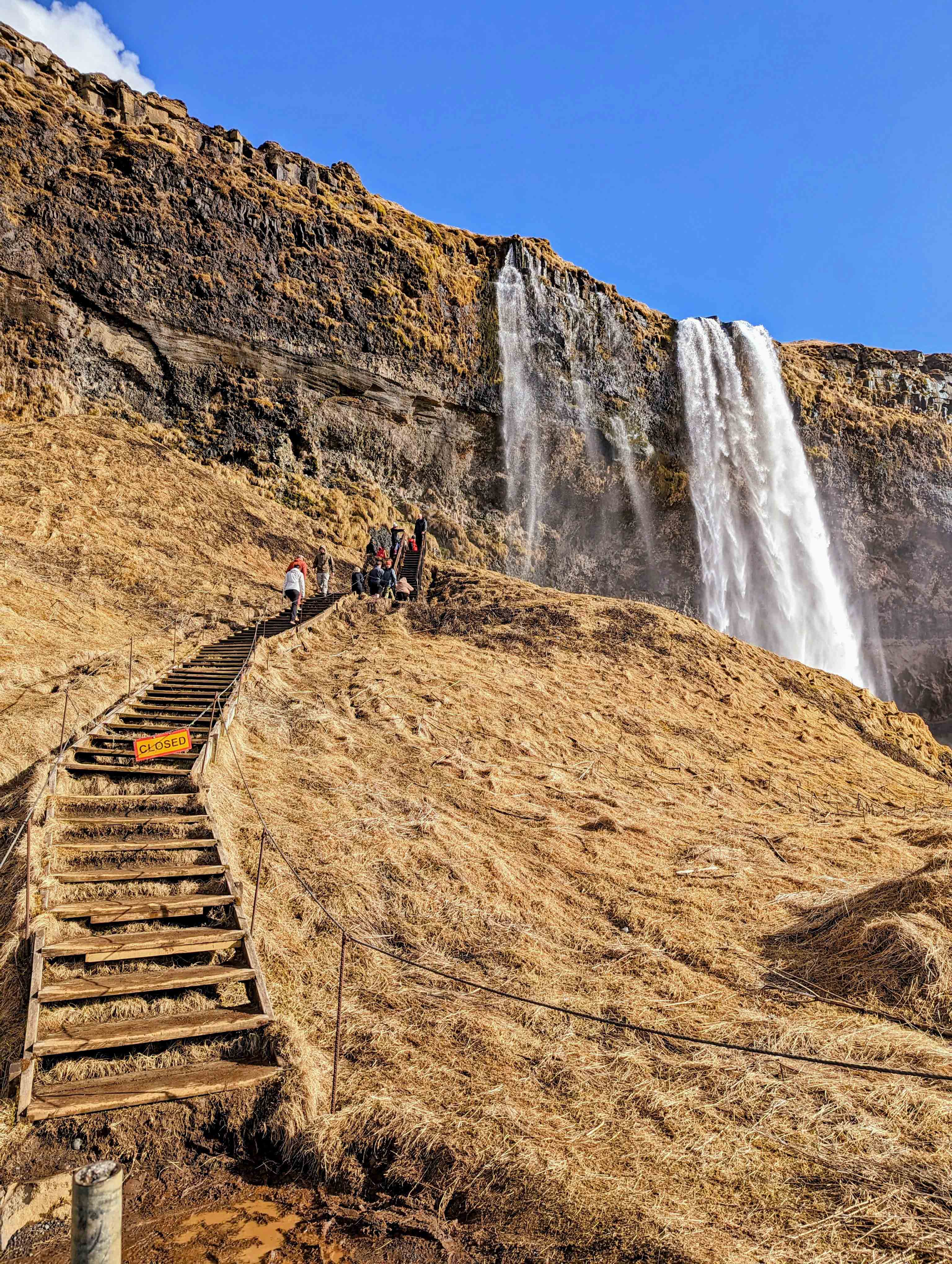
One of the only disappointments was not being able to go behind the waterfall. These people did, but when I am in someone else’s land, I respect their wishes. One guy who didn’t, fell on the ice (why it was closed) and cut his hand wide open.
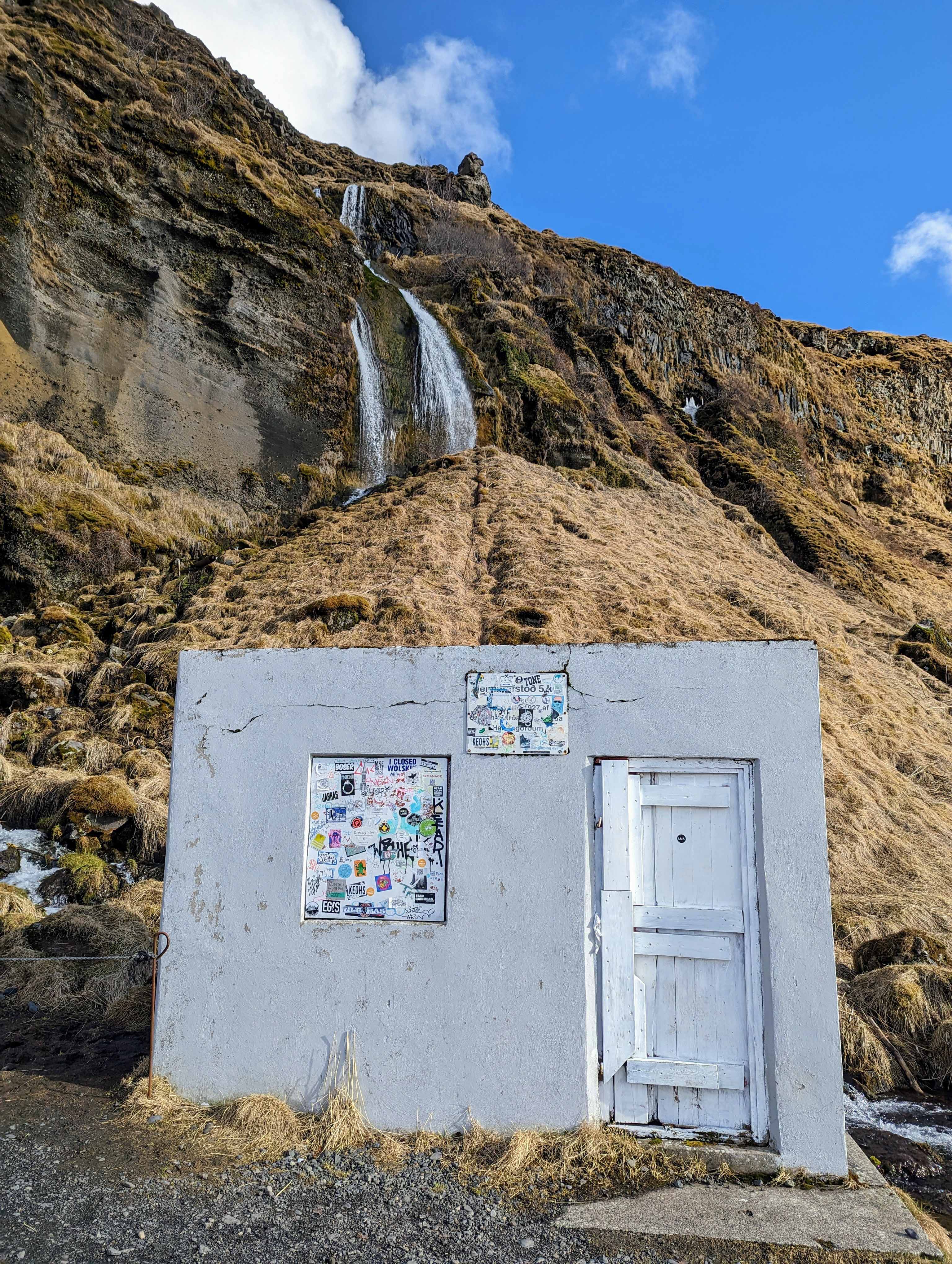
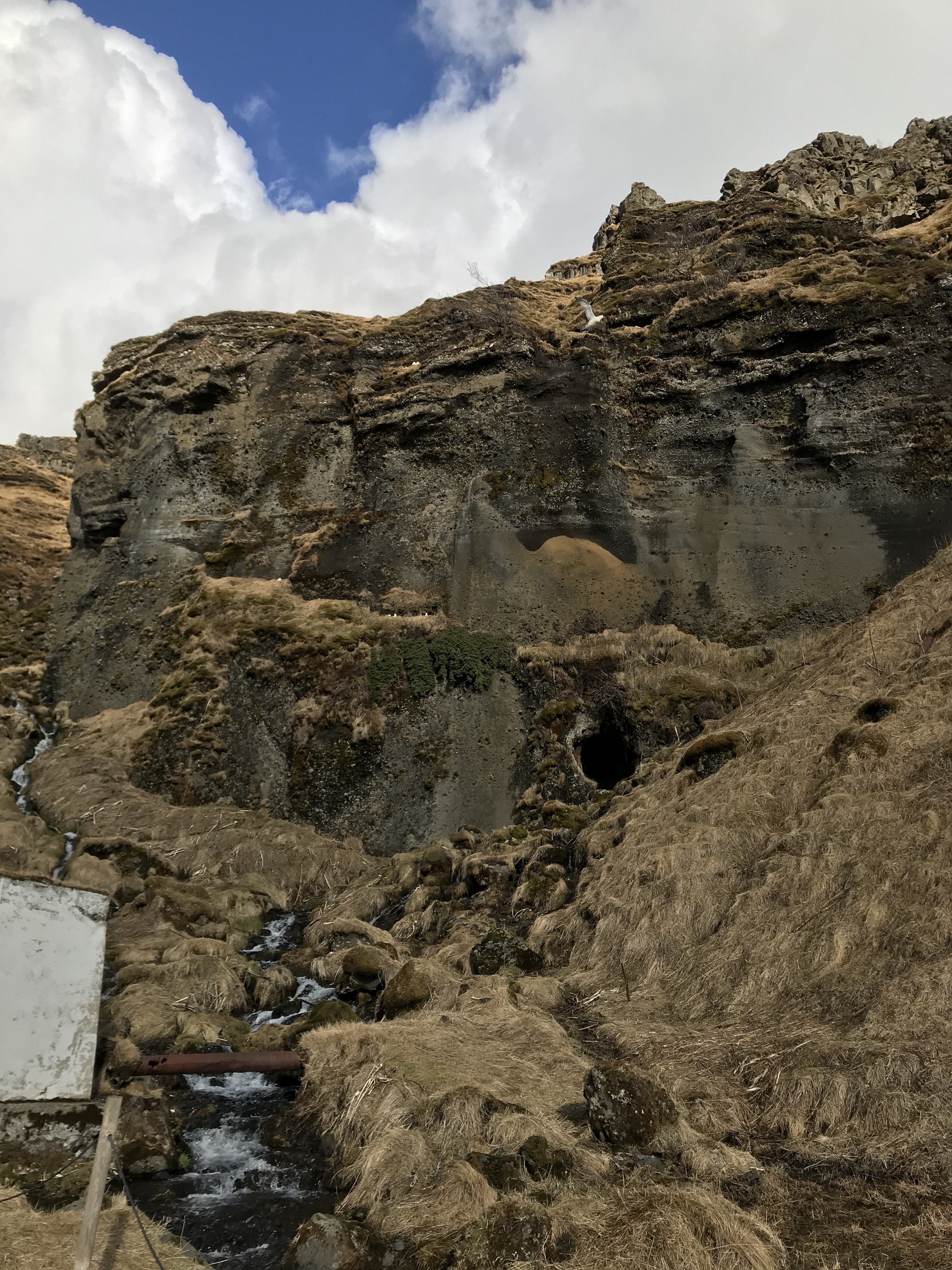
Gnomes live in that cave.
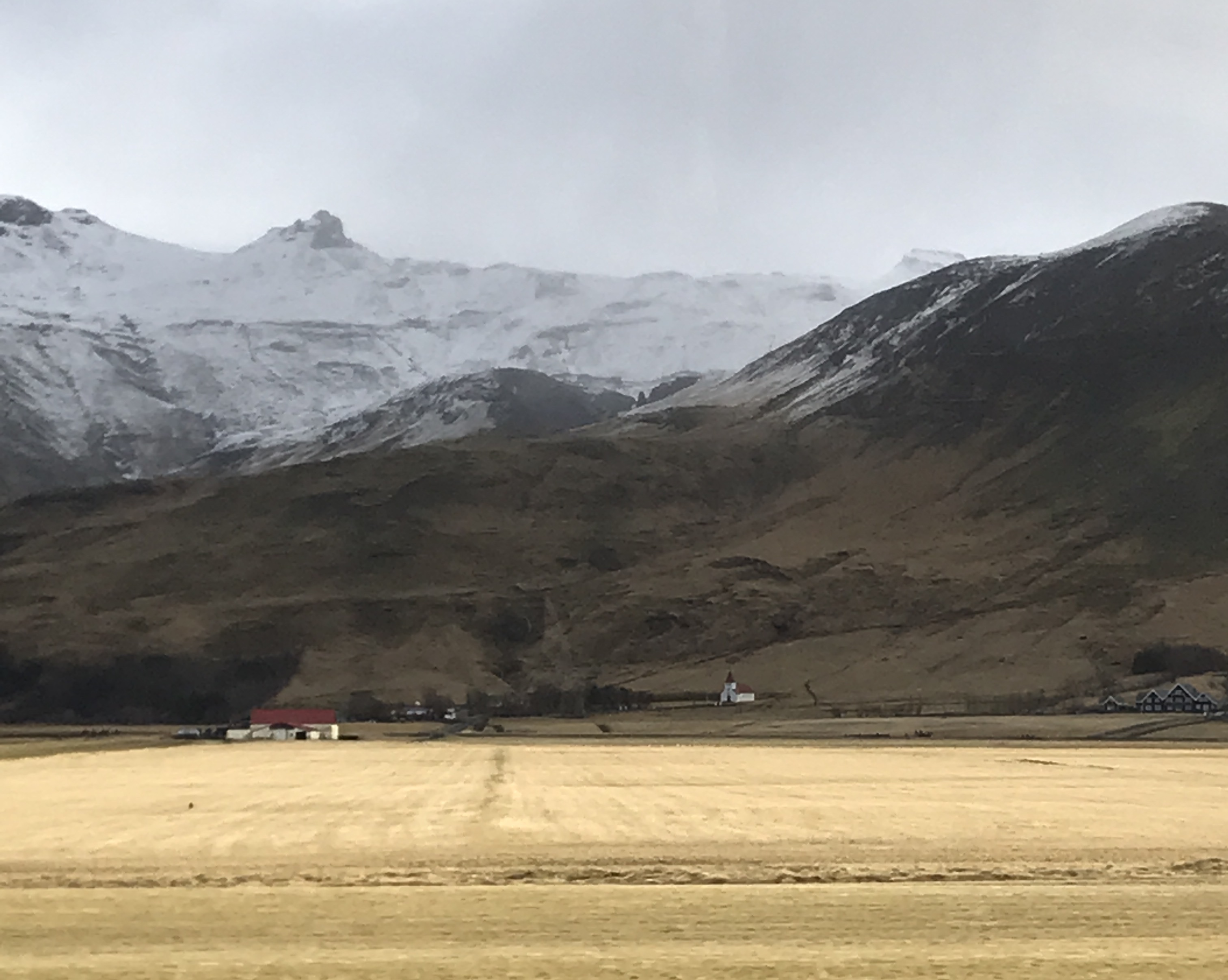
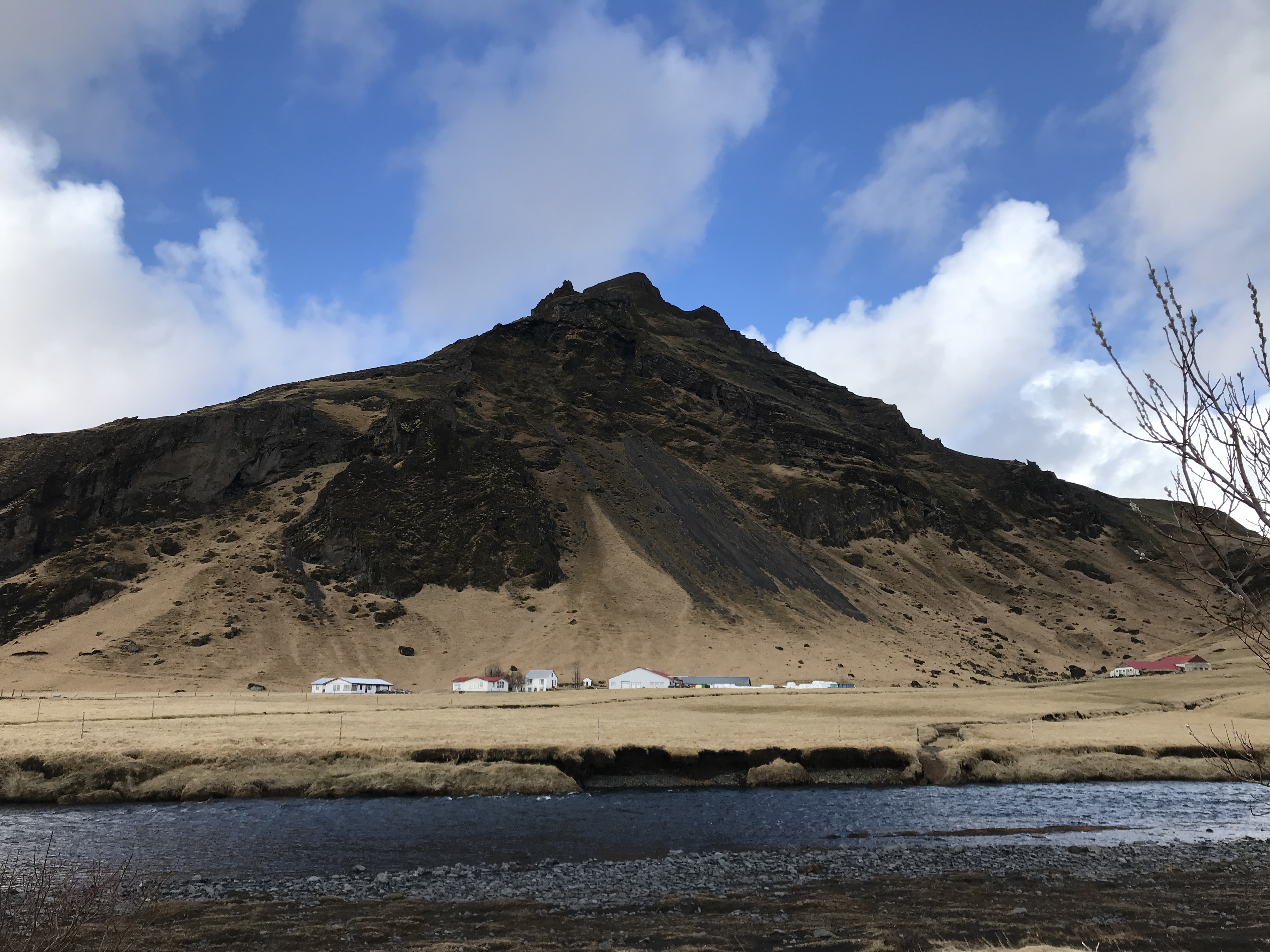
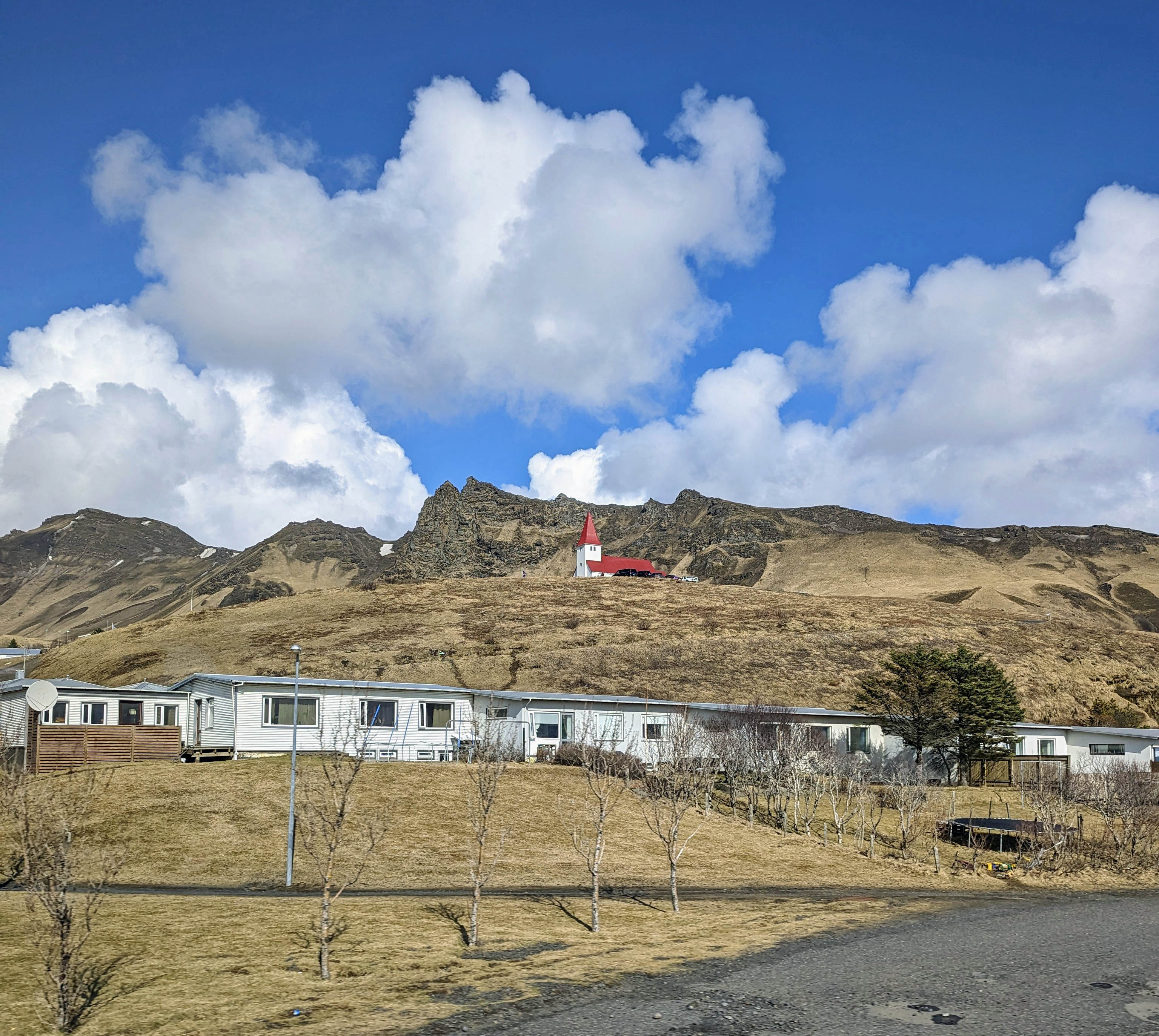
So it is time to head back to Reykjavik. Took some miscellaneous photos on the way.
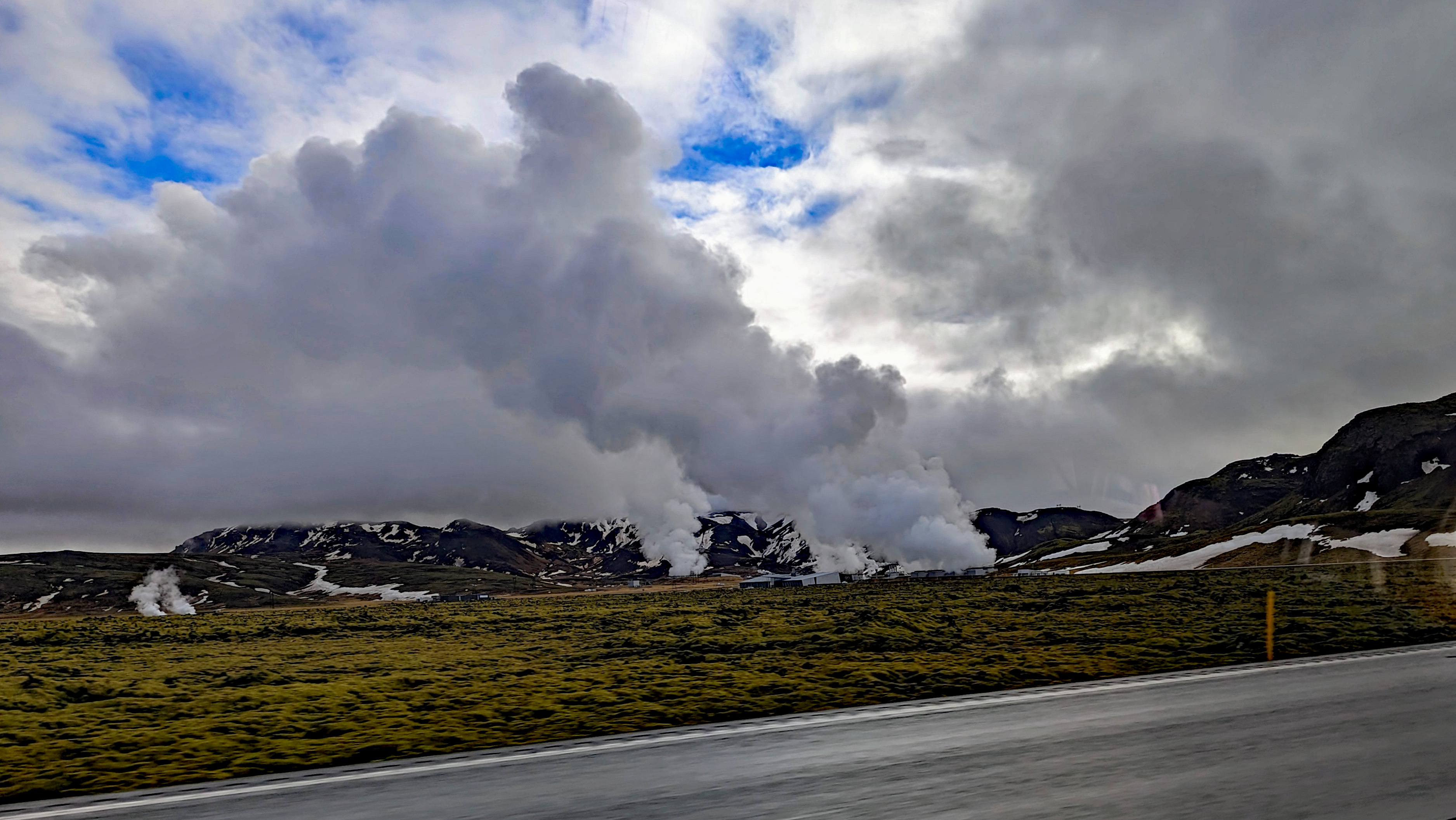
Steam vents just pop up randomly. People are told to be careful where they build their homes. The steam will heat their houses or destroy them.
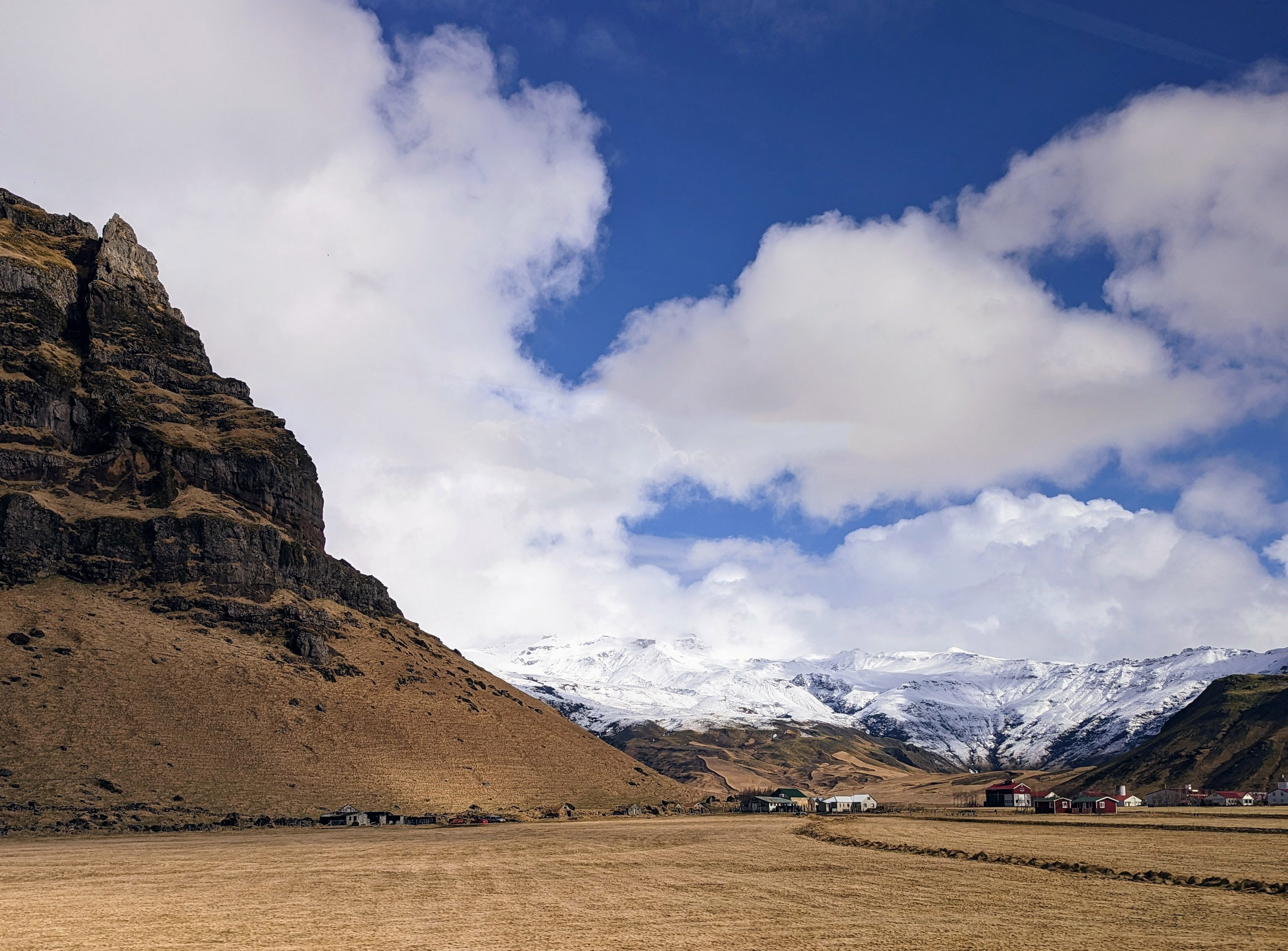

Nice farm. The lava is covered in moss which decays then more moss and so on, eventually becoming dirt that will allow wheat to grow.
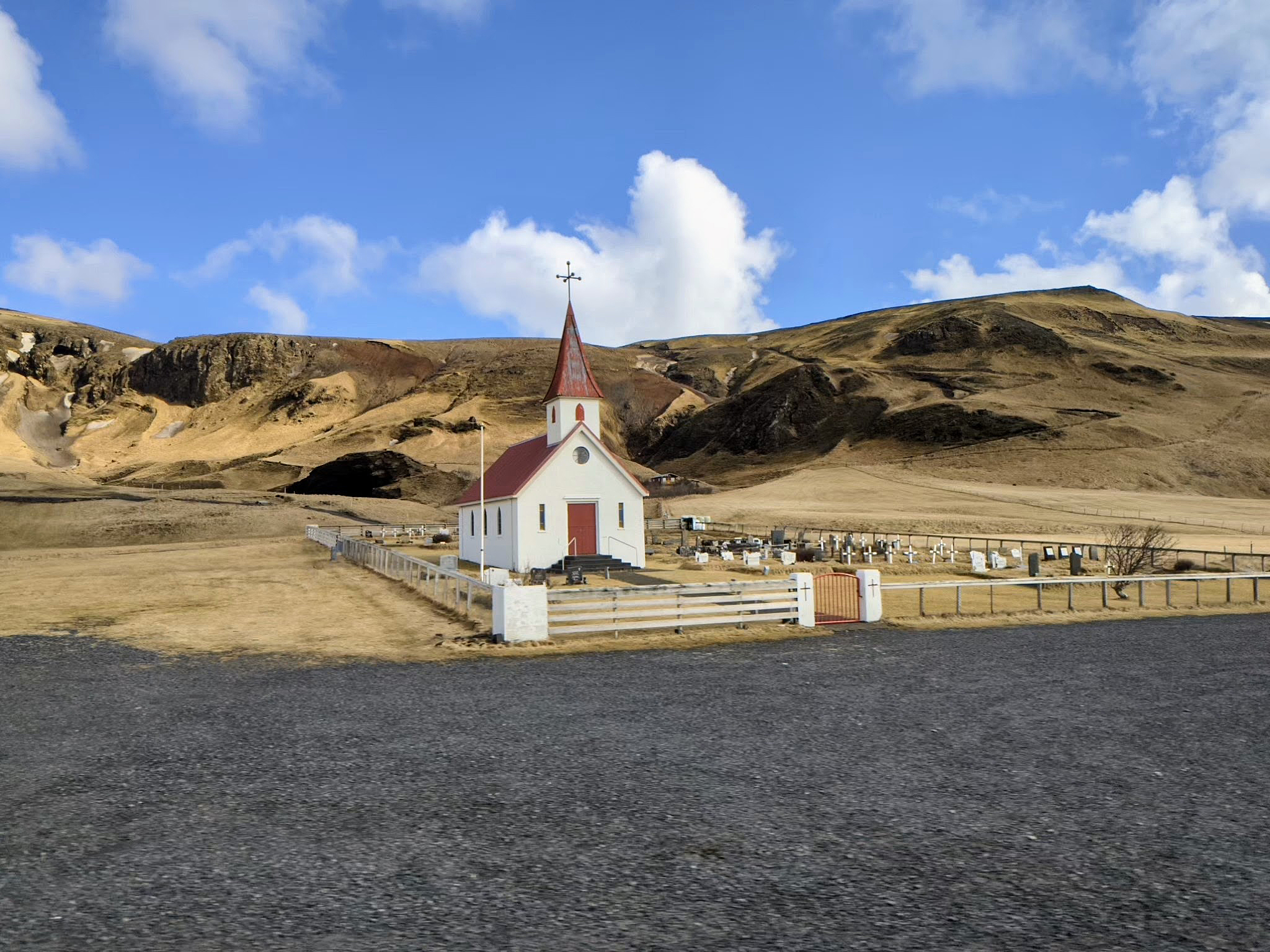
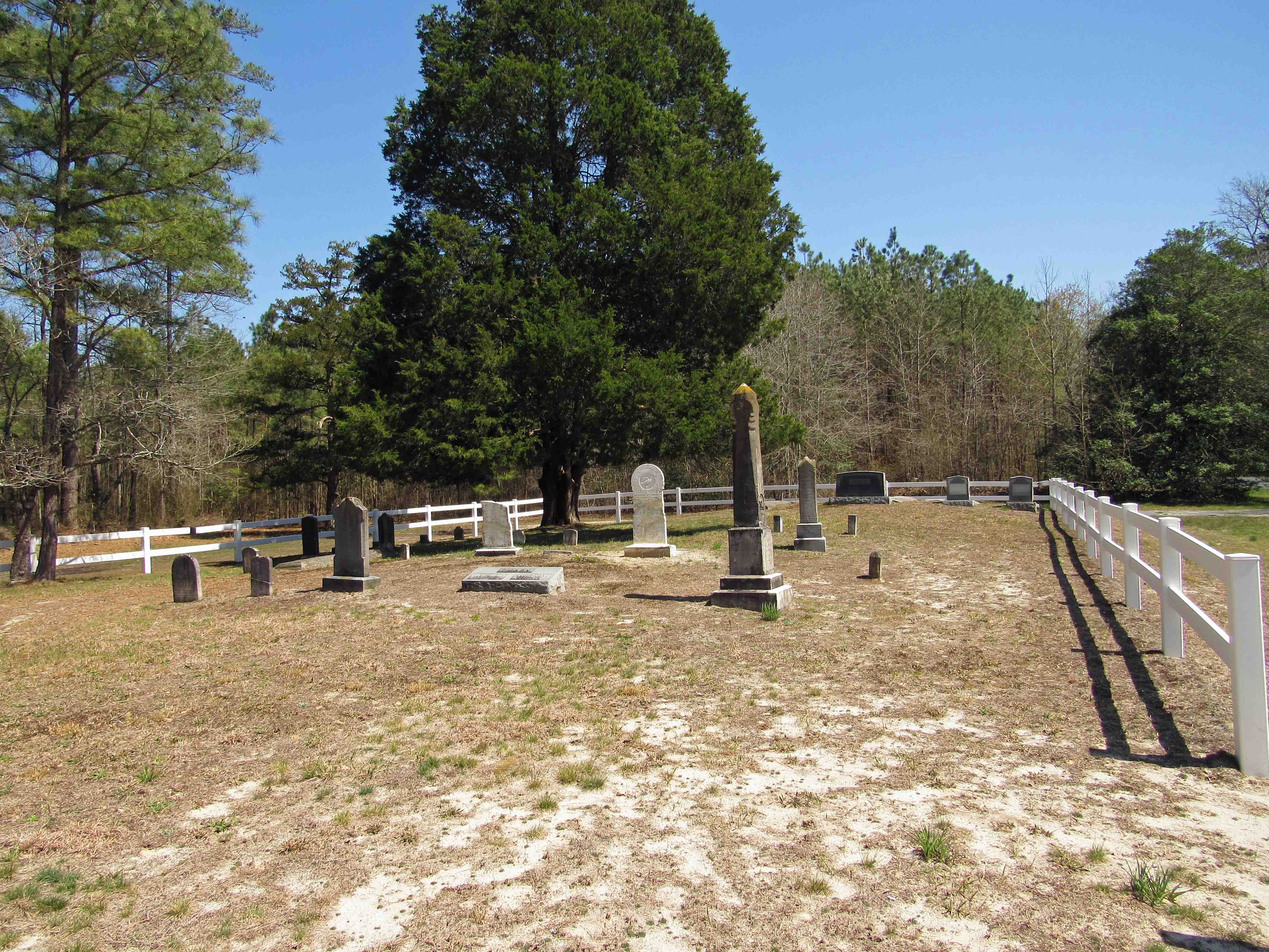
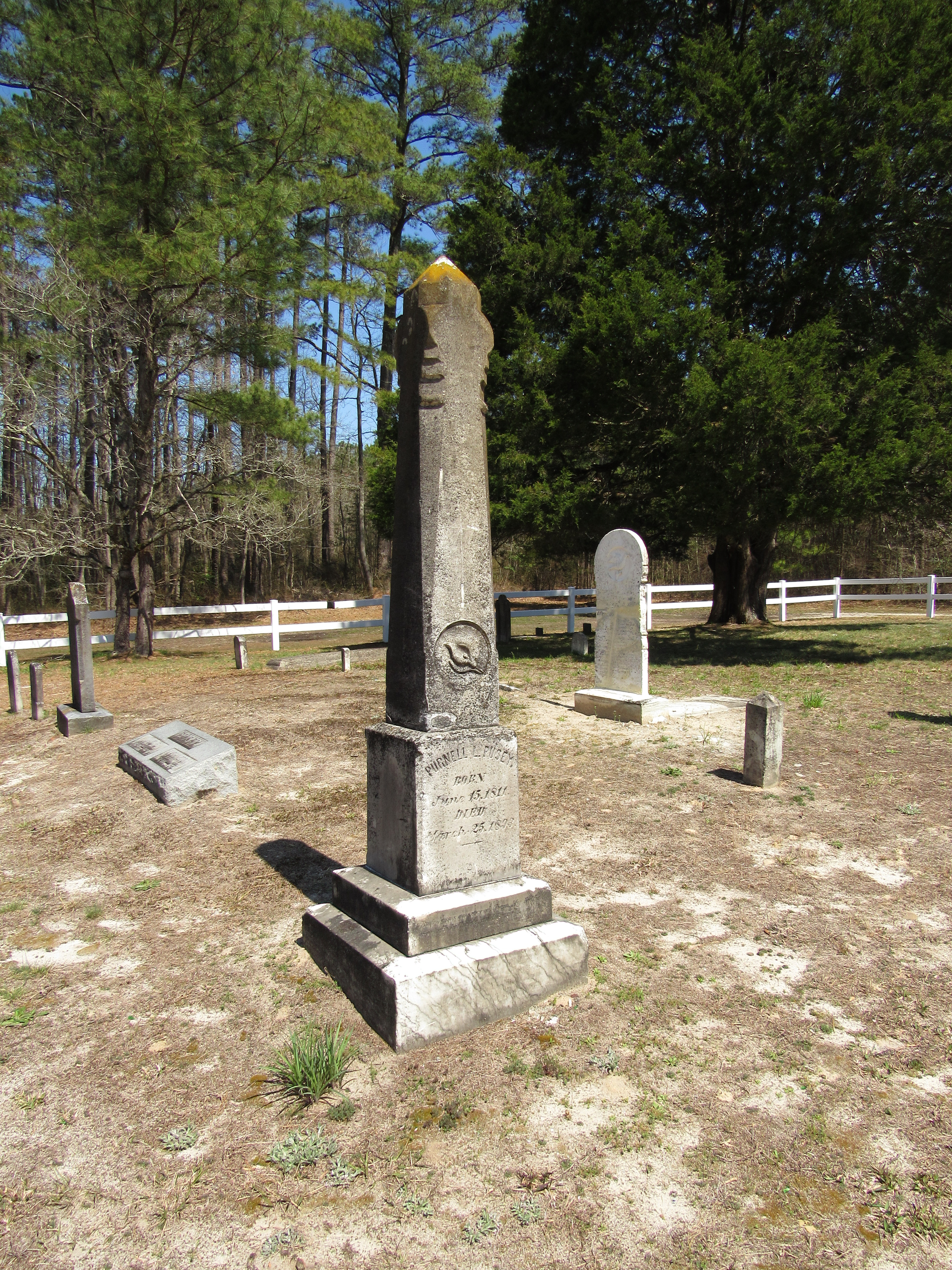
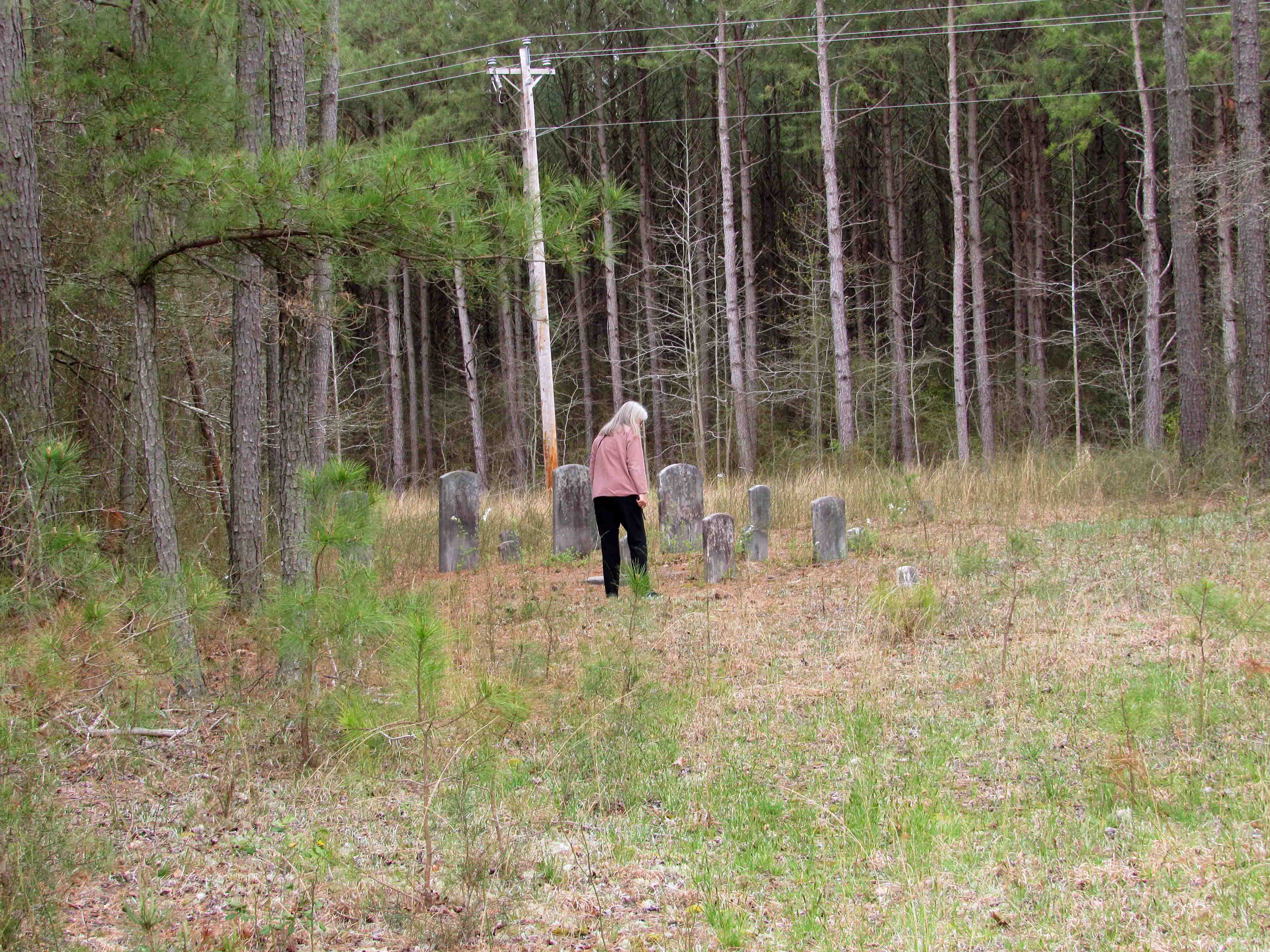
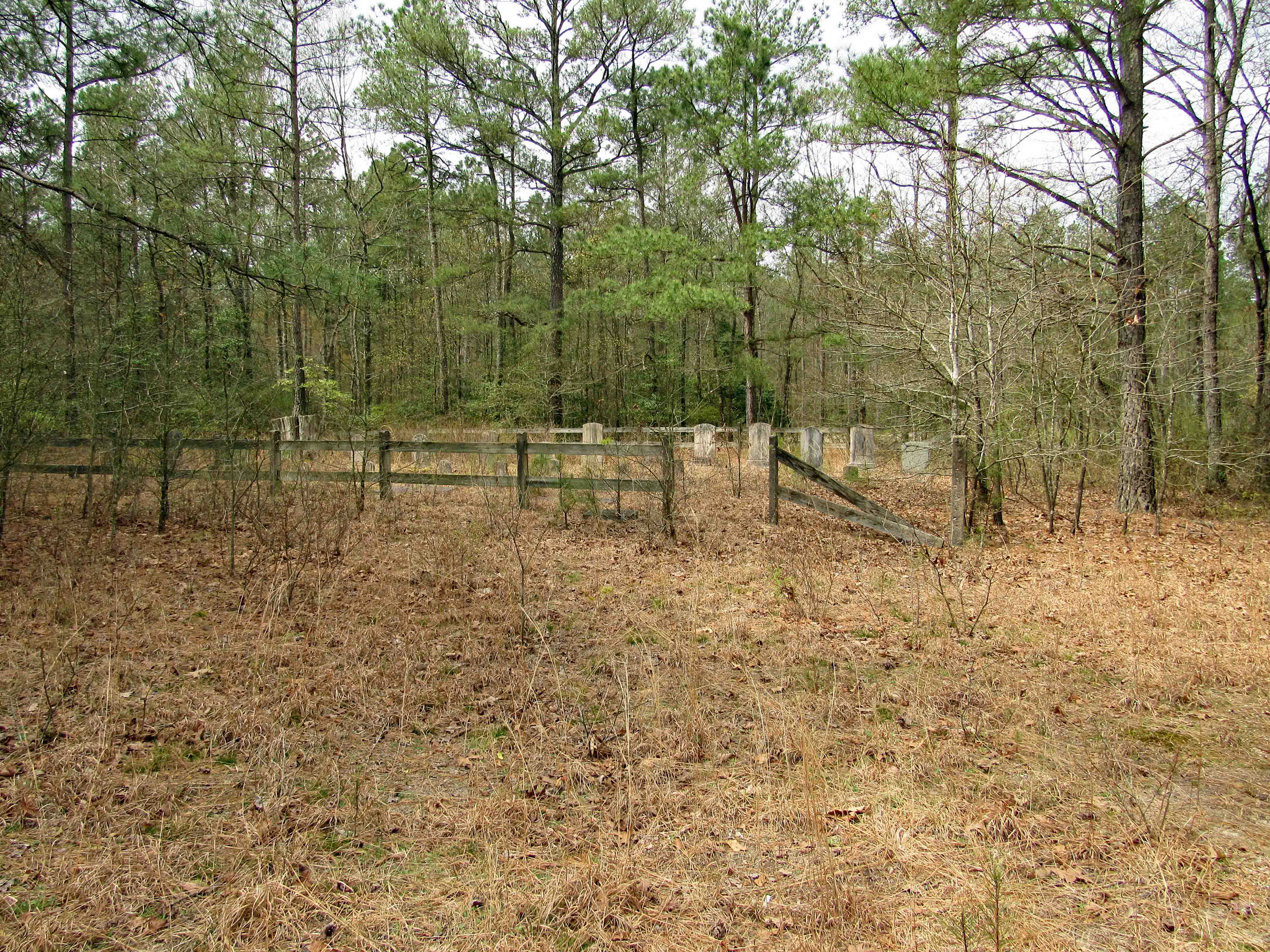
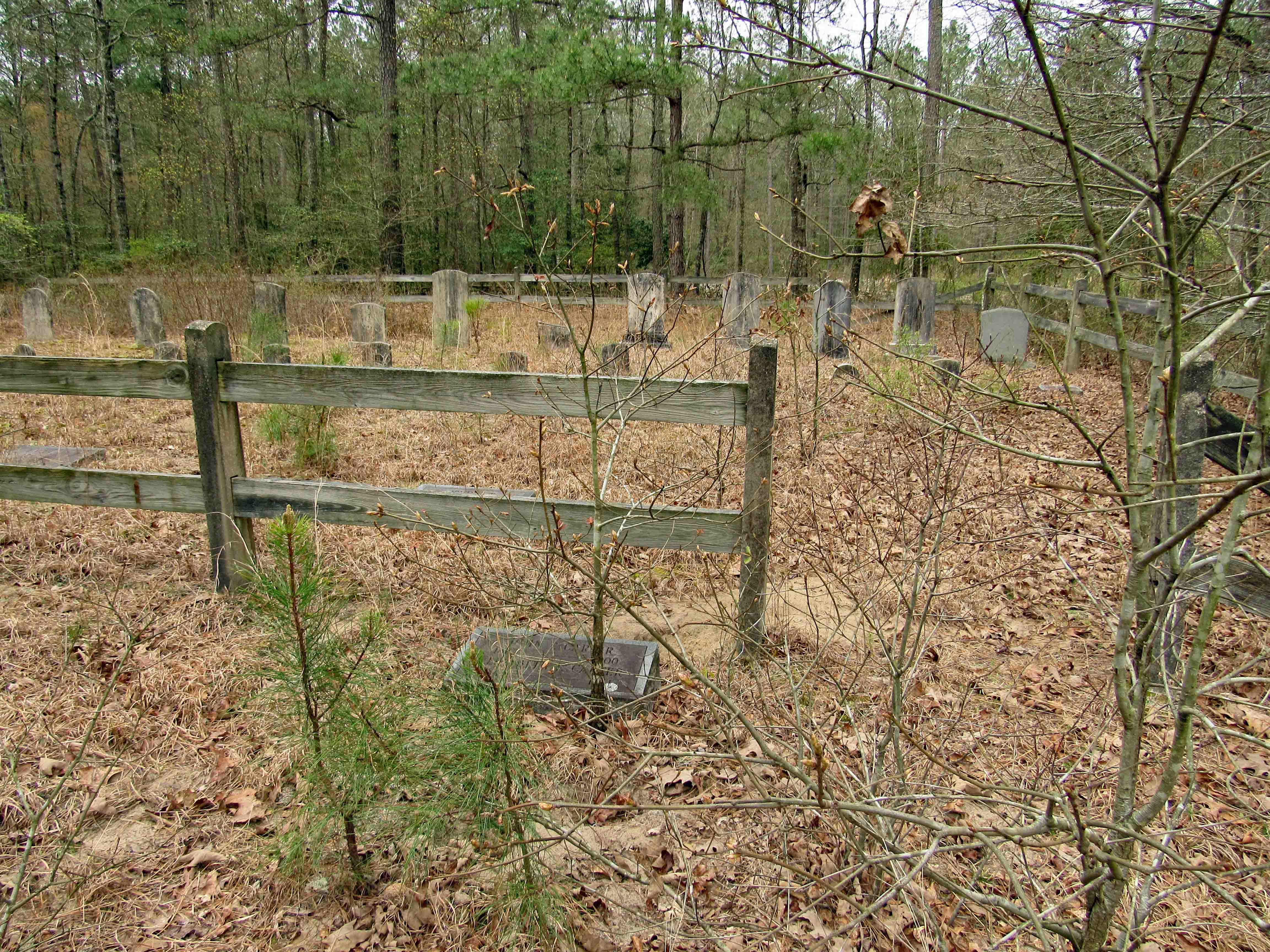
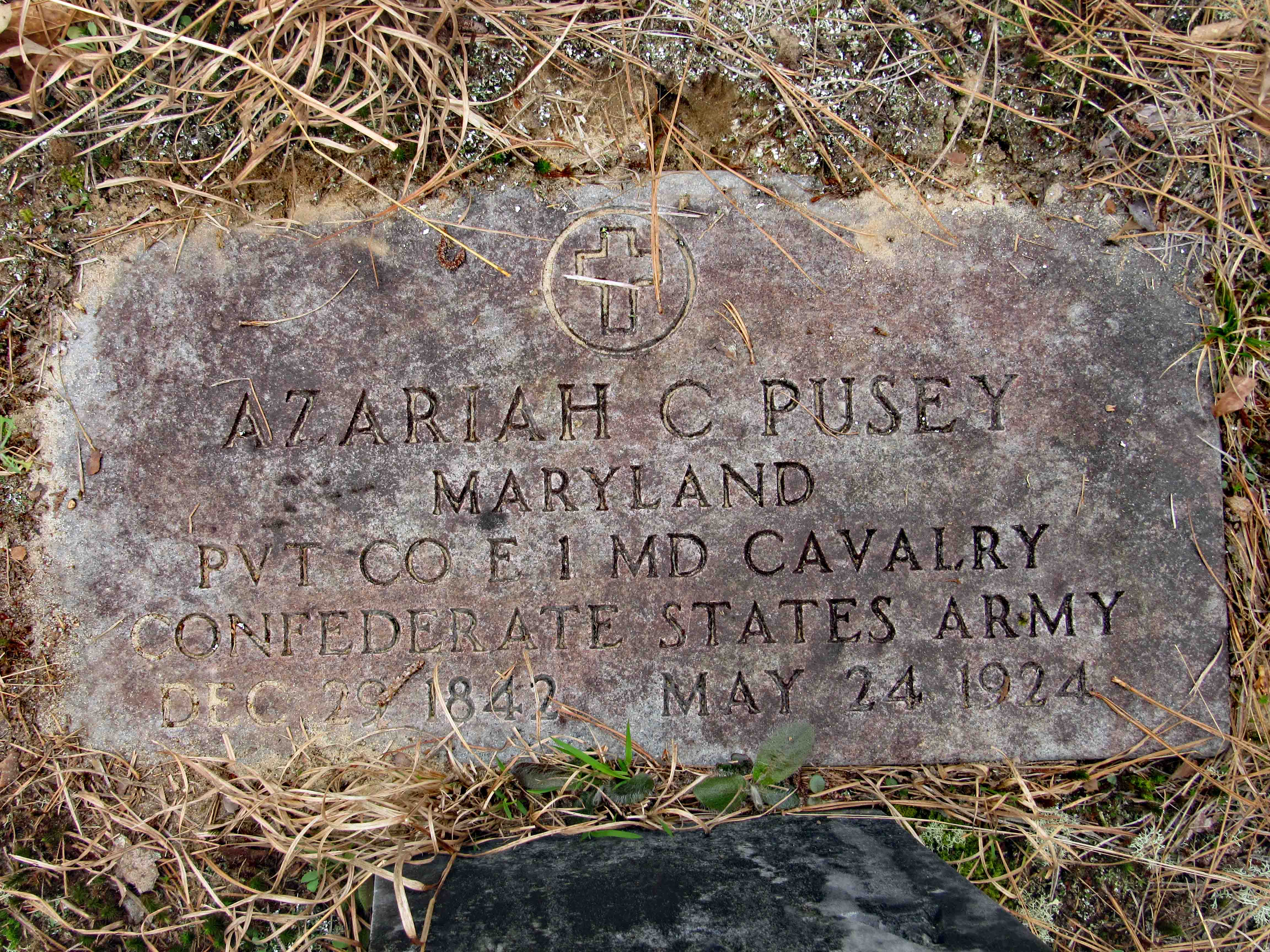
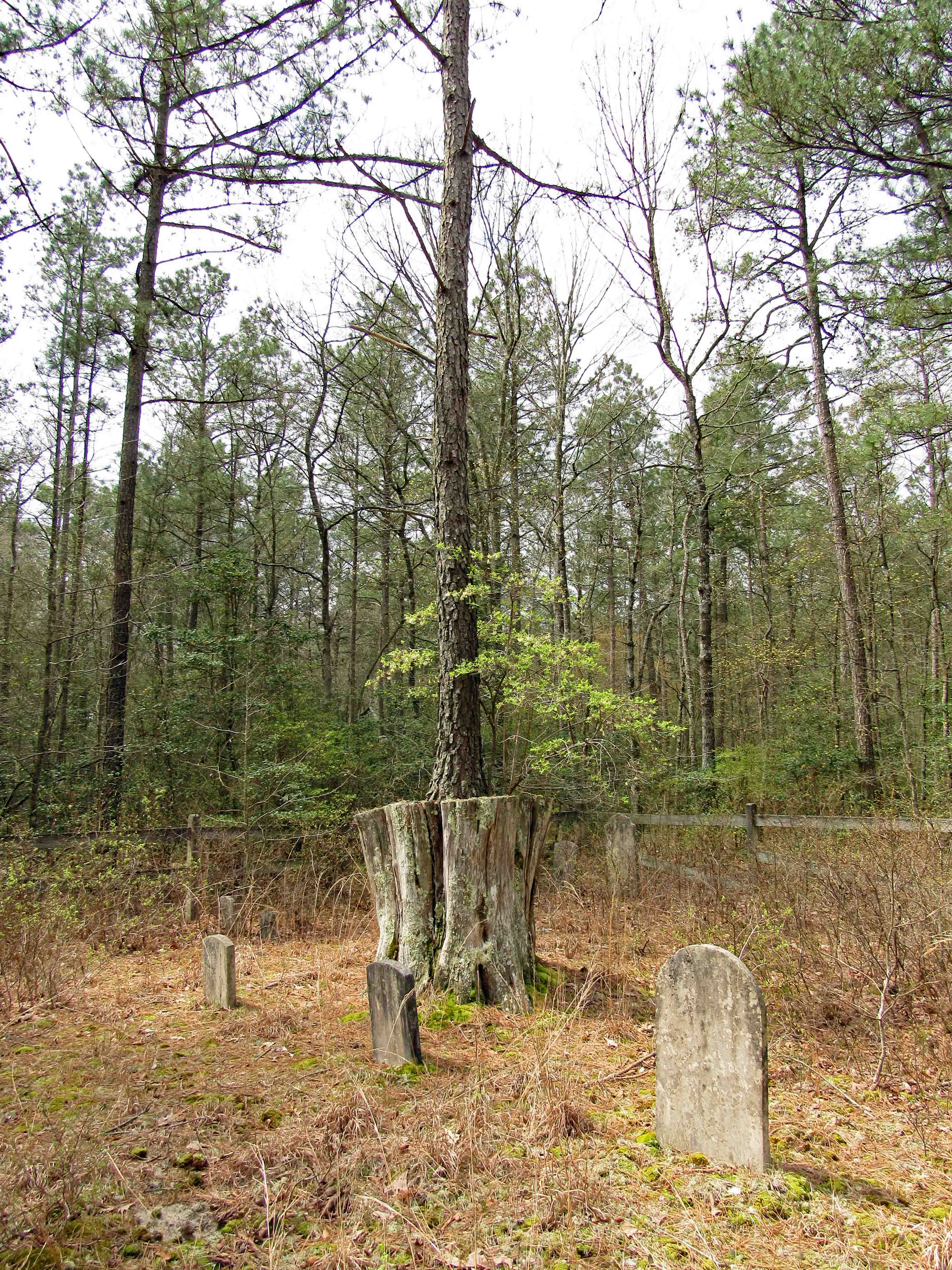
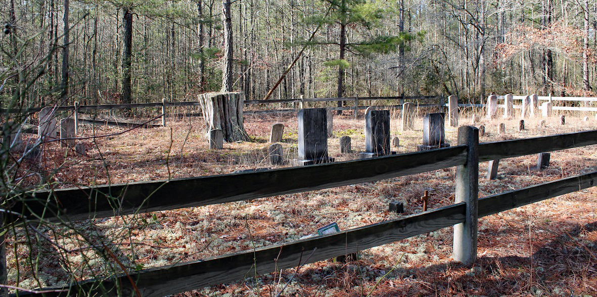
The driver would not pull over so Kathy and I could check out the cemetery.
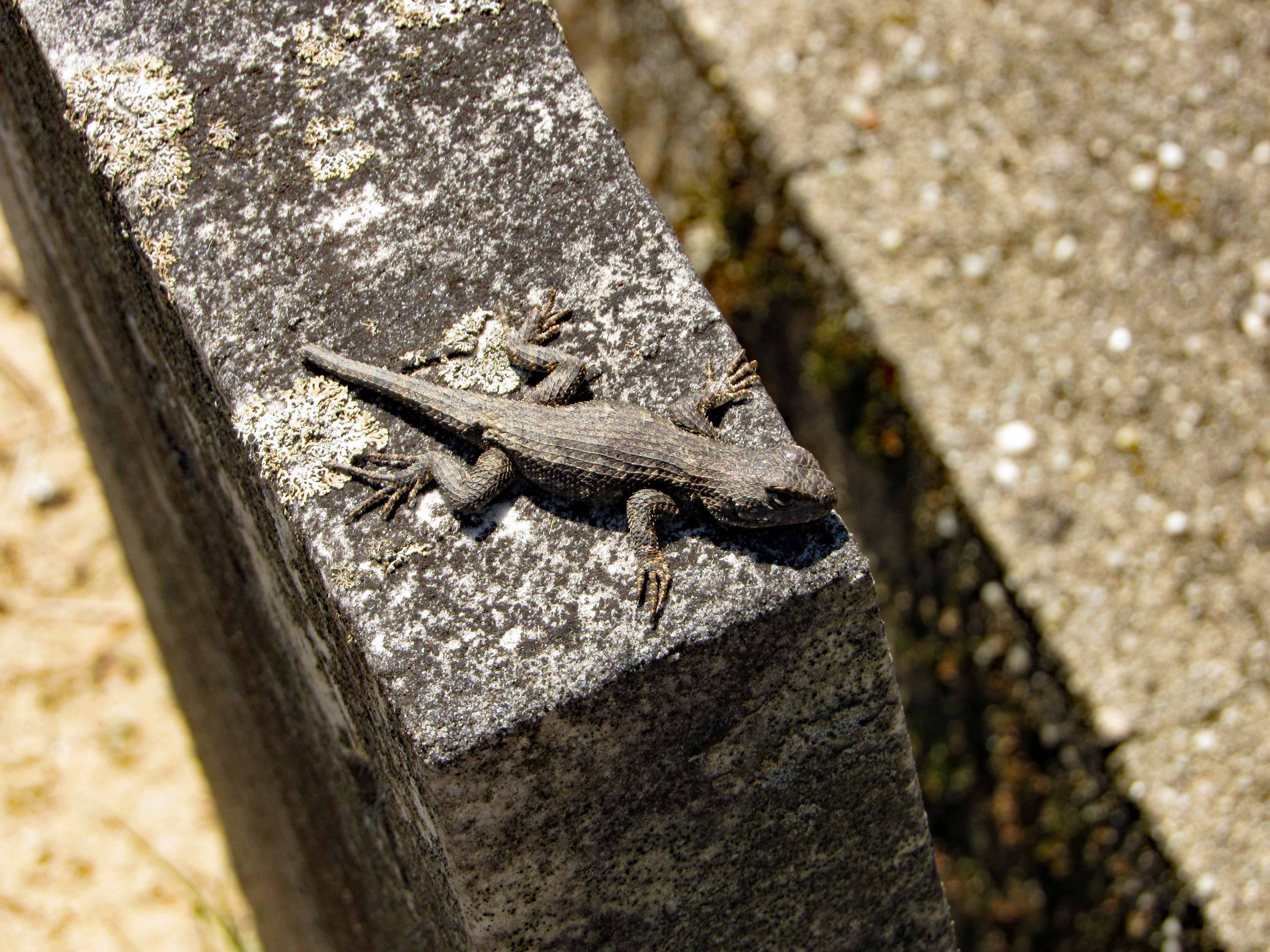
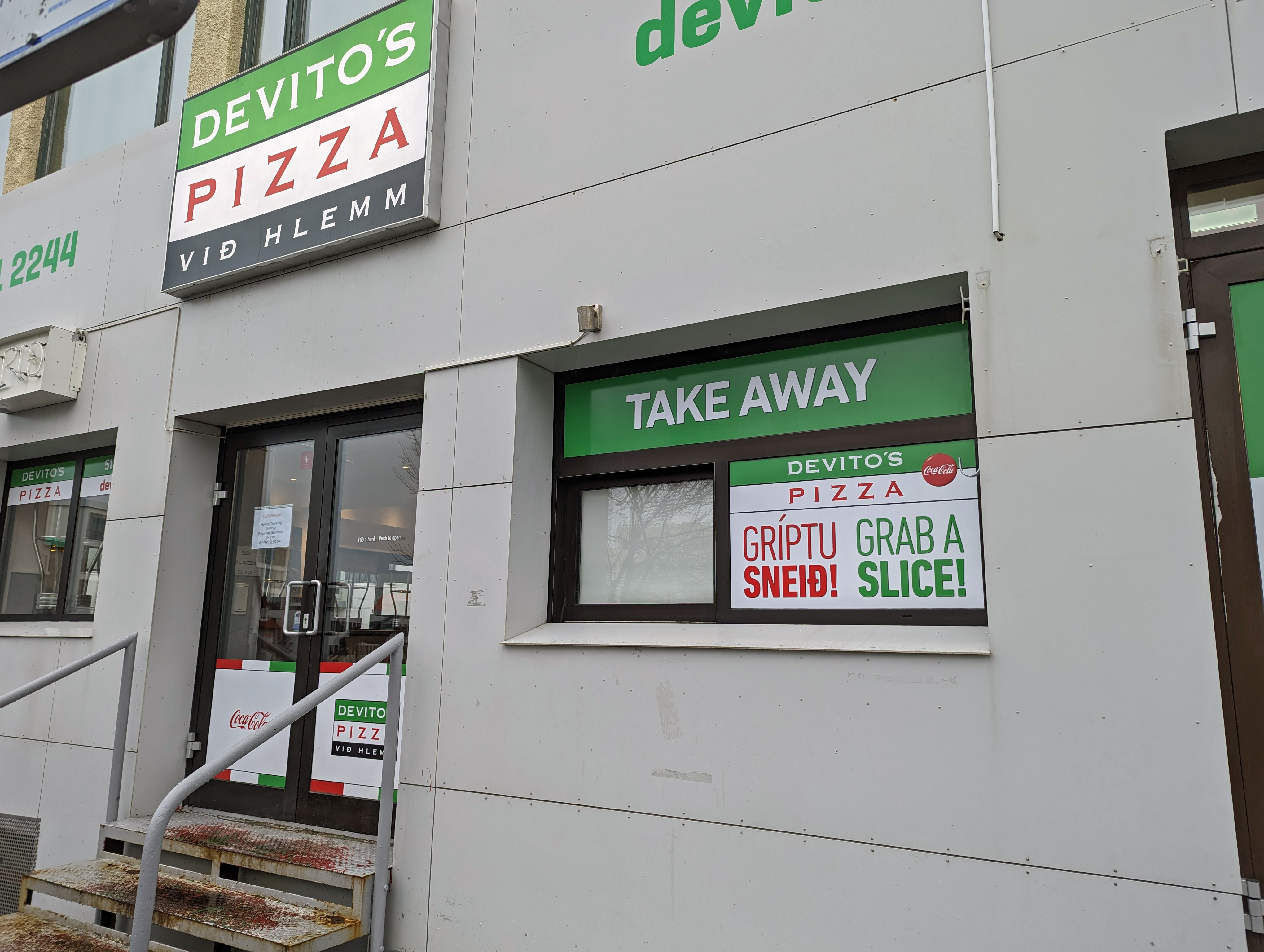
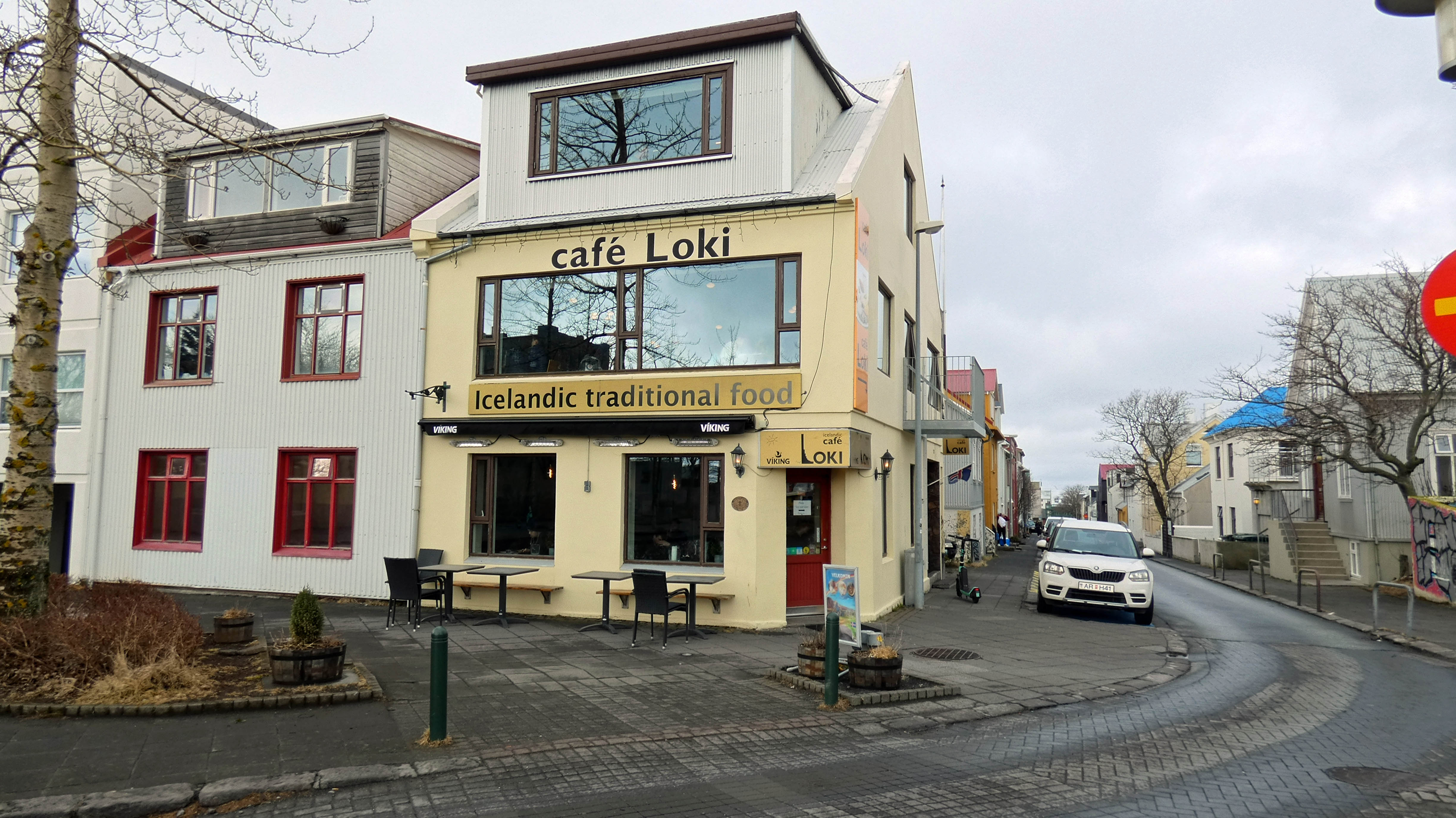
Random photos.

Cant stop me..
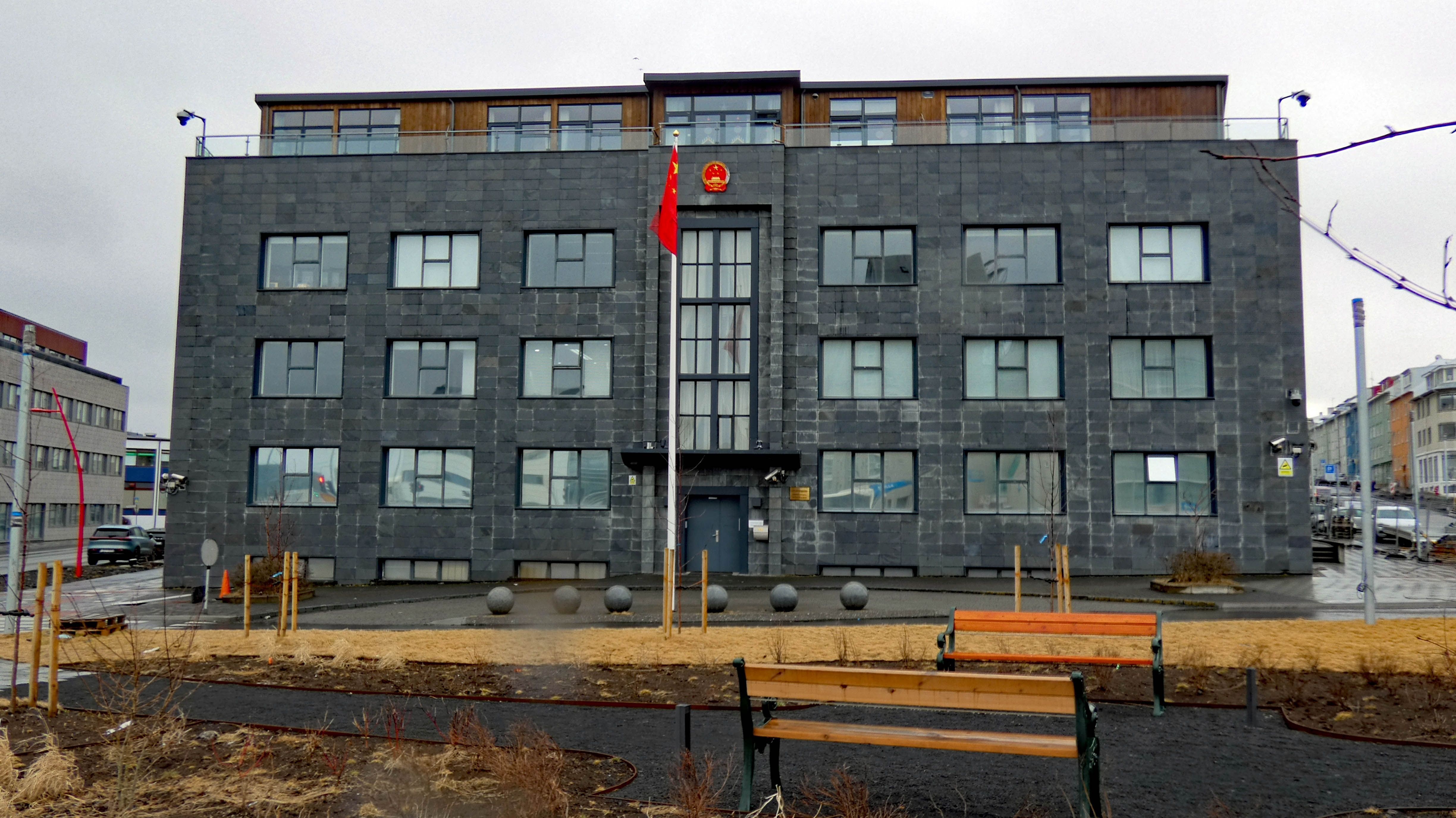
Chinese Embassy.

They love their wrestling.

Our first dinner out. We watched a video about this place before we left and thought we should try it, except for the rancid shark!
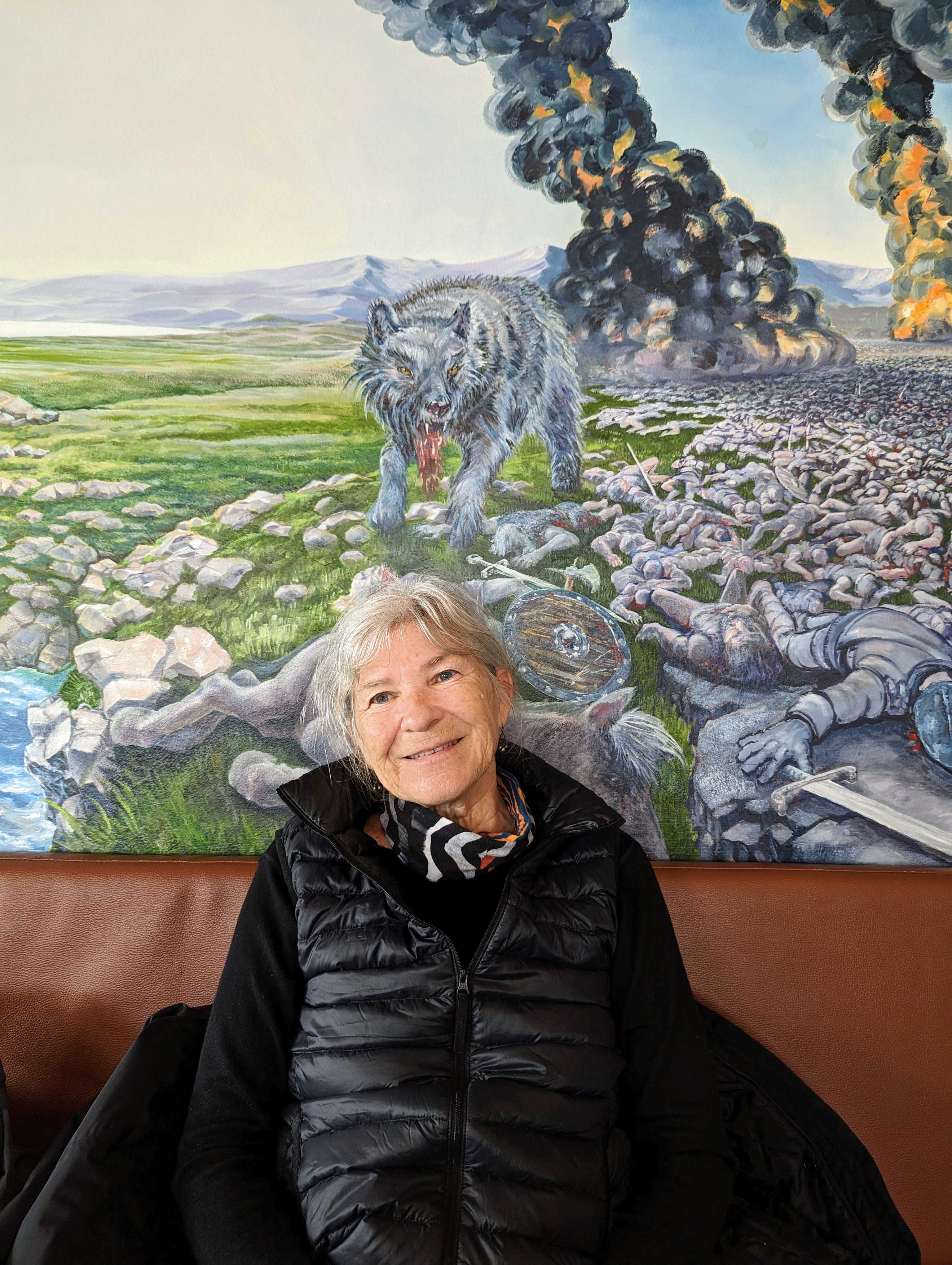
Really a bizarre mural to look at while eating.
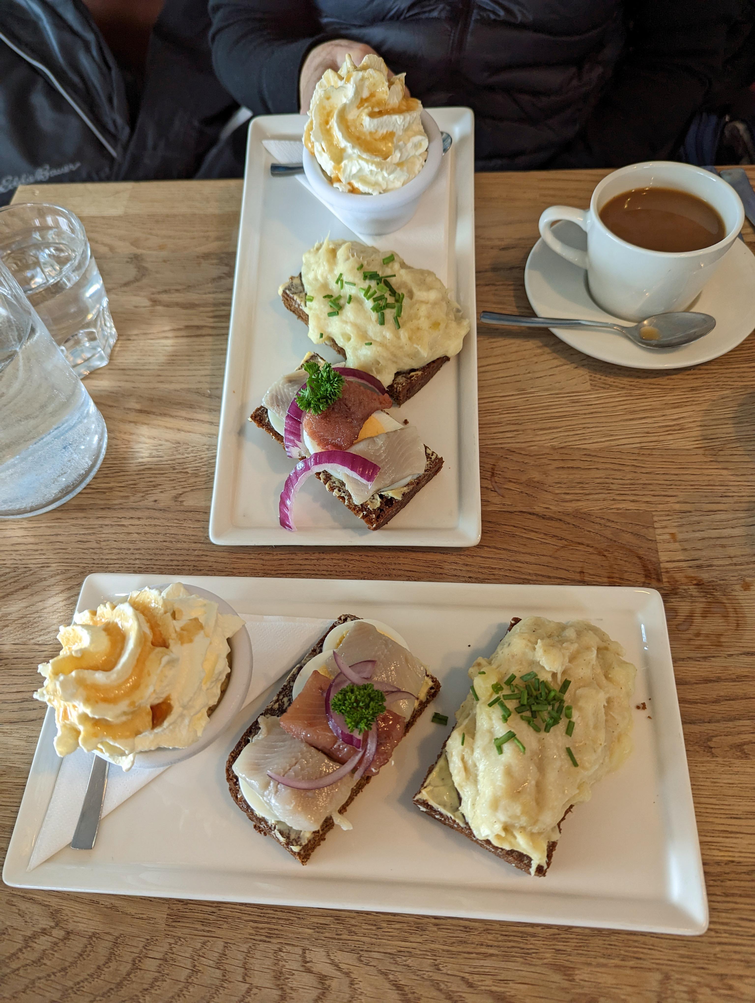
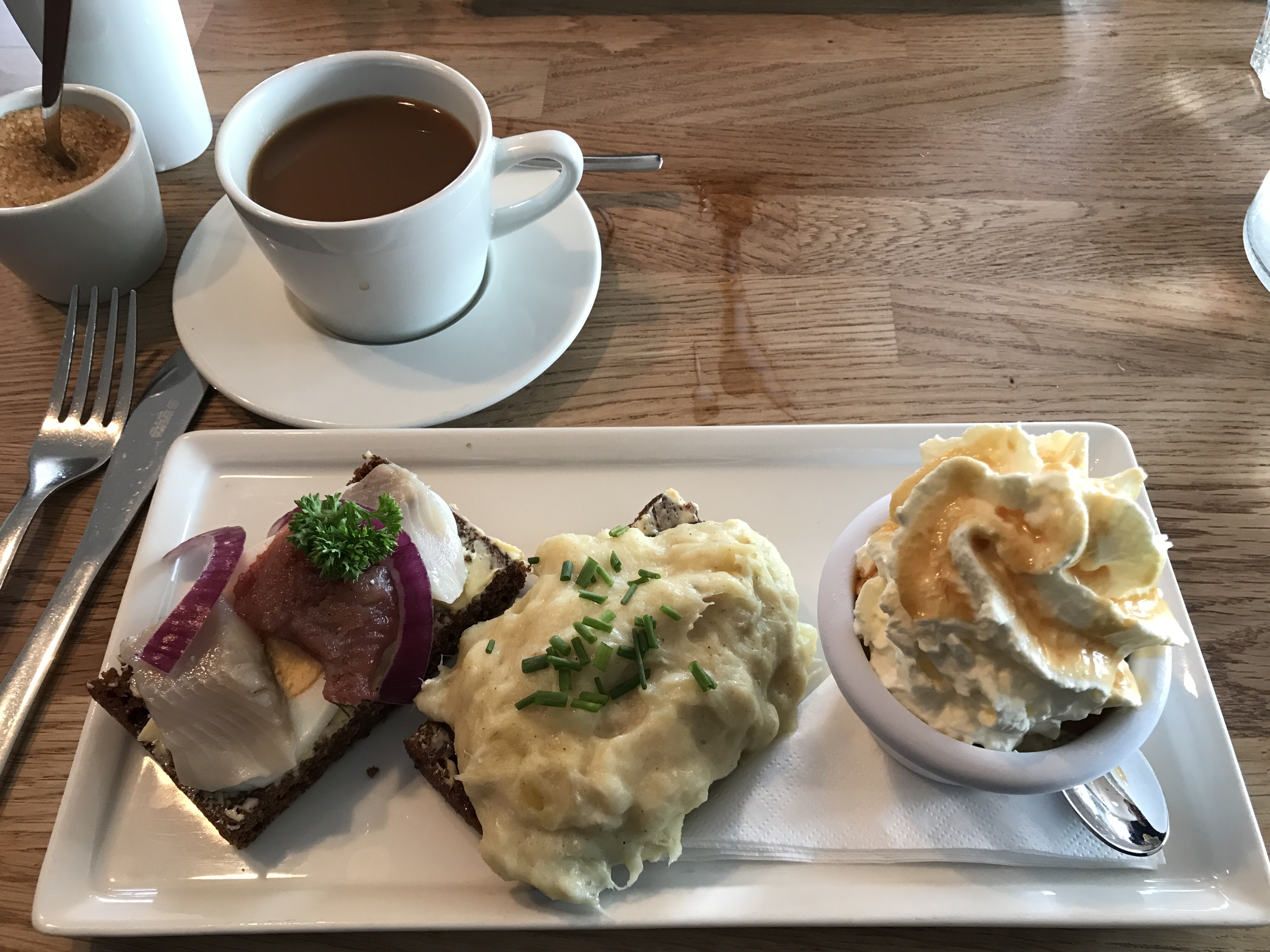
This was called the Baldur. Pickled herring on rye, I did not care for it. In the middle is Mashed Fish on rye, which was really good. Then rye bread ice cream. Melts in your mouth!
We then went to dinner at this place with Kathy’s friends, Donielle De and her husband Larry.

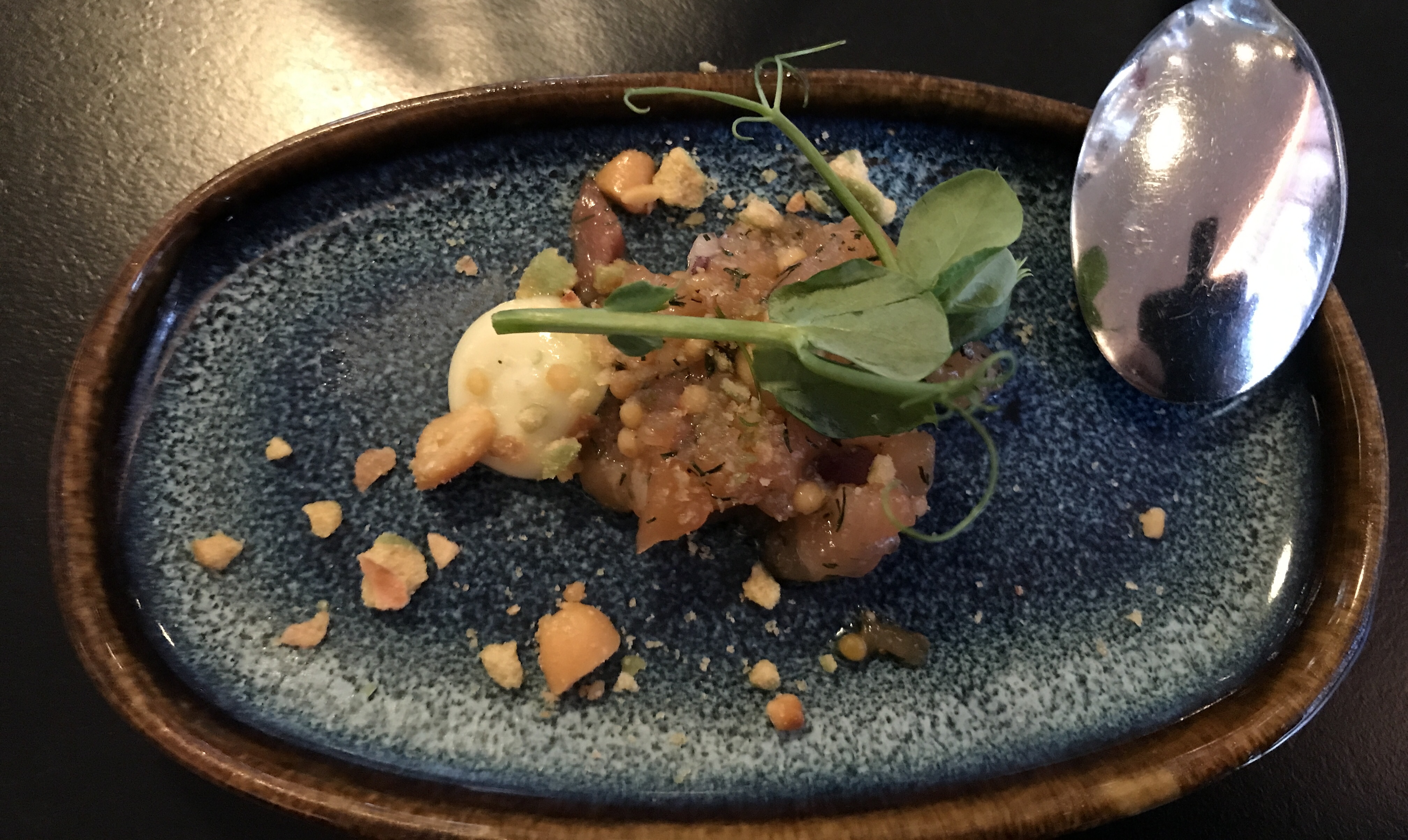
They start you off with an item new to the menu. This was salmon. OK I guess.

That is butter for your bread on that rock.
Kathy got the vegan meal.

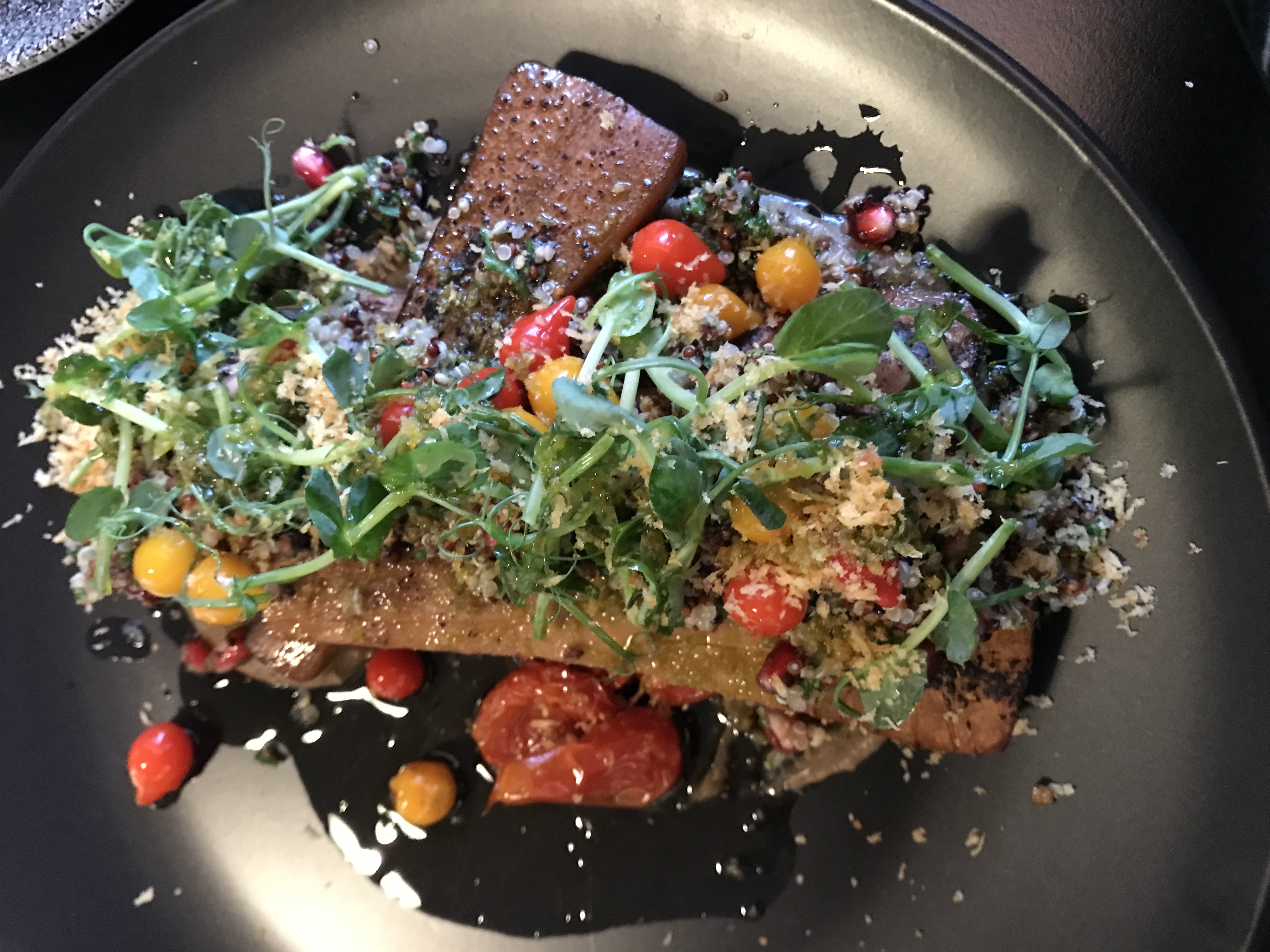
I got pasta with cod and shrimp.
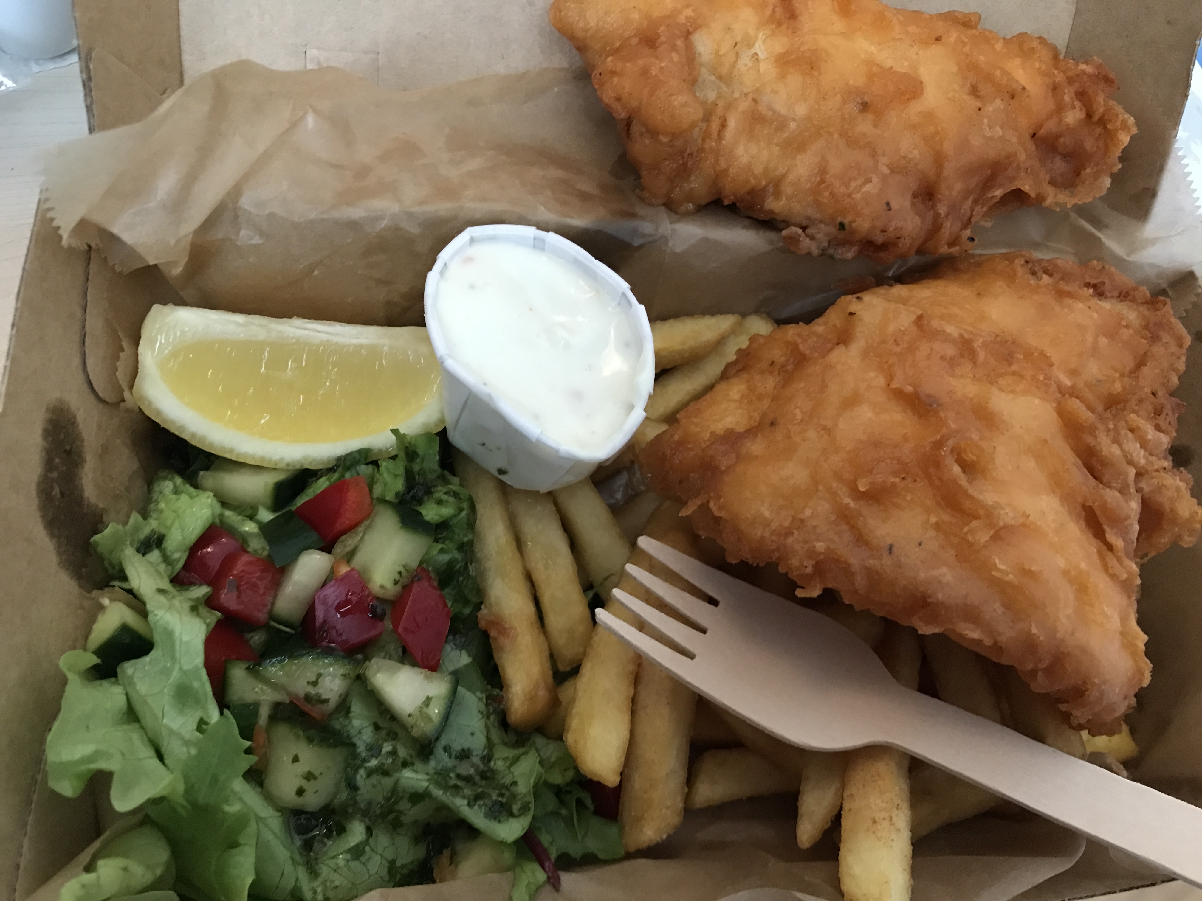
Another night we had carry-out fish and chips. Notice wood fork. Everything is recyclable. And if you want a bag, you will have to pay for it.

Baked beets.
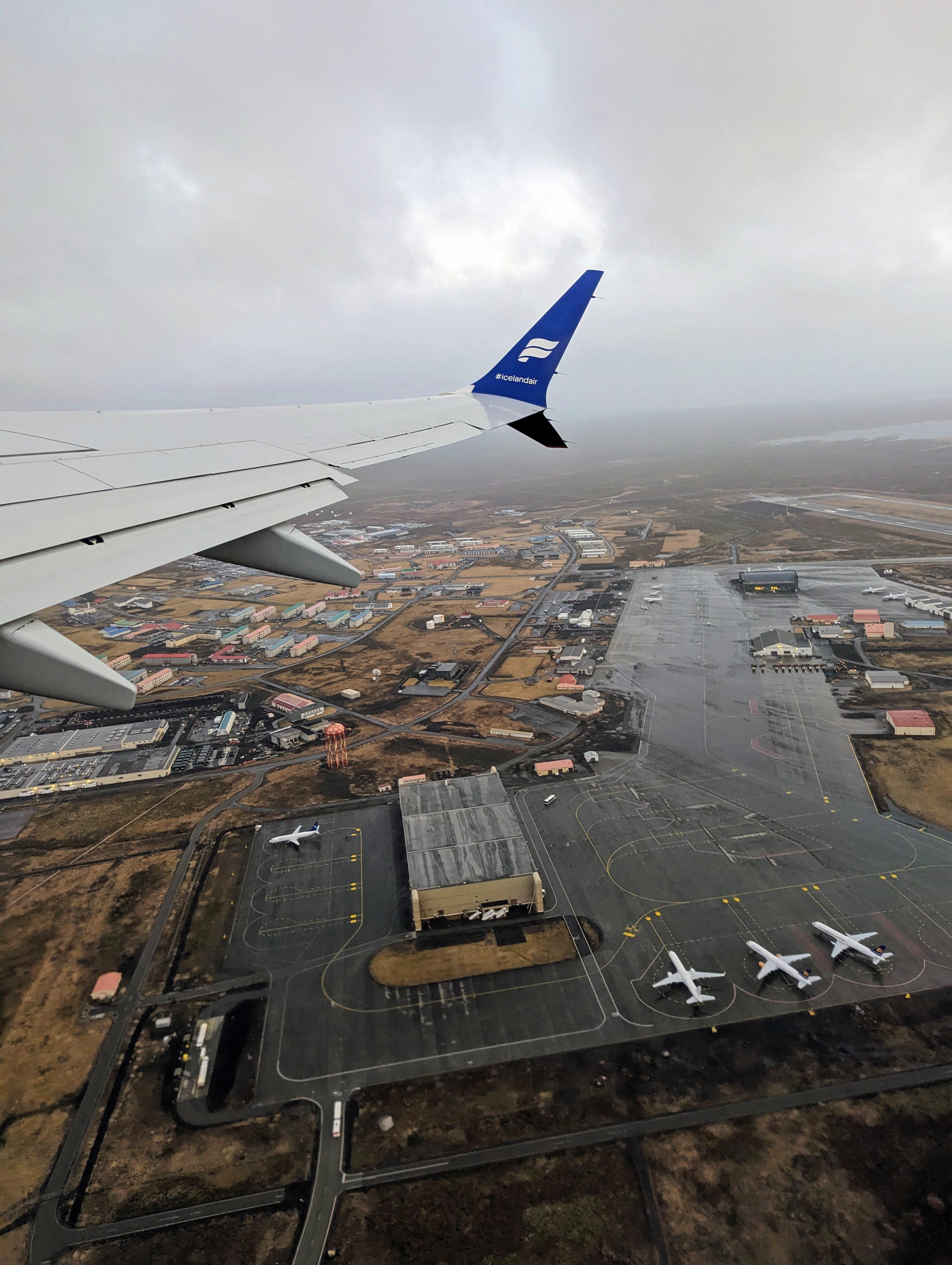
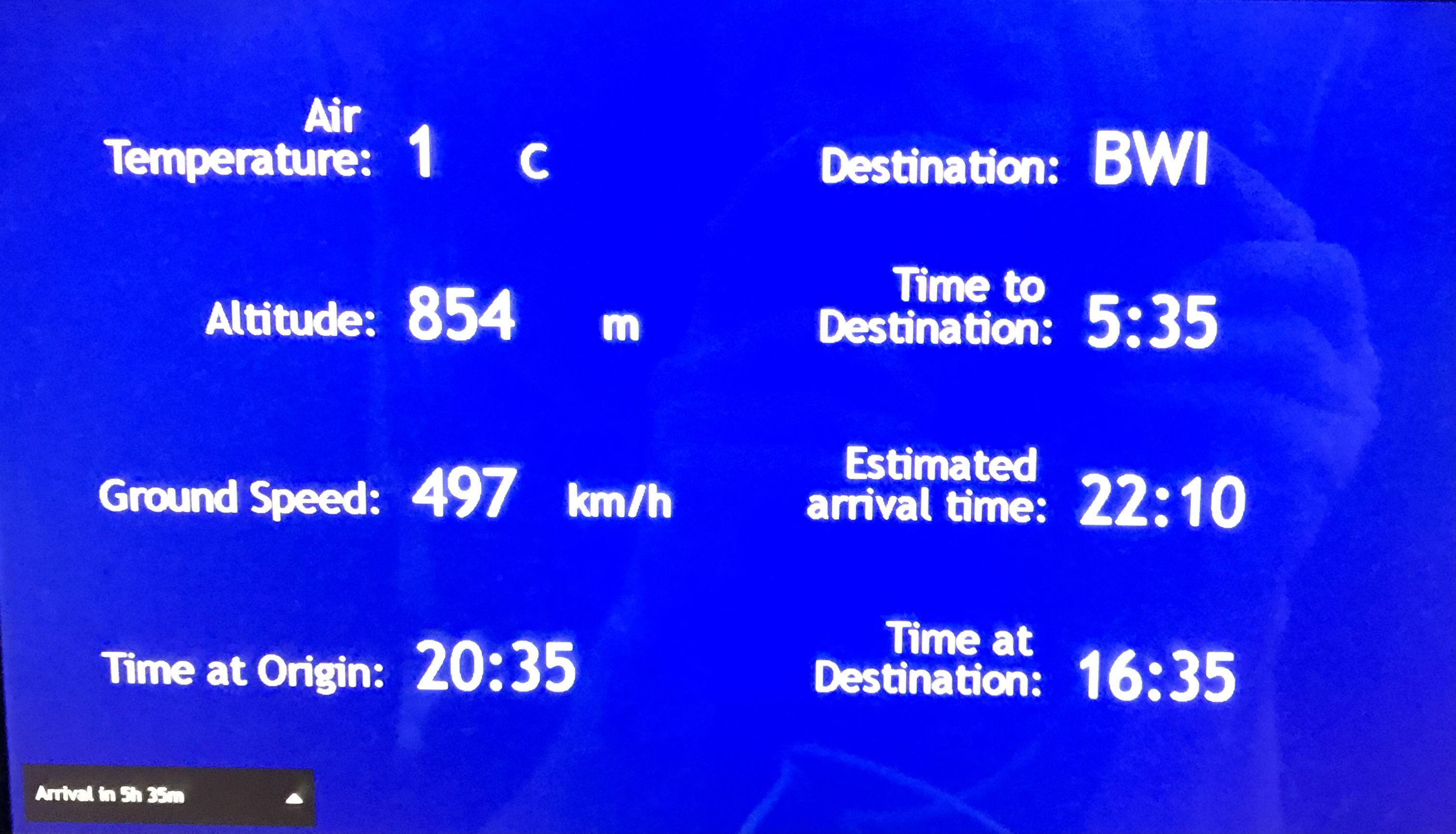
Next morning, heading home. the bus picked us up at about 12:30. Supposed to fly out at 5pm. Due to winds the plane did not take off until about 8:35pm. Long wait in a small airport with not enough seating. We arrived at BWI at 10:20pm EST. Left the long term parking by 11:30pm. Arrived at home 1:45am.

I am so glad that we were able to take this trip. We will probably go back one day to see all the things that we missed.
God is good.