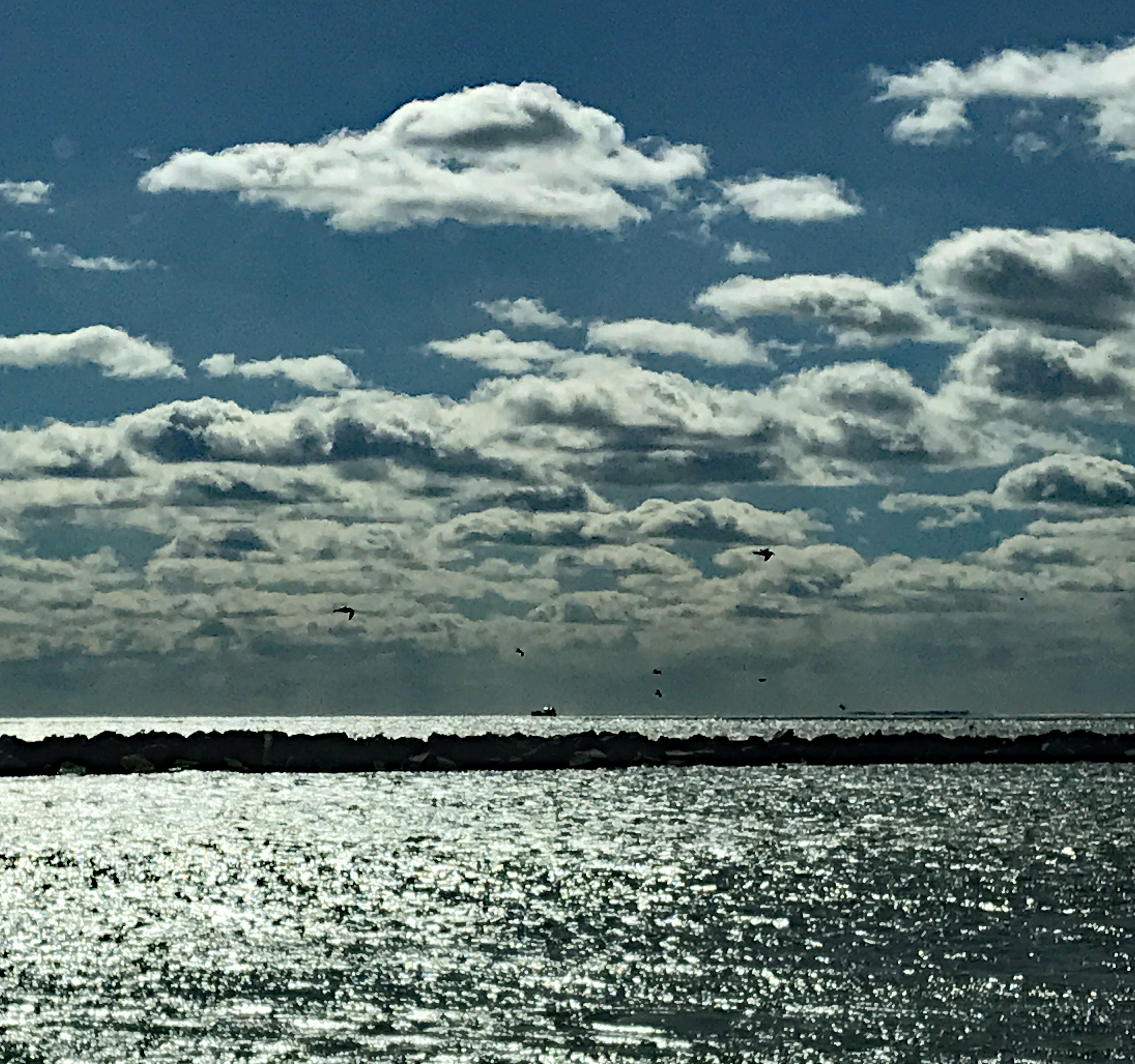
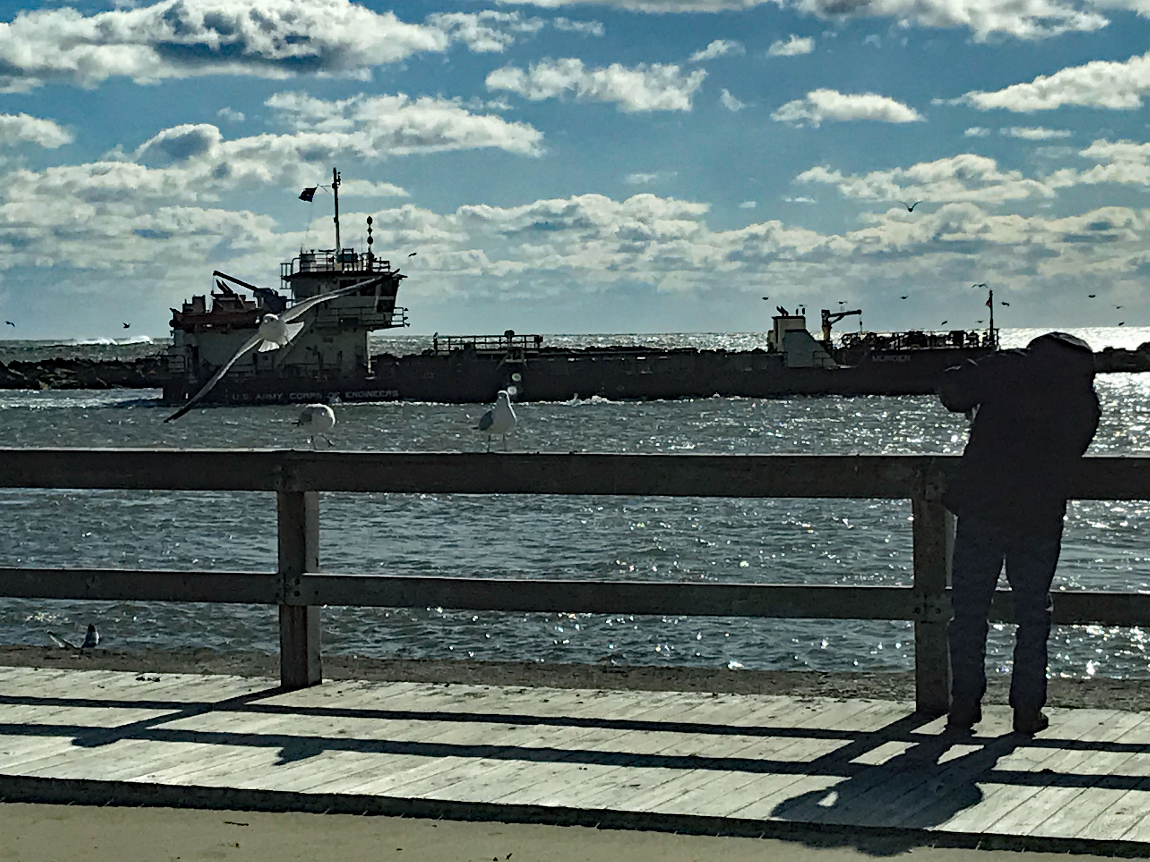
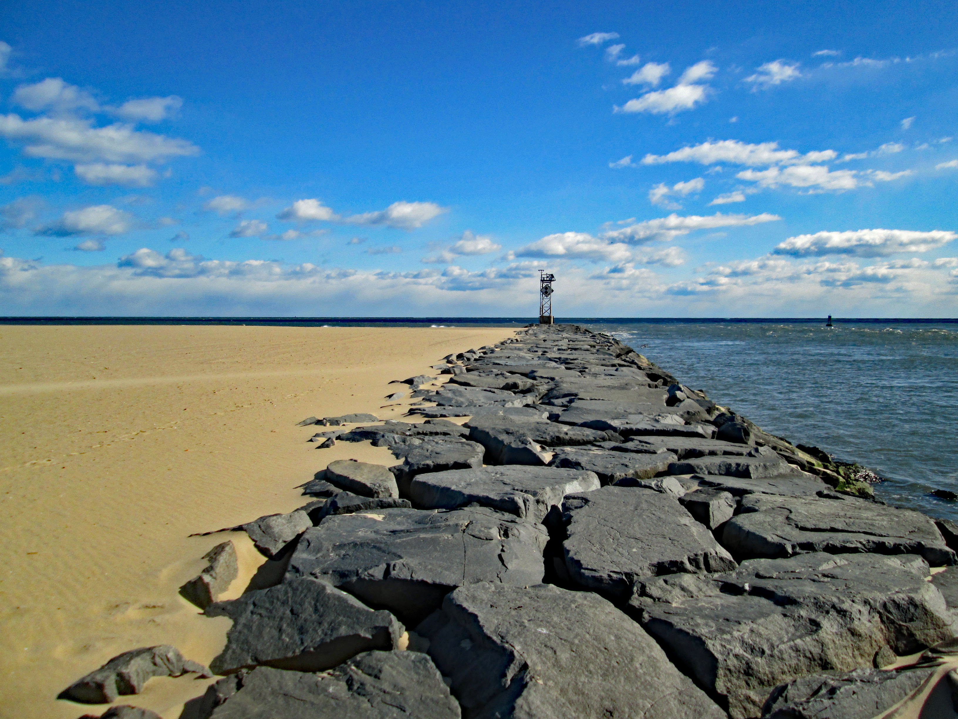
Headed down to Ocean City, Md. the other day. It was cold and windy but a nice day to be out. We parked at the Inlet Parking Lot after checking to see if Thrasher’s Fries was open. They were not. Off in the distance we saw some sort of ship way down near Assateague.
The ship started to head back towards the Inlet Channel – some rough seas
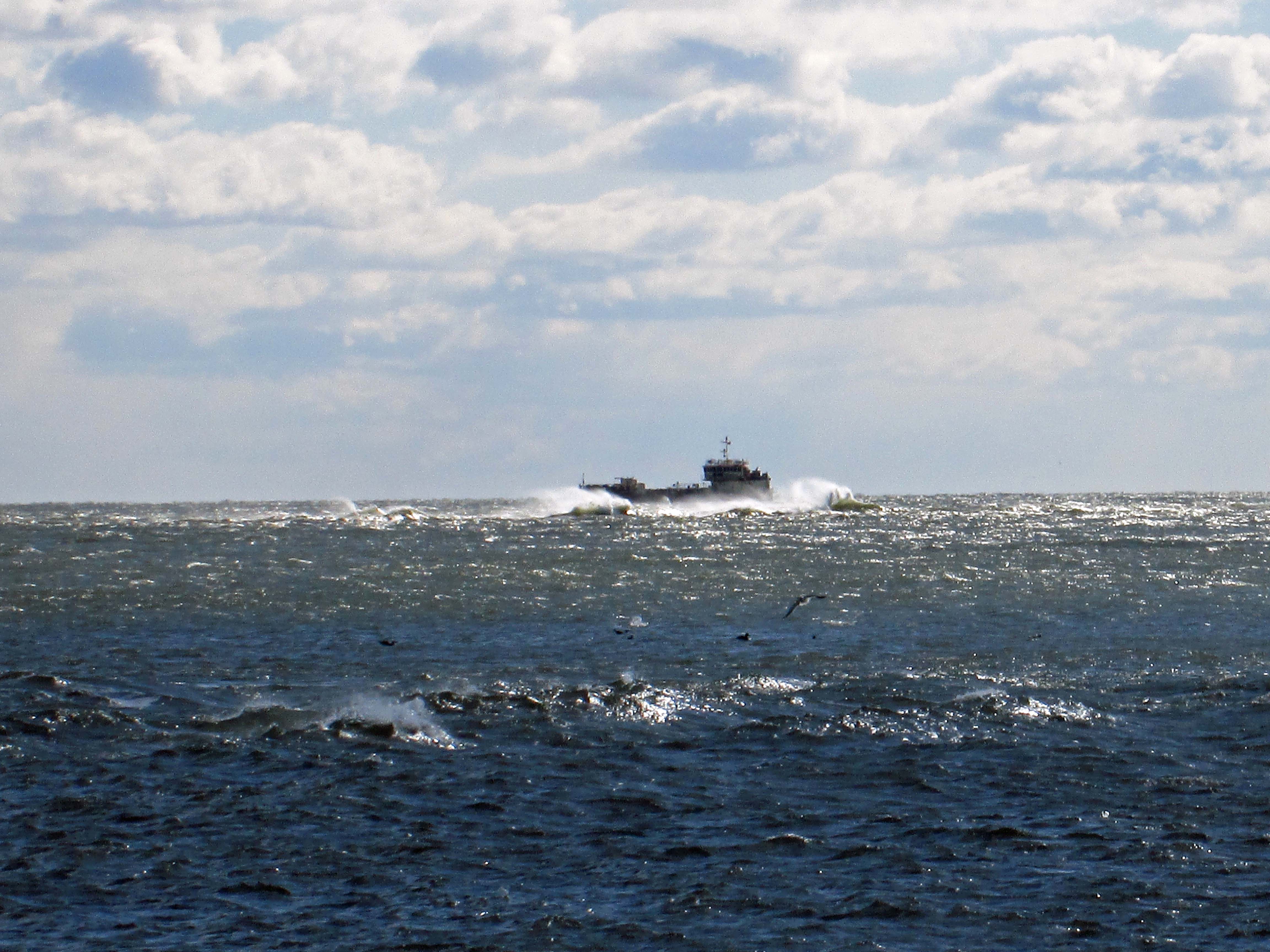
Suddenly he headed towards the beach adjacent to the fishing pier.
Did a u-turn and we thought he was going to hit the beach.
He straightened himself (or herself) out and then headed into the channel.
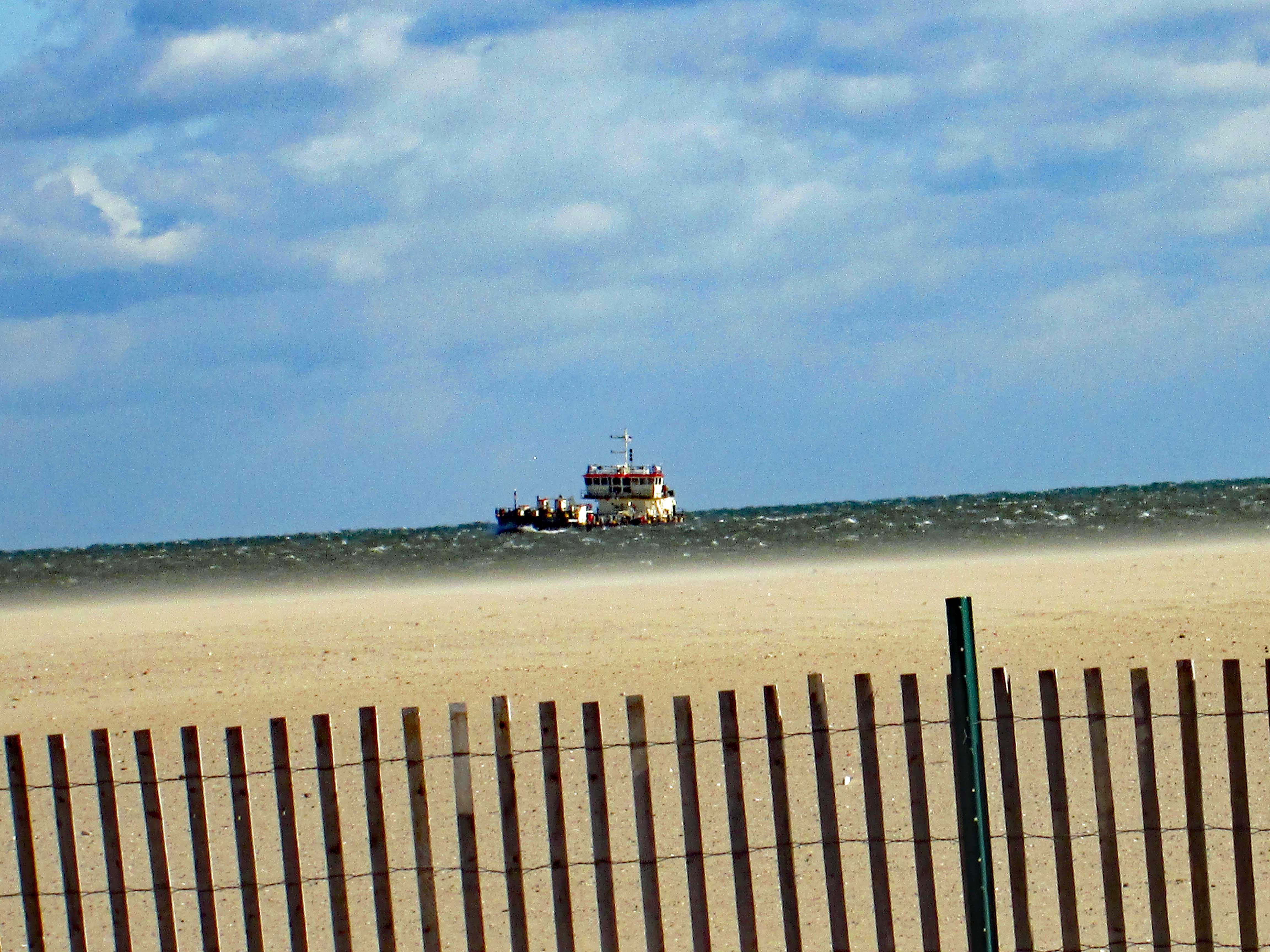
Where the seagulls and I could get a good look.
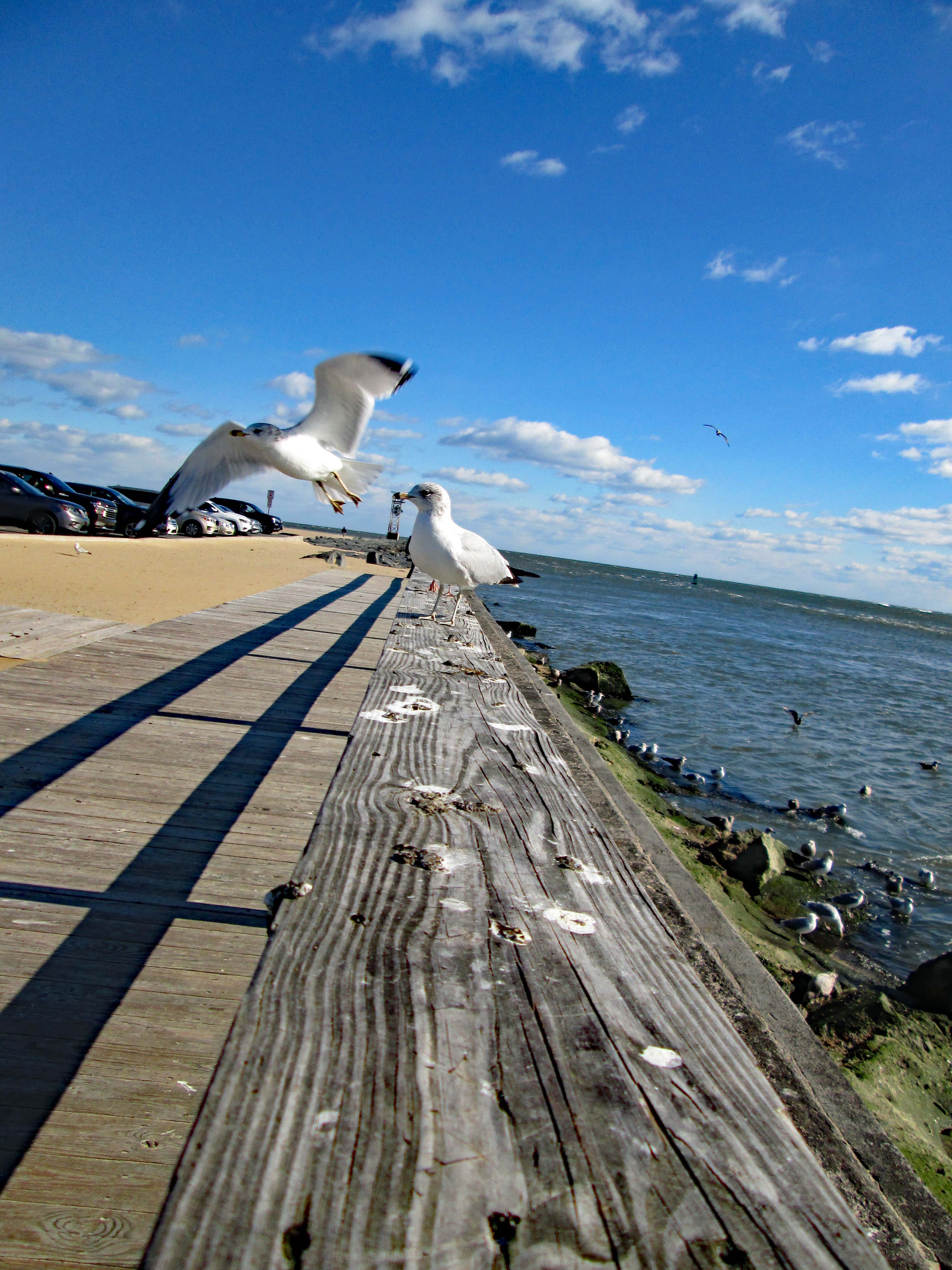
The cars lined up for lunch and the gulls waiting for some Thrashers. Disappointed.
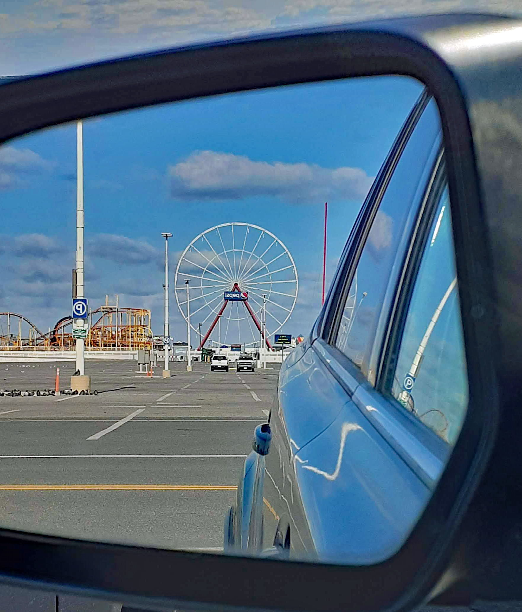
Back in the car with a view one way…
Then the other.
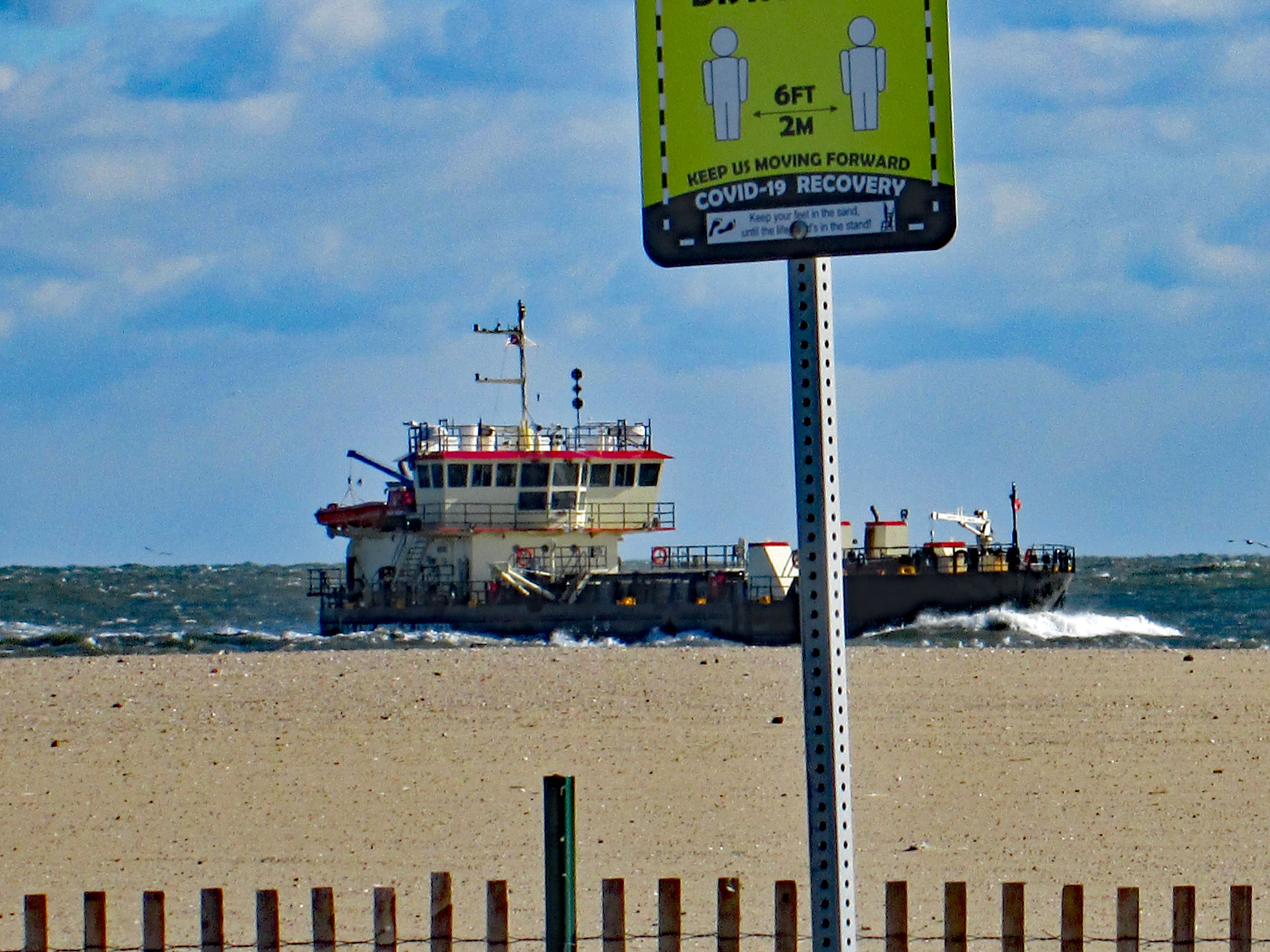
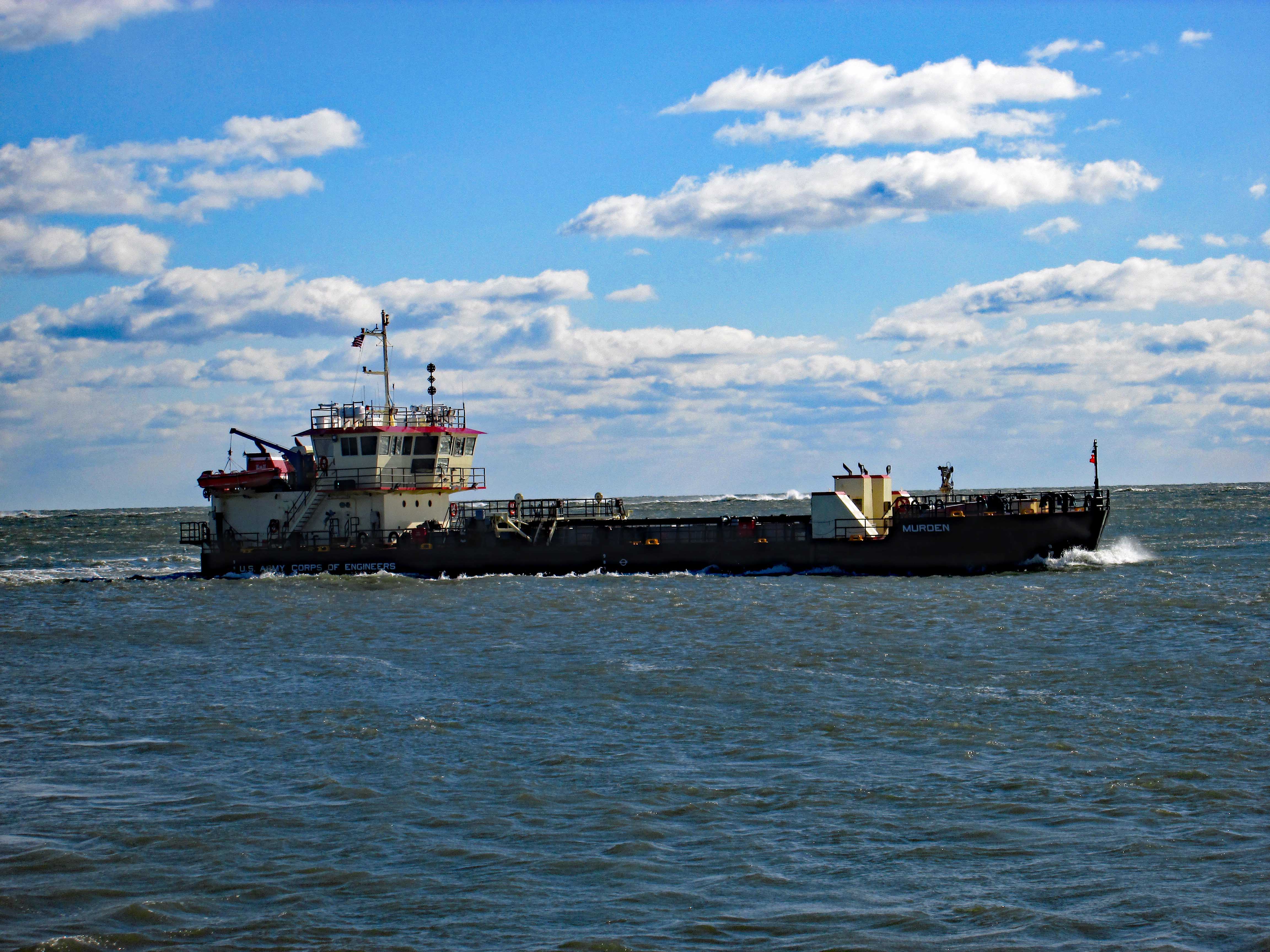
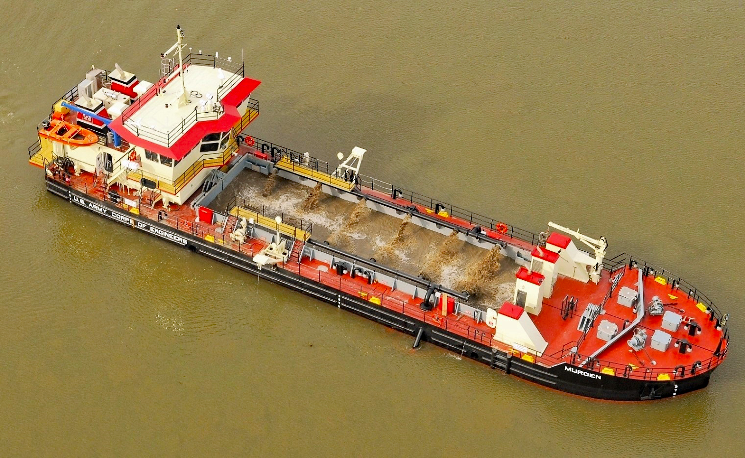
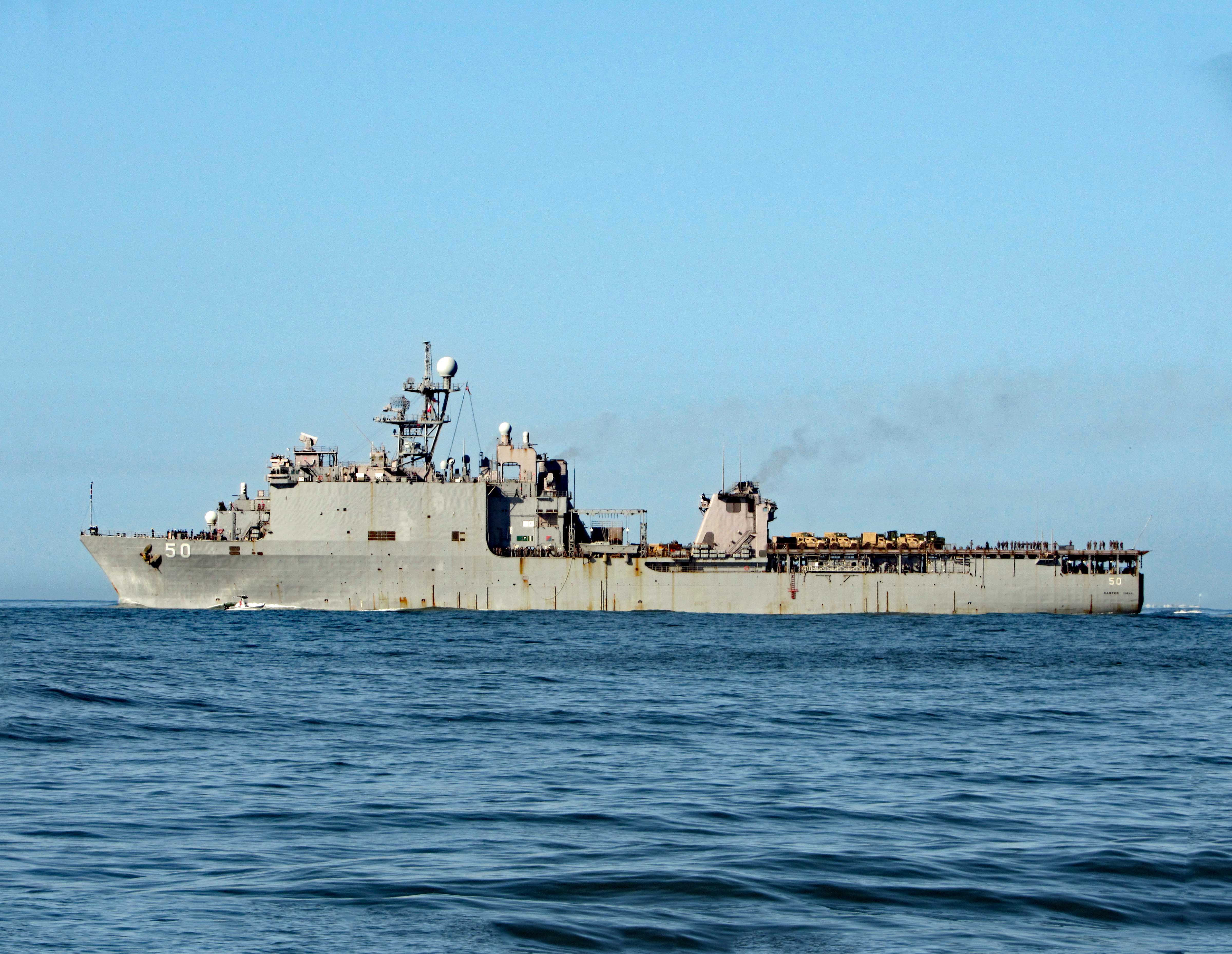
Here is a stock photo of the ship and some info.
The split hull dredger Murden is currently very busy working in and around Ocean City Inlet as part of the Assateague Island Restoration project, conducted in partnership with the Assateague Island National Seashore, the U.S. Army Corps of Engineers’ Baltimore District said in its latest announcement. This project involves dredging sand from in and around the Ocean City Inlet navigation channel and beneficially placing it south of the inlet just offshore of Assateague Island. The work is being done to mitigate the impacts on sediment transport and erosion caused by the the inlet and associated jetties. According to USACE, this work generally takes place twice a year. The Murden arrived at Ocean City Inlet at the end of May (2019) and is expected to continue working in the area until mid-June. The USACE’s shallow draft dredger is based out of the the U.S. Army Corps of Engineers’ Wilmington District in North Carolina.
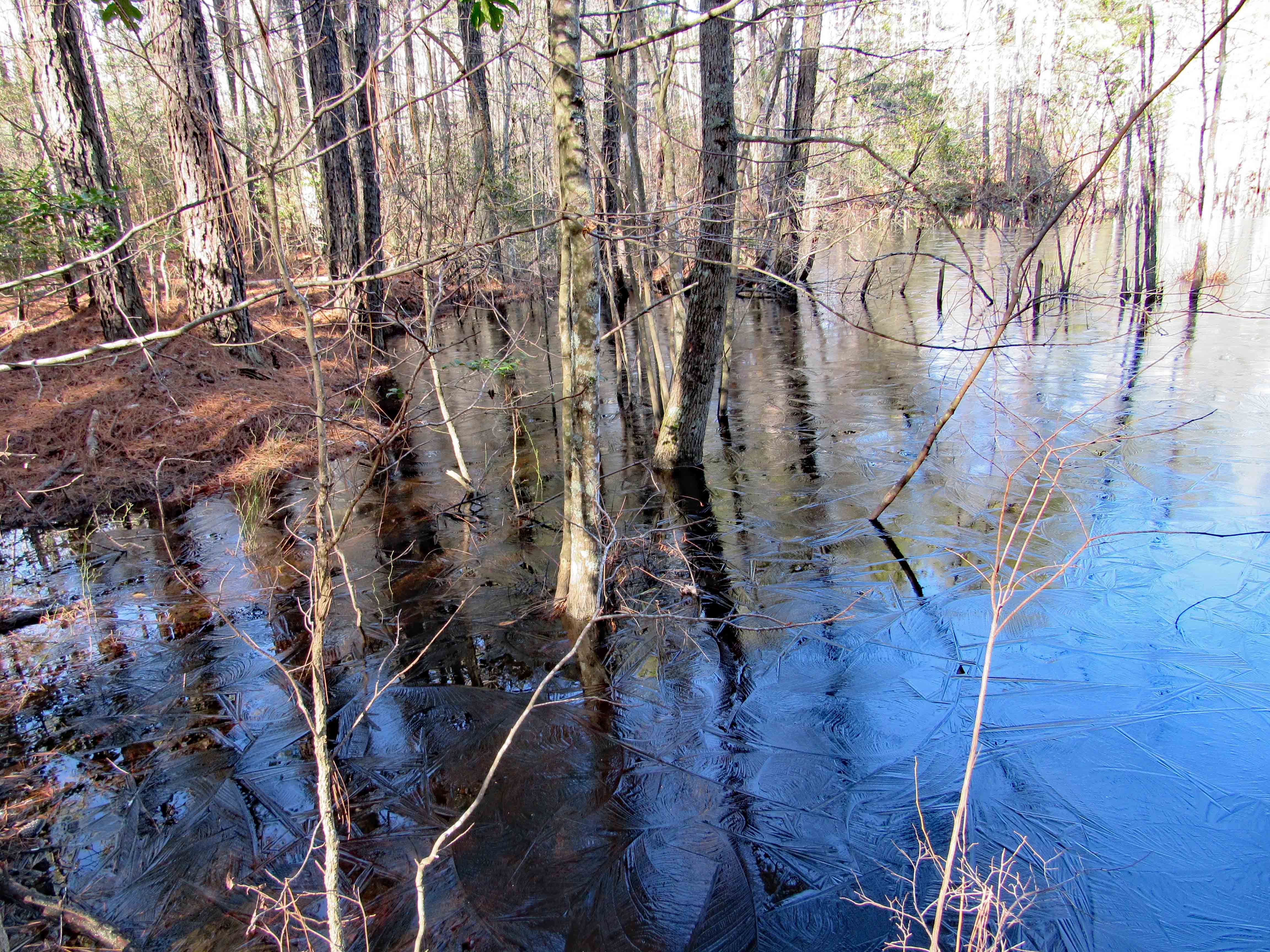
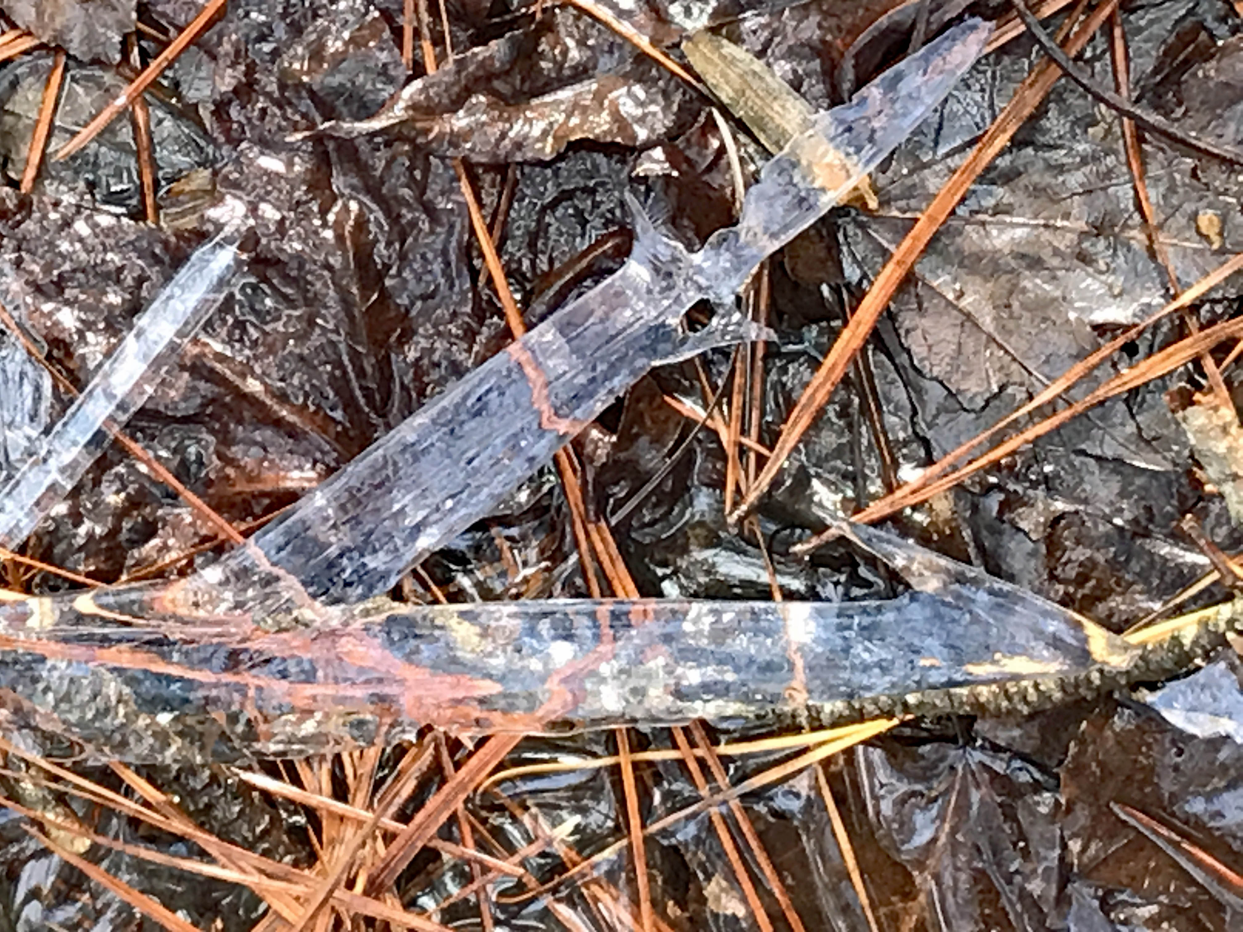
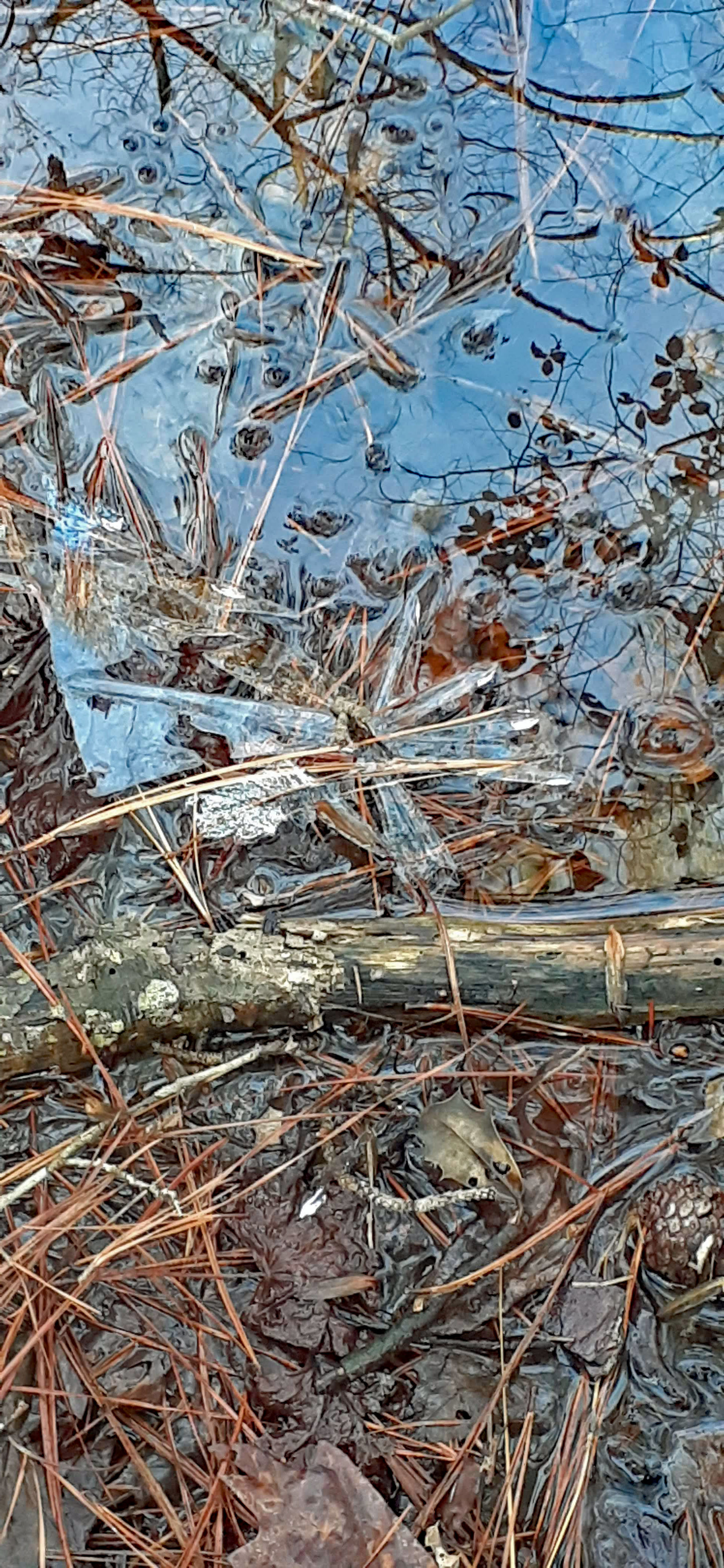
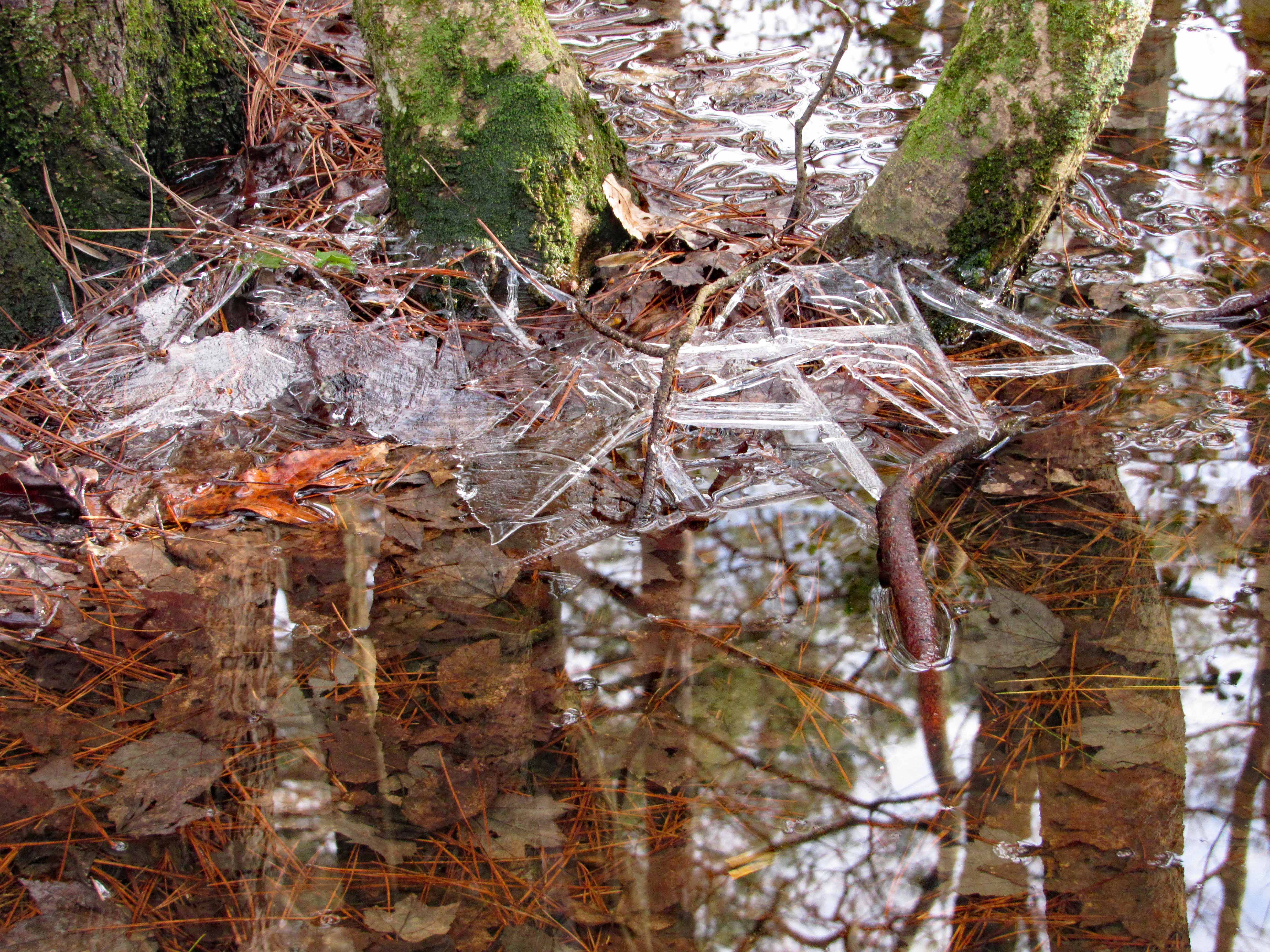
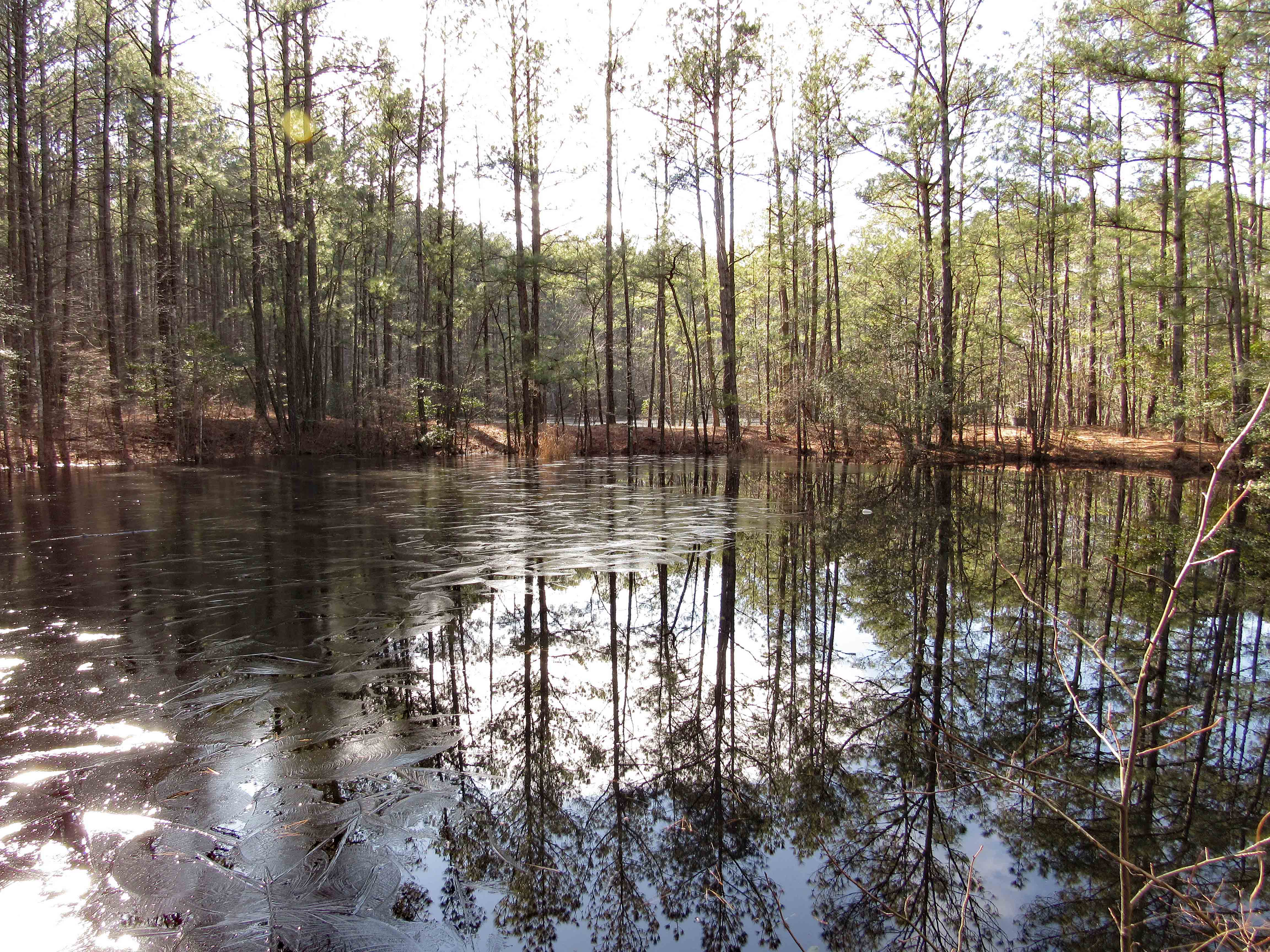
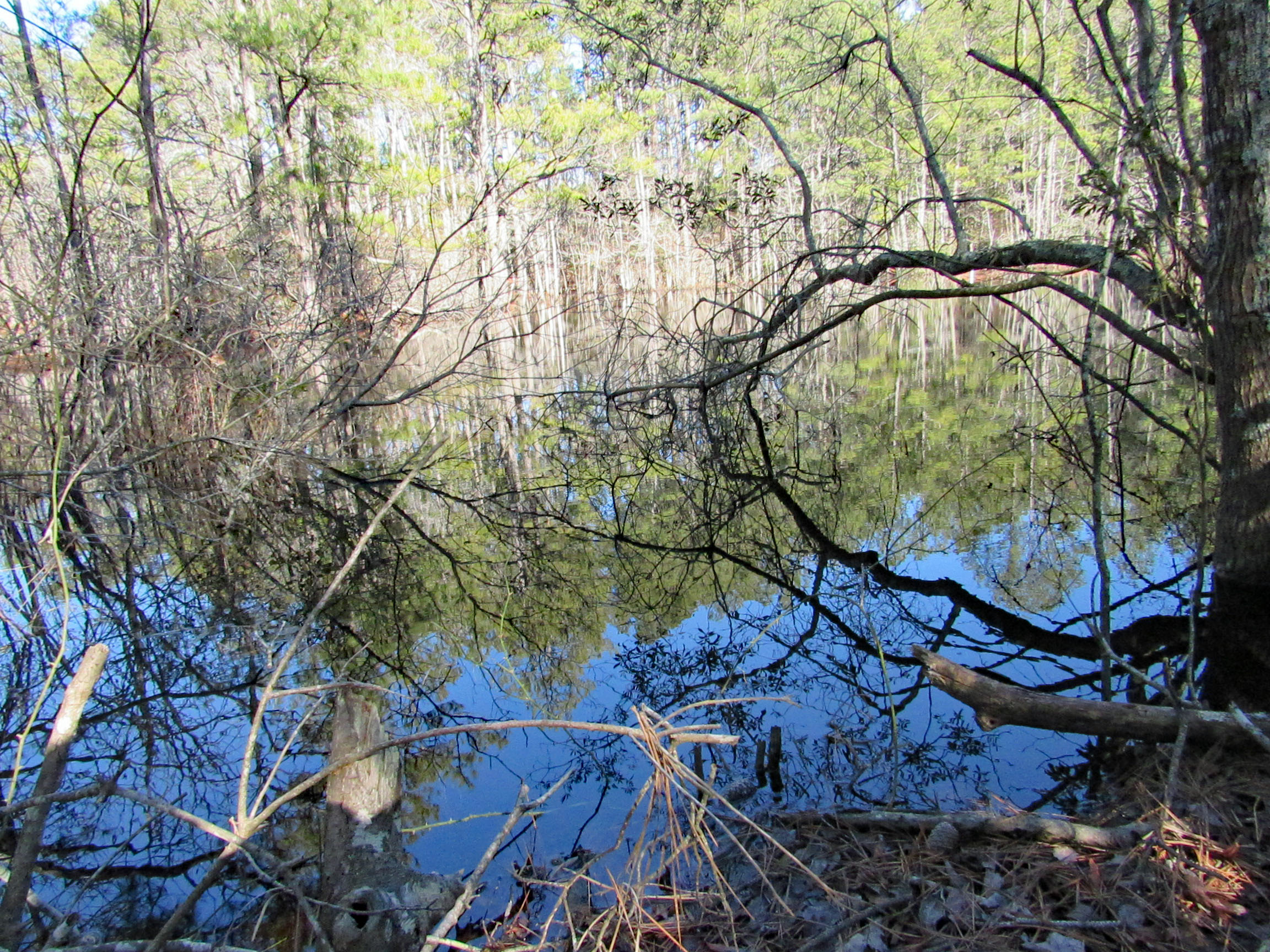
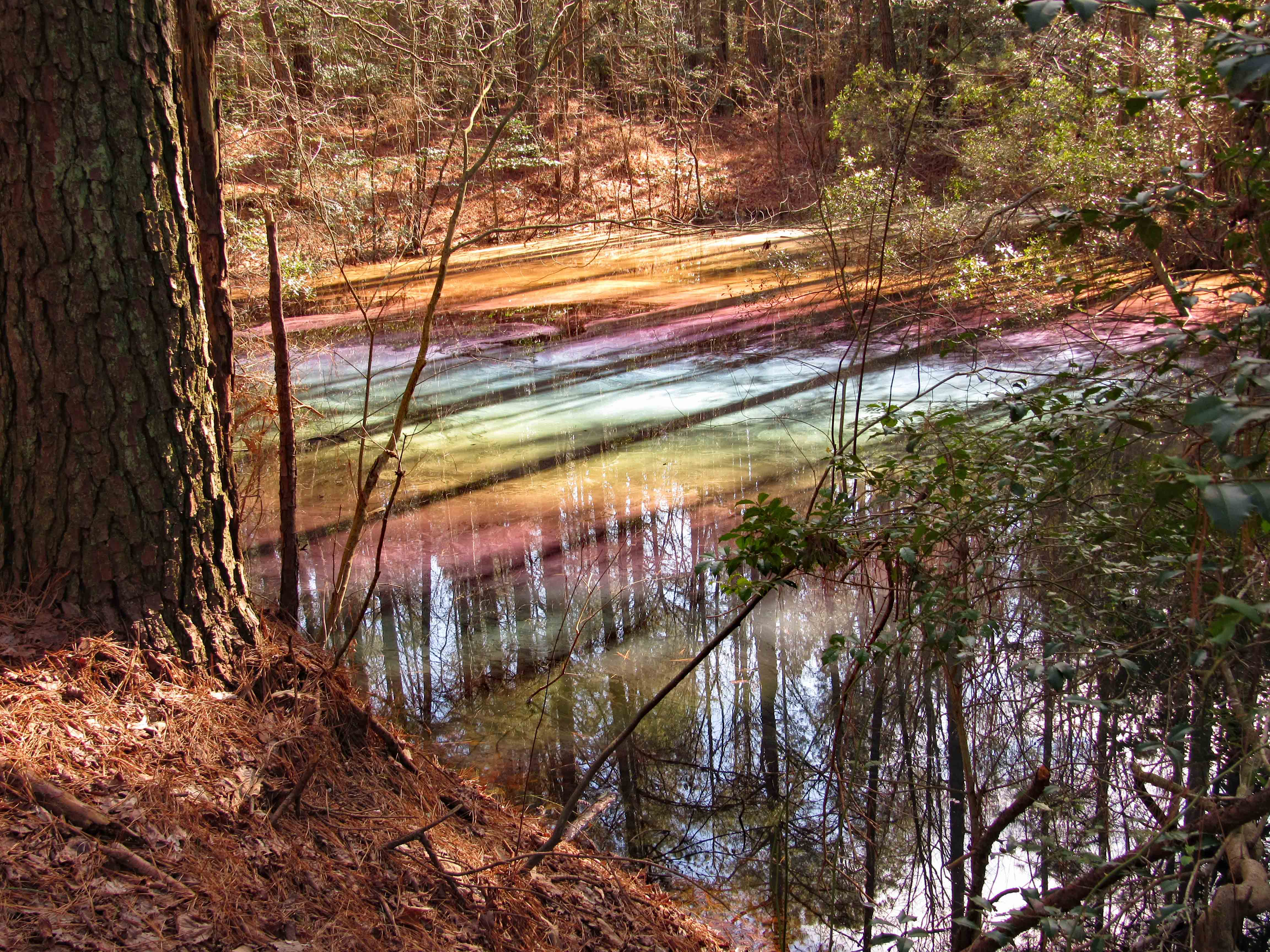
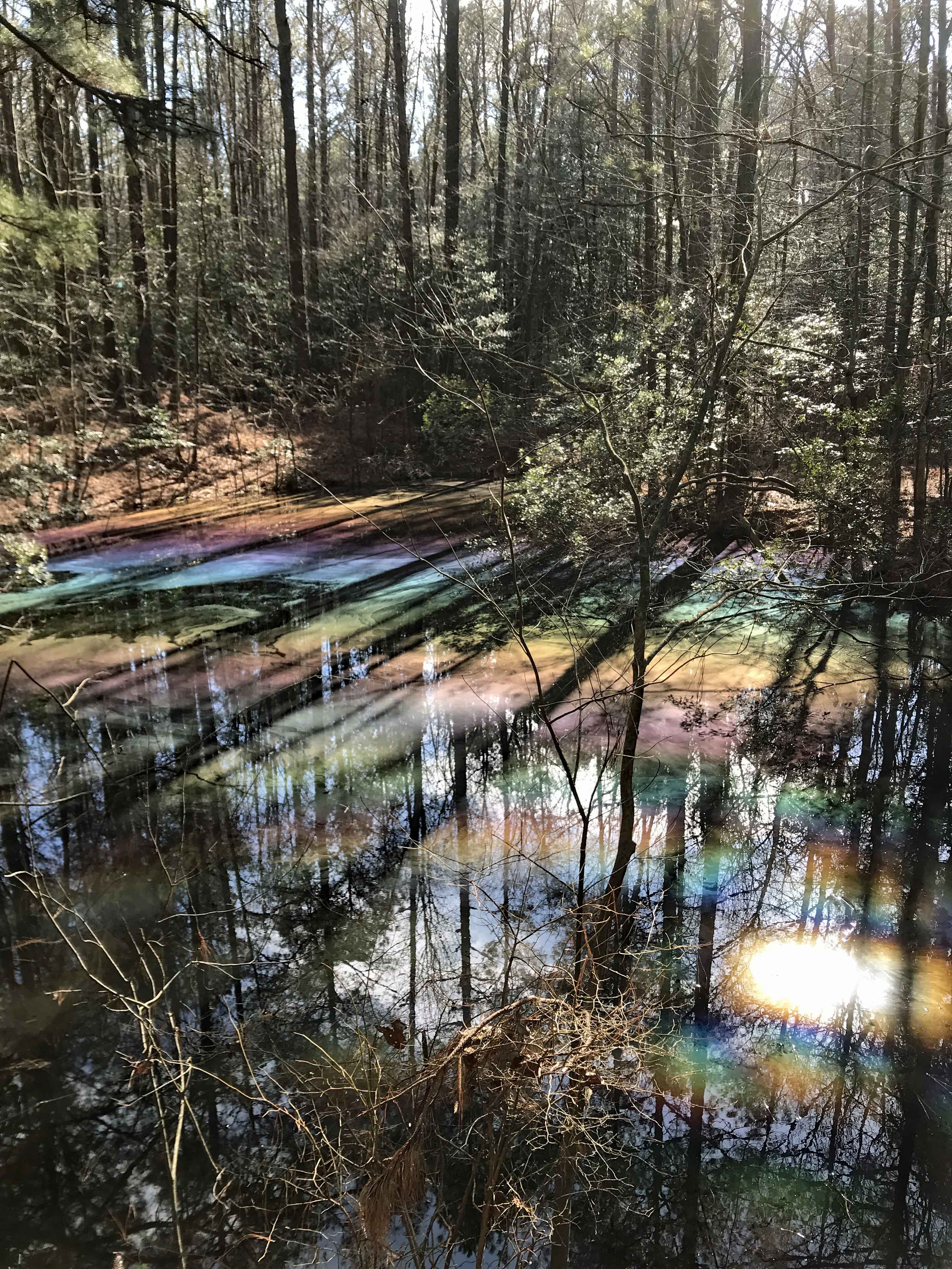
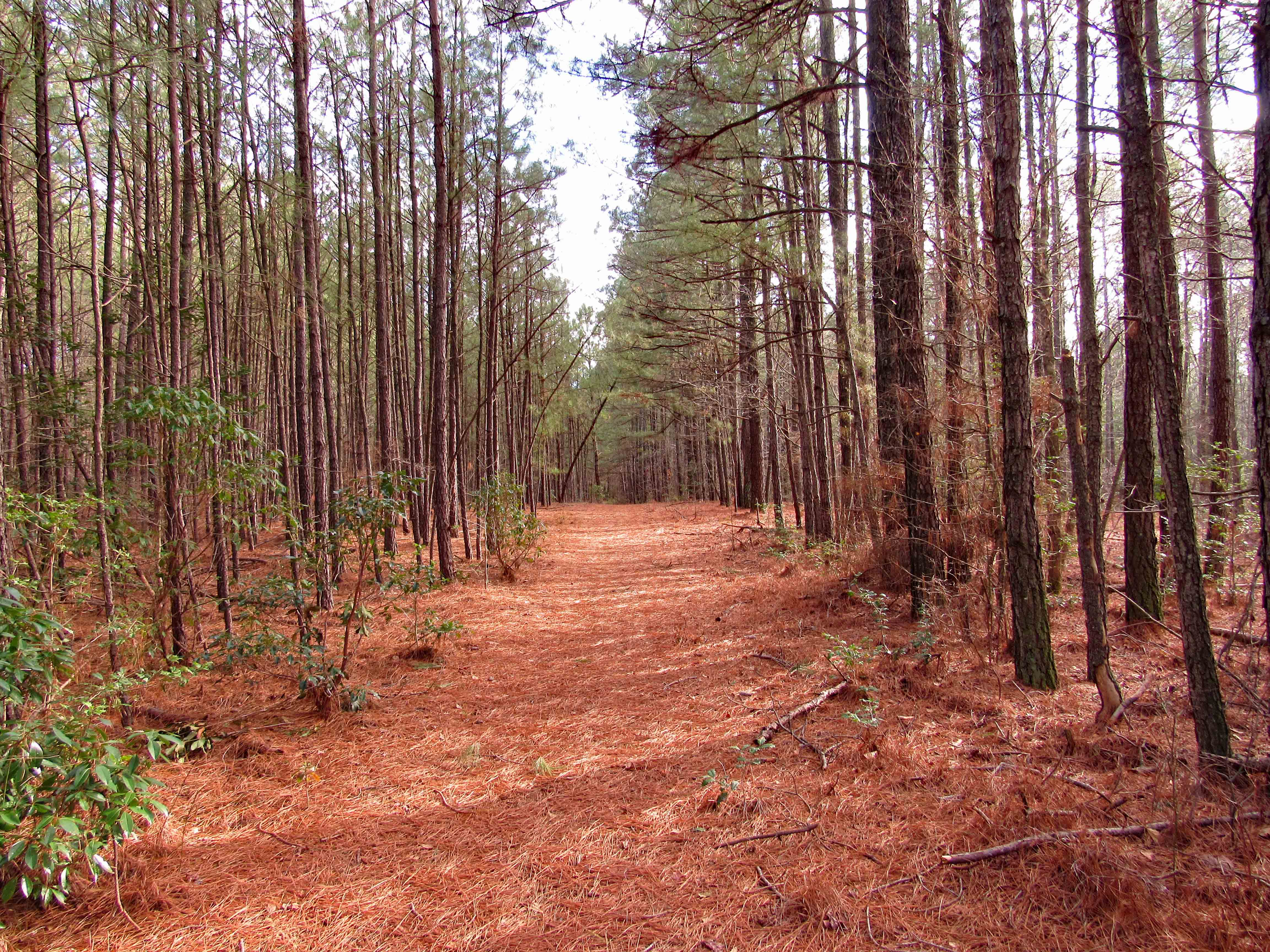
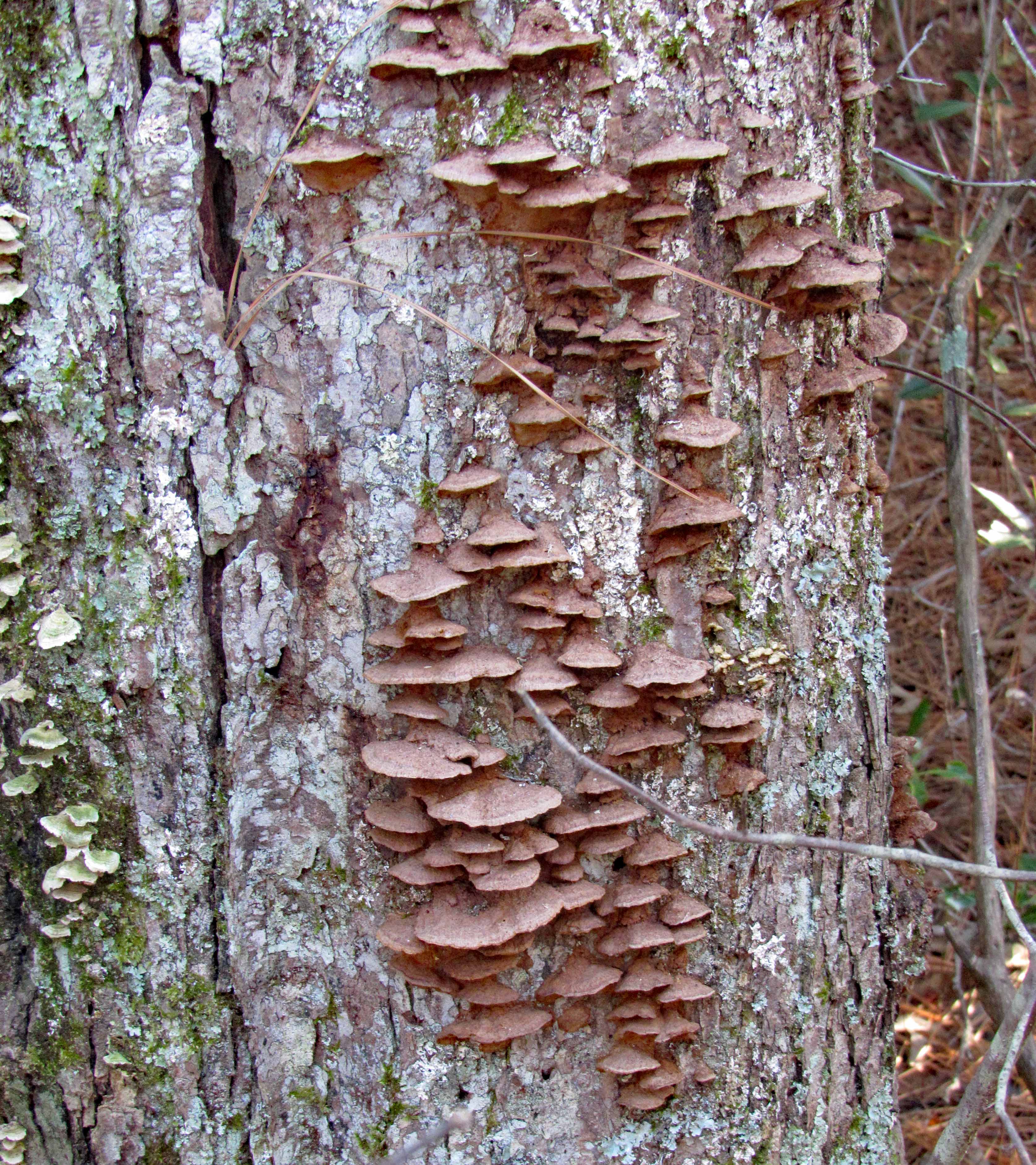
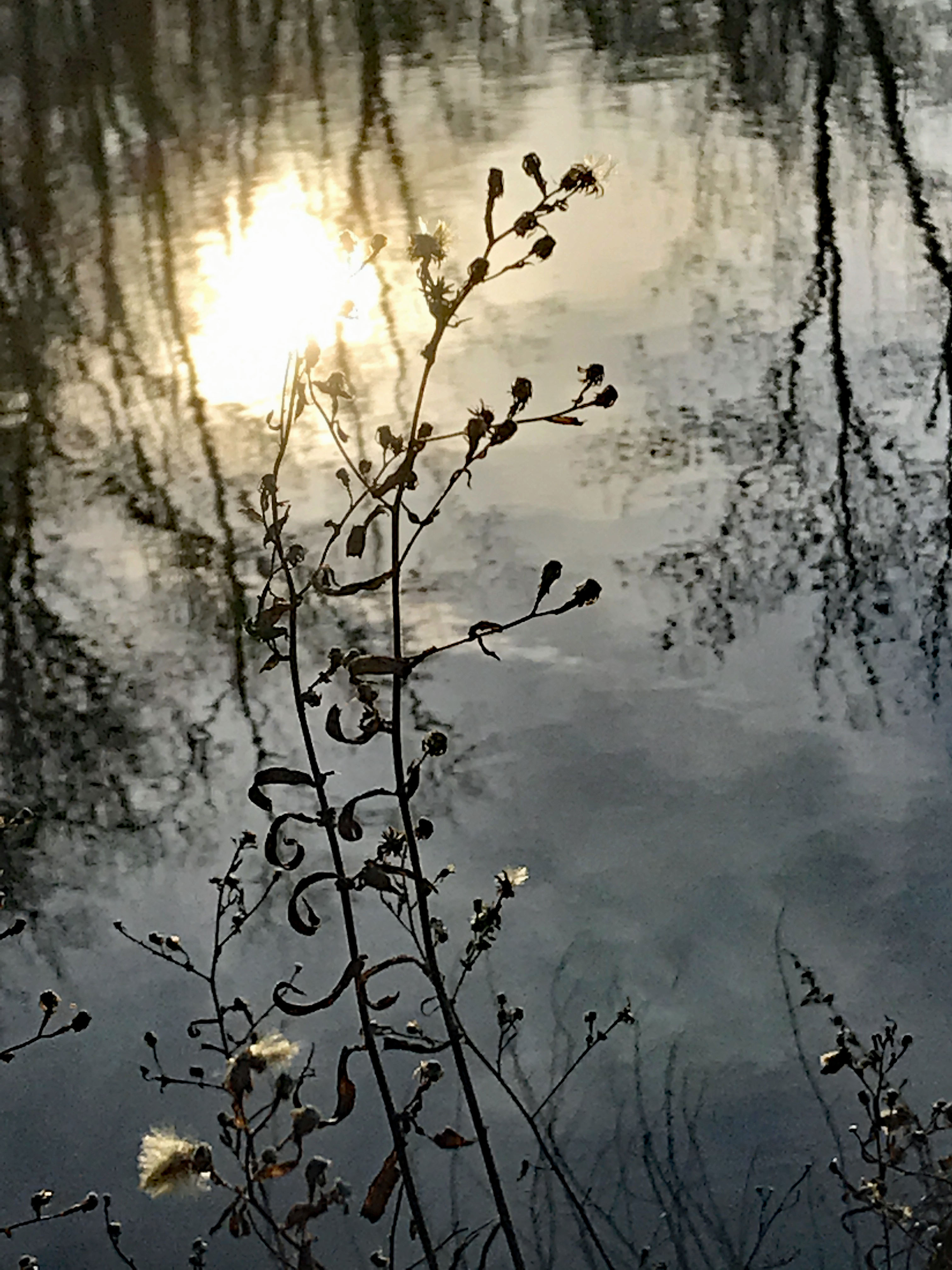
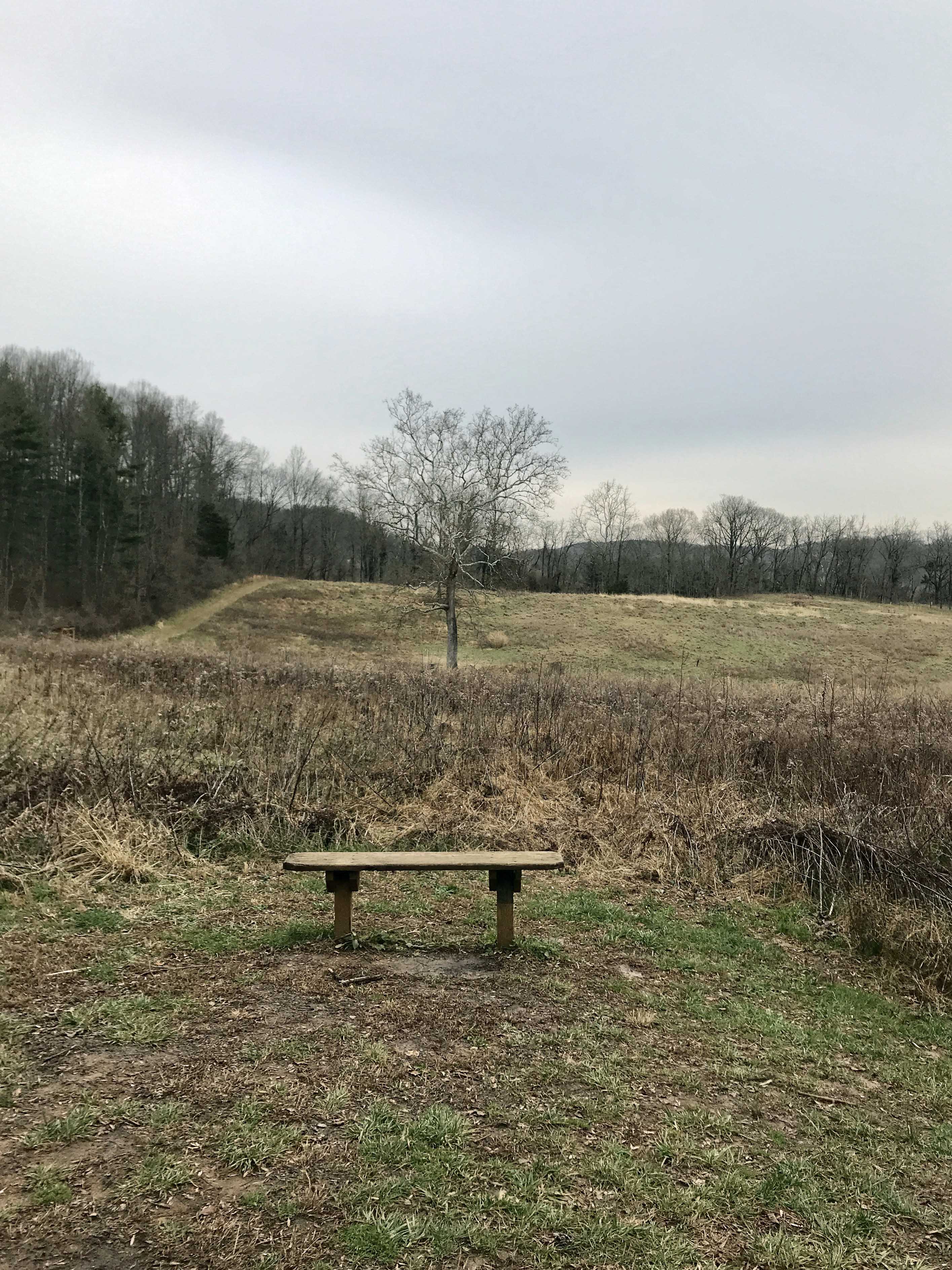
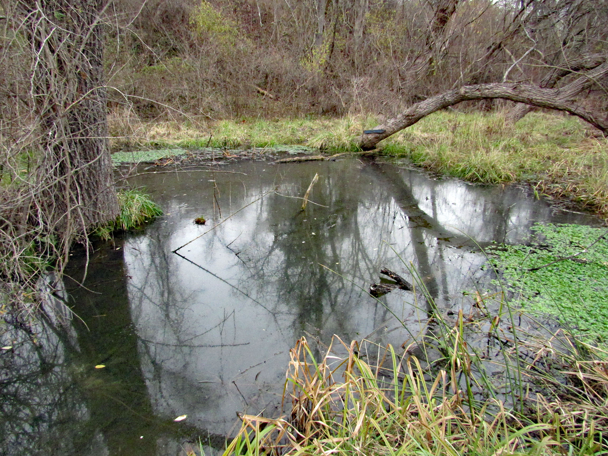
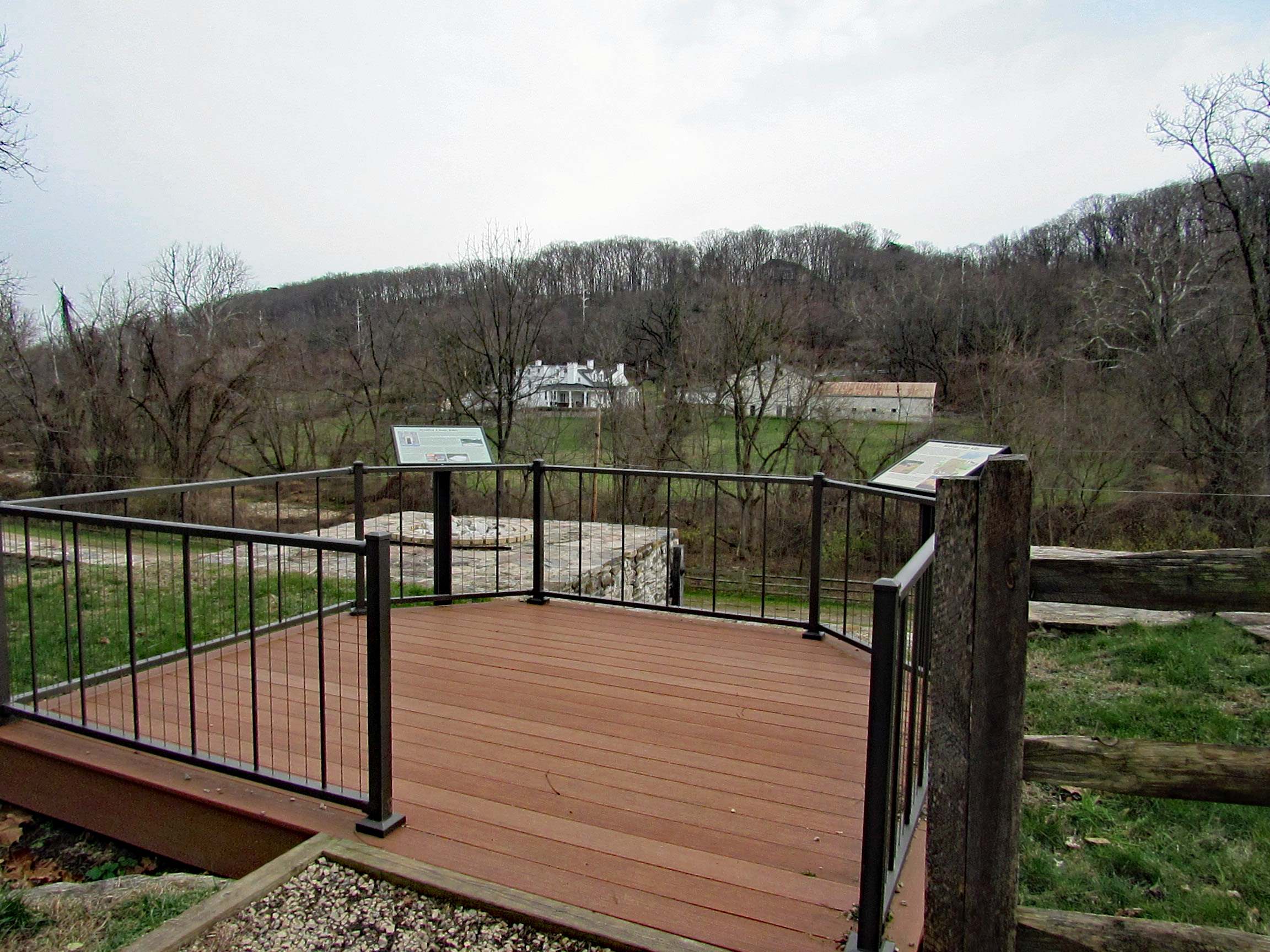
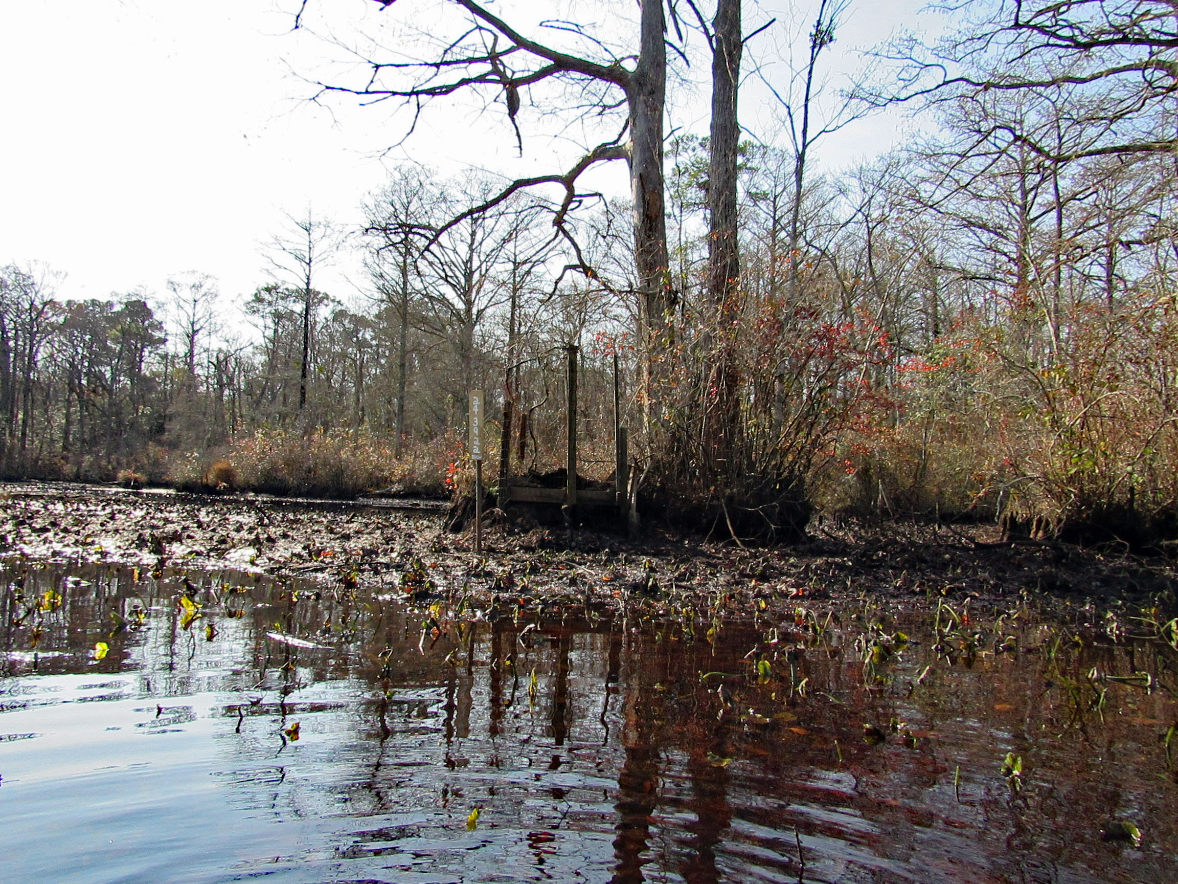
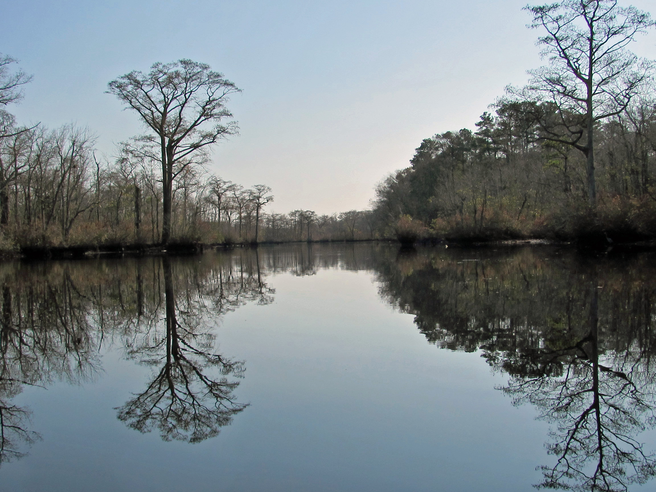
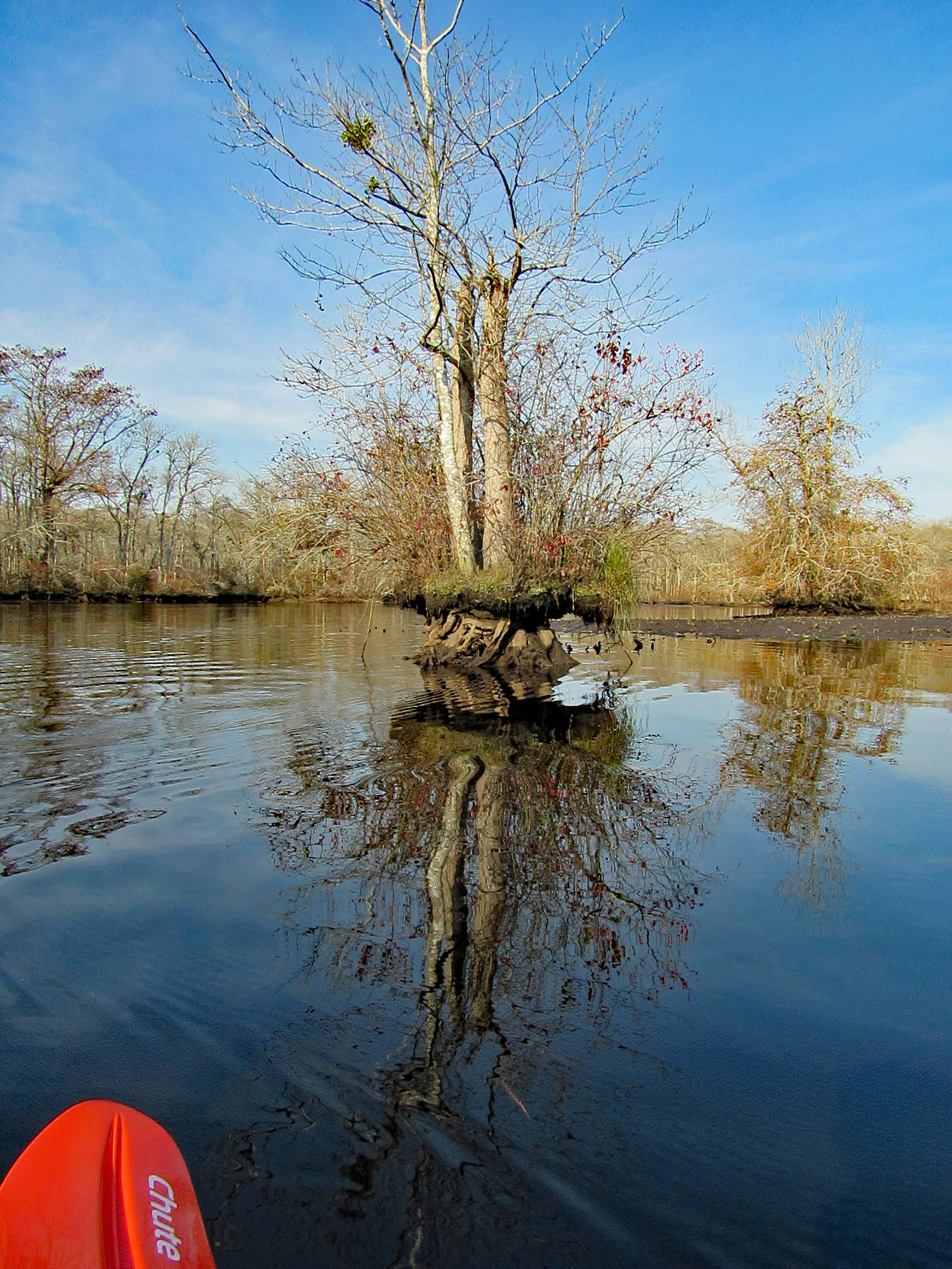
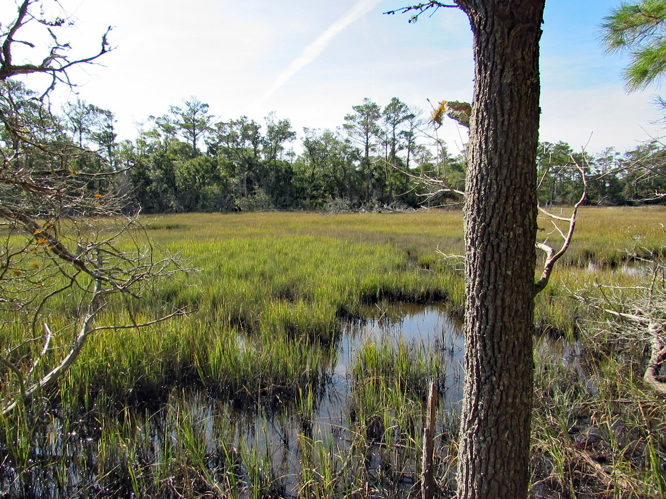
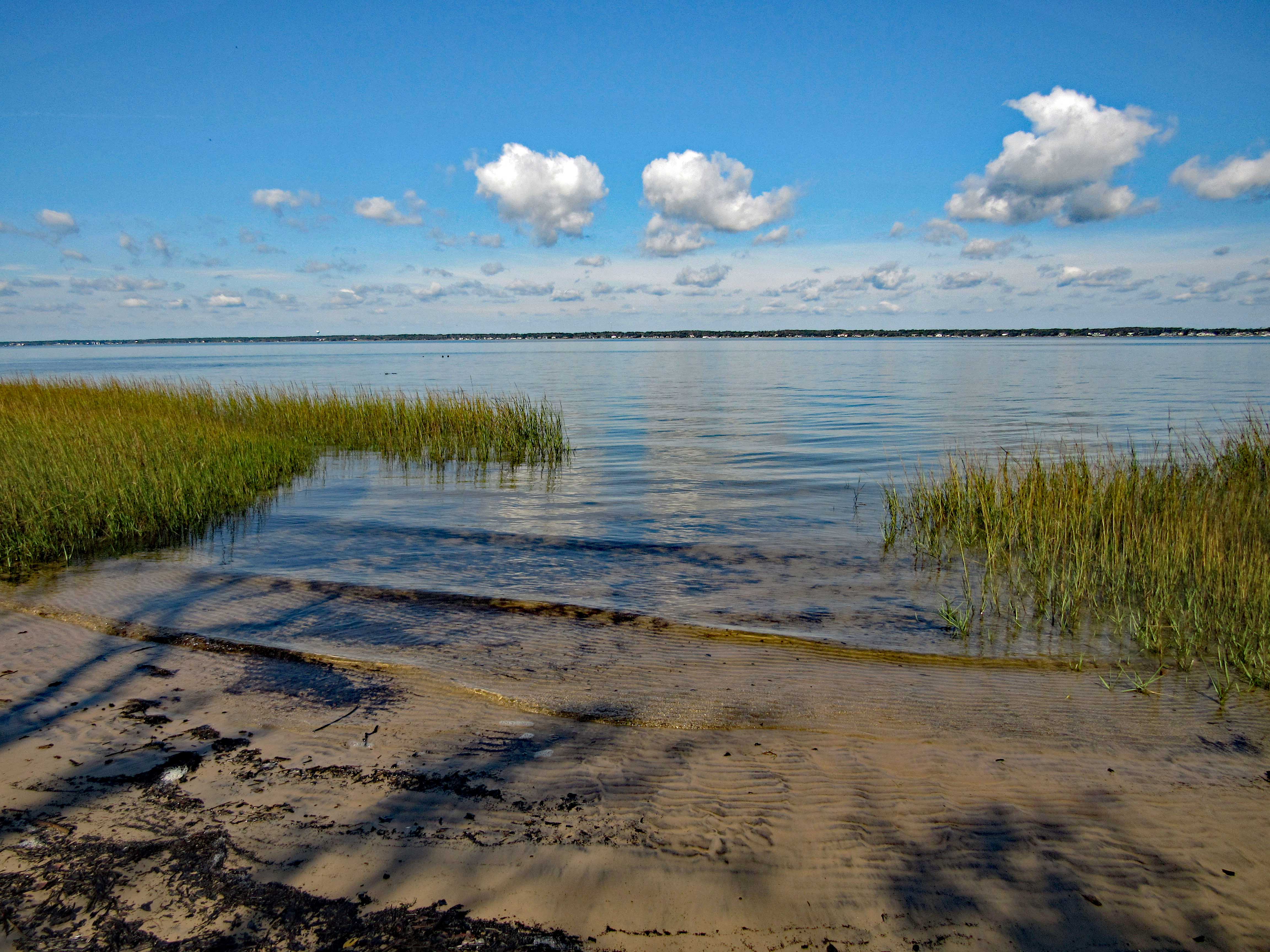
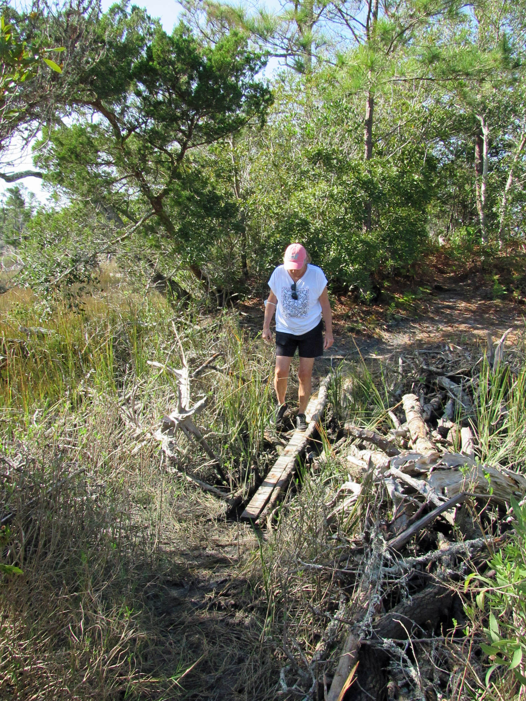
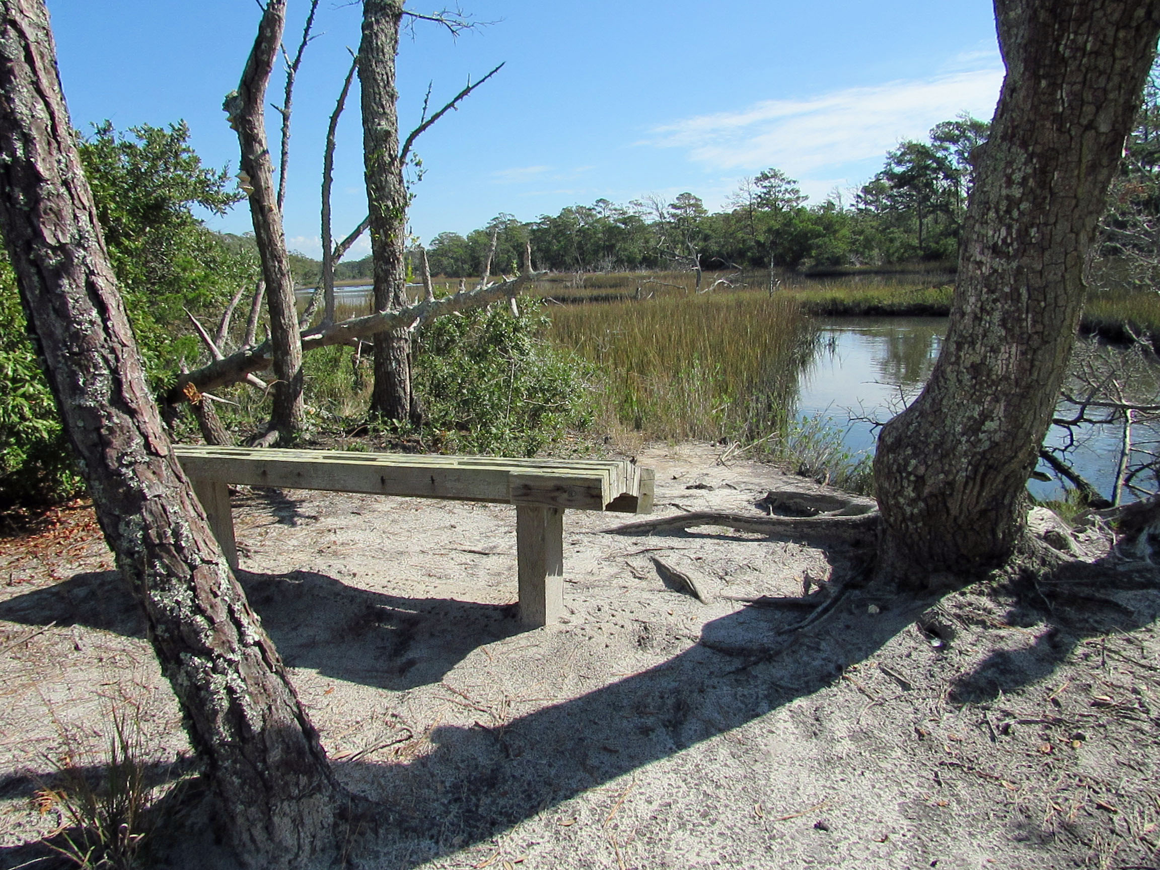
Part of the Pocomoke River State Park. Short hike, about 4.1 miles. We did this trail last month and revisited for other views, other areas we did not walk last time. Nice skim of ice on some of the water in the marsh.
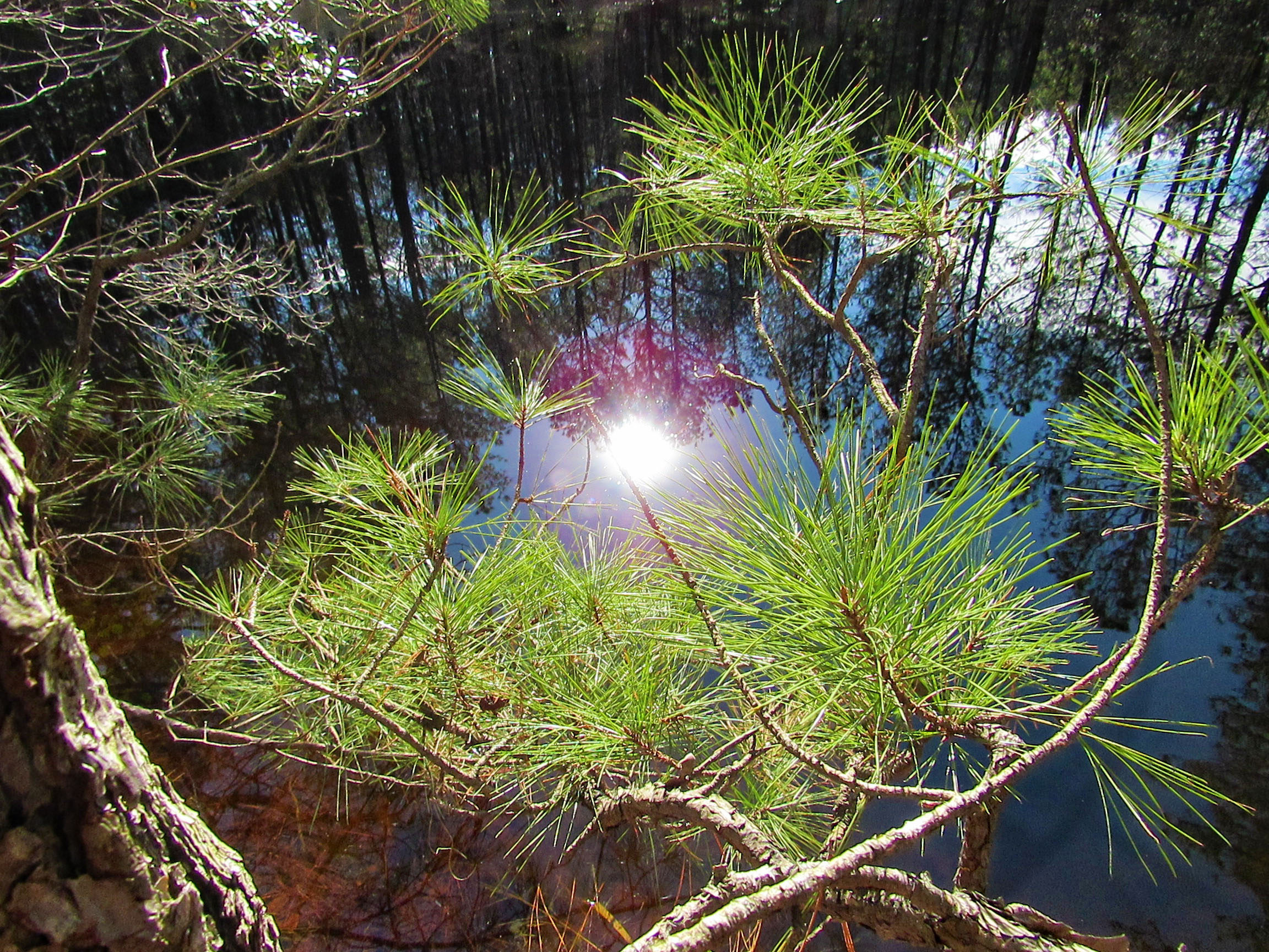
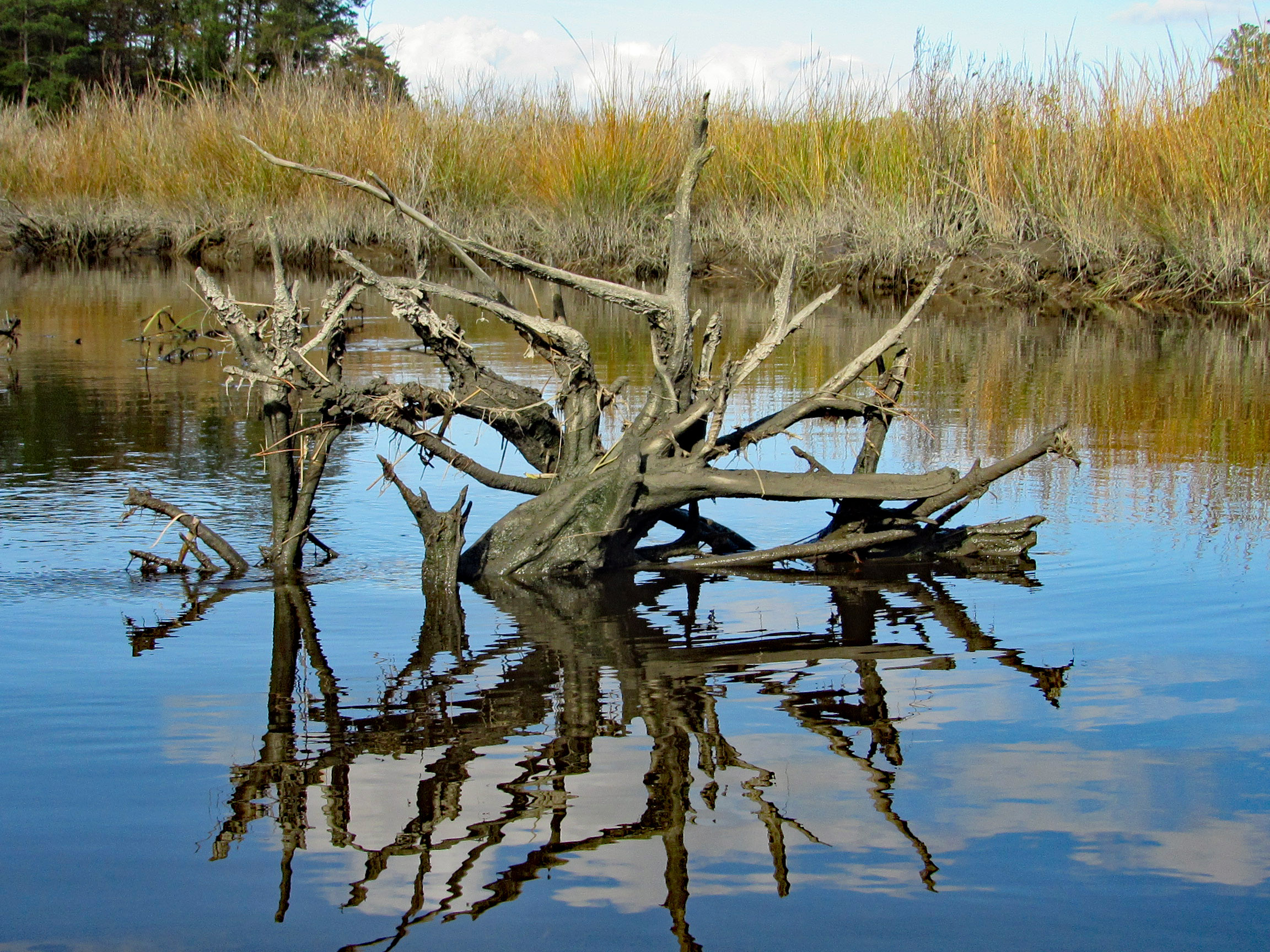
Lots of reflections
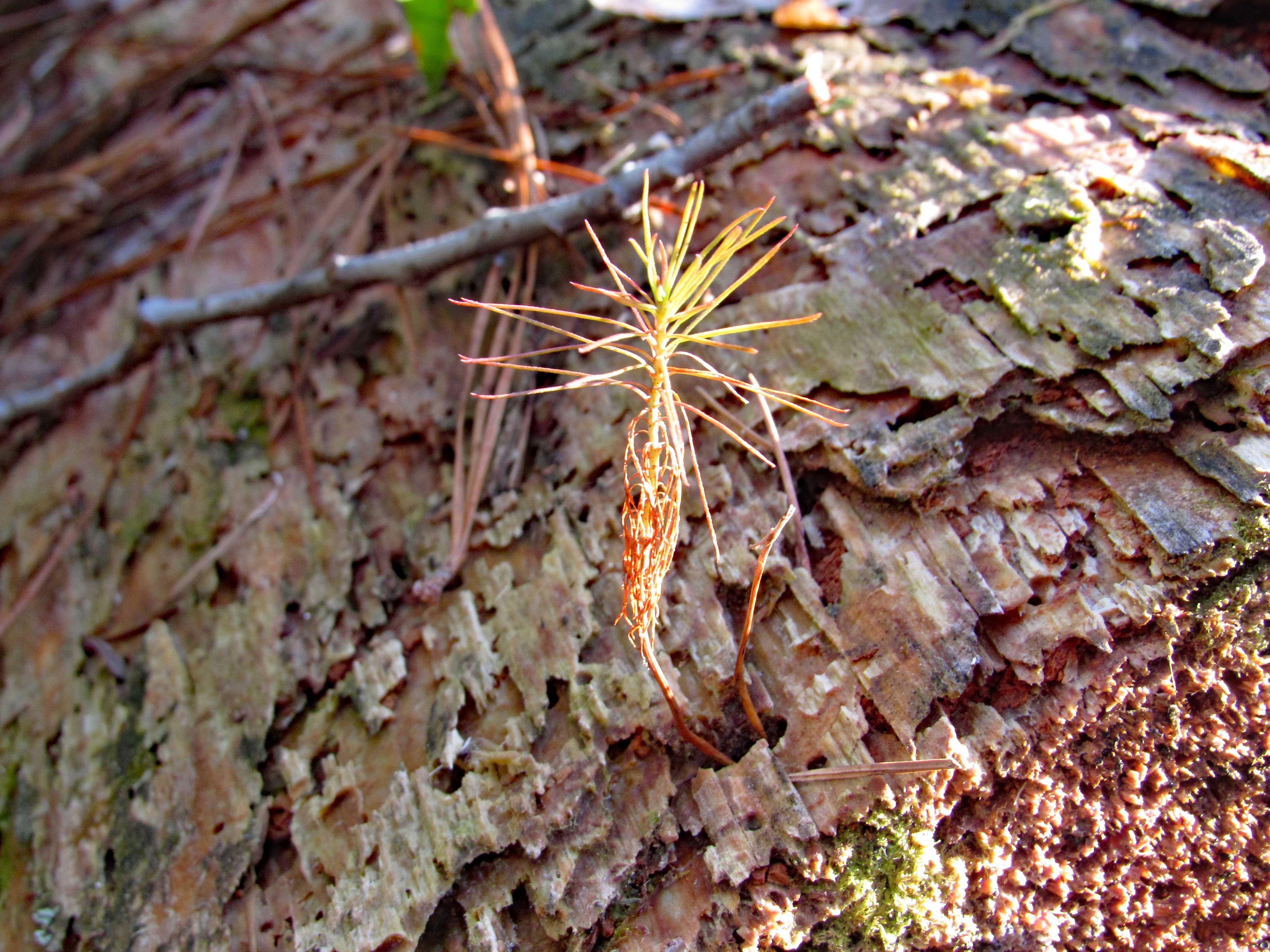
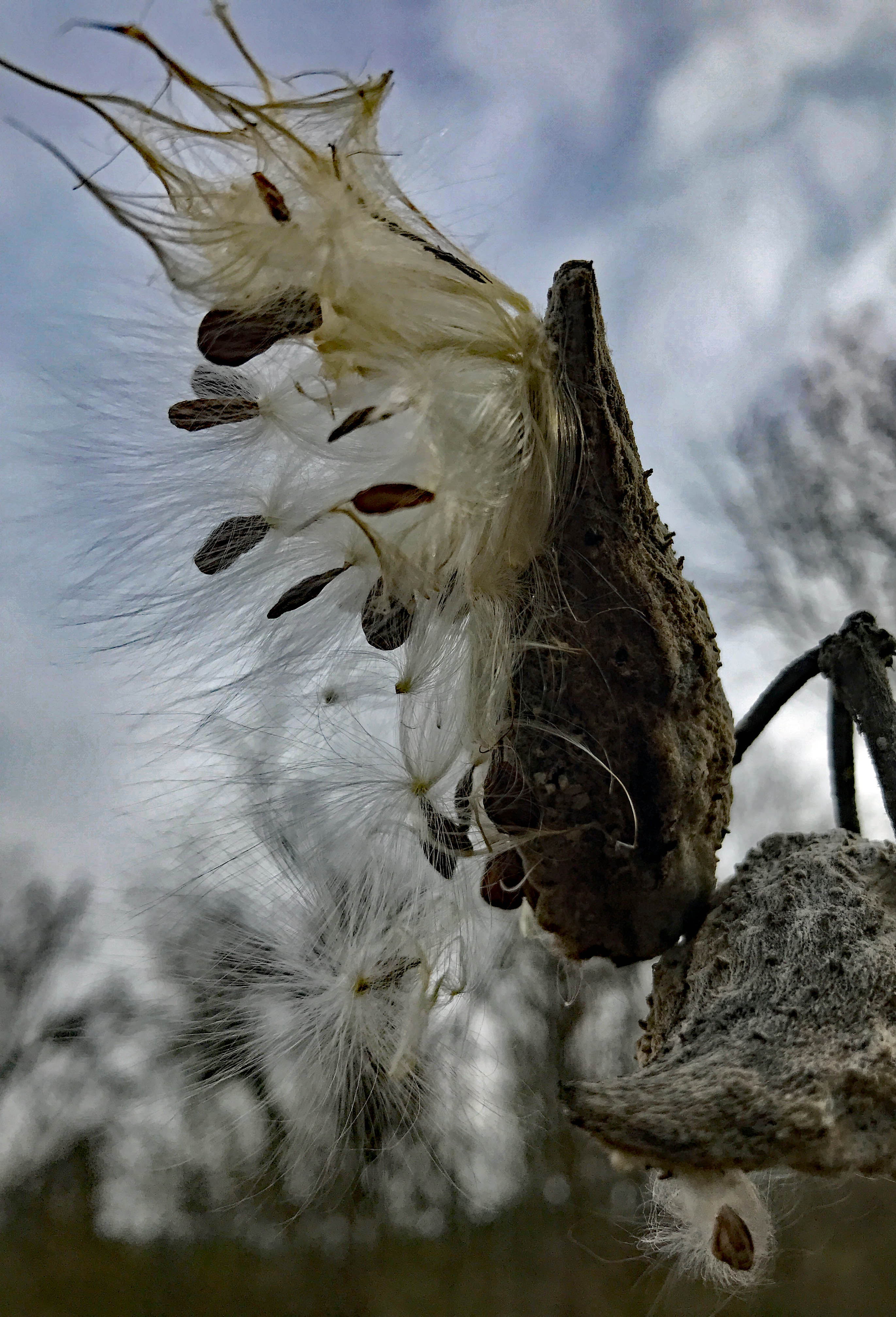
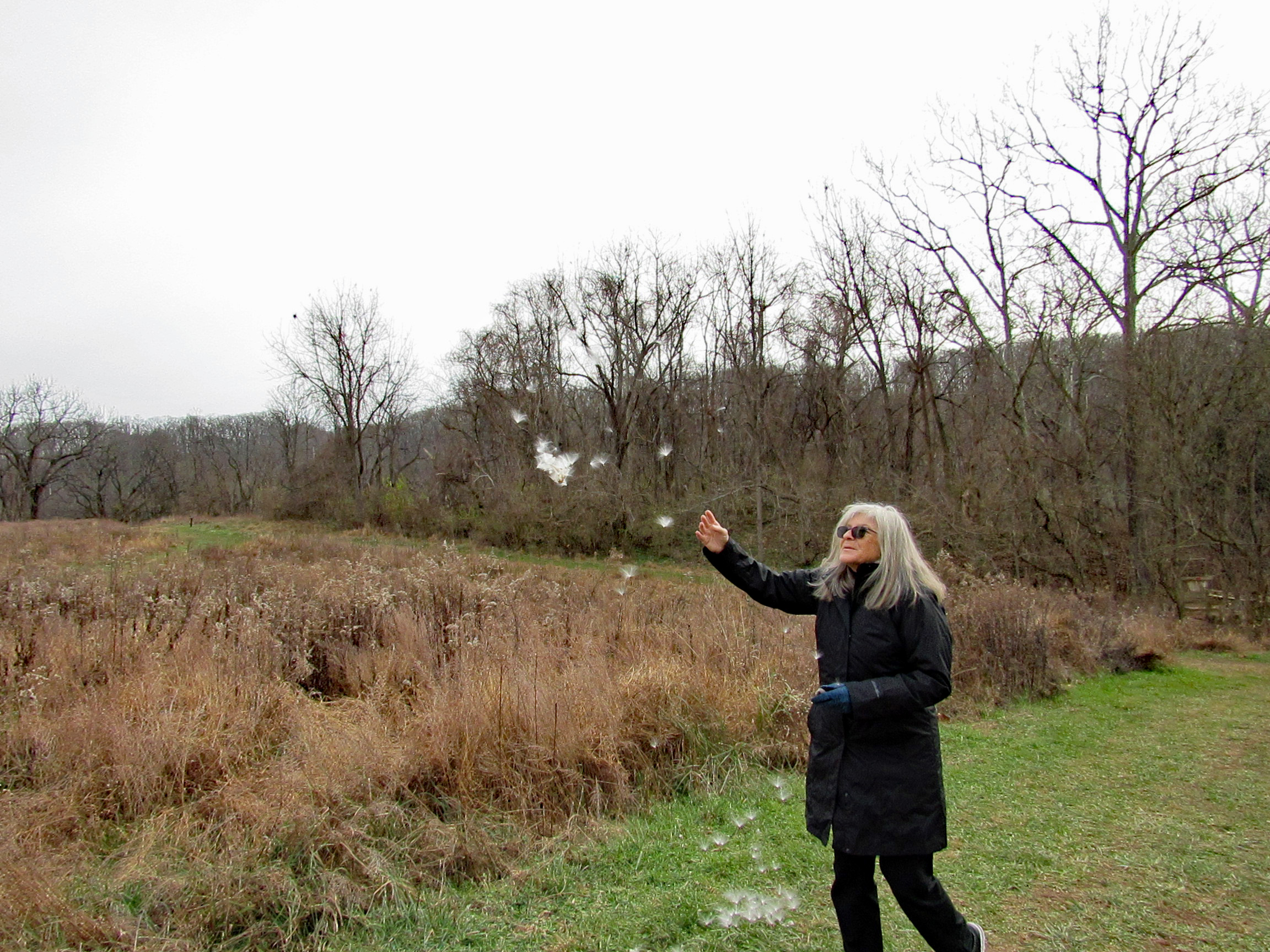
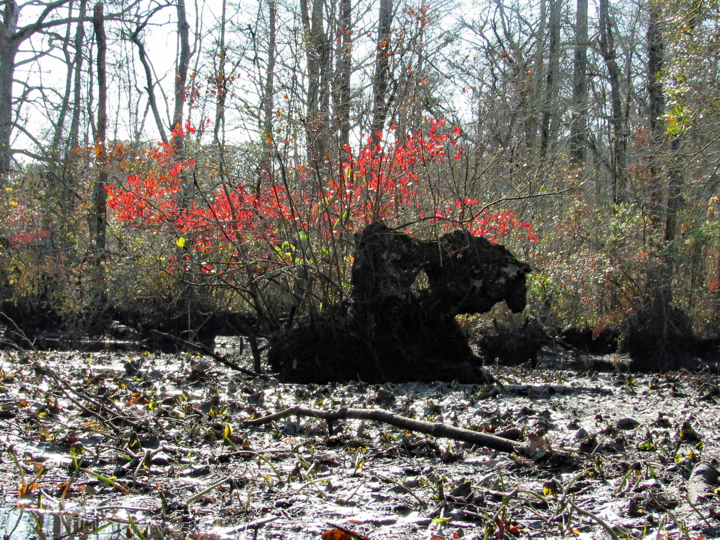
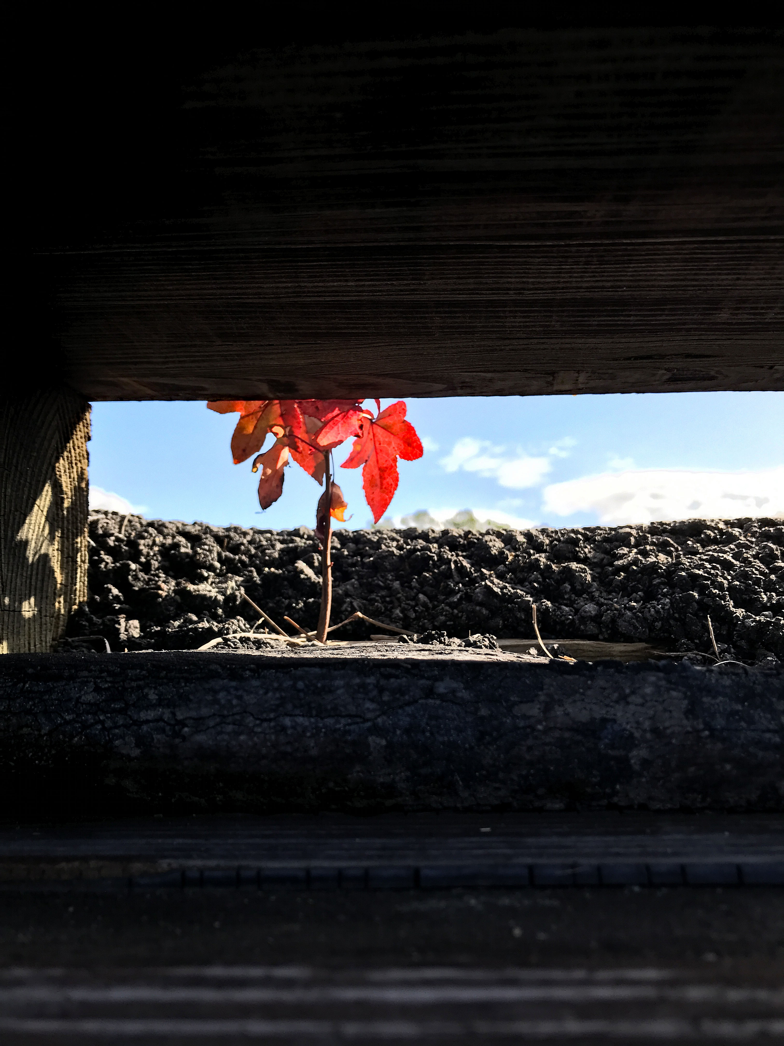
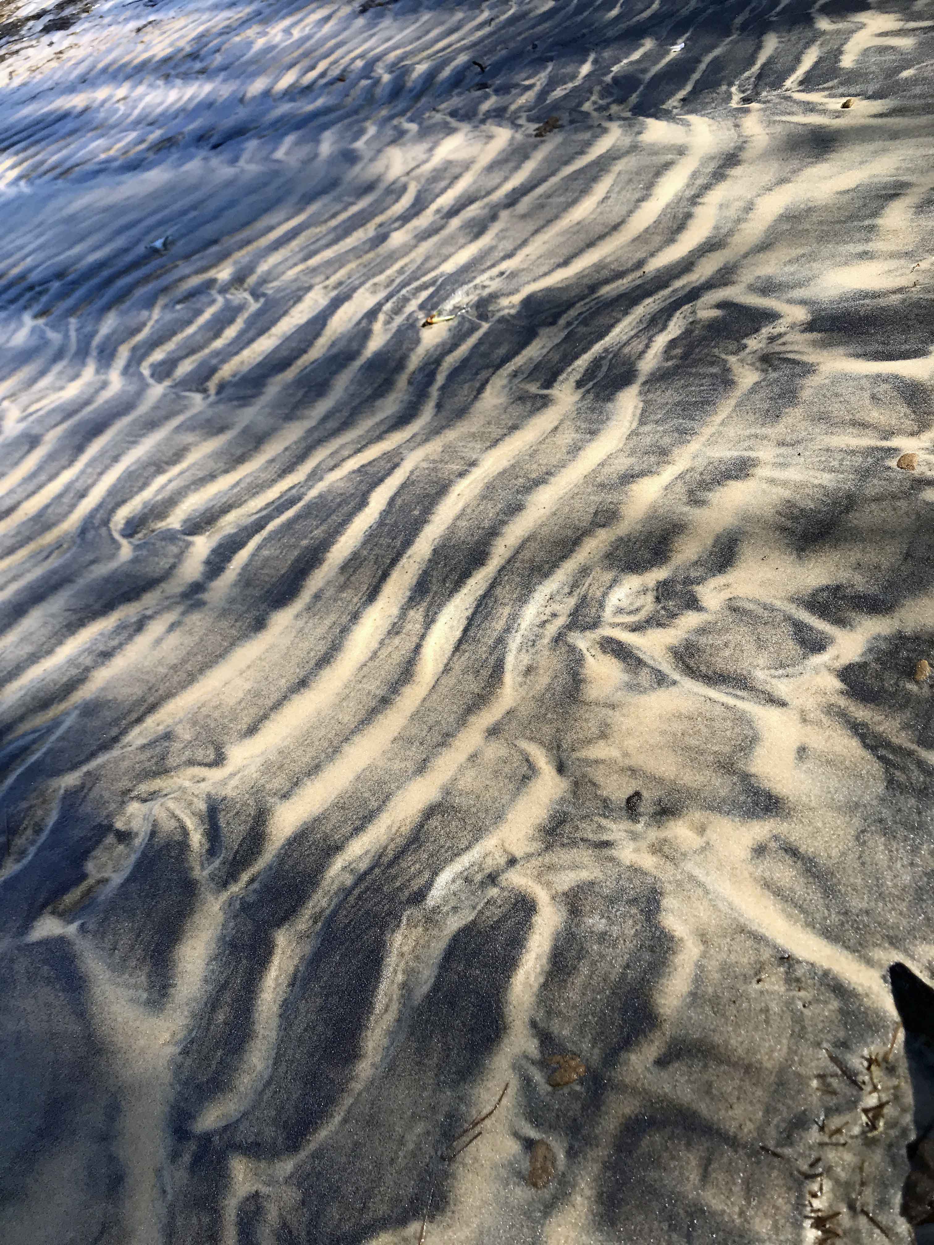
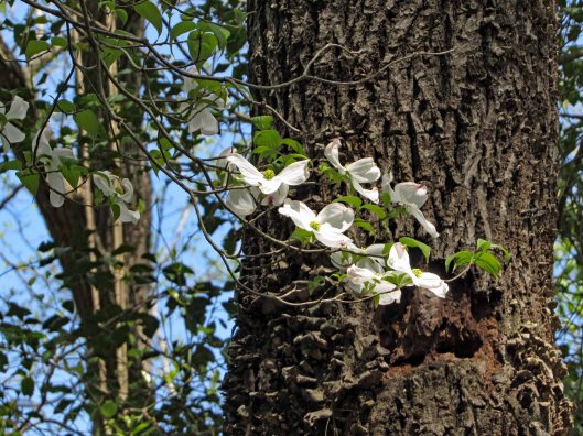
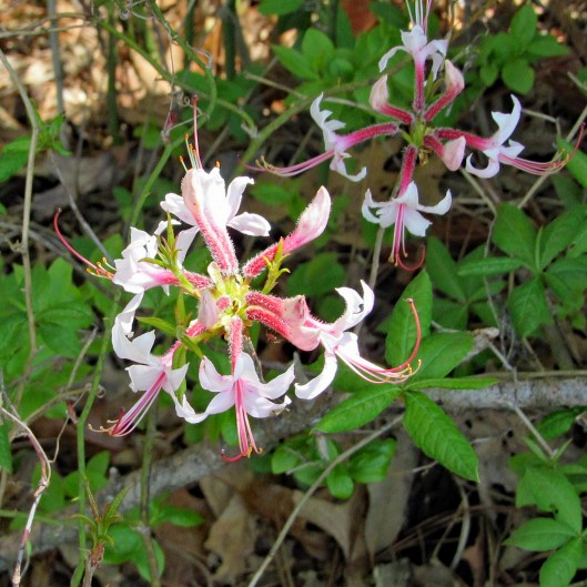
Some interesting colors left behind from the local unicorns maybe?
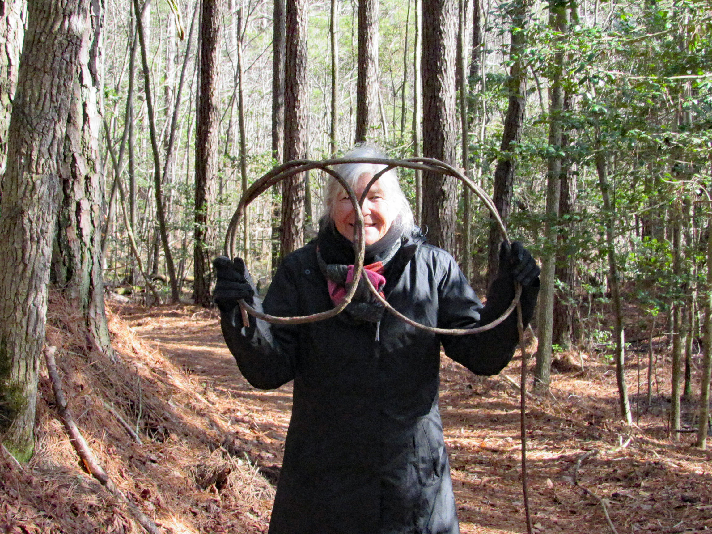
Judy in disguise…or Kathy with a new pair of glasses!
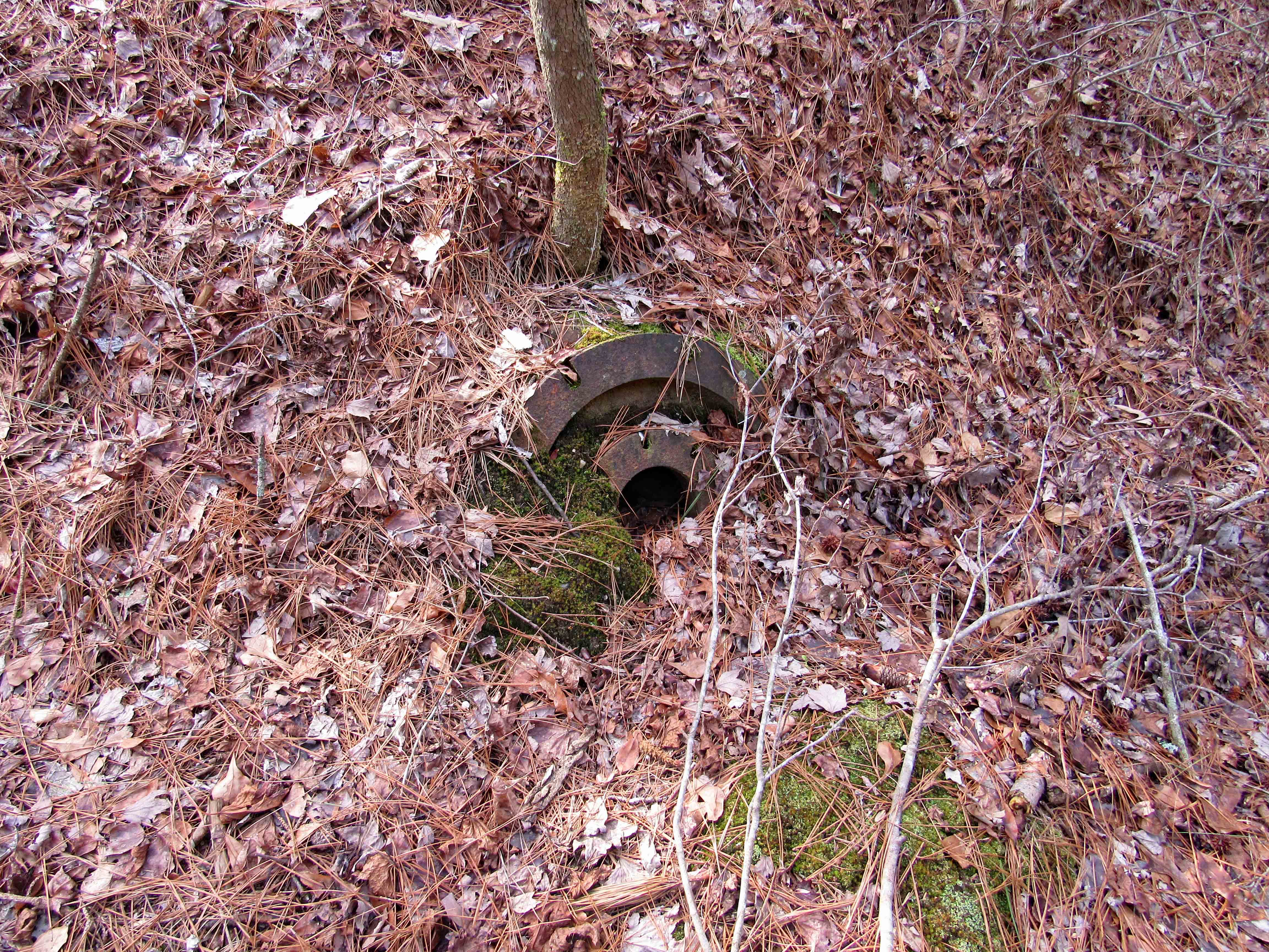
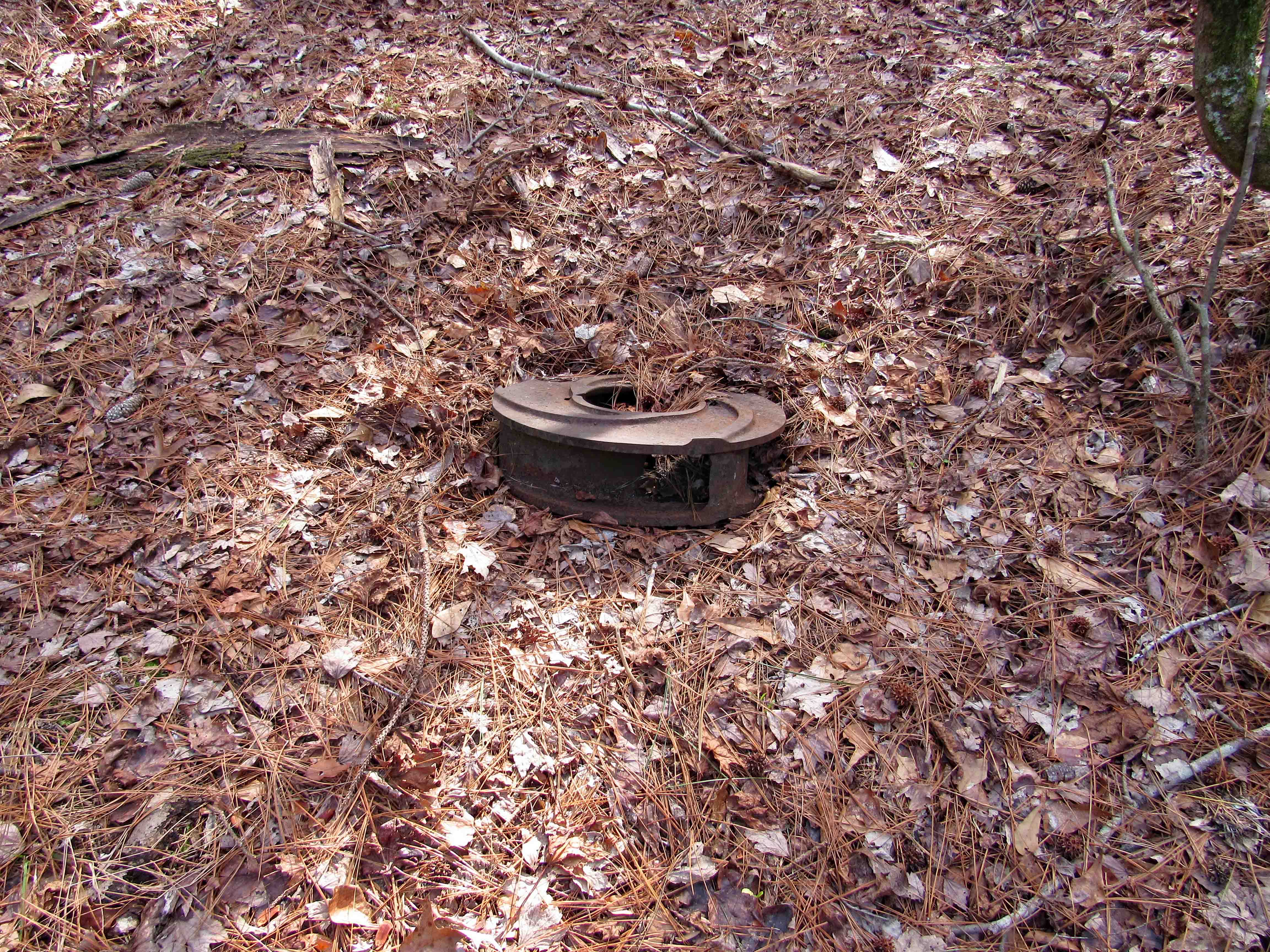
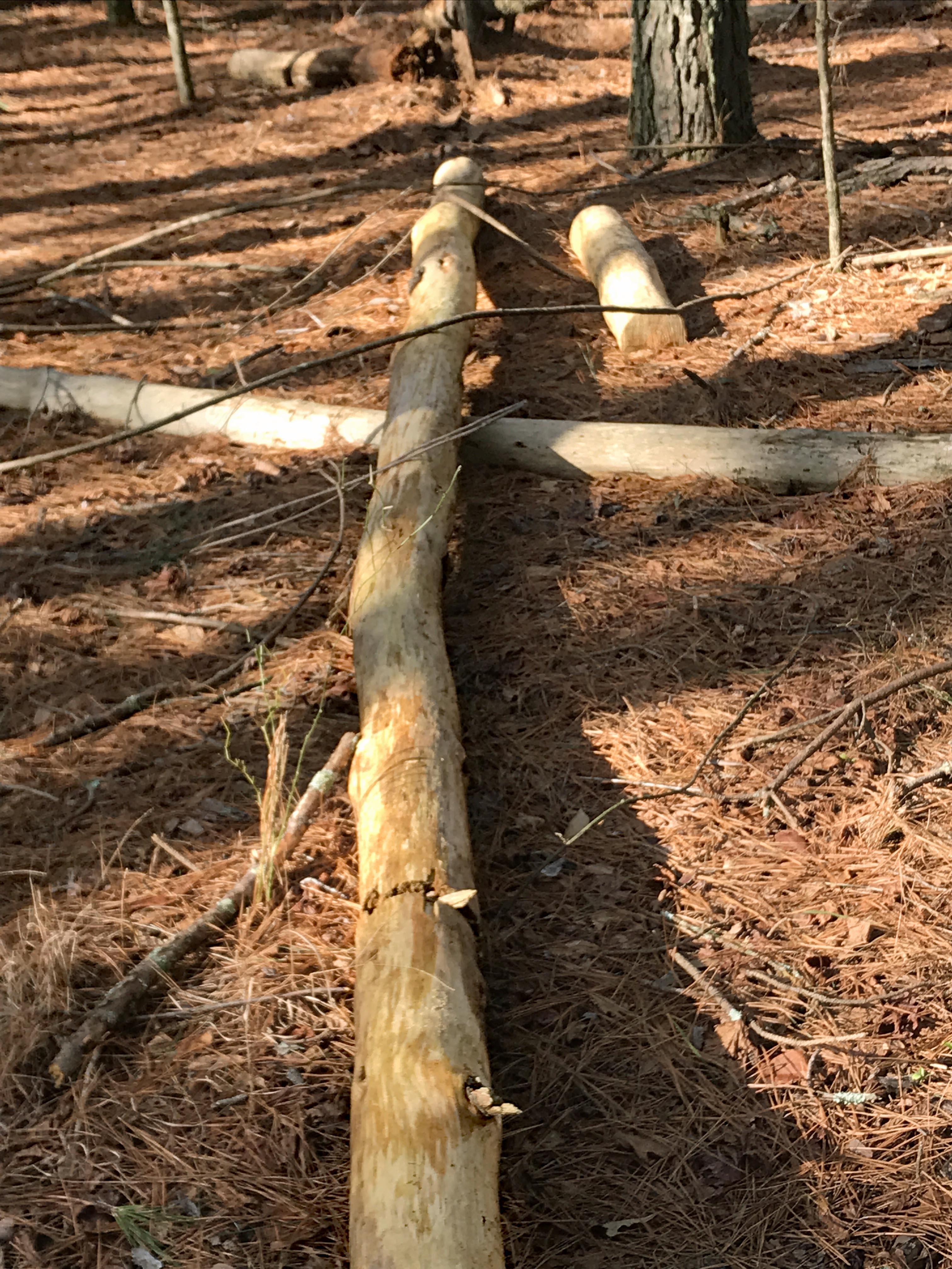
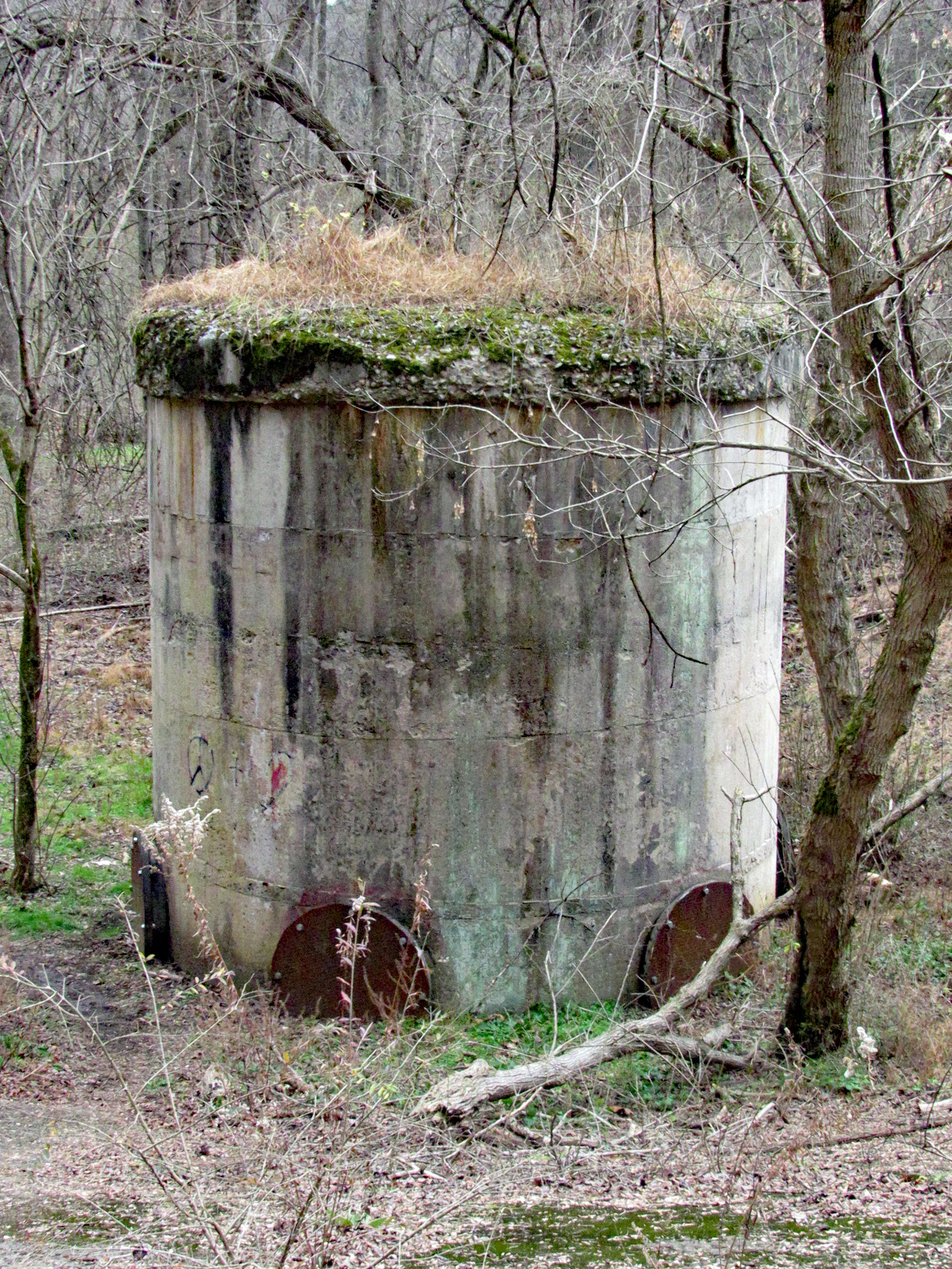
Pump parts
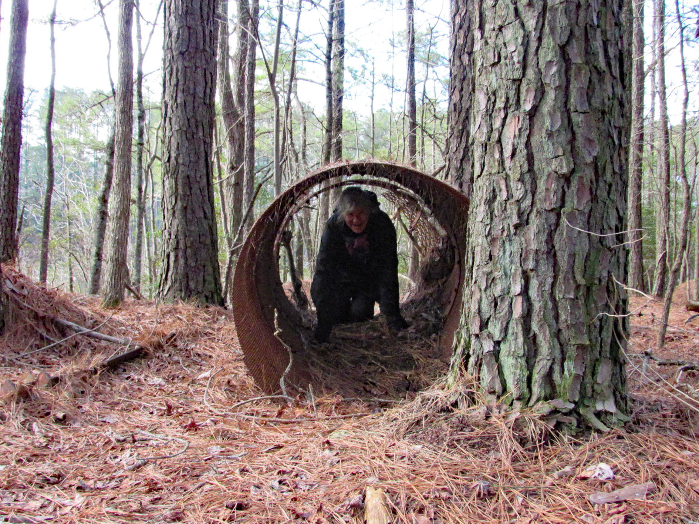
Playing in the pipe or looking for unicorns.
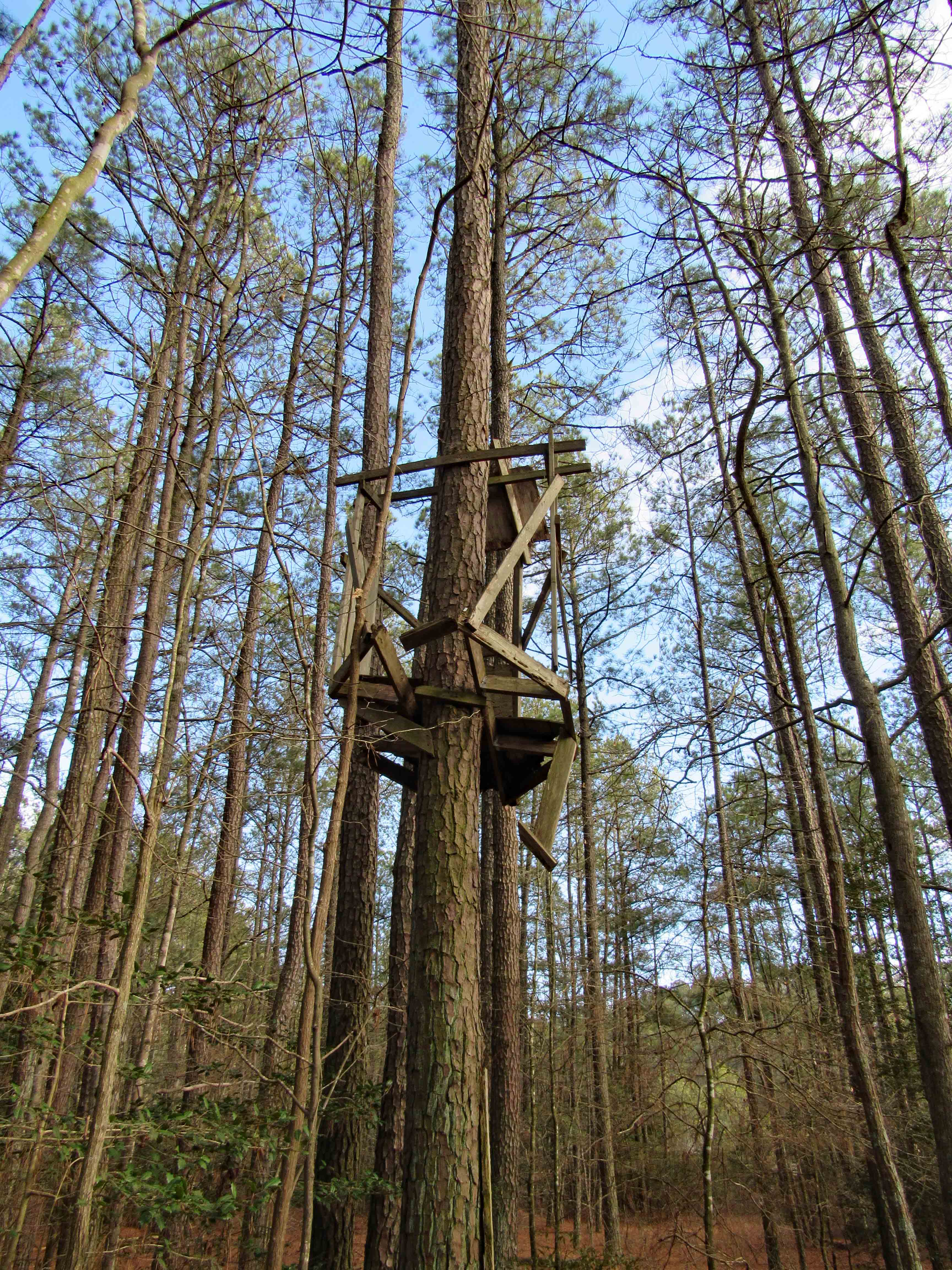
Tree stand for unicorn hunters
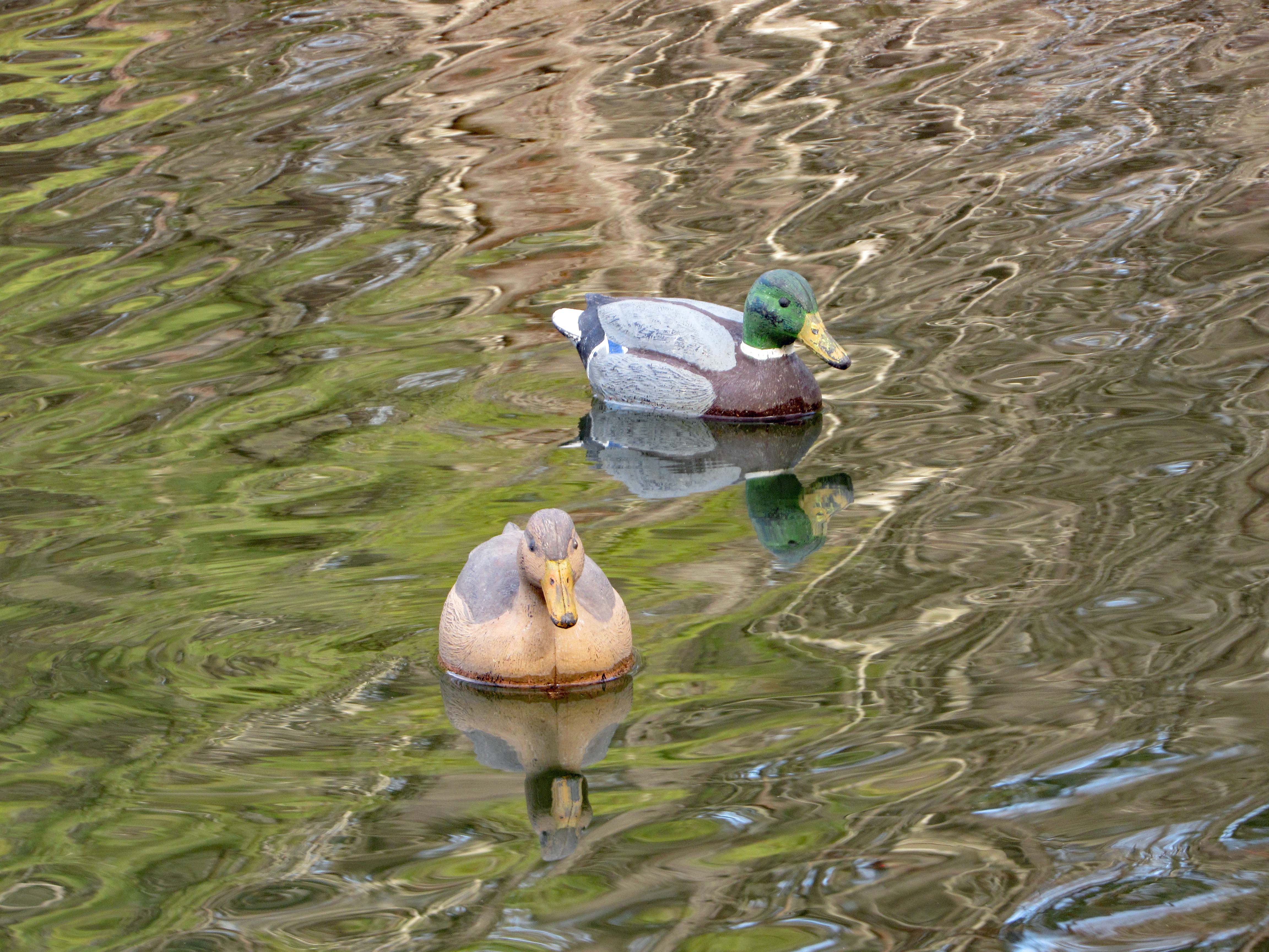
Duck decoys
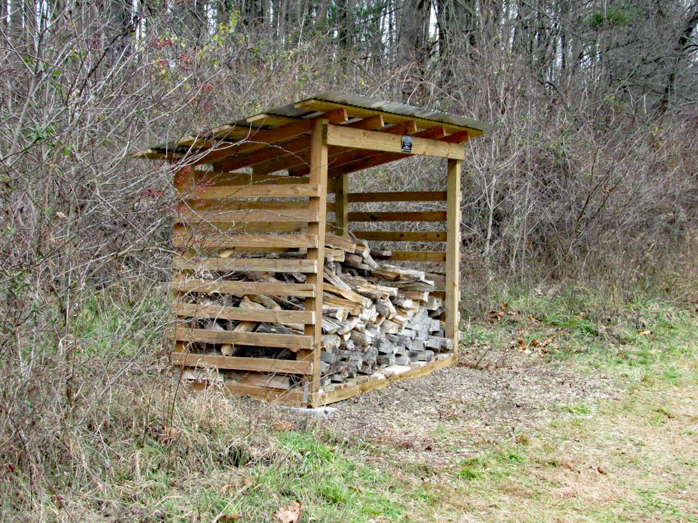
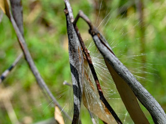
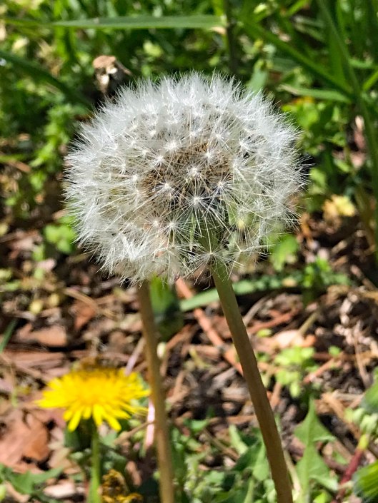
The trail and the sights
A lot of these photographs were taken by Kathy. My camera has been giving me some trouble here lately. Especially with the batteries keeping a charge or even charging at all.
All in all it was a great day for a hike. Thanks Kathy and thank you God!
Published this over 10 years ago. Took it out of print because I was tired of people telling me my memories were incorrect. Most of the beginning of the book was from writings I did while in the penitentiary at 20 years old. I think my memories were clearer at 20 then the memories of people in their fifties and sixties reading this 10 years ago
The other parts were written, taken directly from my journals and letters and other peoples journals and letters. Those who read it and commented to me about it, picked out some things they thought may be or were hurtful to them and others. I got rid of most of those writings. I also added 10 more years of living into the book and republished it.
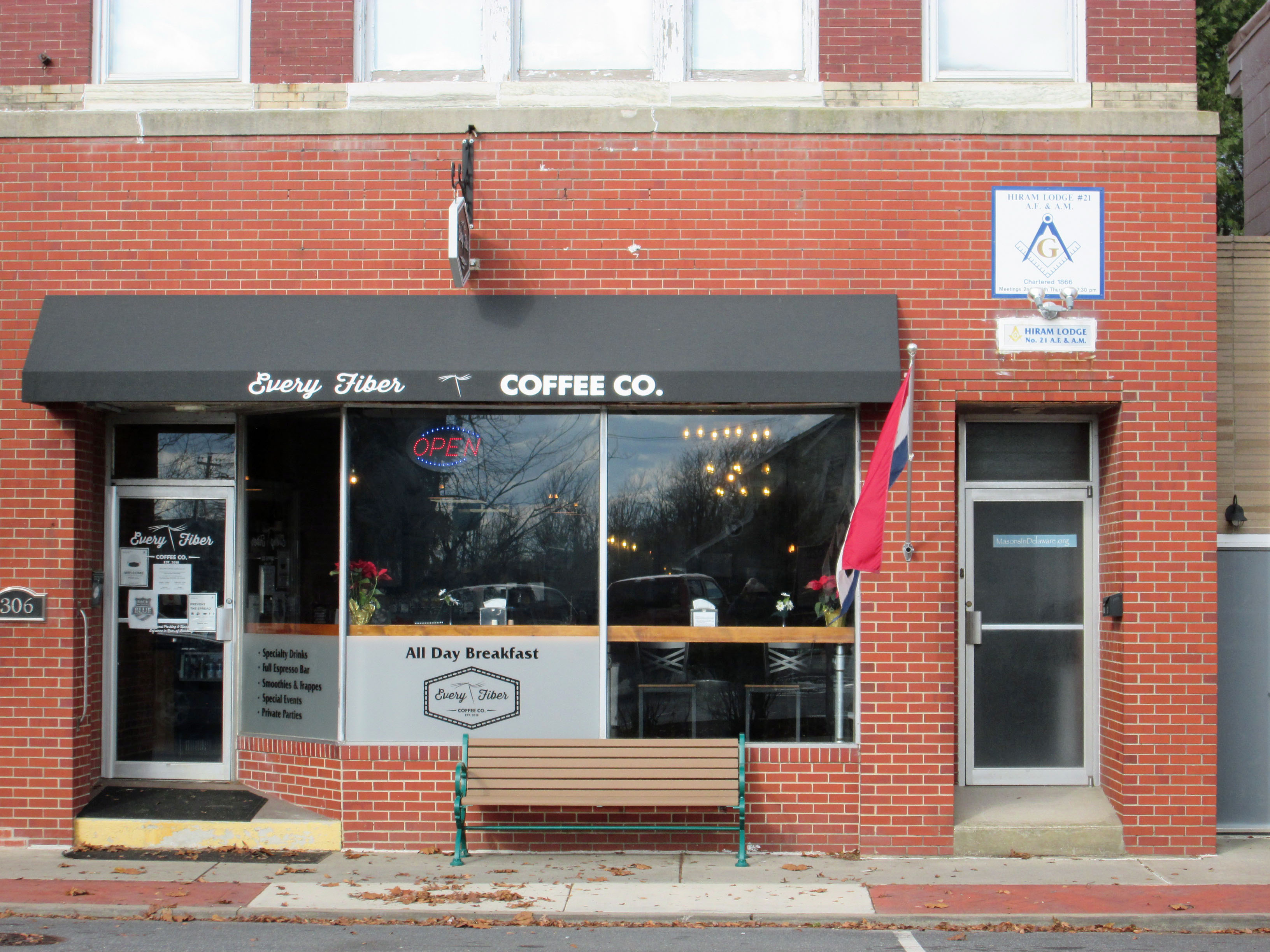
Drove up to Seaford Delaware to visit a family friend we haven’t seen in a while. Nice little town. Met at the local coffee shop, Every Fiber. Staff very pleasant. The upstairs is a meeting hall for the local Masons, which were established at Seaford in 1866. They moved to this location in 1912.
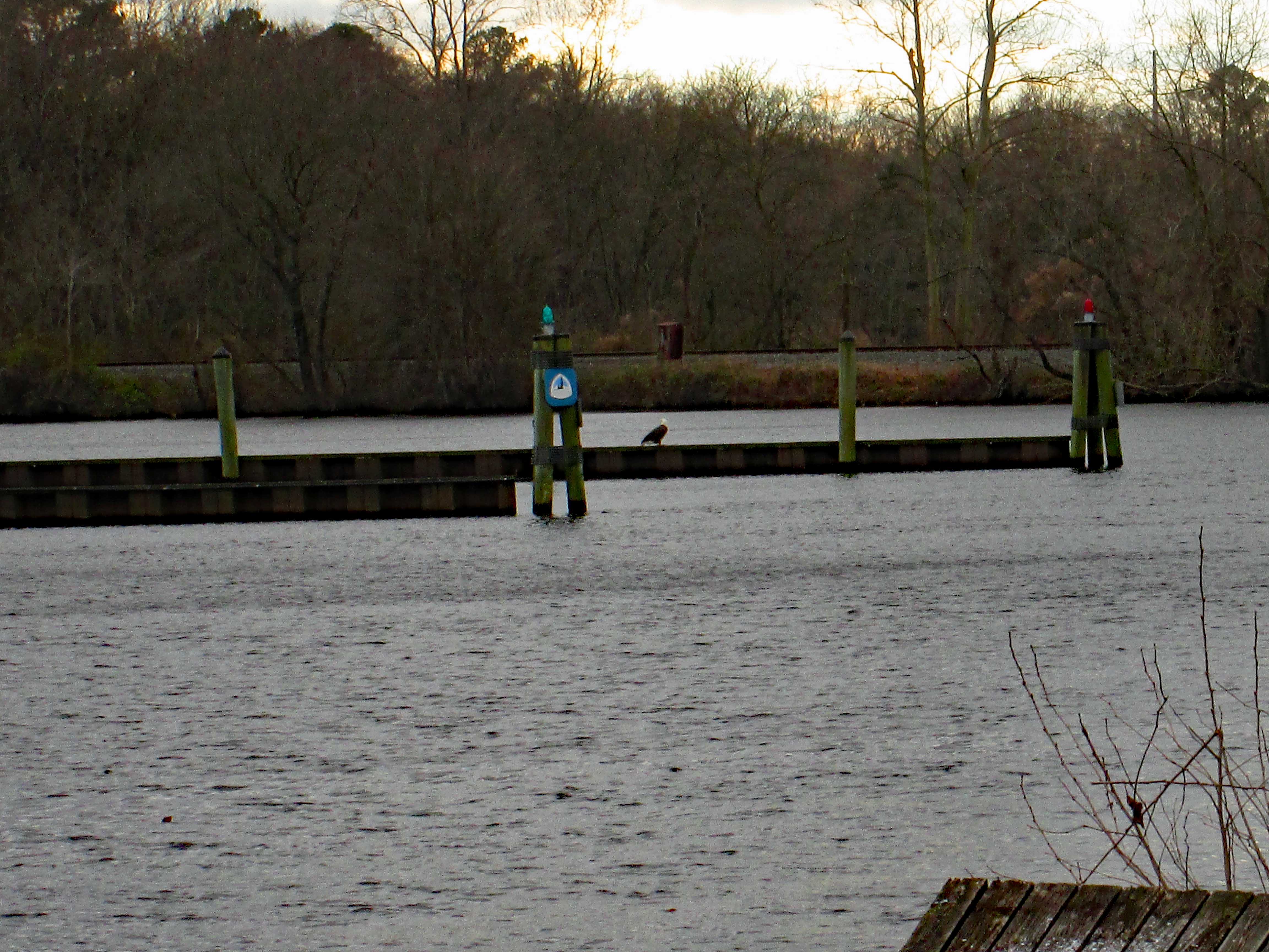
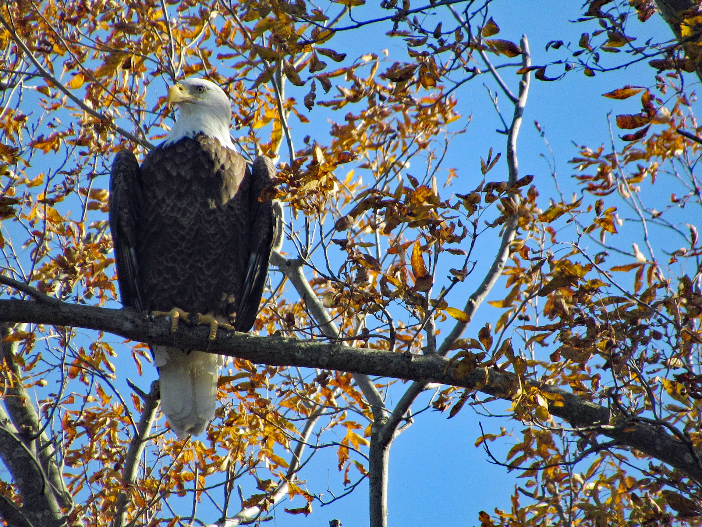
After our visit we drove around to check out the town. They are in the process of building a new park on the Nanticoke river. Across from which, we saw this big guy sitting there (Once again I leave the house, forgetting my good camera, only having my Canon point and shoot!)
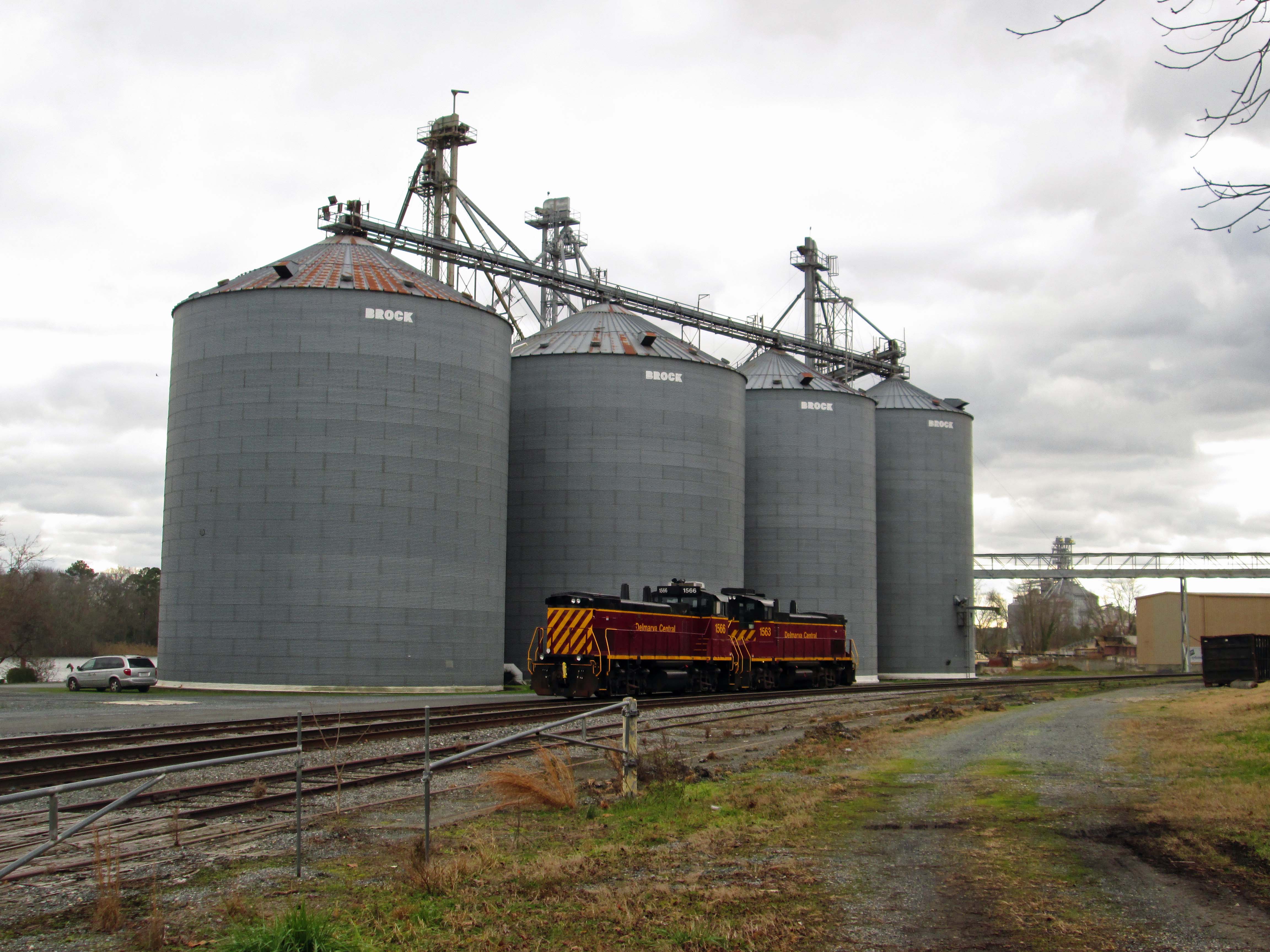
Old granary with a couple locomotives.
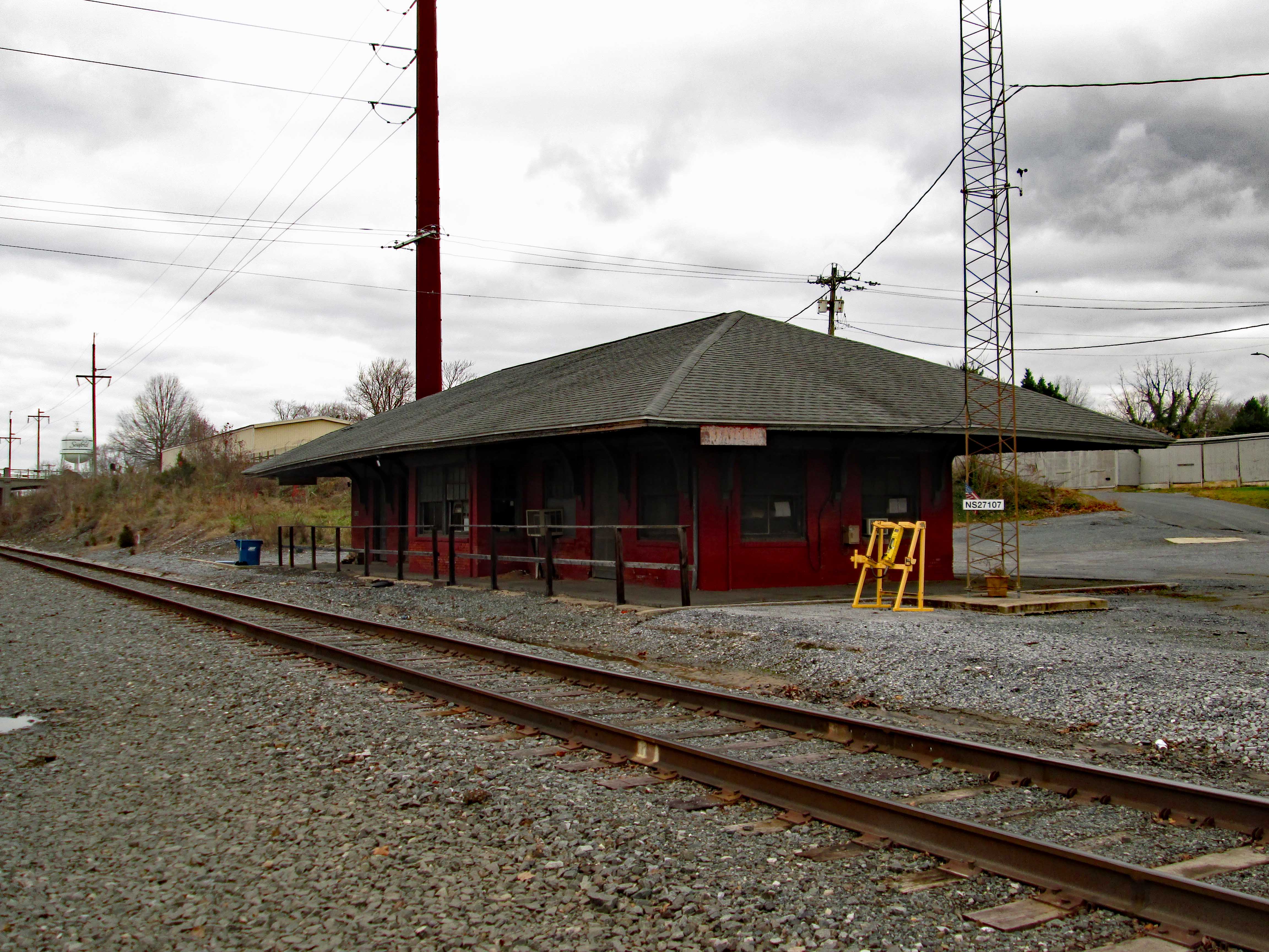
Old Seaford train station and tracks.
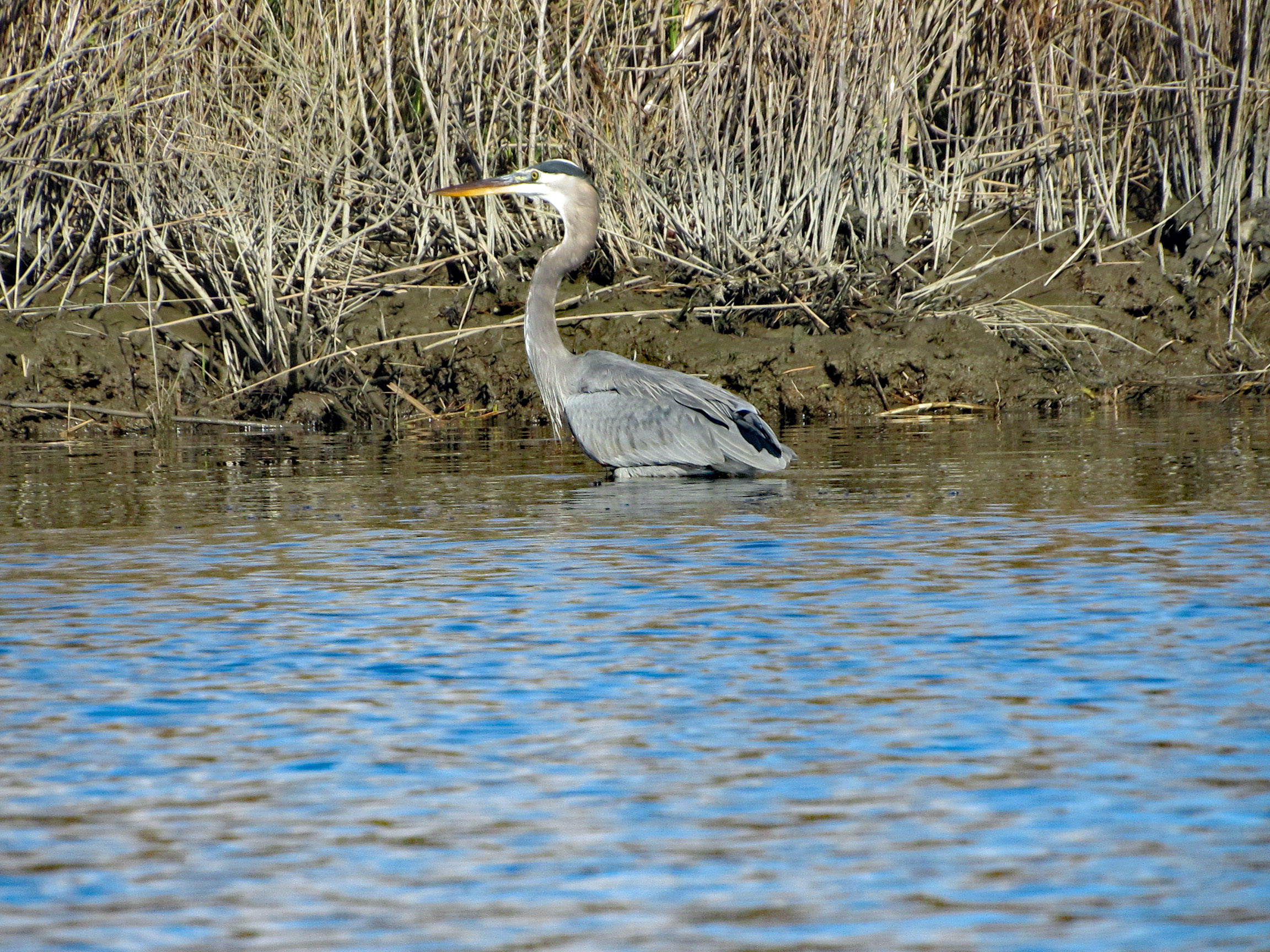
Headed to the other side of the river to see if I could sneak up on the eagle for a close up. Nope…I startled a heron and when he flew off, the eagle flew away also. Got a photo of where he was resting though!
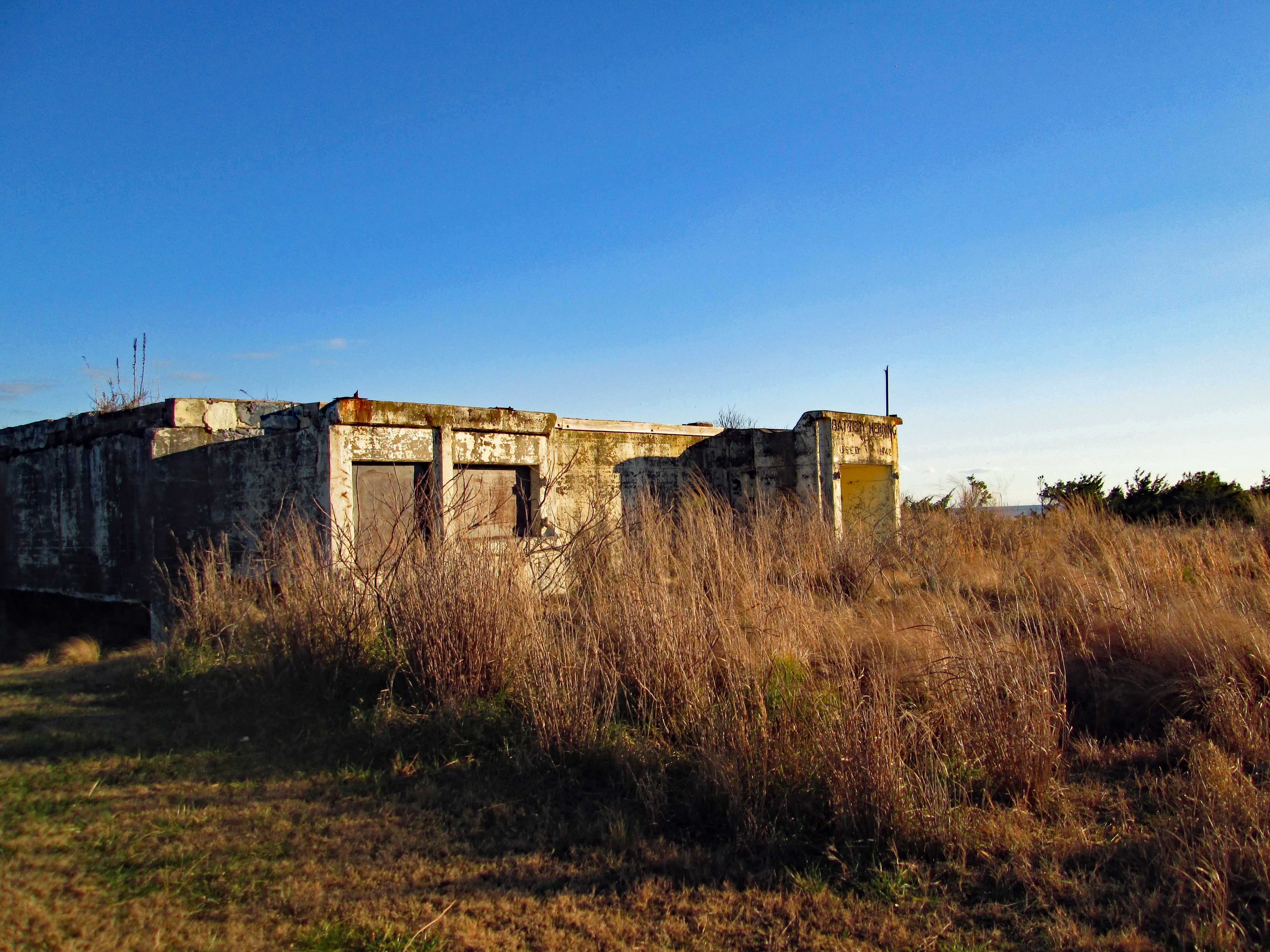
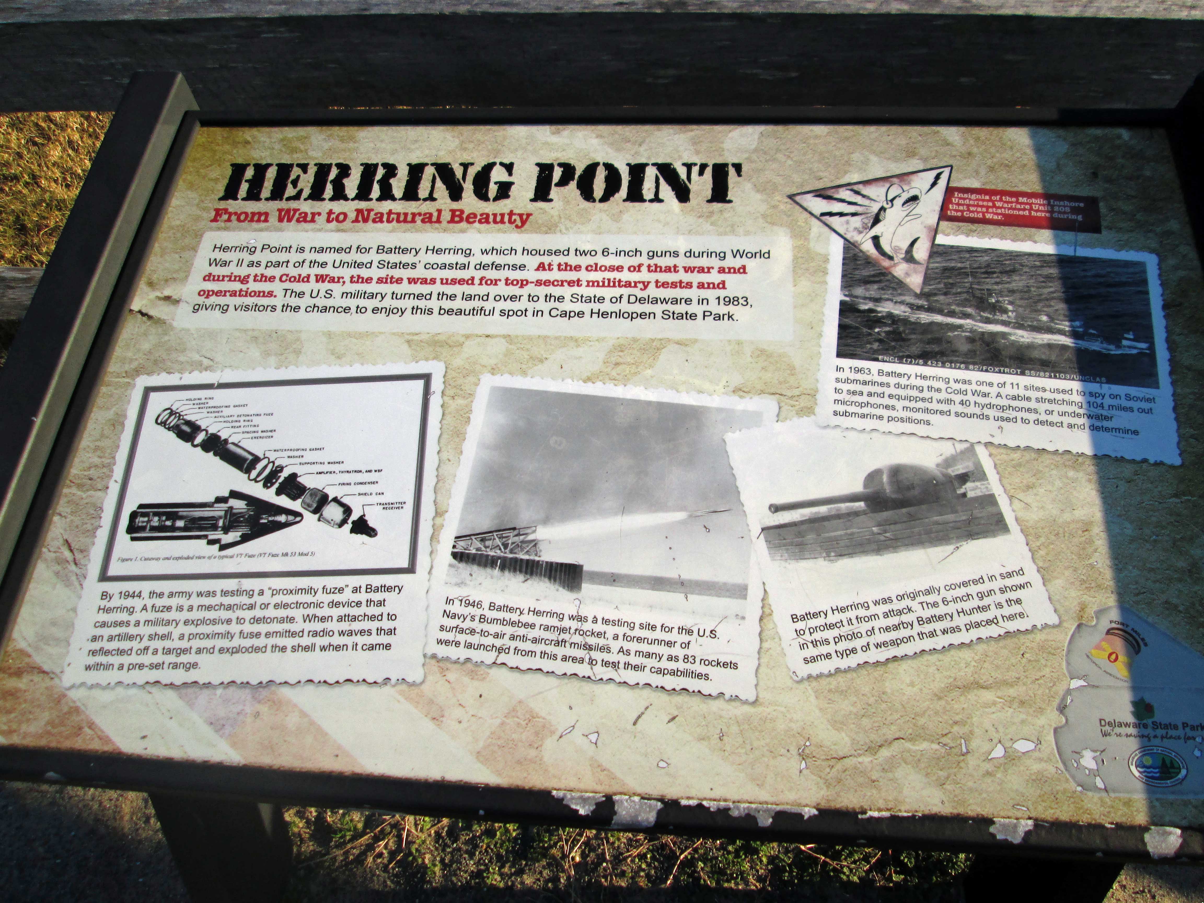
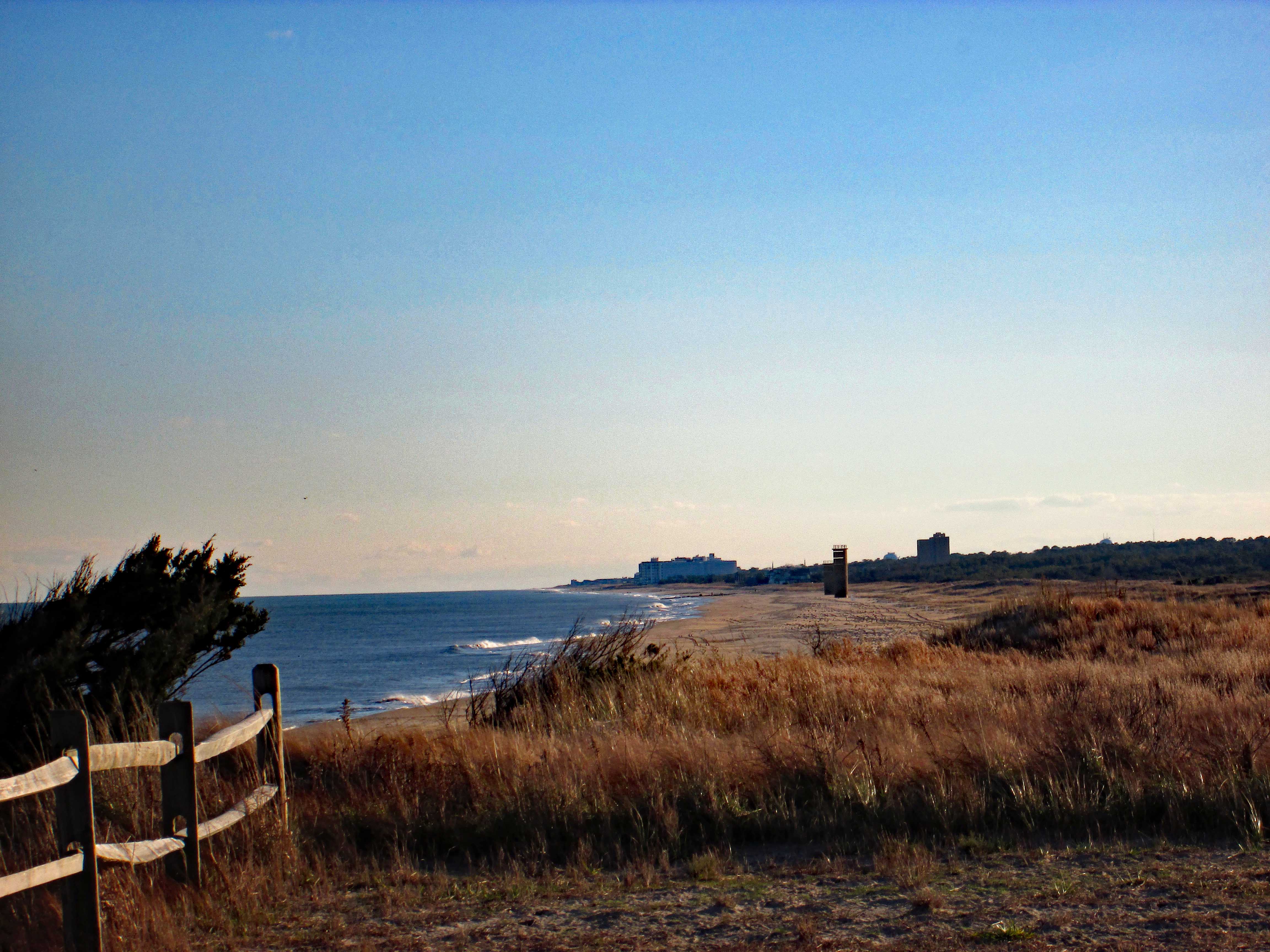
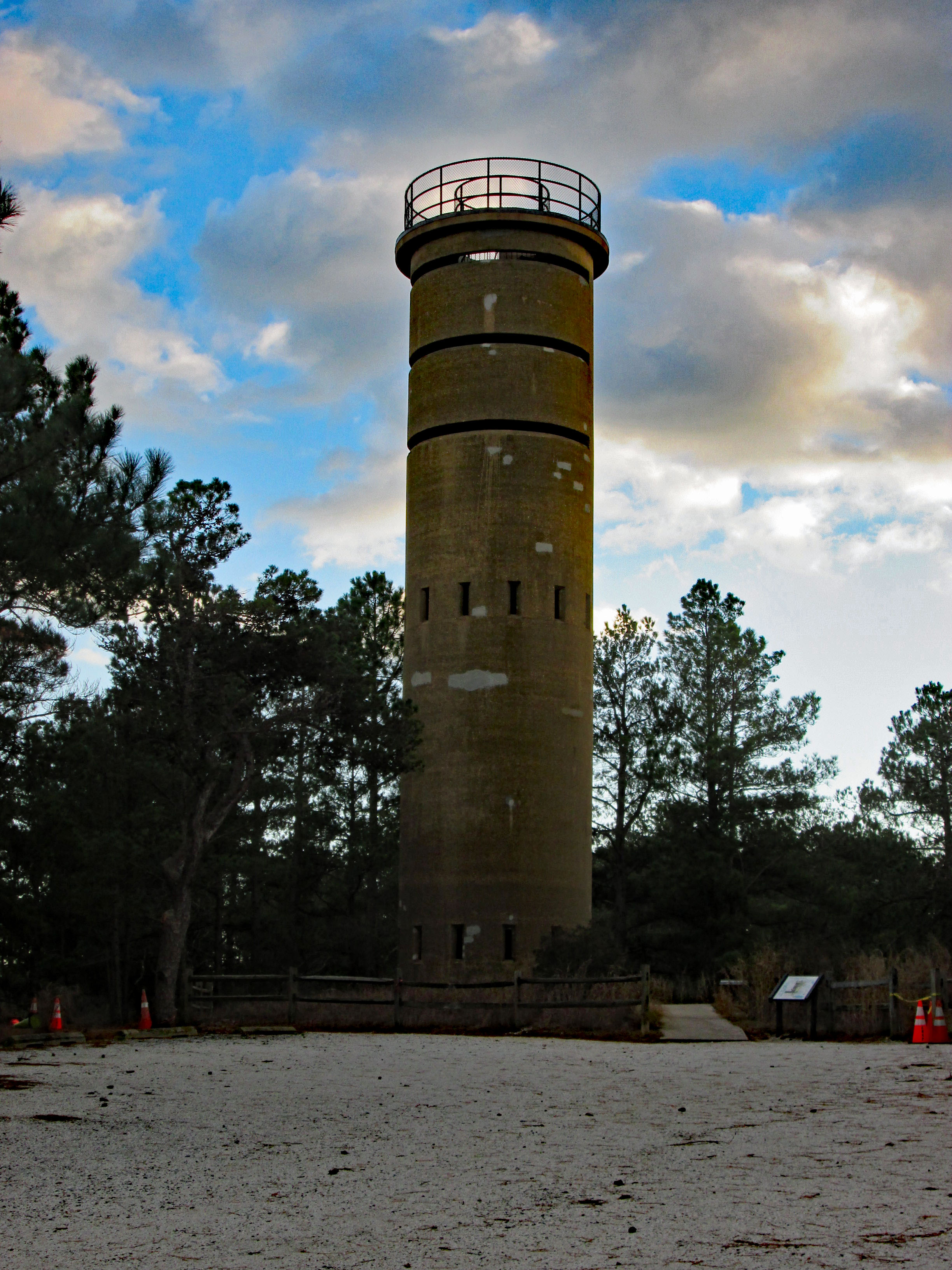
Left there and headed to Lewis. We were going to check out the ferry but decided to go see the sea at Henlopen State Park. Lots of snow Geese flying overhead. First thing we came upon was an old Battery – Herring Battery.
Historical sign describing its use.
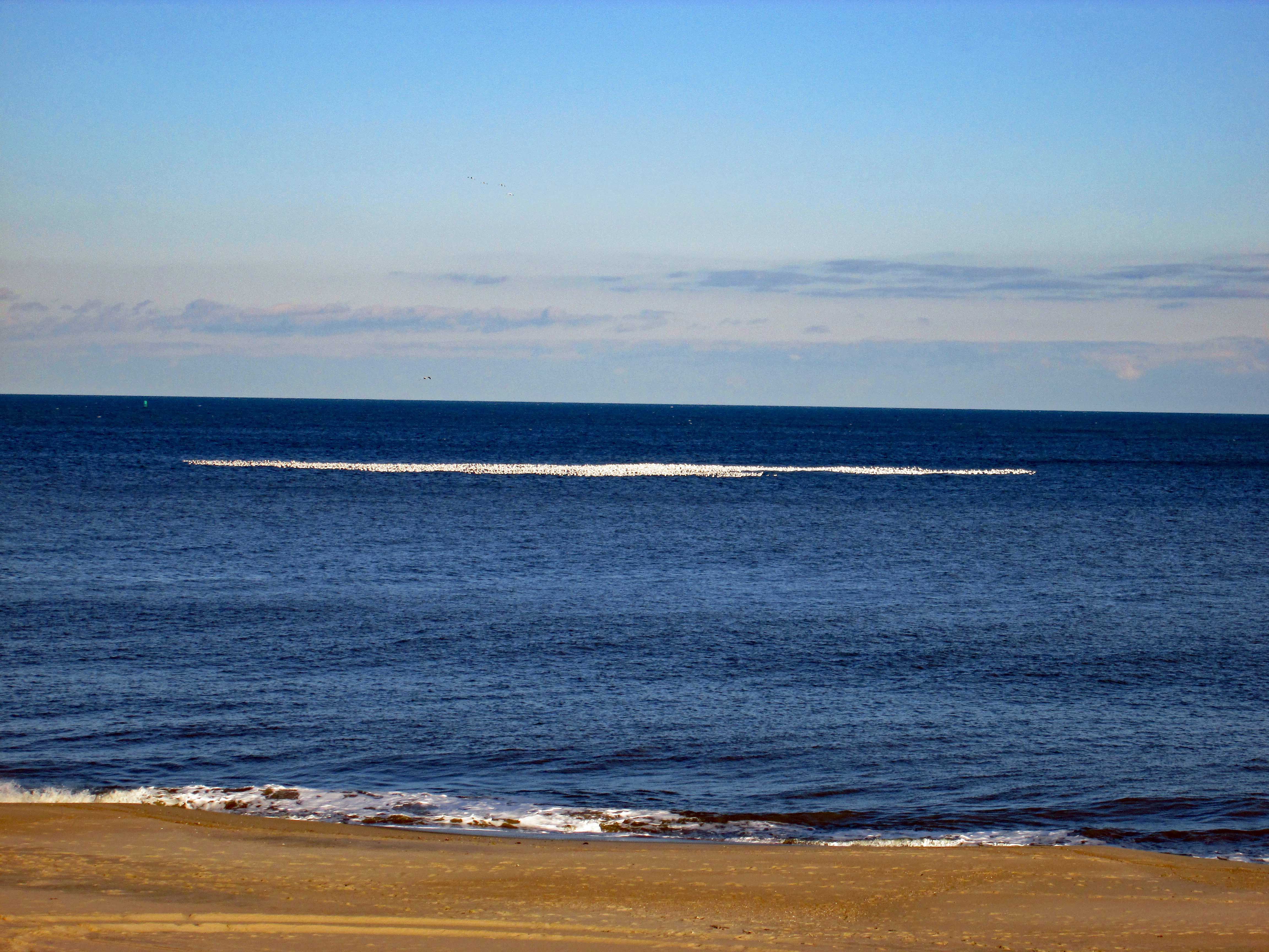
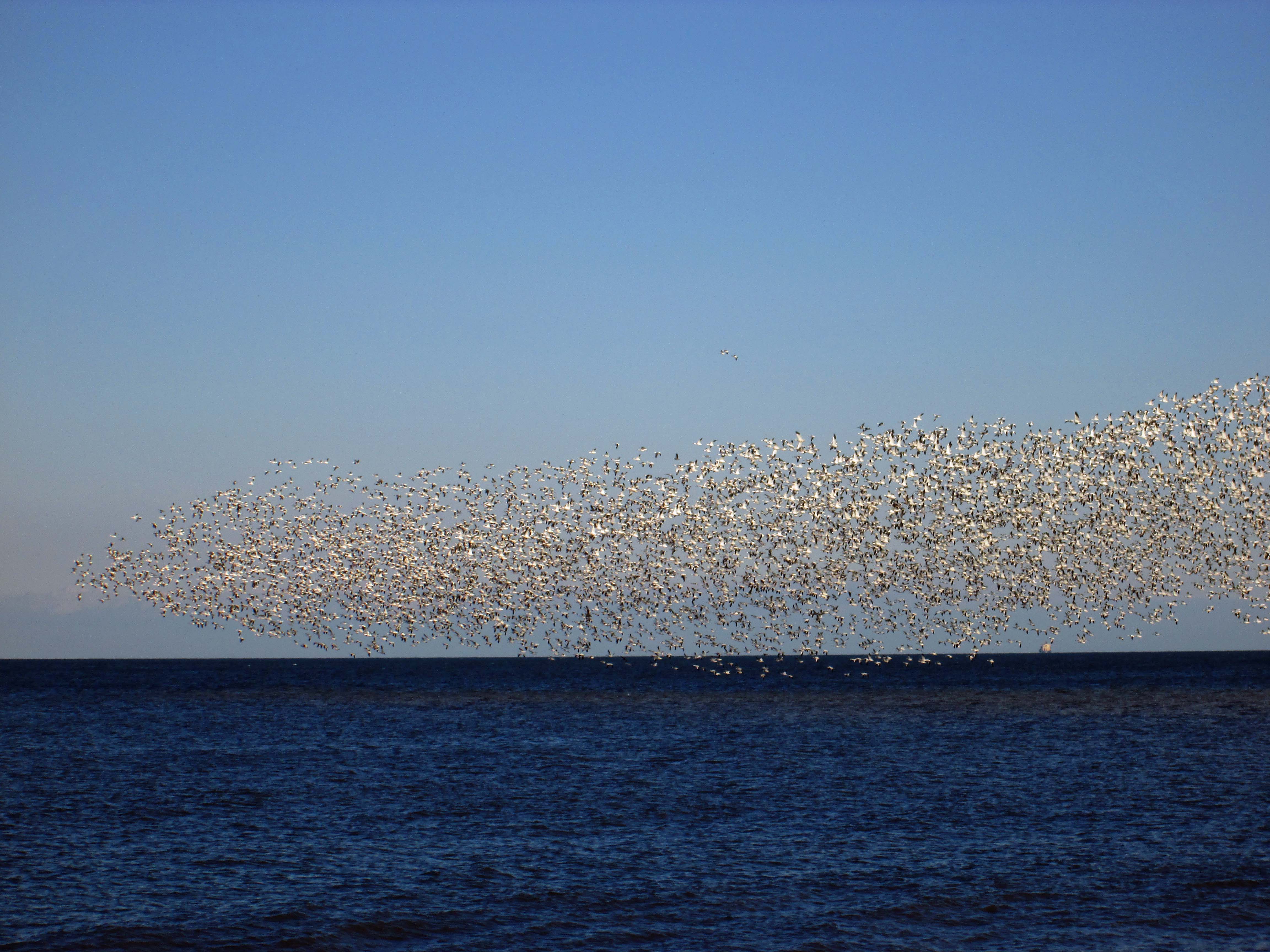
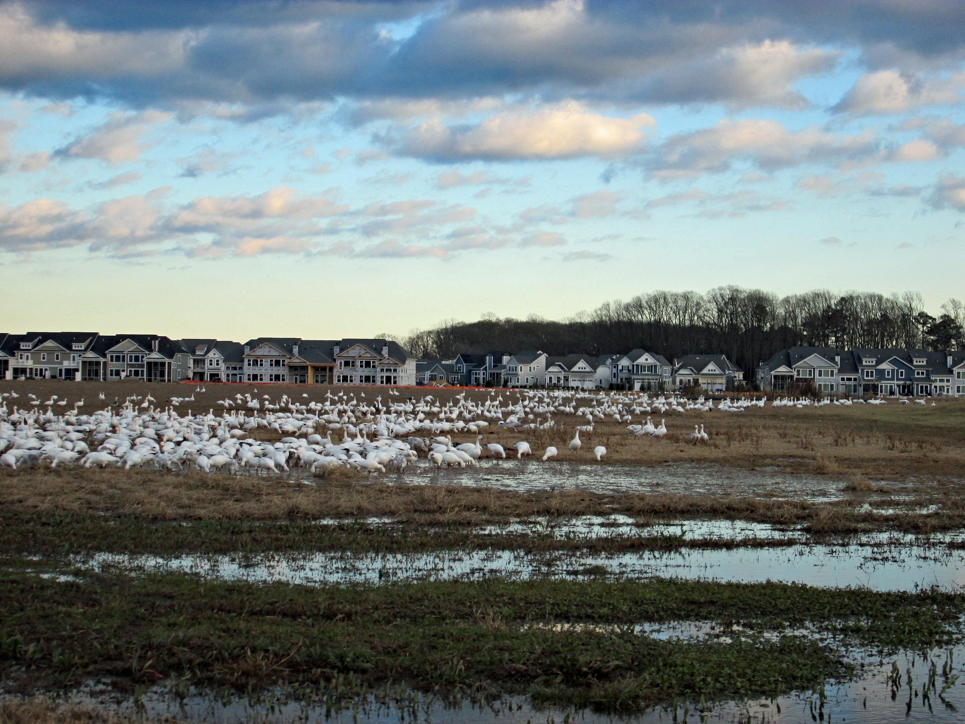
Standing at the top of the dune we saw all these groups of white on the ocean – thousands of Snow Geese!
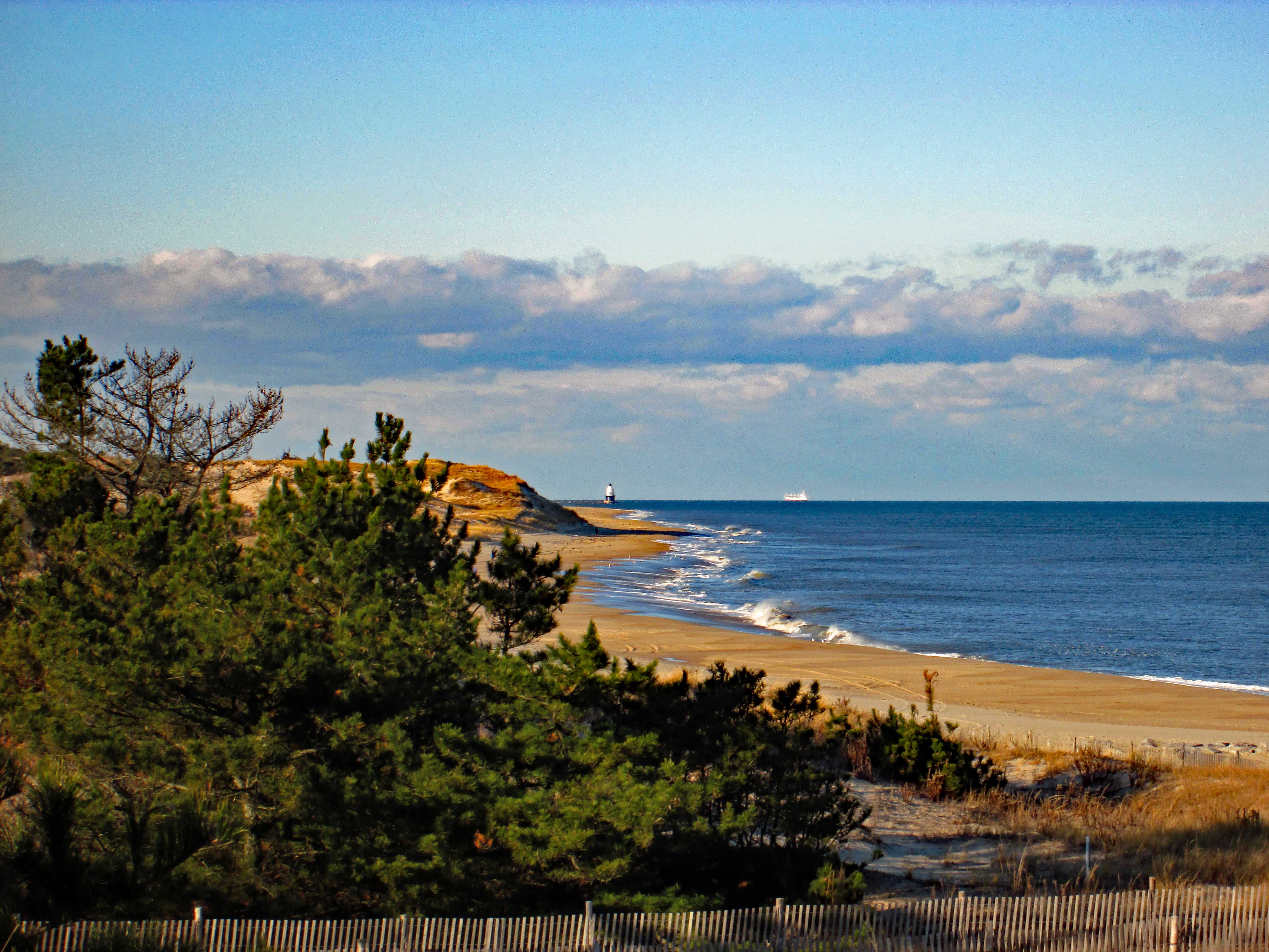
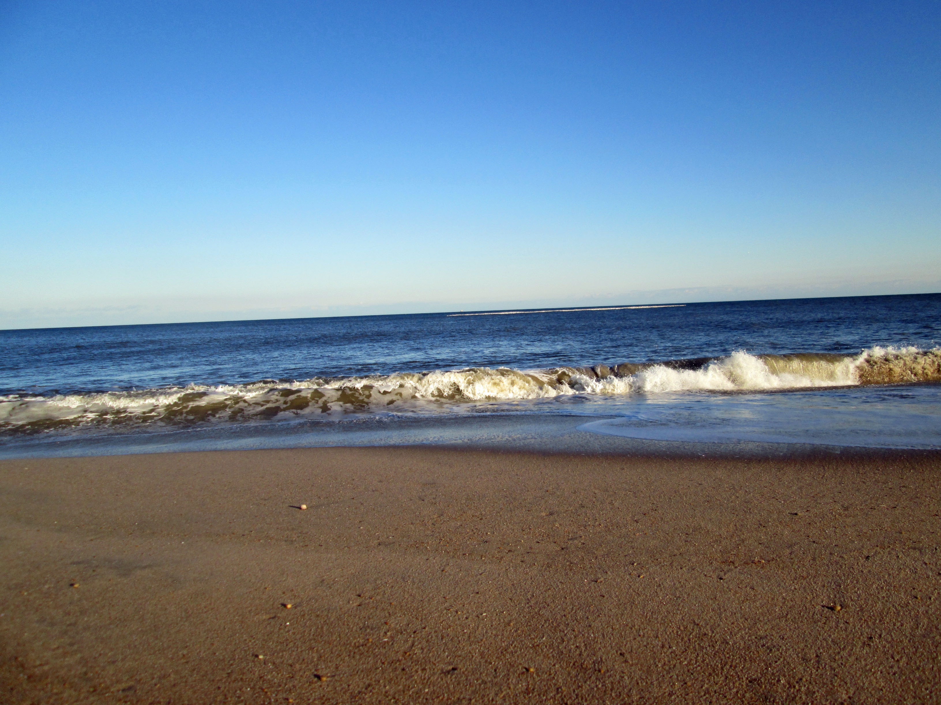
Views from the Battery – towards lighthouse and then towards Rehobeth.
Walked down the path to get a closer view of the geese.
And there they go!
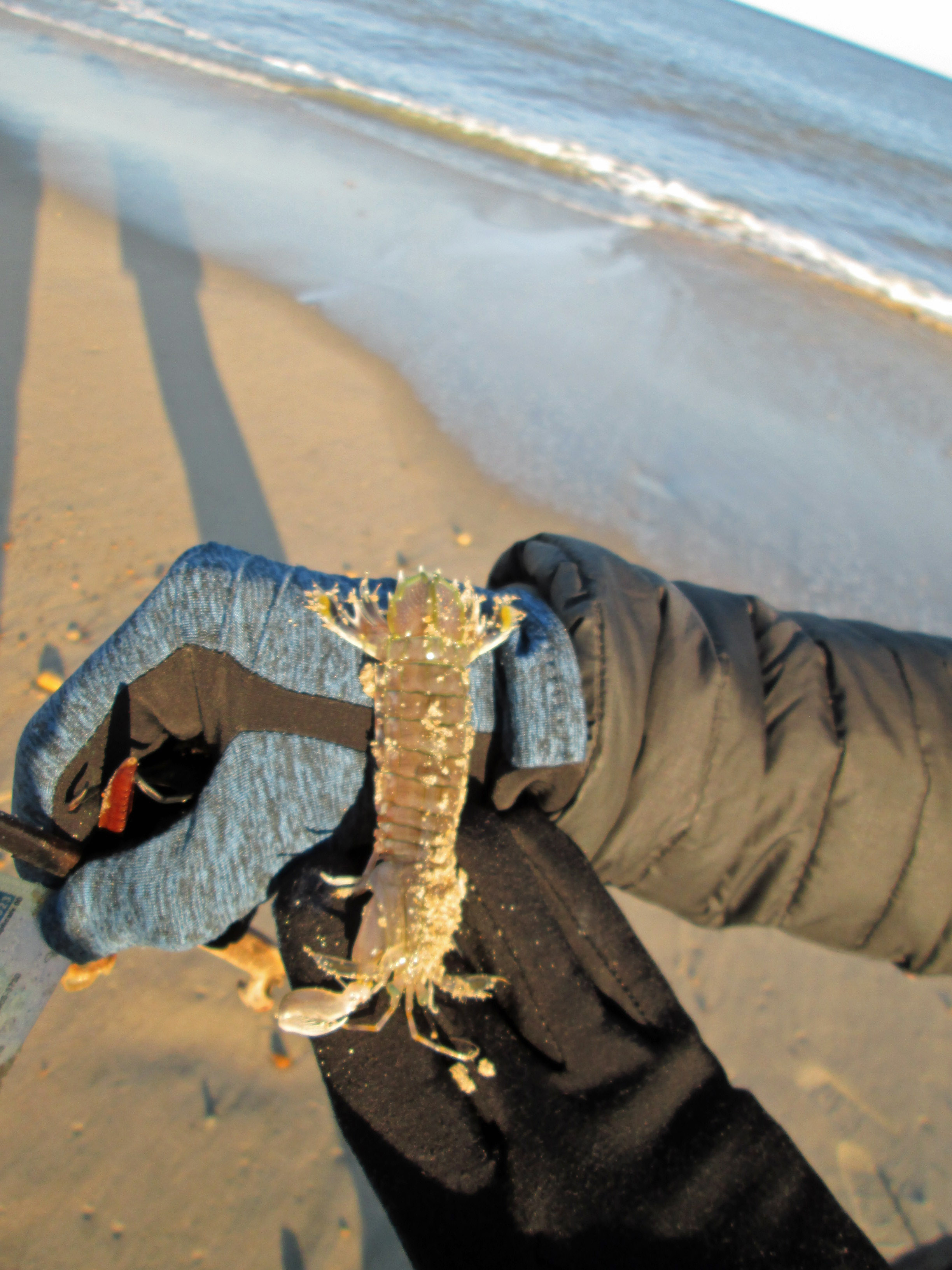
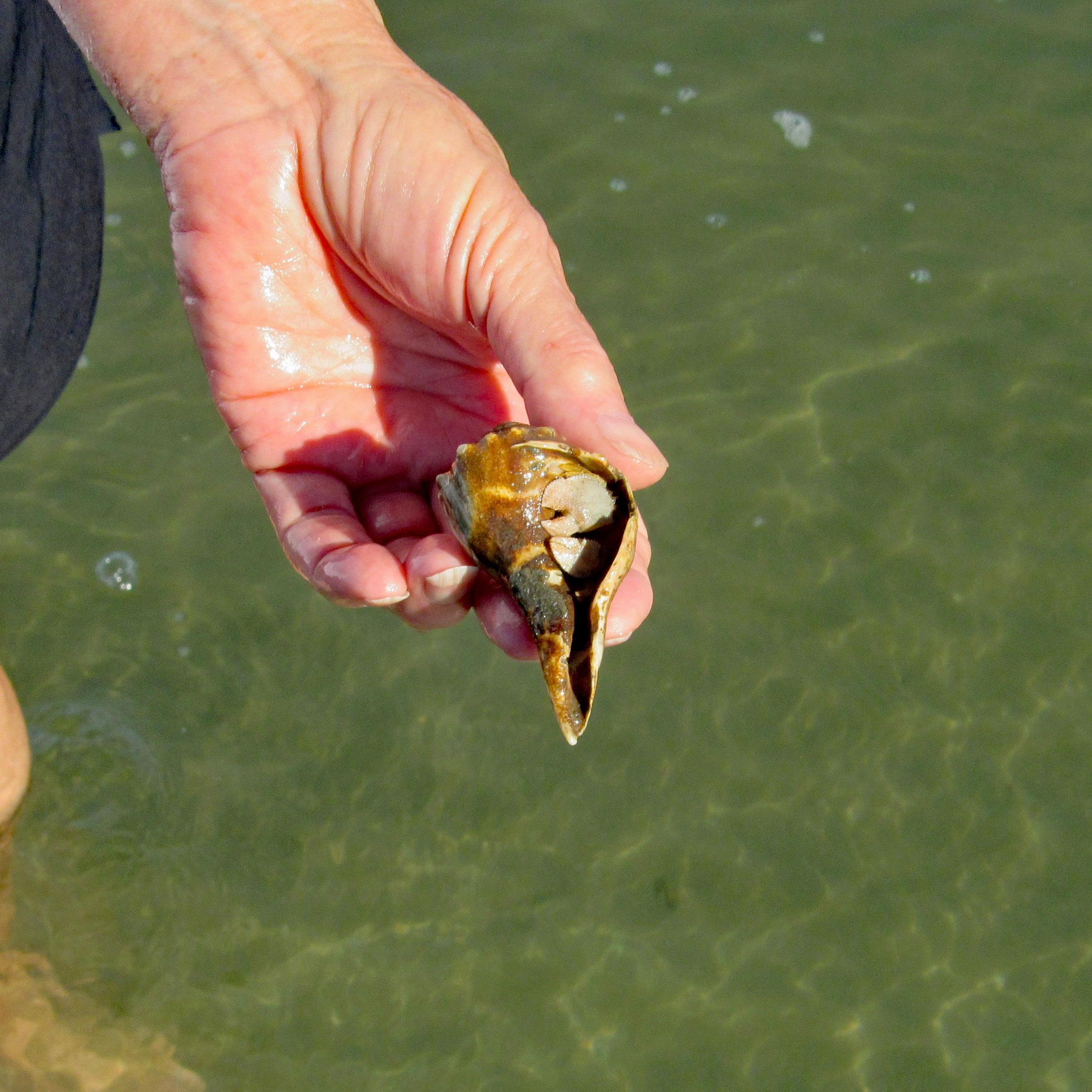
Found this guy on the beach. Not sure what he is – prawn, shrimp, mini-lobster? But he was still alive. No sooner than Kathy puts it back in the ocean, an eagle swooped down and snatched him – Where’s the camera!!??
Looks like this washed up on shore. As did someone’s driver’s license. Tried to find the person on the internet, but no luck. Need to turn in to the police.
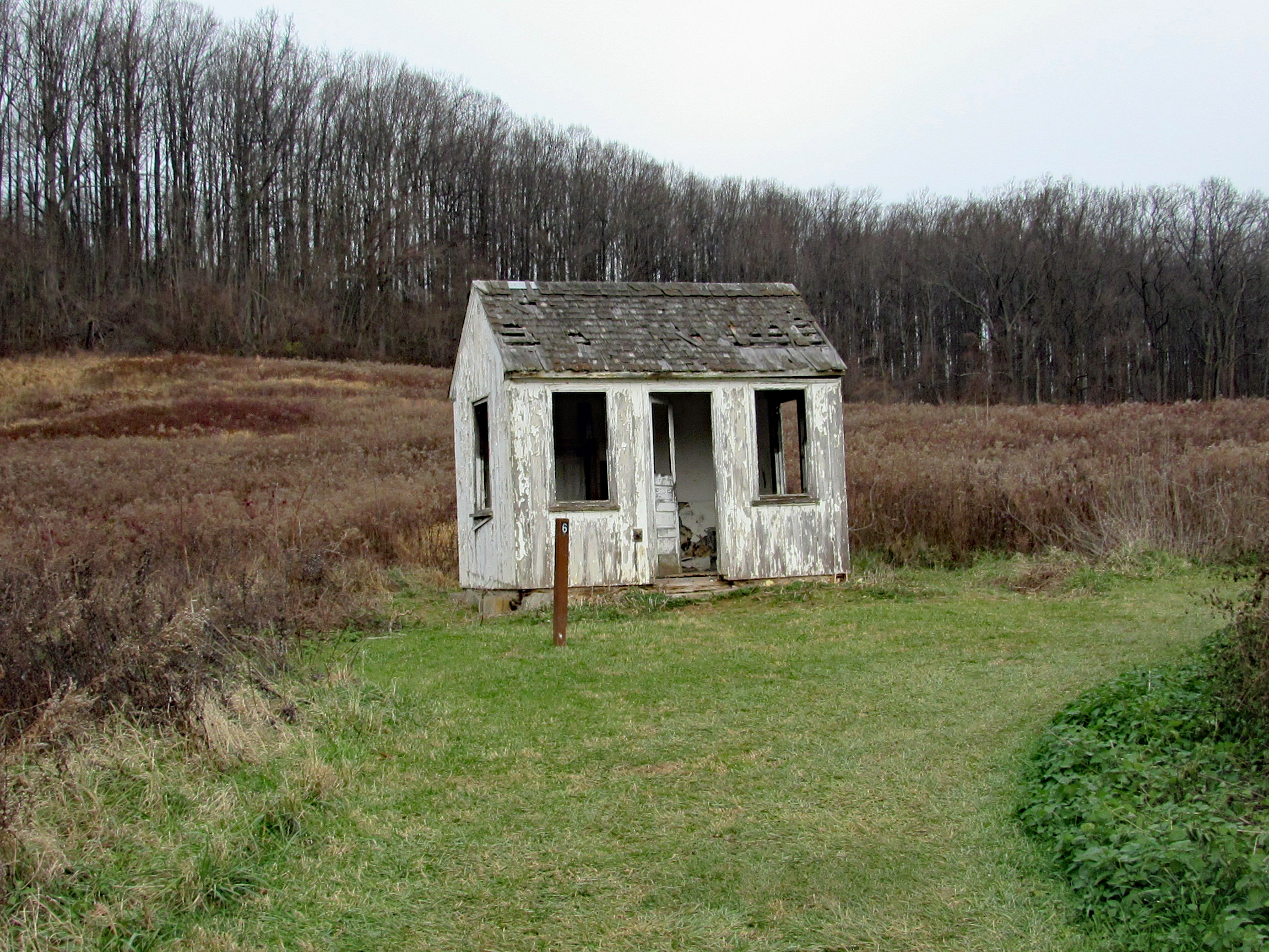
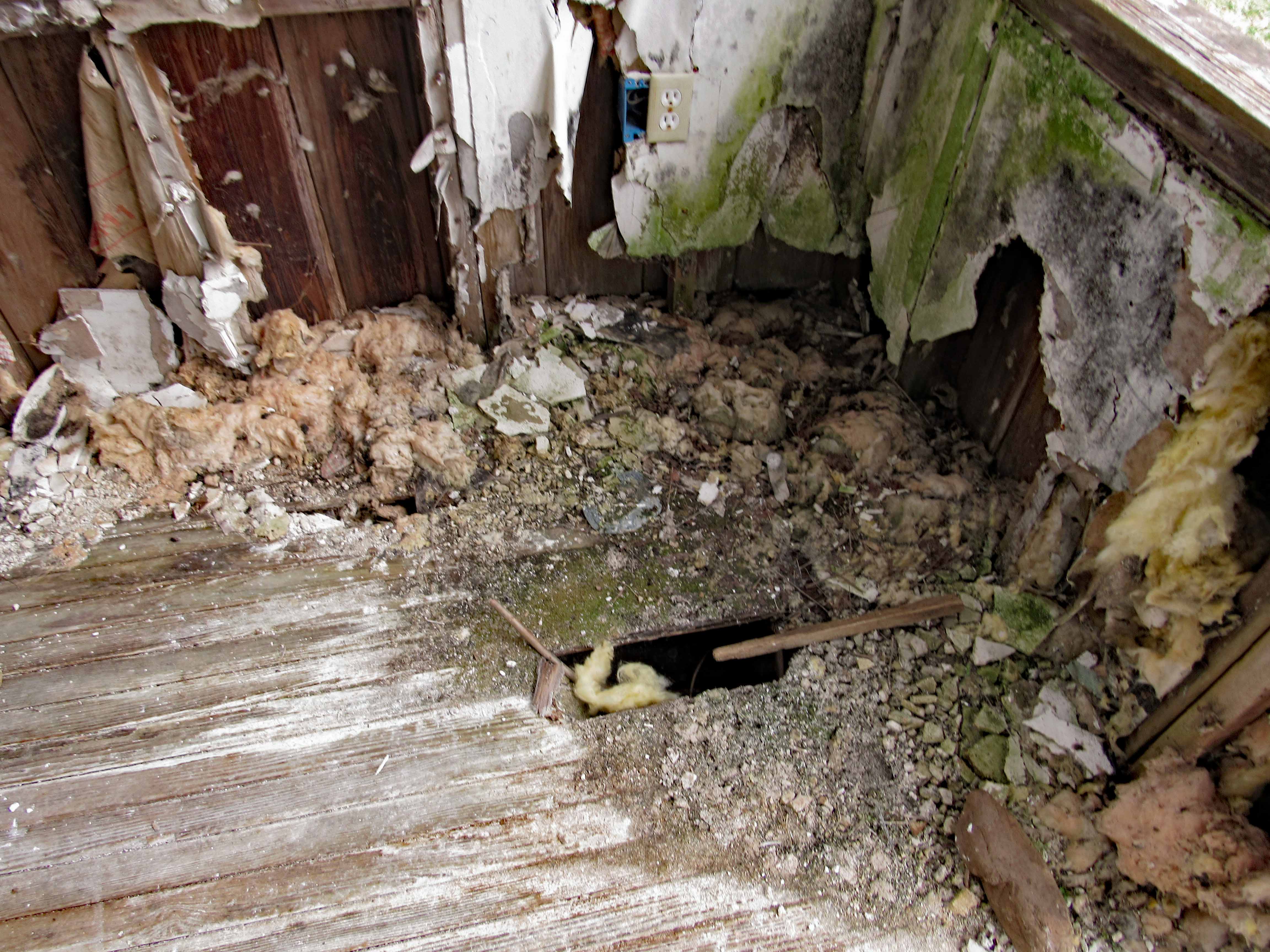
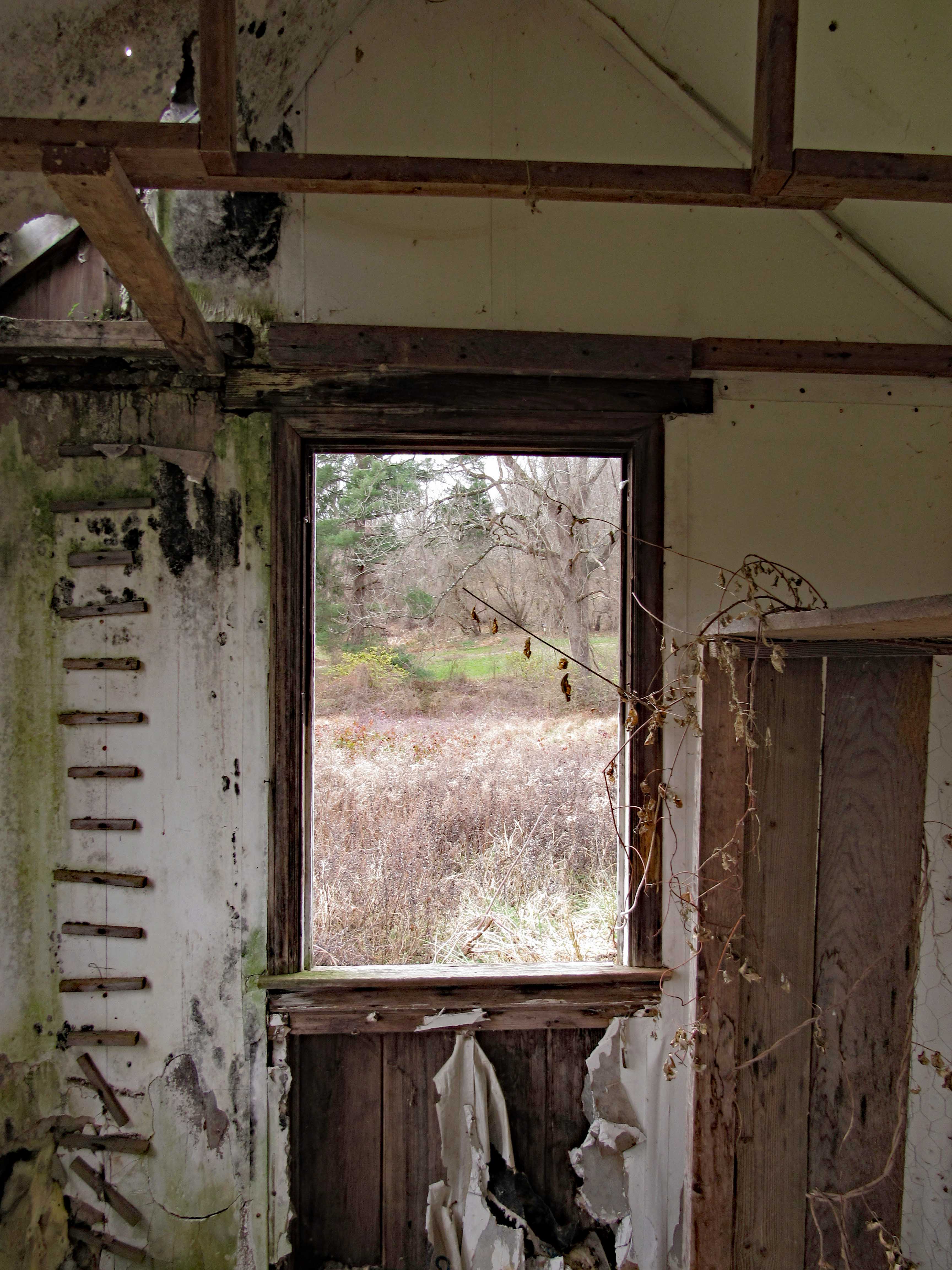
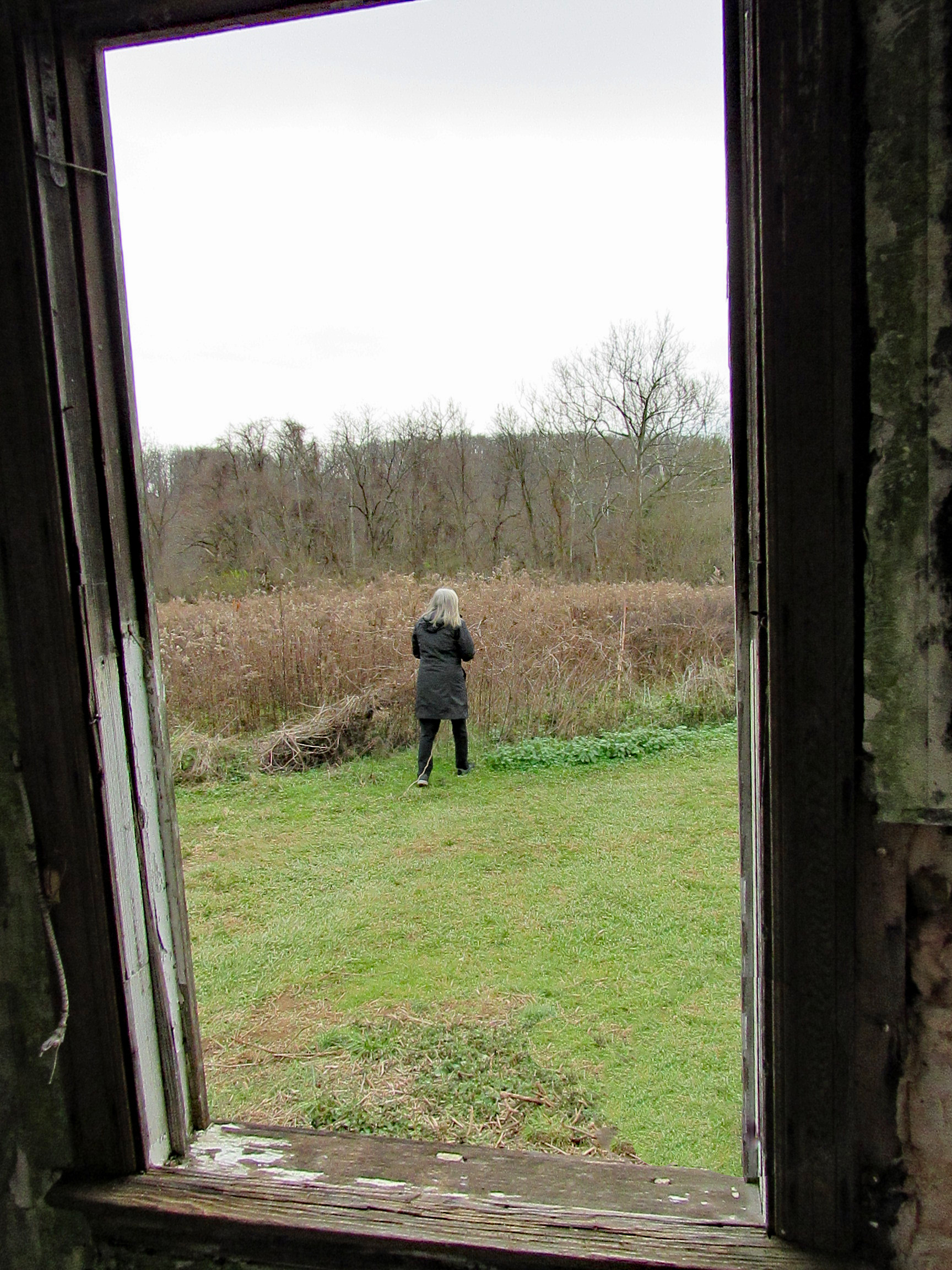
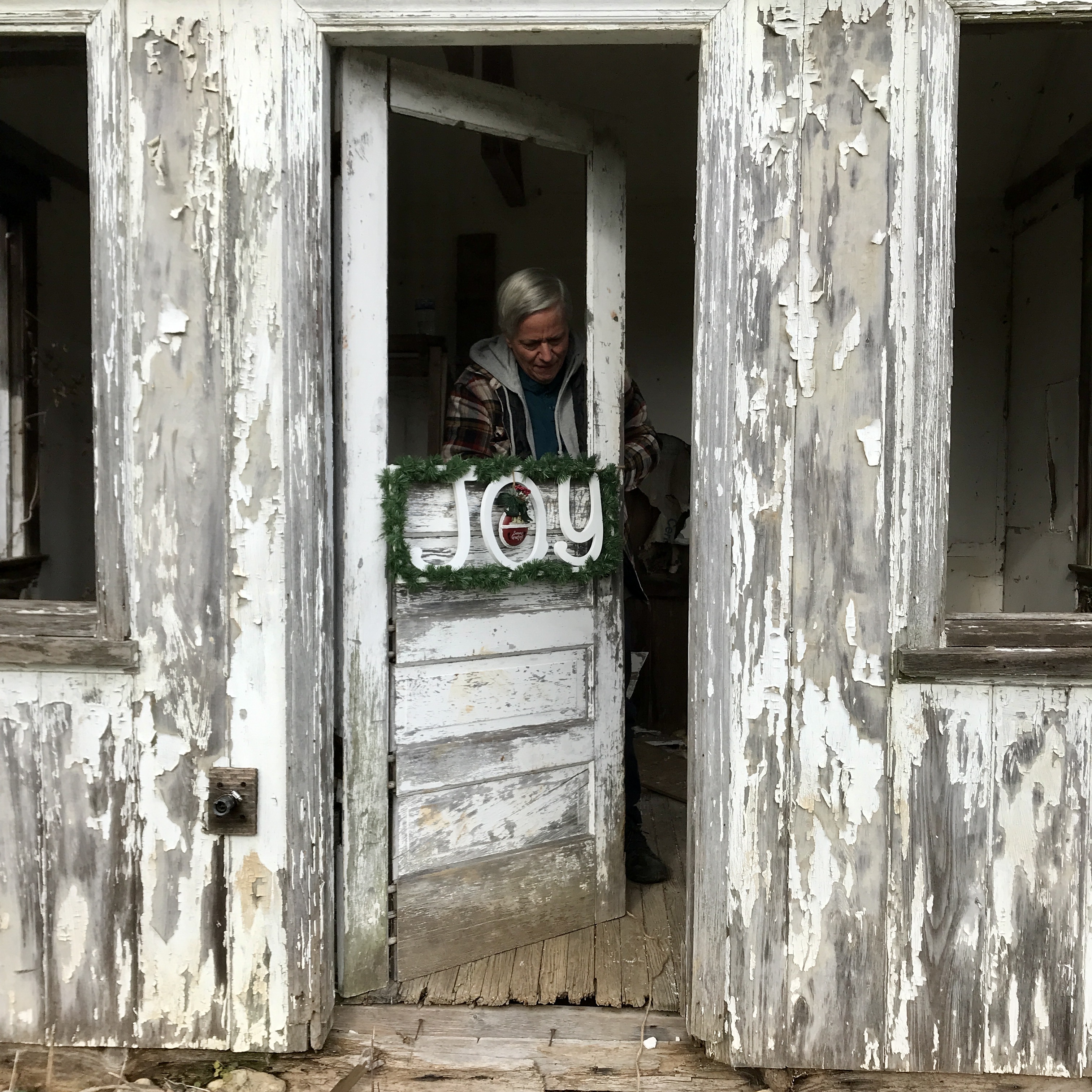
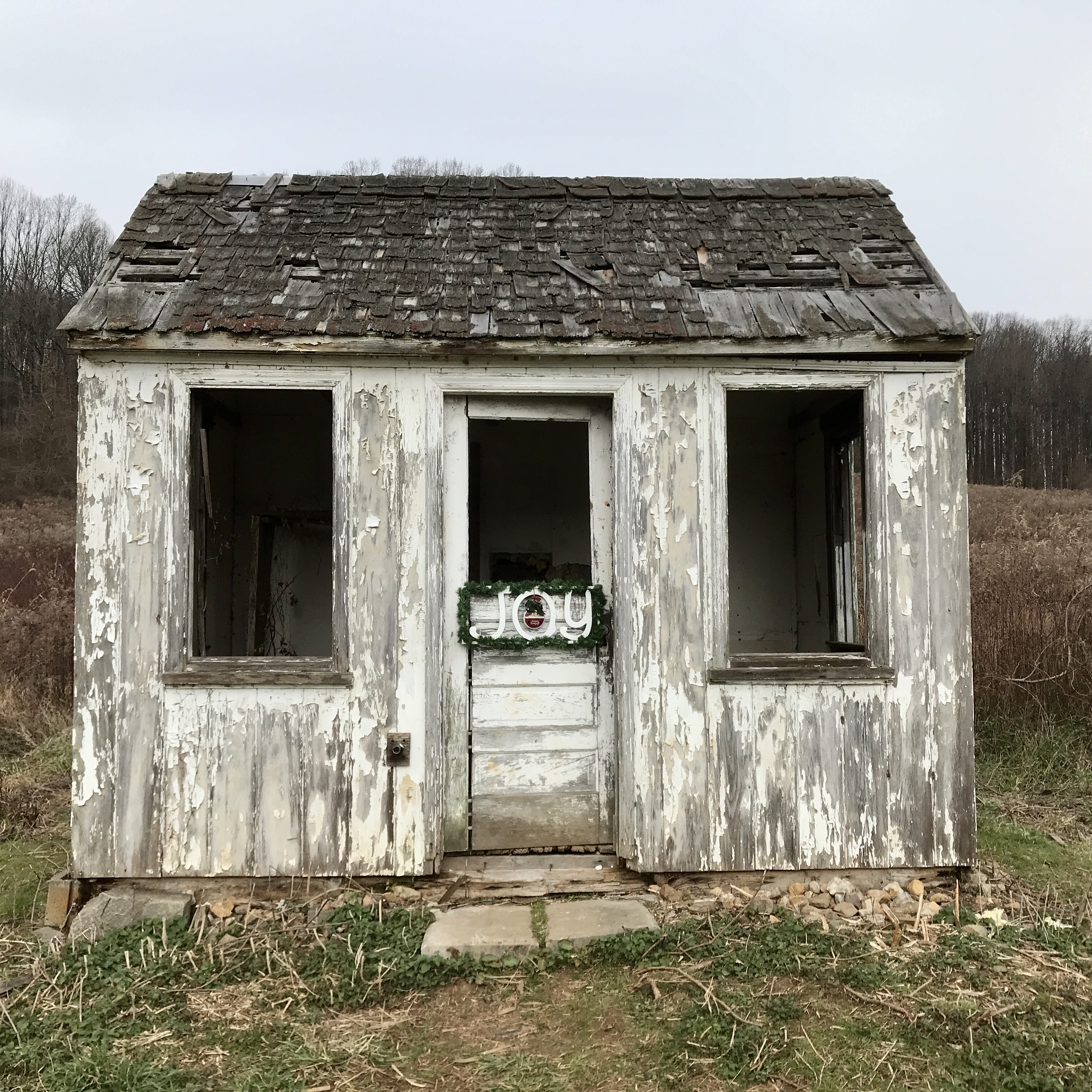
Wasn’t sure we would make it to Baltimore this year, to decorate our favorite building in our favorite park – Cromwell Valley Park. But we did! Heading across the field towards the Greenhouse Path (Not sure when they started calling it that), up in the distance we see the little house. Many years ago it was a bath house for the family that use to live near here.
Wondering how many more years our little house will weather the storms. I wish there was a way myself or any of the park volunteers could restore it.
And here I am, decorating.
Our finished Christmas gift to the park.
Time to make a Christmas wish…
We walk the trail to the woods and then head through to the old balancing reservoir shaft.
On to the Sycamore Trail
This is new. Built in 2019 by a Scout for his Eagle Scout Badge.
Hike towards Mine Bank Run. Can still tell this run continues to overflow it’s banks. Stopped to check out what I call the Bubbling Pond. They call it Marble Spring. It bubbles up from lime underground mixing with the water. Not much bubbling today.
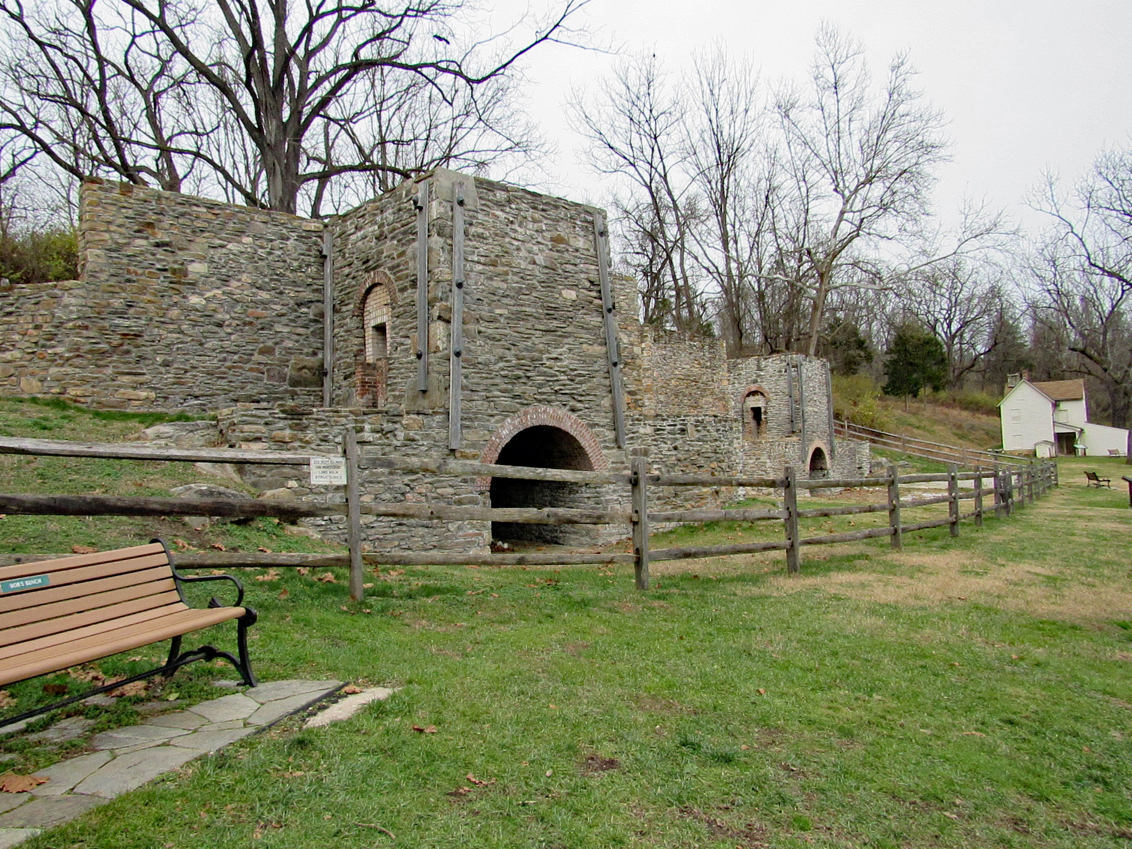
From Mine Bank to the Lime Kiln Trail. I am still amazed at how these were rebuilt.
View from the top looking towards Long Island Farm.
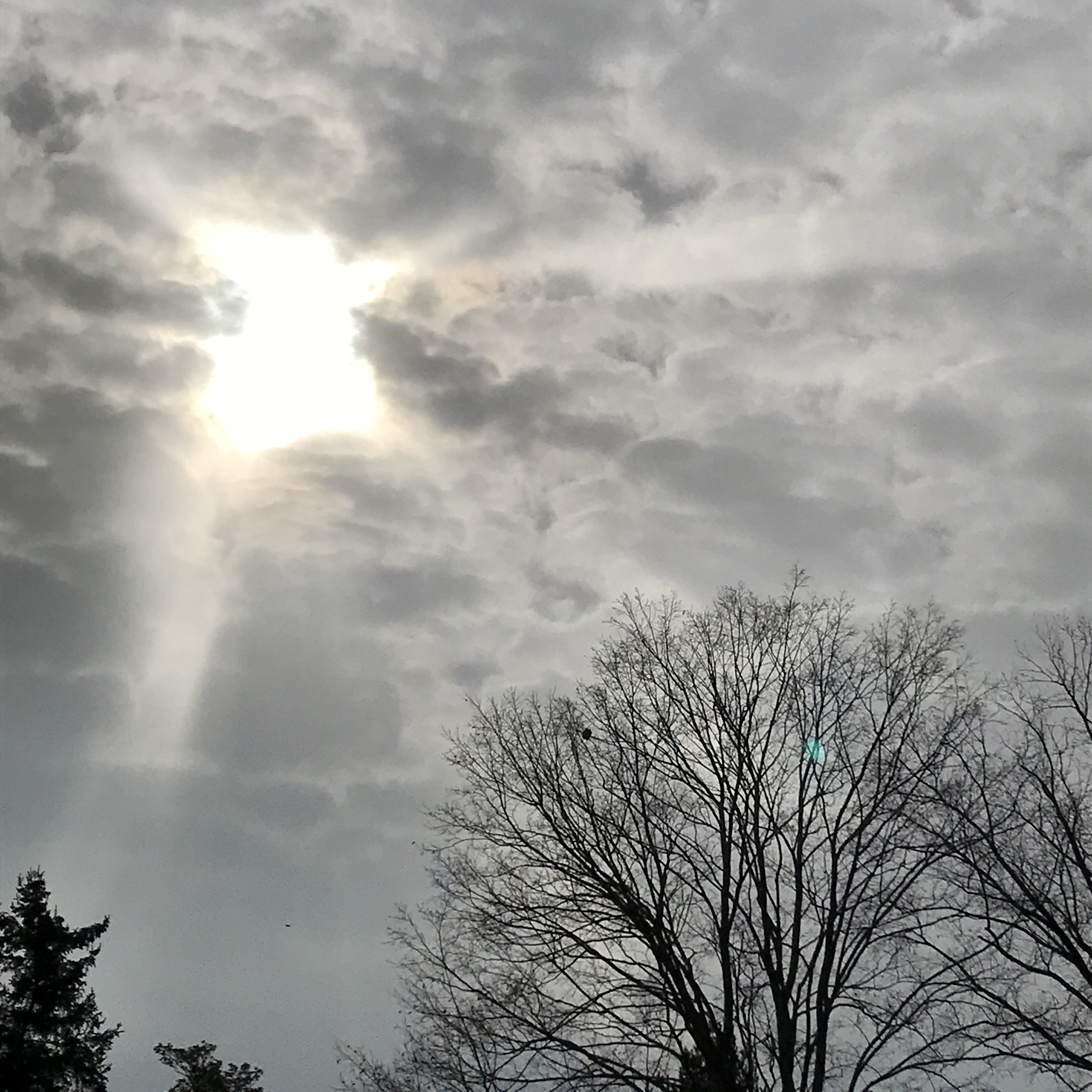
The sky was spectacular this evening. This is at the park.
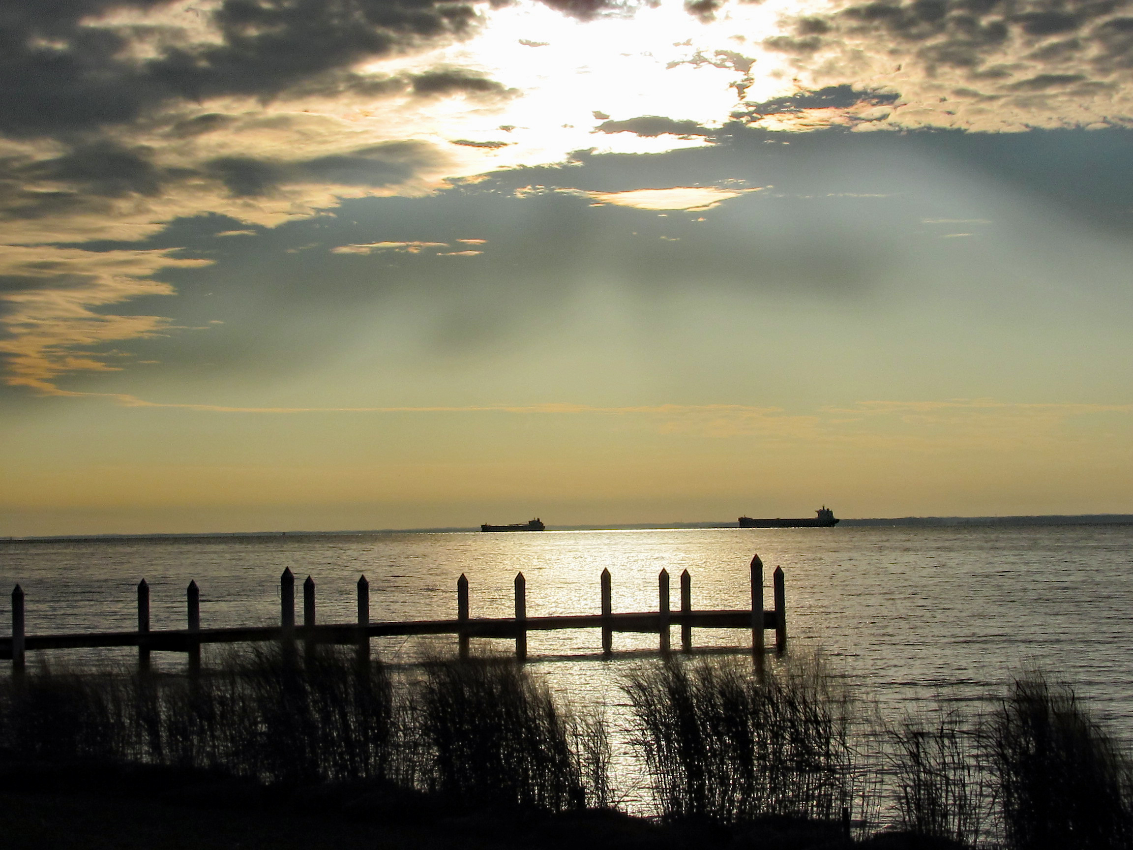
This one was taken from the Eastern Shore at the Bay Bridge. We pulled off of Rte. 50 to eat and look at the water and ships.
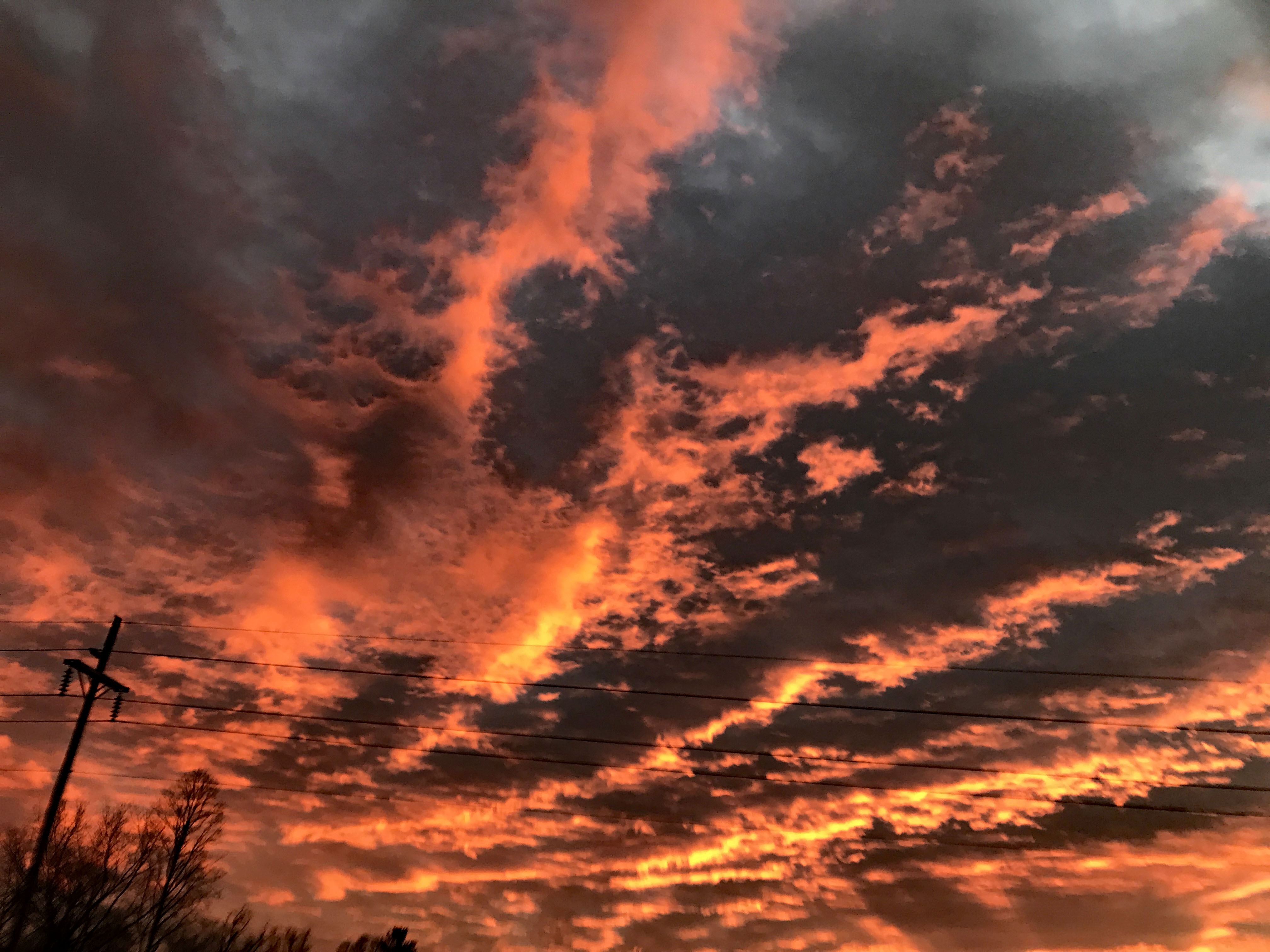
Kathy took this one from the car, heading towards Vienna.
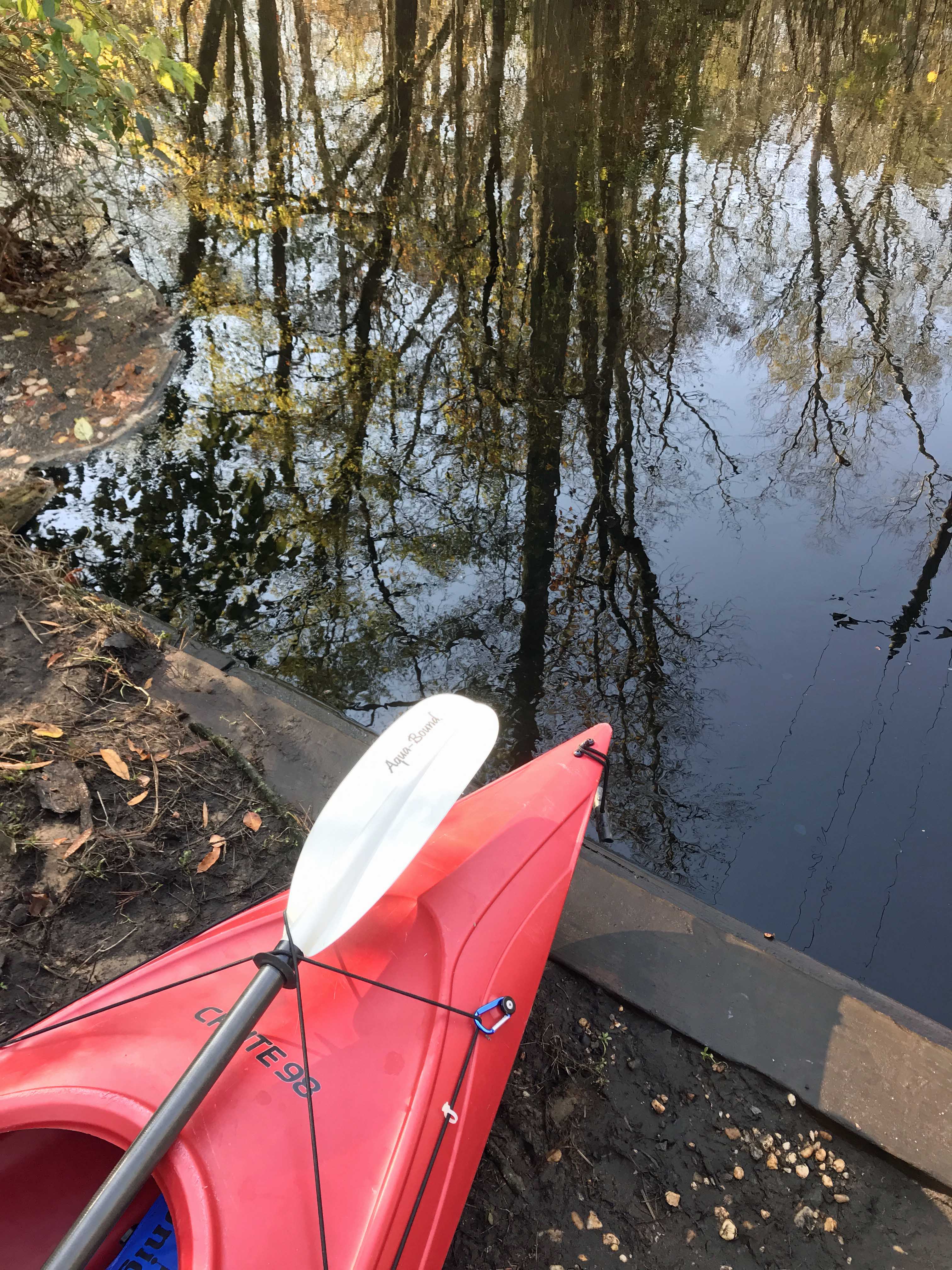
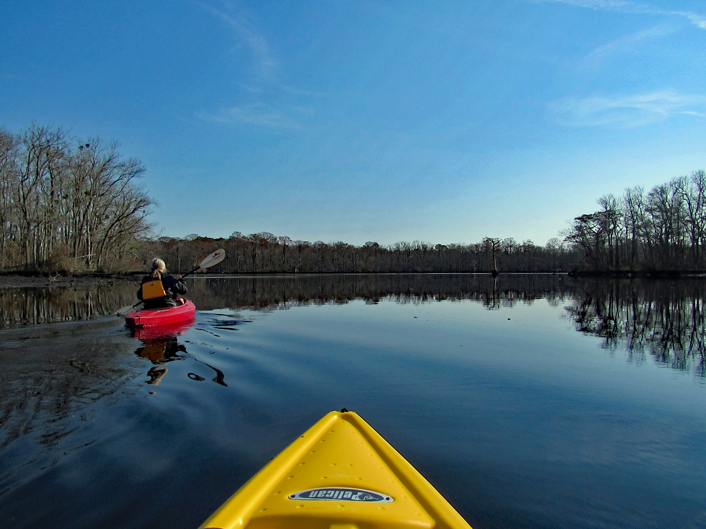
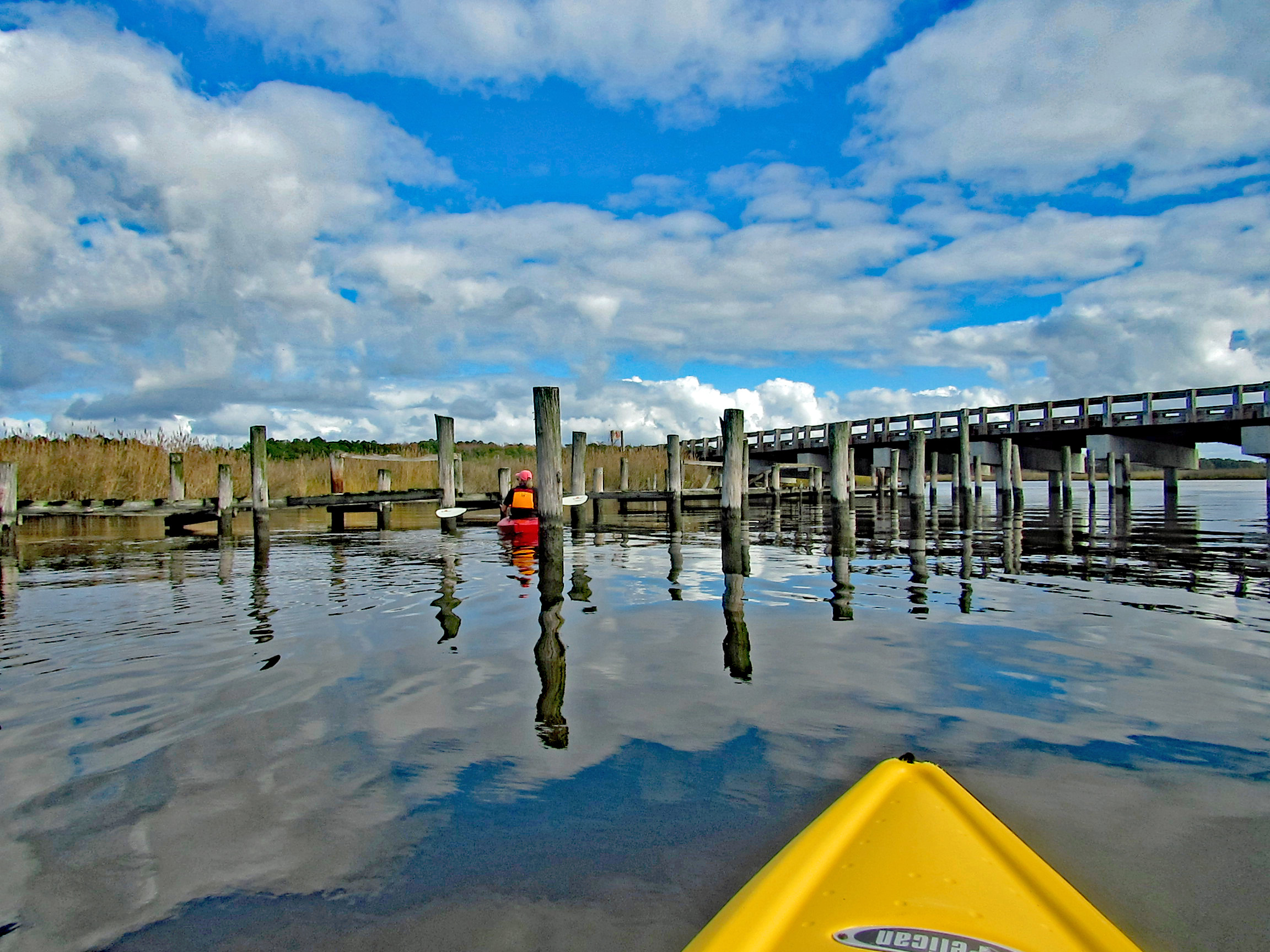
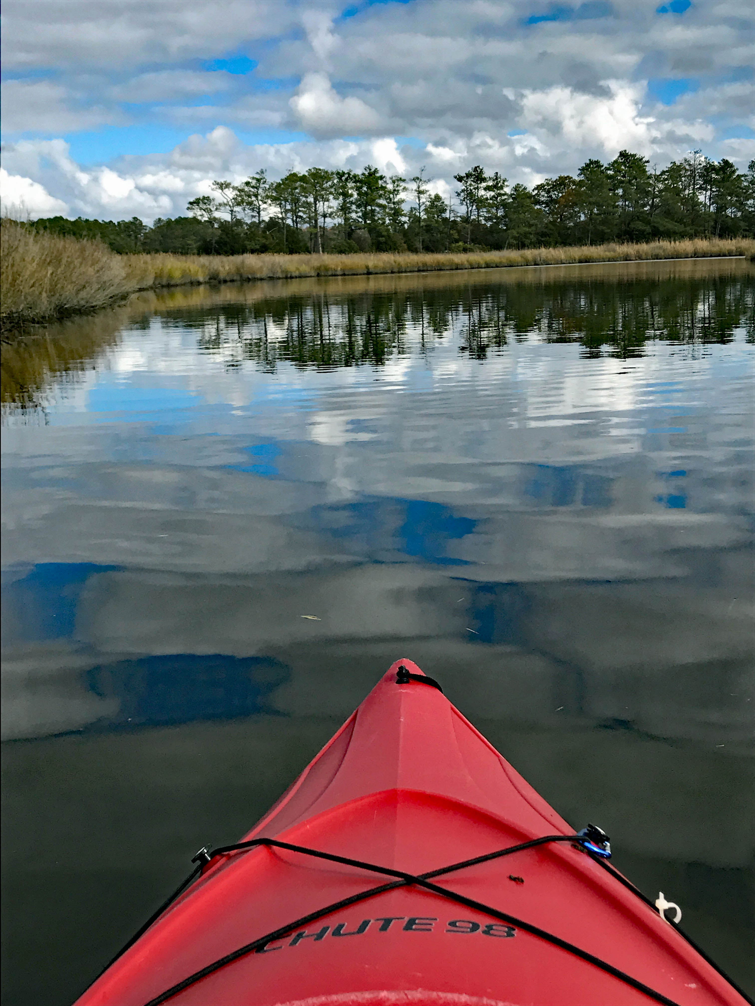
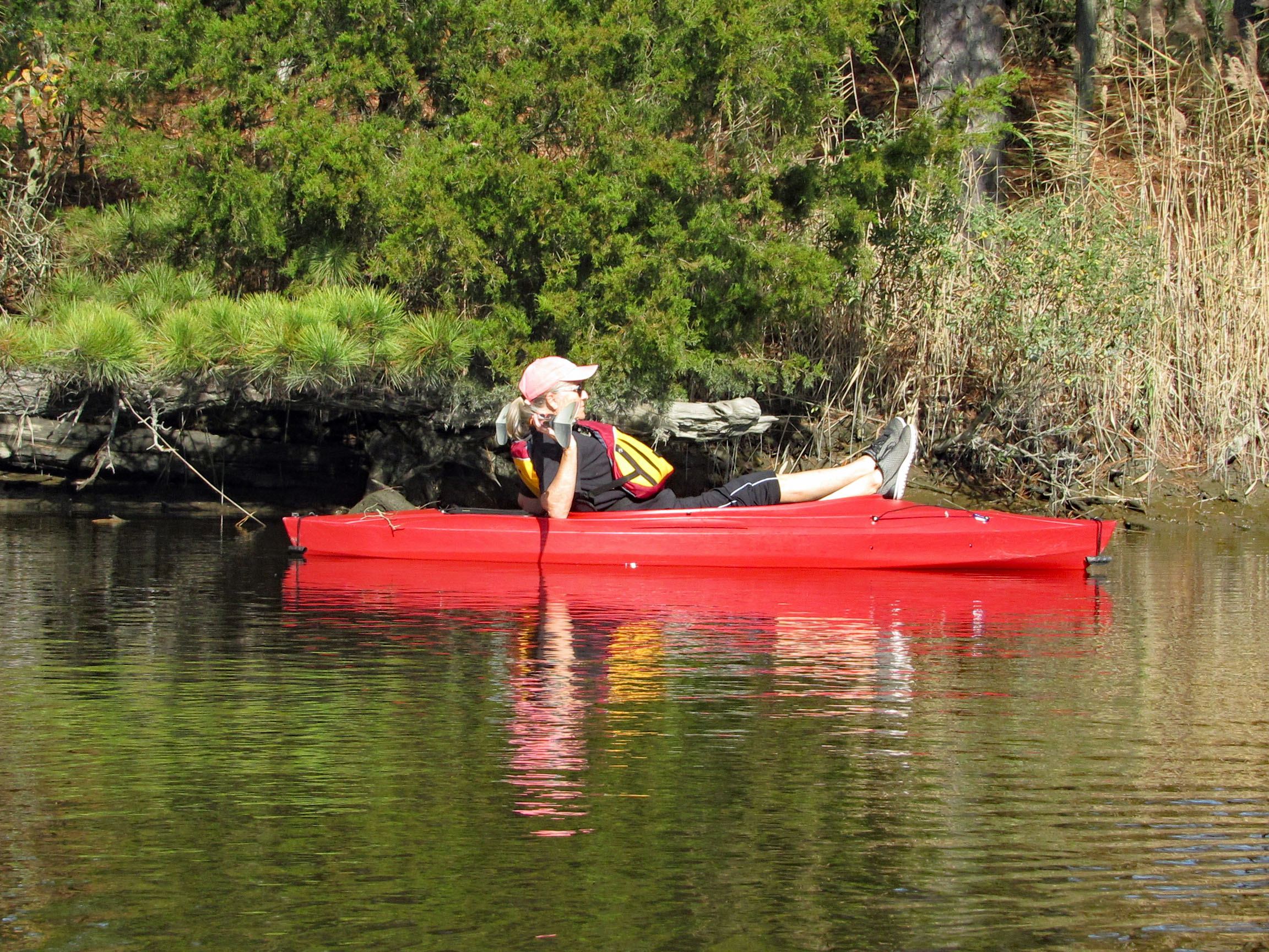
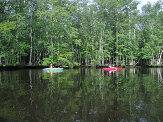
Headed out a little late for a long kayak adventure so we decided to go to a spot nearby – Nassawango Creek to the Pocomoke River. We have done both of these this past summer, but this is our first time going all the way down the Nassawango to the Pocomoke. The water was unbelievably low today and as we stood on shore looking, the creek was still flowing out, rather rapidly.
I prefer a ramp/launch to get in and out of my kayak. I know I risk scraping the bottom quite a bit, but I’d rather do that than fall in! The water being so low, you need to step down two steps. (This is my favorite photo, taken by Kathy)
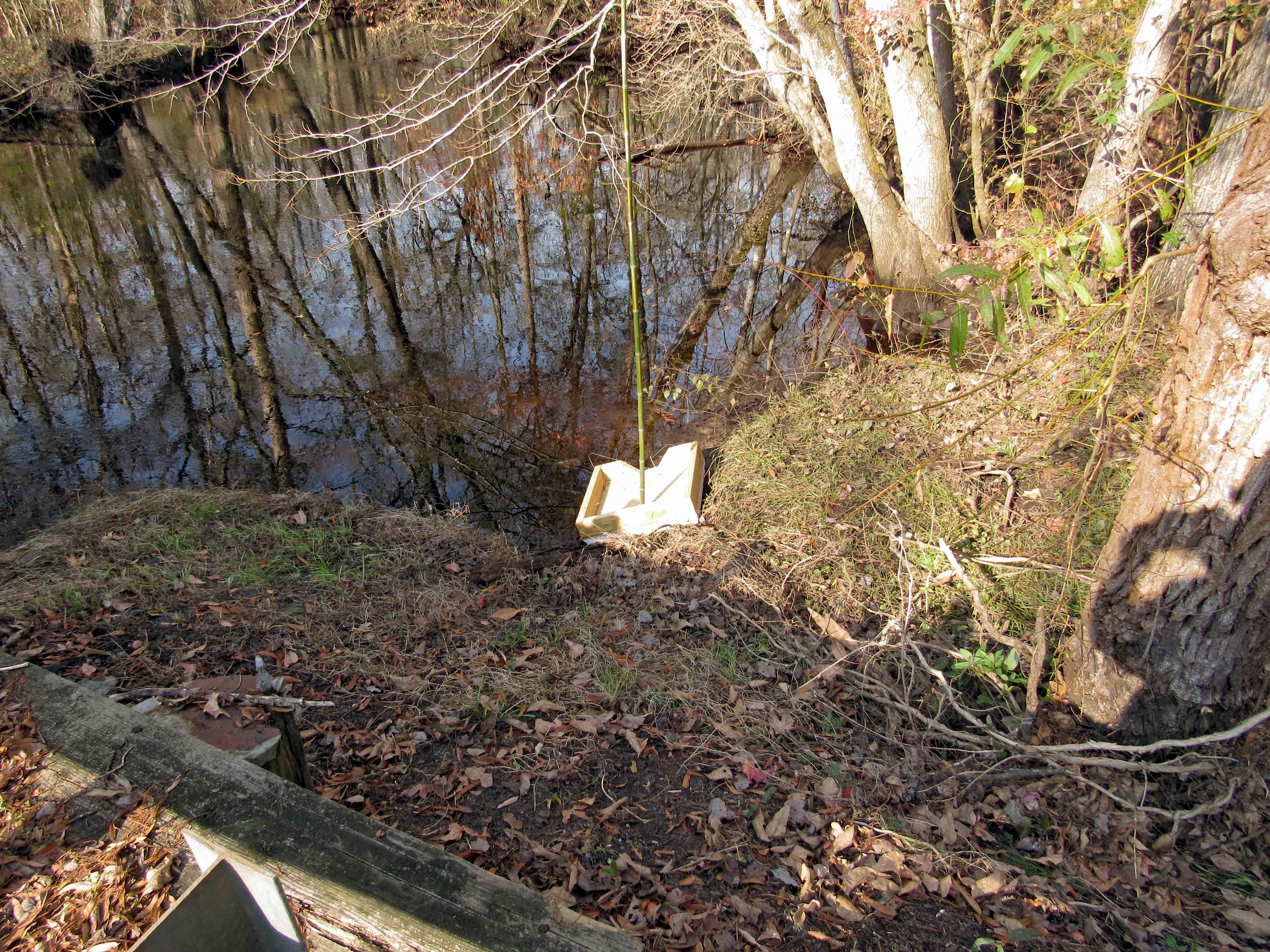
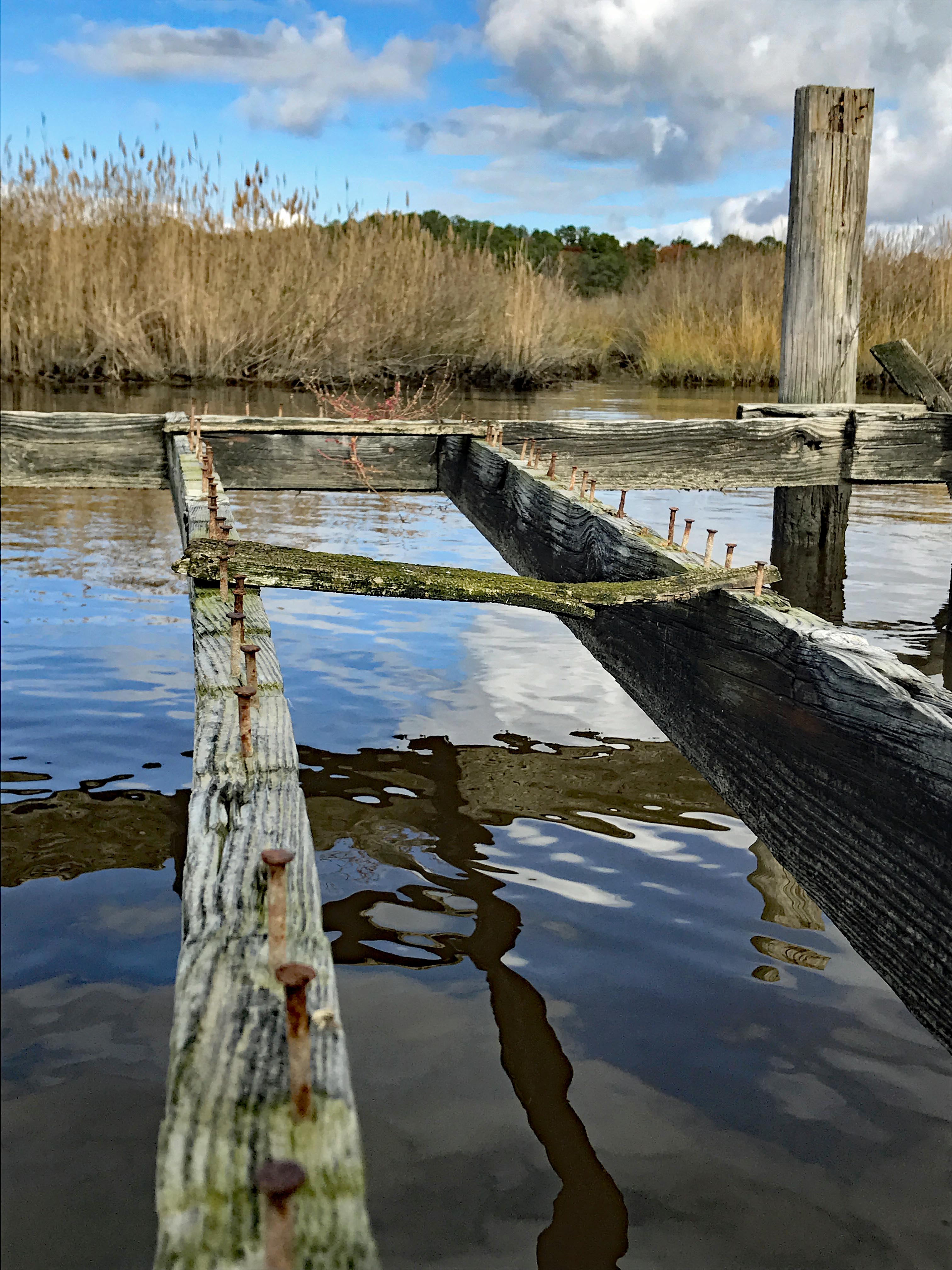
Kathy went in at the steps, I slid in next to this varmint box. A muddy mess here.
Low water for the whole trip, to and fro.
In the photo below there is a cobweb just floating along with us –
Alright, already we’ll all float on Ok, don’t worry, we’ll all float on Even if things get heavy, we’ll all float on… (modest mouse)
A splash of color to brighten the day.
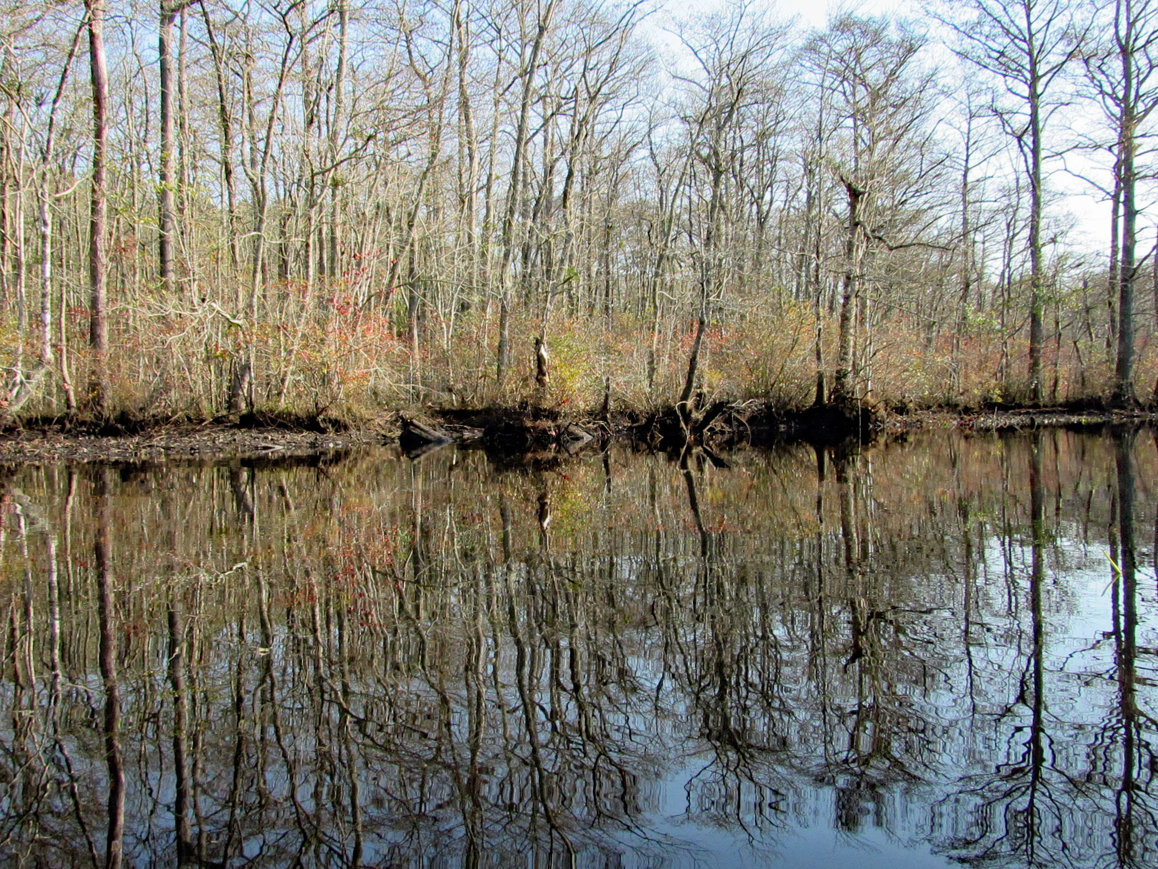
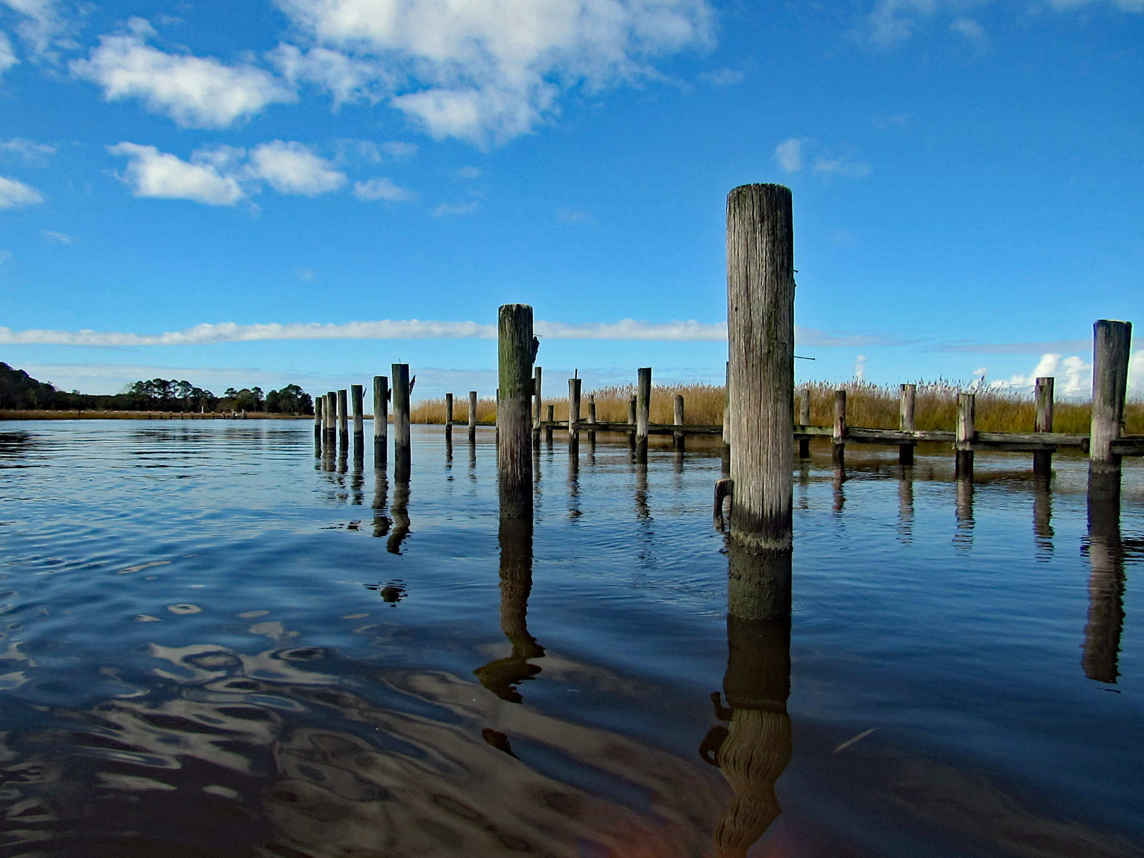
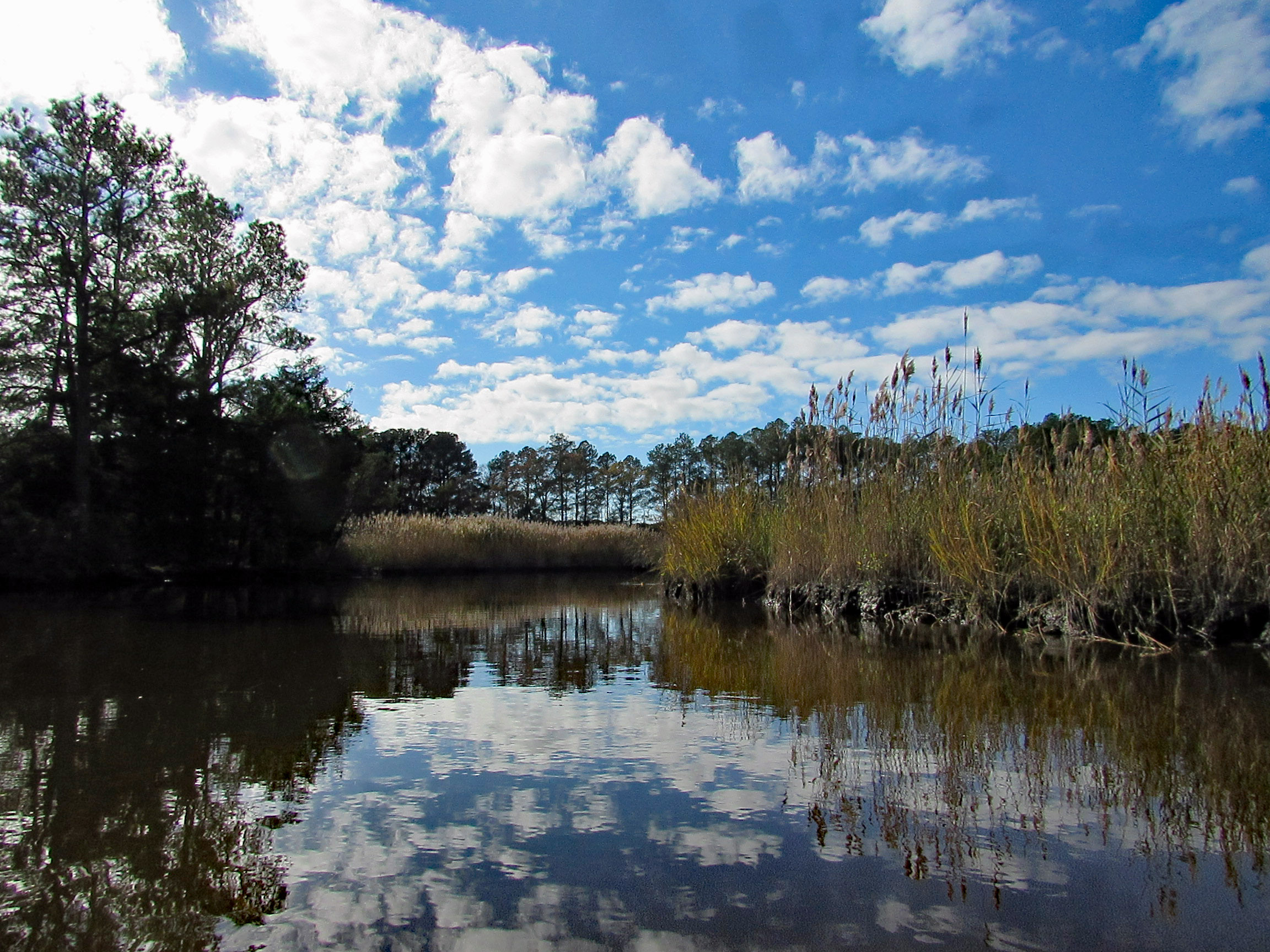
Some very nice reflections.
The Pocomoke River up ahead.
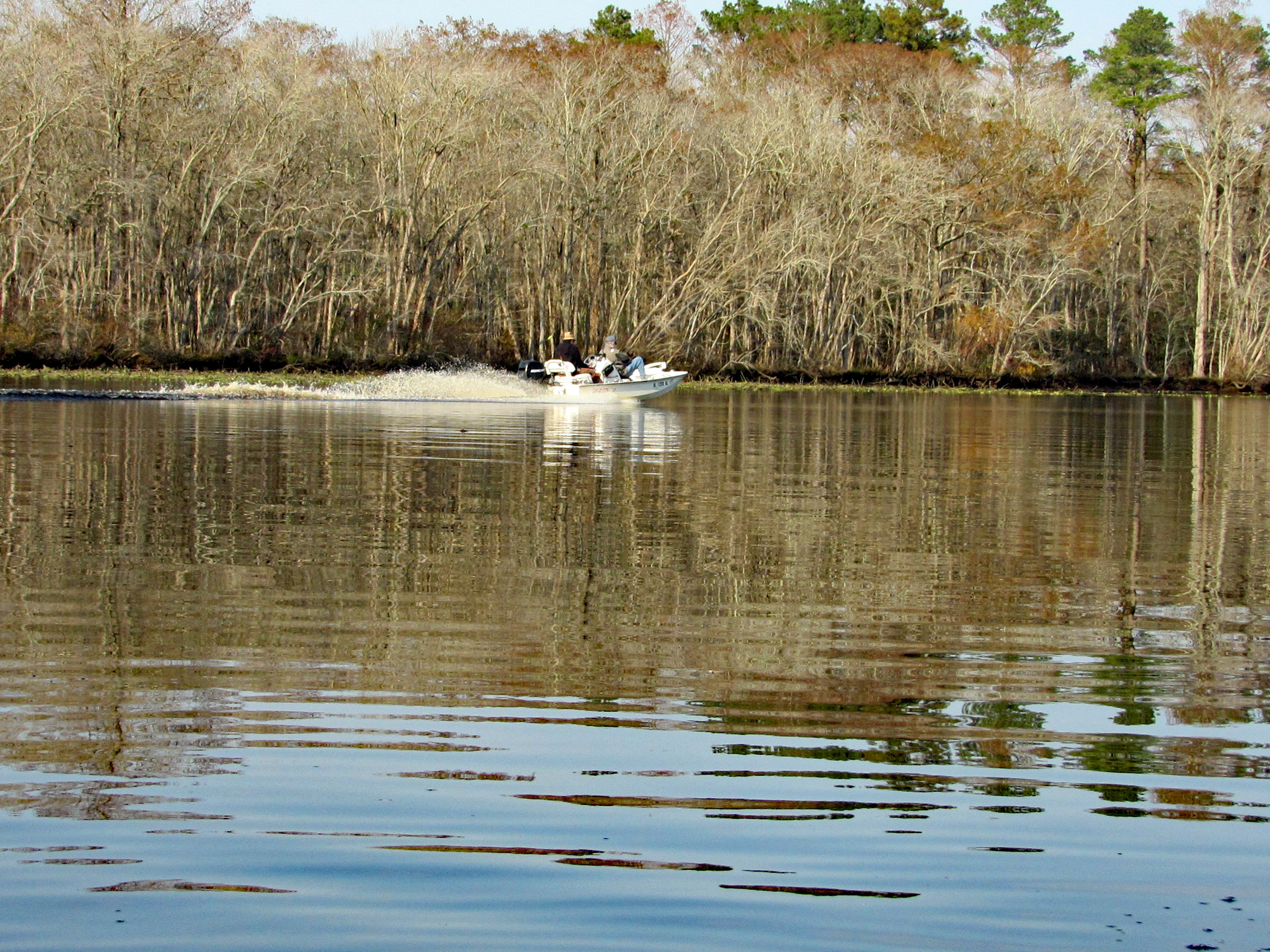
A couple speeding boats zipping by. Kayakers get no respect on this river.
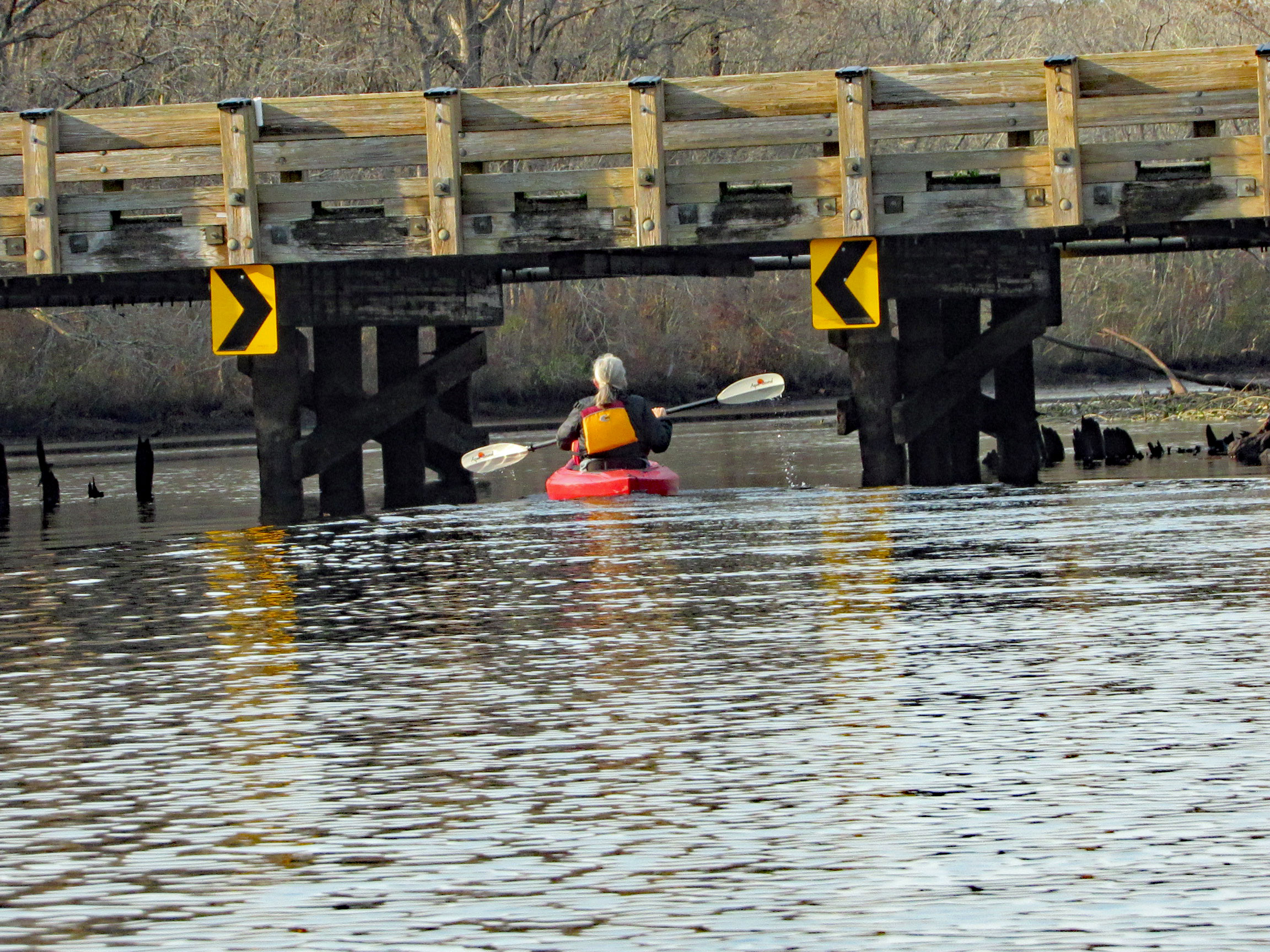
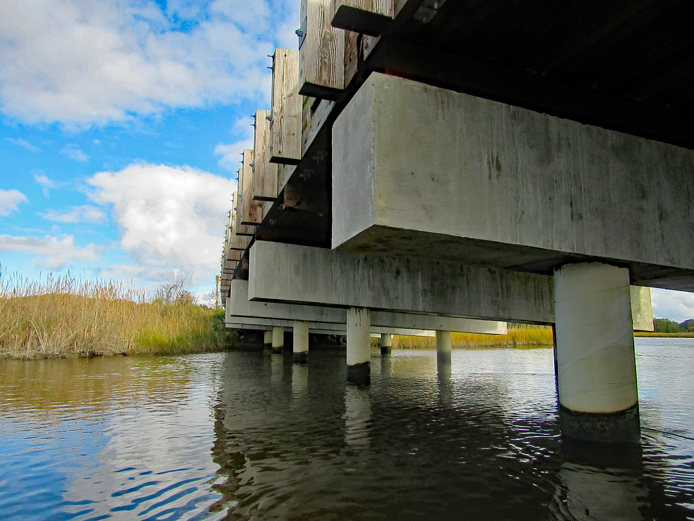
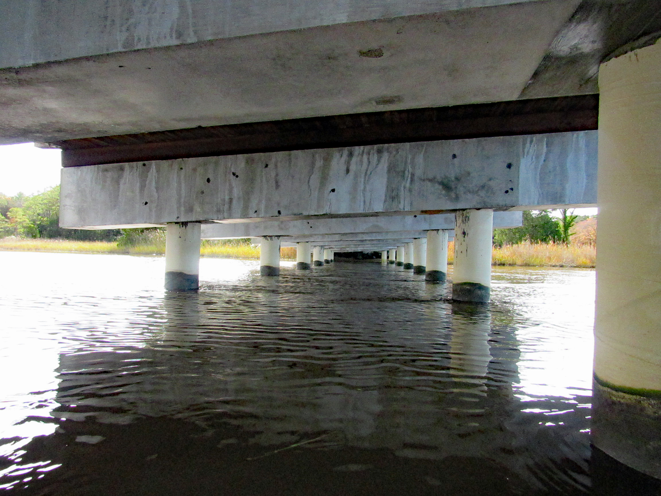
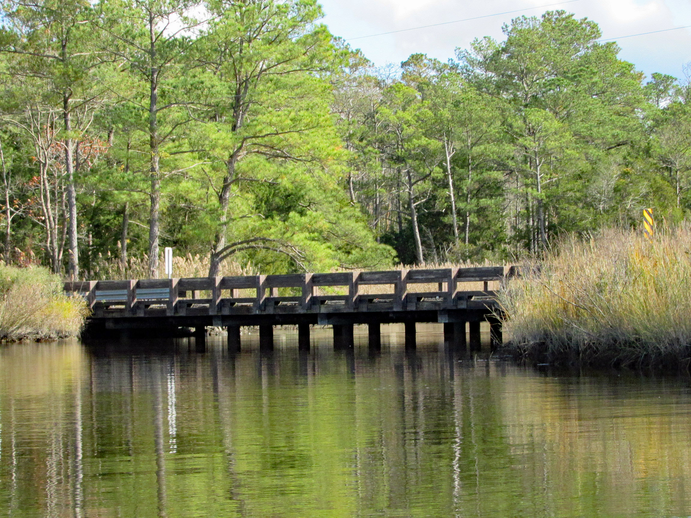
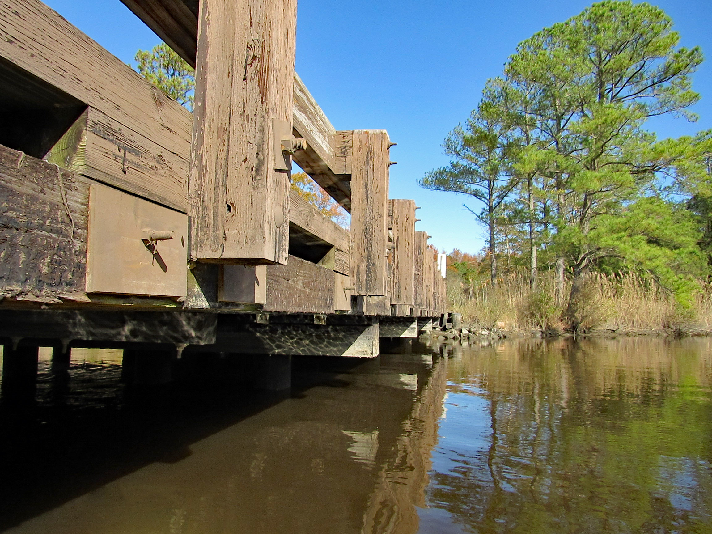
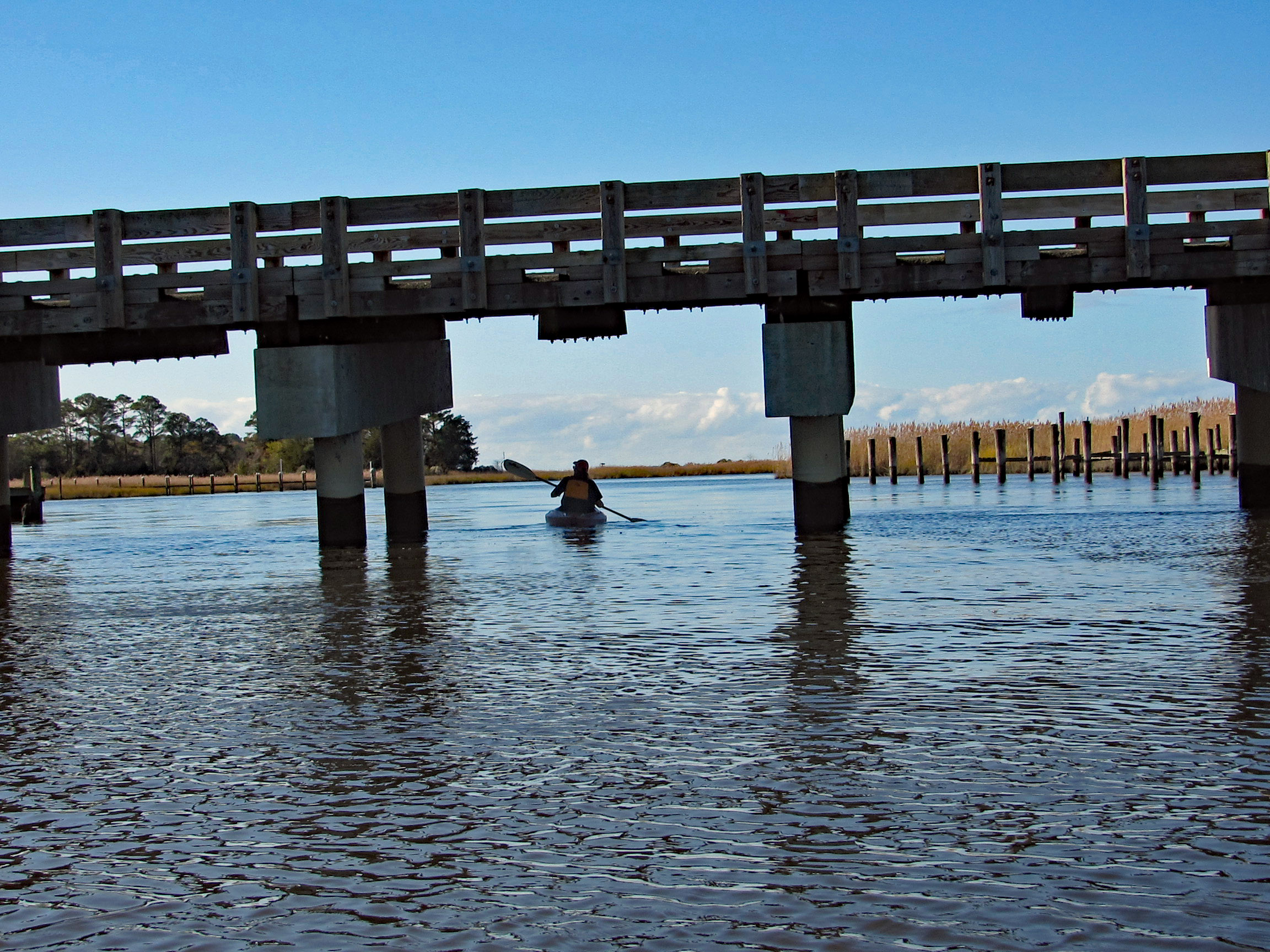
After about 3.5 miles, time to head back. Under the Nassawango Rd bridge.
Another nice reflection shot by Kathy.
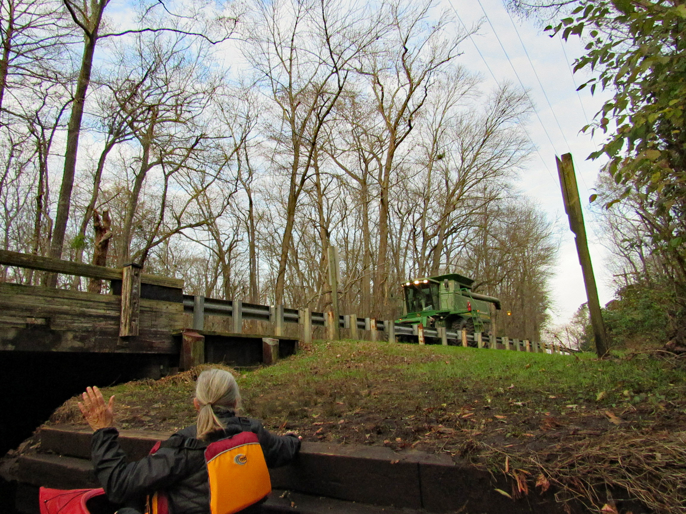
Two steps down and waiting for the combine to cross over.
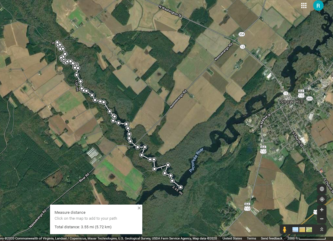
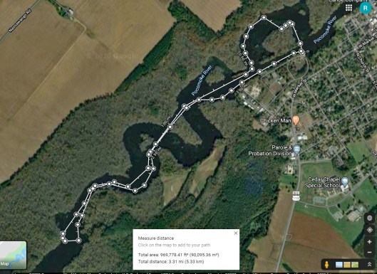
Our trip. Just over 7 miles with all the zig-zagging and crossing over the Pocomoke.
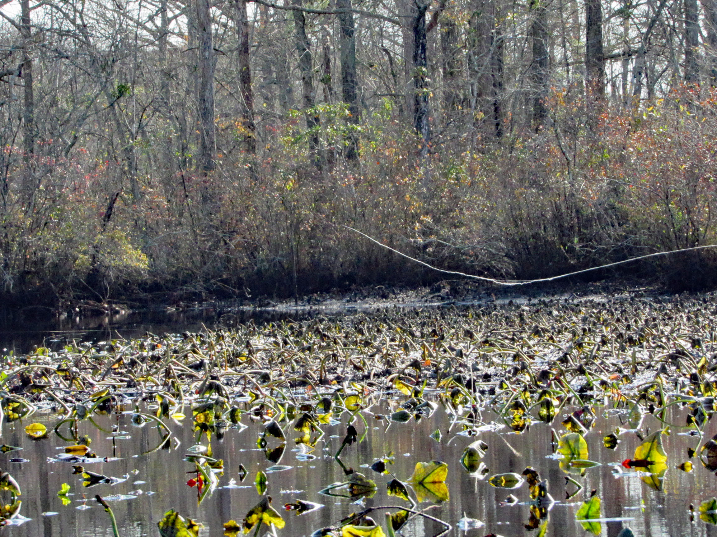
Another great kayak adventure. Next time we will need to check the tides. We hit a lot of submerged tree limbs and could not cut across the lily pads like we normally do. But it was still a great day to be out and grateful to be able to take these kind of trips.
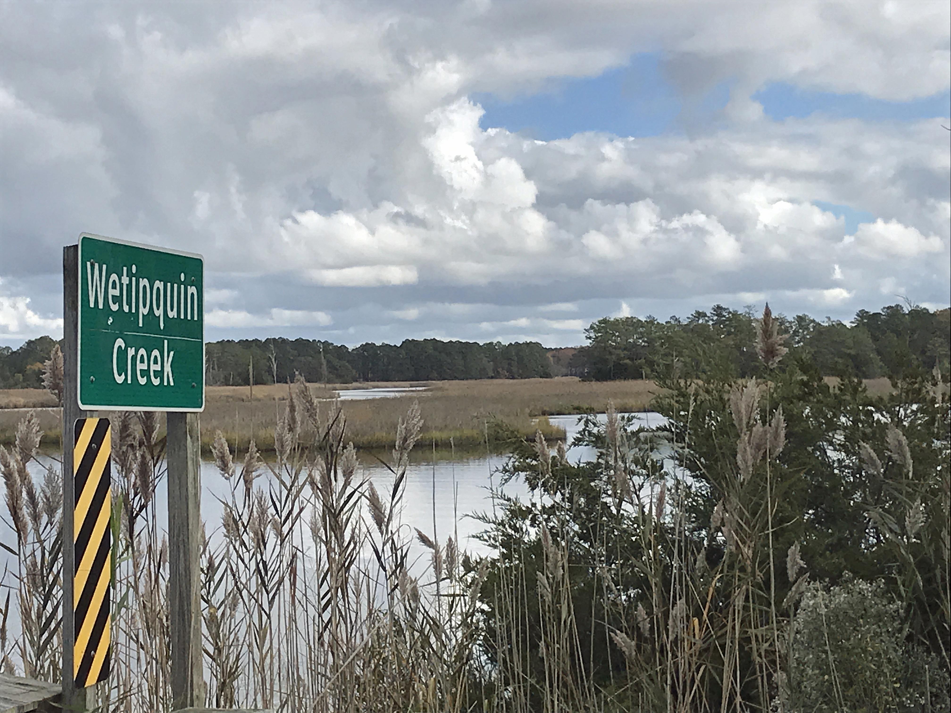
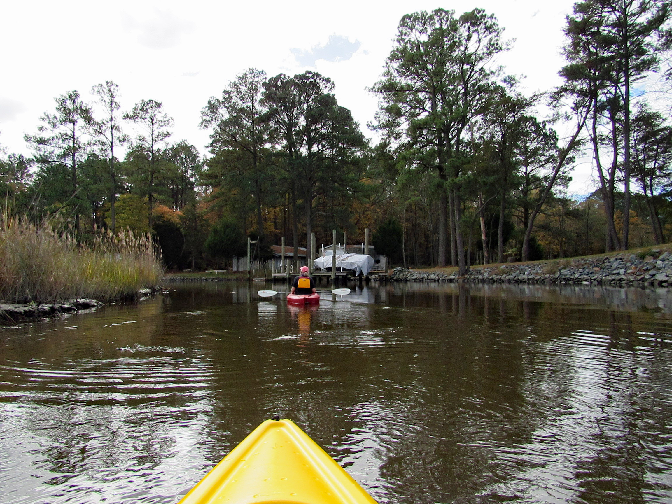
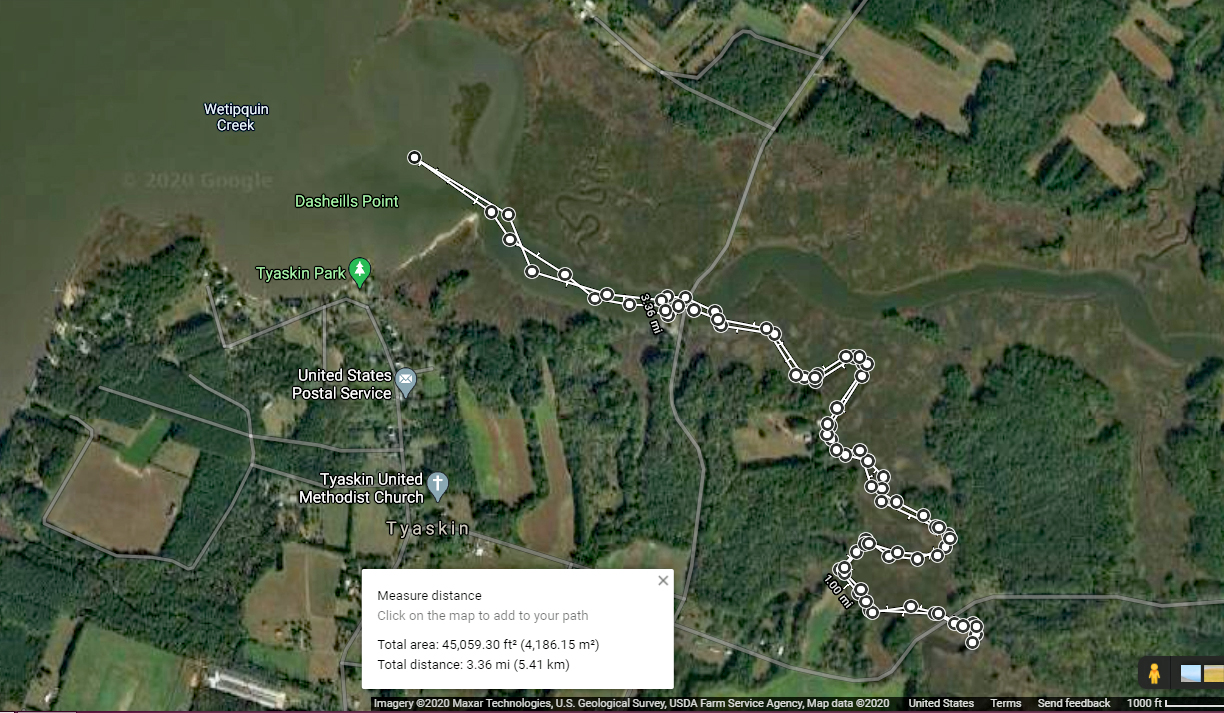
The temperature was heading into the mid to upper 70’s, so we headed out to kayak at Wetipquin Creek, off the Nanticoke River. We were a couple miles from here when we went fishing.
The boat ramp is nice and extends far into the water. Head to the right and go under the Wetipquin Rd. bridge.
Some pics from Kathy before starting to kayak.
Start our adventure and Kathy stops to look at the Big screen TVs.
I like this one of Kathy’s
Time to head under the bridge. Kind of on a tilt but high enough to easily get under.
We soon come to a fork in the creek. Left will take us up the Wetipquin and right onto the Tyaskin Creek. We headed right.
Saw this boat and was wondering how they get under the bridge we just passed under?
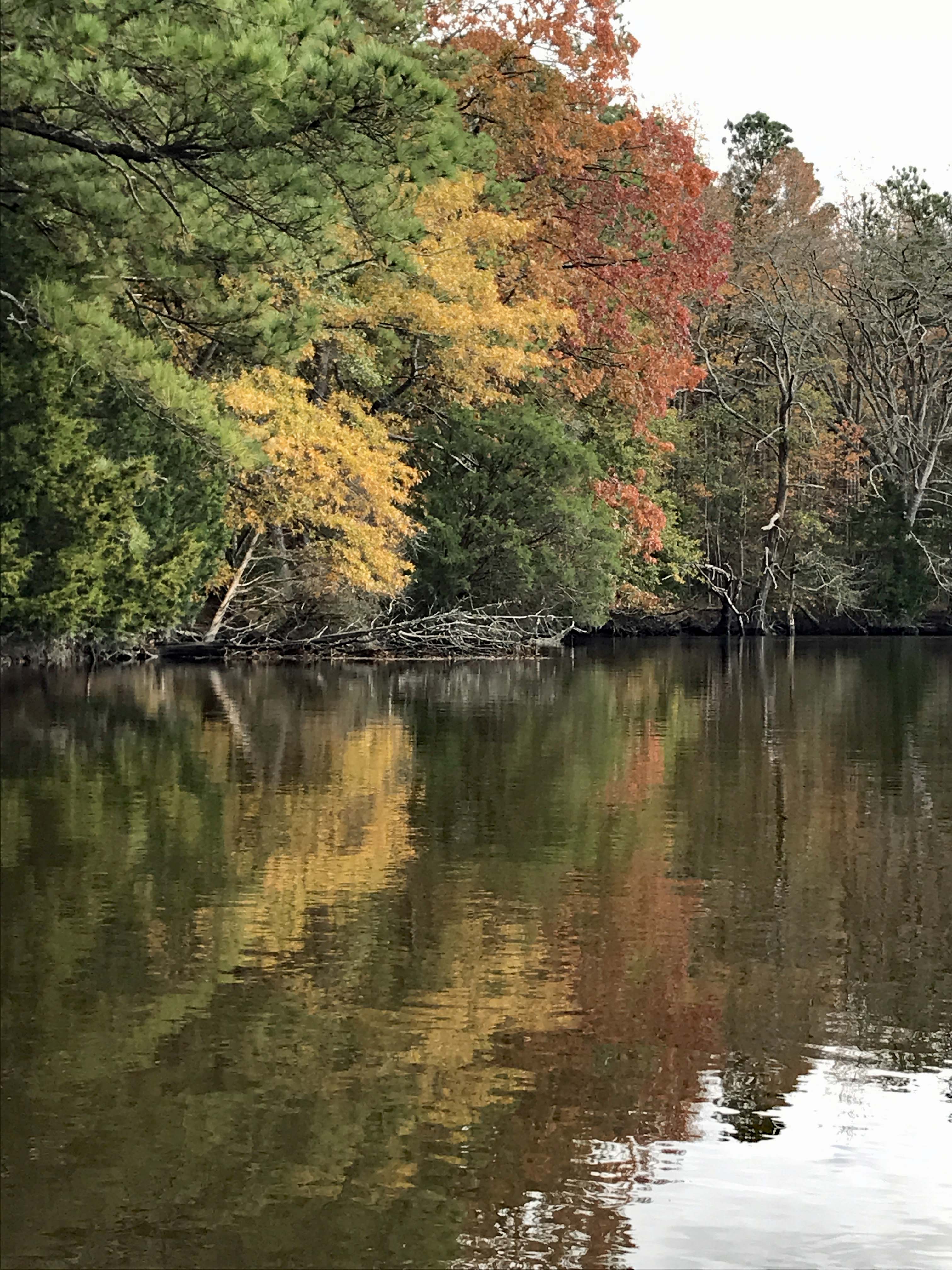
I think we missed most of the fall foliage, but still very beautiful and peaceful.
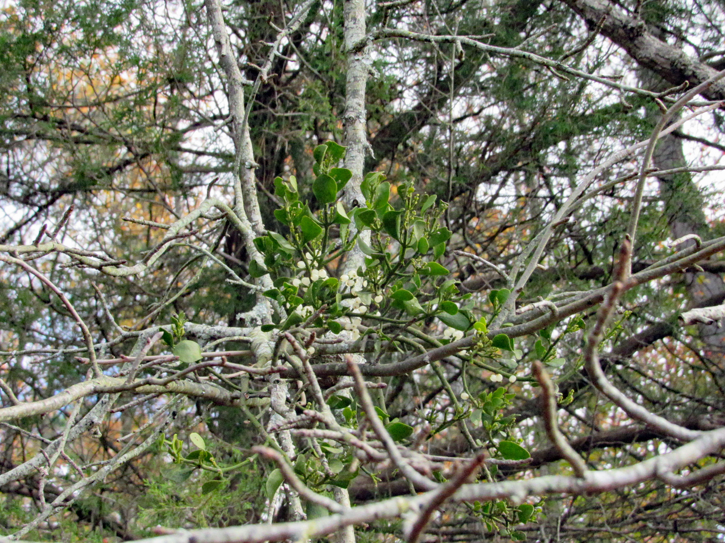
Fooling around with the mistletoe. Amazing how this stuff grows right out of the tree.
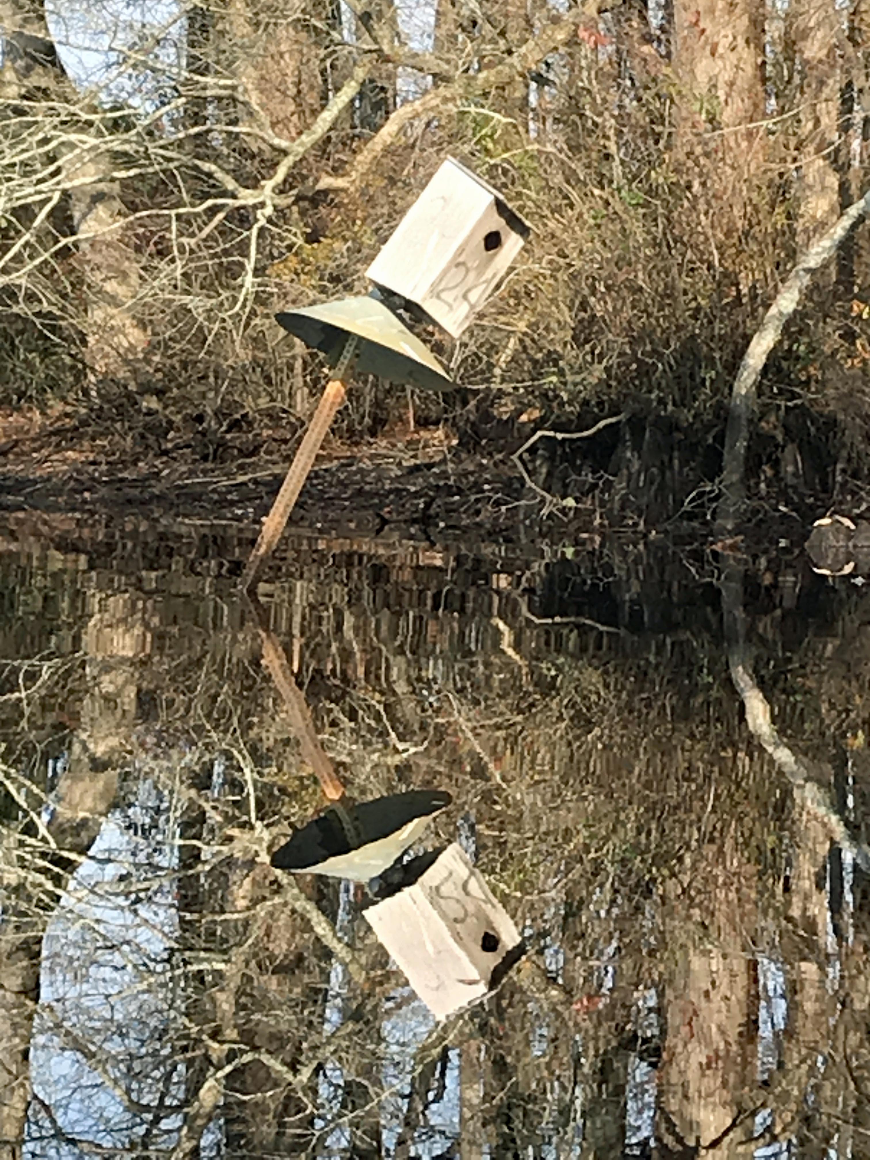
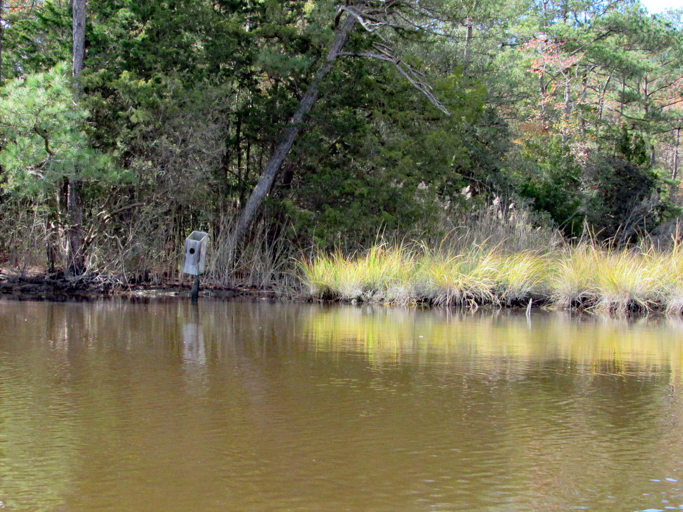
Saw two bird boxes and the tops were missing off of both of them.
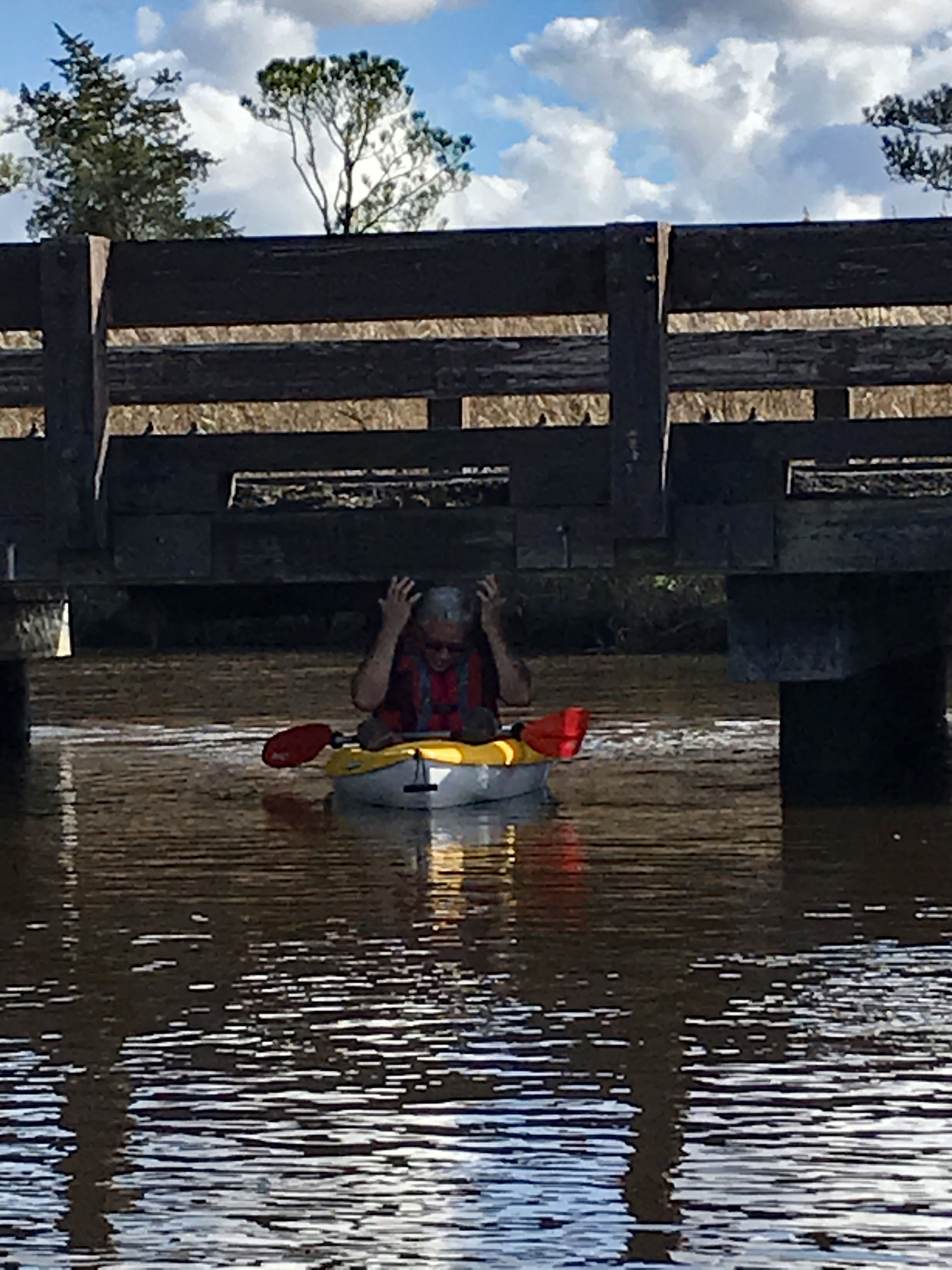
Approaching Deep Branch Rd. bridge. Looks low…
…but not too low!
On the other side and checking out up stream a little ways.
Kathy waiting for me back at the bridge, taking photos.
Sights.
Waiting for me to catch up.
Back under Wetipquin bridge, heading to the Nanticoke.
We didn’t see any wildlife until we headed to open water.
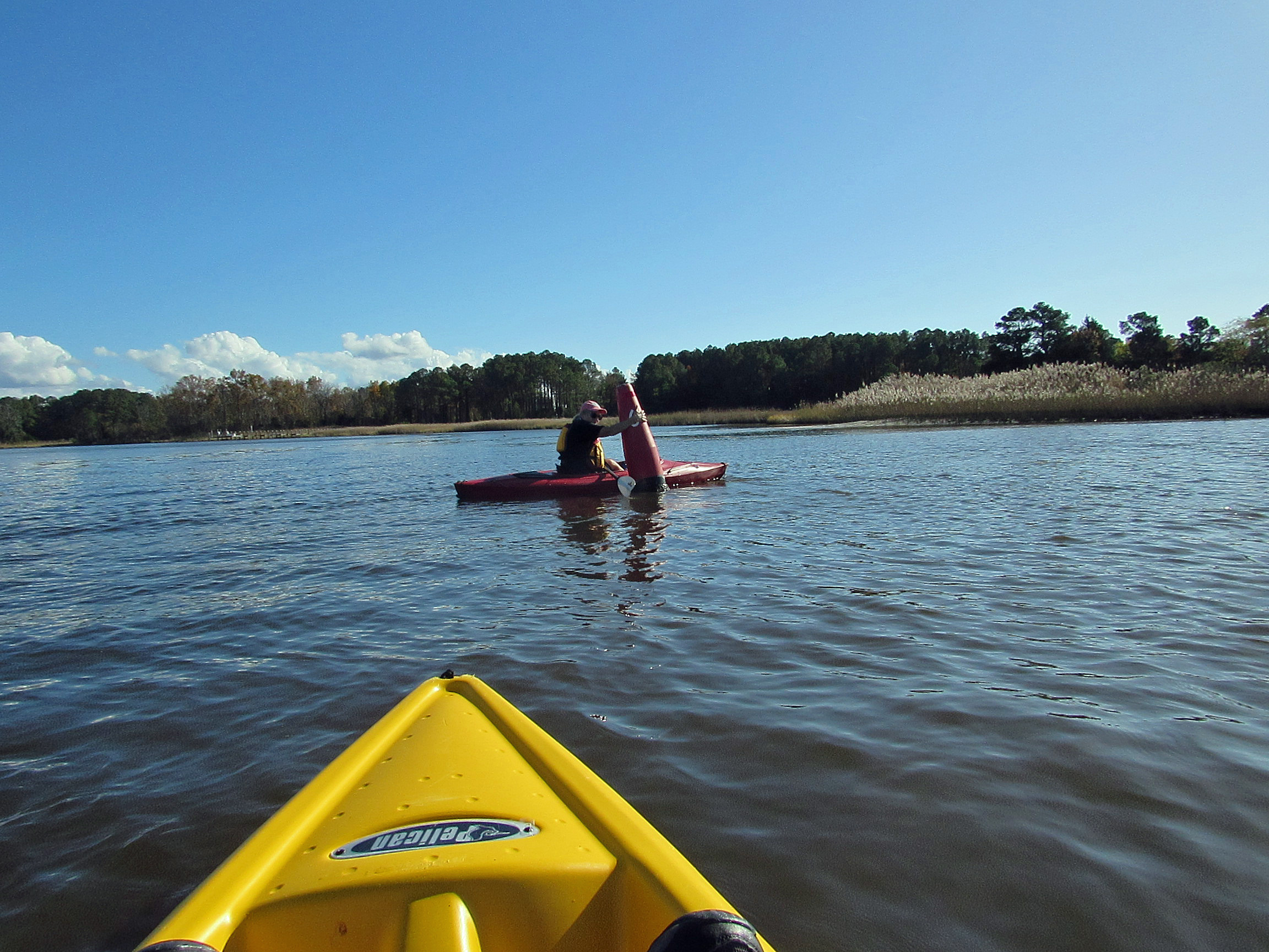
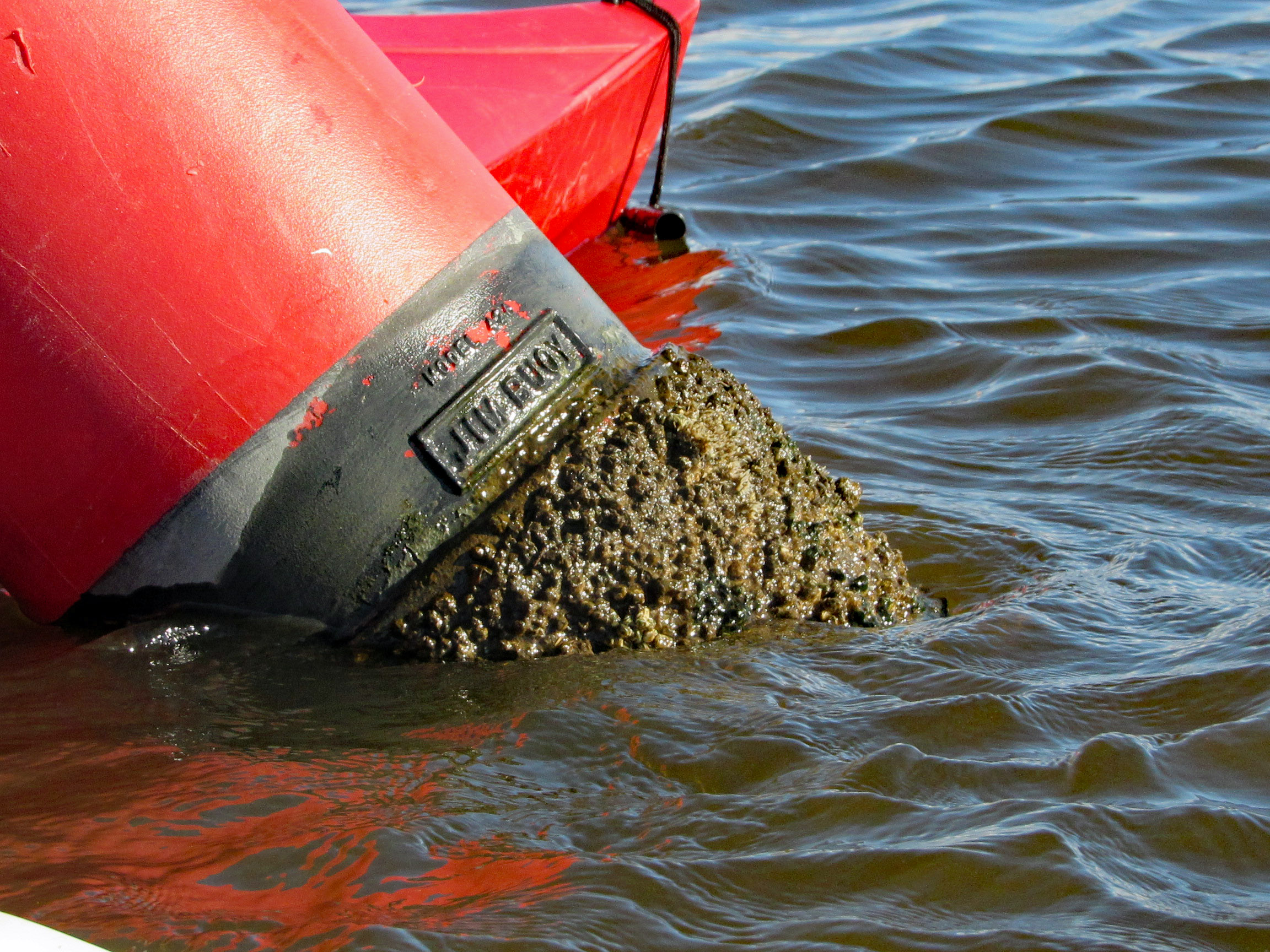
Geez Kathy, what are you doing to that boy?
Meet my new friend – Buoy, Jim Buoy!
Our path. A beautiful day on the water! Thanks God!
Another great road trip to North Carolina. Kathy already there for a week before I headed down to pick her up. I was to stay a week also but the weather took a turn for the worse and we came back a couple days early.
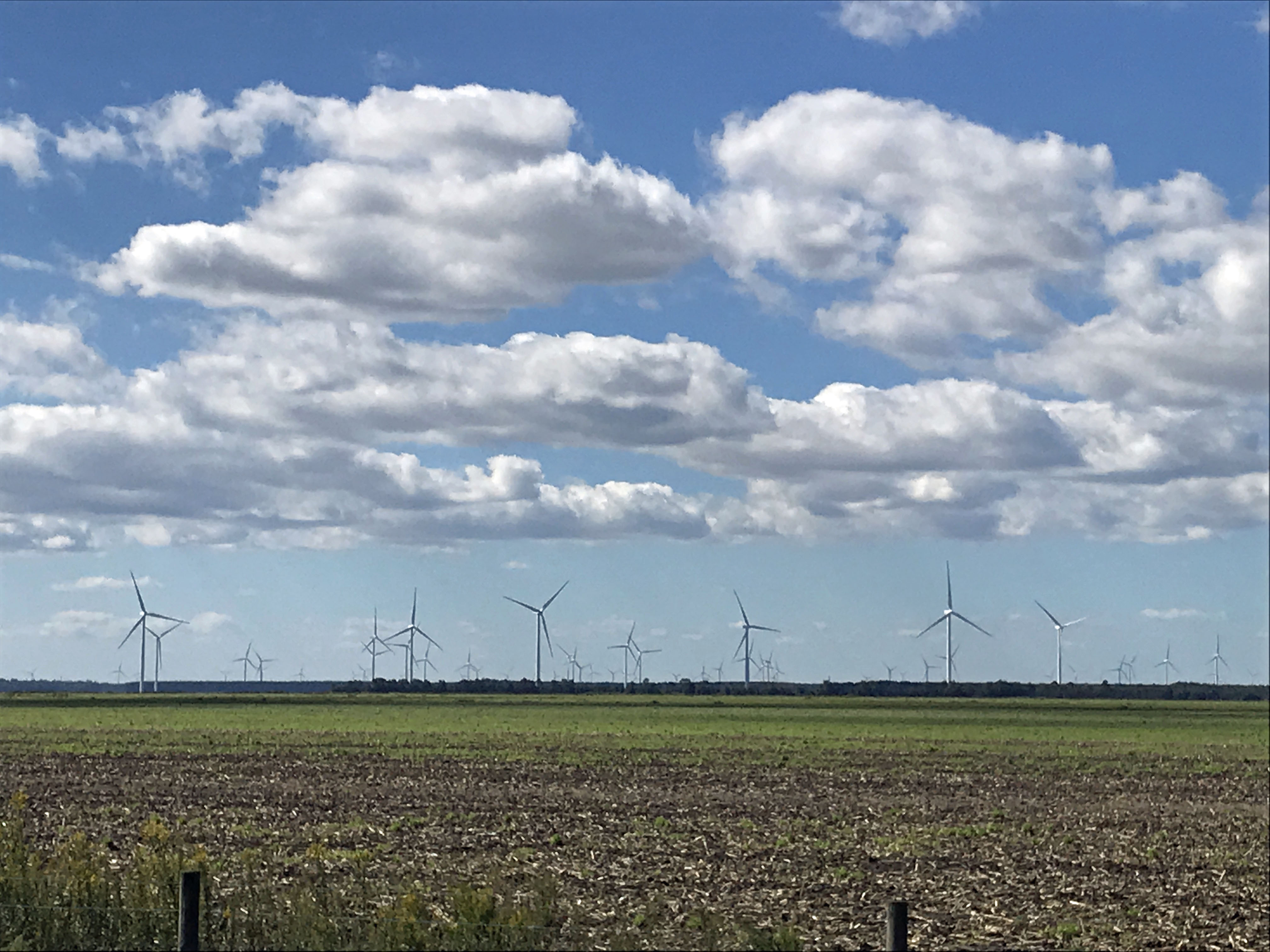
It was very foggy when I left Salisbury, Md. to head south. The fog did not dissipate until well after Edenton. I missed the windmill farm, but Kathy got a photo of it.
One of my favorite stops is at the Dismal Swamp. About 1/2 way there.
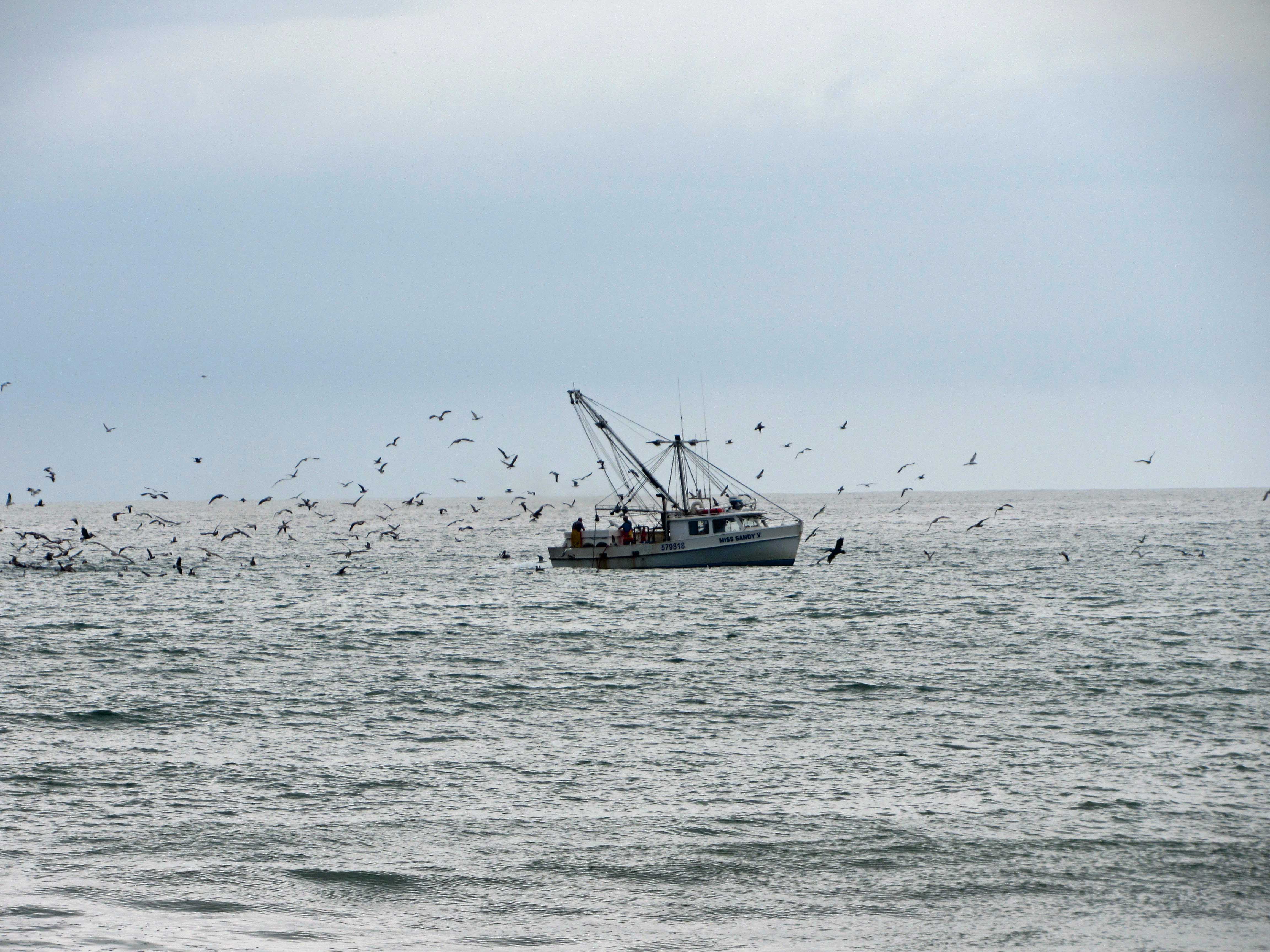
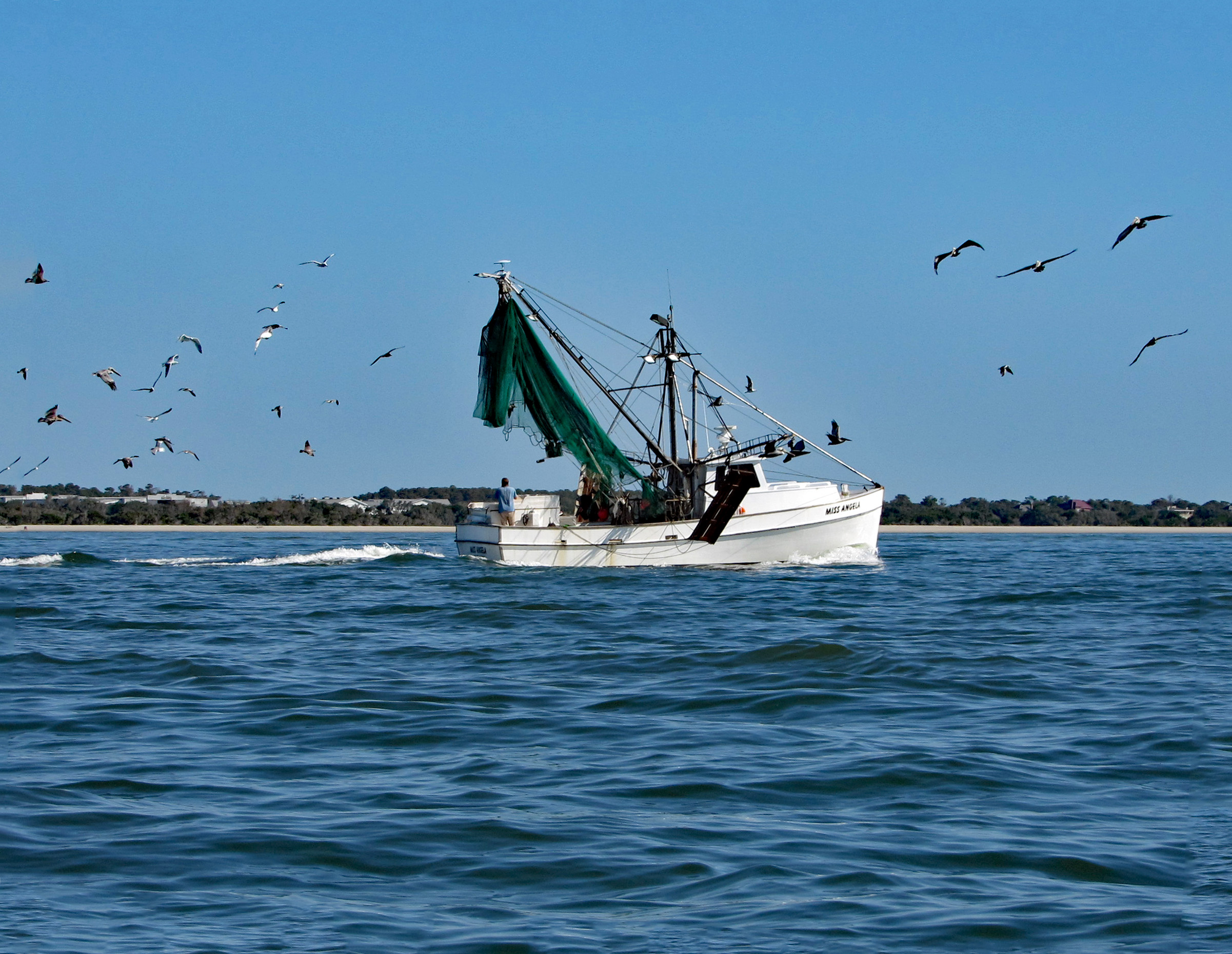
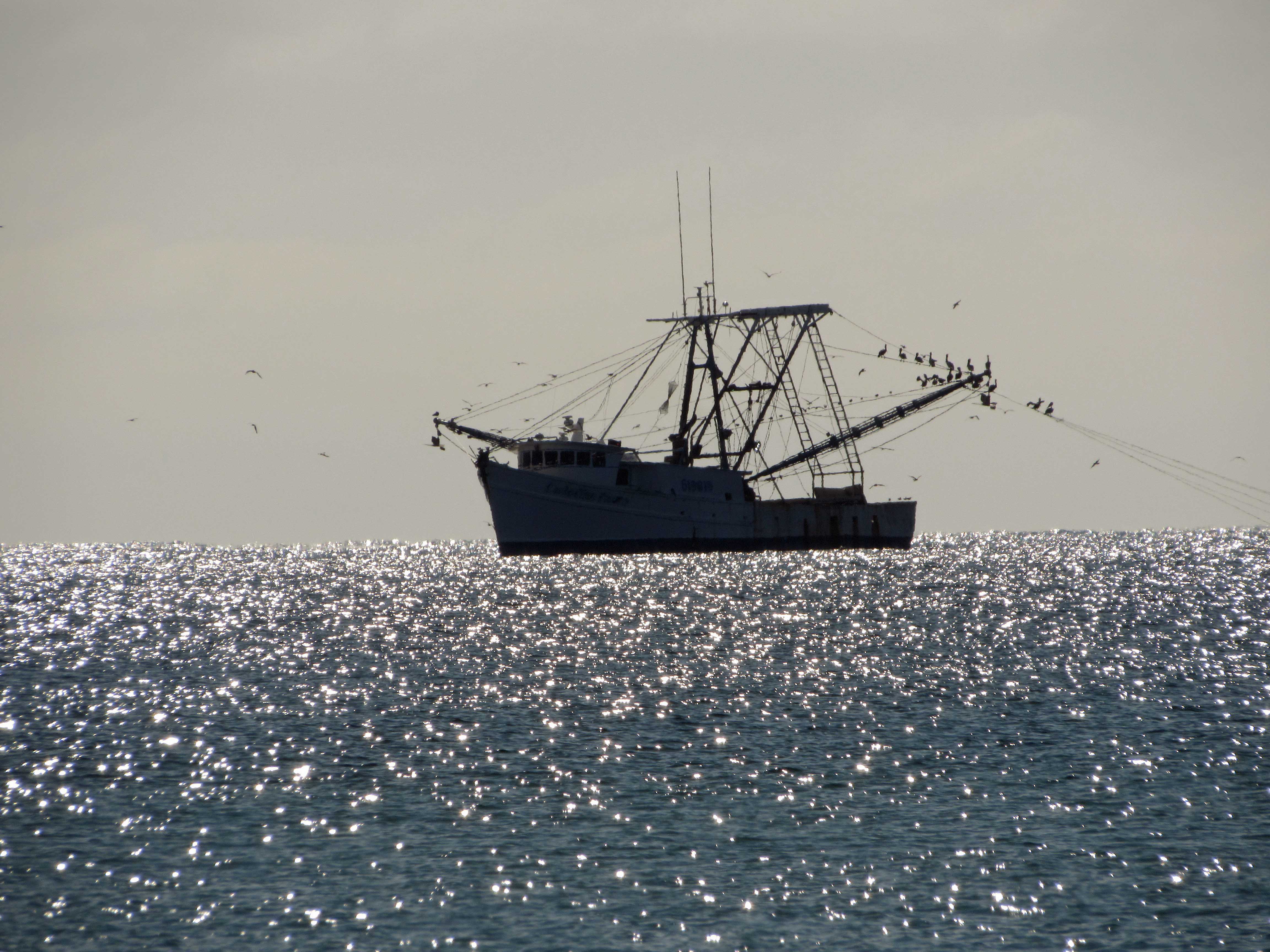
Arrived at Indian Beach, N.C. and we took a walk. Shrimp boat.
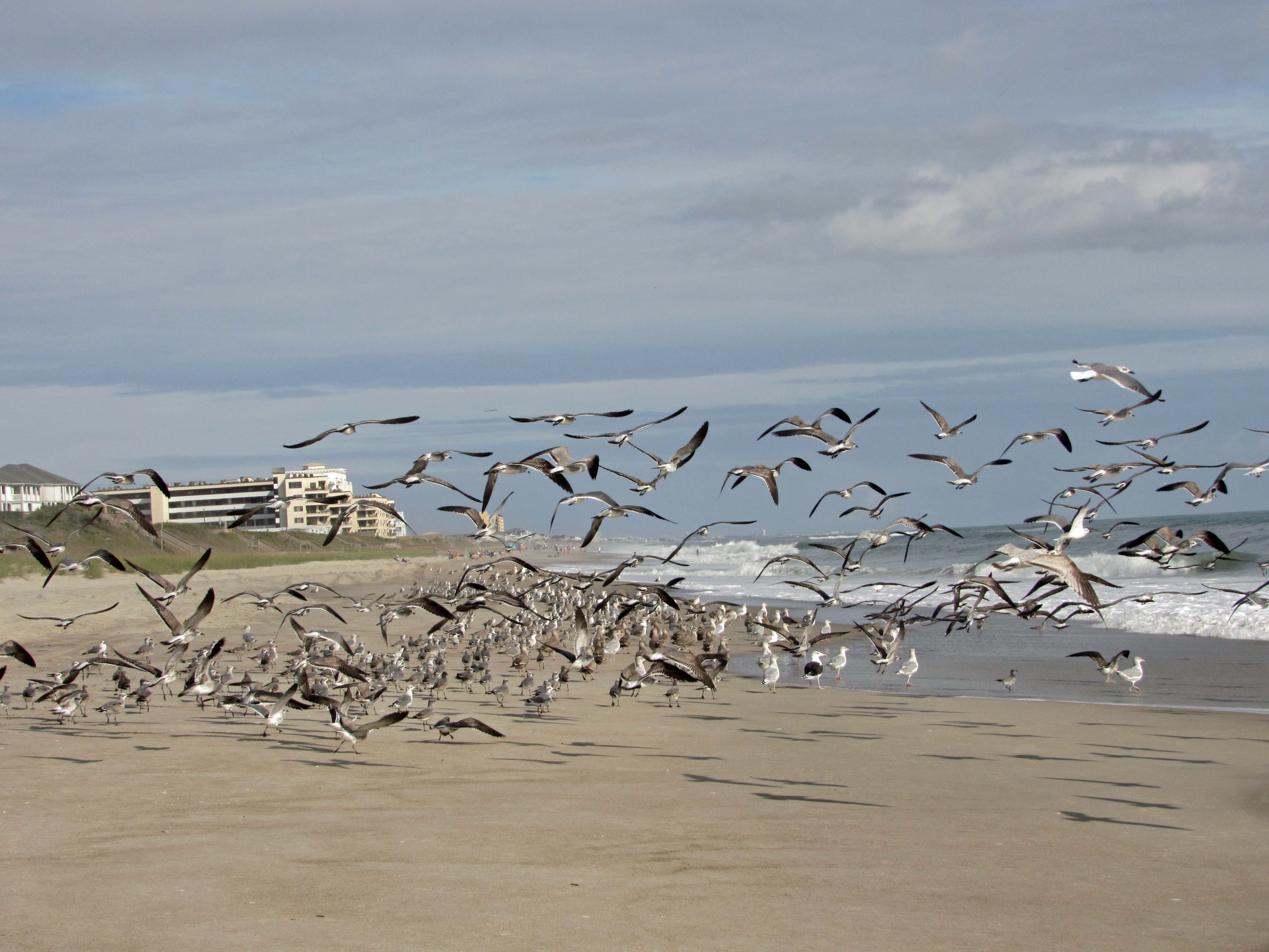
The seagulls here are unlike the ones in Maryland that will hover over you waiting for food.
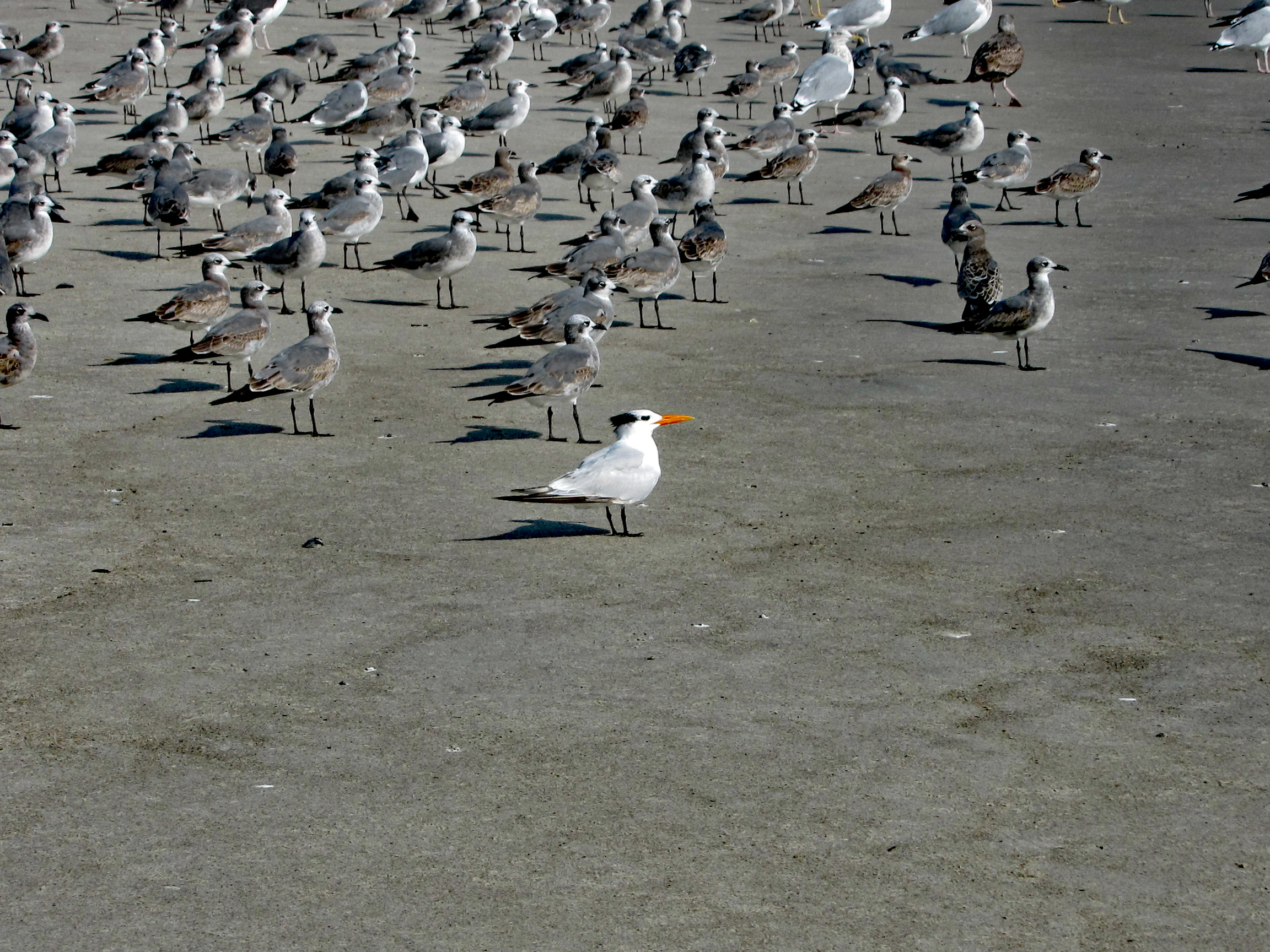
A Royal Tern
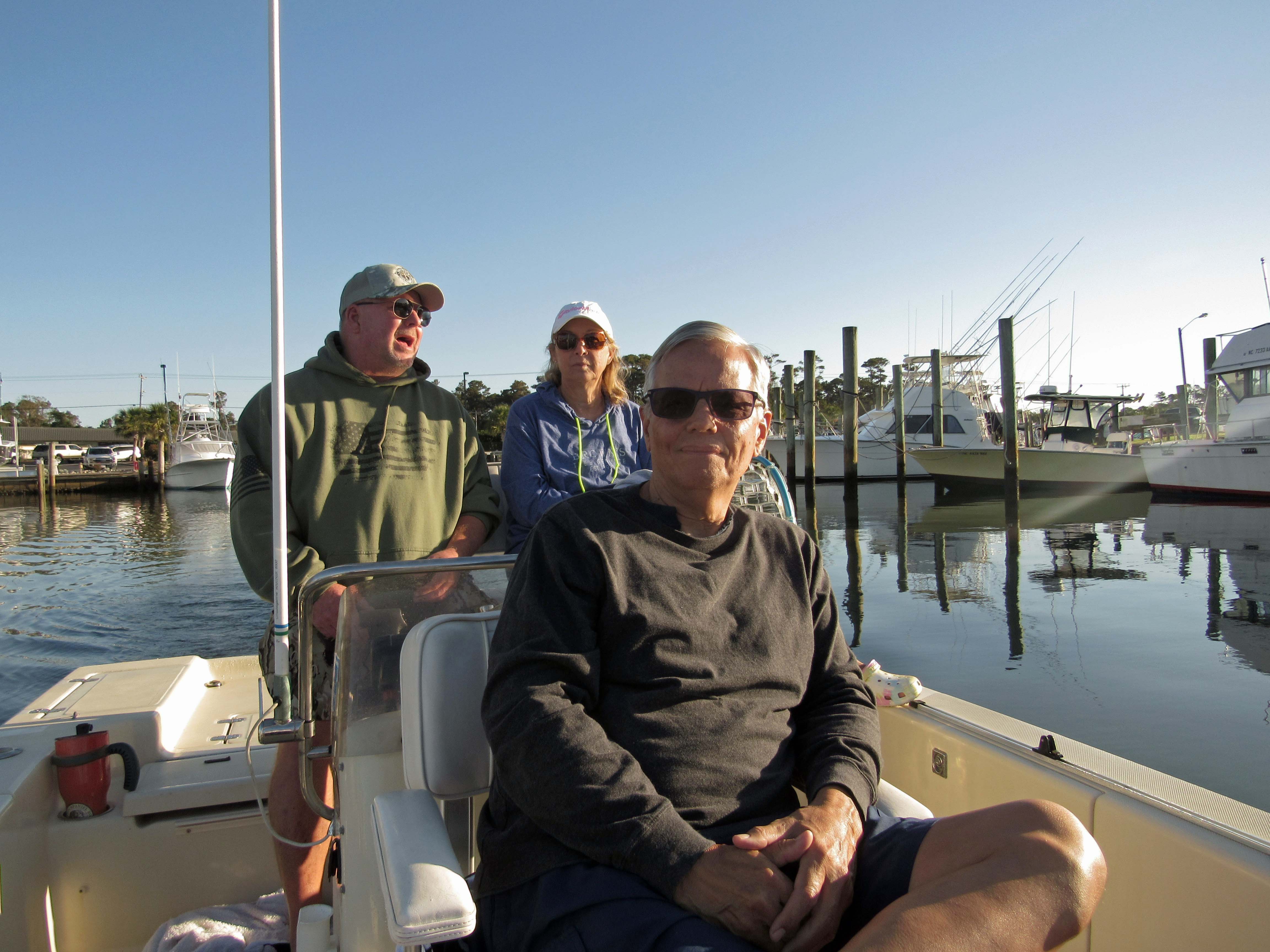
The next day John came down to take us out on their boat. That was very nice of him. With all this Covid stuff going on, we hardly see each other.
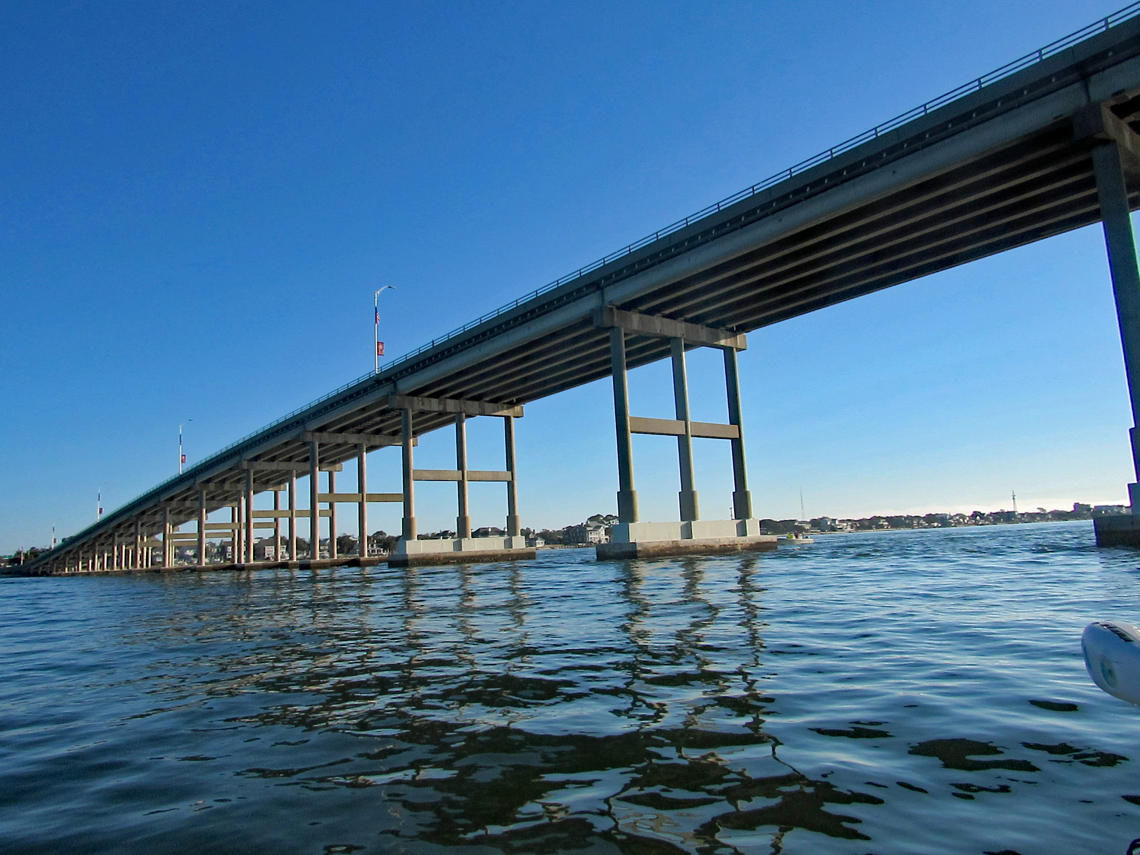
Heading under the Atlantic Bridge Causeway.
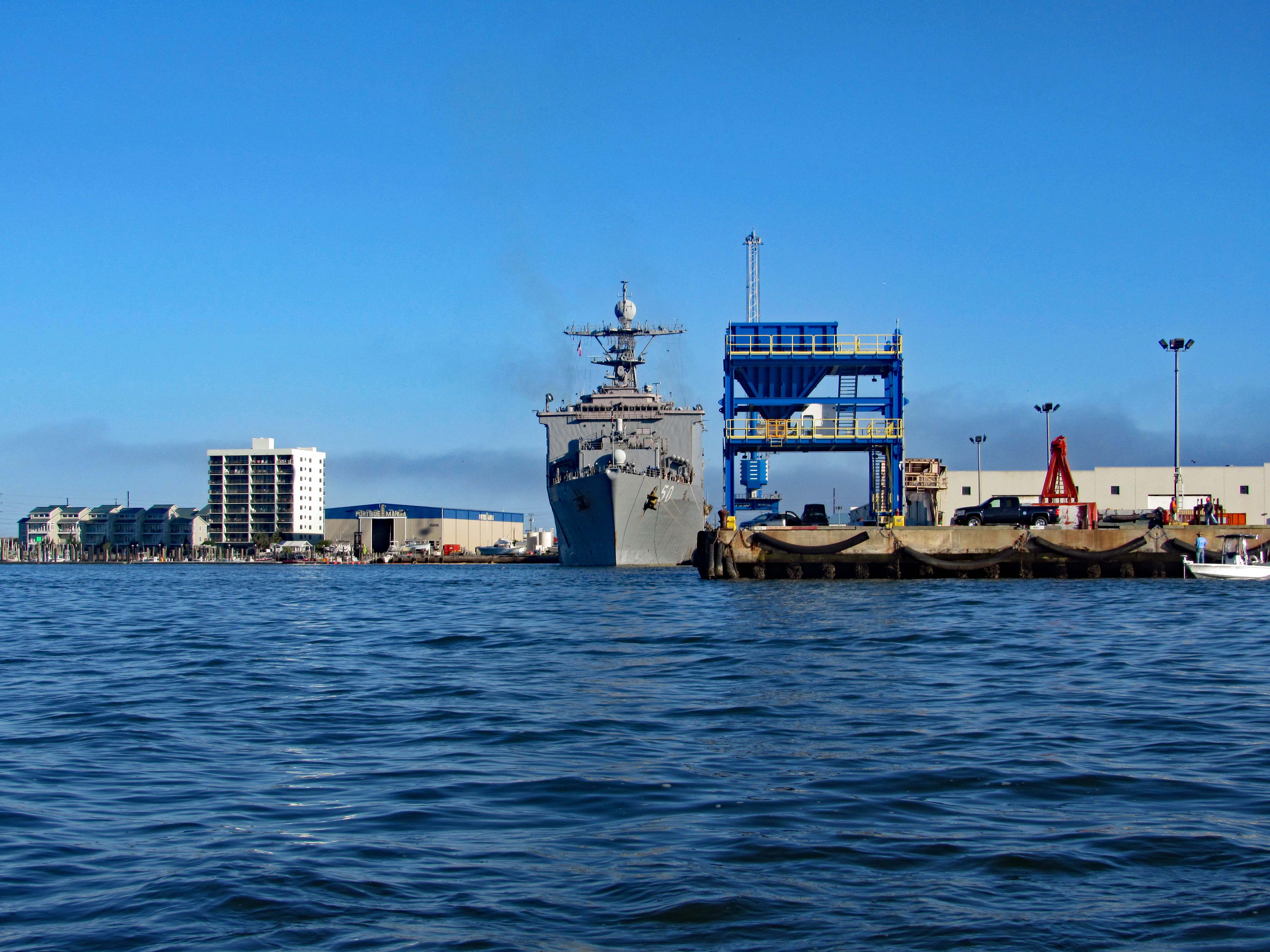
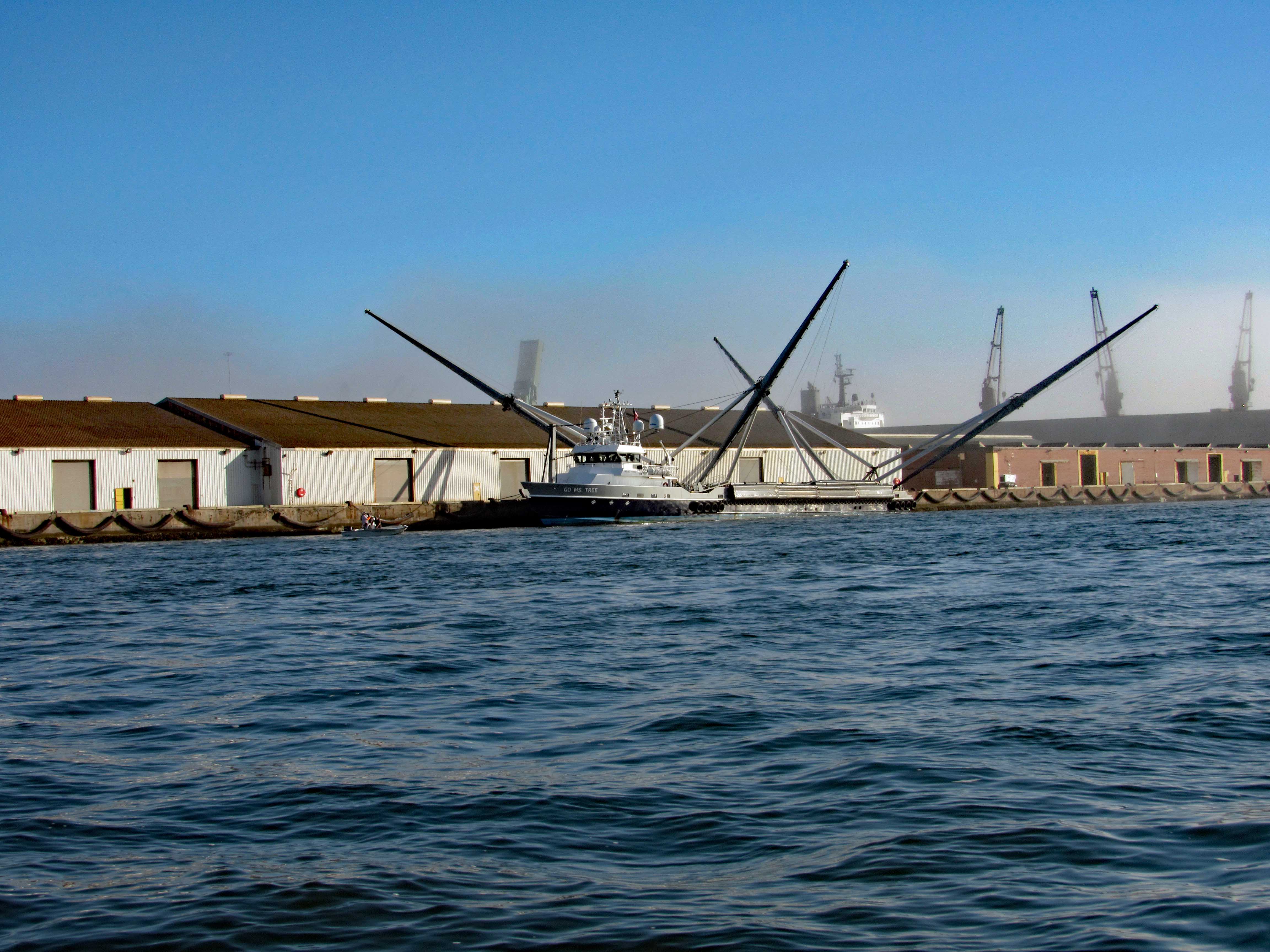
Easing past Sugarloaf Island, headed towards the N.C. Port. Docked there for the time being is the USS 50 (LSD-50), Carter Hall. Landing Ship Dock.
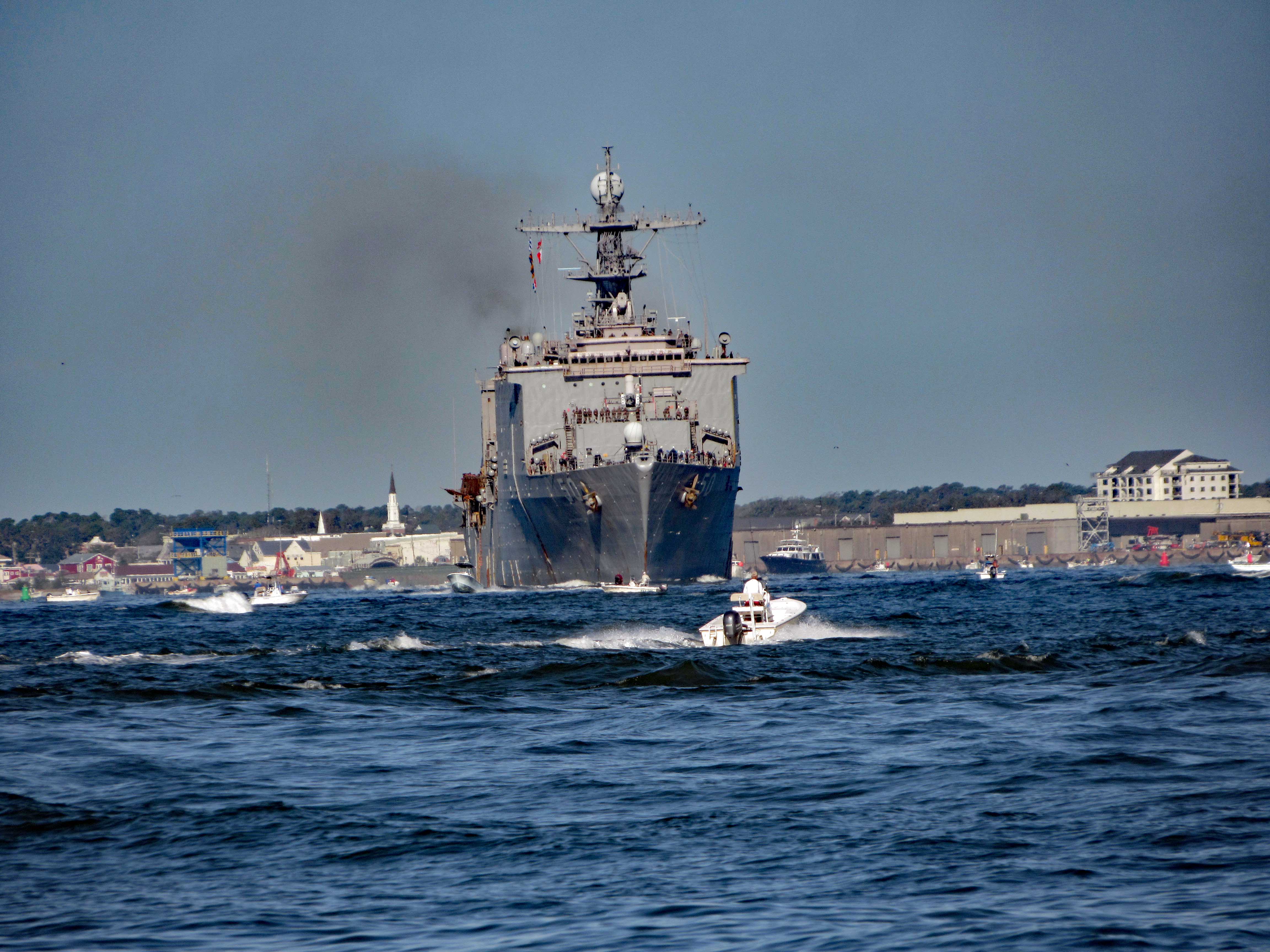
Here she is a little while later pulling out of port.
Not far from her is this interesting vessel – Go Ms Tree. Formerly named Mr. Steven. GO Ms. Tree – often shortened to Ms. Tree – is a fast, highly maneuverable vessel that was chartered by SpaceX in 2017 to support their fairing recovery program. The ship has been heavily modified by SpaceX so that it now has a large net structure designed to catch fairing halves as they descend. The name ‘Ms. Tree’ is a pun of the word ‘Mystery’. (from SpaceX website)
Pass this area of the port and ran smack dab into a fog bank.
Made it through there and we all, except John, got off onto Shackleford Banks.
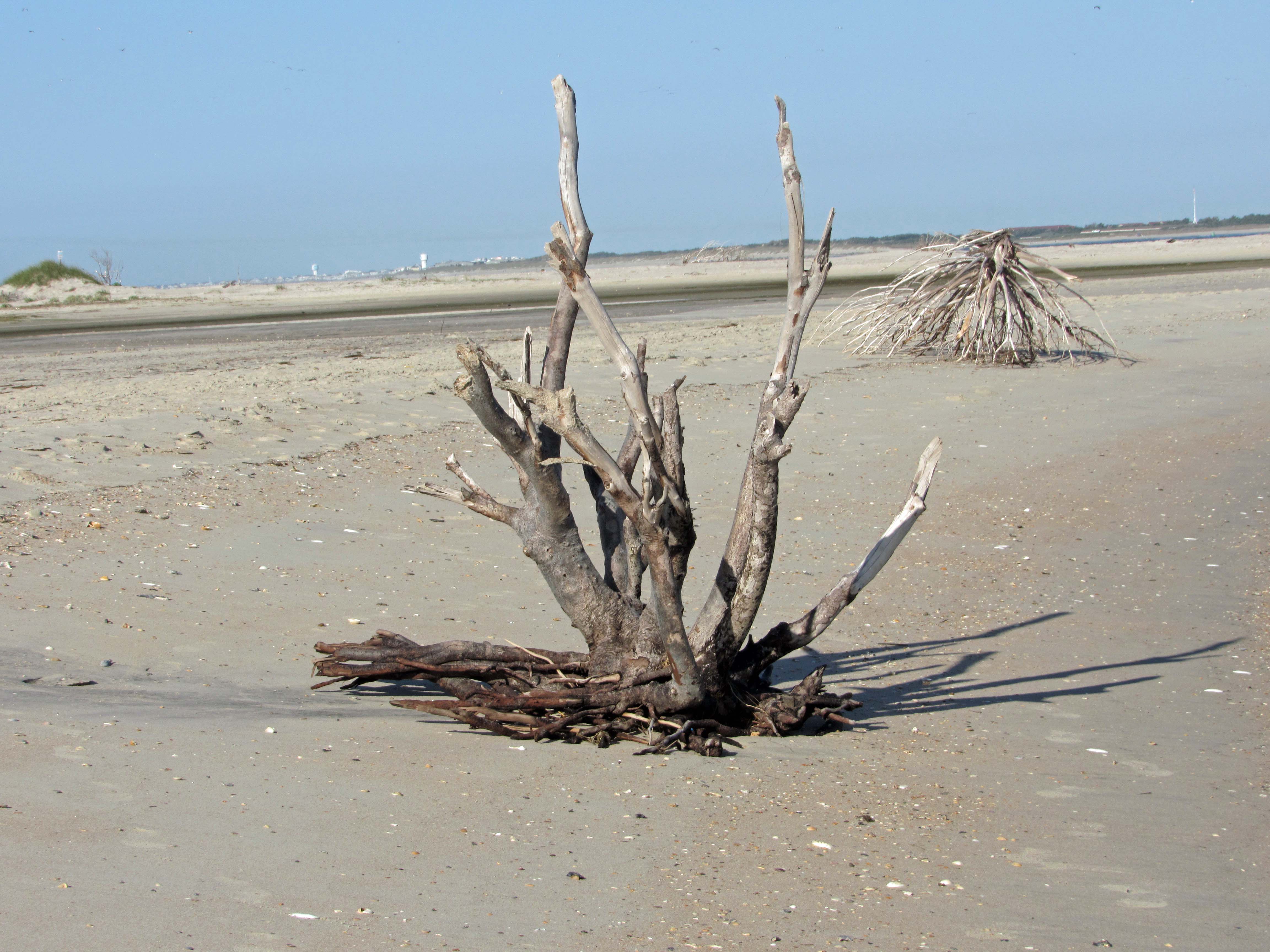
Nice driftwood.
My shot of Kathy and Gail, from up on a dune.
Kathy stepped on a couple Hermit Crabs.
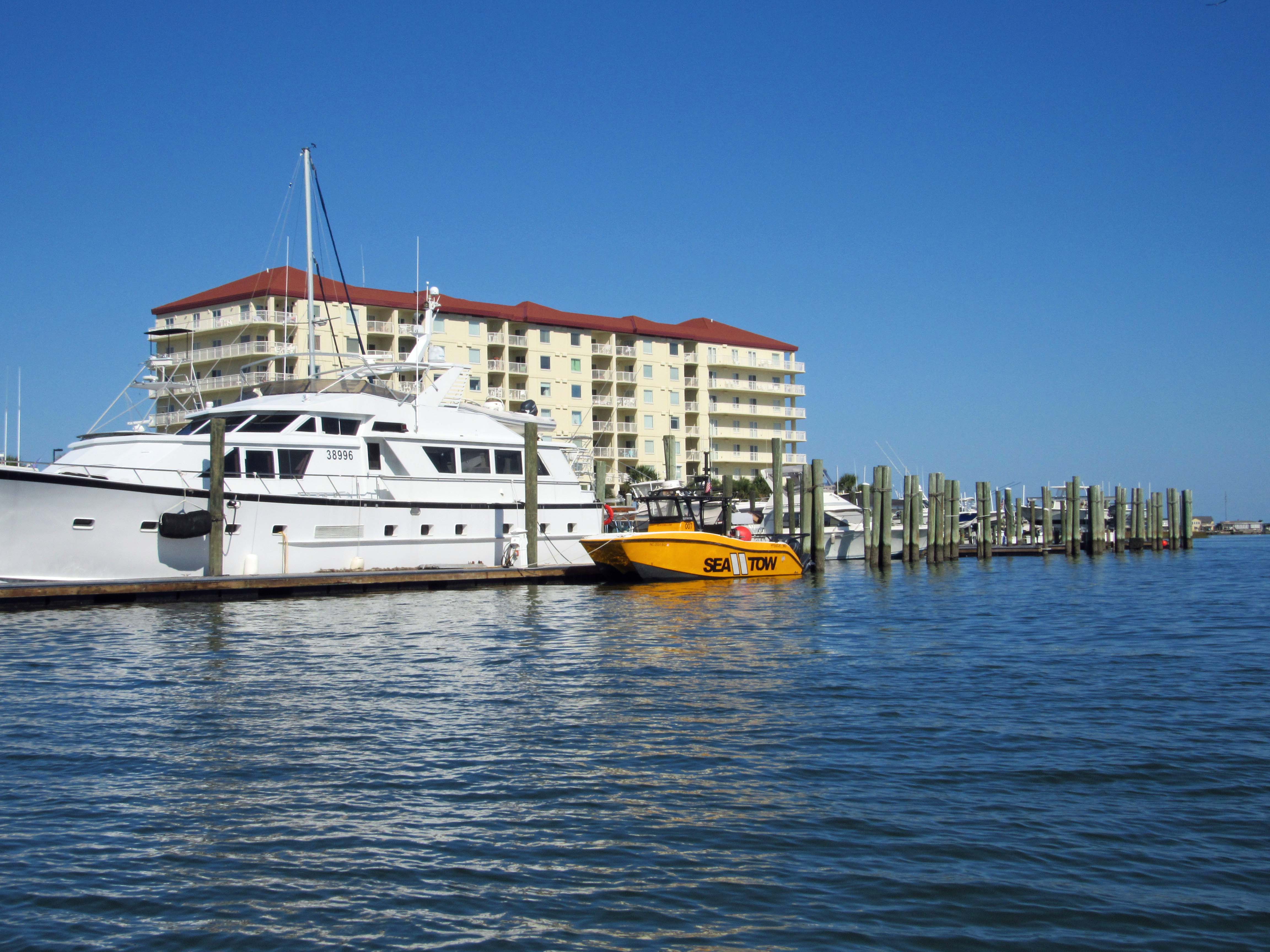
Left Shackleford and headed over to Beaufort. You need to swing around Rachel Carson Island. Shrimp boats everywhere.
Sea Tow is like AAA of the water.
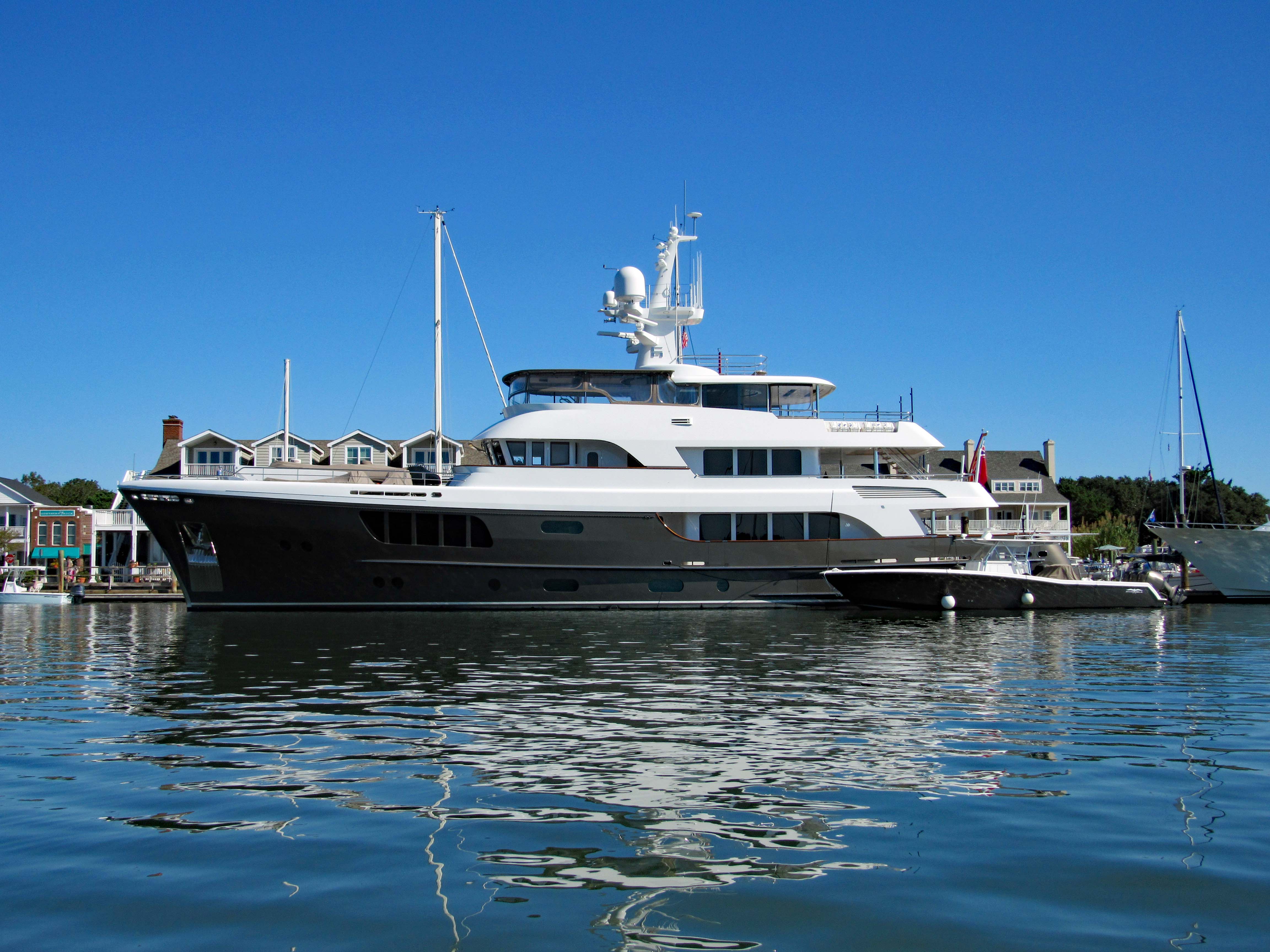
The CaryAli. Wow! A steel and aluminum ship. Built by Alloy Yachts in 2013. For just $25m she can be yours.
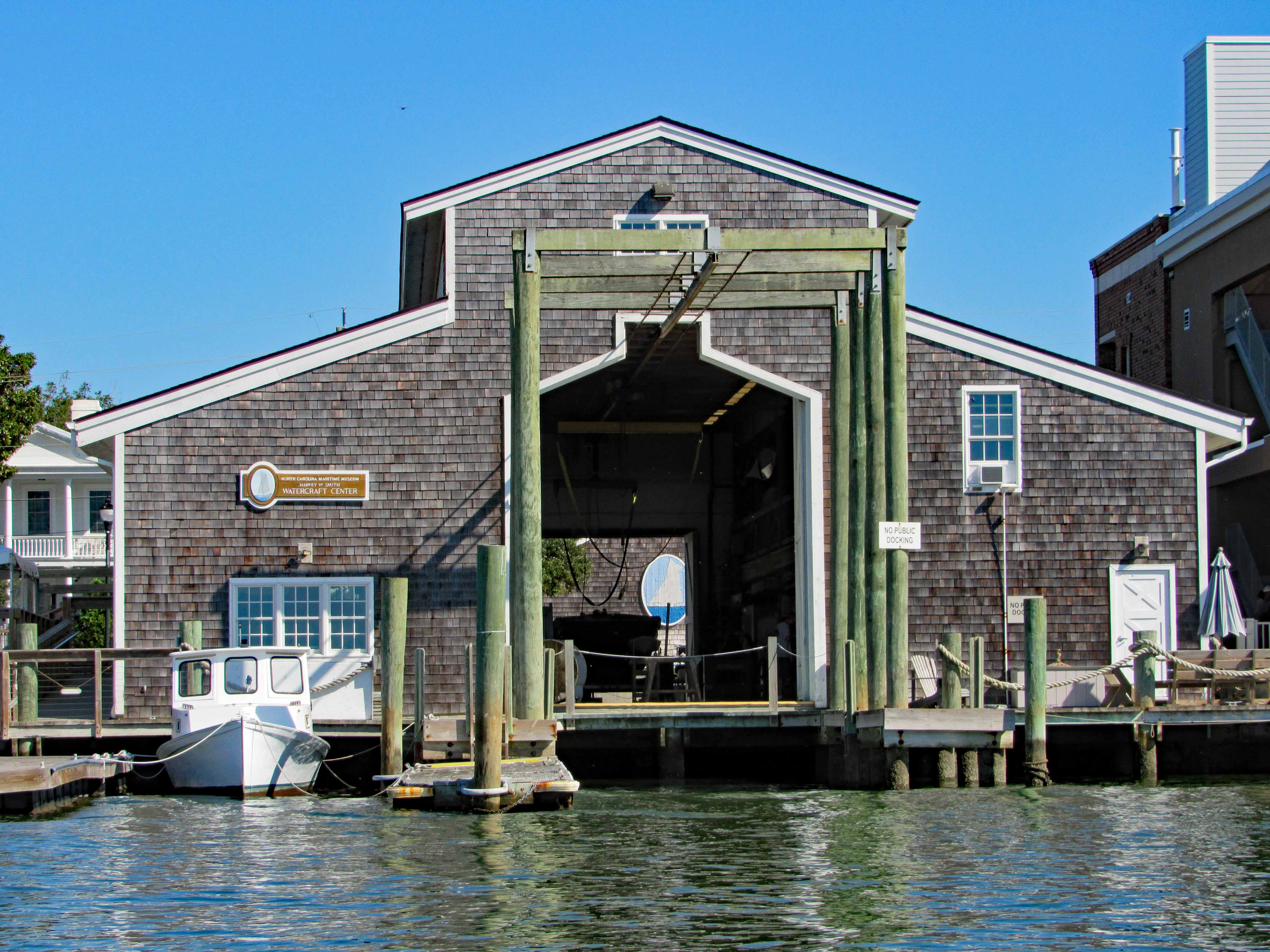
Looking through the Watercraft Center at a ship painted on a wall…
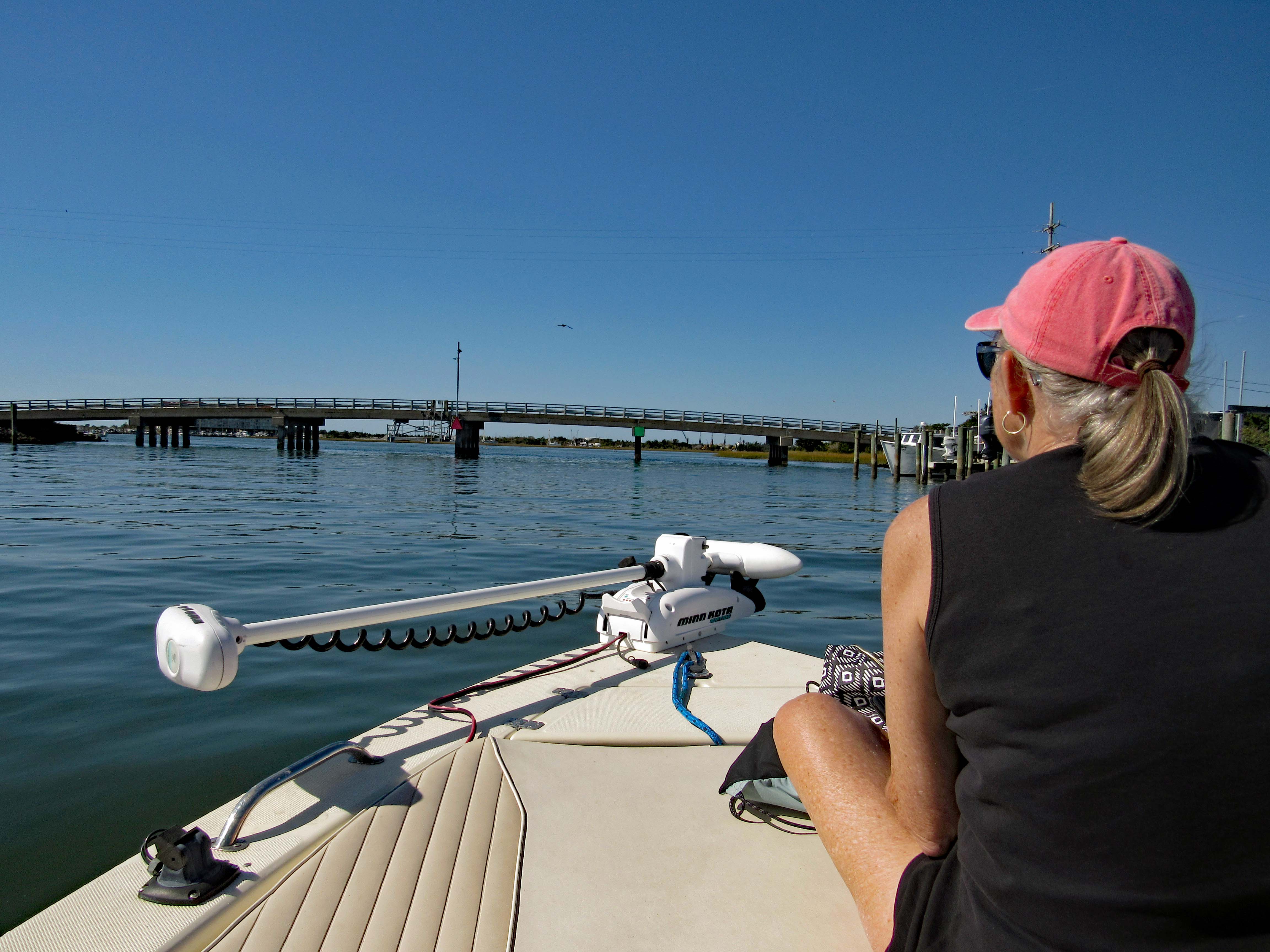
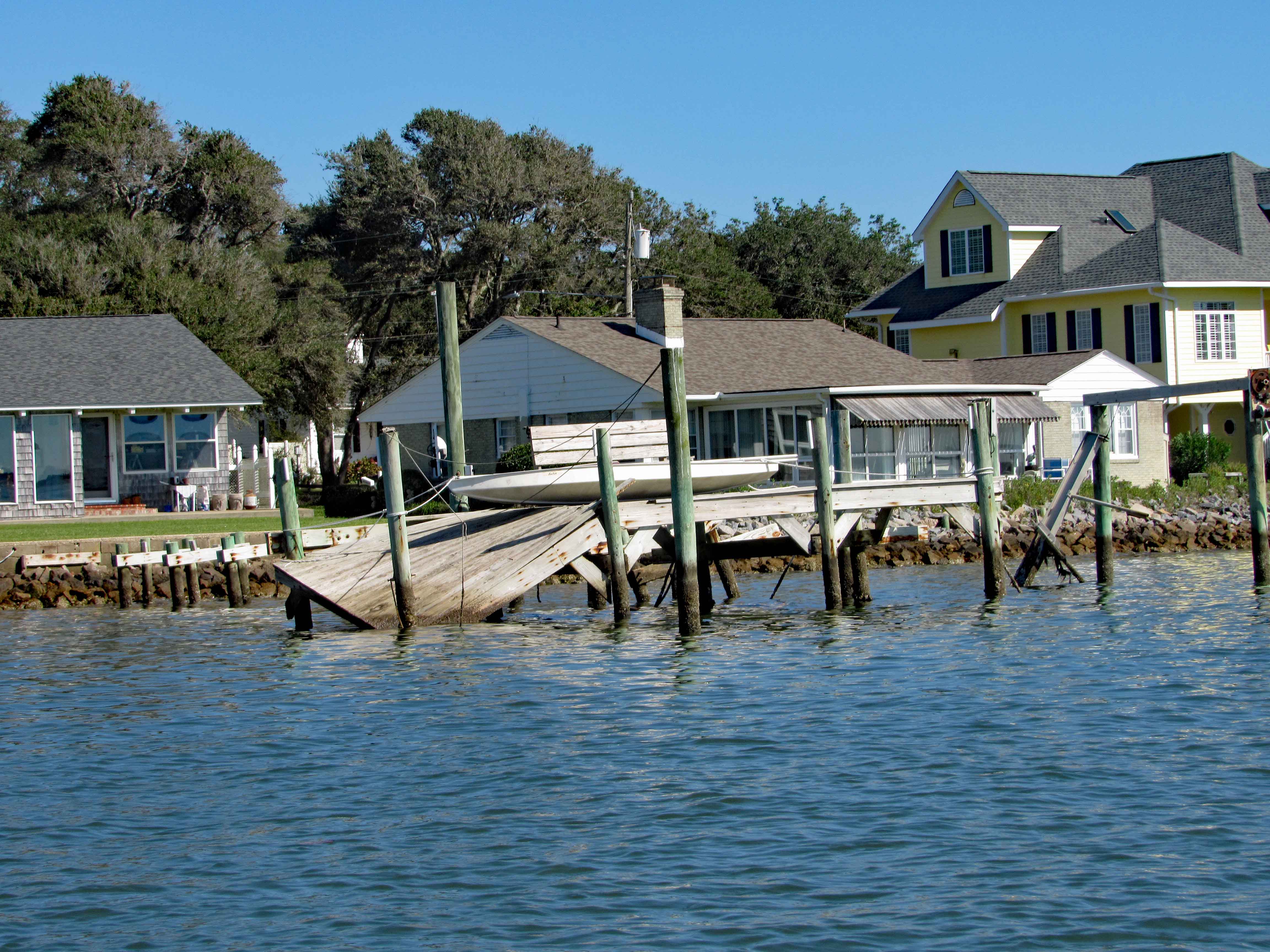
Went up Taylor Creek for a bit, looking at all the boats and quaint little houses. Turned around and headed to Pivers Island Road.
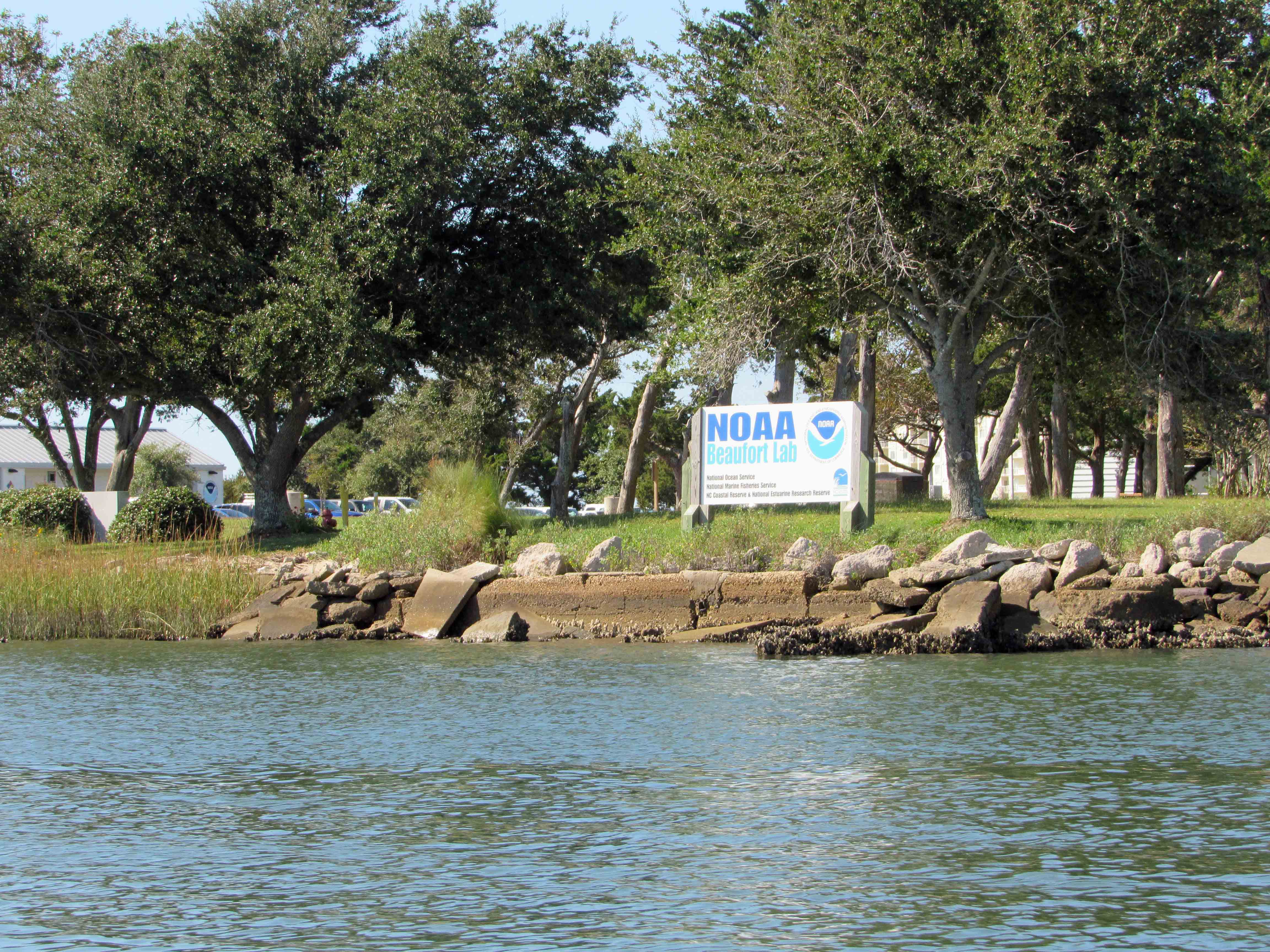
We made it under the bridge but then the water started getting shallow so we headed back to the Beaufort Channel and then towards Bogue Sound. Passing NOAA on the way. There are a lot of colleges and government research centers down here.
I guess it makes a good kayak launch?
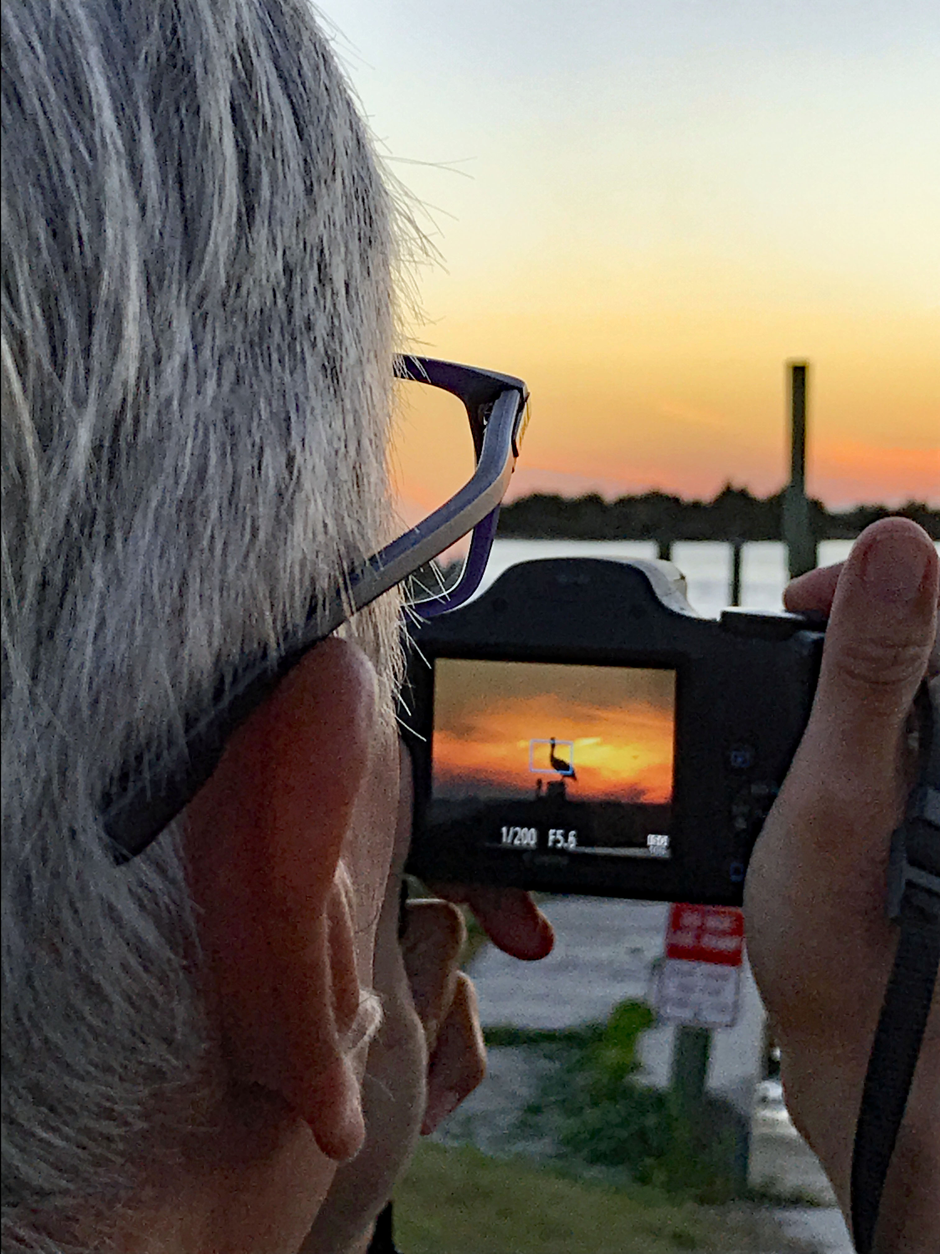
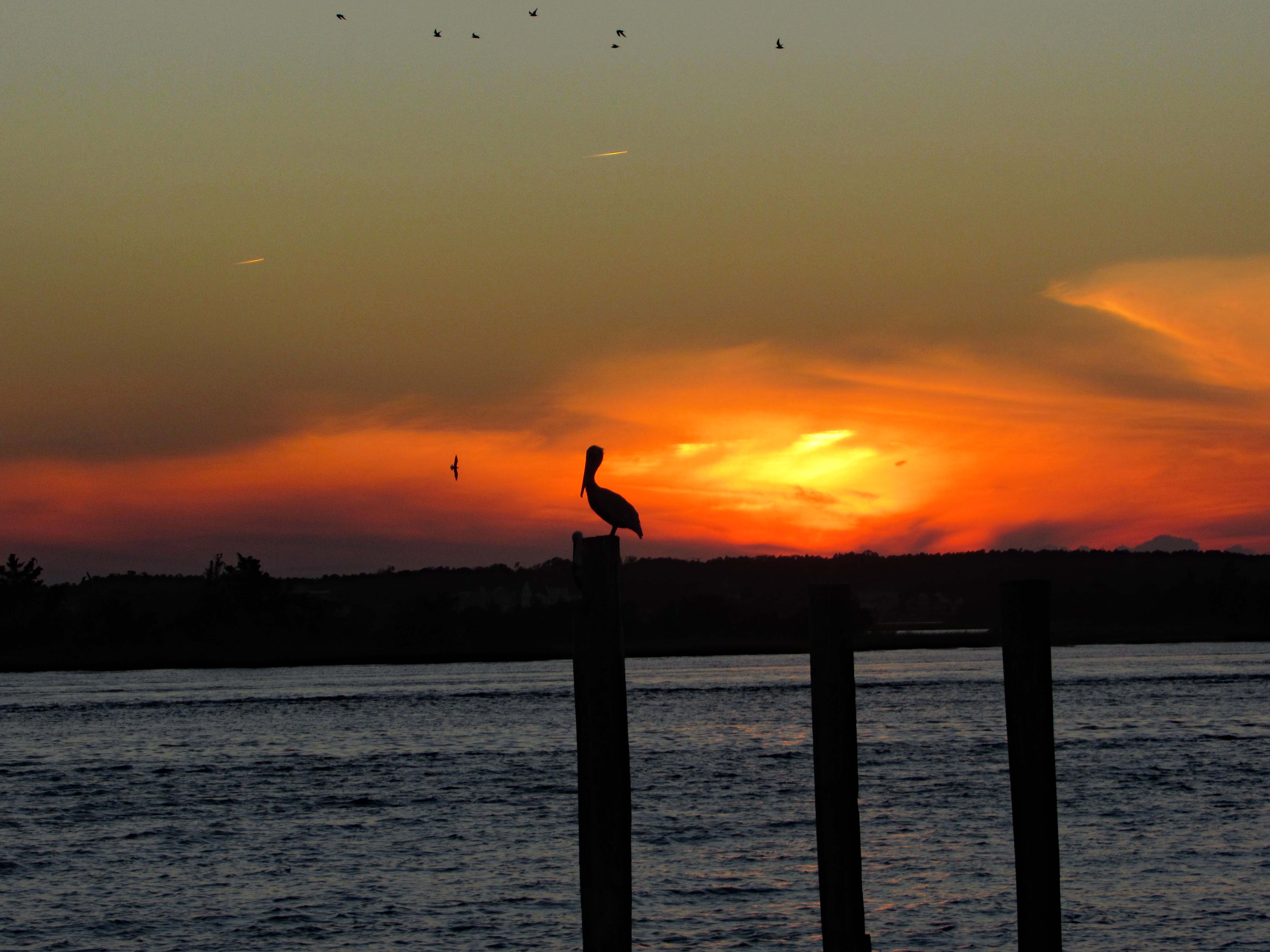
After John and Gail left, to go back home, Kathy and I went over to Swansboro to find a nice place to watch the sunset. Saturday night and the town was packed! So we left and the sun was heading west fast, so I pulled over at Dudley’s Marina on Rte. 24 and Kathy took a photo of me taking a photo of the pelican sunset.
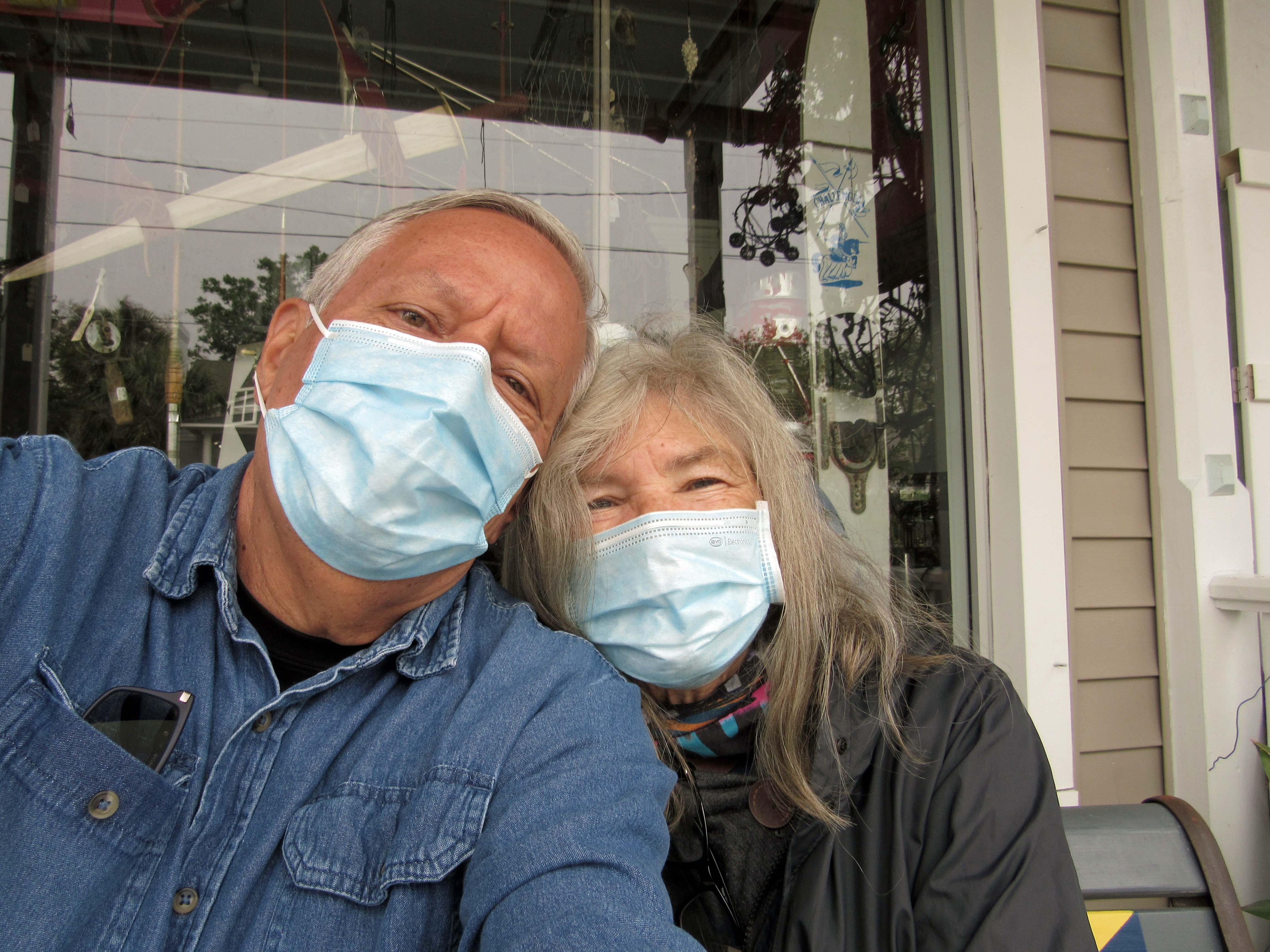
The ‘New Norm’ I hope not for too much longer. The next day we went back to Swansboro to look around
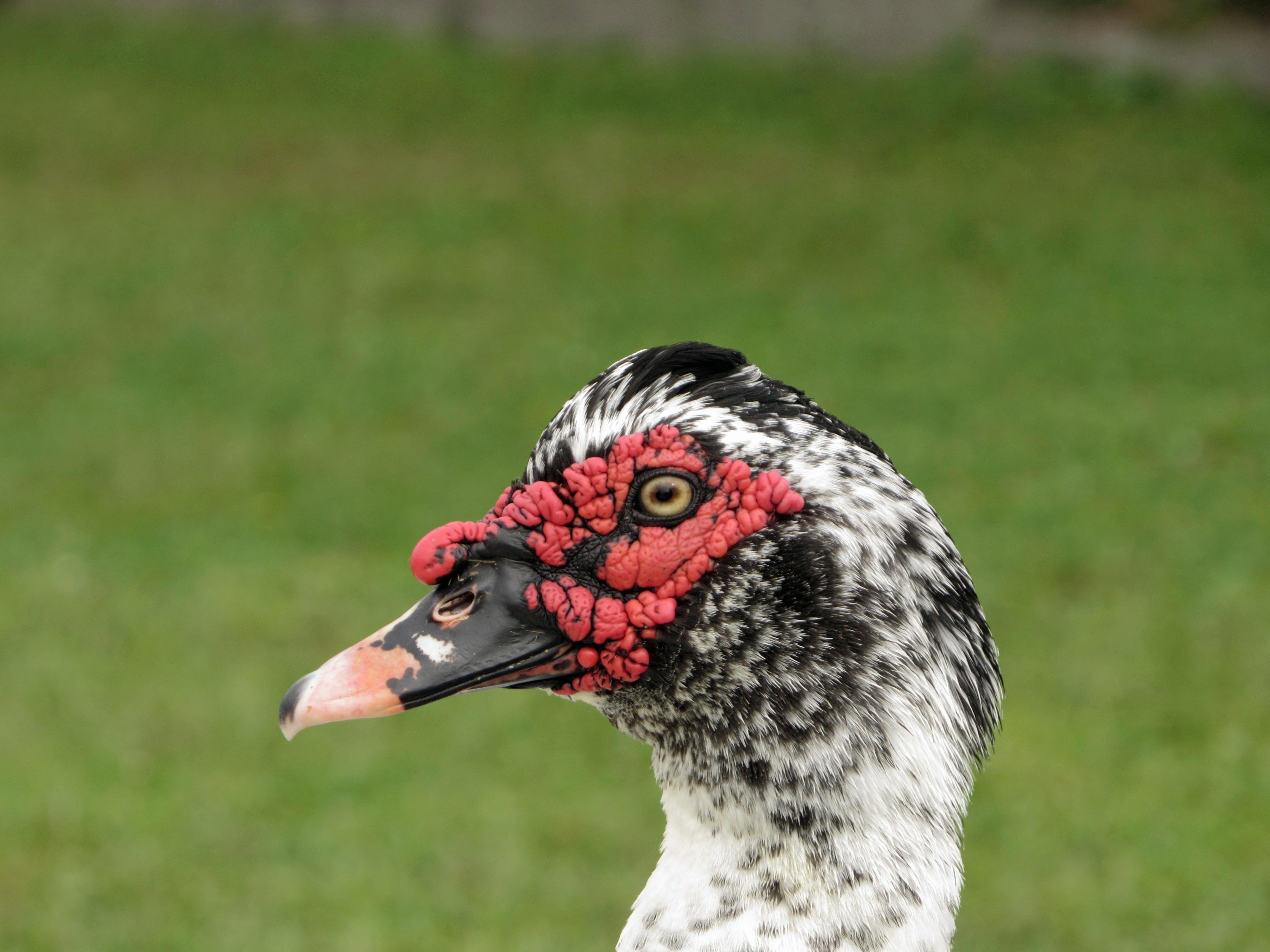
Domestic Muscovy Duck.
Another shrimp boat. Shrimp burgers from the food truck were huge, along with their oyster burgers and soft crab sandwiches.
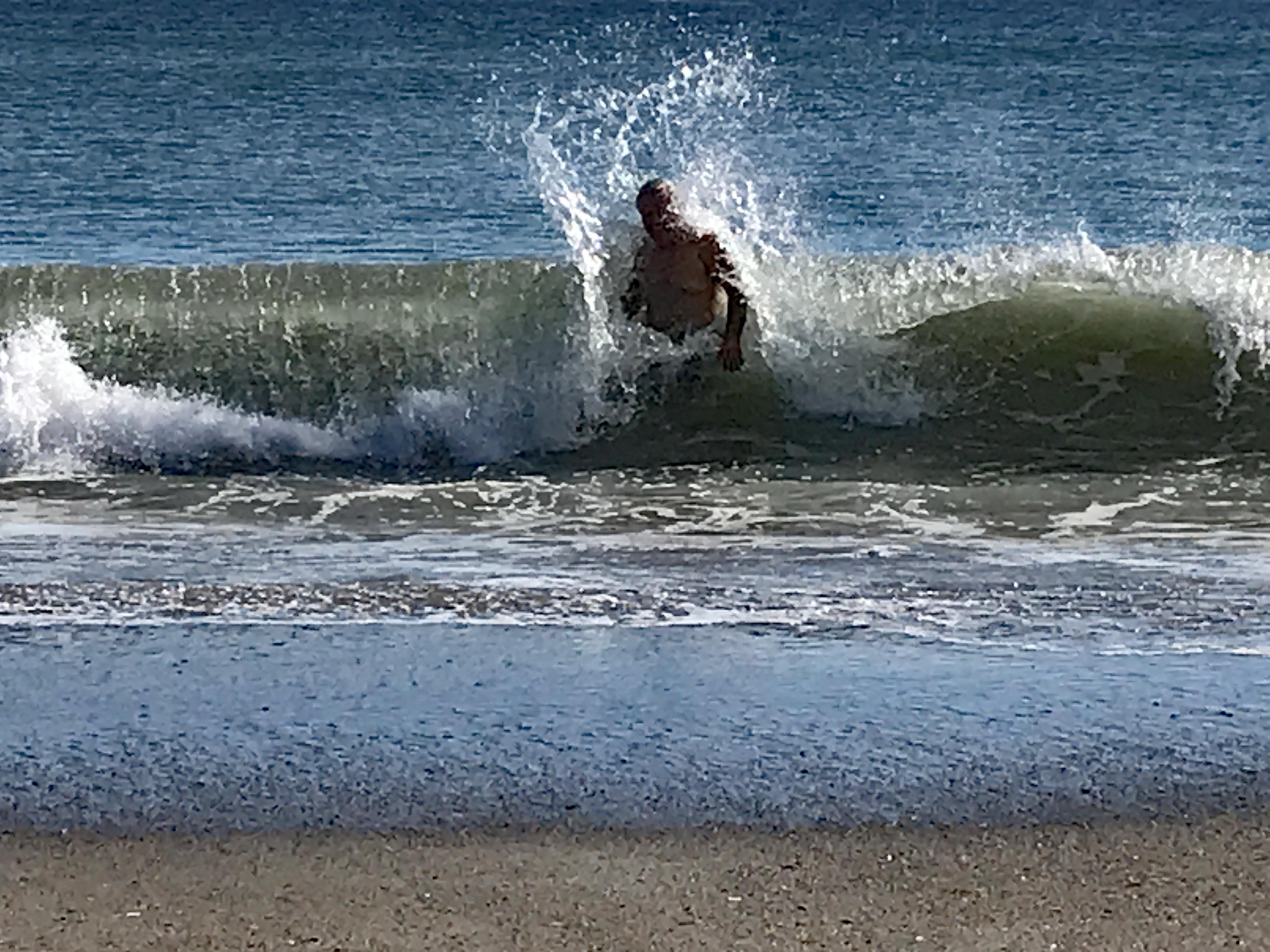
Love the water – when it isn’t freezing. Or knocking me on my butt!
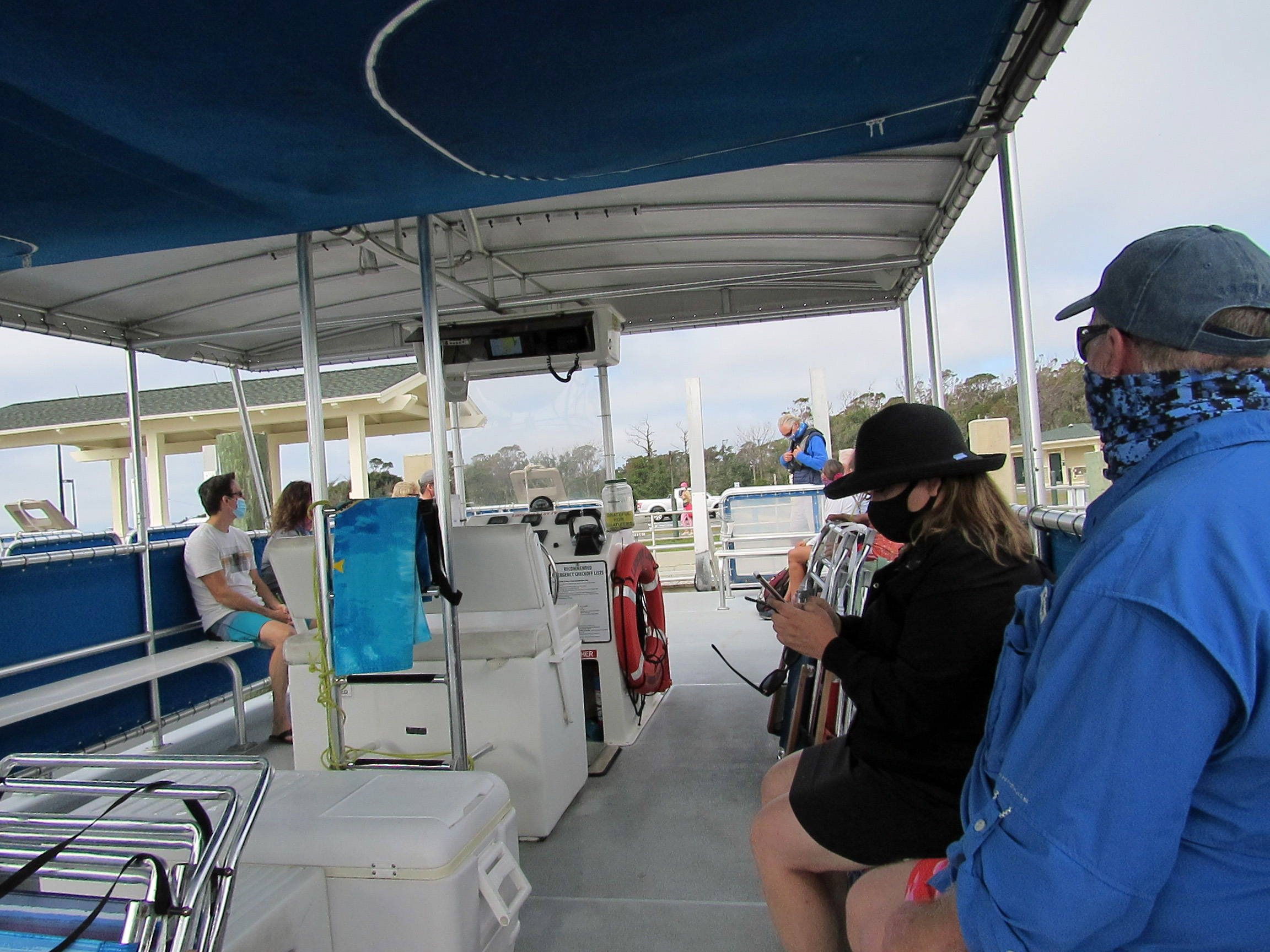
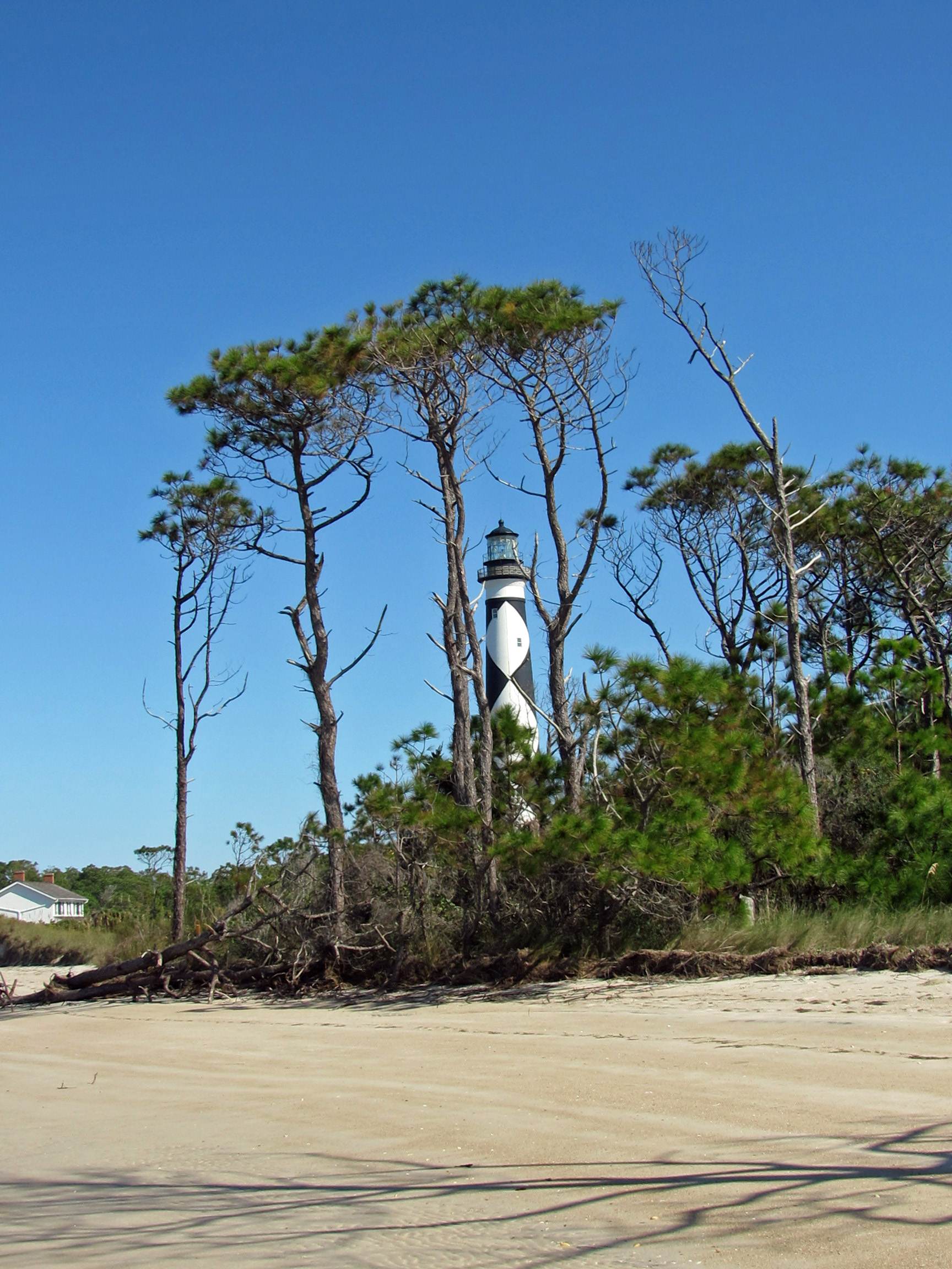
Our next adventure was to Cape Lookout Lighthouse, via a tour boat, where everyone was practicing social distancing, for the most part.
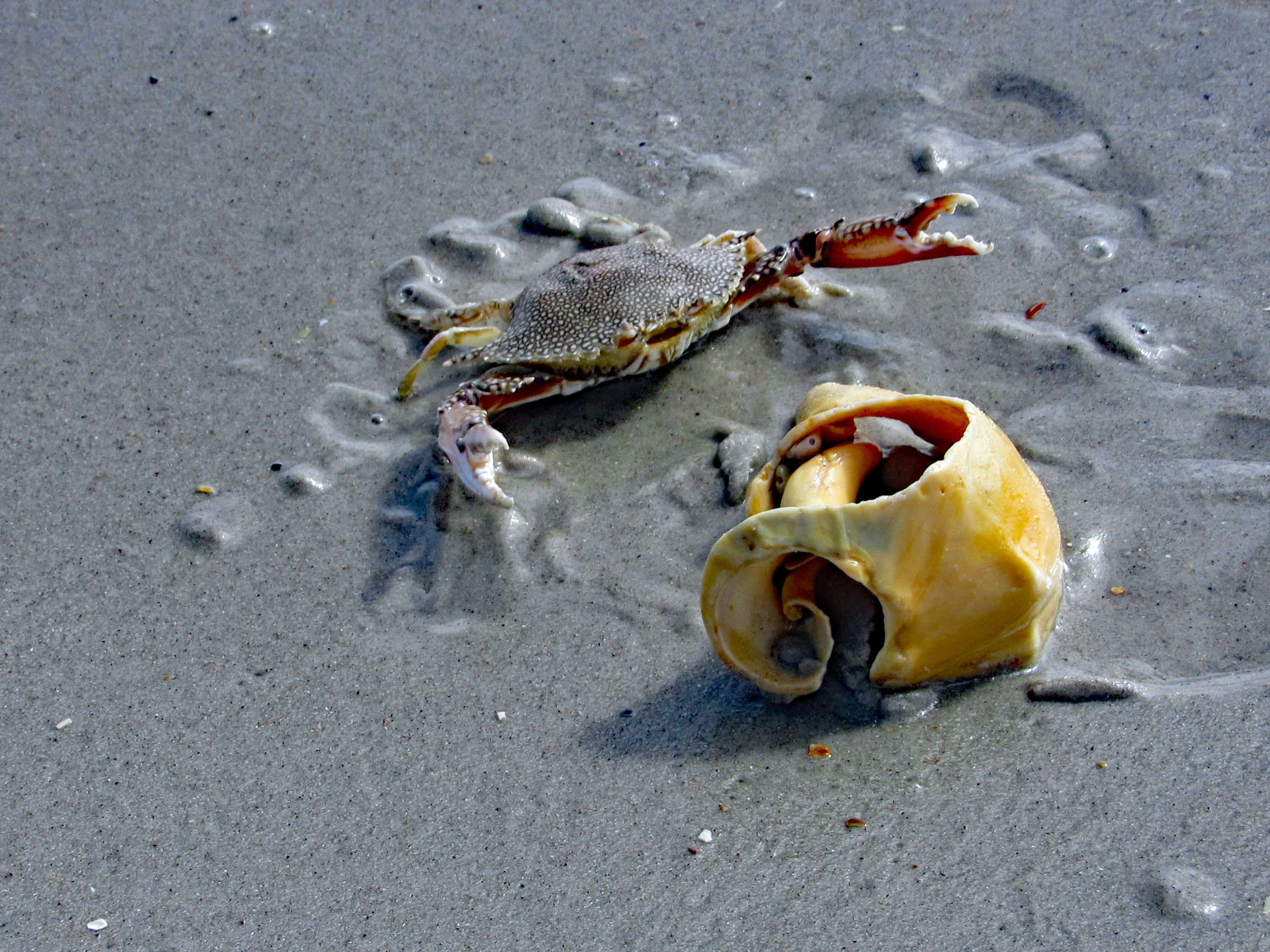
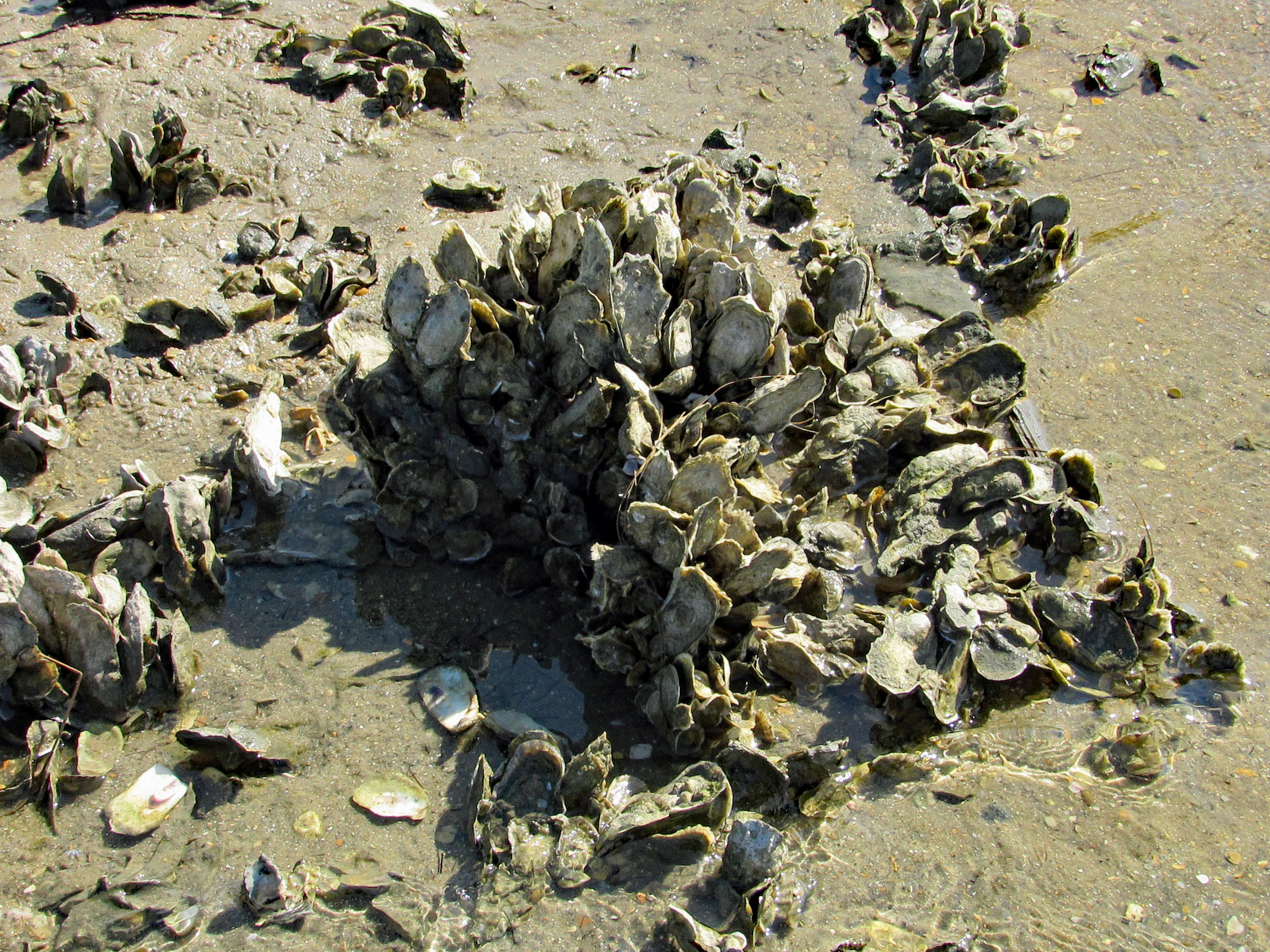
We cut over to the beach, hoping to find some 1/2 way decent shells. No luck.
Even some of the better shells were being fought over. This guy wasn’t giving up his shell find.
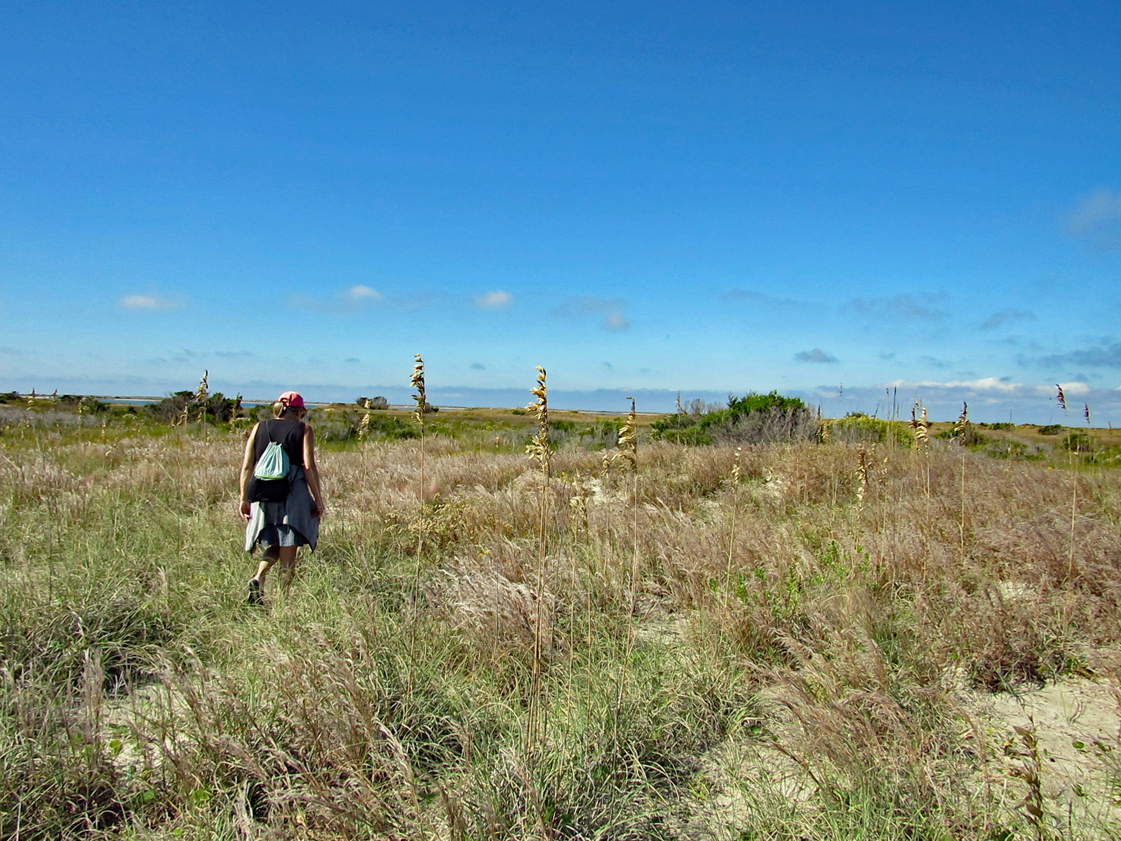
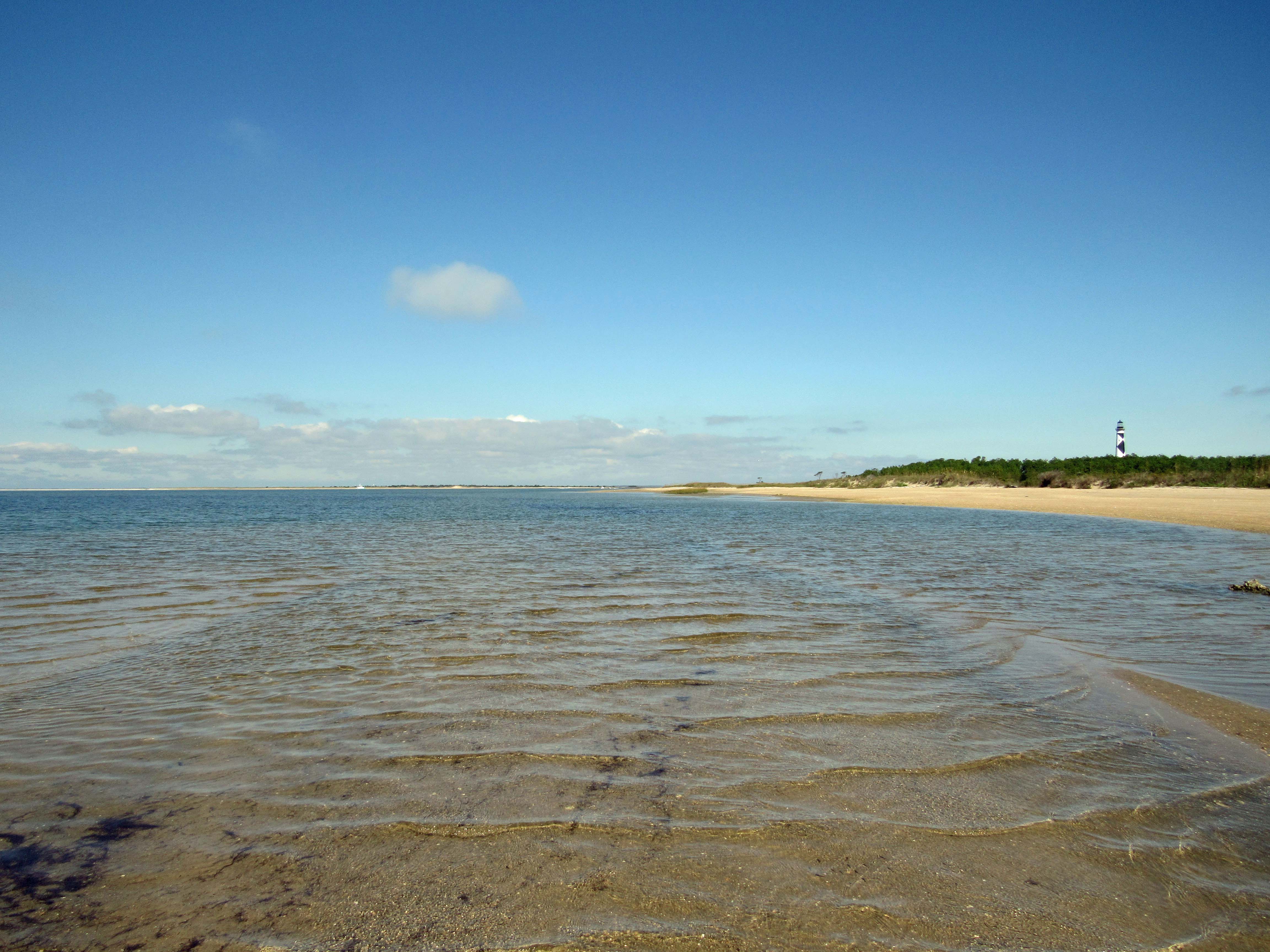
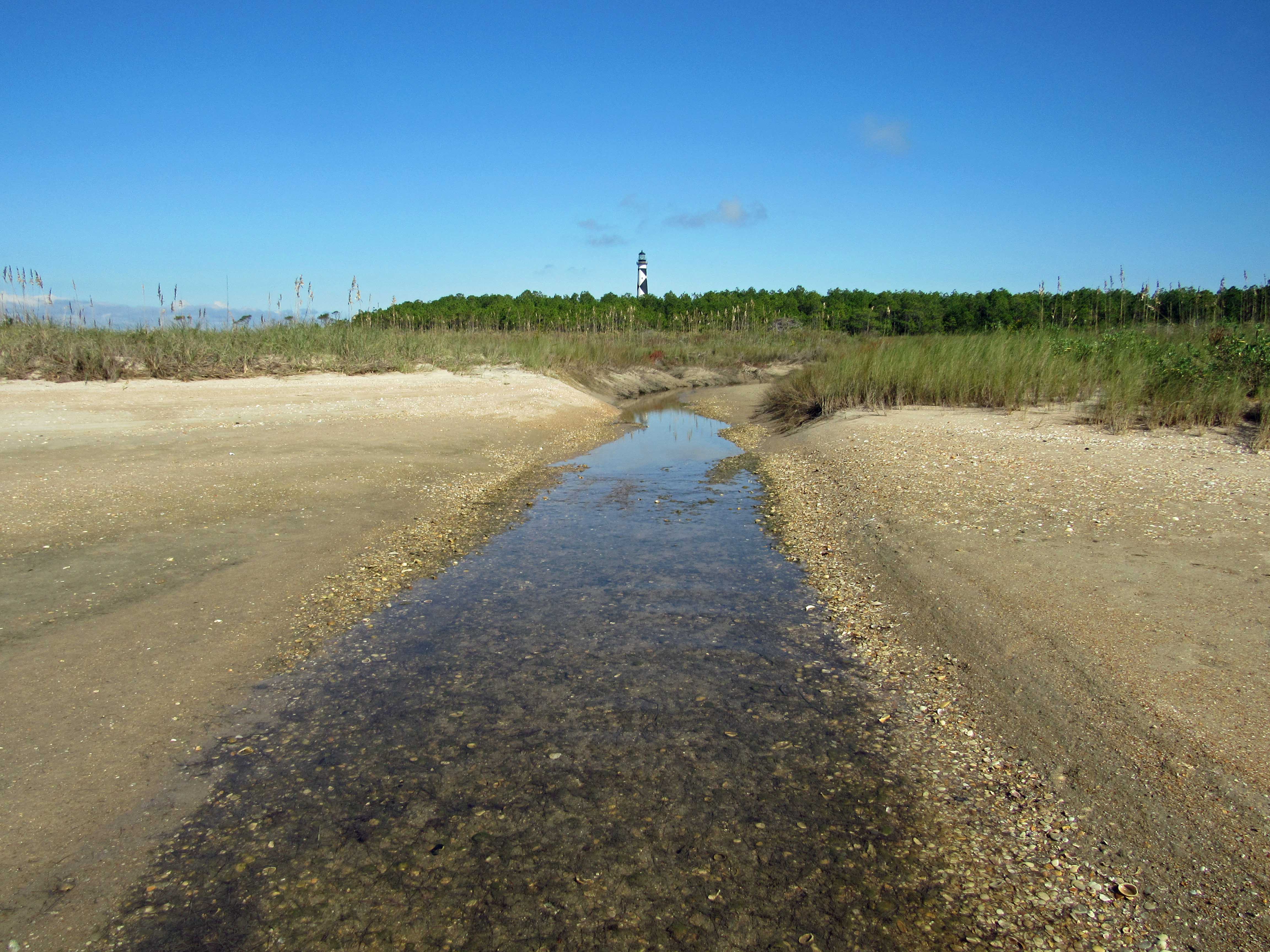
We leave the ocean side of the isle and head over to Wreck Point. Trudging through the dunes and marsh.
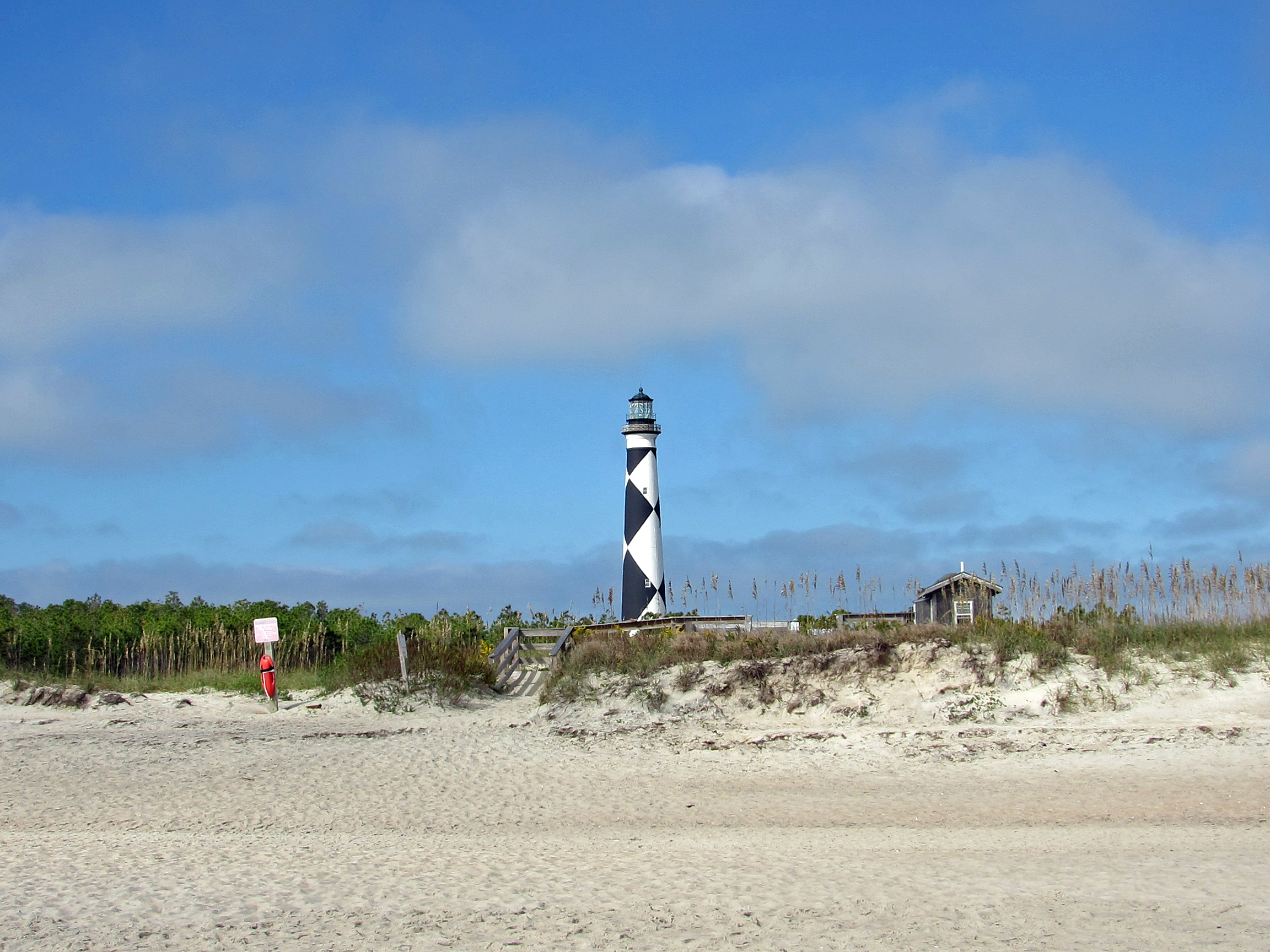
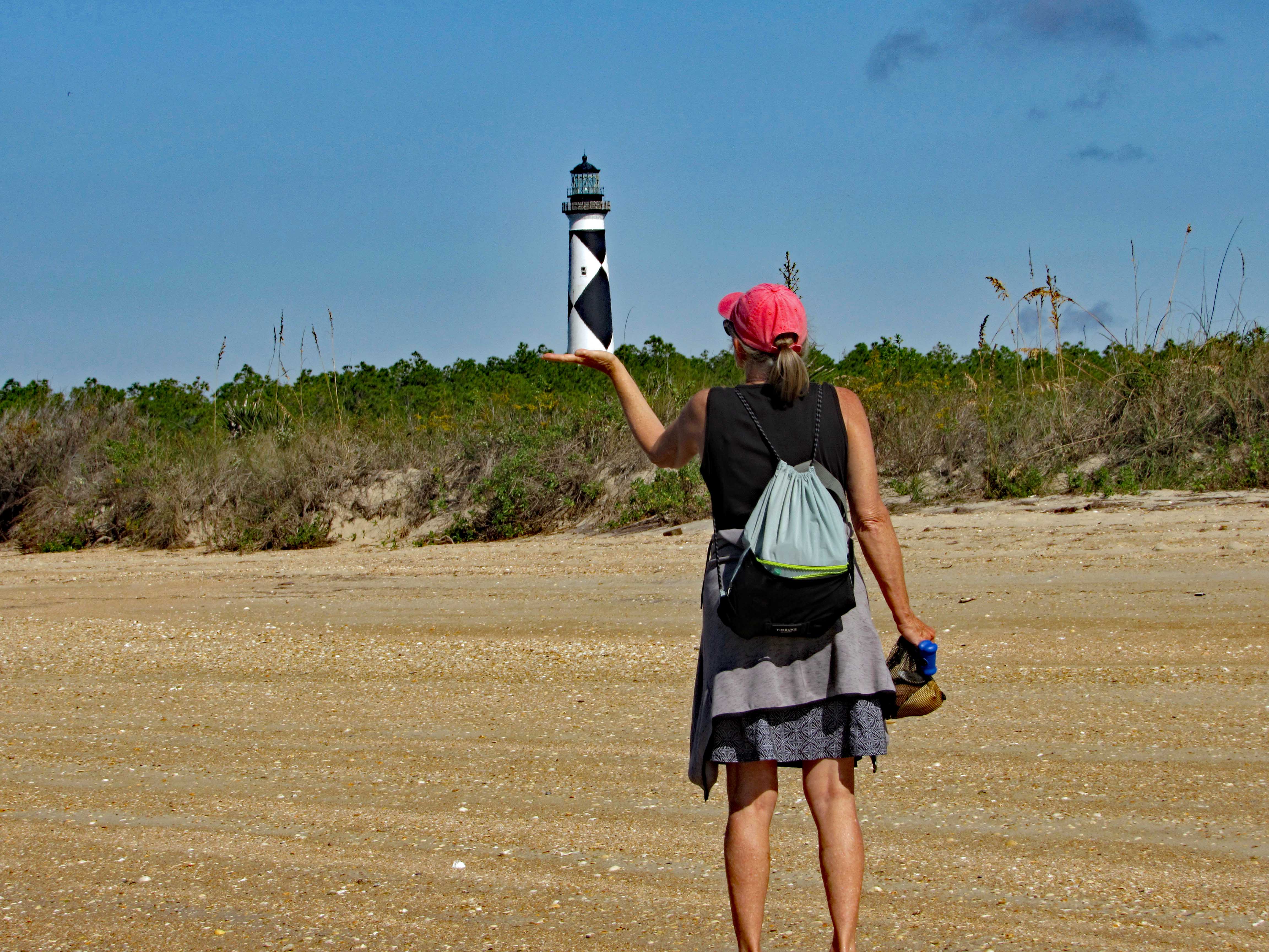
Balancing the Light.
Heading back towards the lighthouse.
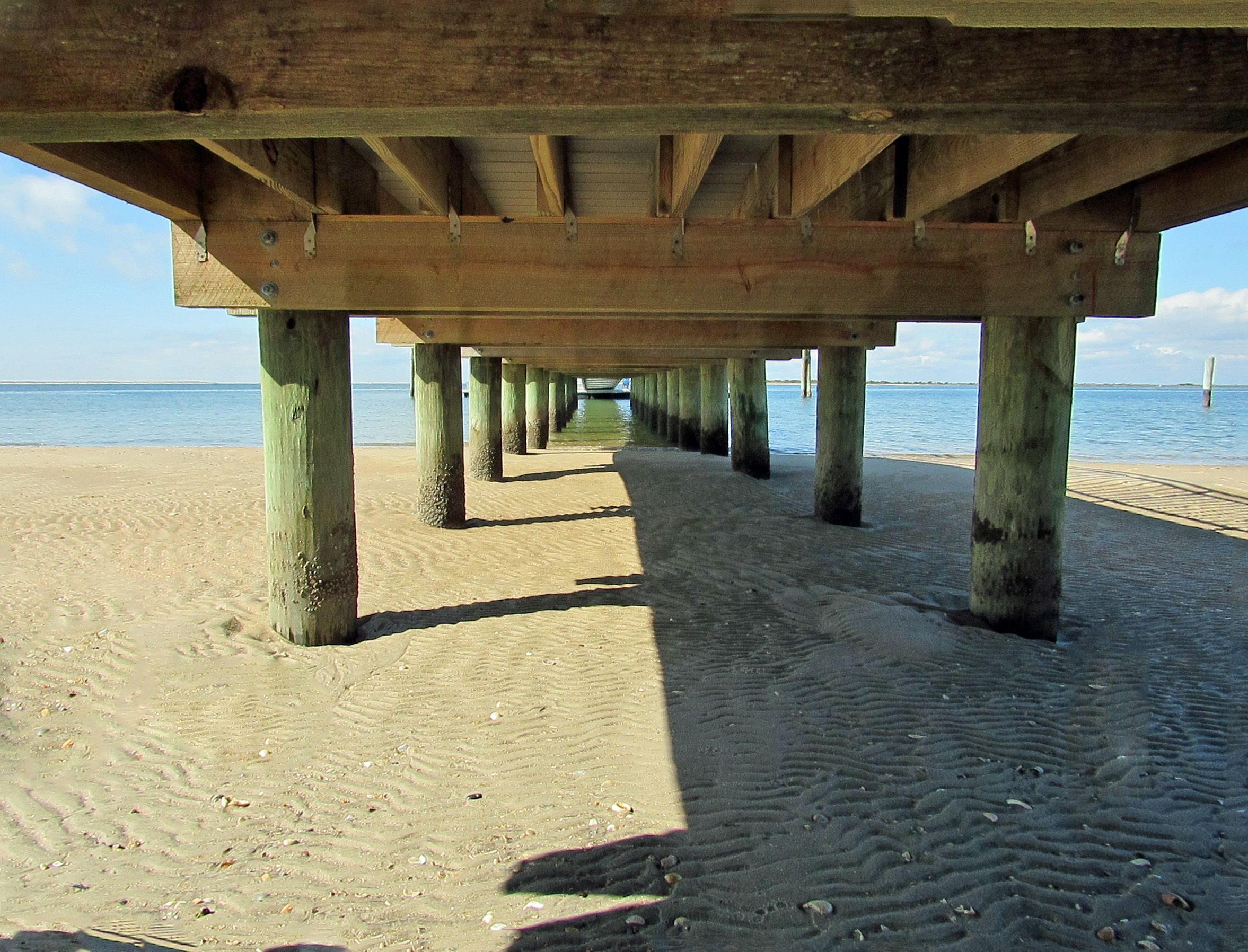
Checking out under the dock…
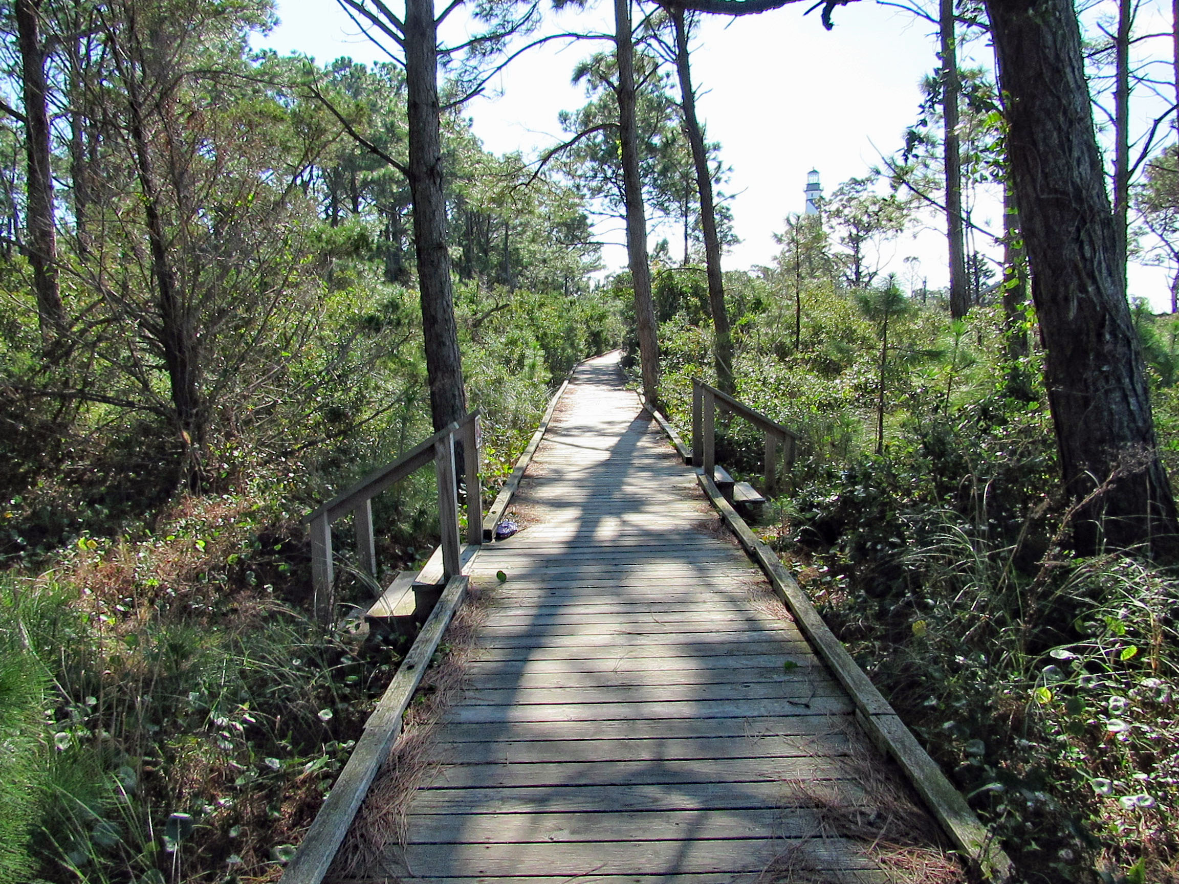
Boardwalk to the lighthouse area.
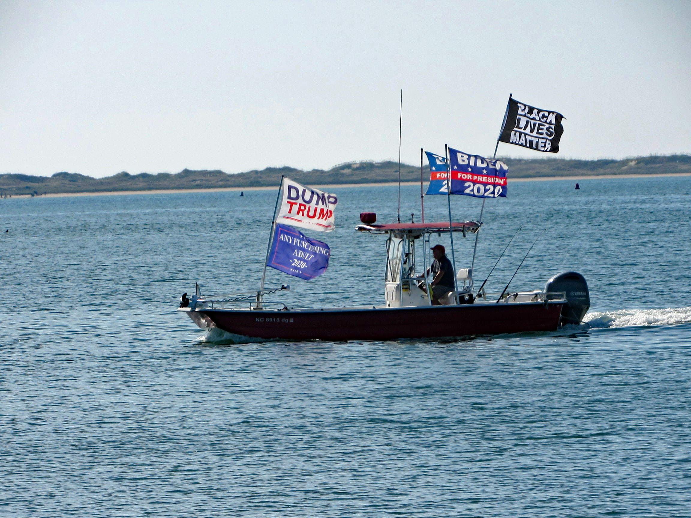
This guy was going close to shore and other boats blasting his horn and making all kinds of noises.
On the way back, on Shackleford Island. Scratching an itch with his food.
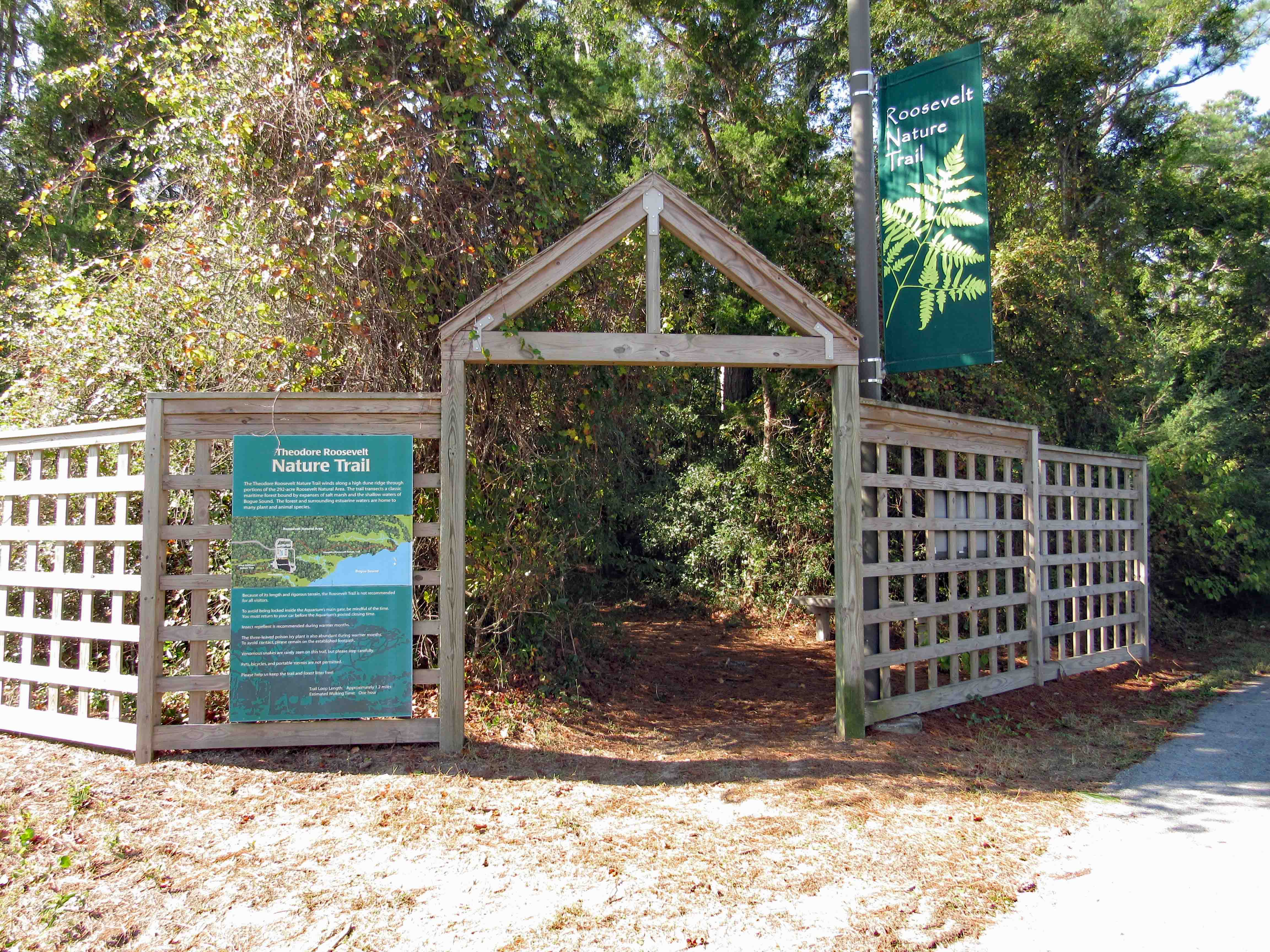
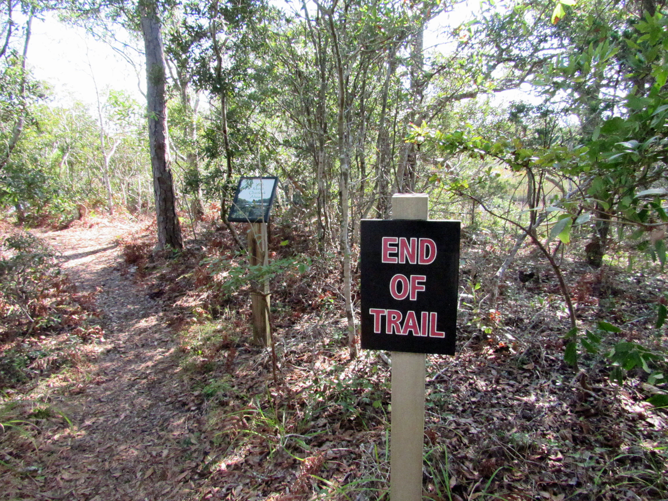
Another day, another adventure. Off to the side of the Pine Knoll Shores Aquarium is a nice little hiking trail. About 1.2 miles.
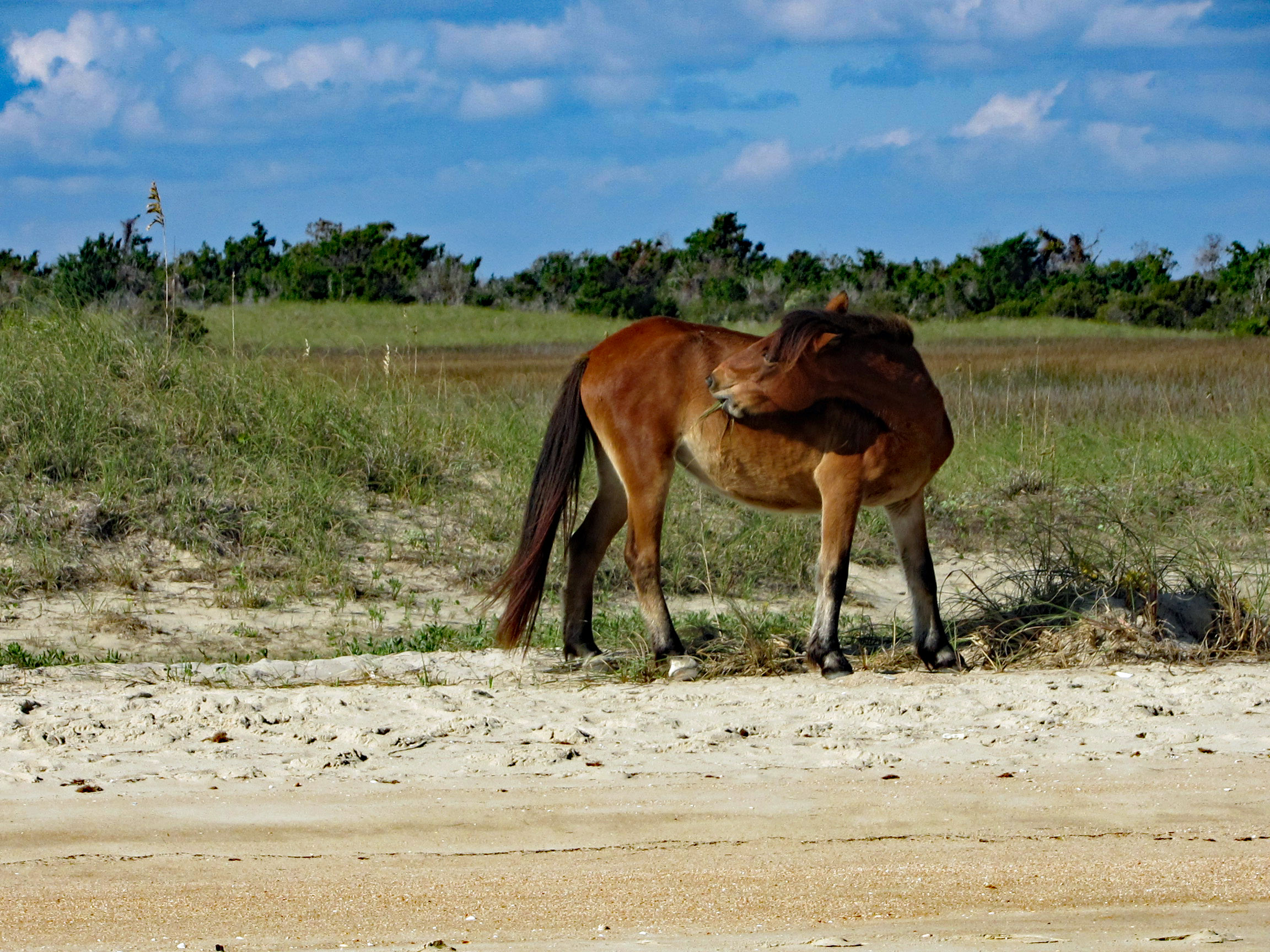
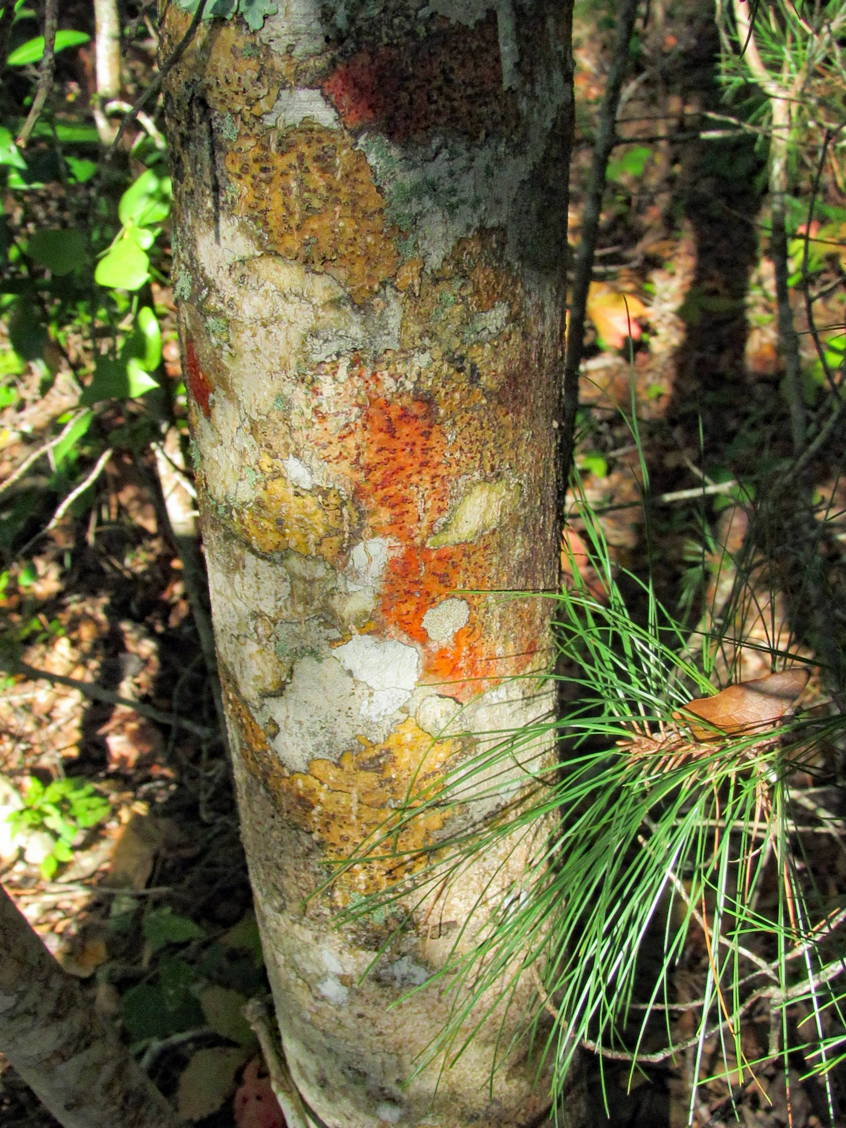
We thought this coloration was the tree itself (Holly)
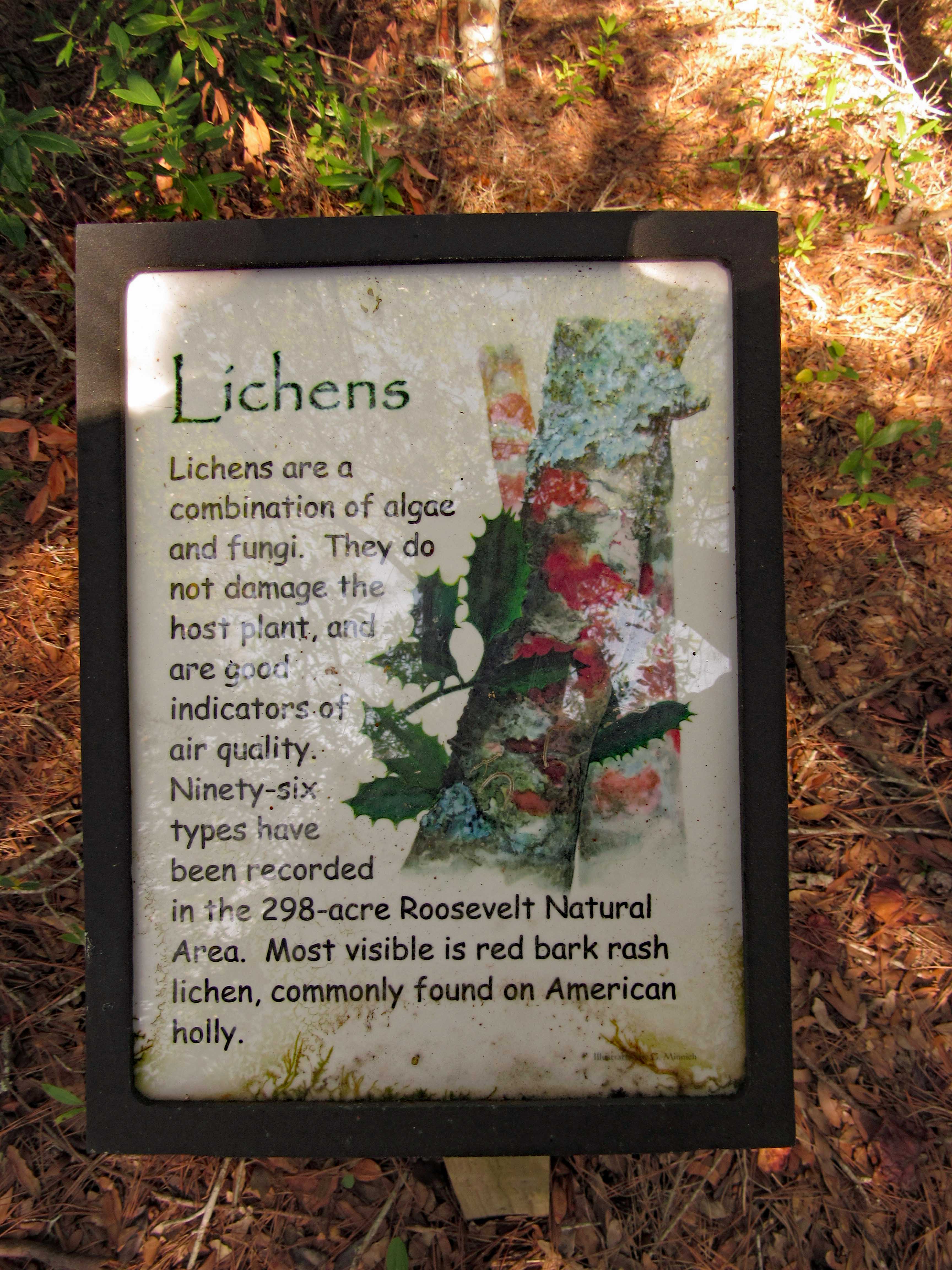
But it is lichen. Nice info signs along the trail.
One side of the trail is a marsh. The other side is the Bogue Sound.
Sign in front says End of Trail. Sign behind it says Last Marsh Overlook Ahead?
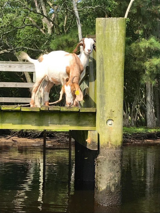
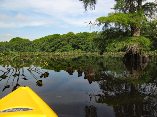
Early kayak adventure – it has been hot out so we got an early start! Kathy’s sister Gail was up from North Carolina so off we went to Snow Hill and a trip down the Pocomoke, around Goat Island. It was about 3 and 1/3 mile round trip.
We usually enter the Pocomoke from the south ramp but for some reason I decided to park up by the north one. Glad we did! The goats of Goat Island were out.
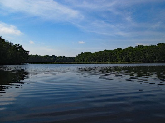
The water was like glass with very little wind.
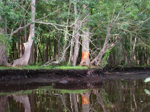
Someone has been rubbing against (or eating) this tree.
Lots of lily pads floating about. Tried to avoid and paddle around.
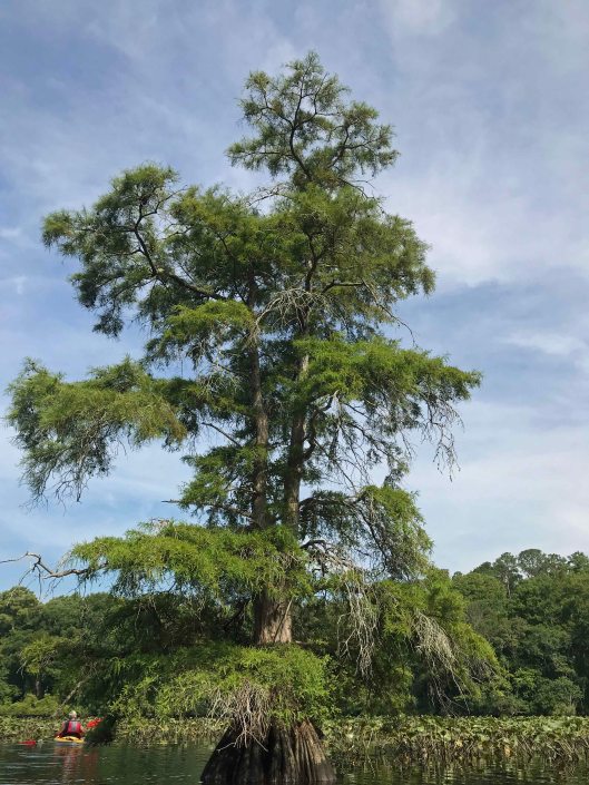
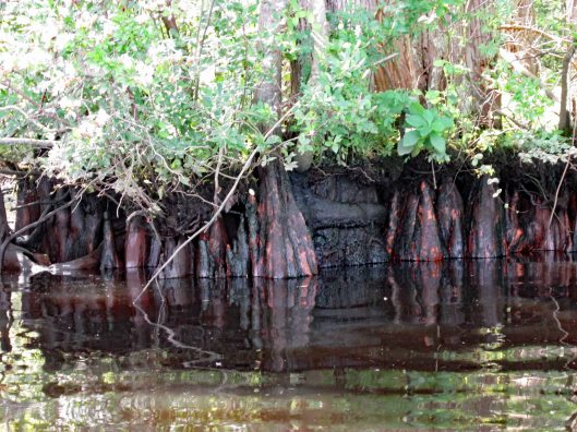
Big cypress.
Through the obstacles and onto open water.
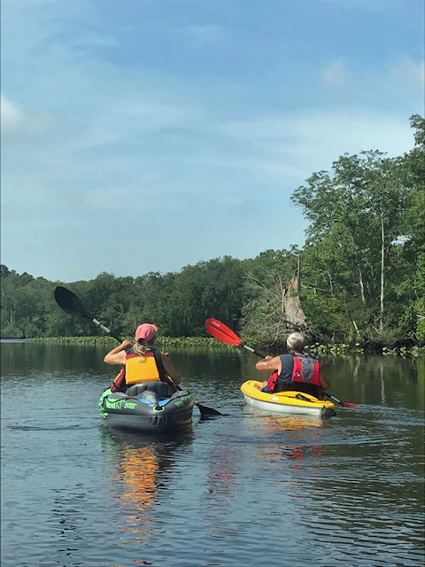
Not many photos of Kathy and I together on adventures, other than selfies. Gail took this one.
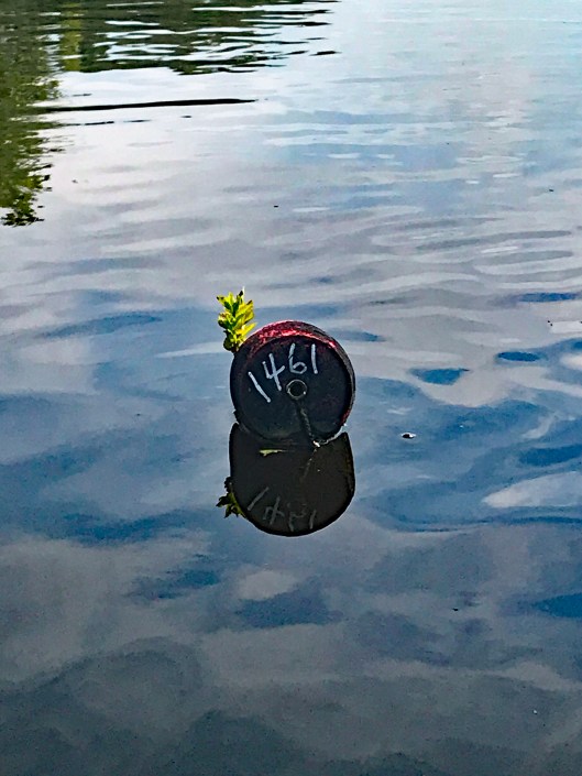
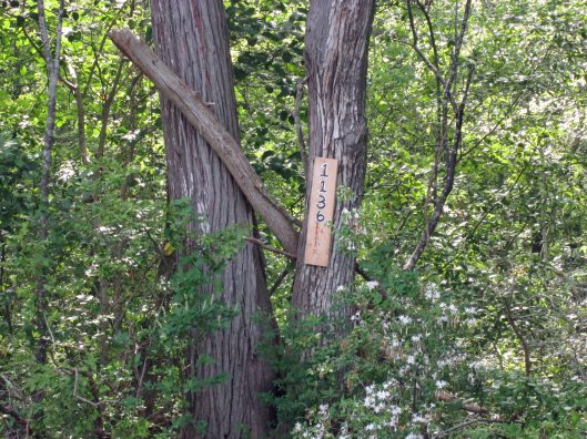
There were a few of these strung across the river?
Another tree address…
Looks prehistoric.
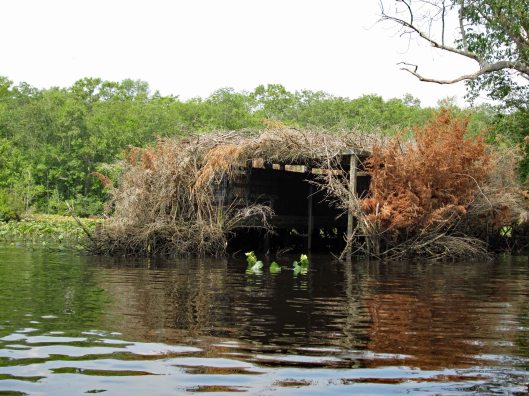
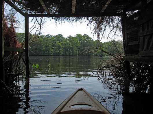
Duck blind.
Inside looking out.
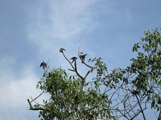
Tree swallows not too happy with me.
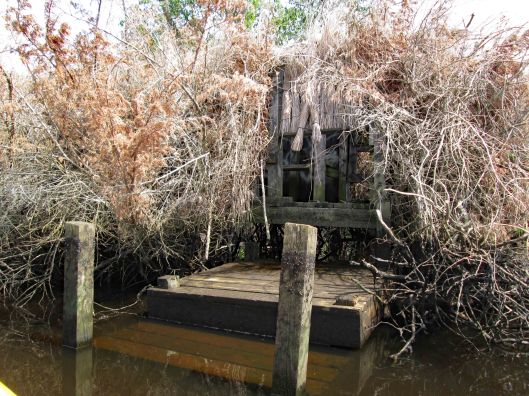
Side entrance to blind – needs some TLC.
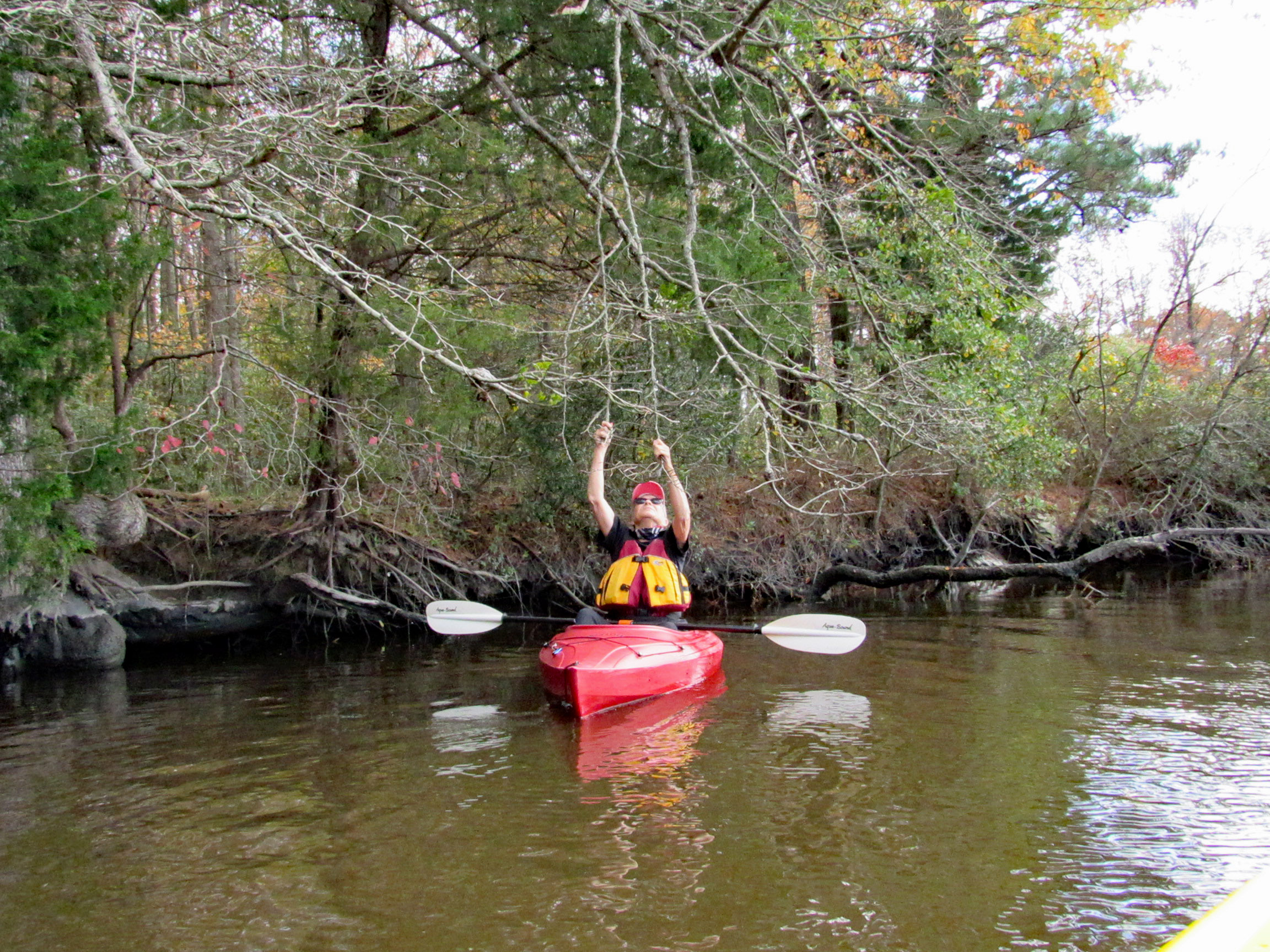
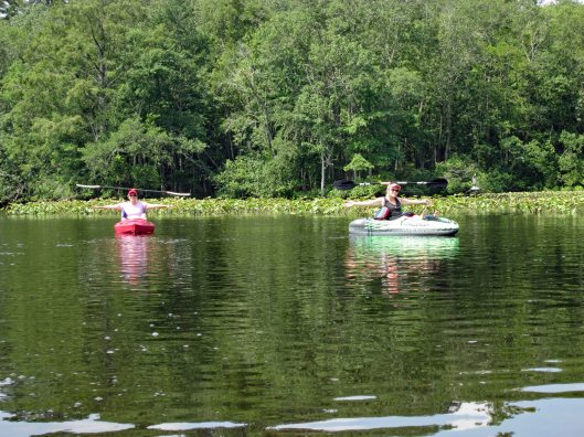
So, i’m all the way down by the duck blind, about a quarter mile away from Kathy and Gail when I hear a whistle. So I paddle back as fast as I can to see if anything is wrong – “No, we just wanted you to see us balance the paddles on our heads!” Ha!!!
Looks to be the old outfall from the sewage plant.
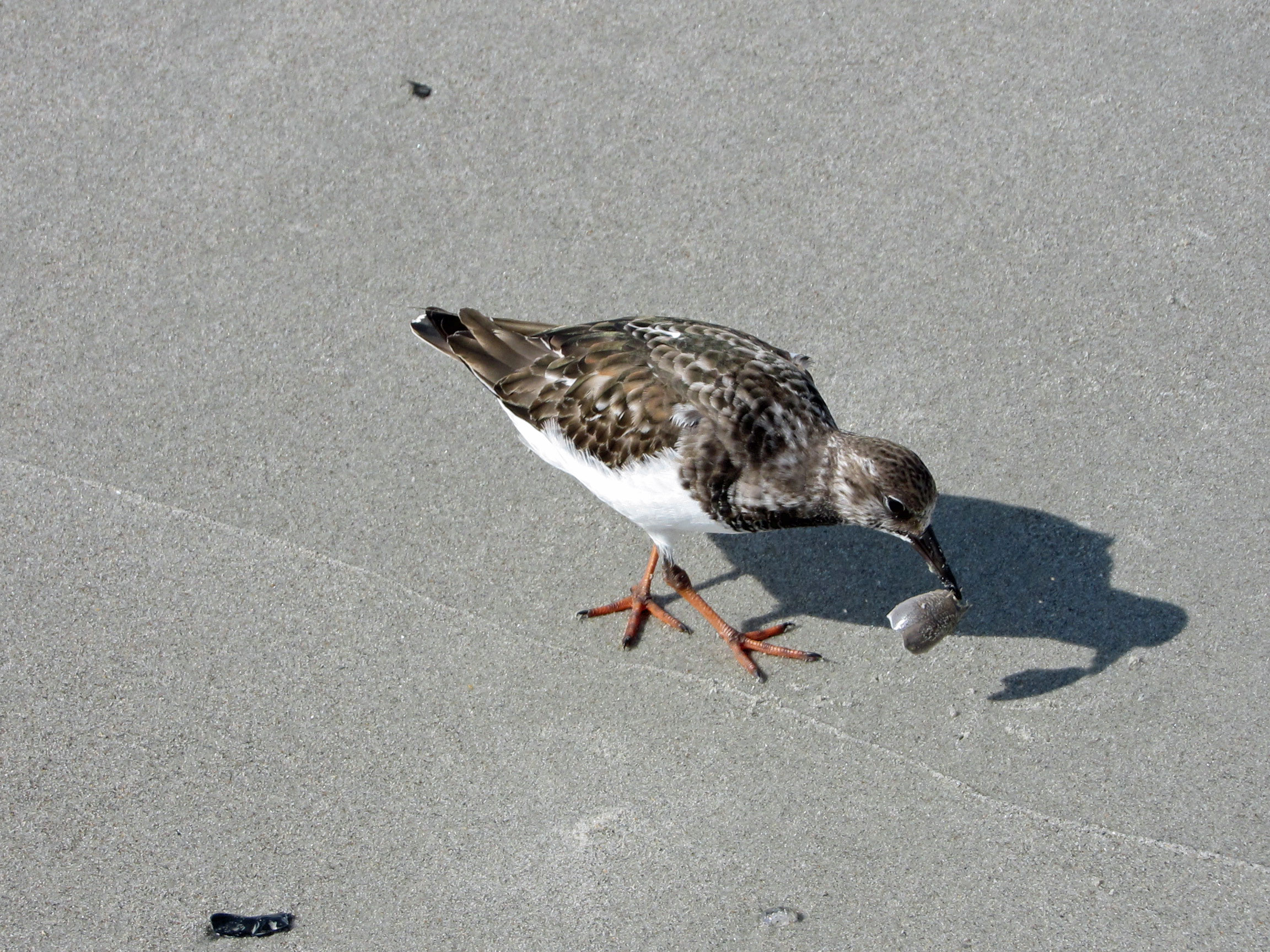
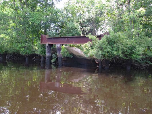
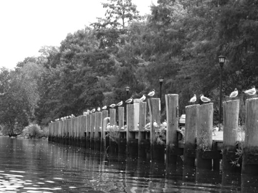
Heading back – seagulls looking for some Thrasher’s French Fries…
It was a really nice morning to go kayaking. Except for one little incident that happened – some jerk in a power boat was going too fast and about over-shot the curve. I was able to get out of his way but he was crazy and called us F’ing idiots!! I waved and told him to have a great day! I believe we had the right of way.
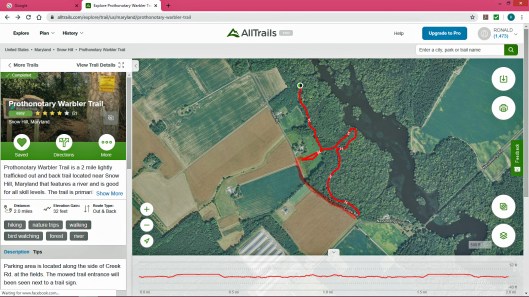
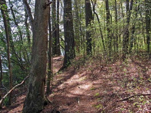
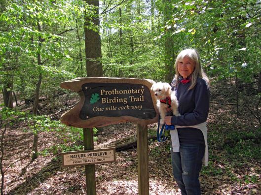
Well that is a mouthful to say! Pronunciation is Pro-ton-o-tar-y, which by itself is a Chief Clerk in a court of law, which is apropos to what I have been going through the past couple of months (another story, another time). But with the warbler attachment, it is just that – a warbler. A trail full of them. This was a 2.3 mile hike.
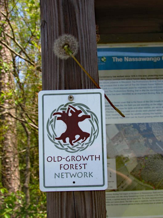
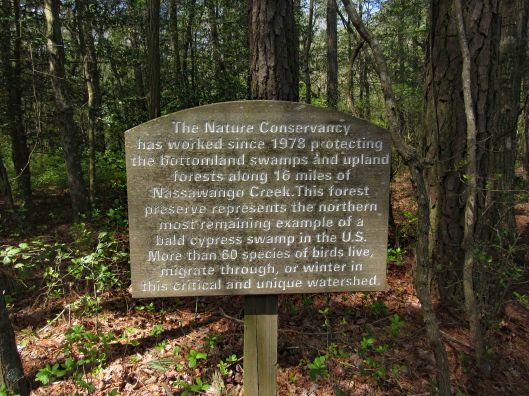
For whatever reason, All Trails stopped recording our trip so I used their default map, adding an extra red line at the bottom left of the trail because we walked the road back. Not much parking. You need to park on the grass along the road. The guy that lives in the house to the left of the entrance trail was cutting the grass. He does a good job maintaining it. It is turkey hunting season and he wanted to know if we seen any? Glad this property belongs to the Nature Conservancy – No Hunting! I hate ducking bullets!
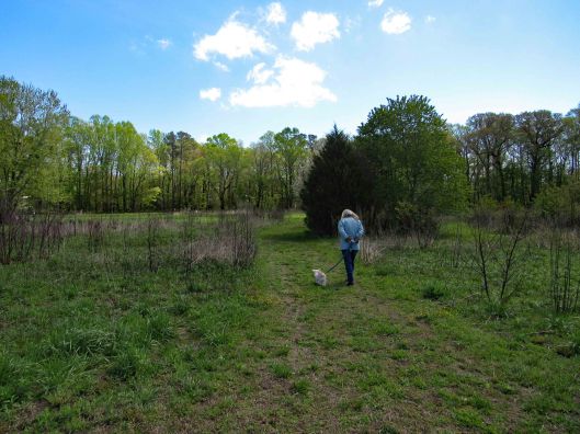
Entrance path
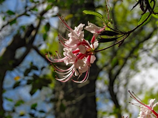
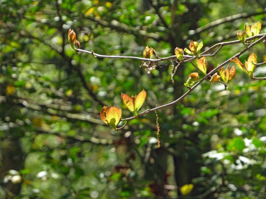
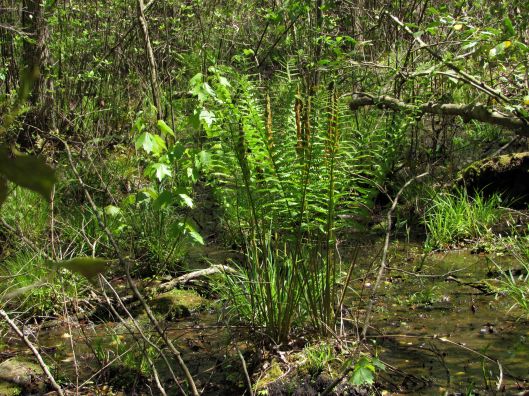
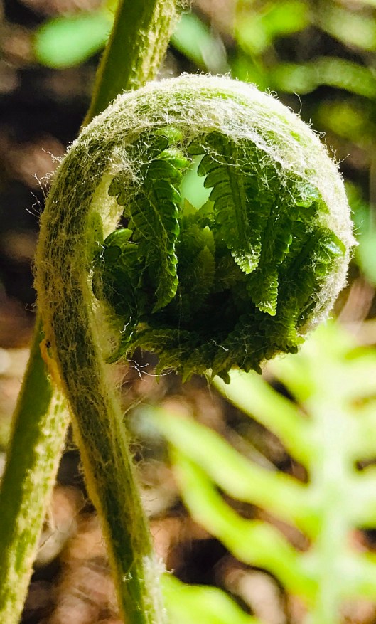
Some of the plants we saw
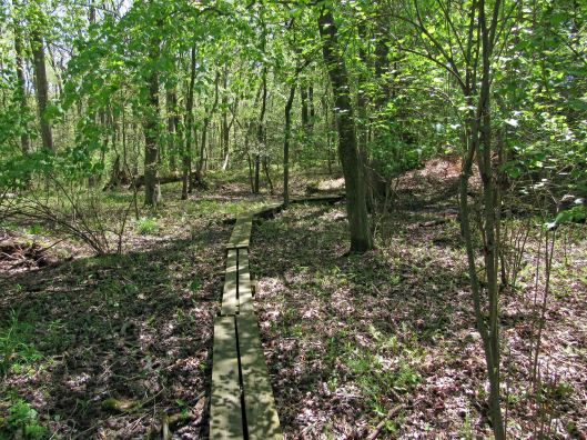
The path goes from Creek Rd. to Nassawango Creek. A nice trail with some boardwalks. No steep hills to climb. Molly did well and there were only 3 other people on the trail. We were spaced out accordingly.
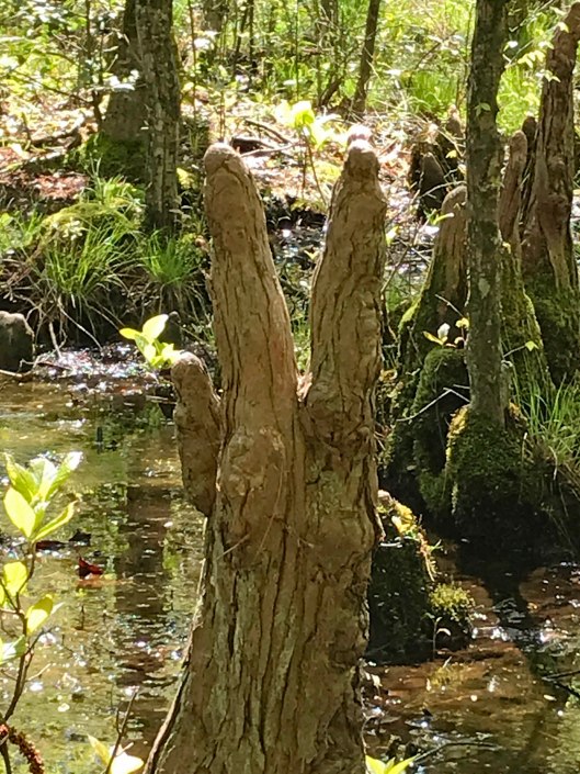
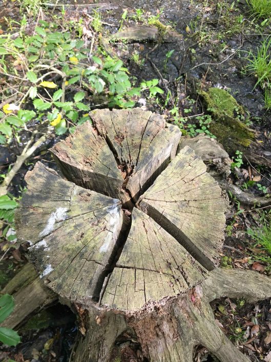
It is part of a cypress swamp and the ‘knees’ always remind me of faceless people.
PEACE
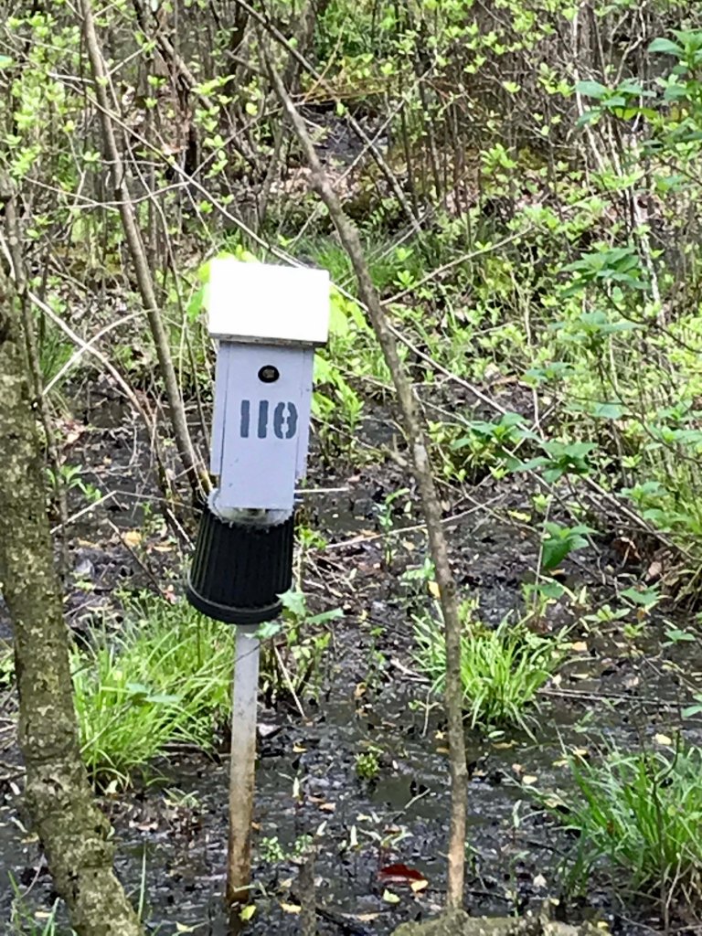
Signage along the trail.
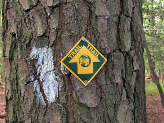
Nails in tree? and blaze.
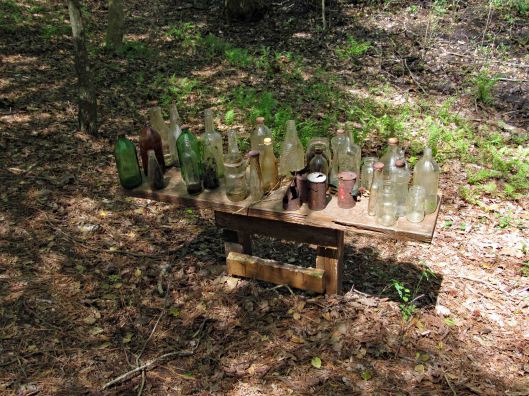
More stuff along the way…
This was interesting. One of the bottles had AA written on it and I thought how weird is that? I looked it up and and it is an Ancient Age Bourbon Bottle. I immediately saw Alcoholics Anonymous!
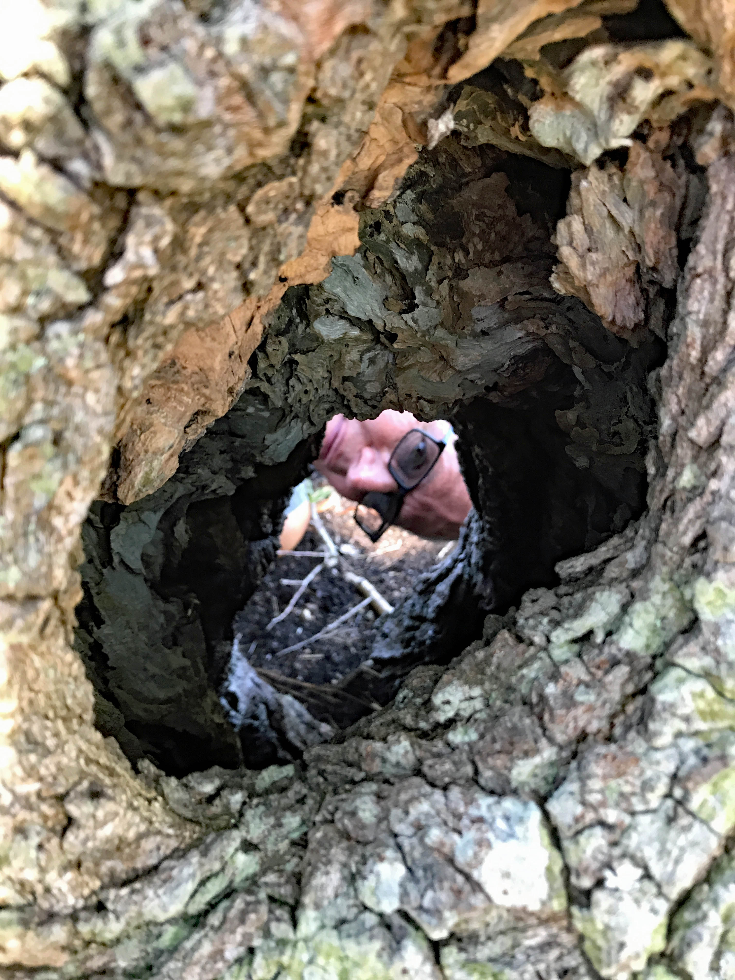
Warbler in entrance hole
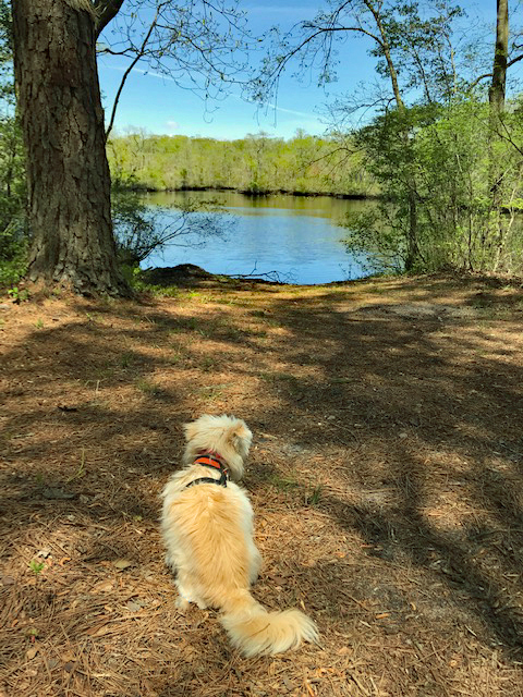
Well, Molly says enough of this. Although it has been a wonderful, peaceful hike, it is time to feed me! Thanks God for a wonderful hike with minimum people out there.
Quite a few of these photos were taken by Kathy. Thanks Kathy!