Tags
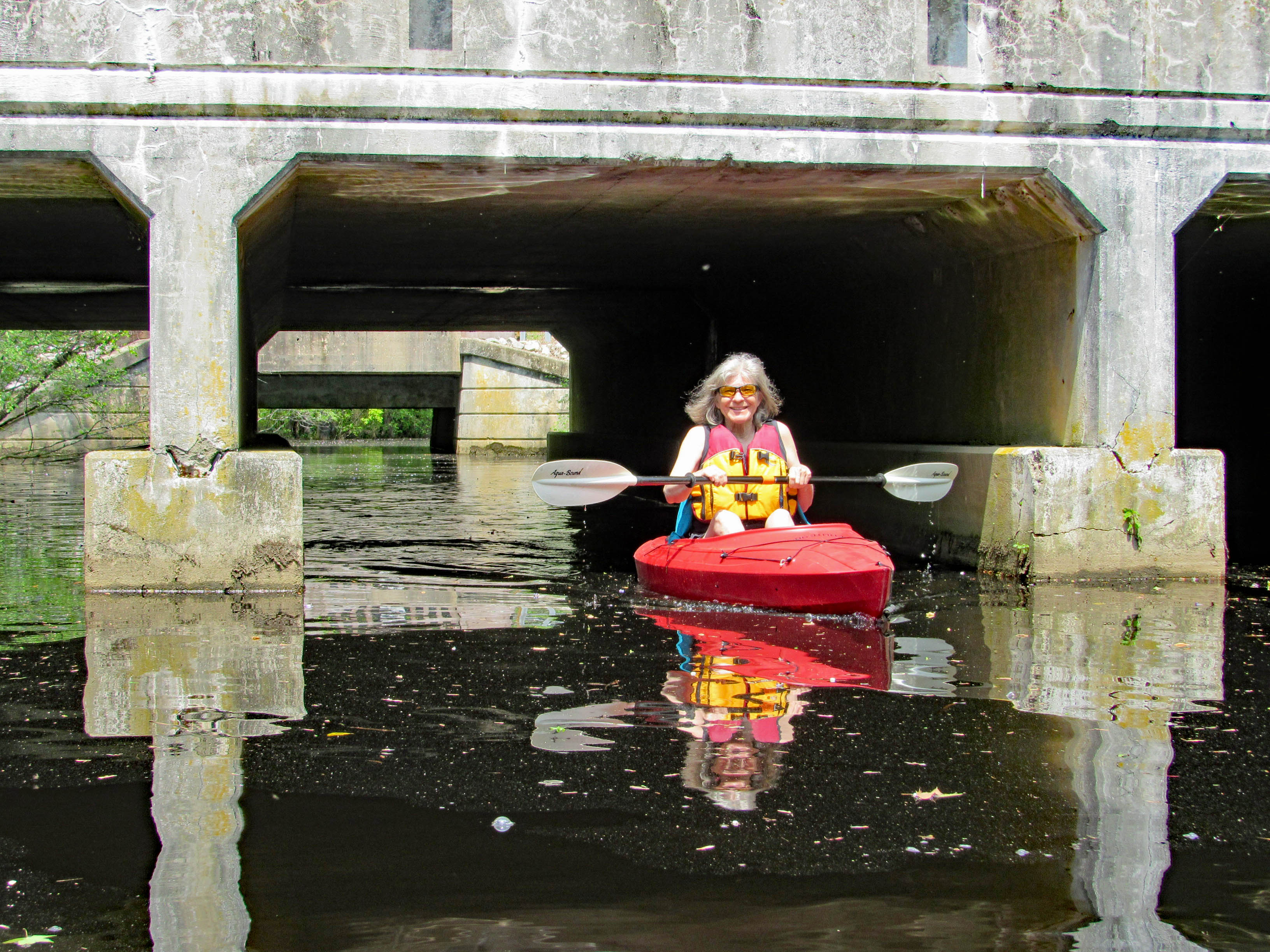
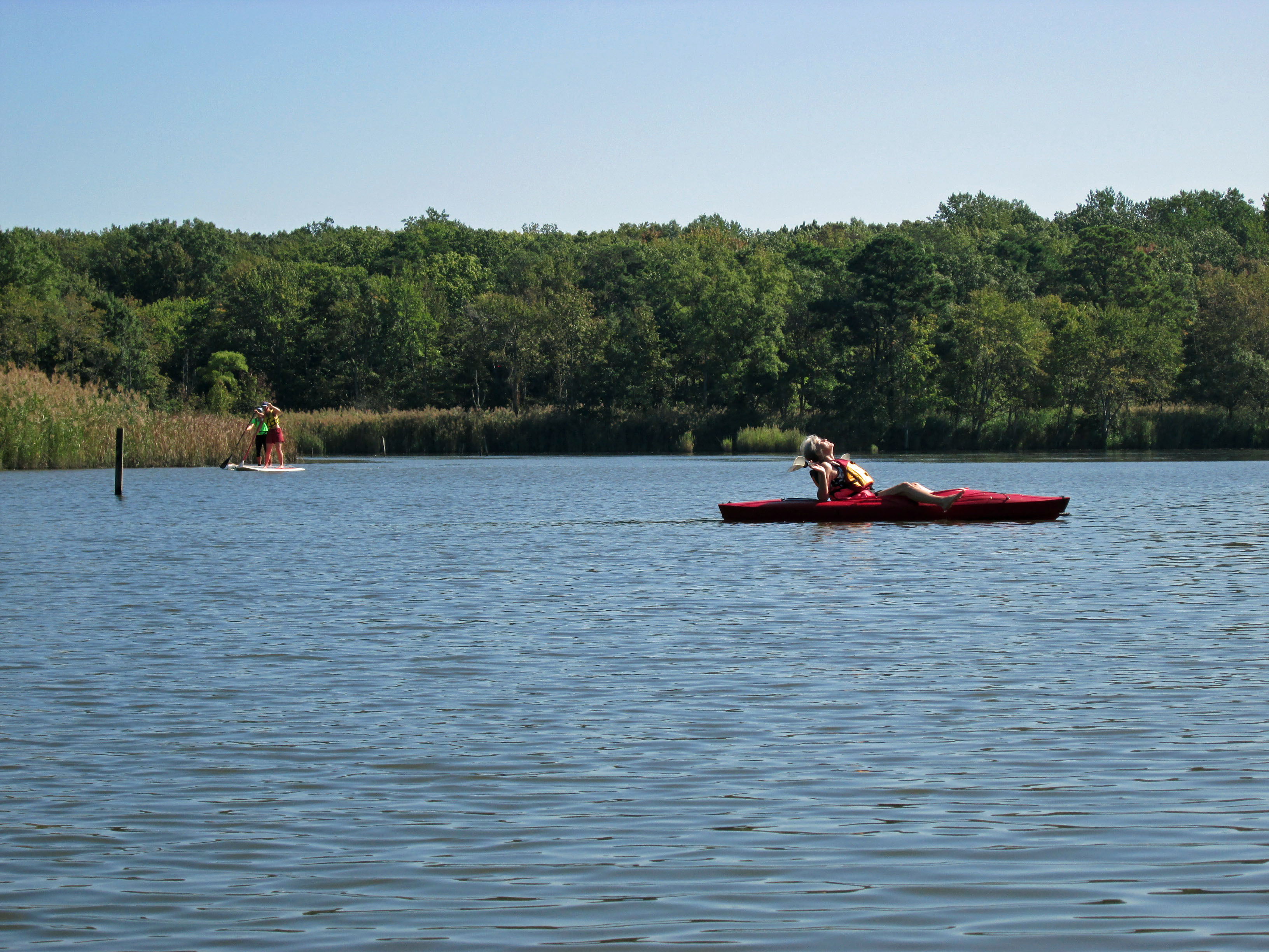
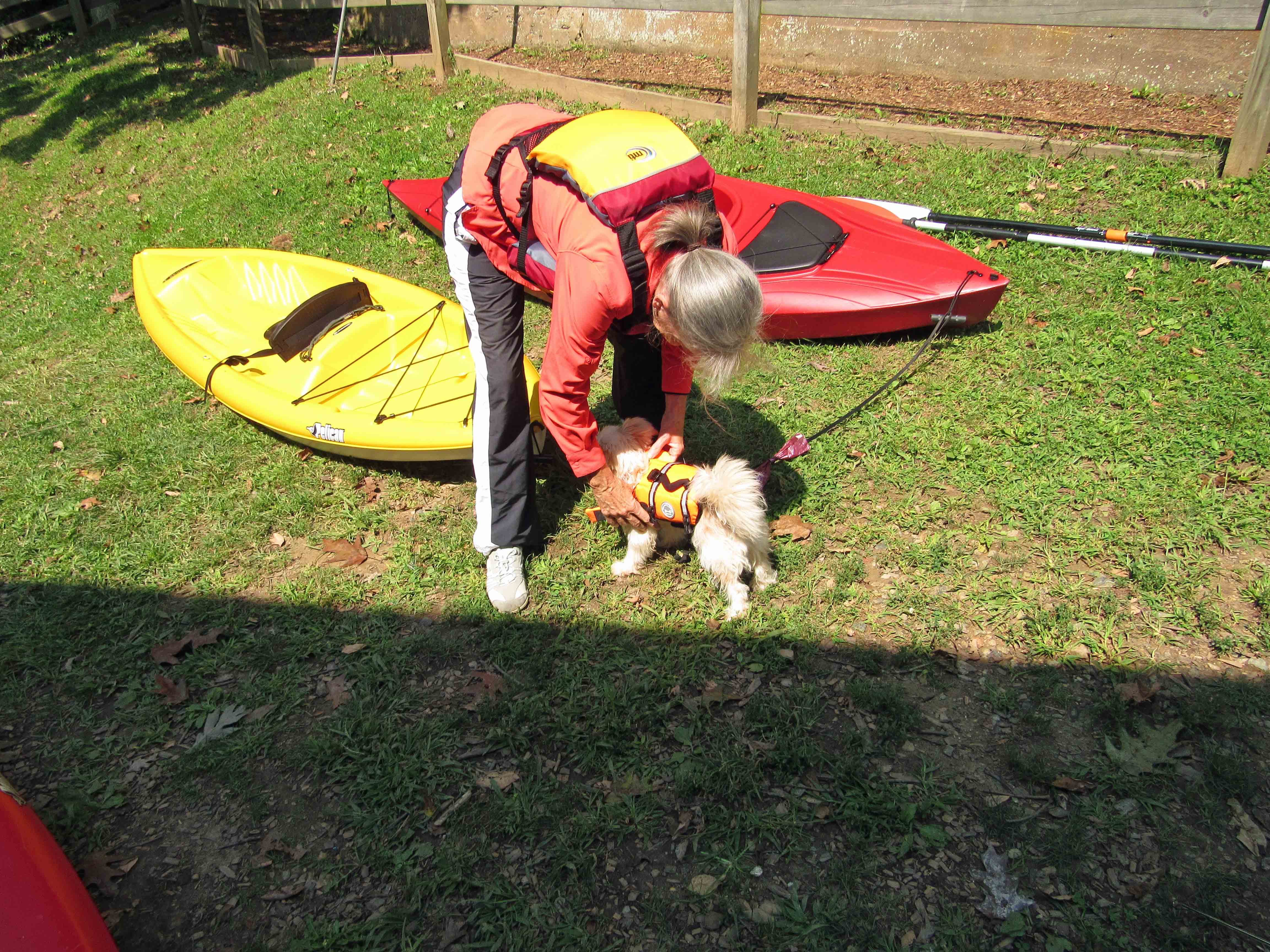
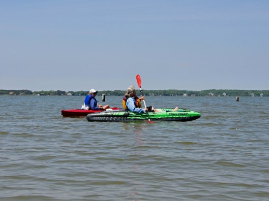
It was a nice day and with Kathy’s sister Gail visiting from N.C. we thought it would be nice to take her kayaking and for us to try out one of the new inflatable kayaks we bought. We bought 2 for when our kids or others visit.
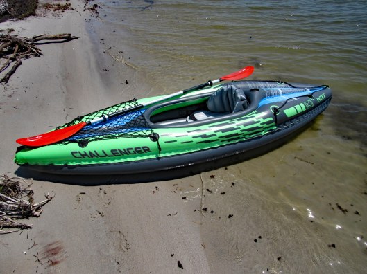
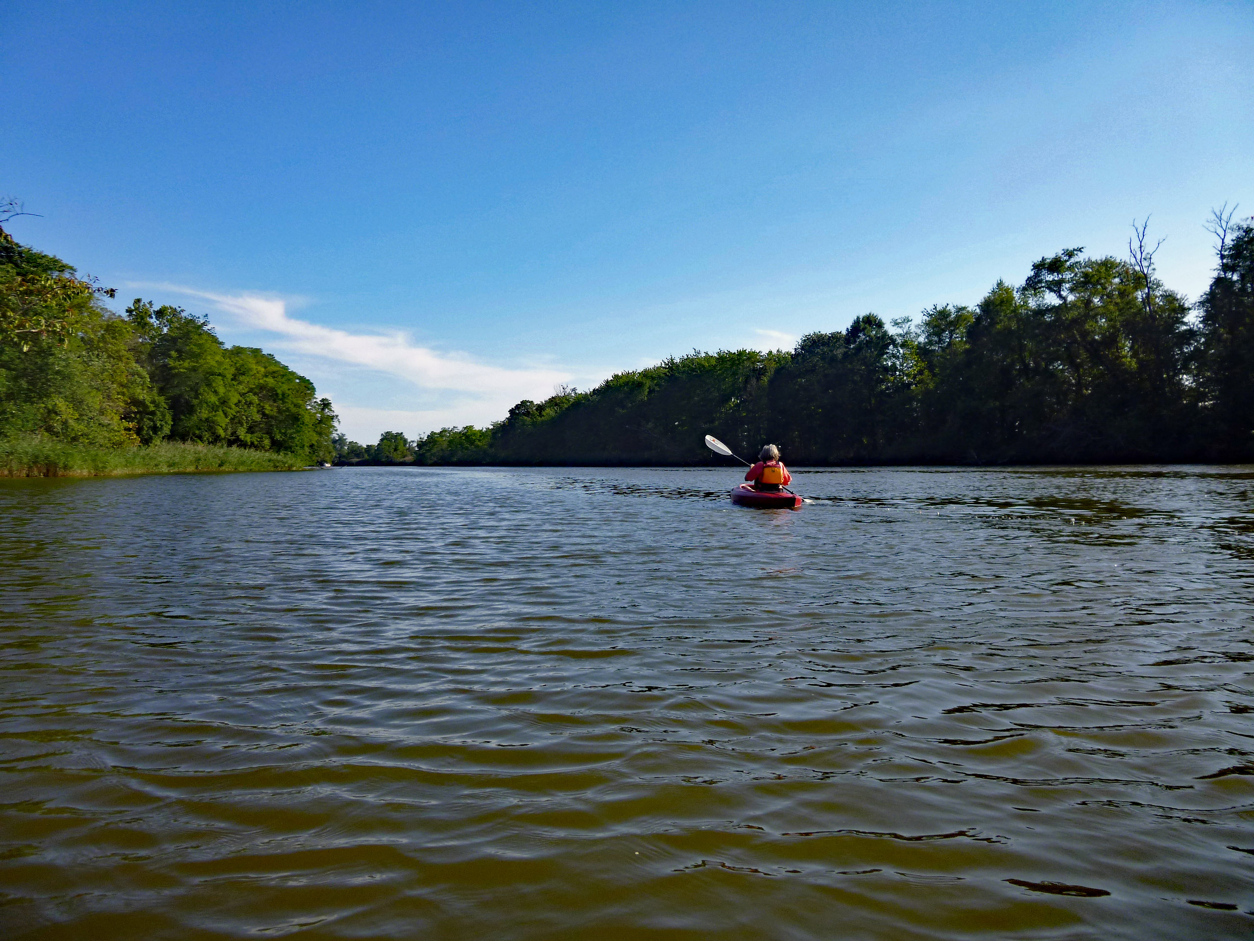
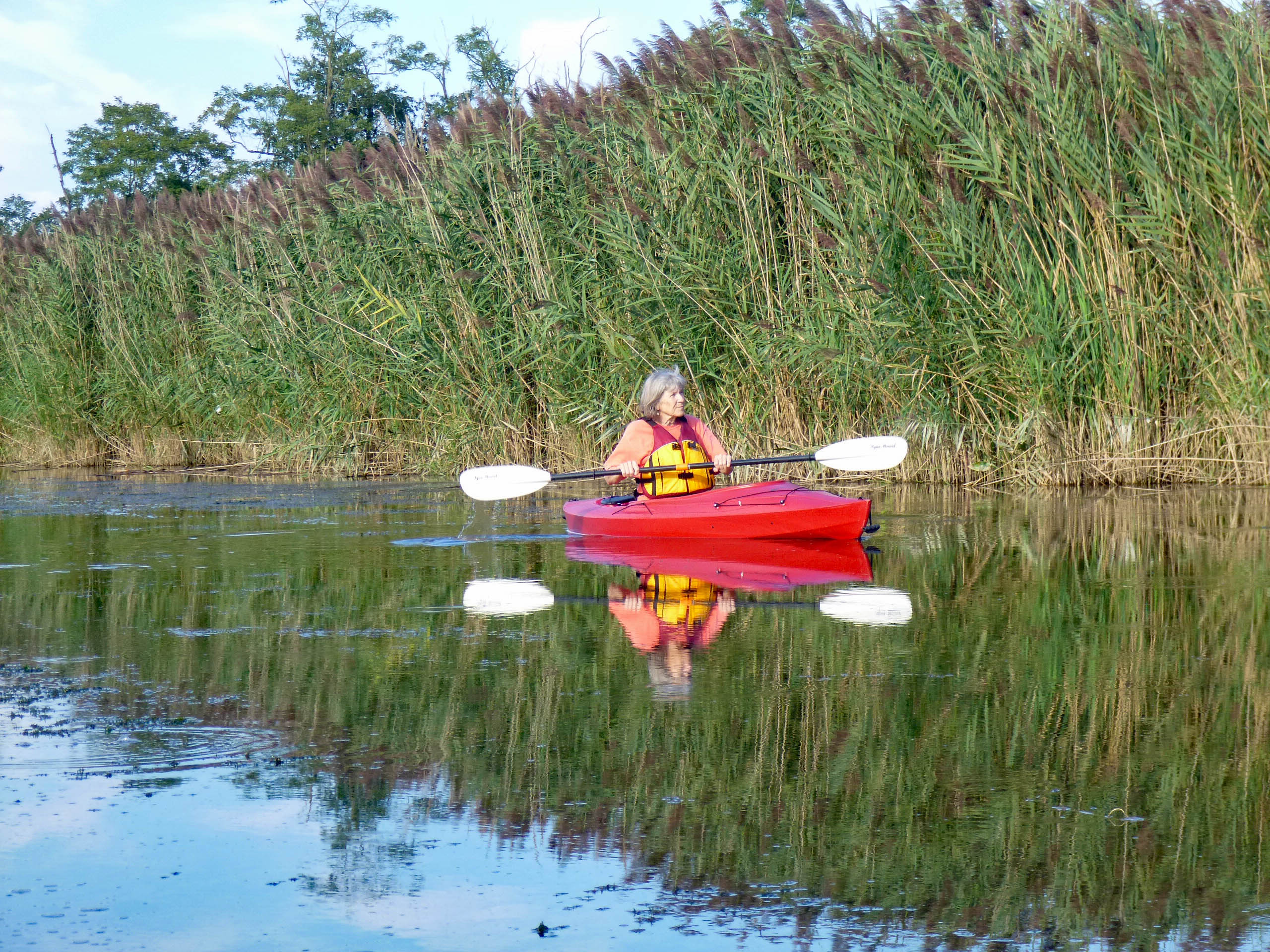
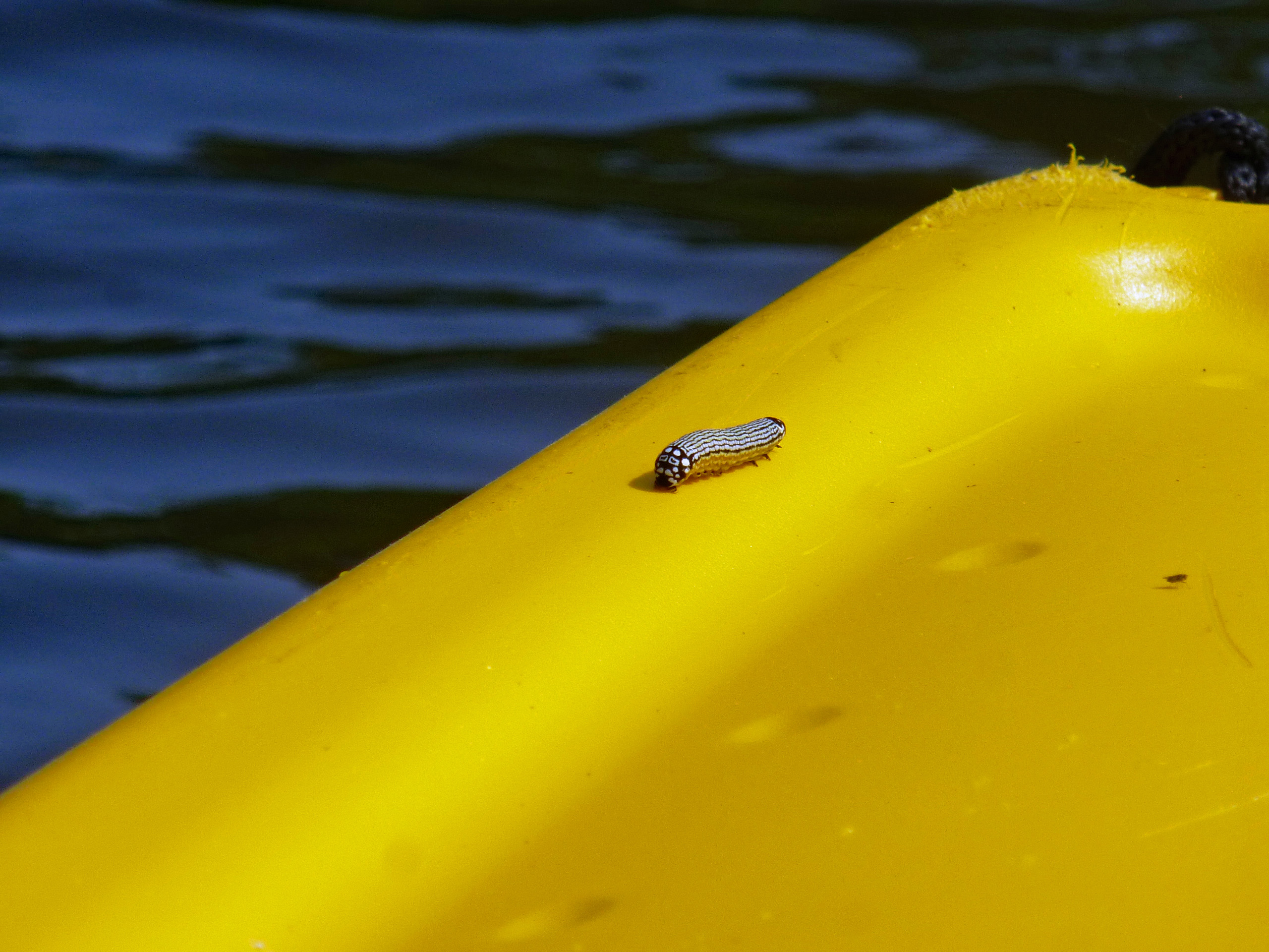
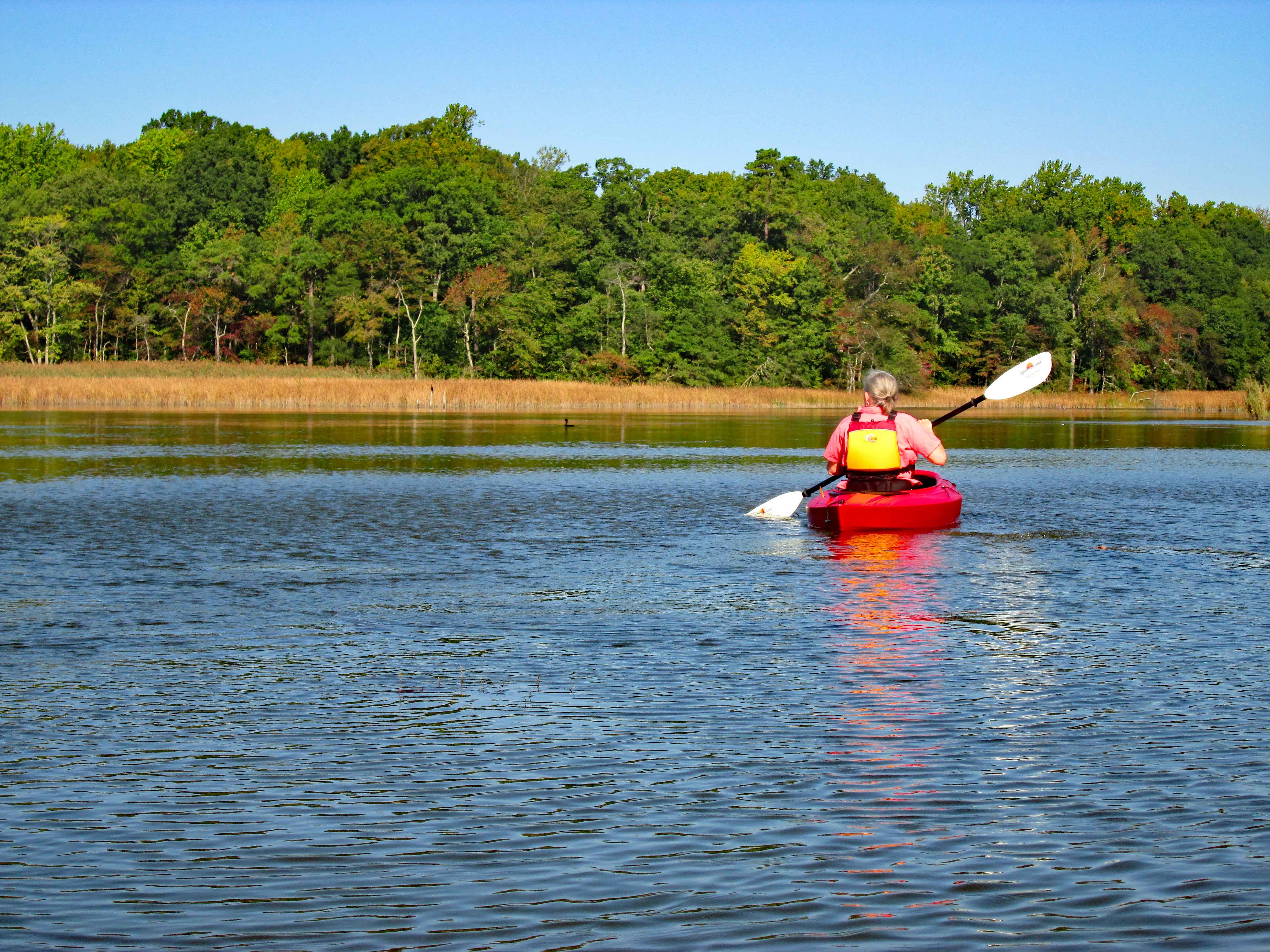
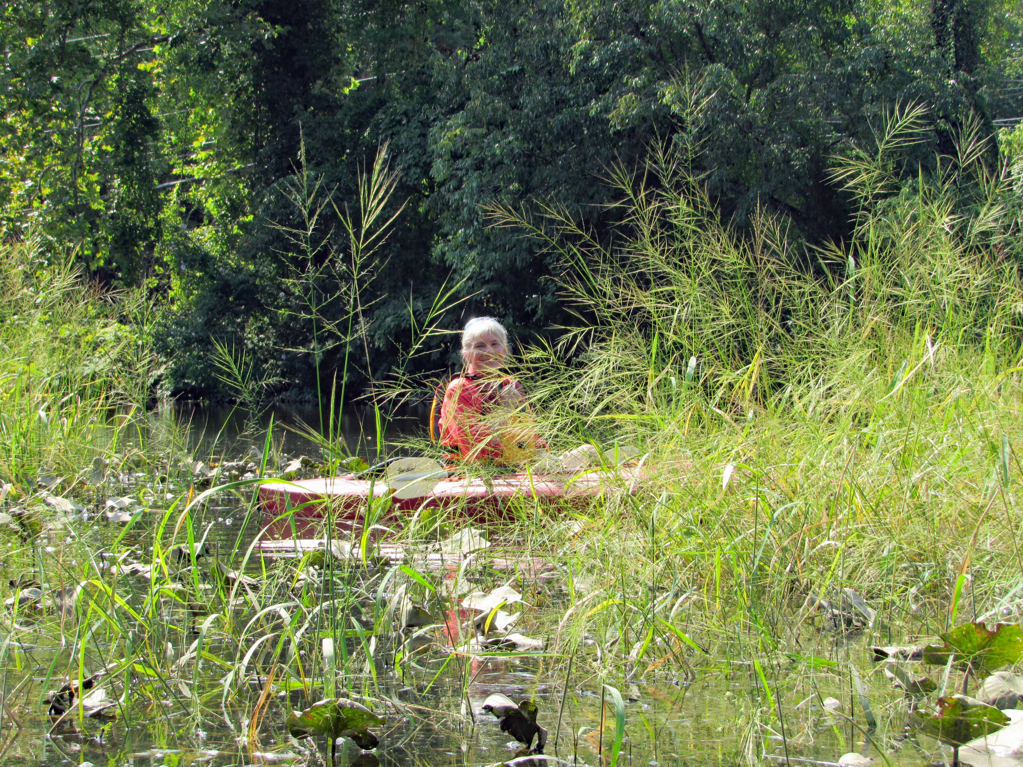
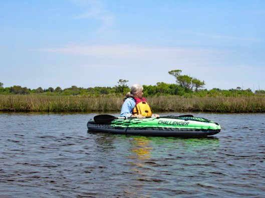
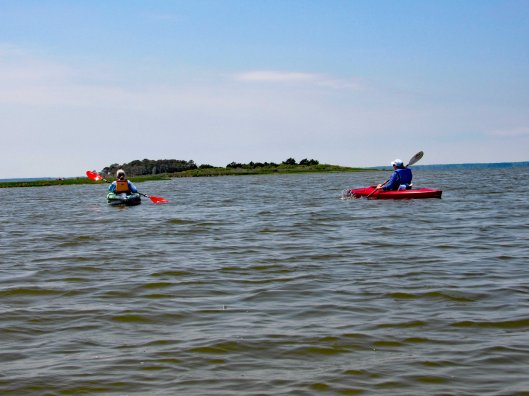
Off we go. Kathy used the K1 Inflatable. With the skeg attached, Kathy had some trouble paddling in a straight line. She seemed to have to paddle twice as hard as we did.
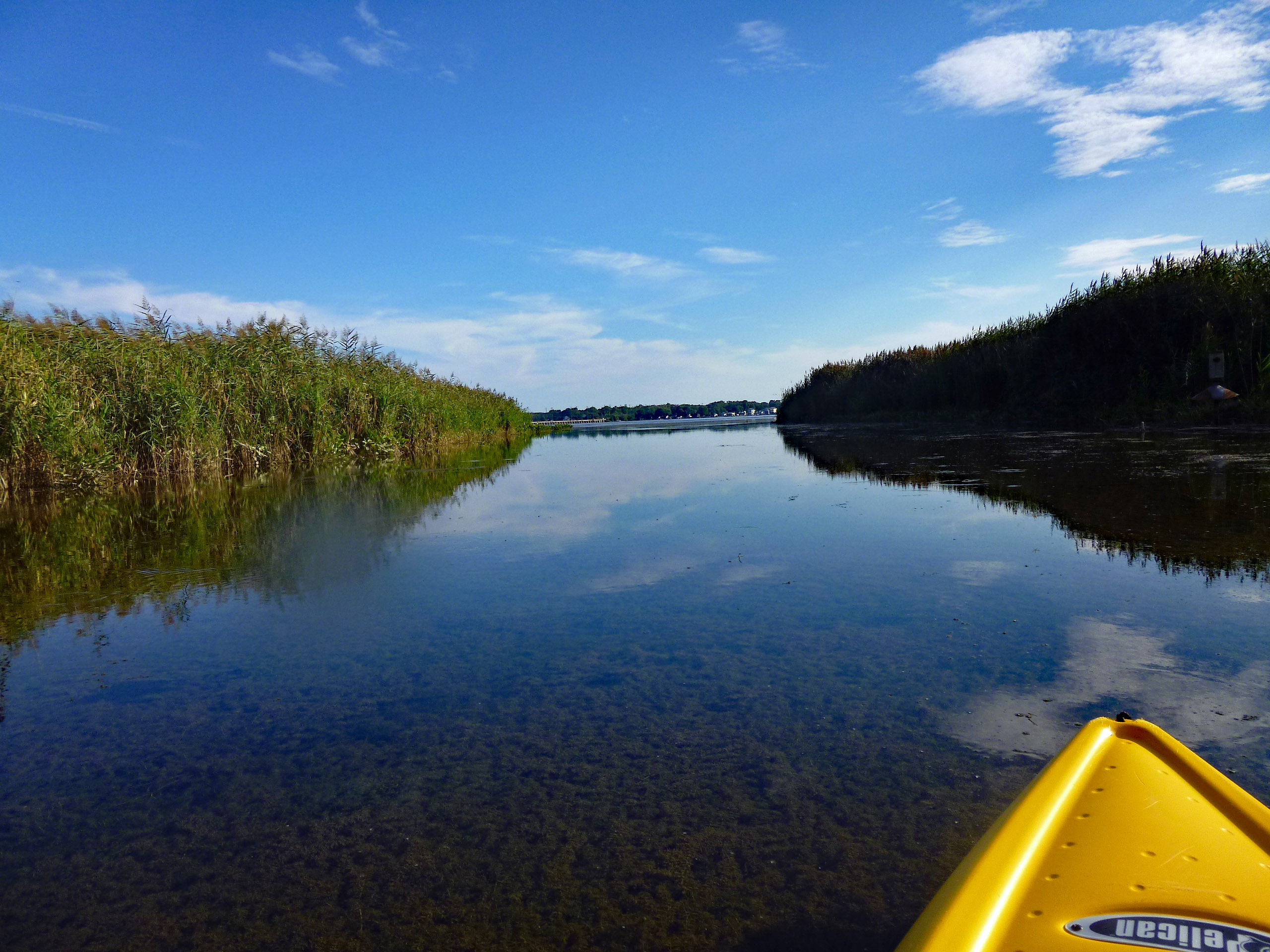
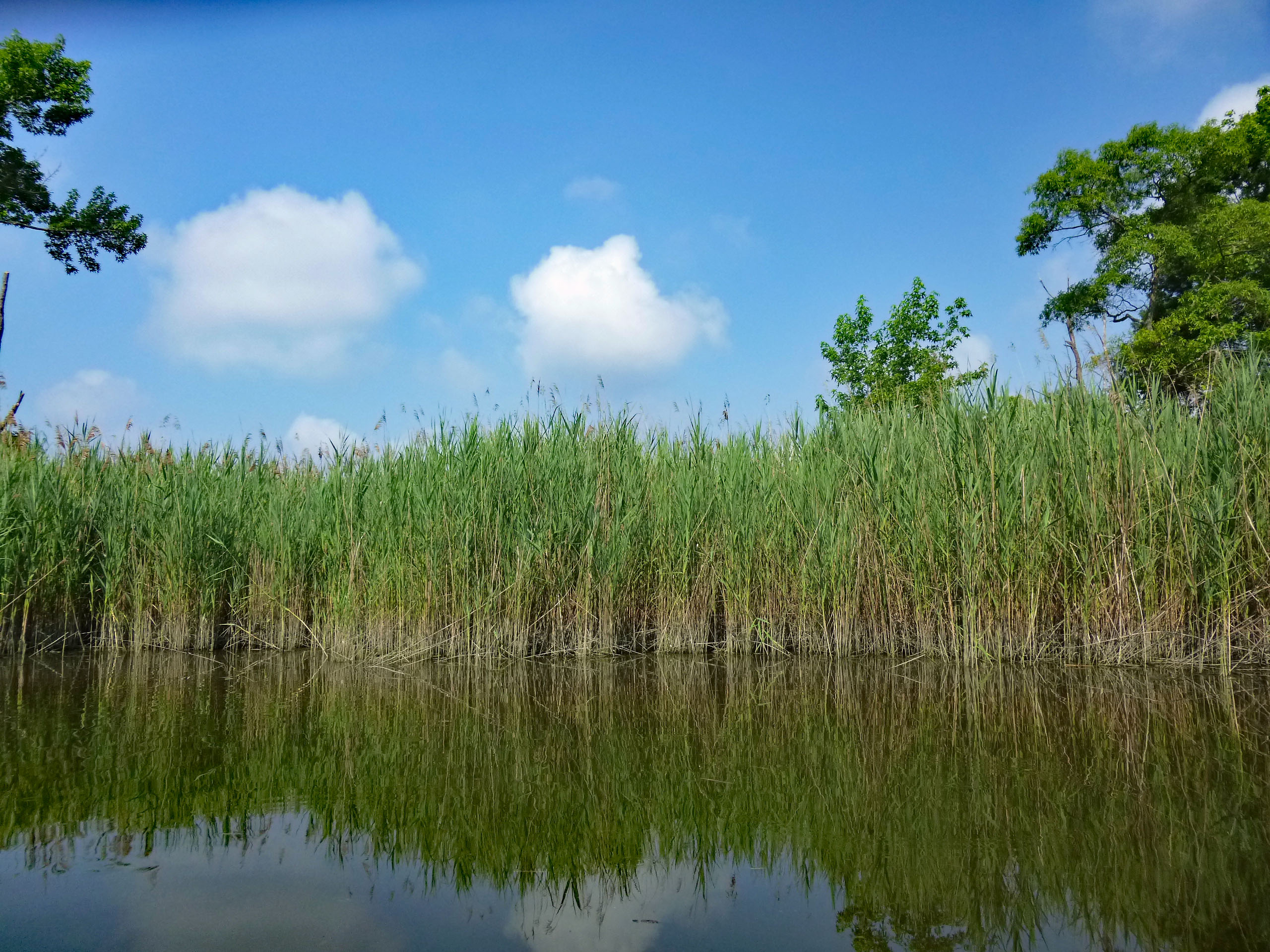
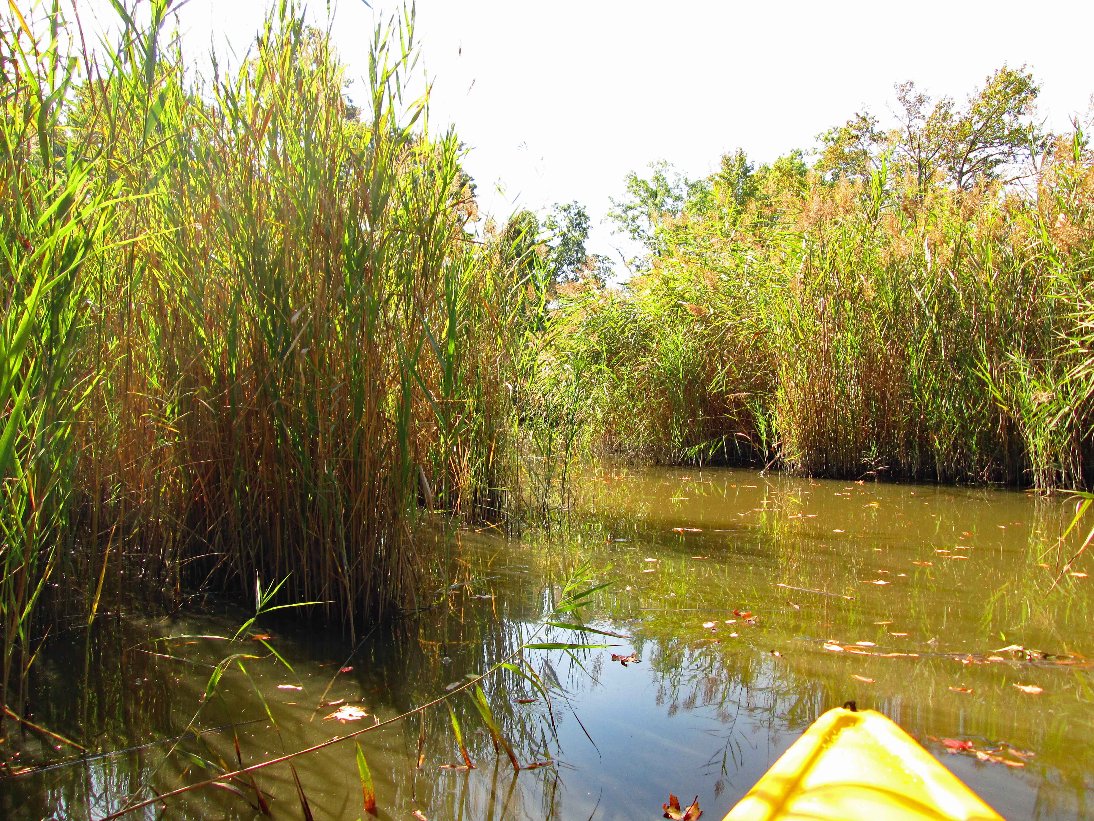
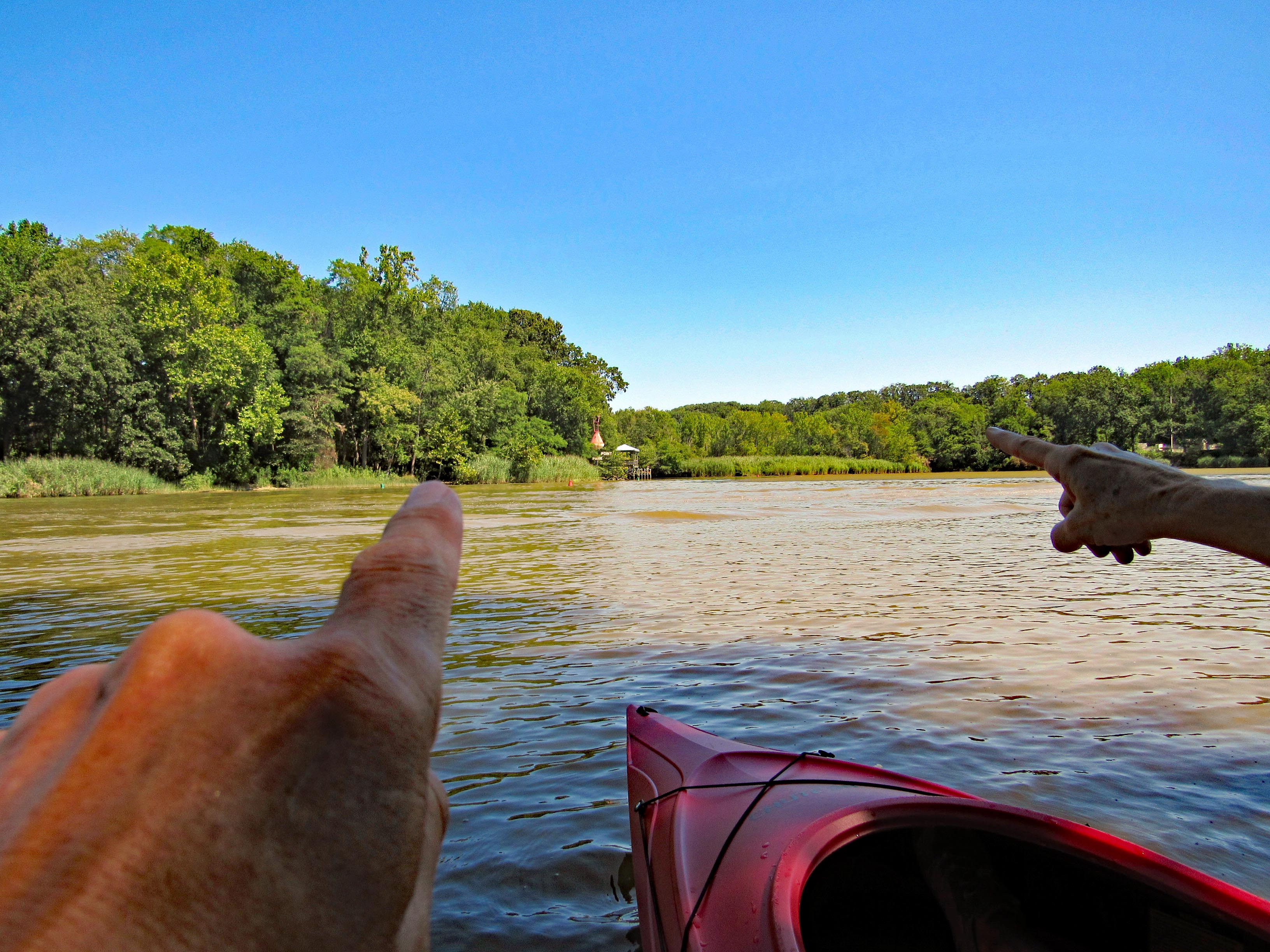
Heading past Little Egging Island.
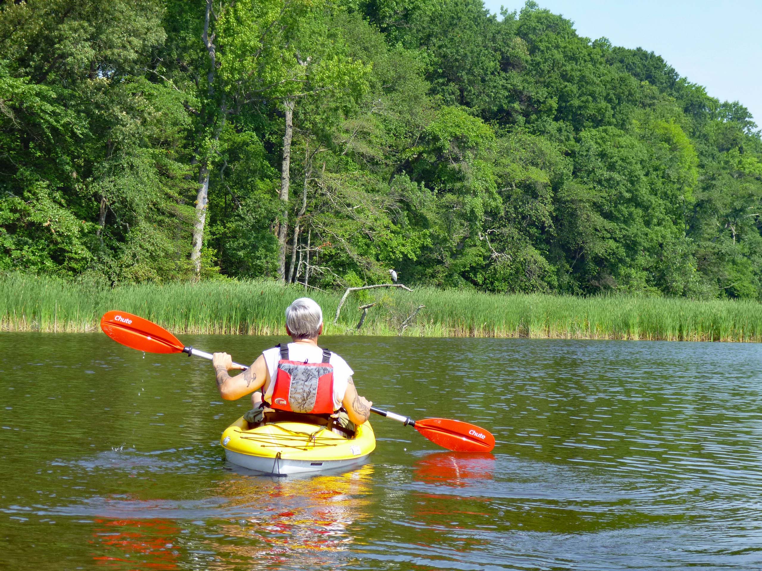
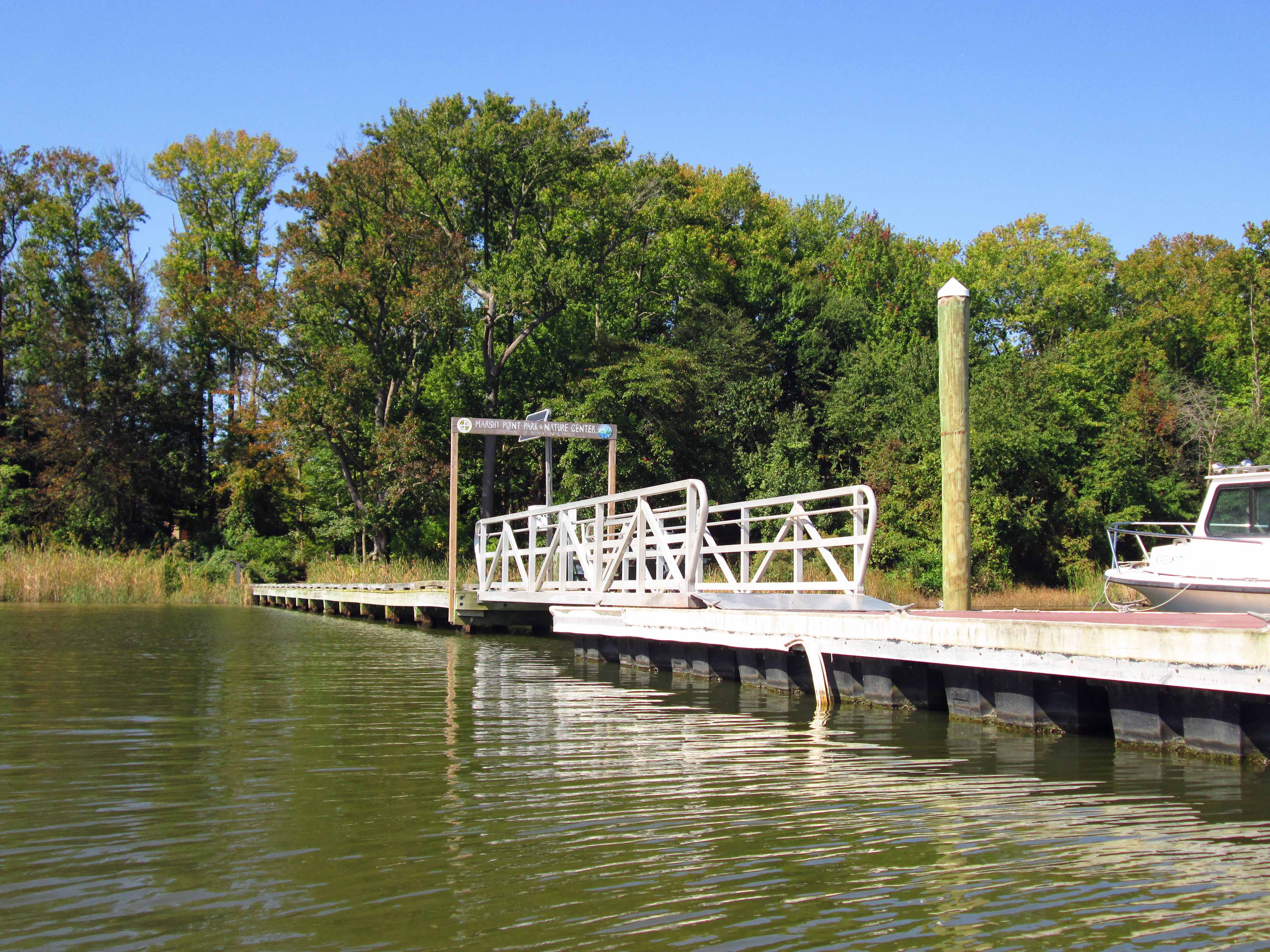
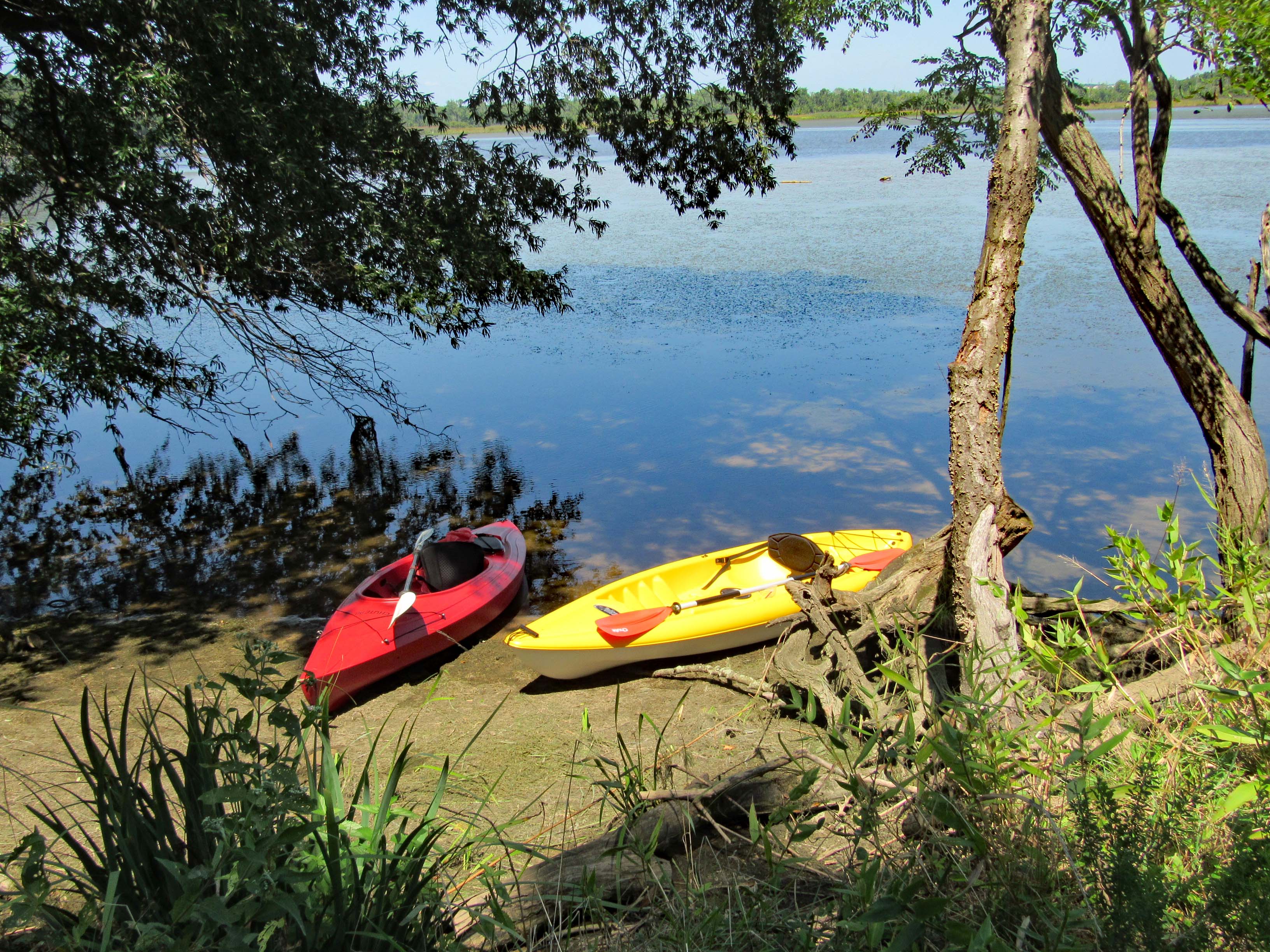
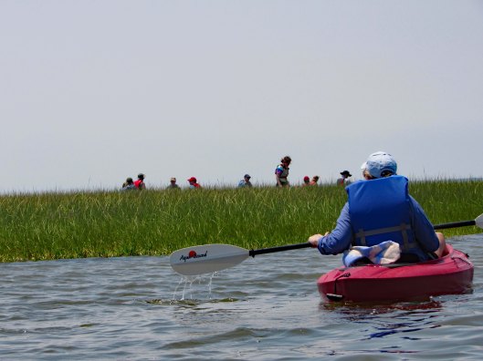
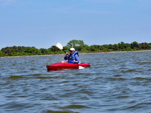
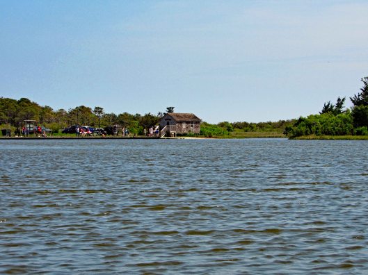
On the other side of that island was a bunch of people. Gail checking them out and doing a great job for her first time kayaking.
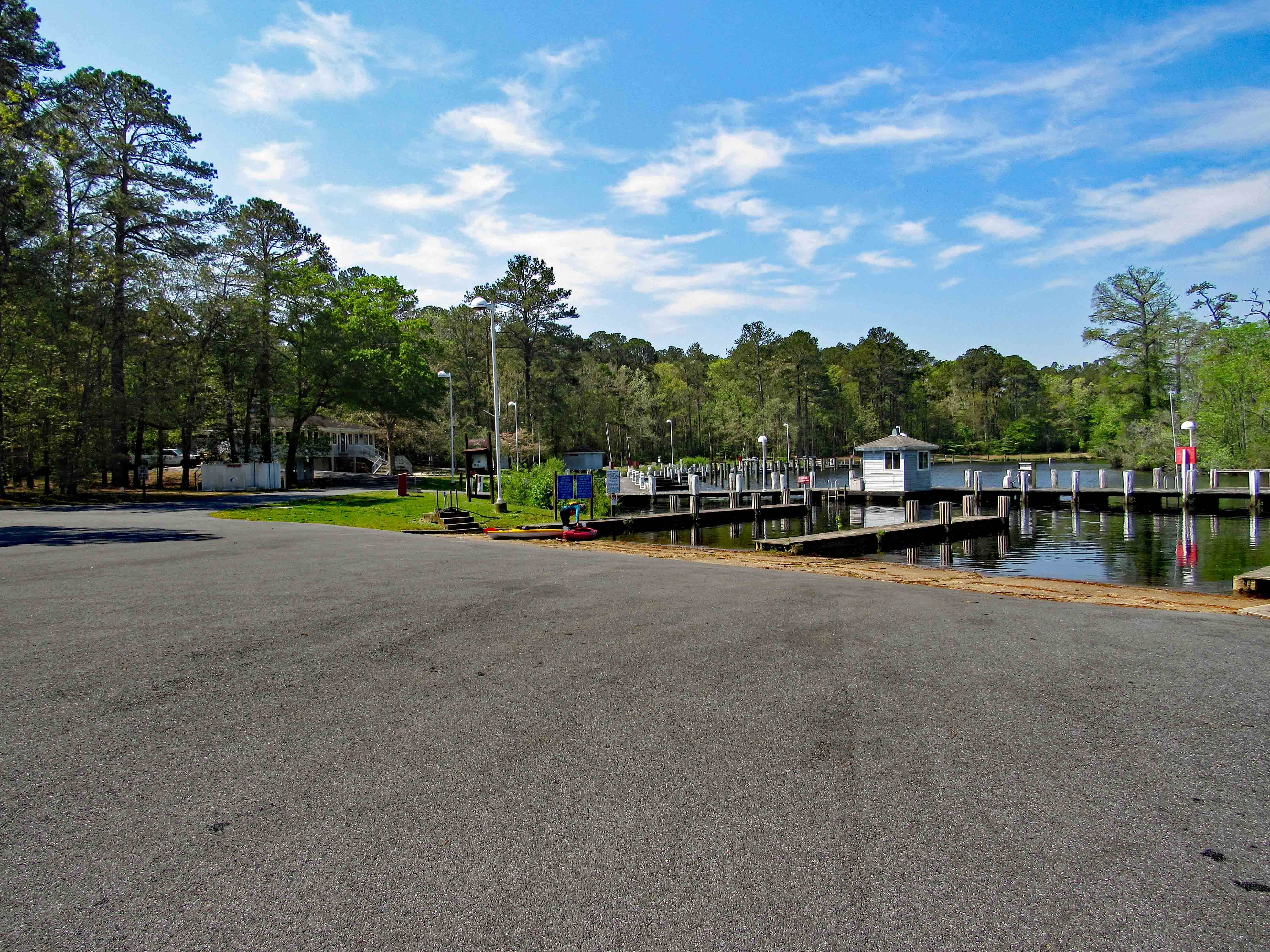
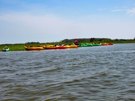
Here are their kayaks.
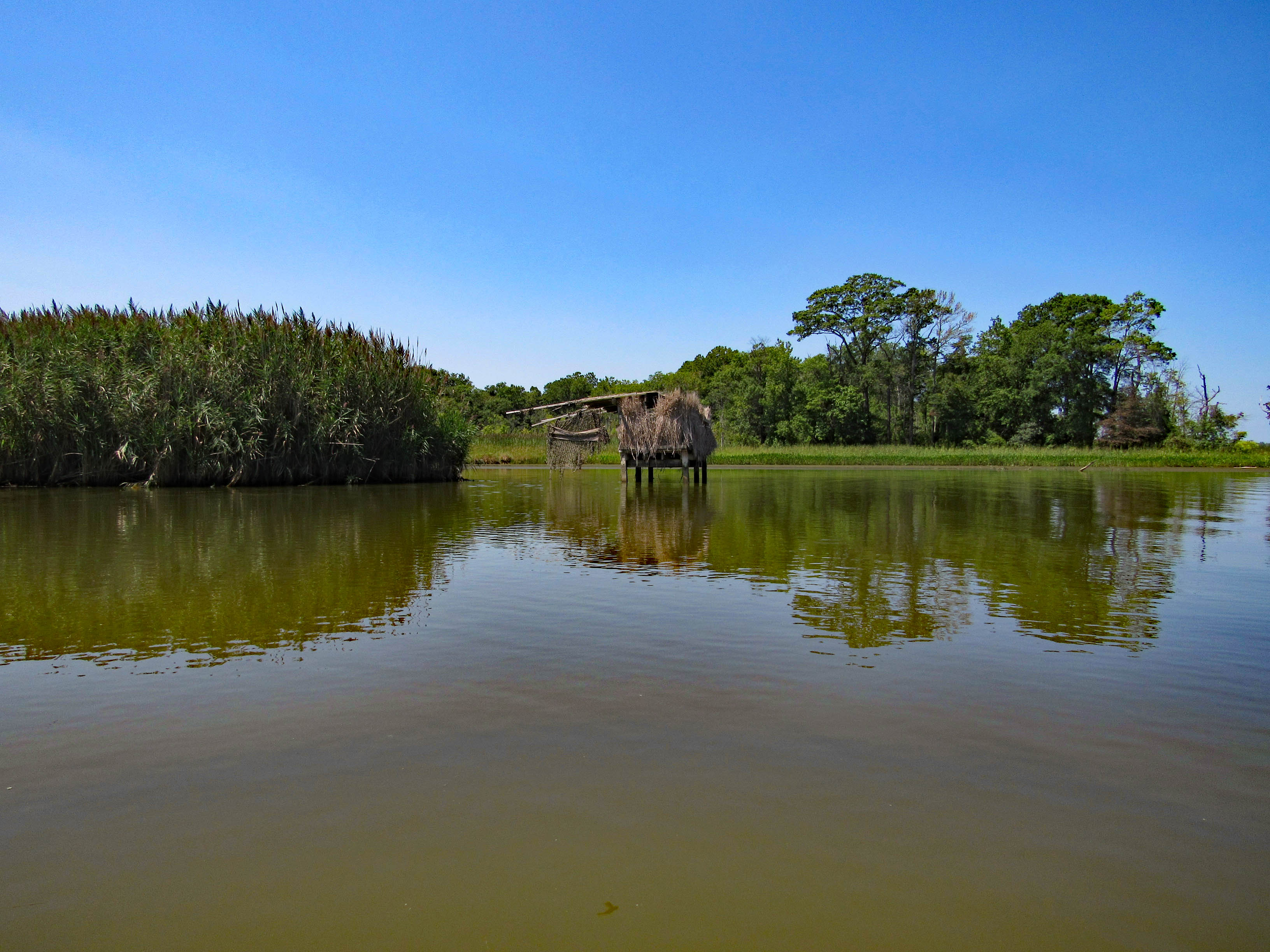
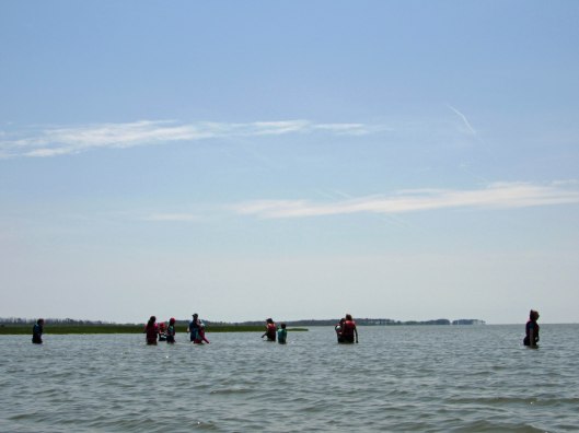
Maybe crabbing or clamming.
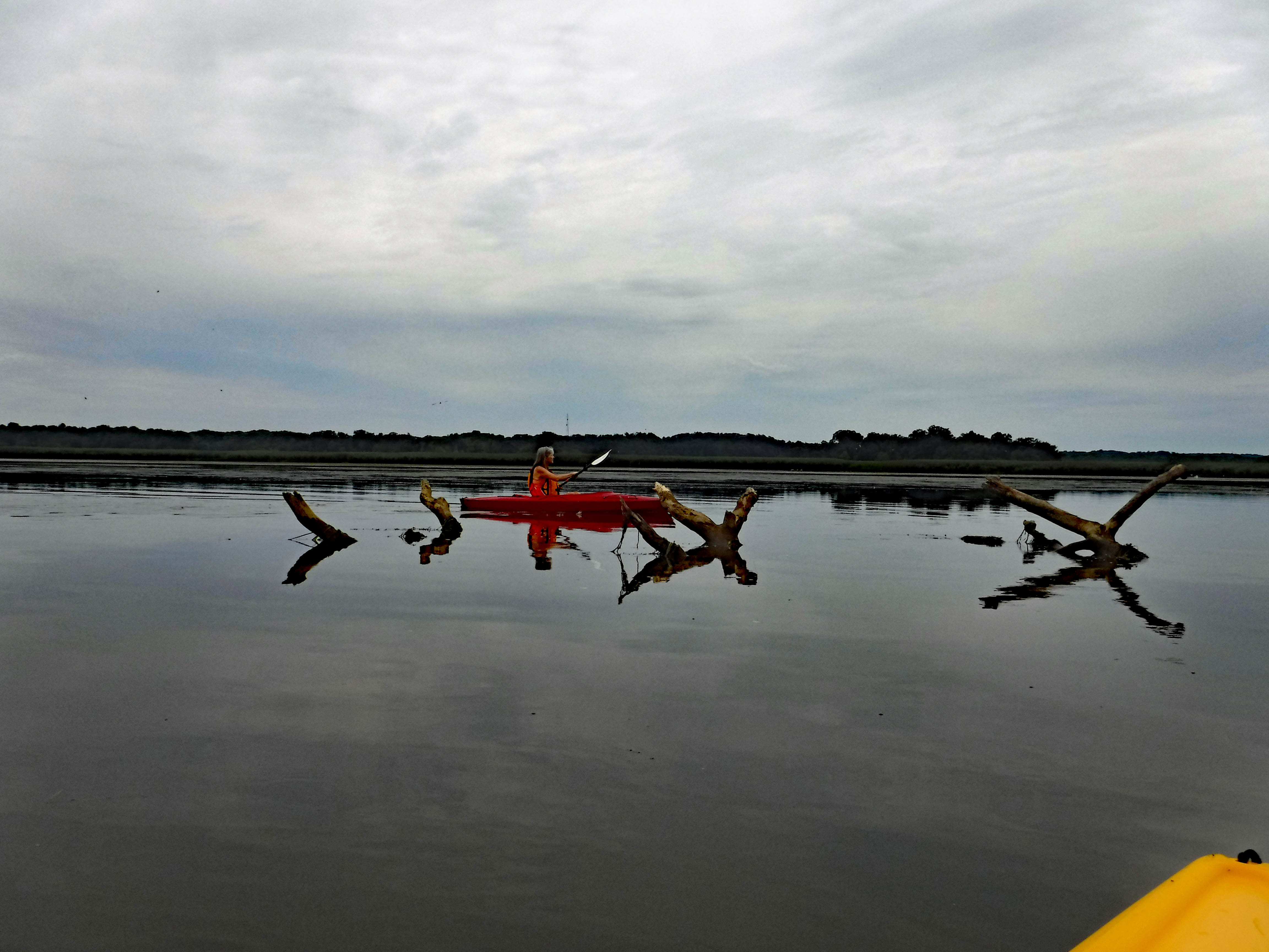
Now we head across the open water to Great Egging Island. Gail trying her hand at paddling in reverse.
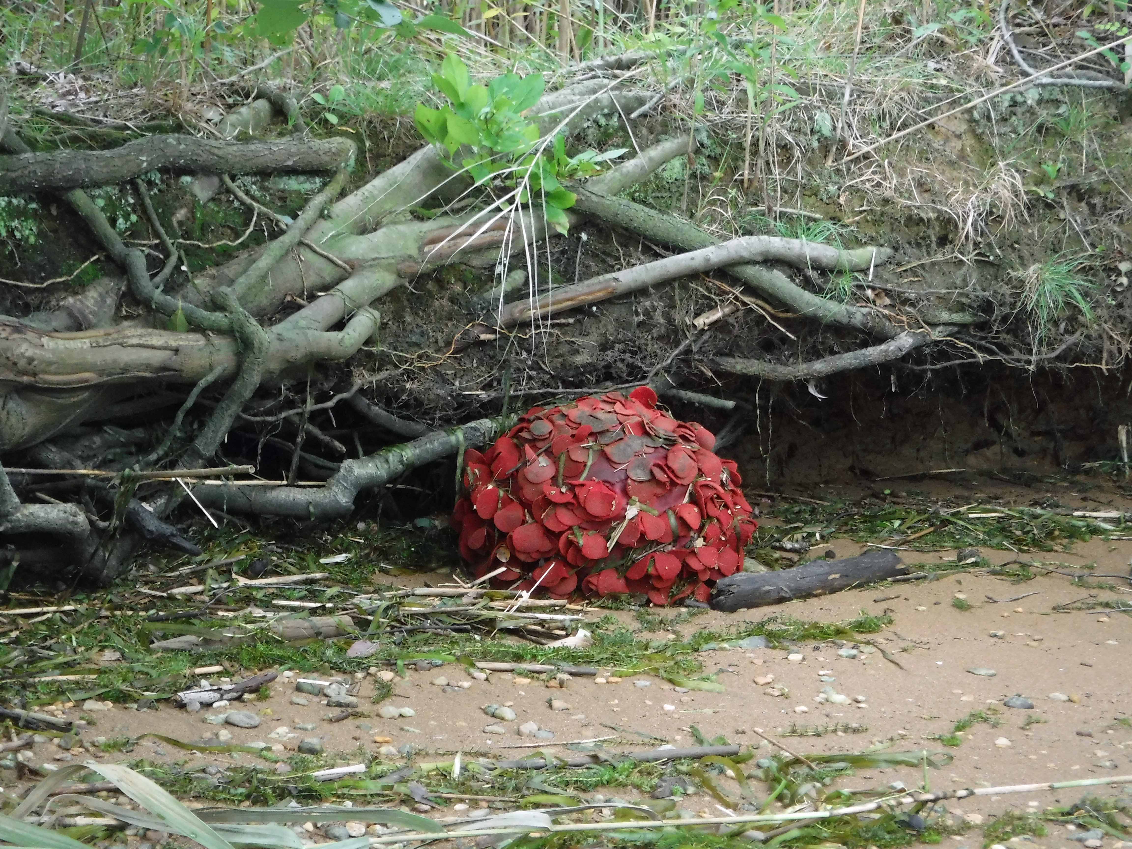
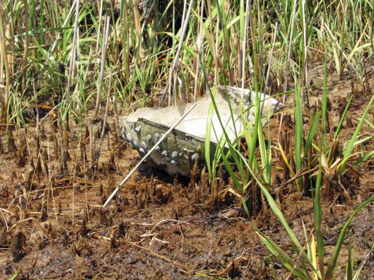
This horseshoe crab looks to have been here for a while – barnacles growing on it.
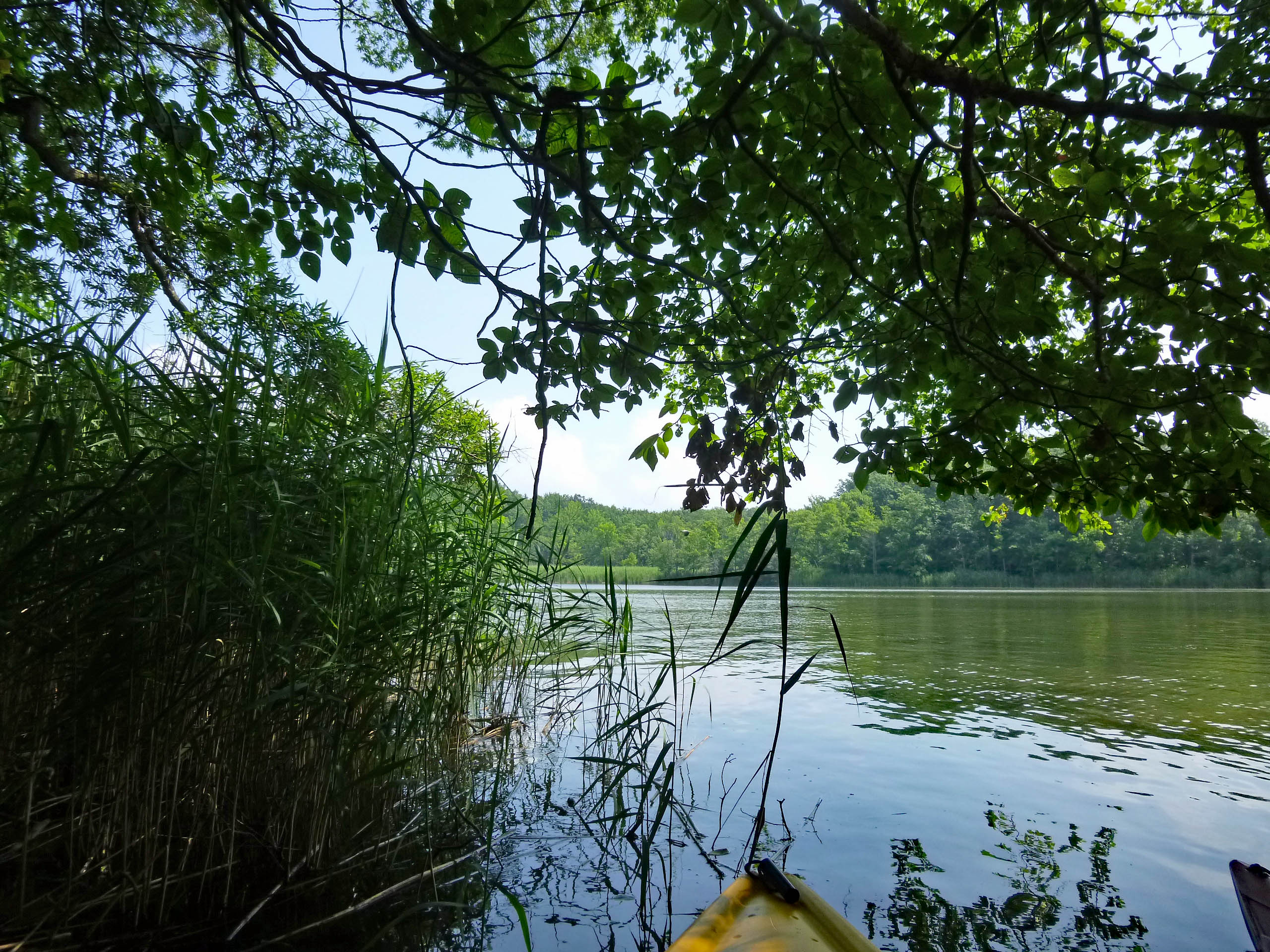
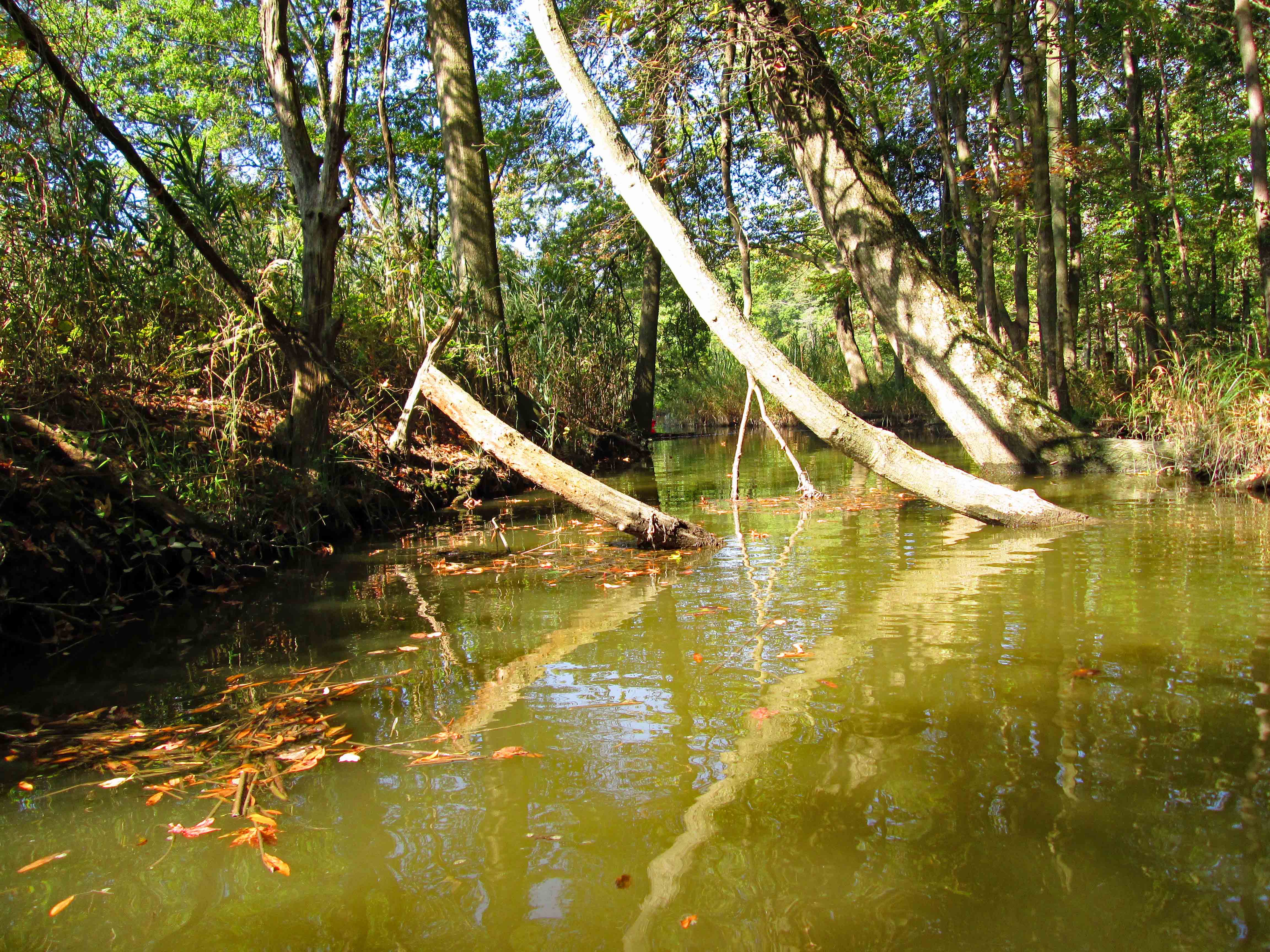
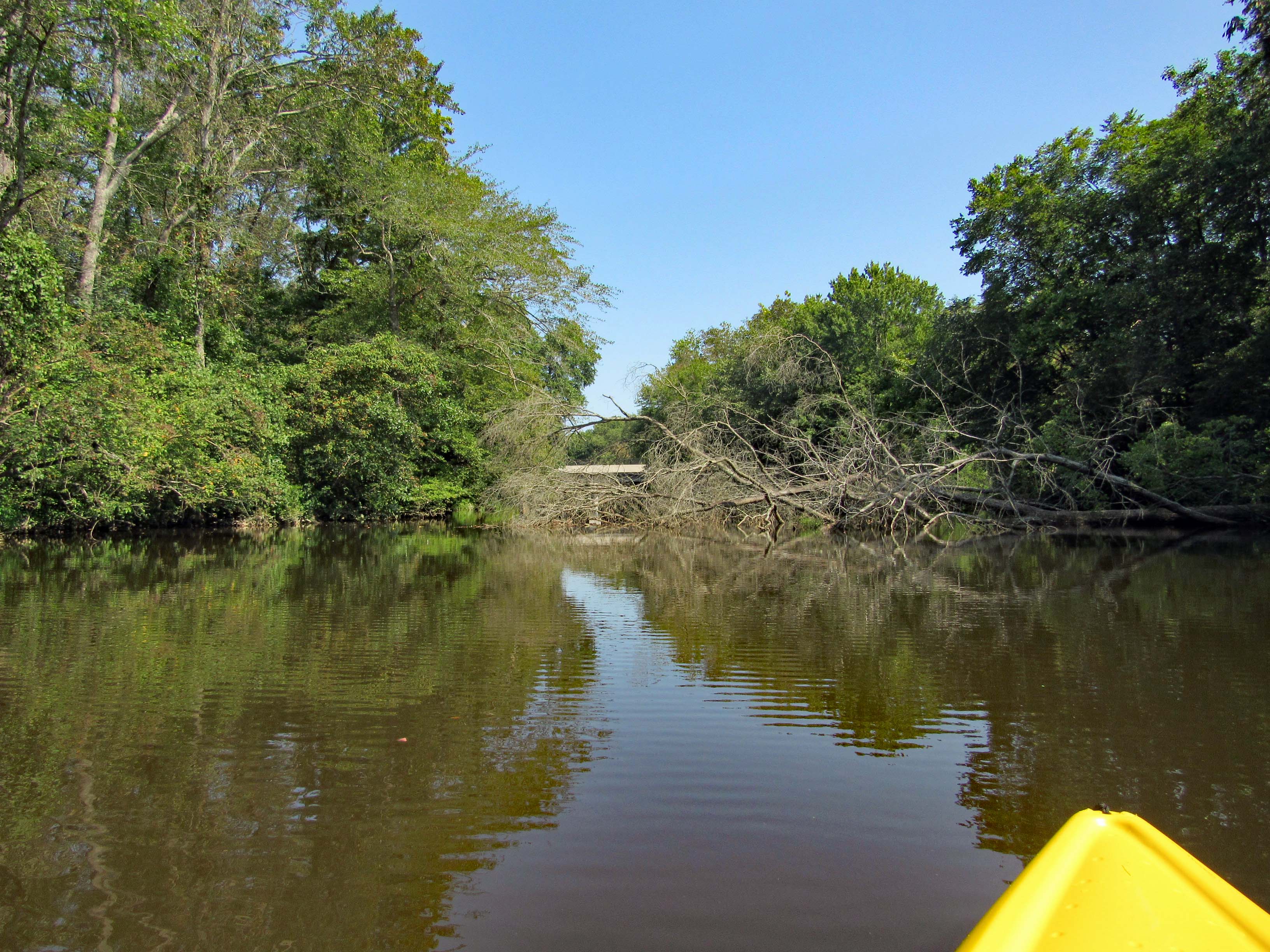
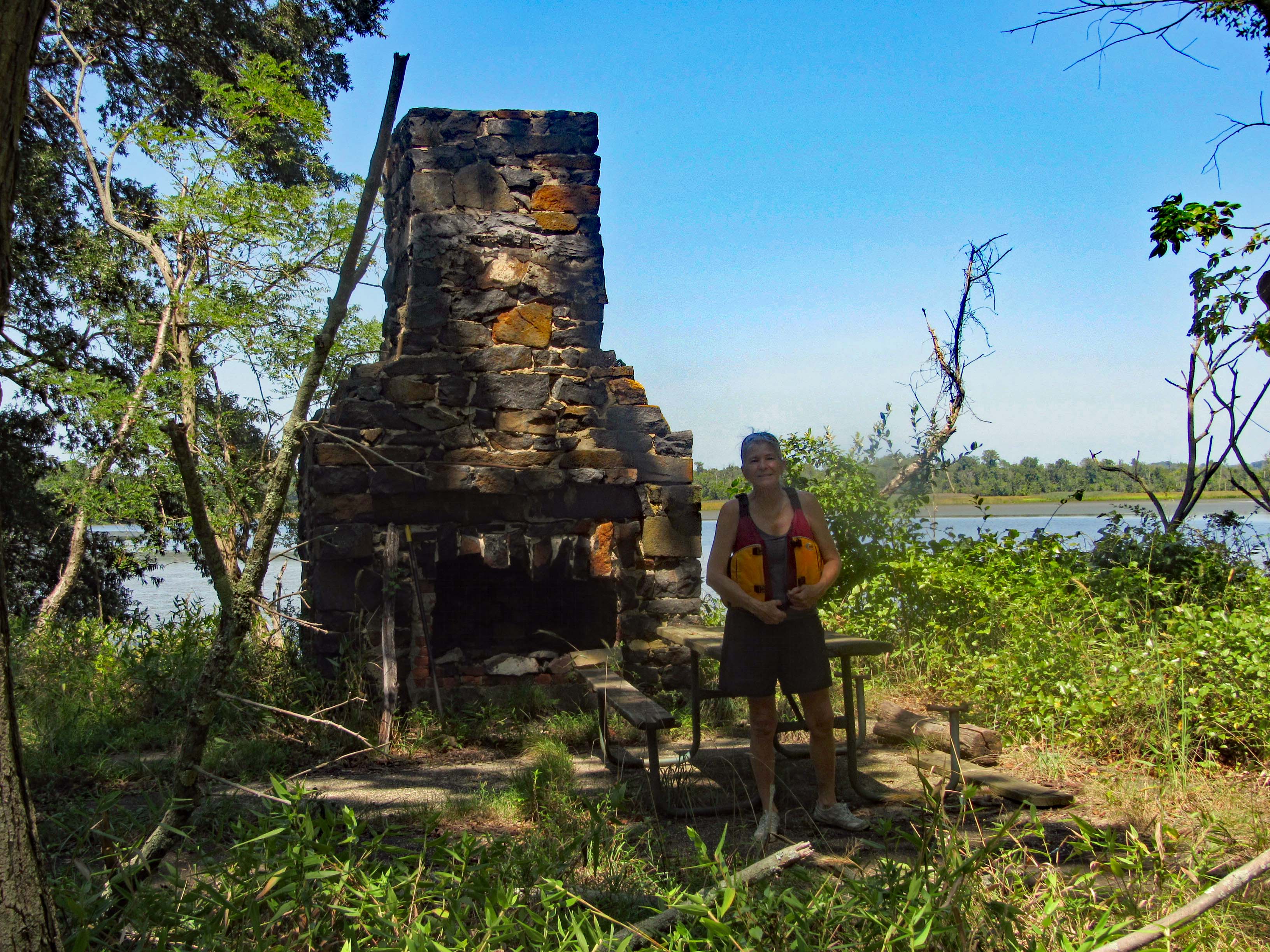
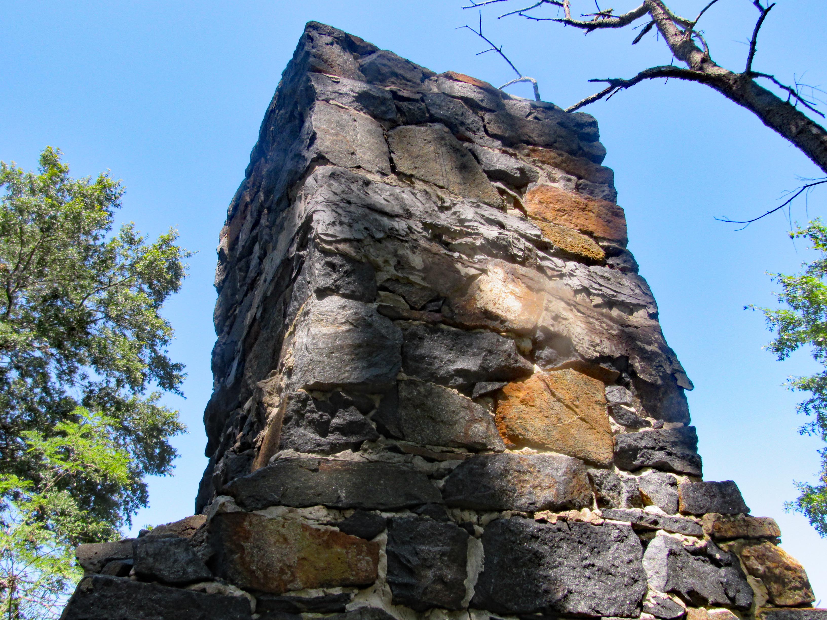
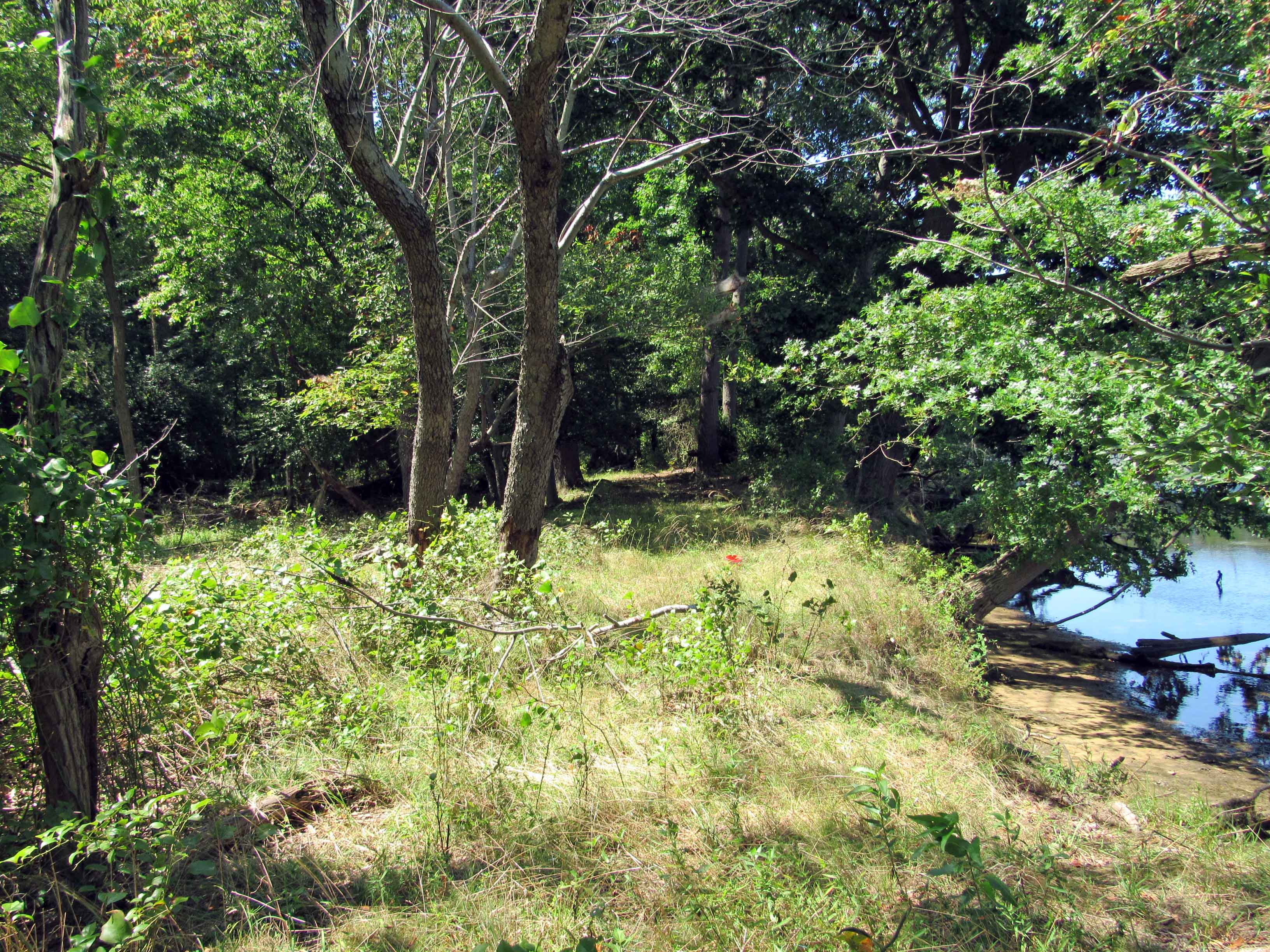
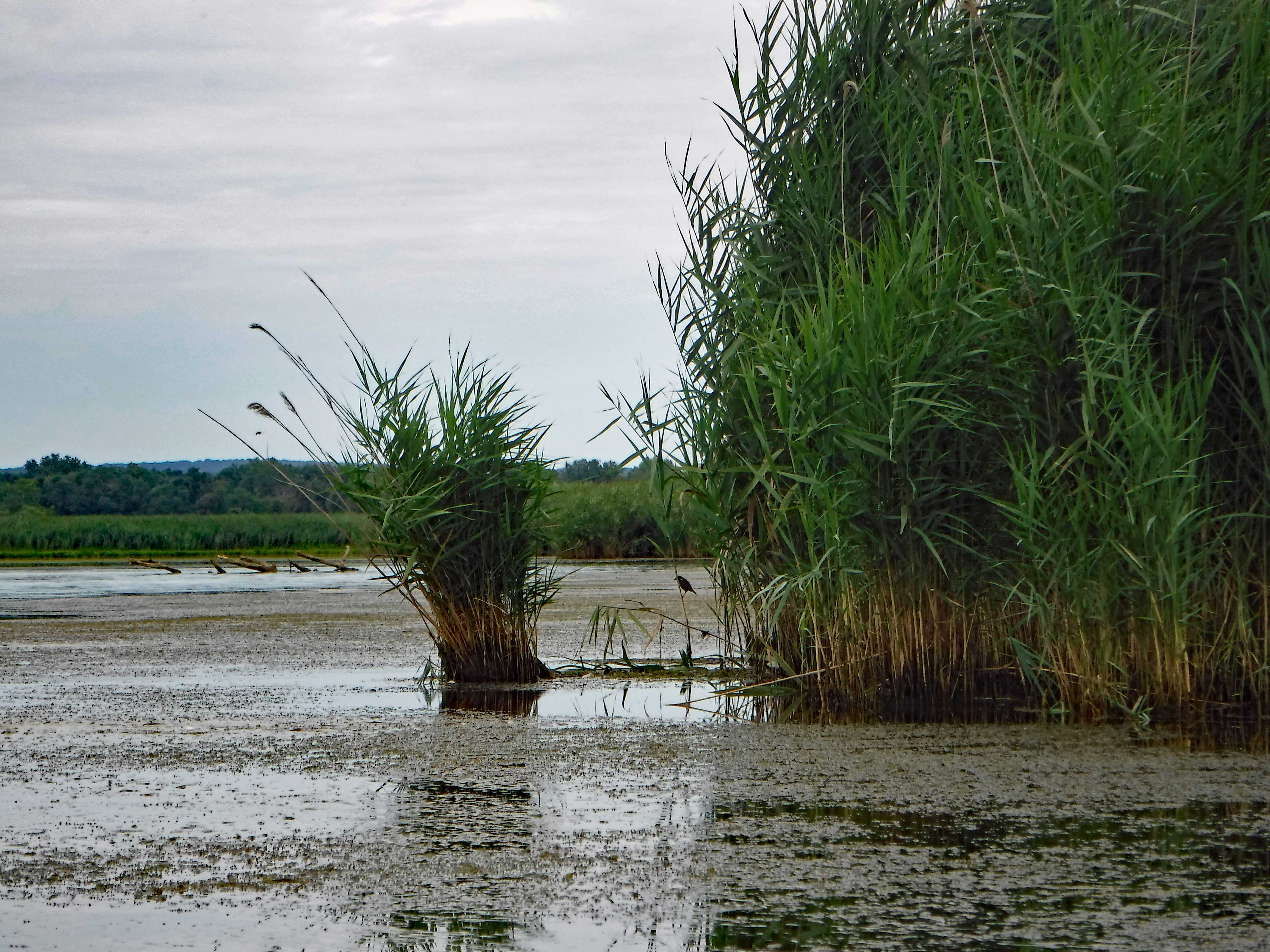
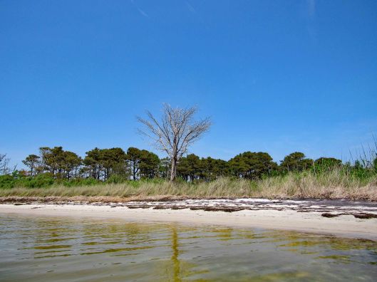
Dead trees on the island…
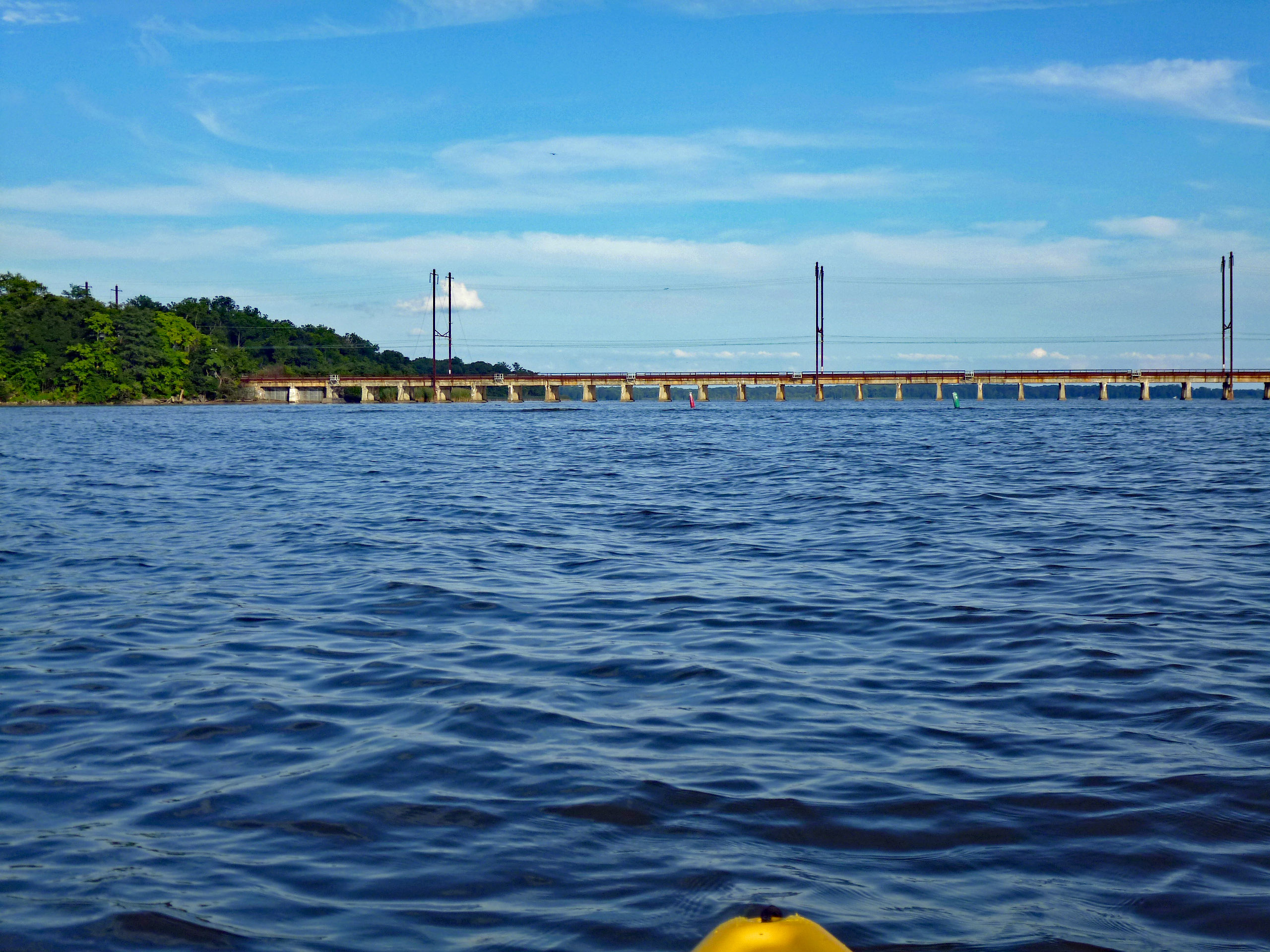
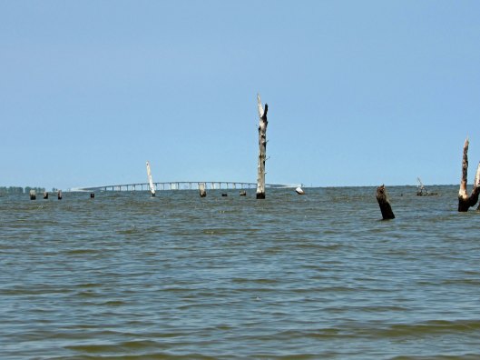
And in the water. Some of these look like old pilings. If you look close at this one, you can see the high rises in Ocean City under the Assateague Island Bridge.
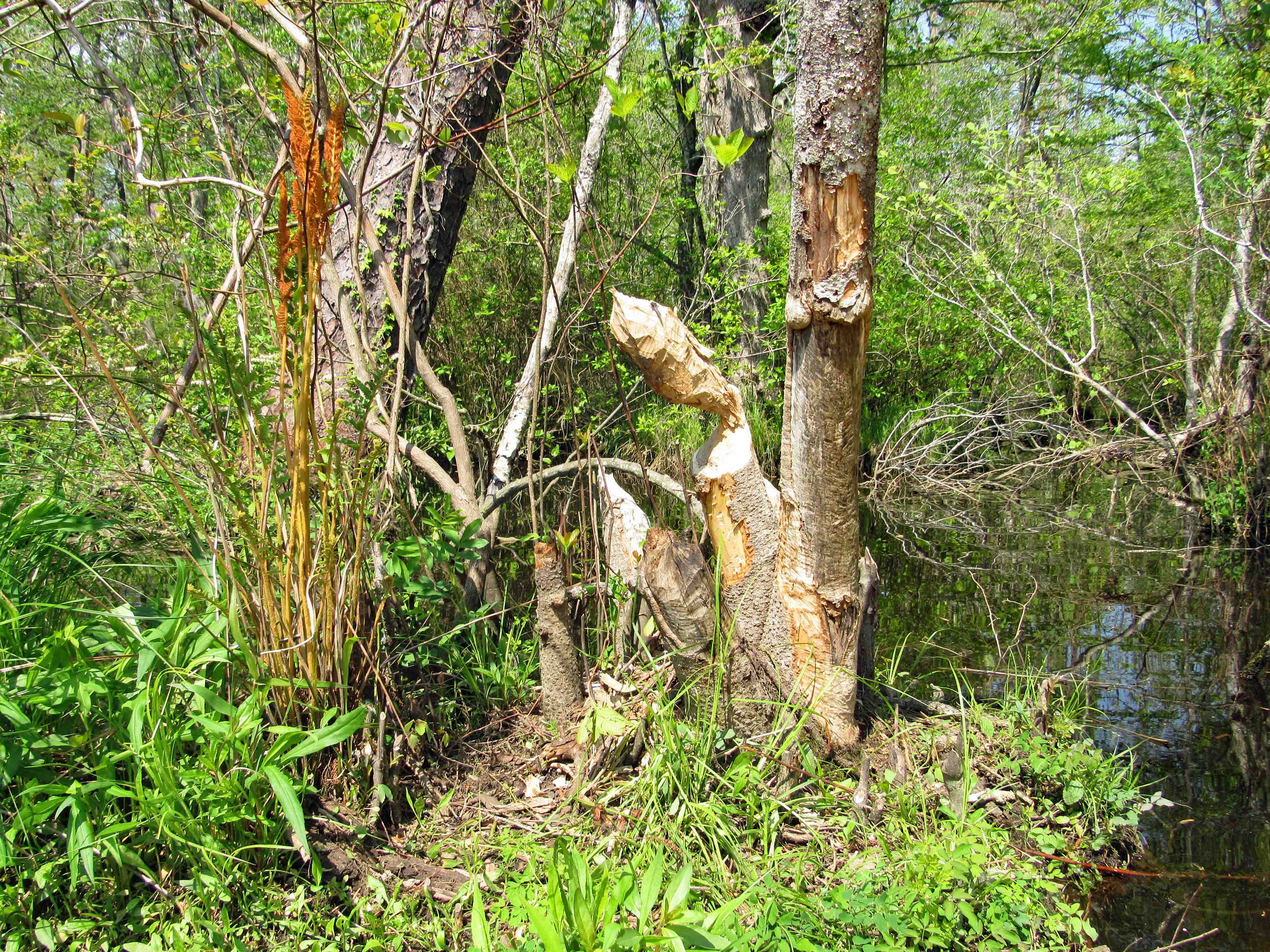
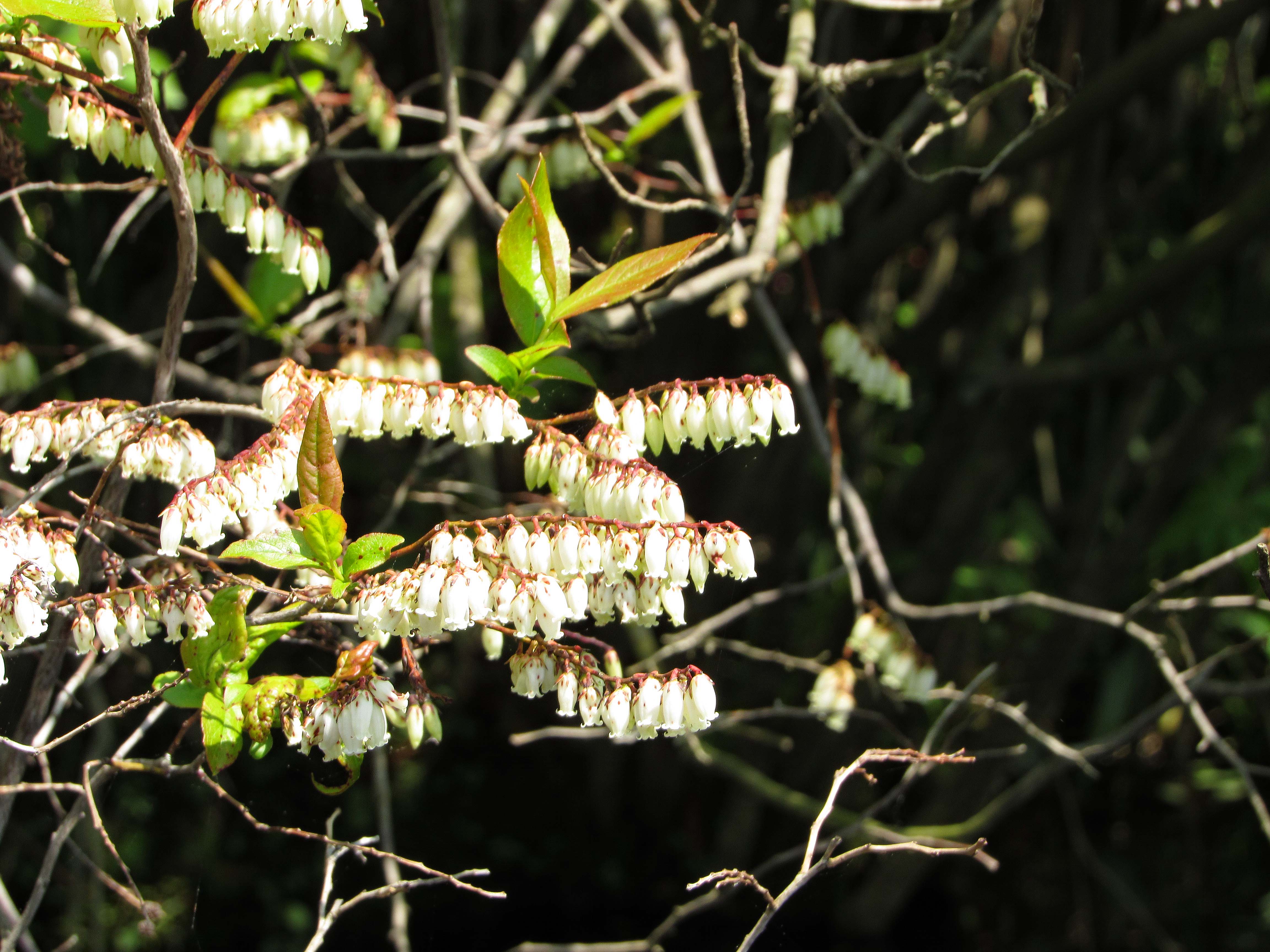
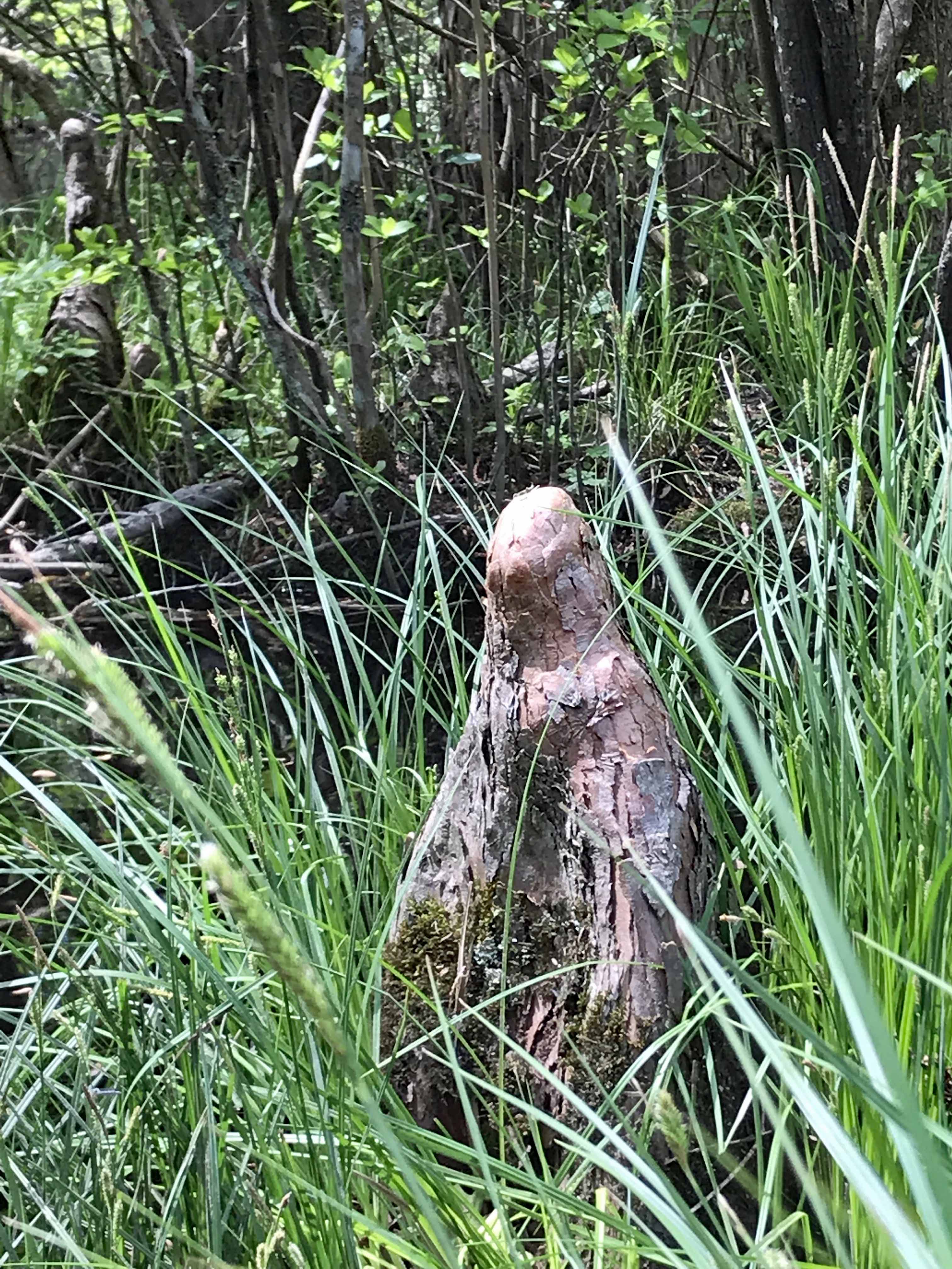
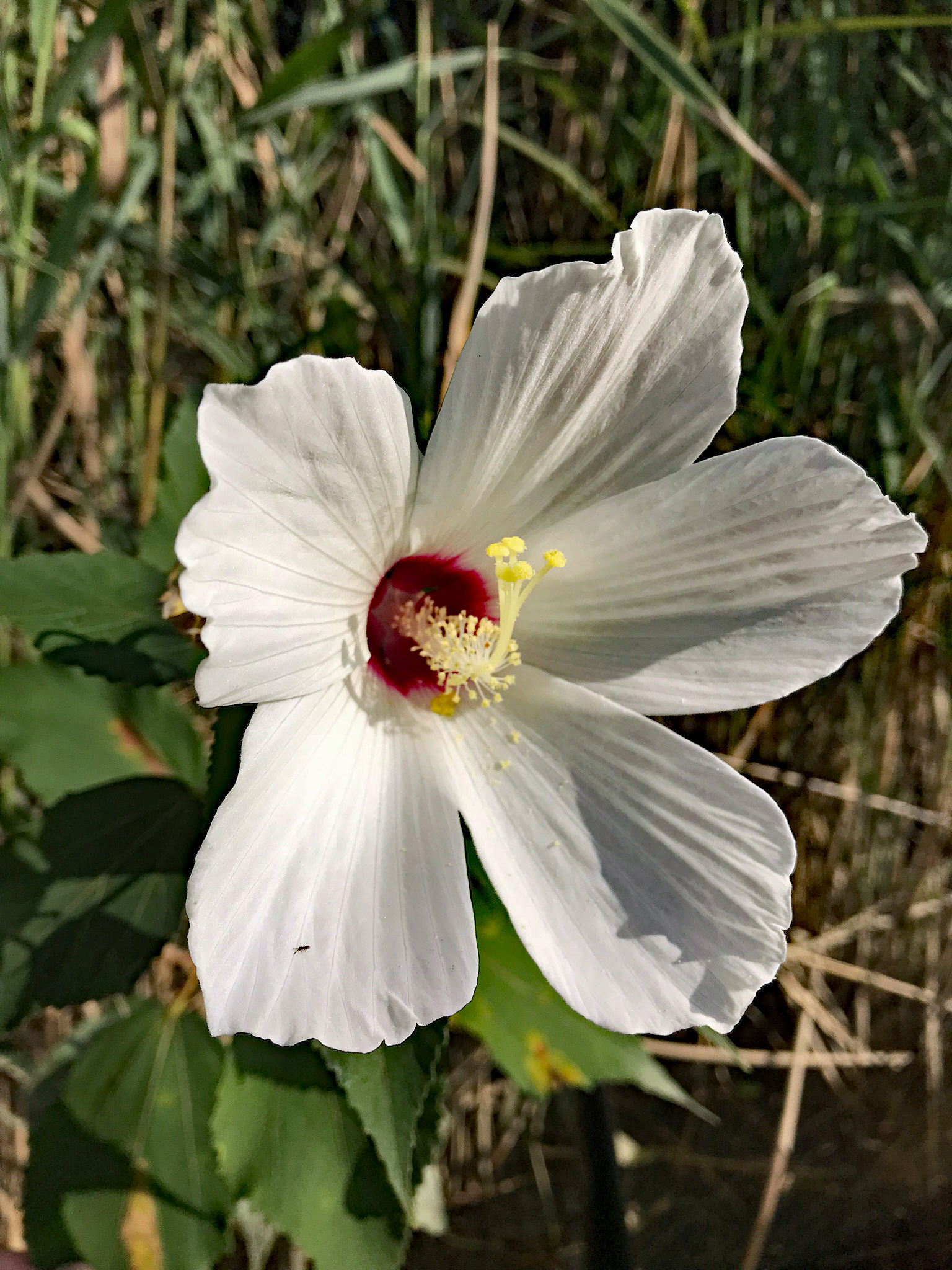
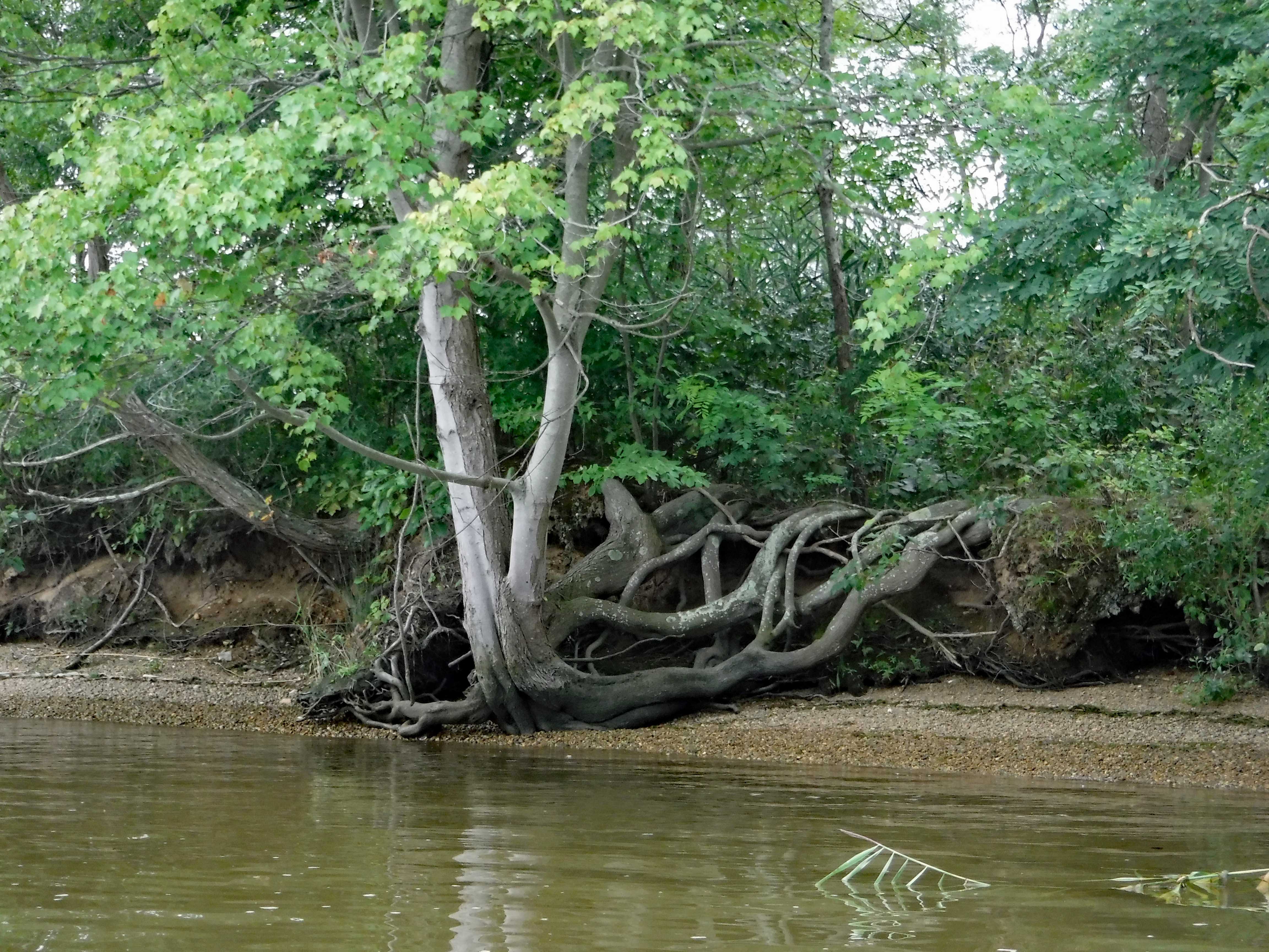
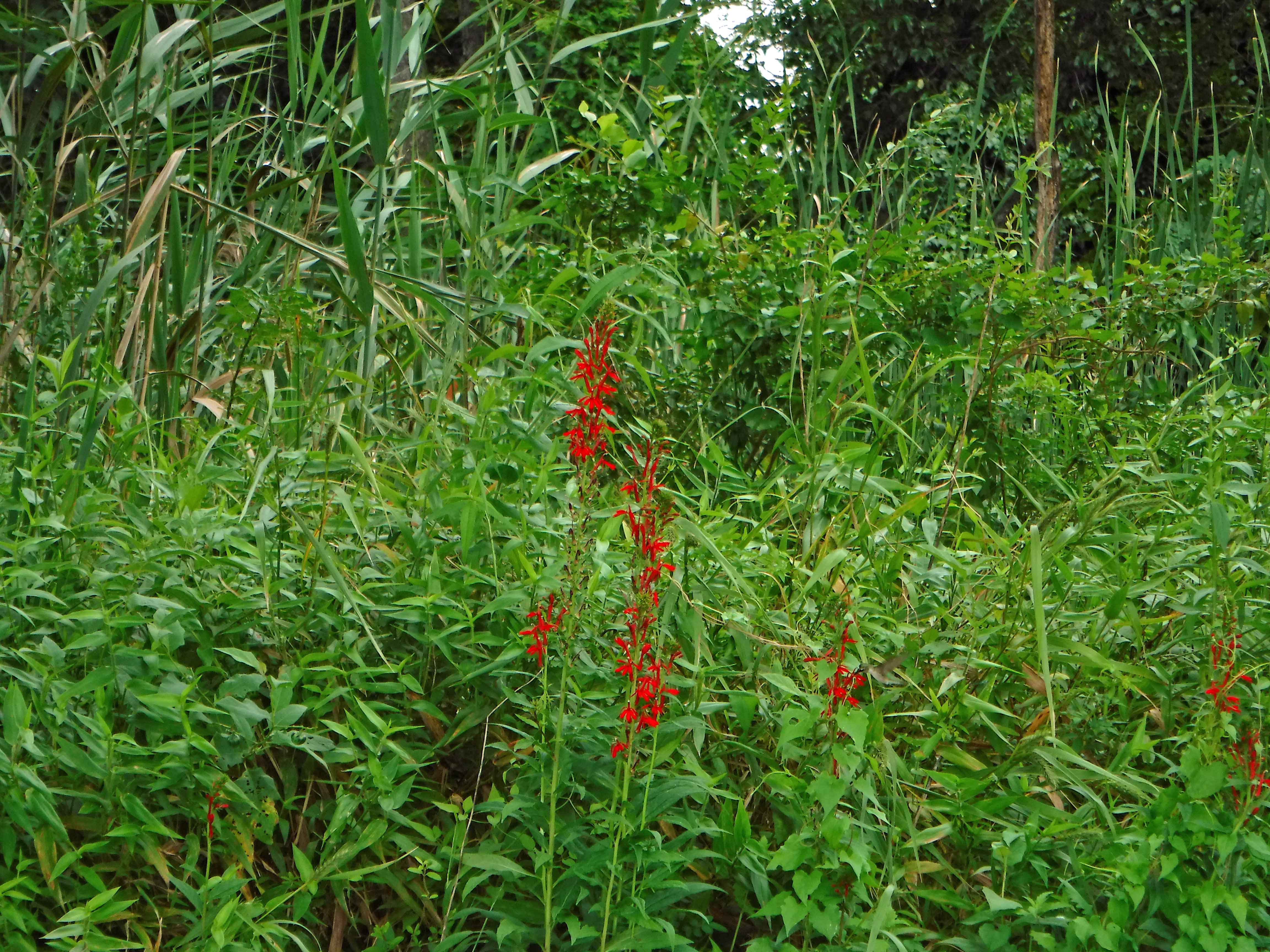
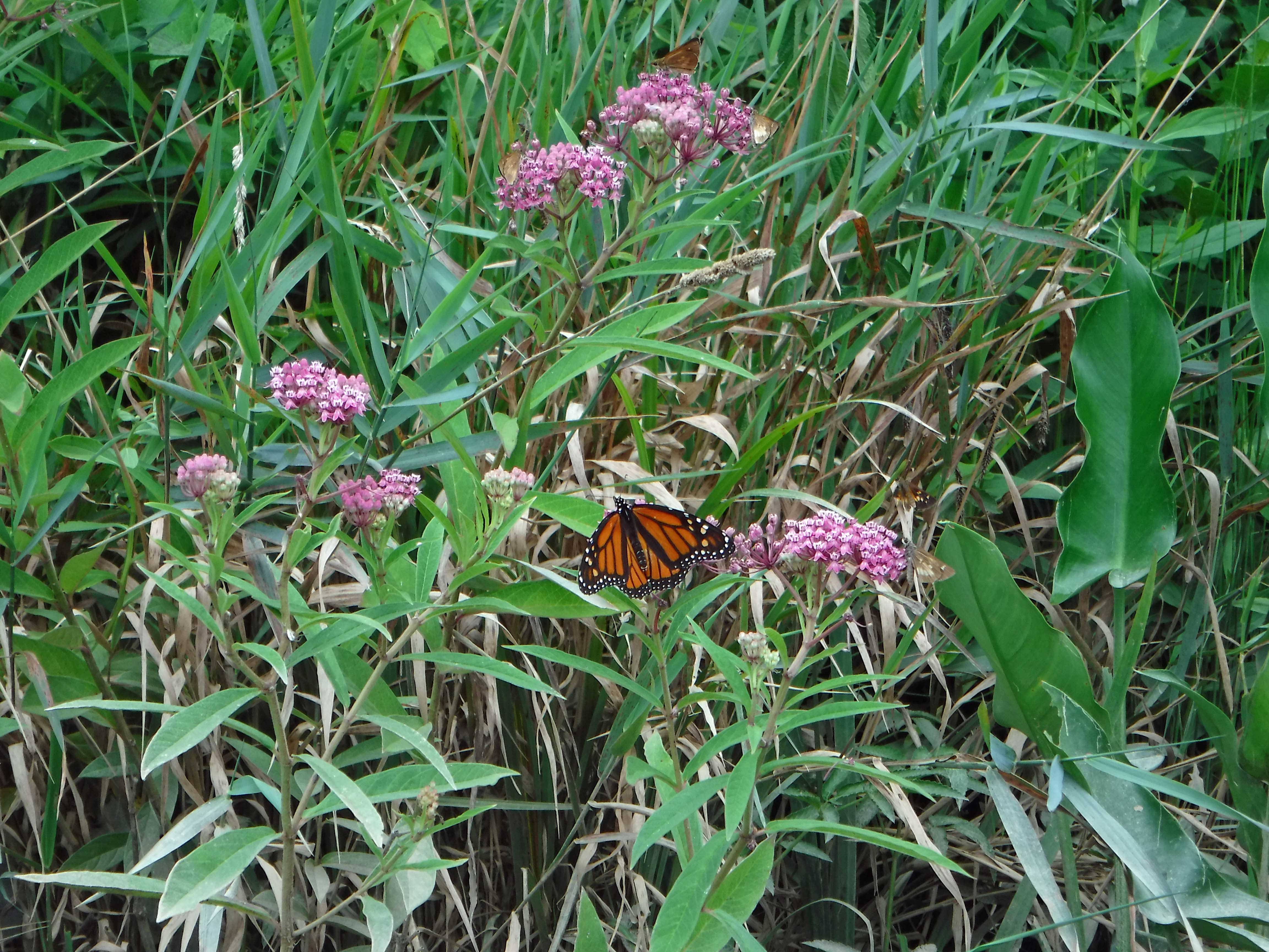
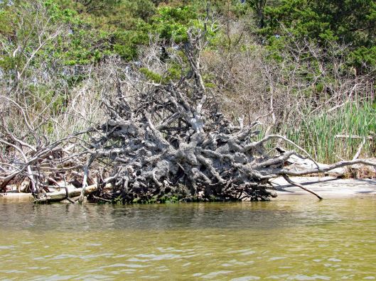
Octopus root.
Uh-oh?! What happened to Gail? Pee call??
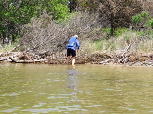
Nope! Looking for drift wood!
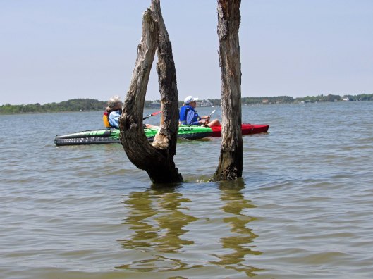
Tried to take a photo of the tuning fork tree but was photo-bombed!
Some sisterly bonding on the high seas!
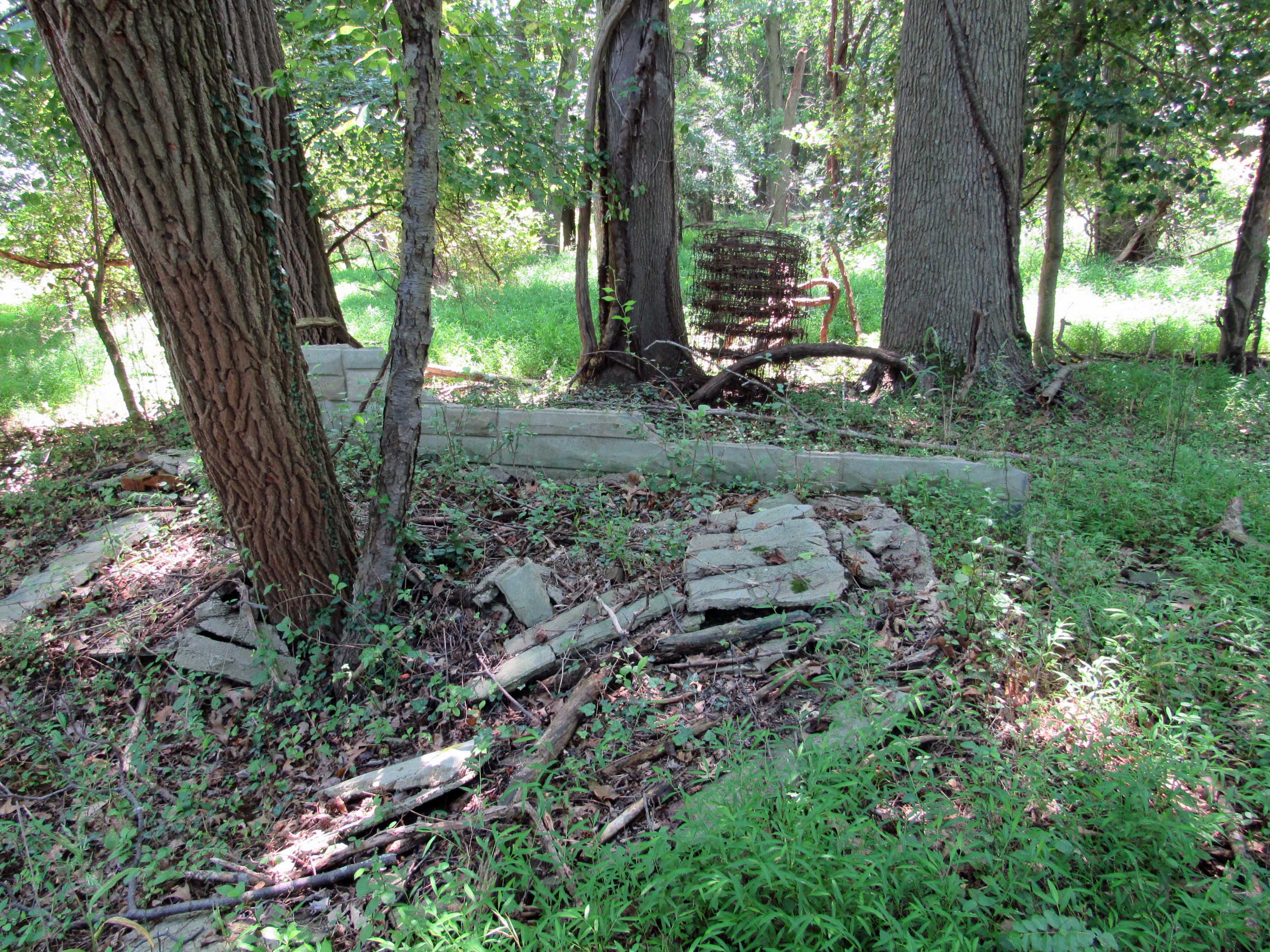
Drift wood and drift metal.
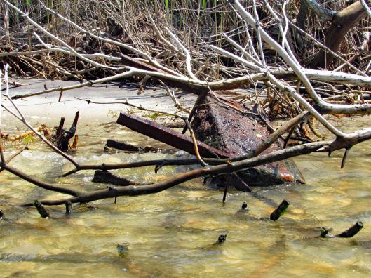
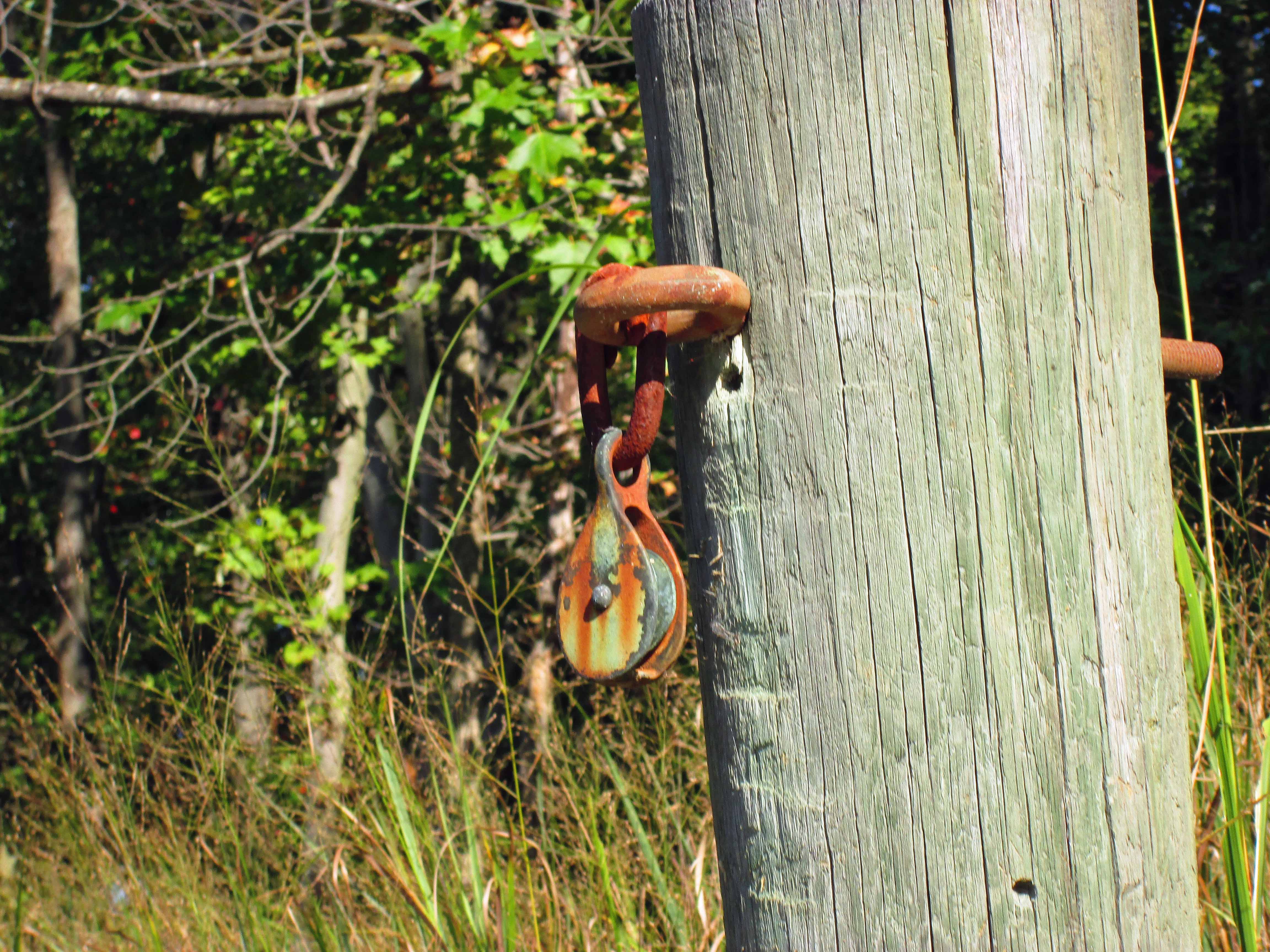
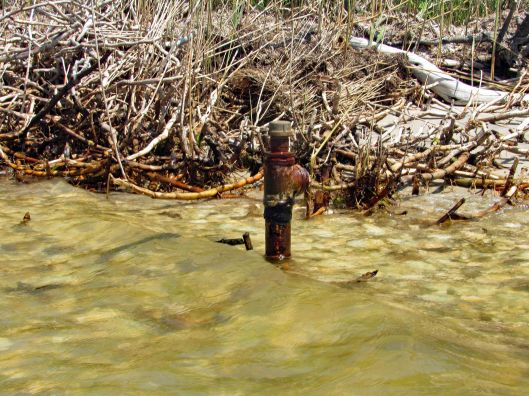
No clue why this pipe is here.
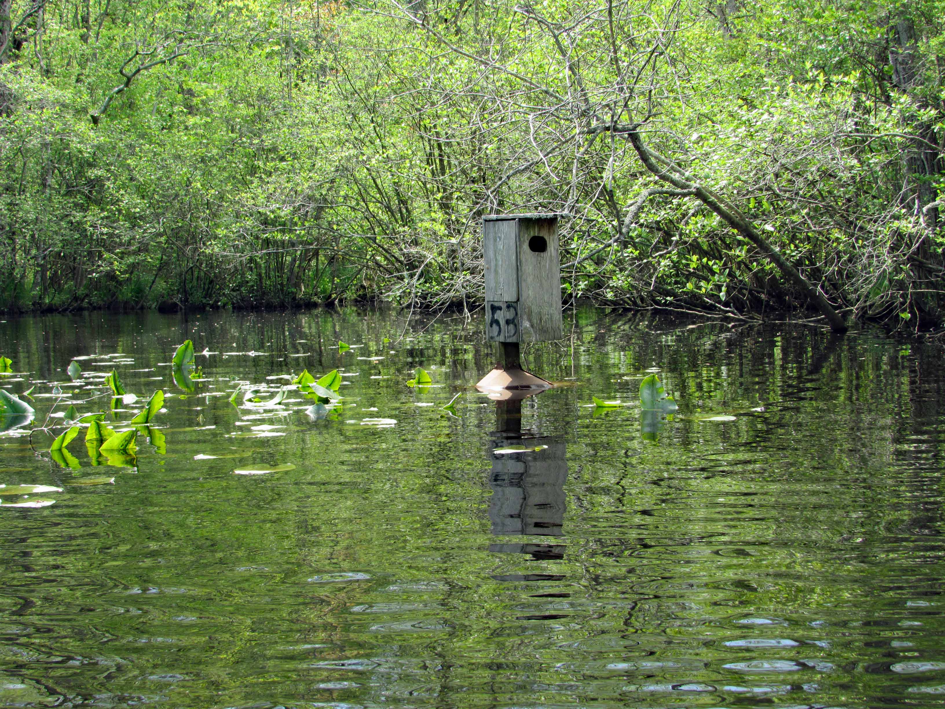
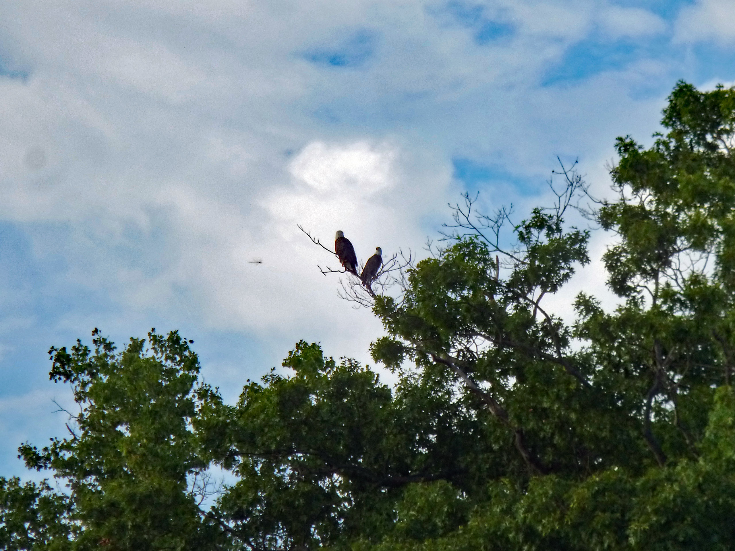
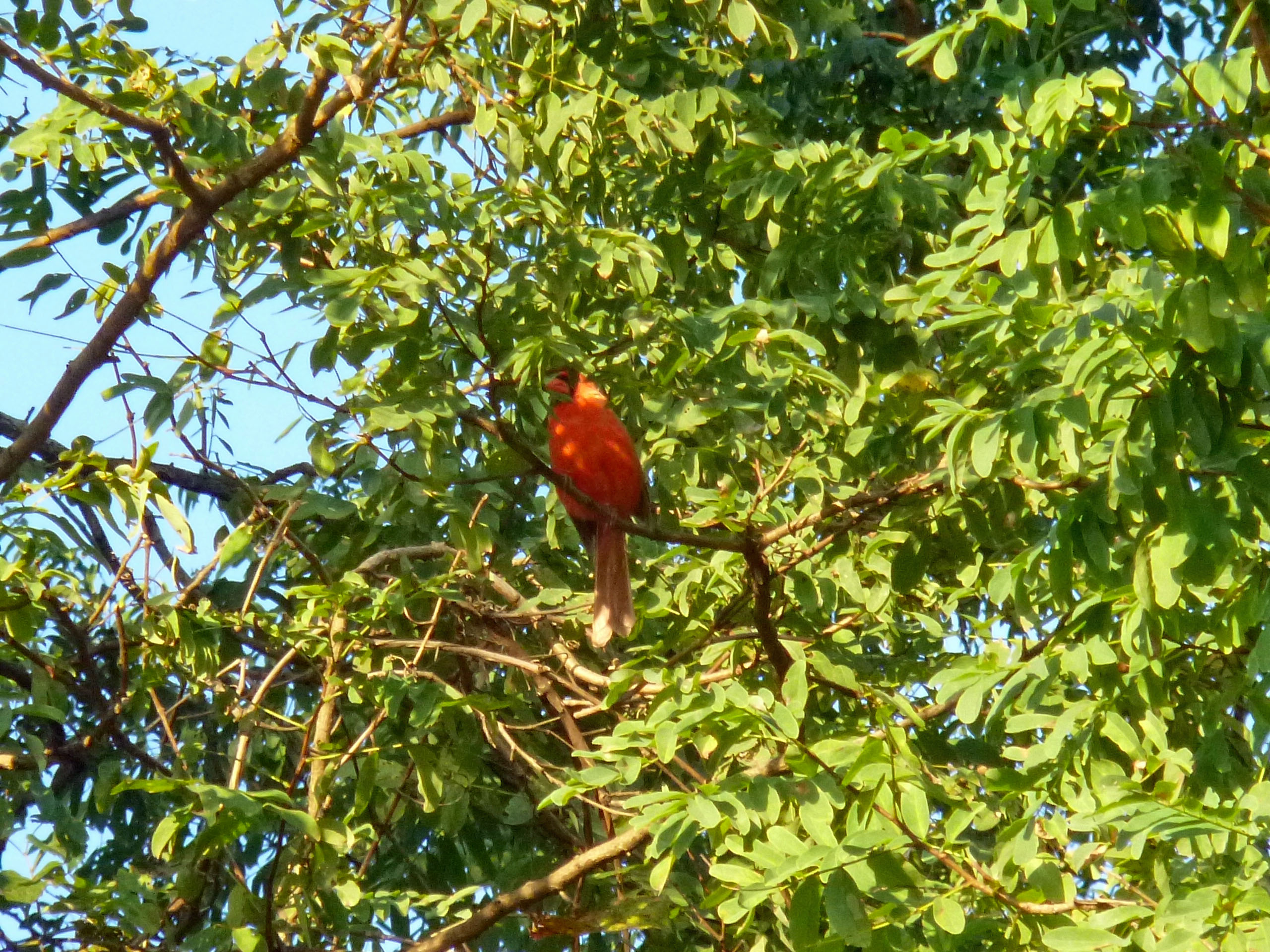
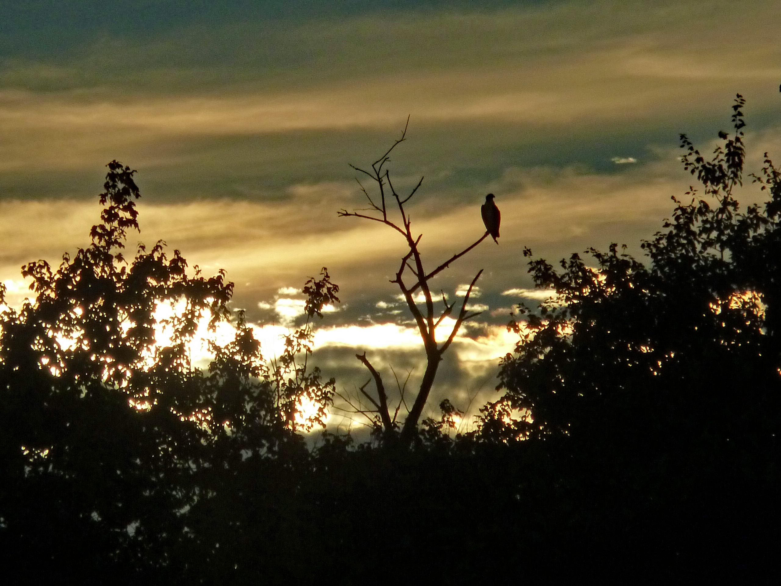
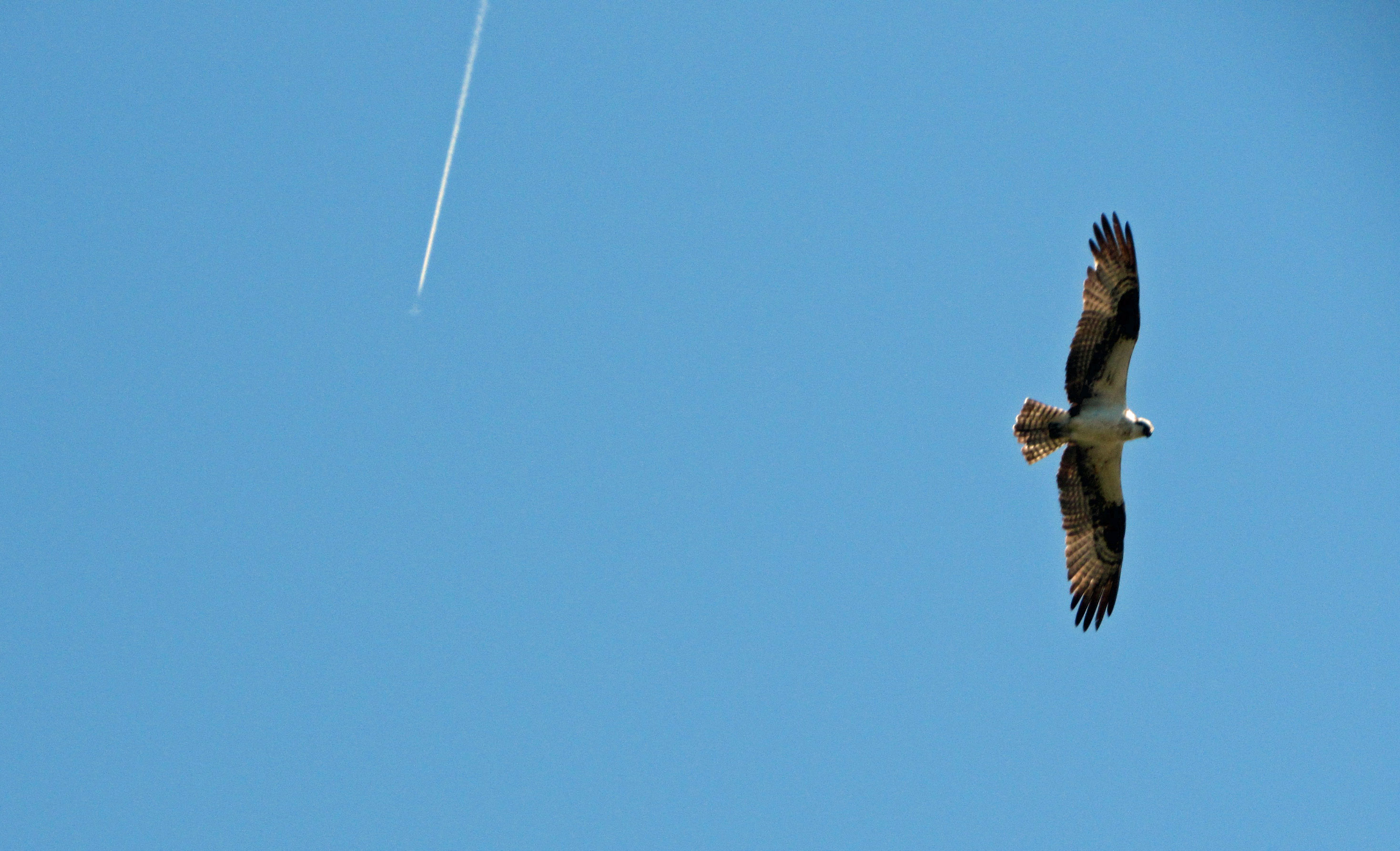
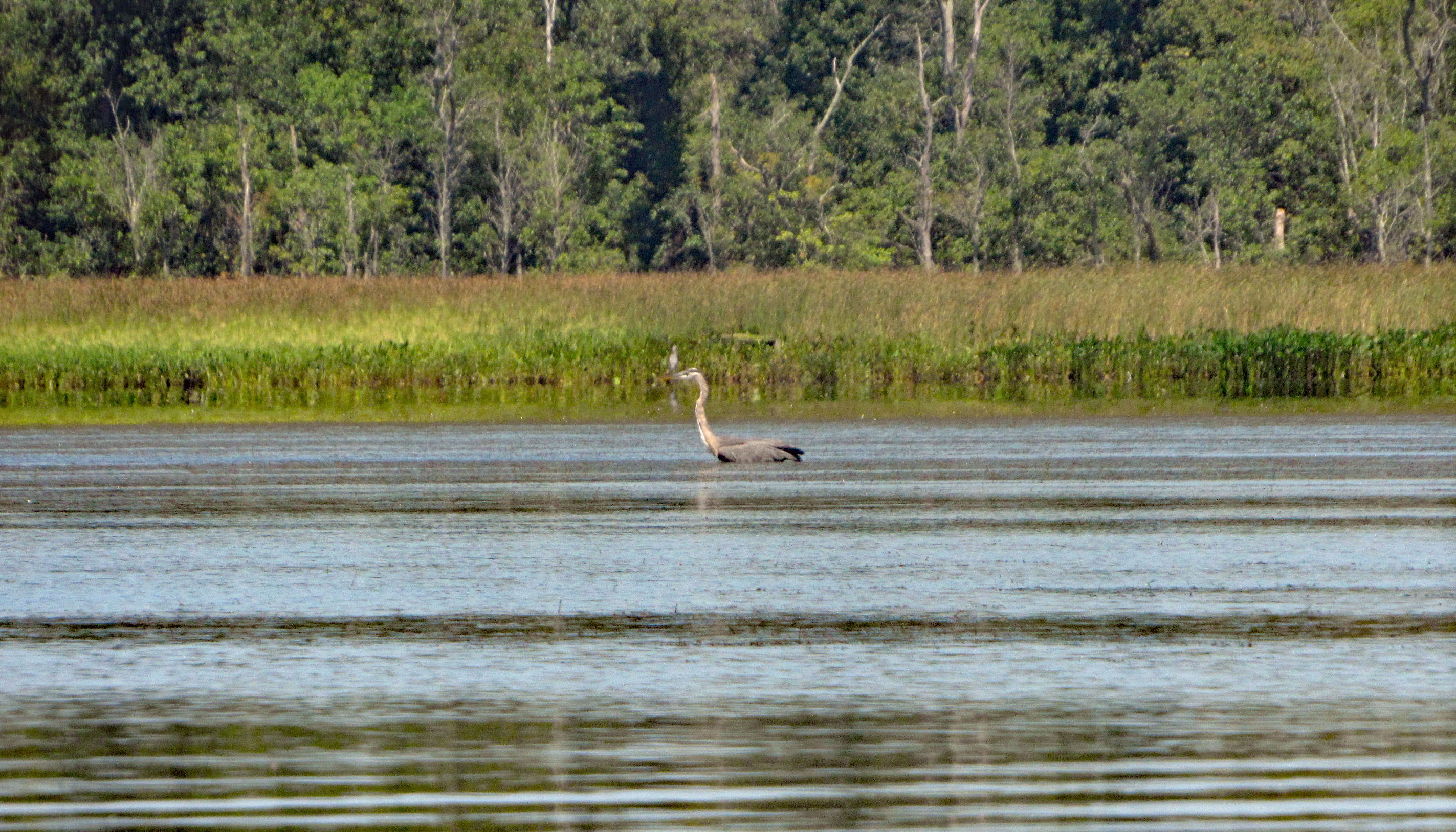
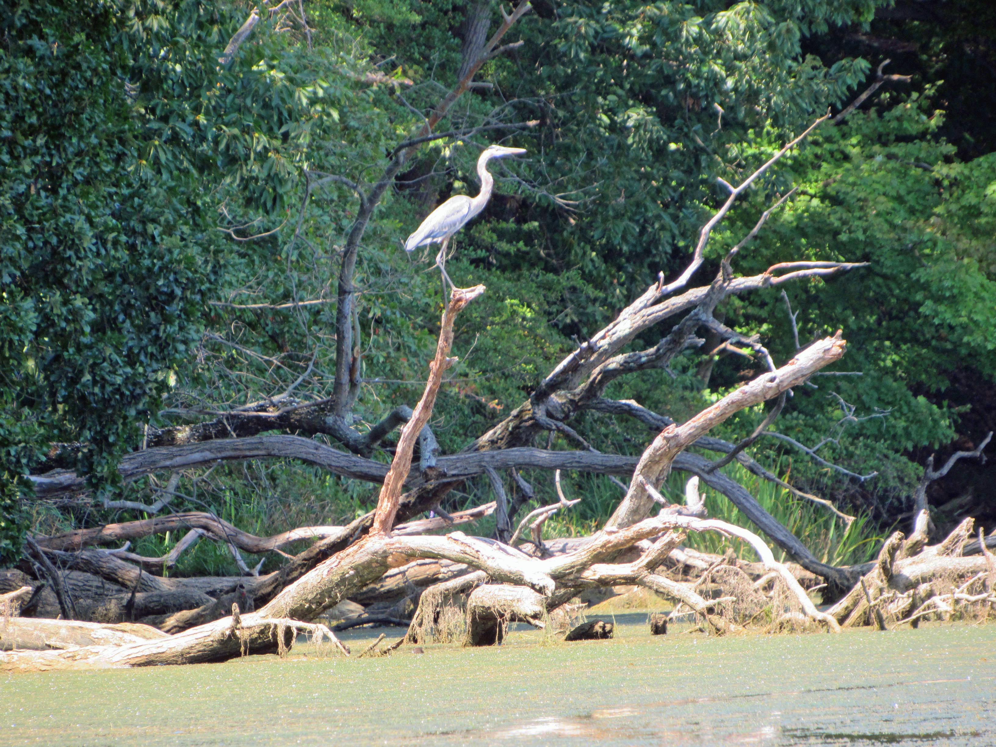
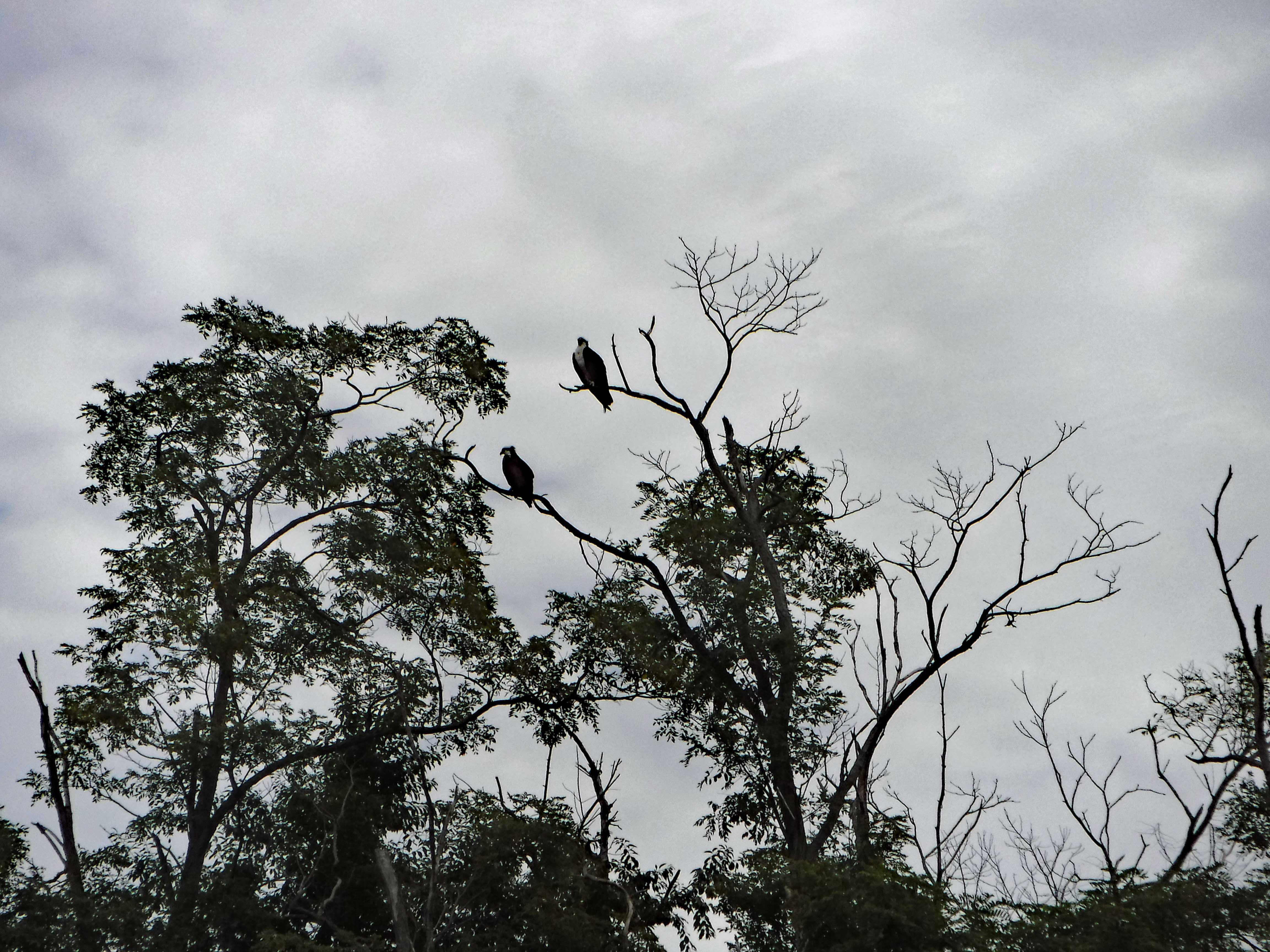
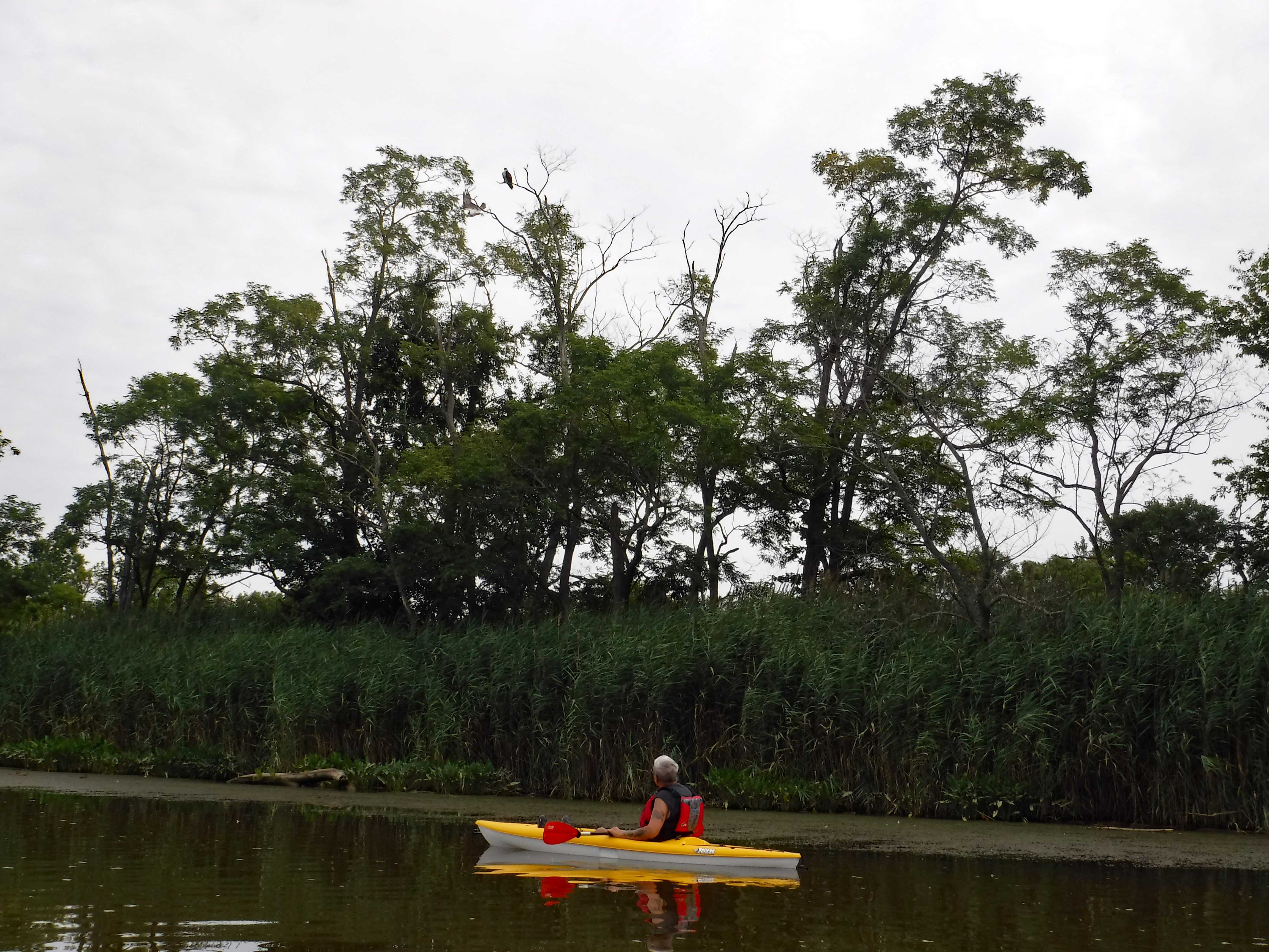
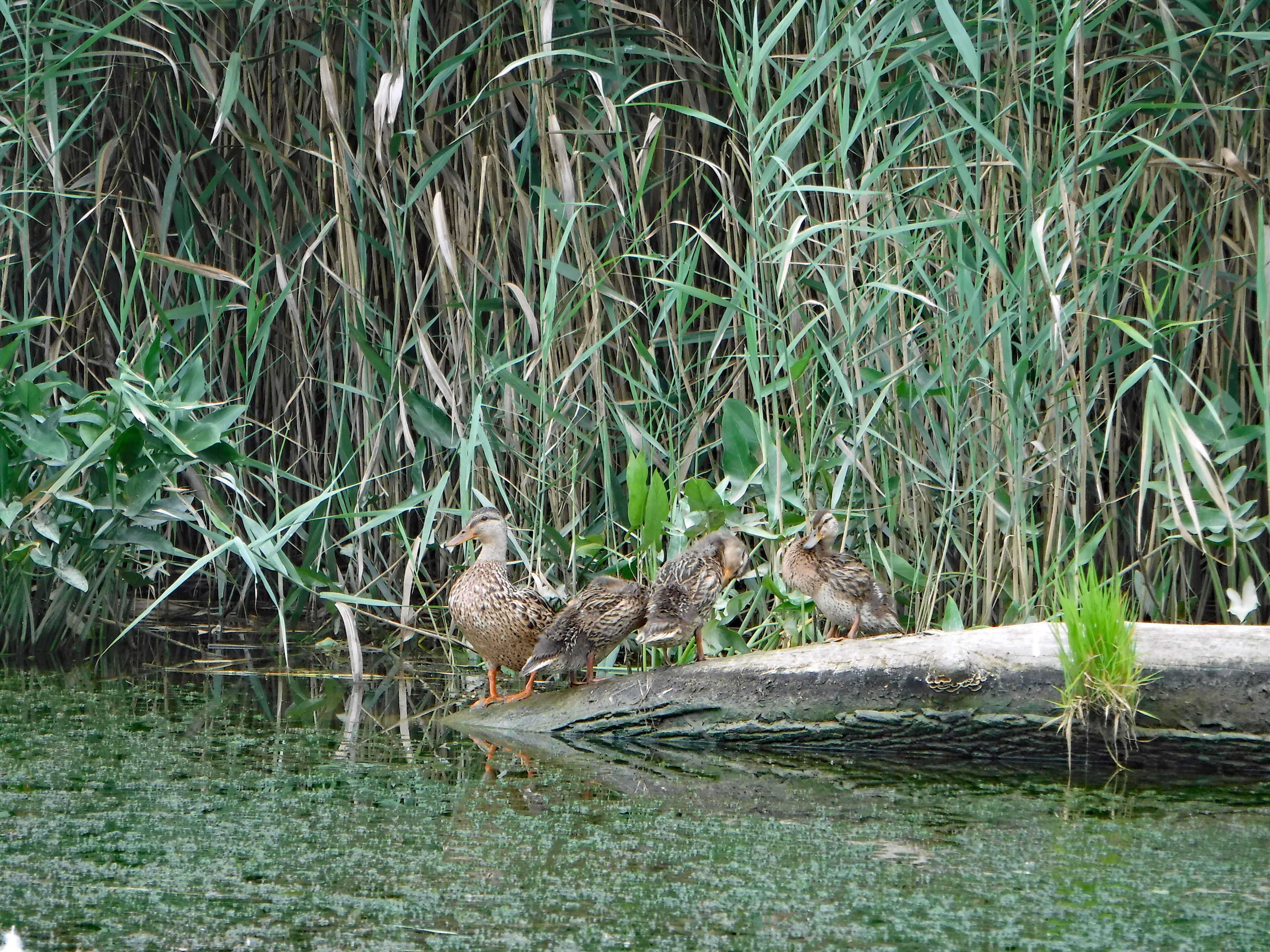
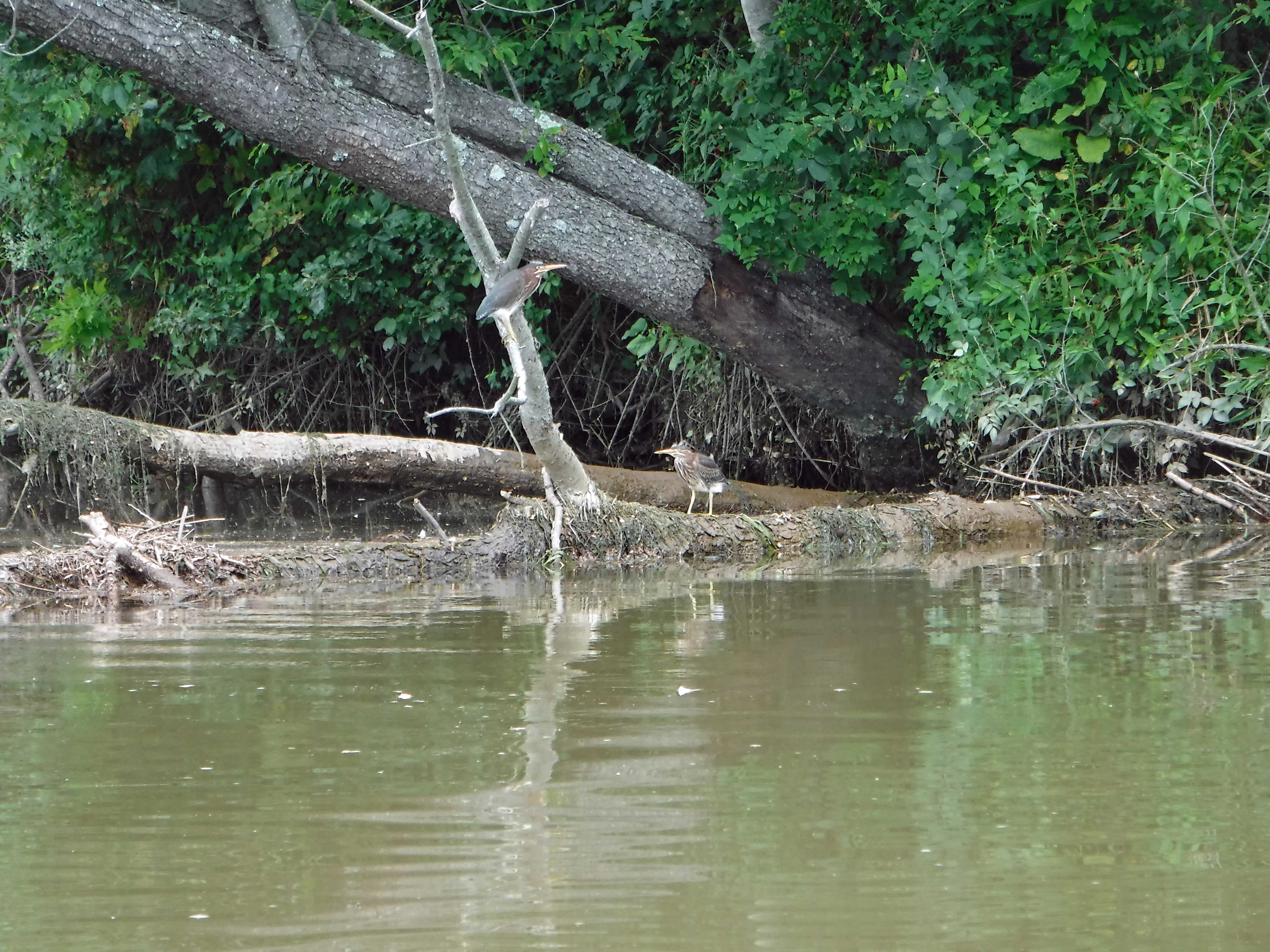
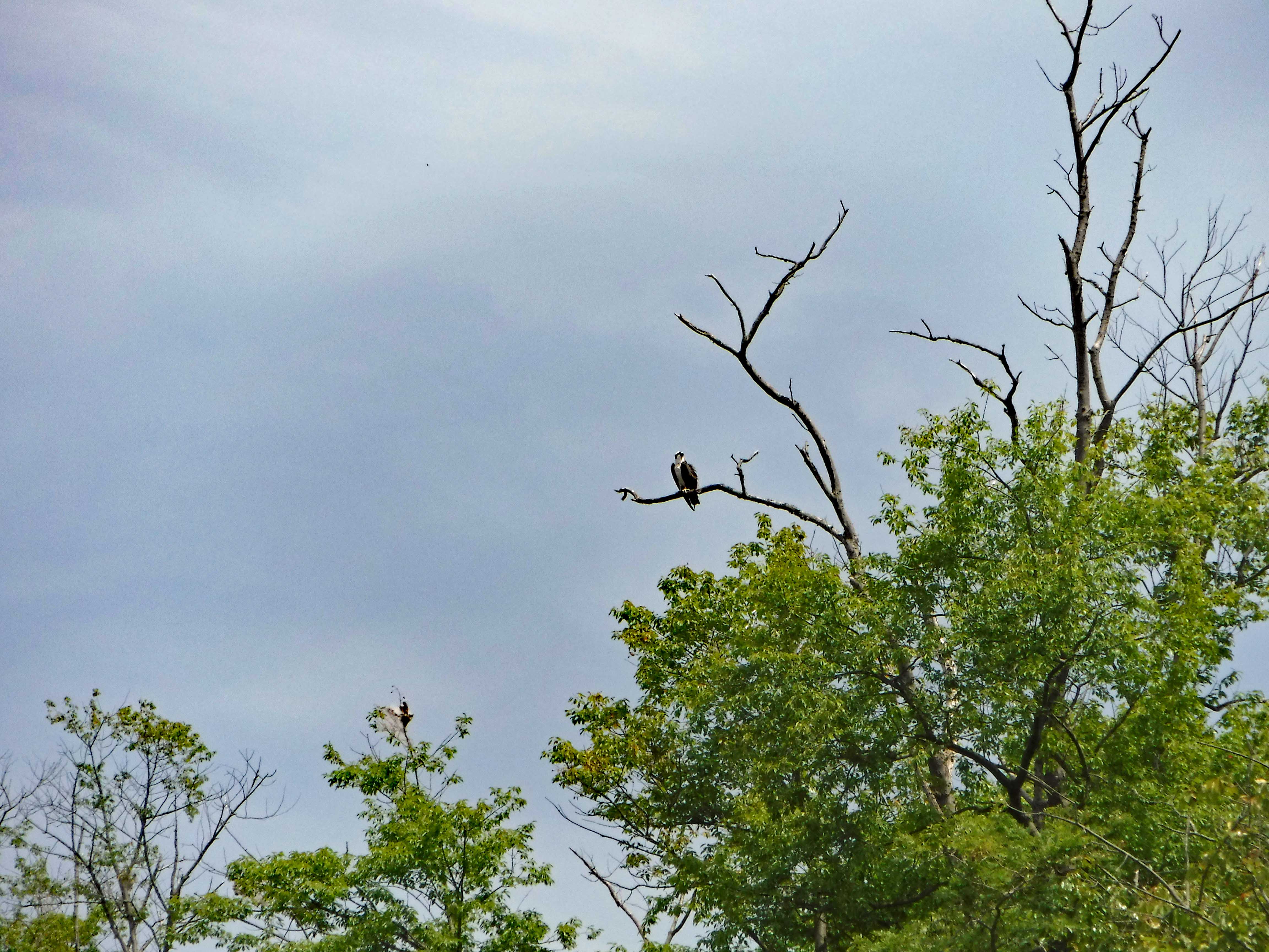
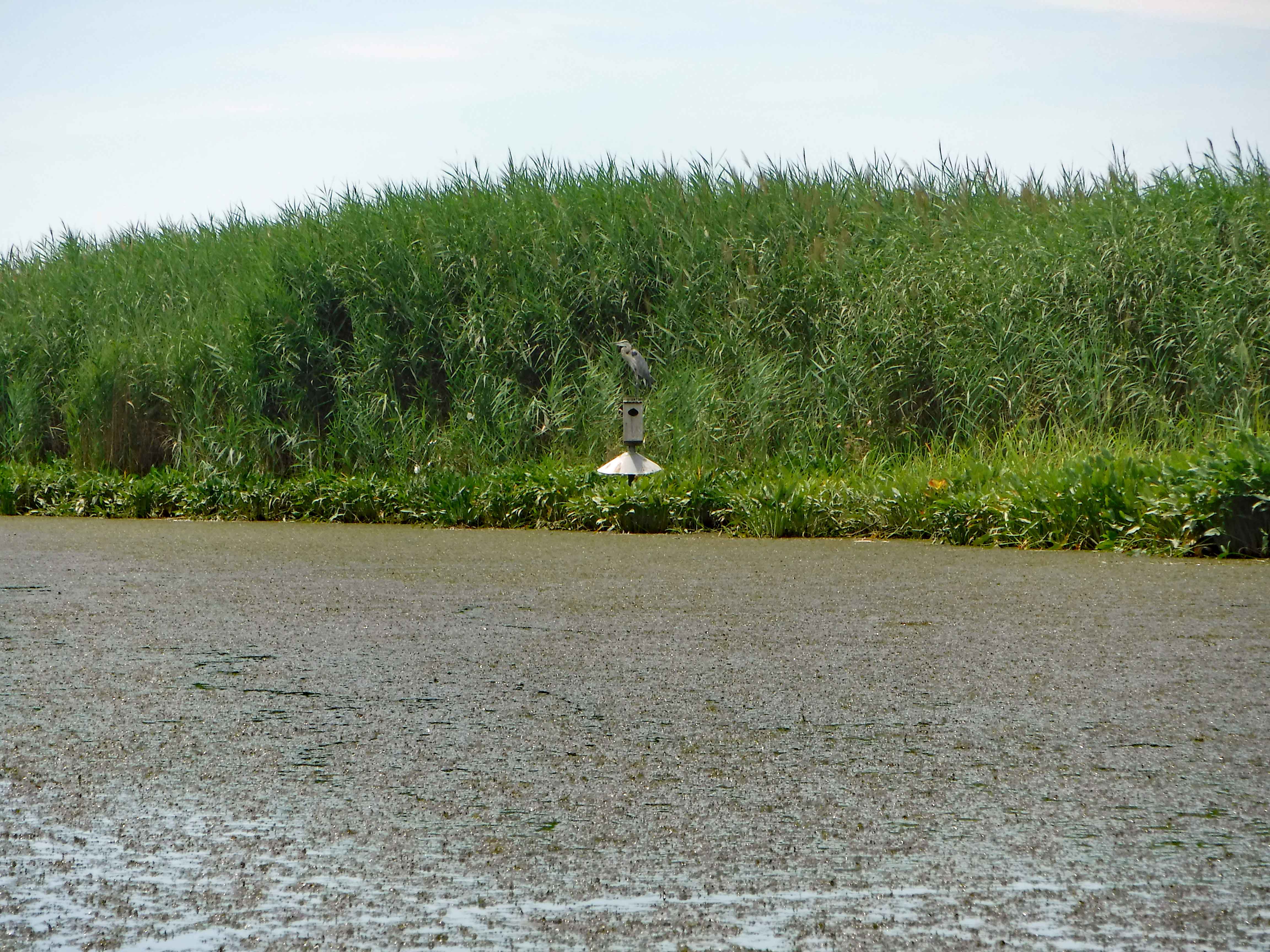
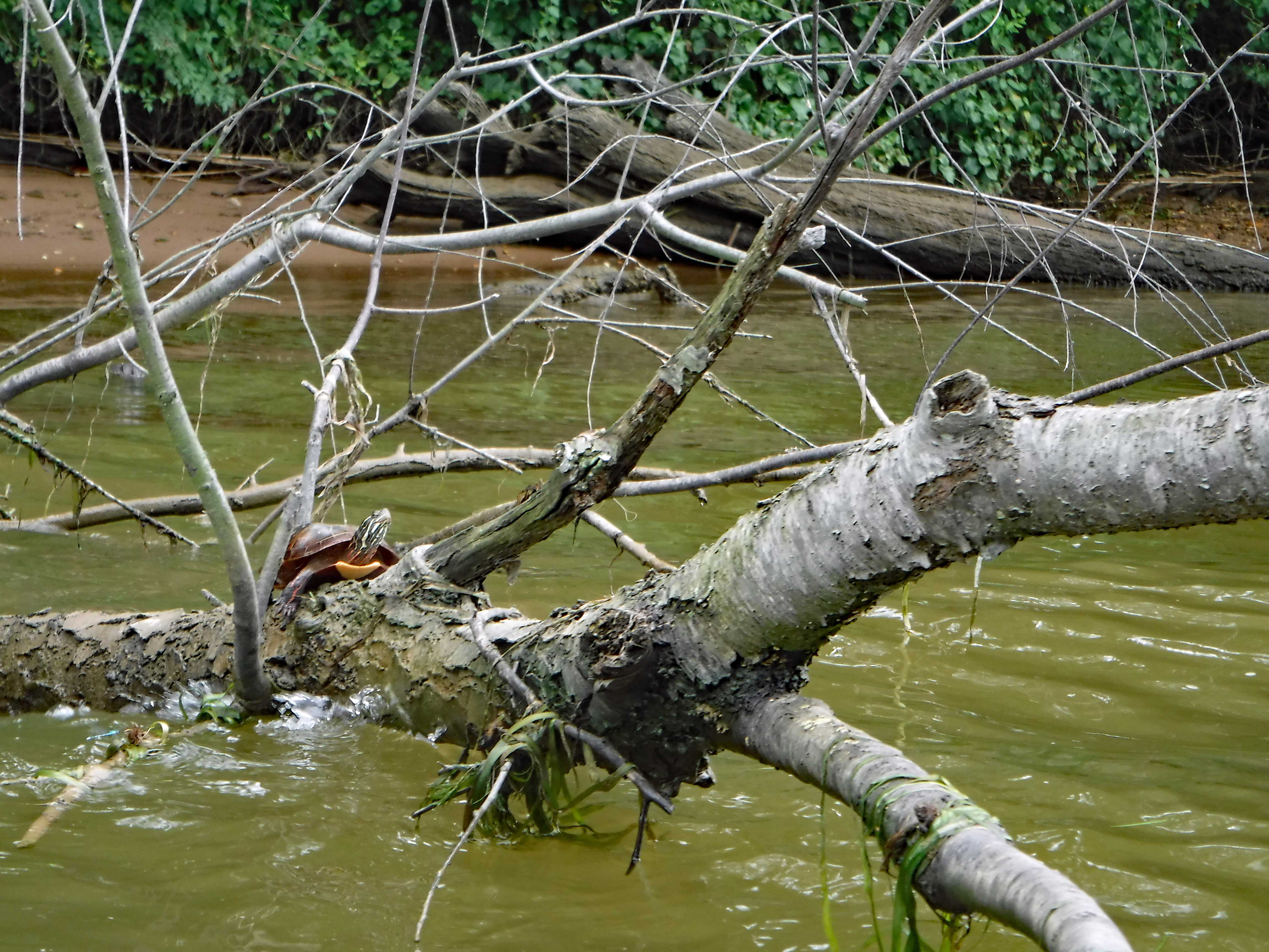
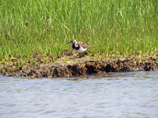
Bird 1.
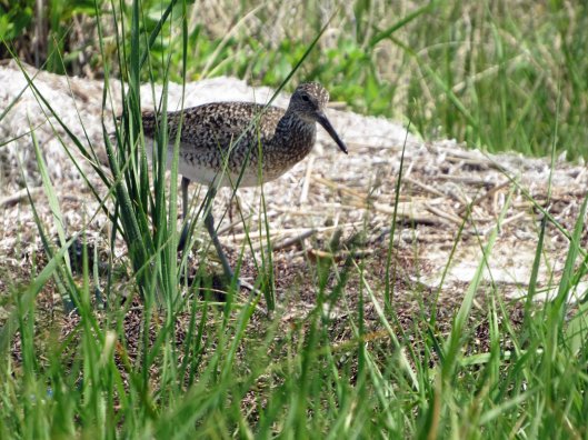
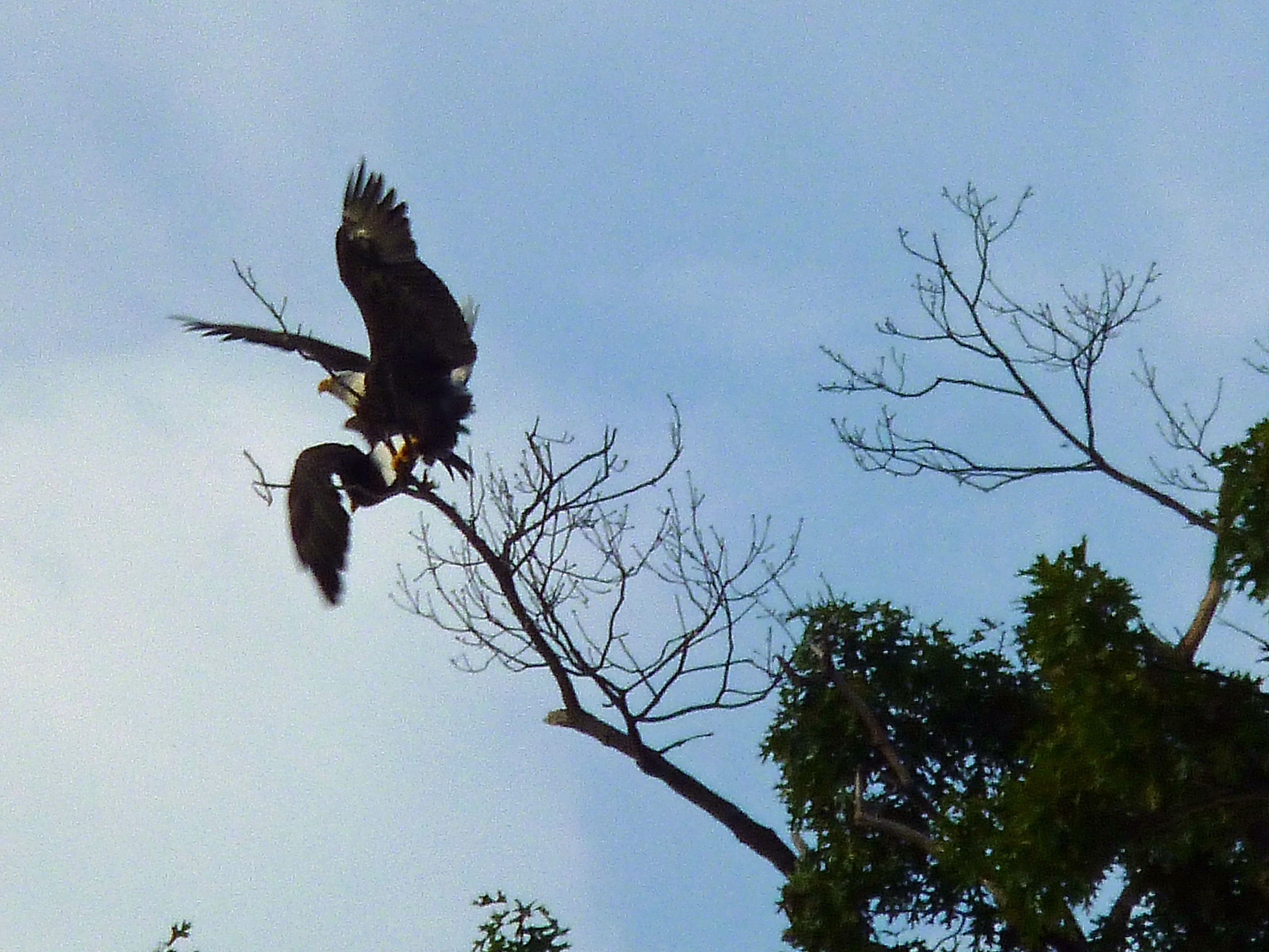
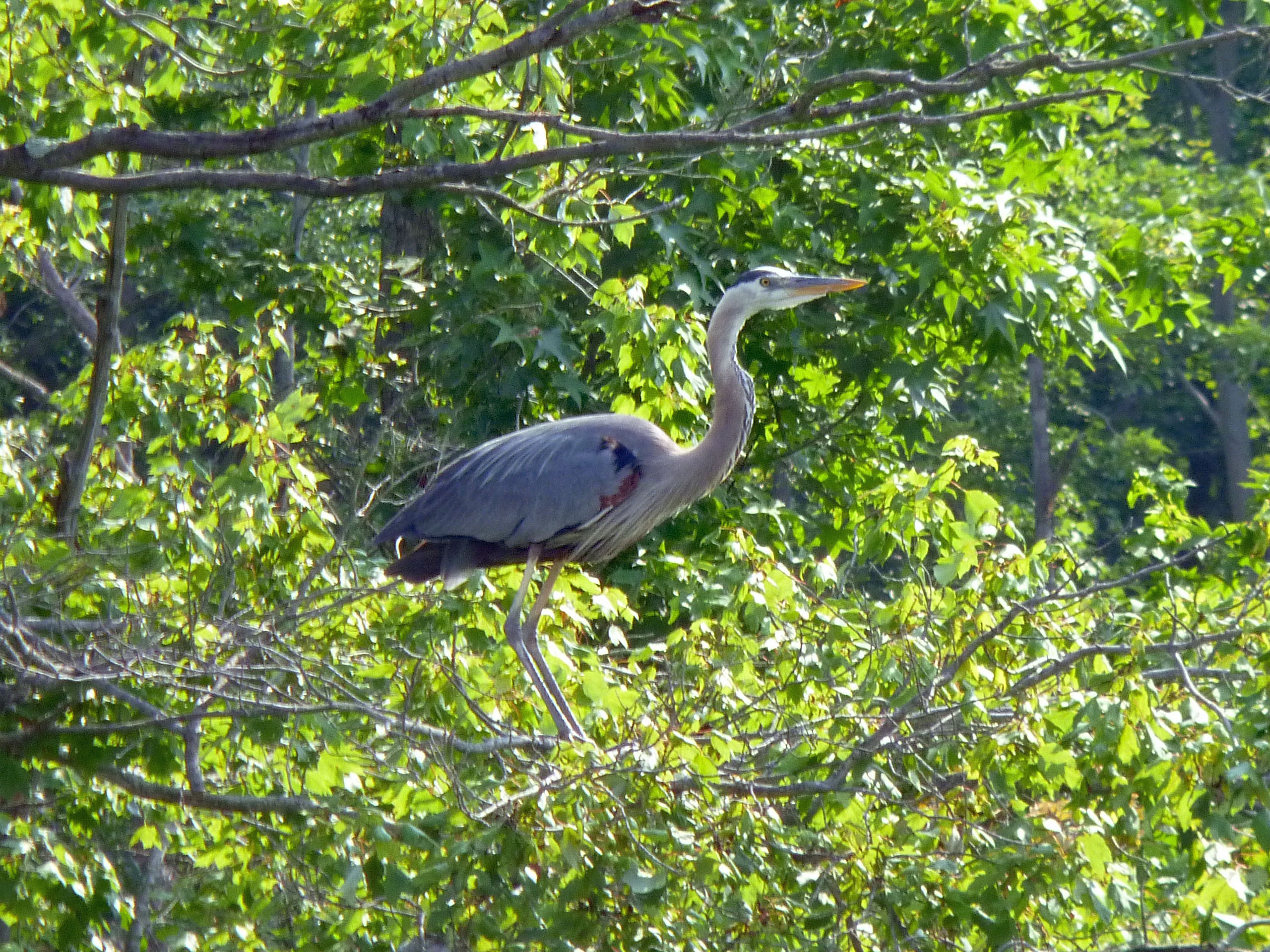
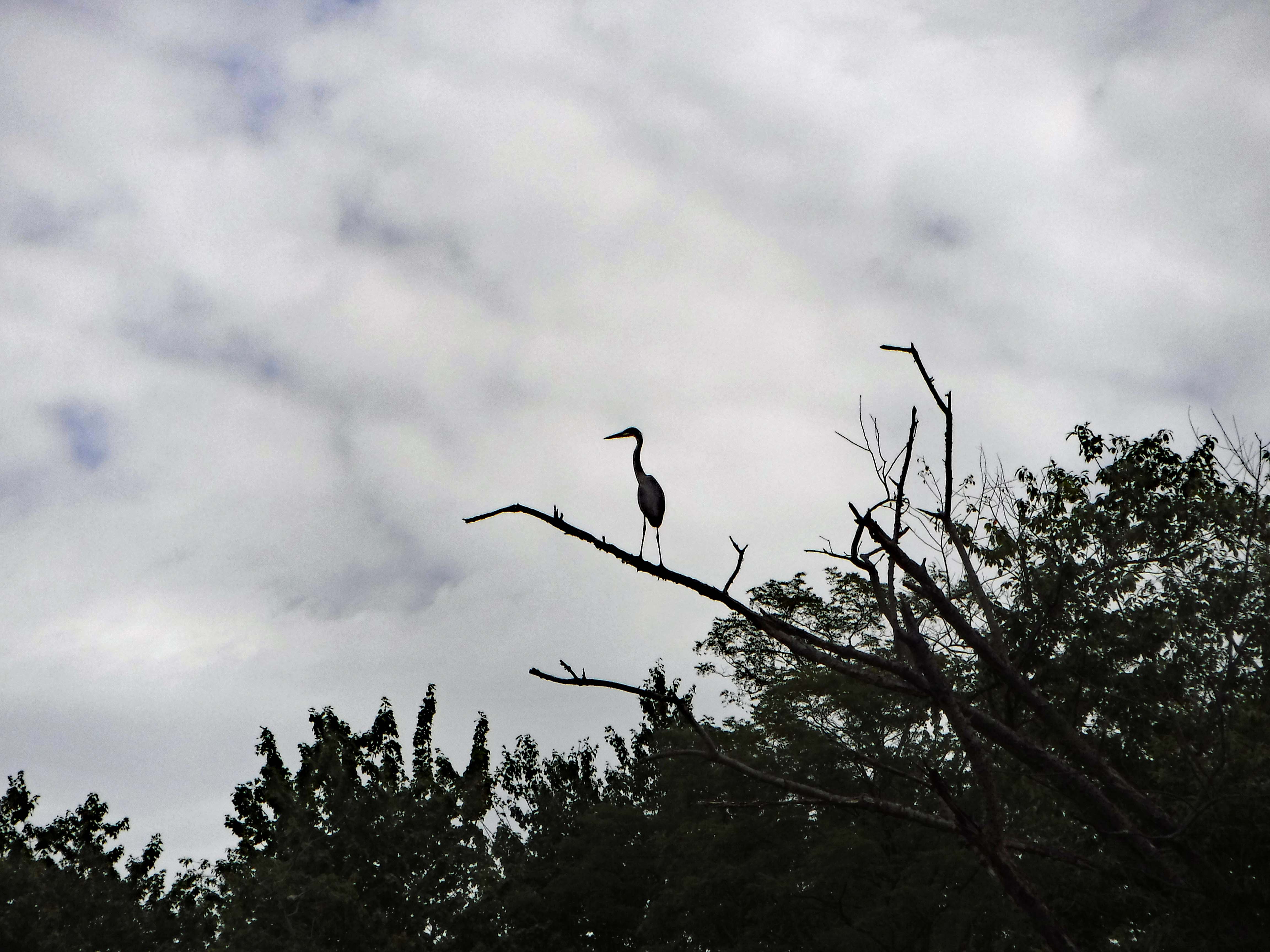
Bird 2.
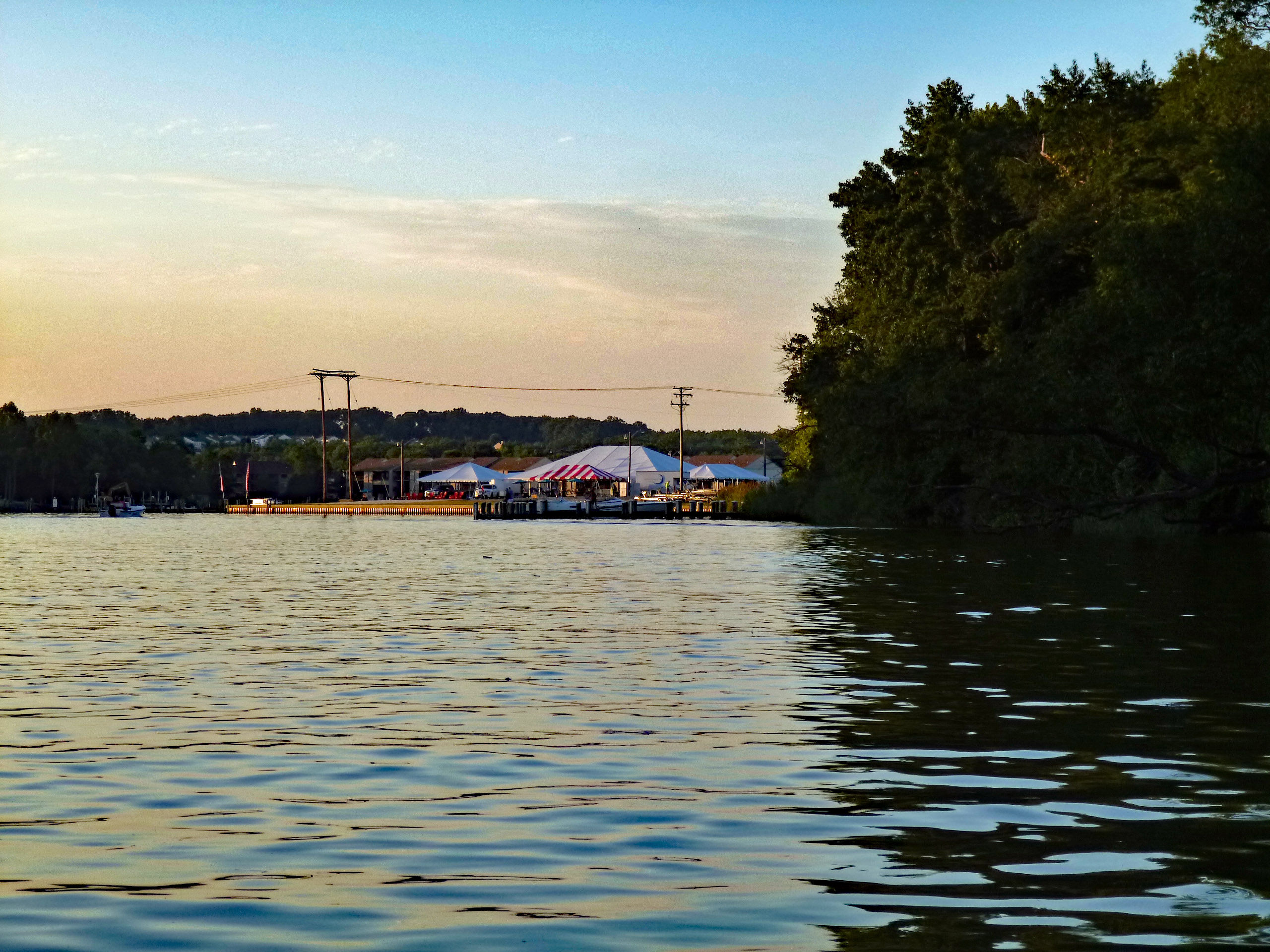
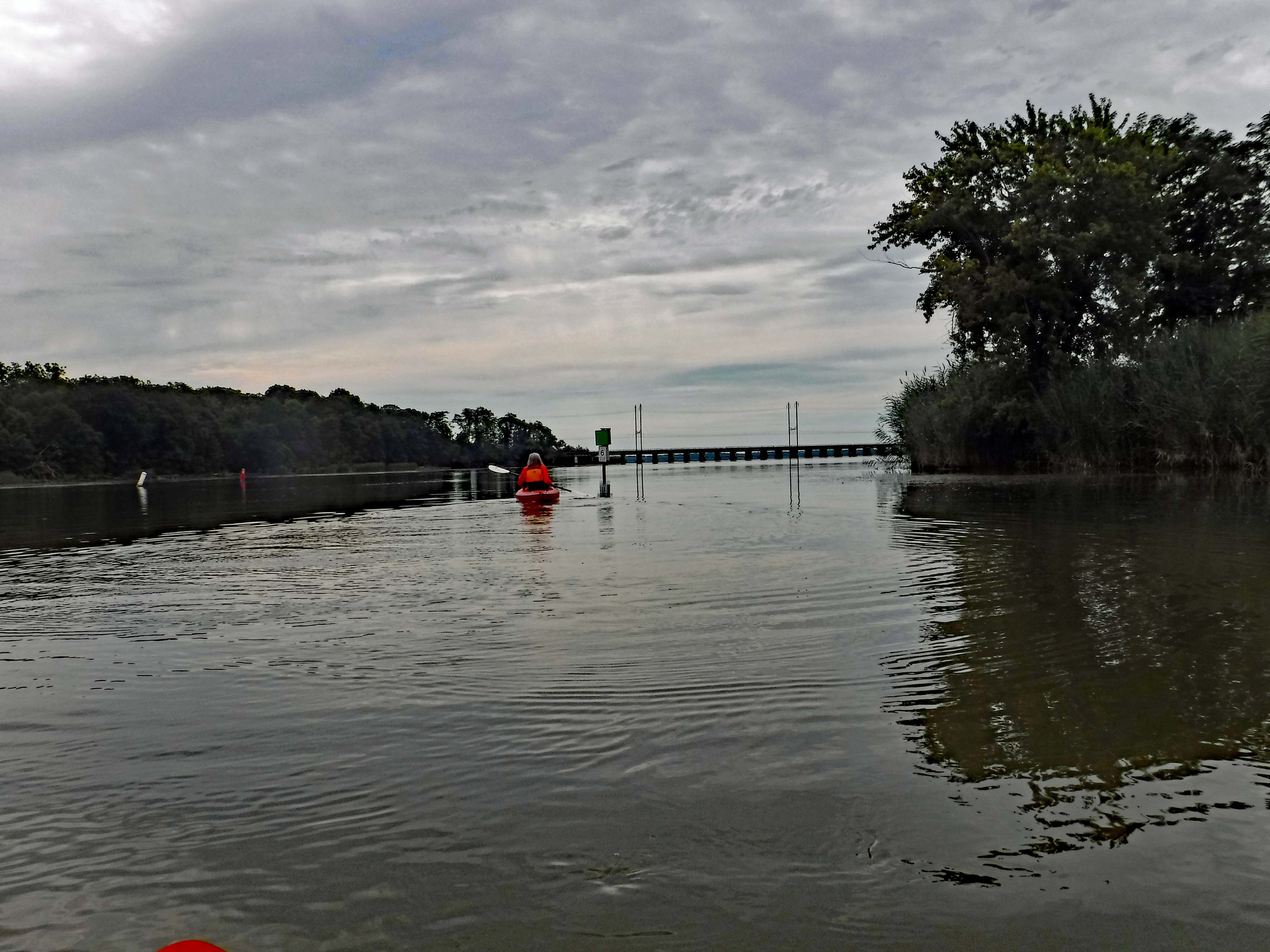
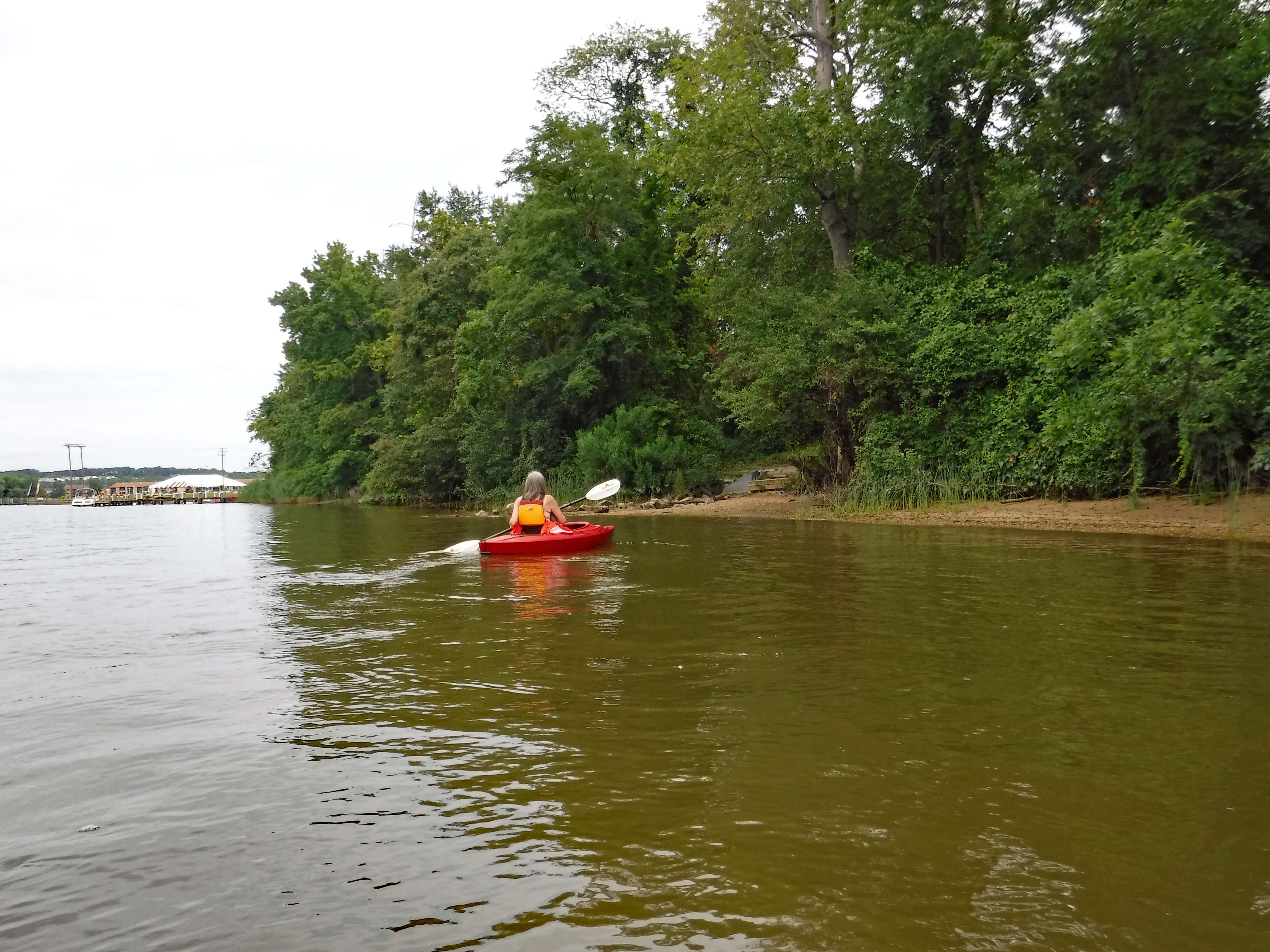
Heading back. It got a little crowded while we were away. Some Boy Scouts and others crabbing.
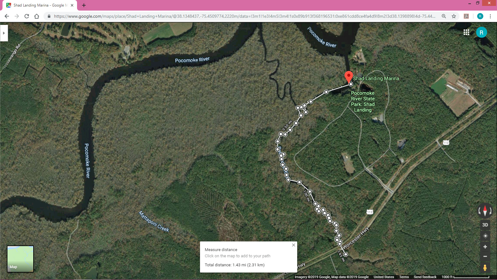
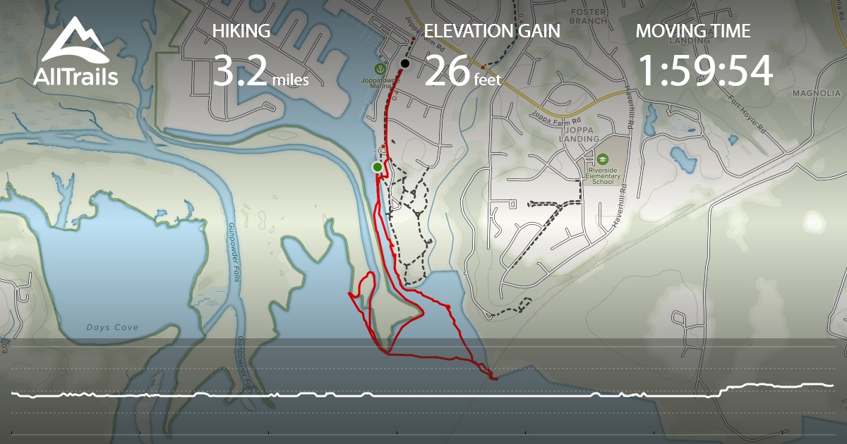
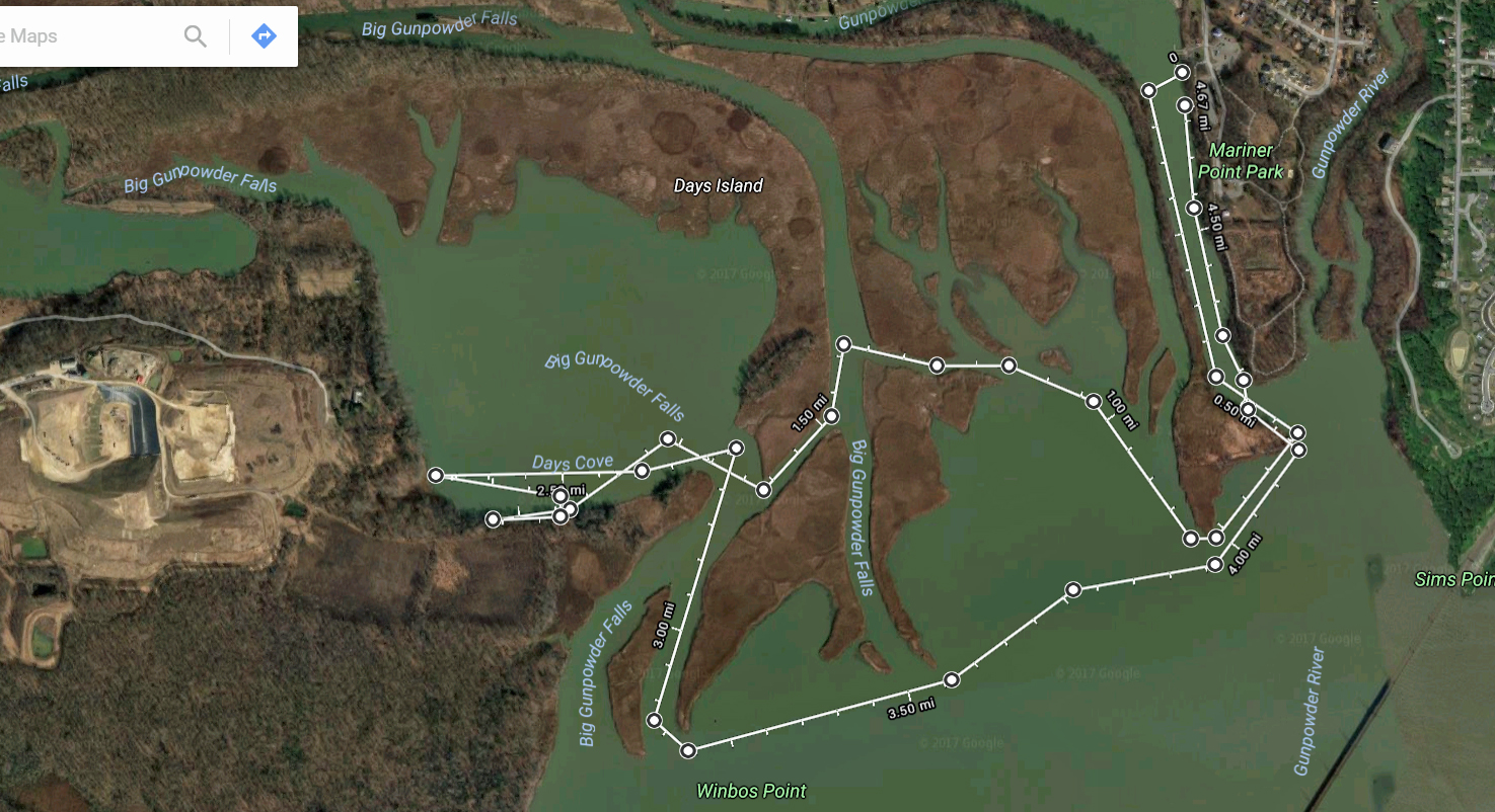
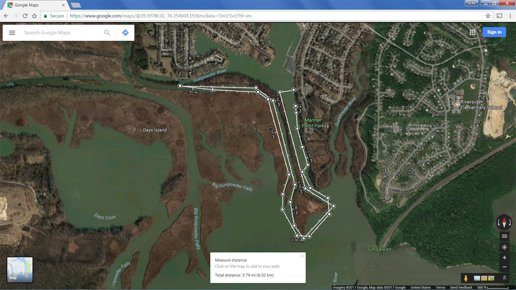
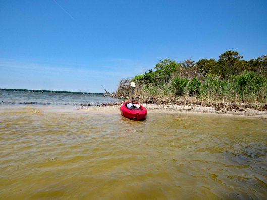
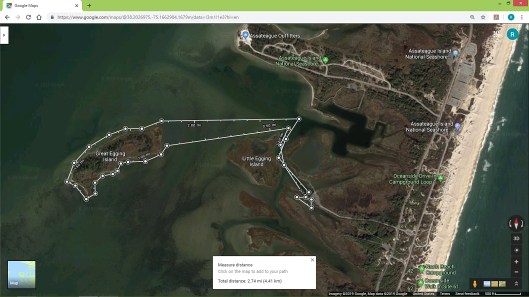
Here is our map. Under 3 miles but a good trip. Kathy thinks the inflatable kayak should only be used on still waters and not on open waters, which will be fine. There are a lot of rivers and streams around.
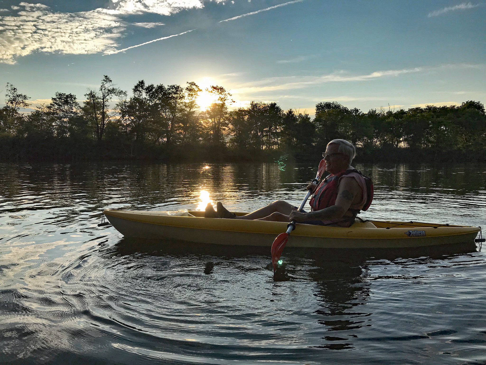
Another great adventure!