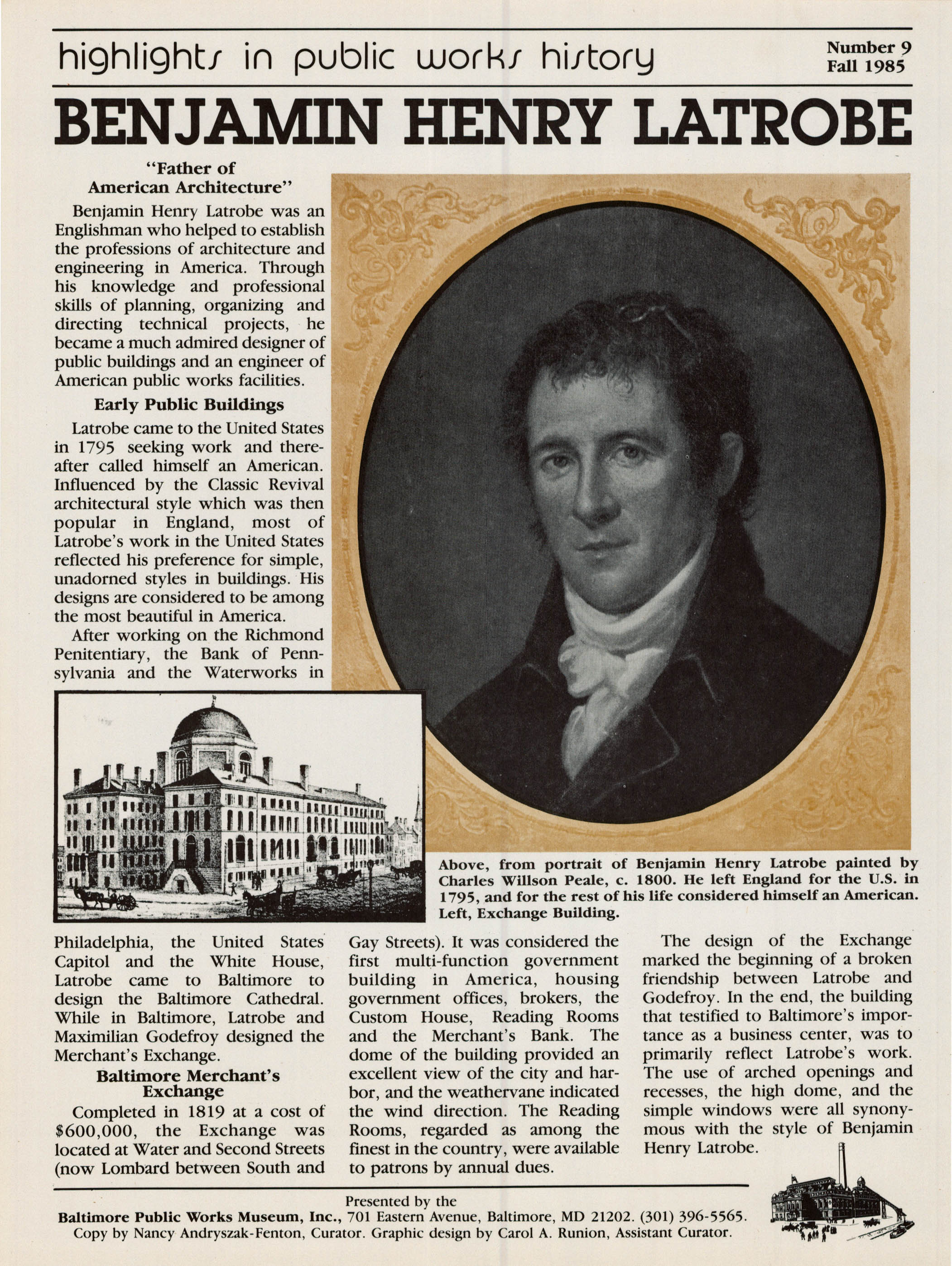
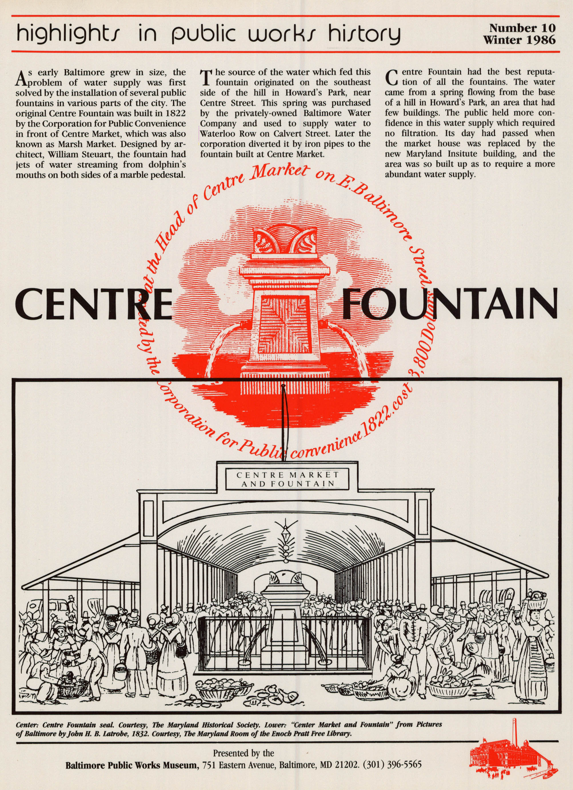
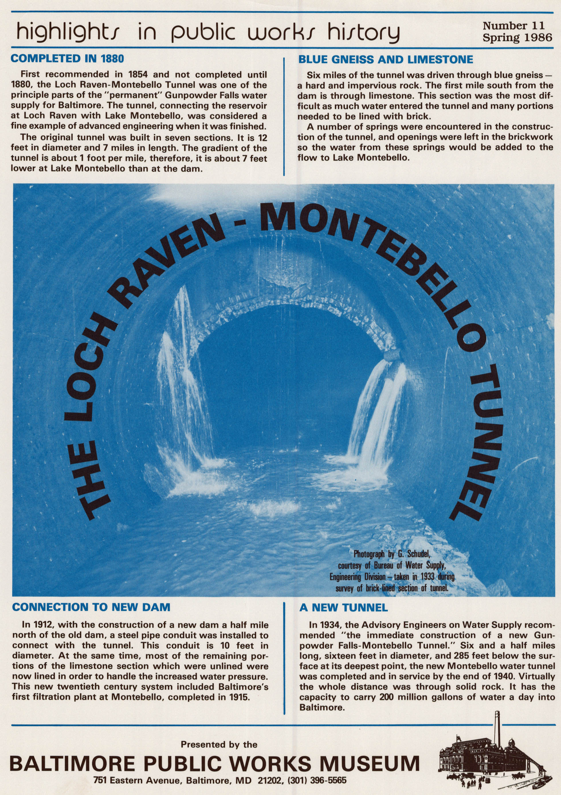
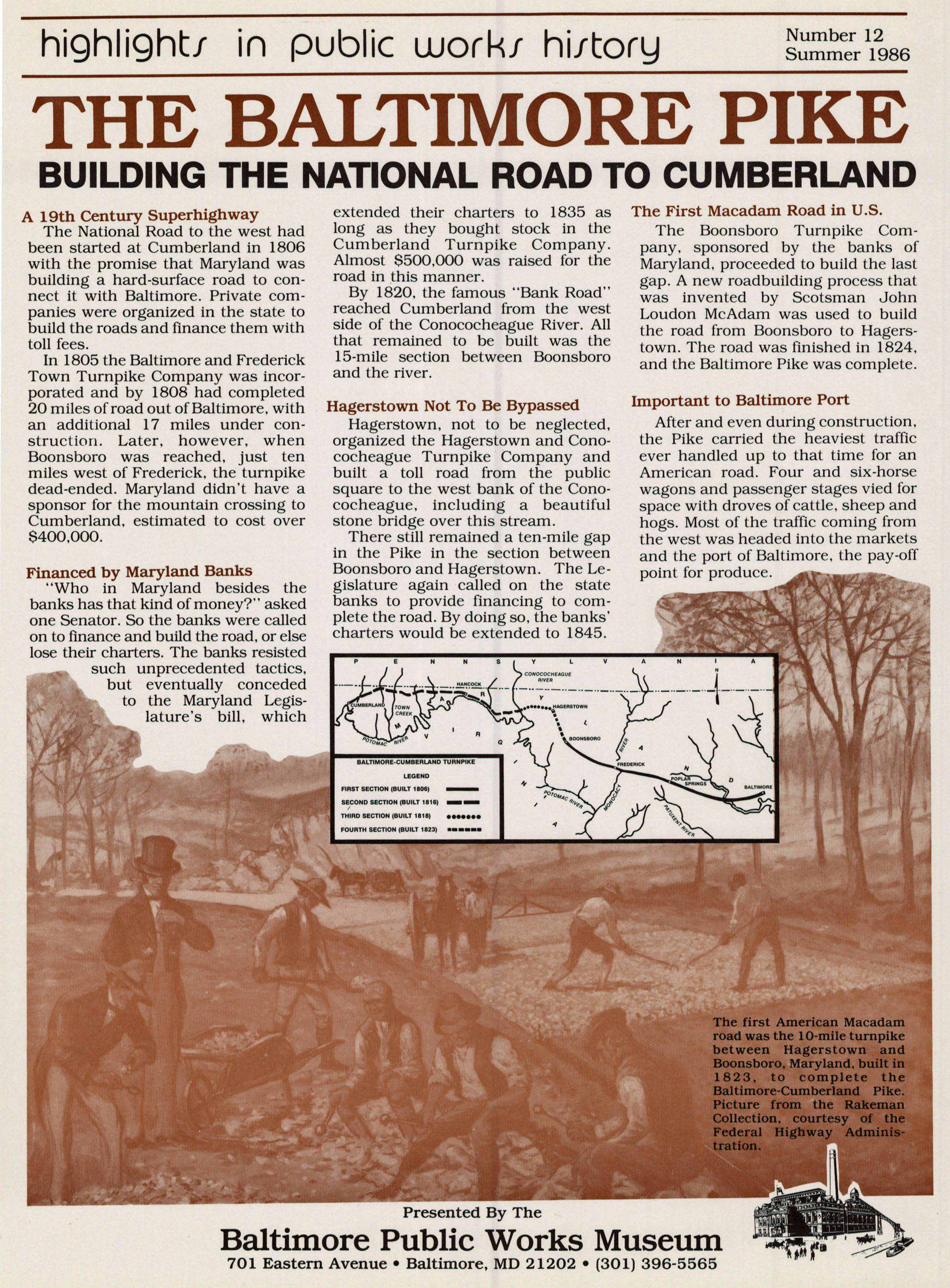
• About
  • History Writings

Water and Me

Water and Me

Author Archives: Ronald Parks

Dundee Kayaking

05 Thursday Jul 2018

Posted by Ronald Parks in kayaking, Recovery

≈ 2 Comments

Tags

Dundee, Eagles, GOD, Gunpowder Falls, heron, kayaking, nature, photography, Recovery

Up early on the 4th and headed out for our first kayak adventure of the year. A lot of busy-ness going on in Kathy and my life, so today was our first chance to get a little kayaking in. Being a holiday we thought it best to get out there early and glad we did.

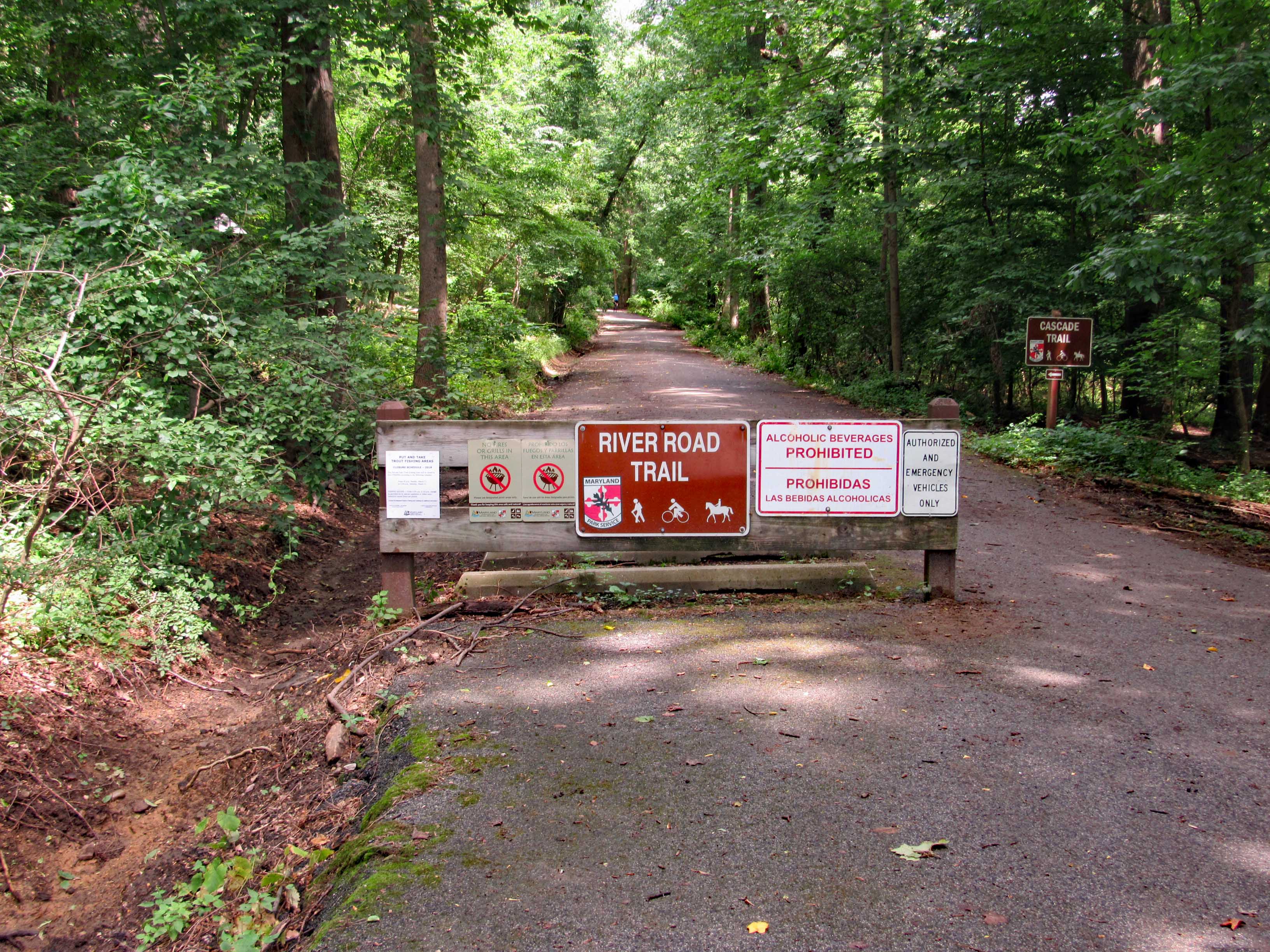
The sand landing at Dundee Marina is small but easy to get in and out of. Ultimate Water Sports use to be here but now it is Eastern Watersports. The people running it said it is the same prices and types of equipment. We have our own but I was just checking.

What a beautiful day. Glad I wore sunscreen because it was hot out there. Every once in a while we would catch a nice breeze. The water was calm.

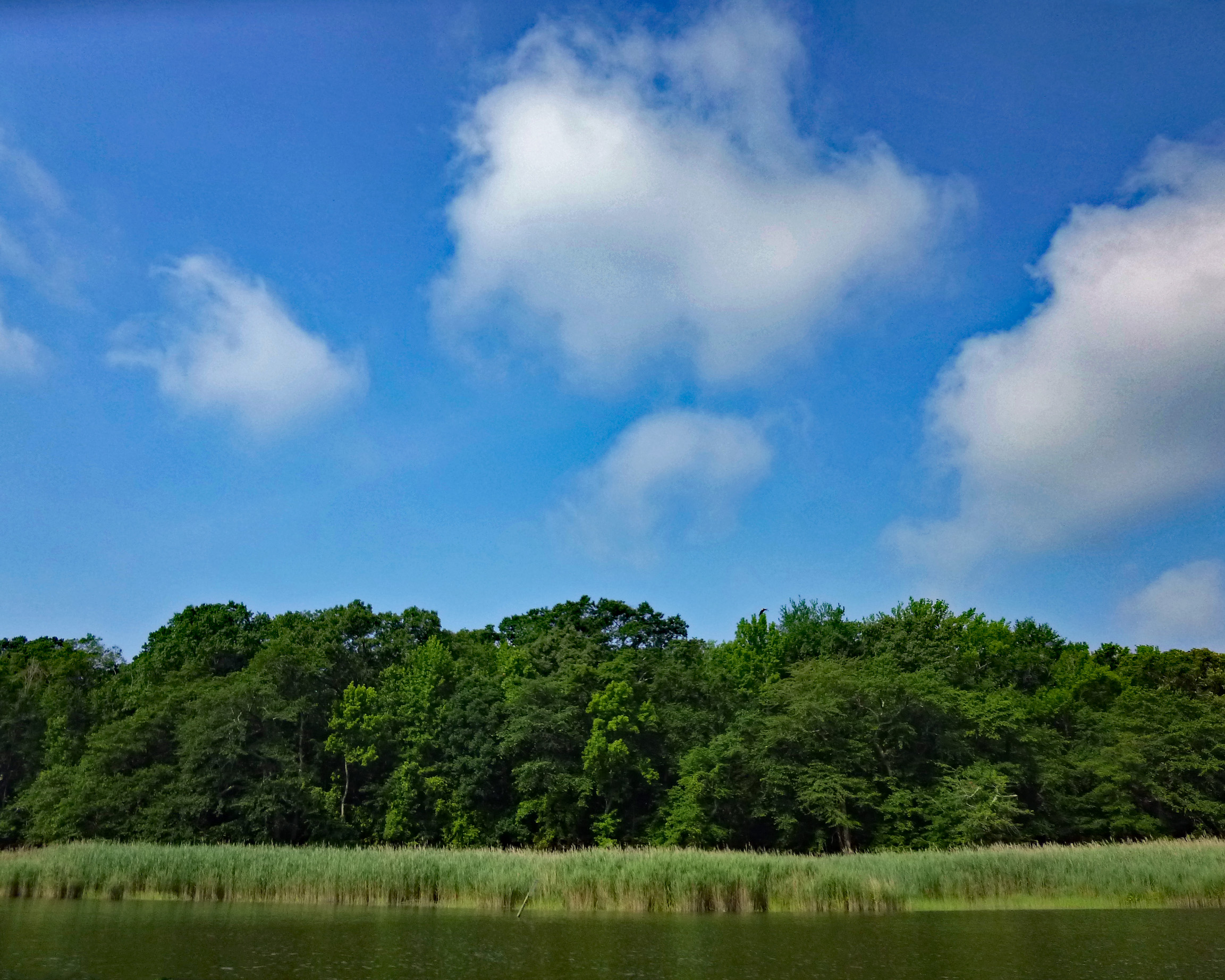
Quite a bit of wildlife here today. Glad Kathy is with me, to remind me of my past and to be grateful of my present – “From Heroin to Heron!” Yes indeedy! Although I had to laugh. Years ago in my active days down the Lombard Street Projects, I kept hearing the guys saying ‘Hair-ron’! At first I thought they were saying ‘Hey Ron’ How the hell did they know my name and that I was down there trying to cop??!! 

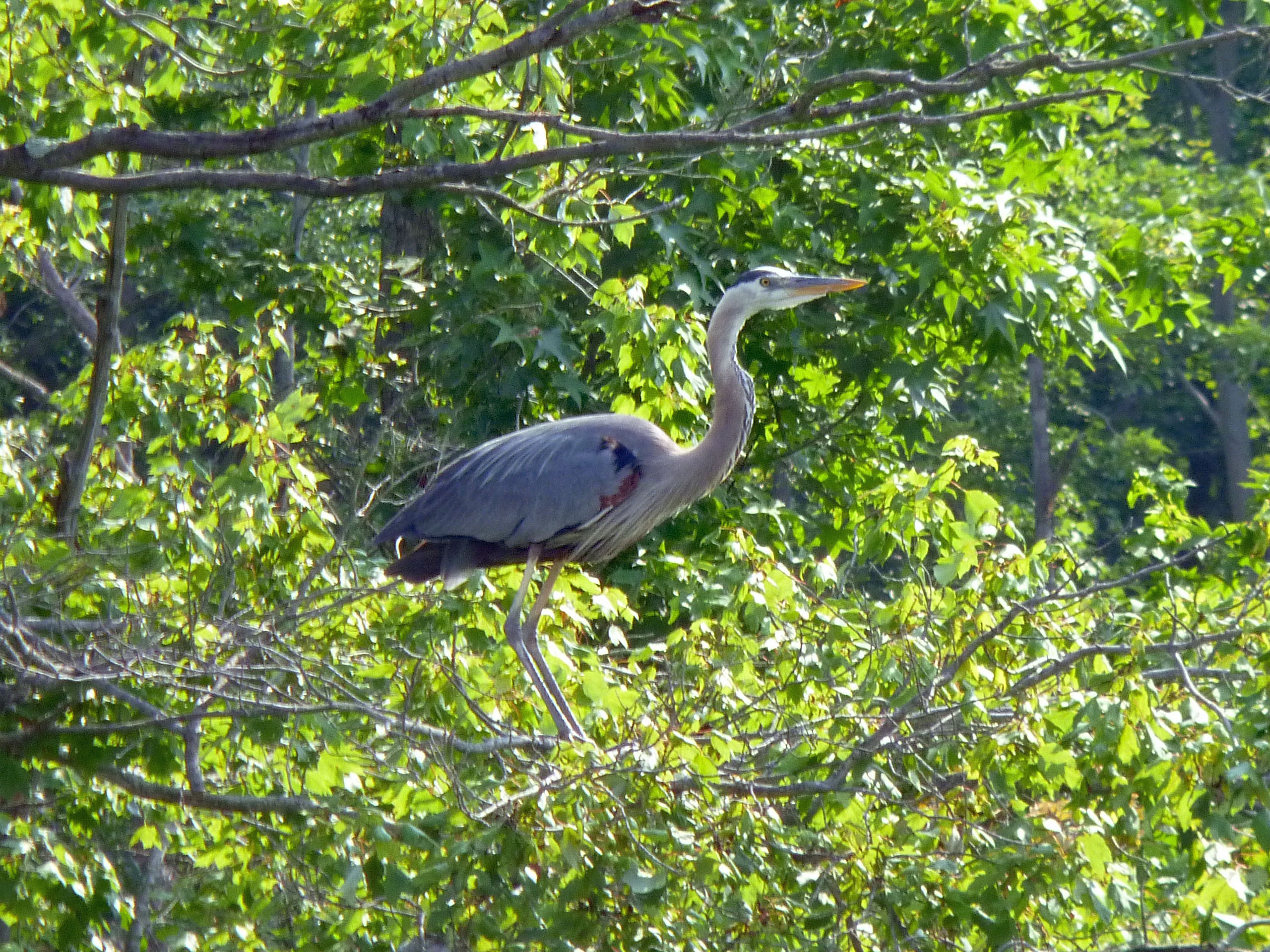
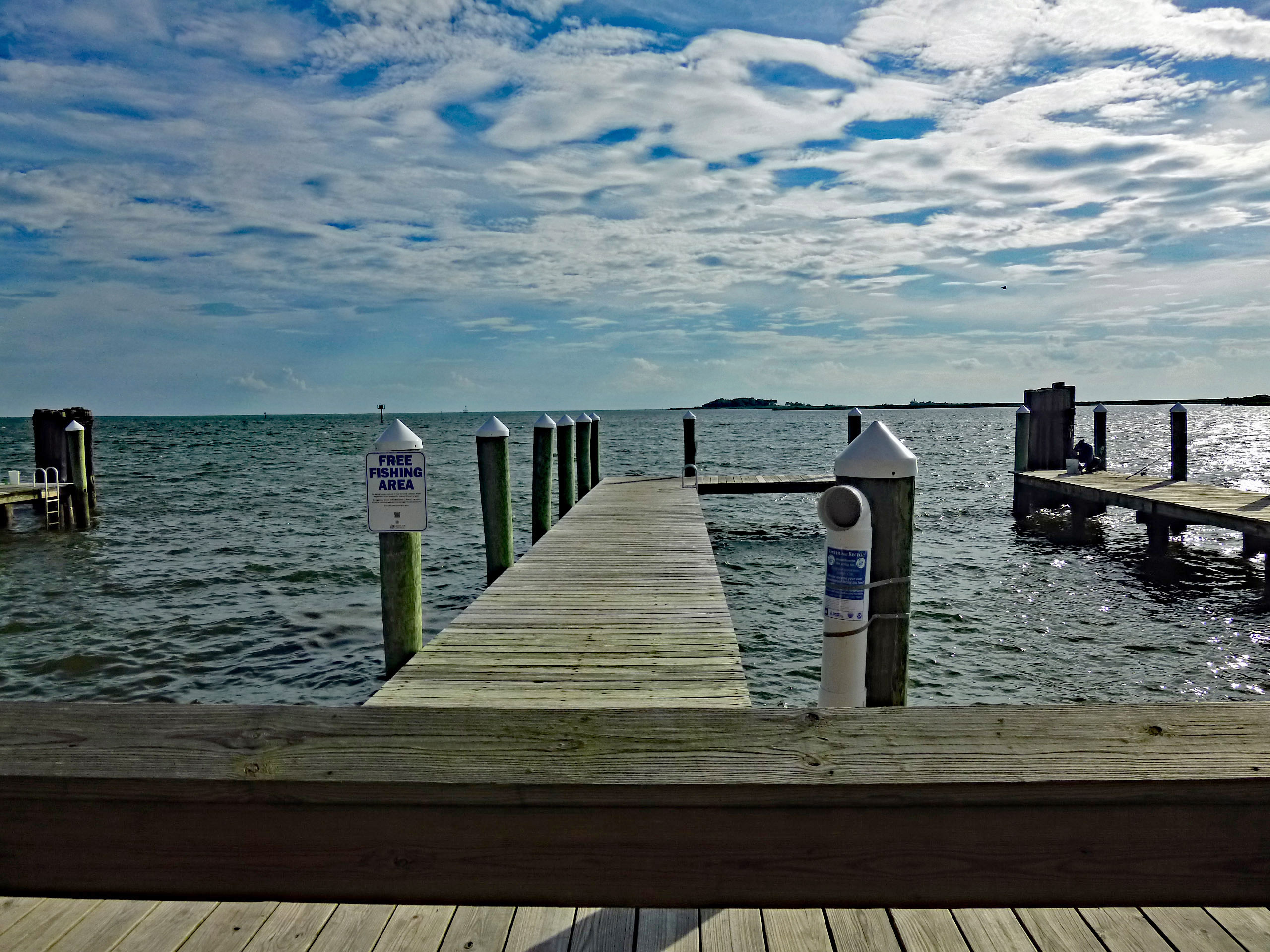
This little pier marks the entrance to a little cove. I think Kathy and I are the only ones that know about it. Never see anyone else in there.

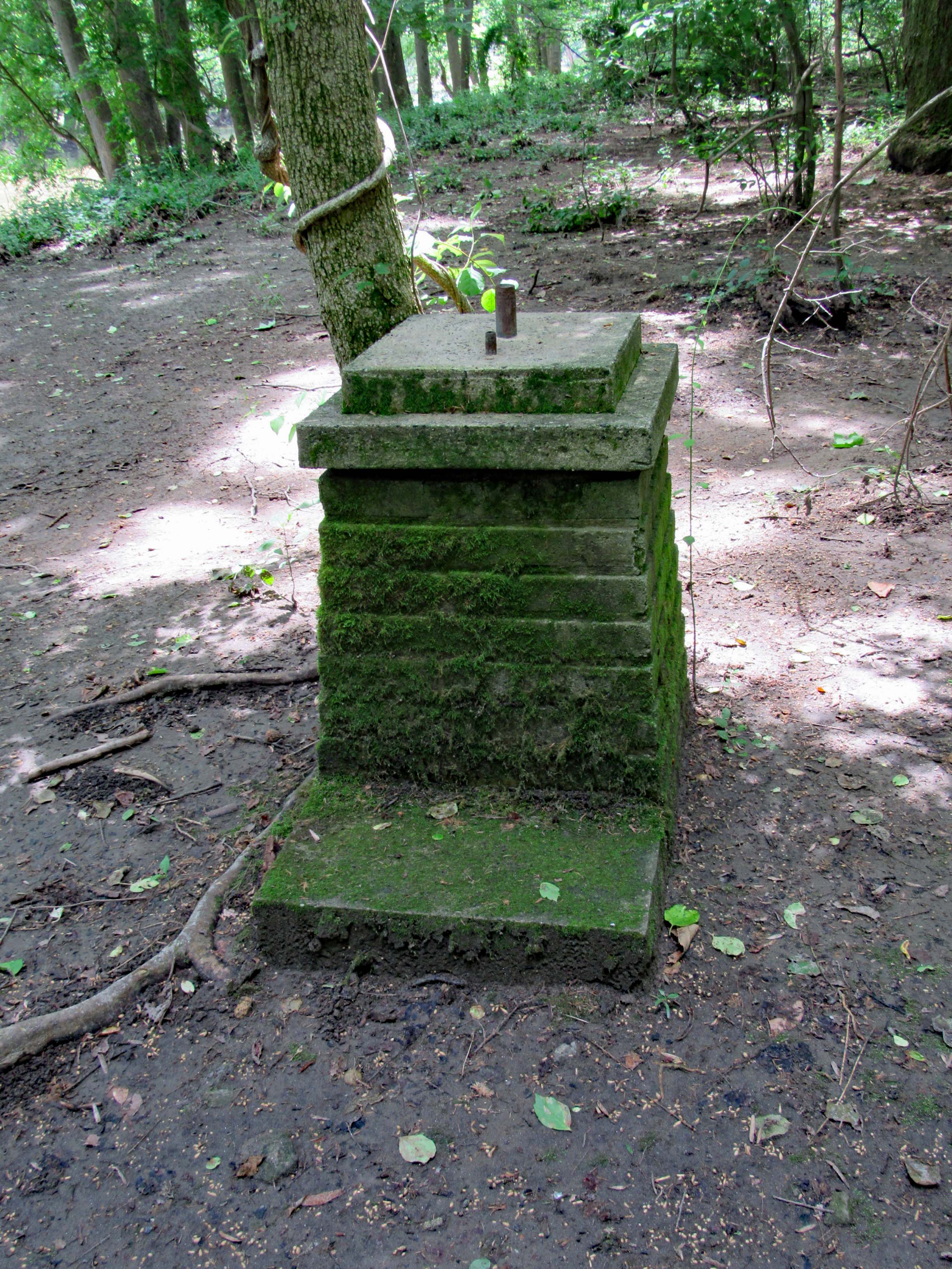
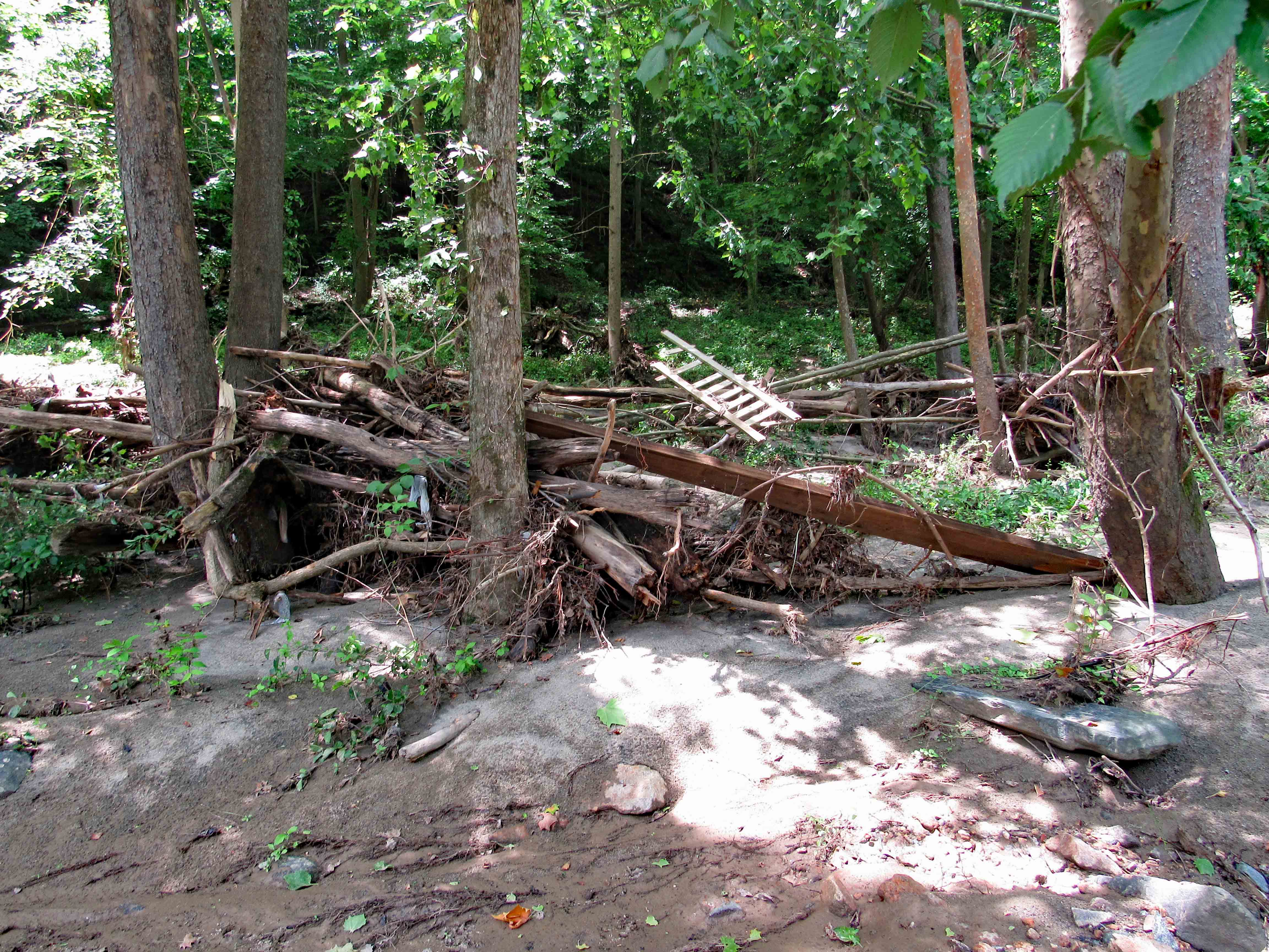
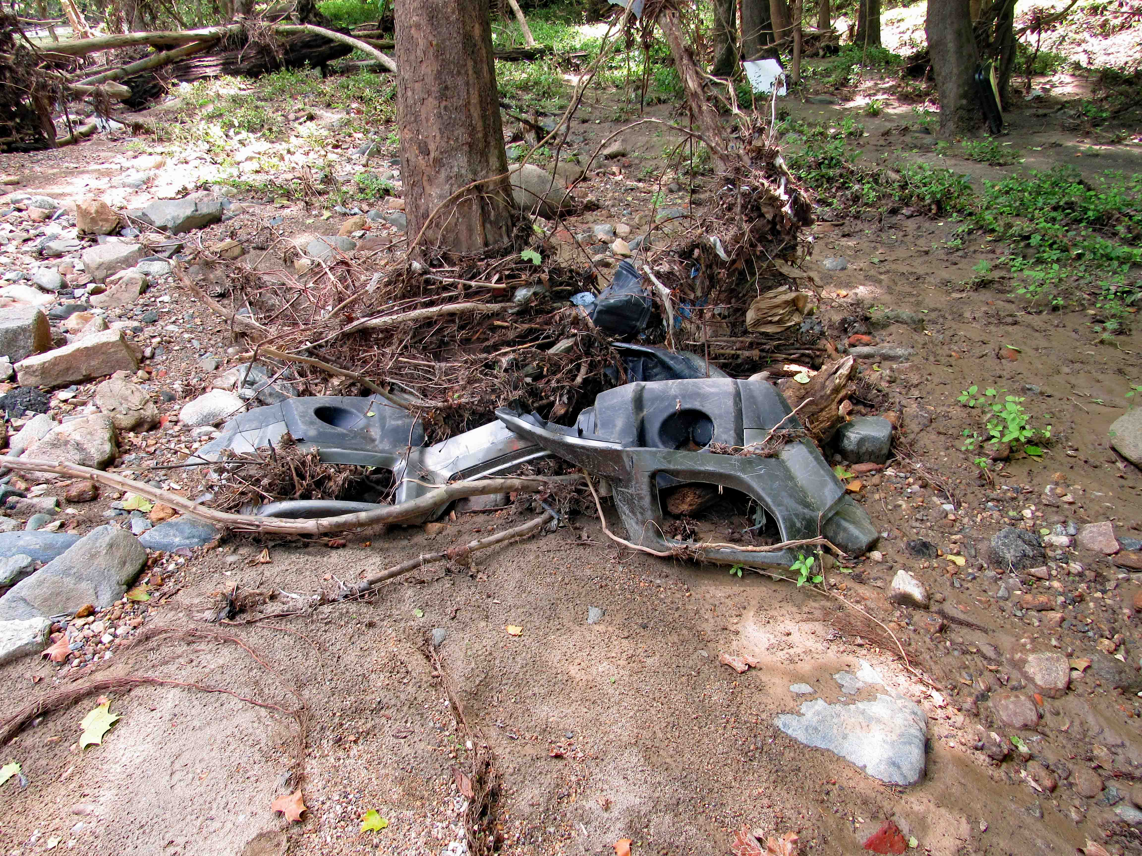
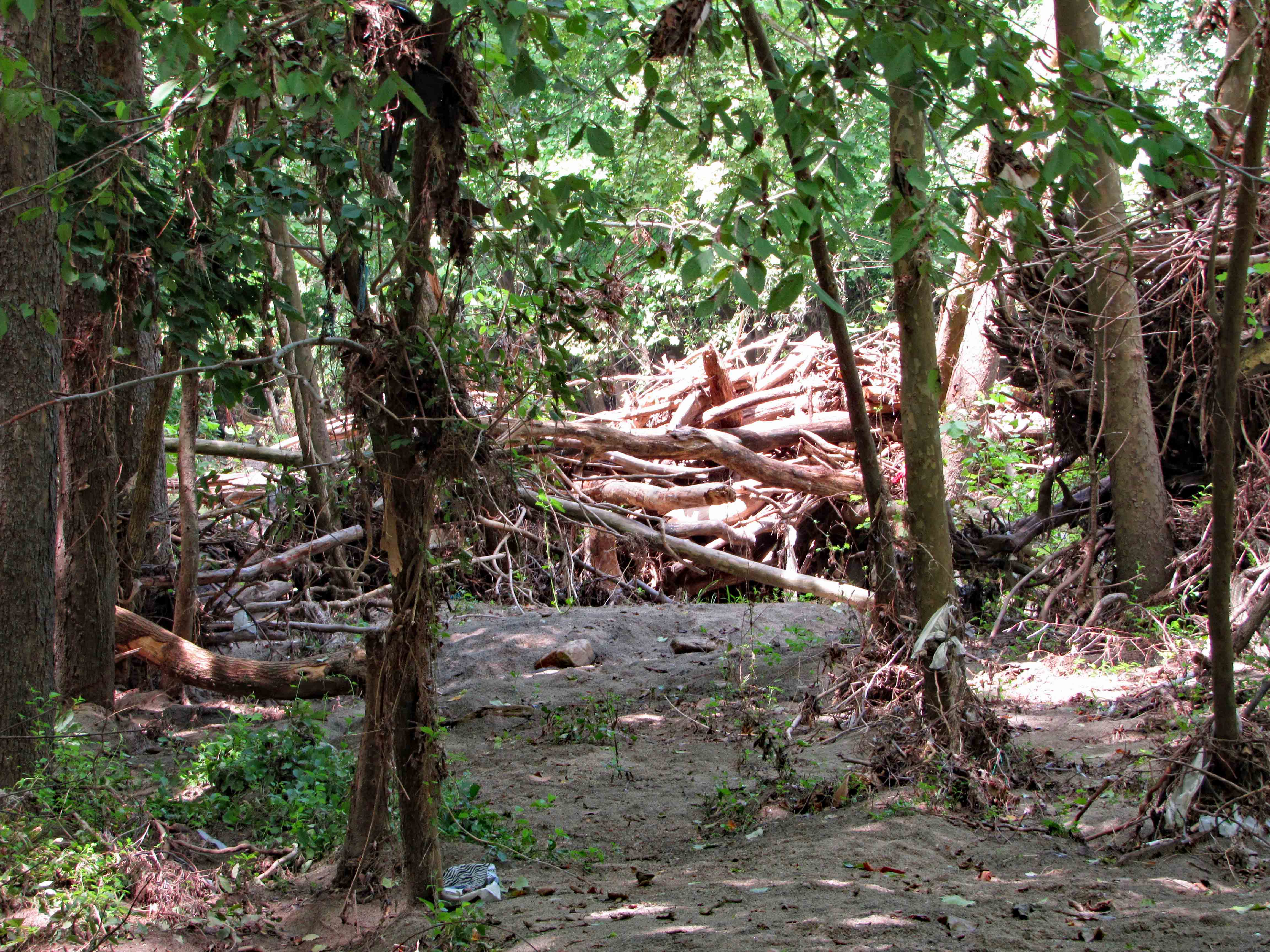
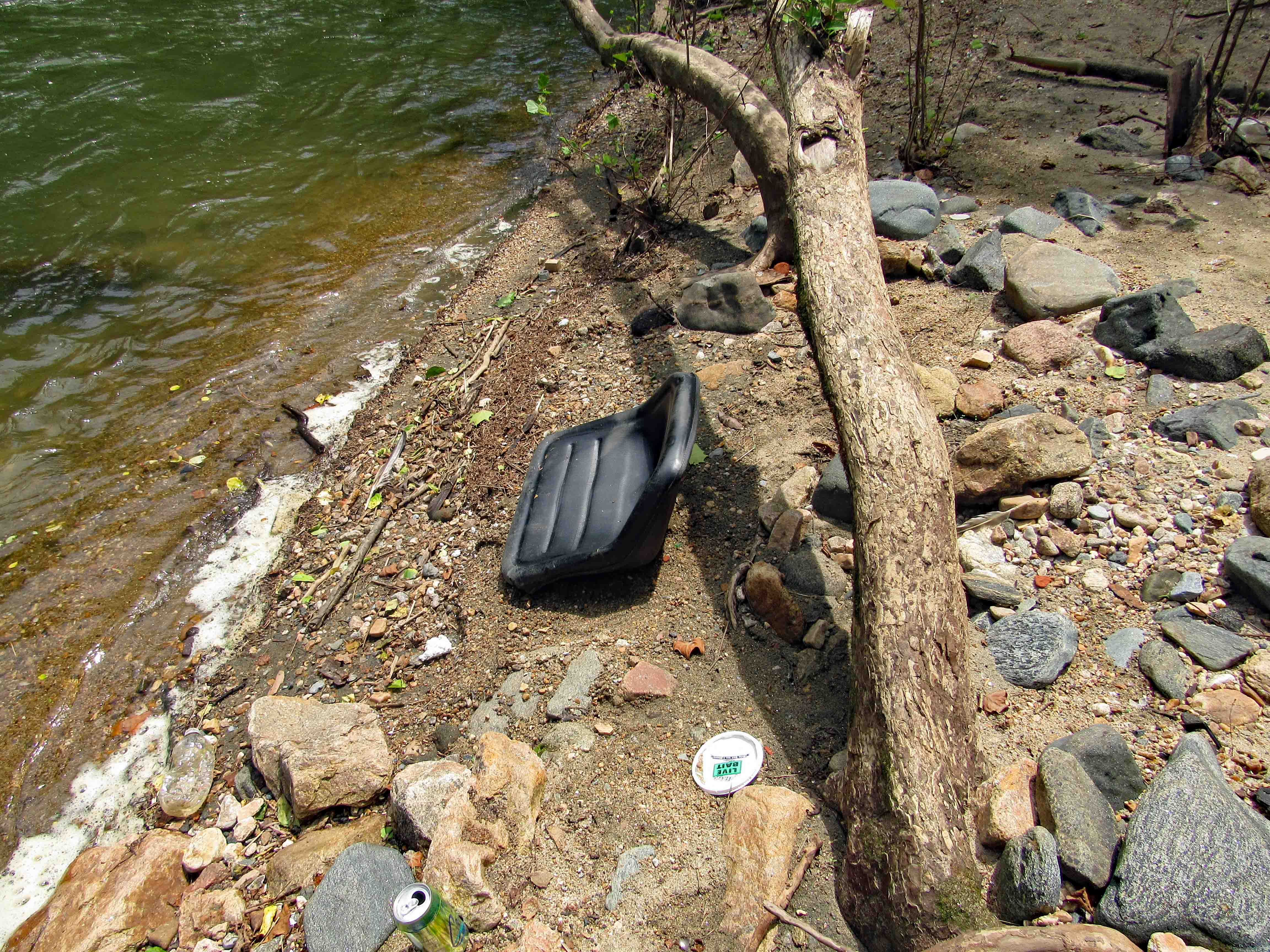
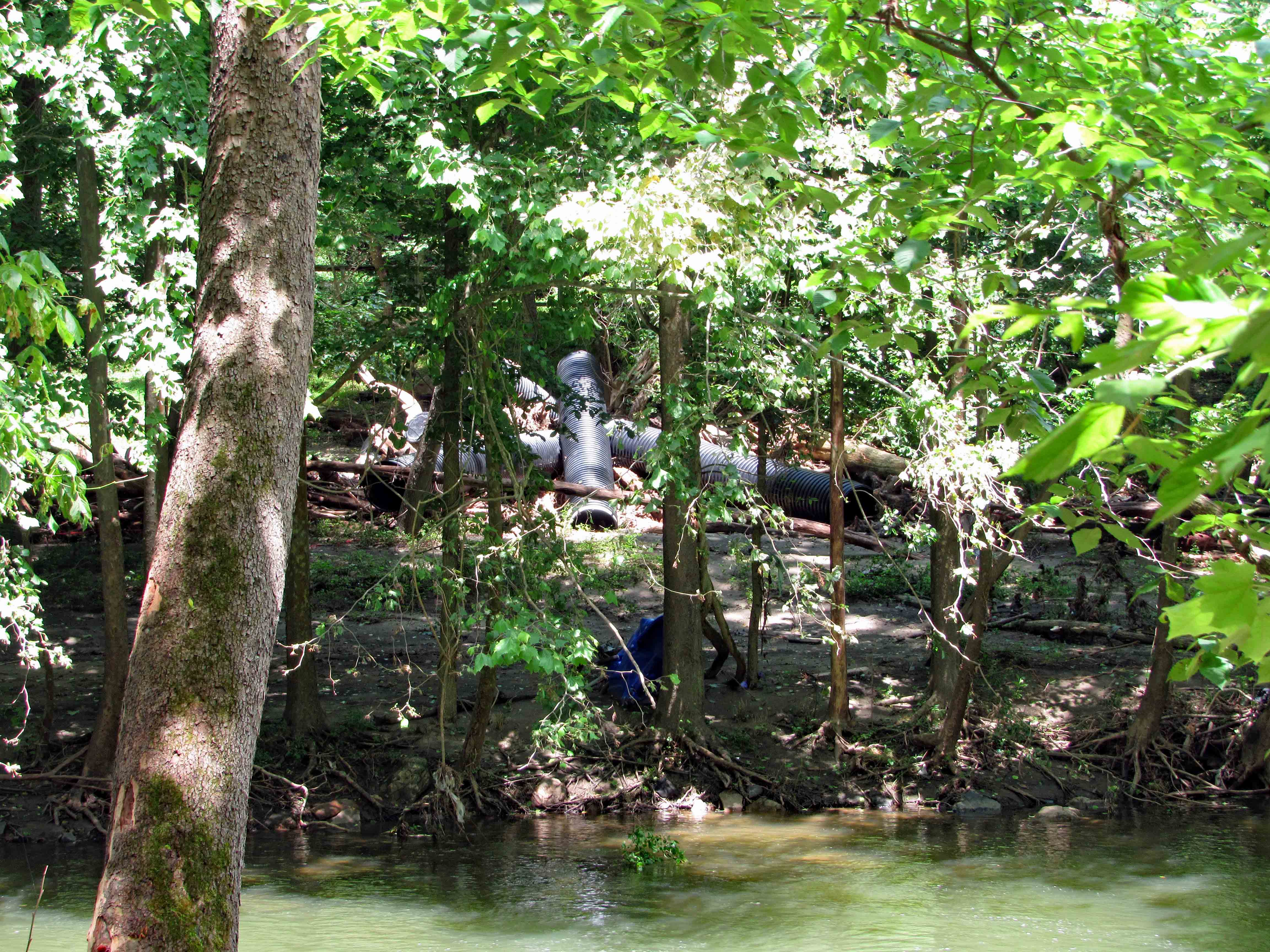
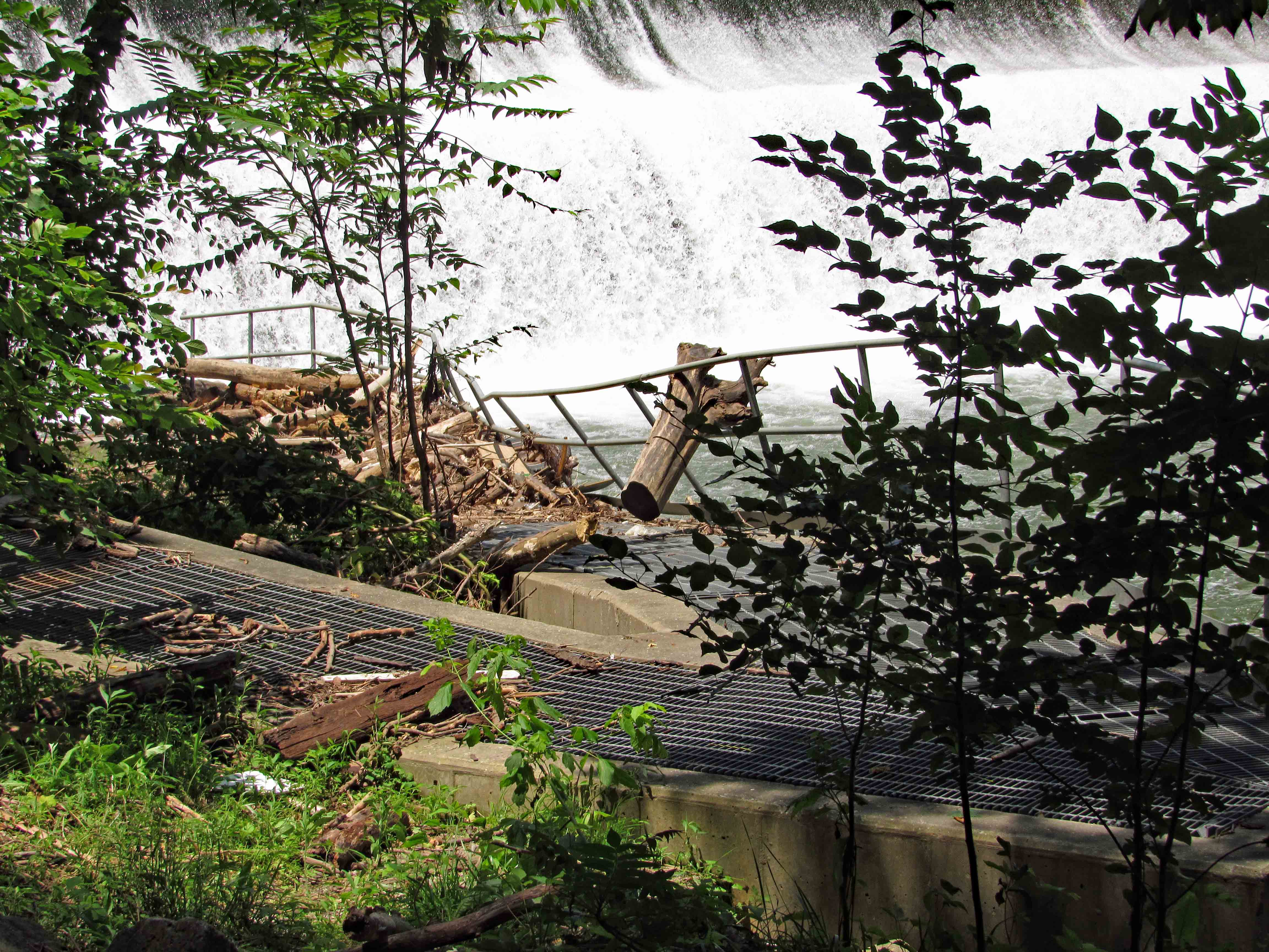
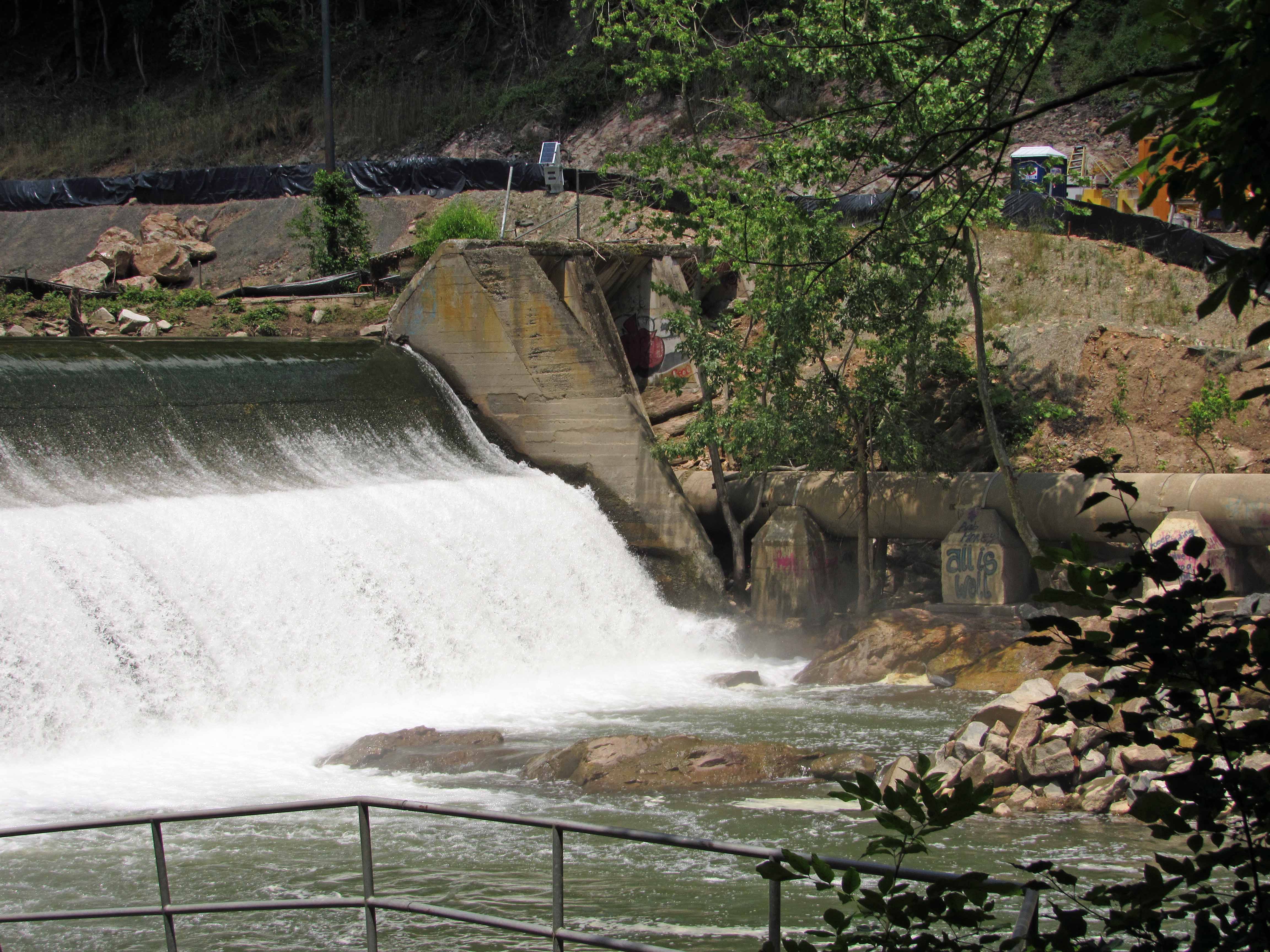
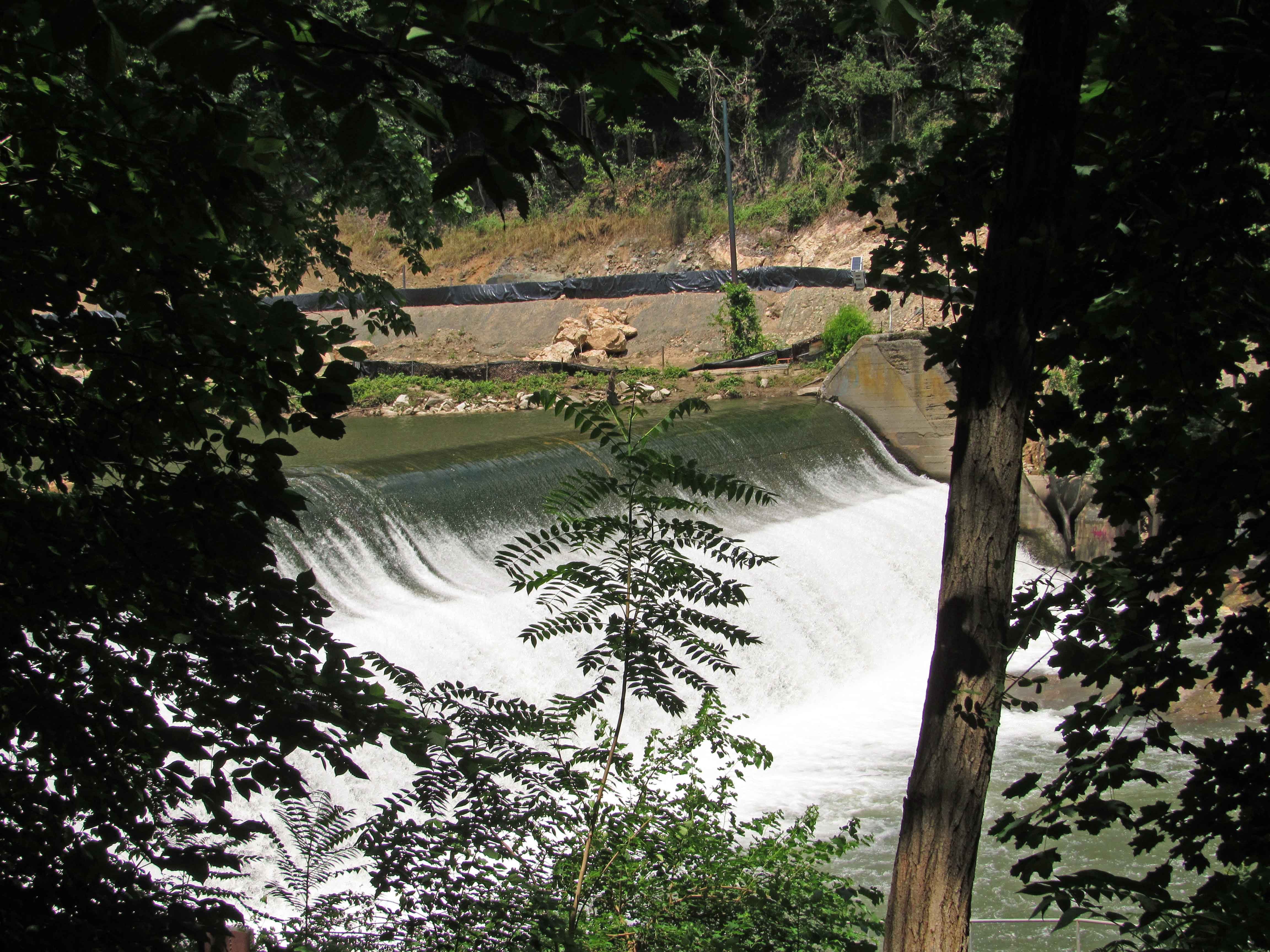
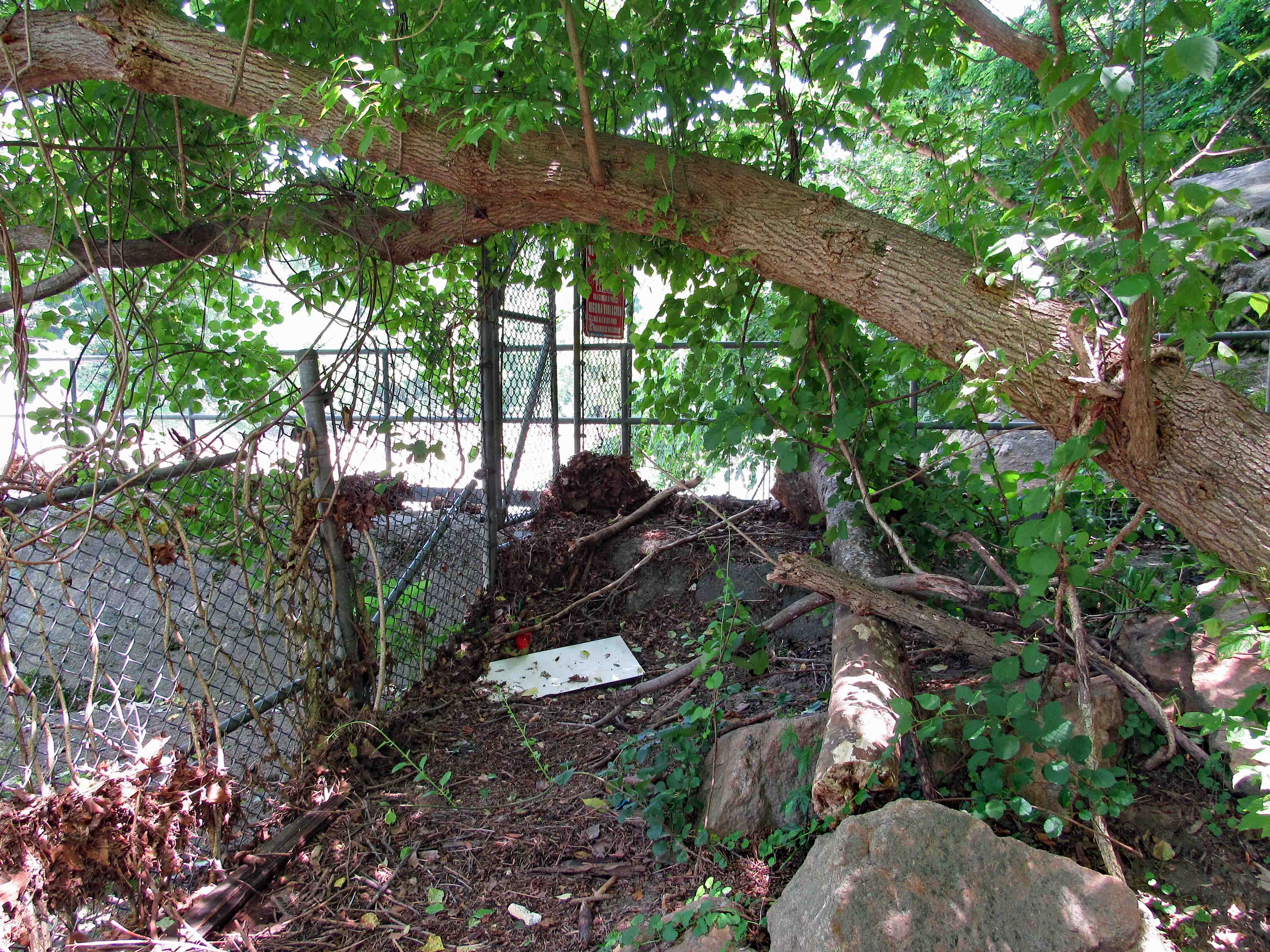
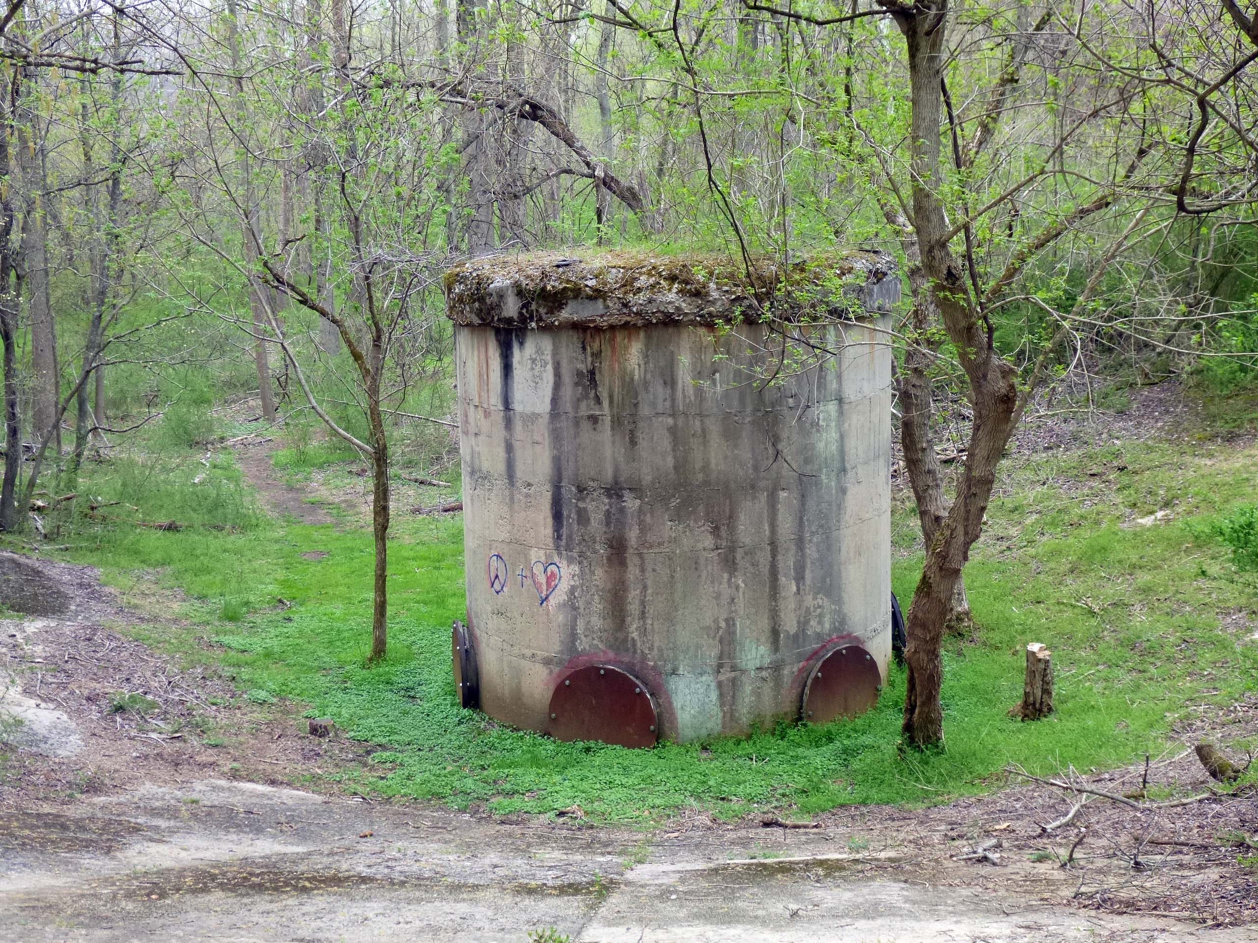
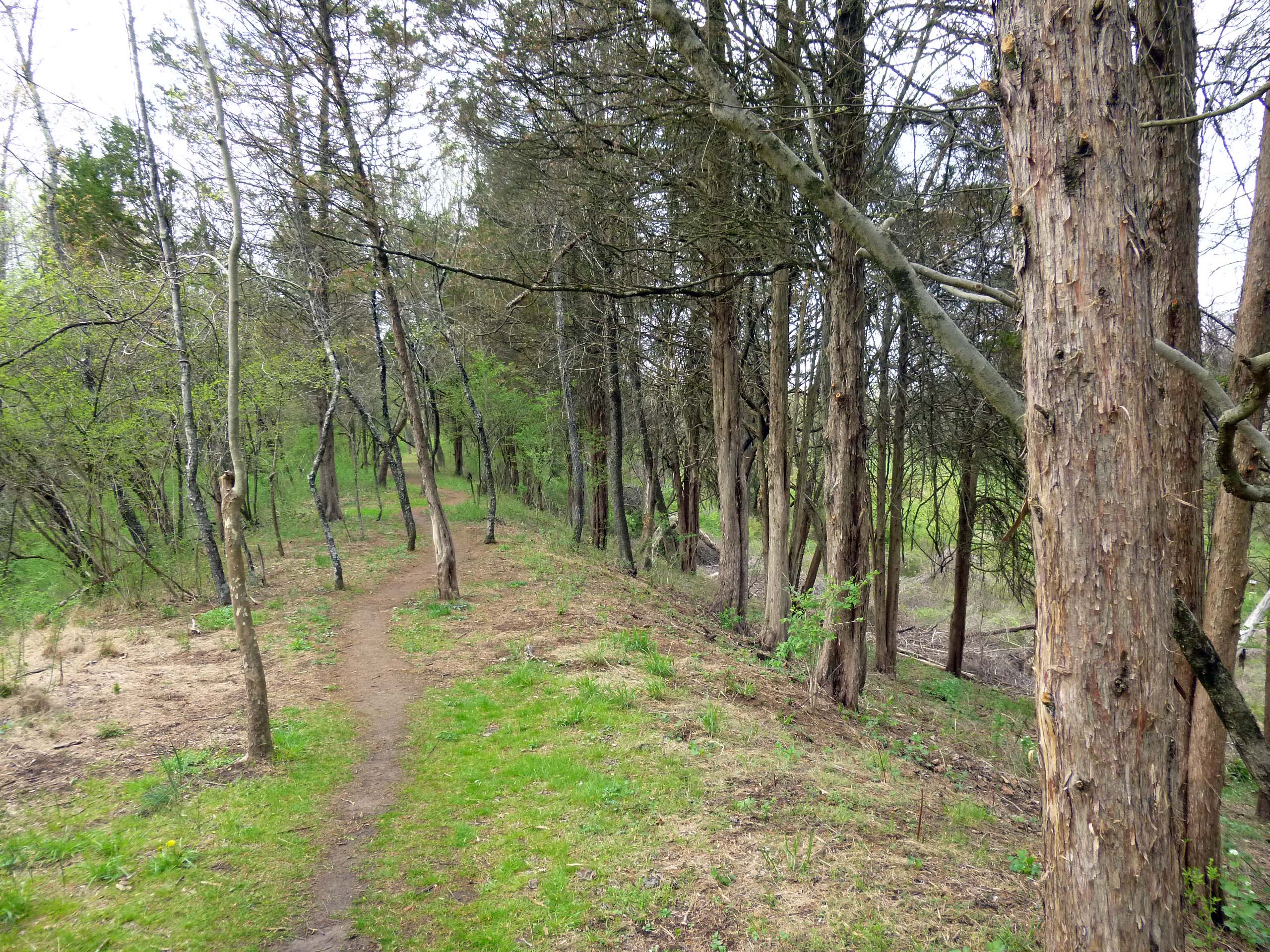
It seems that recent storms have knocked over some trees, but that usually doesn’t stop us.

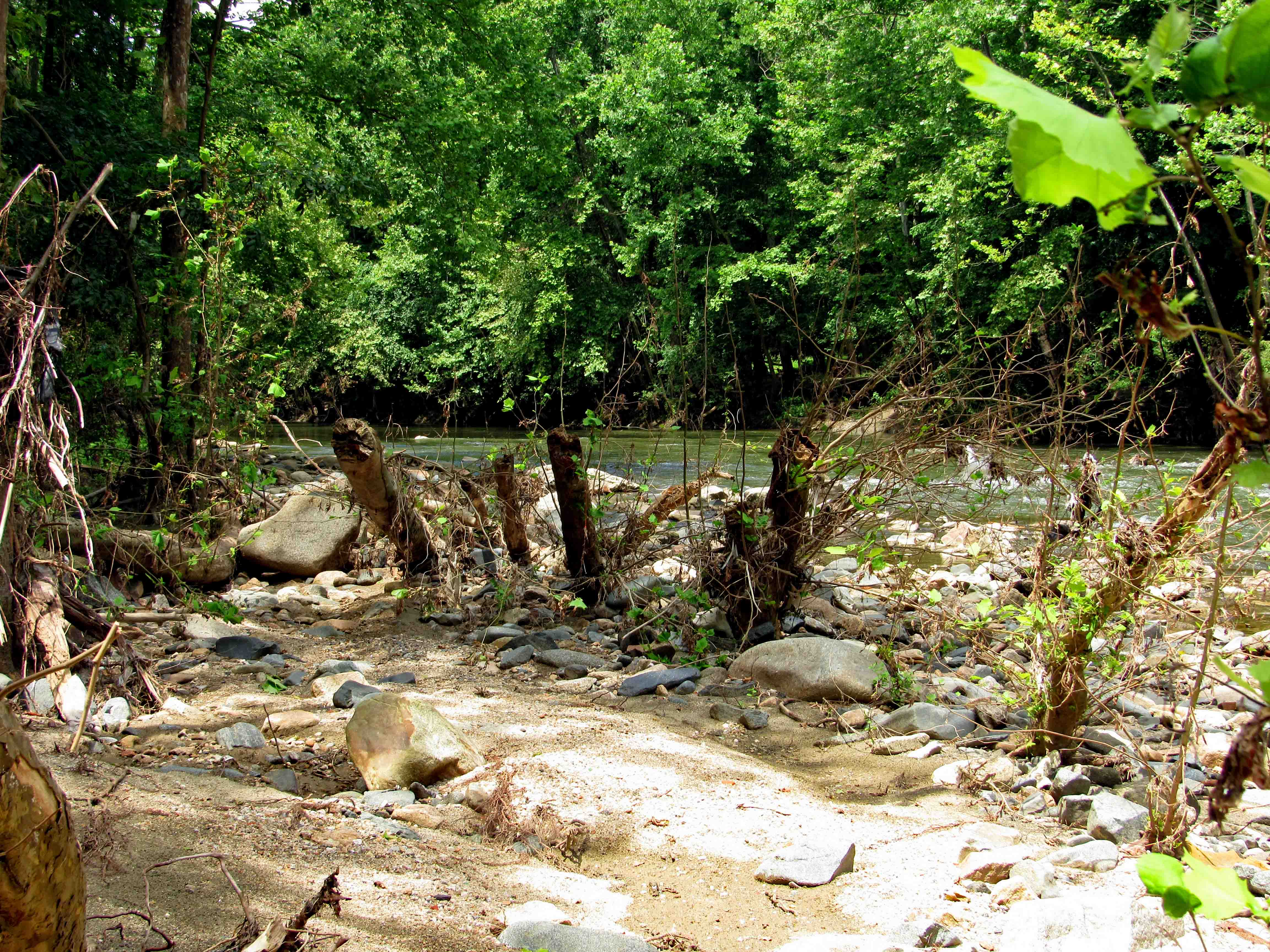
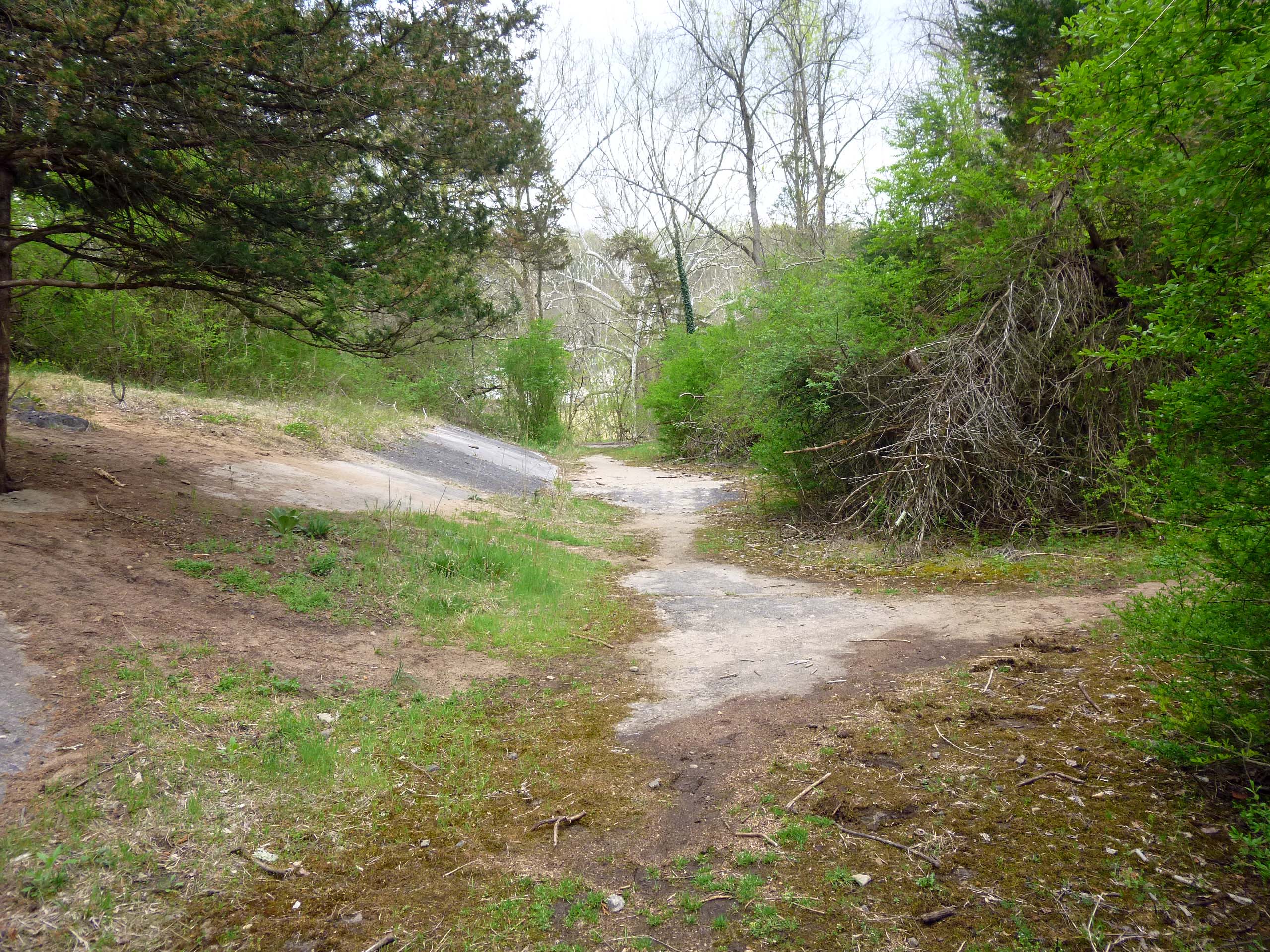
Nice little kayaking path.

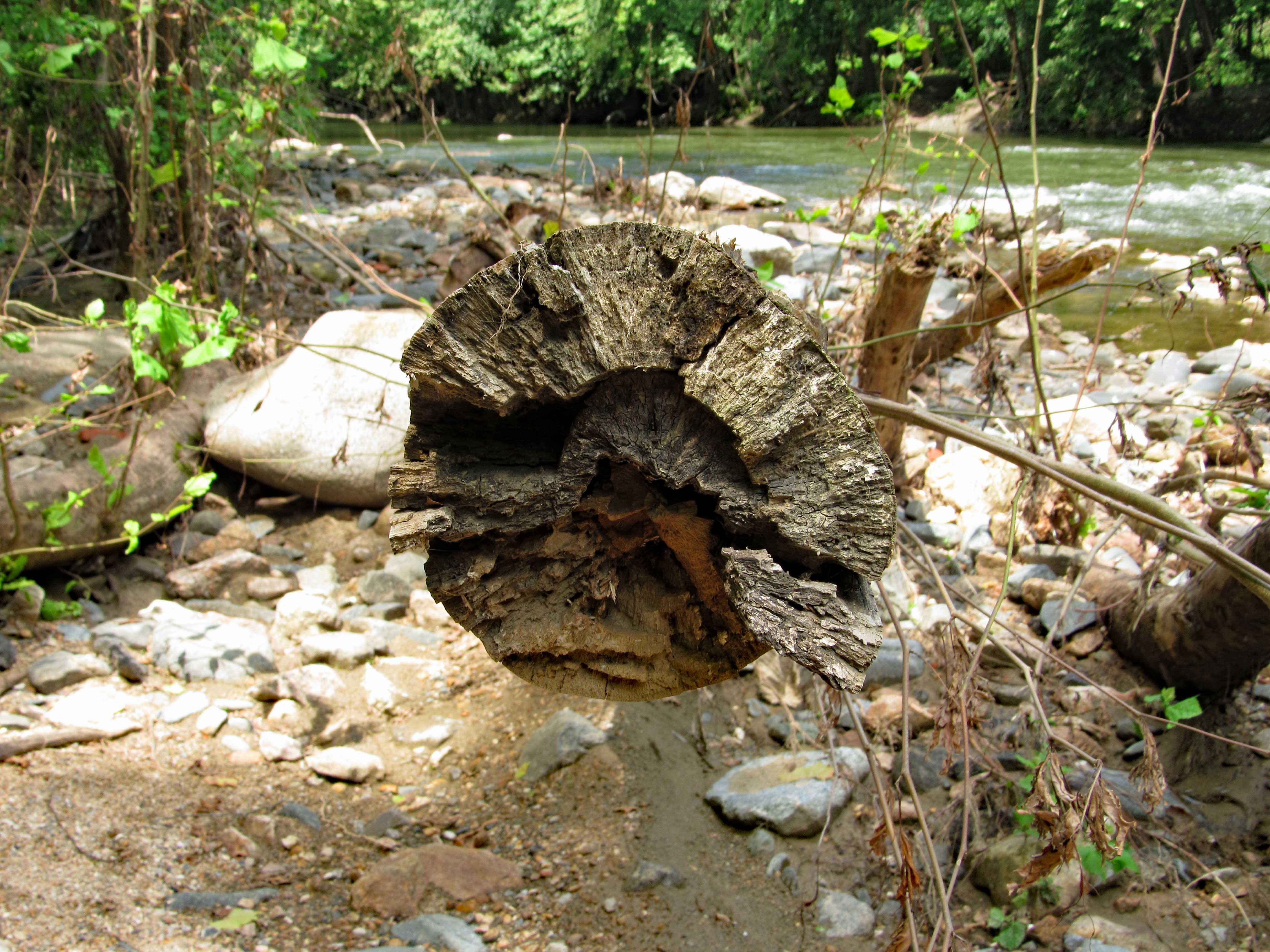
And this is what surrounds you once inside. So peaceful and quiet.

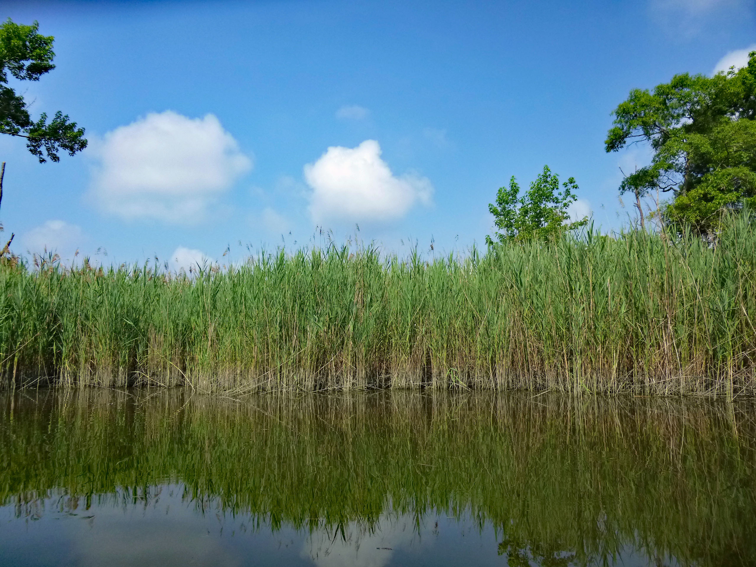
I picked up this hitch-hiker in our little cove. Kathy came over and got him, to place him on a reed – hoping he will turn into a beautiful butterfly. Damn, looked like fish food to me! Our kayaks are getting a little beat up over the years, as we look for little waterways to explore.

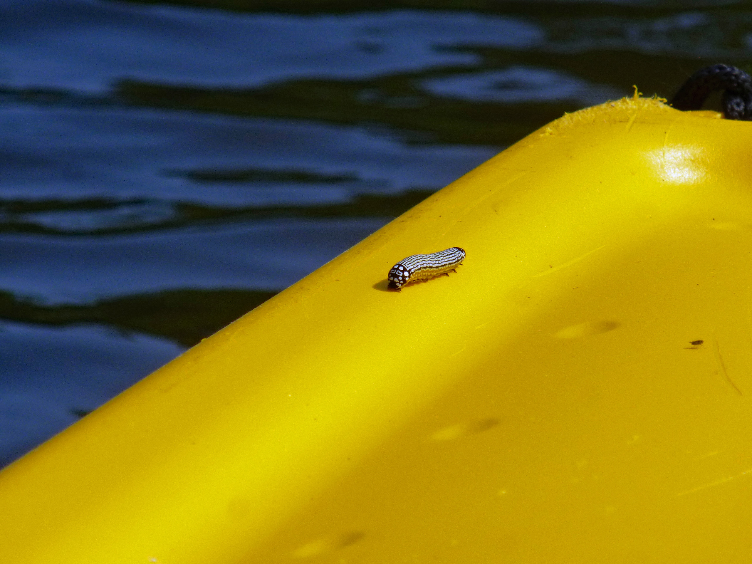
Me, chasing that heron.

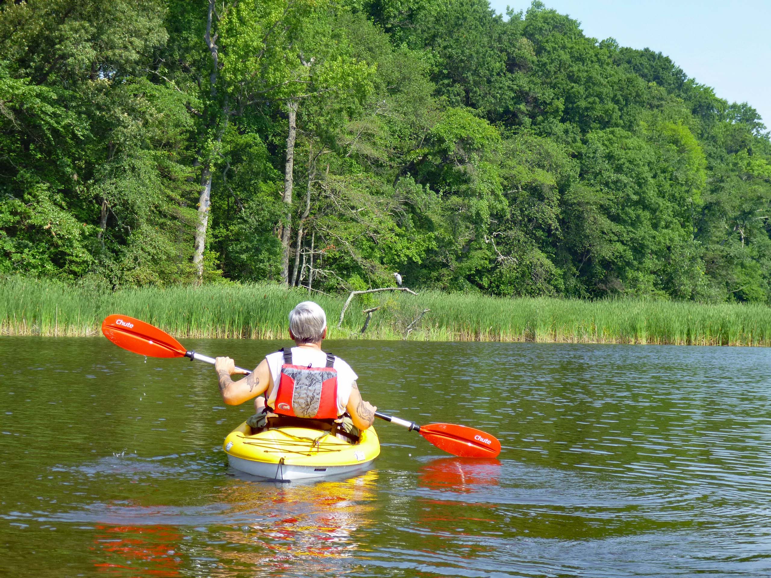
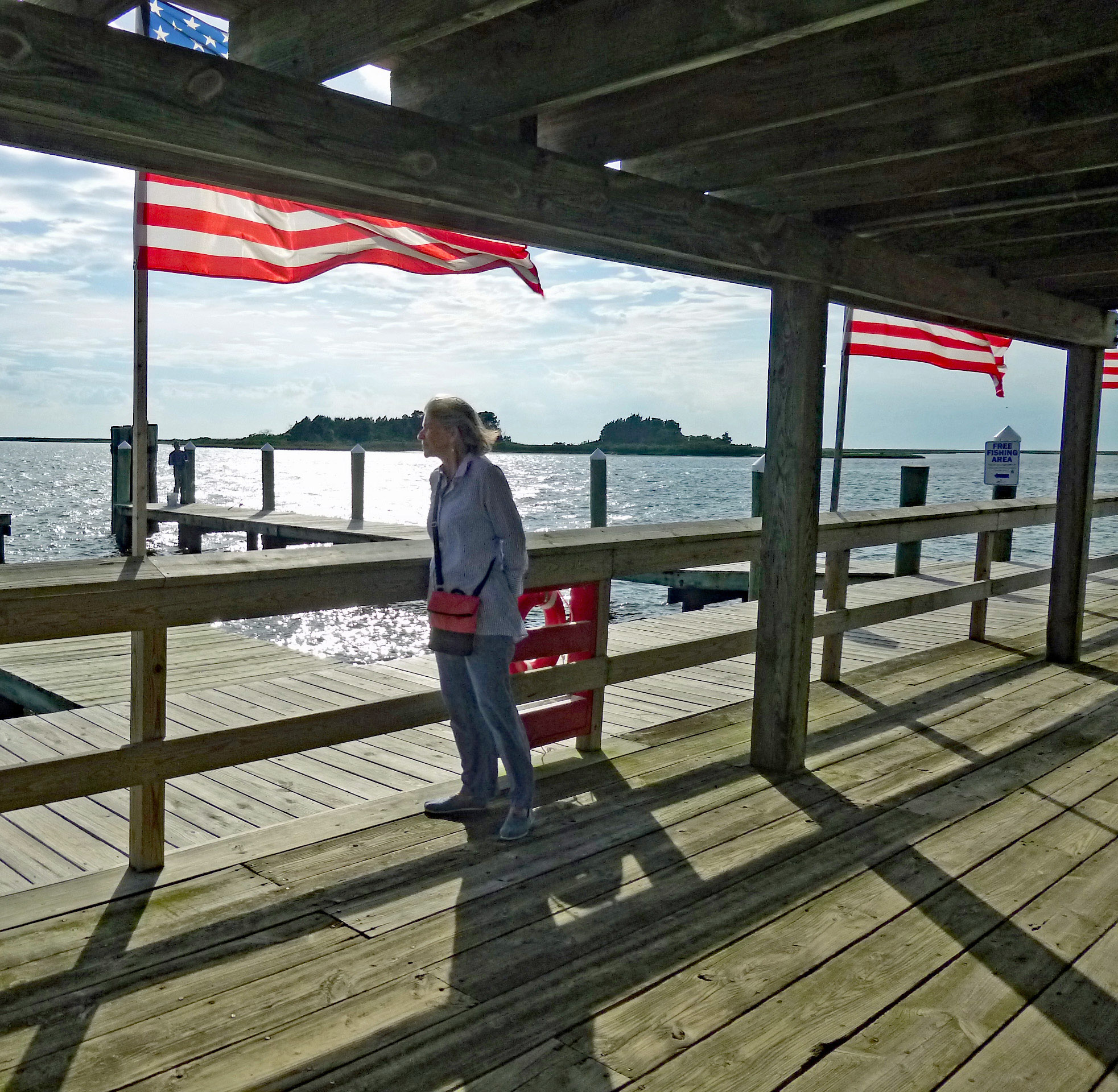
Up to the left of the heron was Mr. America himself. Happy Birthday America!

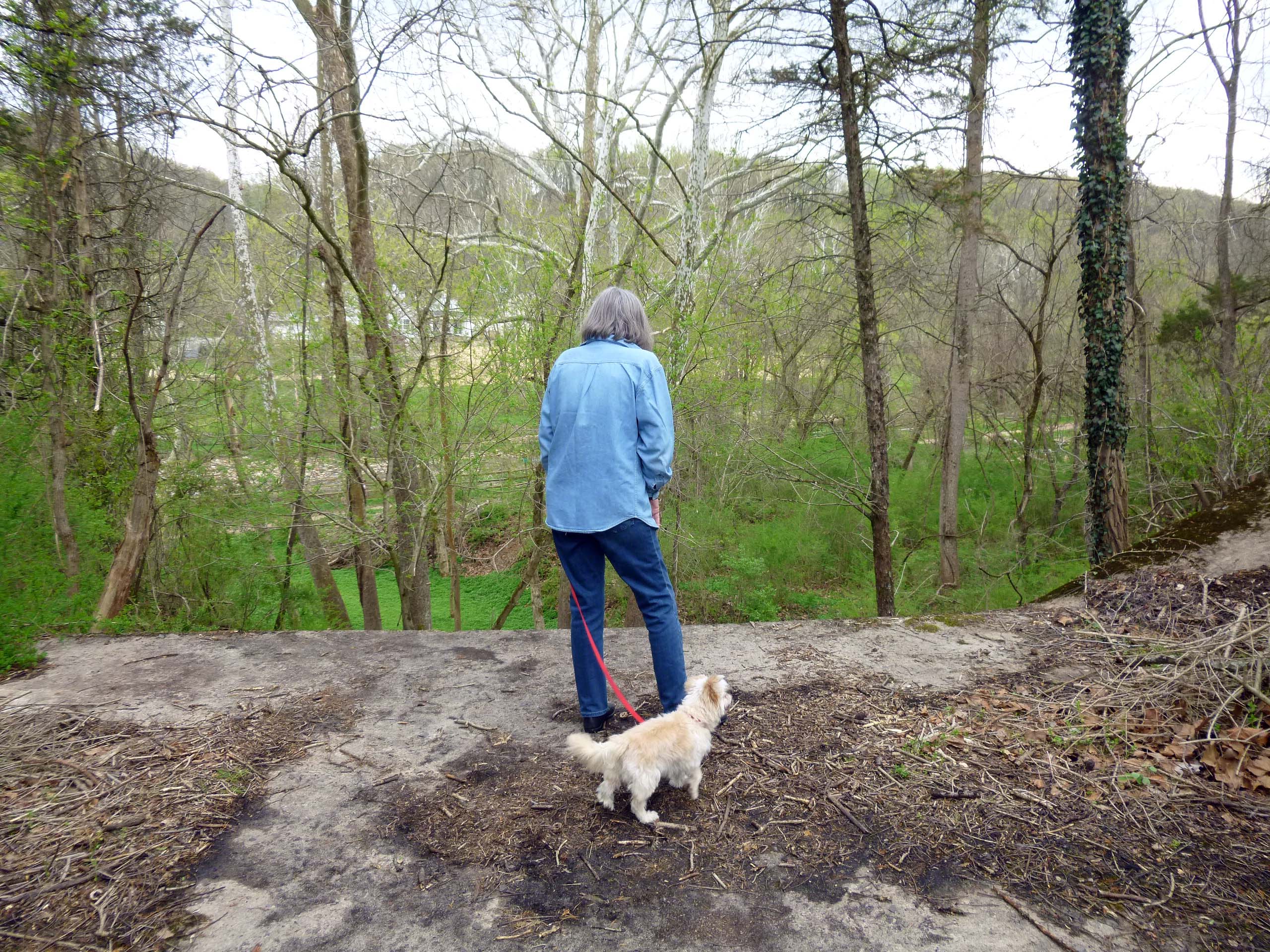
After about an hour and a half of open water, we headed to a shady spot.

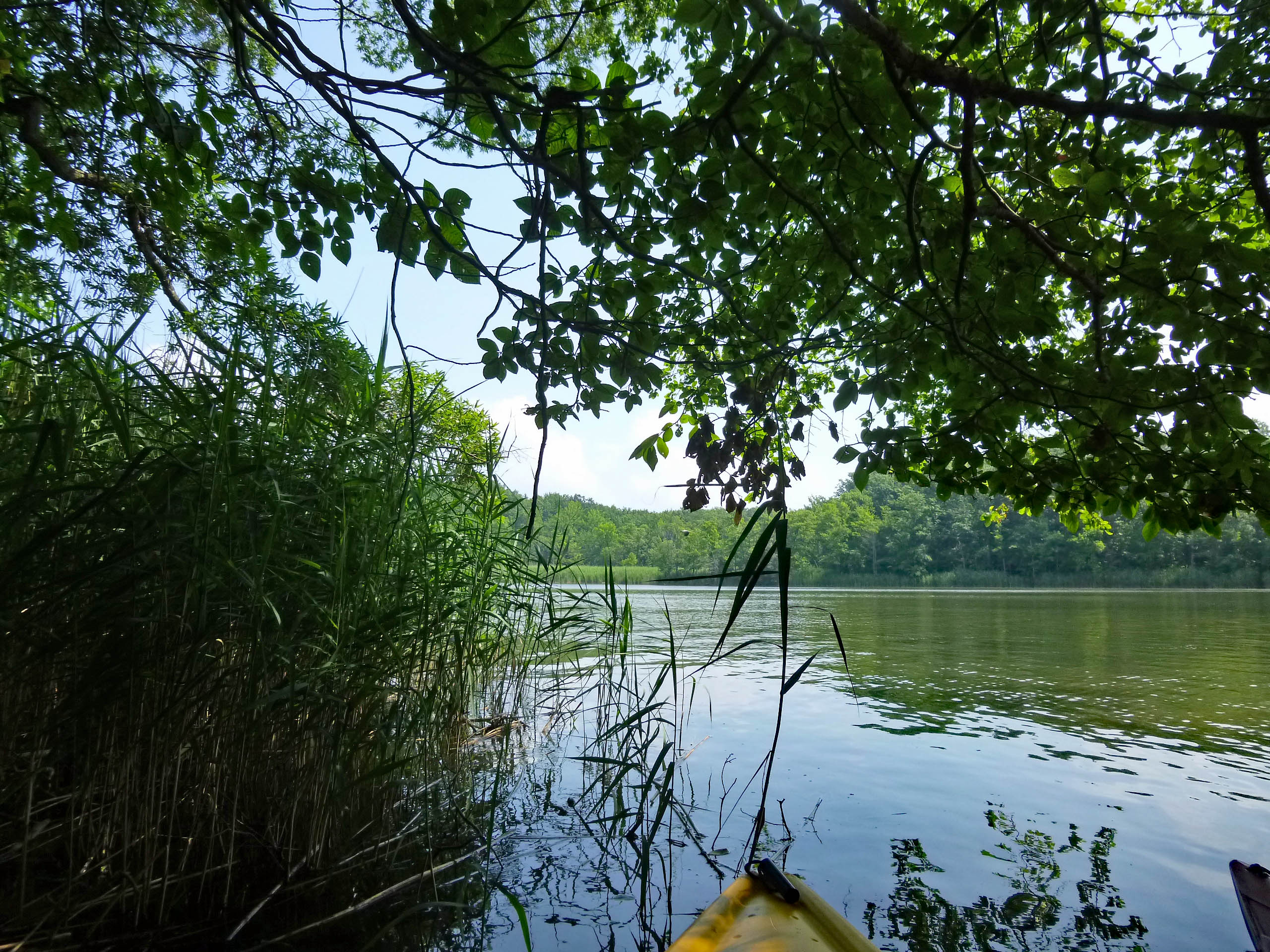
Then we headed out again to follow the shoreline and found this poser.

Two hours for a first trip was enough. Headed back to the beach and it was getting crowded. I have never seen people picnicing at the landing before.

On the way home, coming out of the park (Part of Gunpowder State Park) there were quite a few DNR Police, diverting and stopping traffic. By 12:30 most of the parks were full and people were being turned away. Glad we go early. Topped the day off with some steamed crabs and corn on the cob.

Thanks God for another day clean and another adventure with Kathy!

Looking For A House

02 Monday Jul 2018

Posted by Ronald Parks in Baltimore, Eastern Shore, water history

≈ 5 Comments

Tags

Avalon, Baltimore, Gunpowder Falls, Houses, Loch Raven, Montebello, Pretty Boy, Public Works, Realtors, water history

With retirement not too far away, Kathy and I have been looking at houses the past couple of months. Some have been fairly nice, others would take too much work and still others have since been knocked down!

Of course, working for the Water Department for 37 years, why not live on watershed property or any other house owned by the City of Baltimore?

This first house was right here at the Montebello water plant. The only thing left to this house is the BBQ chimney.

Info on the house and its occupants.

Another house on the Montebello Grounds. I had actually met people who lived here. This too was knocked down.

Info on house. Nice house for a labor foreman.

And the final Montebello house.

Info on house. This is a duplicate of the Armstrong house, that the preservation people are holding up construction on a new chlorine building, but where were they when this house was razed? I guess a youth baseball field makes it ok to knock it down, but not a water process building??

Time to ride up to Loch Raven, to look at some houses:

Info on house.

This next one looks nice – also looks familiar.

Info on house.

Another nice one.

Another laborer’s house.

Moving up the Gunpowder River to check out some houses up near Prettyboy Reservoir.

A fixer upper with chickens.

This one looks like a scary place to raise kids.

Doesn’t appear to be a City employee, but still City property.

I doubt if Jimi lived here, but nice. I guess the owner was tired of people asking where the dam was so he put up a sign.

Info on house.

We leave the Gunpowder area and head back to the City, Roland Park. I like this one. A little skinny but nice. Wish the realtor would have posted some interior pics!

Property info. This guy resigned but is still living in the house.

We left there and headed back over near Montebello. Got a text from my agent saying that a house just came on the market over at Clifton!

Darn! Too late – turned over to the Park Board!

We now head west out of the city towards the Patapsco river. Avalon.

Not sure about that porch and what’s with those small upper windows??

This one looks like the Davidson house above, but it comes with children.

Info on house.

More searching took us to a couple more.

These were double occupancy, I really don’t want to live next to someone that works at the water department! This one below is a semi-detached.

The next house was unbelievably dirty. I felt sorry for this little kid, whose father worked for the City Comptroller.

It does have a mill though.

Info on the house.

A big house on the market, over on the west side – Arlington.

Looks like a school next door – don’t need the noise.

Patapsco State Park Bloede’s Dam

25 Monday Jun 2018

Posted by Ronald Parks in Dams, Floods, Hiking

≈ 2 Comments

Tags

Avalon, Baltimore, Bloede Dam, engineering, Hiking, HISTORY, nature, Patapsco, photography, Public Works

Sunday was a nice day for a hike so we seized the moment and headed to Patapsco State Park. Because of all the flooding and the on-going construction to remove the Bloede’s Dam, a lot of the areas were closed off, which meant the same amount of people trying to cram the smaller accessible areas. Good thing we went early. Other than some parking at the Avalon side, the only other parking was on River Road near the swinging bridge, which was also closed off.

So we parked and took this trail.

I remember seeing this a few years ago. still not sure what it is. I think it may have been a water fountain, that by river pressure through a pipe, supplied water?

A Maryland Department of Natural Resources Geological Survey marker off the side of the trail.

The devastation from the flooding was unbelievable. This area is a few miles downstream from Ellicott City. Part of someone’s fence.

Part of a car.

Trees wrapped around trees…

Or just snapped off

Snap…

Debris everywhere, unless maybe brought here by a fisherman? Did find a bunch of sea glass (or stream glass!)

Heading to the dam, which is just under a mile away, we can see some construction debris on the other side.

Along with some debris you really don’t want to see in a stream.

Approach to the dam and construction site. From what I read, they are moving the sewer line, putting the Grist Mill Trail over it and removing the dam. 

The fish lift. Trees in the fence. 

The sewer line that needs moving.

Another view of dam.

Above the dam. The construction site, which a lot was washed away in the flood. I like how in this photo the sky is white but the reflection is blue.

On top of dam abutment. Debris just rolled right over the fence.


Historic photo of dam about 1907. Good history on Wiki.

These two photos courtesy of Baltimore County Public Library and Wikipedia.

If you read the Wiki article you can see that this was a world’s first hydro dam, 1906.

https://en.wikipedia.org/wiki/Bloede%27s_Dam


Highlights in Public Works History part 2

11 Monday Jun 2018

Posted by Ronald Parks in Archives, Baltimore, engineering, HISTORY

≈ Leave a comment

Tags

Baltimore, bridges, Dams, engineering, Gunpowder Falls, HISTORY, Latrobe, Montebello, POLITICS, Public Works, Research, Route 40, water history, White wings

Some more flyers from the DPW Museum.

Bollman, bridge engineer:

B.H. Latrobe:

Centre Fountain:

Loch Raven-Montebello Tunnel:

The Baltimore Pike:

City Hall:

The white Wings:

Back River:

Montebello Filters:

C.H. Latrobe:


Noble Mill on Deer Creek

06 Wednesday Jun 2018

Posted by Ronald Parks in Dams, HISTORY, water history

≈ Leave a comment

Tags

Baltimore, bridges, Dams, Deer Creek, engineering, kayaking, mills, Noble Mill, Research, water history

Somehow or another I ended up on a mailing list for an organization called S.P.O.O.M. – Society for the Preservation of Old Mills. I just received their latest posting and I see they are visiting Eden Mill on Deer Creek this weekend. Nice mill that I have written about before. (A favorite kayak spot) Back in 1933 when Baltimore City was looking for a new water source, Deer Creek was on the list of possible dam sites. If the dam was built at Rocks State Park, Eden Mill would be flooded. There were quite a few mills below that area which would have lost water power needed for the mills. One of which was Noble’s Mill, which I visited in 2012.

Here is the drawing of Noble’s Mill.

And what the Mill looked like in 1933.

And in 2012.

The water race sluice gates.

Water to the mill via the sluice gates.

And where it enters the mill.

Sluice gate rack and pinion.

One of the best parts of my 2012 trip was being able to go into the mill. The owner saw me poking around outside and offered to give me a tour. 

Besides his artwork, he has been restoring some of the mill works.

Got to love this old pulley system and how you can watch the grain go through the chutes.

The old bridge over Deer Creek.

Maker of the bridge.

Map of the other mills along Deer Creek.

The Noble Mill map shows the road in front of the mill, between Deer Creek and the mill. Google Earth shows the road behind the mill.

Highlights in Public Works History part 1

05 Tuesday Jun 2018

Posted by Ronald Parks in Archives, Baltimore, engineering, HISTORY

≈ Leave a comment

Tags

Baltimore, bridges, engineering, FILTRATION, HISTORY, Museum, POLITICS, Public Works, Research, water history

Continuing with documenting and archiving, I found a collection of small posters concerning Public Works. I believe these were given out at the DPW Museum in Baltimore back in the 1980s during the time it was open. There are some missing and I hope to be able to find them, to complete the collection. Here are issues #1,3,4,6 and 7.  #1 has some misinformation. The Roland Tower was completed in 1905 according to Annual Reports. Not sure what the word exhaneous, which is handwritten on the poster, means?

#3 comes from Abel Wolman’s booklet, “The Livable City”.

#4 from the exhibit: Baltimore’s Bridges and Their Builders.

#6 from 1985’s Women’s Week.

#7 is about our infrastructure.

Over the years there have been many attempts at posters, exhibits, newsletters etc. I wish they would start doing more of the history in a poster like the above or a new newsletter… The City attempted to try a new format of the Annual Report, but it is inconsistent and sporadic at best.

Crisfield

29 Tuesday May 2018

Posted by Ronald Parks in Eastern Shore, Family, Travel

≈ Leave a comment

Tags

Chesapeake Bay, Crisfield, photography, vacation

Headed to Crisfield for dinner on Saturday night, to celebrate John and Gail’s anniversary. Always a good time with Kathy’s family. First stop was the dock or maybe it is just a fishing pier?

Memorial Day weekend and the flags are flying.

Looking across Daugherty Creek towards Tangier Sound and the Chesapeake Bay.

Kathy enjoying the peace and solitude. Stars overhead. 

A moral compass or a navigational one? Needs directions.

Is that someone’s house all the way out there?

Dinner time. The soft shell crab sandwich was excellent! The sauteed soft shell crabs, not so much. But overall a very nice restaurant. Glad to have been invited to what was traditionally a father-daughters eatery! Thanks Merrill. 

The family.

Random shot of a water tower – because this post is about water and me!

Got home in time for the deluge. Molly says to go ahead and she will catch up!


Fire Towers

10 Thursday May 2018

Posted by Ronald Parks in Reservoir, water history

≈ Leave a comment

Tags

Baltimore, engineering, Fires, Gunpowder Falls, Loch Raven, Public Works, Research, water history

I have just about completed scanning and documenting the 1500+ negatives I found a few weeks back (Loose Ends Never End). Only needed to scan just over 700. The others have already been documented elsewhere. I wish someone would have taken the time to at least give a descriptive label to these things, other than the date the photos were taken. From my years of research, most I can identify, others I cannot.

Here are two that were in a group, although not labelled, I recognized as construction of the Susquehanna Conduit. Along with Deer Creek Pumping Station. There are quite a few negatives scattered throughout this collection, although in numerical and chronological order, that should be in other groups of photos.

It looks like a fire tower, just not sure. What my book says about fires in the watersheds:

From File Folder 1194: August 1931 letter concerning the building of a fire tower located near Loch Raven. The State Dept. of Forestry request fire towers at all watershed properties. Rost responds that they (the City) have no money to contribute to the building of these towers. 1932 fire reports: Most report that the fires were caused by smokers. Also a list of damage done: Twenty five acres burned, mostly ten inch hardwoods. 1939 letter from Towson Nurseries concerning property adjacent to the Northern Central RR at Kenilworth. They want to plow some furrows in the field to help stop any fires that may happen. Small gives them permission. January 5, 1943 report of a fire at the Gatekeeper’s house at Lake Roland. May 22, 1945 memo of a fire in the barracks immediately behind of the old gatehouse at Lake Montebello, formerly occupied by the Maryland State Guard. November 20, 1945 fire report, barn owned by City on Mittens’ farm about one mile west of Westminster Pike: On investigation of this fire learned from Paul George, age 46, overseer on Dr. Saffell’s farm, that he was husking corn, in a field near the barn, with five German prisoners. He stated that all of them ate their lunch at this barn around noon. At about 2:45pm, one of these prisoners went on top a hill, to relieve himself, when he came running back and told Mr. George that smoke was coming out of this barn. Mr. George stated that at no time was any of the prisoners in the barn or smoking near same. Dale George, son, said he saw two hunters near the barn earlier but didn’t know them. June 9, 1949 memo concerning all the fires occurring on the property between Pierce’s store and the dam. Mostly are caused by picnickers. 1956 memo concerning fire at Hampton in which fifty acres burnt. Three young boys were caught leaving the fire. Contains lengthy report. 1957 letter from Werner to a Philip Franklin who had started a fire at Loch Raven and then left the scene. Werner wants to know a good reason why he shouldn’t be prosecuted. March 1962 report of a fire north of the dam caused by fishermen.

These two photos are dated May 10, 1965. I know the watersheds have fire roads; I have never seen any of these towers – not that this one would still be standing. Looks pretty rickety to me.

Good Intentions, Not Always Good Results

04 Friday May 2018

Posted by Ronald Parks in engineering, Hopkins, Reservoir, water history

≈ Leave a comment

Tags

Baltimore, Cromwell Park, Dams, engineering, Hiking, Loch Raven, maps, nature, photography, Research, water history

A couple weeks ago I was drawn into a discussion concerning the Balancing Reservoir adjacent to Cromwell Valley Park. I say adjacent because it is City property, in Baltimore County, part of the City’s watershed. This past weekend was the first chance that Kathy and I had to take a hike through CVP and this is what greeted us:

A poem about graffiti. What the hell? So I looked down at the balancing reservoir shaft and understood.

Someone drew, what I guess they thought, was a peace symbol and a heart. Going down the slope we saw even more.

Now I understand the reason for the poem. What idiots! I have never understood graffiti. Some that are murals are nice, but this makes no sense to me. And no, I don’t believe in that sort of “Freedom of Expression”

What does this have to do with my Post Title and opening statement? The discussion I had was with City Watershed personnel, the County, the Park and the volunteers at CVP. The area has been nicely cleared around this structure and throughout the reservoir. Unfortunately by clearing it out, it made it more accessible to more people and more people means more risk of vandalism. The discussion, both pros and cons, concerned restoring the site. Pros – historical water history. Cons – disruption to the wildlife and native plants.

Here is a 1921 partial drawing of the Balancing Reservoir.

We walked down the shaft slope and went over to the quarry, then to the spillway. View from the beginning of spillway looking toward Mine Bank Run.

A close up of the Spillway.

And of Molly not wanting to get too close. It is about a 20′ drop. There use to be a rope across there saying “Danger”

From the spillway we walked over to the dam. This dam actually has a concrete apron that extends partially down the slope towards the surge shaft. It has been pretty much cleared out, to the bird watchers and rangers dismay.

Here is the balancing reservoir in use 1922. This view is from the shaft to the dam.

This other view is looking over the old quarry. Both of these photos come from the Maryland Historical Society.

No trip to CVP would be complete without a hike to the Kilns.

New signage everywhere – kind of reminds me of an old 70s song! Descriptive signs.

My take on all this? Originally I thought it would be great to restore the complete balancing reservoir to its original construction, but I’m not so sure now. It would be nice to clear the concrete apron around the surge shaft and the concrete spillway. Not sure it would be worth clearing the dam face. Too many animals and birds in that area. And as the poem states, “volunteers…in their older years…” Who will maintain it 20 years from now? The City won’t and they haven’t. The place is only historical in the minds of people who appreciate their water source. Most people that turn on their faucets could care less about the history of how it gets there!

And for my history friends, here is a map from 1915 of the area. When the City built the new dam.


North Patapsco Bridges

25 Wednesday Apr 2018

Posted by Ronald Parks in Baltimore, Dams, engineering, water history

≈ 5 Comments

Tags

Baltimore, bridges, Dams, engineering, HISTORY, Liberty Dam, mills, Public Works, water history

More from the Loose Ends Never Ends files. I have about 500 more negatives to scan in this one collection. Just finished up more of the Liberty Dam and adjacent bridges. I must confess, I have never really done a lot of research concerning these bridges. Over the years I have found hundreds of photographs/negatives, and only found a few of them interesting; like Liberty Lumber, the Indian grave marker and the dam itself. Although I really like climbing on and under bridges, I never gave these photos much thought. Looking at Google Maps, it is hard to place the original/present location of these bridges. I’m just not familiar with the area’s history. Most are from the early 1950s.

Ivy Mill Bridge is first. I like this one because it shows the old structure in the background. This photo is one of the few with a description attached.

Beginning construction, temporary bridges were built.

Foundation and columns poured.

As can be seen, these photos are missing the contractor’s descriptions of work – black rectangular areas on photos.

Moving right along with progress.

Reaching the final height and then comes the decking.

The finished bridge.

Next collection of negatives were marked as North Branch Over Patapsco, including Morgan Run. General view of the area.

Setting forms for foundations.

Columns.

Ready to place decking.

Putting on final touches.

Finished bridge from old bridge. (I wonder if this old one is underwater?)

The next group I found were of the Snowden Creek Bridge. Not many photos in this collection. It must be way up there because it looks pretty shallow. Forms poured and ready for decking.

Near completion. 

The next 500+ negatives to document are of building the Susquehanna Tunnel.

Here is the photo of the grave marker, taken from an engineer’s scrapbook. 


← Older posts
Newer posts →

Blogroll

  • Flouride Action Network
  • lulu
  • My Book
  • WordPress.com
  • WordPress.org

Recent Posts

  • Bermuda 2023
  • ICELAND April 2023
  • George Chalmers of Fochabers
  • In Search of The Skipjack Ada Mae
  • Trap Pond Kayak

Blog at WordPress.com.

  • Subscribe Subscribed
    • Water and Me
    • Join 231 other subscribers
    • Already have a WordPress.com account? Log in now.
    • Water and Me
    • Subscribe Subscribed
    • Sign up
    • Log in
    • Report this content
    • View site in Reader
    • Manage subscriptions
    • Collapse this bar
 

Loading Comments...